

This morning it was bright, sunny and already showing promise of becoming the warm day it now is. I thus decided to make my morning walk a long one.
SETTING FORTH
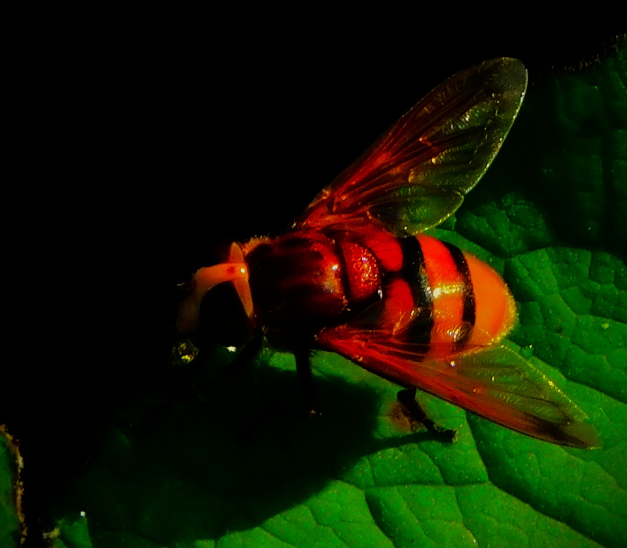
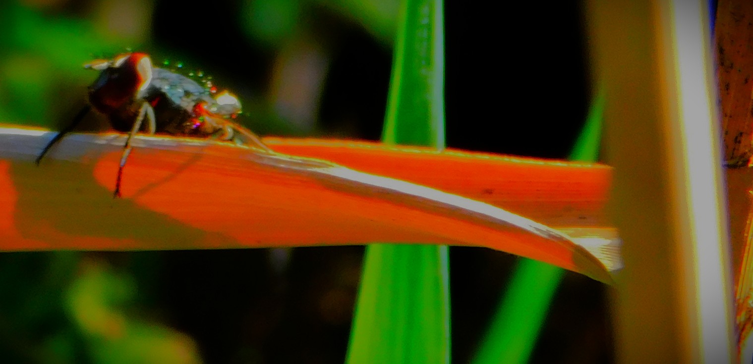
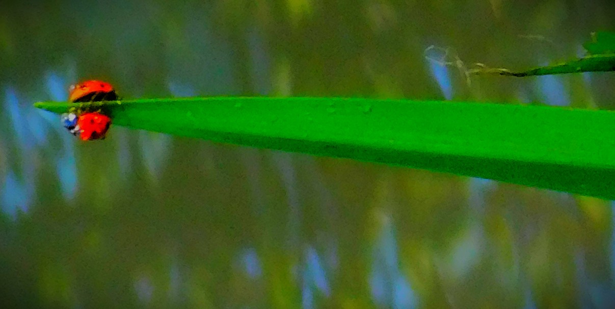
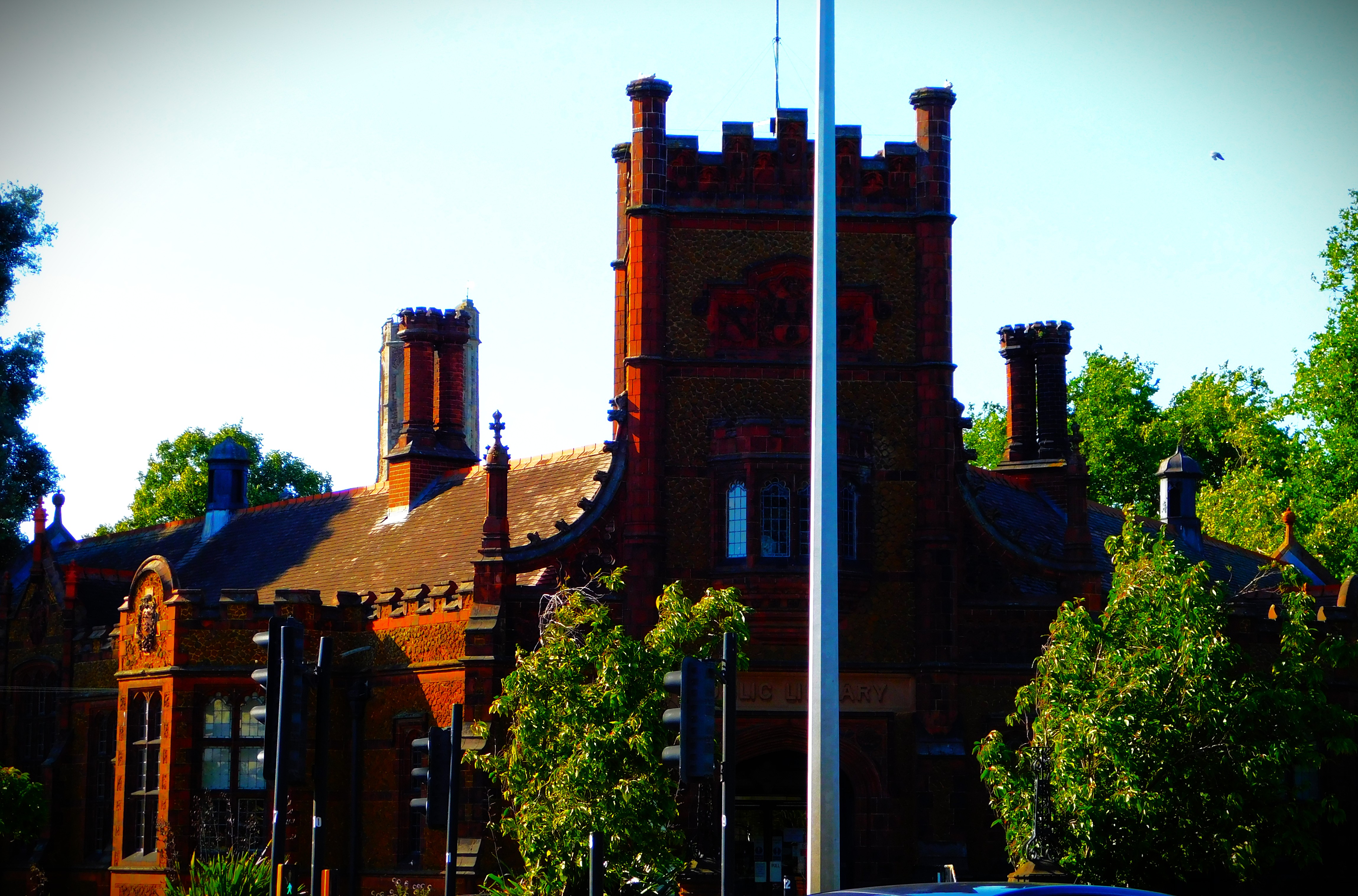
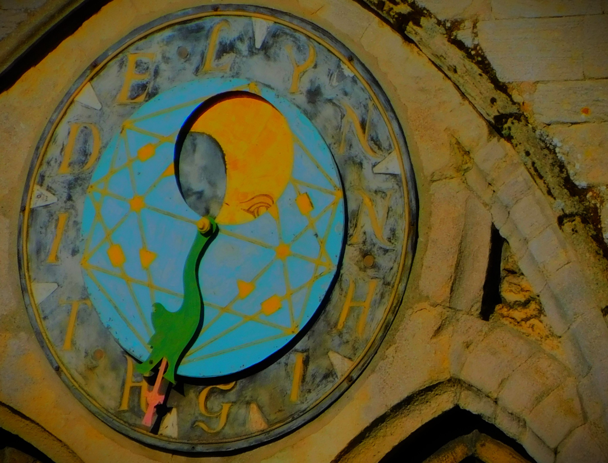
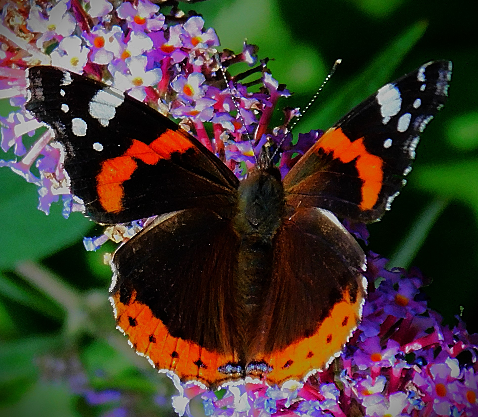
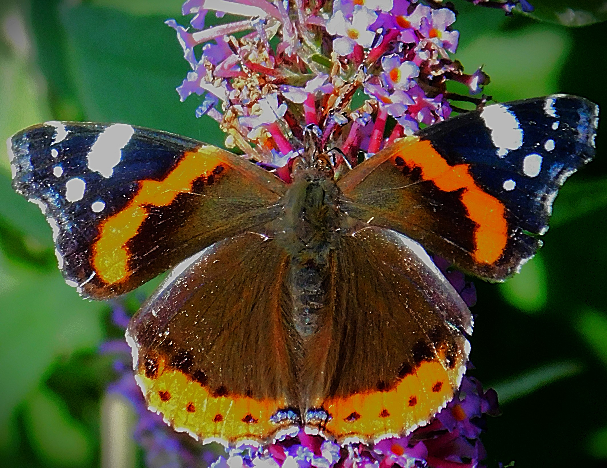
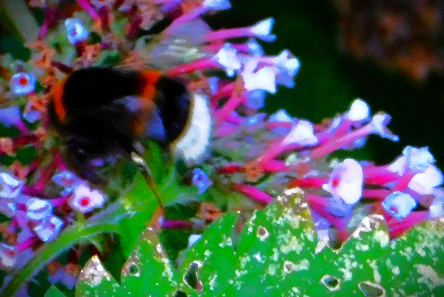
I left by the back door, headed up the unnamed private road that runs behind my house, crossed Raby Avenue onto Smith Avenue, walked along that road to the point at which it swings 90 degrees and becomes Townshend Terrace, at which point I diverged by way of a short path that leads alongside a pond to Loke Road. Crossing Loke Road I then took Harefield Parade, alongside a second pond, this one with a curved edge. From the end of Harefield Parade I followed a footpath that leads into Kettlewell Lane Park. I left the path in Kettlewell Lane in order to walk alongside some bushes that often harbour insect life. There was one such sighting today. Then I walked along the bank of the Gaywood River until it was time to leave Kettlewell Lane Park and cross the main road at Eastgate Bridge. Having crossed the main road I took Highgate, past the Methodist Chapel, continuing until I reached the footpath that crosses the Gaywood and ultimately brings one out on Wyatt Street. I crossed Wyatt Street to another footpath section which runs alongside Eastgate Academy, joining Blackfriars Road about 100 yards from the train station. I made my way past the train station and into The Walks…

THE WALKS TO THE GREAT OUSE
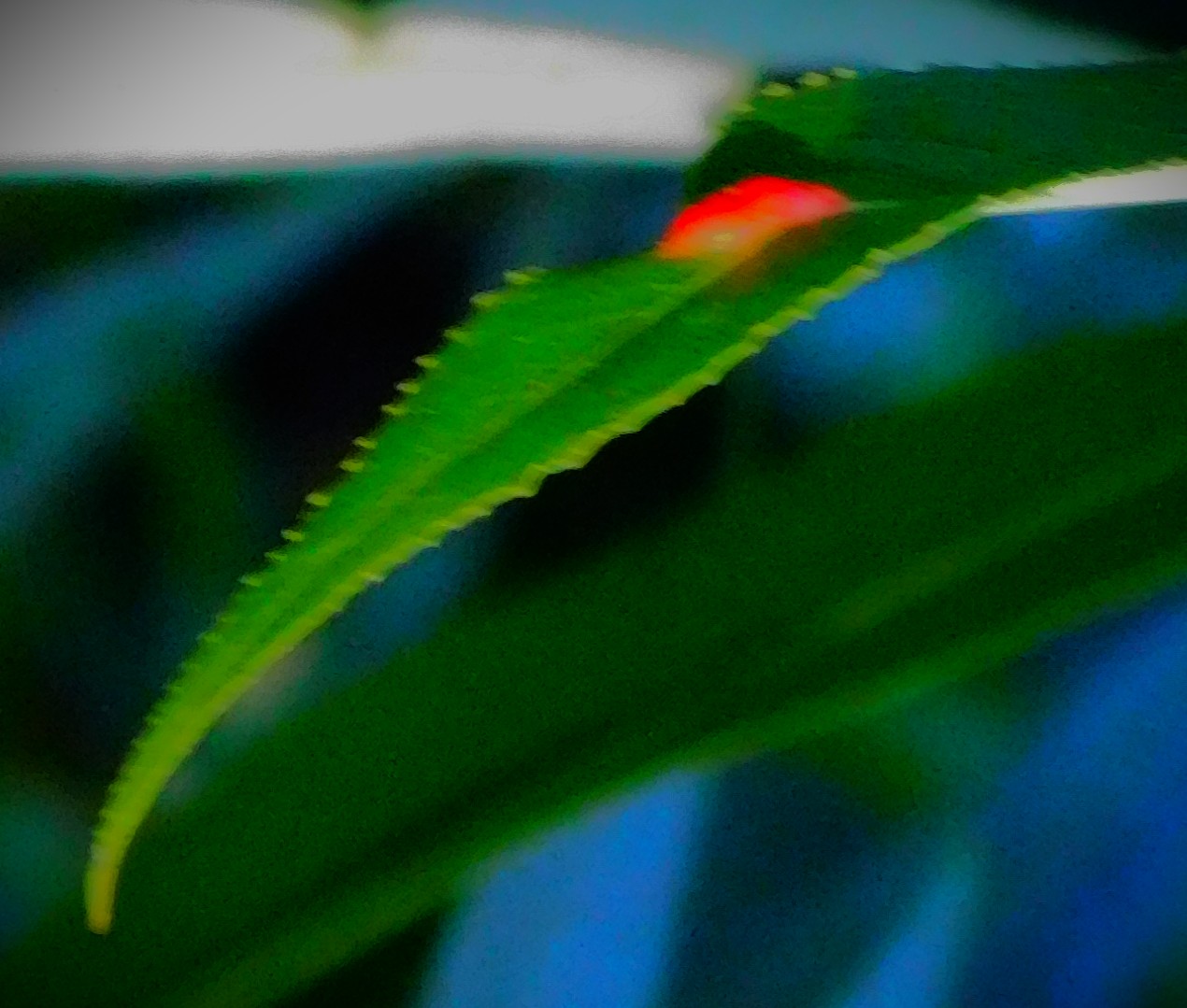
Entering The Walks I headed on to St John’s Walk, which if you follow it all the way leads through past the Recreation Field to Tennyson Avenue, though on this occasion I followed it only as far as the sculpted sections of the Gaywood river the flow through this area of parkland. Shunning paths I walked right alongside the river, where there is a lot of plant life, and sometimes interesting insects. I left the river where my route intersected with the Broad Walk (which runs from directly opposite King’s Lynn library through to the home of King’s Lynn Town football club). I took the Broadwalk through the Guanock Gate and across the Gaywood, before then following a path that cuts through to a bigger path, which leads to the Seven Sisters Gate, by which I left the parkland. I followed the road until I reached a path that leads through to London Road, emerging near a light controlled crossing from which the South Gate is visible. I crossed London Road here and walked down past the South Gate, then swinging right, crossing the Nar, and leaving the road at a path that leads into Harding’s Pits. The path that I had chosen cuts another path that I might have chosen about halfway along its length, and I followed this path from the intersection to the Great Ouse…


ALONG THE GREAT OUSE TO PURFLEET QUAY
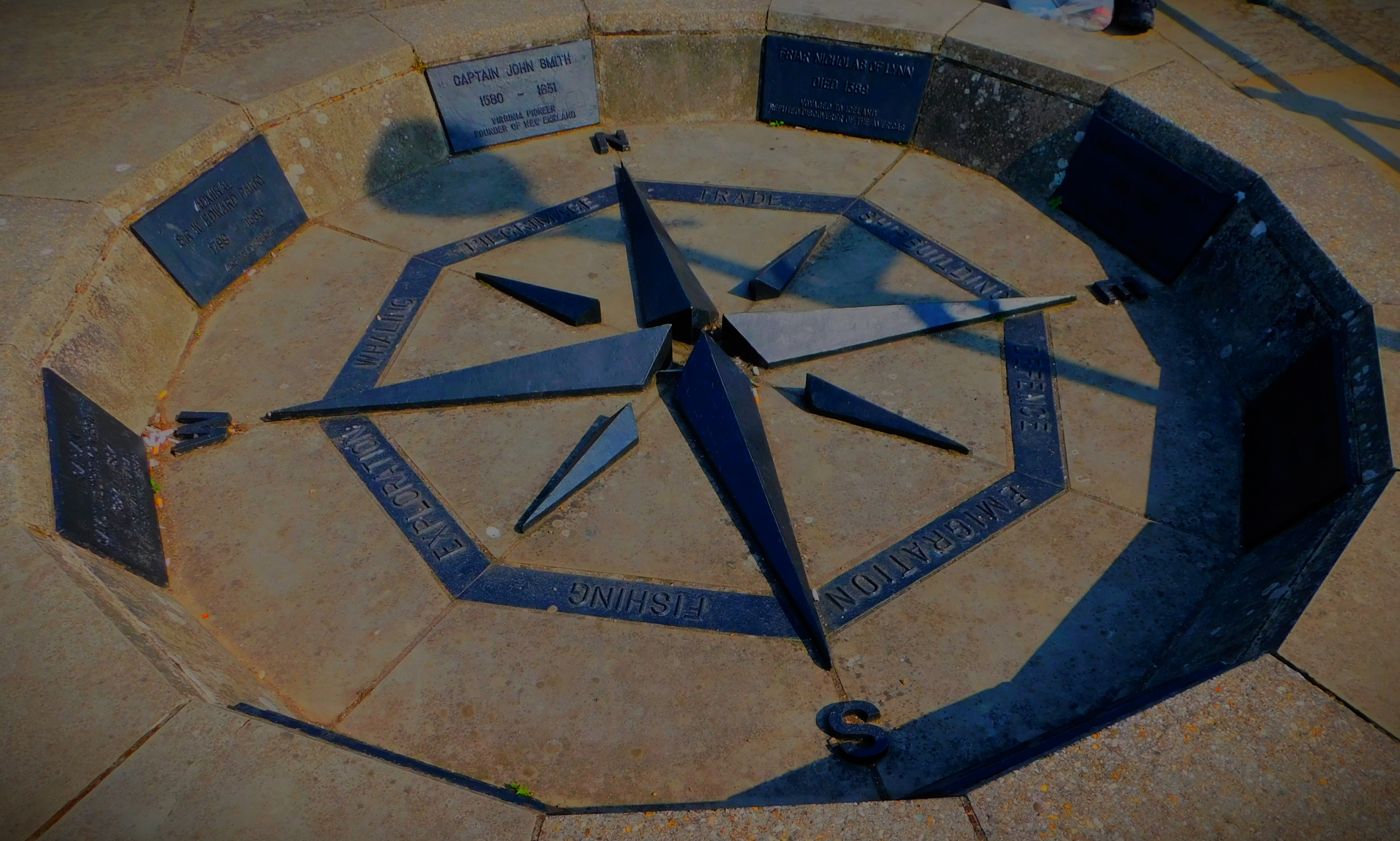
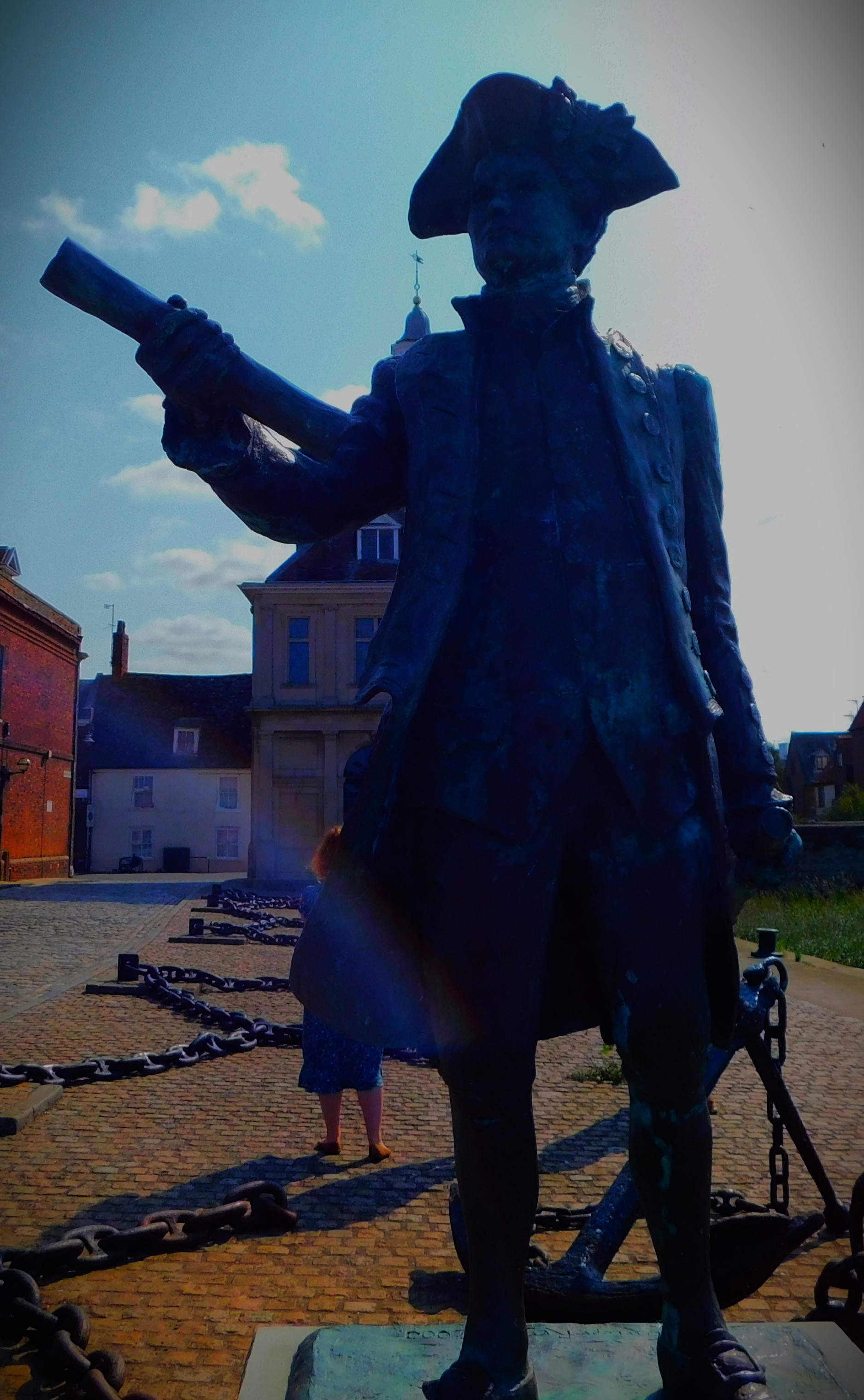
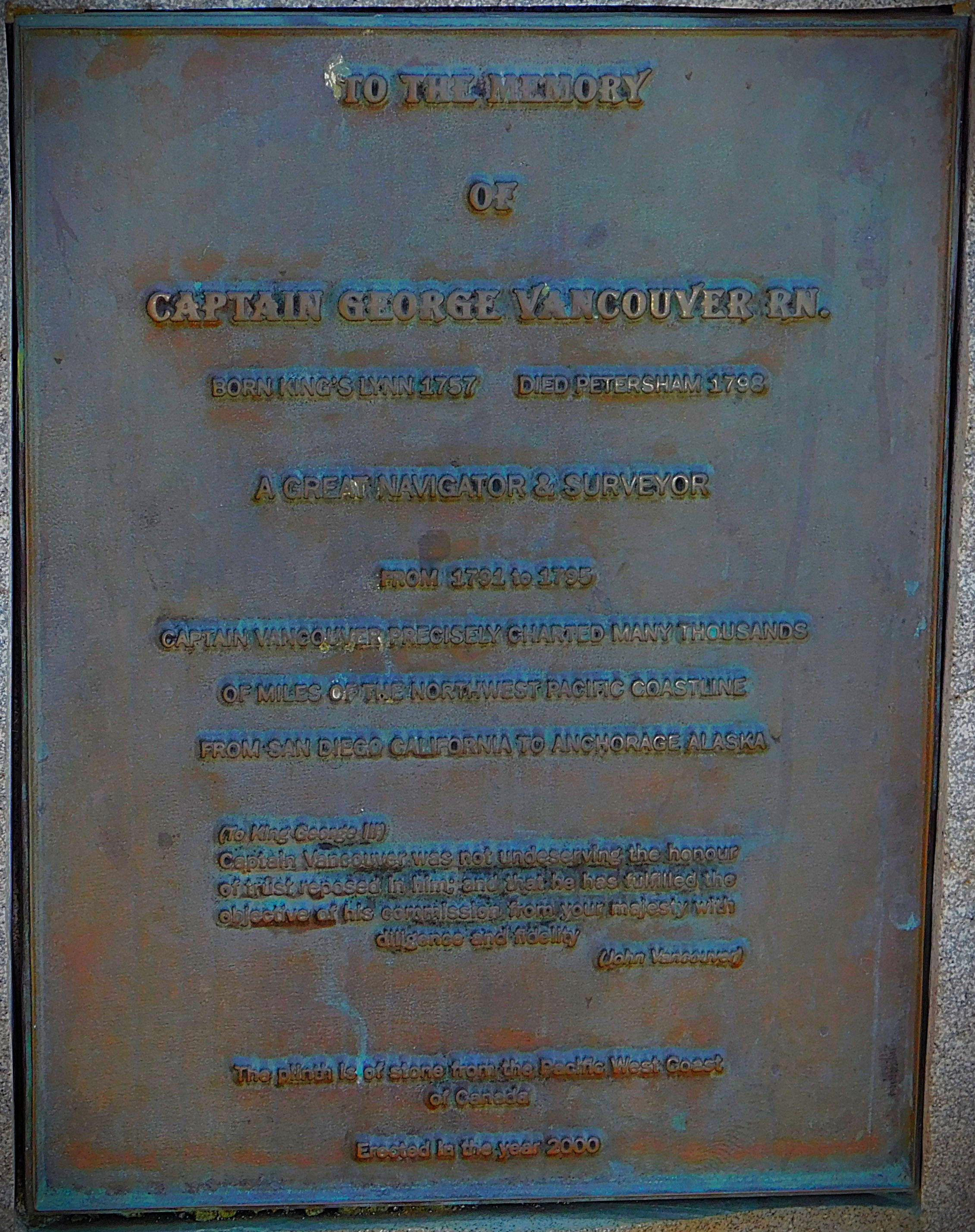
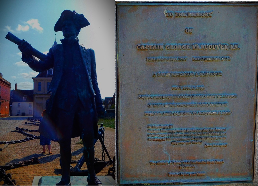
I now turned north along the Great Ouse, following the footpath until it joined the road at the Nar Outfall, and then after crossing the Nar I took the unsurfaced footpath that follows the dike around old Boal Quay and then on level ground runs alongside the wall that is part of King’s Lynn’s flood defences, coming out close to the river. I followed the town centre section of the river front past the pontoon jetty, at which several boats were moored, past the courthouse, past the Bank House hotel and across the mouth of the Purfleet, from where one gets a splendid view of the Custom House. I went via the display honouring famous mariners associated in some way with the town and the statue of Captain George Vancouver, who surveyed and charted the Pacific Northwest coast all the way from San Diego, California to Anchorage, Alaska (it took him four years – 1791-5 – to complete this monumental task, and in Canada there is a city named Vancouver). From Purfleet on, though I made one diversion, I was at all times headed towards home…


HOMEWARD BOUND
I walked along Purfleet Quay past the Custom House, crossed King Street and headed along New Conduit Street, past the junction with the High Street, past the statue of King John (unworthy of my camera) and past the construction on the old Argos site that will be King’s Lynn’s new library and community hub when it is complete, then up past the old post office and St James’ Leisure Centre, and in to The Walks, and up past the station, at which point I diverted by way of Morrison’s where I had a small amount of shopping to do. The shopping attended to I left the environs of Morrison’s by way of a short footpath that leads from the carpark through to Highgate. From the point at which I met the footpath by which I left Highgate on my out my route duplicated the outbound route in reverse as far as Loke Road, at which point I headed along Loke Road, across Raby Avenue and on to Columbia Way, ultimately returning to my home via the front door.

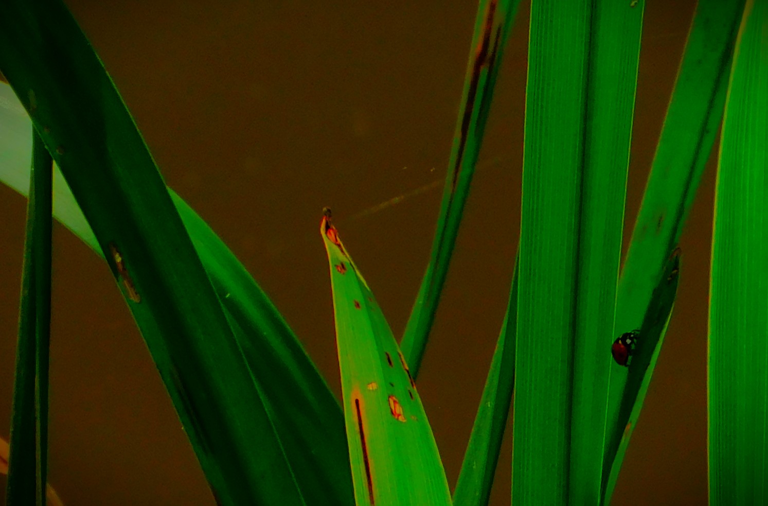
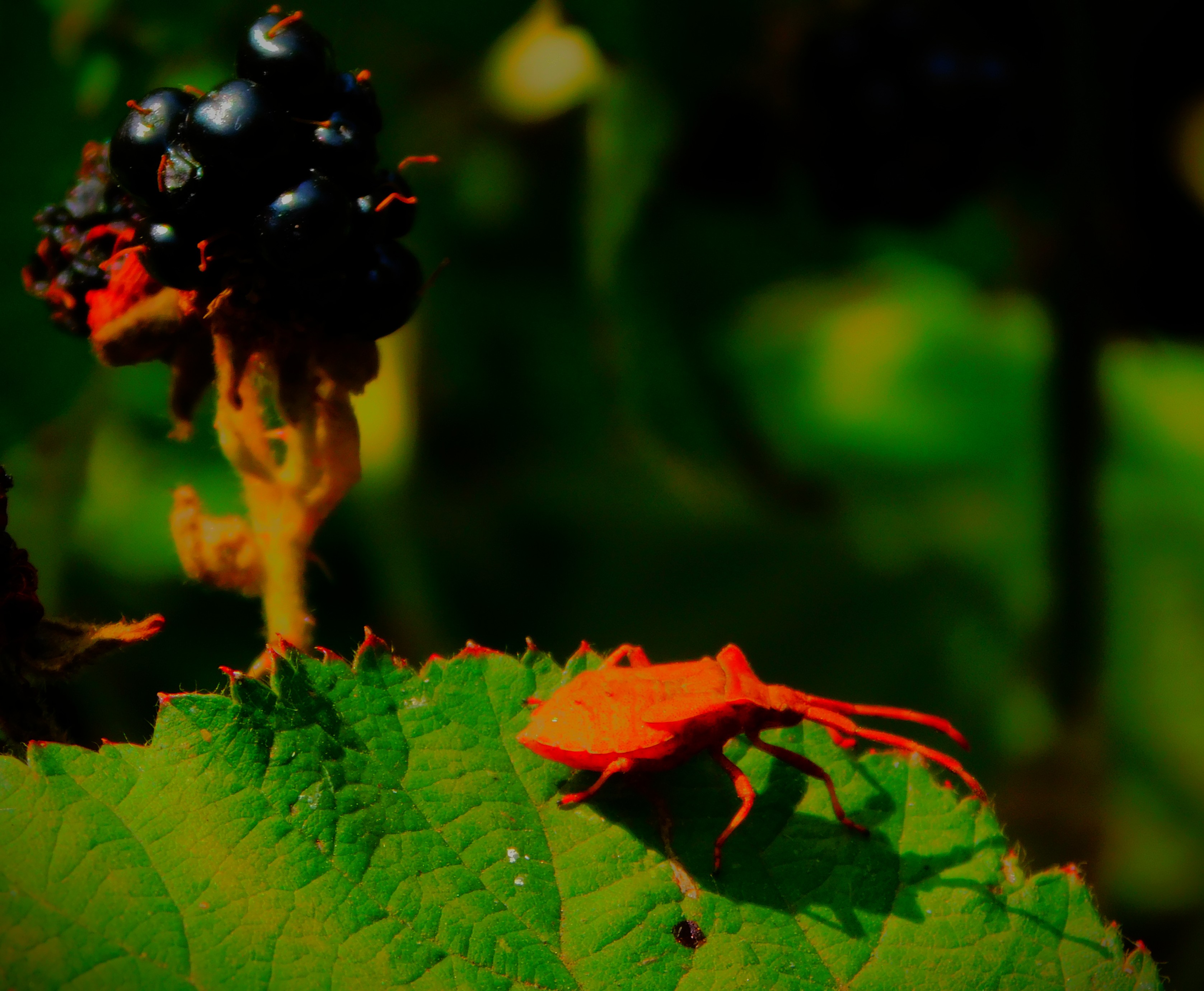

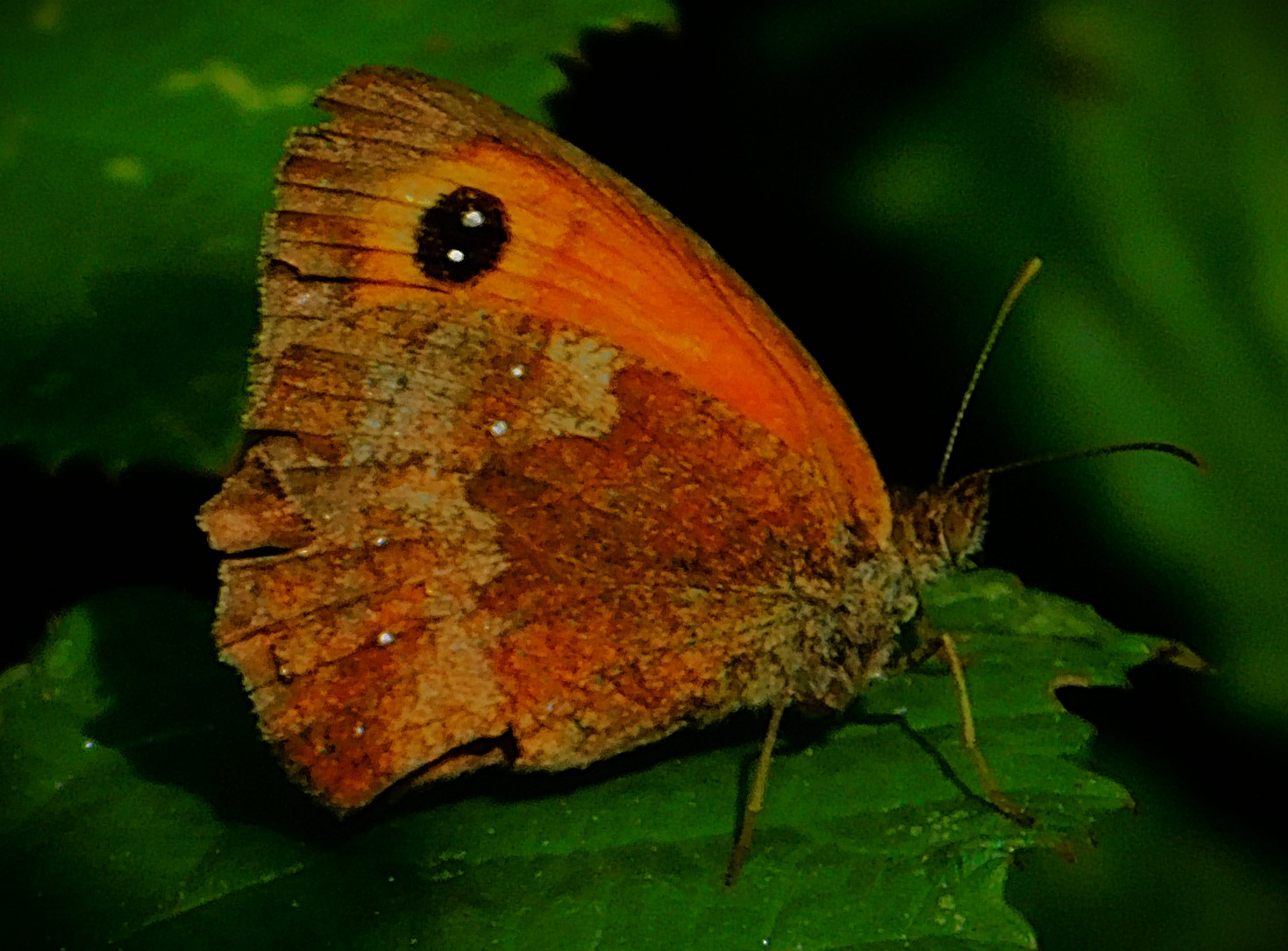
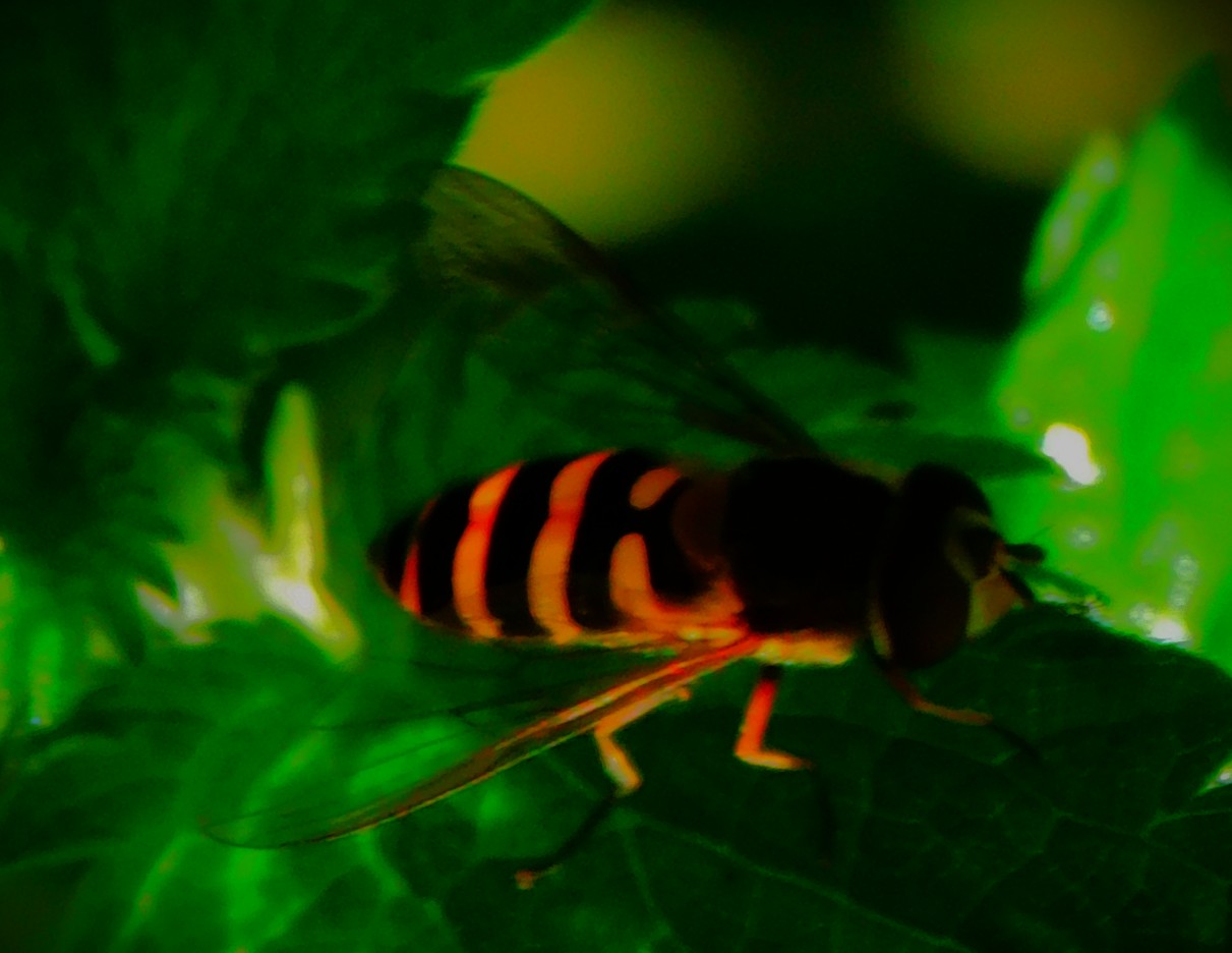
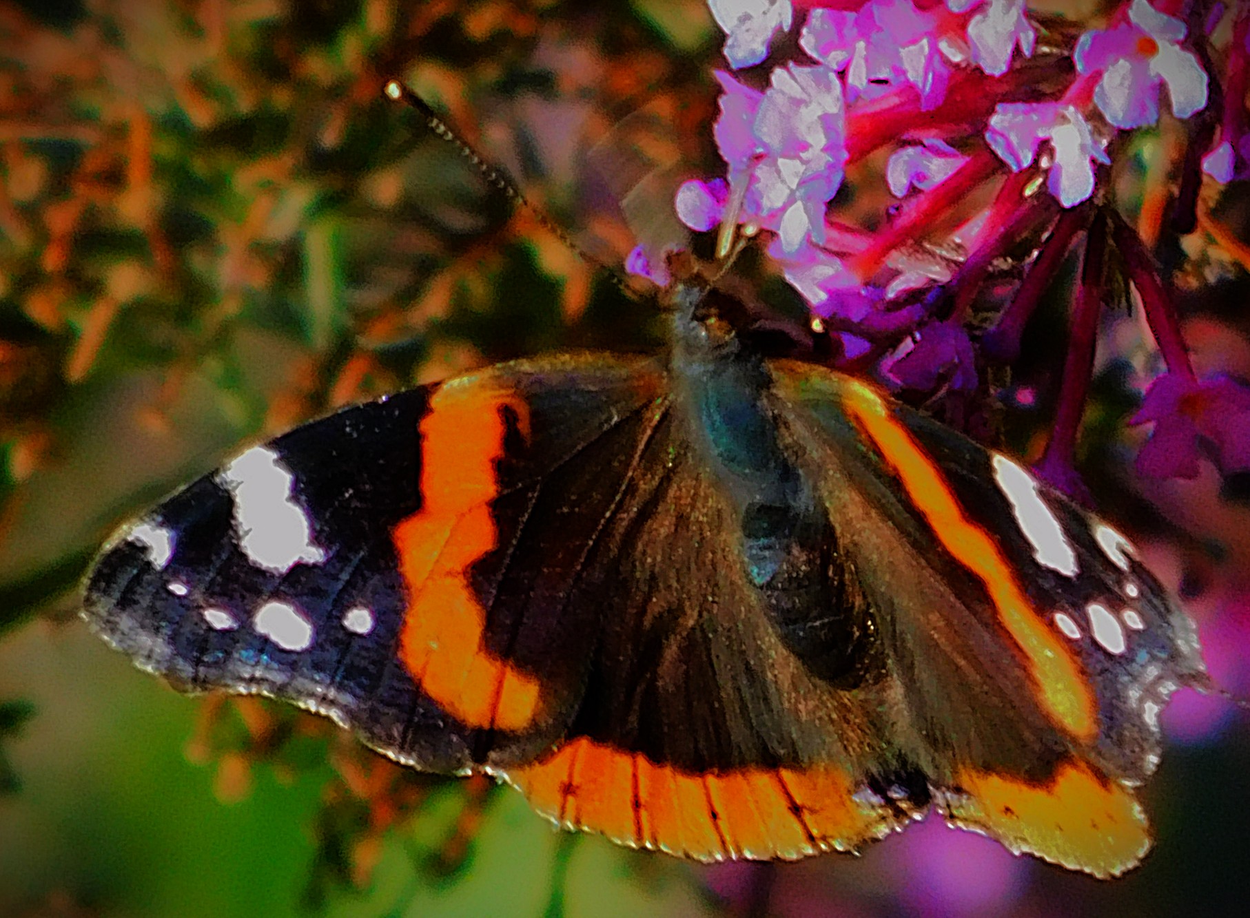
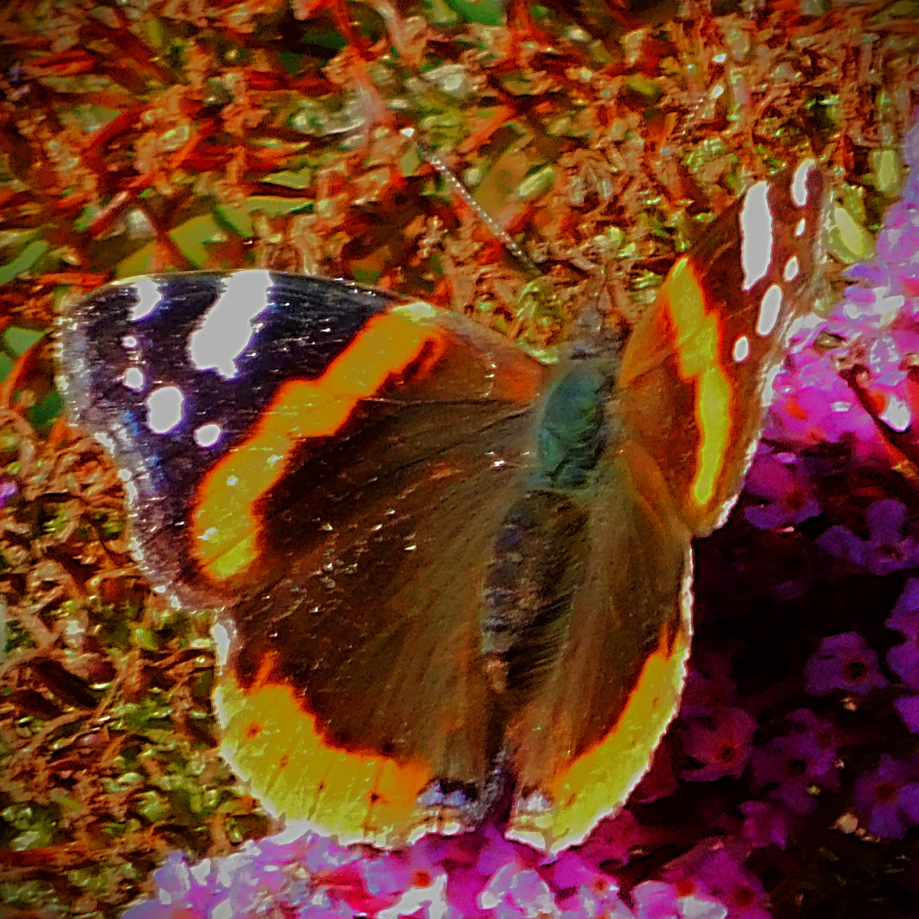
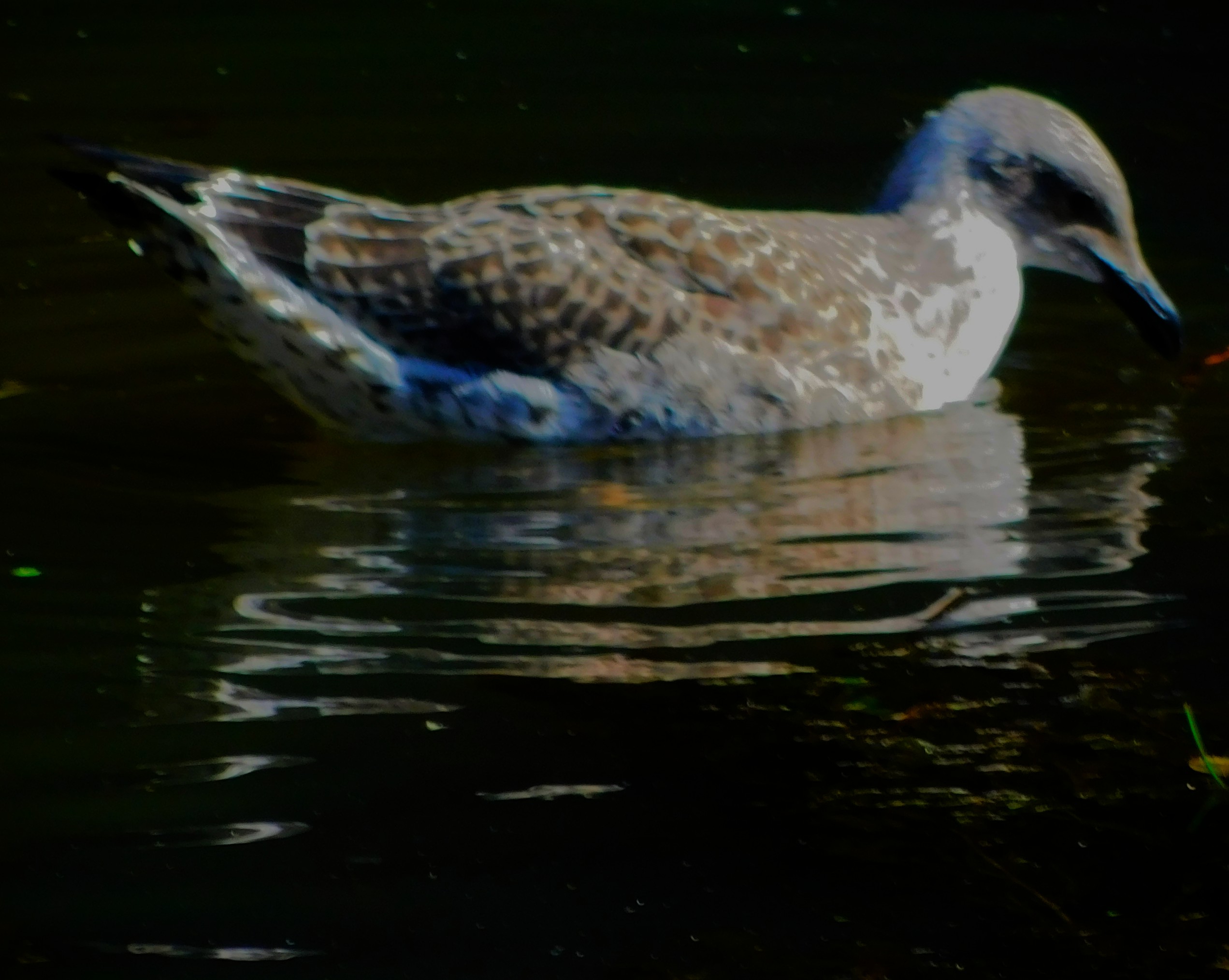
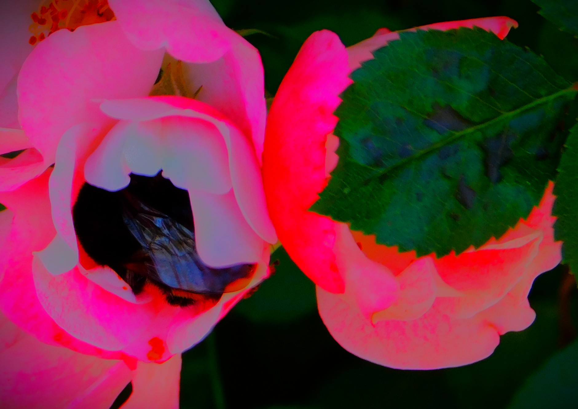
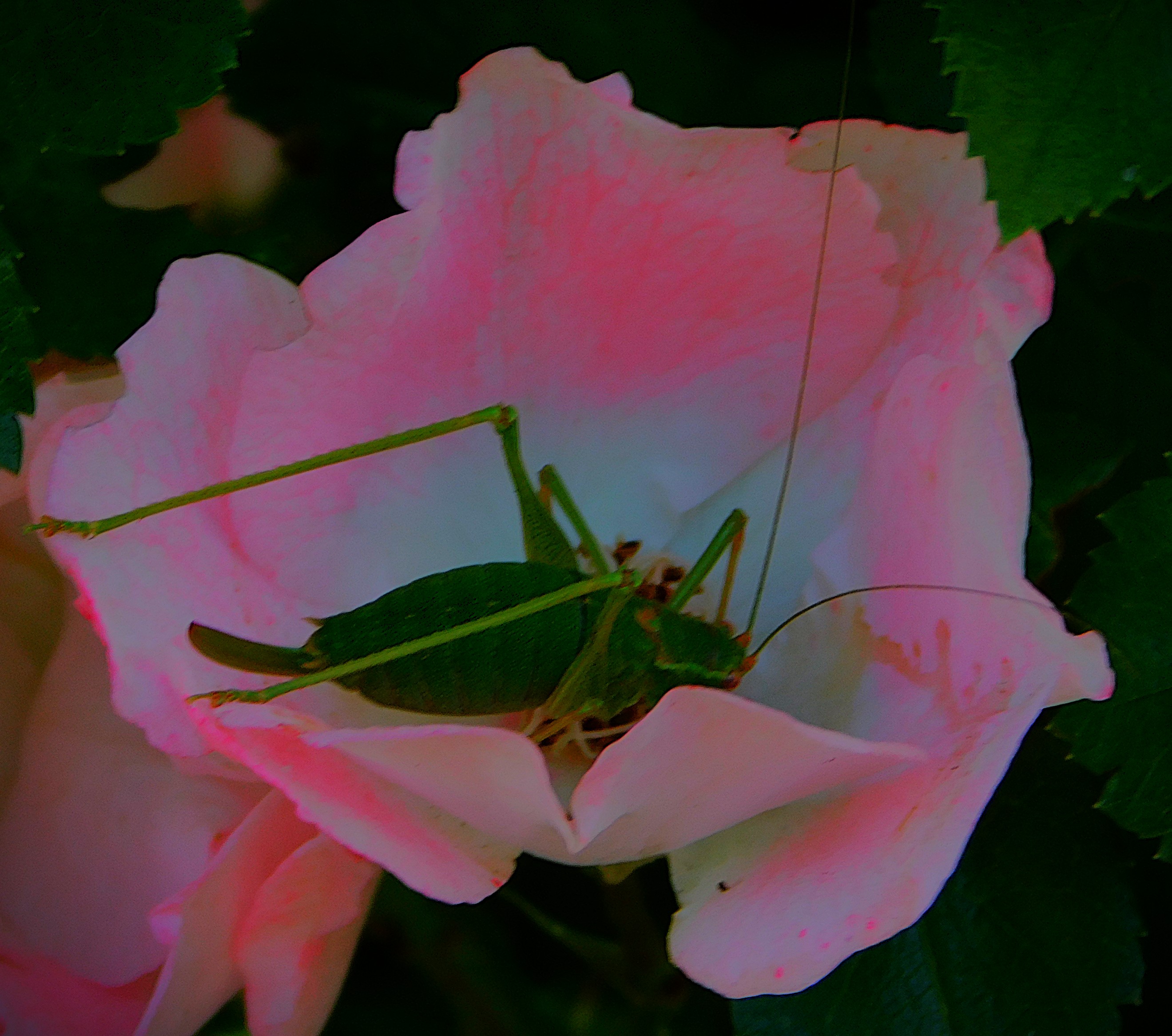
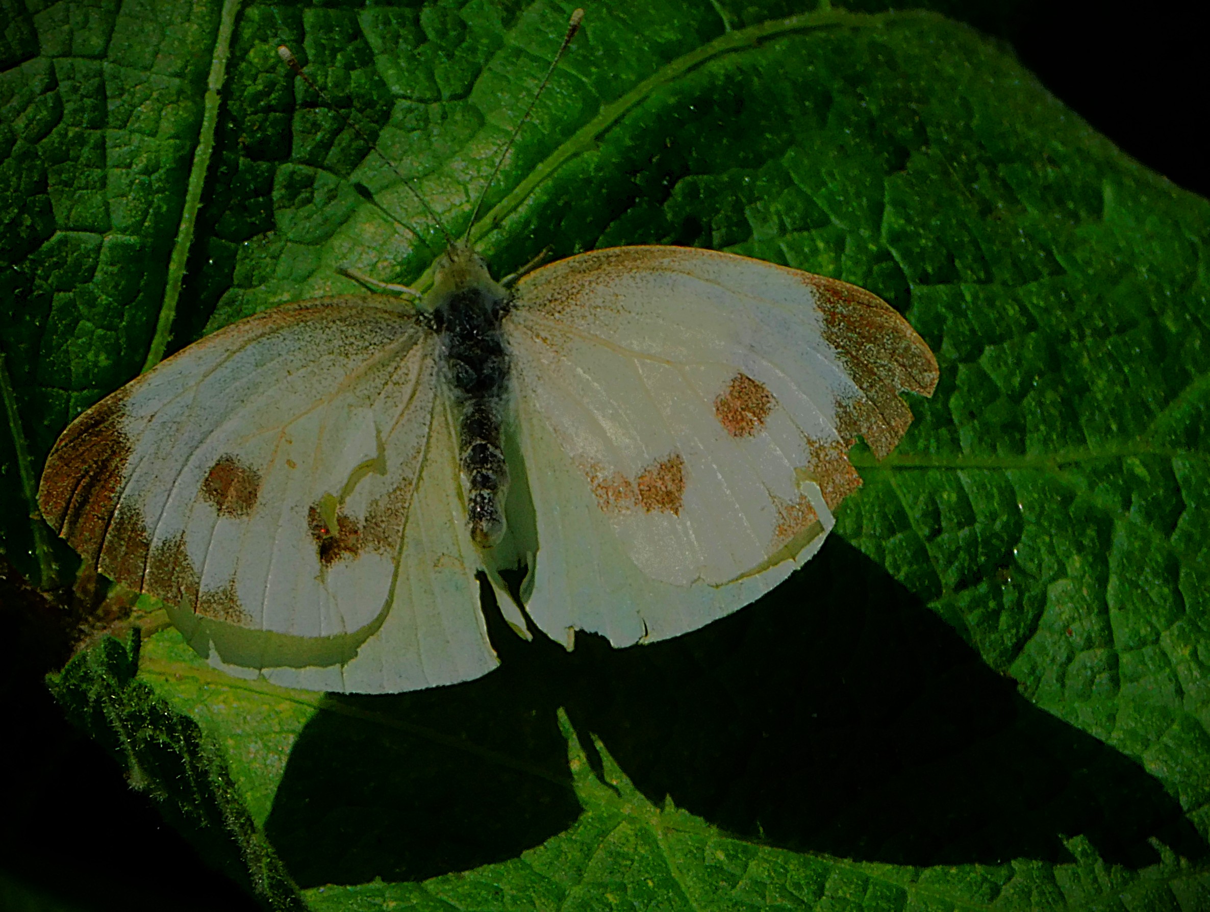
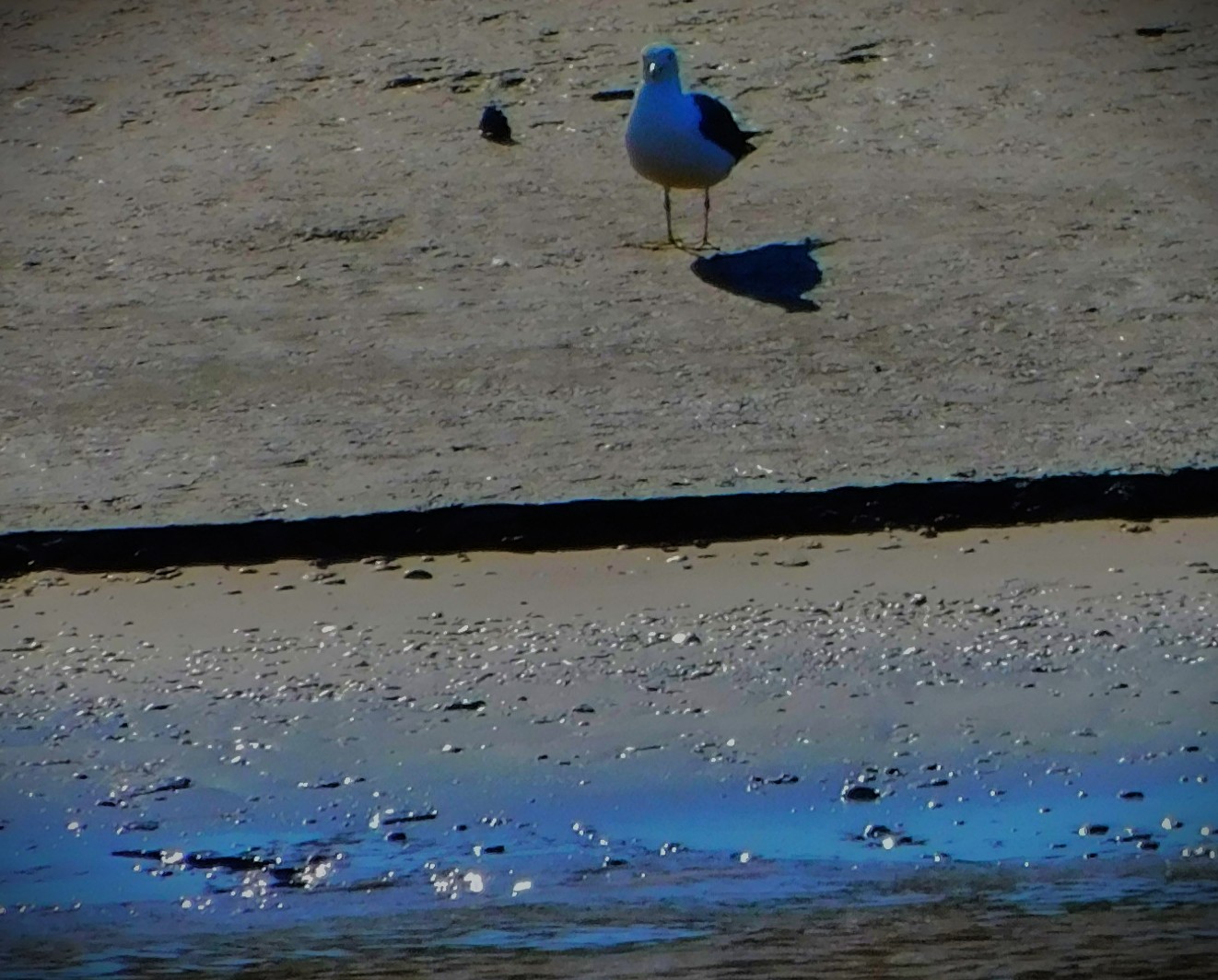
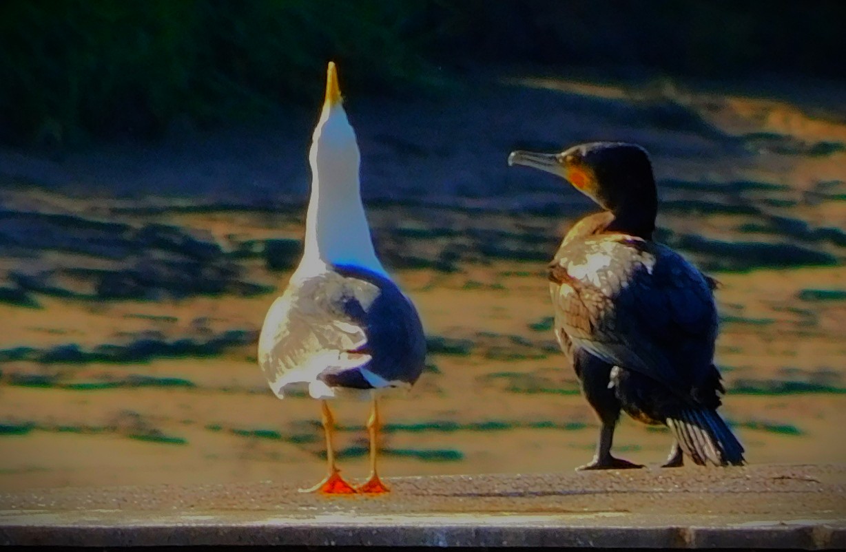
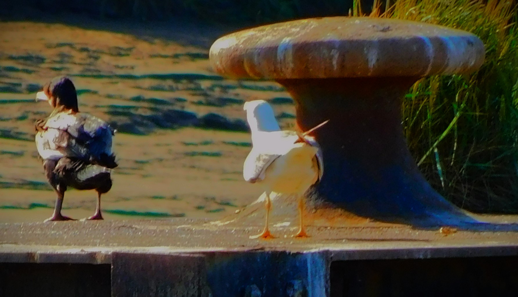
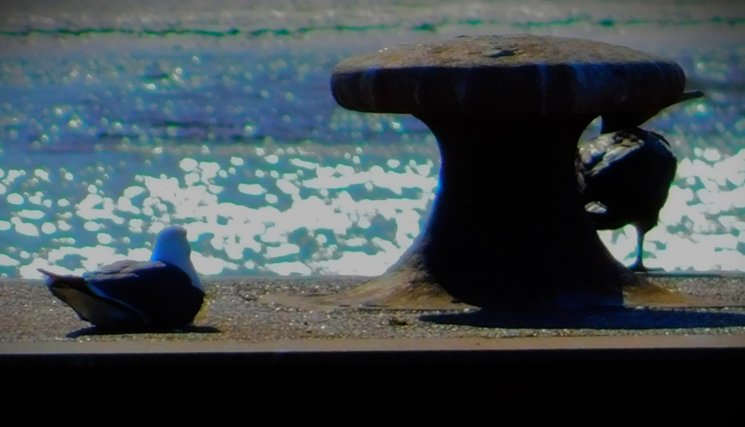
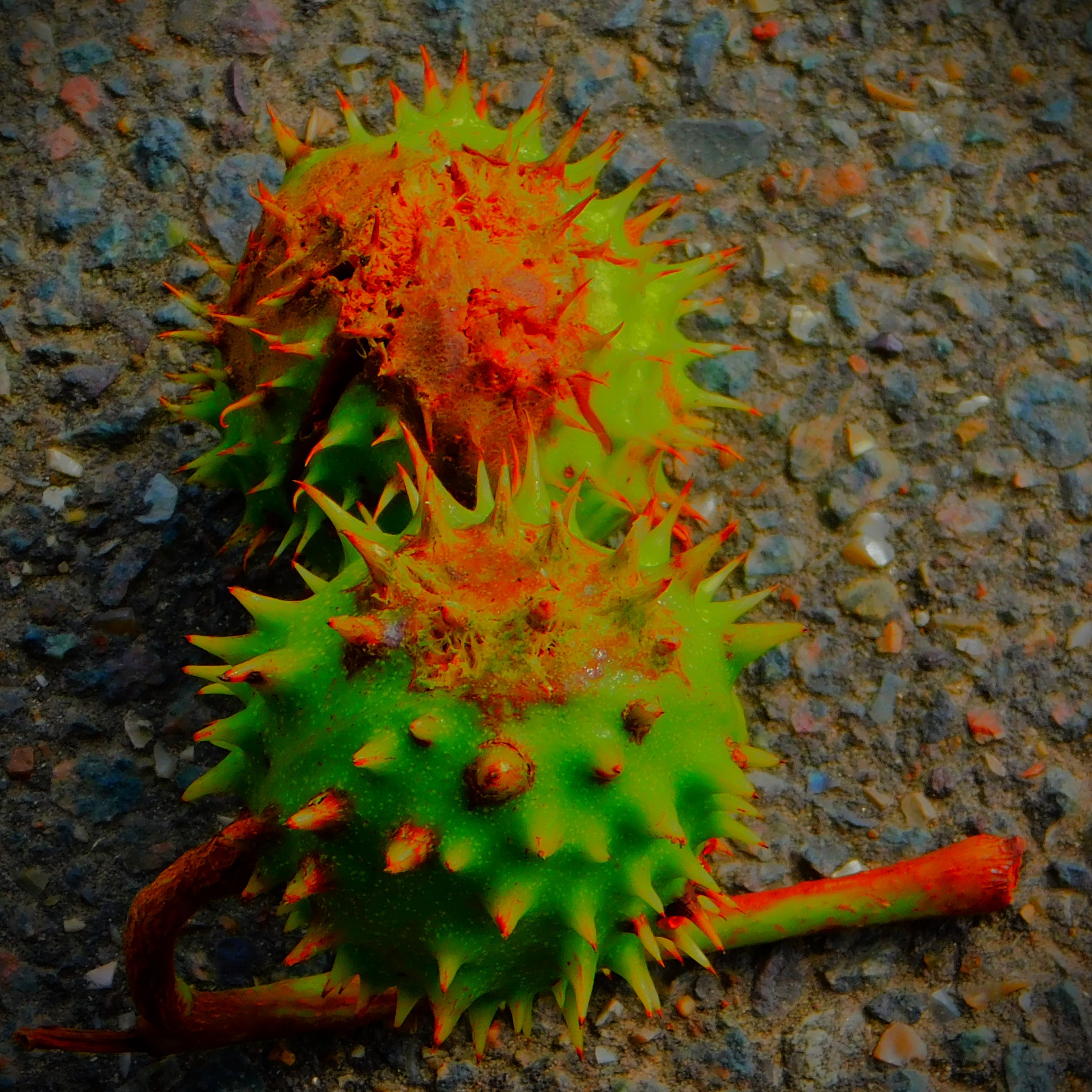
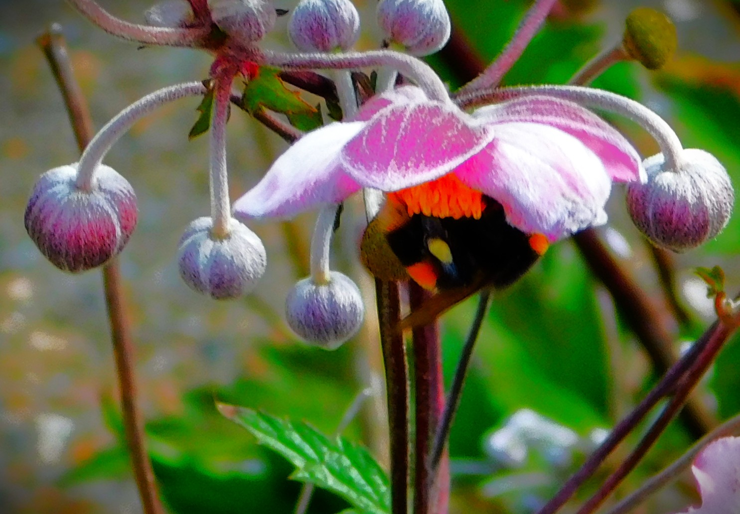
PHOTOGRAPHS
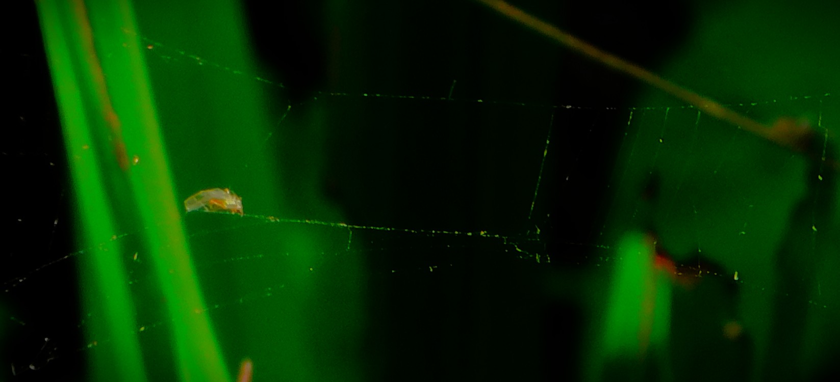
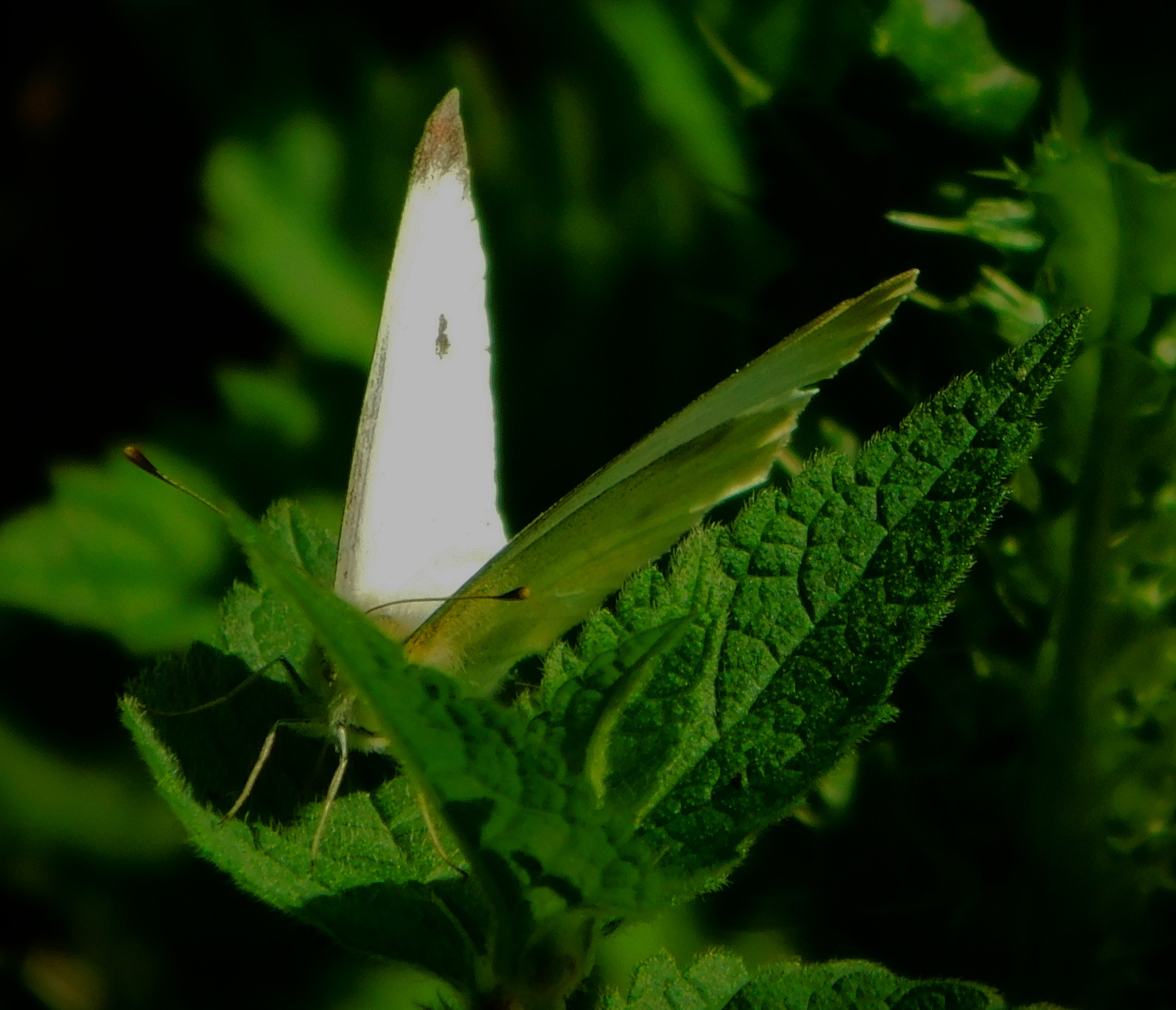
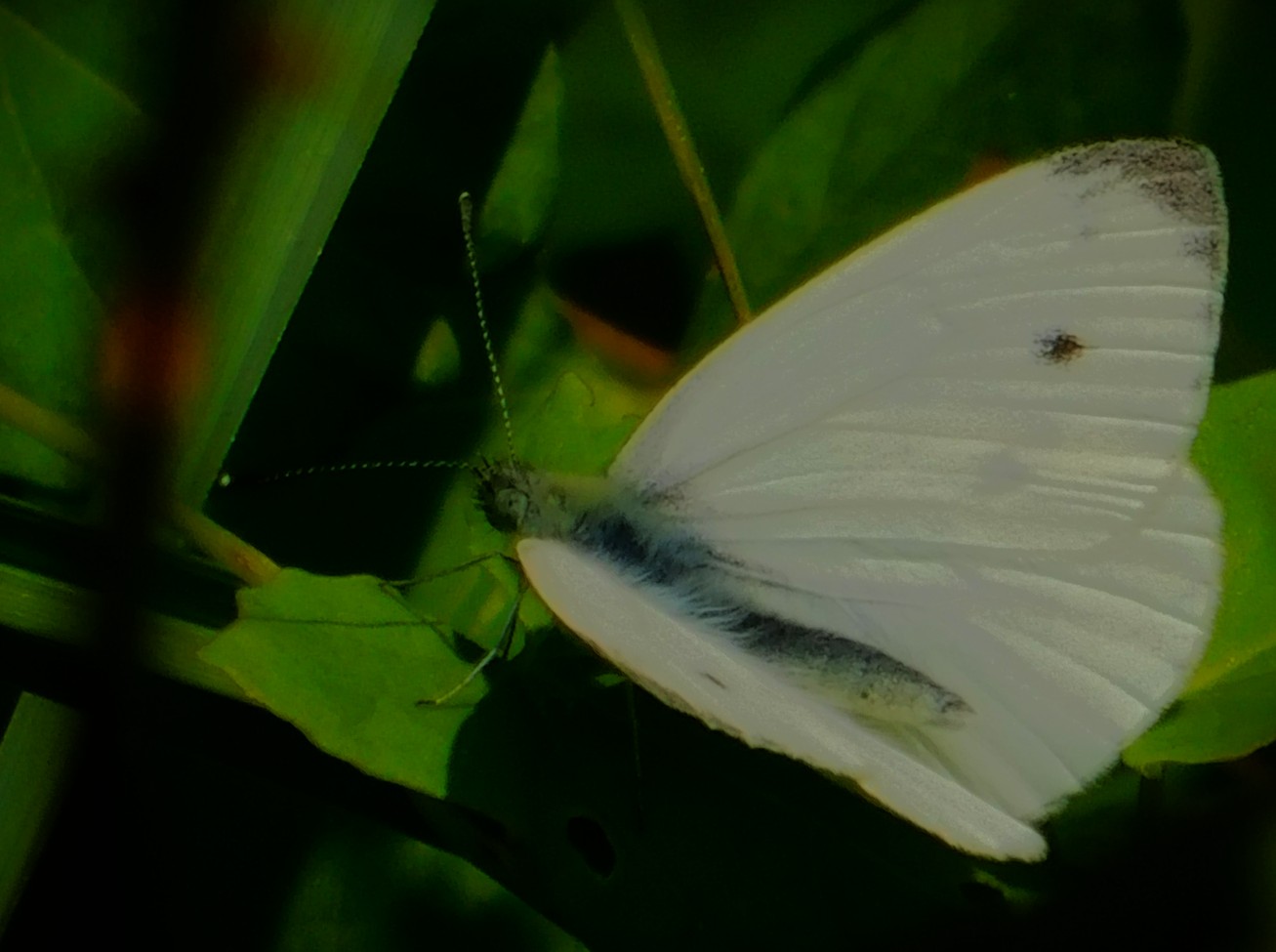
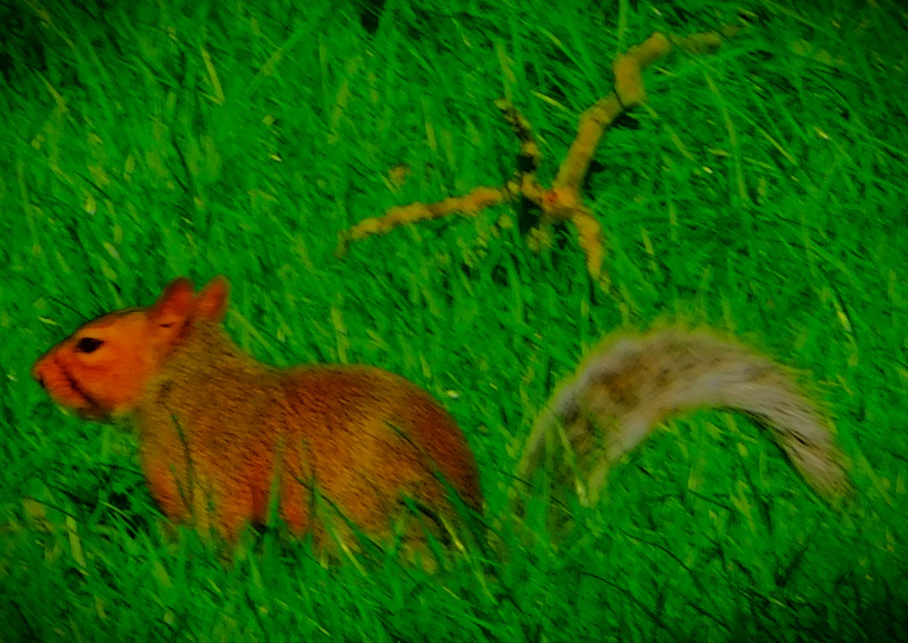
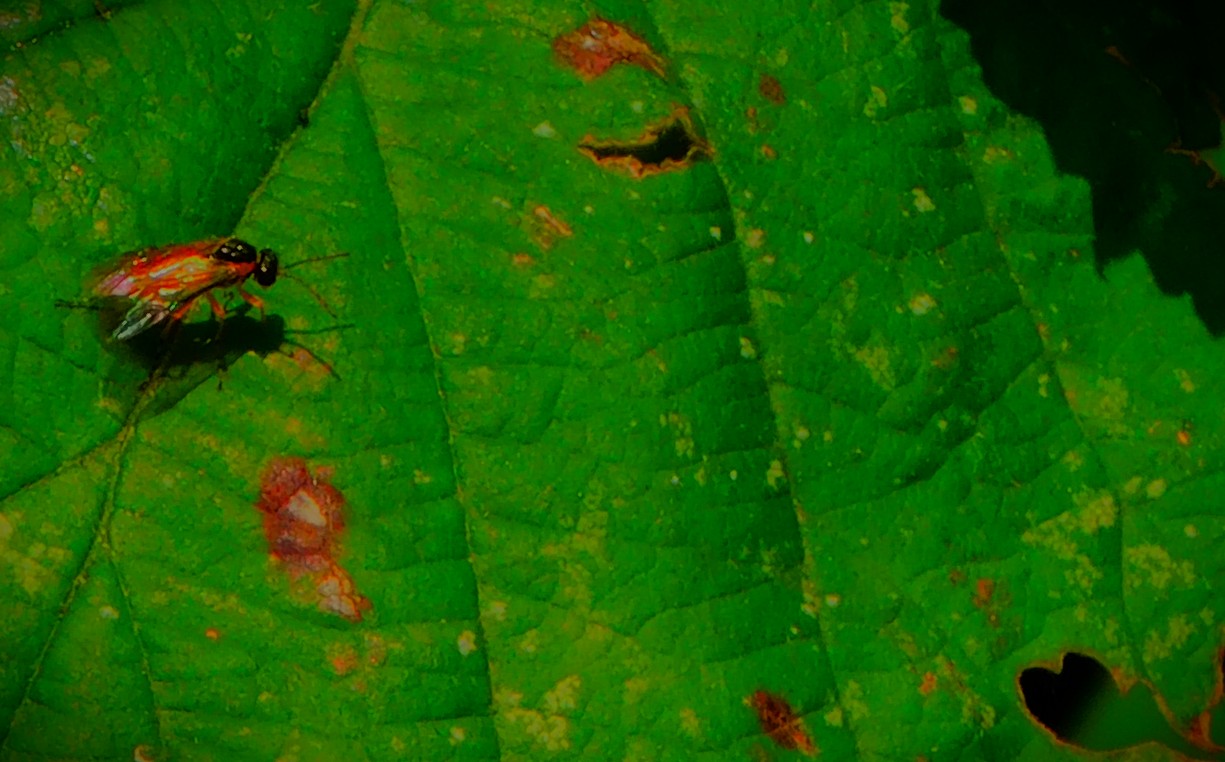
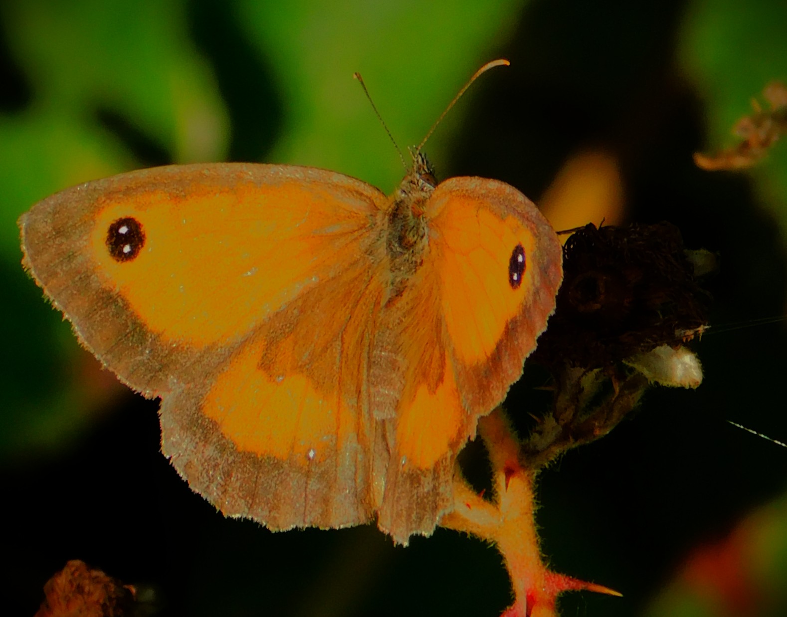
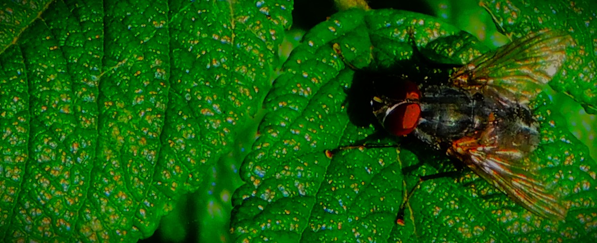
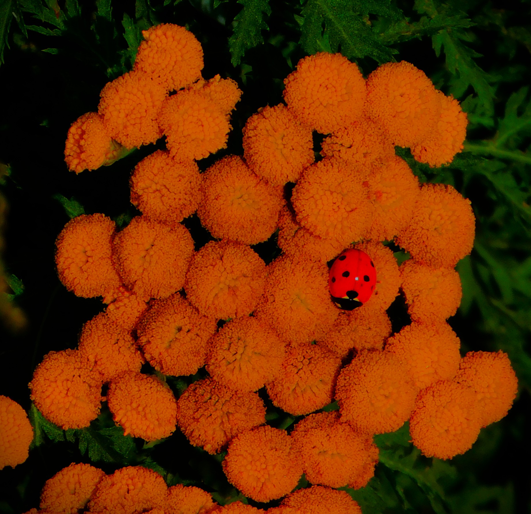
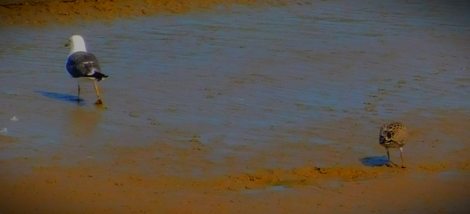
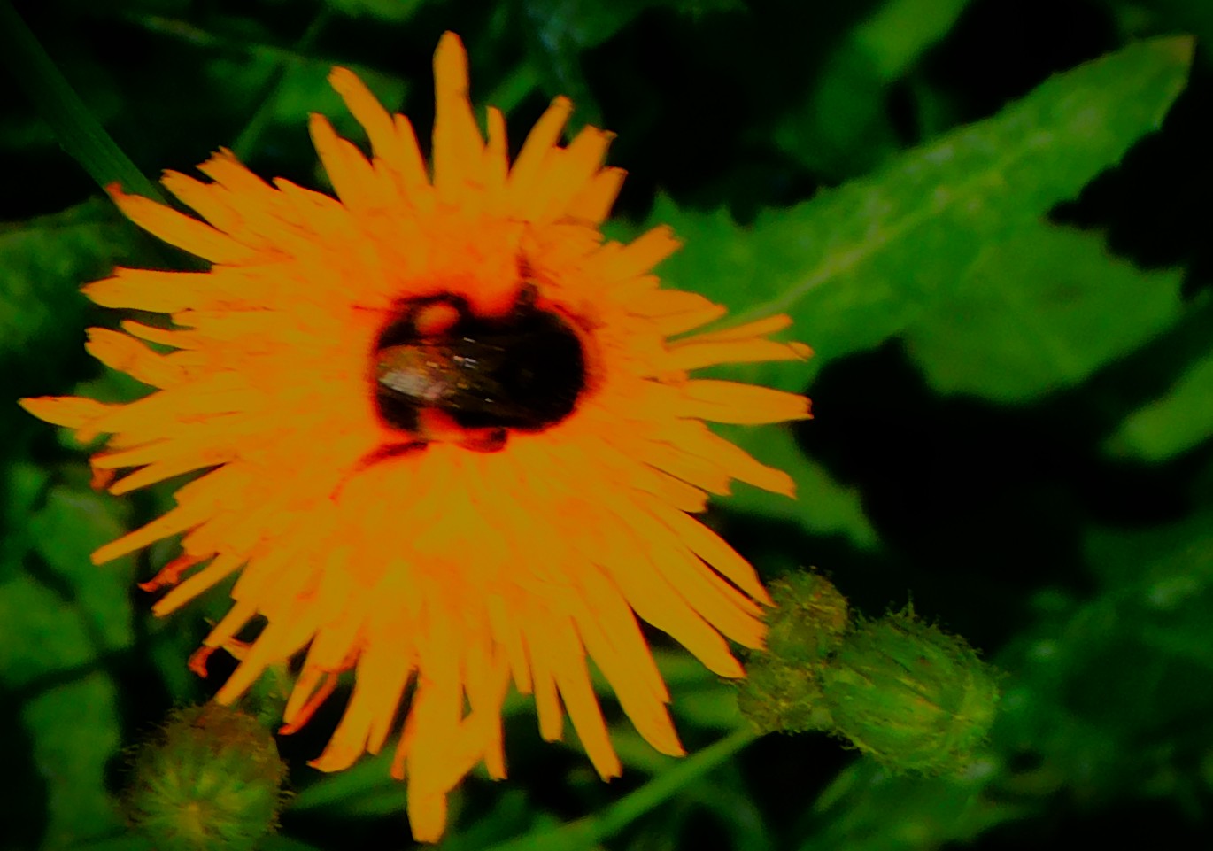
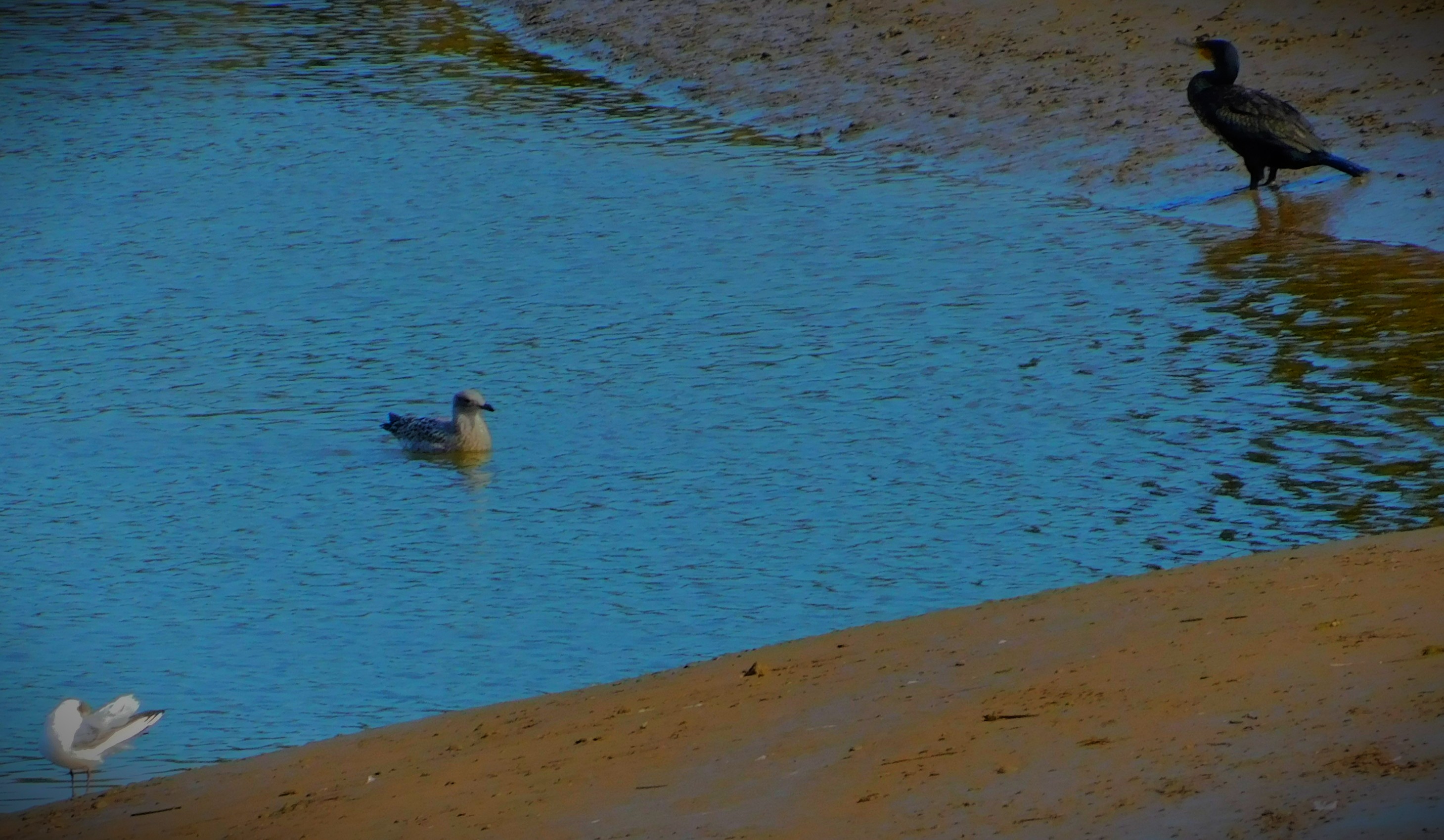
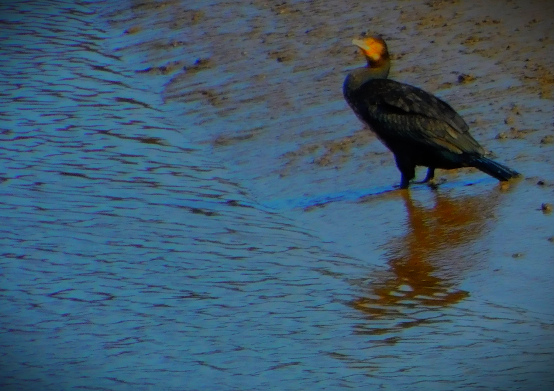
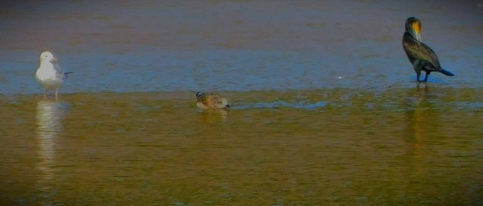
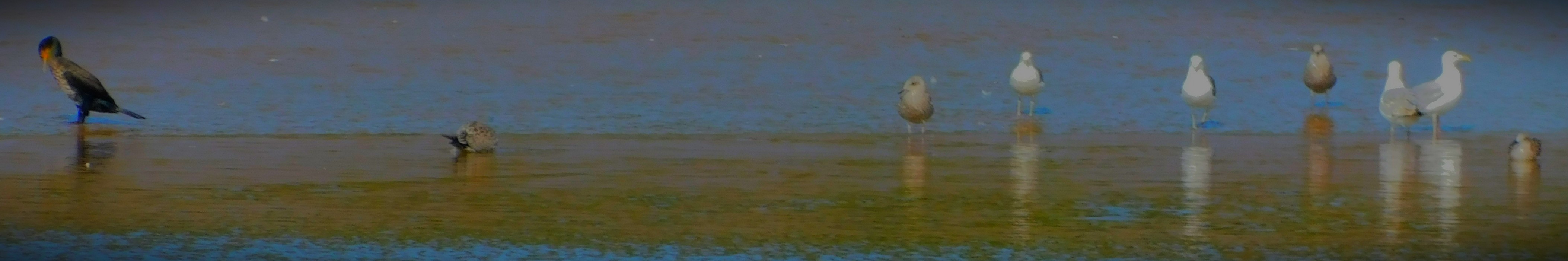
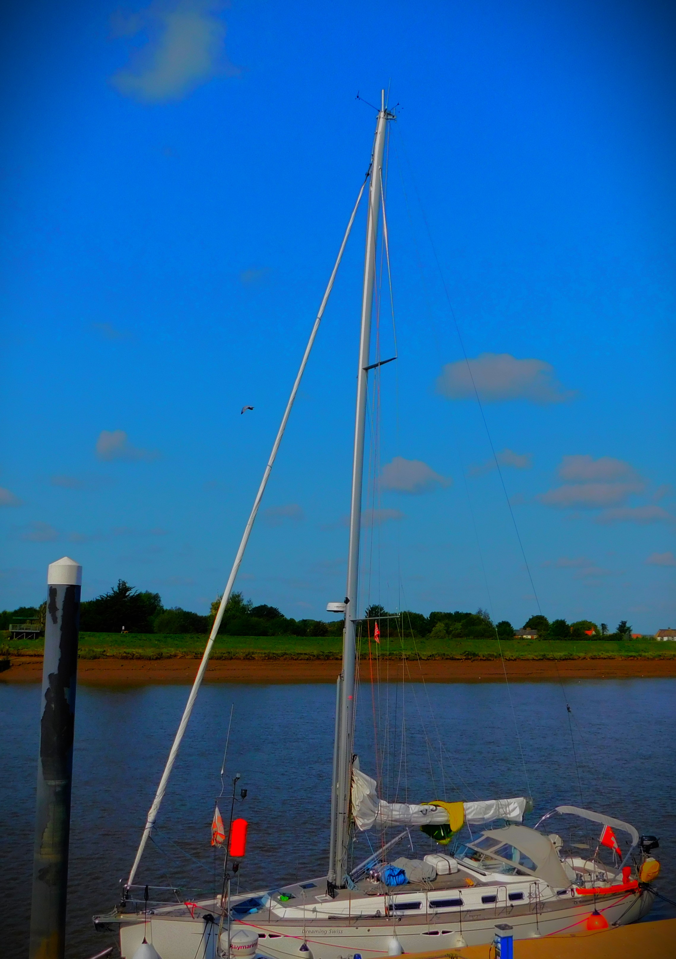
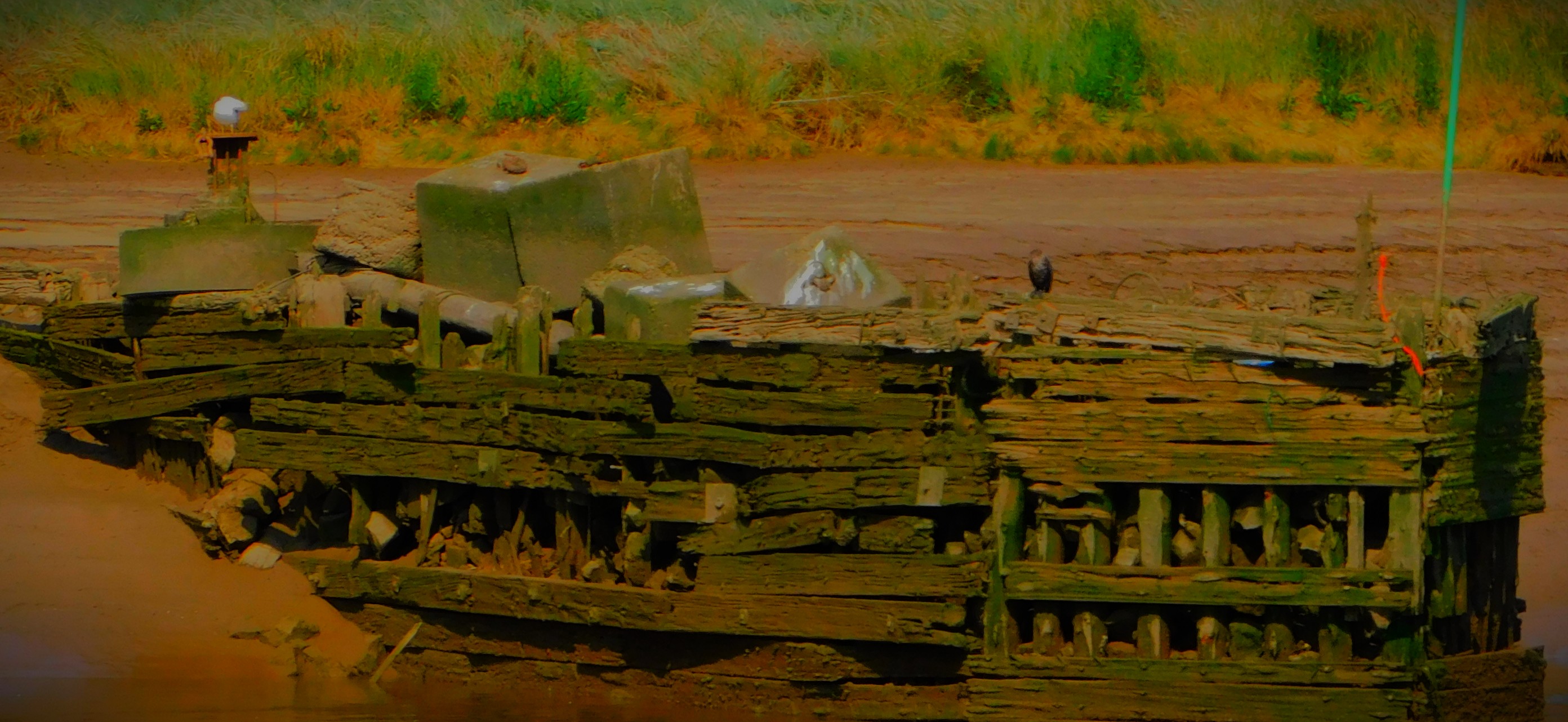
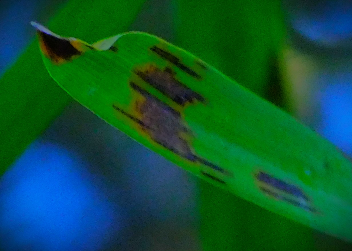
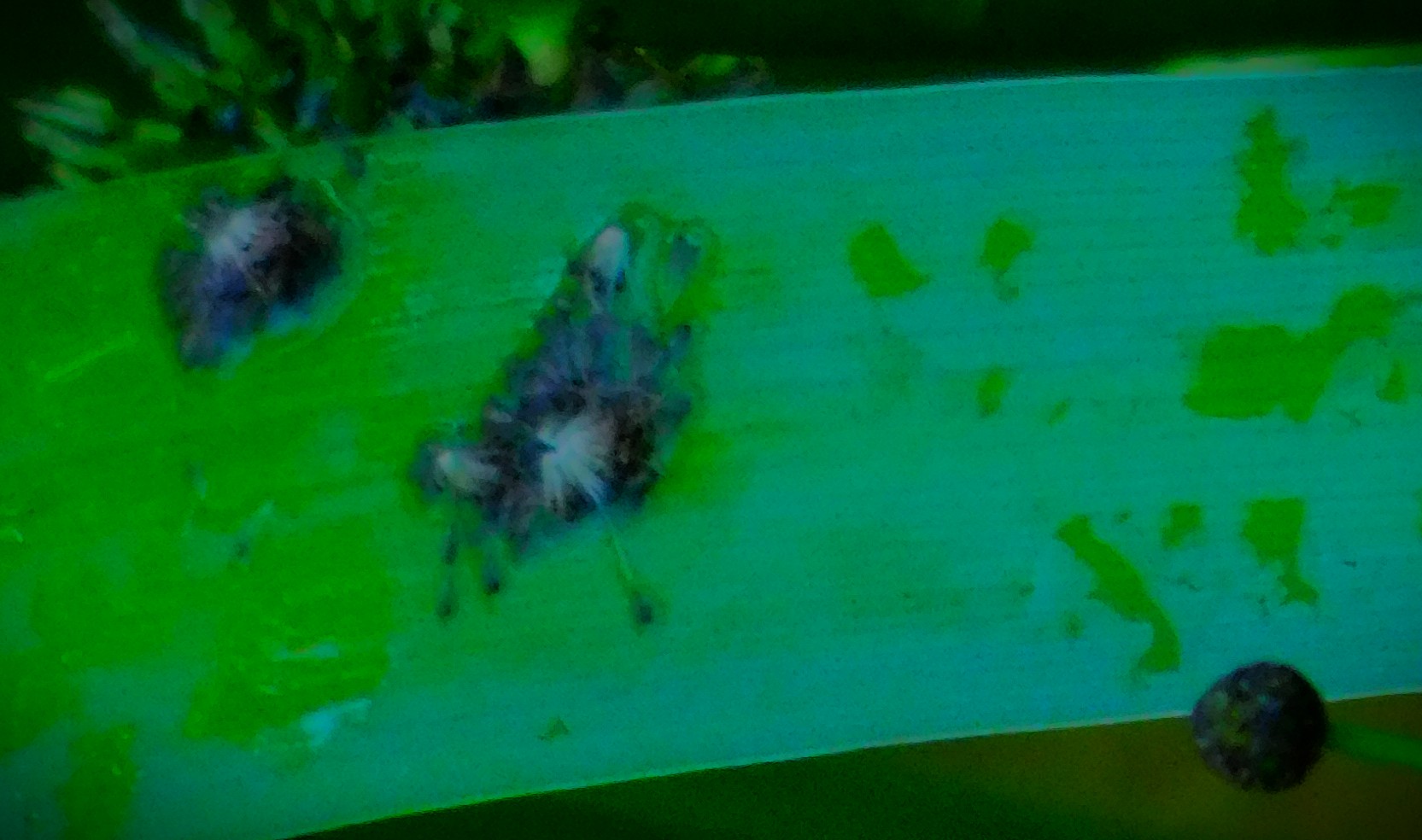
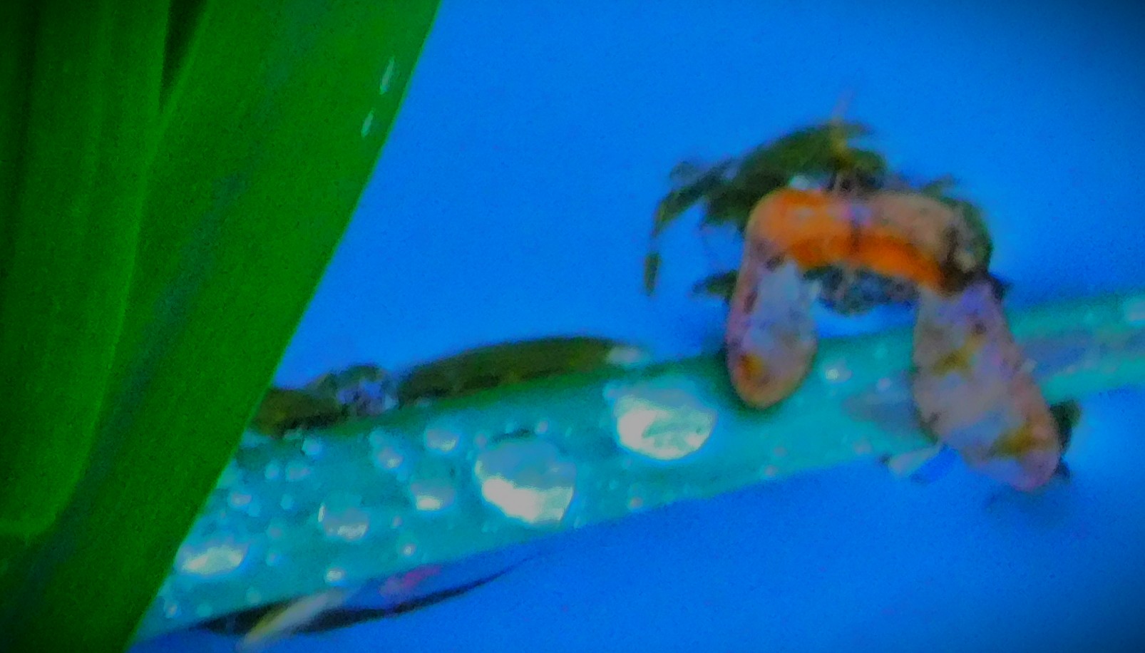
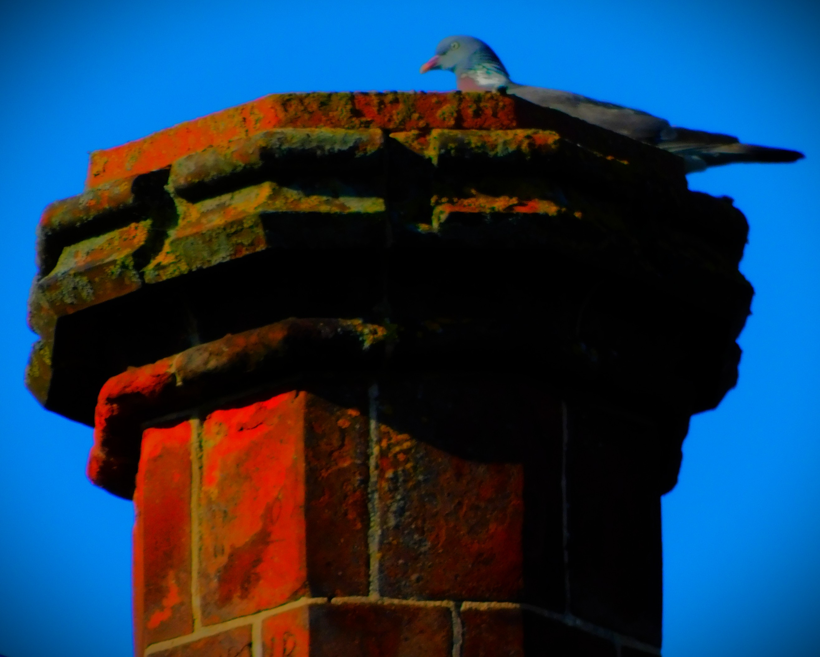
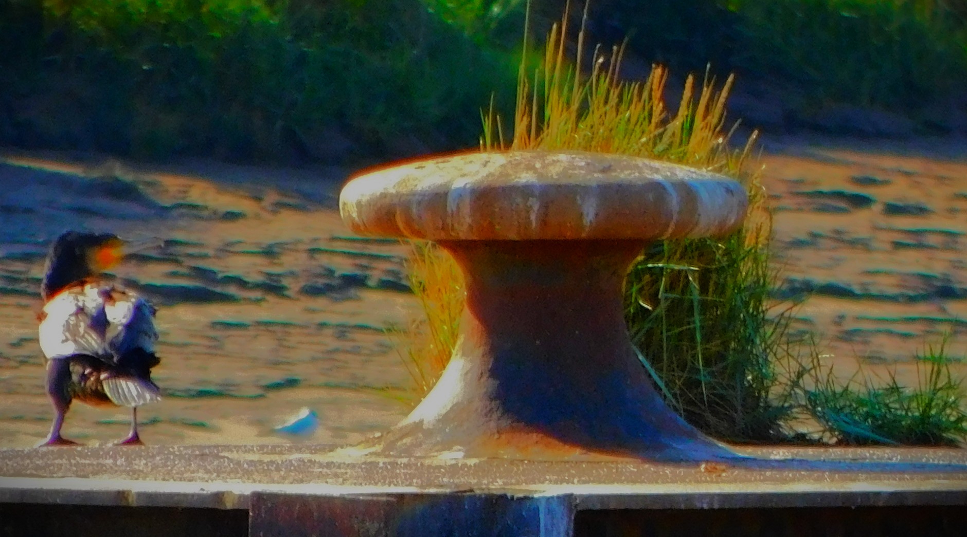
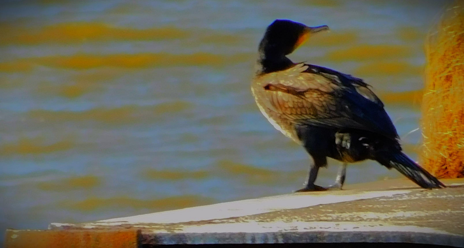
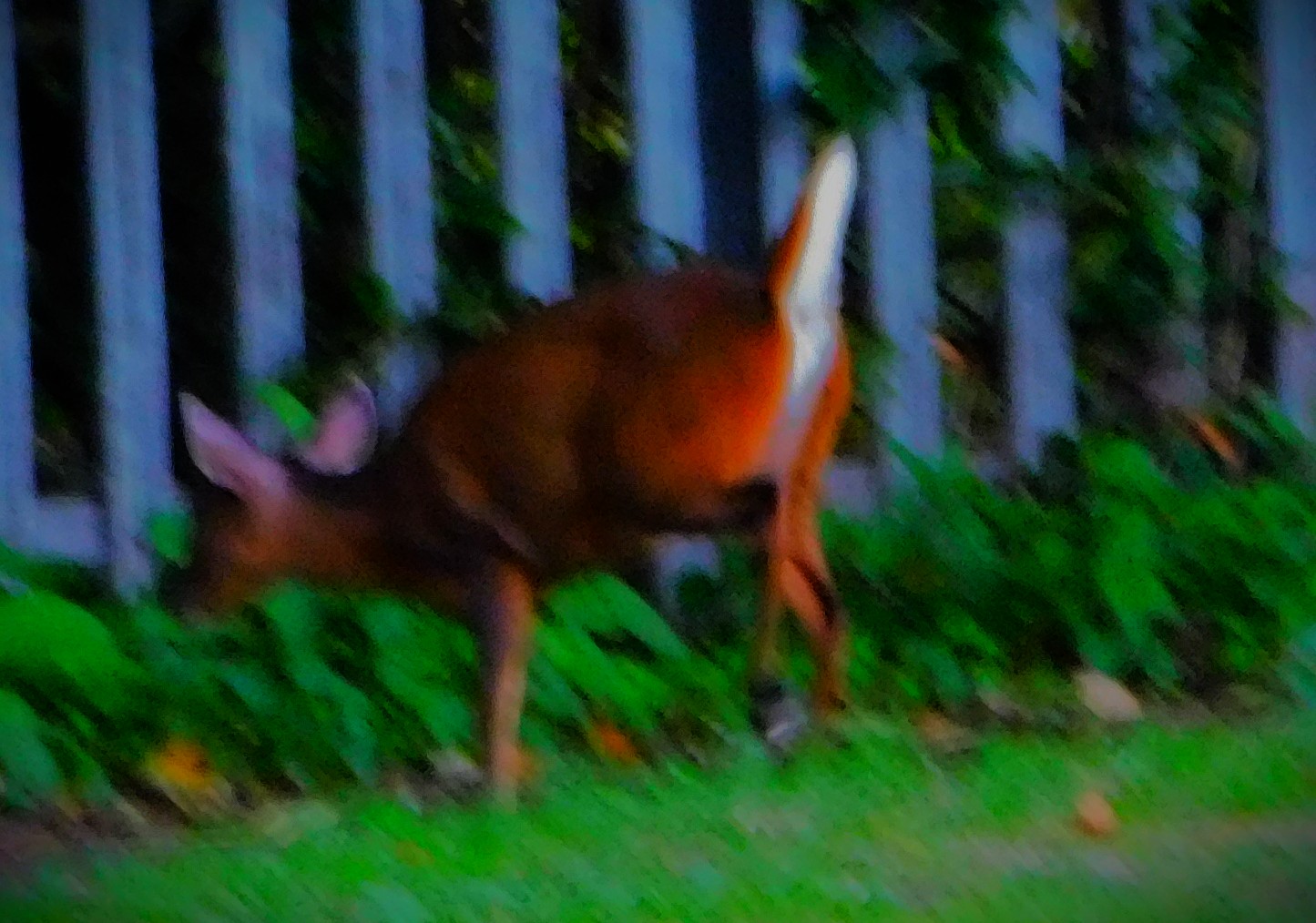
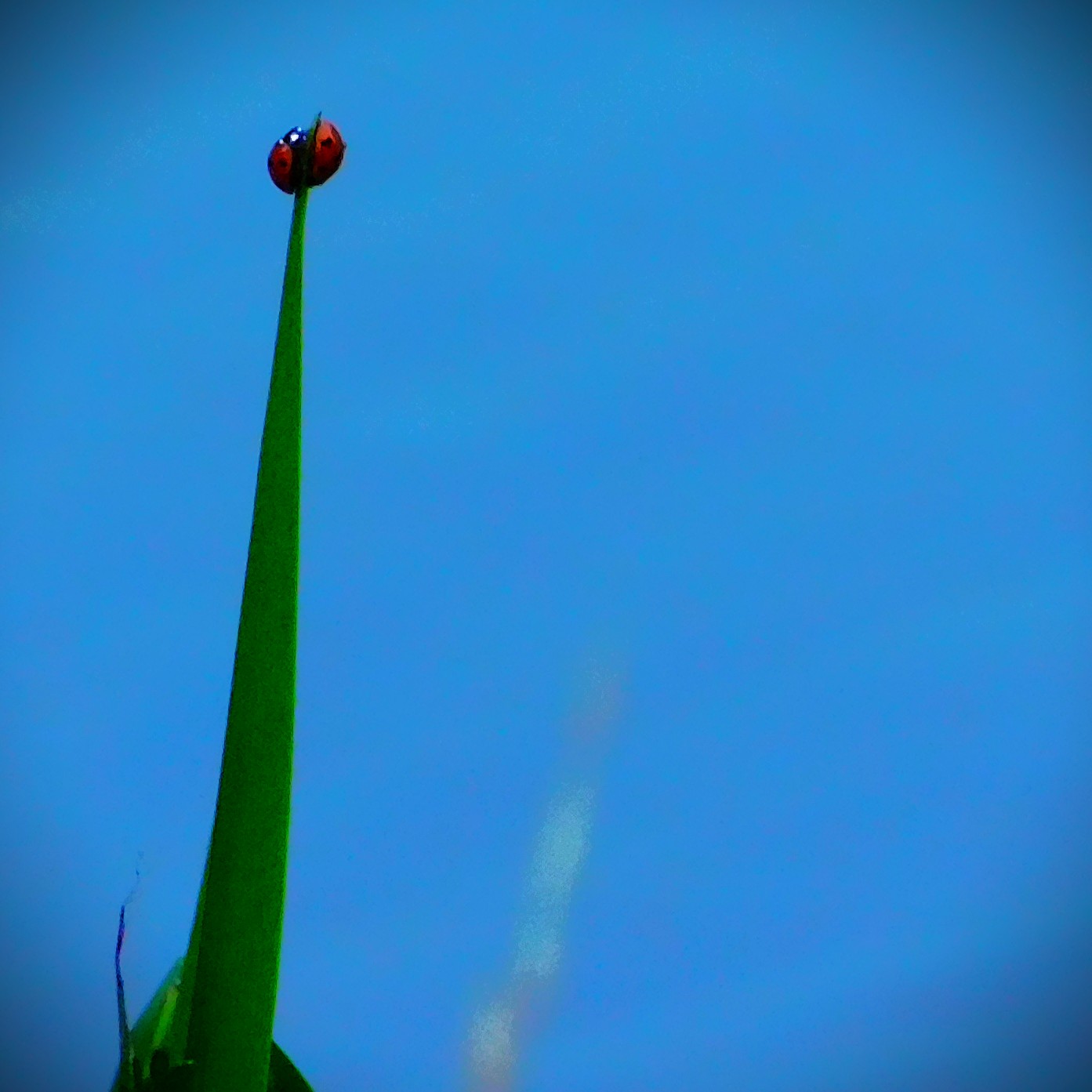
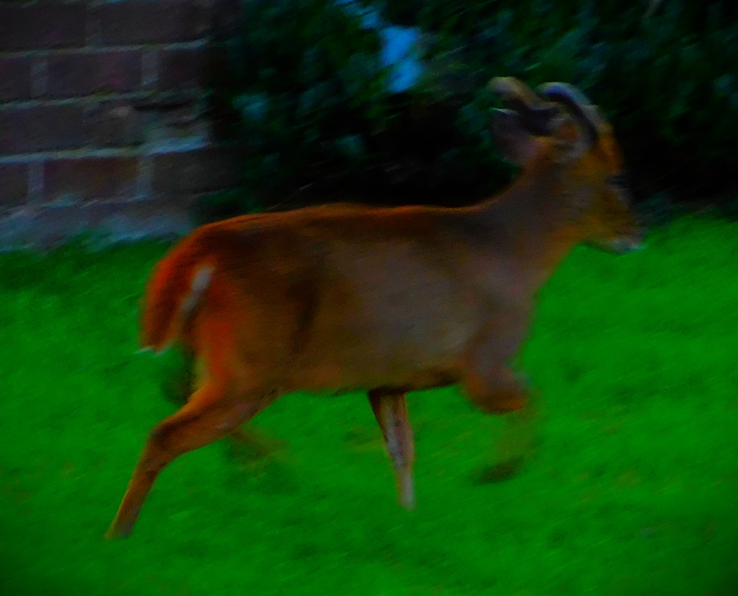
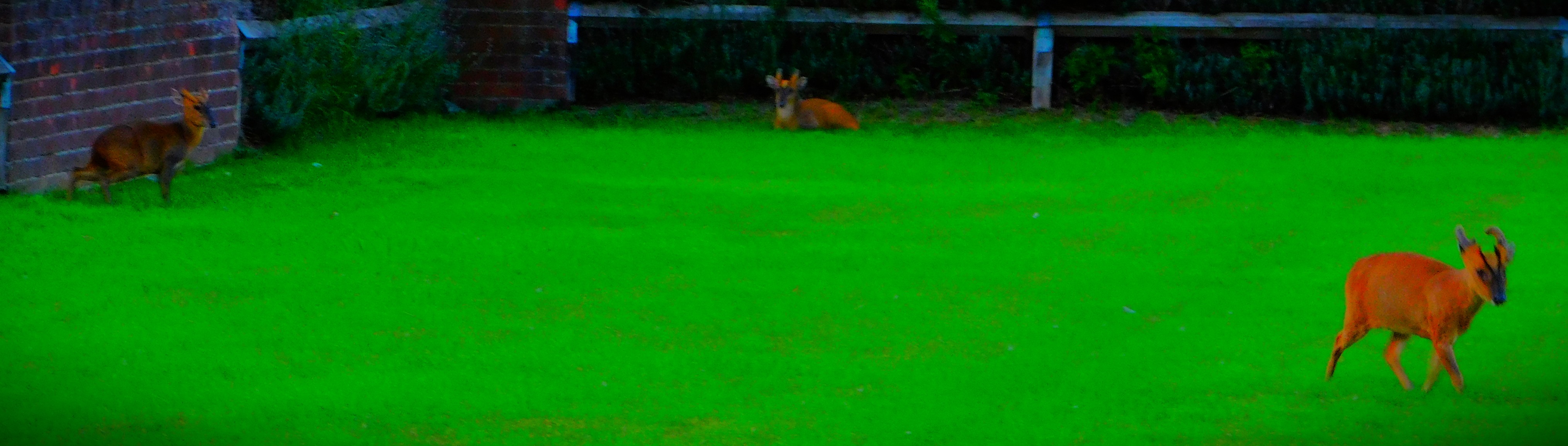
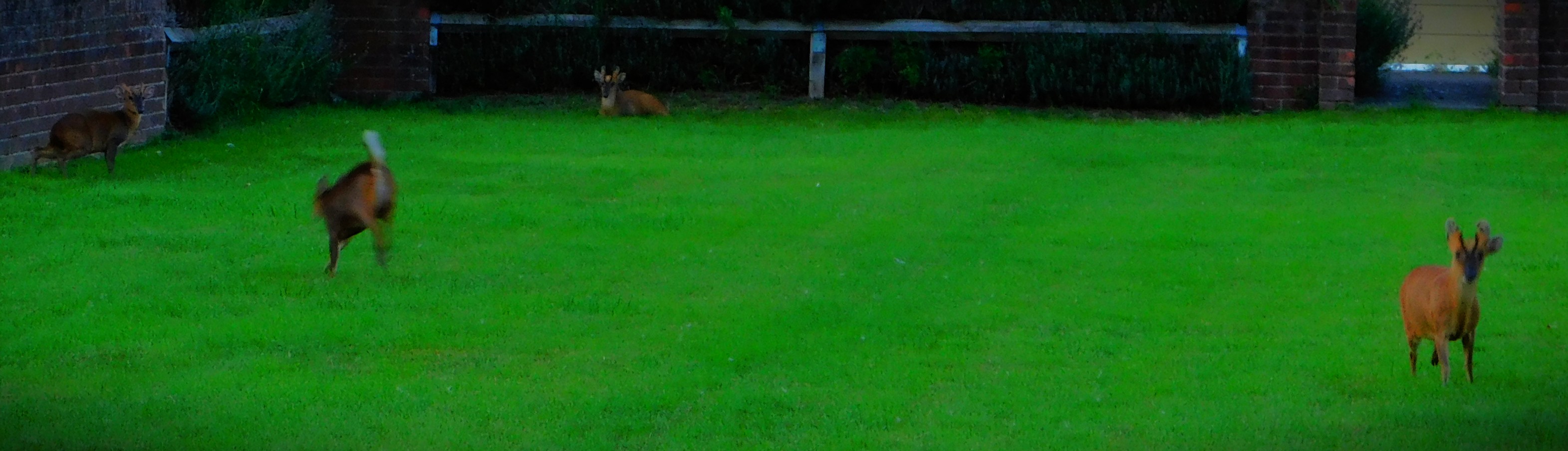
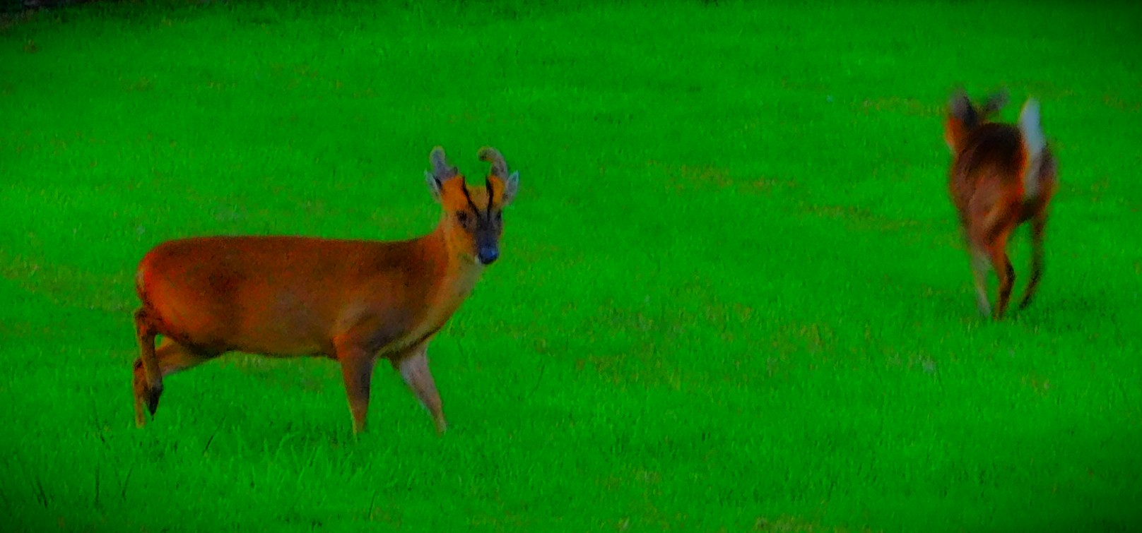
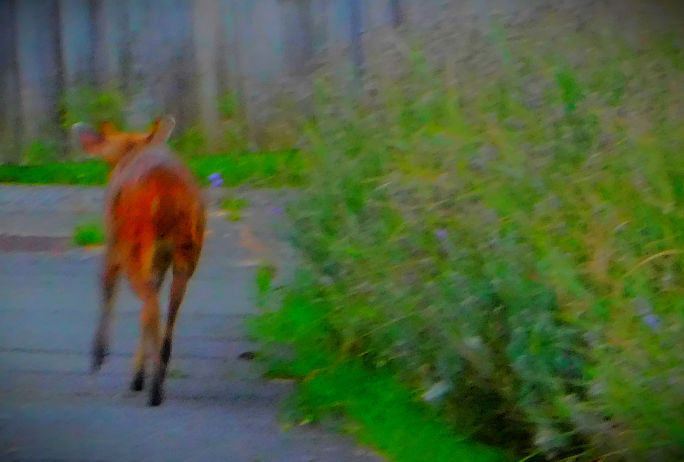
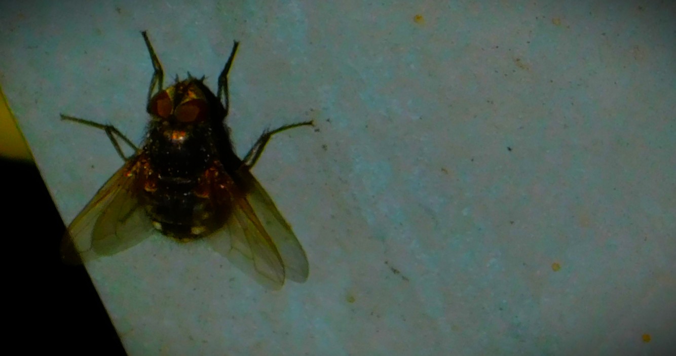
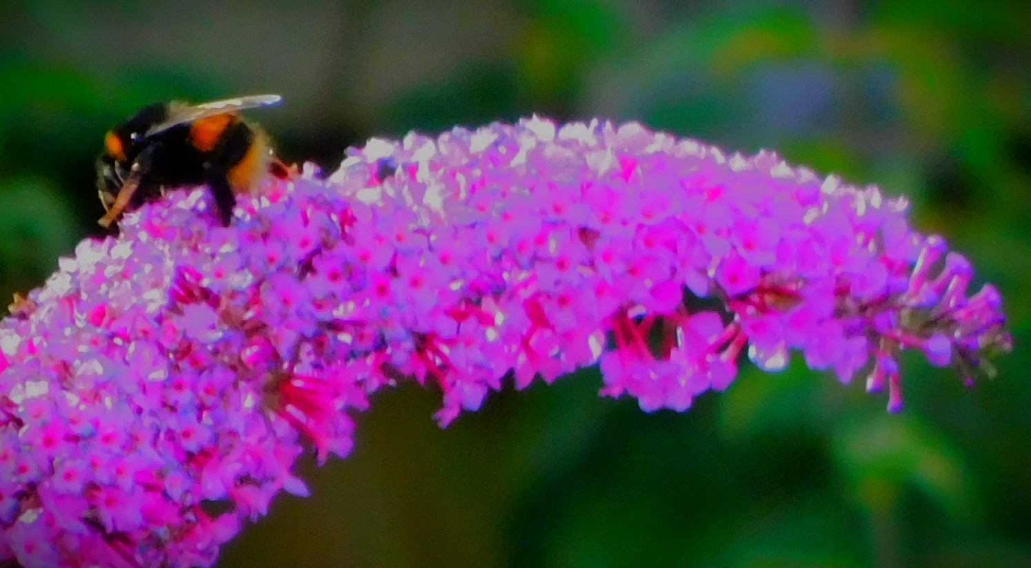
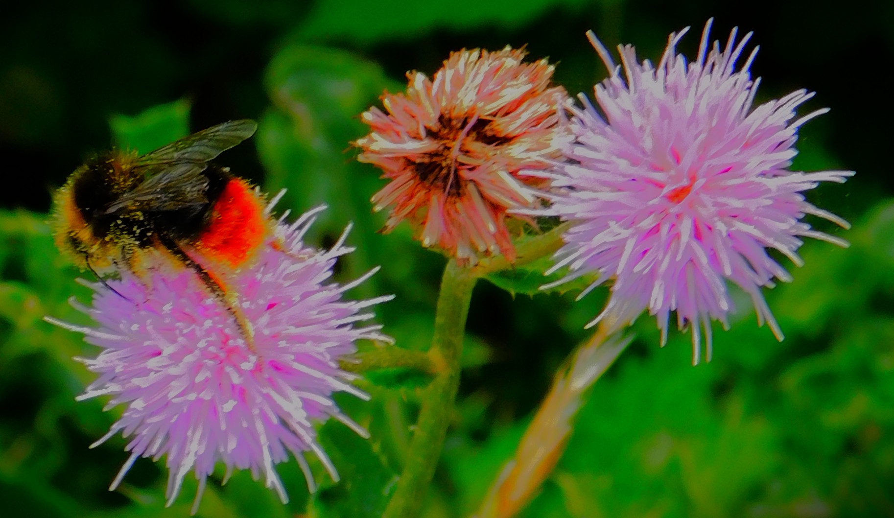
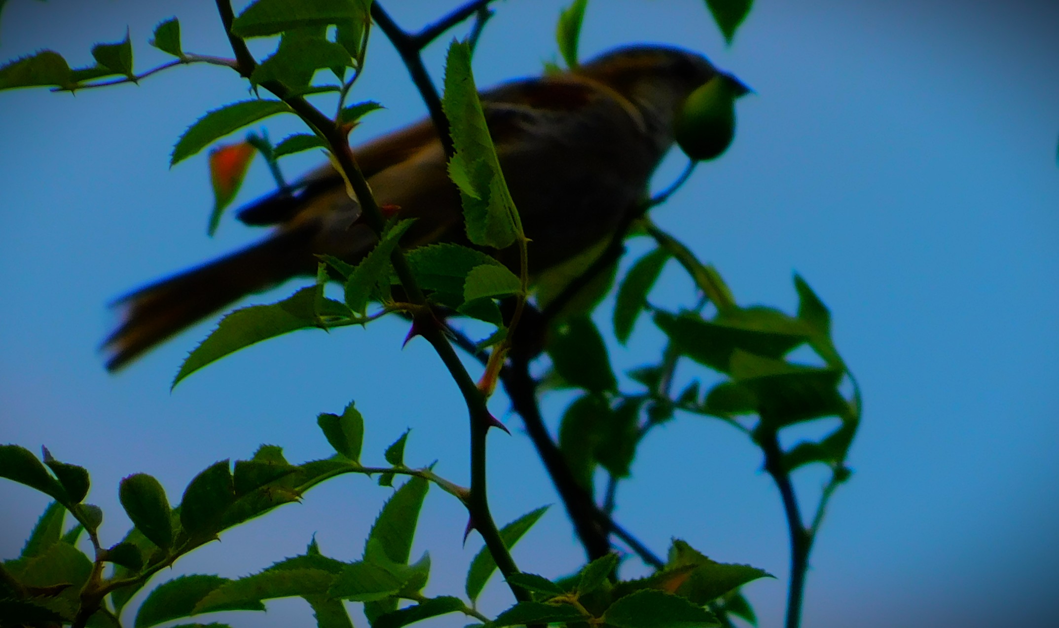
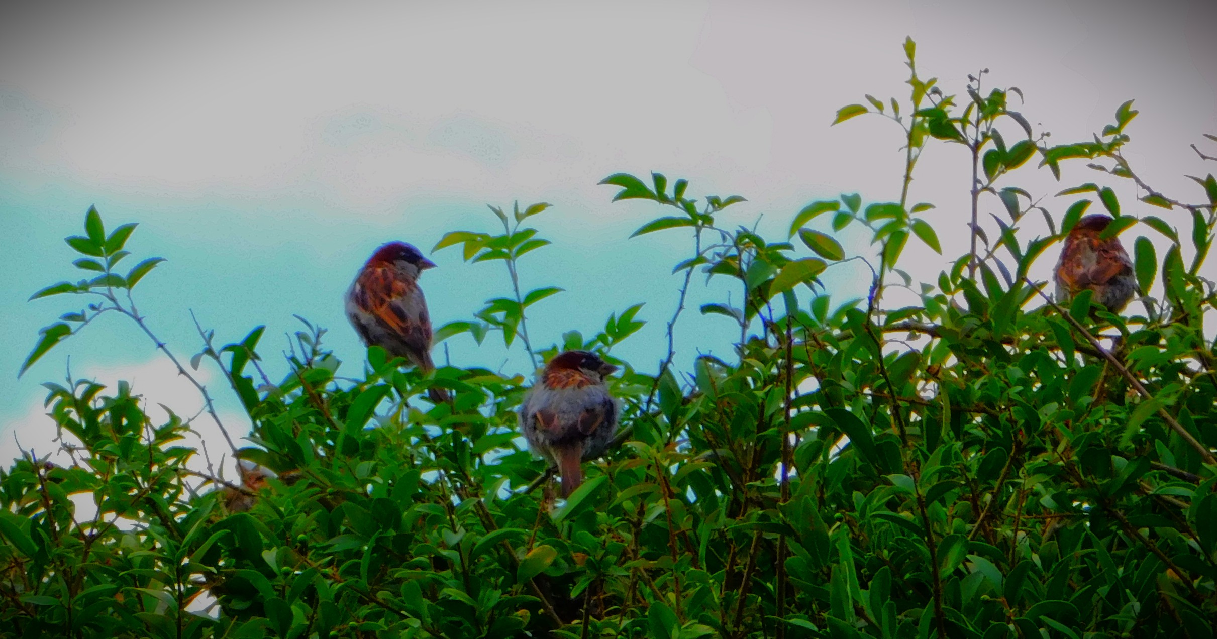
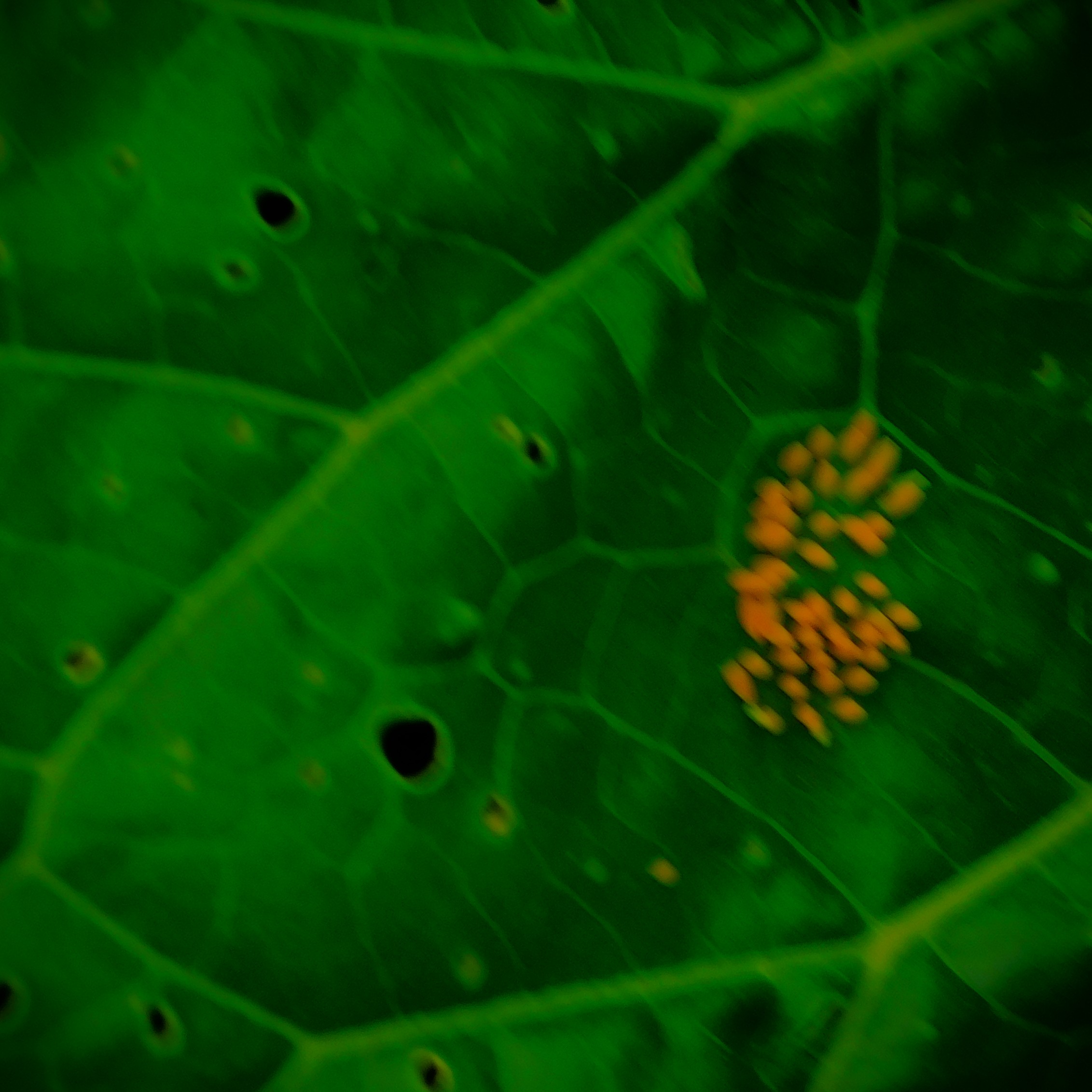
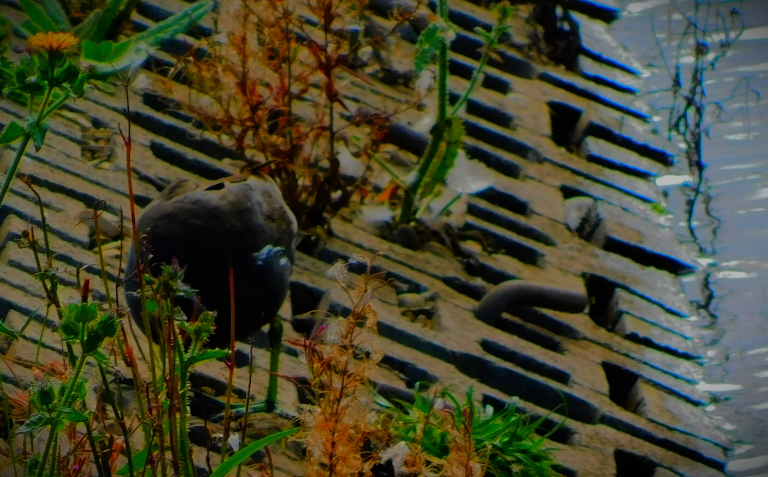
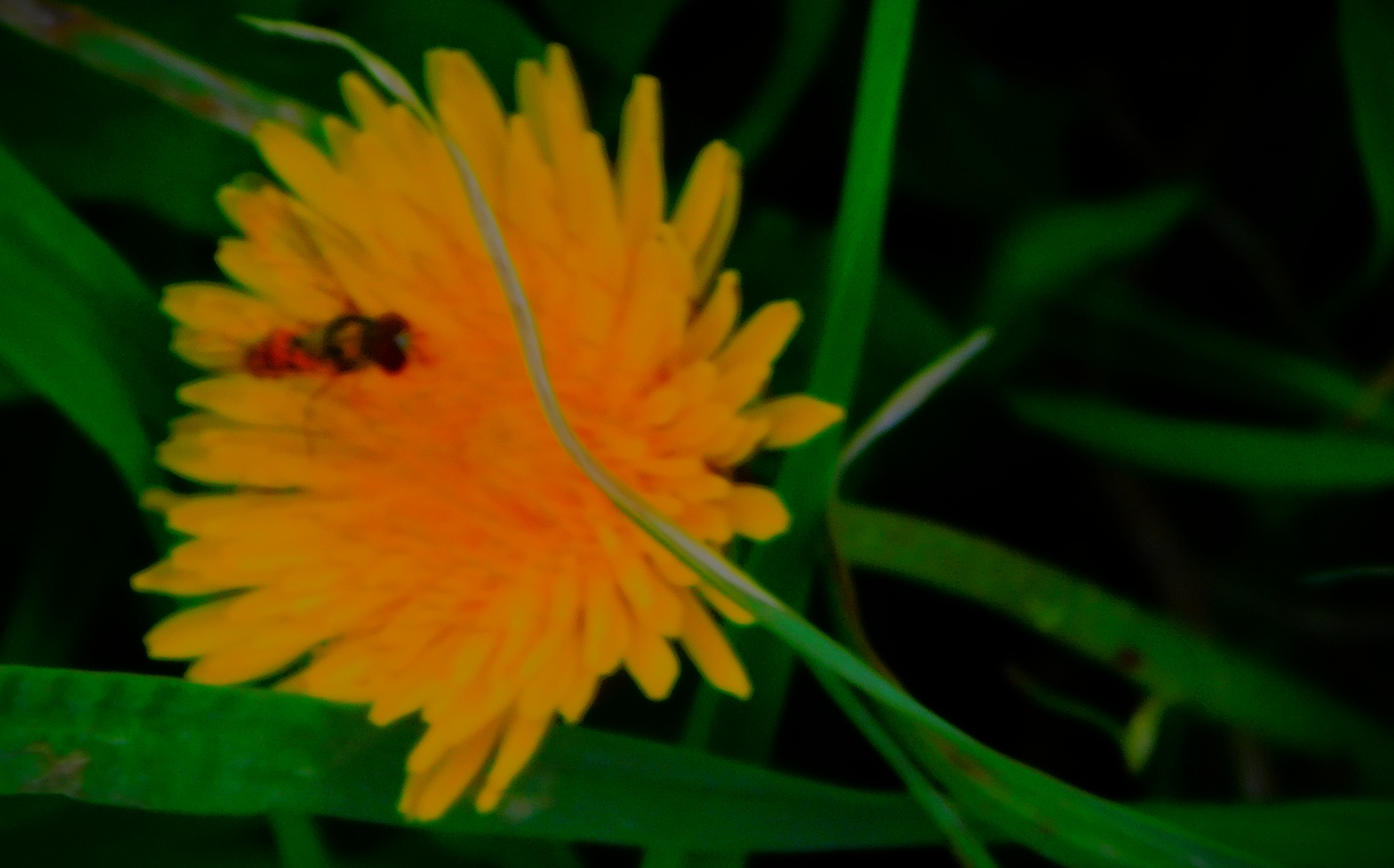
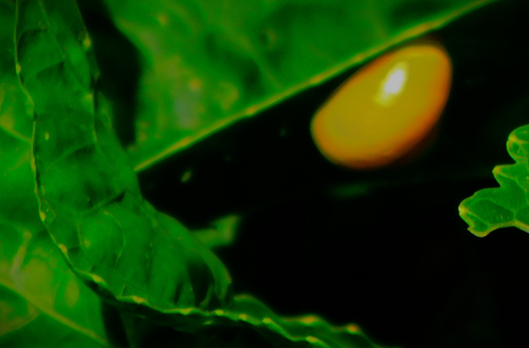
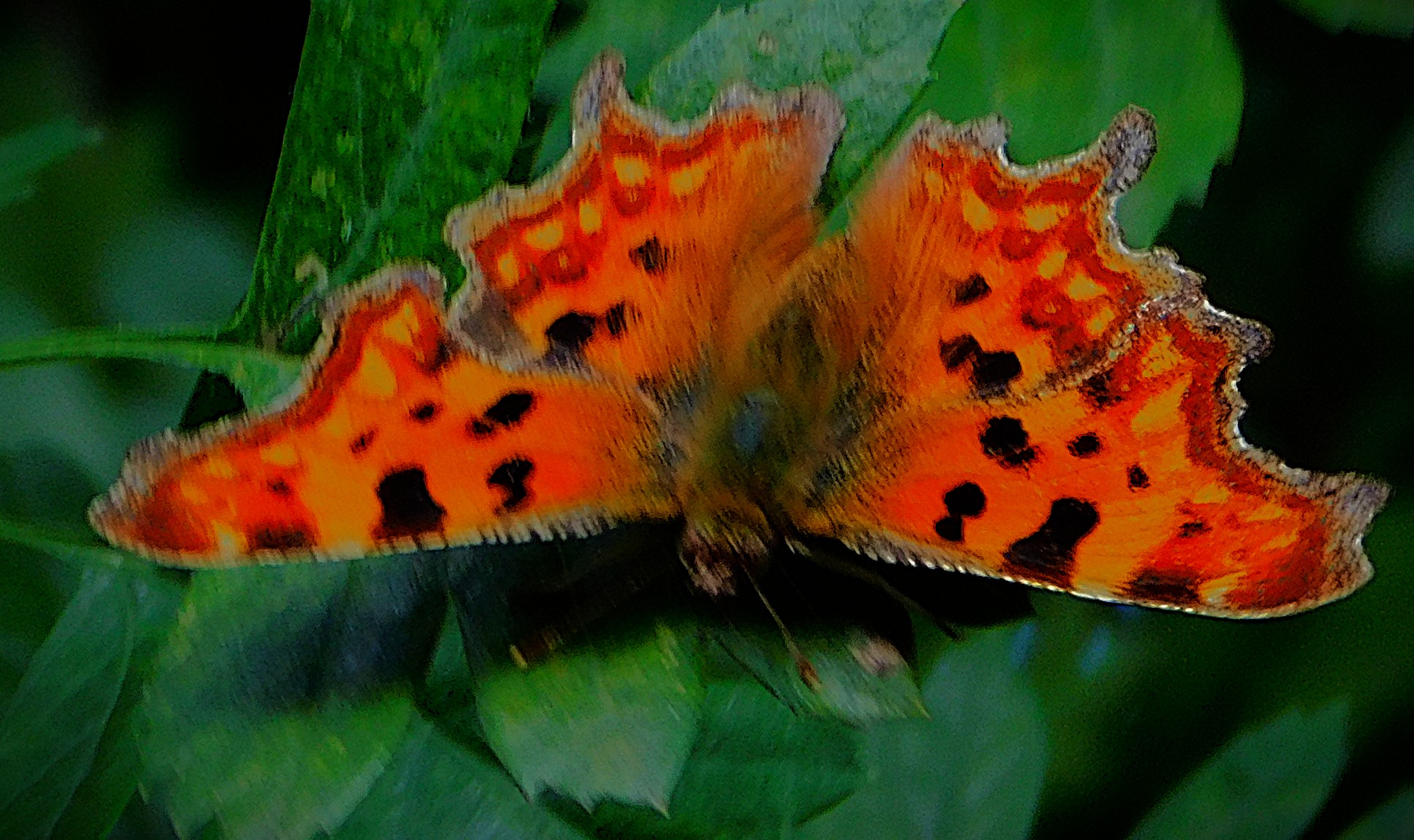
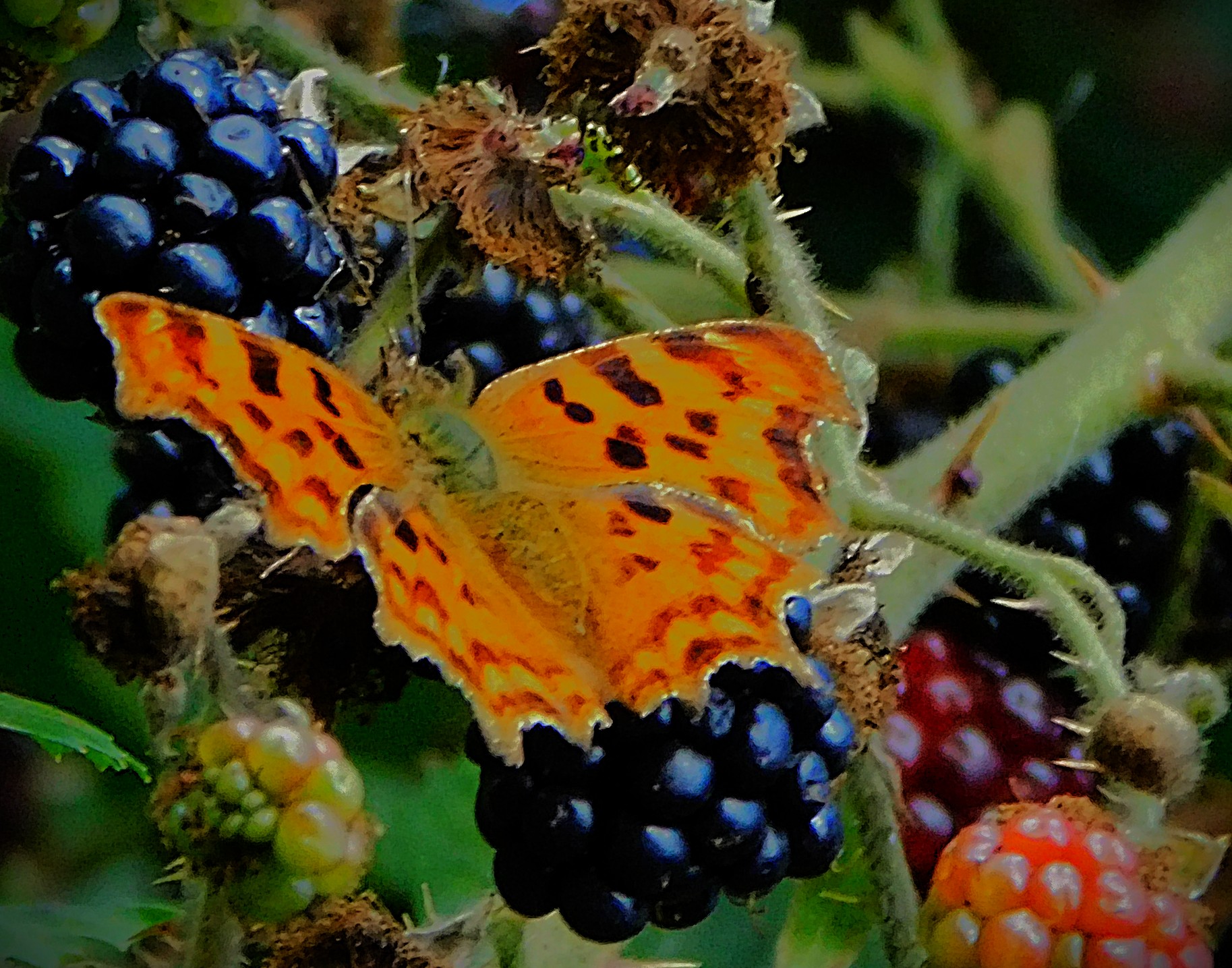
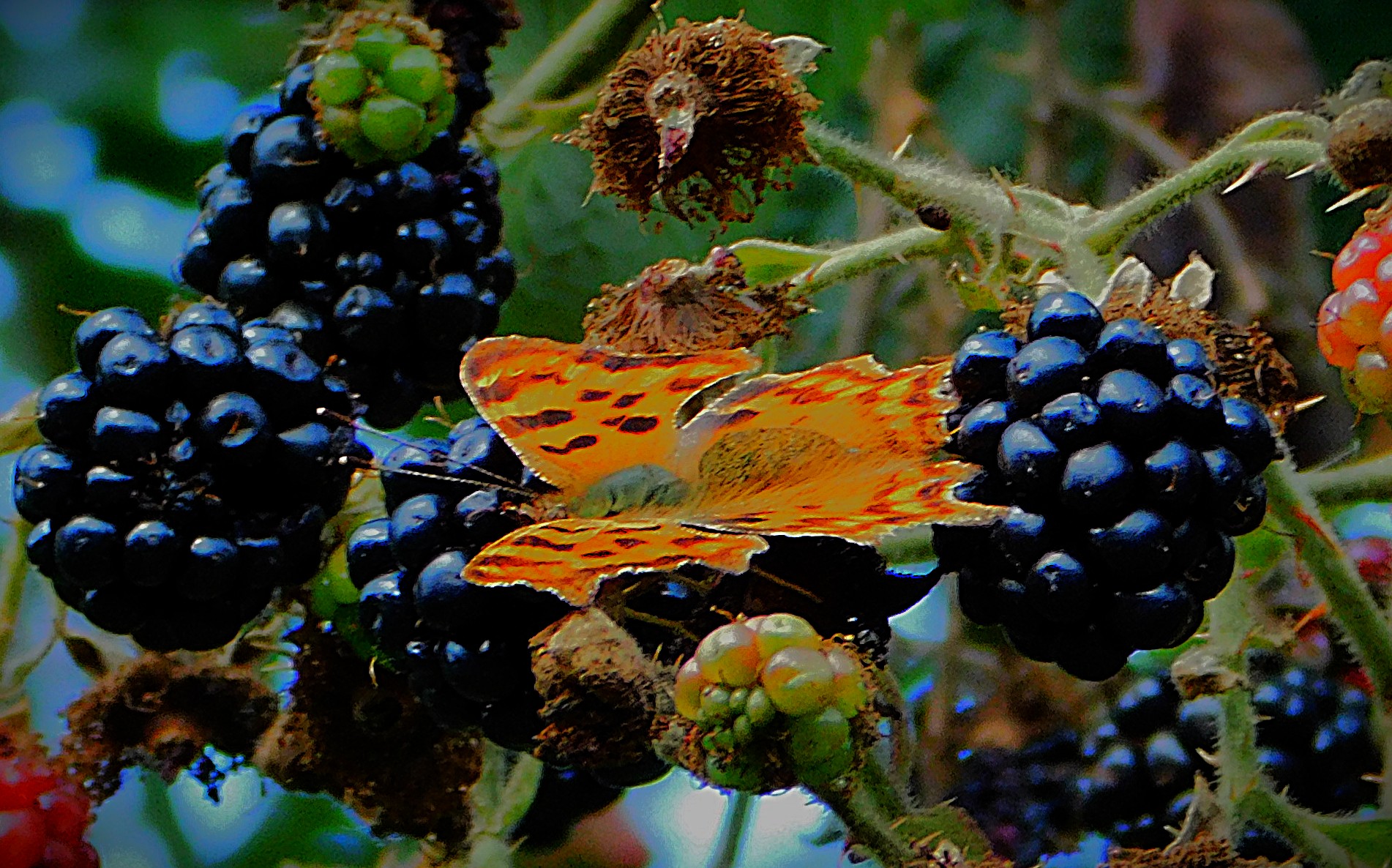
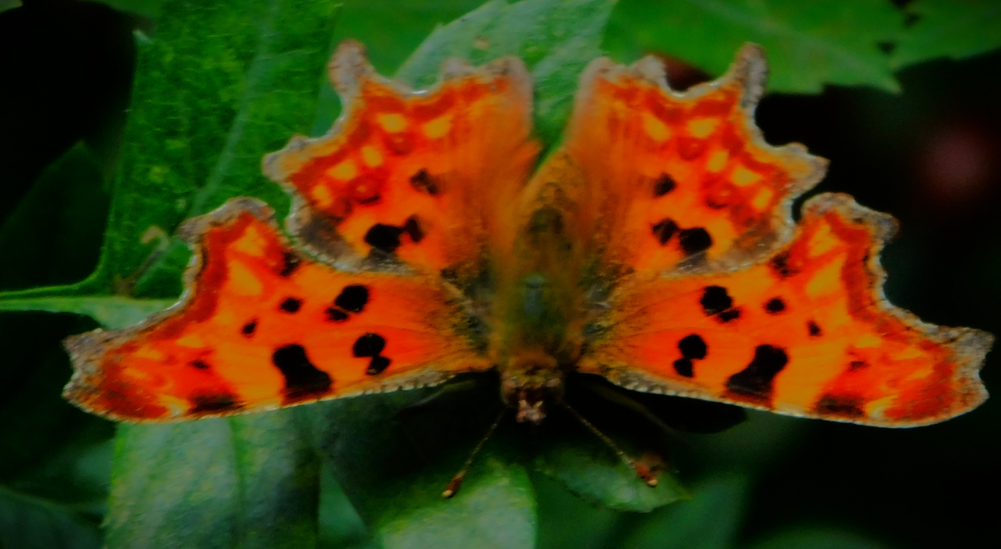
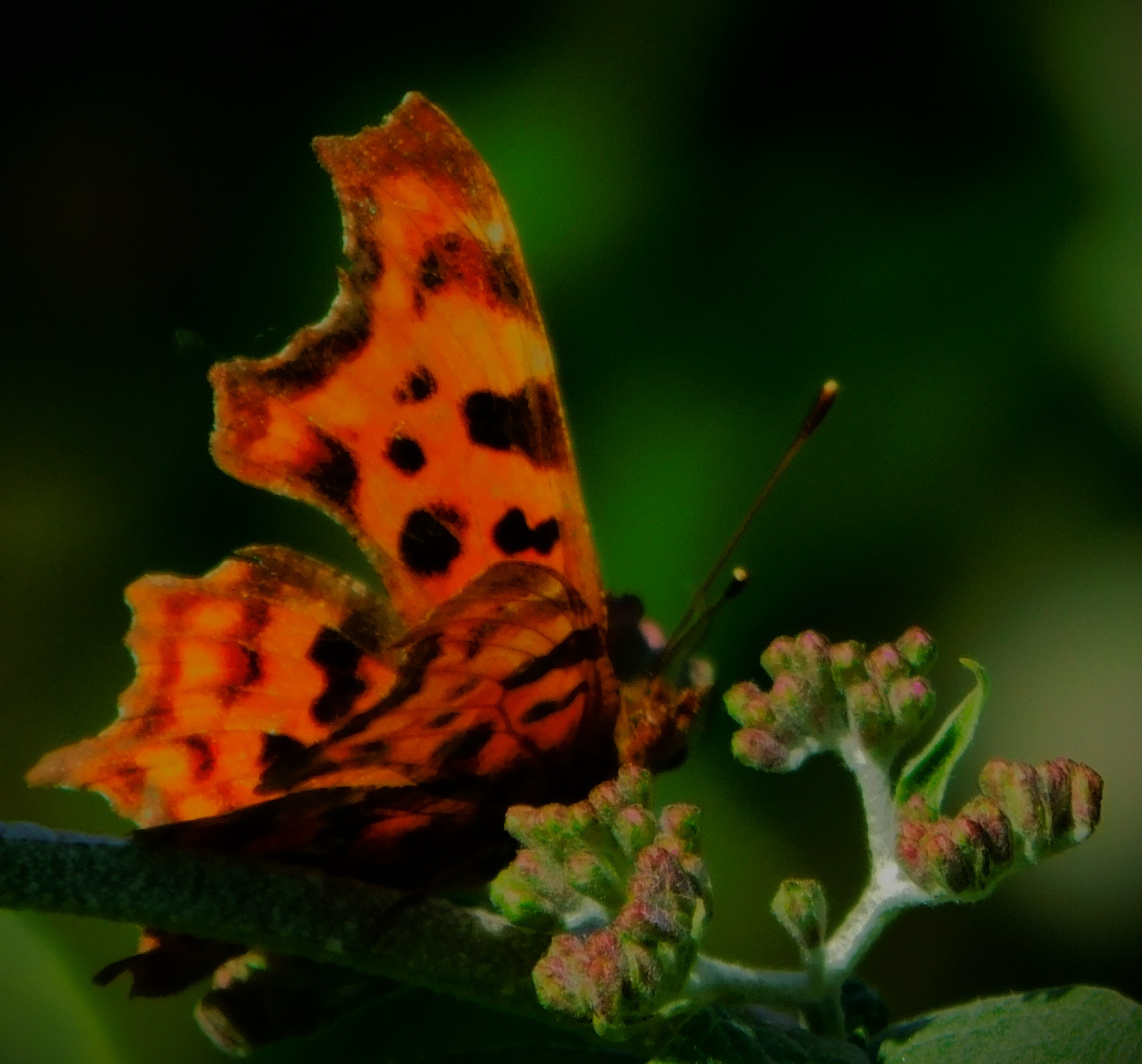
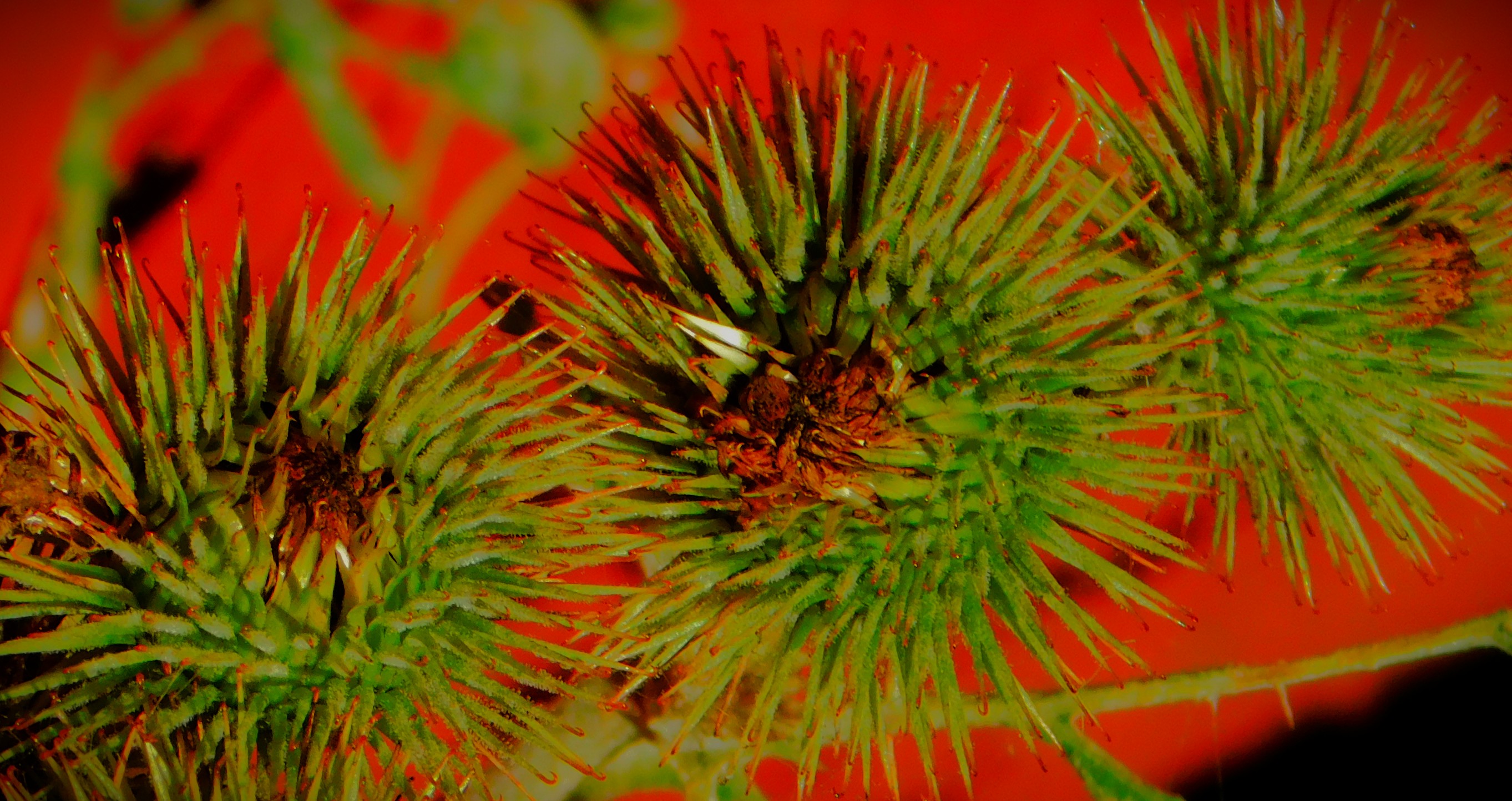
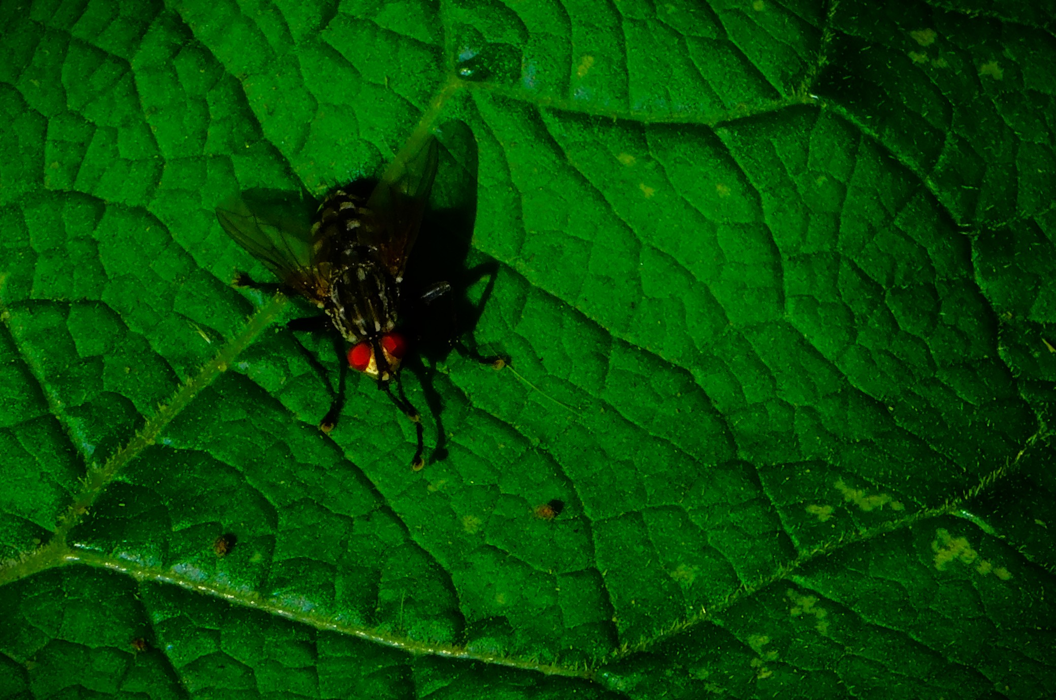
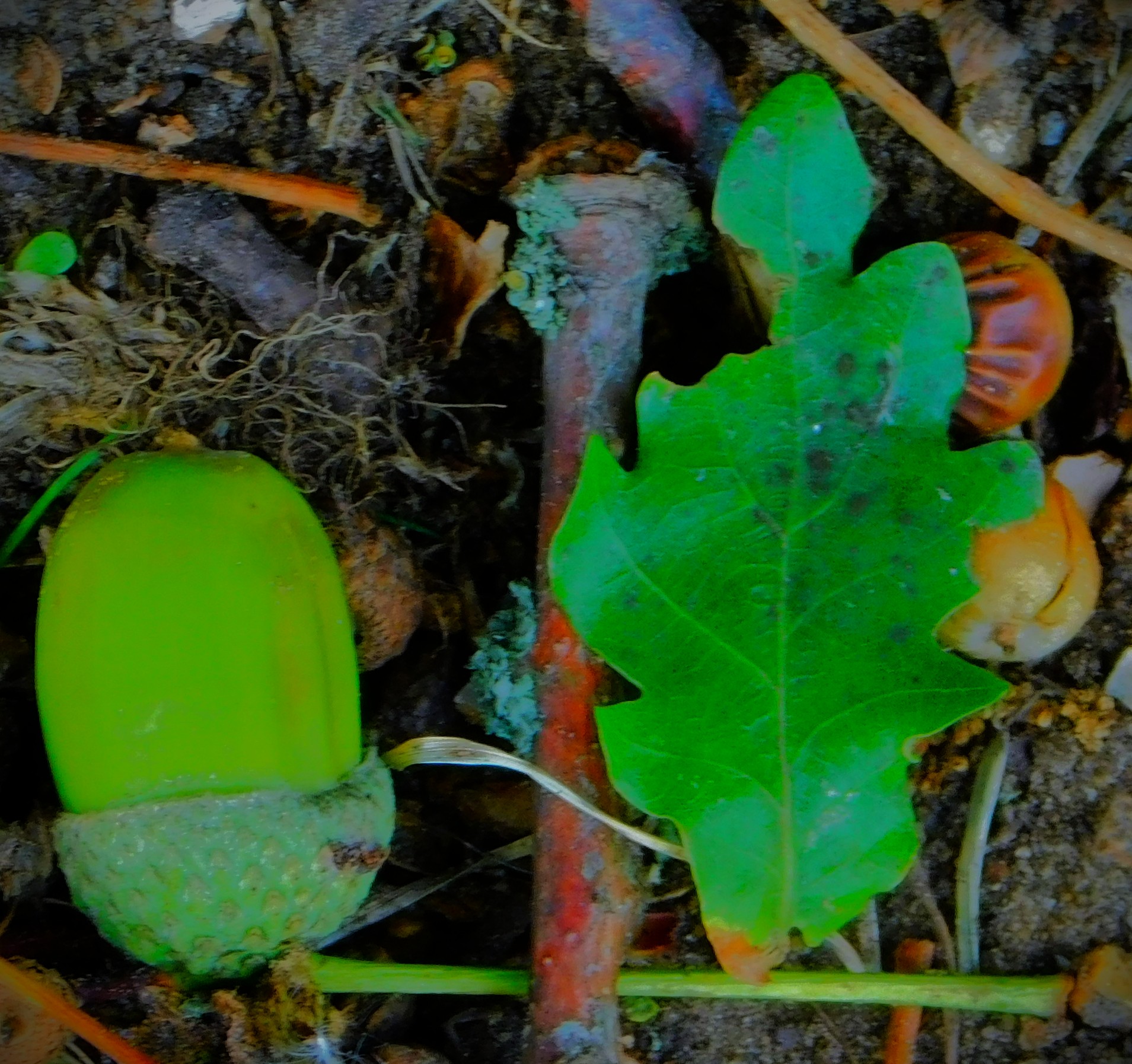
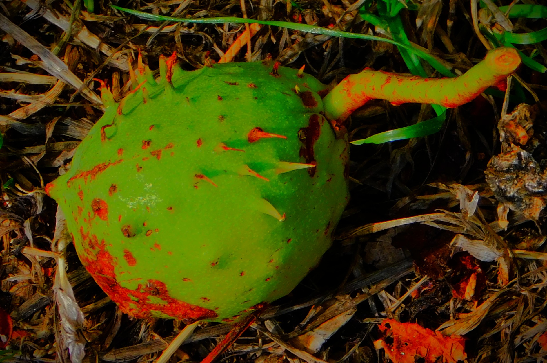
Just to wrap things up here is gallery of photos not from this particular walk…


Beautiful pics
Thank you.
I agree. Beautiful pics.
What a beautiful walk. Love the photos. So I just looked on Google maps Street View at Kettlewell Lane and there’s a huge tree there behind that pretty cobble wall with a railing. If I was there, I would want to measure the trunk and think about of registering it on the Woodland Trust, Ancient Tree Inventory, but maybe it is already on it?
I just checked the Ancient Tree Inventory 🌳 and it hasn’t been placed on it yet, but I wonder if it qualifies?
I don’t know if it qualifies. The pretty cobbled wall is one of the surviving sections of the old town wall. It was strengthened around the time of the English Civil War because in those days the Gaywood river was an important source of water, and it would not have done to have it fall in to enemy hands. Thank you for your comments.
lovely walk
Yes it was.