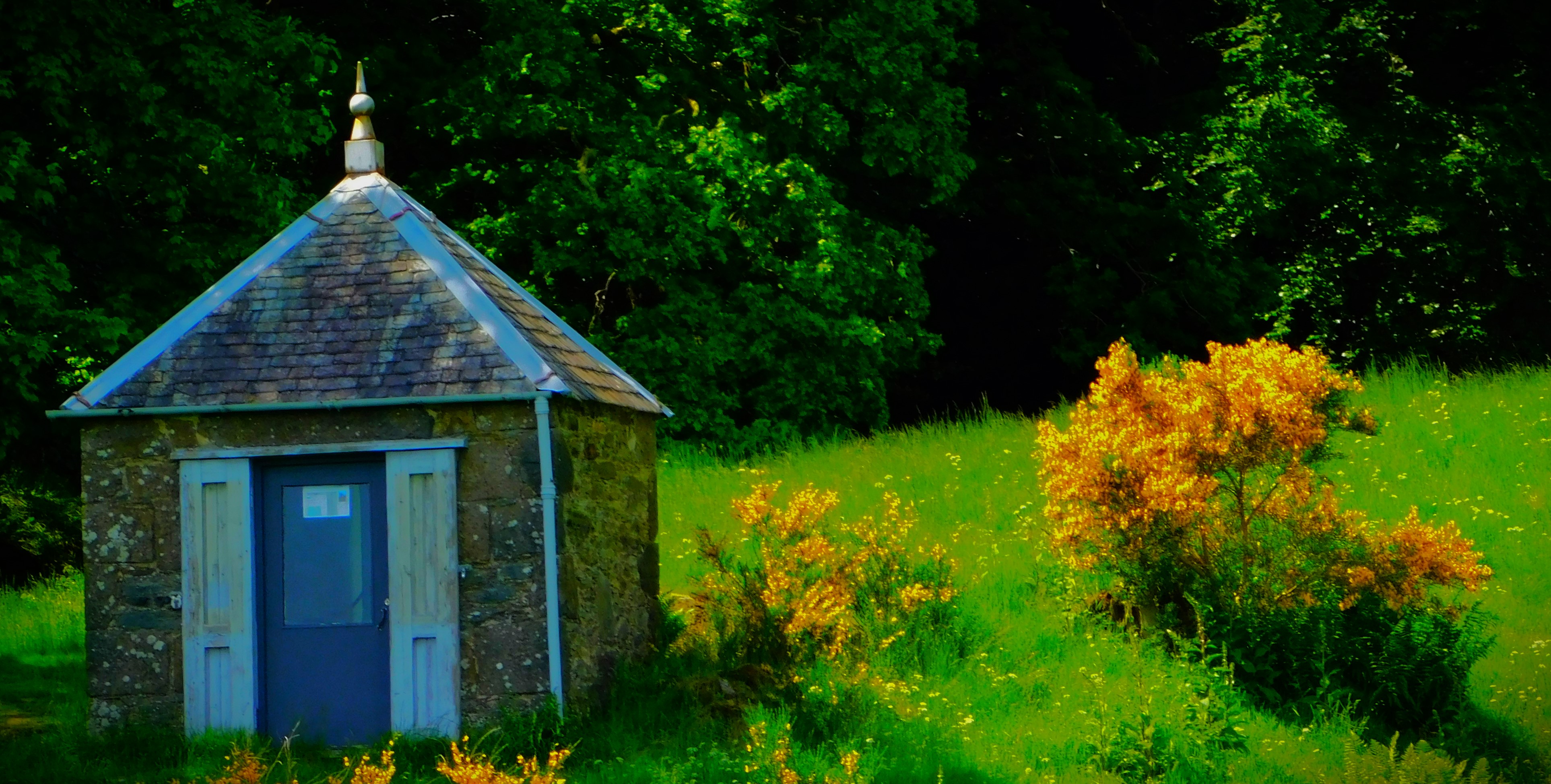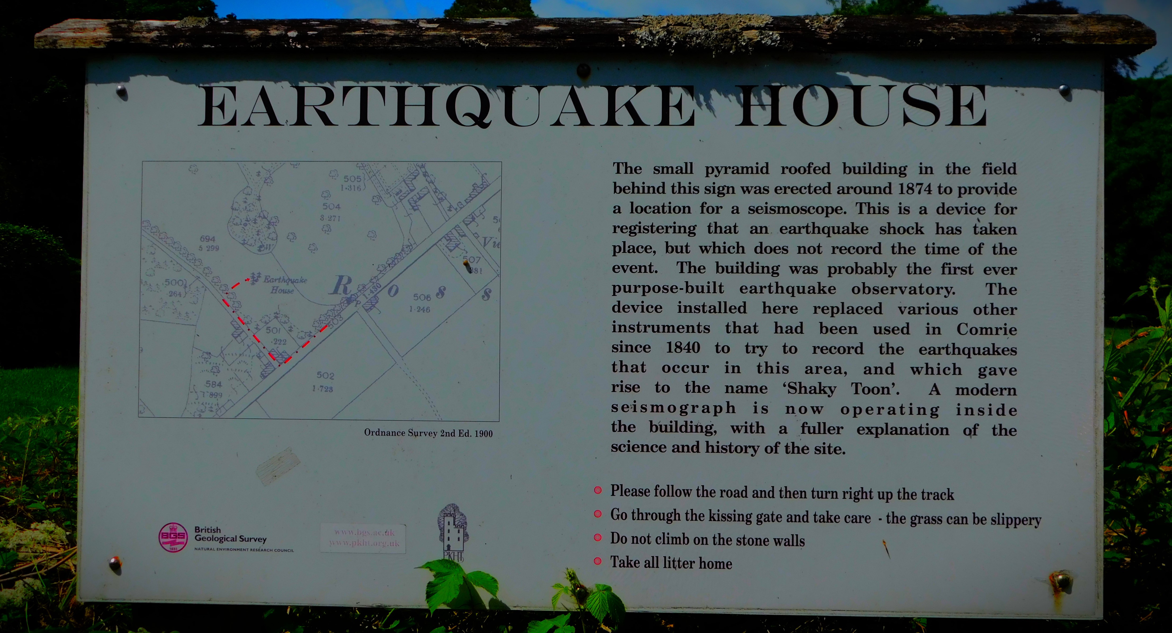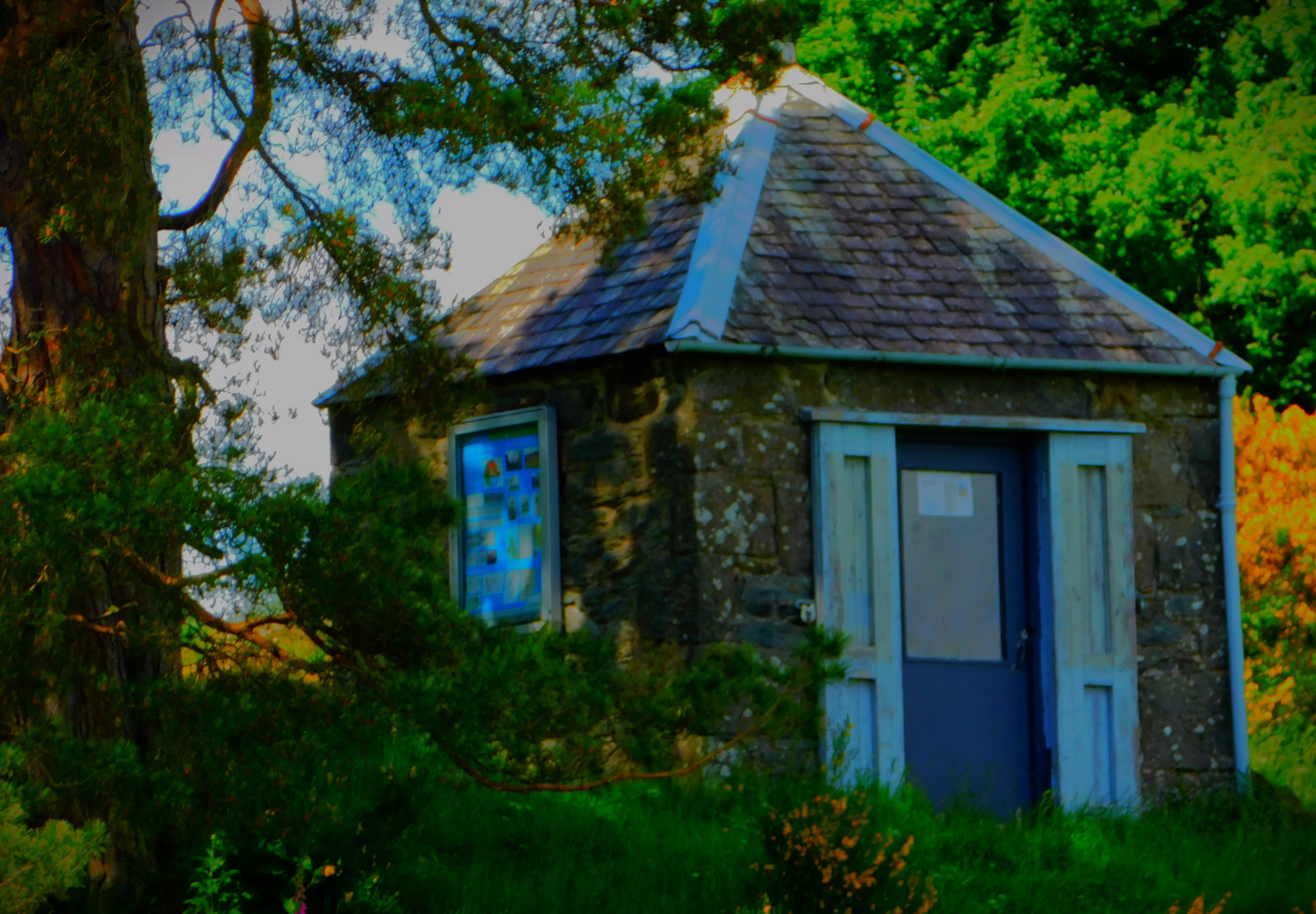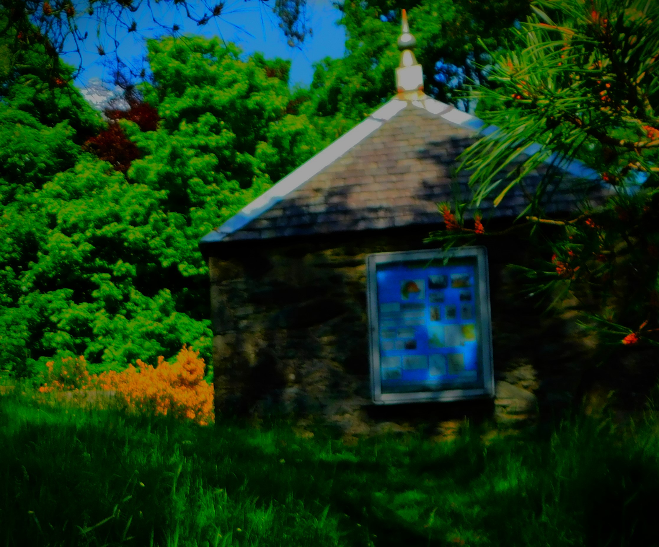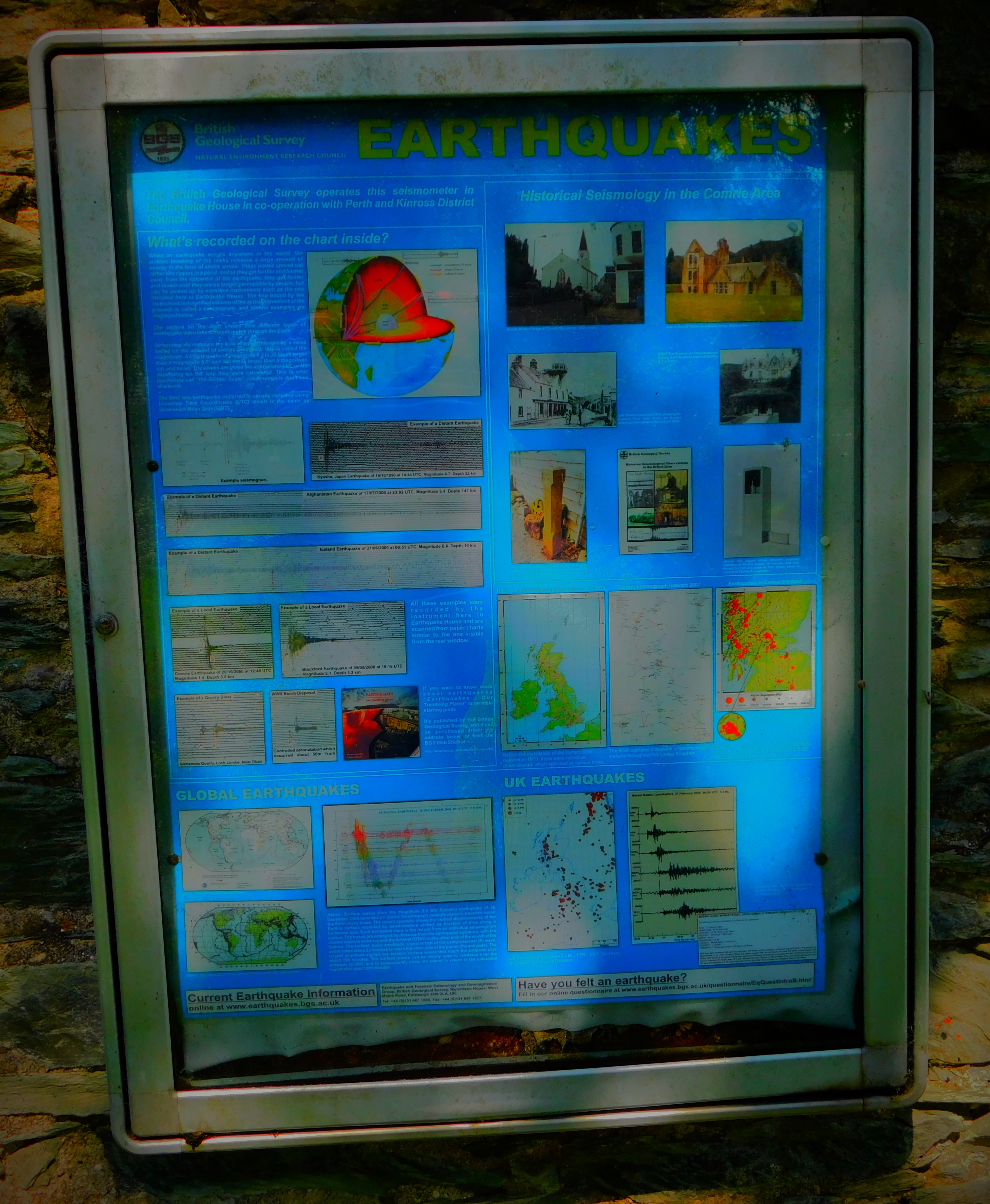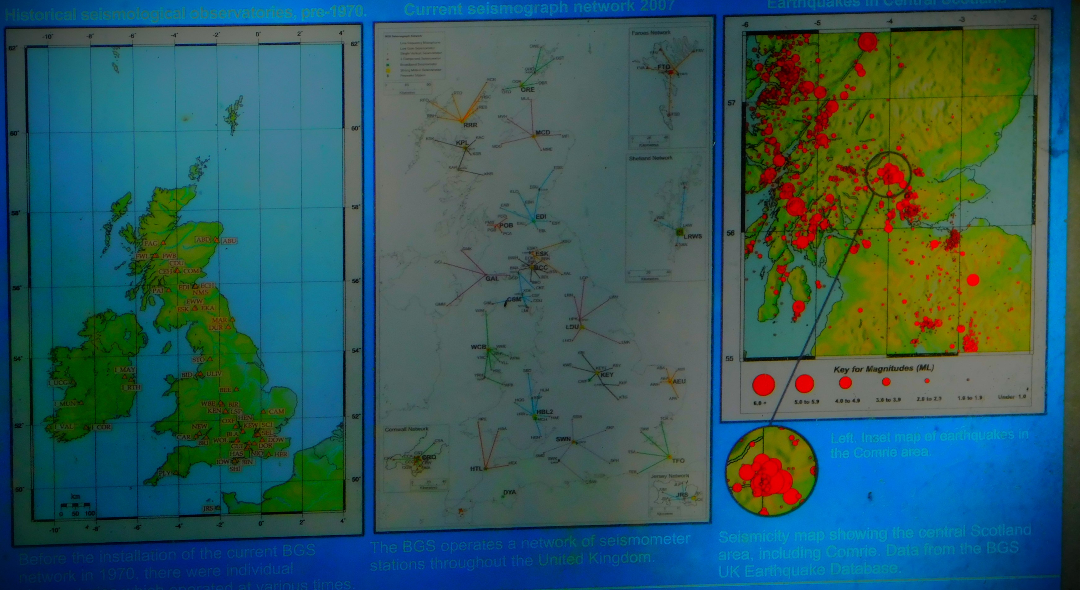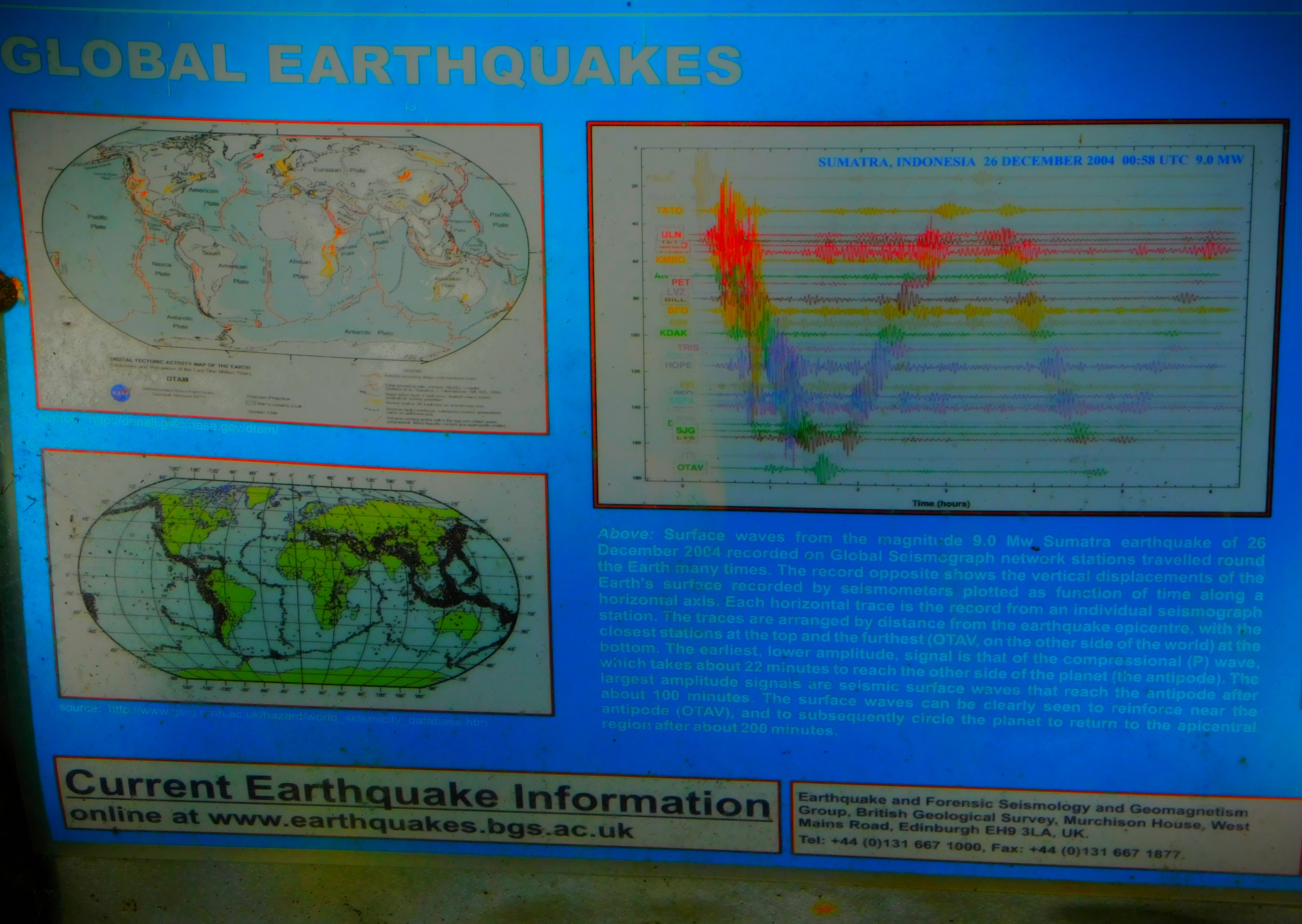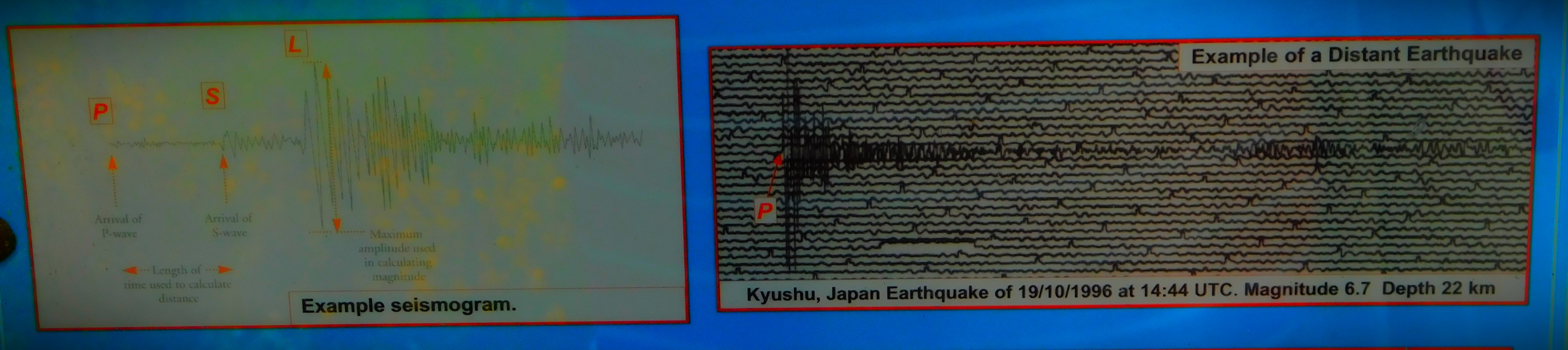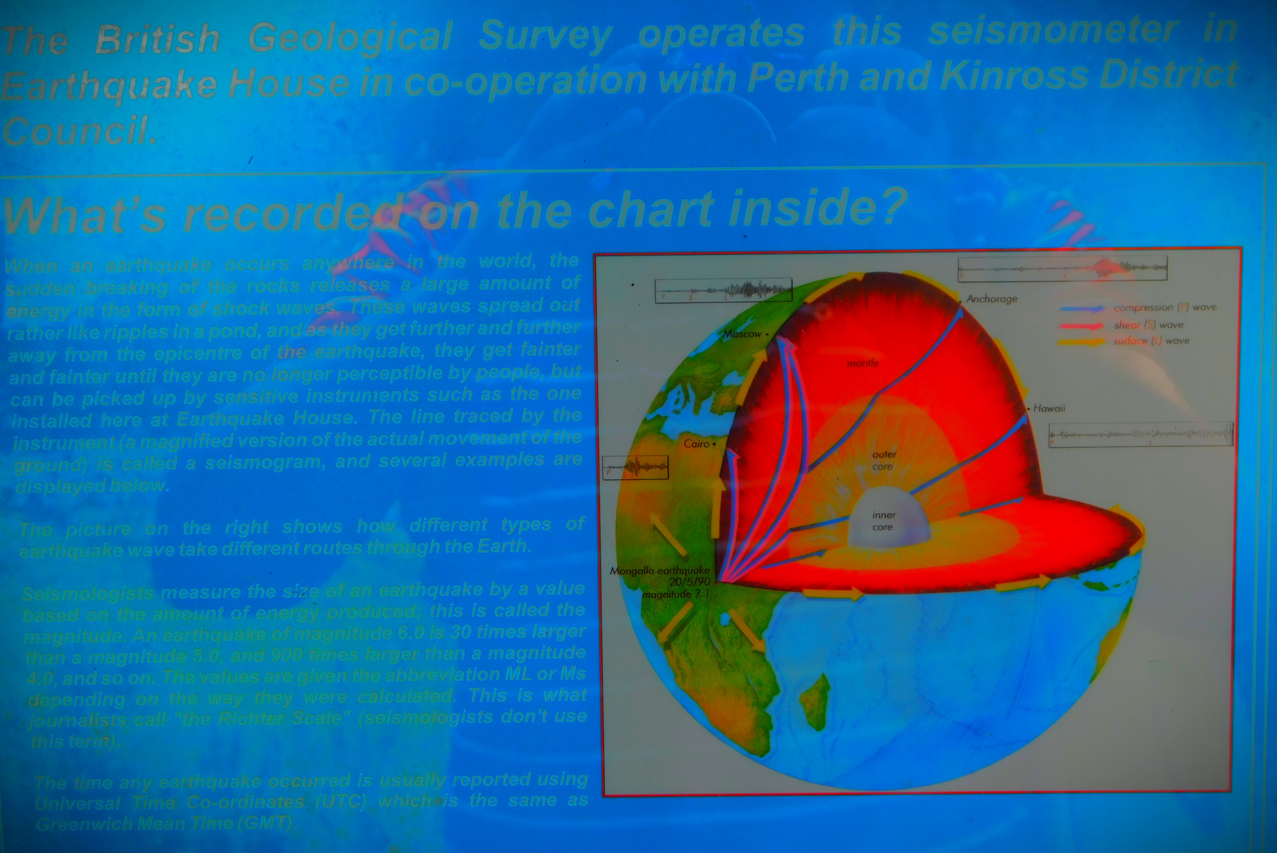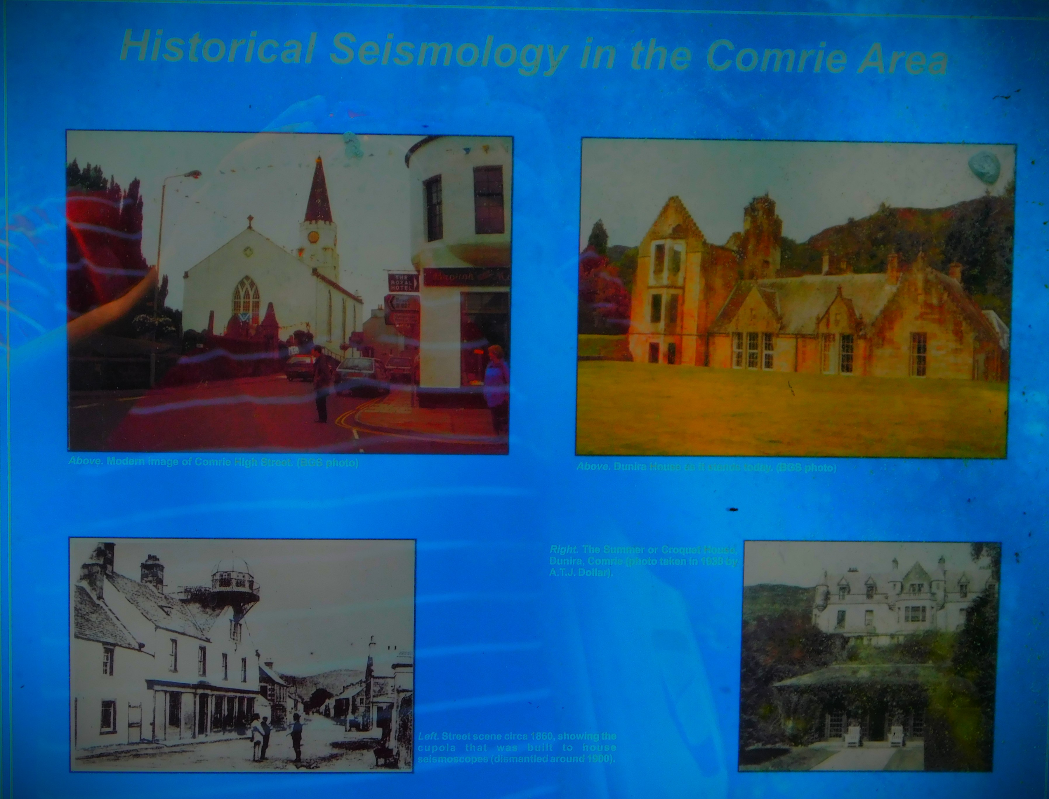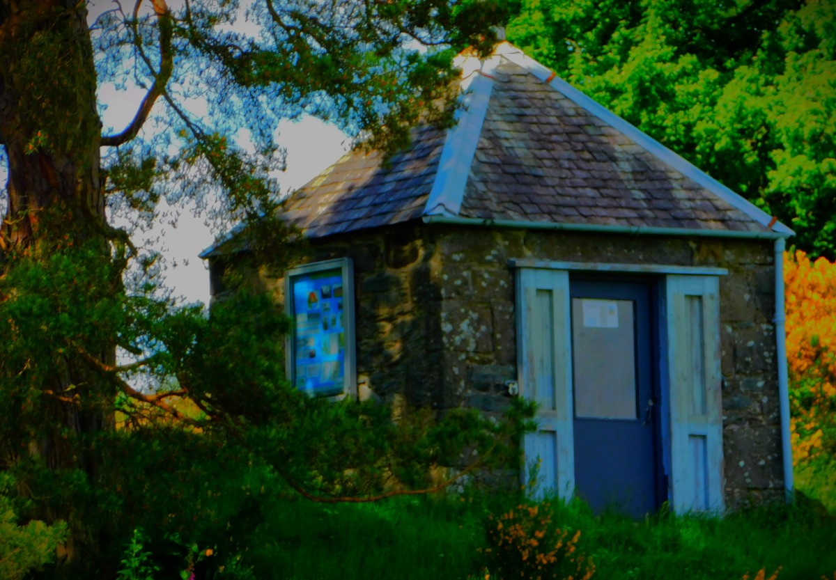
Comrie lies close to a fault line, and at one time was known as the ‘shaky toon’ because of this. It had earthquake recording equipment as early as the 18th century, and the building that housed that equipment still stands, and contains a more modern piece of recording equipment – a seismoscope, which records earthquakes and their intensity but not the times at which they occur. This post looks at our walk that took in that house, and features some information about earthquakes as well.
FIRST PORT OF CALL: COMRIE POST OFFICE
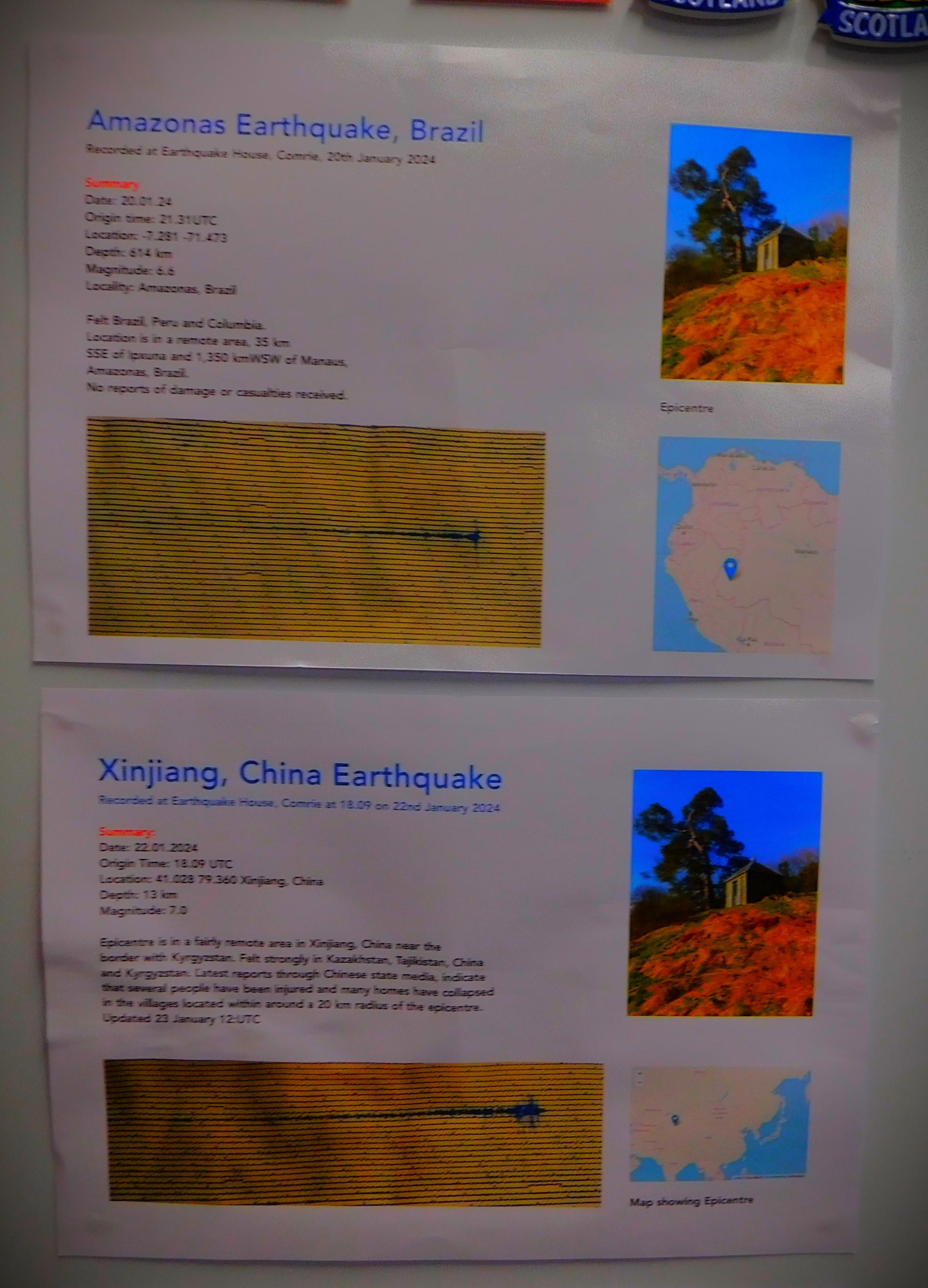
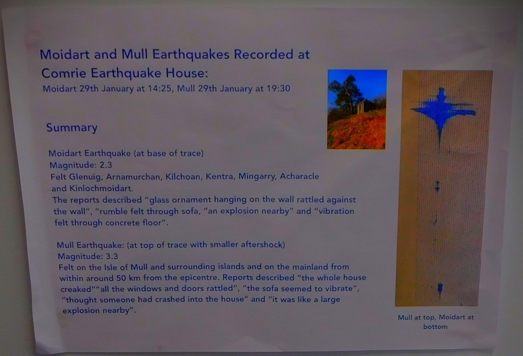
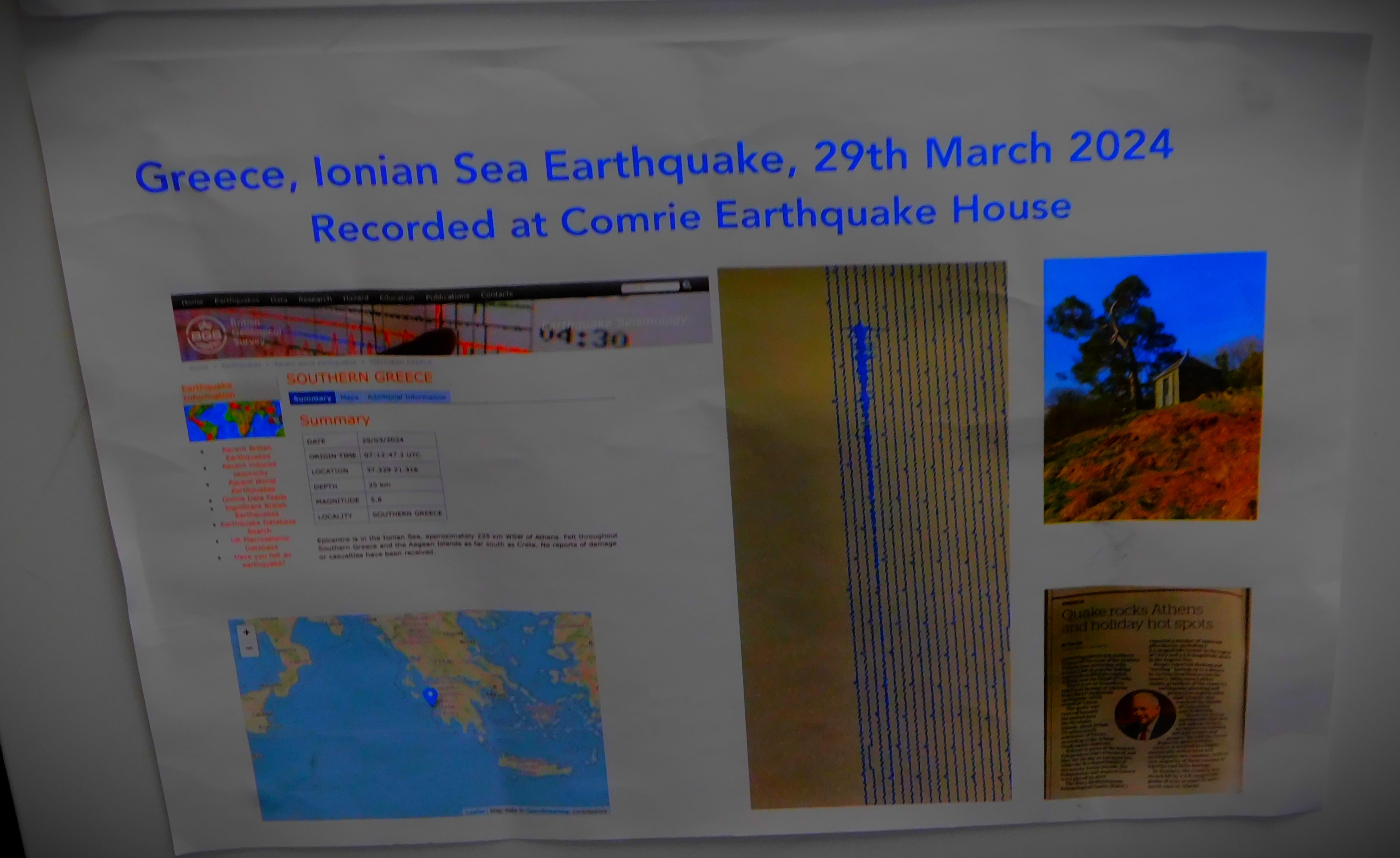
Comrie Post Office has some information about earthquakes on display. Apparently the post office itself shook when an earthquake hit Greece in March of this year.
THE WALK PROPER
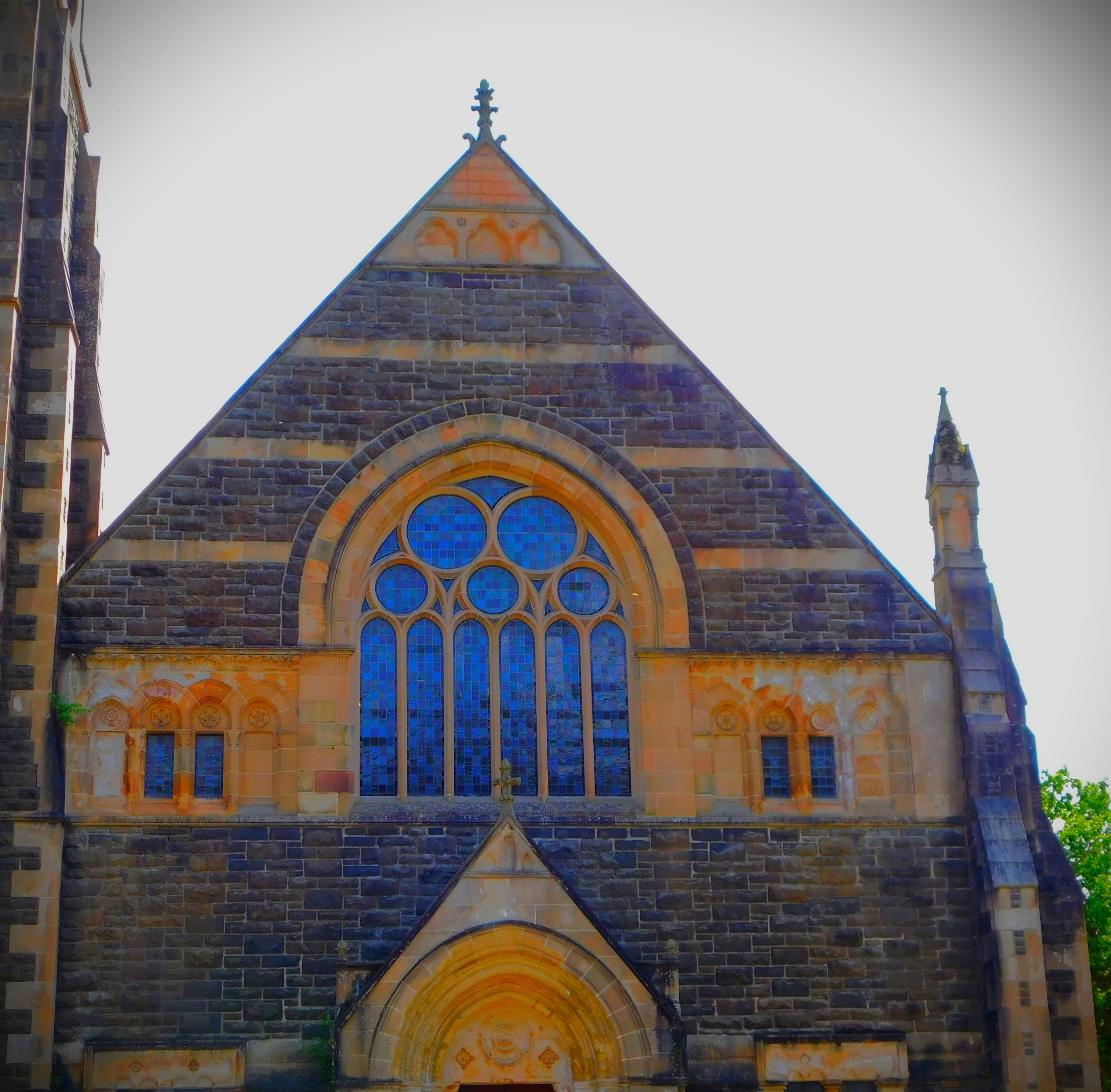
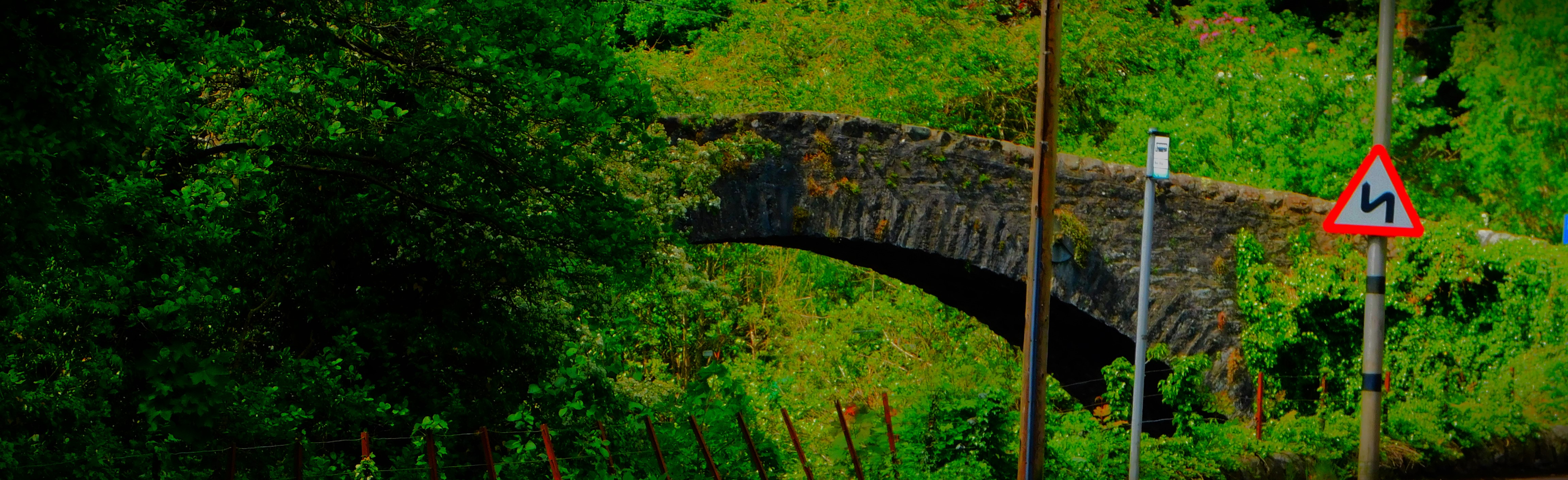
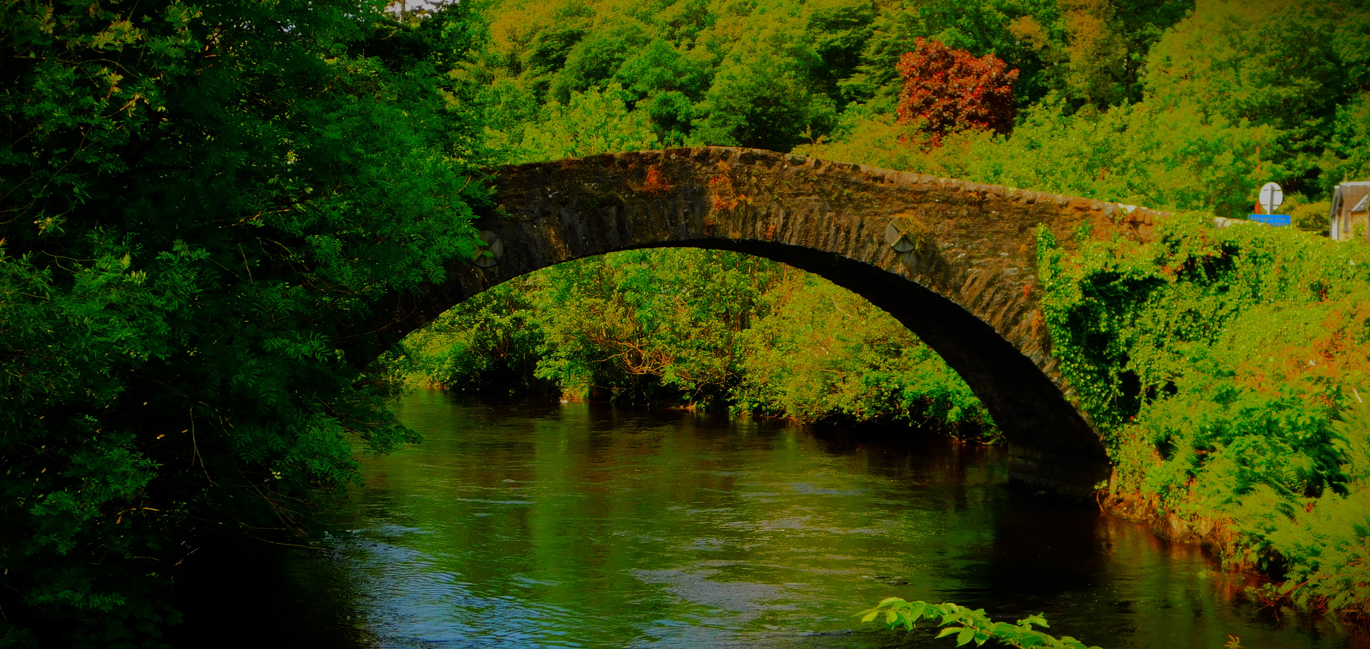
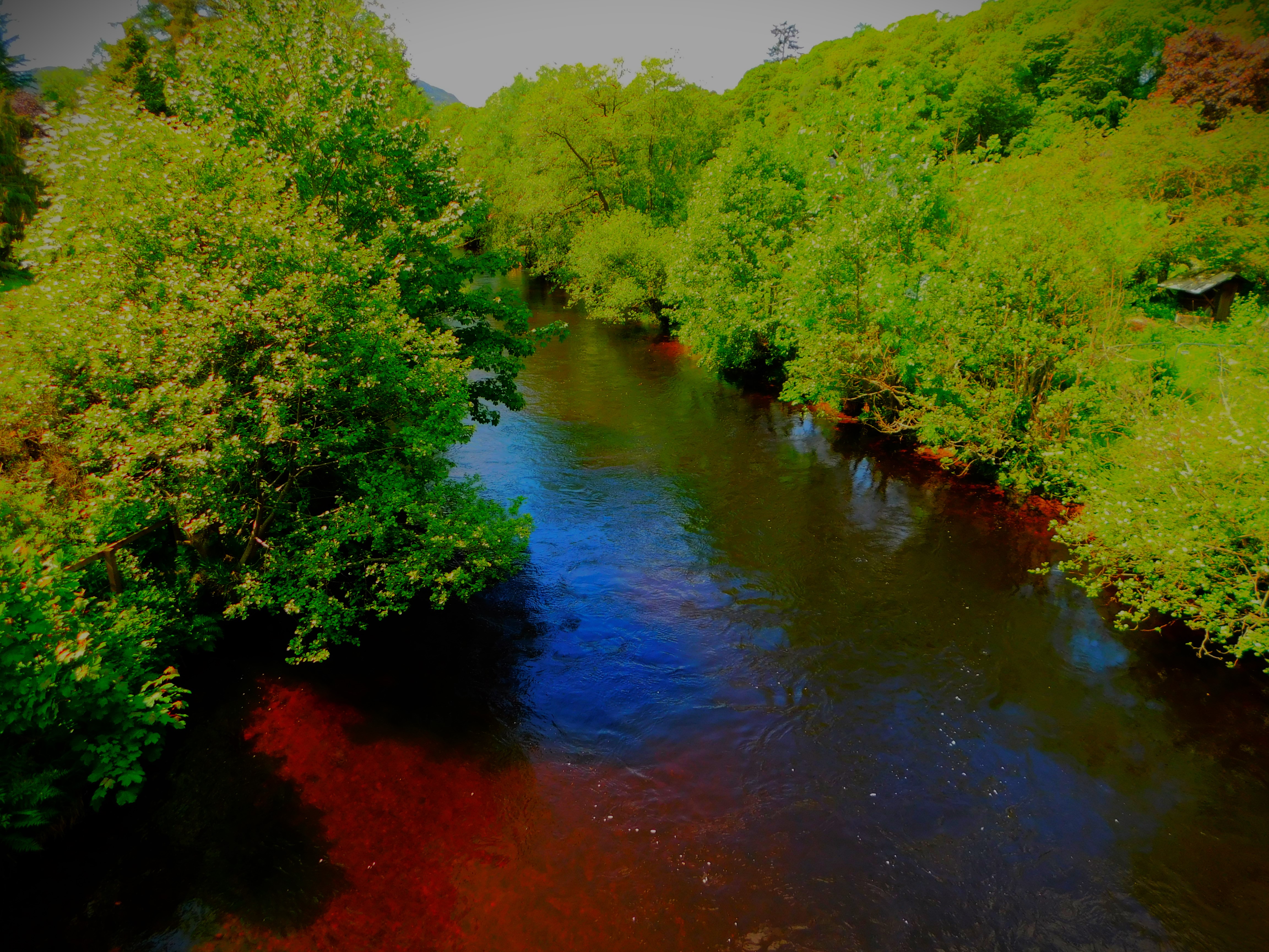
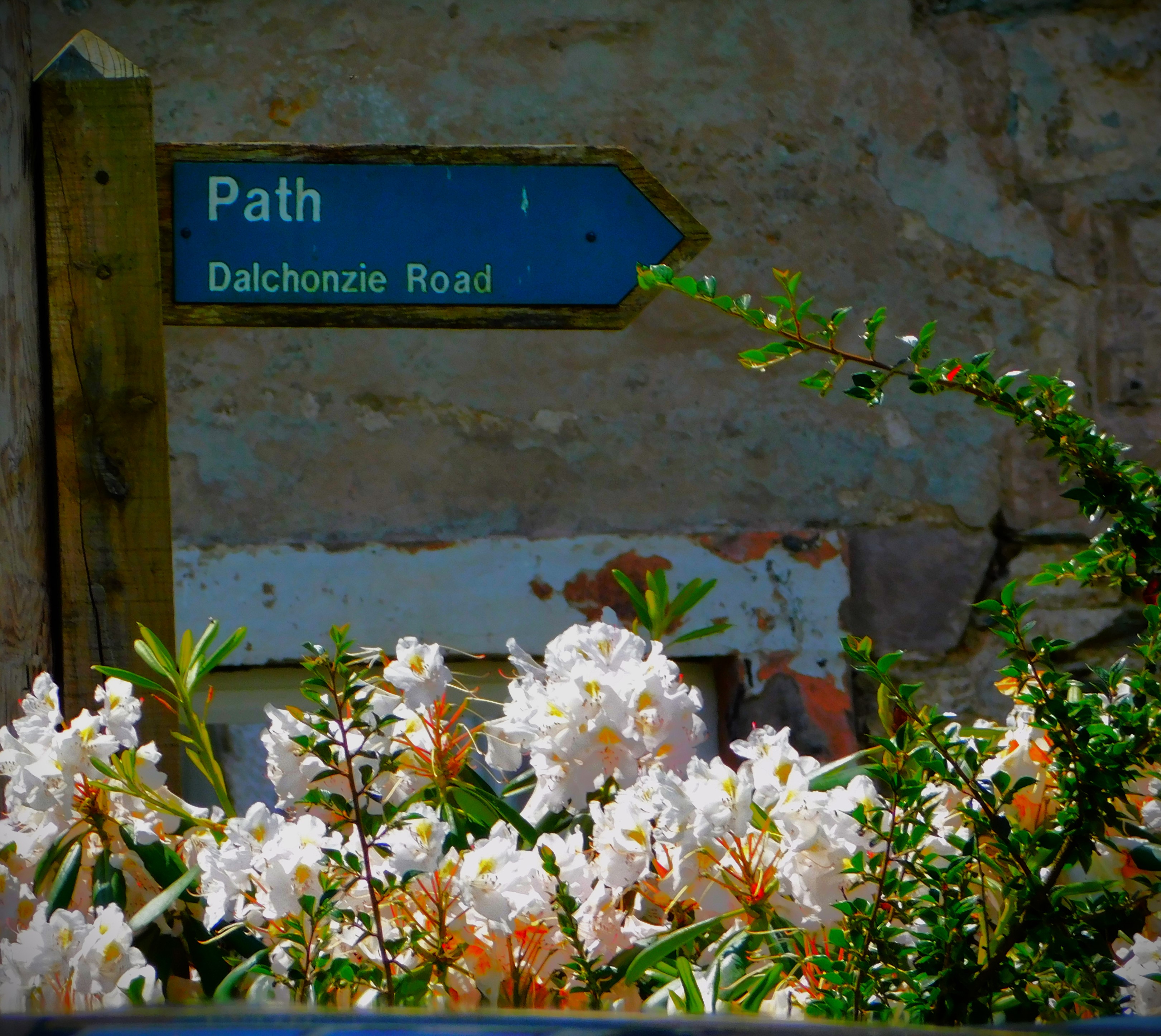
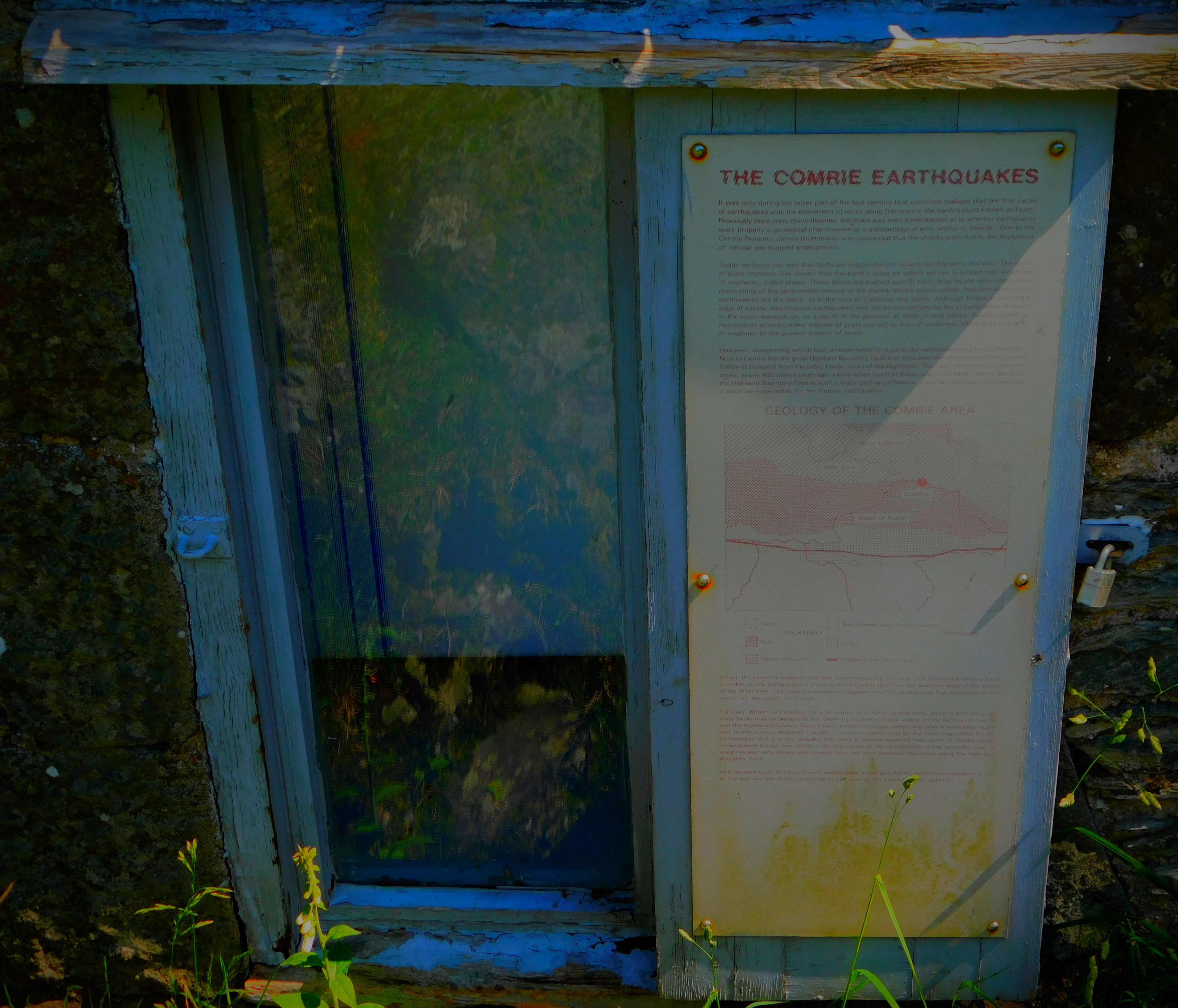
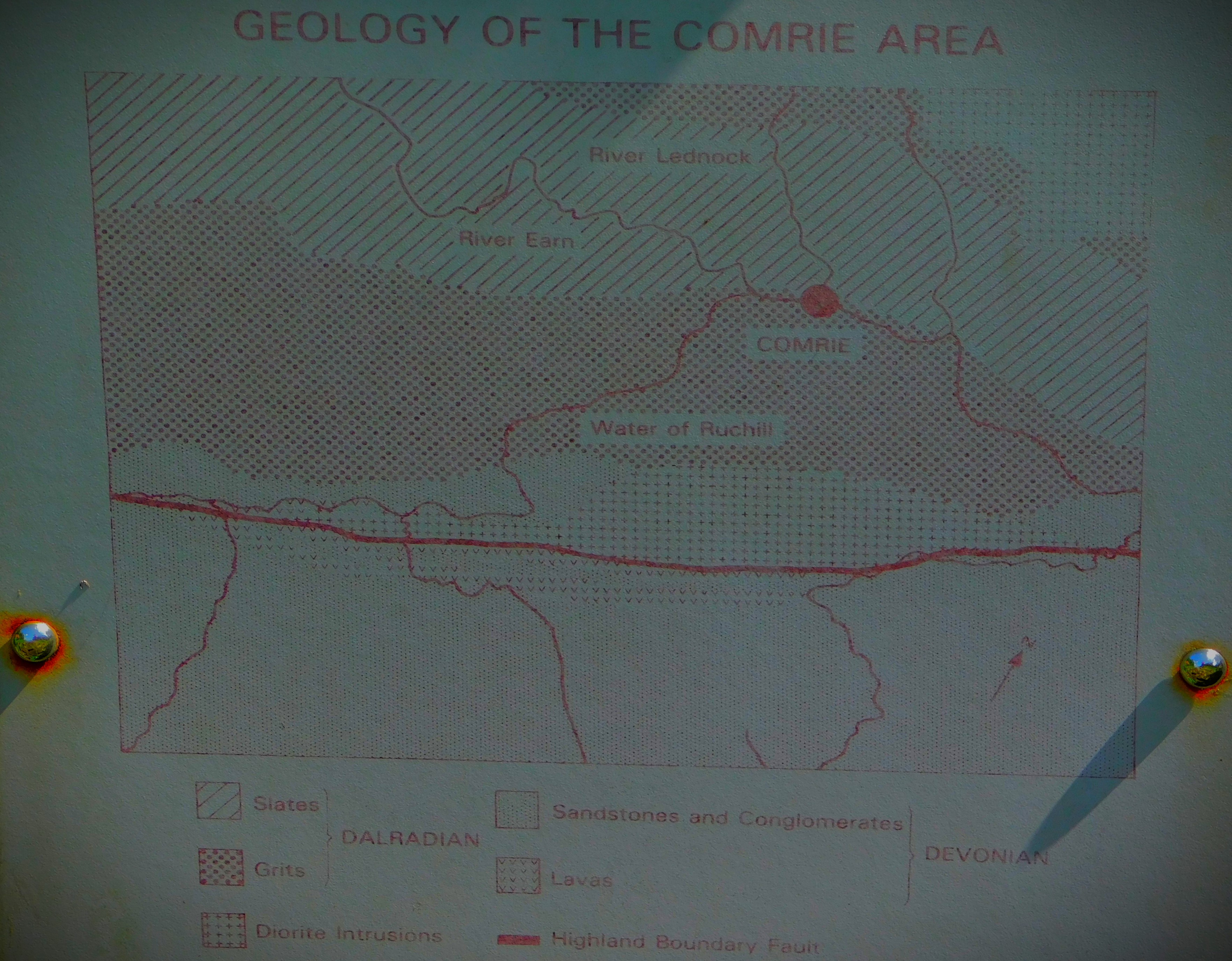
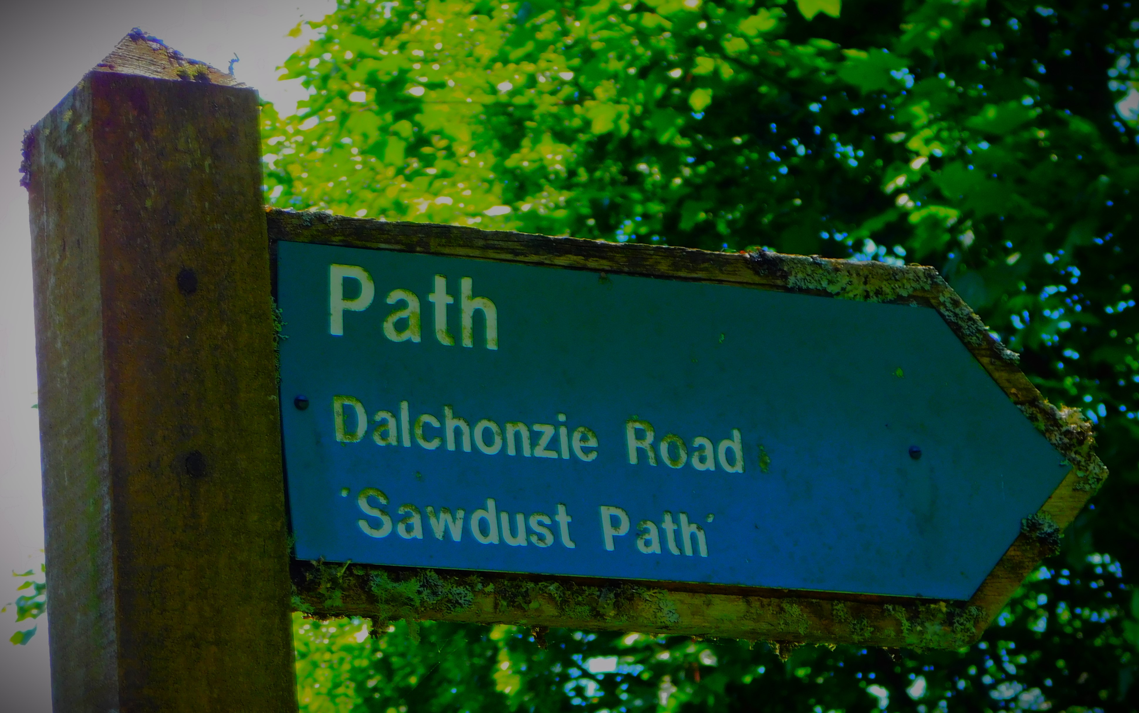
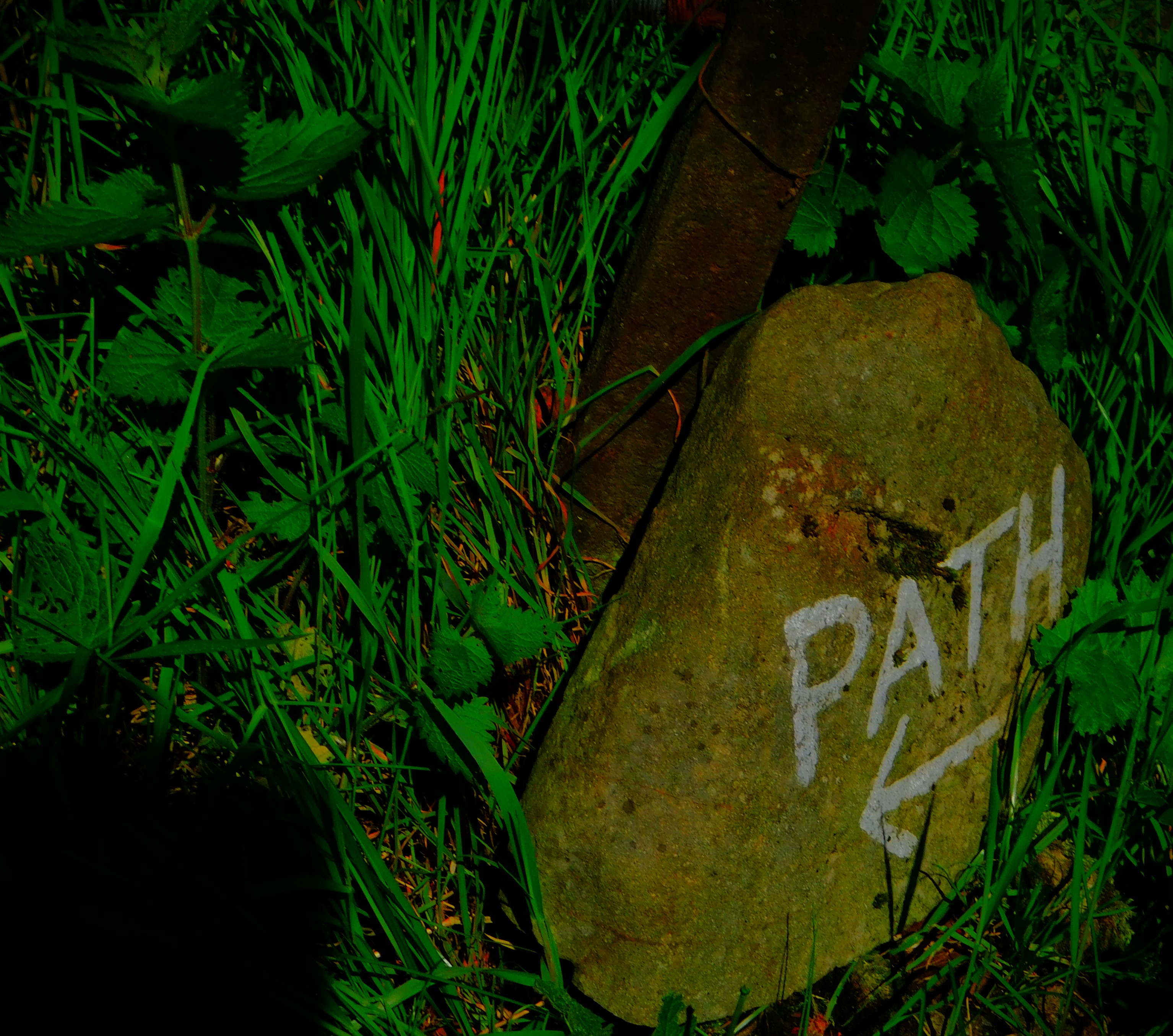
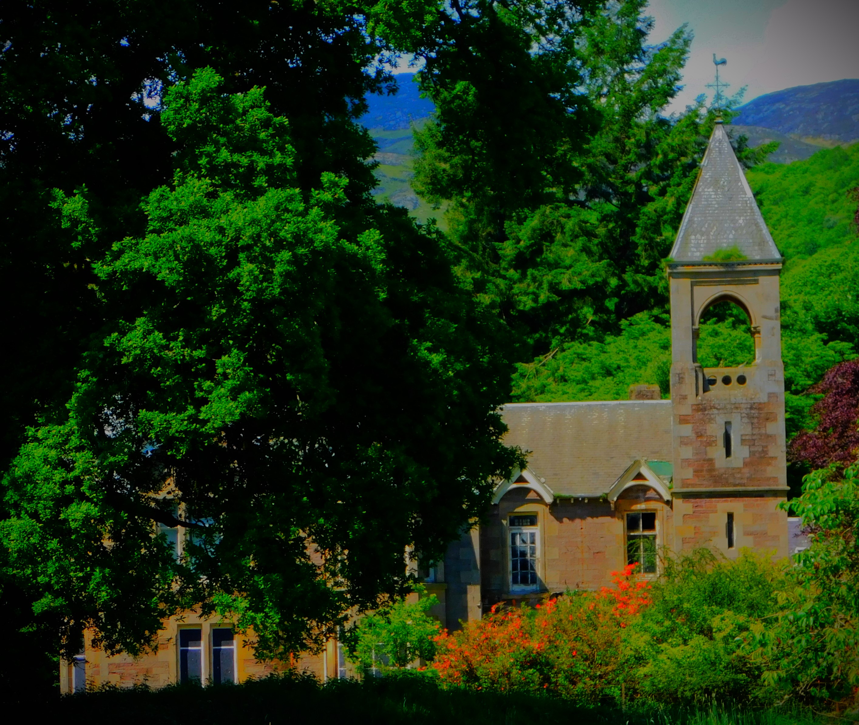
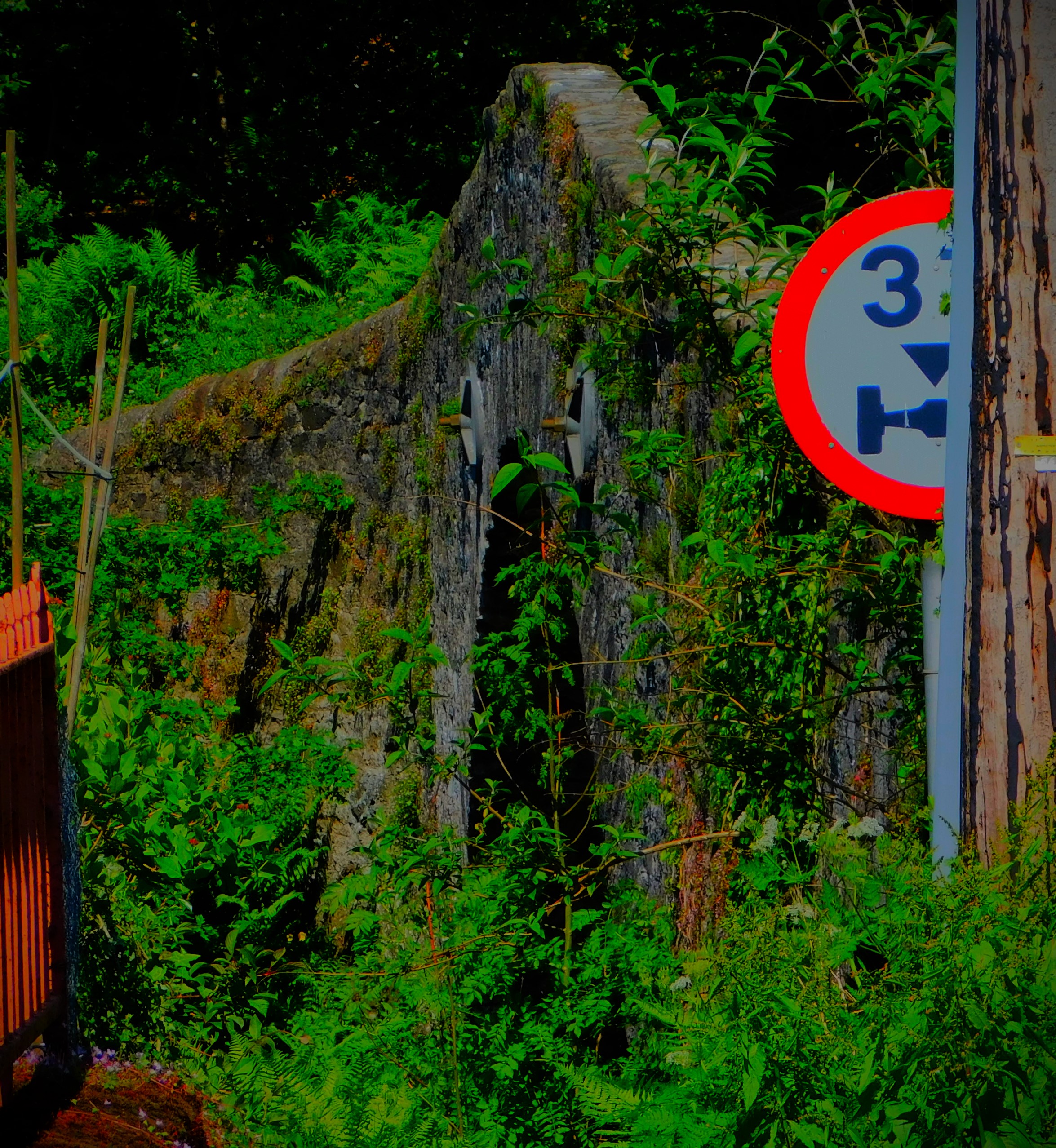
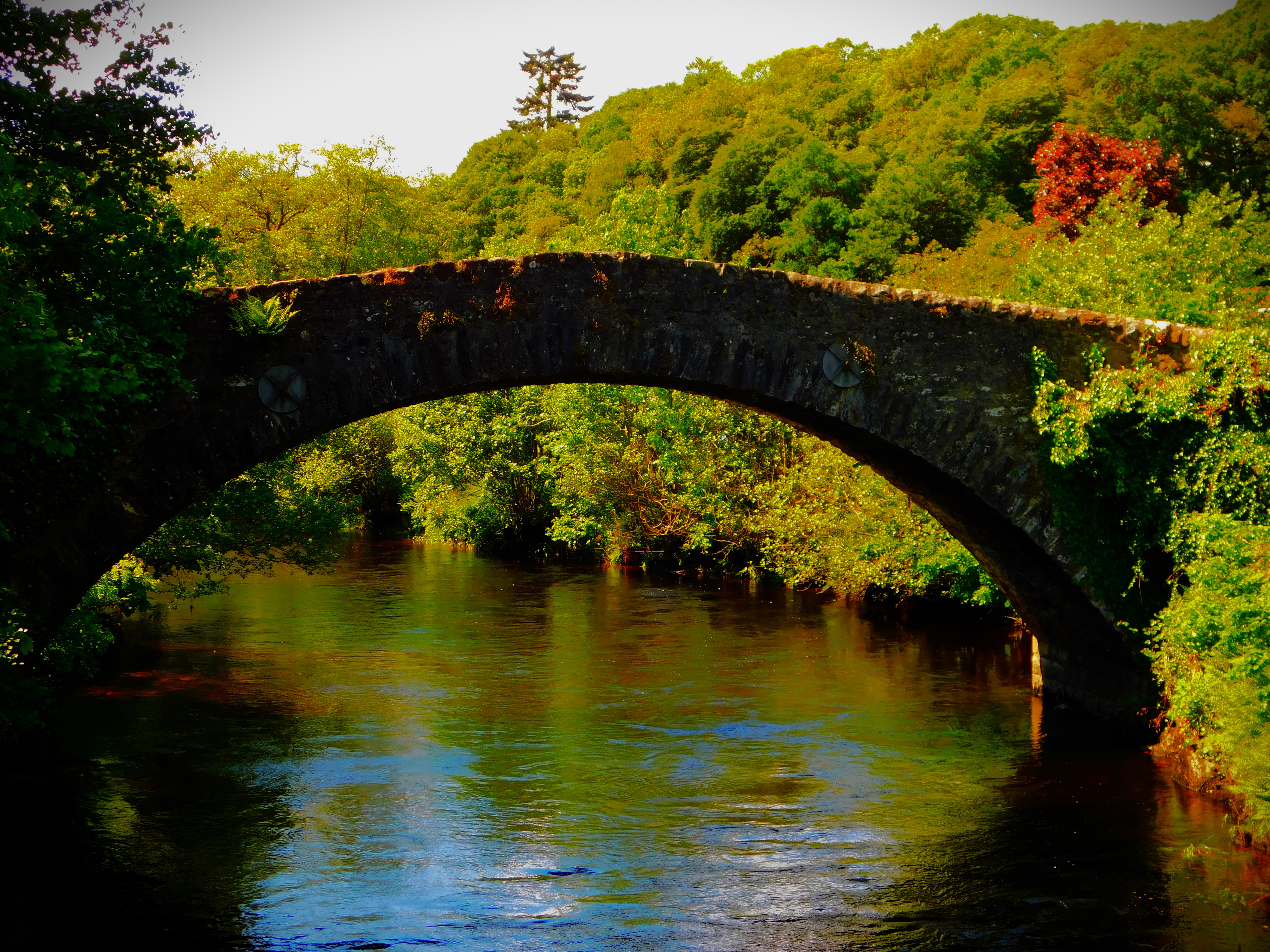
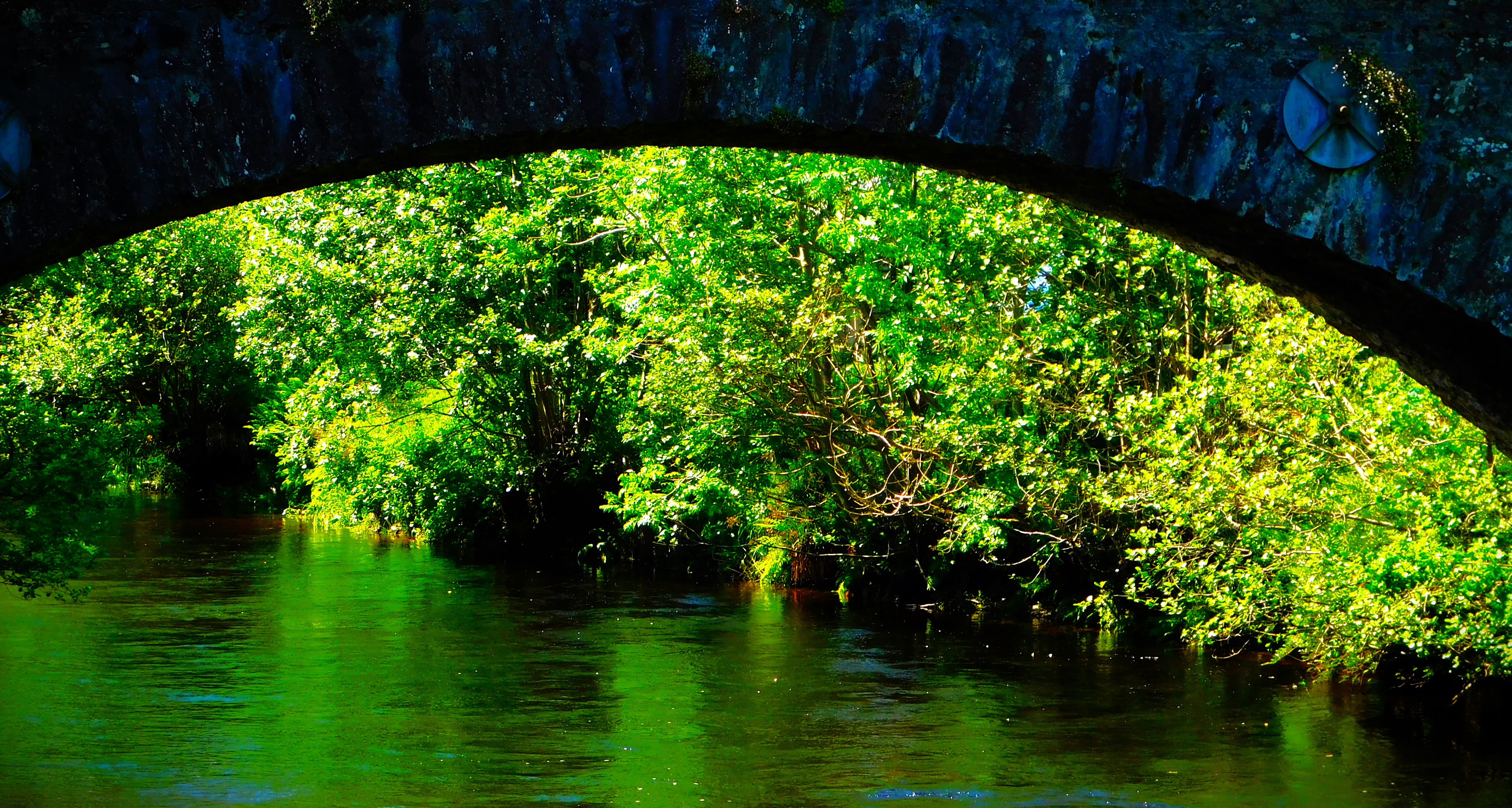
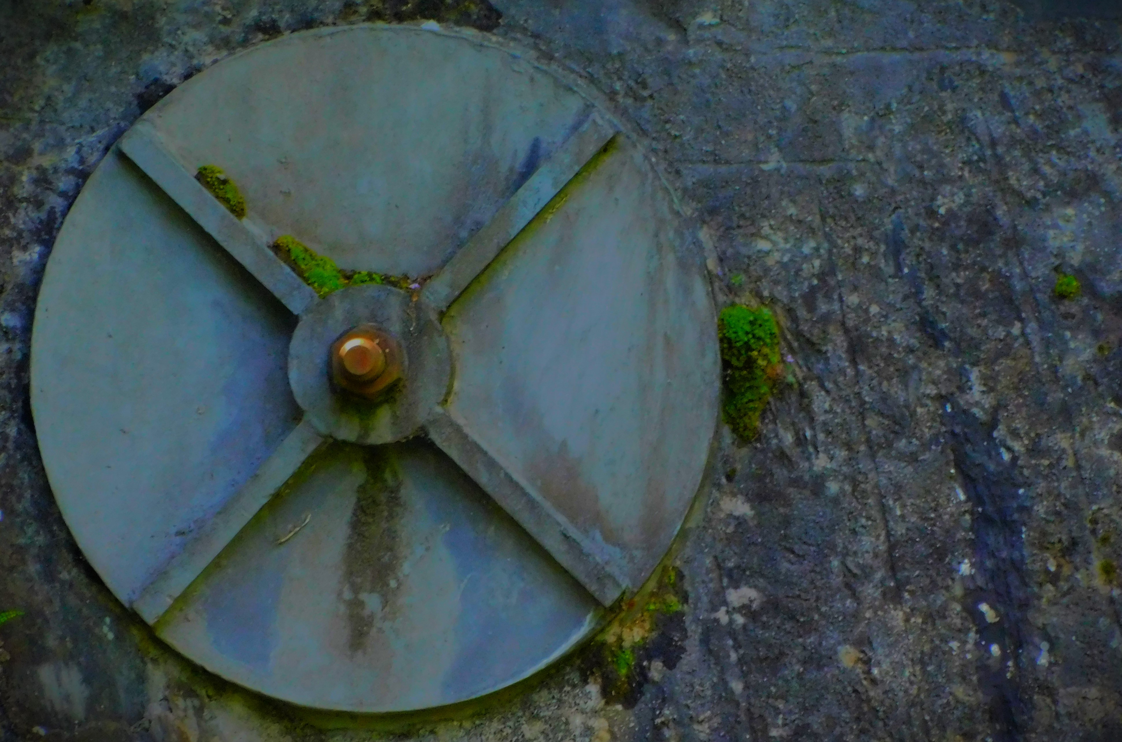
The walk begins by heading past the church and on to the road that passed the frontage of the church – heading at this point in the direction of Crianlarich. The first noteworthy point after the church is a magnificent stone bridge across the river Earn. The ‘Earthquake House’ itself stands alone in a field, and is accessed by a path which leads off a side road – the gate from the main road into that field is very firmly locked. The house has plenty of information, and although one cannot go in one can look through the window and get a decent view of the seismoscope, though the window is reinforced in a way that renders photographing the seismoscope a virtual impossibility – I tried.
We hoped to walk along a bit of disused railway – the former Lochearnhead, St Fillans and Comrie Railway, a route that was in operation between 1901 and 1951 when it was closed – but a small spring was bubbling on to the path rendering too wet and muddy to be walking, so we saw only the start of it. Thus in the end we went back the way we had come.
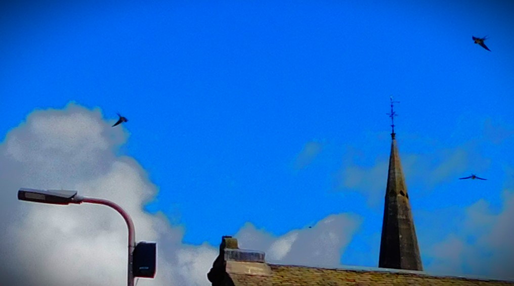
PHOTOGRAPHS
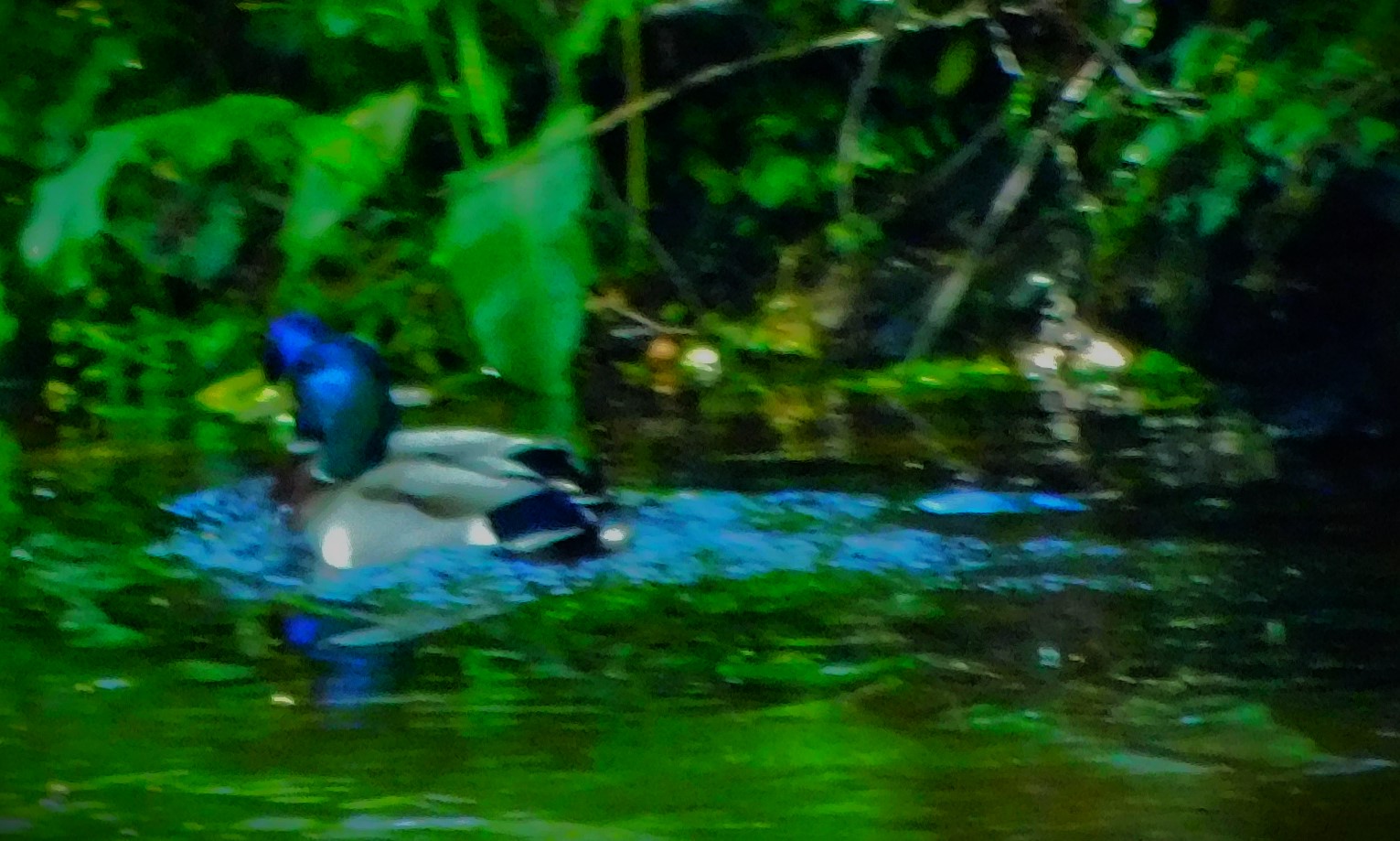
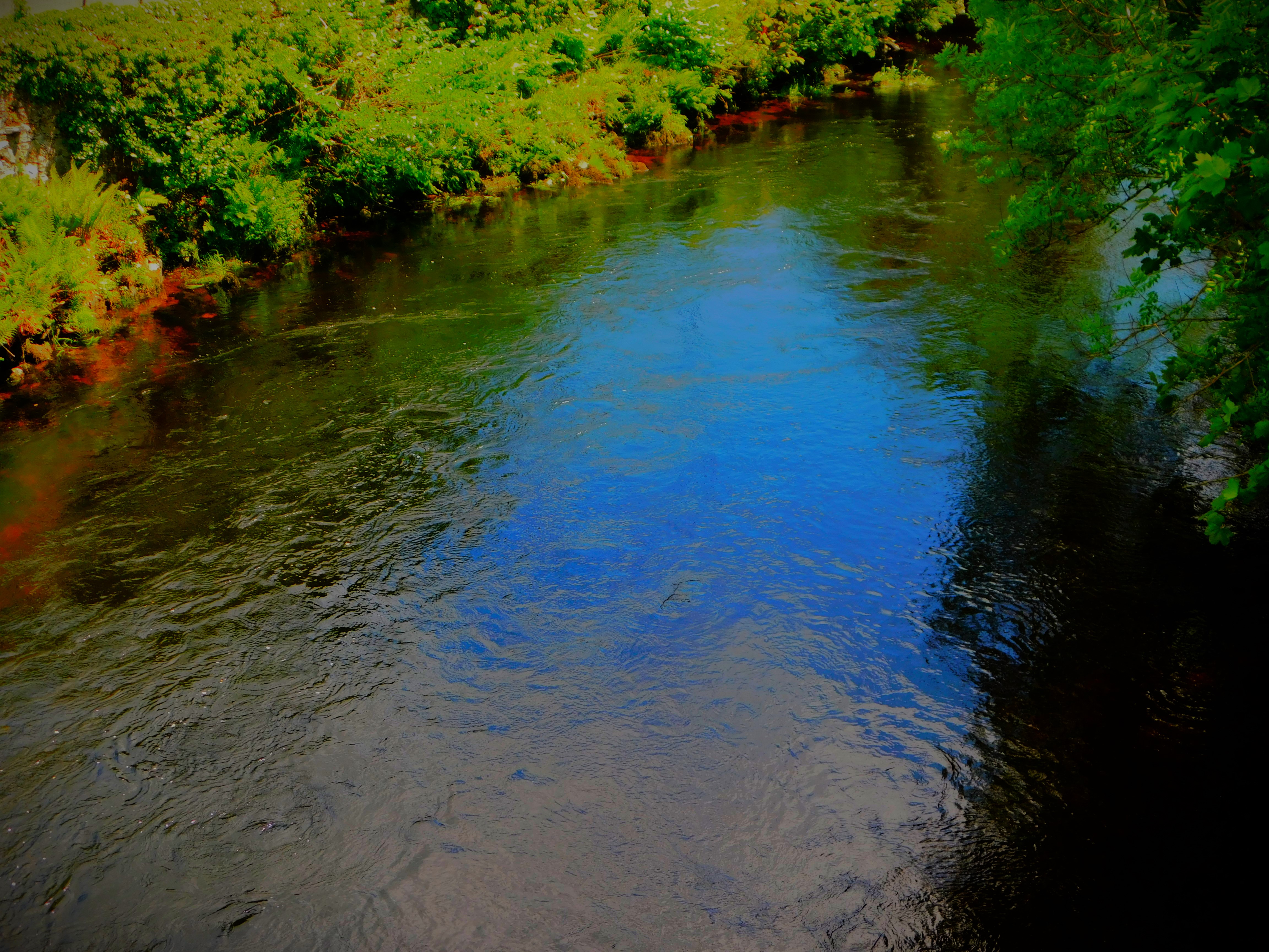
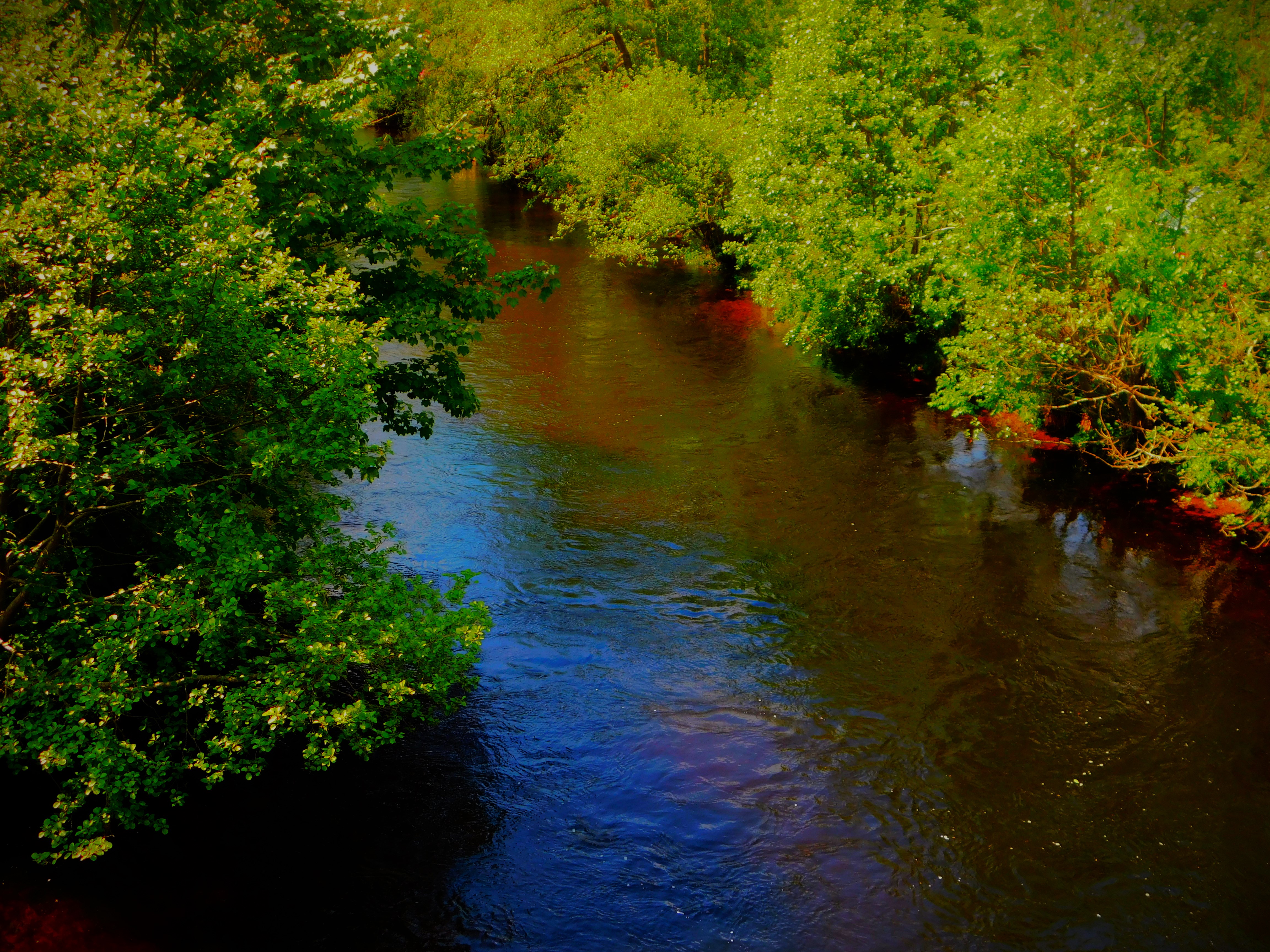
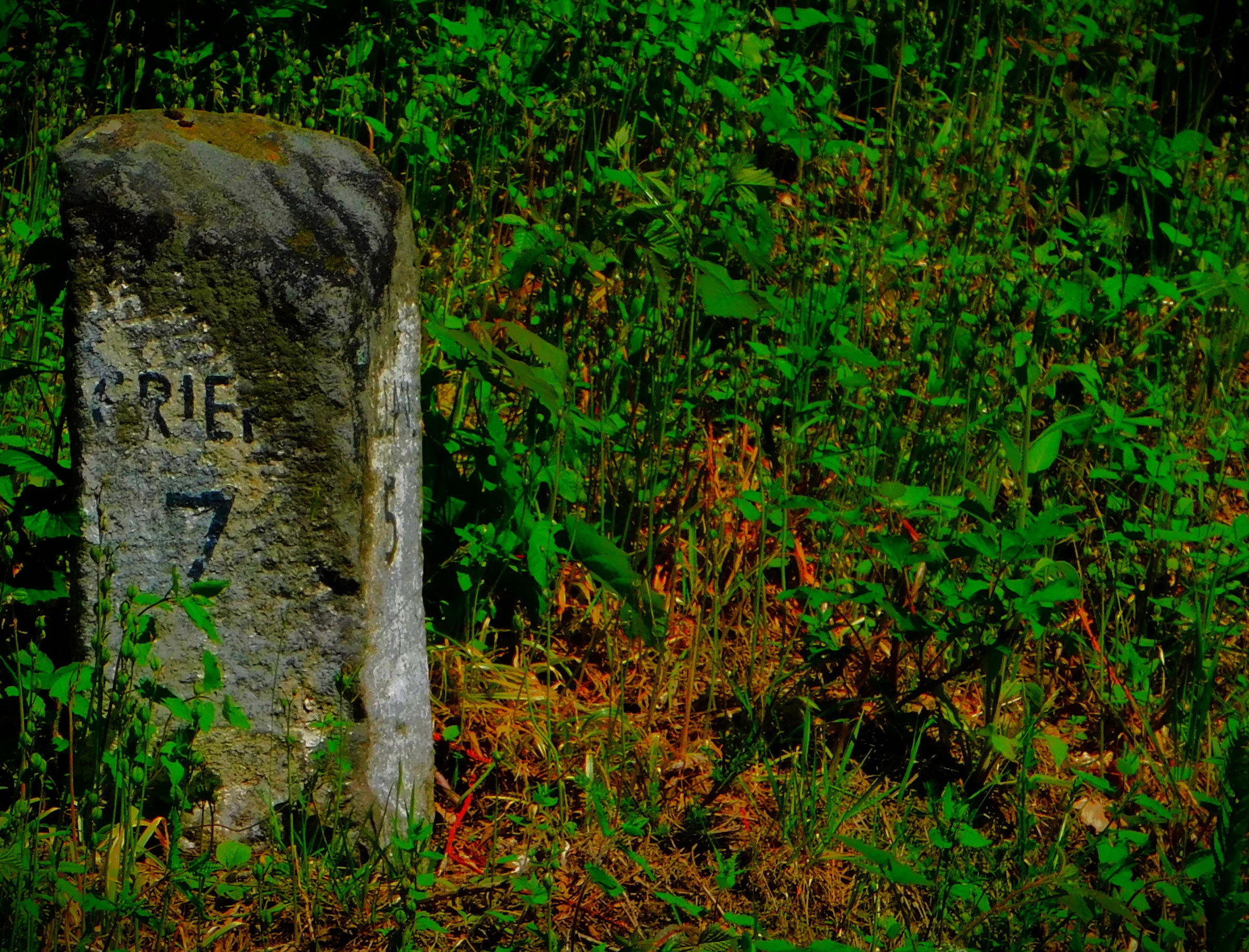
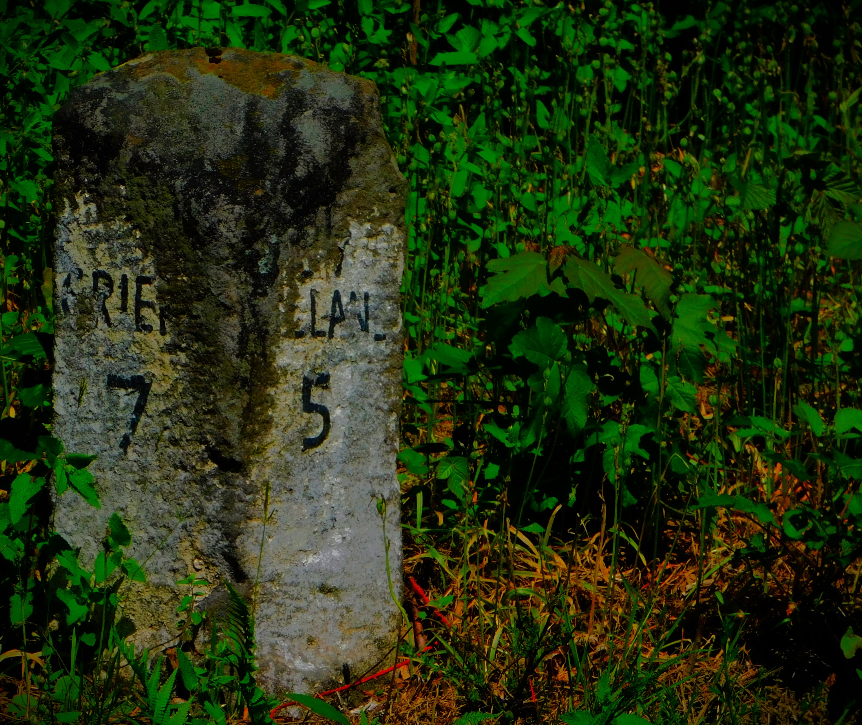
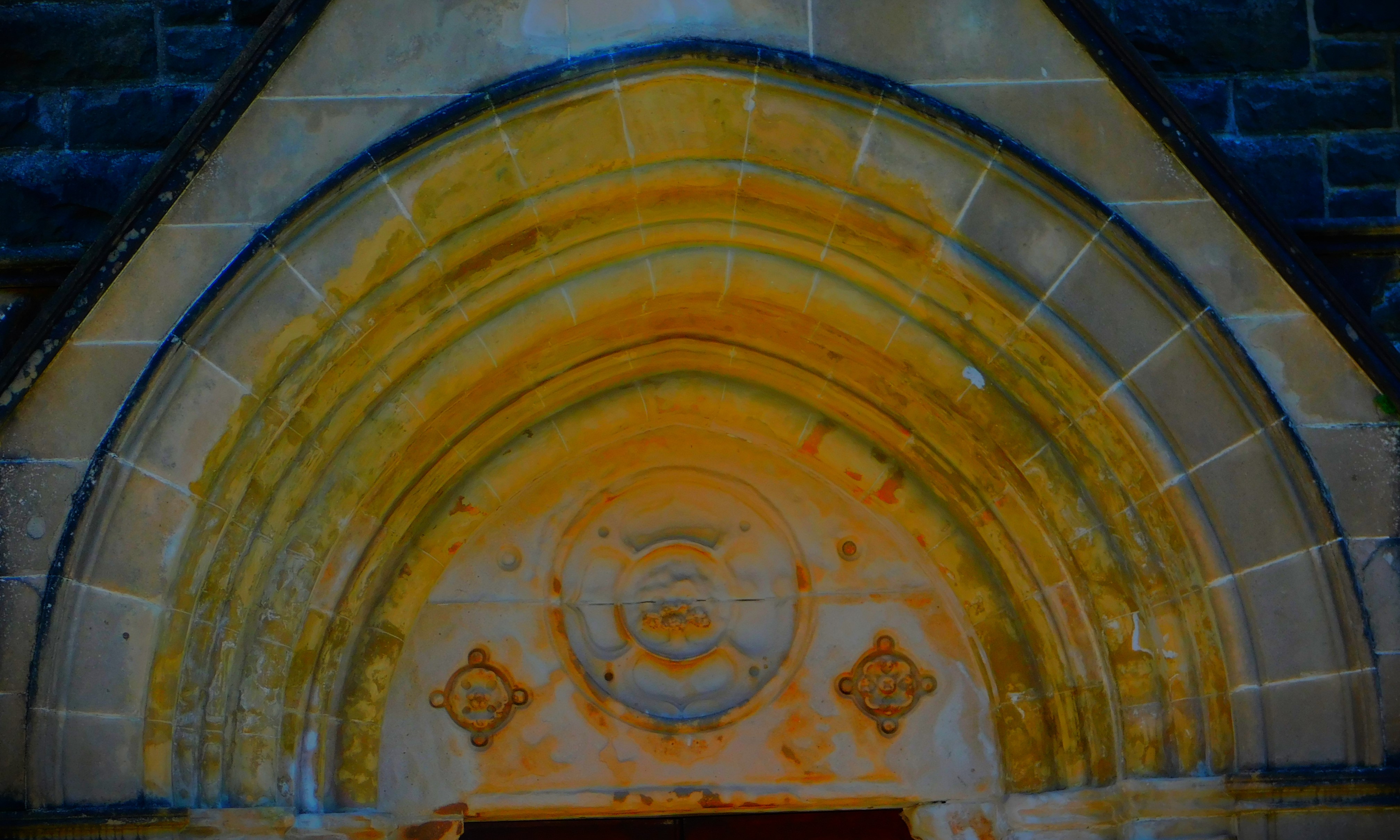
Here are my photographs from this walk…