A Grockle’s Eye View of Cornwall 7: Walking to St Michael’s Mount

Continuing my series about my visit to Cornwall, with the first of several posts about St Michael’s Mount.

INTRODUCTION

This series has been widely spread out – the trip it describes took place between July 12 and 16. Here is a listing of the previous posts:

  1. Getting There
  2. St Germans to St Ives
  3. A Visit to a Seal Colony
  4. The End of the St Ives Day
  5. Crossing the Cremyll Ferry to Plymouth
  6. Historic Plymouth

Having covered Thursday, Friday and Saturday in six posts we arfe now dealing with the Sunday, my last full day in Cornwall.

THE PLAN

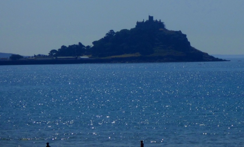
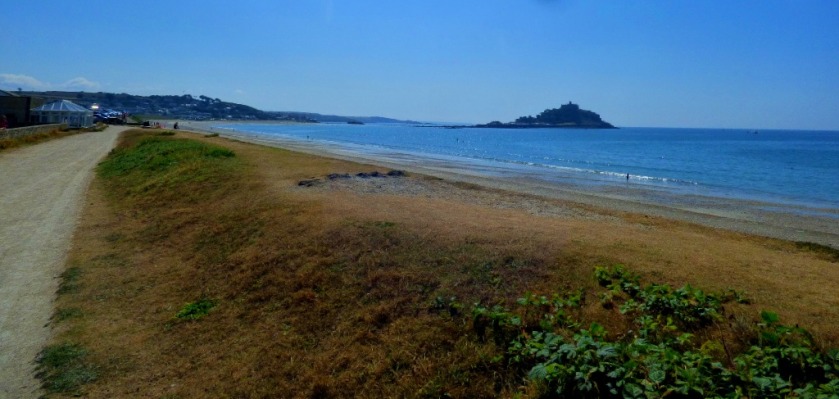
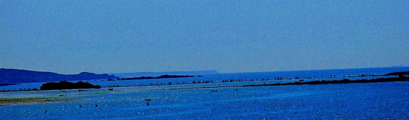
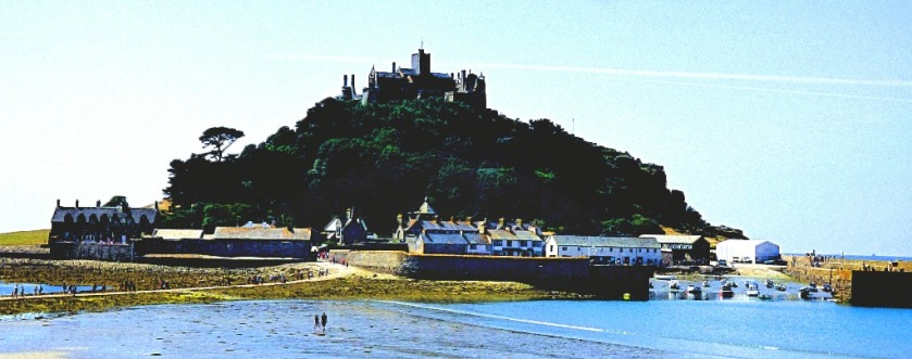
As all five of us (my parents, my sister and my nephew as well as me) were making the visit to St Michael’s Mount we travelled in my parents camper van instead of using the train. We wanted to be underway by eight and achieved this. We were planning to explore St Michael’s Mount in full and then have lunch at an establishment there. Things panned out pretty much as intended. The road journey is a lot less scenic than the rail equivalent, so I am going to recommend unequivocally that anyone else planning to do this use the train – the walk from Penzance (all of which is familiar to me, although we started part way along it, having located a parking place just outside Penzance) is very scenic, while there is a longer walk available from St Erth (inland for most of its duration, instead of along the sea front). Here are a couple of satellite views:

Penzance - St Michael's Mount
The coastal route starting from Penzance.
St Erth to St Michael's Mount
The longer and mainly inland route starting from St Erth. This map also features what is in alphabetic terms the last place in Britain.

St Erth to St Michael's Mount

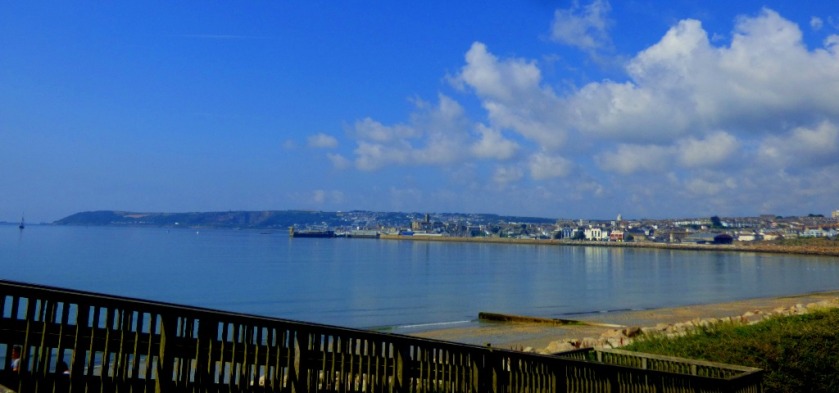
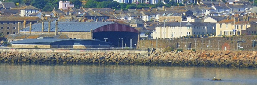
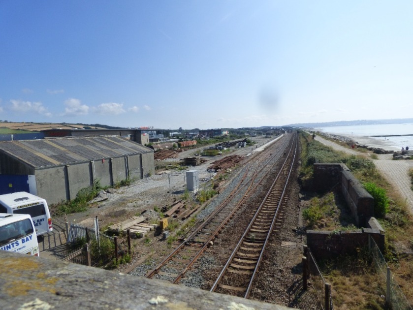
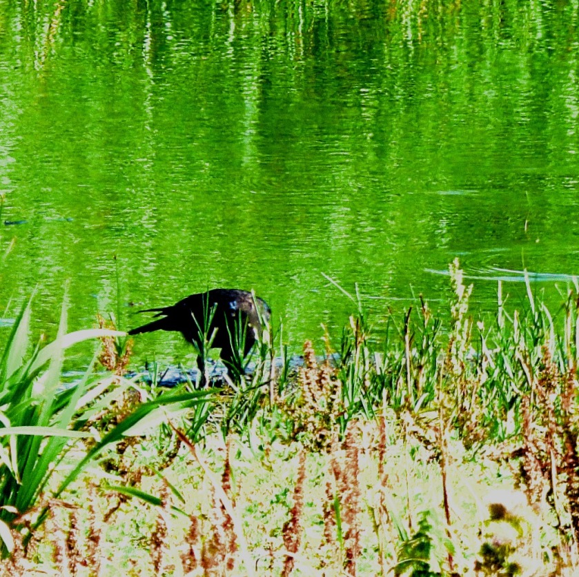
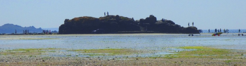
THE JOURNEY IN PHOTOGRAPHS

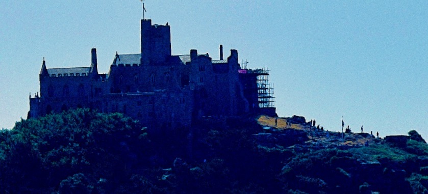
This section ends the post, taking us across the causeway to the base of the mount:

View from the van
The only shot I managed to get from the van on the way from Fort Picklecombe to Penzance.

Culvert ICulvert 2Welcome to PenzancePlastic FreeLooking towards PenzanceSt Michael's Mount ISt Aubyn's AbbeyGulls and signal boxView of PenzanceThe line towards St Erthtrack sideWarehouseSt Michael's Mount (1)St Michael's MountBeach sceneMastChurch TowerSailing boatsTrain coming towards PenzanceApproaching trainTrainRear of trainTrain heads for Penzance (1)Train heads for PenzanceAlmost out of viewTrain in foregroundblue plantGWR depotRolling stockThe MountThe abbeyLookingb towards the mountThe Mount IILooking towards the mountCommemorative benchThe Station House, MarazionMarazion station signMarazion stationSt Aubyn's Abbey from Marazion

People crossing the causeway to the mount
A first glimpse of the causeway.

People on the causewayWelcome to Marazion MarshMarazion MarshBird in the nature reserveLooking up at the mount

In the shallows
From Marazion the quickest way to the causeway is straight across the beach, and in the heat walking barefoot through the shallows was the way to go.

St Michaels Mount from Marazion beachLooking across at the mountGullsOutcrop observation point near start of causewayThe mount from near the start of the causewayThe abbey from near the causeway

The causeway and the mount
The causeway.

The mount viewed from the start of the causewayThe Abbey from the causewayLooking out to sea from thje causewayapproaching the Mount


Author: Thomas

I am a founder member and currently secretary of the West Norfolk Autism Group and am autistic myself. I am a very keen photographer and almost every blog post I produce will feature some of my own photographs. I am an avidly keen cricket fan and often post about that sport.

Leave a Reply

Fill in your details below or click an icon to log in:

WordPress.com Logo

You are commenting using your WordPress.com account. Log Out /  Change )

Facebook photo

You are commenting using your Facebook account. Log Out /  Change )

Connecting to %s

%d bloggers like this: