Using an ‘accepting extra walking’ post to introduce a very scenic area of West Kent, connect to some of my more radical public transport notions, share an autism related thread and a bumper haul of photographs.
Today feels to me like a day for a non-cricket post, so here comes another variation on my ‘accepting extra walking’ theme. This is one is entirely, though tenuously, based on my London days. However, just before I move on, I must mention an extraordinary cricket related endeavour being undertaken by the folks at Inside Edge Cricket by way of their twitter account, @InsideEdgeCrick: They have just started going through the whole list of 697 England male test cricketers. As I type this they have covered the eleven who played the first two test matches of all.
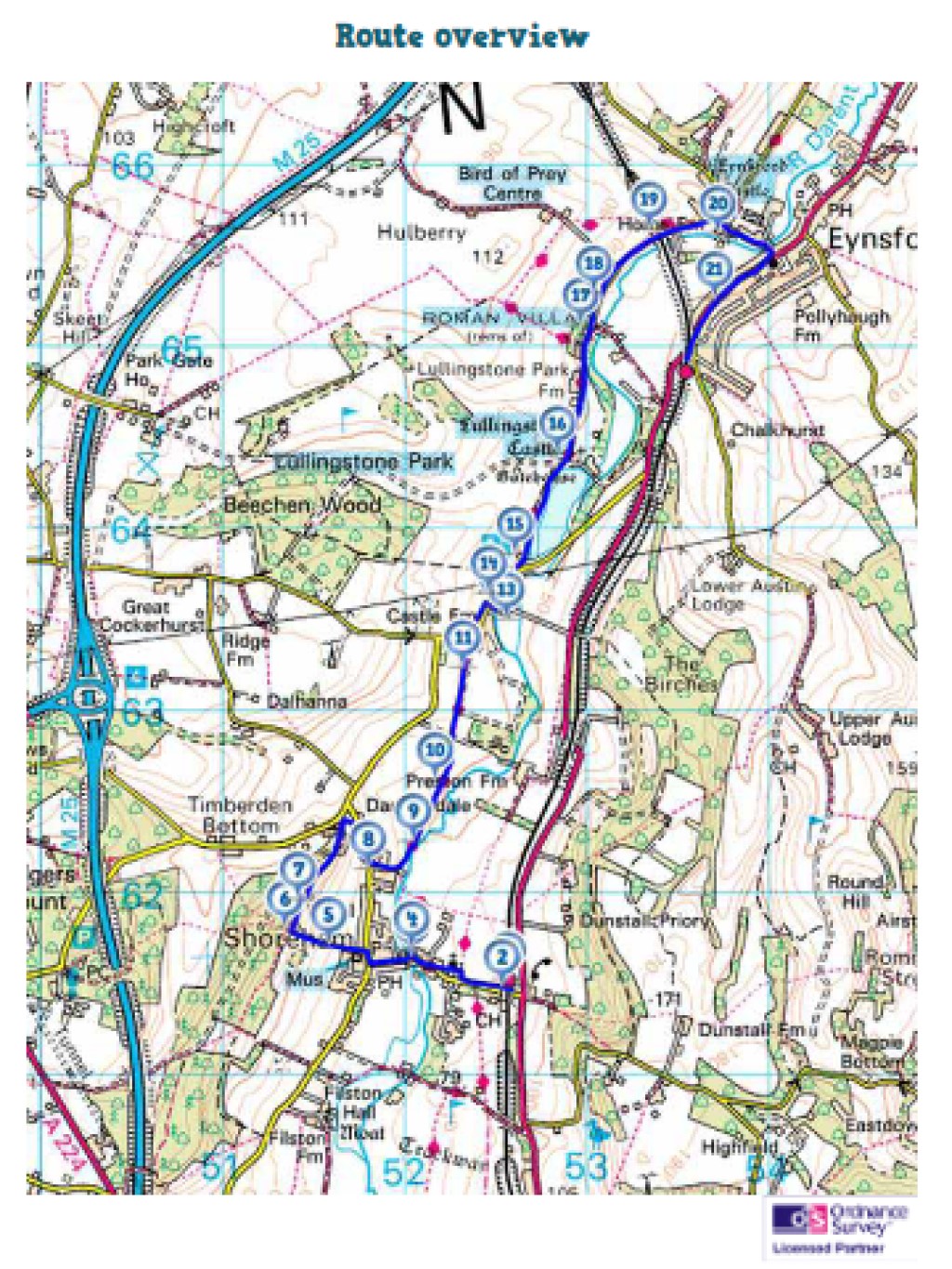
EYNSFORD – SHOREHAM – OTFORD
I have made passing mention of this area in my posts about the Piccadilly, Central and Bakerloo lines for various reasons: In the post about the Piccadilly I was suggesting, as I still believe should be considered, a proposal for reviving the Aldwych branch and using it as a starting point for an extension into southeast London and West Kent, in the Central line post I explained its relevance to an even more speculative notion of mine, a London Orbital Railway, while any sensible extension of the Bakerloo line would take it through southeast London – there are plans approved but awaiting funding for an extension as far as Lewisham and from there the a further extension south east would make good sense, with Sevenoaks and Maidstone both major and connected enough to represent good ultimate targets.
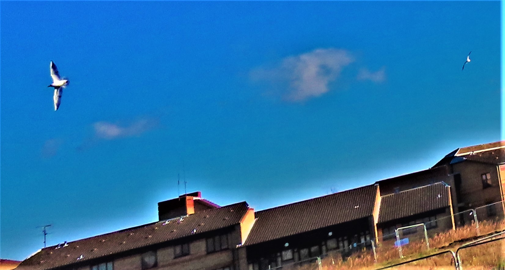
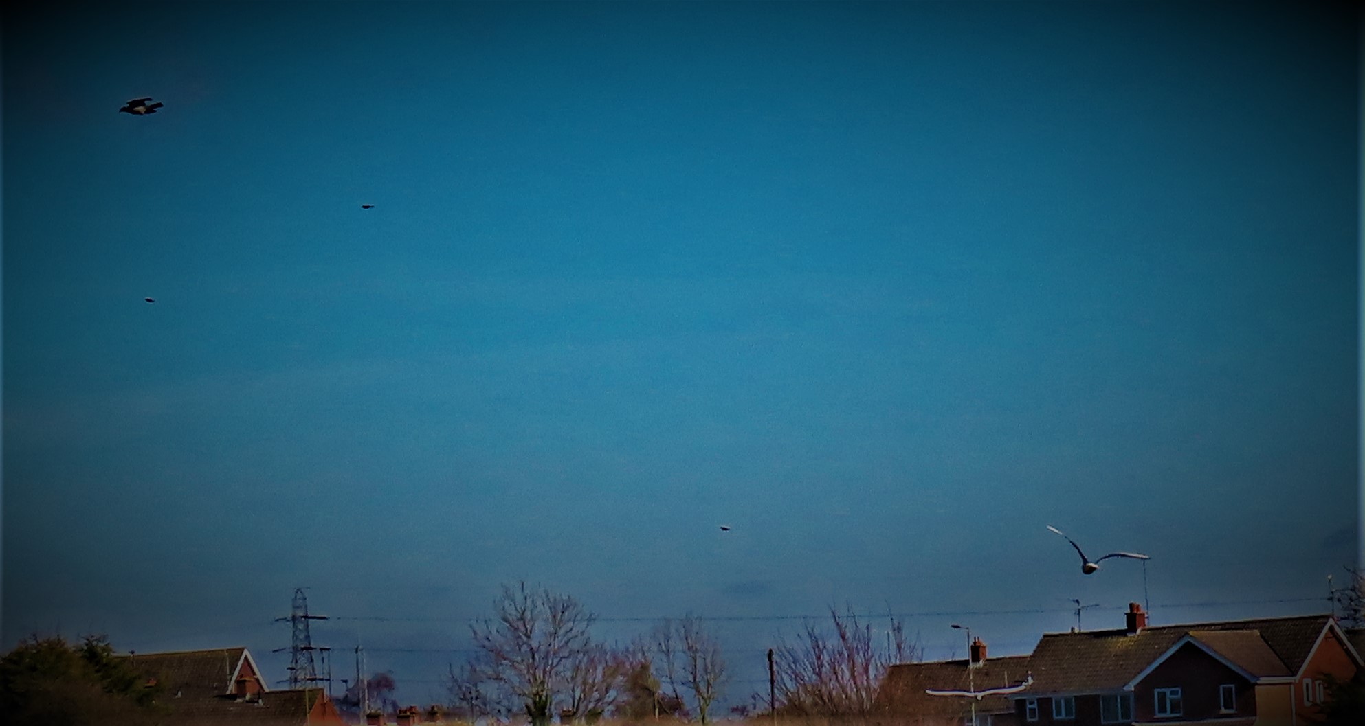
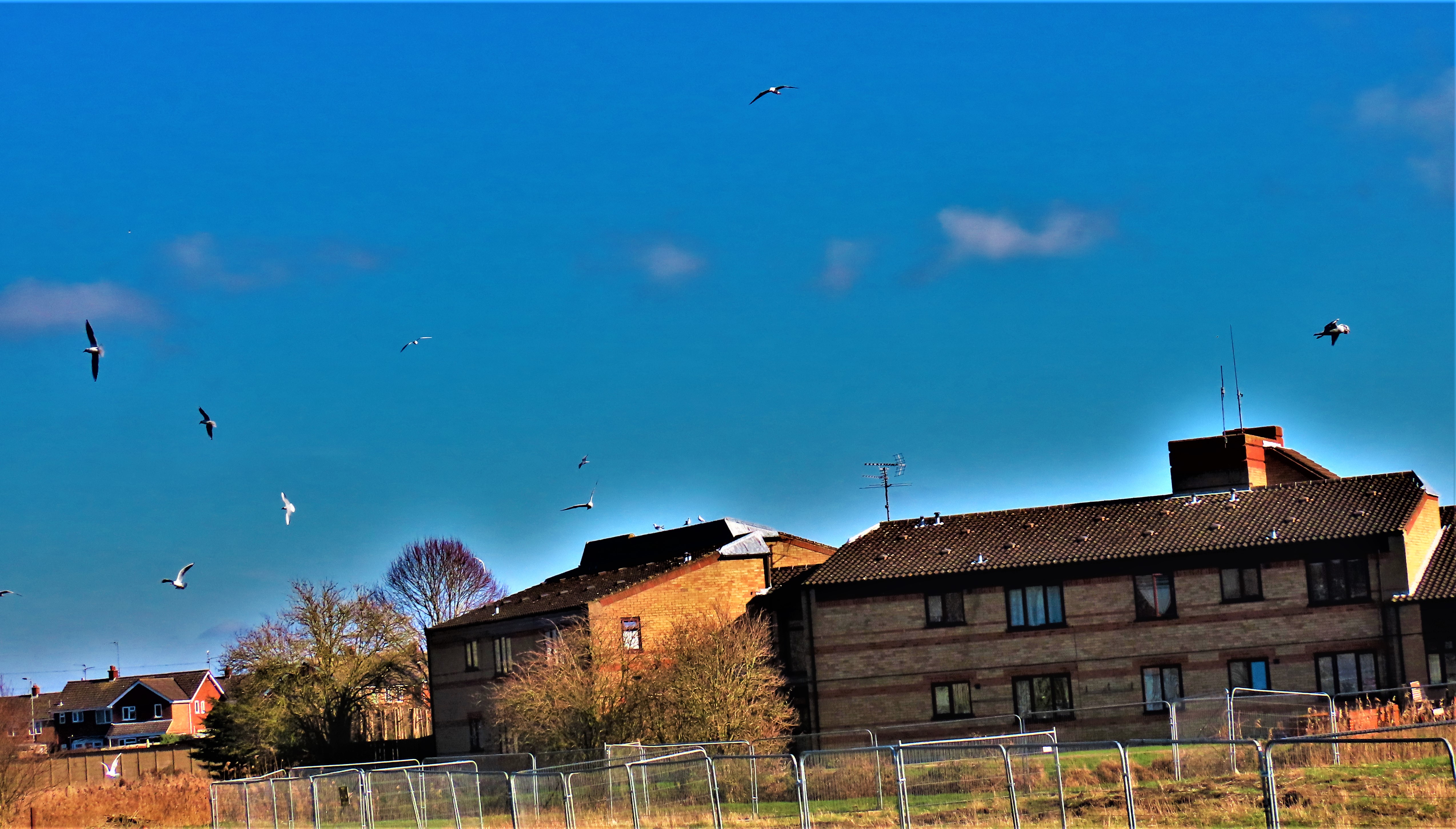
In the late 1990s, when still resident in London, one of the walks I did was one that started at Eynsford Station and finished at Otford Station with a lunch stop in the intervening village of Shoreham (which also has a station, on the same line as the other two). This route took in the Roman villa at Lullingstone, a significant part of the Darent Valley Way and a few other things that together added up to a very scenic and enjoyable walk. This walk was in a Time Out book of London Walks, although even Eynsford, the closest place on the route to London is just beyond the M25. A quick disclaimer at this point: at the moment, and indeed until June 21st even if (big if, this one, in my opinion) Johnson’s lockdown easing plans actually work any travel for purely leisure purposes is out, so this post can be considered for future planning, but not for action in the present. Here are some pictures showing detail of the walk as I did it:
For more on the Darent Valley Path, and for a walk that has a bit in common with the above, please click here (map of a walk of theirs which overlaps with the one I talk about below).
One could explore this very scenic little corner of west Kent by visiting each station separately and seeing only what is within a short walk of each, but the Eynsford – Otford walk, which I several times when living in Tooting, is a far superior way of experiencing the entire picture. From my old home I could do each journey with one change: Streatham – Blackfriars, Blackfriars – Eynsford, and then Otford – Blackfriars, Blackfriars – Streatham (my old home as I have stated in previous posts was on the borders of Streatham and Tooting, and Streatham station was a convenient starting point for a journey). From my current home, if the situation were to permit, it would require two changes each way, at King’s Cross and Blackfriars, while even if able to drive going by car would not be a remotely sensible option from either location. I finish this section of the post with a few more map pictures:
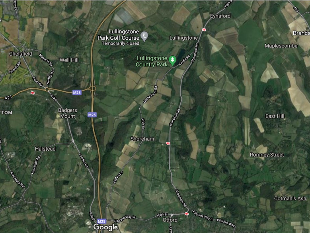
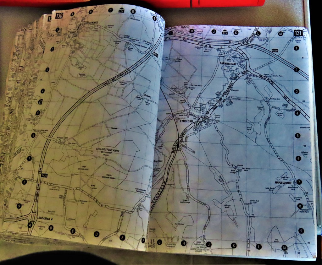
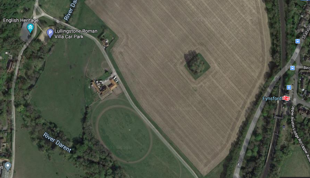
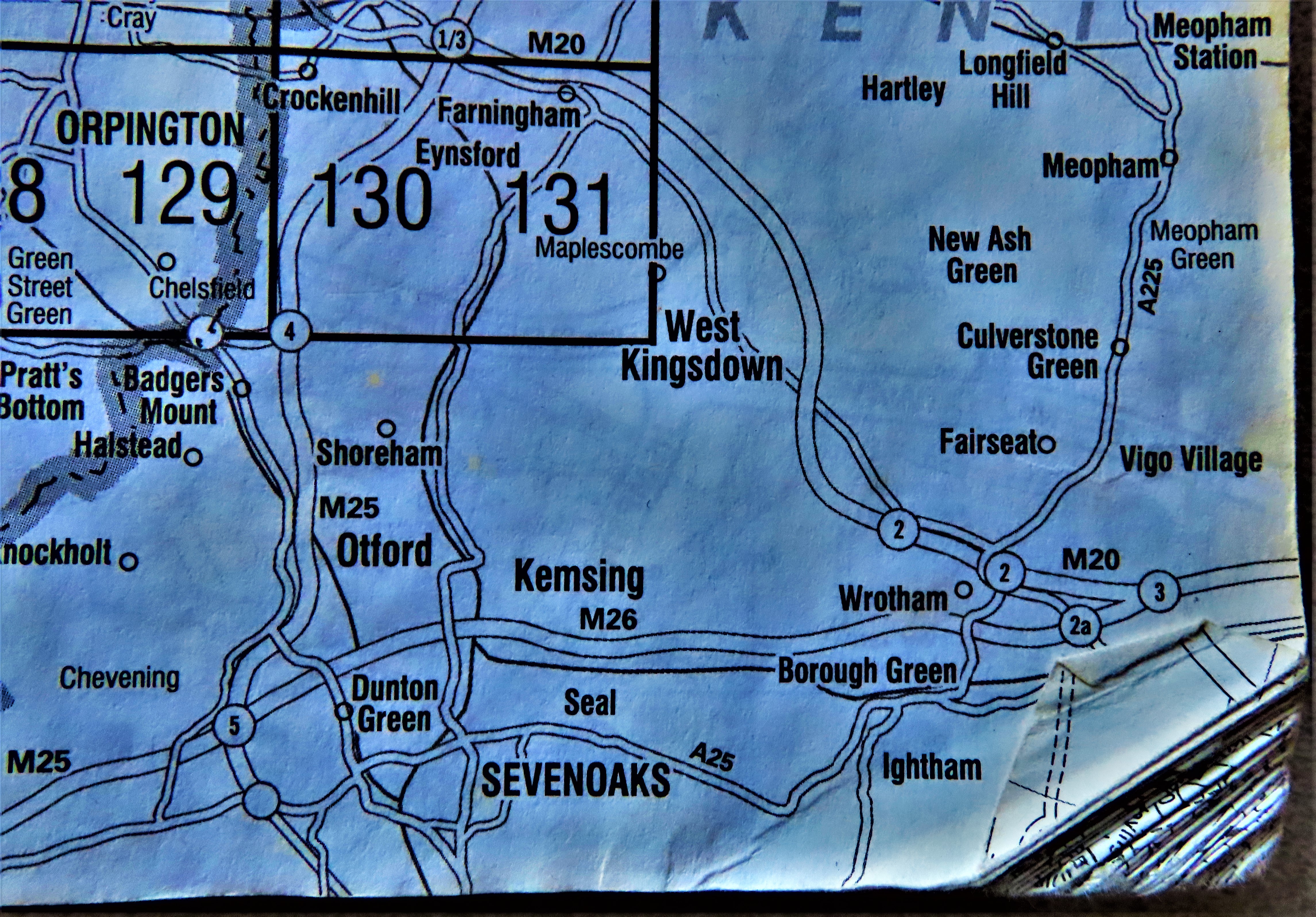
A satellite view of the area between Eynsford (north) and Otford (South)
Close focus on Eynsford and Lullingstone.
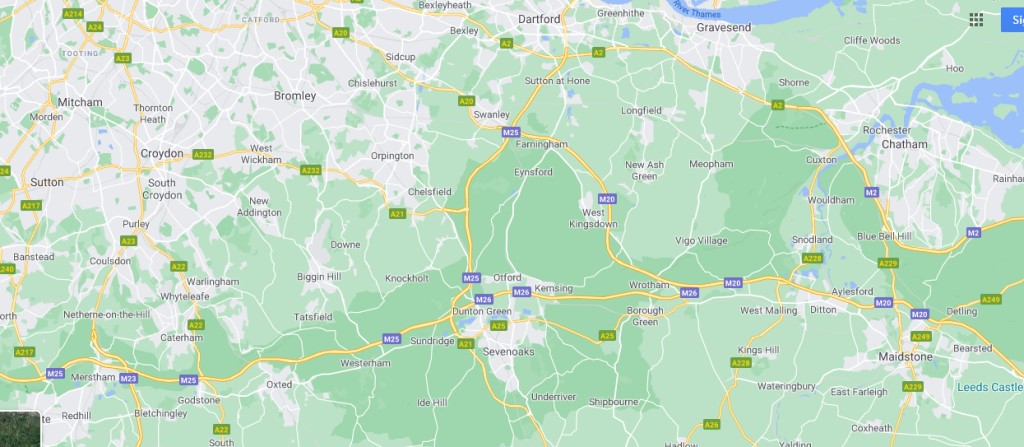
Wider map of the area, showing Maidstone near the south east corner and just in from the northwest corner, Tooting, where my old my home was.
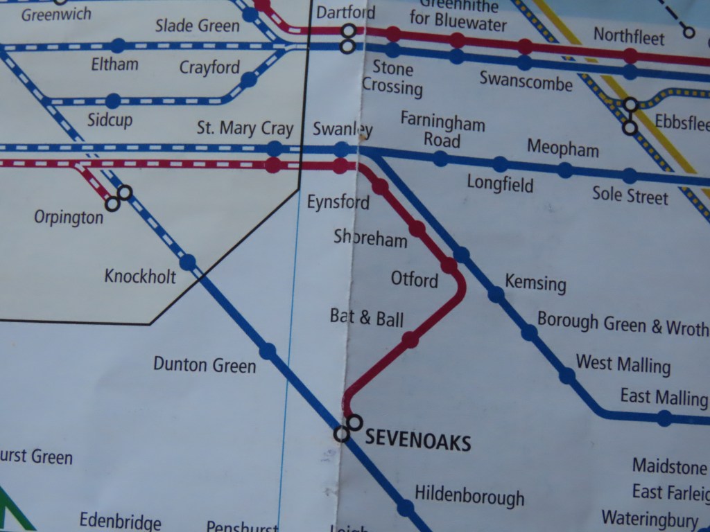
The end of the line that passes through all three key villages.
Eynsford and Lullingstone both just sneak into my ancient A-Z.
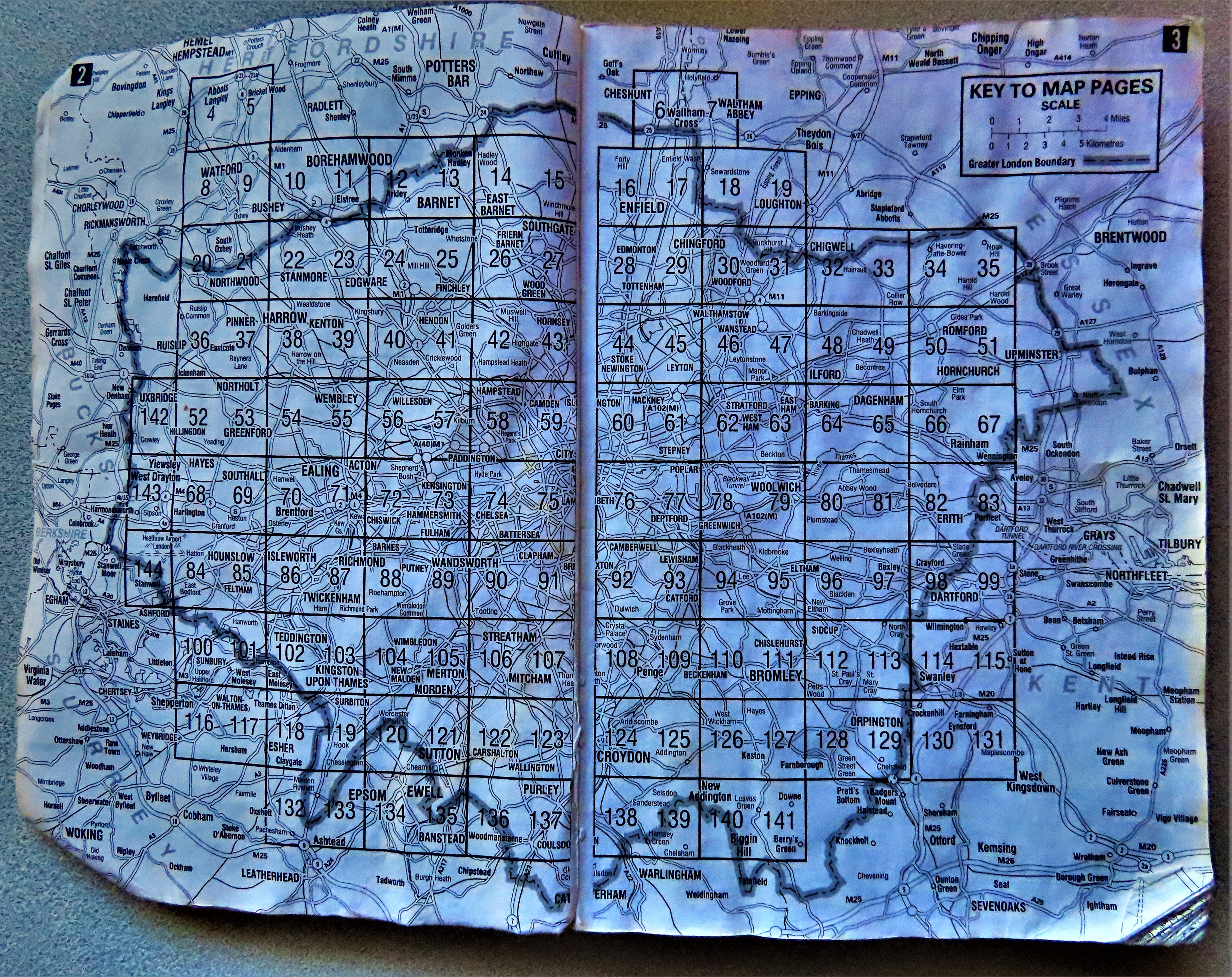
The map pages key from said book.
Close focus on the Eynsford area.
LINK AND PHOTOGRAPHS
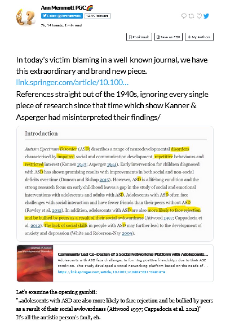
Just before moving on to my usual sign off, I have a thread from Ann Memmott in which she expertly picks apart an opening paragraph of a piece recently published in a well known journal. Please read the thread in full (screenshot below)…
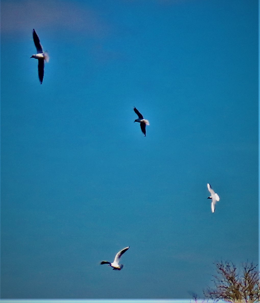
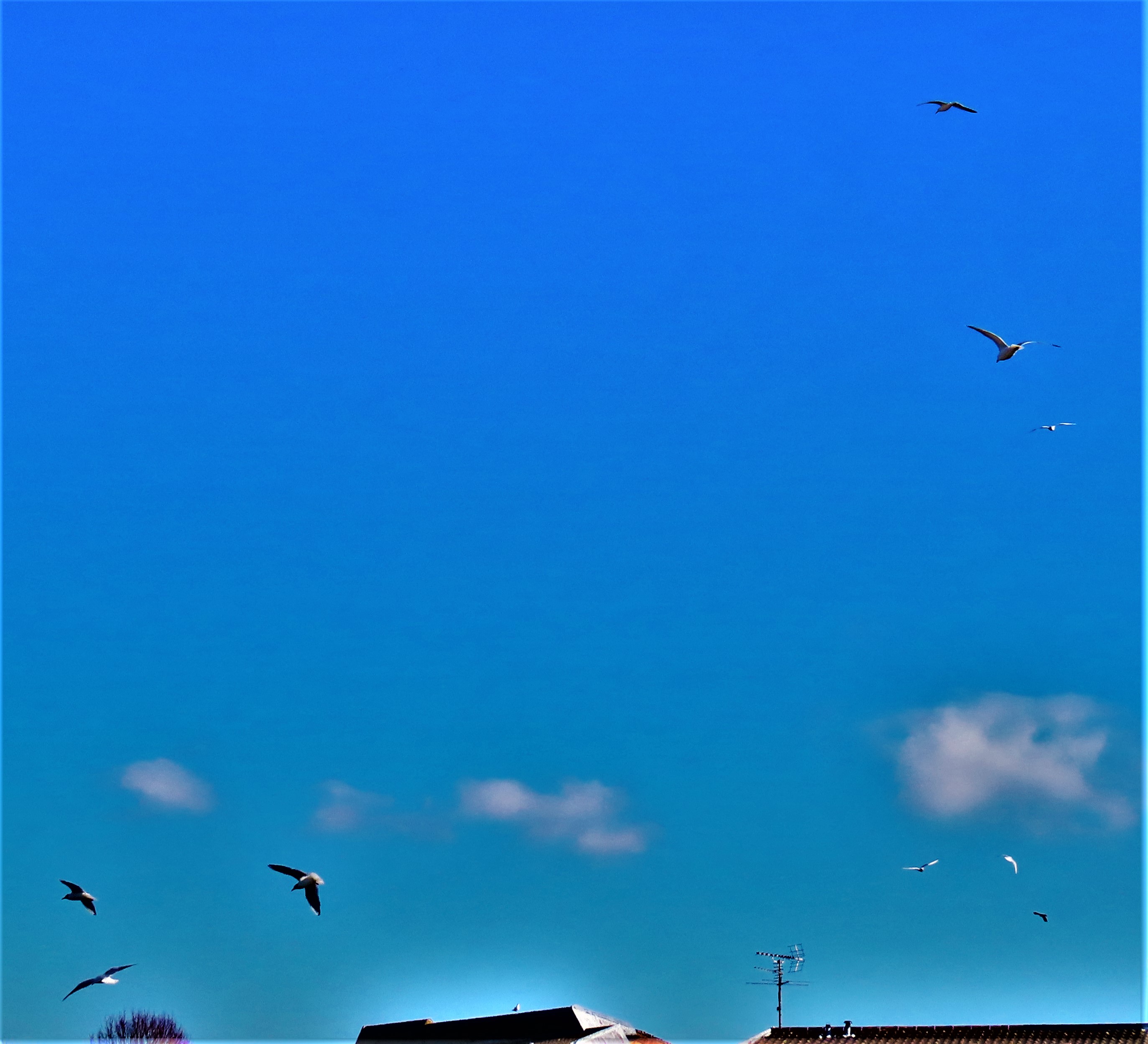
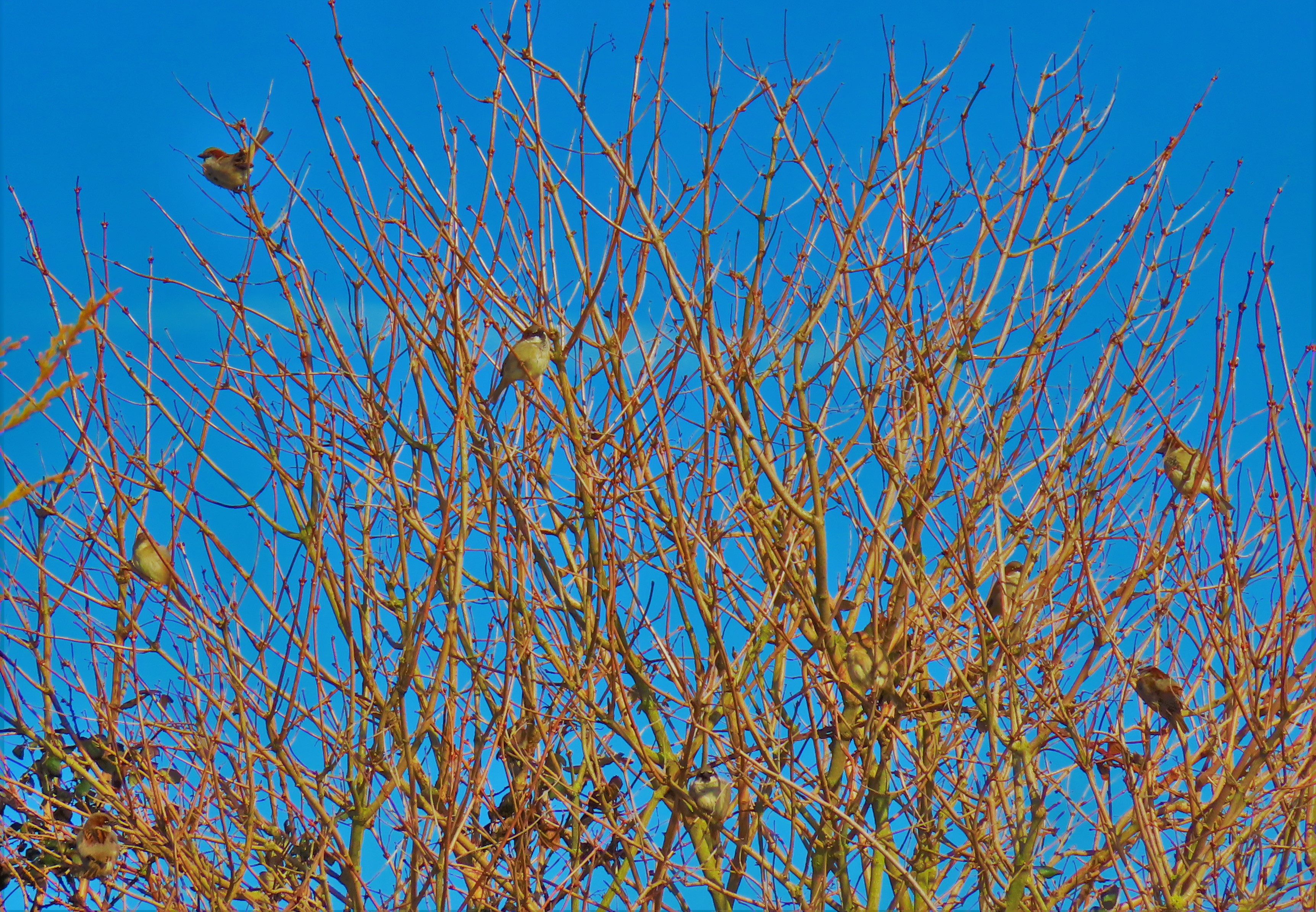
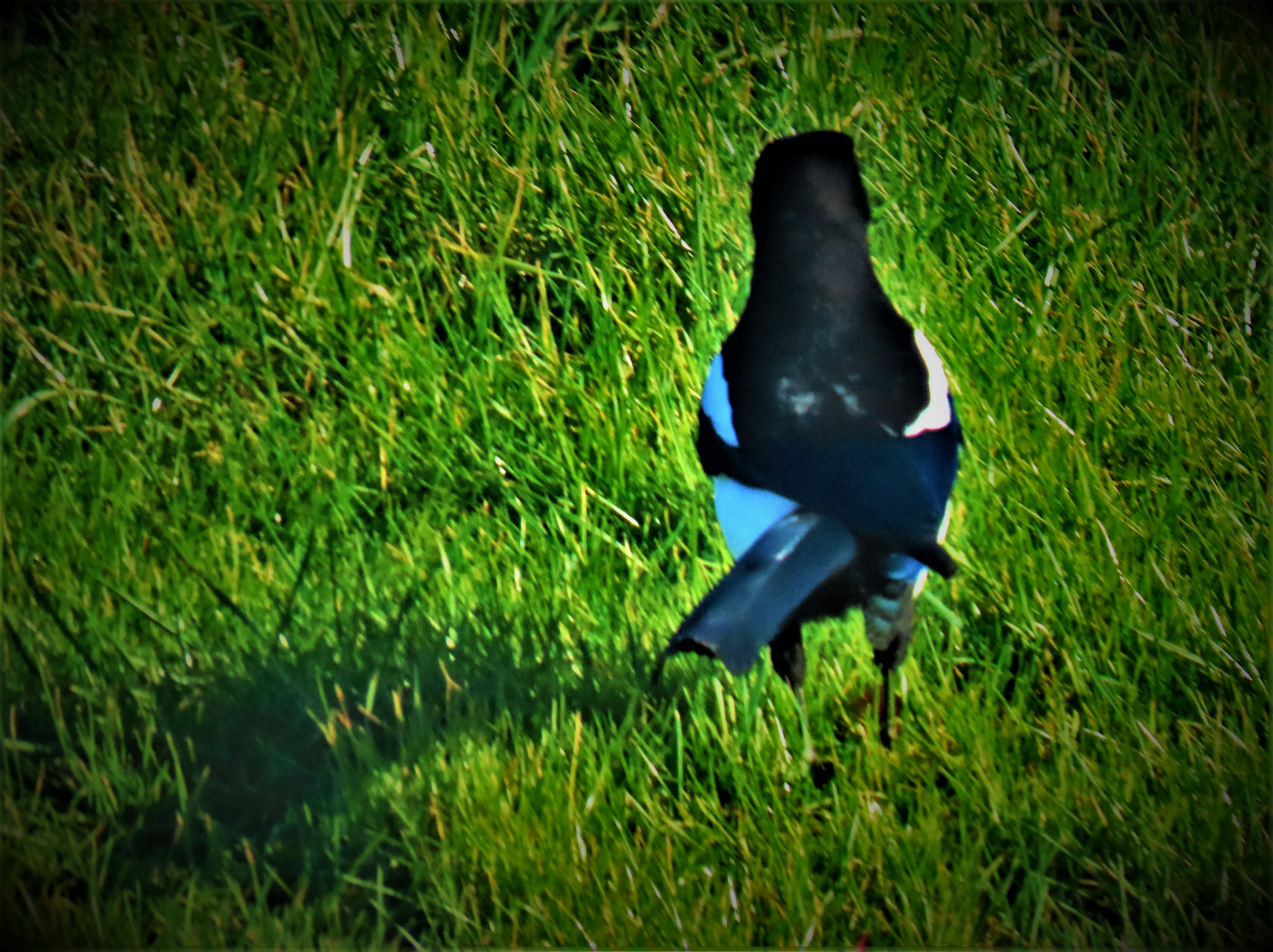
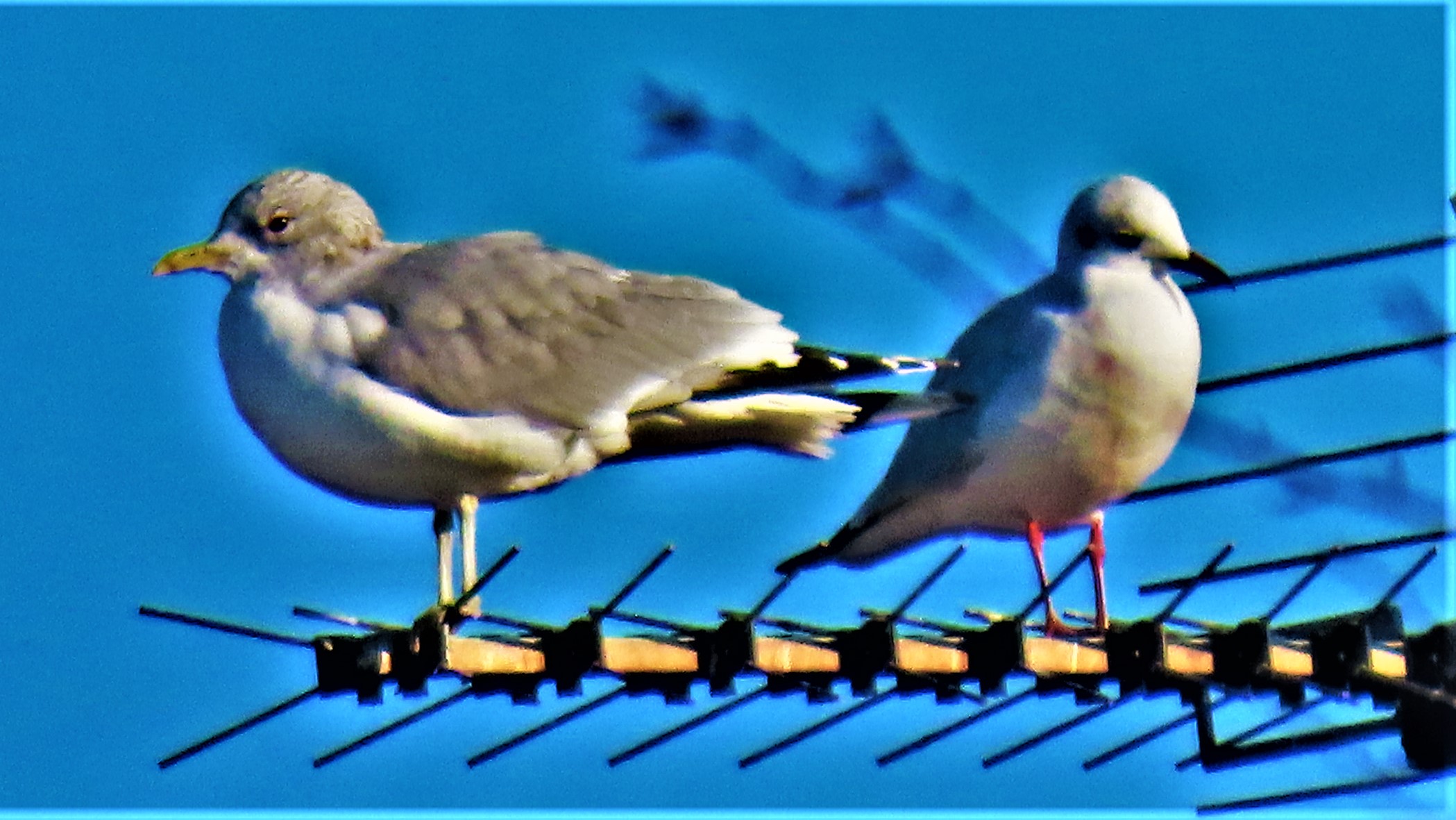
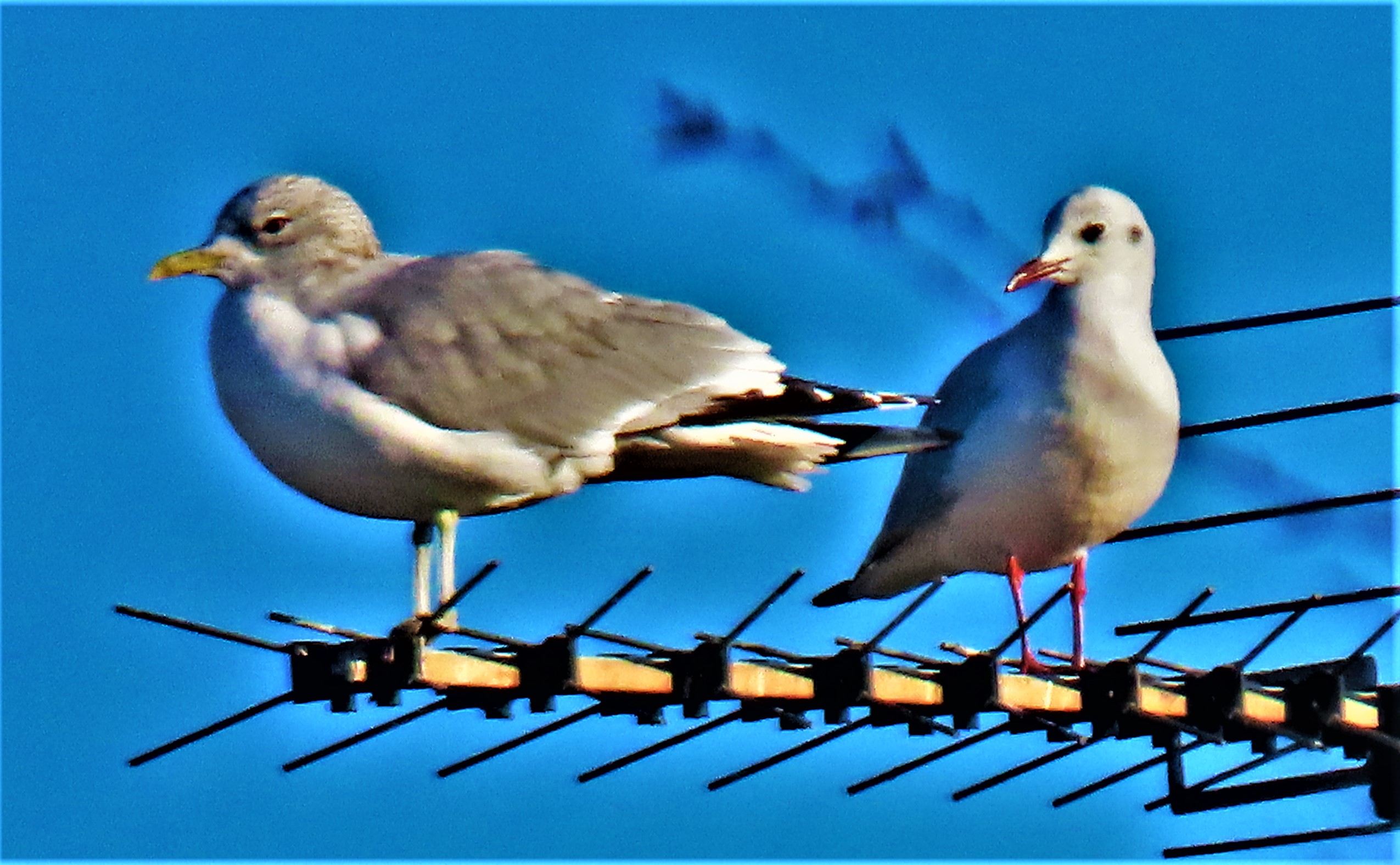
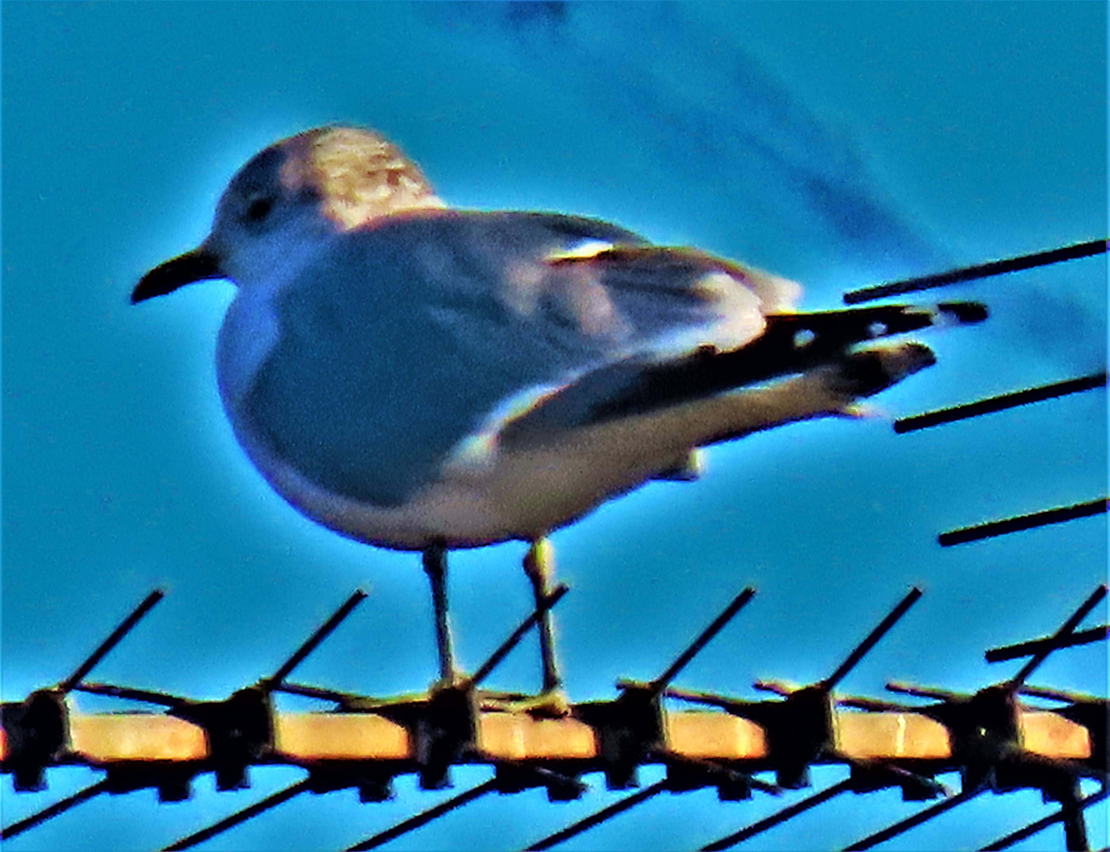
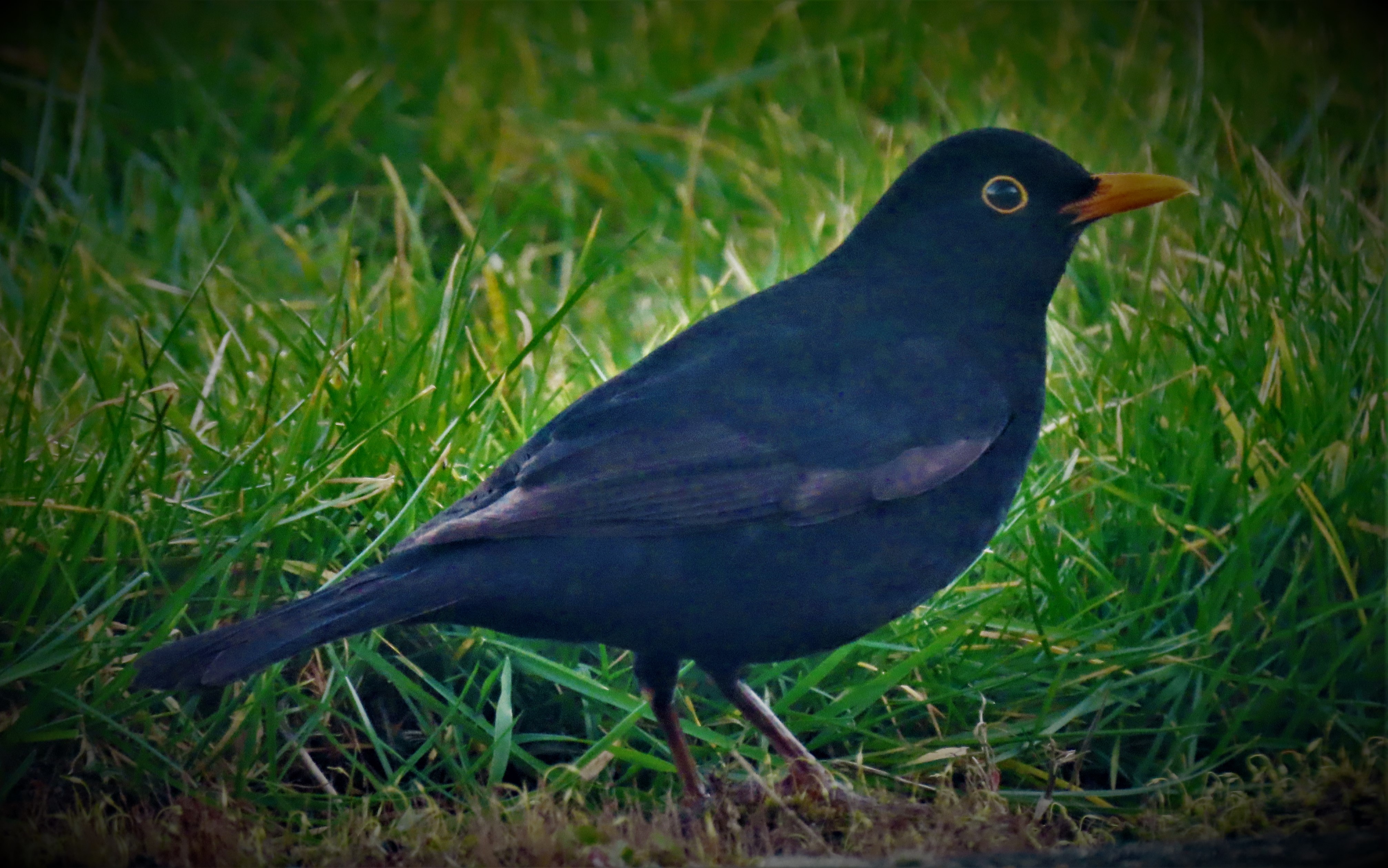
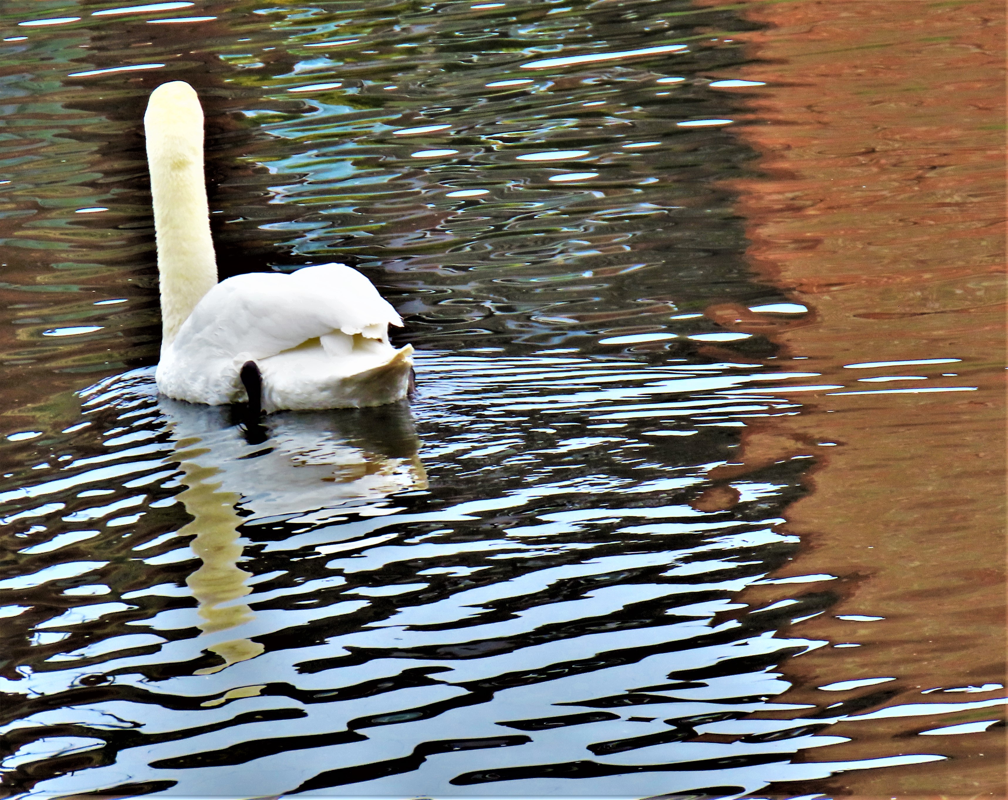
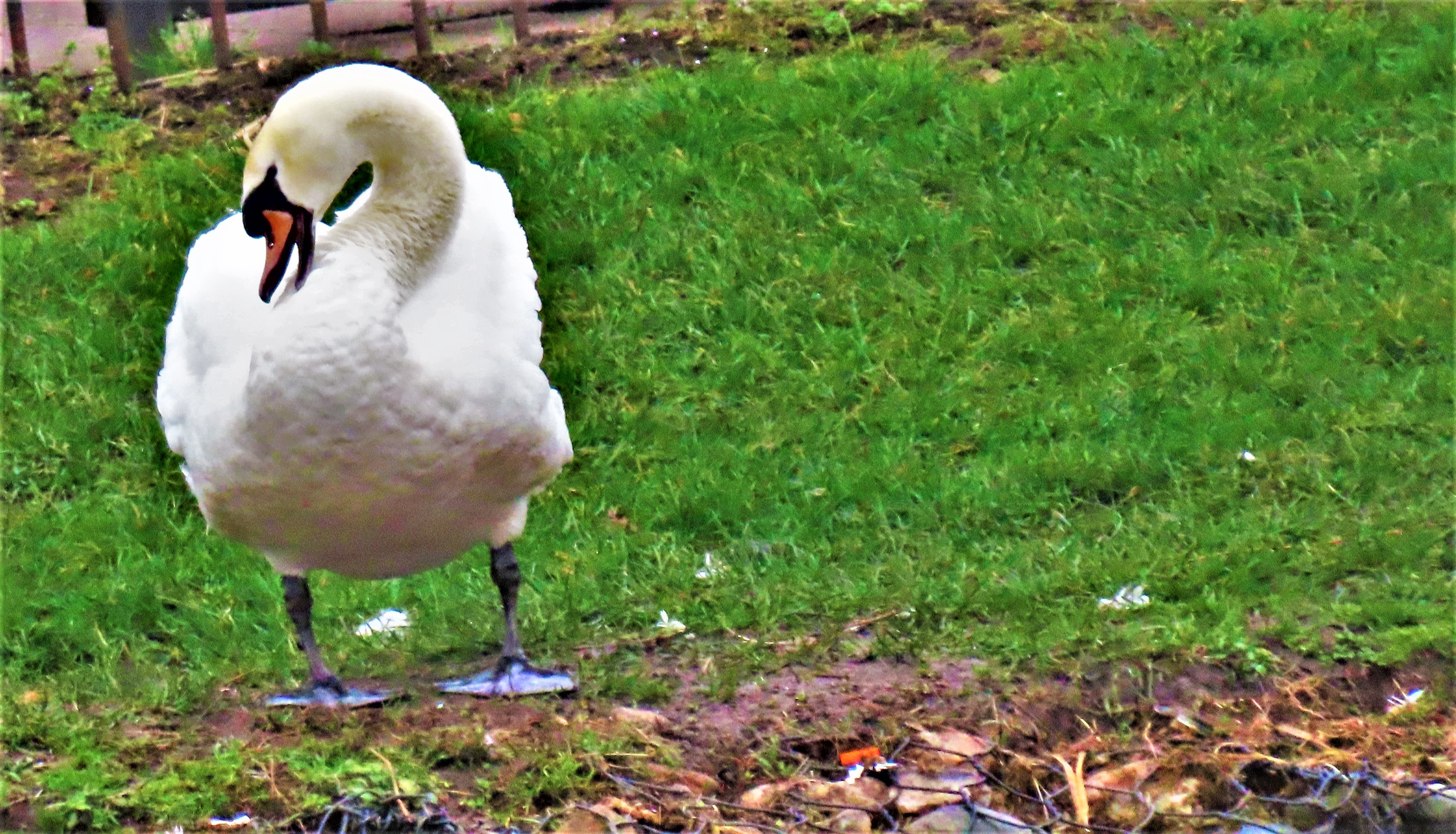
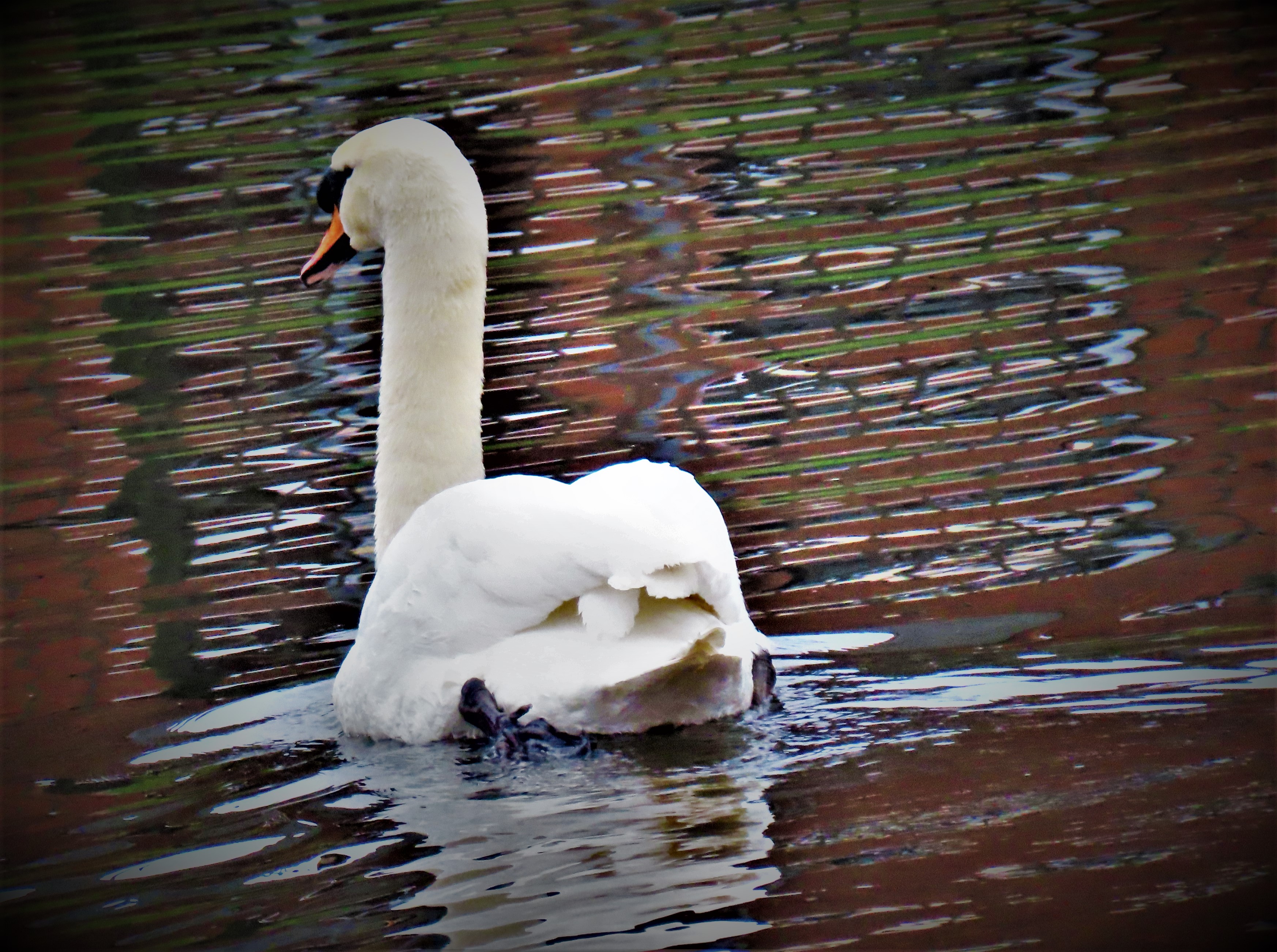
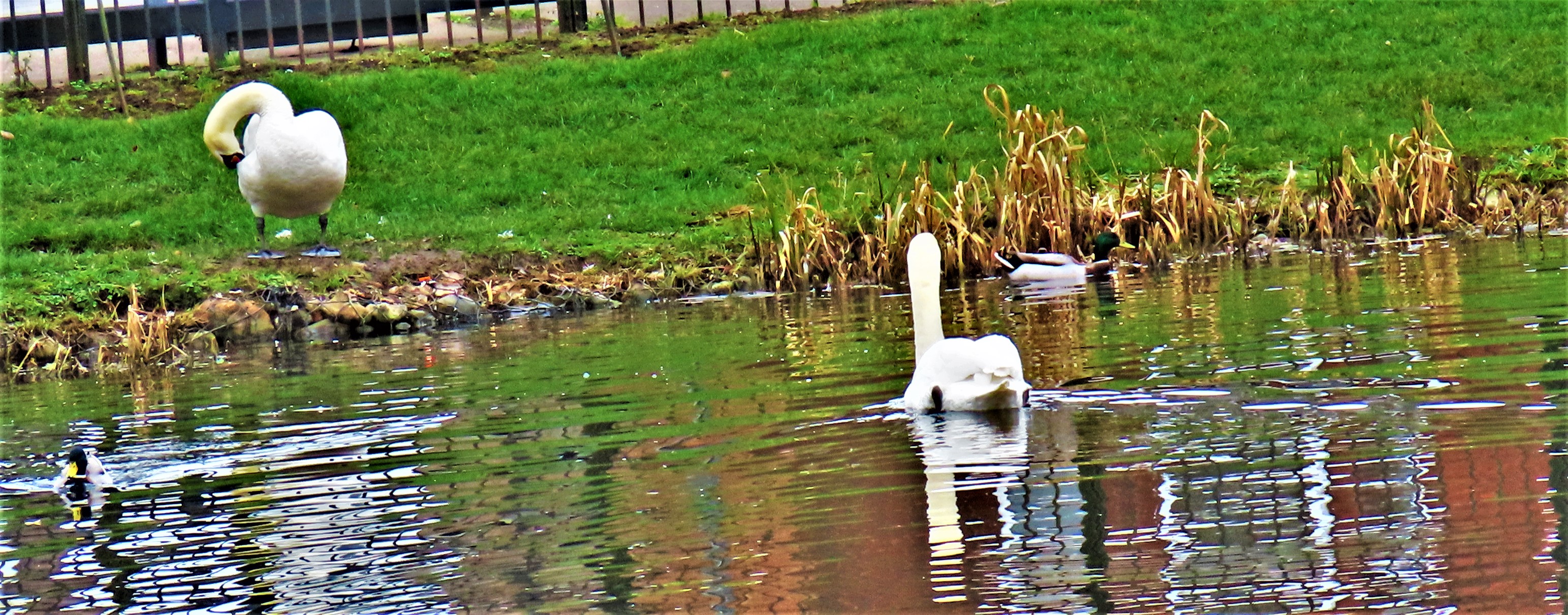
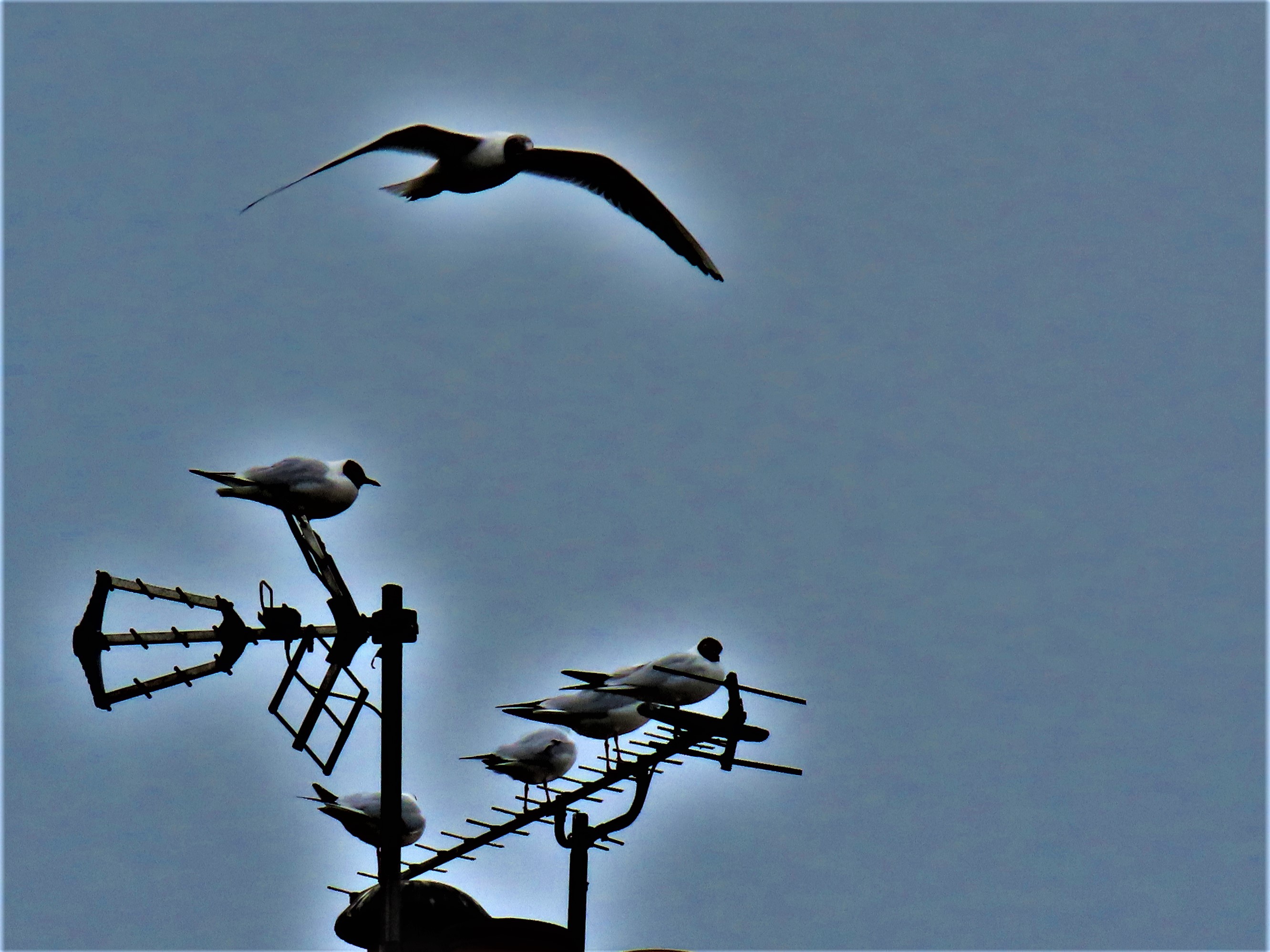
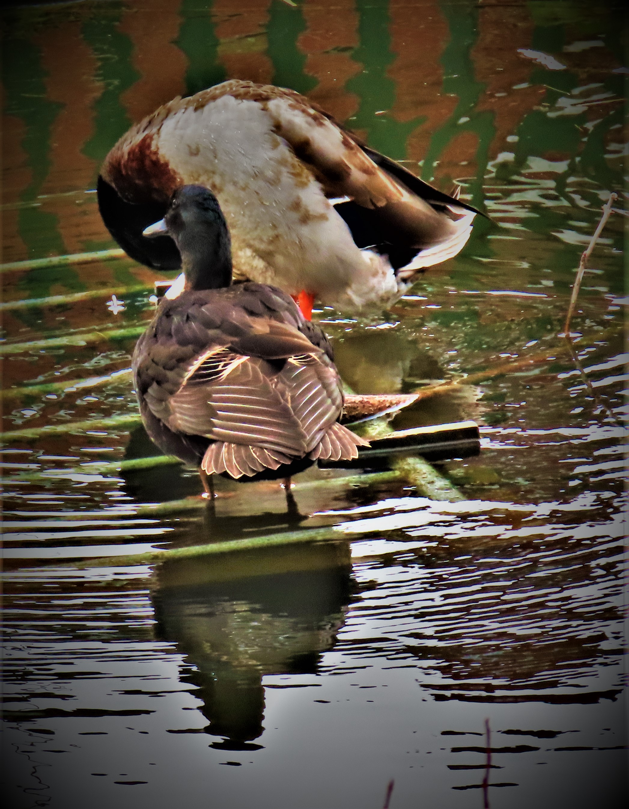
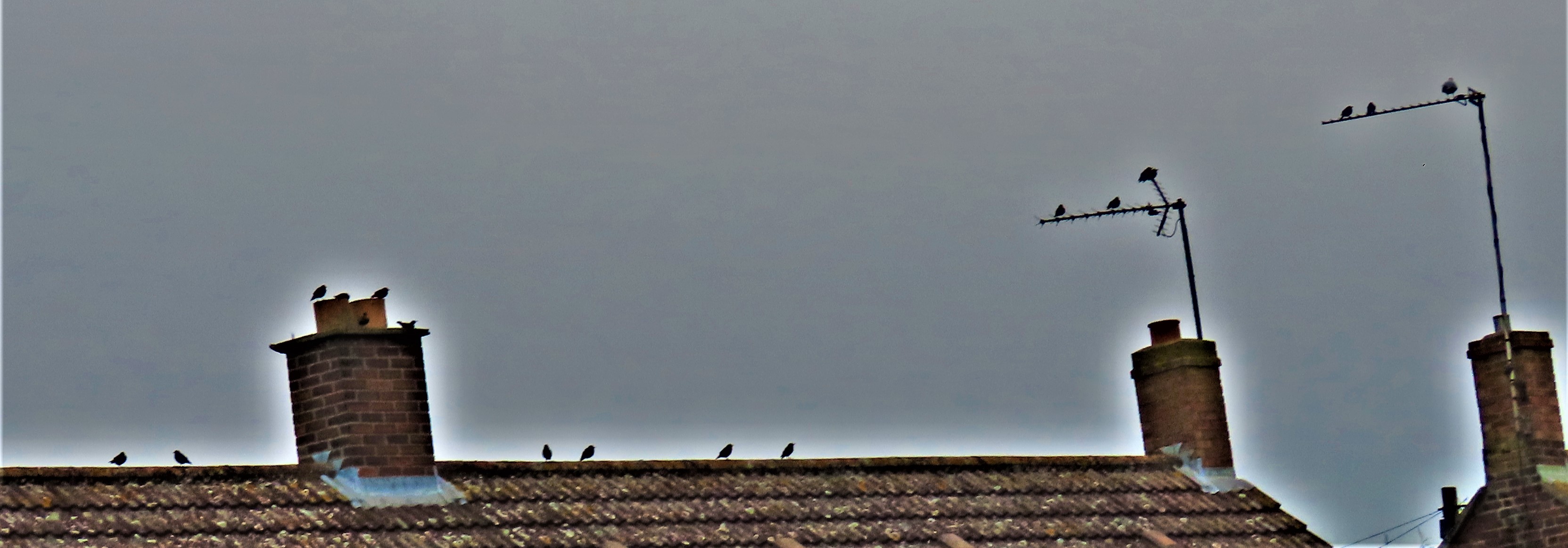
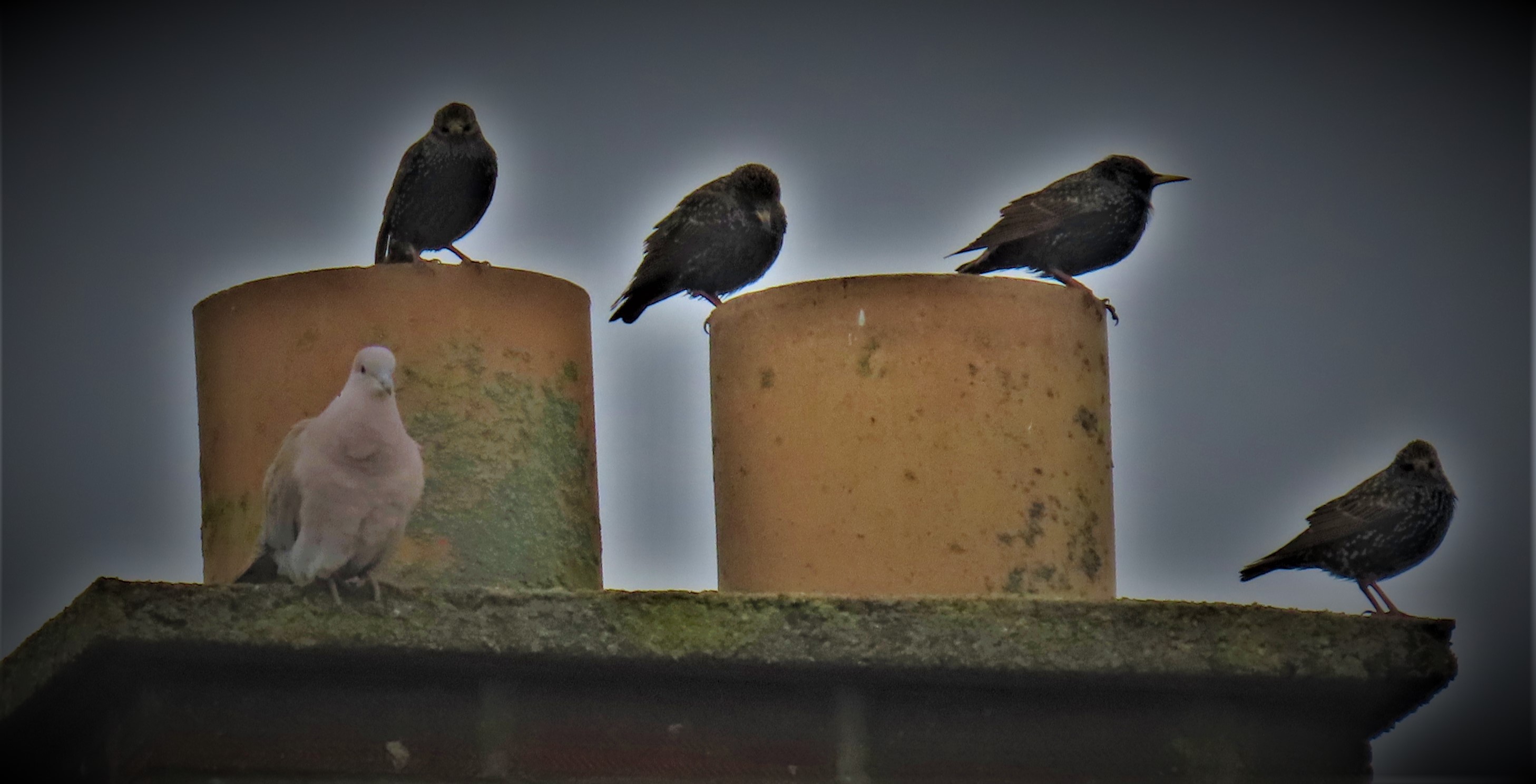
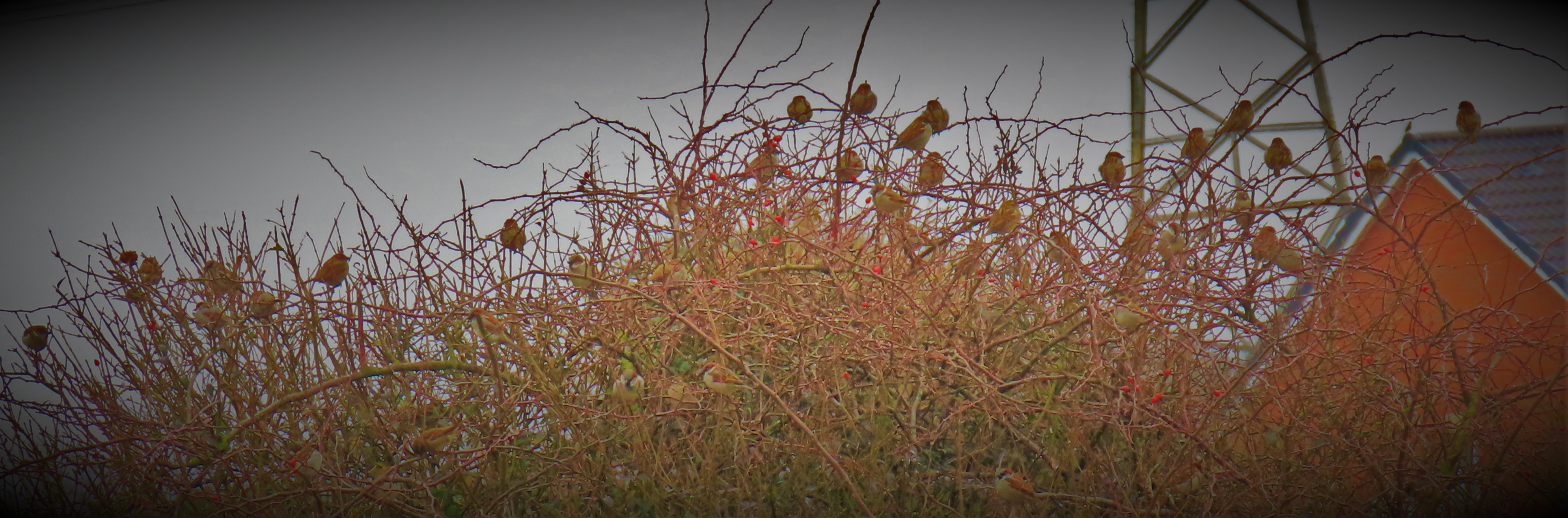
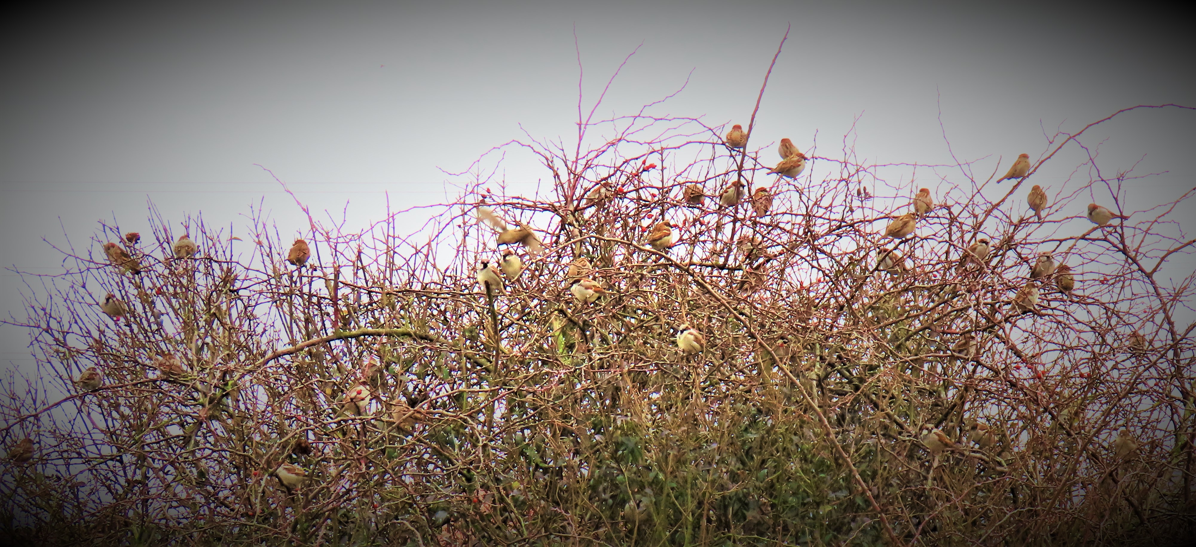
Now, all of those who have made their way to this point, you get your reward, with a bumper crop of new photos:
A strictly personal survey of the Piccadilly line, with a suggestion for the revival and extension of the Aldwych branch.
INTRODUCTION
This post is associated with my “London Station by Station” series. I was gratified by the response that overview of the Hammersmith and City line received, and so now I am producing a piece about the Piccadilly line which will be much longer, as there is is much more to say…
AN OVERVIEW
The Piccadilly line came into existence as a compromise project taking elements from three distinct schemes. An excellent explanation for this is provided by Desmond F. Croome in his “The Piccadilly Line: An Illustrated History”
Still, not event the combination of this bizarre origin and the schemozzle at Heathrow gains the Piccadilly line the status of London Underground’s no 1 bodge job – for more about that you will have to wait until I feel strong enough to tackle the Northern line!
To give you an overview of the line both in its history and as it stands today here a some images…
The Piccadilly line on London Underground: A Diagrammatic History.
The Piccadilly line and its connections today (photographed from the current edition of the London Connections map)
A facsimile of a promotional poster for the Piccadilly line.
Having set the scene, it is time to strap yourselves in for…
THE JOURNEY
I am starting slightly out of position, for reasons that will reveal themselves at the end of the post, with Southgate, which I have given a previous post in the series. For full details you will need to read that post, but Southgate has two features of significance to me: it was the home of the Walker brothers, and in that context Middlesex still play some games of cricket at the Walker ground; and it is home to quirk illustrated by this picture…
That attended to, we can now get back on the journey proper starting at…
COCKFOSTERS
This station opened in 1933, and still today it is in a very rural setting. Other than being the starting point for our journey it has no real distinguishing features.
ARNOS GROVE
In the direction in which we travel, this marks a transition point – this is the last station at surface level until we emerge at Barons Court.
WOOD GREEN
This is one of two stations, the other being a main line railway station, Alexandra Palace, which serve Alexandra Palace. Whichever you choose you have a long climb ahead of you to reach your objective, although it is worth it for the views at the end. This picture, courtesy of google, shows some of the frontage of the palace itself…
FINSBURY PARK
This is the Piccadilly line’s first interchange with any other in our direction of travel. As well as a connection to mainline railways, there is a cross-platform interchange to the Victoria line. It was also the original terminus at this end of the line when the Piccadilly line opened in 1907. Because it was after I had made this particular change in reverse that I got the picture in question, here is a Piccadilly route map as seen in train carriage…
ARSENAL
The only station on London Underground to be named after a football club. The club which started life as Dial Square, changed its name to Woolwich Arsenal, of which it was originally the works team and then moved away from Woolwich, dropping the prefix of its name has since moved yet again, to another new stadium. Herbert Chapman who had earlier won three successive championships with Huddersfield Town and even earlier been lucky to survive a match fixing scandal that saw his then club Leeds City thrown out of the league was the person who successfully suggested the name change from the original Gillespie Road, with greater success than Mr Selfridge had enjoyed with his suggestion to the then independent Central London Railway that they might care to rename Bond Street station in honour of his establishment.
KINGS CROSS
I have covered this both in an individual post and in the earlier piece about the Hammersmith and City line. To these I add only that the Piccadilly line is the second deepest line at the station, the Northern line being deeper.
RUSSELL SQUARE
Russell Square is one of the few deep level stations to have no escalators – you have a choice between lifts or stairs. It is also the closest station to Great Ormond Street Hospital, where I was a patient for over a year of my life, in my case in the Mildred Creak unit. For more details about how to locate this hospital, check out their own guide.
Russell Square also serves the iconic British Museum, and they also provide full detail on possible ways of getting there.
One final Russell Square connection – it is the home station for the Institute of Education, which is a regular venue for the annual five-day political festival Marxism and also happens to the place that I visited the first time I ever took part in an Autism Research project – this one being carried out by a woman named Sian Fitzpatrick.
Clark Hall at the Institute of Education, set up for a meeting, appropriately enough on education.
The picture that adorns the wall of Clarke Hall.
The artists signature.
HOLBORN
This station is the only official interchange between the Piccadilly and Central lines. When I first used it as a child there were wooden escalators – mind this was in an era when deep-level tube trains using carriages with maple slatted floors and wooden side panels had smoking compartments – health and safety was not considered so important then. Today, Holborn is an ordinary mid-route station, but that was not always the case, and I believe it should not be the case. This is the preamble to…
A MAJOR DIGRESSION
From 1907 until 1994 there was a branch running south from Holborn to Aldwych. It was not doing much by the end of its life, but closure was not the only option – it was ideally placed for an extension into Southeast London and West Kent. I have already linked to the post I put up about Aldwych early on in this series, but in that post I did not give details of my envisaged extension, an omission I rectify as part of this project.
Reestablishing the Aldwych connection, the route would then go:
Blackfriars (District, Circle, mainline railways), London Bridge (Northern – Bank branch, Jubilee, mainline railways), Bermondsey (Jubilee), Surrey Quays (London Overground), Mudchute (DLR), Cutty Sark (DLR), Greenwich Park, Blackheath (mainline railways), Eltham High Street, New Eltham, Longlands, Sidcup High Street, Foots Cray, Ruxley, Hockenden, Crockenhill, Hulberry, Eynsford (mainline railways), Maplescombe, West Mingsdown, Fairseat, Vigo Village, Ditton, Maidstone West (mainline railways), Maidstone East (mainline railways).
The Maidstone connection is important because very isolated ends of lines can end up not getting much use (see Ongar in this series), and by extending it the extra distance to have both the interchanges in and population of Maidstone to bolster its usage one increases the likelihood of it working. The other particularly significant stop in the outer reaches of the extension is Eynsford, not major enough to be a suitable terminus, but definitely has much worth visiting, led by the scenic Darent Valley and the historic Roman Villa down the road at Lullingstone.
BACK TO THE JOURNEY
The digression done, it is time to resume our progress along the Piccadilly, which next takes us to…
COVENT GARDEN
I have already covered this area at some length in a previous post to which I now direct you. What I failed to mention in that post is that there is also a quite pleasant walking route from here to Waterloo, and all the attractions I have listed in that post.
LEICESTER SQUARE
This station has a connection to the Northern line (Charing Cross branch). Also, until the refurbishment of Angel (Northern, Bank branch) it had the longest escalators to be found anywhere on the system. At 0.16 miles apart it and Covent Garden are the two closest neighbours on the entire system. Leicester Square serves an area of London known as Chinatown.
PICCADILLY
The station that gives its name to the line, it has an interchange with the Bakerloo line. Piccadilly is home to the Eros statue. It features in at least two series of novels set in Restoration England, Edward Marston’s Redmayne series and Susannah Gregory’s Chaloner series.
GREEN PARK
Interchanges with the Victoria and Jubilee lines.
HYDE PARK CORNER
One of several stations serving London’s largest park. This is also the local station for the Albert Hall.
SOUTH KENSINGTON
Museum central – see the first post in this series for more detail. Also, the point at which one the projects that were fused together to make the Piccadilly line – a plan for a ‘deep level District’ line to ease congestion on the original District – from here to Earls Court the Piccadilly follows the District exactly, then skips West Kensington, joining the District at the surface at Barons Court. After Hammersmith the Piccadilly runs fast to Acton Town while the district has intermediate stops at Ravenscourt Park, Stamford Brook, Turnham Green and Chiswick Park. Occasional Piccadilly trains stop at Turnham Green where the Richmond branch of the District diverges, but the major branching point is…
ACTON TOWN
Nowadays the District only goes beyond Acton Town as far as Ealing Broadway, but the entire Uxbridge branch of the Piccadilly and the Heathrow branch as far as Hounslow West were originally served by the District and feature platforms at the compromise height used for cross-platform interchanges between ‘tube’ and ‘subsurface’ lines. This station adjoins the Acton Works, where rolling stock is maintained and overhauled. We will explore the Heathrow branch first…
ALWAYS AVOID ALL ALLITERATION
The joke instruction used as this section heading refers to the fact that the three Hounslow’s, Hatton Cross and the three Heathrow stations all being with the letter H – and if you are on a train running the loop route (Terminals 1,2 and 3 and then terminal 4, as opposed to the direct Terminal 5 route), you would in total, between departing Hounslow East one way and returning there in the other direction see station names beginning with H 11 times on the trot.
THE HEATHROW SCHEMOZZLE
When the Piccadilly was first extended to serve Heathrow one station, unimaginatively named Heathrow Central was deemed sufficient. Then, in 1986, Terminal 4 opened, and was not accessible from the existing station. A terminal loop was constructed with a new station built on it to serve Terminal 4. So far, so good, but then the folk who run Heathrow decided that a mere four terminals were insufficient for the number of flights they wanted to run, and a fifth terminal, not accessible from either existing station was built. So we now have a bizarre configuration whereby there is simultaneously a terminal loop and an ordinary direct terminus constructed specially to serve Terminal 5. Quite what sort of arrangement will result if and when a Terminal 6 gets the go-ahead is beyond me to imagine.
Early advertising of the Heathrow connection.
ALPERTON
I have covered the quirky feature of this station in a previous post.
SUDBURY TOWN
There are two stations on this branch bearing the name Sudbury, Sudbury Hill an Sudbury Town. I am concentrating on the latter because as a Grade 1 listed building it stands as an example of the best of London Underground architecture. Like so many of the finest examples, this station was designed by the legendary Charles Holden. To find out more about Holden and his work I recommend strongly that you consult David Lawrence’s magnificent Bright Underground Spaces, in which I located these pictures that relate to Sudbury Town…
The design of the station.
A double page spread picture of the completed station.
SOUTH HARROW
The last station before this branch meets the Metropolitan for the run to Uxbridge. The Metropolitan converges from a station called West Harrow, while all the other branches of that line bar the Uxbridge one pass through North Harrow. Once upon a time a school opened to serve “30 poor children of the parish of Harrow”. The school is still there, but it is a long time since any poor children got to go there.
RAYNERS LANE
This is the meeting point, and for a long time this was a regular terminating point for Piccadilly line services except at peak periods. This is the last marked interchange on the Piccadilly line, although you could change to the Metropolitan anywhere between here and Uxbridge should you desire it.
RUISLIP MANOR AND RUISLIP
Ruislip is an occasional terminating point, although most trains that go that far go on to Uxbridge. These two stations both serve Ruislip Lido, home to among other things the smallest gauge passenger carrying railway in Britain. I have assembled some links for you:
I mentioned earlier in this post that Holborn is the only officially recognised interchange between the Piccadilly and Central lines. For all that is in the region of a 10 minute walk to get from this station to West Ruislip I consider that this should be a recognised interchange – for more detail consult this post.
HILLINGDON
The current Hillingdon station opened in 1992, but there was an earlier Hillingdon station which opened in 1923. In 1934 this station was renamed Hillingdon (Swakeleys). The suffix was gradually dropped over time, but leaves the question “what is Swakeleys?” to have such significance. The answer, as an internet search reveals is that it is a school. As far as can ascertain it is the only school to have officially formed part of a station name (the stations with Harrow in their name refer to the location not the the school per se). There is also a well known hospital in Hillingdon.
UXBRIDGE
We have reached the end of our journey. The present Uxbridge station opened in 1934, but there has been a station at Uxbridge since 1903. In so far as anywhere so rural can be this is something of a transport hub as several bus services make use of the station forecourt. Now it is time to reveal the solution to the teaser I set as to why I started out of position at Southgate: the connection is a cricketing one – yes we are back in Middlesex out ground territory. Sadly, other than knowing that Middlesex sometimes play there I cannot recall anything about cricket at Uxbridge – no remarkable matches spring to mind, nor great players especially associated with the ground.
SOME FINAL WORDS
This post does not make any claim to be a definitive account of the Piccadilly line – it is a strictly personal view of the highlights of the line that has more stations than any other deep level ‘tube’ lines and is only beaten by the District among the ‘subsurface’ lines, and I have ignored many stations altogether and given quite a few others only sparse coverage. I hope that you have all enjoyed the ride!