A Cornish Christmas 5: Walking and Games

An account of the final full day of my Christmas holiday in Cornwall, and a photo gallery.

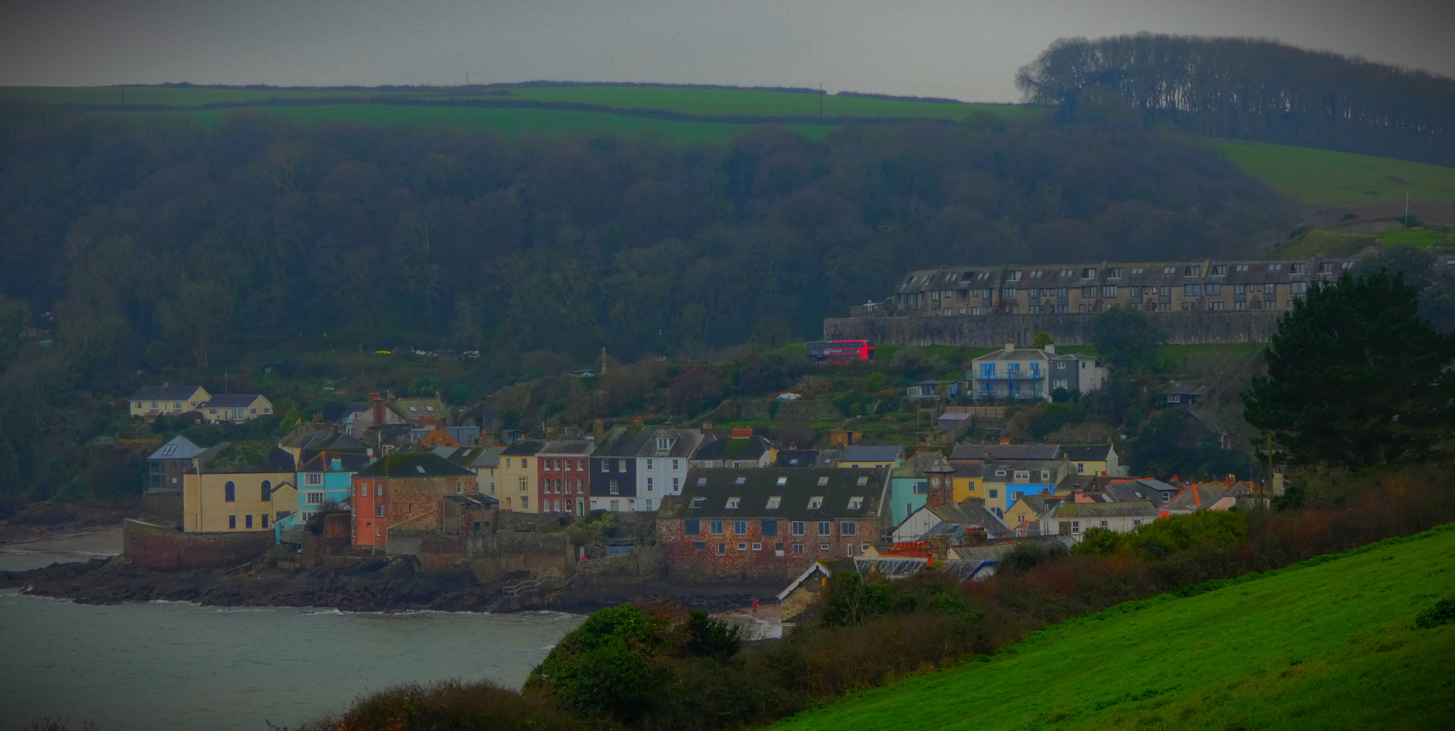
On the Saturday, my last full day in Cornwall, we decided to make an early afternoon walk to the villages of Kingsand and Cawsand, and call in at a pub for a drink.

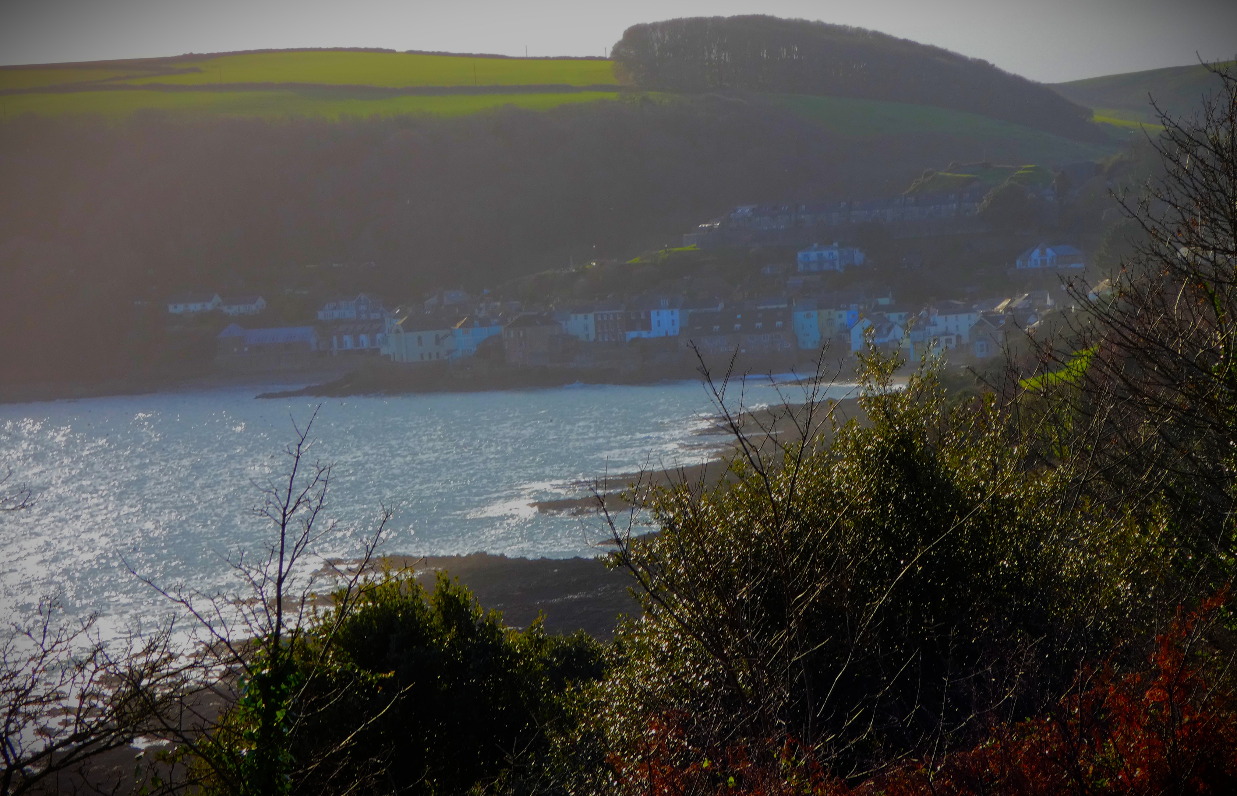
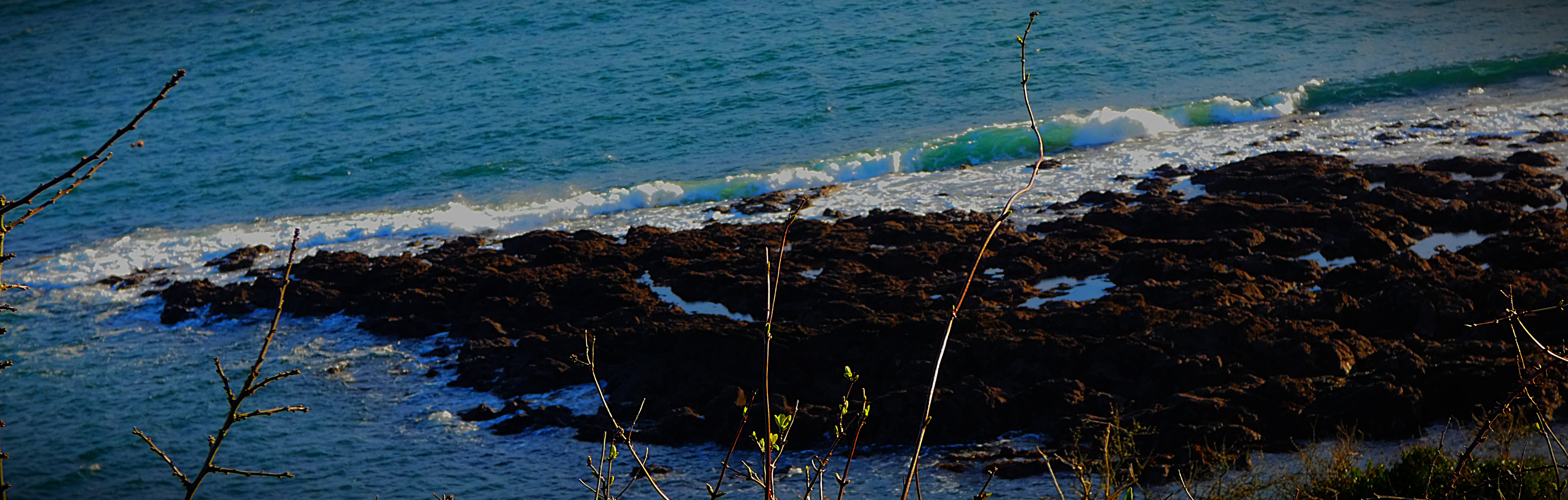
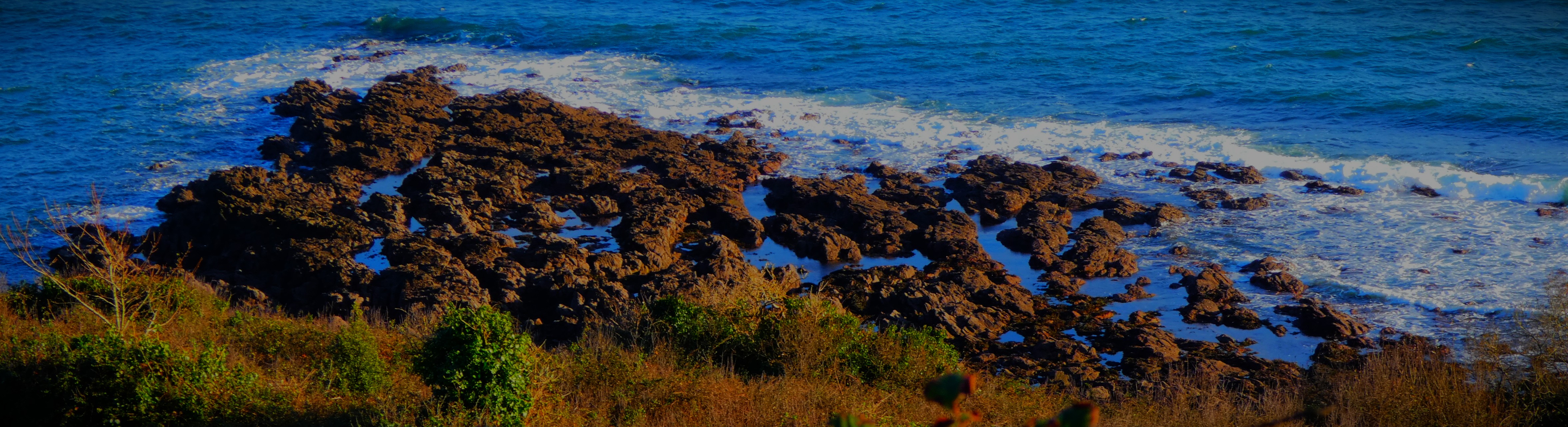
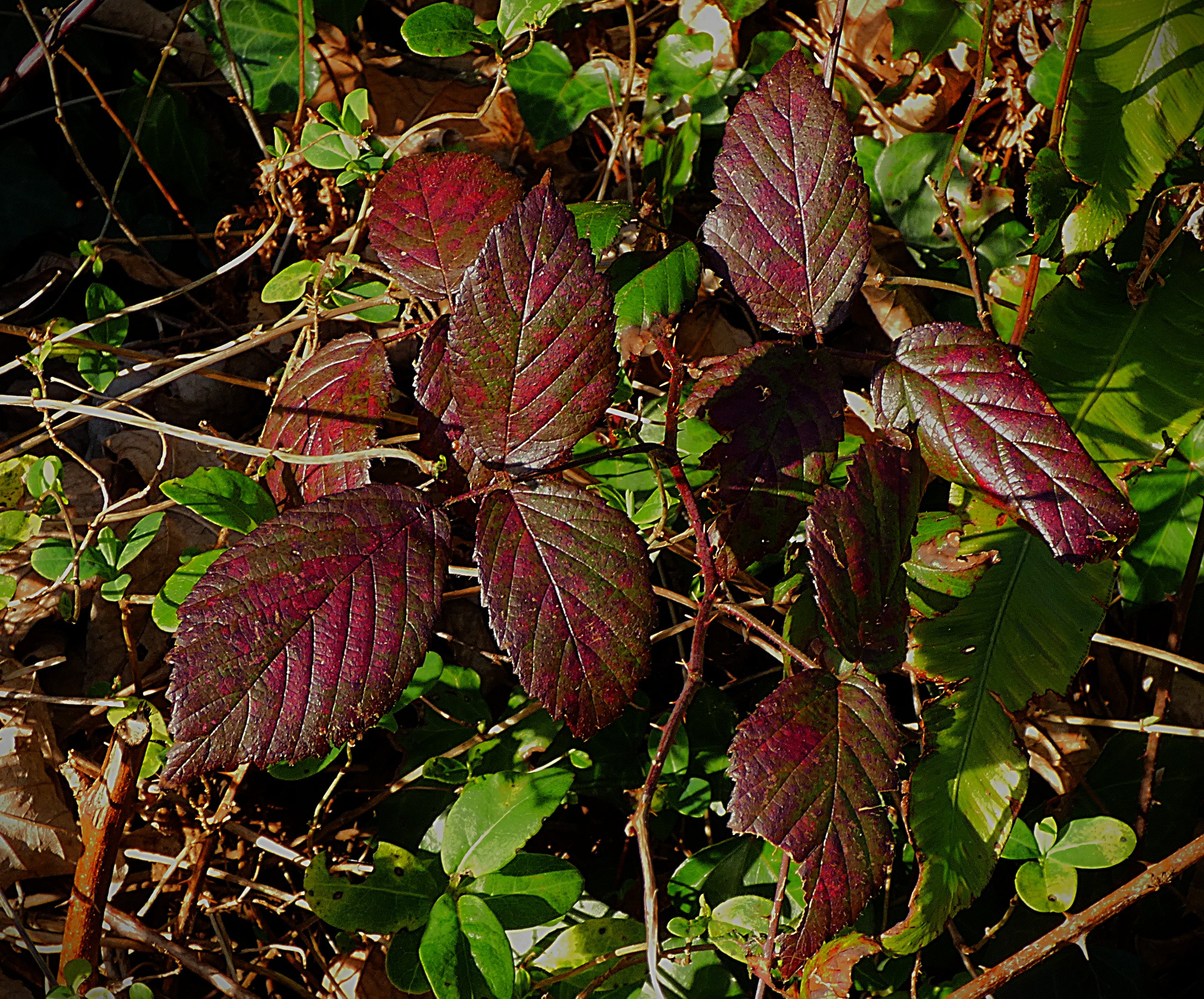
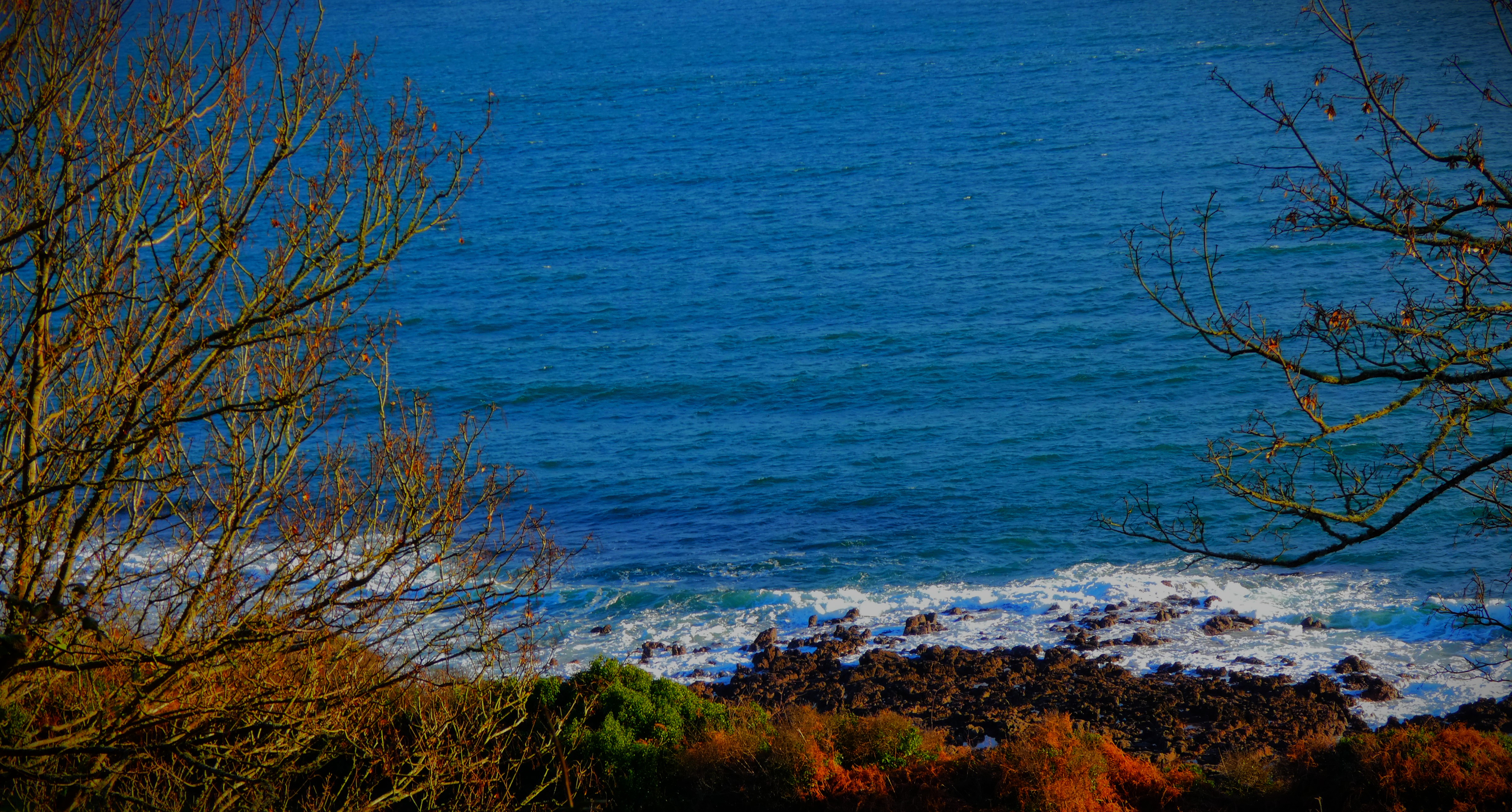
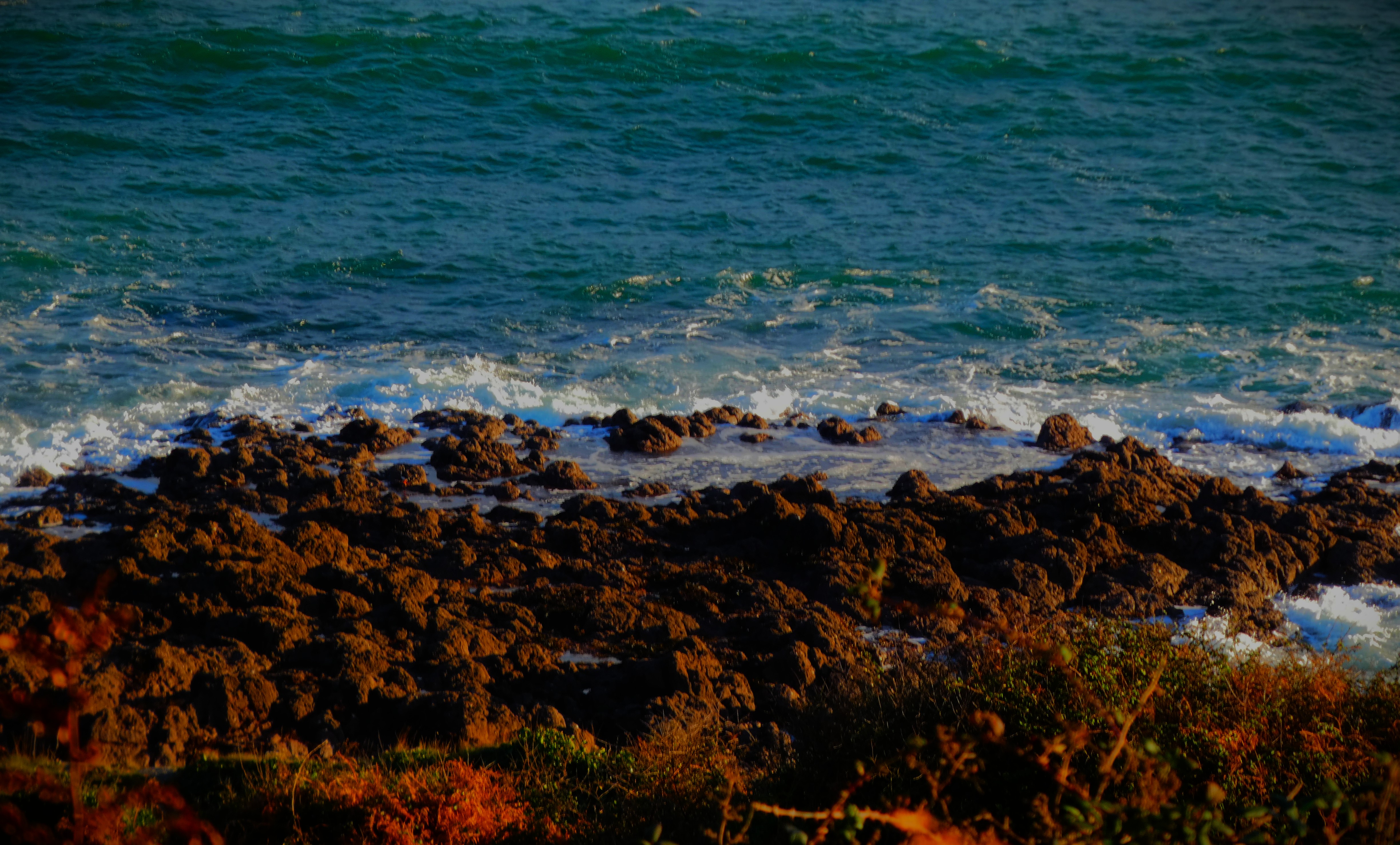
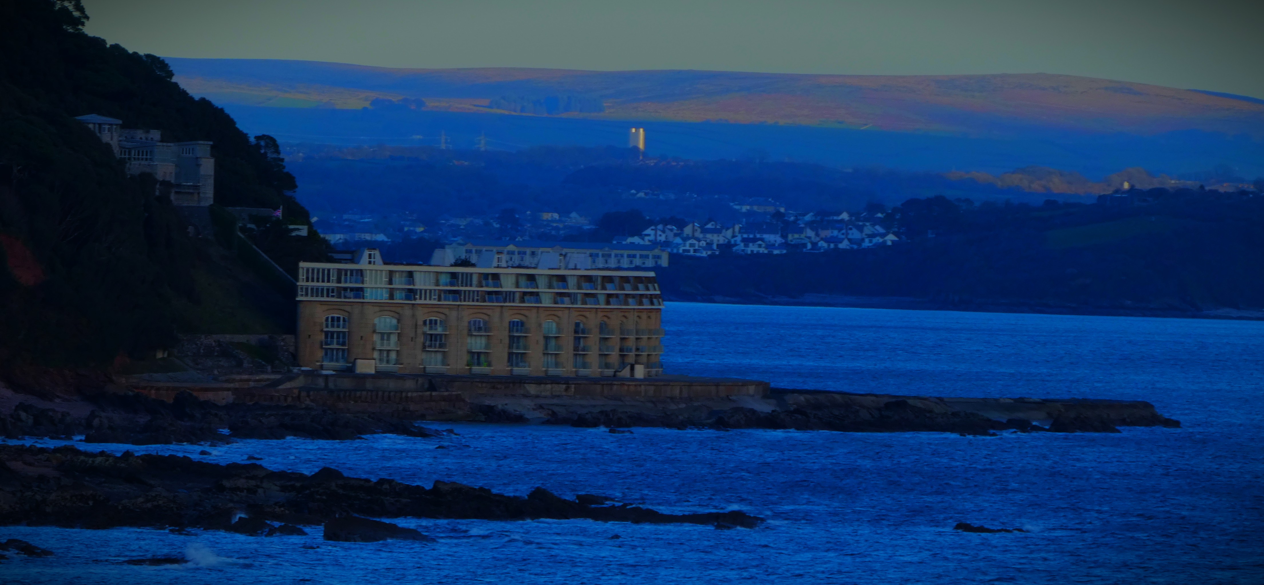
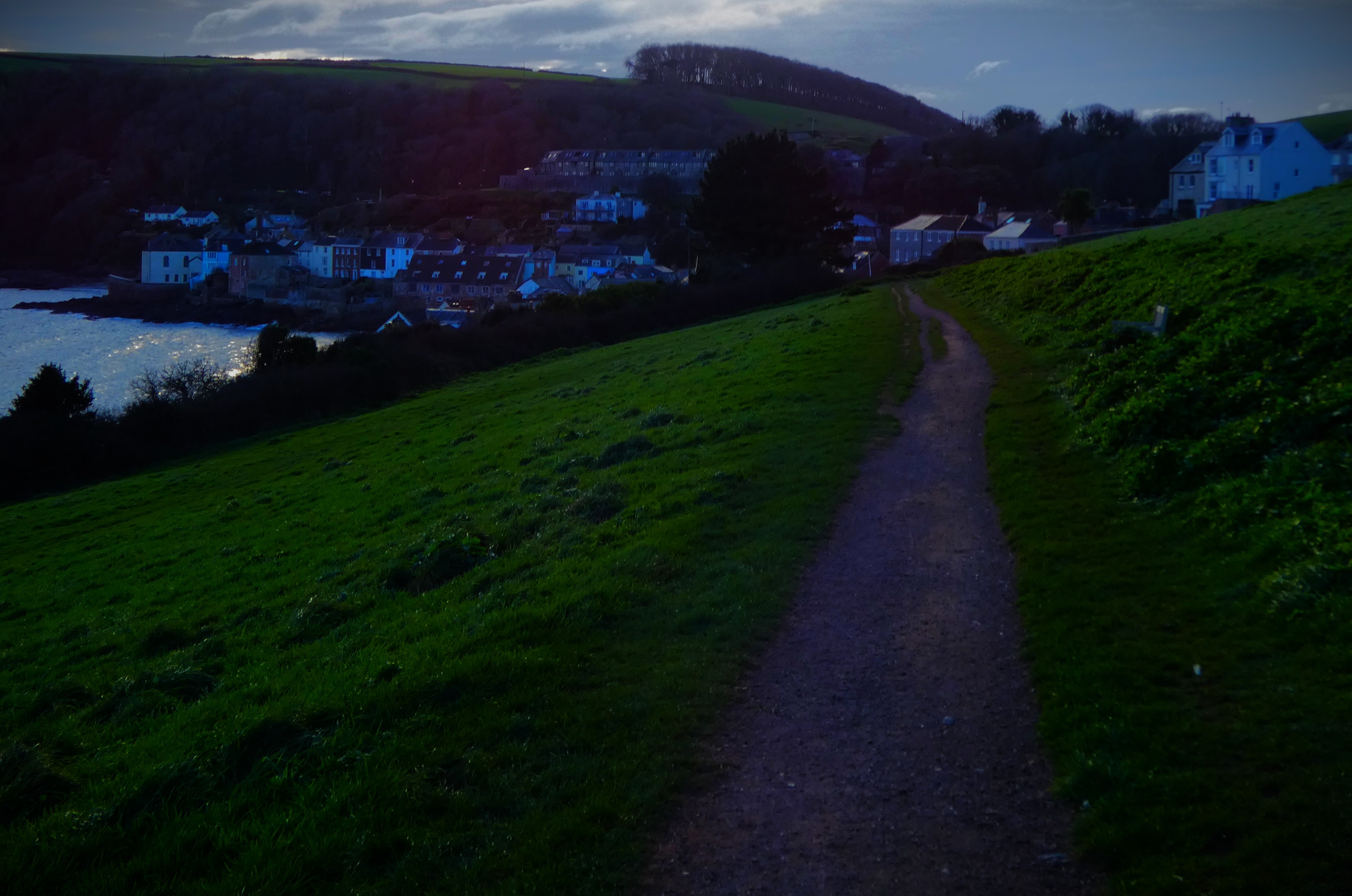
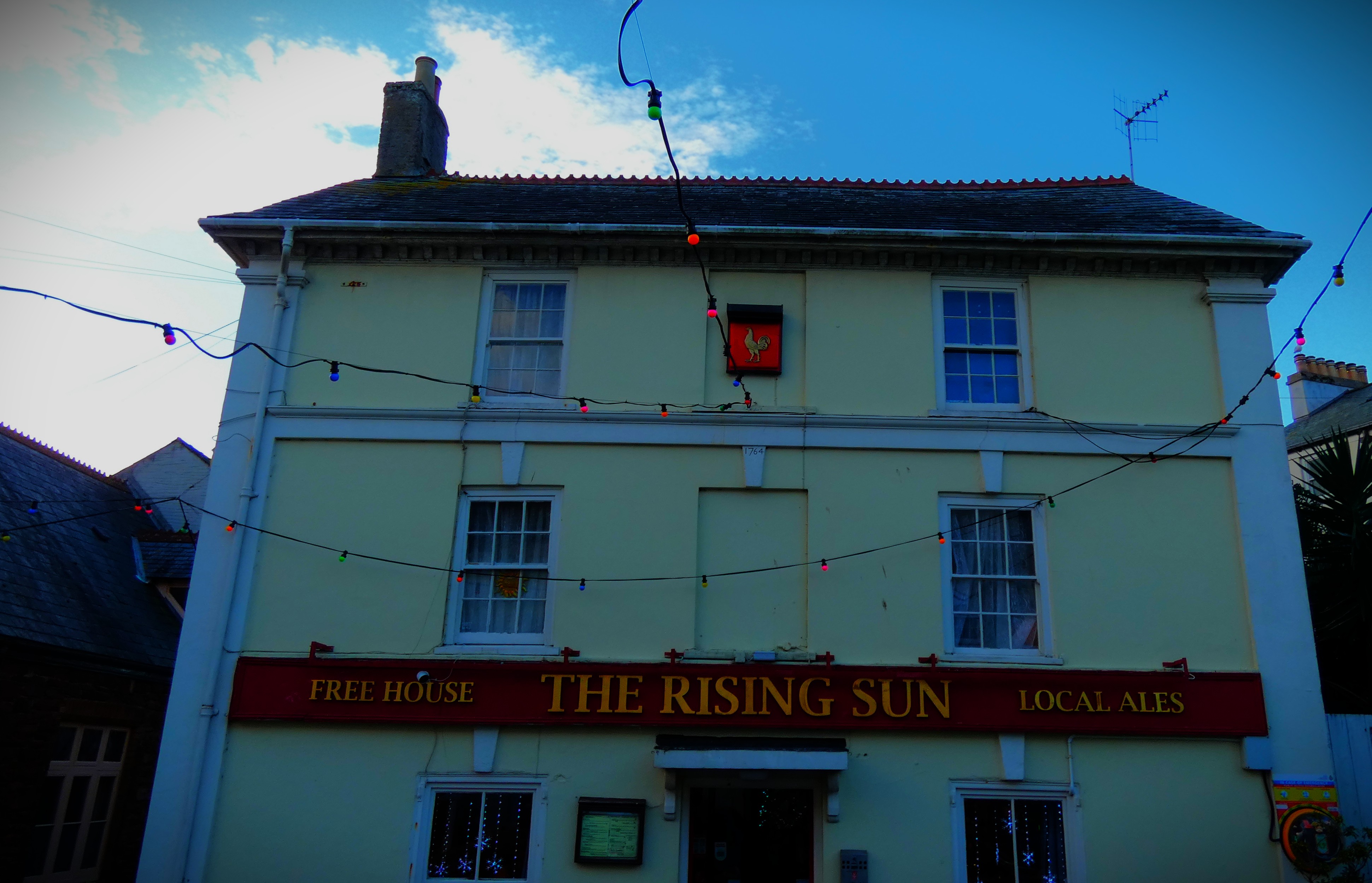
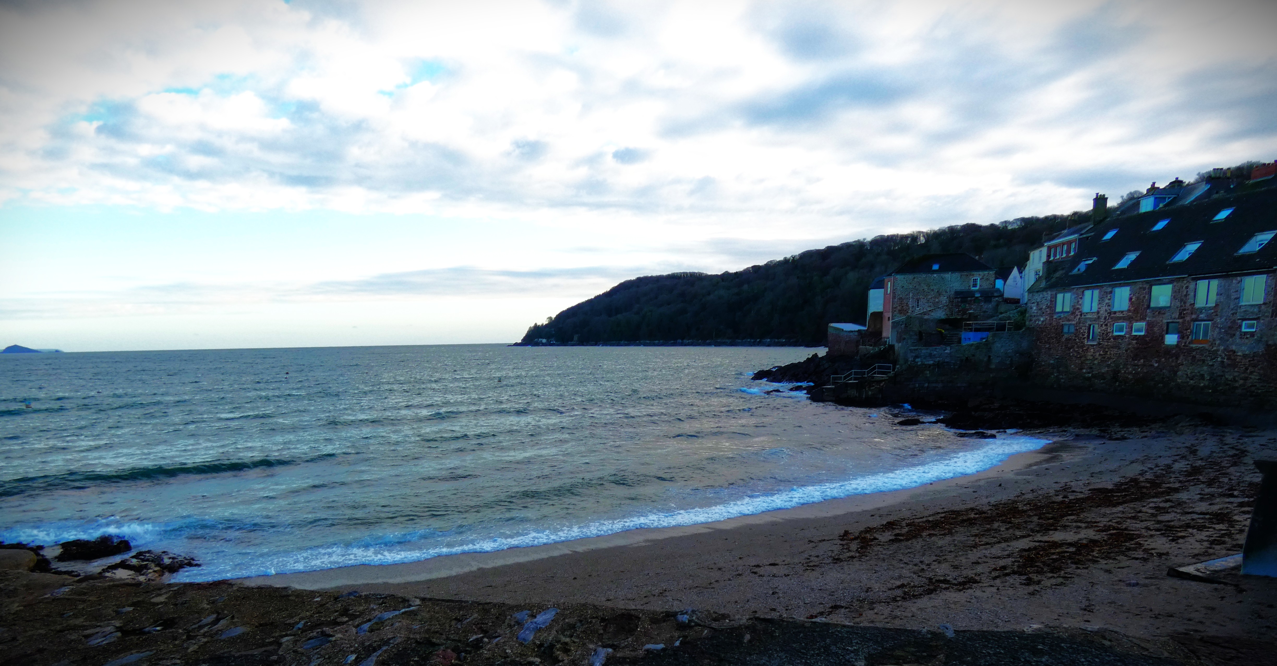
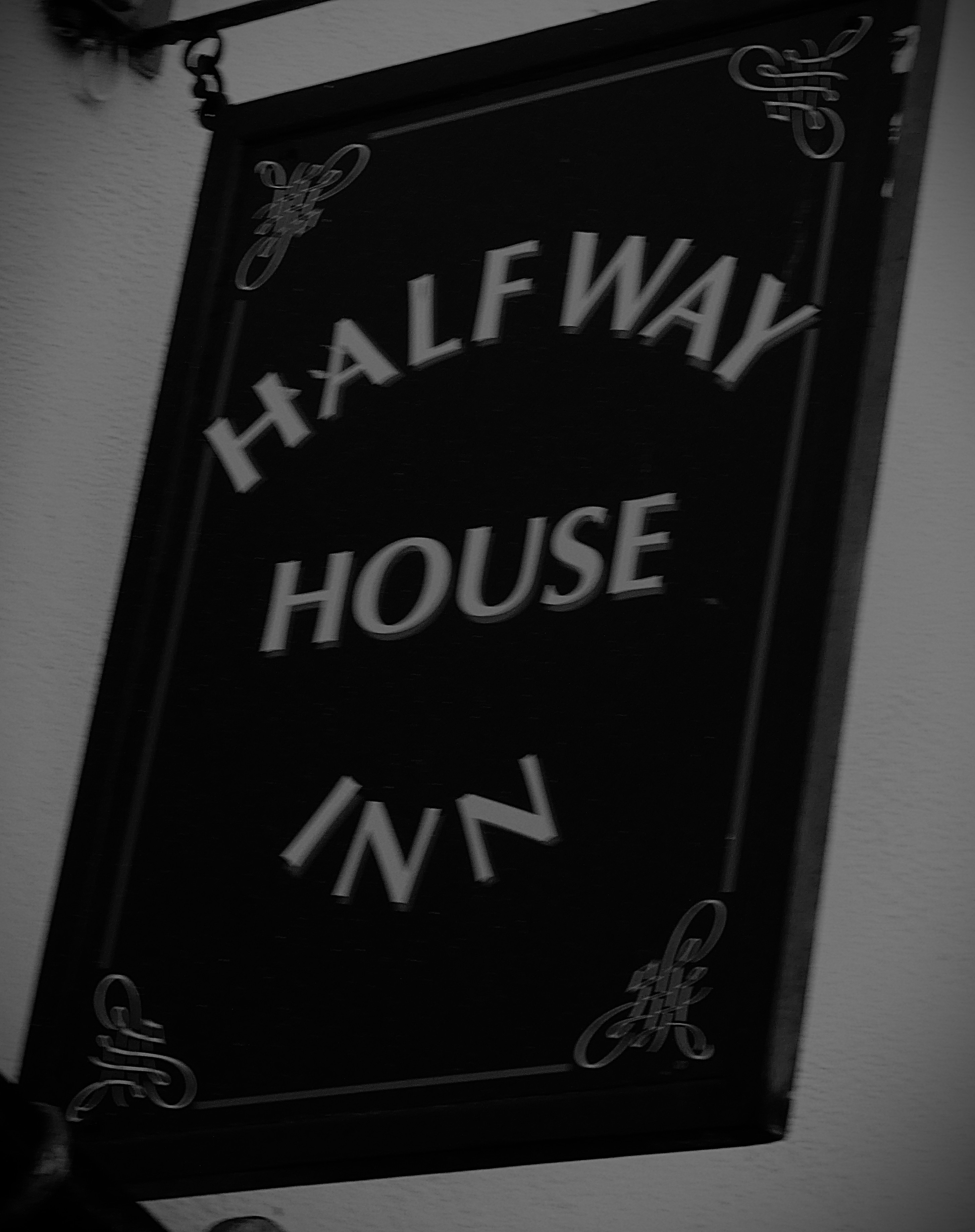
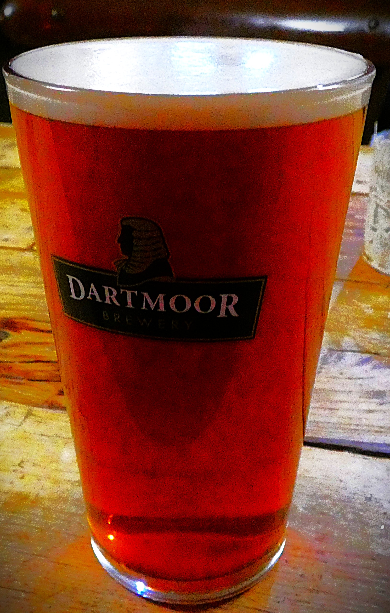
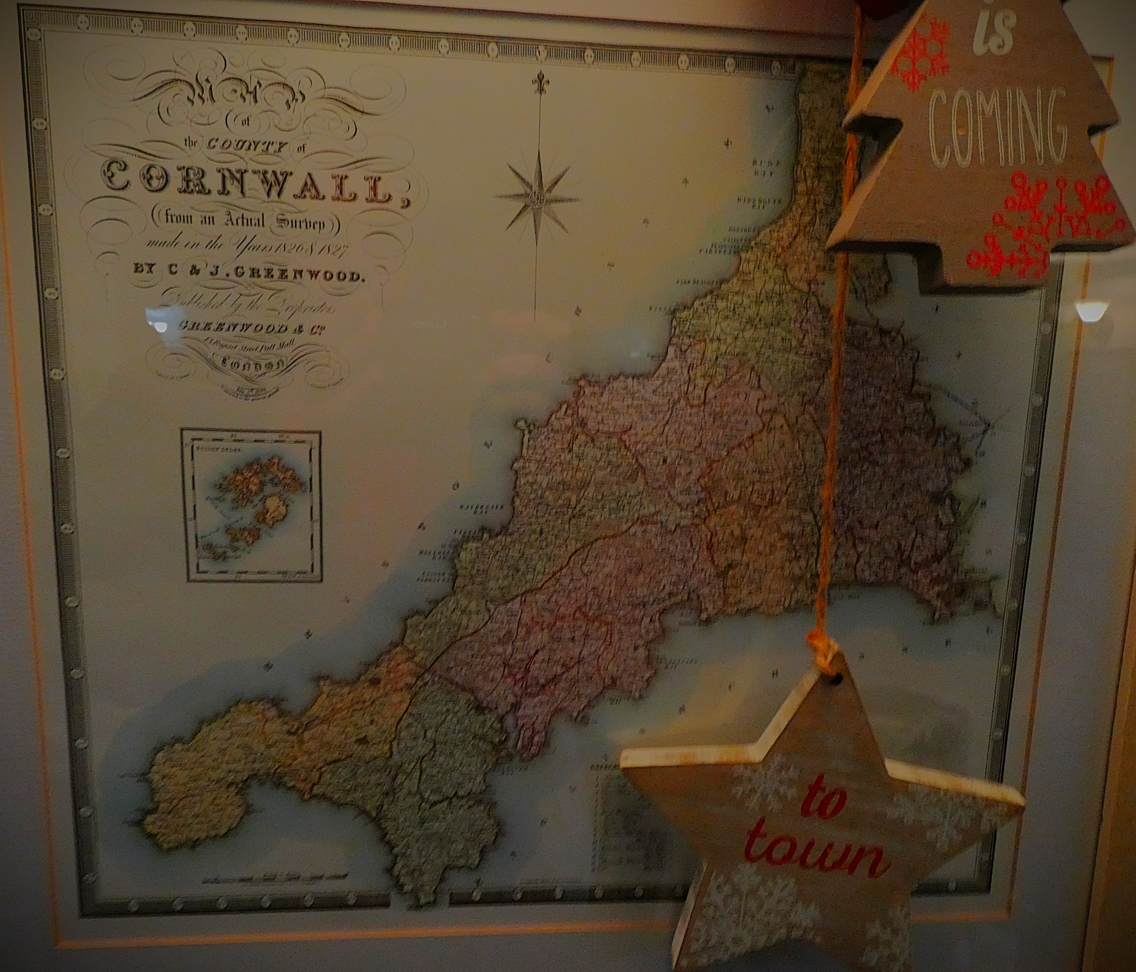
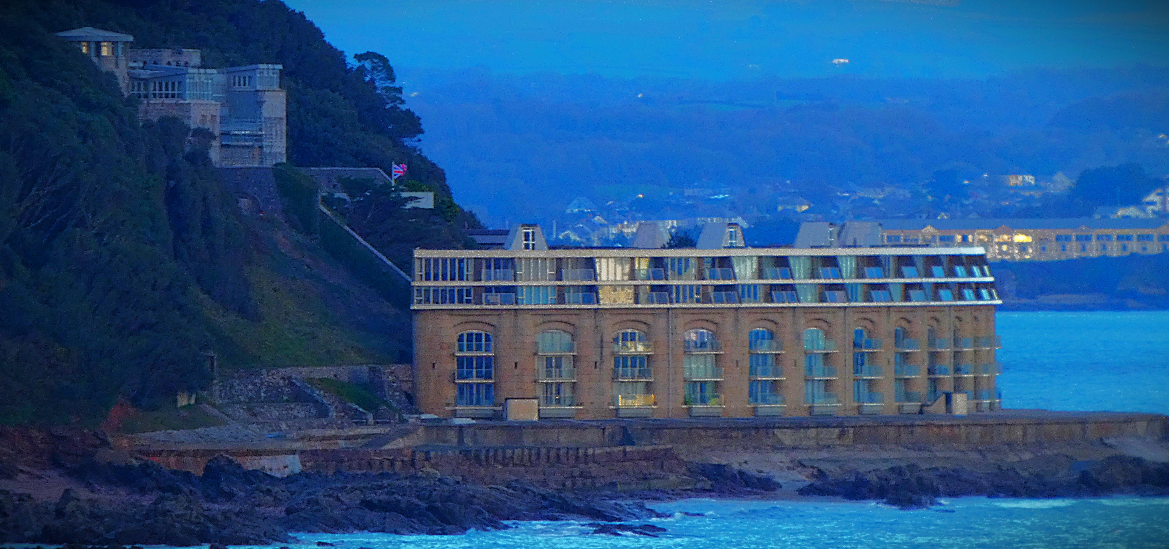
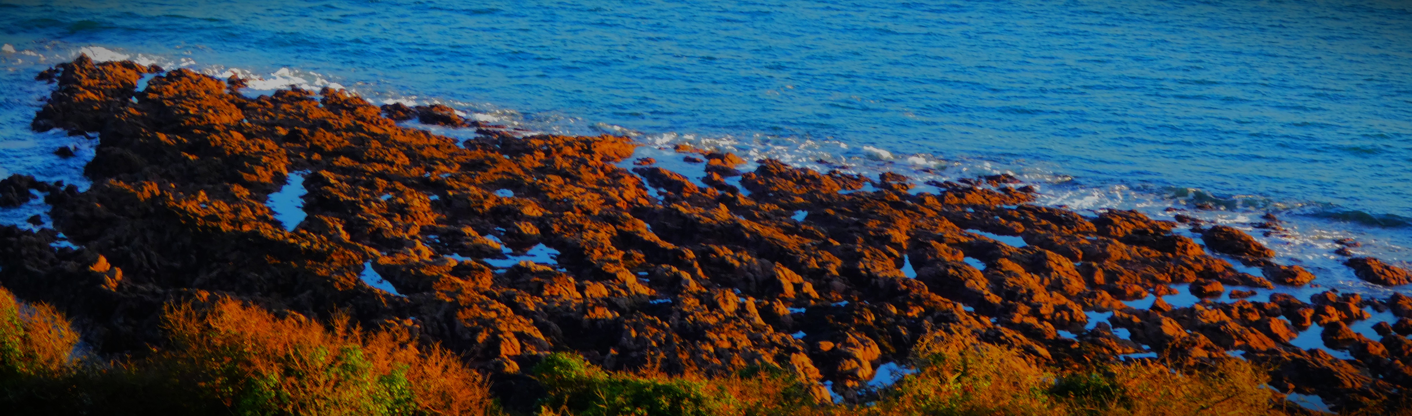
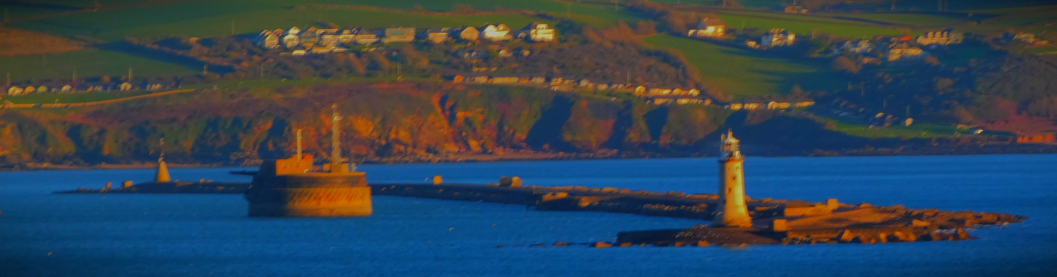
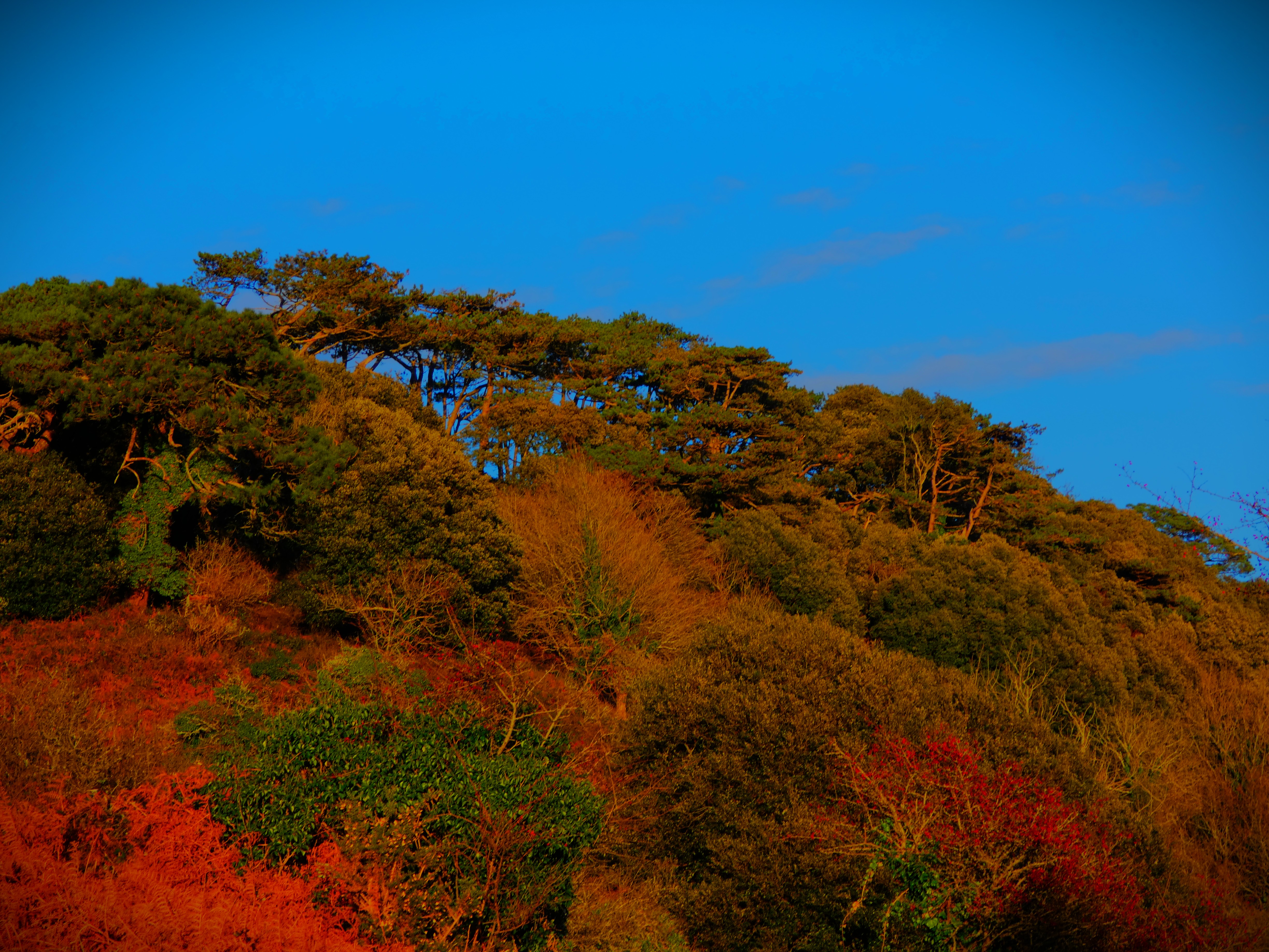
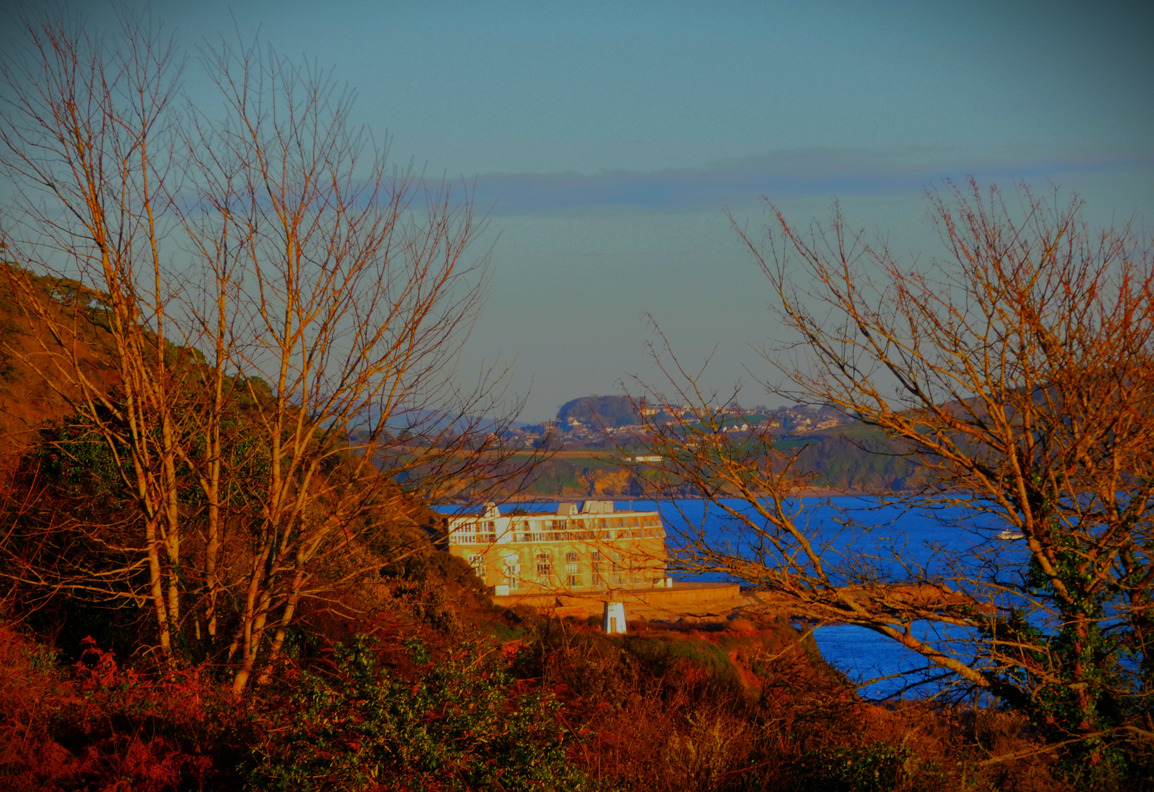
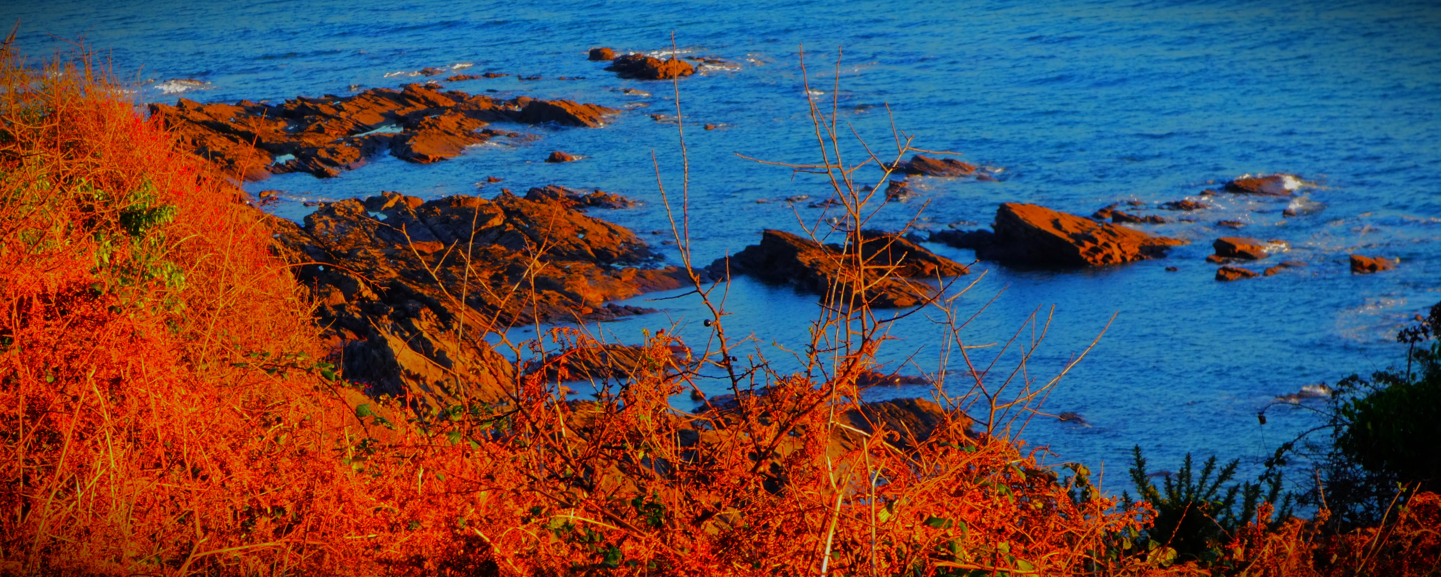
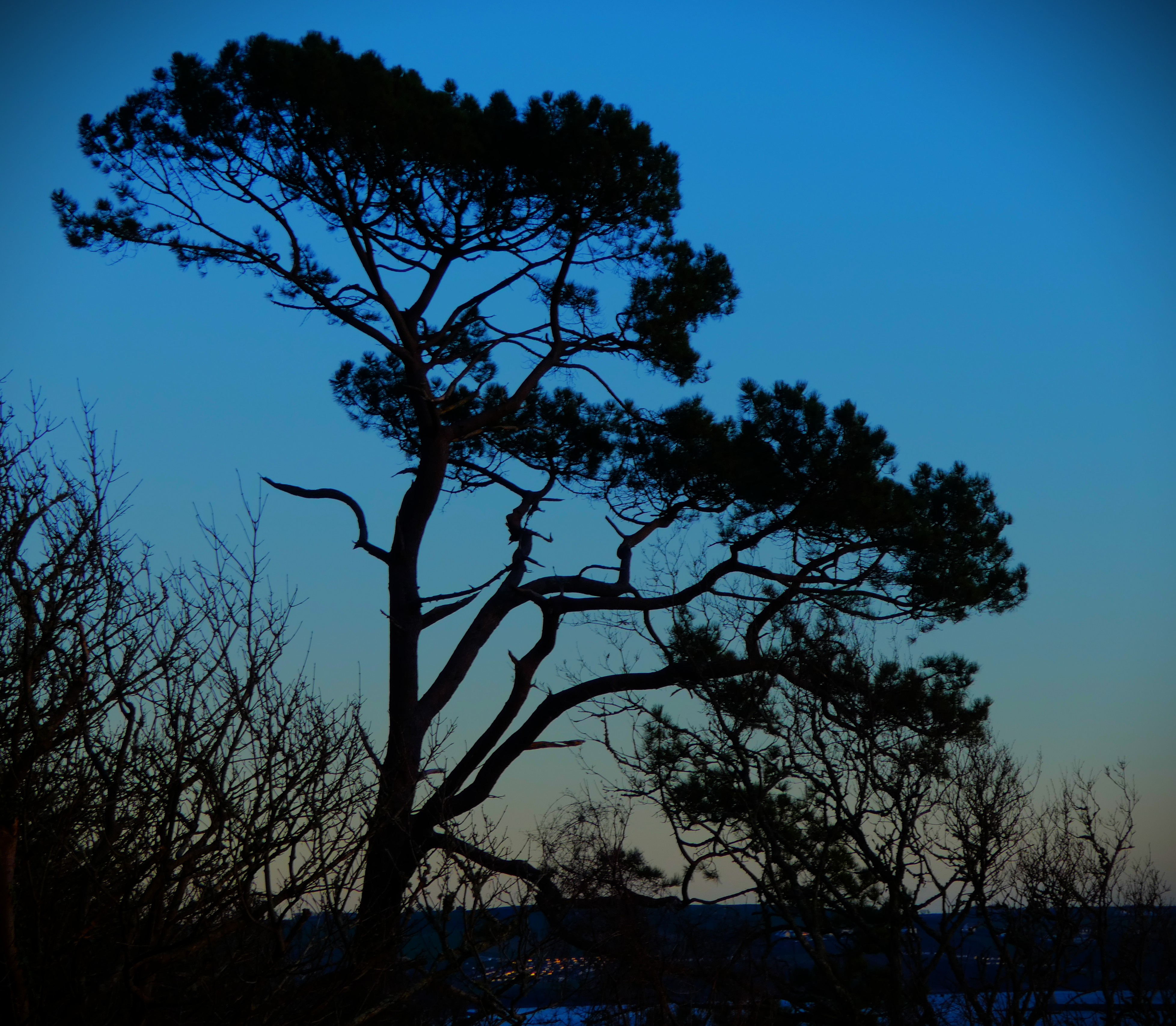
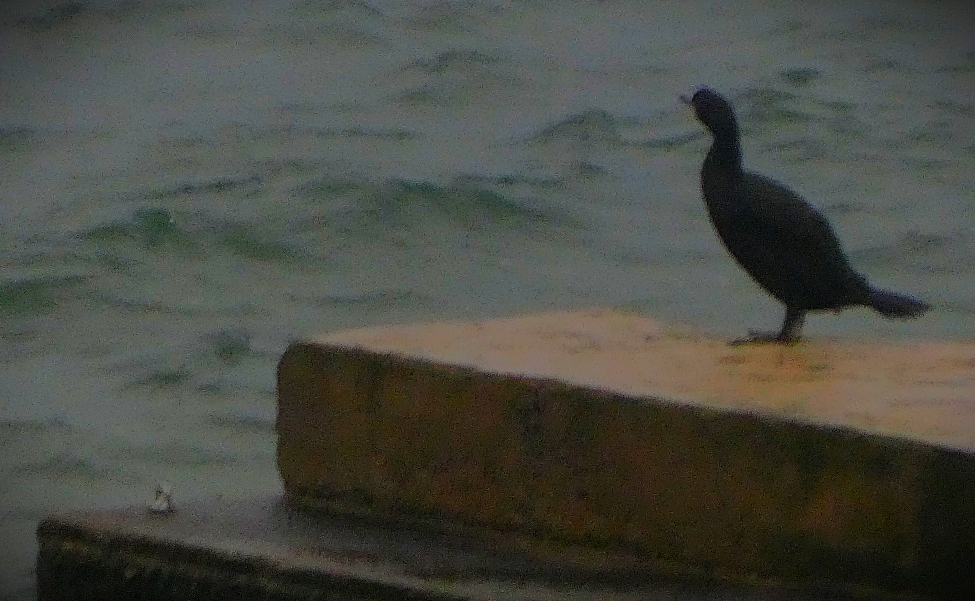
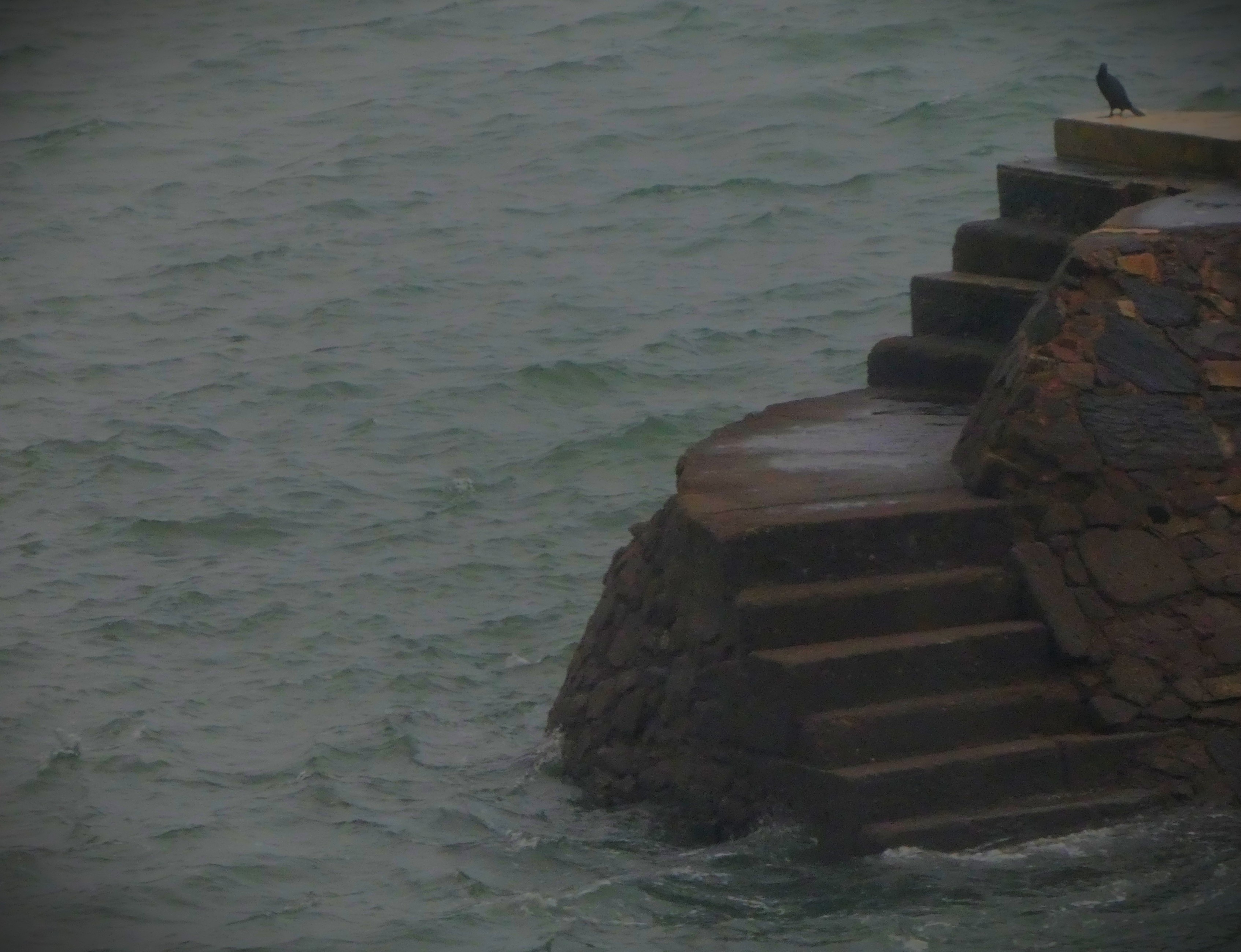
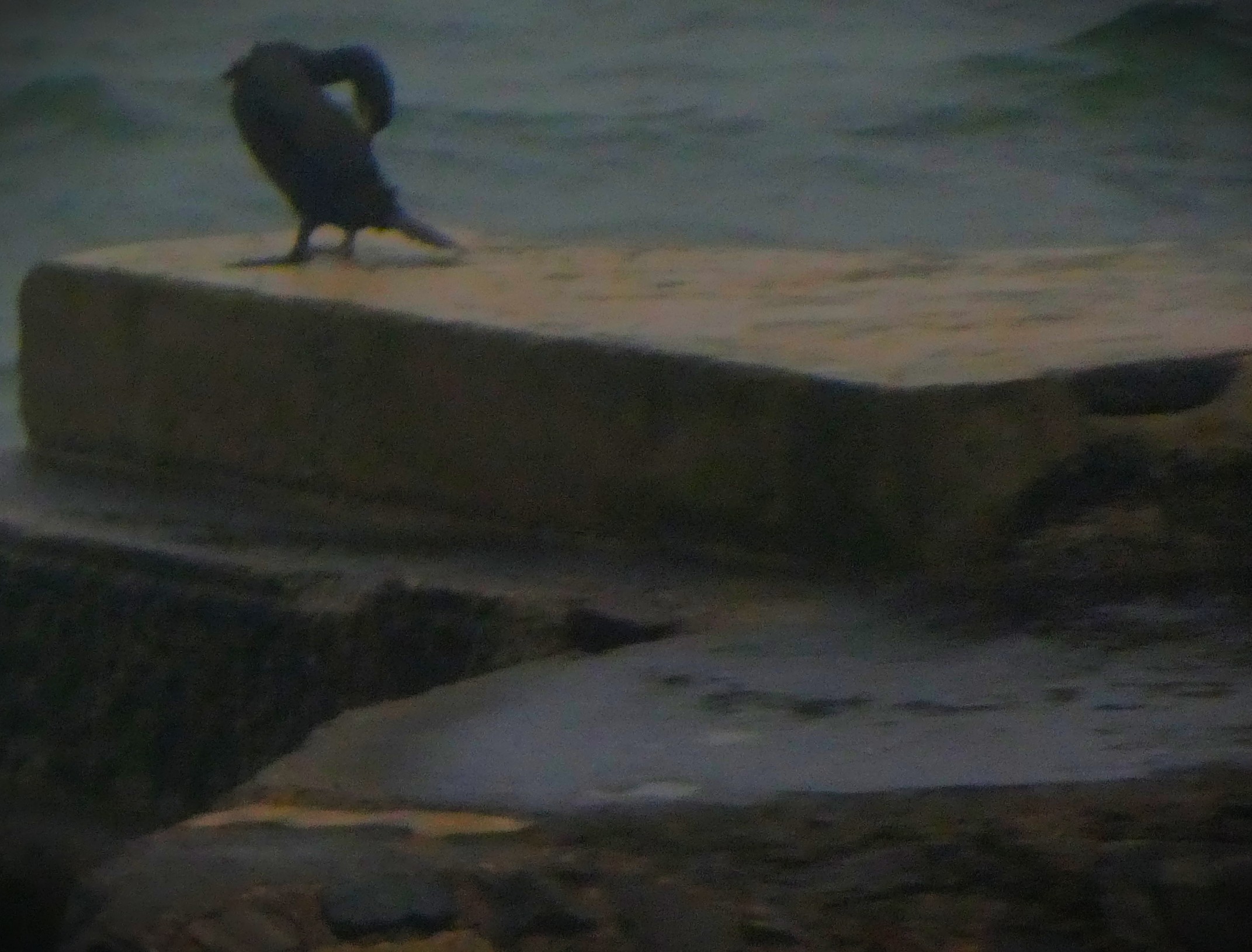
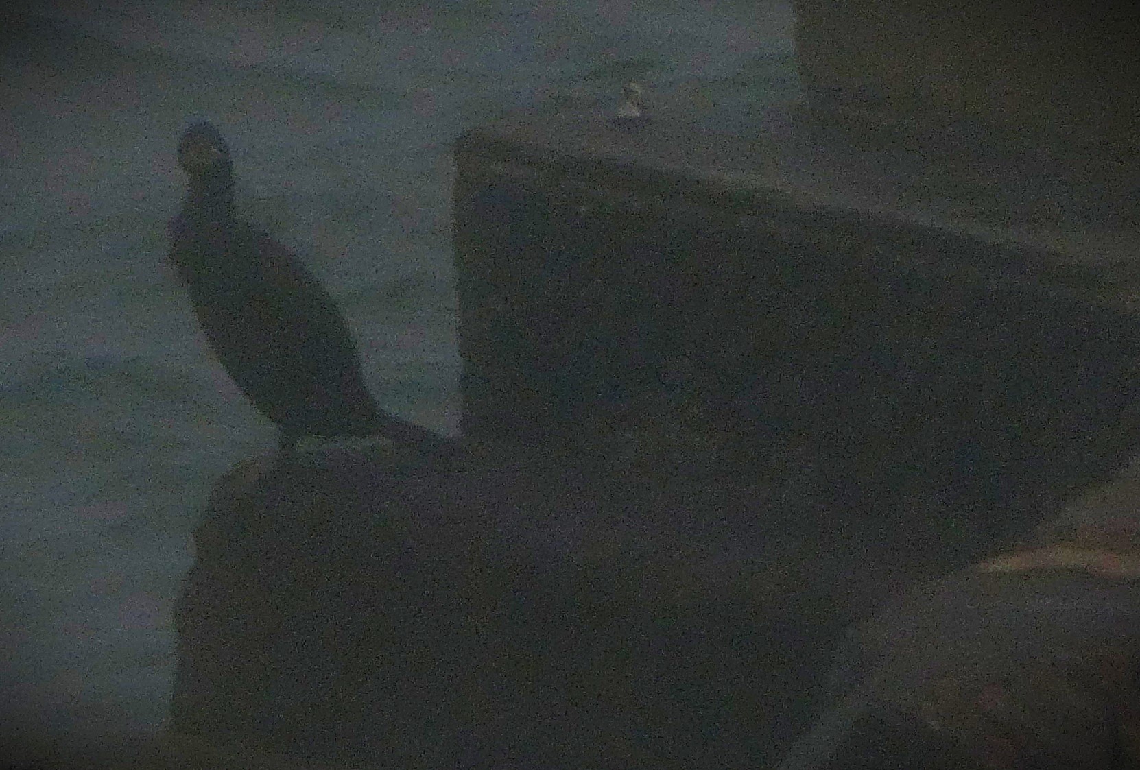
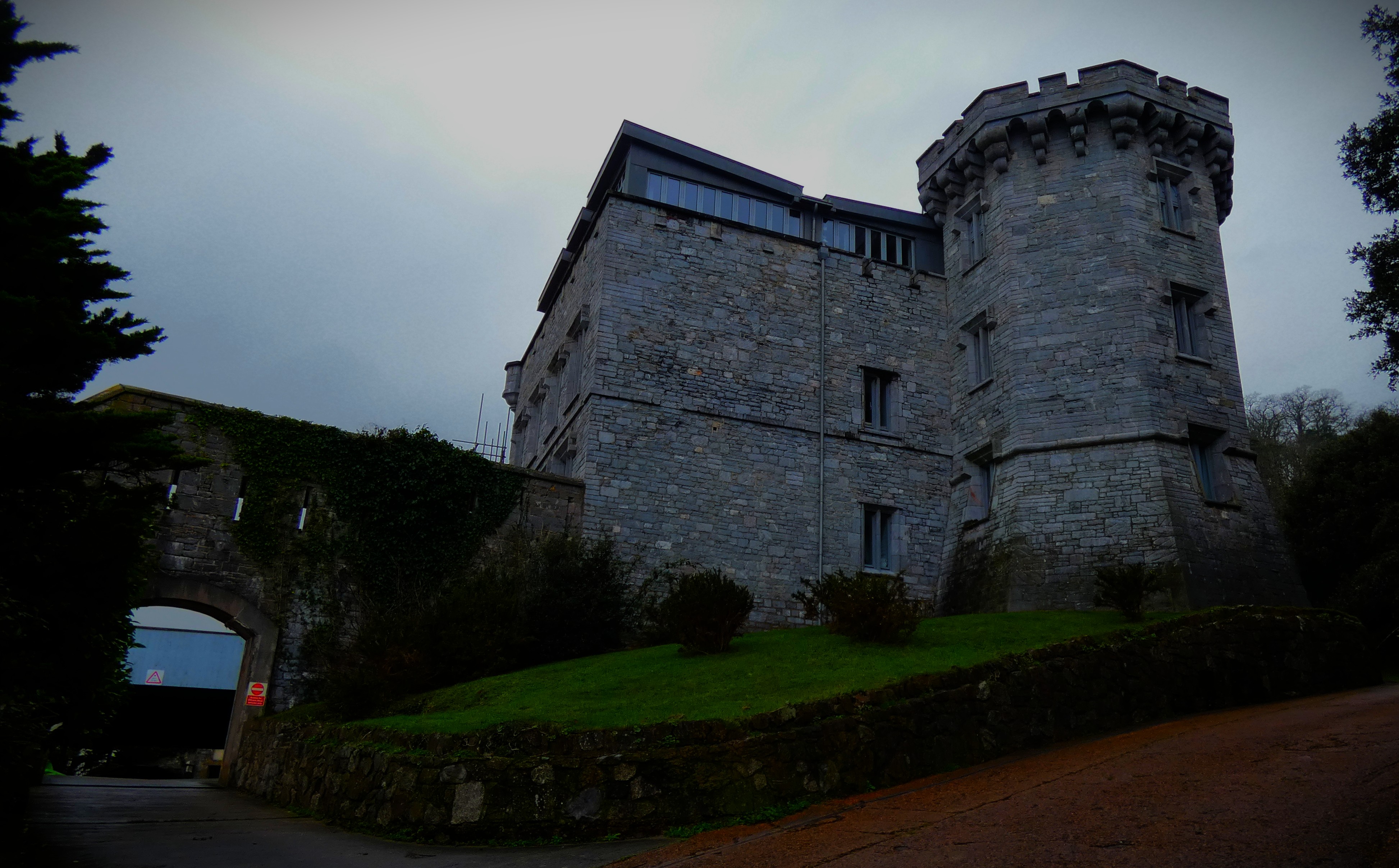
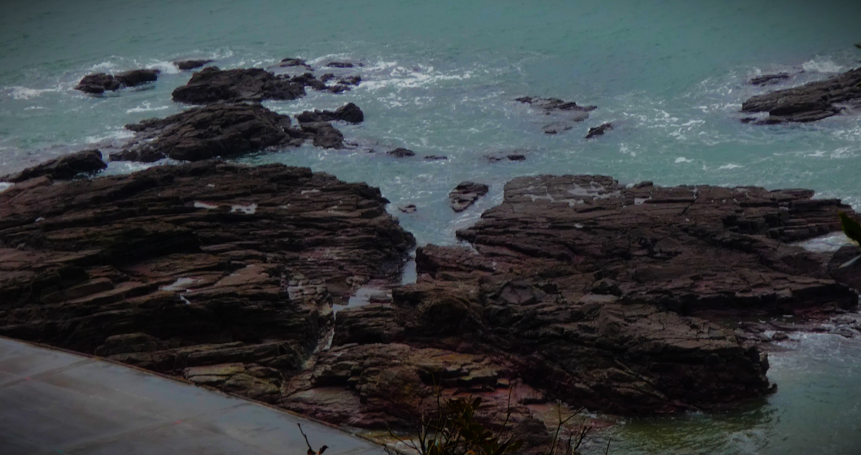
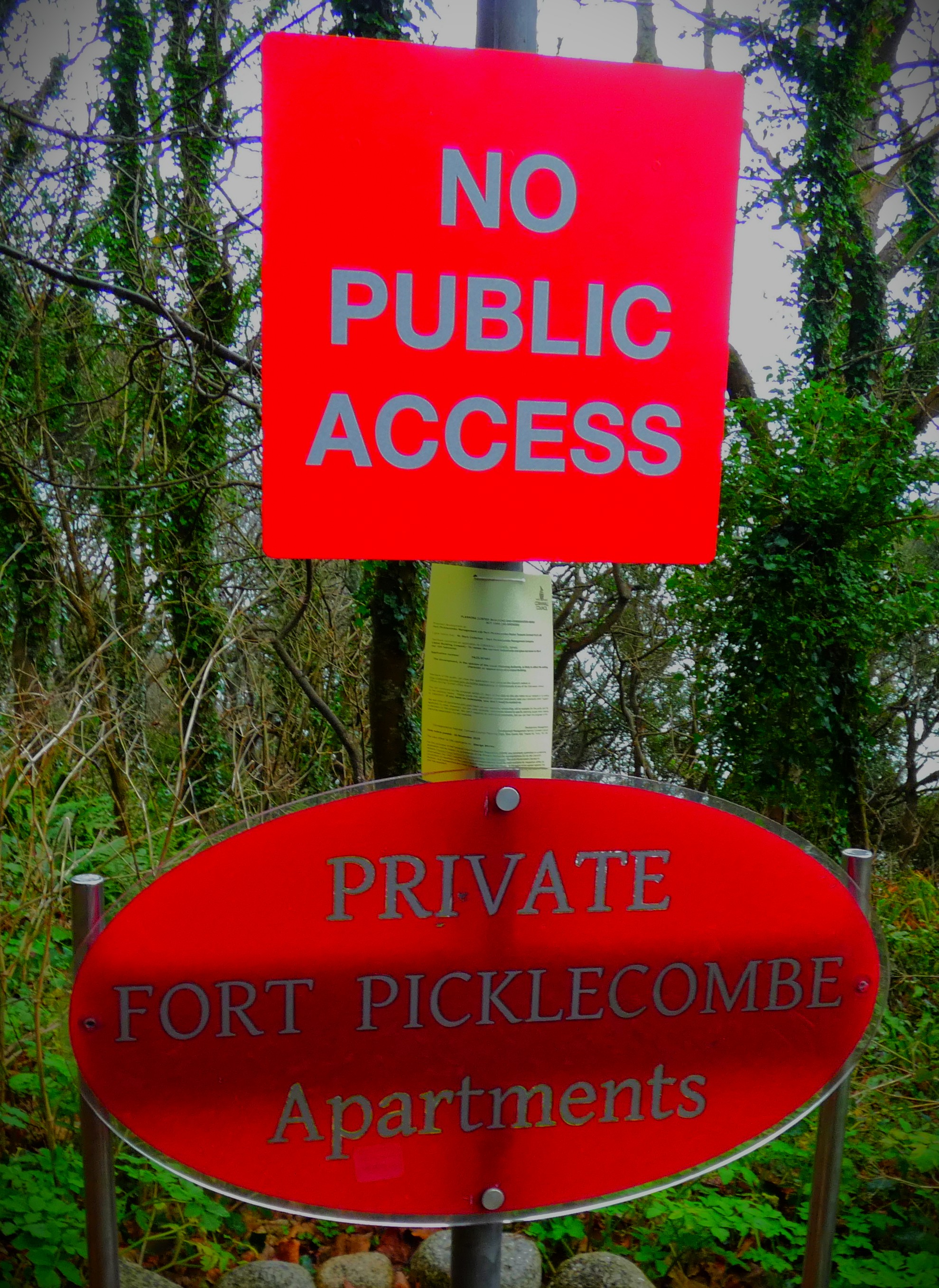
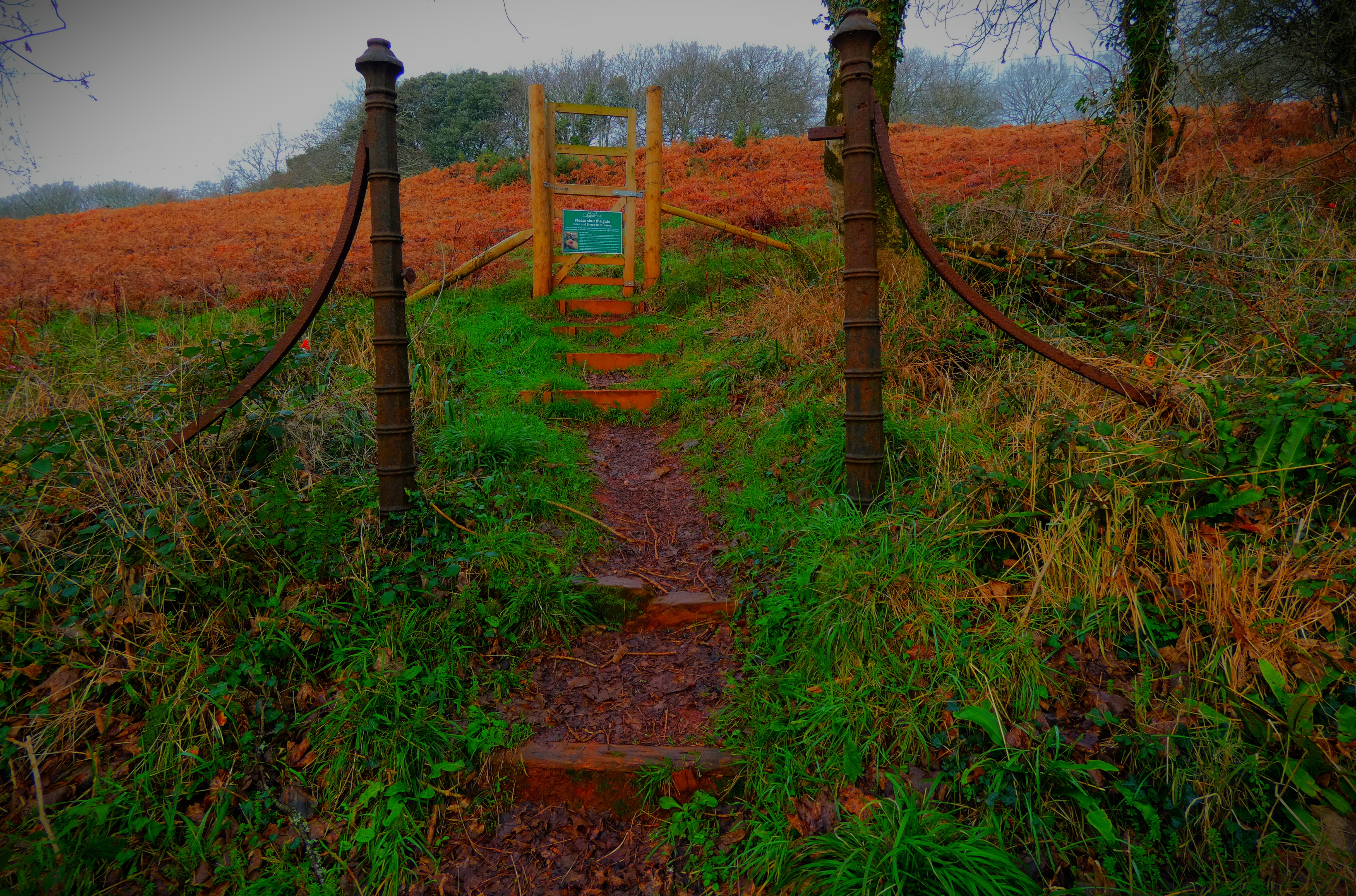
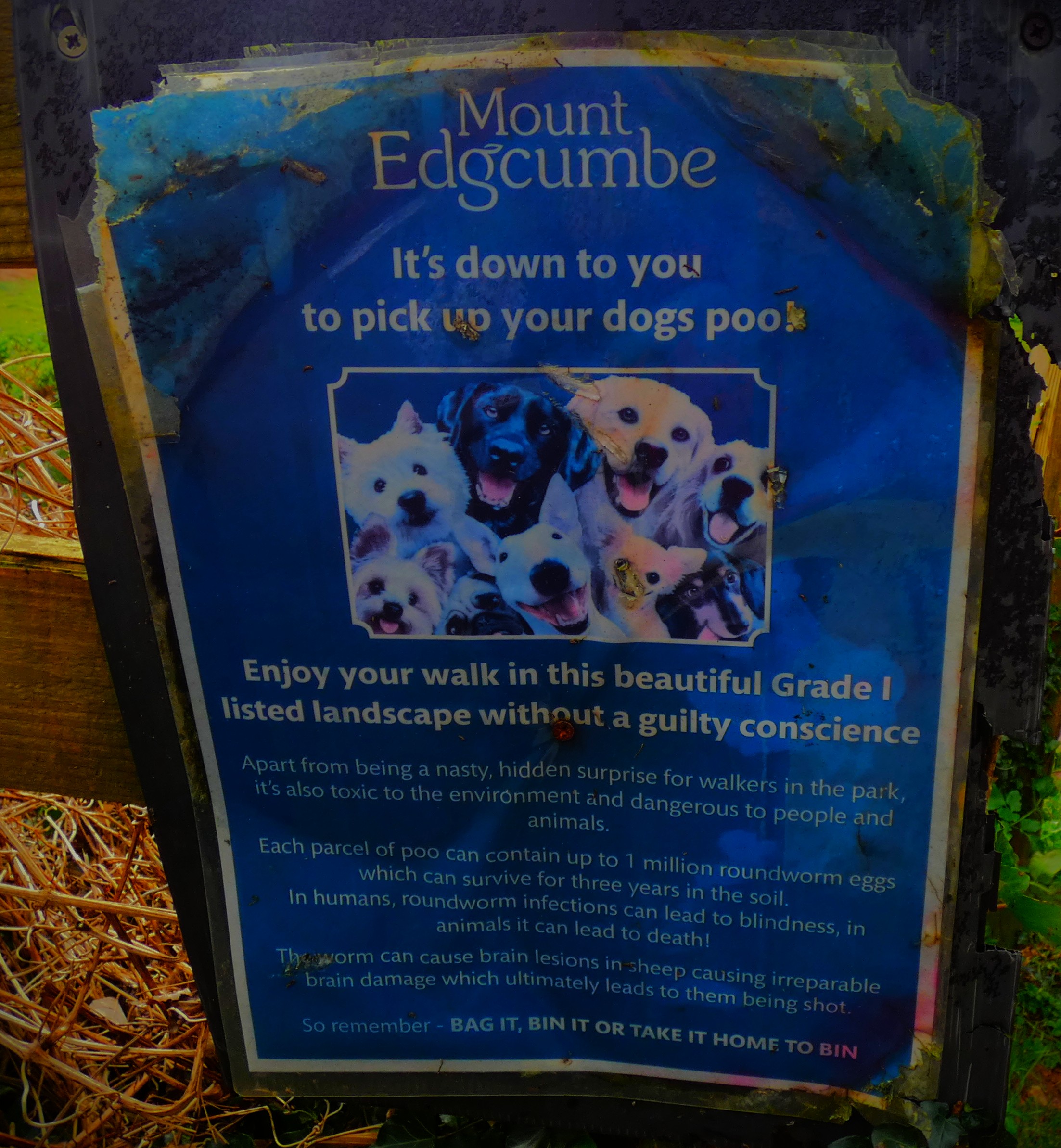
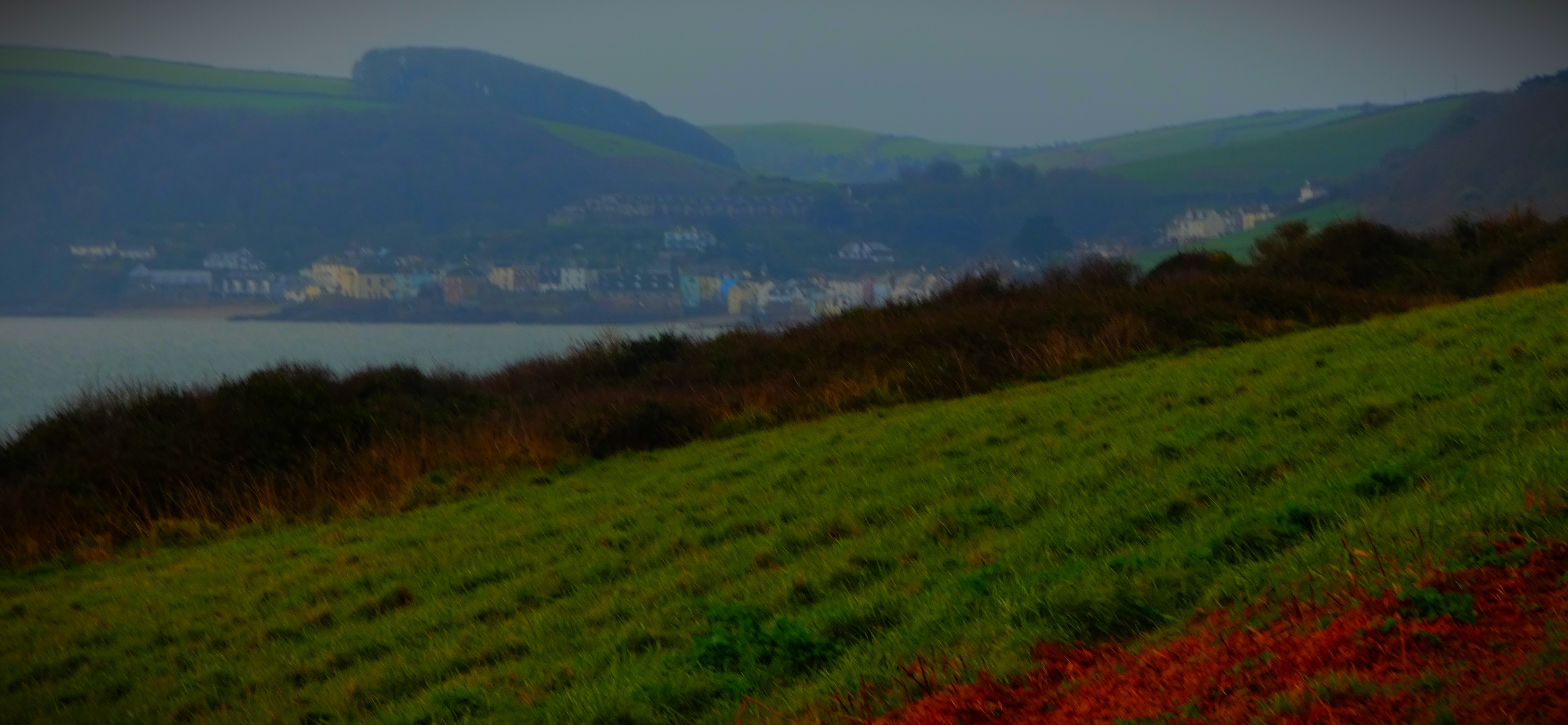
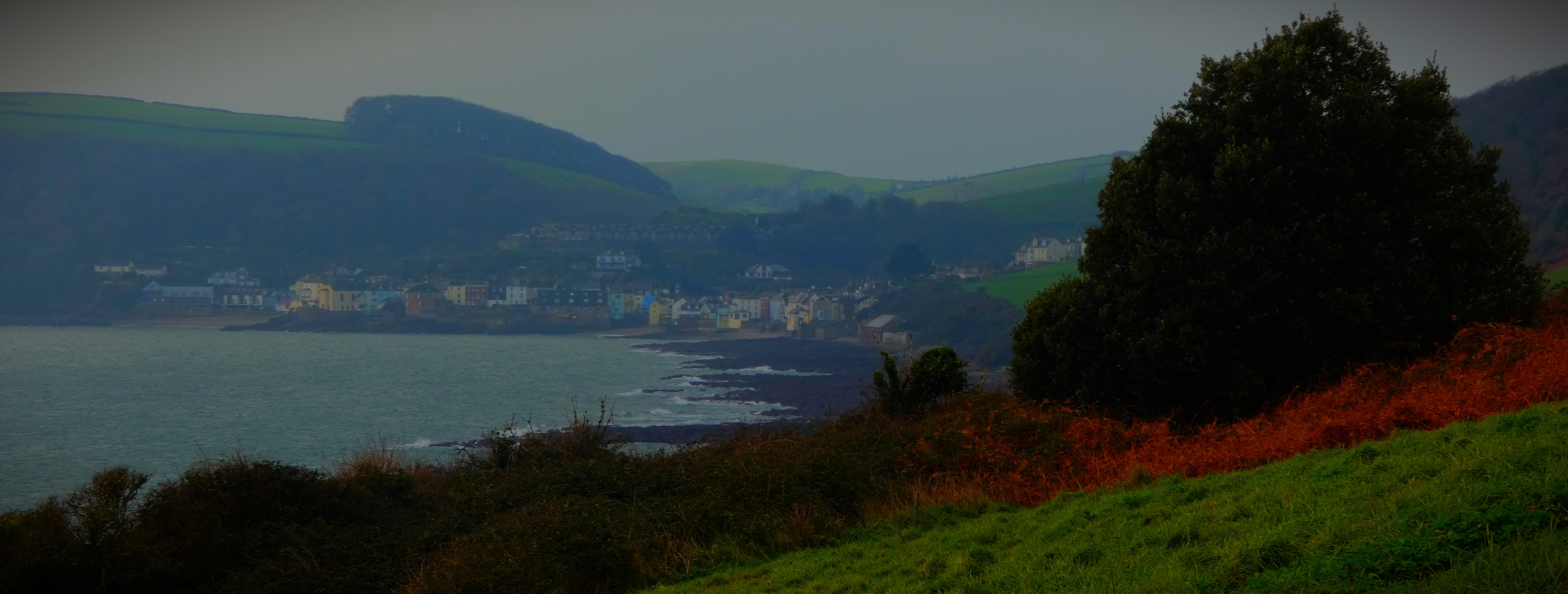
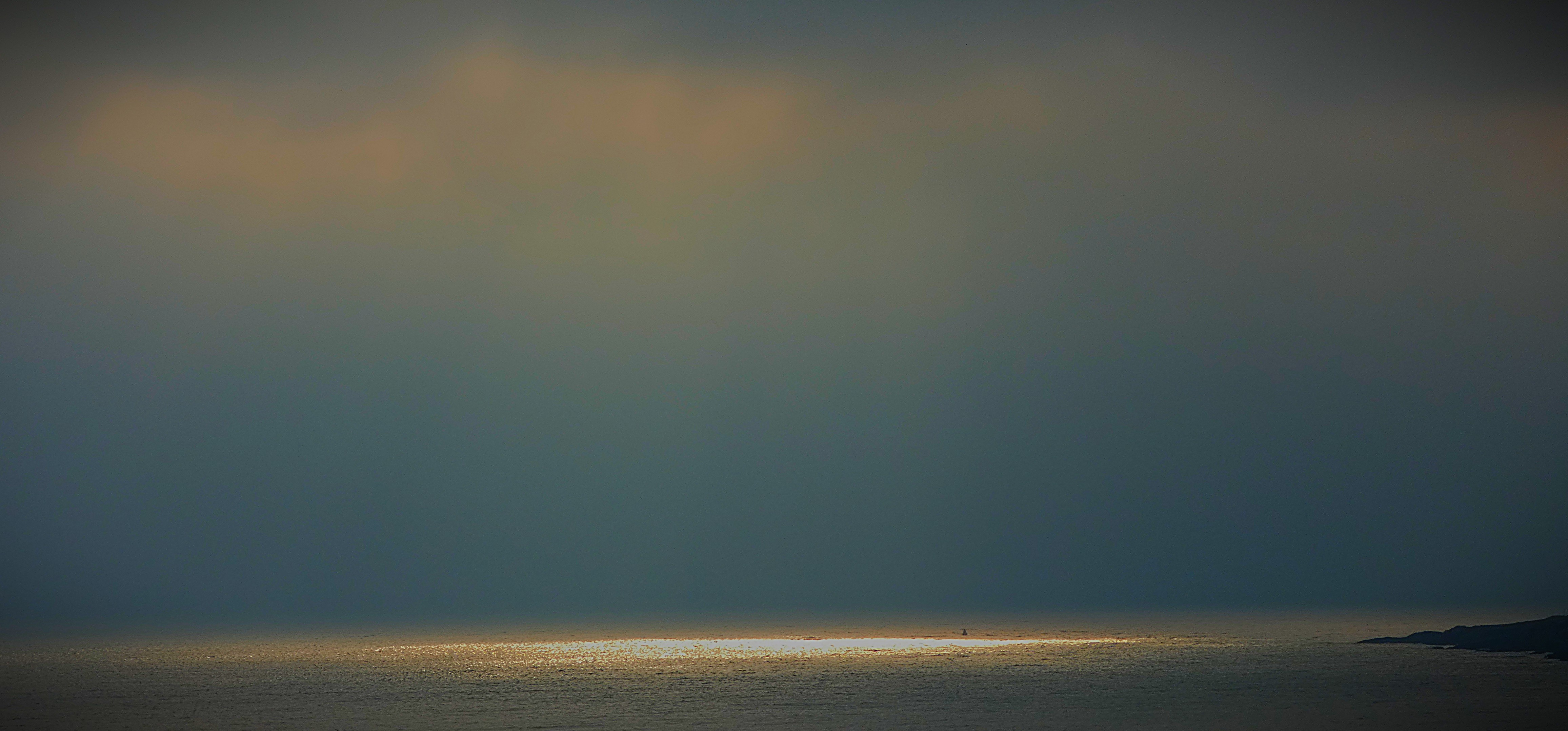
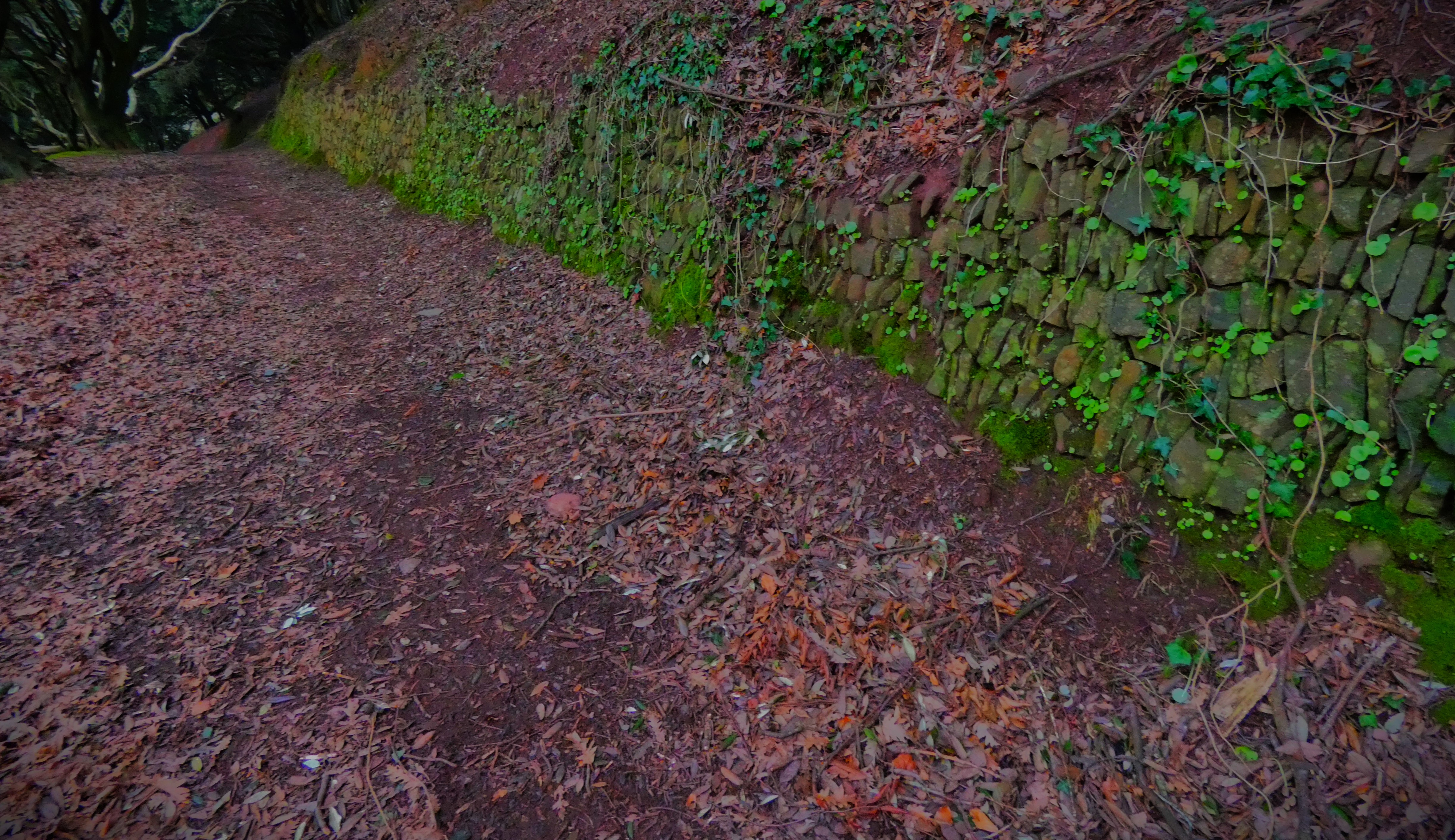
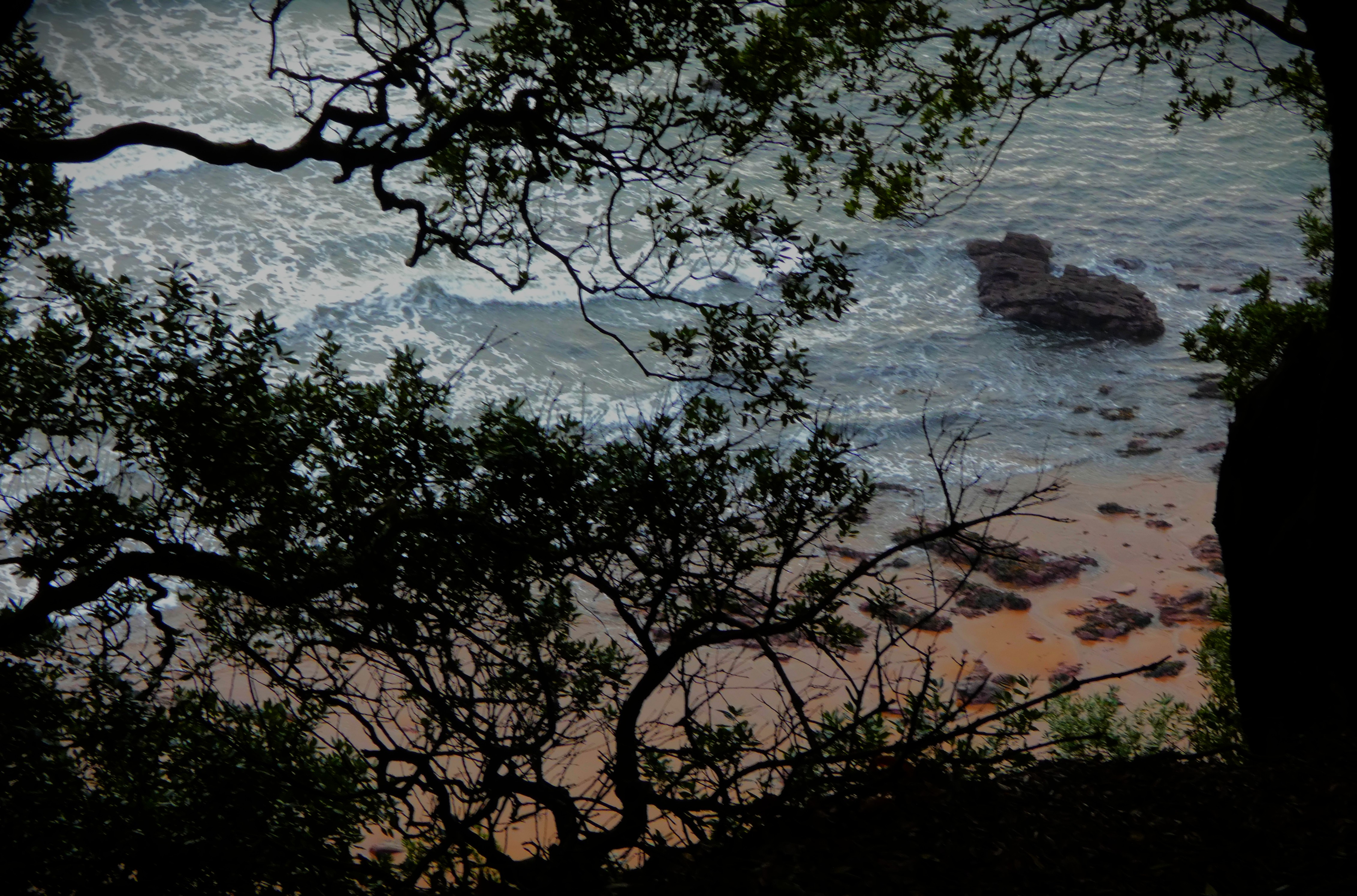
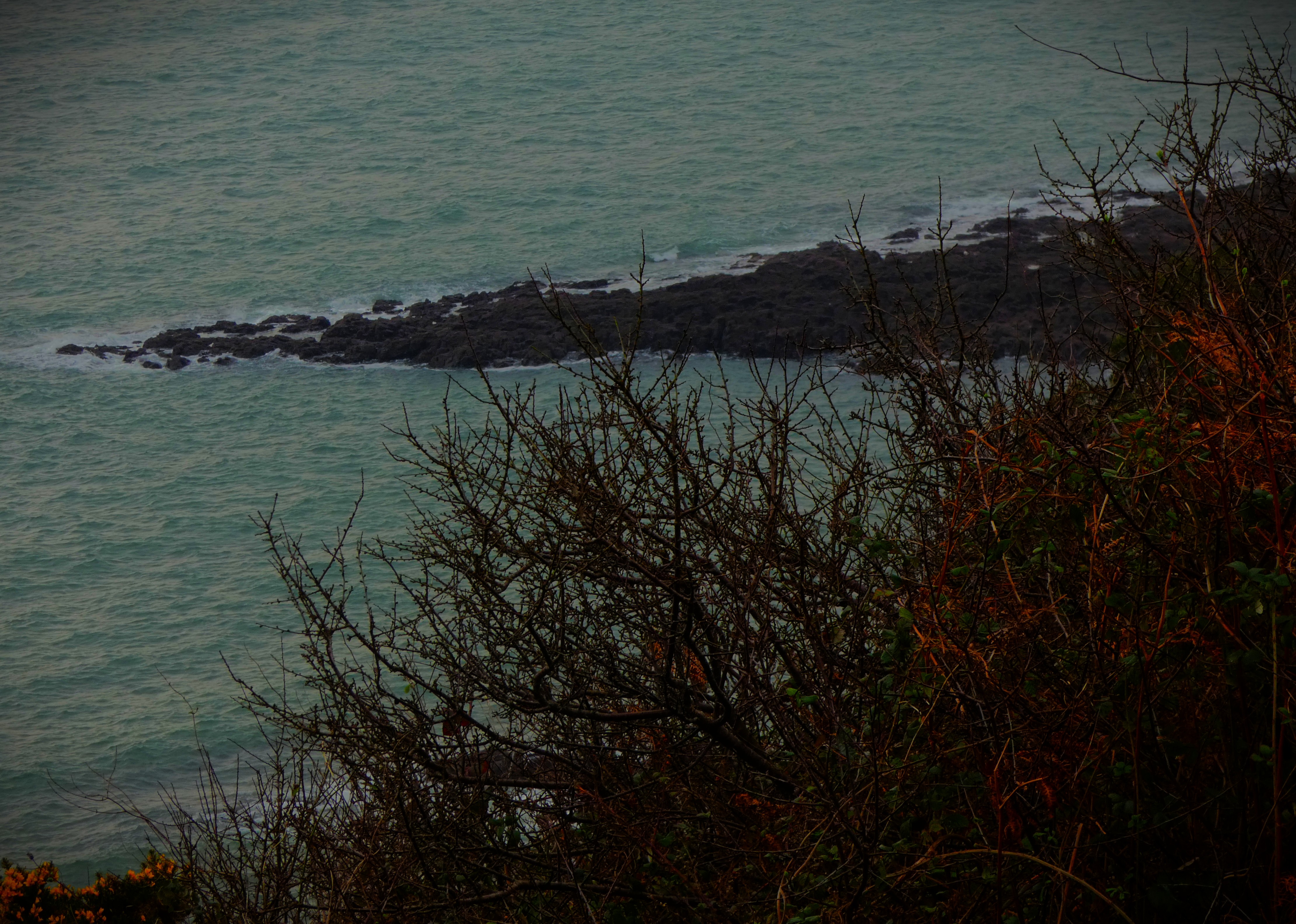
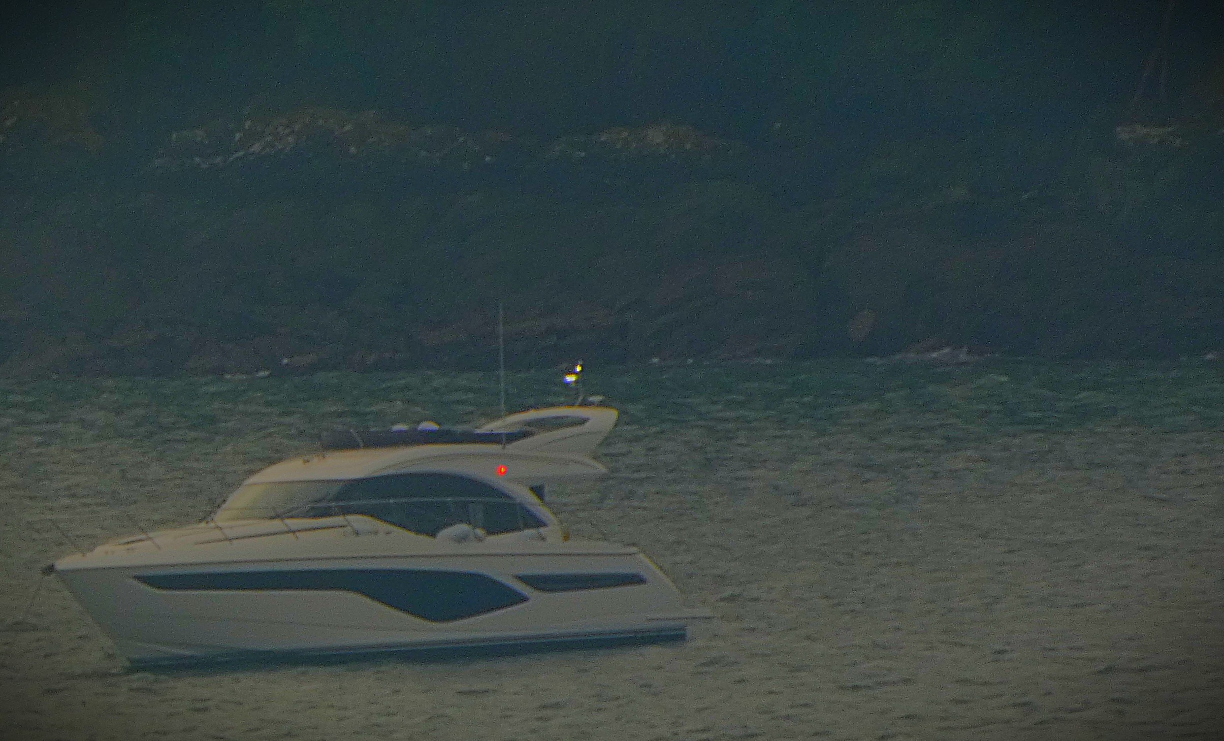
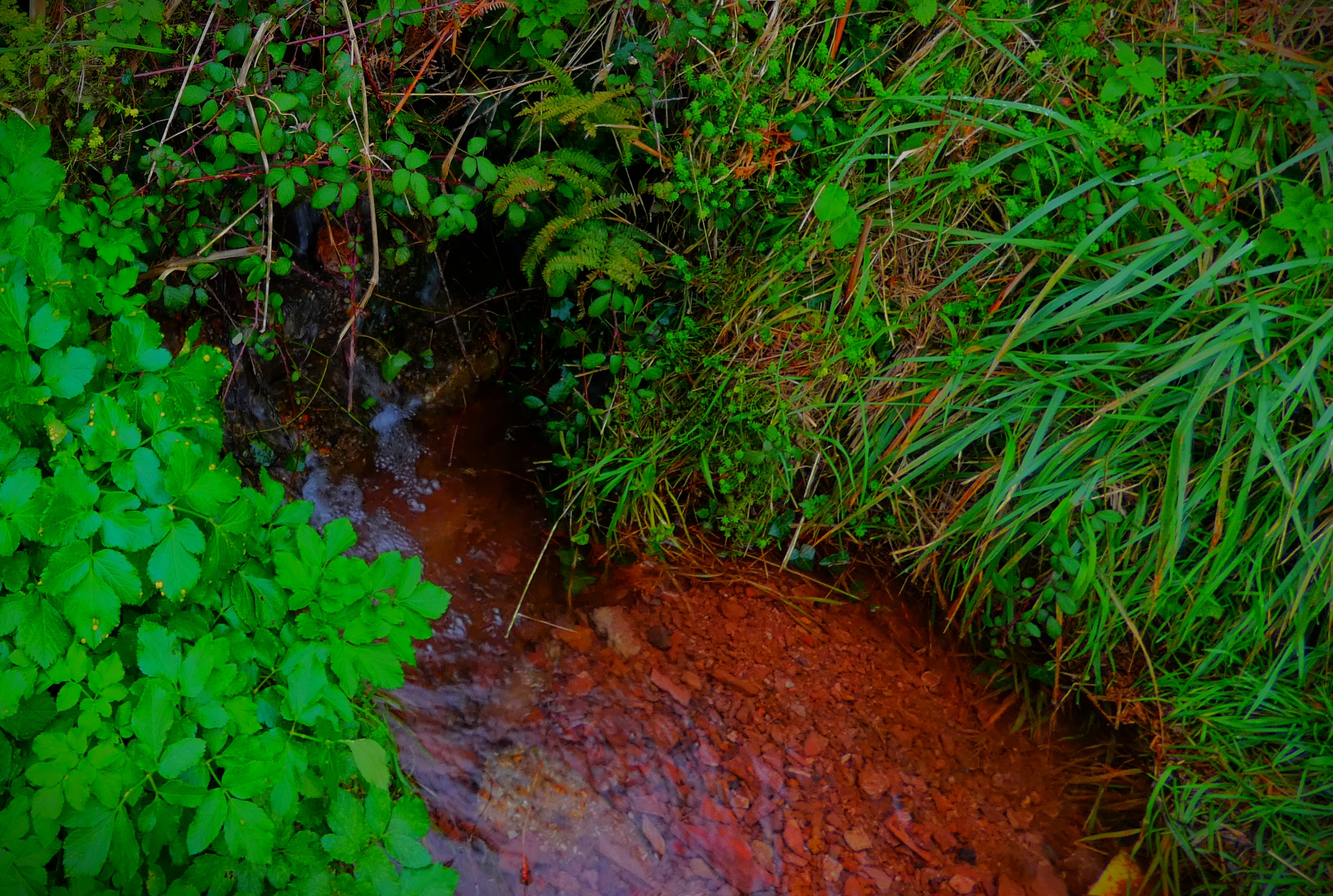
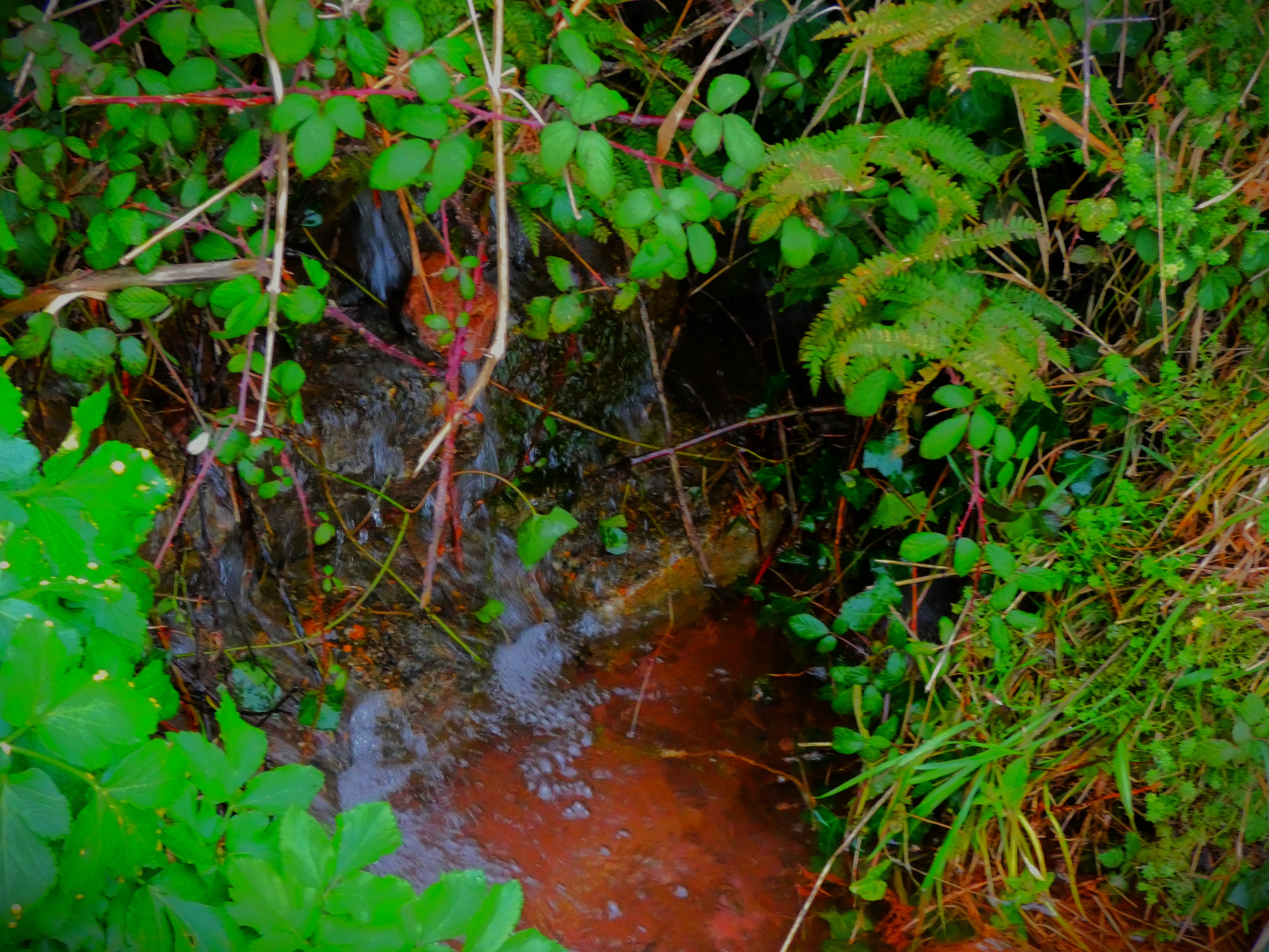
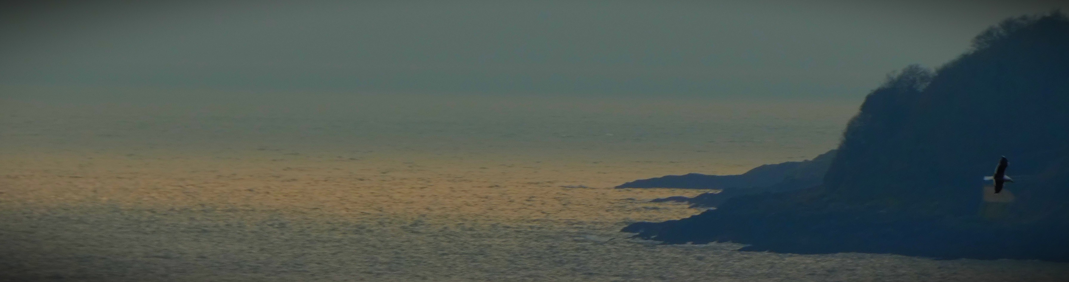
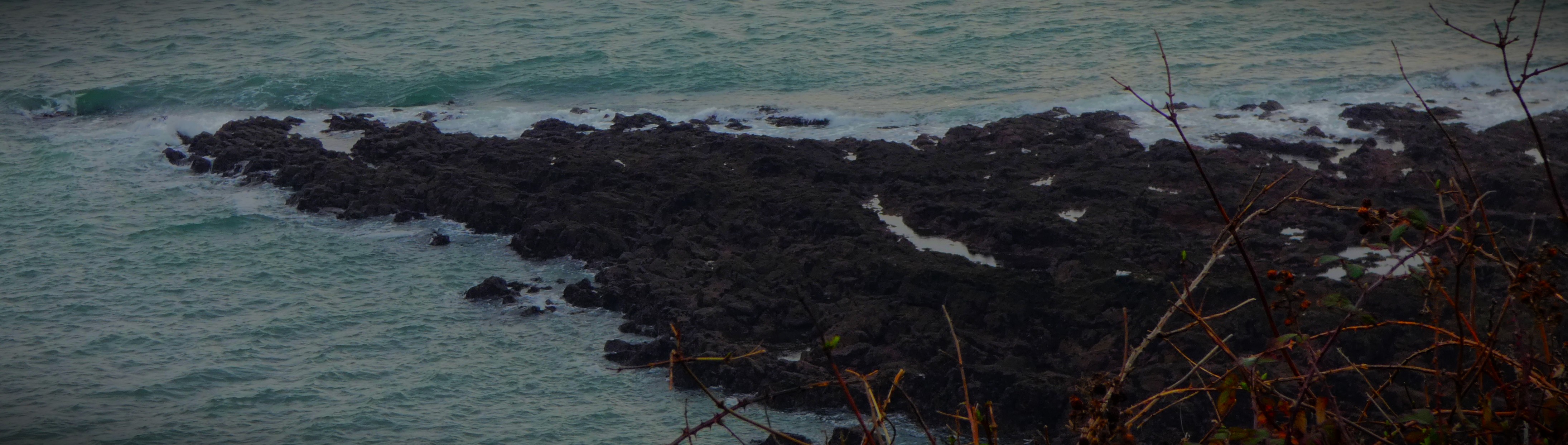
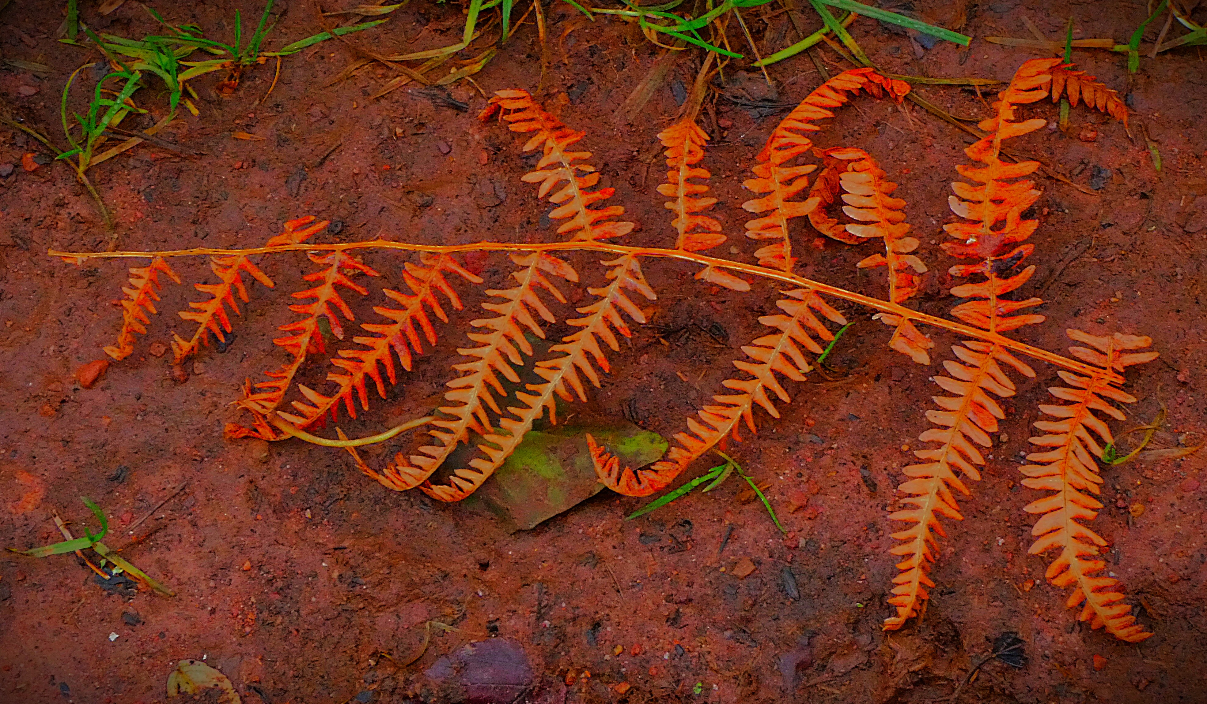
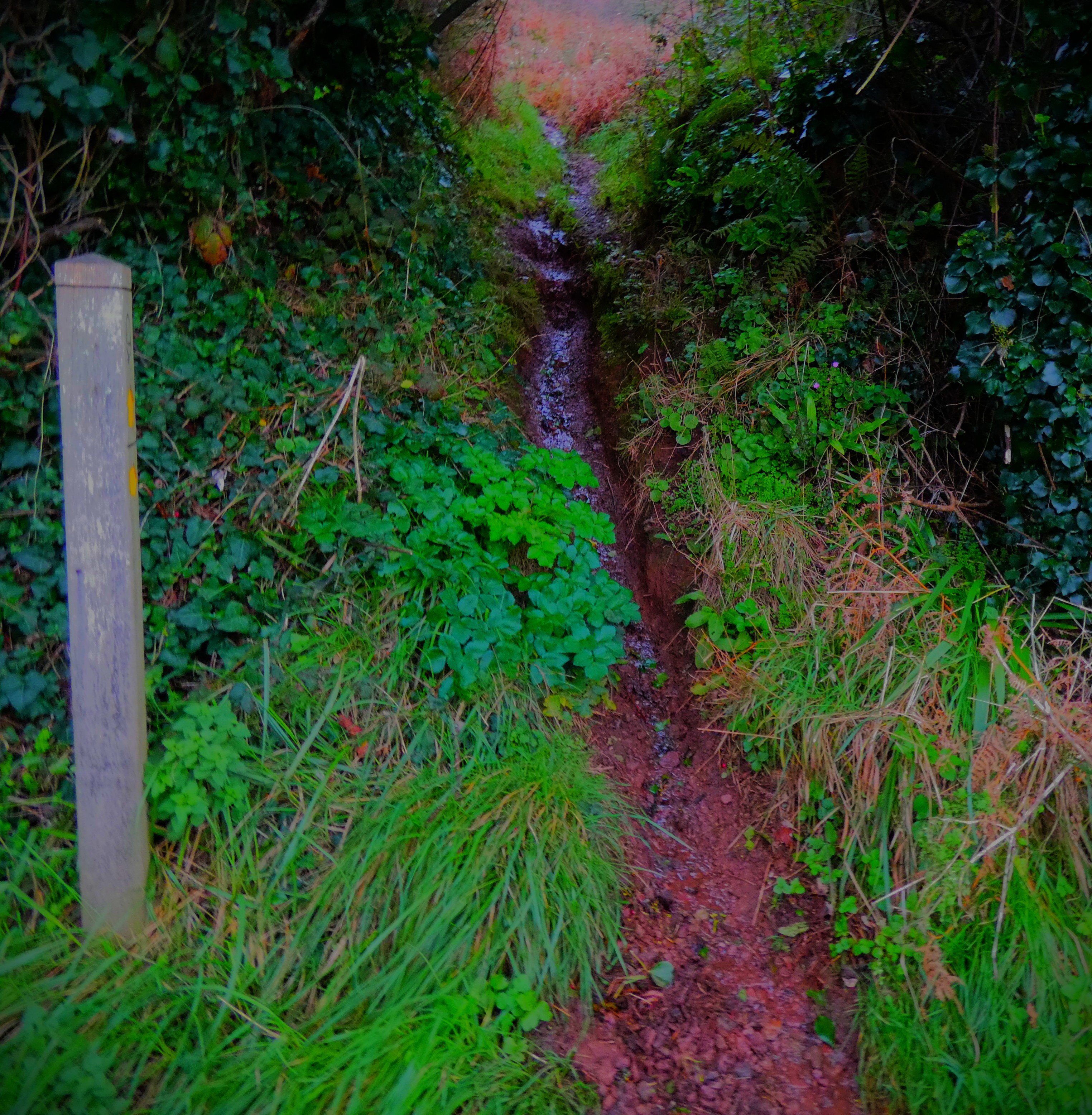
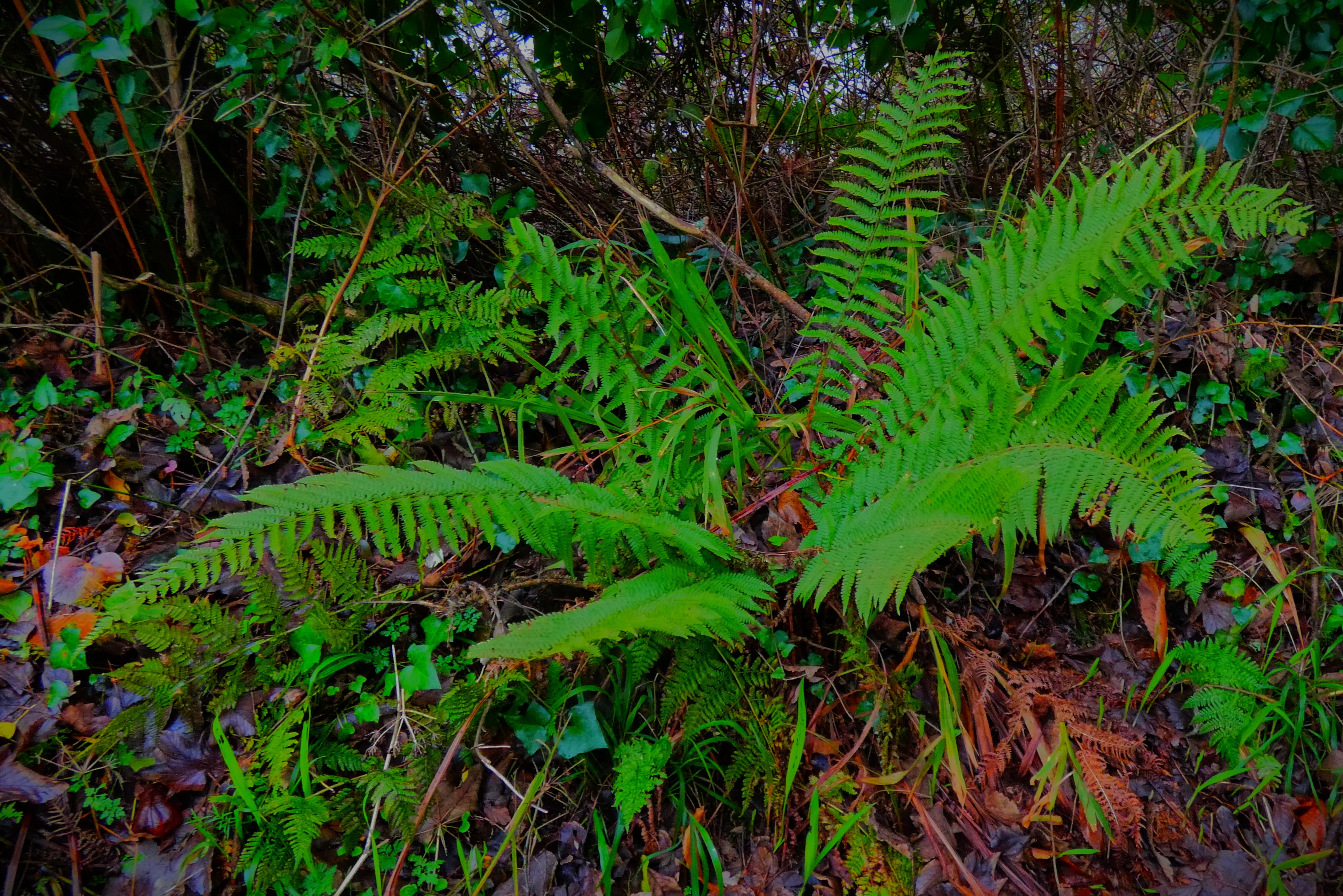
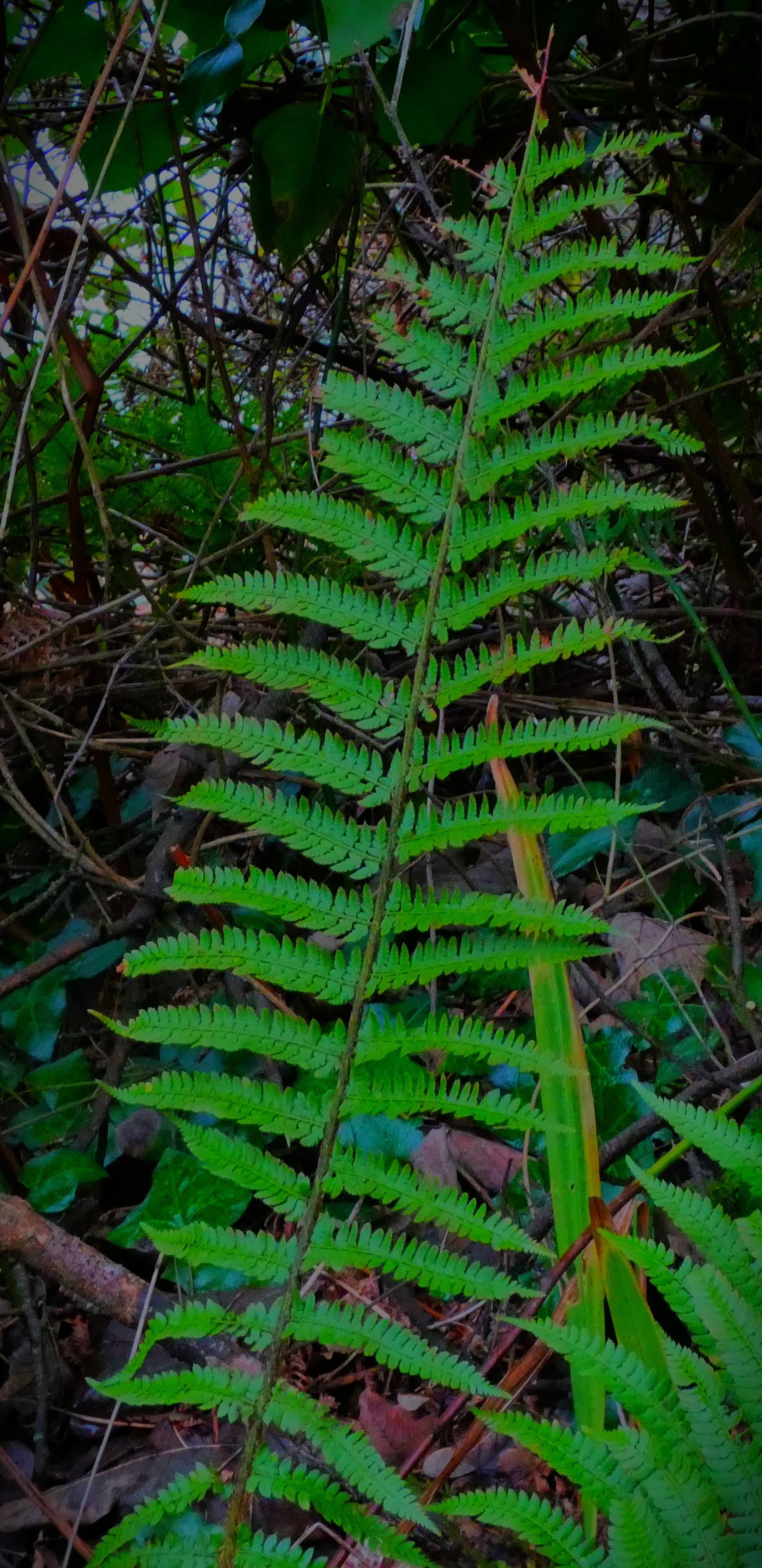
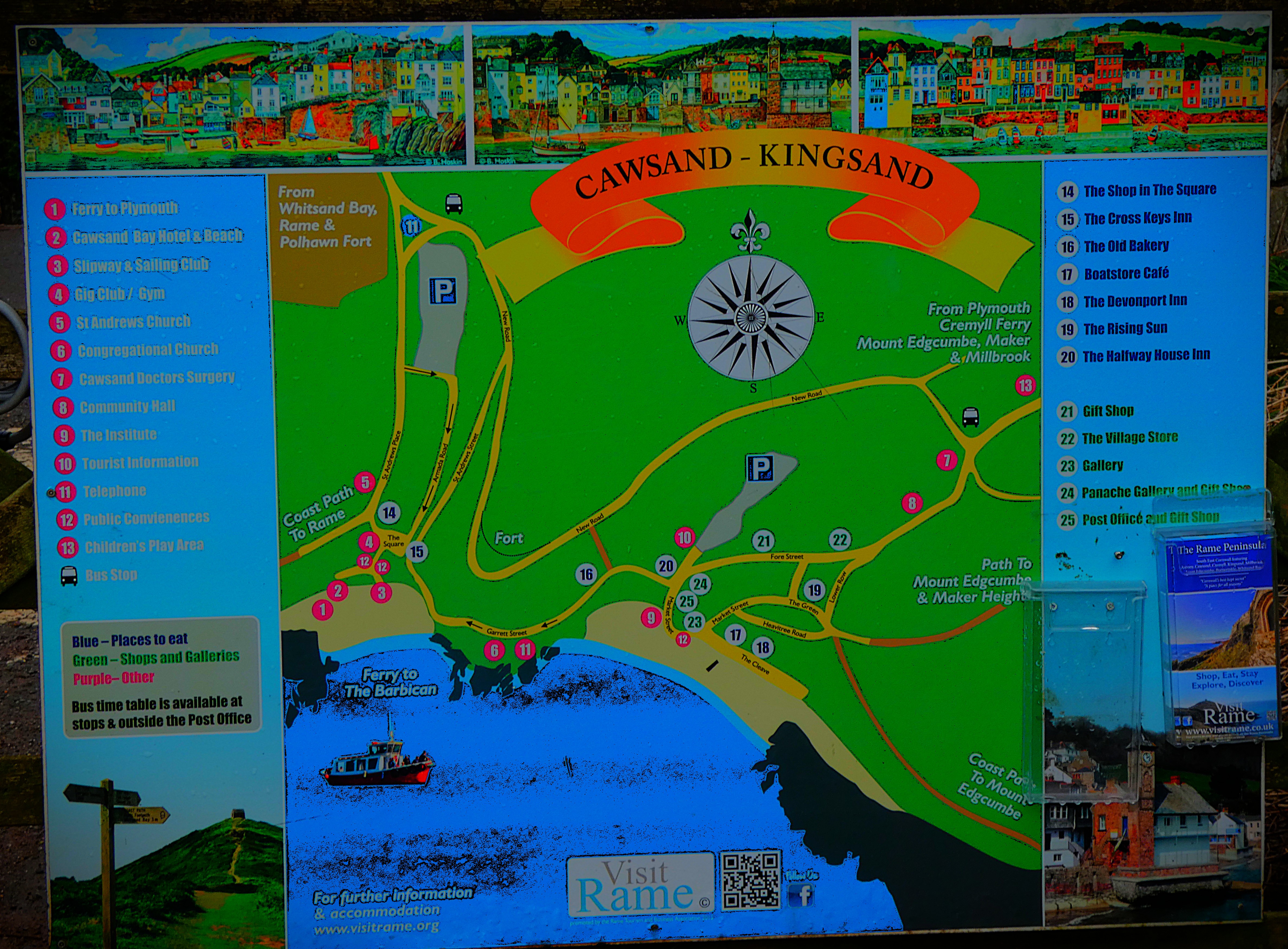
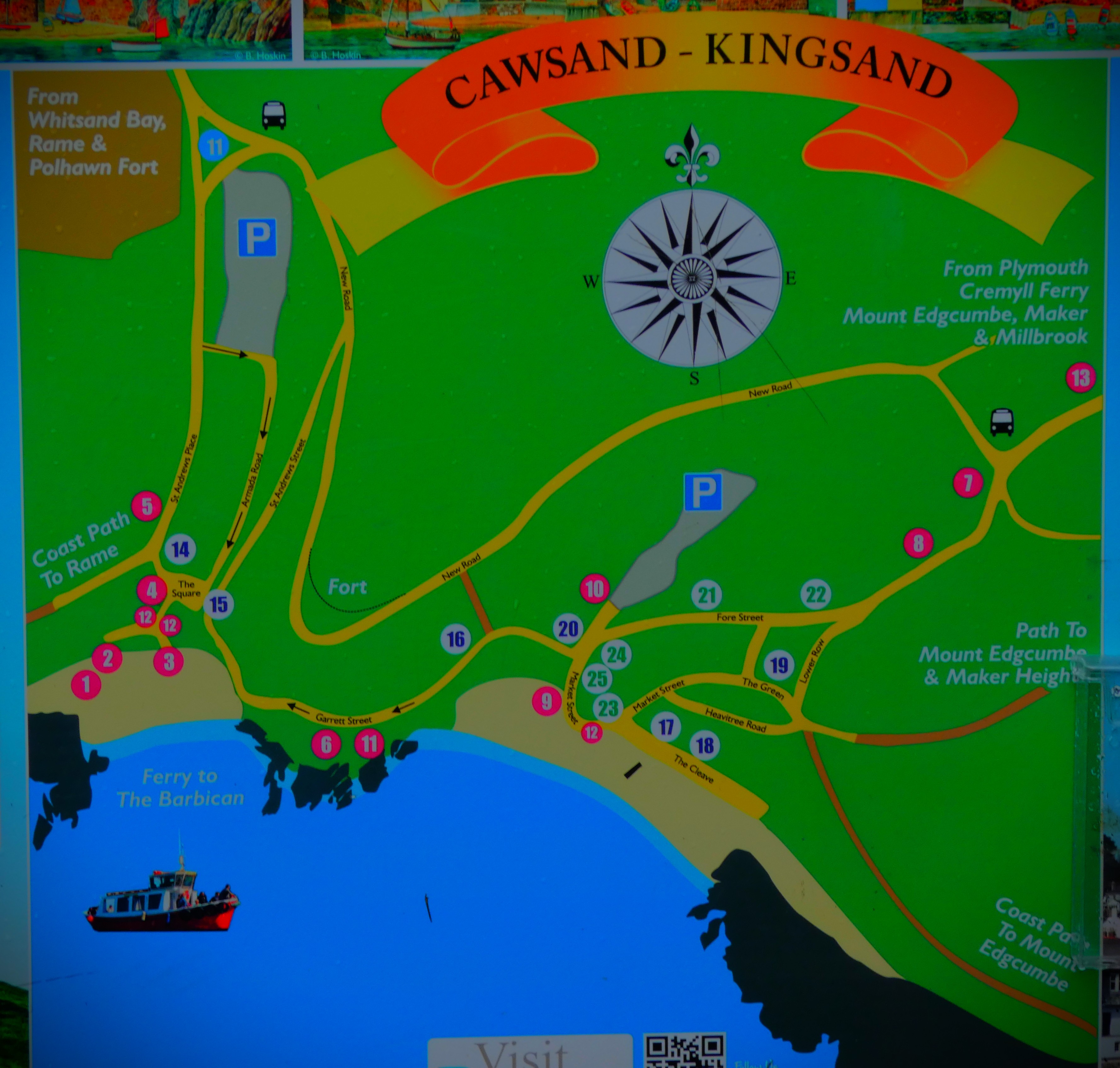
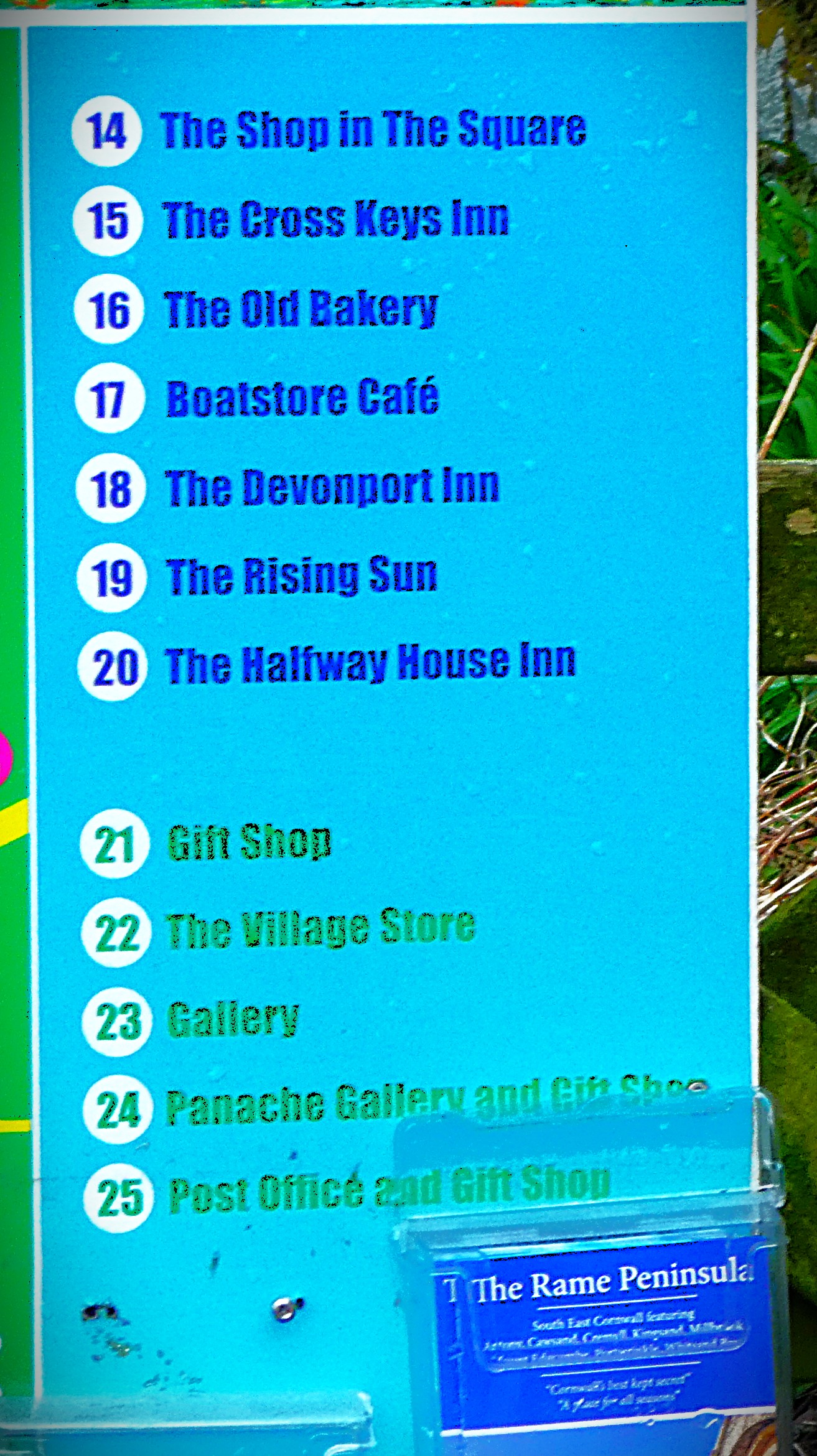
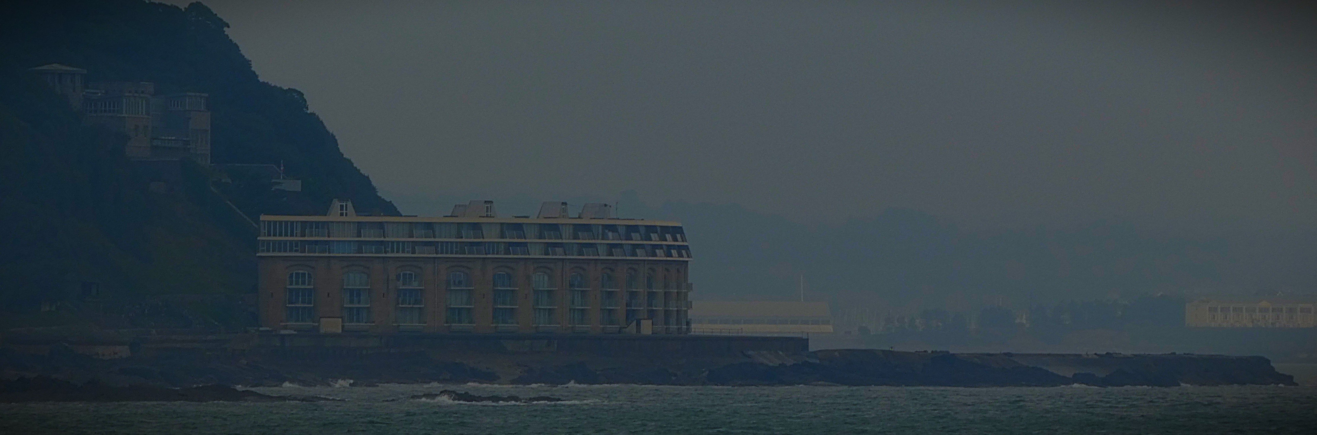
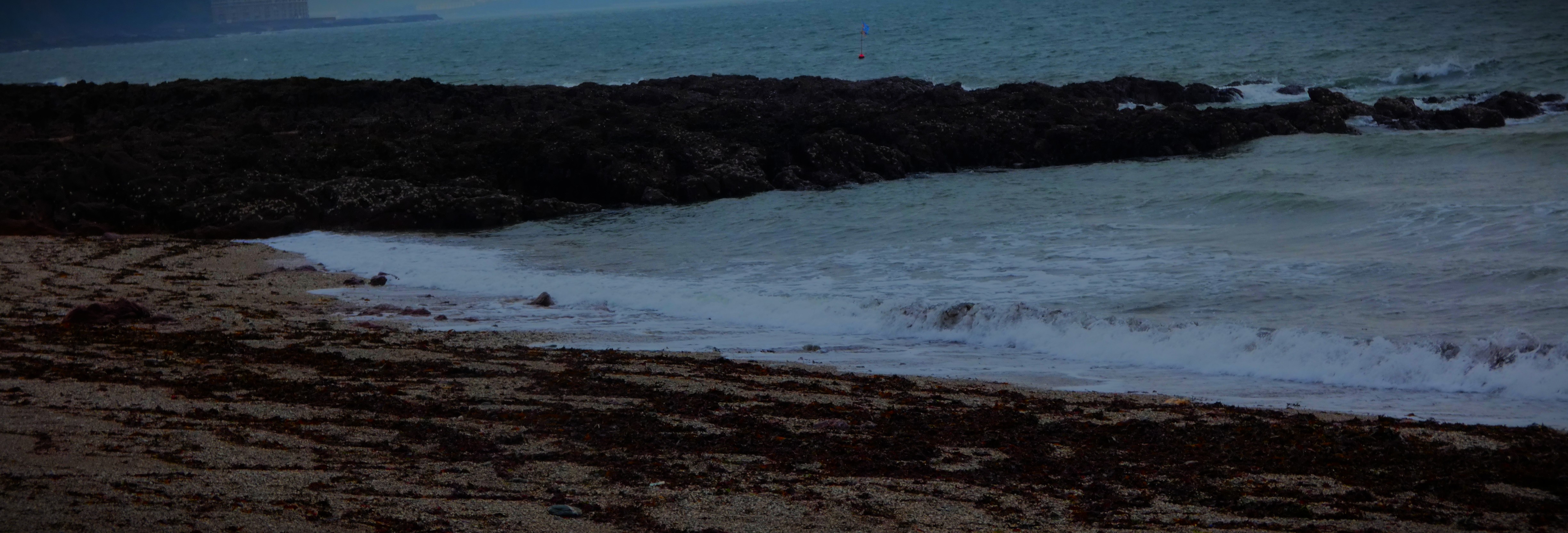
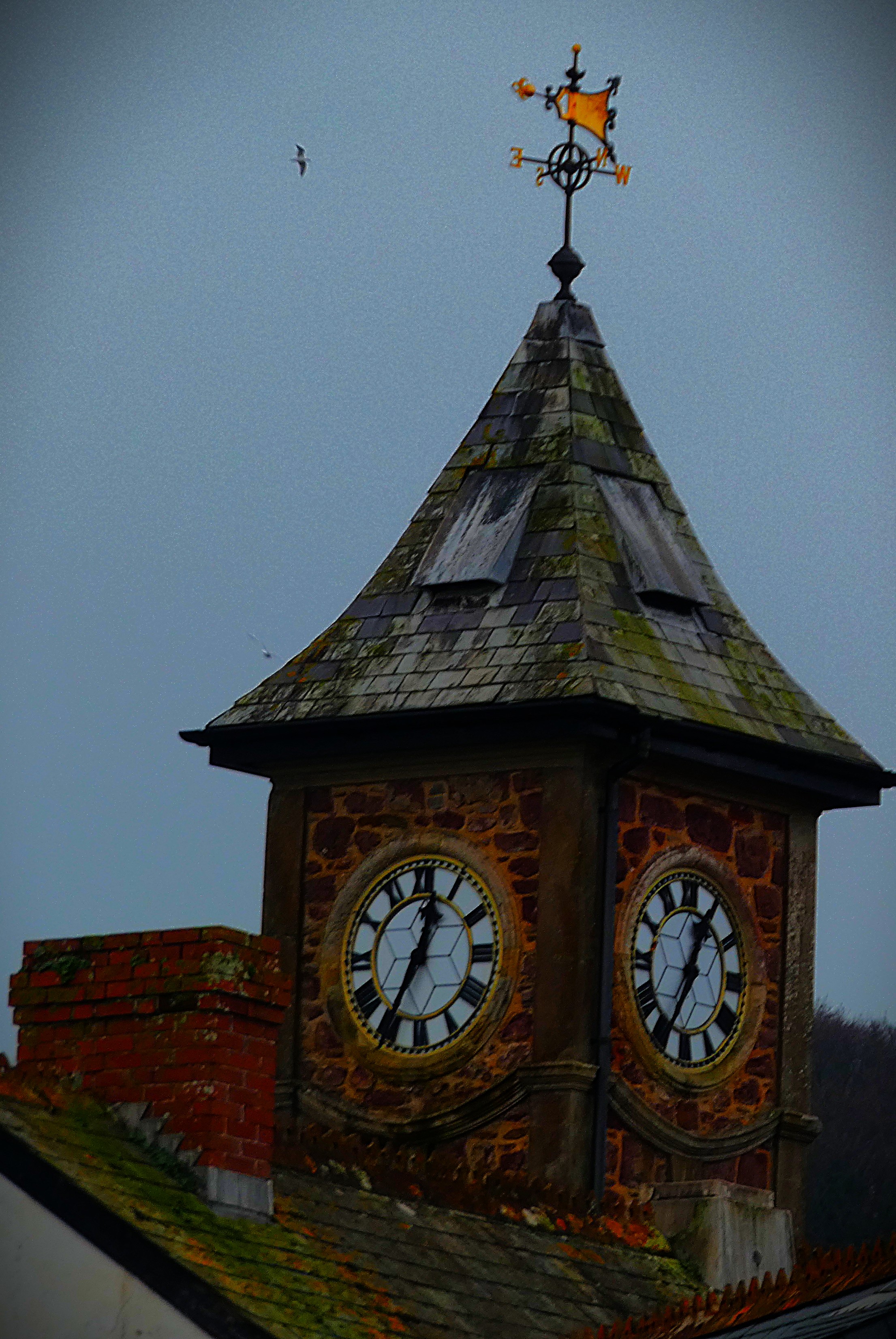
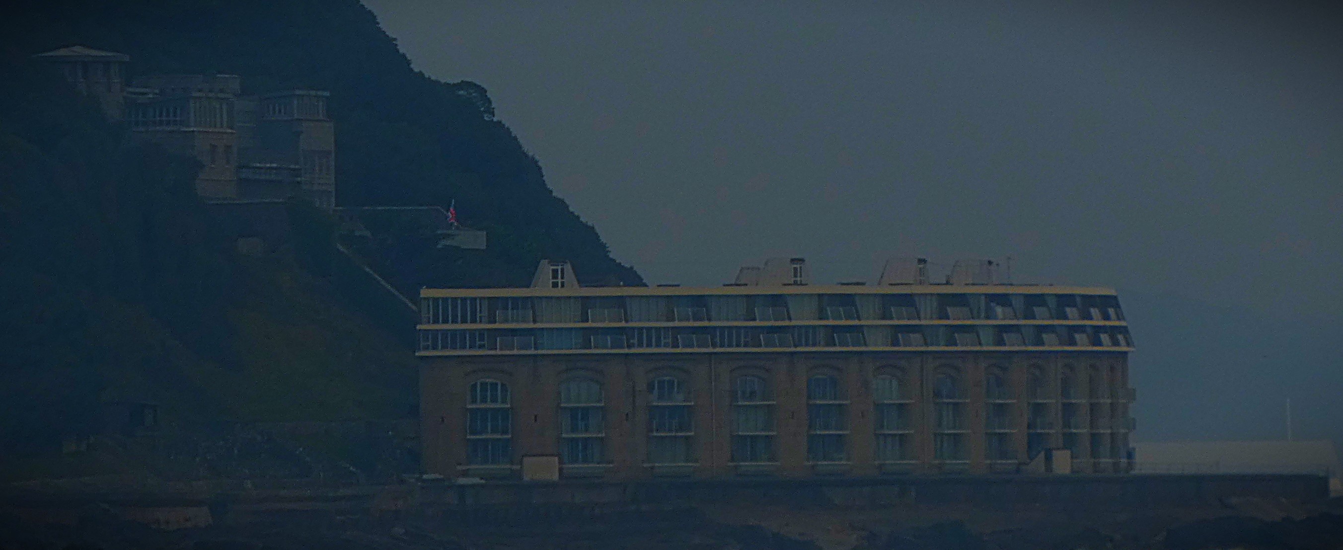
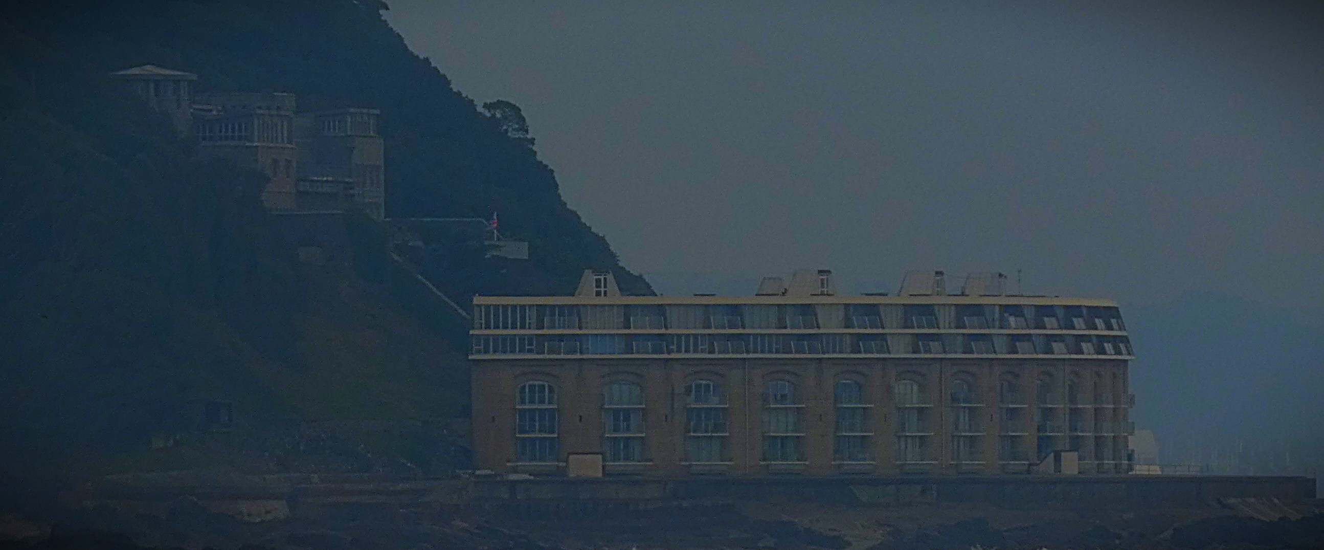
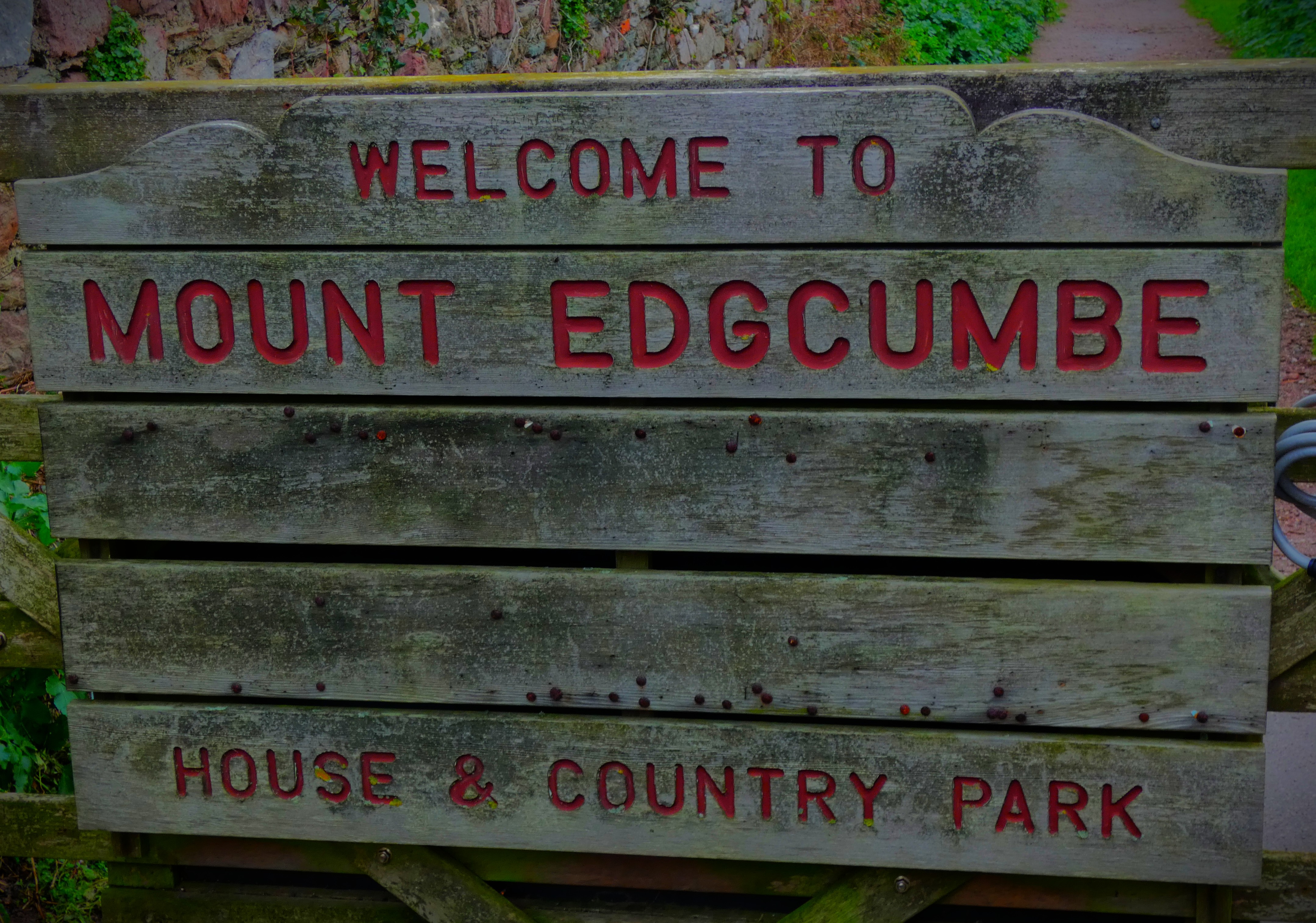
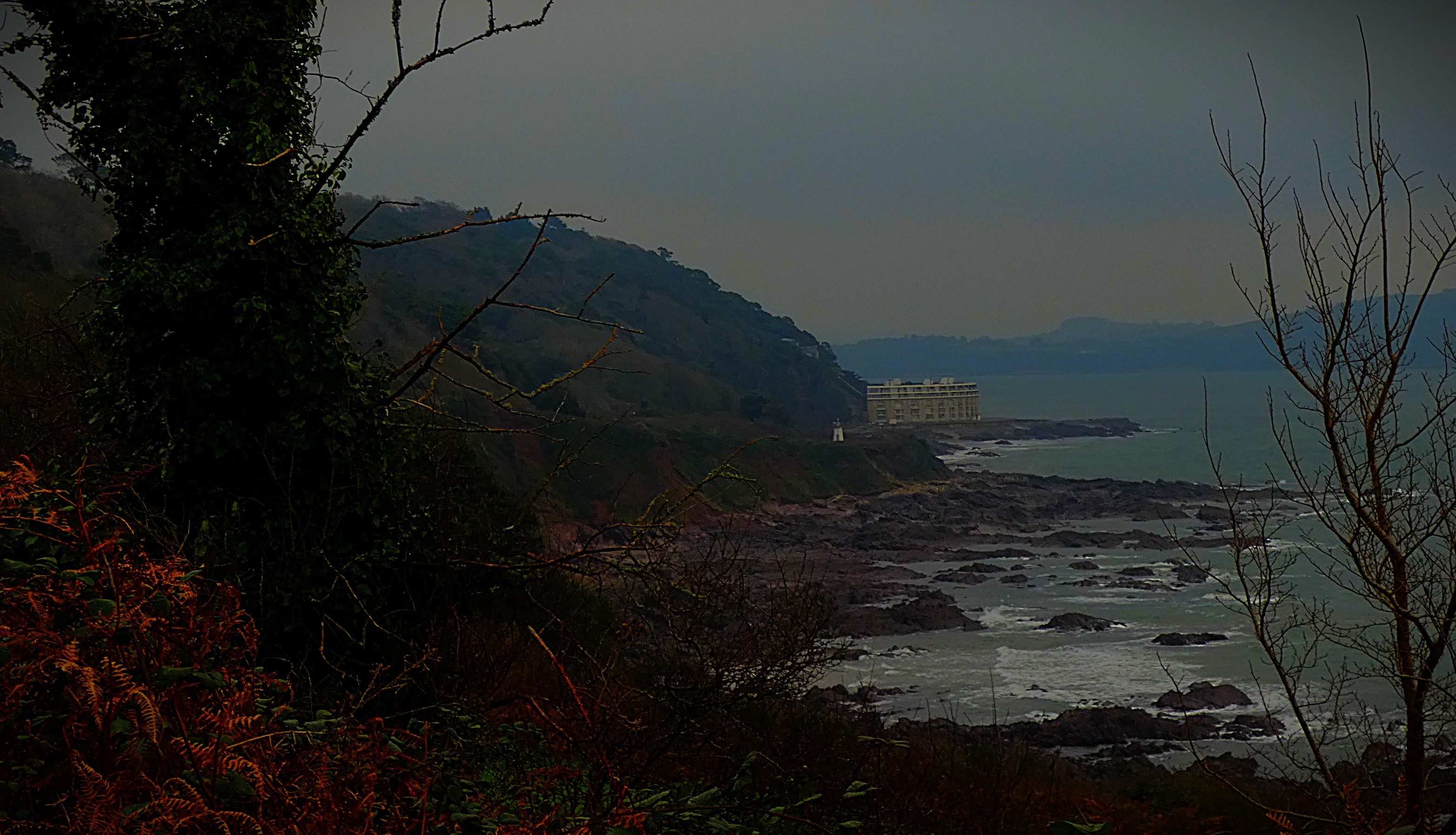
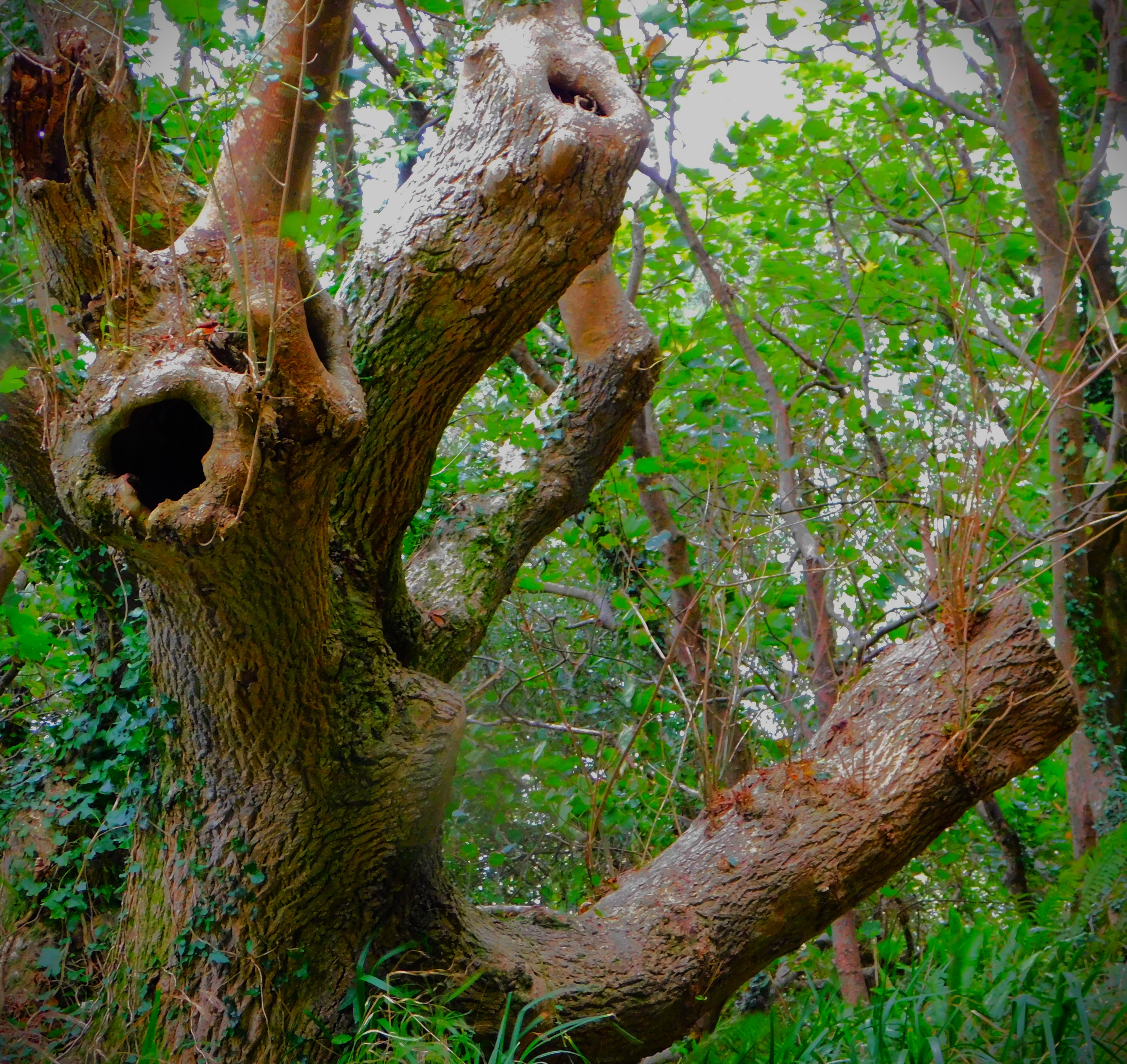
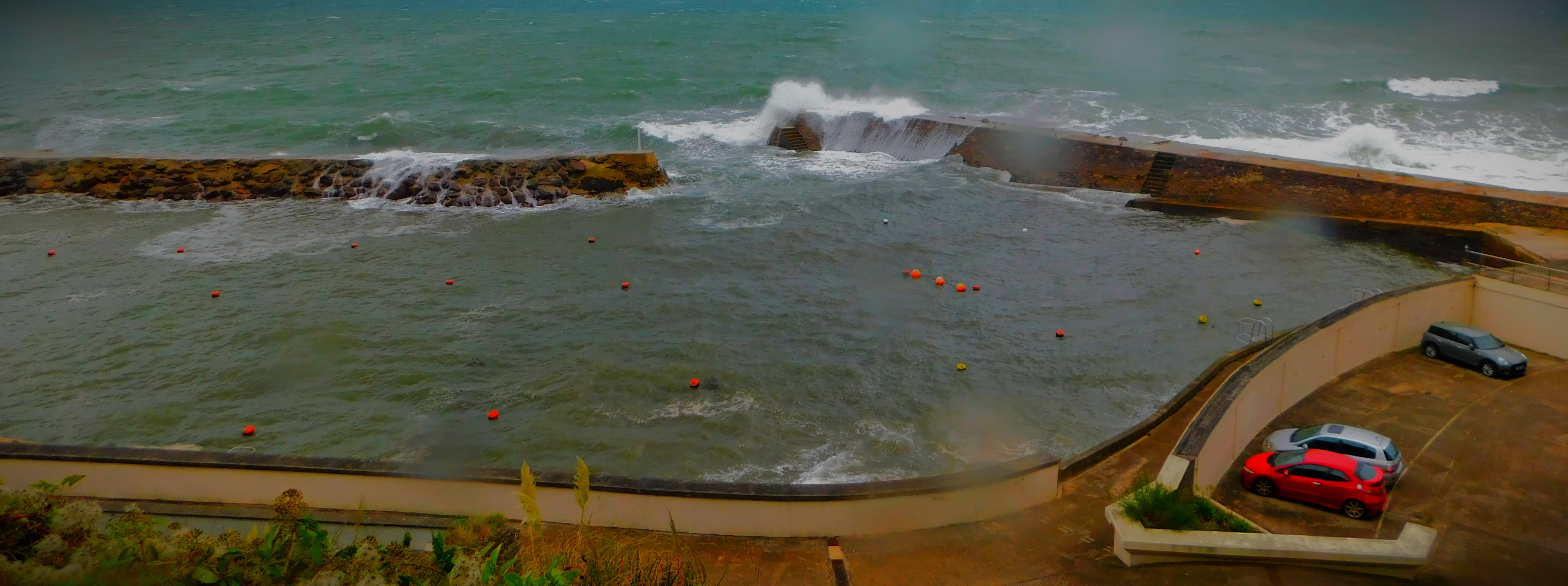
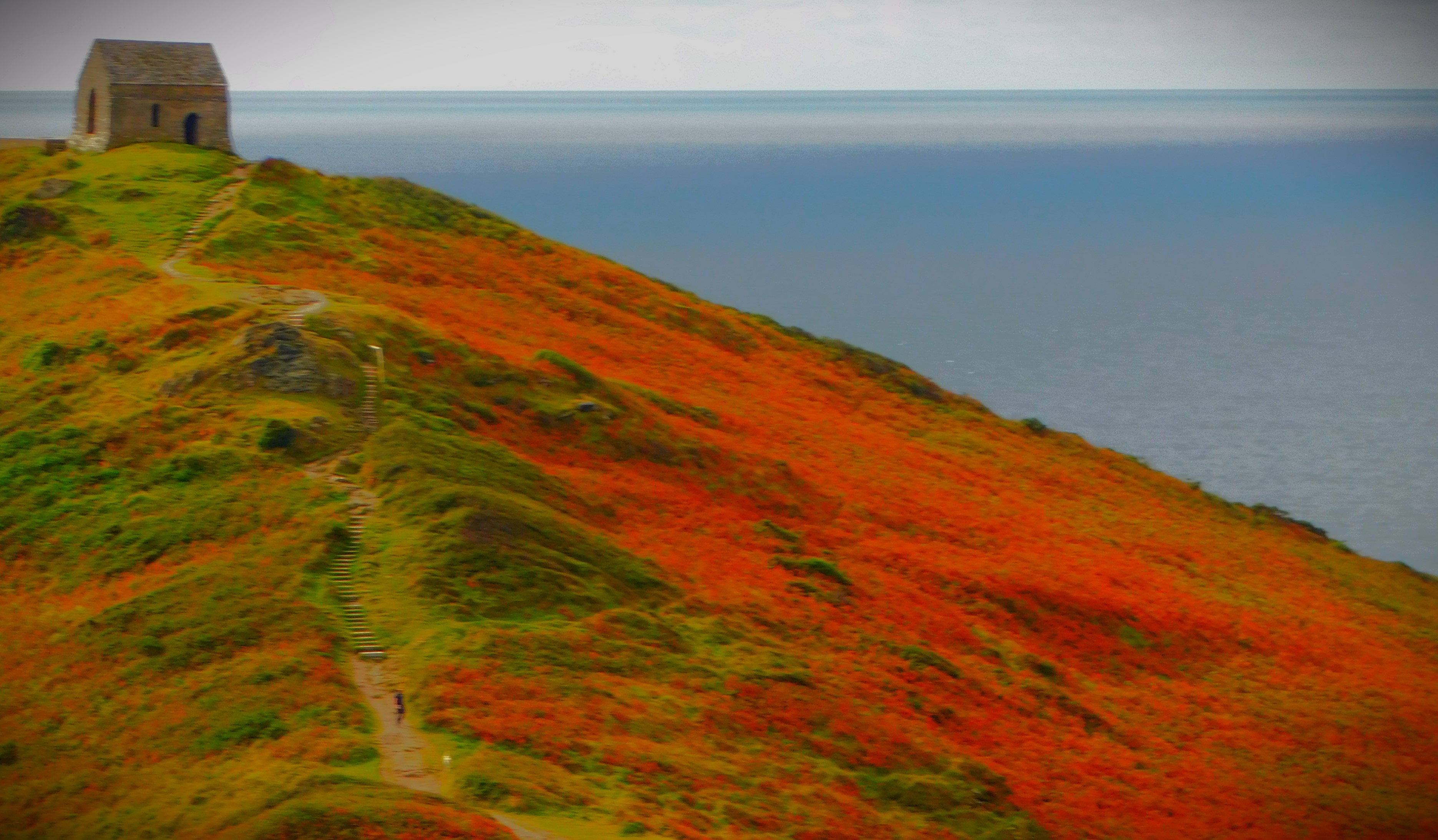
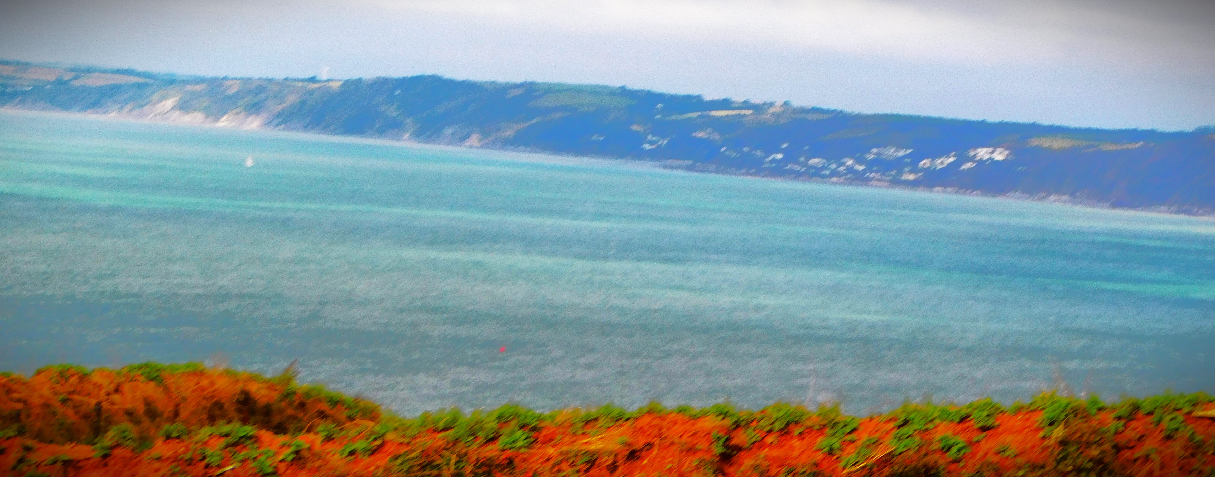
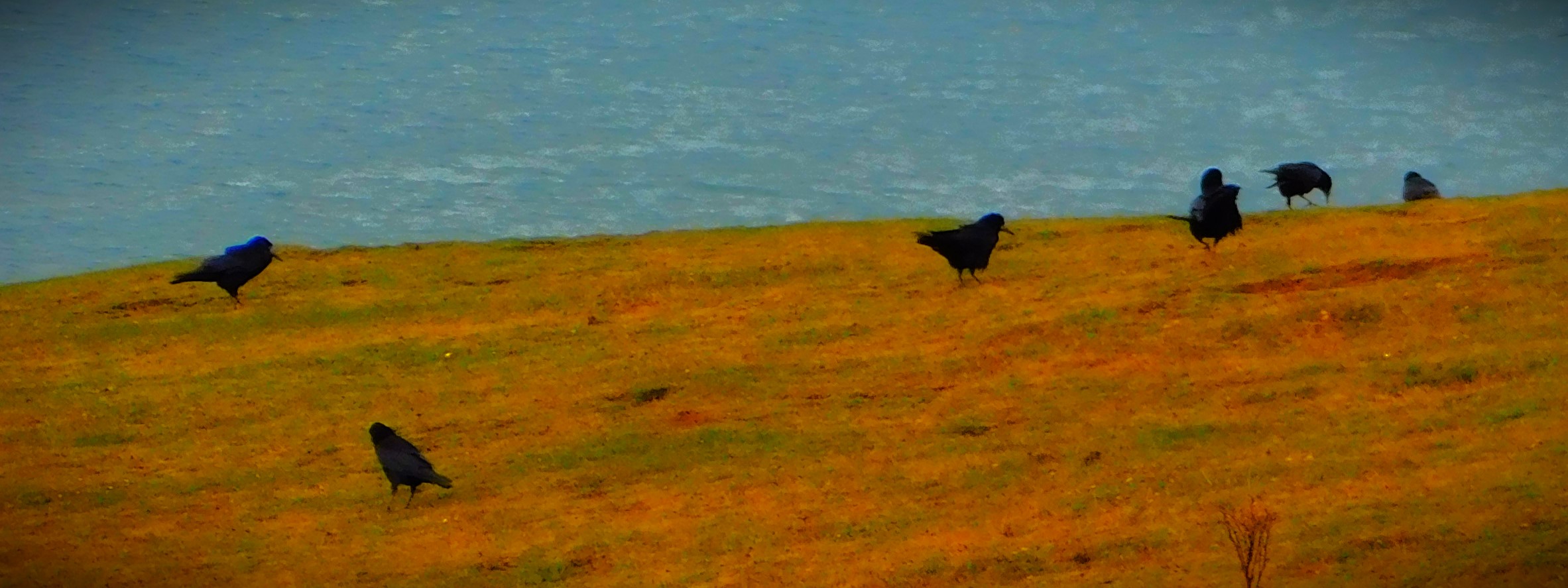
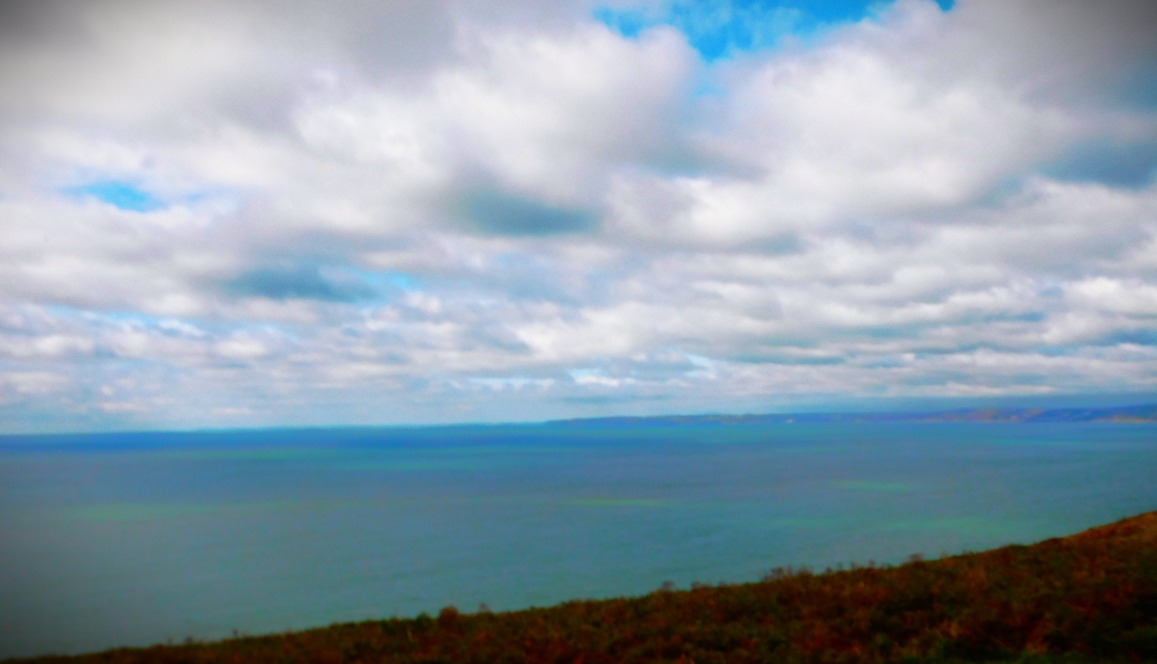
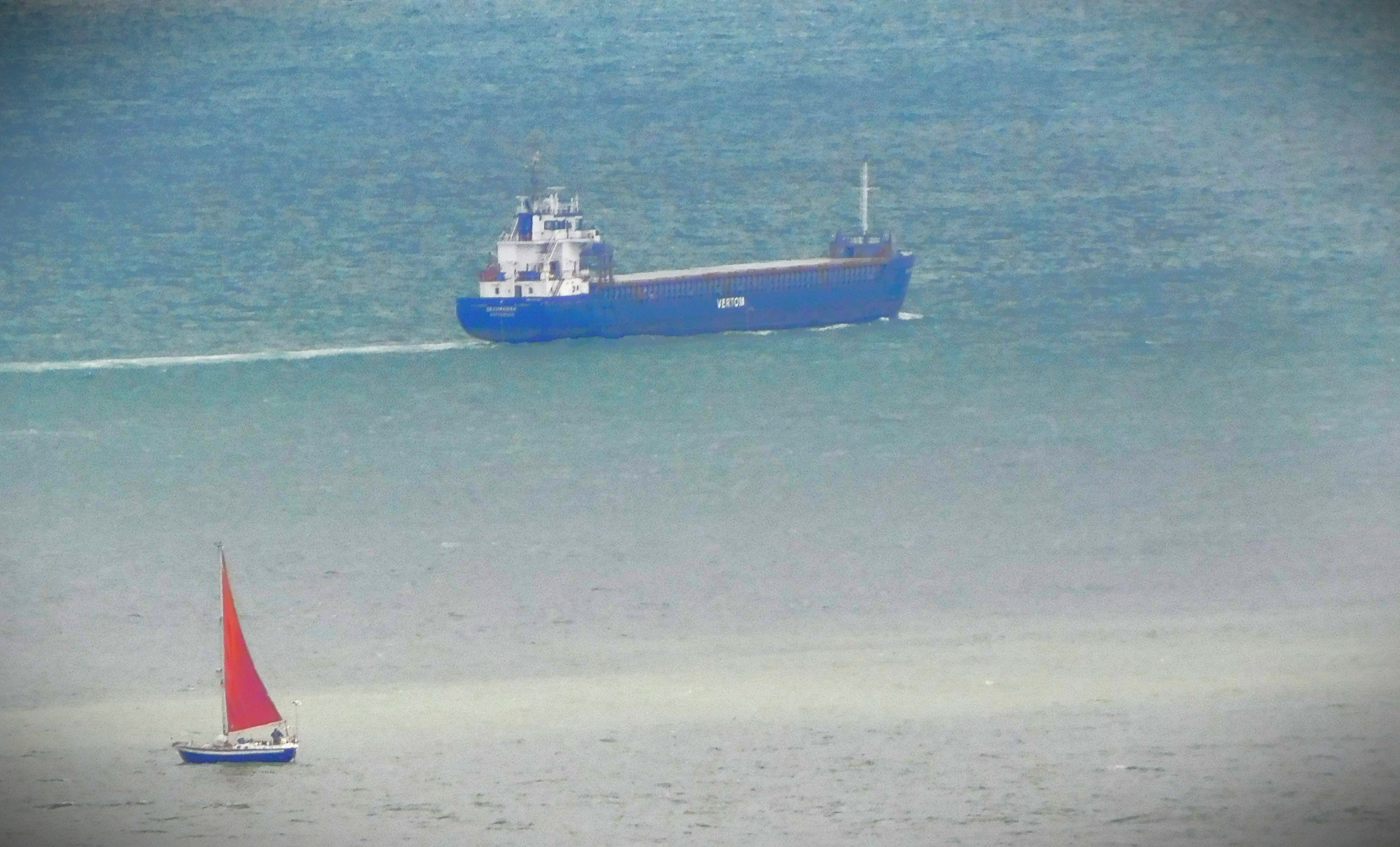
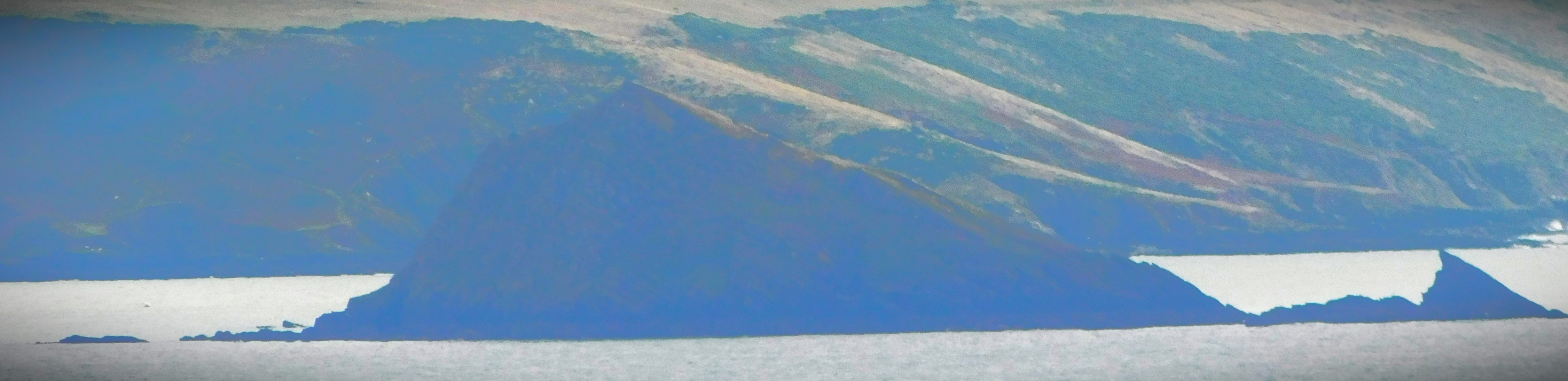
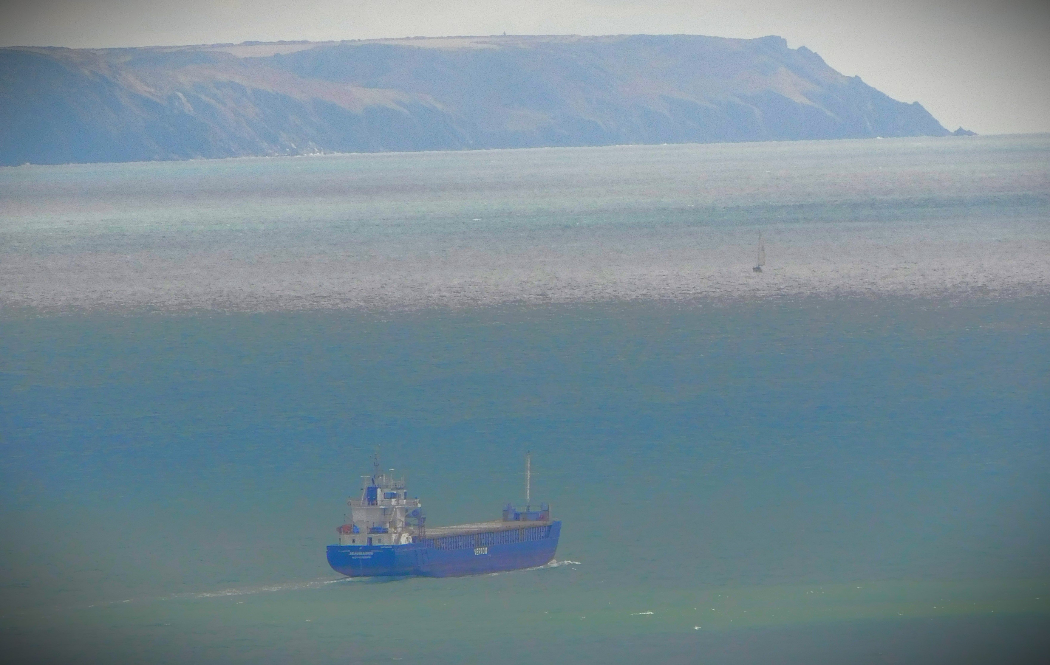
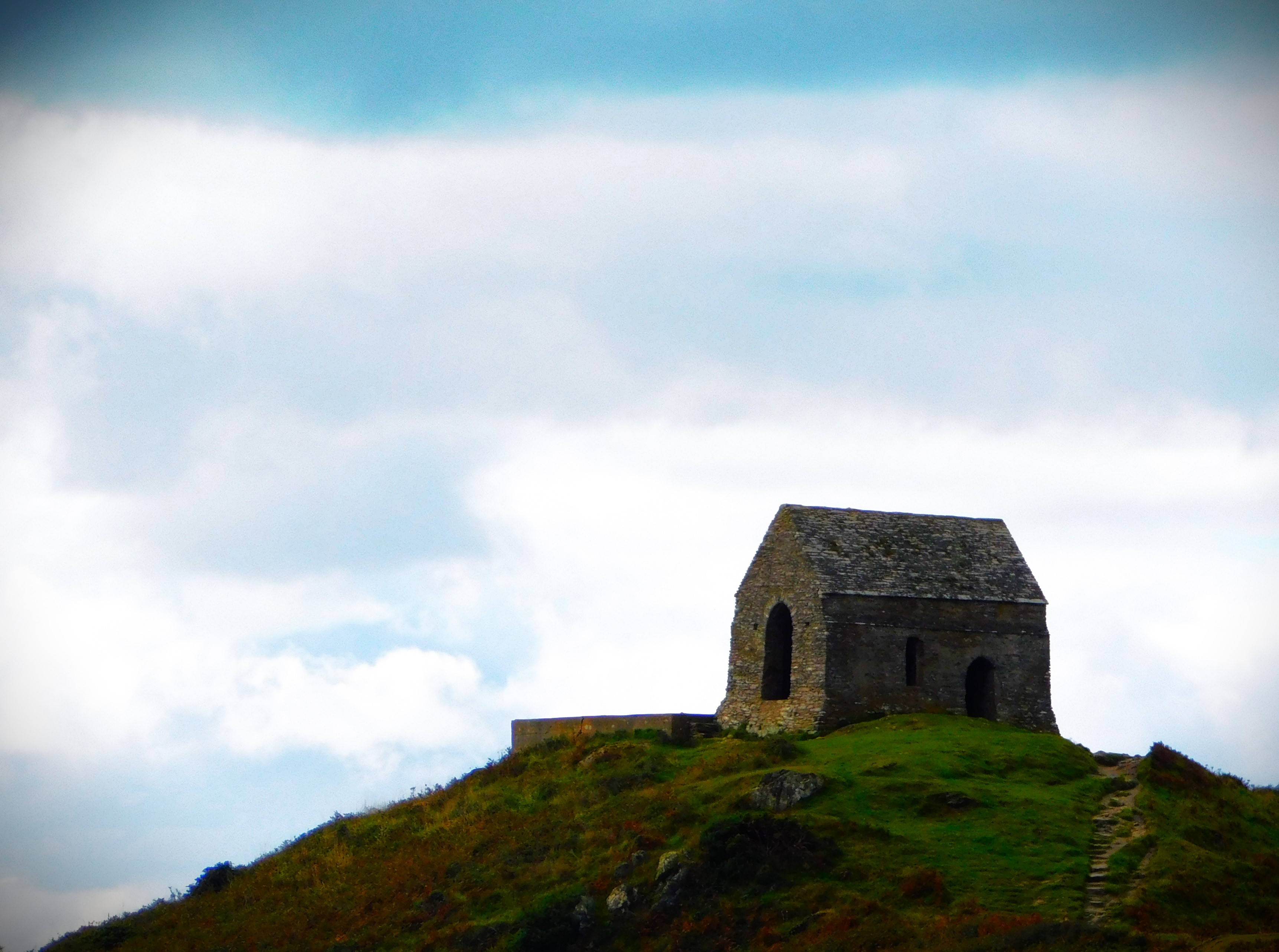
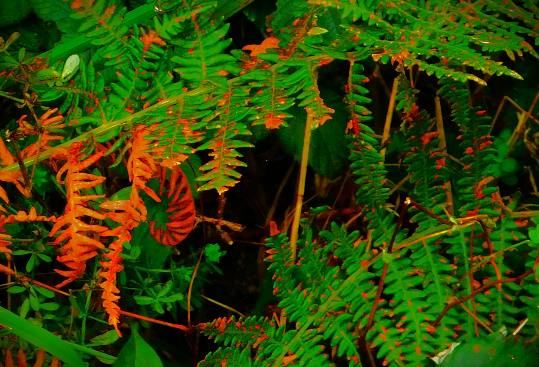
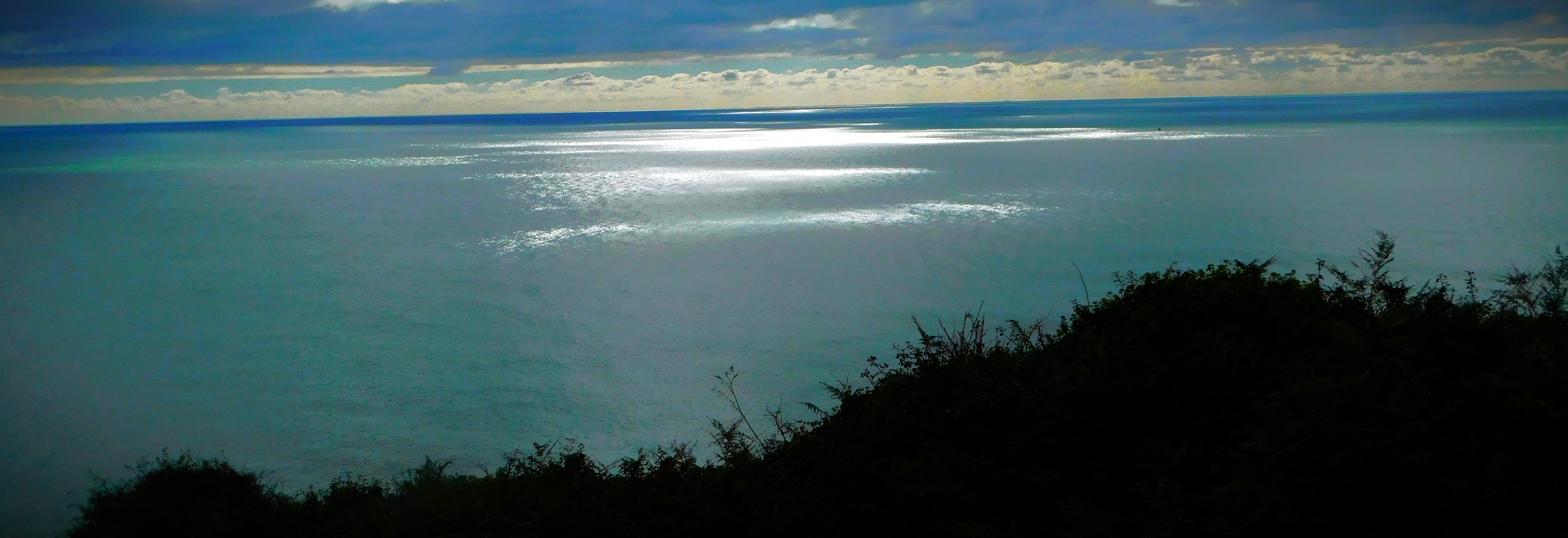
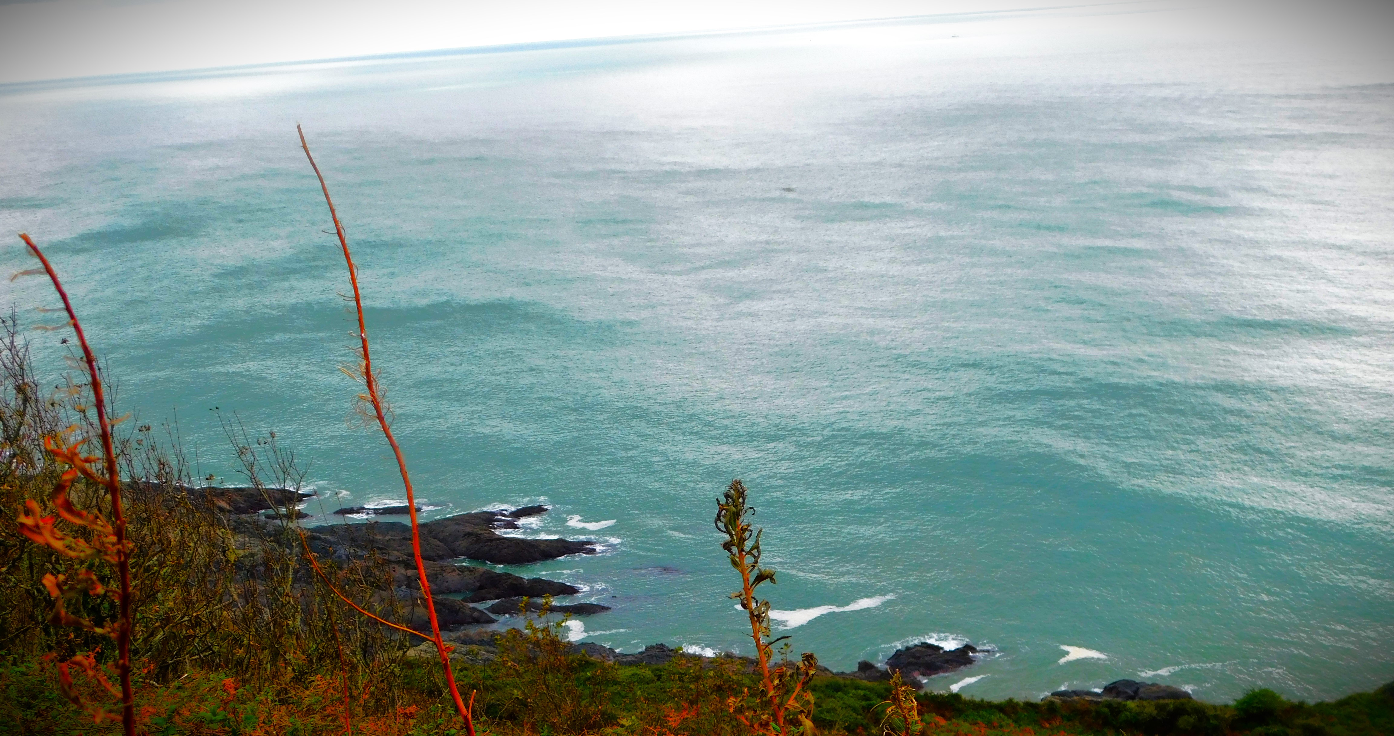
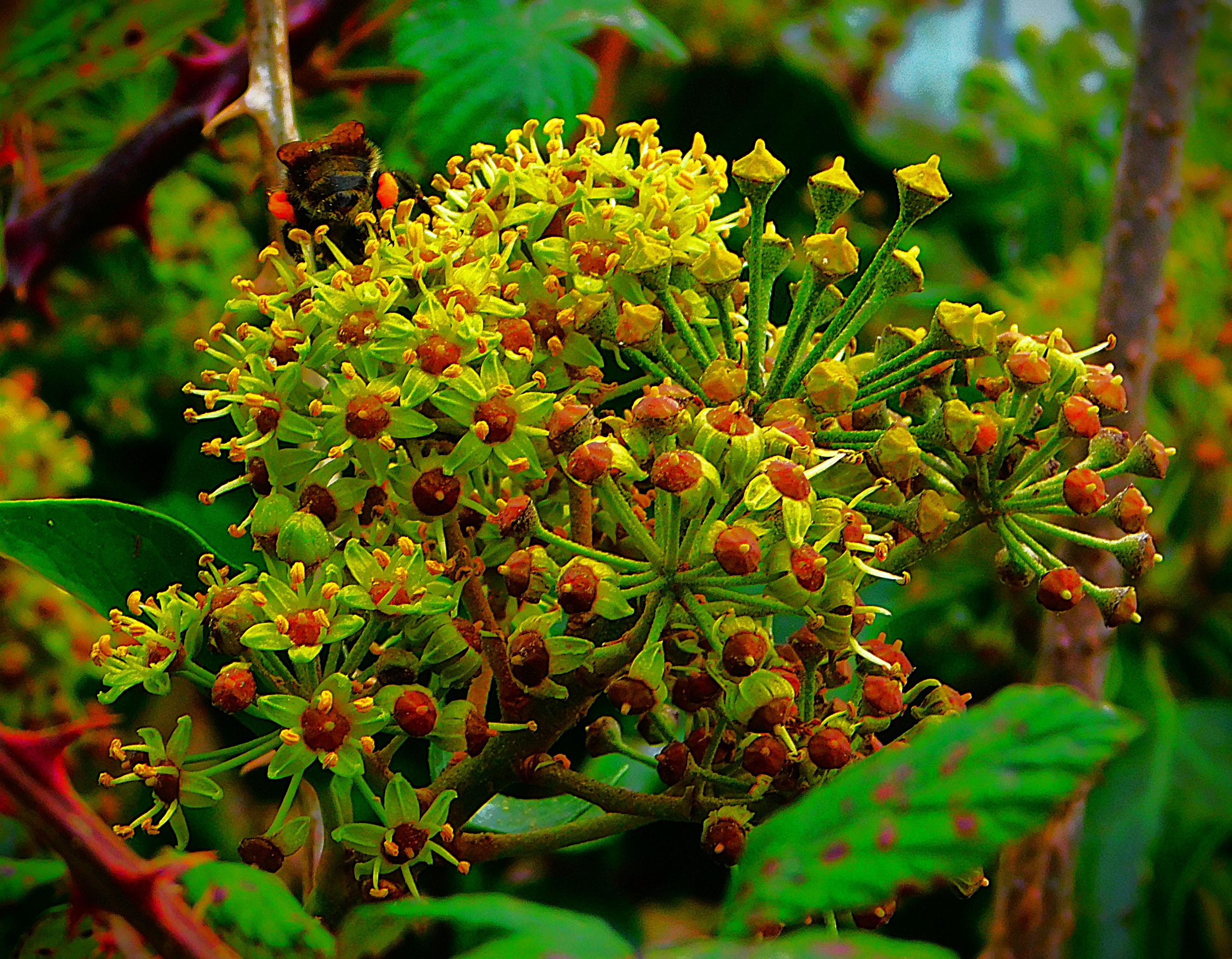
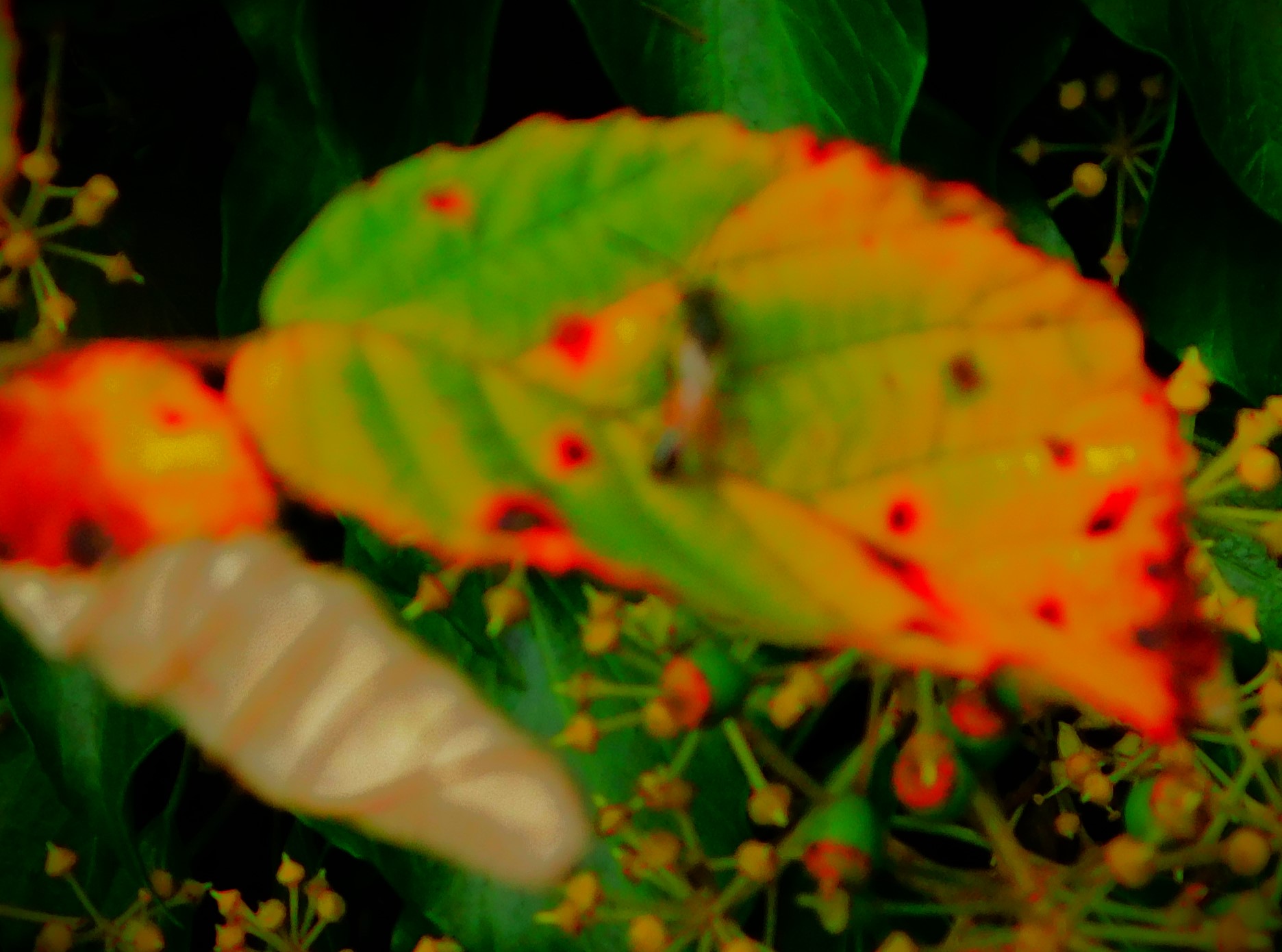
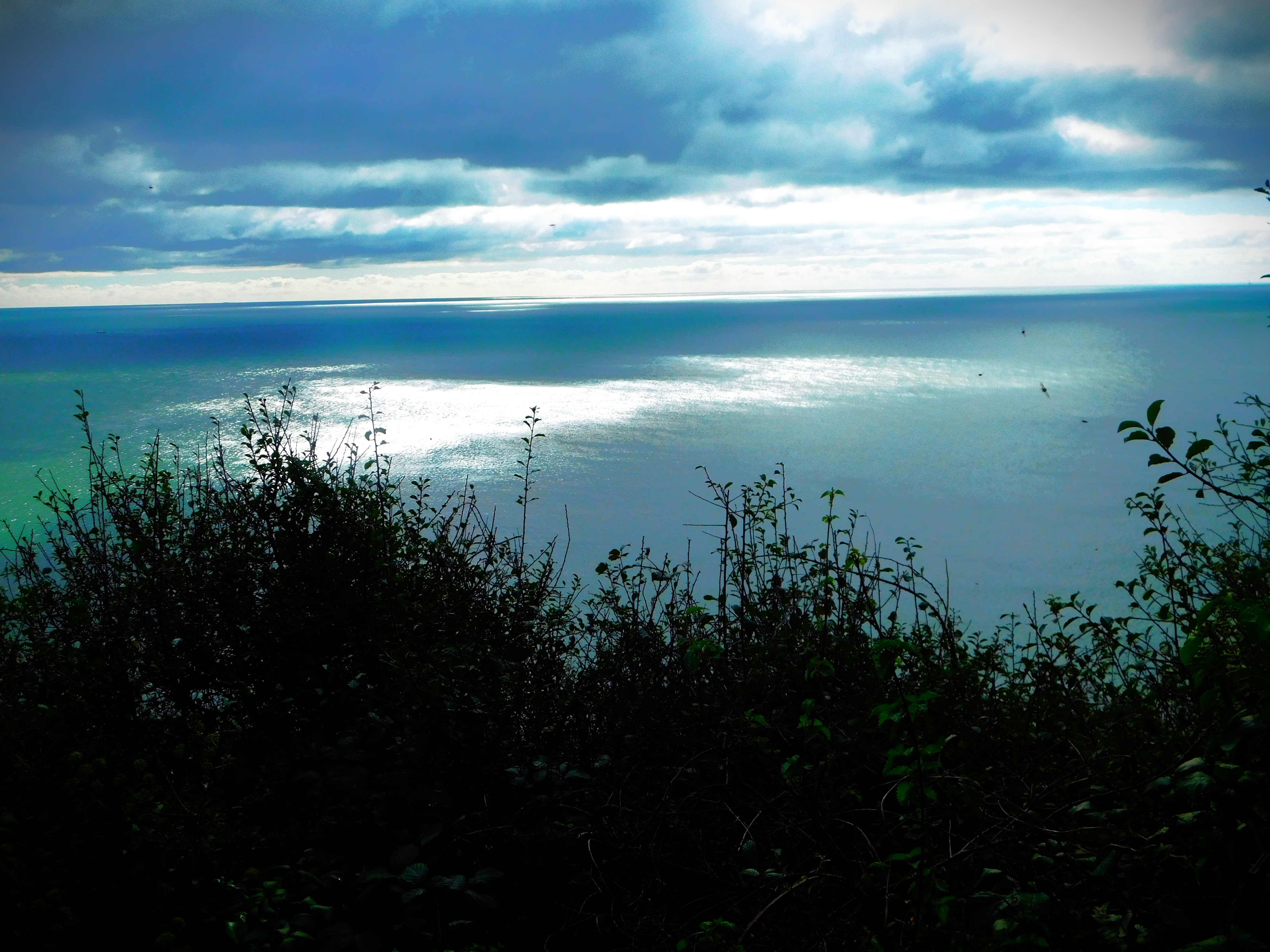
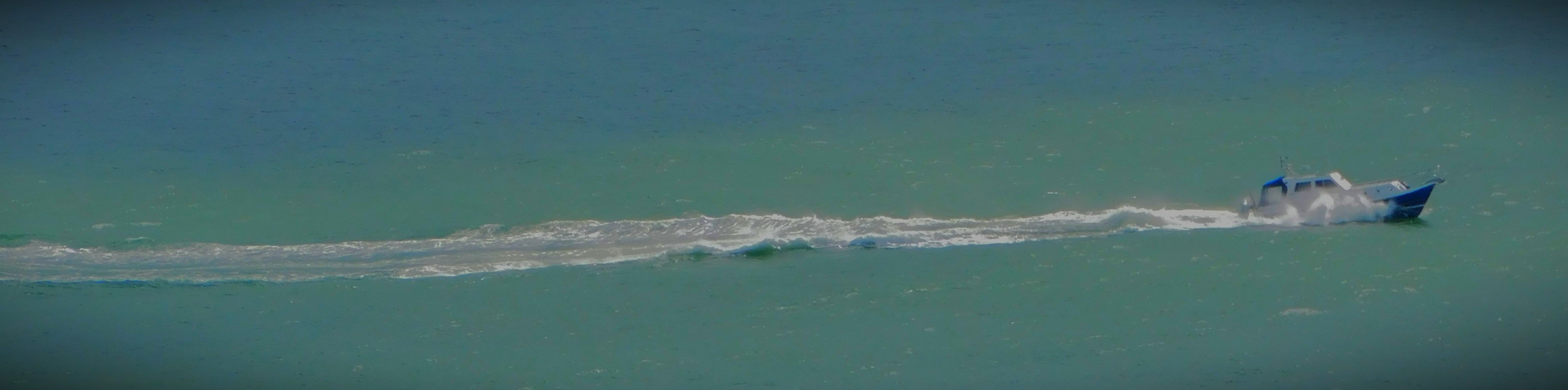
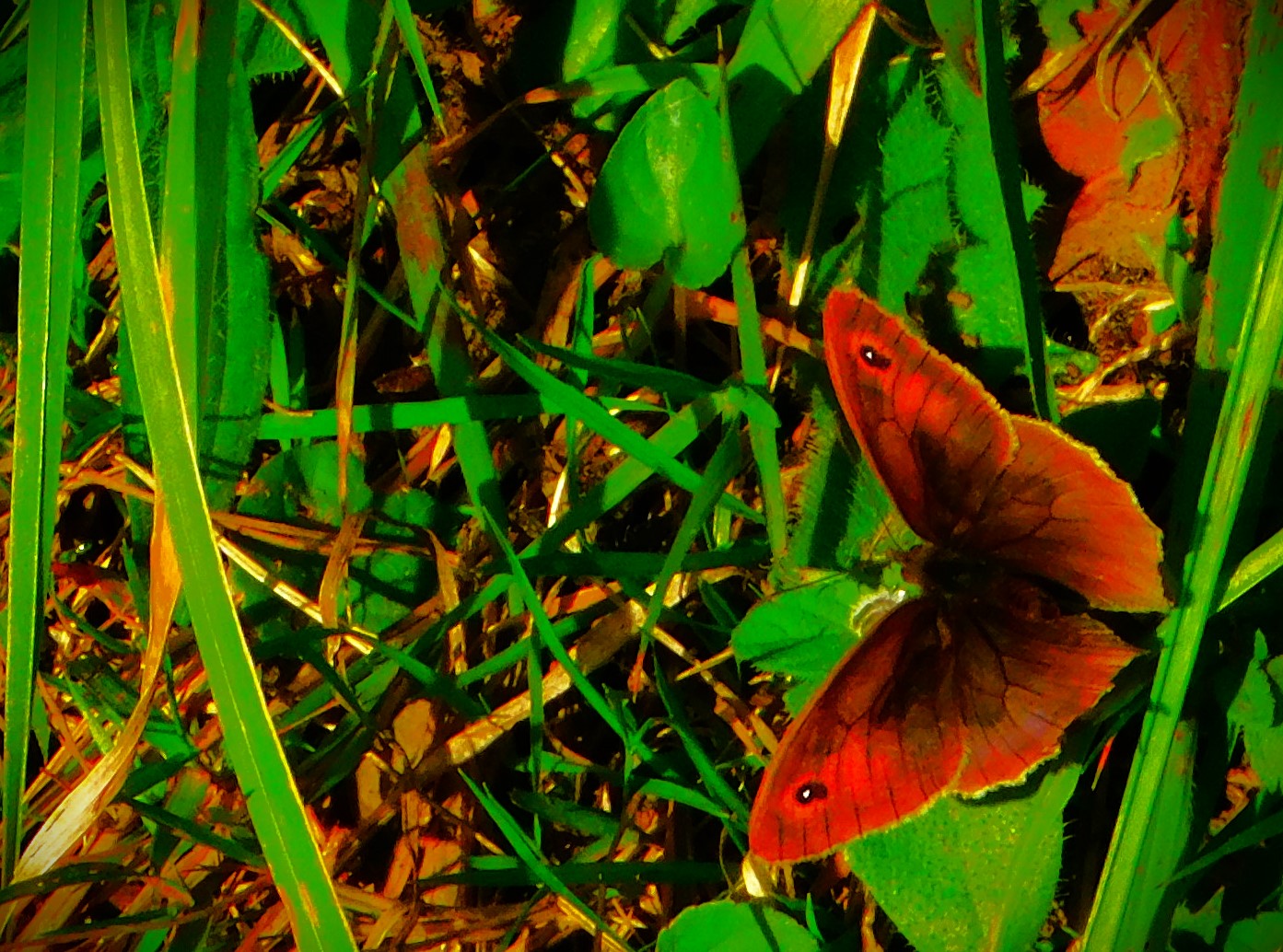
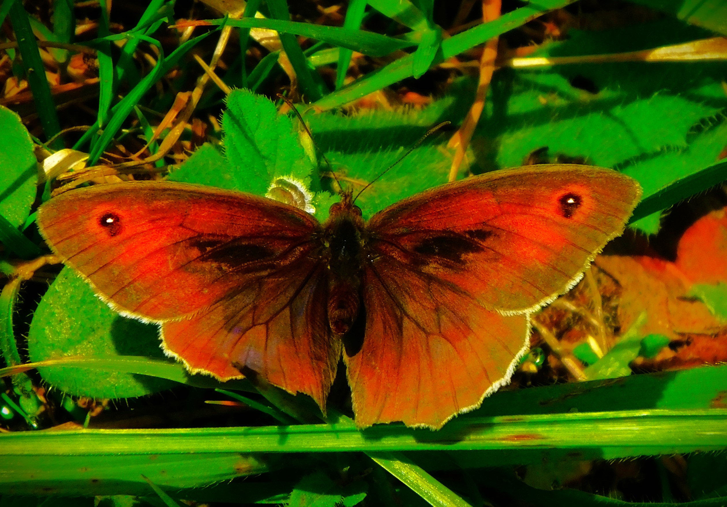
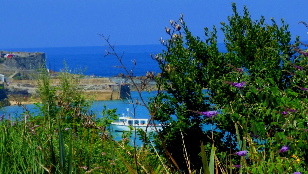
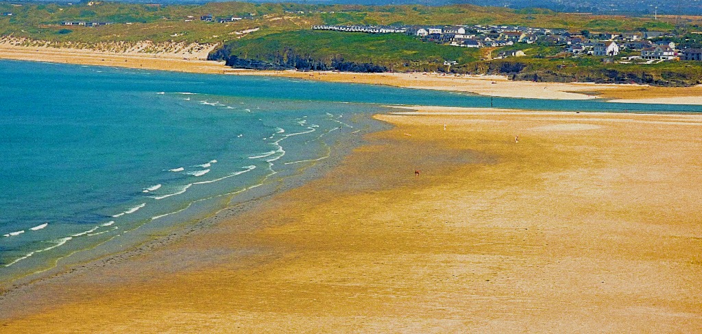
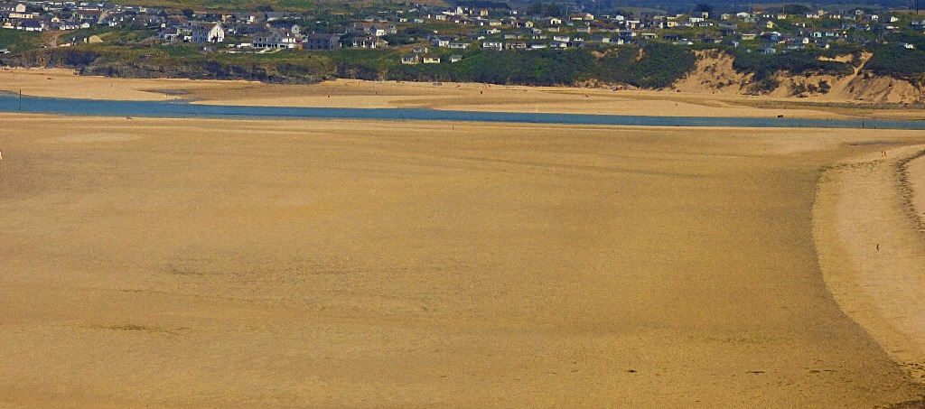
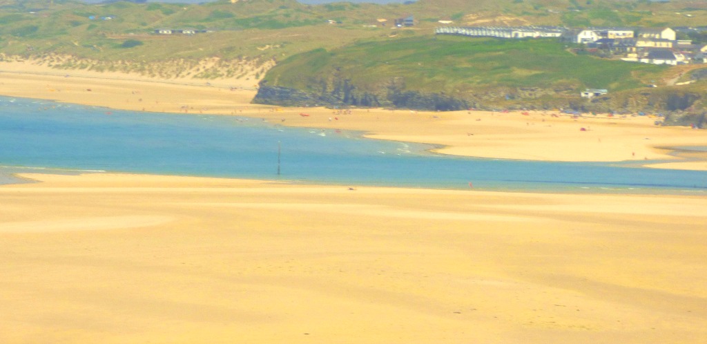
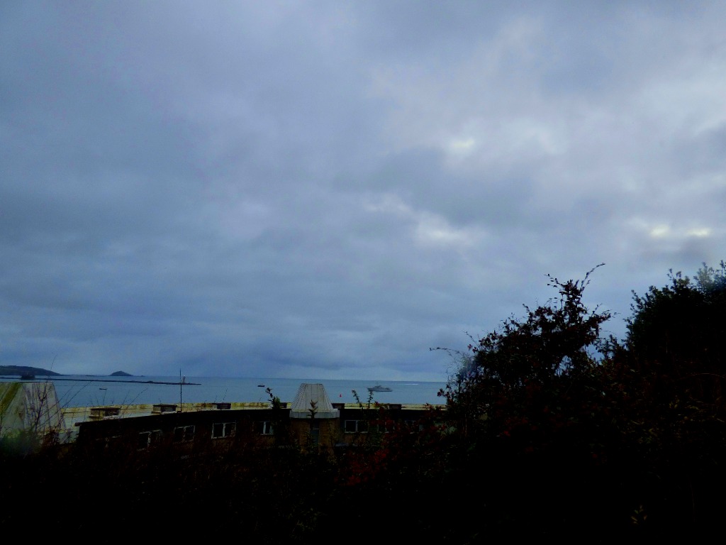
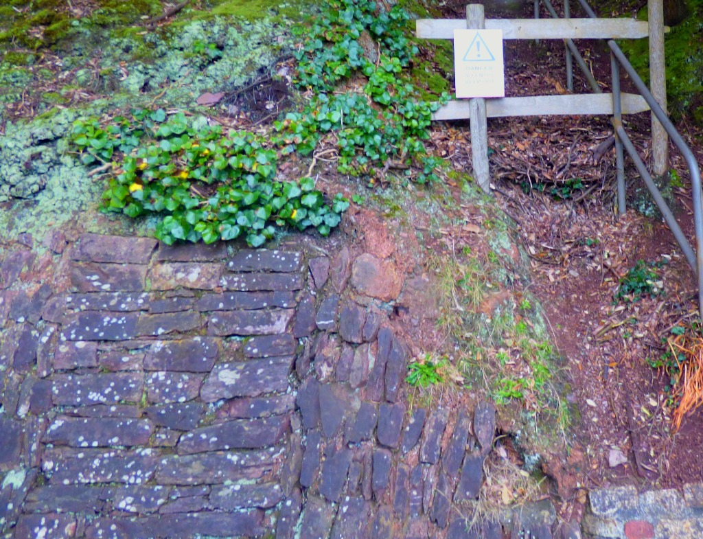
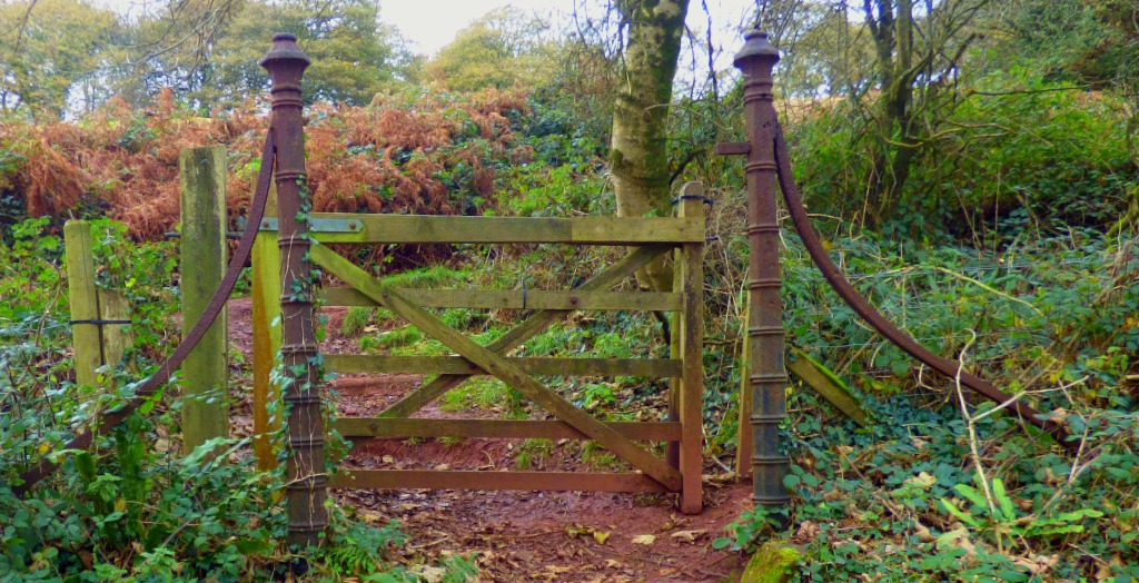
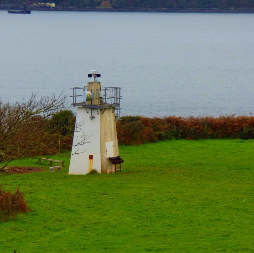
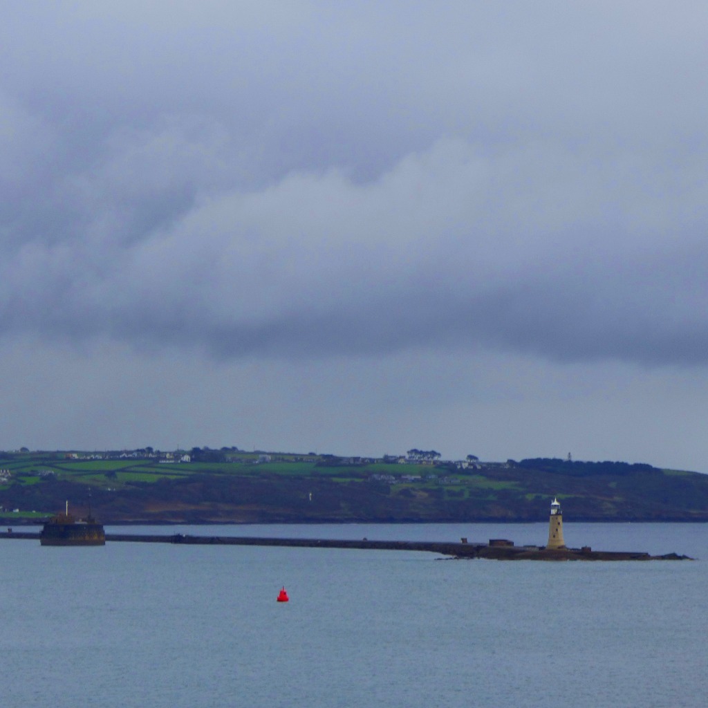
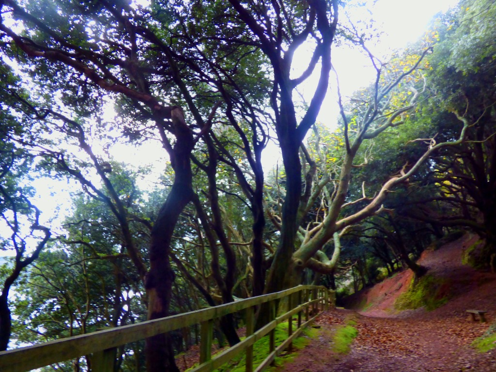
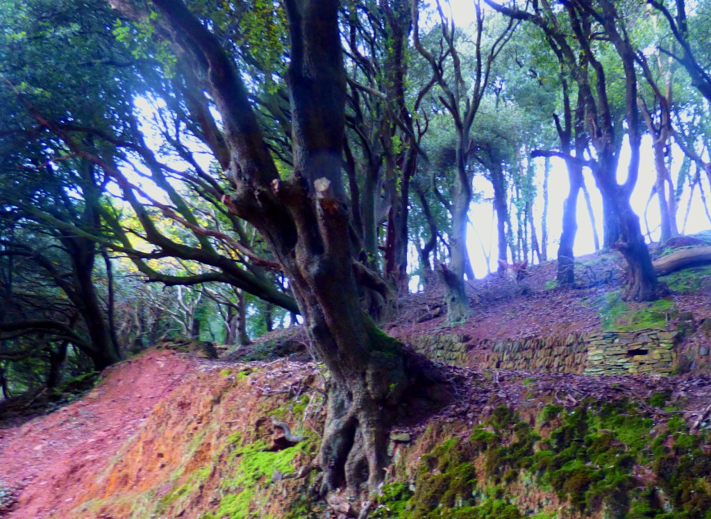
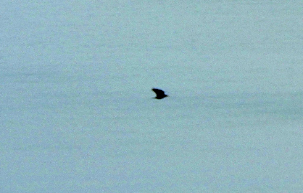
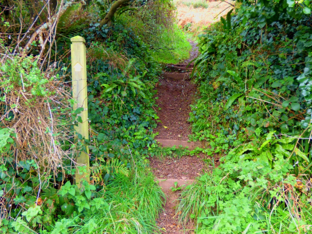
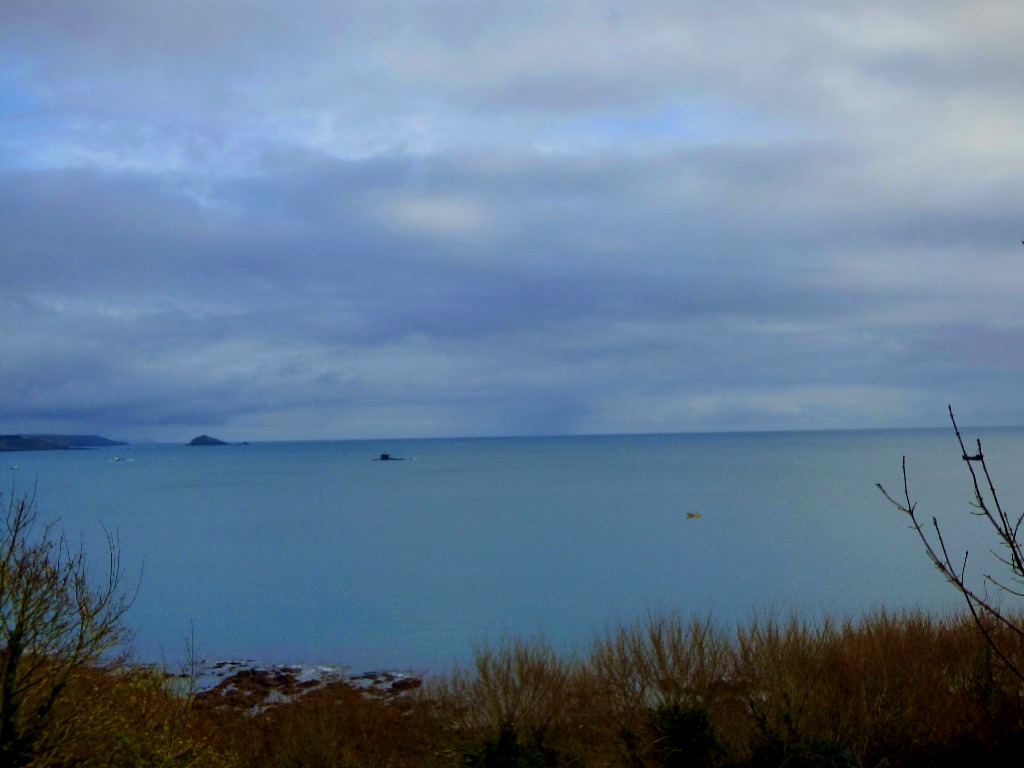
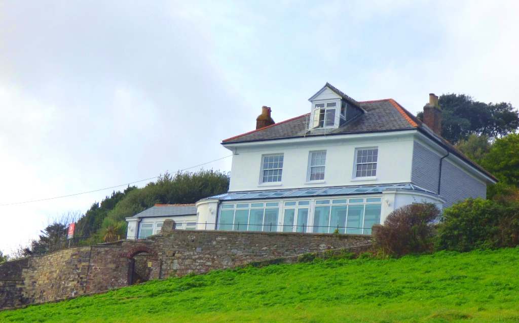
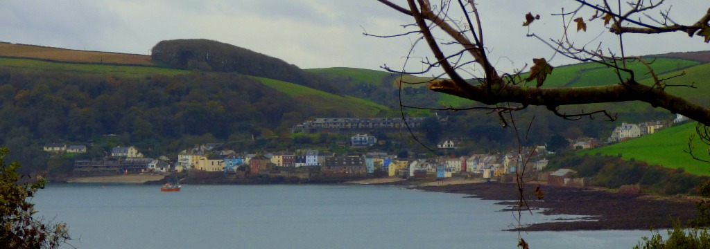
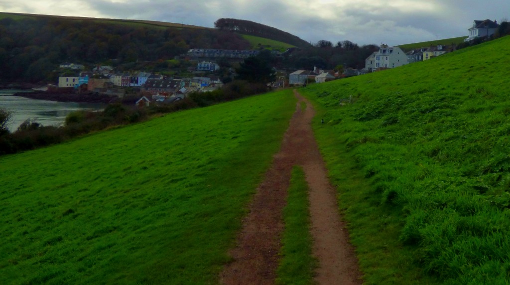
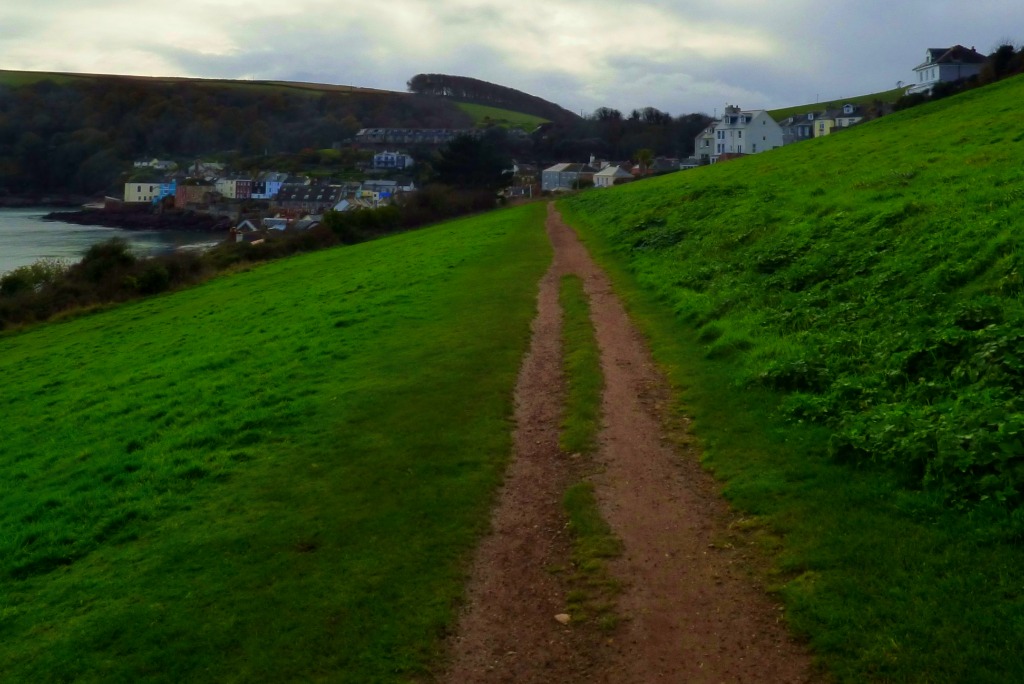
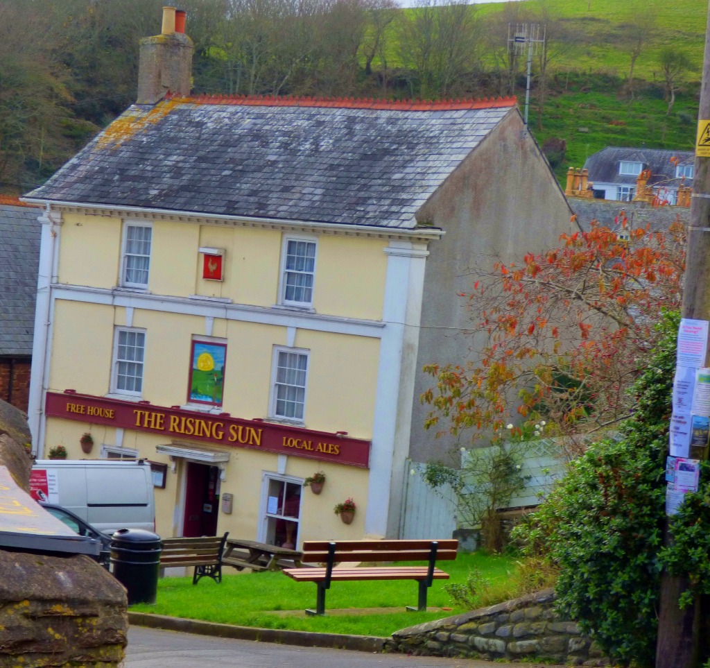
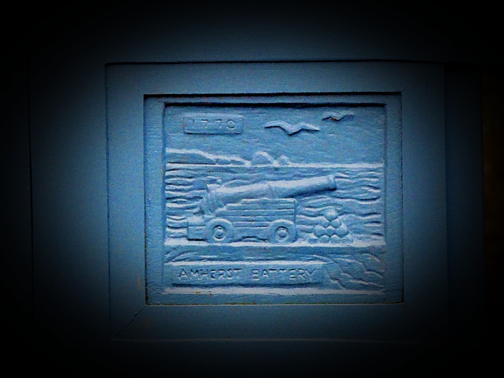
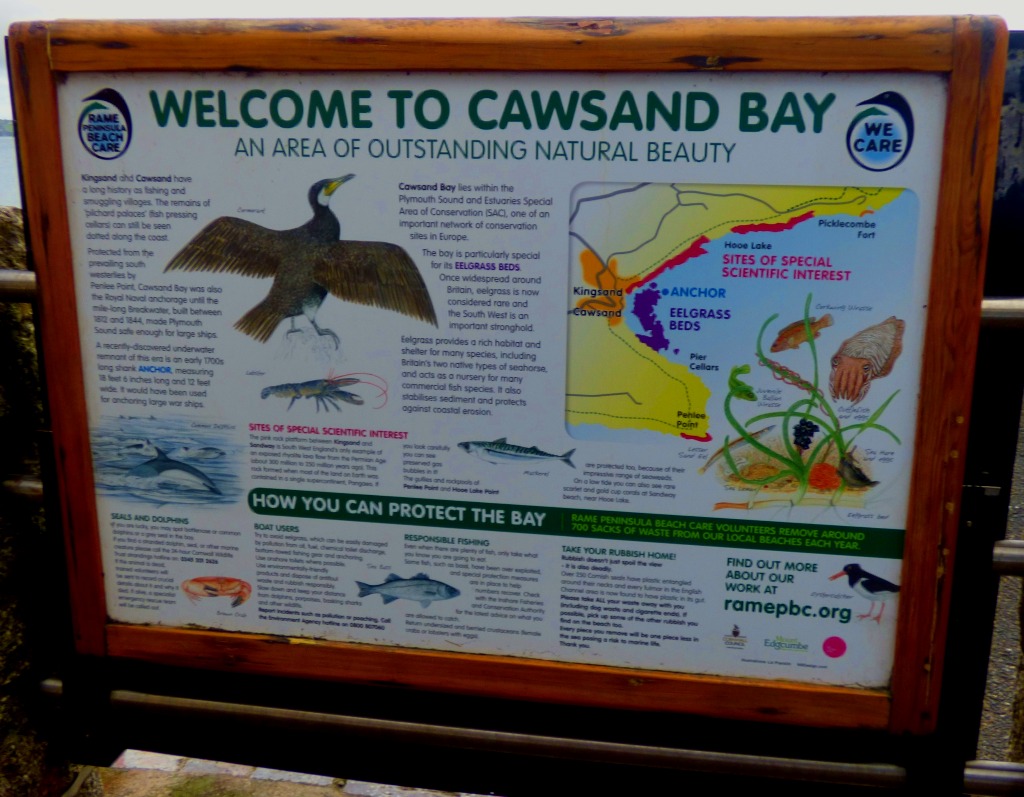
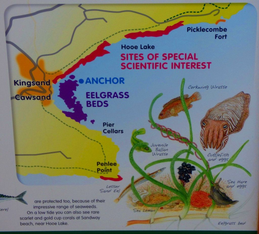
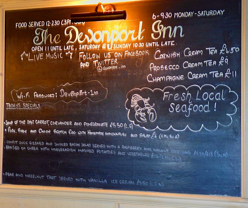
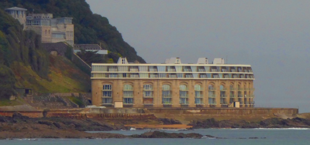
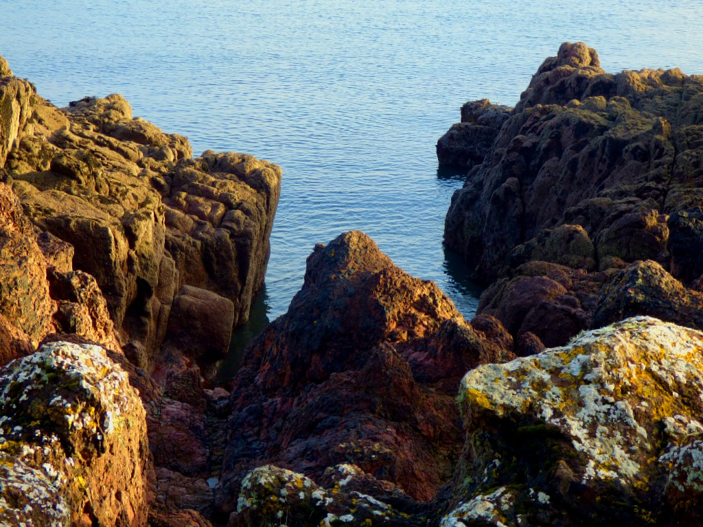
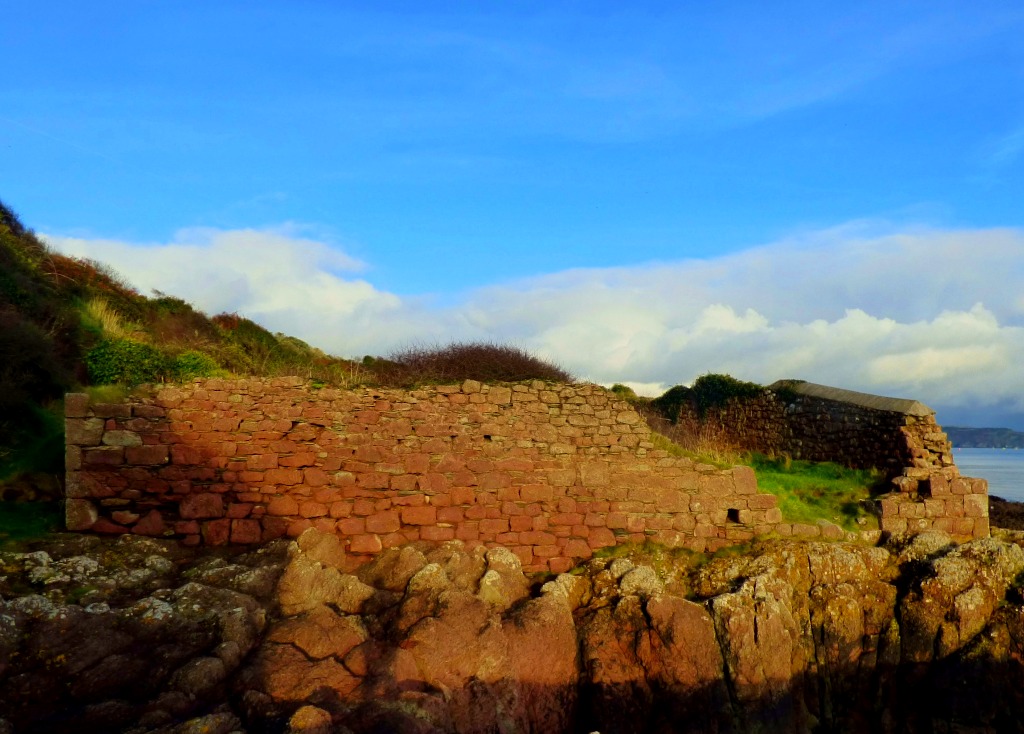
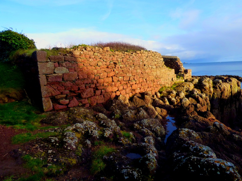
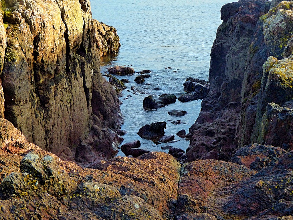
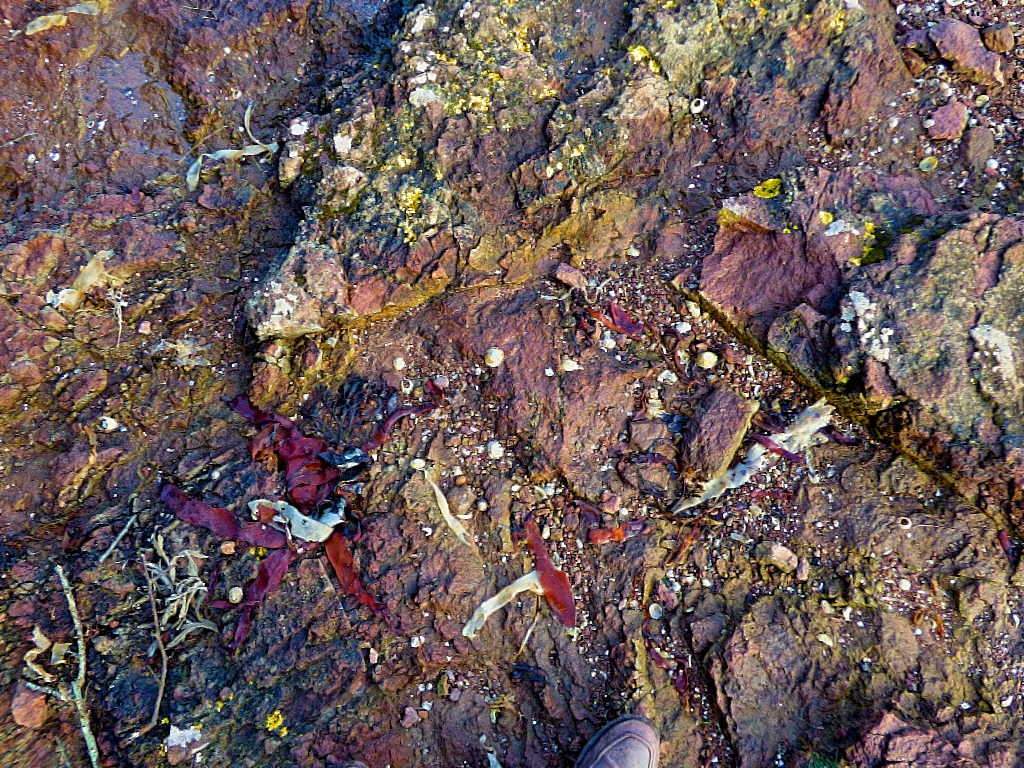
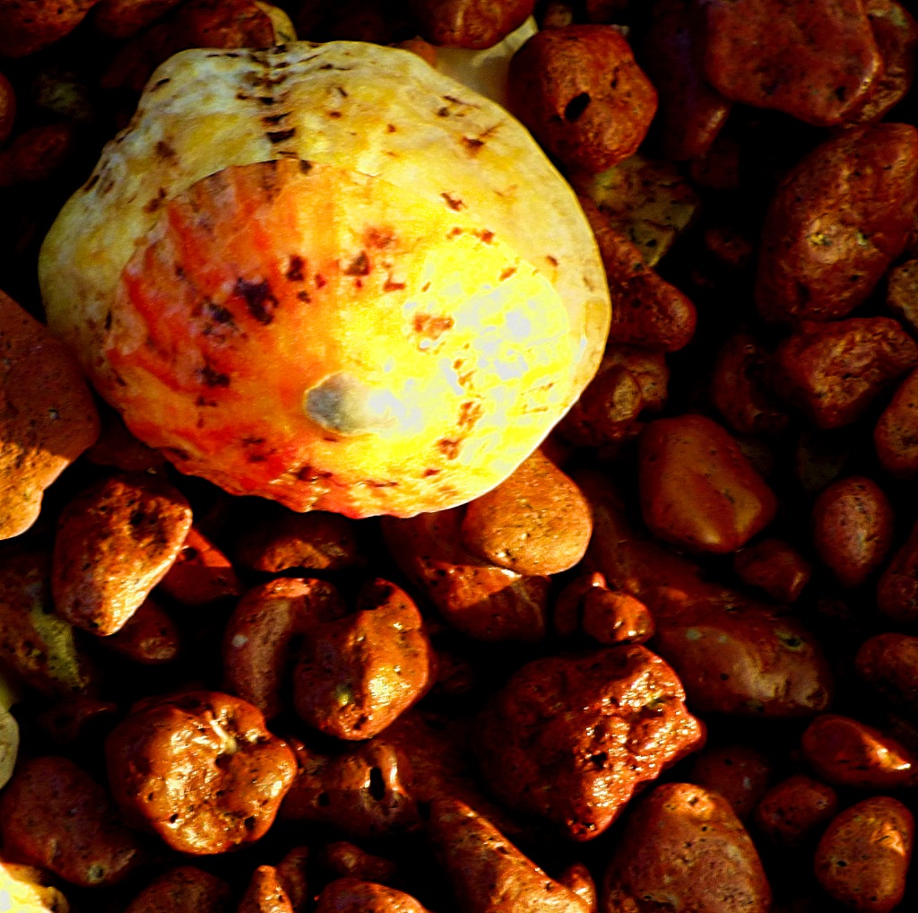
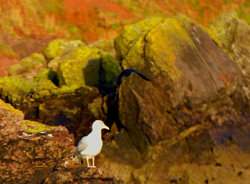
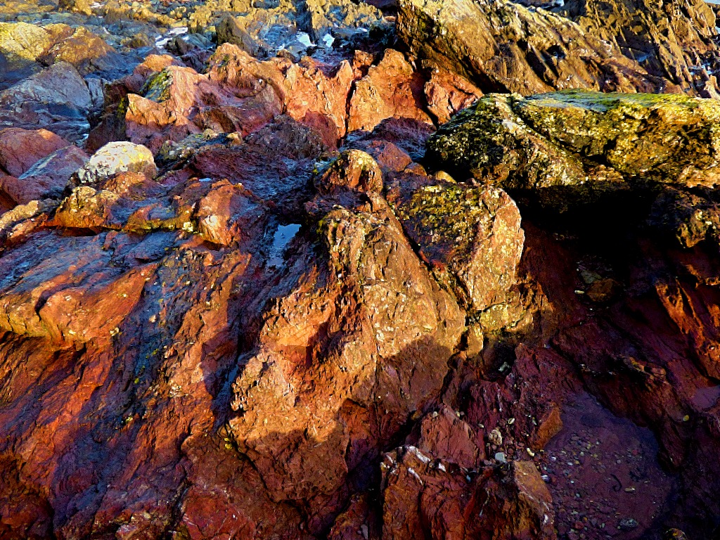
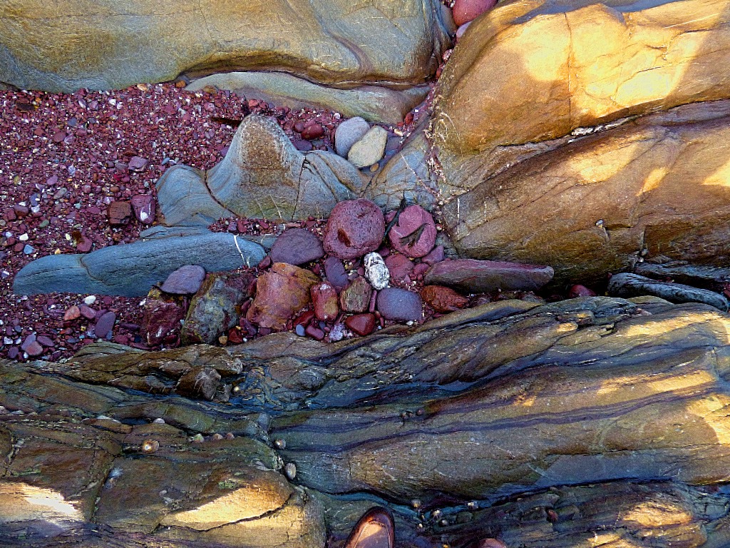
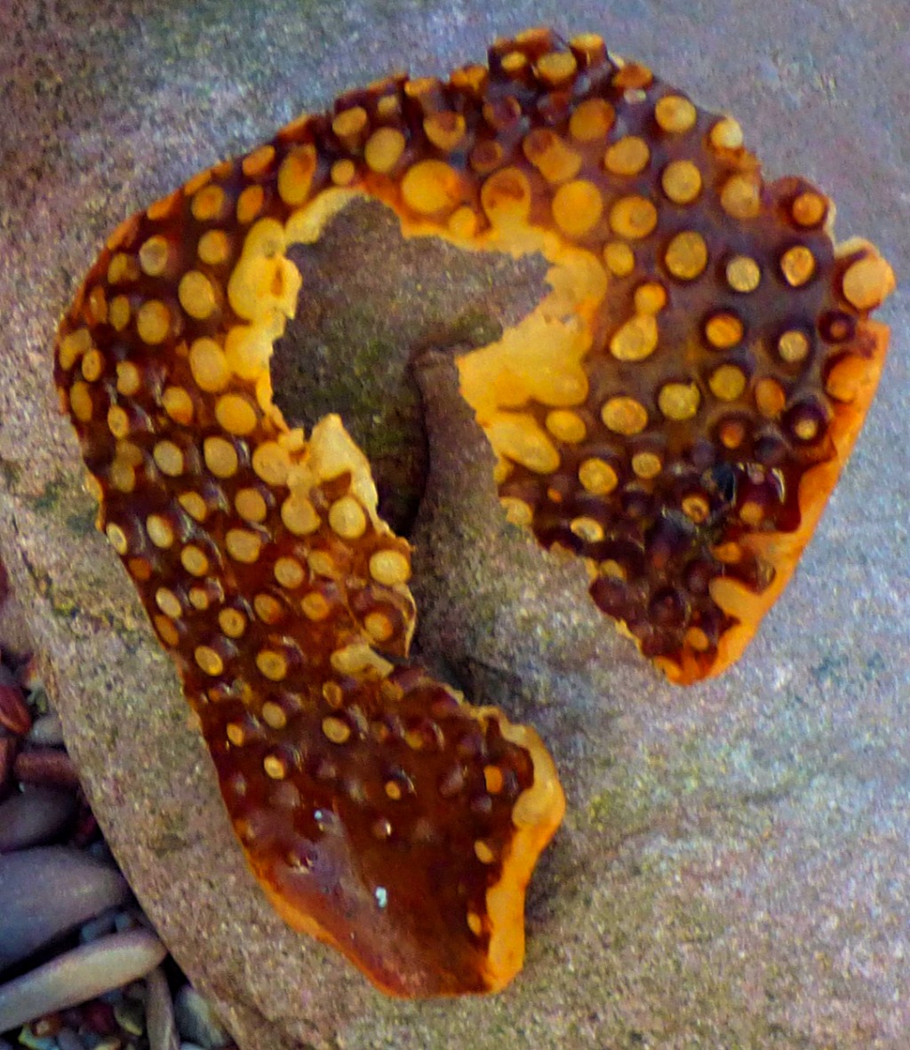
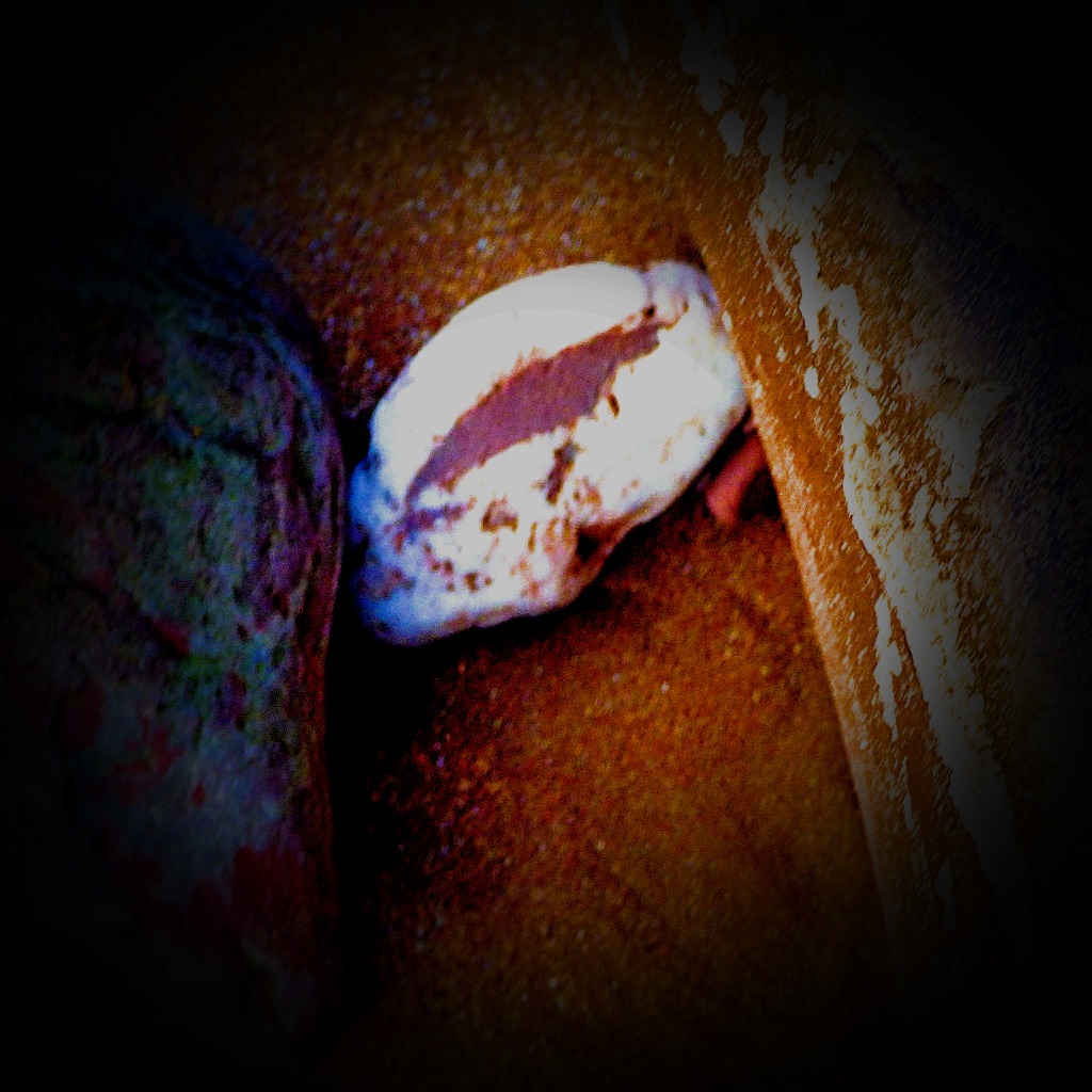
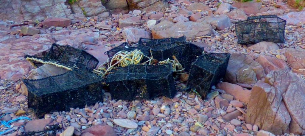
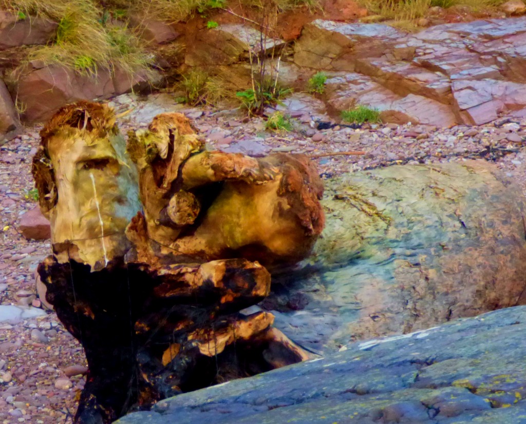
The walk from Fort Picklecombe to the villages starts by exiting the apartments via a covered walkway from the third floor which brings you out on the road out of the fort just by the officer’s mess. Once the fort has been left behind there is an opportunity, of which we availed ourselves, to leave the road and walk along a path that is part of the Mount Edgcumbe estate. Shortly after rejoining the road at the end of this section of path one leaves it again on to a section of the coast path, which takes one right to the edge of the villages. Because of their location, perched on a slope at the edge of a bay, most of the roads in the villages are too steep and/or narrow to permit motor traffic, making them less dangerous for pedestrians. There are two pubs, and we selected the second, the Halfway Inn. The drinks were excellent. It was a beautiful sunny day, and provided some fine pictures.

One of the games at the apartment was a ‘where is it’? game with multiple difficulty levels available. After one trial using a political map and small placement markers we played the remaining games using the satellite map and the larger placement markers. By the time the last game I had finished, on this Saturday evening, all of us had one at least one game. I had almost won the opener on the Tuesday, but although I was first over the finish line I then got done by two successive sudden death questions. This Saturday evening I was again across the finish line first, after a number of right answers of which only some could be called guesses, and on this occasion I got a fairly easy sudden death question to seal the win.
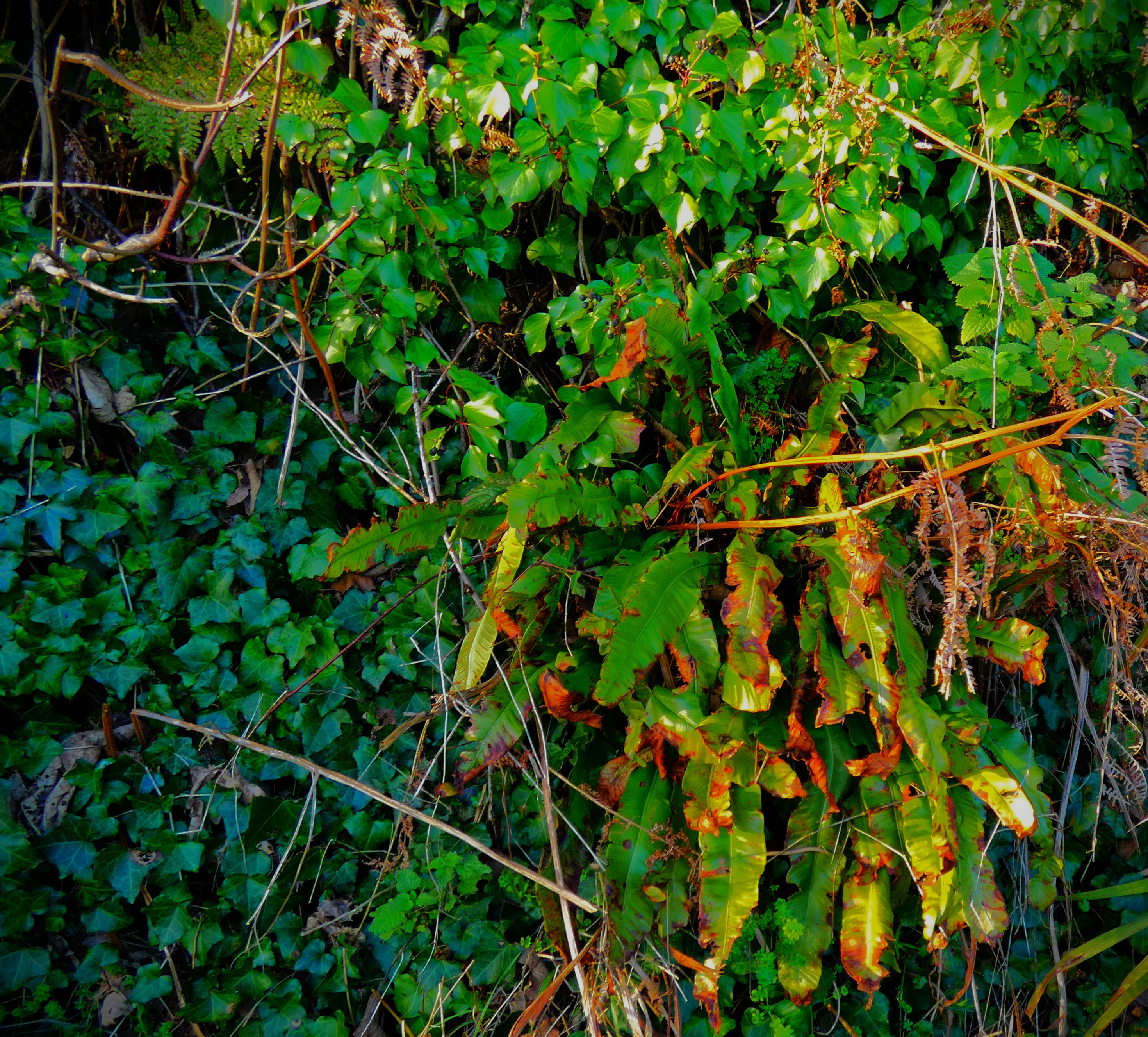
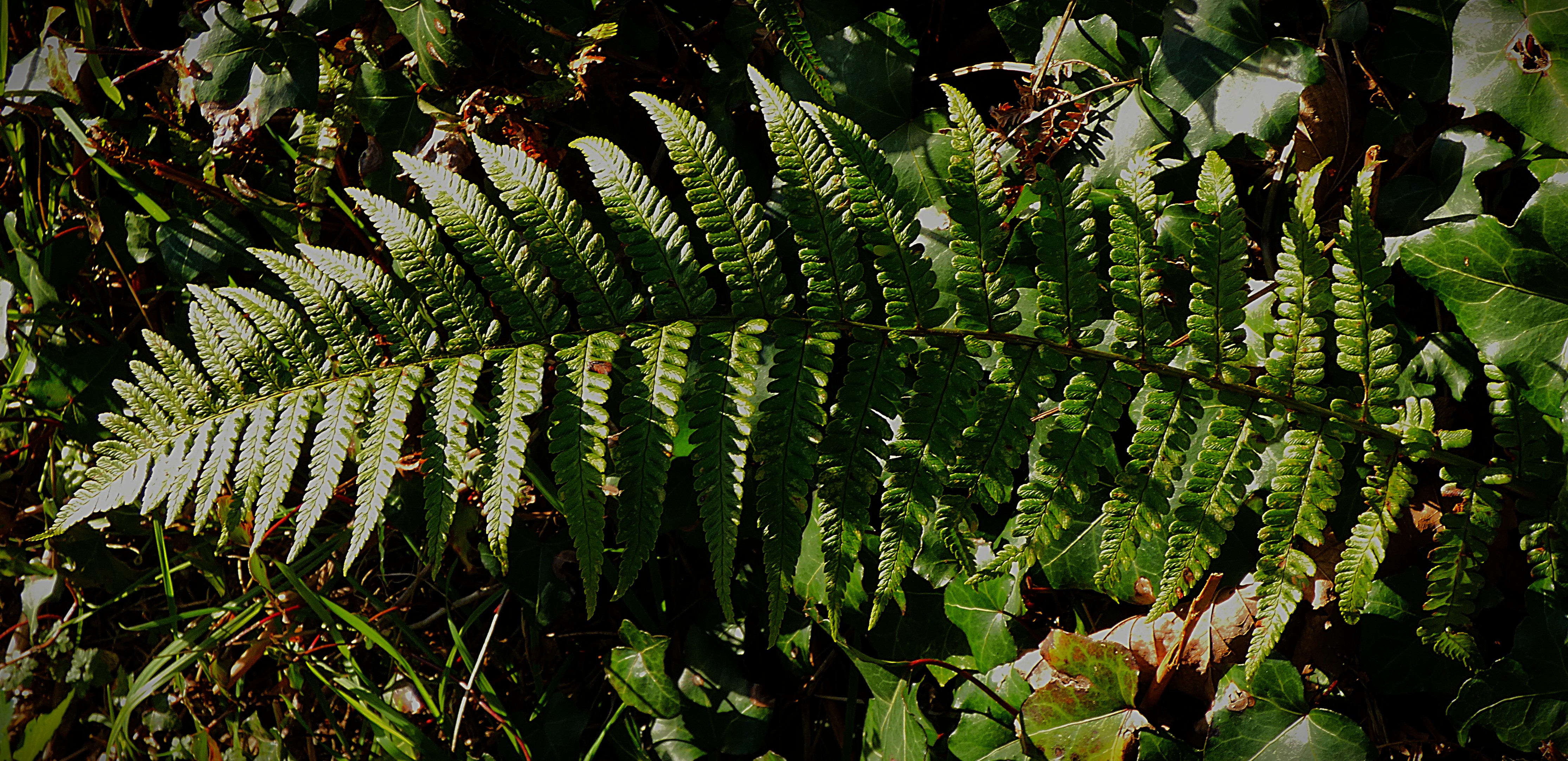
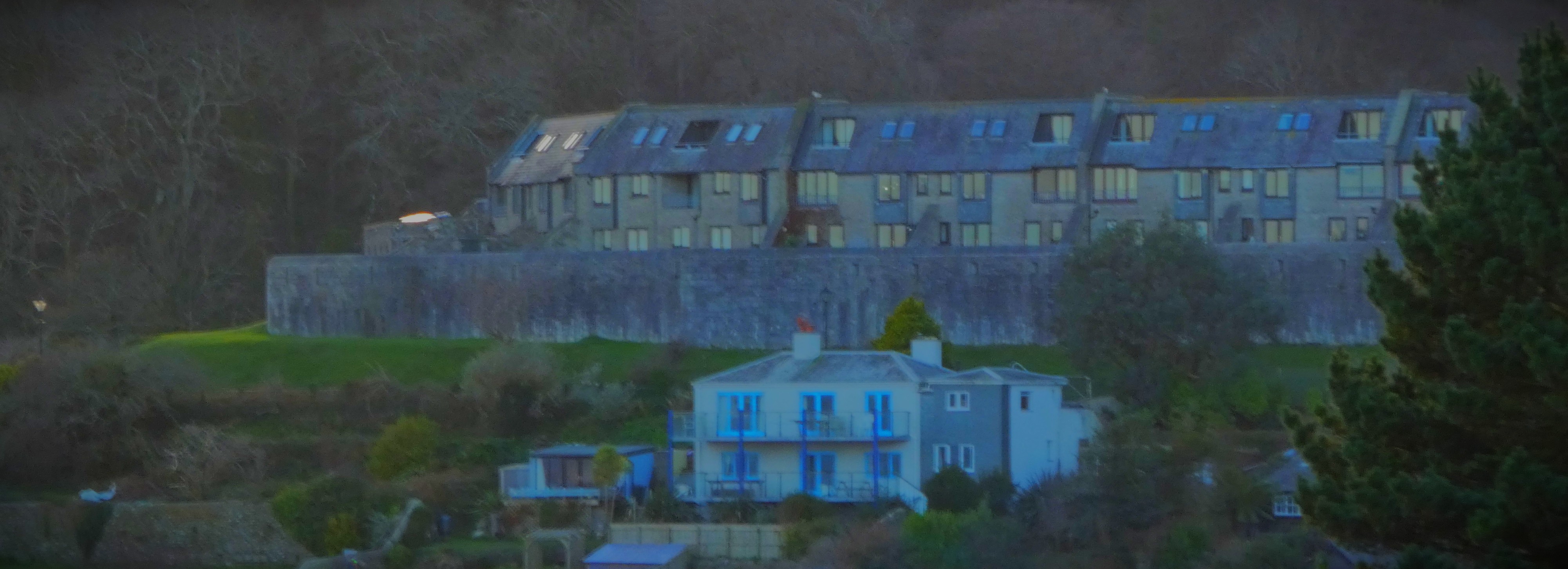
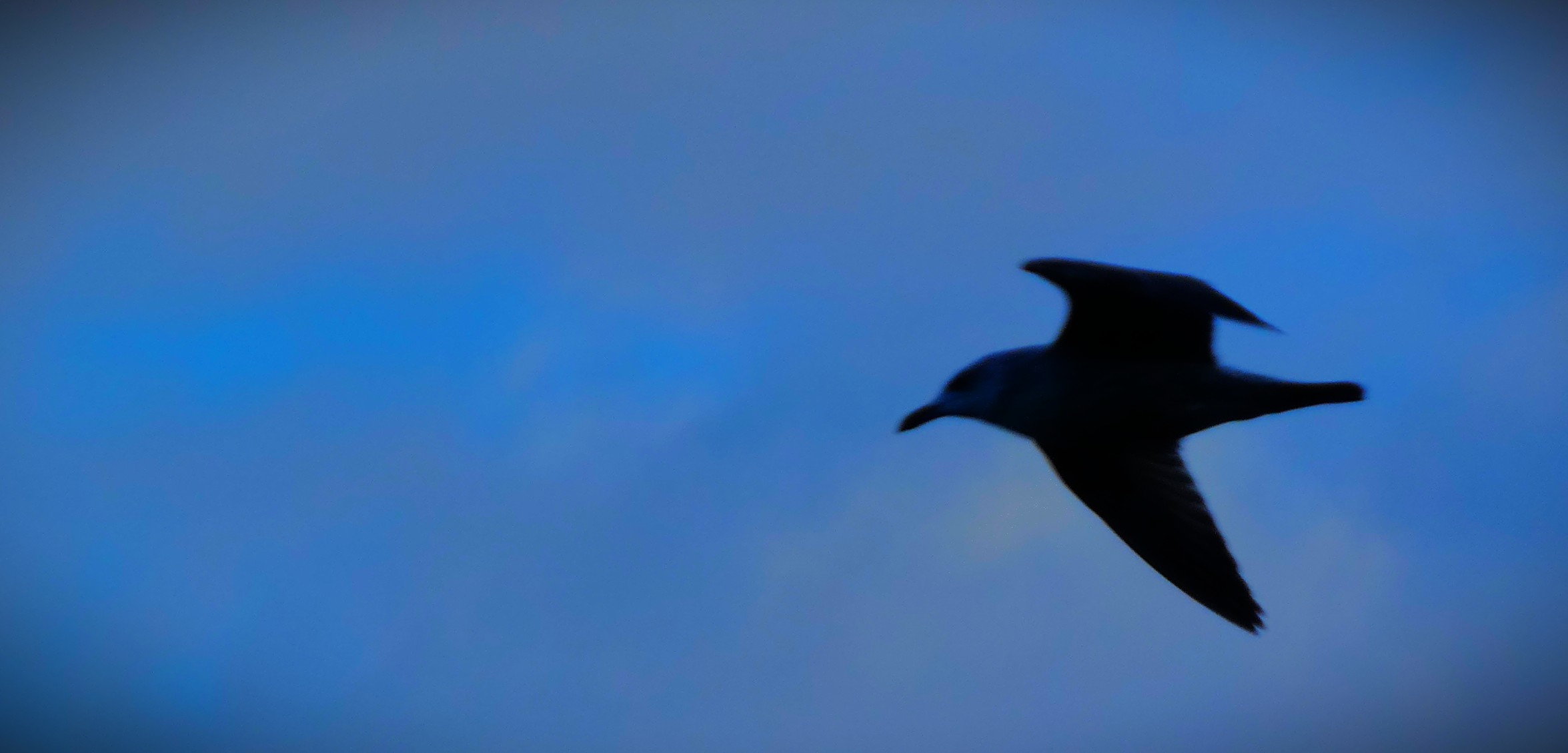
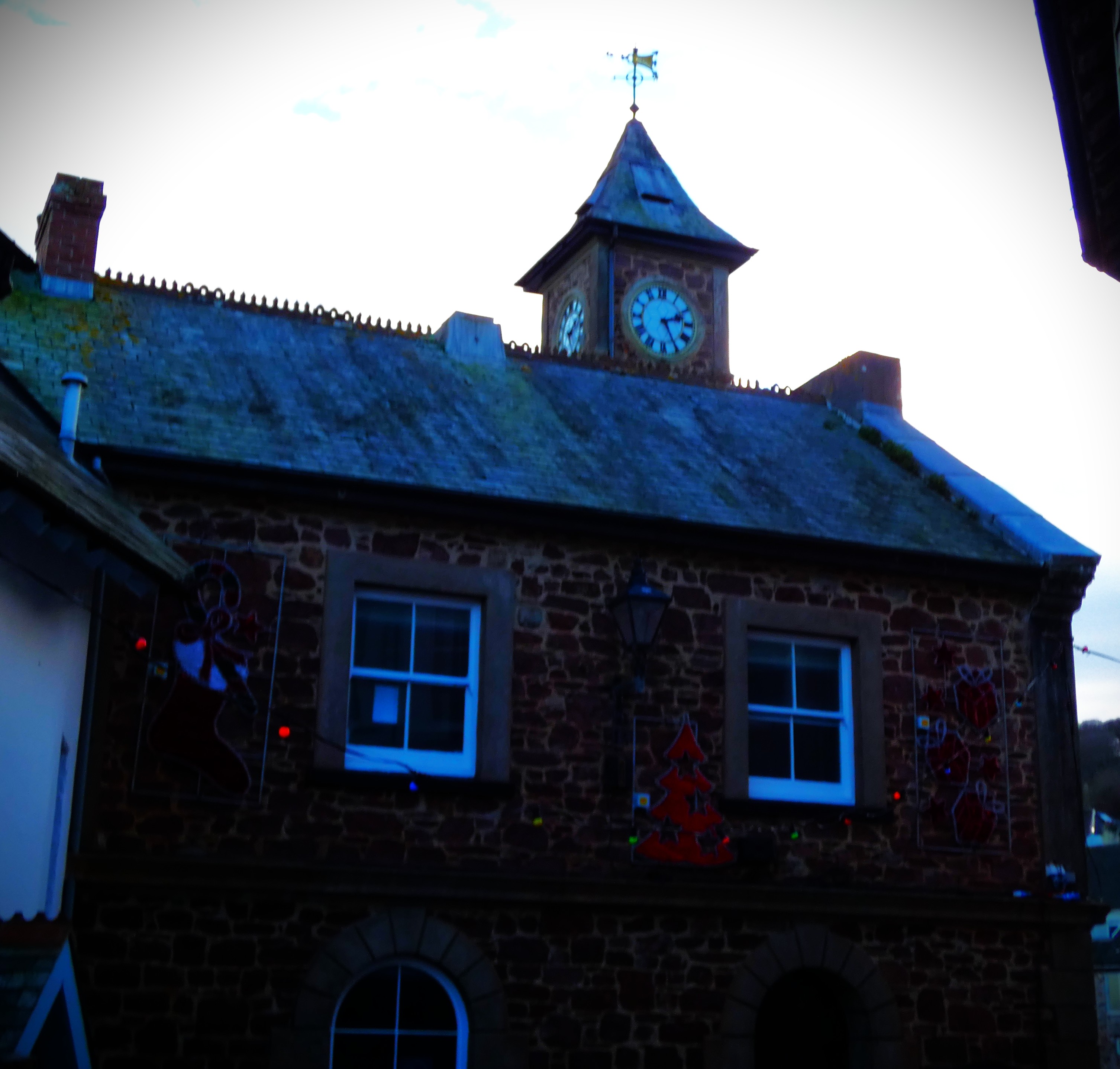
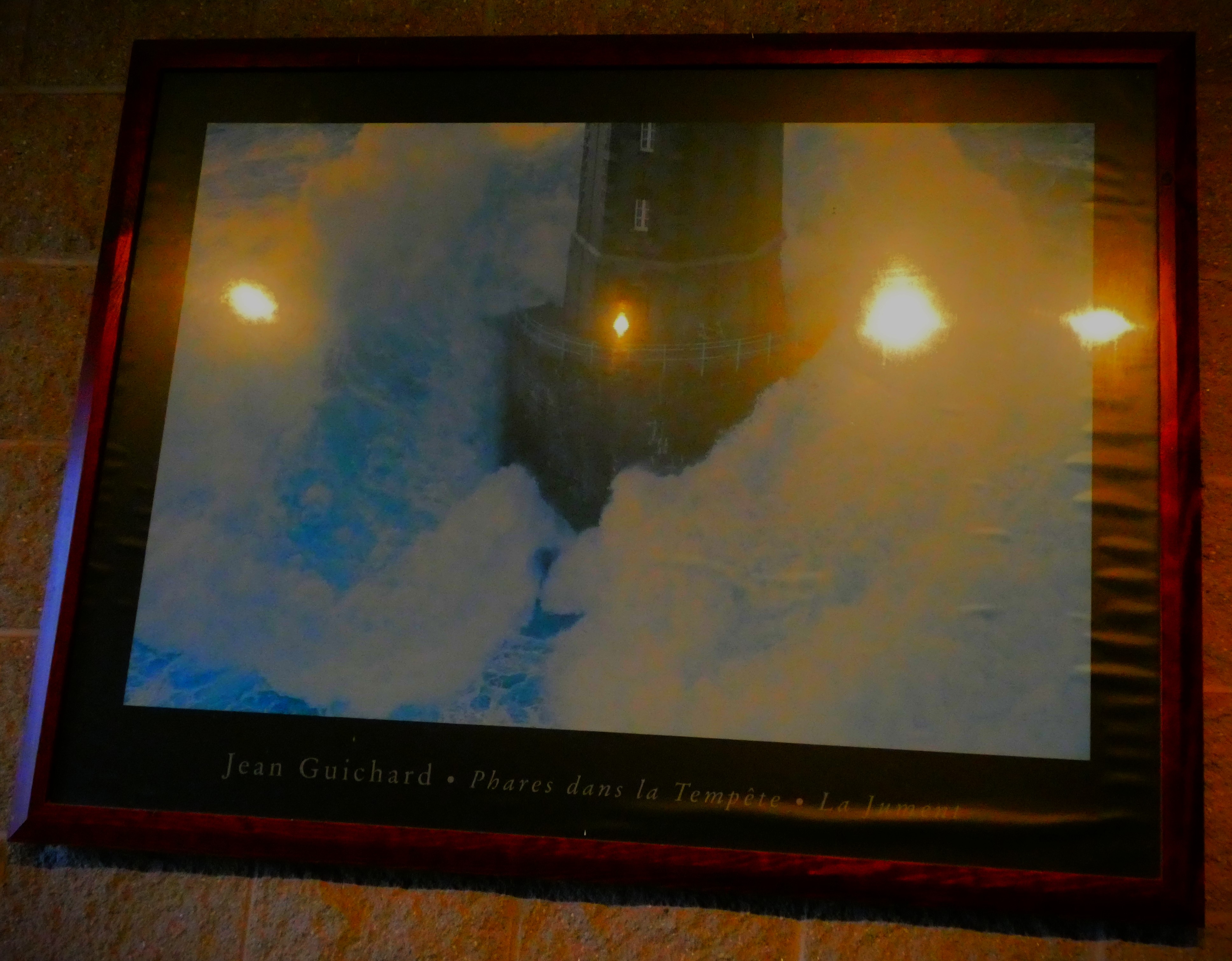
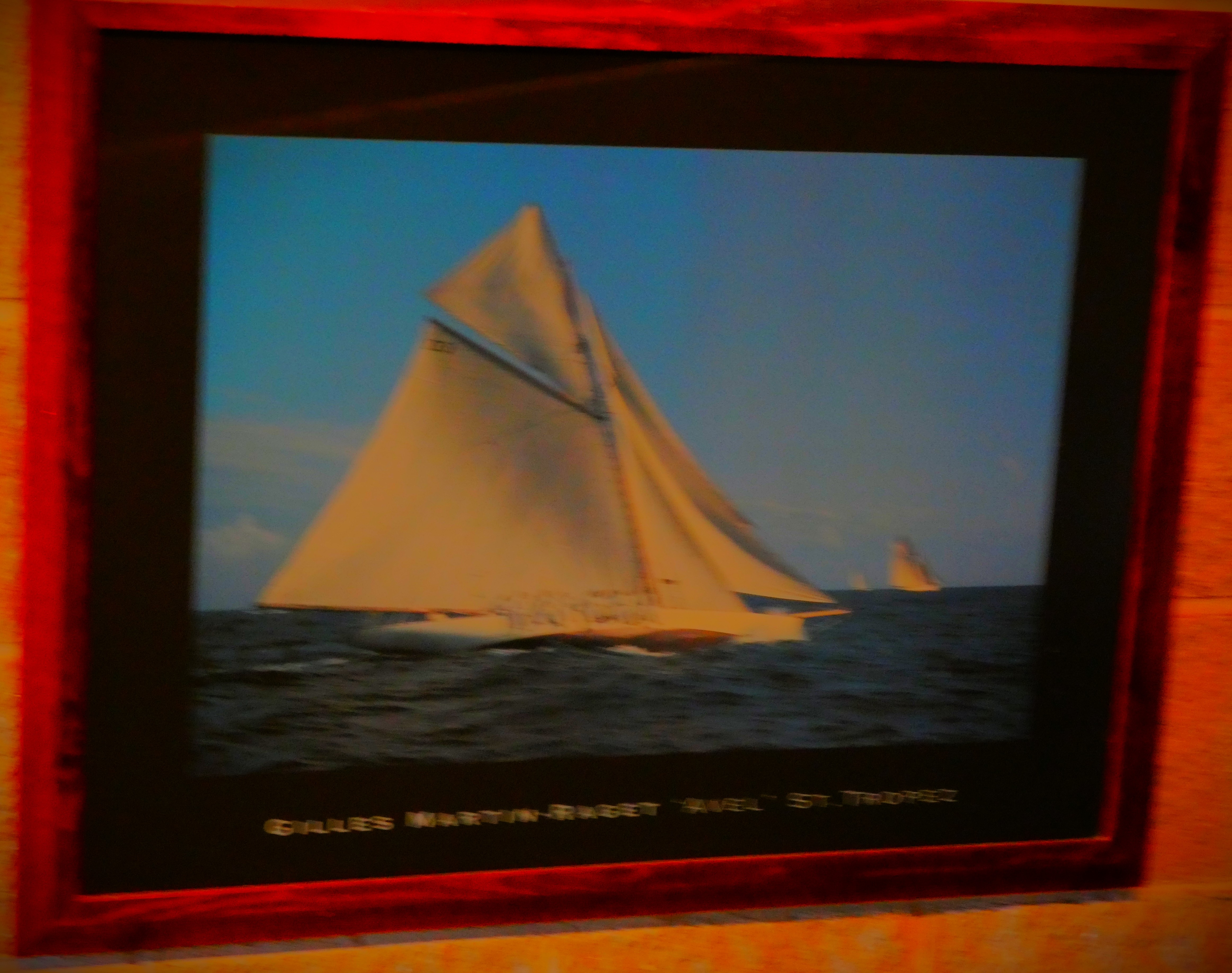
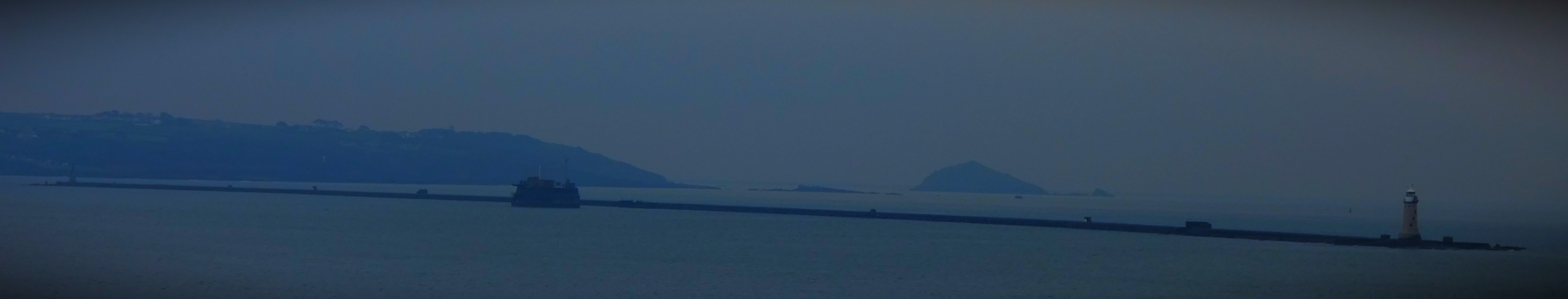
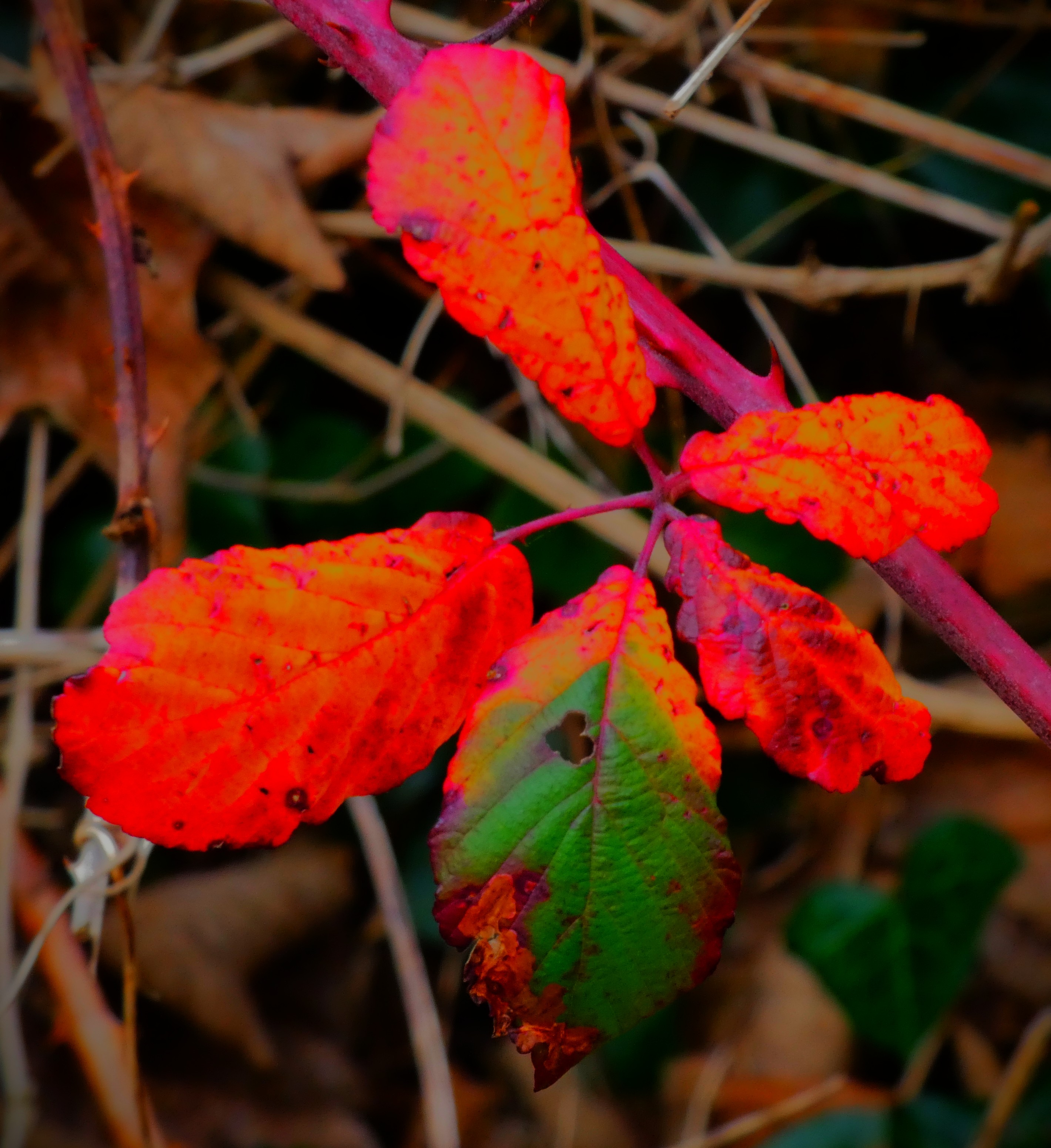
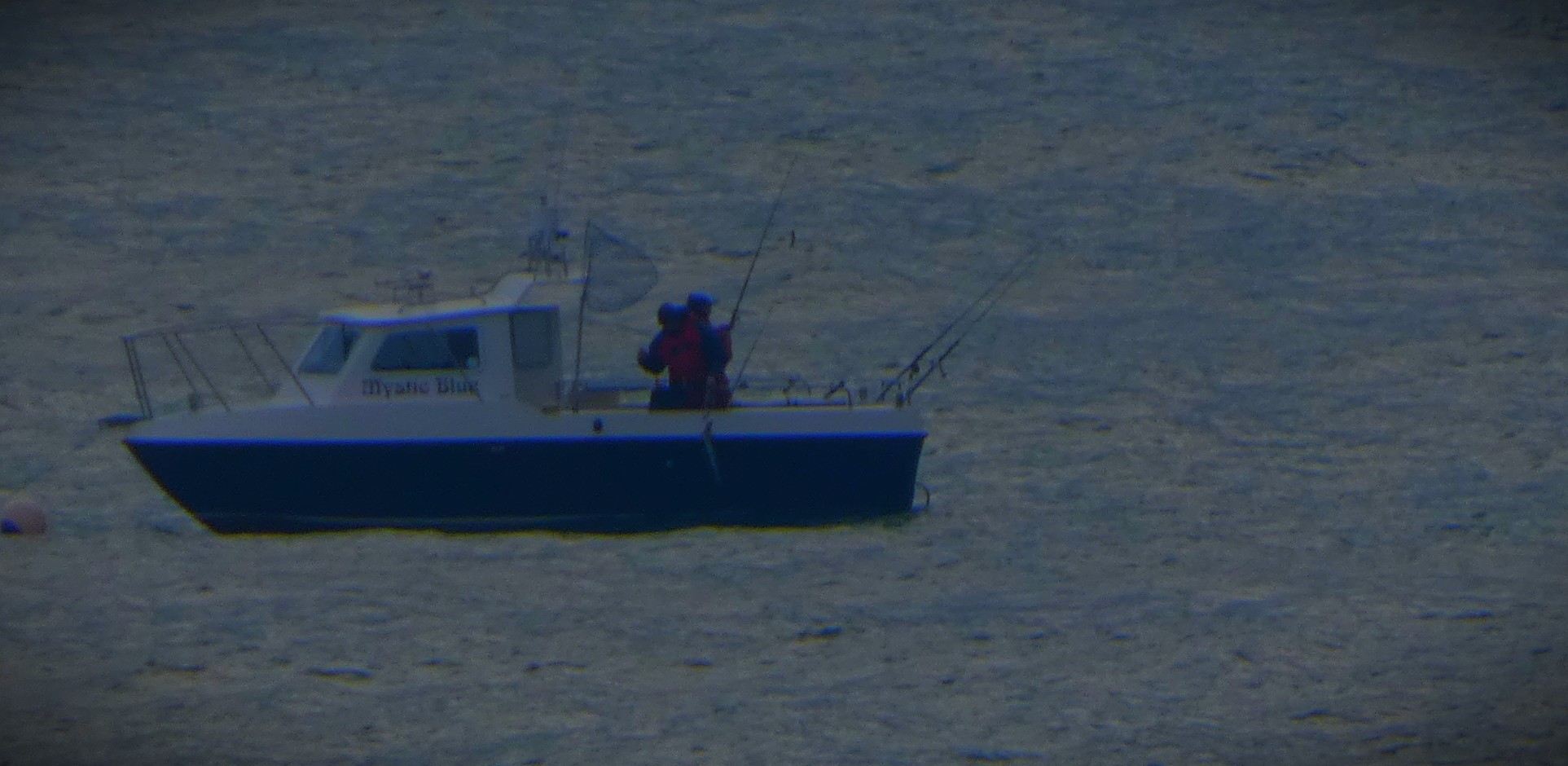
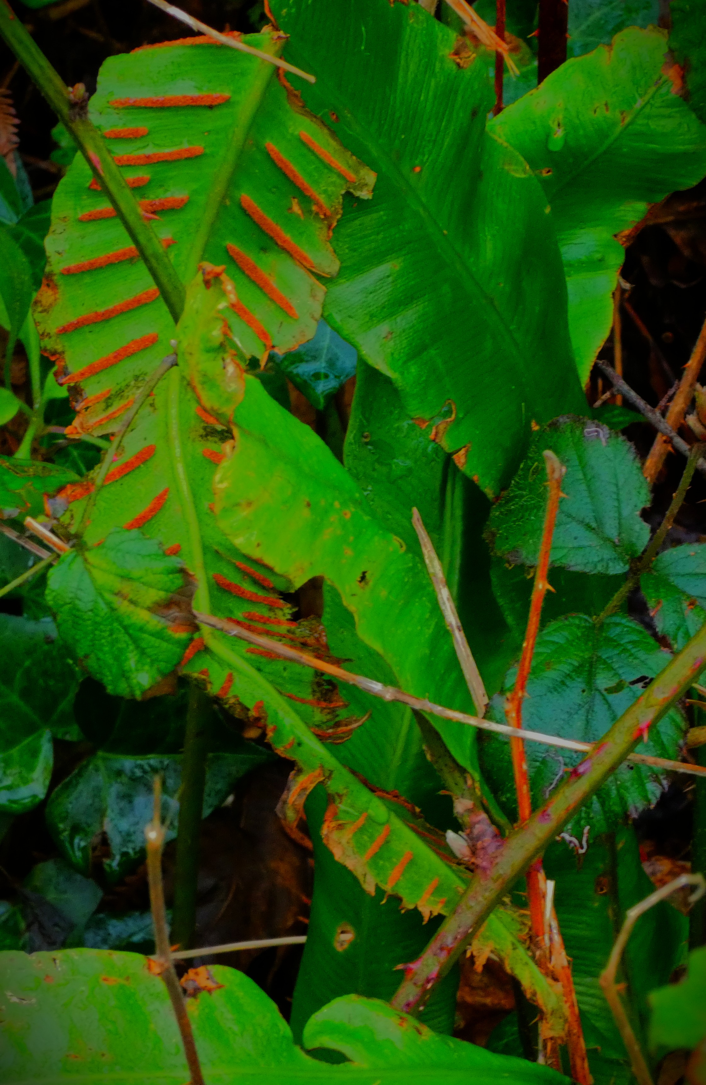
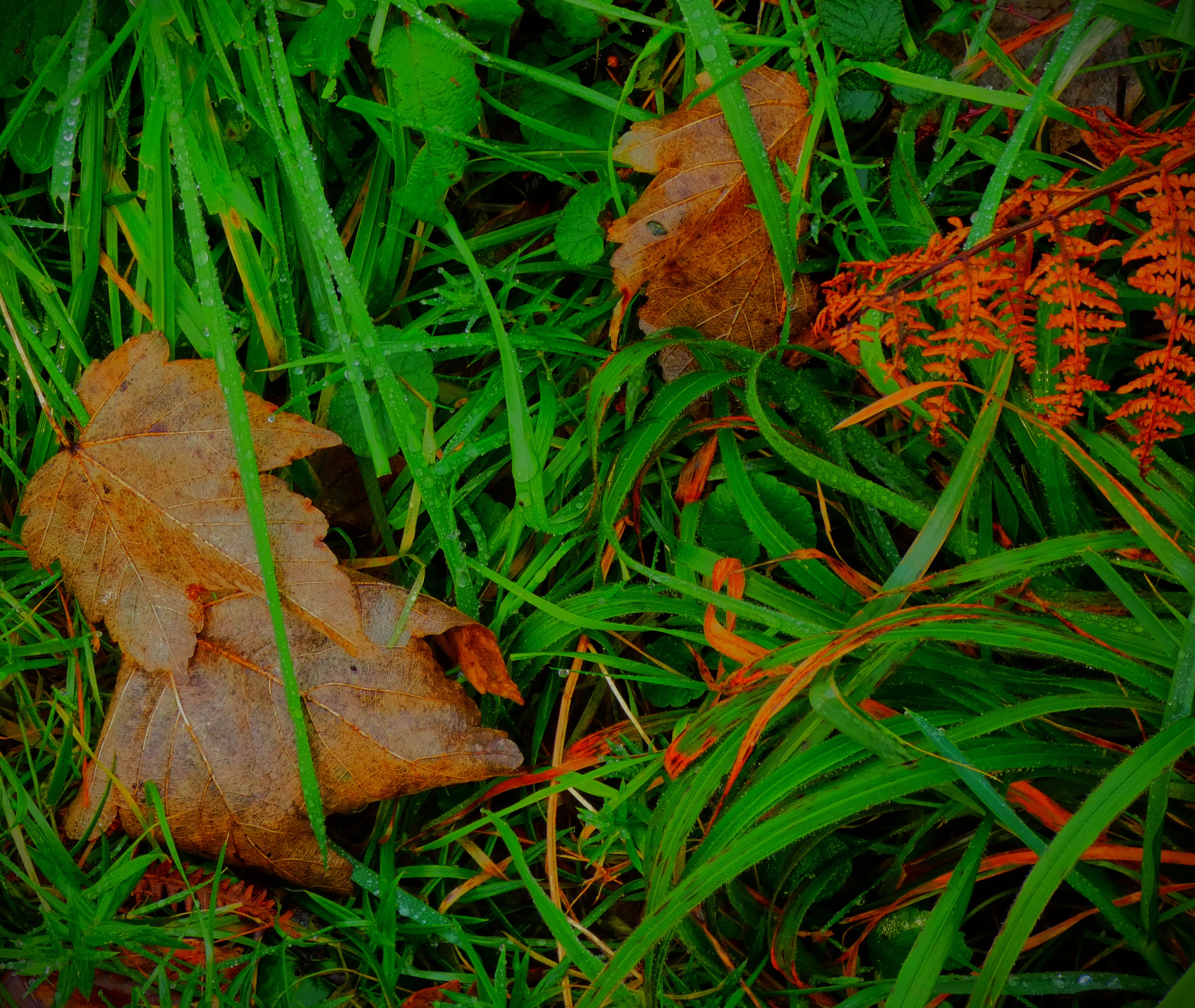
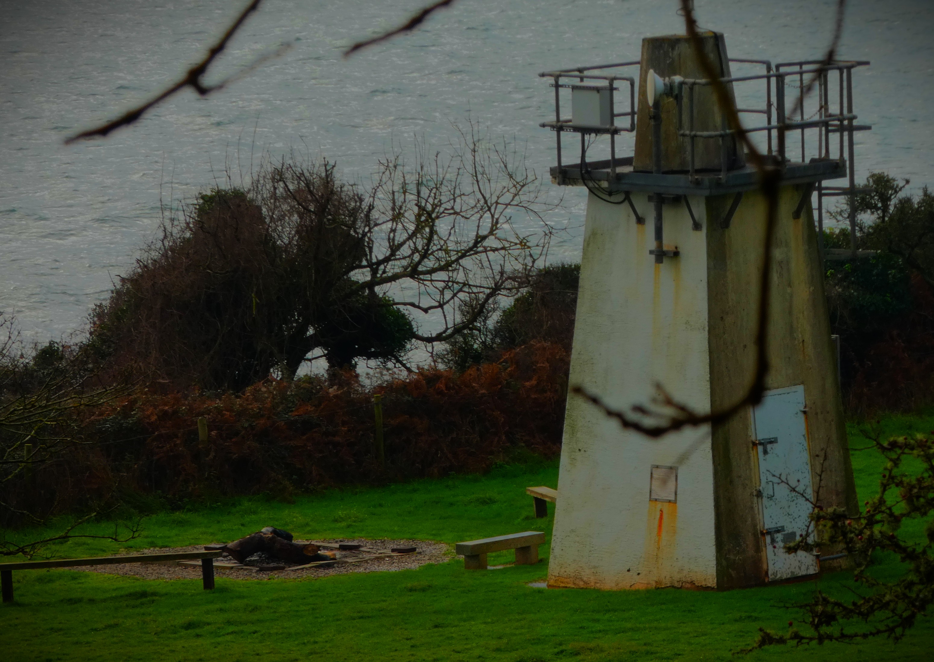
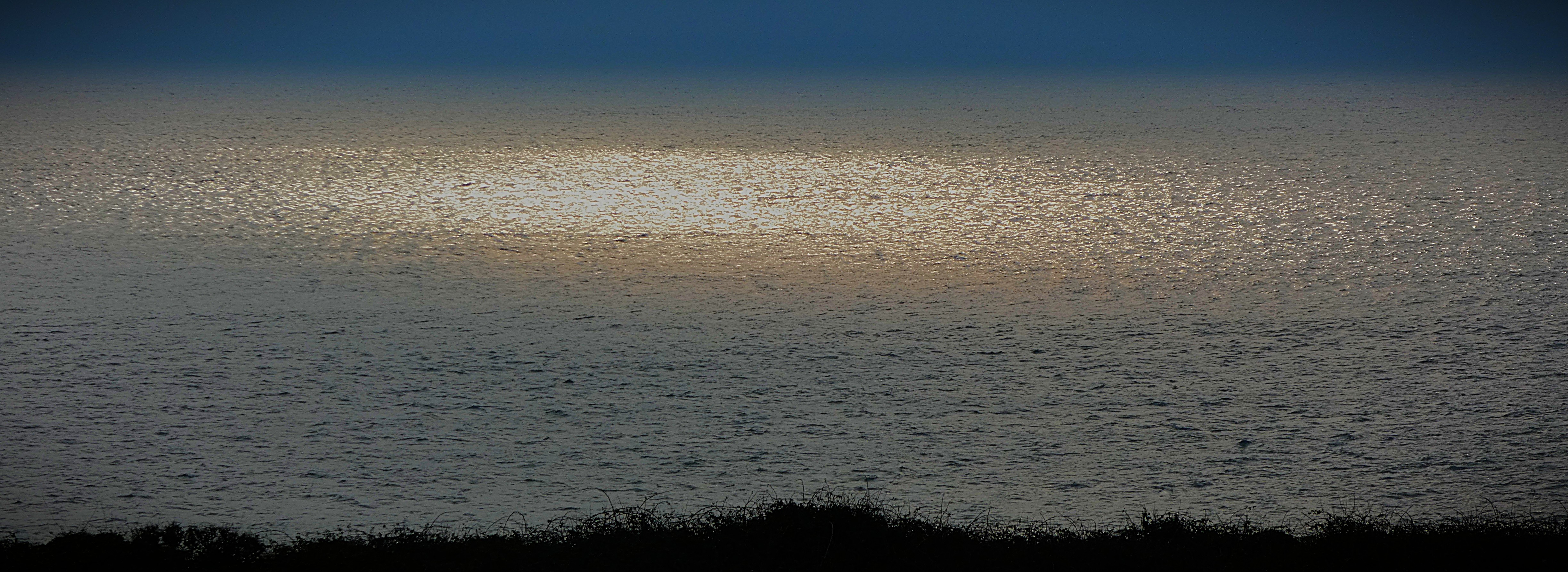
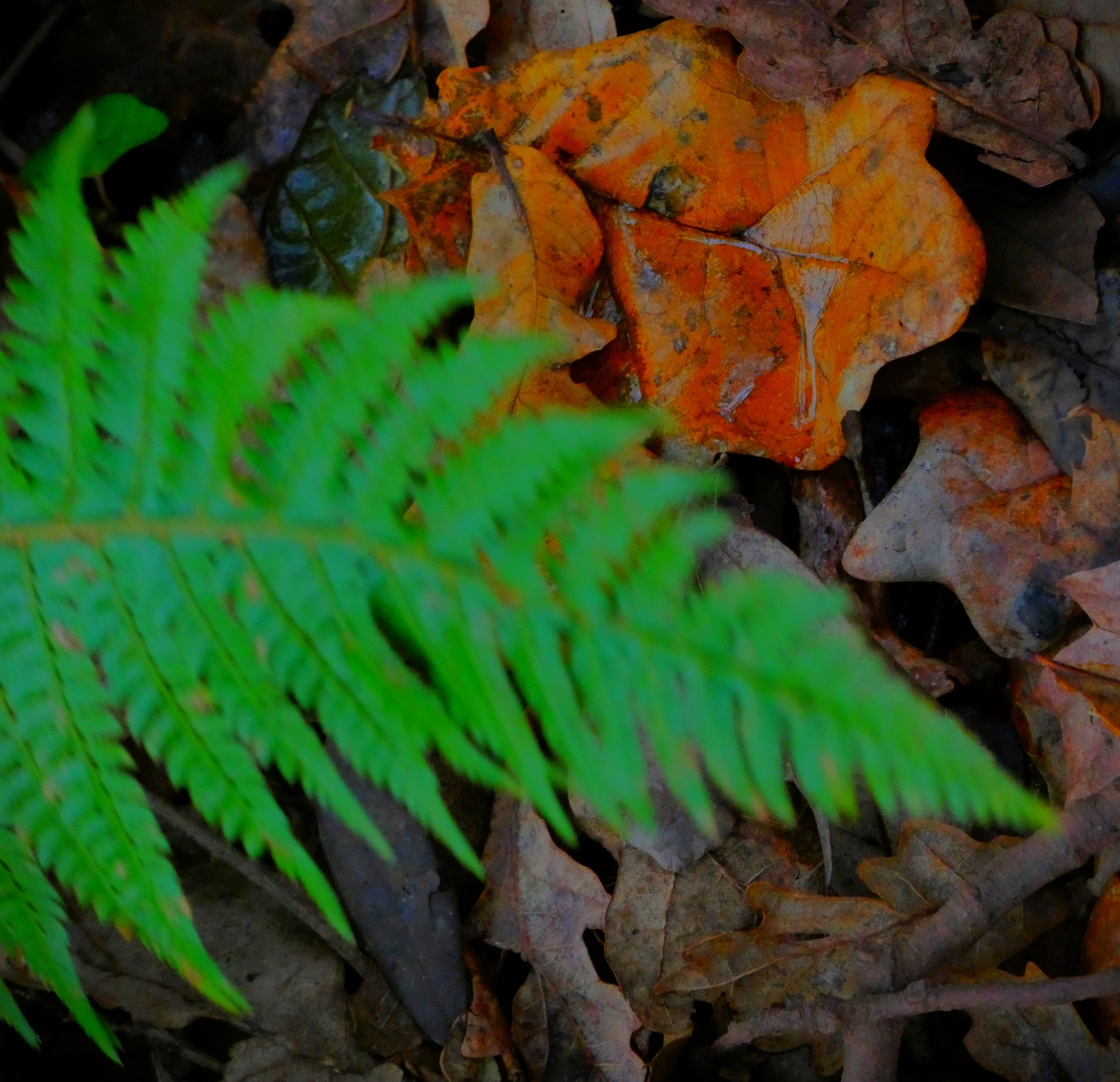
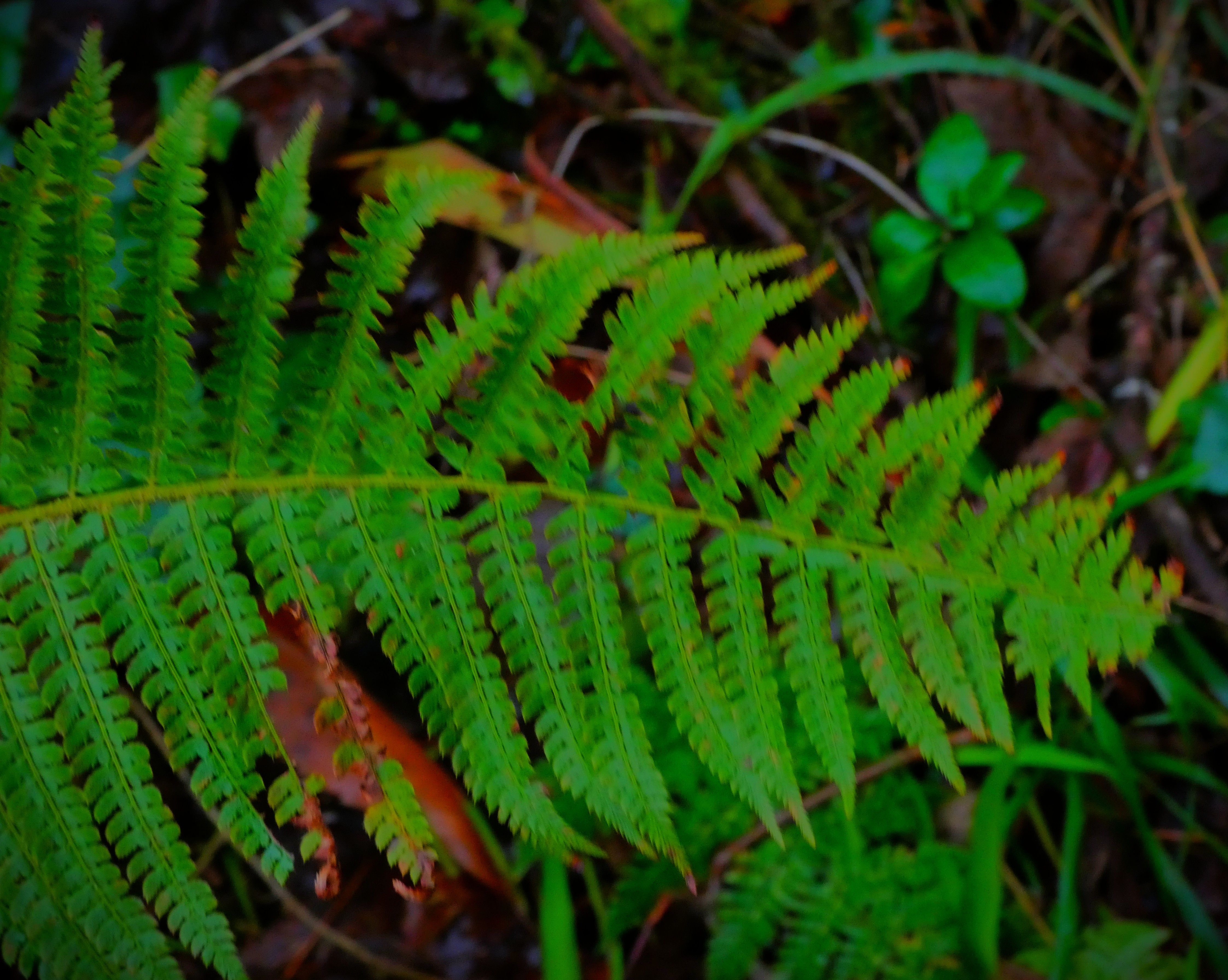
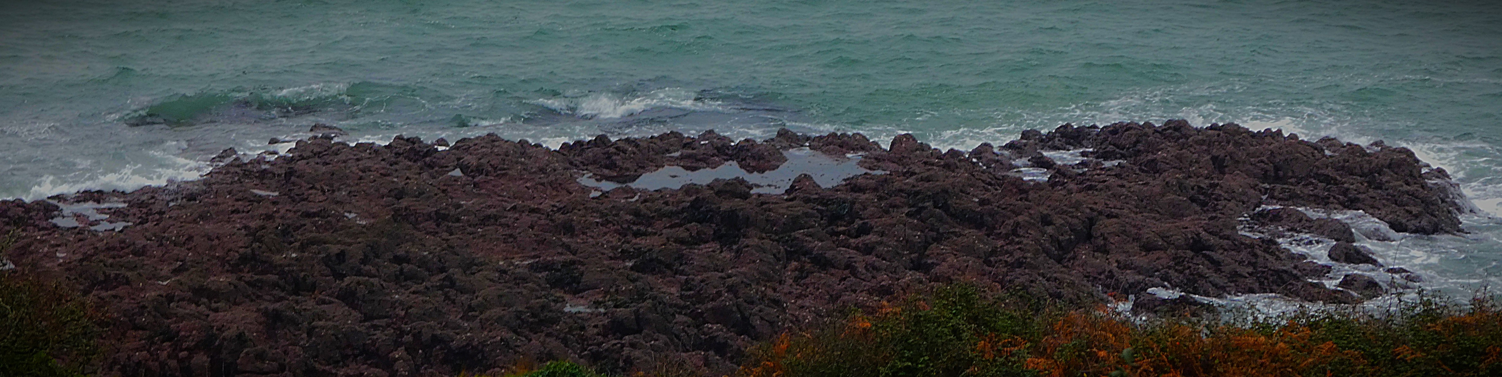
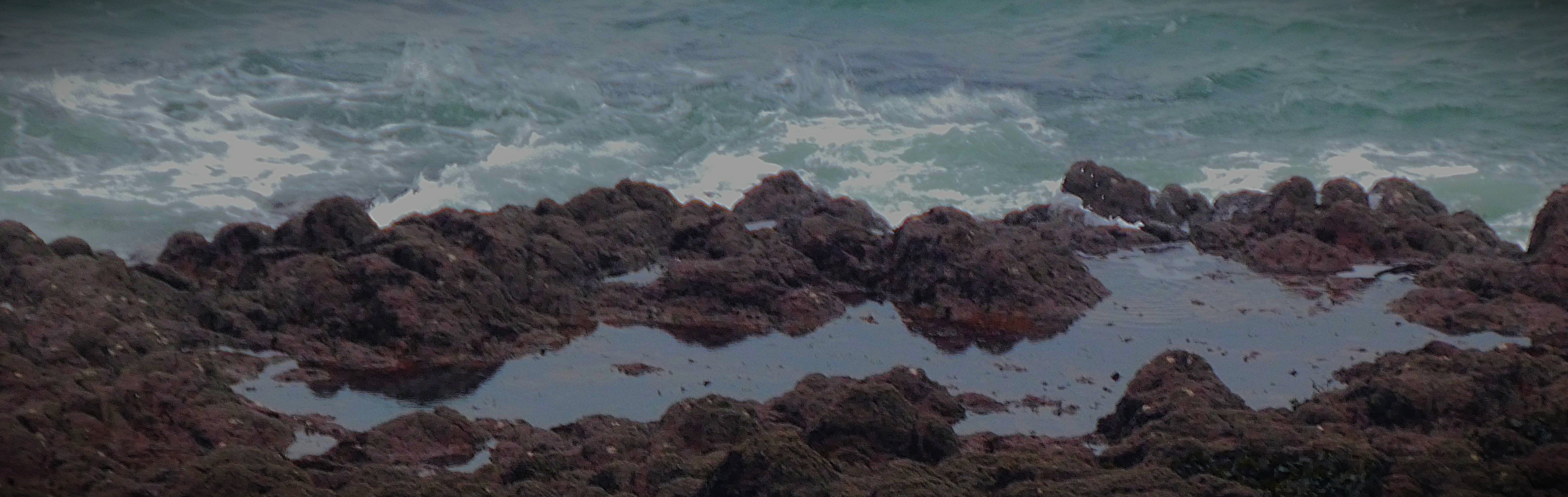
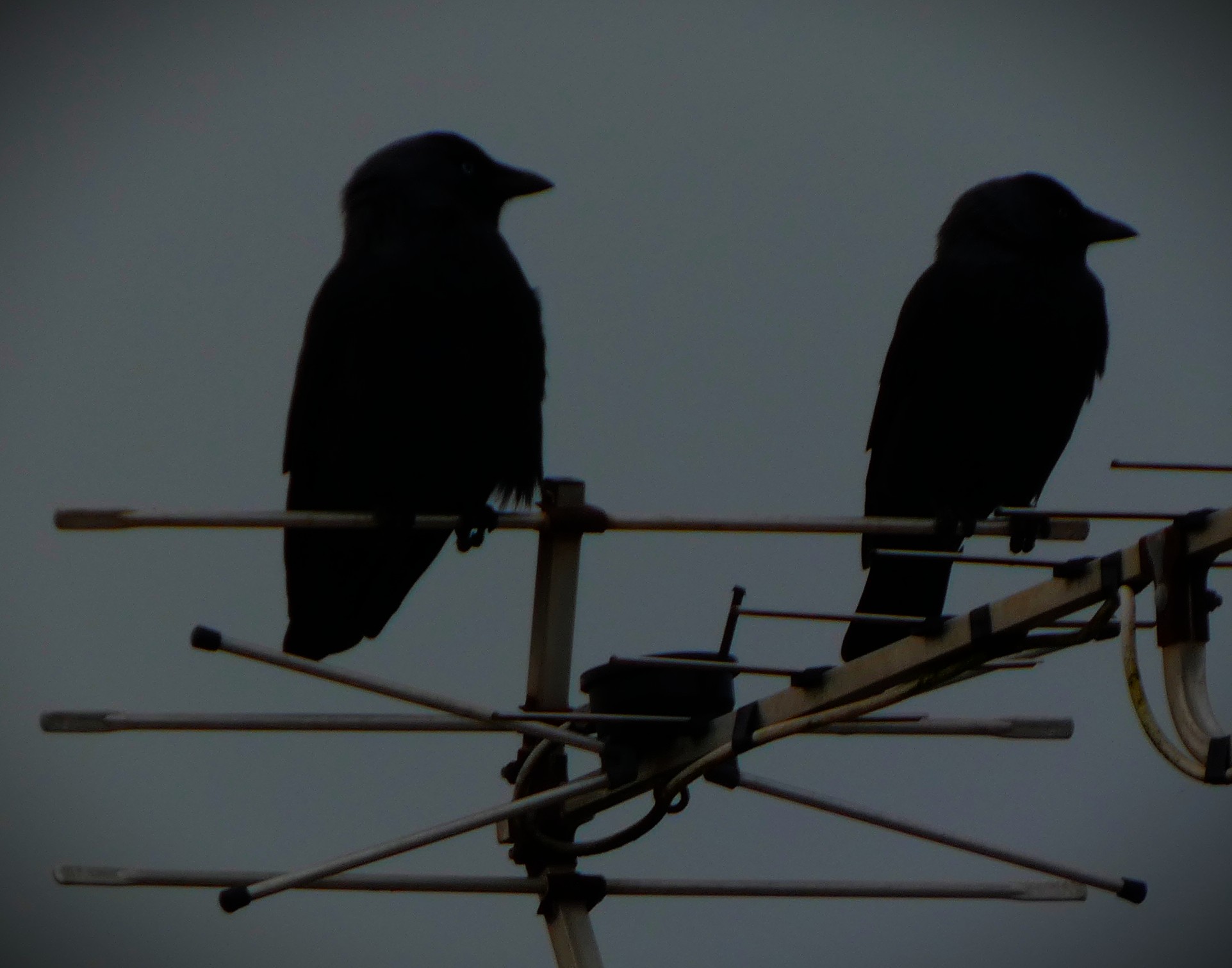
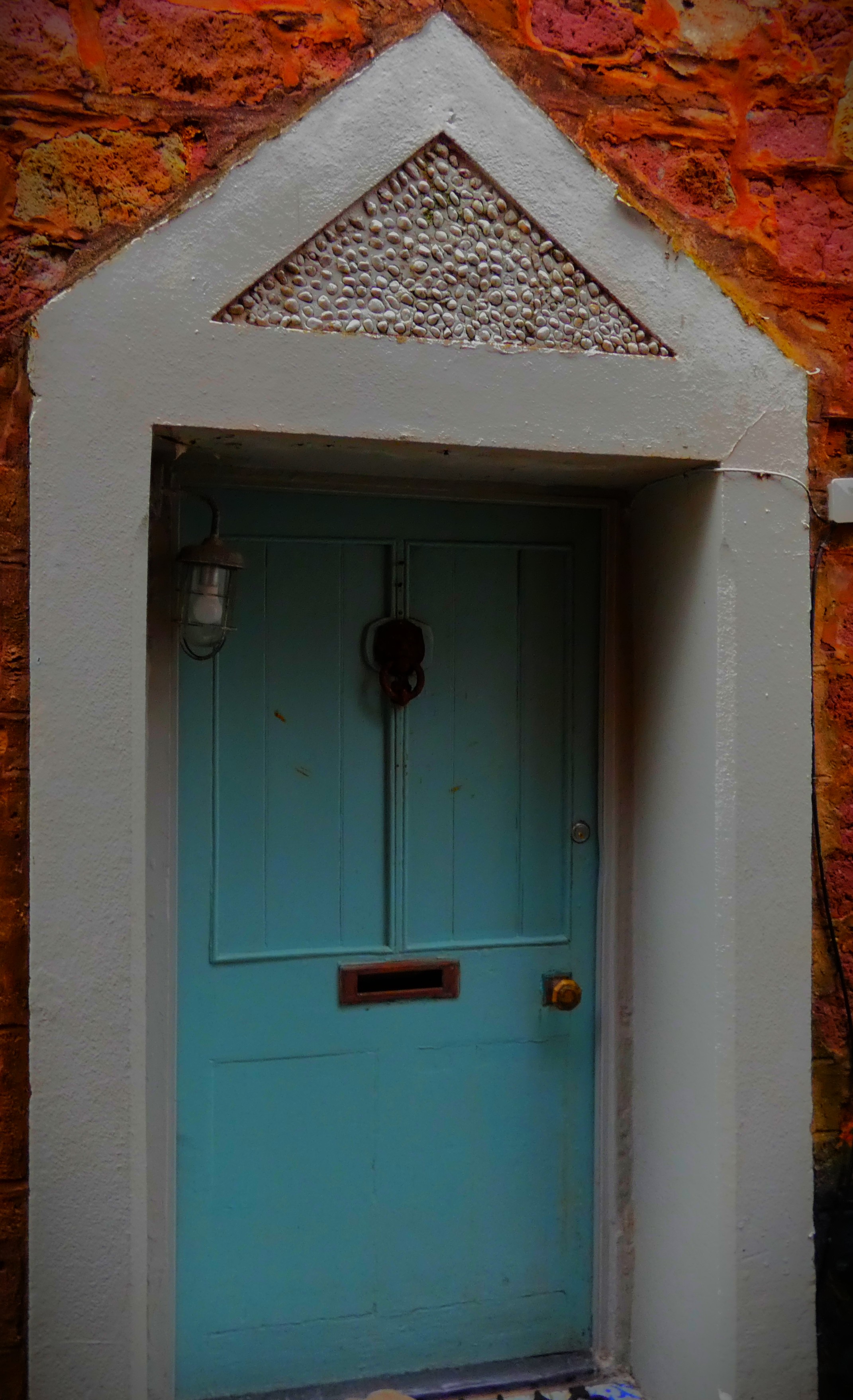
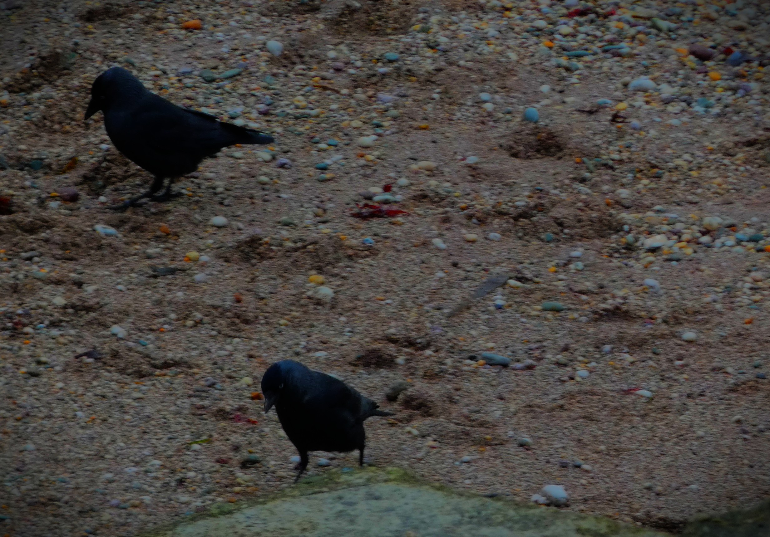
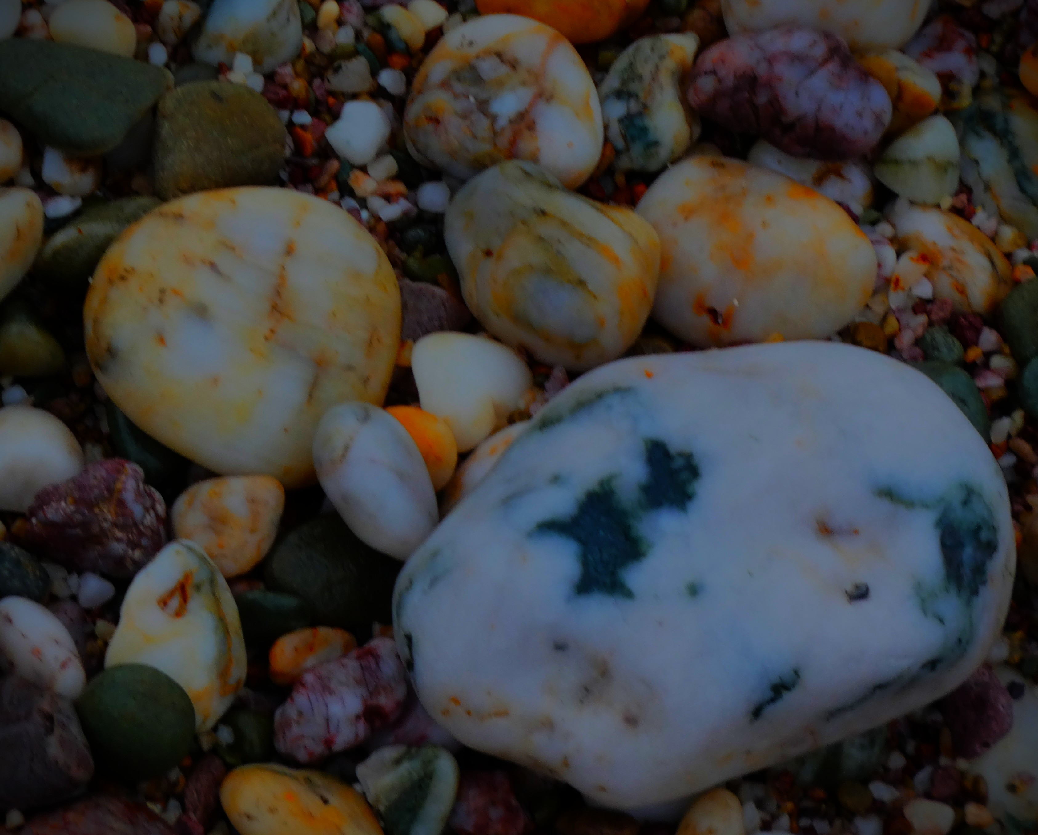
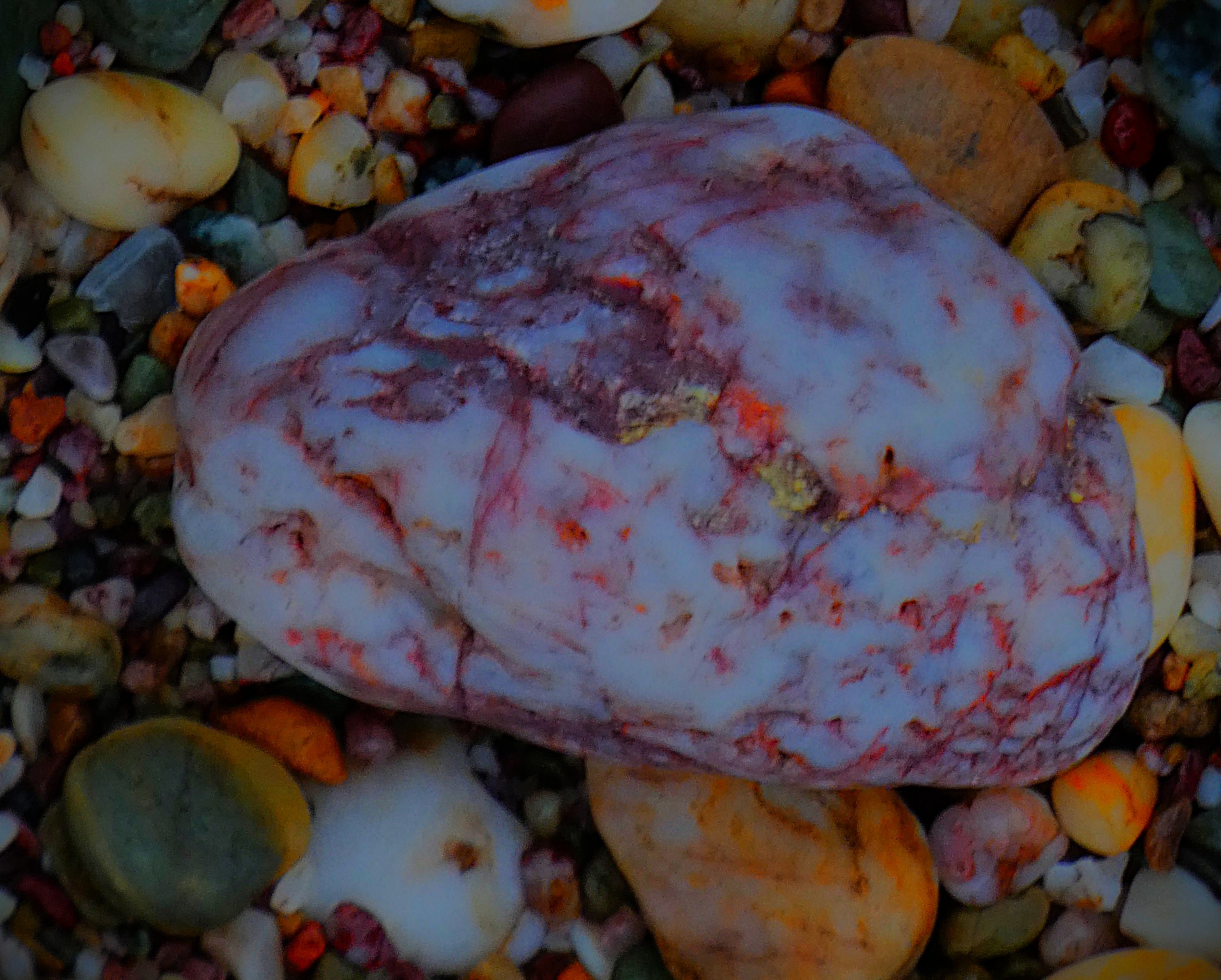
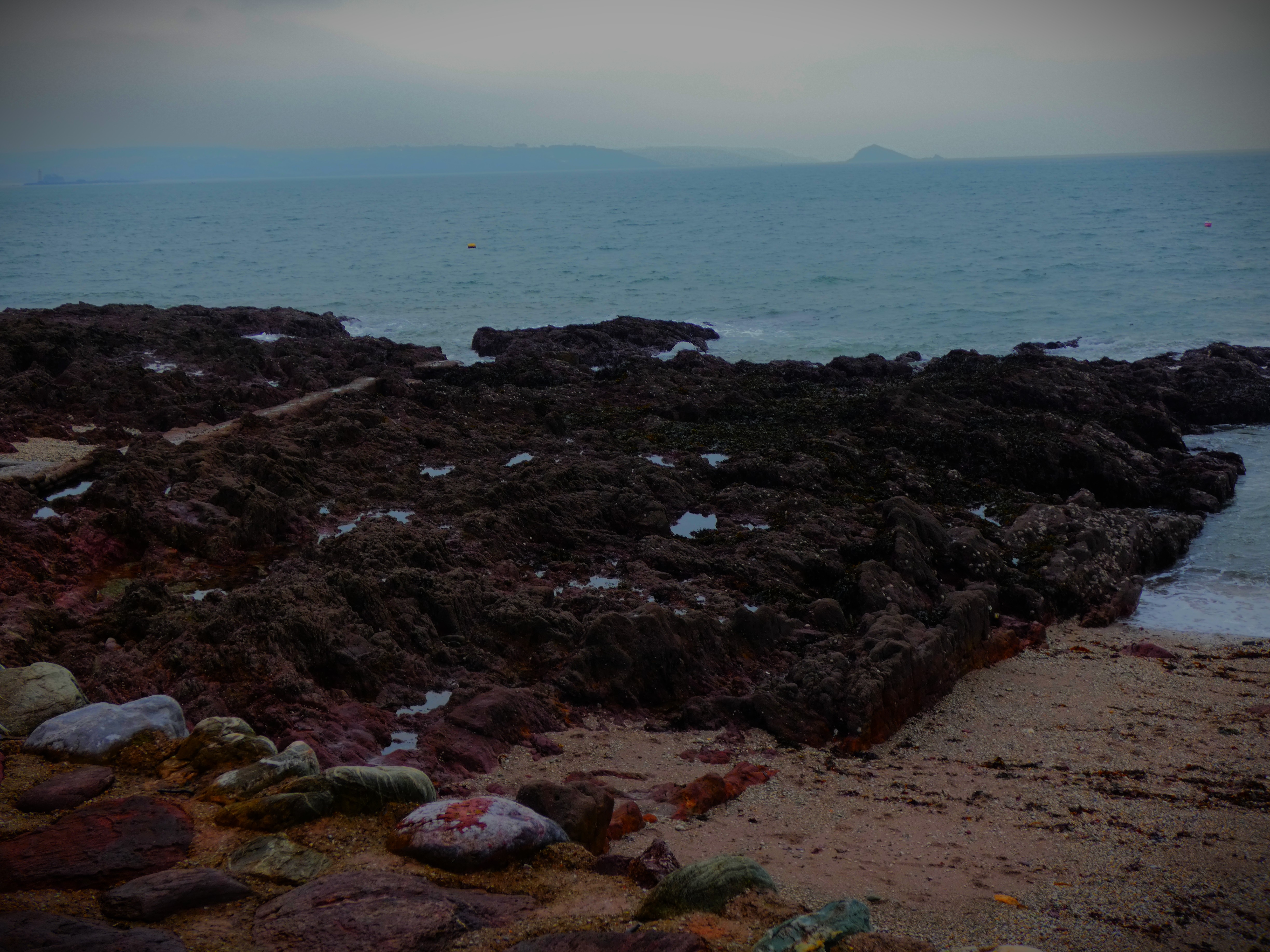
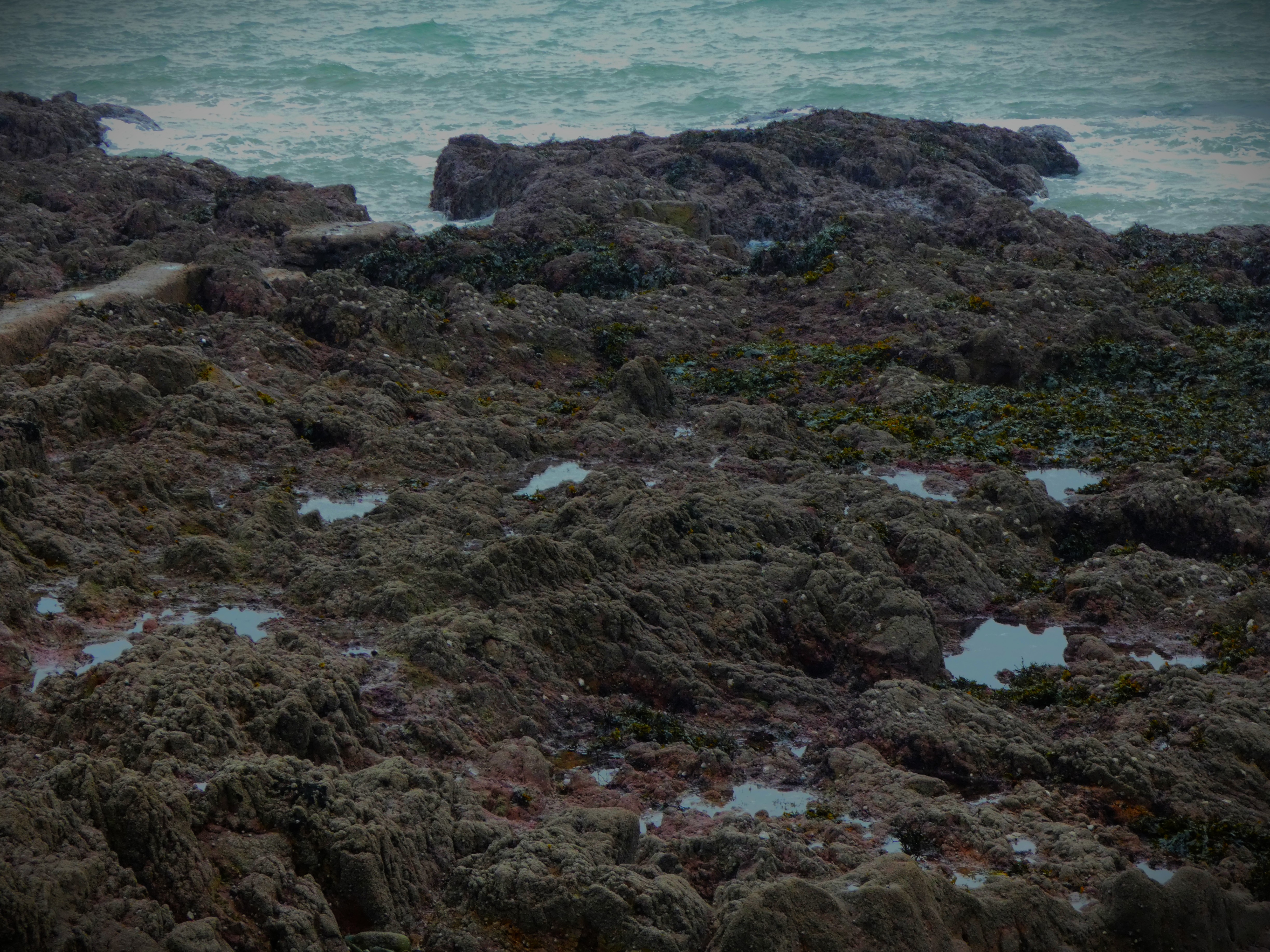
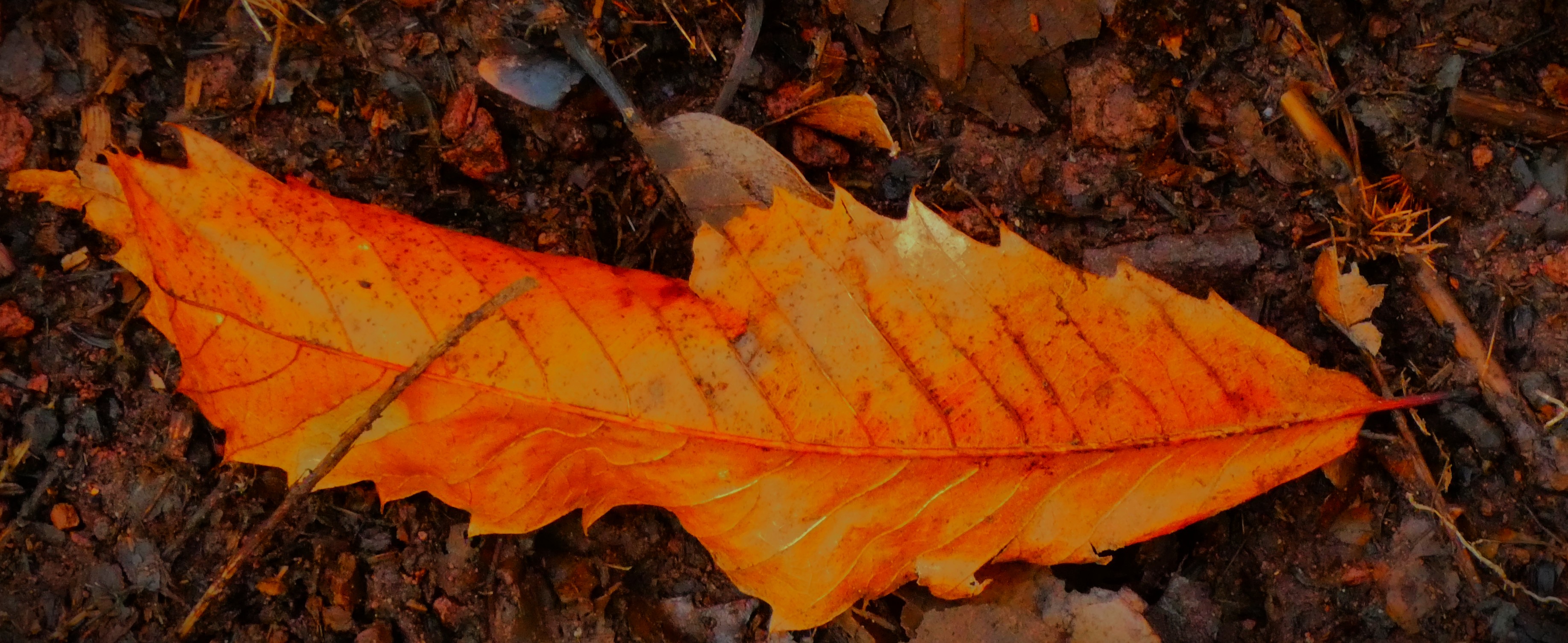
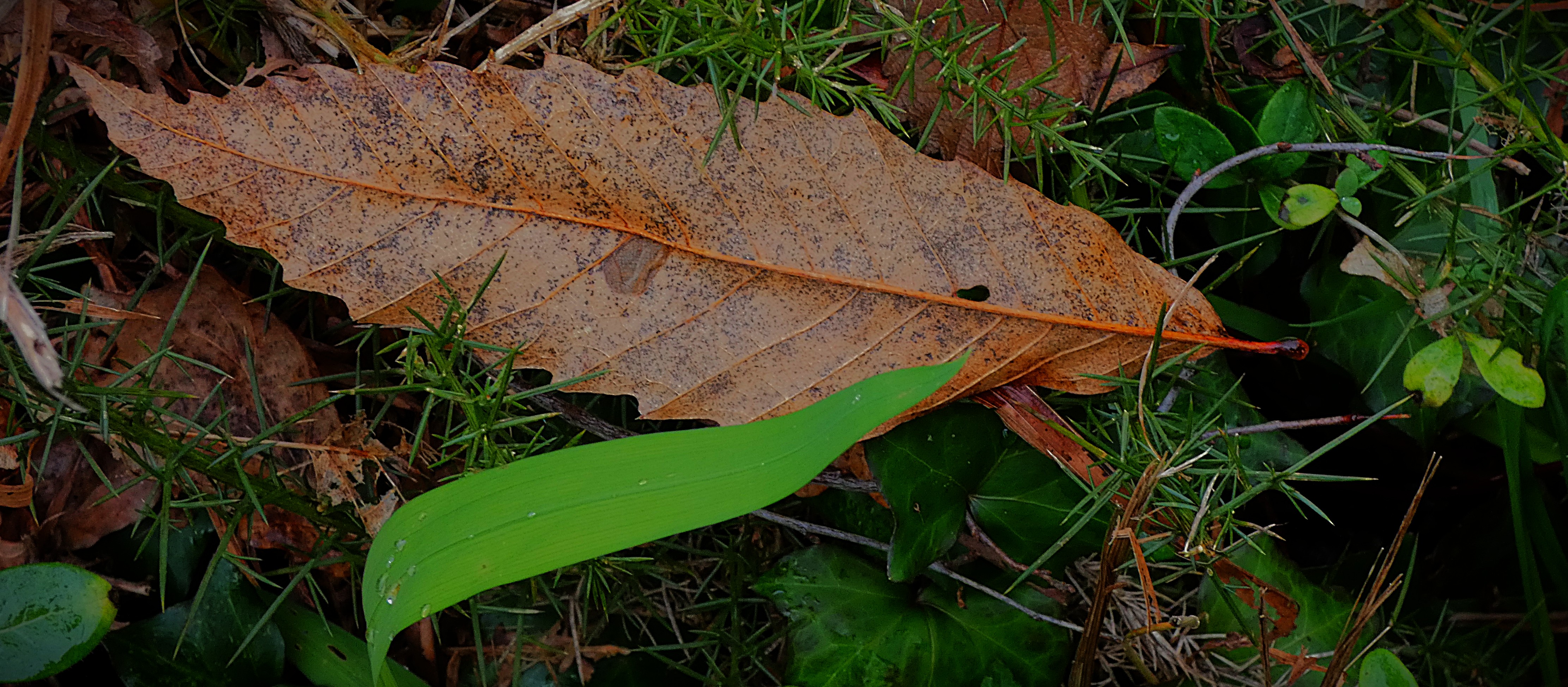
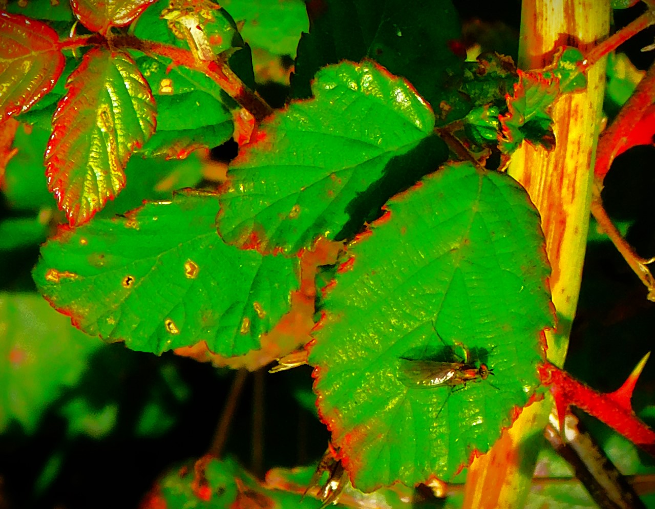
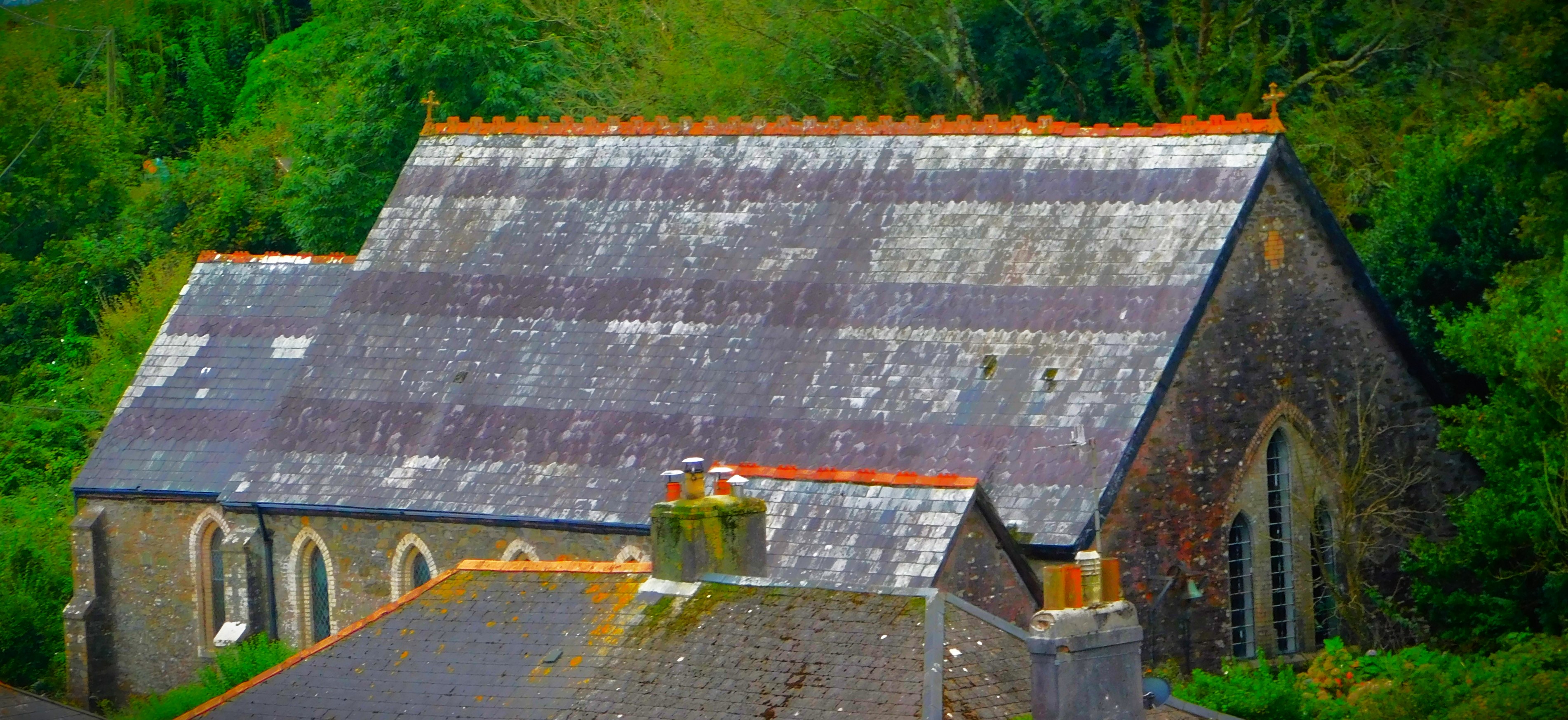
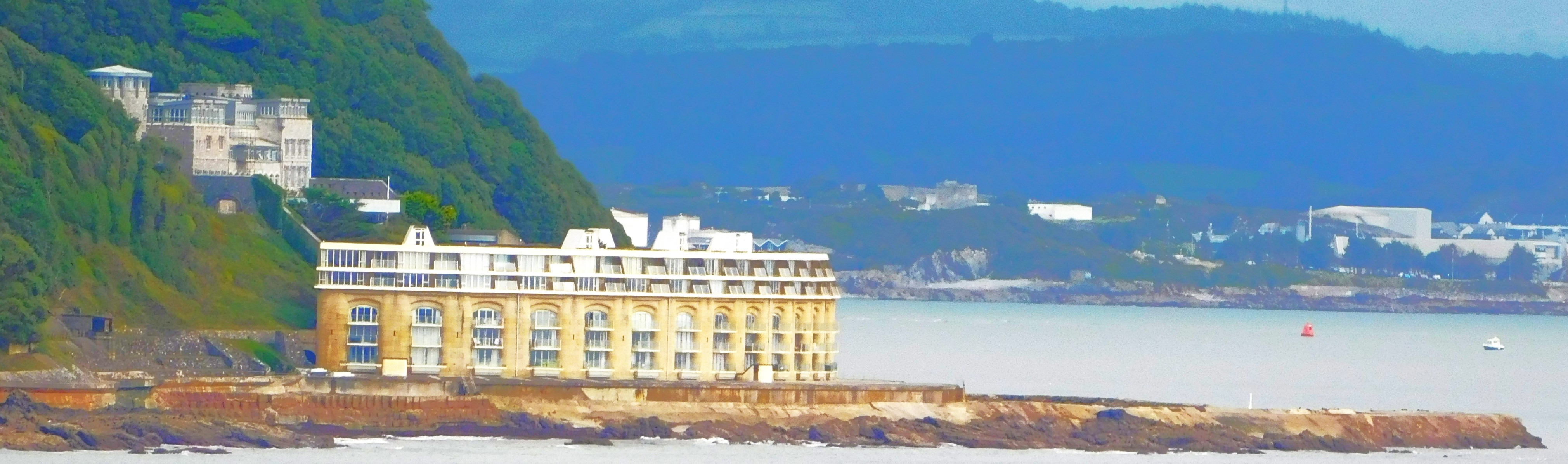
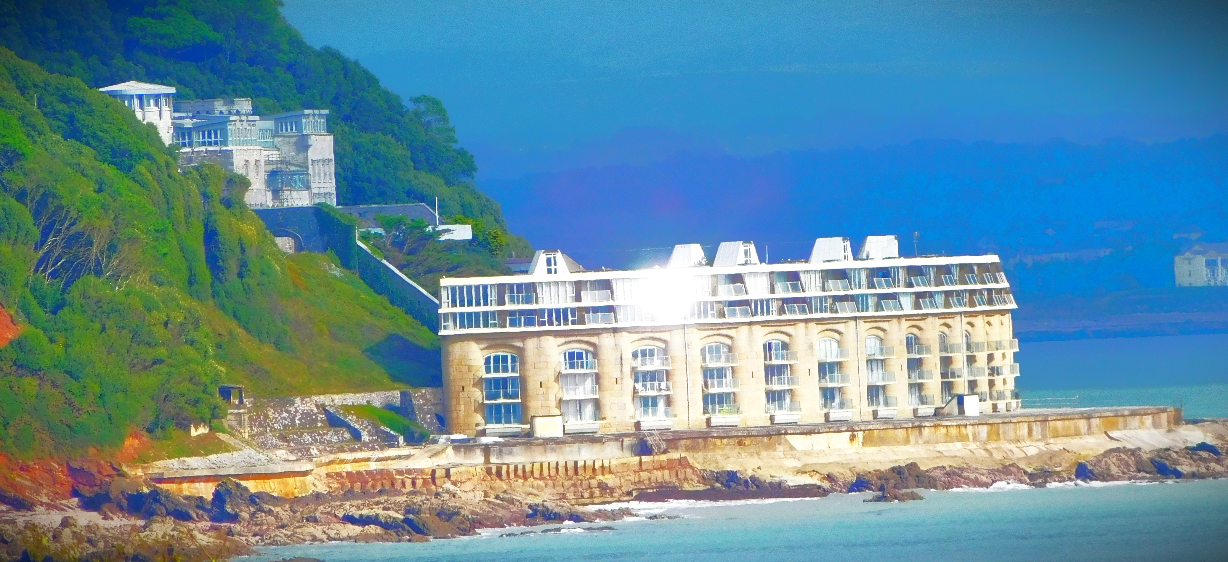
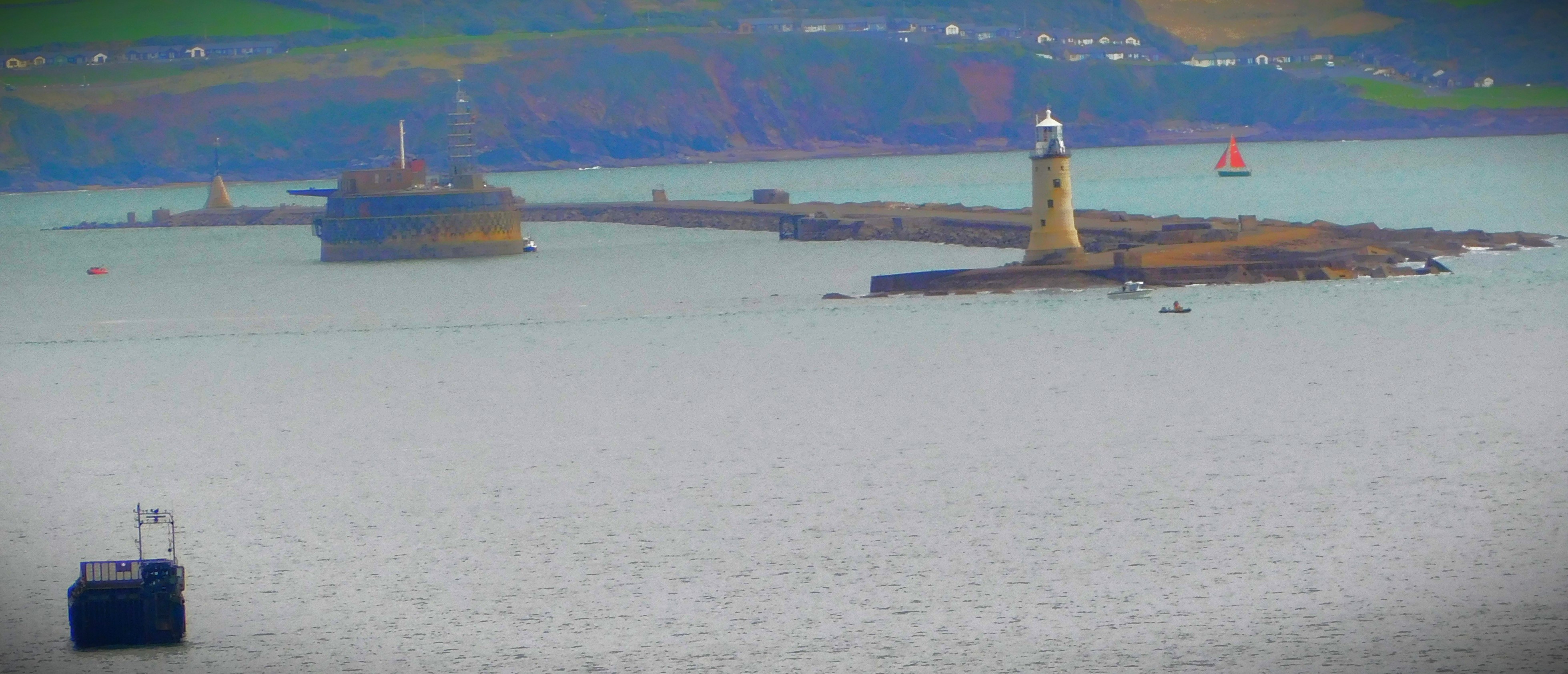
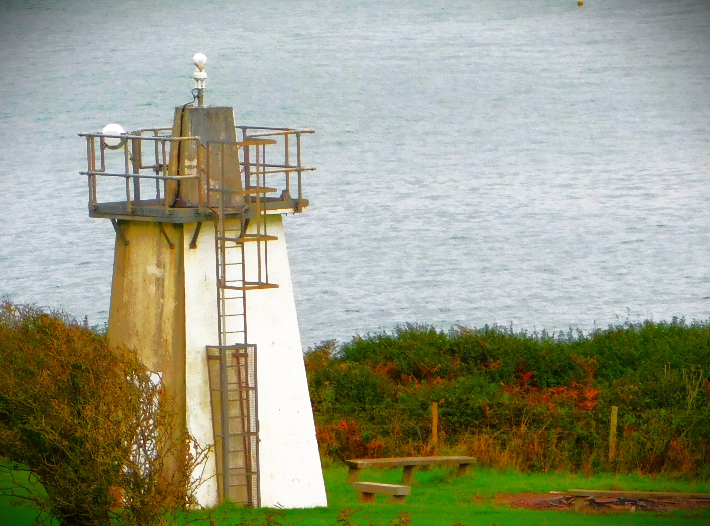
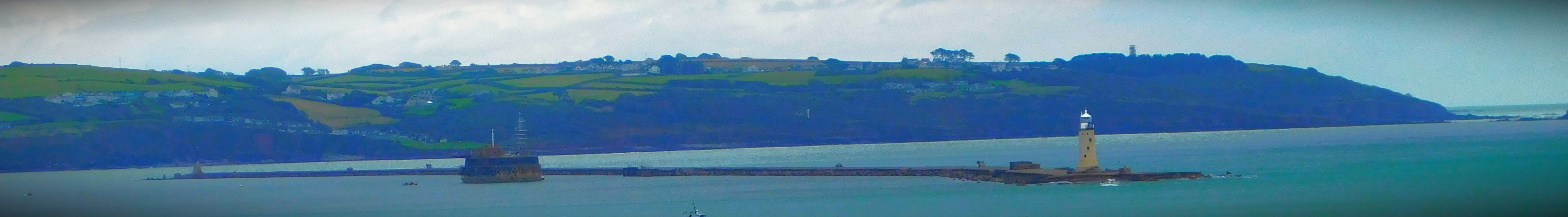
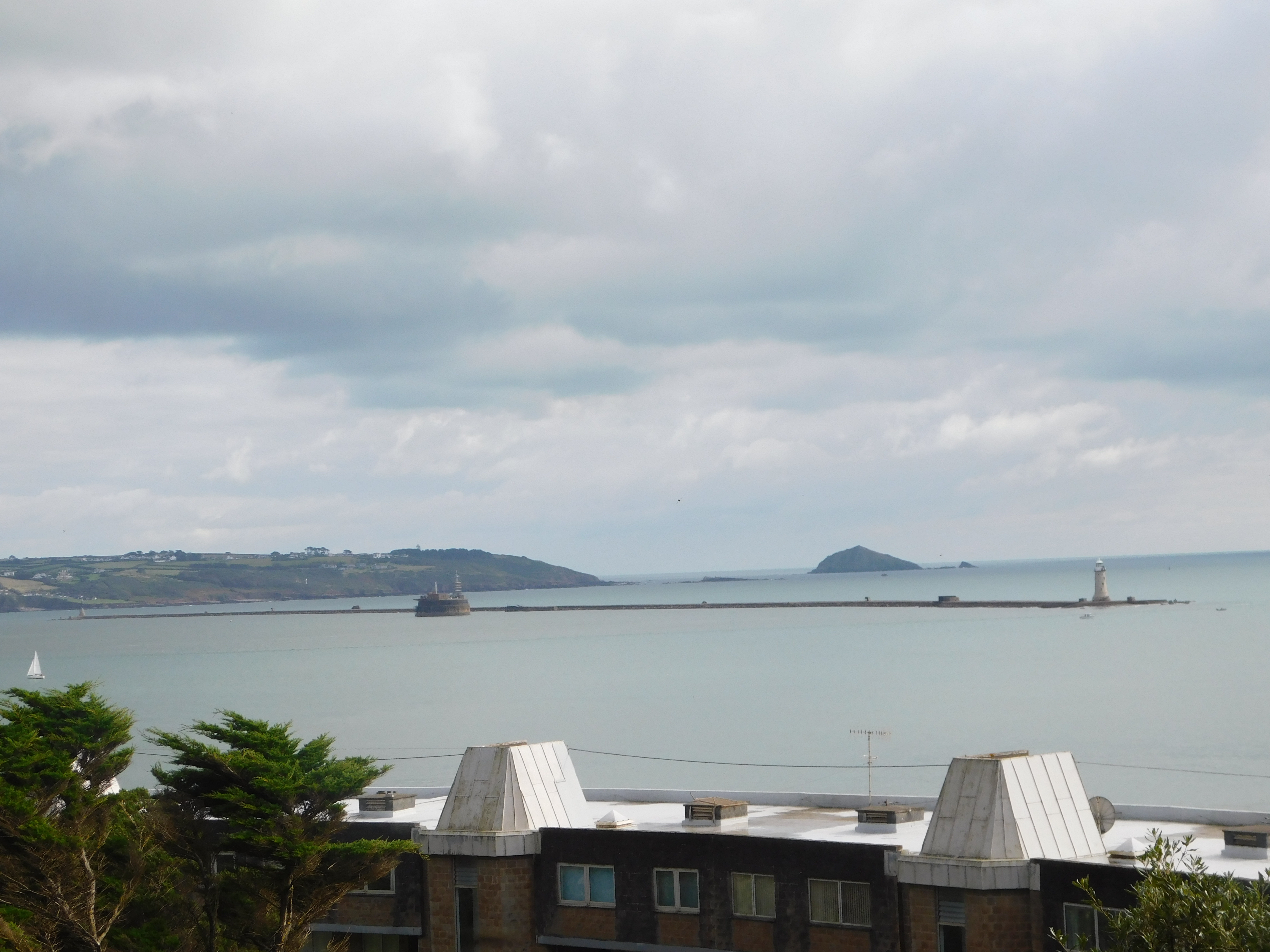
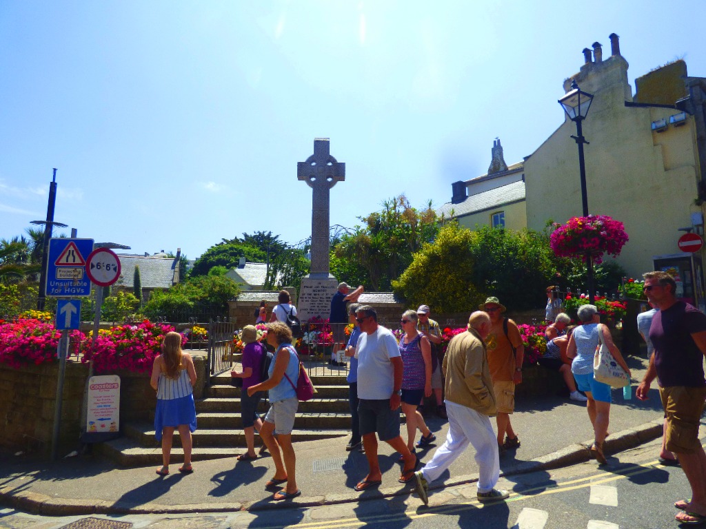
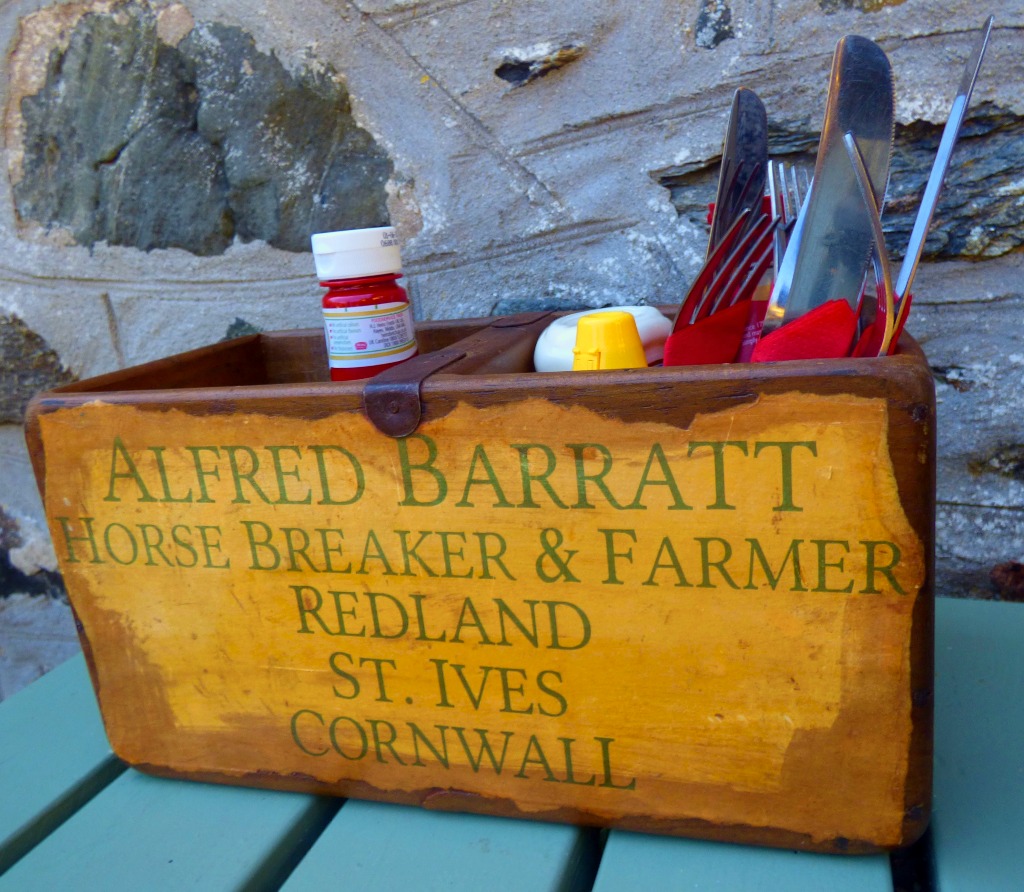
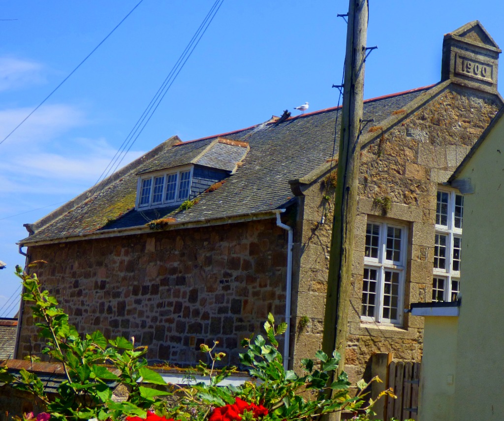
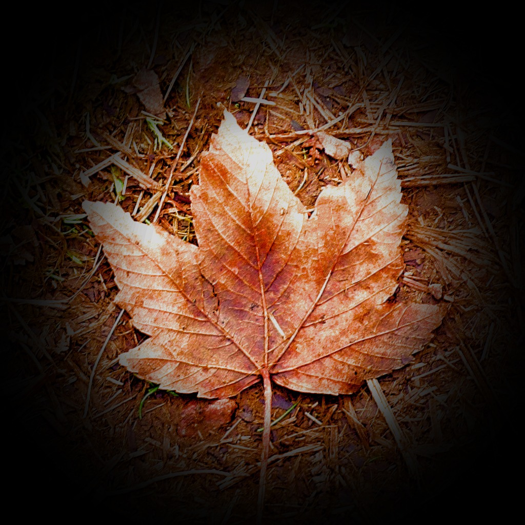
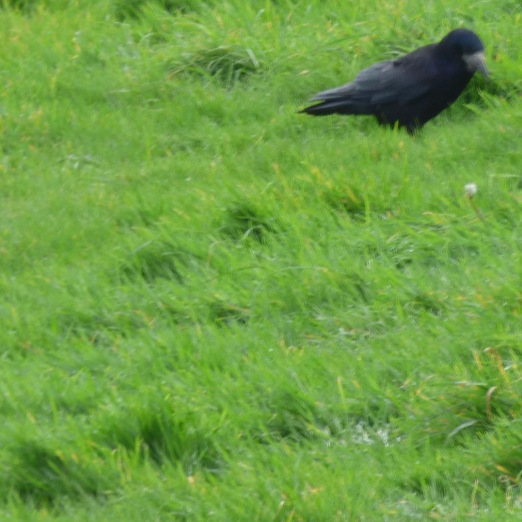
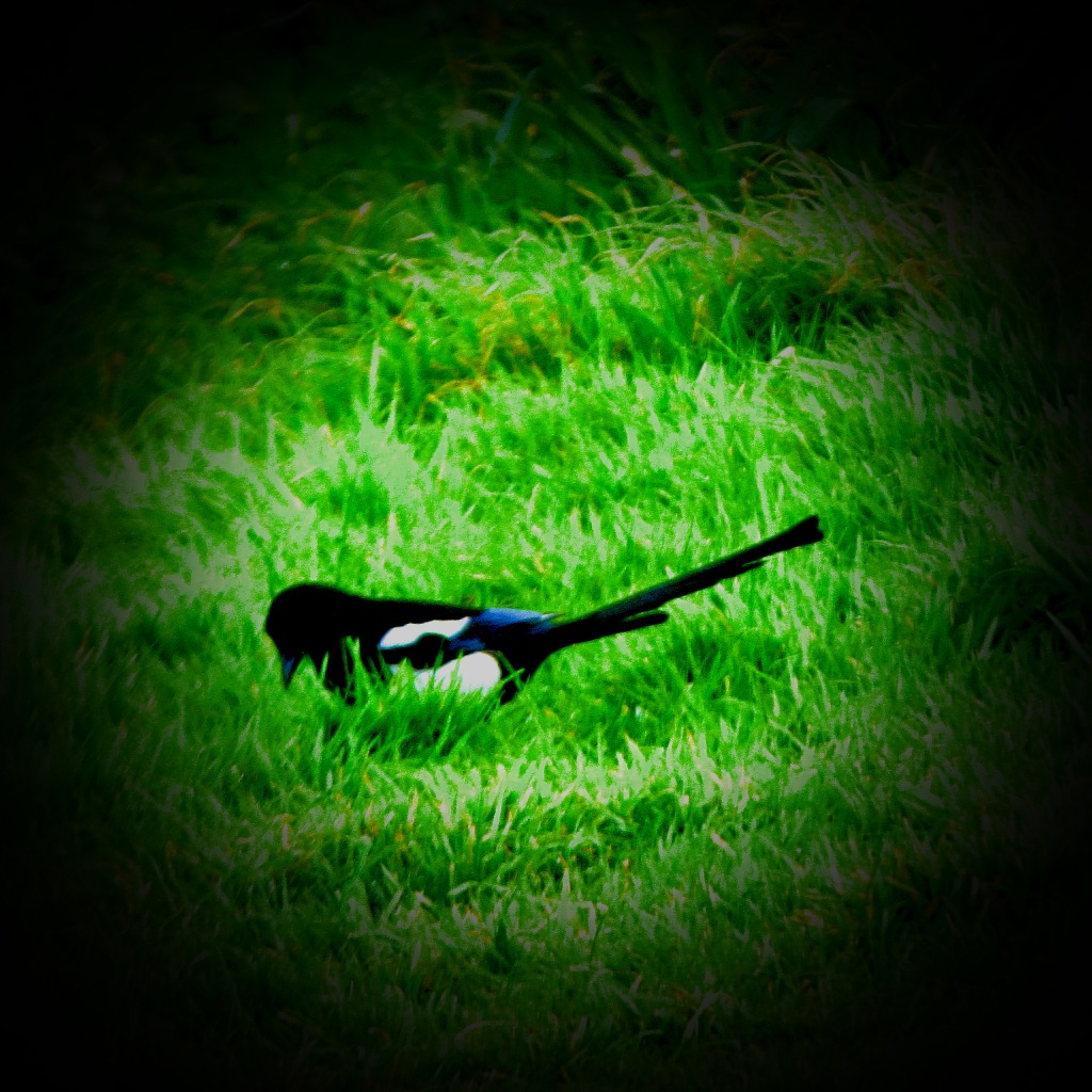
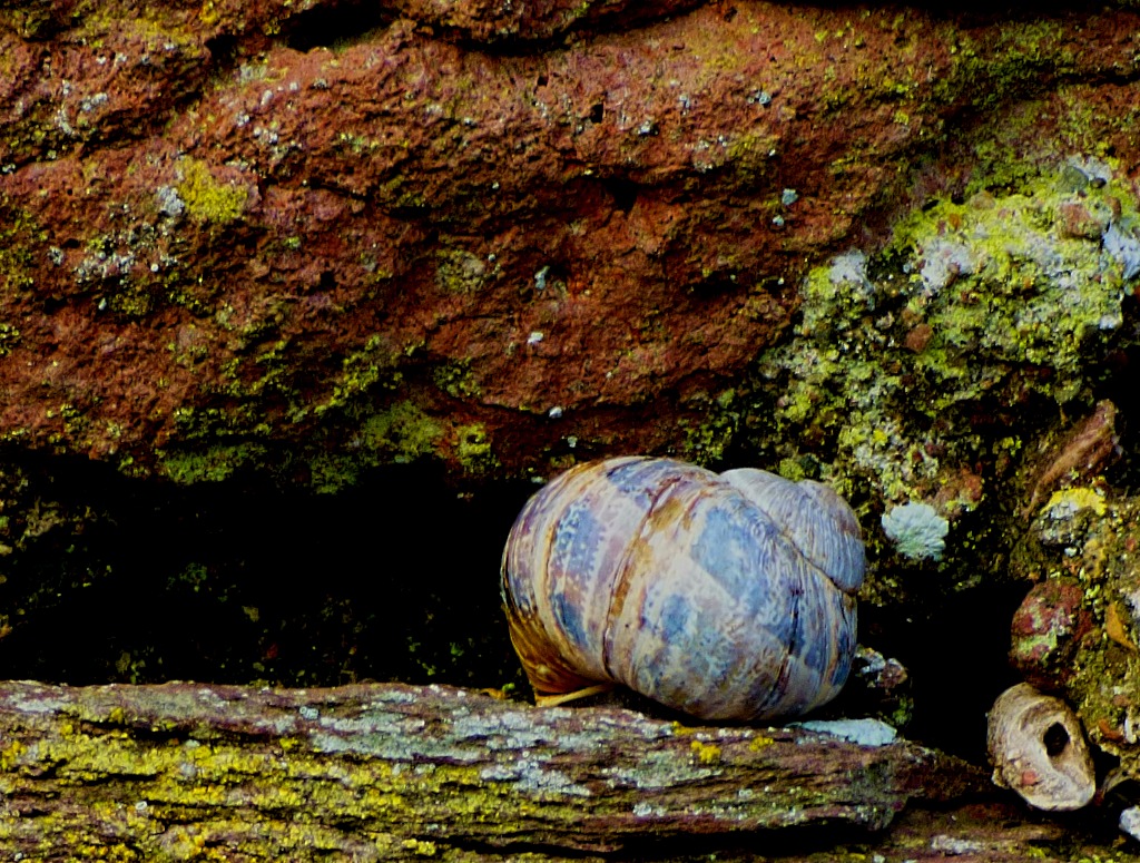
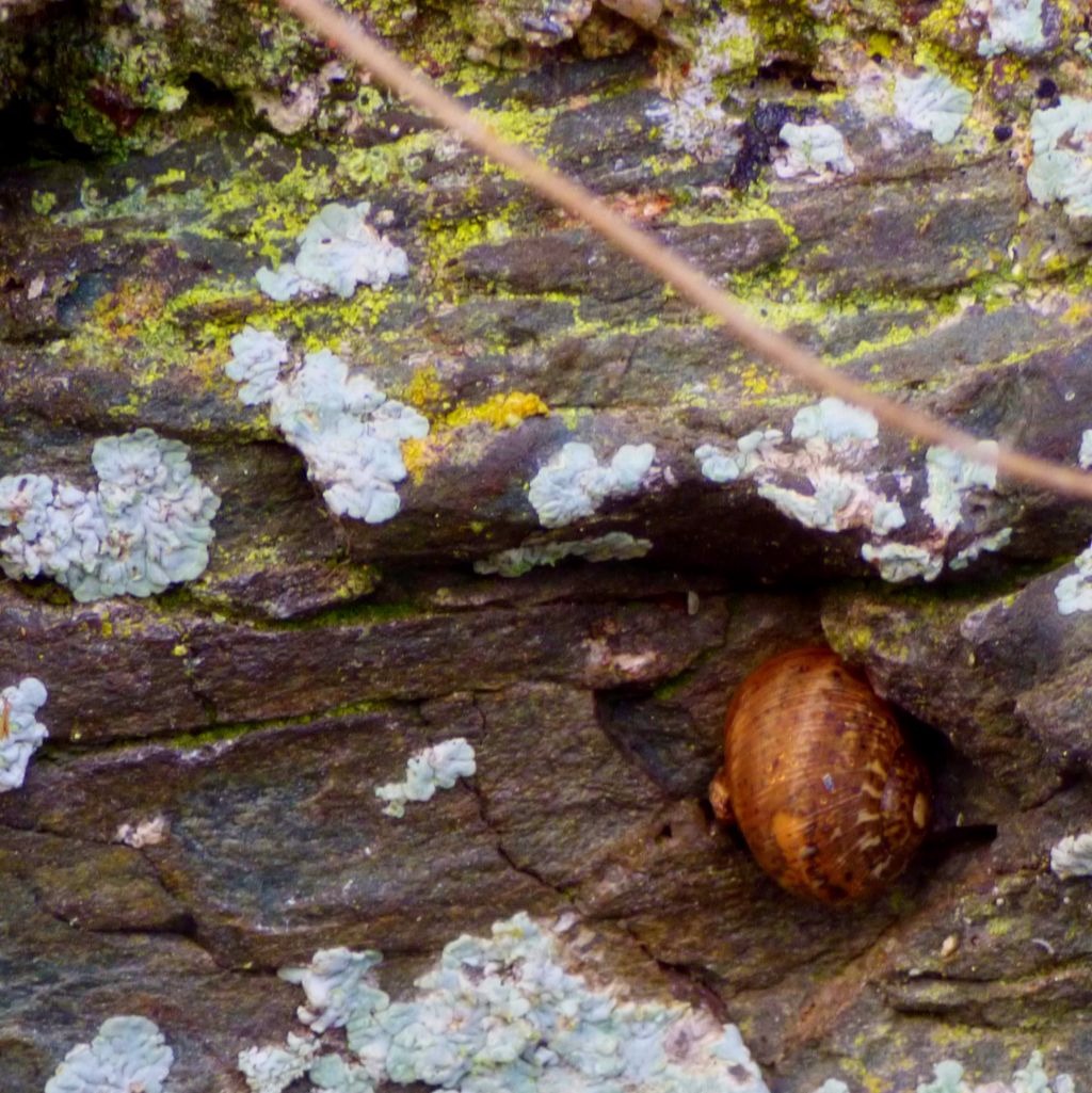
My usual sign off…

A Cornish Christmas 2: A Quiet Tuesday

Continuing my account of my Christmas in Cornwall with a brief post about Tuesday’s activities.

In the last post on this site I detailed my journey from Norfolk to Cornwall. Here I pick up the story with a brief account of the first full day of the holiday.

The only thing I did of note on the Tuesday was to walk to and from Kingsand, which provided some photos. The walk is a pleasant one, featuring a stretch of the coast path, with some splendid views. There was some more serious walking to follow, as you will read.

My gallery in naturally dominated by the pictures I took while walking…

Cornwall – Rame Peninsular Walk

An account of walk in my parents local area, complete with photo gallery.

On Tuesday we did a walk in my parents local area. This post describes my particular walk (all of us did somewhat different things).

In order to fit in around people’s limitations (time and otherwise) both cars were being used – my mother, my sister and I were travelling in one to Rame Head where our walk would begin, while my father took the other to a different parking spot and walked towards us, meeting us part way through our walk. We would walk together to the second parking spot, my father would give my mother a lift back to Rame Head so she could take the other car into Liskeard where she had an appointment, and would then drive back along the route the my sister and I would be walking to give us the possibility of a lift back to the fort. He overtook just on the far side of the twin villages of Kingsand and Cawsand from the fort, my sister chose to take the lift back, while I opted to stay walking.

The path from Rame Head is extremely scenic, with some wonderful sea views. Out on Rame Head there was a wind blowing, but once away from the head the path was quite sheltered, and the temperature was fairly warm. The second stage of the walk, with my sister, was all road based, but there were one or two decent views along the way. The final stage, on my own, was road based until Kingsand, then on to a path through the Edgecumbe estate up the point at which that path intersects with the road above Fort Picklecombe. The path offers some fine views and was good for walking on.

Here are my pictures taken during the walk…

A Grockle’s Eye View of Cornwall 4: The End of the St Ives Day

The latest post in my series “A Grockle’s Eye View of Cornwall”, concluding my account of my day out in St Ives.

INTRODUCTION

In my previous post in this spread out series about my recent visit to Cornwall (Thursday July 12  through Monday July 16) I covered a boat trip to see a seal colony. I now account for the rest of that day after the trip. Don’t forget that a more local view of St Ives is available from The Cornish Maid.

BACK ON TERRA FIRMA

I was back in St Ives at 1:15PM as scheduled, and had two definite targets for the remainder of my time there – find a cash machine and find somewhere not too extortionate for lunch. By this stage the town was packed, and far as I was able to locate there was a but a single cashpoint there, so I had a bit of a wait. Still I eventually got my money and found a place to have lunch.

statueMemorialCutlery and condiments

Victorian house
This building may once have been a non-conformist chapel.

Lighthouse II

THE RETURN JOURNEY

I was back at the station in good time for my three stage journey back to St Germans (changes at St Erth and Liskeard, and longish waits at both). My father collected me from St Germans and we headed to Cawsand to meet my mother, sister and nephew at a pub there before heading to Fort Picklecombe together. My camera battery just made it to St Germans before giving out for the day after one more picture en route for Cawsand.

St Ives for home journeyBoat through the treesView through the treesRiver meets the seaRiverriver mouthbirds, Lelant SaltingsTrain, St ErthSt Erth stationBranch line cafetrain departs for PenzanceIncoming trainMarshland IIIRiverside viewCamborne mapTownscapeback at St Germans

View from the car
I suspected (rightly as it turned out) that I had only one shot left by this stage, and this view, from the heights above Cawsand, seemed a worthy way to finish my photography for the day.

Picklecombe Fort, Kingsand and Cawsand

An account of a visit to the villages of Kingsand and Cawsand.

INTRODUCTION

The feature of yesterday was a walk along the coast from Fort Picklecombe to the villages of Kingsand and Cawsand, and then back. I have many photos from yesterday, and will be sharing the general ones here. I have a fairly sizeable collection of pictures of boats and ships already, and I will be doing a special post about these immediately I have completed this one.

FORT PICKLECOMBE TO THE VILLAGES

In olden times the two villages in this post were on opposite sides of the Devon/ Cornwall boundary – Kingsand in Devon and Cawsand in Cornwall, but nowadays both are comfortably within Cornwall, since the county boundary is the Tamar River. This part of Cornwall, known as the Rame Peninsula has its own official website. The coast path which we followed on our way to the villages is good although a little sticky in places (prolonged heavy rain would undoubtably turn it into a quagmire). Here are some photos from this section of the journey:

leaving the fortAbove the fortDanger signGatemini lighthousesignLighthousetreesTreeruined buildingFlying corvidBreakwaterPathSea viewLeafbirdsMagpiebig house overlooking Kingsandbig snailMt EdgecumbSnail

KINGSAND AND CAWSAND

We visited the Post Office, where my parents had some stuff to post and something to collect, and then walked down to the sea front by way of a road that was unsuitable for motor vehicles. Here are some pictures from Kingsand and Cawsand…

Kingsand and CawsandApproaching KIngsandApproaching Kingsand IIKingsand and Cawsand mapRising SunAmherst BatteryHalfway House InnHalfay House Inn cannonCawsand

Welcome to Cawsand Bay
Note the website bottom right as you look: http://www.ramepbc.org/

Cormorant PanelSSIsProtect the BaySeals and Dolphin

At this point we paid a visit to…

THE DEVONPORT INN

This establishment ticked one box instantly – investigation of the bar revealed the presence of locally brewed cask ale. They had three of the Dartmoor Brewery’s products available, and as someone who is a dedicated Holmesian as well as a fan of locally brewed ales I opted for “Legend”, with its connection to “The Hound of the Baskervilles”. This proved to be a very good choice – it was an excellent drink. As well as the website, which I linked to in the heading of this section they have a twitter account, @devonport_inn. Here are some pictures taken while enjoying my pint…

Fire, the Devonport pubDecorations, the DevonportThe local productA pint of LegendLegend logoLanternWall photo, the DevonportDevonport PR

THE WALK BACK

We started out along the sea front. My mother abandoned this route quite earlu, but my father and I continued along the sea front rather longer (in retrospect this was an over adventurous decision given some of the terrain we had to contend with). By the time we saw a wooden staircase leading up to a campsite near the fort we were glad of a definite way back to the official route. I conclude this post with some photos from the walk back…

Distant view of the fortDistant view of the fort IILighthouse close-upShellsBy the seasideInletruinruined wallInlet IIRed rockShellGullRed rock IIrock formationCarapace fragmentrockspawprints

Claw
I was intrigued by this claw, but in accordance with Sutcliffe’s Rule for enjoying nature and enabling others to do so (take nothing except photographs, leave nothing except footprints), I left it in place for others to see if they happened to go that way.

Herring GullFishing basketsEx-tree