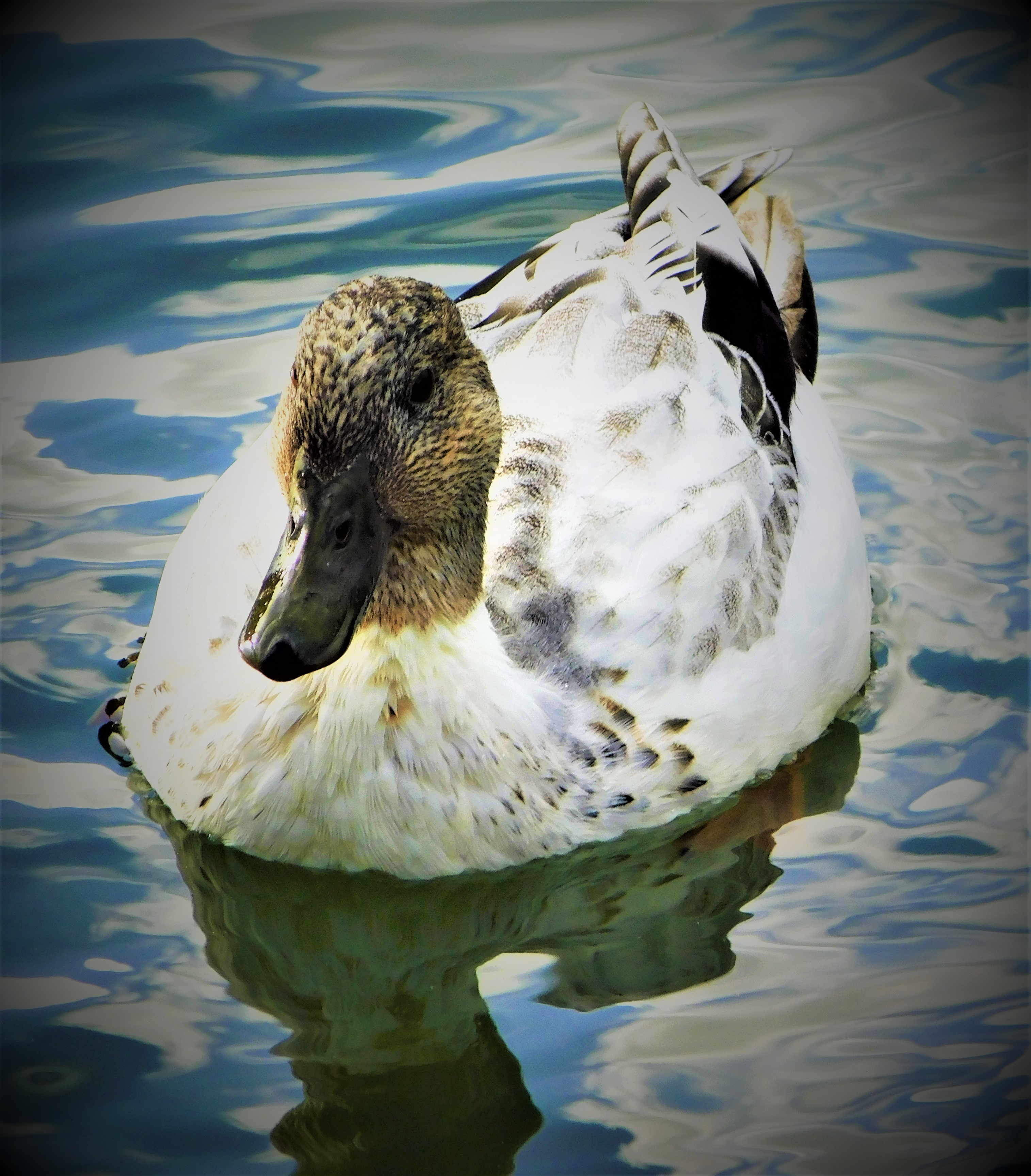
Continuing my account of my Scottish holiday with a second post about our visit to the Knoydart peninsula.
Welcome to the latest instalment in my account of my Scottish holiday (May 30th to June 6th). This post, which concludes my account of the time actually at the Knoydart peninsula, comes after a small hiatus caused by first work and then yesterday’s weather. It got so hot yesterday that one of the things I did after returning from the West Norfolk Autism Group committee meeting, getting home around lunch time, was to use my shower to give myself a sluicing with cold water just to cool down. Today is still hot, but it is not as brutal as yesterday was.
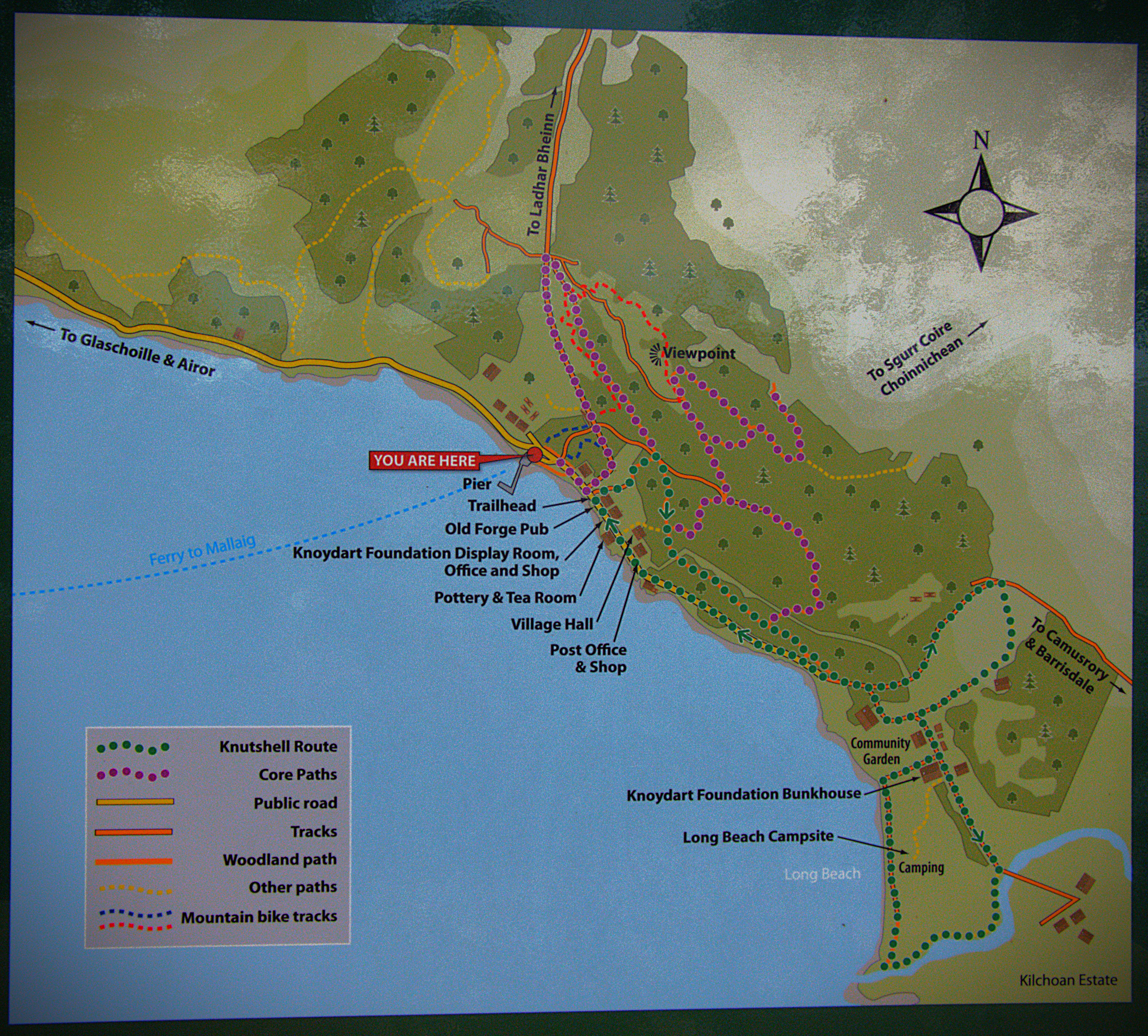
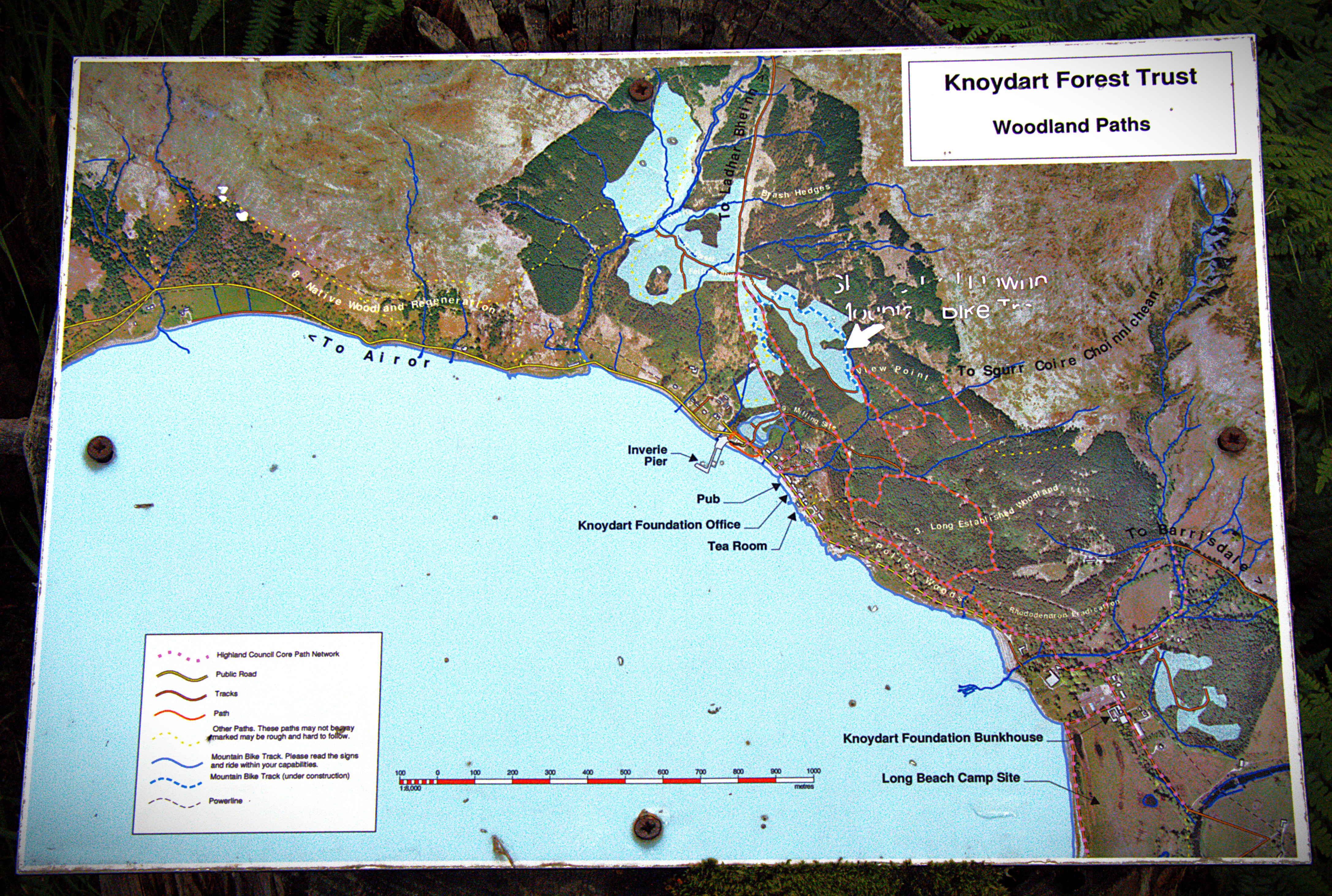
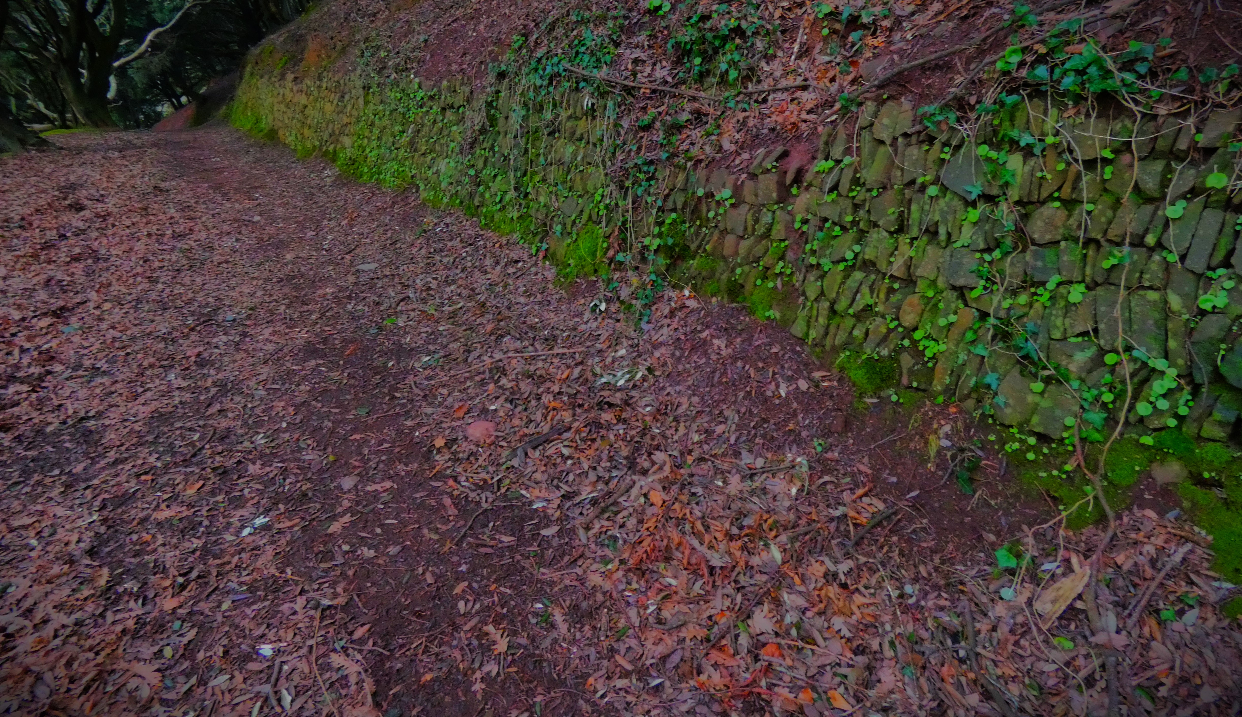
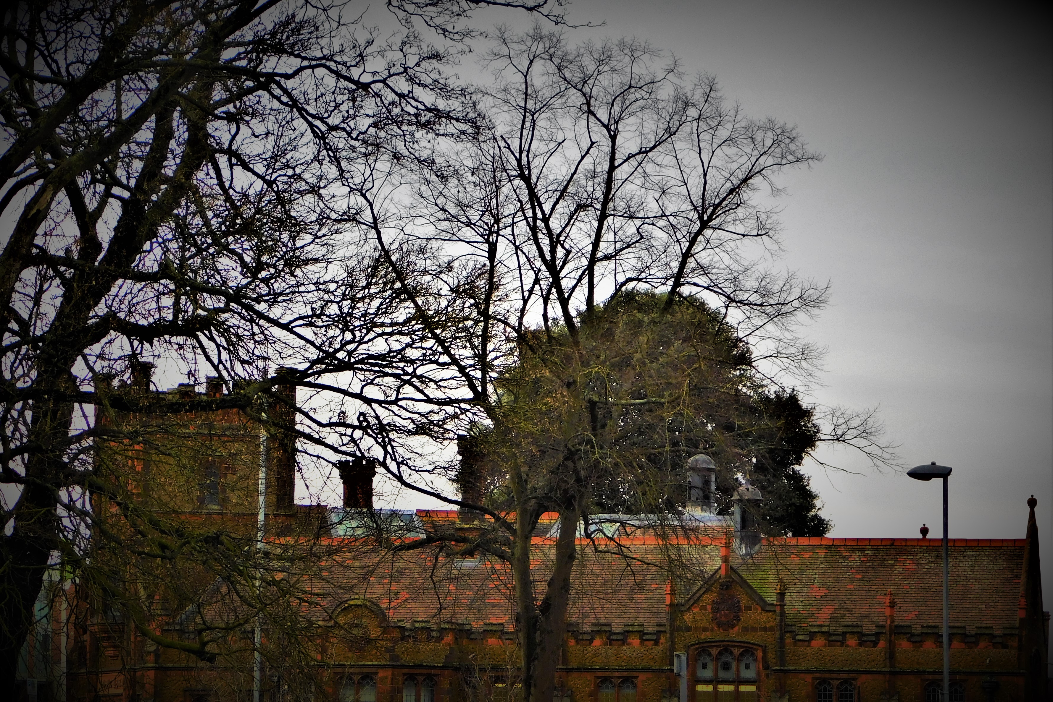
INVERIE HOUSE TO THE PUB
The walk from Inverie House took in a food garden (no picking allowed, and in any case there was precious little that was actually pickable), and a loop back to the main road, which we followed to the pub.
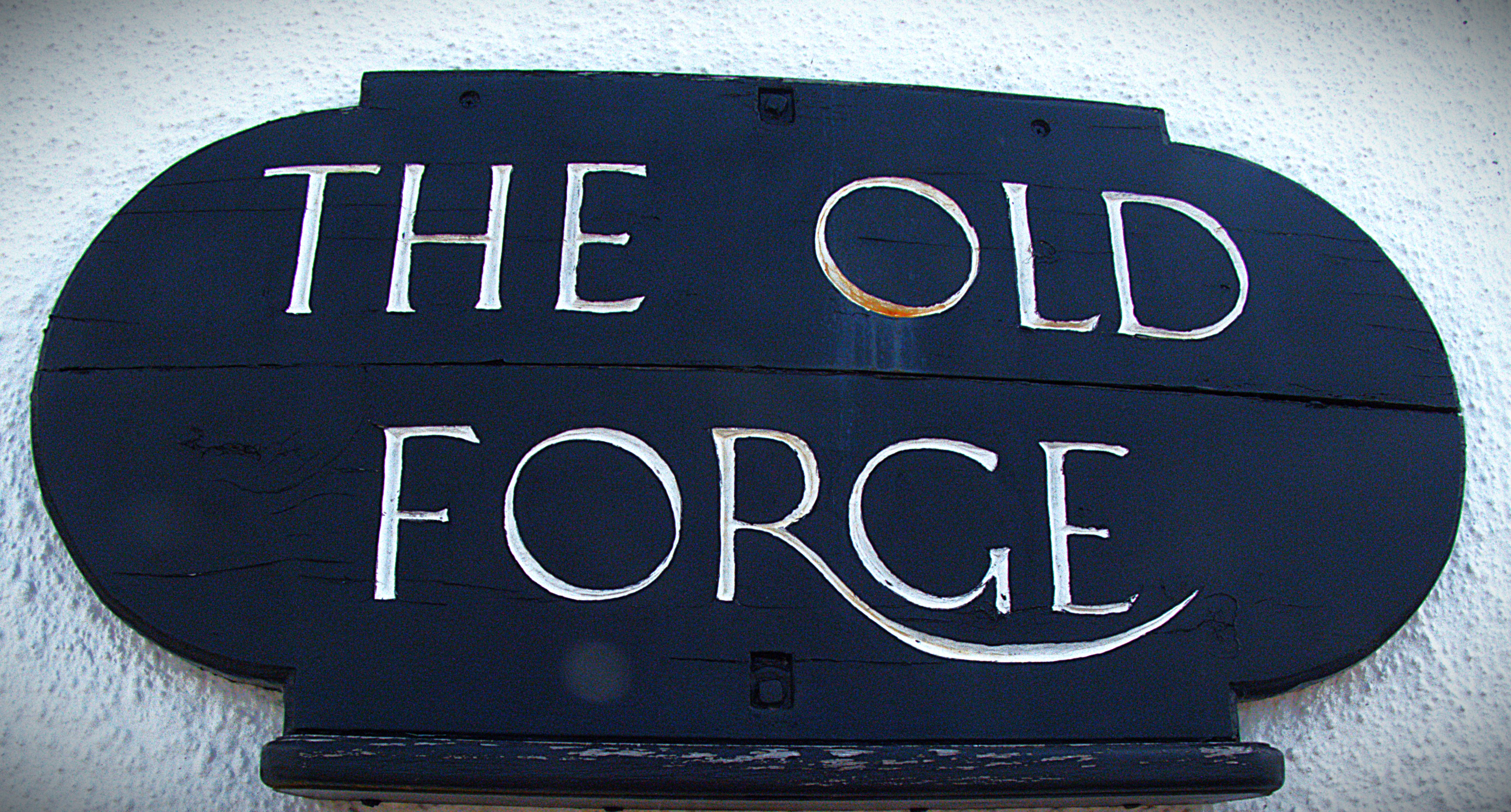
THE PUB
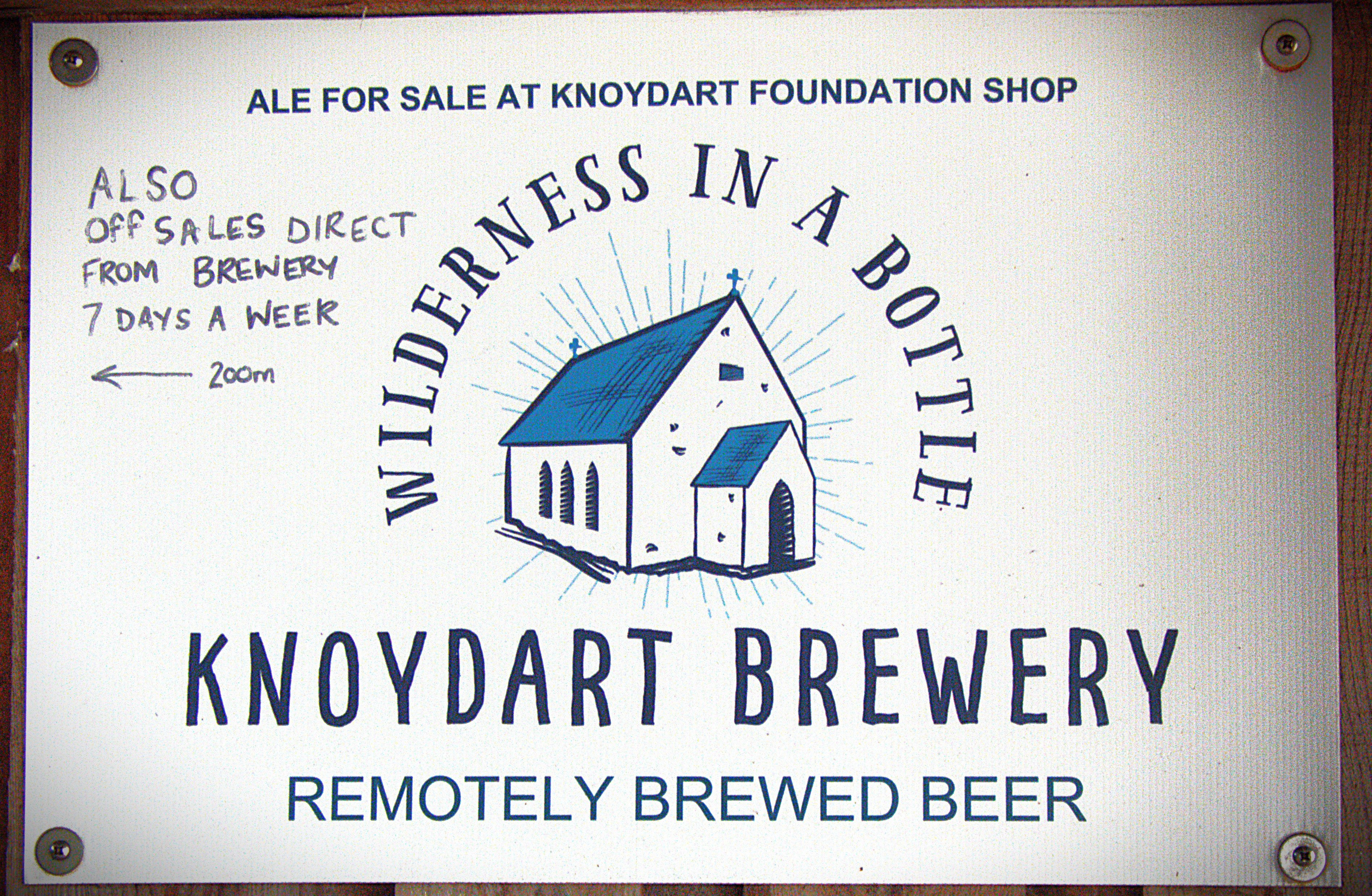
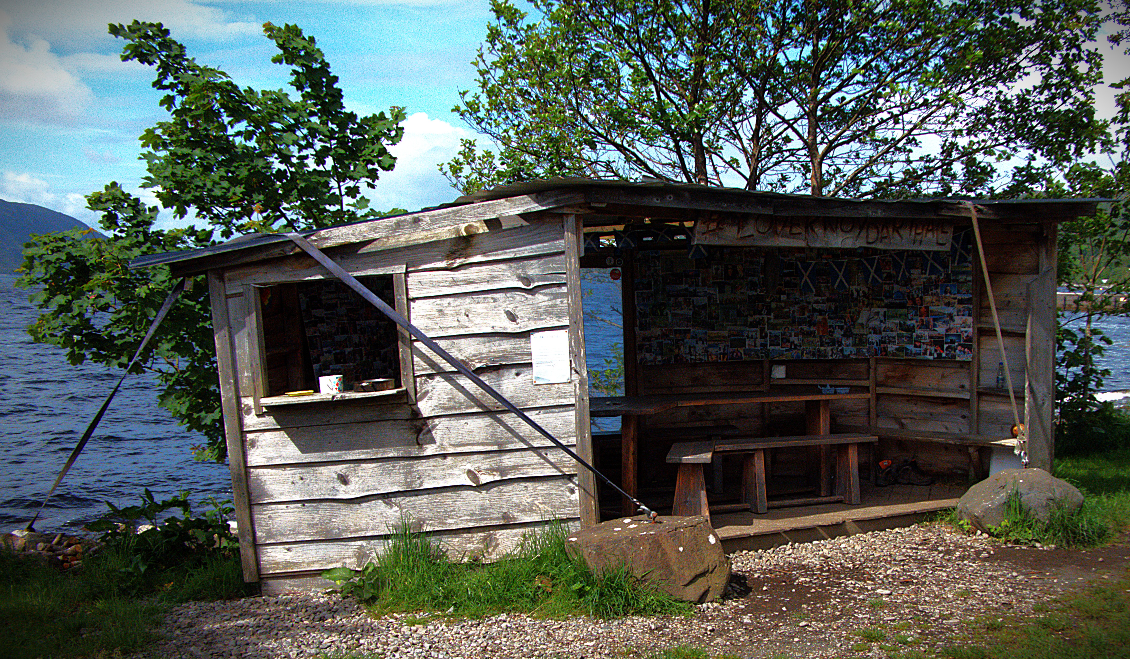
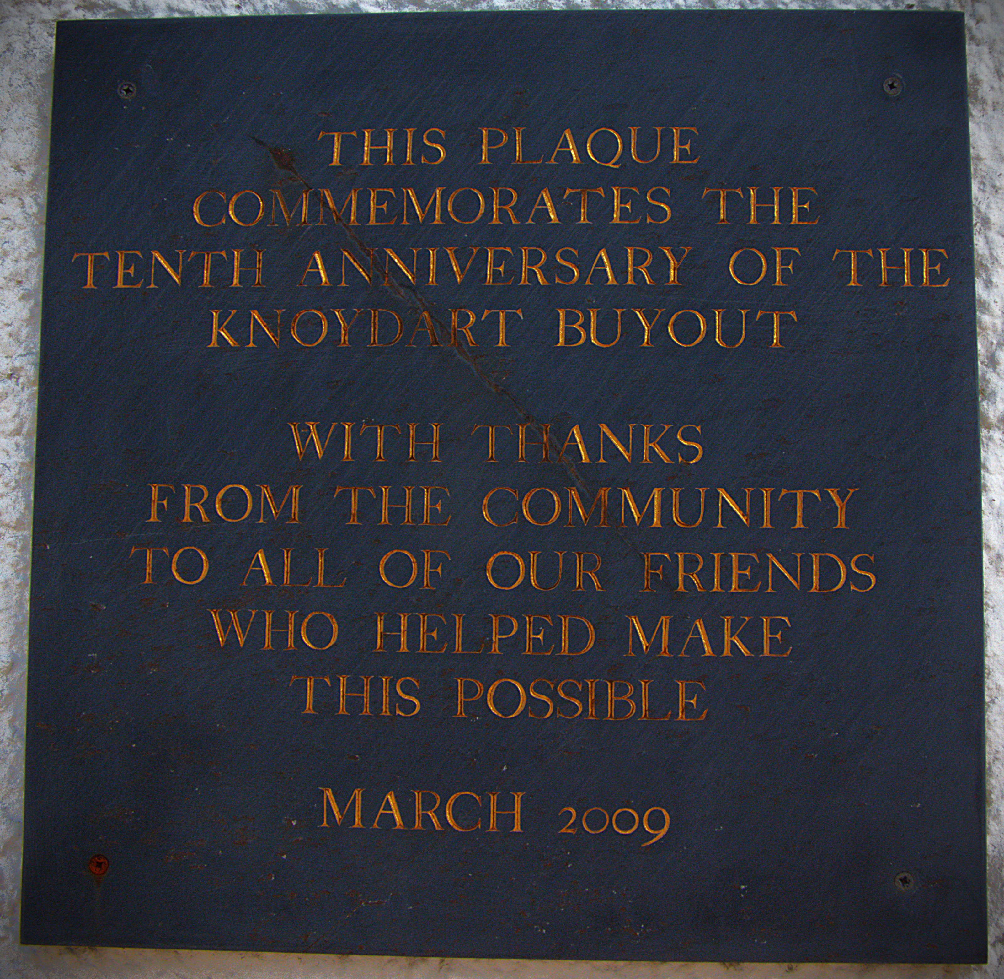
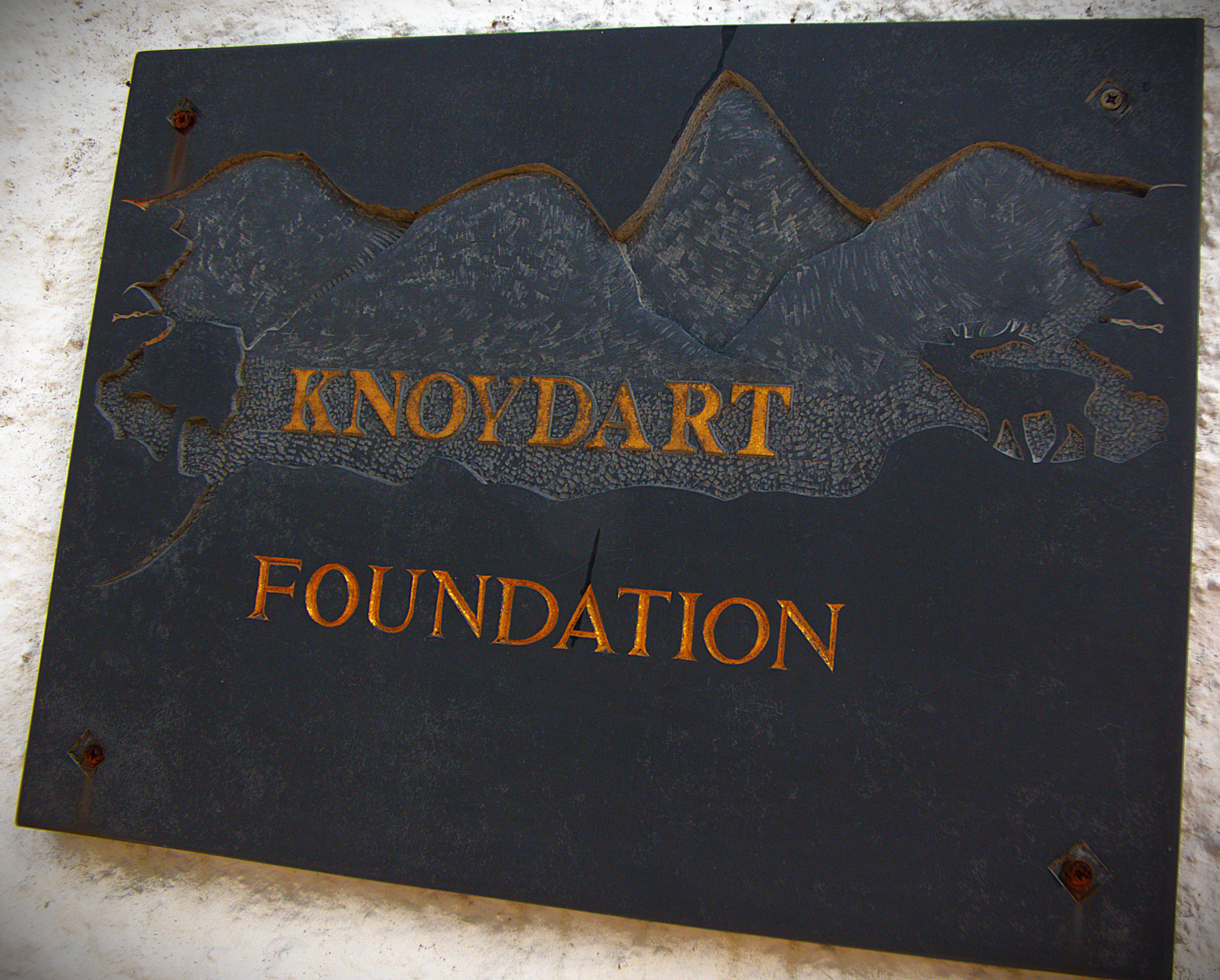
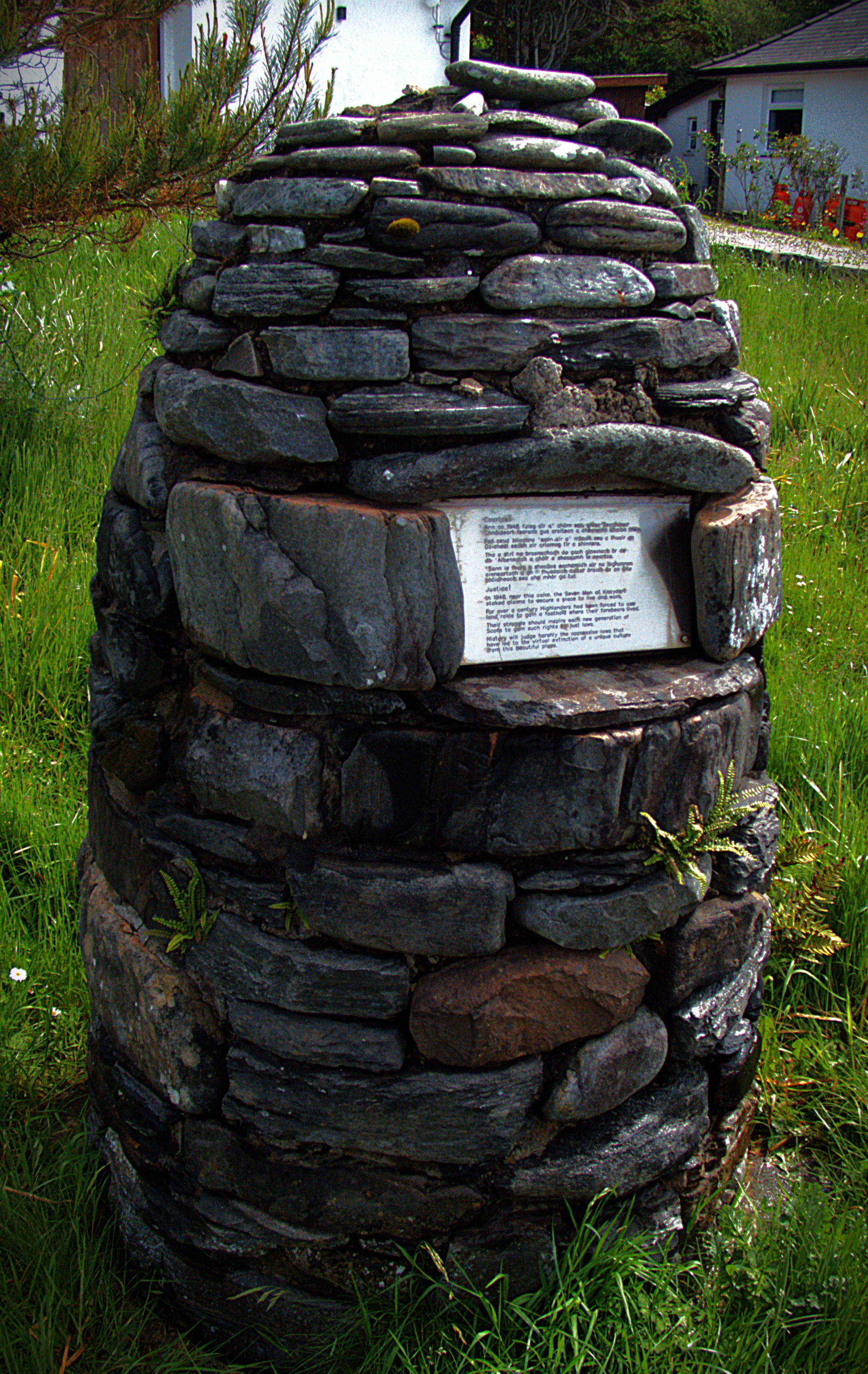
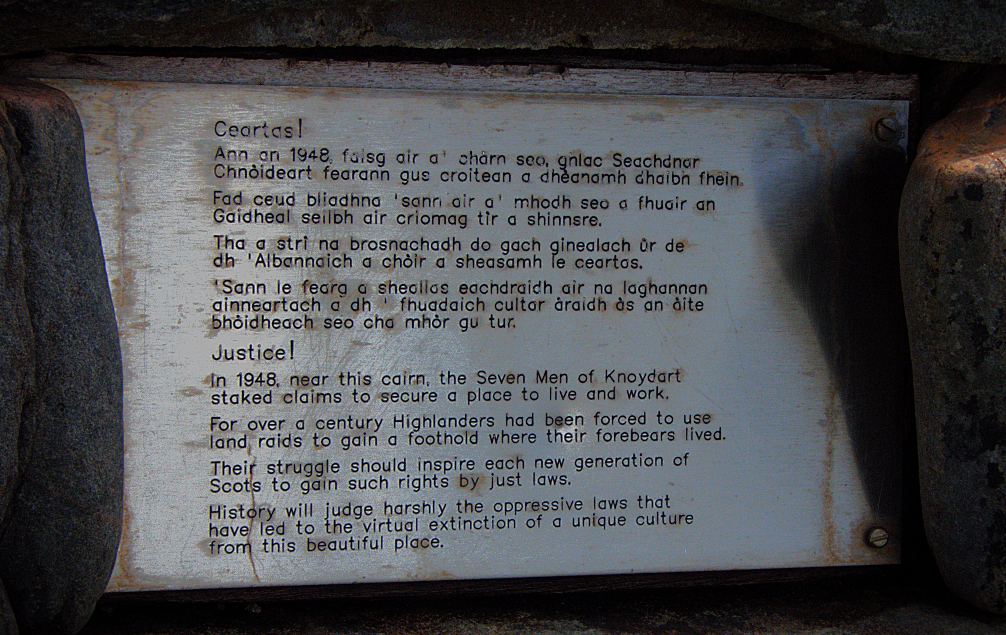
The Old Forge proved to be a splendid establishment. They had two locally brewed beers on tap, and I went for the historically named “Seven Men of Knoydart” – this designation referring to the first stand taken in the area against oppressive landlords (nb Knoydart has been community owned since 1999). The food was also good.
POST LUNCH
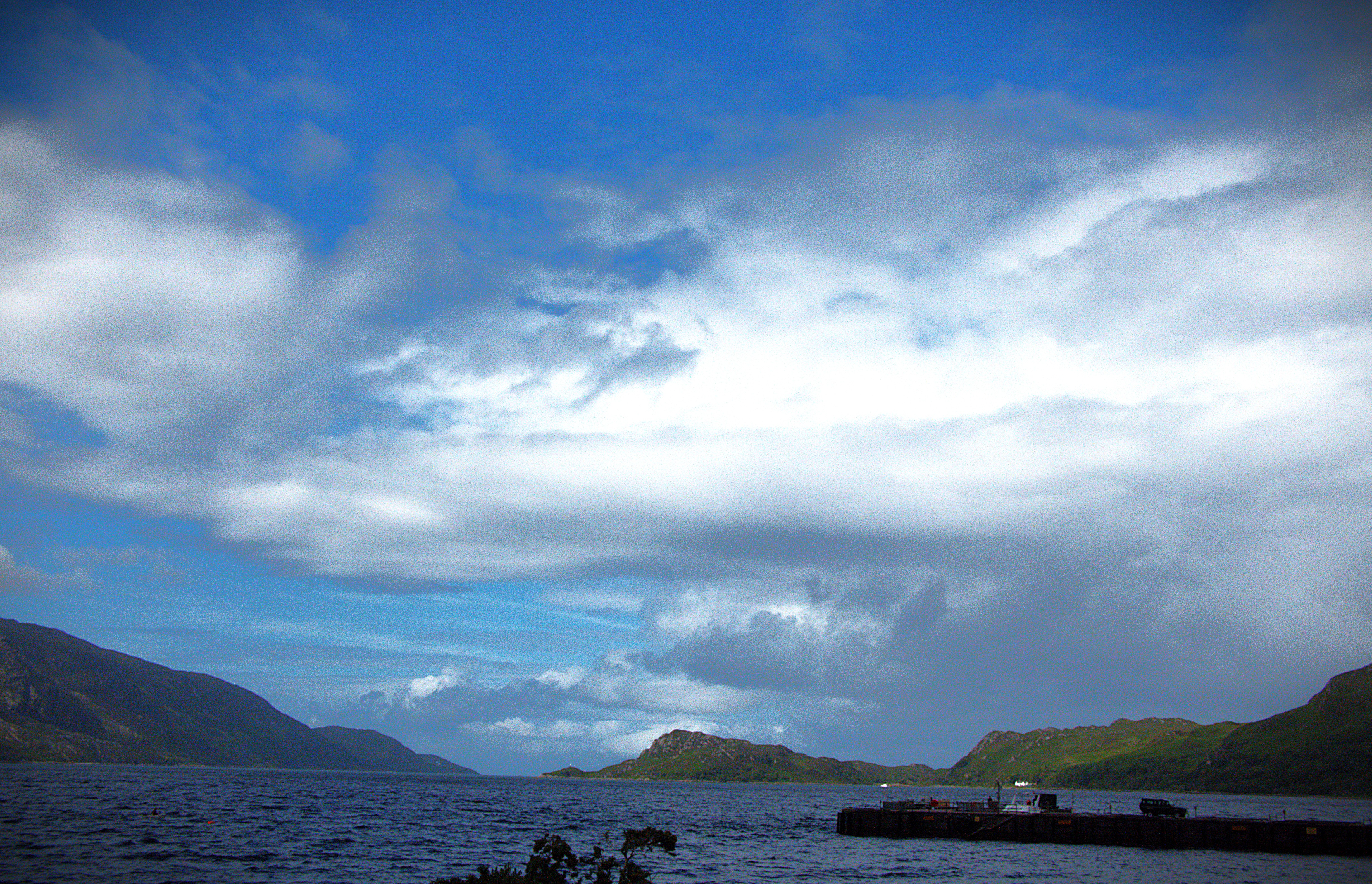
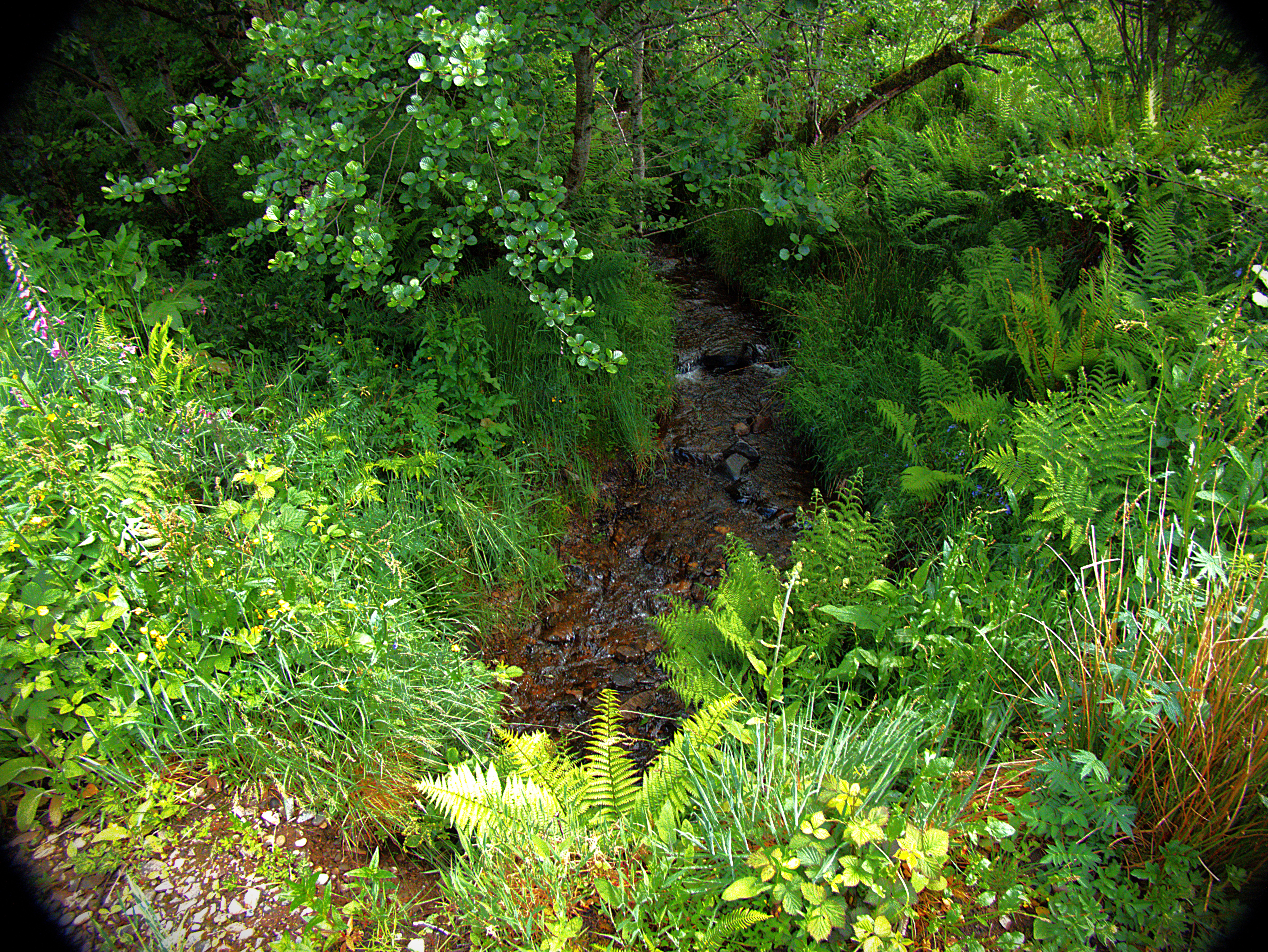
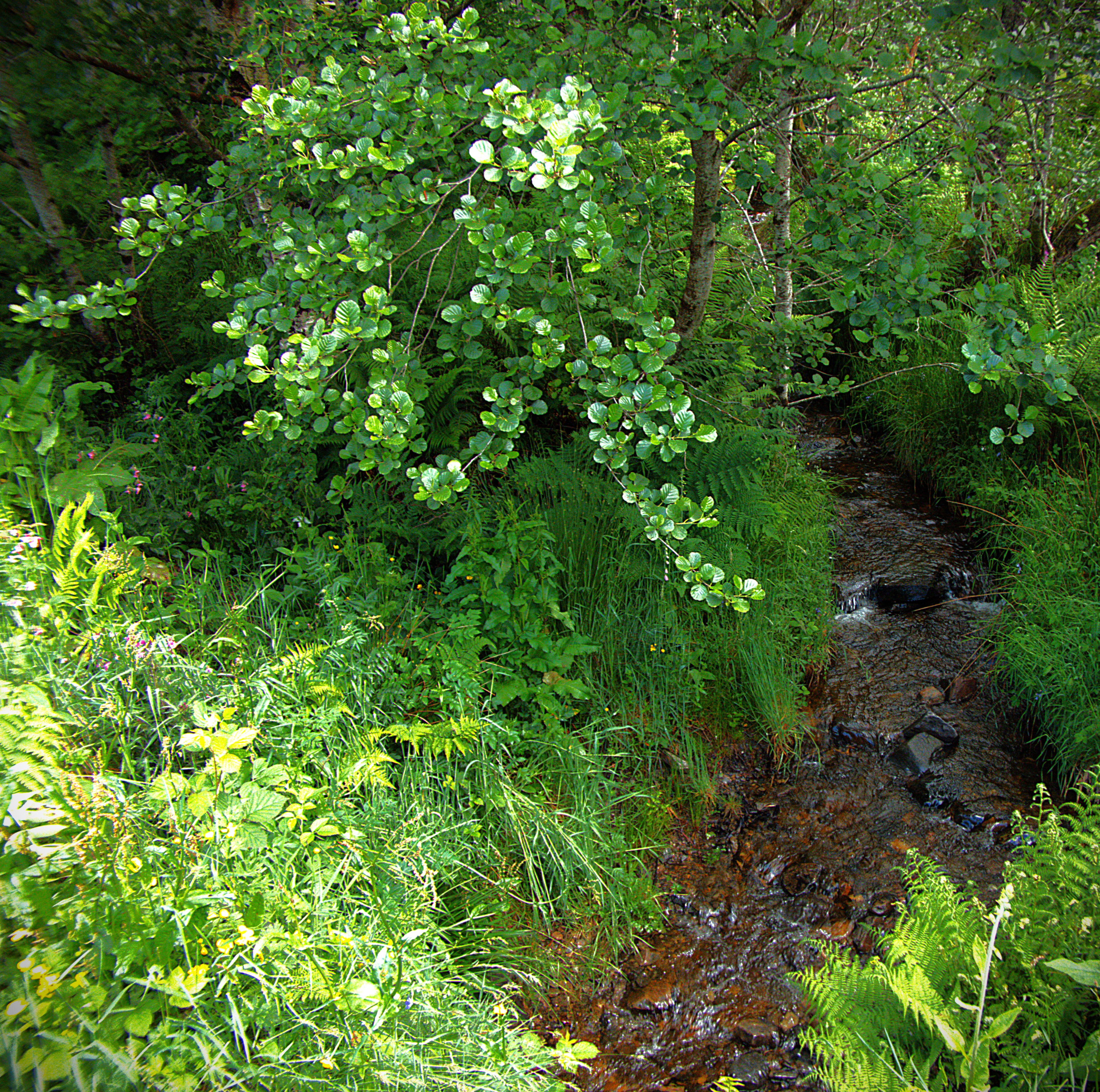
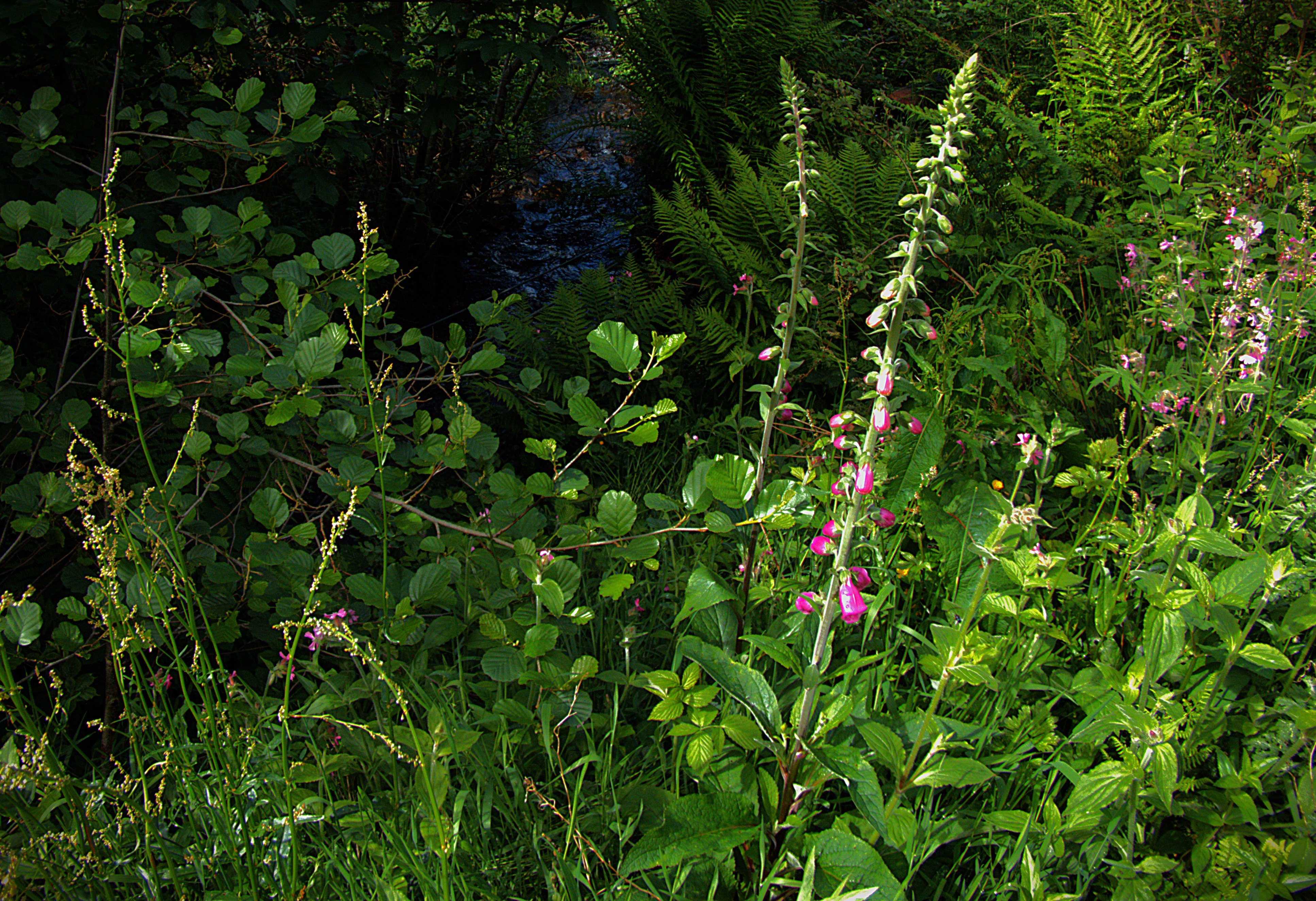
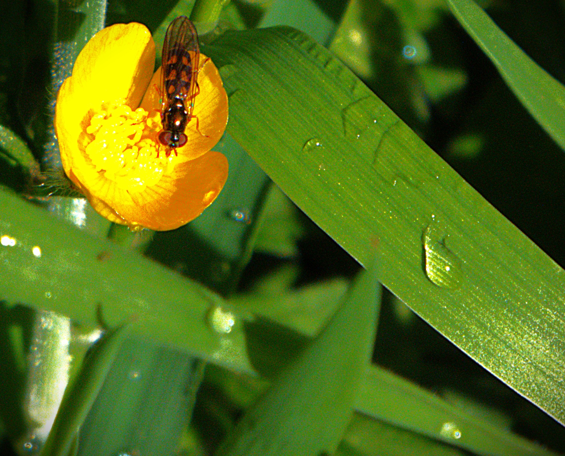
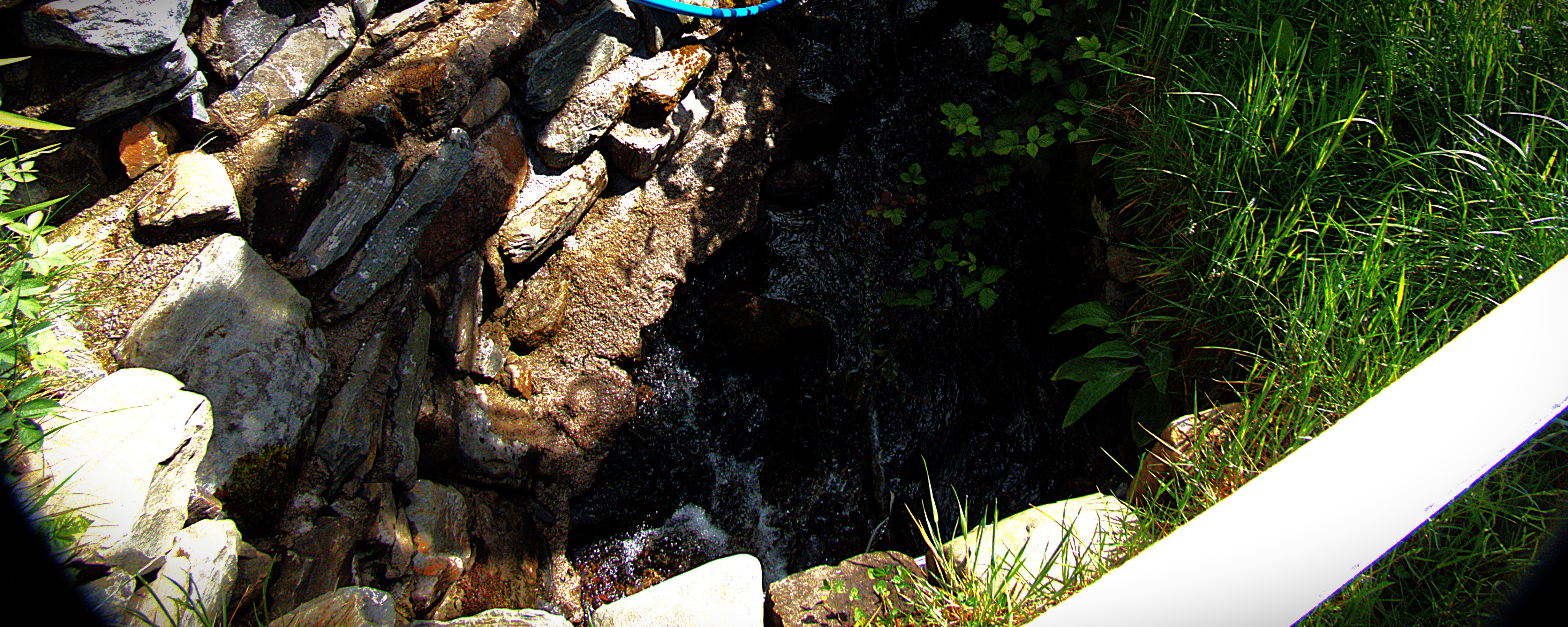
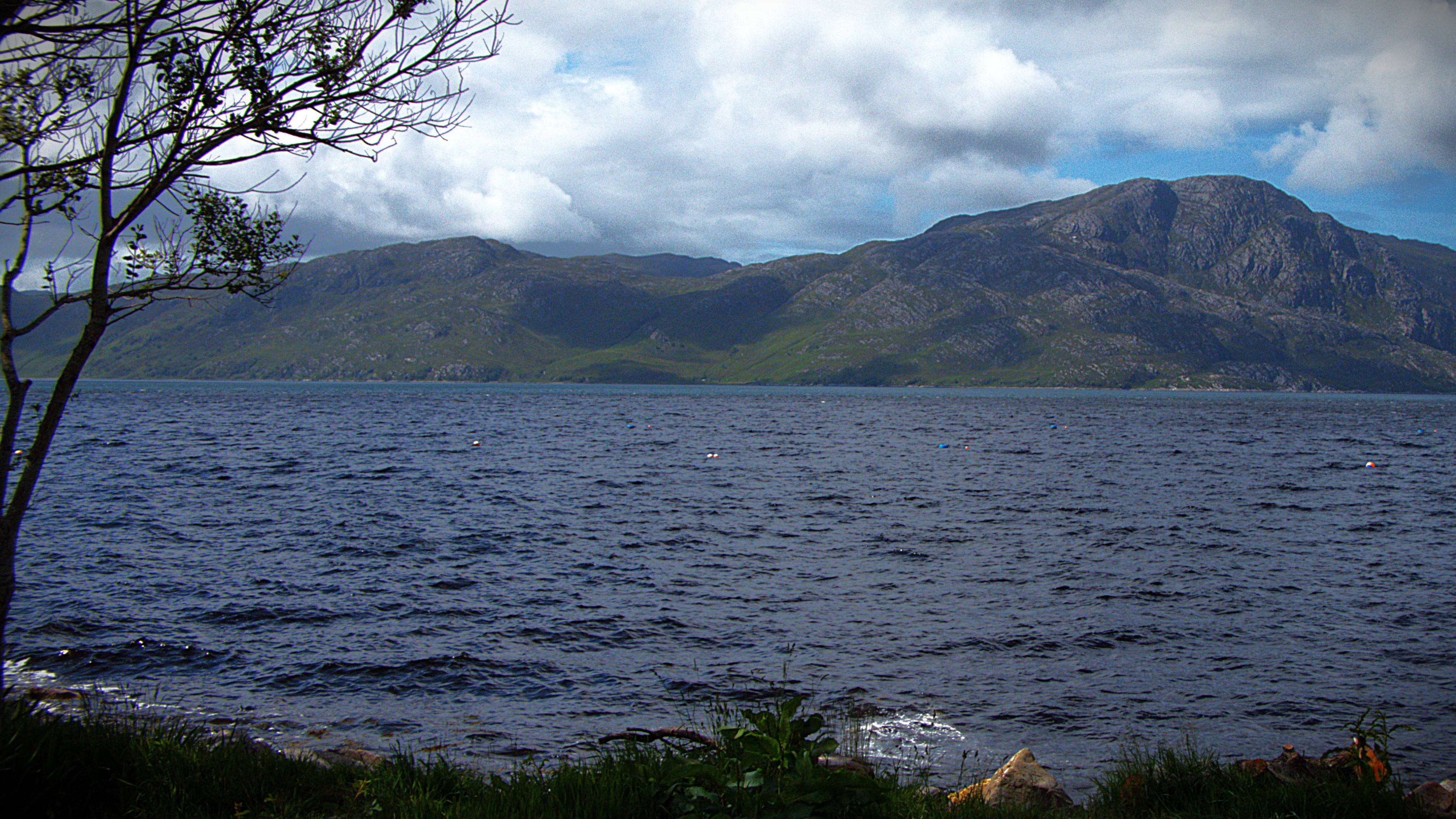
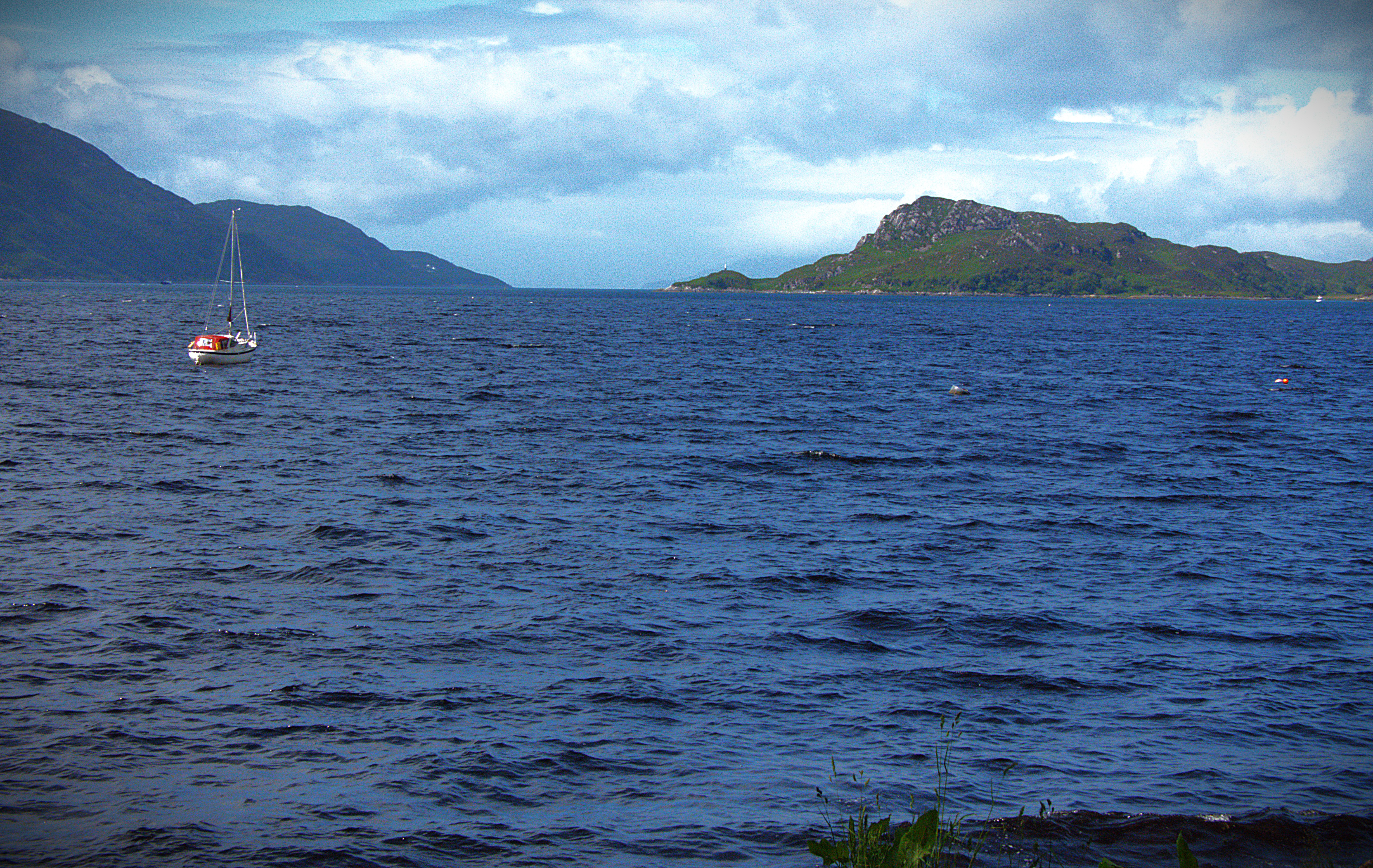
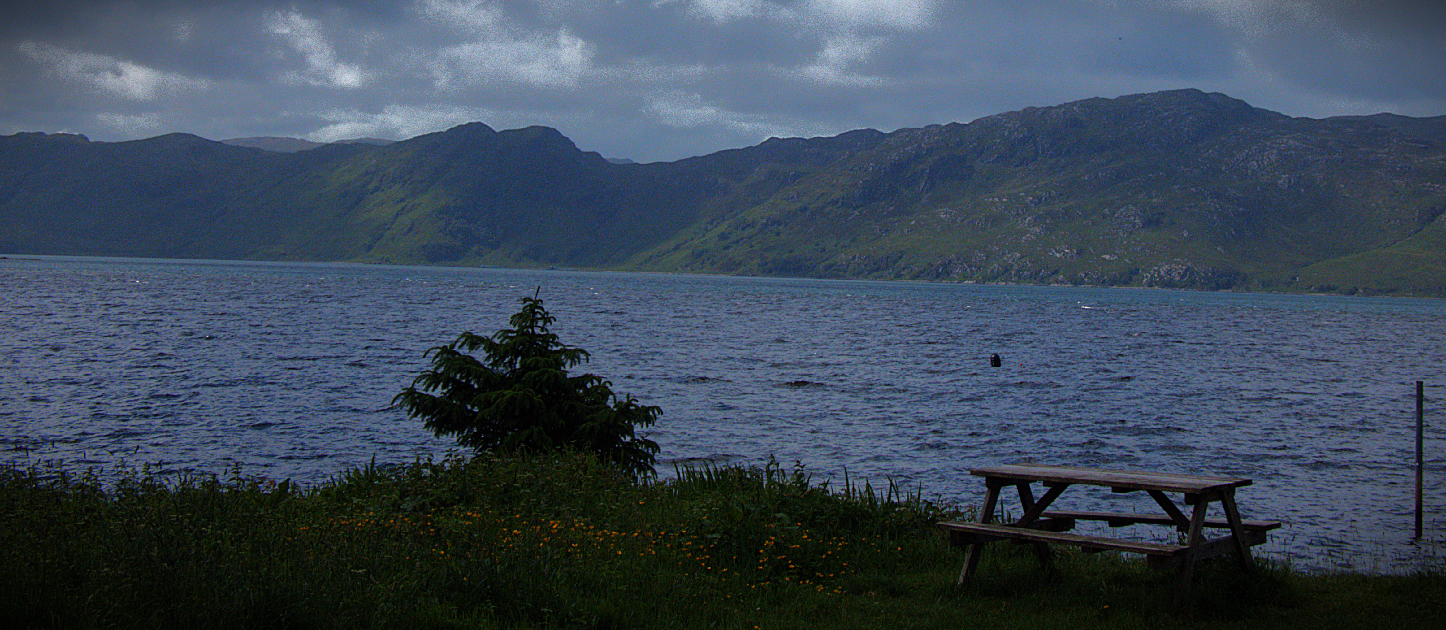
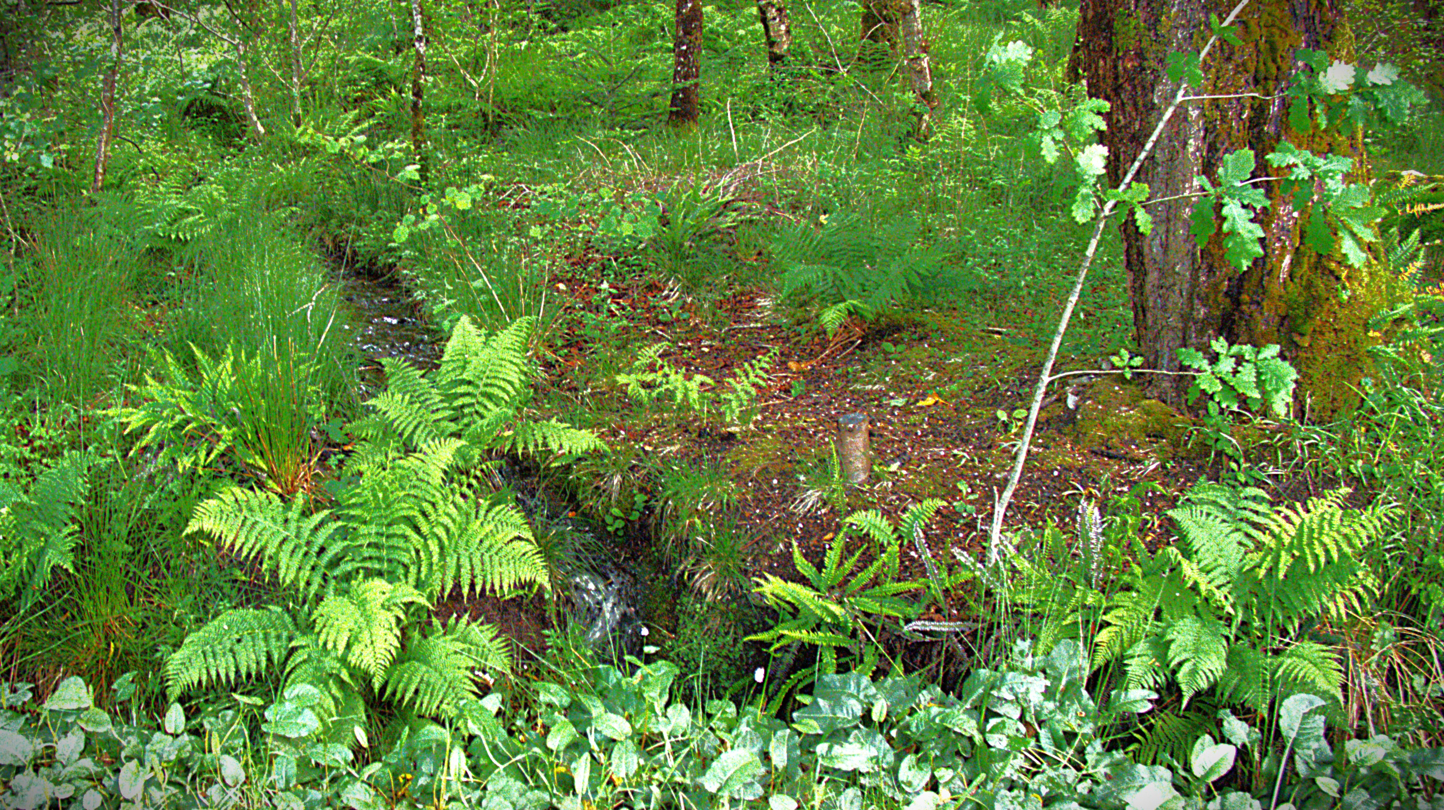
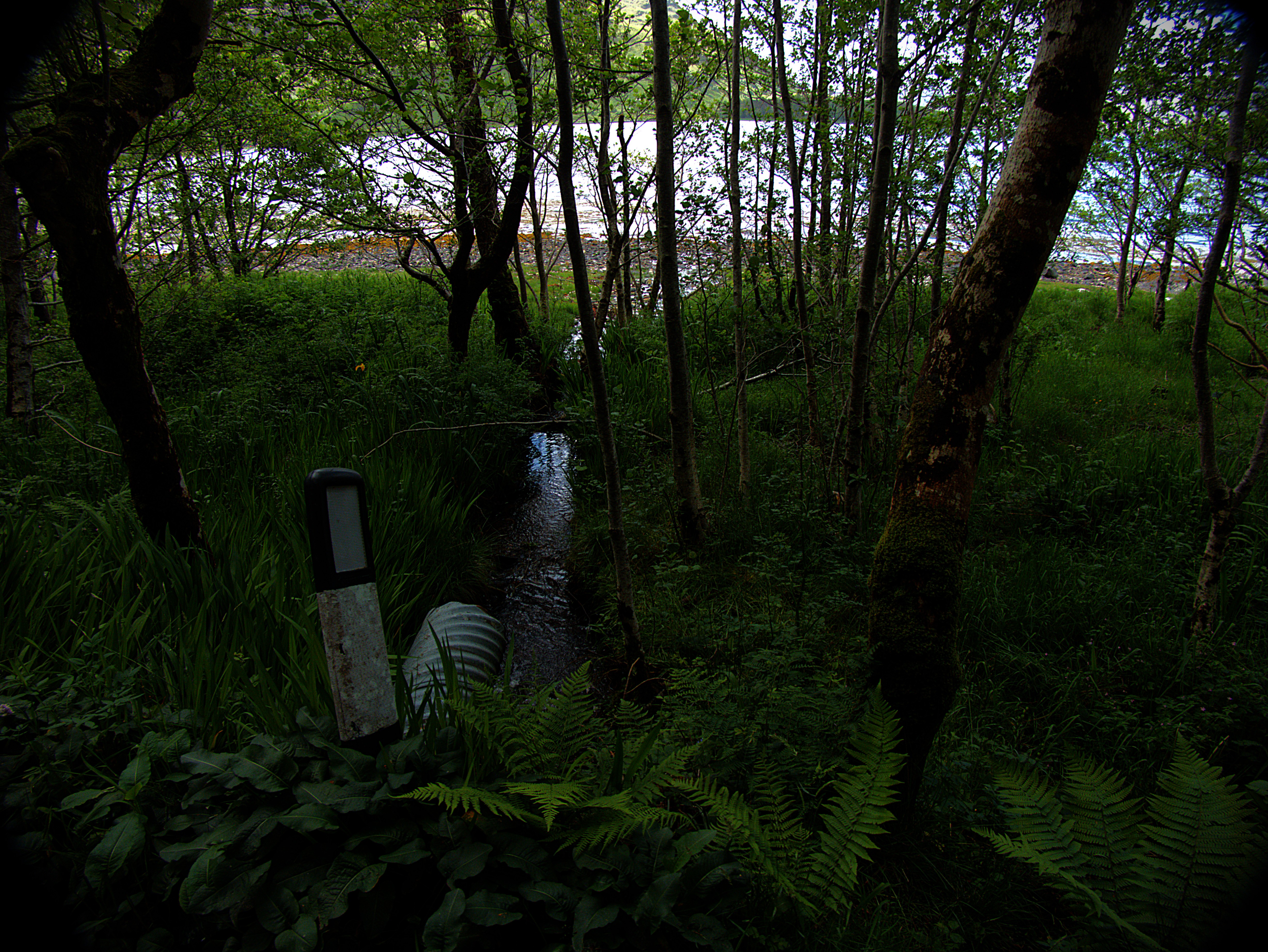
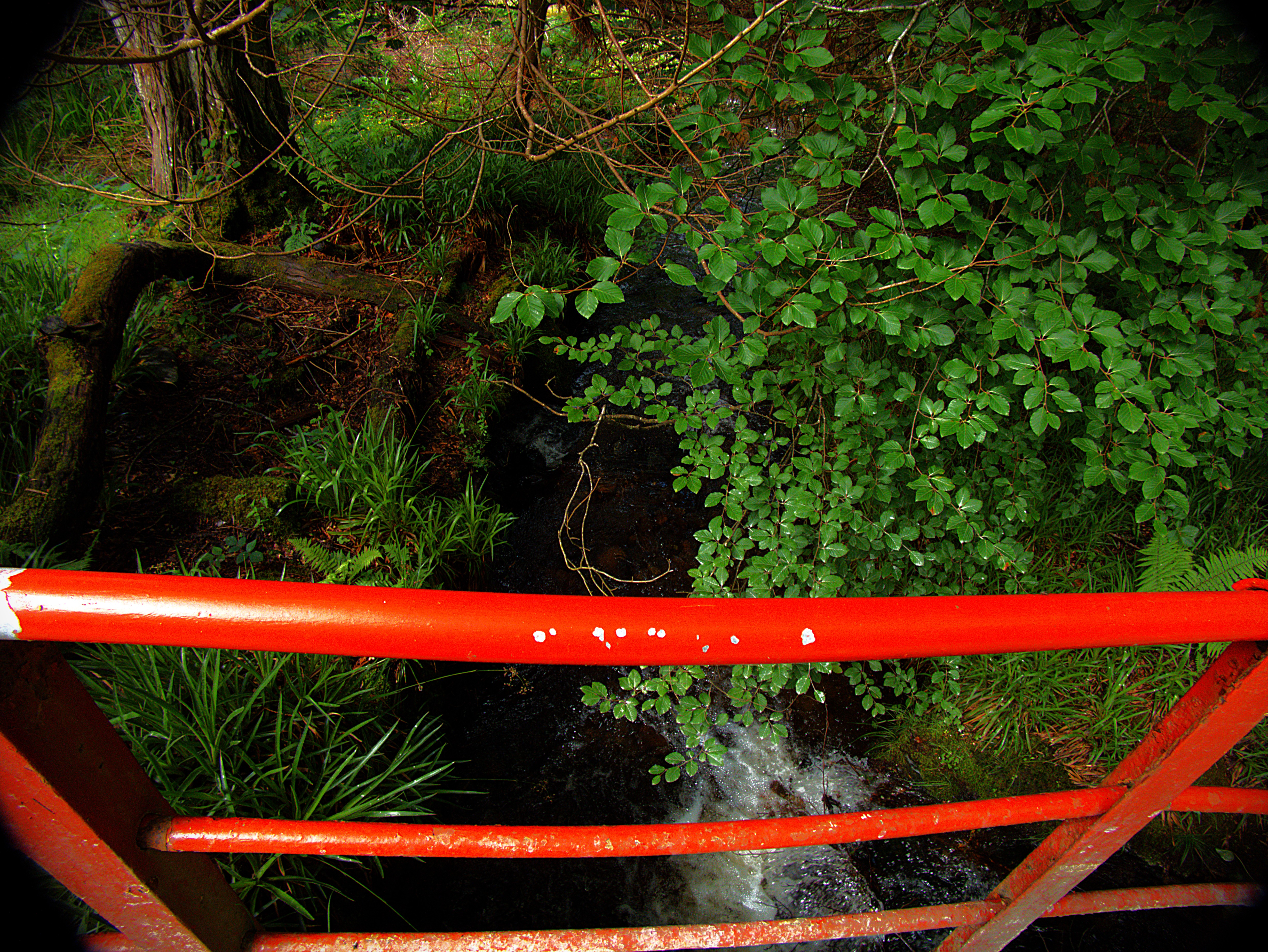
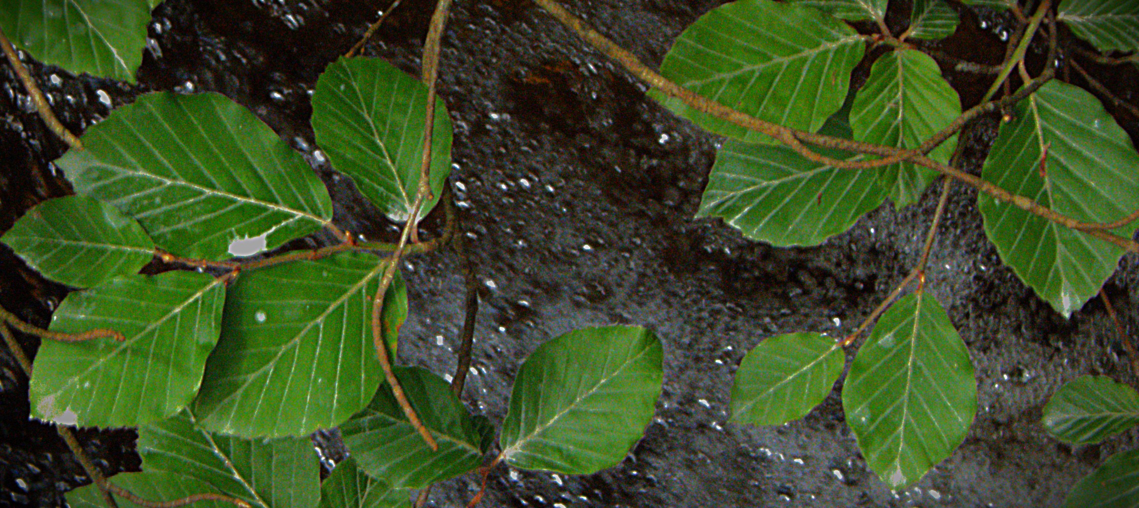
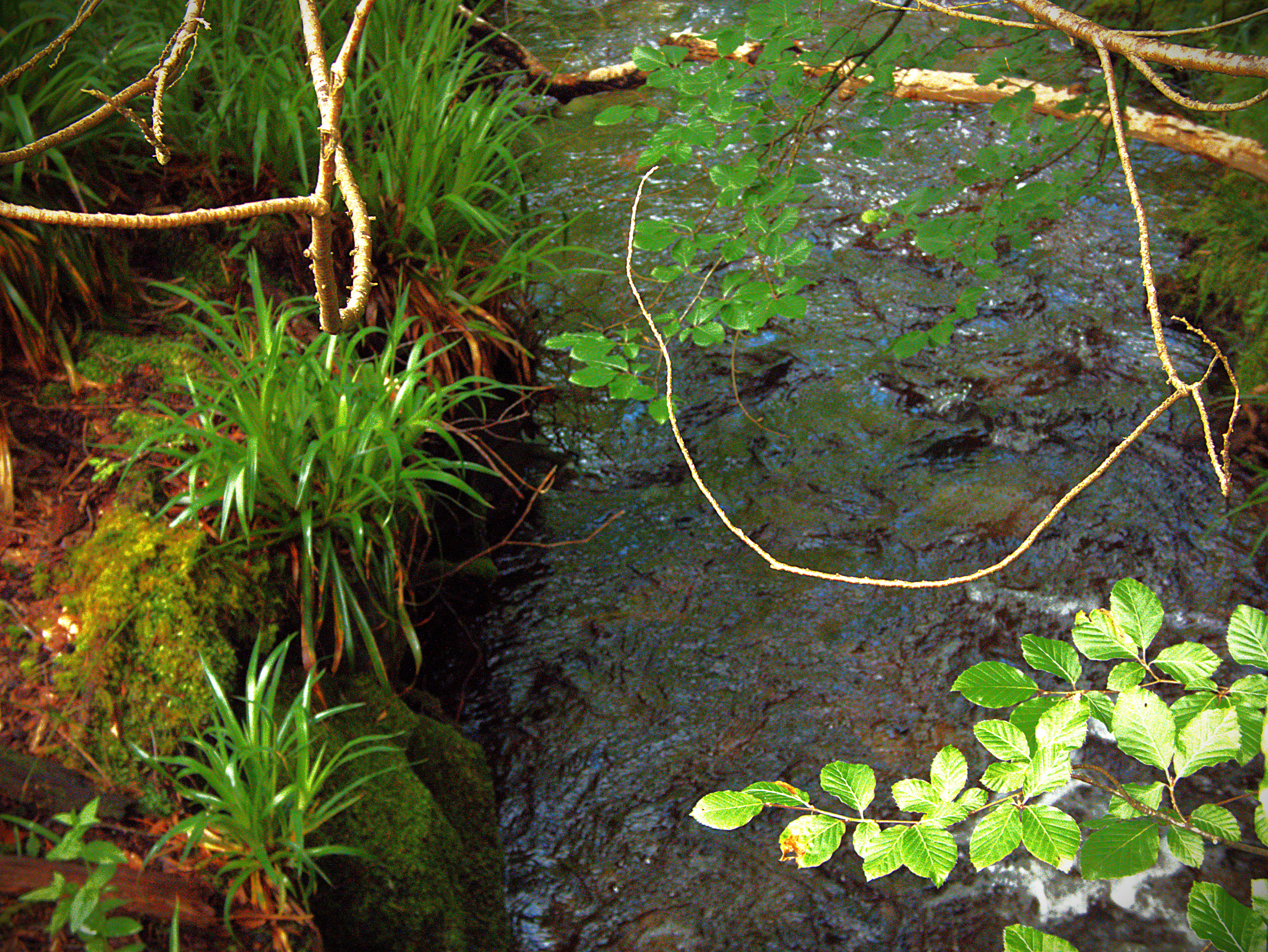
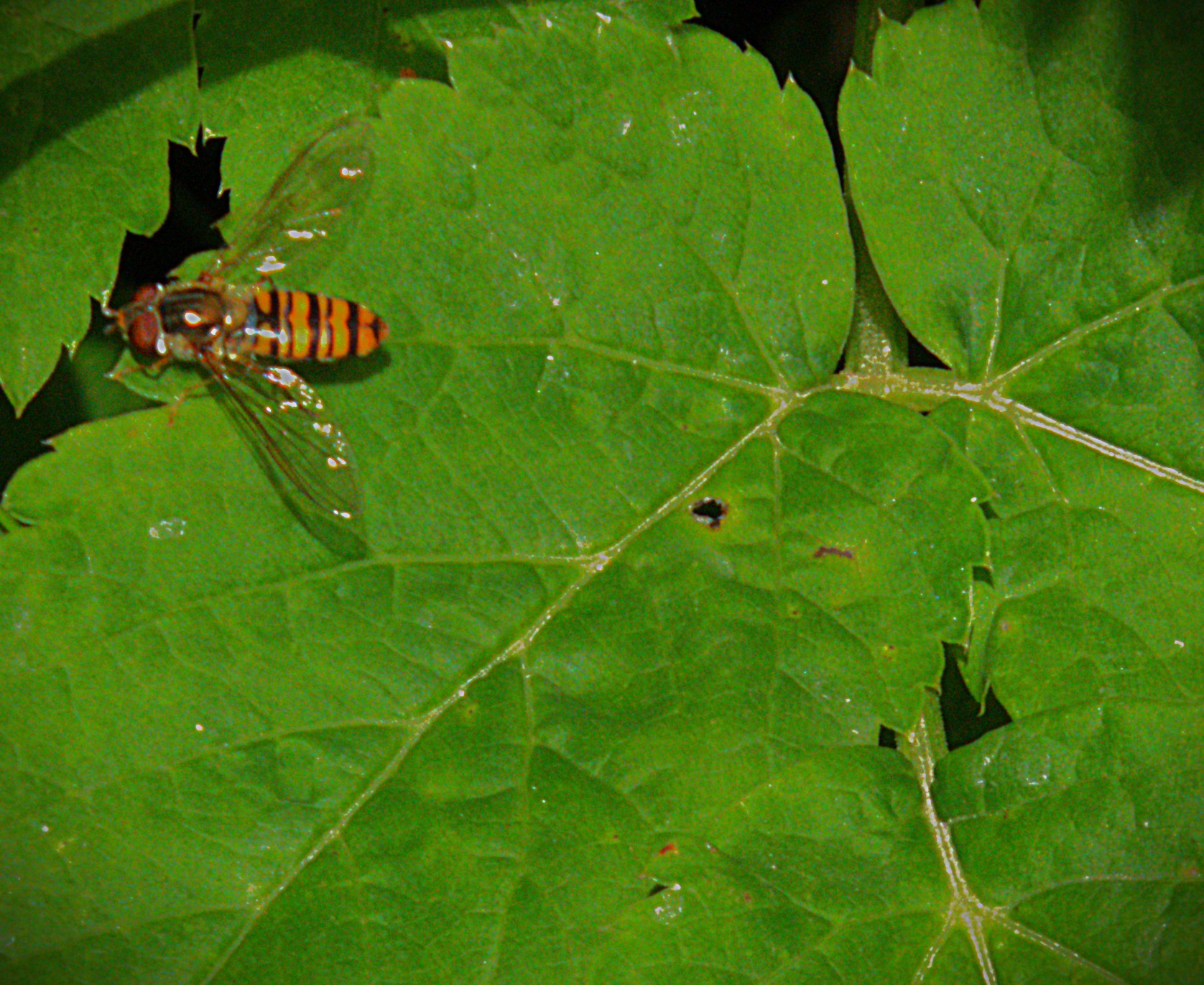
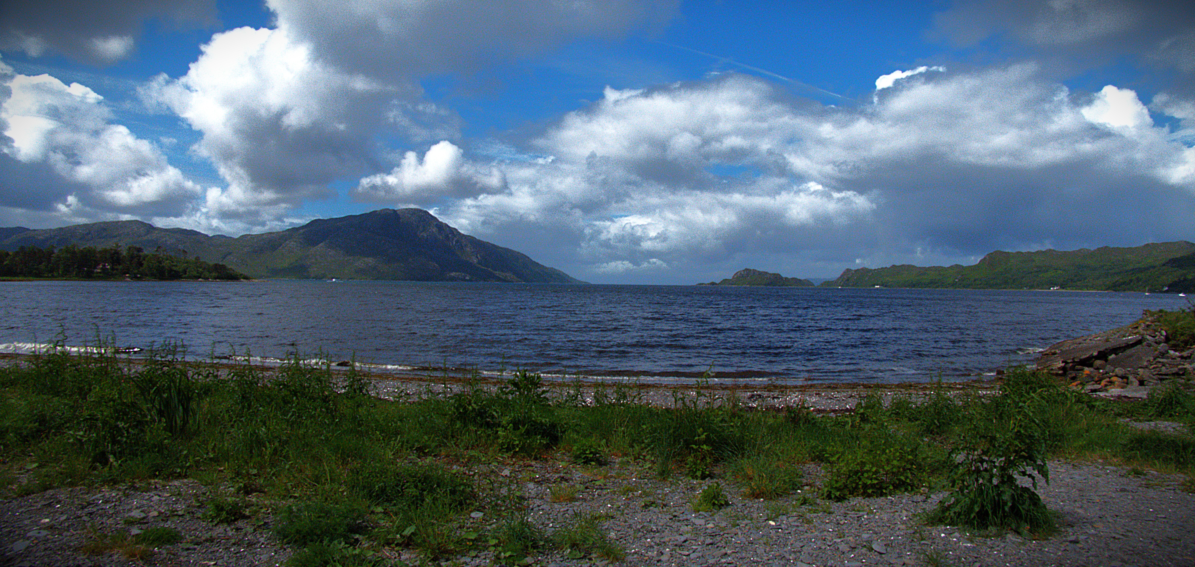
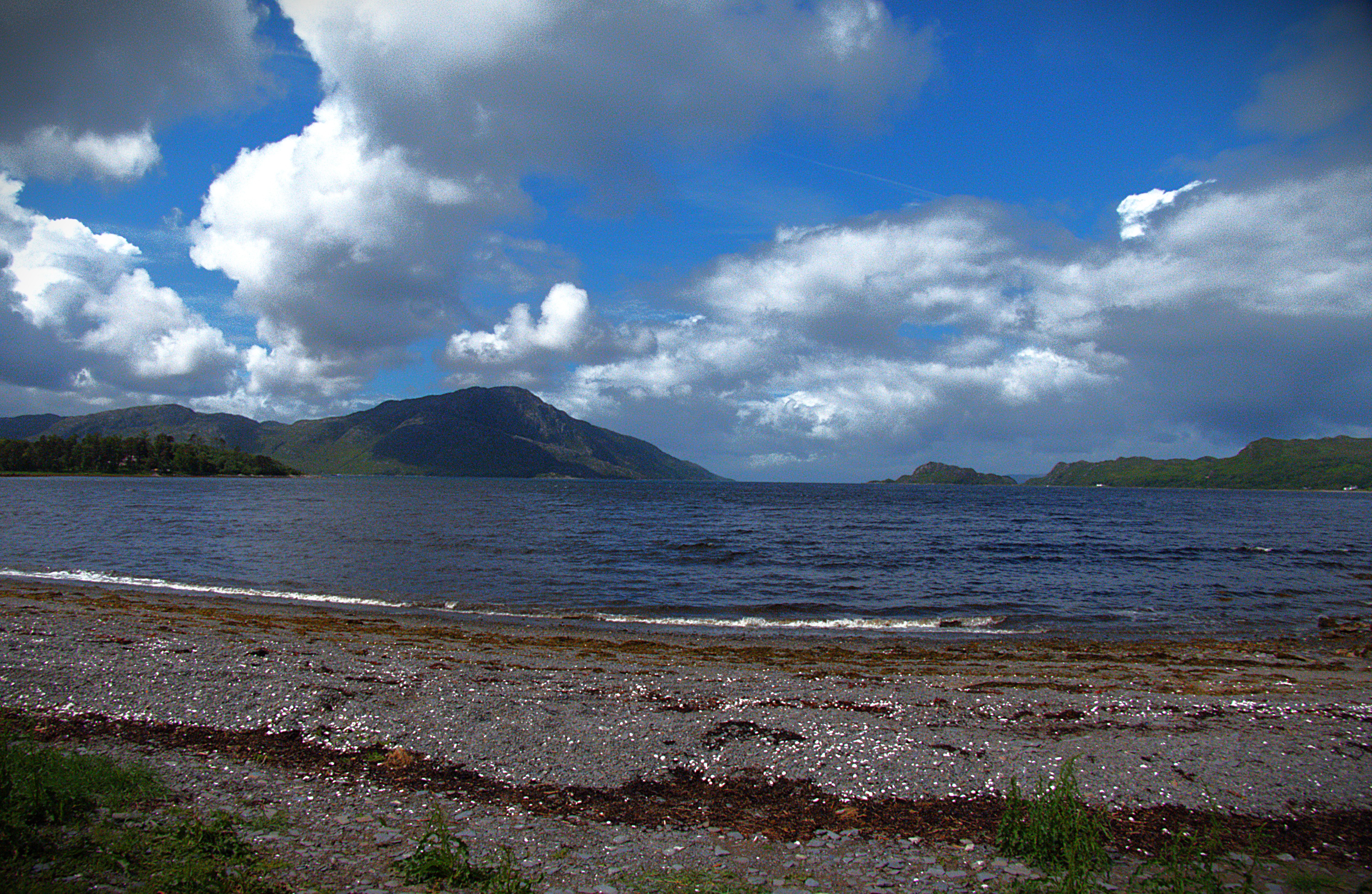
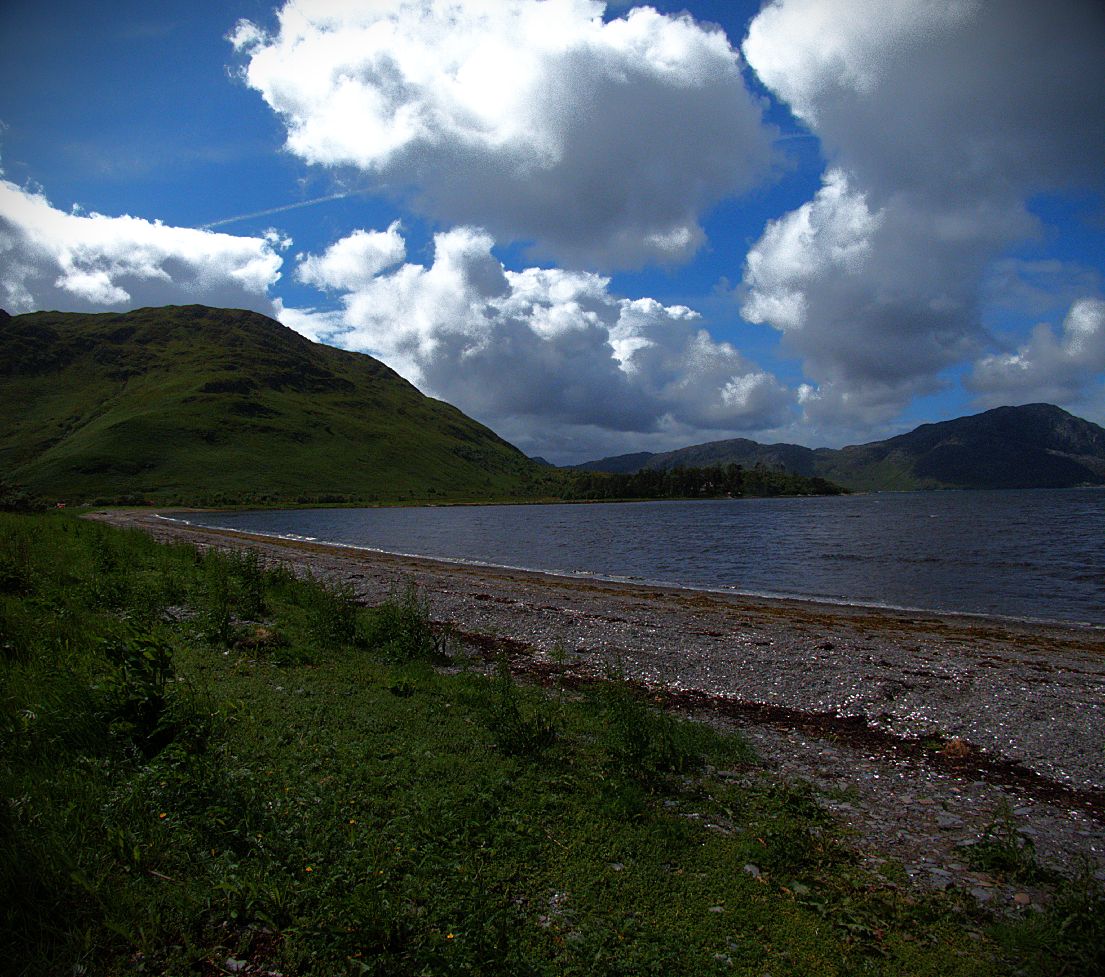
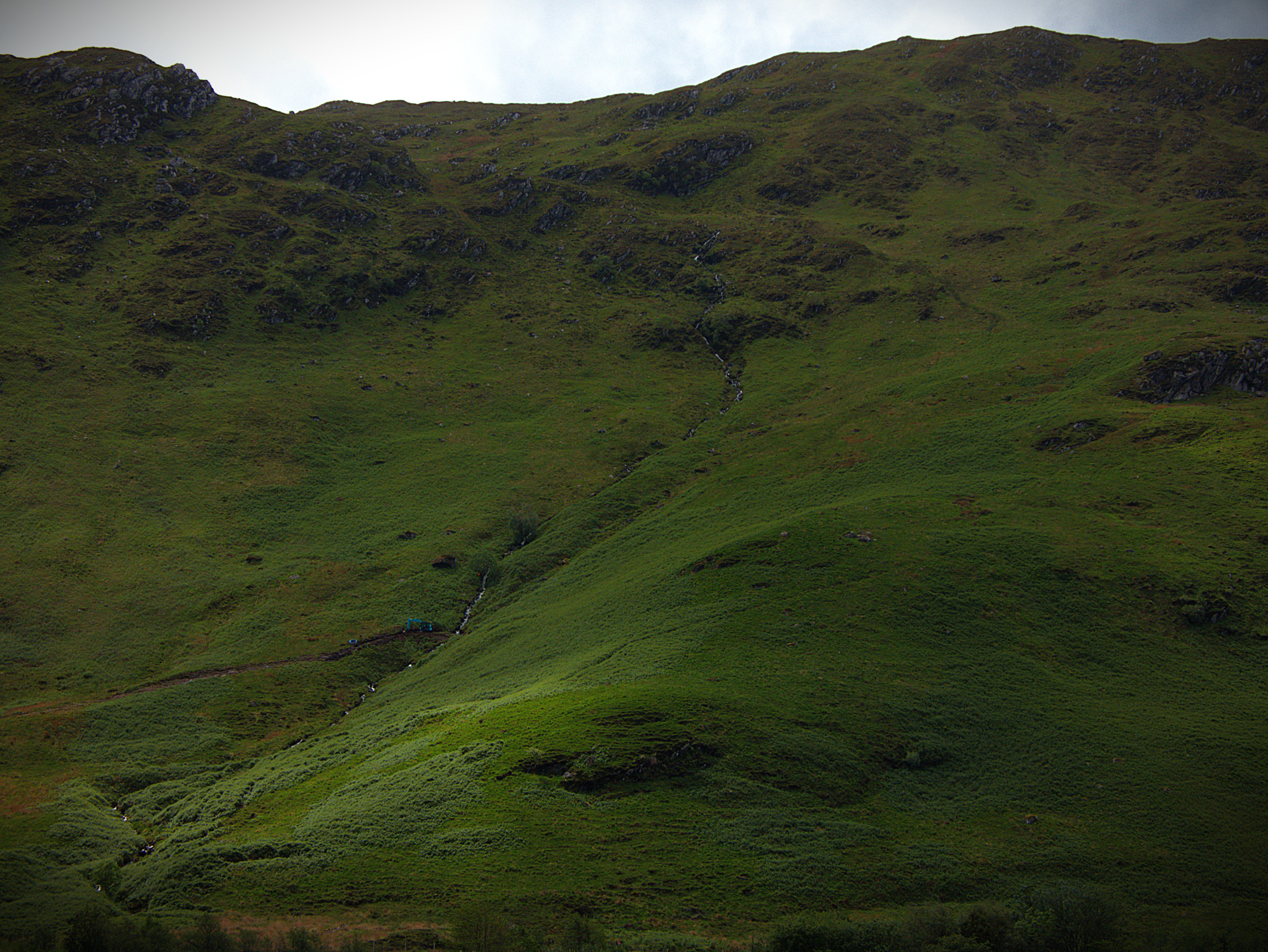
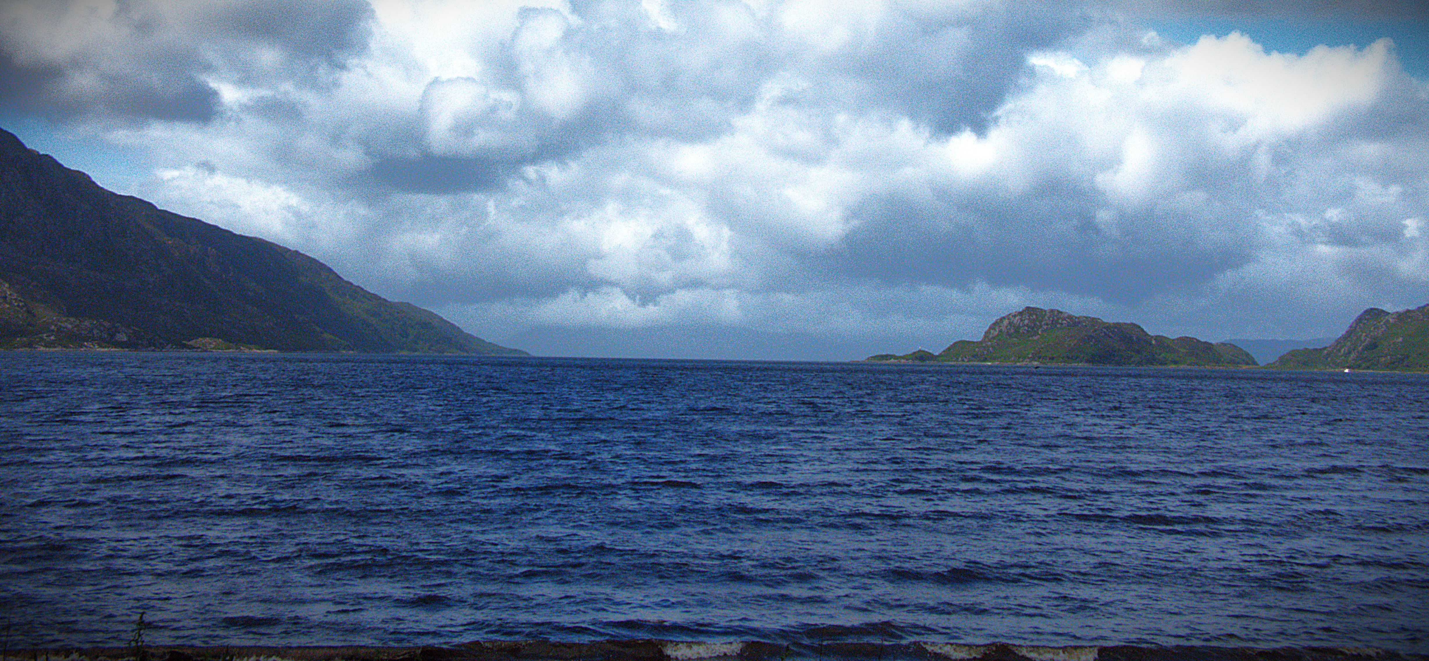
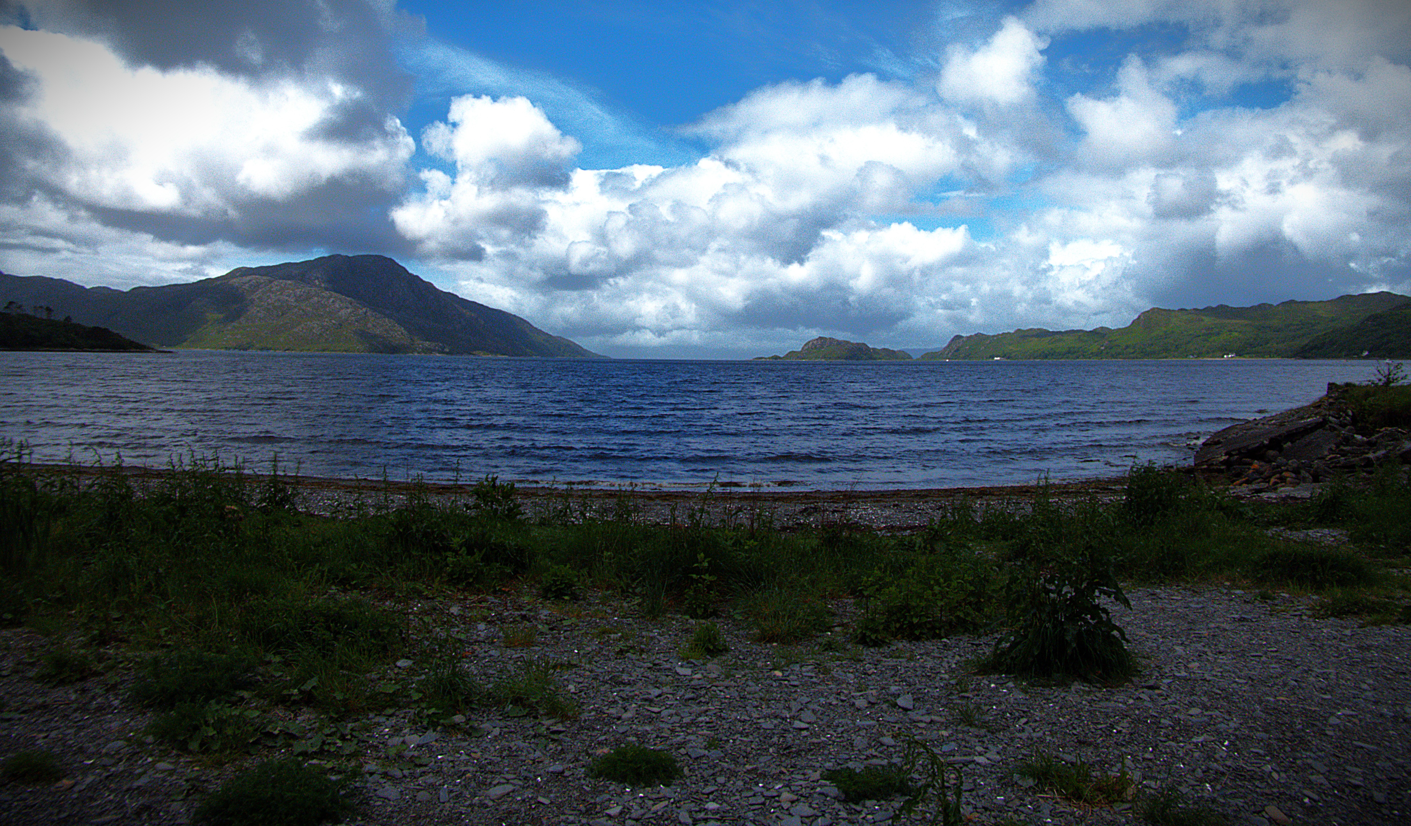
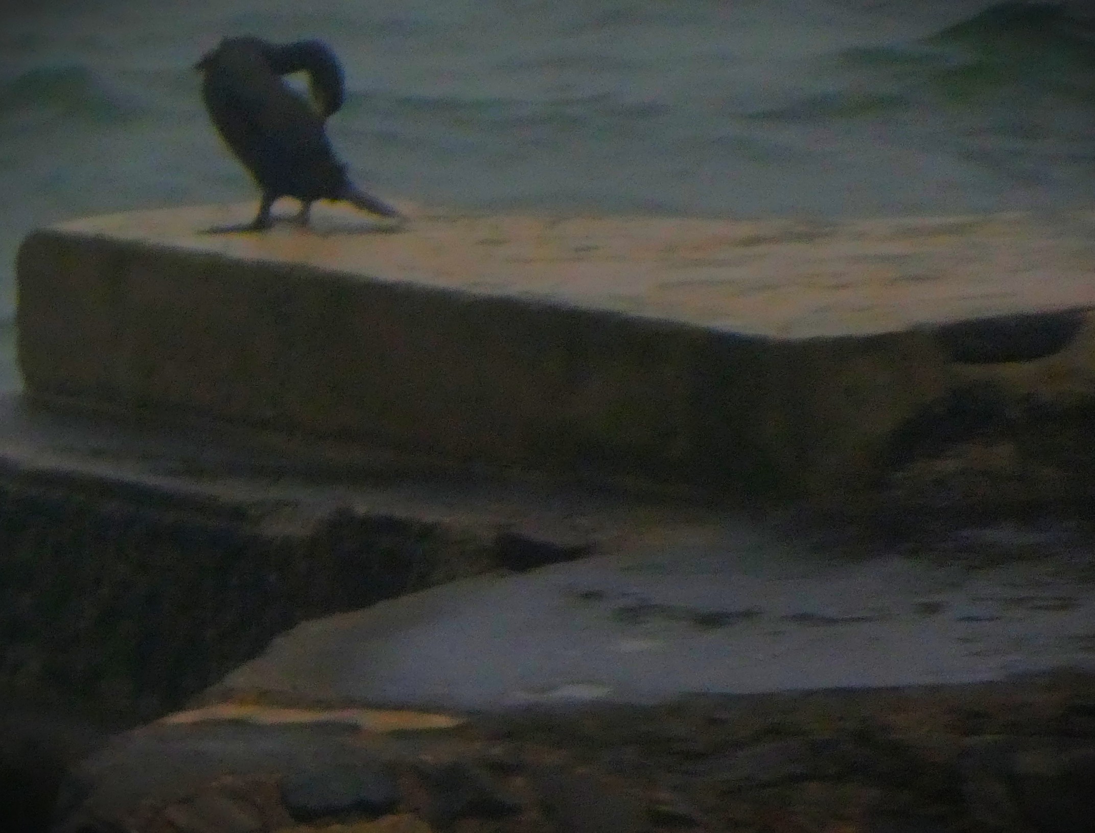
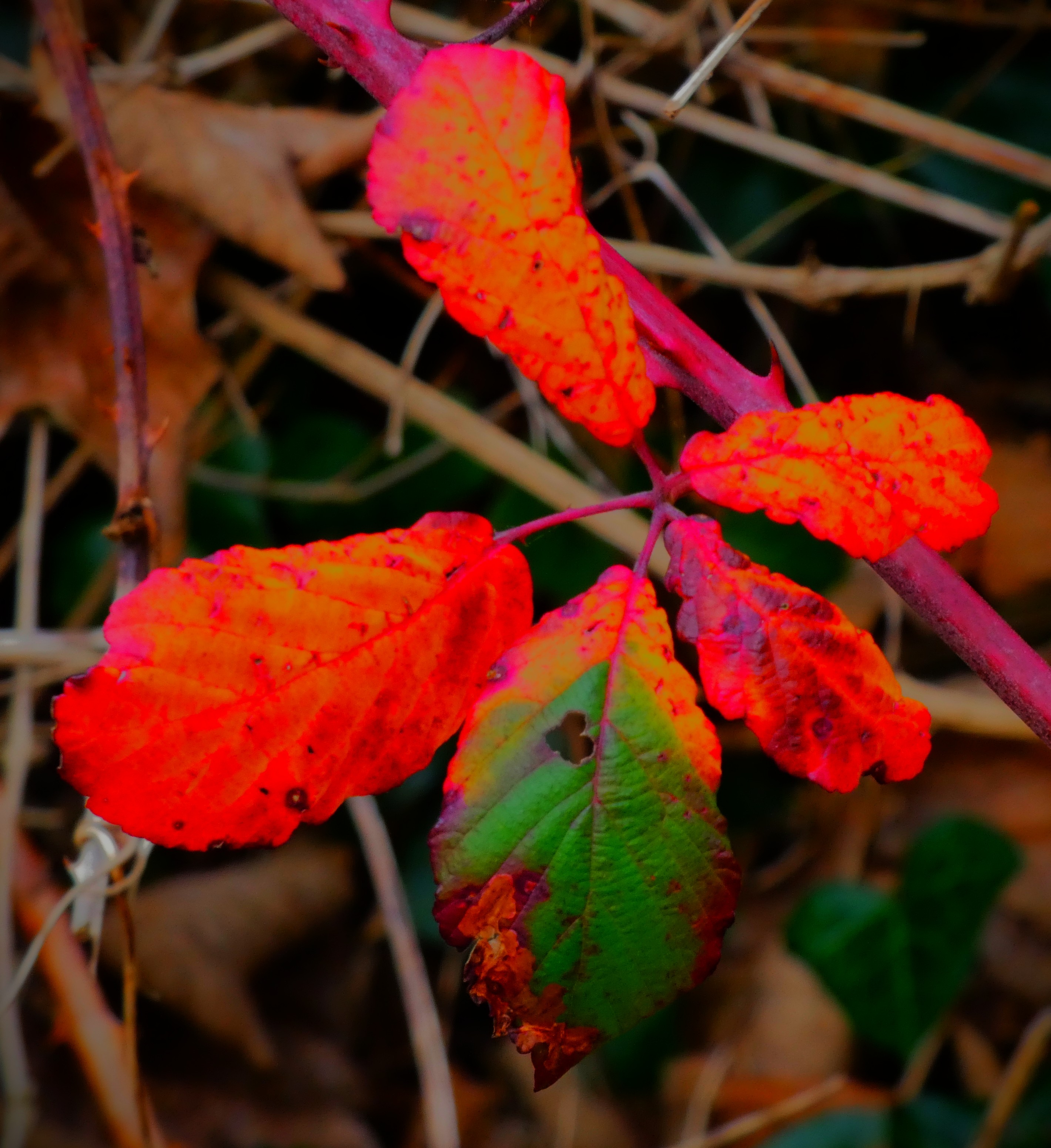
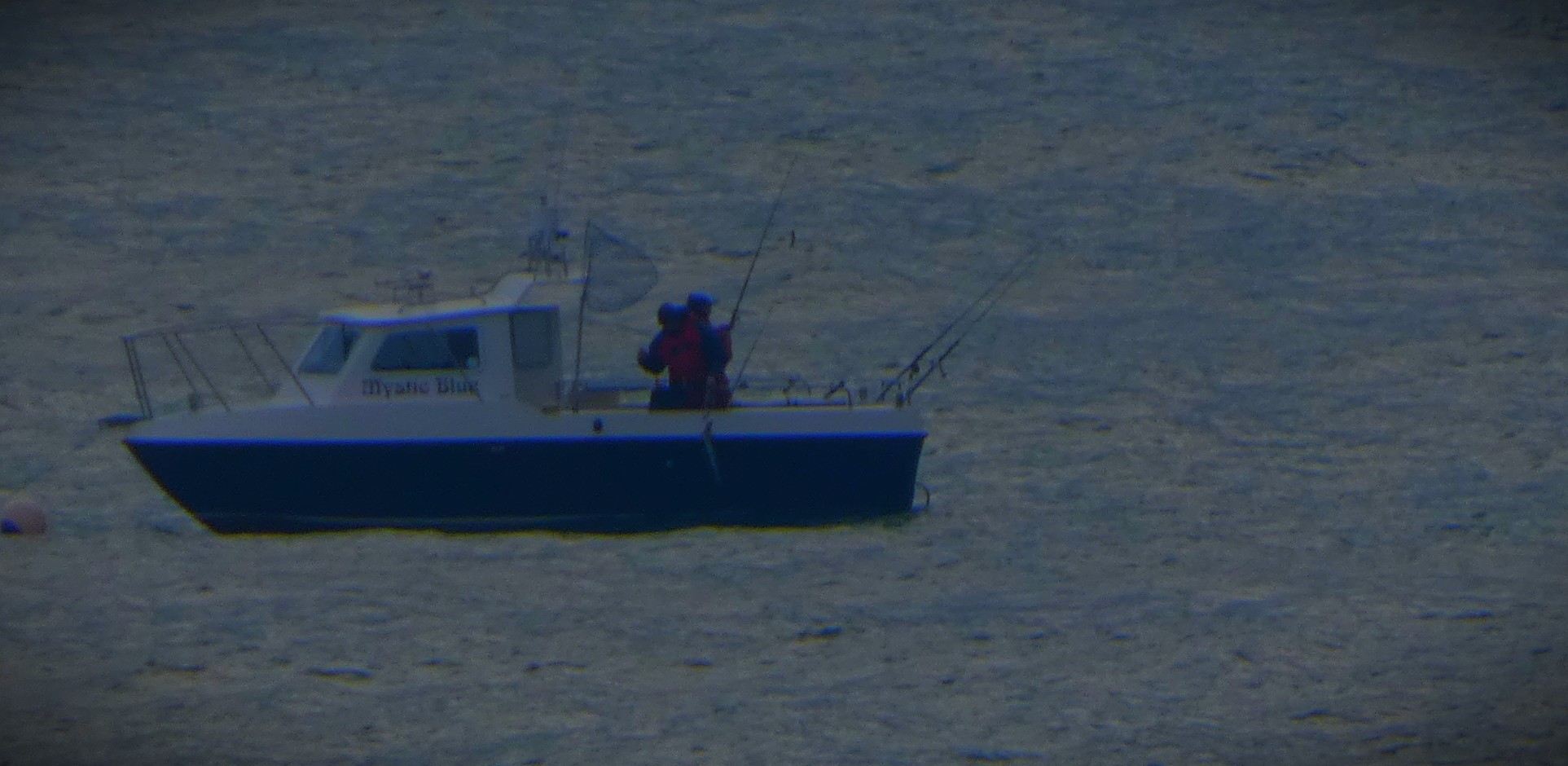
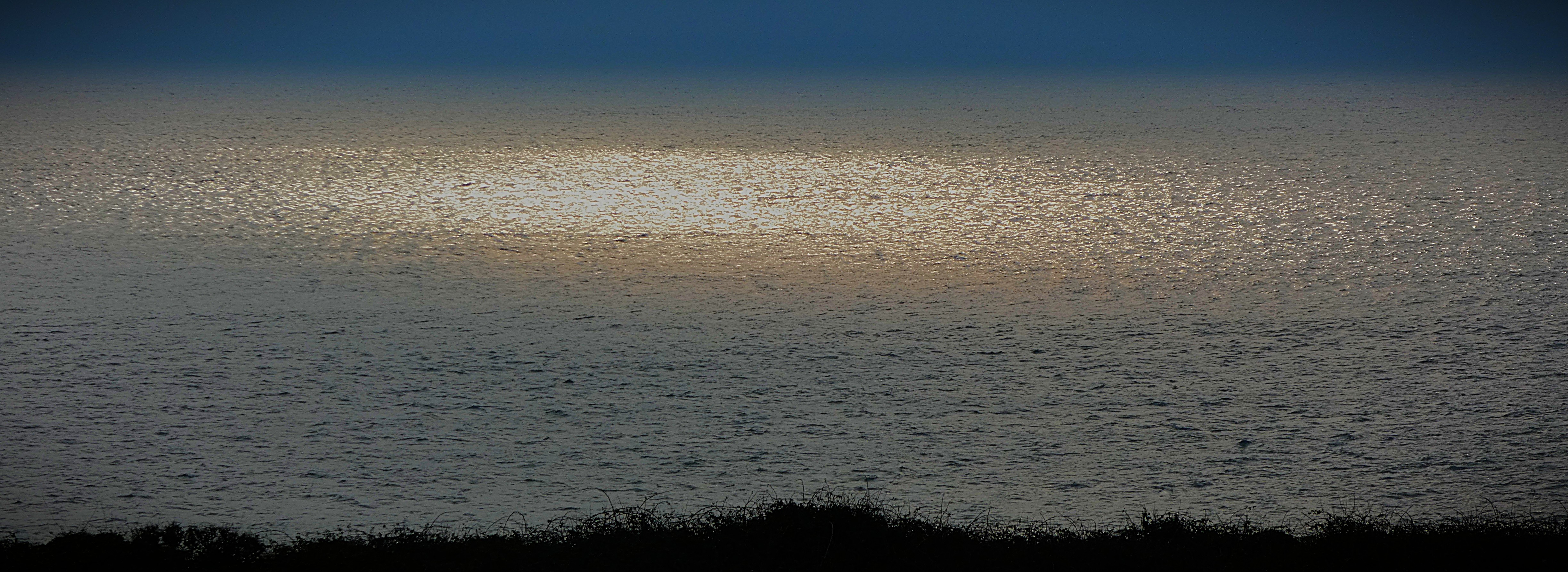
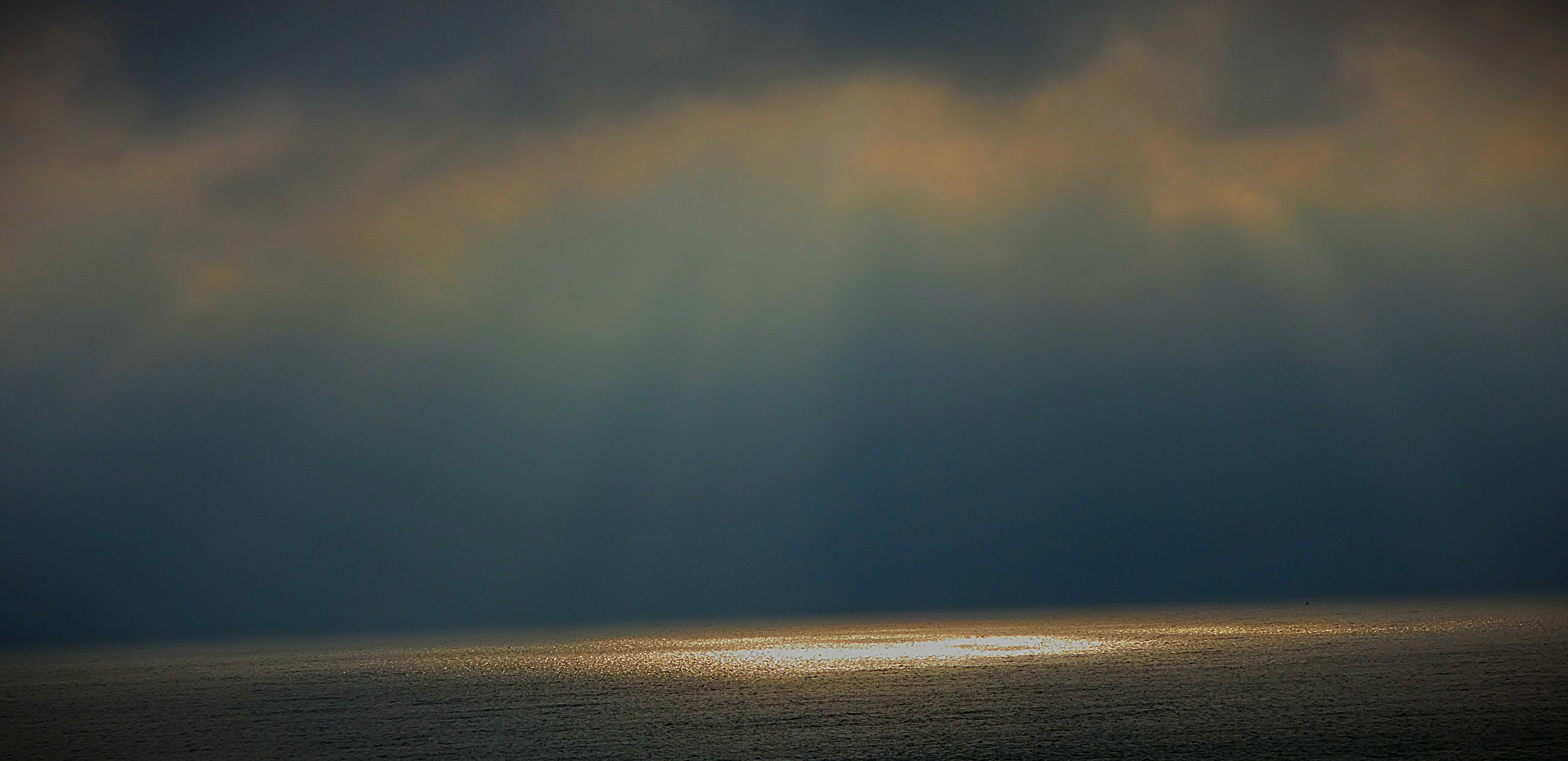
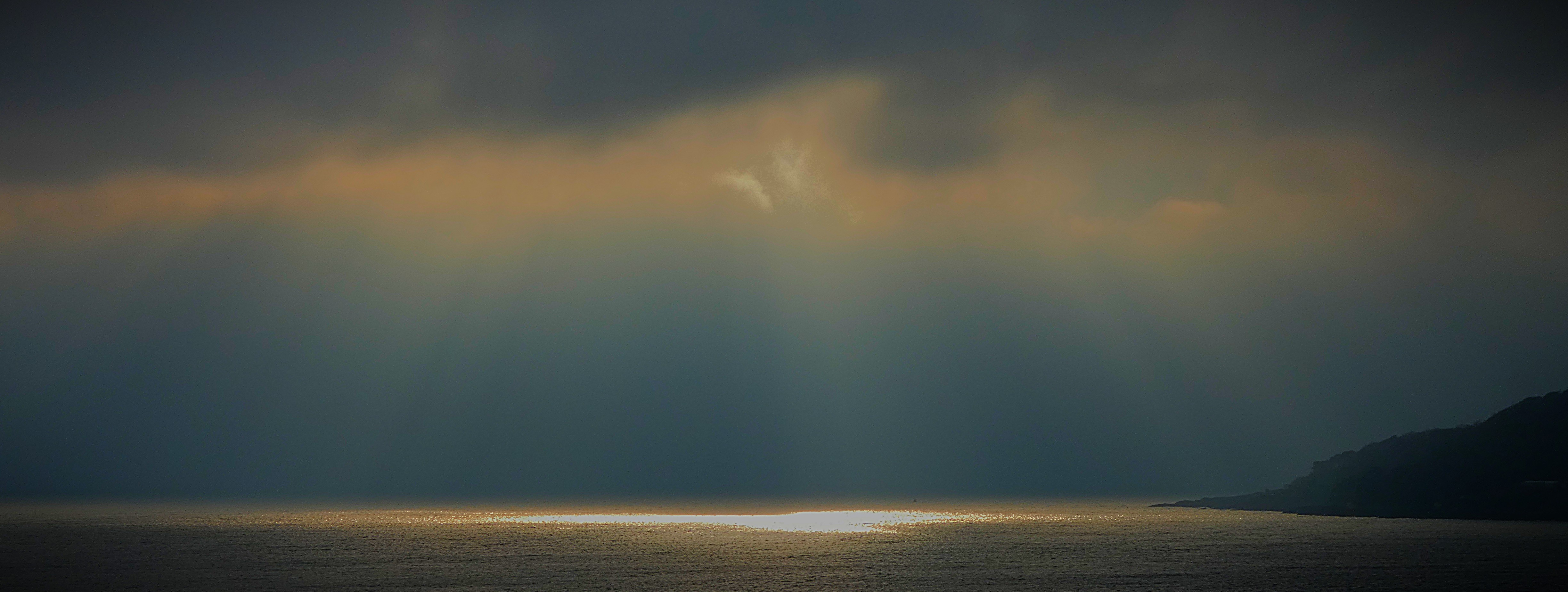
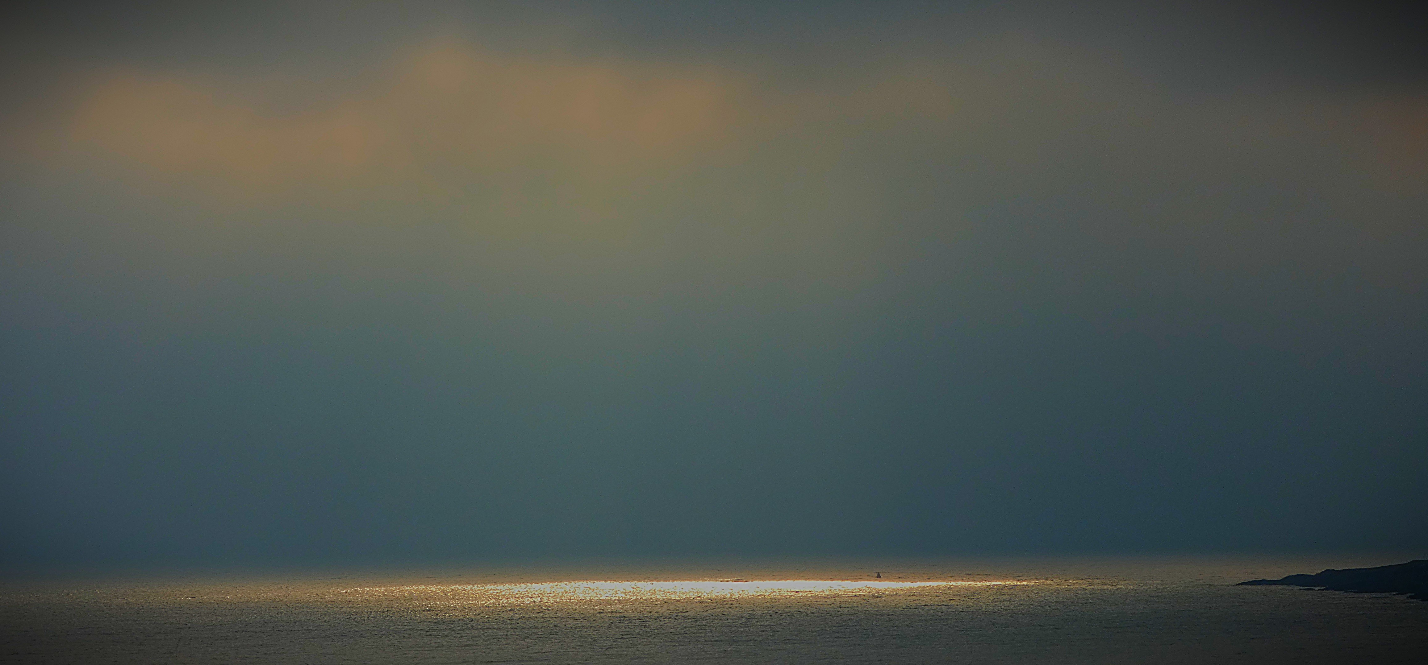
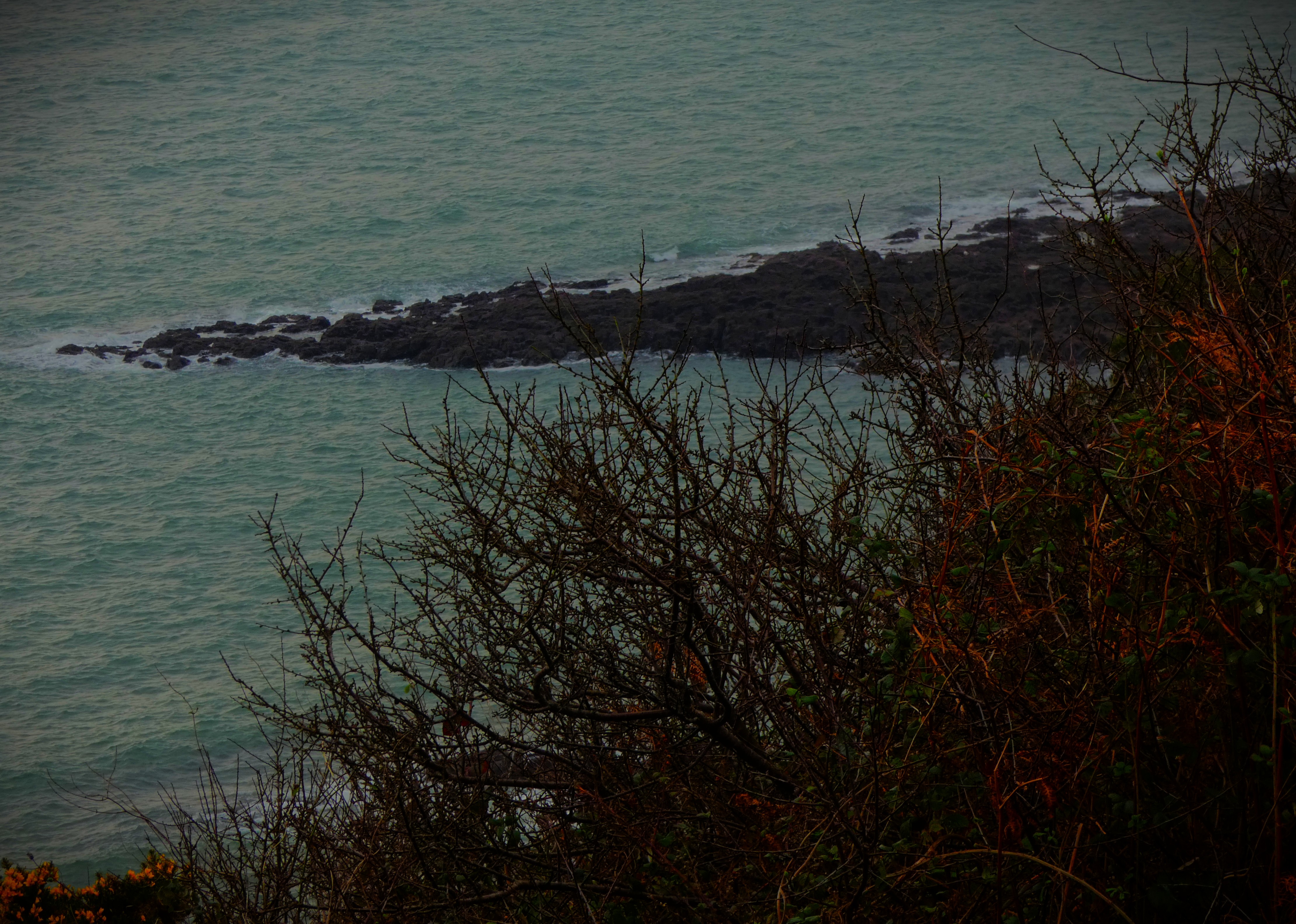
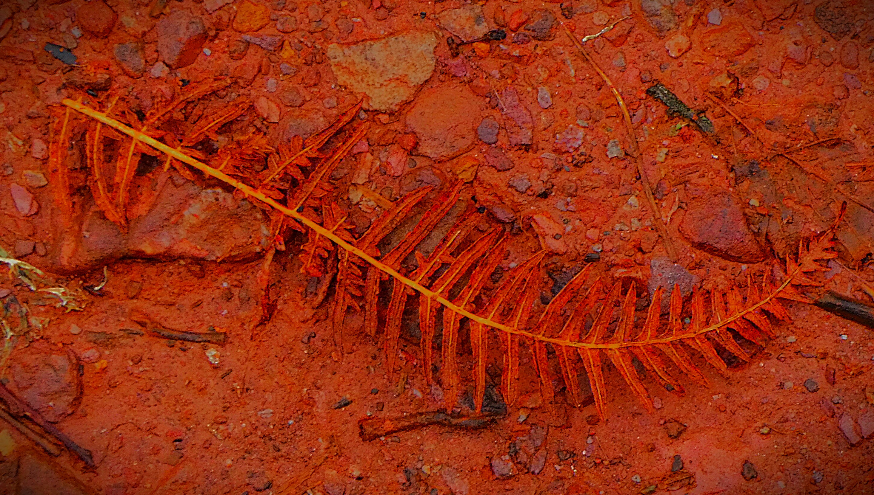
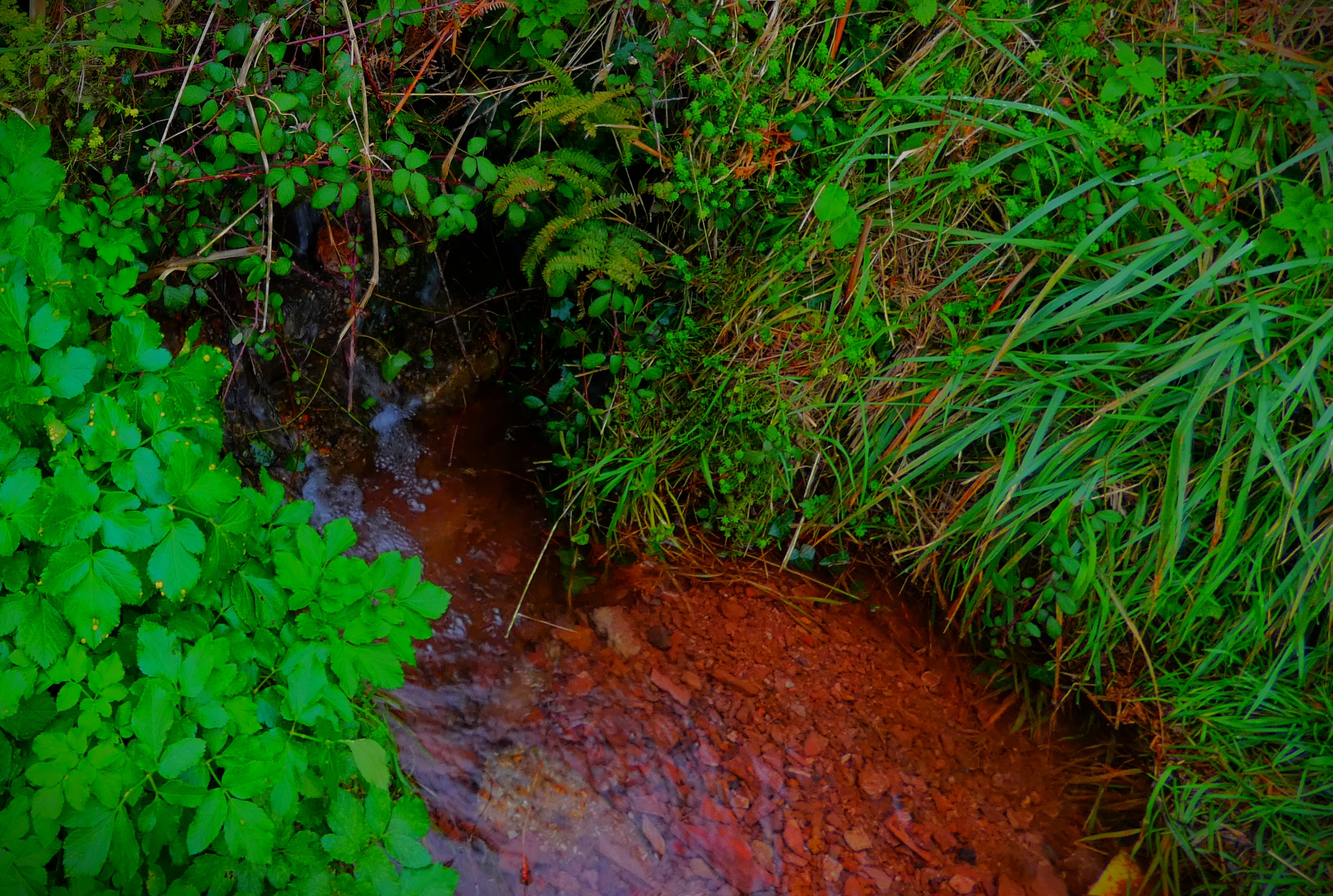
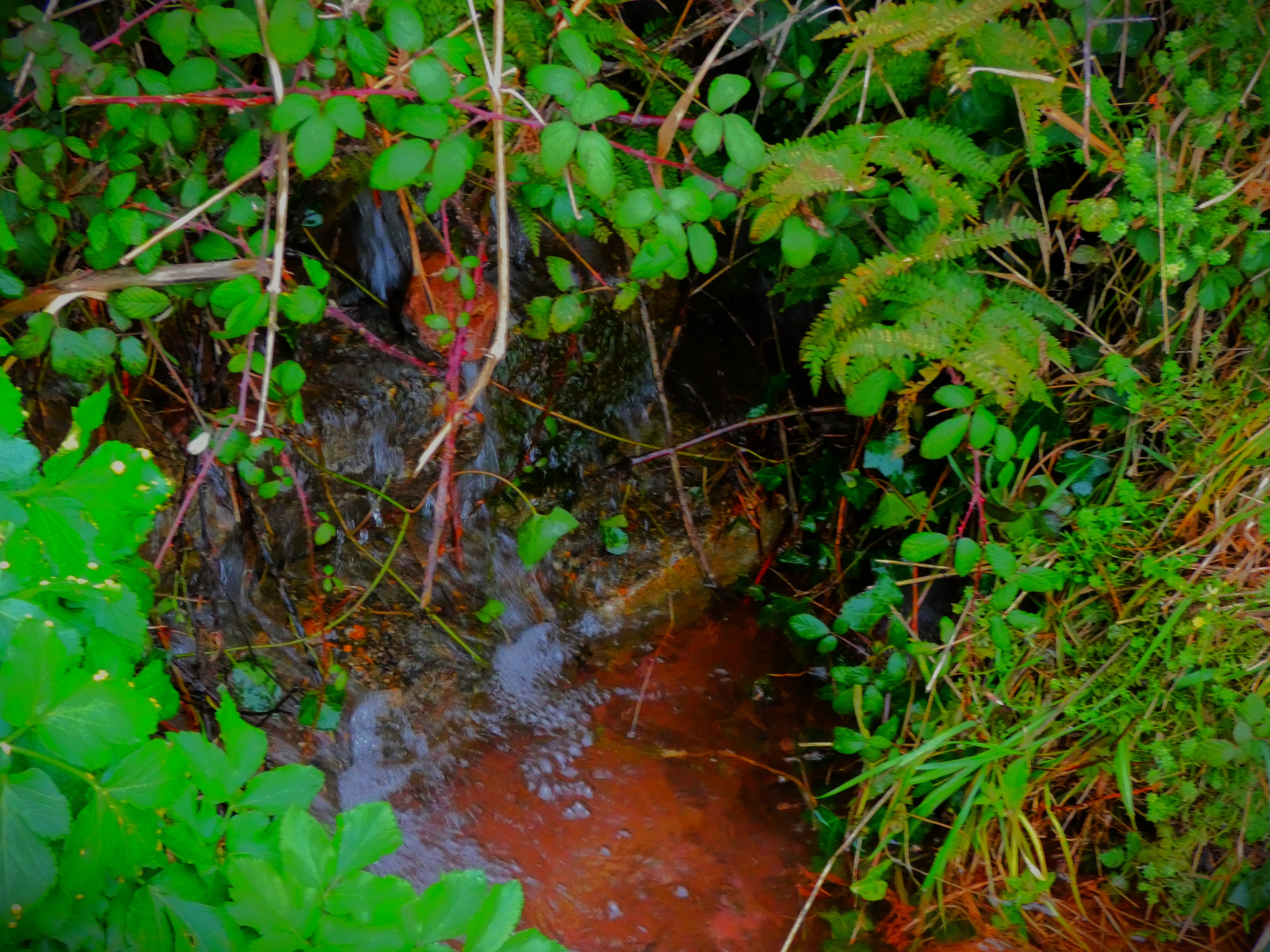
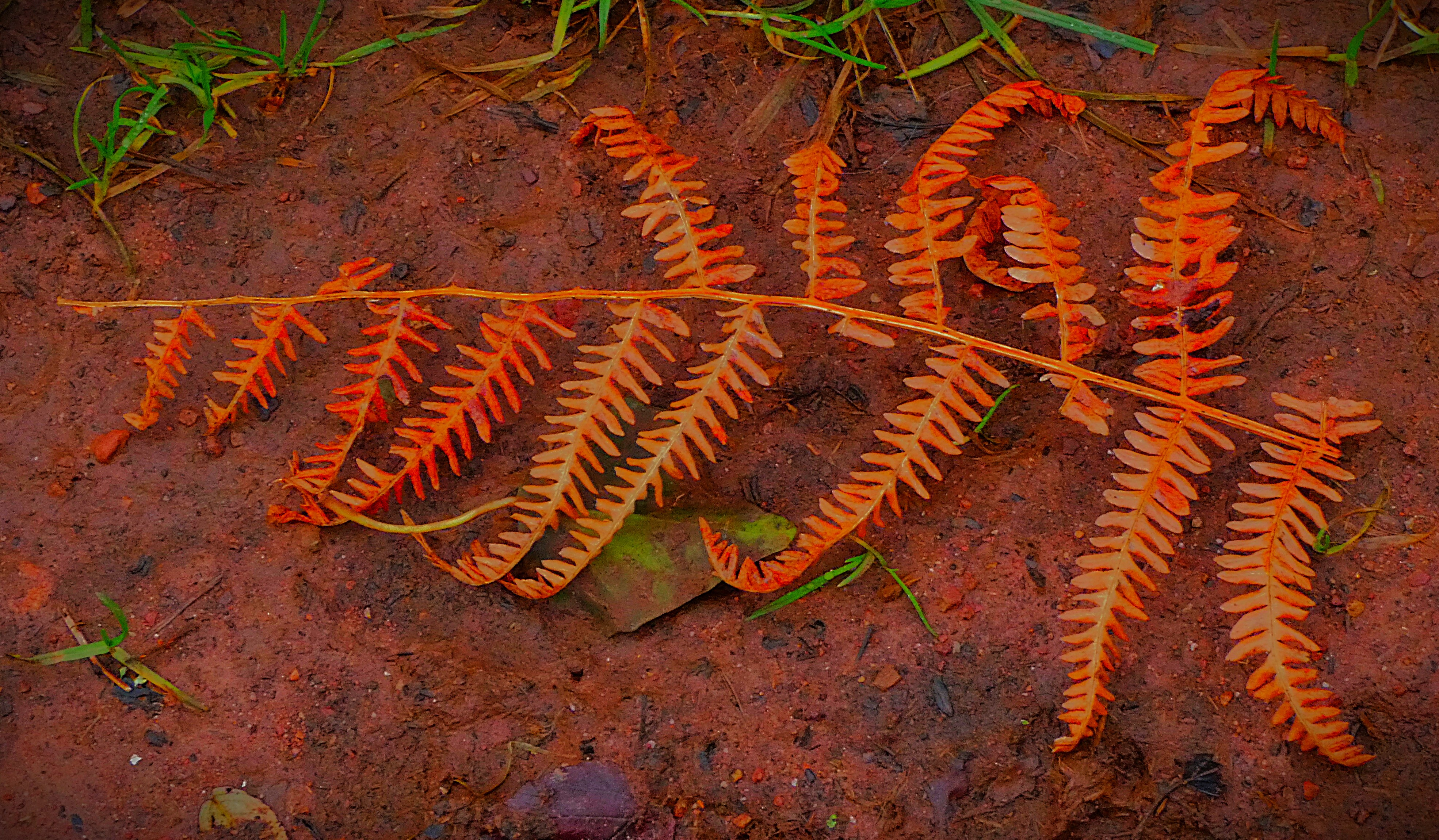
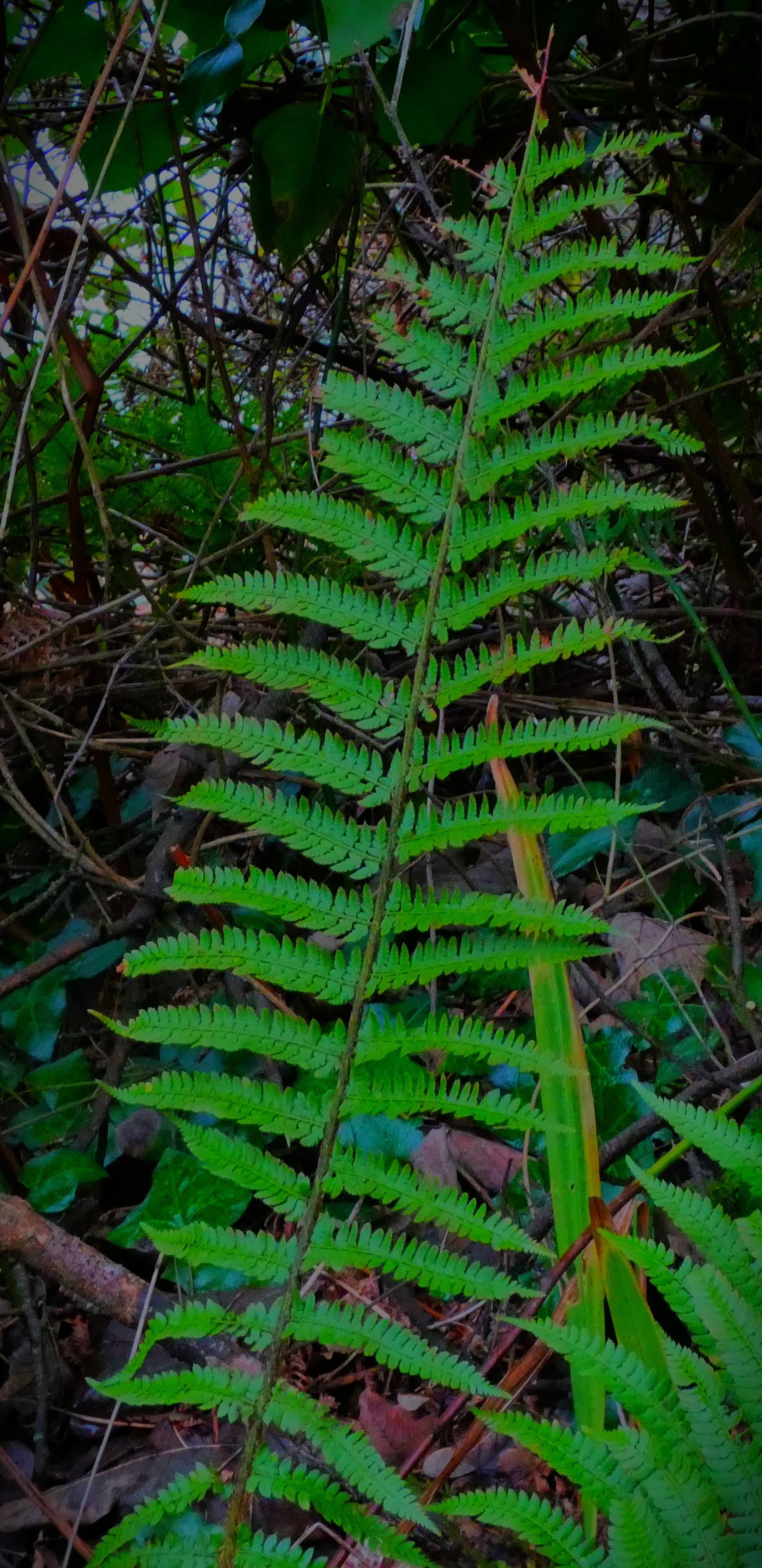
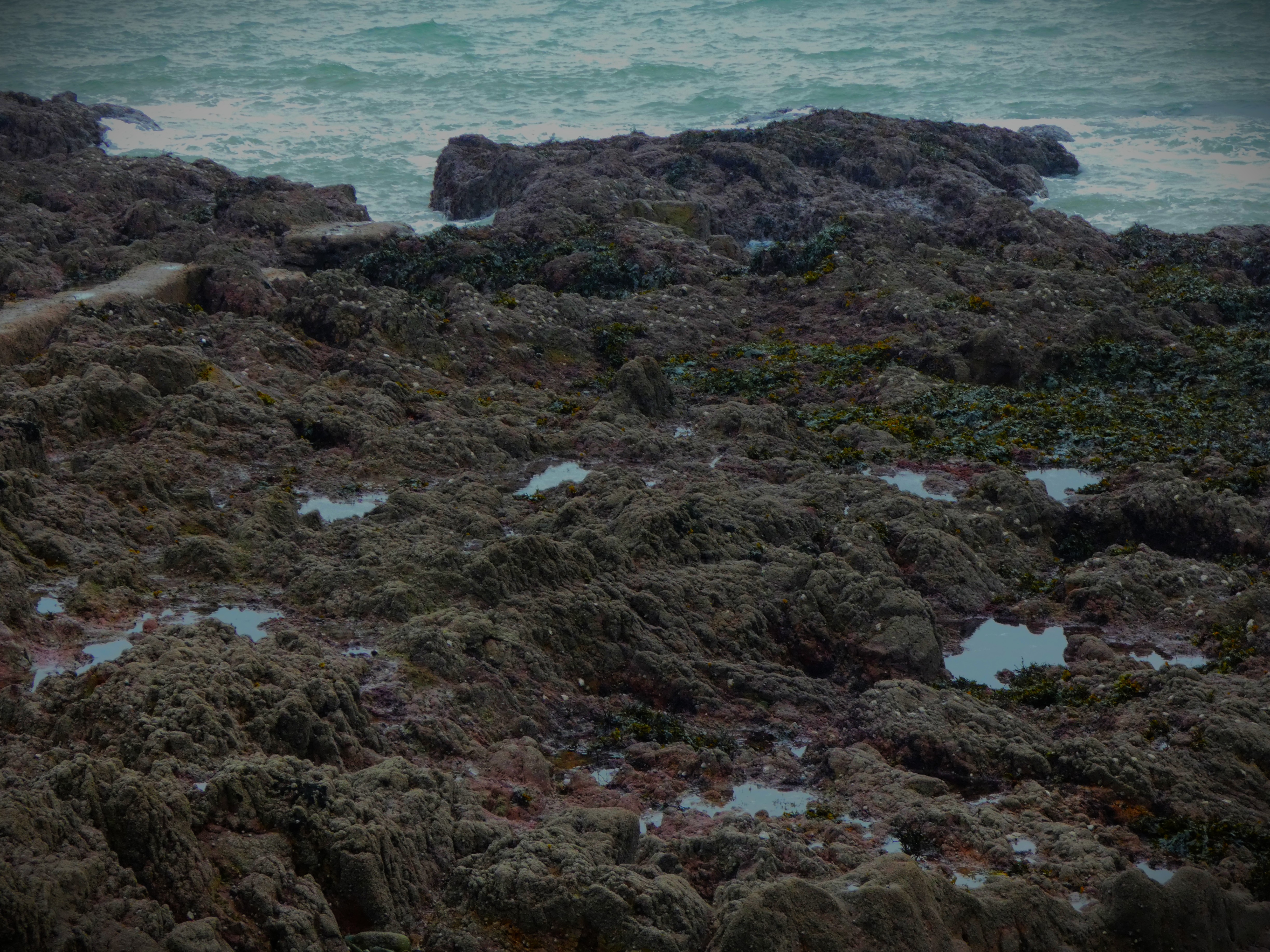
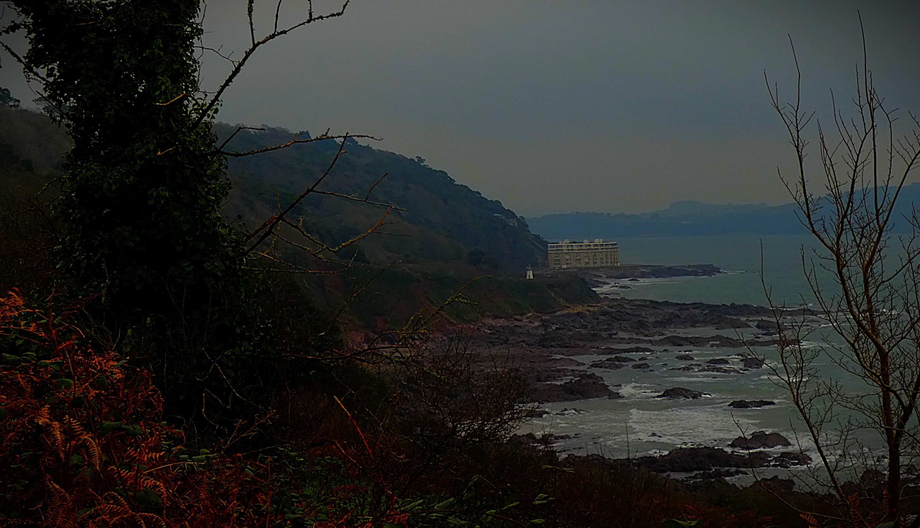
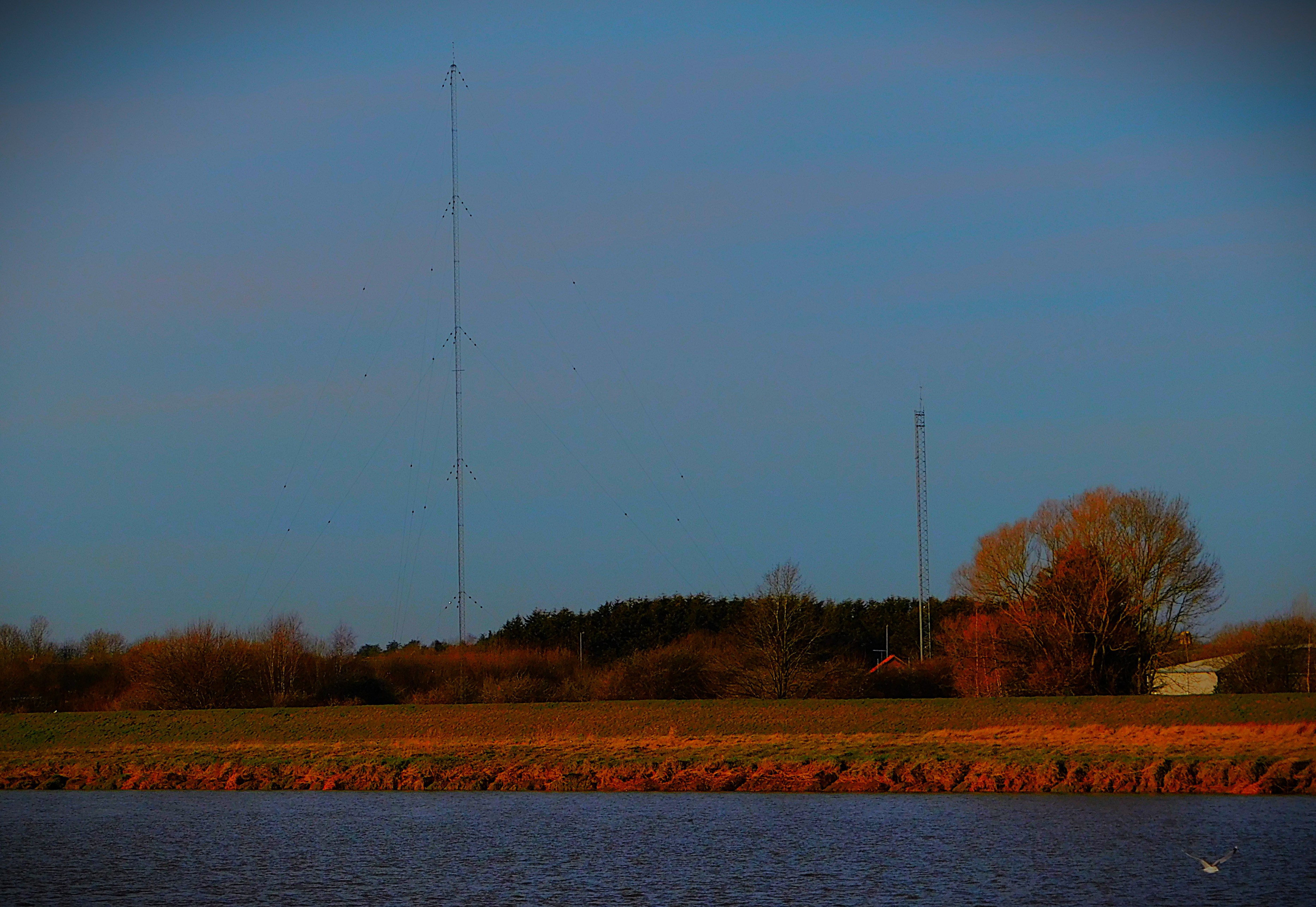
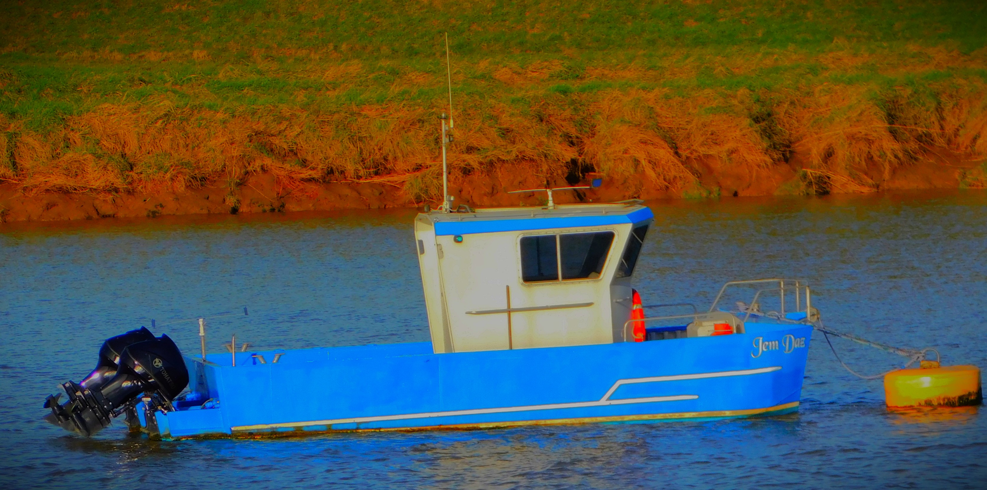
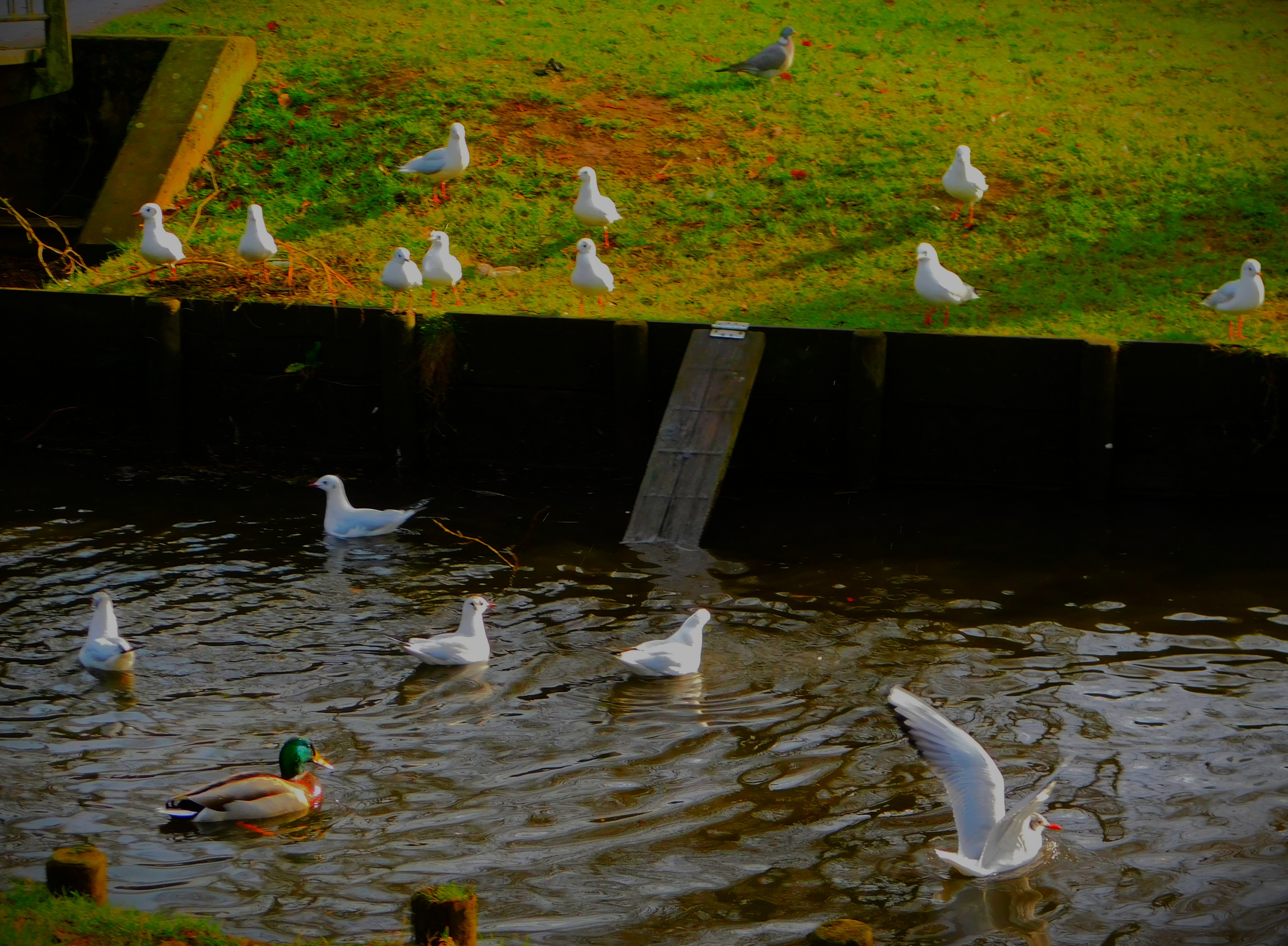
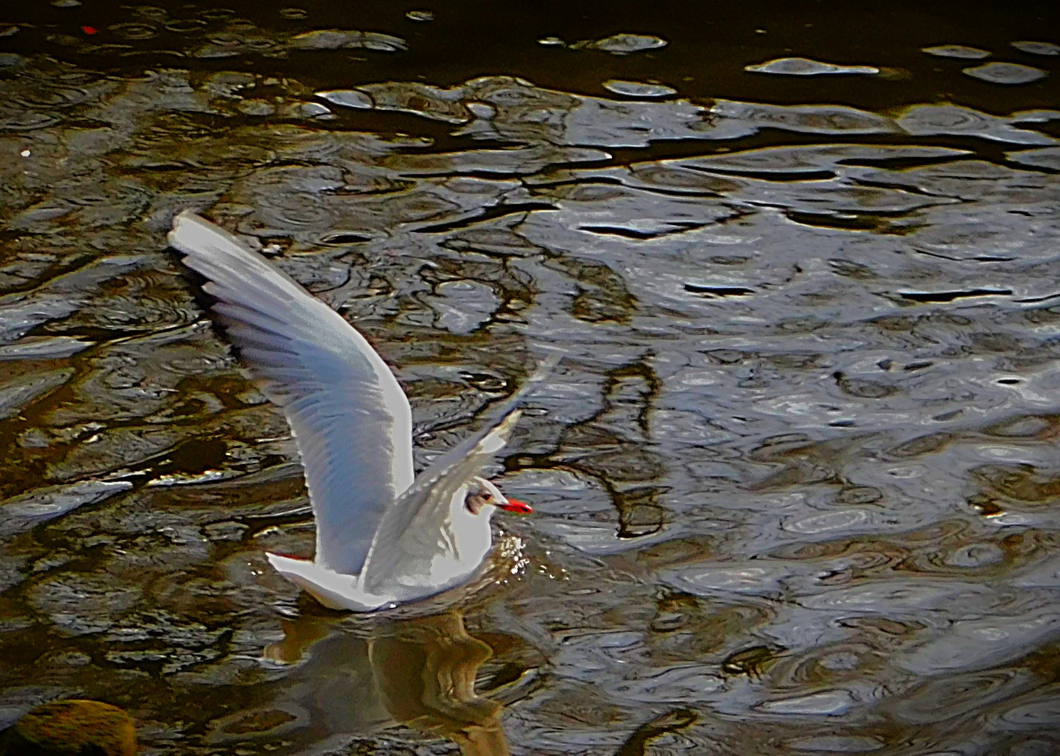
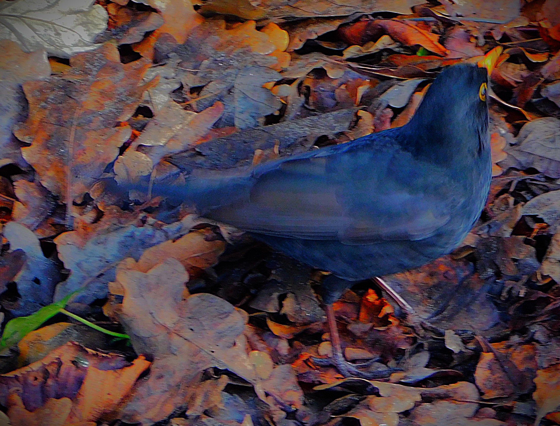
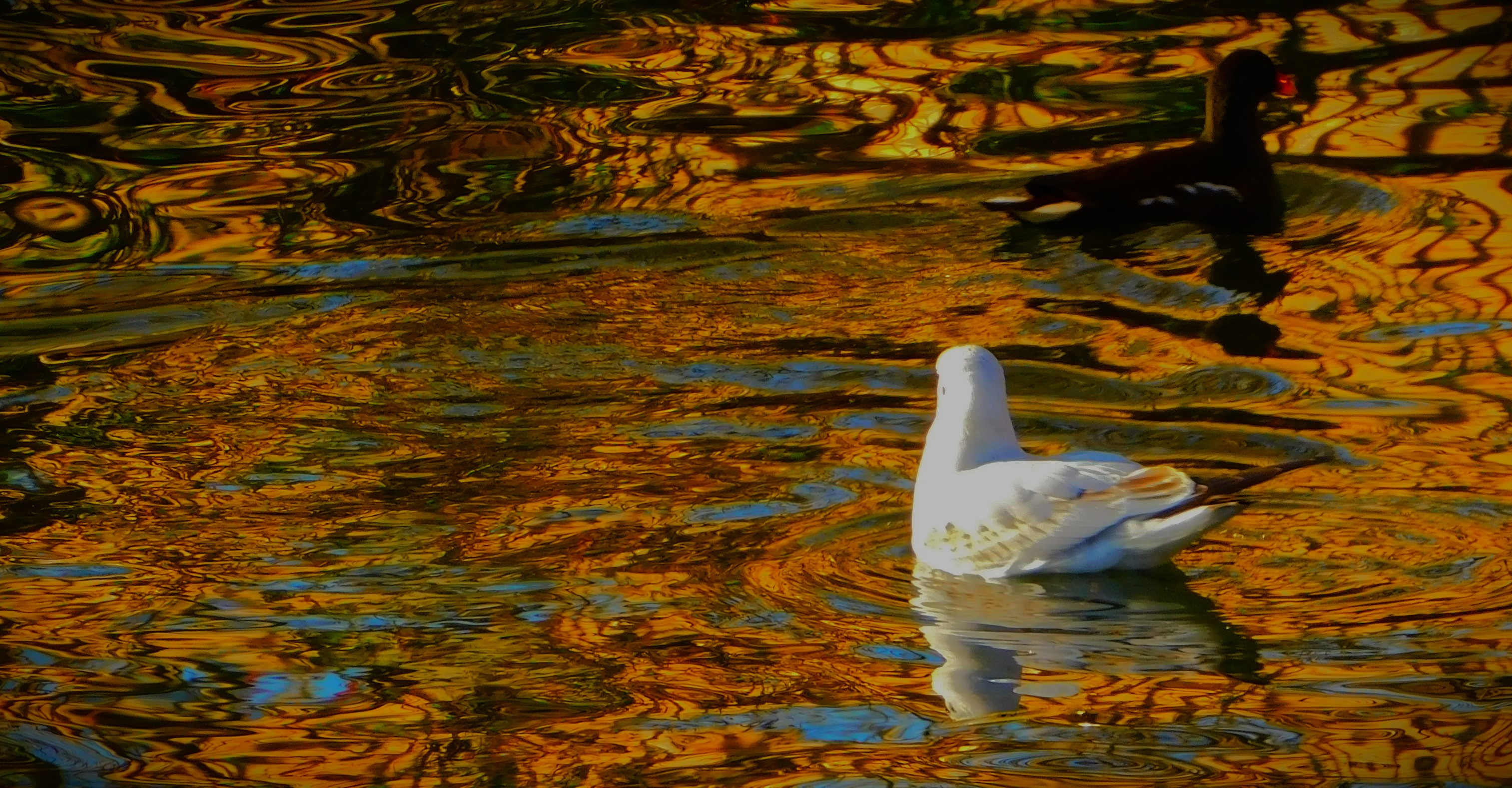
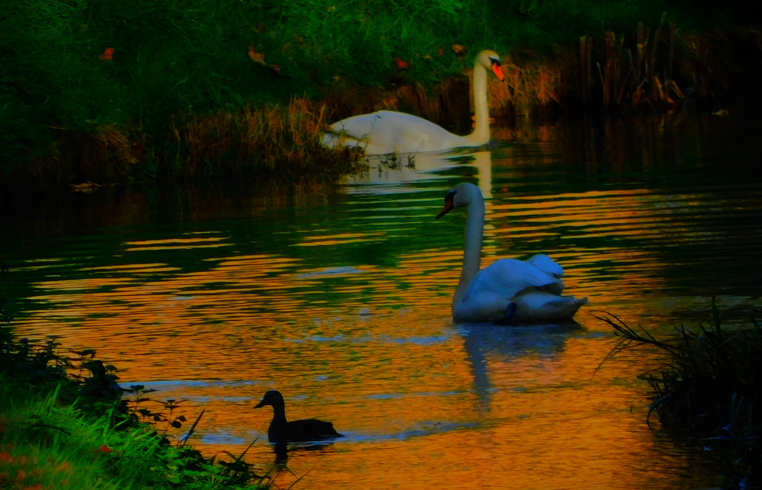
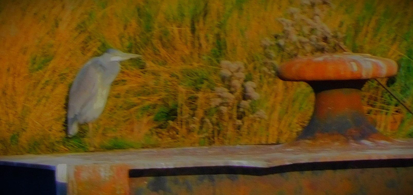
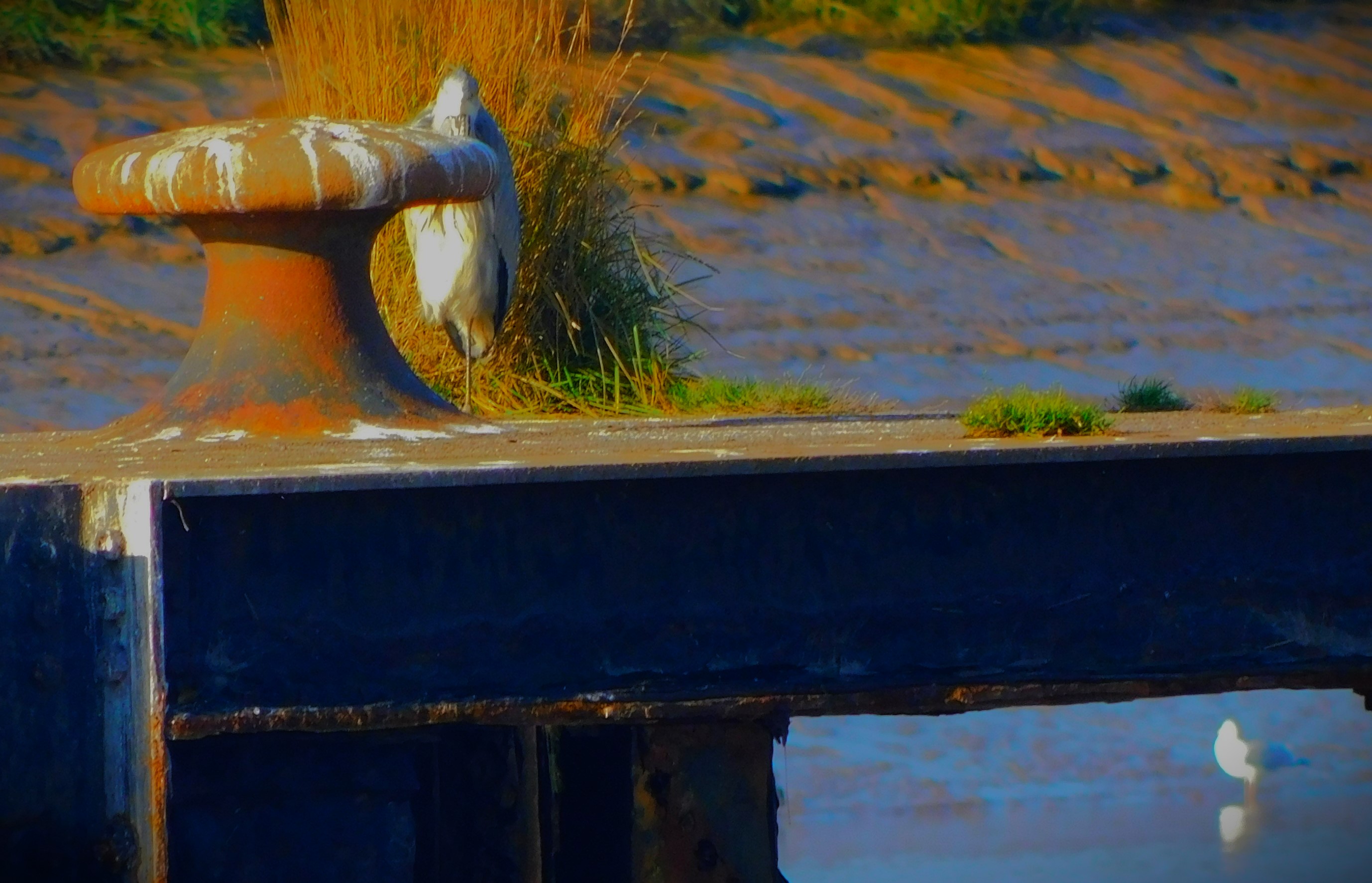
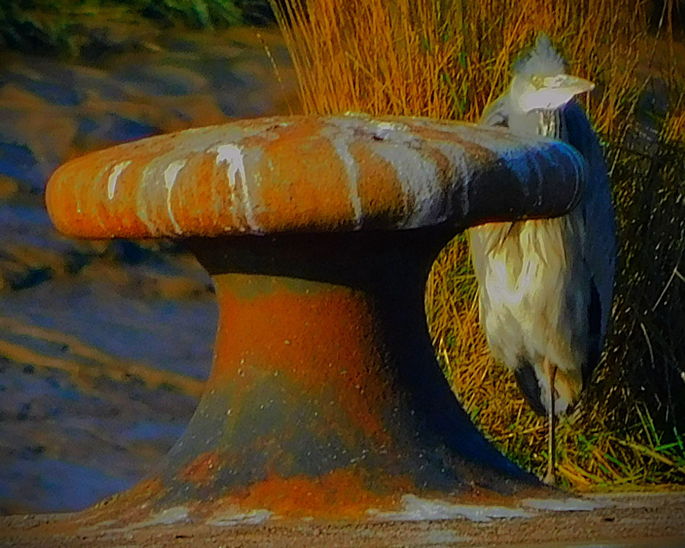
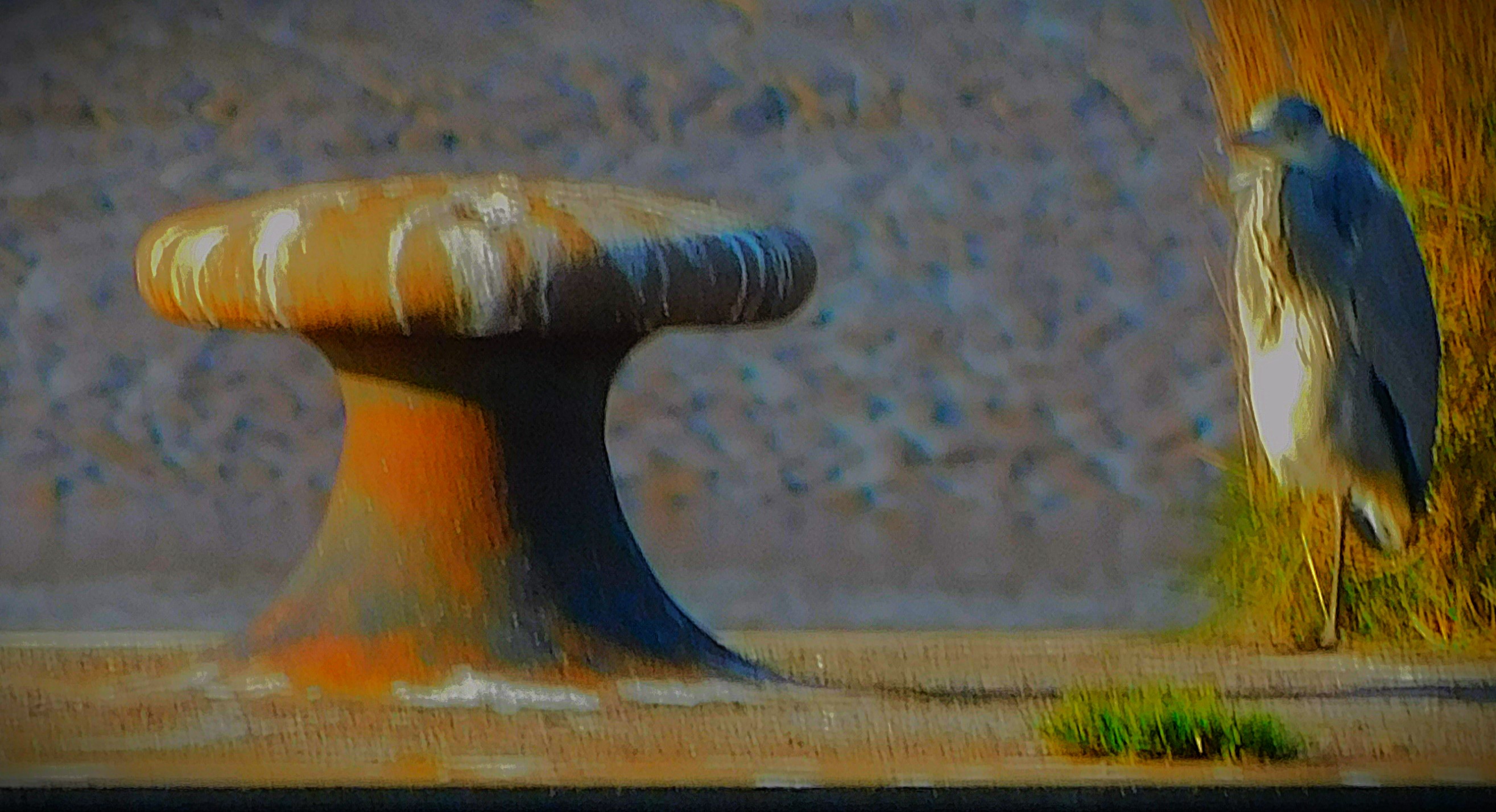
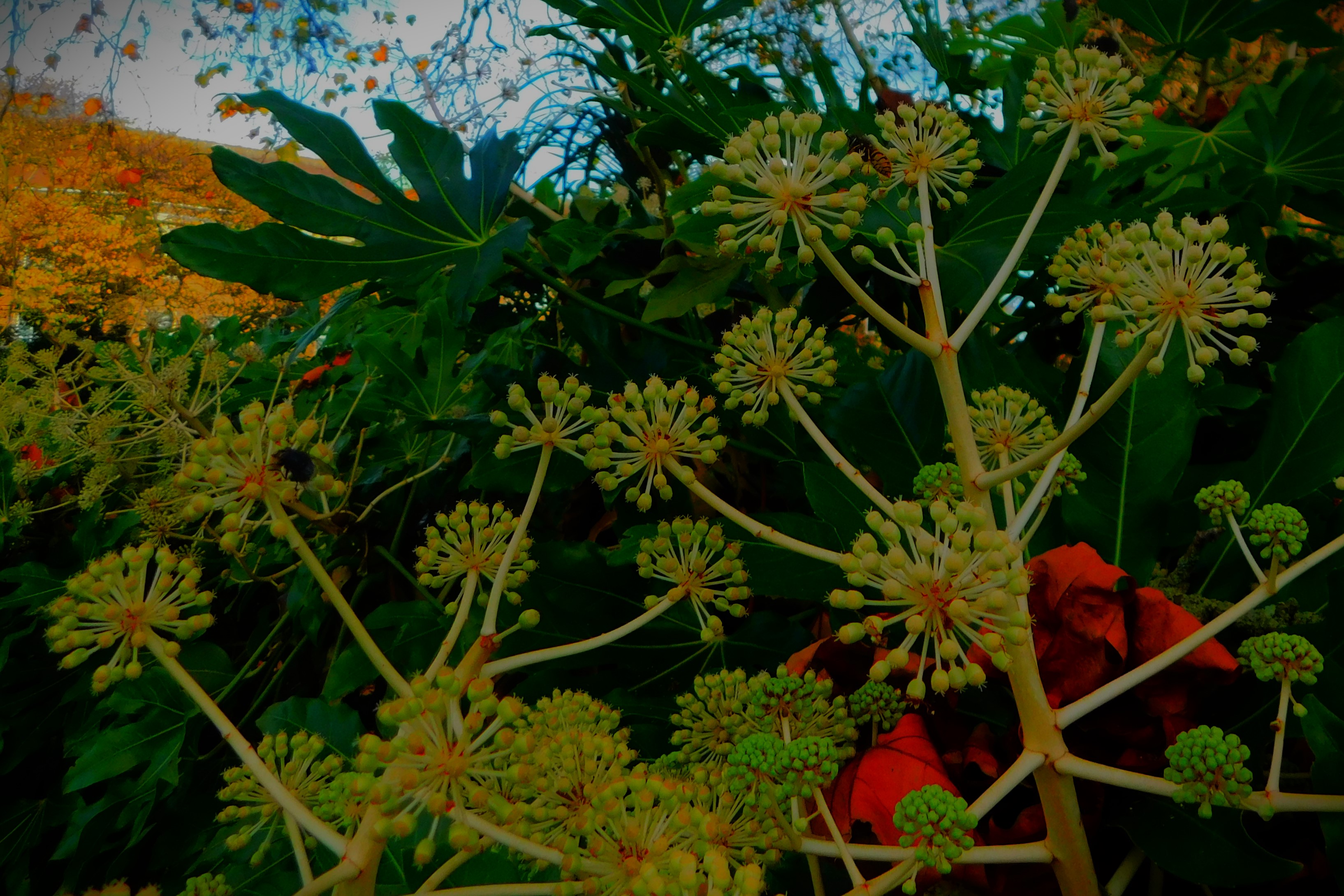
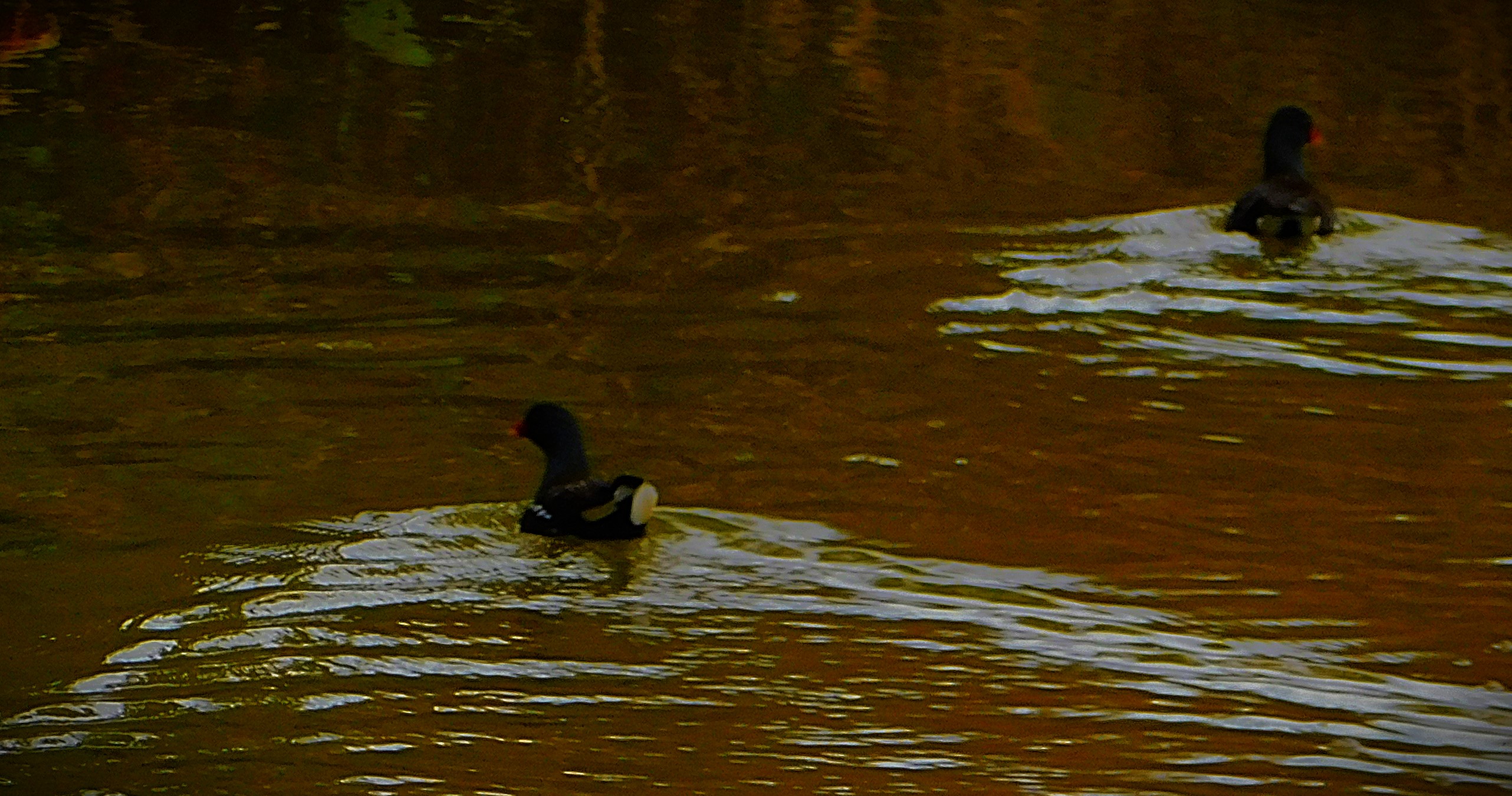
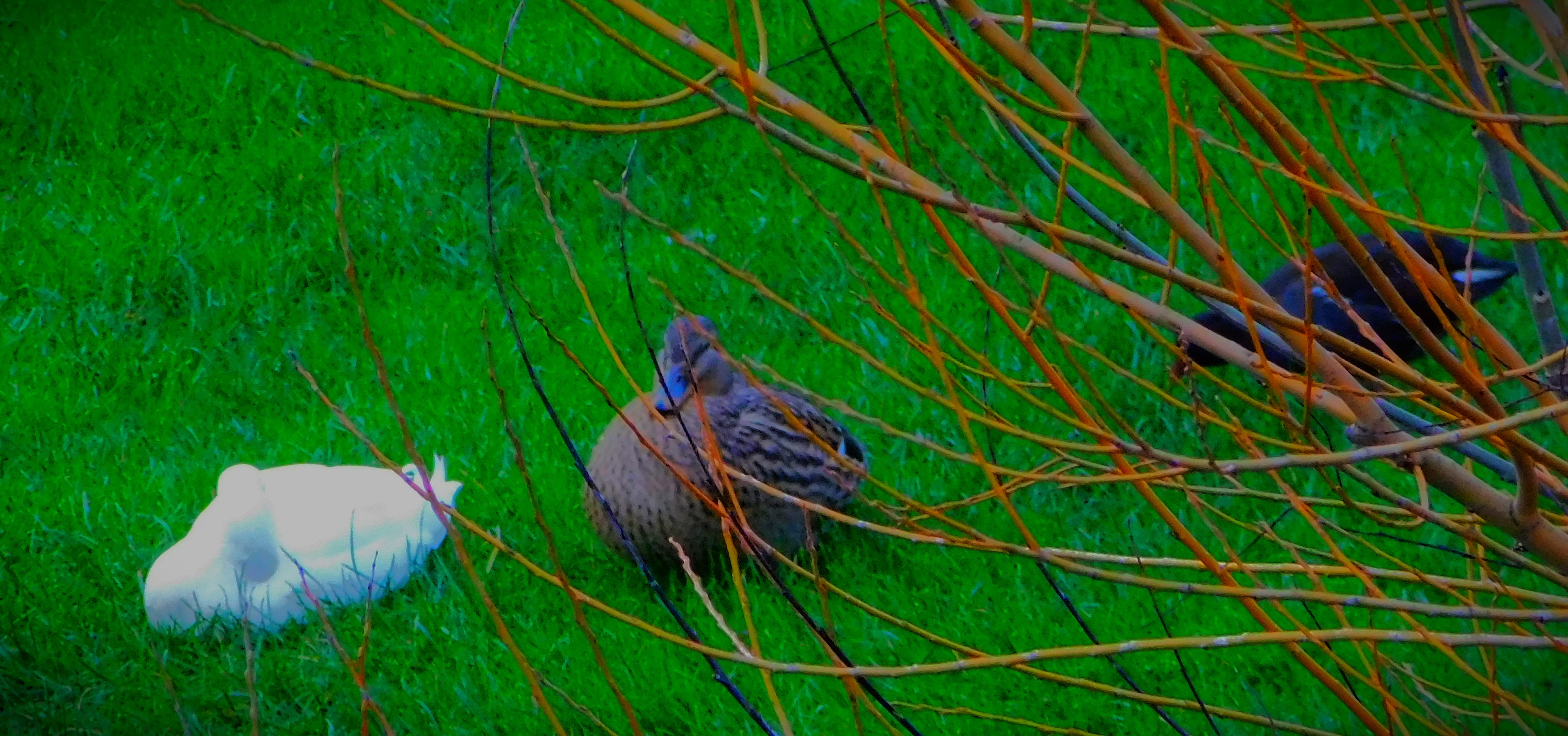
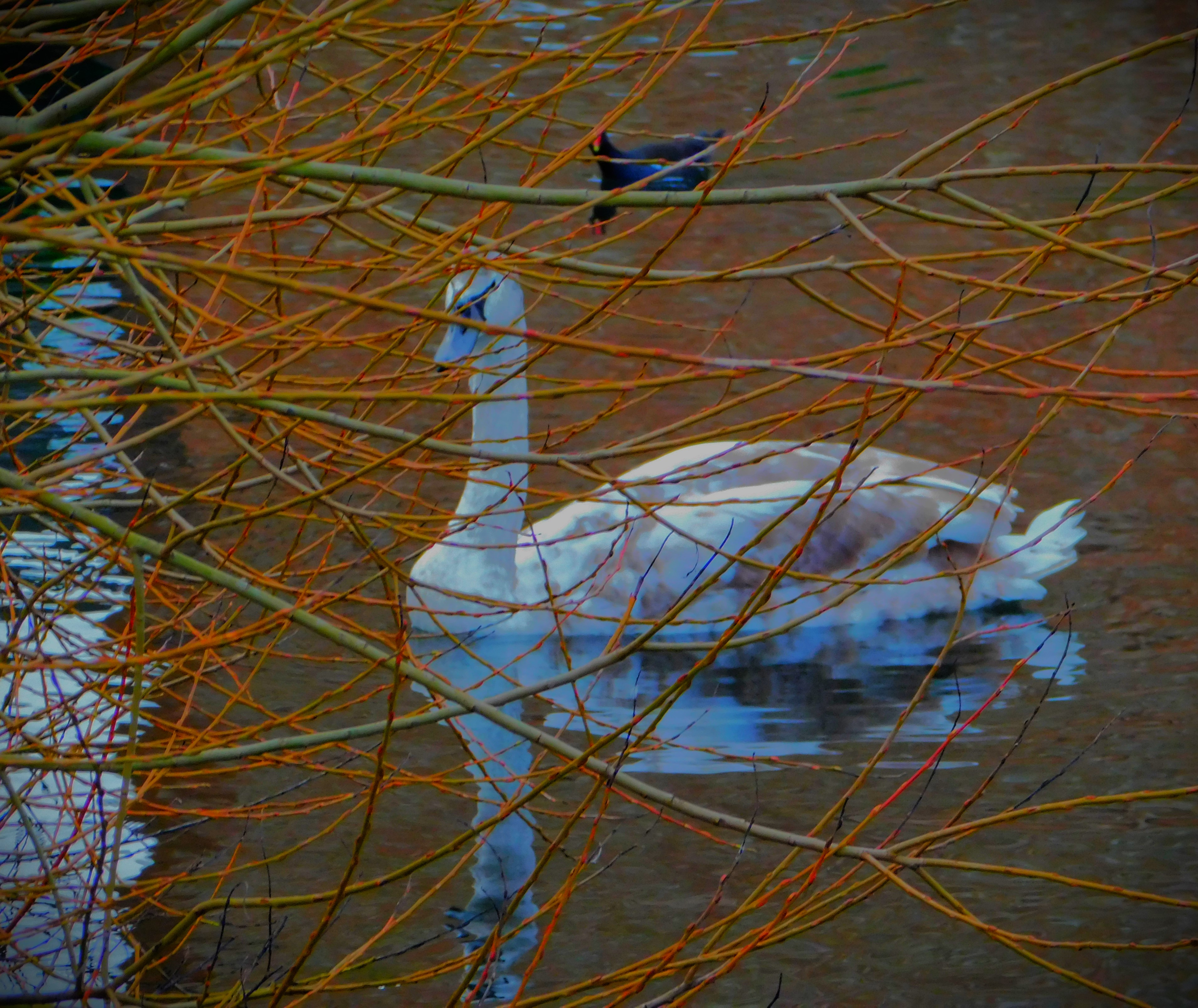
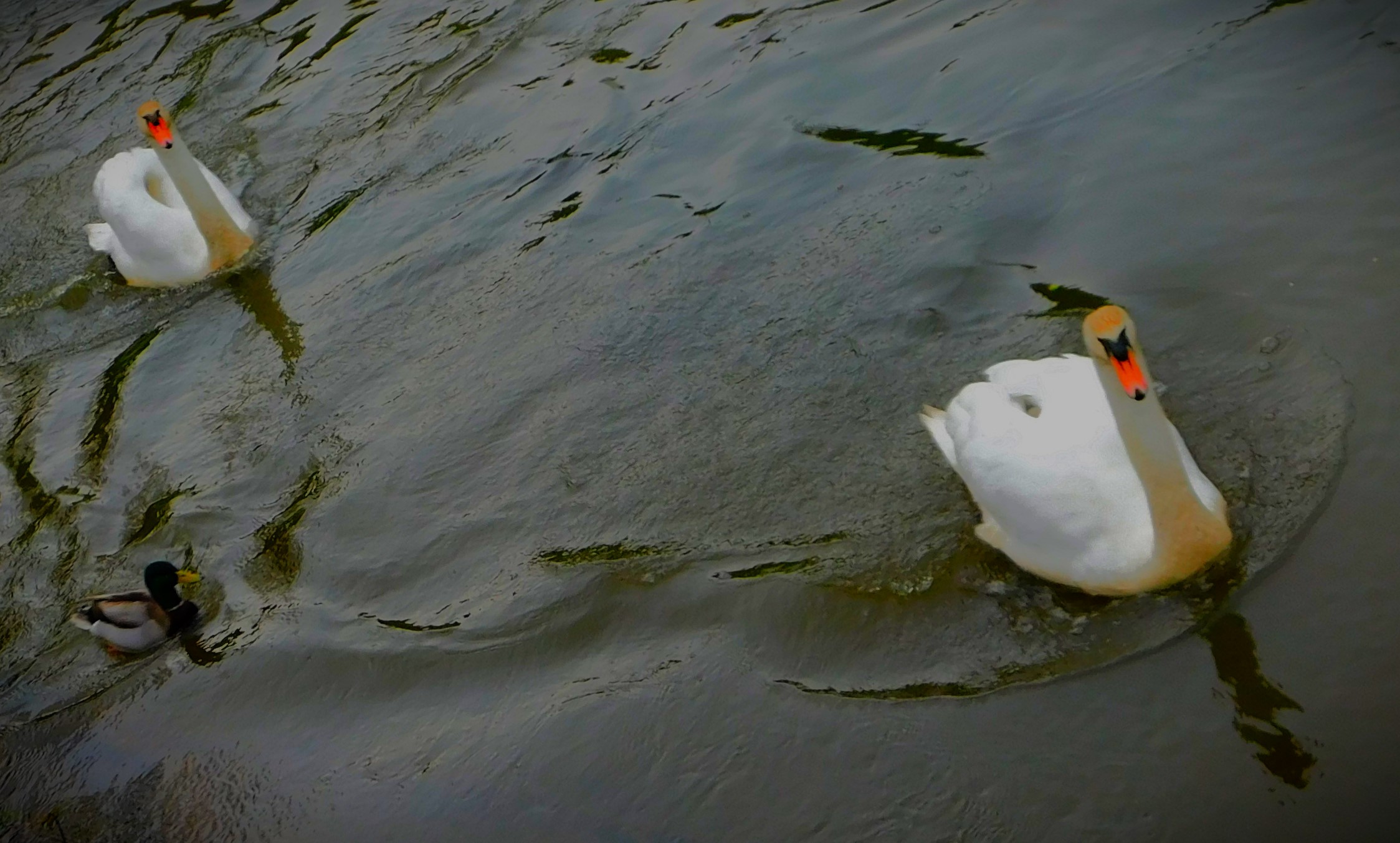
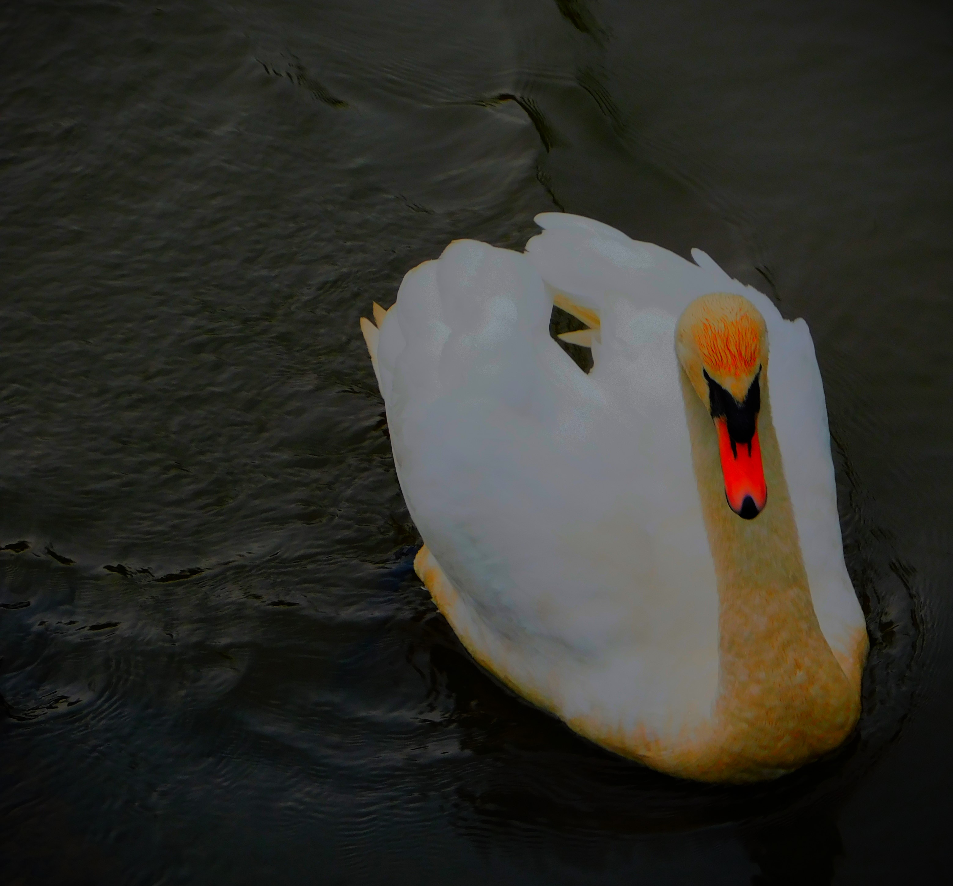
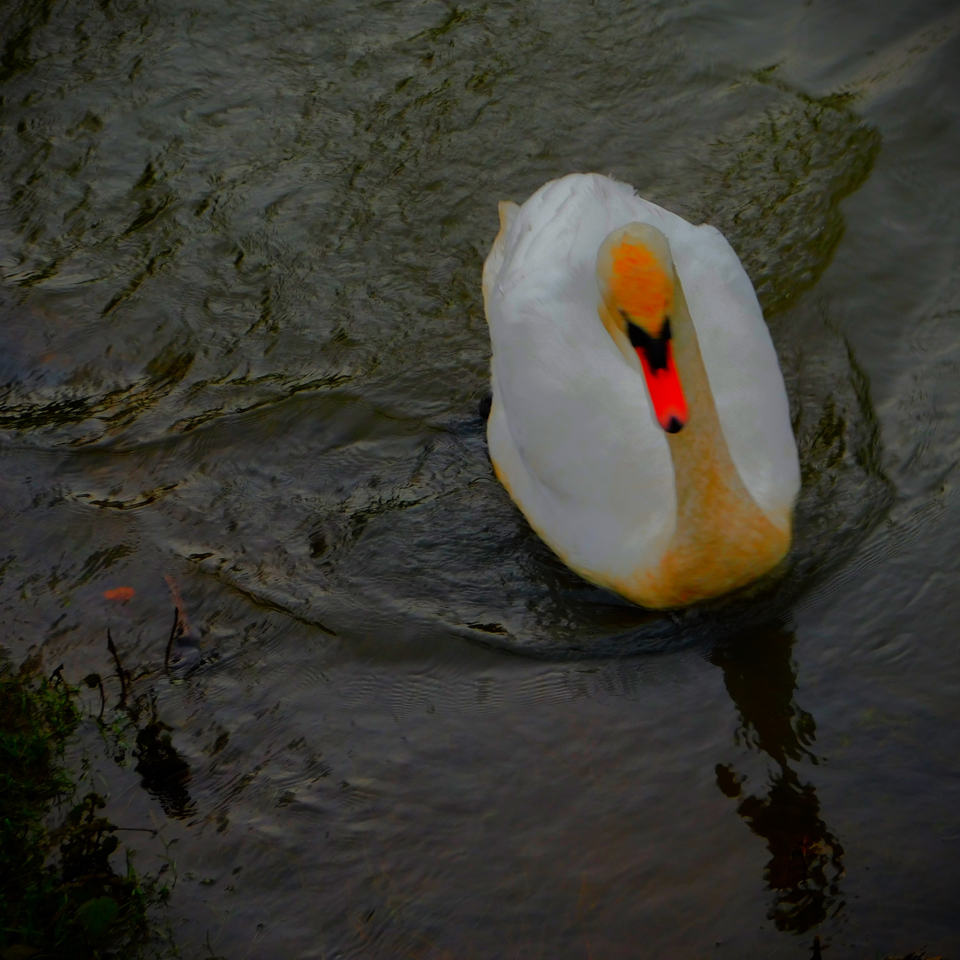
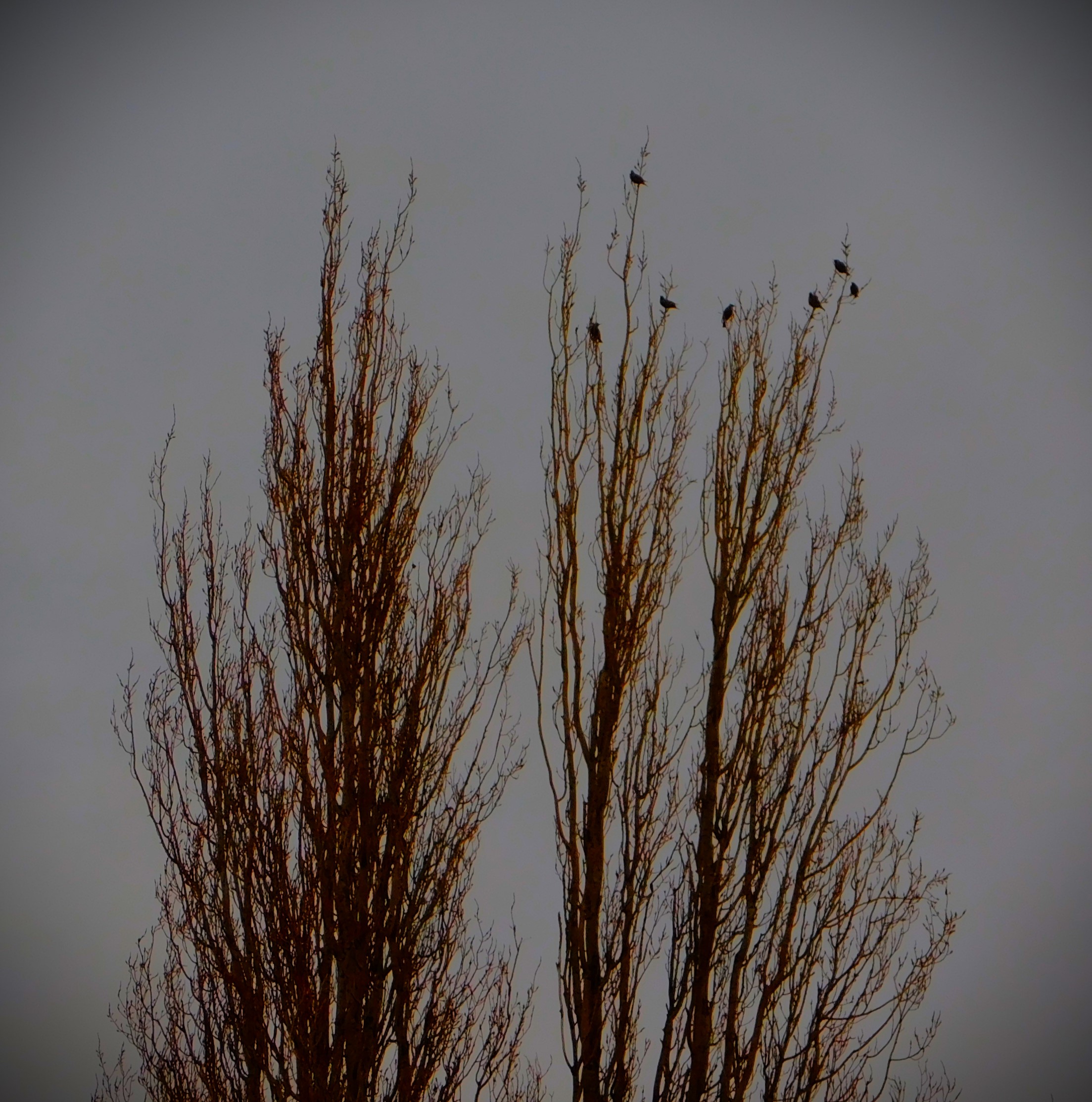
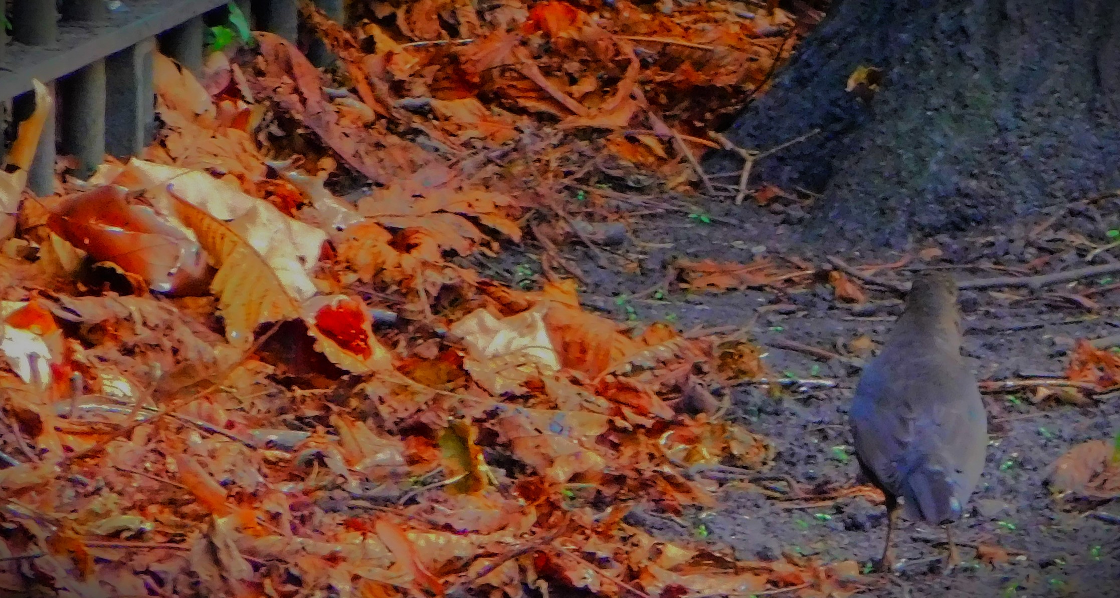
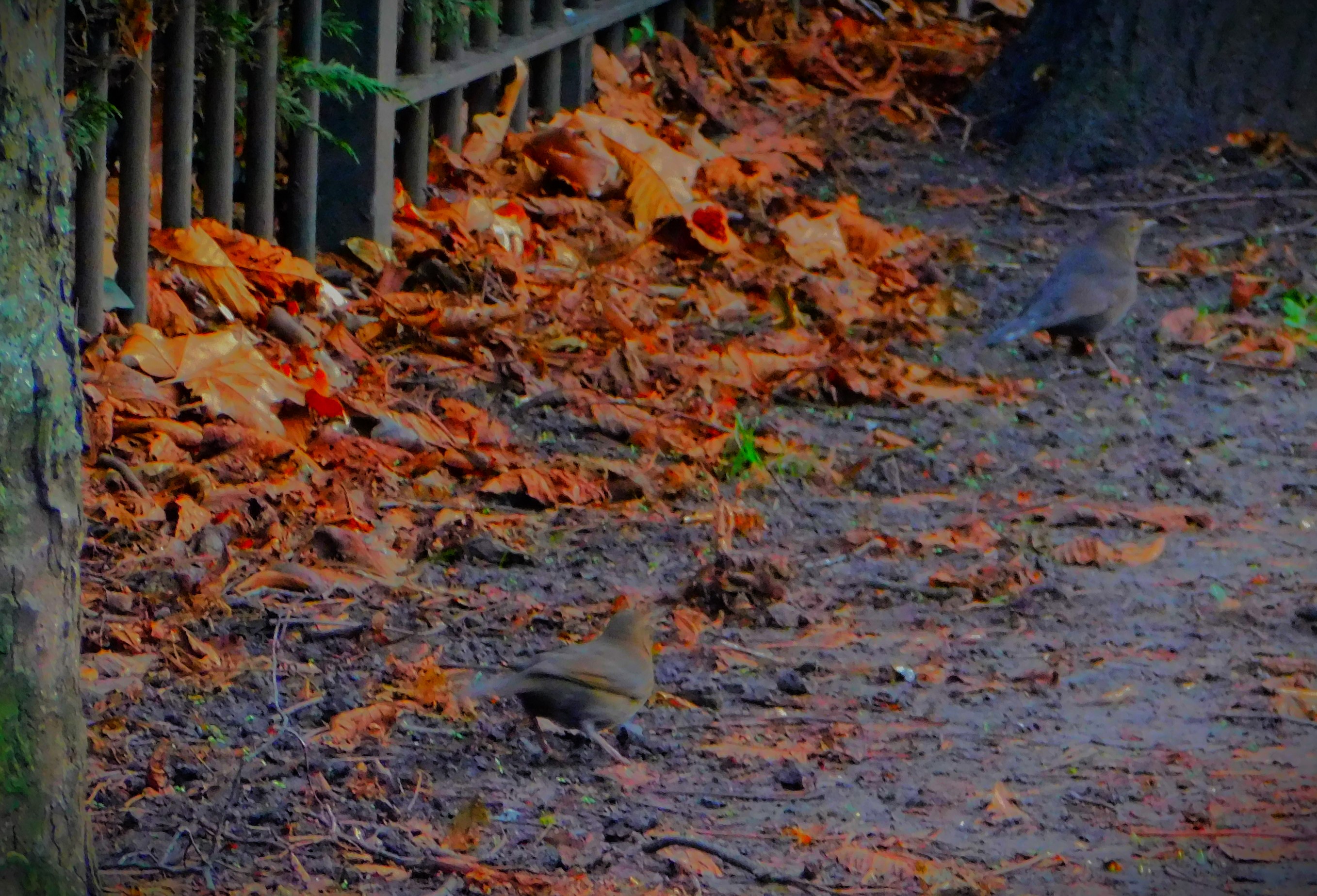
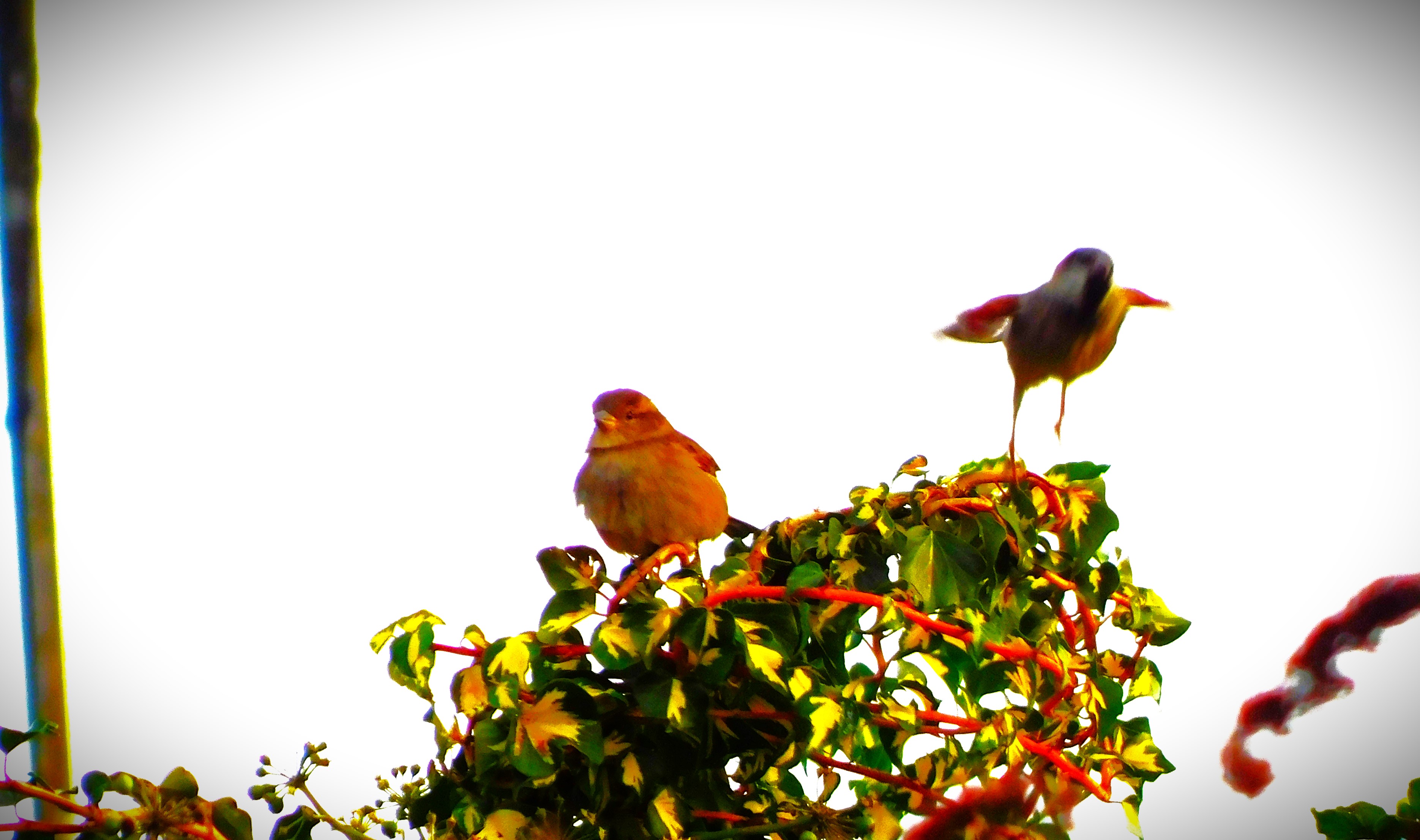
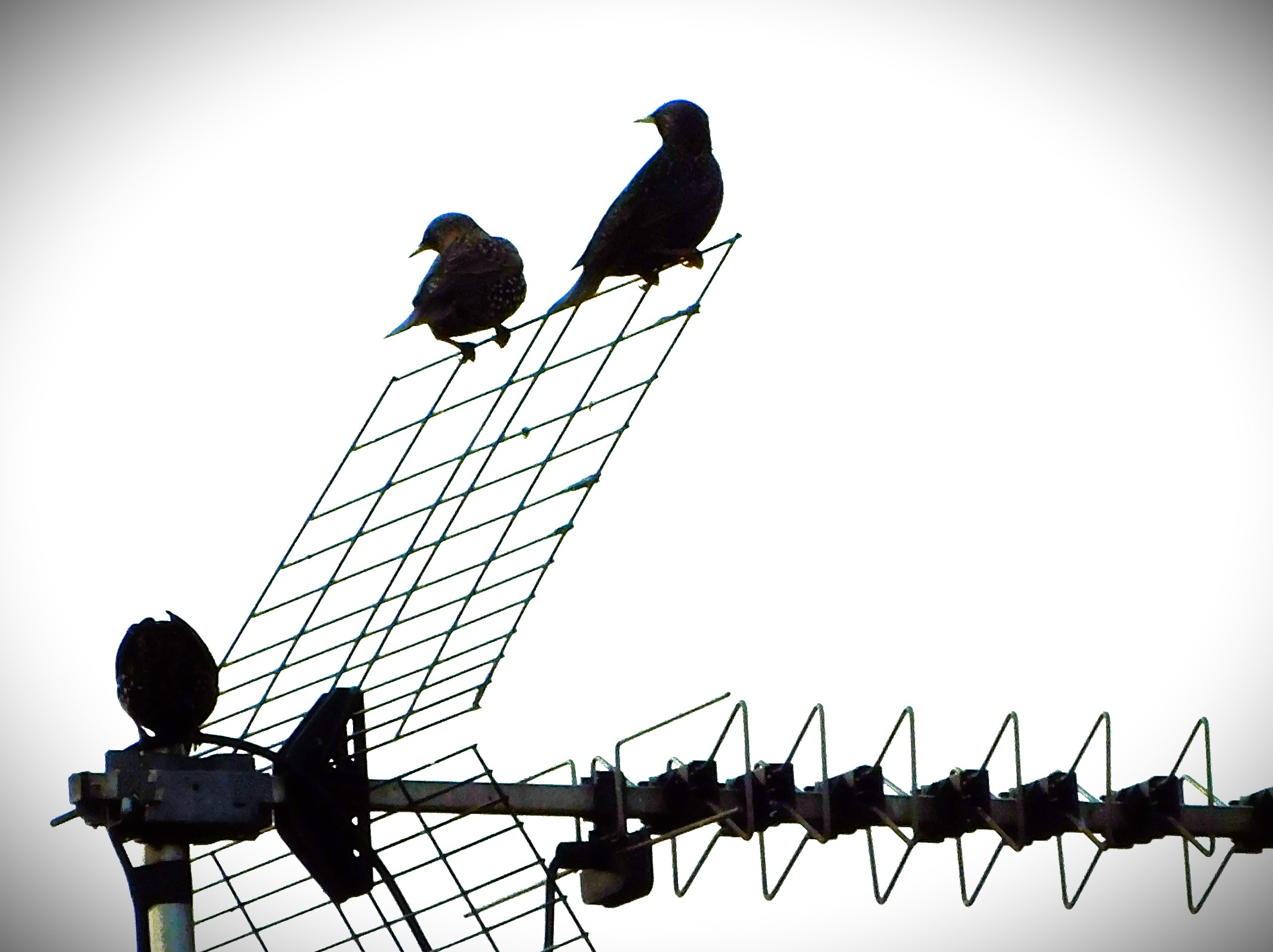
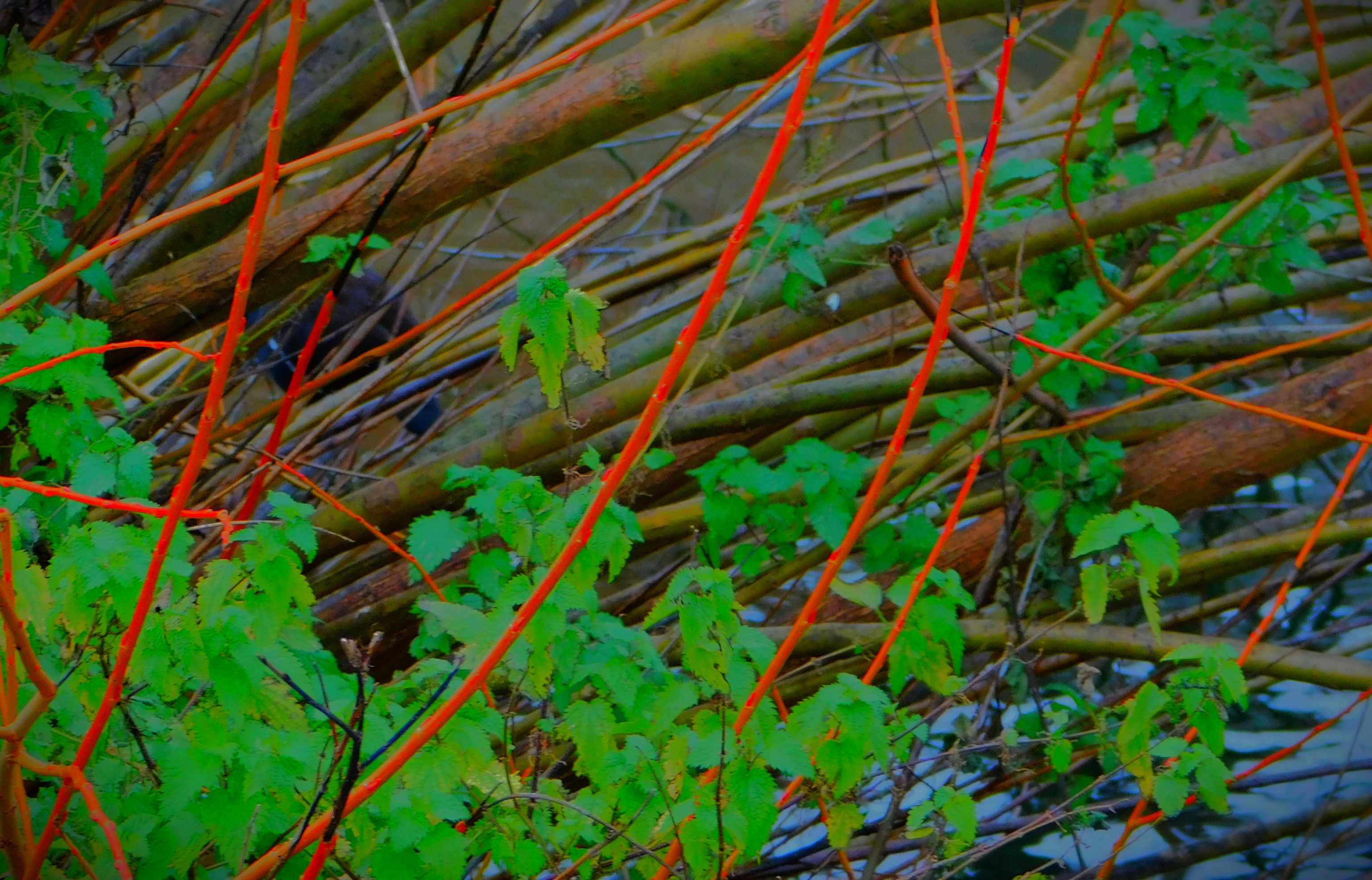
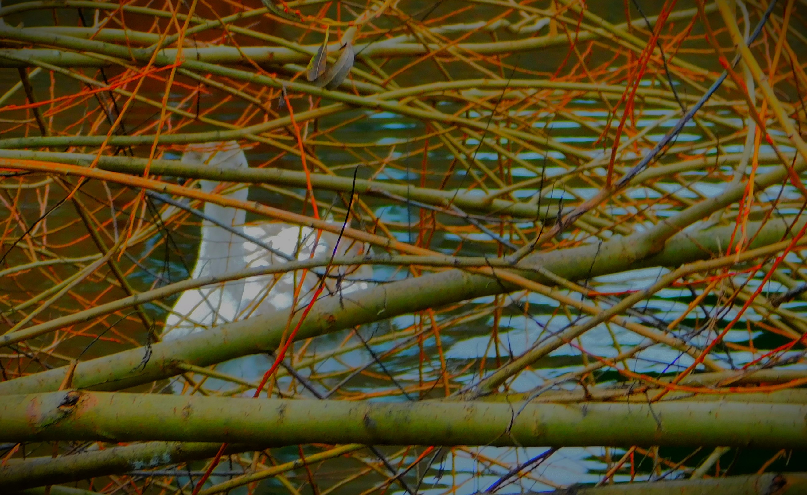
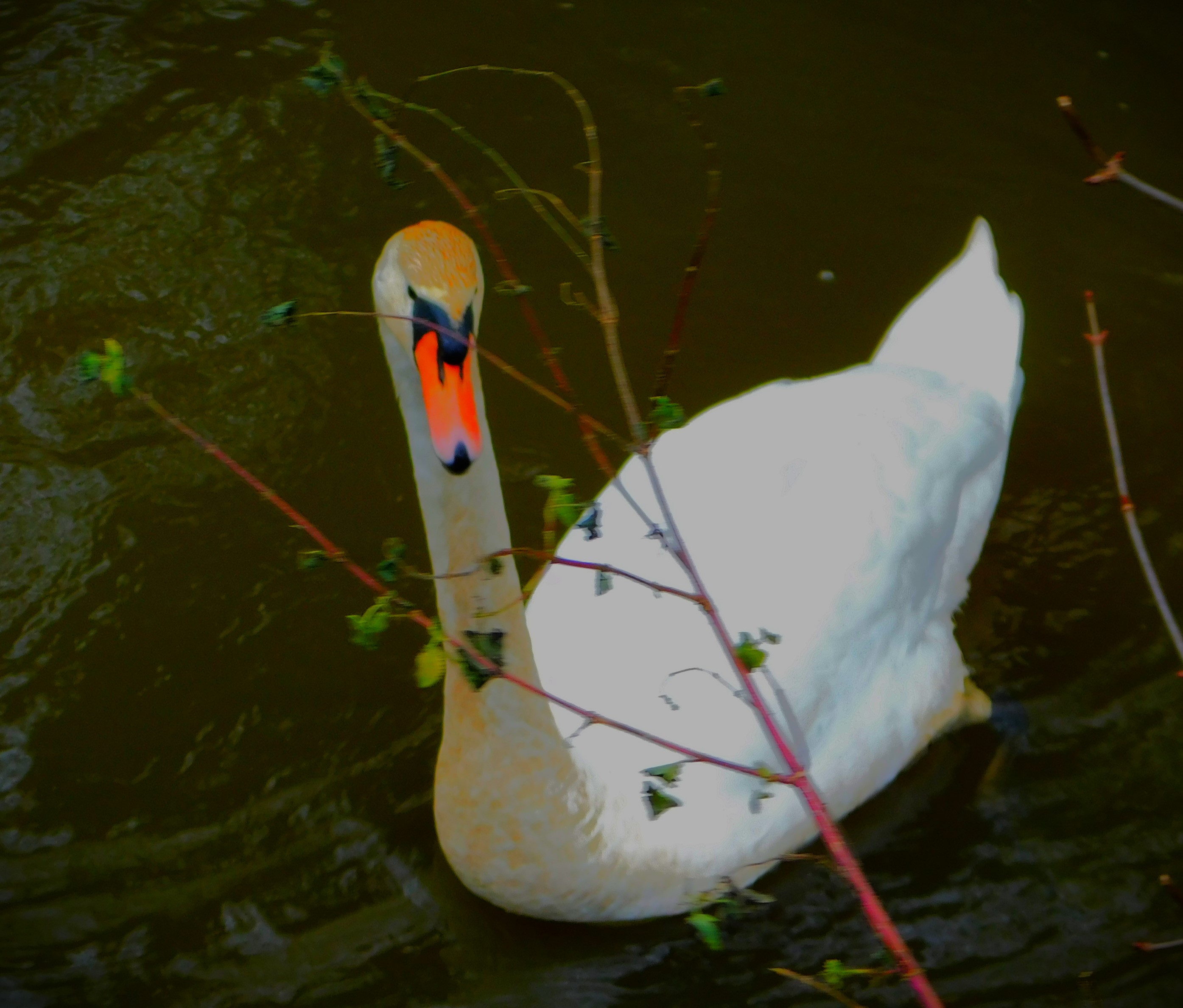
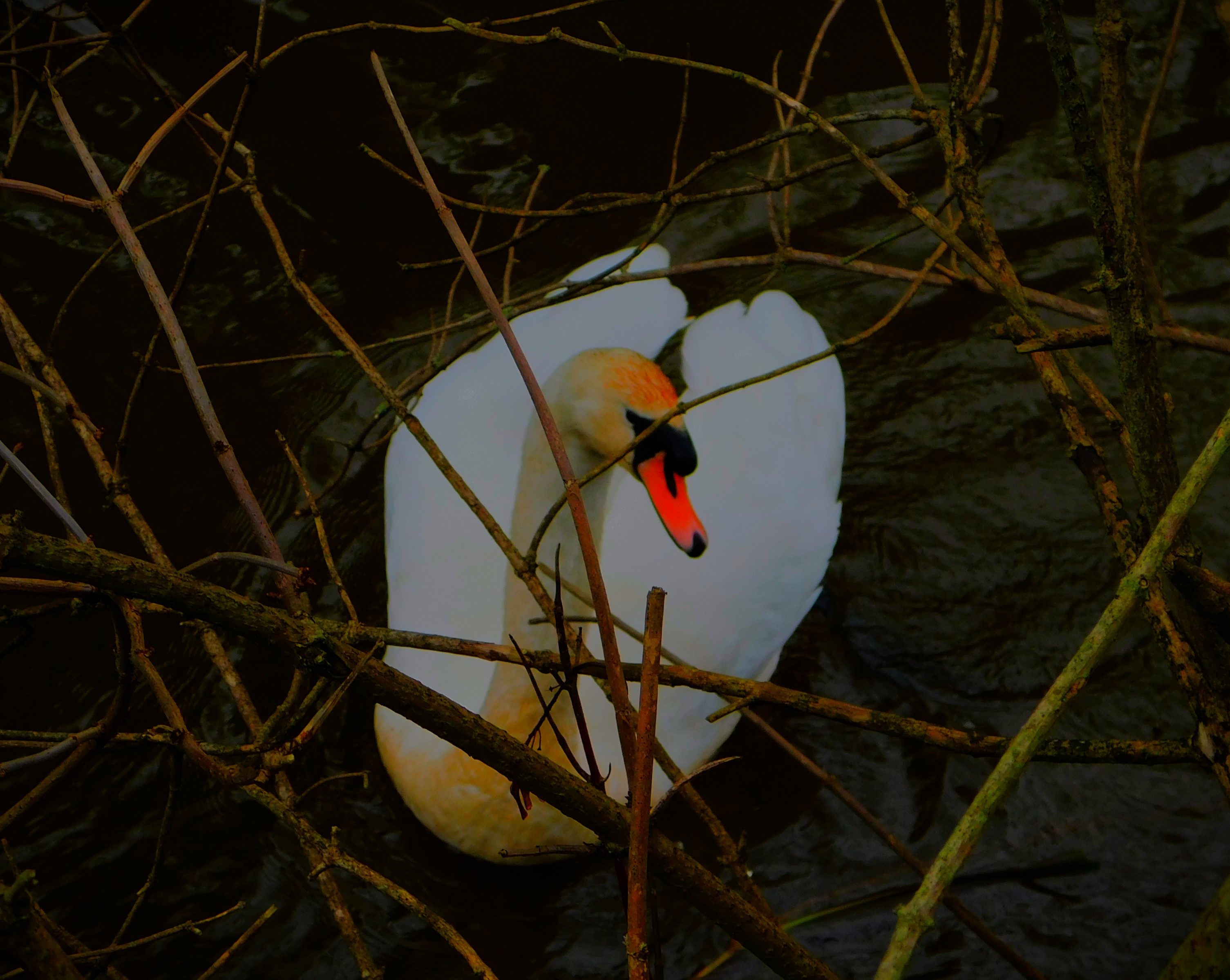
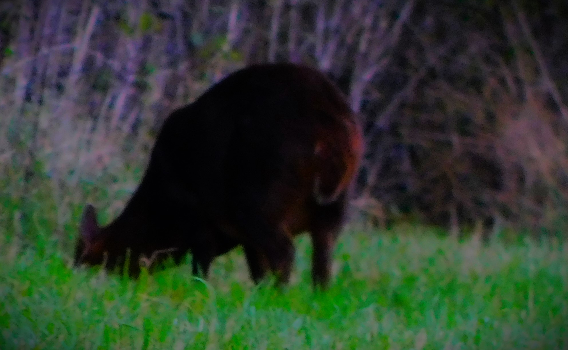
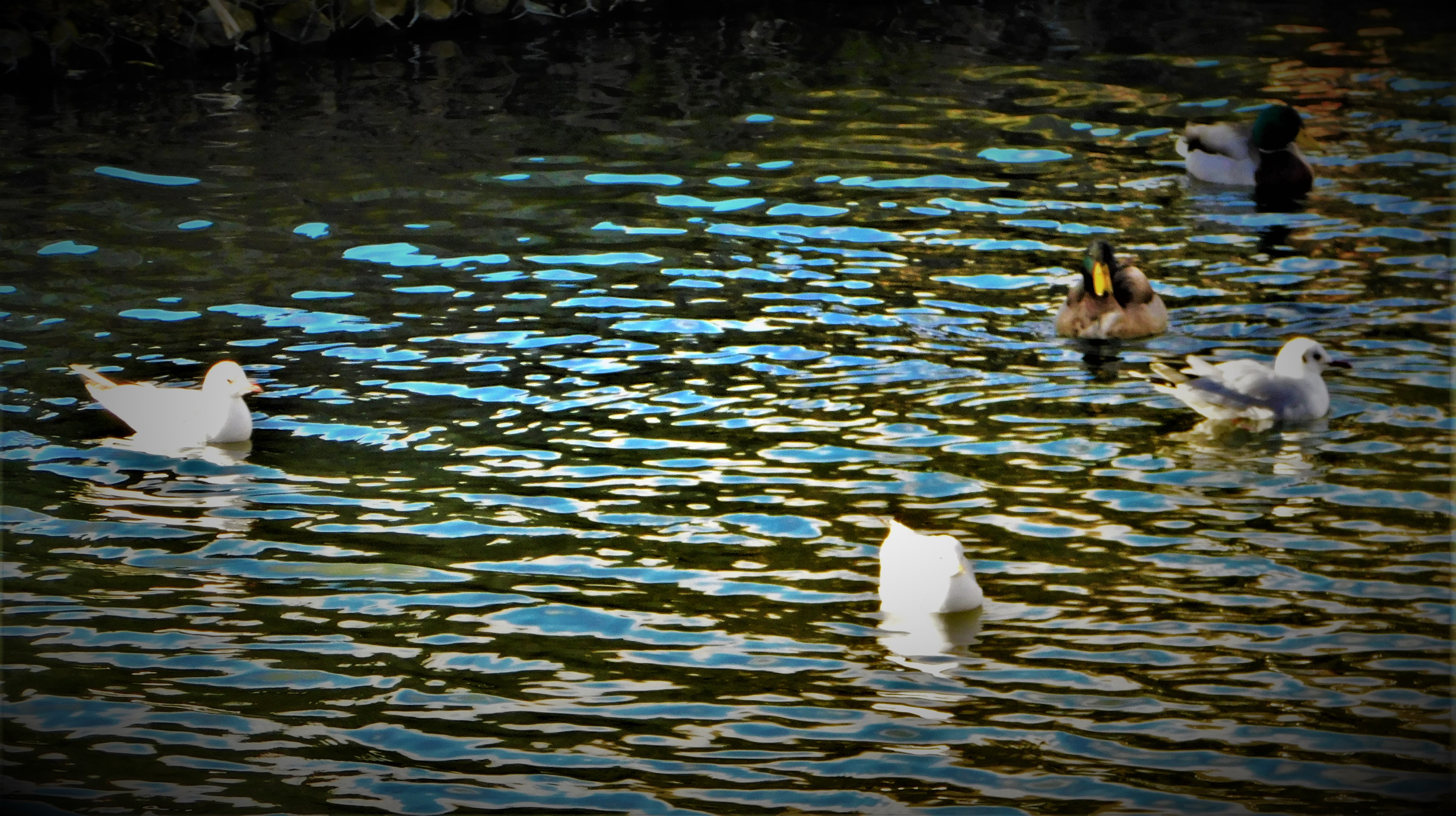
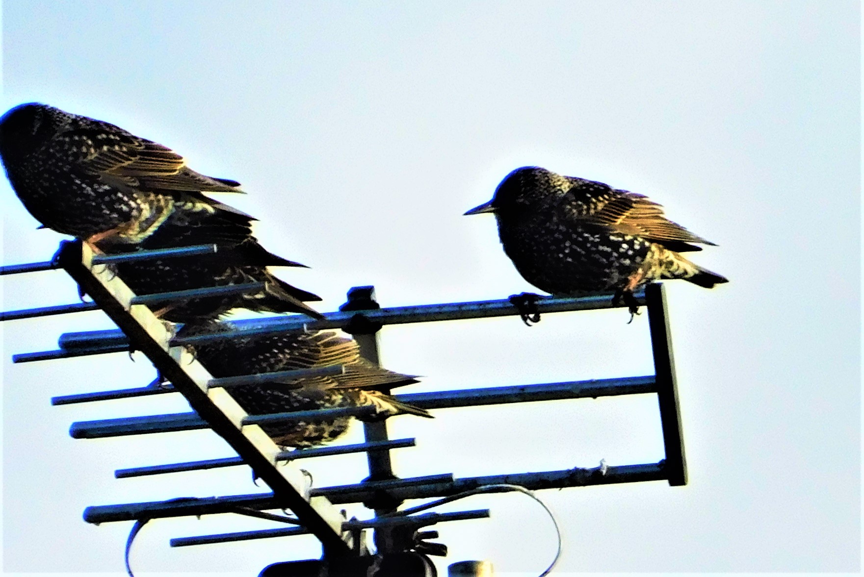
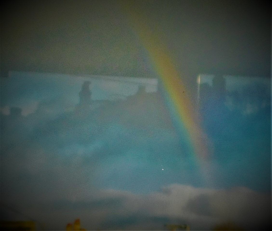
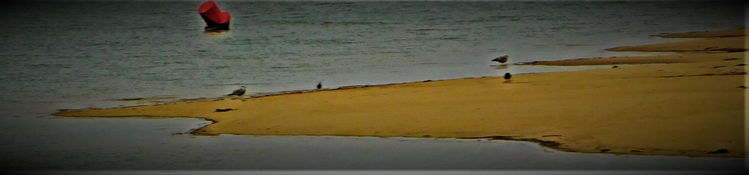
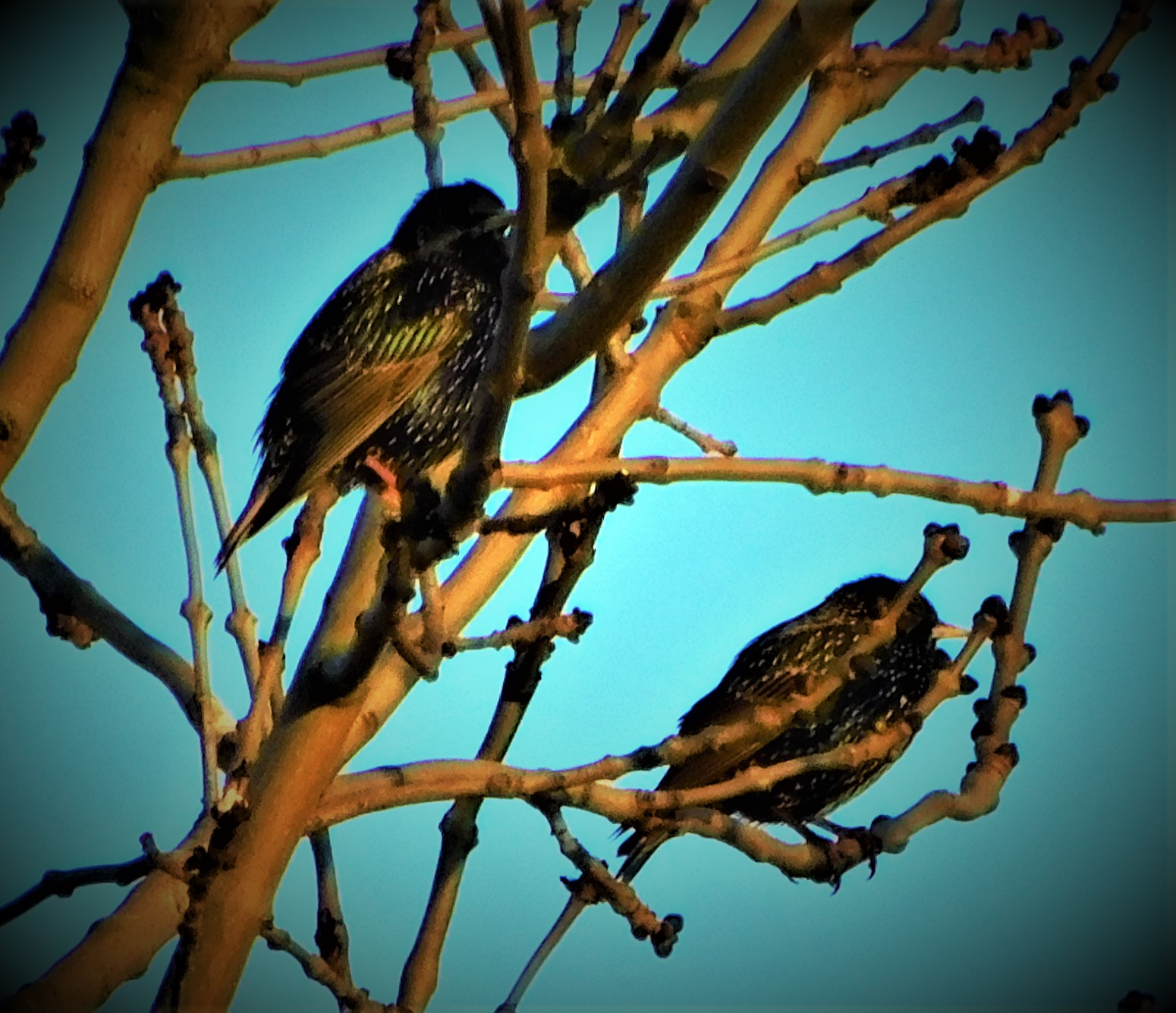
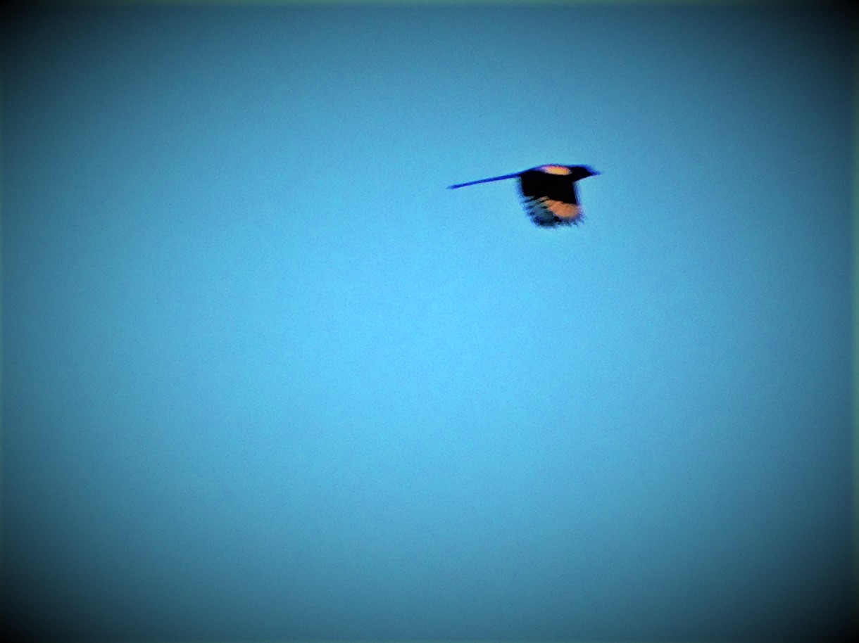
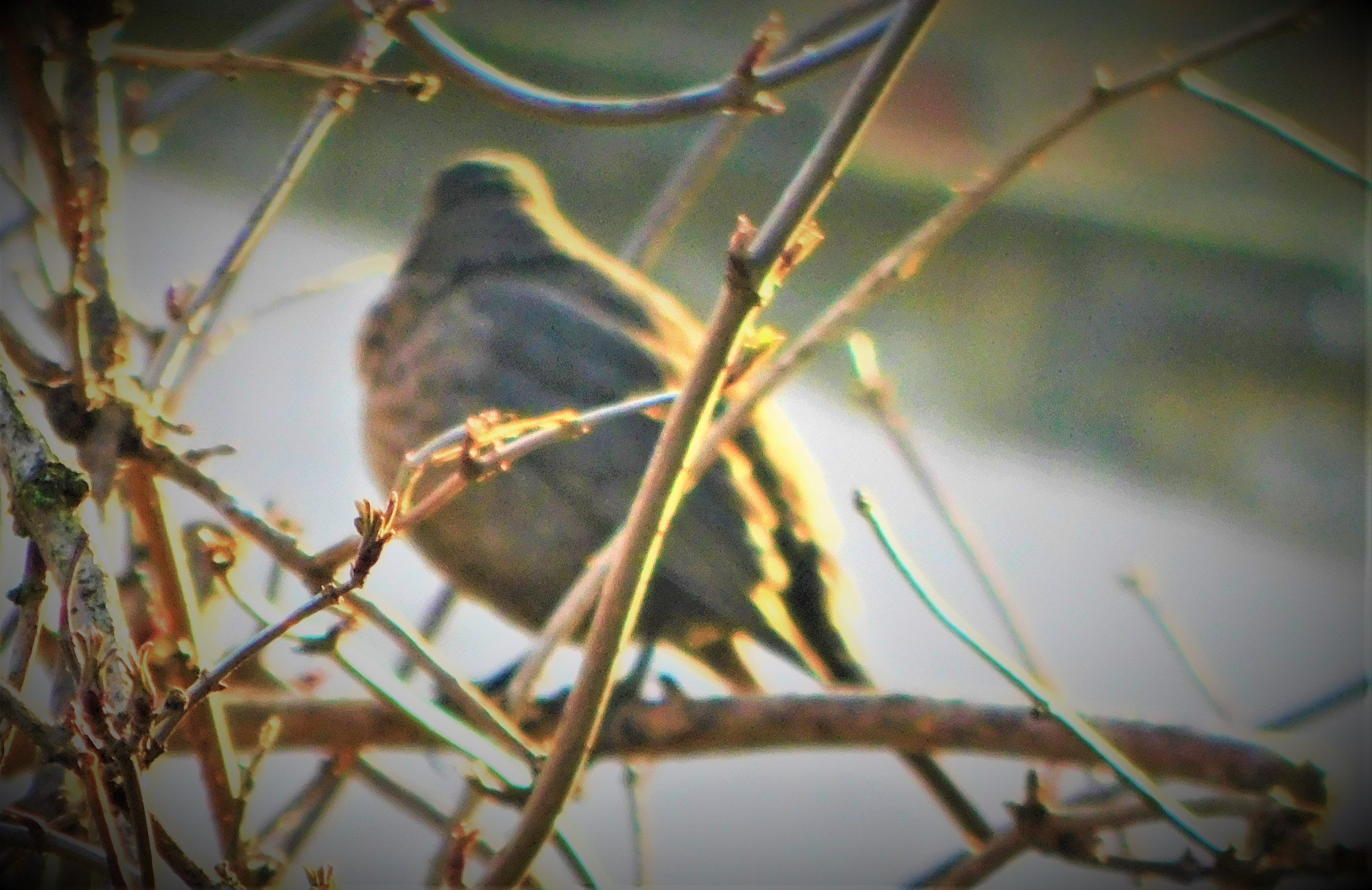
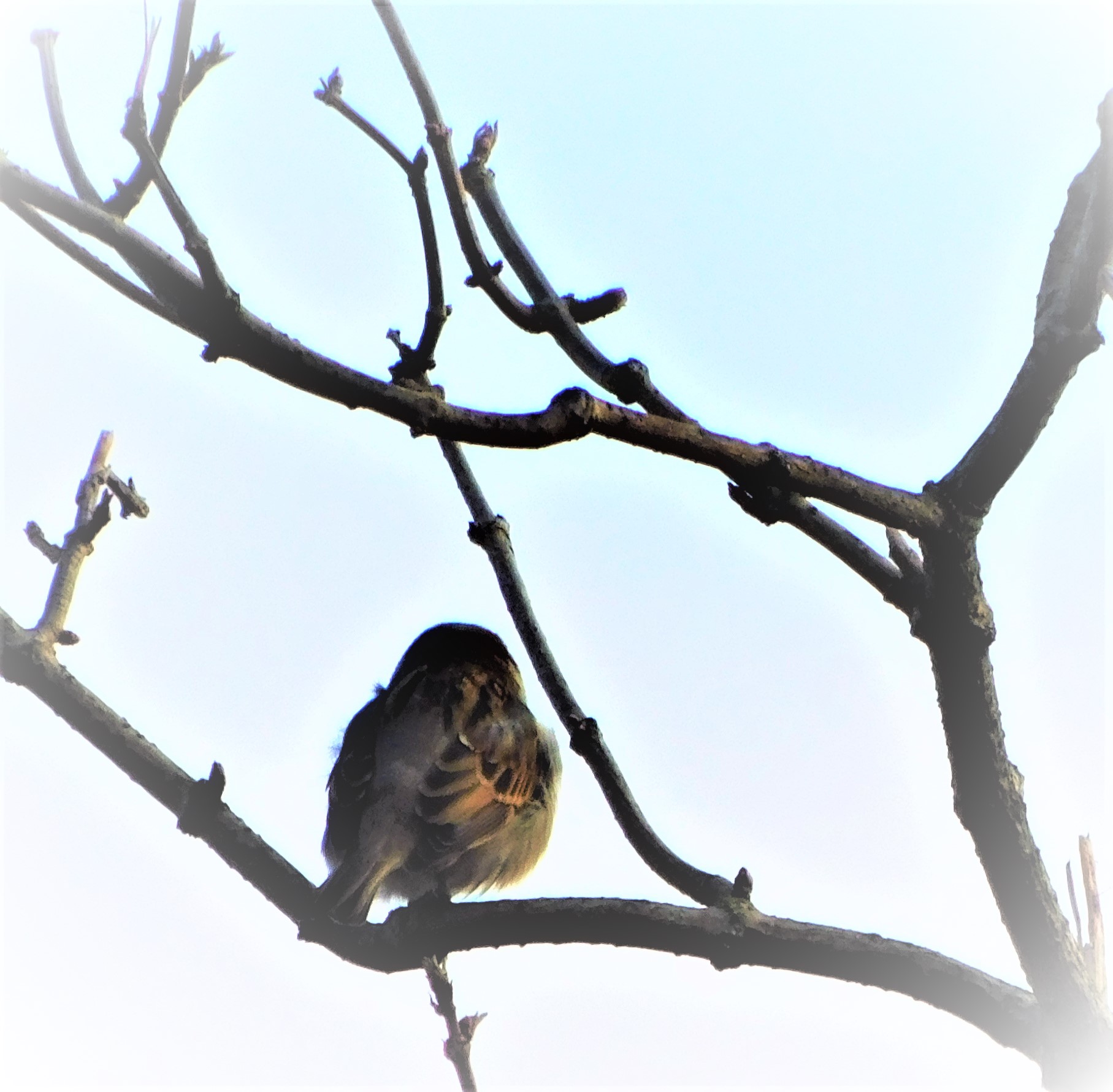
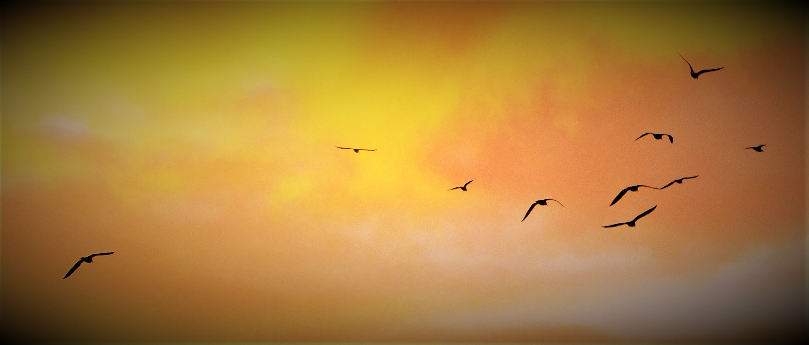
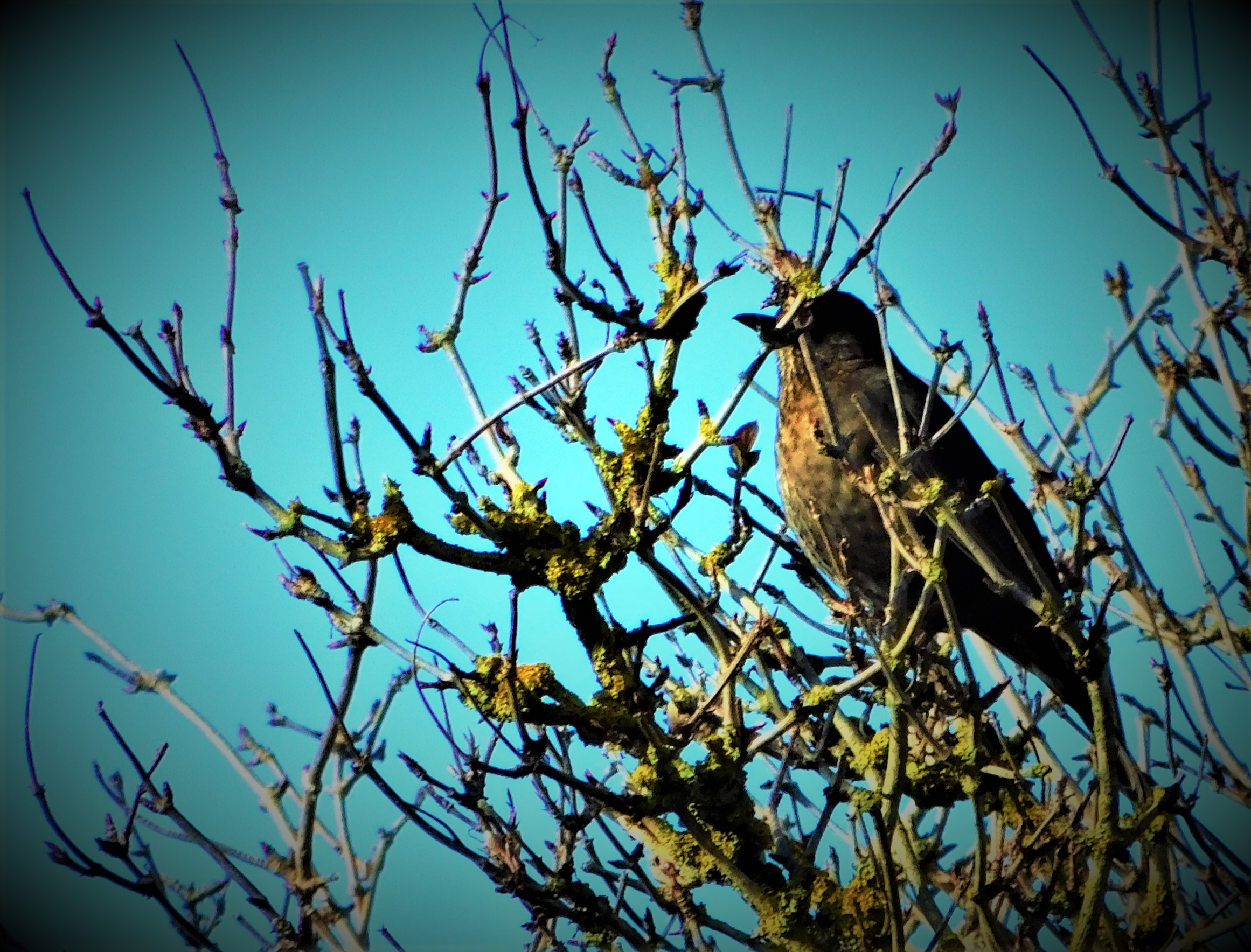
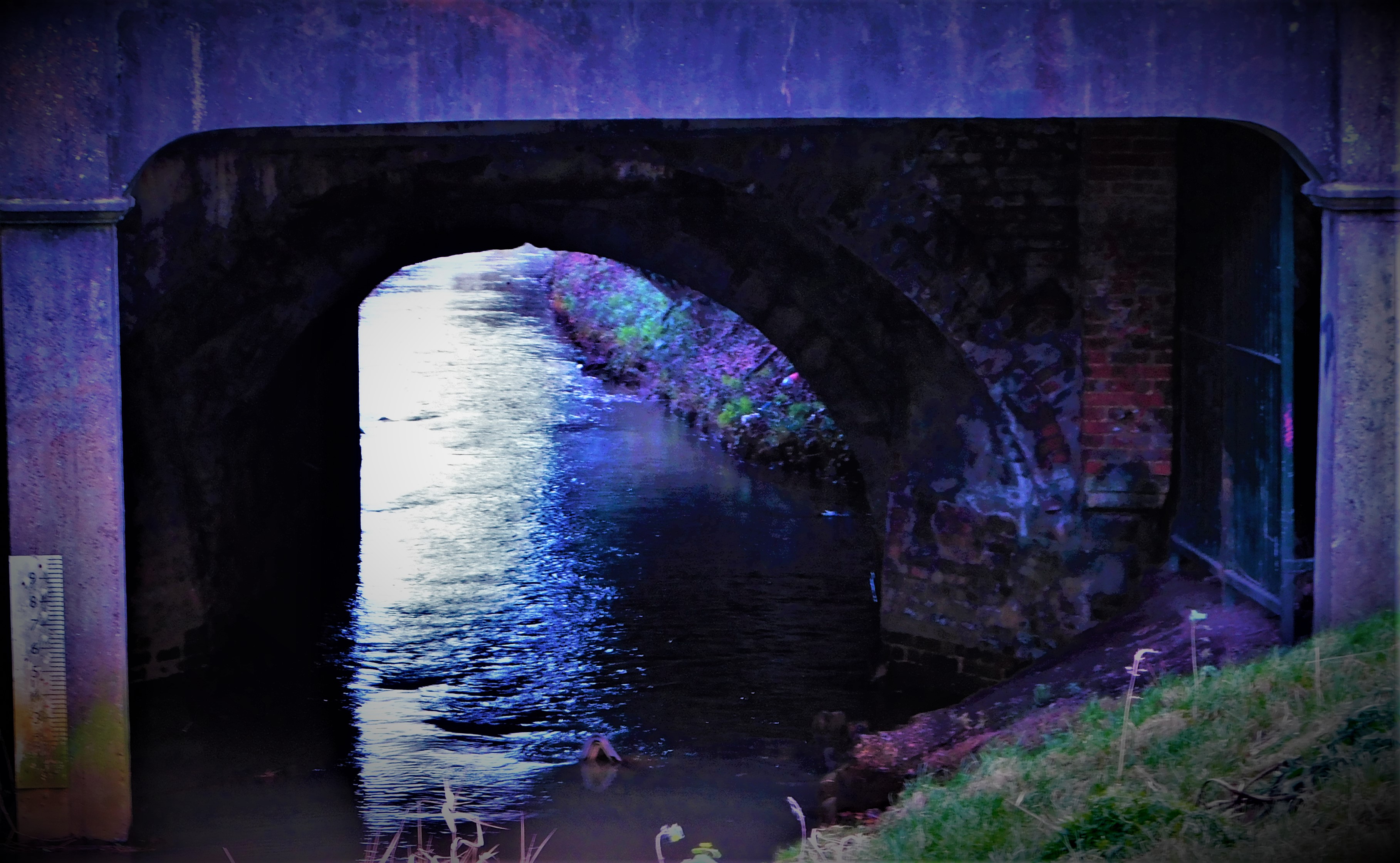
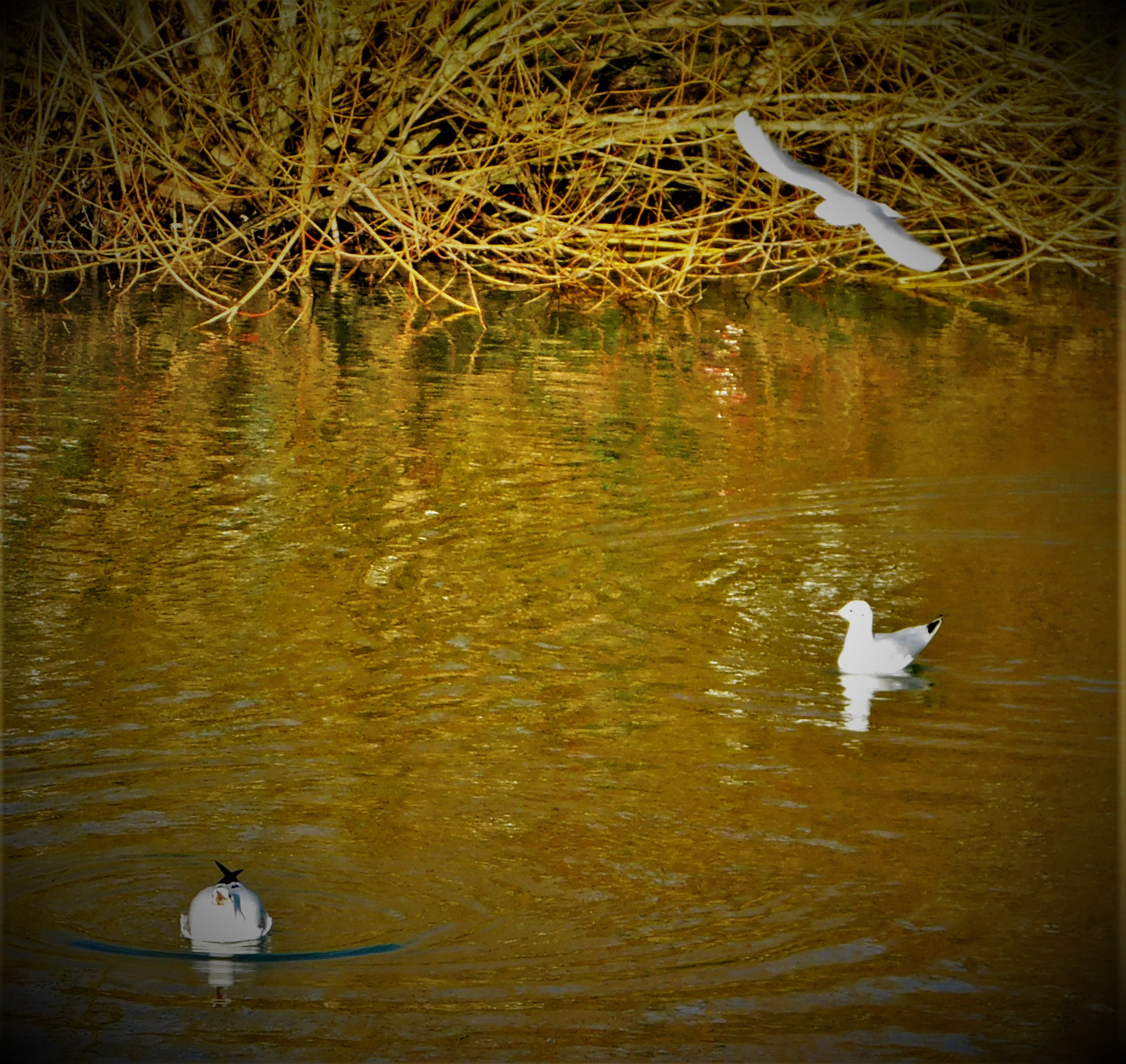
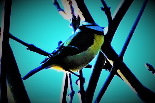
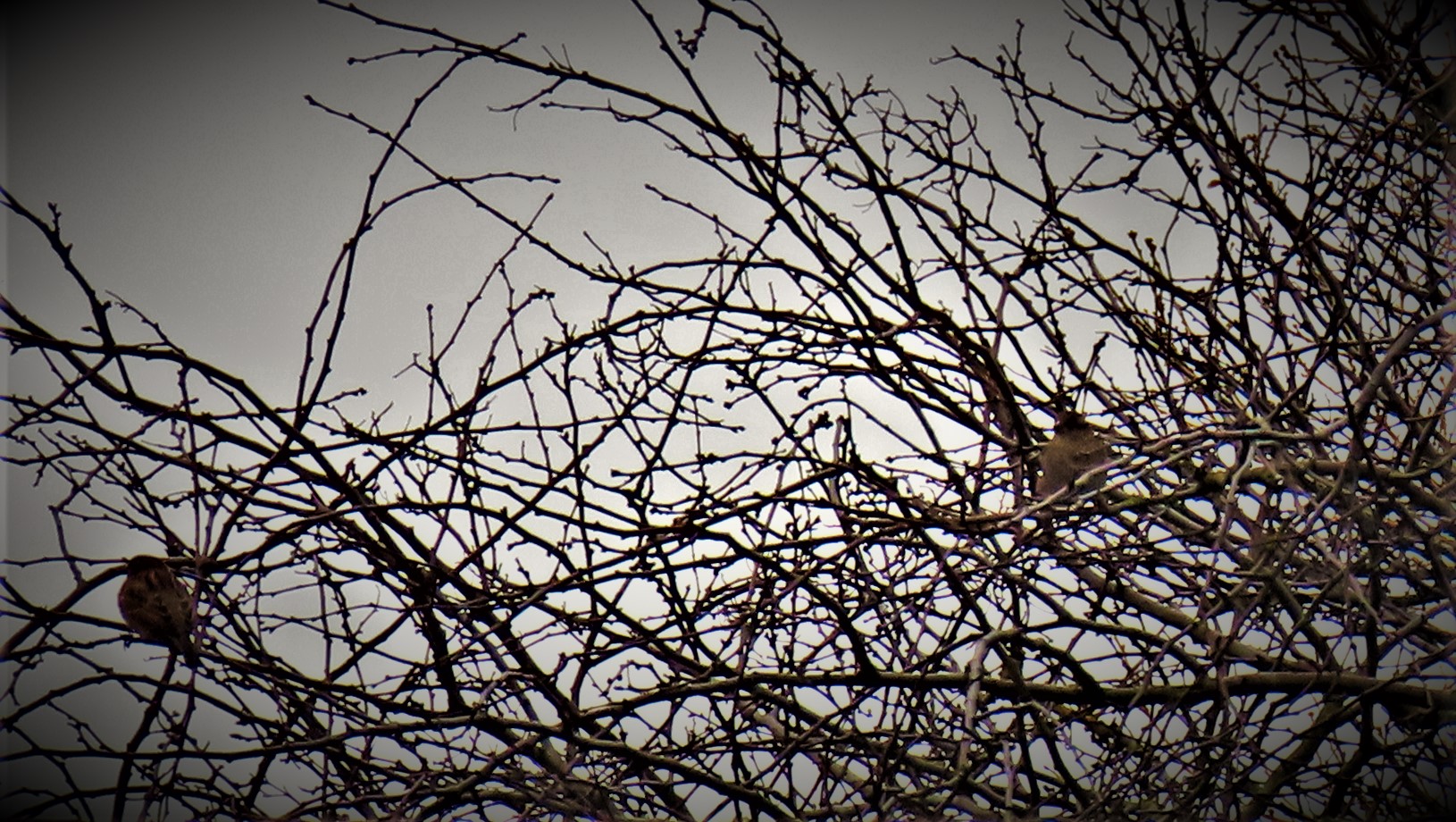
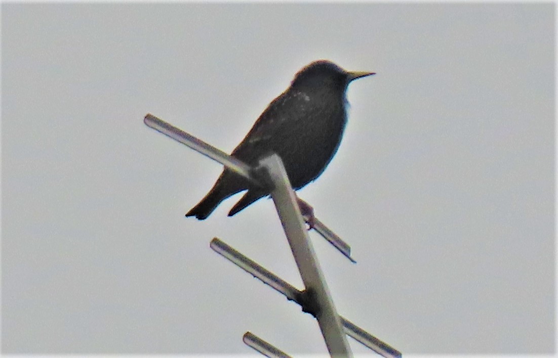
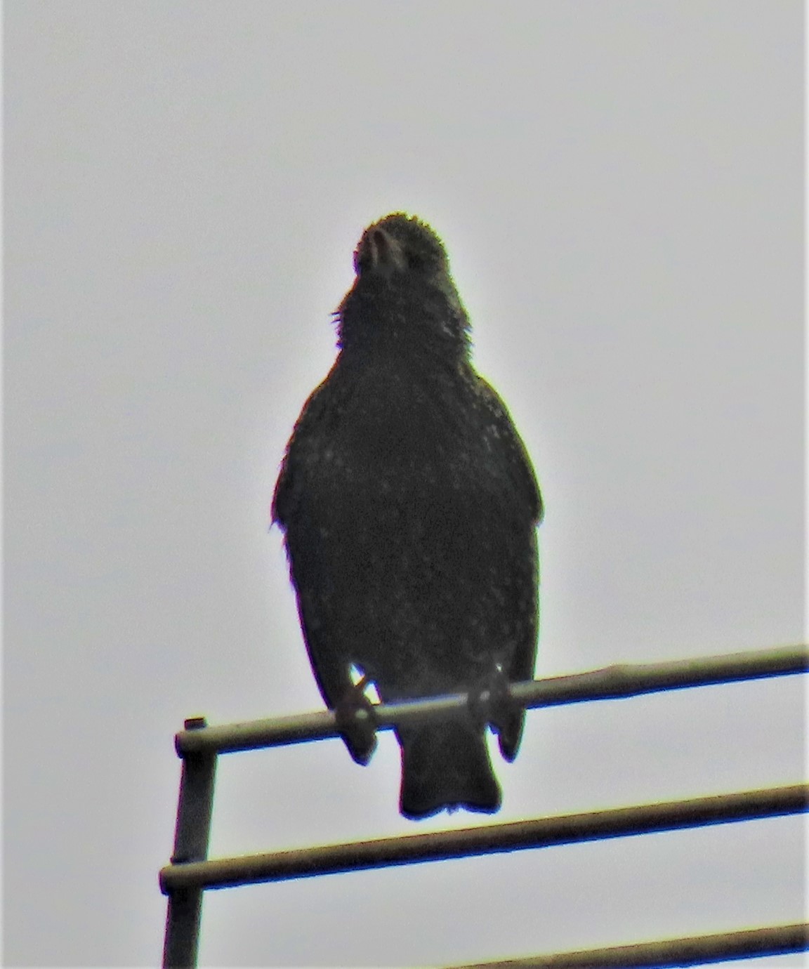
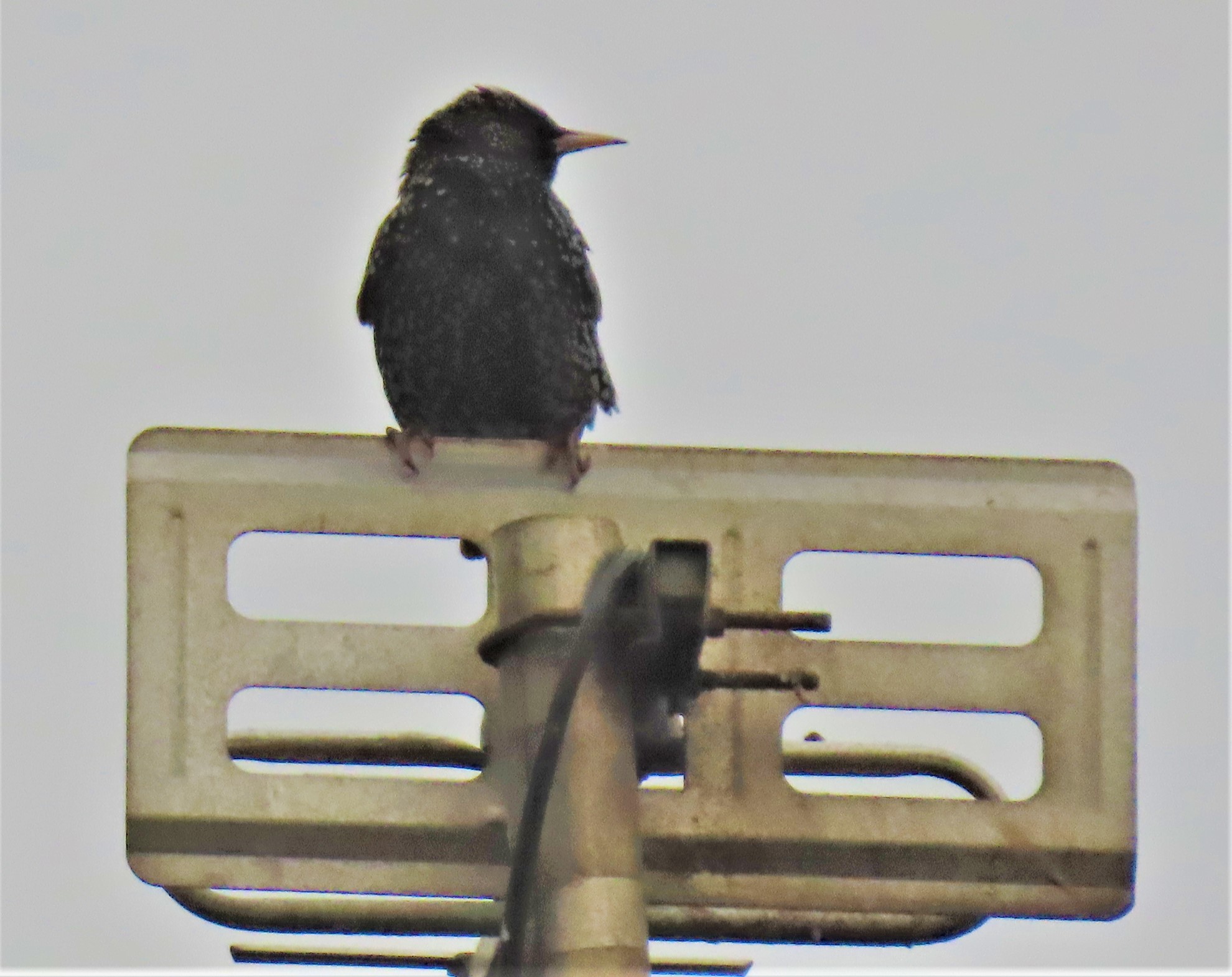
After lunch we walked a bit the other way, and it was during this walk that we saw the waterfall a video of which featured in my previous post (there is another today). We got back to the quayside in good time and waited for the boat back to Mallaig.
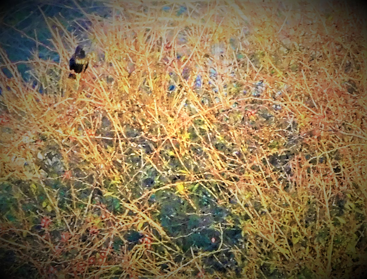
The first post covering our explorations of Knoydart. Features a waterfall video as well as lots of photographs.
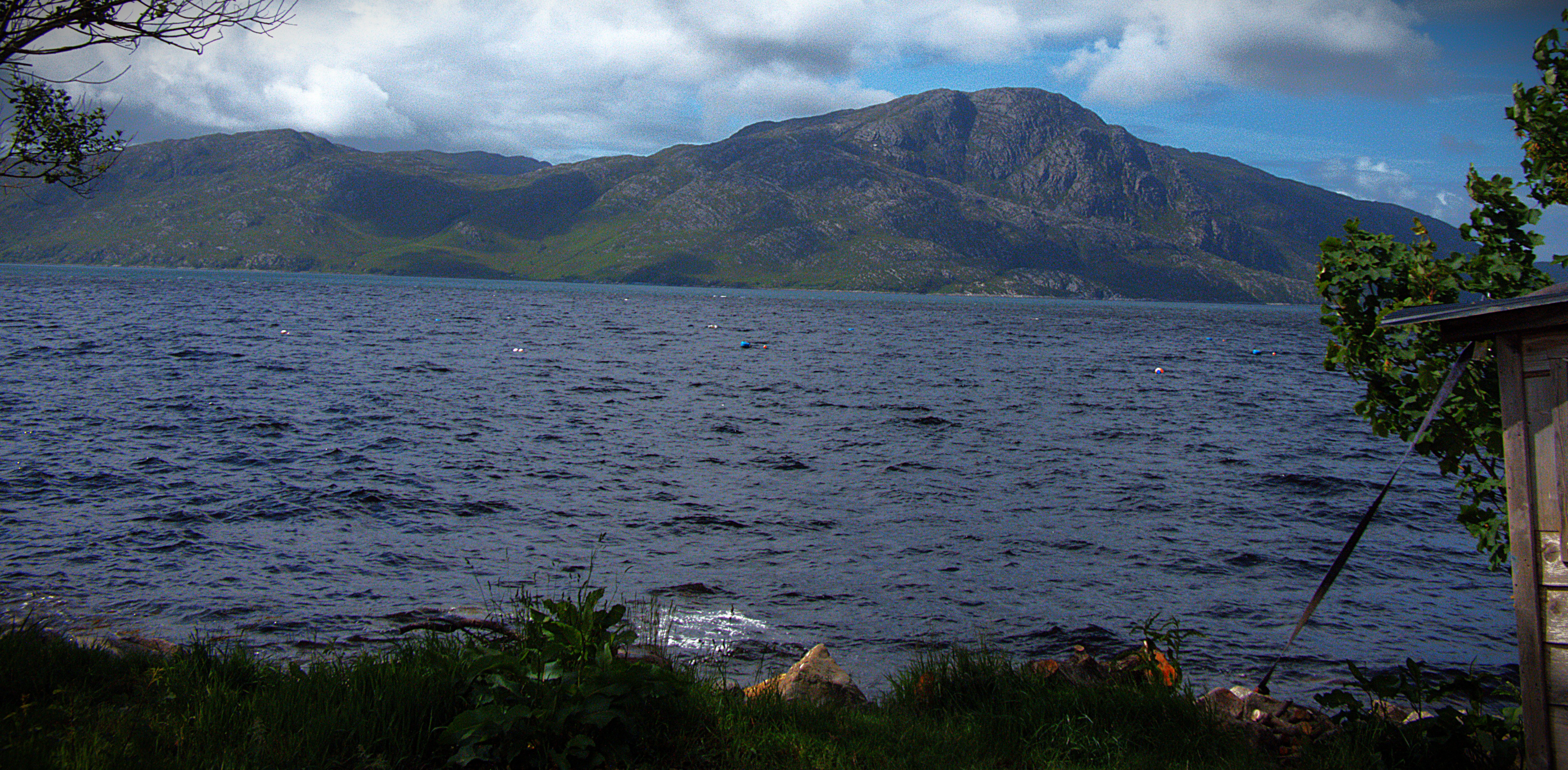
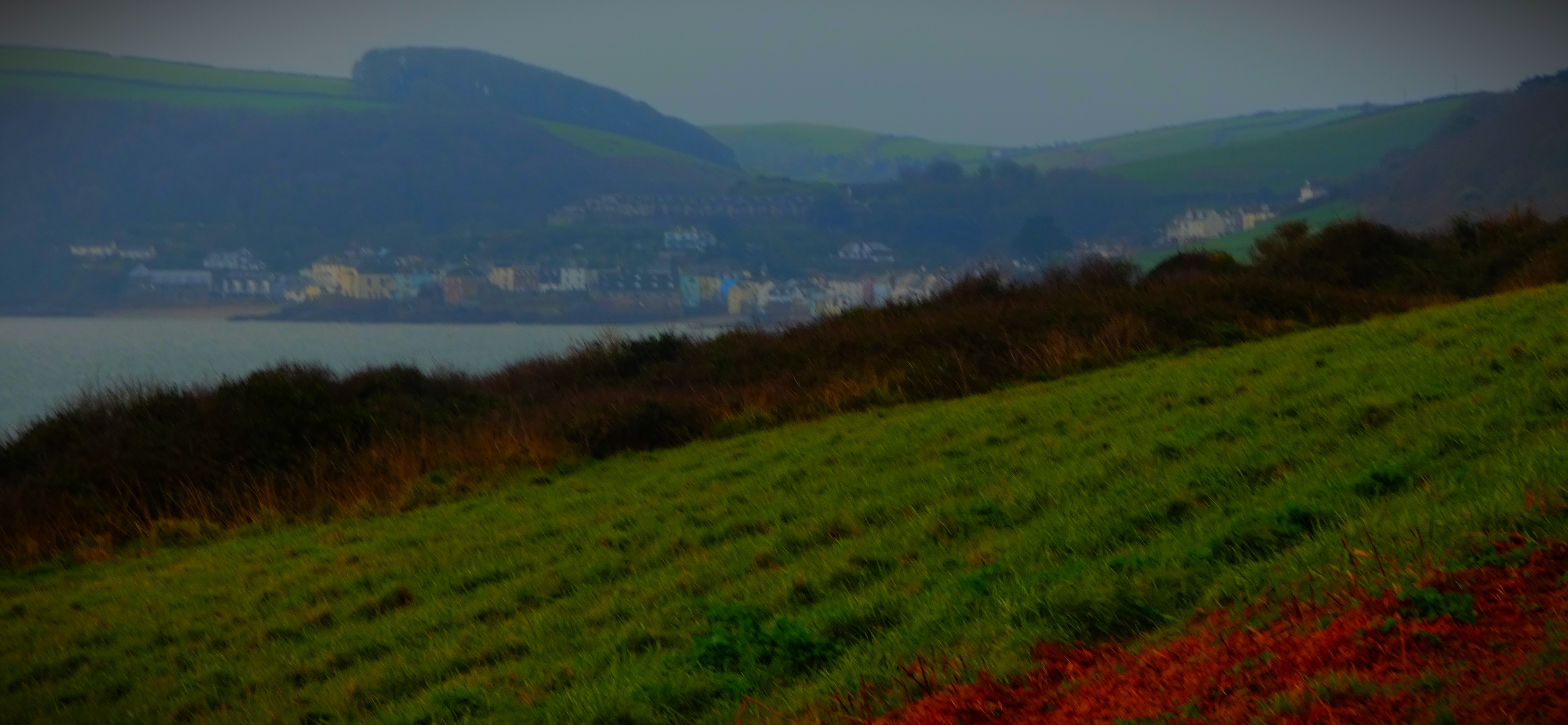
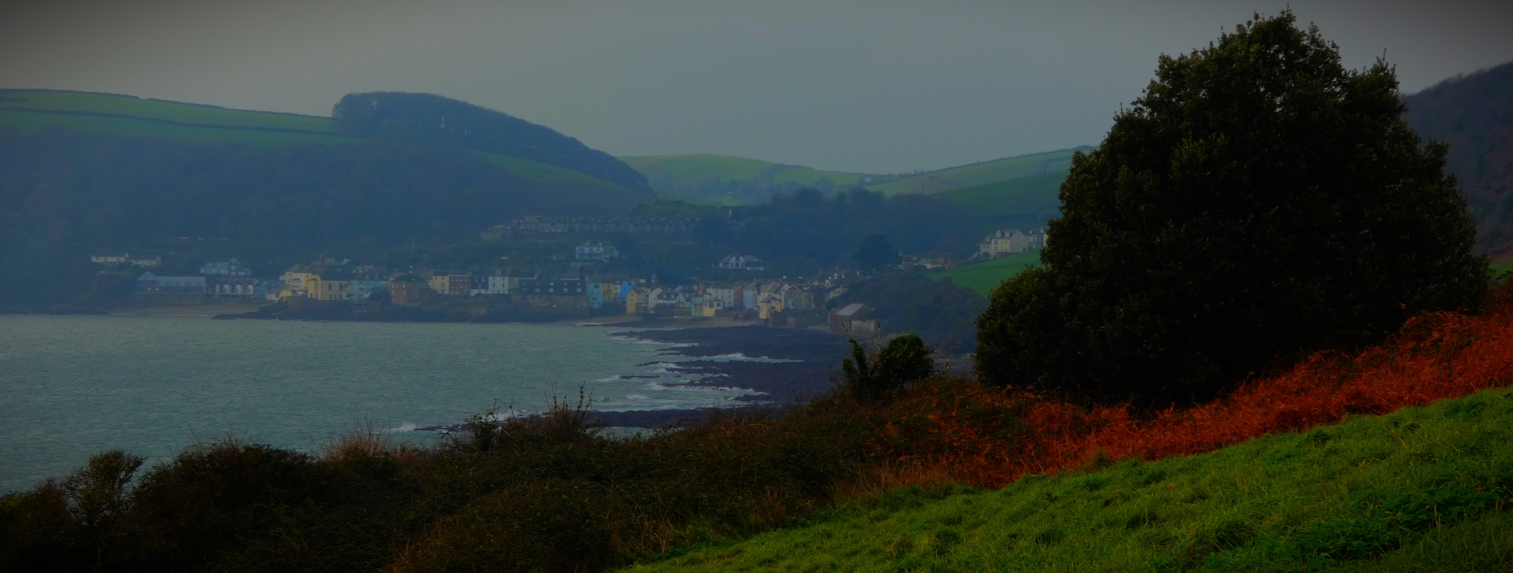
As Norfolk swelters in a red alert heatwave I welcome you to the latest post in my series about my Scottish holiday. In the previous post in this series I covered the voyage from Mallaig to Knoydart. This post starts my coverage of Knoydart itself.
EXPLORING KNOYDART
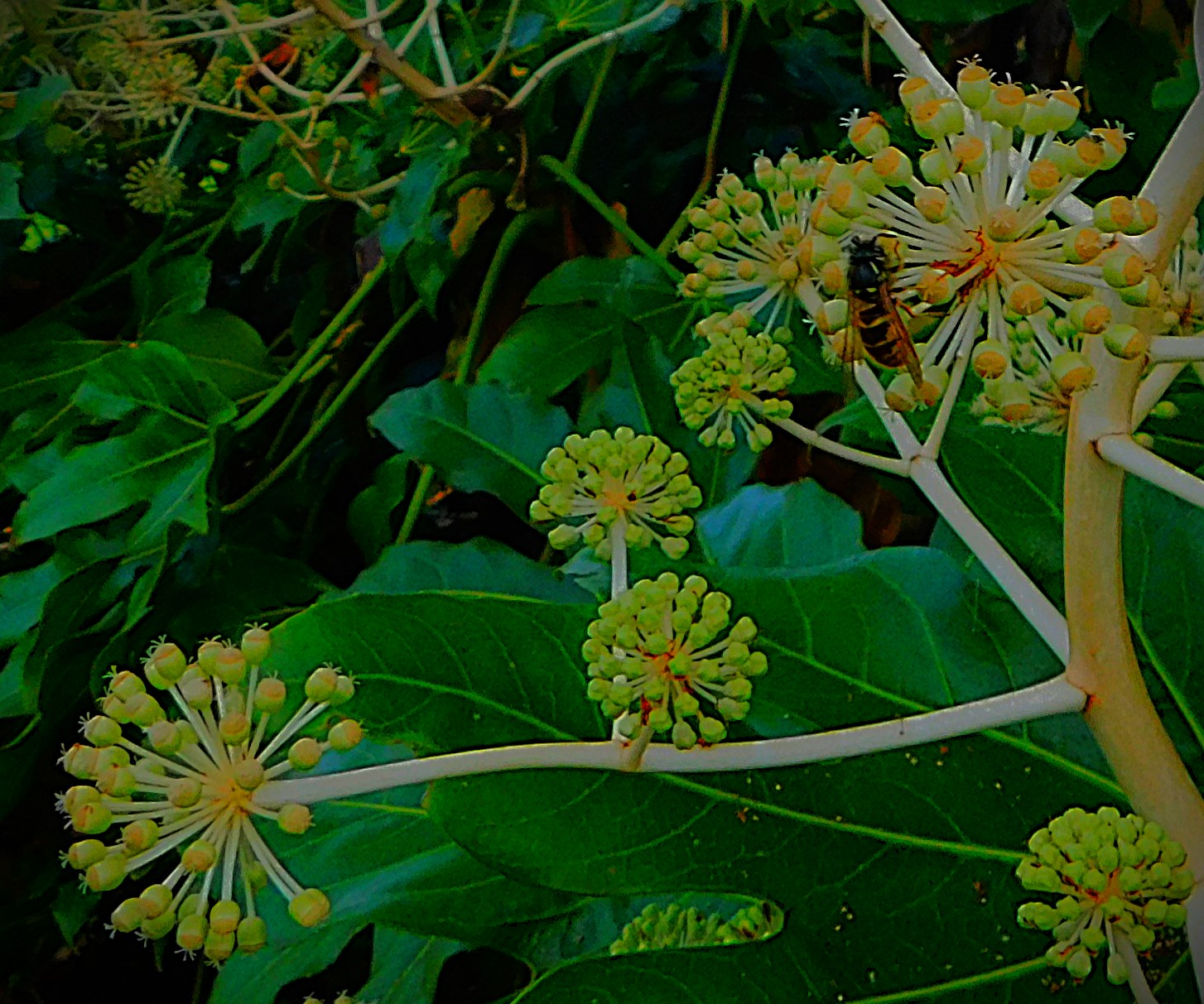
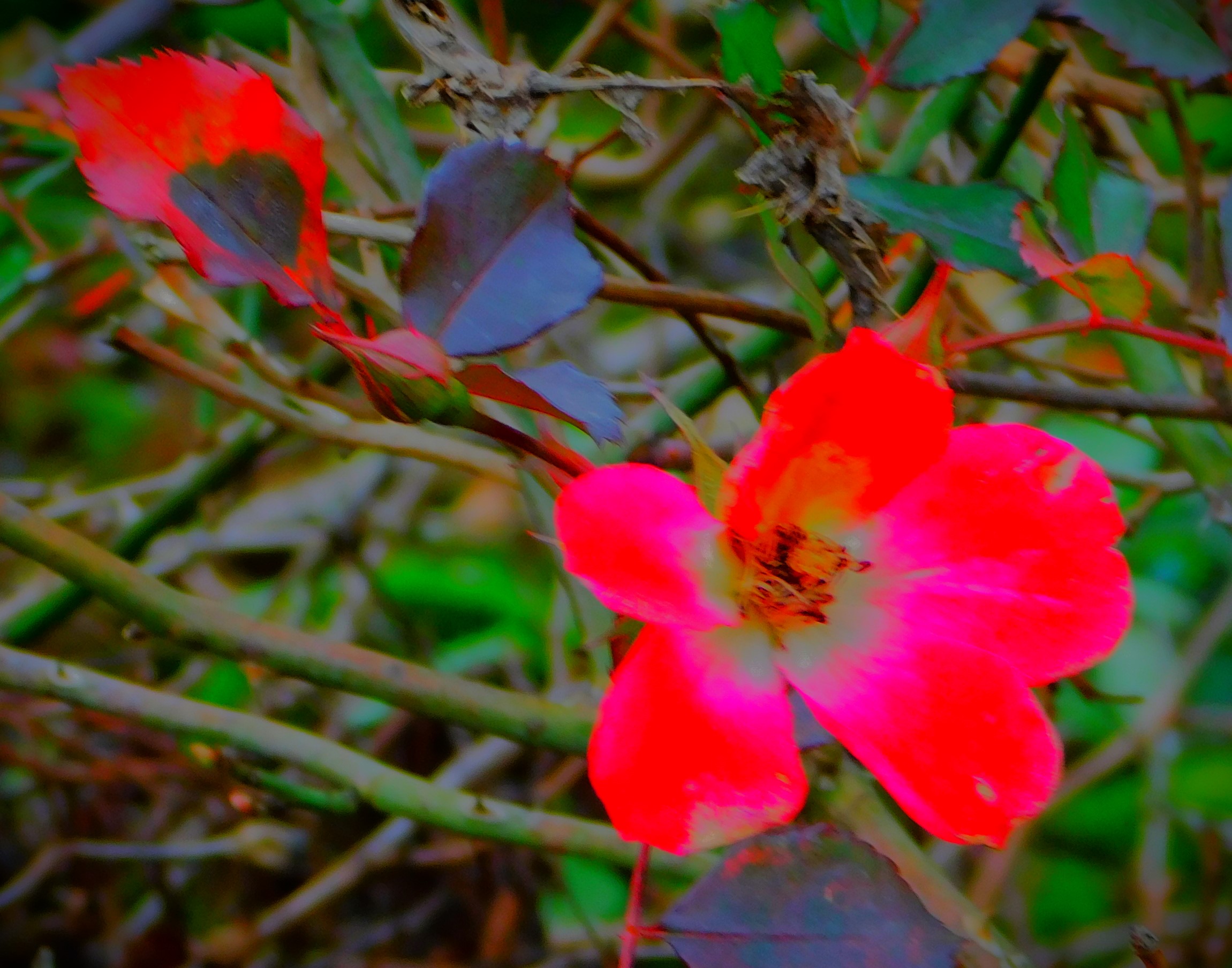
We made our plan – we would walk to the beach and Inverie House beyond it, then turn and come back as far as the pub where we would have a break, before walking a bit in the other direction. There were lots of interesting things to see along the way.
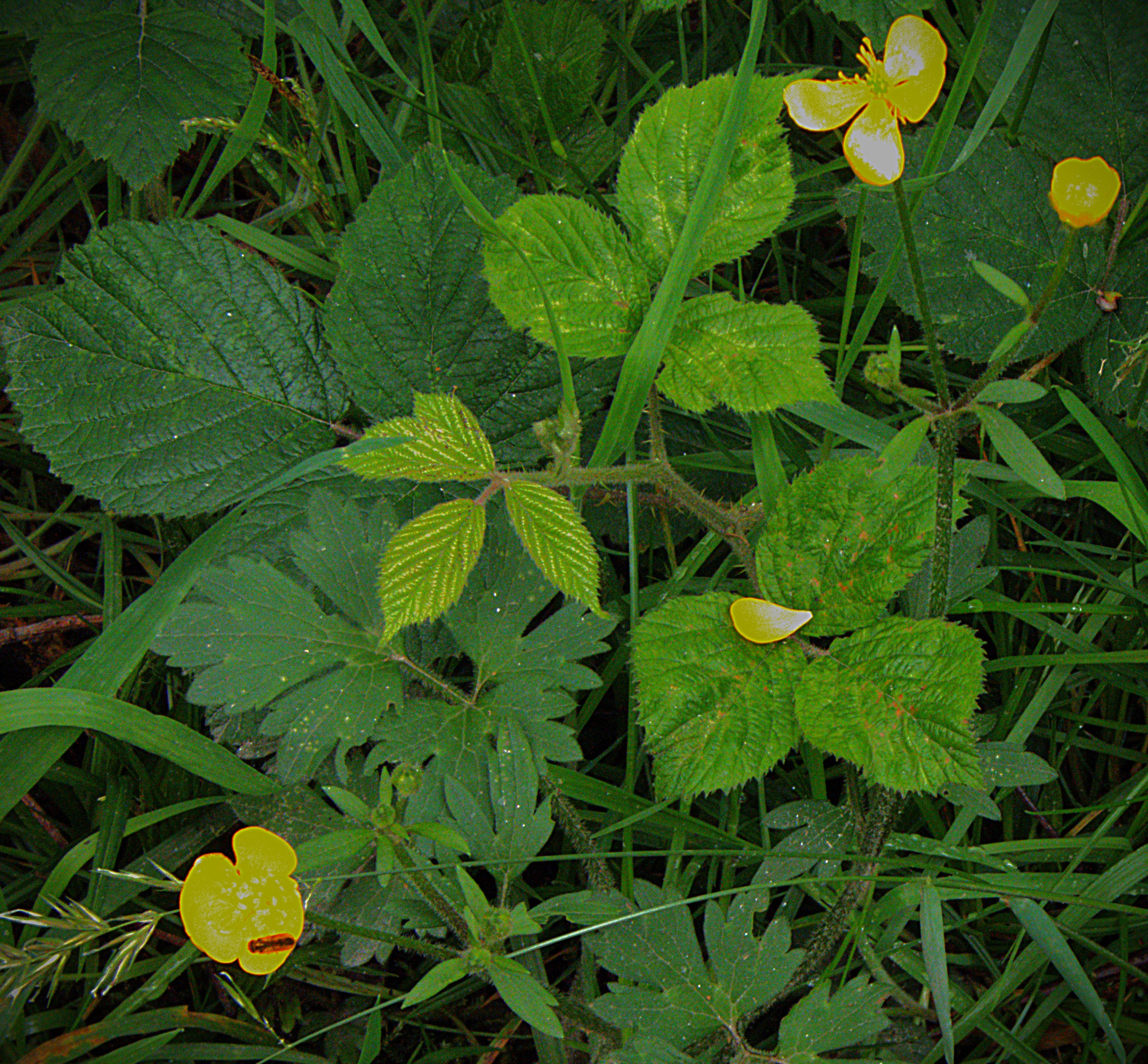
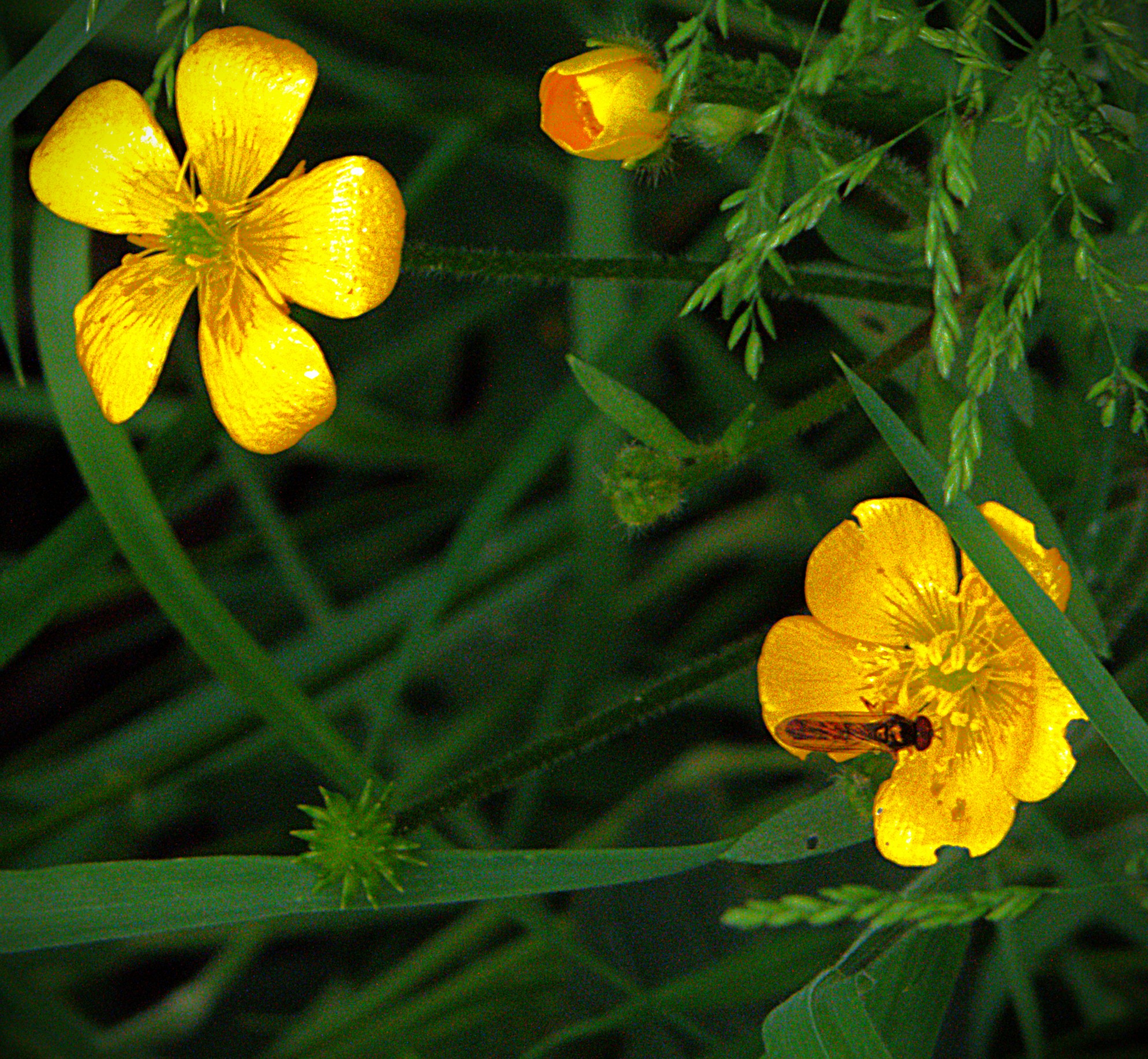
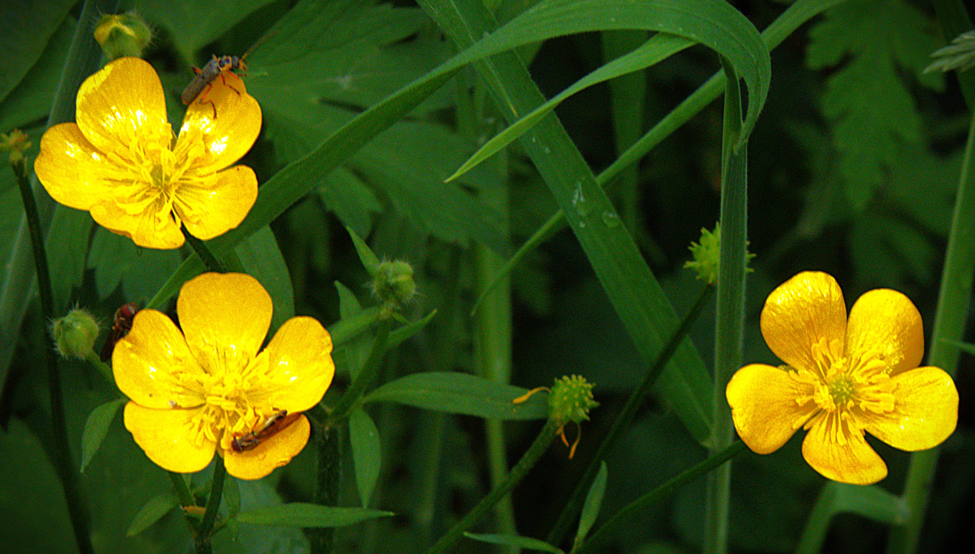
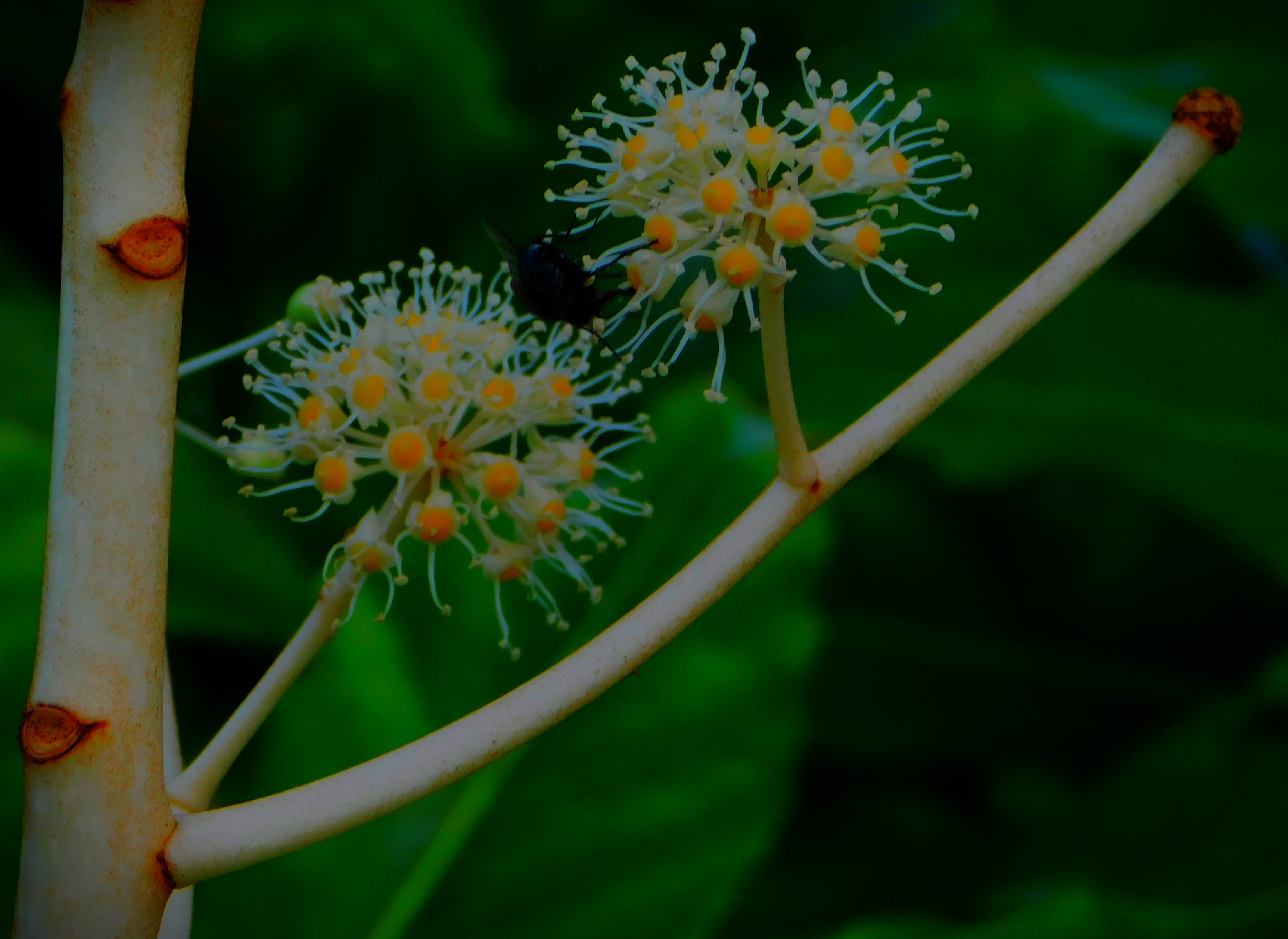
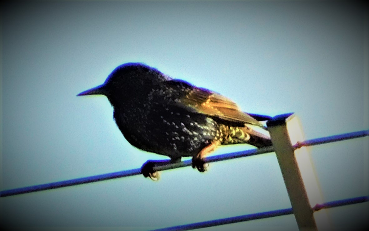
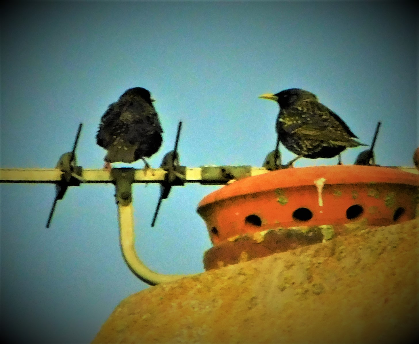
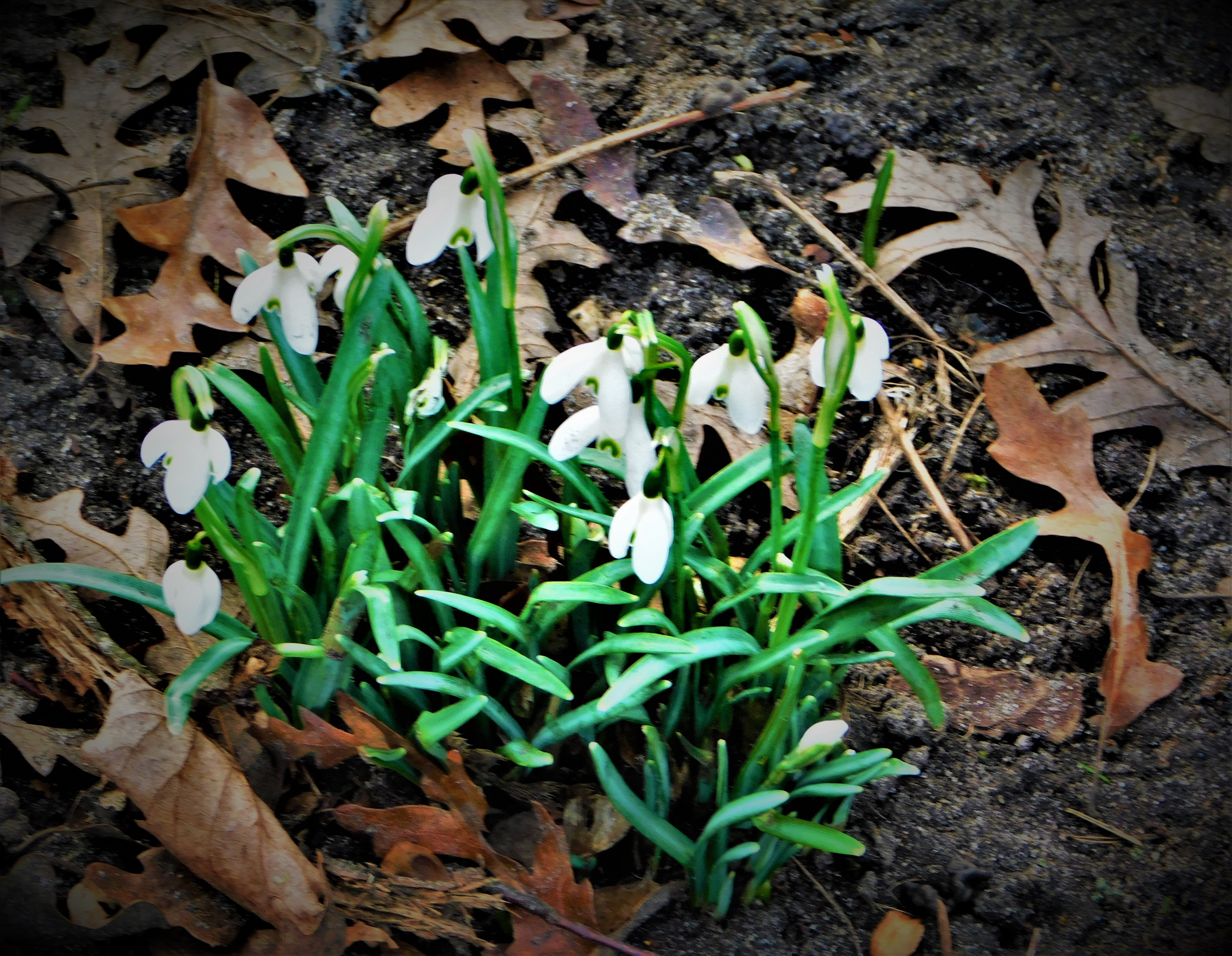
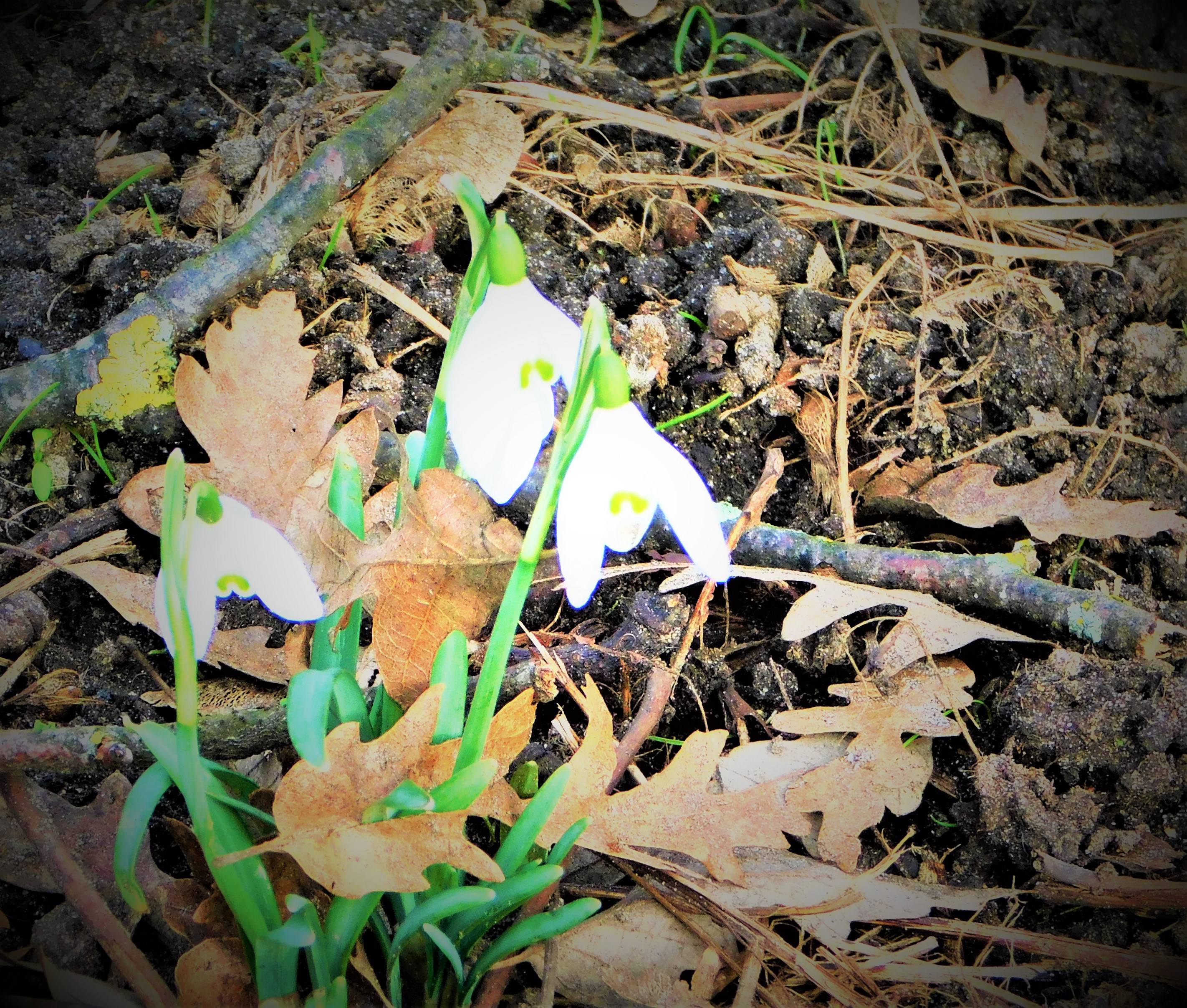
PHOTOGRAPHS
As a bonus feature I start this section with a video, one of two I have of a waterfall that we saw after lunch.
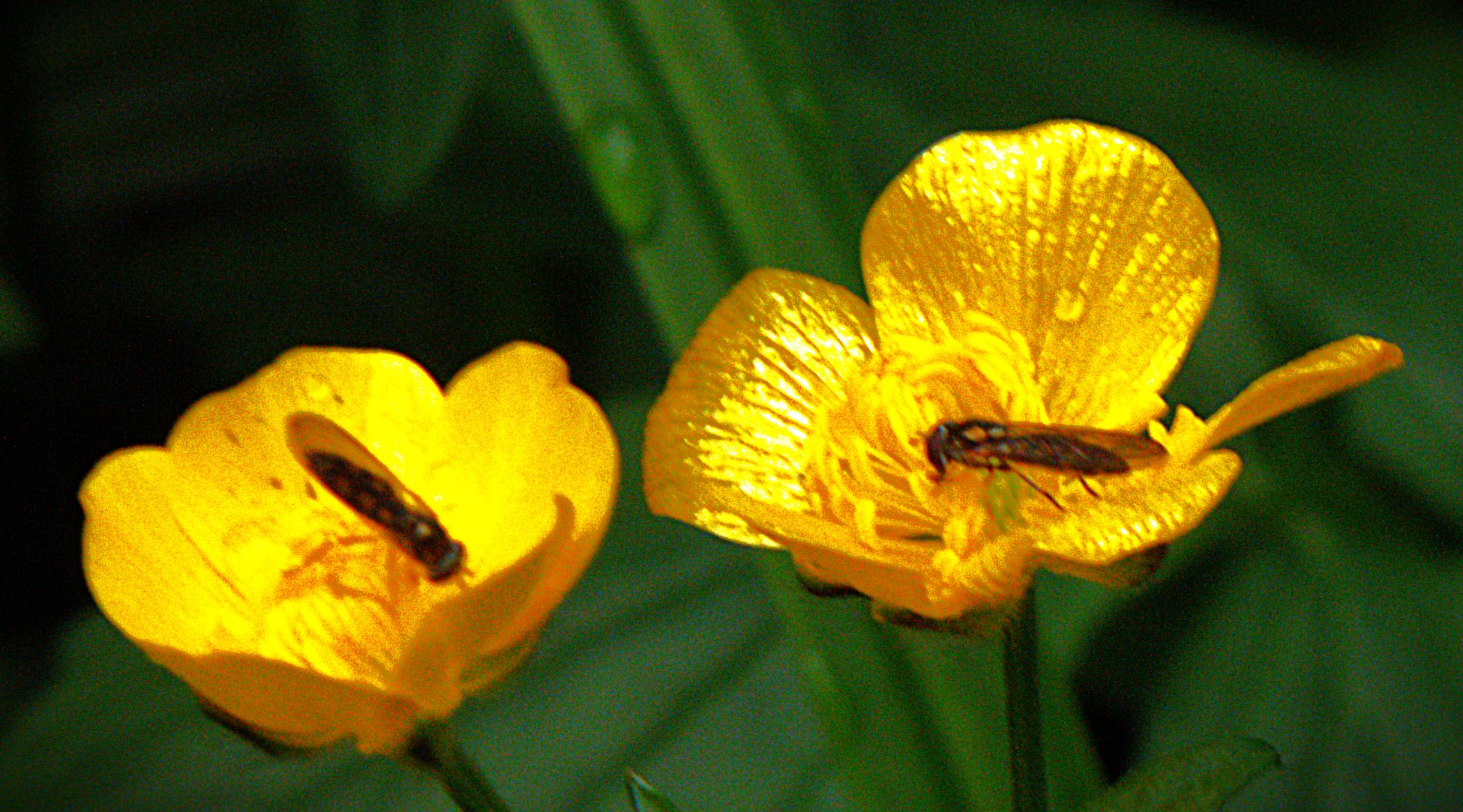
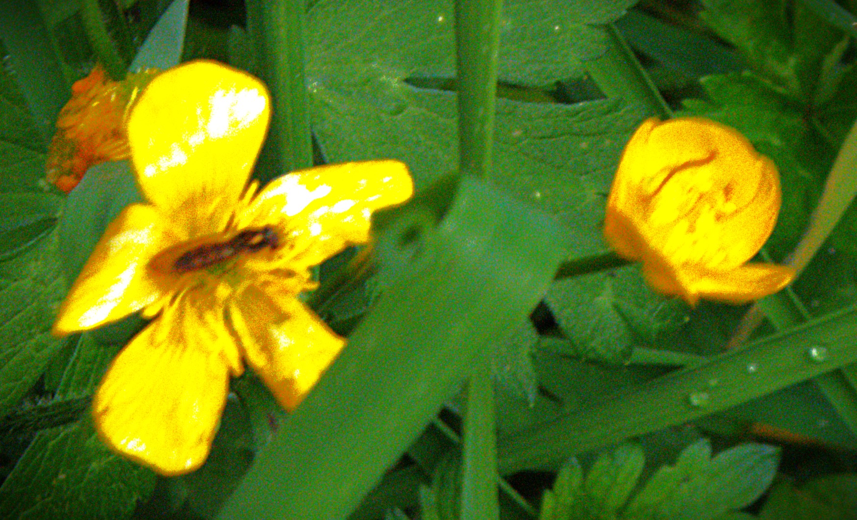
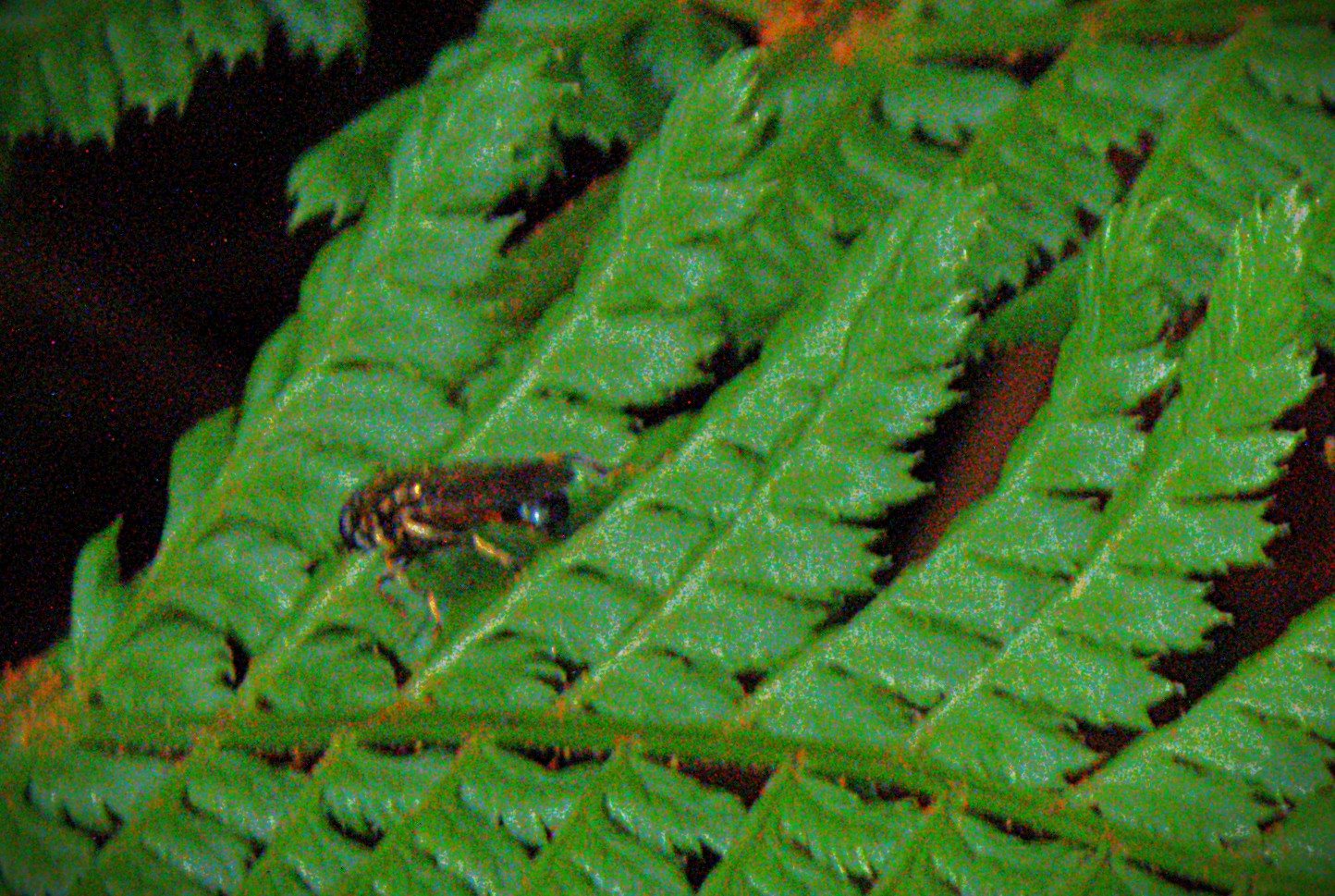
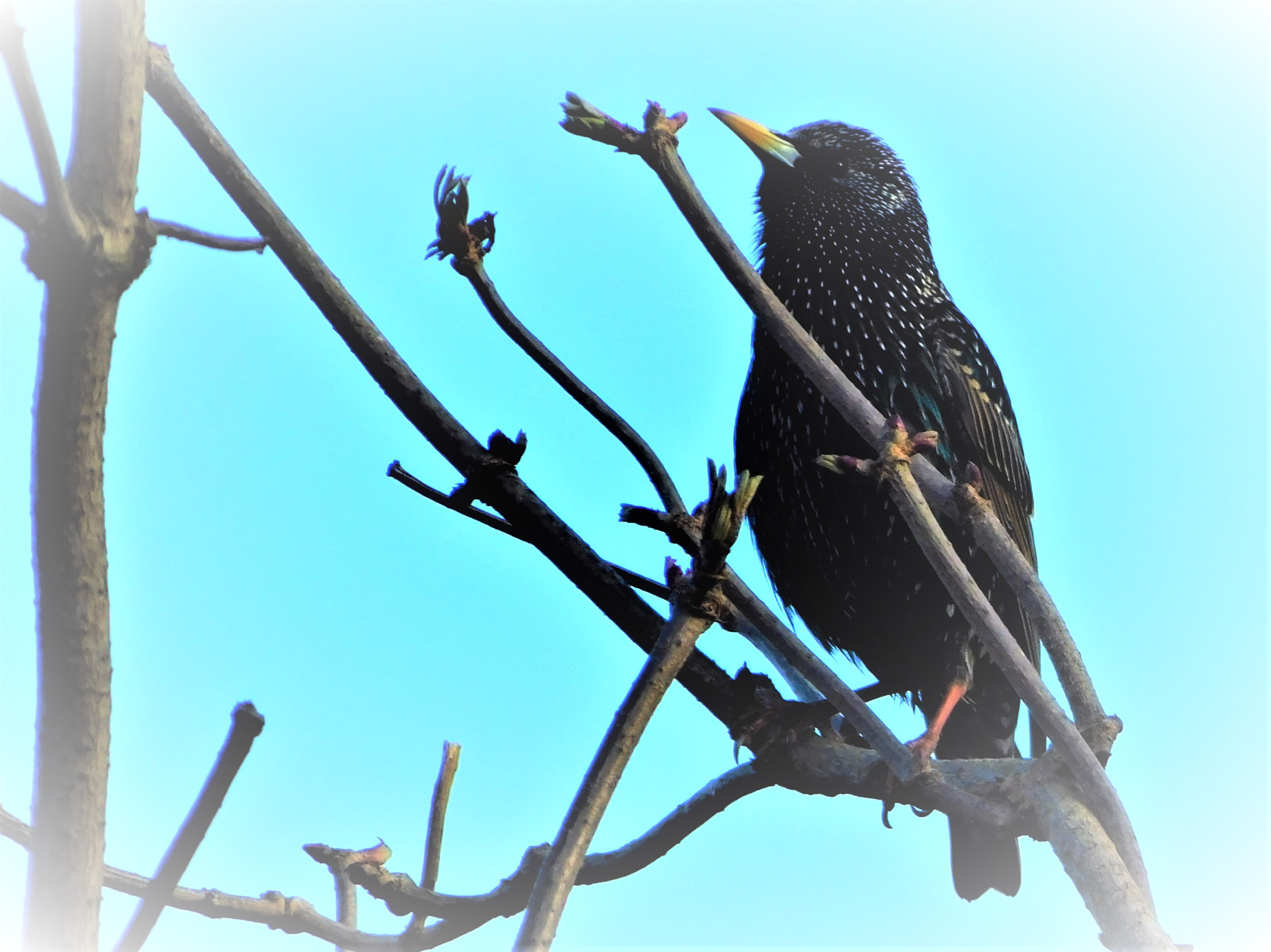
Now for the photos…
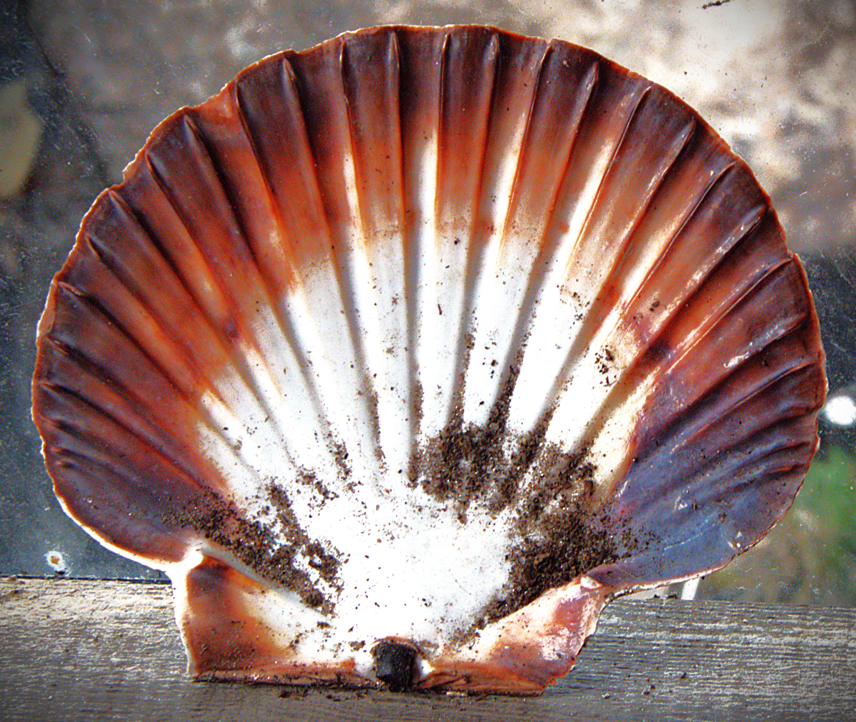
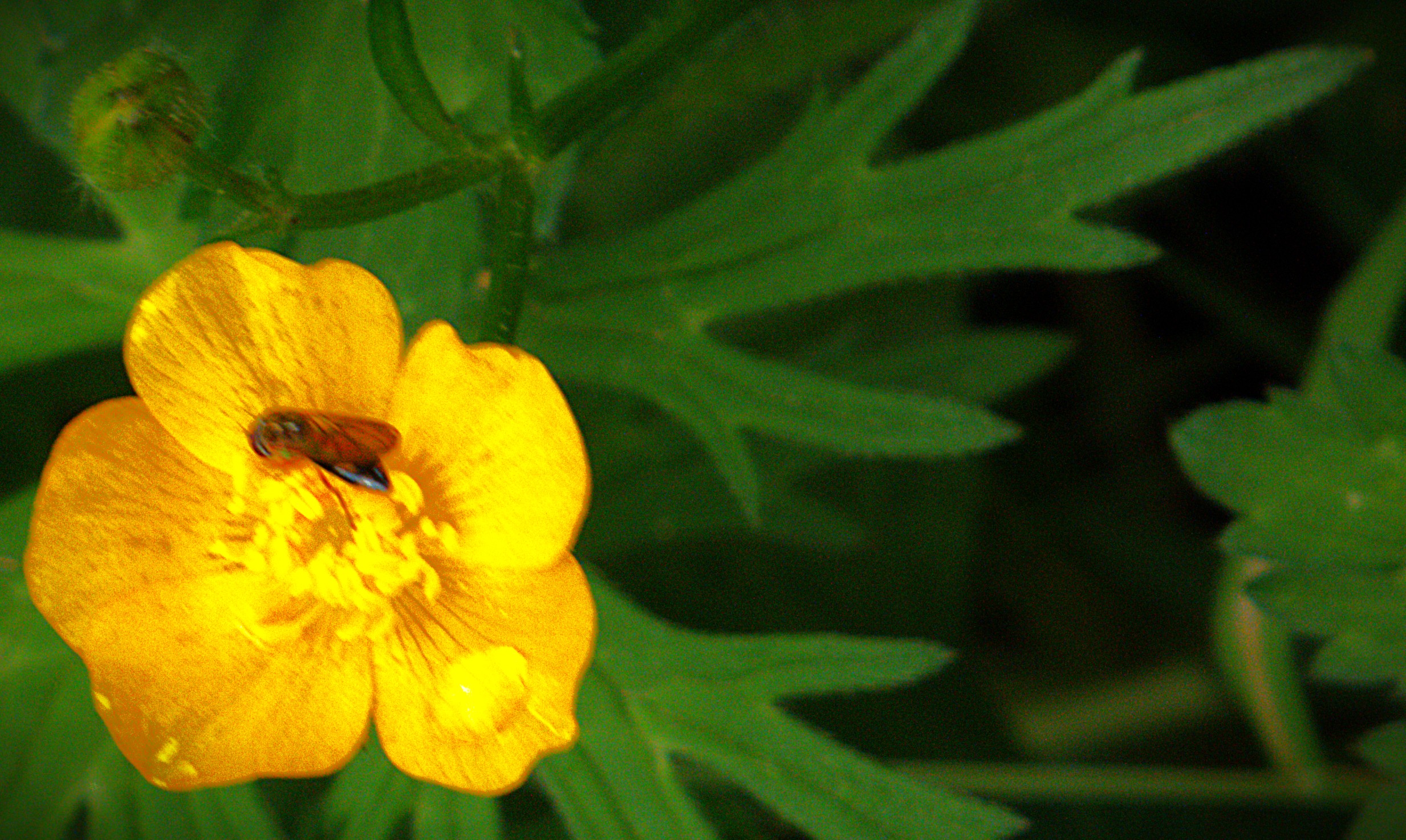
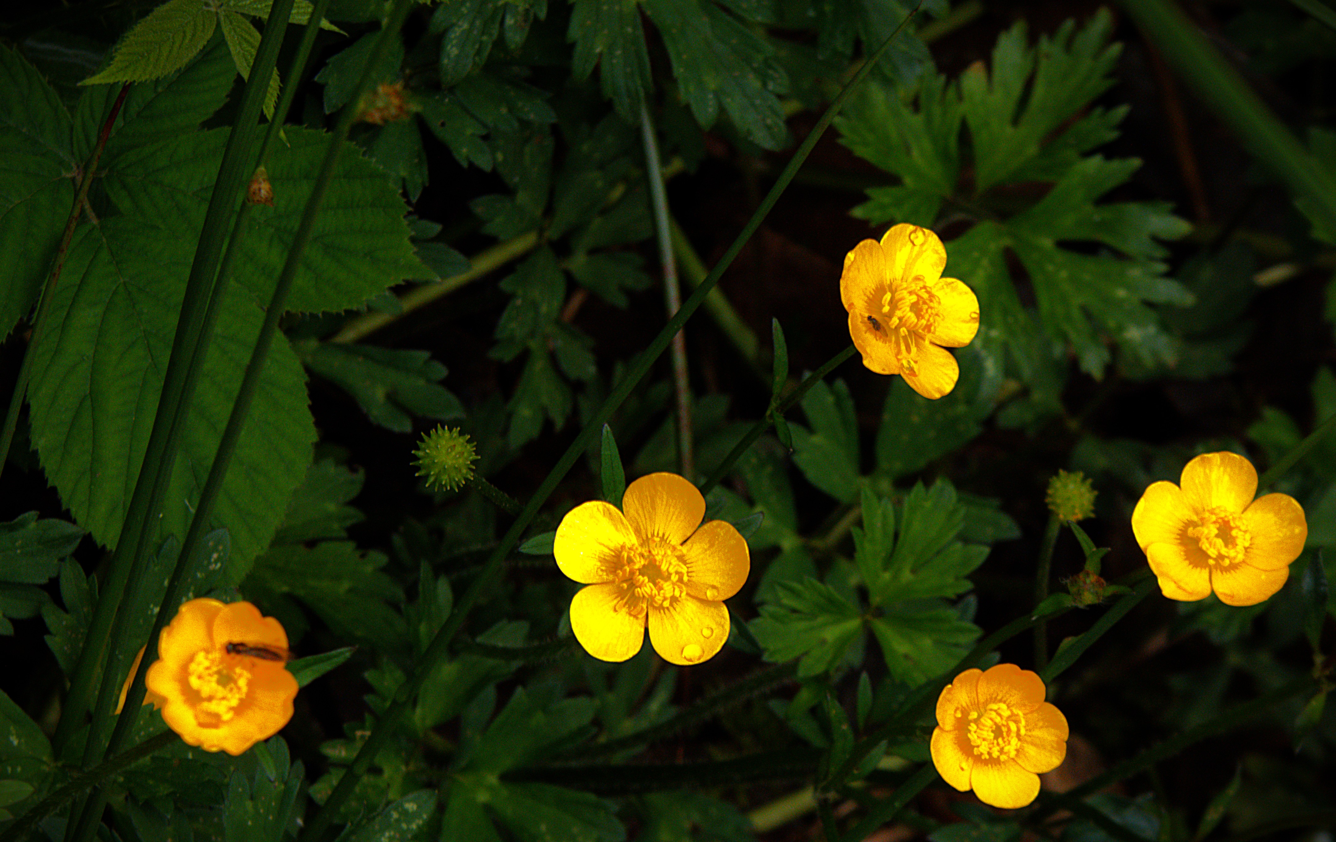
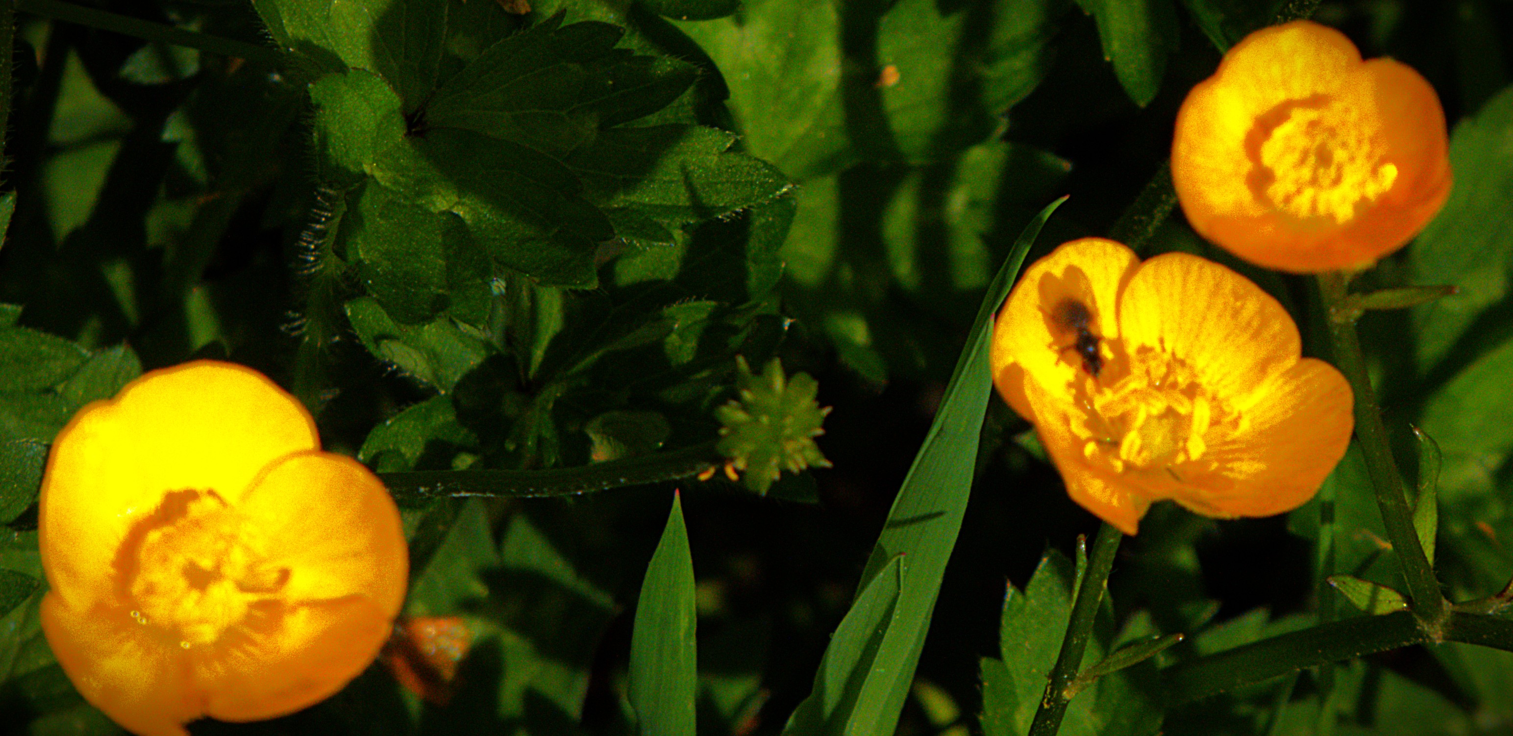
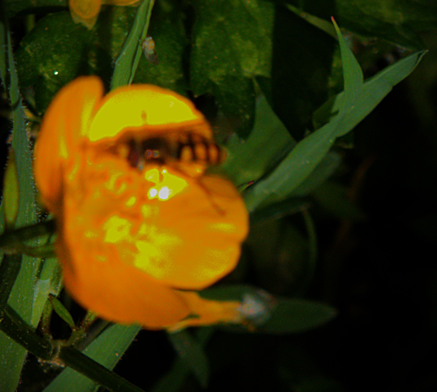
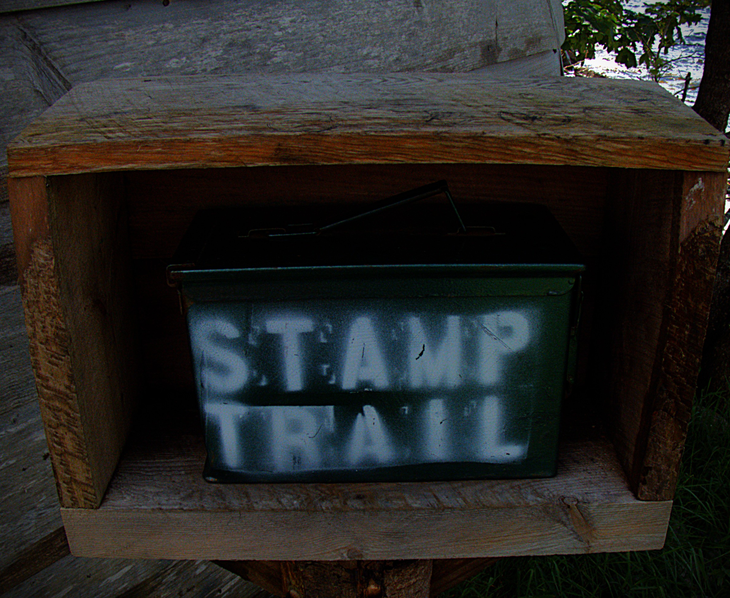
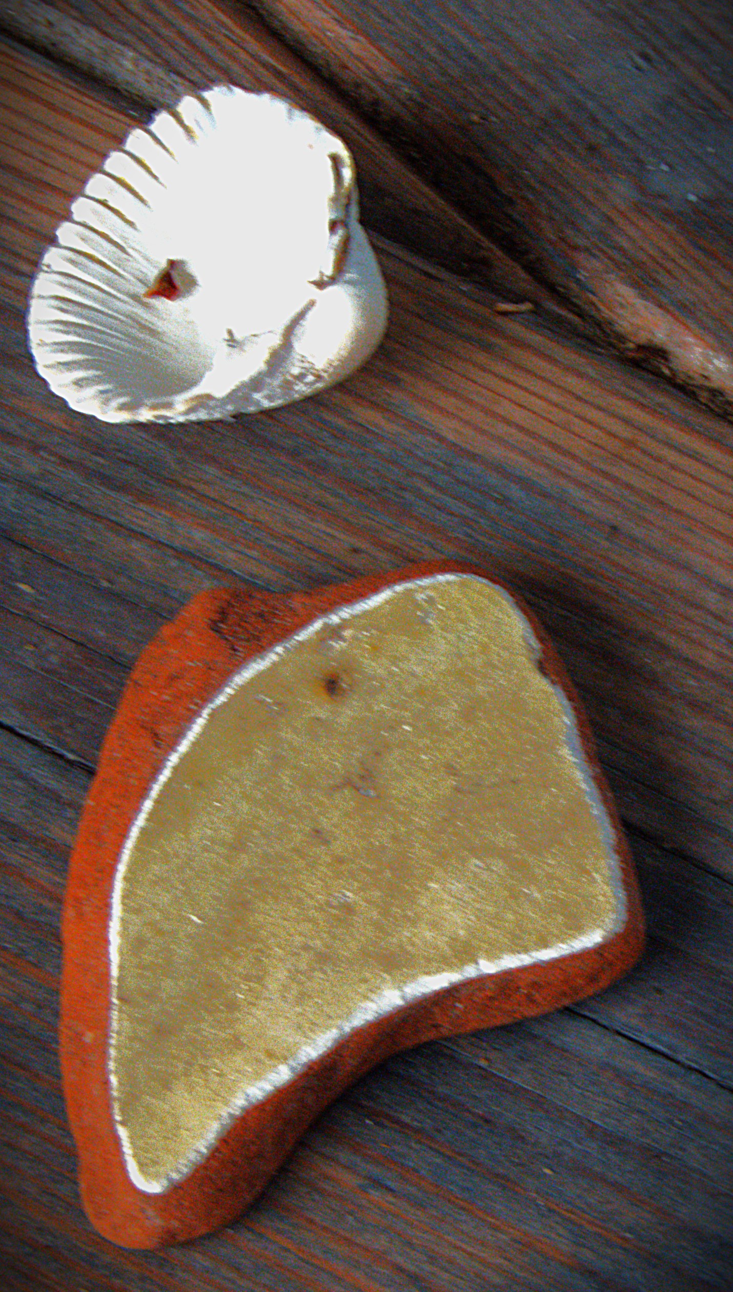
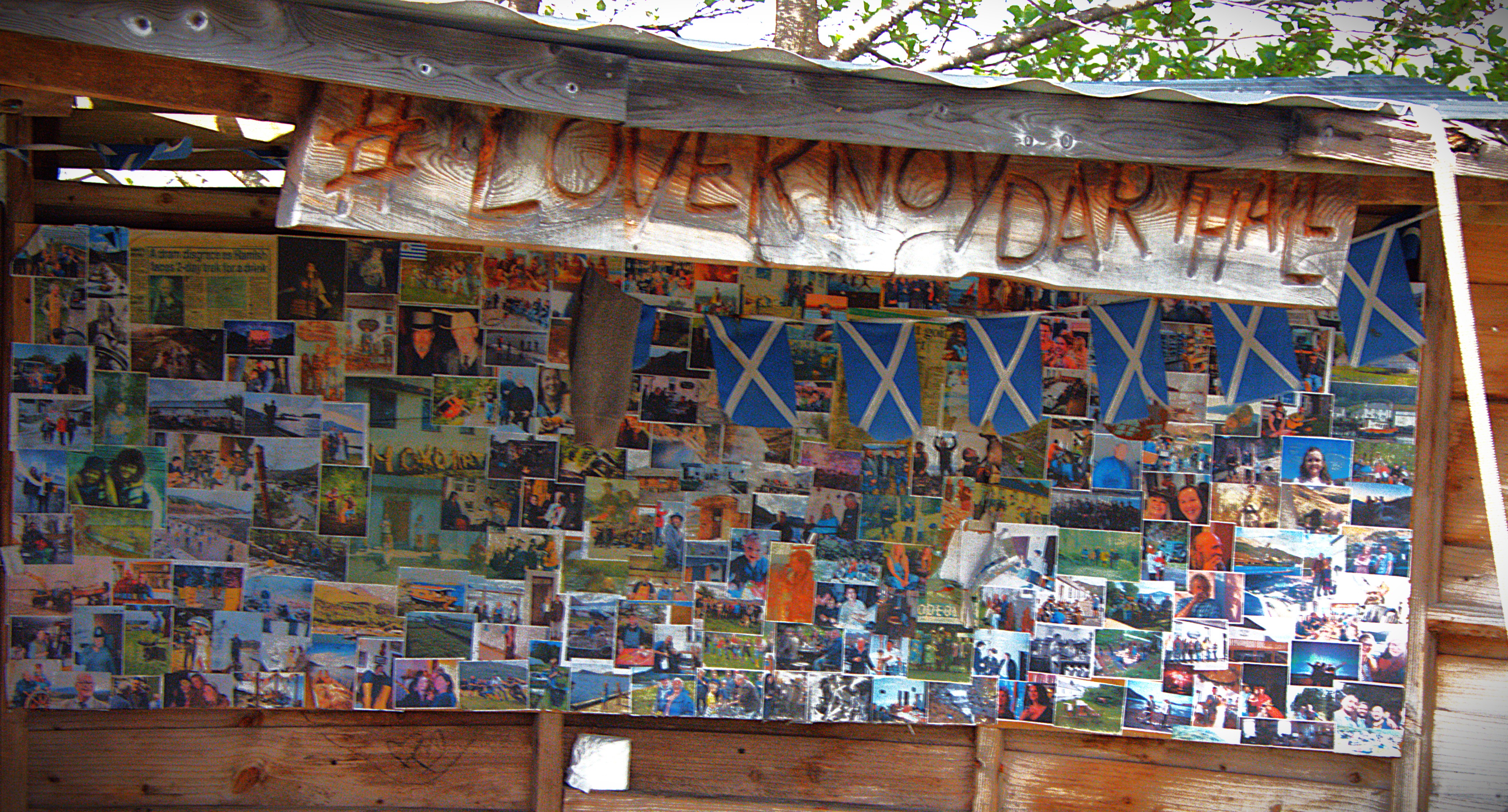
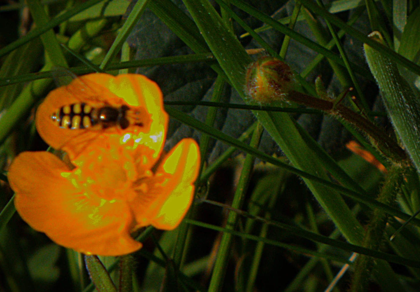
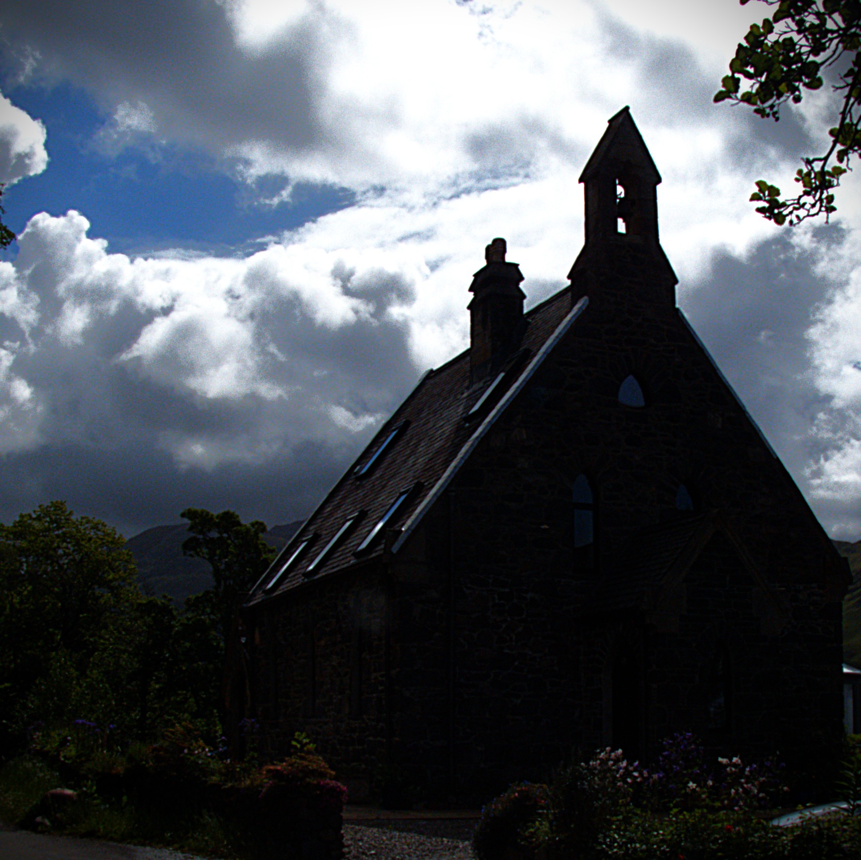
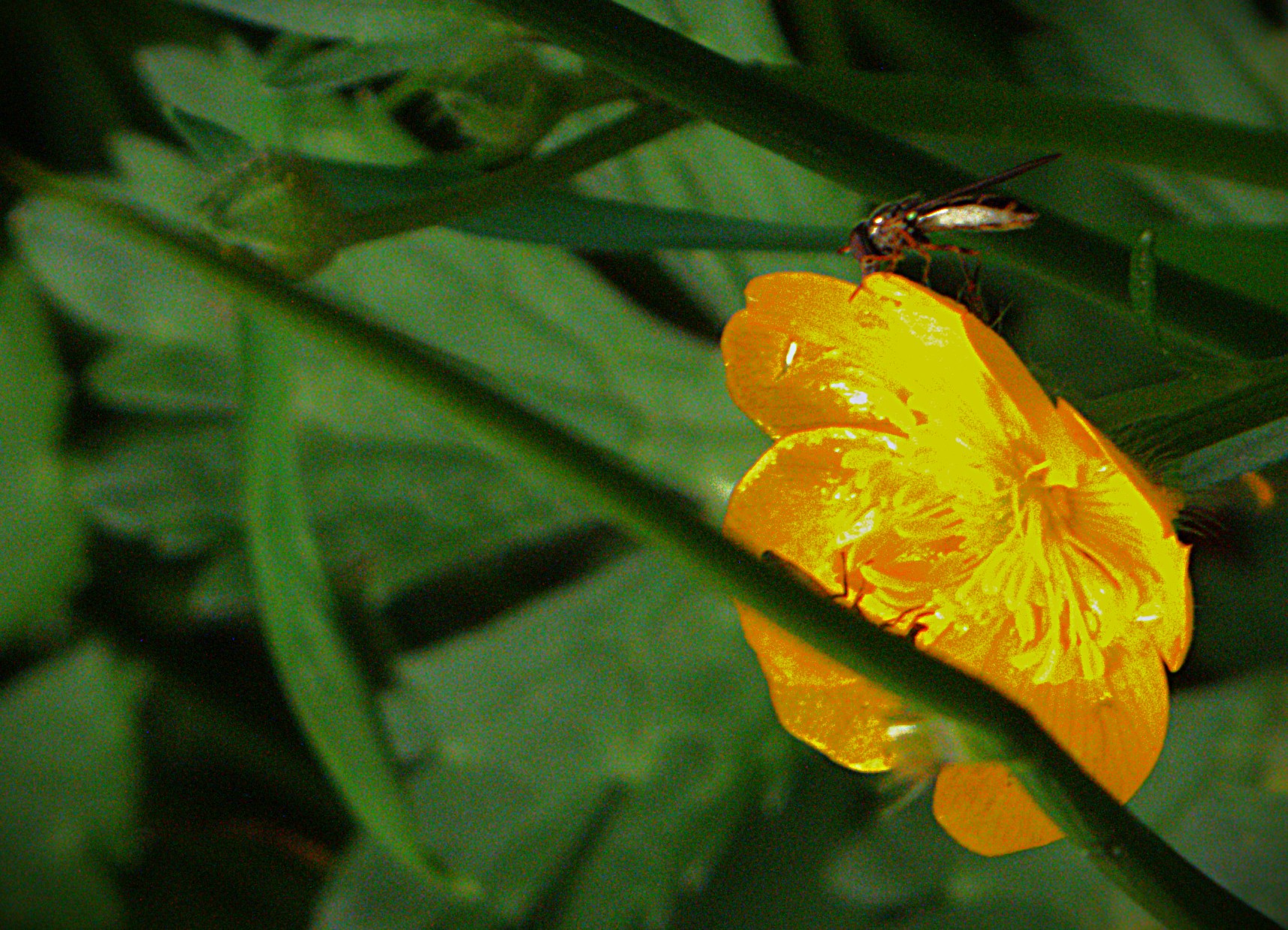
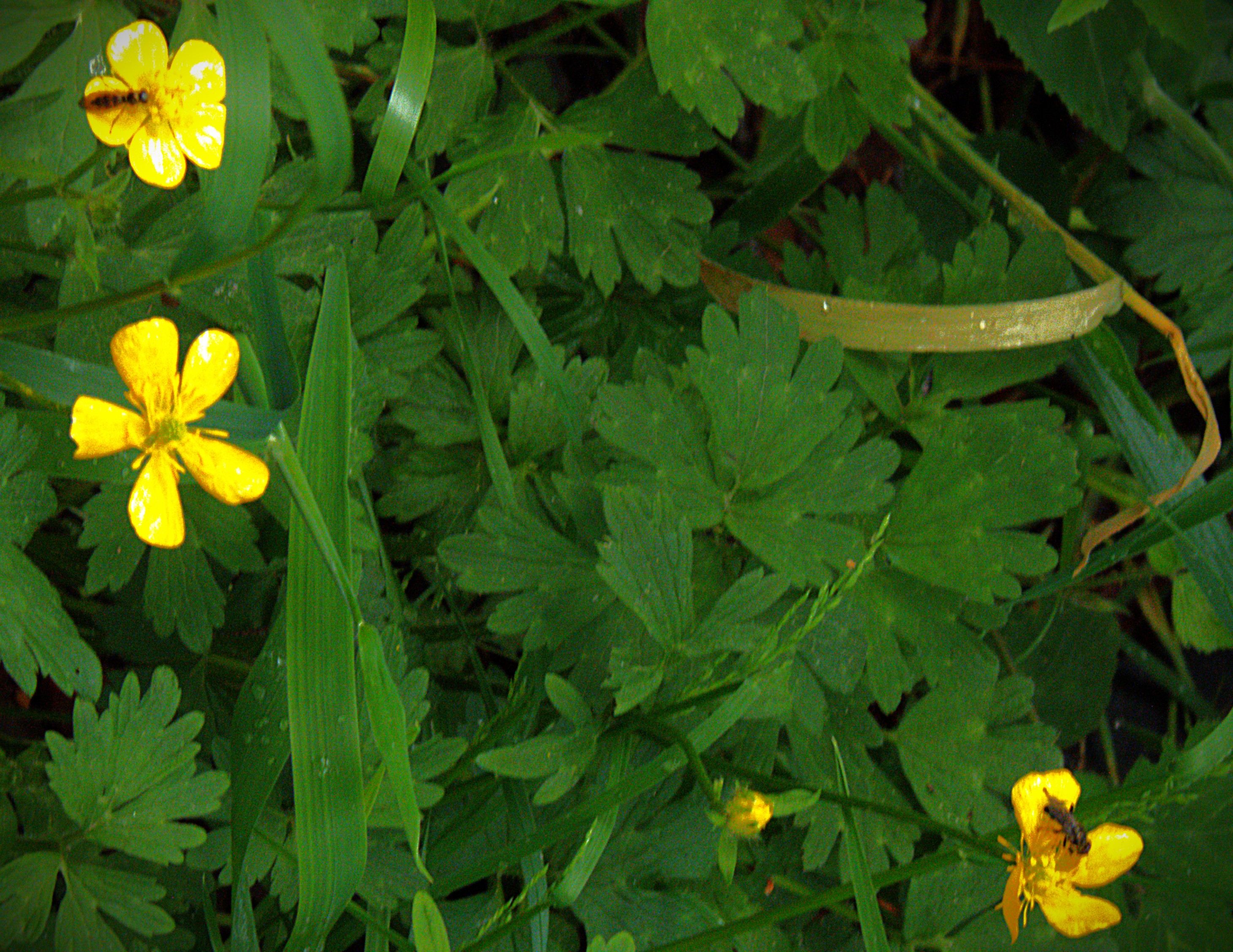
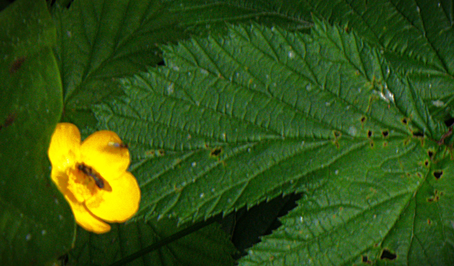
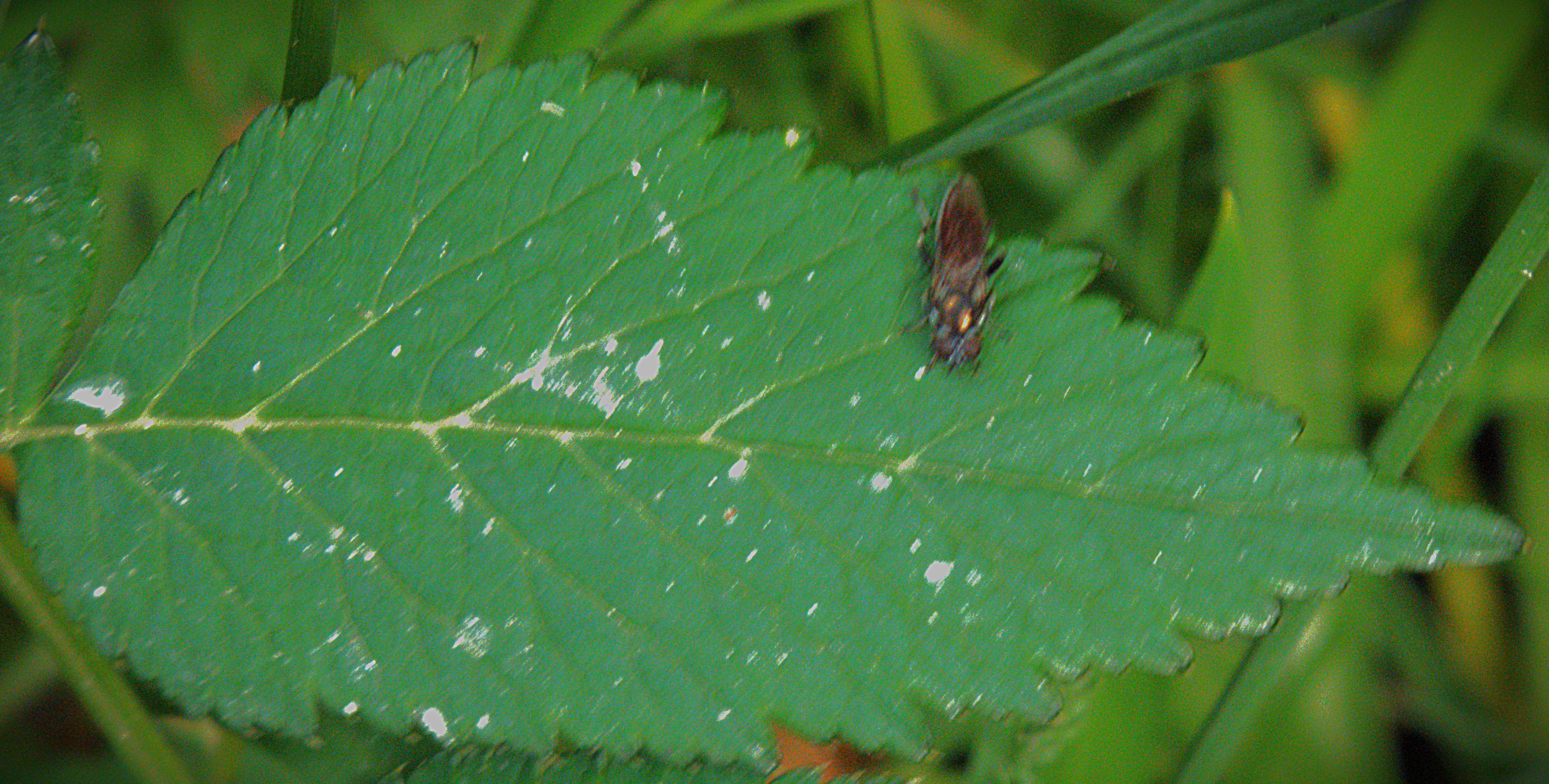
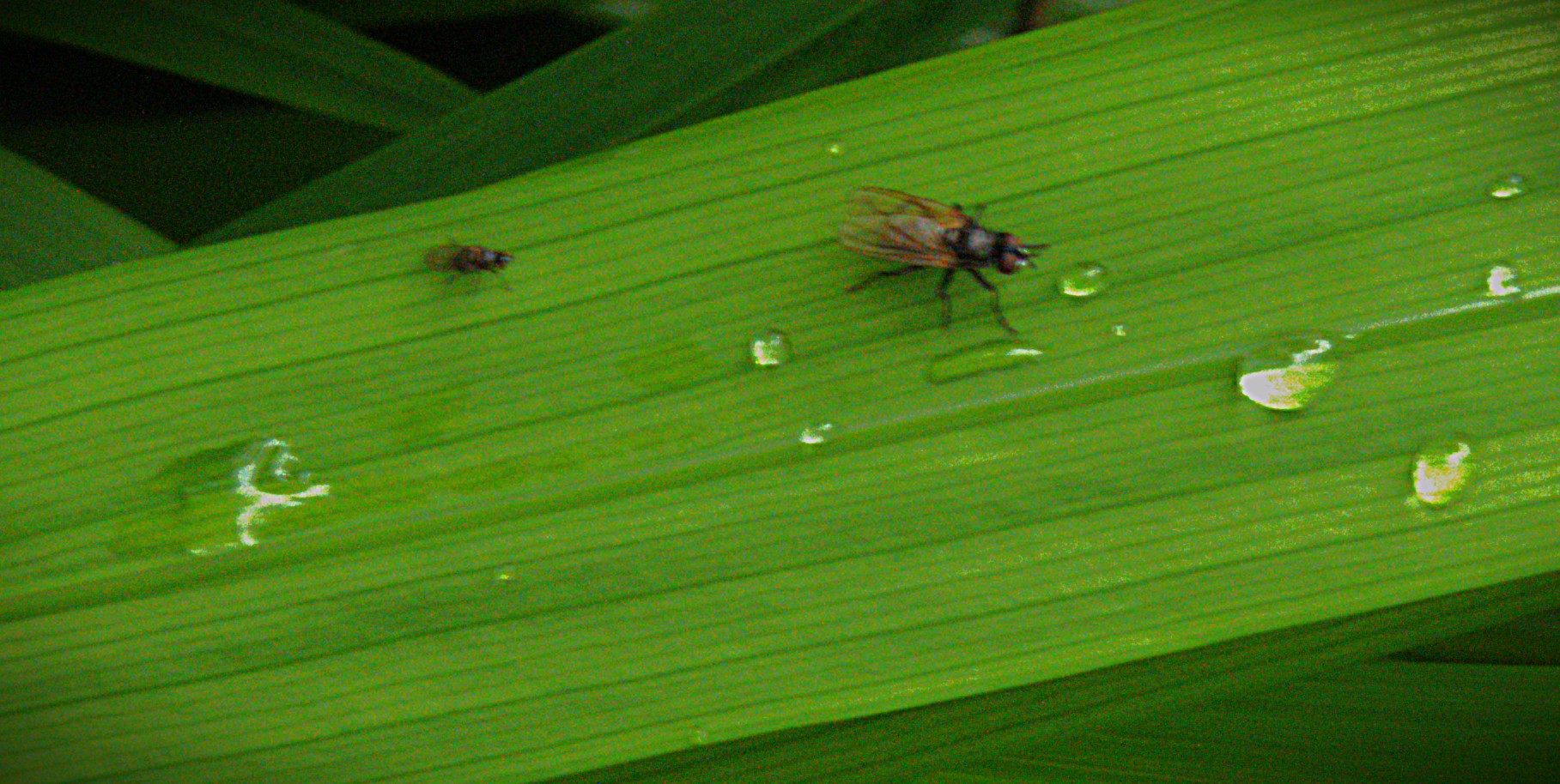
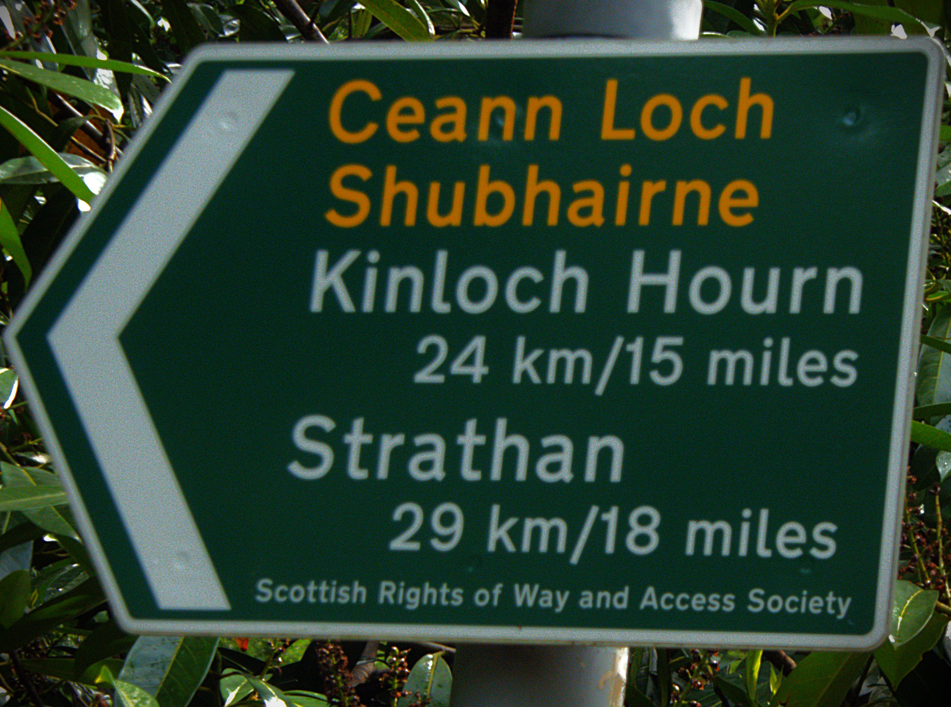
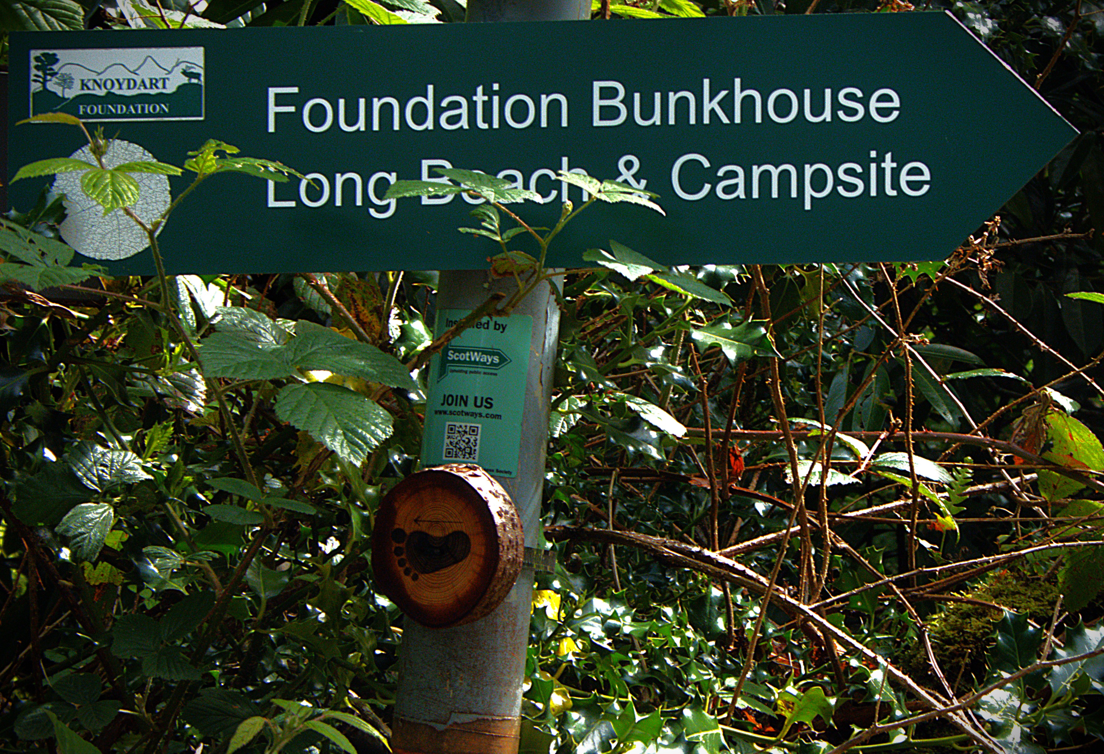
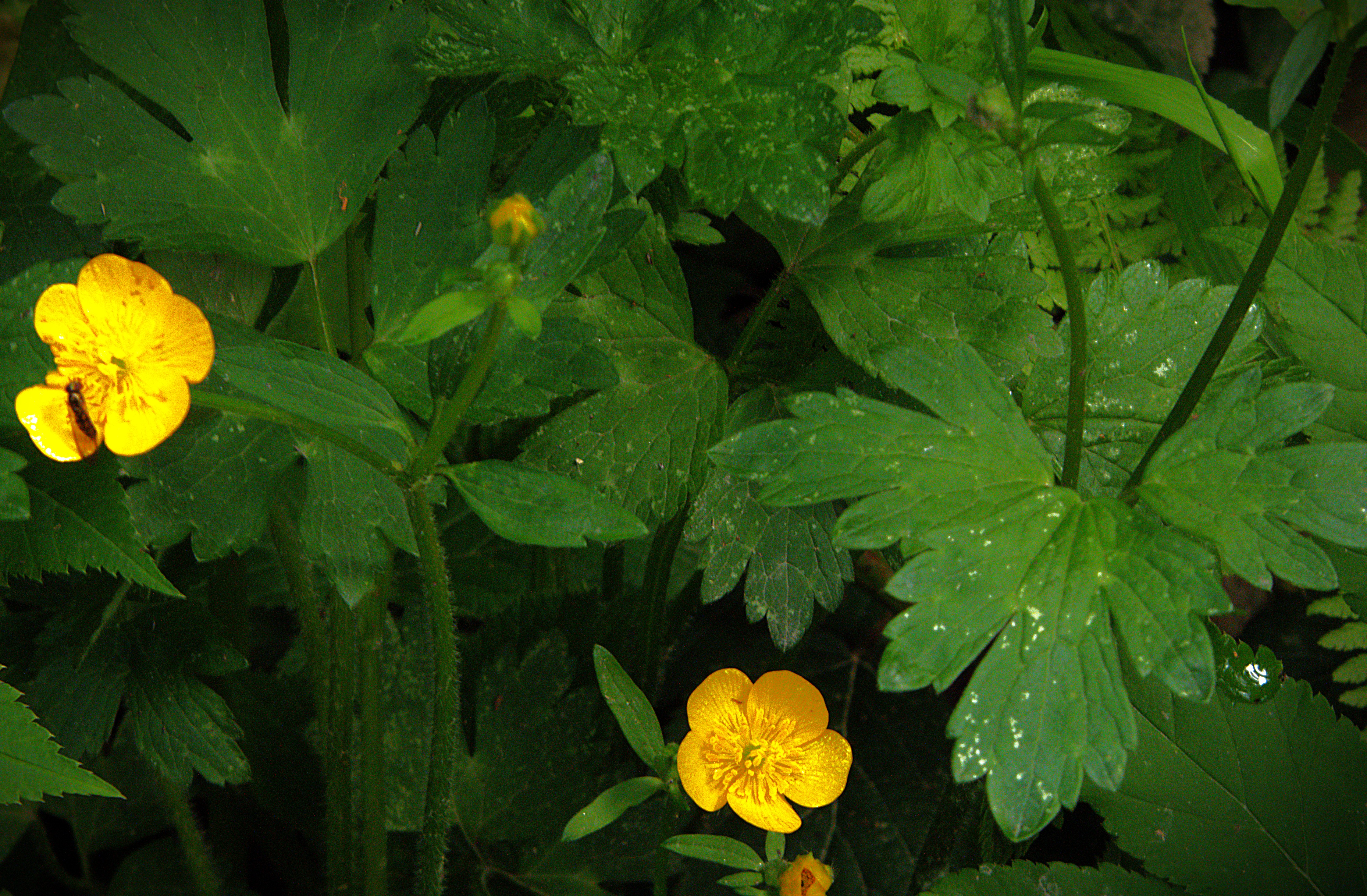
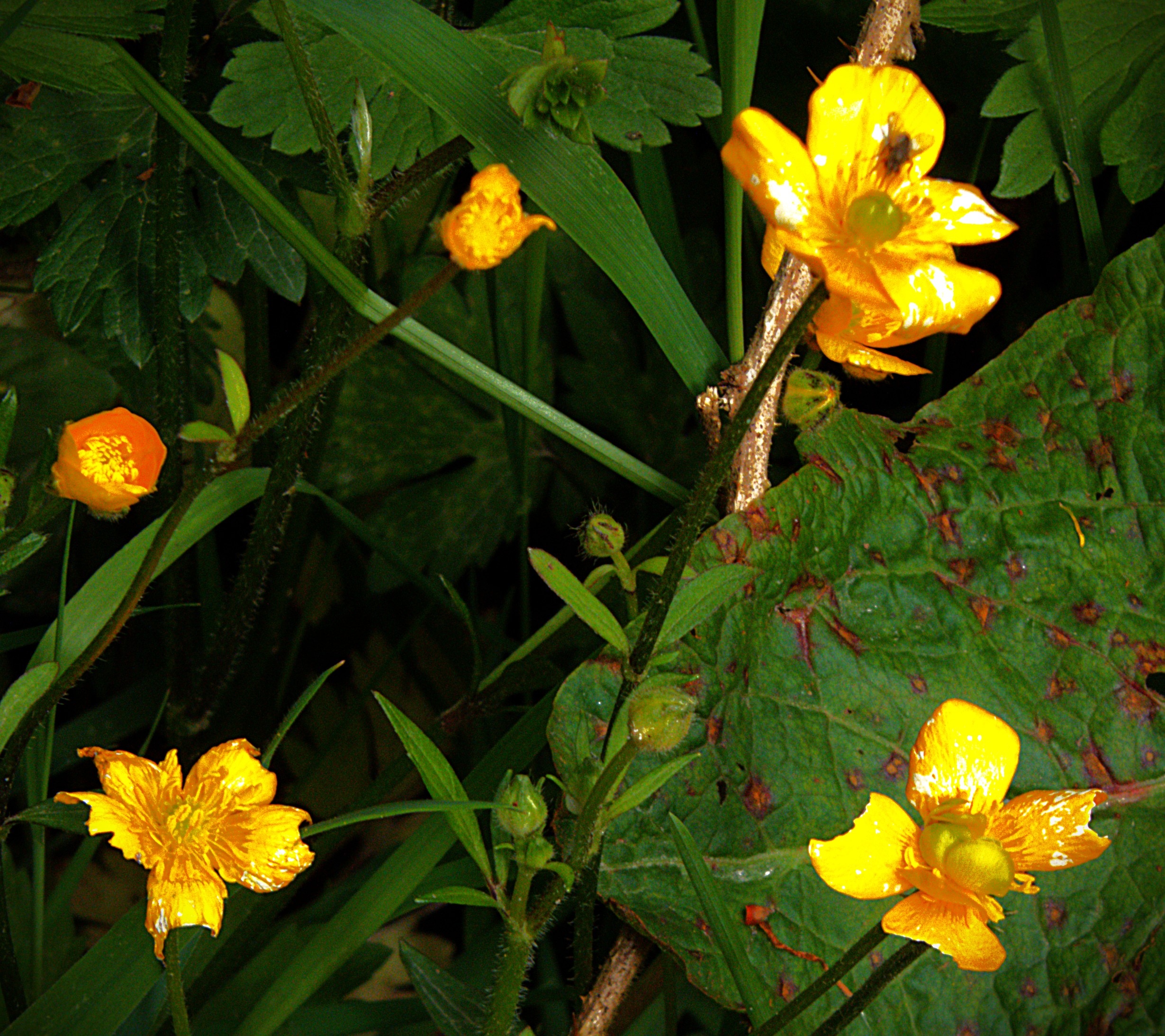
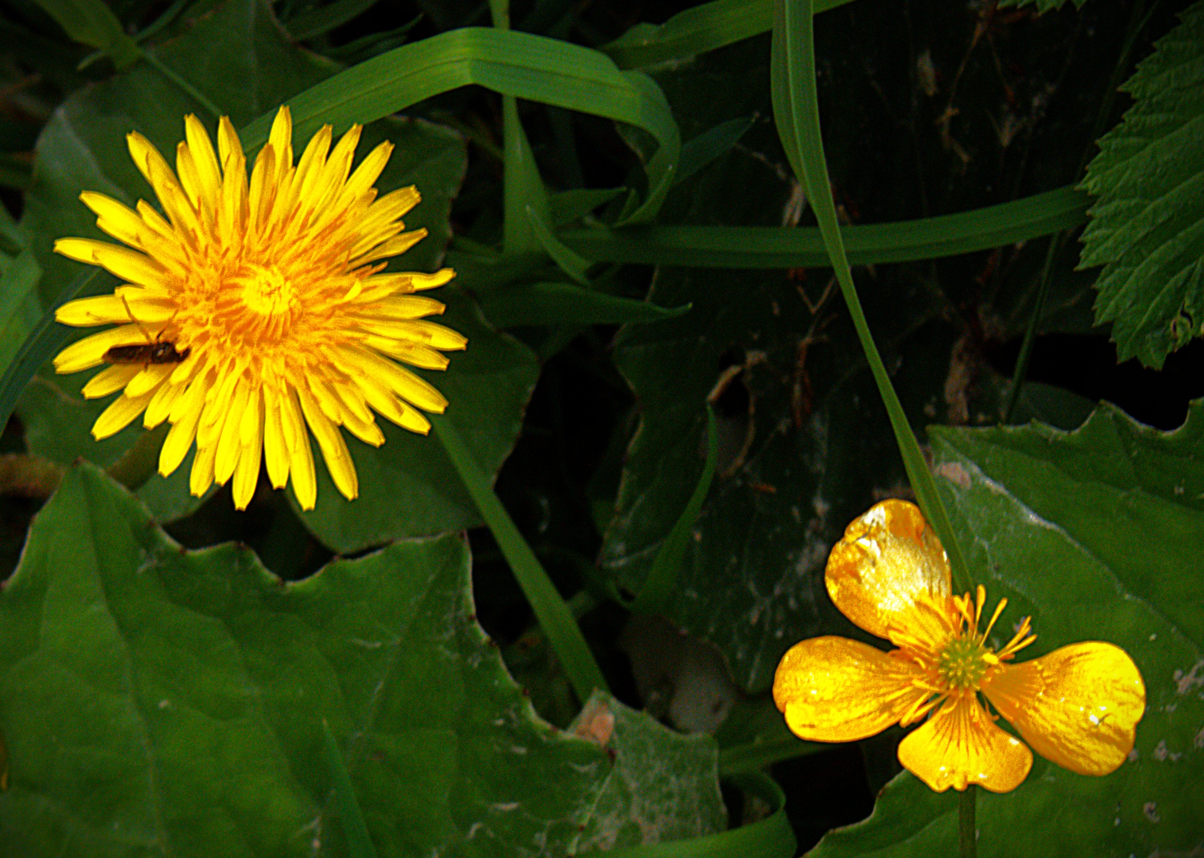
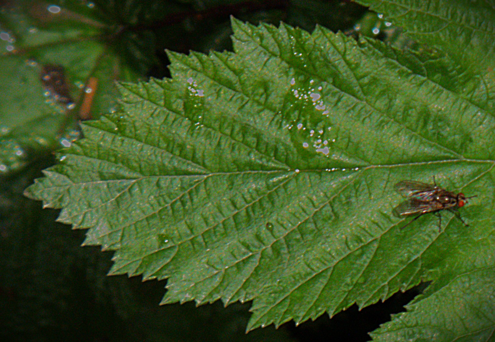
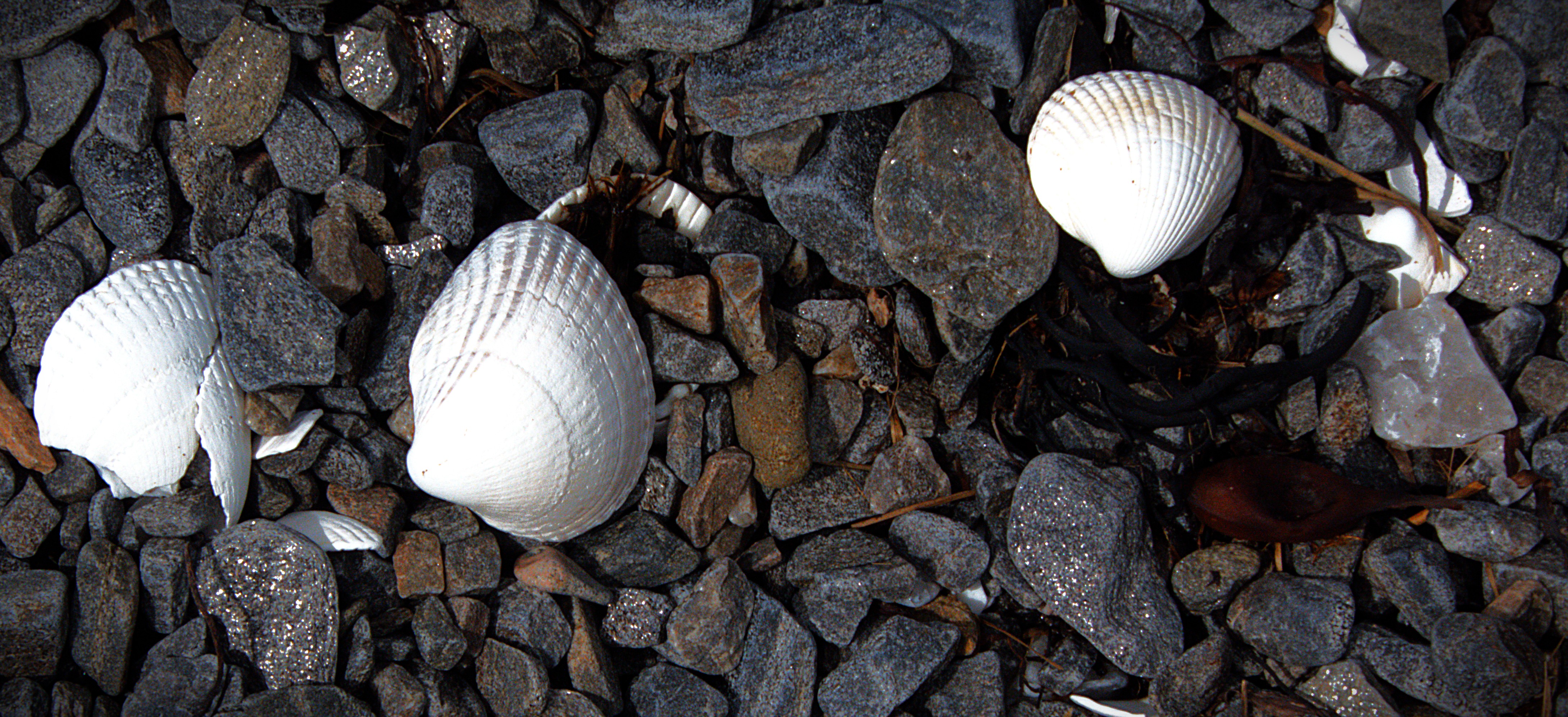
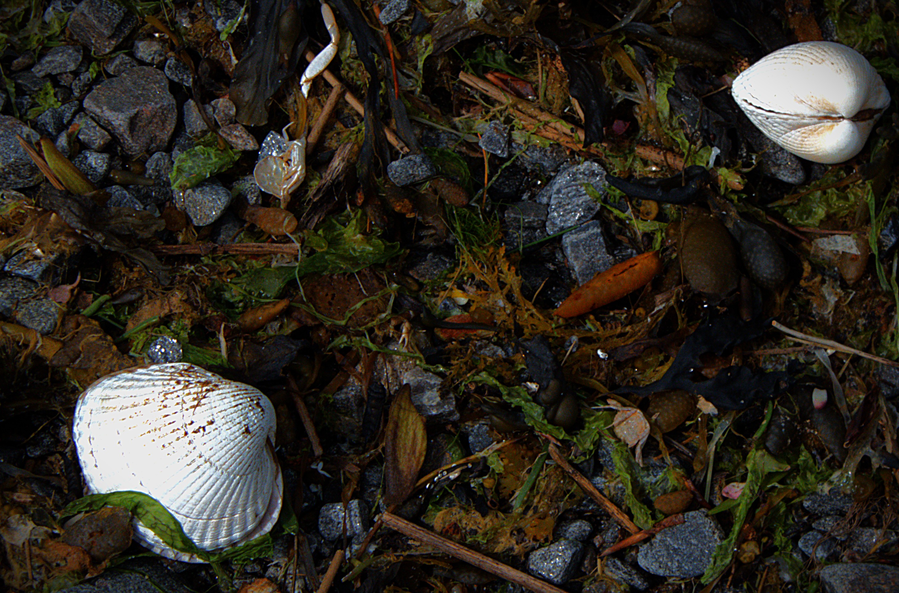
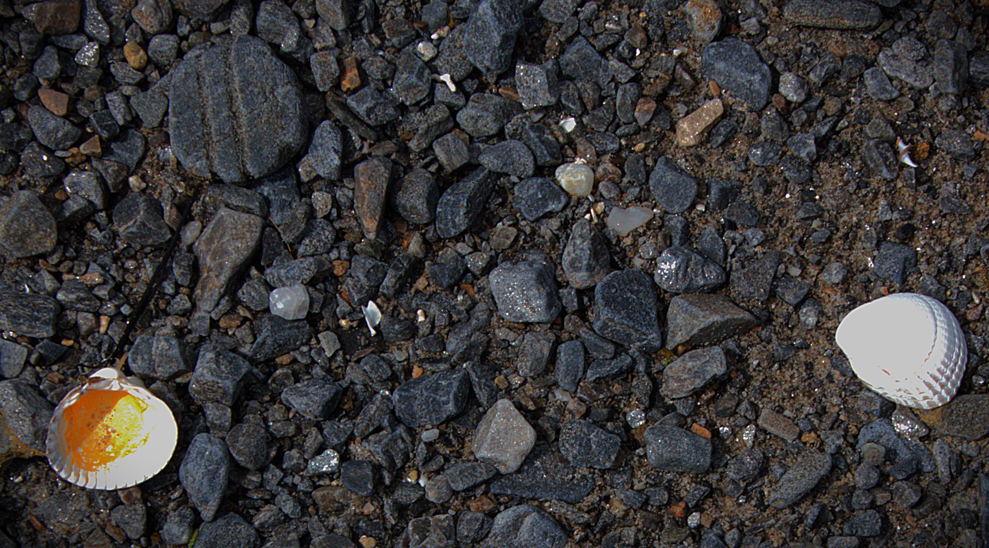
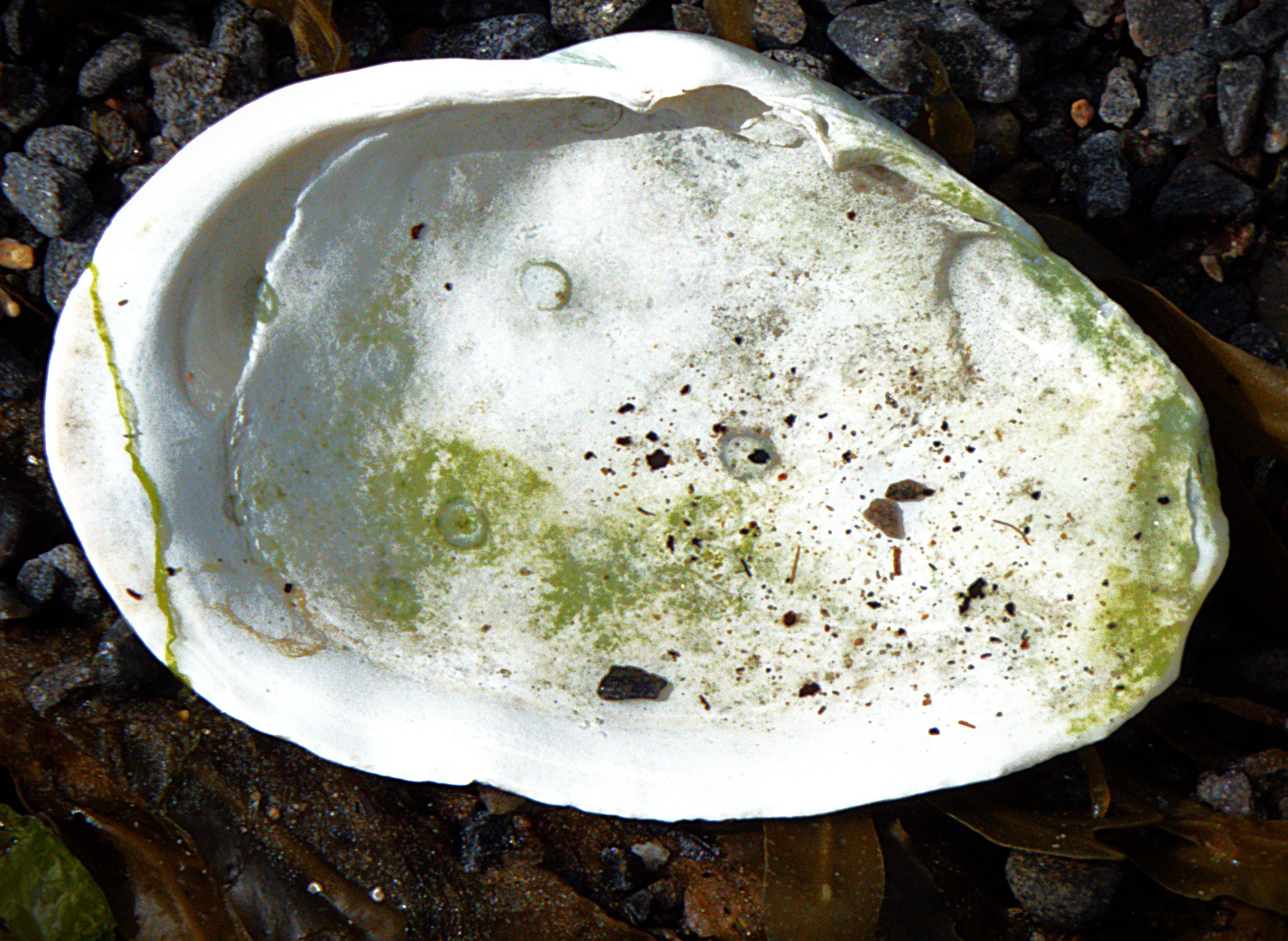
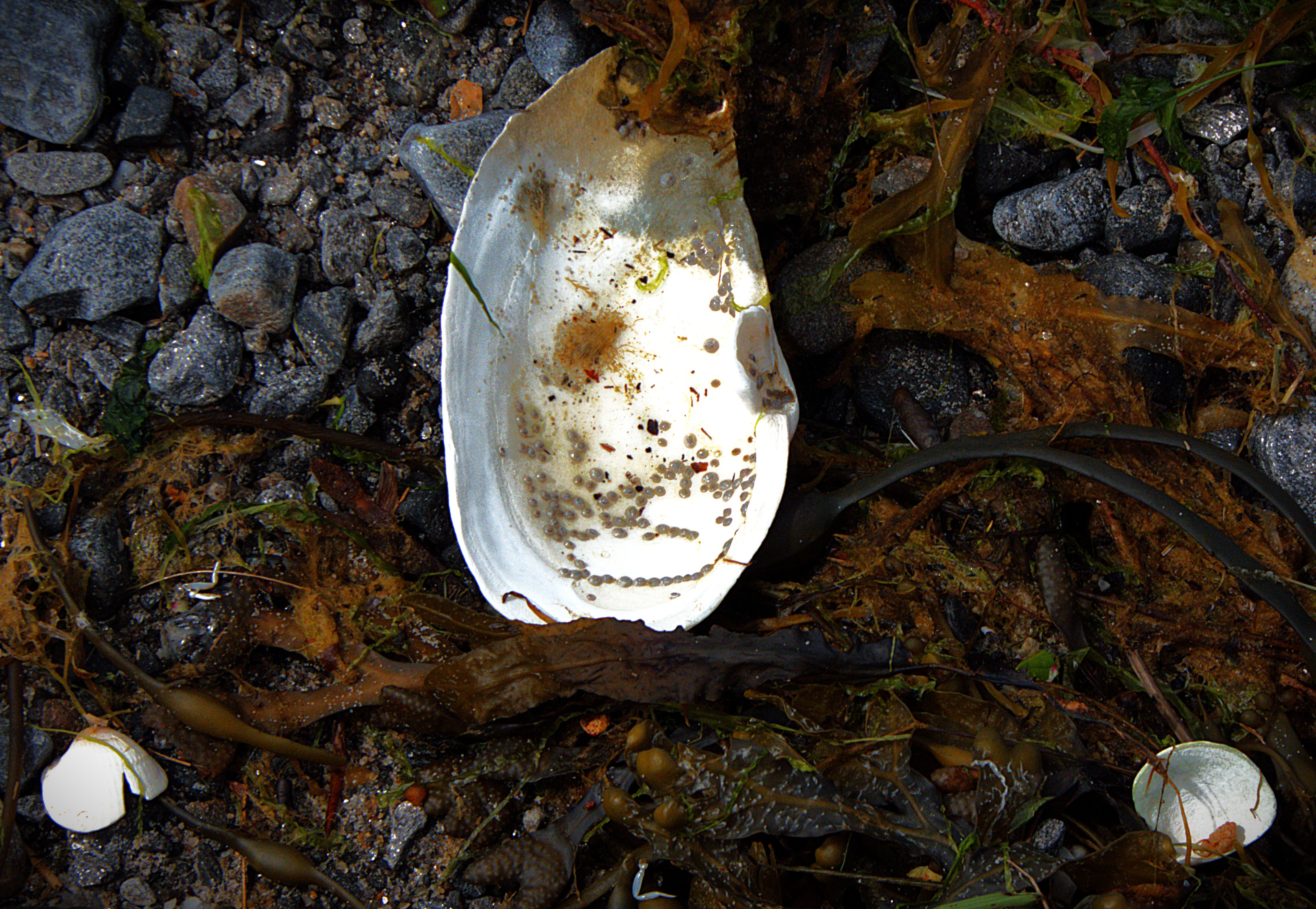
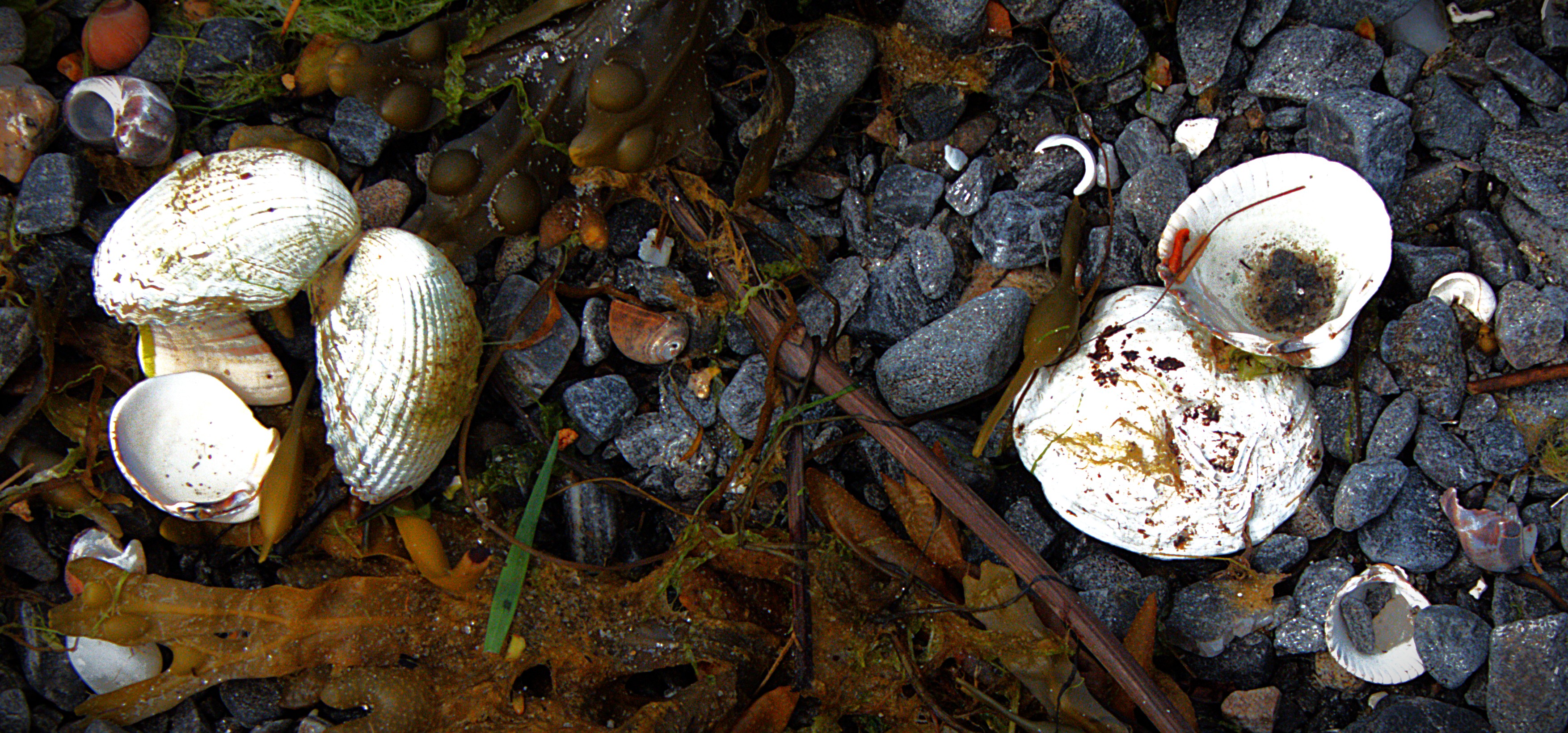
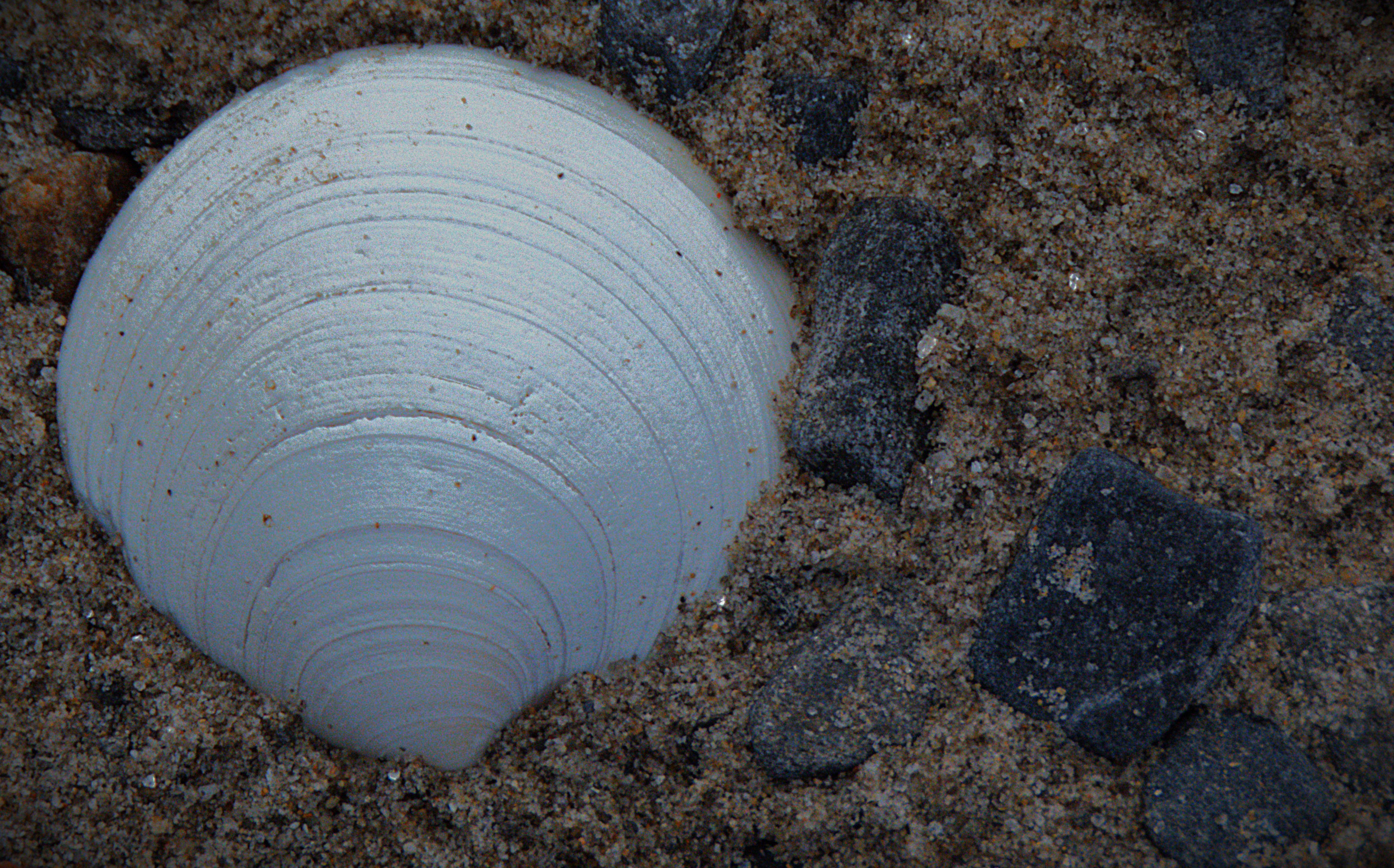
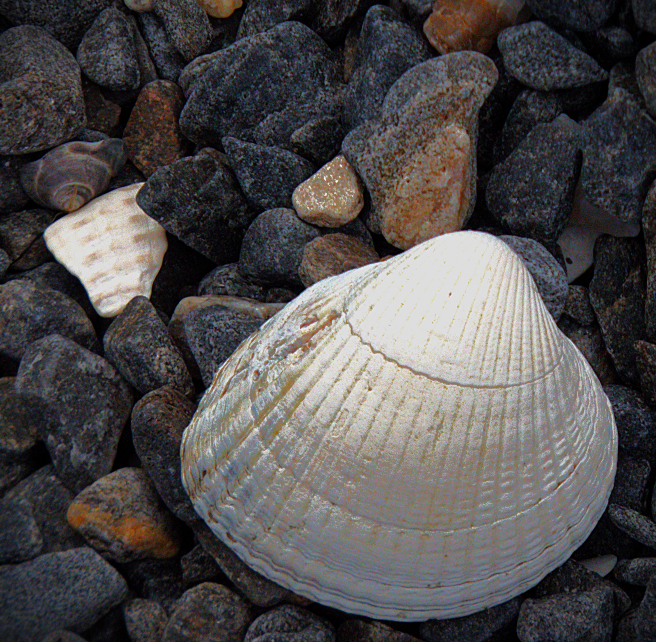
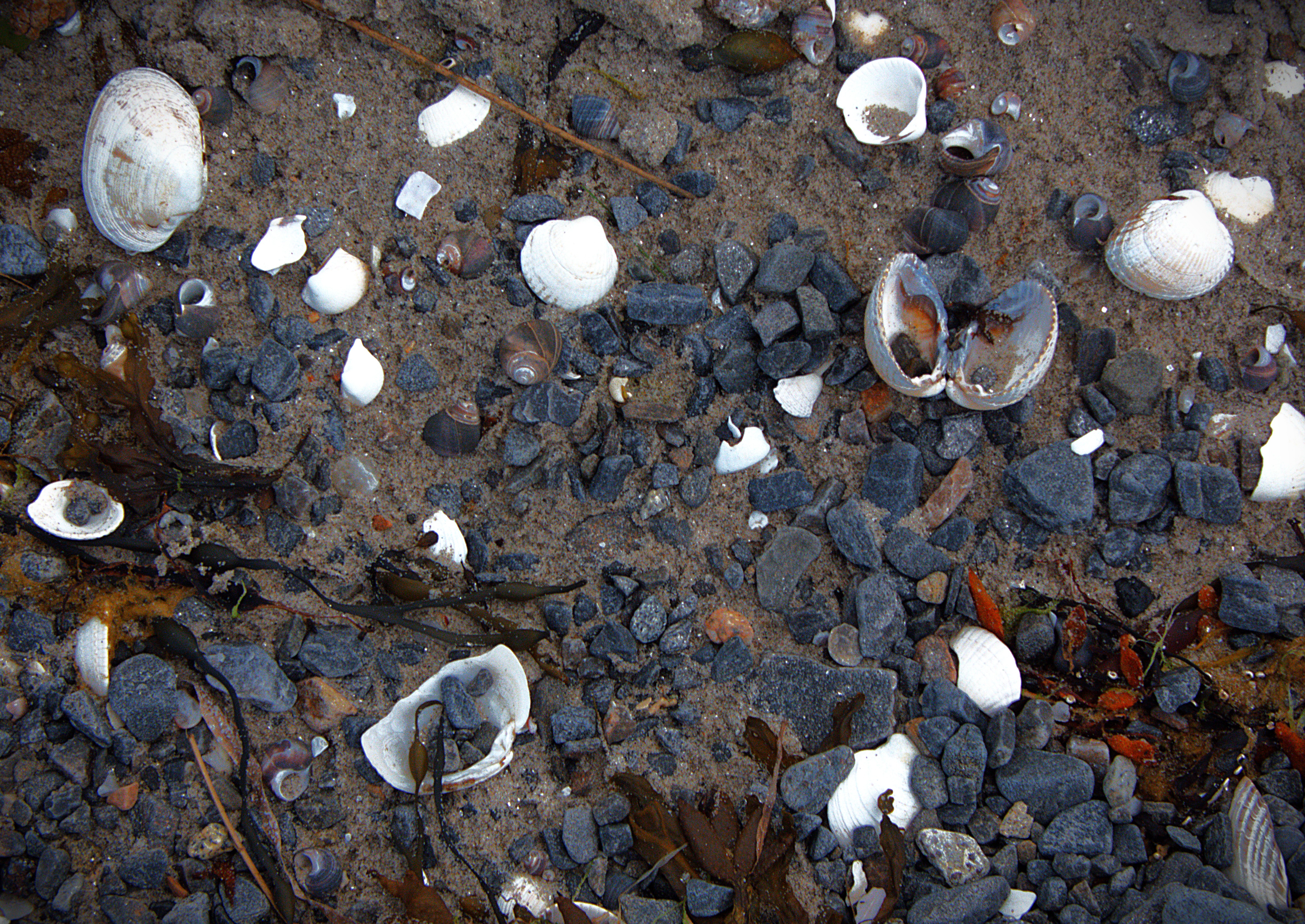
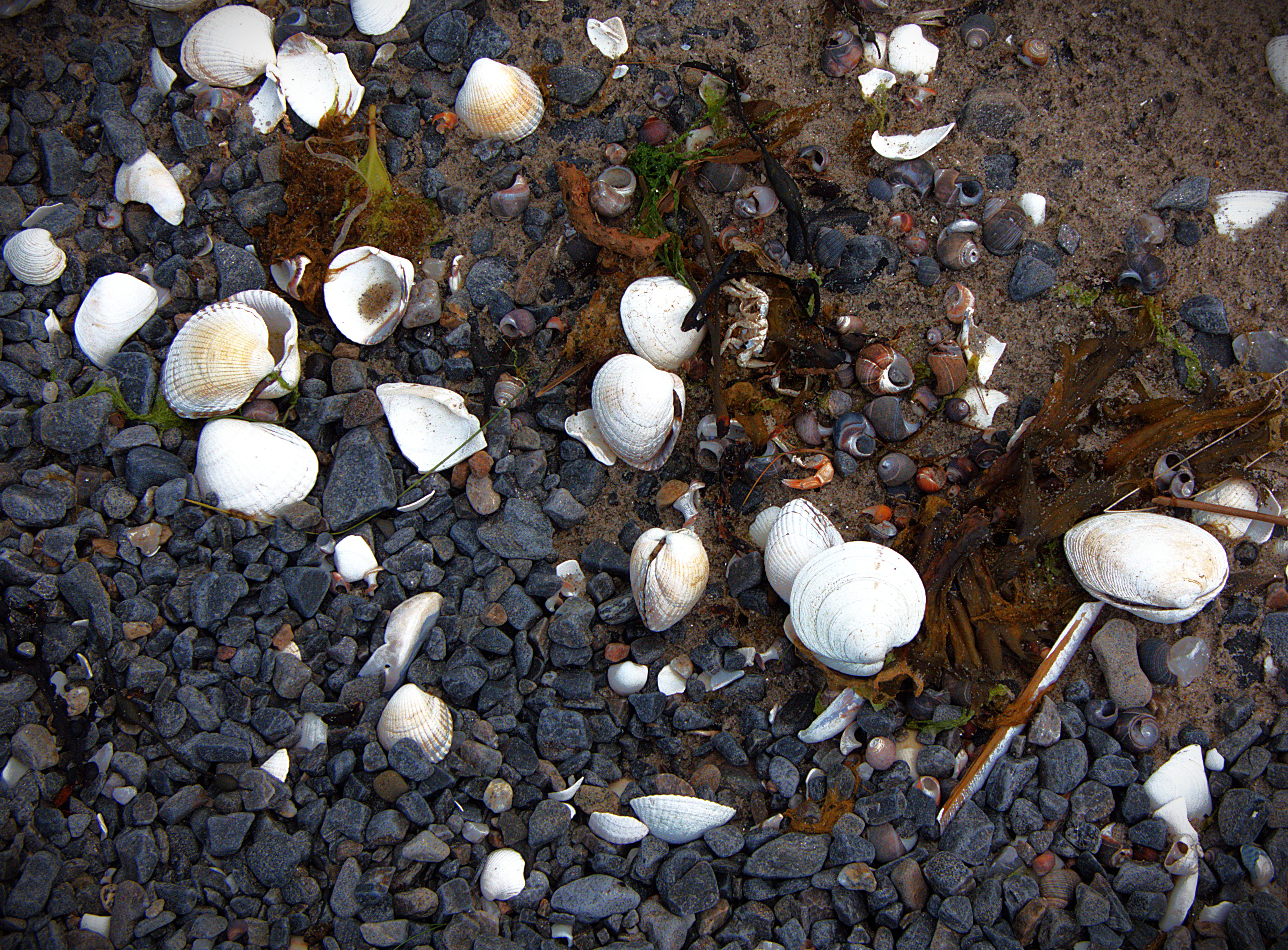
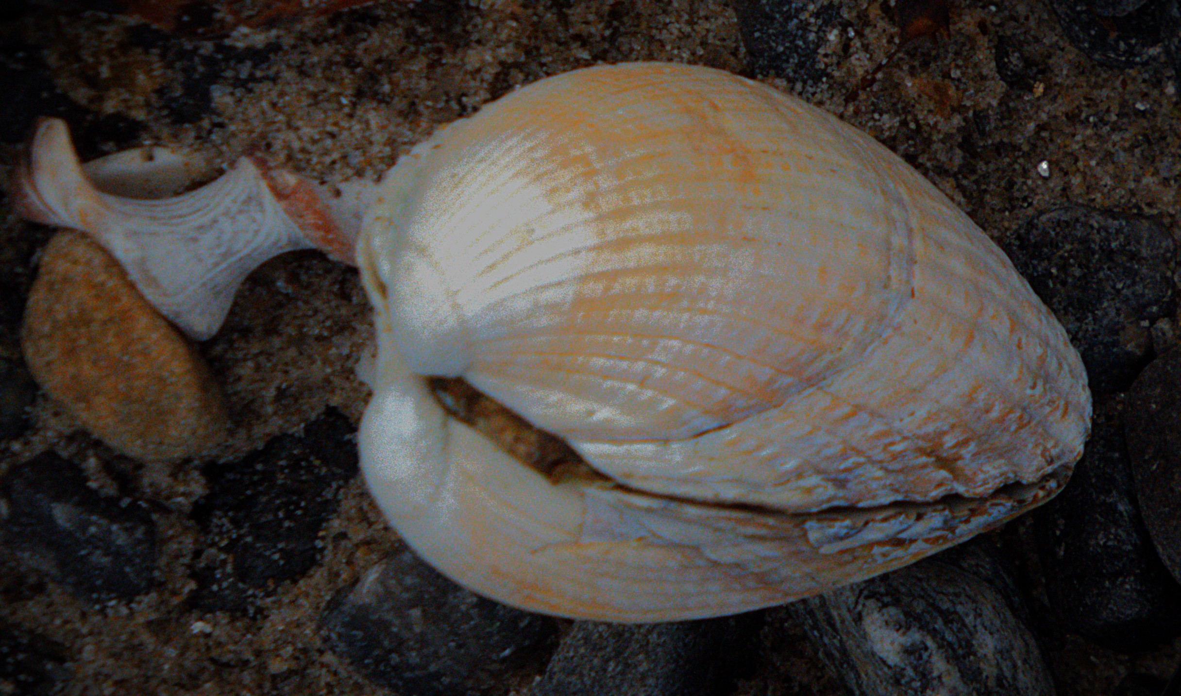
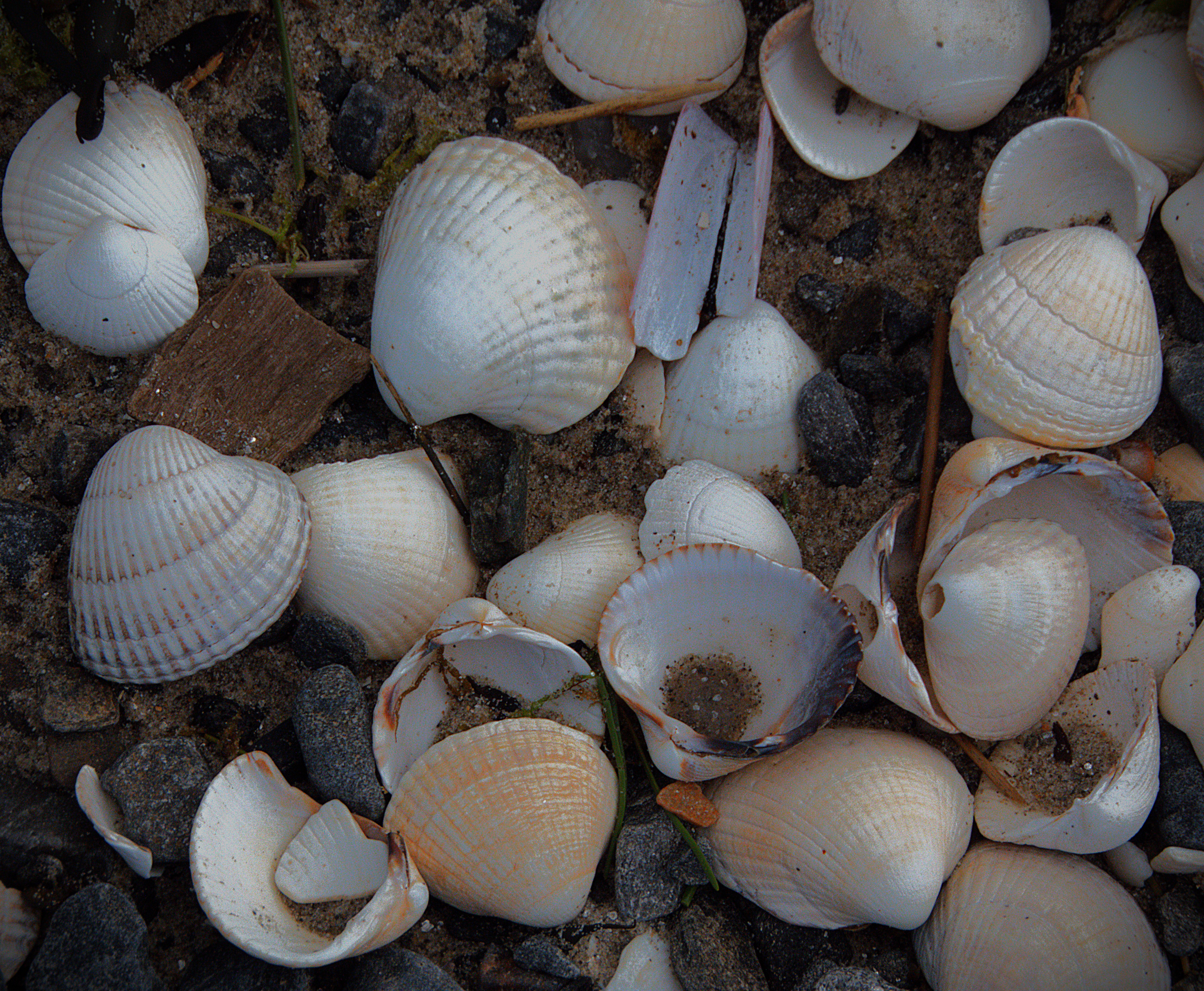
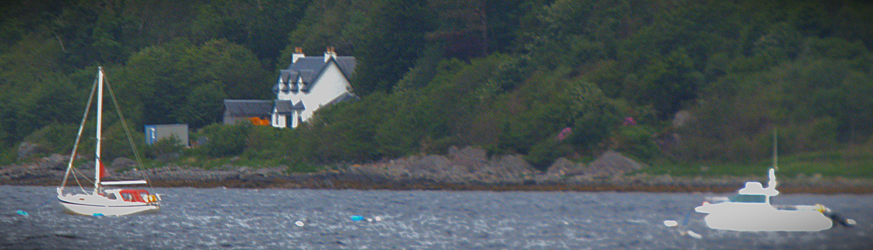
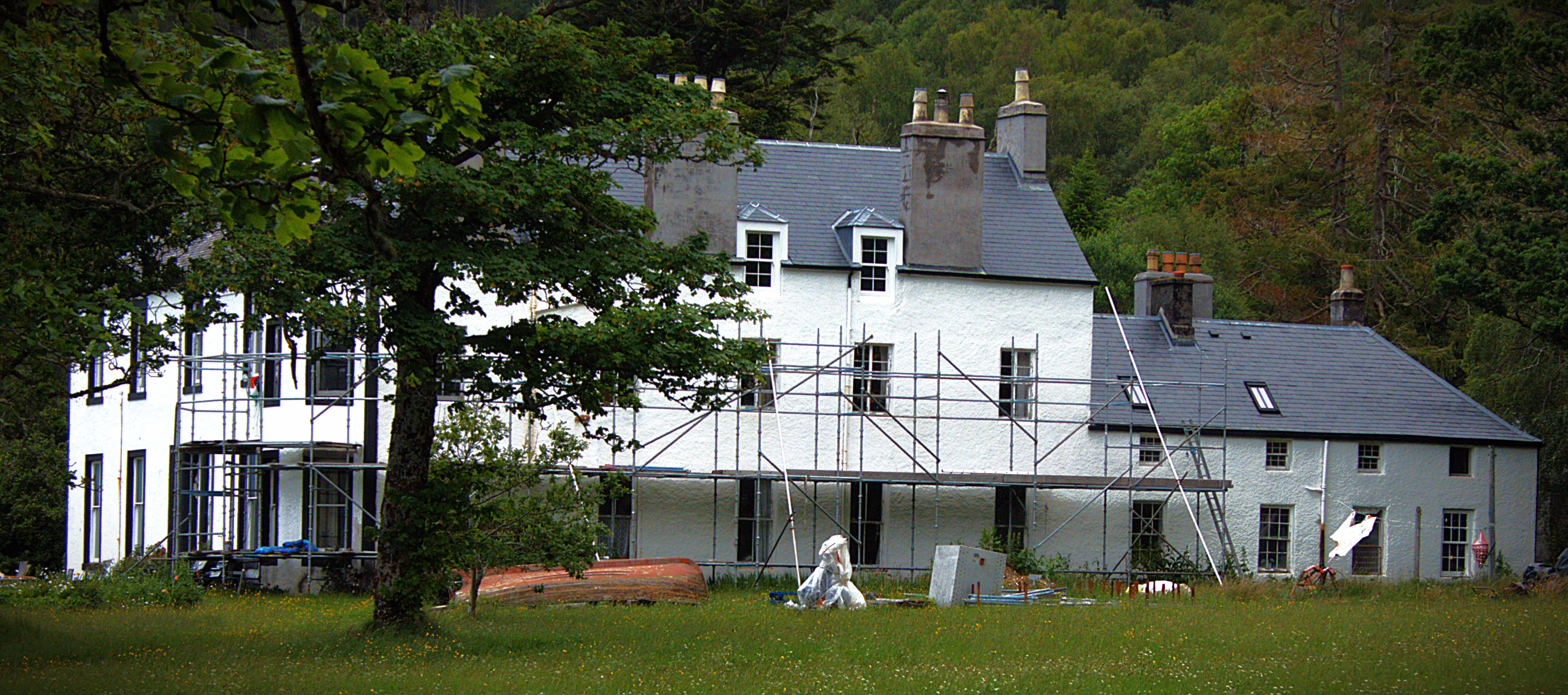
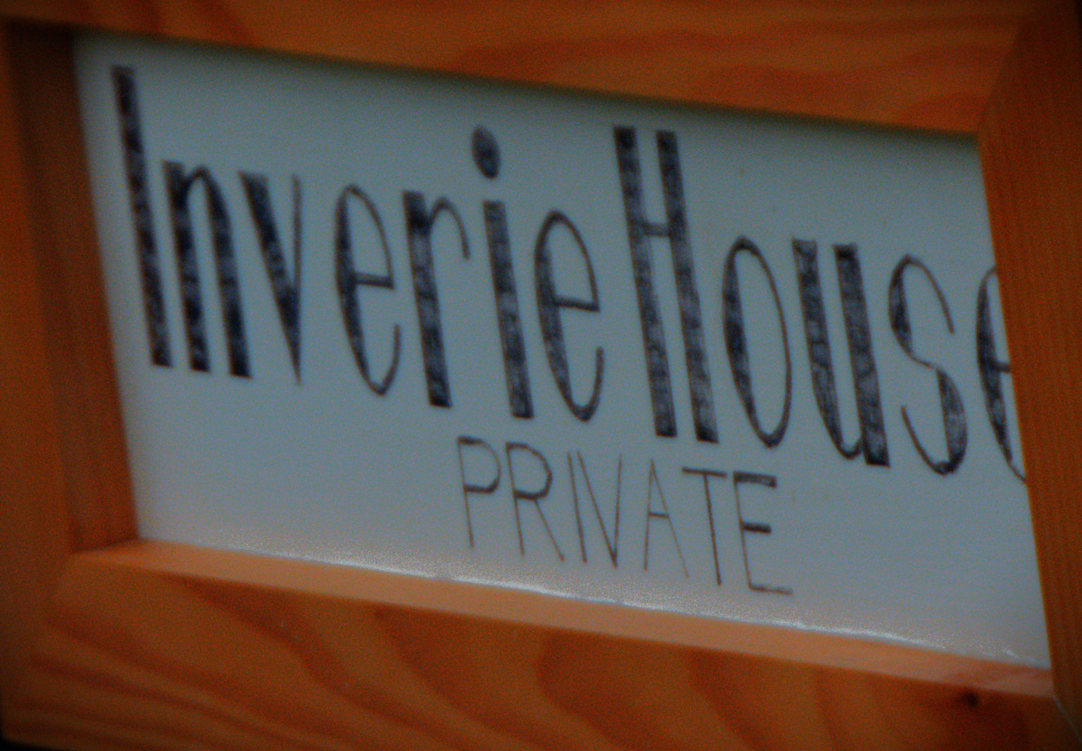
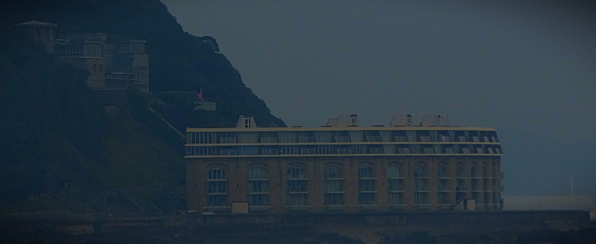
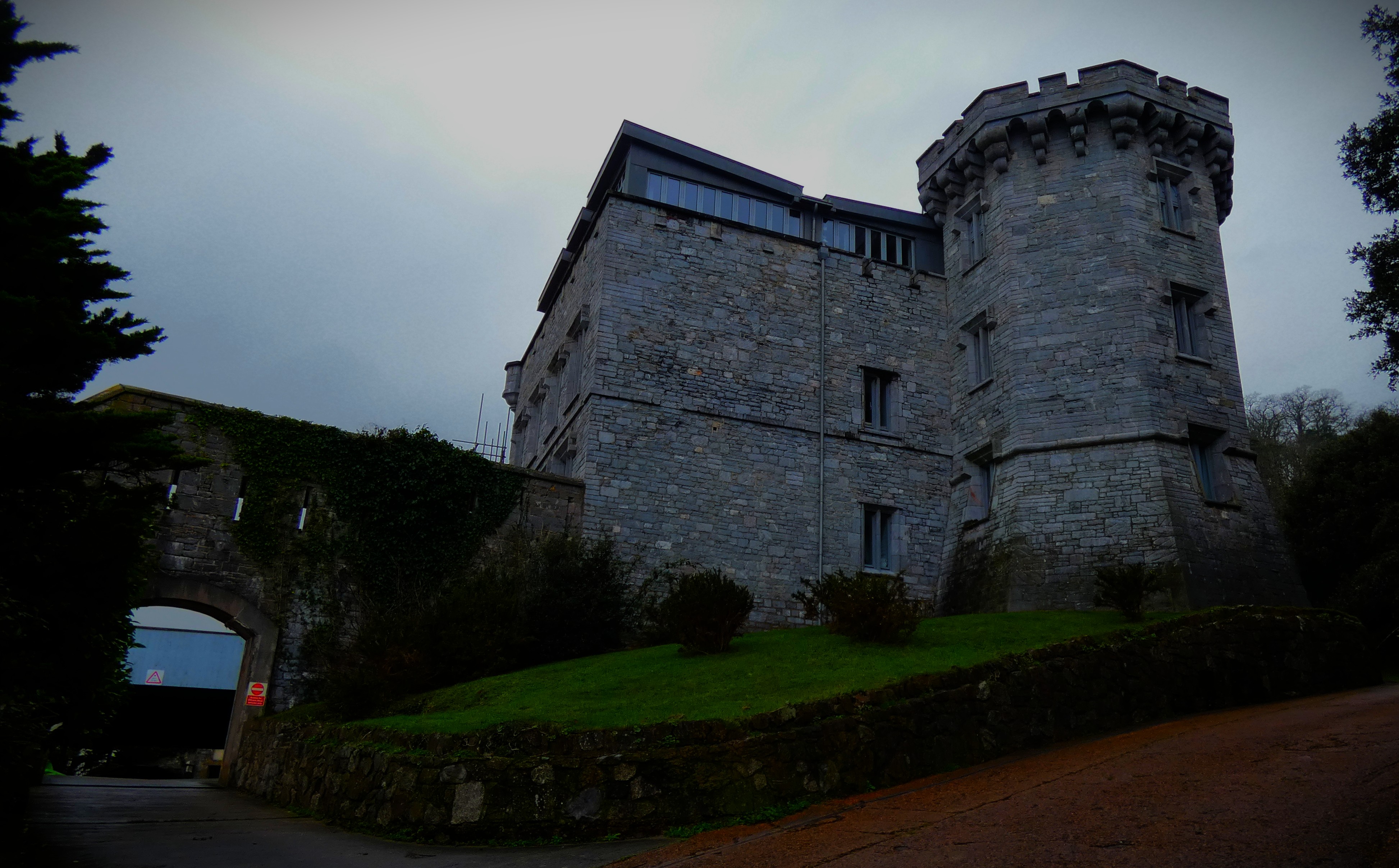
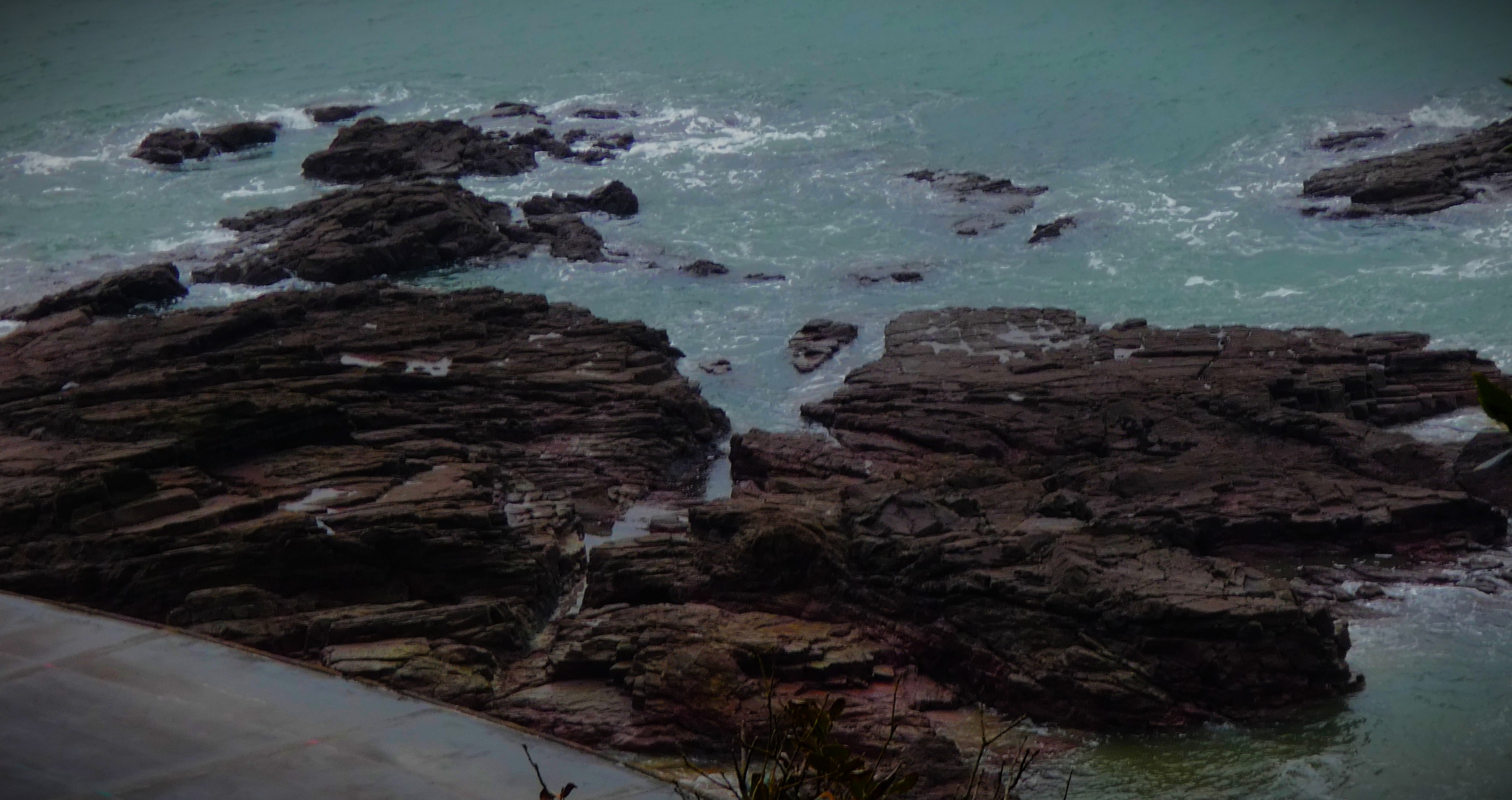
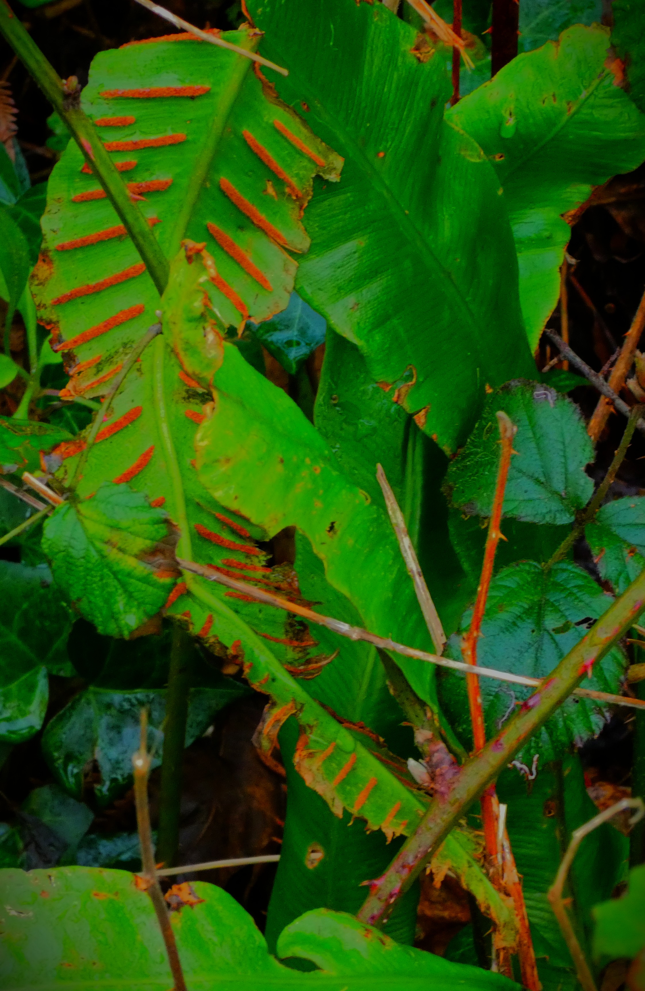
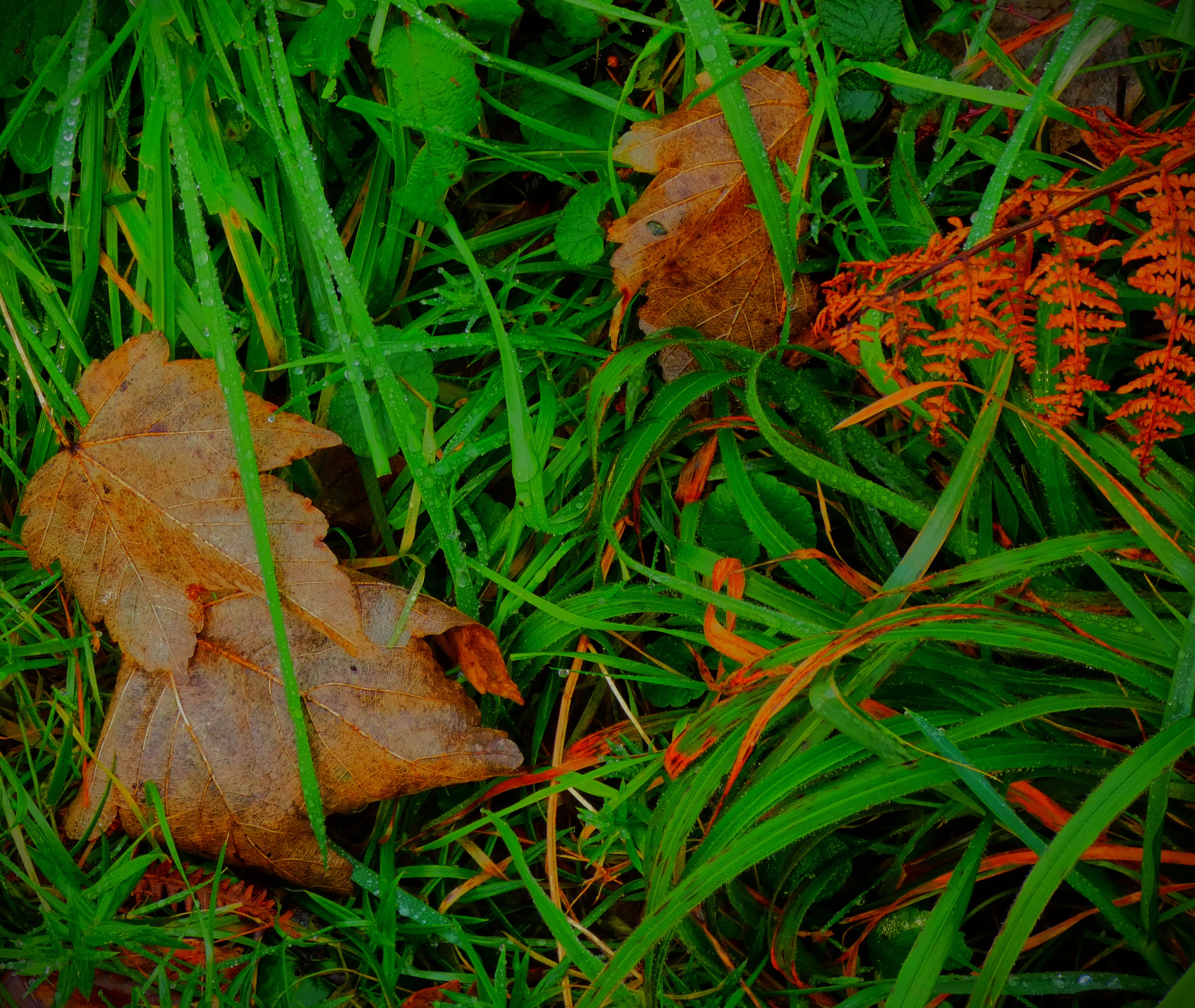
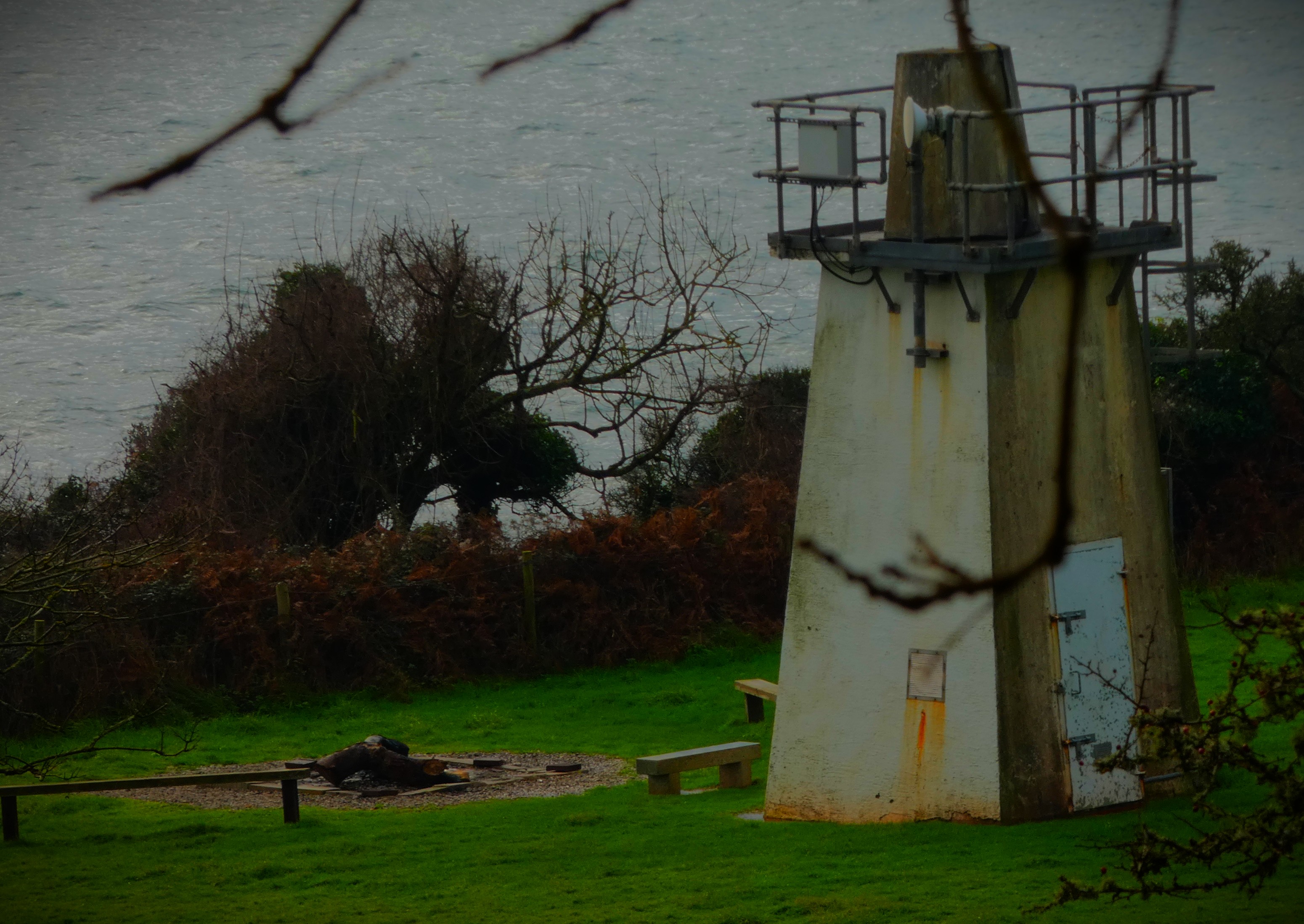
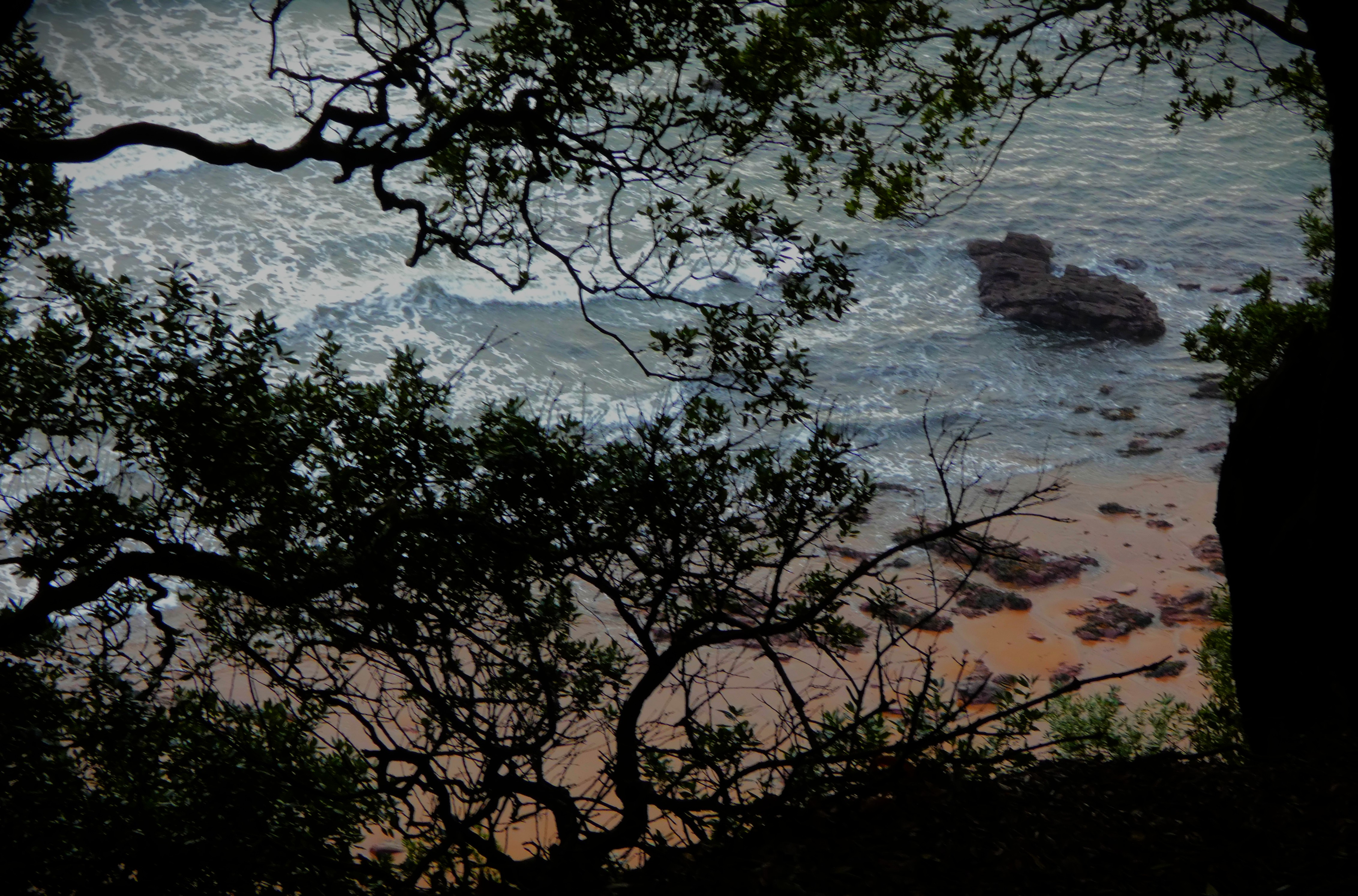
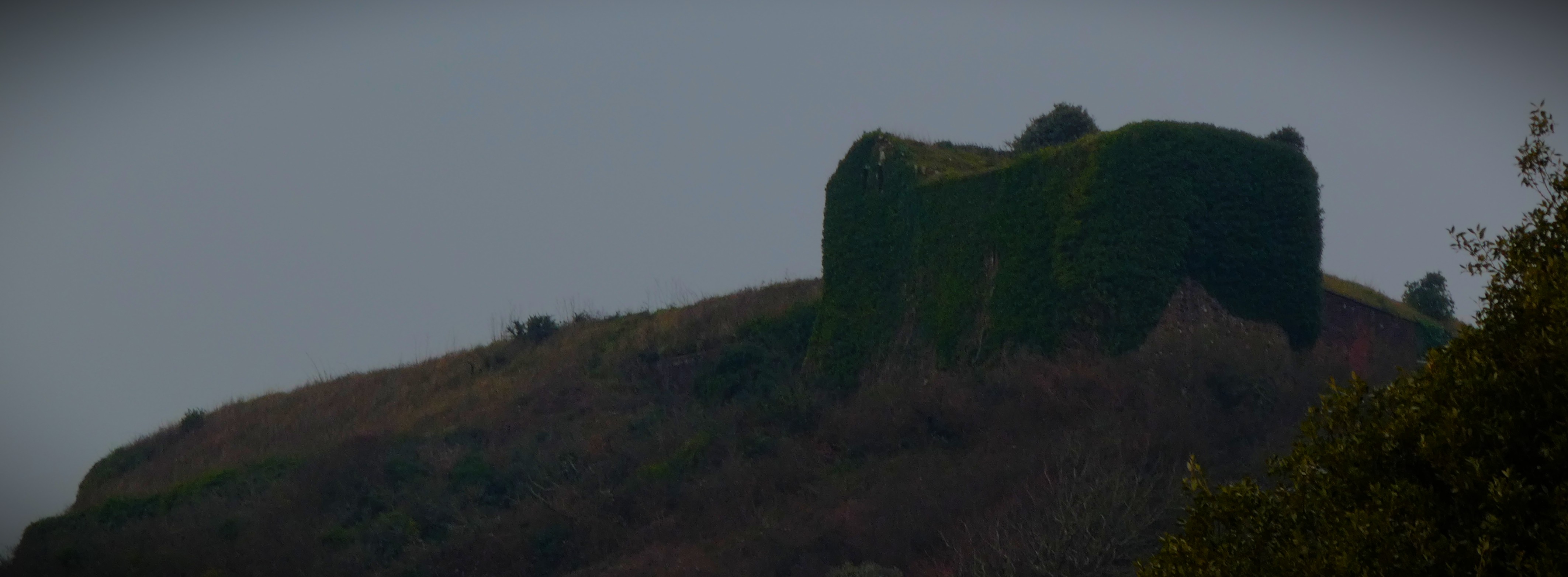
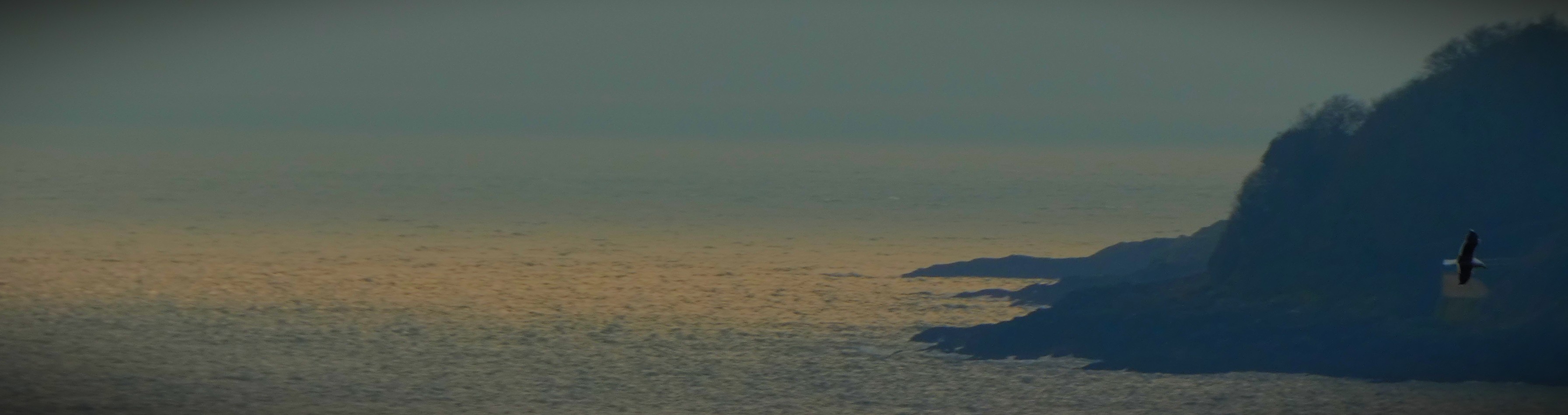
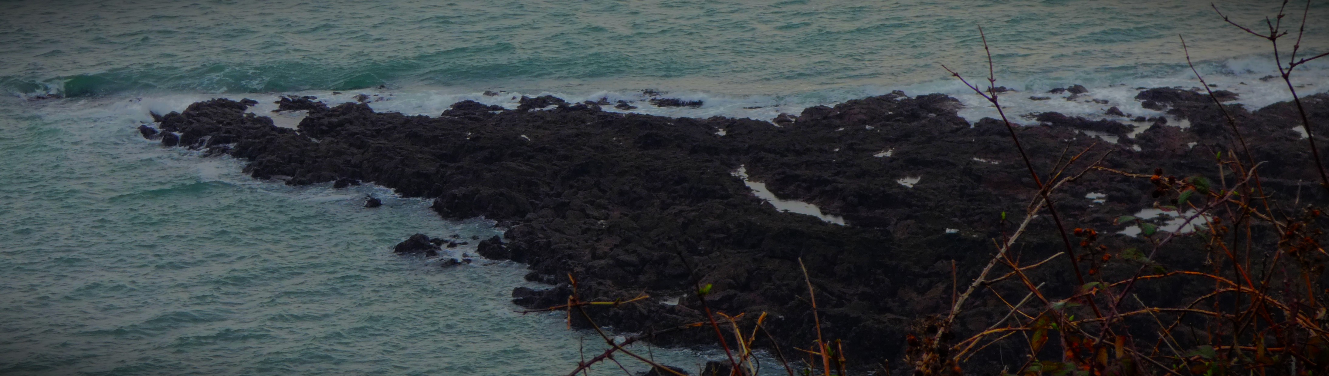
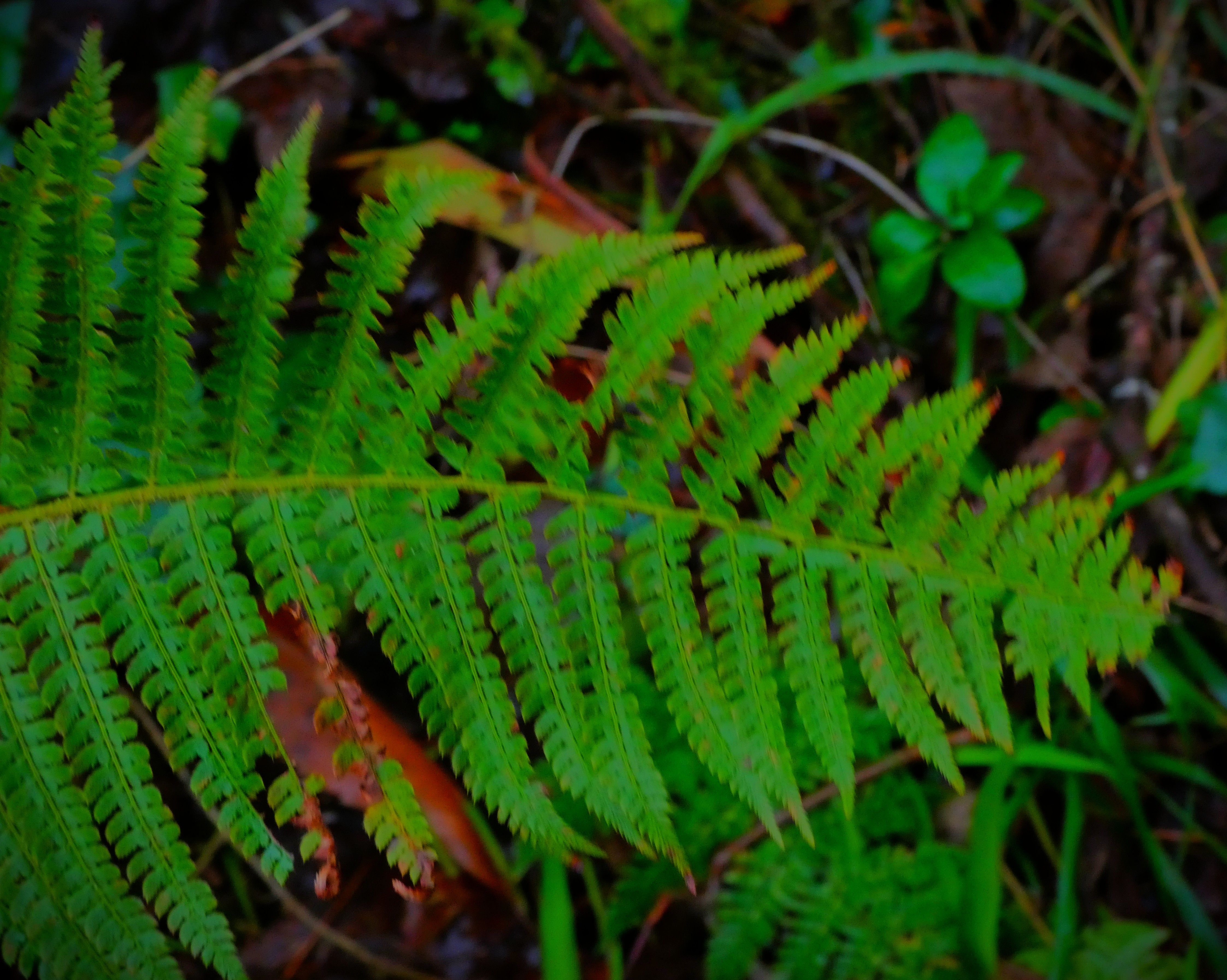
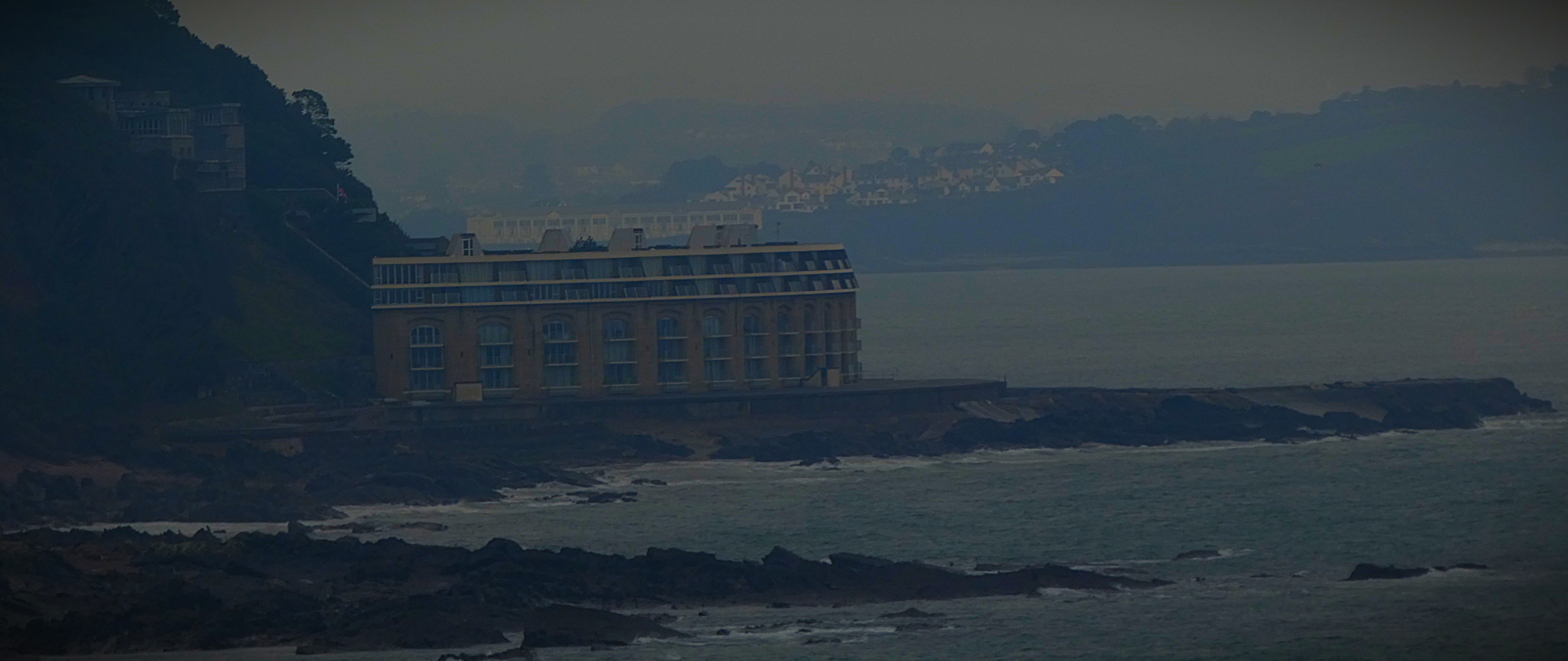
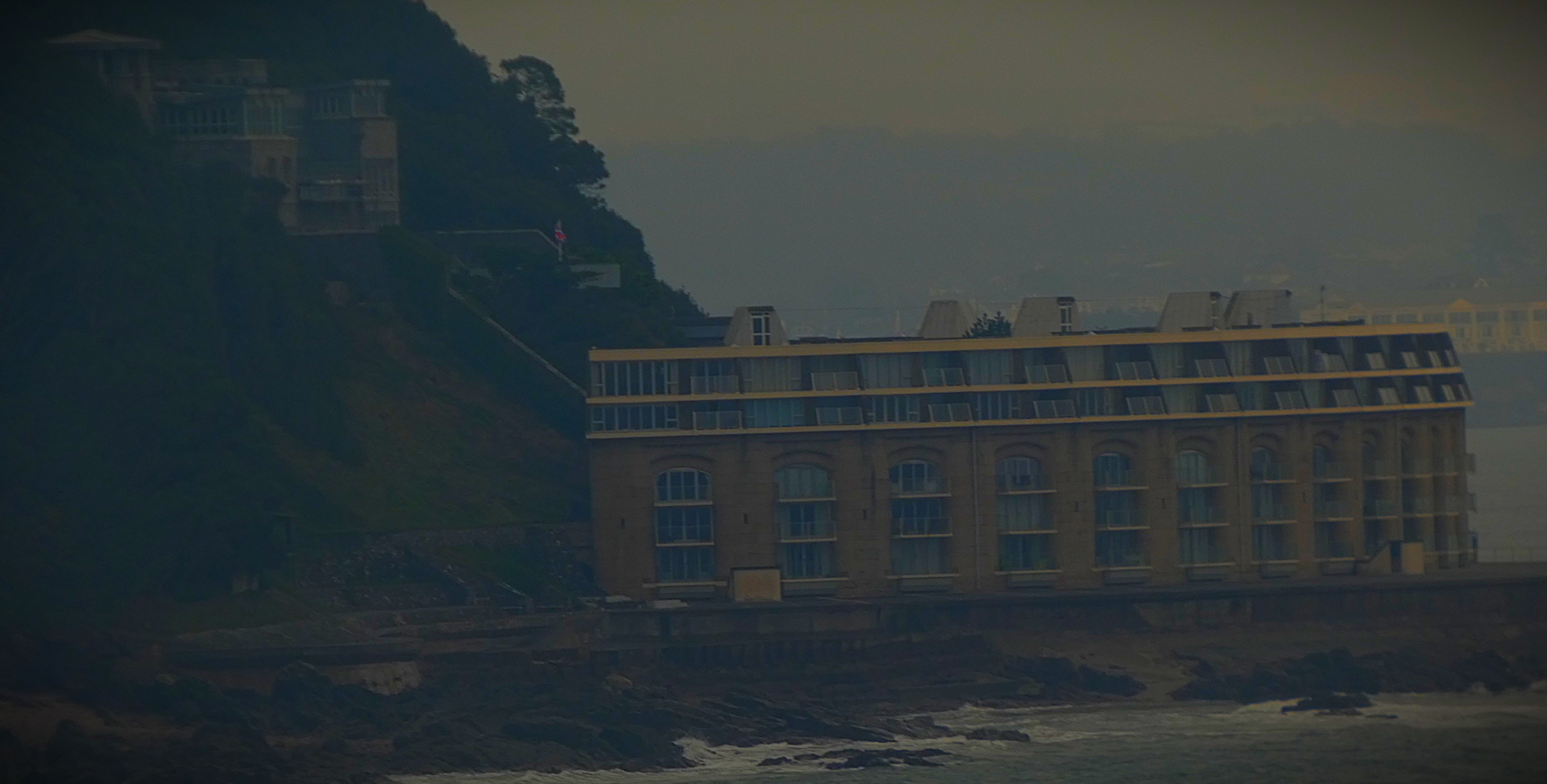
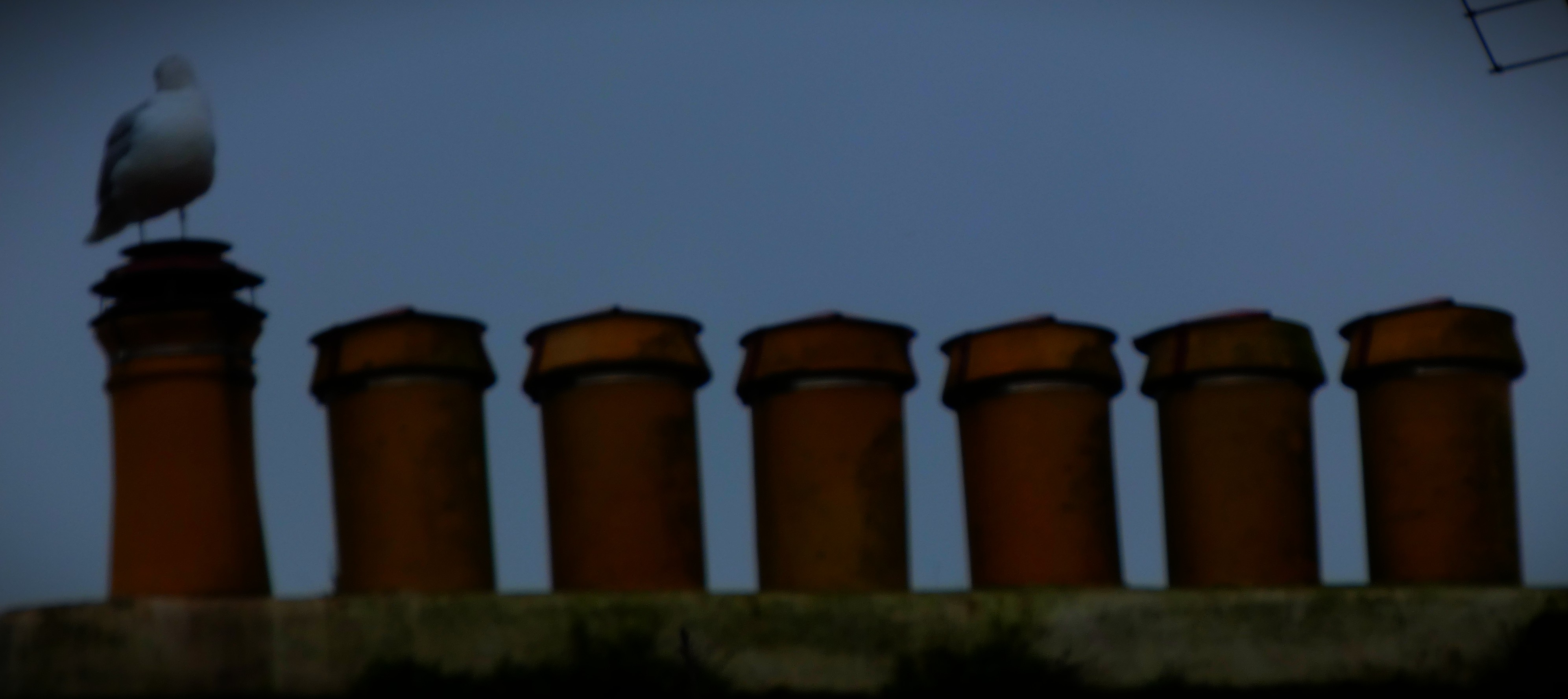
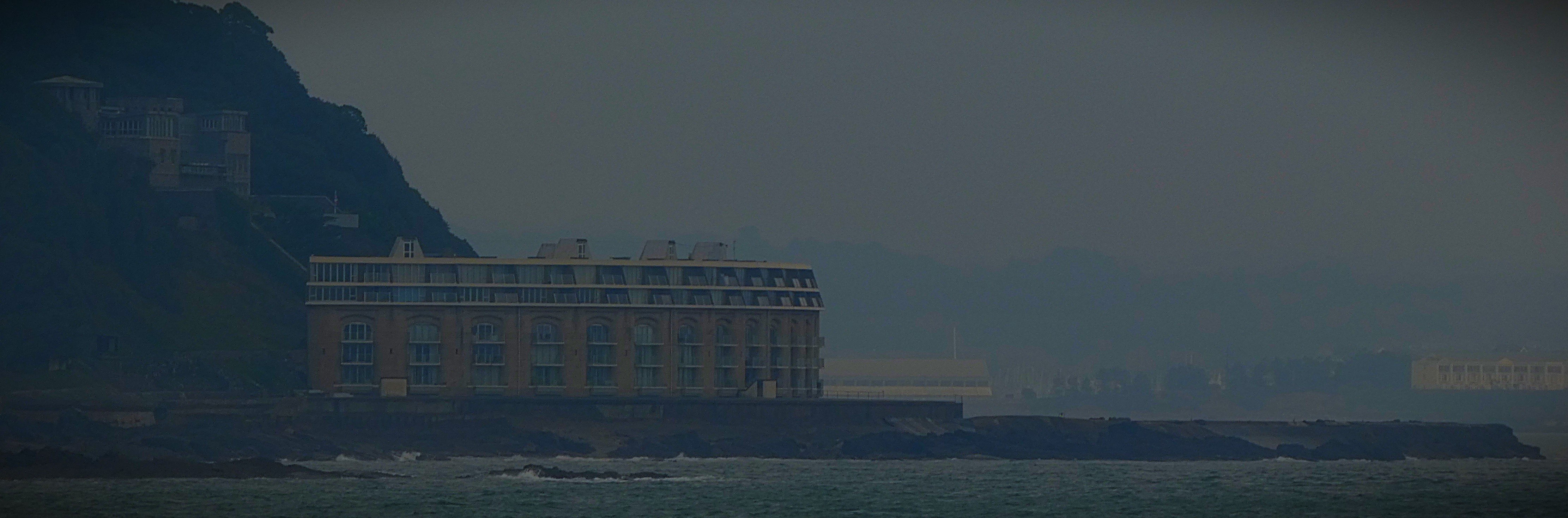
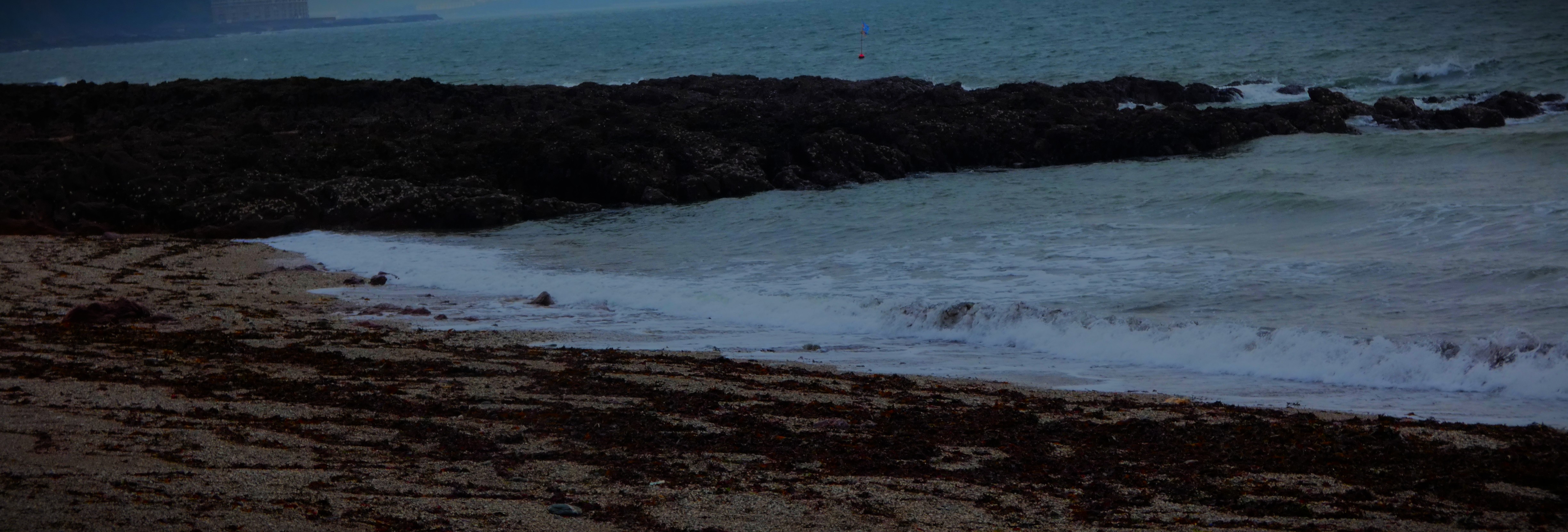
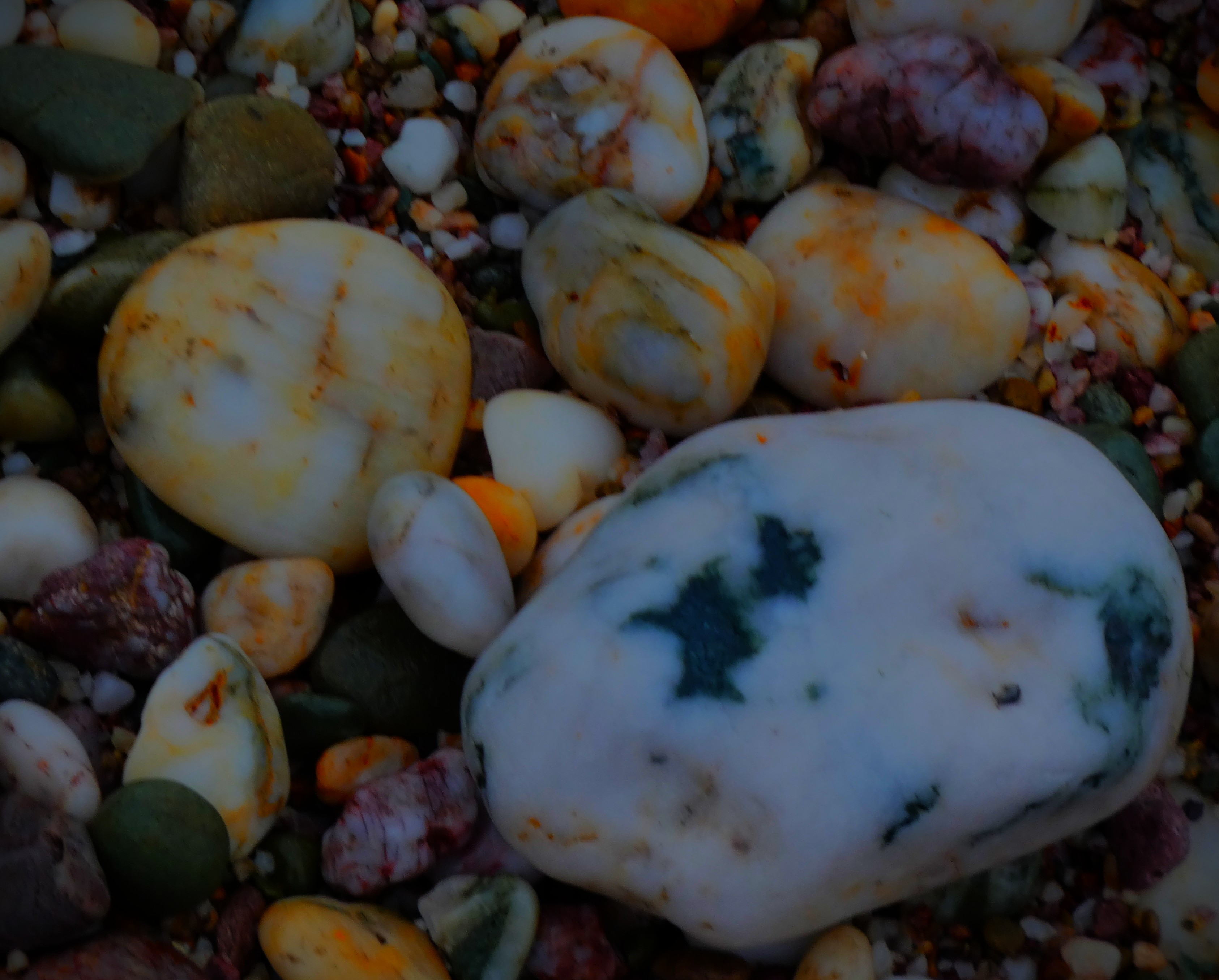
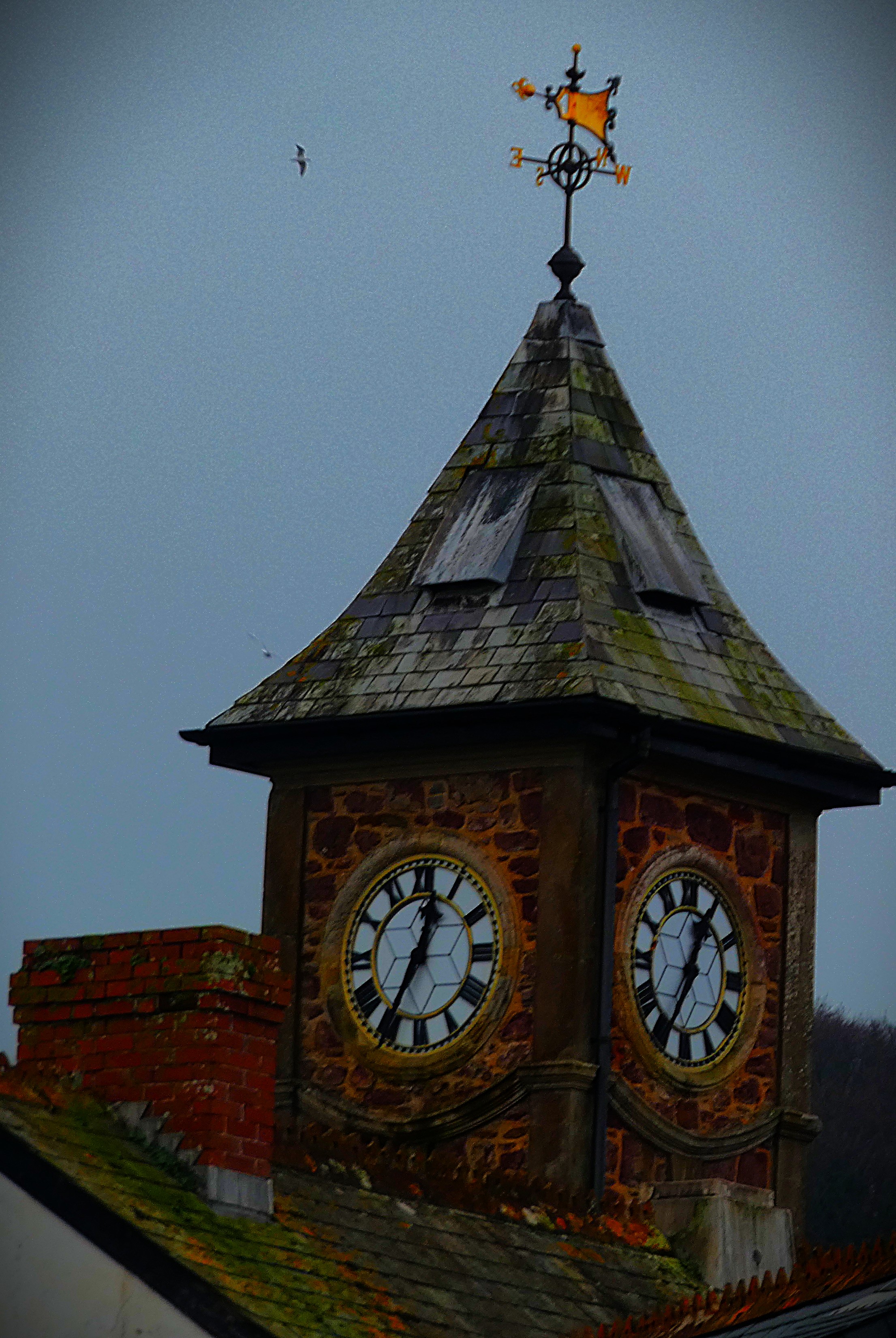
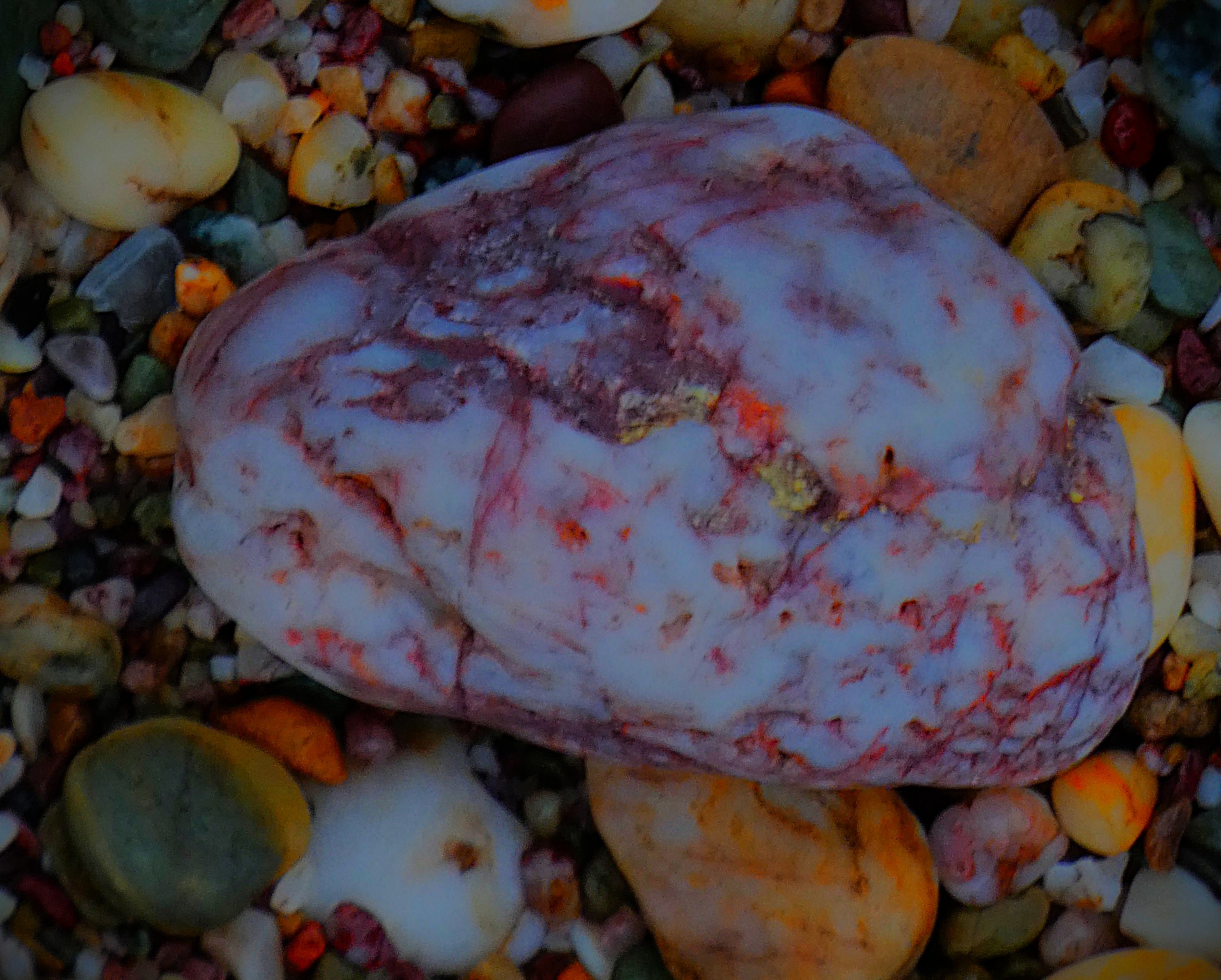
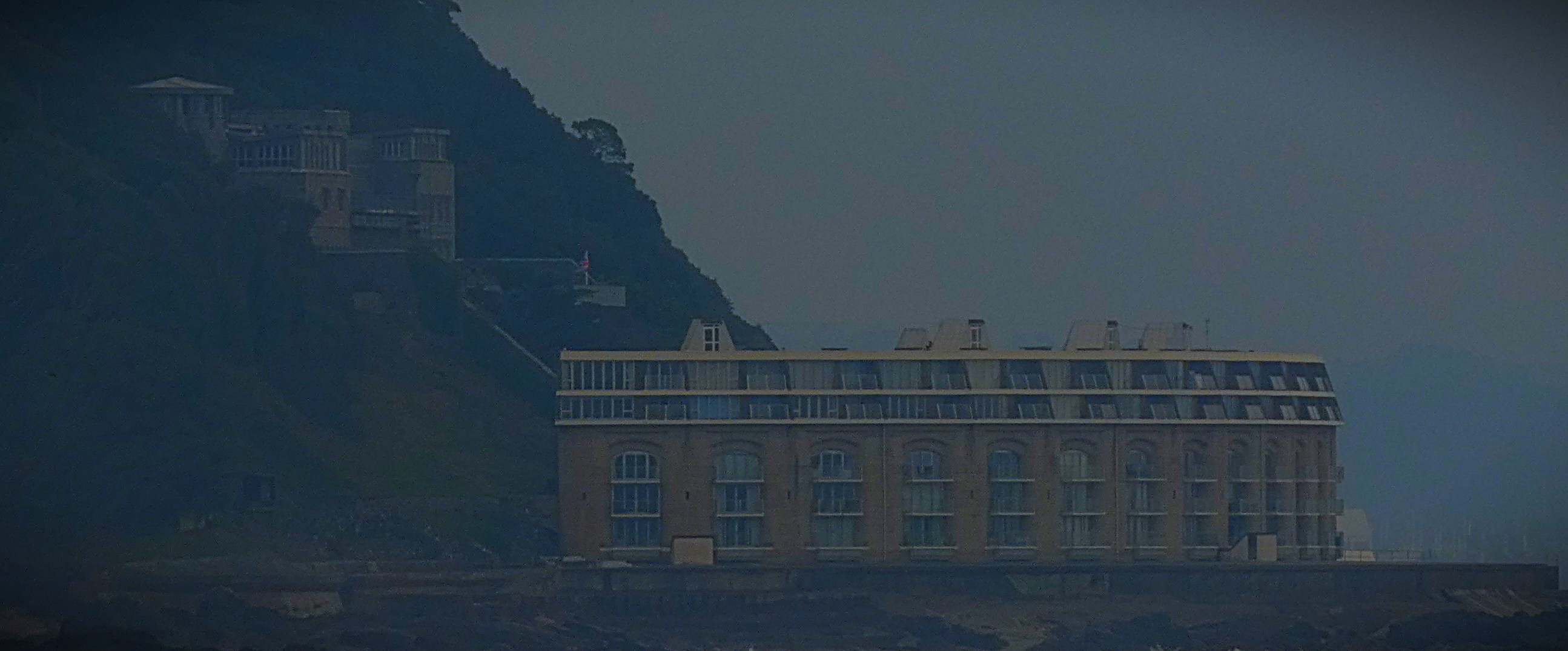
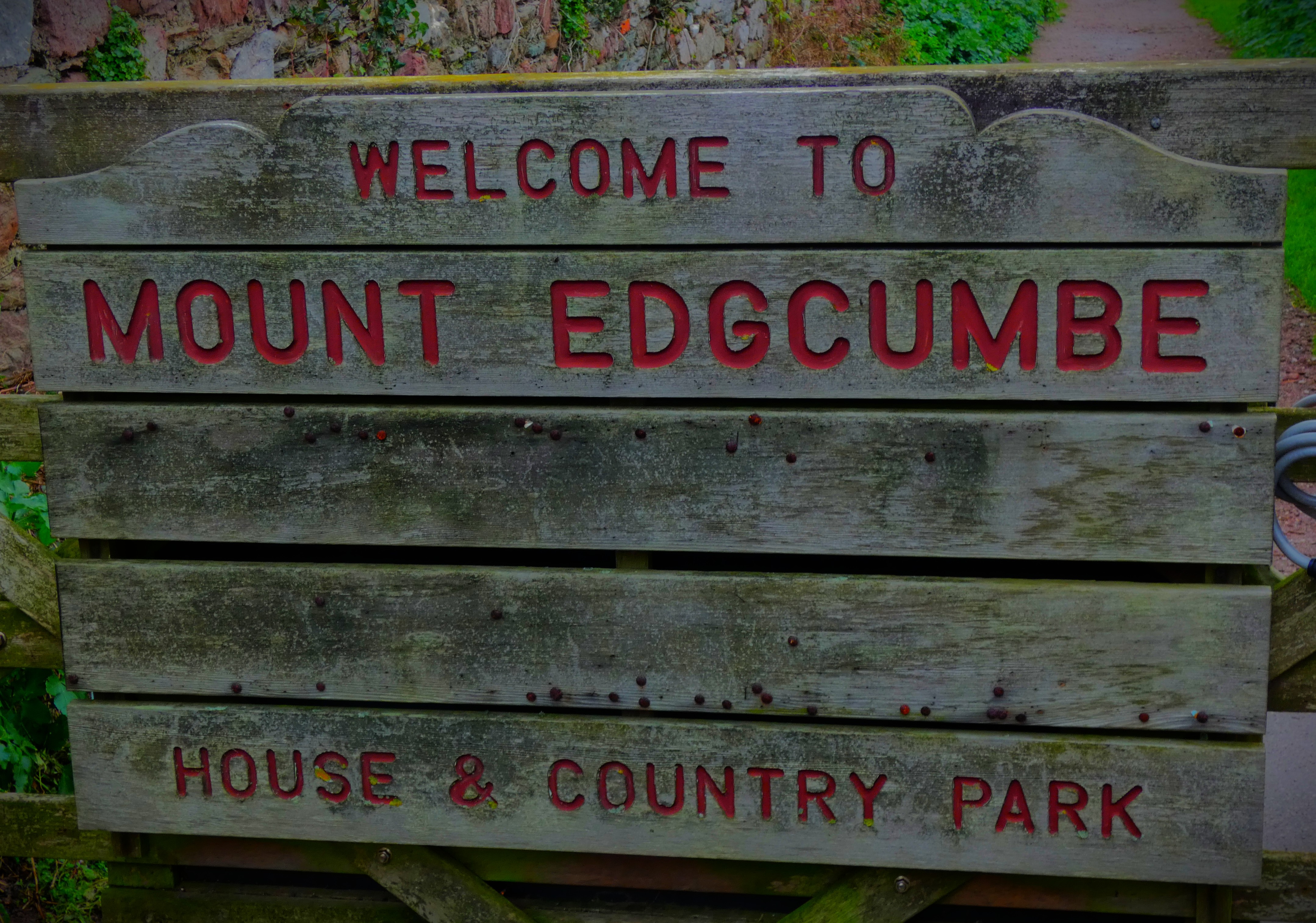
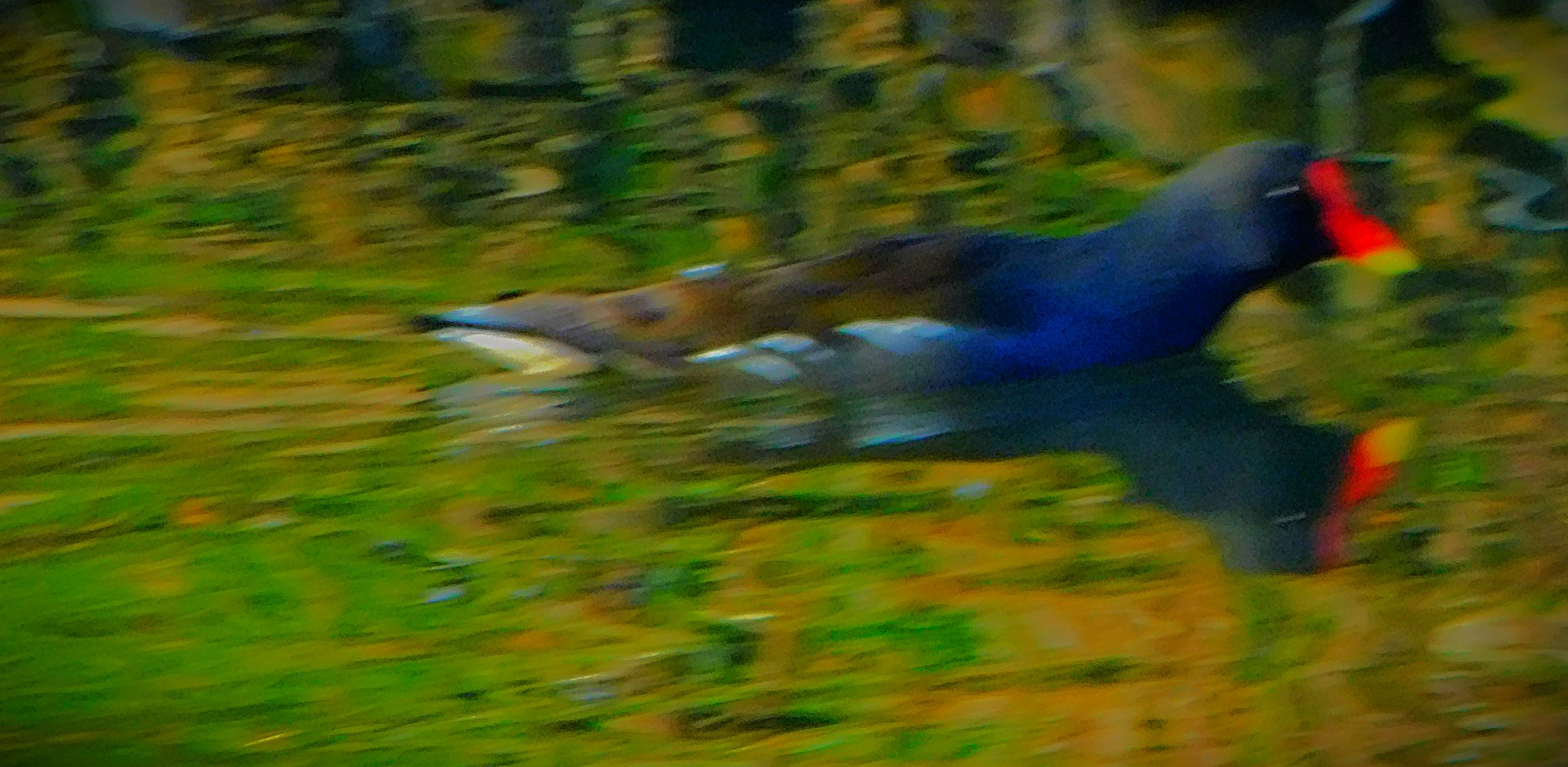
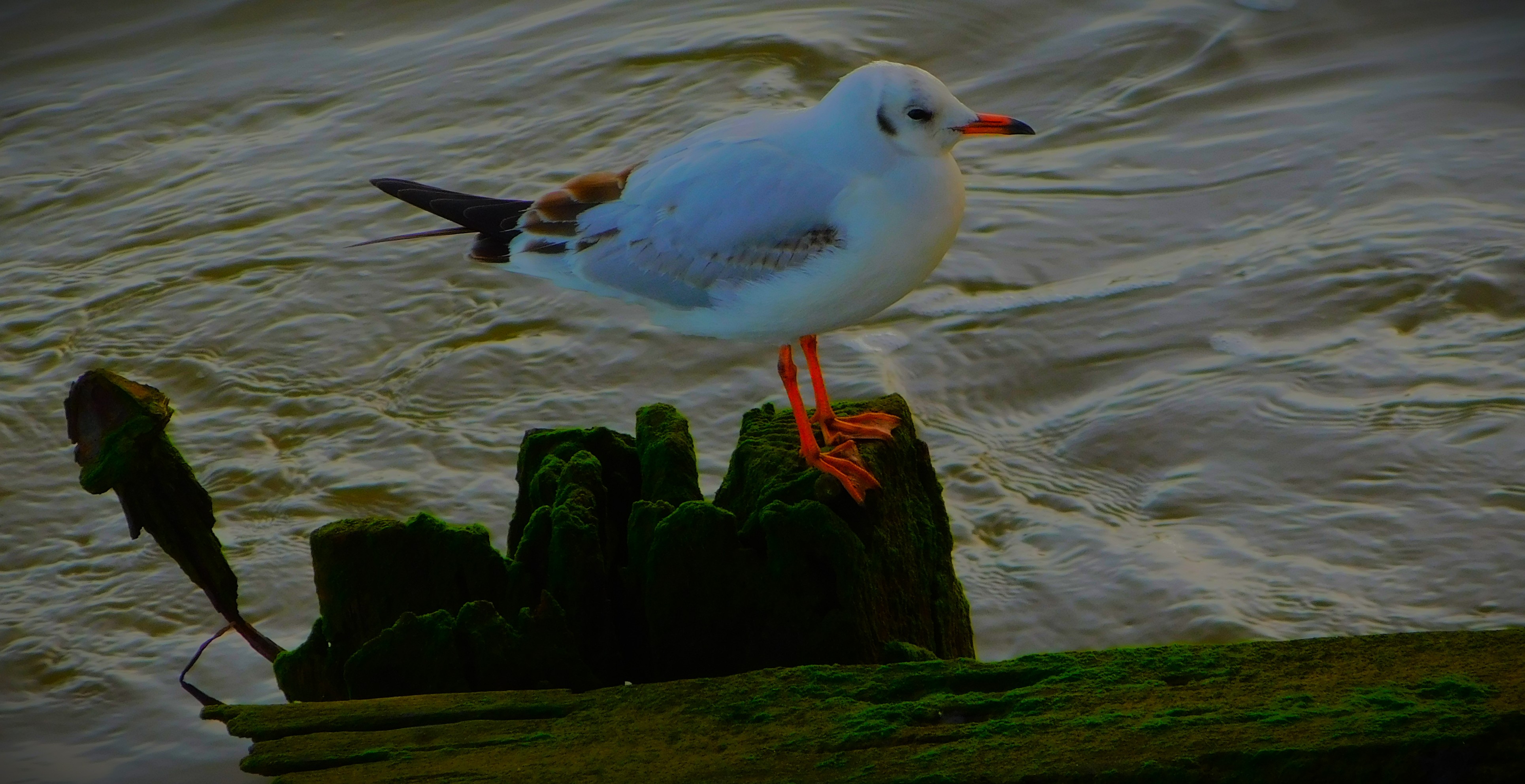
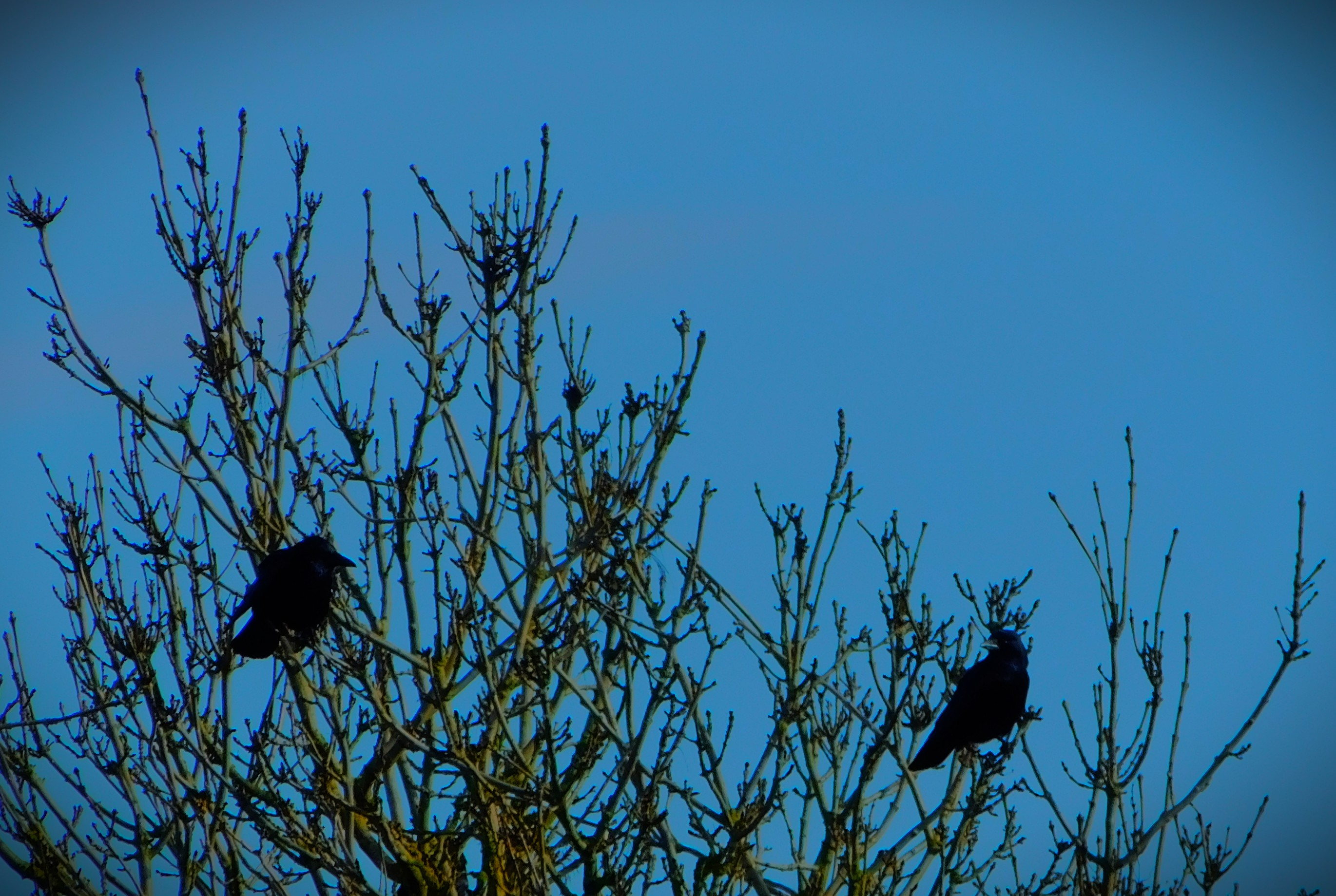
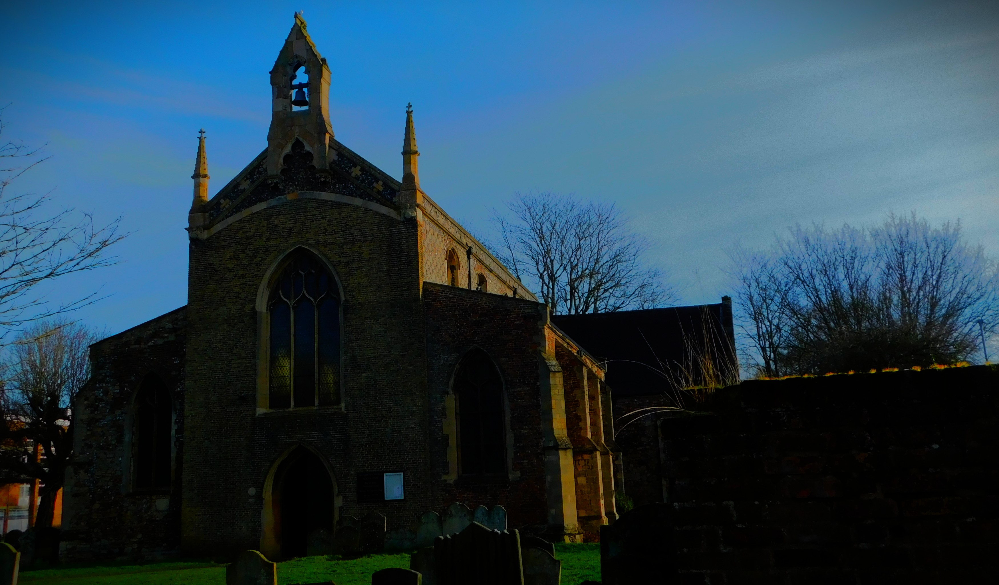
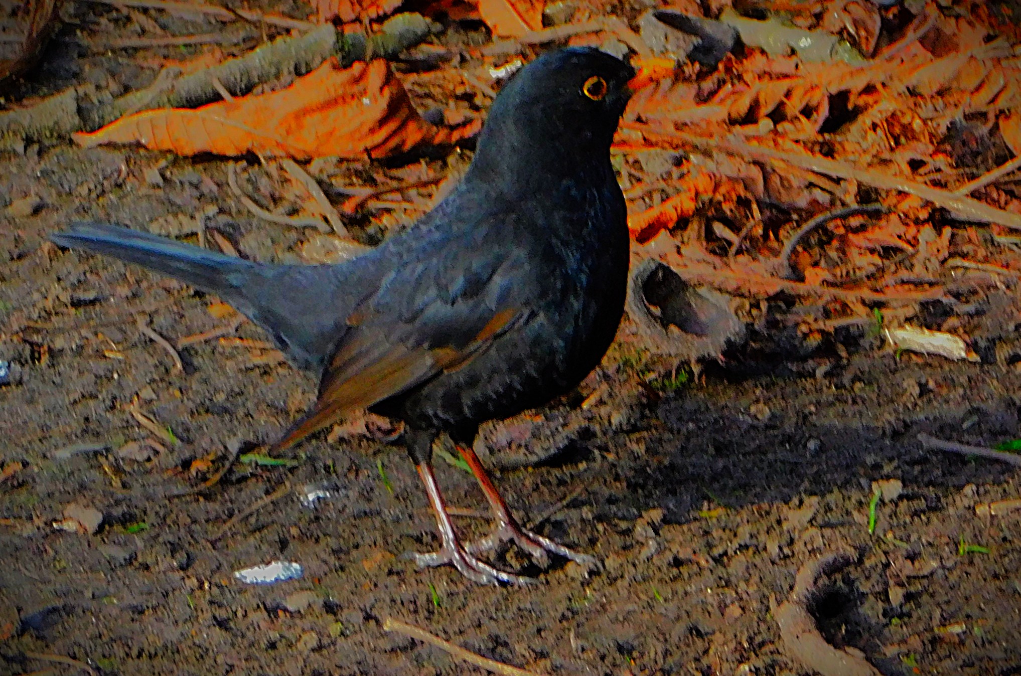
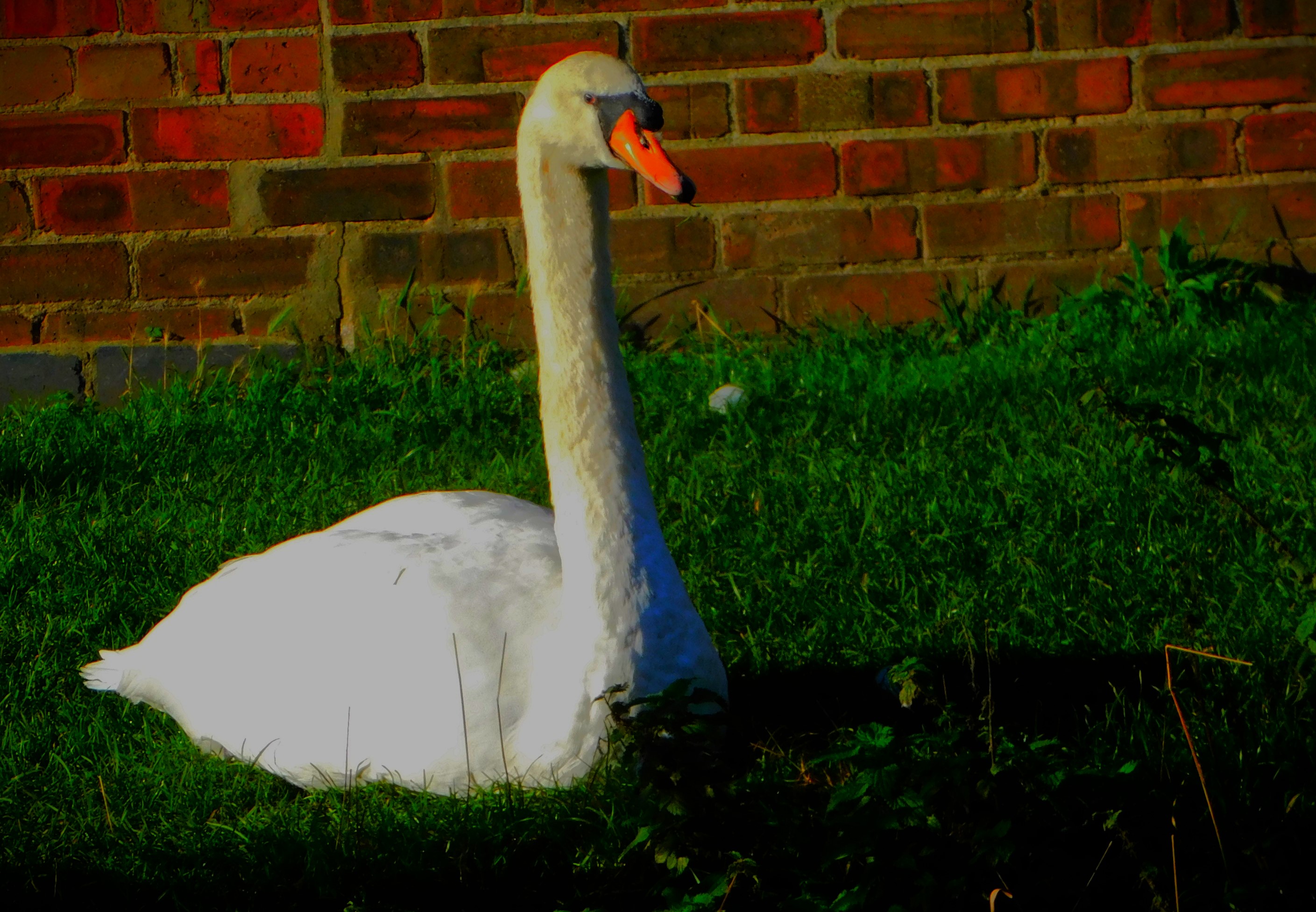
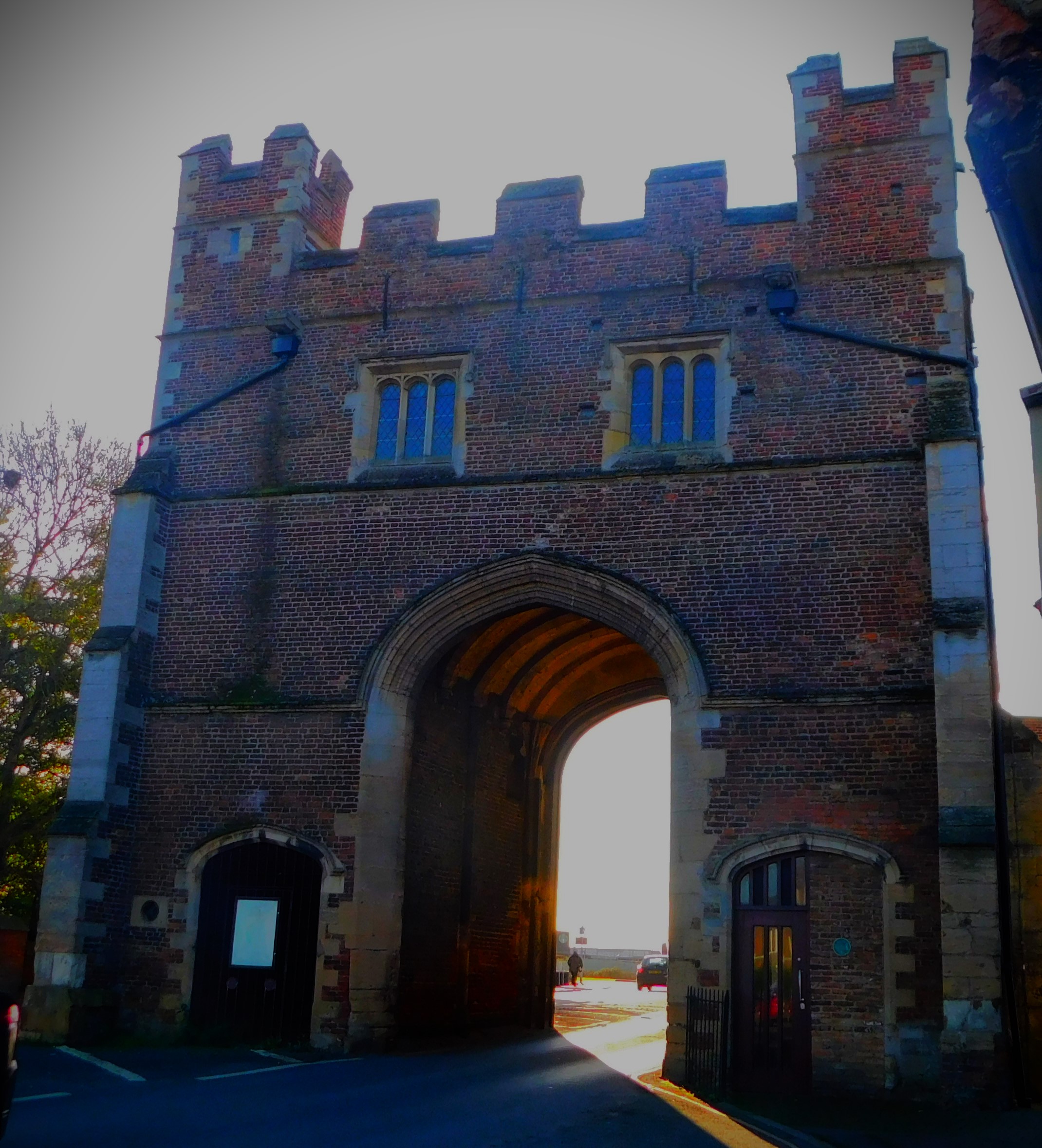
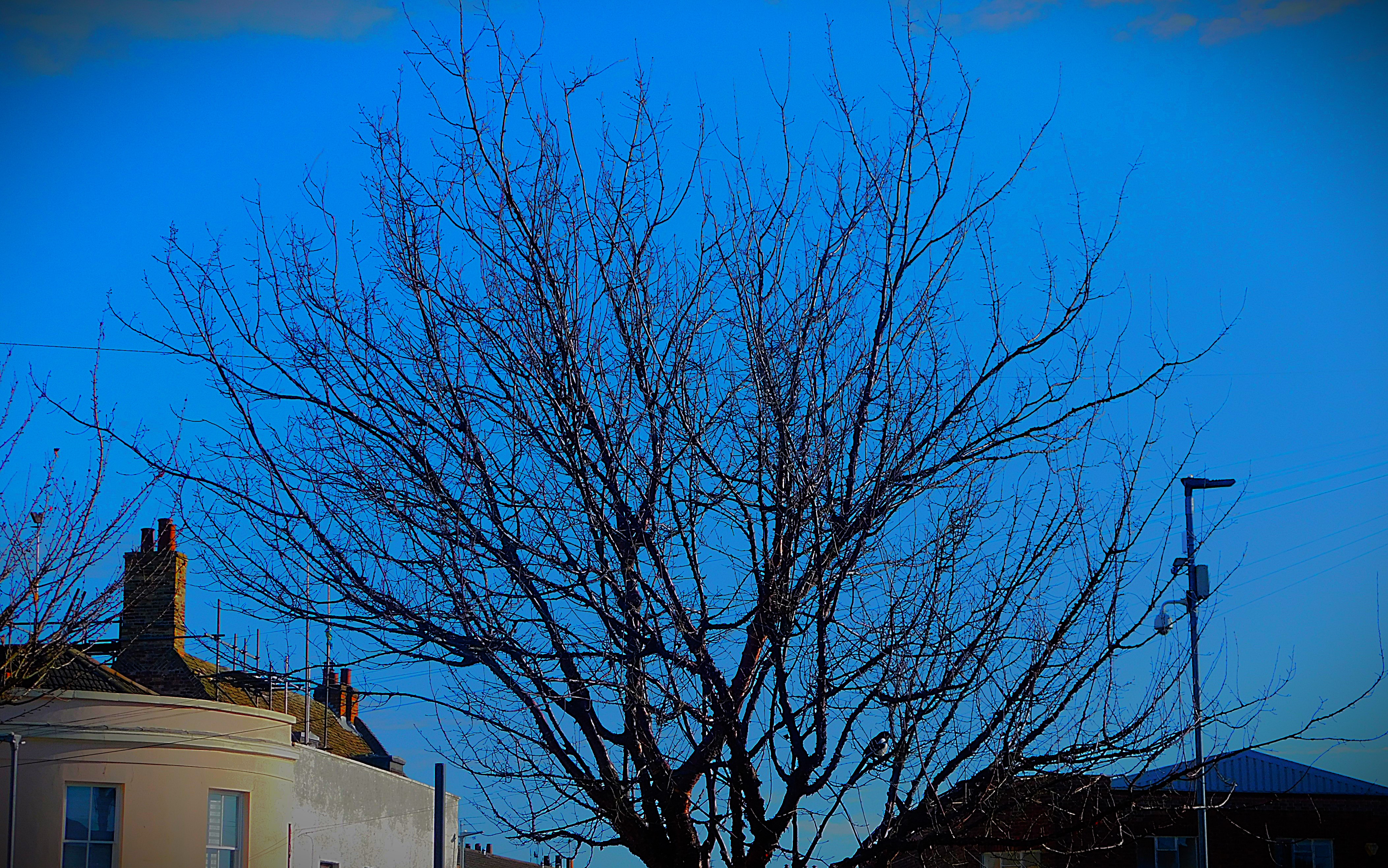
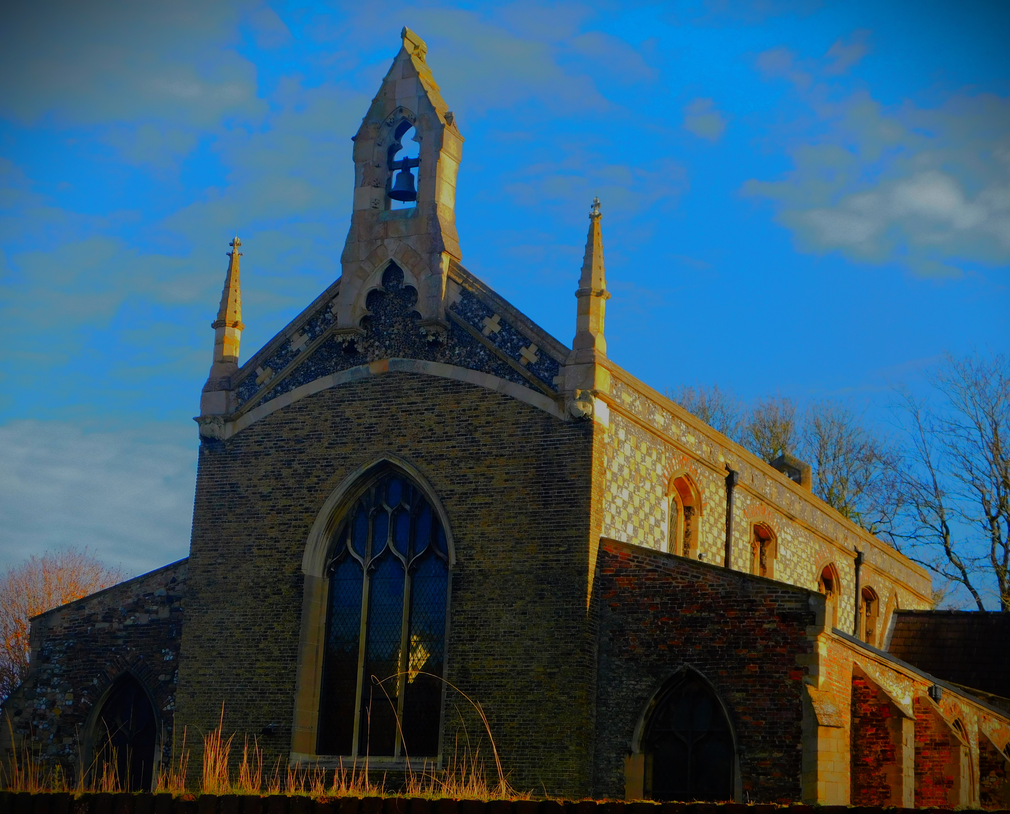
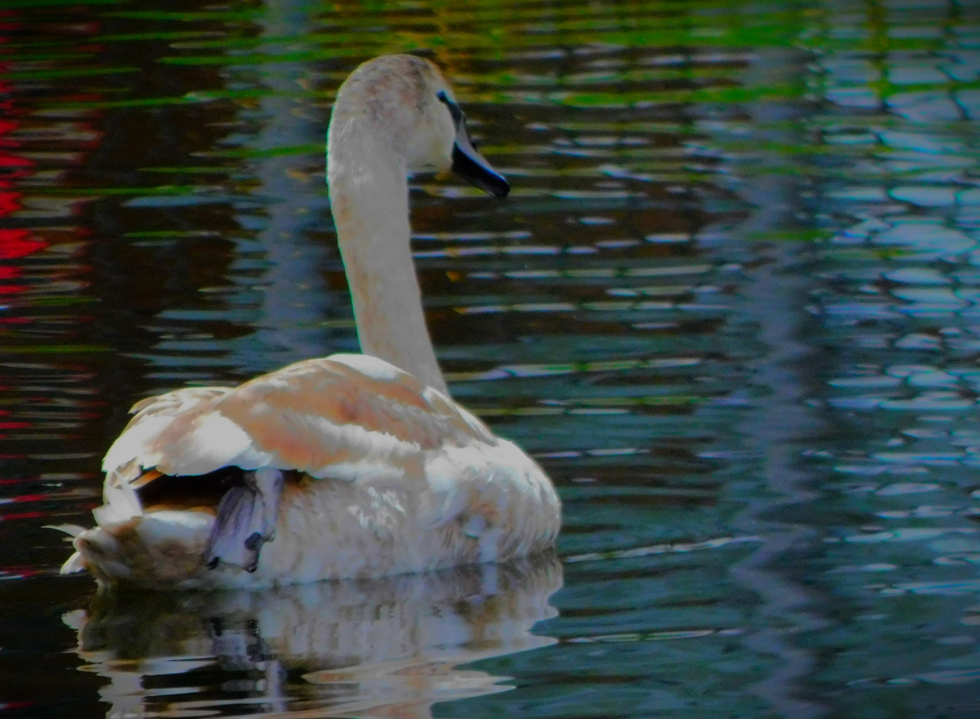
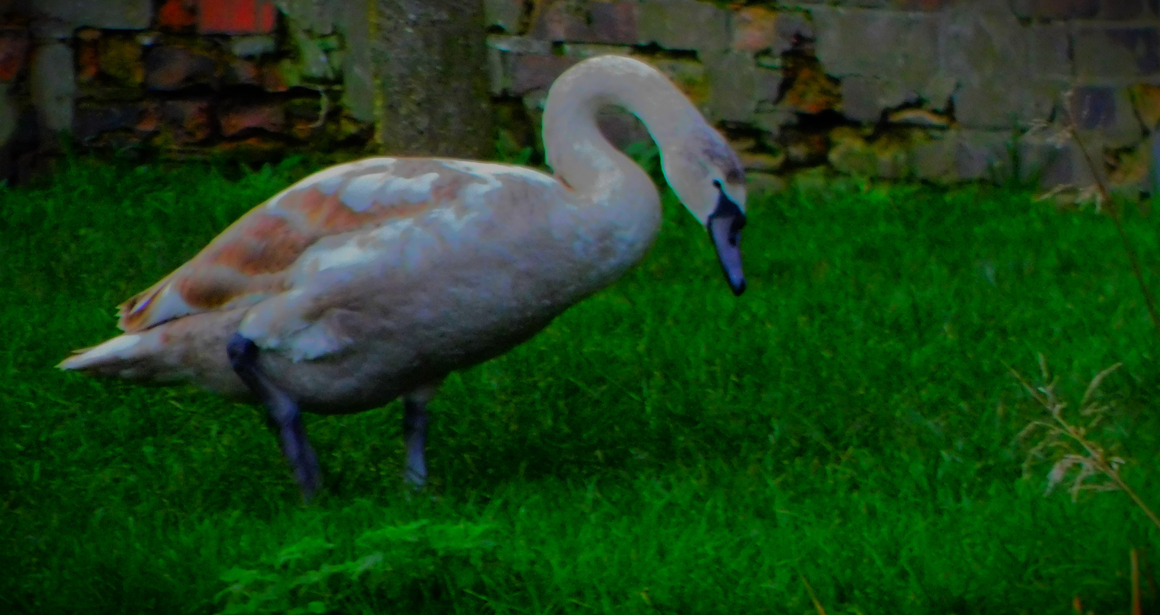
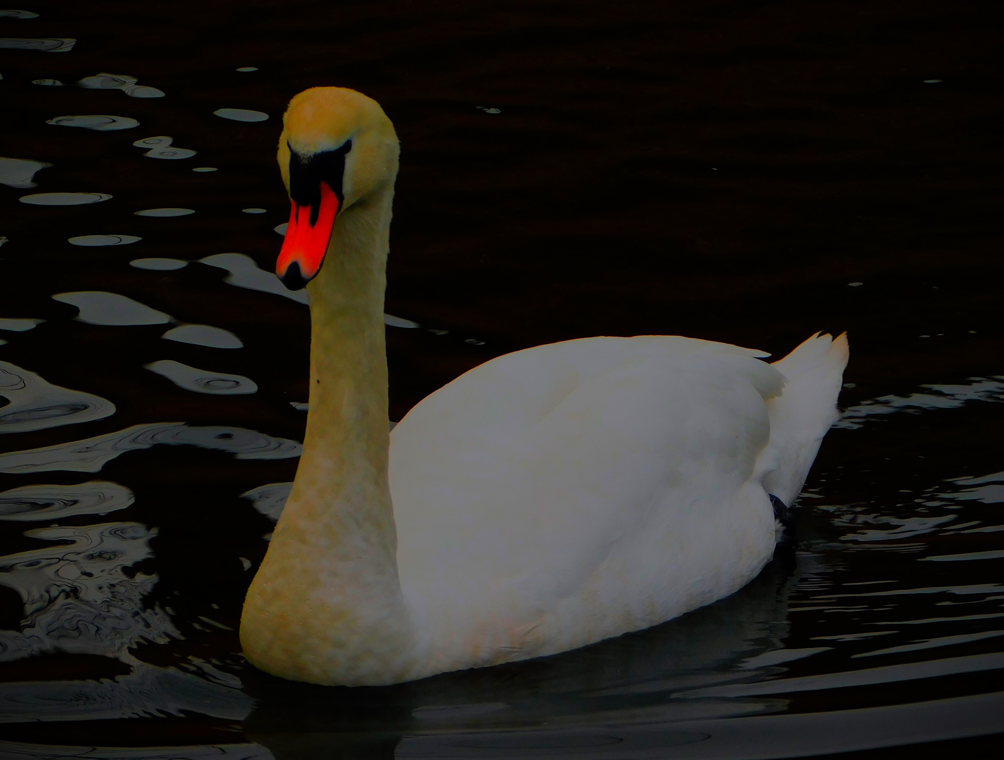
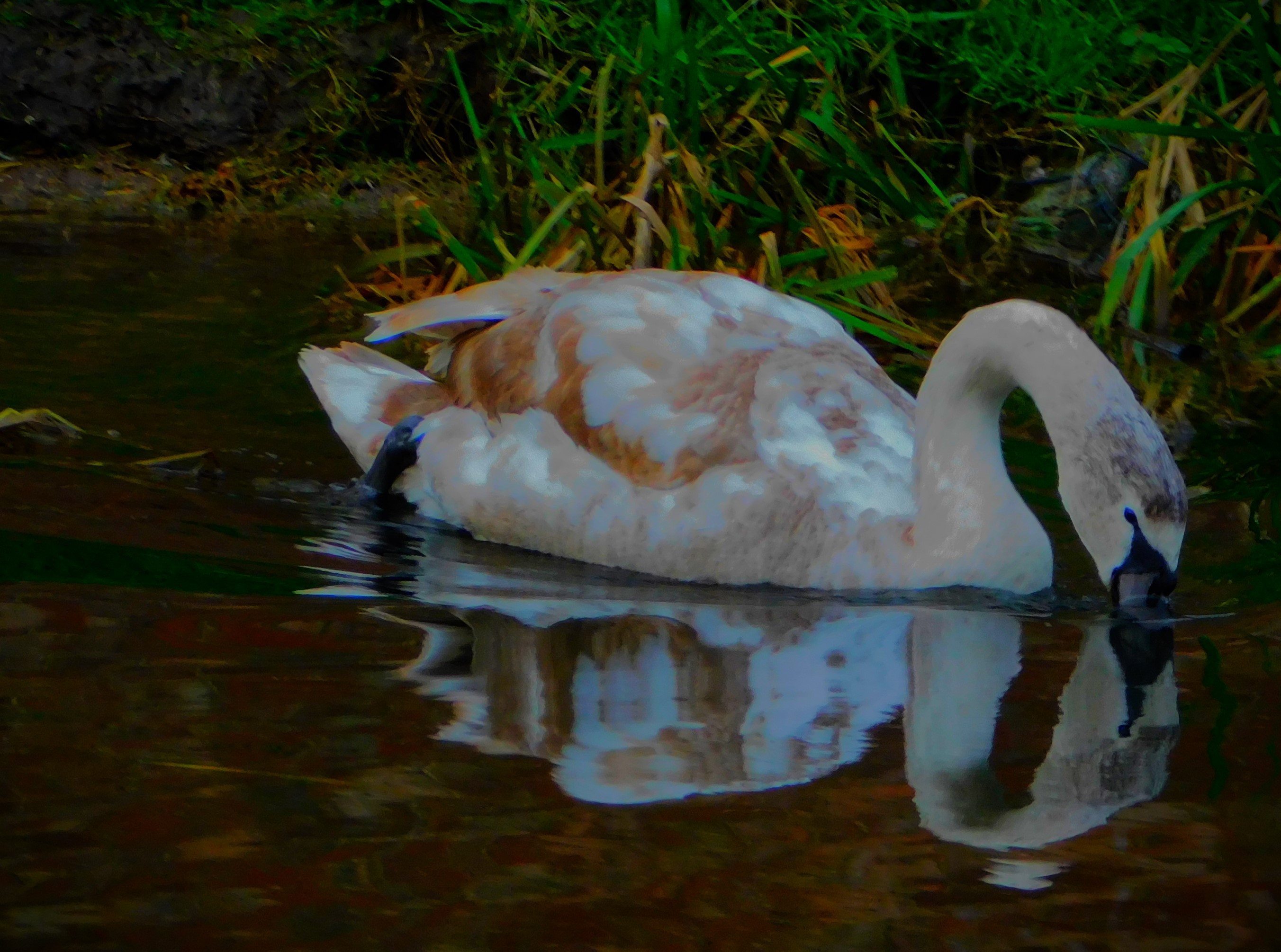
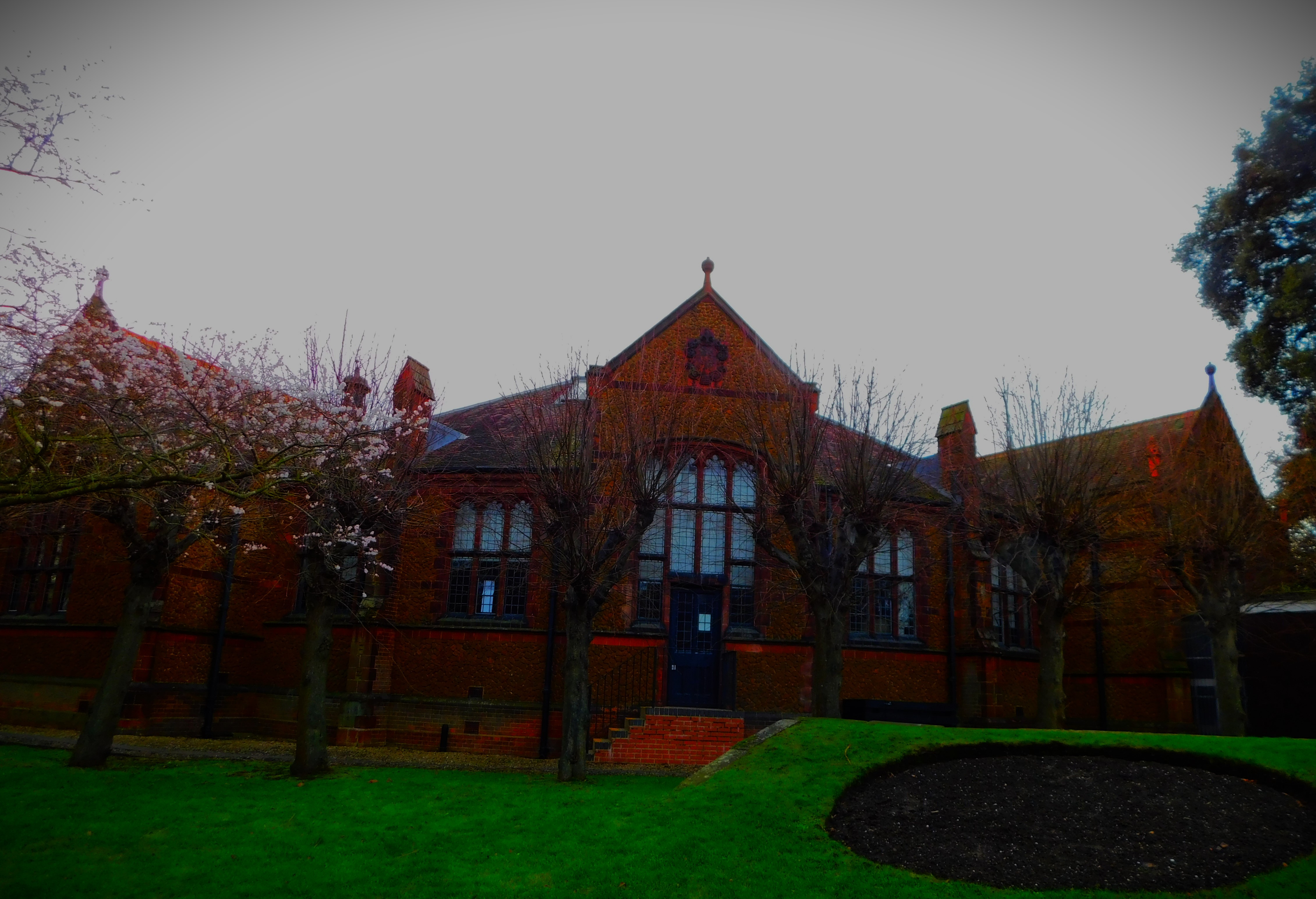
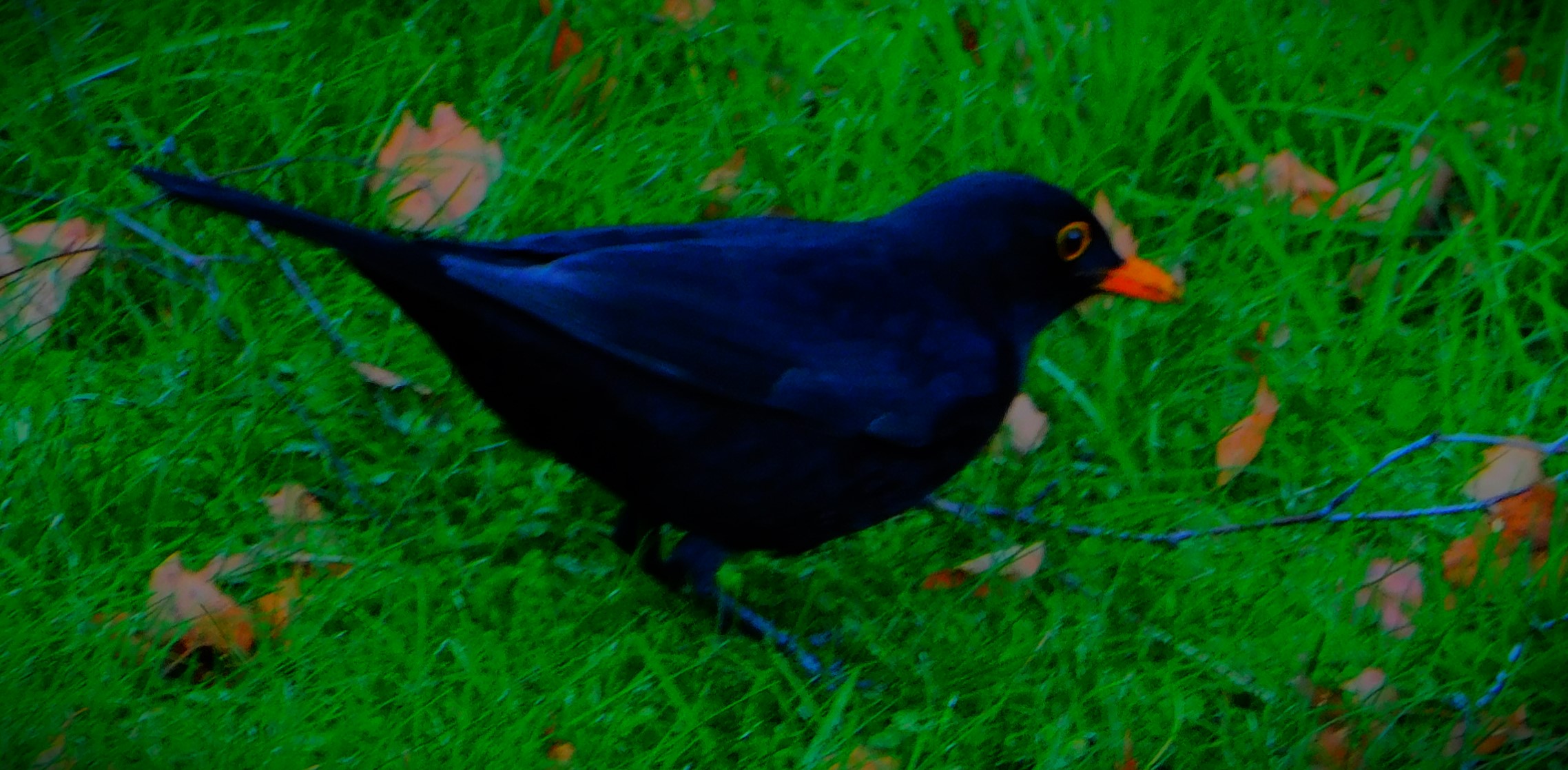
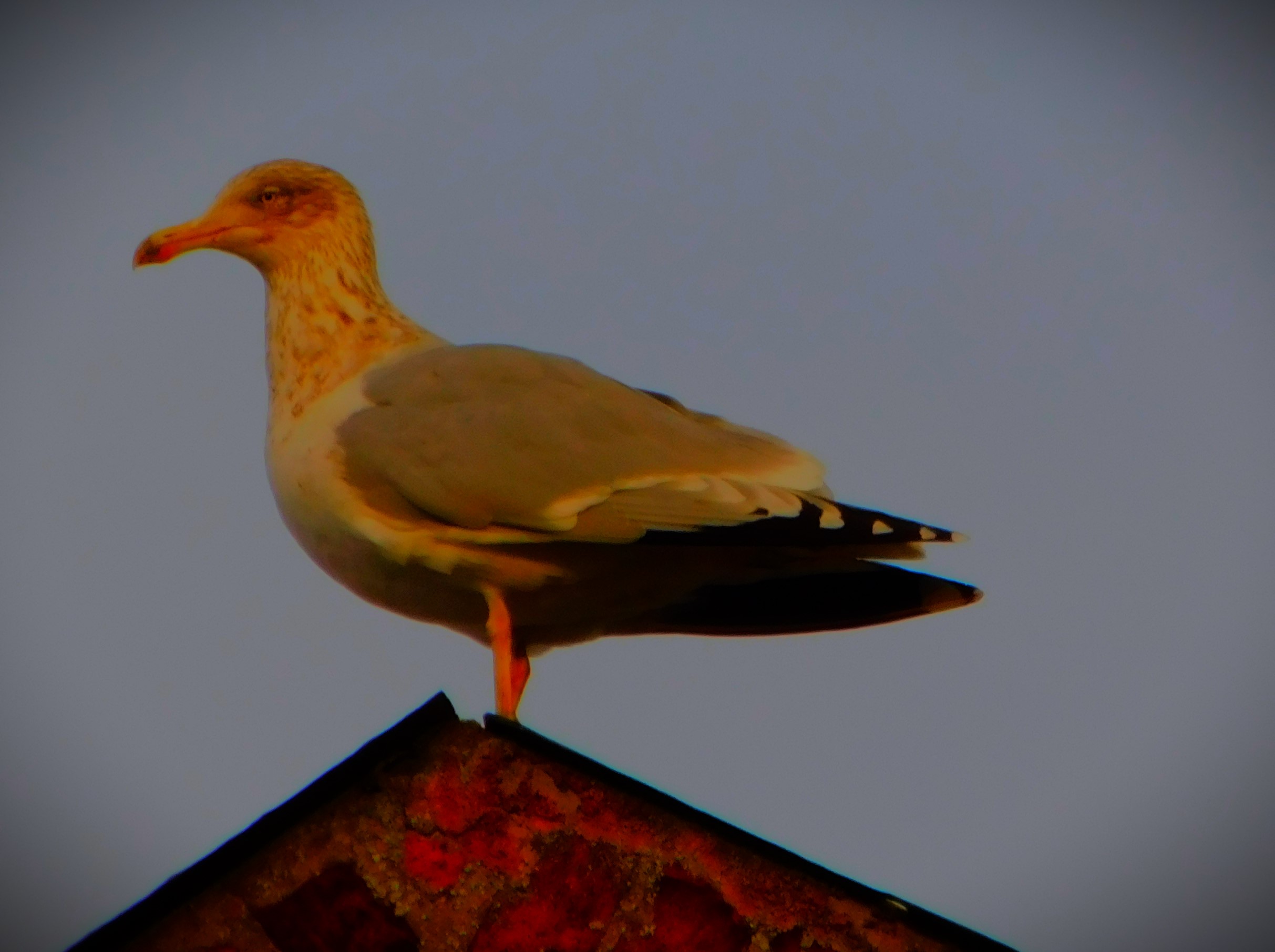
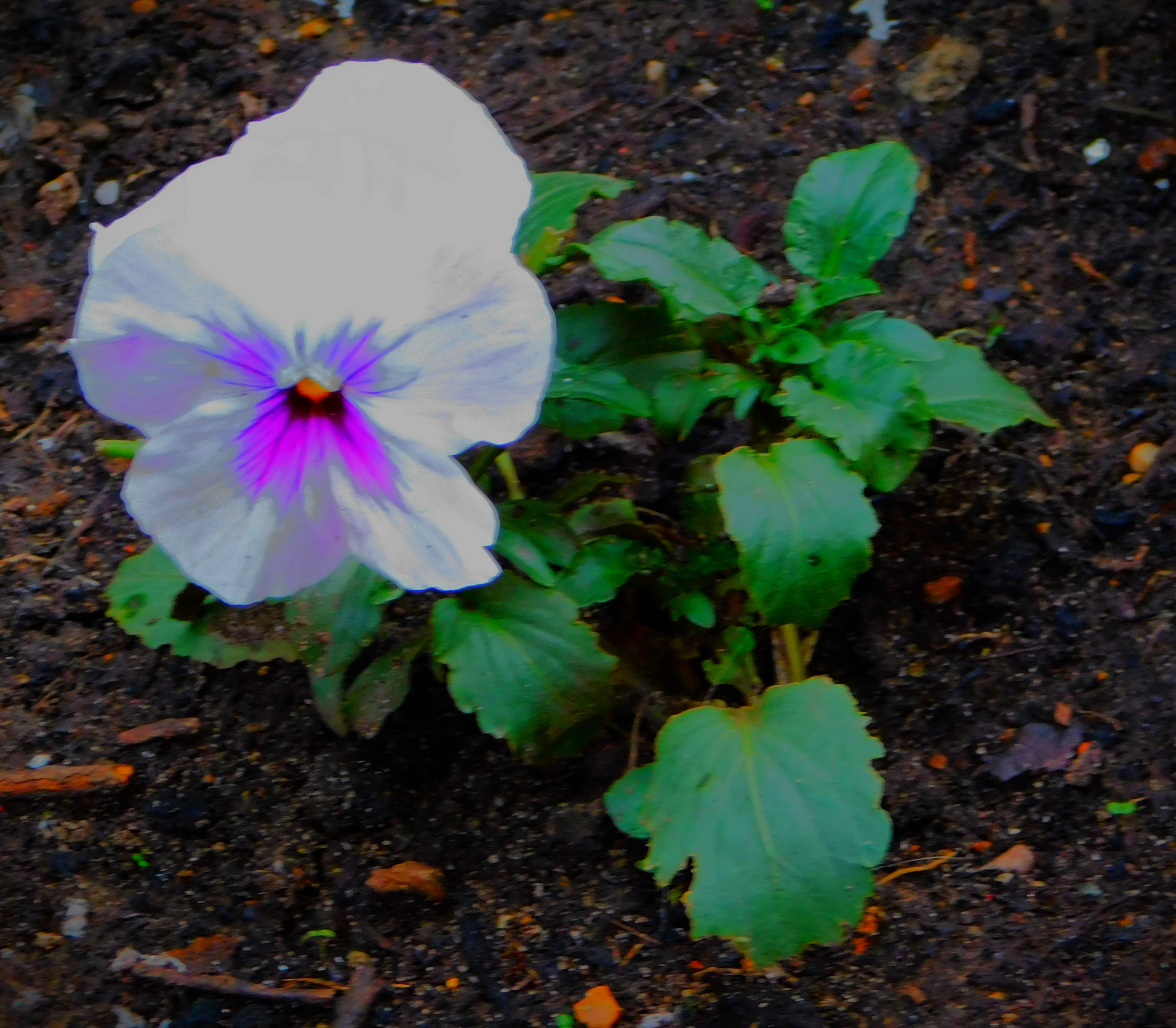
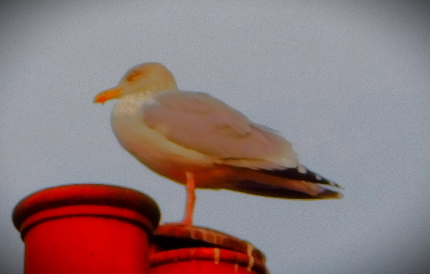
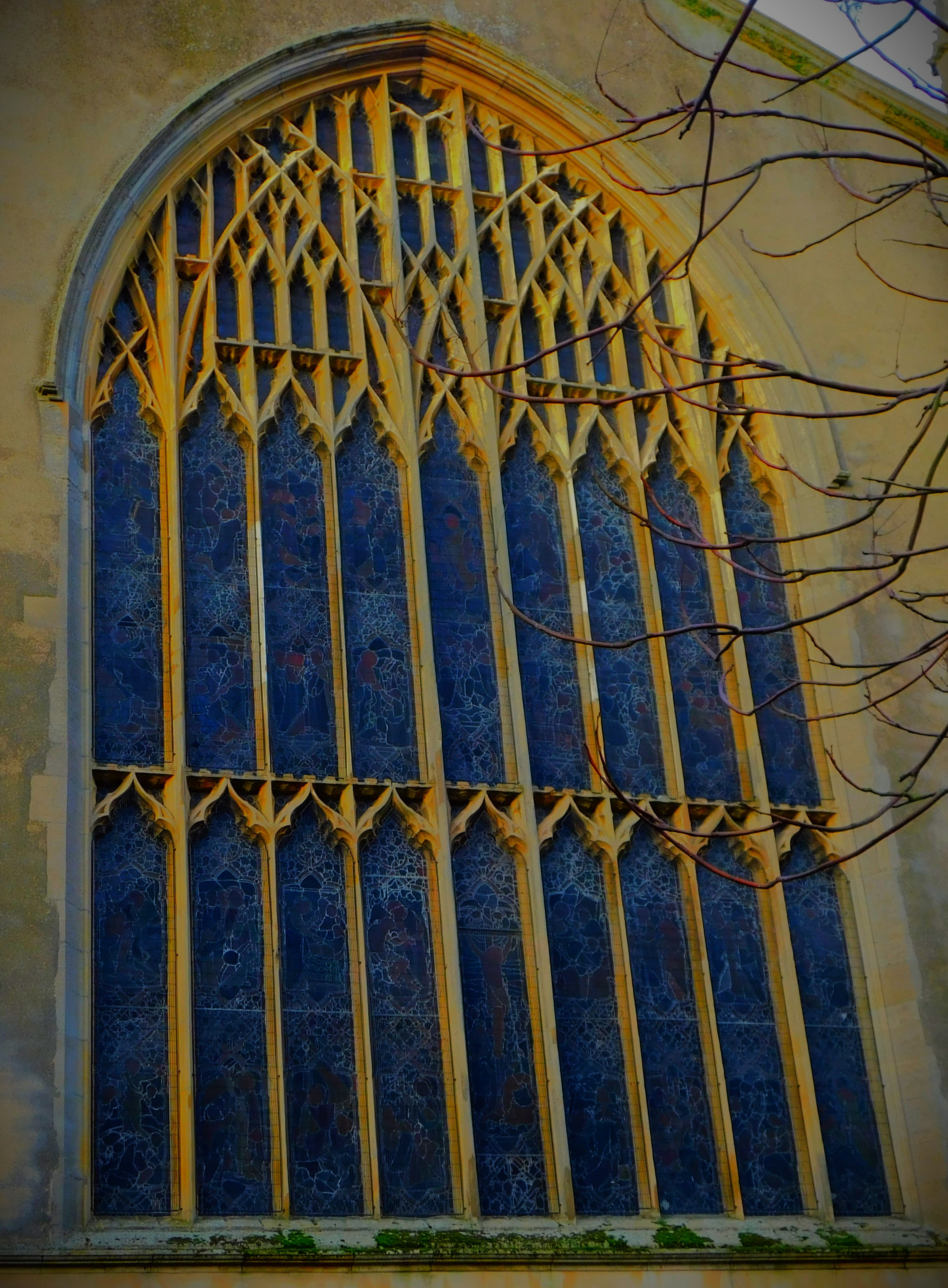
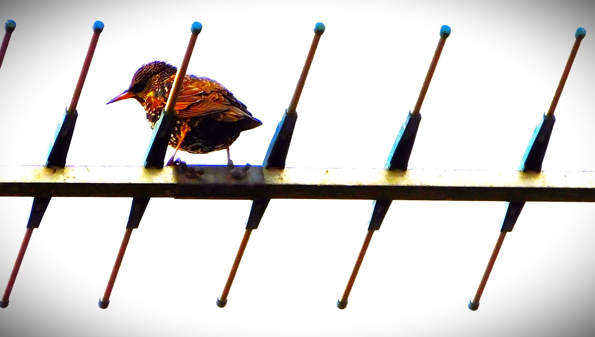
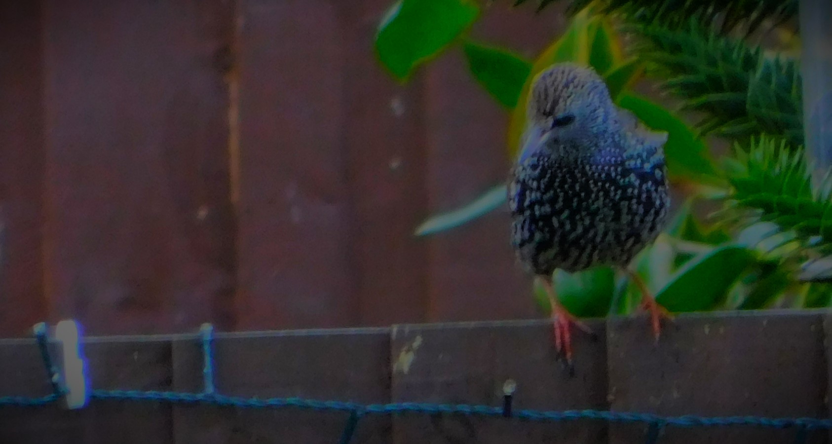
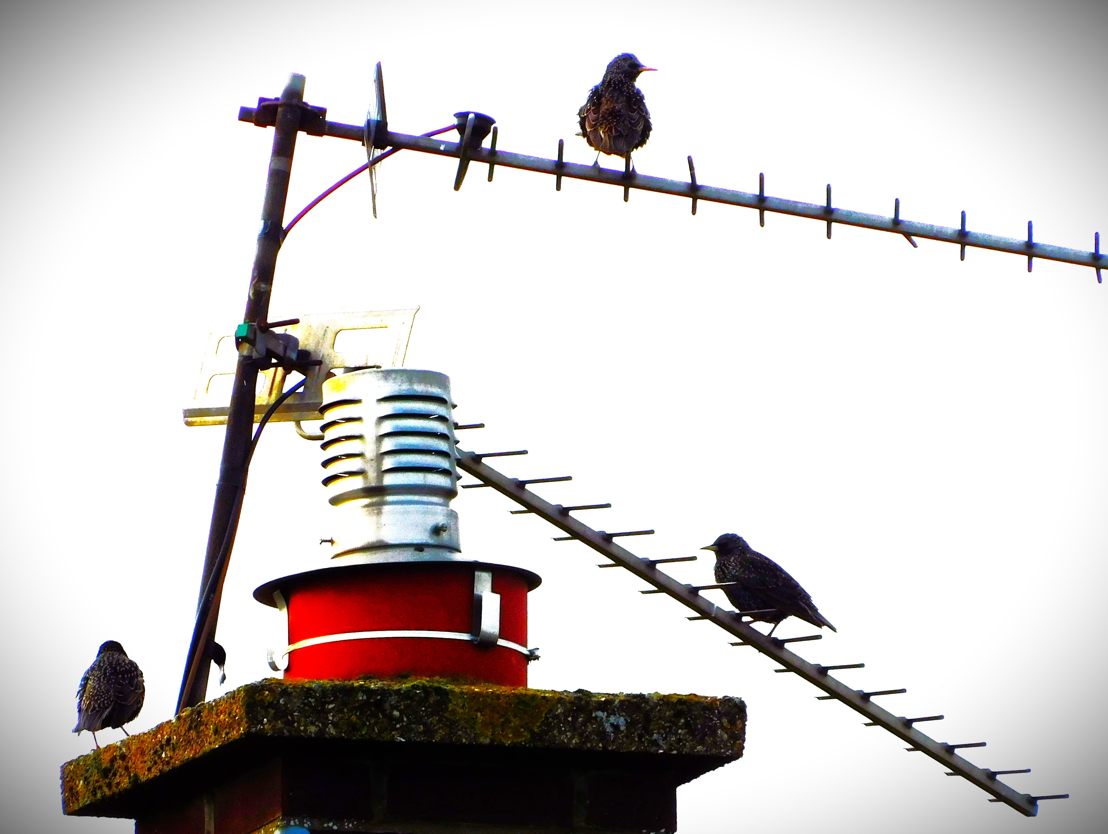
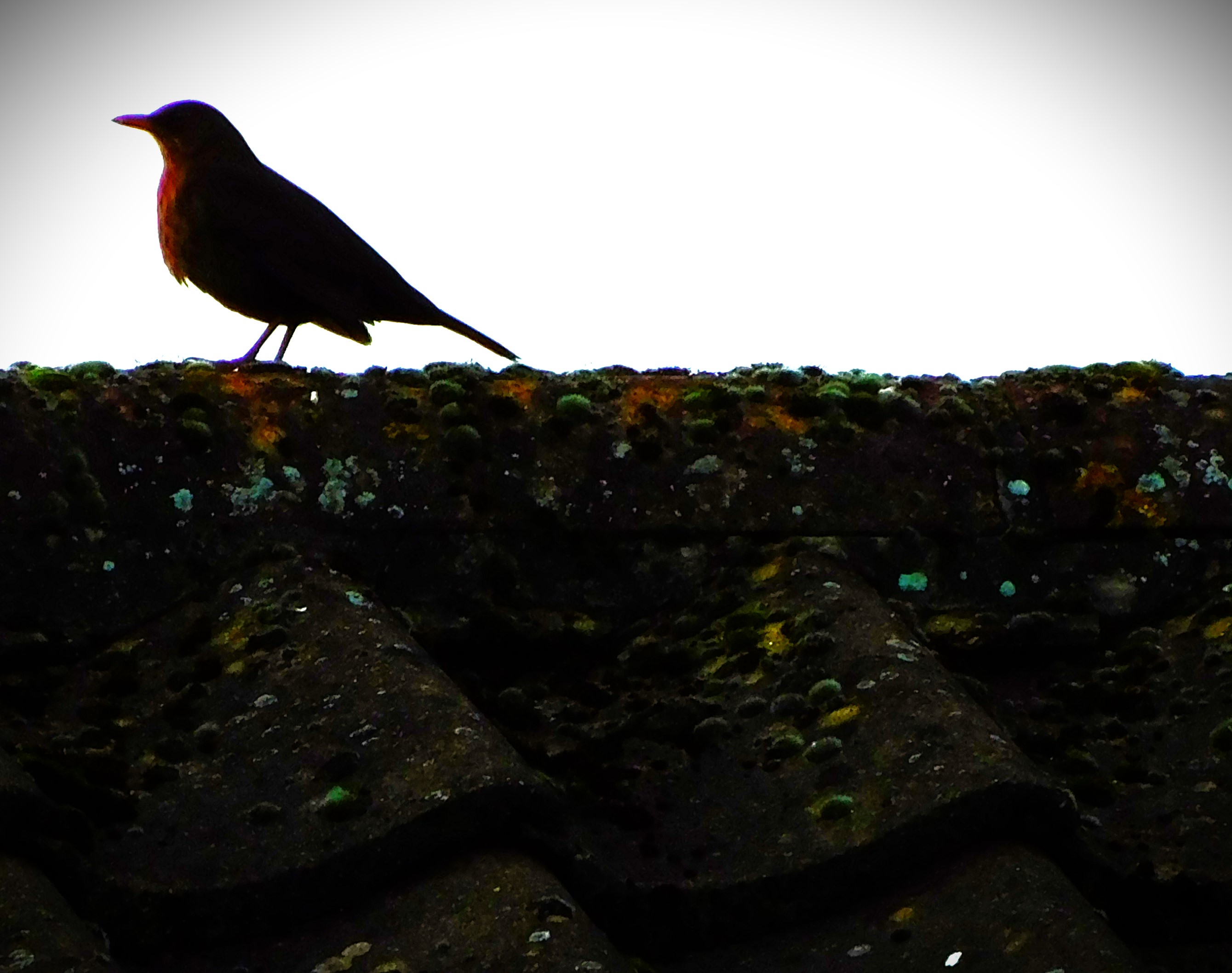
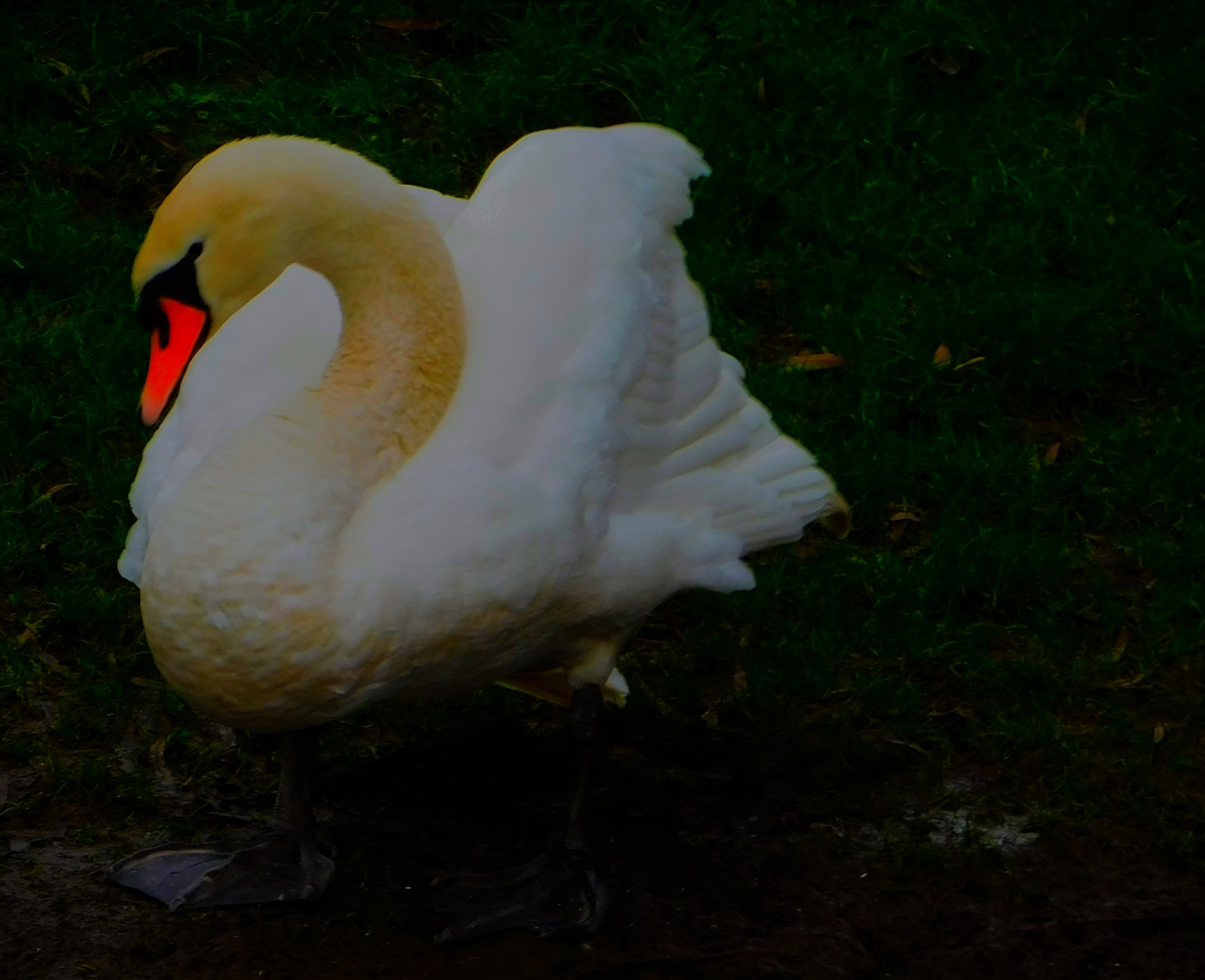
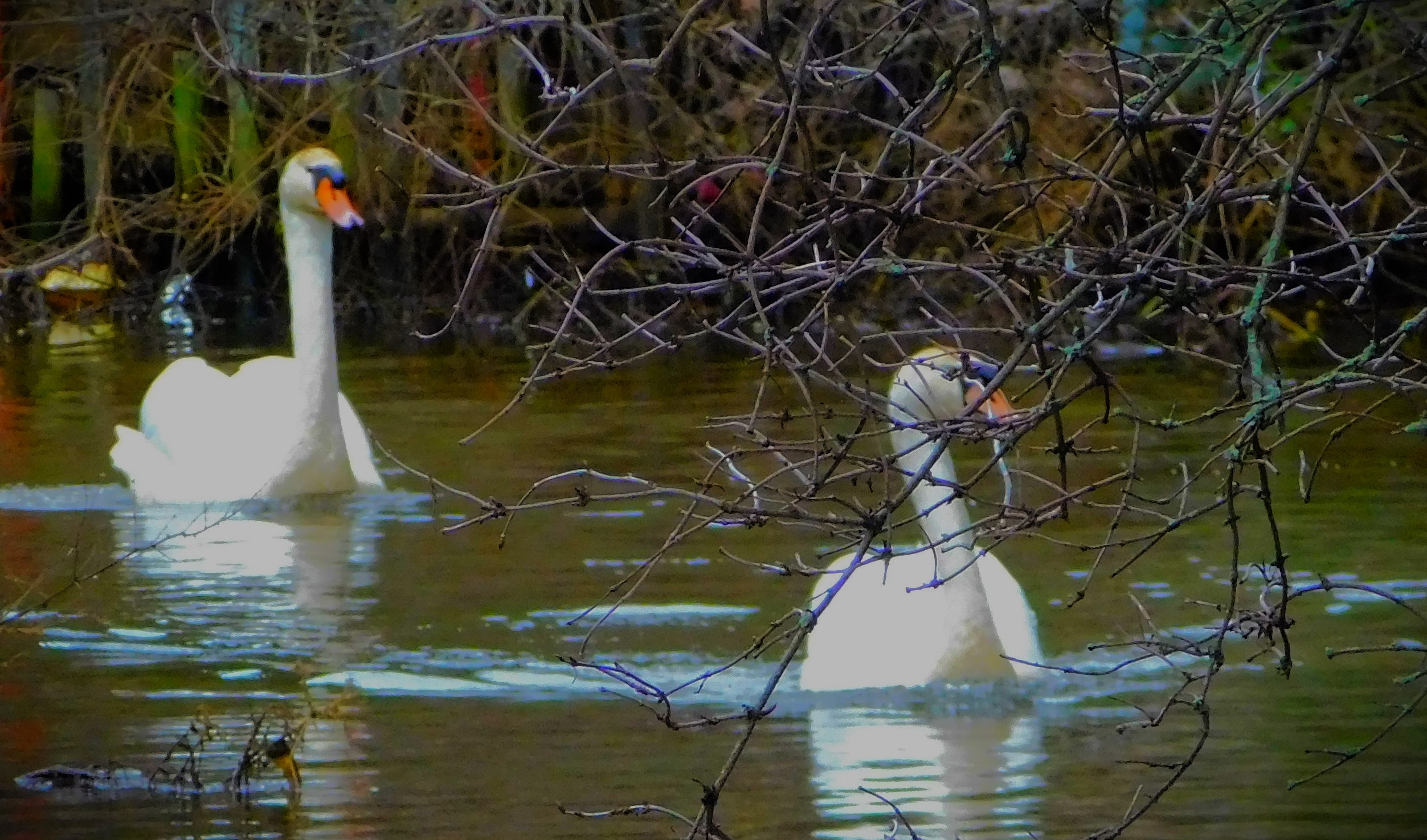
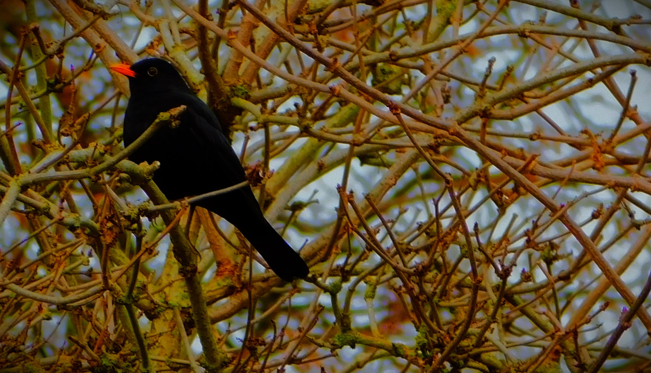
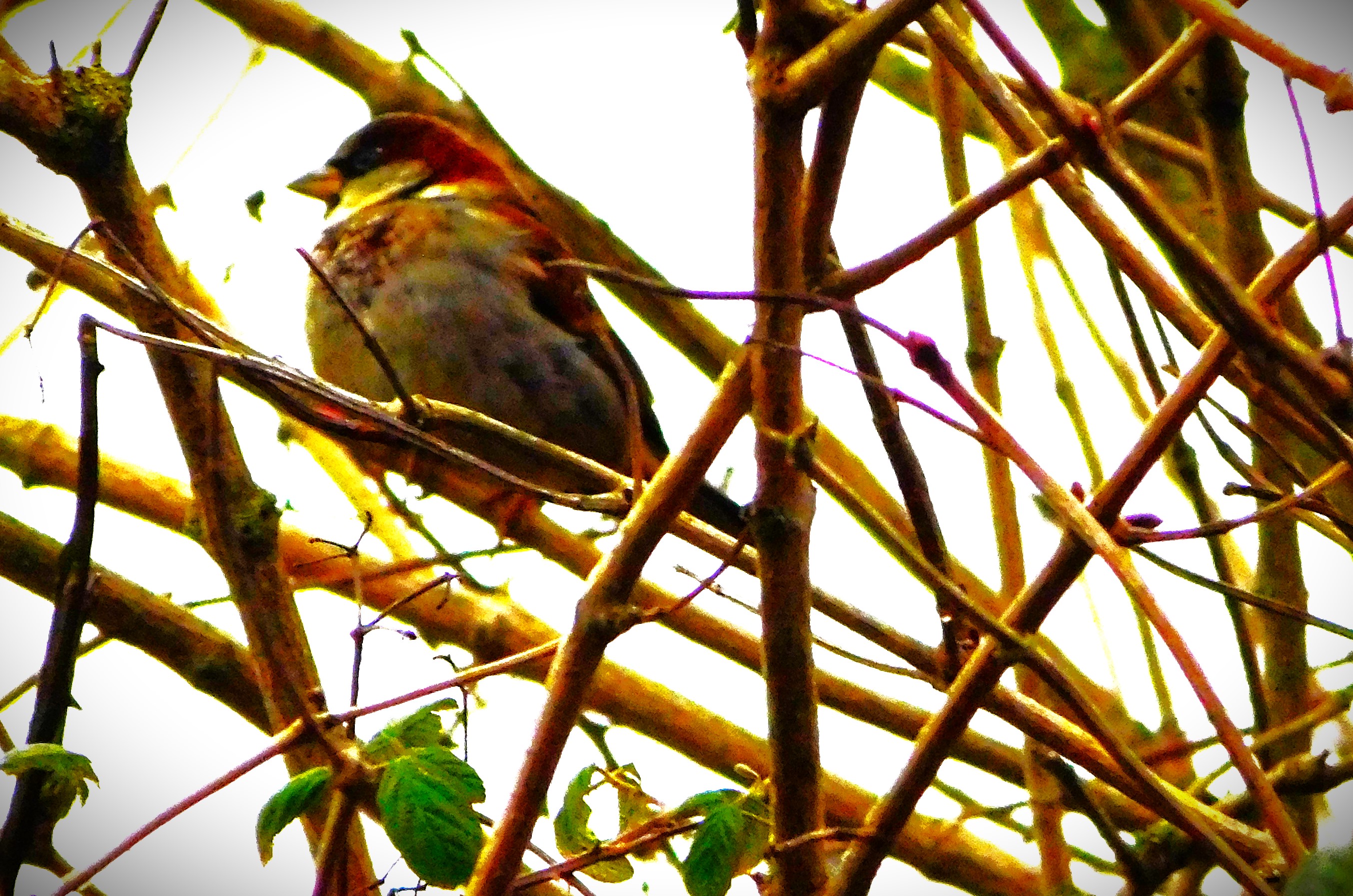
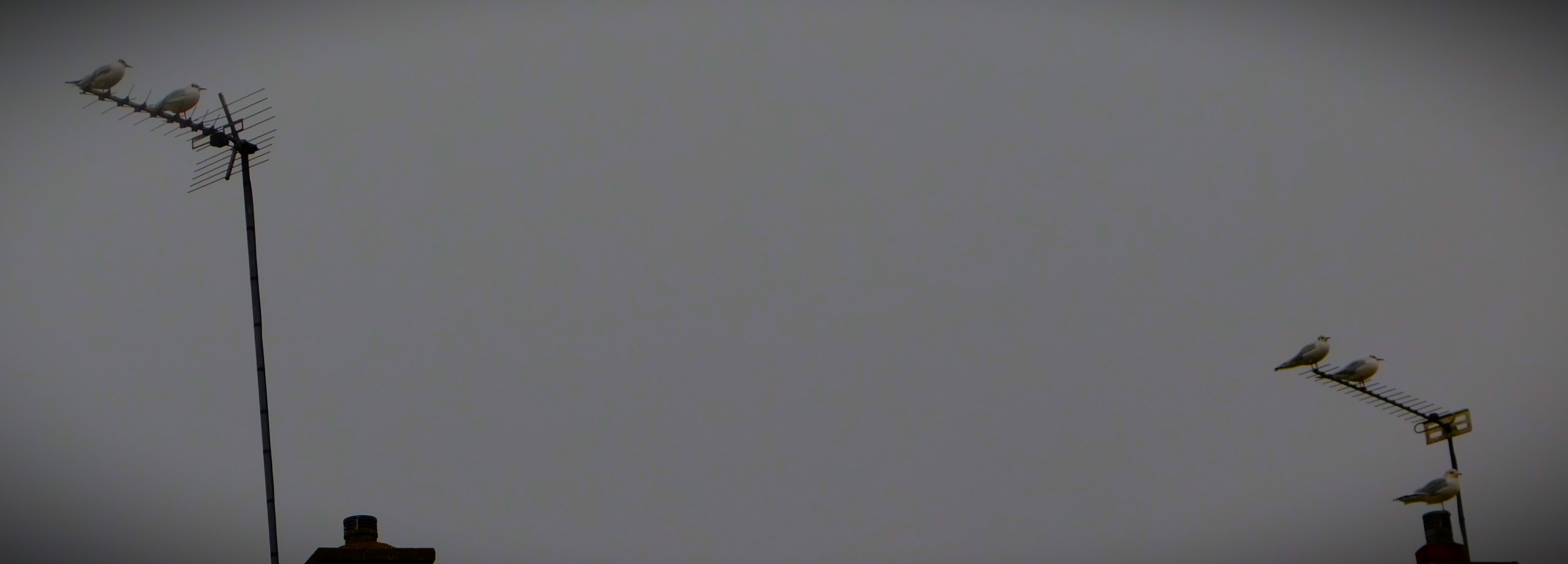
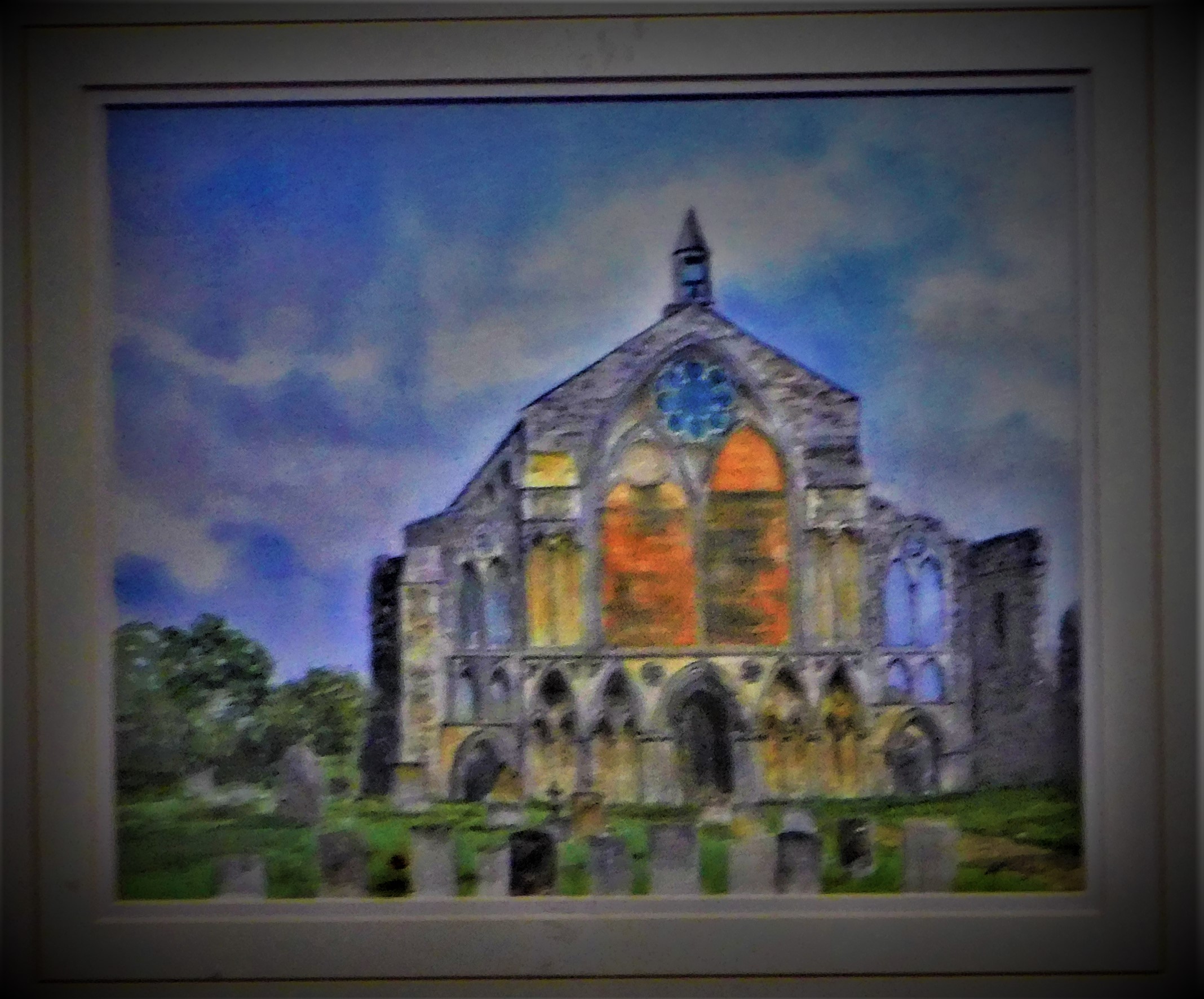
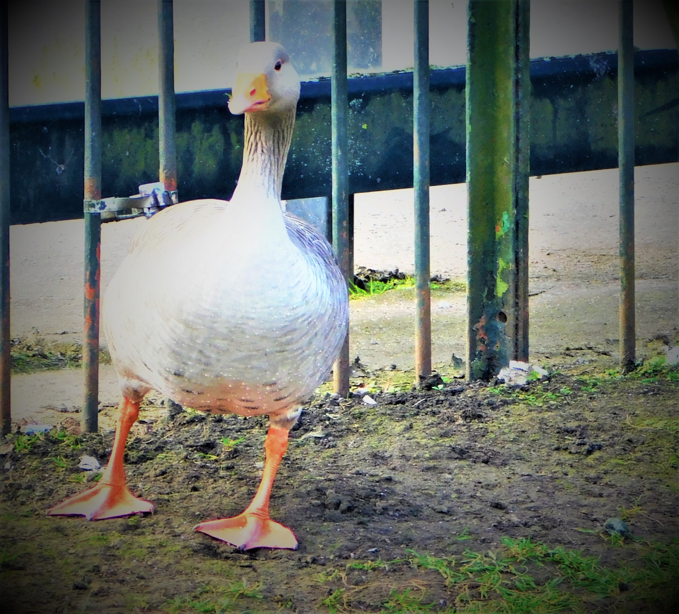
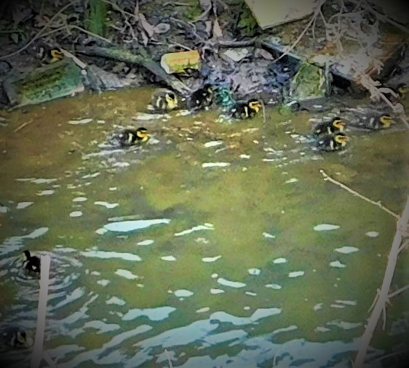
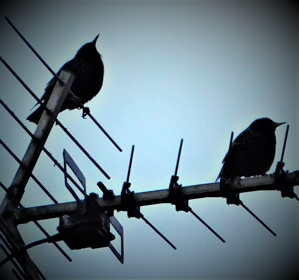
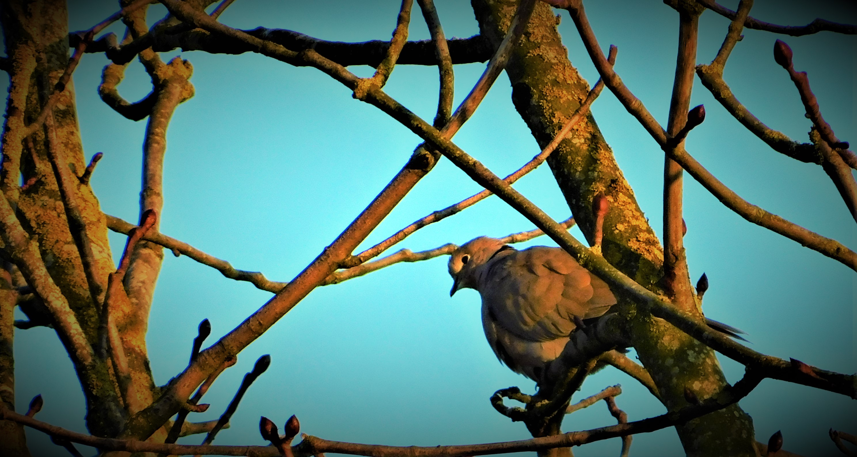
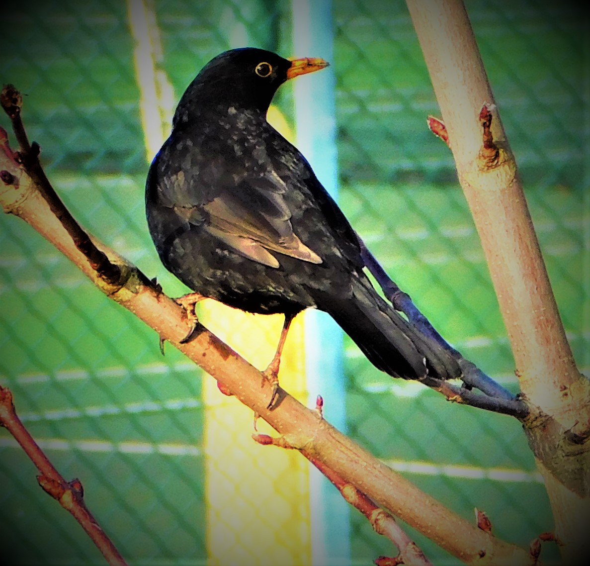
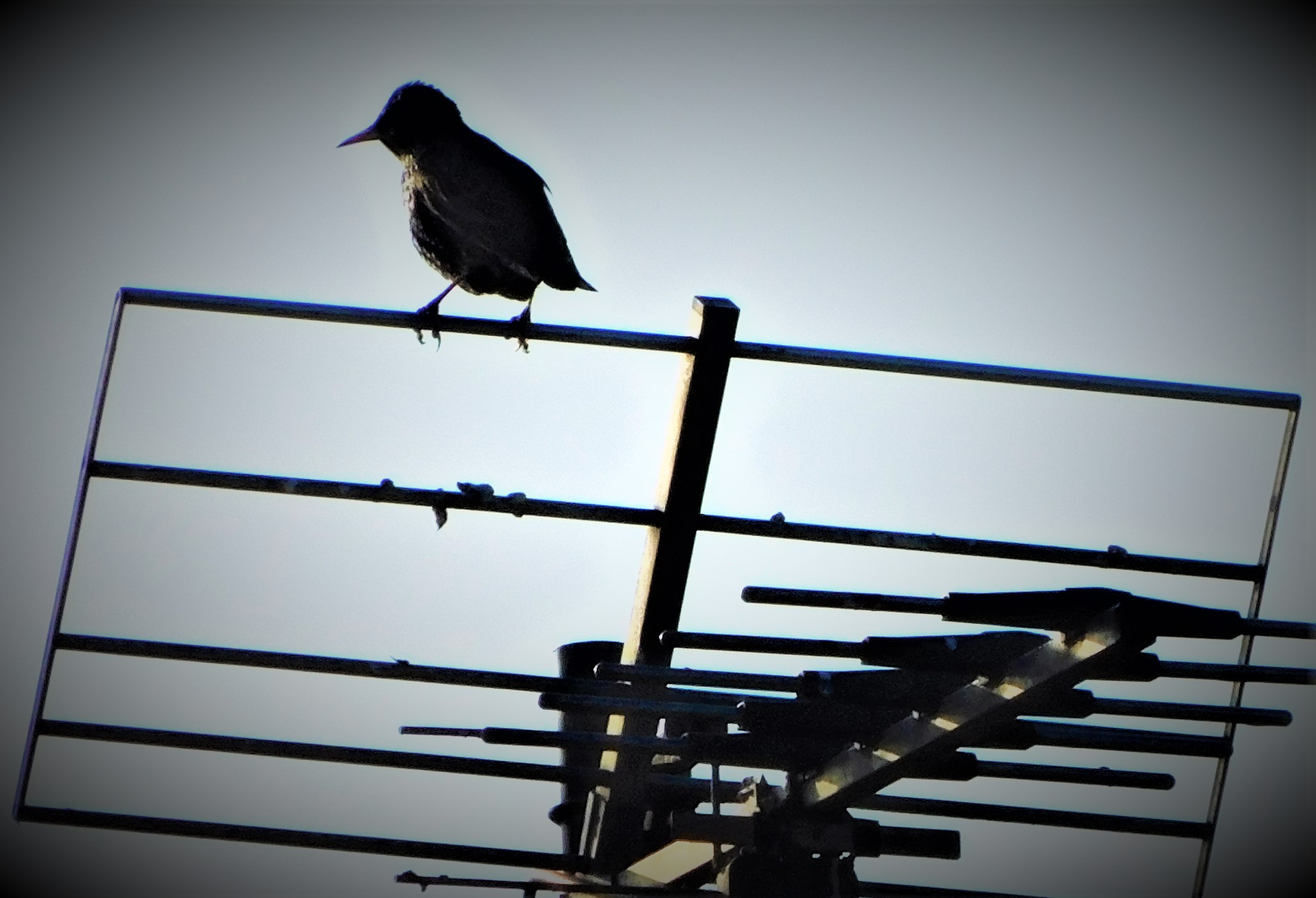
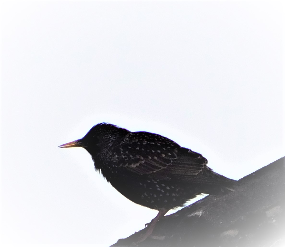
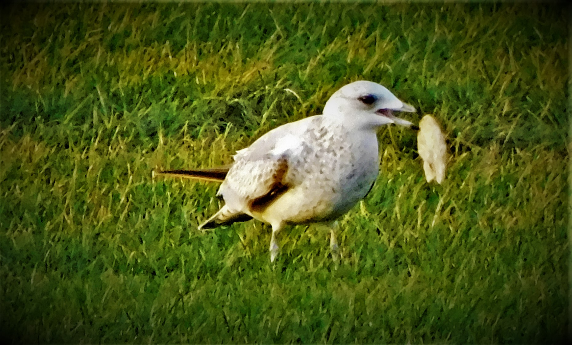
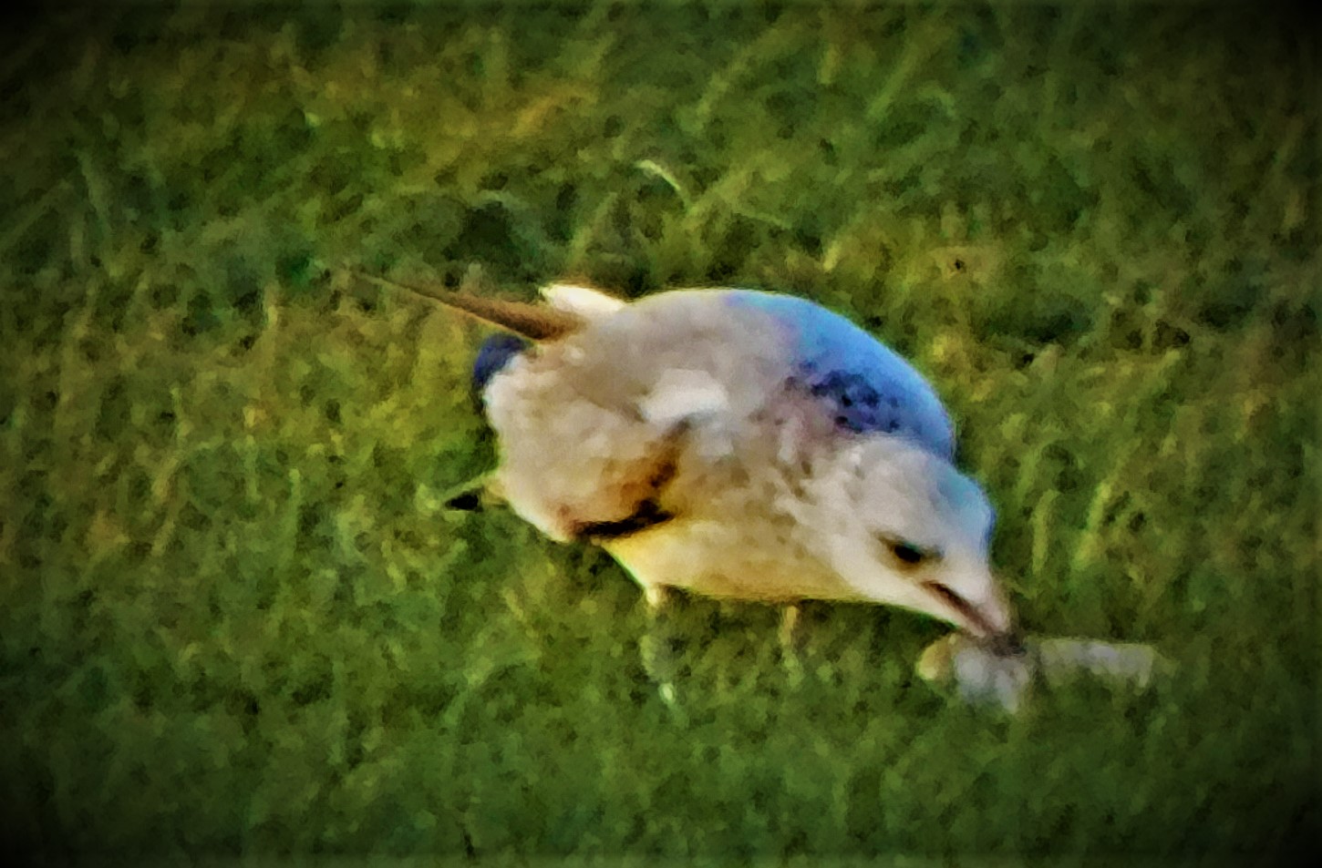
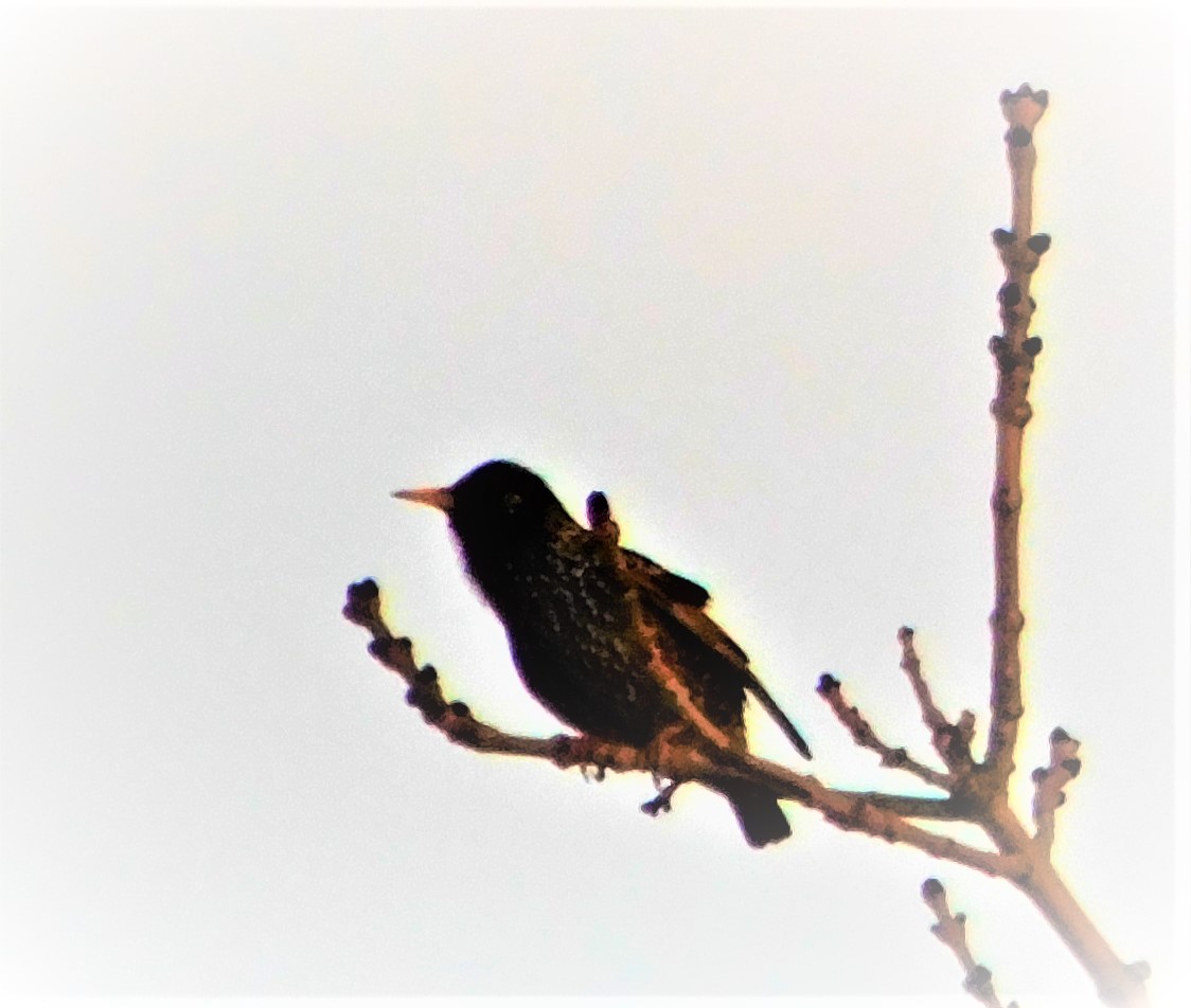
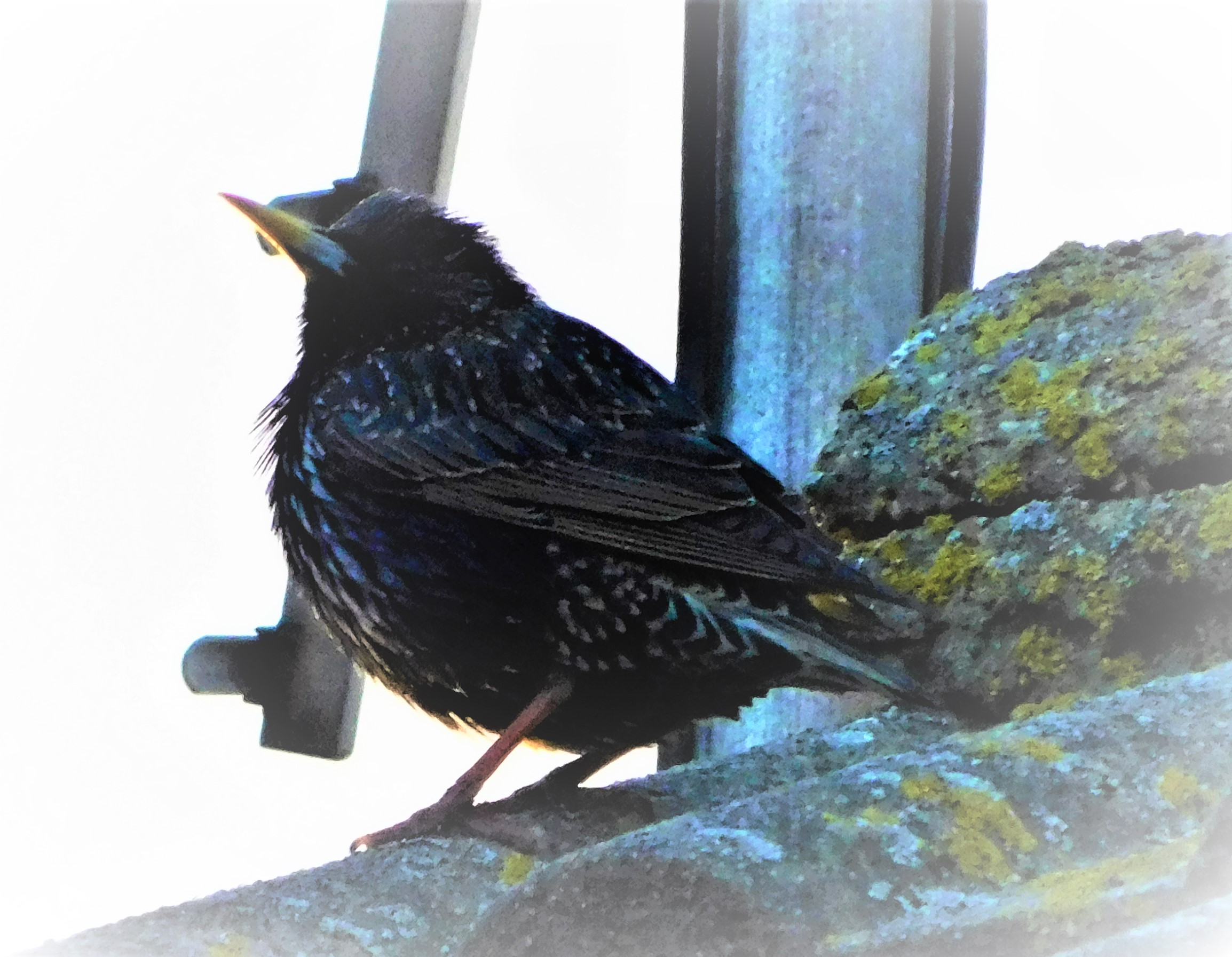
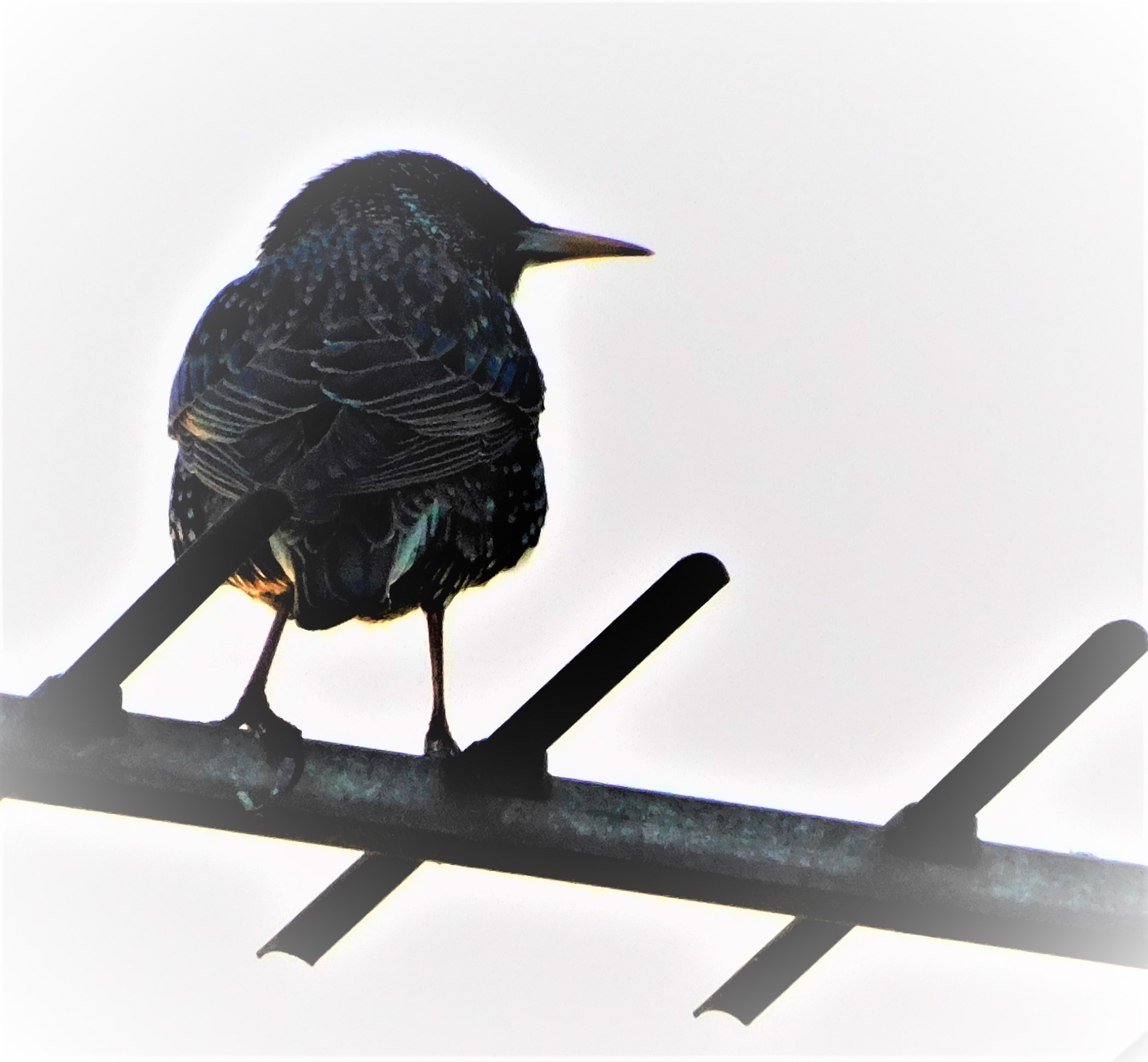
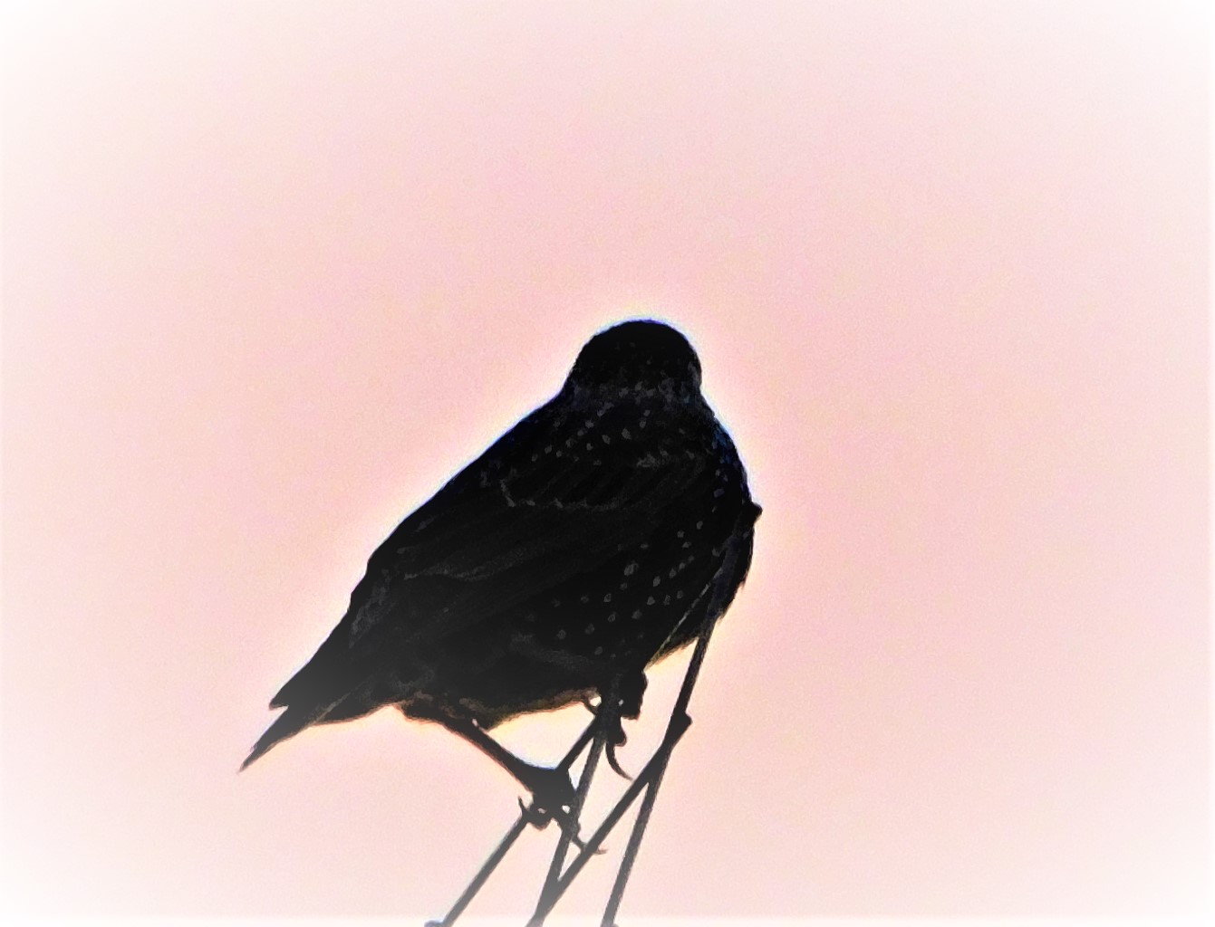
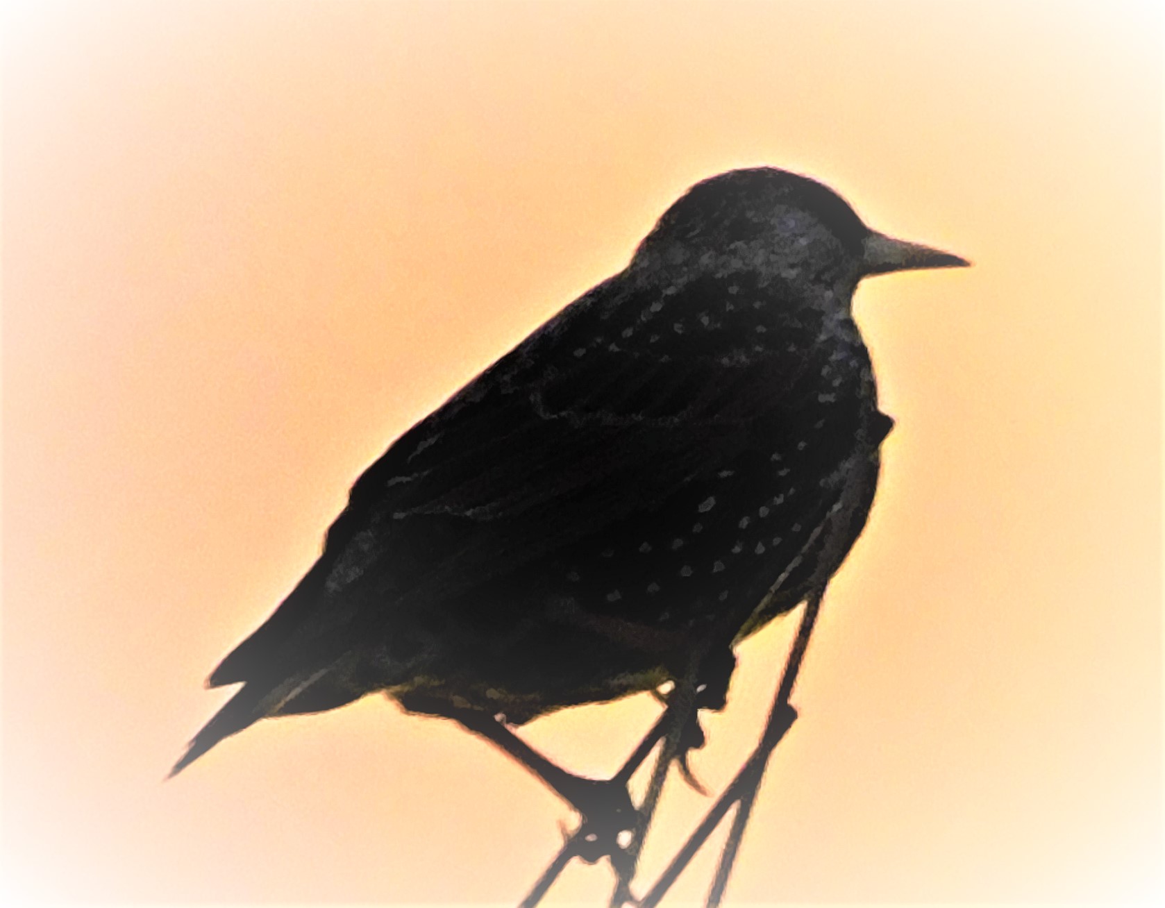
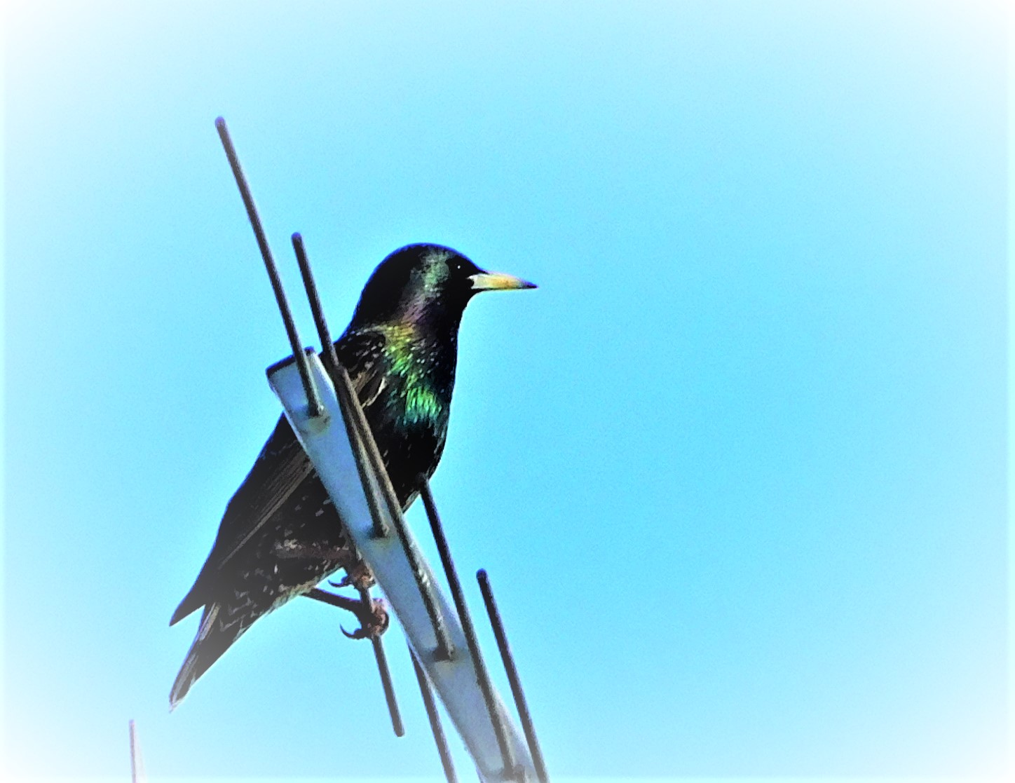
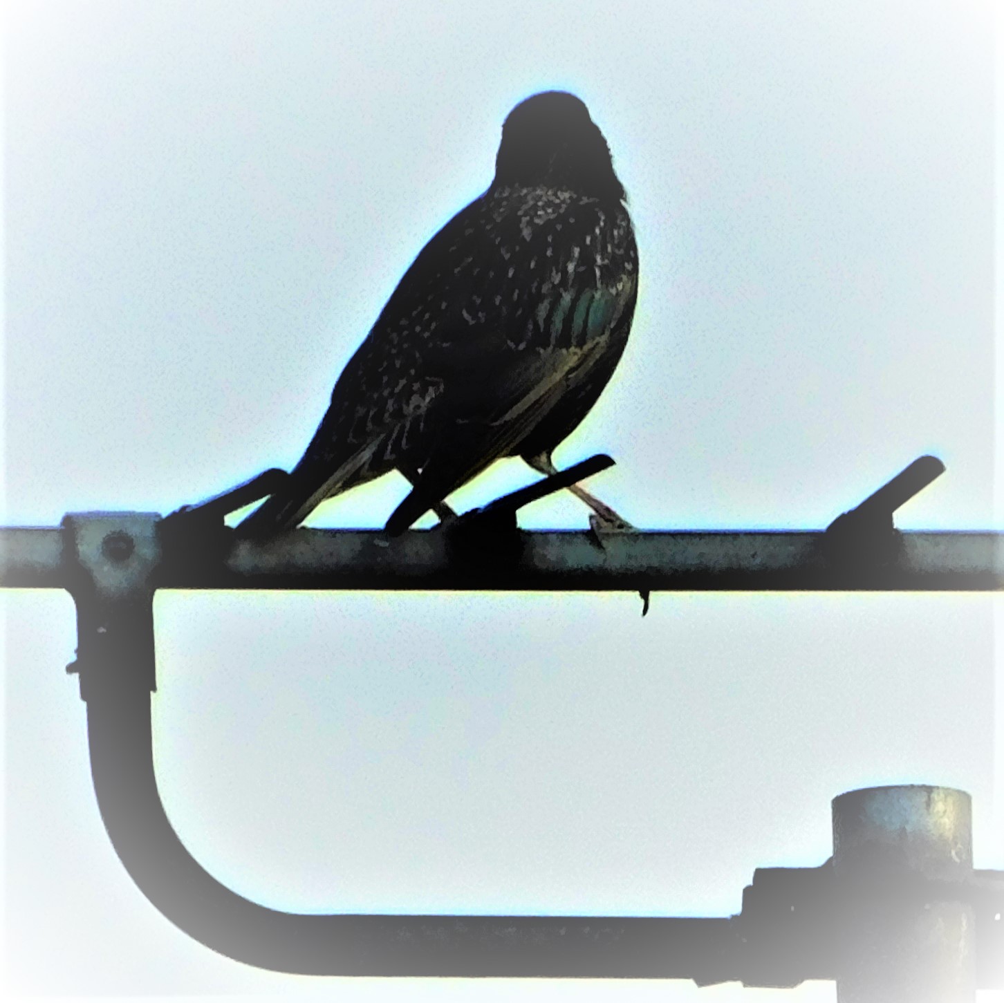
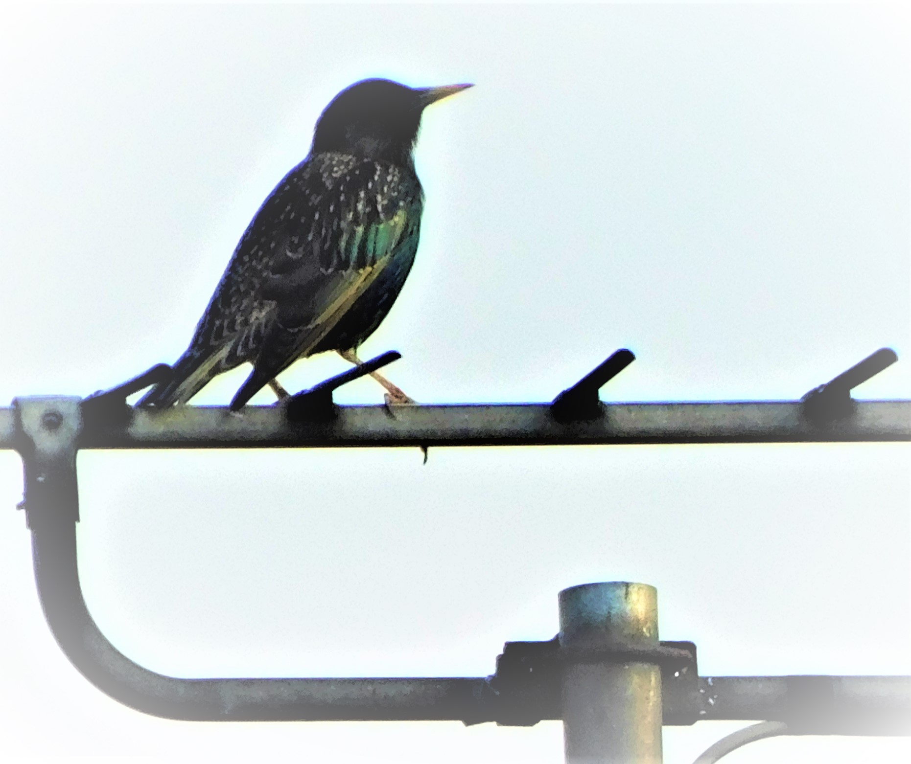
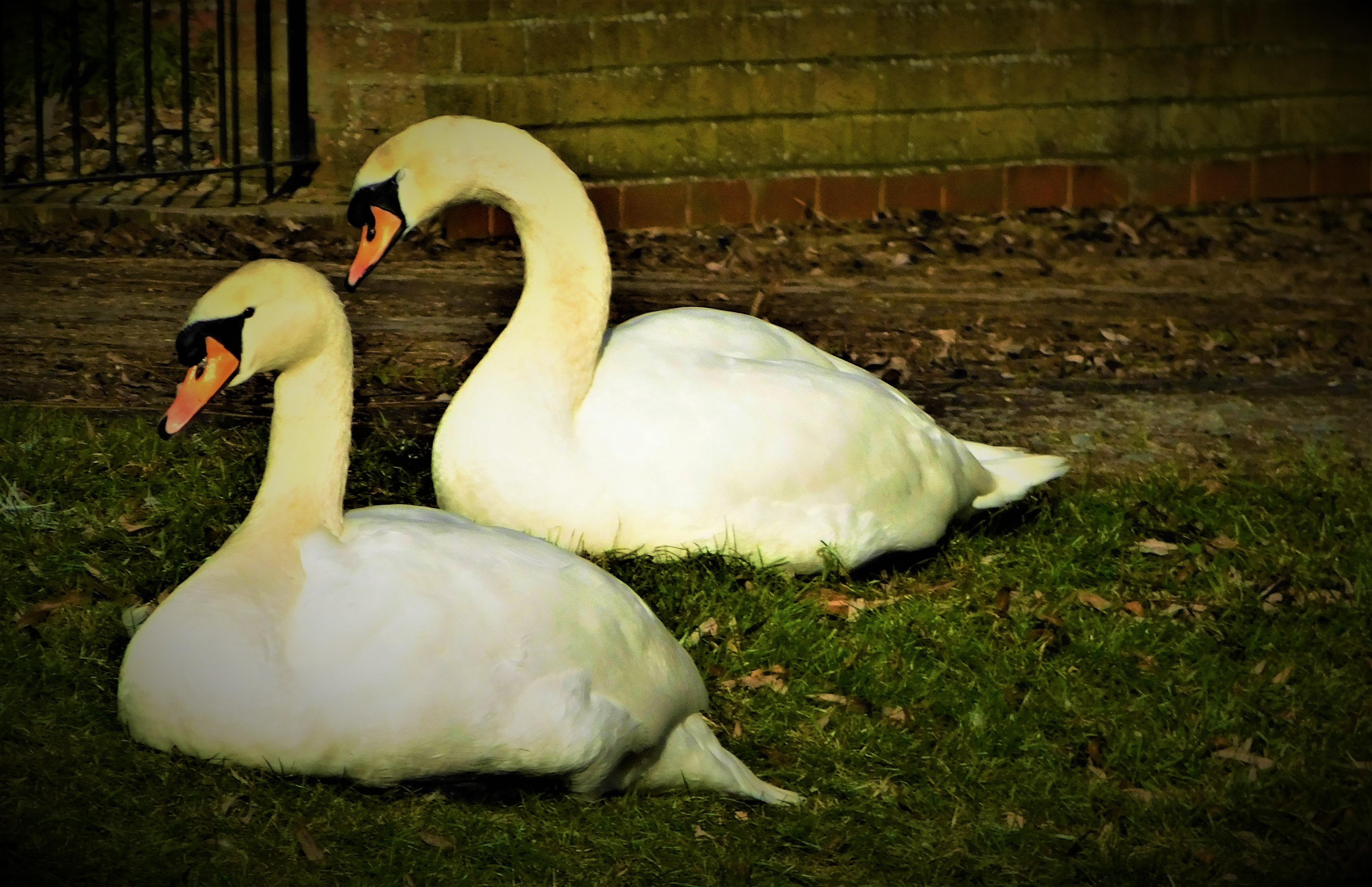
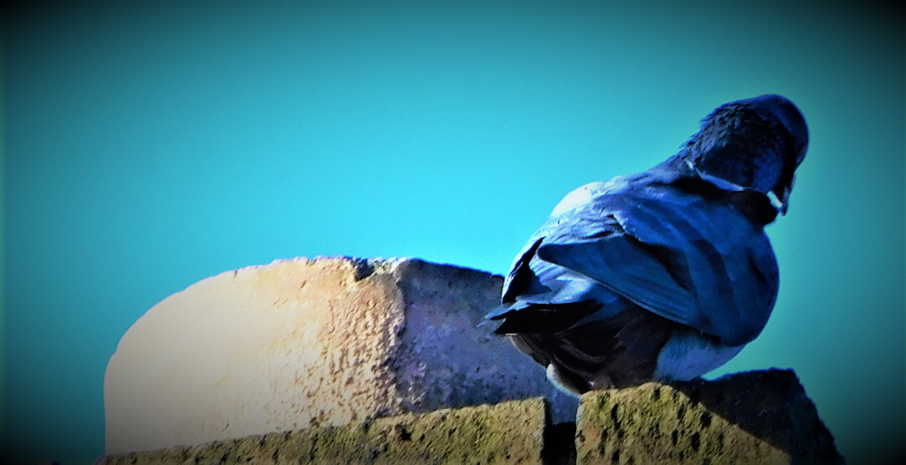
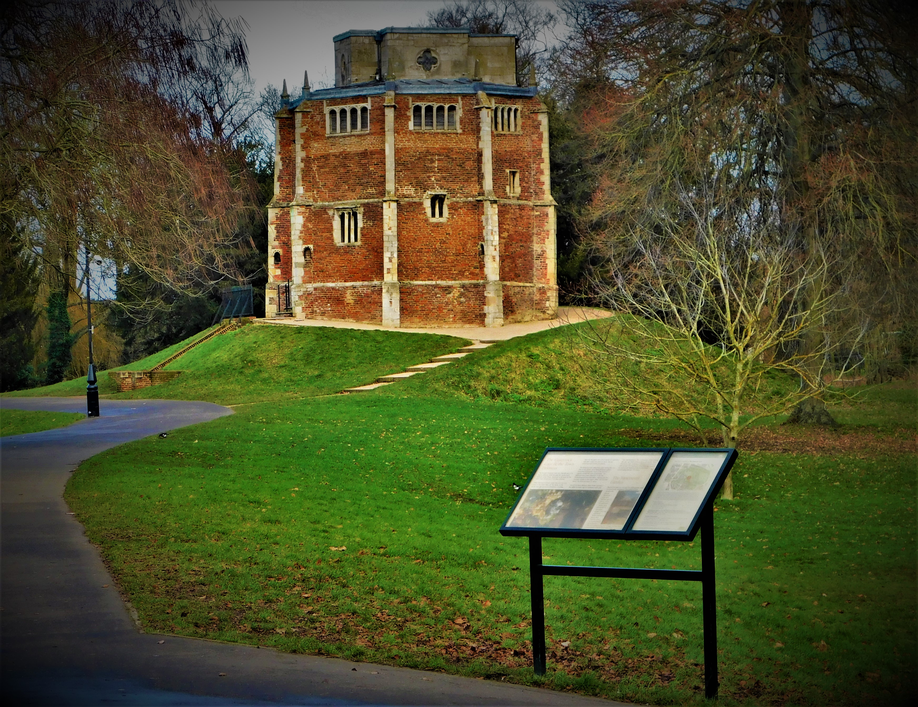
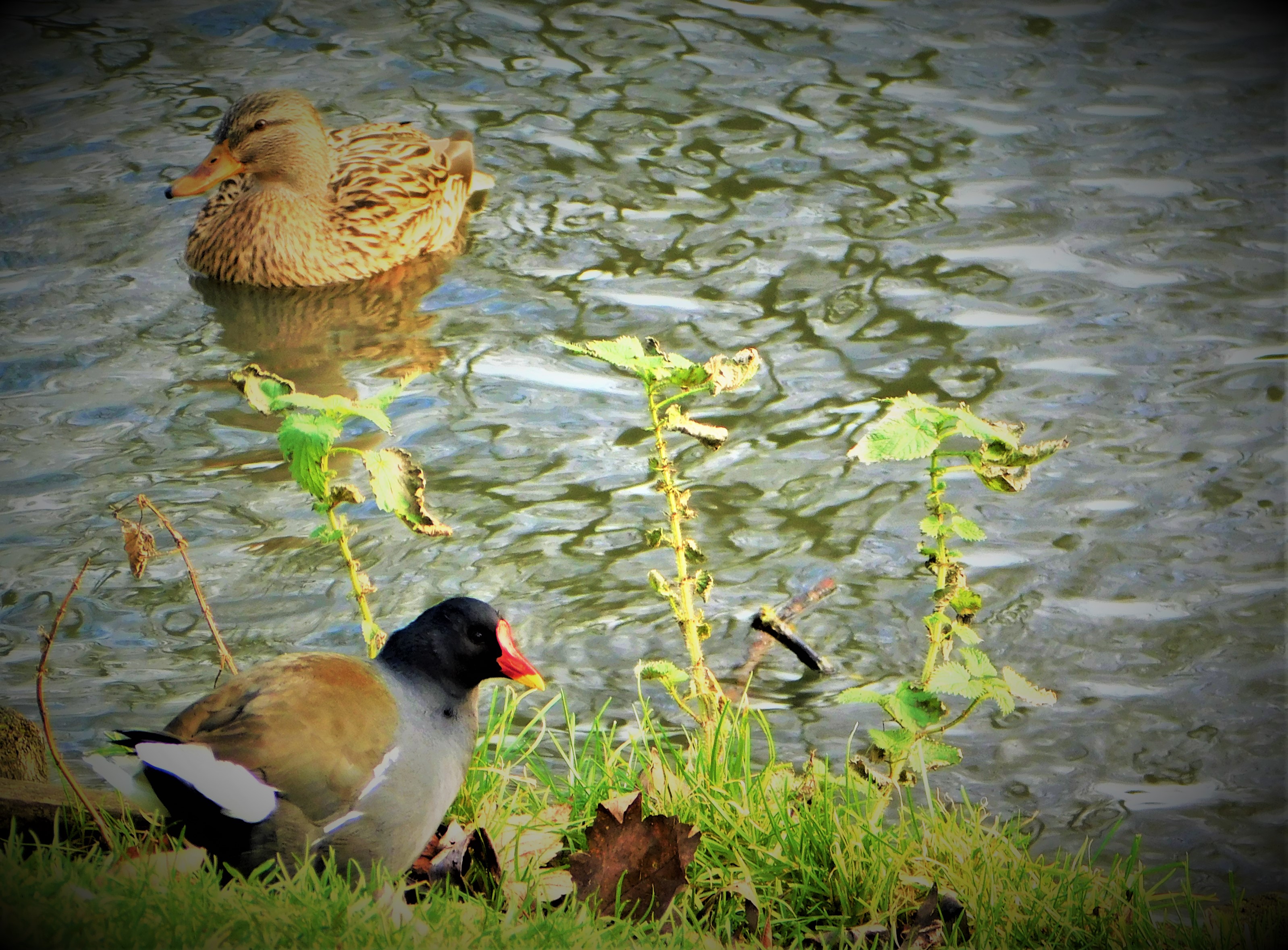
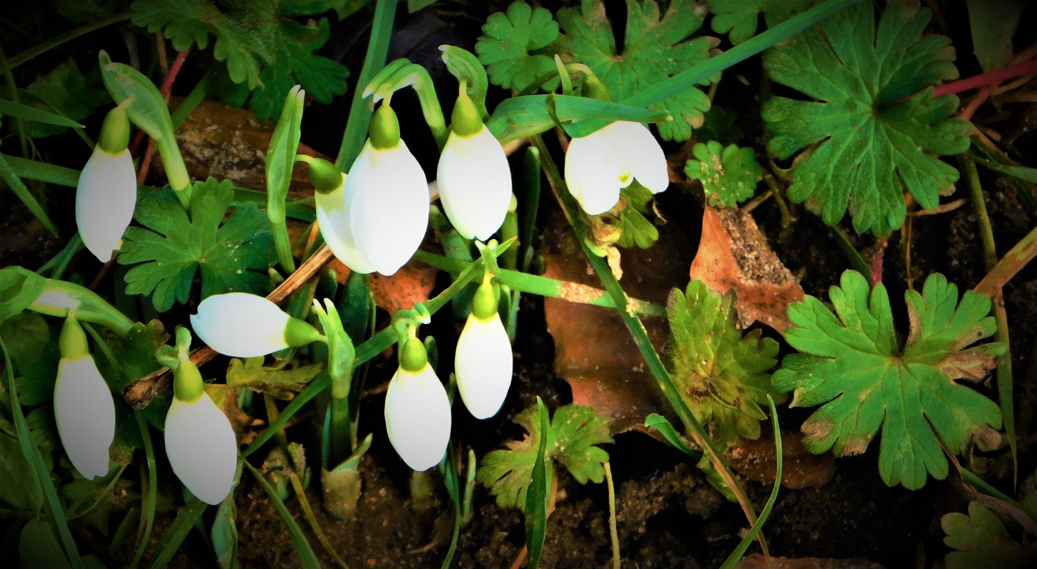
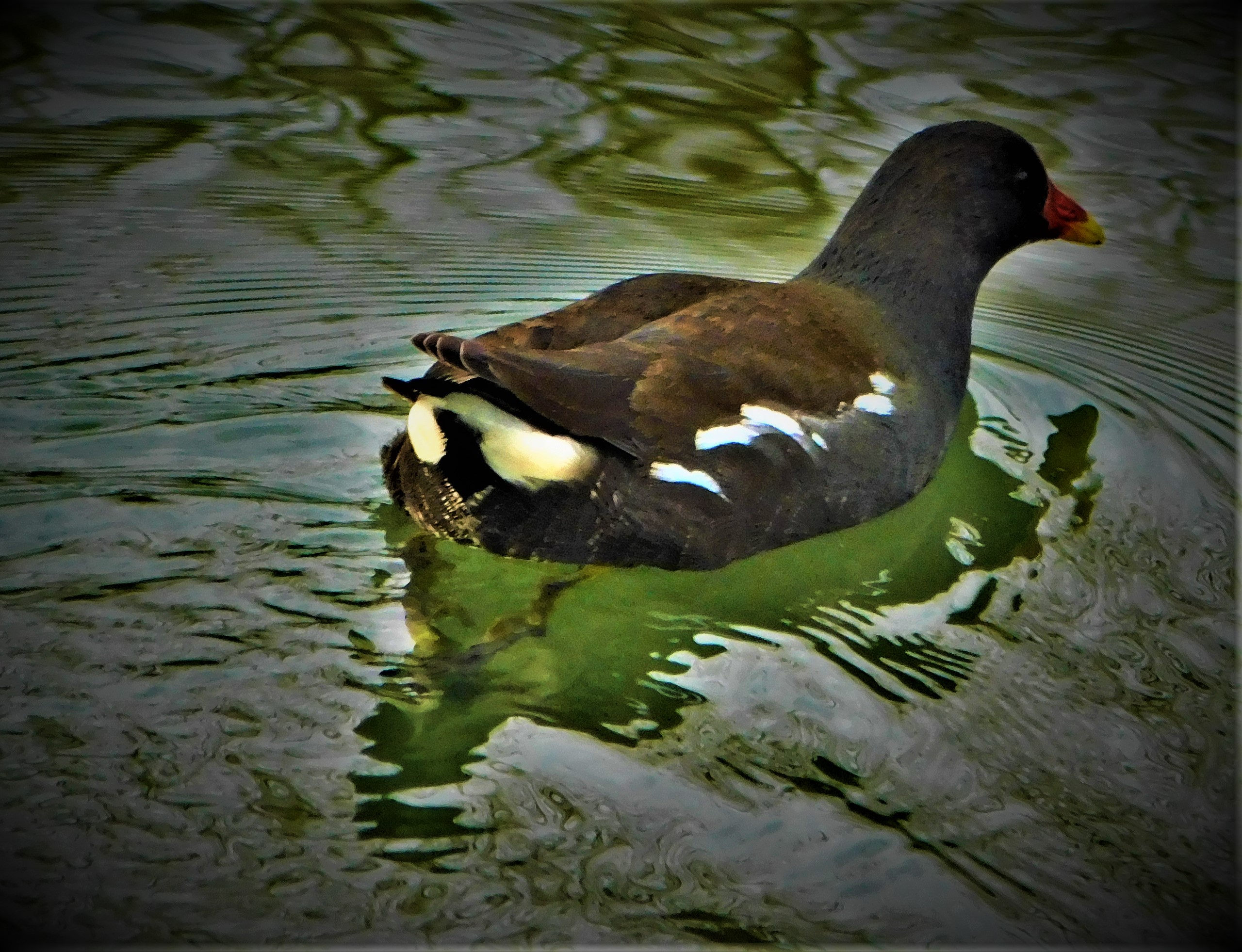
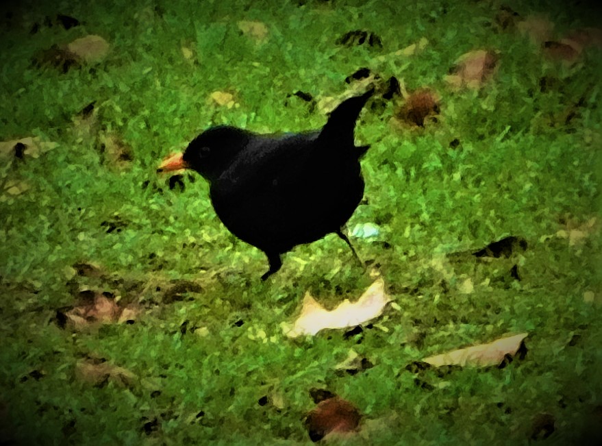
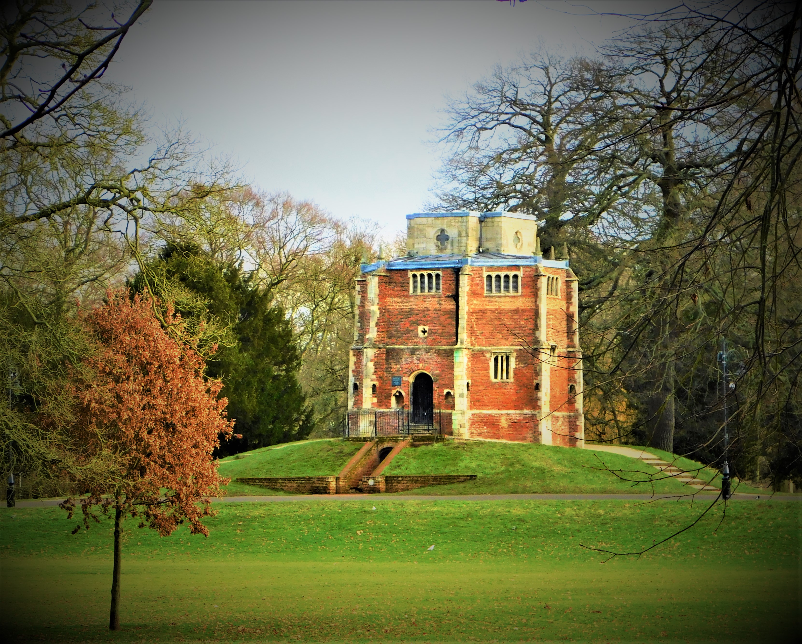
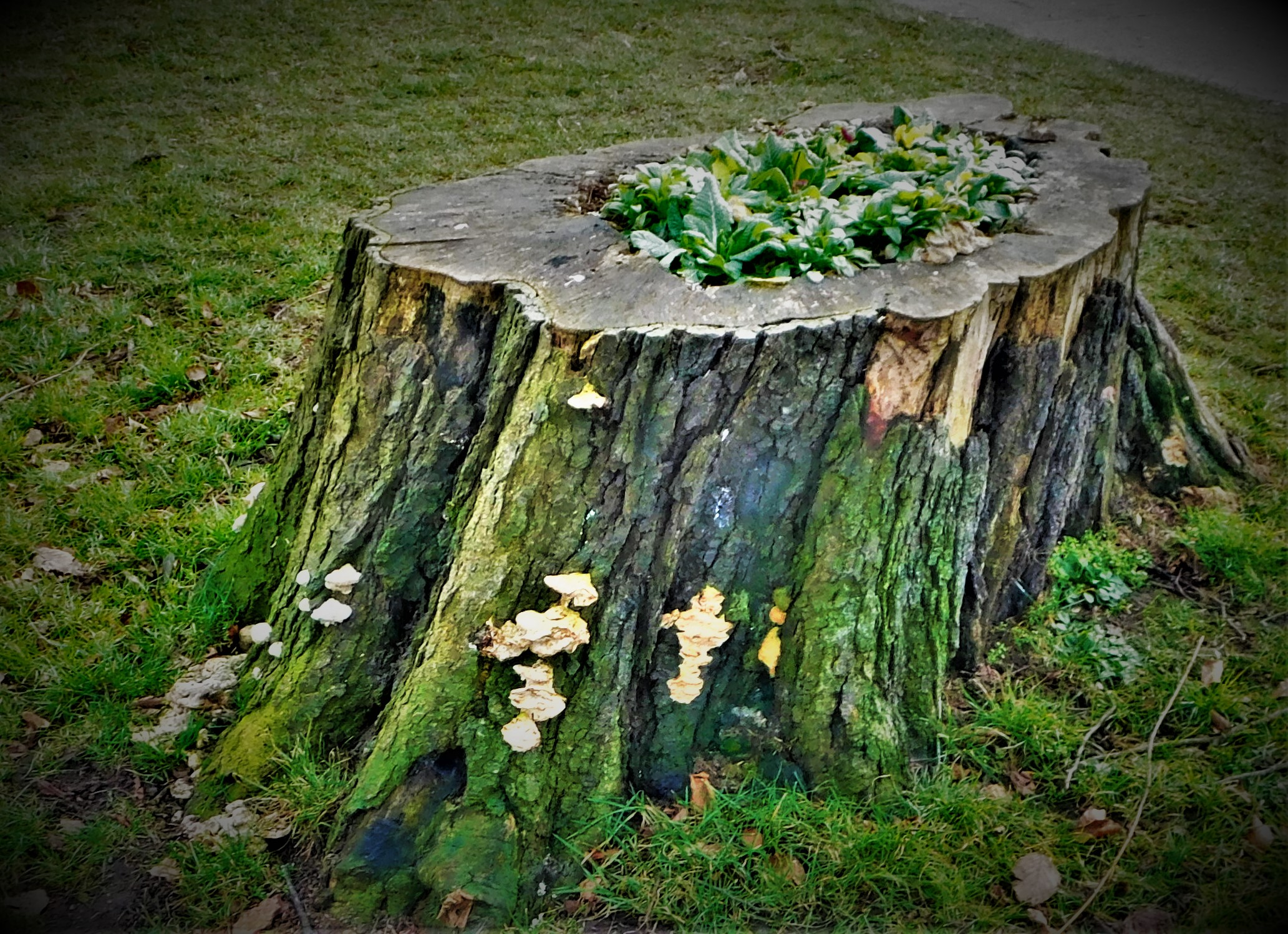
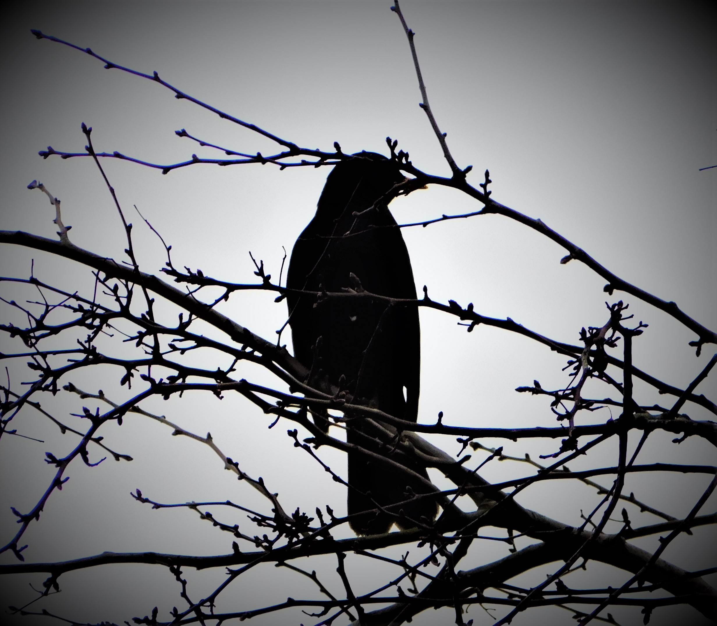
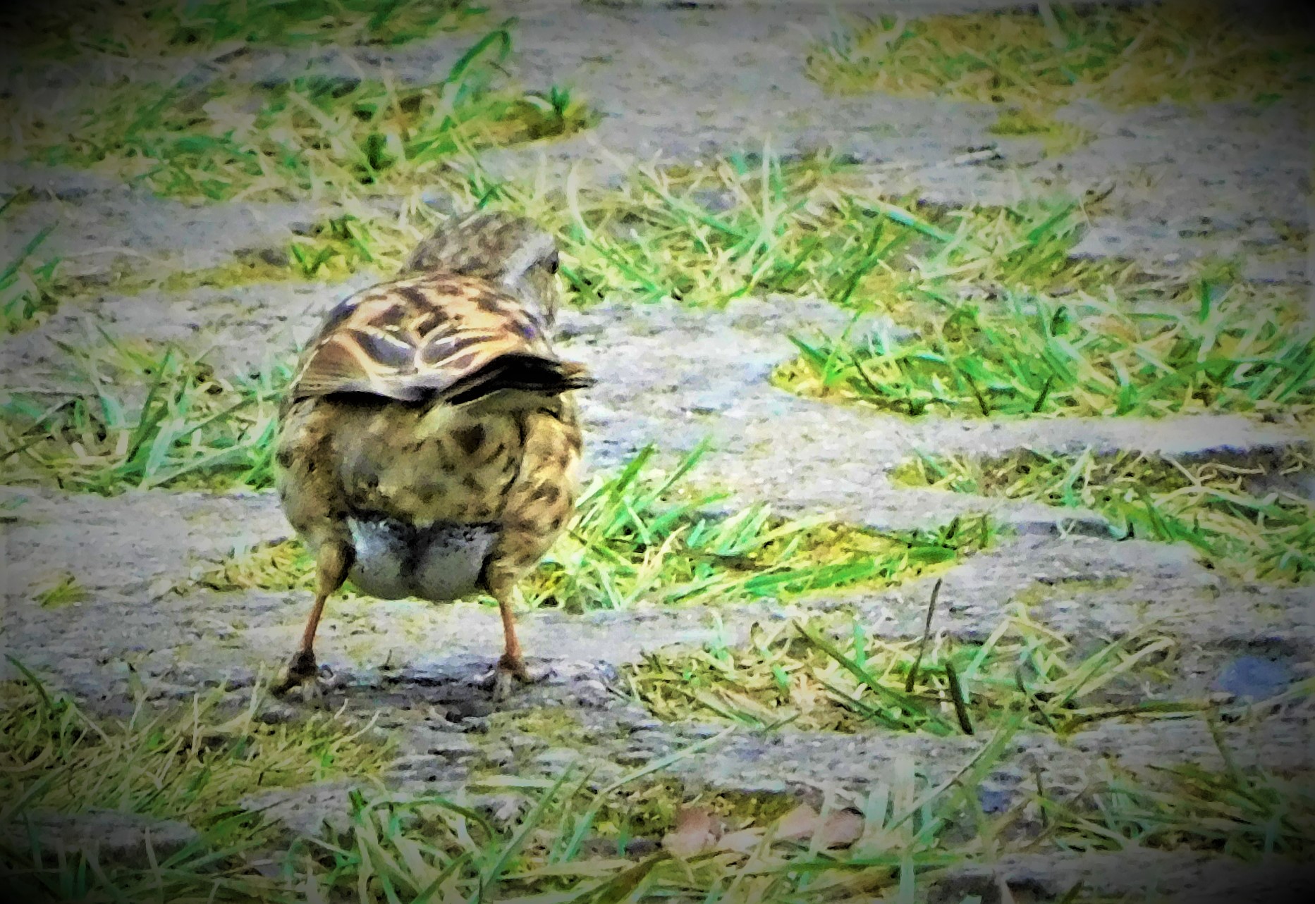
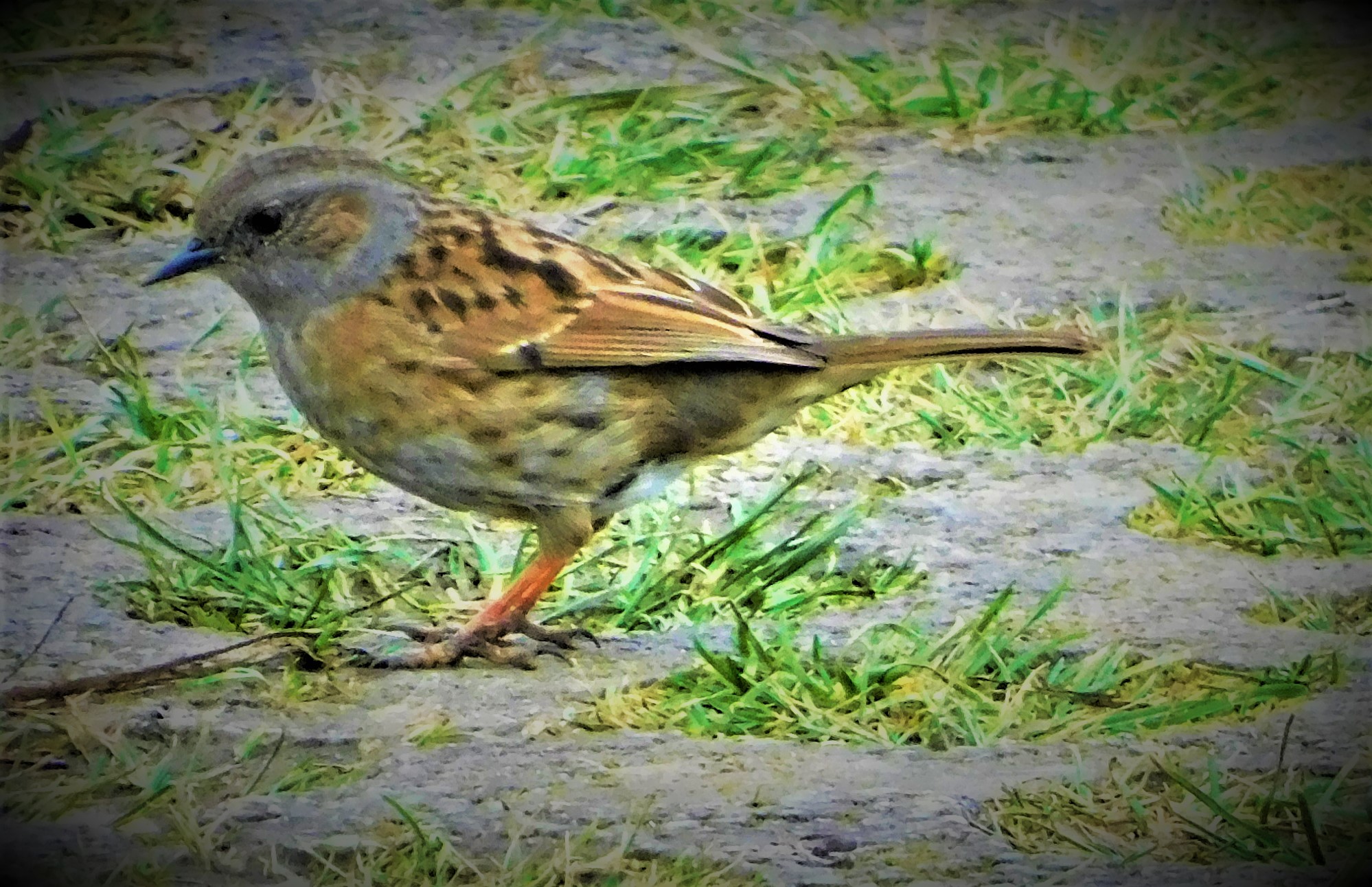
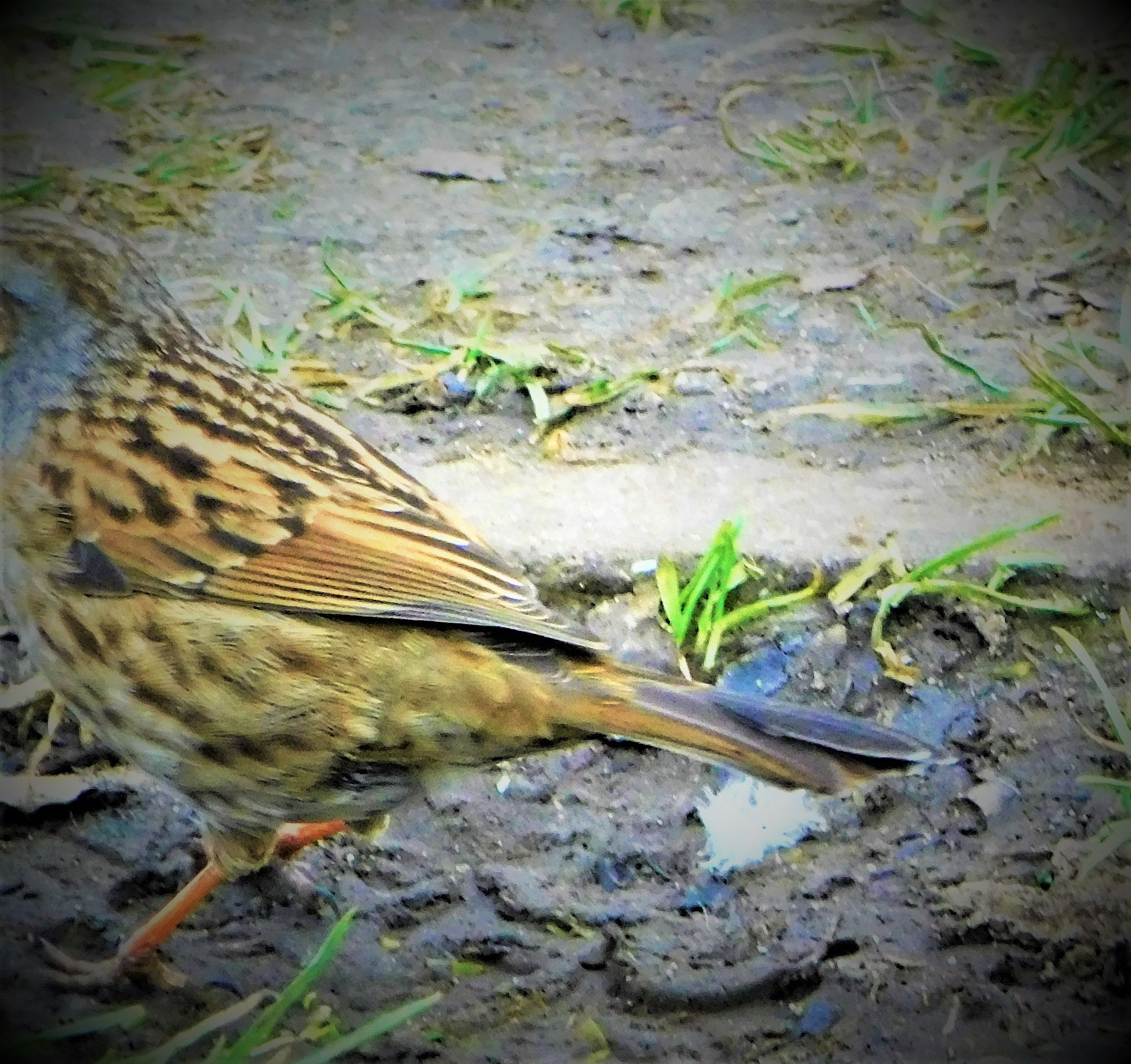
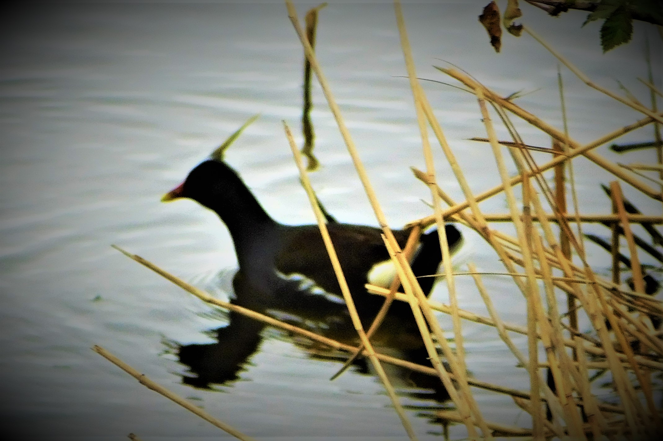
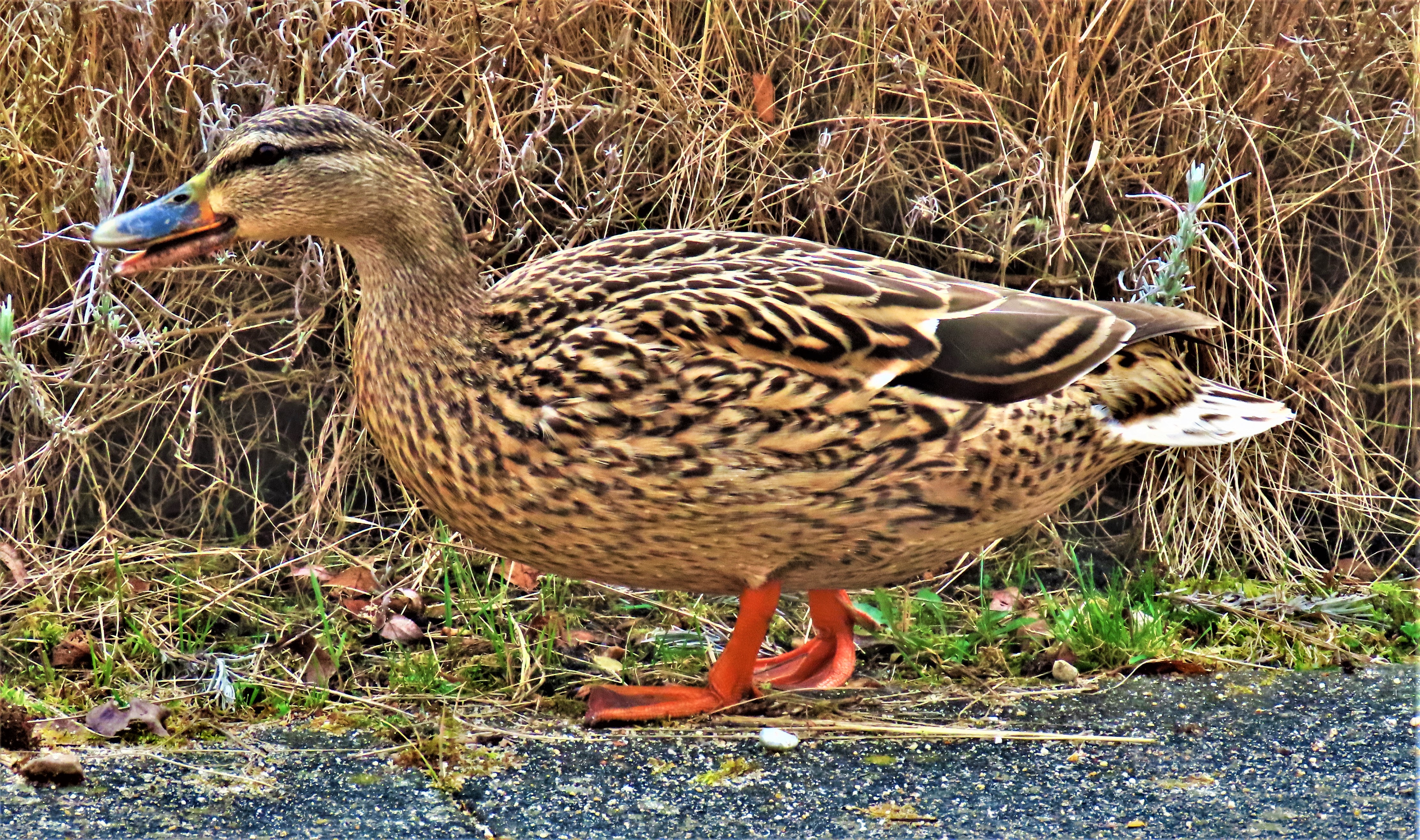
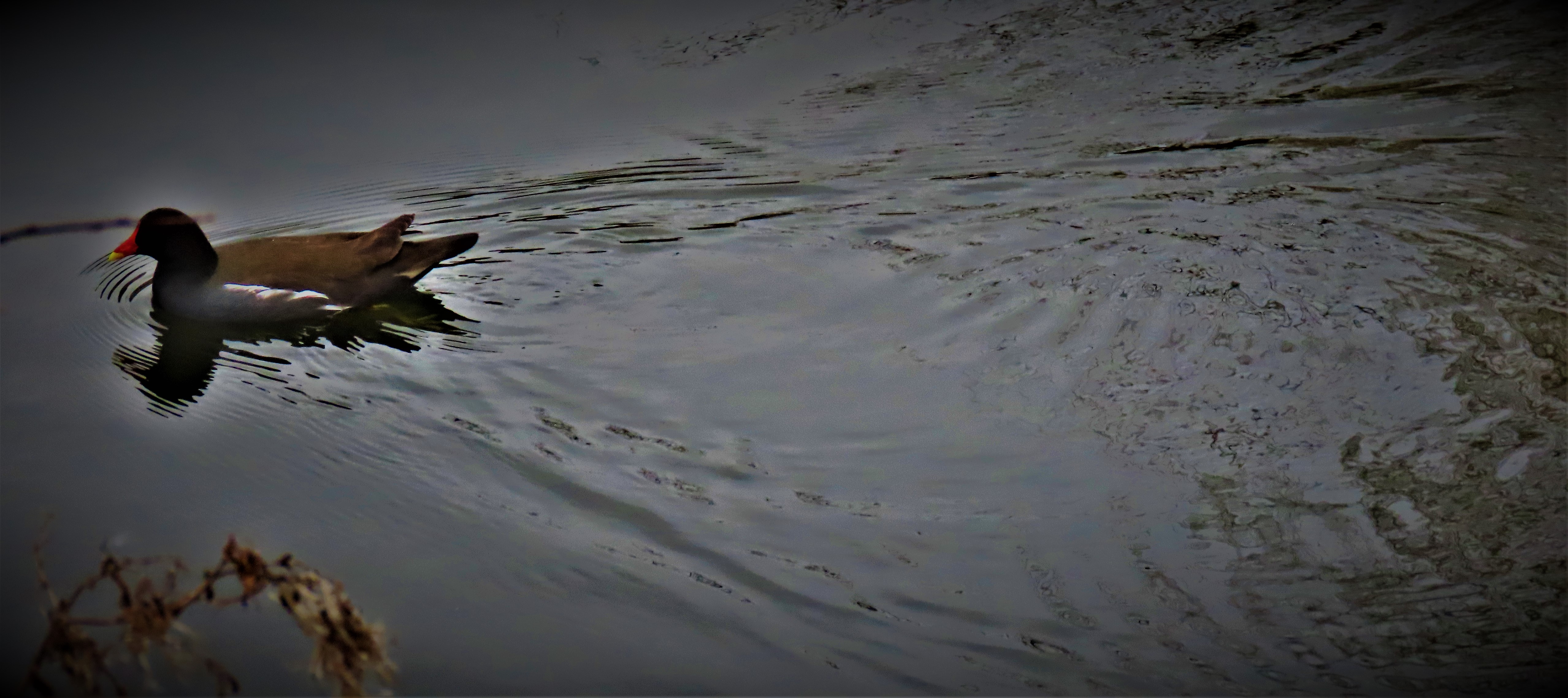
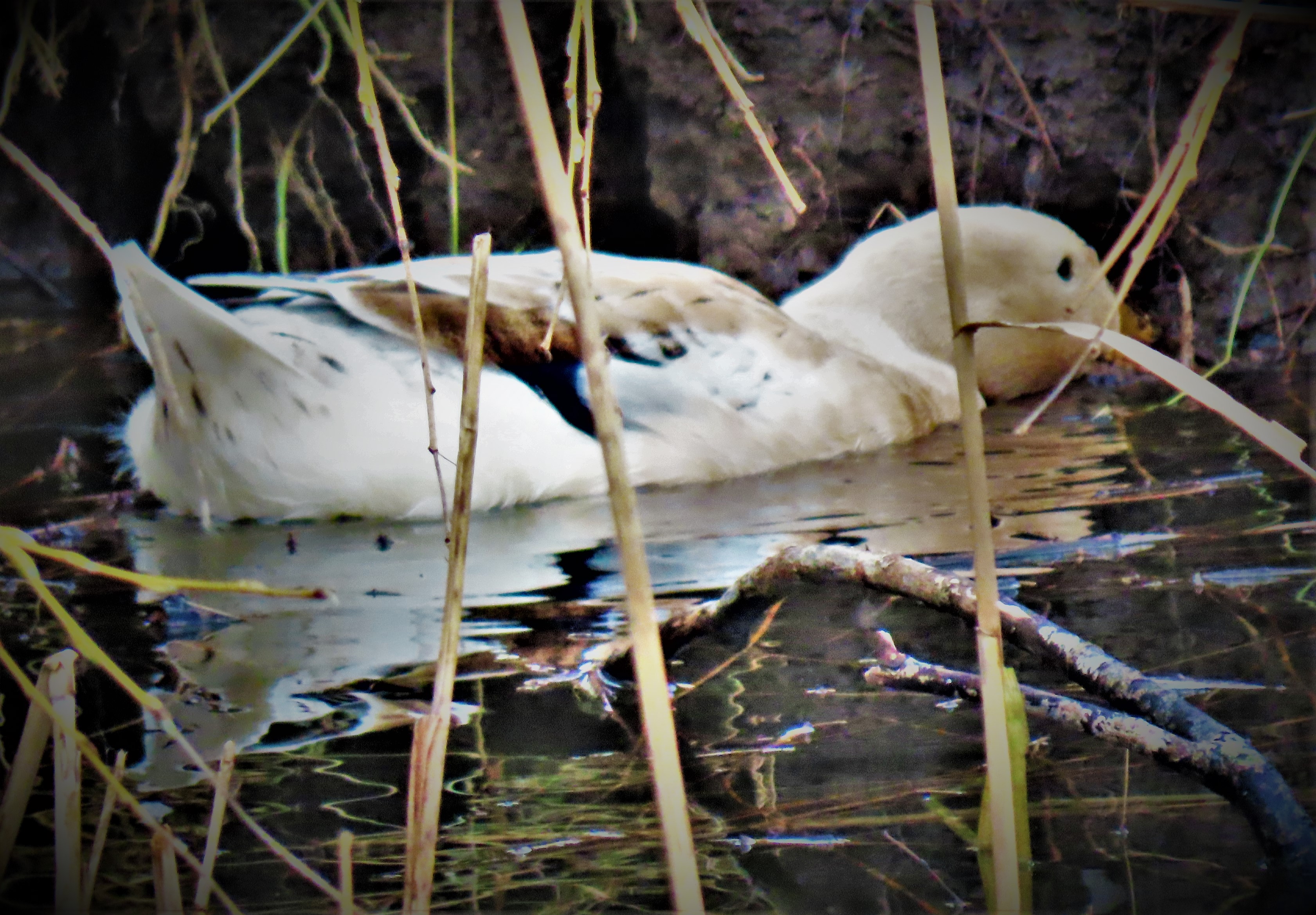
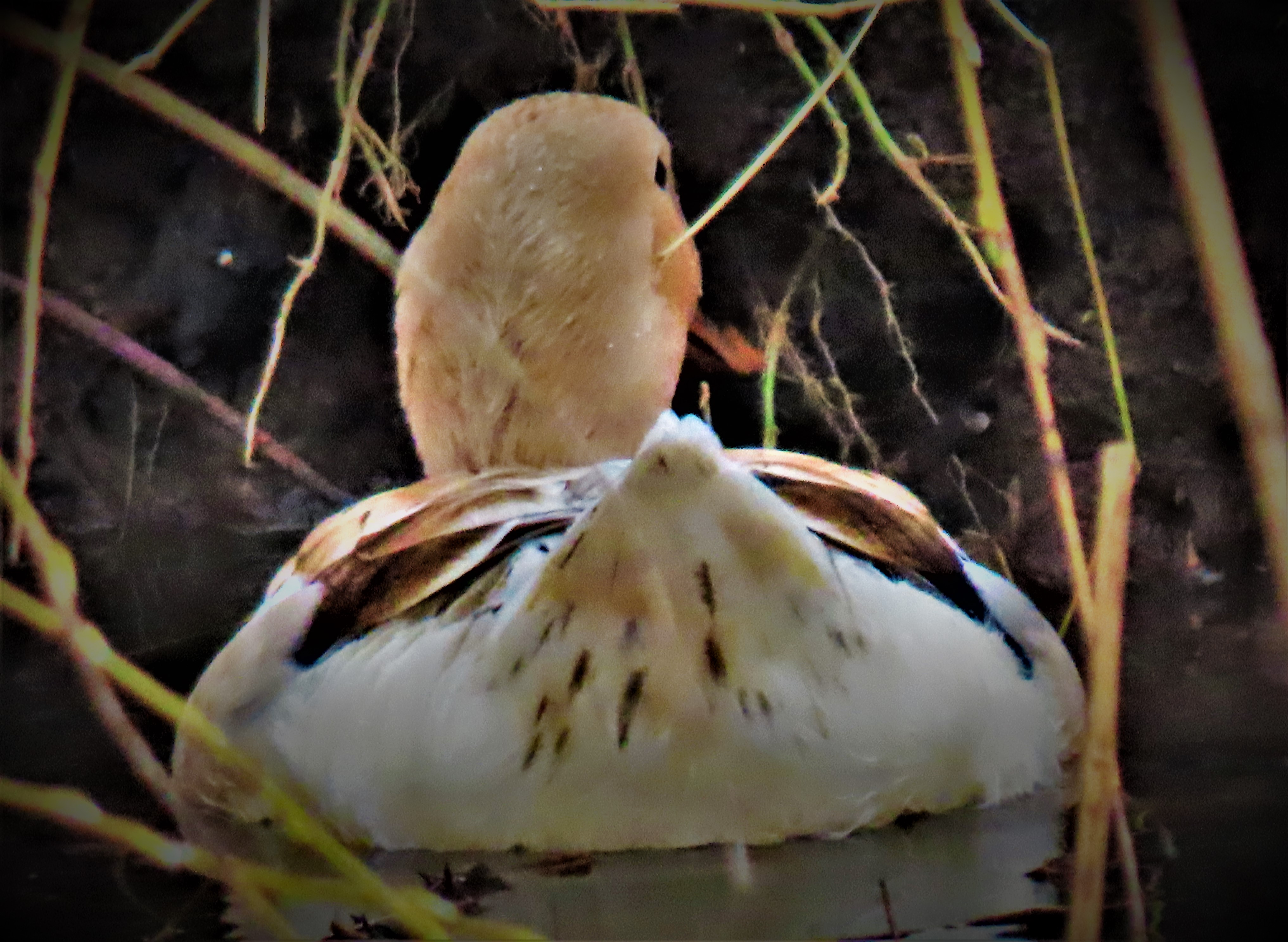
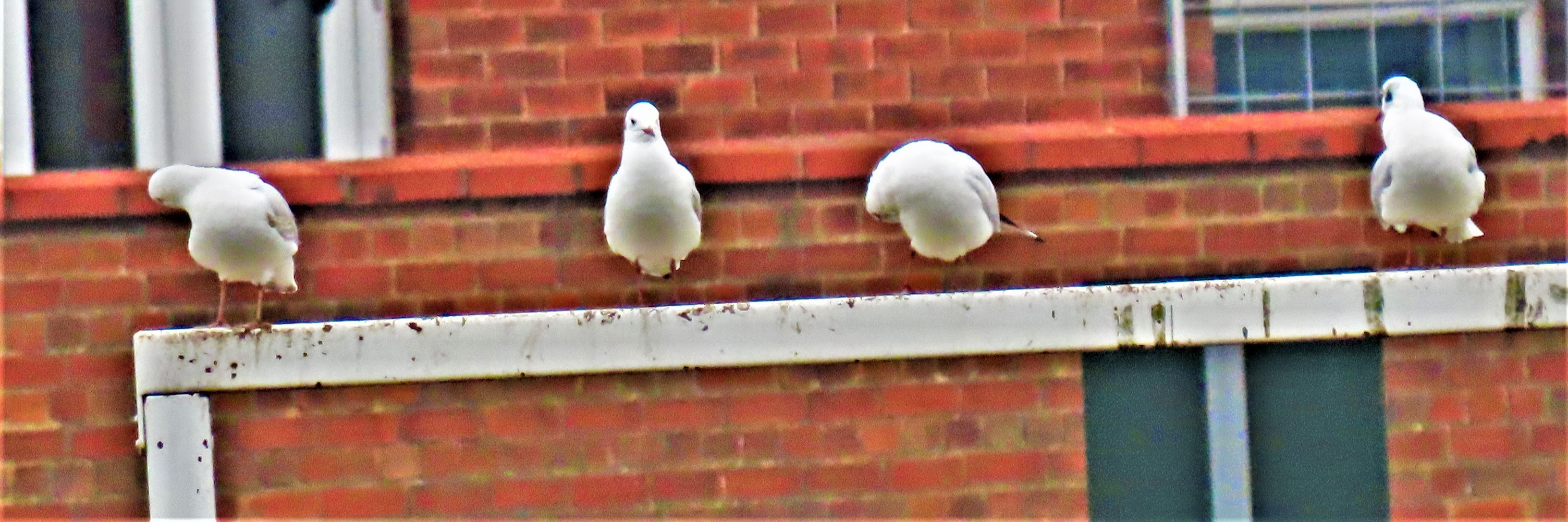
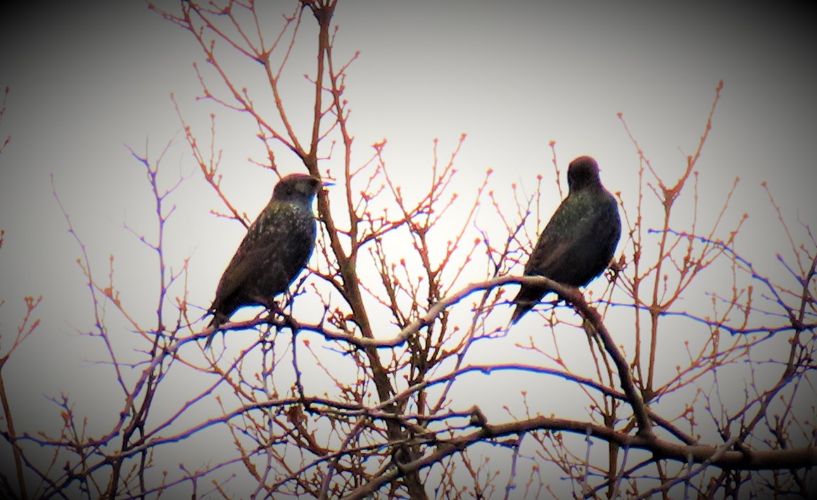
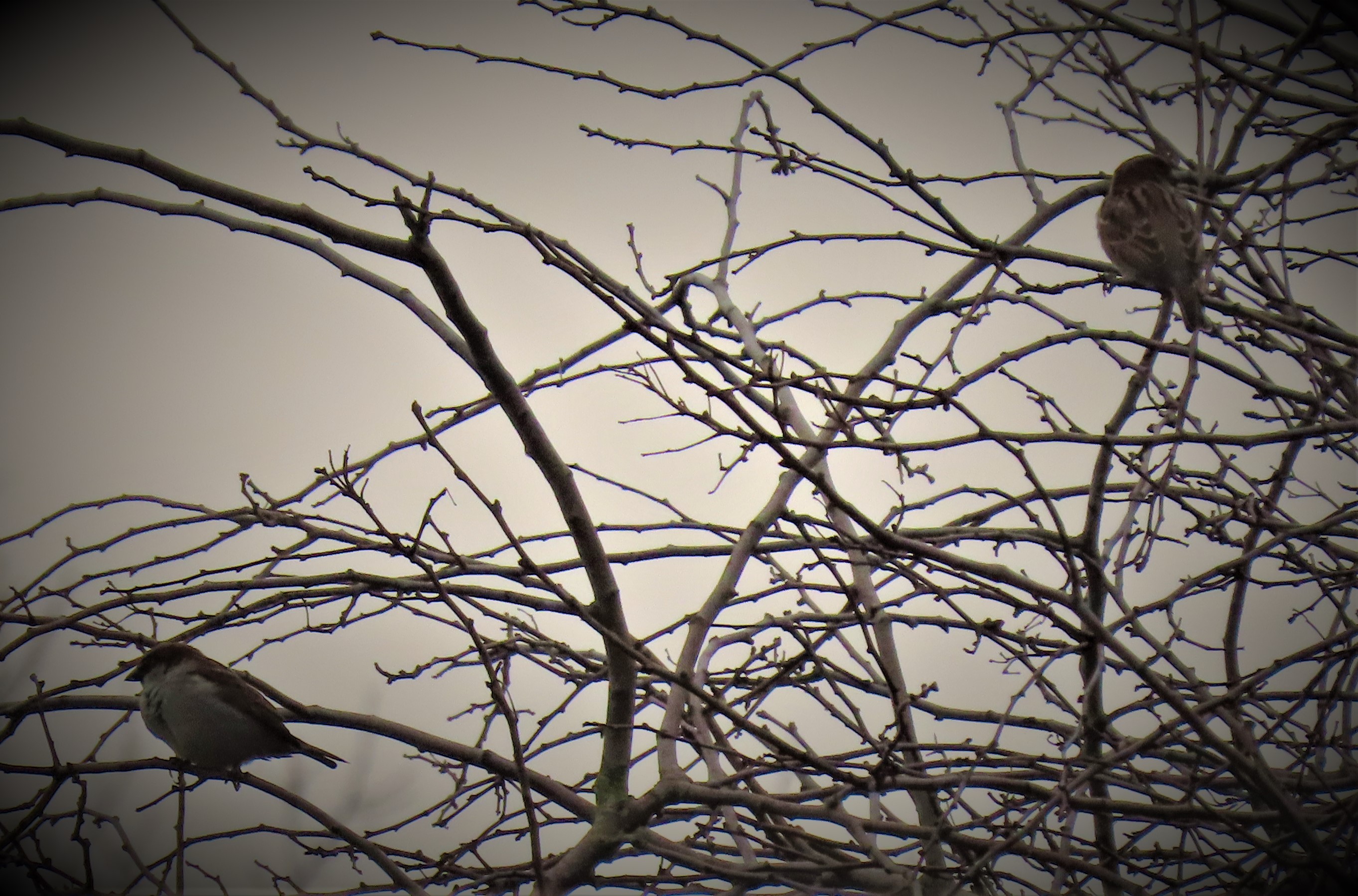
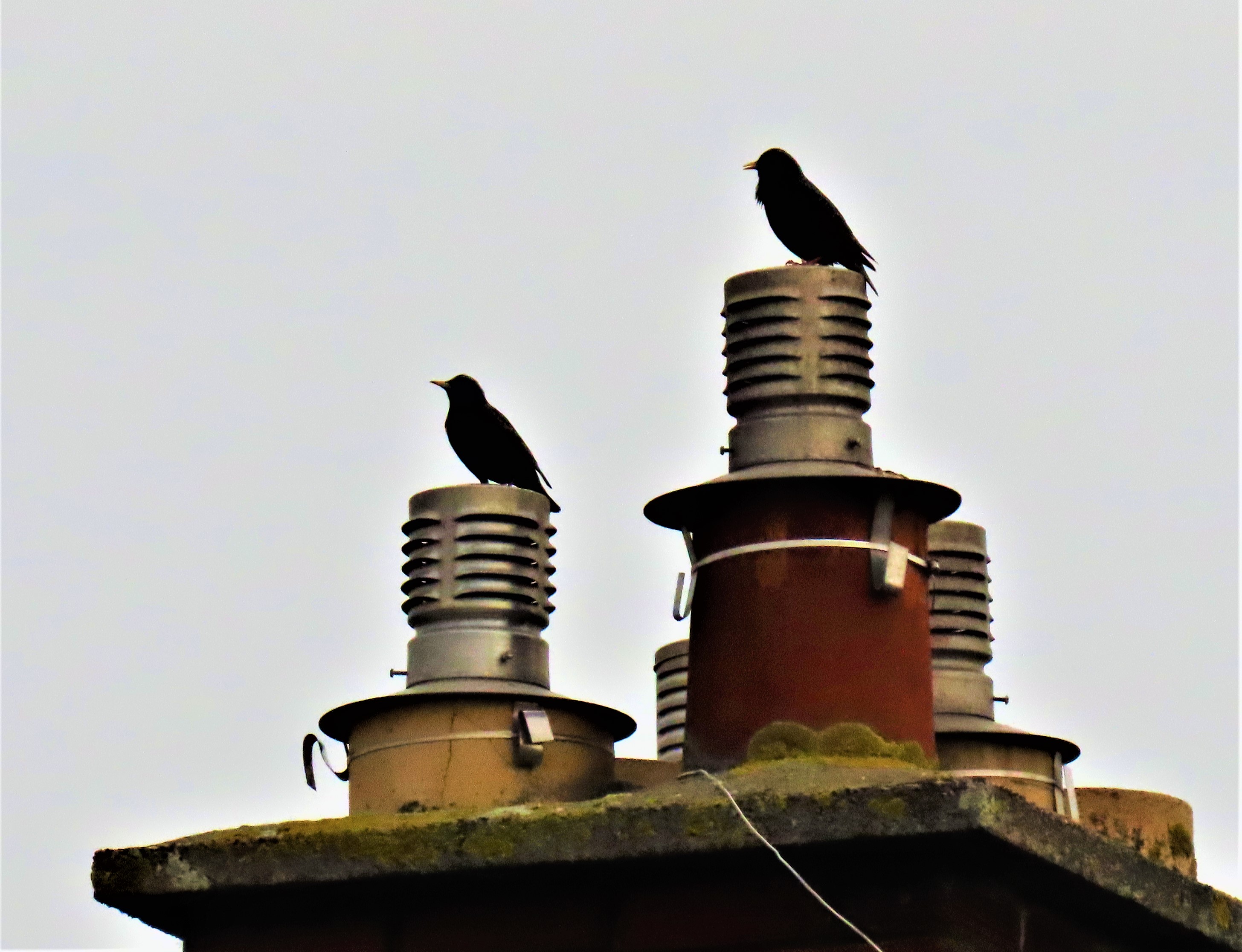
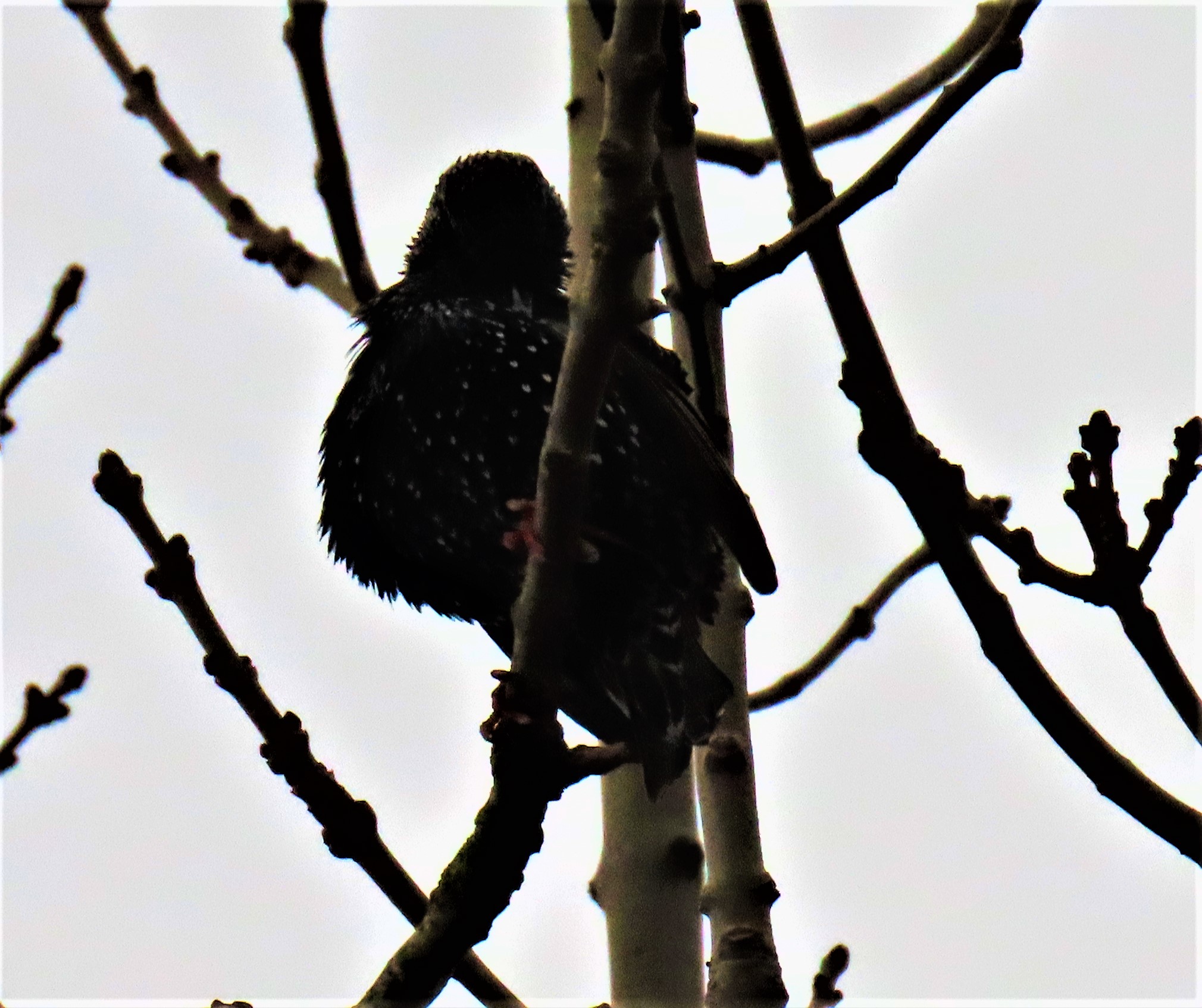
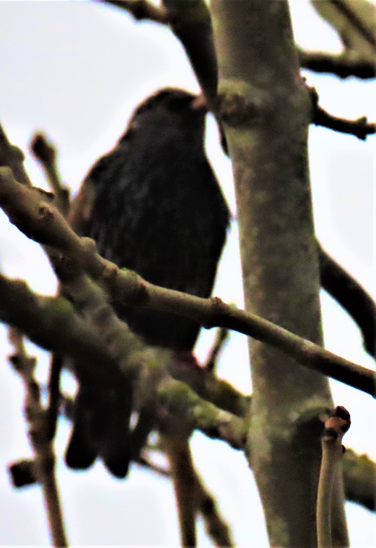
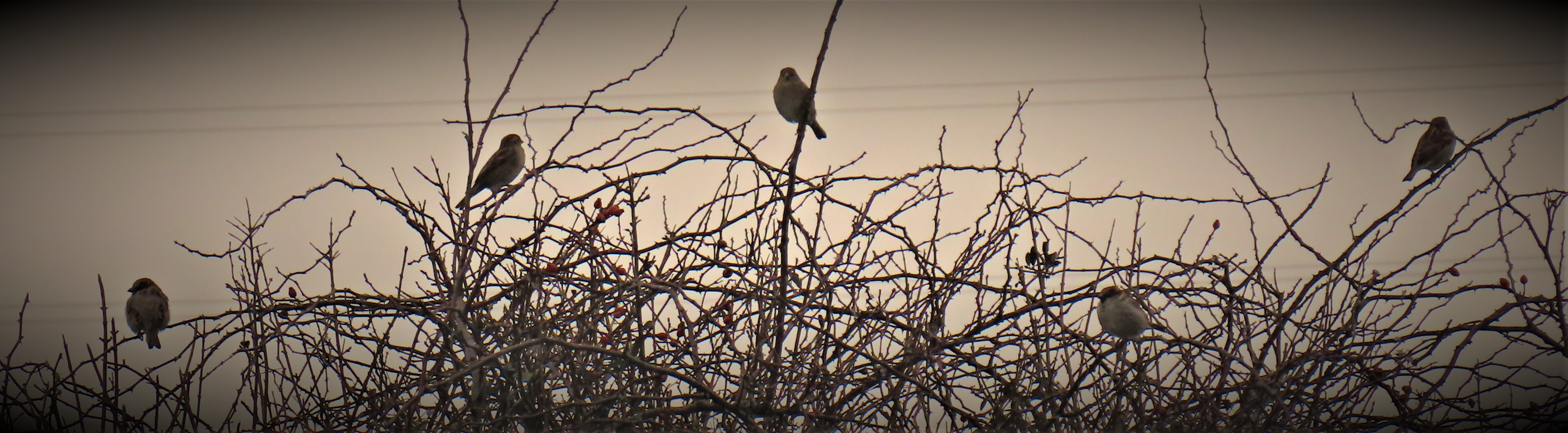
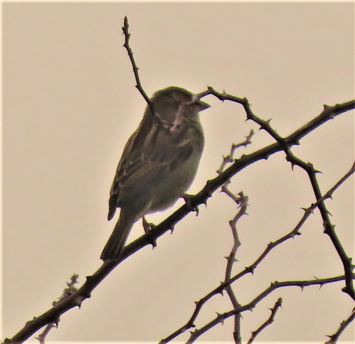
The sign for Britain’s remotest pub, of which more will be said in the next post.When you in as remote a location as this getting yourself banned is a very big deal!This is no longer a church – as the skylights suggest it is now a private dwelling.On the beach – there many shells – I looked for the most interesting ones, and rigidly followed the guideline for such situations “take nothing except photographs, leave nothing except footprints”Inverie House
Continuing my account of my Christmas in Cornwall with a brief post about Tuesday’s activities.
In the last post on this site I detailed my journey from Norfolk to Cornwall. Here I pick up the story with a brief account of the first full day of the holiday.
A WALK TO GET INTO THE SWING OF THINGS
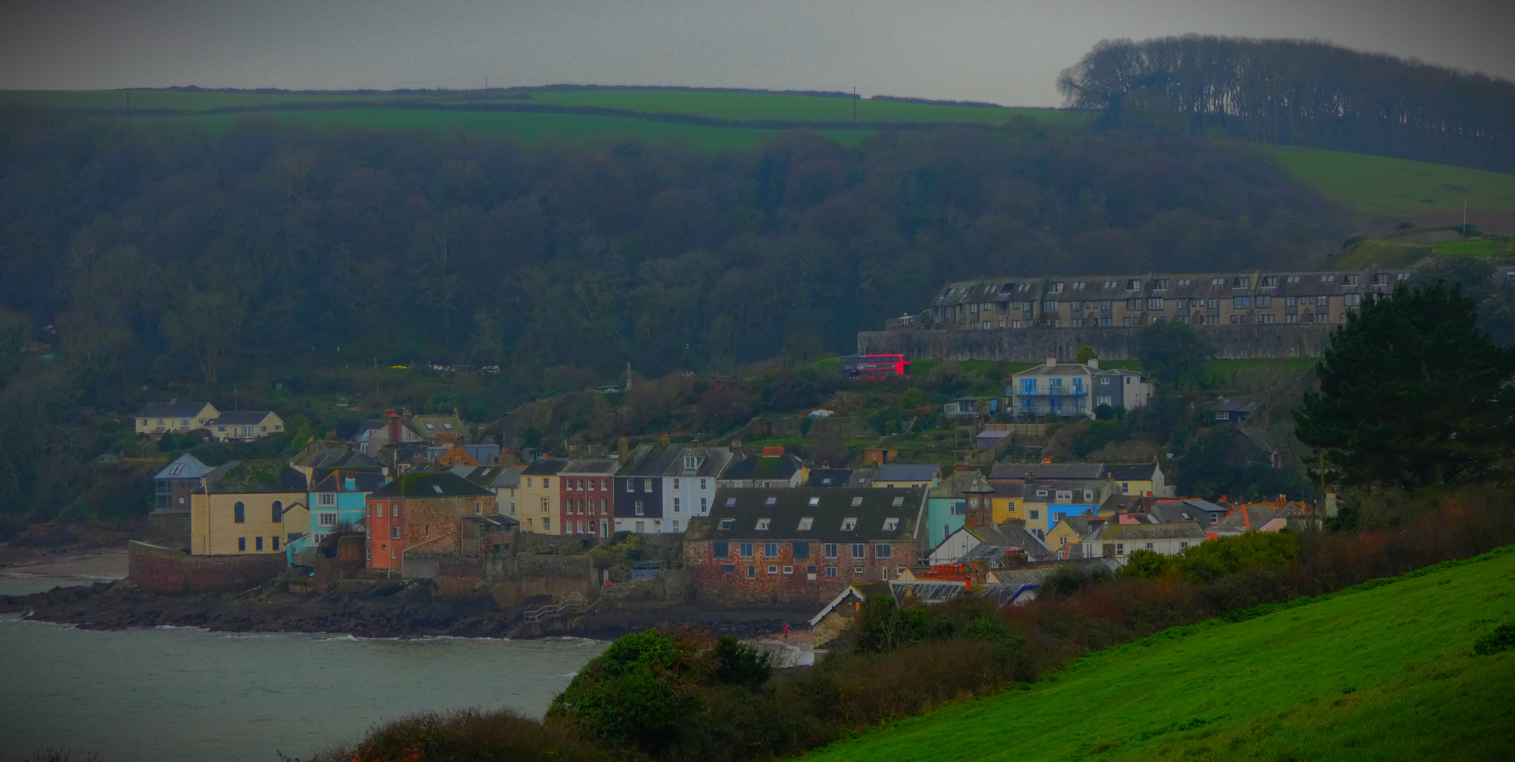
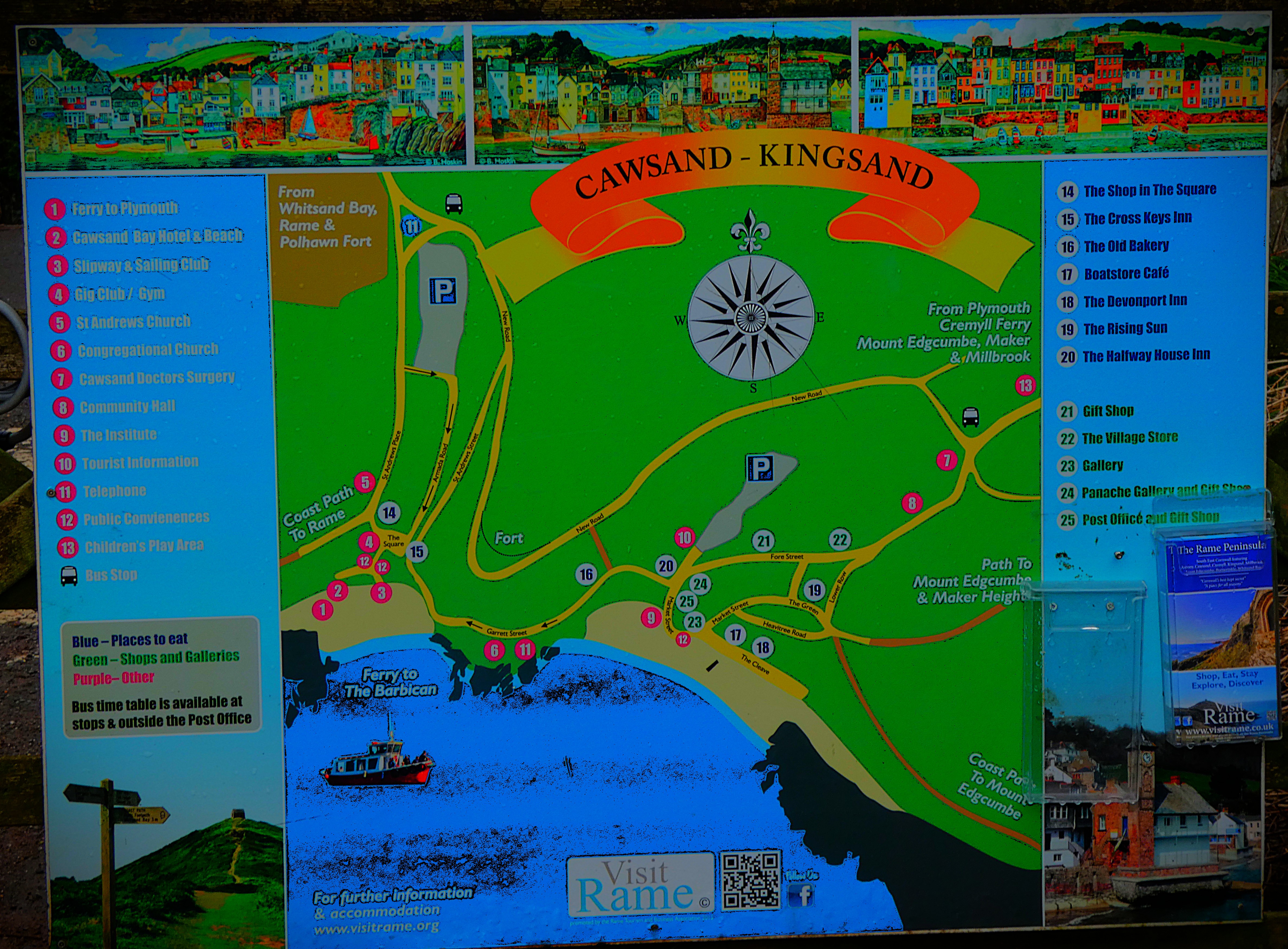
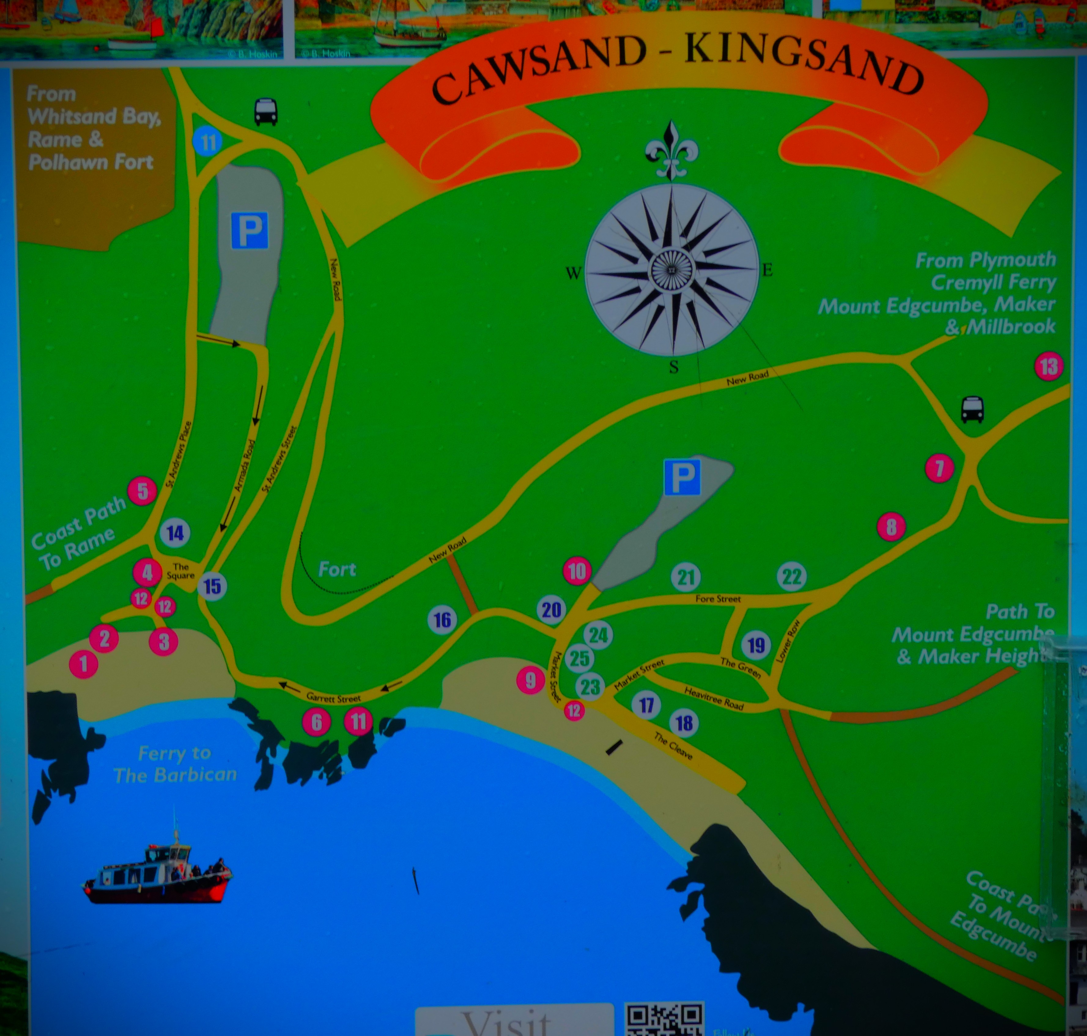
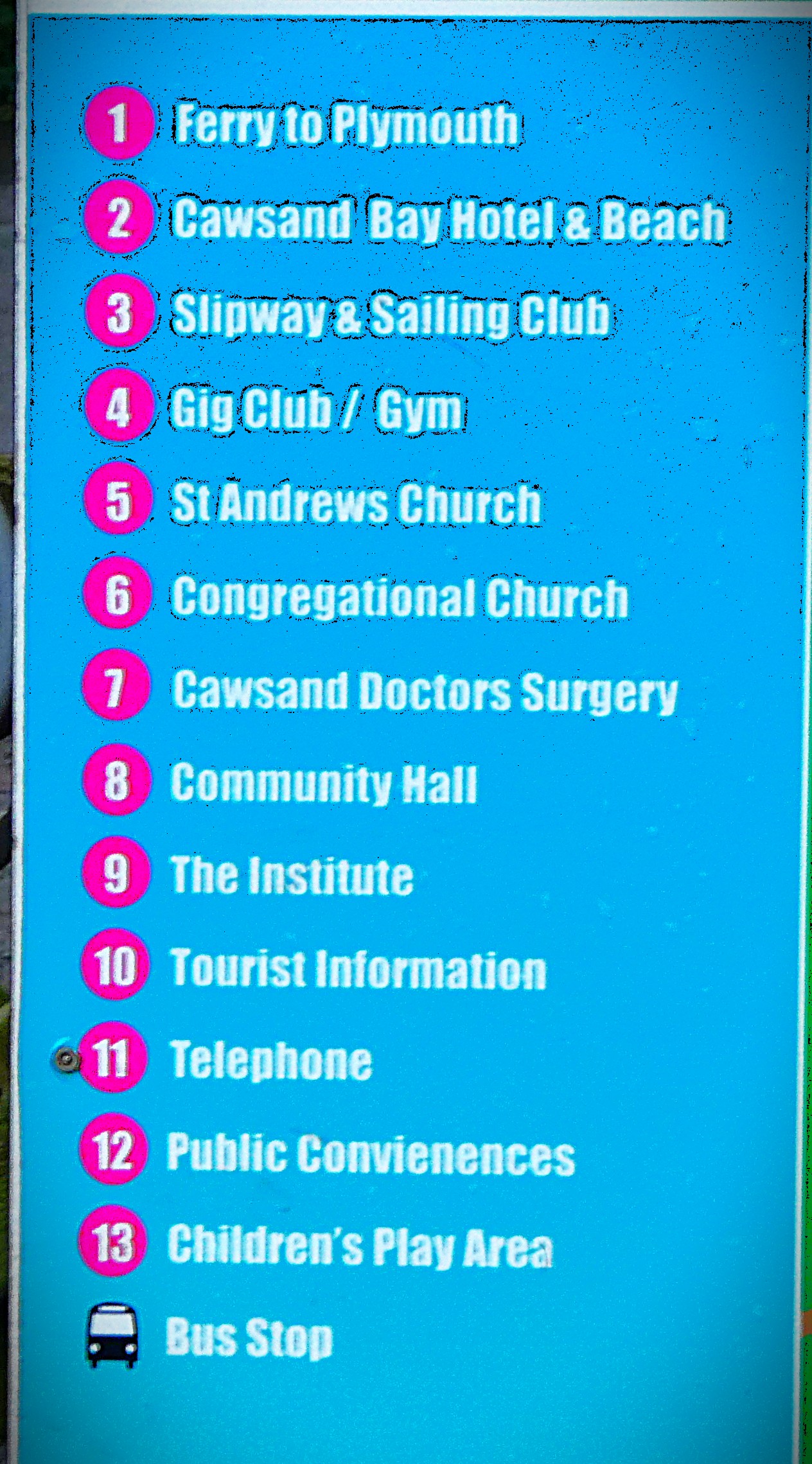
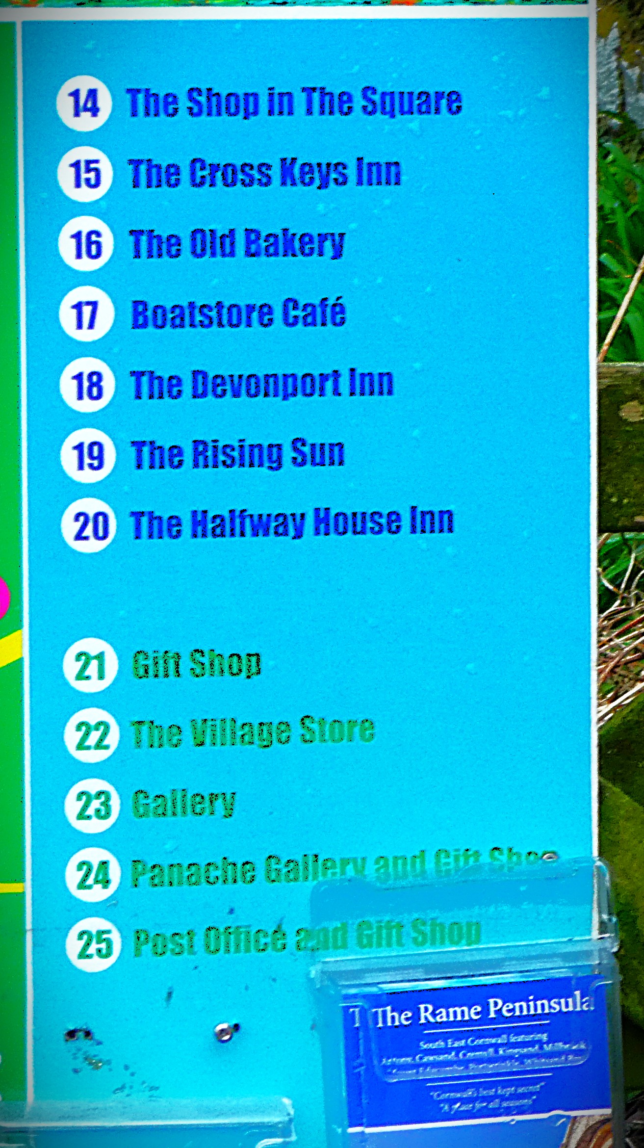
The only thing I did of note on the Tuesday was to walk to and from Kingsand, which provided some photos. The walk is a pleasant one, featuring a stretch of the coast path, with some splendid views. There was some more serious walking to follow, as you will read.
PHOTOGRAPHS
My gallery in naturally dominated by the pictures I took while walking…
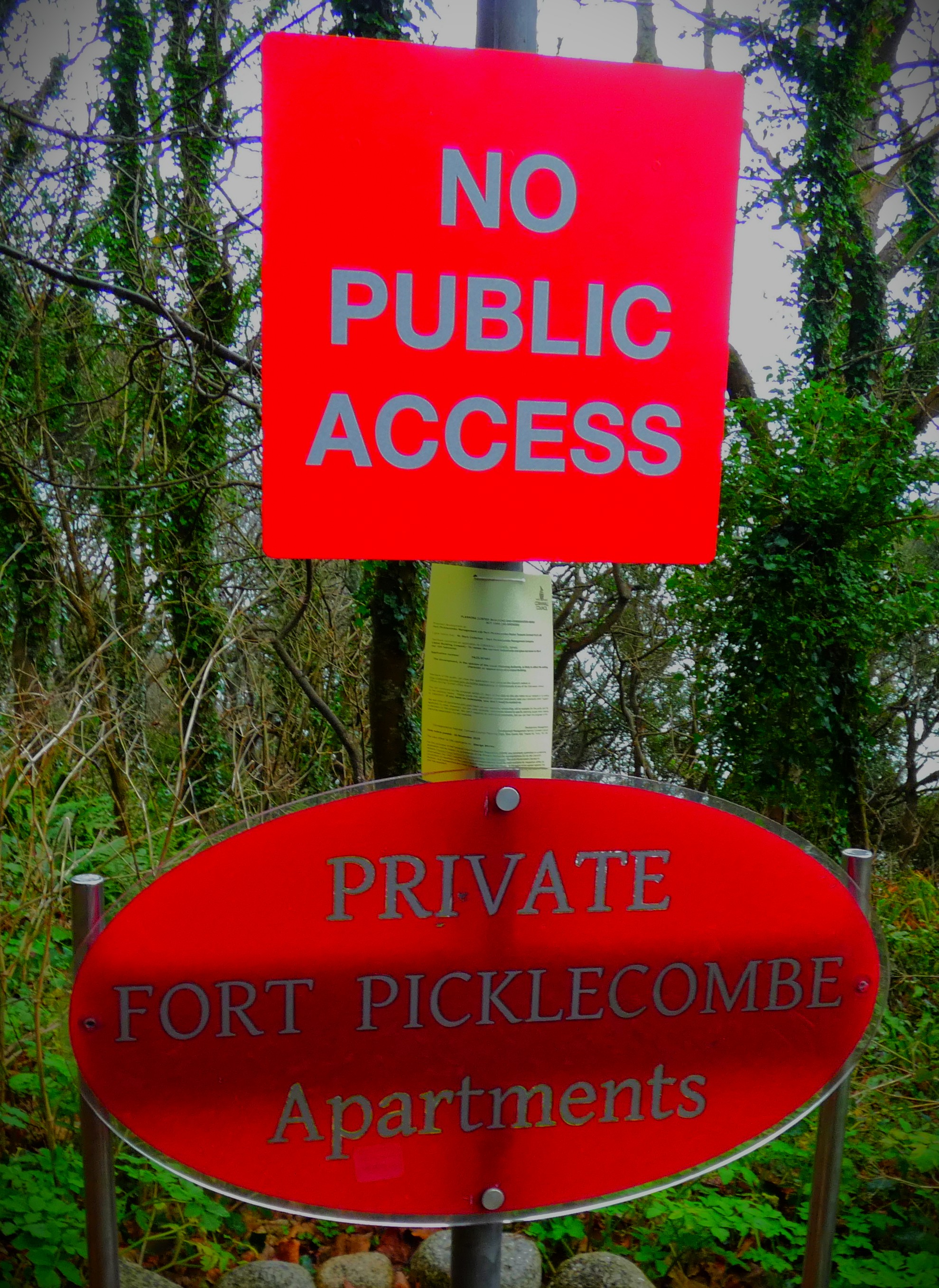
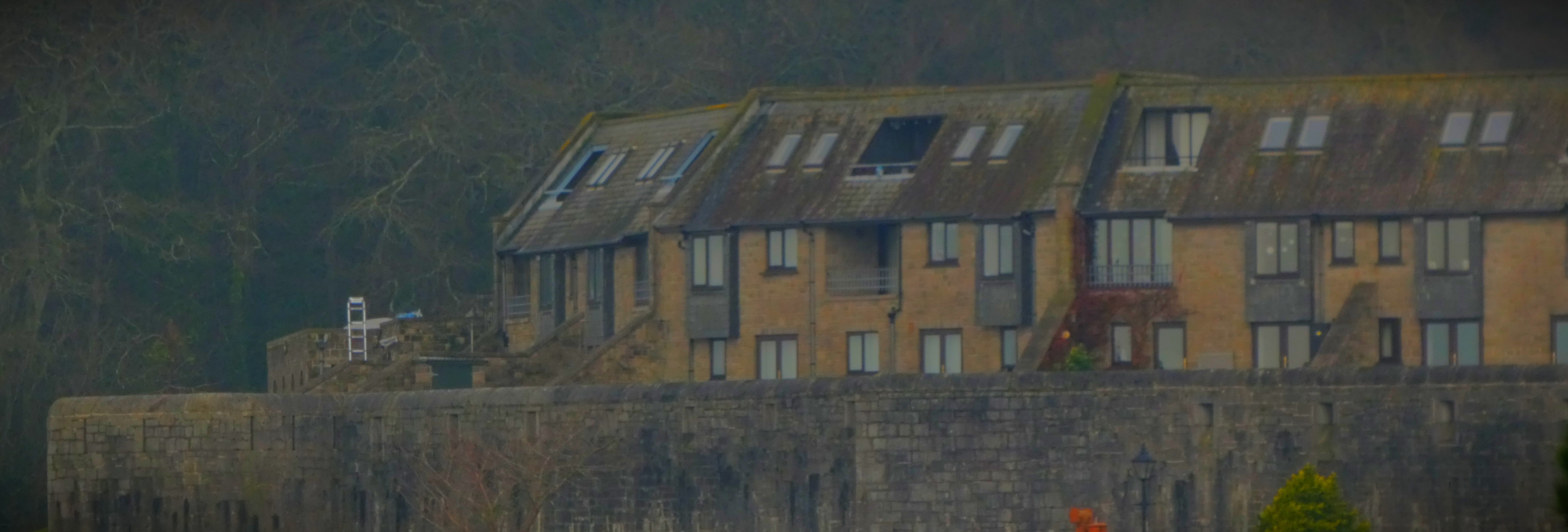
The walk pictures start here (this ius a covered walkway from the third floor of the apartment bit of the castle up the road out, near the officer’s mess.Fort Pickelcome as seen looking back from the edge of Kingsand.…and end here.
An account of a long morning walk, which was planned for a specific purpose. Includes a photo gallery.
I have an important meeting to attend on Friday at a location just beyond the western end of the road bridge across the Great Ouse, and with the weather much less brutal than it was a month ago I am of a mind to walk to and from the venue, although it is a fair walk from my home in North Lynn. It was with a view to that that I planned this morning’s excursion.
PART ONE: THE LIBRARY
I had 14 library books out this morning, only one fewer than the permitted maximum for a single borrower, which made the library an essential port of call. Of course having returned the books I had out I naturally had a scout for new ones to take out. I found two by a recent find whose work I am really enjoying, Helen Cox. Her series based in and around York features a librarian who doubles up as a private enquiry agent. I also found a trio of north west Norfolk based crime novels by someone named Andrea Bramhall which I am looking forward to reading. This part of the walk was accomplished largely without recourse to main roads, save for a short stretch of London Road, from the end of The Walks to the library.
PART TWO: HEADING FOR THE GREAT OUSE
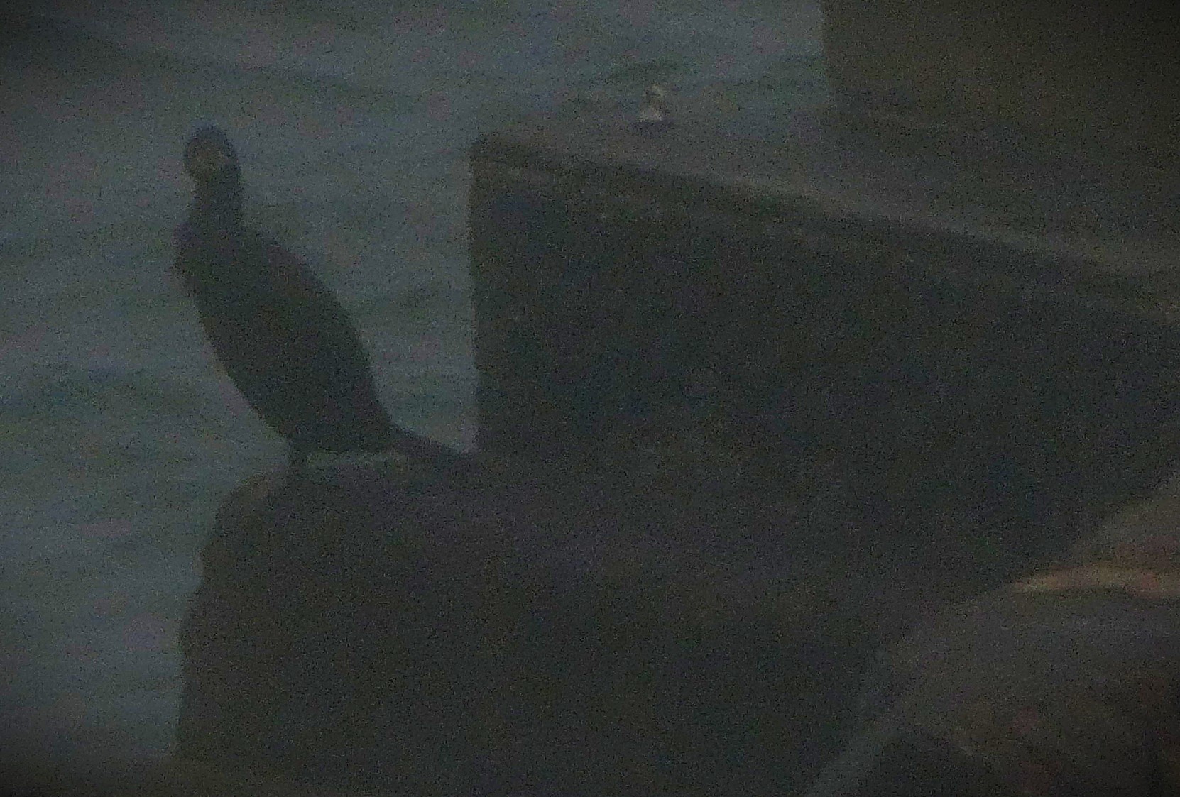
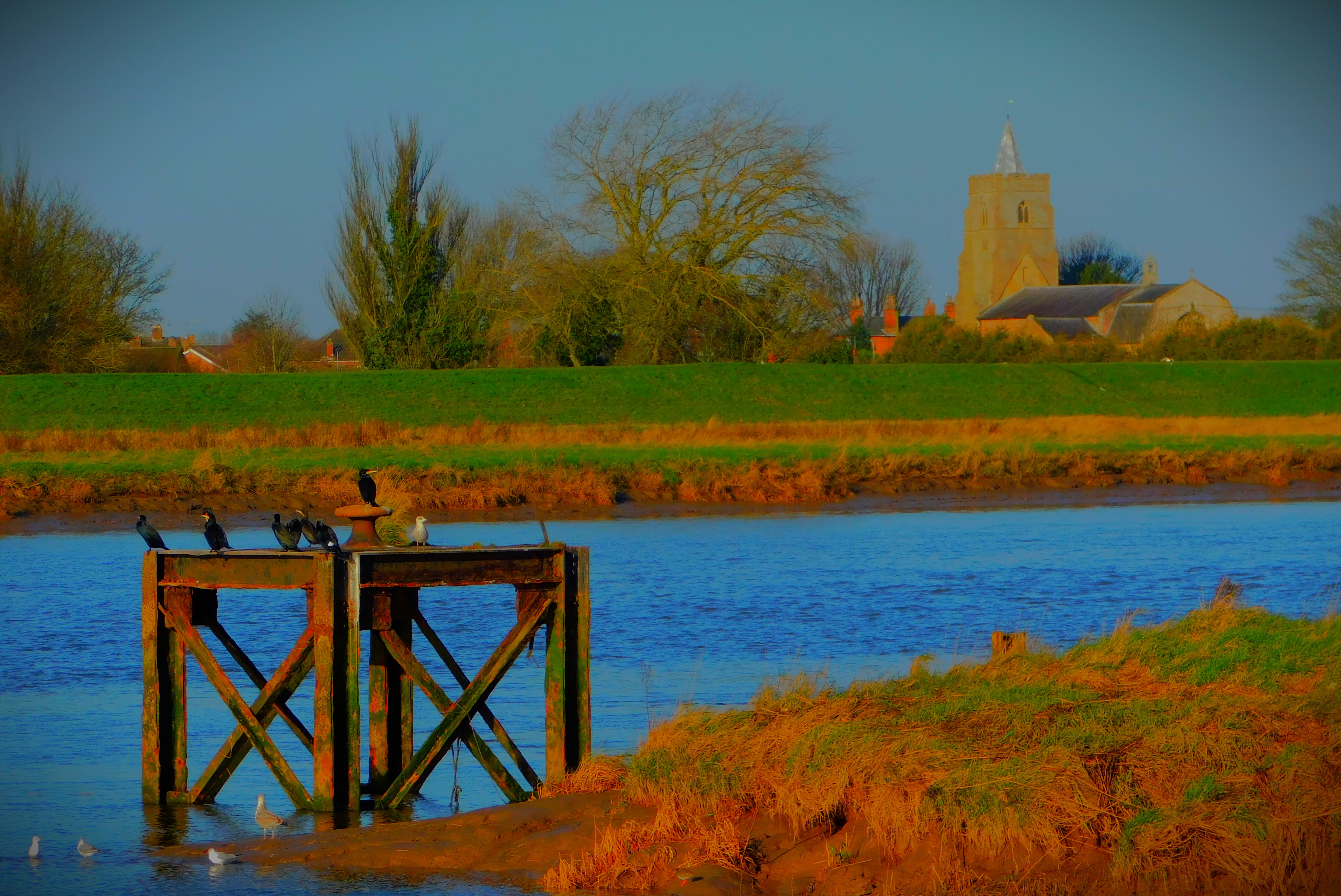
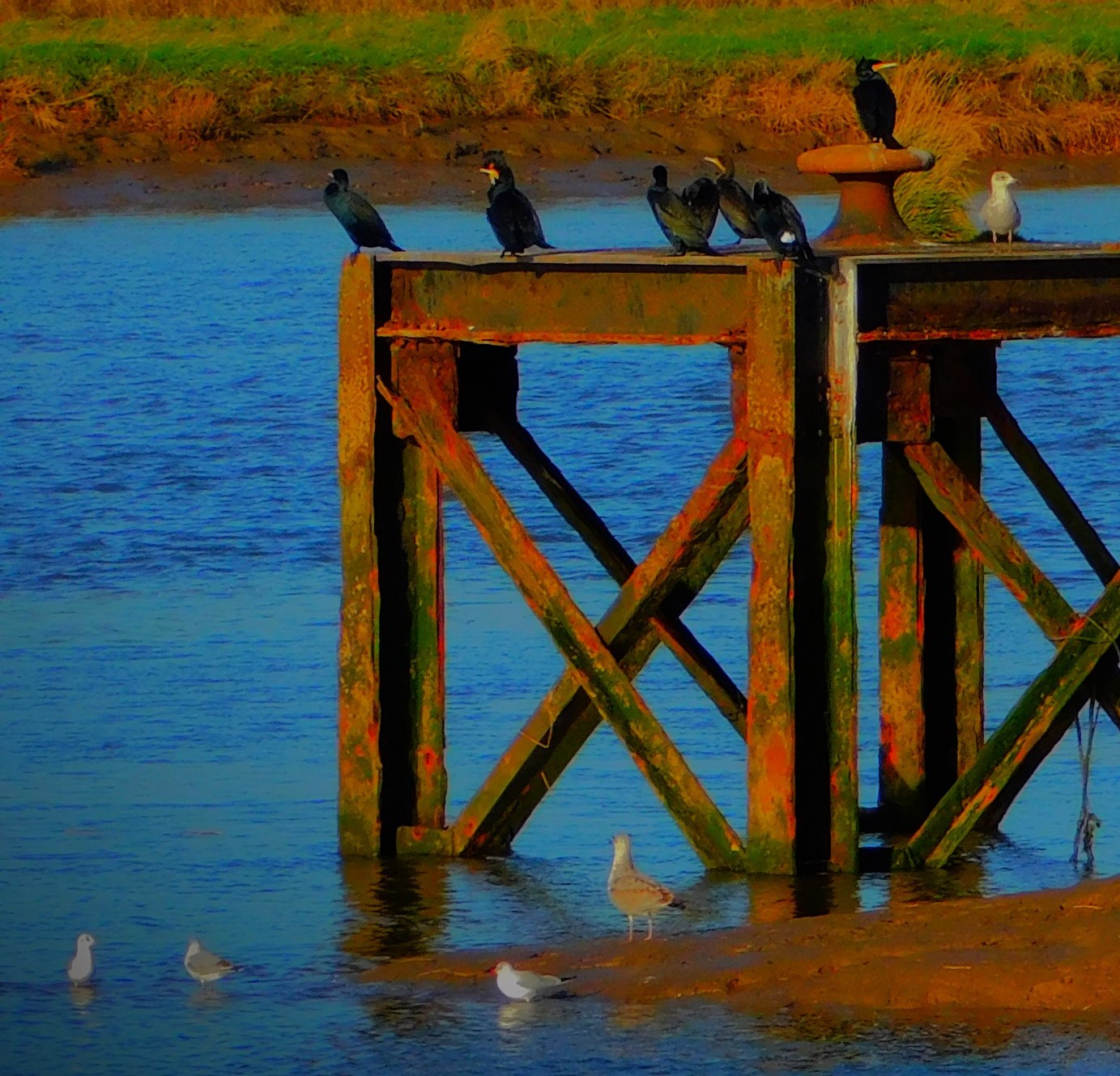
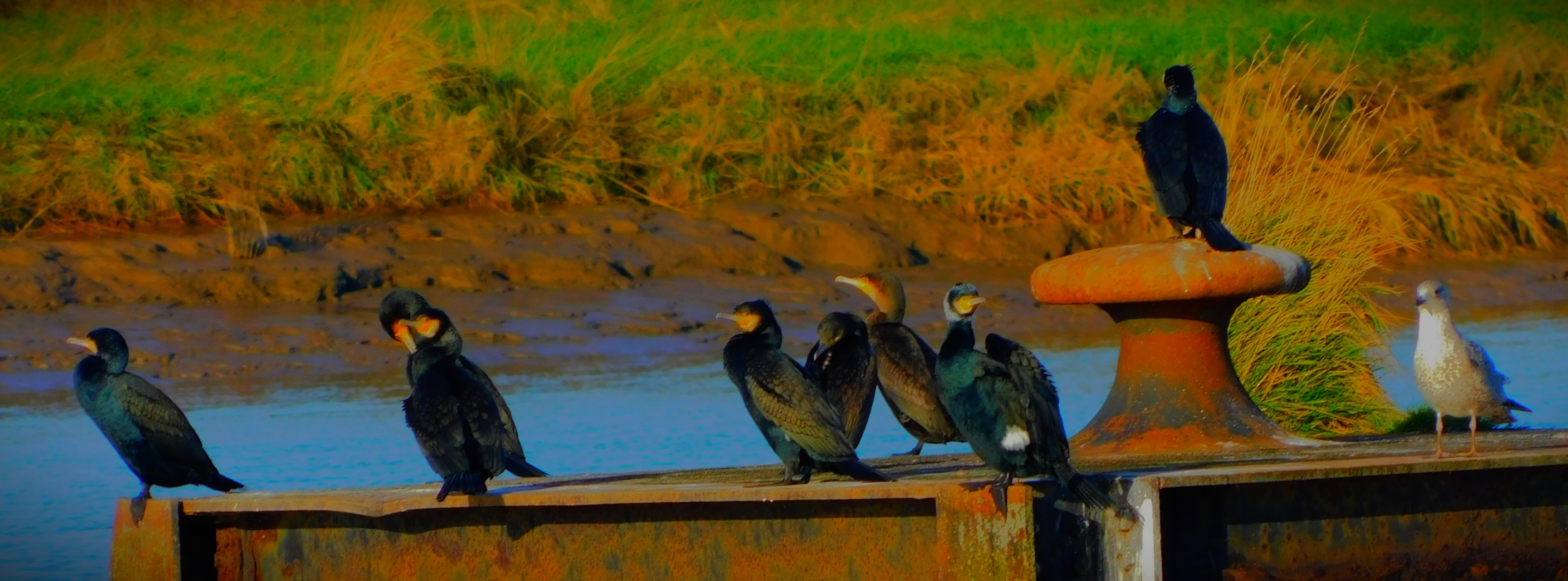
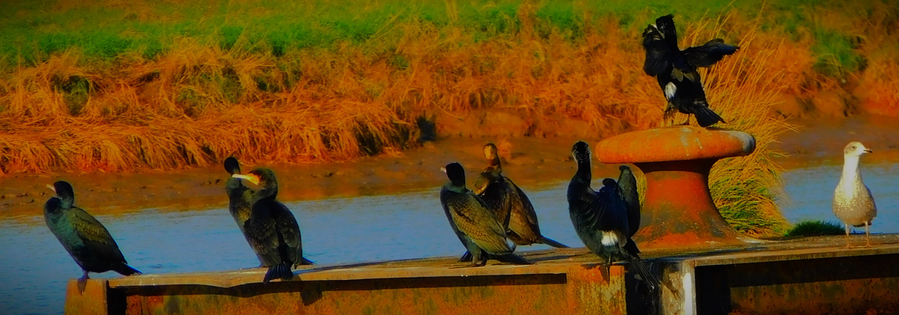
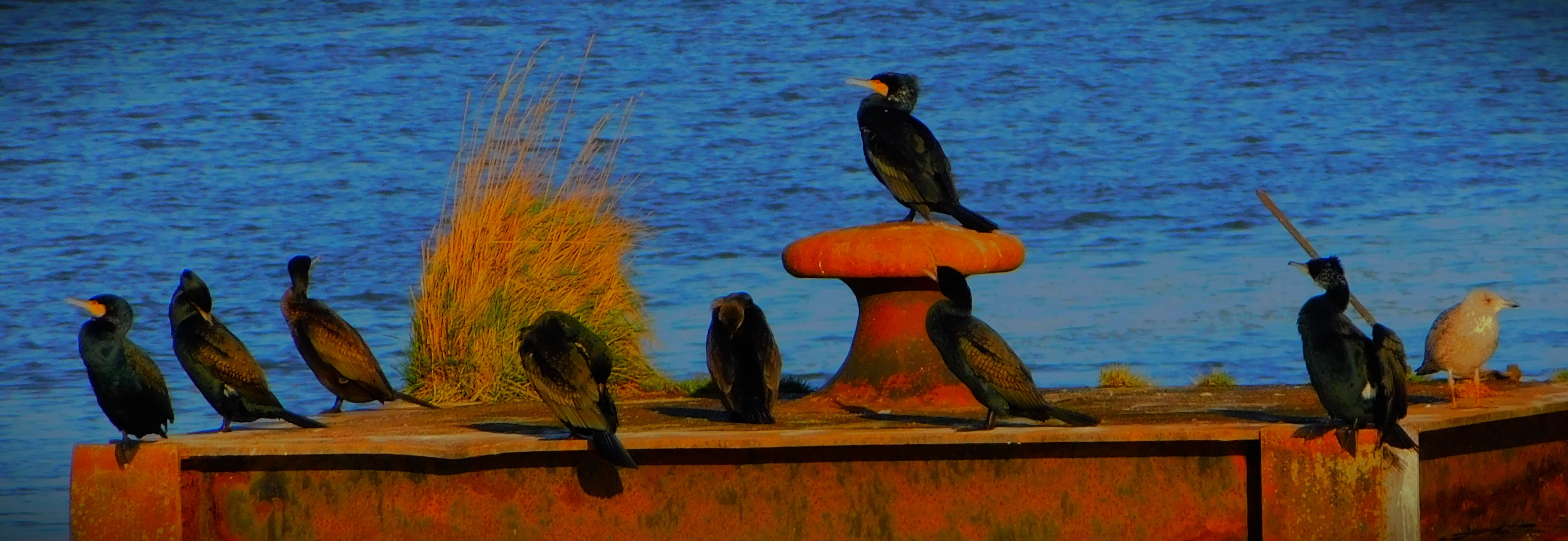
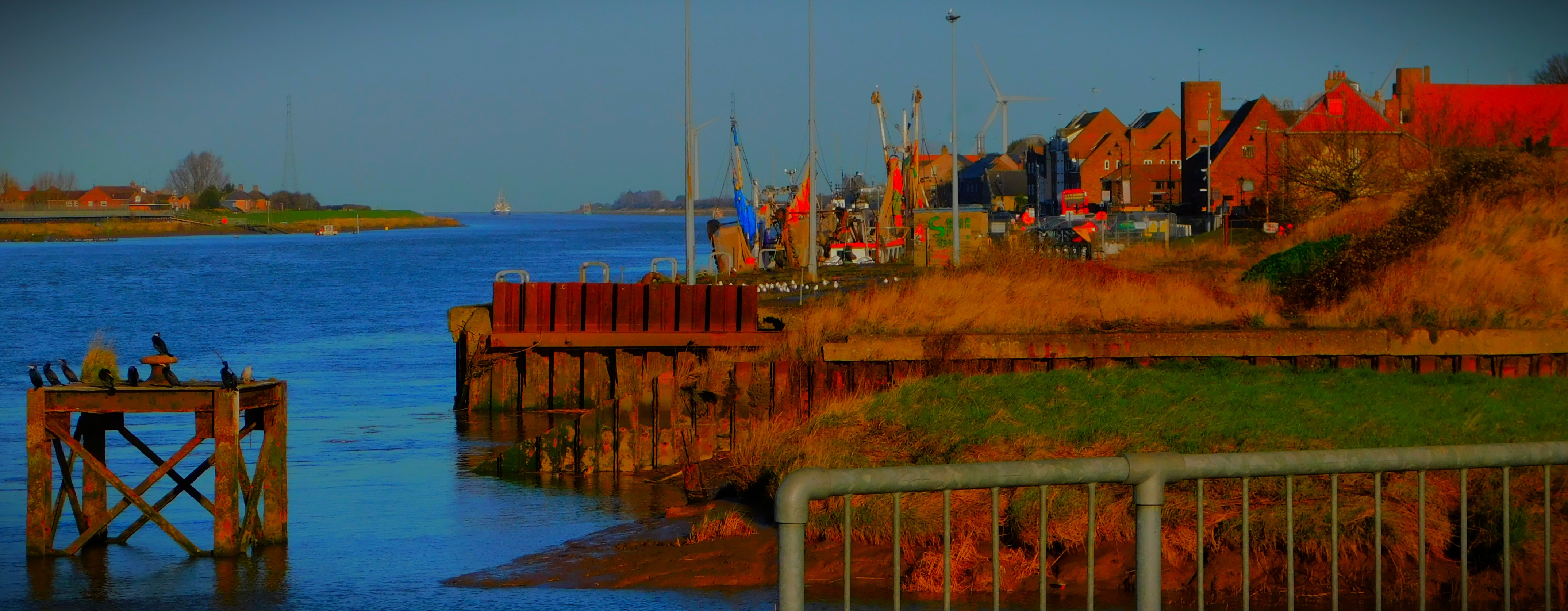
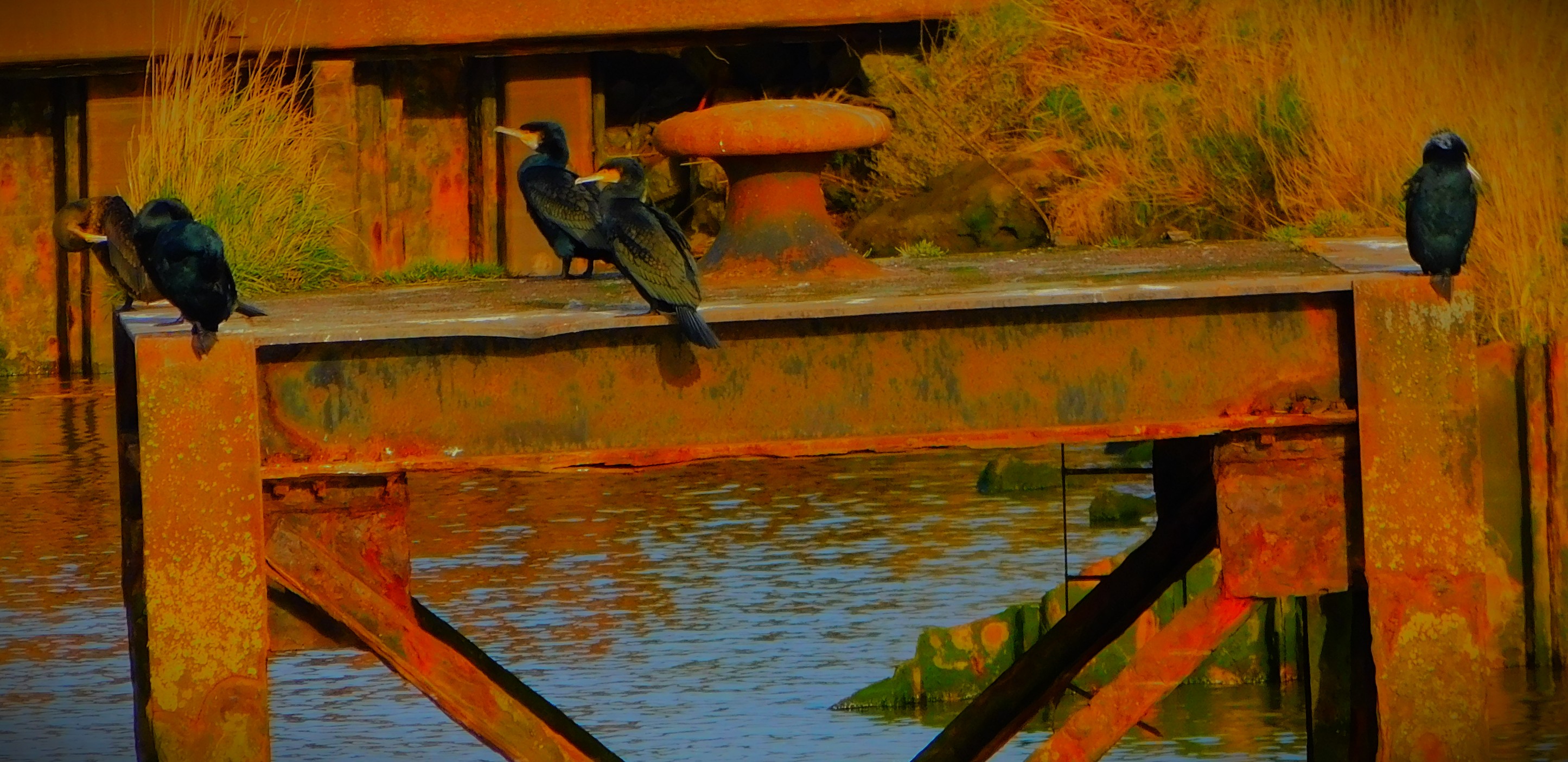
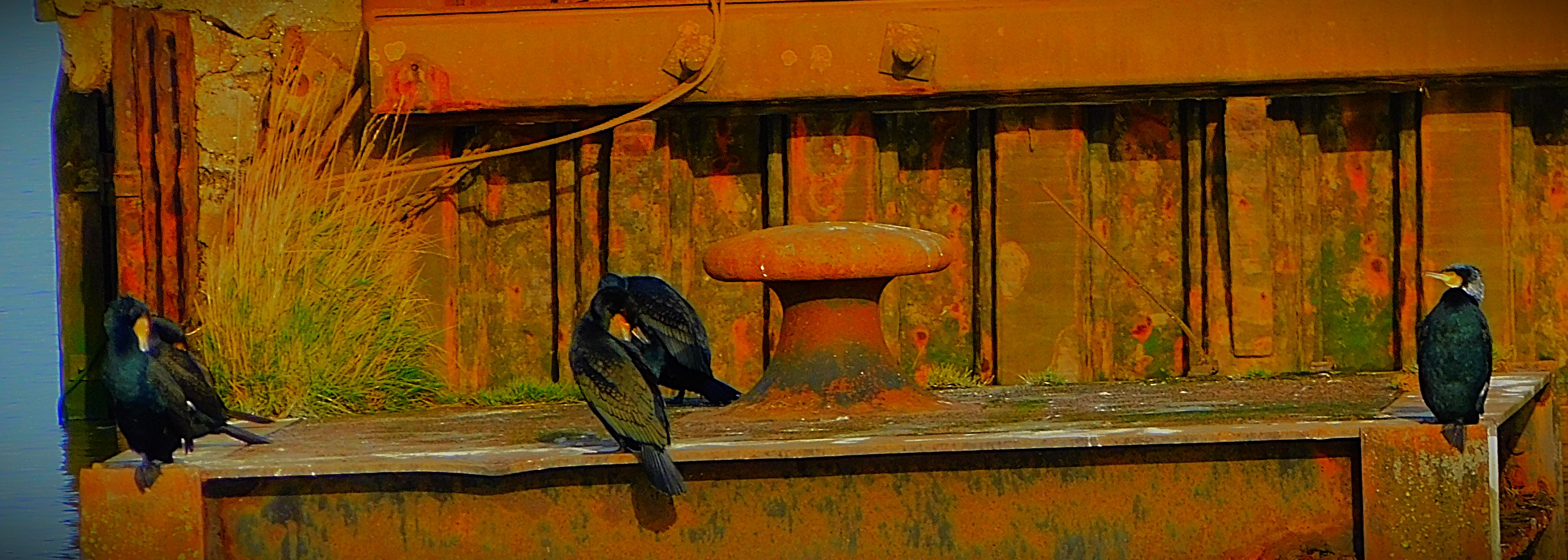
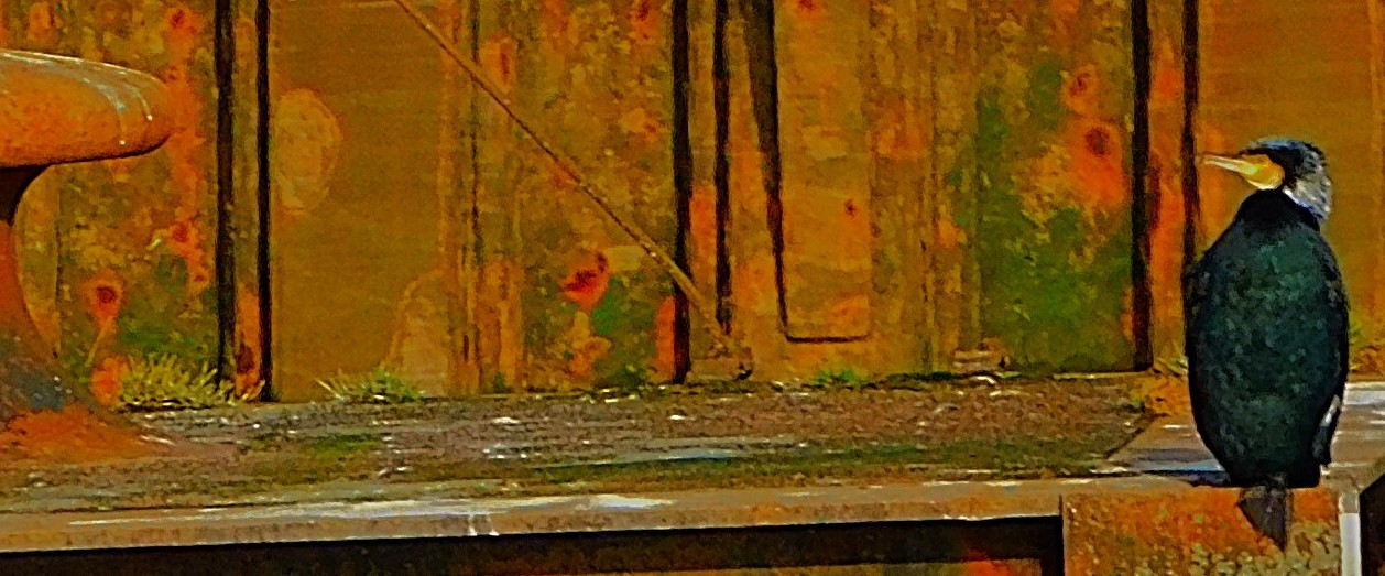
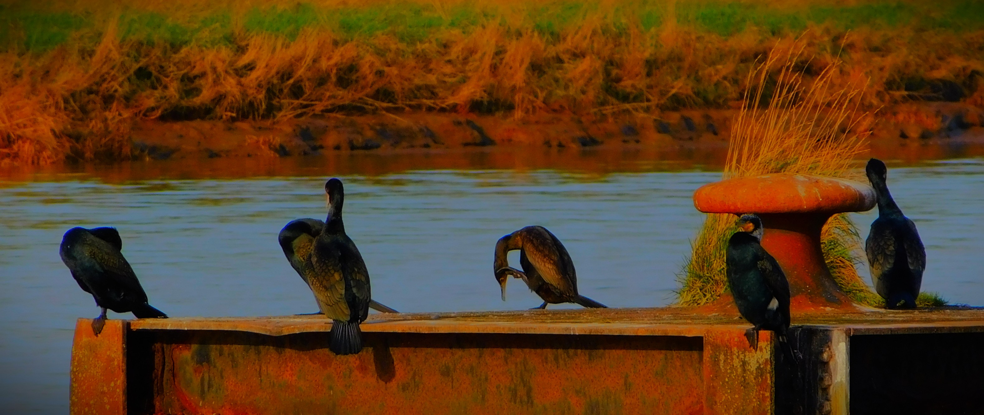
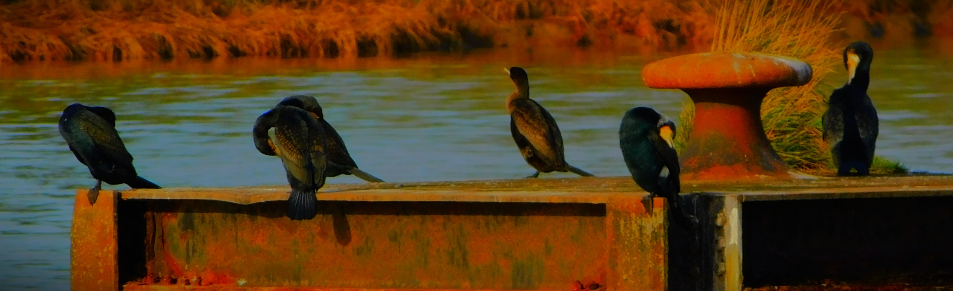
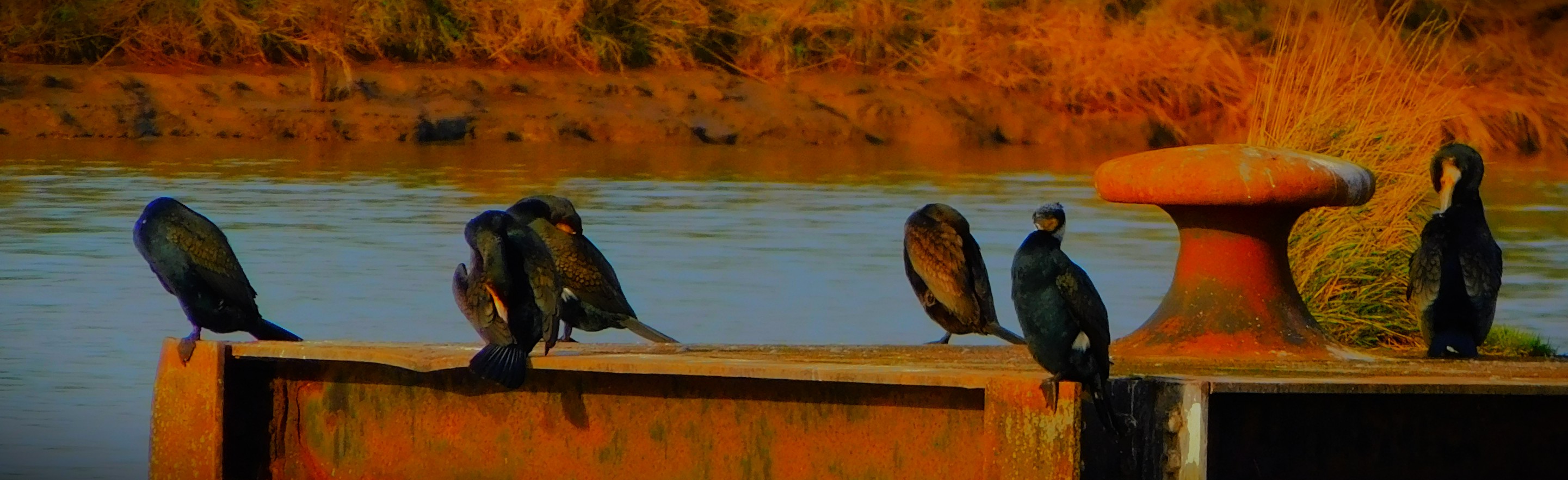
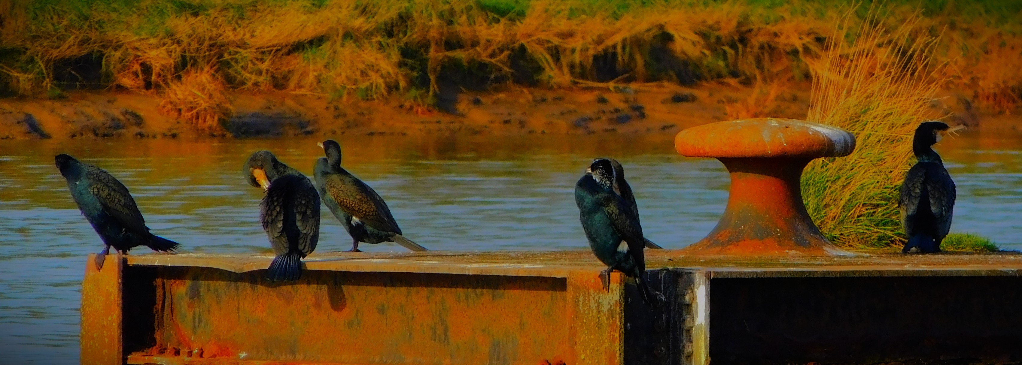
From the library I headed through Hillington Square and down to the Great Ouse, reaching the river front a few hundred metres before the Nar outflow and the structure I have dubbed ‘Cormorant Platform’. which as you will see more than lived up to my name for it on this occasion.
PART THREE: LOCATION CHECKING
The bright, sunny weather helped to maintain my resolve to extend my walk to the industrial estate on which WNAG’s meeting room/ office space is located, and I duly did so, ensuring that on Friday morning, when I will need to arrive in good time, there will be no mishaps.
PART FOUR: BACK VIA MORRISON’S
My route home followed my route out in reverse as far as All Saints Church, at which point I diverted slightly, away from the crossing of Millfleet and towards London Road instead. I crossed London Road, and left it by way of the Broadwalk, then looping round by way of the Vancouver Garden and the path out of it to St John’s Walk. I got to Morrison’s, did the little bit of food shopping that had to be done today and then headed home. I had been out for about two and a half hours. My bag will be lighter on Friday, and I will have the duration of the meeting to recover from the outbound leg, so I am now confident that walking is the way to go for this meeting.
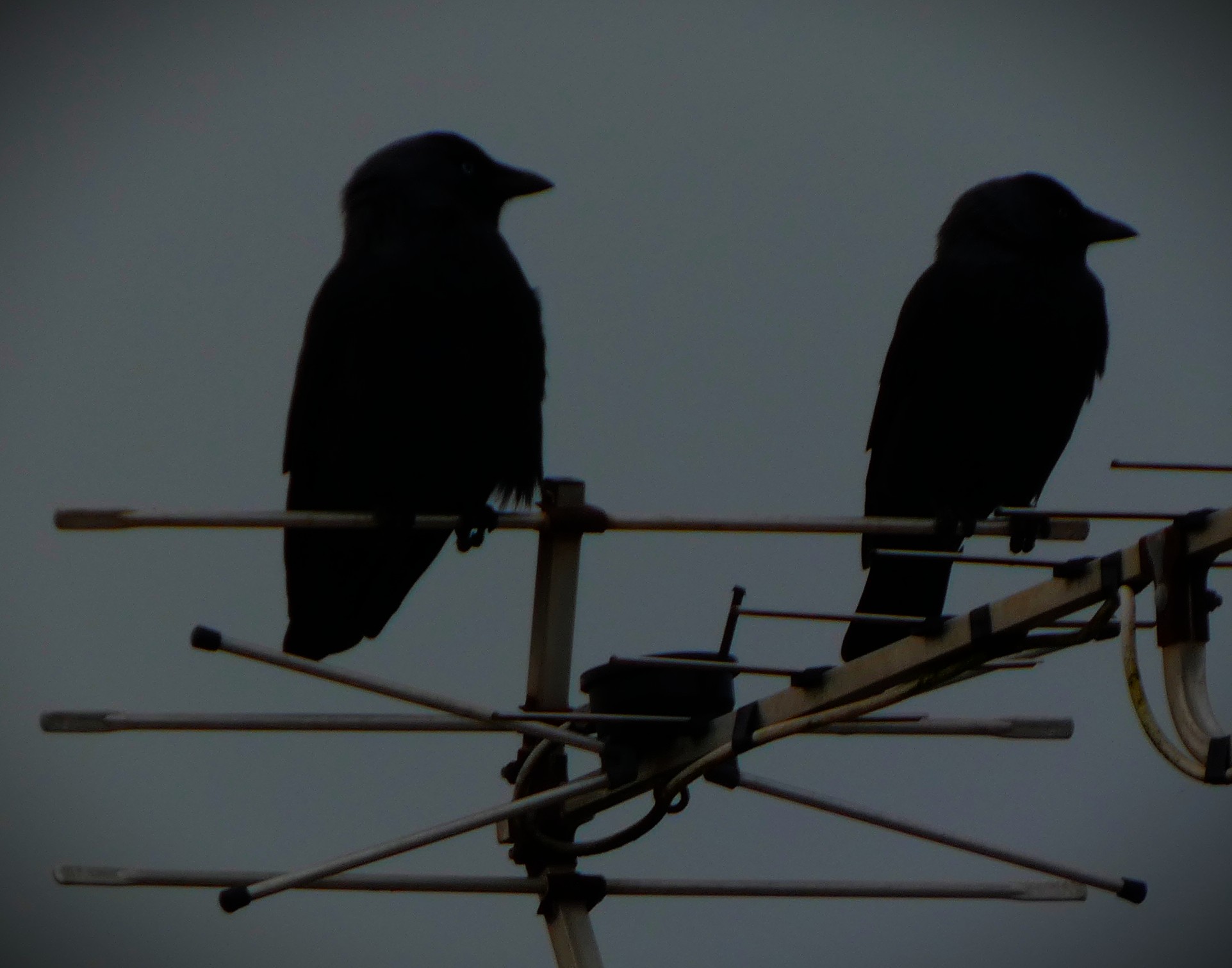
PHOTOGRAPHS
This gallery features exclusively pictures taken this morning.
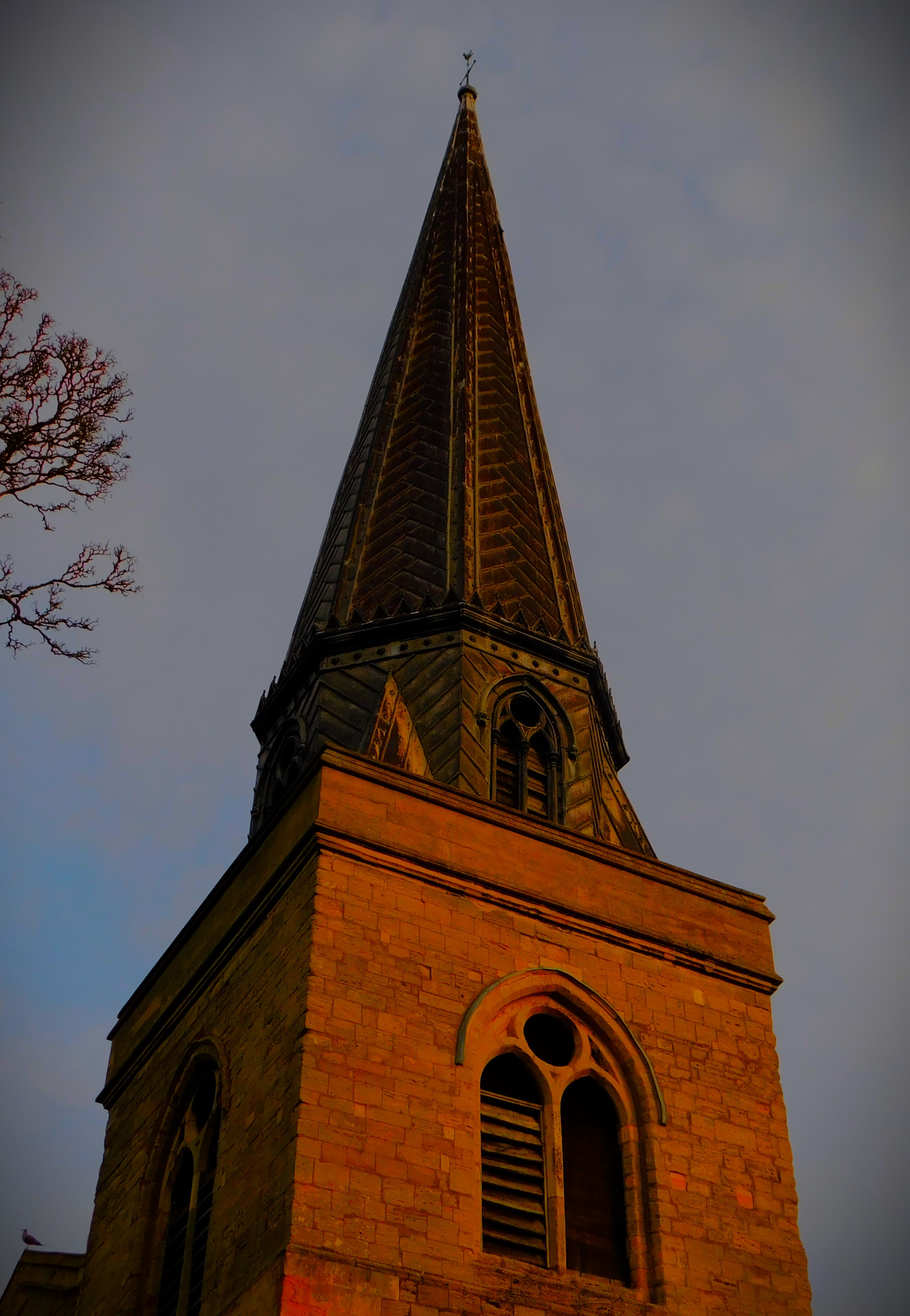
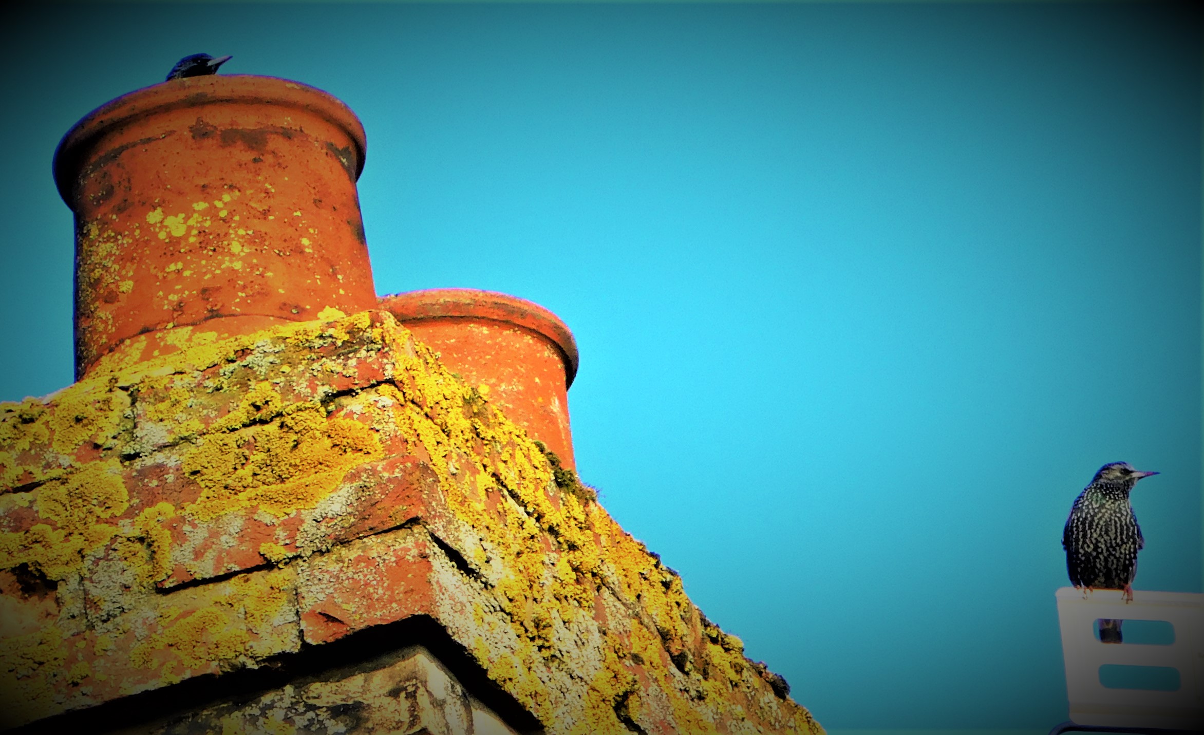
This book (three pics) is one I have read on bus journeys to and from work, and I highly recommend it.I am guessing that this chimney has some sort of protected status.
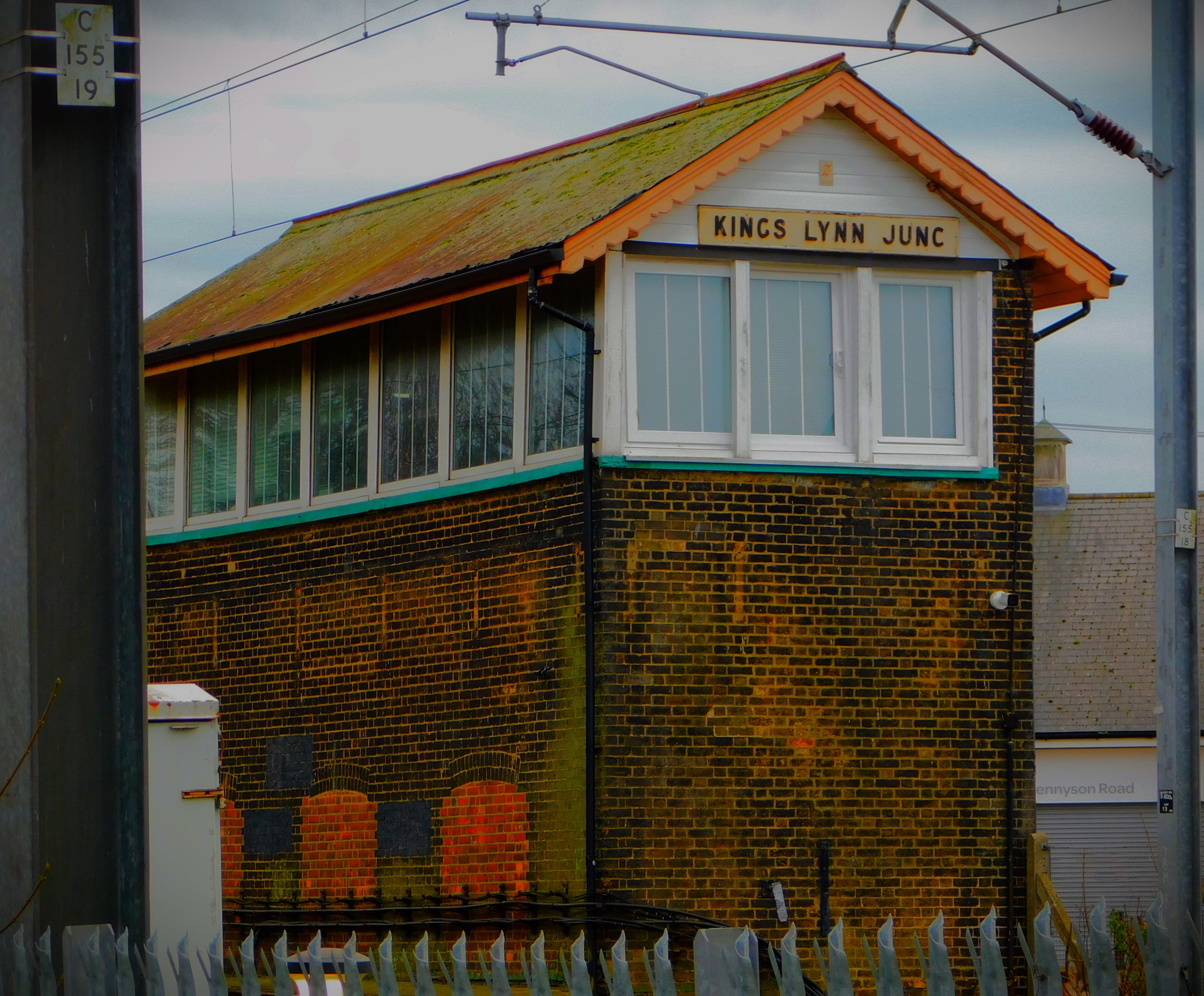
An account of a walk in and around King’s Lynn. This particular variation on a favourite walking theme of mine took place yesterday late morning. There are plenty of photographs.
It is no secret to followers of this blog that I do a lot of walking, and that I go nowhere without my camera. This post looks in detail at a recent walk.
WALKING IN AND AROUND KING’S LYNN
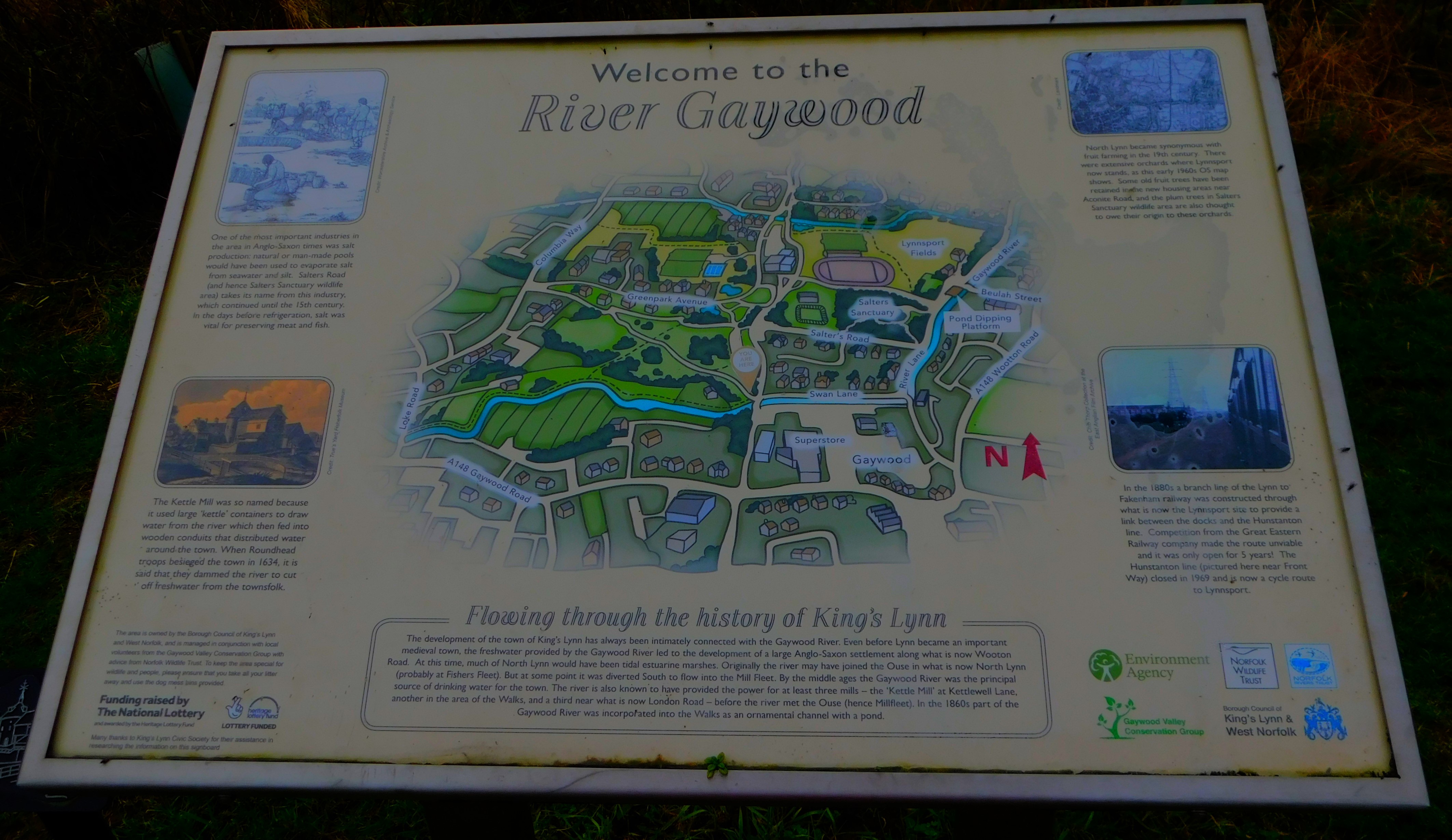
One of my favourite themes around which to construct walking routes in and around King’s Lynn is what I call the ‘three rivers’. The three rivers of that title are the Gaywood, multiple sections of which are encompassed, the Nar, which is crossed twice at different points, and Great Ouse, the main river in this part of the world, alongside which some of the walk takes place. The particular walk that this post uses for detail took place yesterday, when the weather was bright and sunny but cold.
THE WALK
I started by leaving my house by the back door, as I was heading at first in the general direction of the town centre. The road that runs behind the row of houses in which I live is a private road and is unnamed. It disgorges on to Raby Avenue, which I crossed, and then headed down Townshend Terrace, a side road which forms a right angle, running from Raby Avenue to a pond at which point it swings 90 degrees and disgorges onto another road. However, as you will see I was not going that way. The pond usually yields pictures, and it did so this day as well…
While Townshend Terrace goes on way, a footpath leads in the opposite direction, through to Loke Road. On the far side of Loke Road, almost directly across from this footpath is a side road called Harewood Parade, which leads round the side of a second pond, until it terminates and is replaced by footpath which heads into a section of greenery flanked on one side by a section of the Gaywood River and on the other by Kettlewell Lane. Although the second pond did not yield anything for the camera on this occasion, the rest of this segment of the walk did…
Kettlewell Lane leads out on to what at that stage is Littleport Street, though a little way north it becomes Gaywood Road. By this stage one is very close to the town centre, but one is not committed to main roads. I crossed Littleport Street at the light controlled crossing on Eastgate Bridge, and headed down Highgate, past a little patch of greenery that sometimes yields pictures though not on this occasion, and down a little side passage that leads to a small bridge back over the Gaywood to the town side and another little section of greenery, which I exited on to Wyatt Street at the other side. I then crossed Wyatt Street, and took a footpath that runs alongside Eastgate primary school before coming out on Blackfriars Road, the road that runs past King’s Lynn station. At this point, for a brief period there are no further options for main road avoidance, so I followed the road round past the station, and shortly after the station headed into the park called The Walks. I headed alongside another section of the Gaywood (heavily sculpted at this stage of its route) until I reached the white metal bridge that leads in to the Vancouver Garden wherein is located the bandstand. I exited the Vancouver Garden by the other bridge from it, crossed the Broadwalk, and headed for the Seven Sisters exit. This section did not yield many pictures, but there were a few…
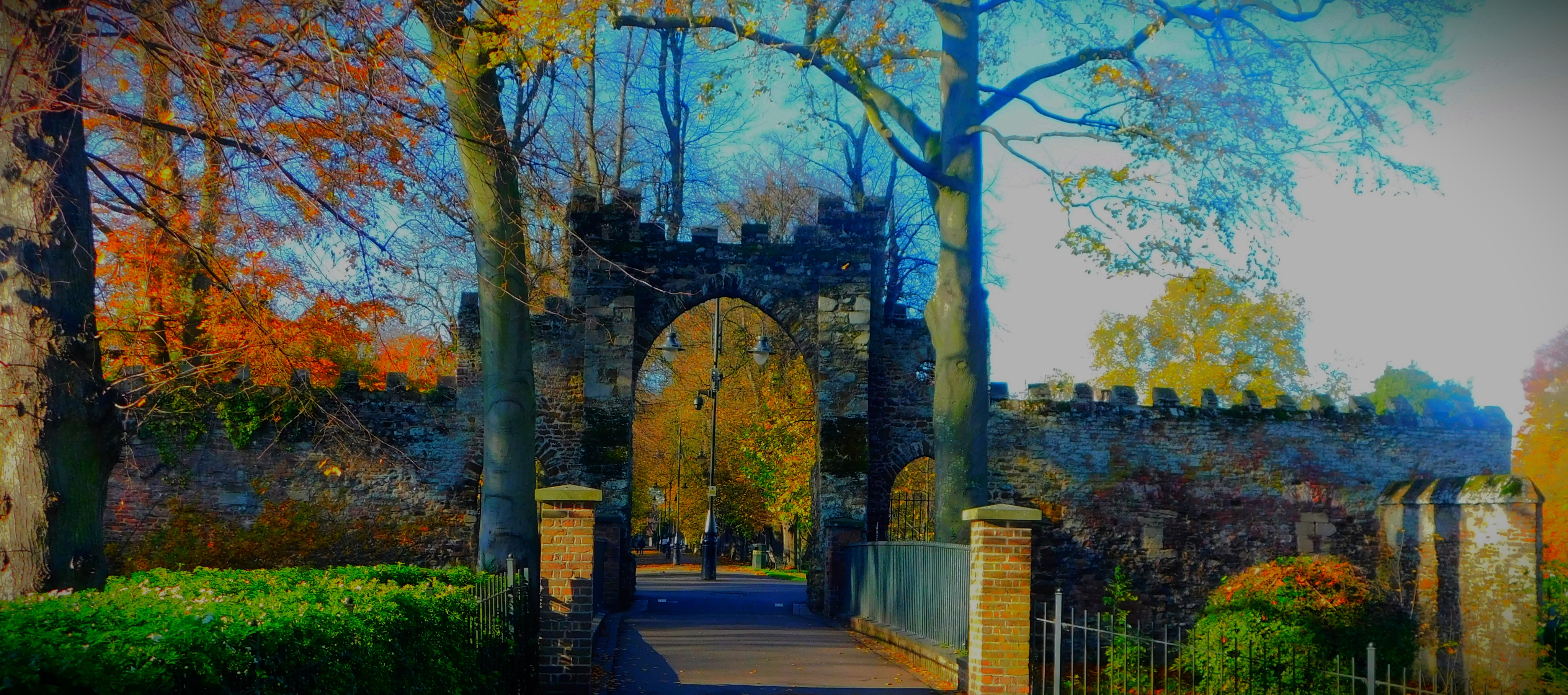
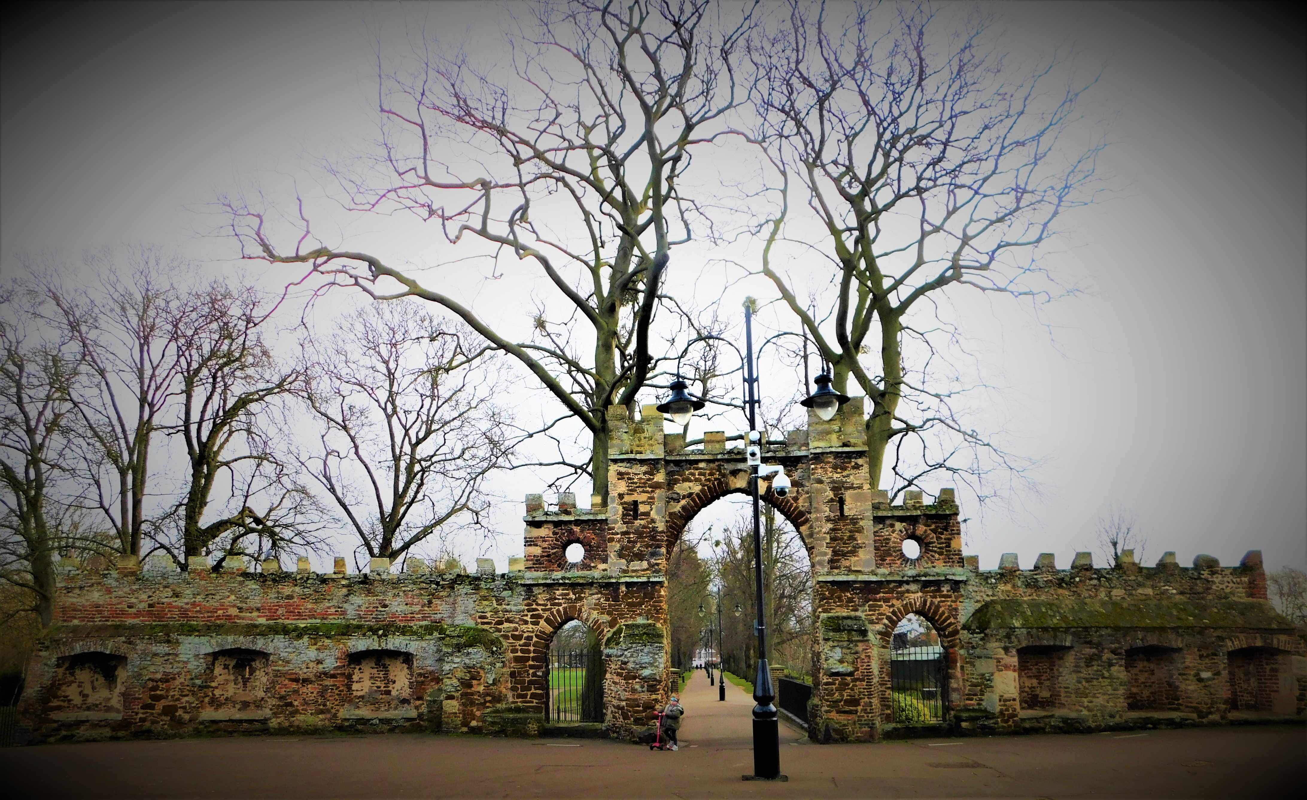
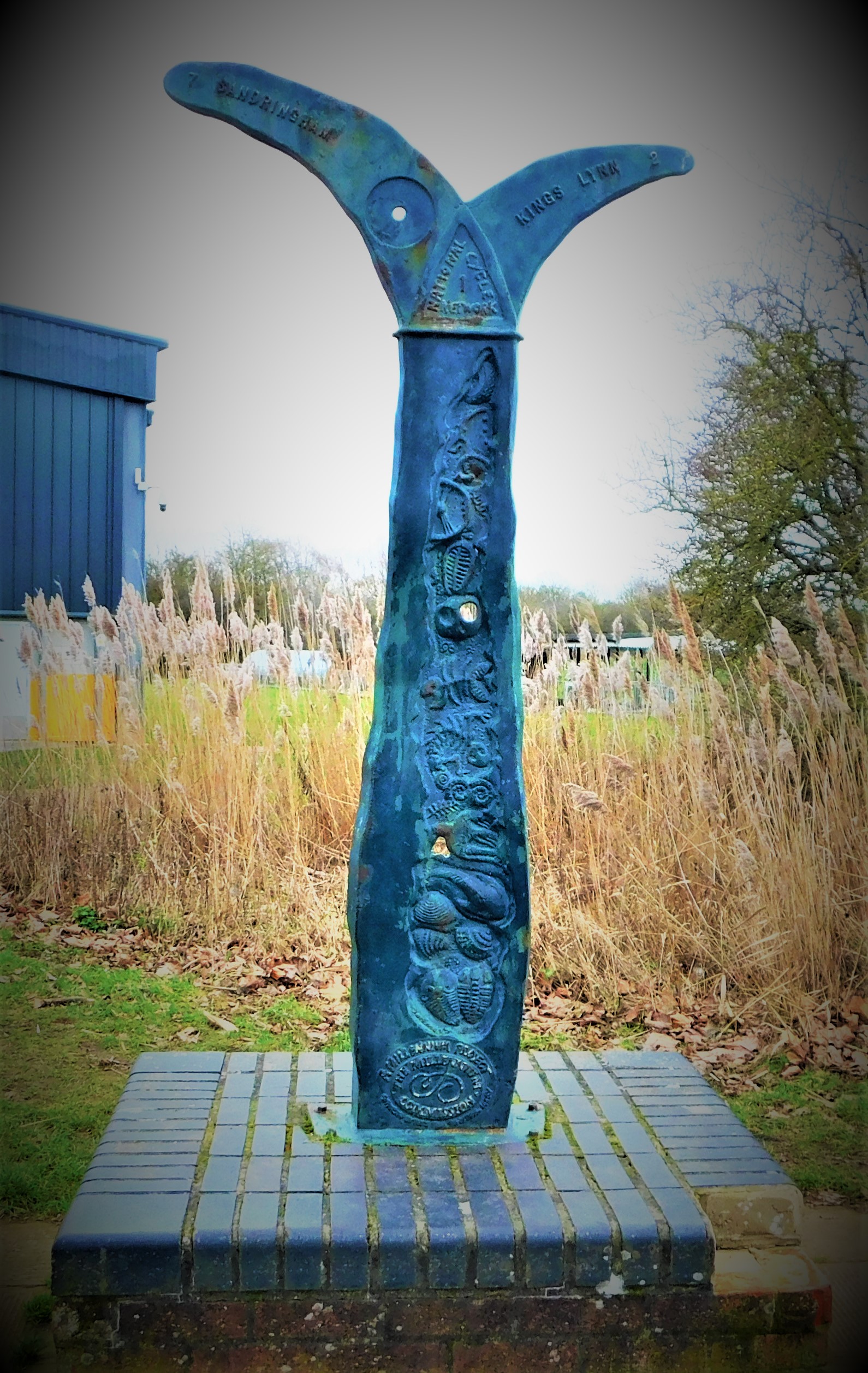
The Guanock Gate
From the Seven Sisters exit I headed to where a passage leads through to London Road, joining that road at a light controlled crossing, which I availed myself of. I then headed away from town, passing the South Gate and then turning down the road that crosses the Nar, which I exited on to Hardings Way before taking a footpath through Hardings Pits to the Great Ouse at a point south of the town.
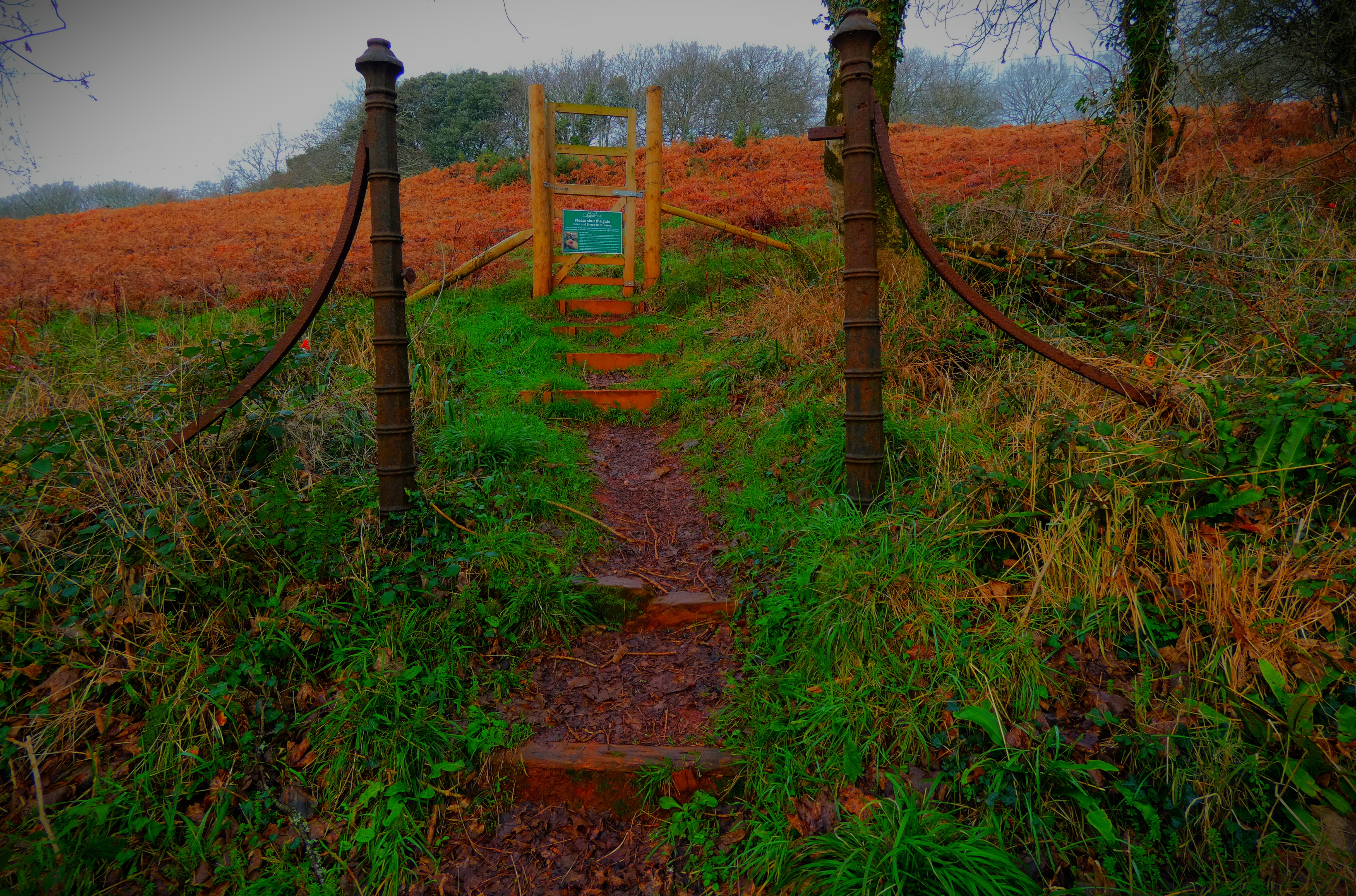
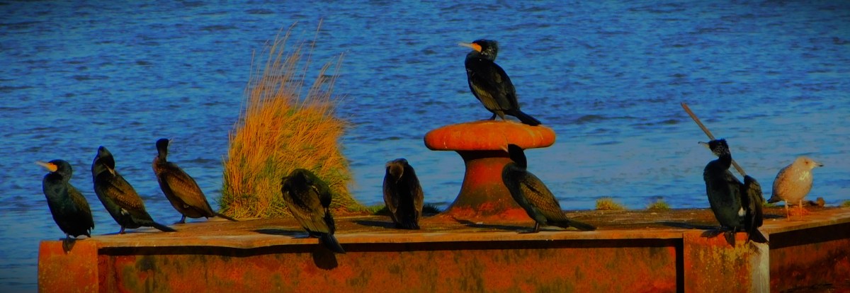
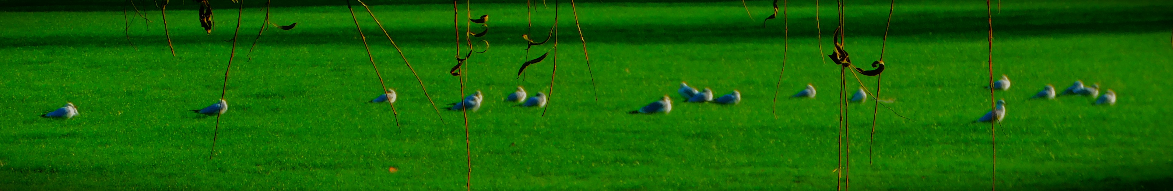
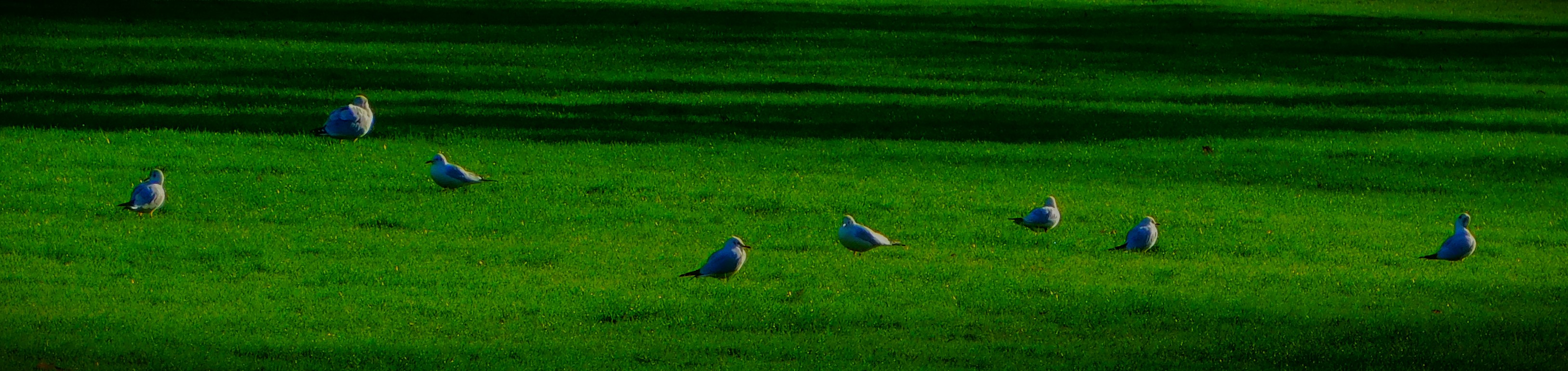
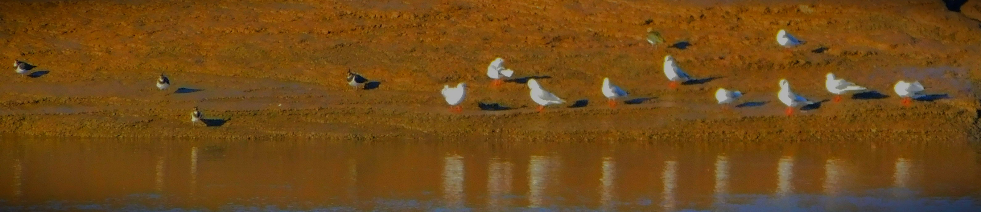
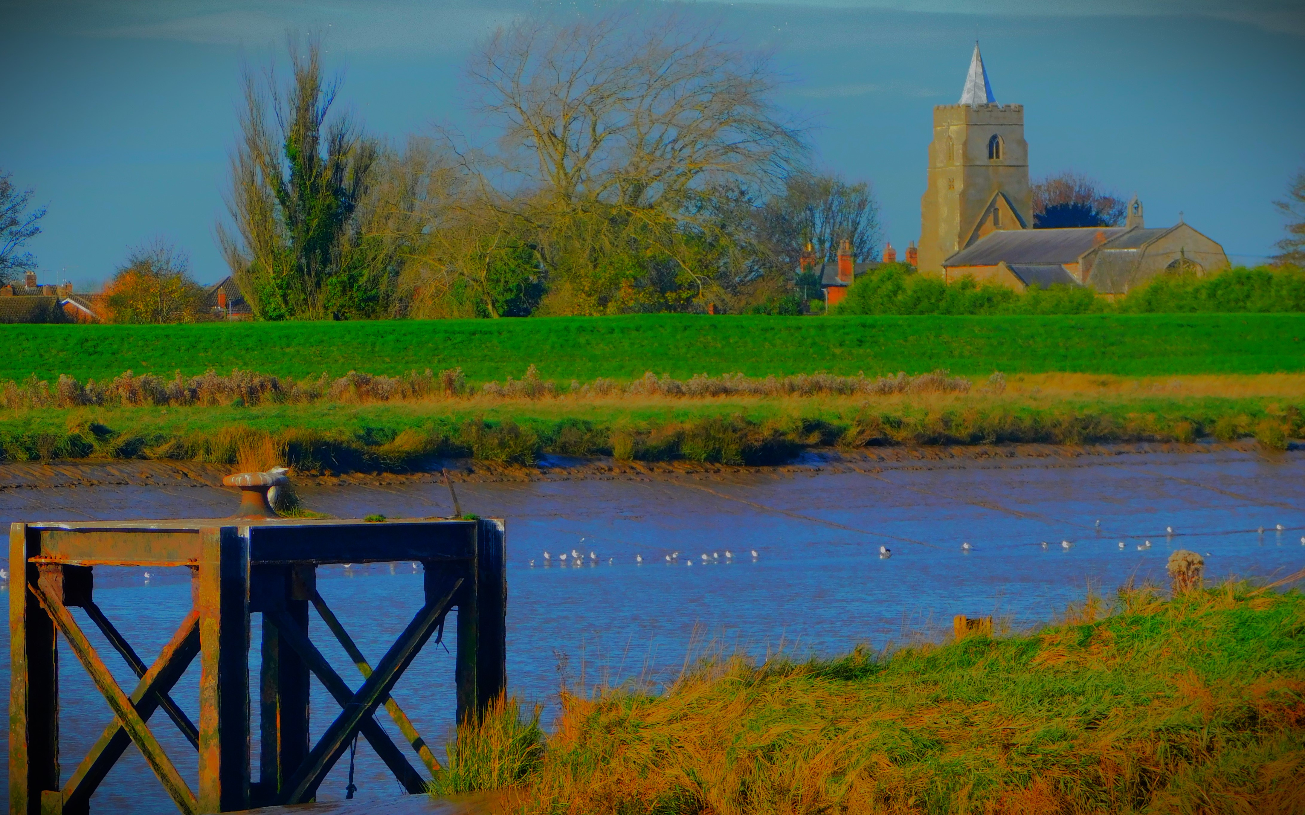
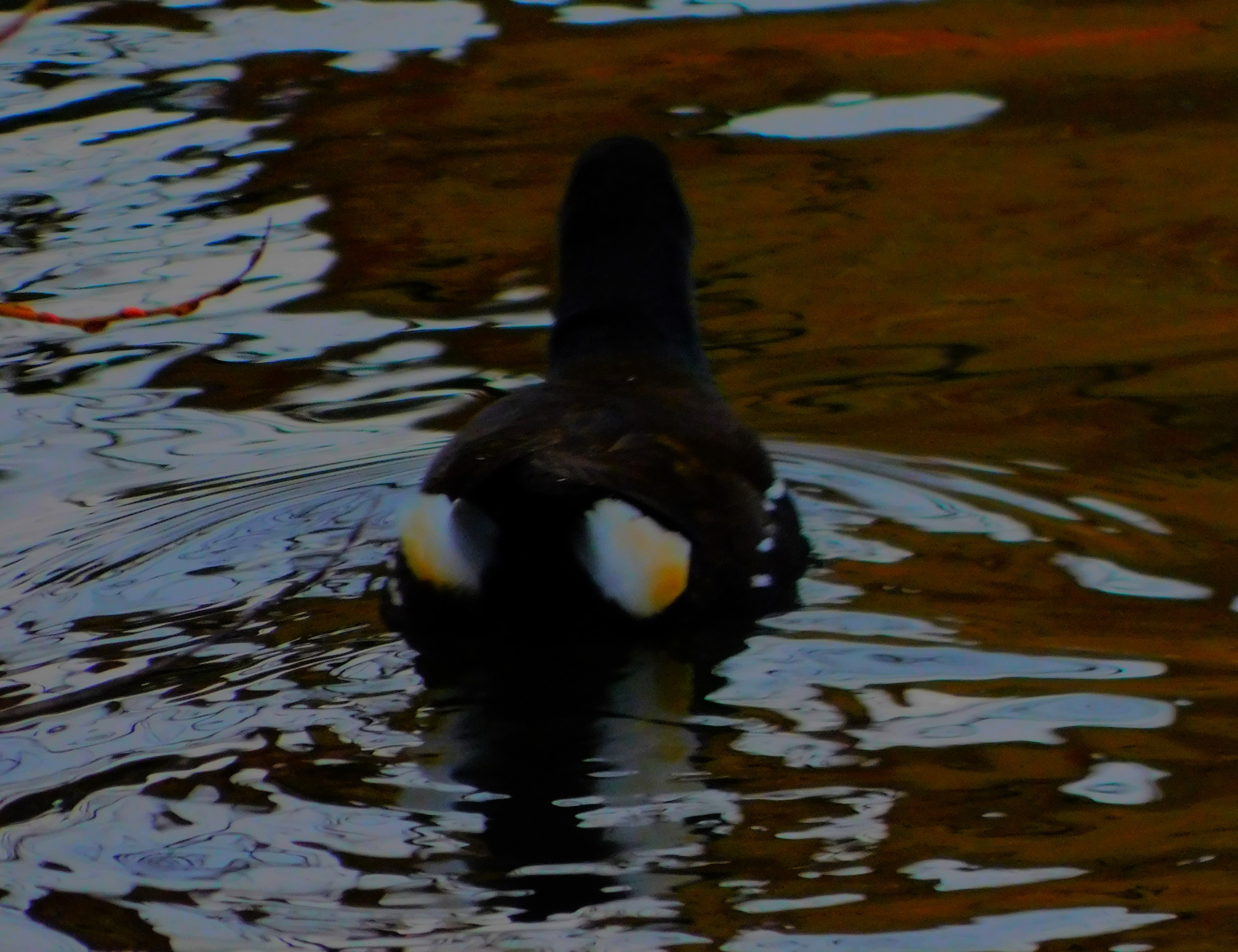
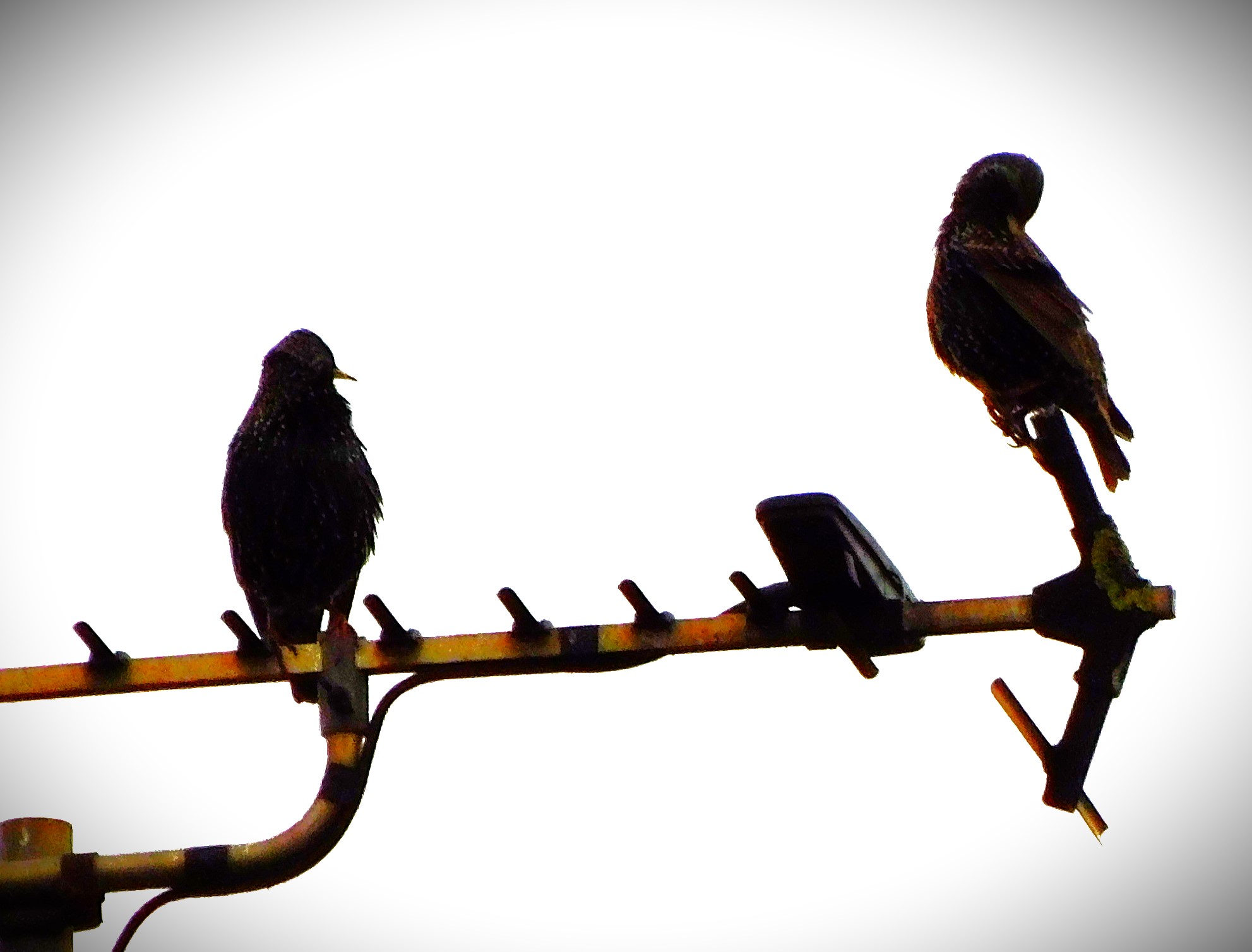
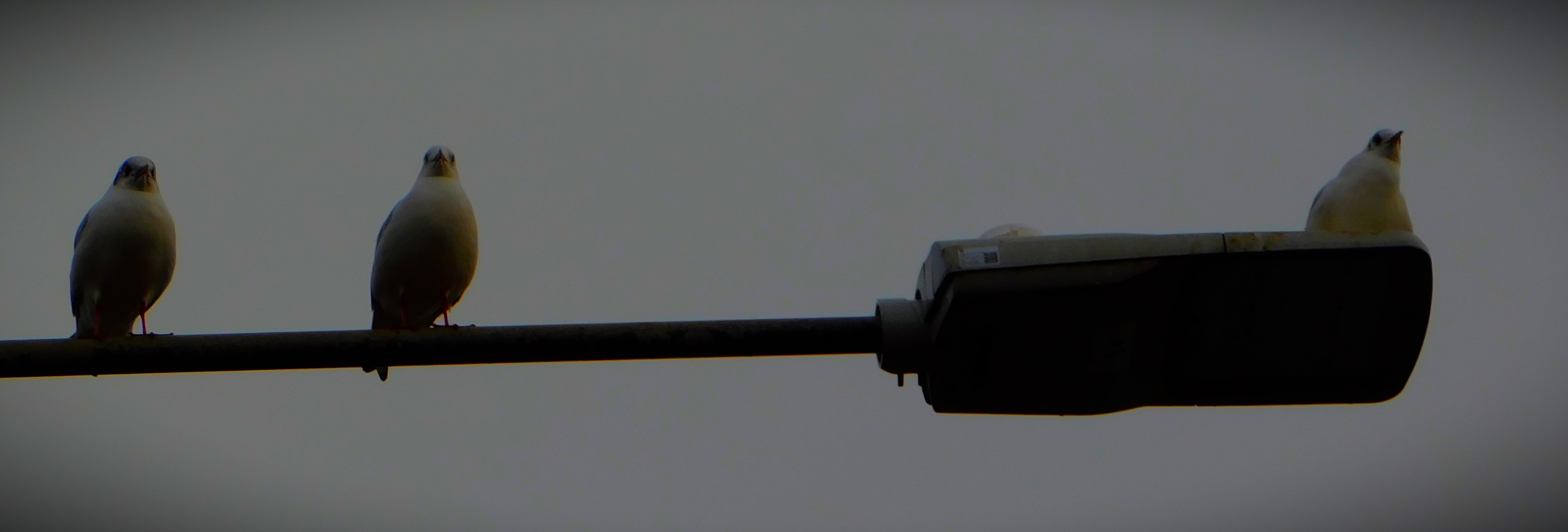
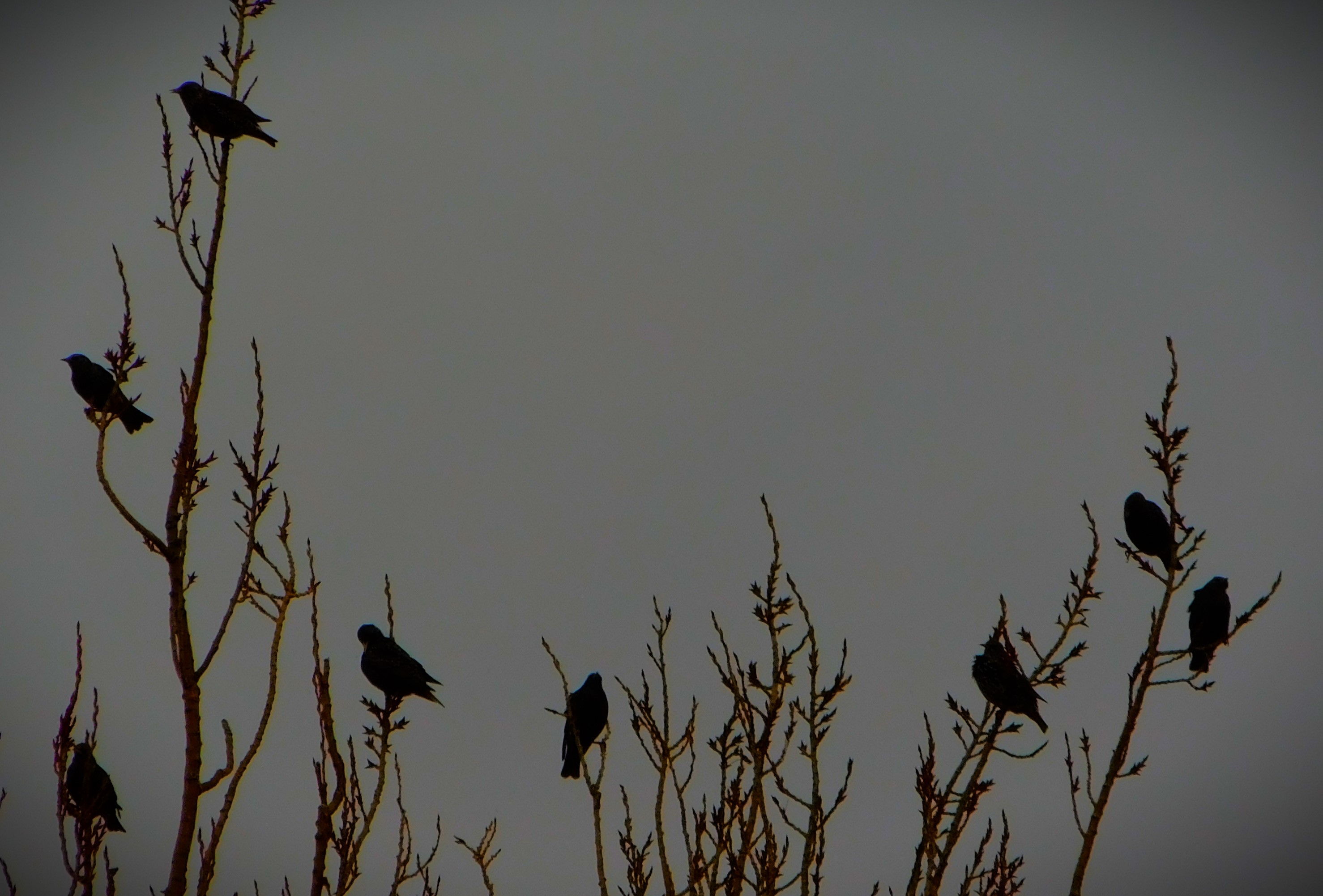
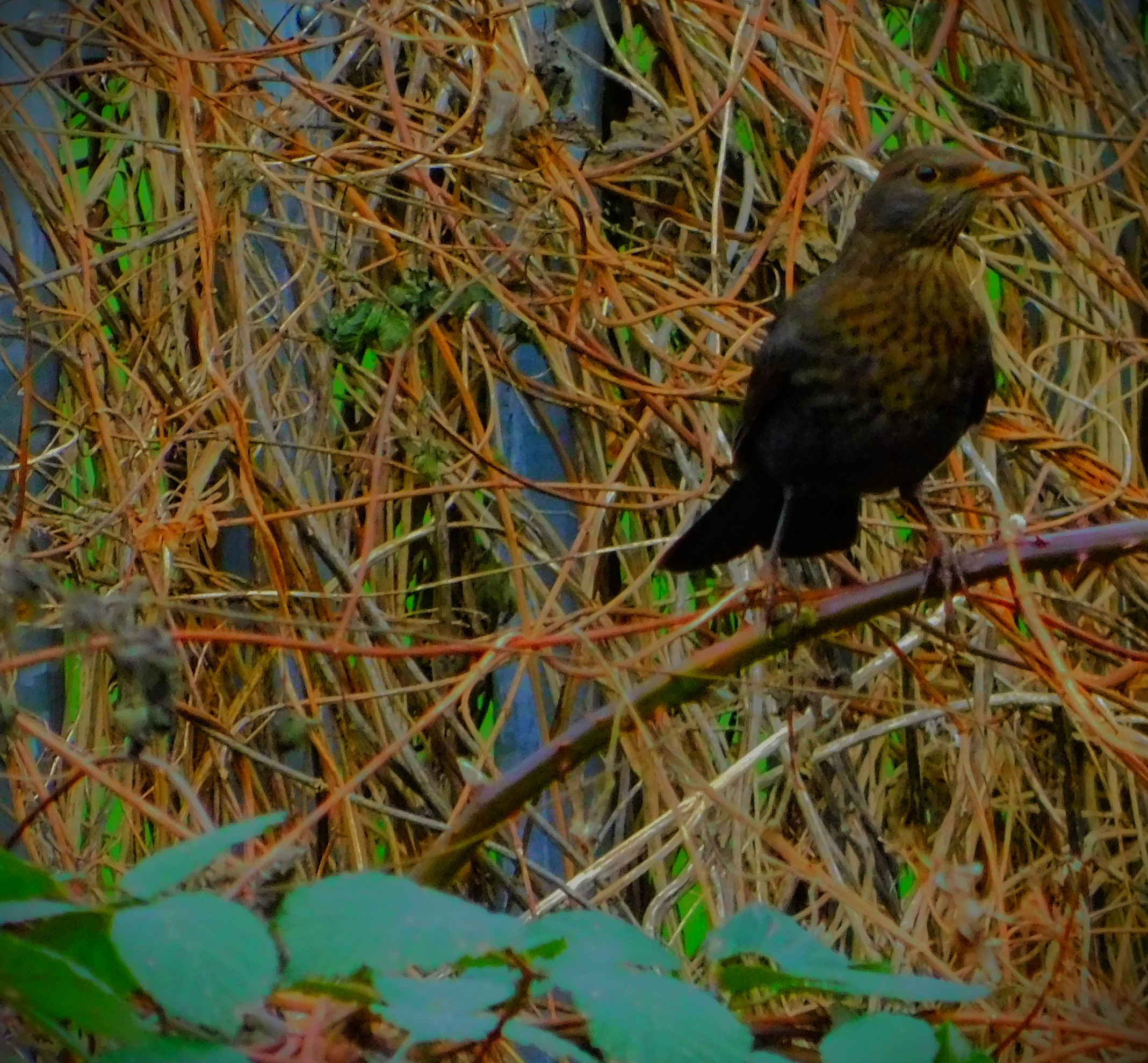
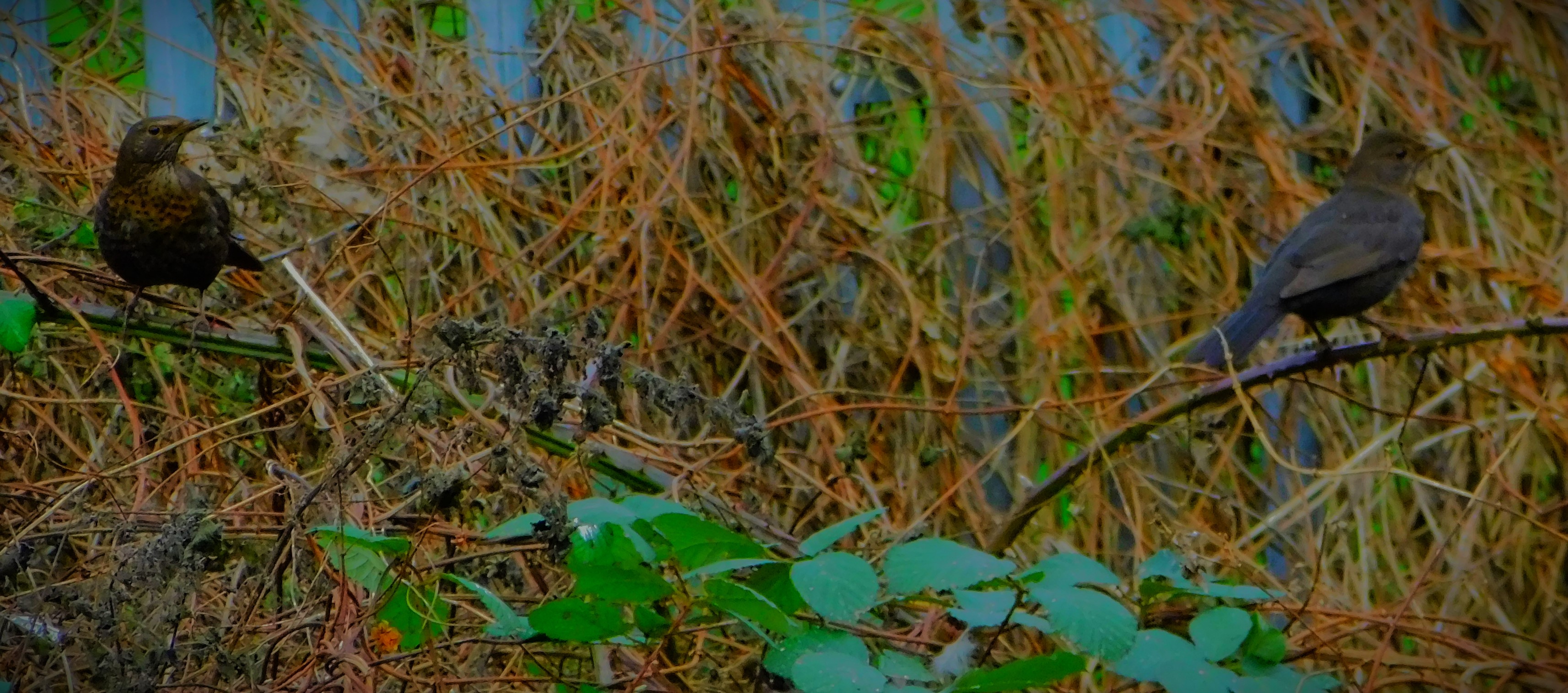
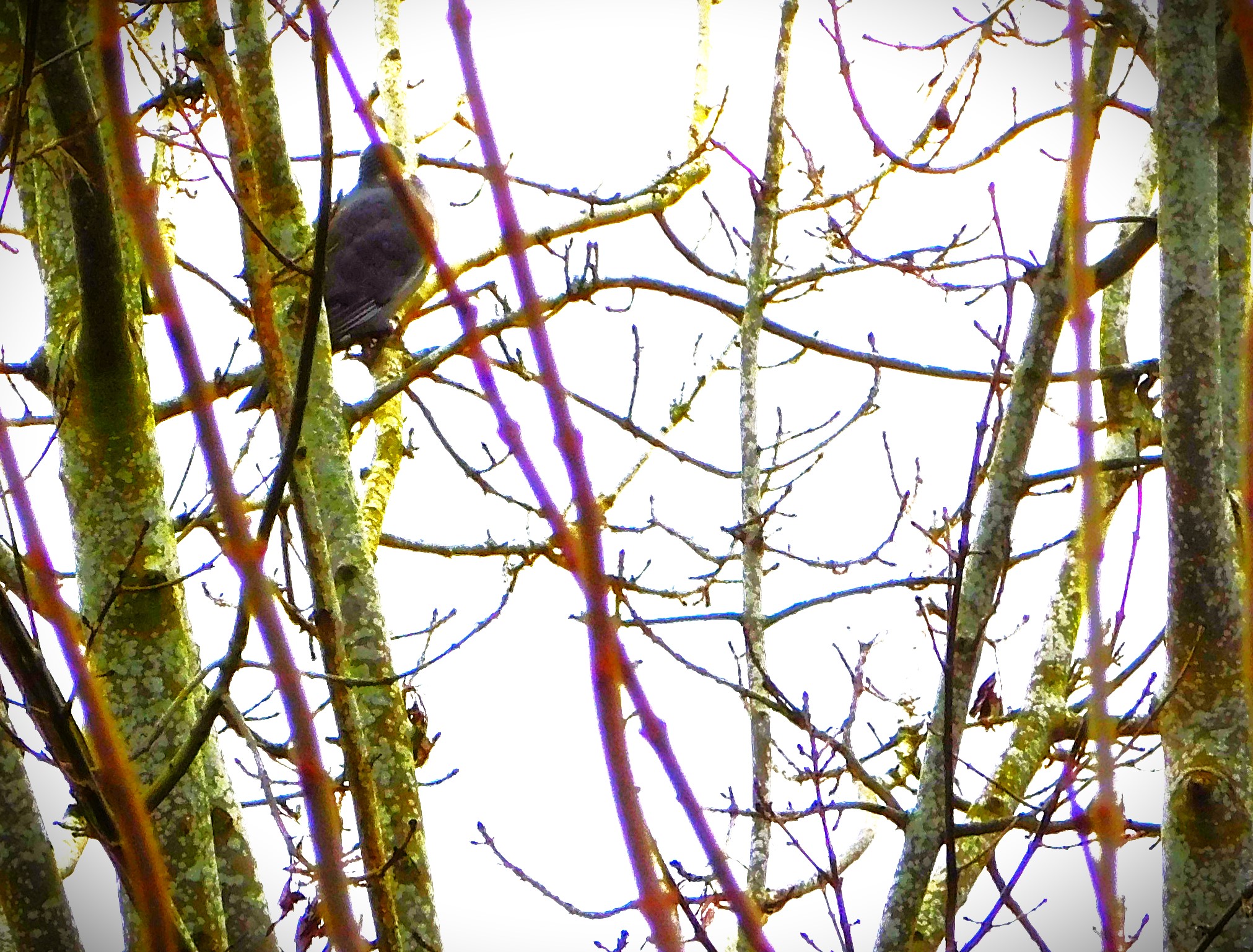
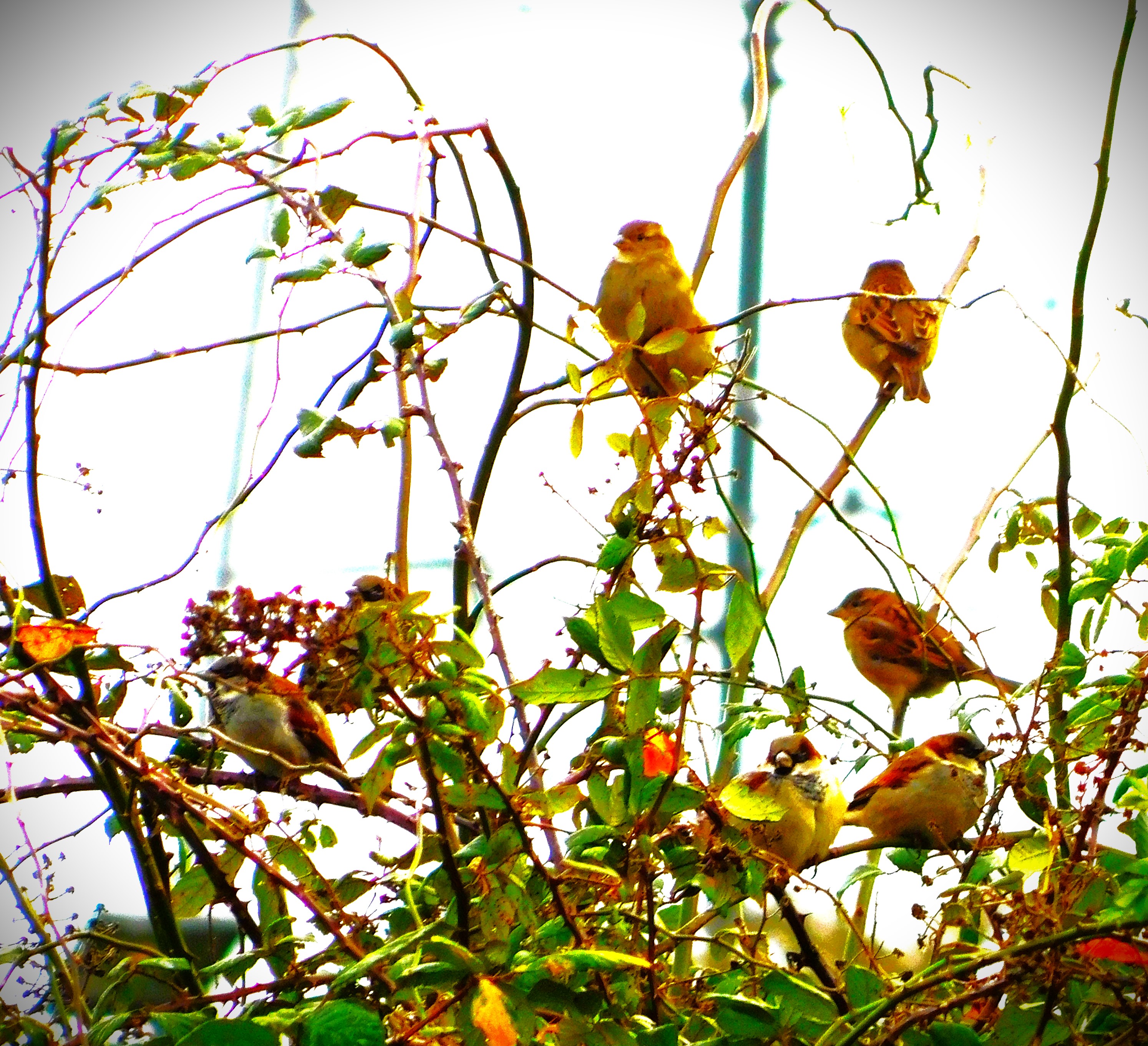
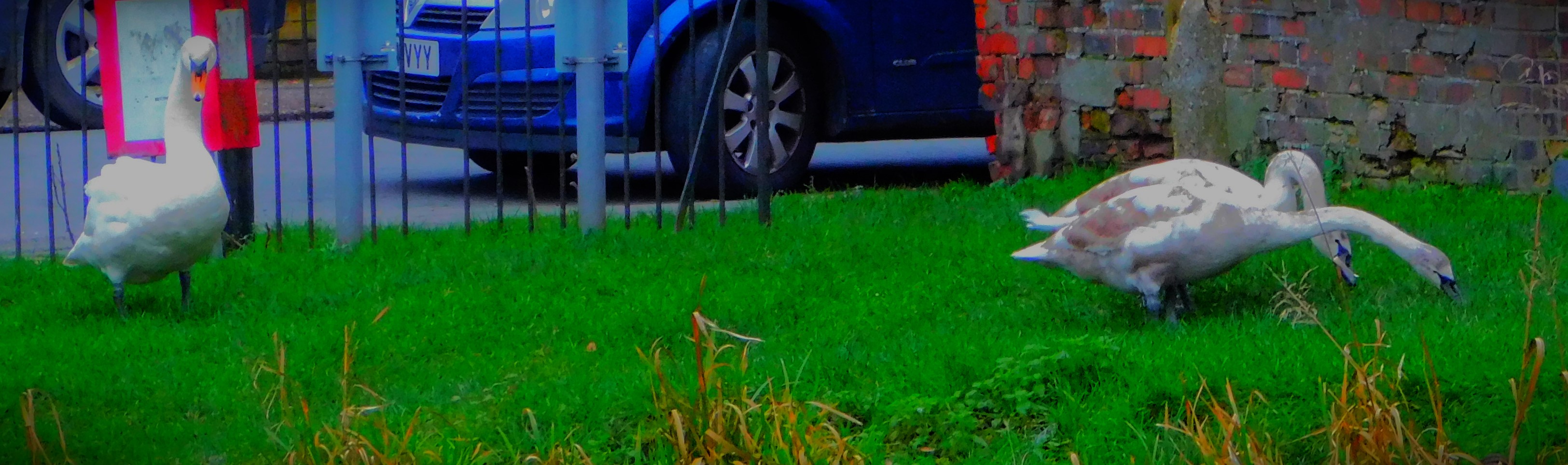
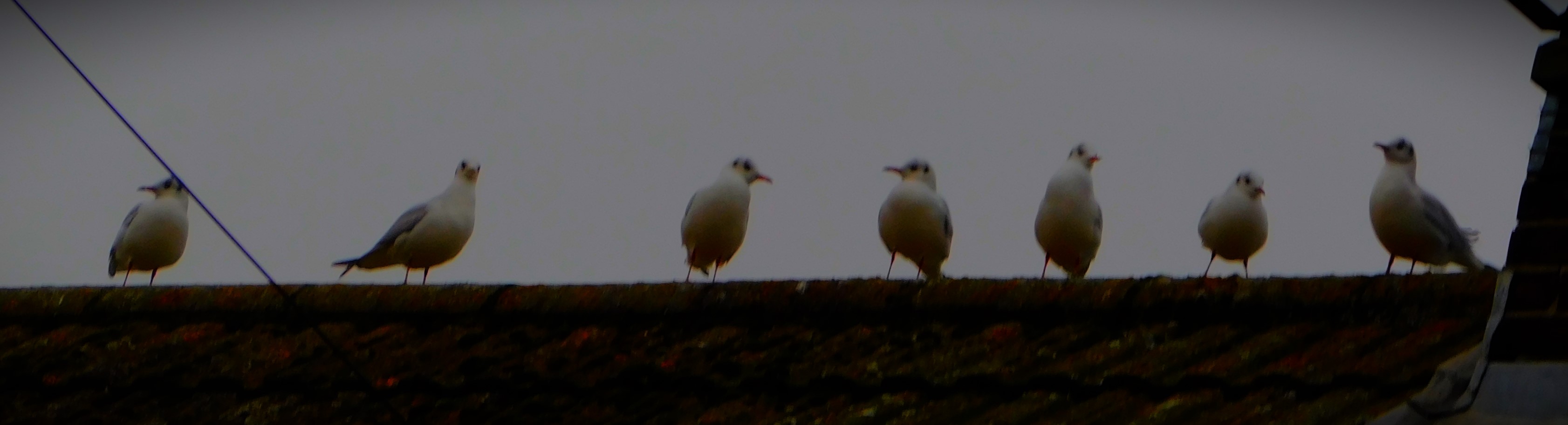
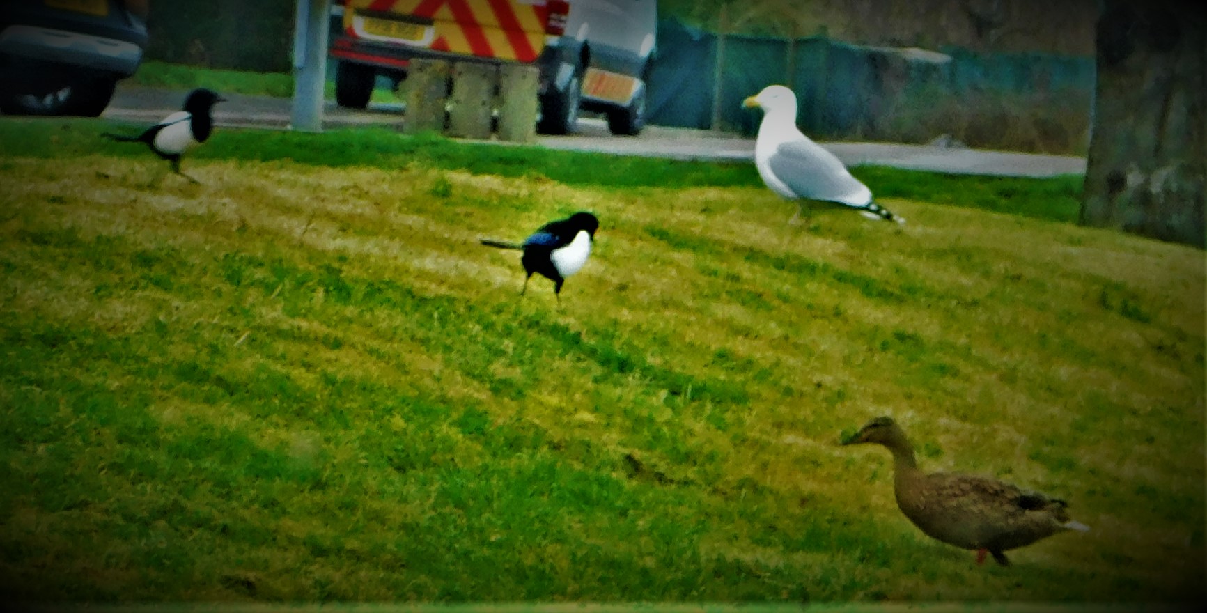
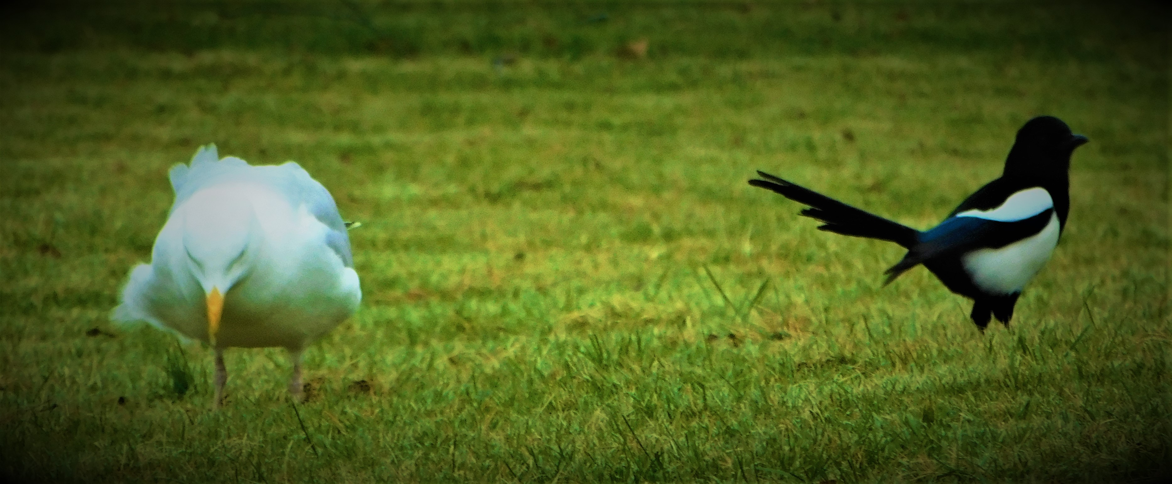
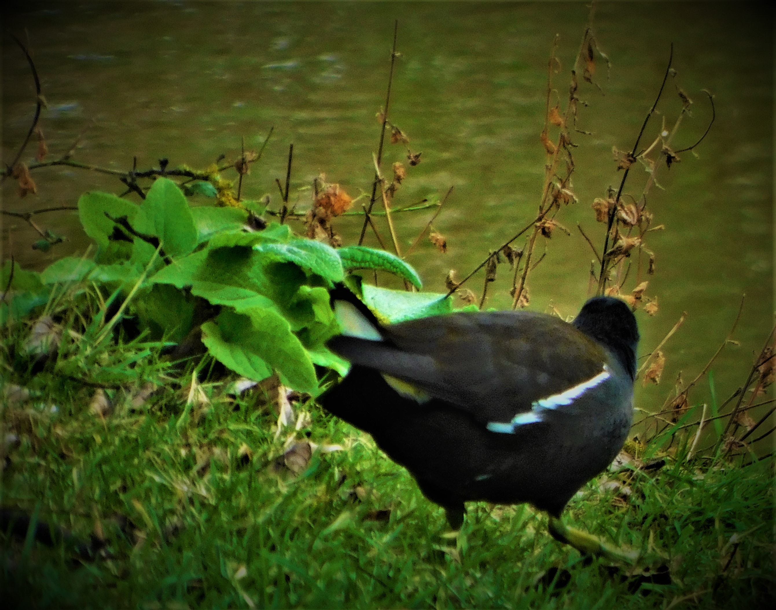
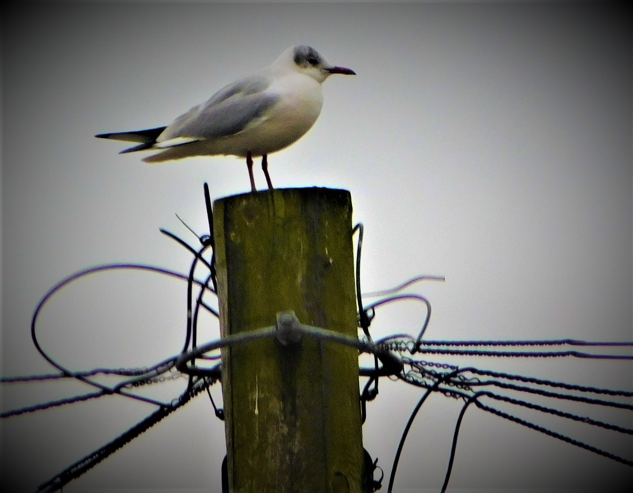
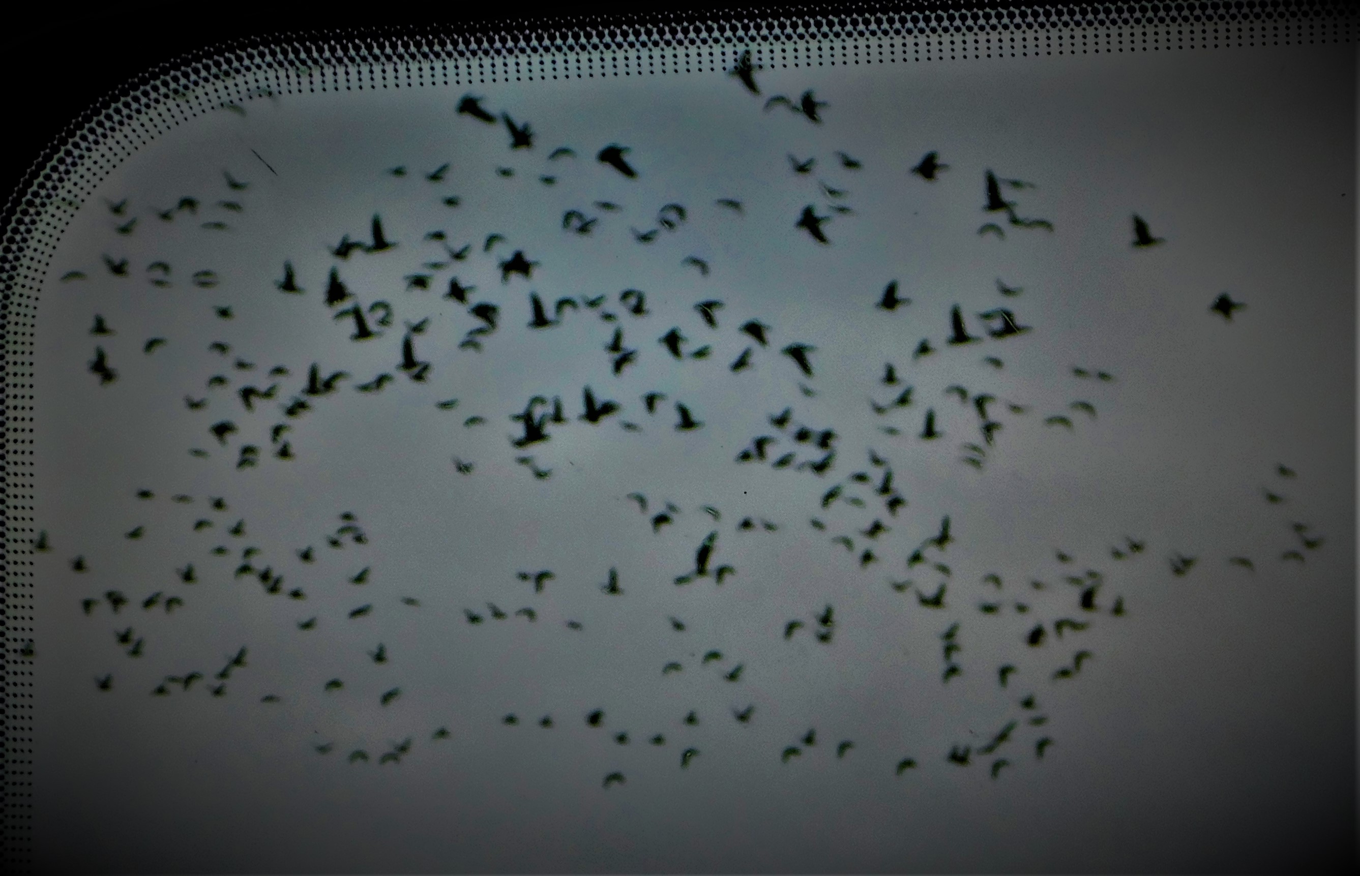
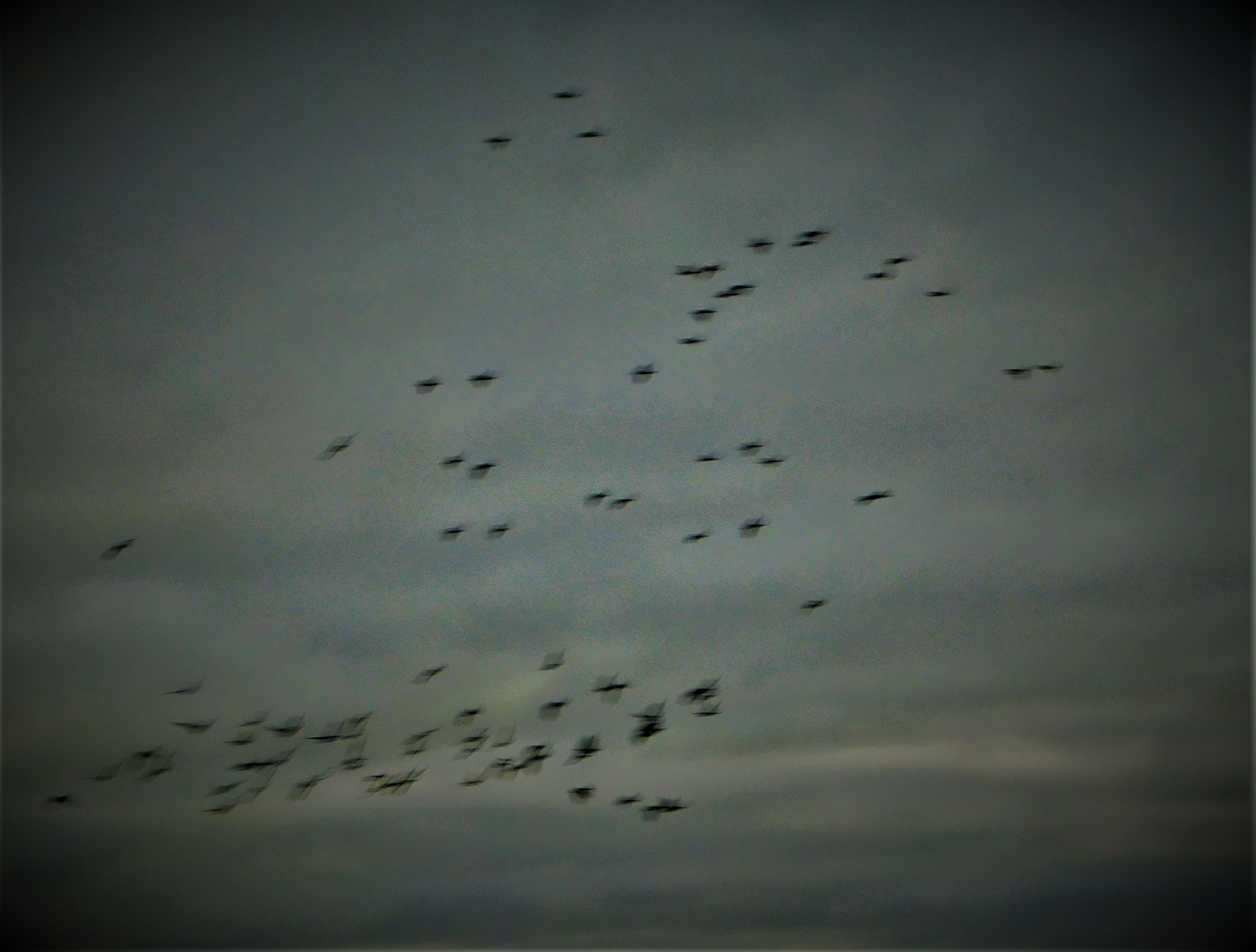
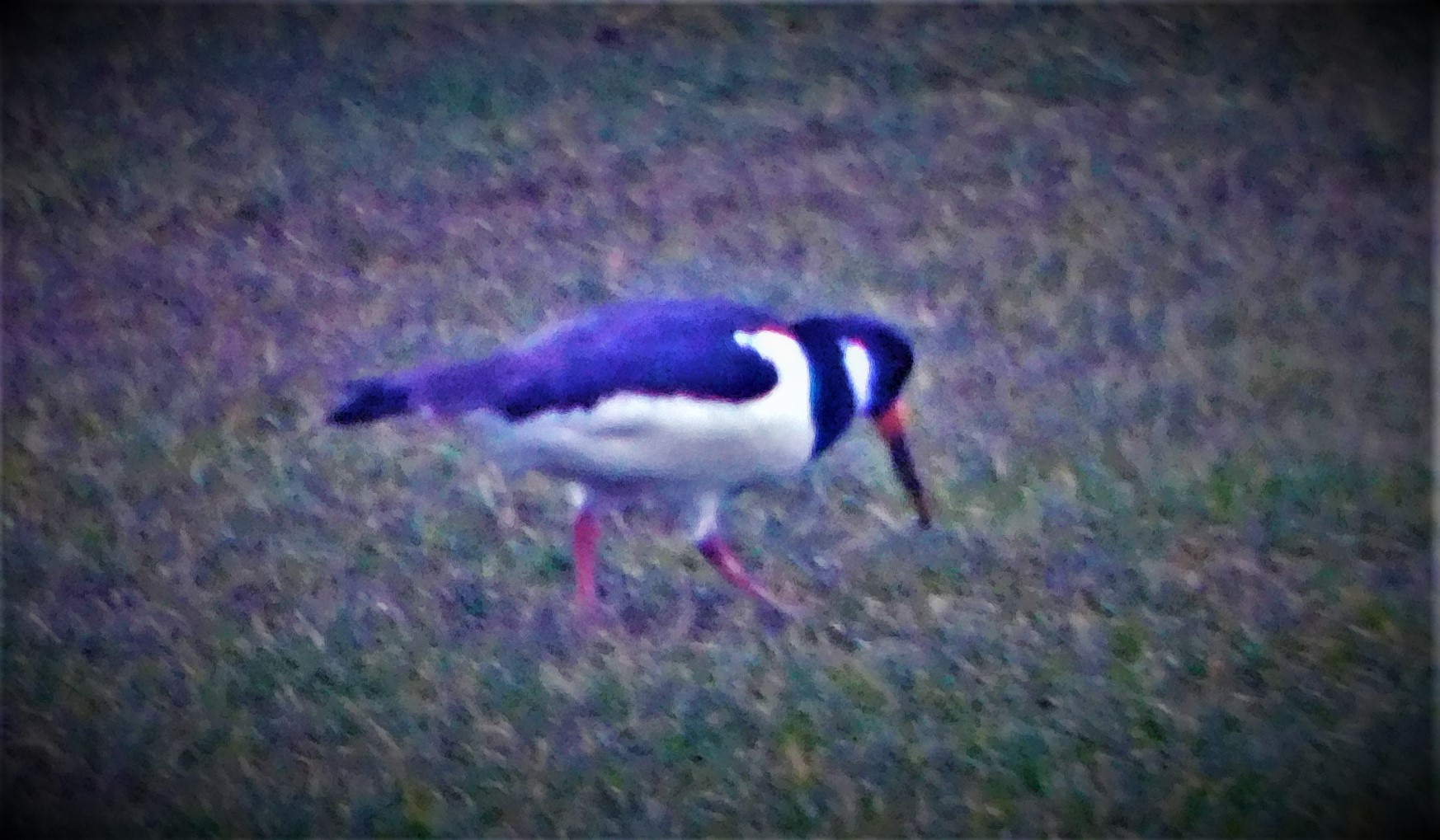
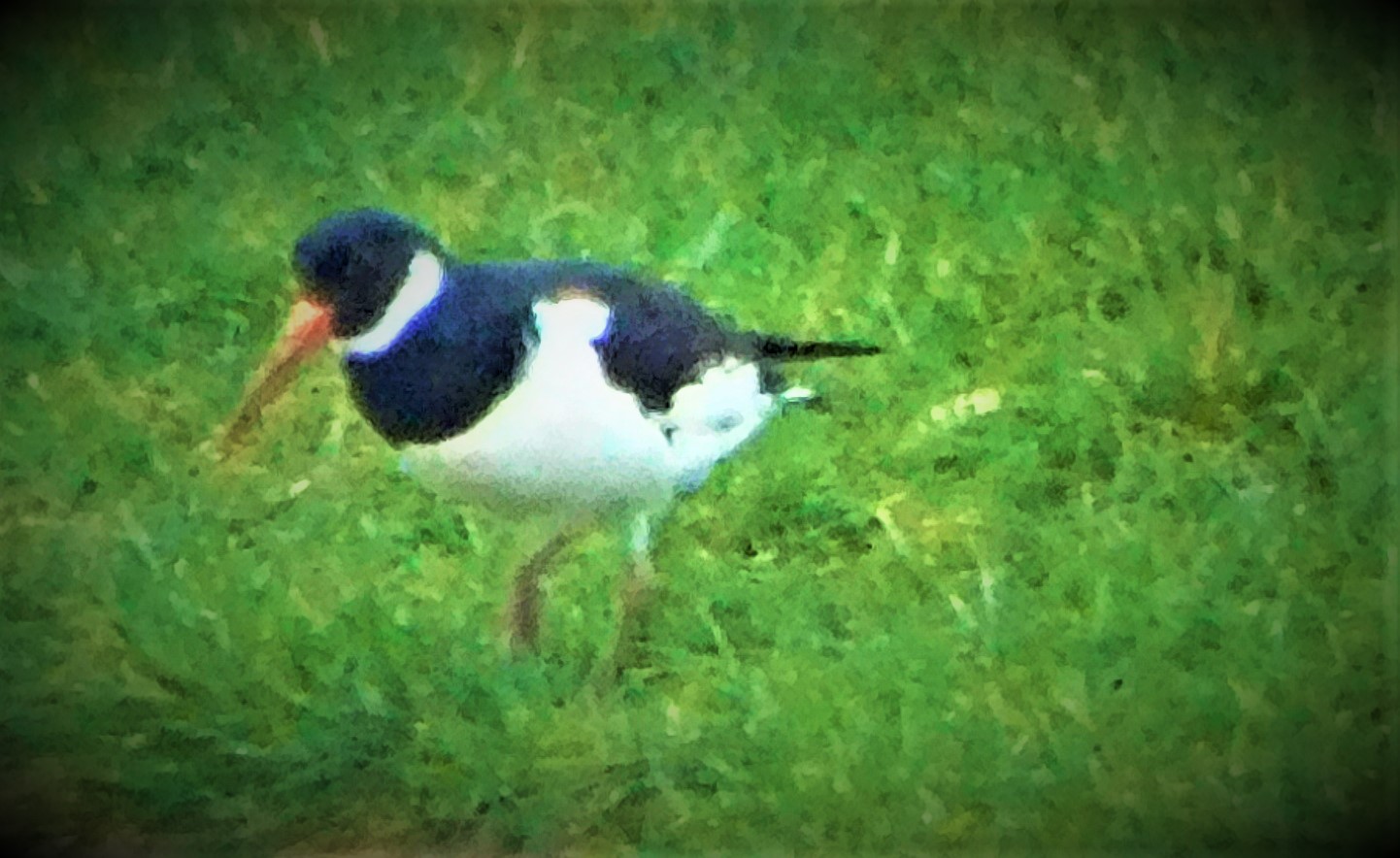
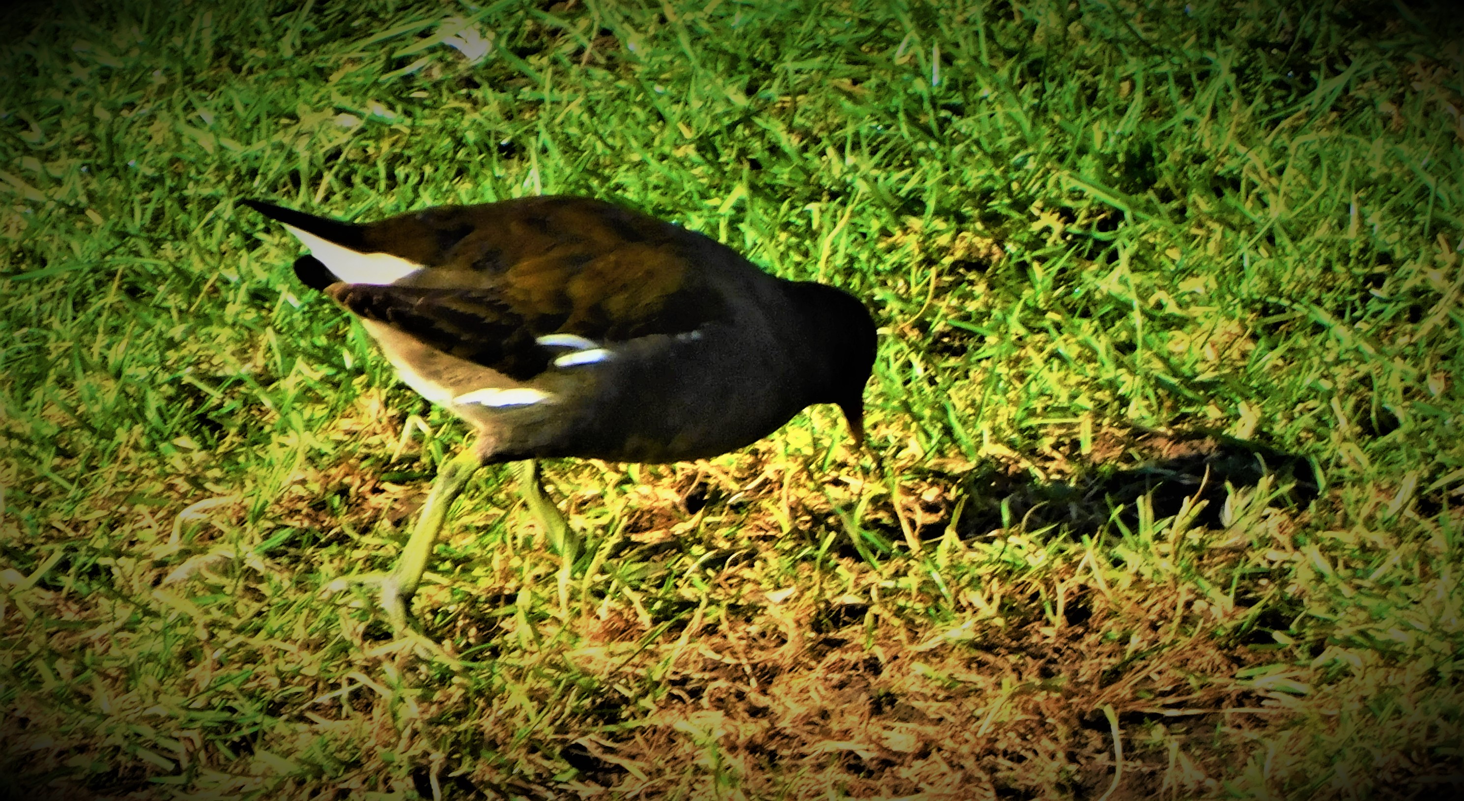
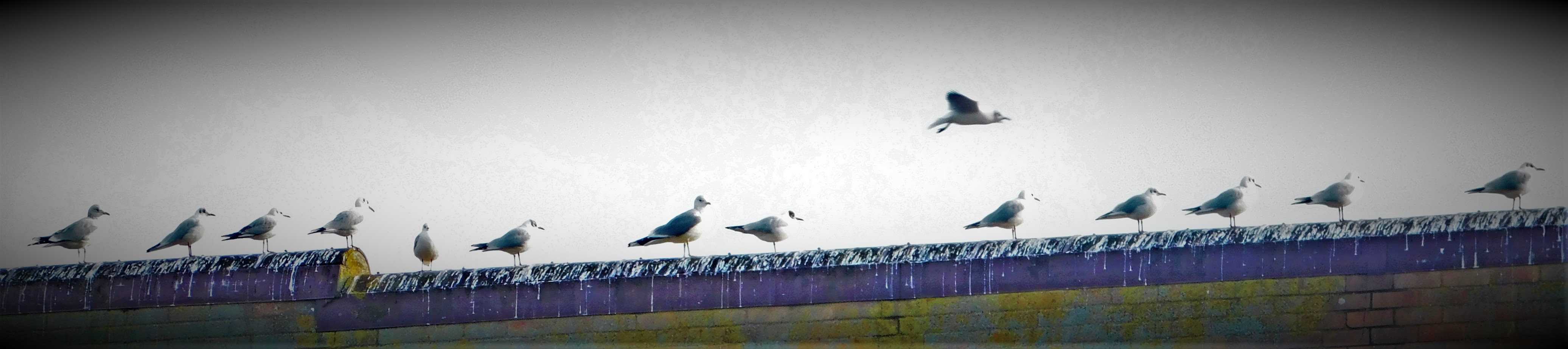
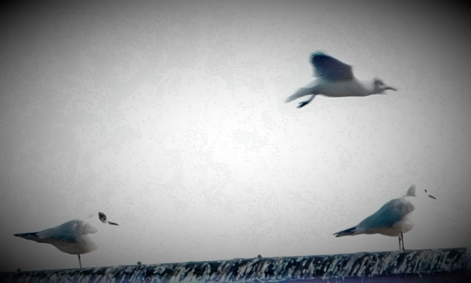
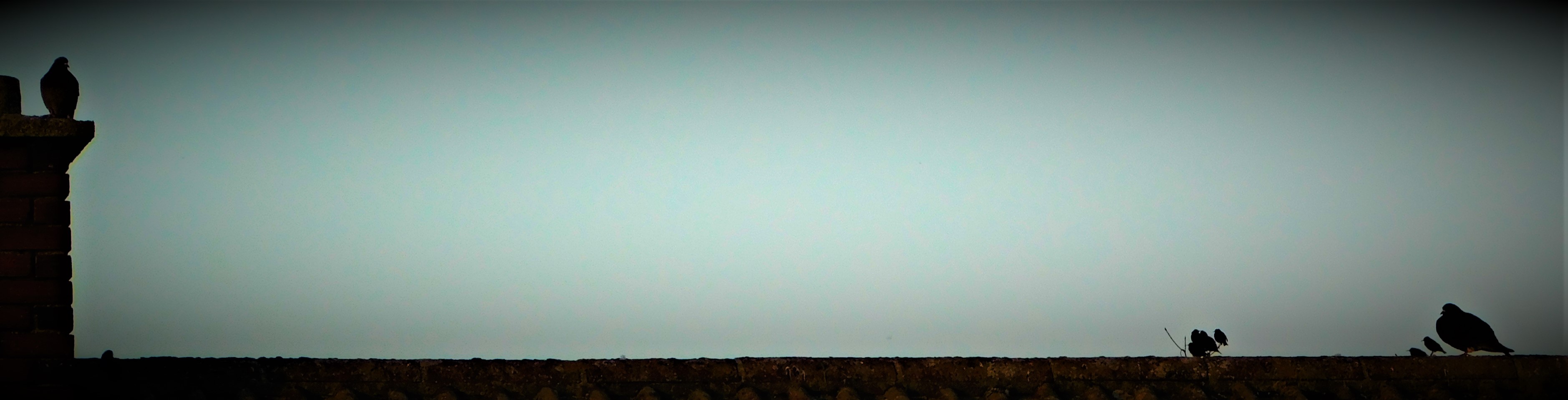
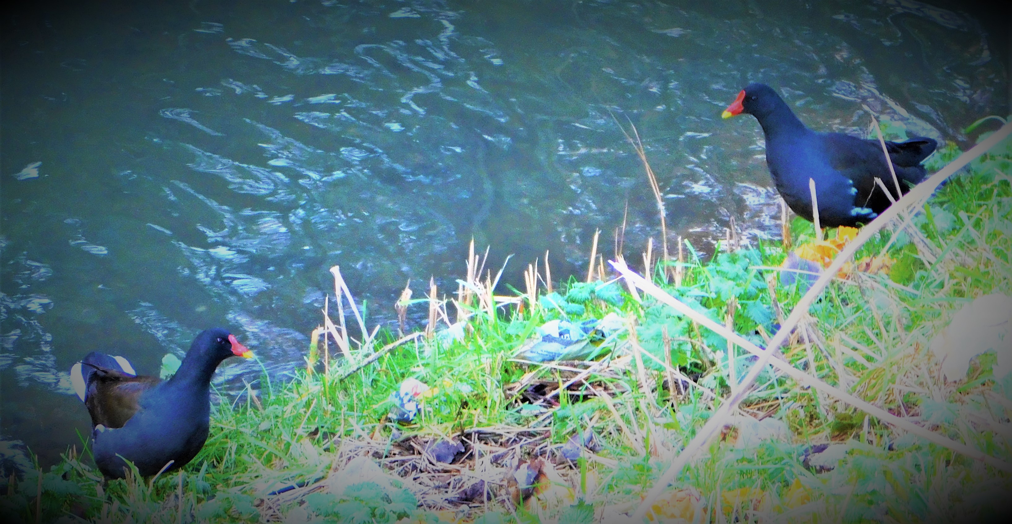
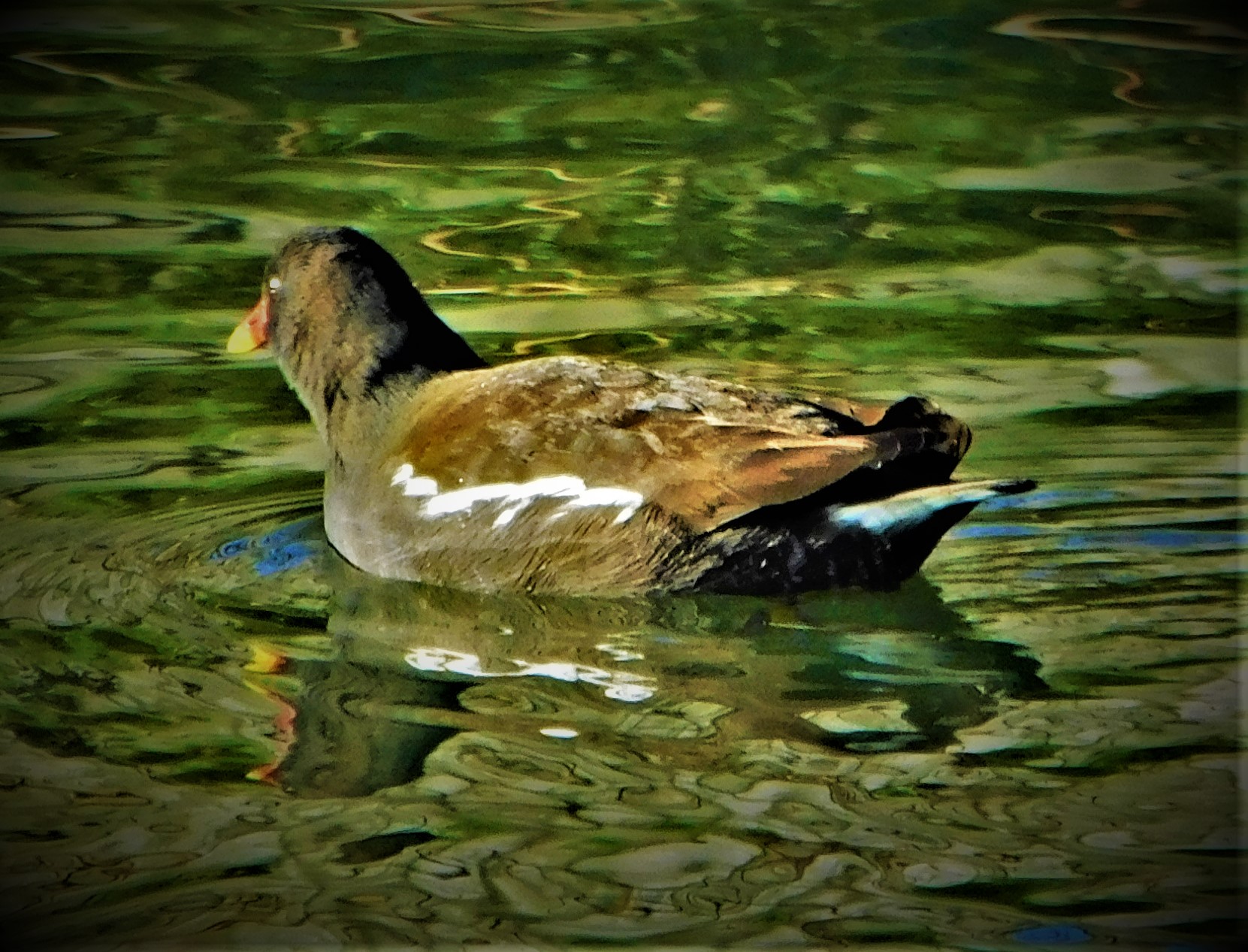
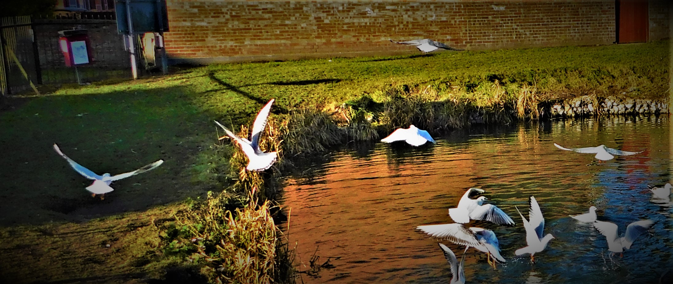
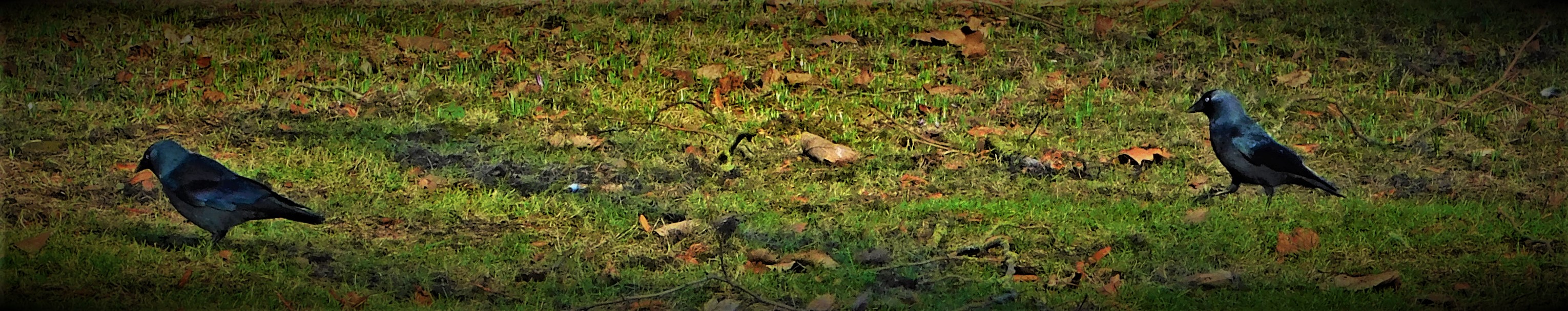
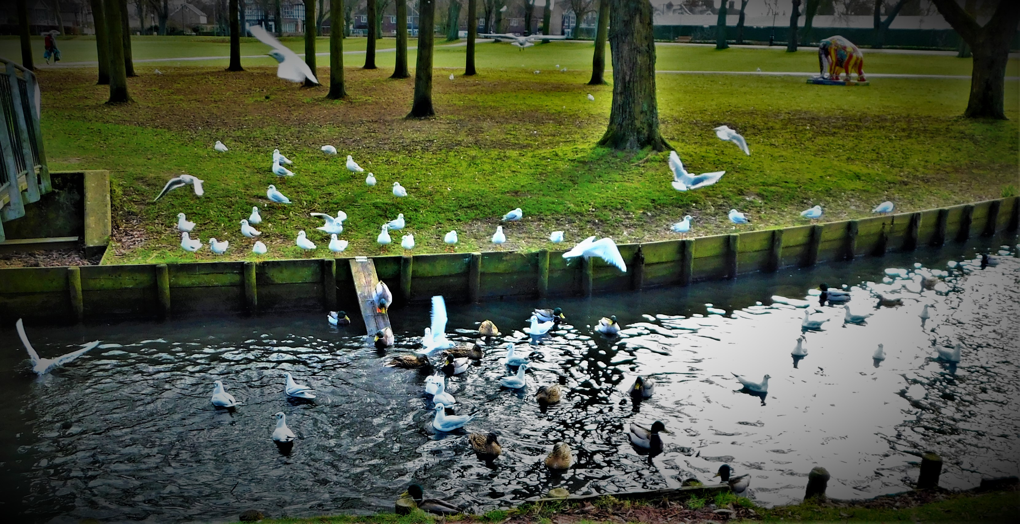
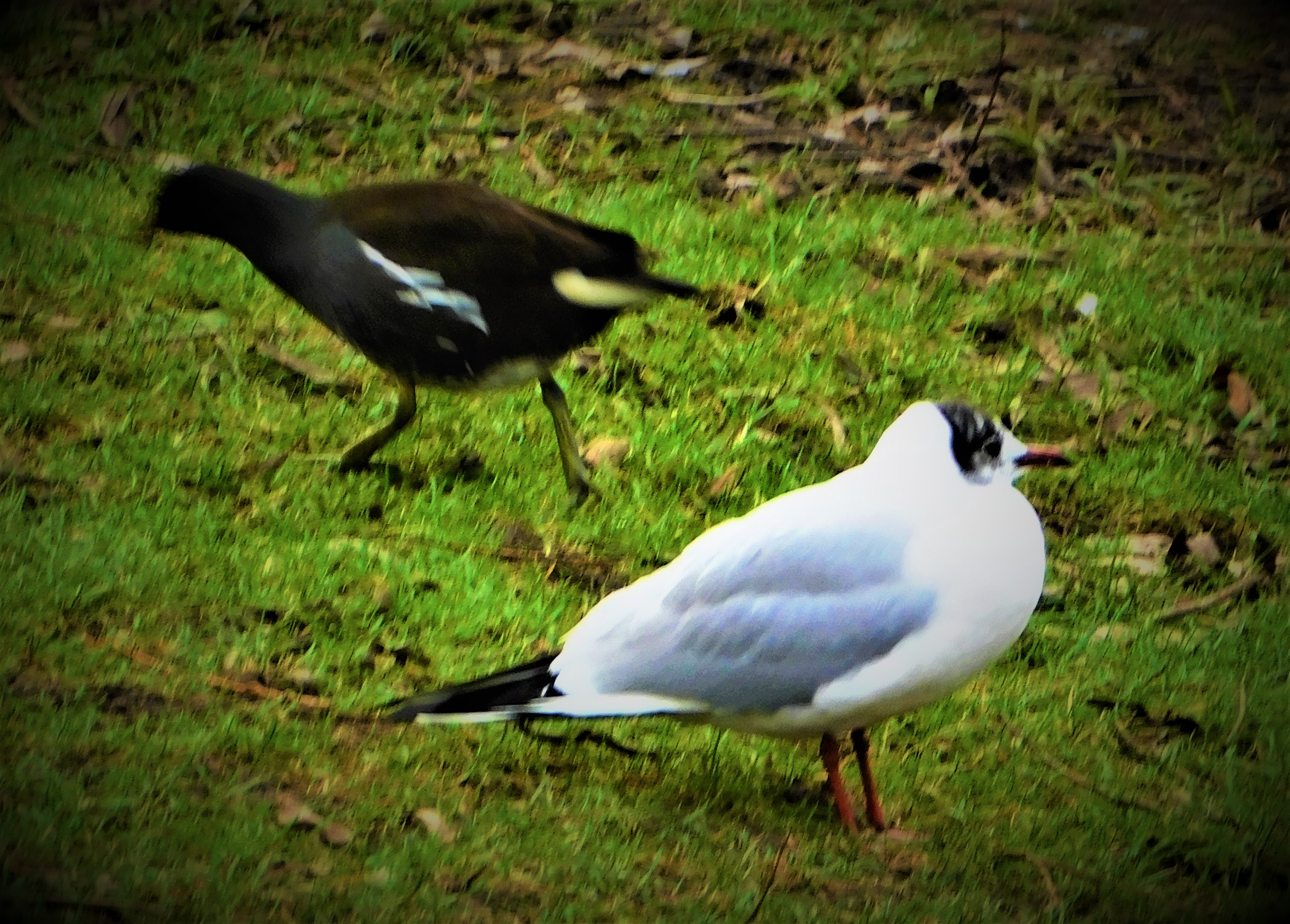
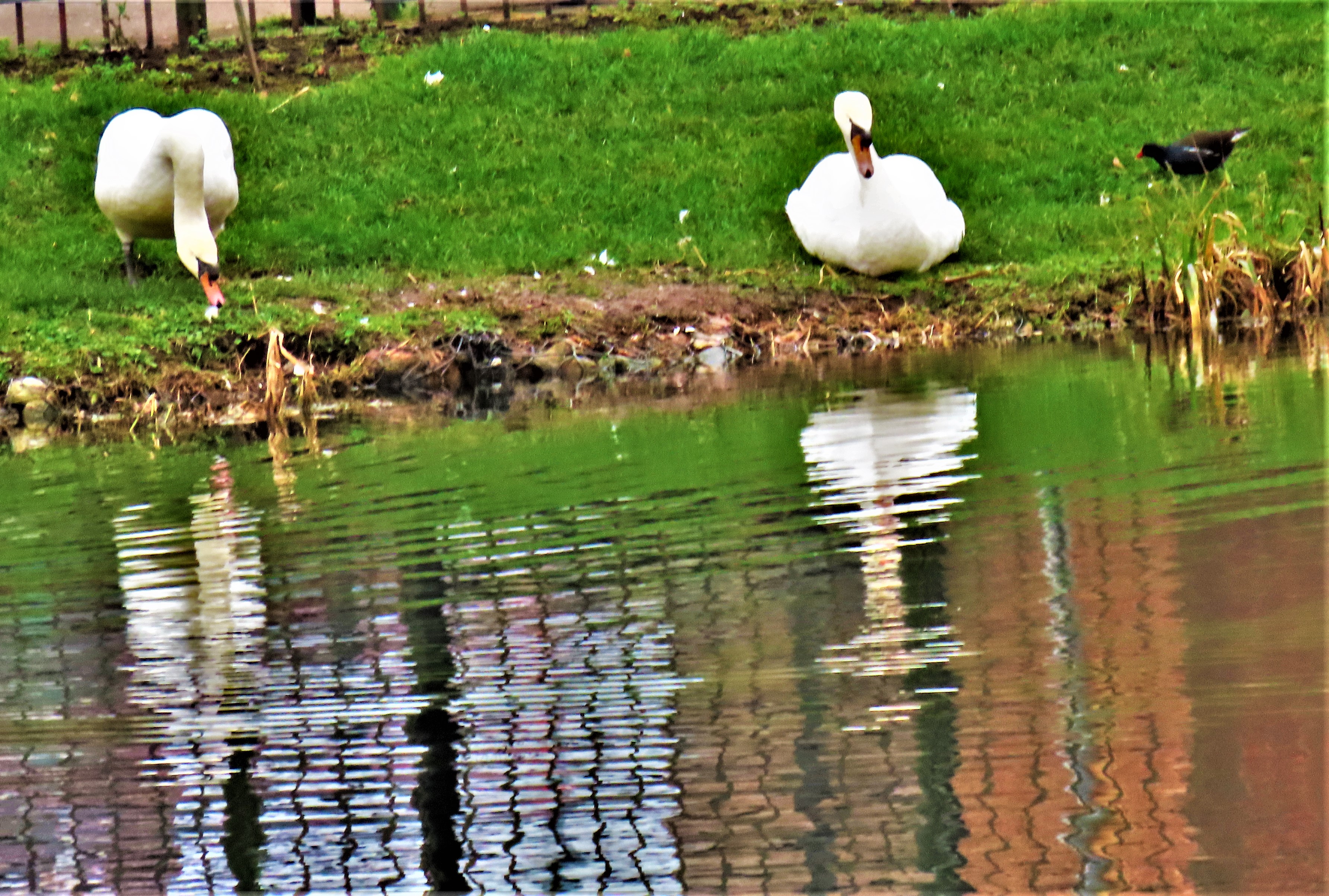
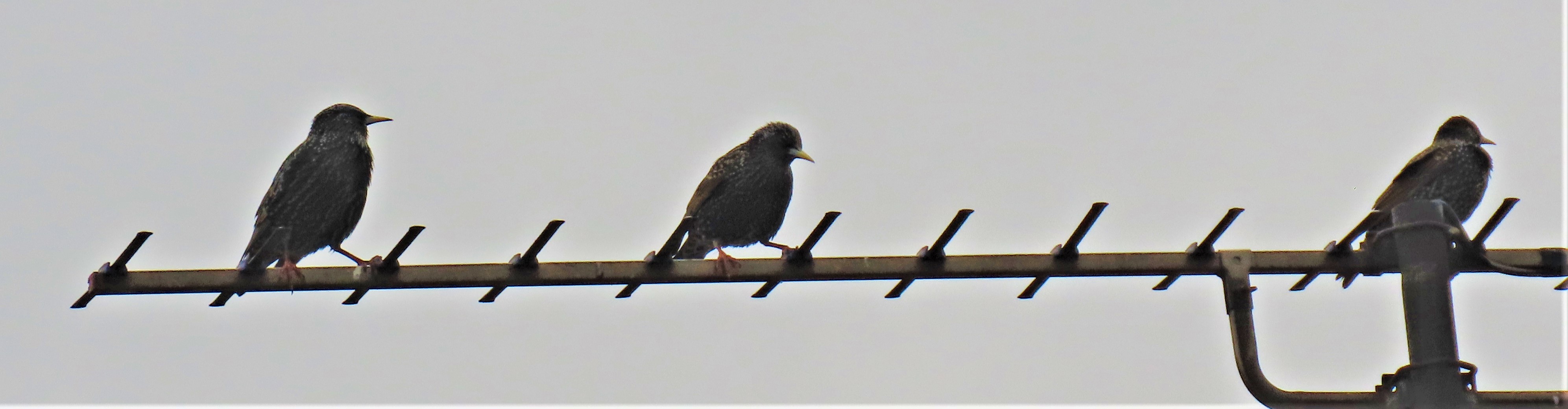
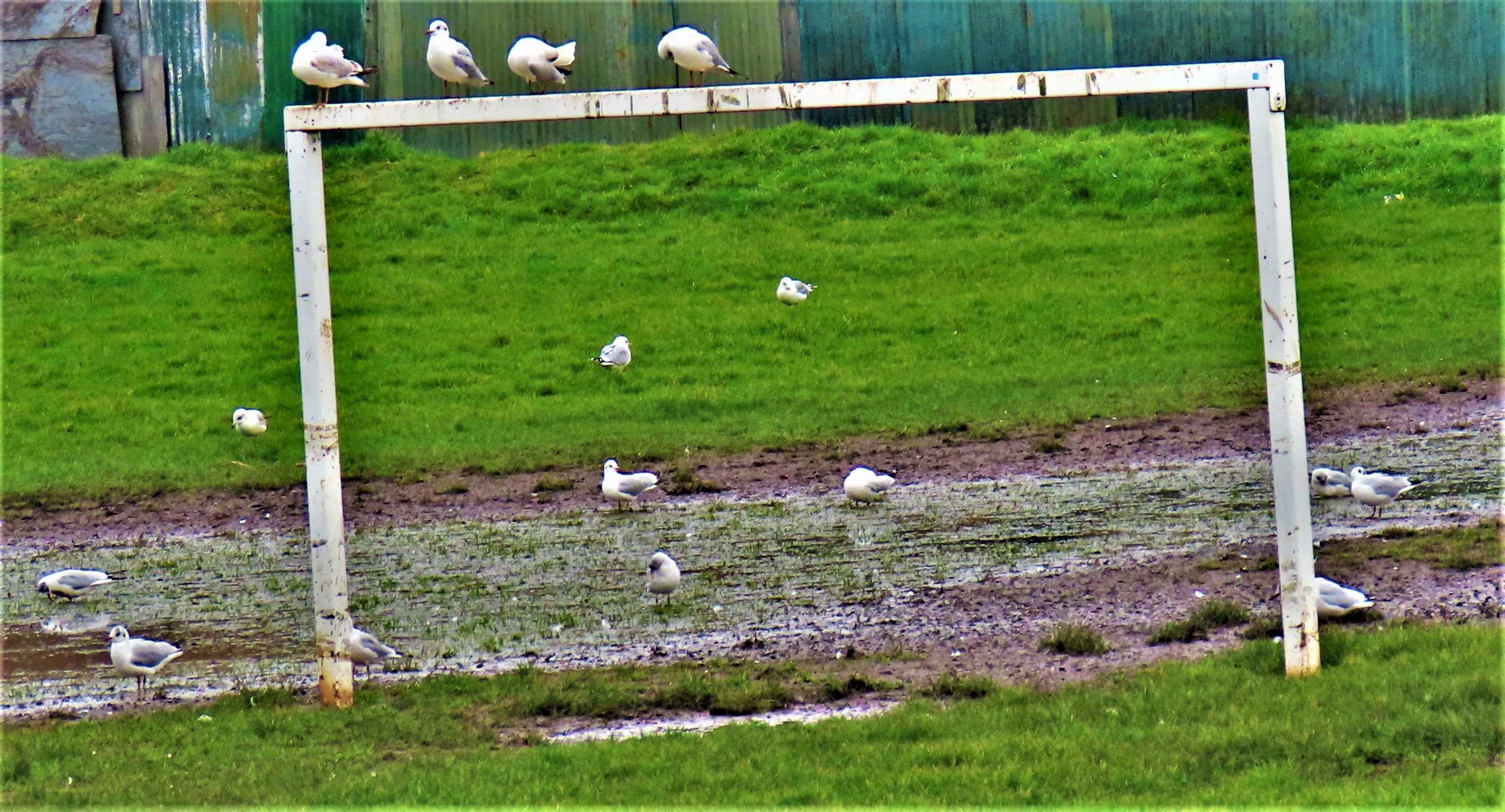
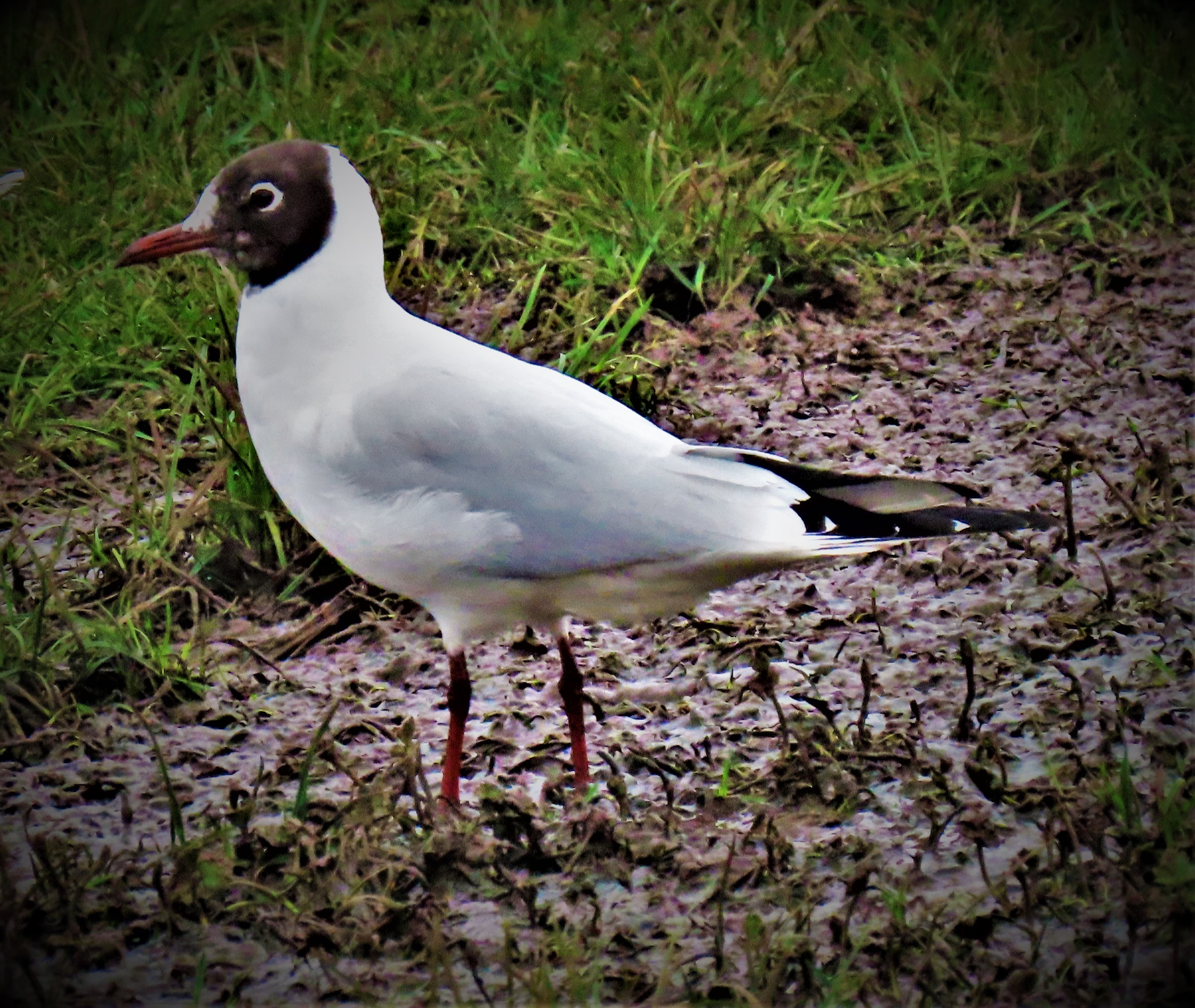
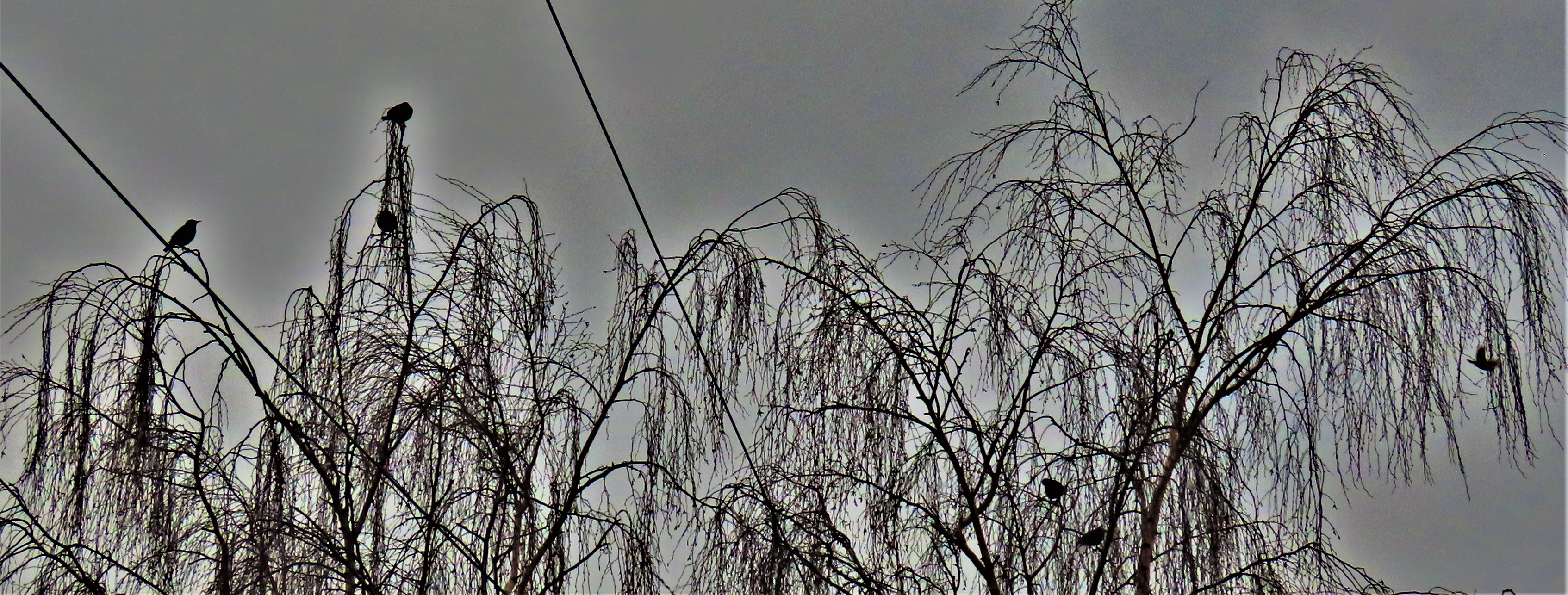
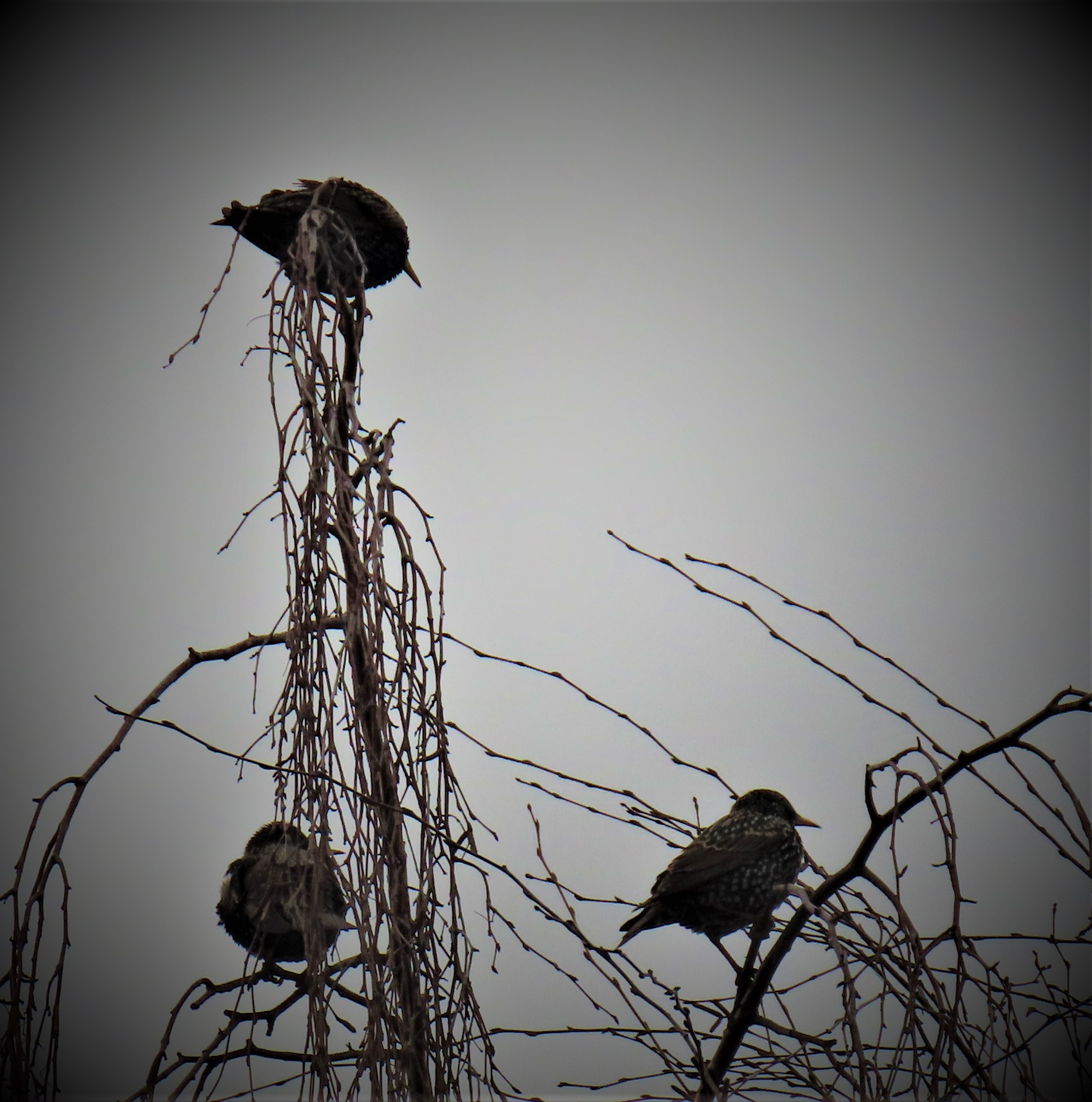
The South Gate (town side)The South Gate (out of town side).The only picture I got in Hardings PitsLapwings and Gulls at the far edge of the Great OuseKing’s Lynn viewed from the river bank on leaving Hardings Pits/A gathering of birds.
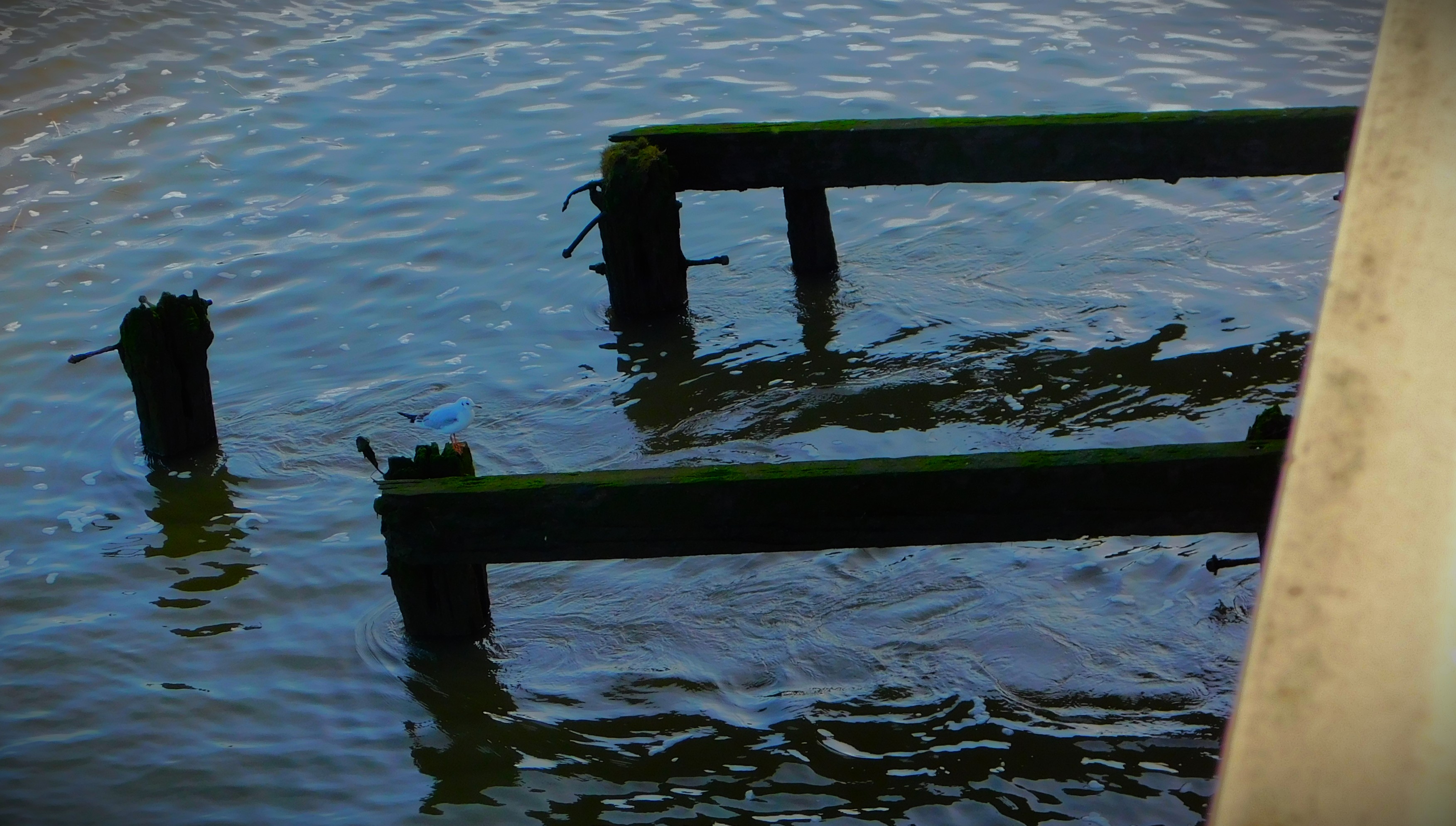
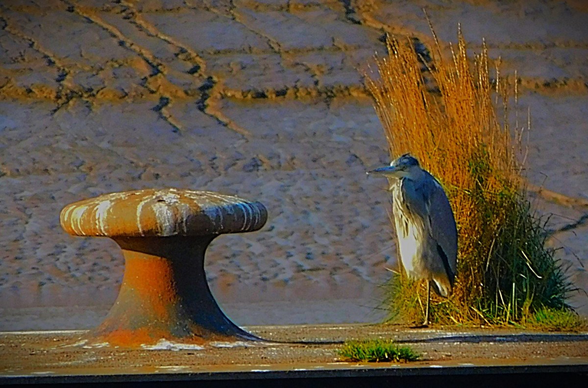
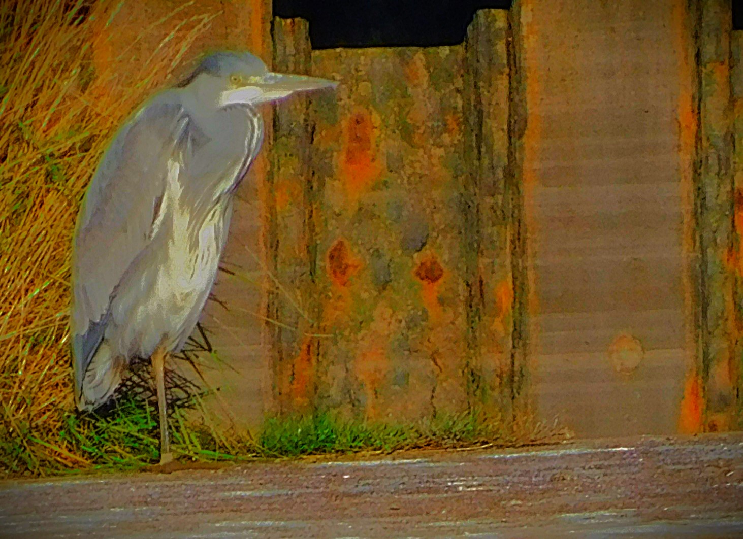
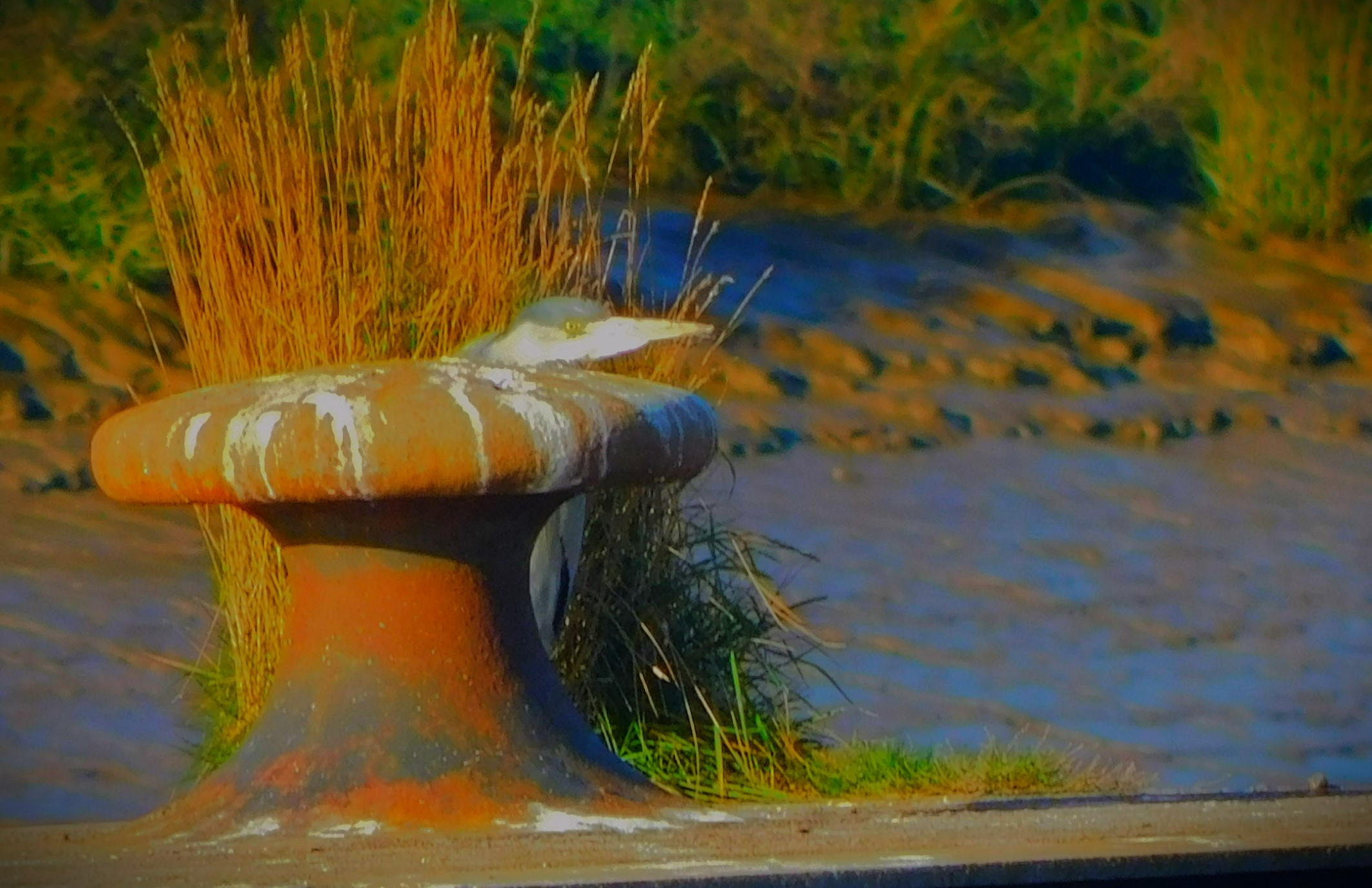
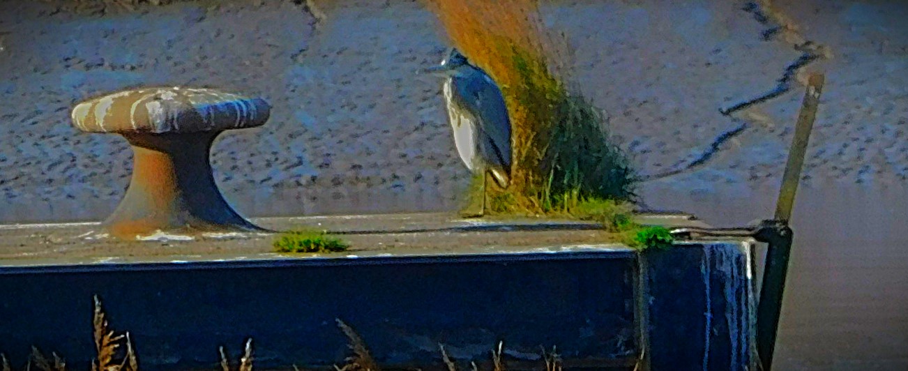
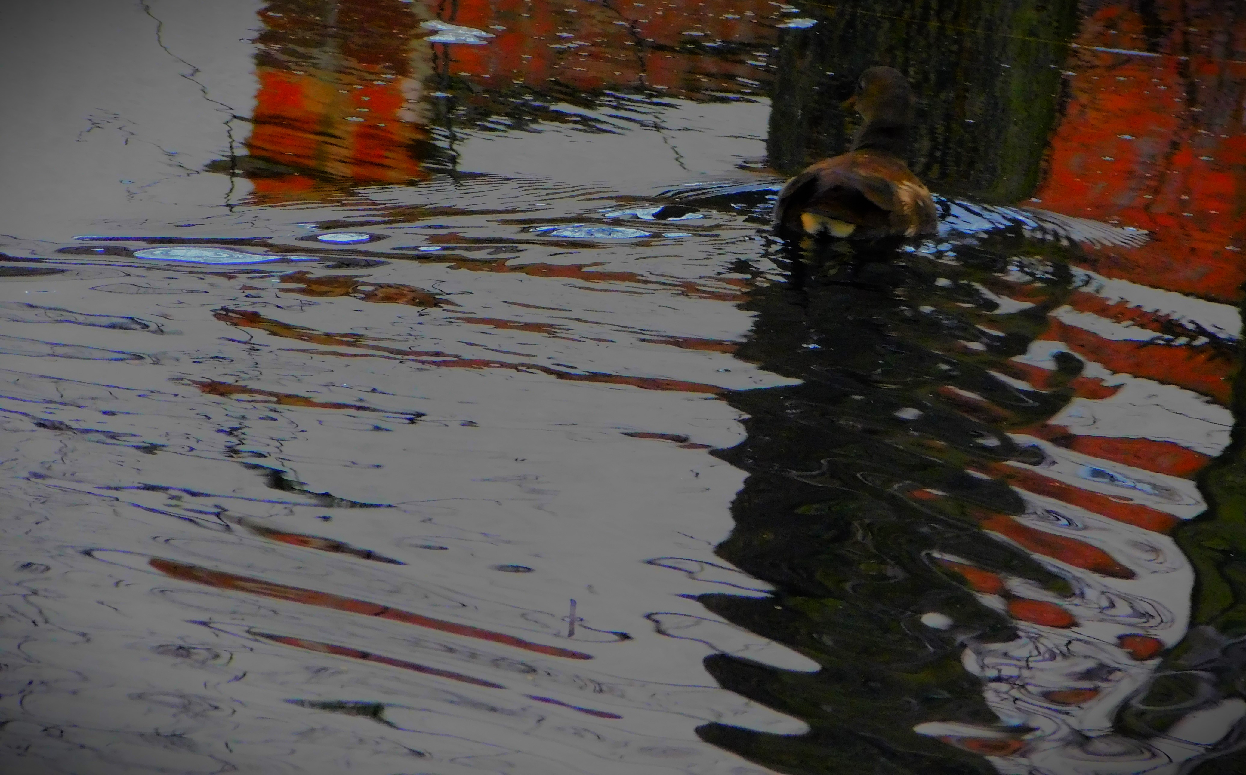
The next port of call was ‘Cormorant Platform’, although none of the birds that led me to give it that name were present on this occasion. There was a heron there however…
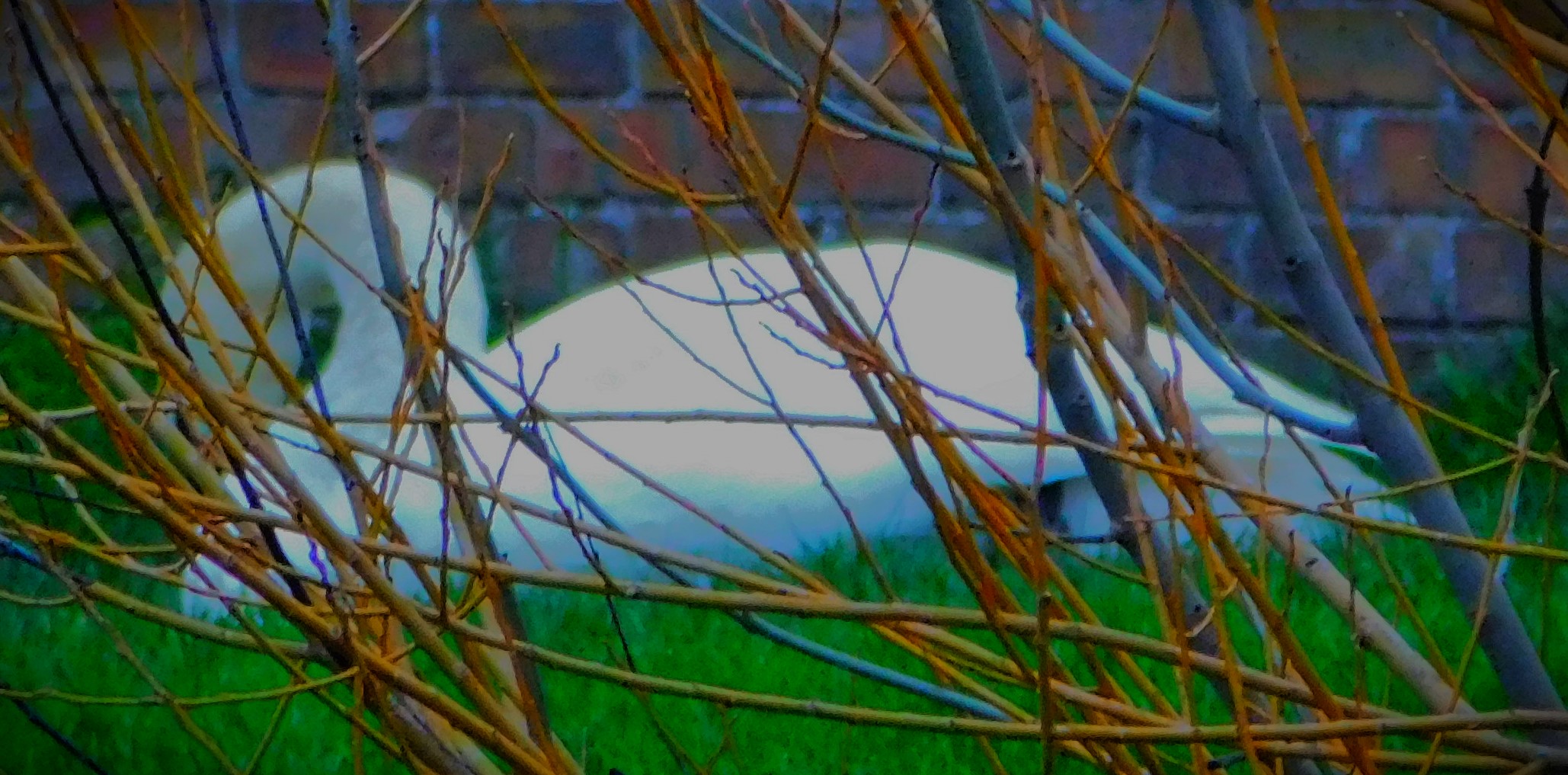
The heron and platform in the foreground, West Lynn church in the background.
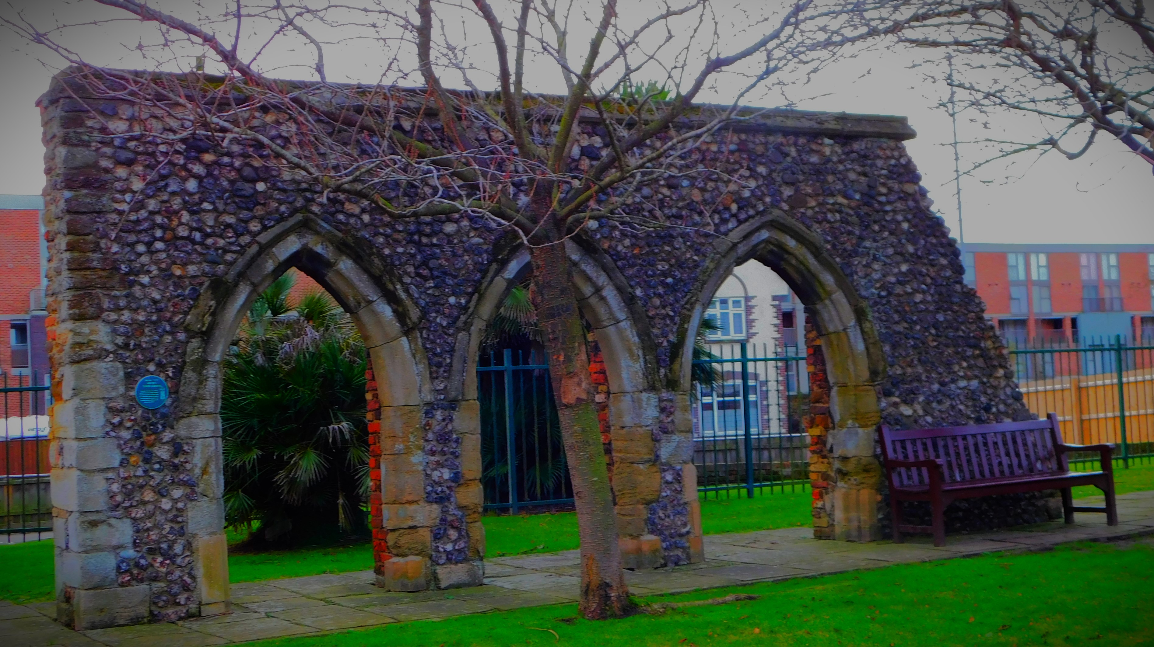
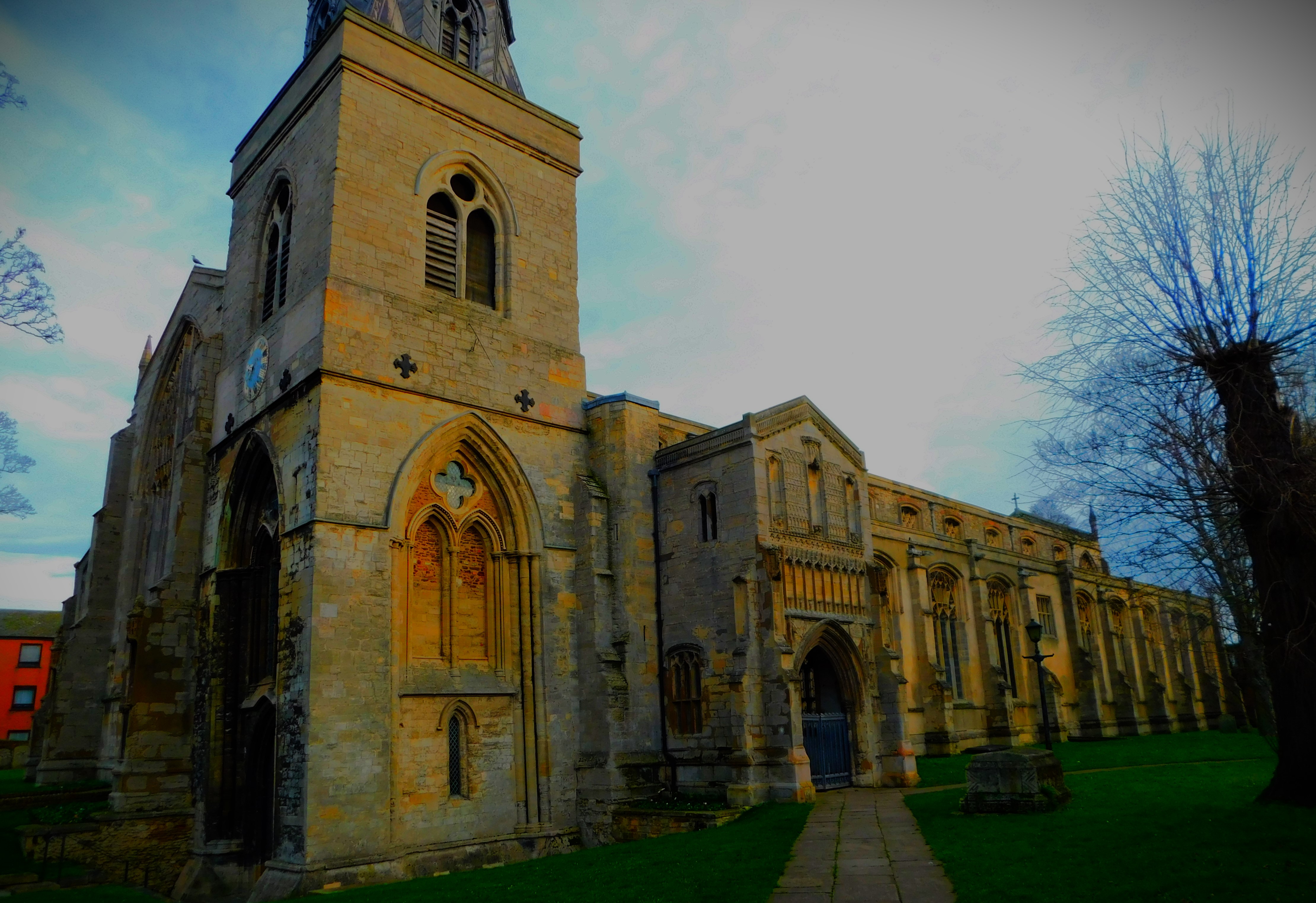
From here I headed on to a dike which can be muddy, but as we have had little rain of late I knew would be fine, and followed it until the path bifurcated – one route led to more of the Great Ouse, and the possibility of following that river as far as Purfleet Quay, but on this occasion i took the other, heading across another part of Hardings Way, through a gateway and down a side road which leads to play area that is at the meeting point of several roads, one of which leads to All Saints Church, reckoned to be the oldest church in King’s Lynn and then by way of Hillington Square to Millfleet.
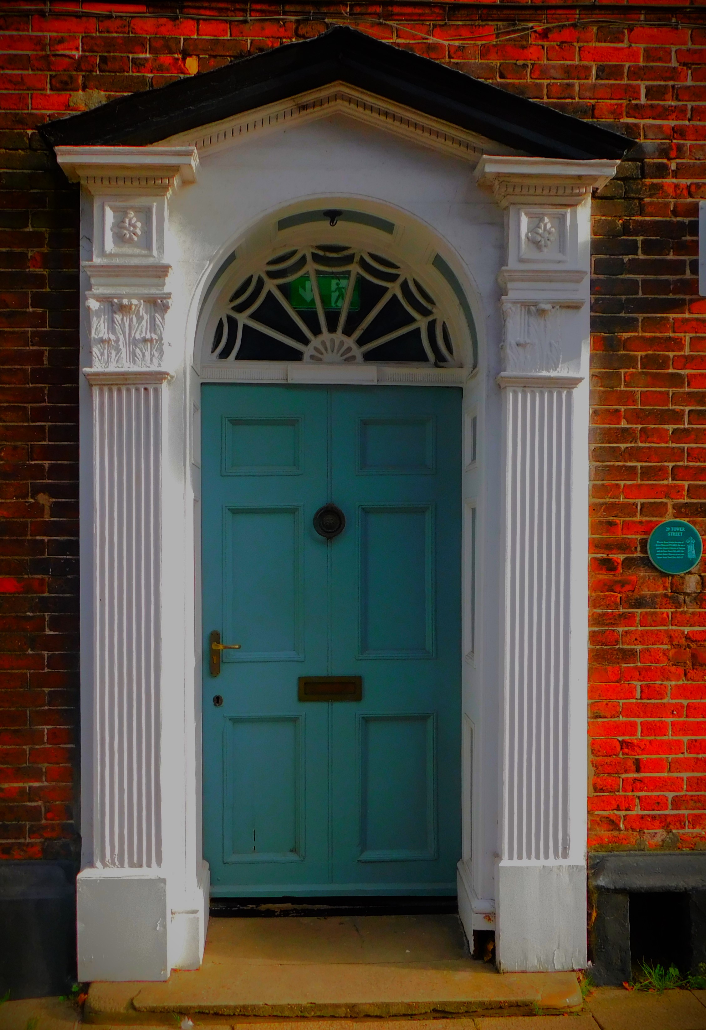
I crossed Millfleet at a light controlled crossing, headed up past the library, though on this occasion I did not visit that establishment as I already had a number of books out. I then went past the war memorial and Greyfriars Tower, before heading on to Tower Street and thence to the bus station, though I was merely passing through, not intending to catch a bus. From the bus station I headed along Railway Road, crossed at a light controlled crossing and walked along the northernmost section of Norfolk Street to arrived a triangular road crossing that invariably involves two waits if you are a pedestrian, followed Littleport Street until the junction with Kettlewell Lane, passing through the greenery to the second of the two ponds mentioned earlier in this piece, but I now did not entirely duplicated the starting route, instead heading along Loke Road, on to Columbia Way, and then availed myself of a recently opened cut through to the private road behind my house and thus got home.
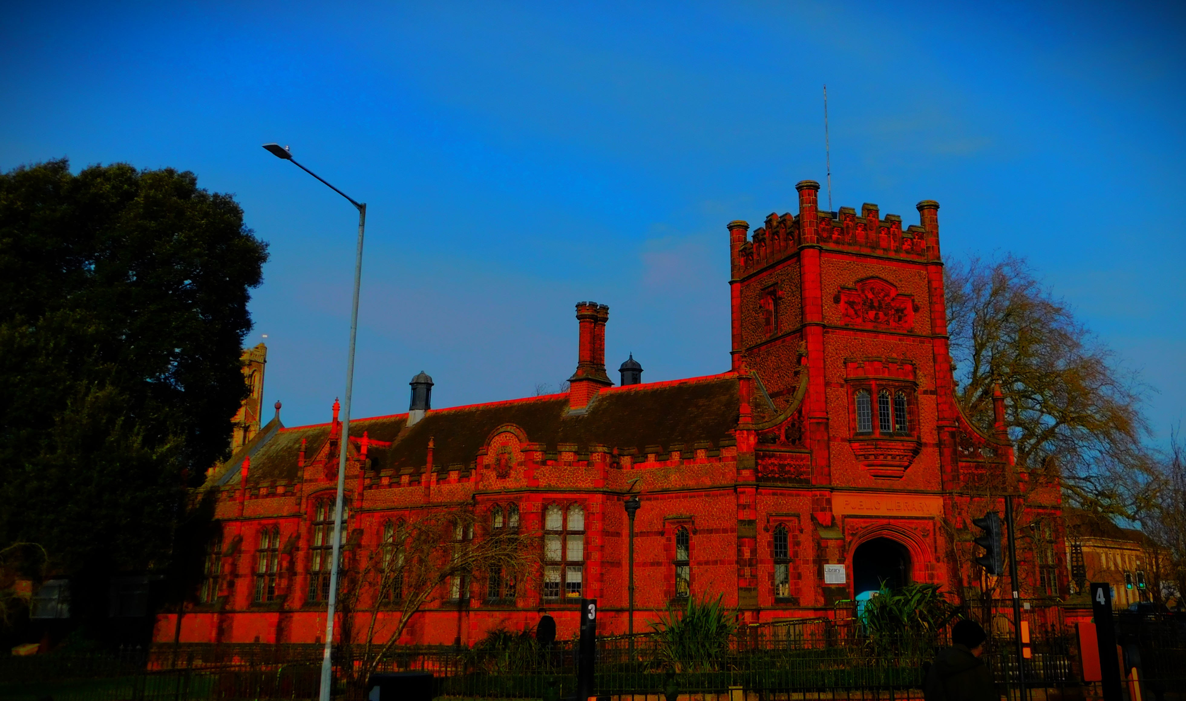
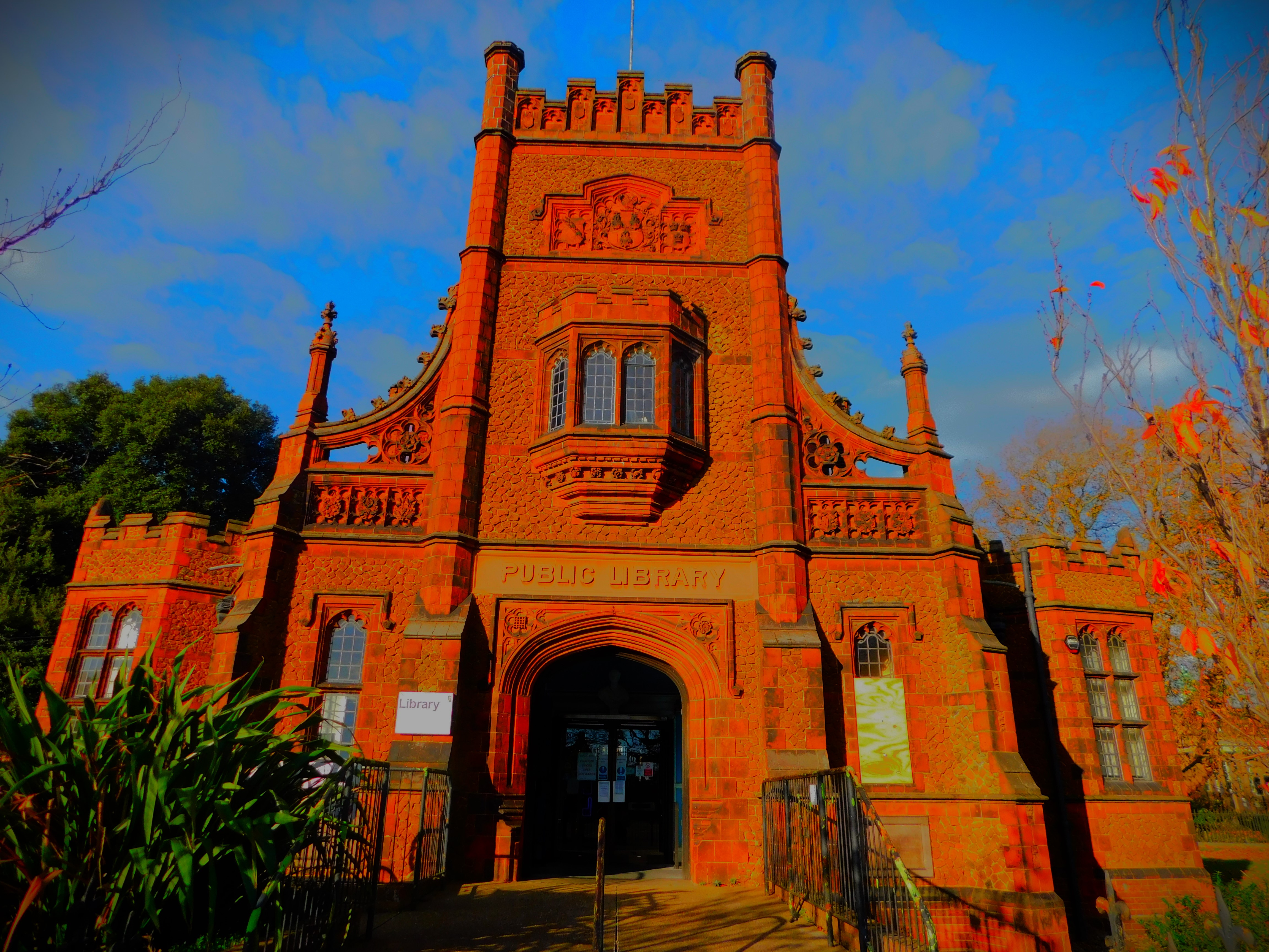
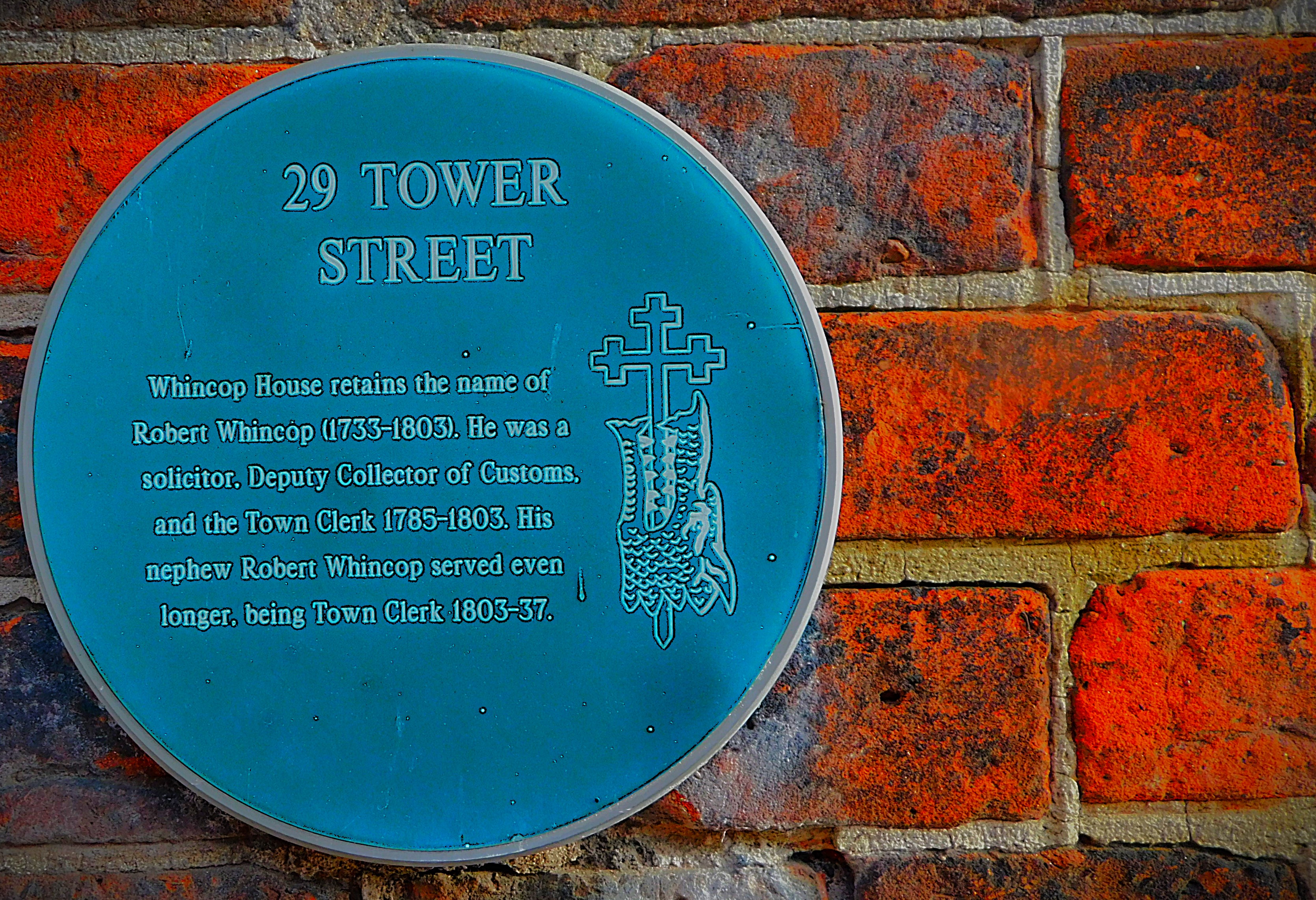
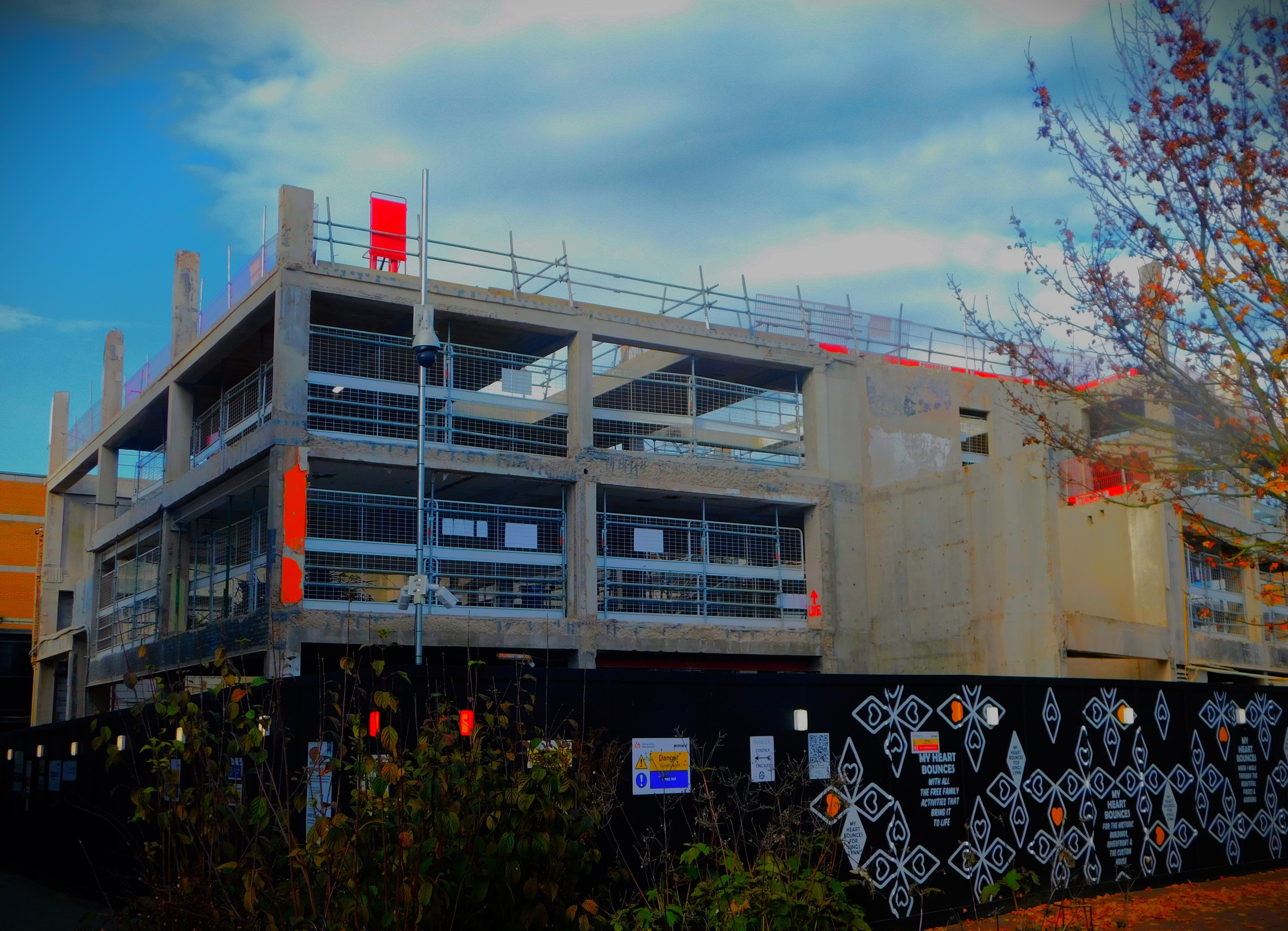
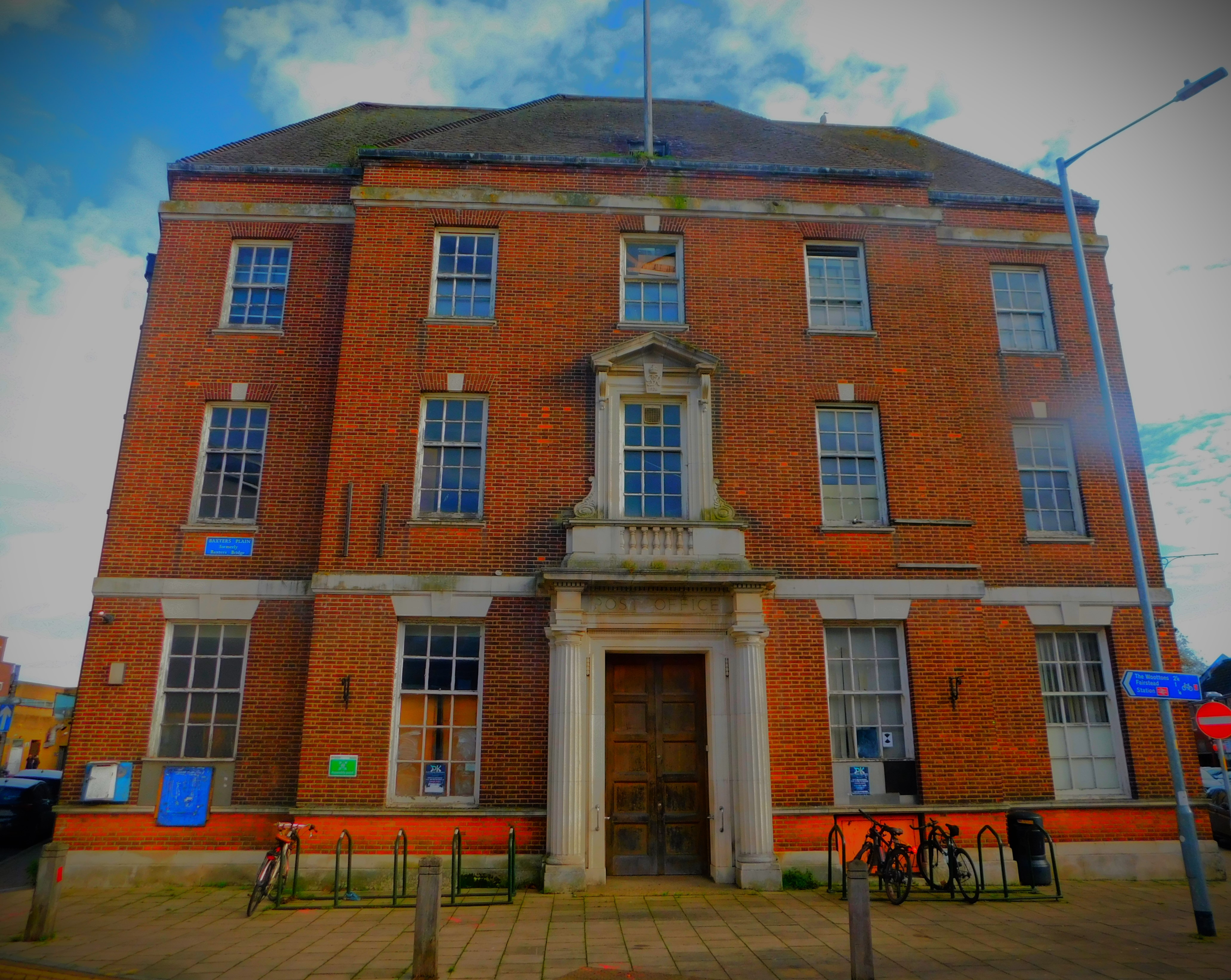
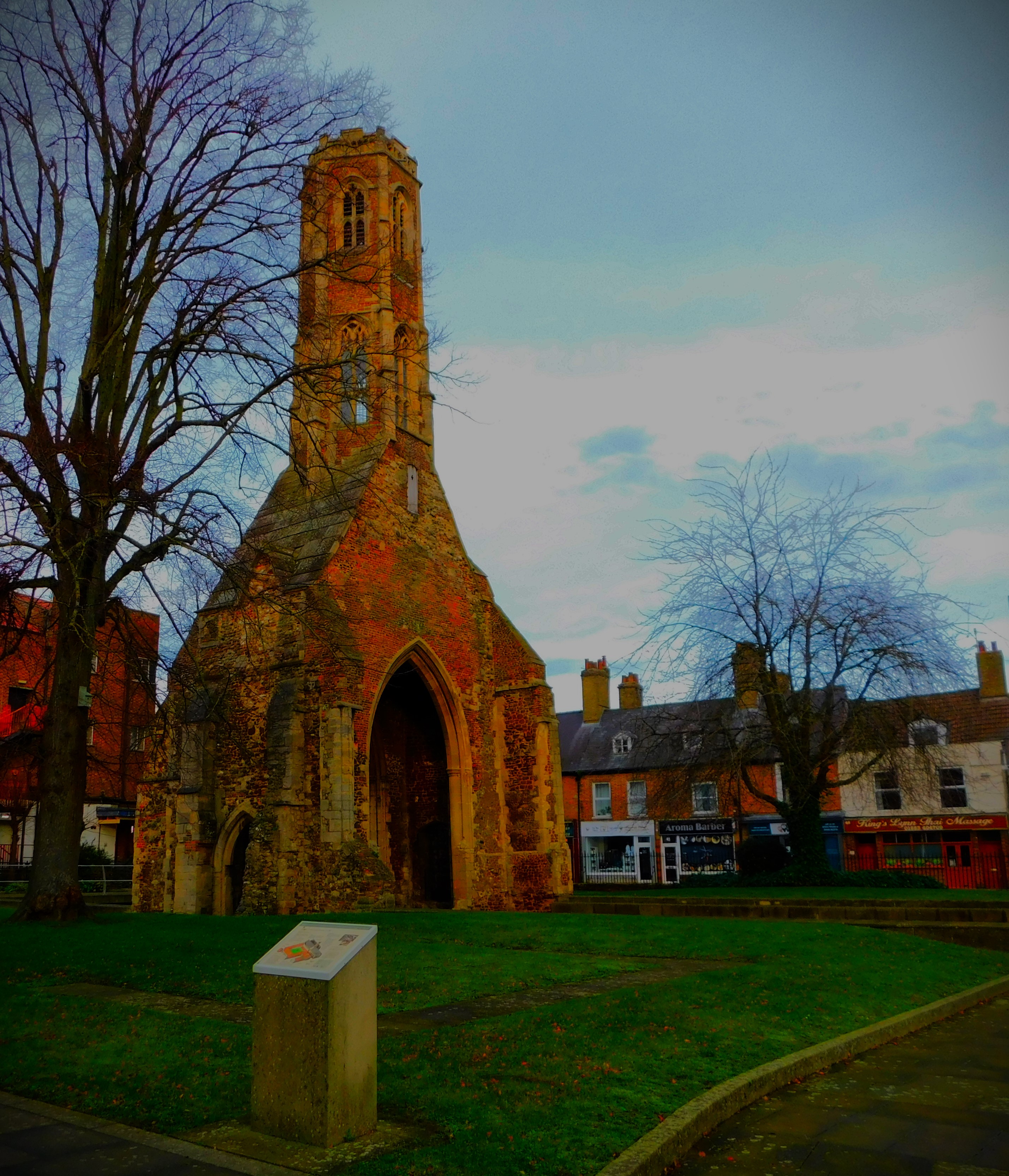
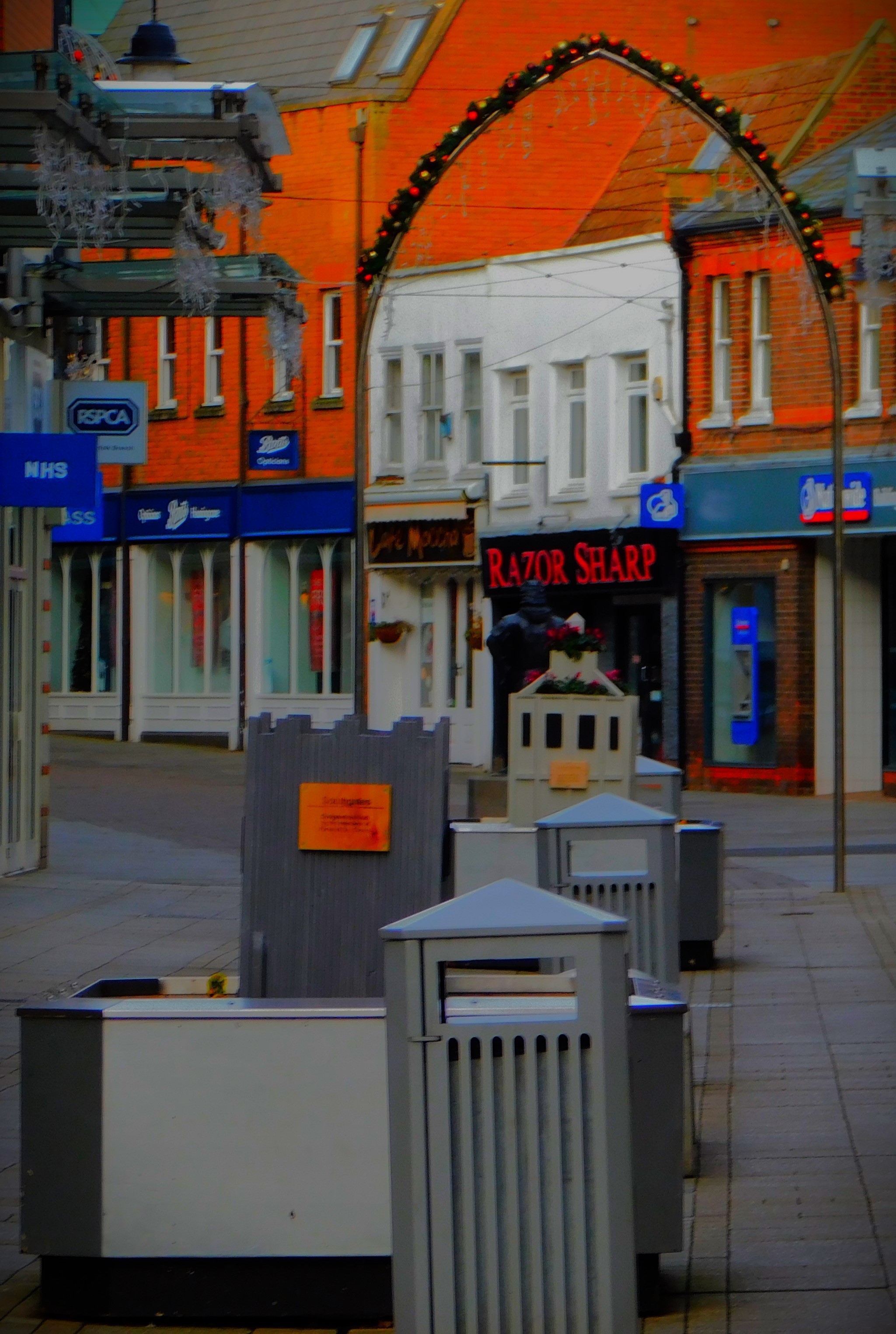
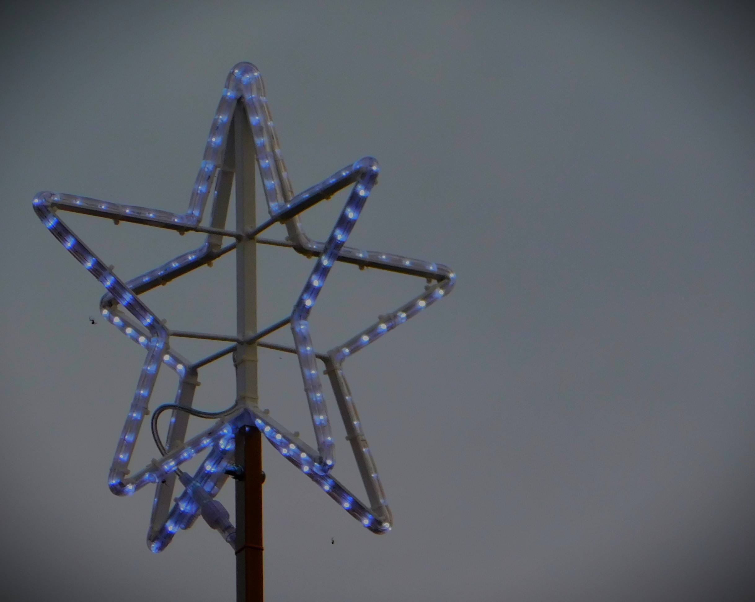
King’s Lynn library.The war memorial and Greyfriars Tower.Two images of a scale model showing what the Franciscan Friary would have been like in its 13th/ 14th century heyday.An arched doorway on Tower StreetThis used to be Argos, and when work on it is finished it will be a Library and community hub for King’s Lynn. The old building will remain fully accessible to the public whatever use it may be put to.Once upon a time, when such things still existed, this was King’s Lynn Main Post Office.
I hope you have enjoyed this account of a variation on one of my favourite walking themes, that of the three rivers.
An account of how I made the best of being alone for Christmas and ,enjoyed my day. Lots of photographs.
My parents, sister and nephew are all off in far flung parts of the world, and my aunt is also away for Christmas. This meant that my own Christmas would be what I made of it . The rest of this post is my own account of yesterday.
PLANNING THE DAY
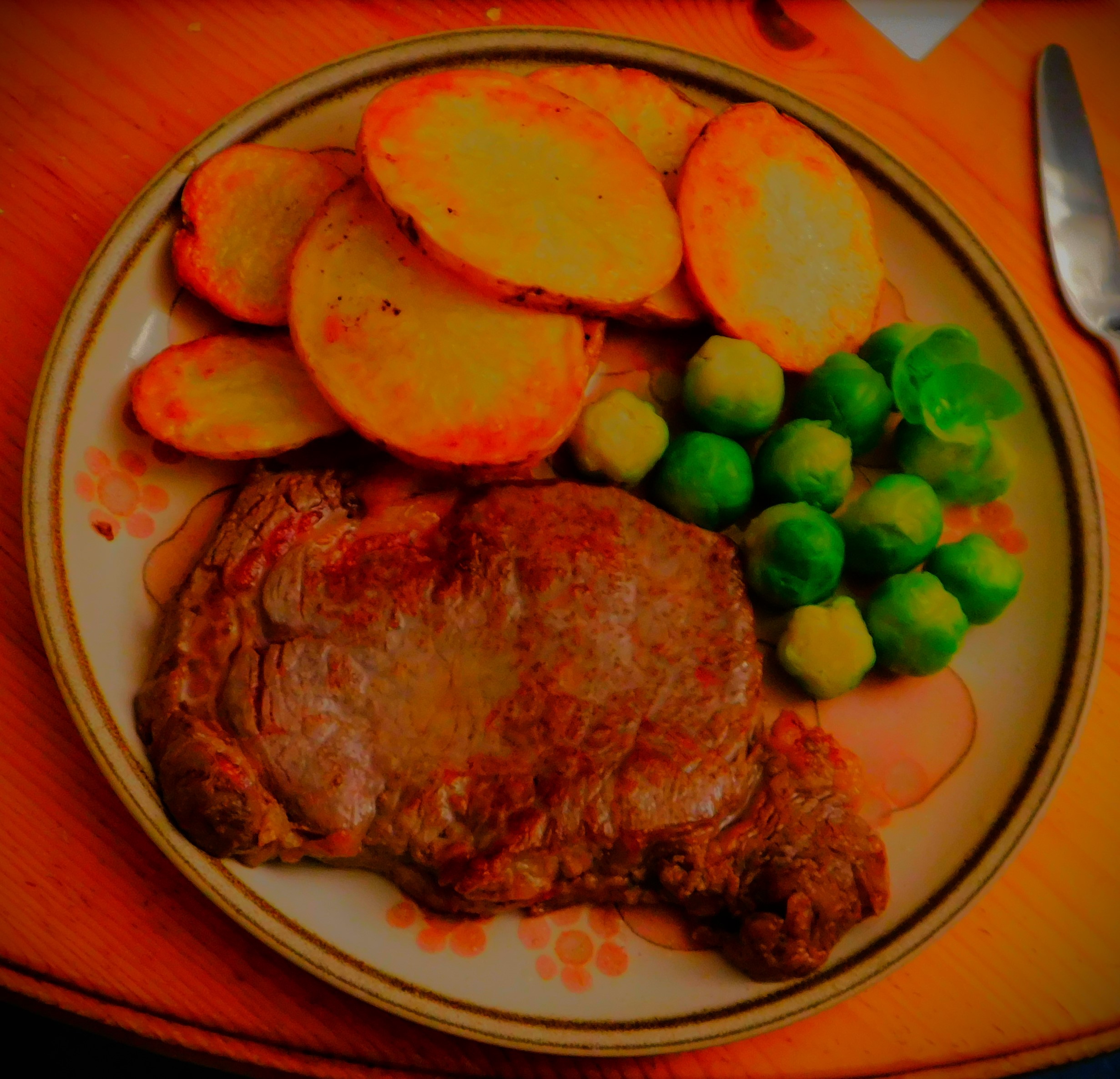
I decided that I would spend the hours of daylight away from my computer, and that I would have my fancy Christmas Day meal (a home cooked variation on the steak & chips theme) in the evening. I selected some Christmas music to play through the day, and planned to do some walking during the daylight hours. My parents had arranged that I would have a package to open on the day.
THE MORNING
I went out for my first walk just before 9AM, which took in both the ponds near where I live, the Kettlewell Lane tree/ river area, The Walks, the Peace Garden/ Greyfriars tower, the town centre, St Nicholas’ Chapel, Bawsey Drain and back along Columbia Way. I then played the first of my chosen Christmas Music CDs. When this CD finished I headed off for my second walk, which again included both ponds, but this time I took the footpath from the second pond that leads to Loke Road just before the junction with Gaywood Road, crossed Loke Road, headed onto Gaywood Road for a short stretch before crossing it and heading down Tennyson Avenue. Just before the railway crossing I took the footpath that heads towards Lynnsport and followed to the point at which it meets the Gaywood River path, which I walked along until I reached a path off it towards the Discovery Centre and thence back home.
THE AFTERNOON/ EARLY EVENING
I had lunch while a second CD played. When the second CD finished I went out for a third walk, taking in the first pond, a route through to the footpath alongside Bawsey Drain and followed that footpath until Columbia Way, at which point spots of rain warned me that I needed to take the direct route home, along Columbia Way, rather than extend the walk further as I had been considering. I then played the rest of the Christmas music I had picked out, returning to the computer briefly in the early evening.
COOKING SUPPER
I put the oven on at about 7PM, set to approximately 175 Celsius, taking care to turn the extractor fan on and open a kitchen window. I oiled a baking tray next. Then I cut a large potato into slices of approximately equal thickness, thick enough that when cooked they would still obviously be potato and thin enough that they would have a bit of crunch. I placed this slices on the oiled baking tray, sprinkled some salt over them, and then added a little more oil. I put them into the oven to cook. Then I got to work on the brussels sprouts, preparing a dozen for cooking, placing them in a saucepan and boiling a kettle full of water to cook them in. Once they were on and cooking I turned the potato slices over. I tenderised the steak, got some oil in small frying pan heating up (to colour on the outside while still being red in the middle the steak has to go in to oil that is already hot), and at the appropriate moment I put the steak into cook, flash-frying it for a minute on each side at high heat. I then plated it up, before draining the sprouts, pouring a drink and then getting the potatoes out. This is what my variation on a steak & chips theme looked like on the plate:
For the record it tasted splendid.
For afters I had a small jar of Kalamata olives.
THE END OF THE DAY
I was mindful of the fact that the Boxing Day test match at Melbourne between Australia and Pakistan, which Test Match Special were covering, got underway at 11:30PM UK time (Melbourne is 11 hours ahead of us). I thus timed my heading to bed so that I could have that commentary playing while I was in bed. I enjoyed the day, and my Christmas meal worked well.
A little bit about walking in and around King’s Lynn.
While King’s Lynn does not brag about such things as ’15 minutes Cities’ or being a ‘Walkable Neighbourhood’ it is, in spite of really being two medieval towns in one (hence two market places, two guildhalls, two major churches etc) exceedingly compact, which means that a lot of things can be done on foot. This post looks at some of the things that I regard as absolutely walkable.
MY LOCATION IN RELATION TO THE TOWN
I live these days in a suburb that is just outside town to the north. I have two very good footpaths that are almost immediately accessible from my home and a third not much further away.
AMENITIES THAT I WALK TO
The town centre among many other features boasts a Morrison’s with a very wide range of stock, a Sainsbury’s suitable for top up shops but not for major food shopping, a Wilkinson’s, sundry other shops, a library, my doctor and my dental surgery and the bus and train stations for travel further afield (if and only if I am travelling somewhere north of Lynn there are bus stops closer to me than the town centre). This areas is also well equipped with historic buildings.
Gaywood is also comfortably walkable from home, and that has its own shopping area and a library.
OTHER WALKABLES
The Hardwick Industrial Estate is even for me a substantial walk from my home, but I have done it. Last night the West Norfolk Autism Group had a fundraiser at the Masonic Centre on Hamburg Way, which is near the outer edge of the North Lynn industrial estate, and is a little further from my home than the town centre, but I walked both ways.
With so much stuff within walking range it is a rarity except on work days for me to use any other form of transport.
A look at developments in the Womens T20 World Cup and a bumper photo gallery.
Since I last blogged there have been three games in the tournament: Ireland v England, South Africa v New Zealand and Australia v Bangladesh. This post looks at those matches (the first of today’s two matches, between India and West Indies is just getting underway).
IRELAND V ENGLAND
England were heavy favourites, and the match went to form. However Ireland showed a bit of fight. They were 80-2 at one stage but a collapse led to them being all out for 105. Sophia Dunkley made a brutal early assault on this small target, taking just 21 balls to reach 50. However, Ireland never completely gave up, and although England had plenty of time to spare they were six wickets down by the time they crossed the winning line.
SOUTH AFRICA V NEW ZEALAND
This was a must-win game for both sides, as each had lost their opening match of the tournament. New Zealand did reasonably well with the ball, only a fighting 40 from Chloe Tryon getting SA to 132-6 from their 20. However, for the second time in as many matches both Kiwi openers went without scoring, and it was soon 18-4. New Zealand did not improve much from this awful start, eventually being all out for 67 to lose by 65 runs. This total was nine runs fewer than the Kiwis had scraped against Australia in their first match of the tournament.
AUSTRALIA V BANGLADESH
Bangladesh could not score with any speed, although they did at least reach three figures. They bowled better than they had batted, and although defeat for Australia looked a serious possibility it take them until the 19th over to finally reach the target.
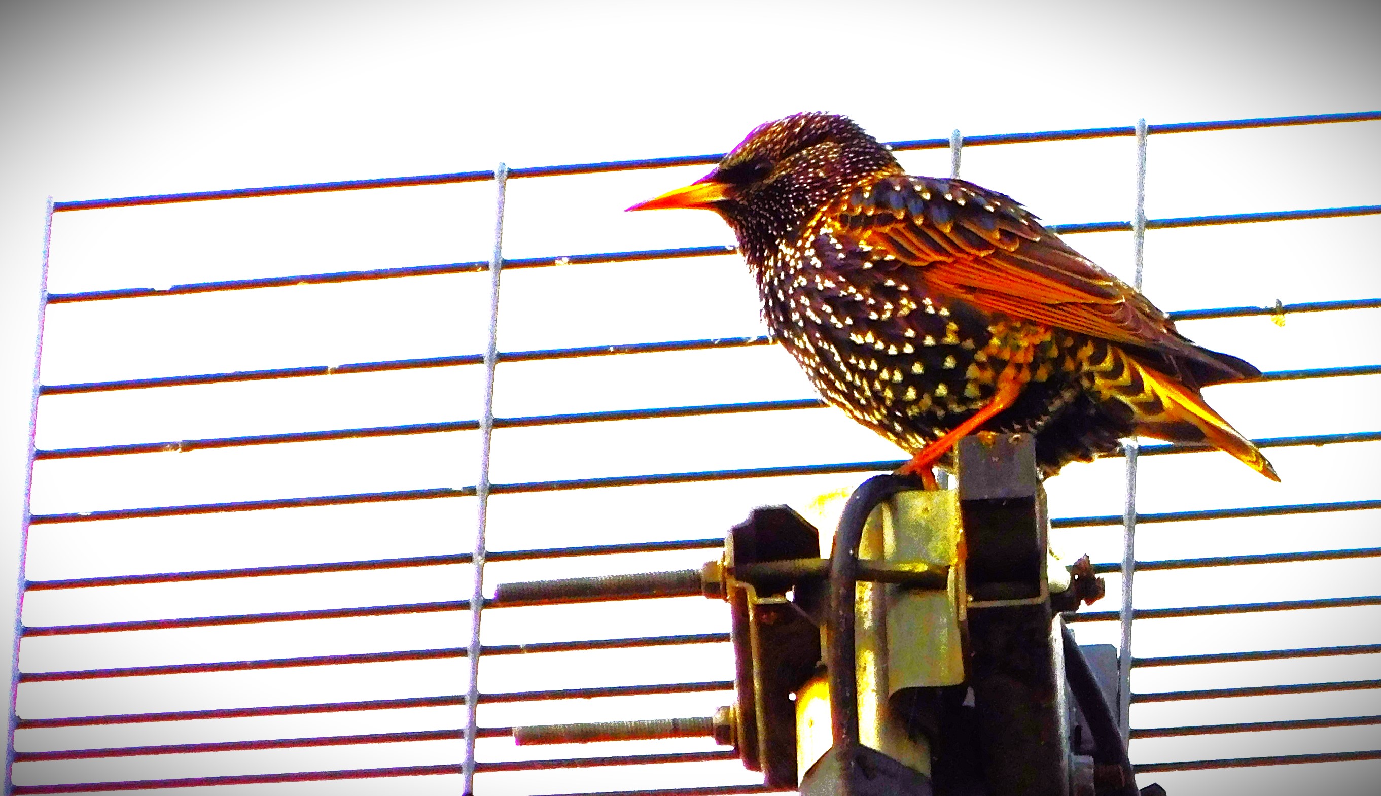
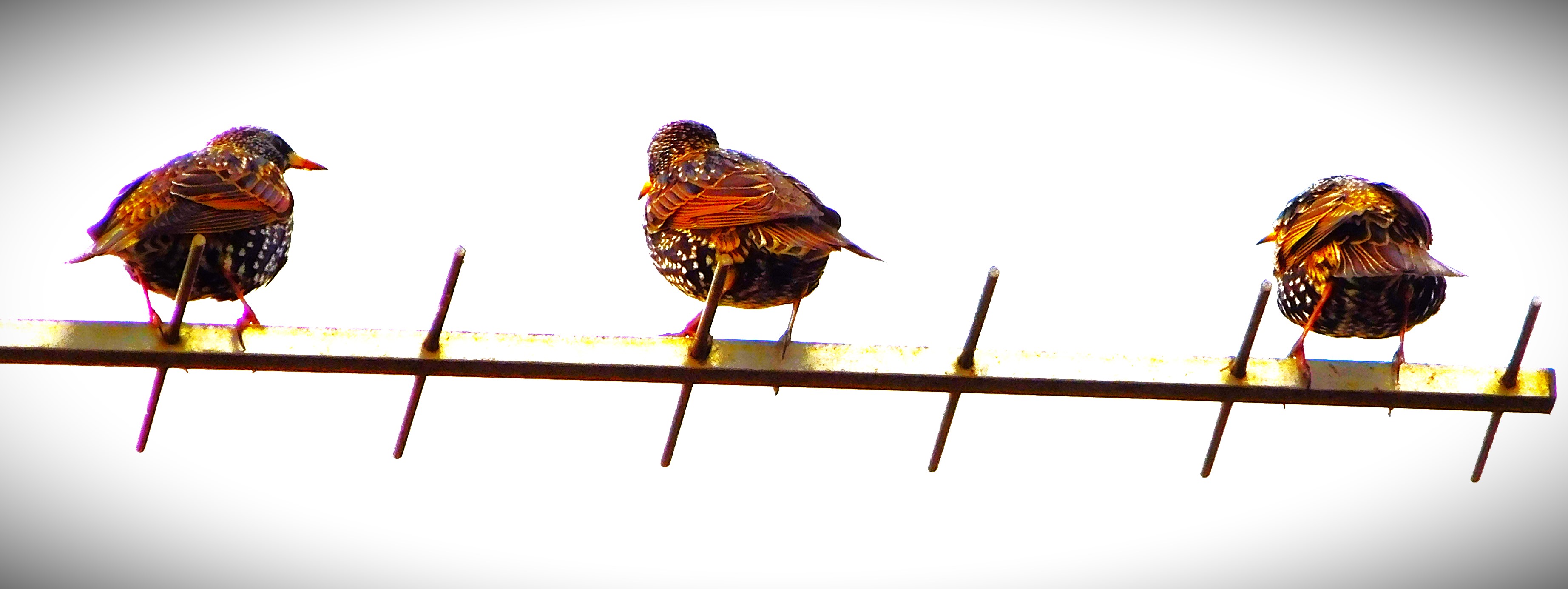
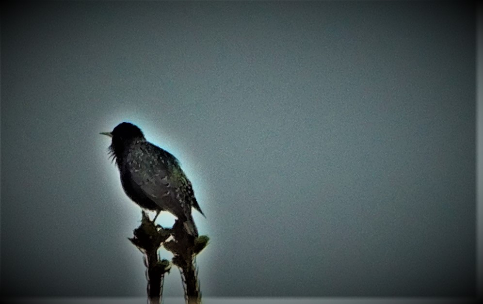
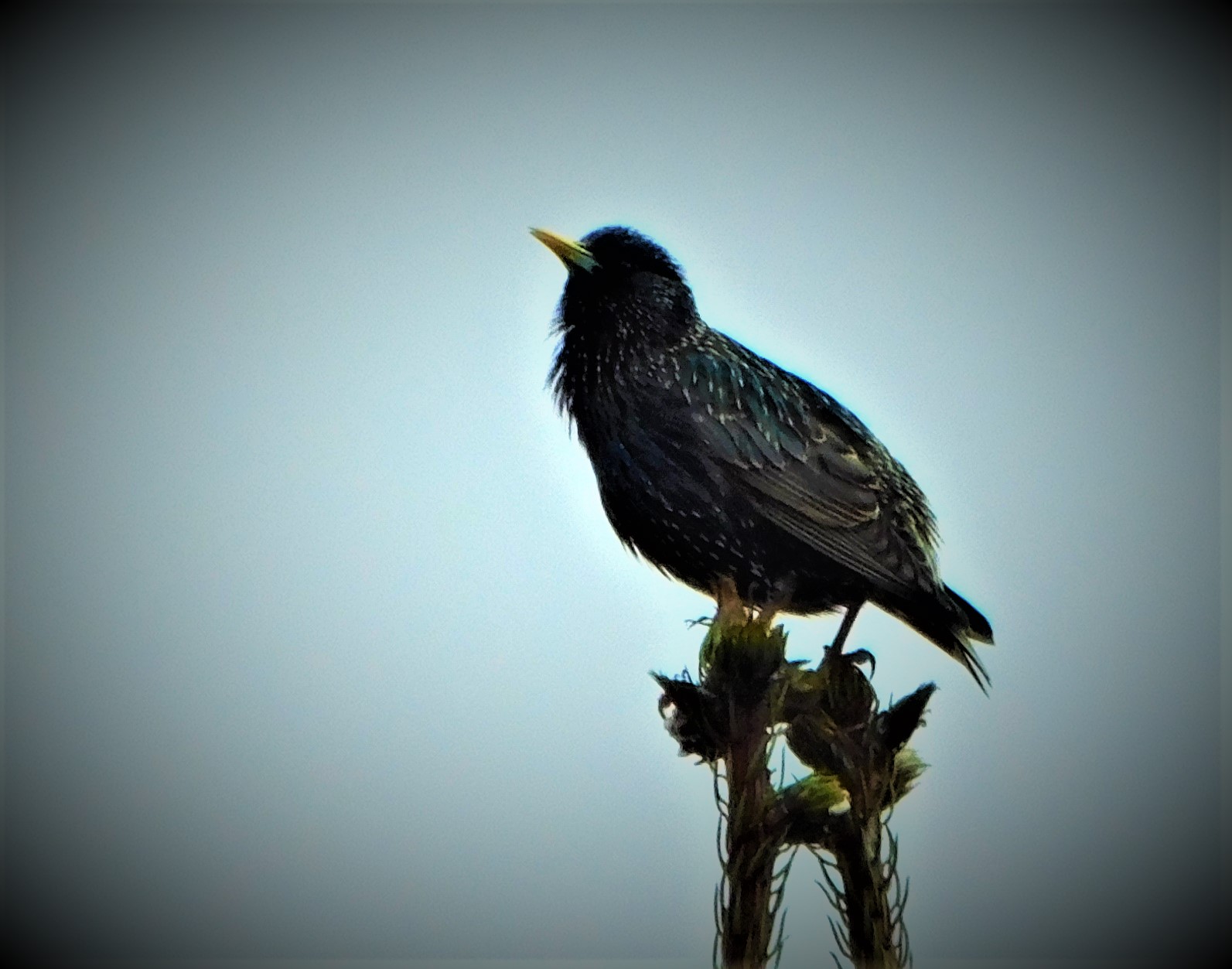
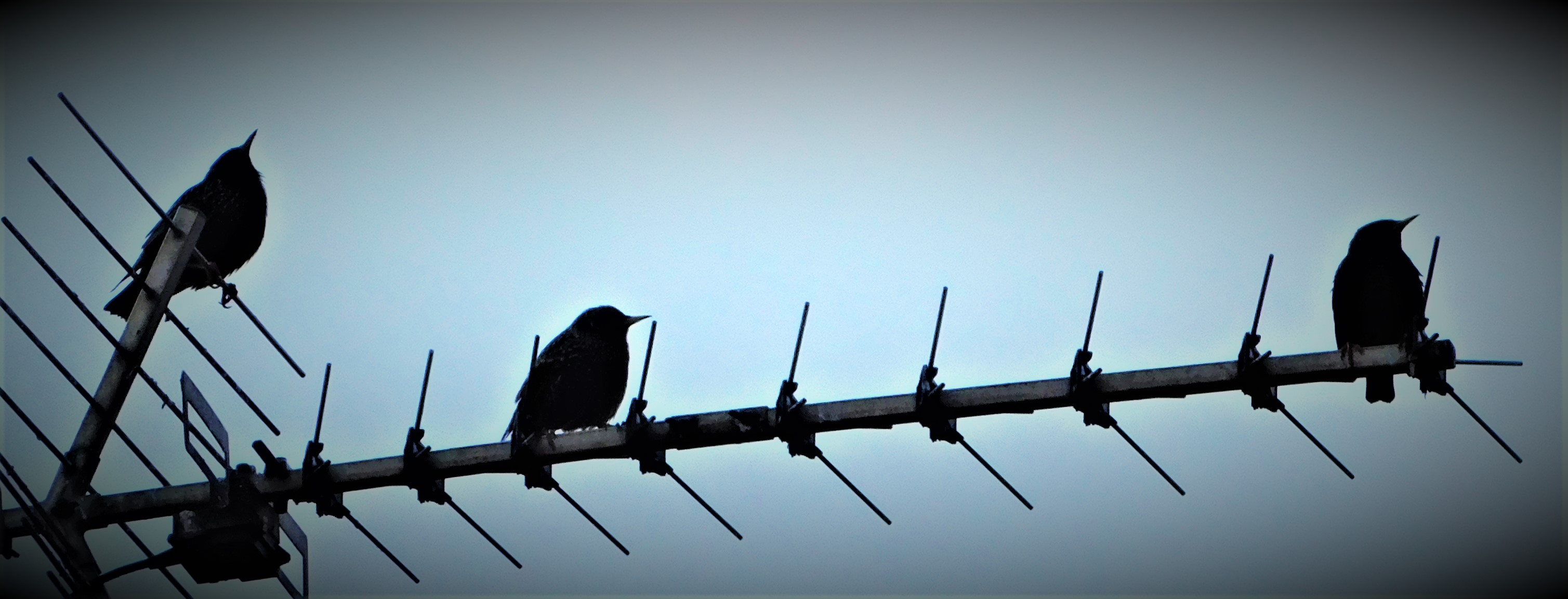
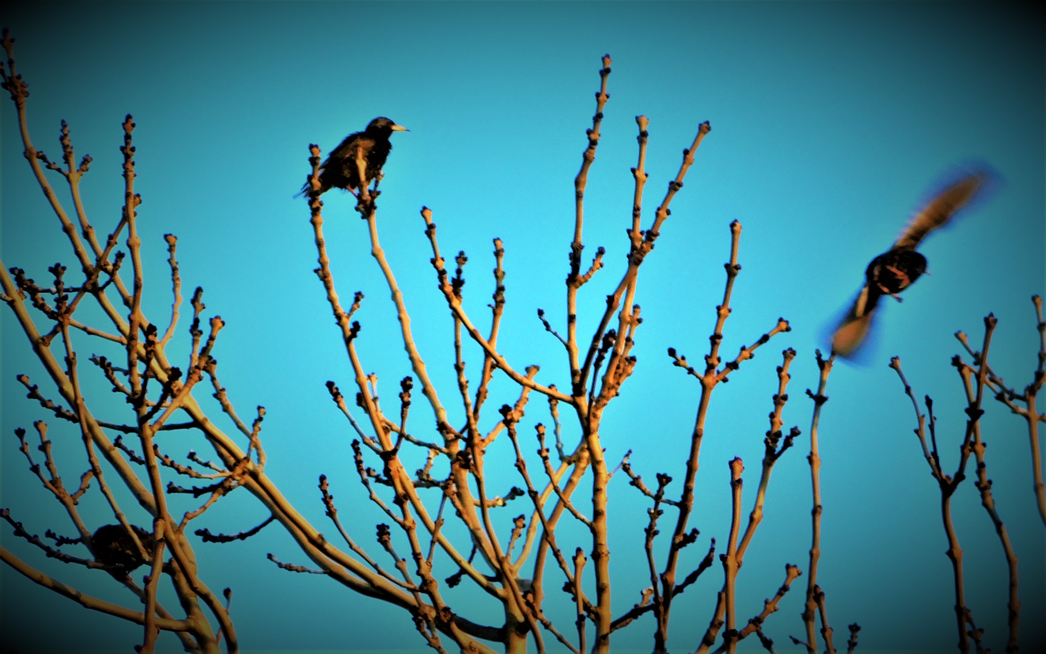
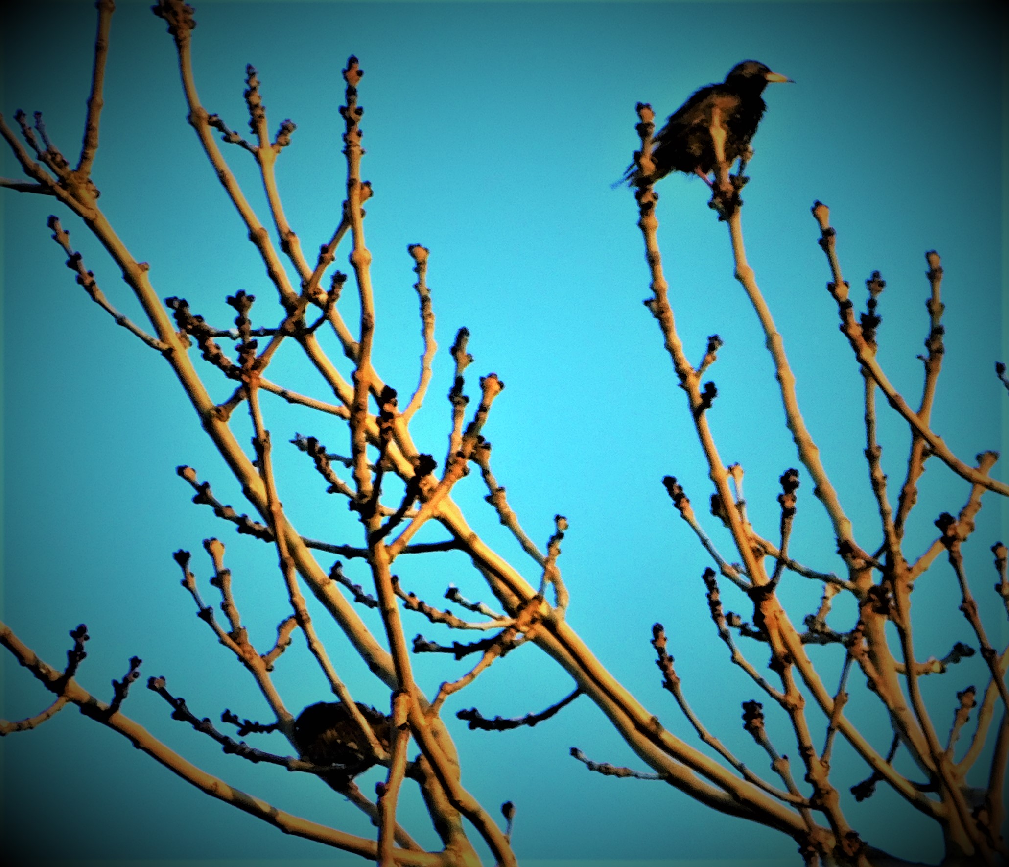
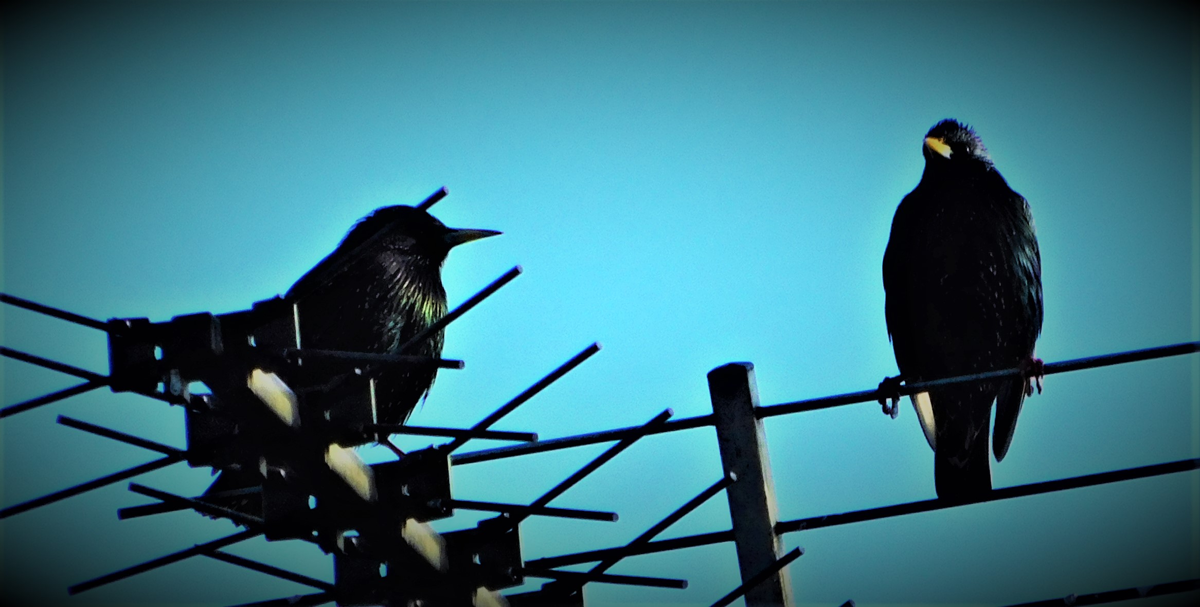
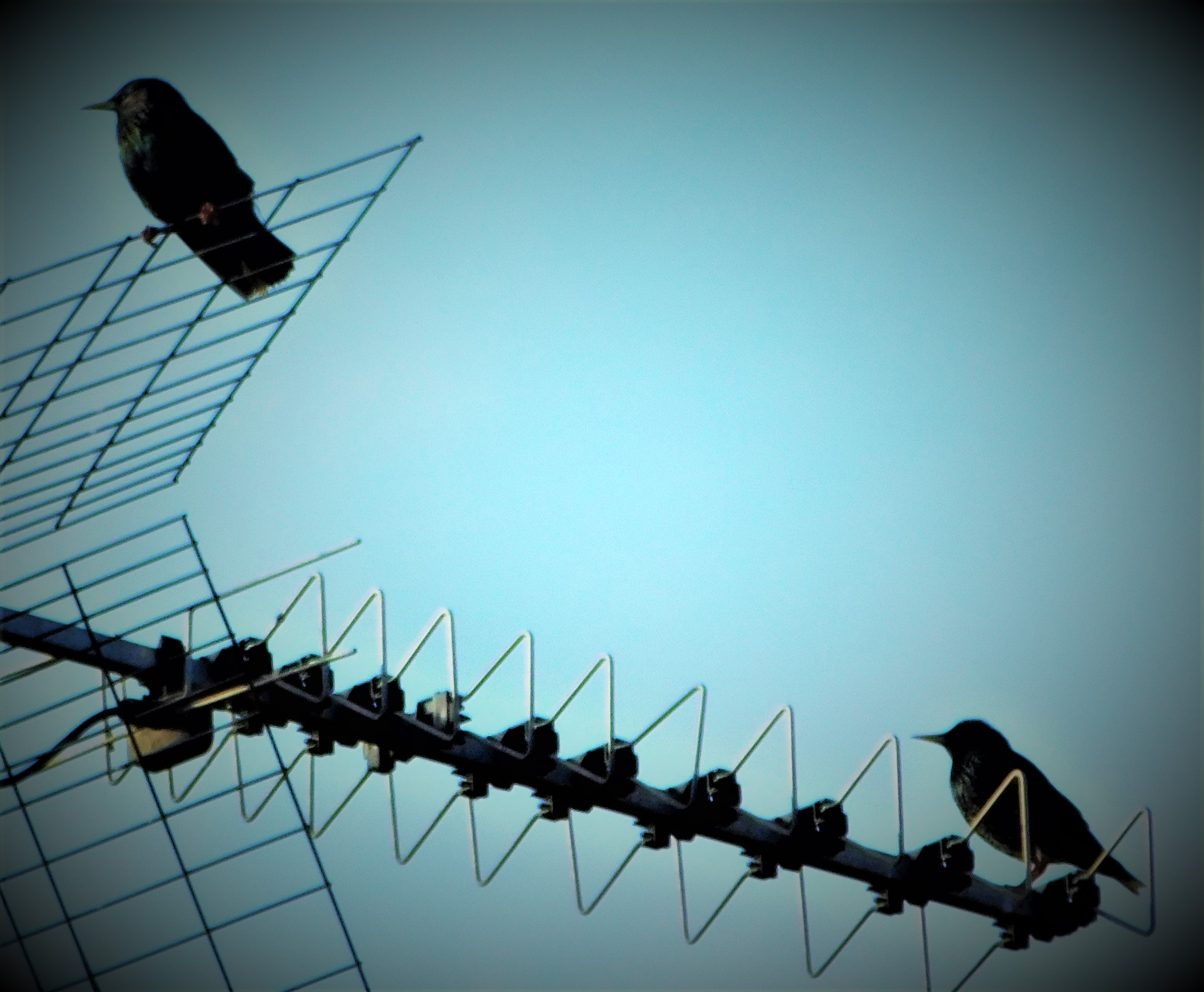
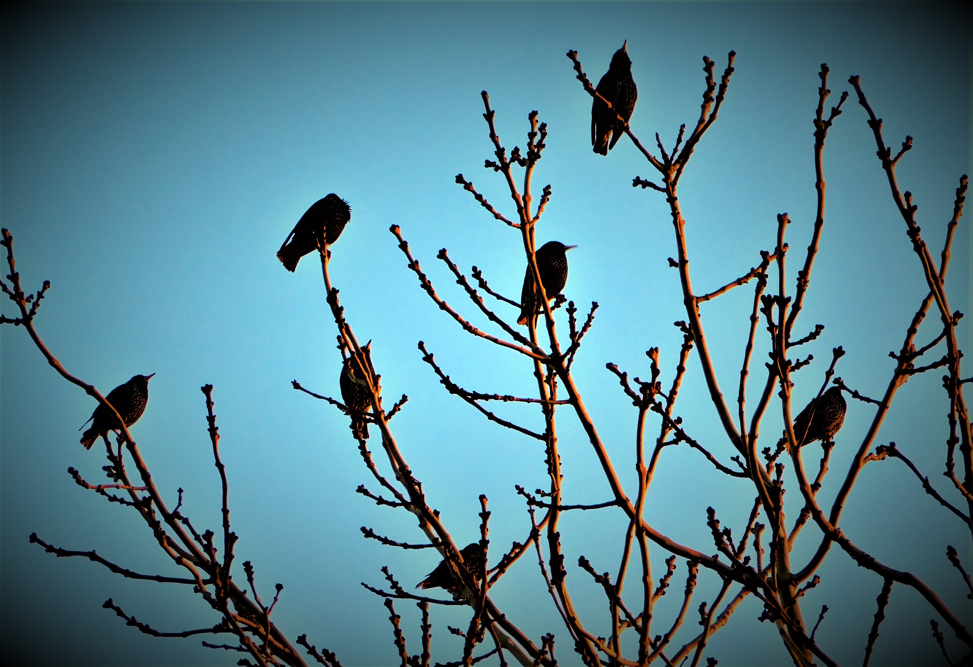
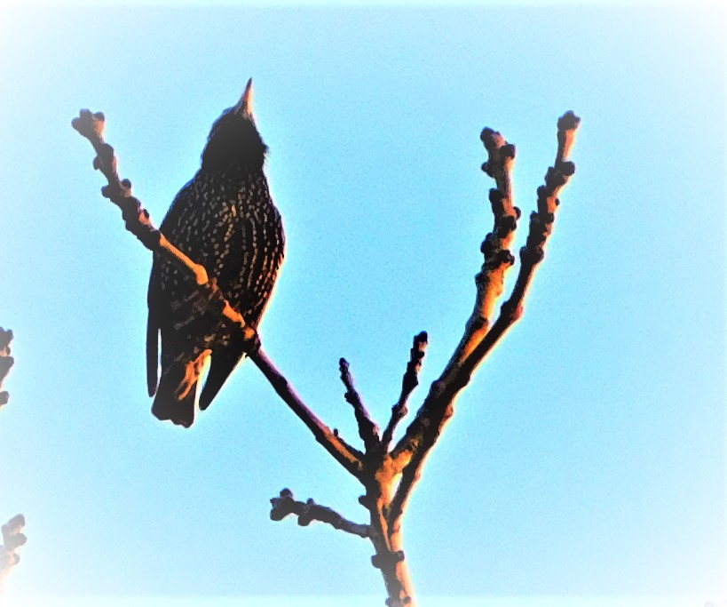
PHOTOGRAPHS
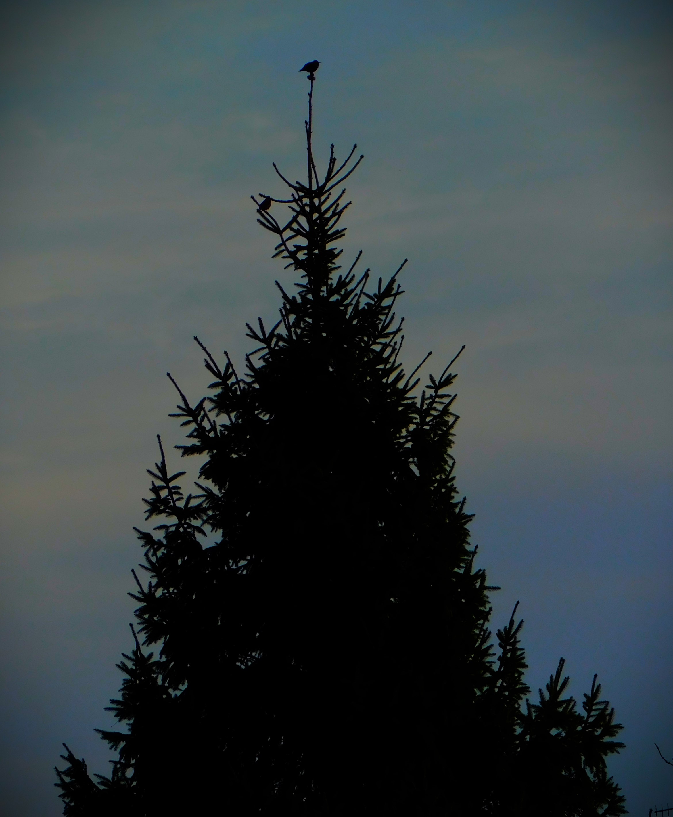
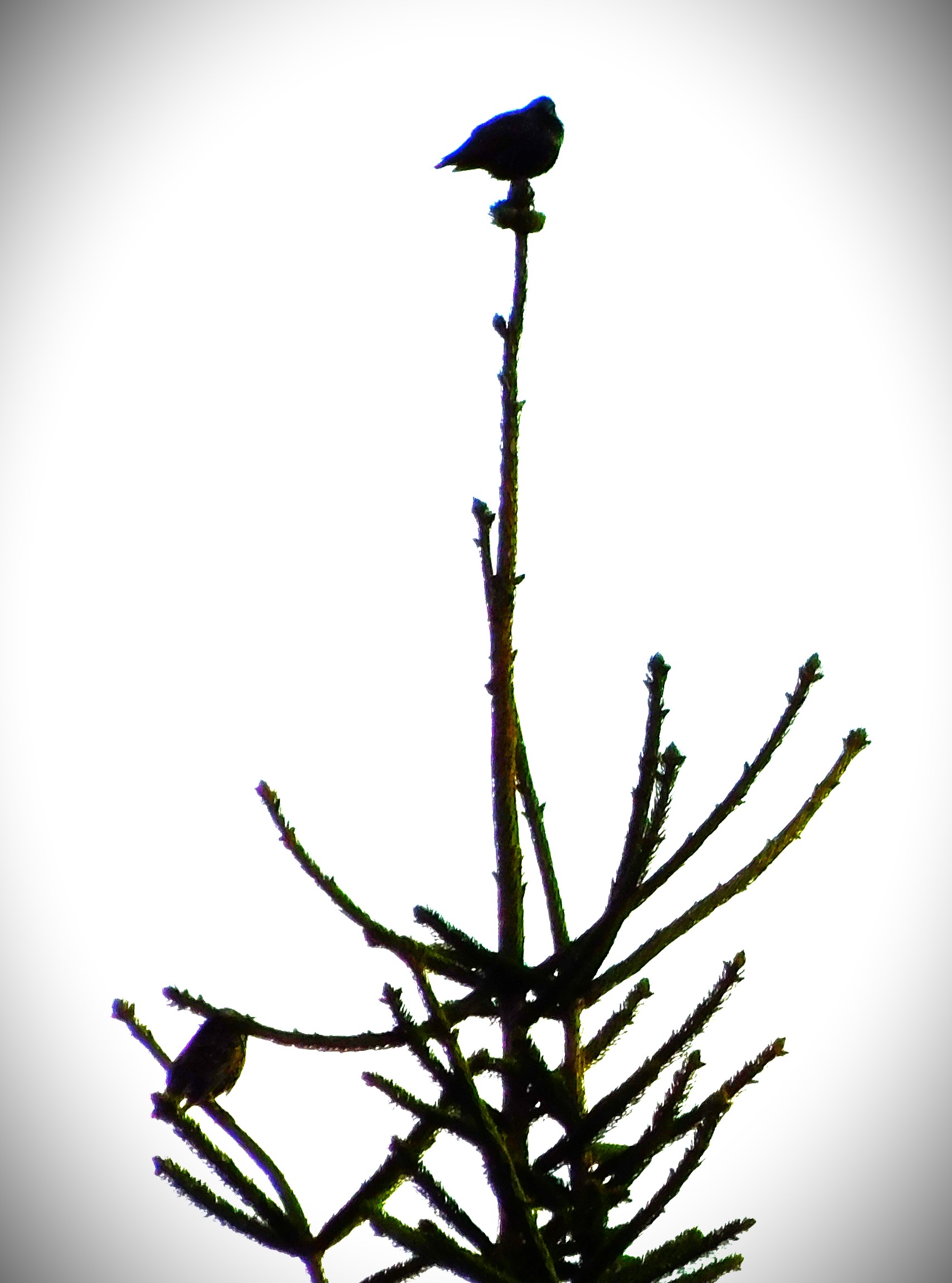
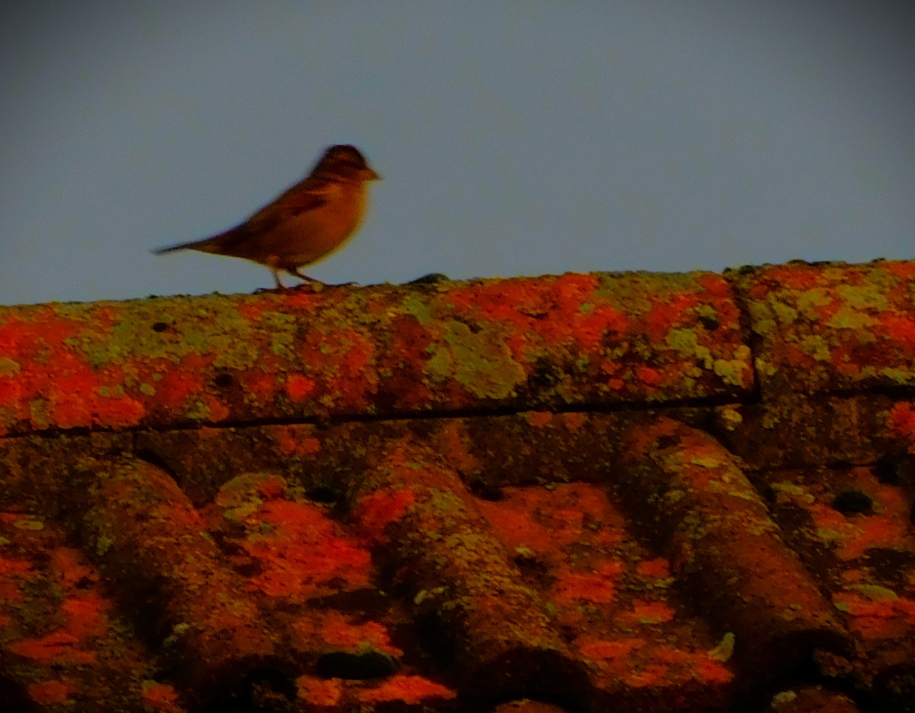
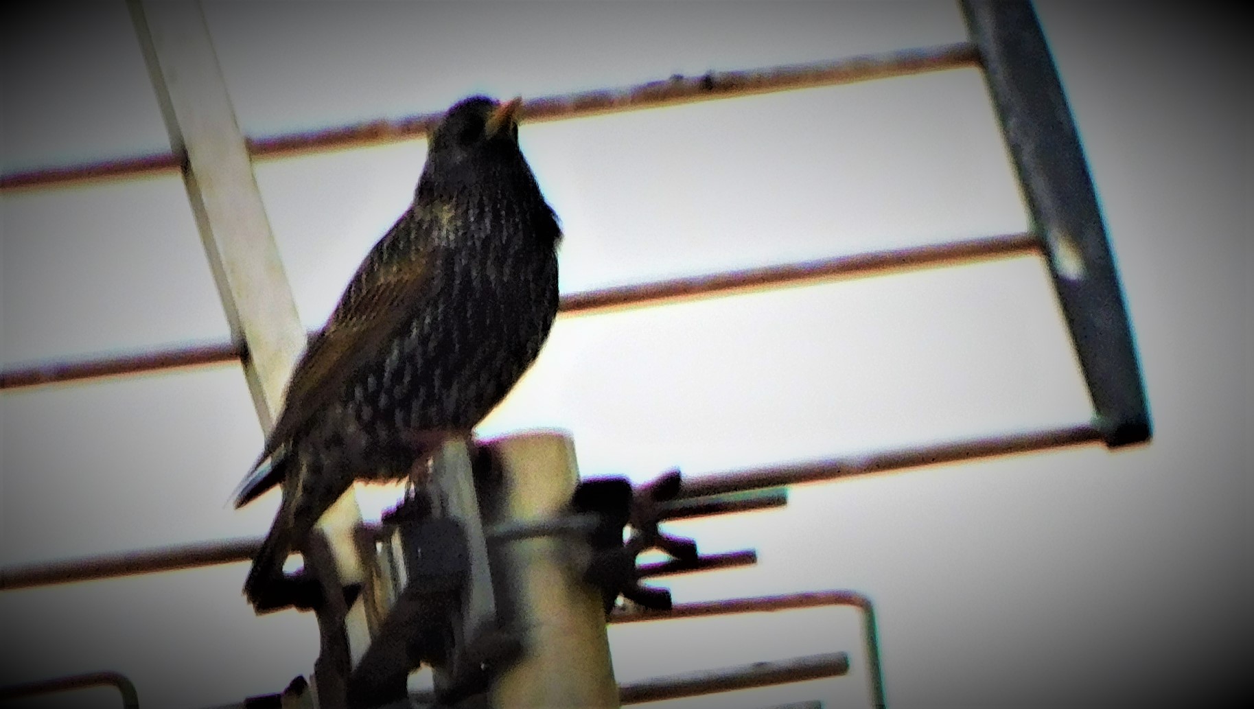
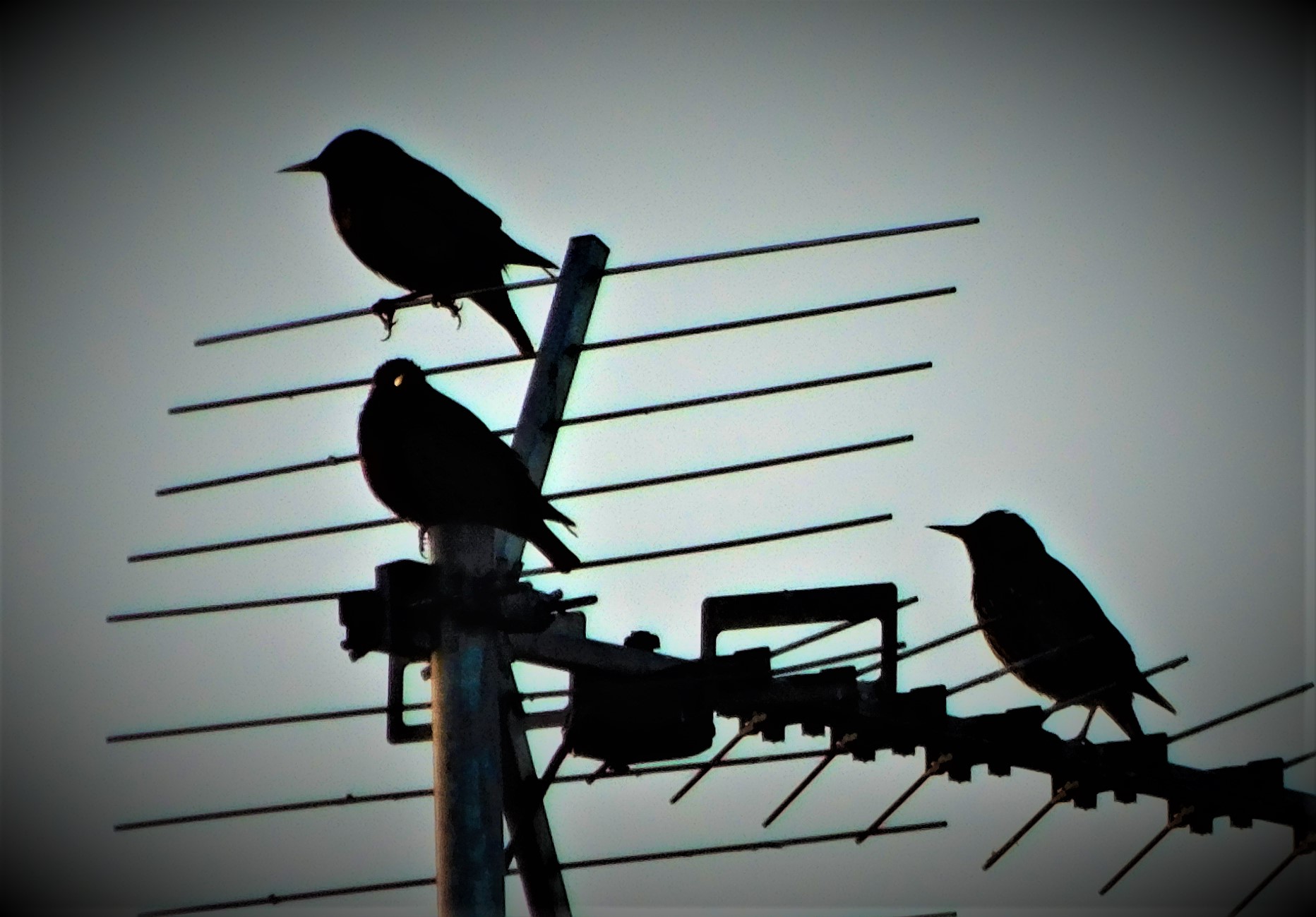
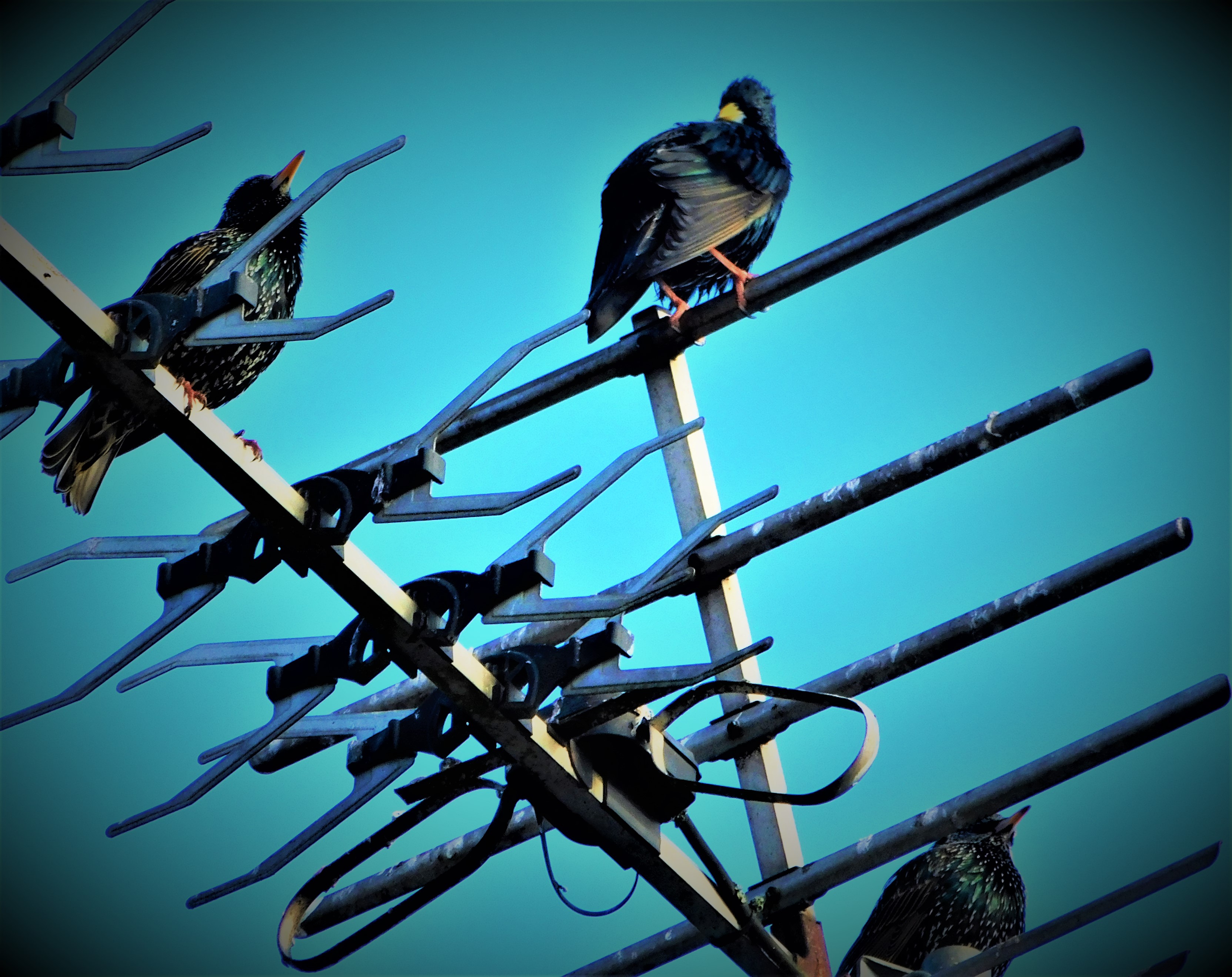
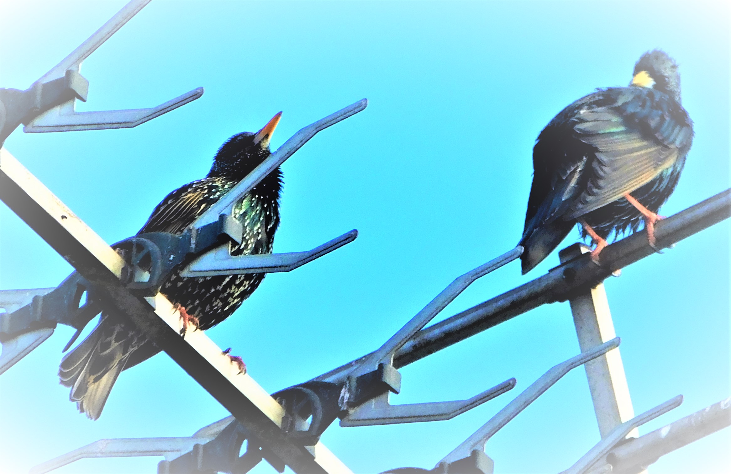
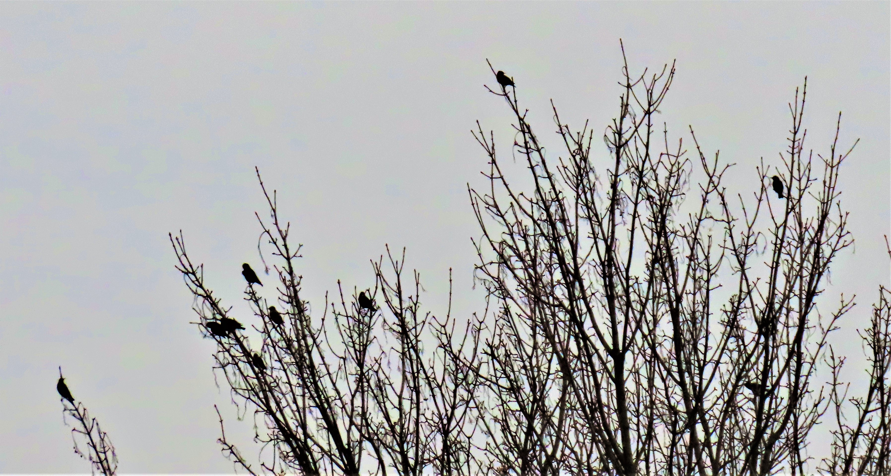
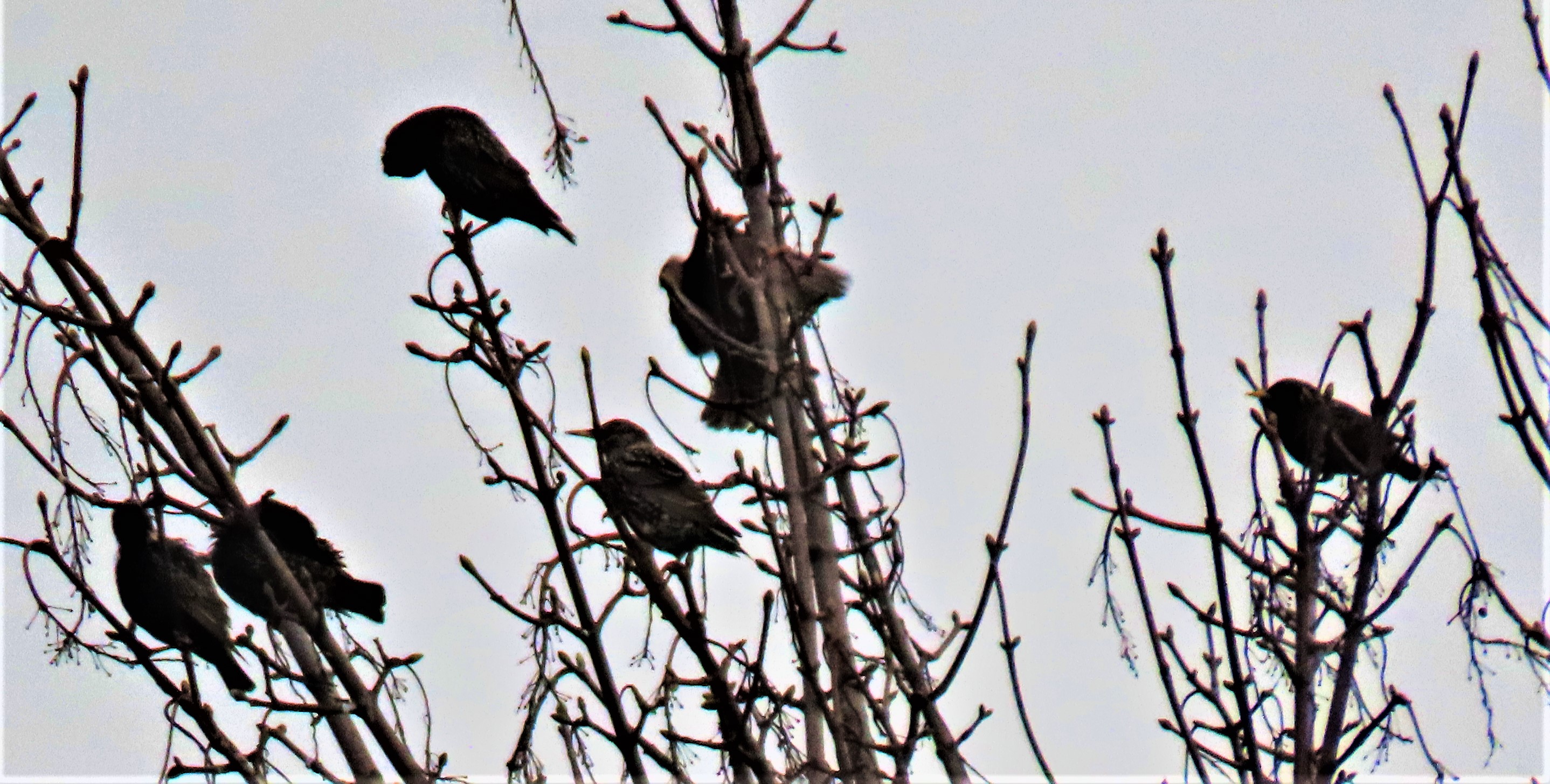
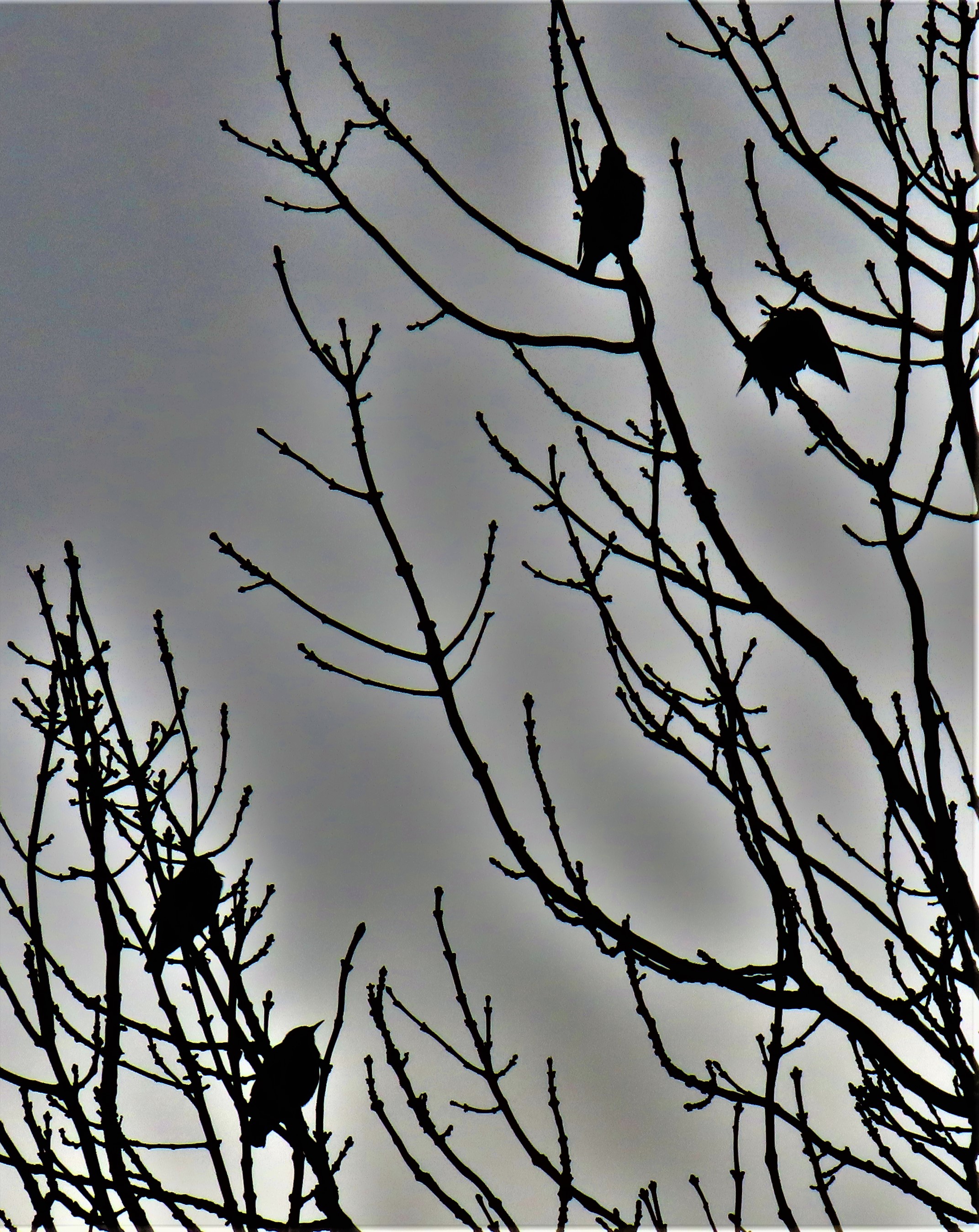
I have another big haul of photographs. I plan my walking routes to to ensure that opportunities arise, and also, living as I do on the edge of a very compact town I am able to conduct almost all of my non-working life on foot, and whether I expect the opportunities to arise or not I never venture forth without at least one camera…
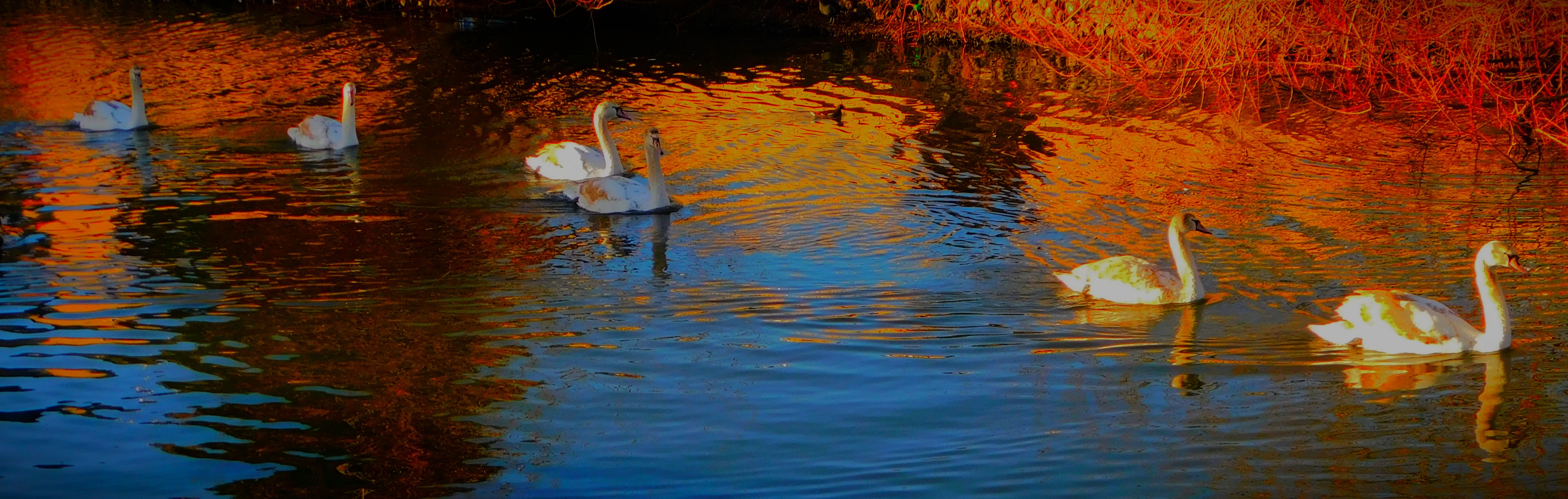
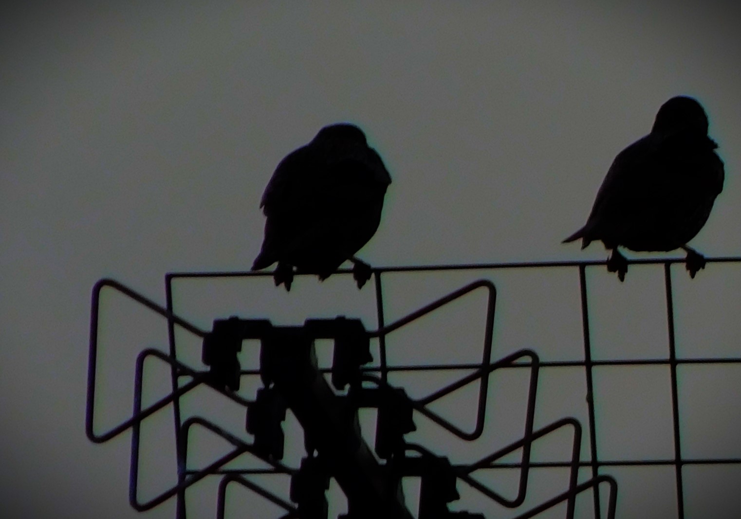
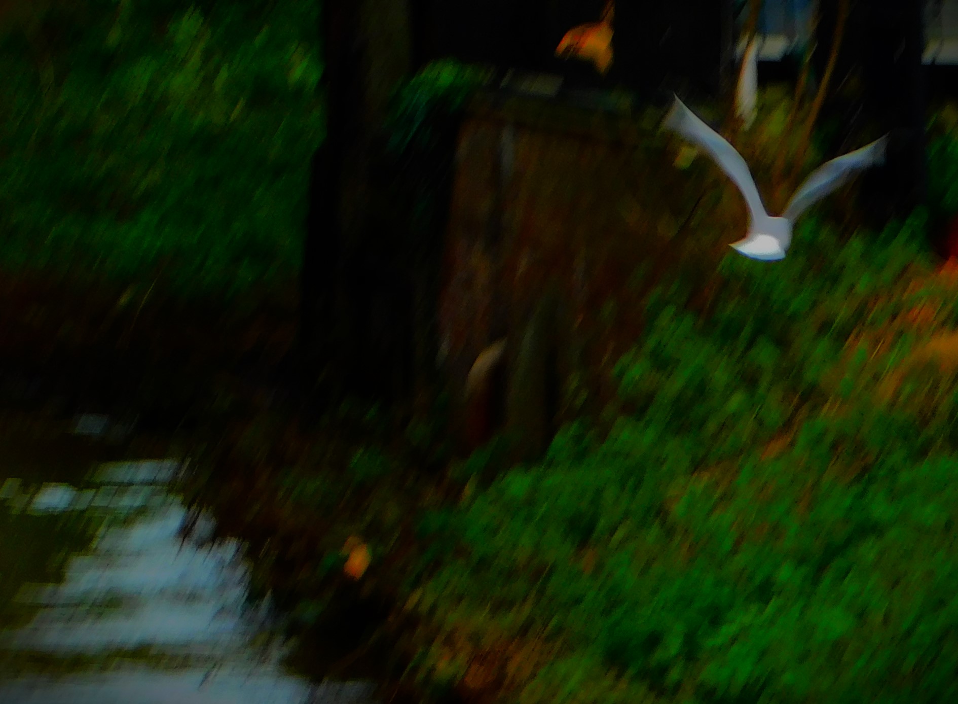
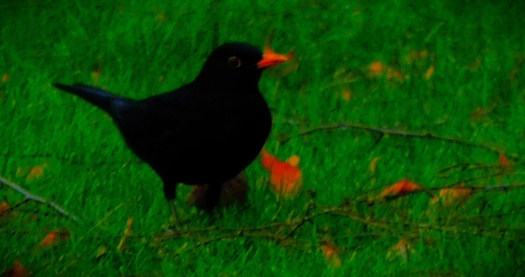
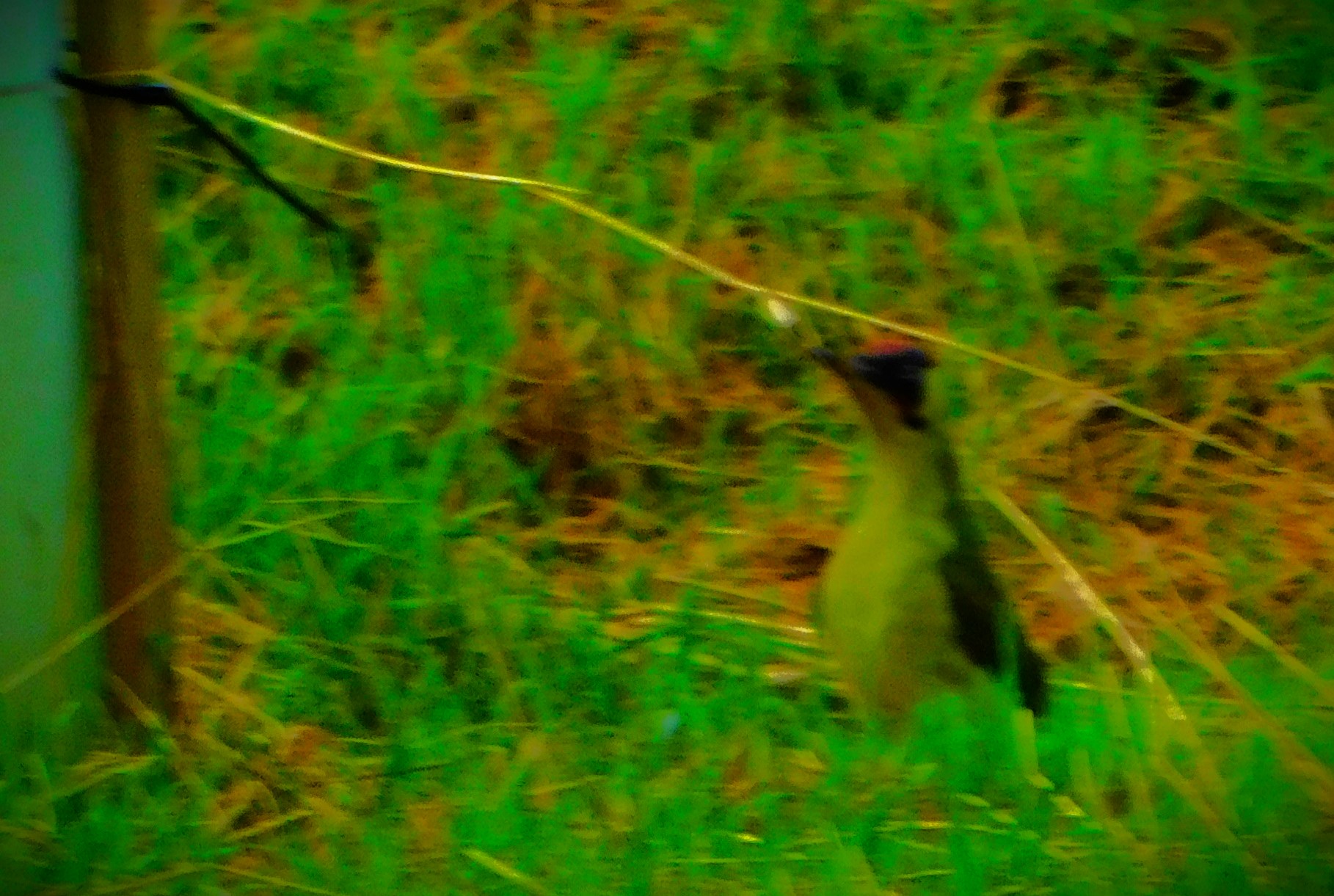
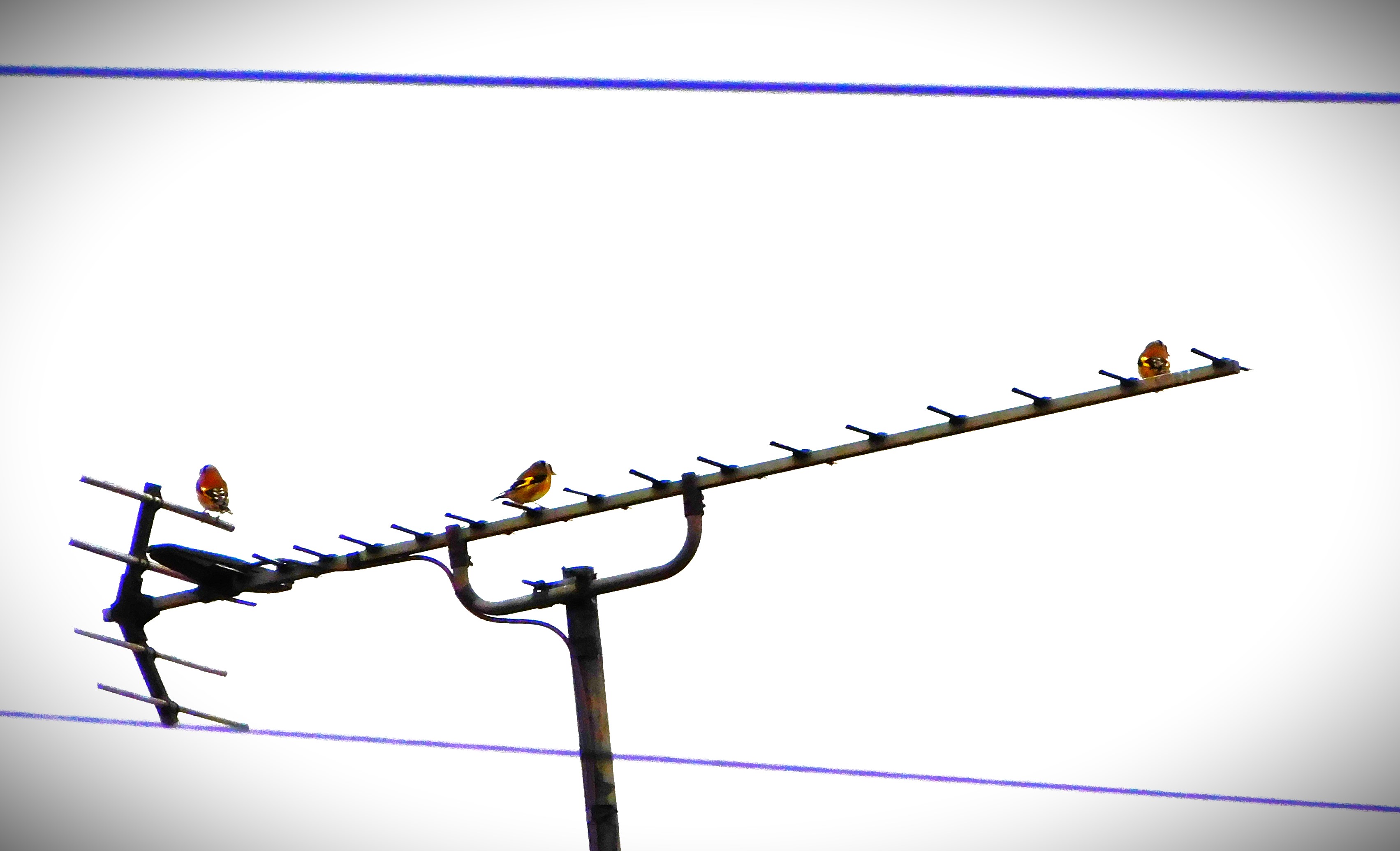
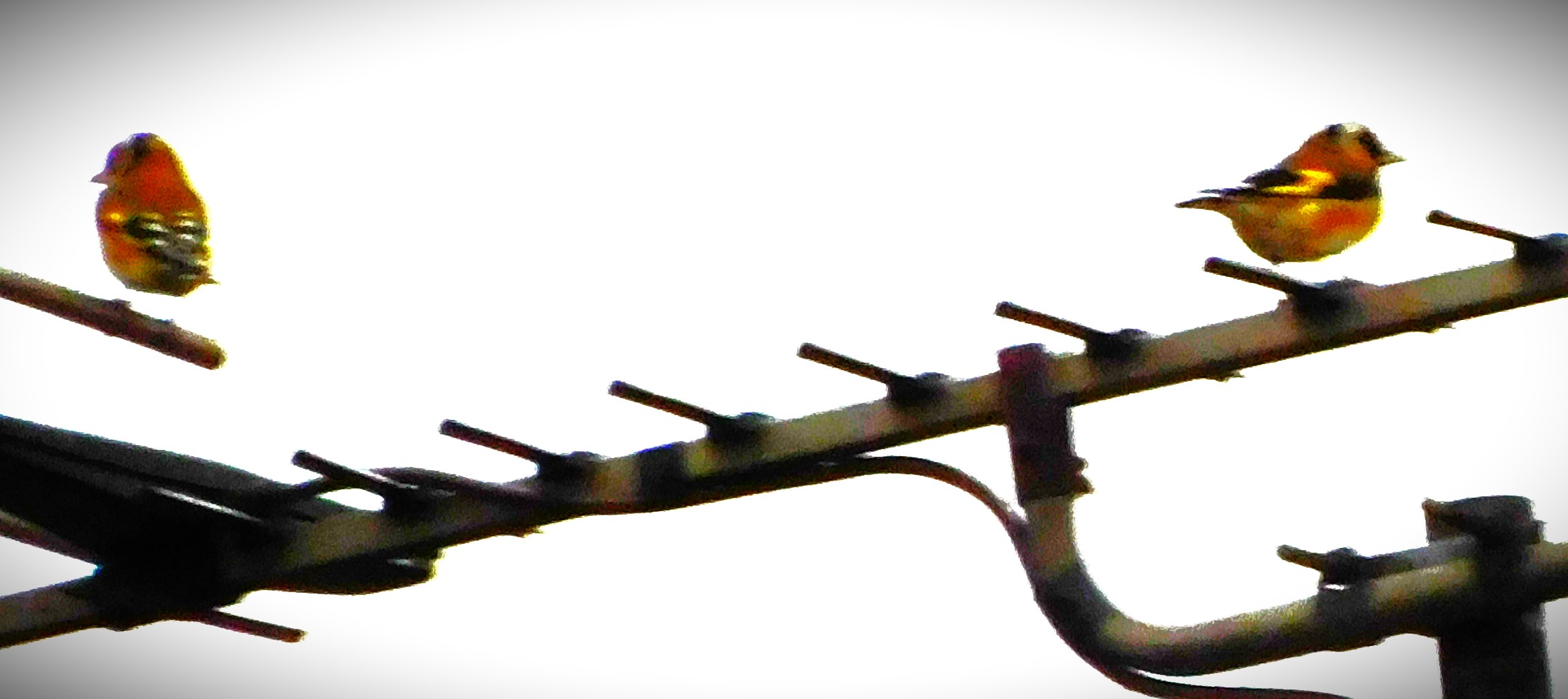
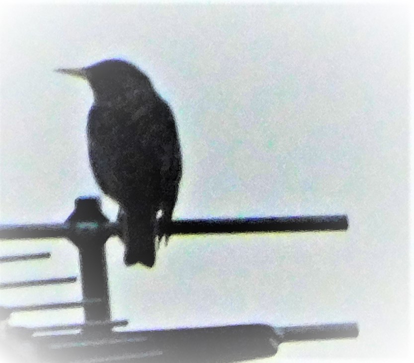
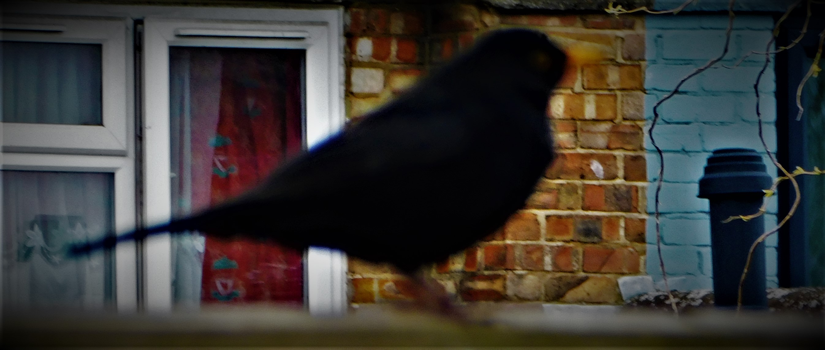
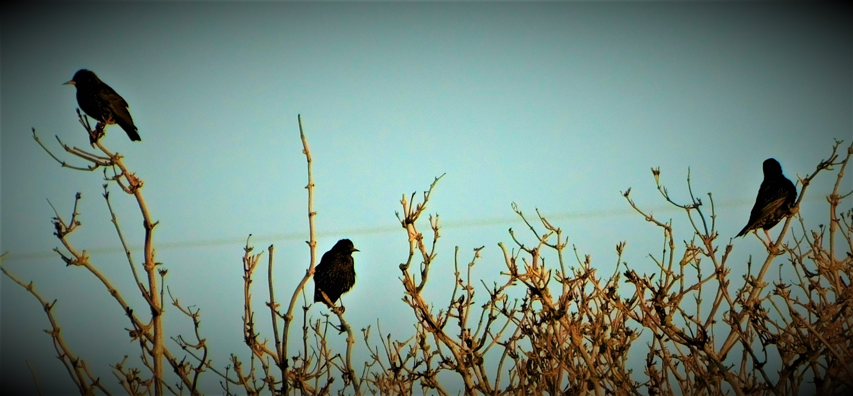
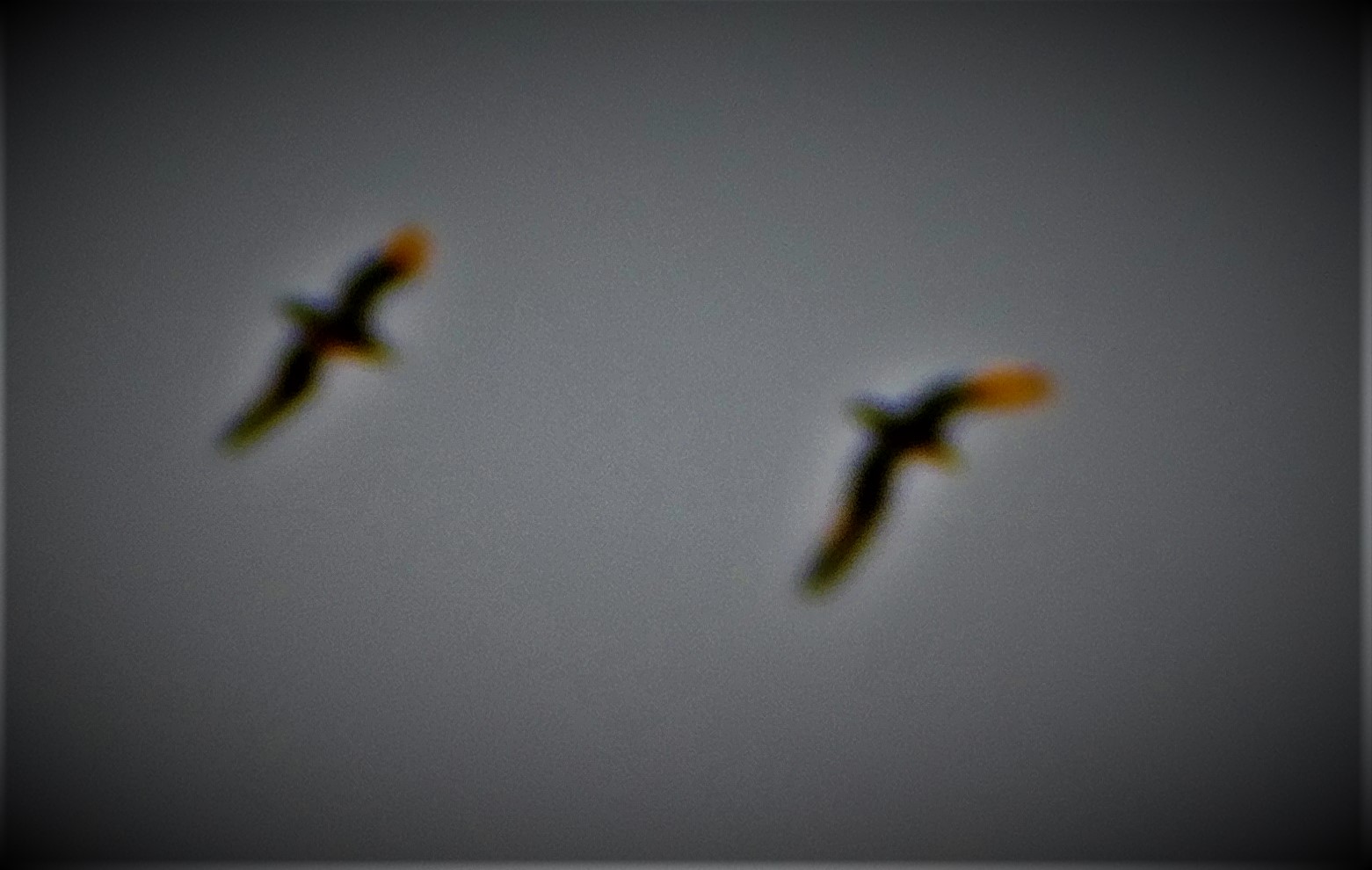
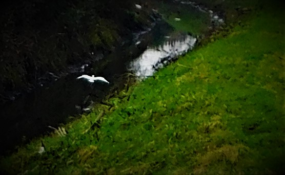
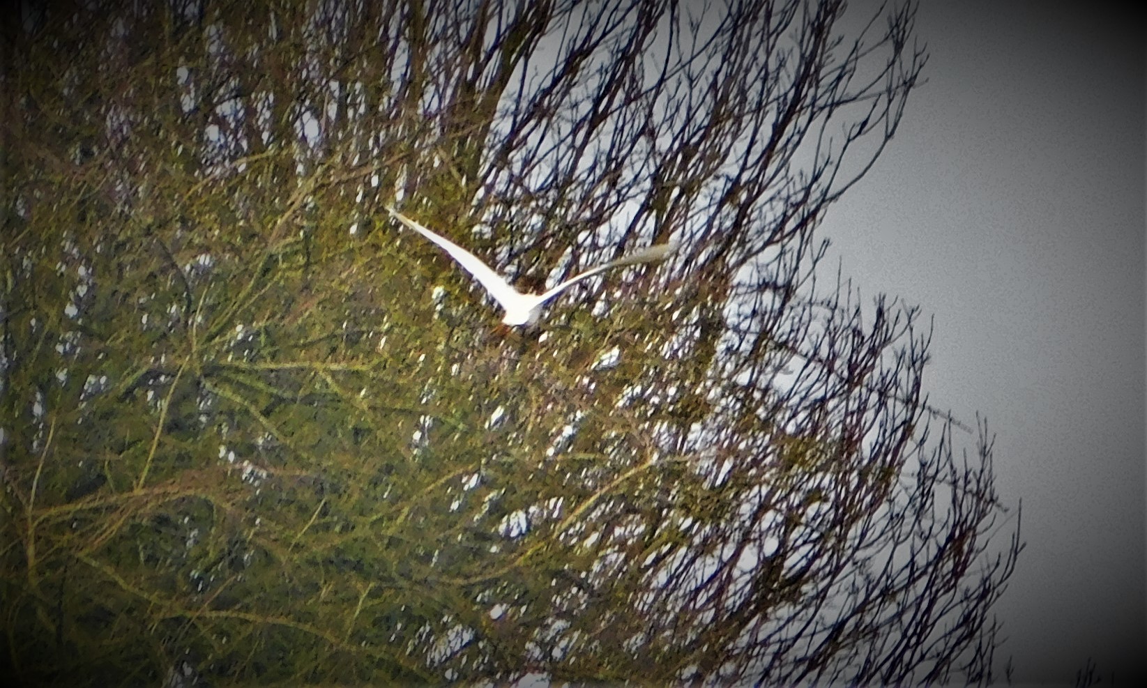
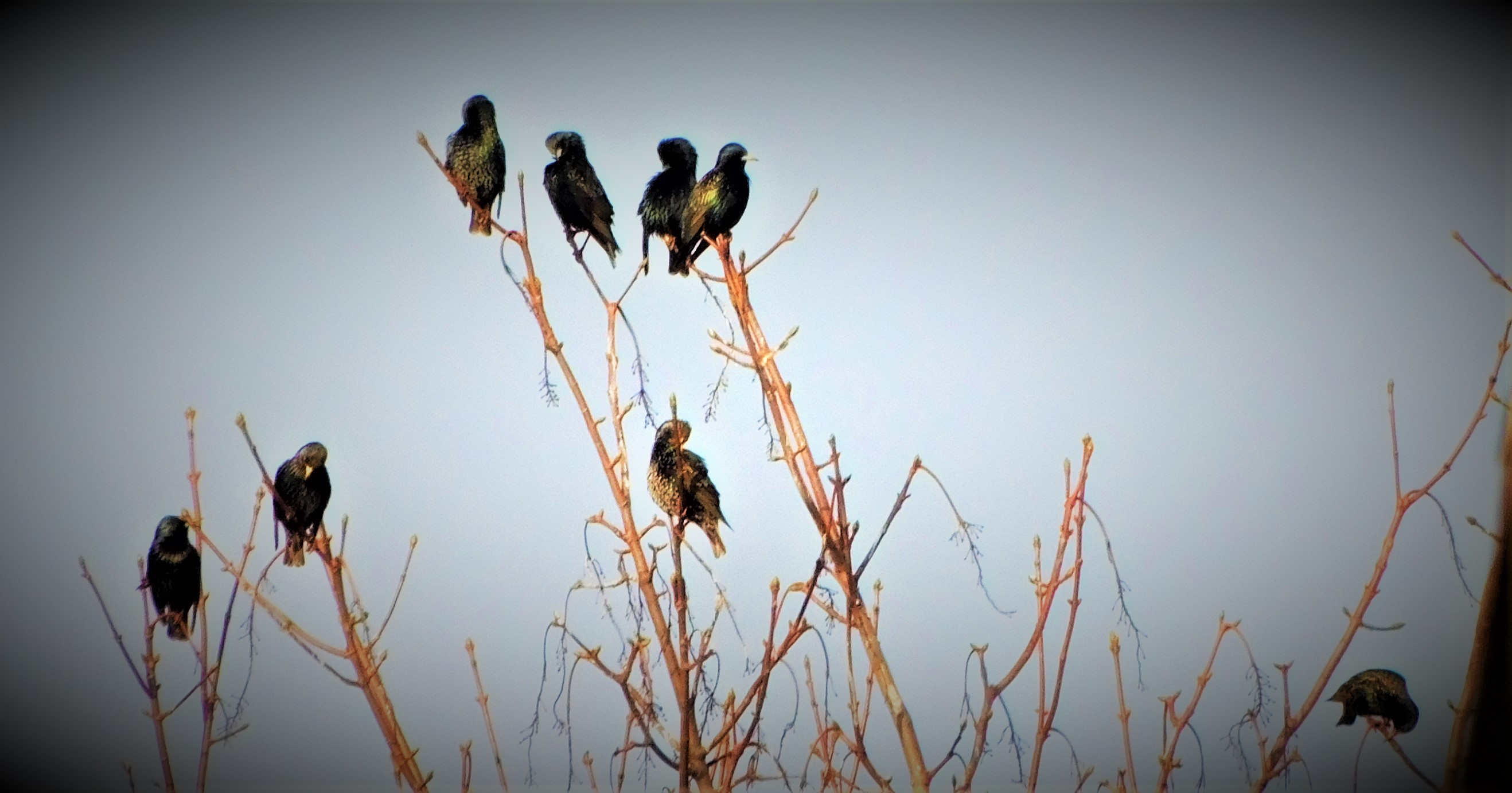
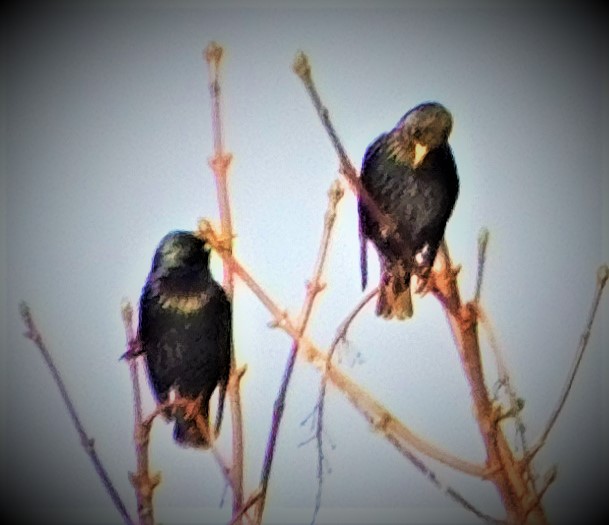
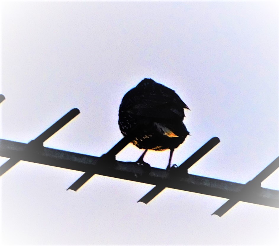
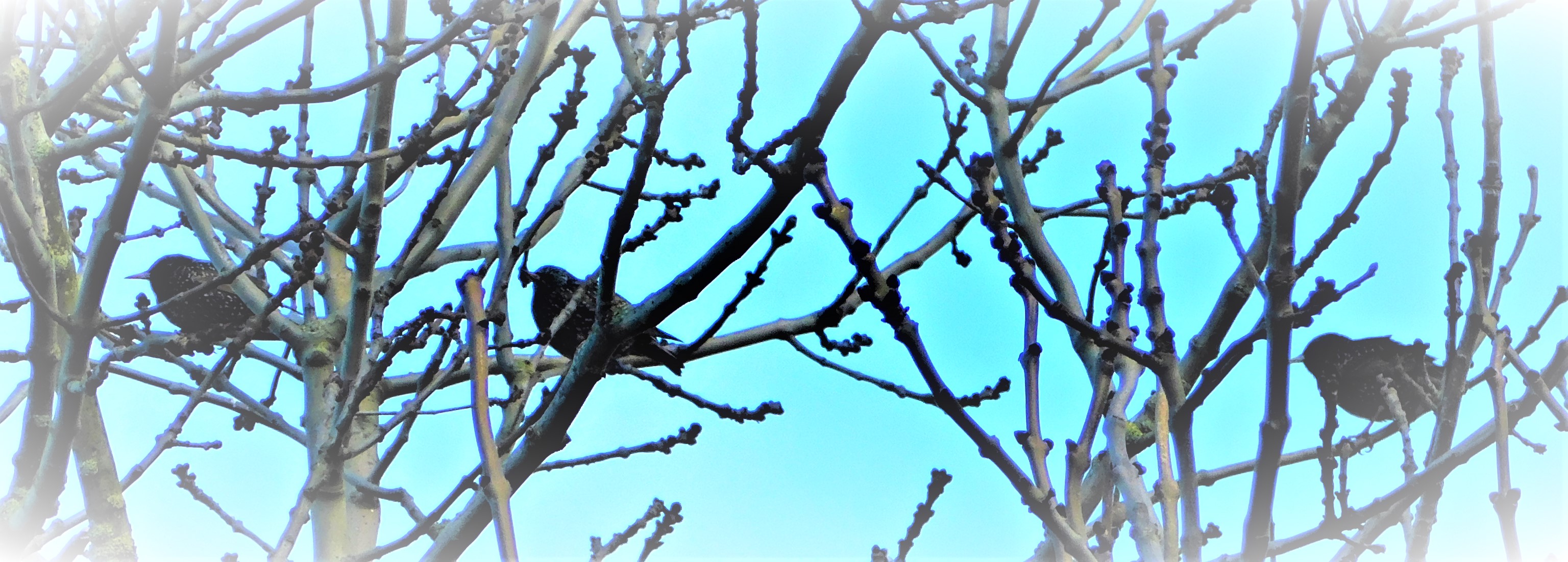
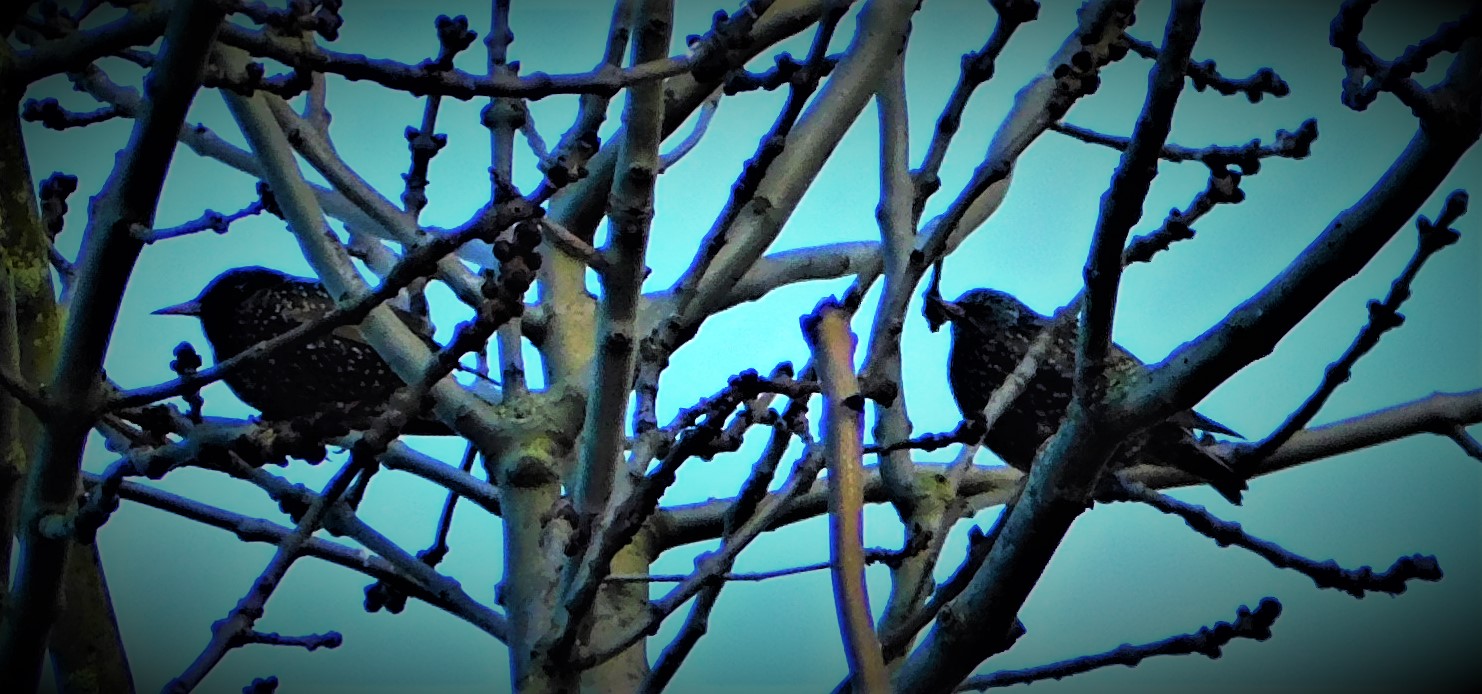
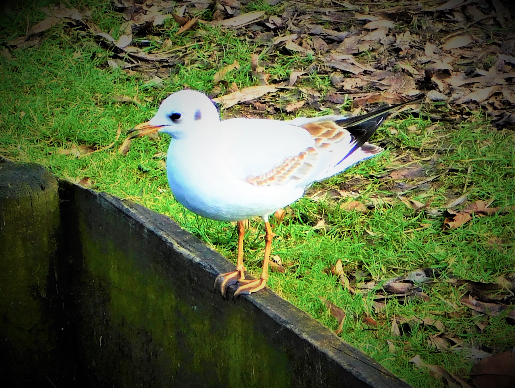
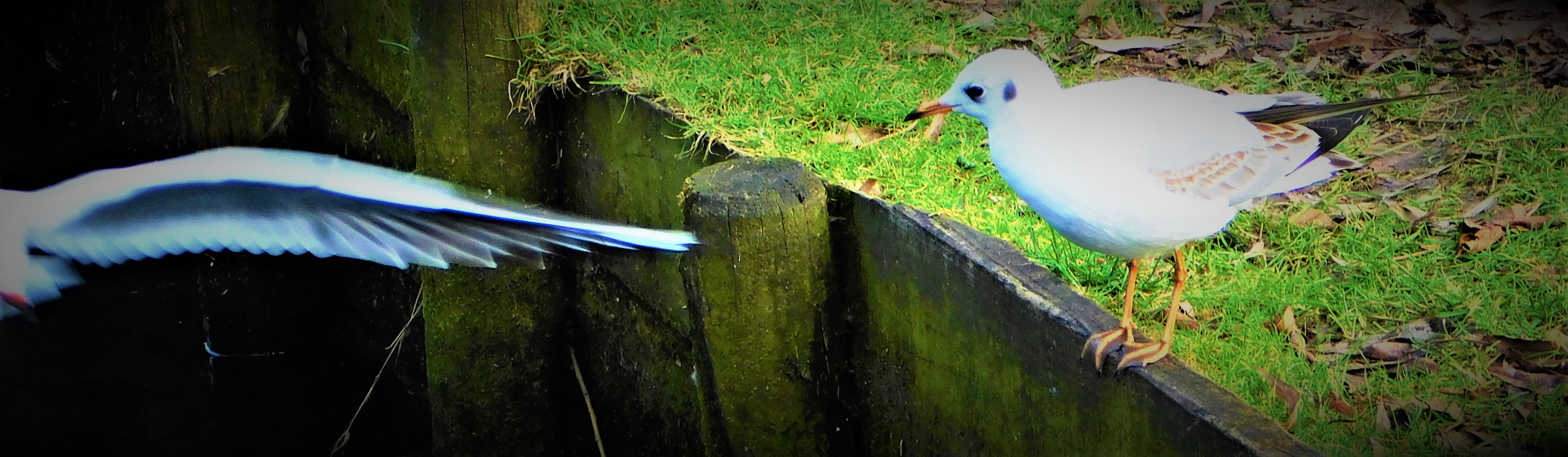
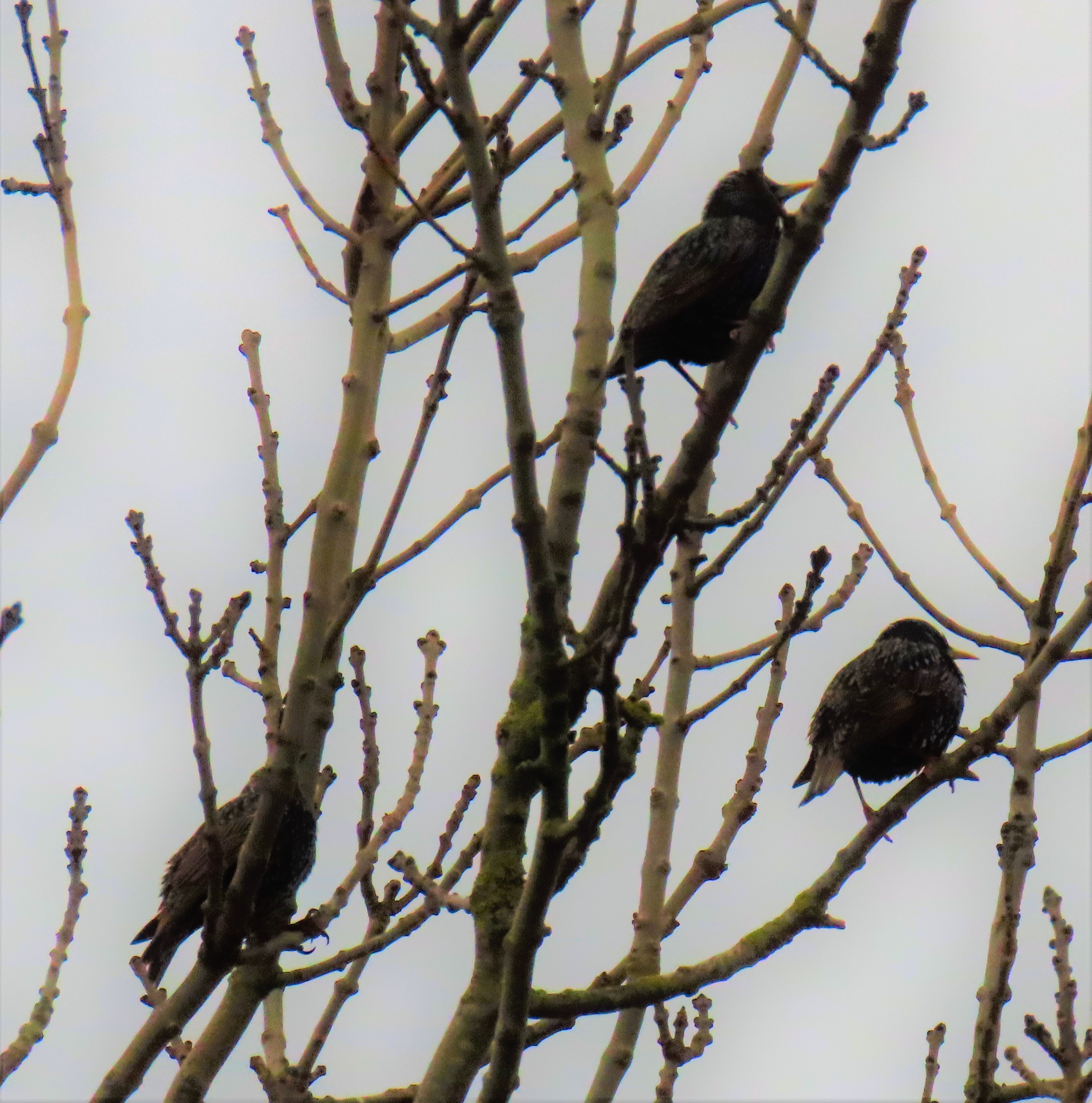
This picture and the two following show the Egret, this time in the vicinty of Bawsey Drain, in flight.
A look back at England’s consolation win over South Africa in the final match of the ODI series, a description of a walk and a load of photographs,
On Wednesday England and South Africa played the third and final match of their ODI series in South Africa. South Africa had already won the series having won the first two matches.
ENGLAND 14-3 AND THEN…
South Africa won the toss and put England into bat. In the early stages they would have had few doubts about the correctness of this decision as England were 14-3 early on. Then Jos Buttler joined Dawid Malan and England began to fight back. At the 30 over mark England were 149-3. Overs 31-40 yielded a further 90 runs, and both set batters were still there. England’s hopes of a really substantial total suffered a setback in the 41st over, when Dawid Malan was out, to end an England all time record ODI 4th wicket stand. In the event dome bright hitting from the lower middle order batters boosted the England total a a mightily impressive 346-7.
ARCHER FINDS HIS MARK
Much of the interest in England’s defence of their total centred on Jofra Archer, in the side in place of Olly Stone and hoping to demonstrate that injury woes that no so long ago seemed to have put his international career in jeopardy were behind him. Archer bowled magnificently, being consistently the quickest bowler on either side and making a number of crucial interventions. When Markram and Klaasen were threatening he dismissed Klaasen, and then followed up by dislodging the dangerous David Miller cheaply. Similarly when Klaasen and Jansen looked threatening it was once again Archer who broke the stand. It was only fitting that the delivery early in the 42nd over of the South African innings that claimed their last wicket was bowled by Archer. South Africa were all out for 287, beaten by 59 runs, and Archer, just into the last of his 10 allotted overs, had claimed 6-40 on his return to international action.
A TERRIBLE PLAYER OF THE MATCH AWARD DECISION
In a match in which 633 runs were scored in just over 91 overs a bowler taking six cheap wickets, including removing several batters just as they were starting to look dangerous, should be a sh00-in for the Player of the Match award. However, cricket is a batter’s game, and Jos Buttler’s century allied to three catches behind the stumps got him the award. The simple fact is that without Archer’s bowling Buttler’s runs would have counted for nothing – it was only the fact that largely due to Archer SA were bowled out that prevented England’s total from being overhauled – SA were up with the rate almost all the way through their innings, and never dangerously far adrift of it.
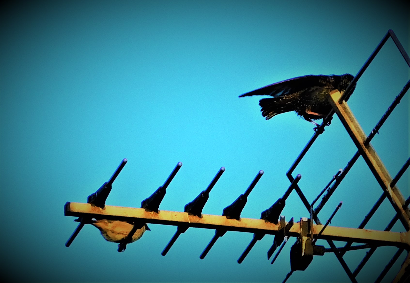
BOOSTING THE PHOTO GALLERY
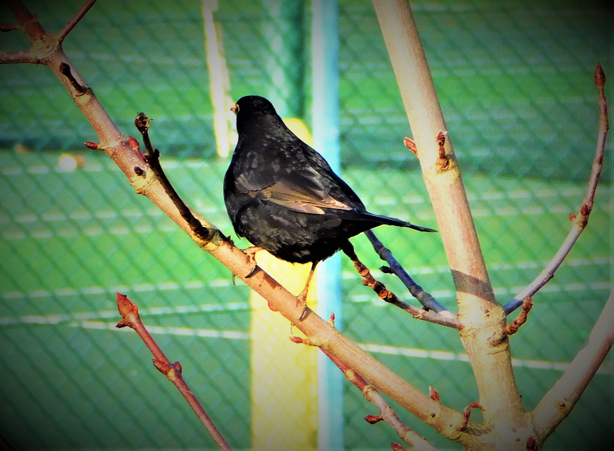
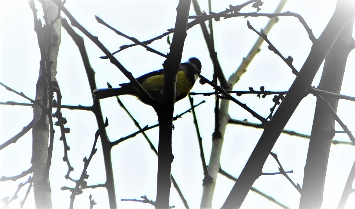
I already had quite a few photos to share from earlier in the week, and today, although the weather was not as pleasant for walking as it had been on Tuesday and Wednesday yielded plenty more. I had decided that today was the day to put in a repeat prescription form, which meant there was one fixed point on my travels, but otherwise I could pick out my own route. I set off from the back door of my home, headed past the two ponds close to it, then along the Gaywood where it flows past the Kettlewell Lane trees, across Littleport Street, down past Highgate Methodist Chapel, across another section of the Gaywood and on past the station and an ASLEF picket line, and through the walks to where I had to drop off the prescription request. I then headed for the Broad Walk, which I followed through the Guanock Gate before diverging through the Vancouver Garden and then along the path that cuts diagonally across the Recreation Field before joining St John’s Walk where the latter meets Tennyson Avenue. I crossed Tennyson Avenue and walked along the path that runs between the grounds of King Edward VII Academy on one side and the King’s Lynn Academy on the other and then crossed Gaywood Road, and continued on past Lynn Sport until I reached Bawsey Drain, which I then followed to its junction with Columbia Way, before walking about half of the next section and then turning back. I followed Columbia Way as far as Greenpark Avenue and then headed down that road and walked a tiny section of the Gaywood River Path before heading back home by way of the Discovery Centre. In total I was out and about for approximately two hours, and got some decent photographs.
PHOTOGRAPHS
Time for my usual sign off…
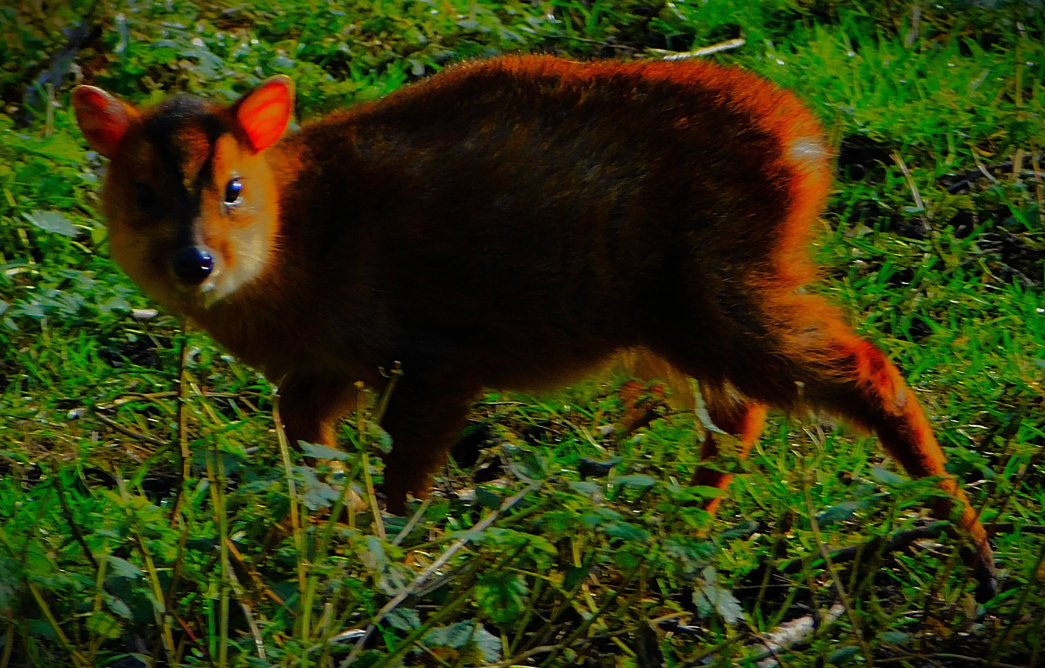
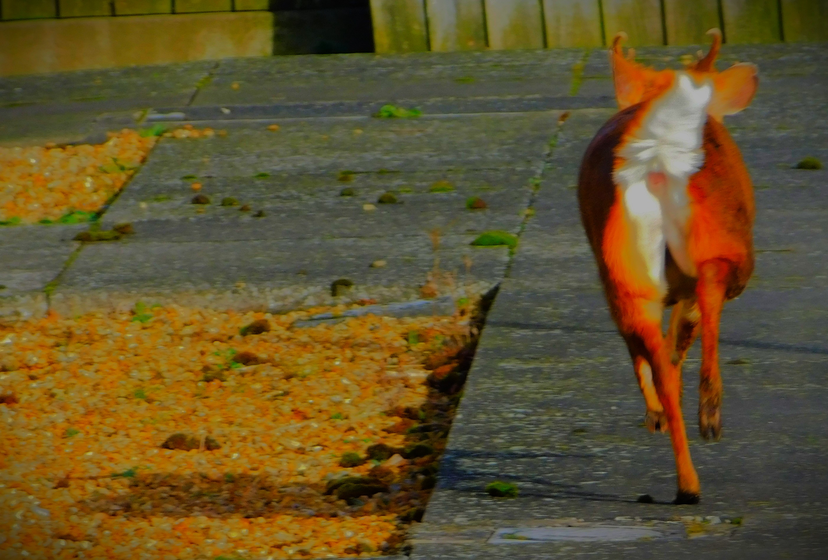
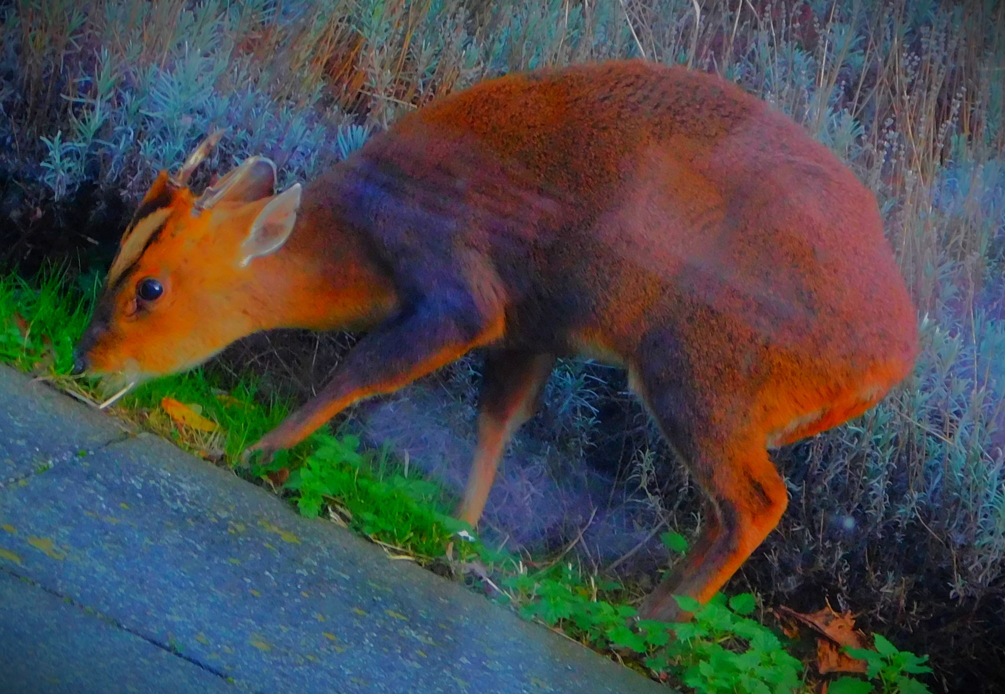
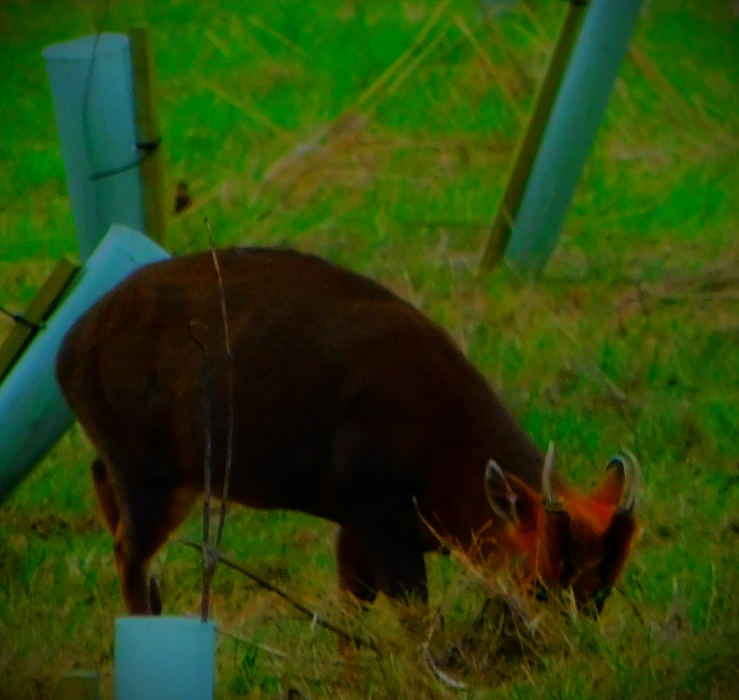
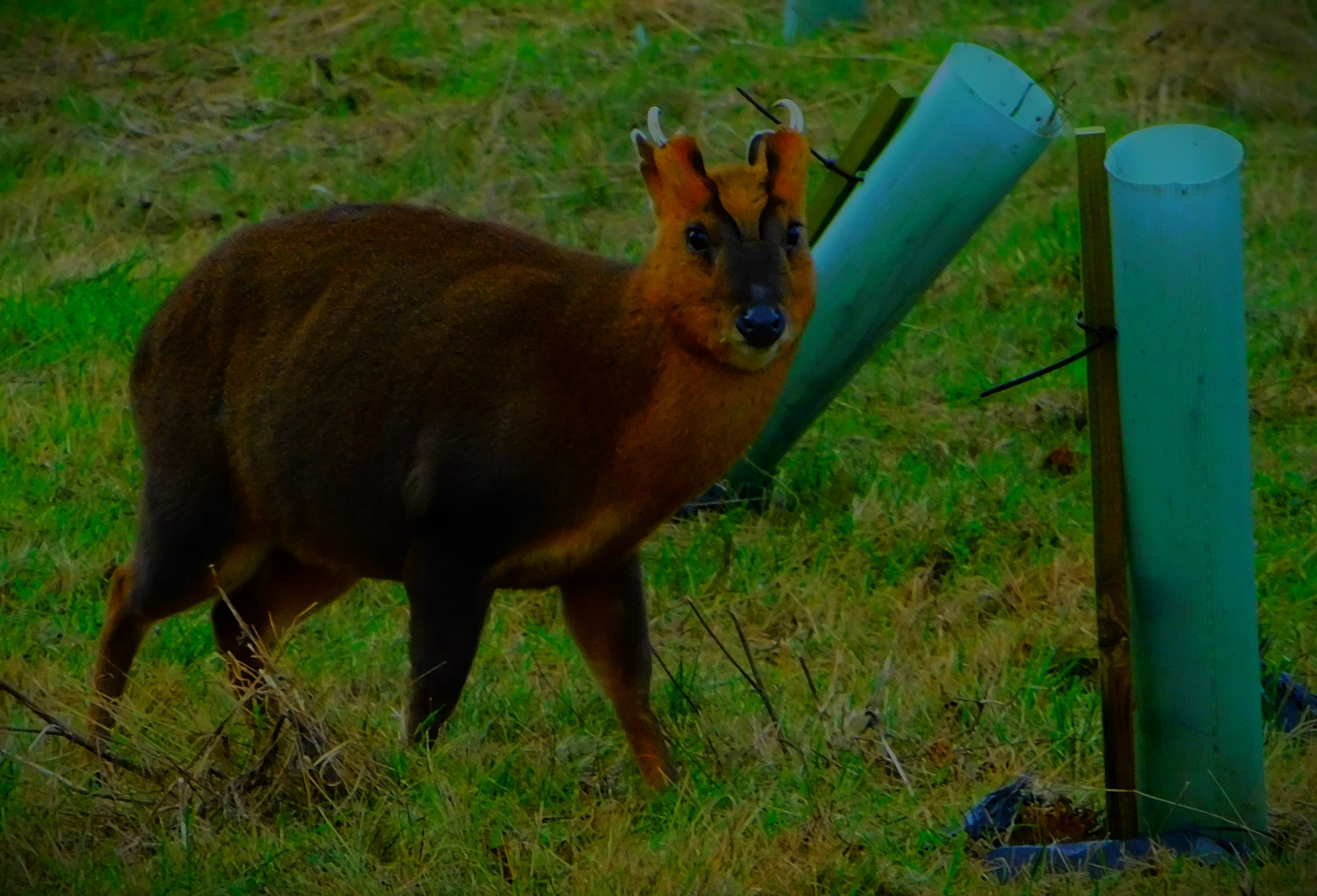
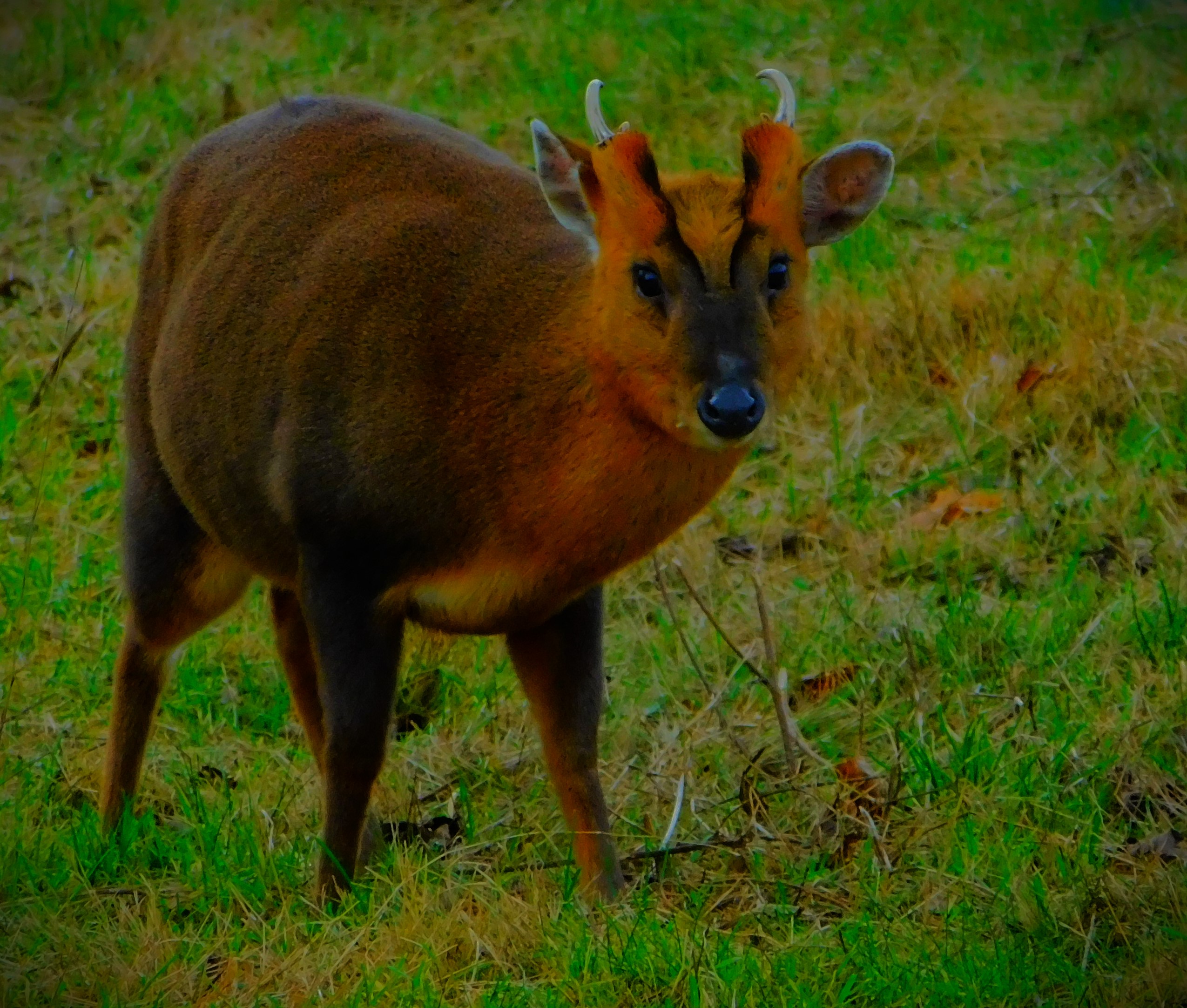
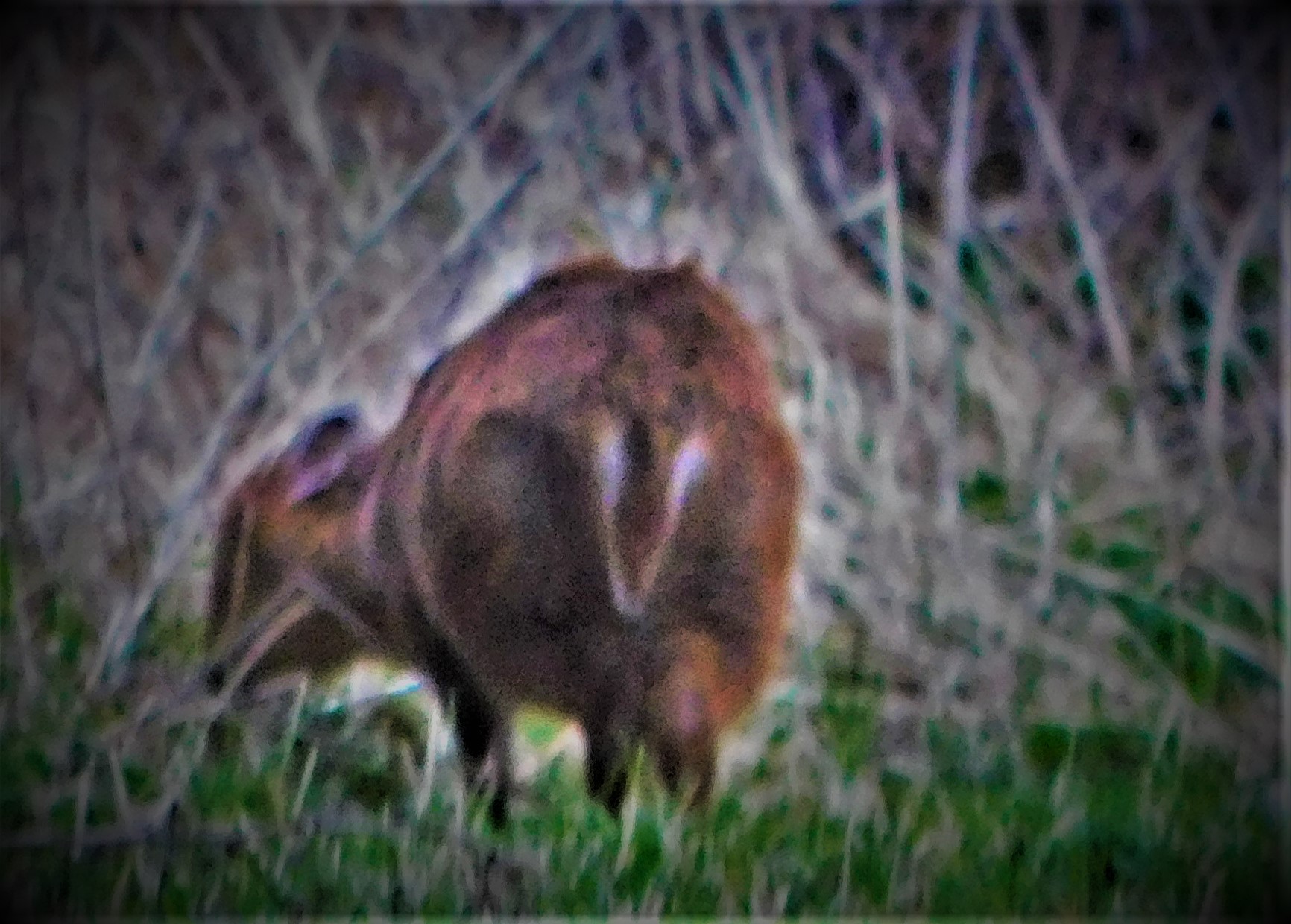
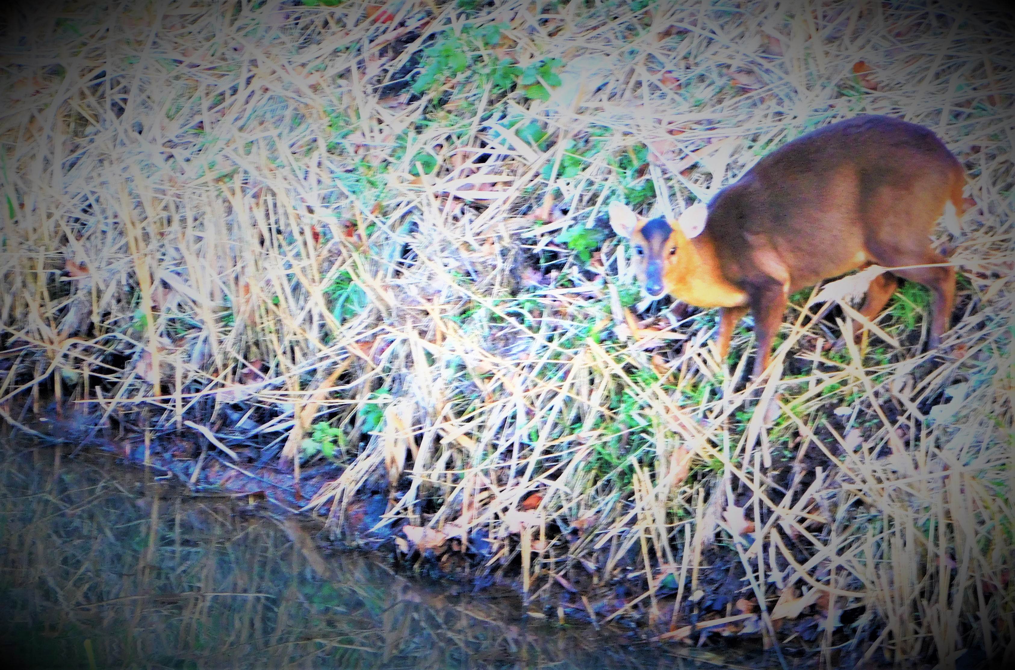
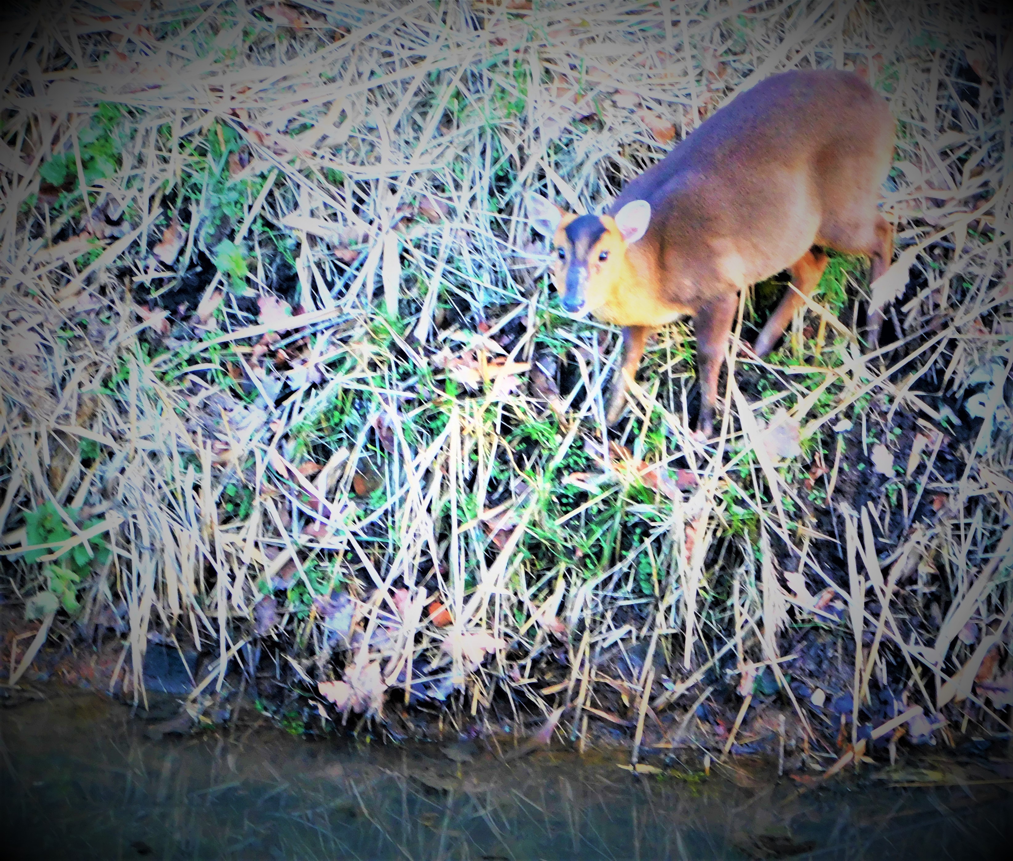
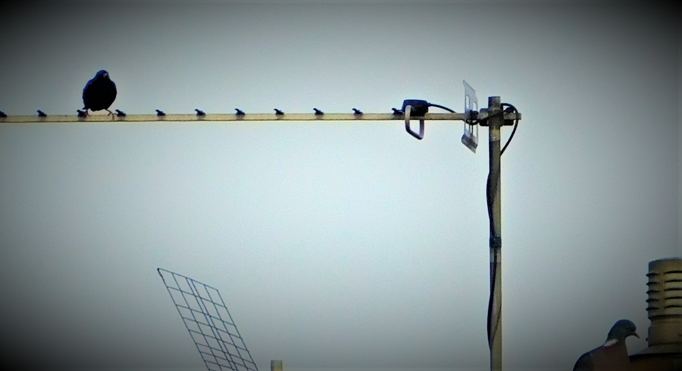
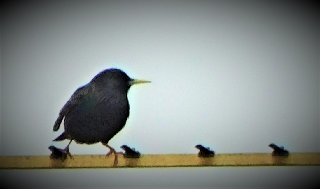
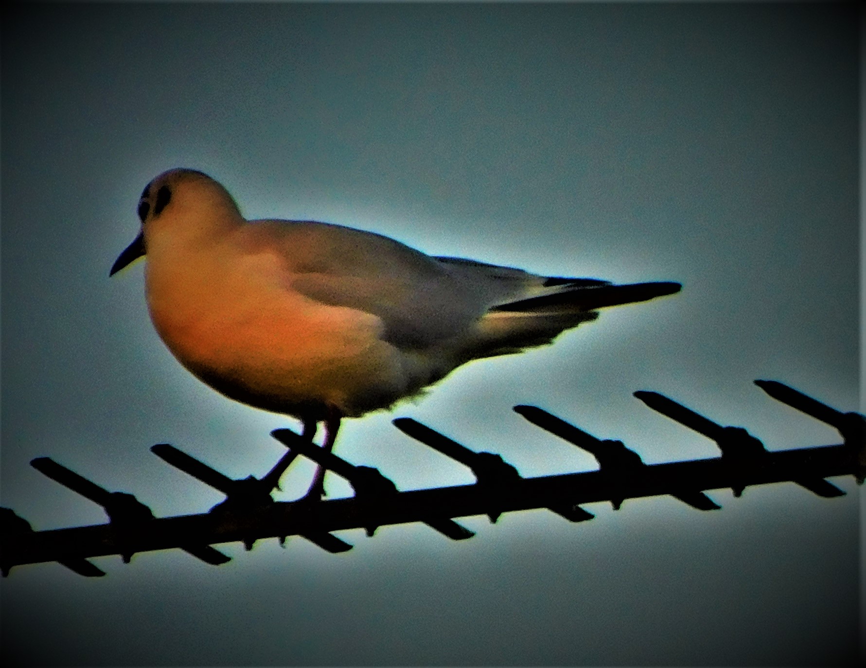
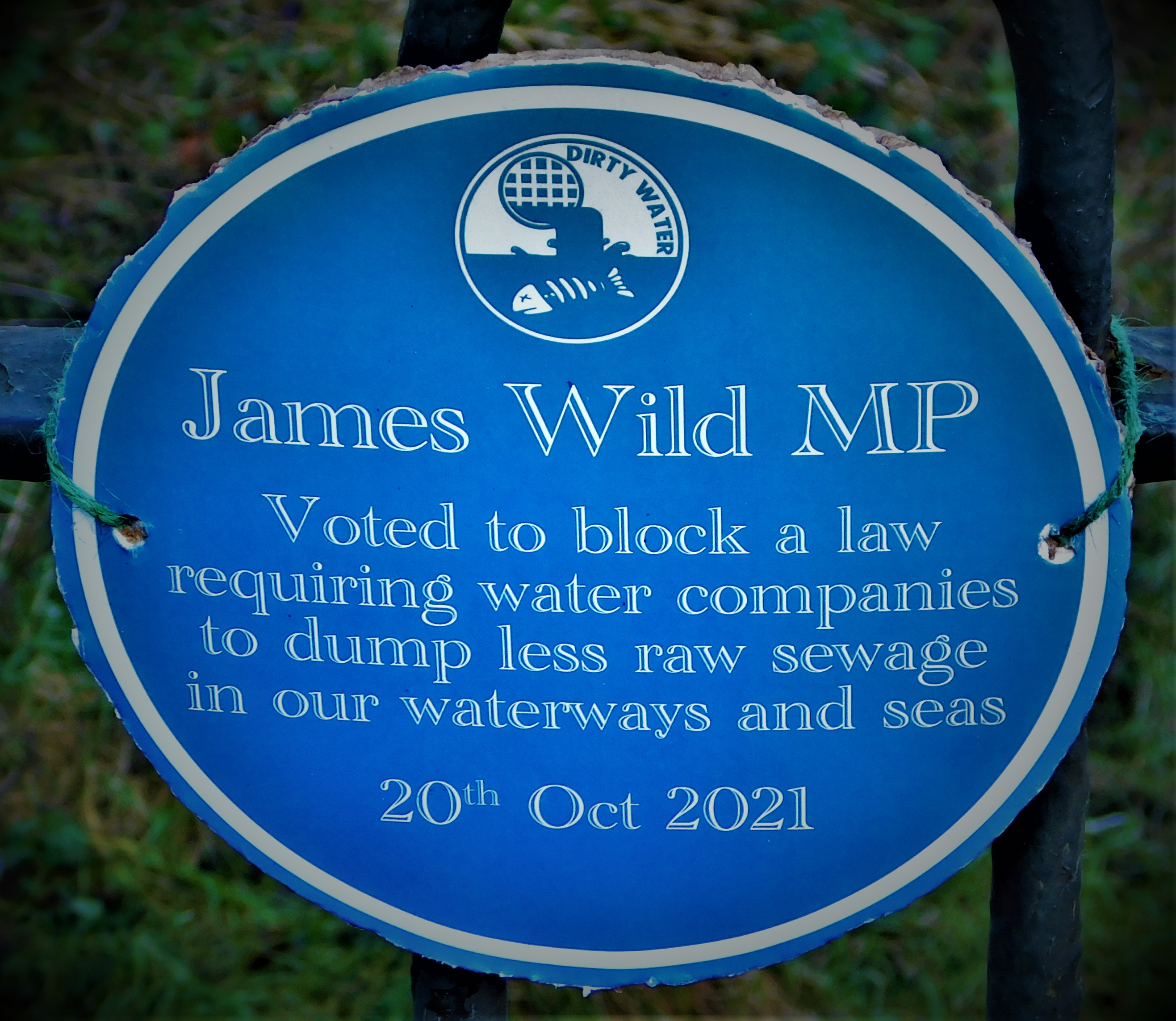
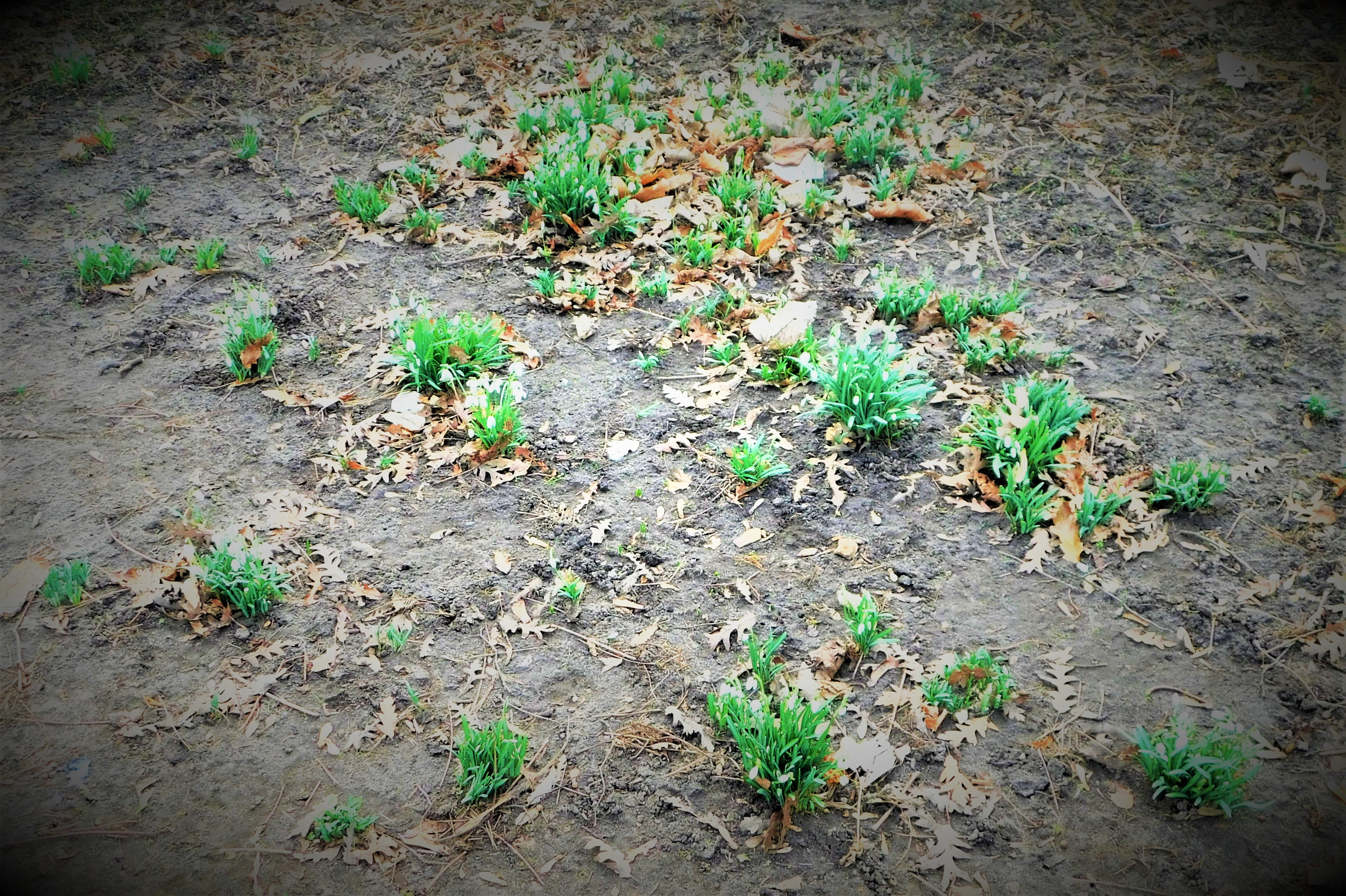
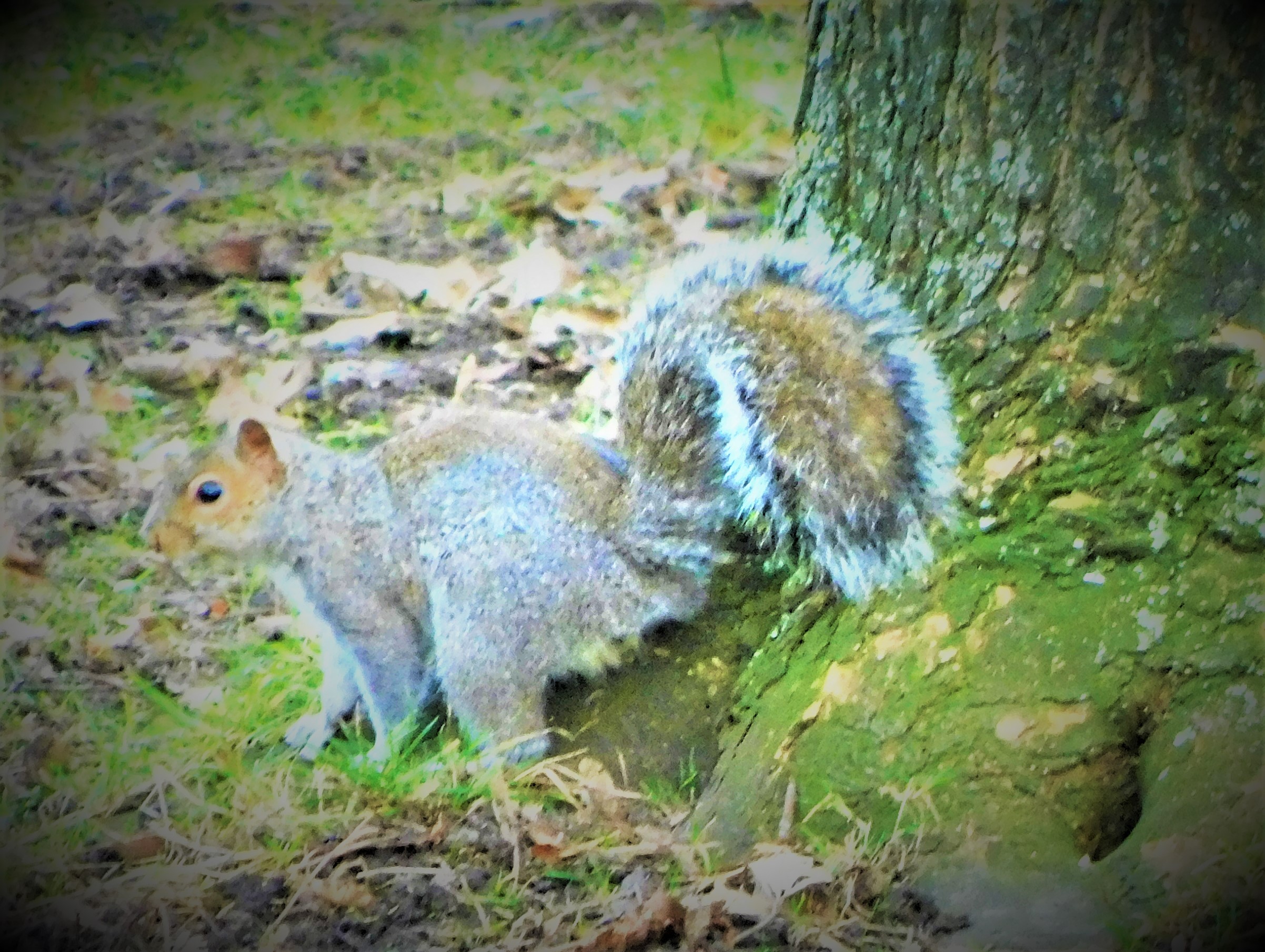
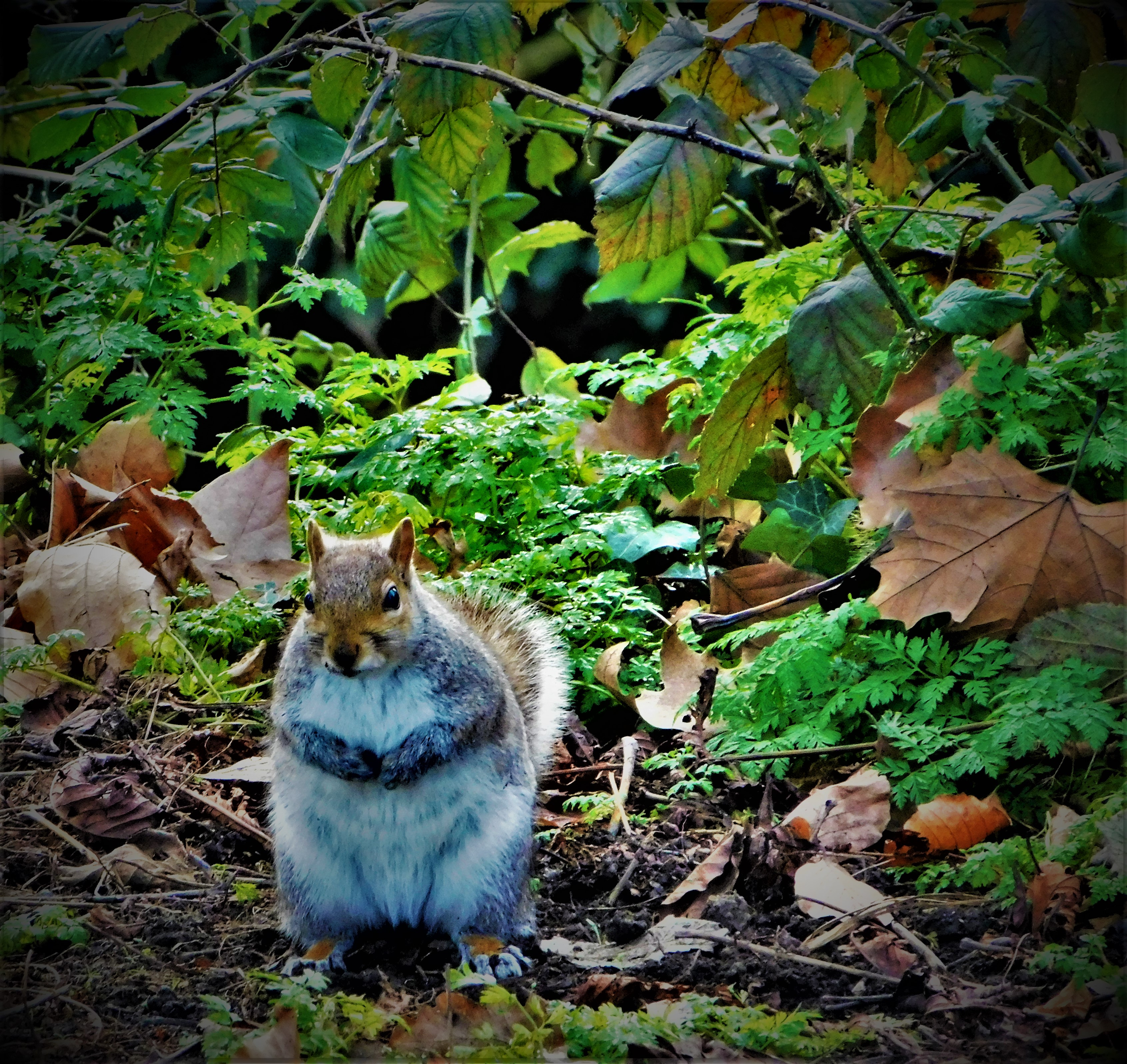
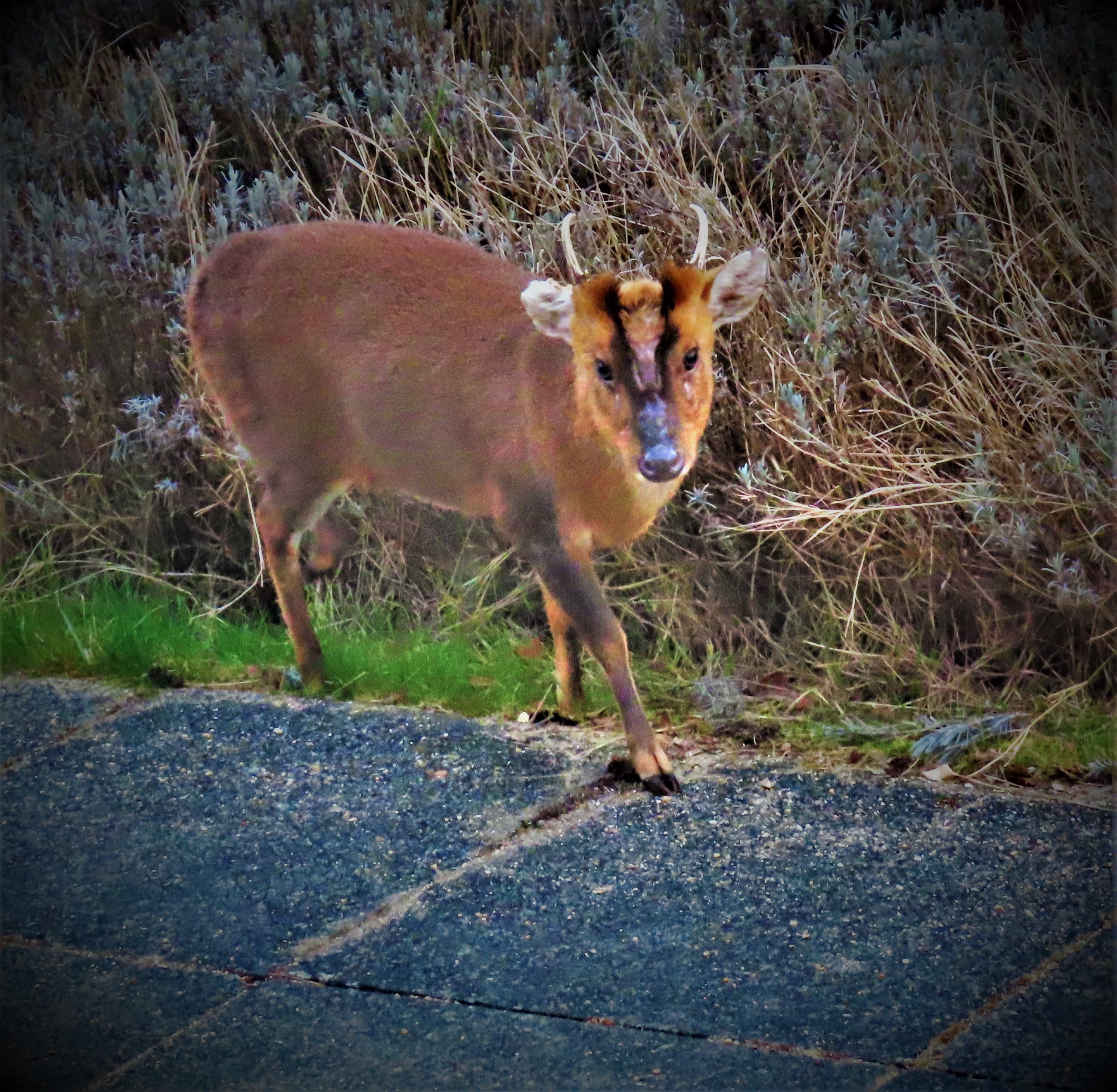
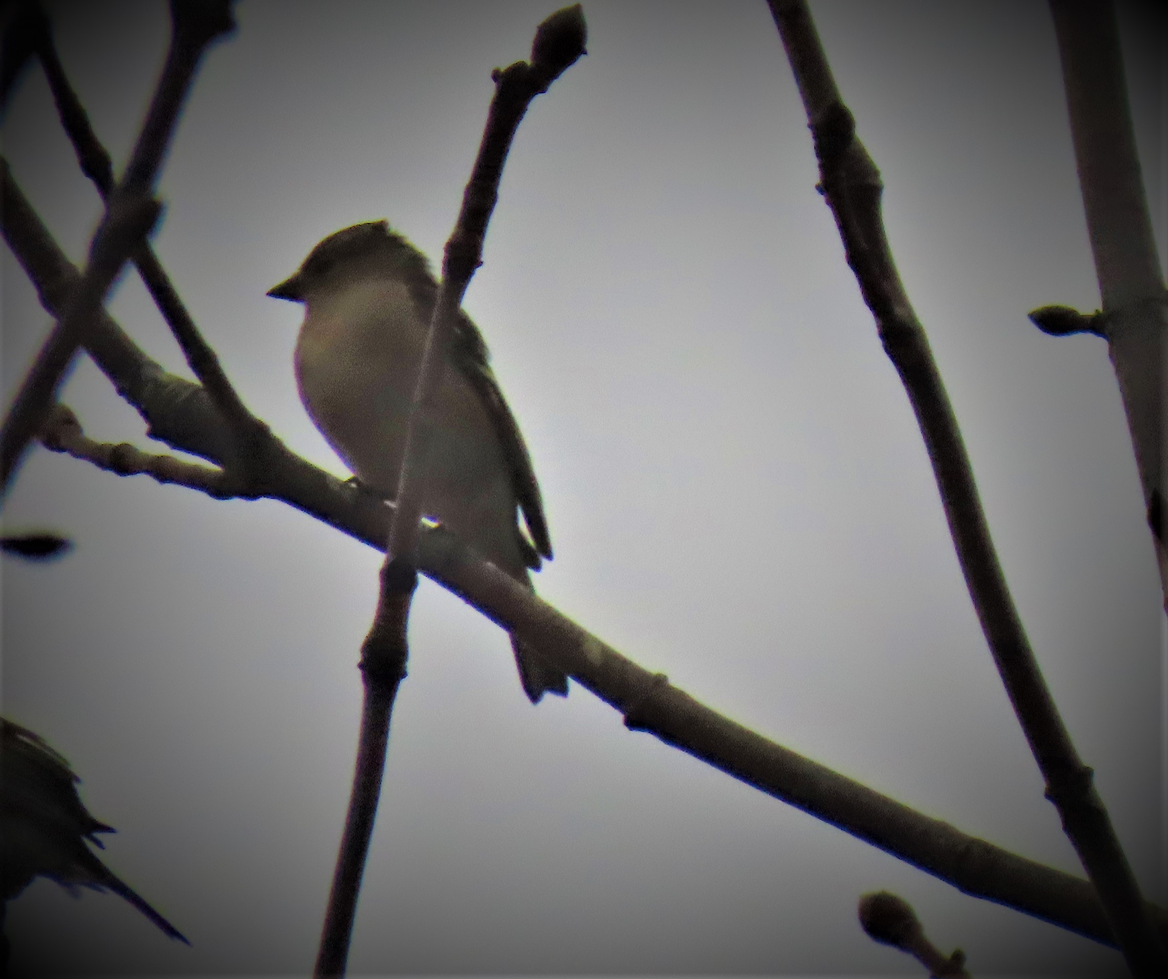
A blue plaque giving current Northwest Norfolk MP James Wild appropriate levels of respect.Today’s photos start here.This deer was too far distant to make an ideal subject, but I did my best.
Today we have a non-cricketing post as I extend my ‘accepting extra walking’ series with a look at Greenwich.
Welcome to to third post in this sporadically published series (see here and here). Today the London element of this post concerns Greenwich, which I have written about in some detail on my London Transport themed website (here).
GREENWICH
These days, since the Docklands Light Railway was extended southwards from Island Gardens maritime Greenwich has had its own station, called Cutty Sark after the old tea clipper (Ester has recently posted a picture of it on her blog). This section focusses on the various alternatives to using that station.
One stop north of Cutty Sark is Island Gardens, from which you can enter the Greenwich Foot Tunnel and walk under the Thames to get to maritime Greenwich.
Greenwich and Maze Hill stations are also within easy walking distance, and there is an interesting walk largely along the river front from Deptford. New Cross and New Cross Gate are both also within range. For the seriously venturesome one can travel to Woolwich to get a close look at the Thames Flood Barrier first, and then walk along the Thames westwards until arriving at Greenwich. If you use the DLR and alight at King George V station, one stop from the terminus at Woolwich Arsenal, you can avail yourself of the other opportunity to walk under the Thames by using the Woolwich Foot Tunnel (I actually did once do this precise thing in the days when what is now the DLR spur from Stratford to Woolwich Arsenal was the tail end of a regular train line that started at Richmond and finished at North Woolwich, located roughly where today’s King George V is).
If you do make a trip to Greenwich at some point when the situation allows, and your mobility permits you to be more venturesome I recommend at the very least making your destination for arrival Island Gardens and the point of departure for your return journey Greenwich. That will enable to you to enjoy all of Greenwich’s finest attractions.
My own plan of campaign for when the opportunity arises has two components for the outward journey depending on circumstances: 1. If the train from King’s Lynn to London that I am on calls at Finsbury Park, I will alight there, change to the Victoria line, change again at Highbury & Islington to London Overground and change one final time at Shadwell to the Docklands Light Railway, alighting at Island Gardens to approach Greenwich by way of the foot tunnel. 2. If the train to London does not call at Finsbury Park, I will board a Circle/ Hammersmith and City/ Metropolitan line train at King’s Cross, change at Baker Street to the Jubilee line and change to the Docklands Light Railway at Canary Wharf heading south to Island Gardens.
For the return journey I will aim for Kings Cross by catching a train from Greenwich and changing at Waterloo East to Southwark (Jubilee), and according to mood and time considerations will either change at Baker Street or stay aboard the Jubilee line train until I can make the cross platform interchange at Finchley Road.
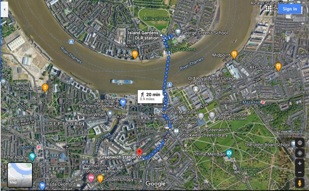
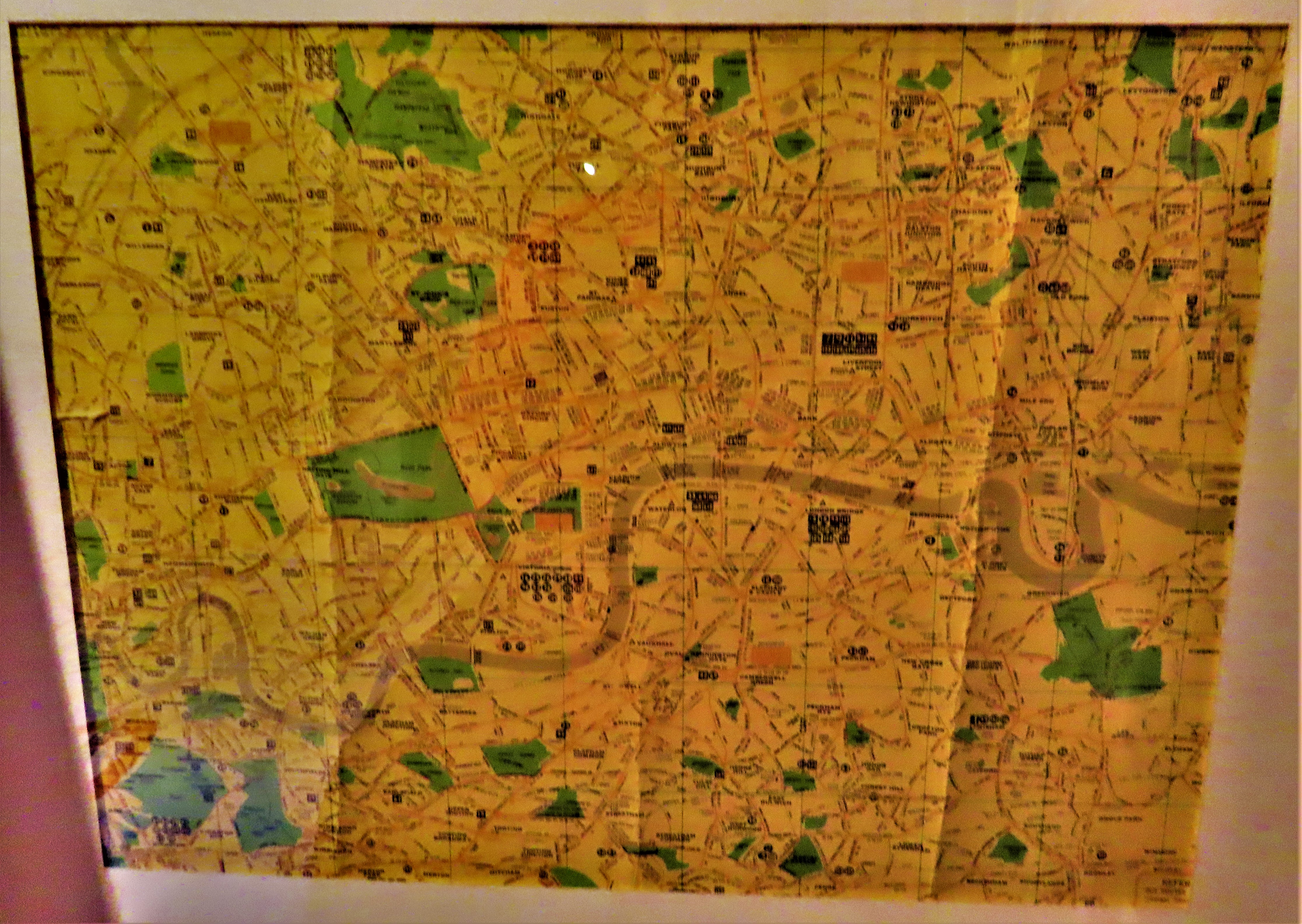
A google maps creation showing my advocated stations for a visit to Greenwich.
London connections view of the area
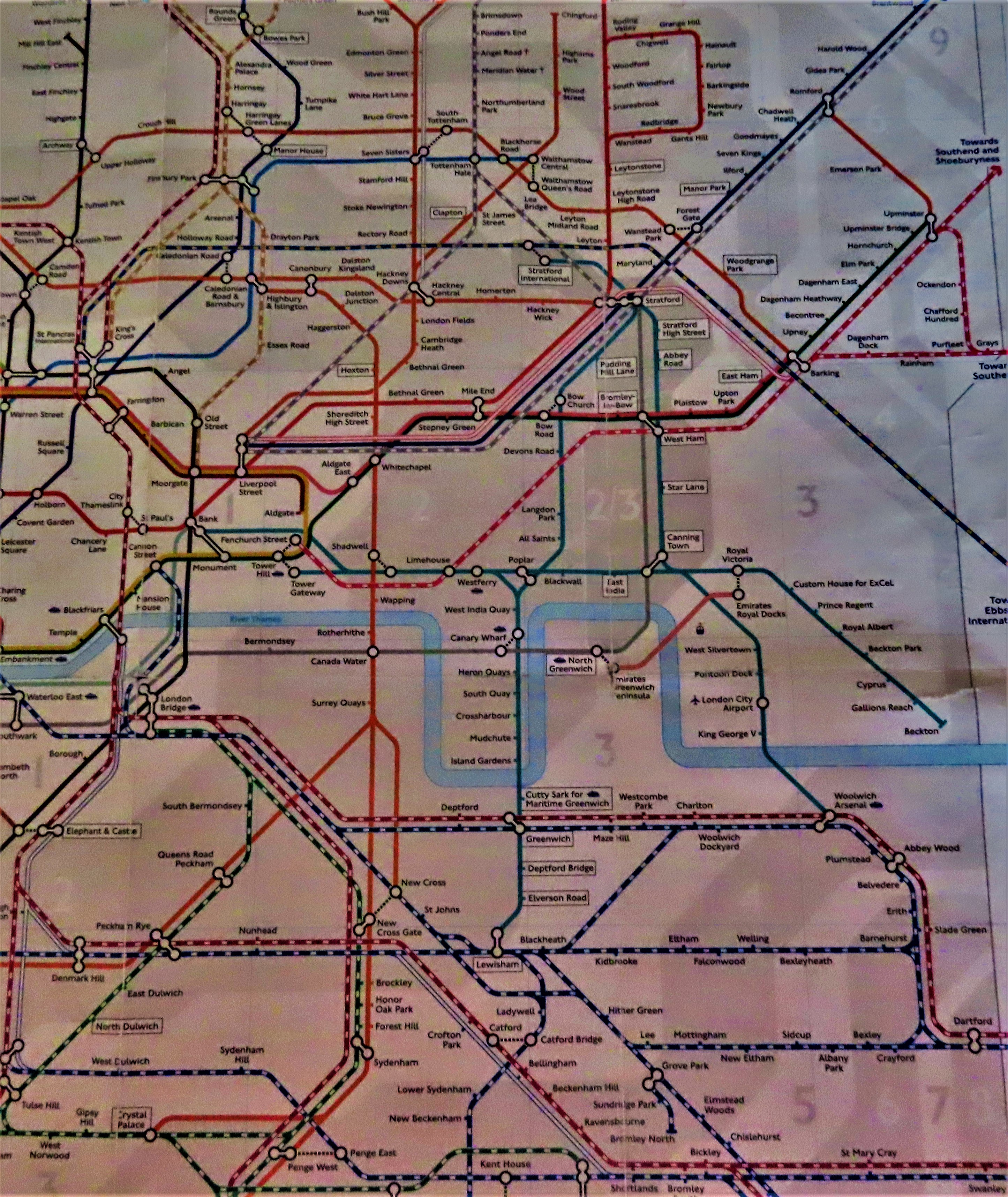
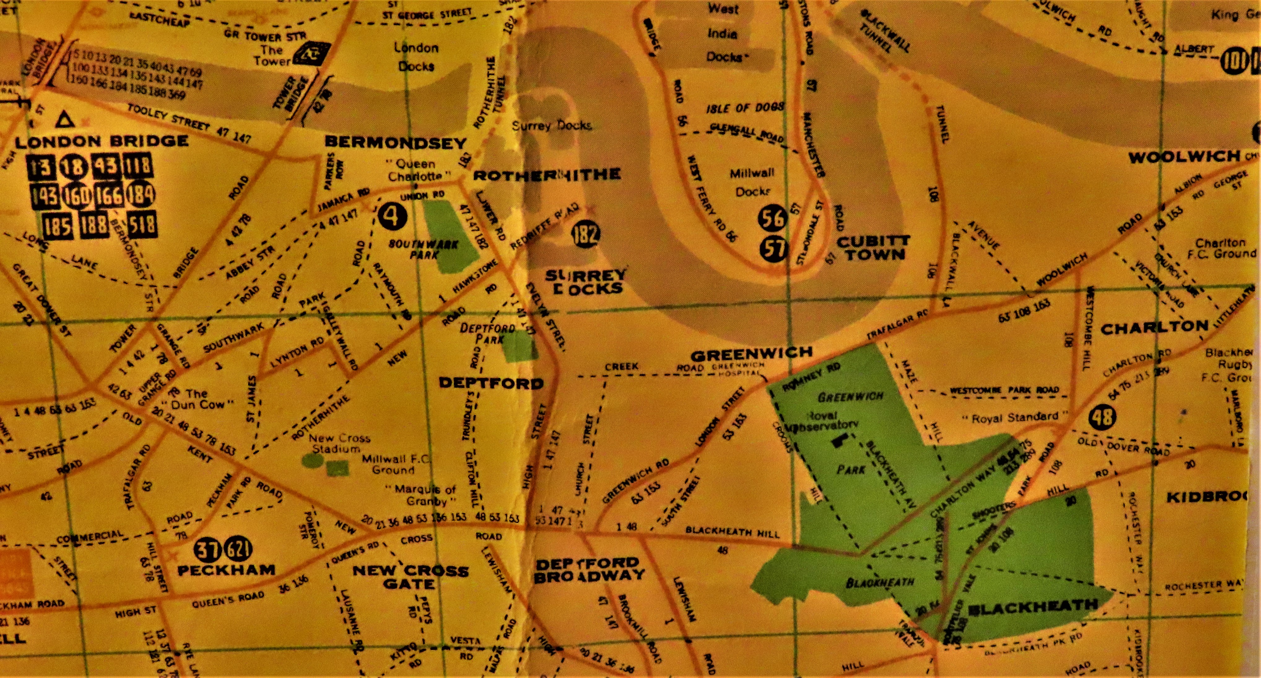
Close focus on the stations around Greenwich.
Showing the every station I mentioned as a possibility.
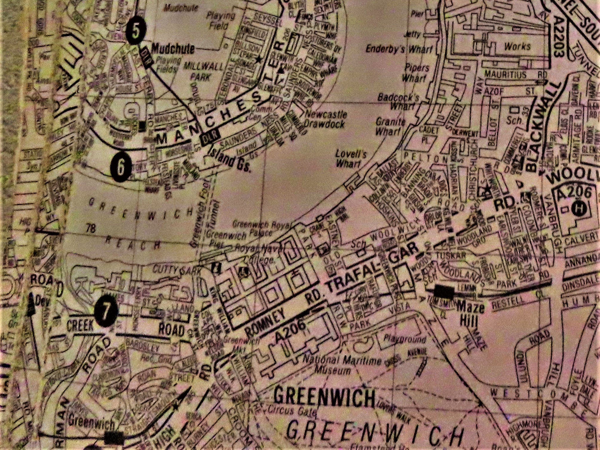
The first of two relevant double page spreads from my ancient A-Z
Close focus on the immediate area of interest.
Close focus on Woolwich.
BARNSLEY AND MANVERS
Manvers is a purely light industry location not far from Wath-on-Dearne. I had two jobs there, first for a mobile phone network provider, and then as a scanner operator enabling the destruction of paper copies of old documents. I was sometimes compelled to accept extra walking – the bus that actually went through Manvers did not start running until too late if I had a really early start (and in the second job, as a scanner operator, I worked split shifts, 6AM to 2PM one week, 2PM to 10PM the next). However I also sometimes chose to walk the extra distance to Wath-on-Dearne and get a bus back from there because it seemed preferable to waiting at the bus stop at Manvers. The first bus from Barnsley to Wath-on-Dearne left at 4:34 and there was another at 5:35, too late for 6AM start, but just early enough if one had a 7AM start. The first bus to Manvers did not leave until 6:33, too late to be of use for a 7:00 start.
A LINK AND SOME PICTURES
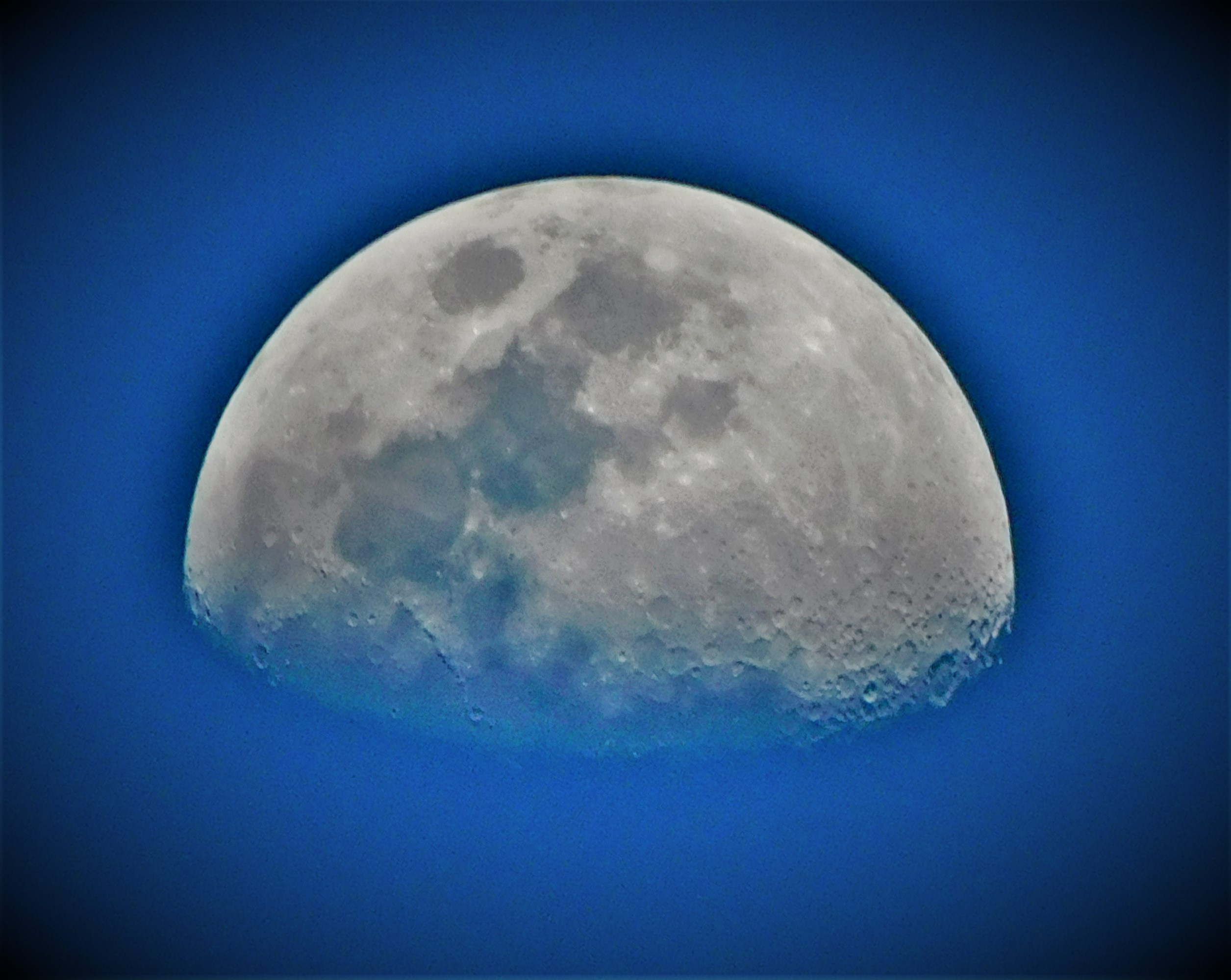
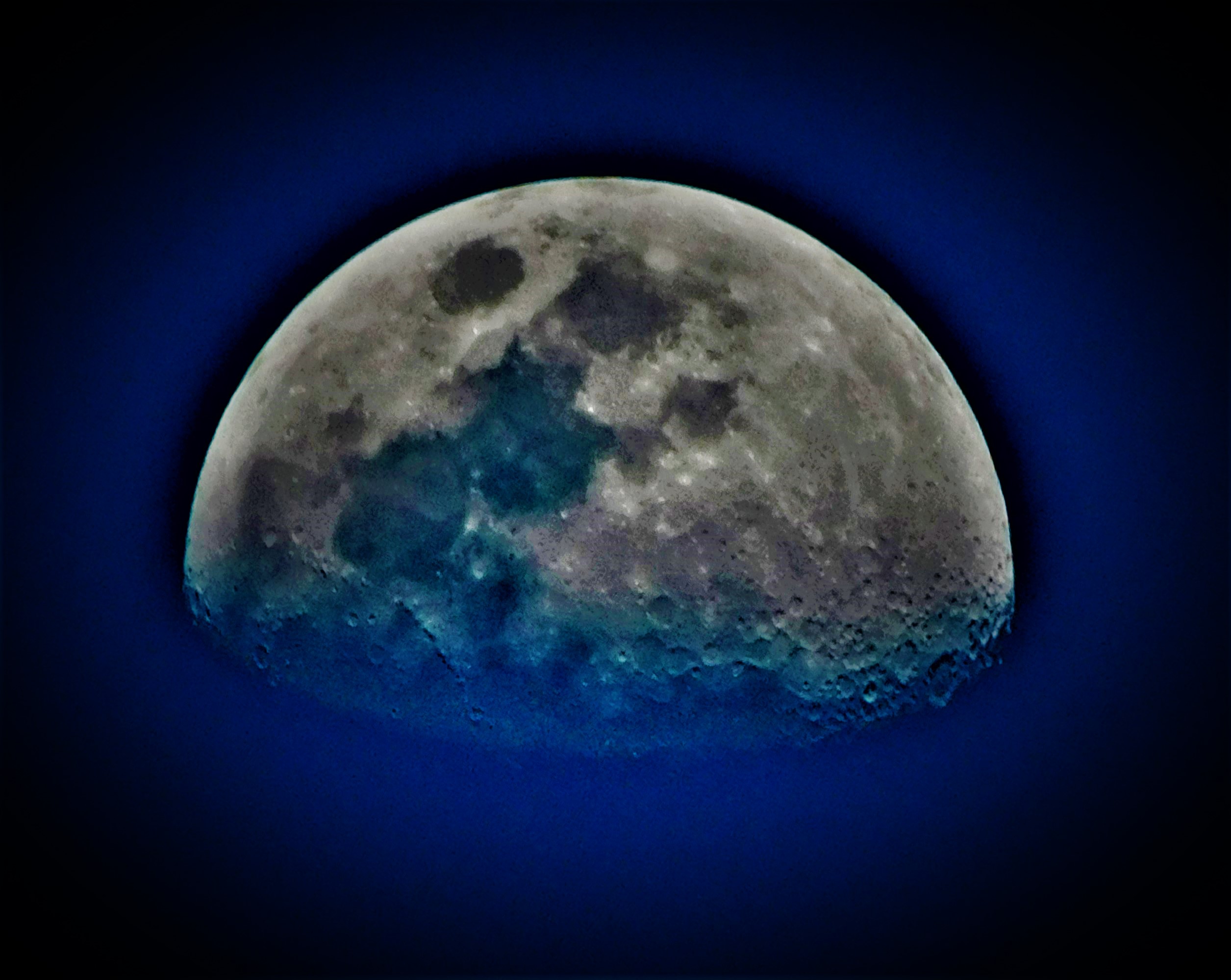
Given that one of the attractions at Greenwich is an observatory I thought this tweet from Milky Way Astronomers explaining the colours of meteors seemed an appropriate segue into my usual sign off…