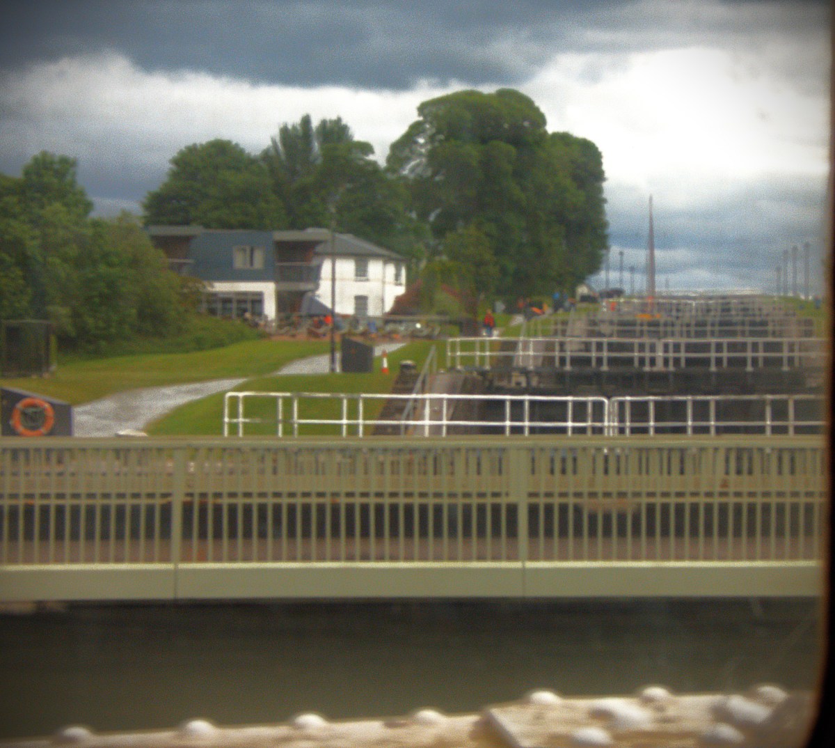
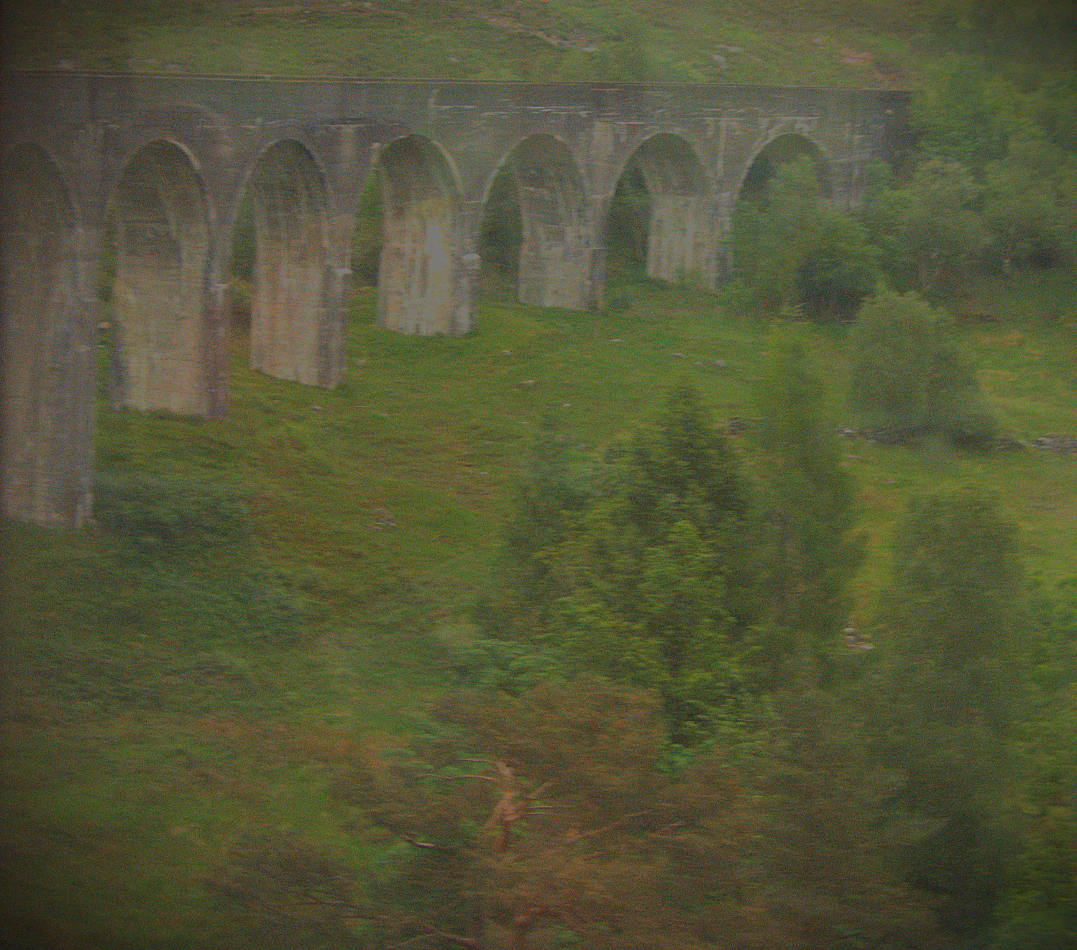
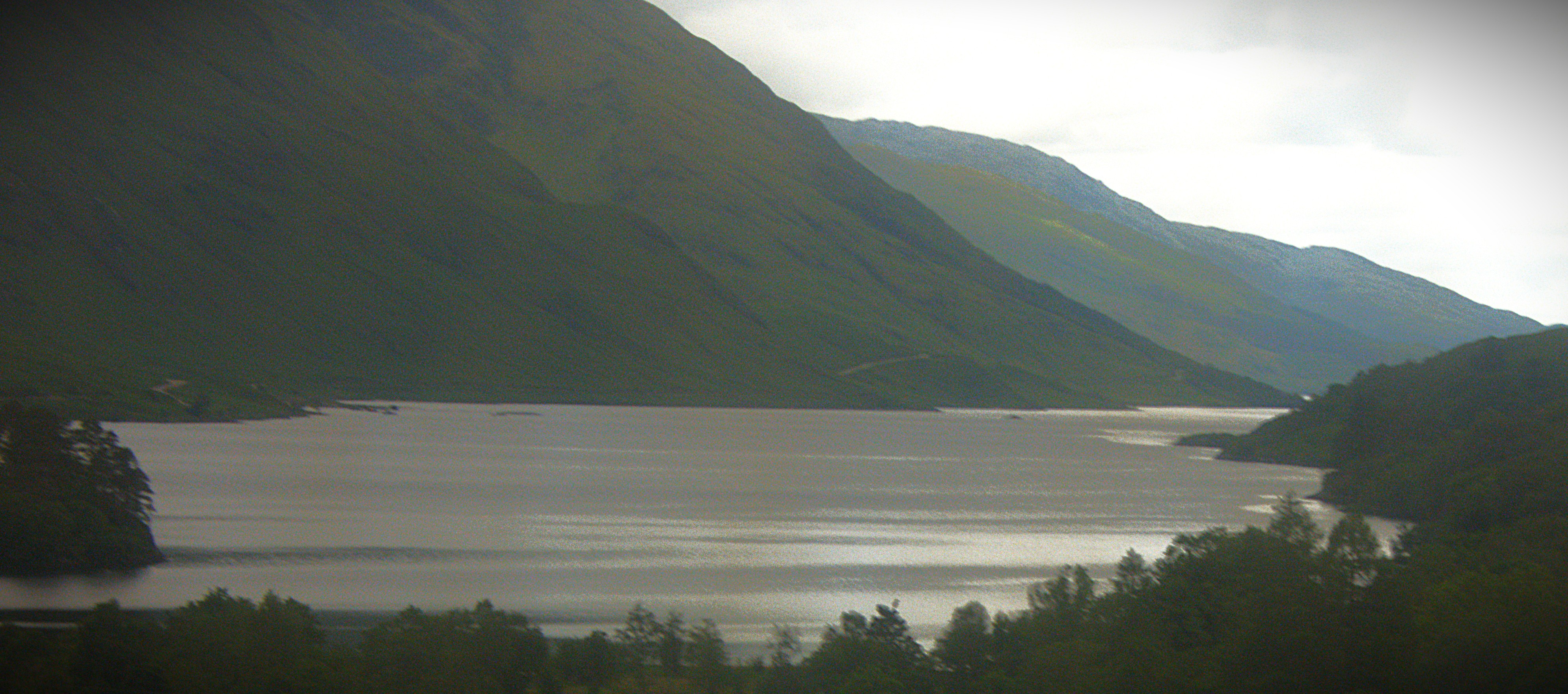
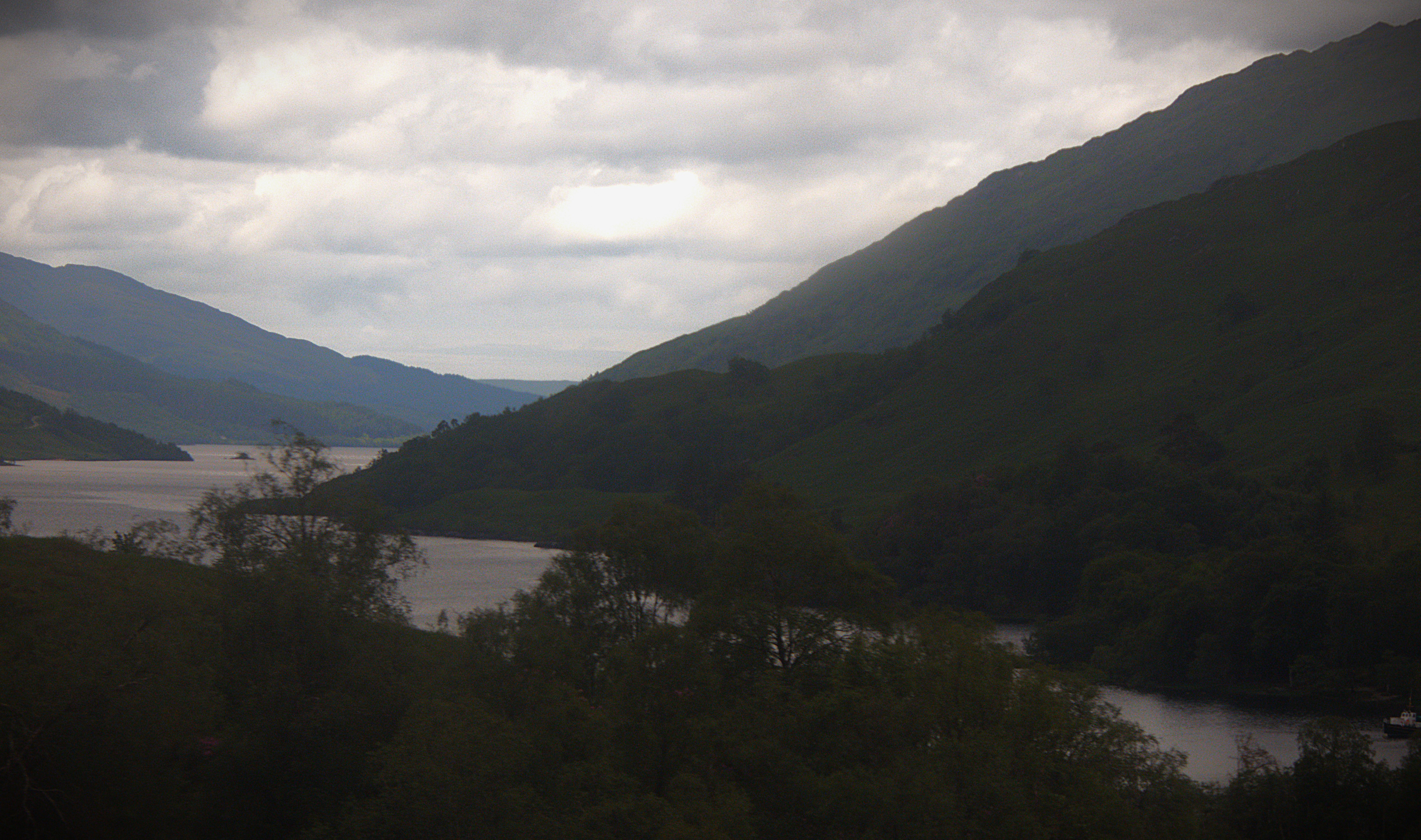
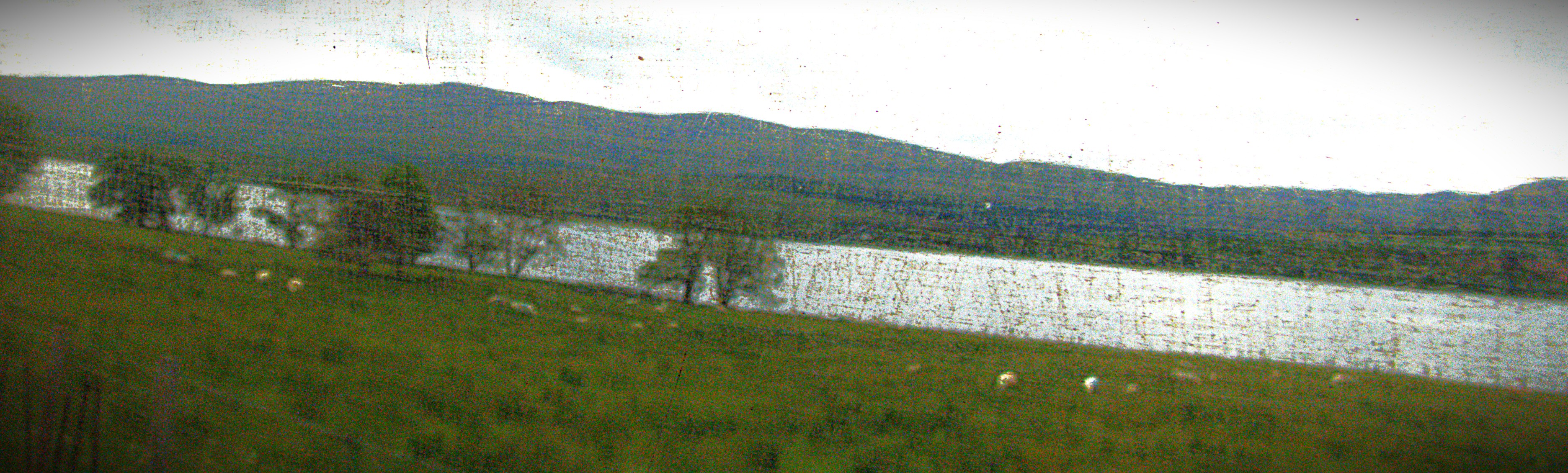
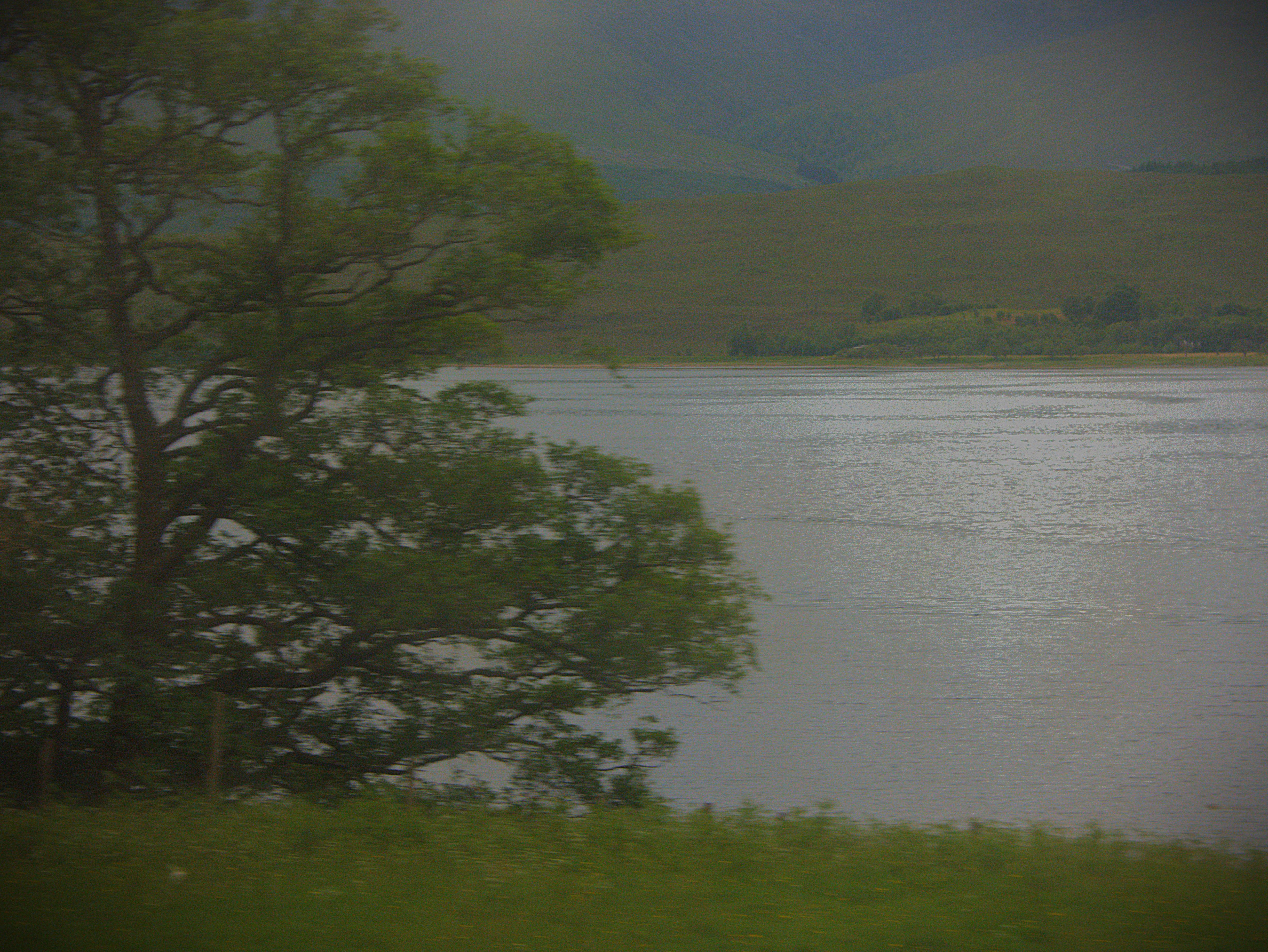
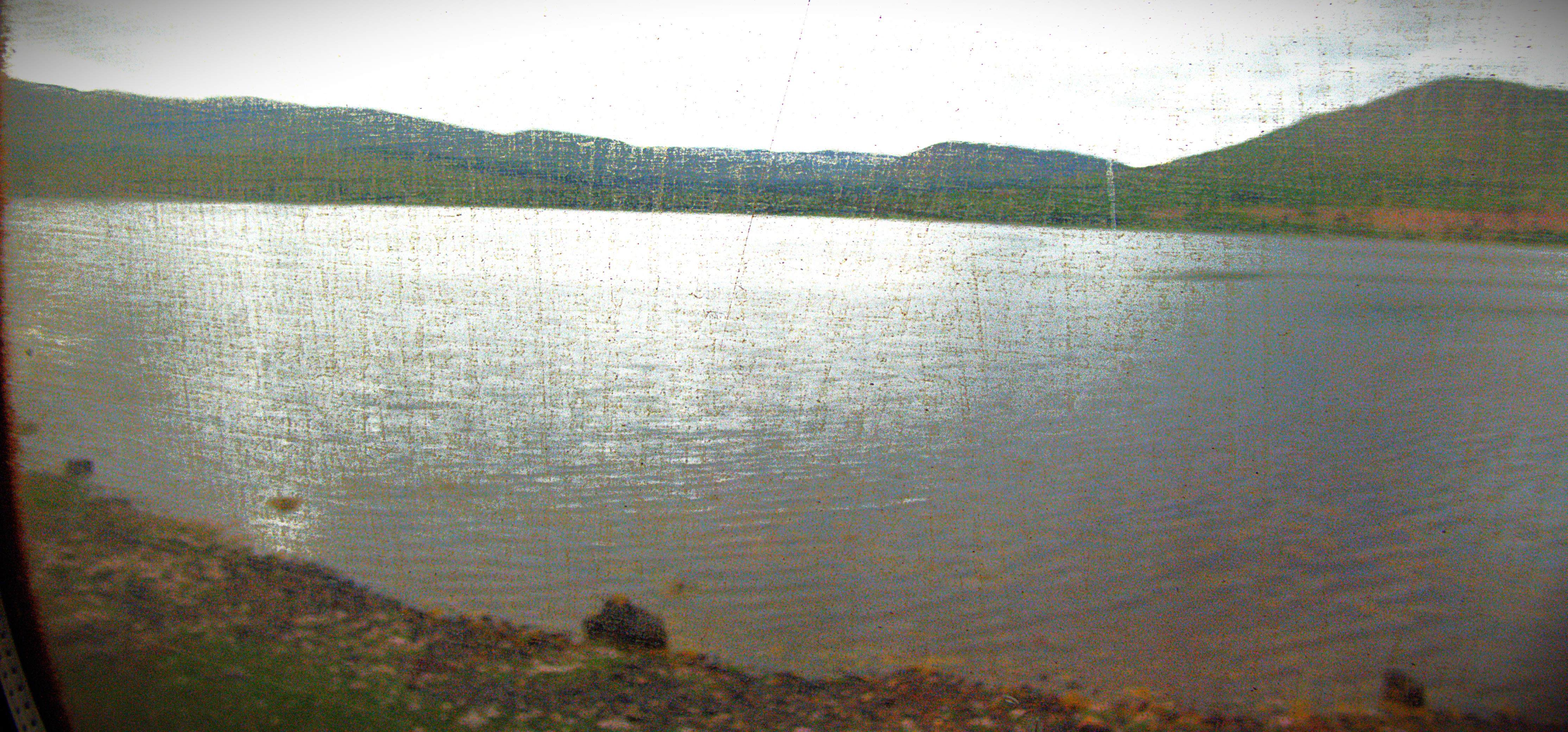
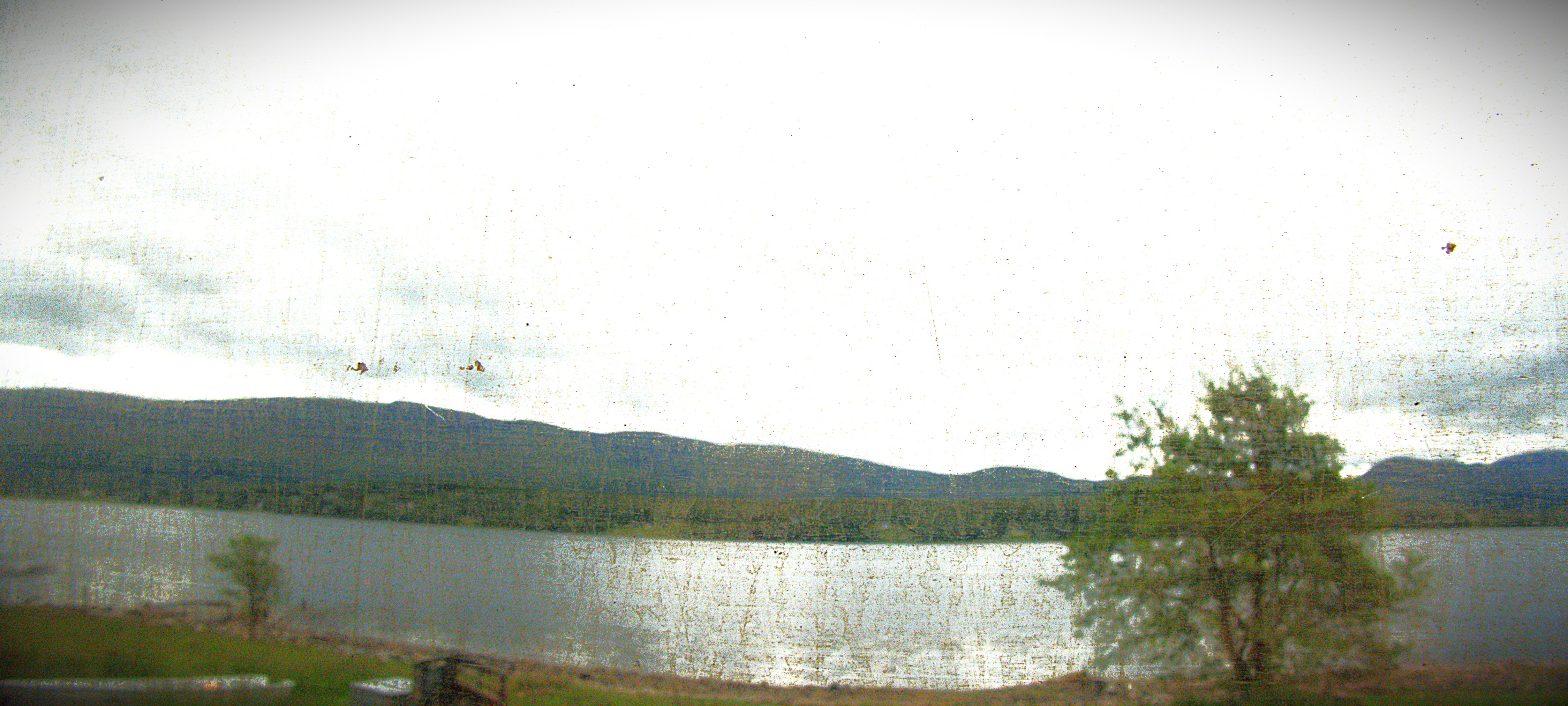
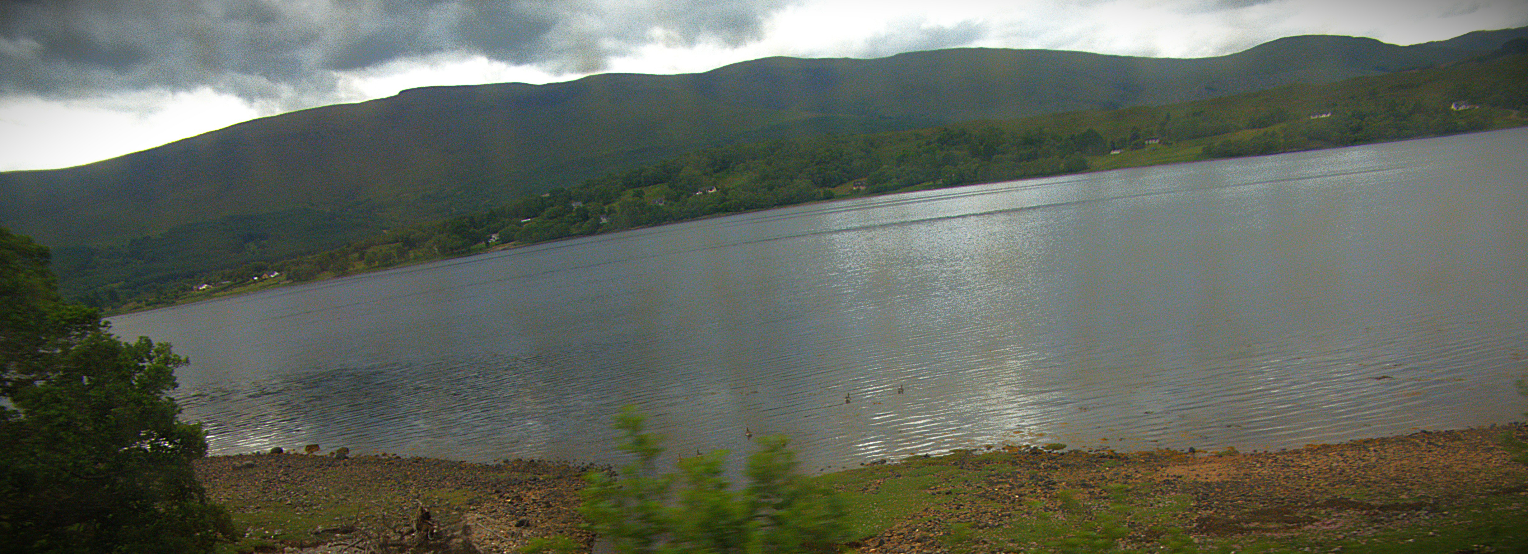
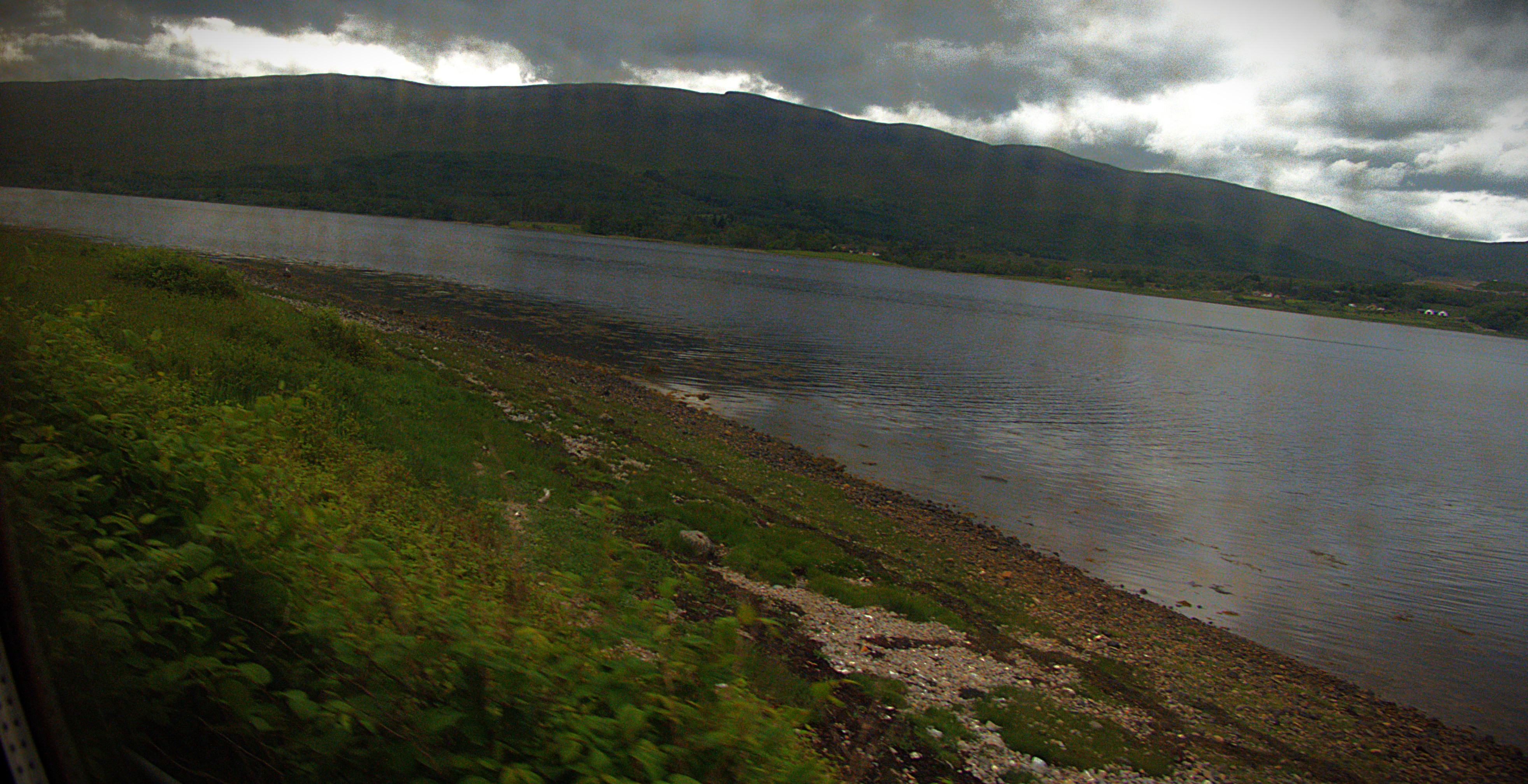
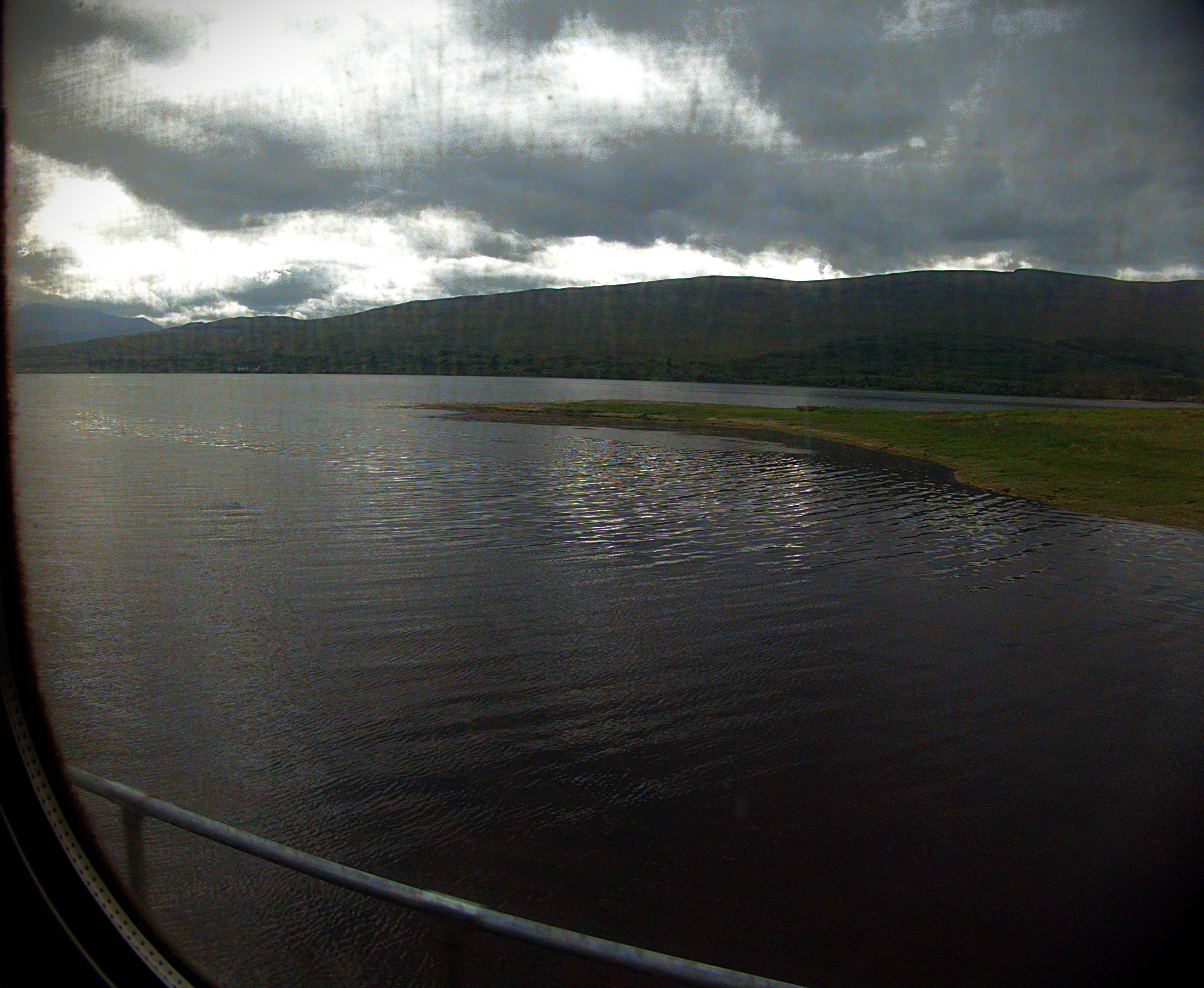
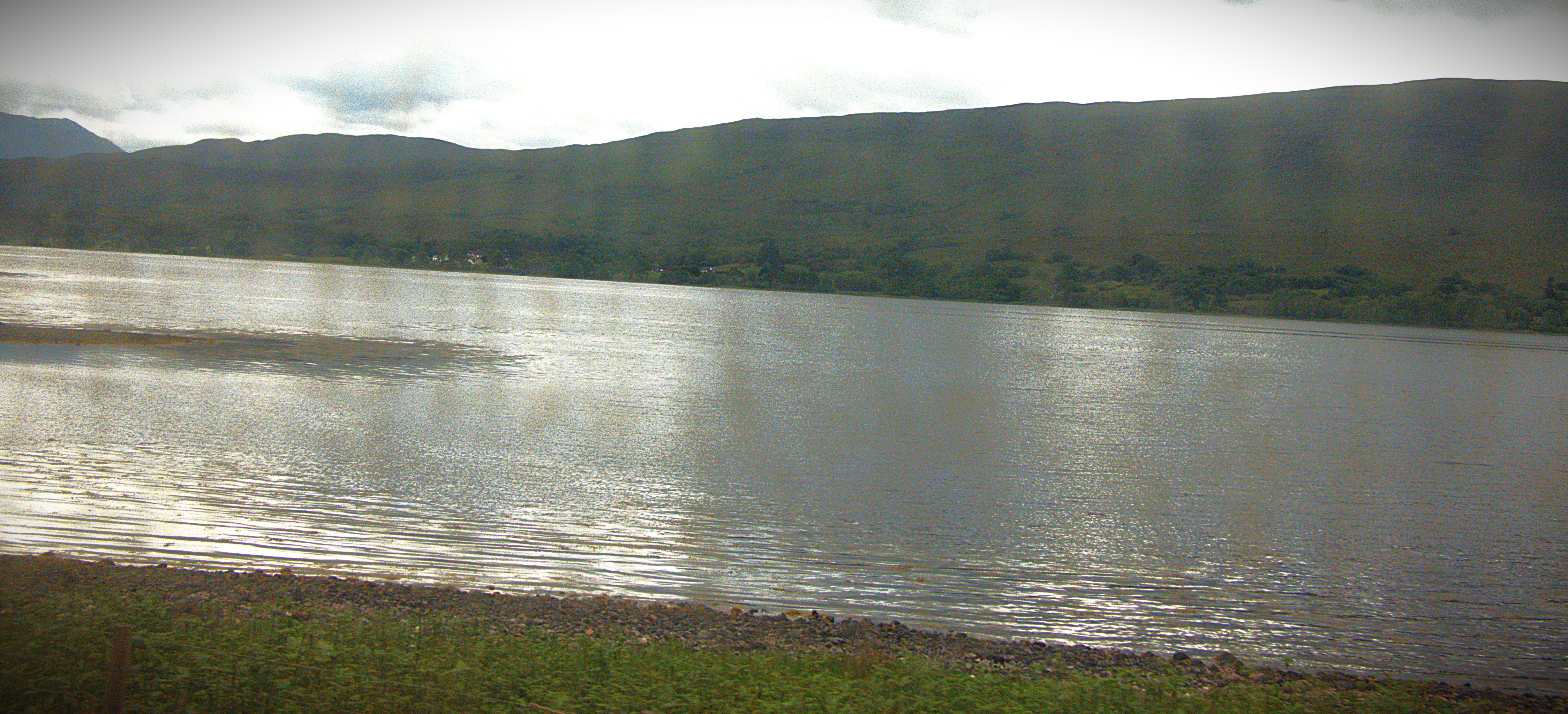
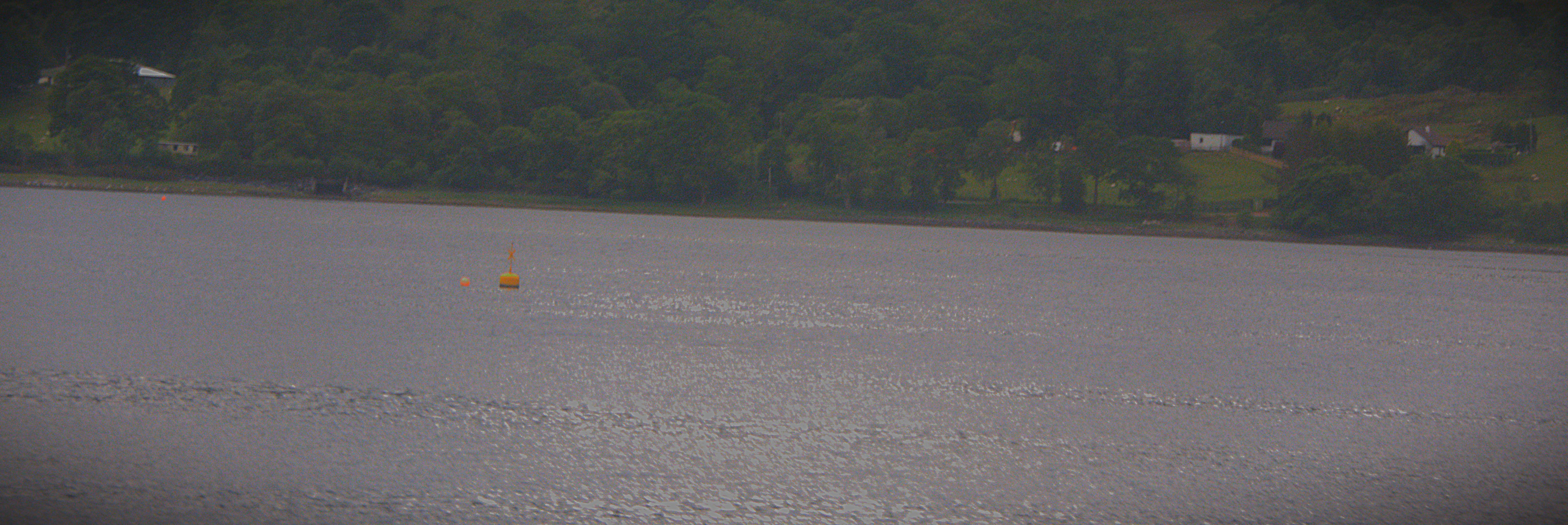
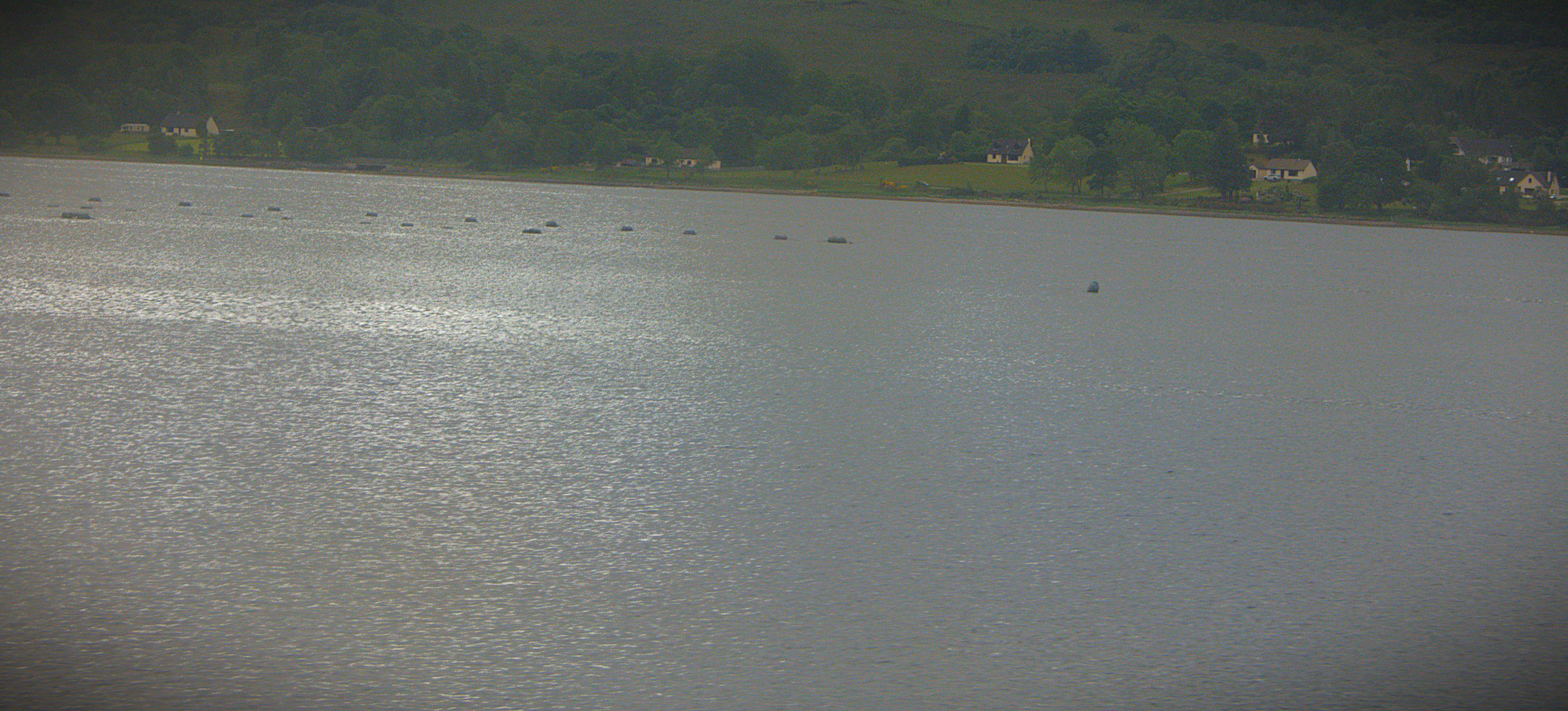
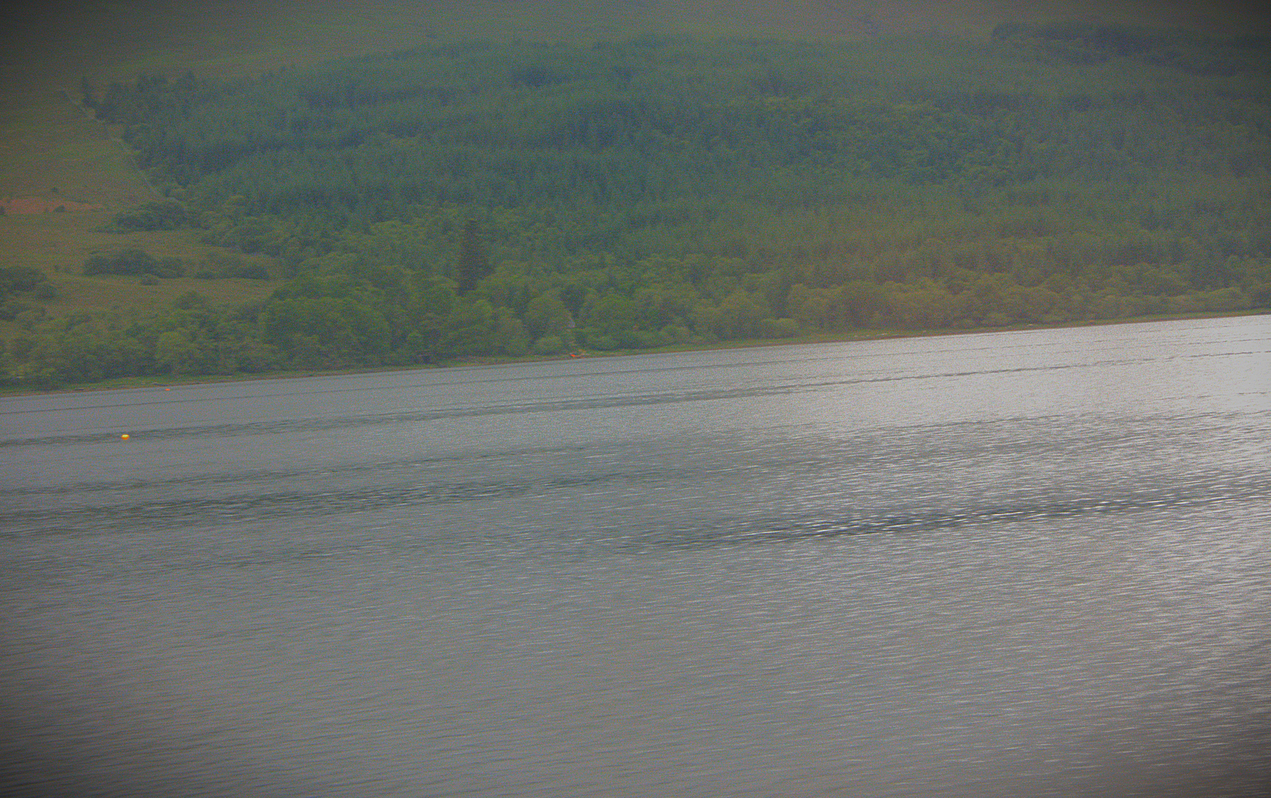
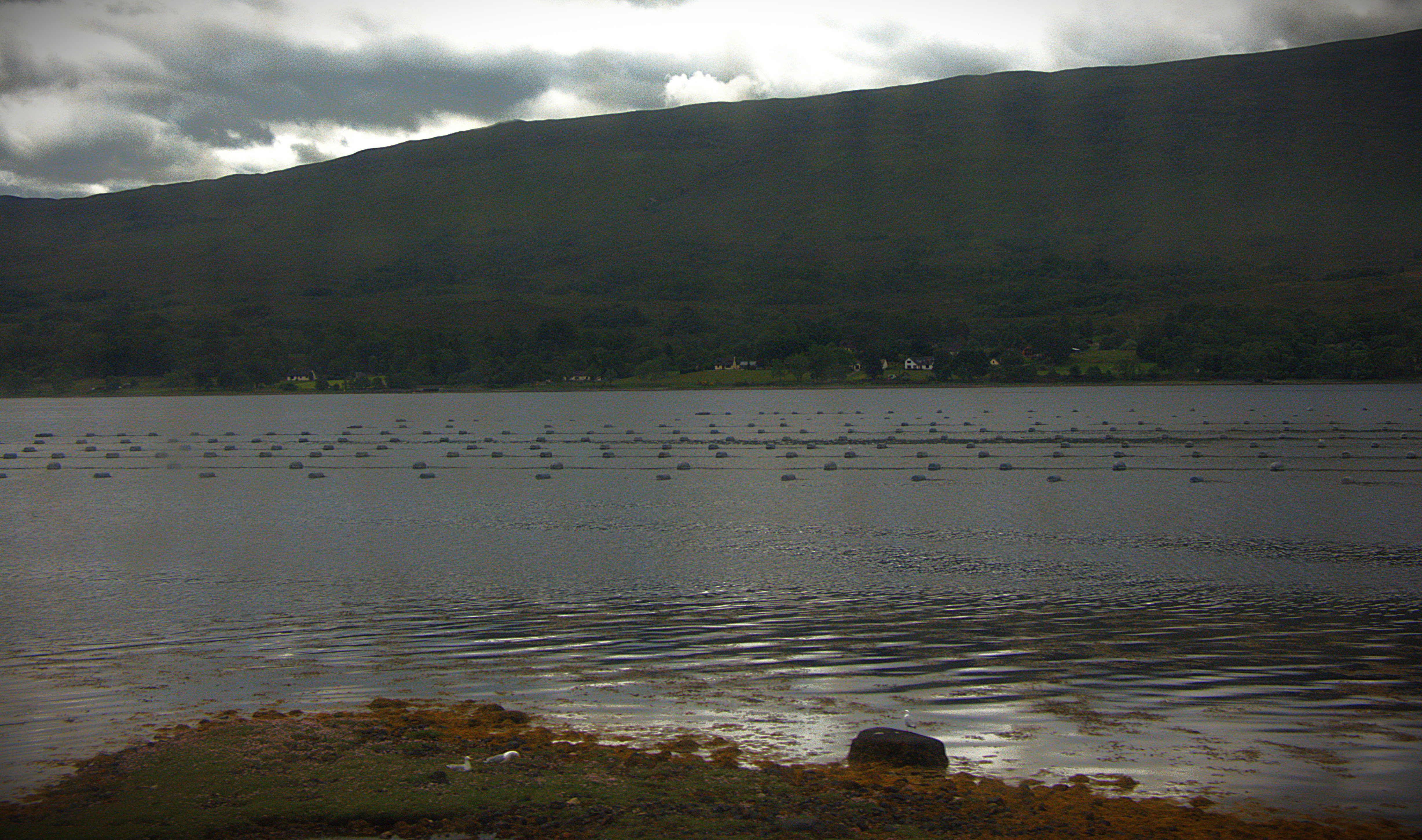
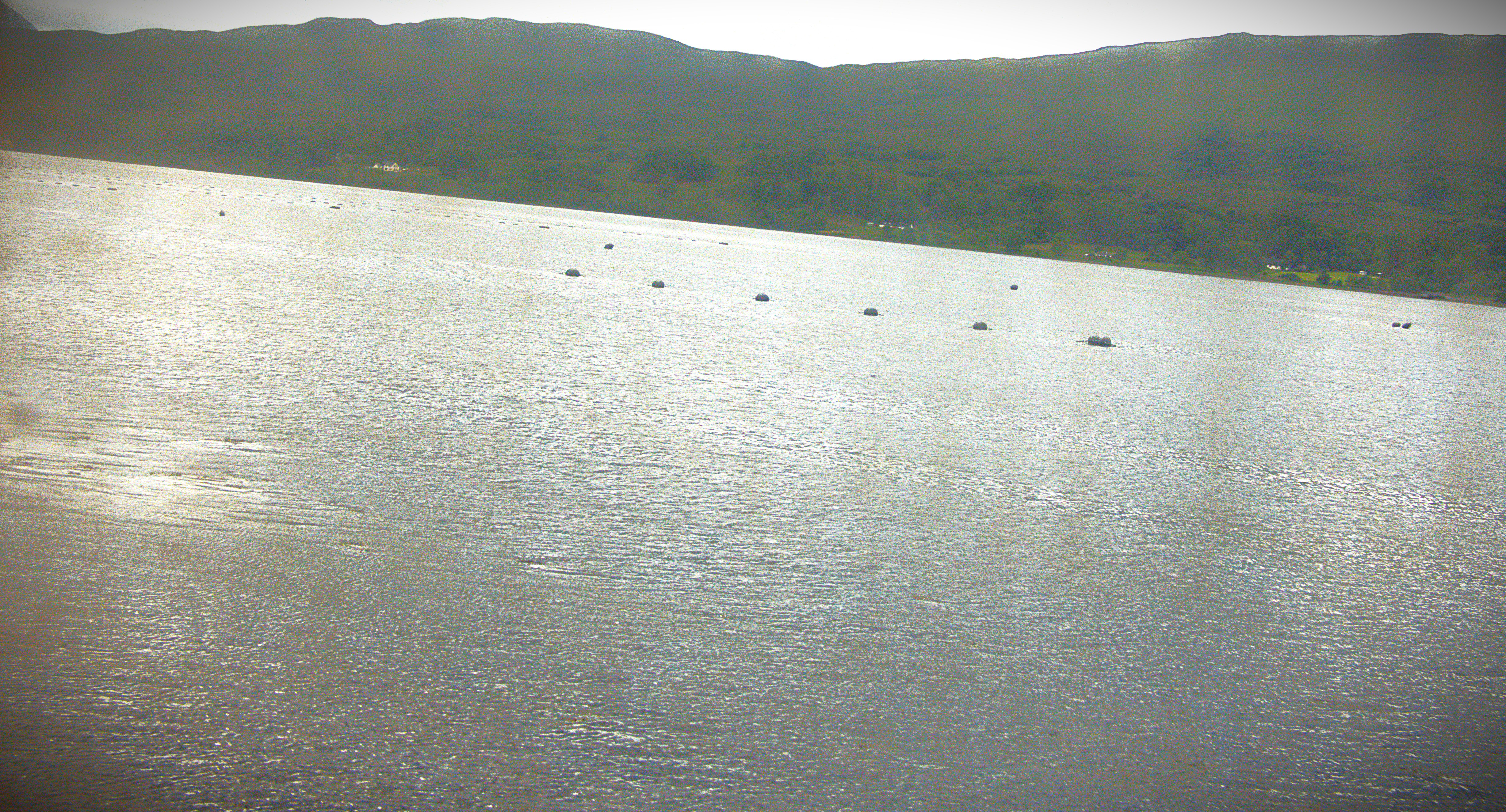
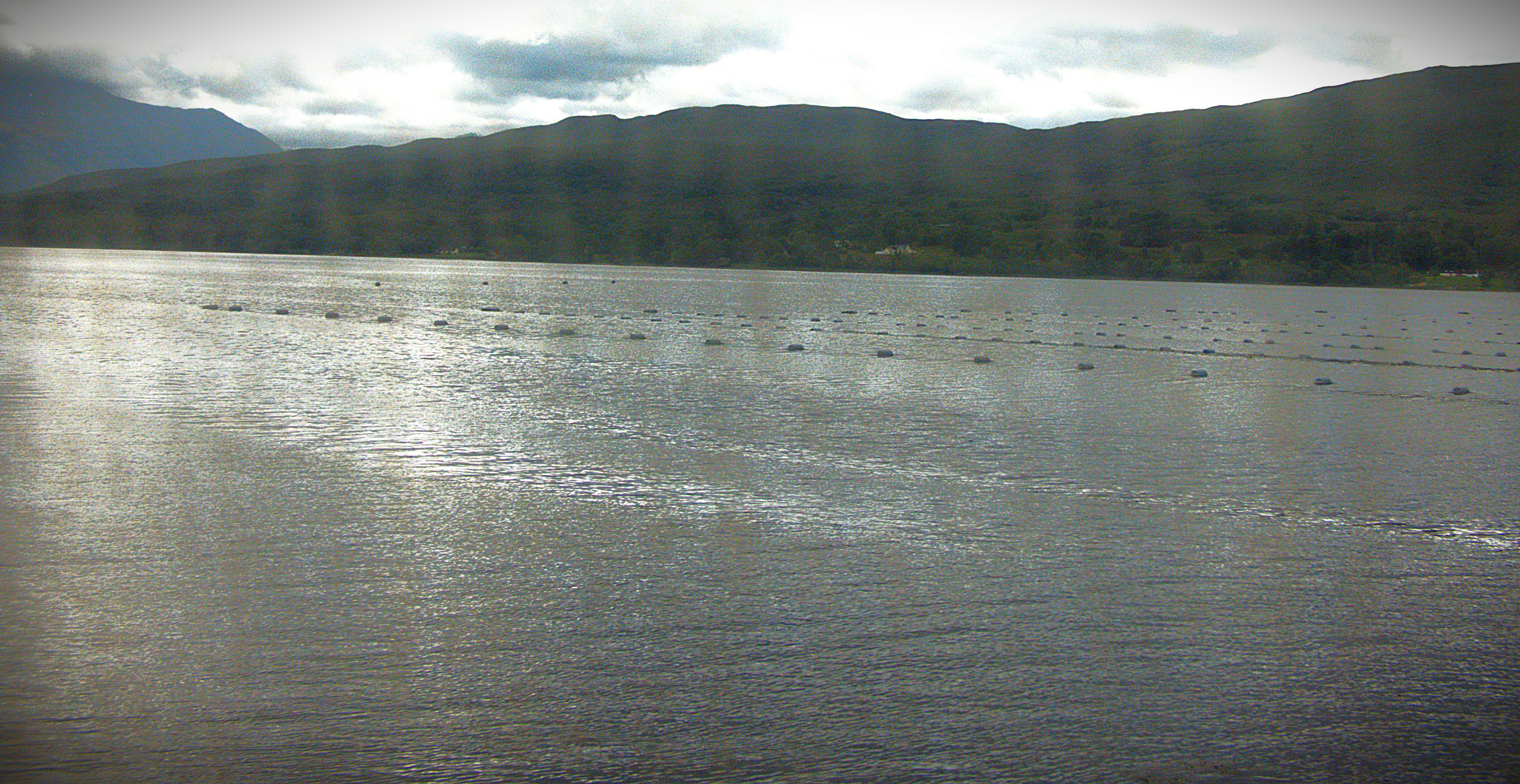
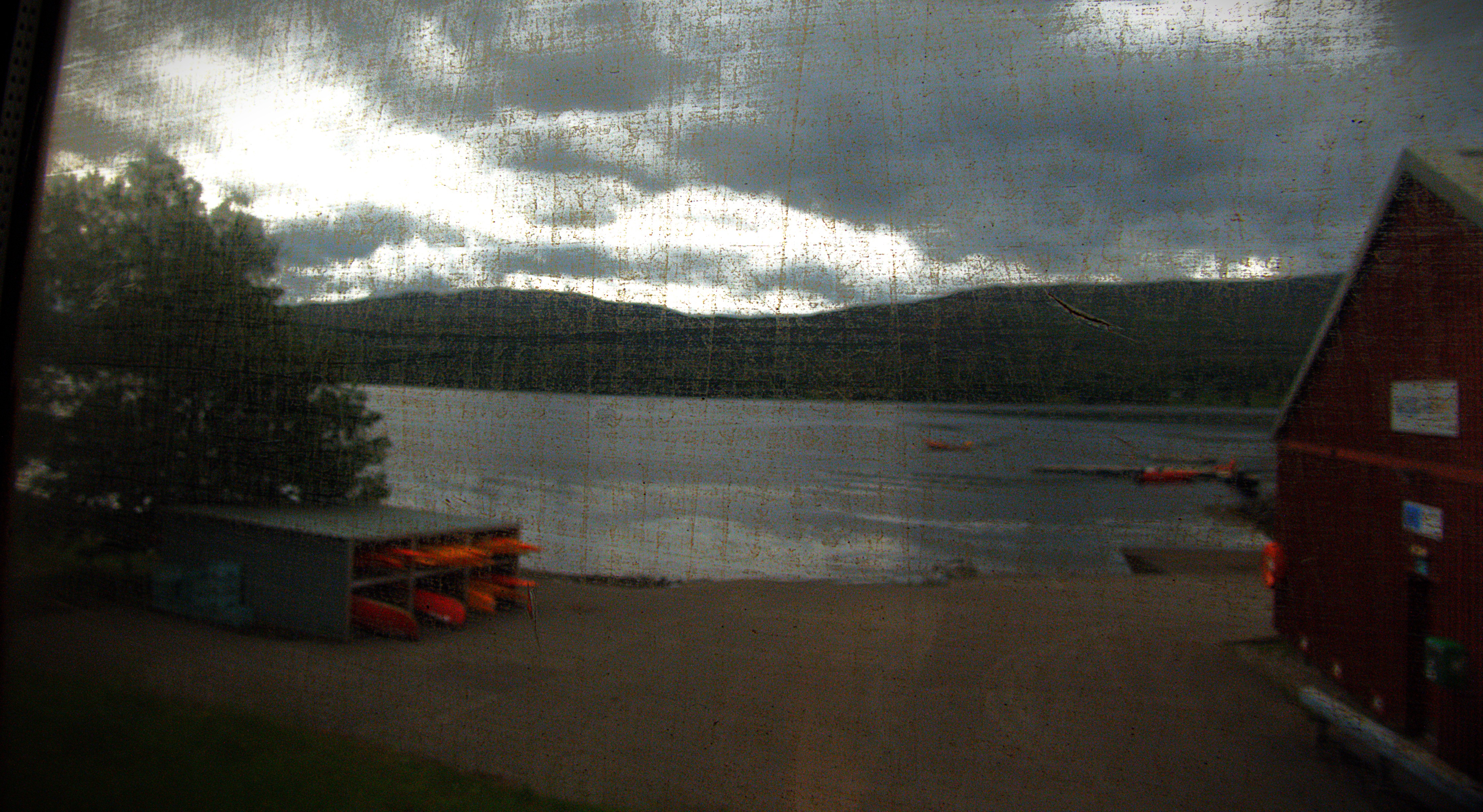
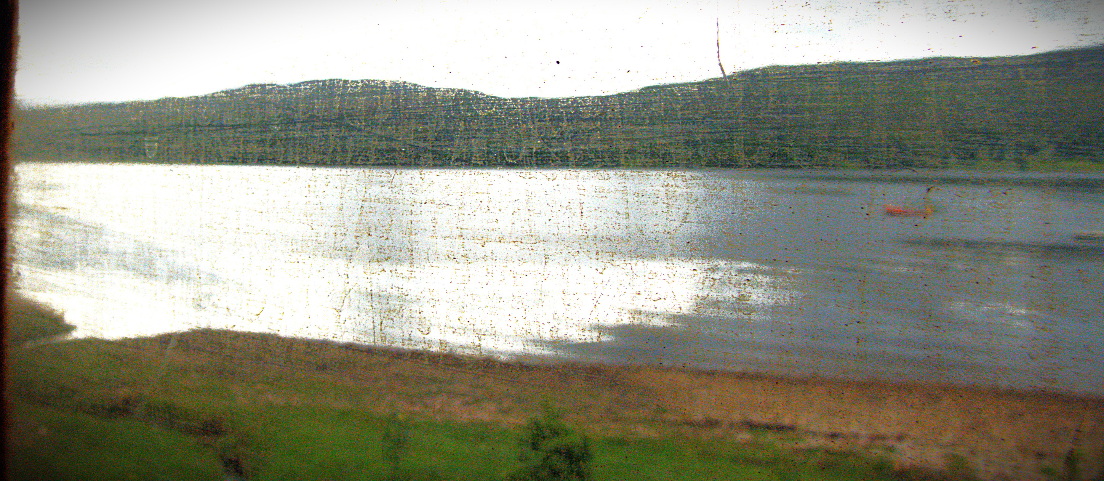
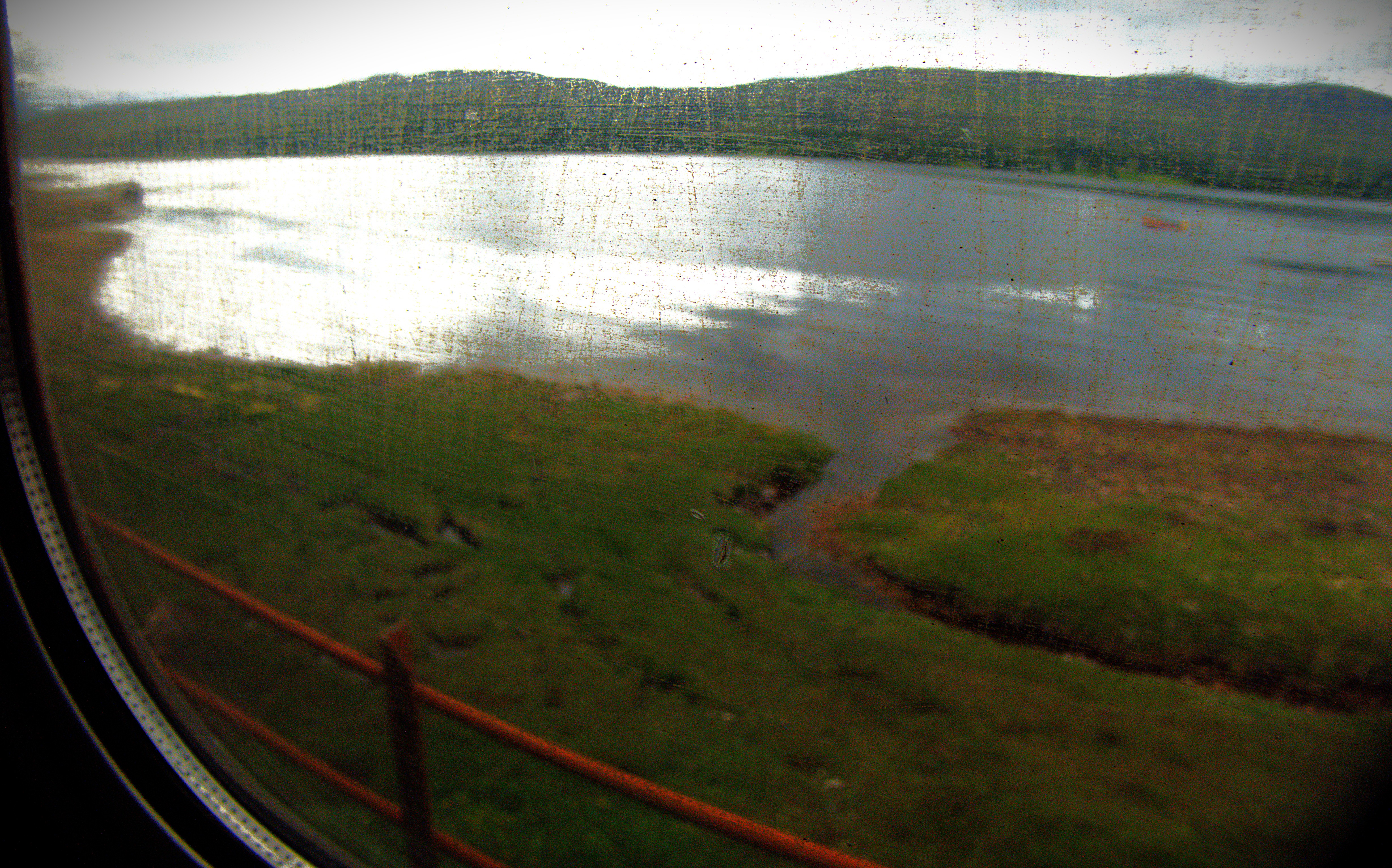
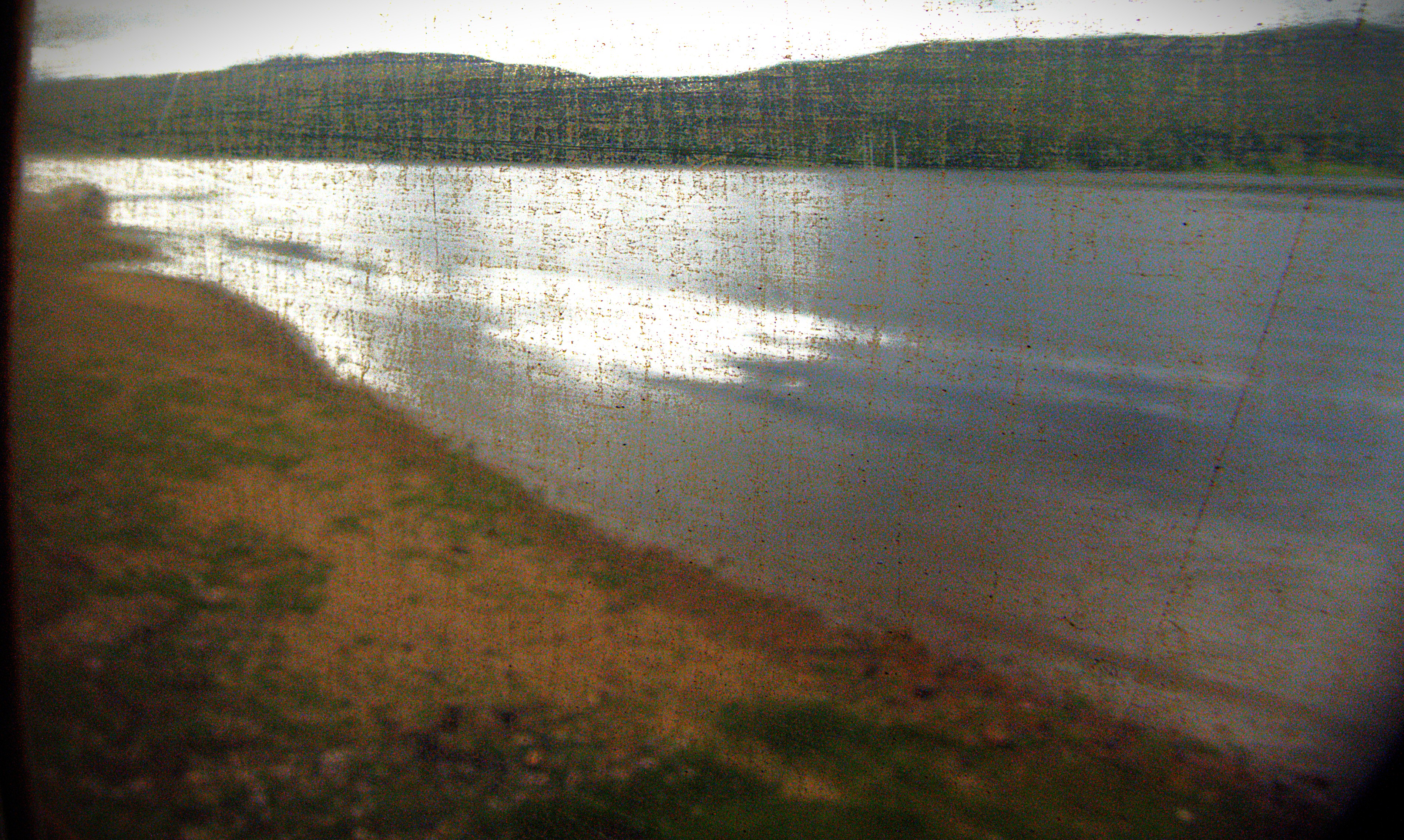
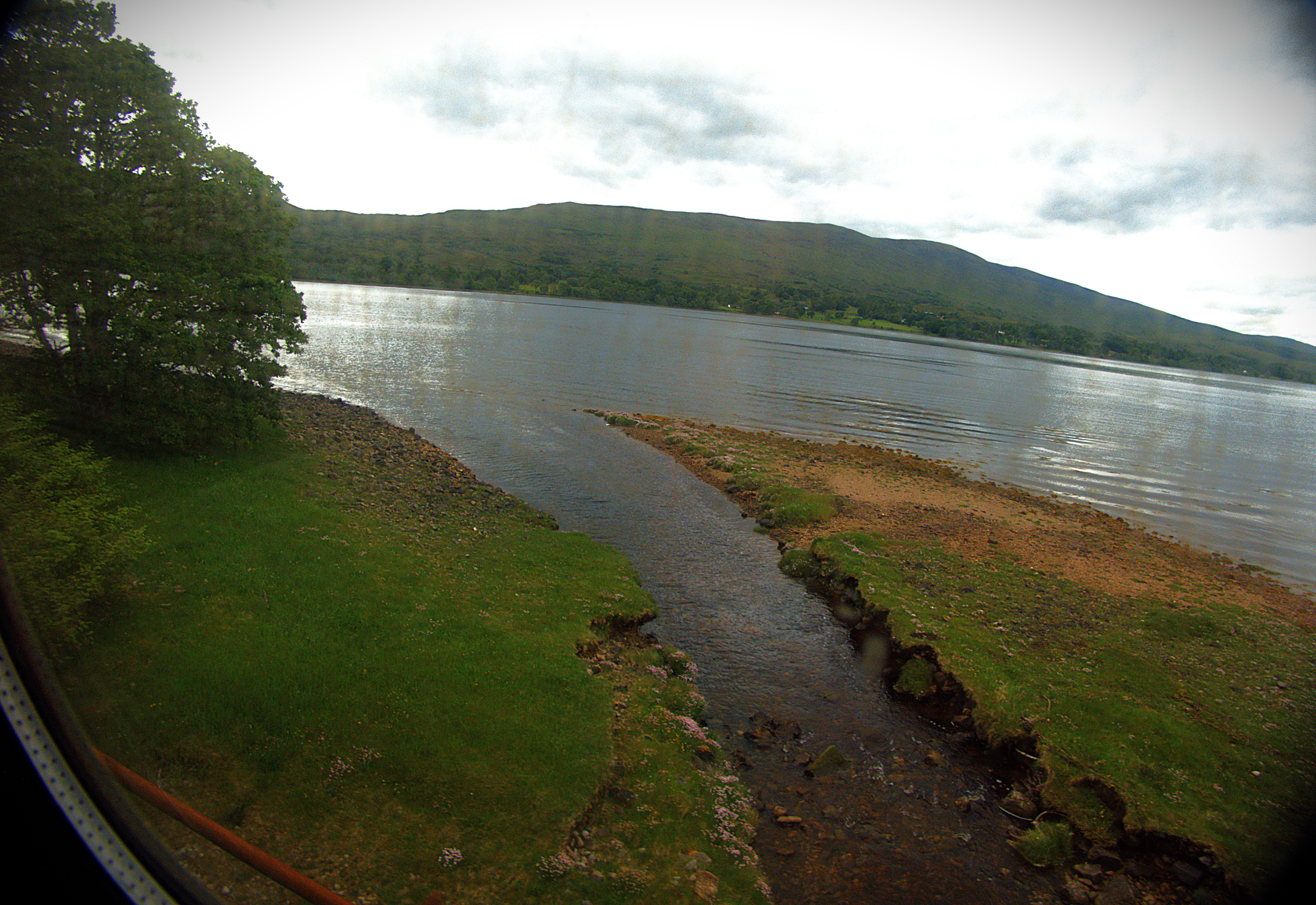
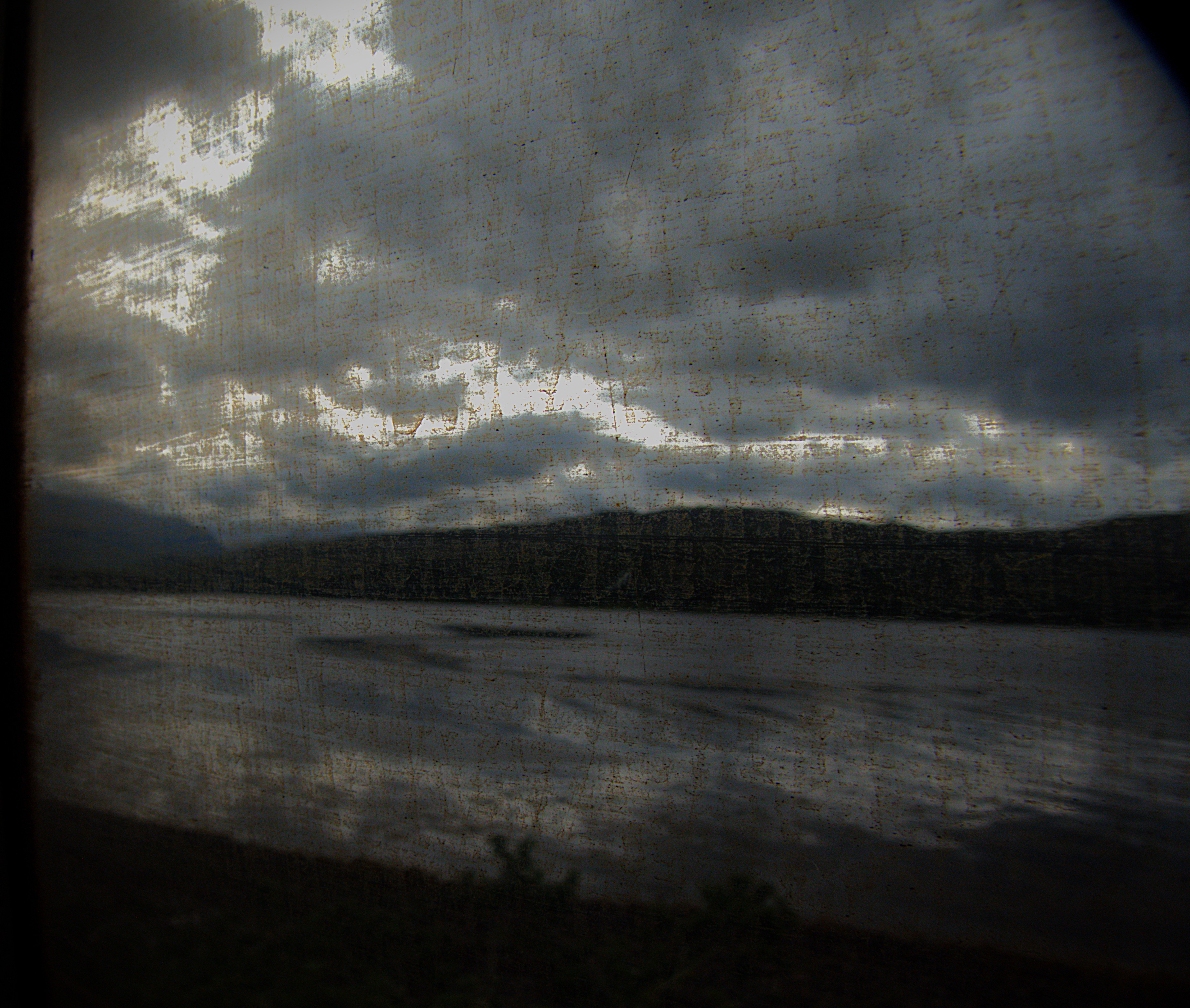
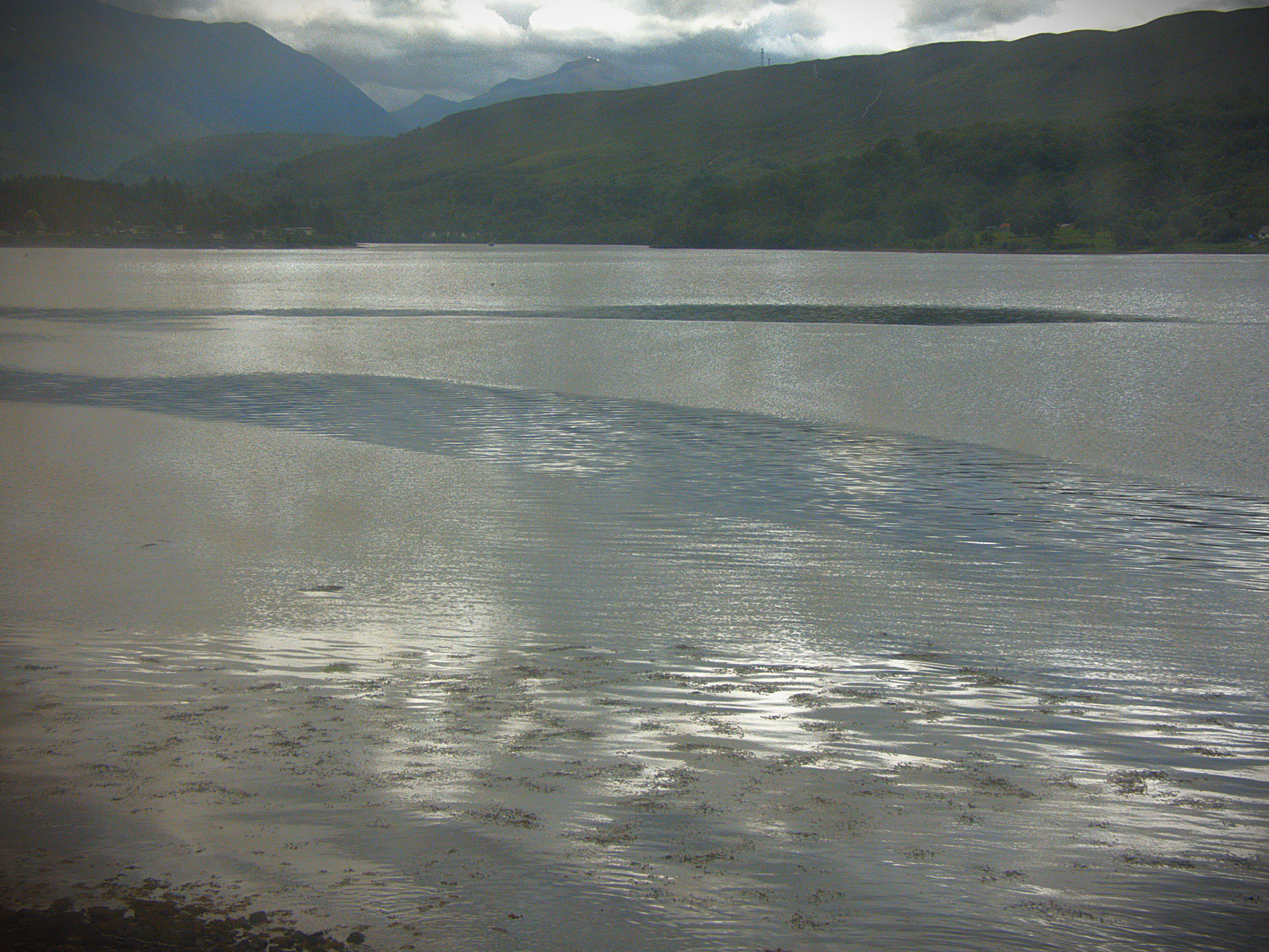
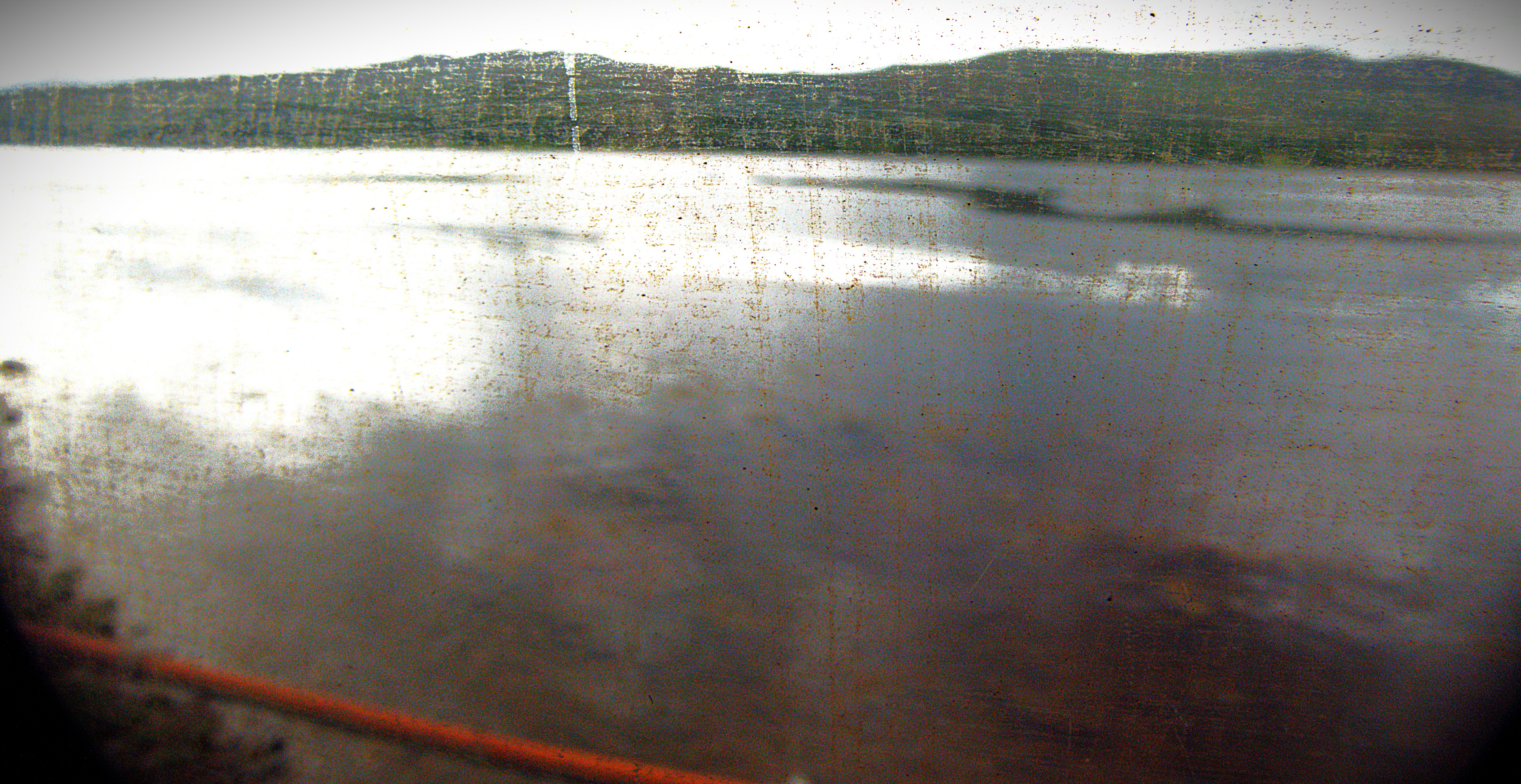
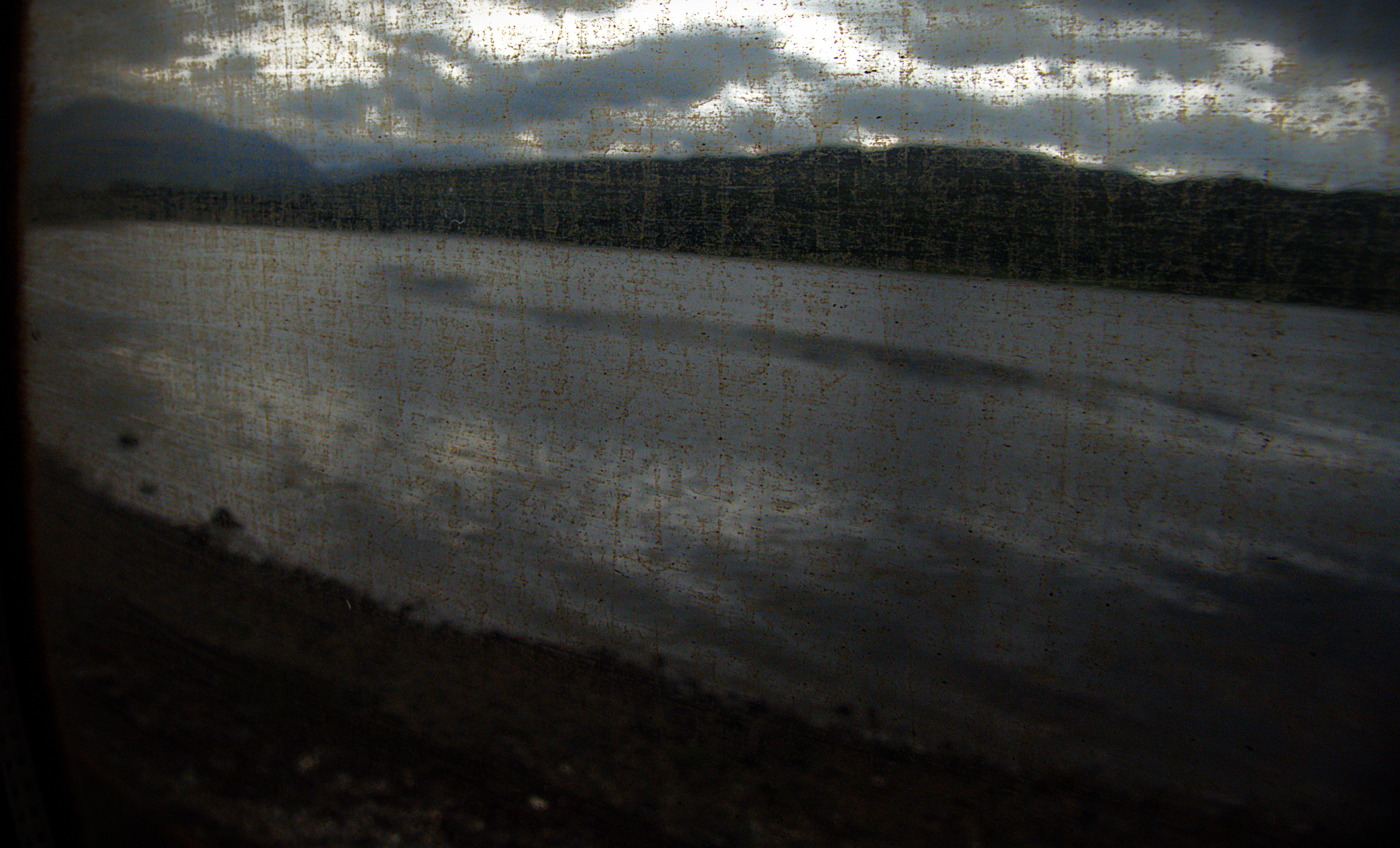
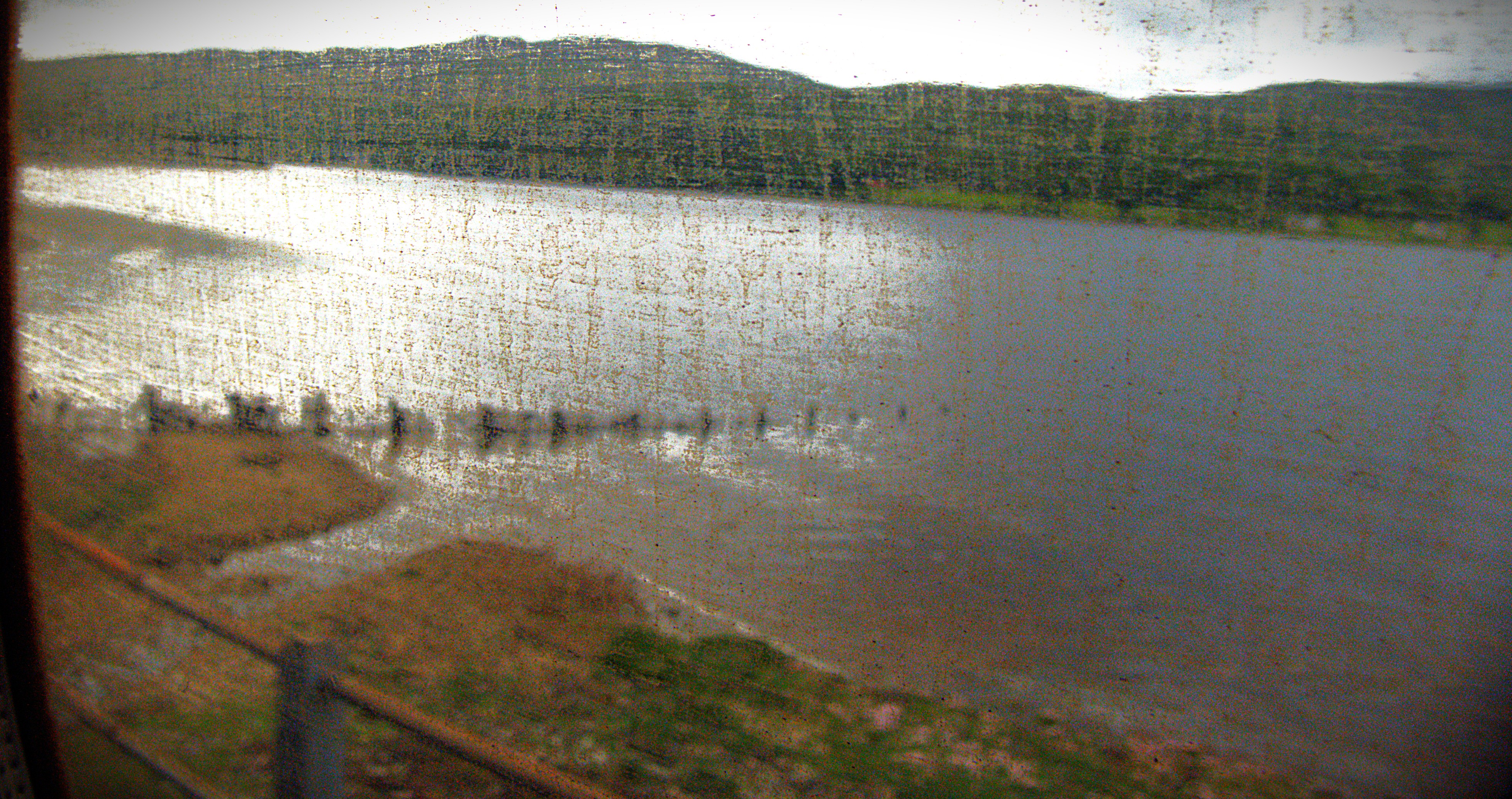
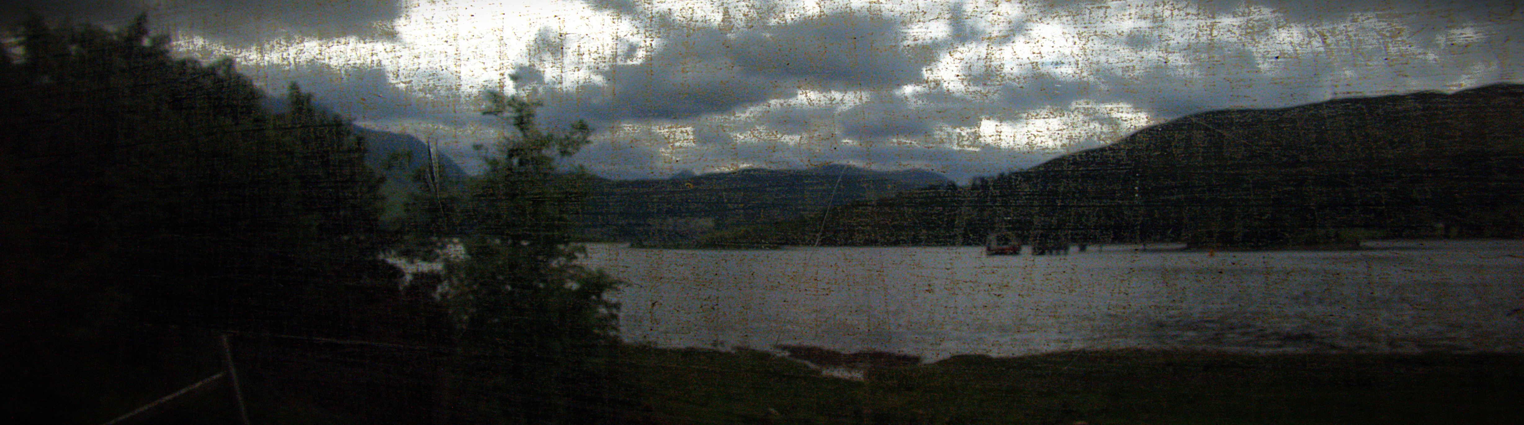
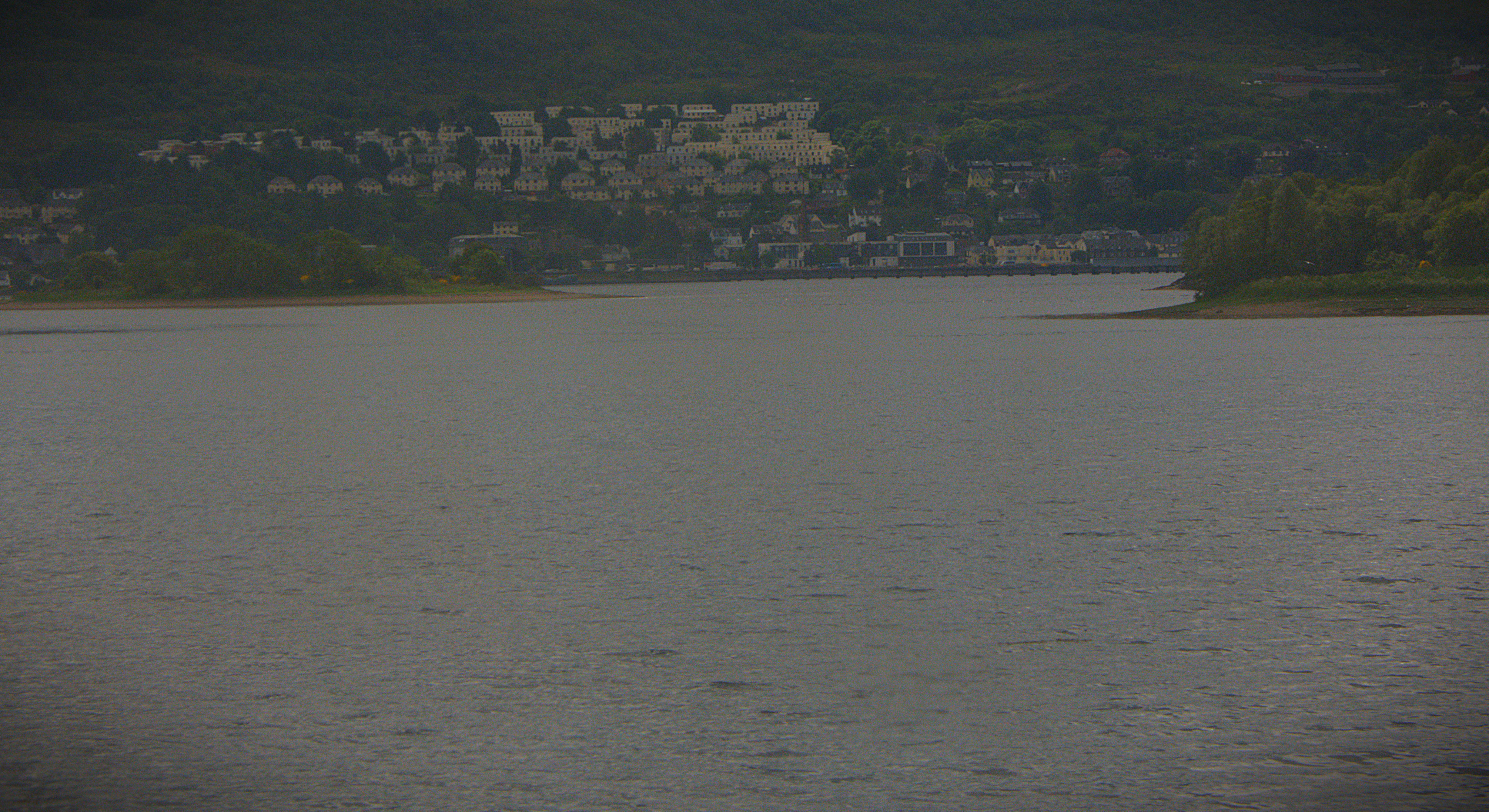
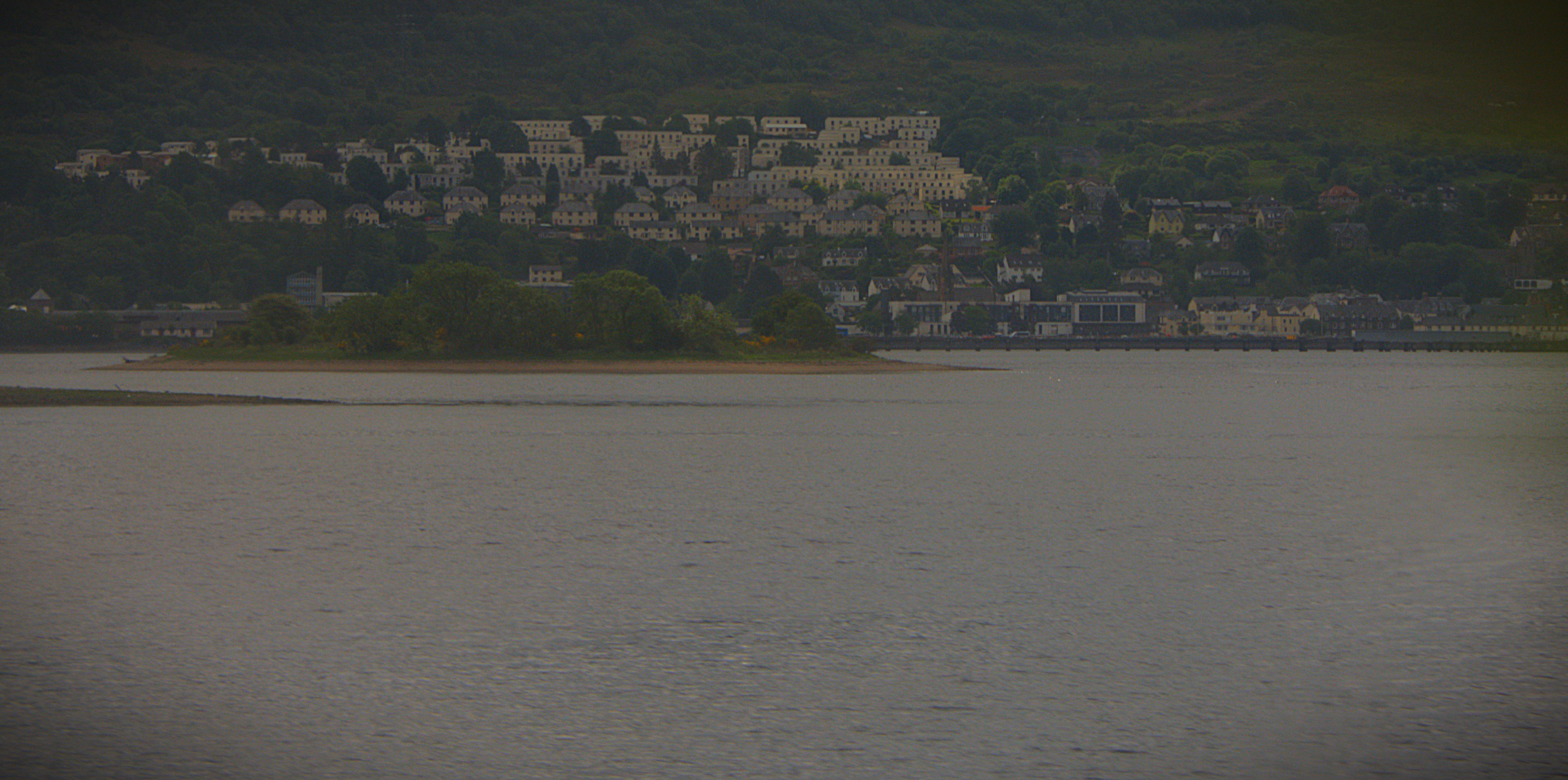
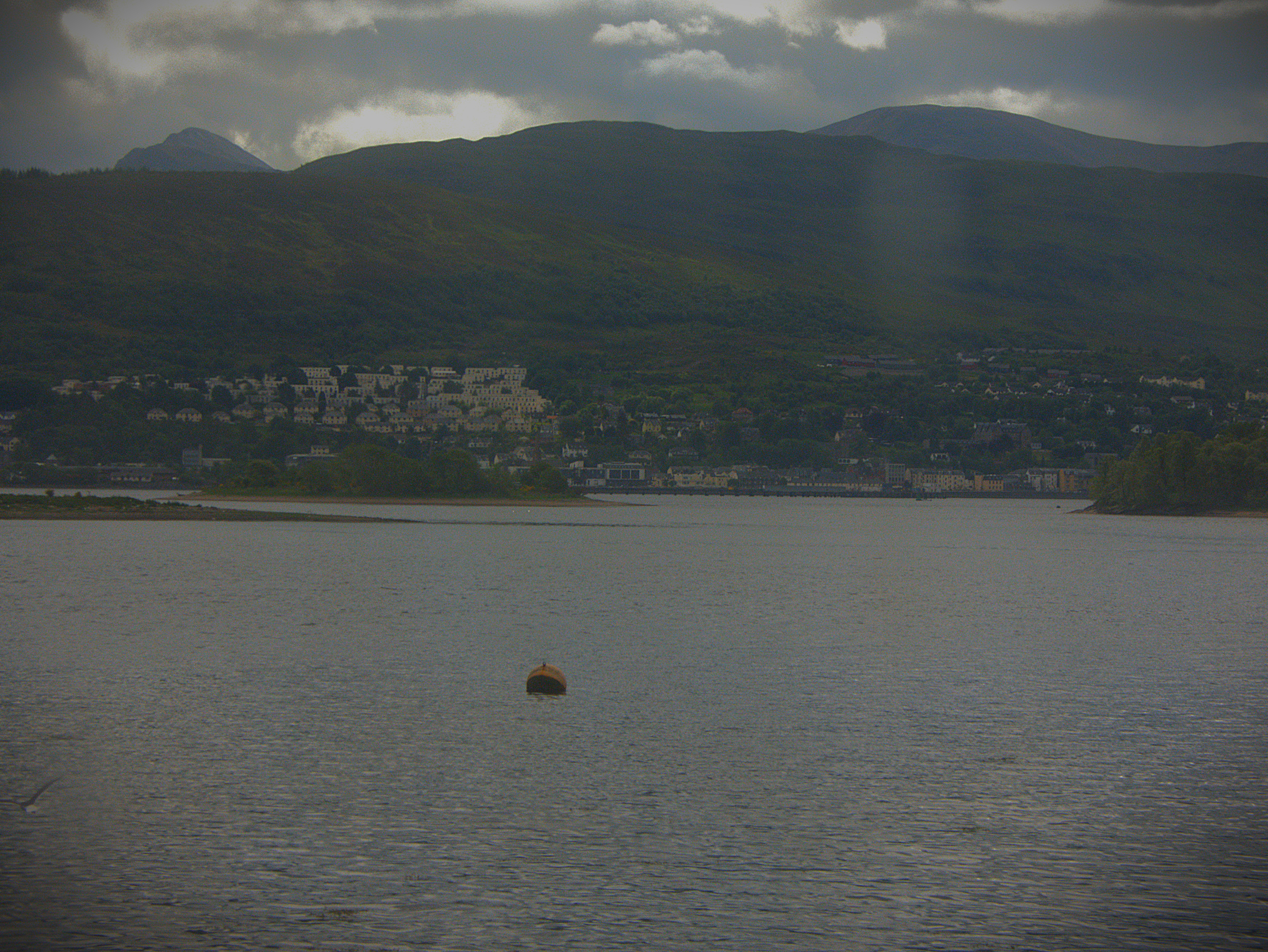
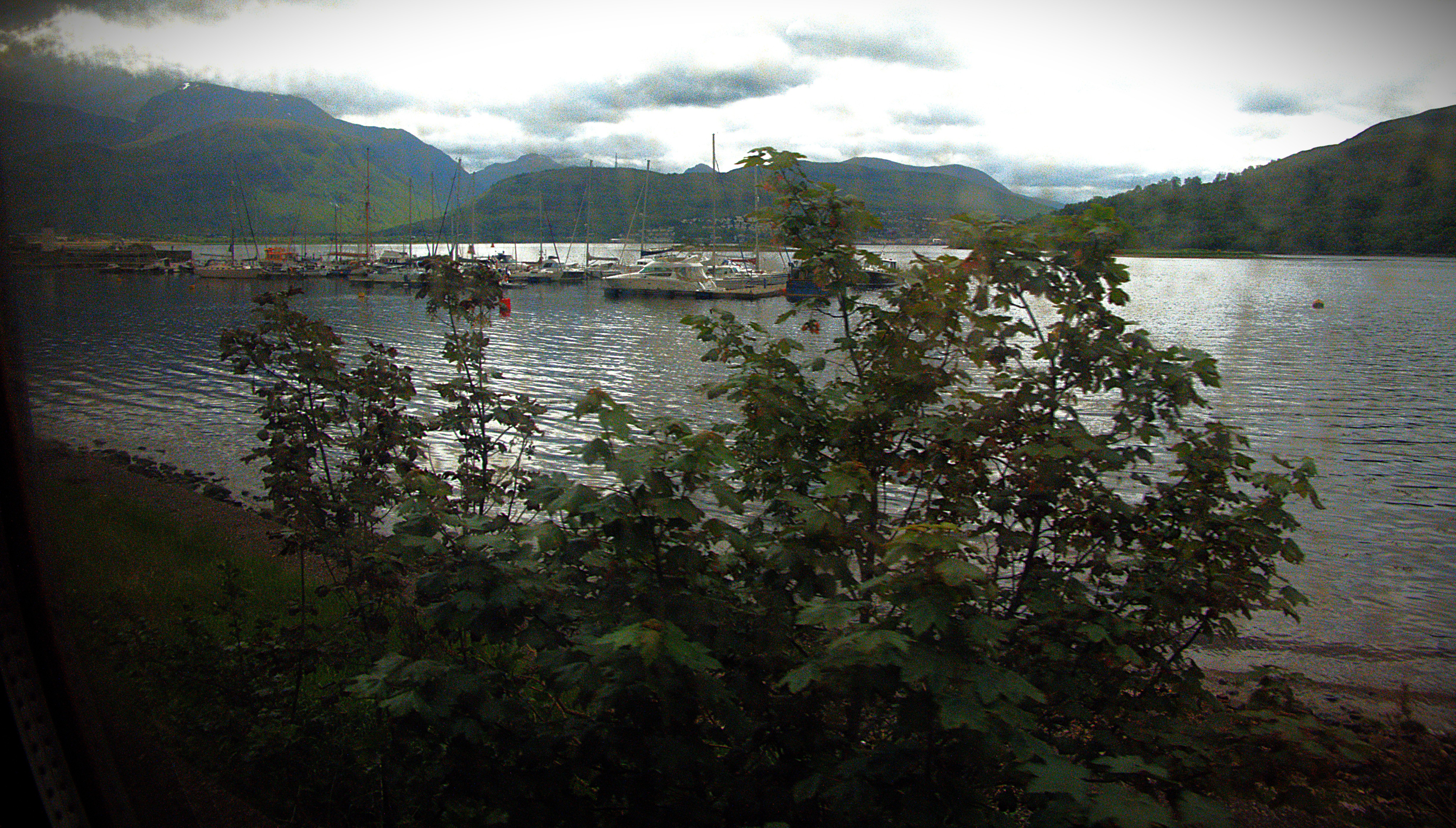
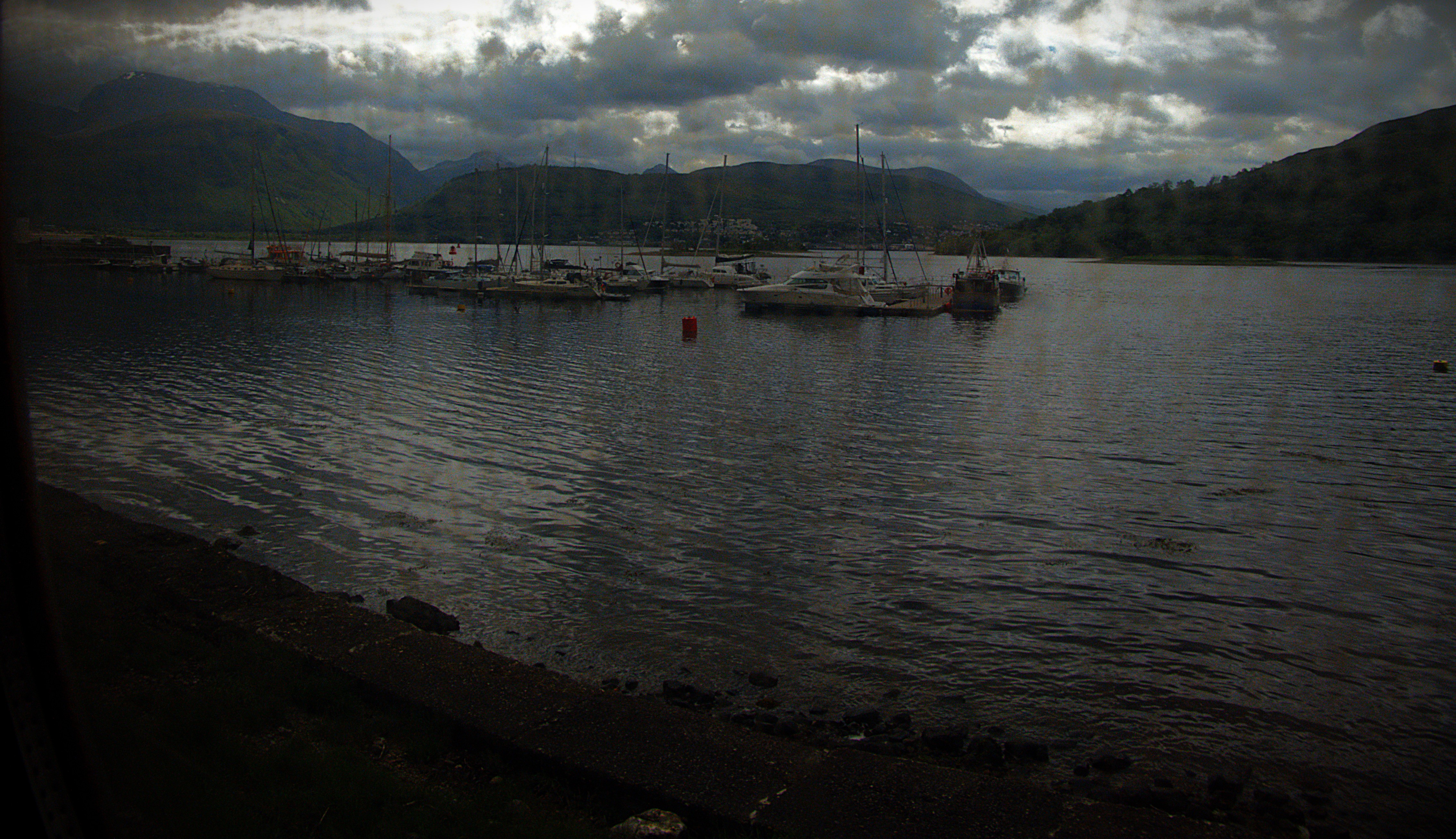
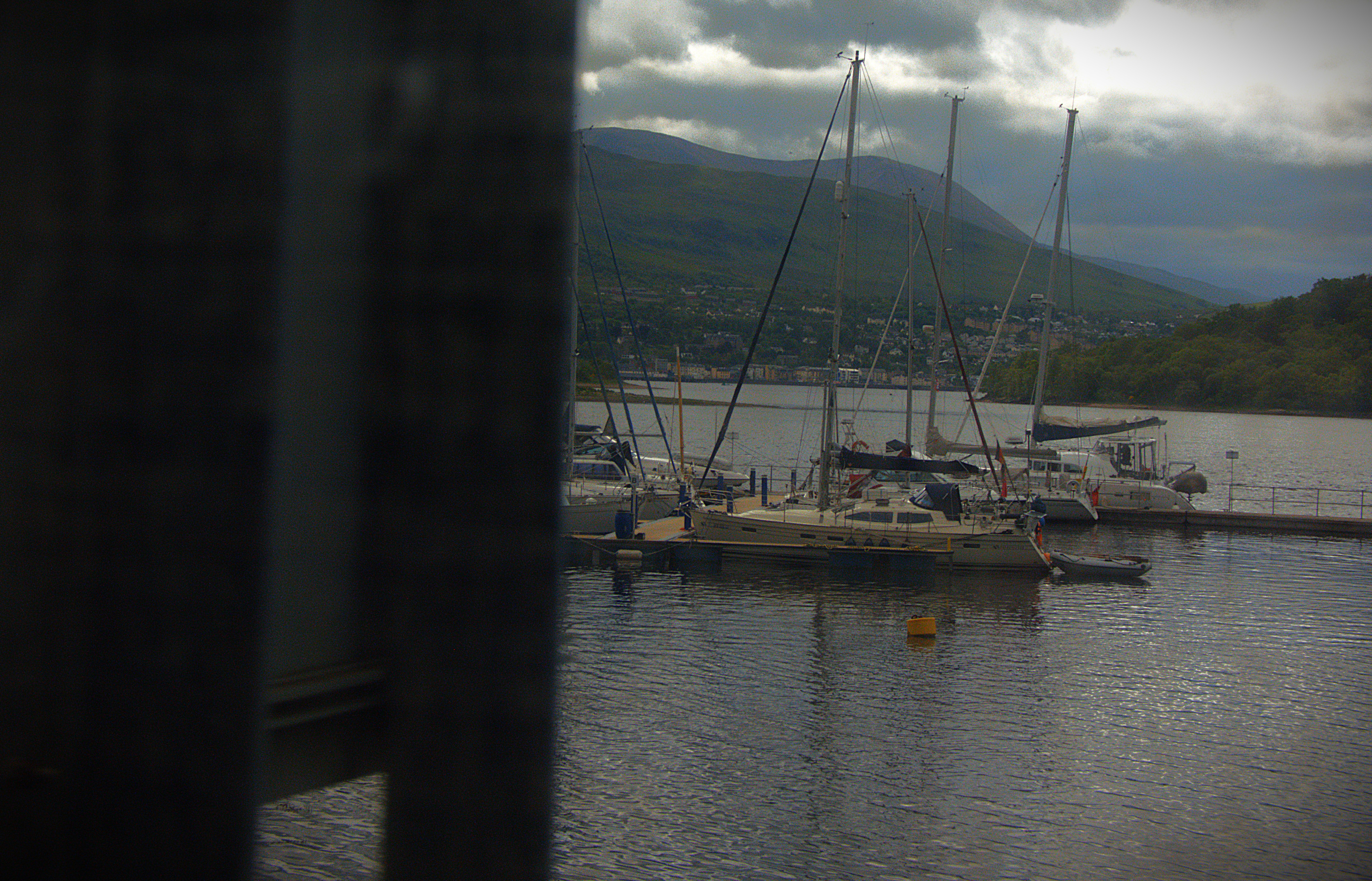
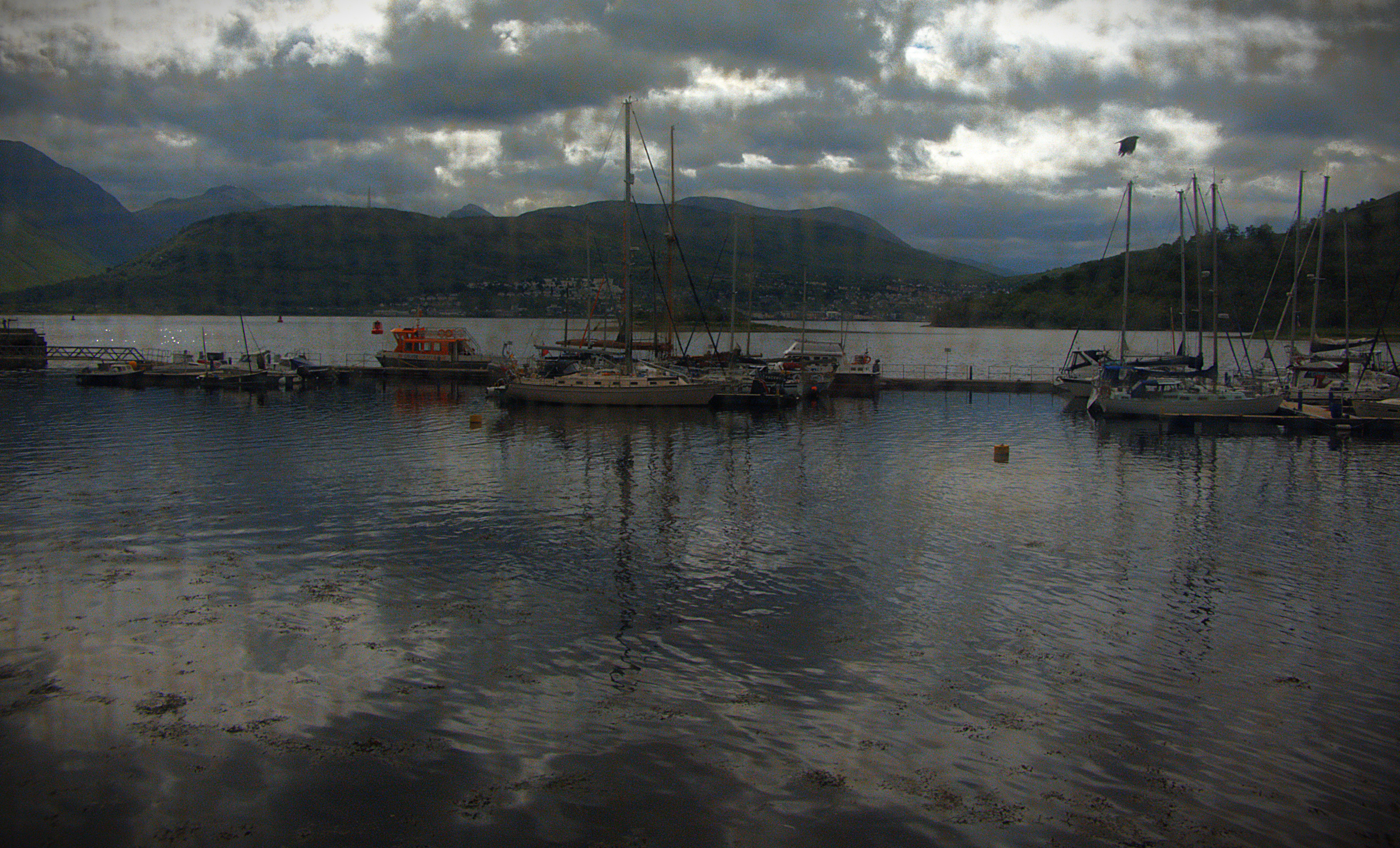
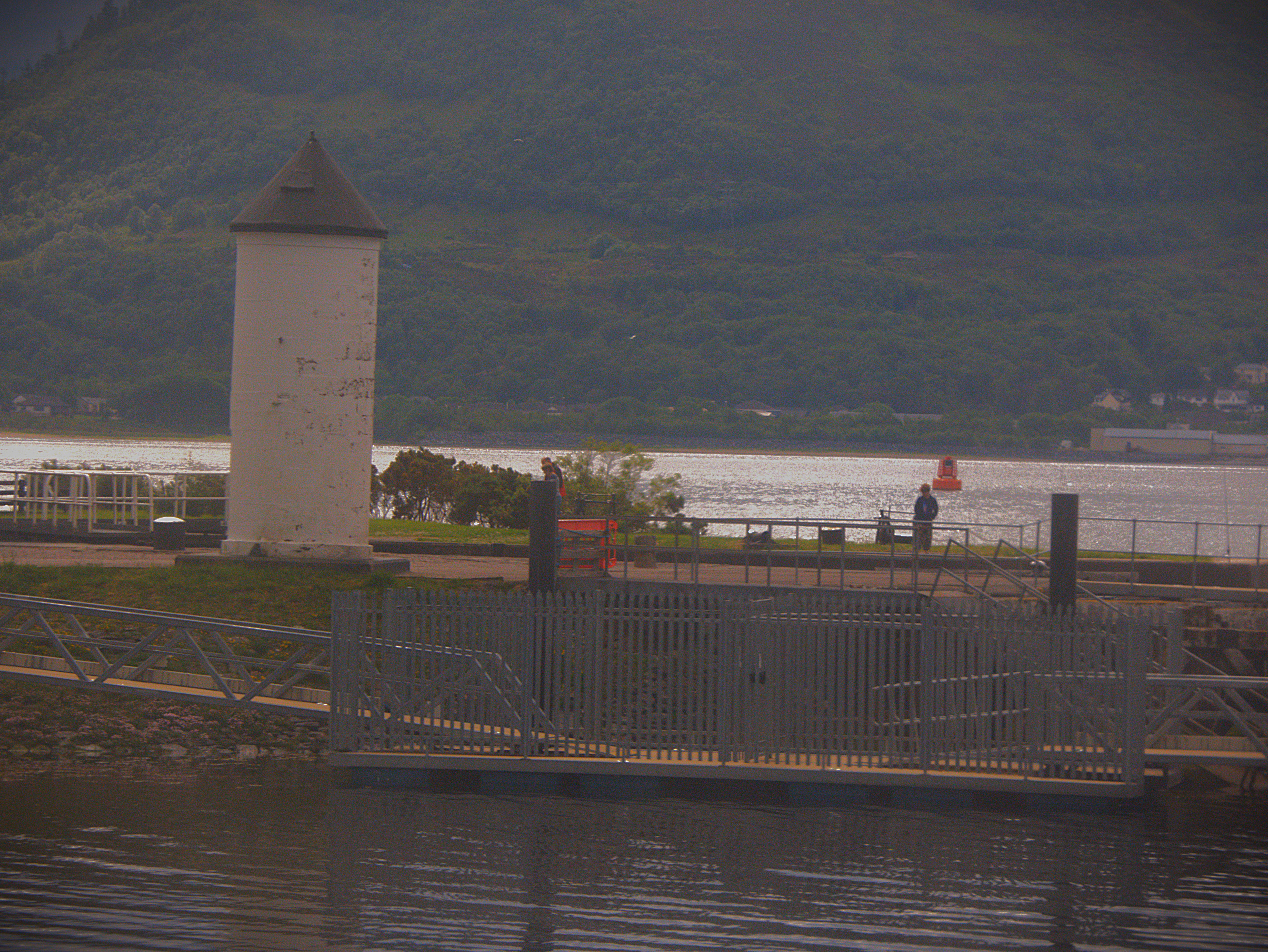
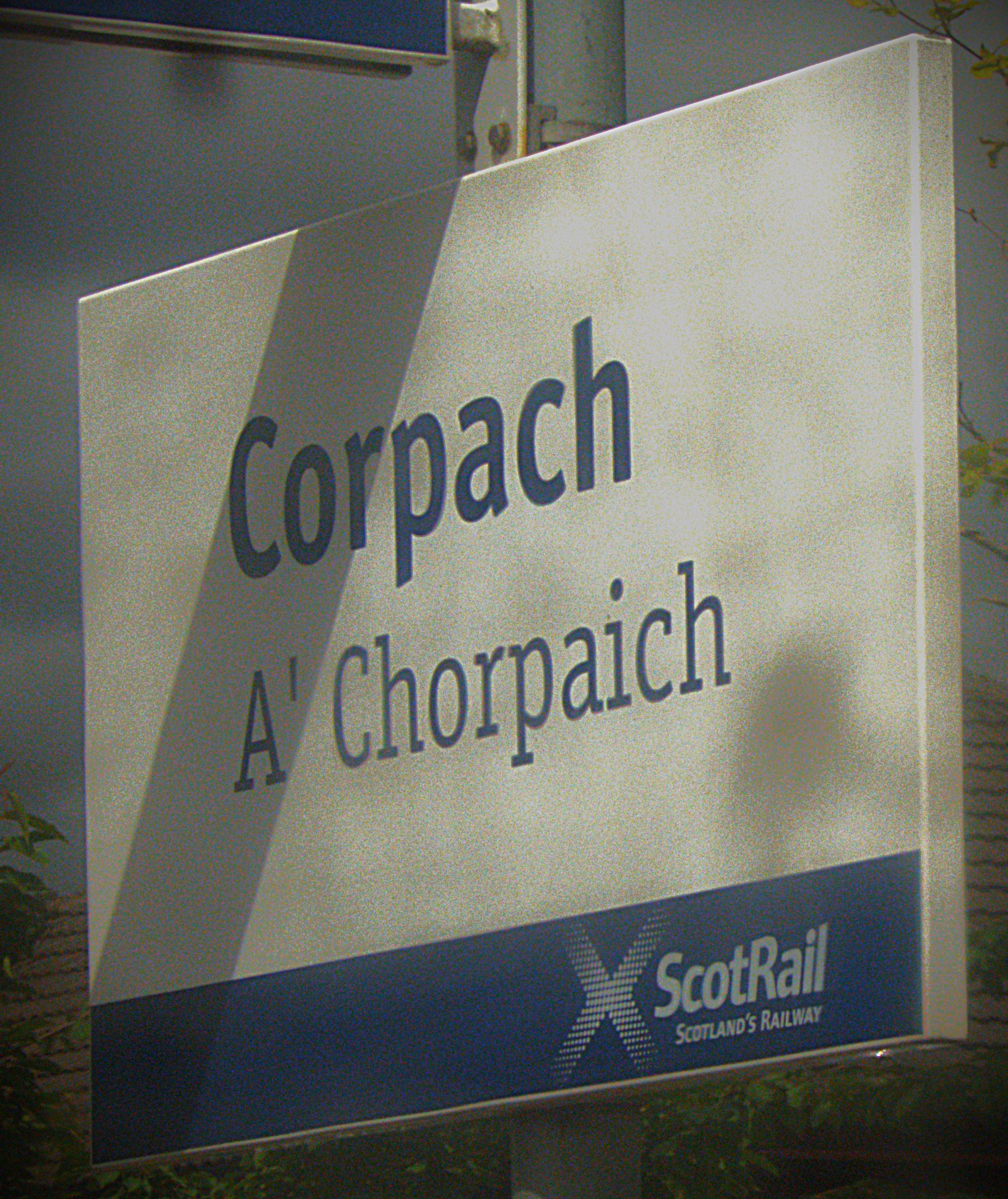
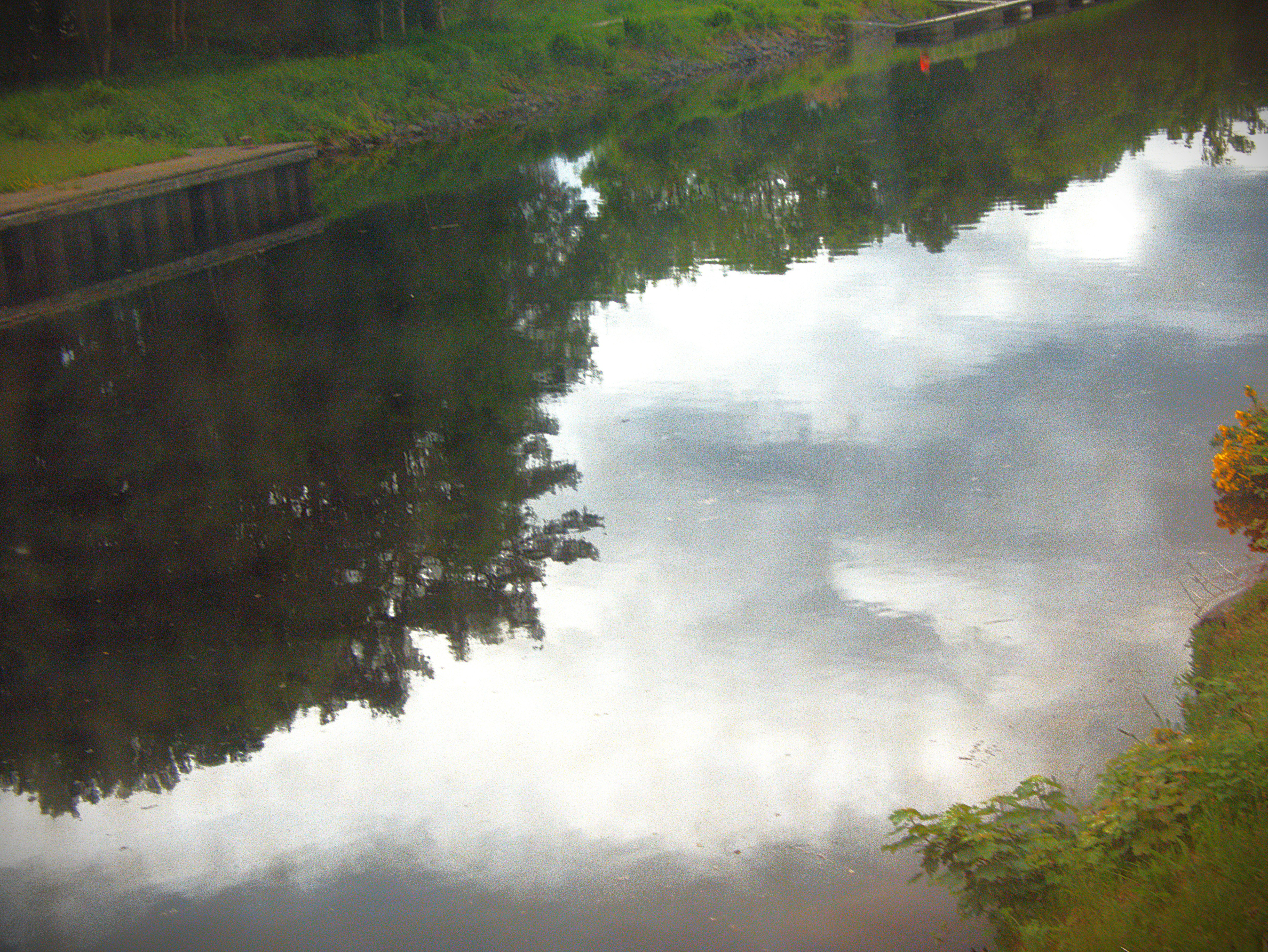
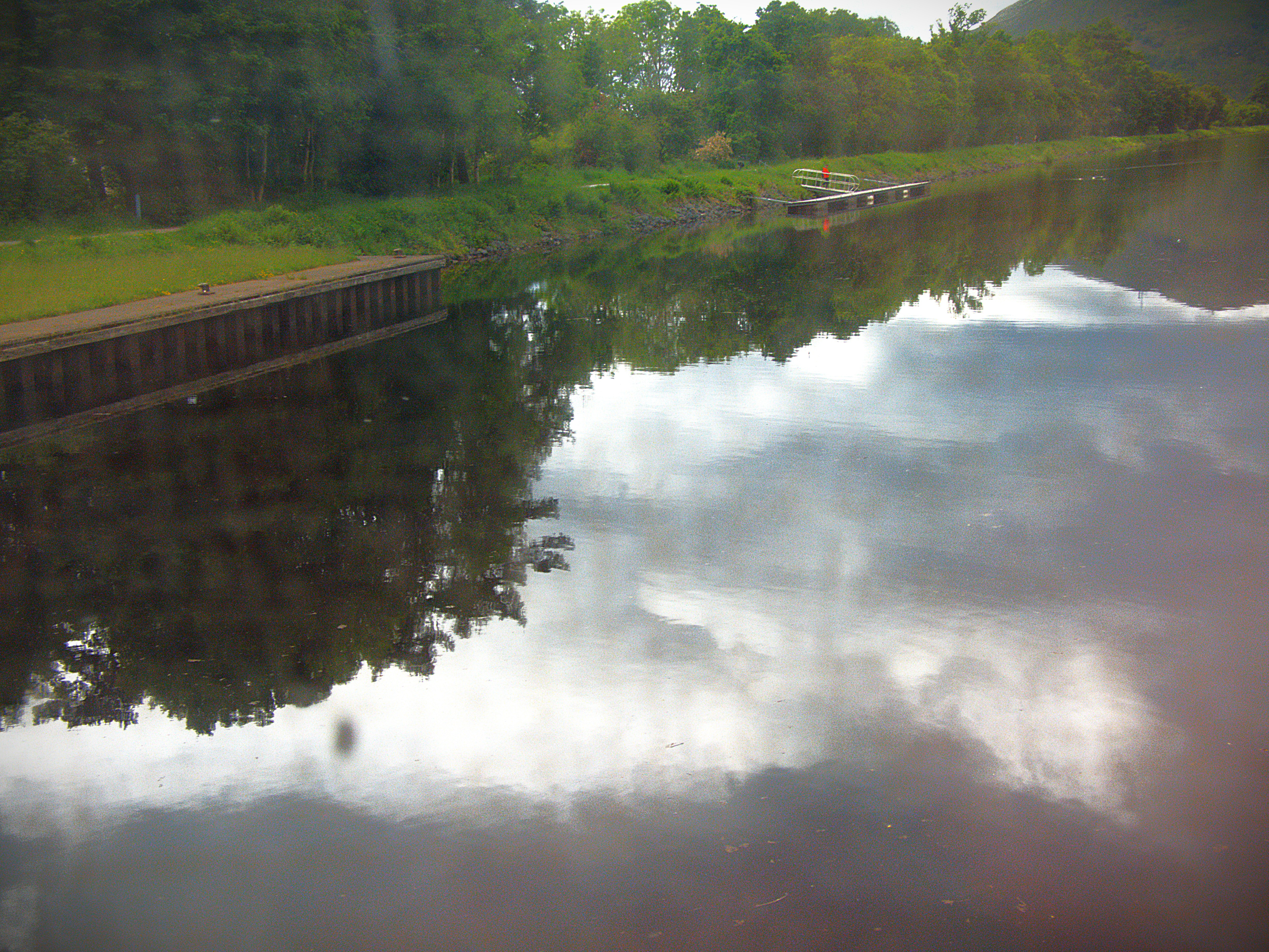
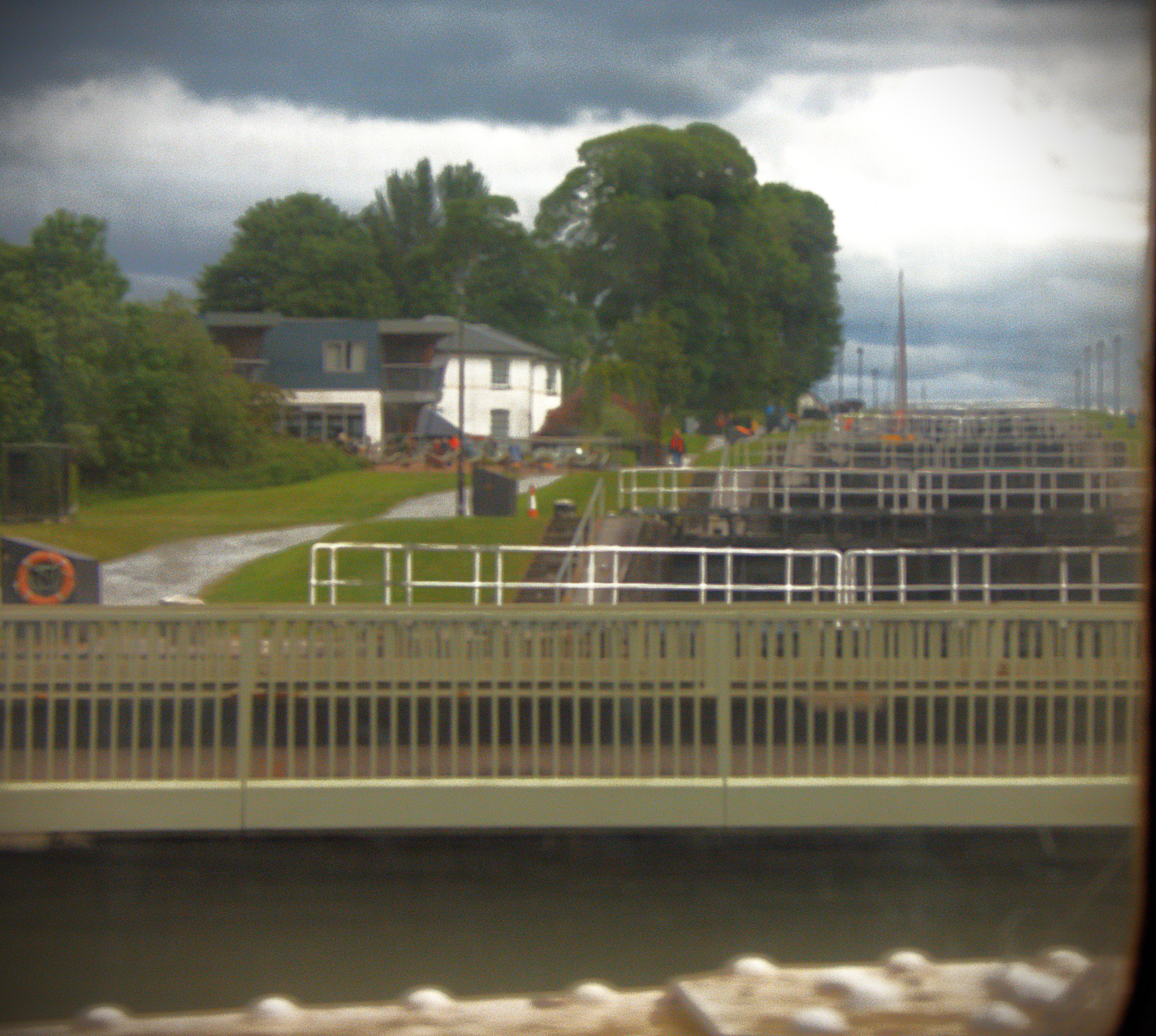
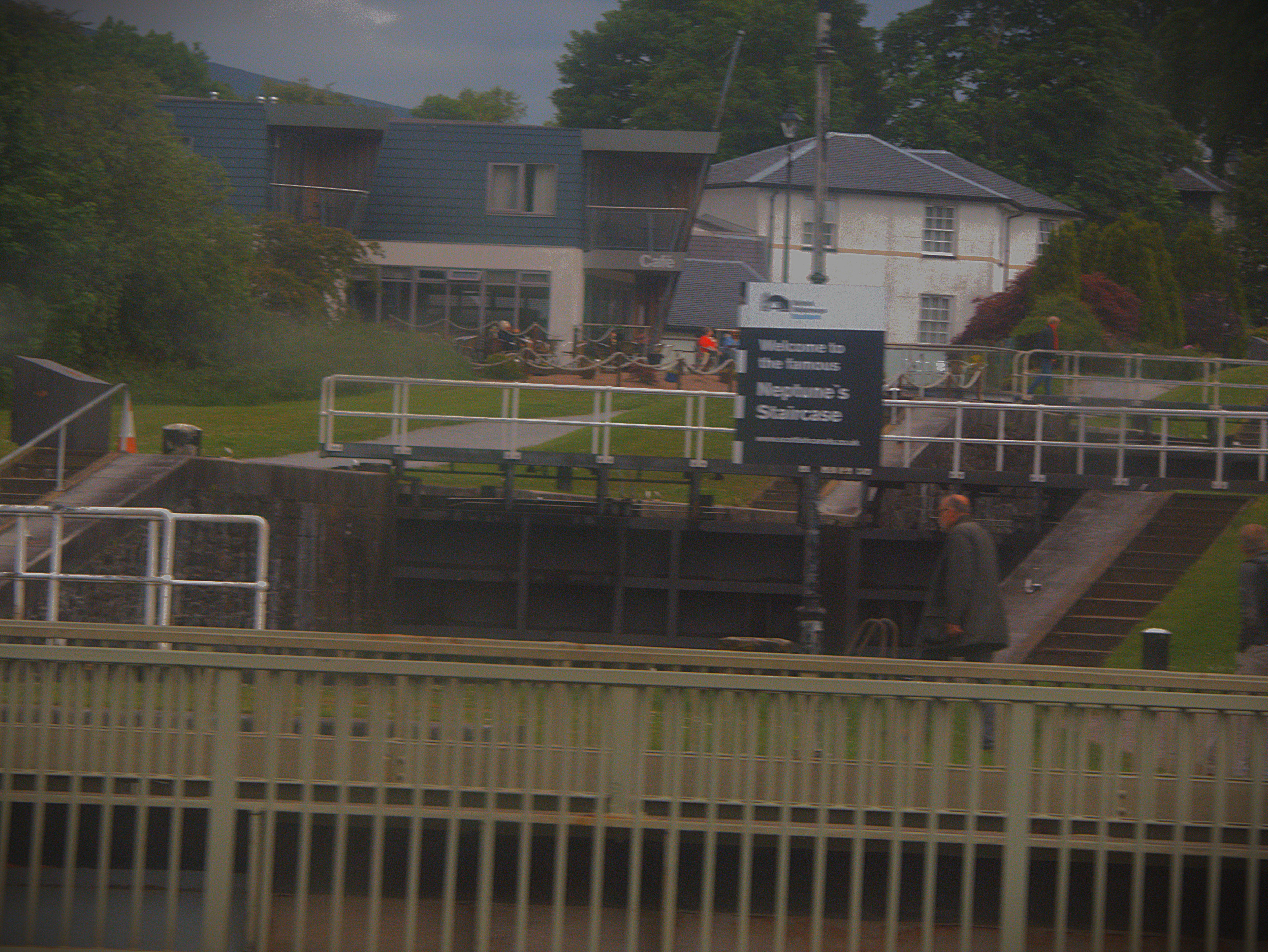
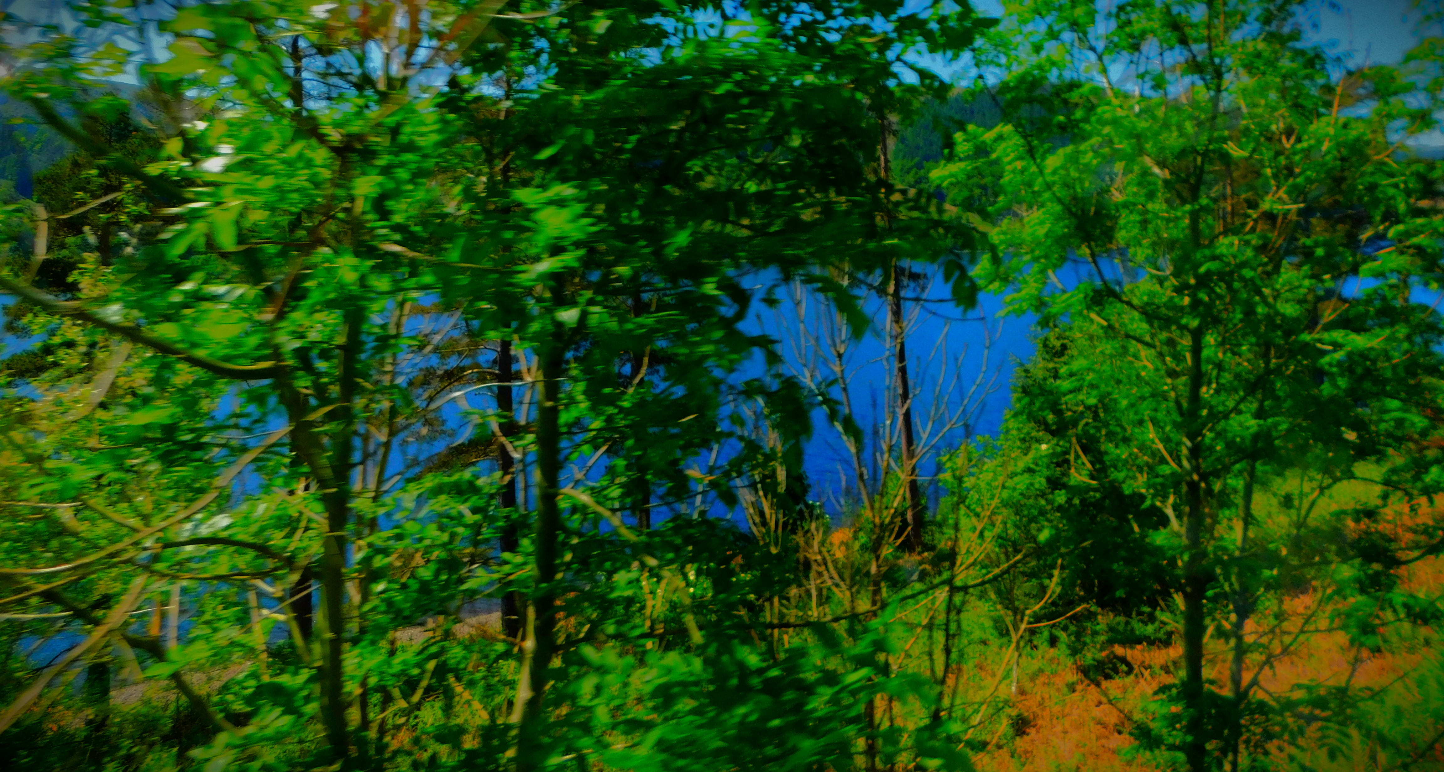
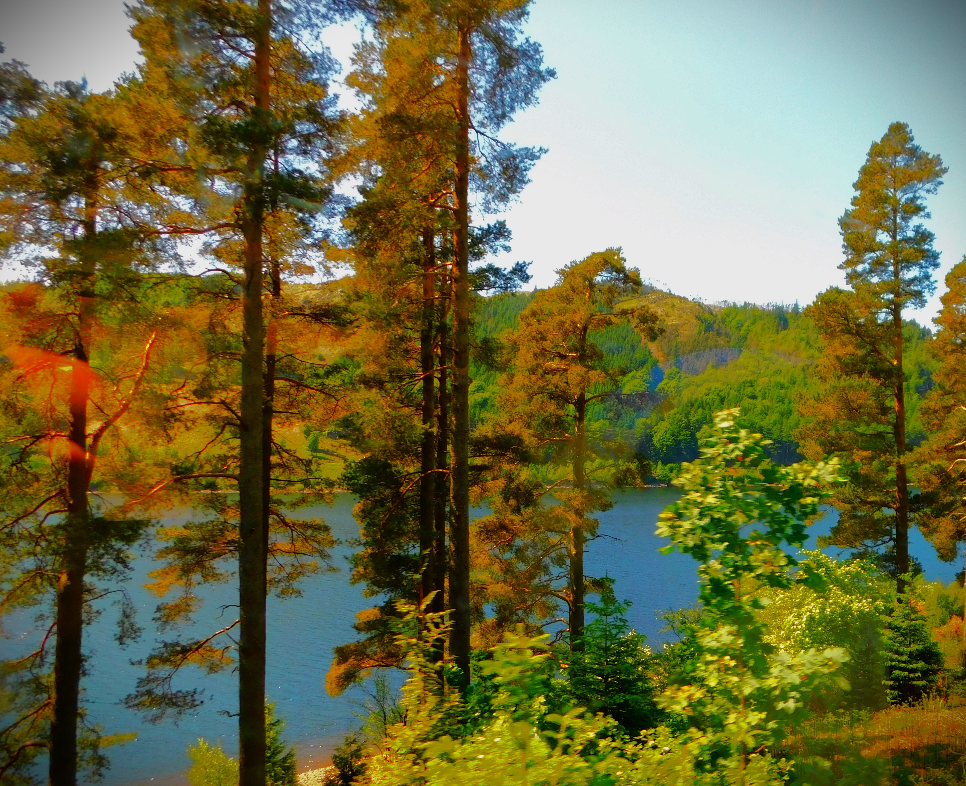
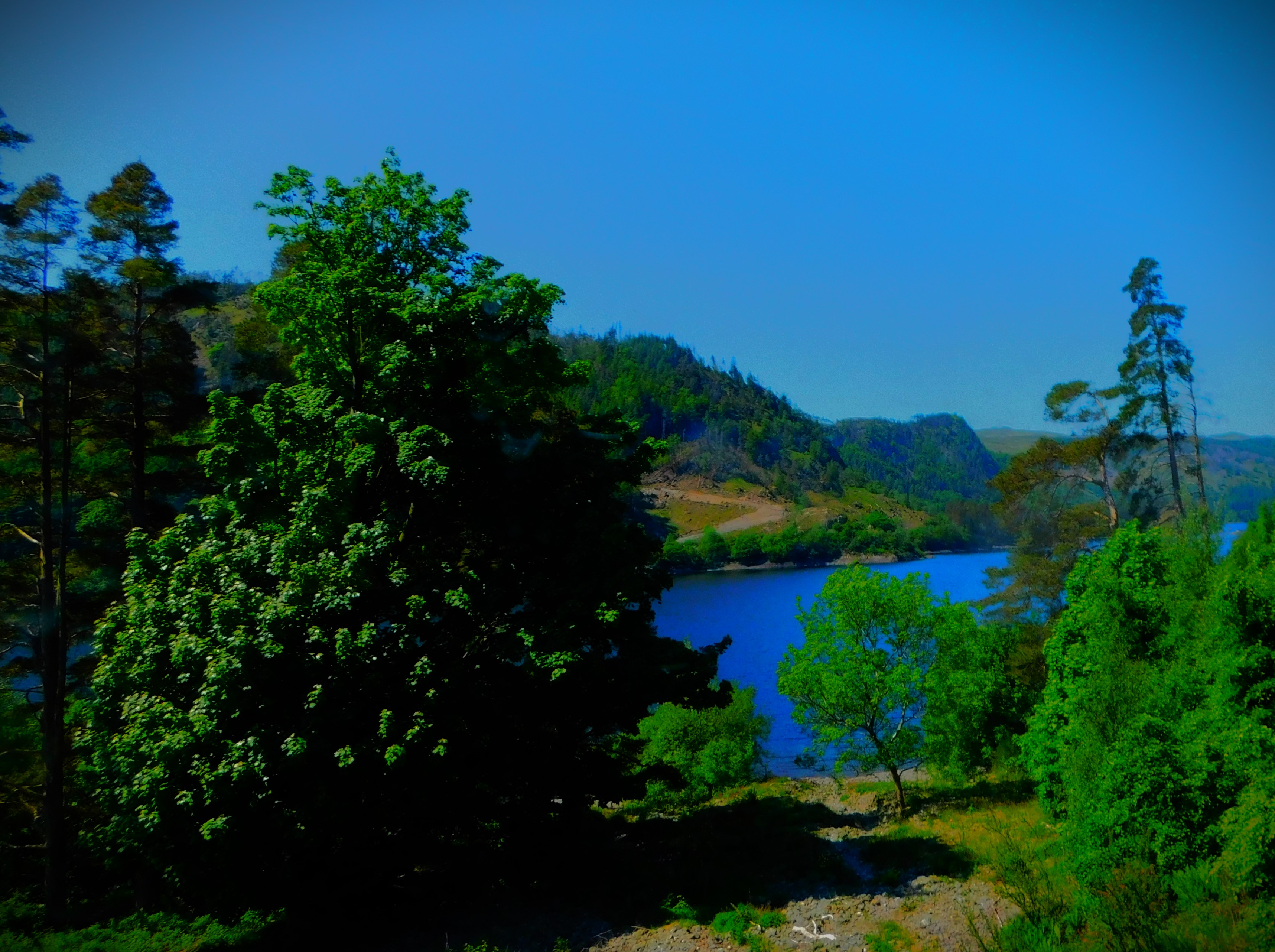
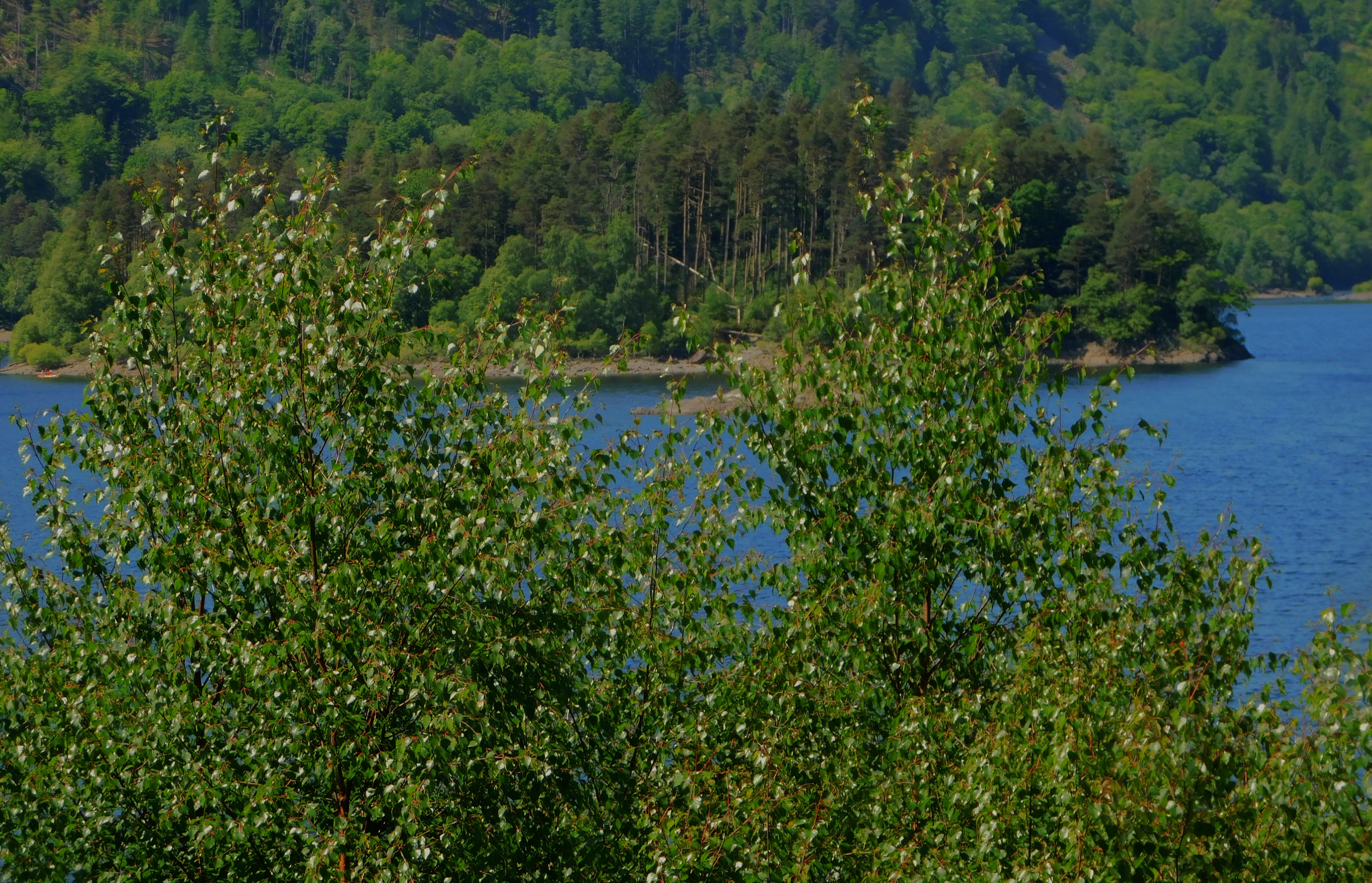
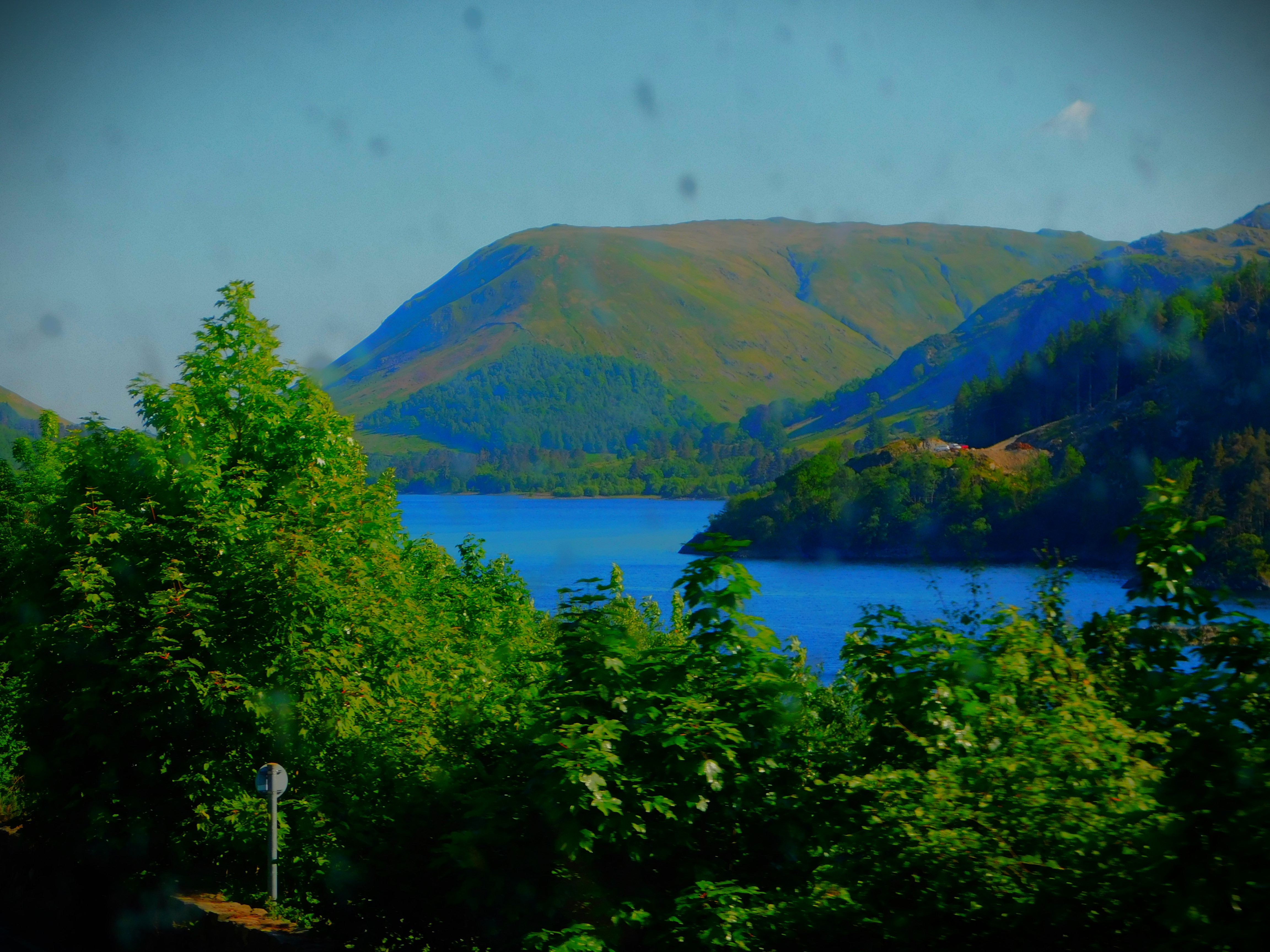
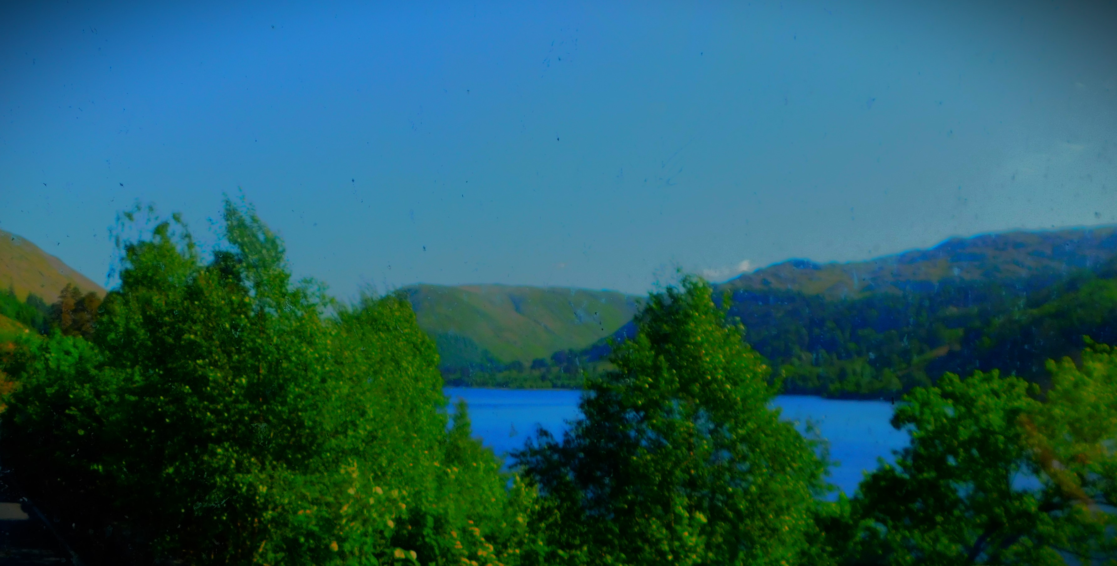
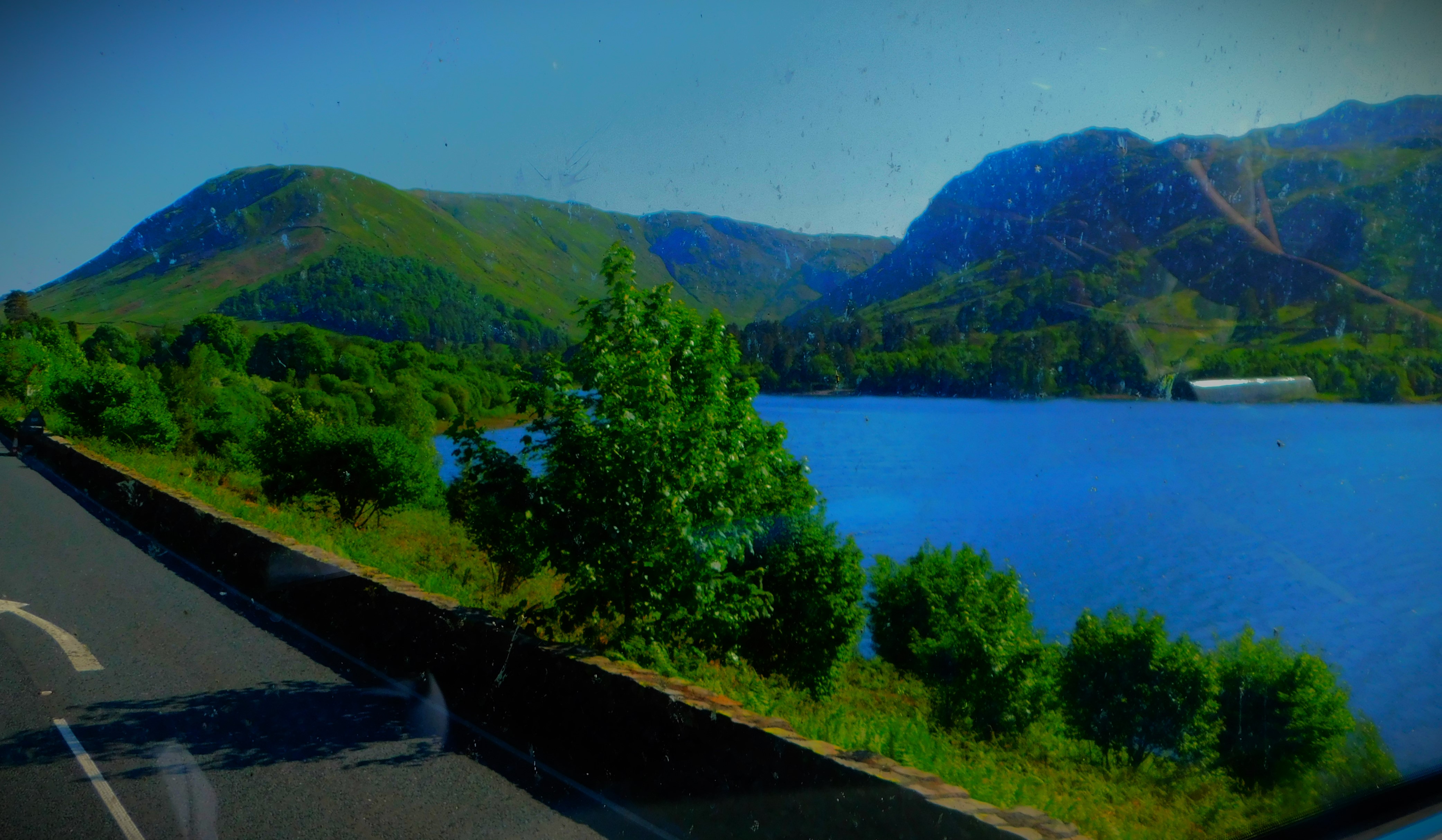
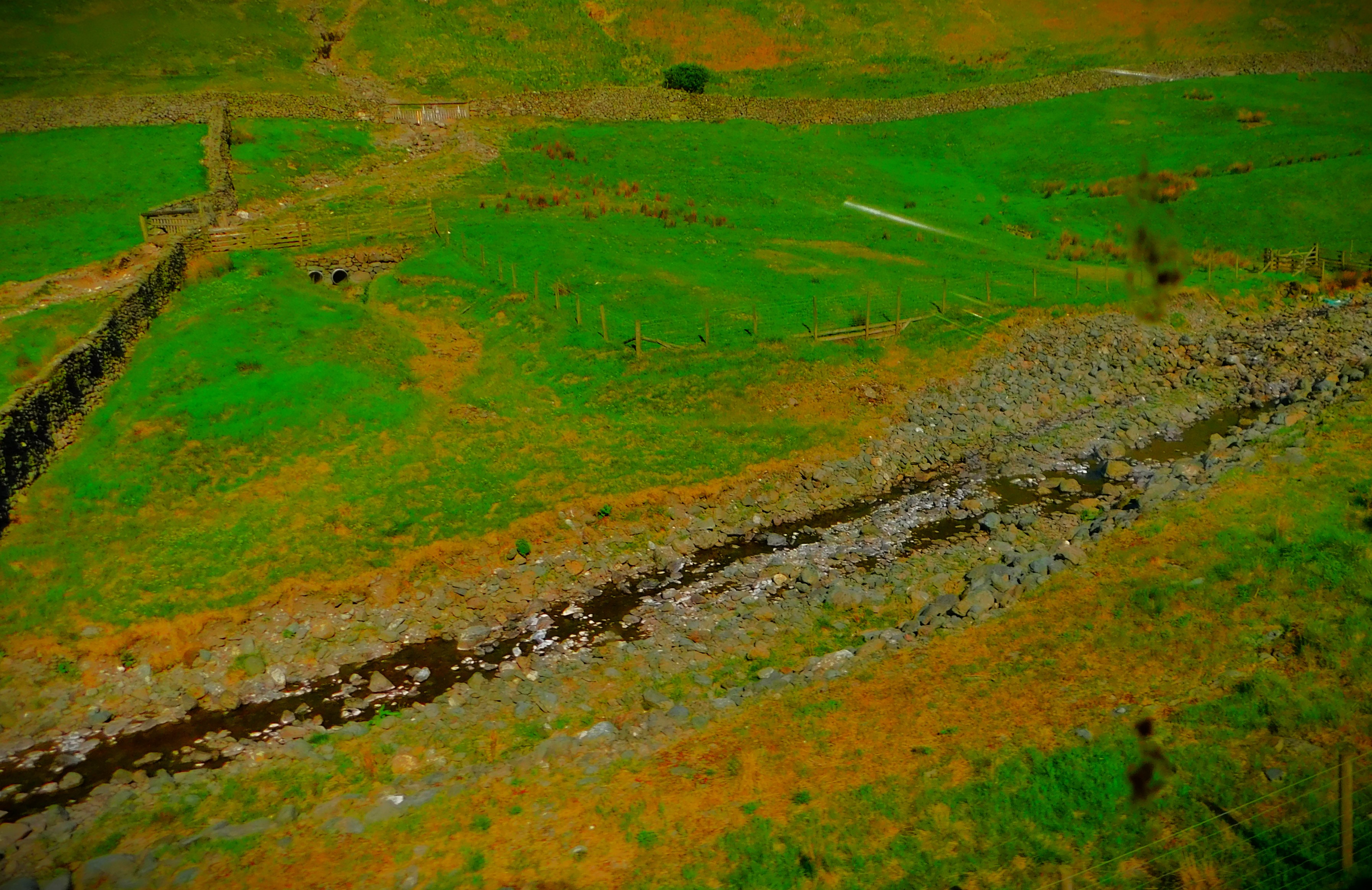
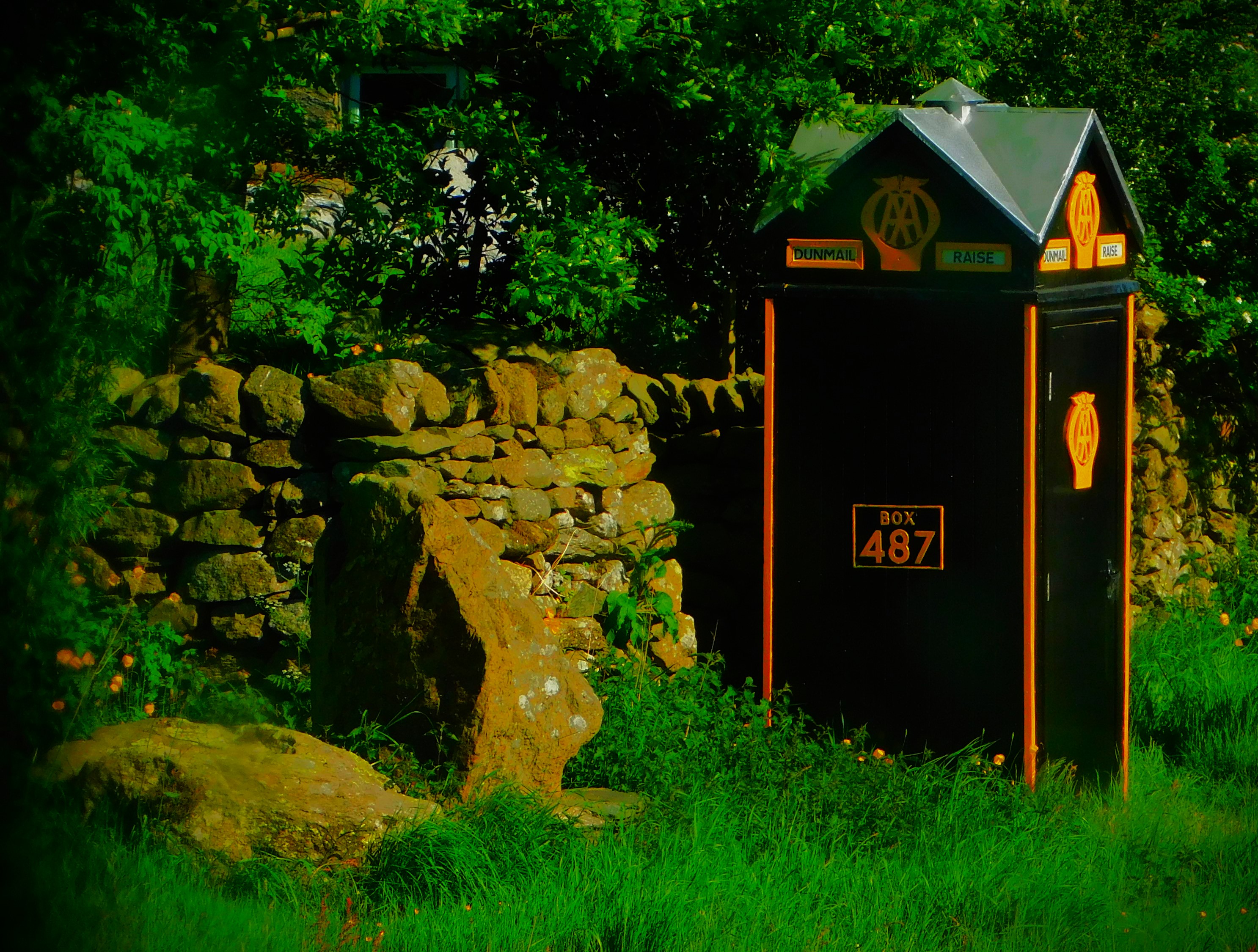
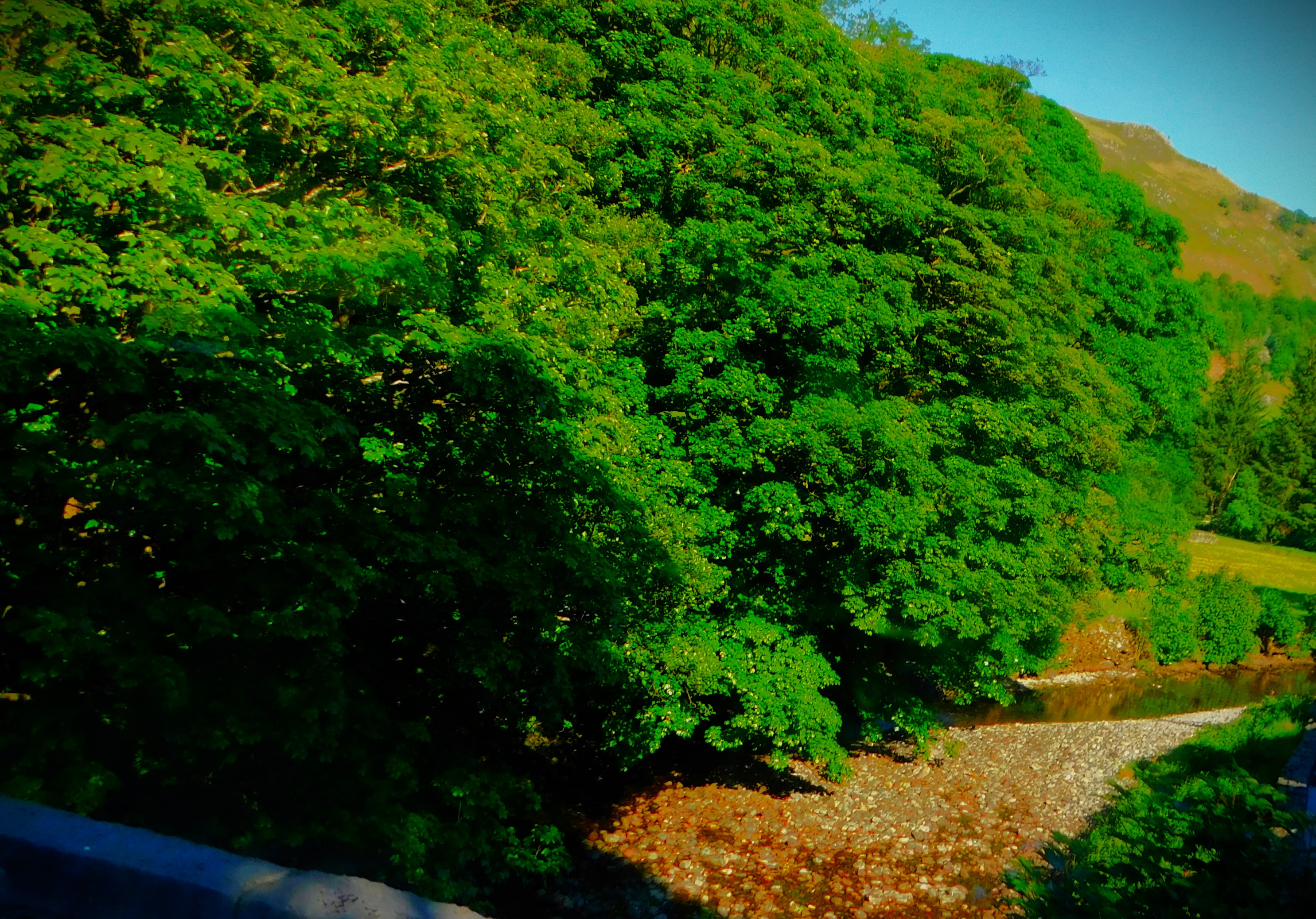
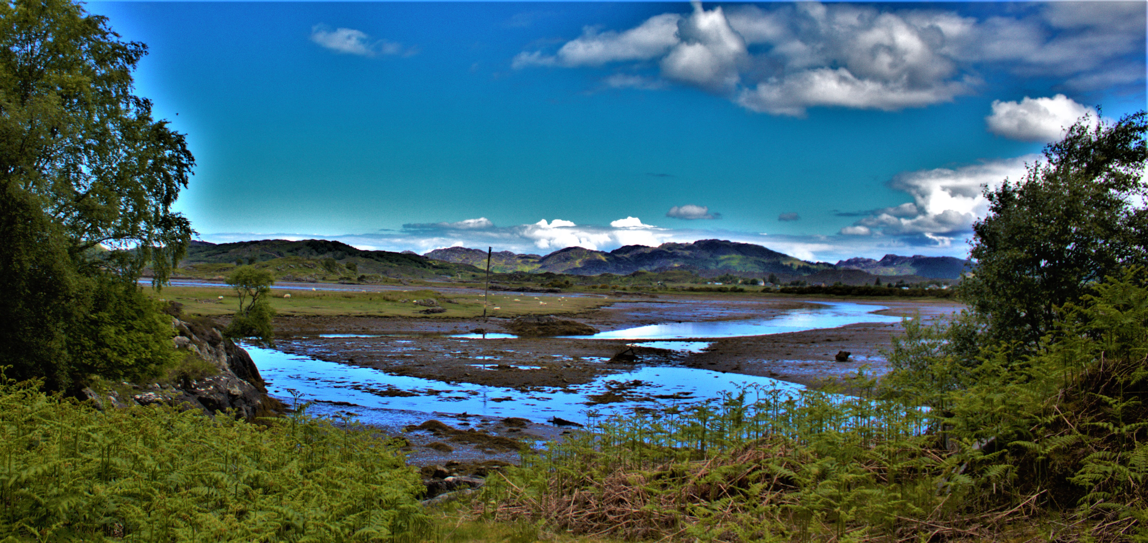
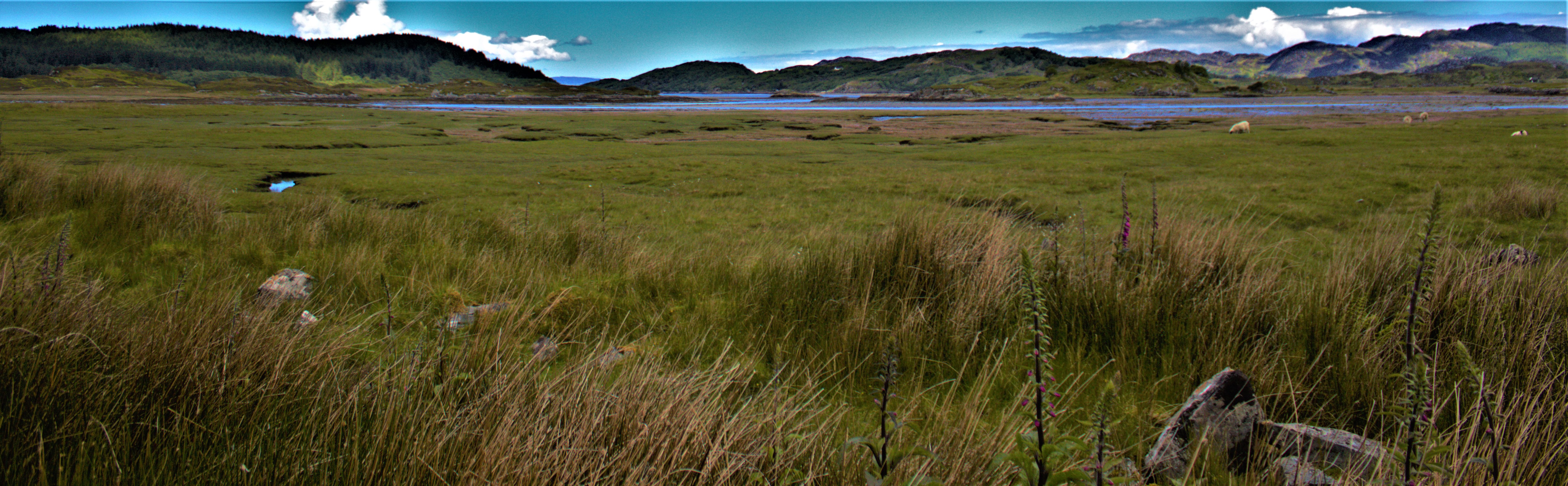
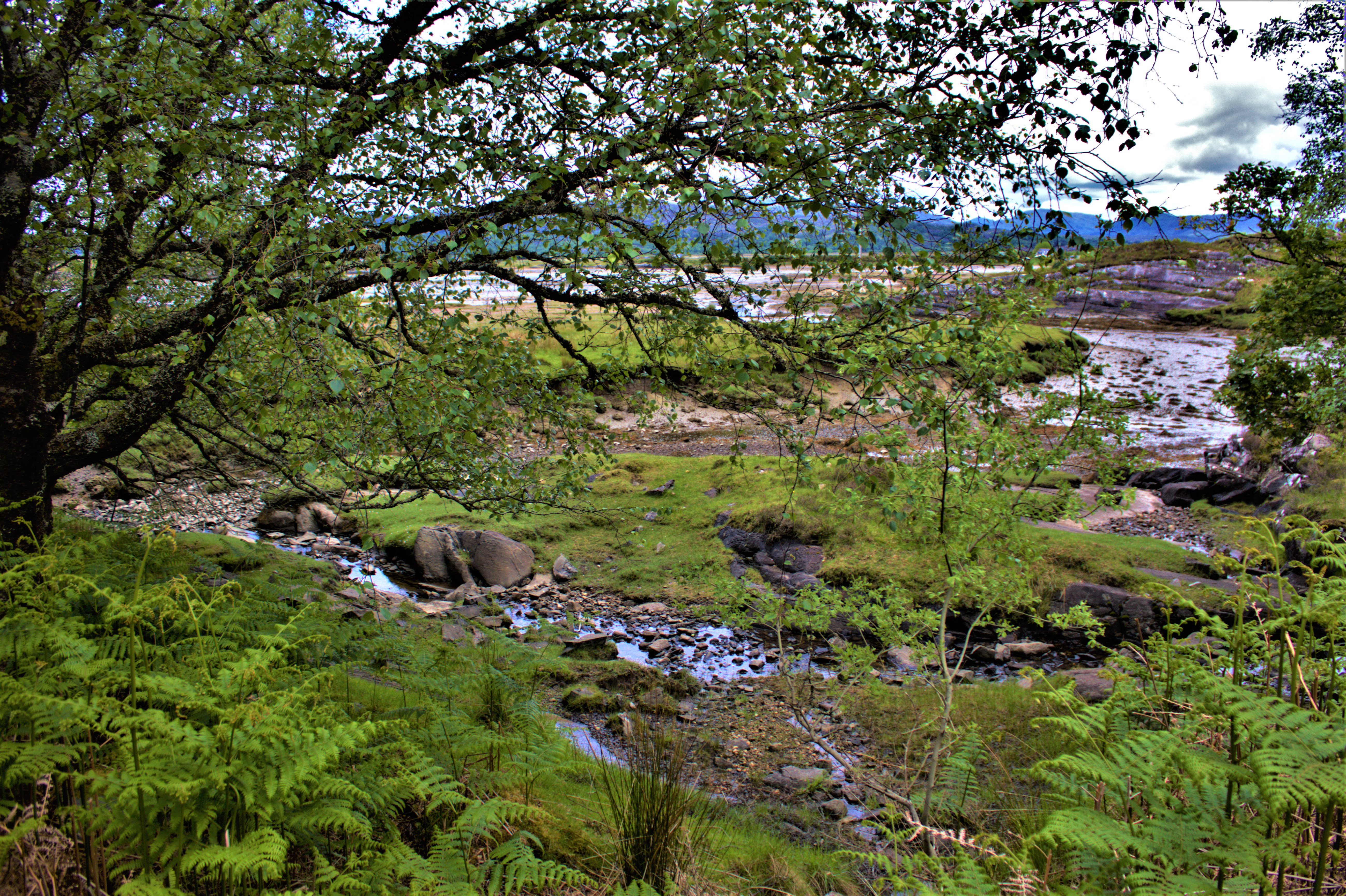
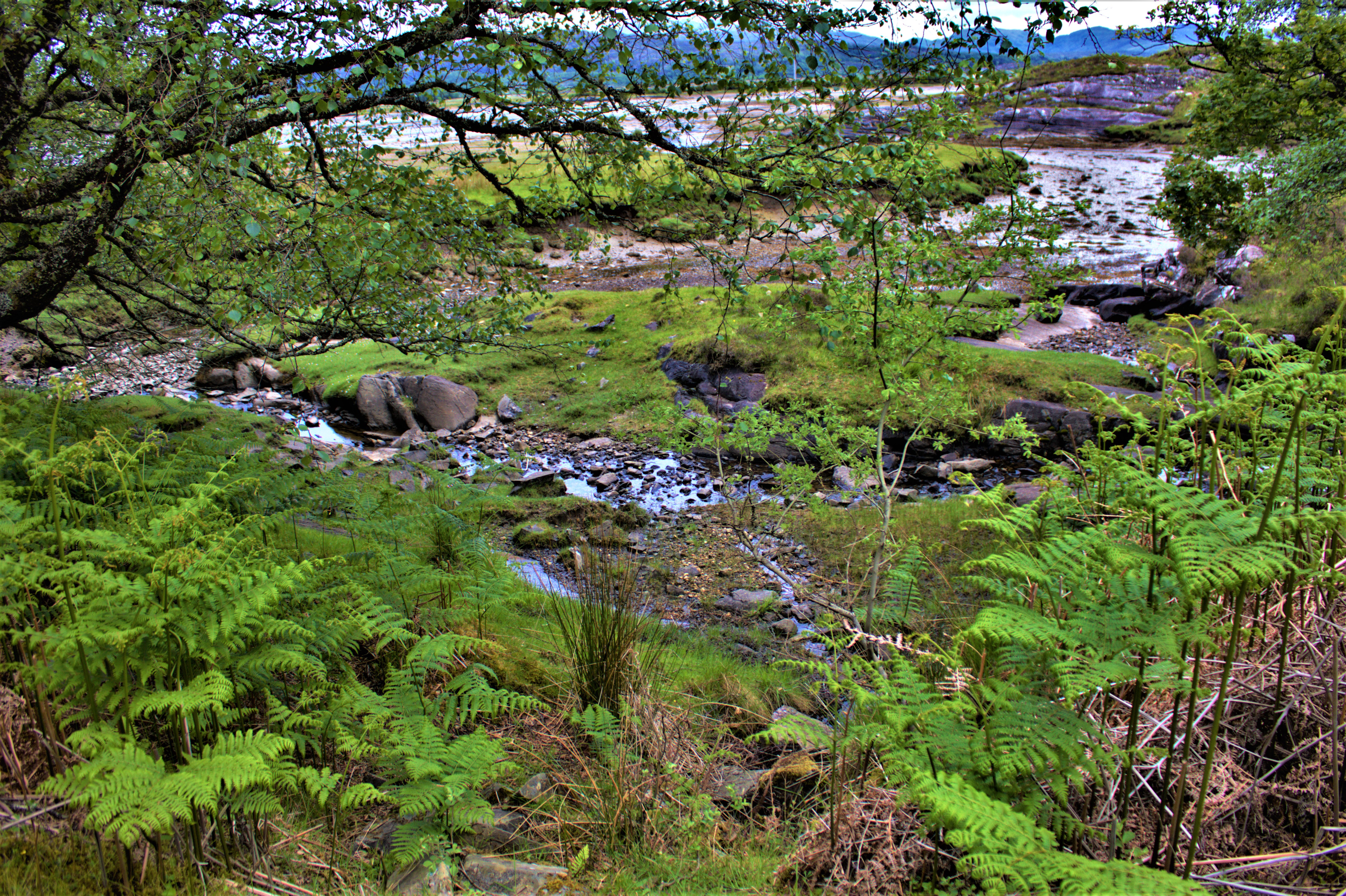
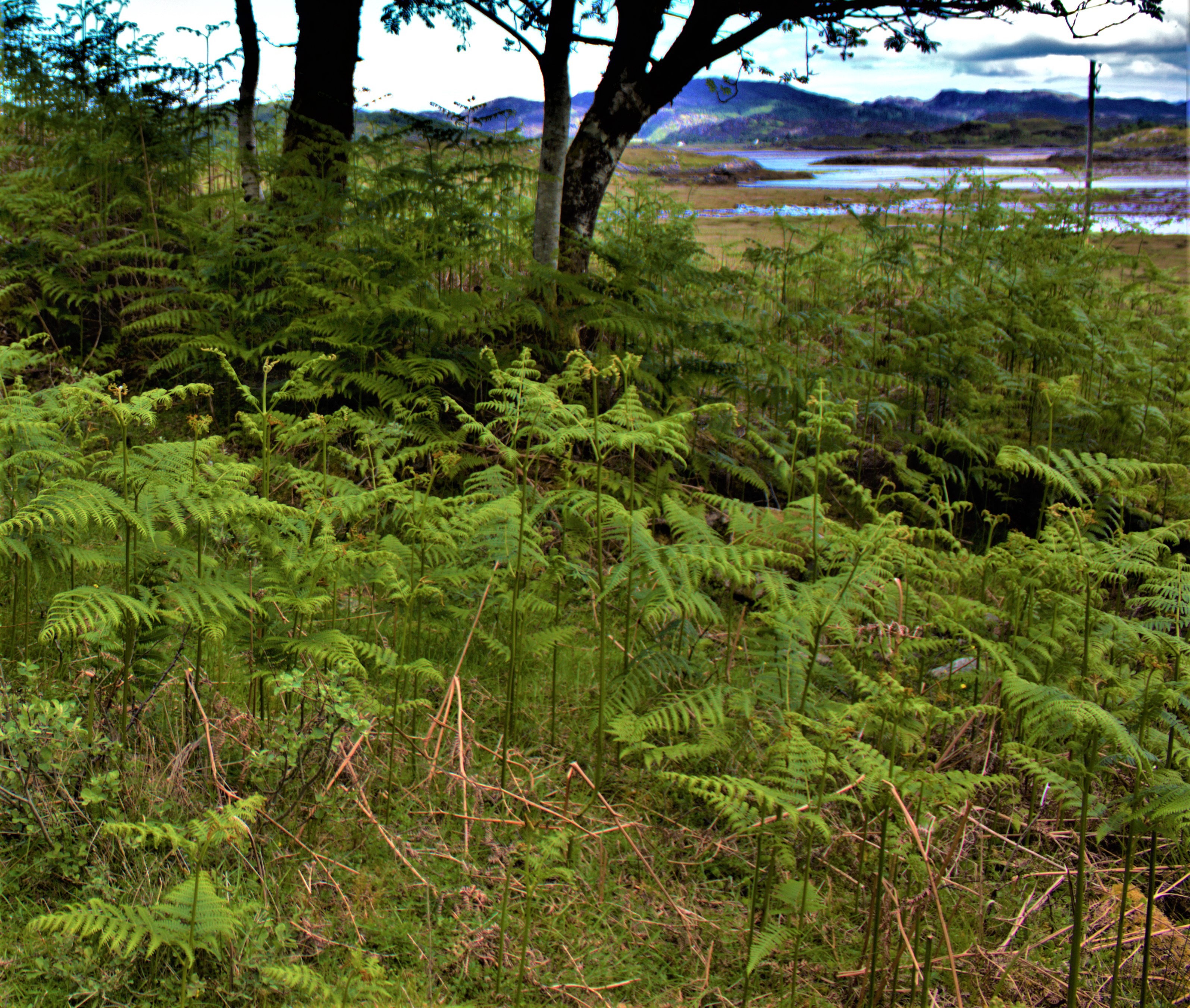
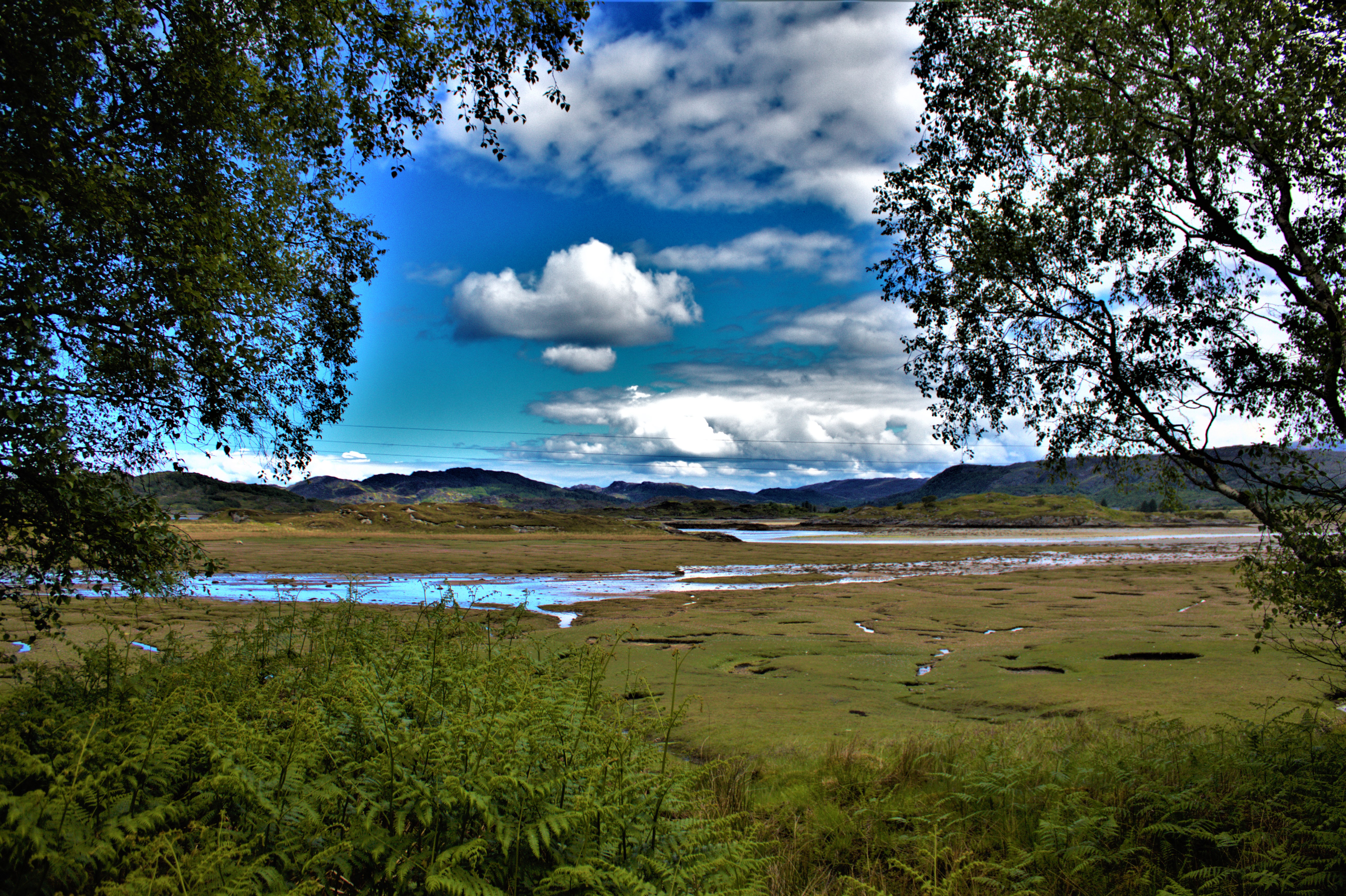
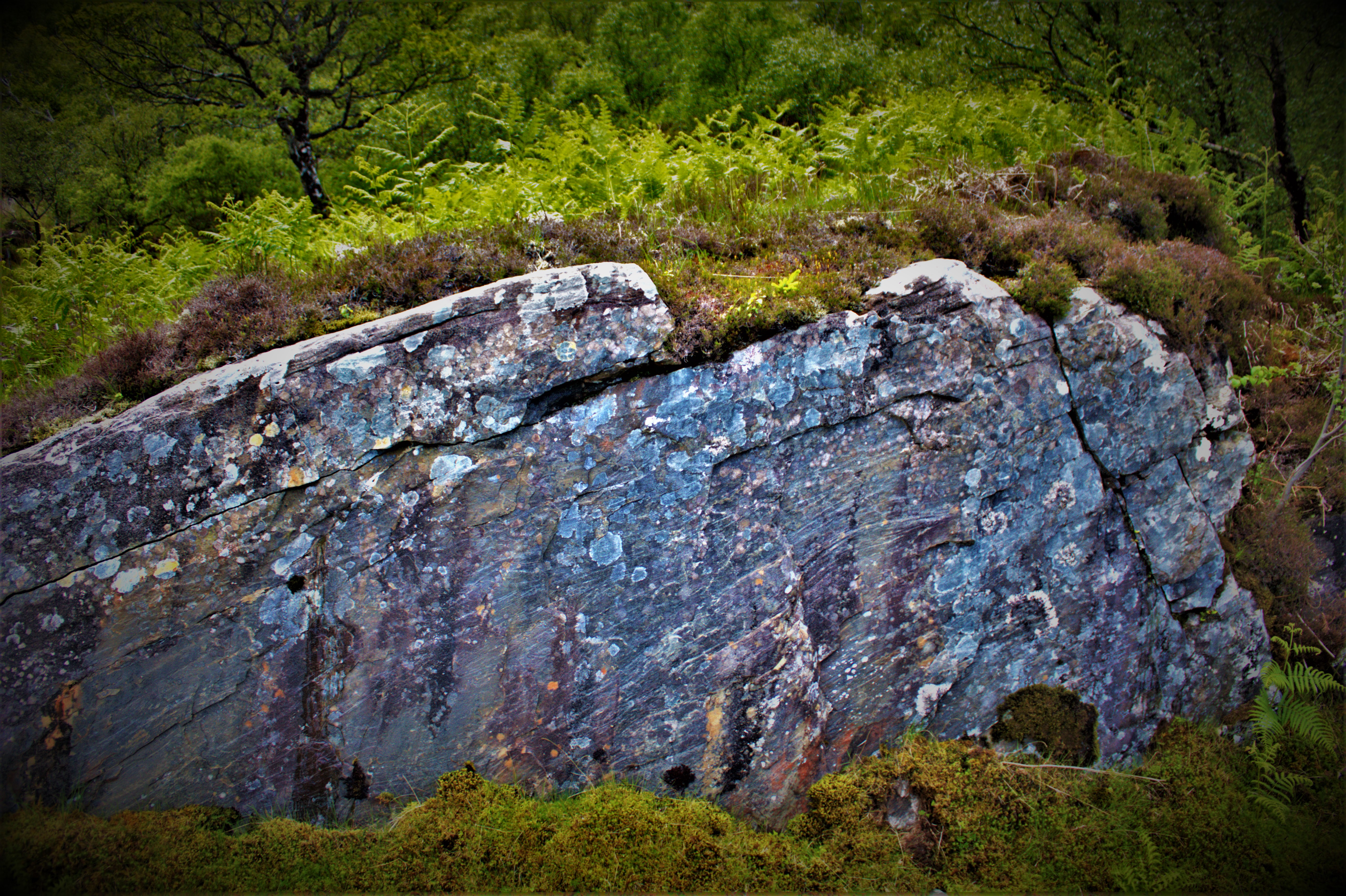
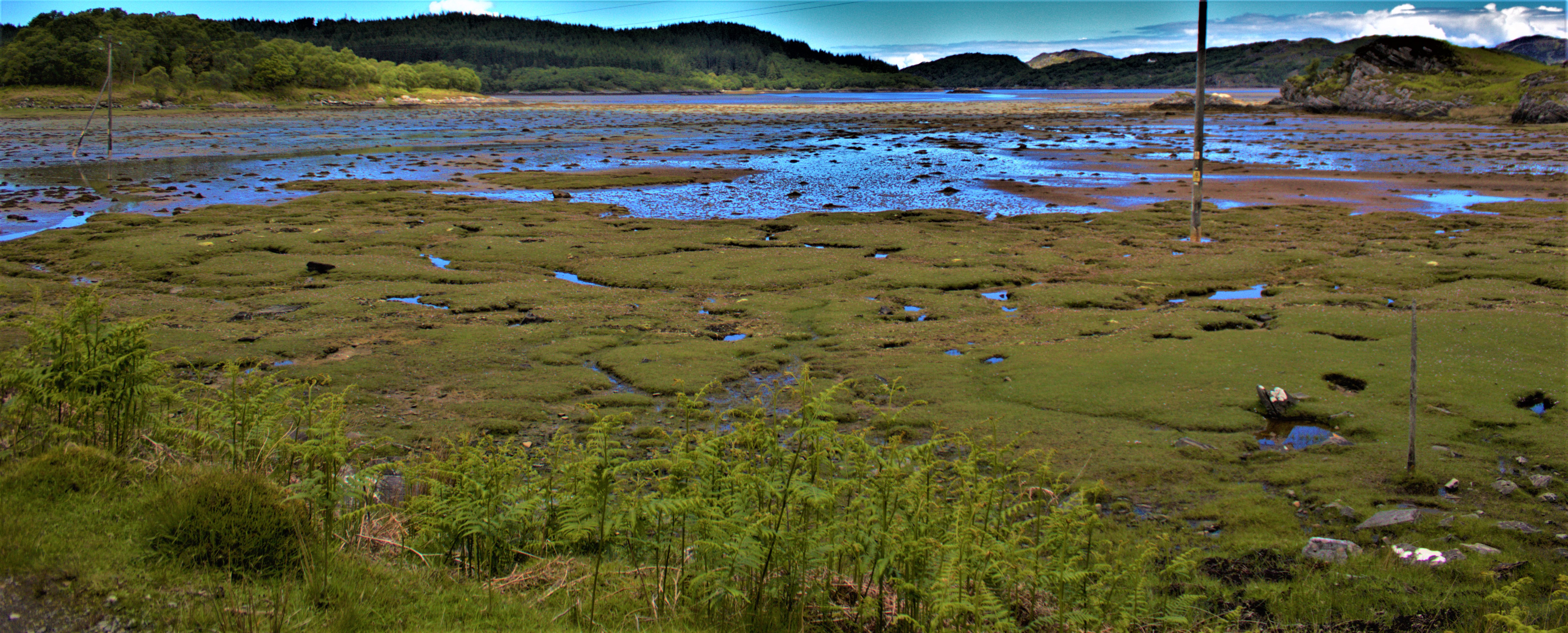
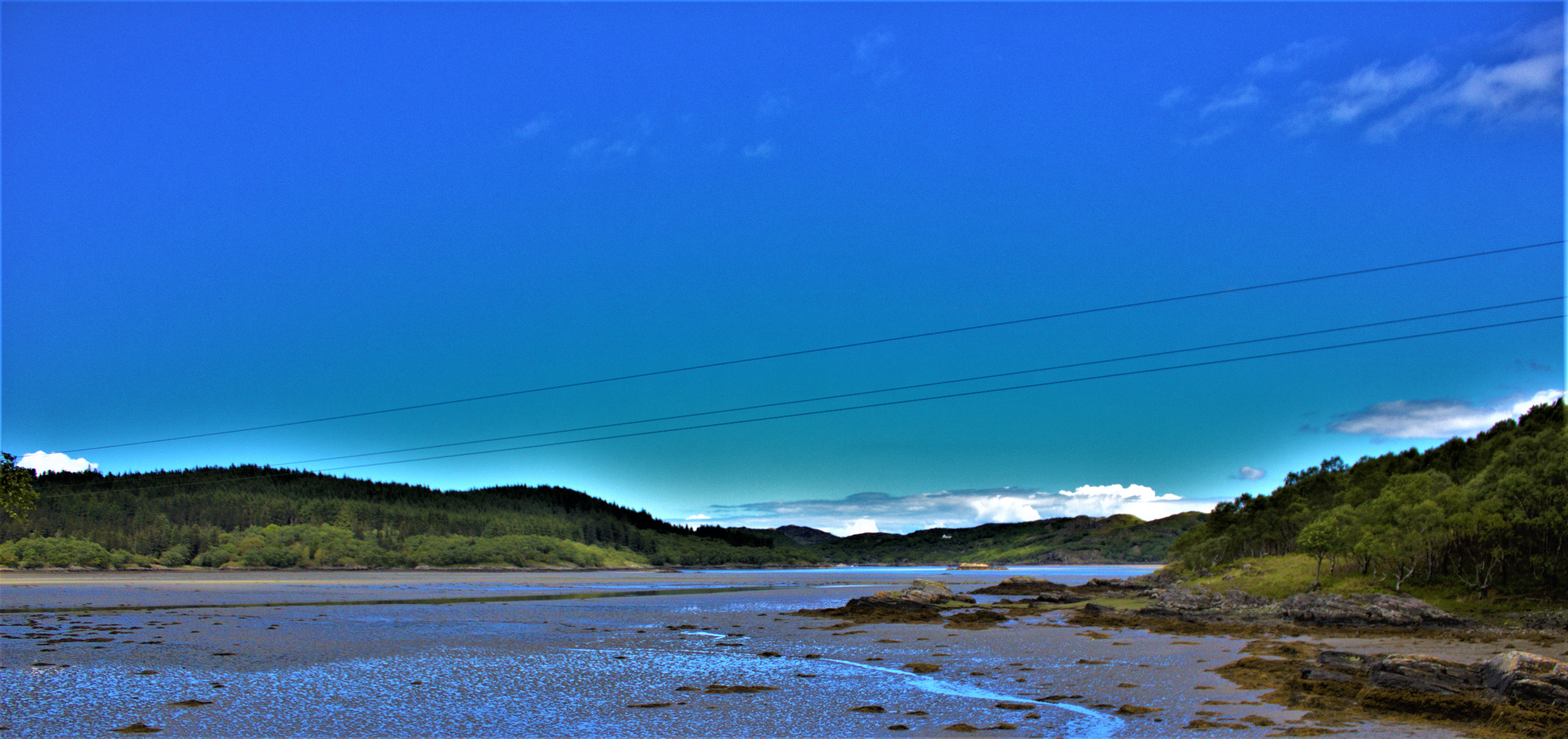
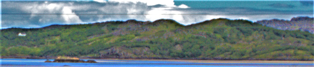
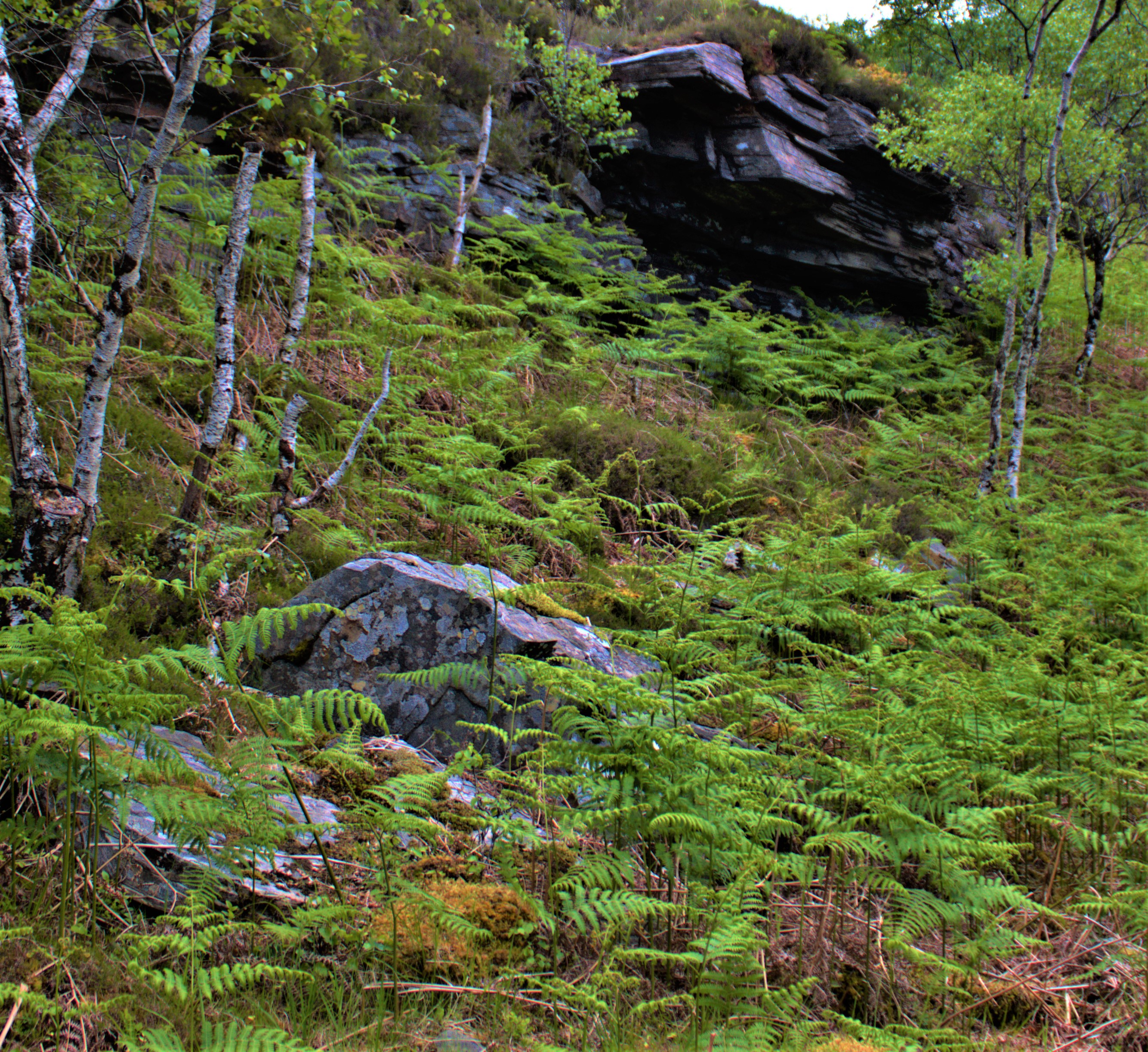
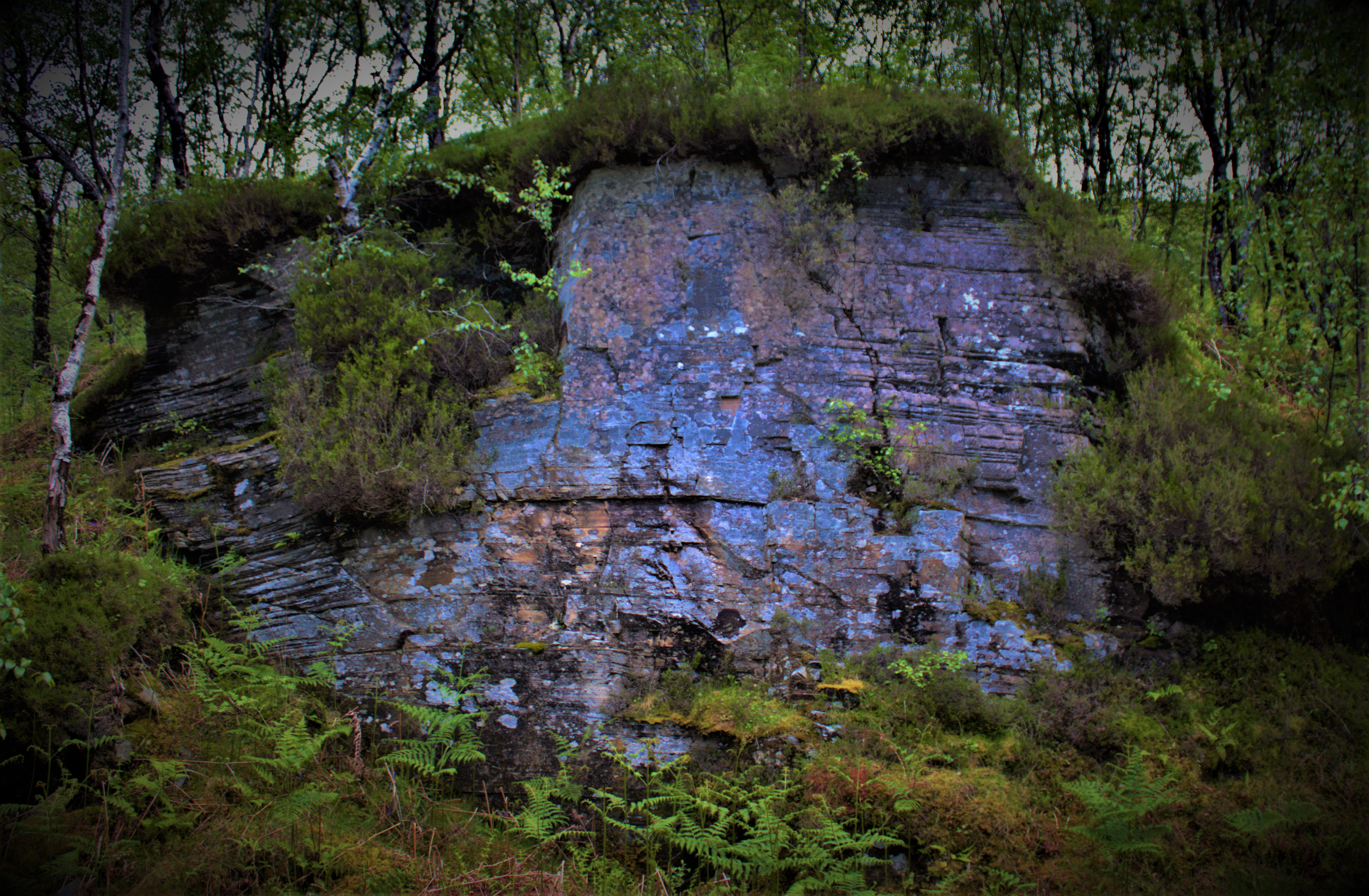
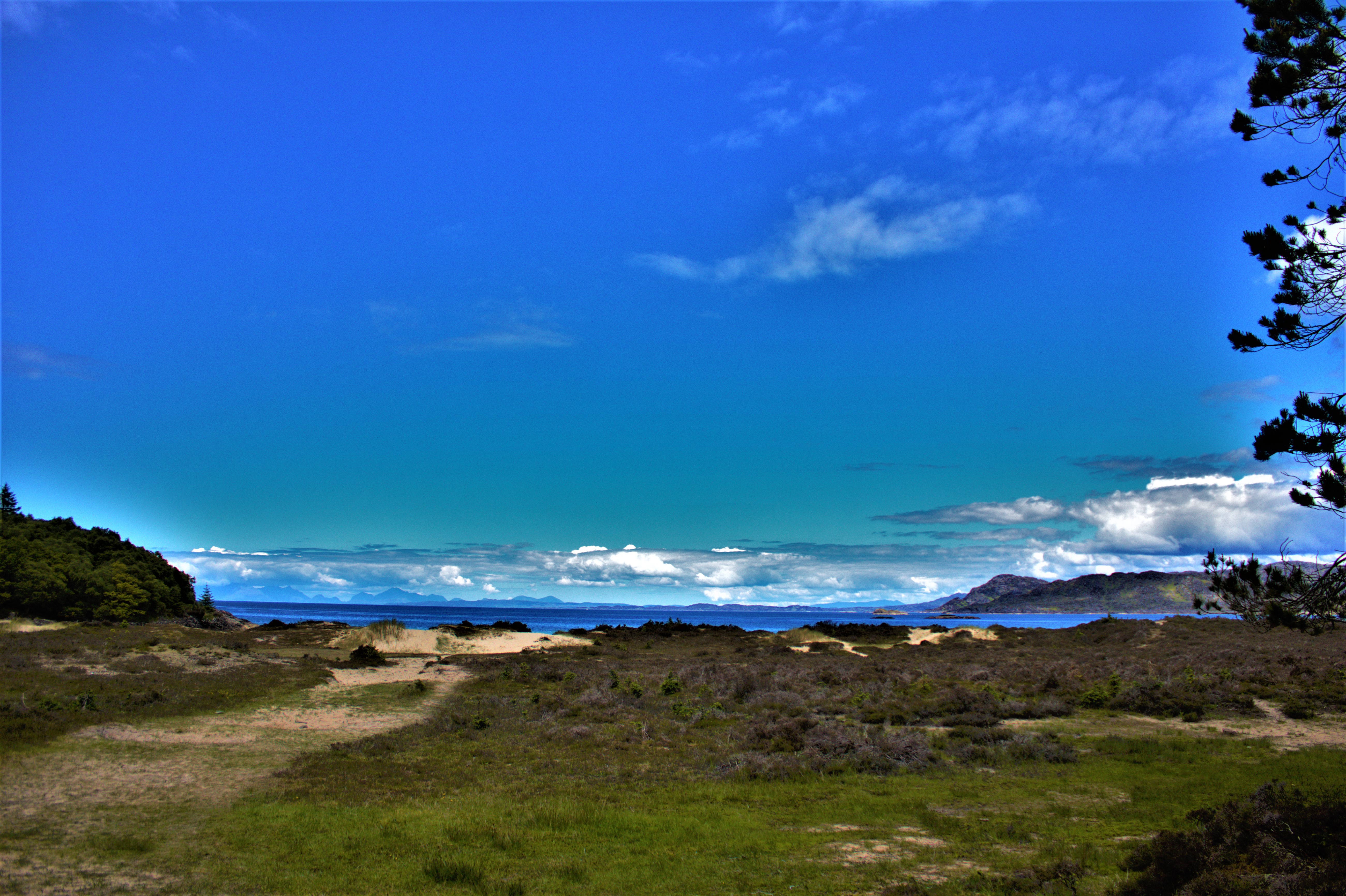
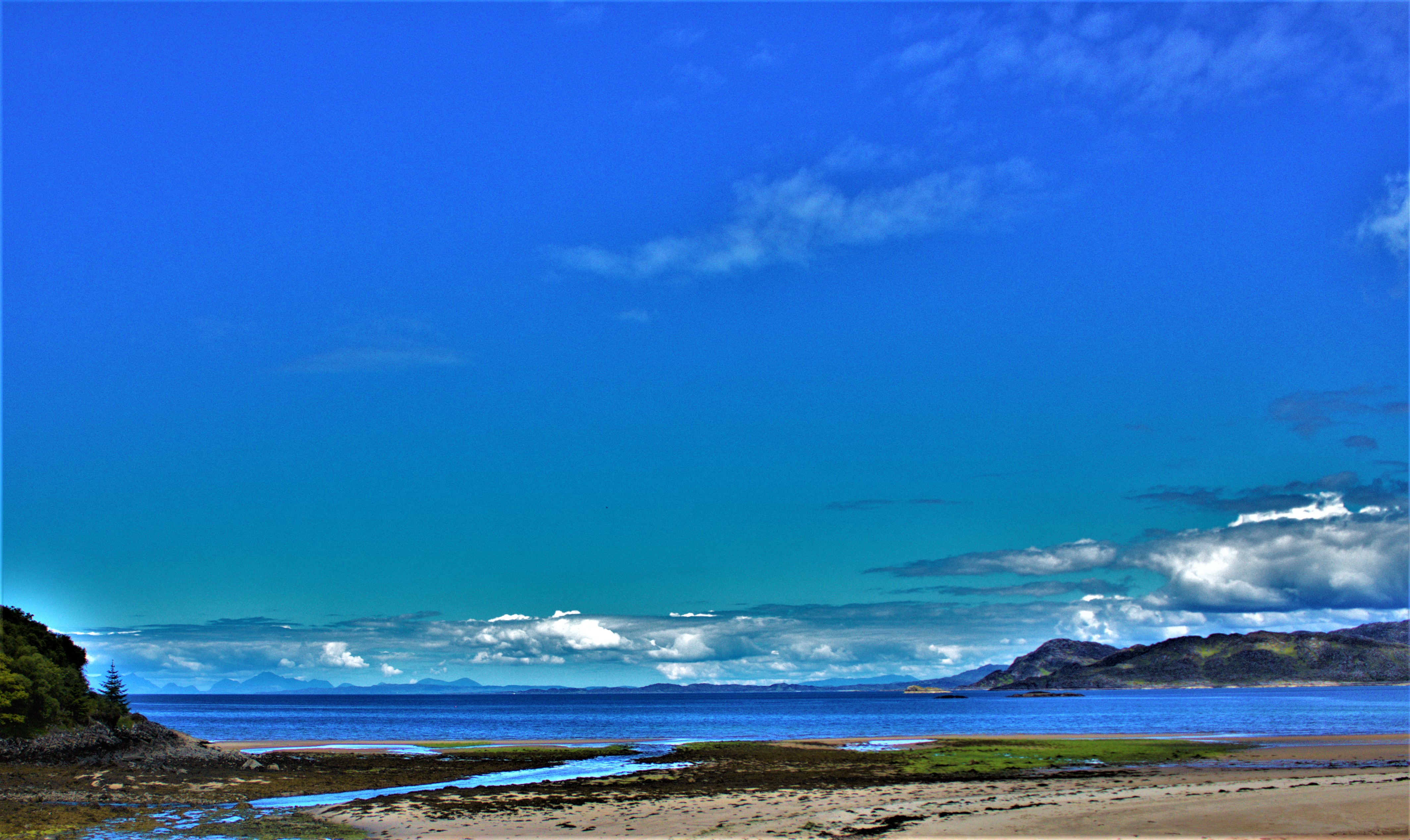
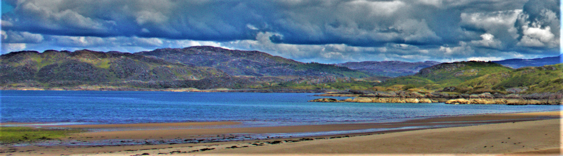
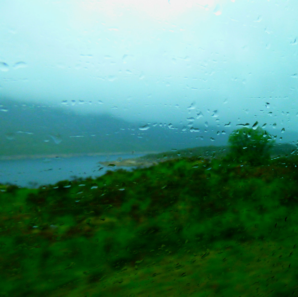
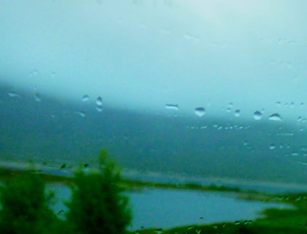
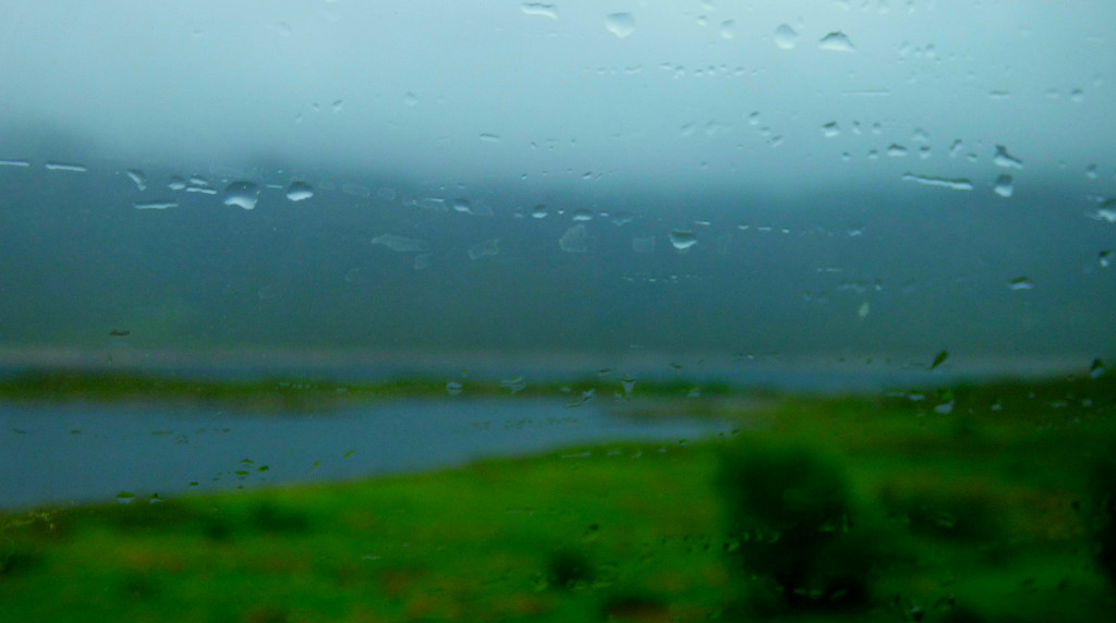
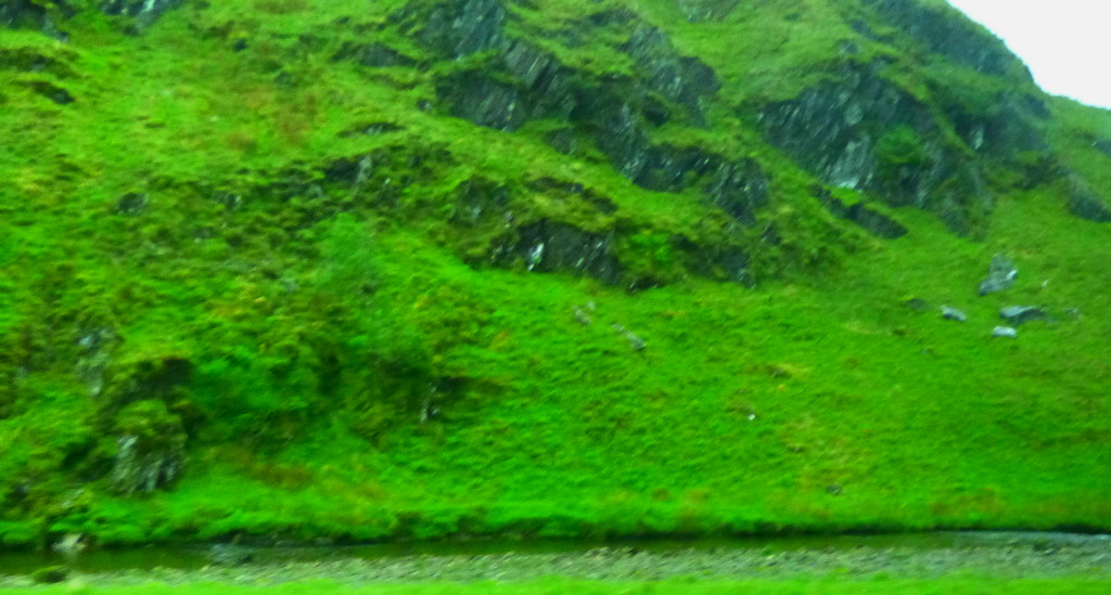
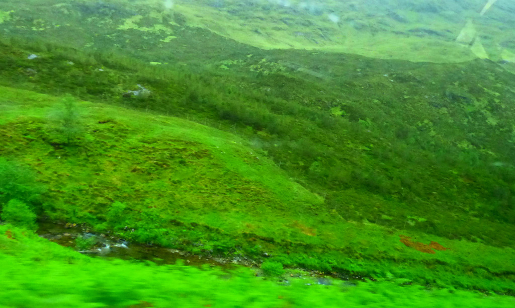
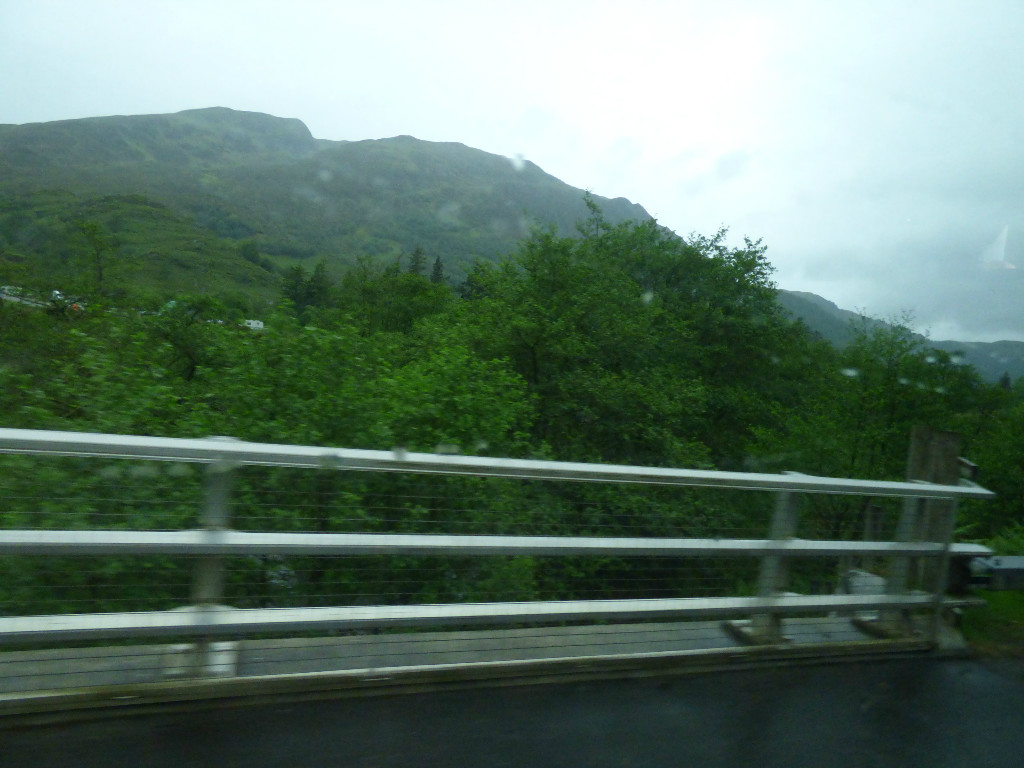
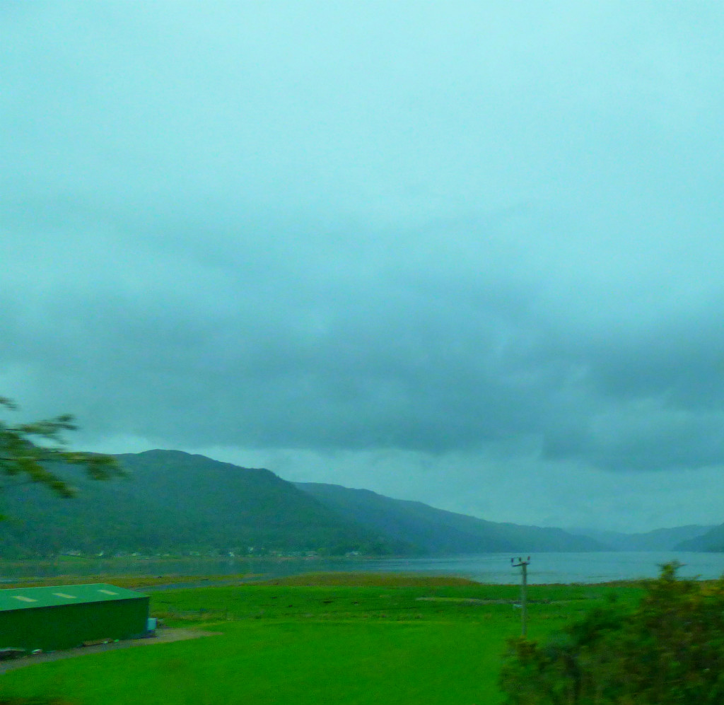
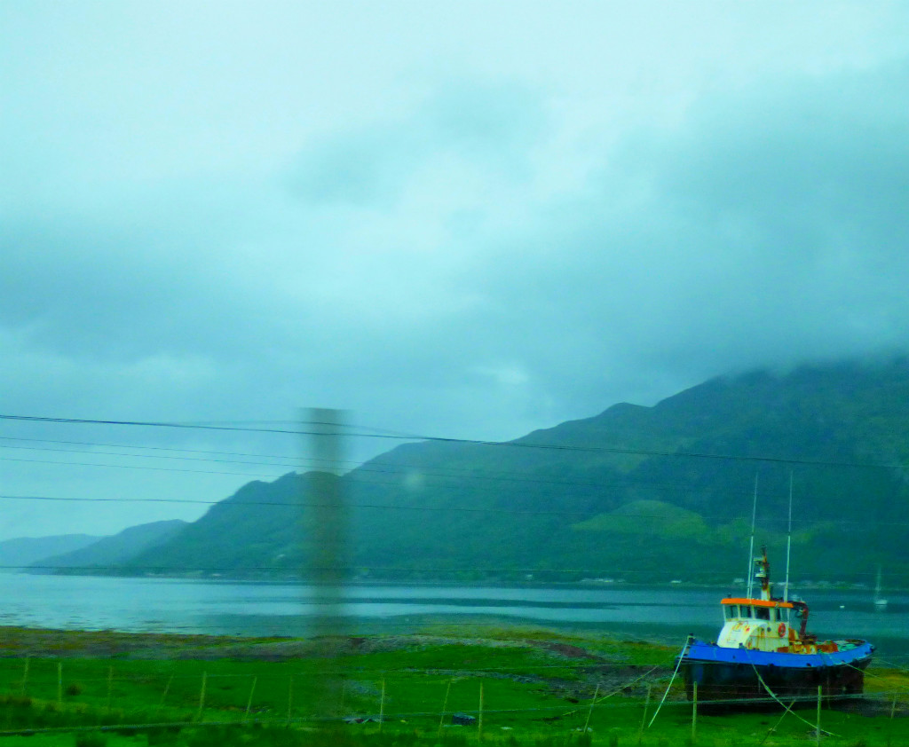
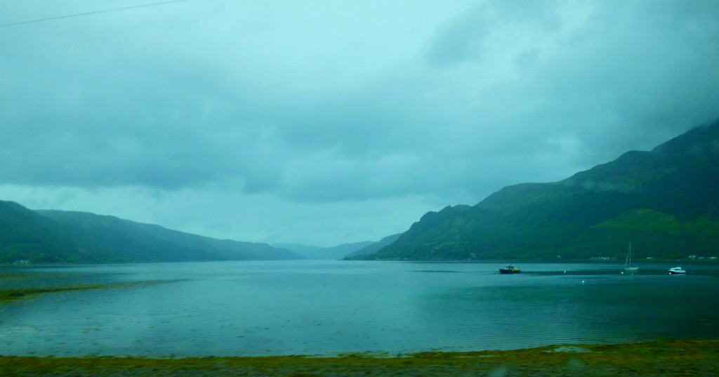
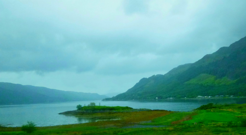
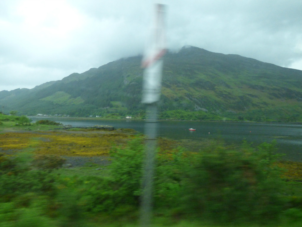
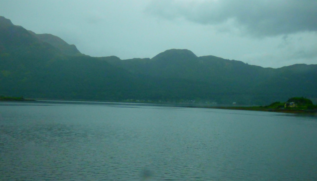
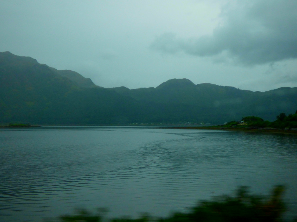
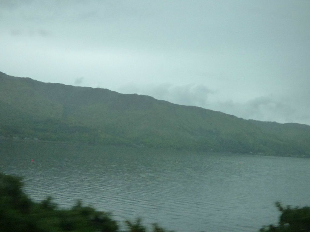
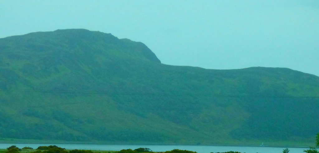
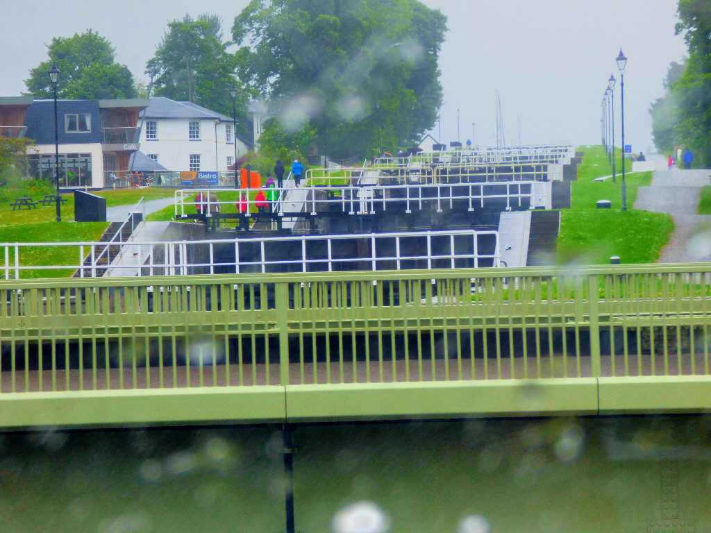
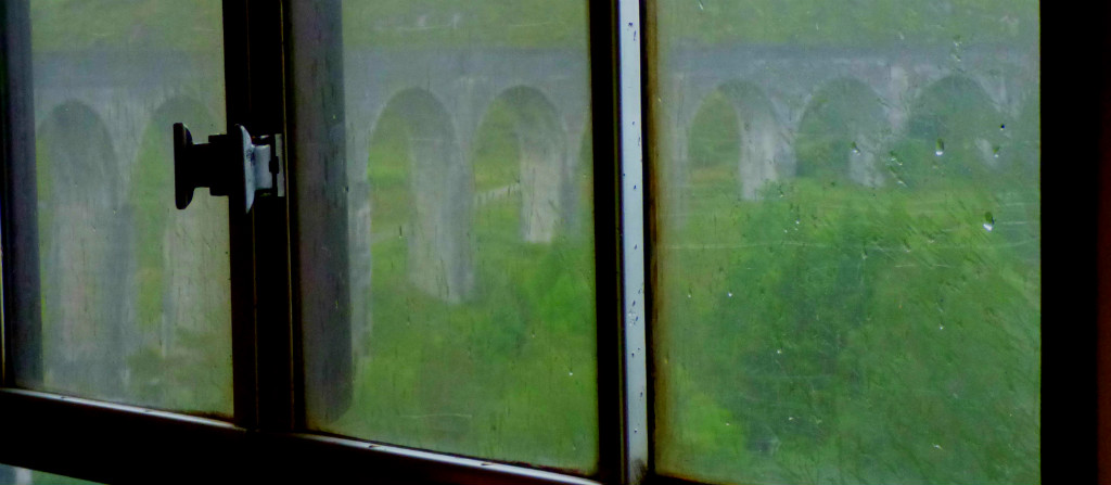
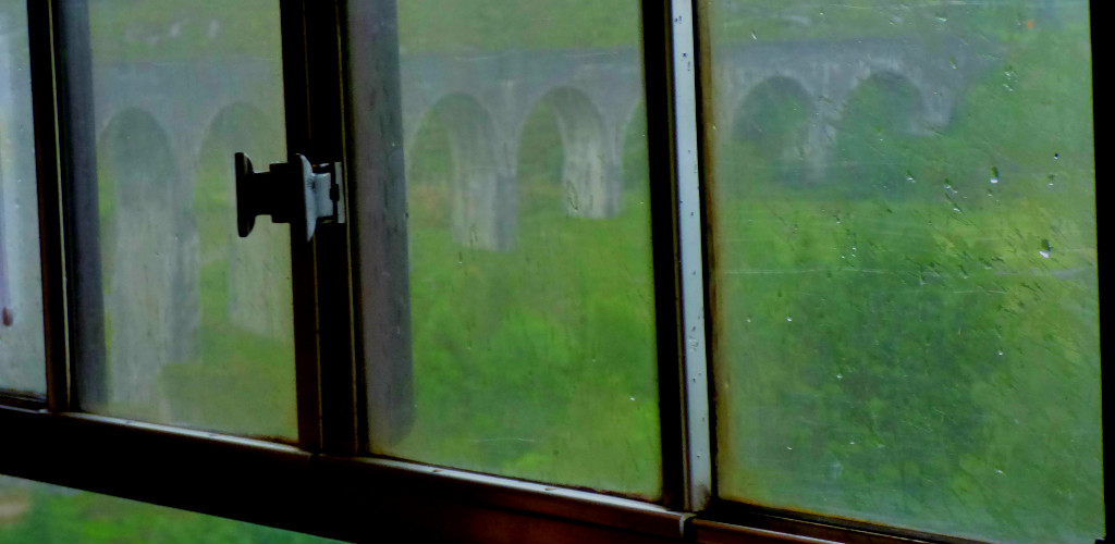
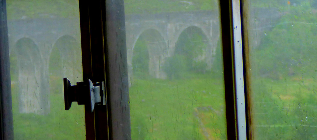
Continuing my account of my homeward journey from my Scottish holiday, taking things as far as Neptune’s Staircase.
Welcome to the latest instalment in my series about my return journey. I covered as far as Glenfinnan Viaduct last time.
EXPLANATION
I took many photos on this journey, which has led me to break it into multiple posts, using either landmarks or stations as appropriate as dividers. This post is still exclusively related to the Arisaig to Glasgow leg of the journey, with Neptune’s Staircase being an arrangement of locks not far from Banavie Station, which is the last station stop before Fort William if travelling east. The journey continued to run smoothly between these points.
PHOTOGRAPHS
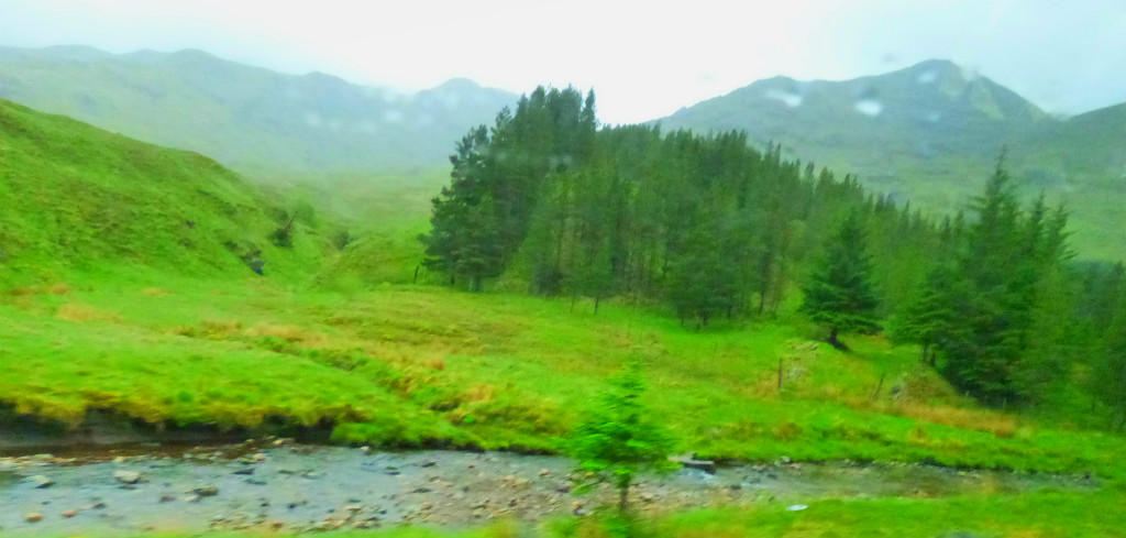
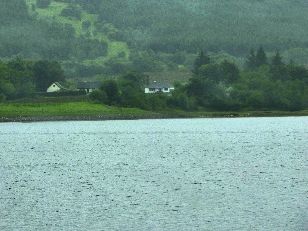
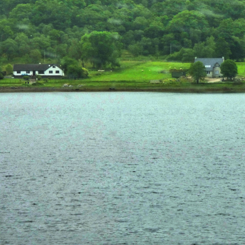
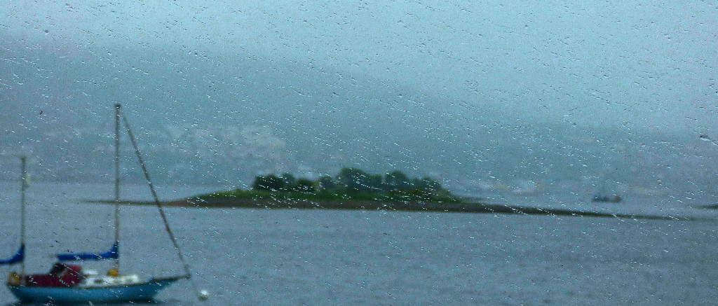
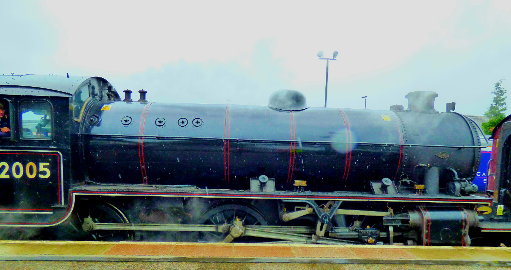
Here are the photographs that relate to this post…
An account of a walk in and around King’s Lynn. This particular variation on a favourite walking theme of mine took place yesterday late morning. There are plenty of photographs.
It is no secret to followers of this blog that I do a lot of walking, and that I go nowhere without my camera. This post looks in detail at a recent walk.
WALKING IN AND AROUND KING’S LYNN
One of my favourite themes around which to construct walking routes in and around King’s Lynn is what I call the ‘three rivers’. The three rivers of that title are the Gaywood, multiple sections of which are encompassed, the Nar, which is crossed twice at different points, and Great Ouse, the main river in this part of the world, alongside which some of the walk takes place. The particular walk that this post uses for detail took place yesterday, when the weather was bright and sunny but cold.
THE WALK
I started by leaving my house by the back door, as I was heading at first in the general direction of the town centre. The road that runs behind the row of houses in which I live is a private road and is unnamed. It disgorges on to Raby Avenue, which I crossed, and then headed down Townshend Terrace, a side road which forms a right angle, running from Raby Avenue to a pond at which point it swings 90 degrees and disgorges onto another road. However, as you will see I was not going that way. The pond usually yields pictures, and it did so this day as well…
While Townshend Terrace goes on way, a footpath leads in the opposite direction, through to Loke Road. On the far side of Loke Road, almost directly across from this footpath is a side road called Harewood Parade, which leads round the side of a second pond, until it terminates and is replaced by footpath which heads into a section of greenery flanked on one side by a section of the Gaywood River and on the other by Kettlewell Lane. Although the second pond did not yield anything for the camera on this occasion, the rest of this segment of the walk did…
Kettlewell Lane leads out on to what at that stage is Littleport Street, though a little way north it becomes Gaywood Road. By this stage one is very close to the town centre, but one is not committed to main roads. I crossed Littleport Street at the light controlled crossing on Eastgate Bridge, and headed down Highgate, past a little patch of greenery that sometimes yields pictures though not on this occasion, and down a little side passage that leads to a small bridge back over the Gaywood to the town side and another little section of greenery, which I exited on to Wyatt Street at the other side. I then crossed Wyatt Street, and took a footpath that runs alongside Eastgate primary school before coming out on Blackfriars Road, the road that runs past King’s Lynn station. At this point, for a brief period there are no further options for main road avoidance, so I followed the road round past the station, and shortly after the station headed into the park called The Walks. I headed alongside another section of the Gaywood (heavily sculpted at this stage of its route) until I reached the white metal bridge that leads in to the Vancouver Garden wherein is located the bandstand. I exited the Vancouver Garden by the other bridge from it, crossed the Broadwalk, and headed for the Seven Sisters exit. This section did not yield many pictures, but there were a few…
The Guanock Gate
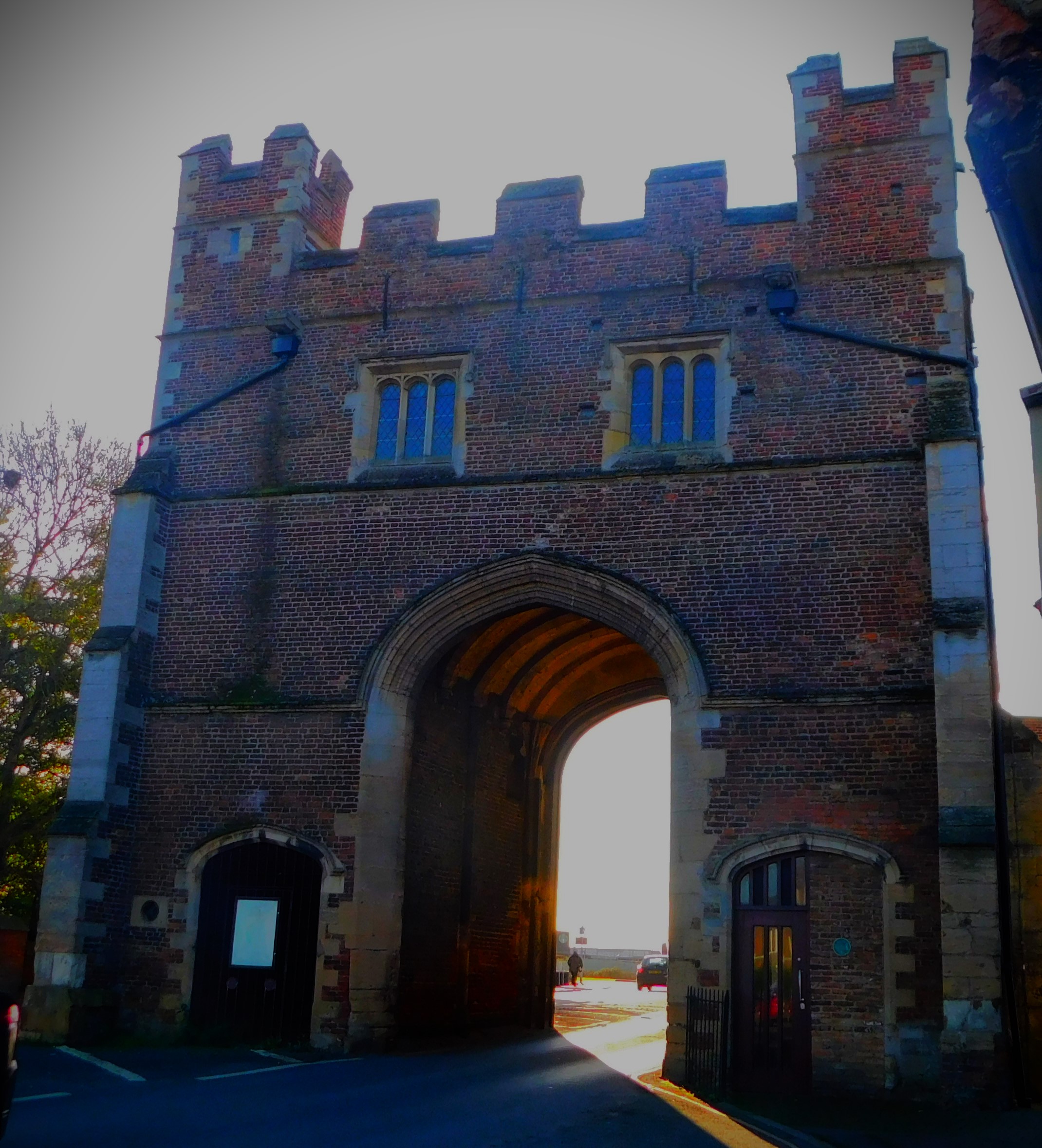
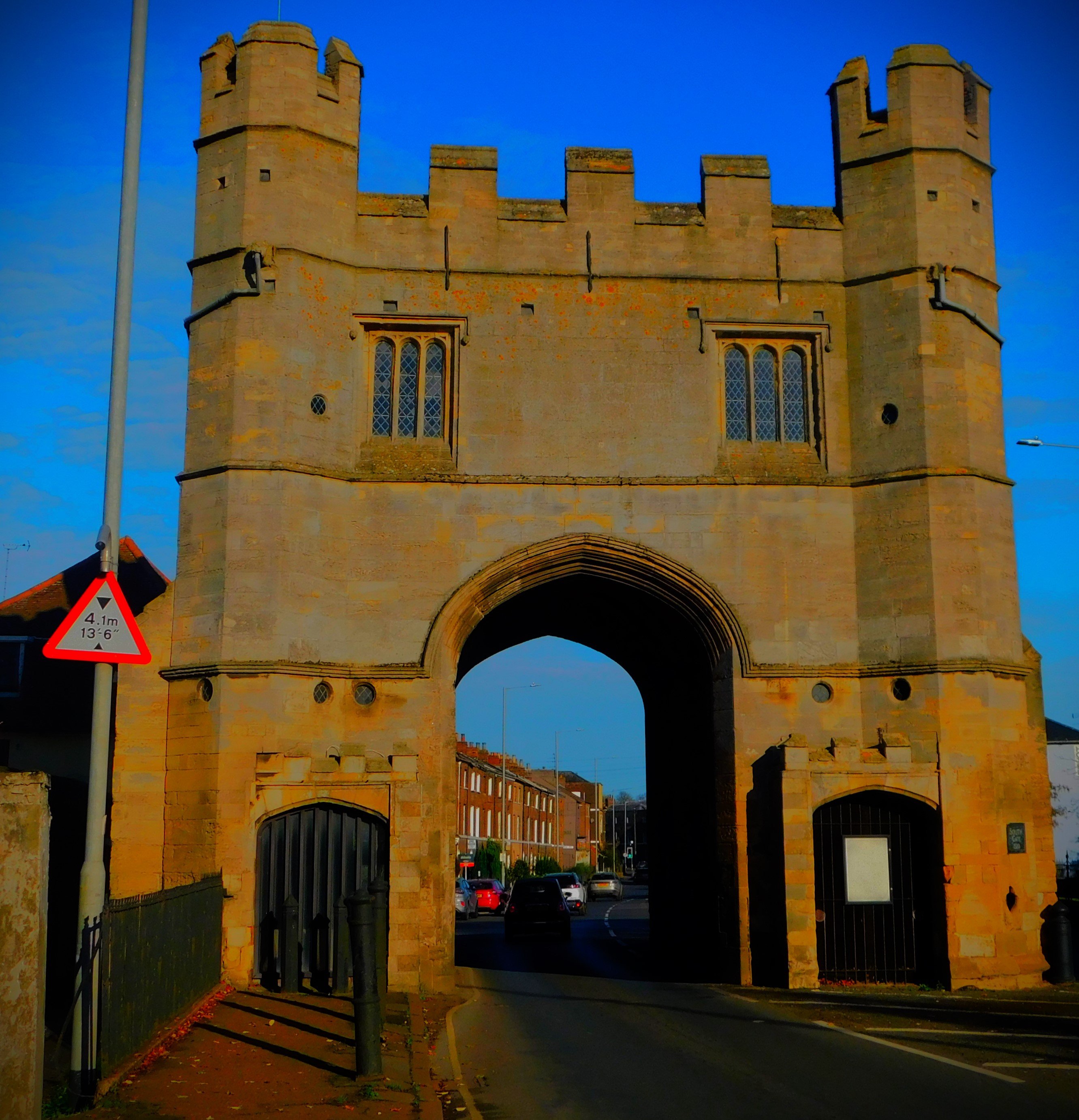
From the Seven Sisters exit I headed to where a passage leads through to London Road, joining that road at a light controlled crossing, which I availed myself of. I then headed away from town, passing the South Gate and then turning down the road that crosses the Nar, which I exited on to Hardings Way before taking a footpath through Hardings Pits to the Great Ouse at a point south of the town.
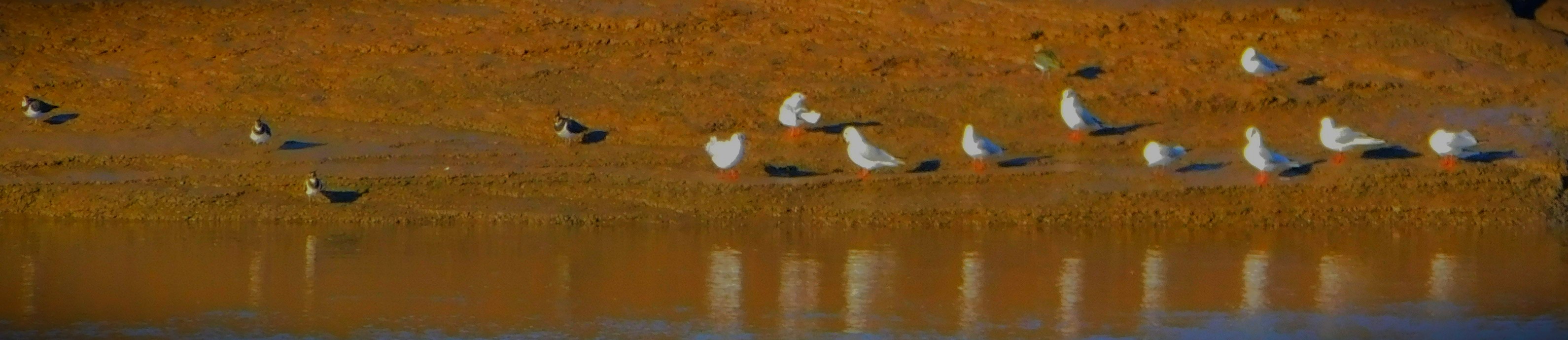
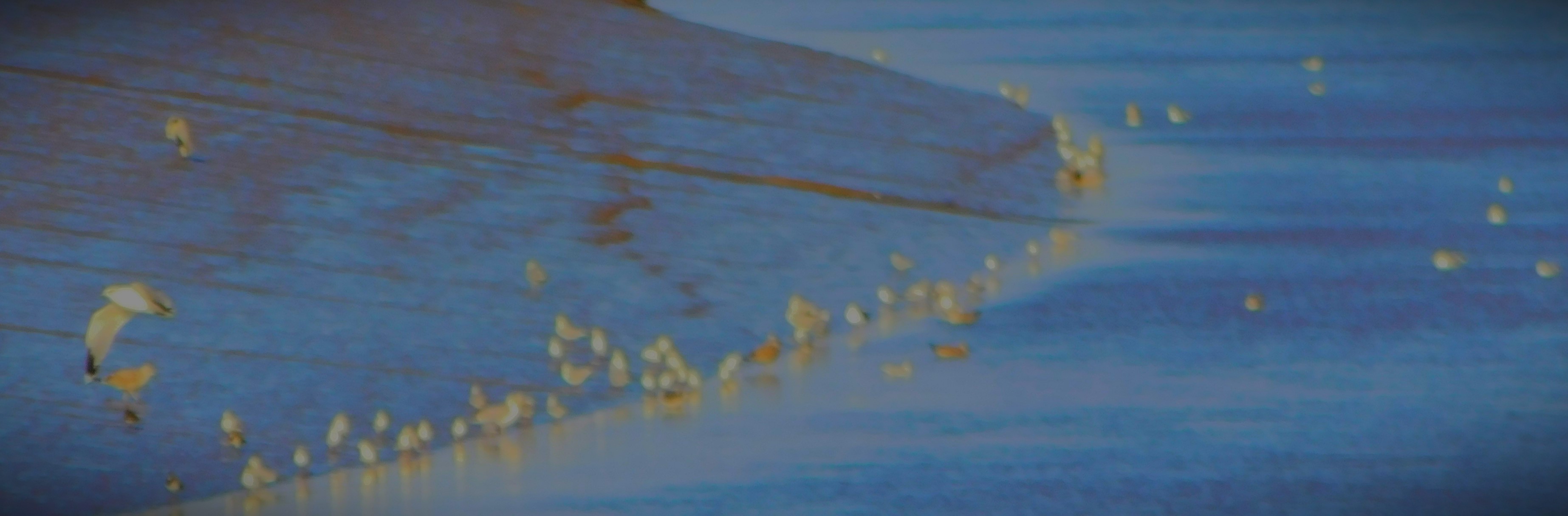
The South Gate (town side)The South Gate (out of town side).The only picture I got in Hardings PitsLapwings and Gulls at the far edge of the Great OuseKing’s Lynn viewed from the river bank on leaving Hardings Pits/A gathering of birds.
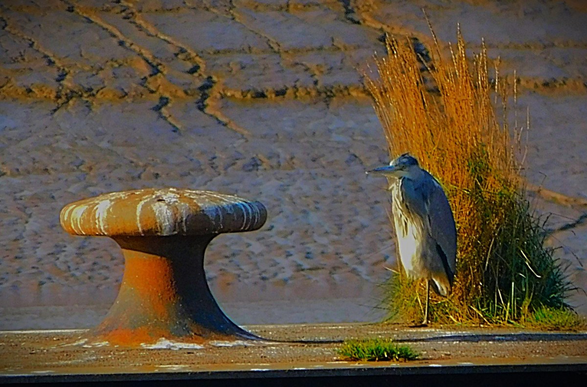
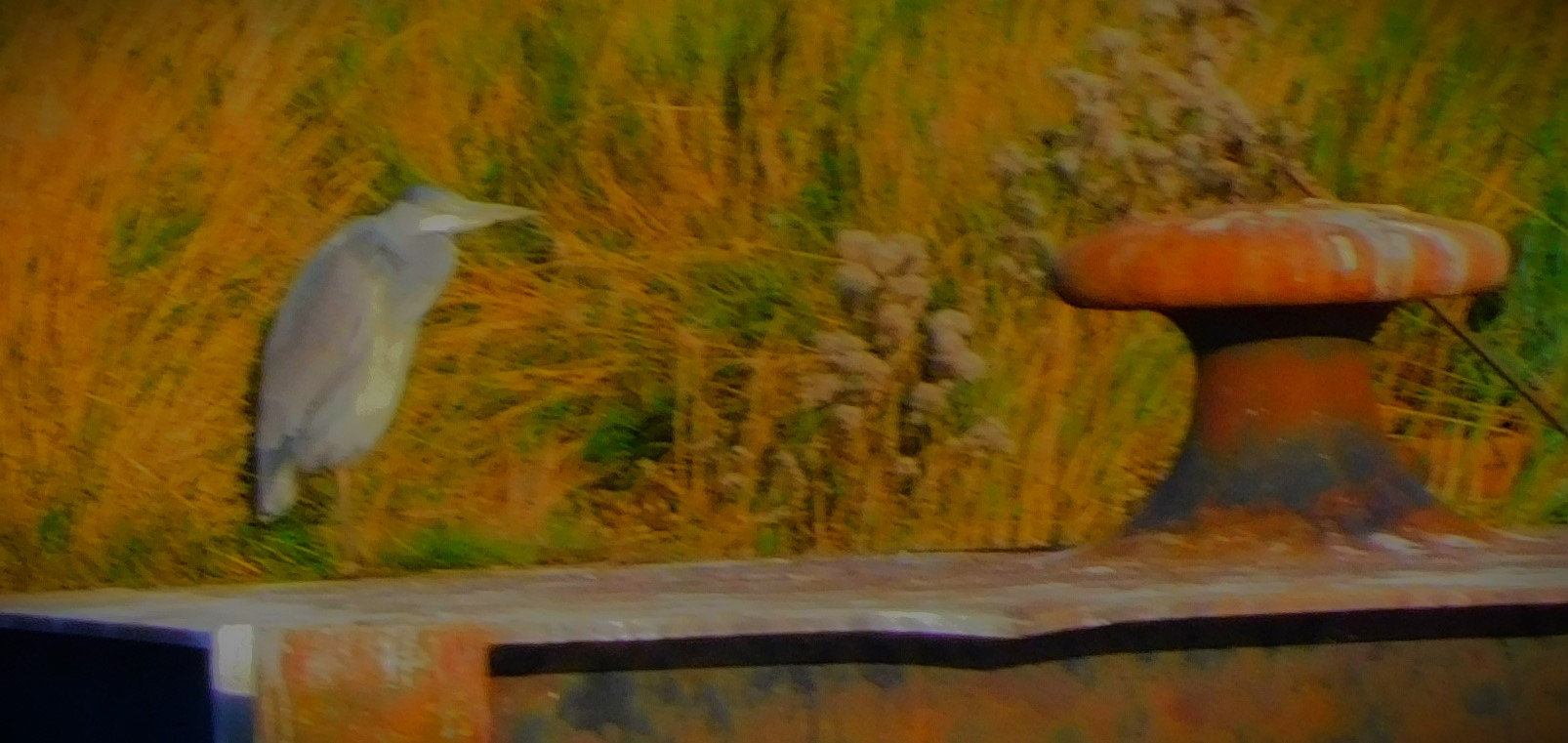
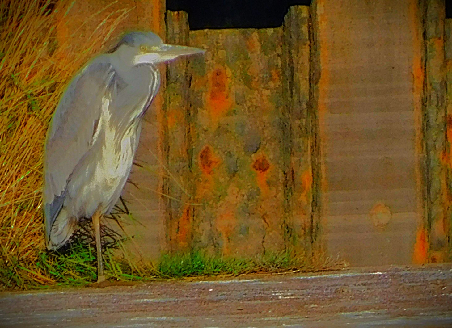
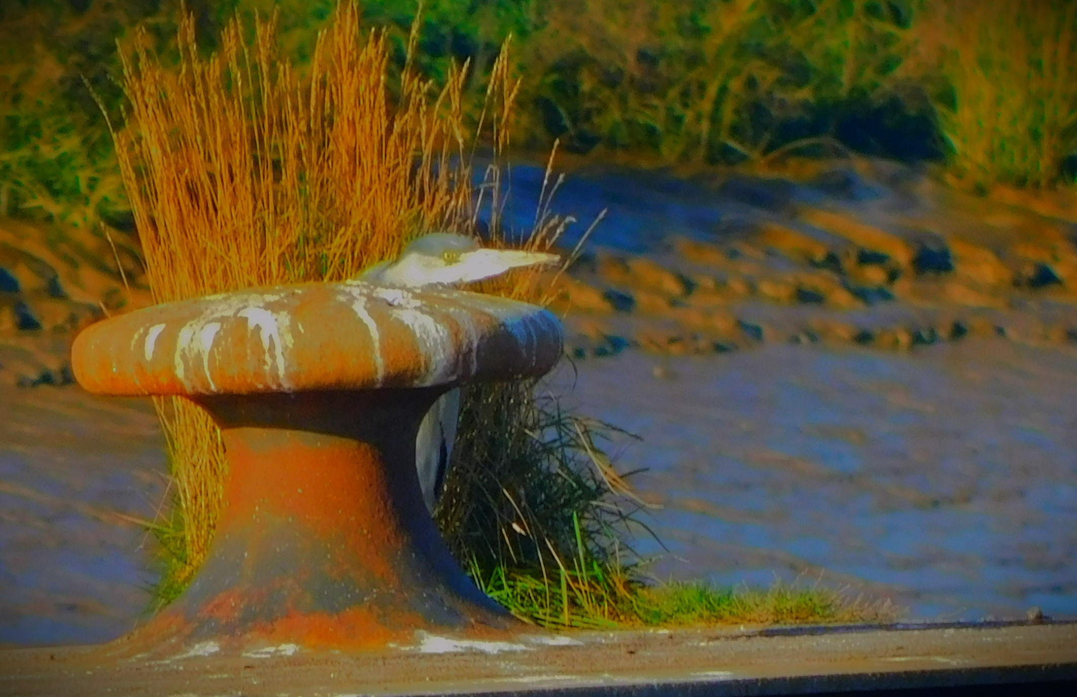
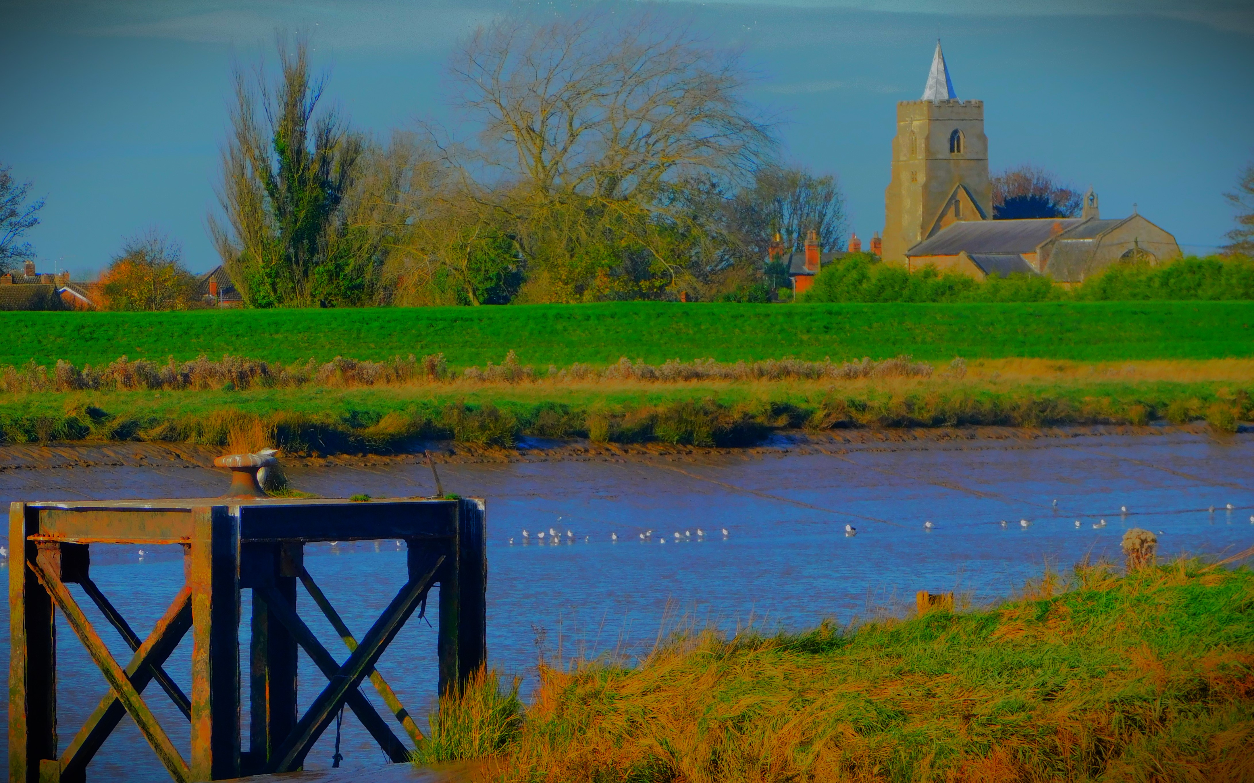
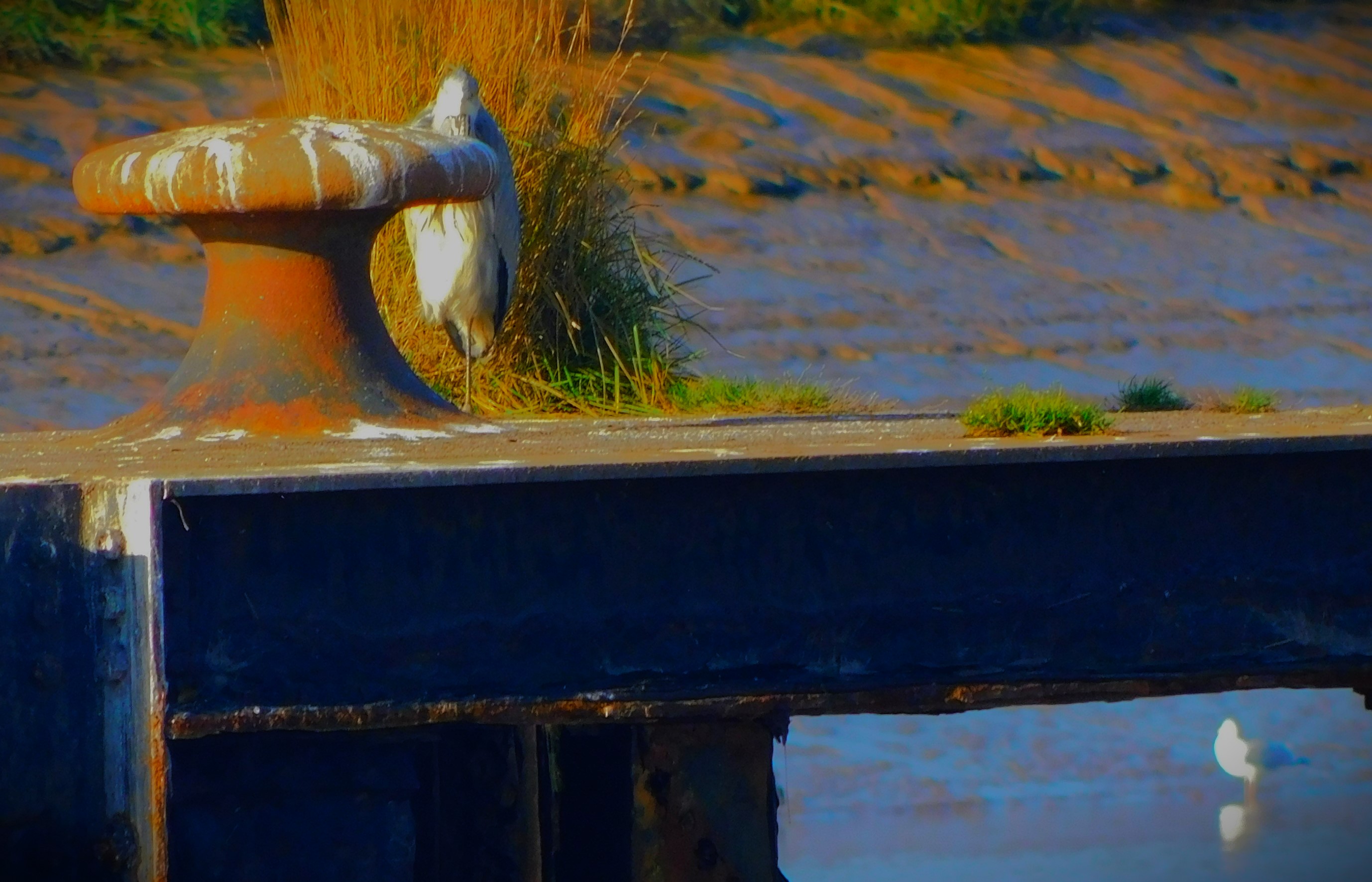
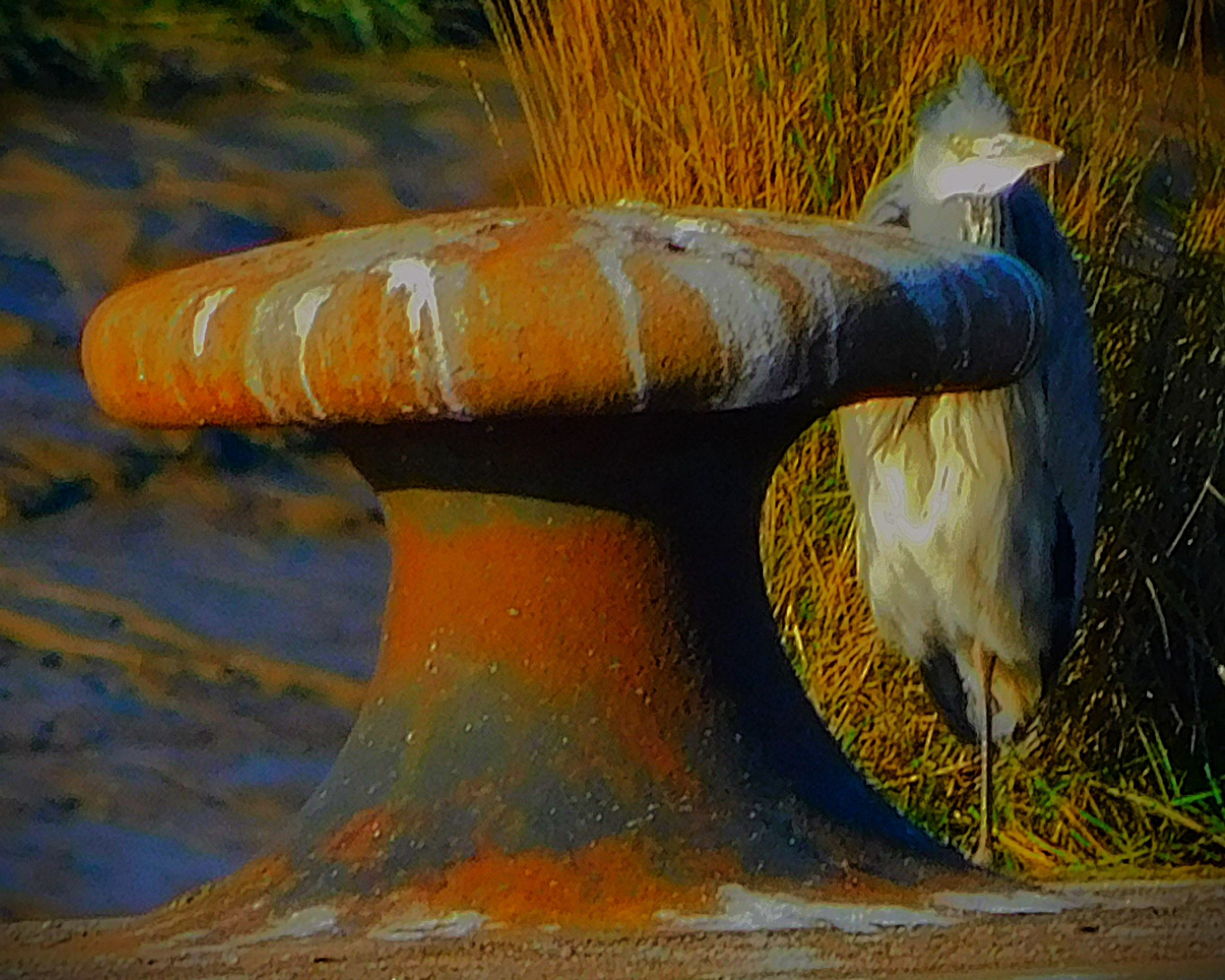
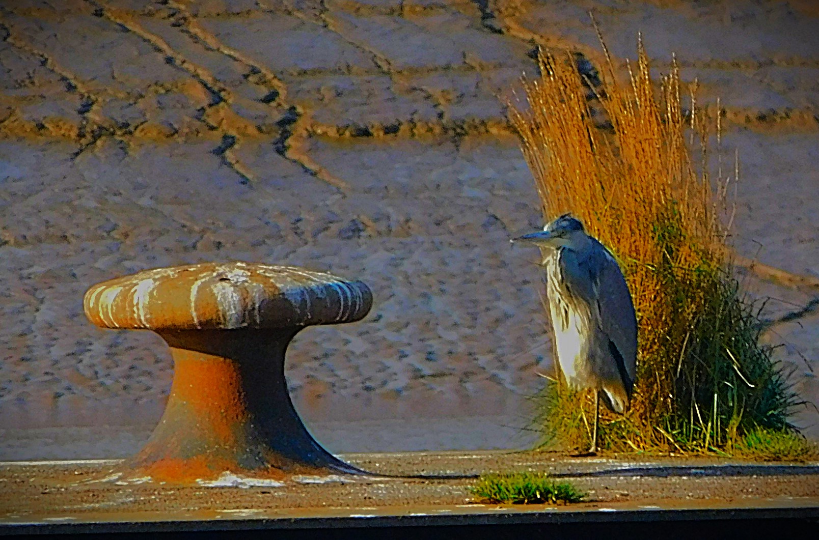
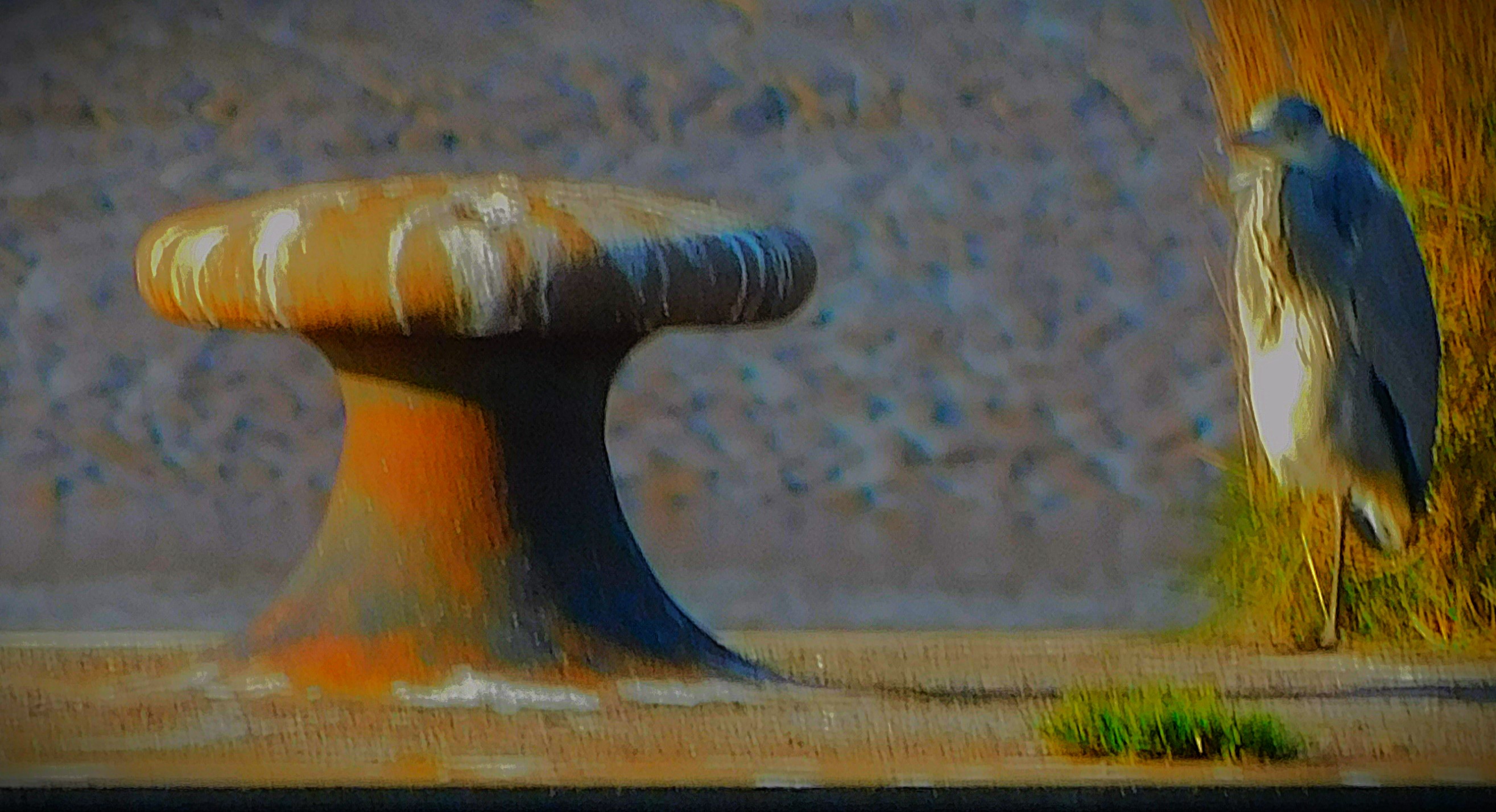
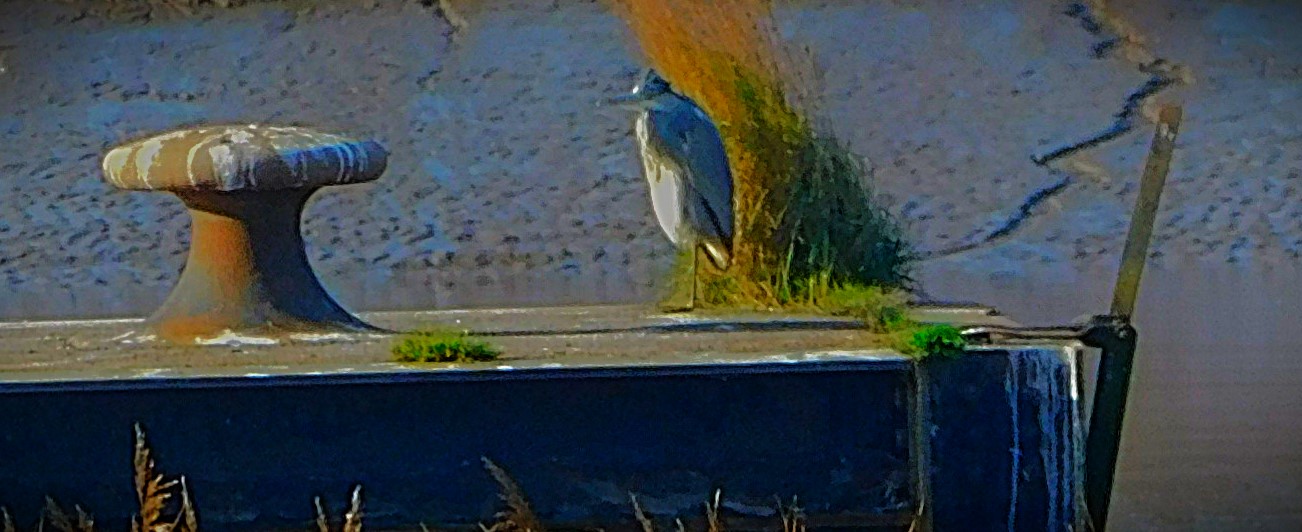
The next port of call was ‘Cormorant Platform’, although none of the birds that led me to give it that name were present on this occasion. There was a heron there however…
The heron and platform in the foreground, West Lynn church in the background.
From here I headed on to a dike which can be muddy, but as we have had little rain of late I knew would be fine, and followed it until the path bifurcated – one route led to more of the Great Ouse, and the possibility of following that river as far as Purfleet Quay, but on this occasion i took the other, heading across another part of Hardings Way, through a gateway and down a side road which leads to play area that is at the meeting point of several roads, one of which leads to All Saints Church, reckoned to be the oldest church in King’s Lynn and then by way of Hillington Square to Millfleet.
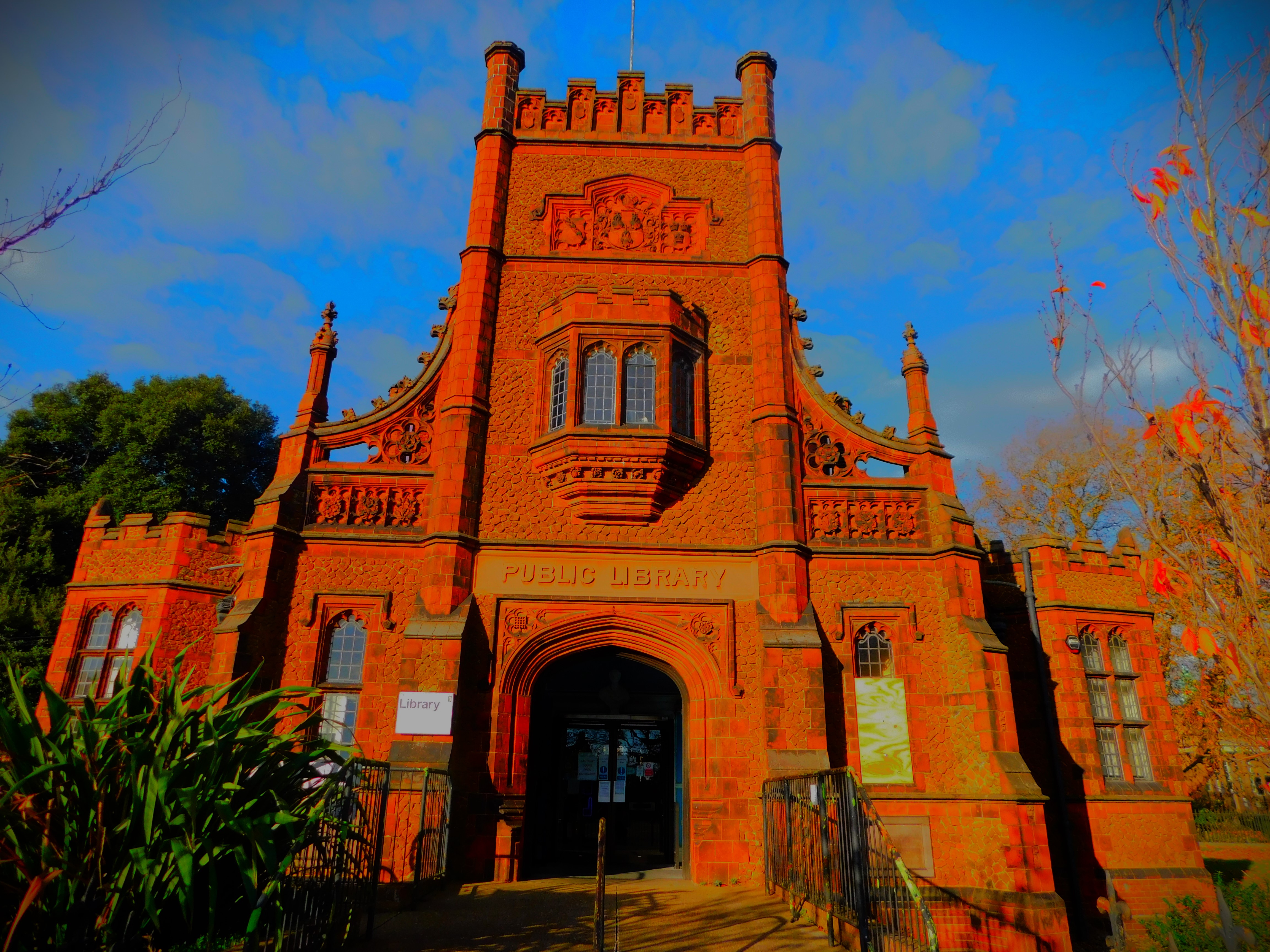
I crossed Millfleet at a light controlled crossing, headed up past the library, though on this occasion I did not visit that establishment as I already had a number of books out. I then went past the war memorial and Greyfriars Tower, before heading on to Tower Street and thence to the bus station, though I was merely passing through, not intending to catch a bus. From the bus station I headed along Railway Road, crossed at a light controlled crossing and walked along the northernmost section of Norfolk Street to arrived a triangular road crossing that invariably involves two waits if you are a pedestrian, followed Littleport Street until the junction with Kettlewell Lane, passing through the greenery to the second of the two ponds mentioned earlier in this piece, but I now did not entirely duplicated the starting route, instead heading along Loke Road, on to Columbia Way, and then availed myself of a recently opened cut through to the private road behind my house and thus got home.
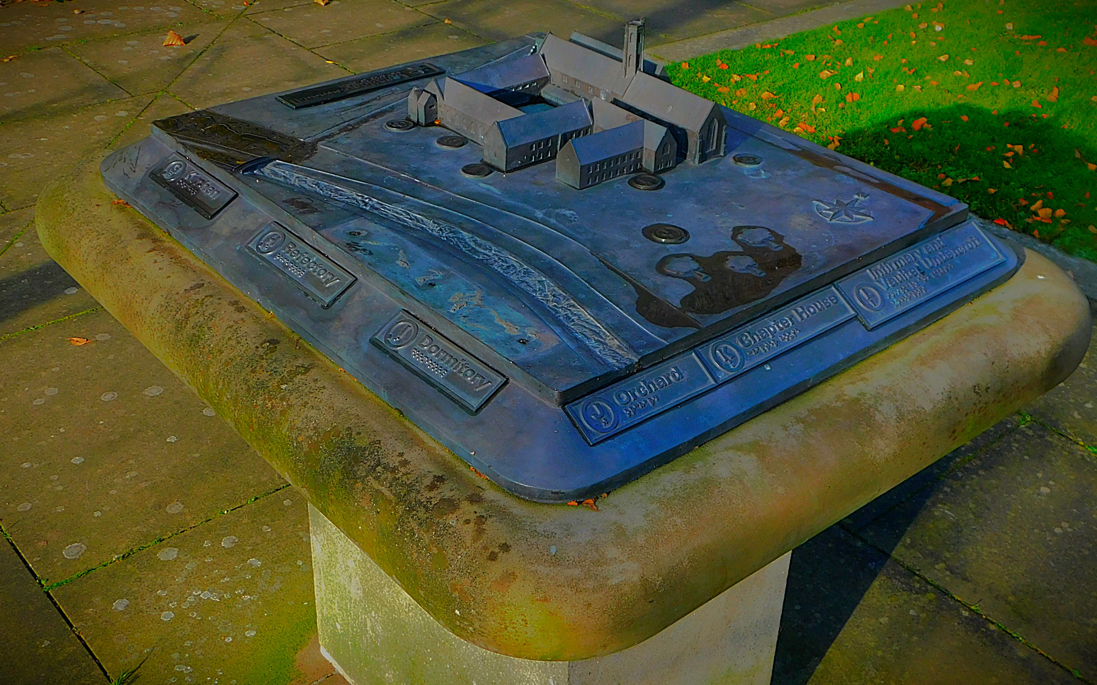
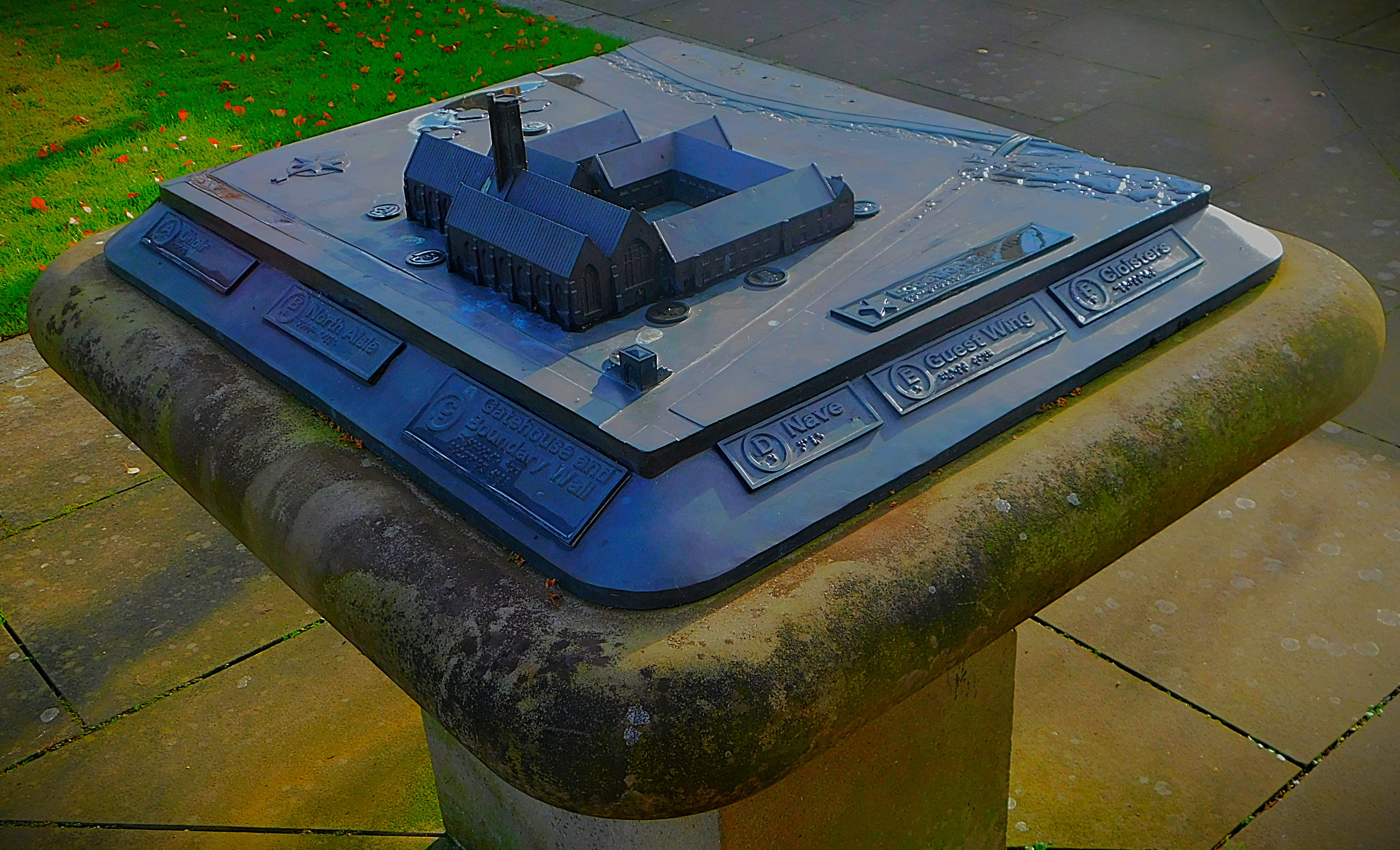
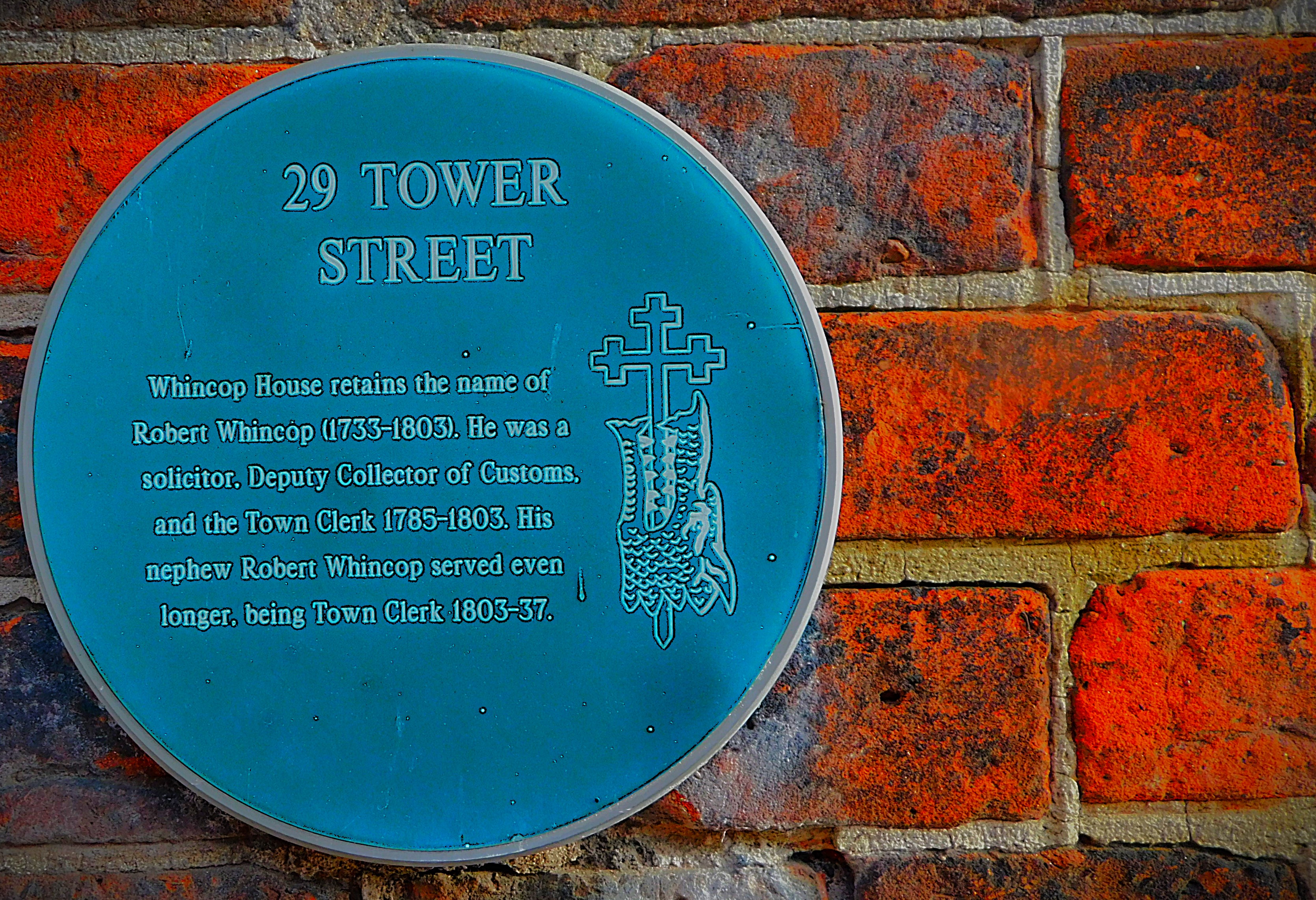
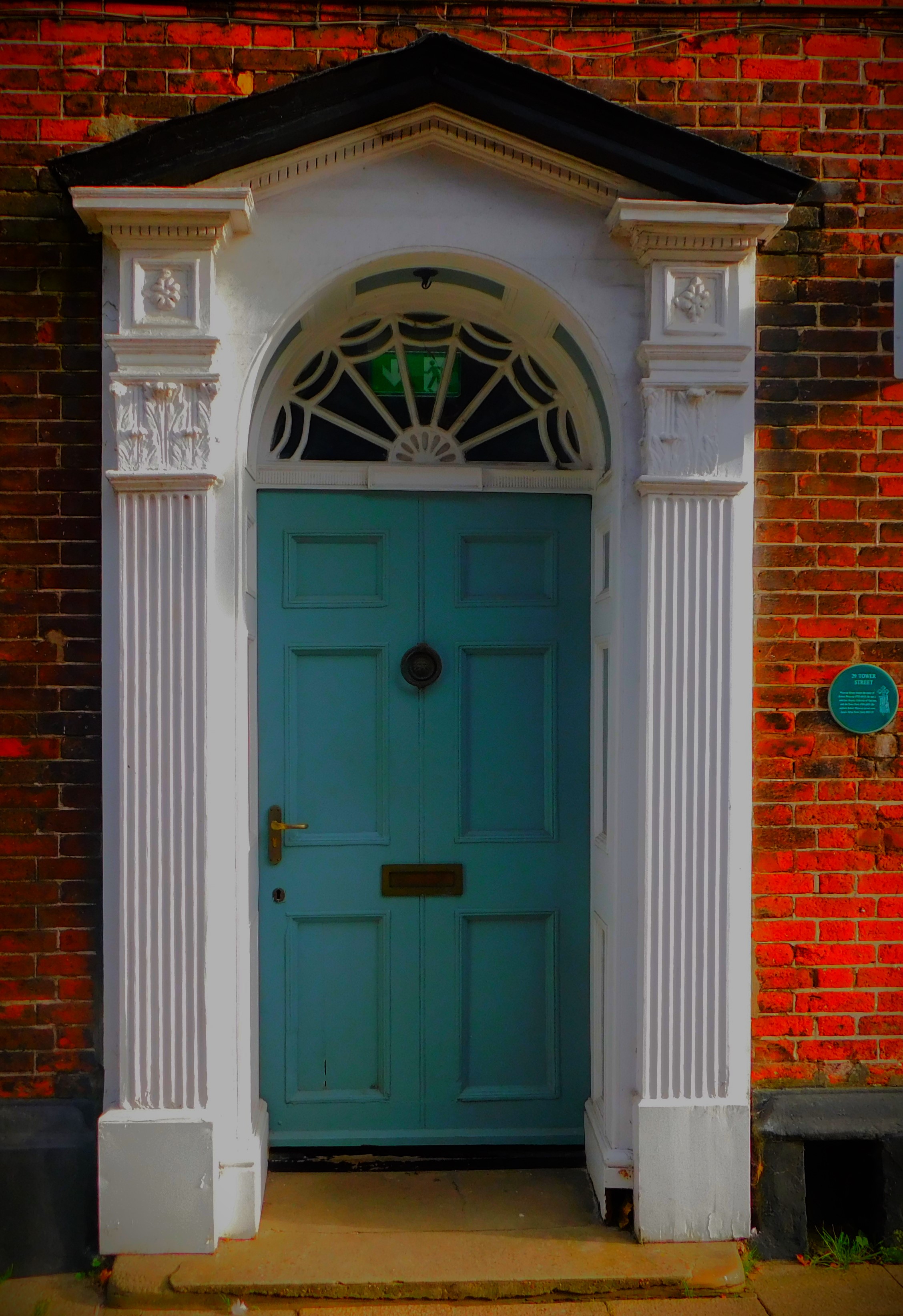
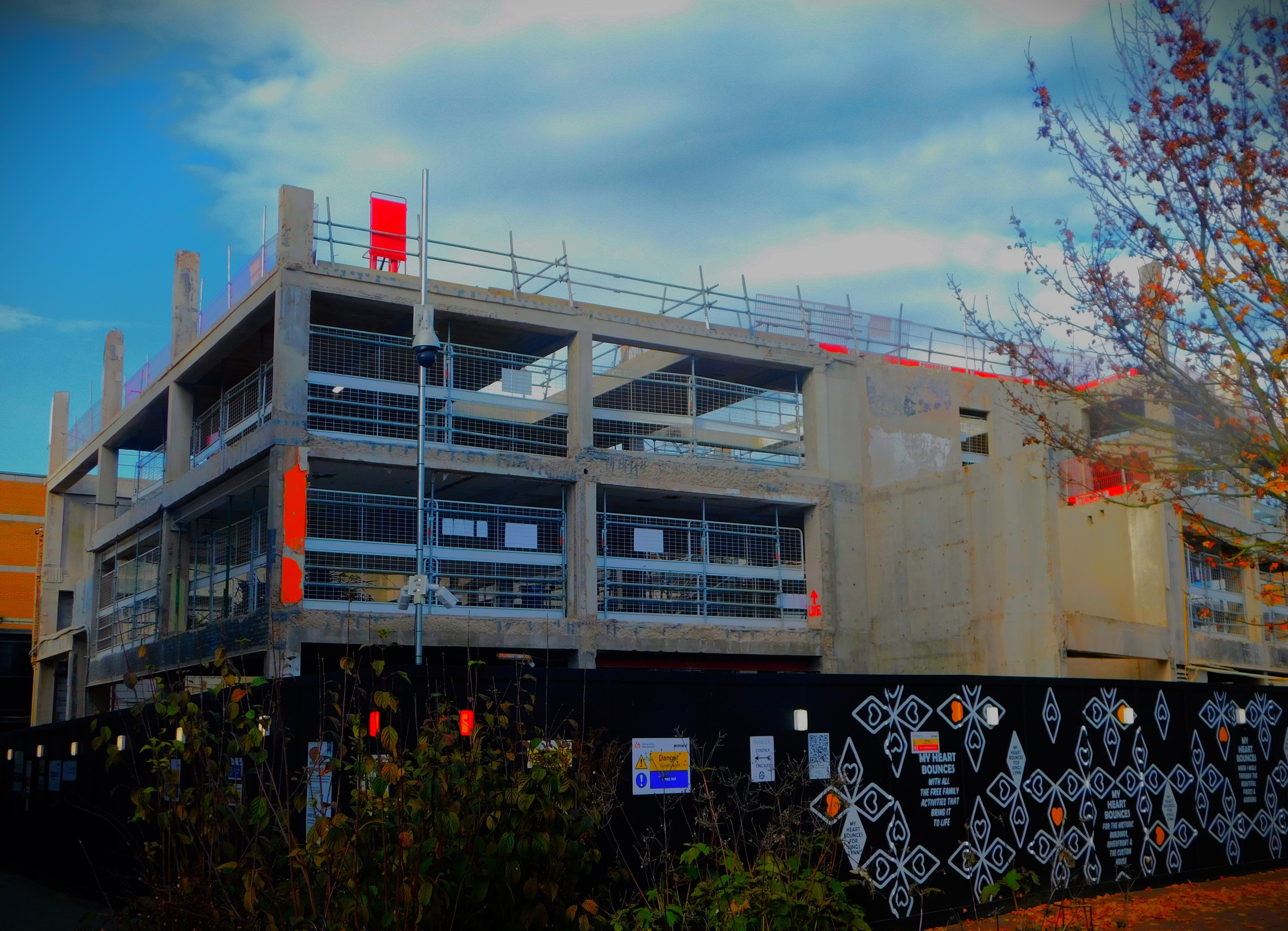
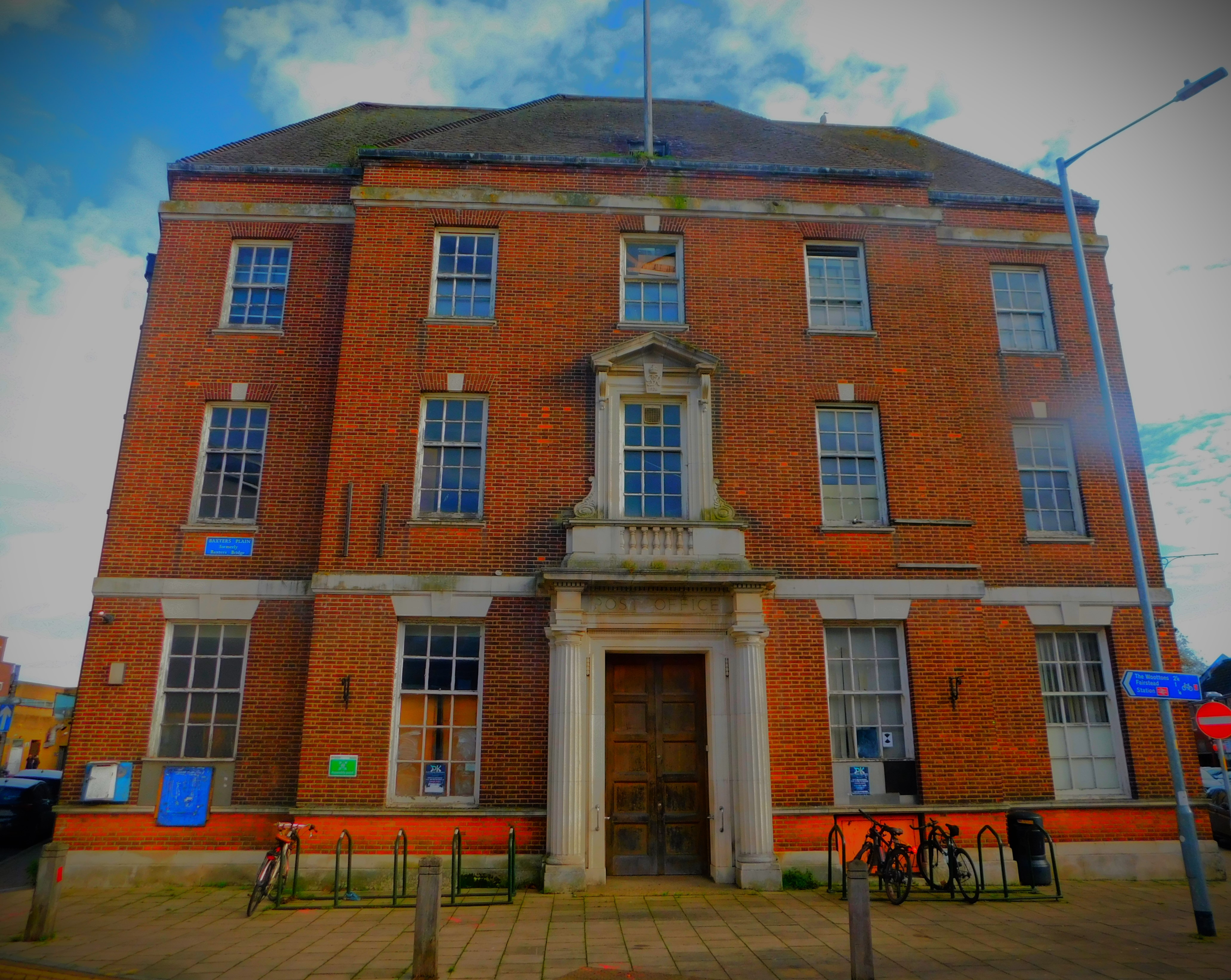
King’s Lynn library.The war memorial and Greyfriars Tower.Two images of a scale model showing what the Franciscan Friary would have been like in its 13th/ 14th century heyday.An arched doorway on Tower StreetThis used to be Argos, and when work on it is finished it will be a Library and community hub for King’s Lynn. The old building will remain fully accessible to the public whatever use it may be put to.Once upon a time, when such things still existed, this was King’s Lynn Main Post Office.
I hope you have enjoyed this account of a variation on one of my favourite walking themes, that of the three rivers.
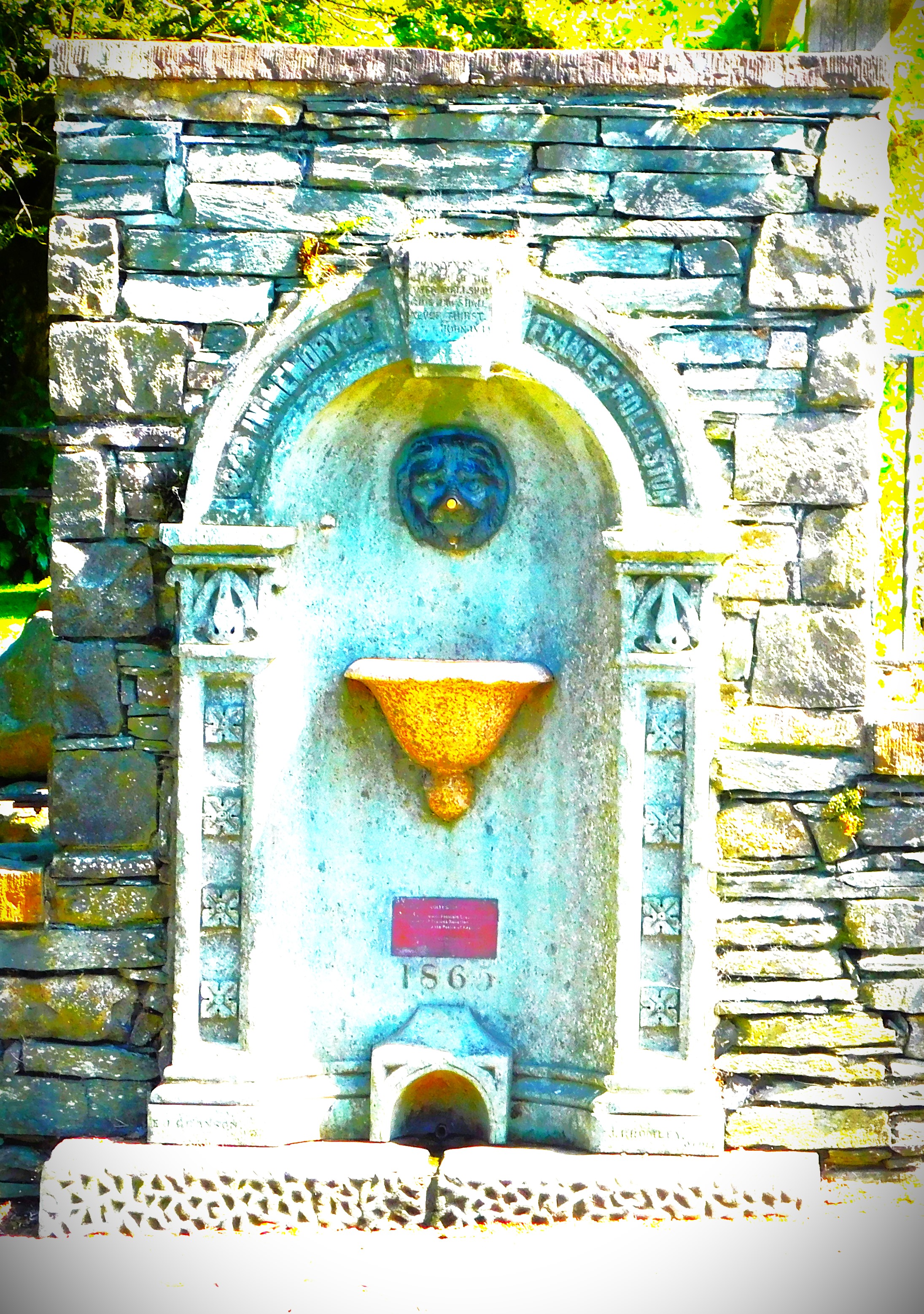
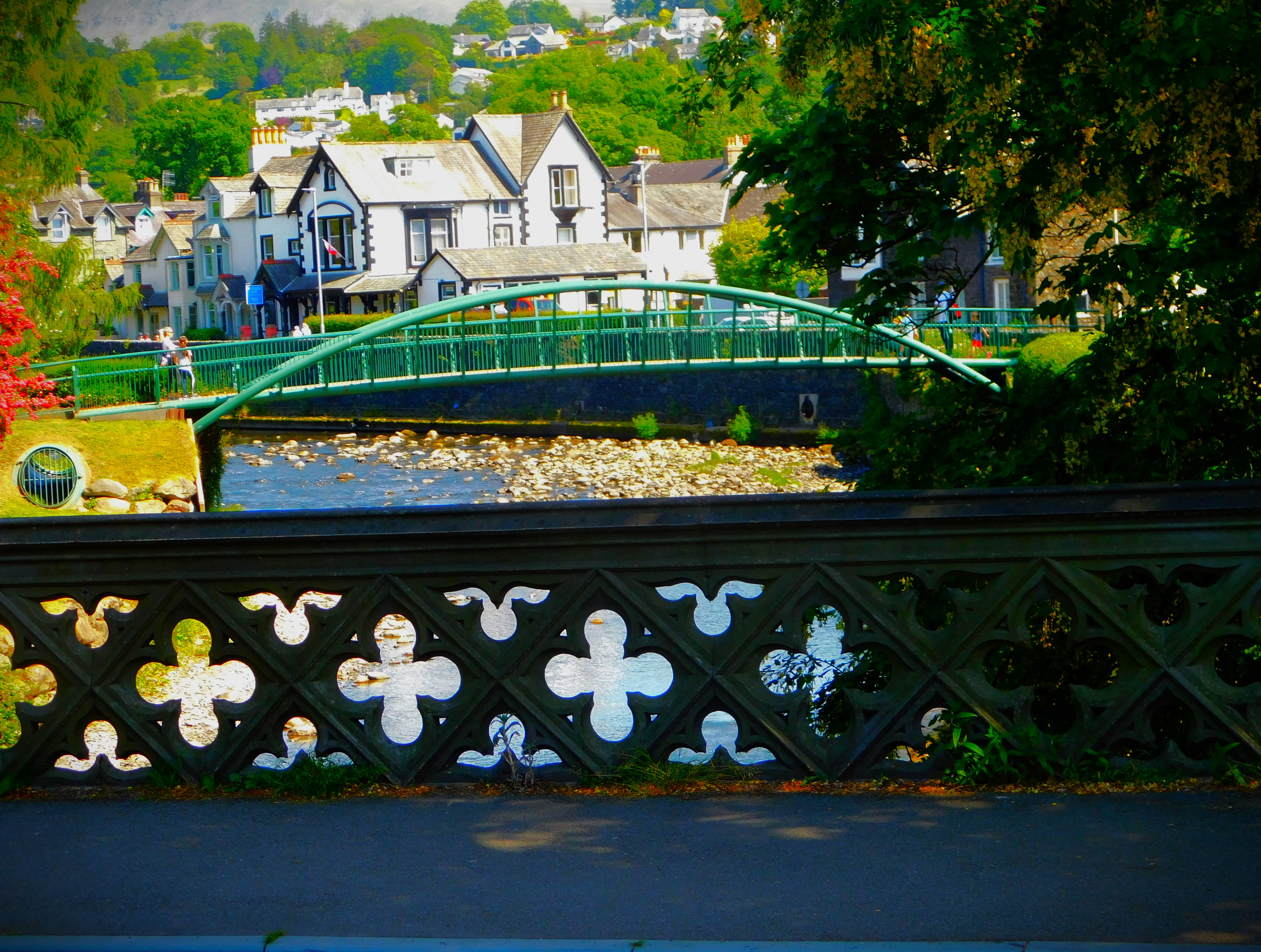
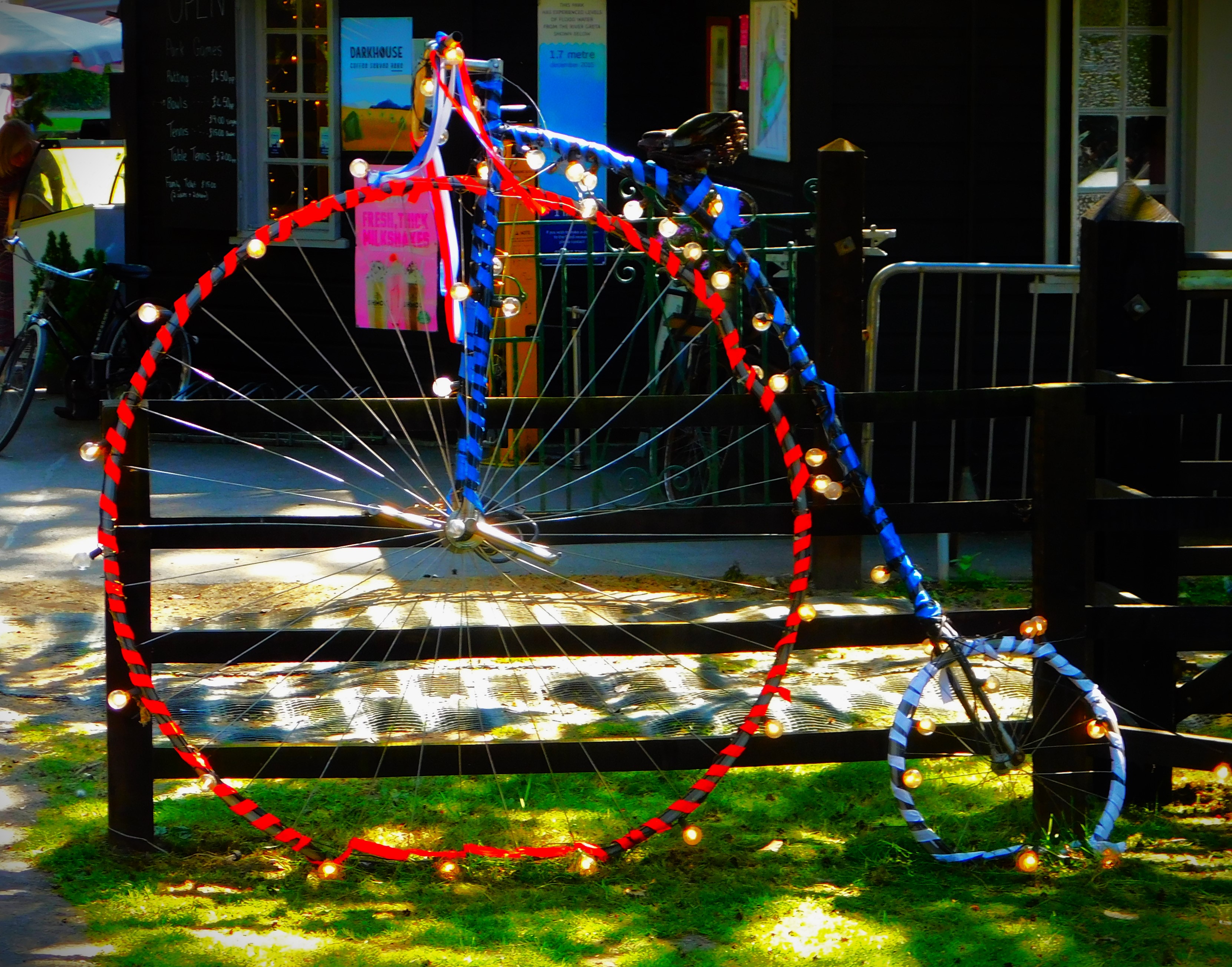
Continuing my series about my holiday in the Lake District with a post about our visit to Keswick.
Welcome to the latest instalment in my series about my holiday in the Lake District. Today deals with the last activity of the Tuesday – after concluding our explorations of Grasmere we went on to Keswick before returning to Ambleside.
ABOUT KESWICK
Keswick looks down on Derwentwater (although this area is called the Lake District very few of the bodies of water in question actually have lake in their title – they are either -mere, -water or water (Coniston Water and Brothers Water to name two of the latter). Those of you who think the Derwent part of Derwentwater looks familiar are probably right – you almost certainly had pencils which had Derwent stamped on their sides, and they were made here – there are graphite deposits in the area. Keswick has its place in Rebecca Tope’s Lake District series – main character Simmy Brown’s other half, who becomes her second husband during the course of the series, is an auctioneer and his auction house is in Keswick.
EXPLORING KESWICK
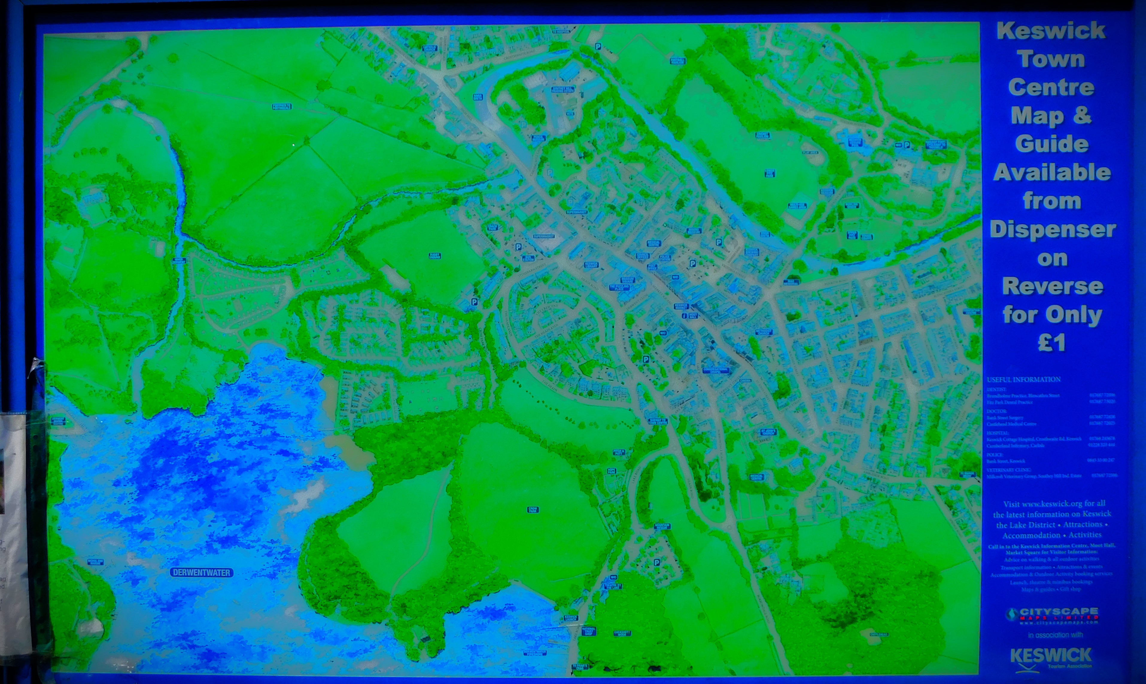
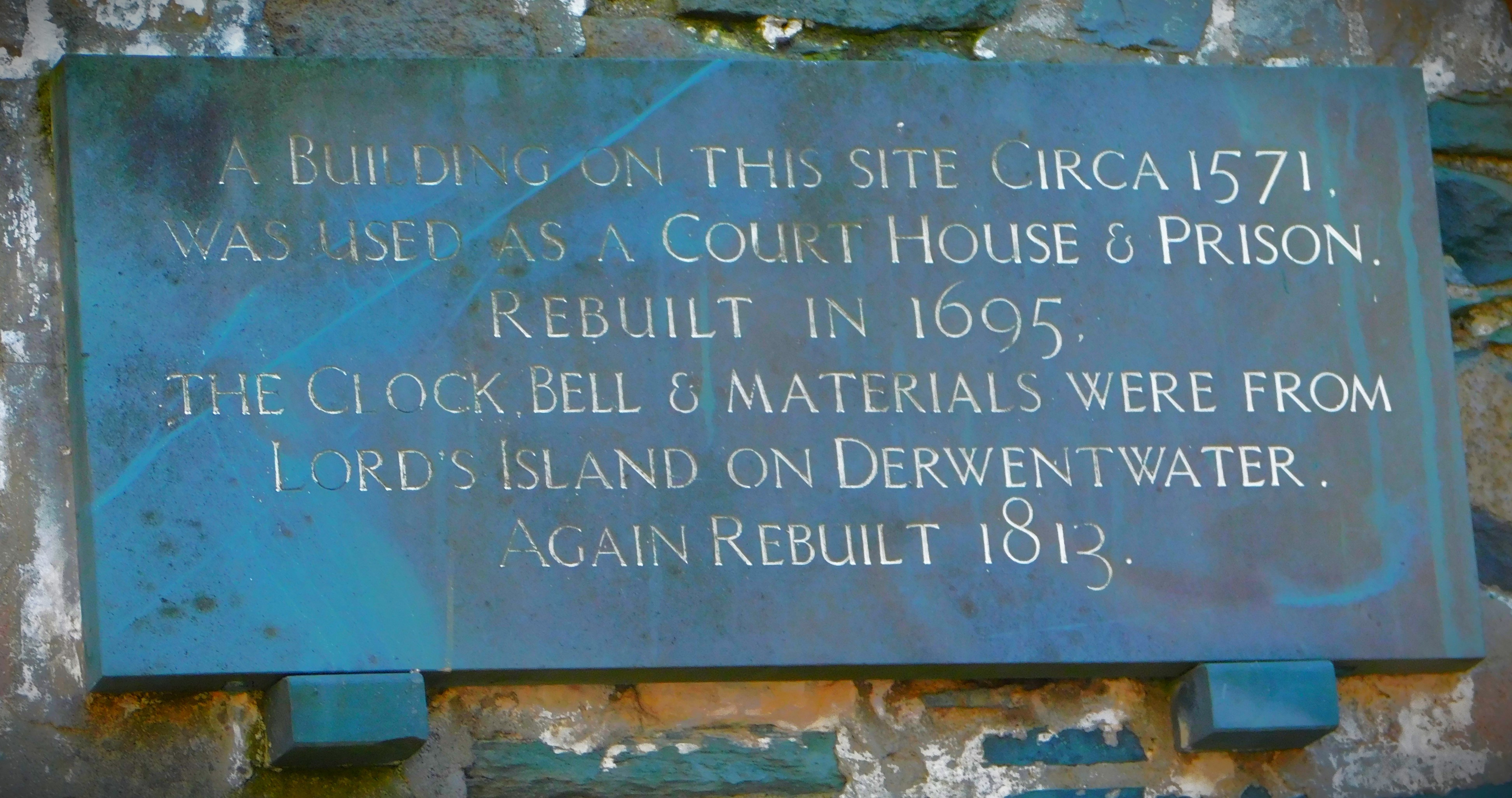
Grasmere to Keswick is a short and scenic bus ride, and I enjoyed it. Keswick has an old meeting hall, a pencil museum which we didn’t visit and a general museum which we looked at but opted not to visit given the price. It is also home to a splendid park in which we spent some time. A bus journey back to Ambleside, alighting at Ambleside bus station at my initial suggestion – I had figured it was close as the bus was going to get us and I was right – it is a much shorter walk than from the garden centre which would have been the next stop.
PHOTOGRAPHS
My usual sign off…
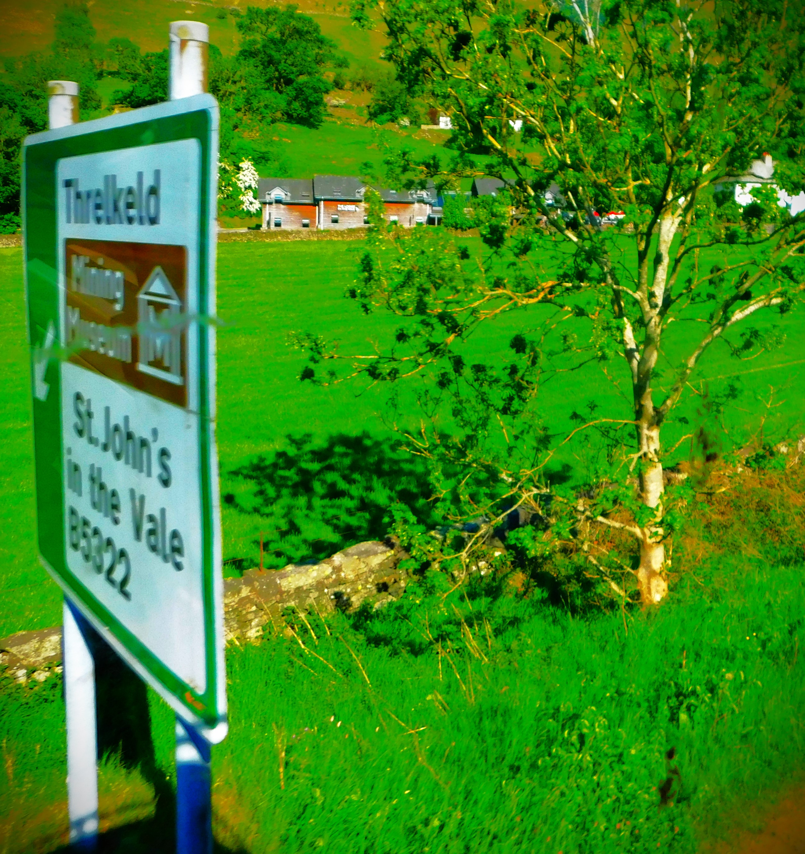
A rather scenic cricket ground.The significance of this sign is the top line (see also the next picture) – Ellie Threlkeld is England Women’s second choice wicket keeper at present, and this sign provides a clue to the origins of that surname.
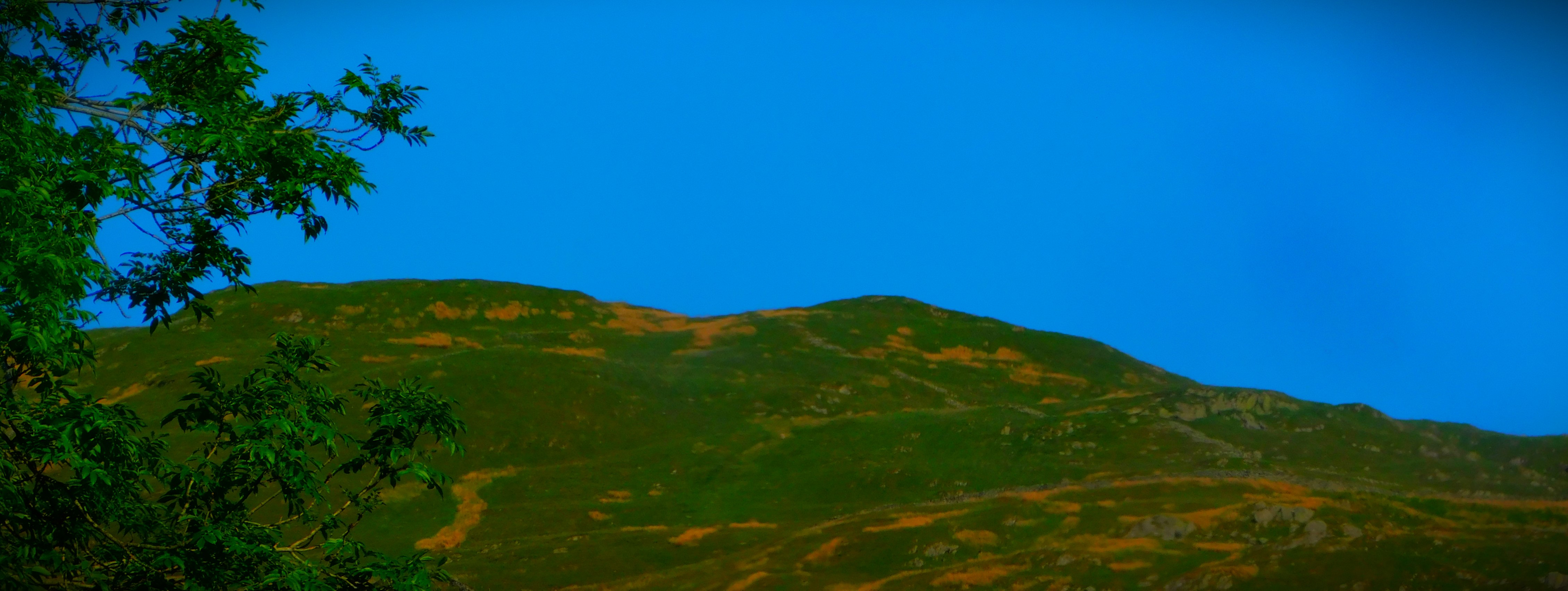
Continuing my account of my Scottish holiday with the first of two posts about the walk that formed the centrepiece of the Wednesday.
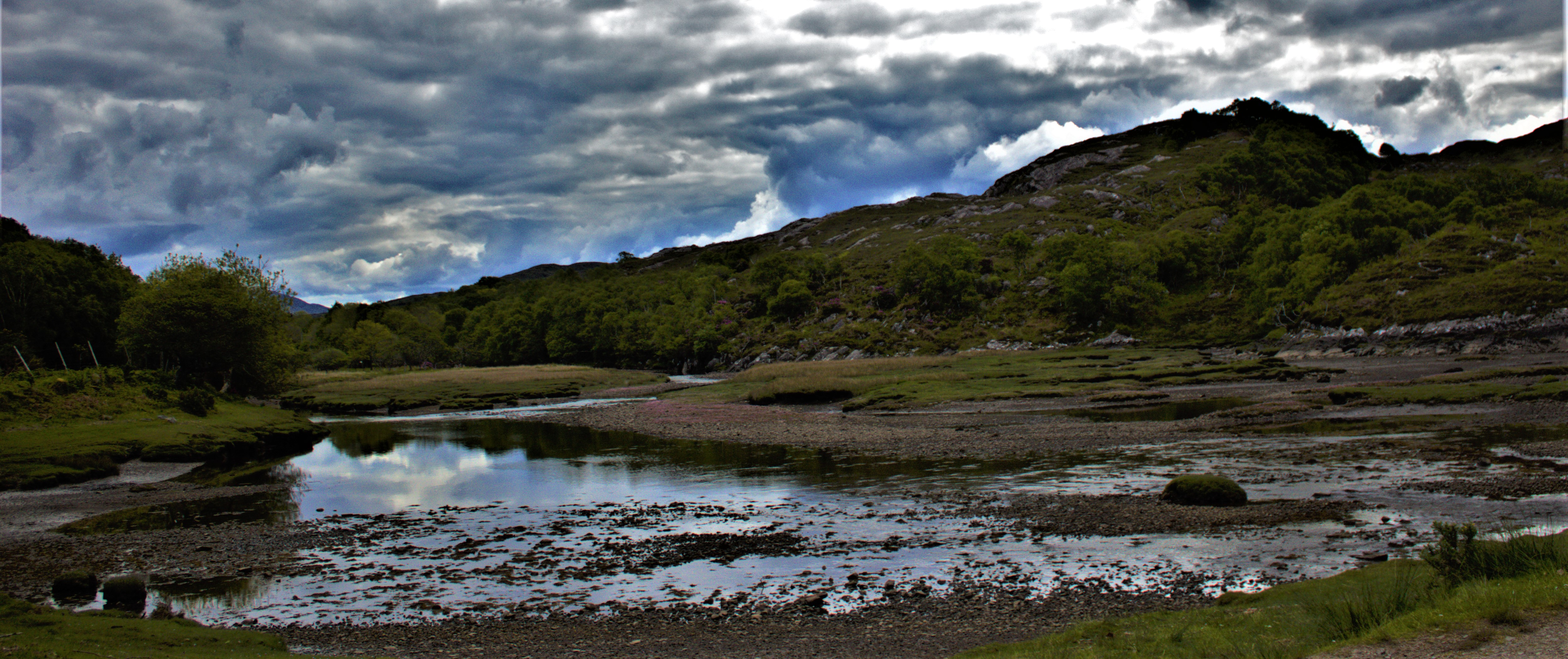
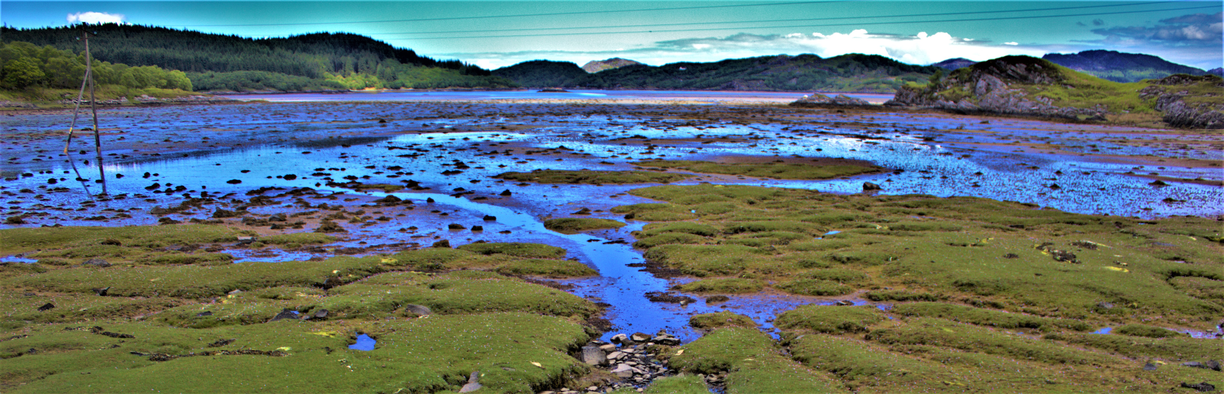
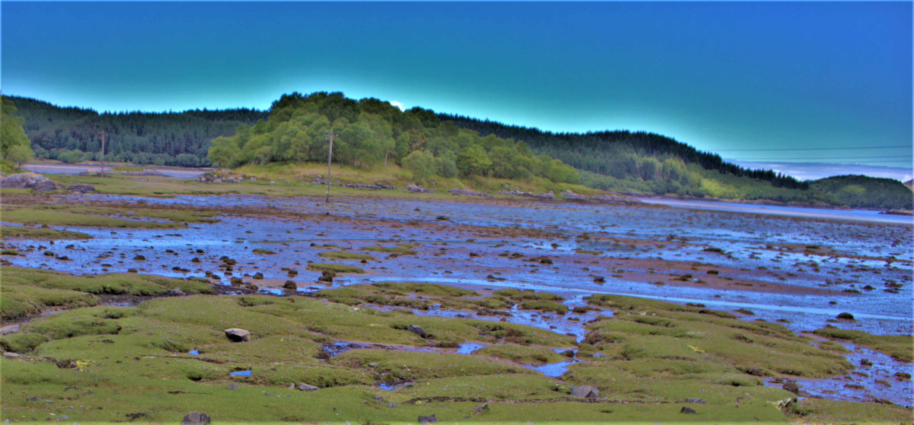
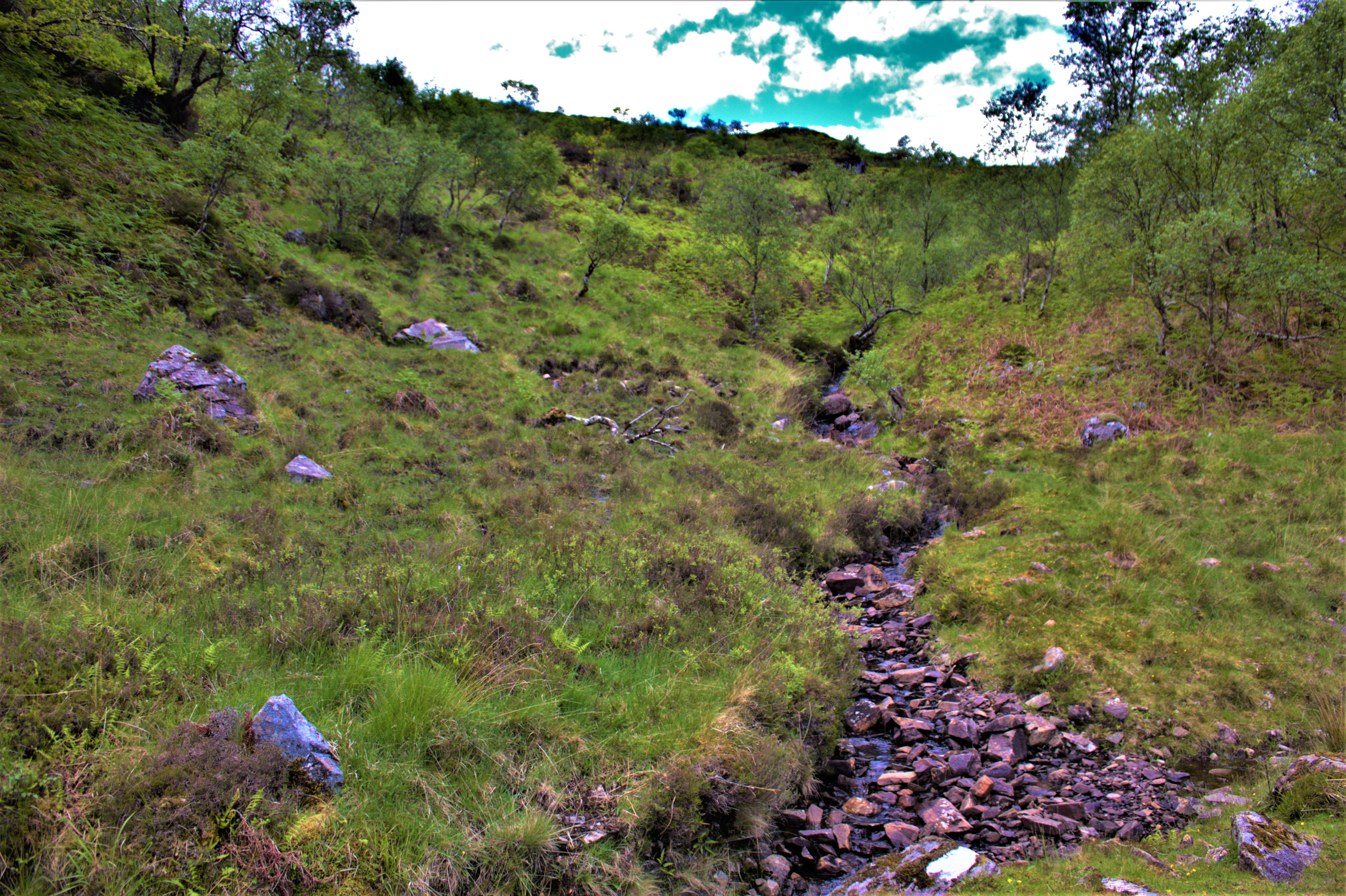
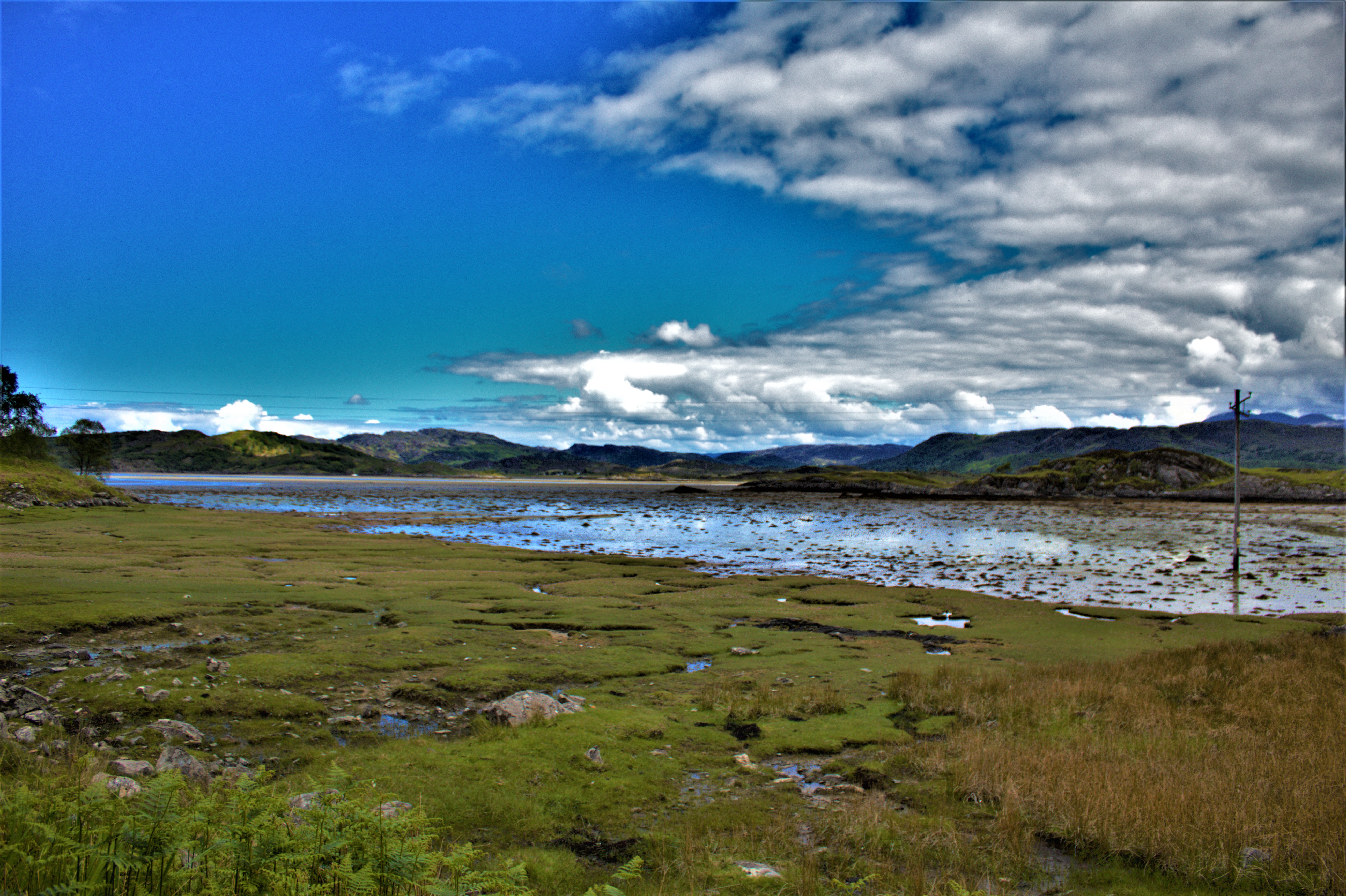
Welcome to the latest post in my account of my Scottish holiday which ended a week ago today. This post is the first of two posts covering the walk we did on the Wednesday. This involved a short car journey to the car park from which the walk began (doing it this way the walk was in region of six miles, three out and three back, which is manageable for all of us).
A LOCAL LANDMARK
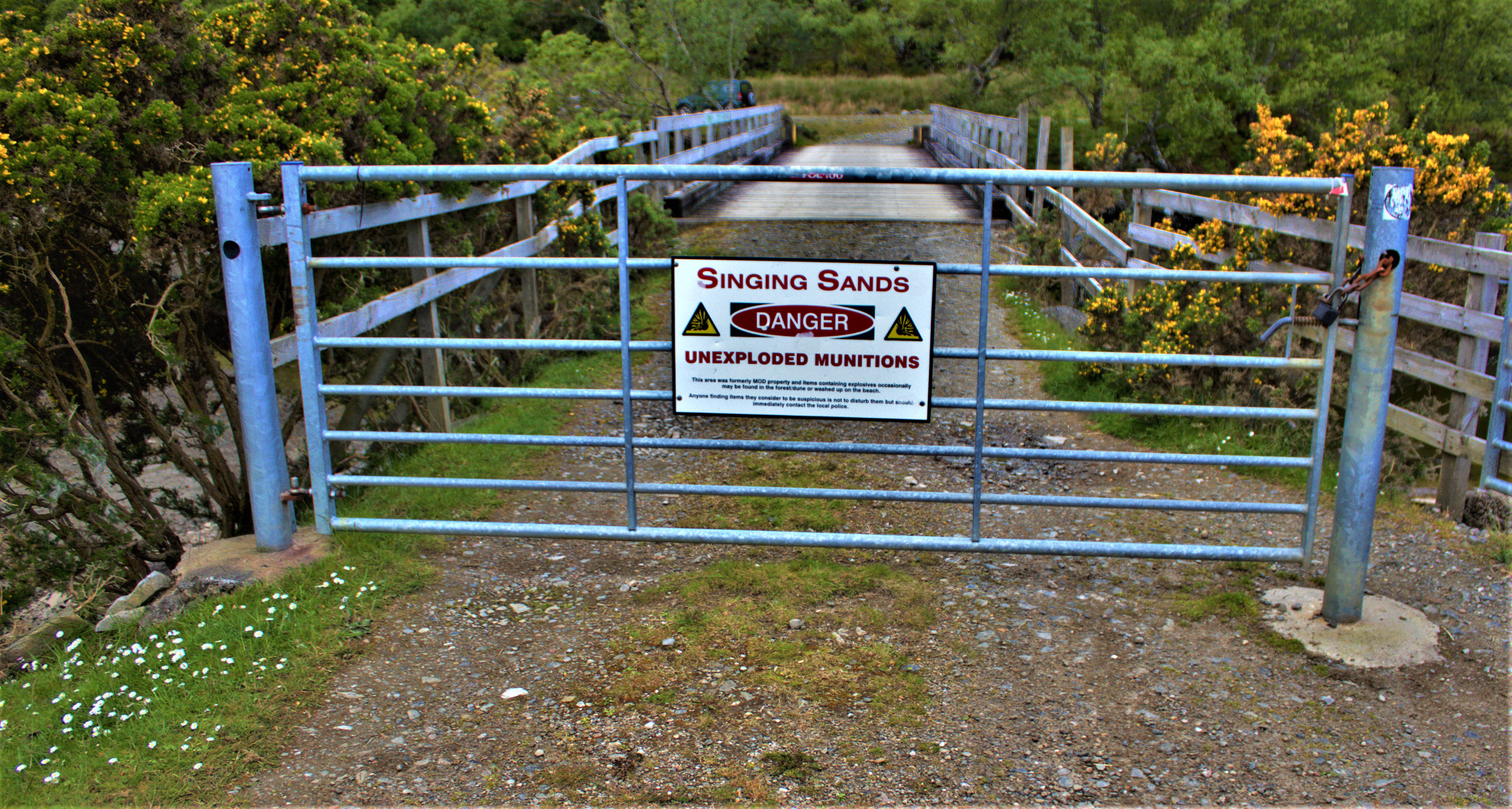
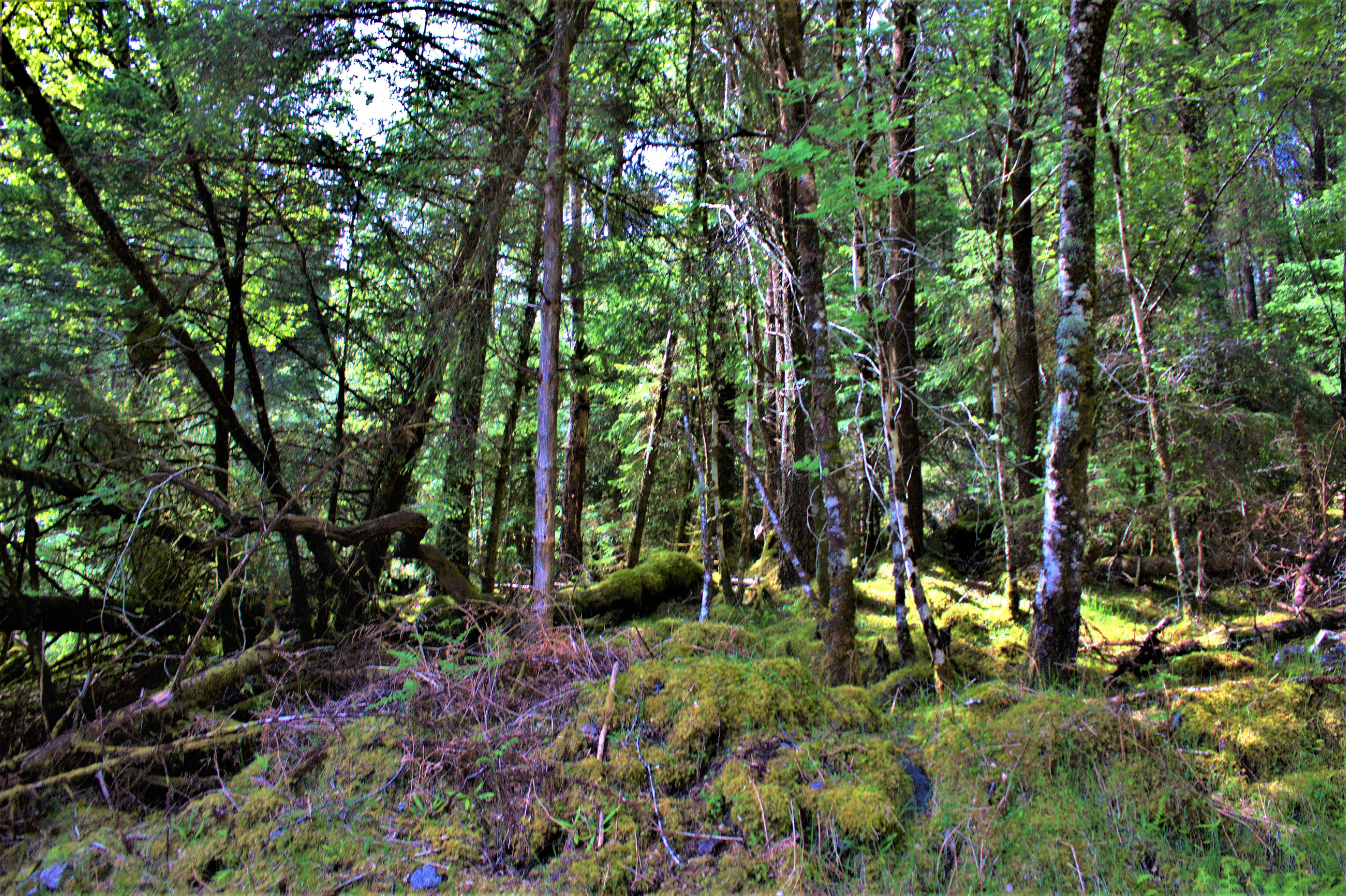
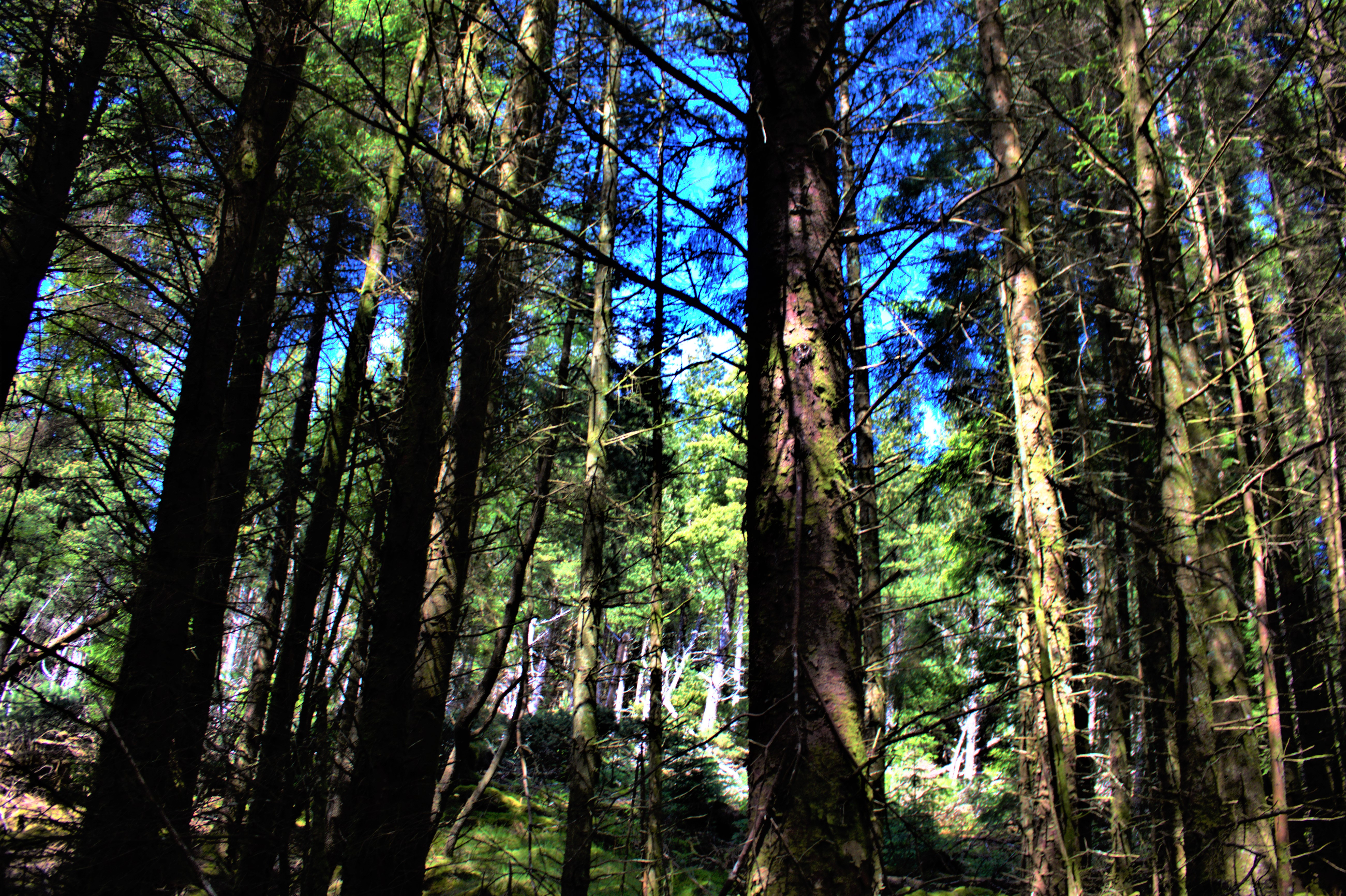
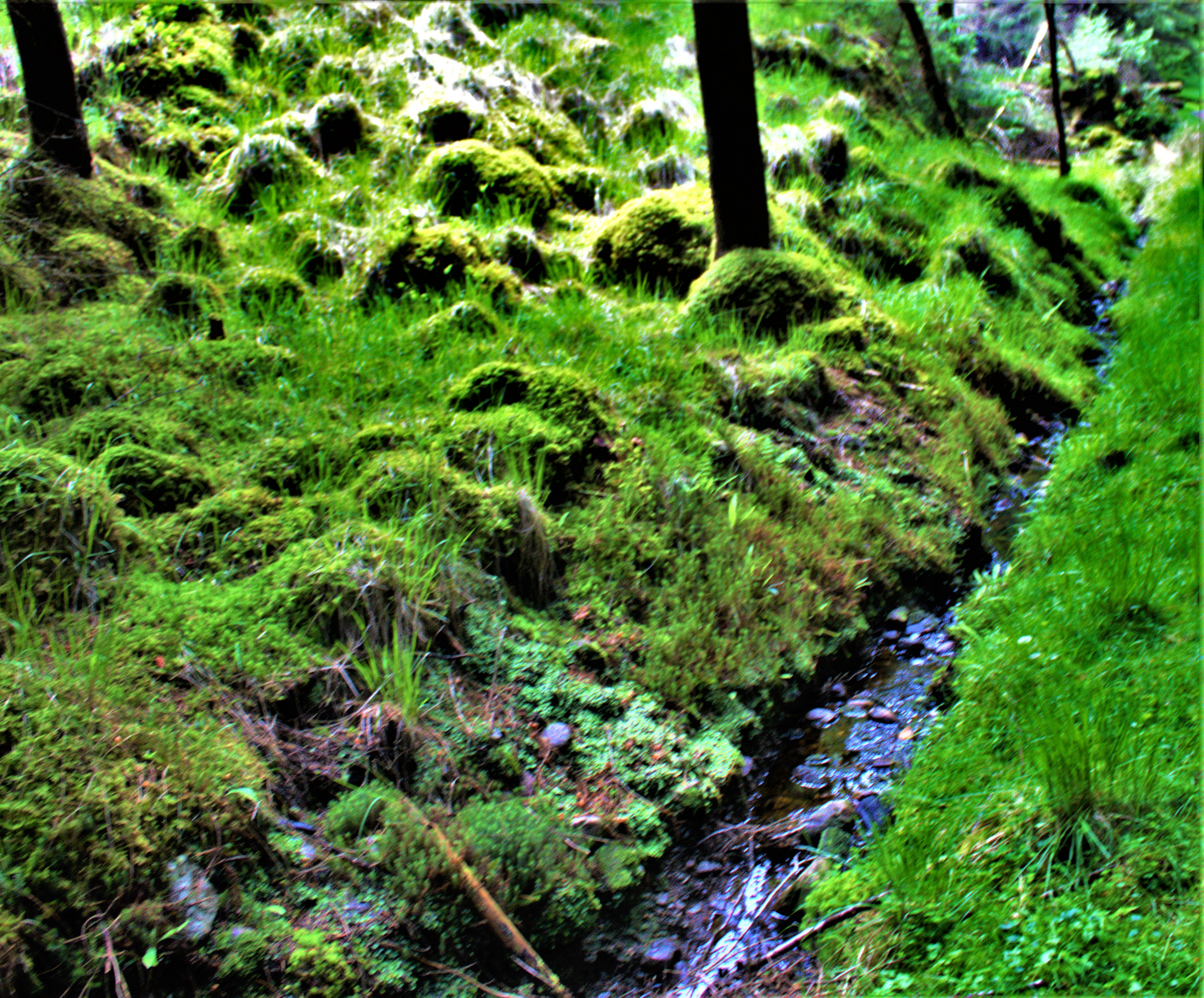
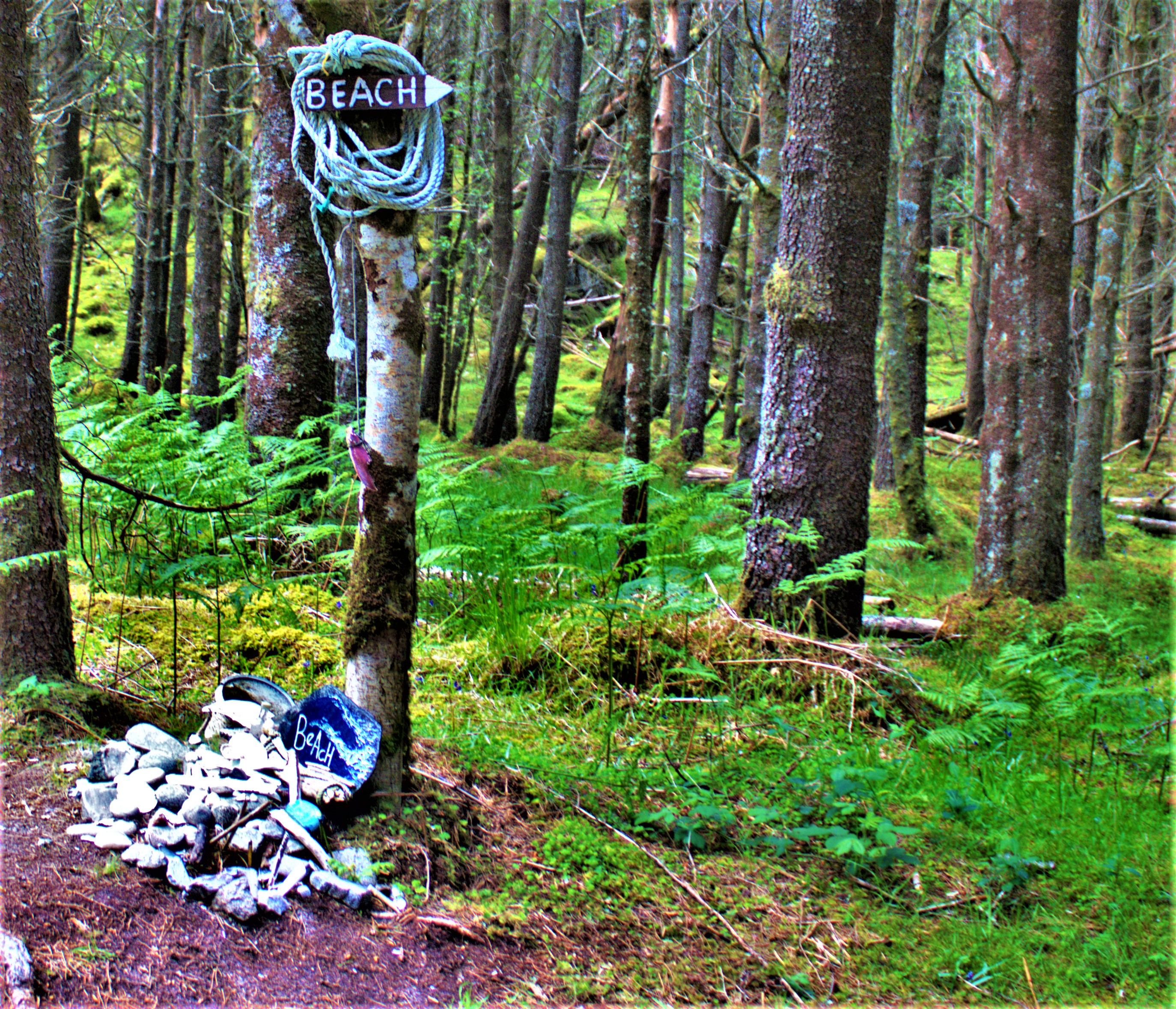
The Singing Sands is the name given to a beach because when the wind is blowing it does indeed sound like the sand is singing, and it is approached by way of a good track which runs through what used to MOD territory and then more recently was managed by the Forestry Commission. The beach is accessed by a side path off this track.
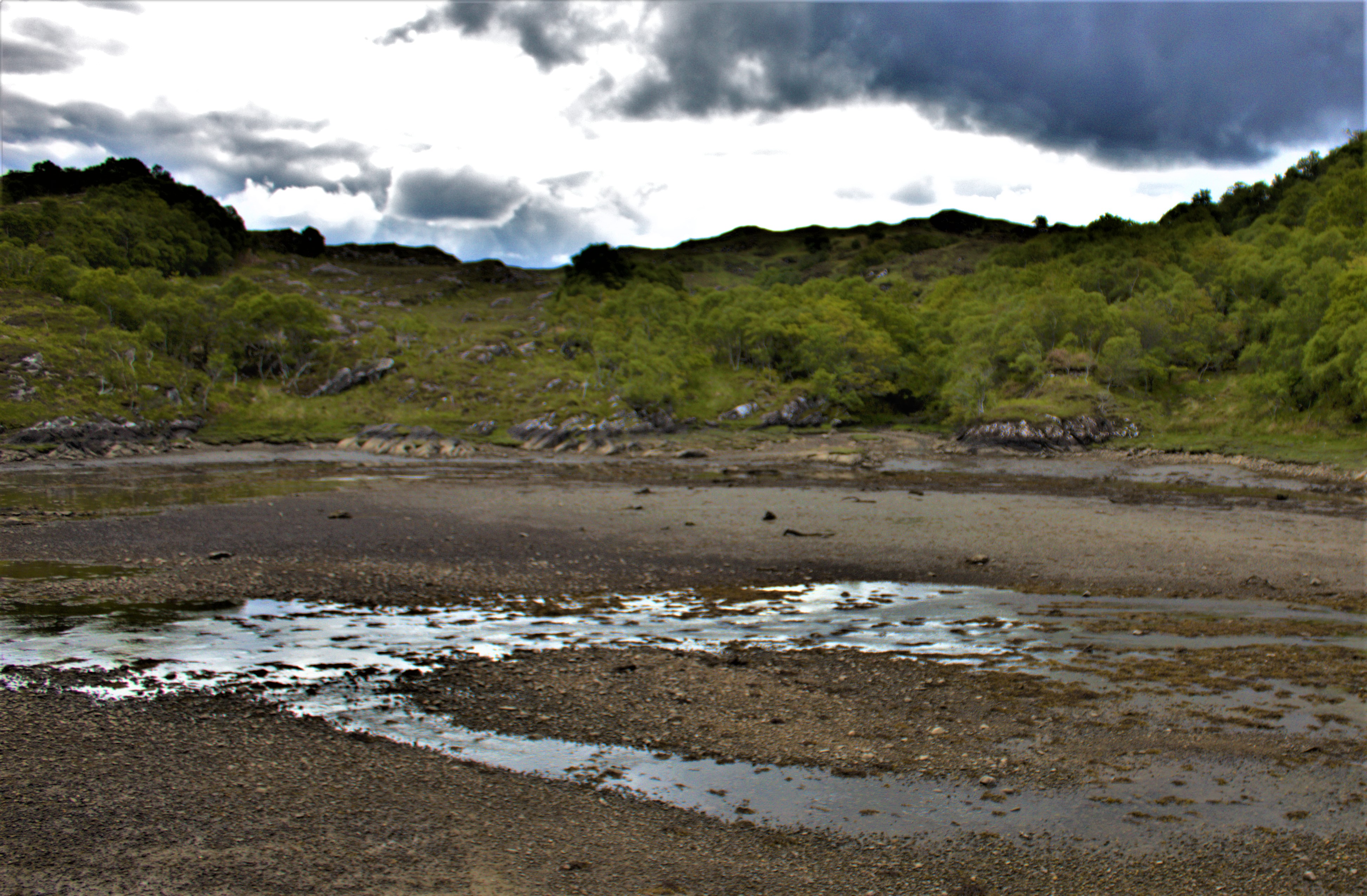
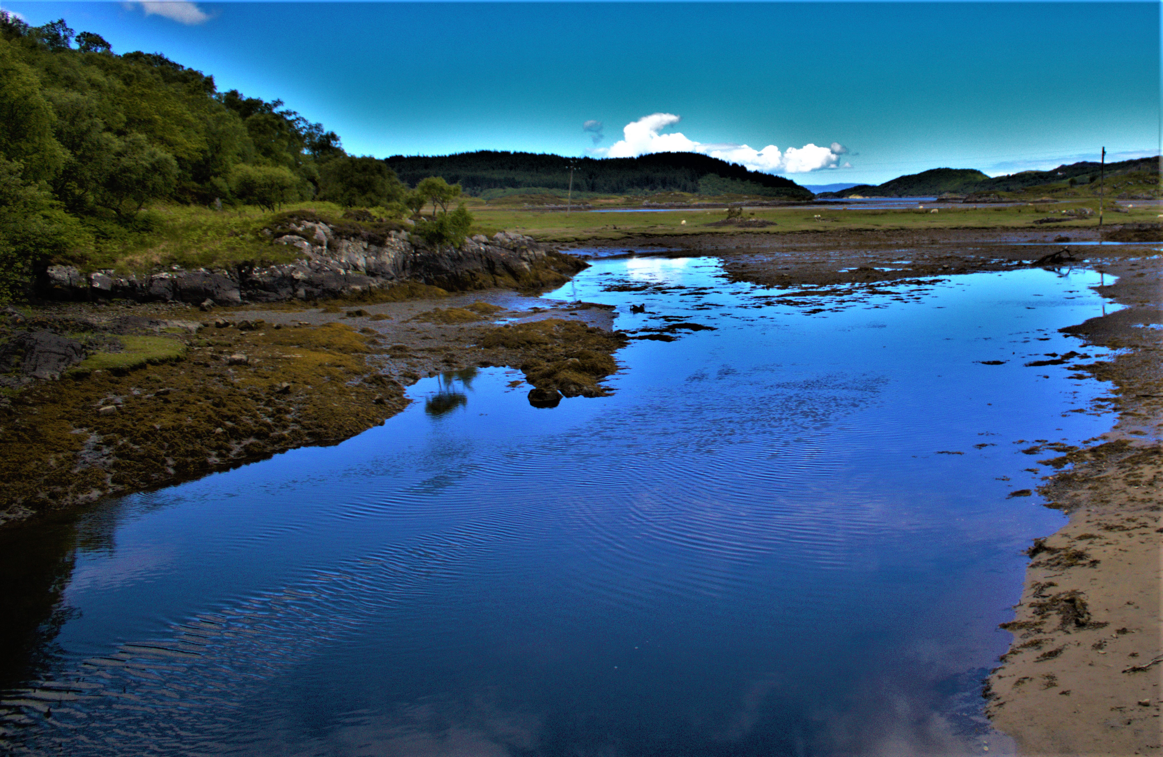
THREE DIFFERENT ENVIRONMENTS
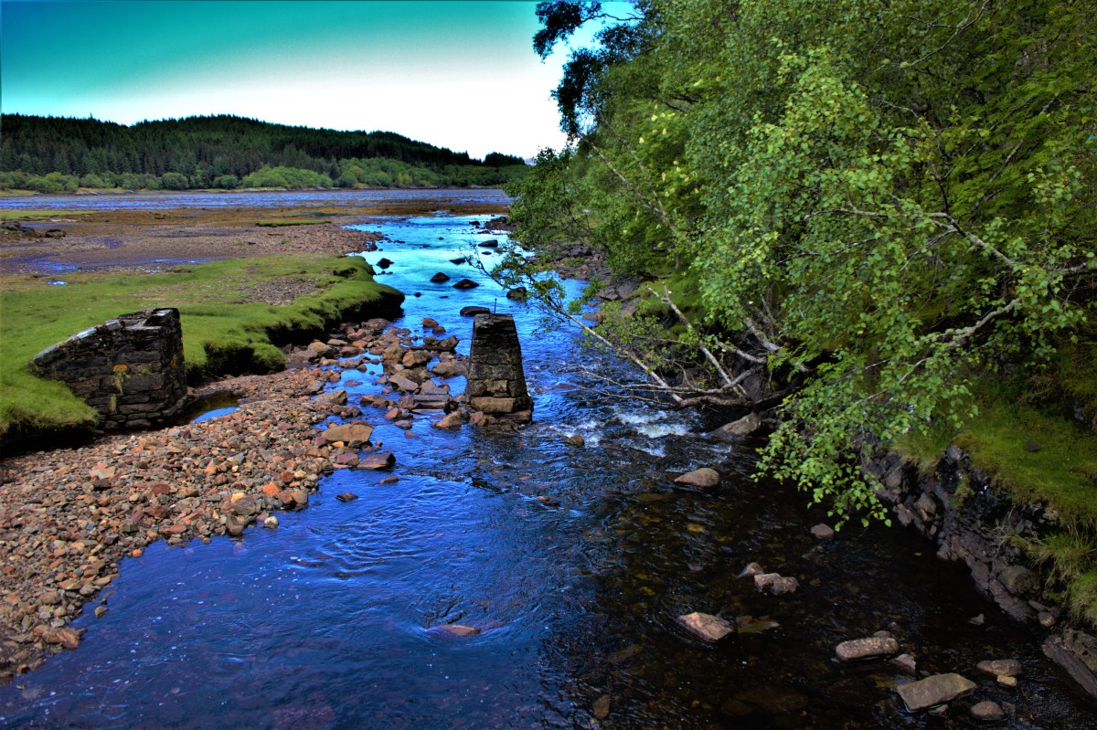
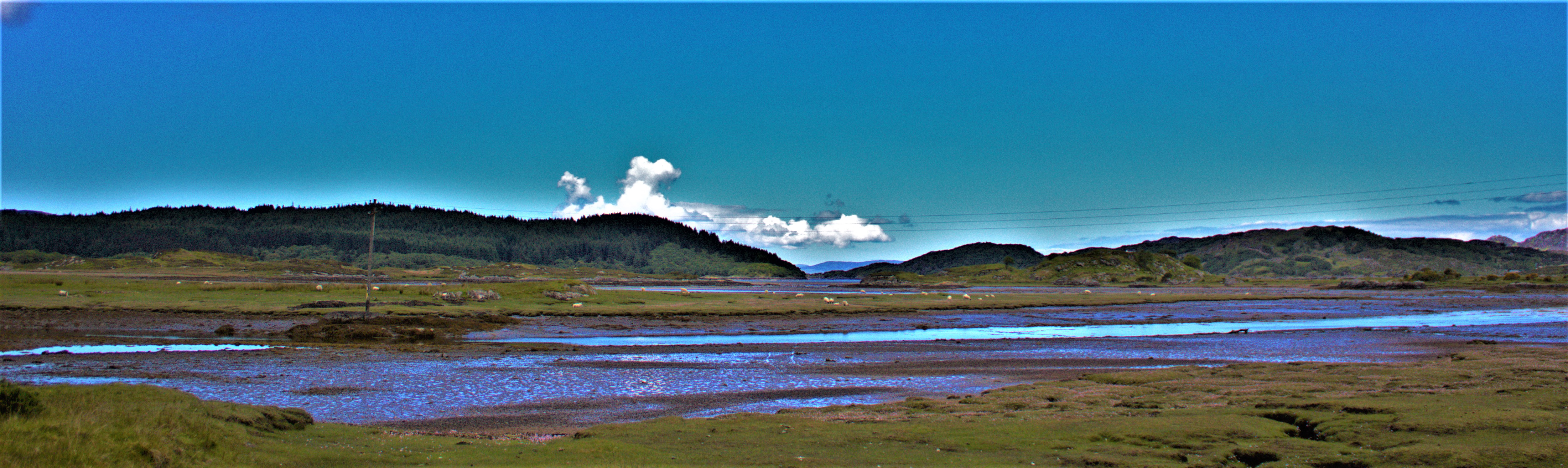
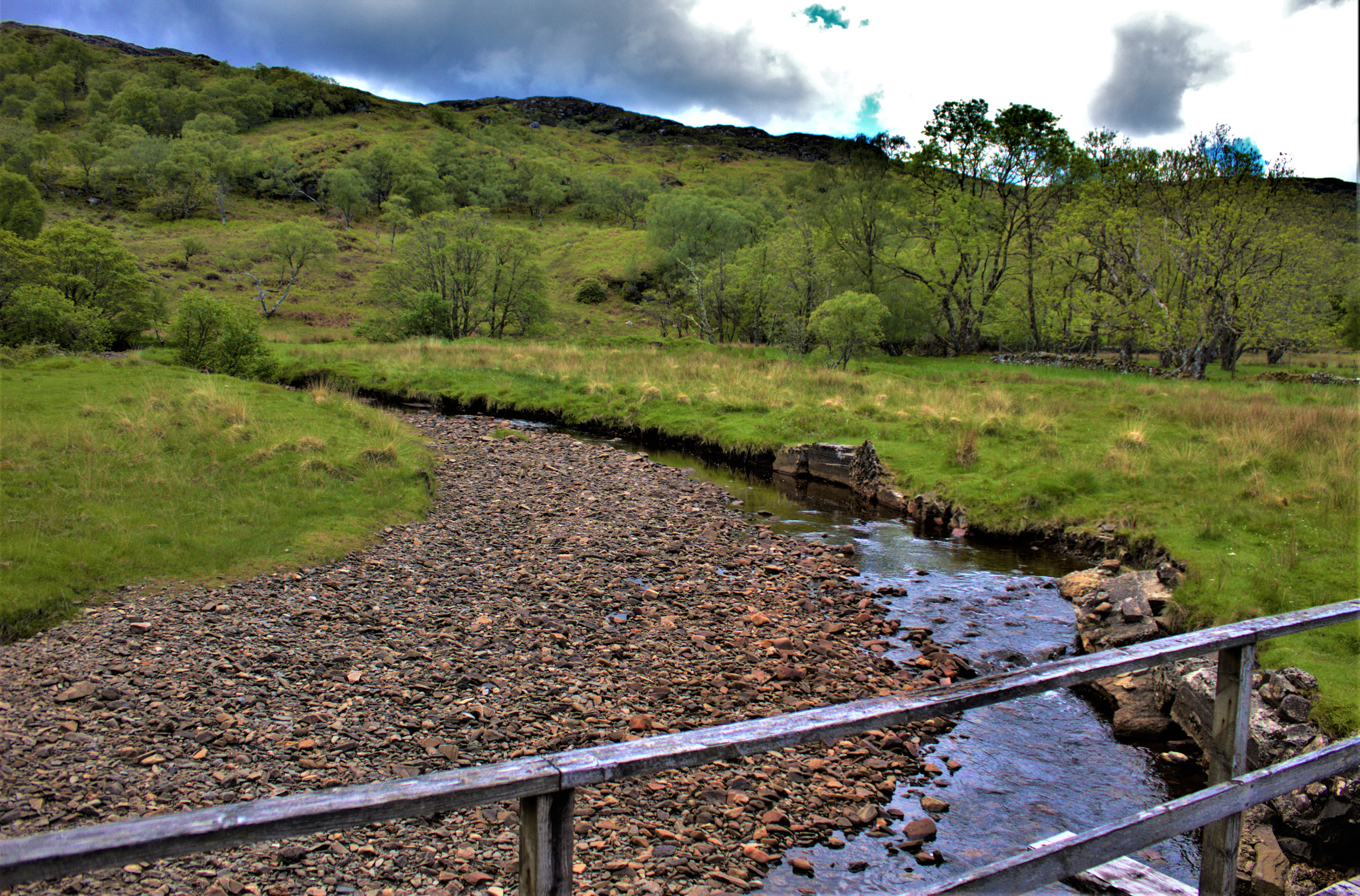
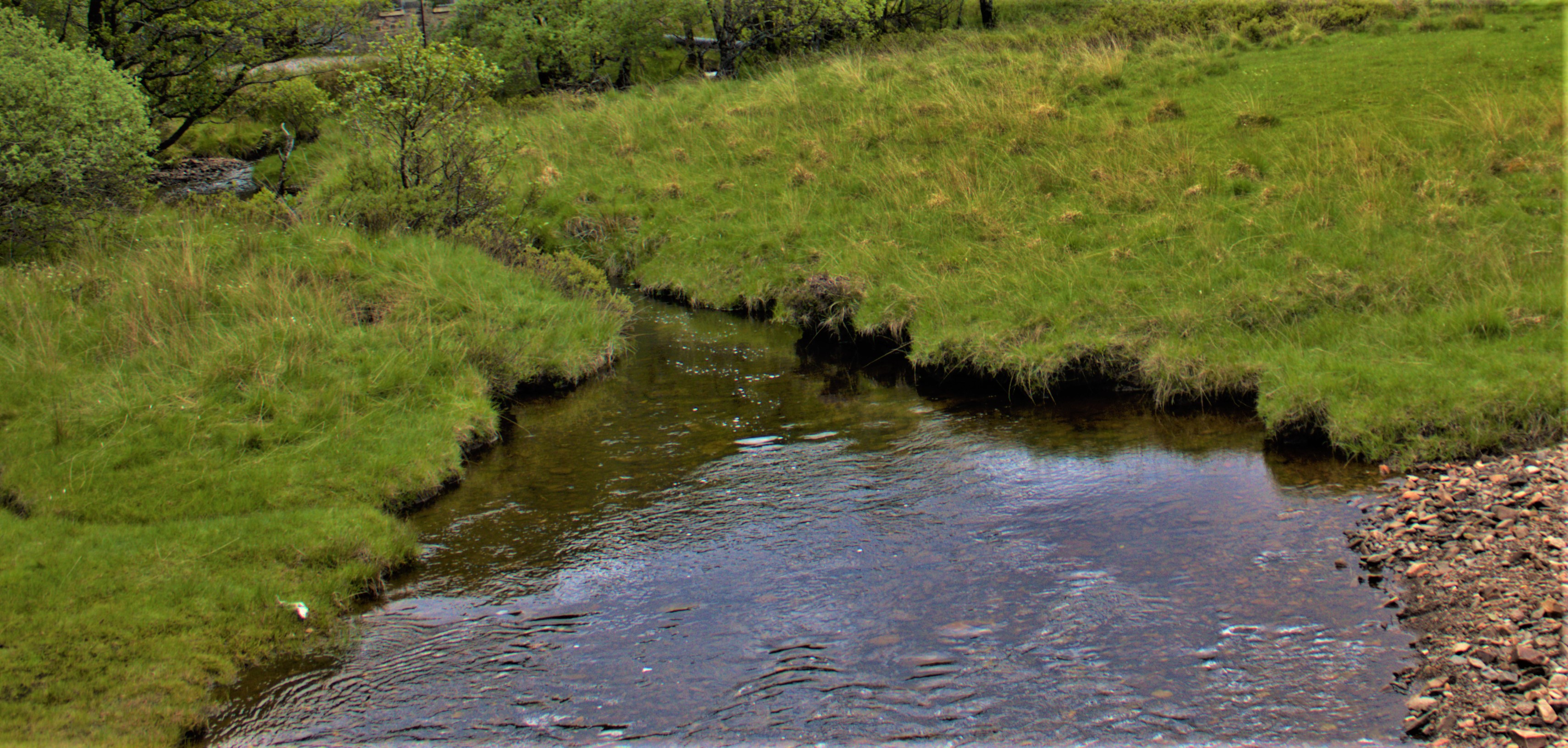
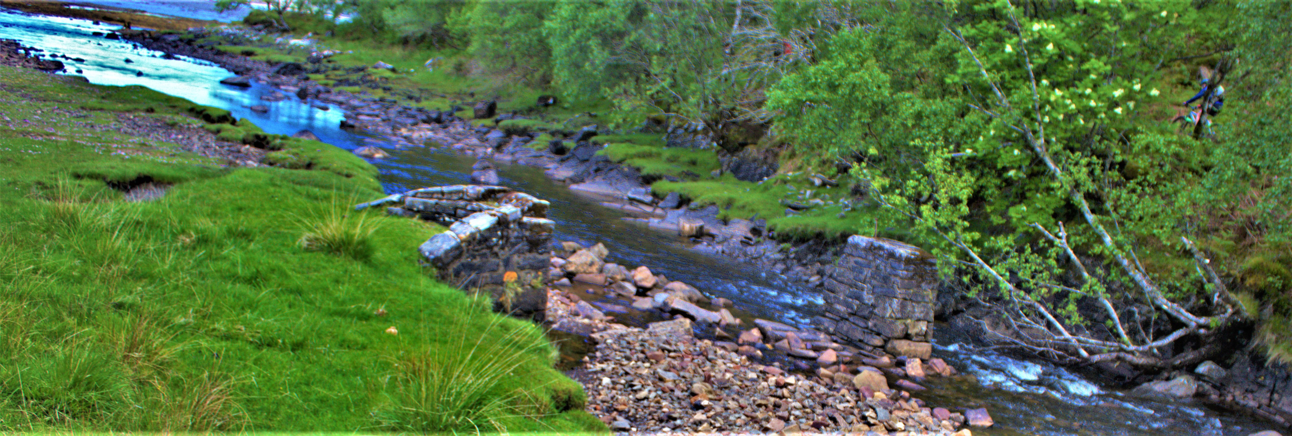
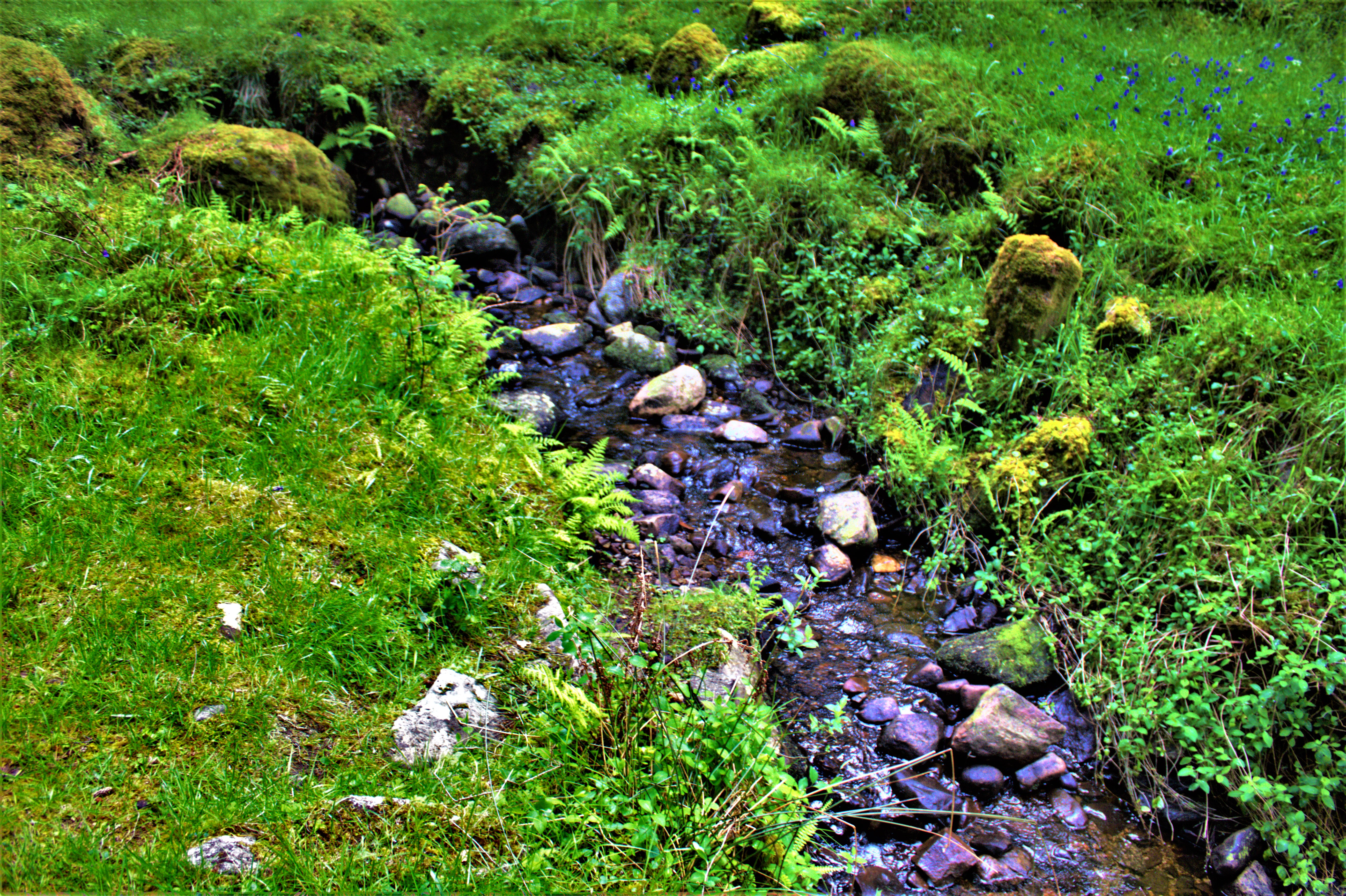
The walk starts alongside a patch of mud flats, then after the crossing of a bridge from which the remains of at least two earlier river crossings can be seen the track heads into the woods, and then finally one emerges to a sight of the beach which is remarkable. I will be covering the beach and the walk back in my next post.
PHOTOGRAPHS
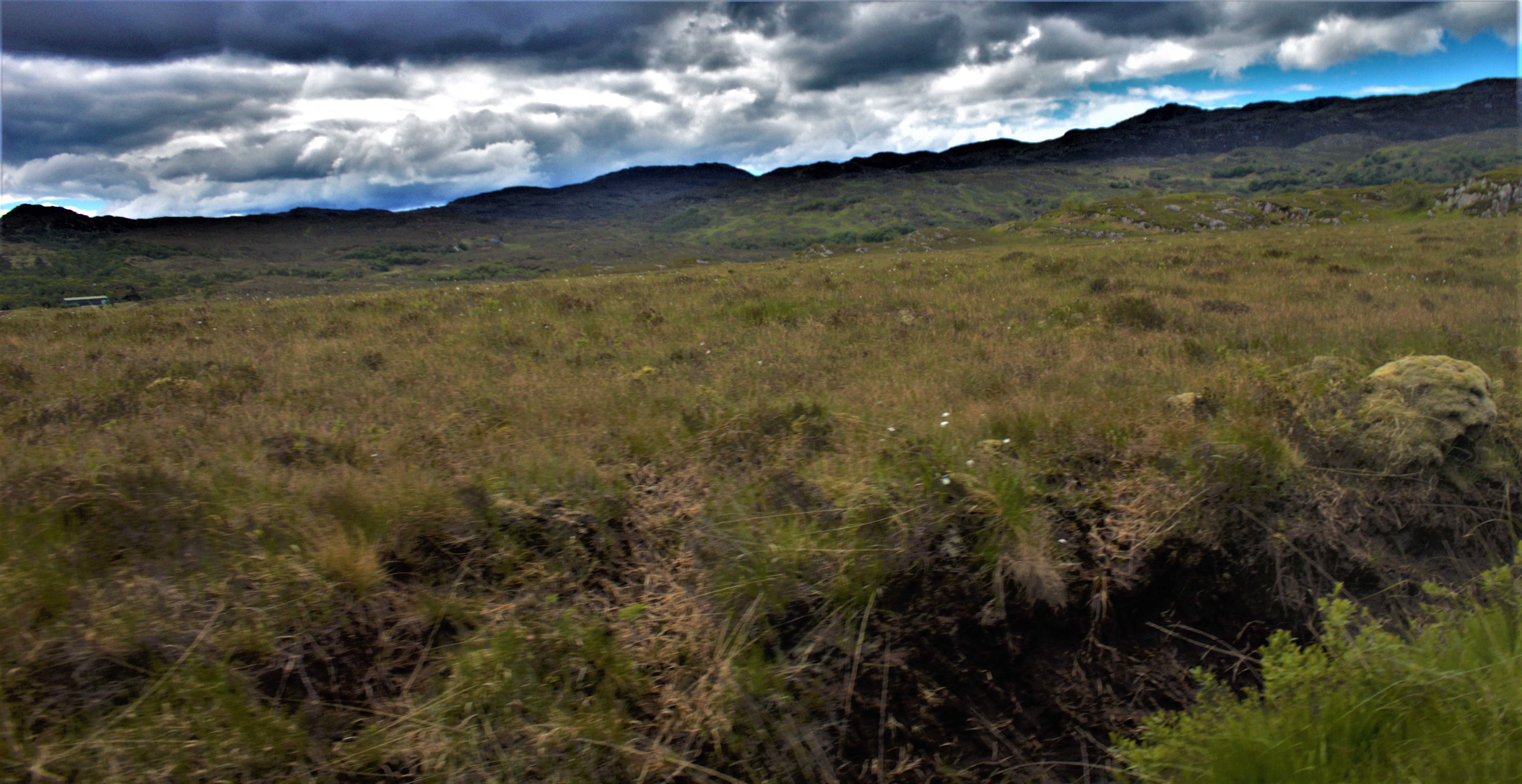
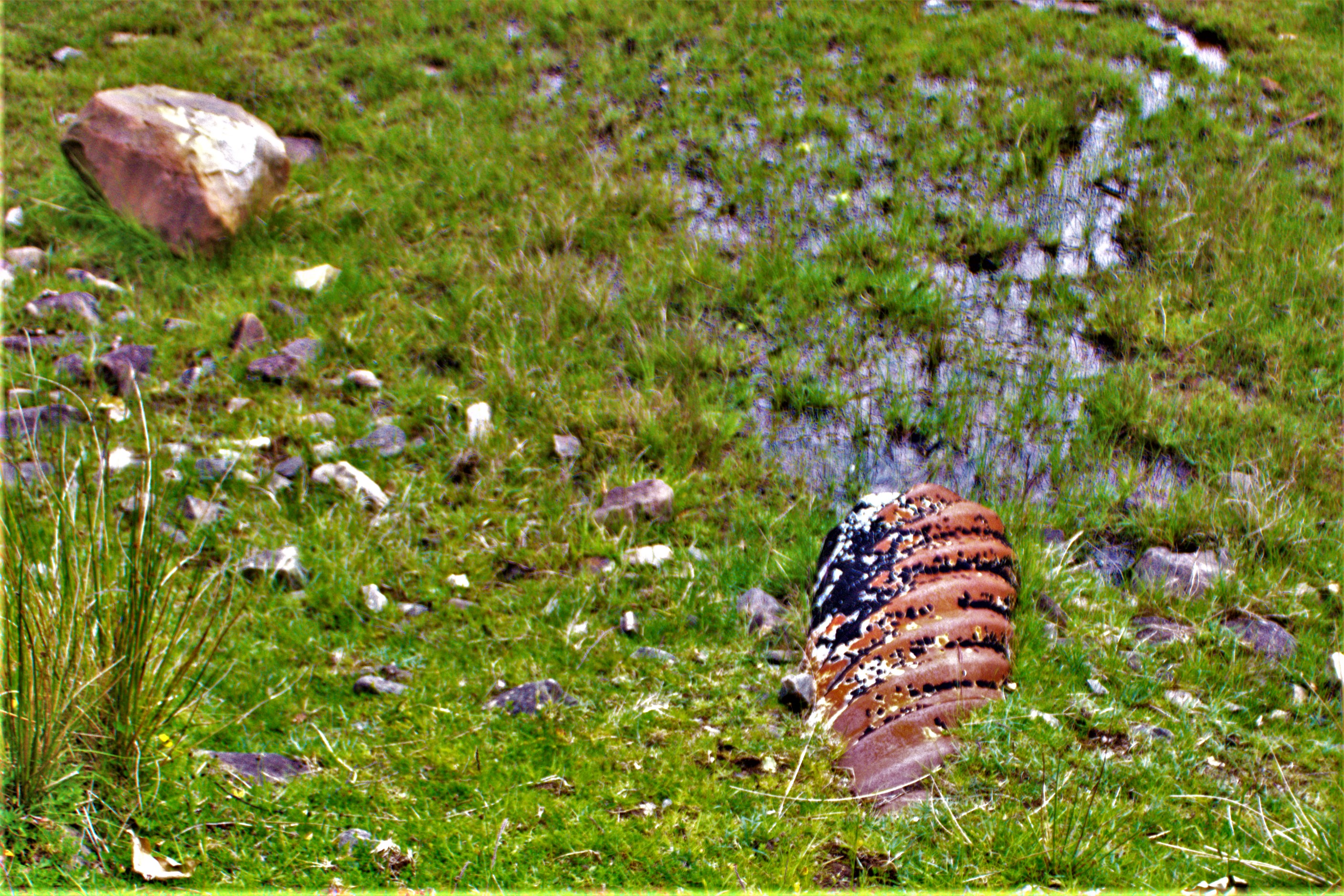
Here are some photographs from the parts of the walk covered in this post:
Producing a photographic wall calendar has become a tradition for this blog, and courtesy of a magnificent offer at Vistaprint (25 calendars plus postage for £129) this year’s are now on order (eta with me October 25th). The rest of this post gives you a preview.
THE CALENDARS
Most of the pictures for this calendar come from my Scottish holiday, so they do no relate to particular months. There are one or two exceptions as you will see.
This is the locomotive that pulled the Jacobite train when I travelled it.
The January picture features the Skye Bridge
This shot was taken on the journey from Plockton to Applecross – it was nominated by Oglach, who blogs at natriobloidi.wordpress.com
This classic stone bridge can be seen on the Isle of Skye.
One of the minority of pictures in this calendar that was not taken in Scotland.
Back to Scotland, with this paddle steamer.
This picture was taken in June – another Scottish classic.
Bawsey Abbey, taken on July 27th – nominated by my mother.
This was taken during an NAS West Norfoilk organised trip to a beach hut at Old Hunstanton.
Lock Gates, captured through the window of the Jacobite train, near Fort William.
Boats near Plockton, through the window of the train from Kyle of Lochalsh to Inverness (nominated by my aunt Celia)
A view of Kyle of Lochalsh from above.
A section of the Glenfinnan Viaduct (the actual viaduct over which the Hogwarts Express passes in the films).
A couple of classic autism infographics I spotted in the last 24 hours and some photographs of my own.
INTRODUCTION
The photographs which will be appearing in two tranches at the end of this post are mine, all taken yesterday. The two autism related infographics are shared from elsewhere (credit given at appropriate points). I saw the first of these yesterday evening and the second this morning.
AUTISM INFOGRAPHICS
First, courtesy of Patricia, who tweets as @pgzwicker, comes this gem:
The second was originally posted on Our Autism Blog this morning, and I link to that post so that you can comment on it there should you wish:
PHOTOGRAPHS
The first of the two sets of my photographs that I am putting up here were taken while out walking yesterday morning:
The Upper Purfleet
A giant slug on the path alongside Bawsey Drain
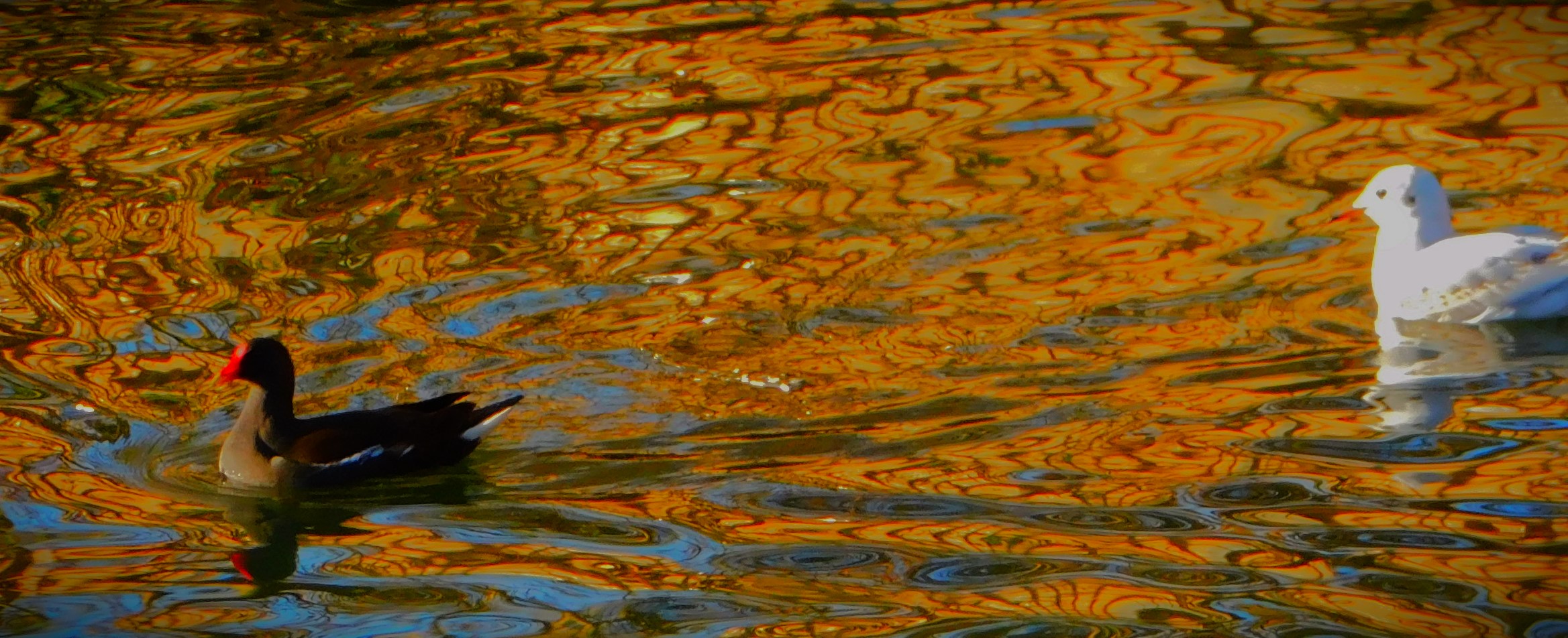
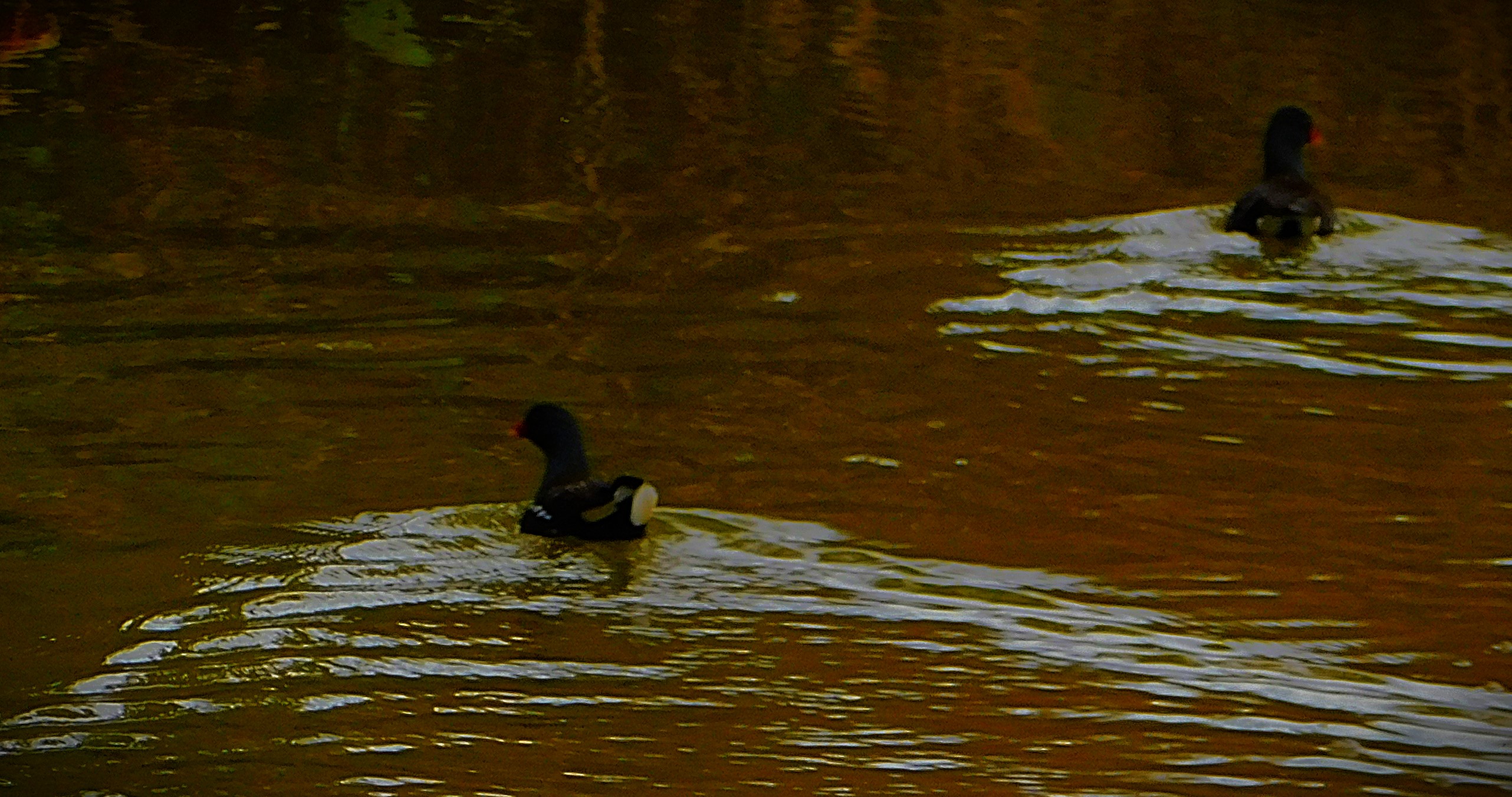
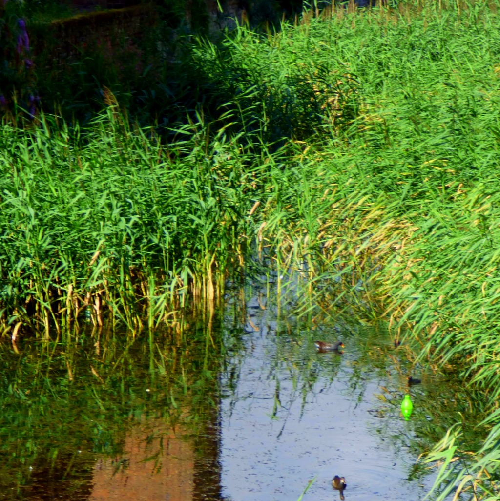
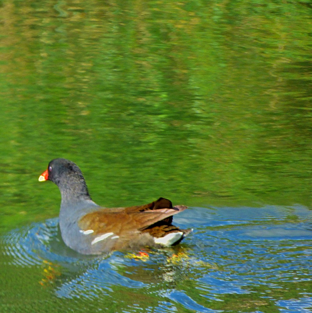
A moorhen swimming in a clear pool
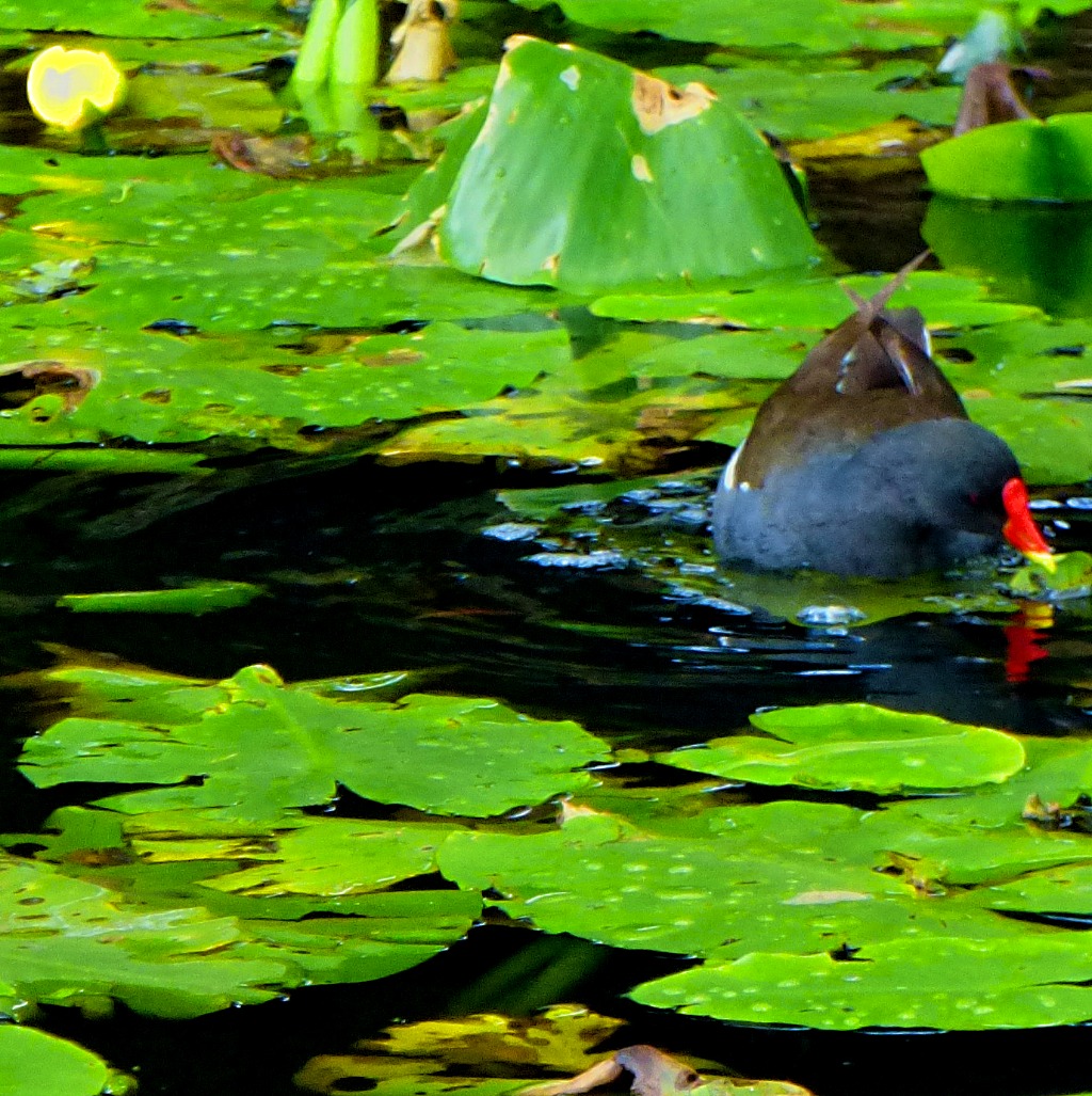
This second pool was covered in water lilies.
A town centre section of the Gaywood River
In the parkland area – this stretch of river is covered in algae.
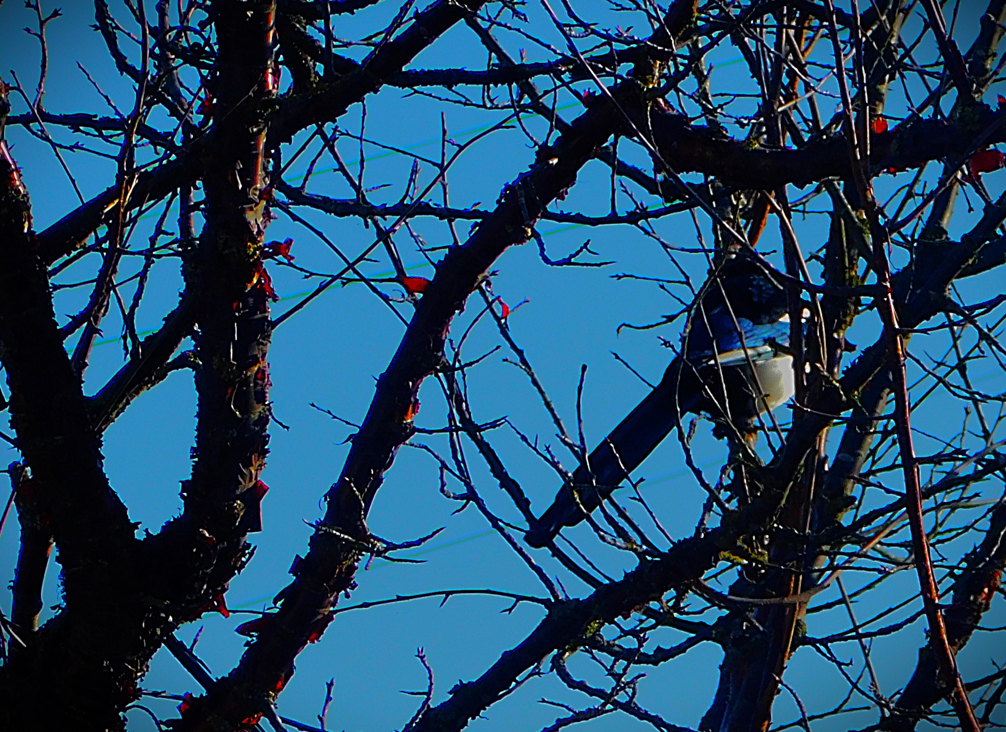
A magpie on the path alongside the Great Ouse
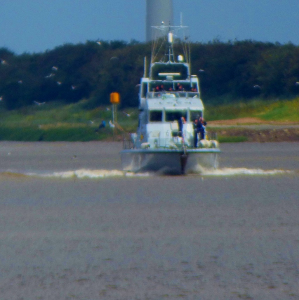
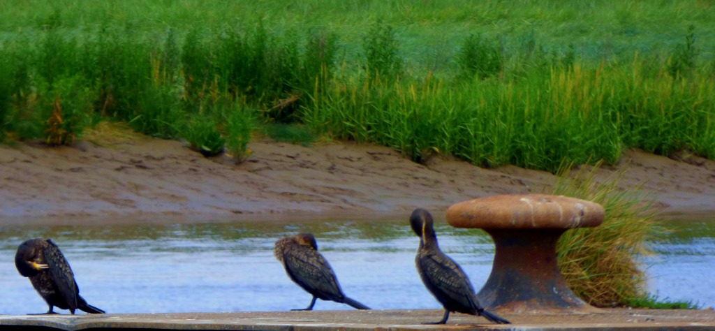
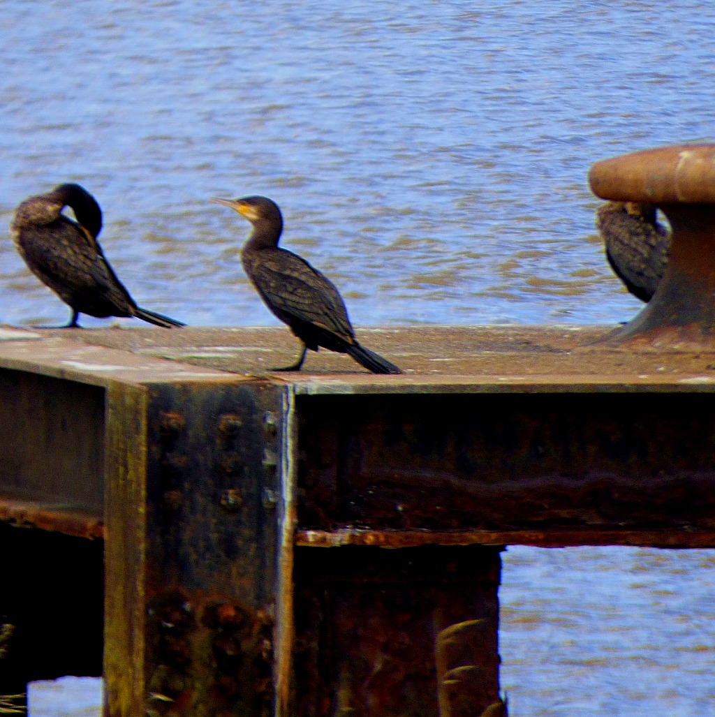
Near the end of the walk – some shots of cormorants and boats on the town centre section of the Great Ouse.
The last few pictures for today were taken yesterday afternoon while sitting outside my parents house in East Rudham. These are probably the last shots I will have from there as my parents are moving to Plymouth.
Welcome to the latest installment in my series of posts about a Scottish holiday. Having finished the account of my experience with The Jacobite, this penultimate post for the Thursday deals with the return journey from Fort William to Glaick.
LEAVING FORT WILLIAM
Before heading back to the cottage in Glaick where were staying we visited the Morrison’s in Fort William to stock up on food, including some ingredients which feature in the next post in this series. That done we headed off back towards Glaick, me with the camera at the ready.
Welcome to the latest post in the series I am doing about my holiday in Scotland. This post brings to an end the account of The Jacobite train journey.
THE LAST STAGE OF THE TRAIN JOURNEY
Once we were able to move on from Glenfinnan we encountered no further hitches and the train chugged into Fort William at 3:55PM, within a few minutes of the stated return time.
A FEW FINAL THOUGHTS
ON “THE JACOBITE”
This is unquestionably a very fine train journey, and to experience it on a steam train added something to it. However, I have to disagree with the ‘selectorate’ who named it The World’s Greatest Train Journey. Inlandsbananin Sweden is one that I rate ahead of it, the other section of this same railway, Glasgow to Fort William, is as impressive in its own way, sweeping across a moor that sees it at one point seven miles from the nearest road, and as you will be seeing later in this series of posts the rail route from Kyle of Lochalsh to Inverness is pretty special as well.
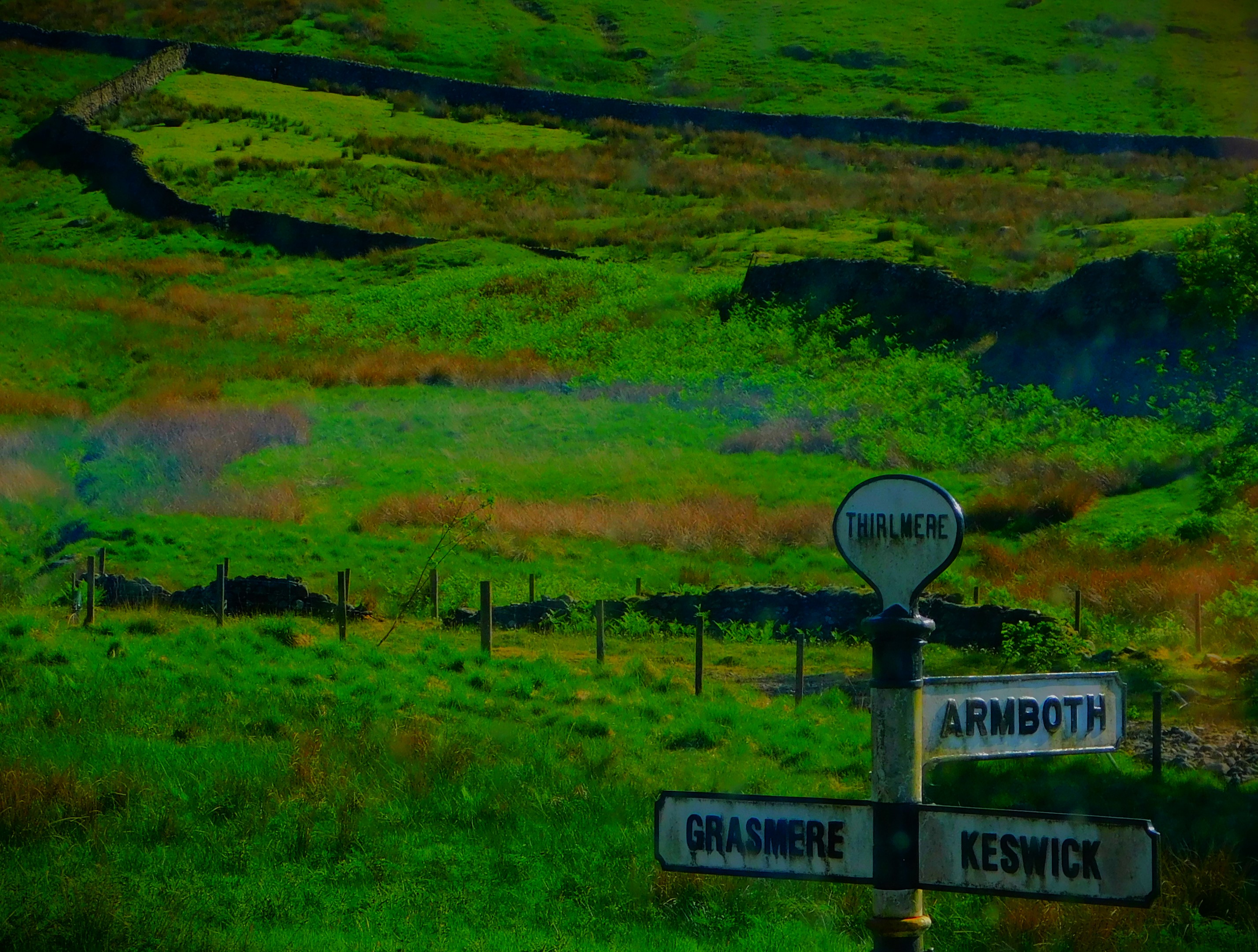
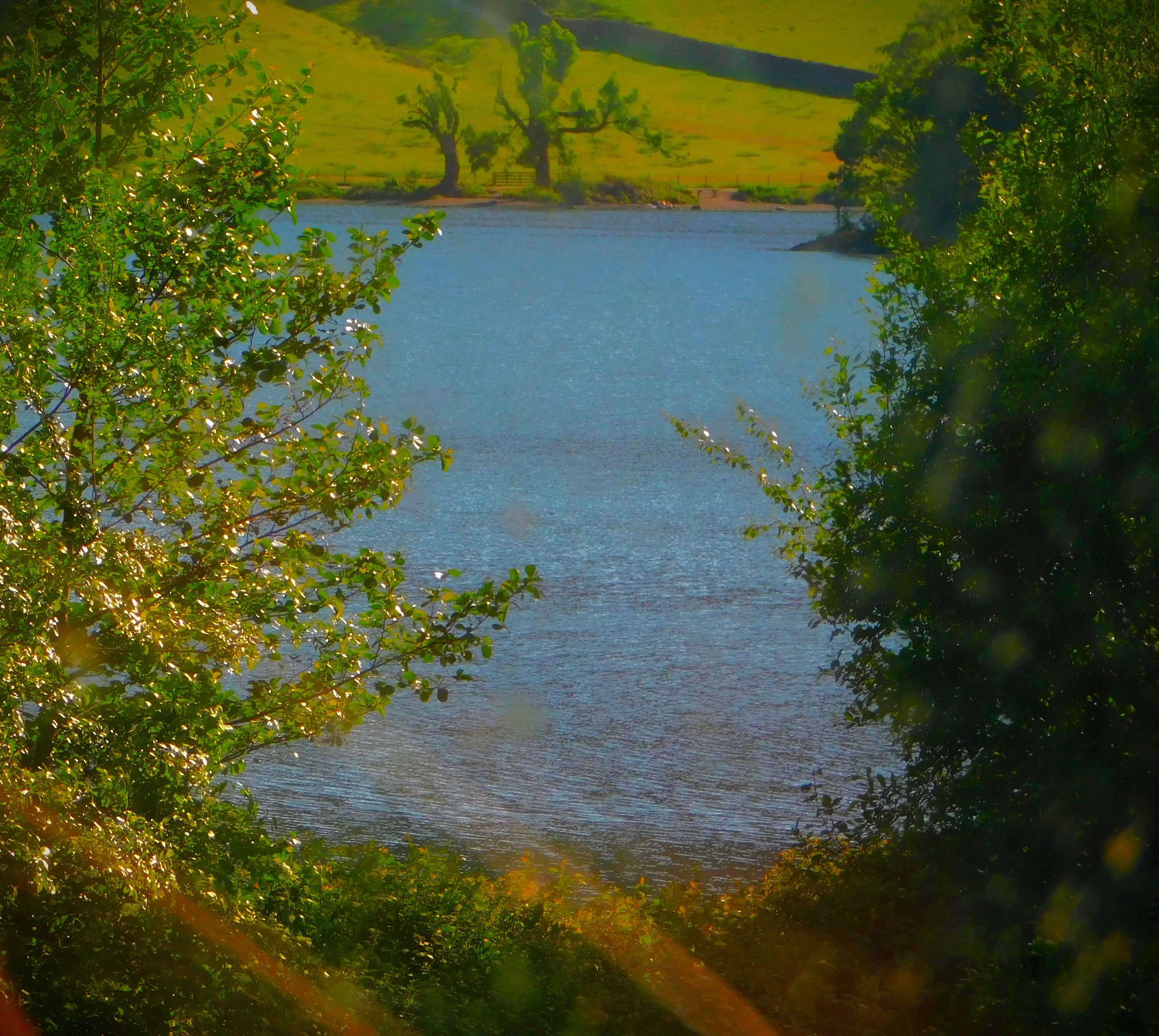
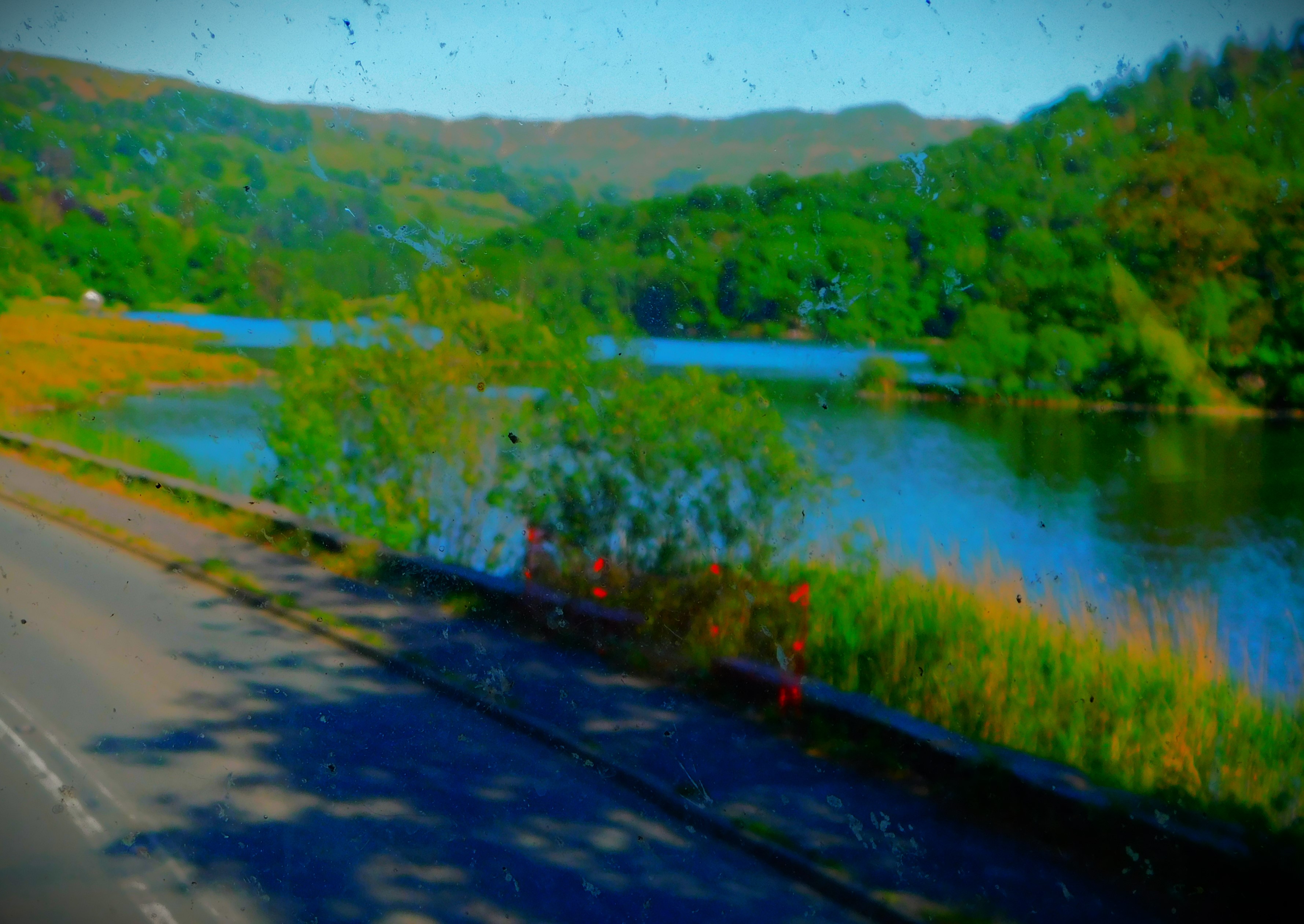
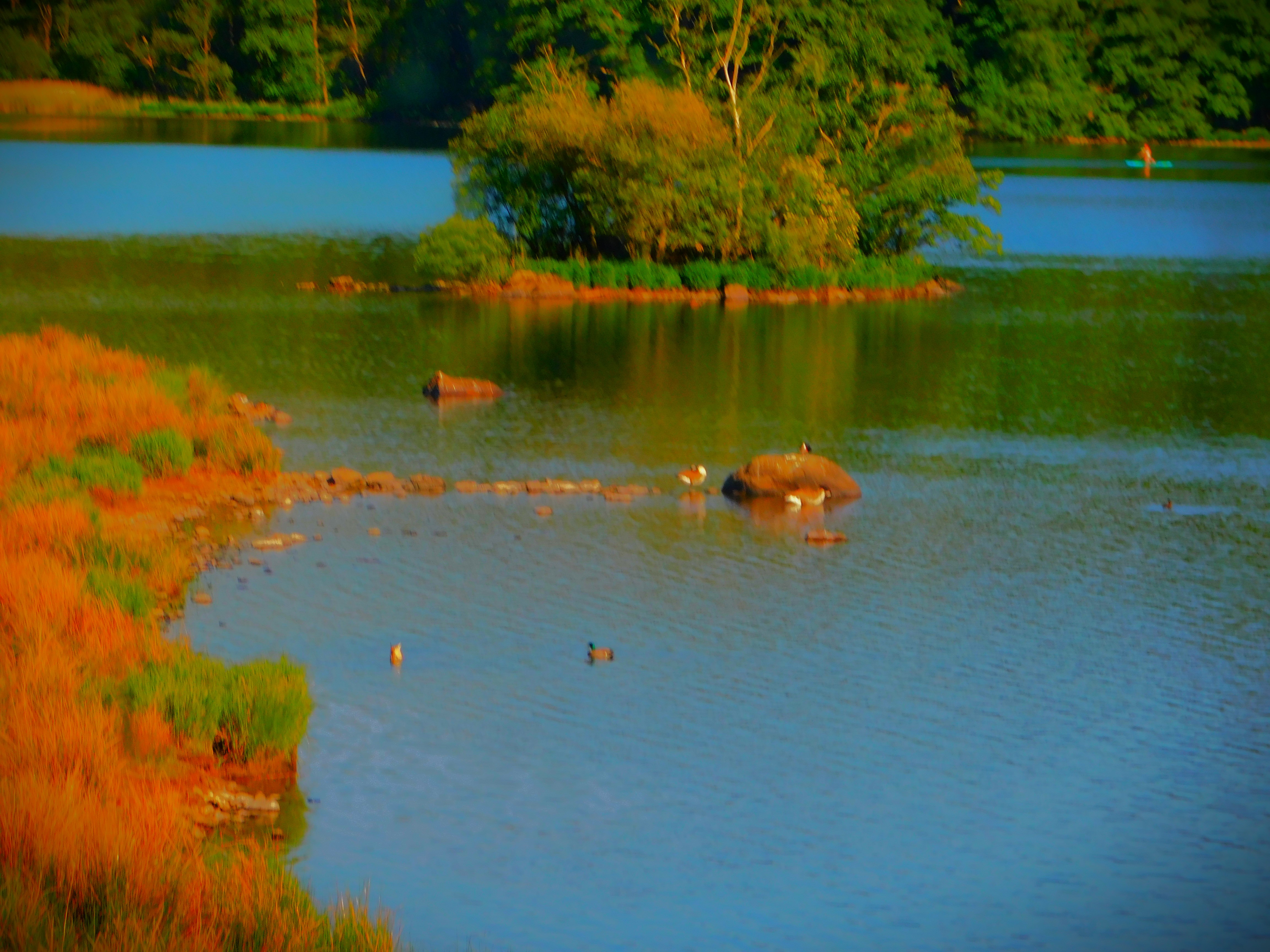
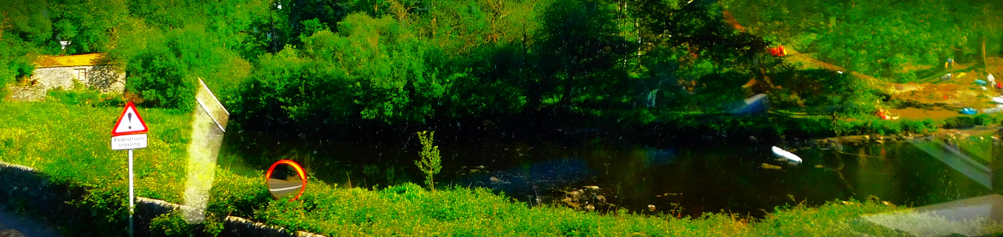
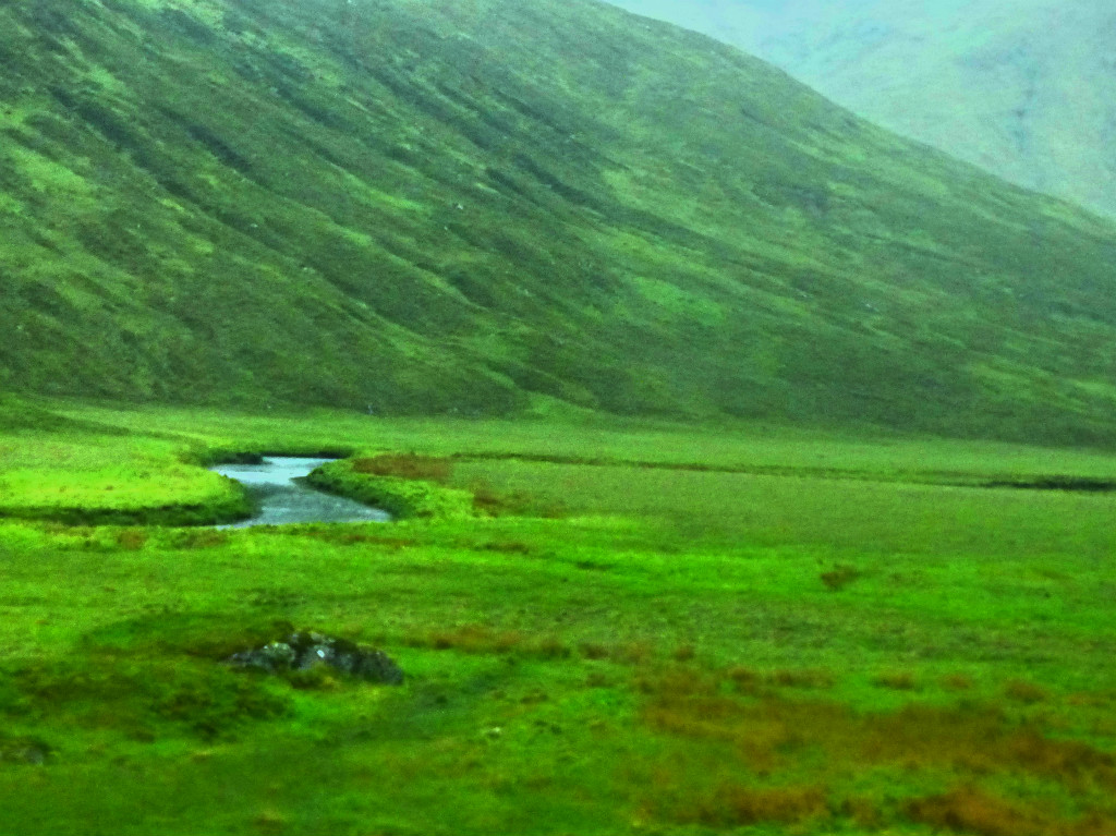
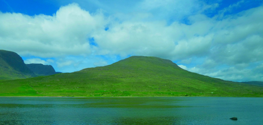
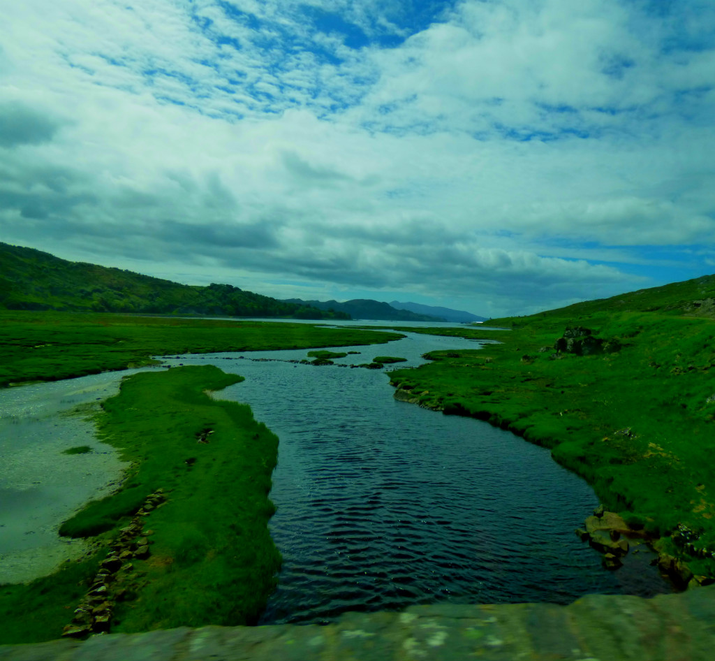
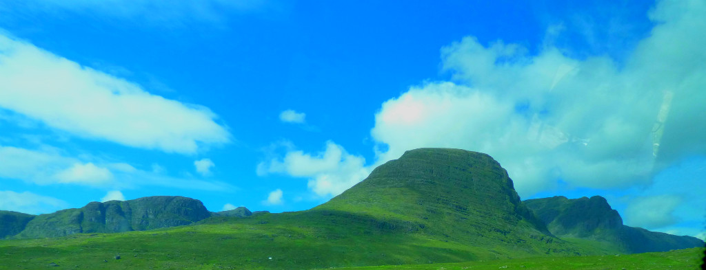
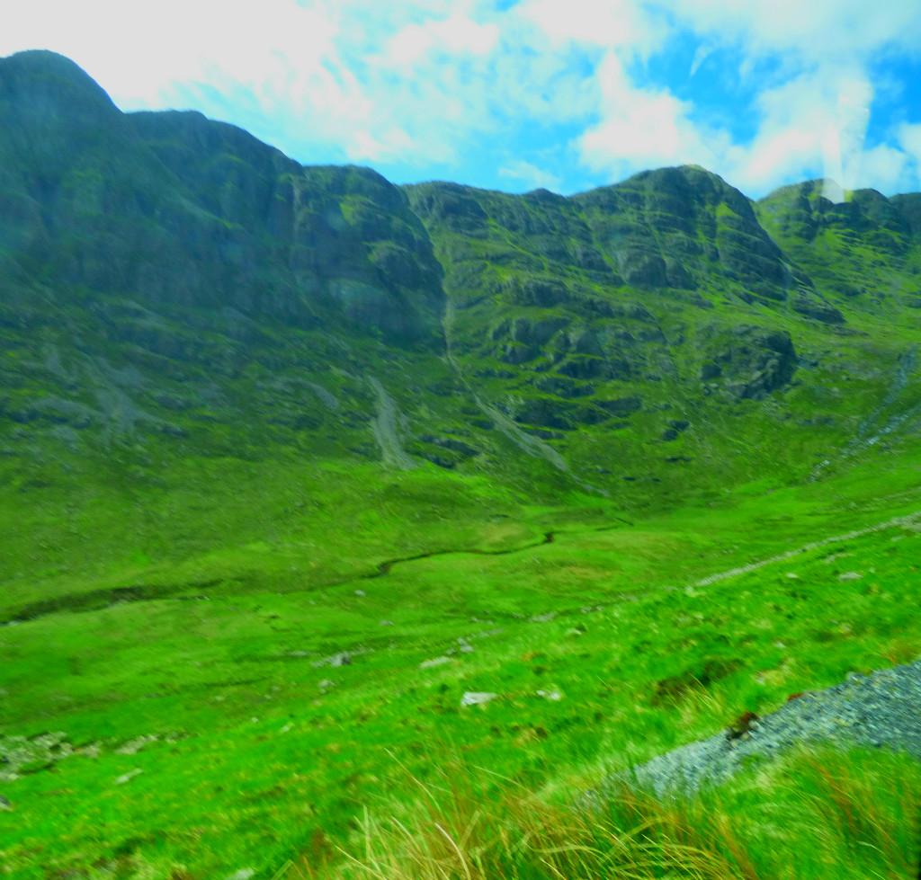
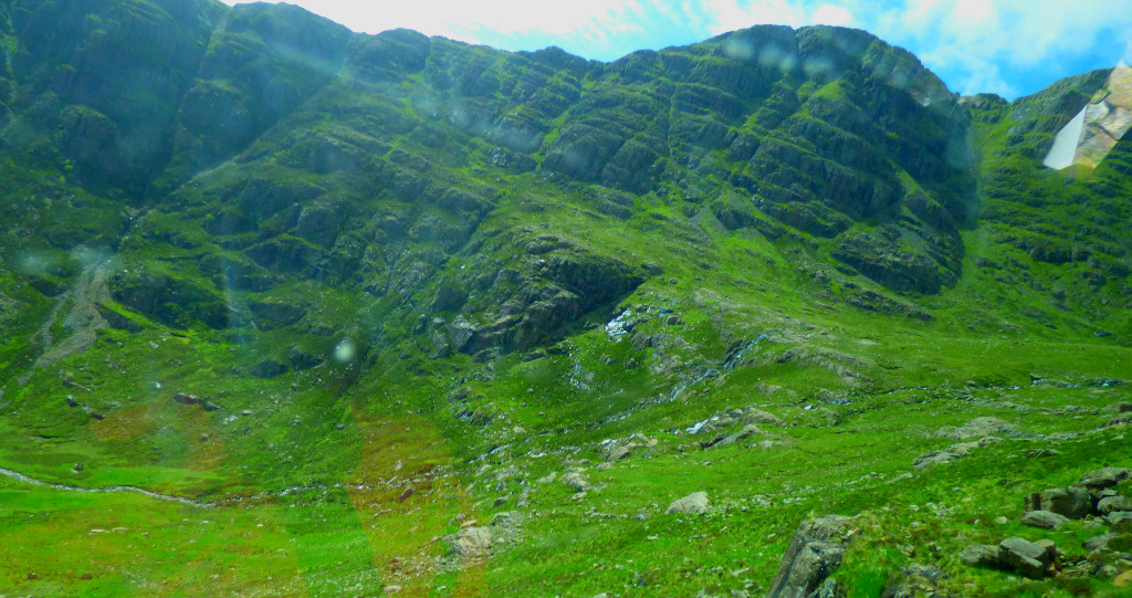
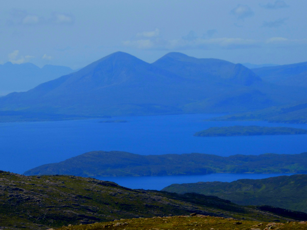
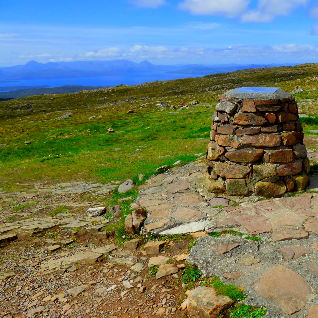
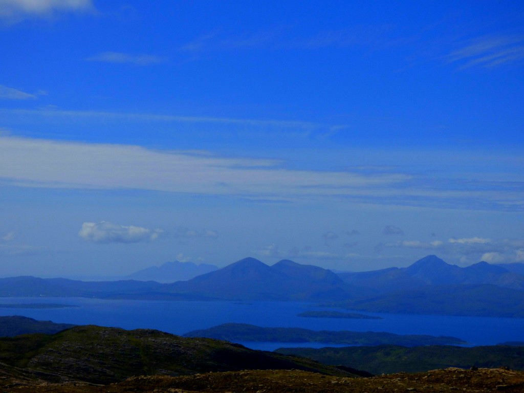
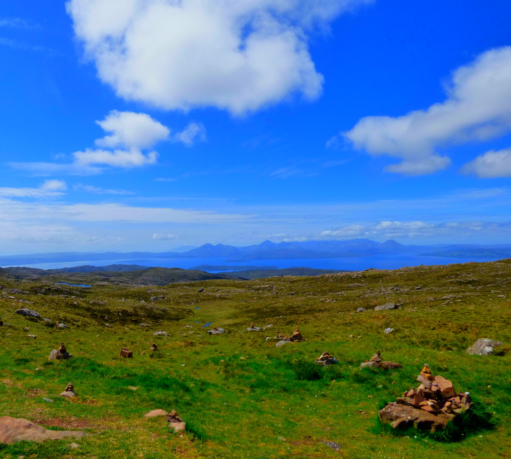
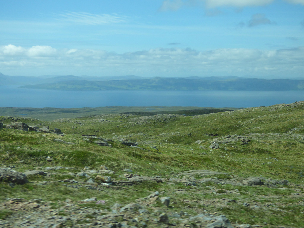
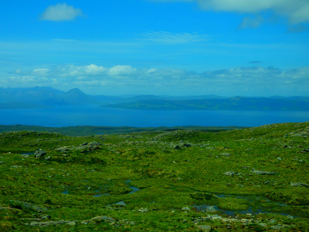
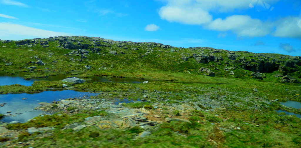
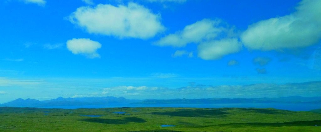
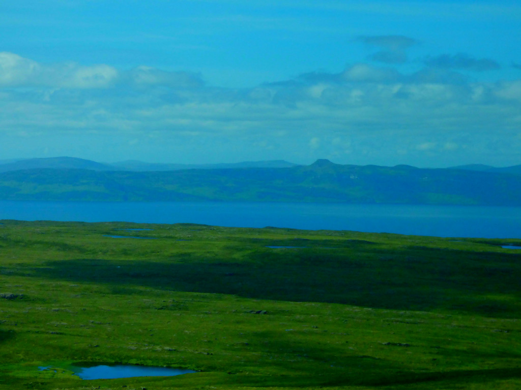
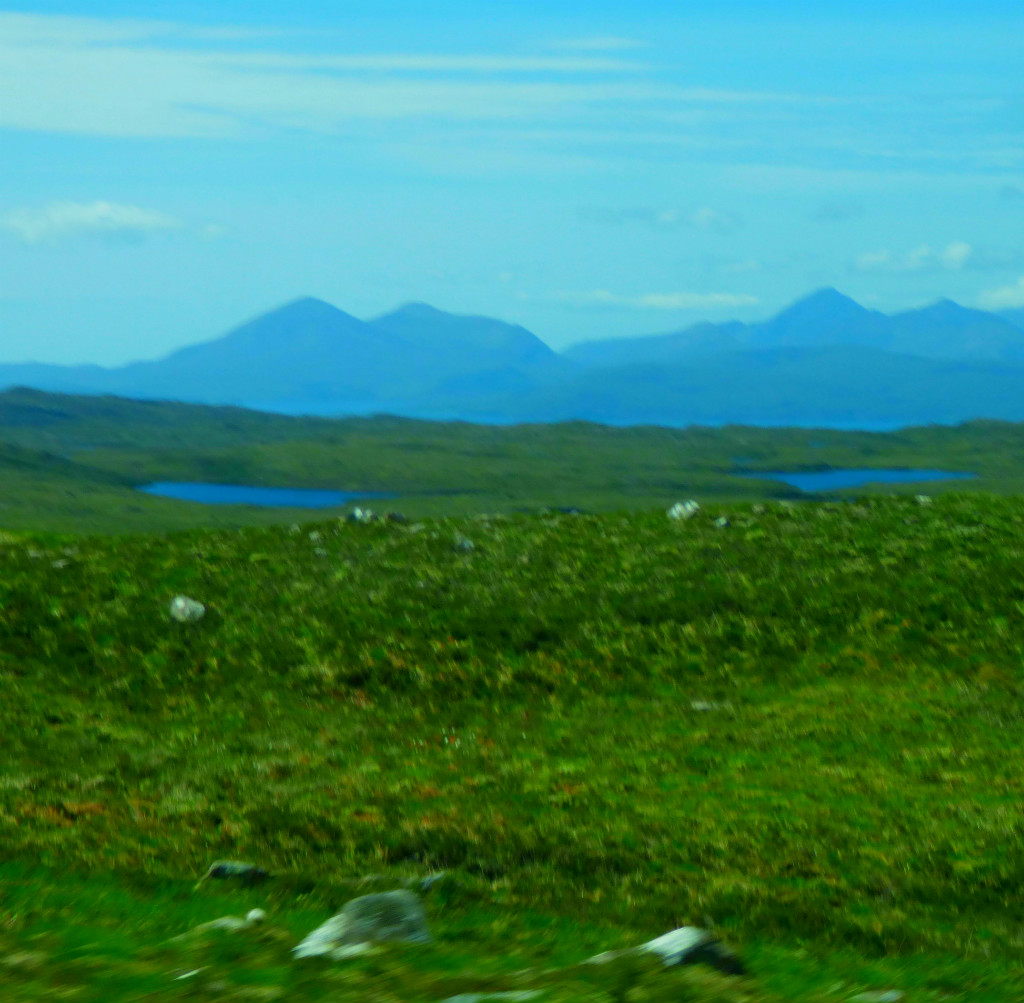
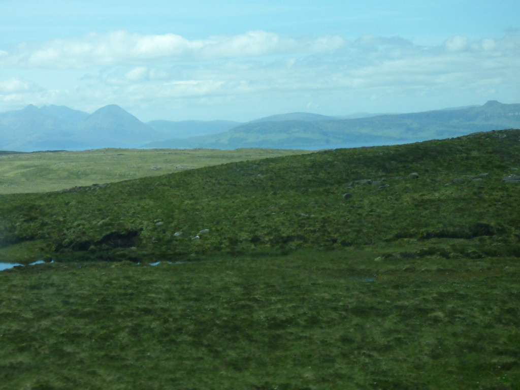
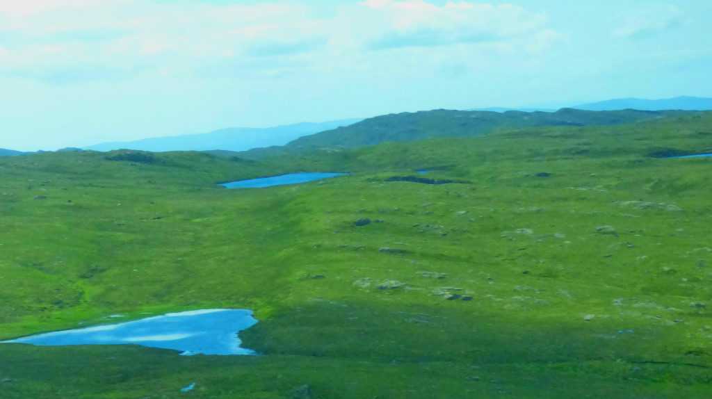
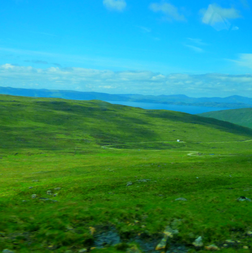
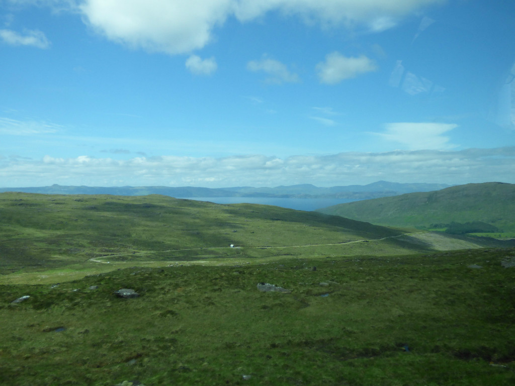
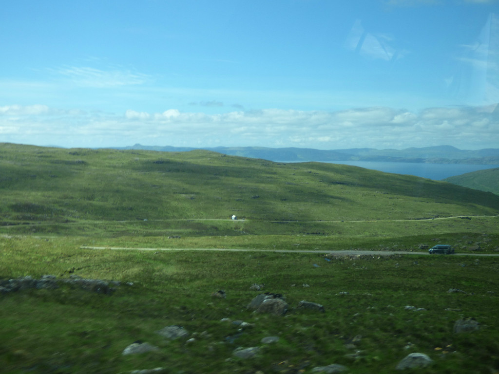
Welcome to this special post in my series about my Scottishholiday. In the first post of this series I wrote about my now established tradition of producing a photographic wall calendar and invited readers to nominate pictures for consideration. Oglach, whose blog can be found here, has risen to the challenge by making some suggestions in response to my post about the ascent to the Bealach Na Va viewpoint.
OGLACH’S PICKS
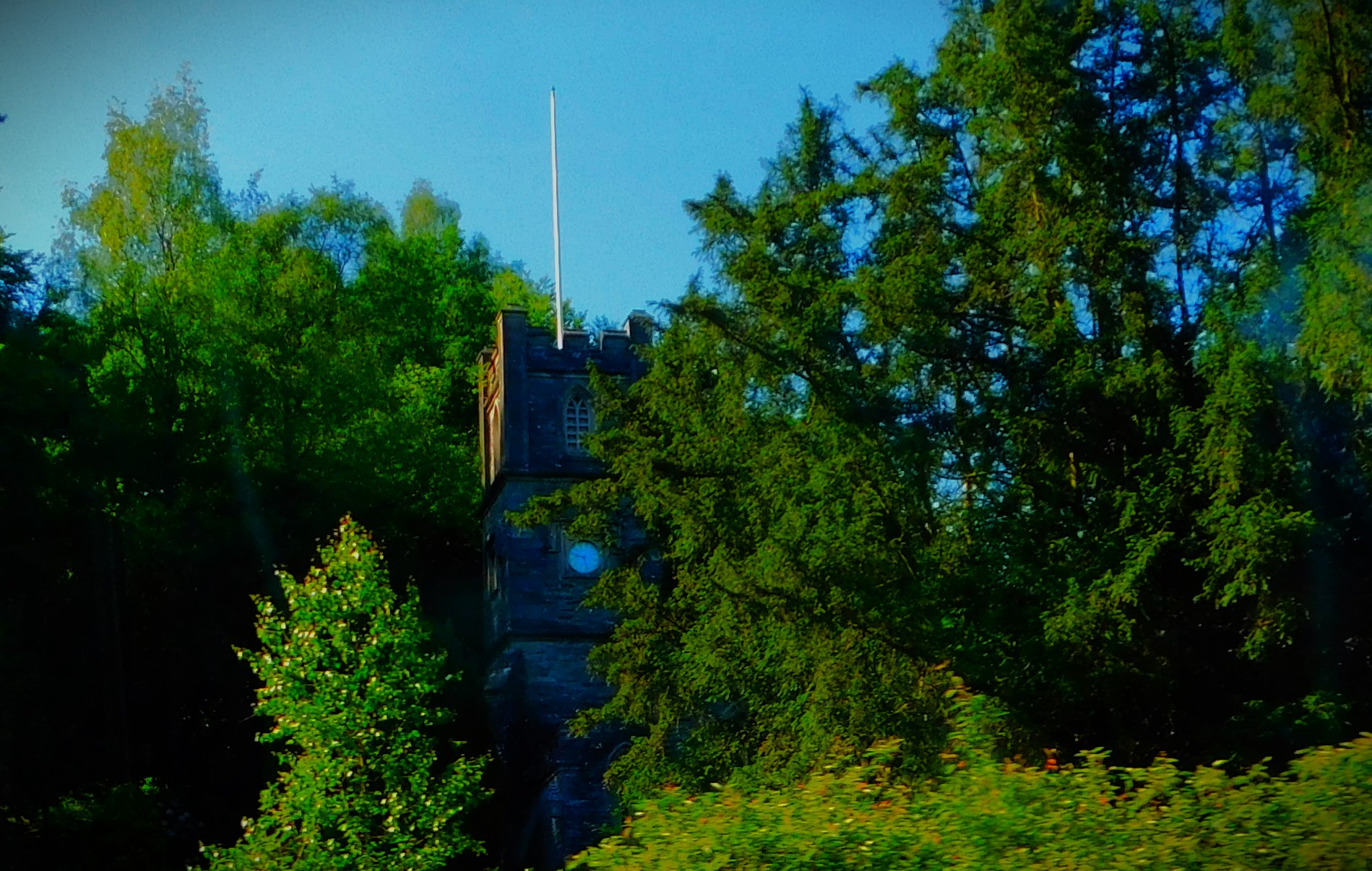
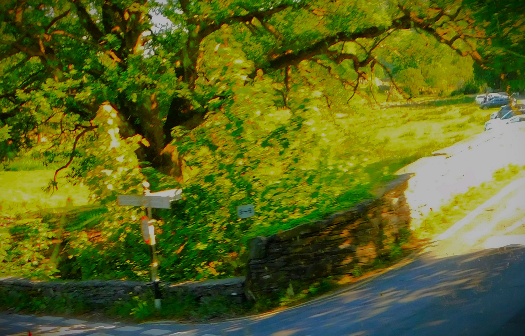
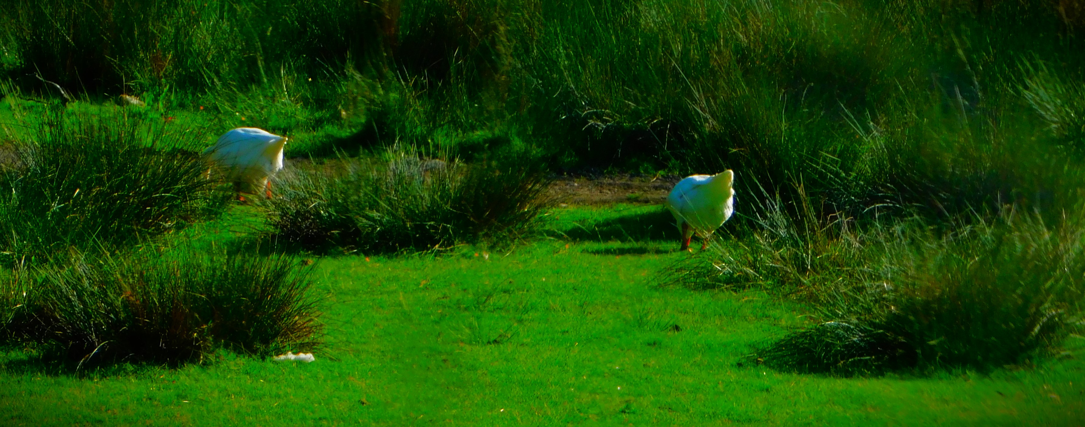
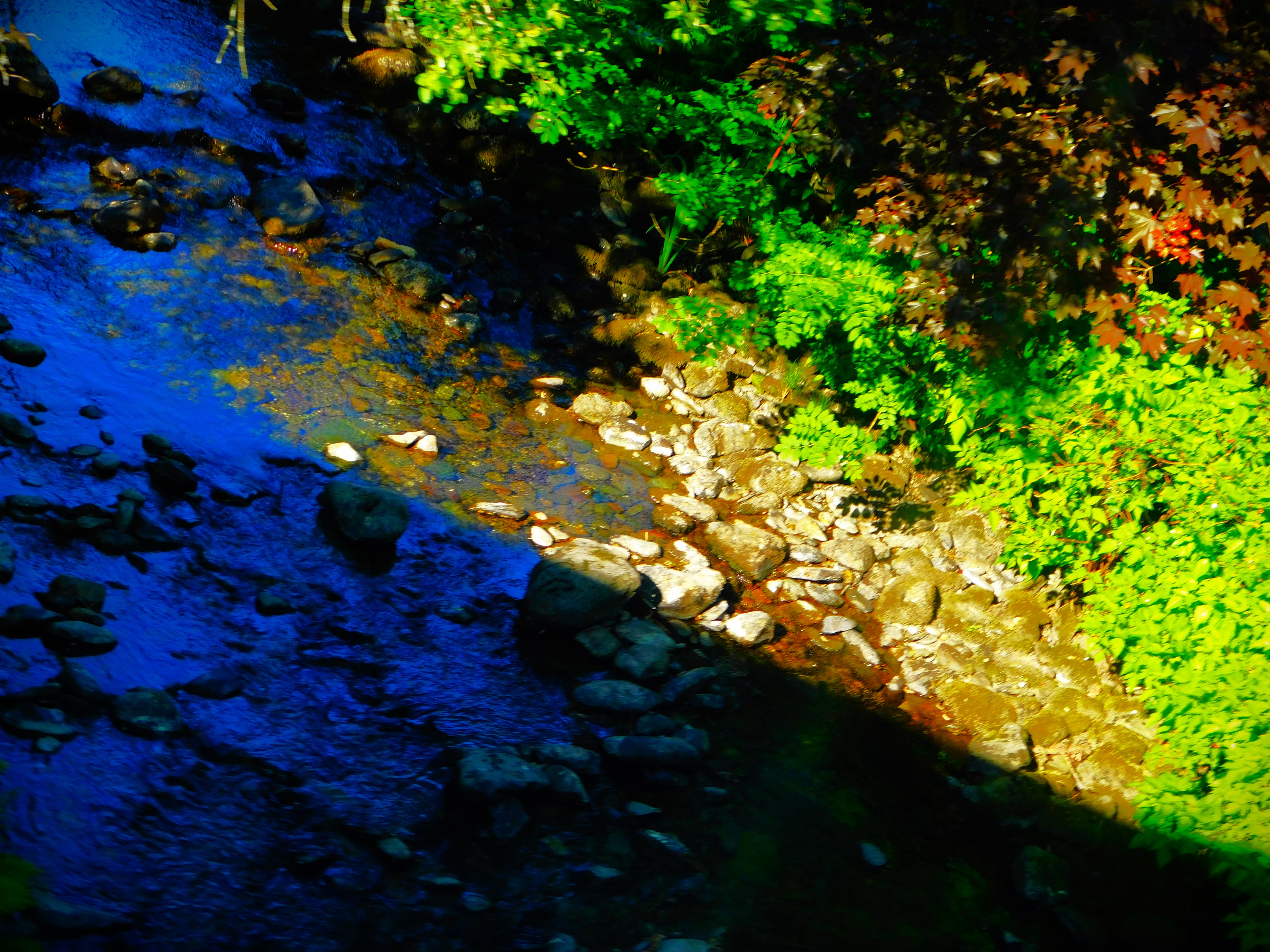
Here, if I have followed his comment correctly are the pictures Oglach deemed worthy of further consideration:
AFTERWORD – HOW THESE
PICTURES WERE TAKEN
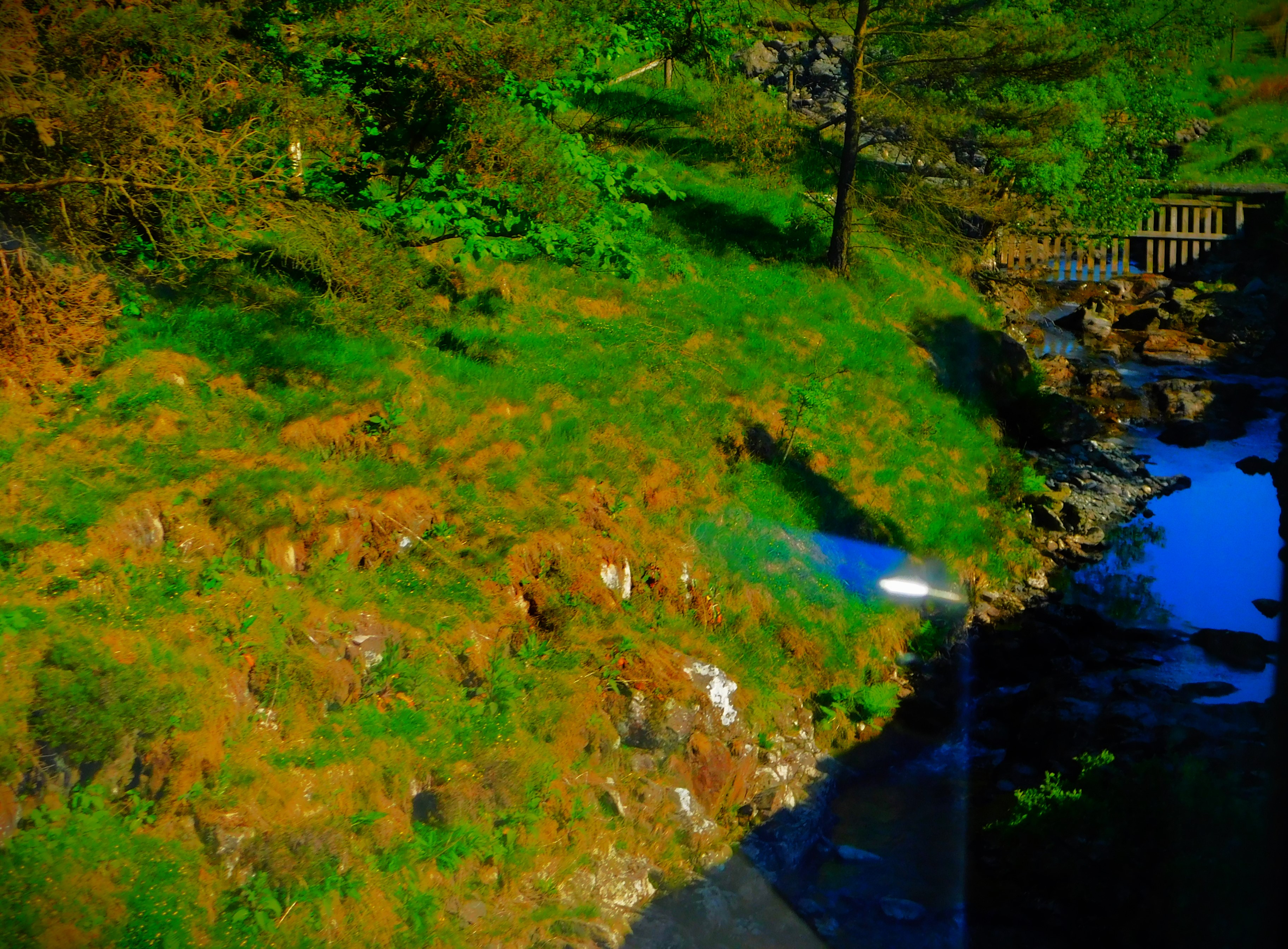
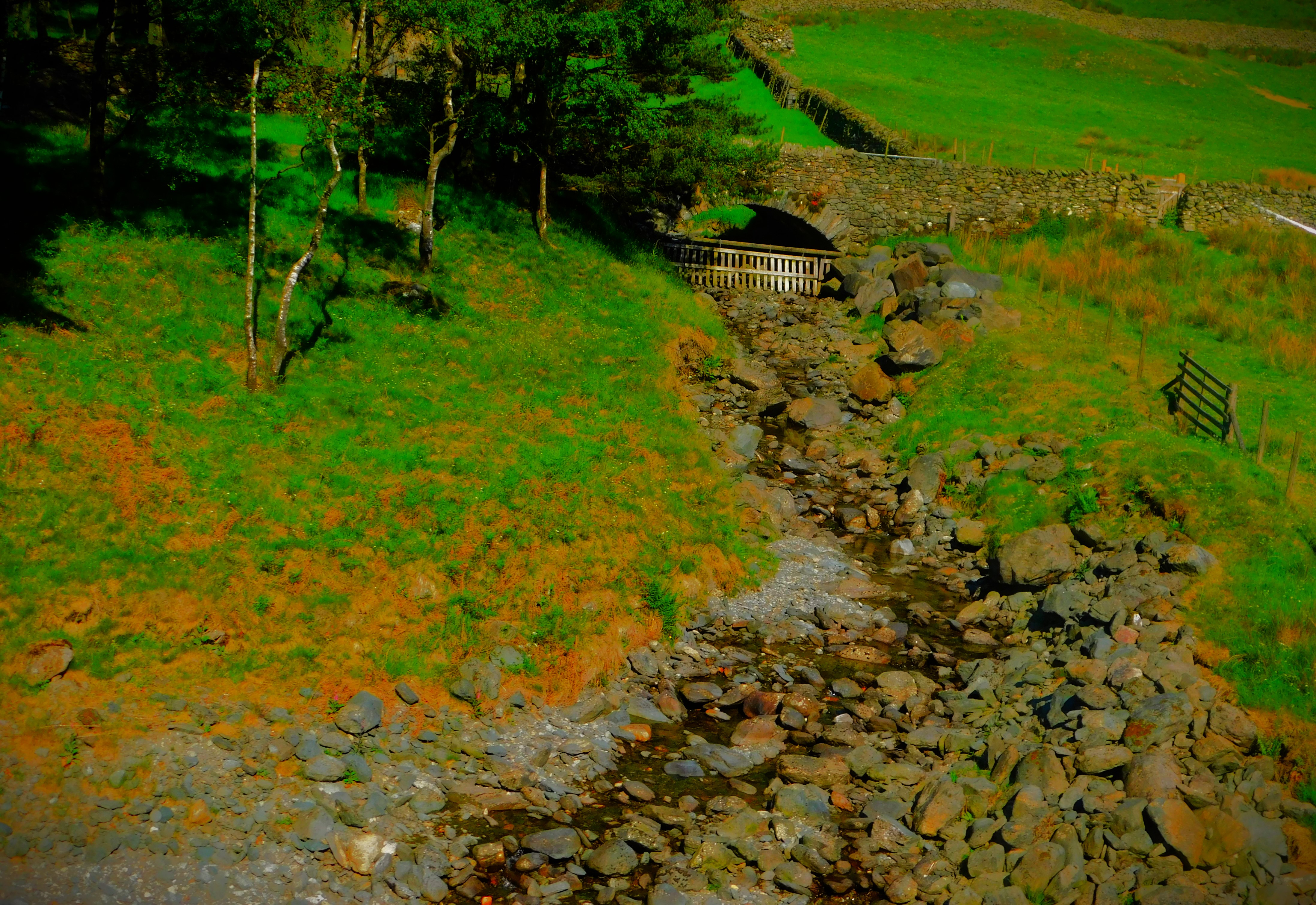
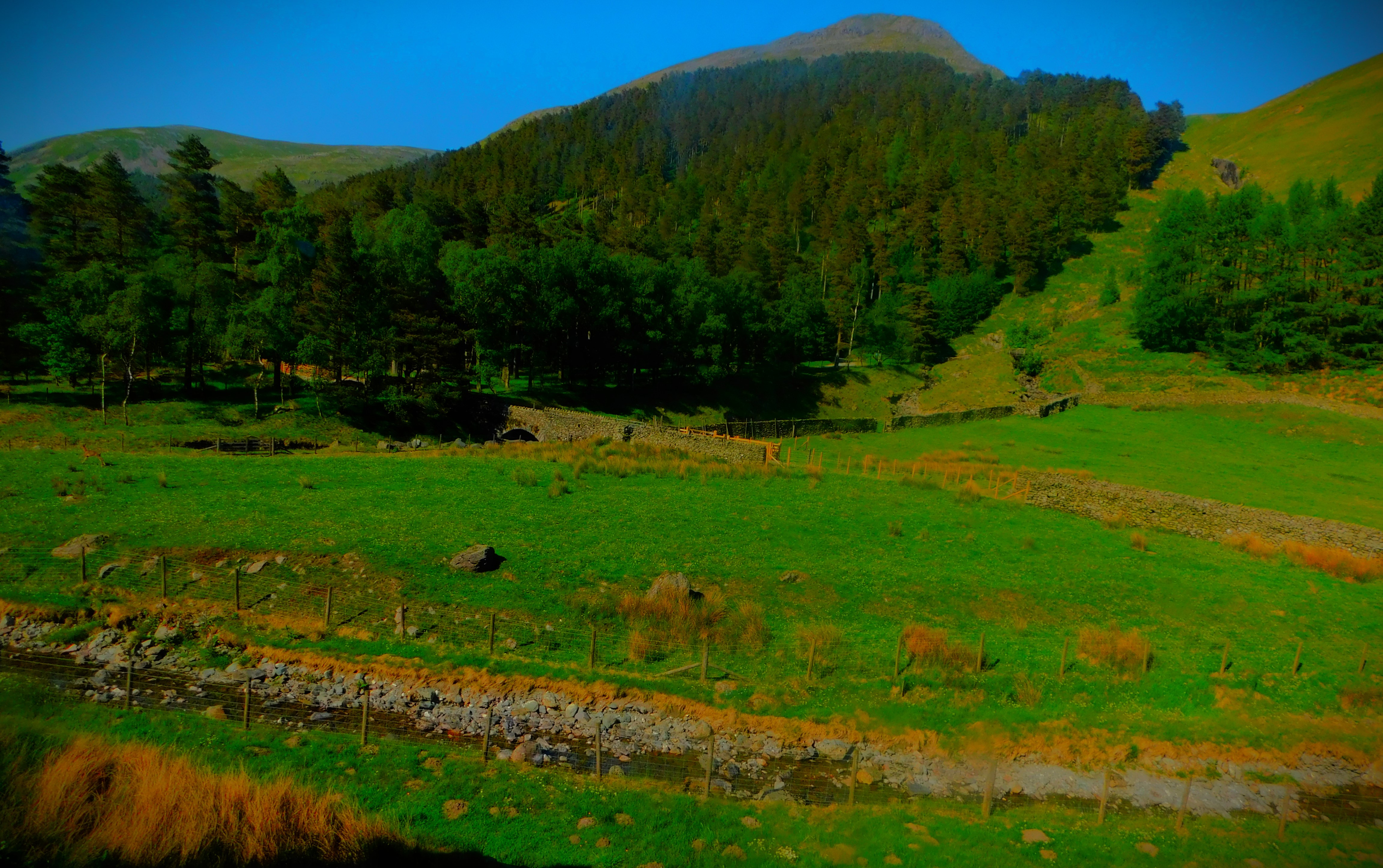
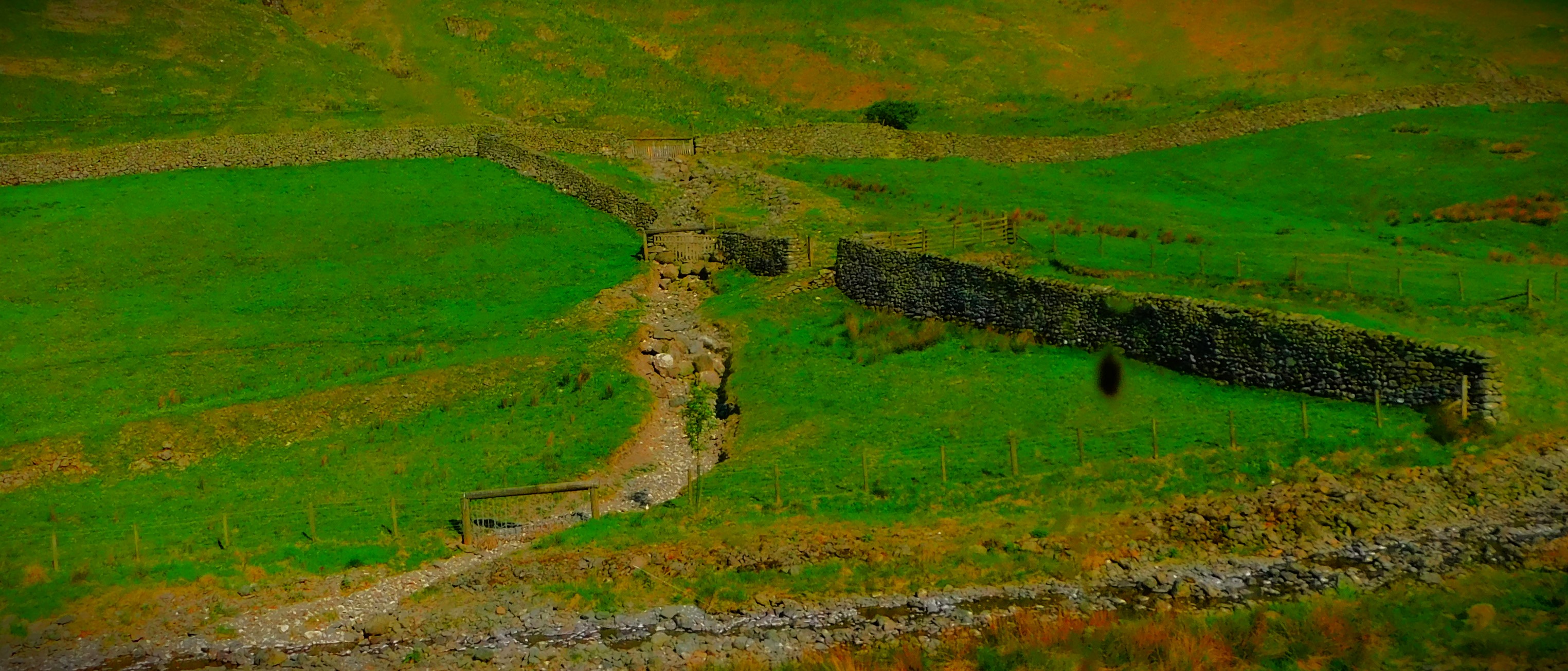
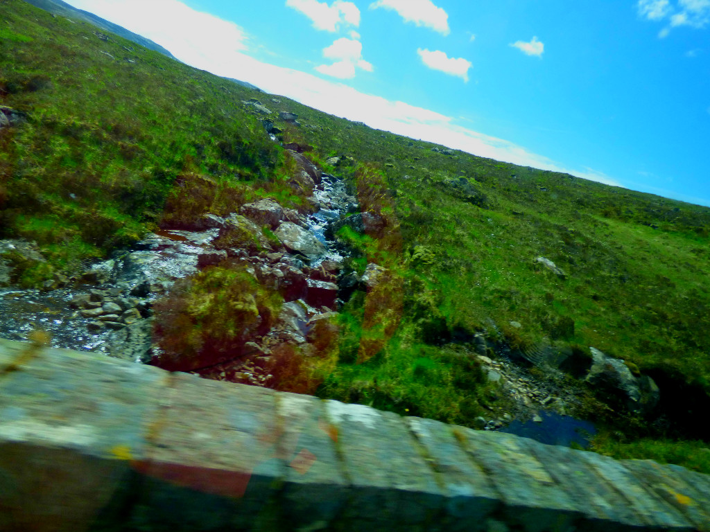
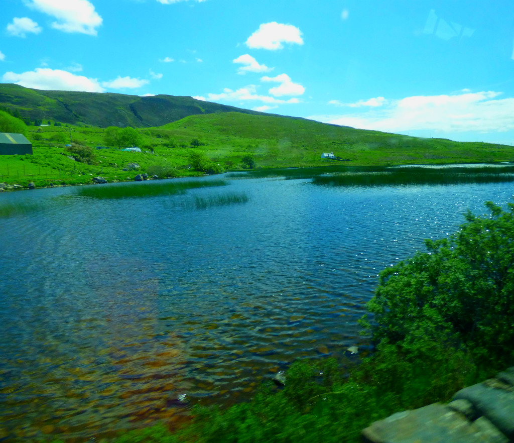
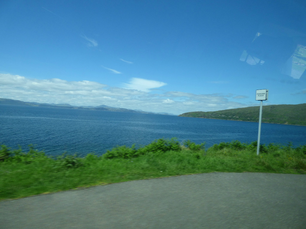
All of these pictures bar the last one were taken from the back seat of a moving campervan and carefully edited to bring out/ preserve their best points. I will certainly give careful consideration to including some of these in the calendar, and I end this little post by reiterating my invitation to my readers to nominate pictures for the calendar as and when they see them. If you put your nominations in a post on your own blog I will reblog it.
The final stages of the journey from Plockton to Applecross.
INTRODUCTION
Welcome to the latest post in my Scottish series. In this post we conclude the journey to Applecross with the final descent from the viewpoint where the last post concluded.
DOWNHILL ALL THE WAY
Here are the photos from this section of the journey: