INTRODUCTION
Welcome to my final post about the day on the Isle of Skye. This series of posts about my holiday in Scotland now runs to:
- Scotland: Setting the Scene
- Scotland – Getting There
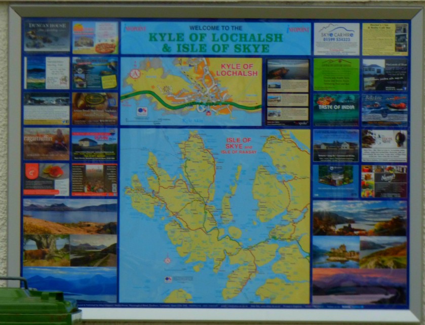
- Scotland – Kyle of Lochalsh
- Scotland – Ferry Cottage and Environs
- Scotland: Walking From Ferry Cottage To Kyle of Lochalsh
- Scotland – Isle of Skye 1: Ferry Cottage to Talisker Distillery
- Scotland: Isle of Skye 2 – At The Talisker Distillery
- Scotland: Isle of Skye 3 – Finding Somewhere For Lunch
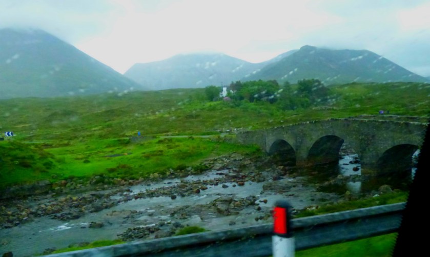
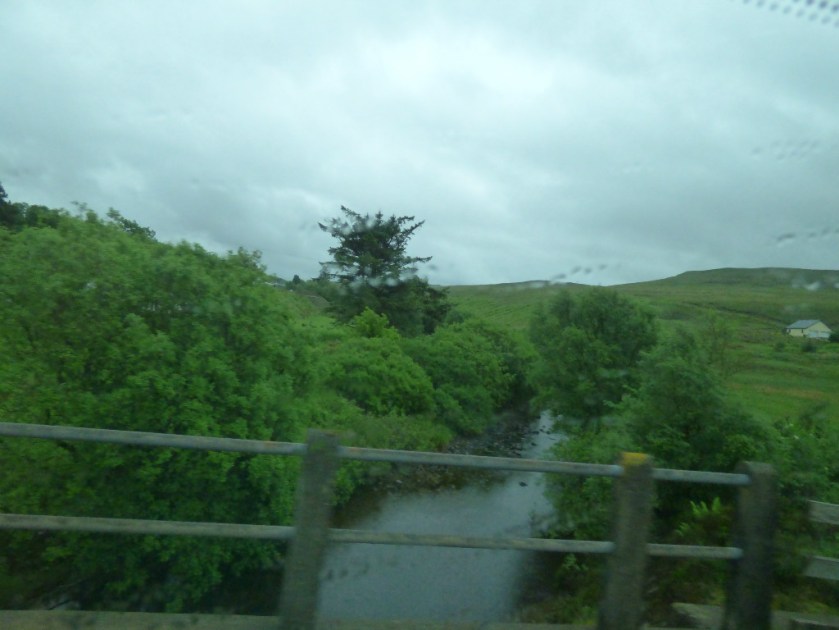
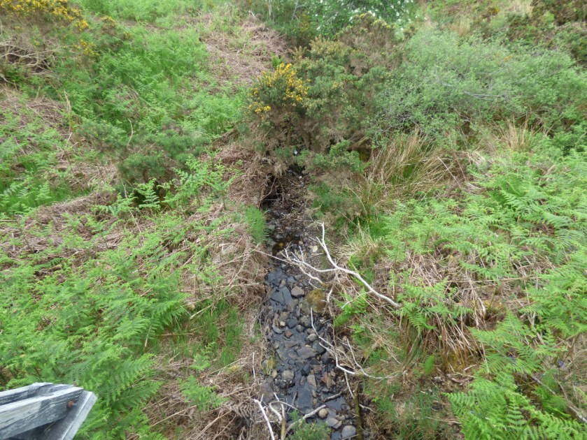
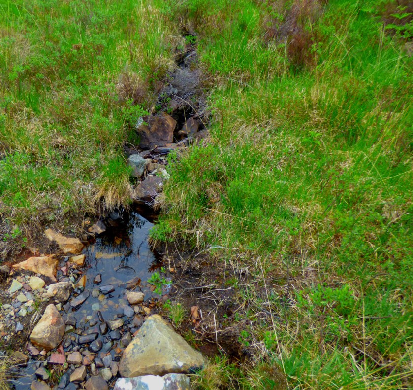
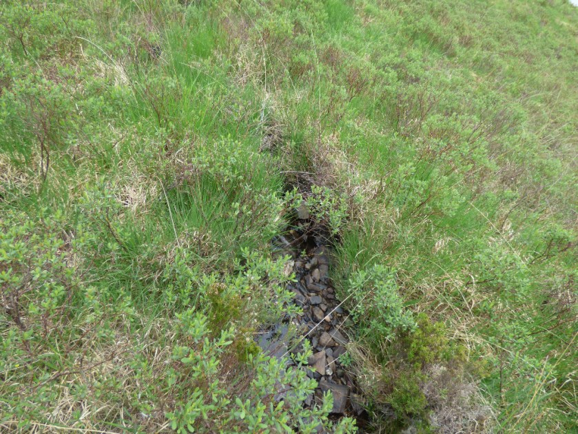
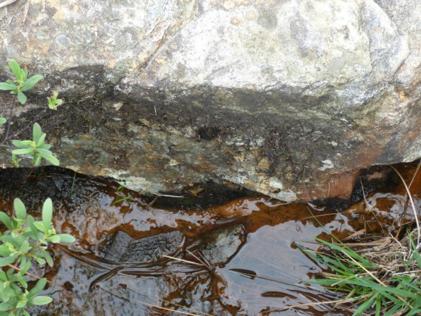
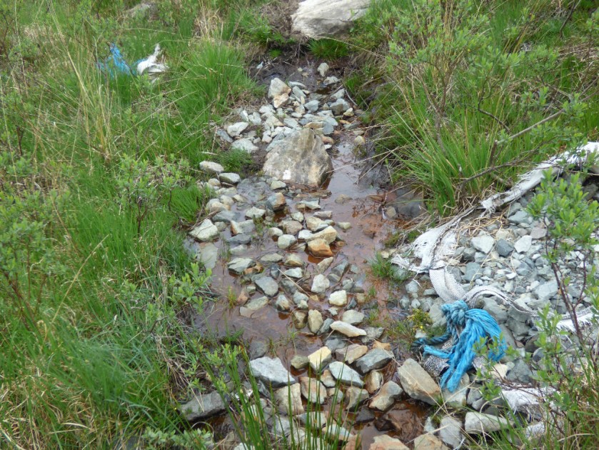
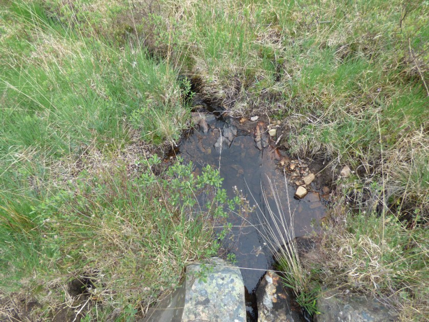
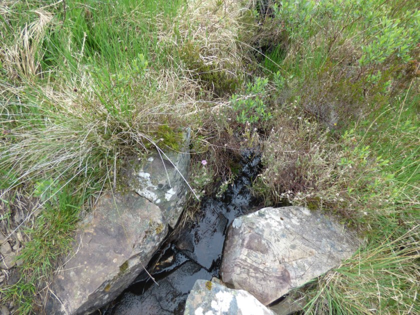
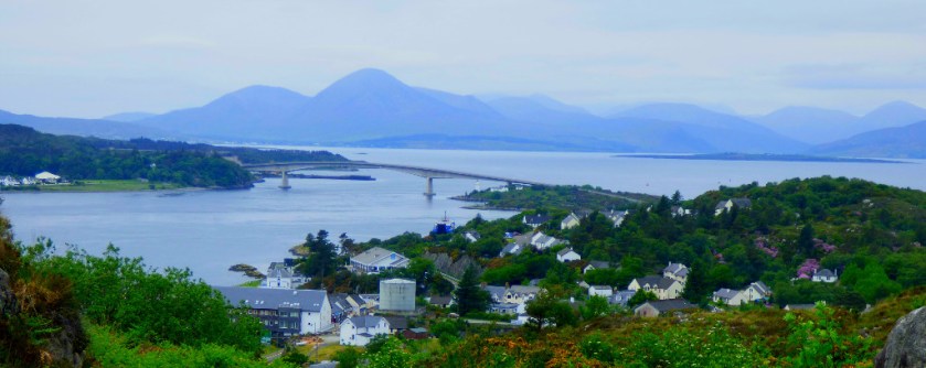
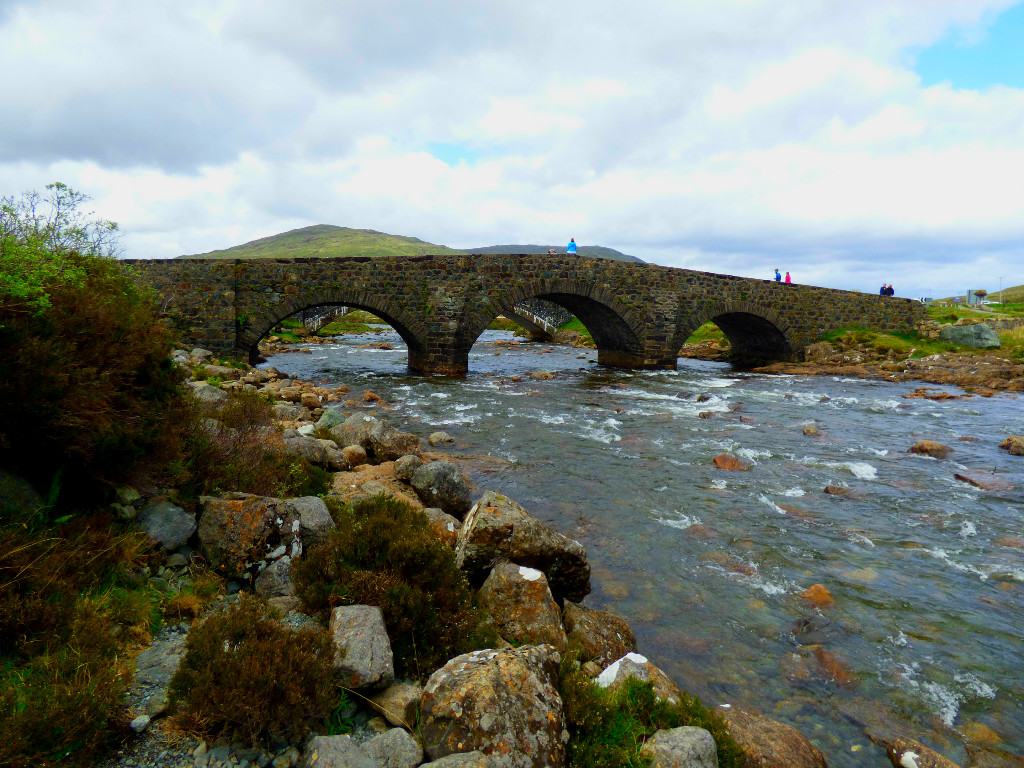
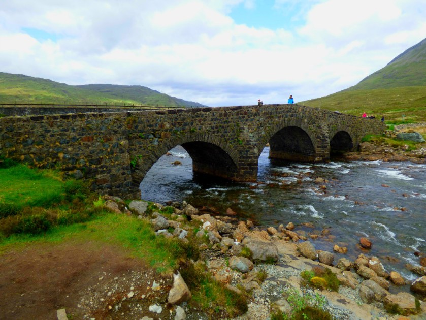
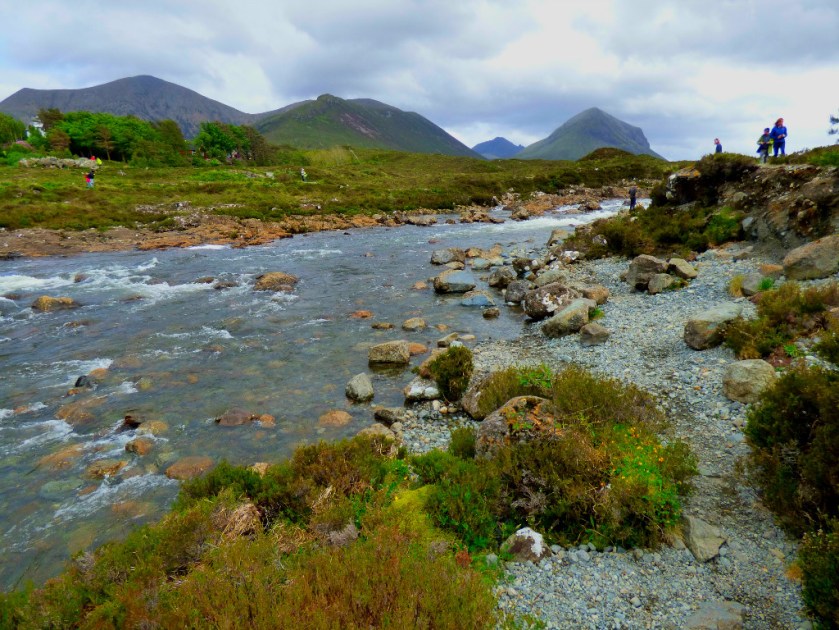
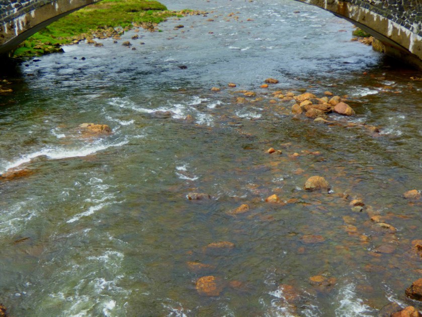
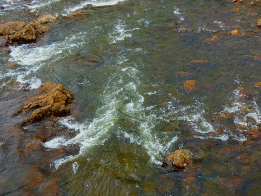
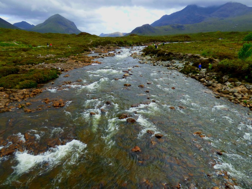
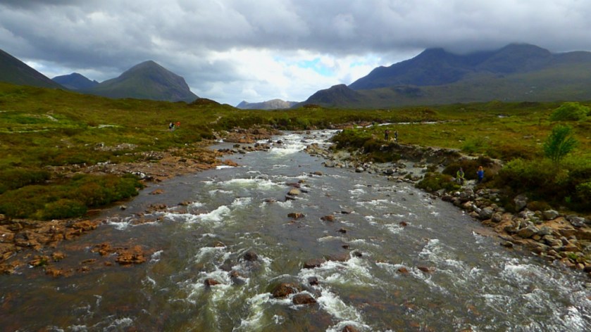
THE BRIDGES
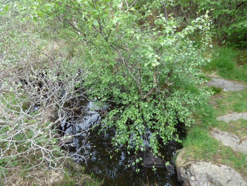
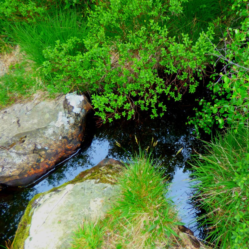
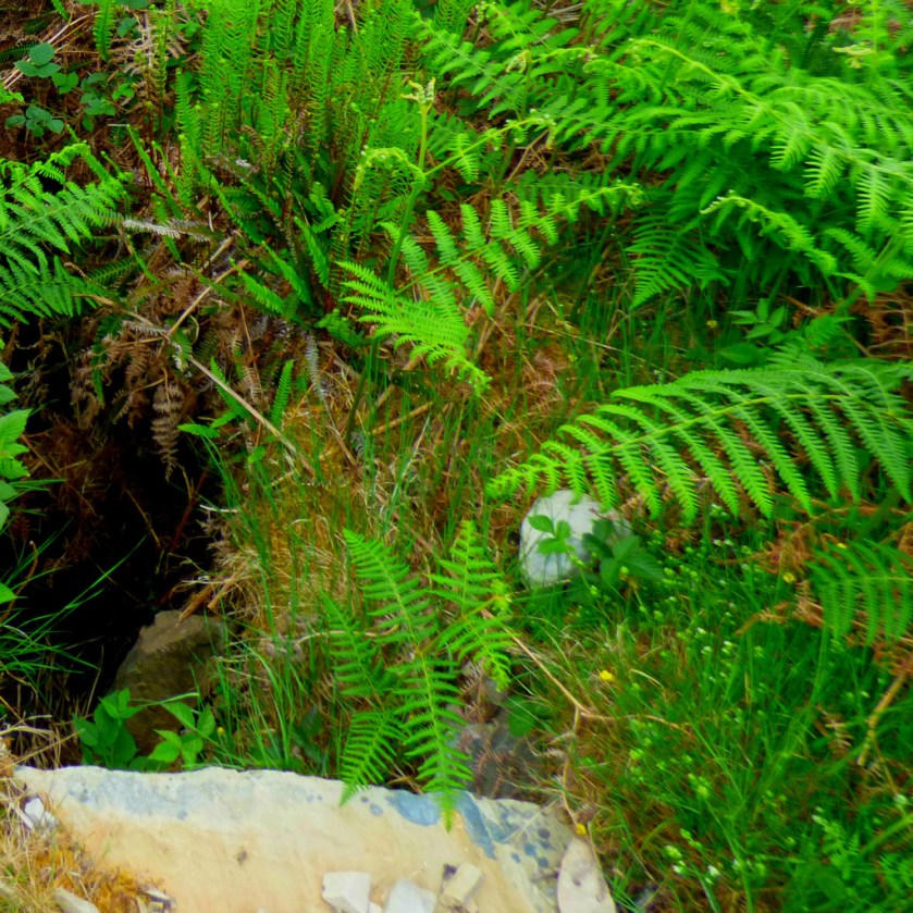
I had identified a place for photo stop on the return journey while we were heading towards the Talisker distillery. It proved even better than I had expected, and in a few minutes I had taken a number of good pictures…


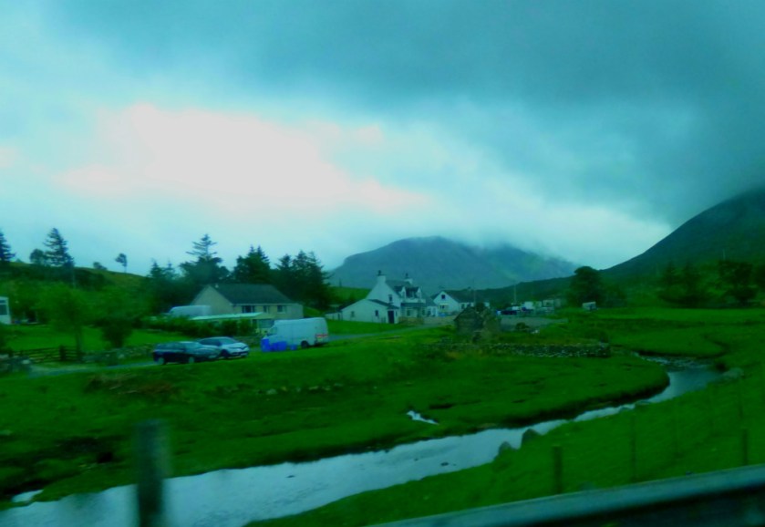
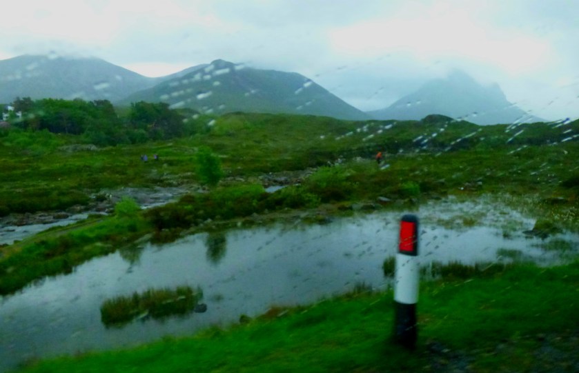
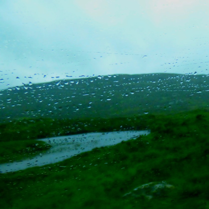
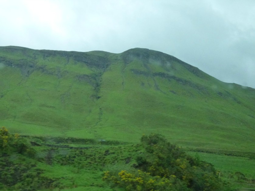
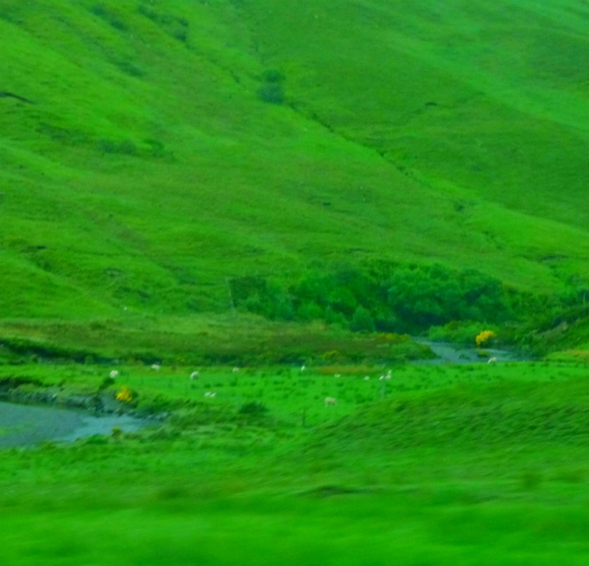
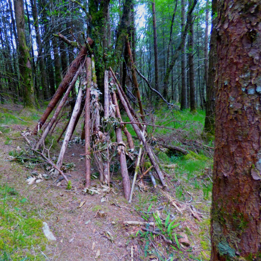
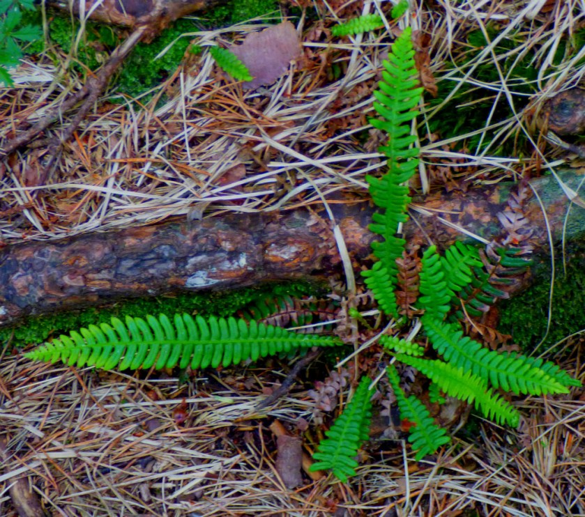
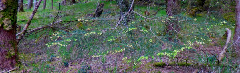
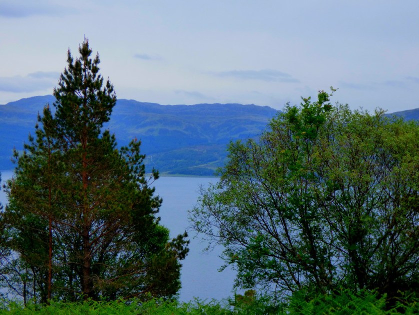
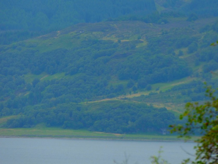
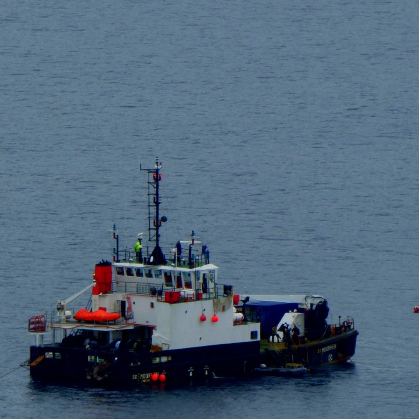
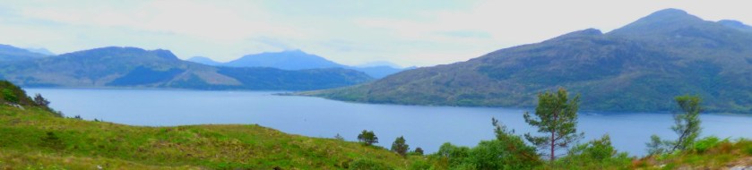
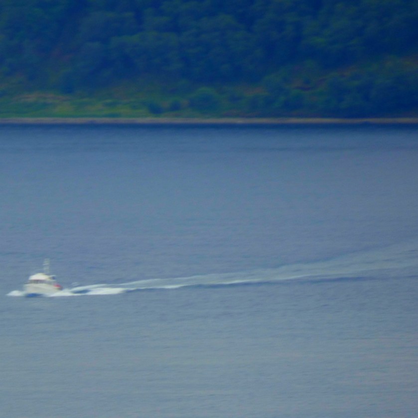
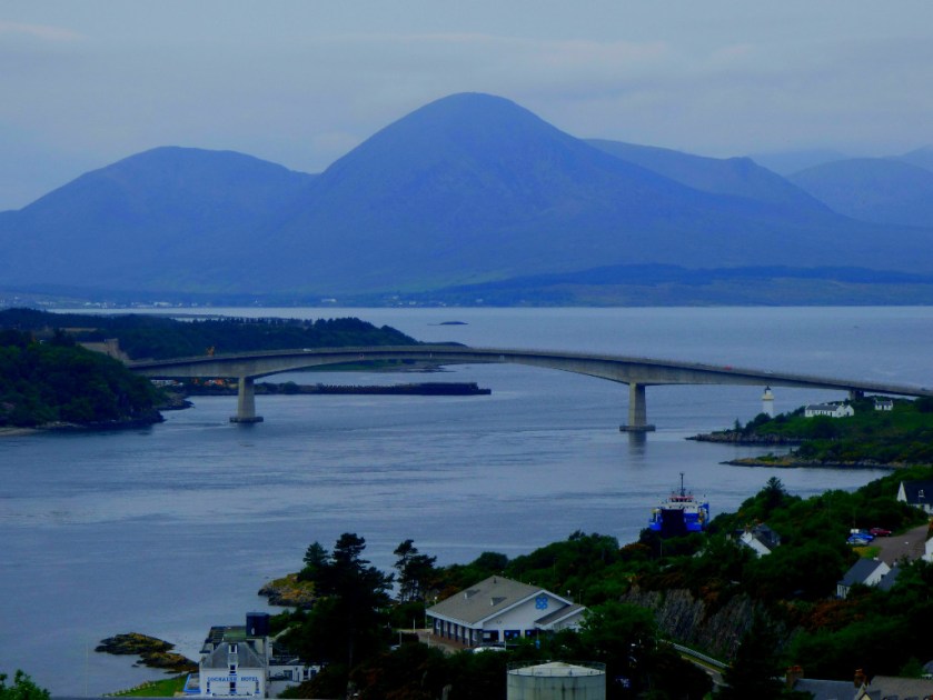
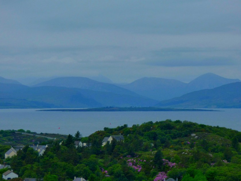
LEAVING SKYE
I got a few more pictures during the rest of the journey home…