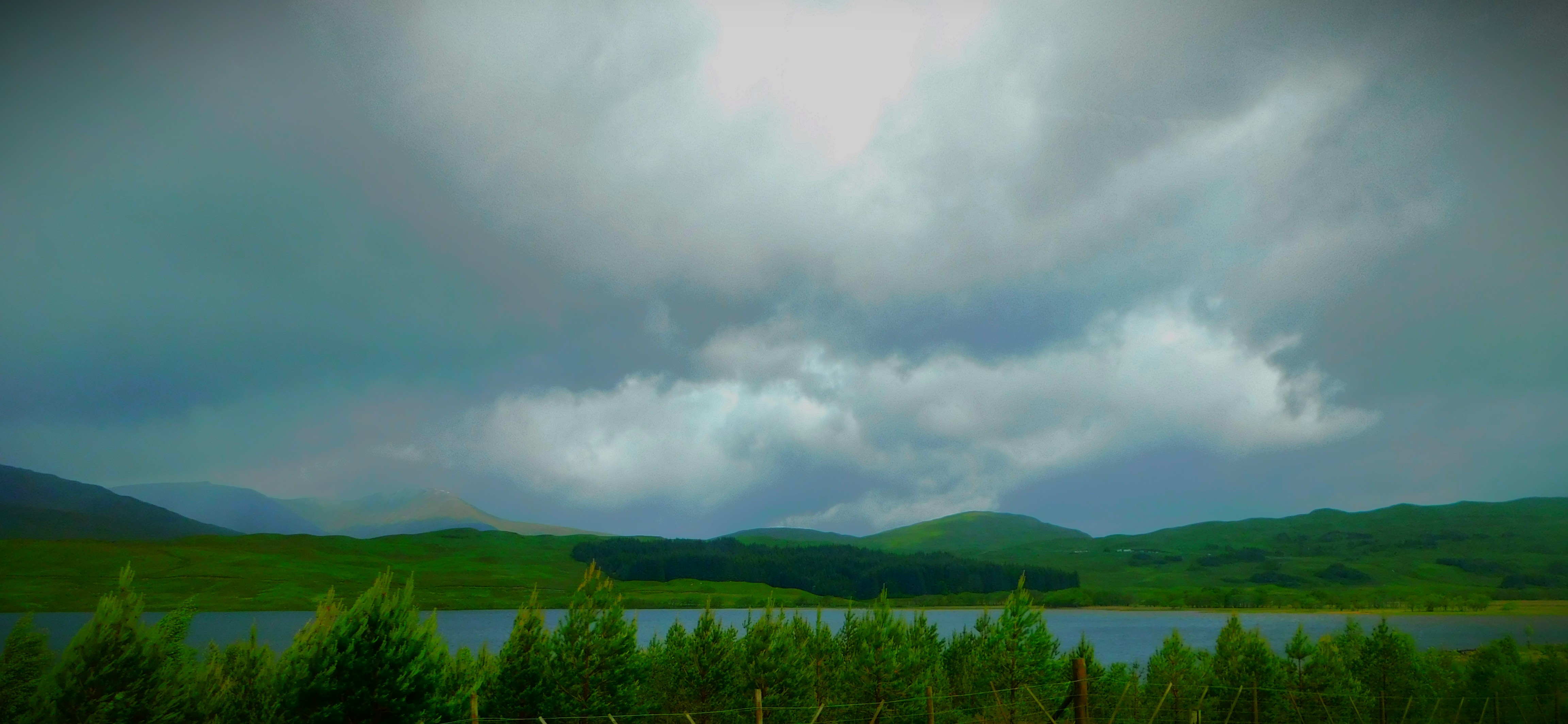
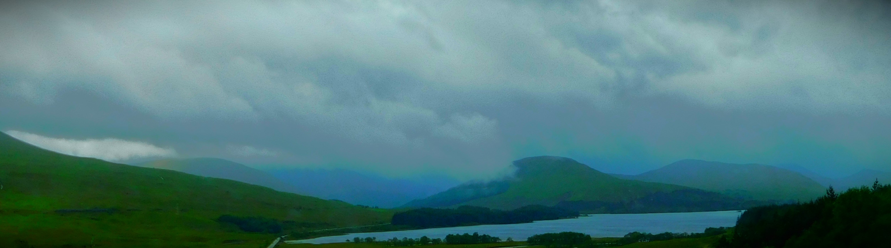
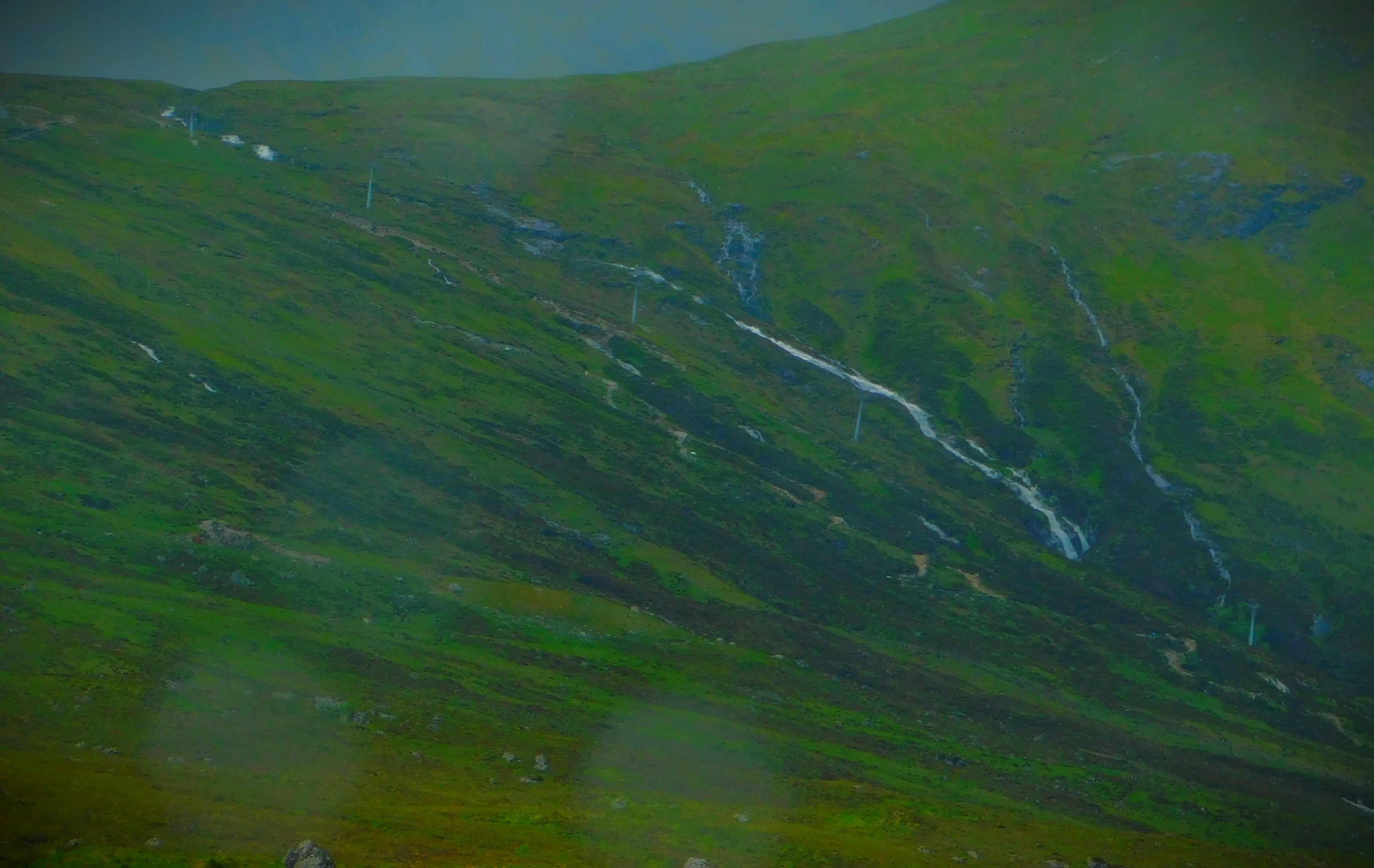
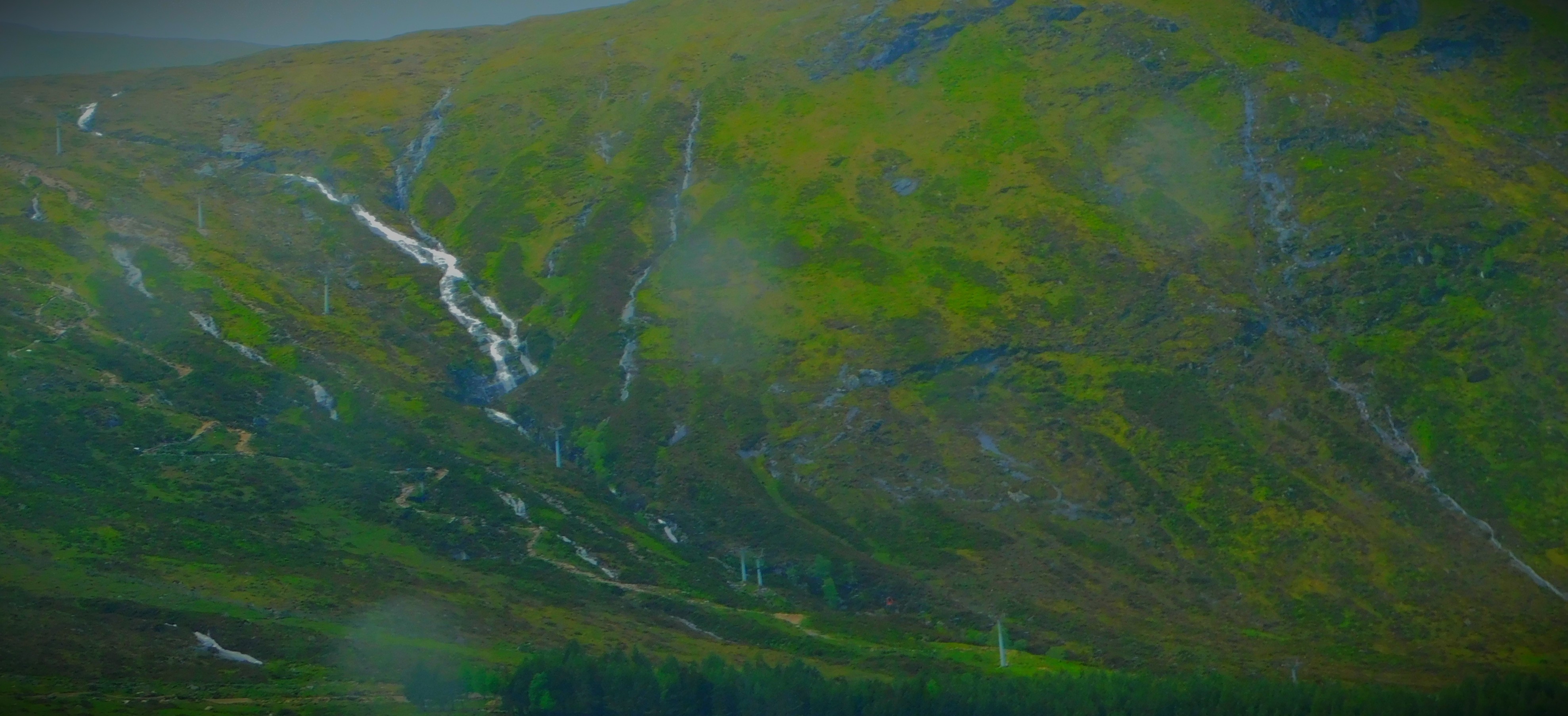
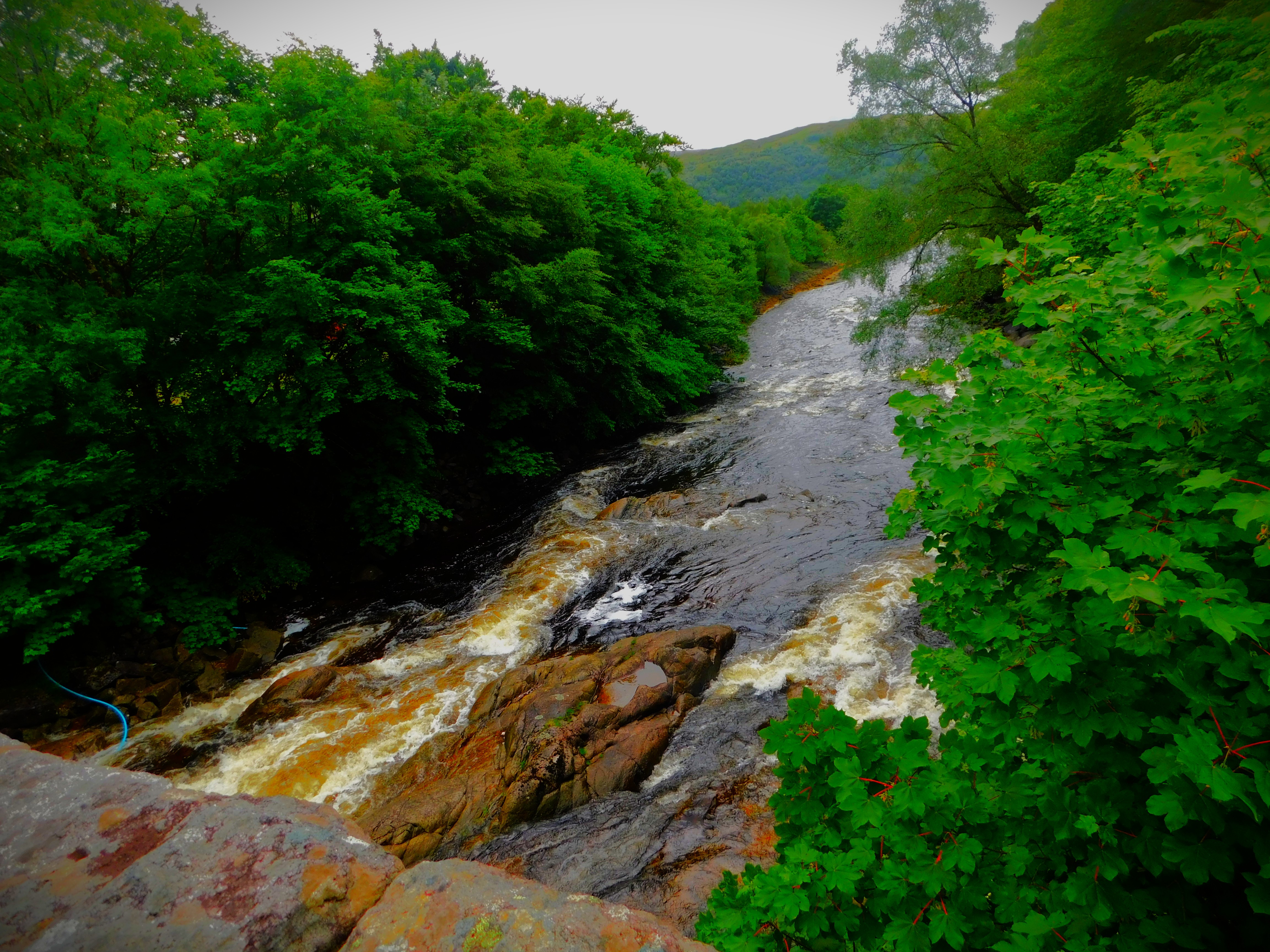
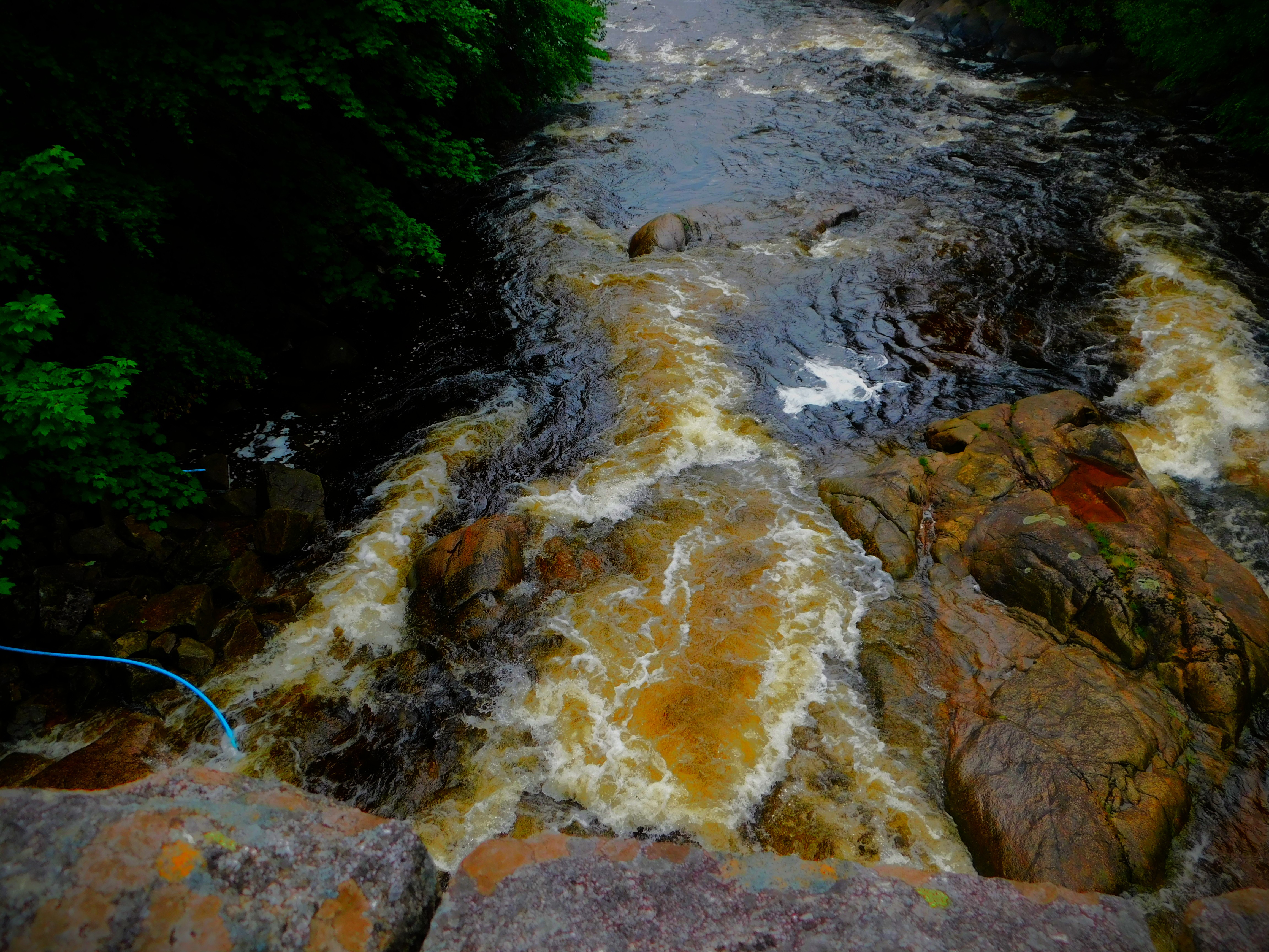
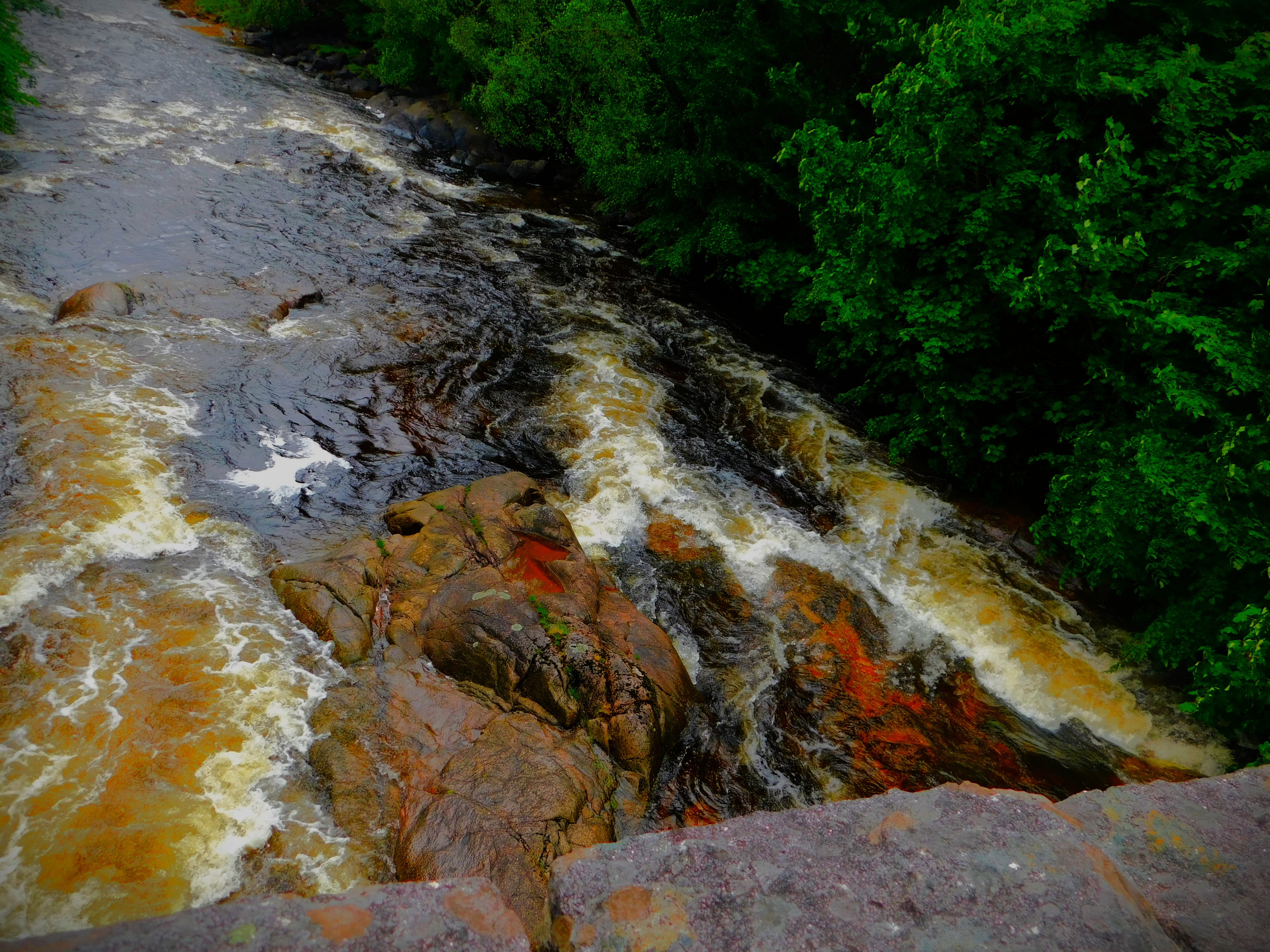
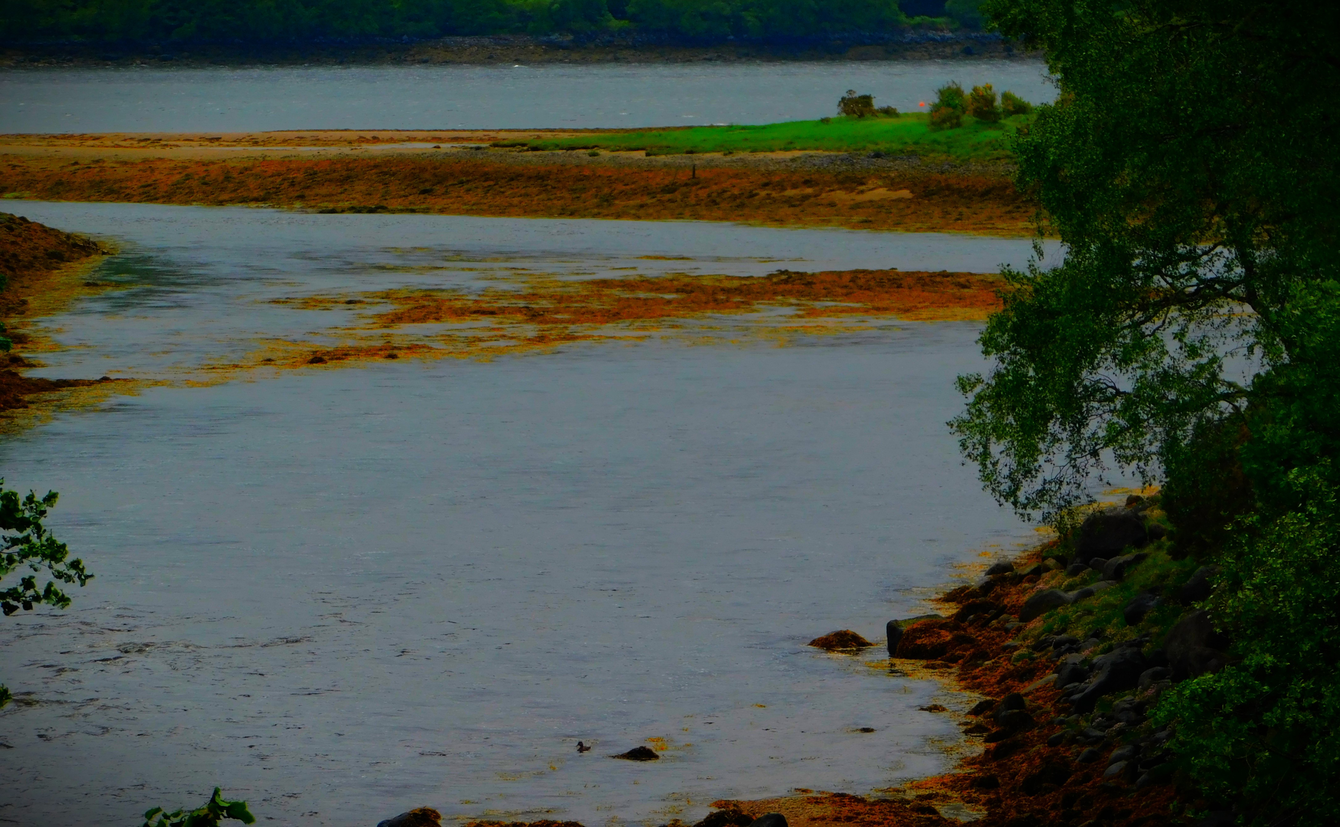
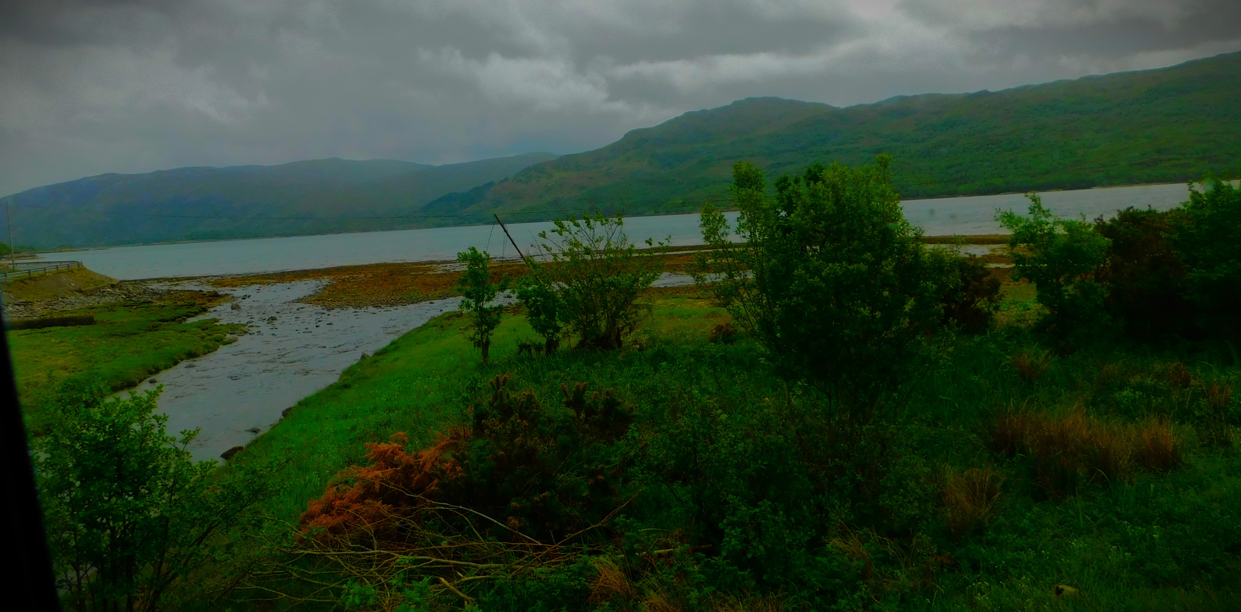
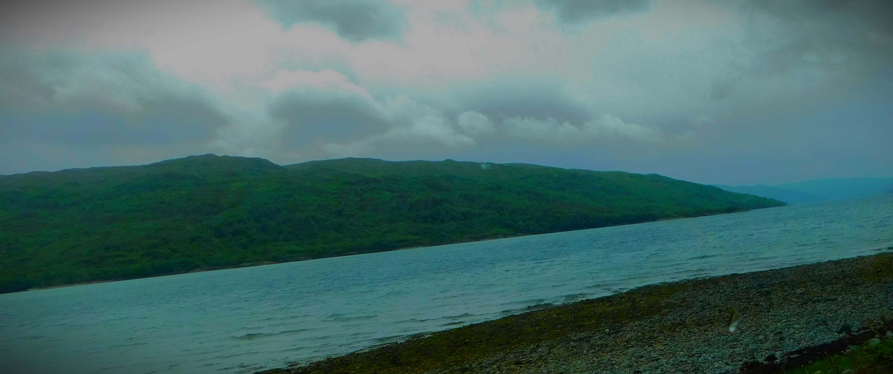
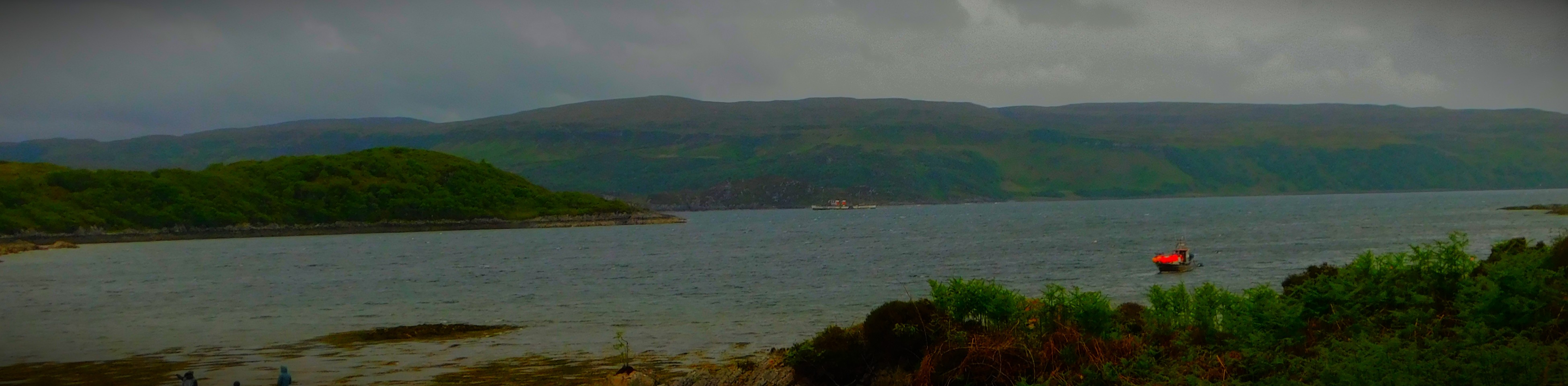
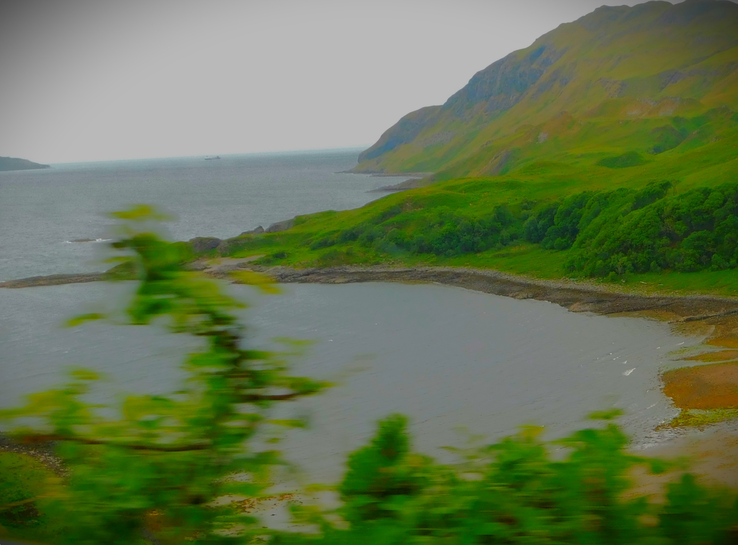
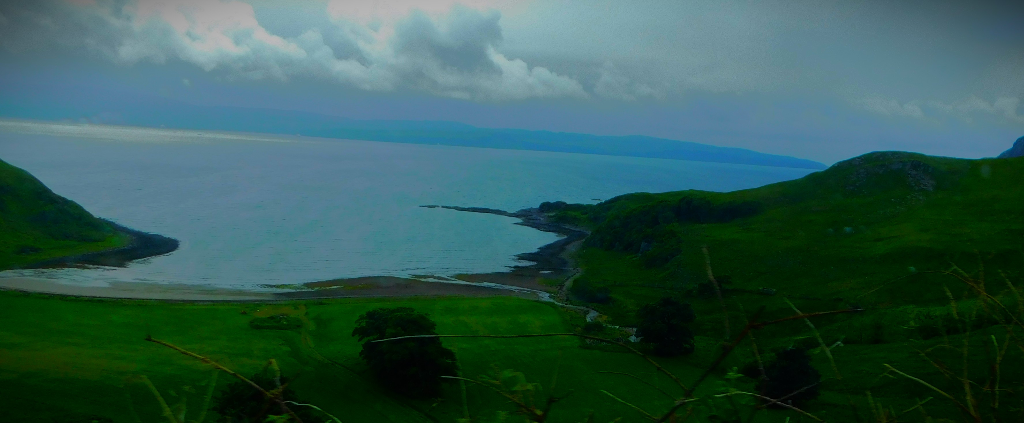
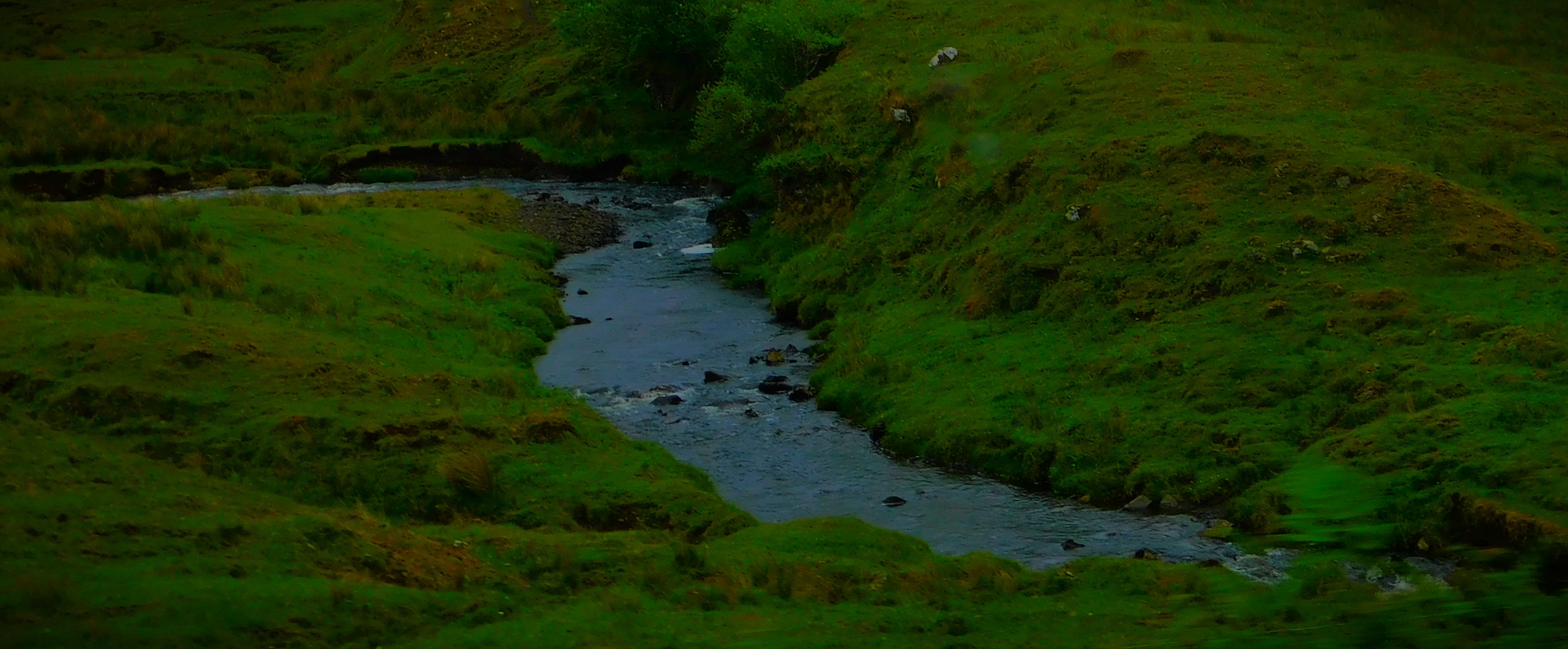
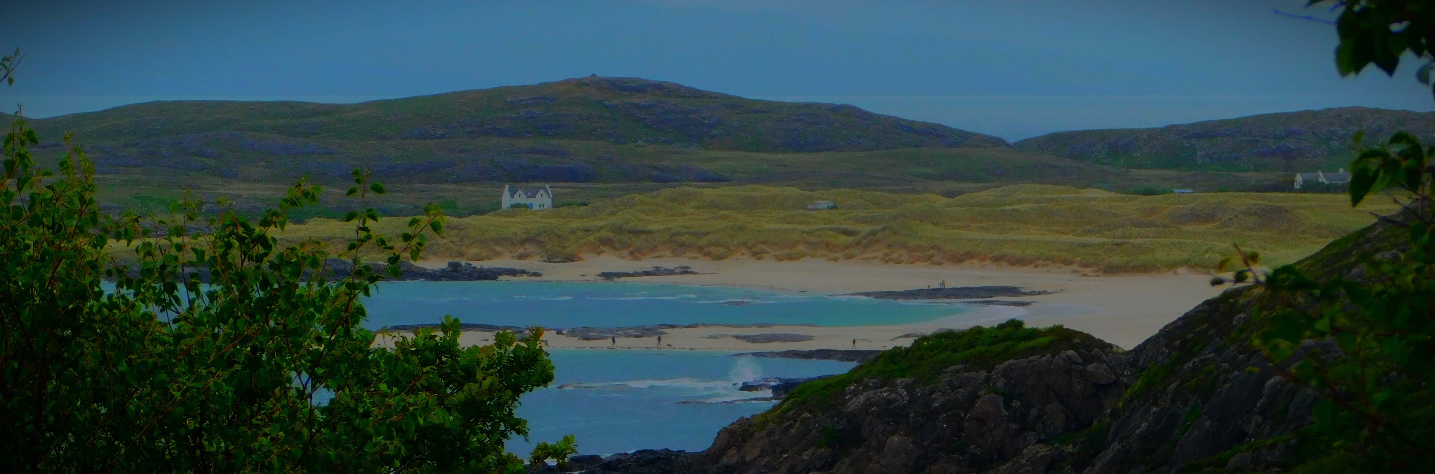
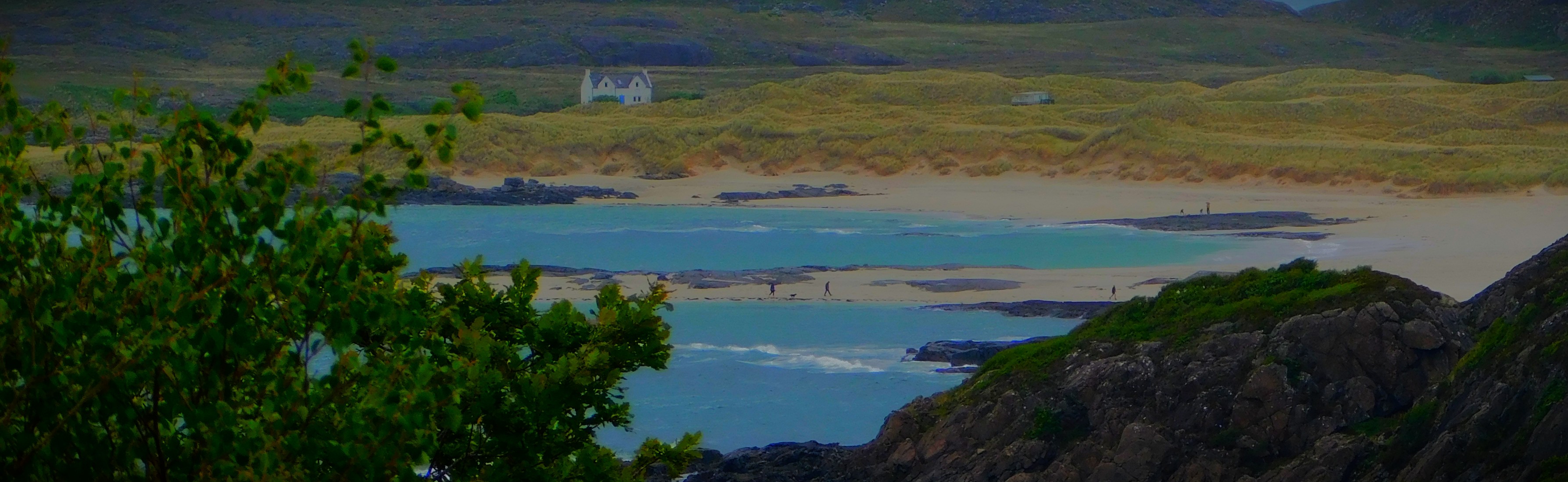
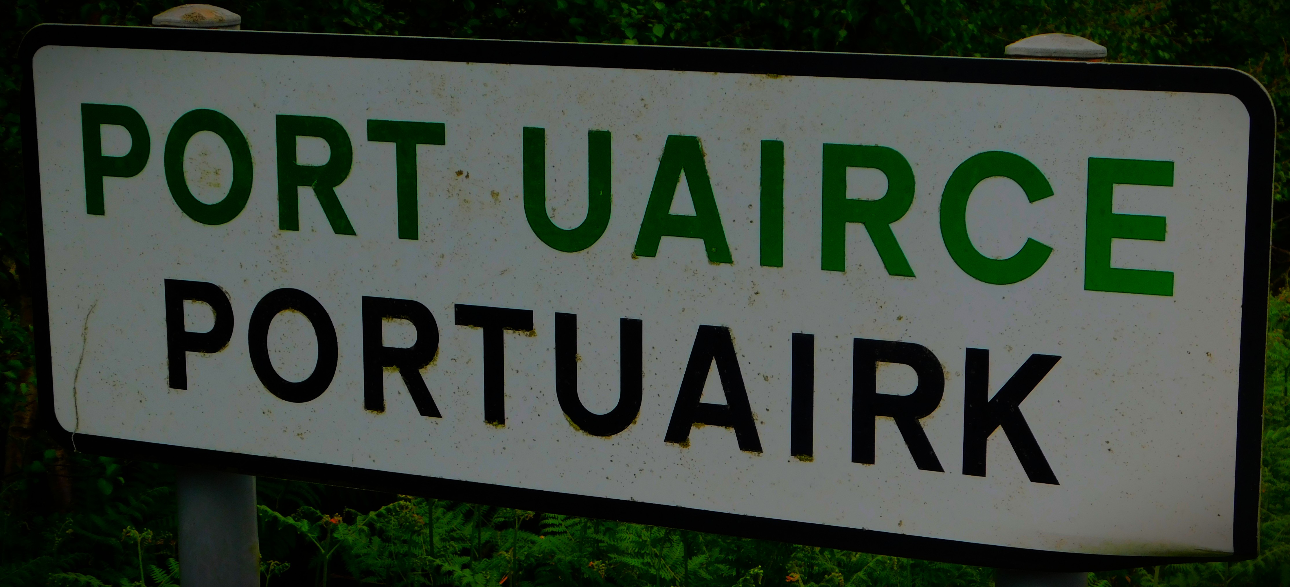
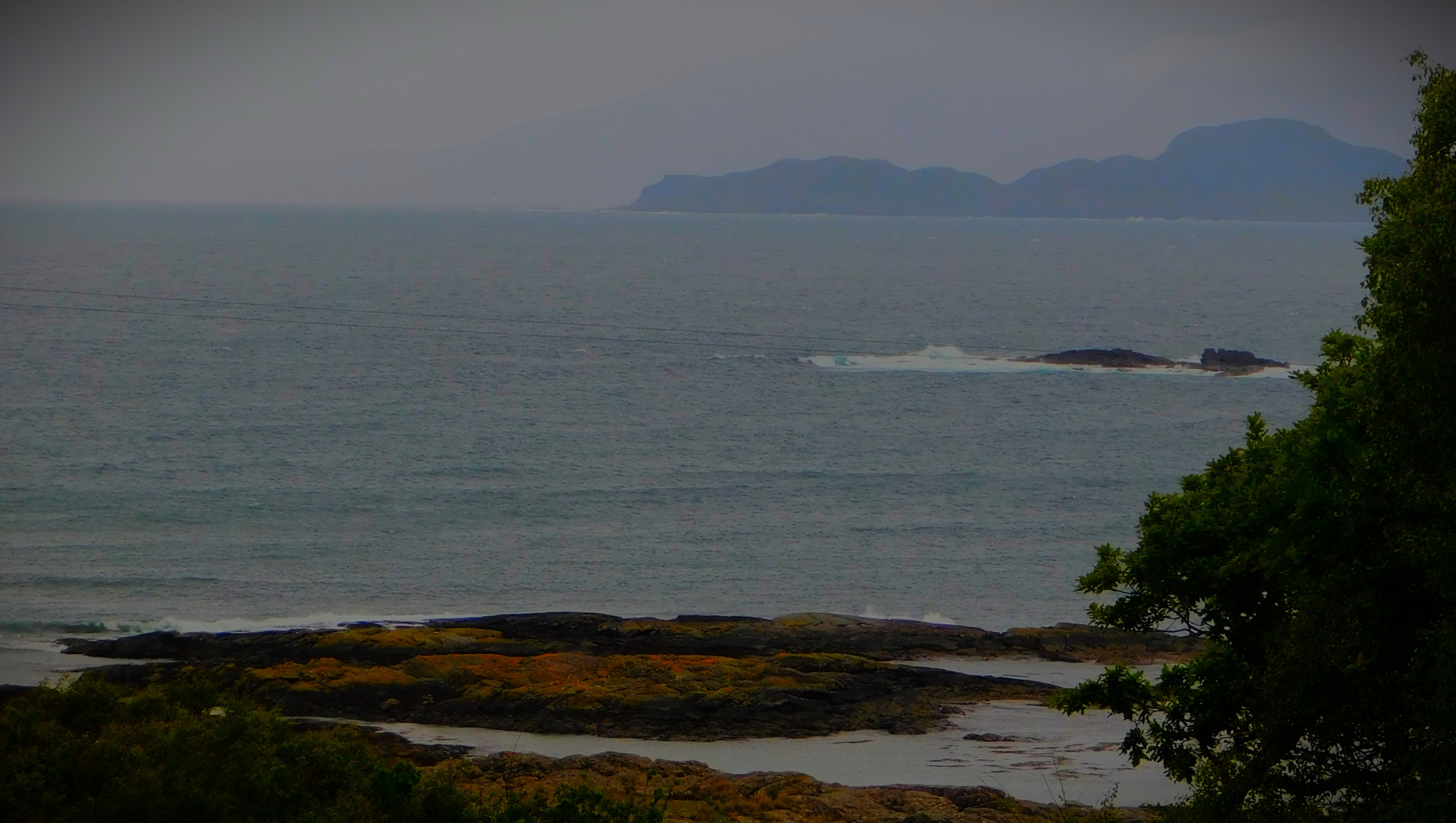
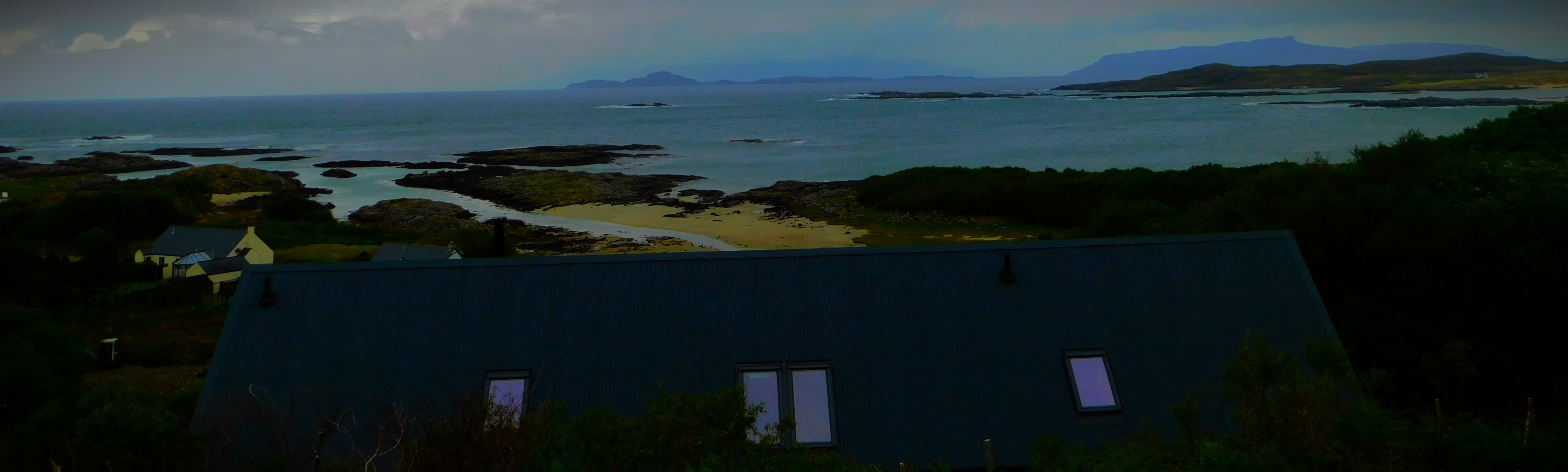
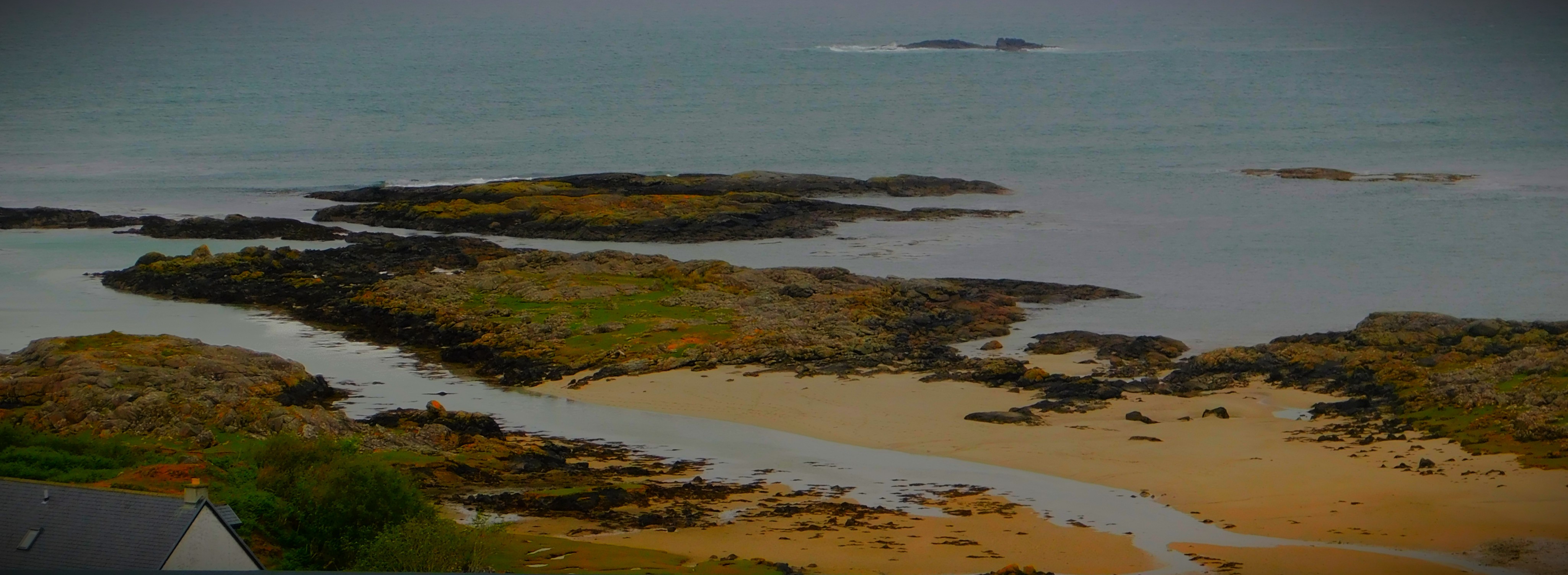
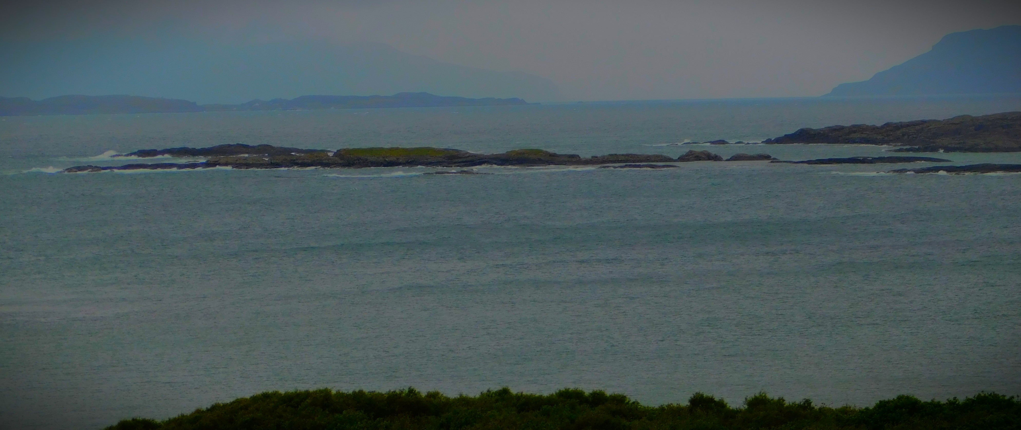
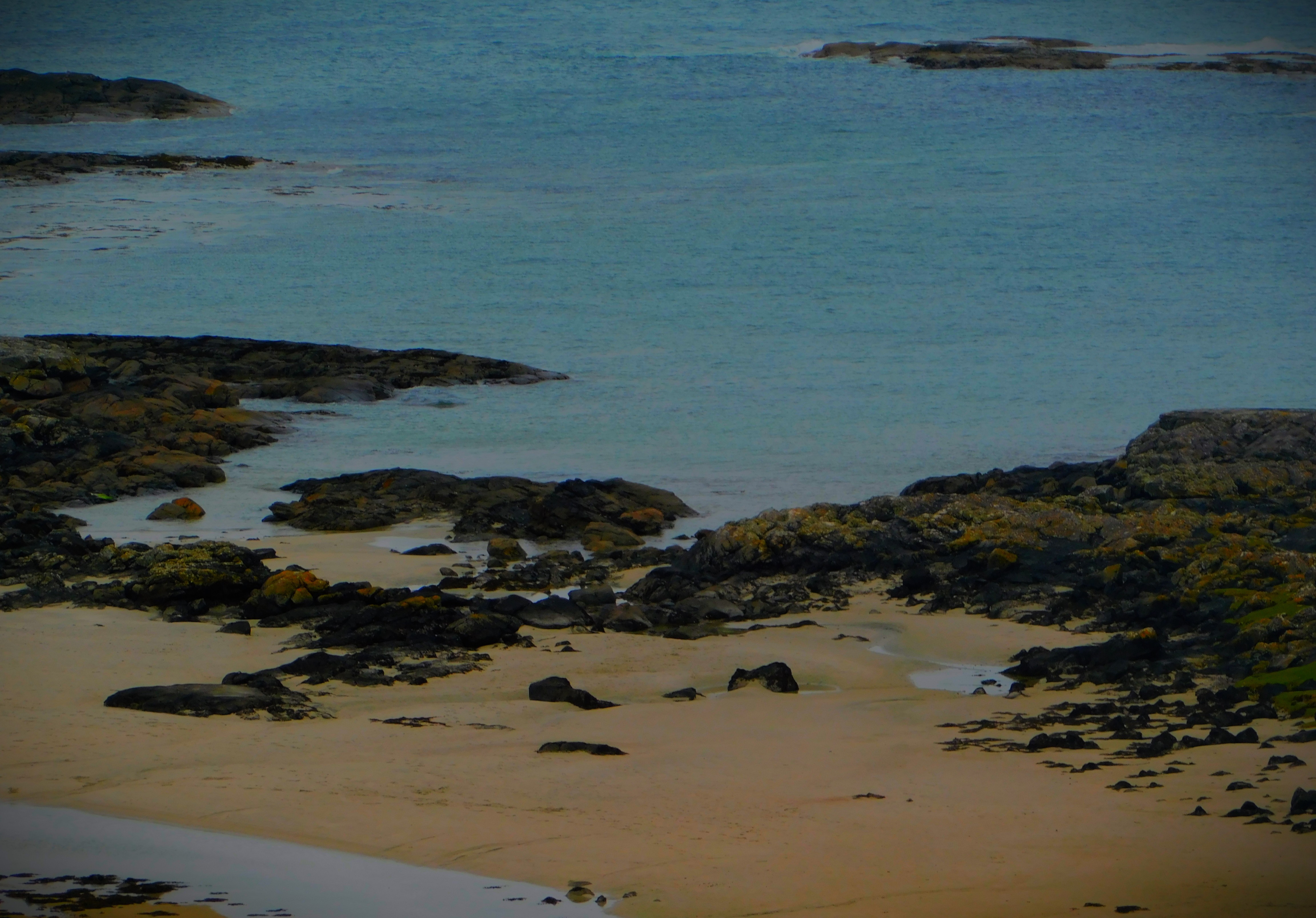
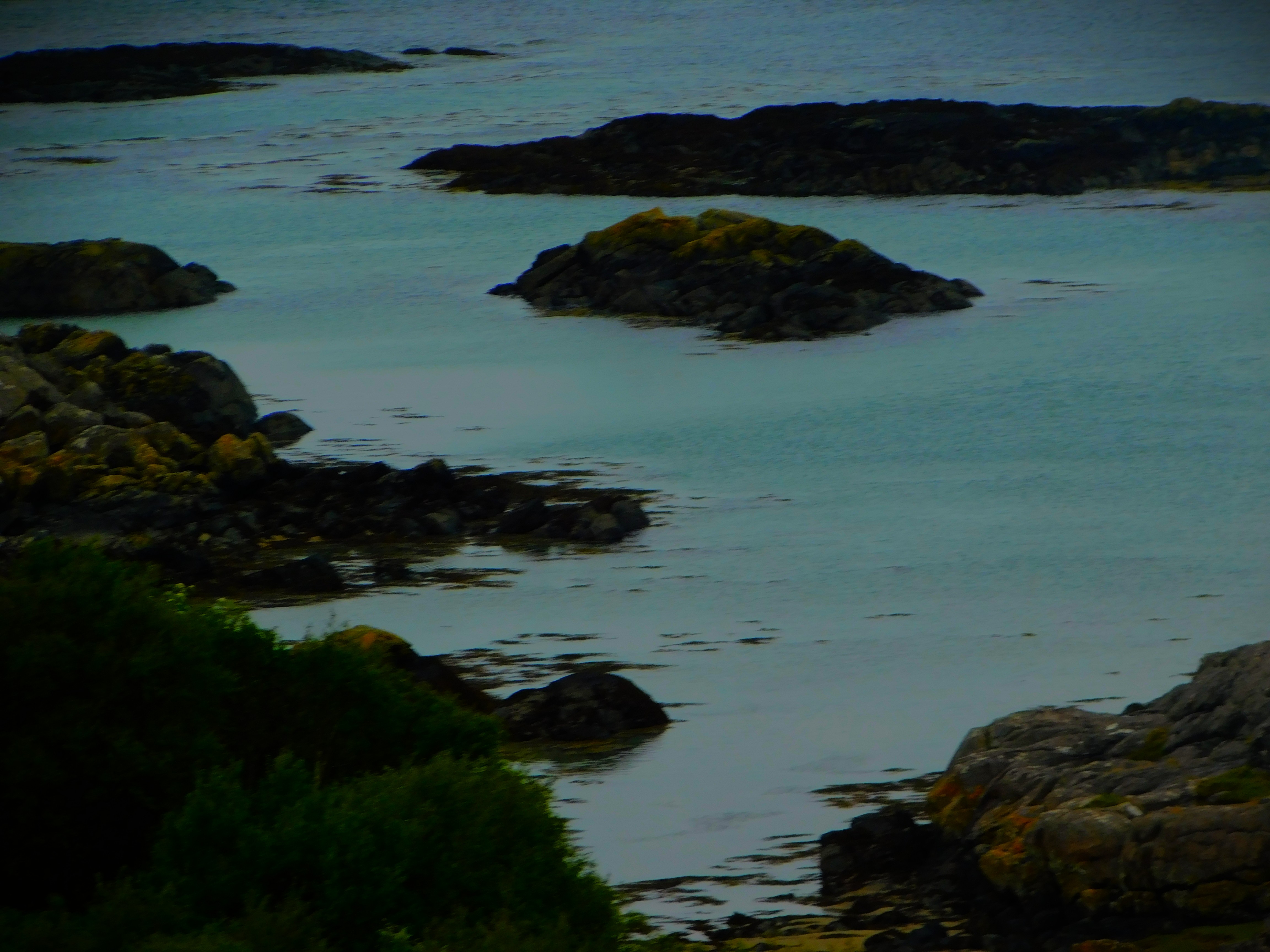
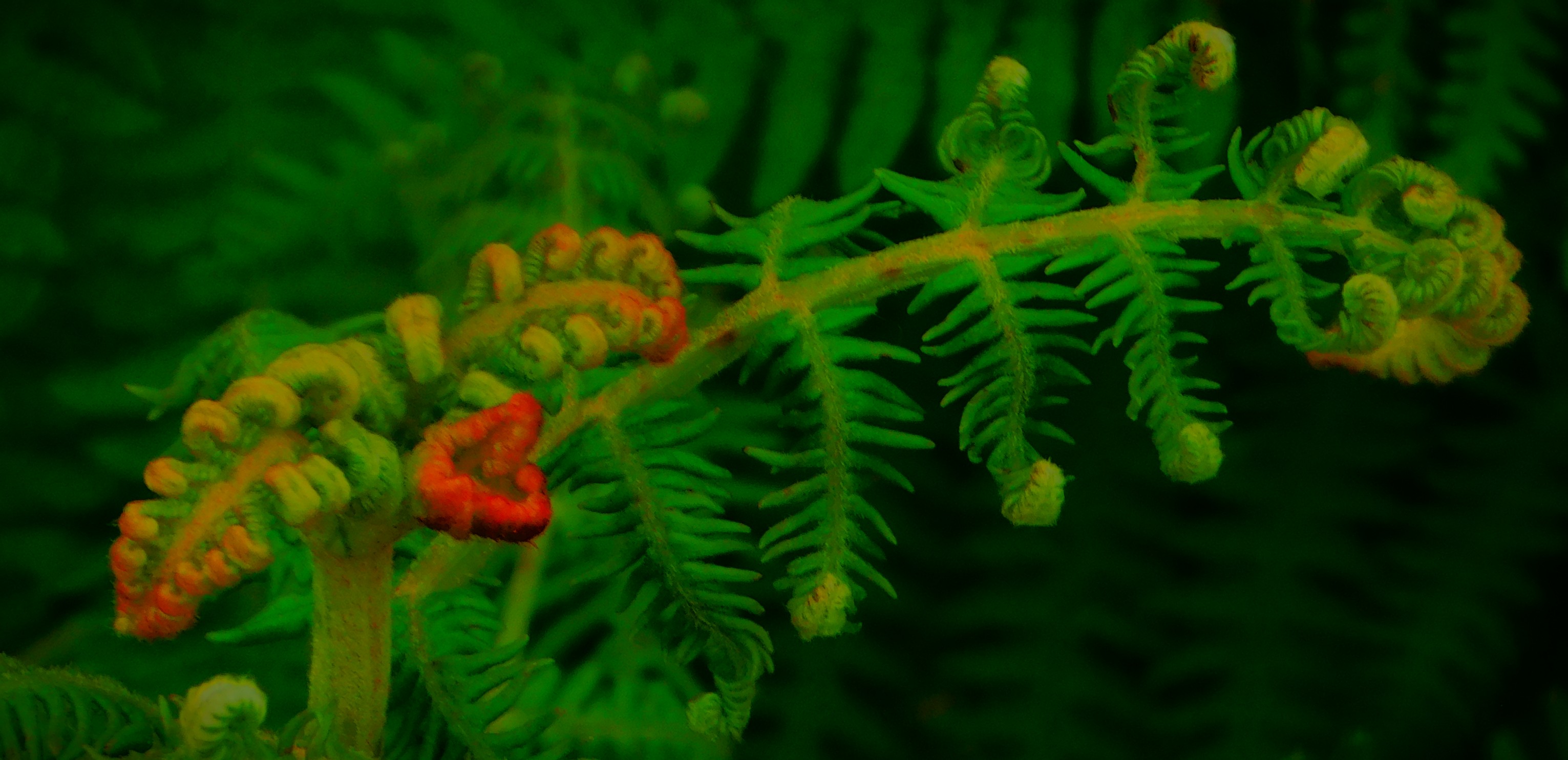
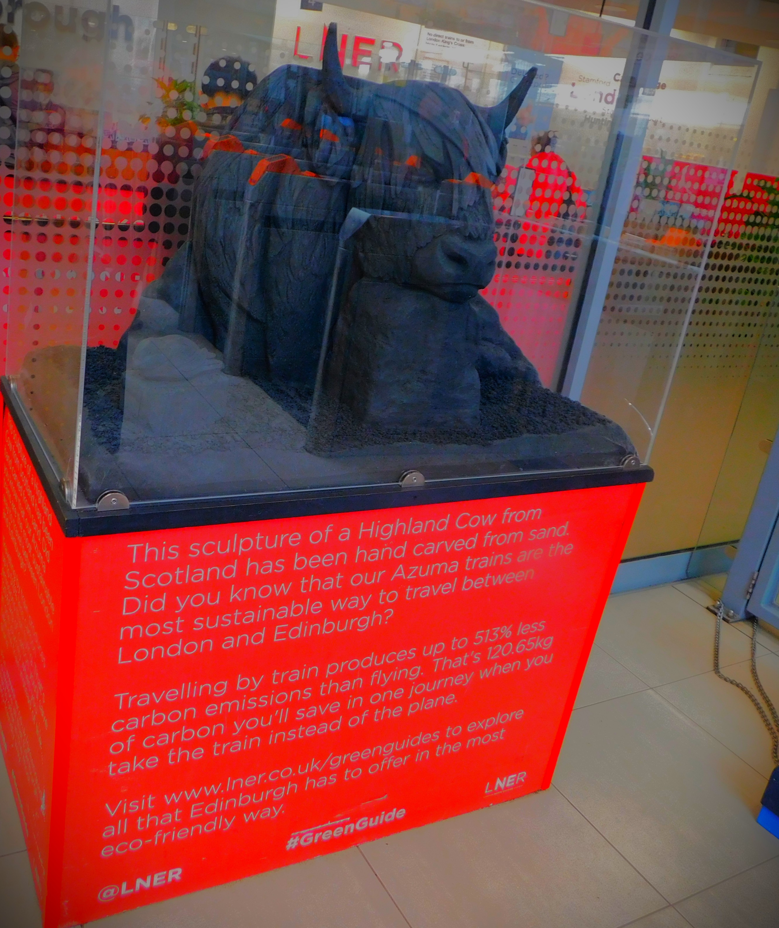
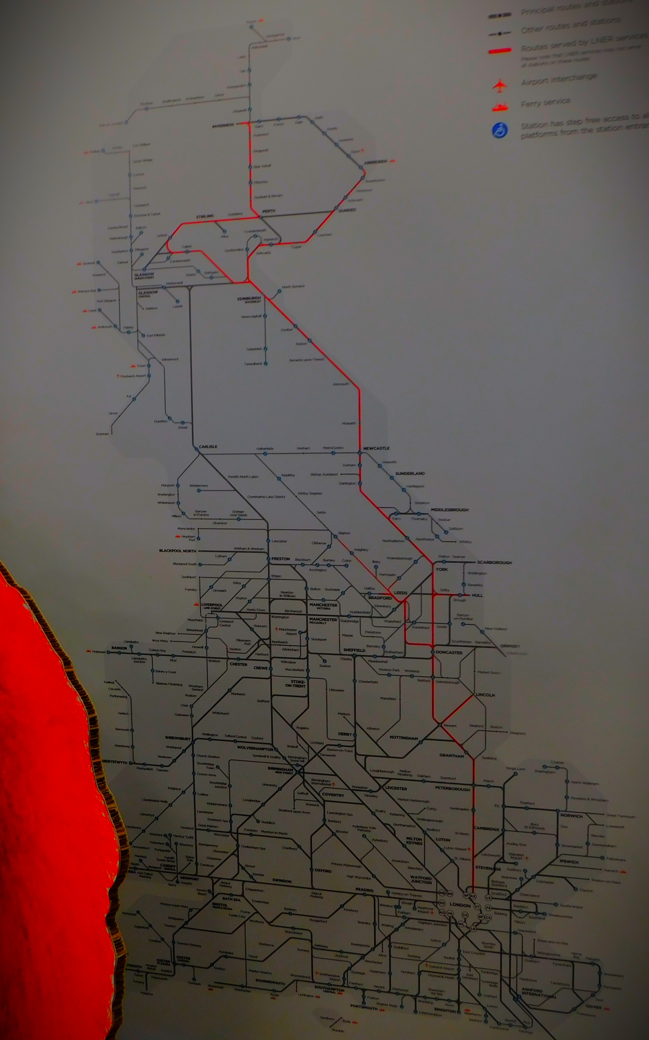
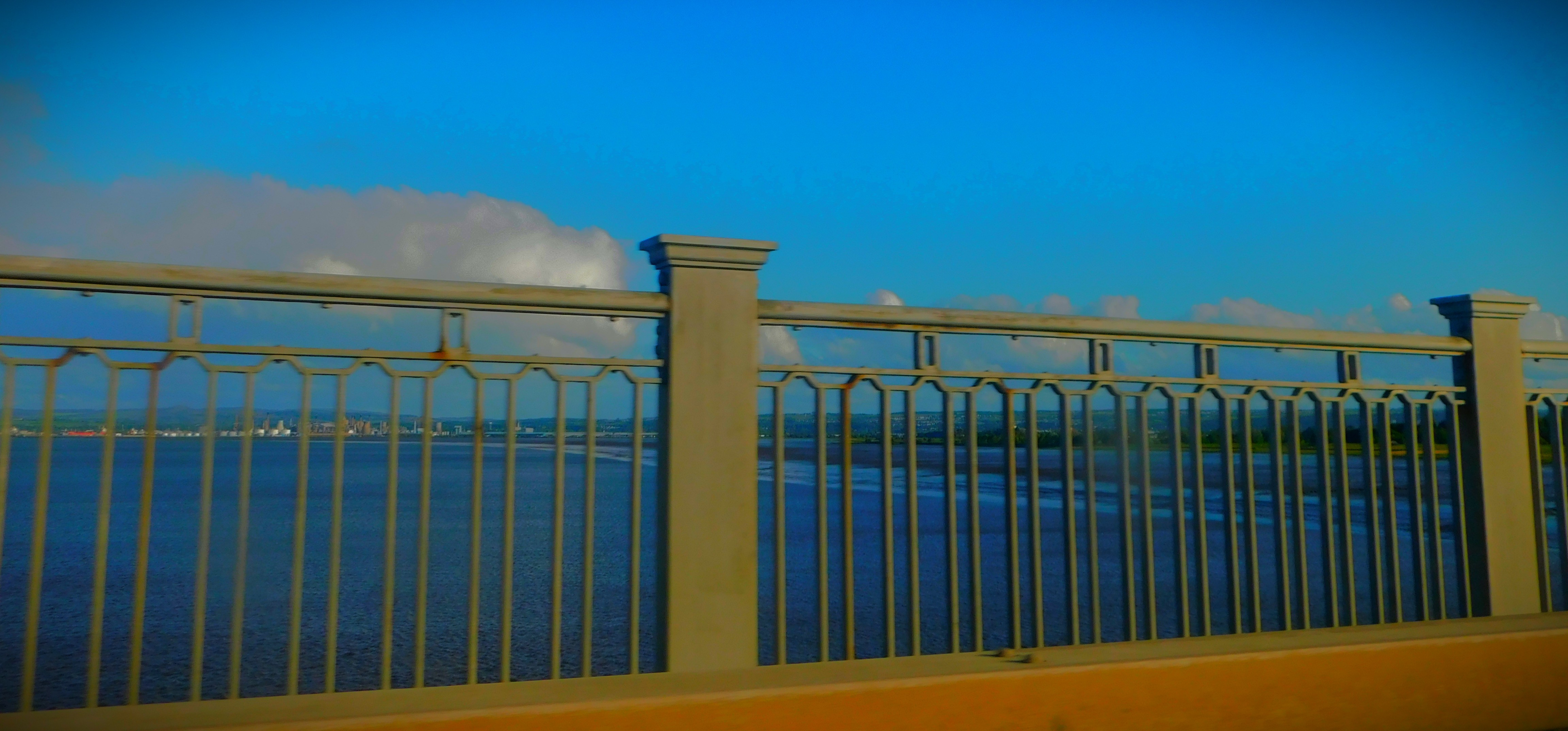
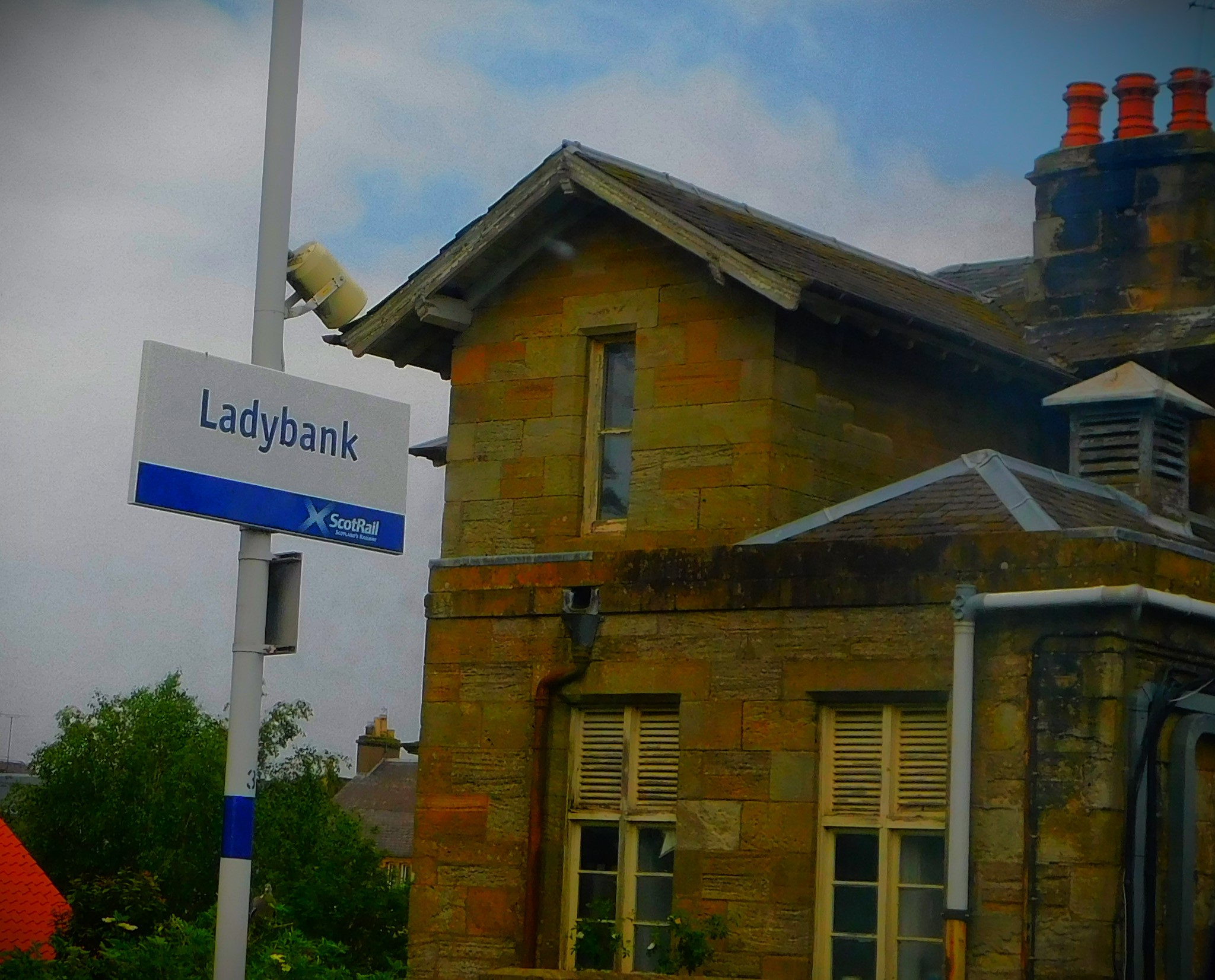
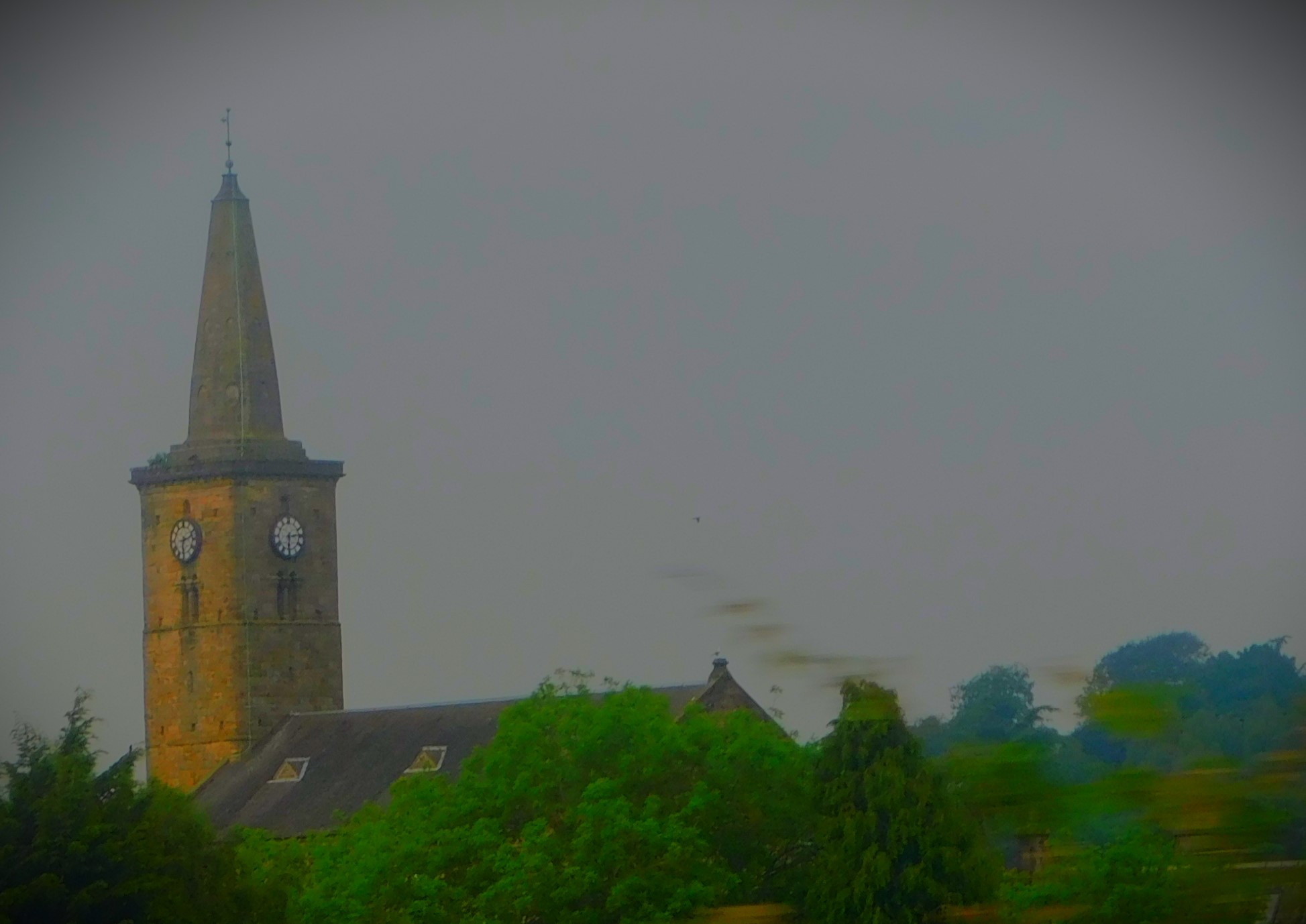
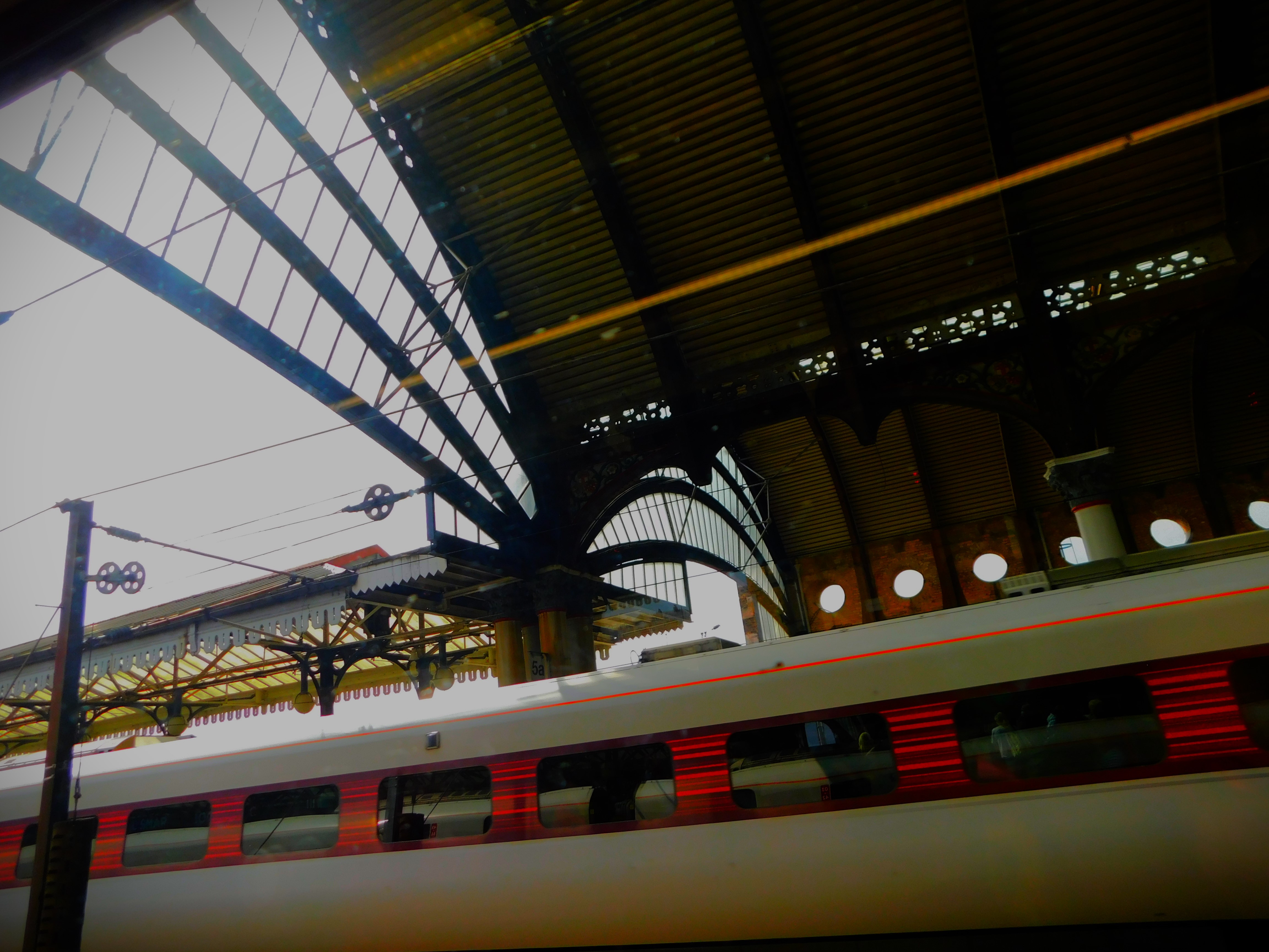
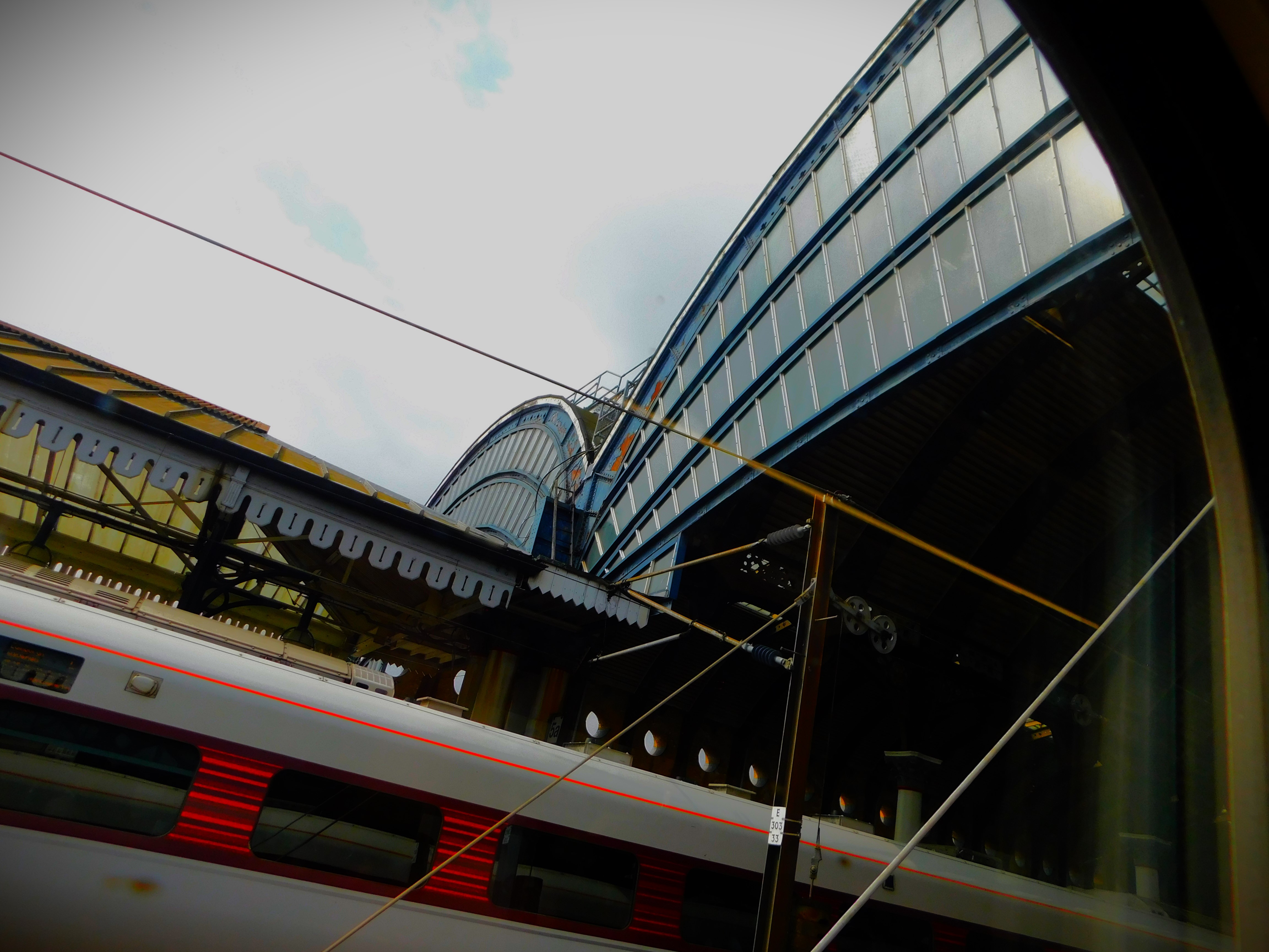
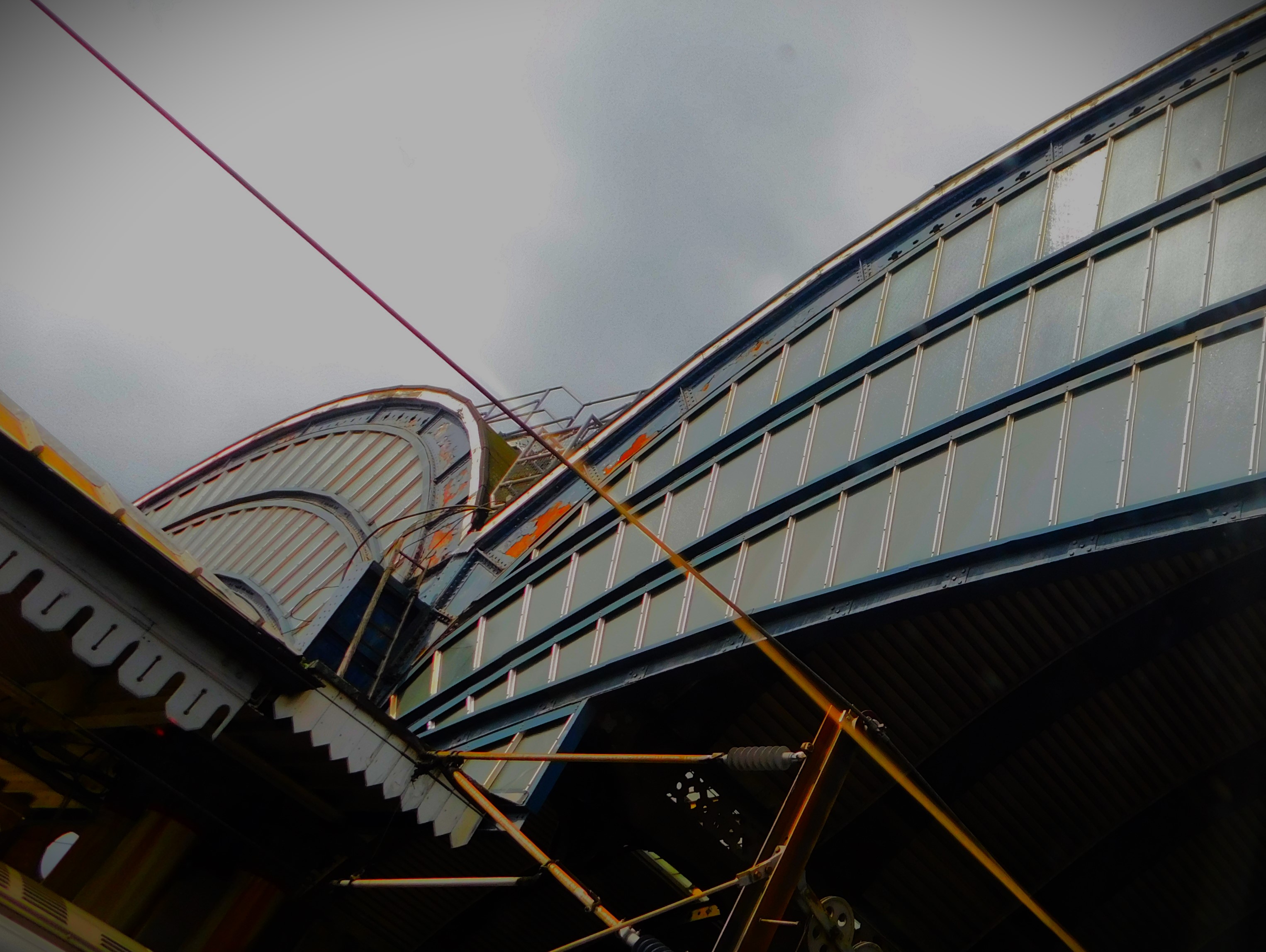
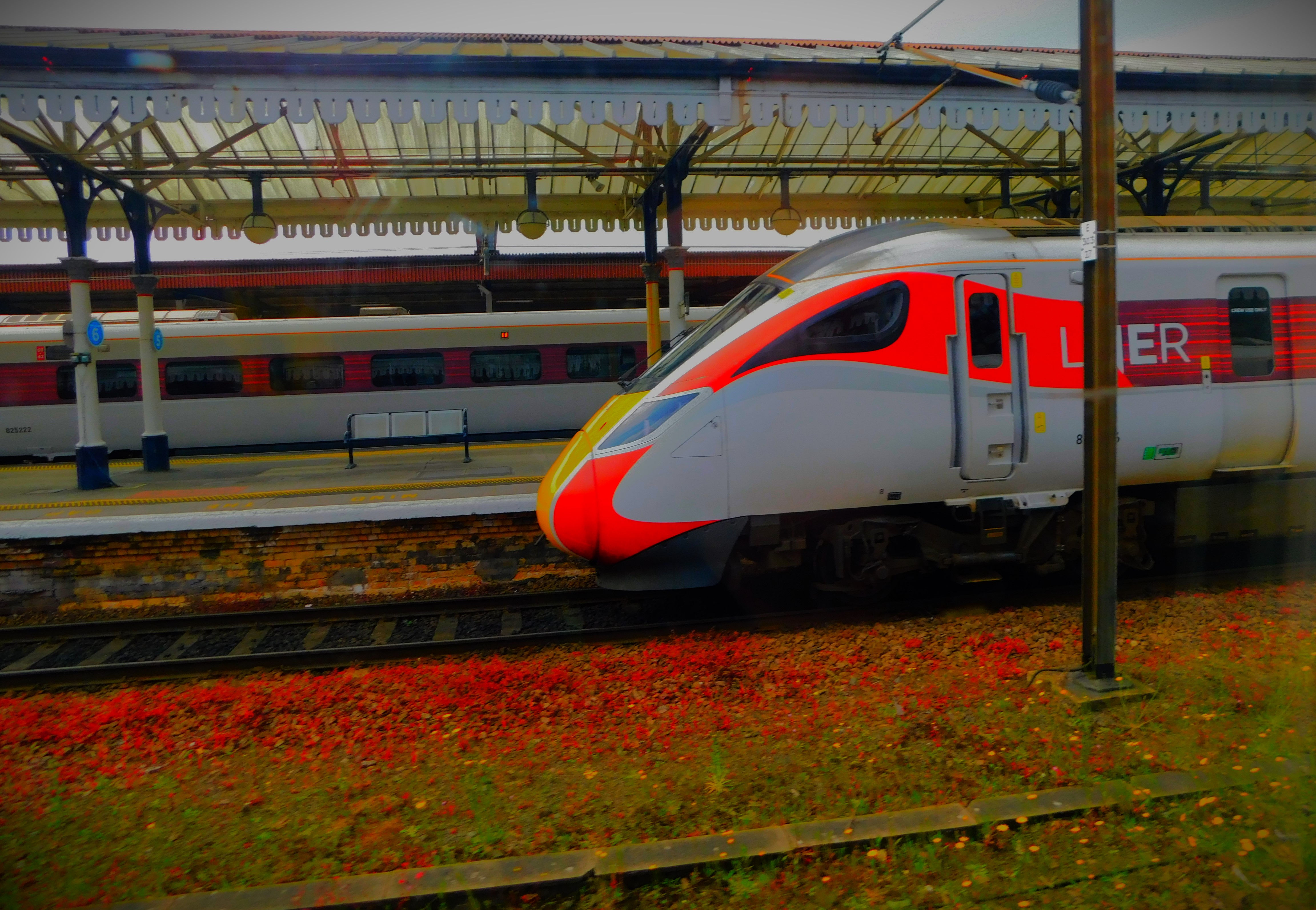
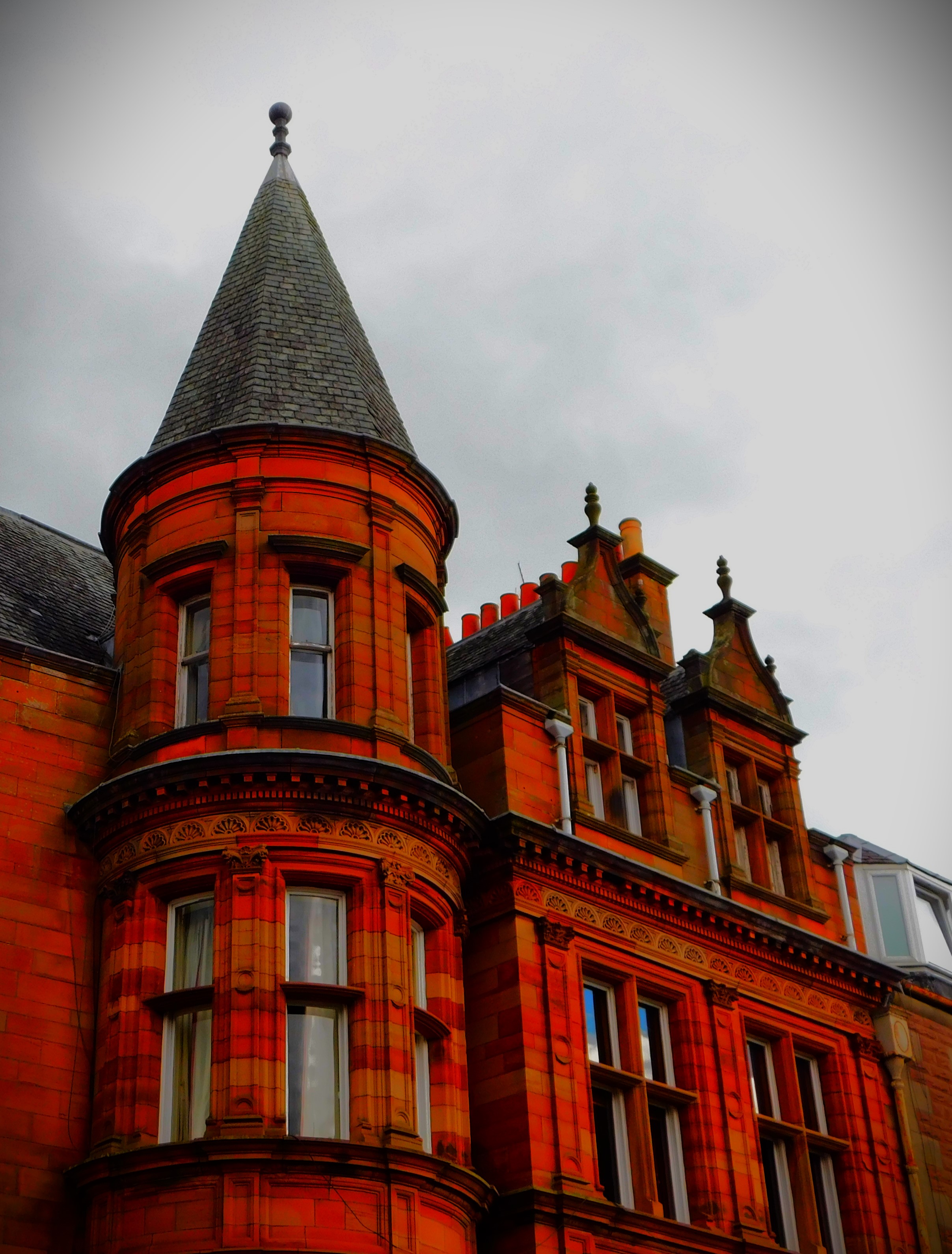
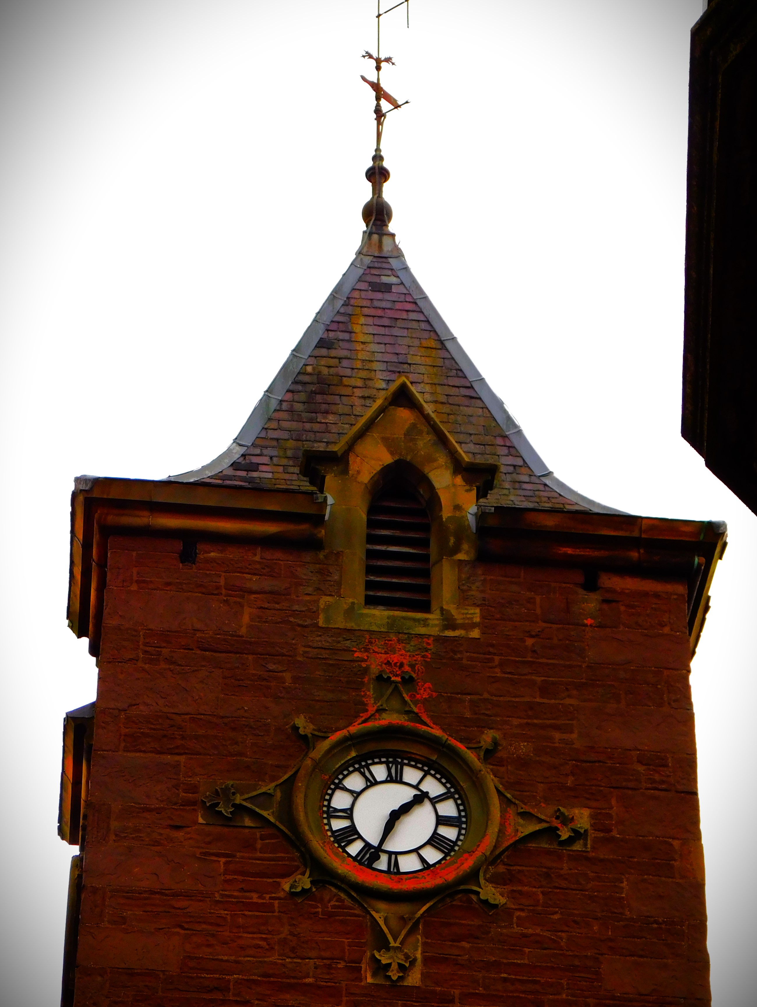
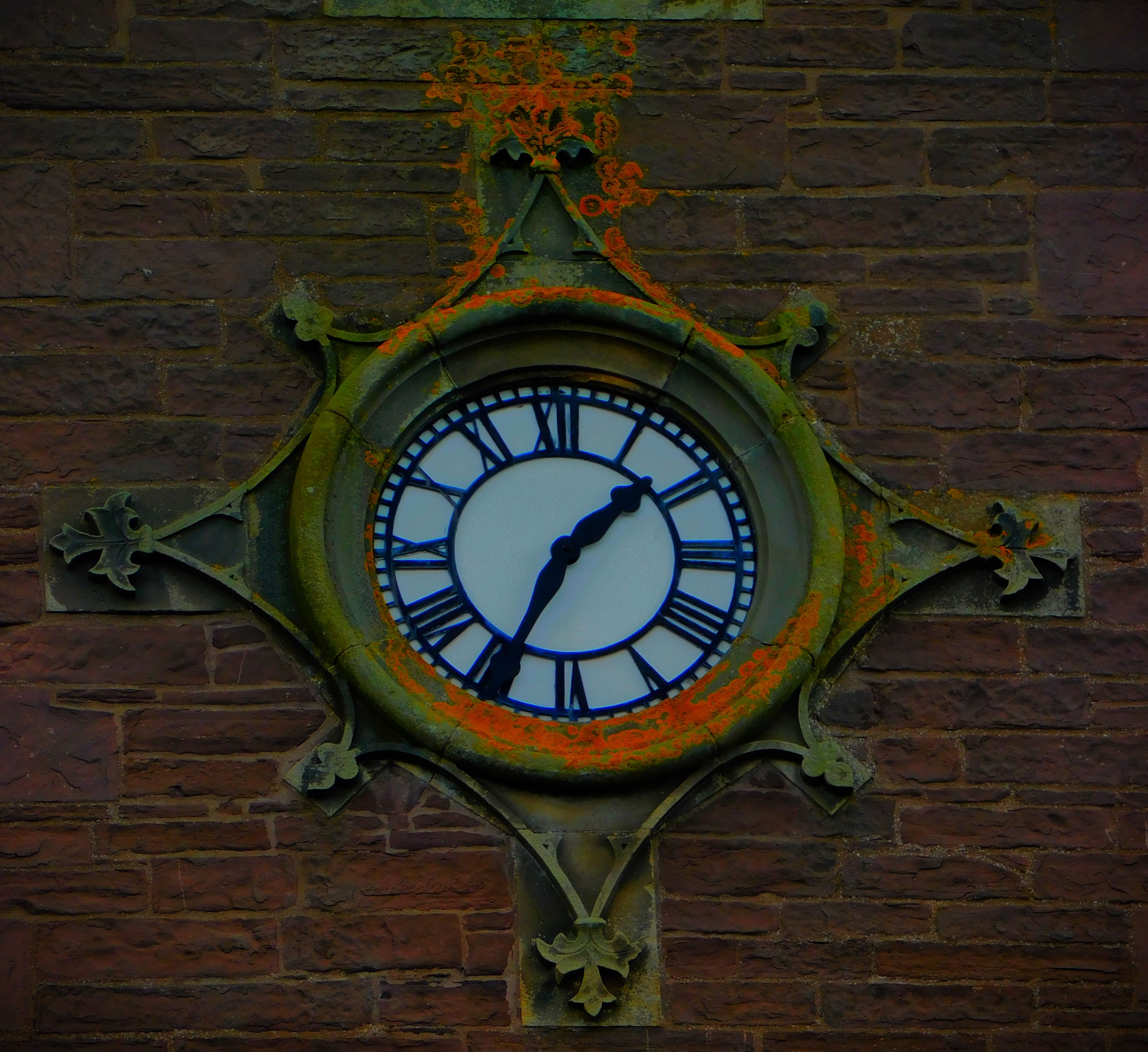
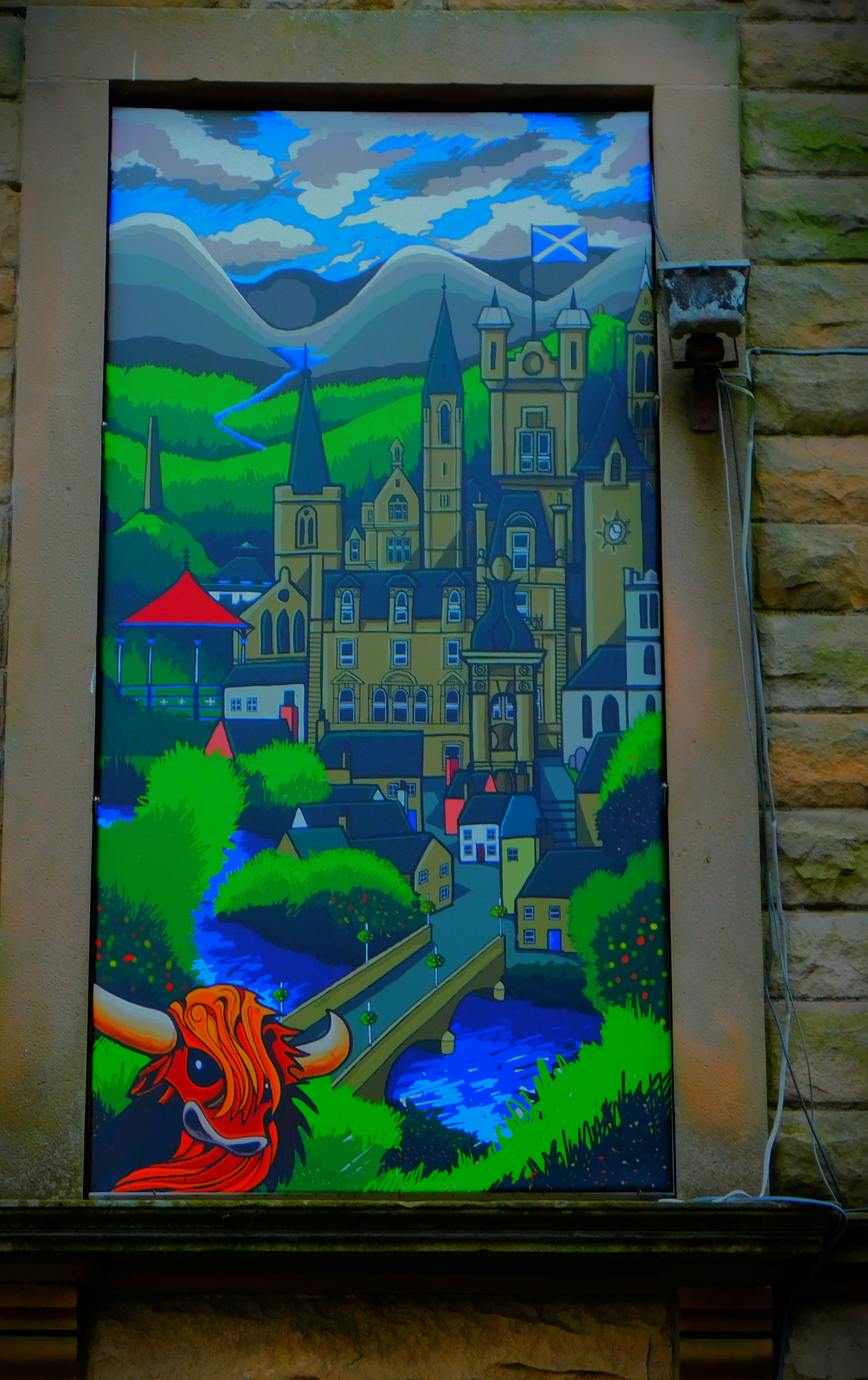
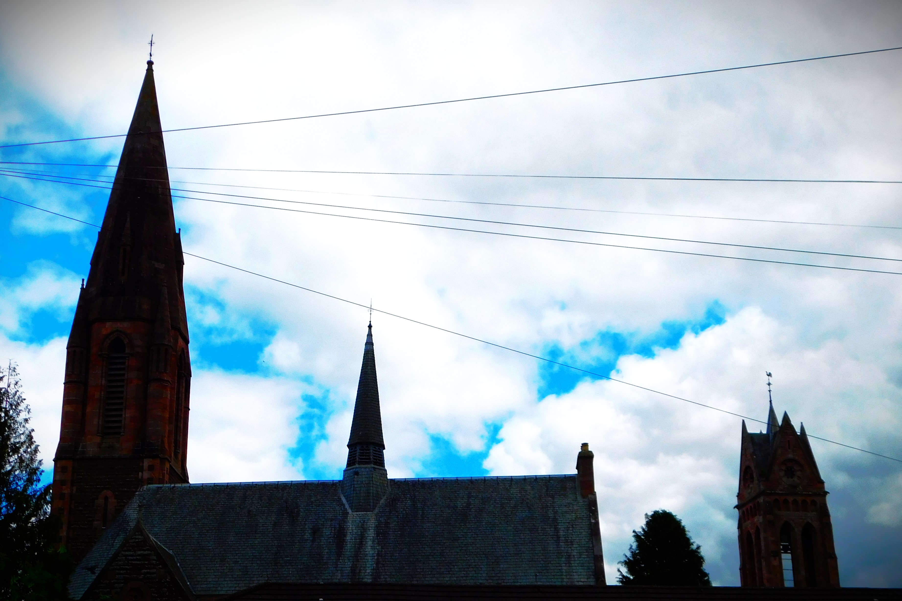
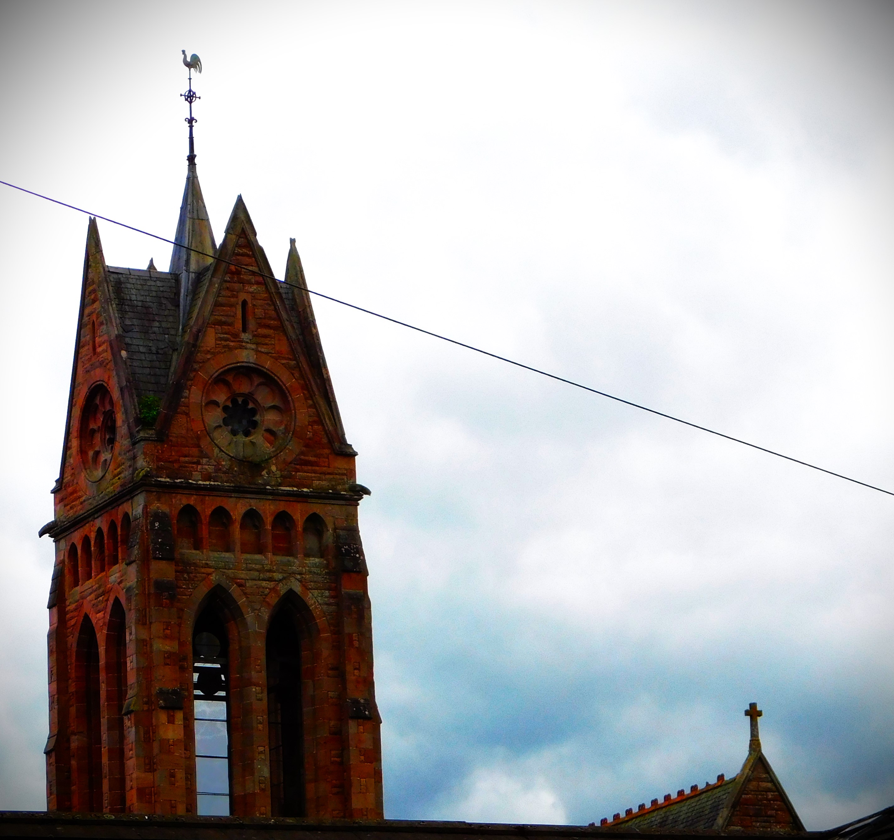
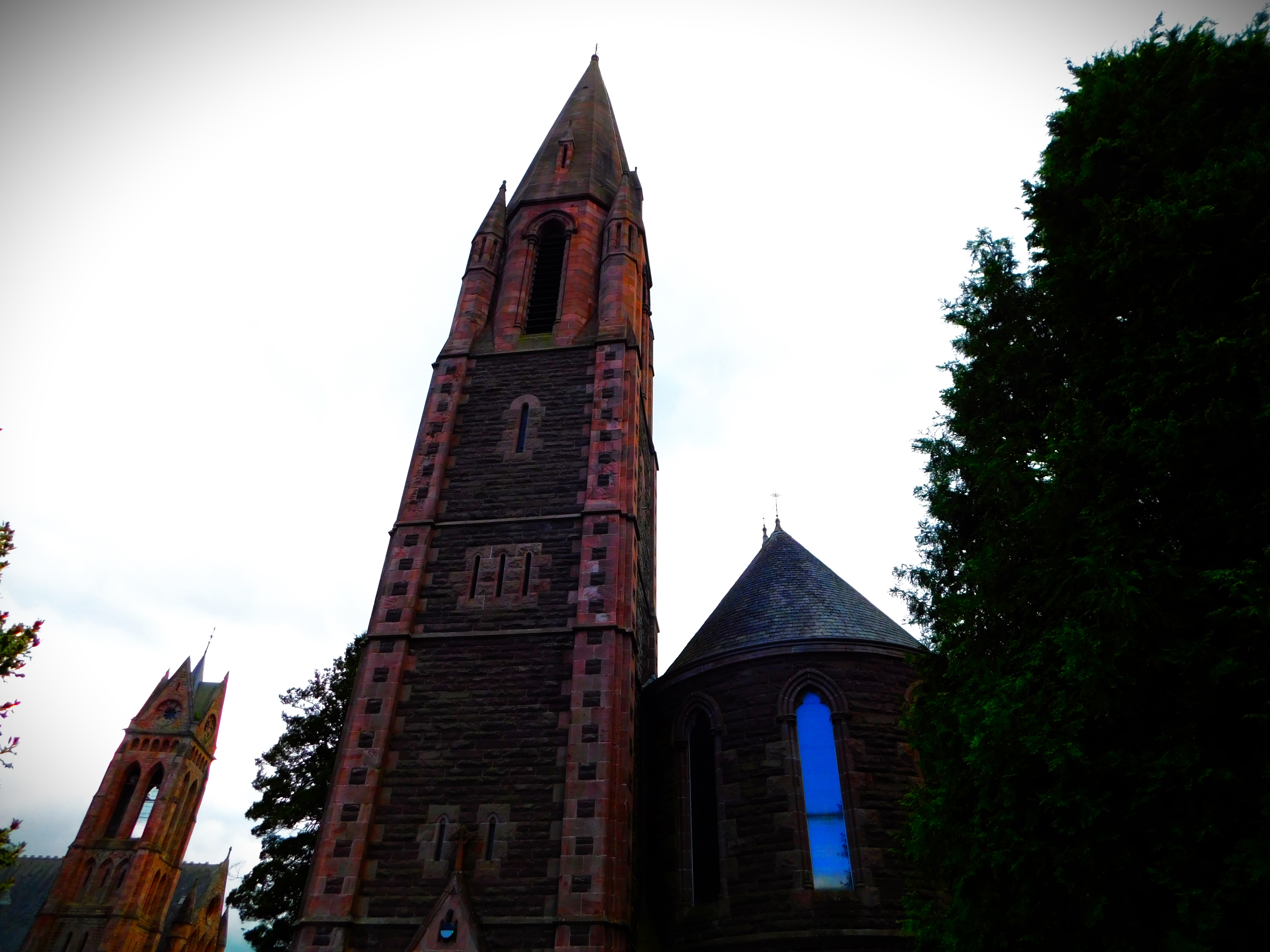
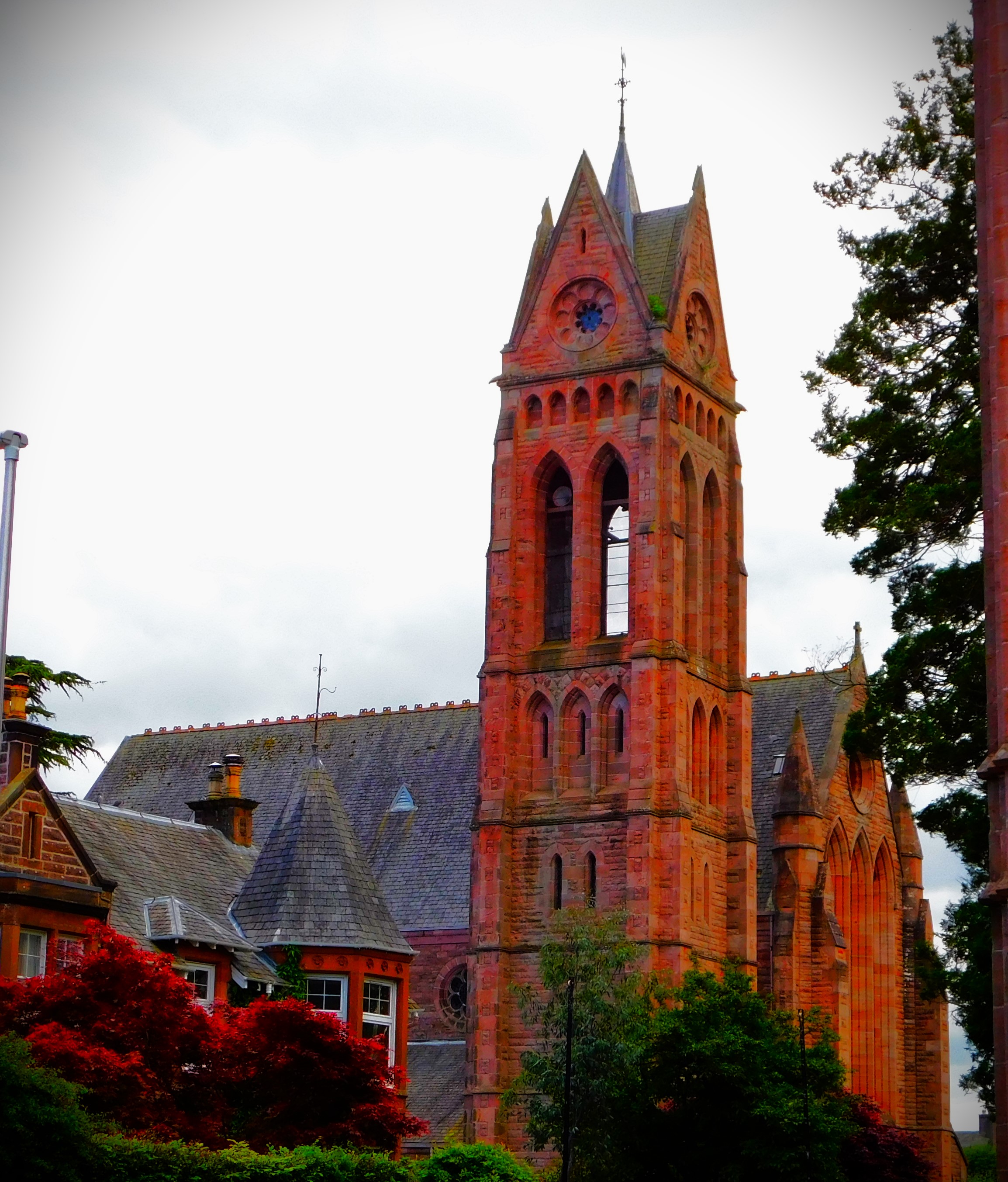
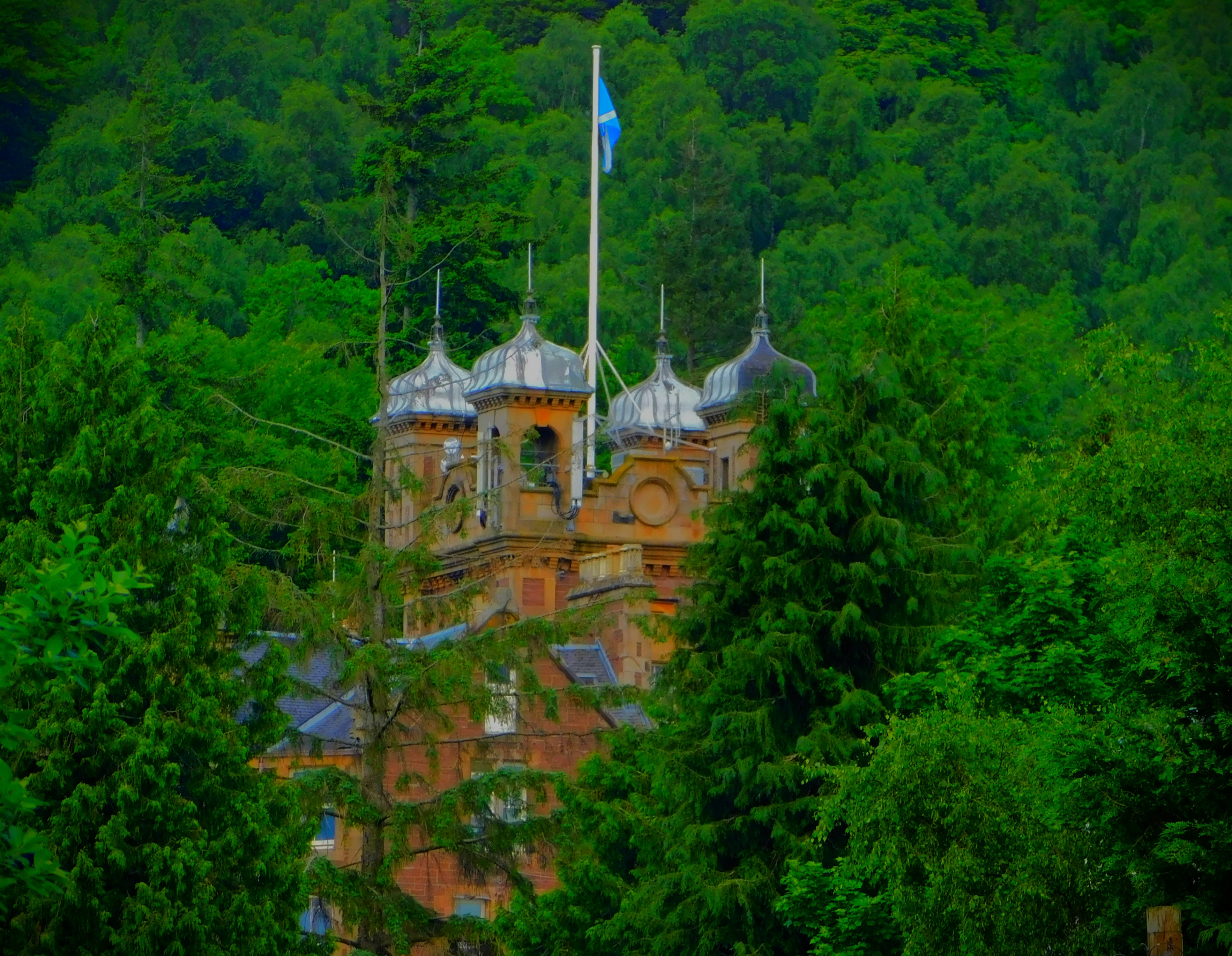
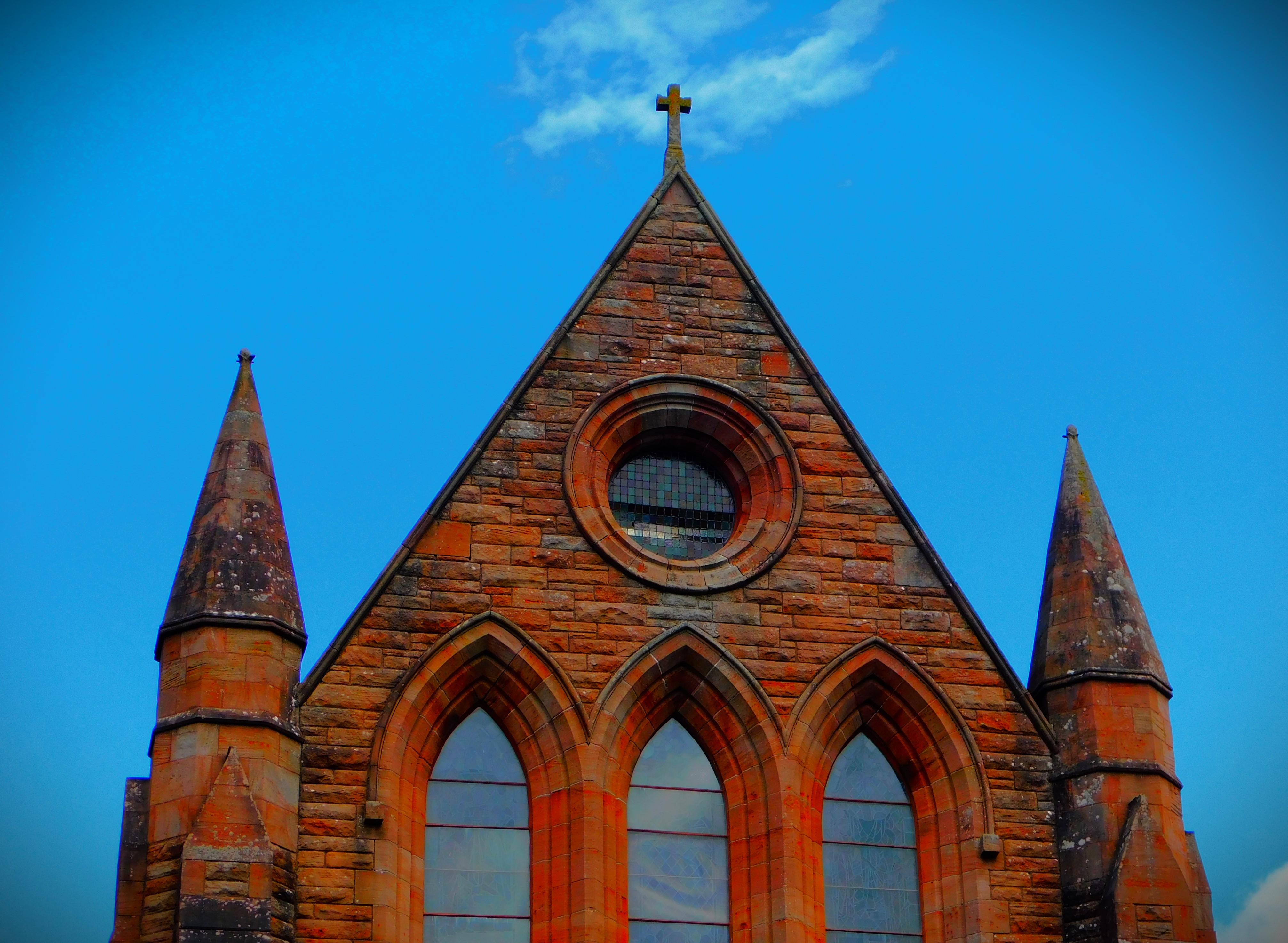
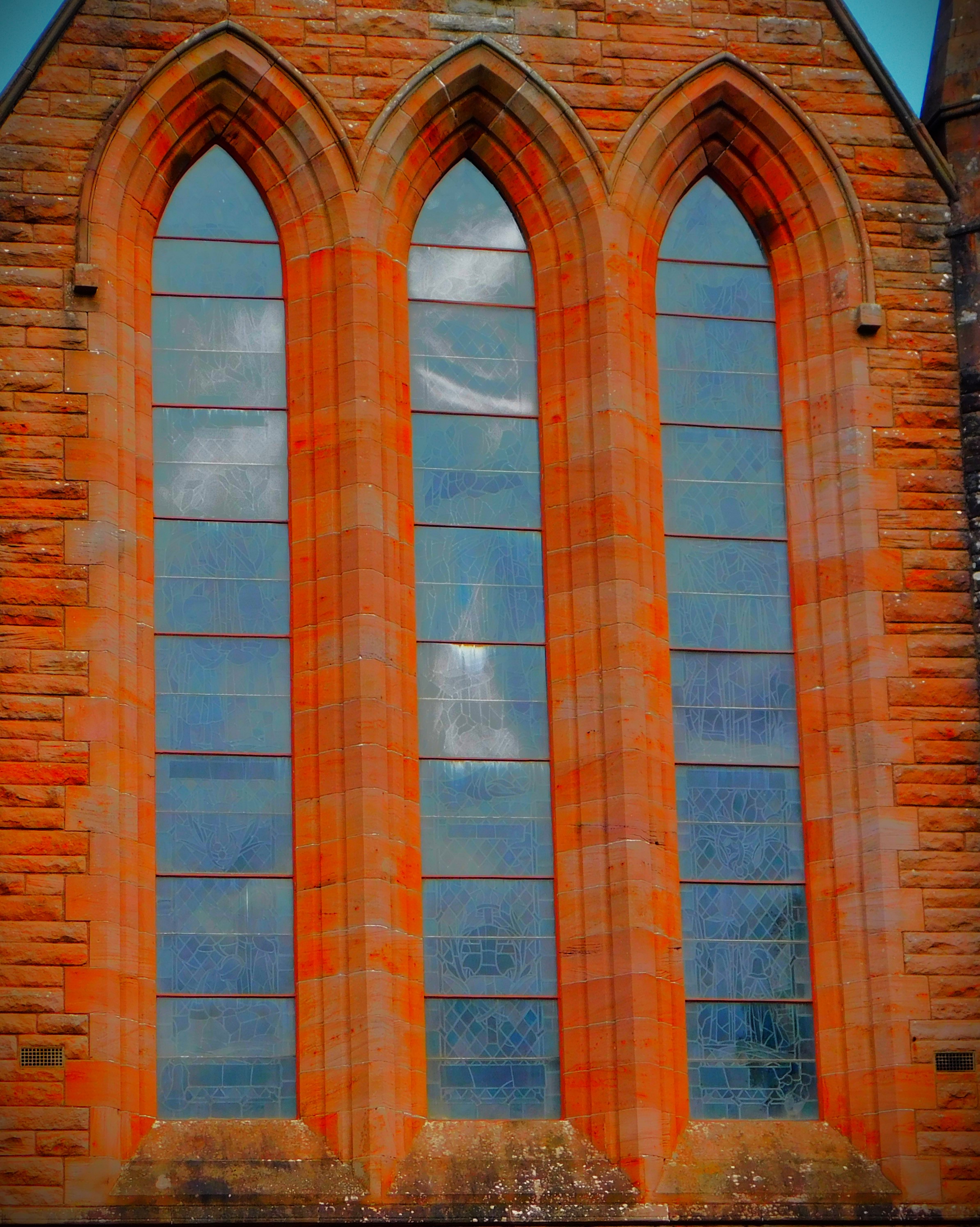
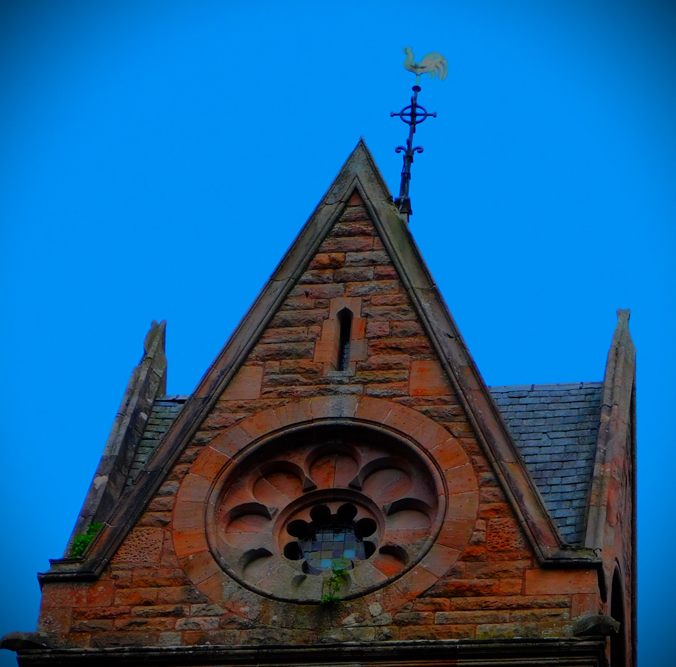
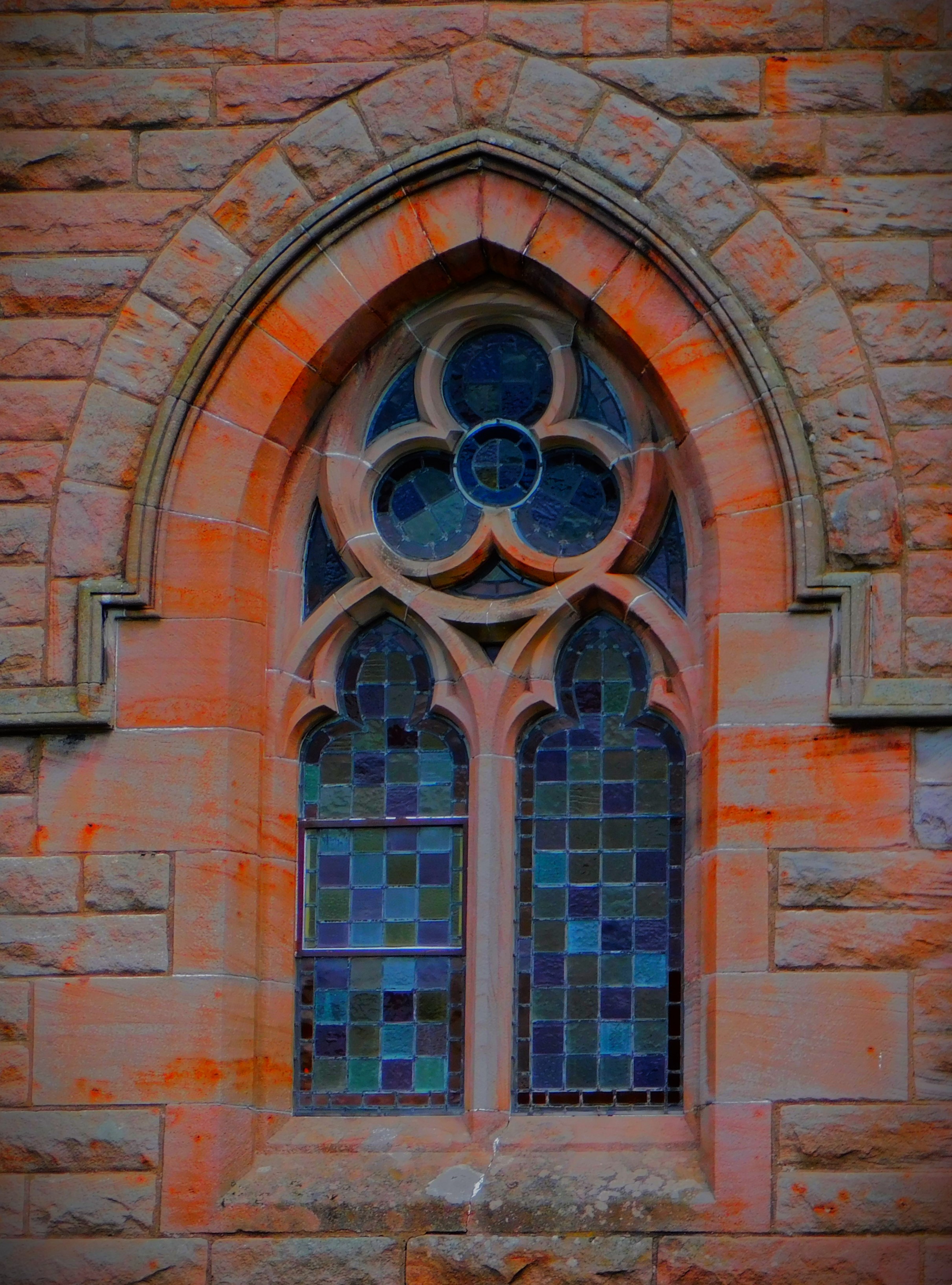
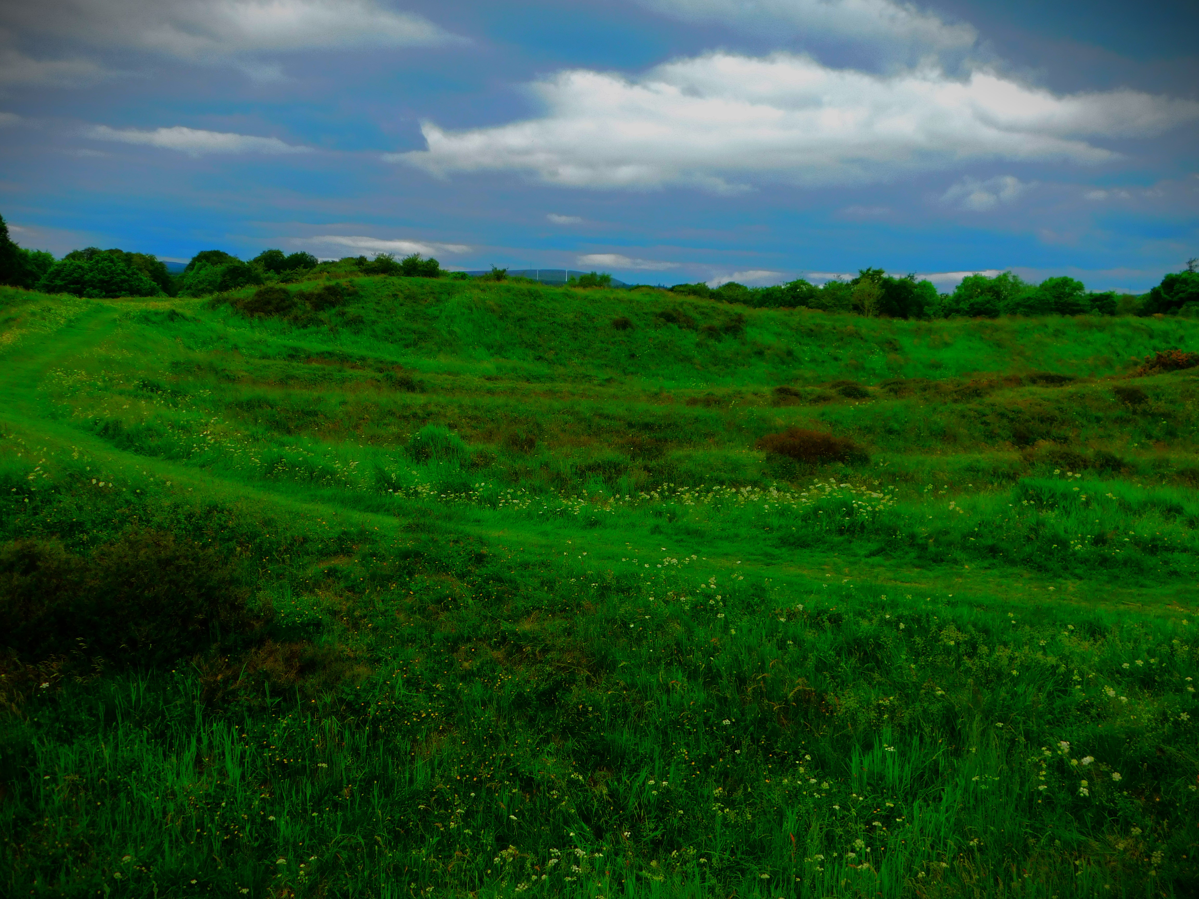
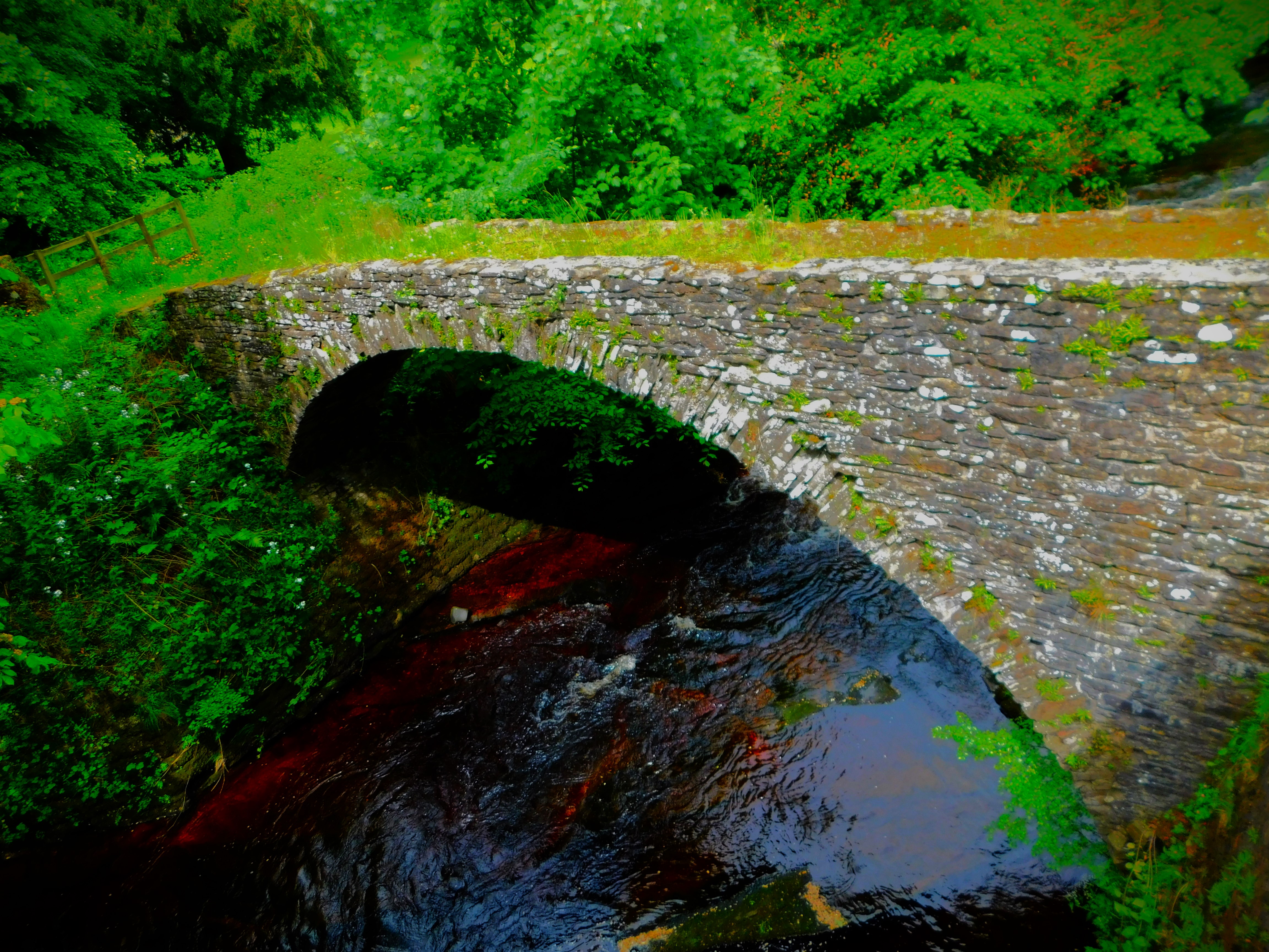
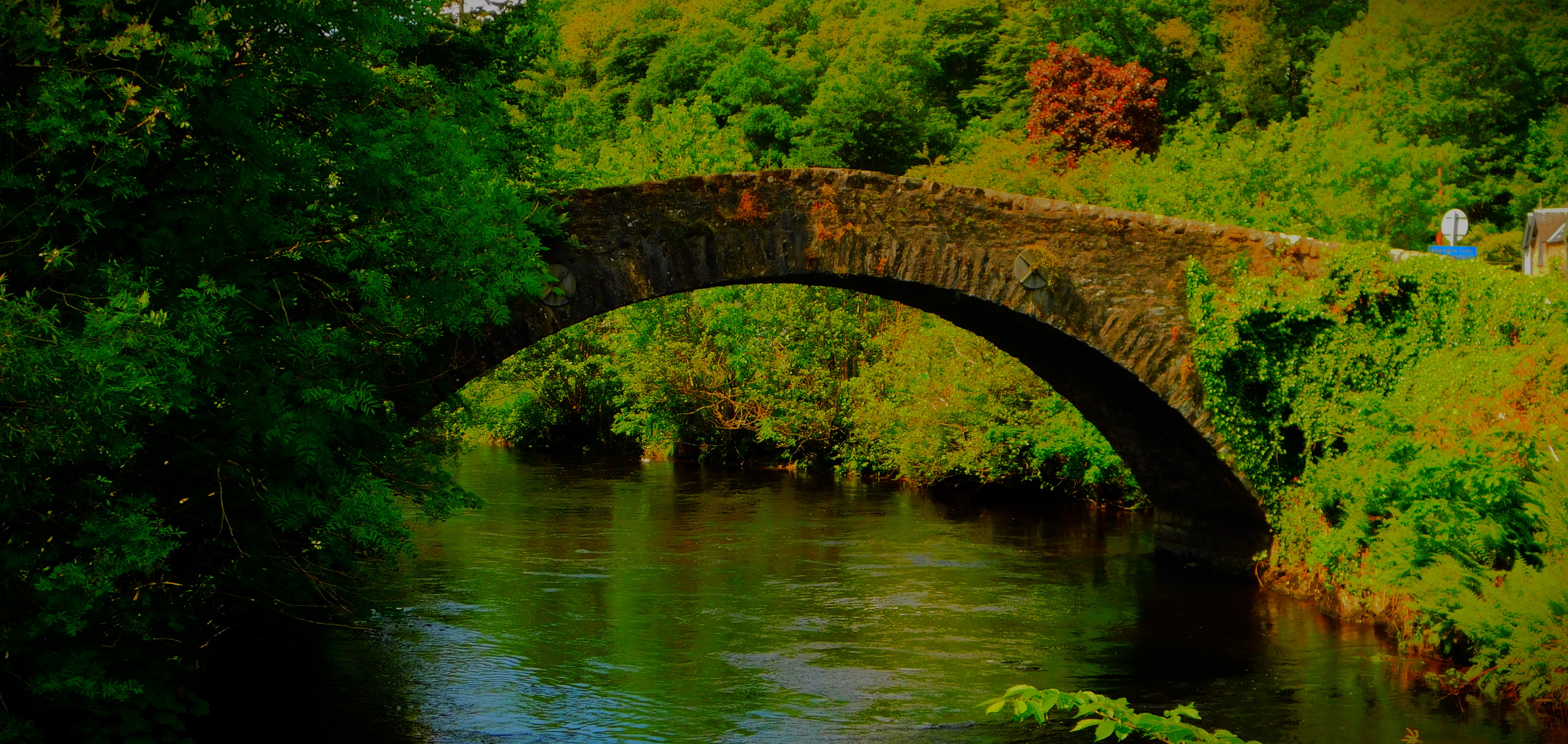
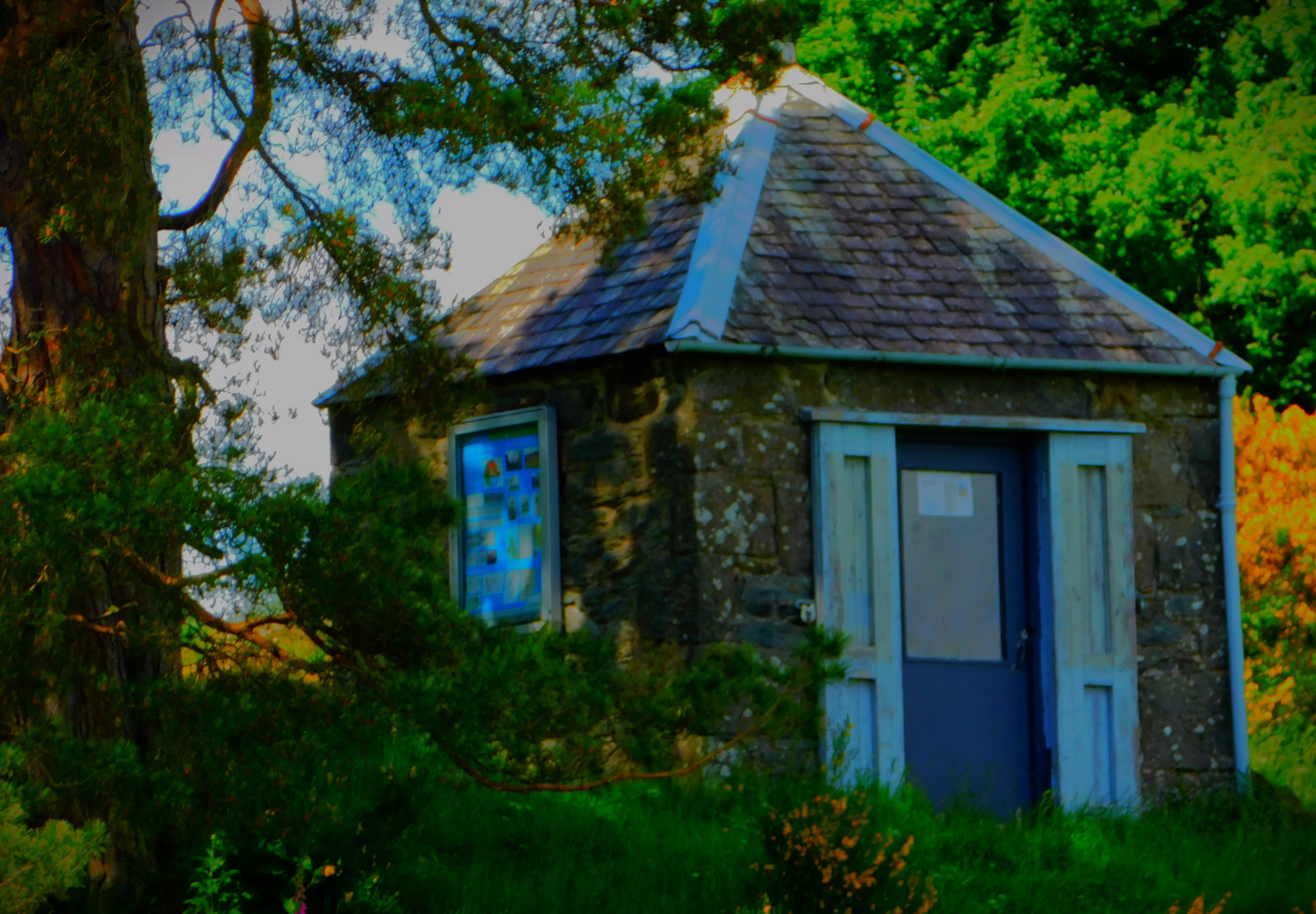
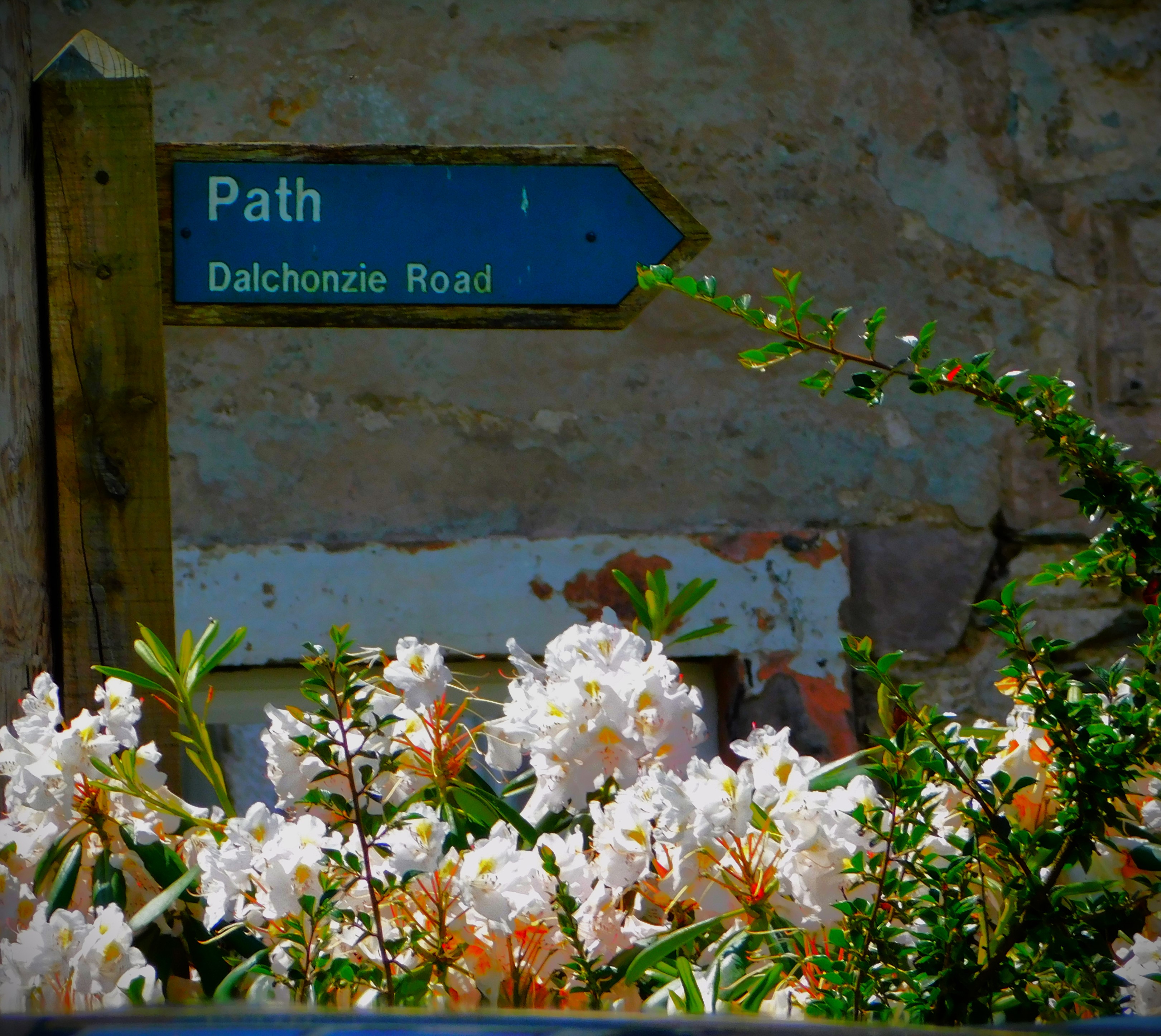
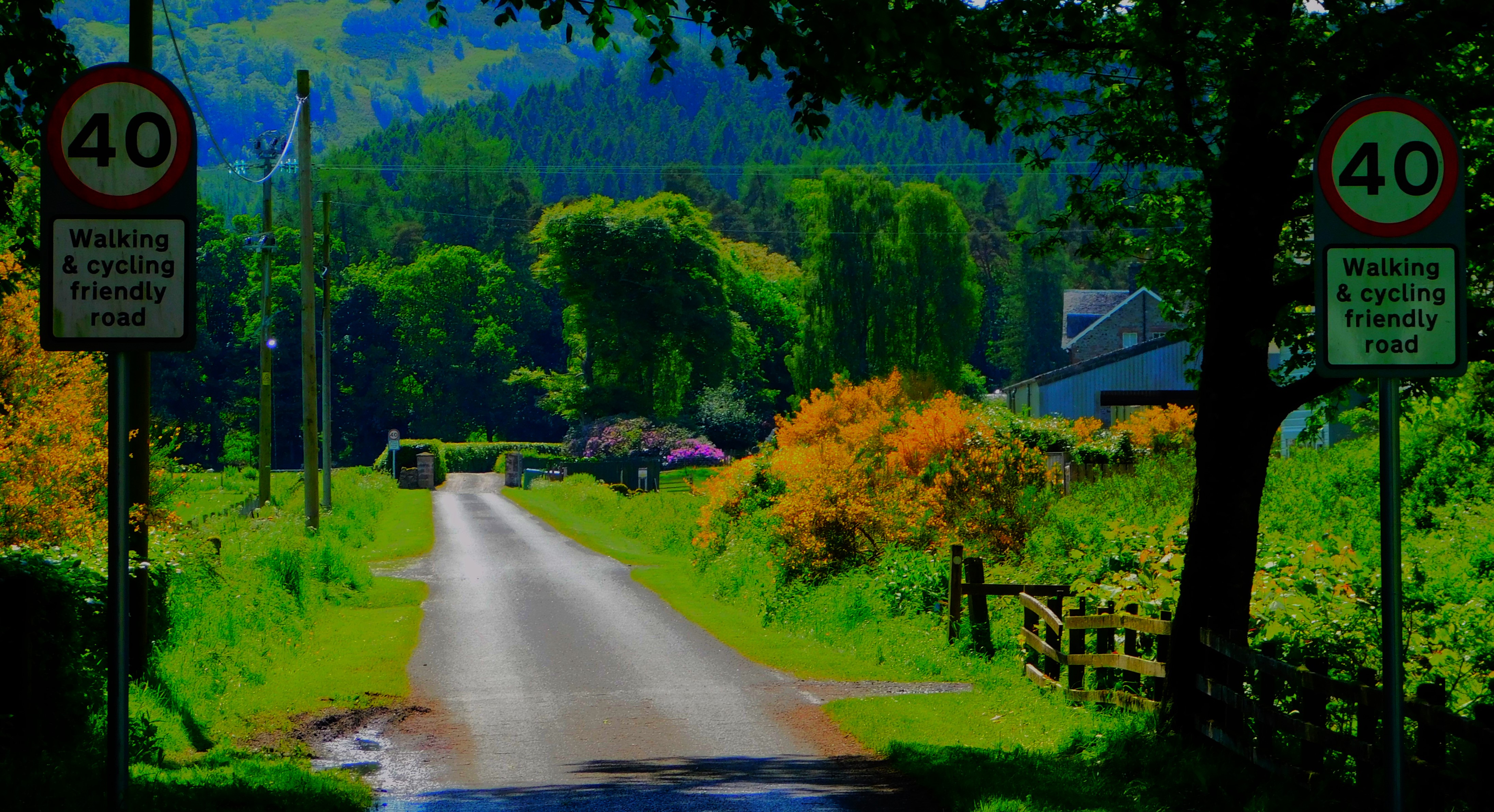
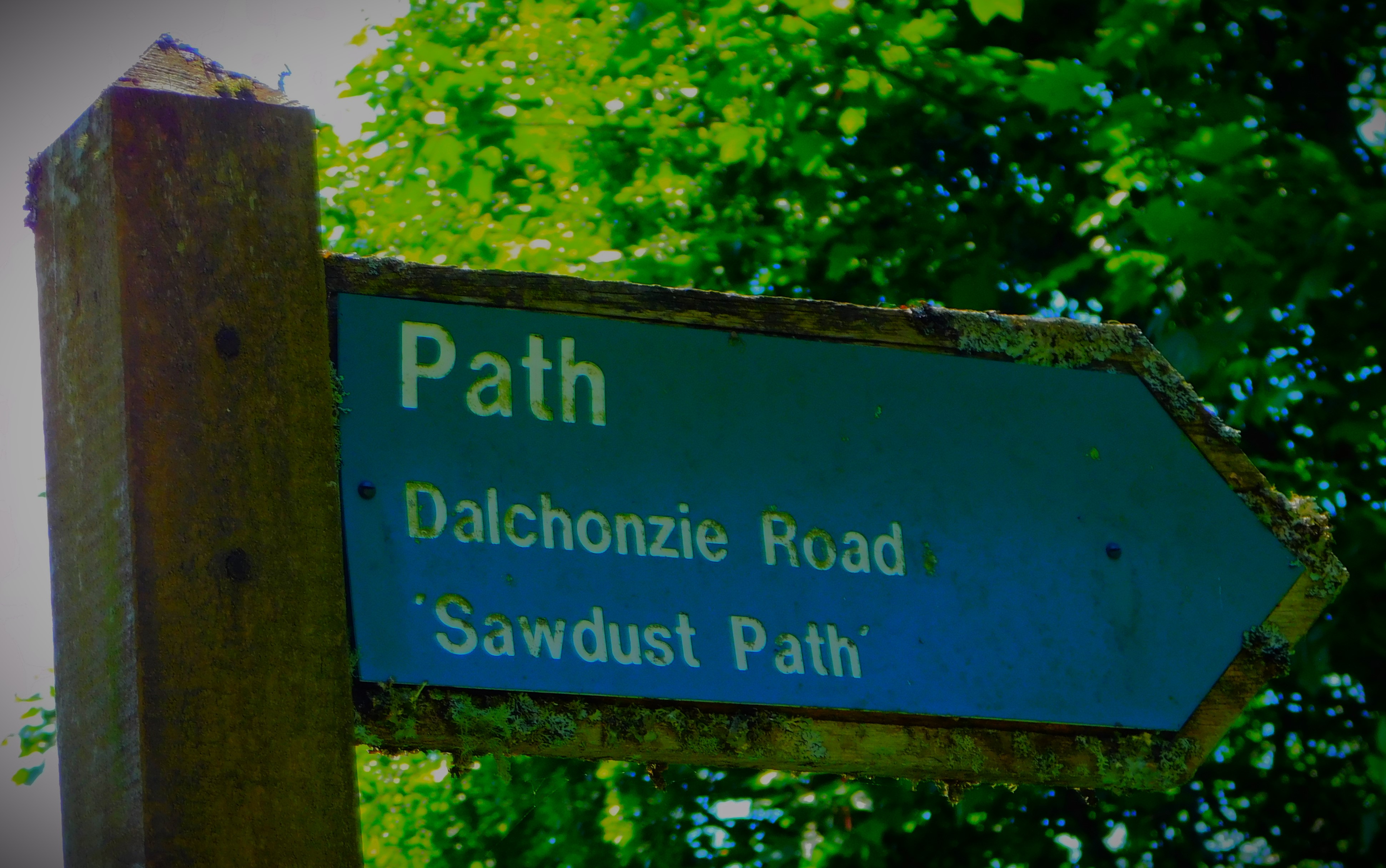
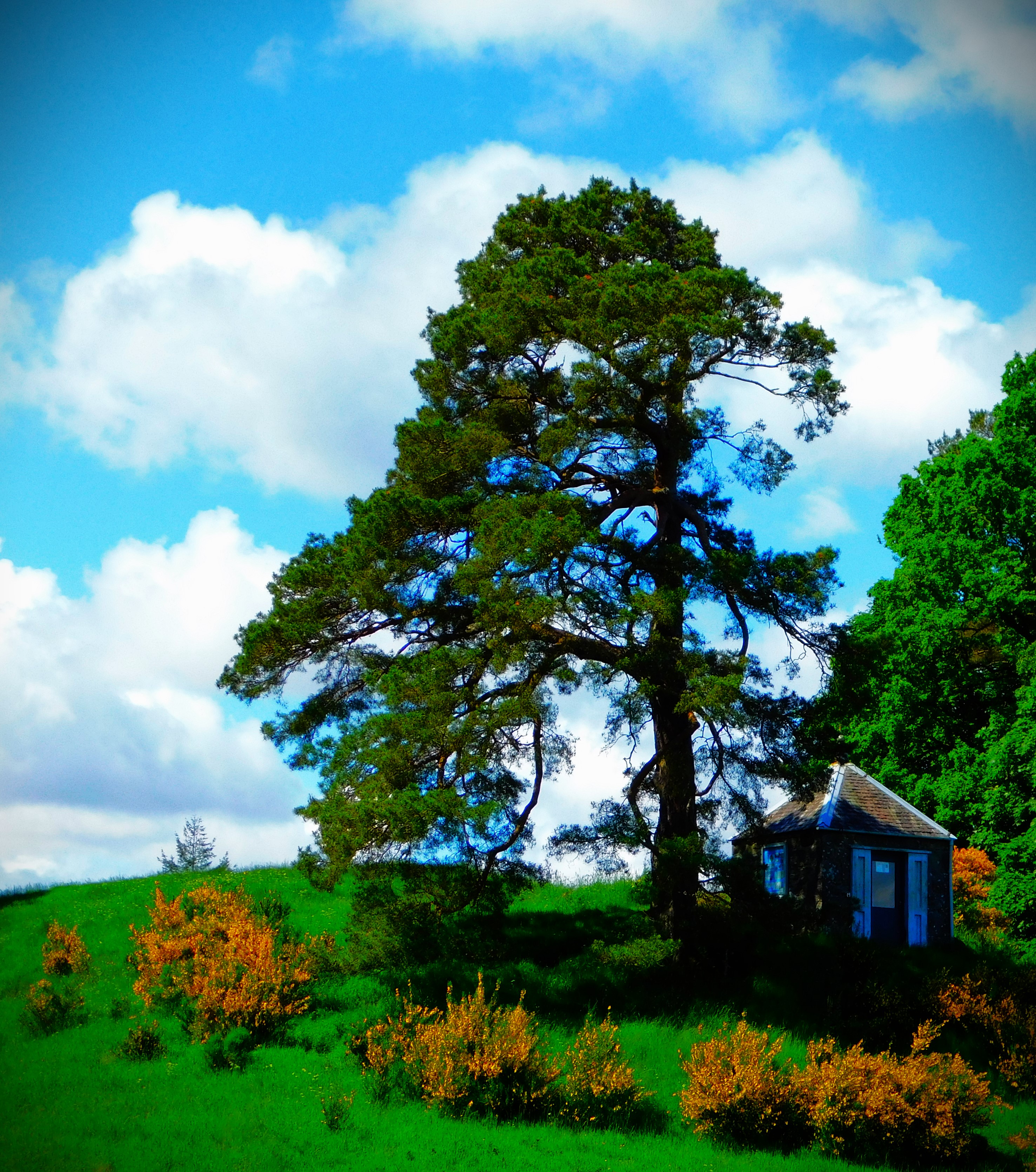
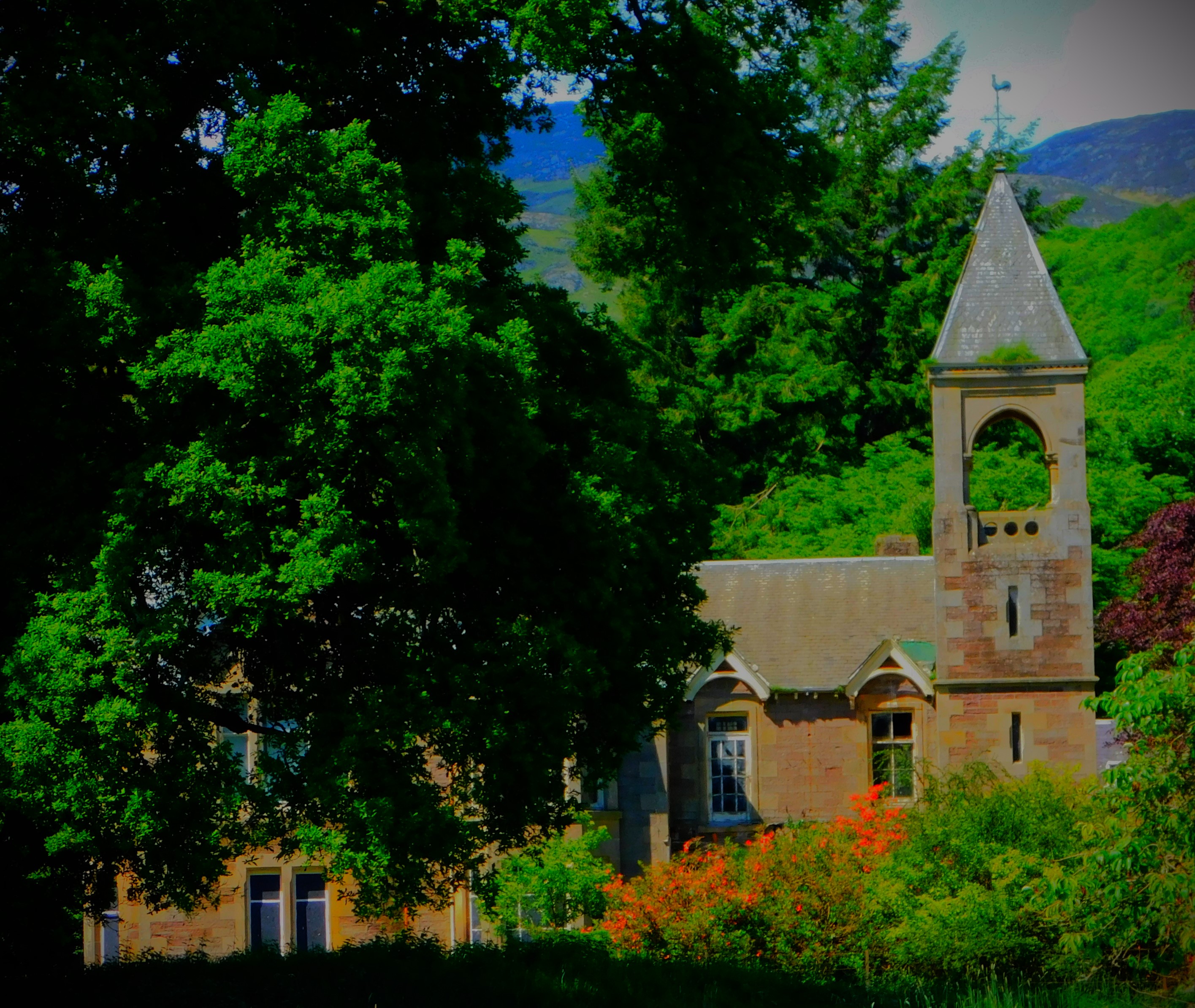
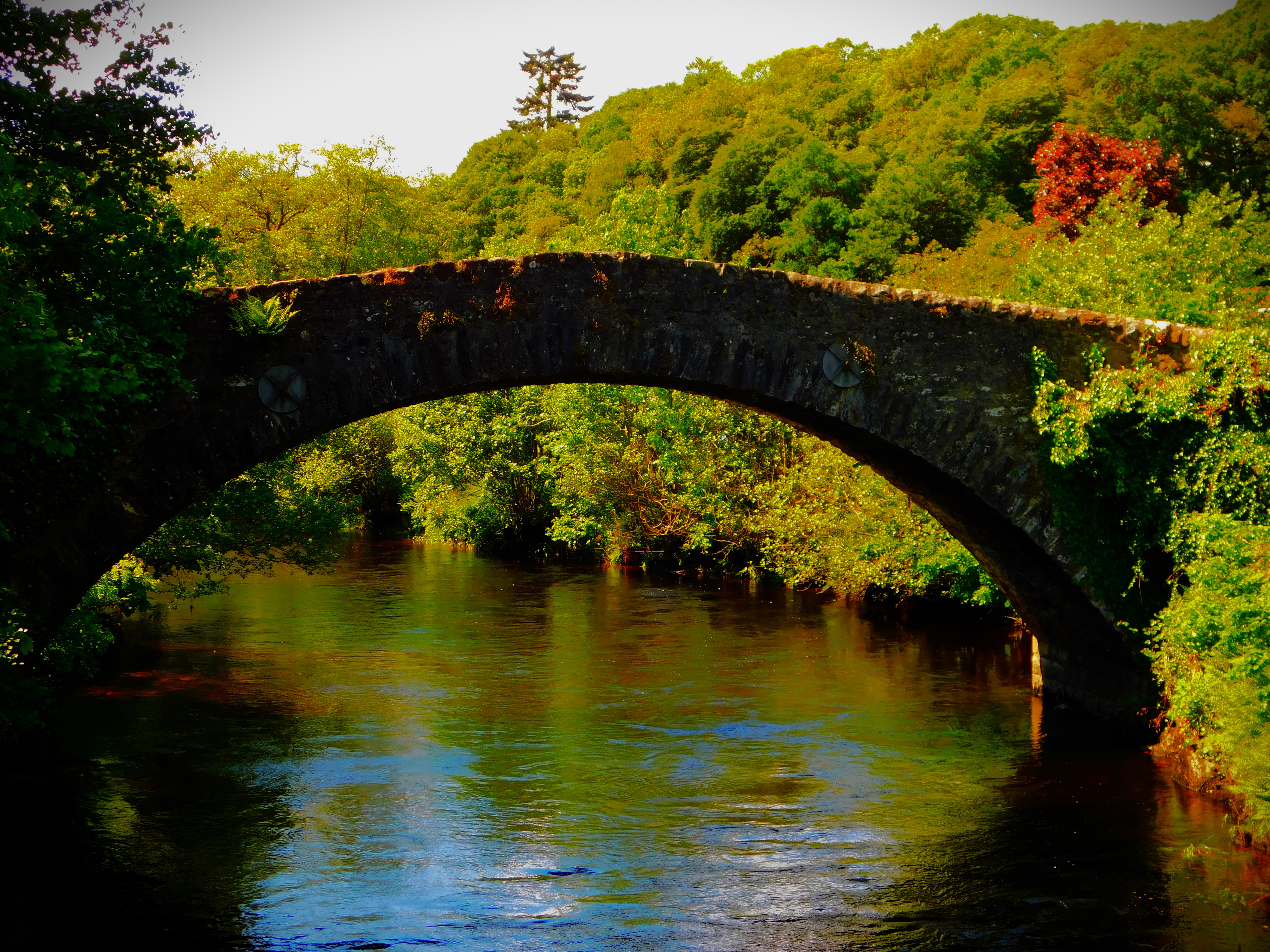
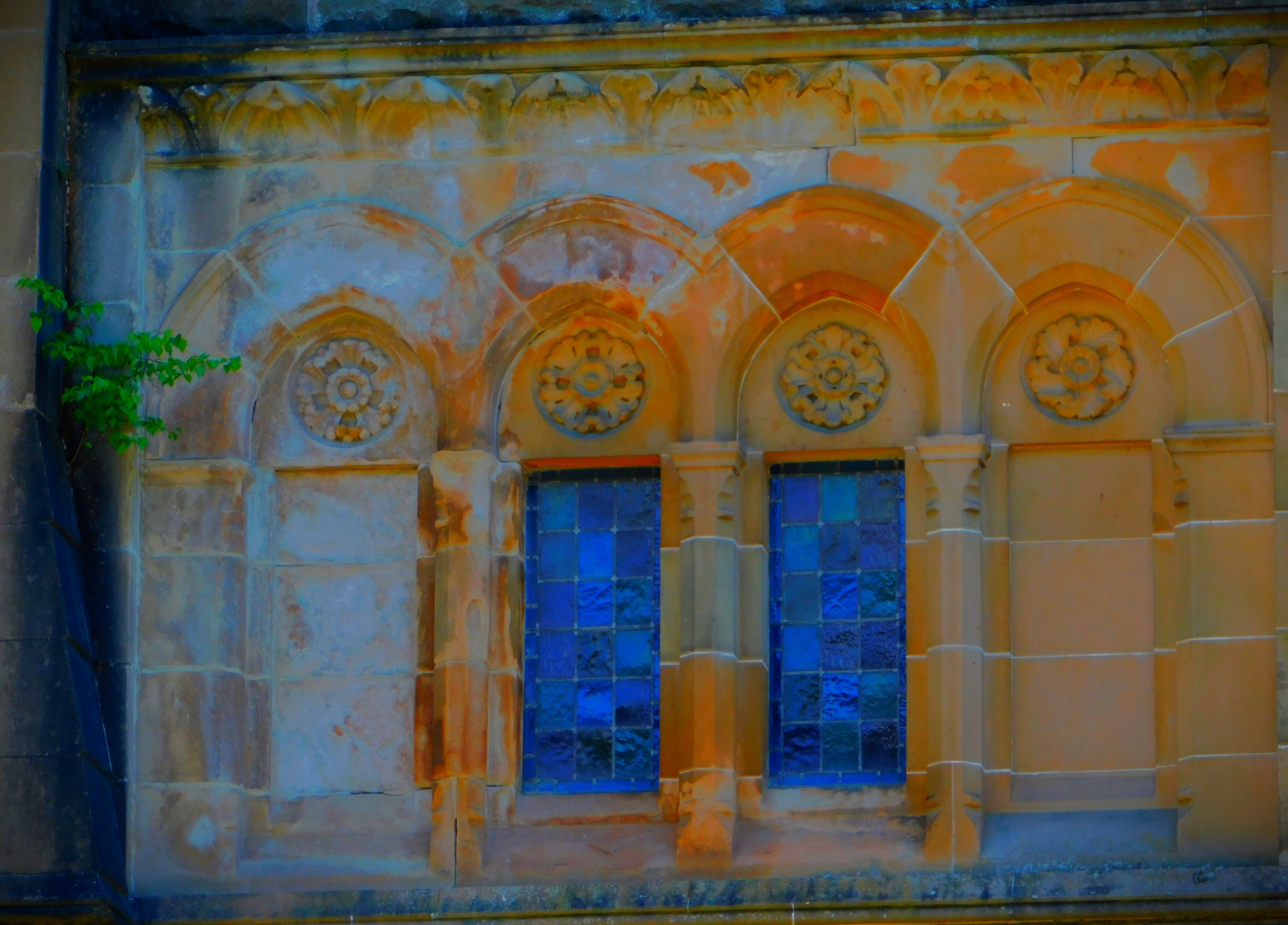
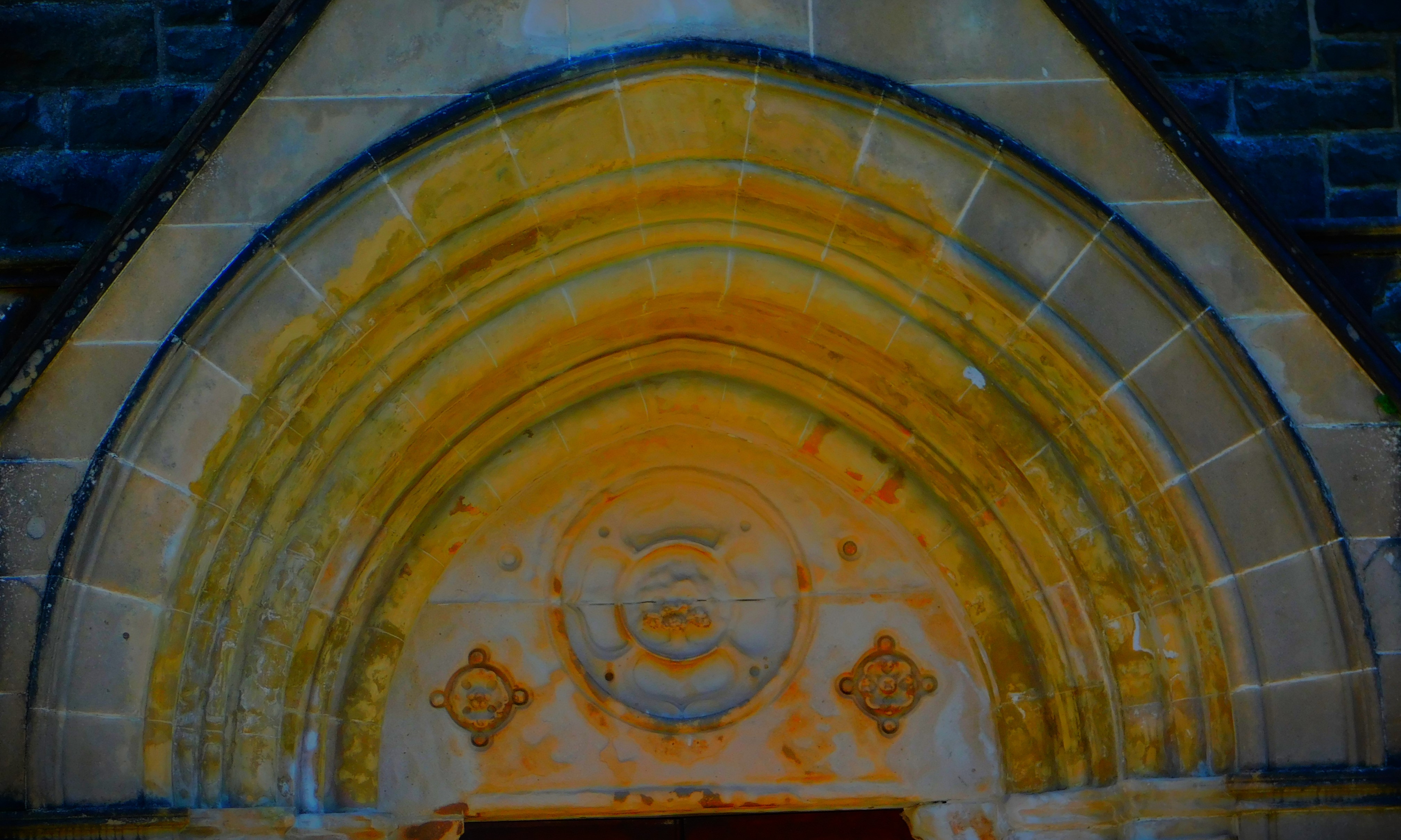
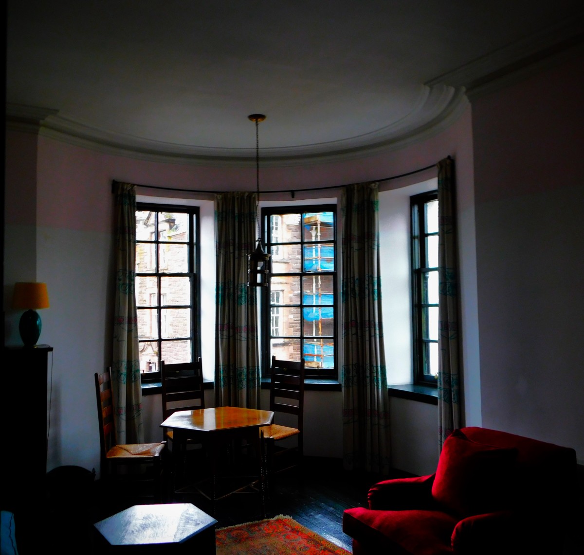
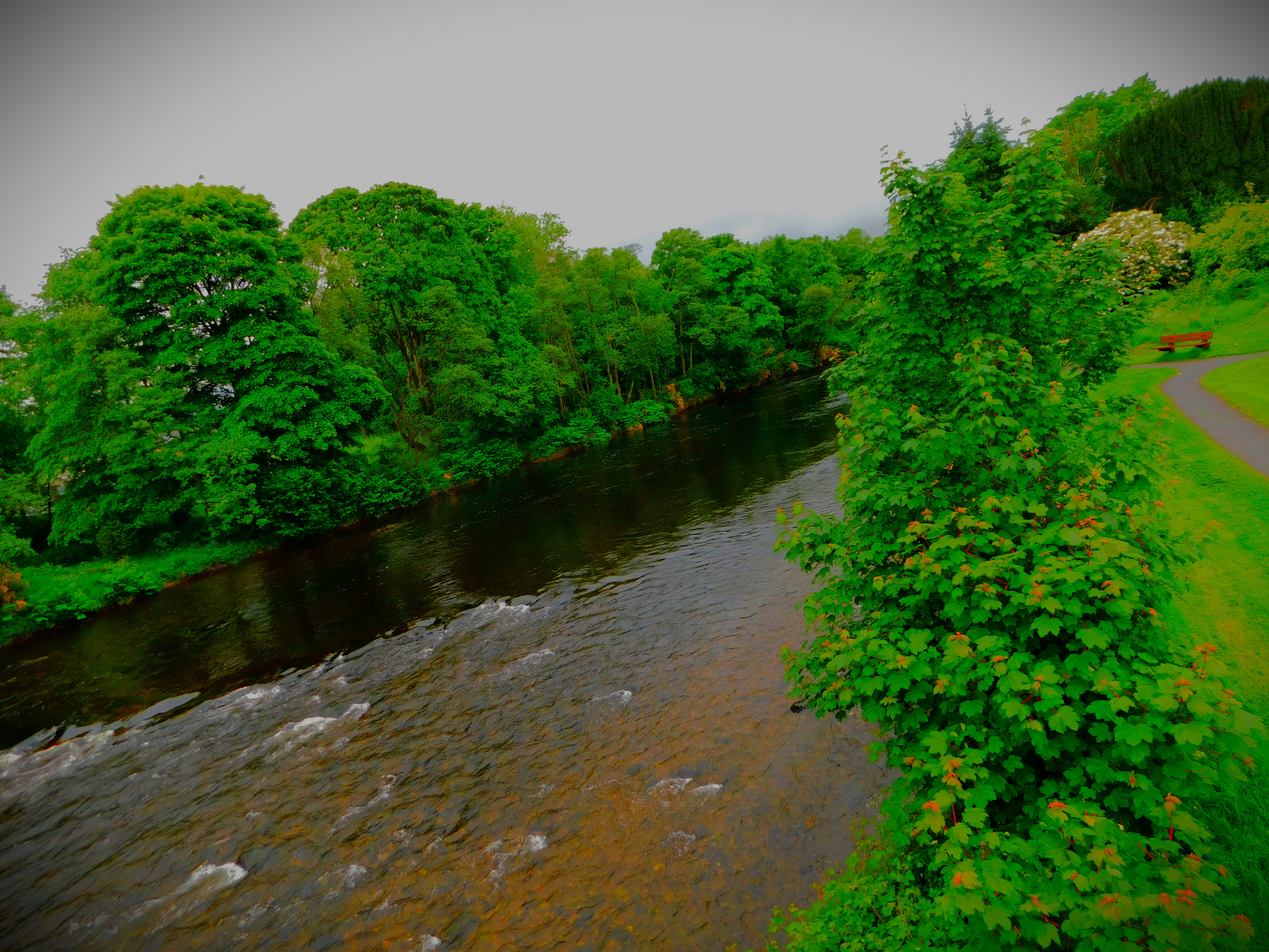
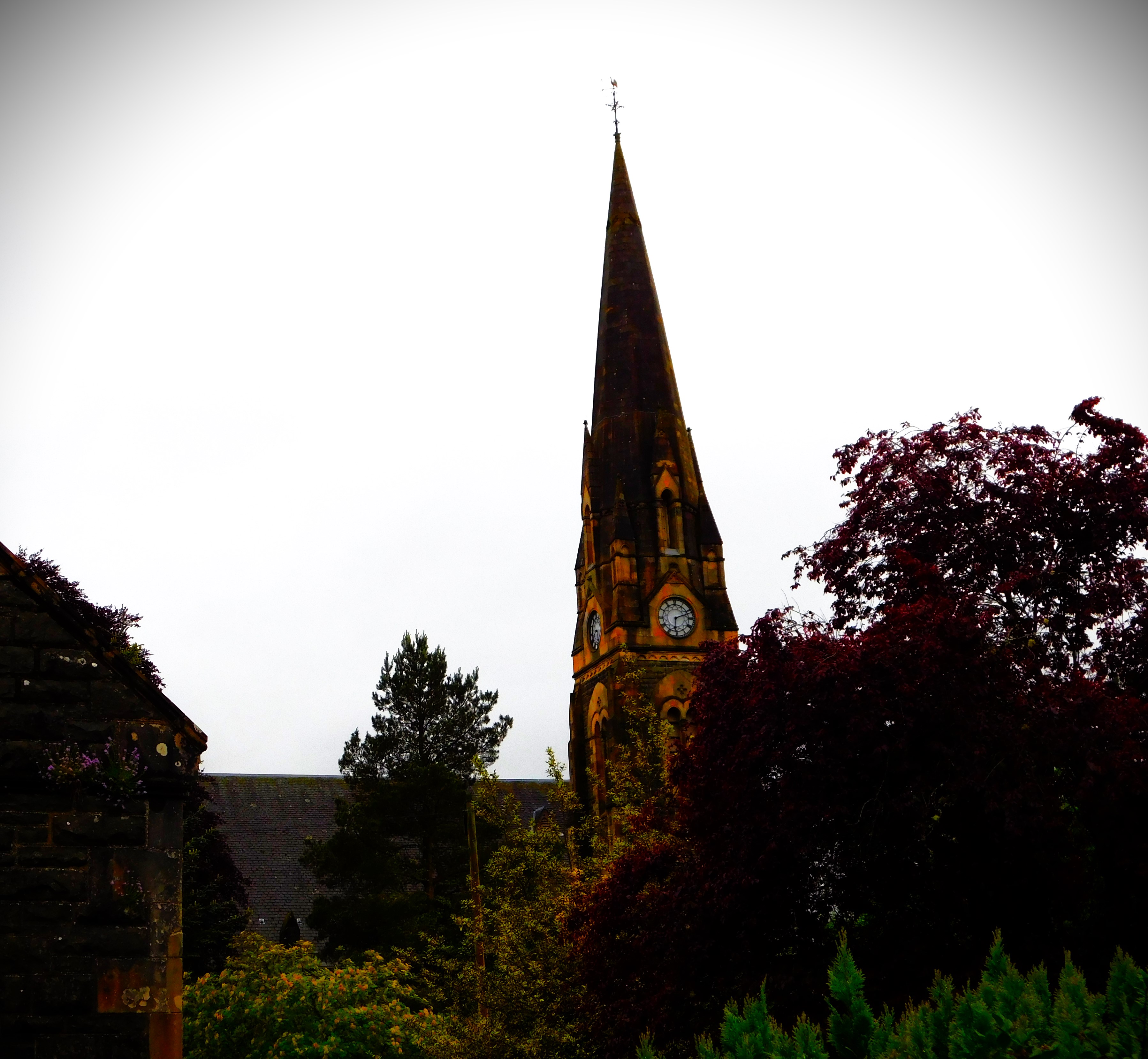
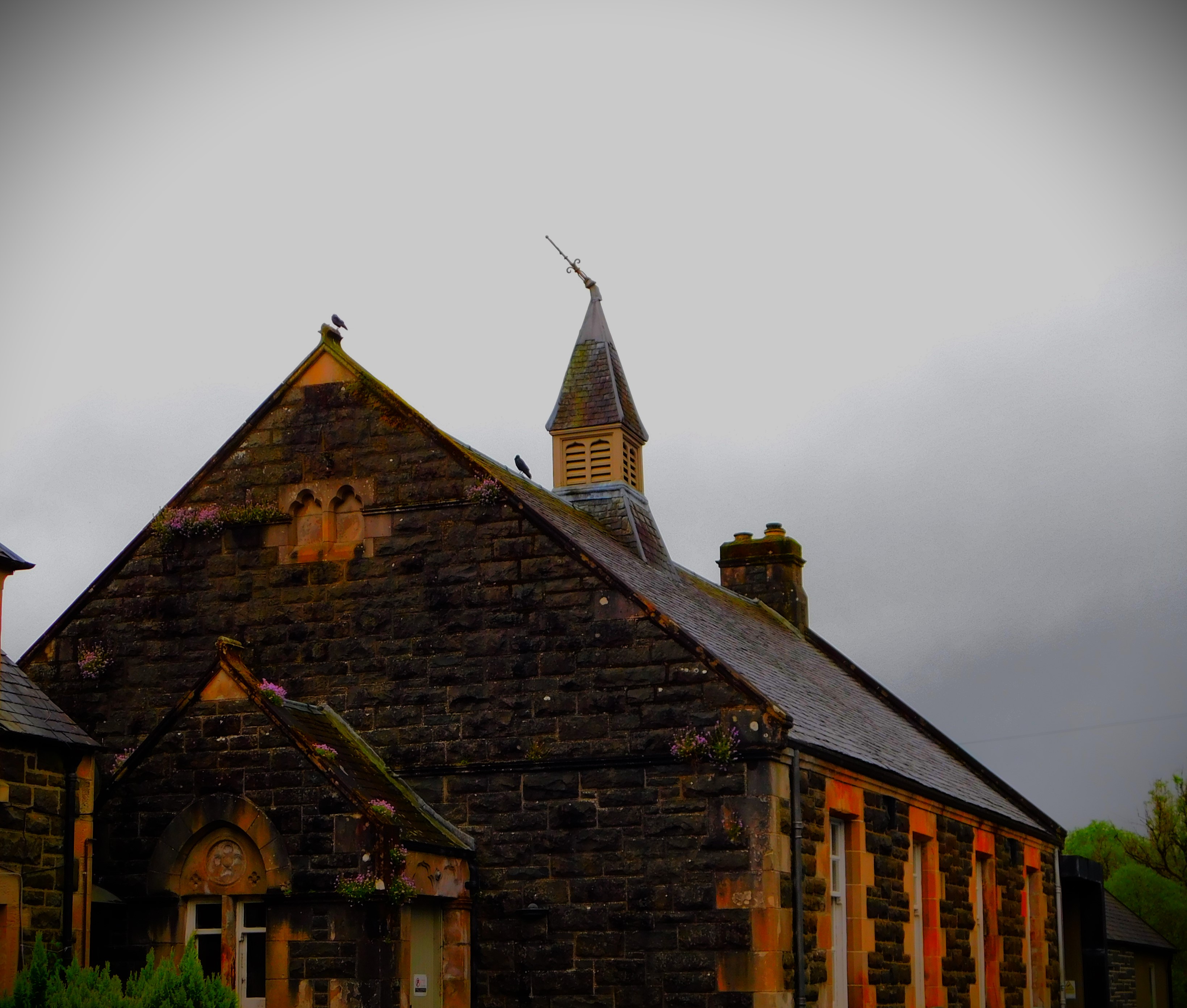
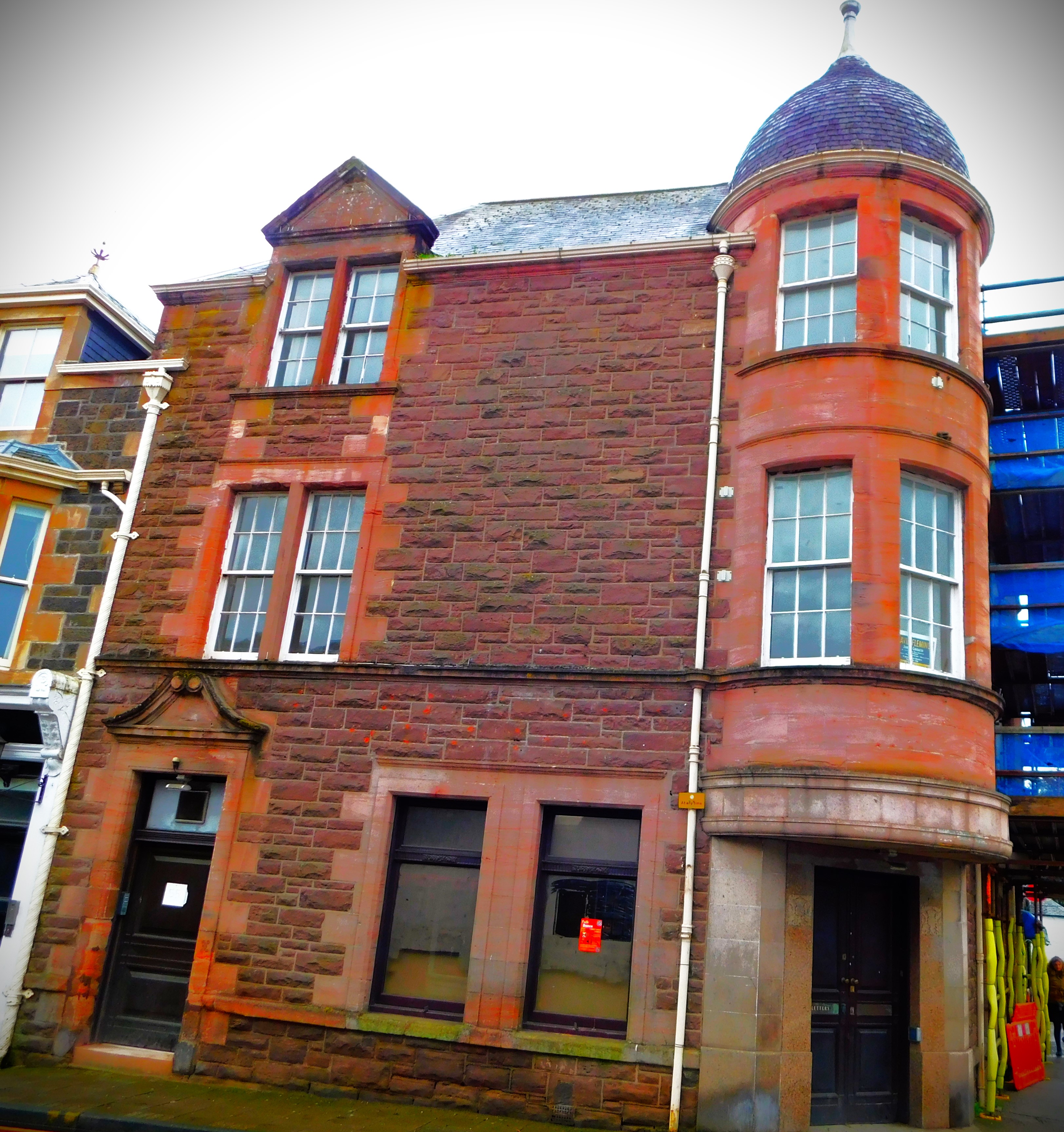
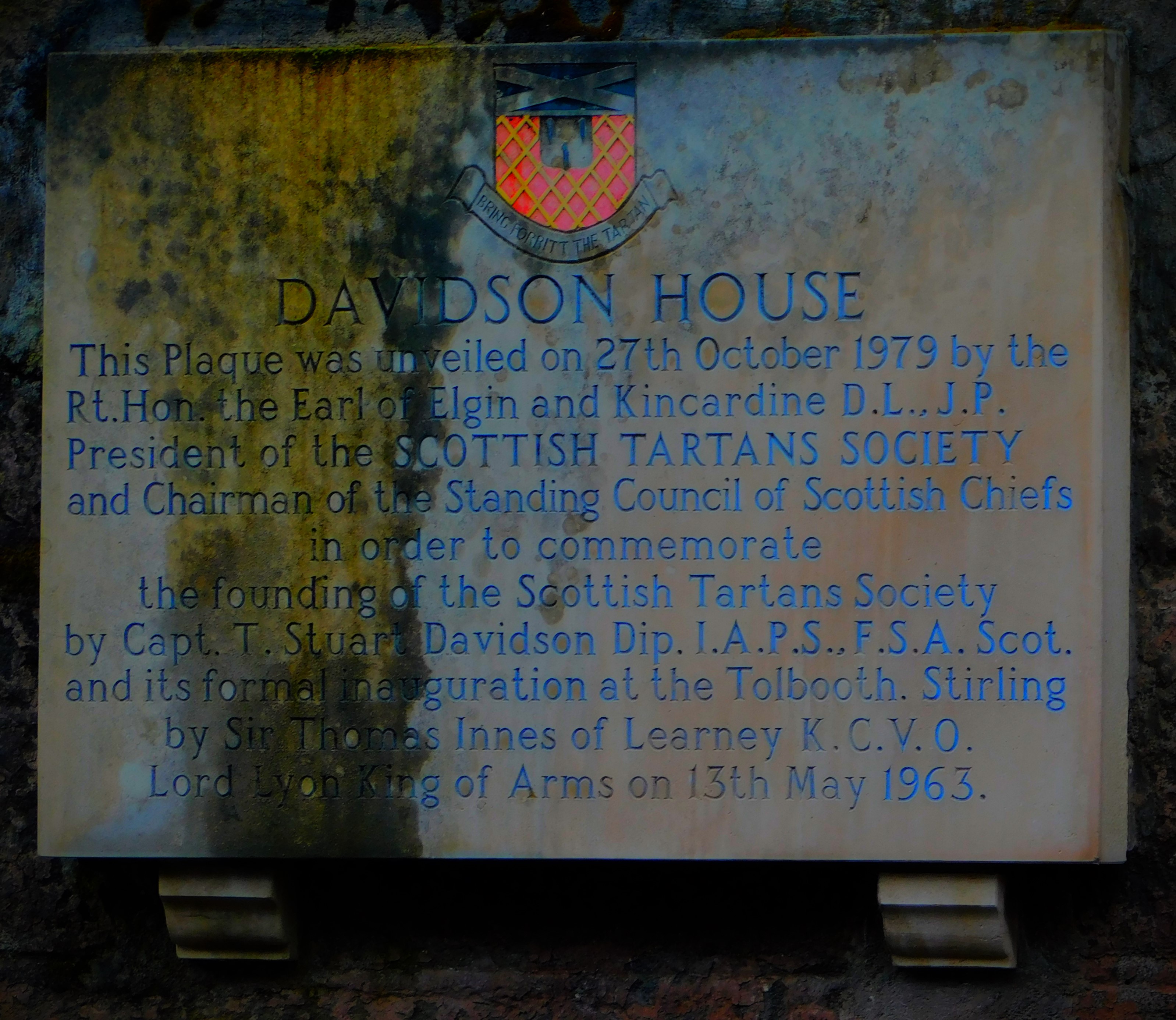
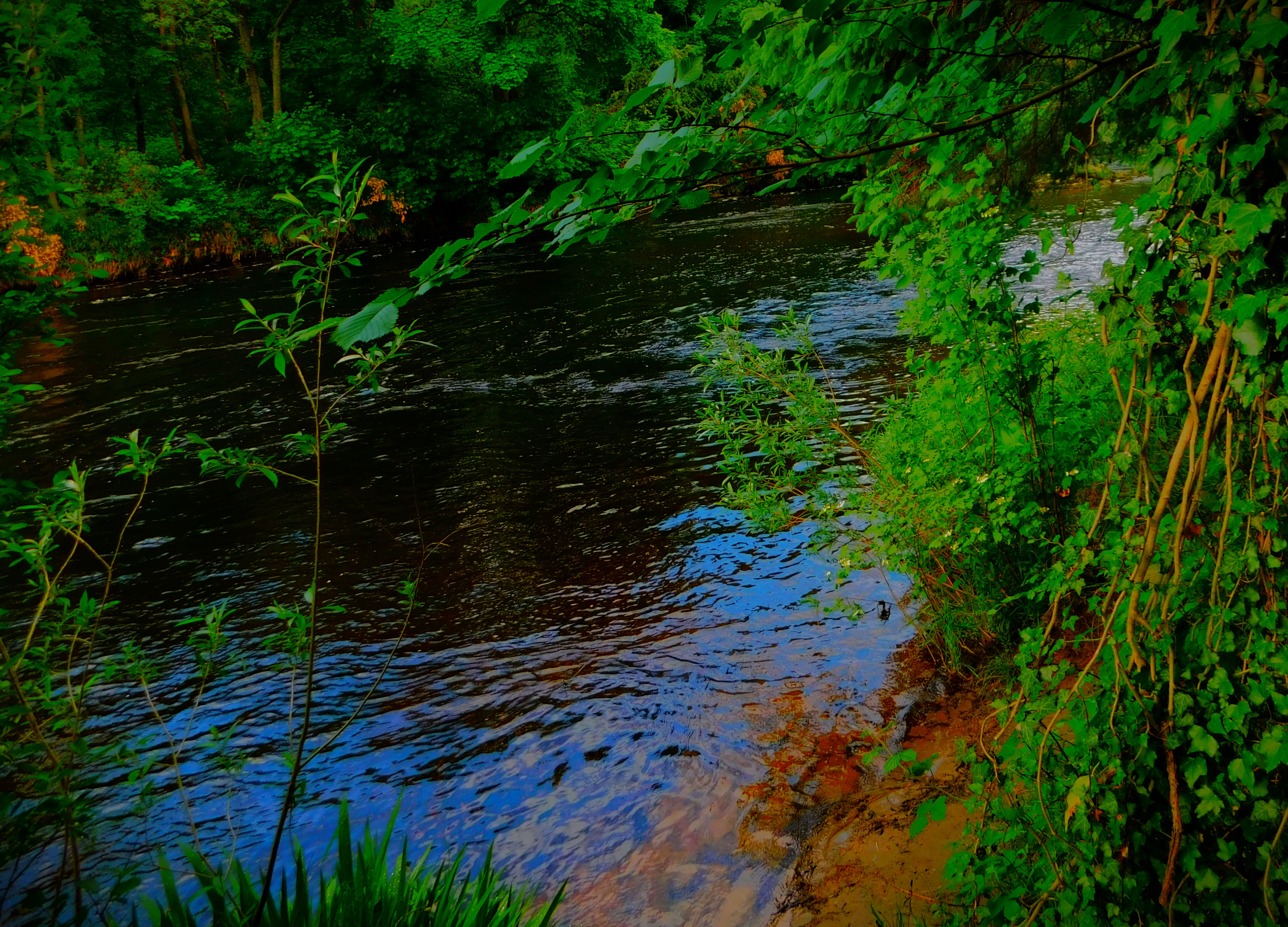
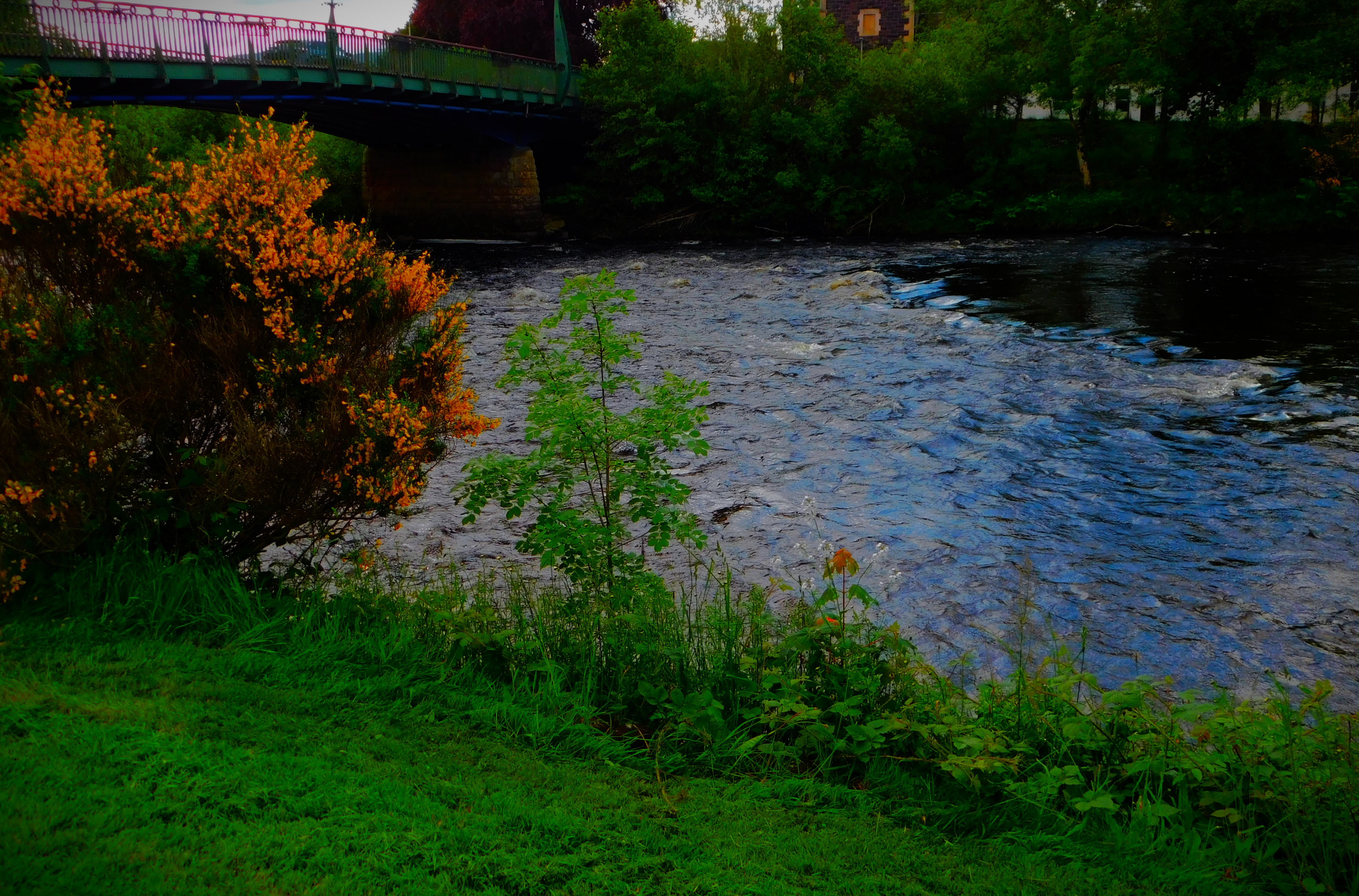
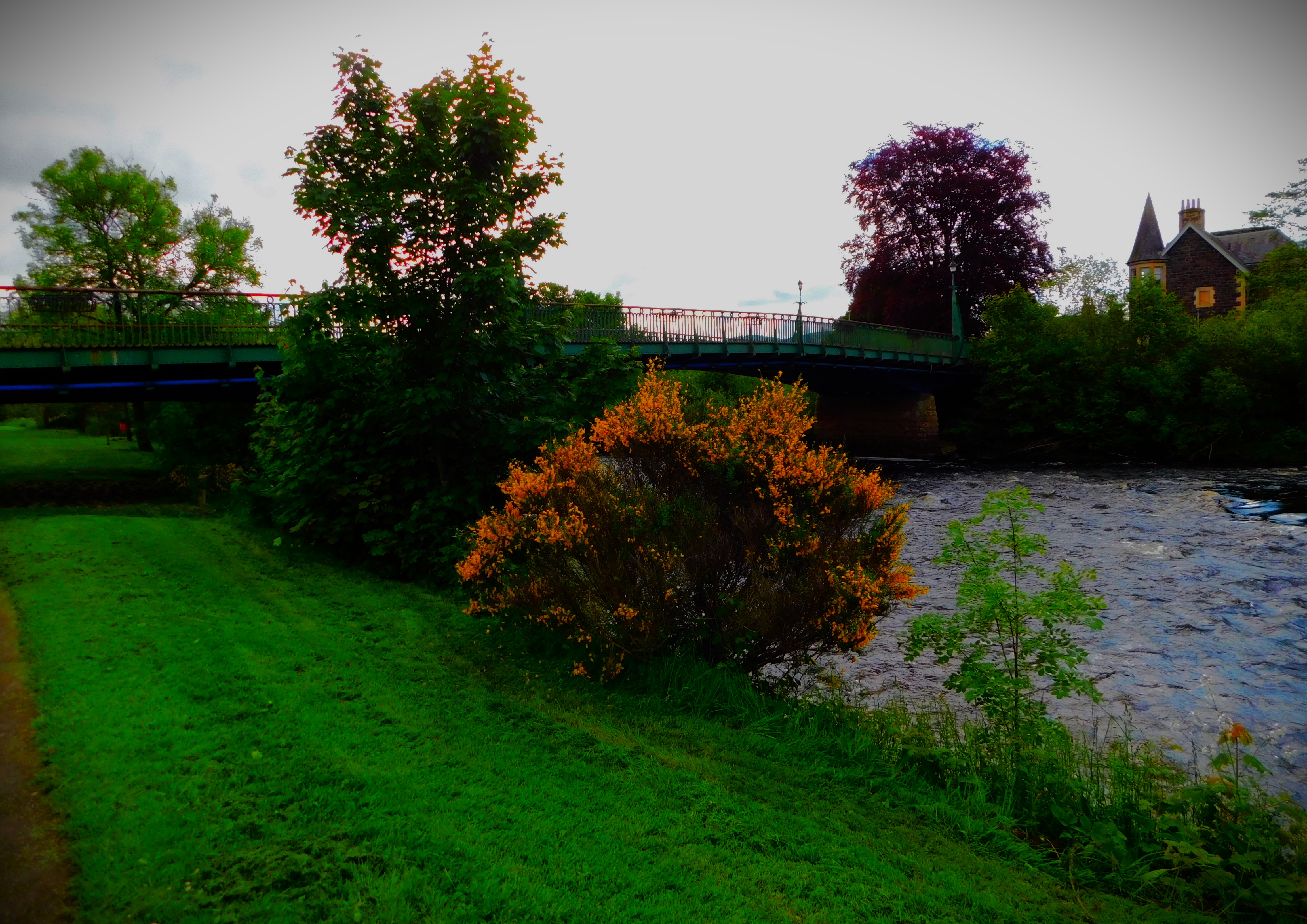
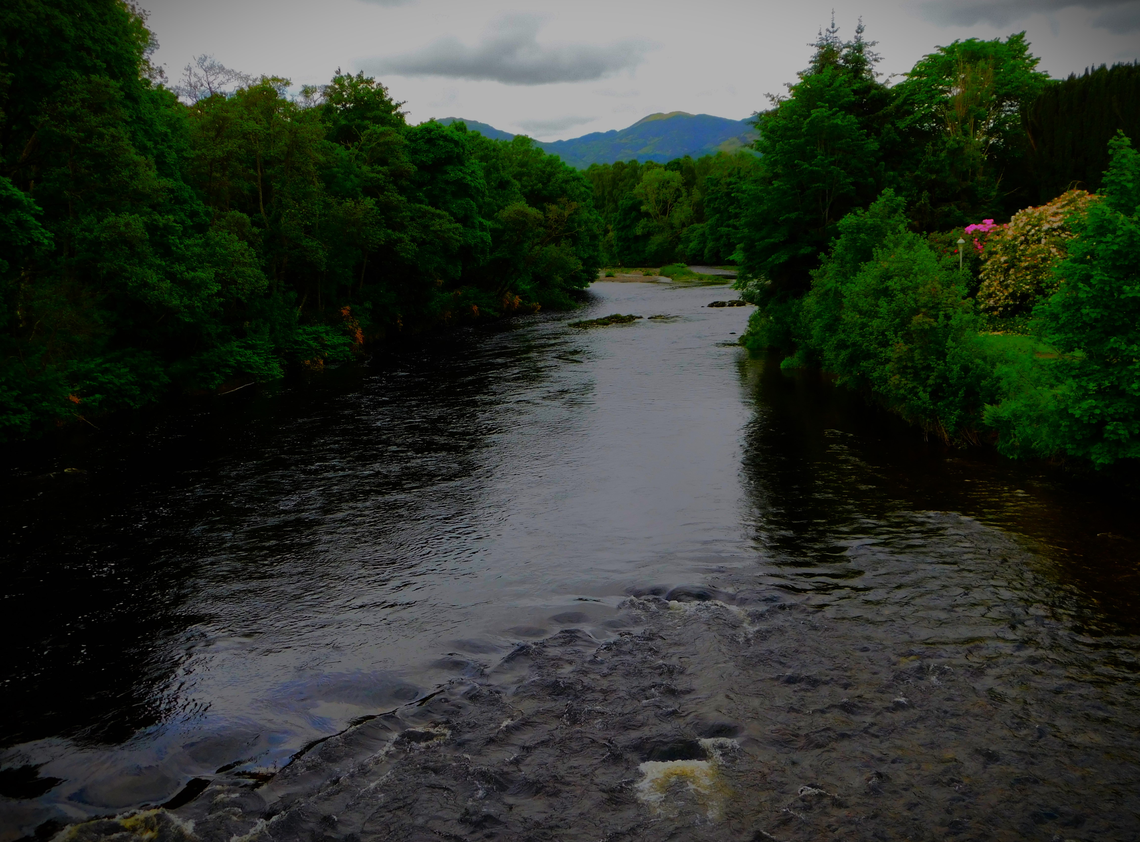
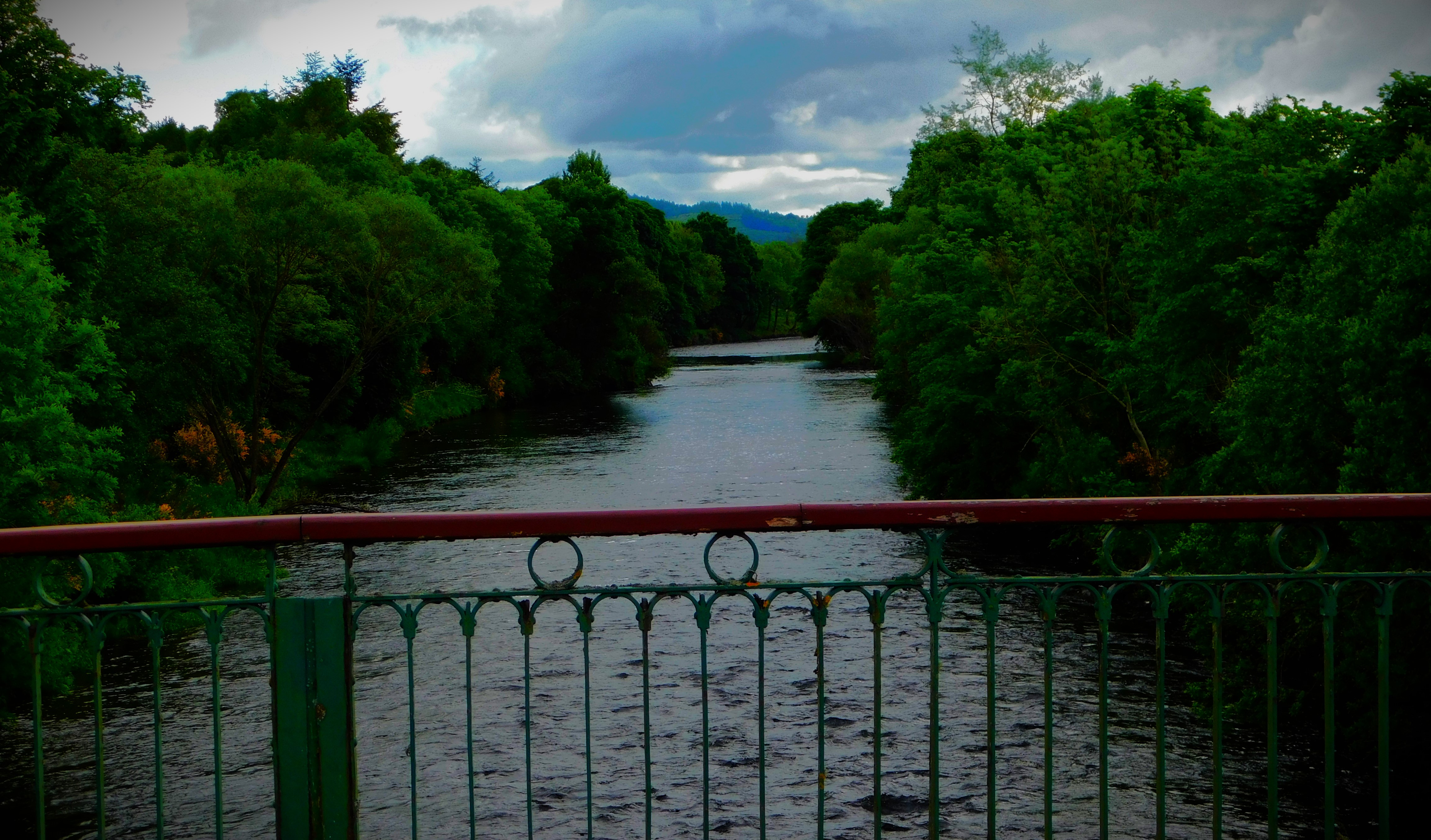
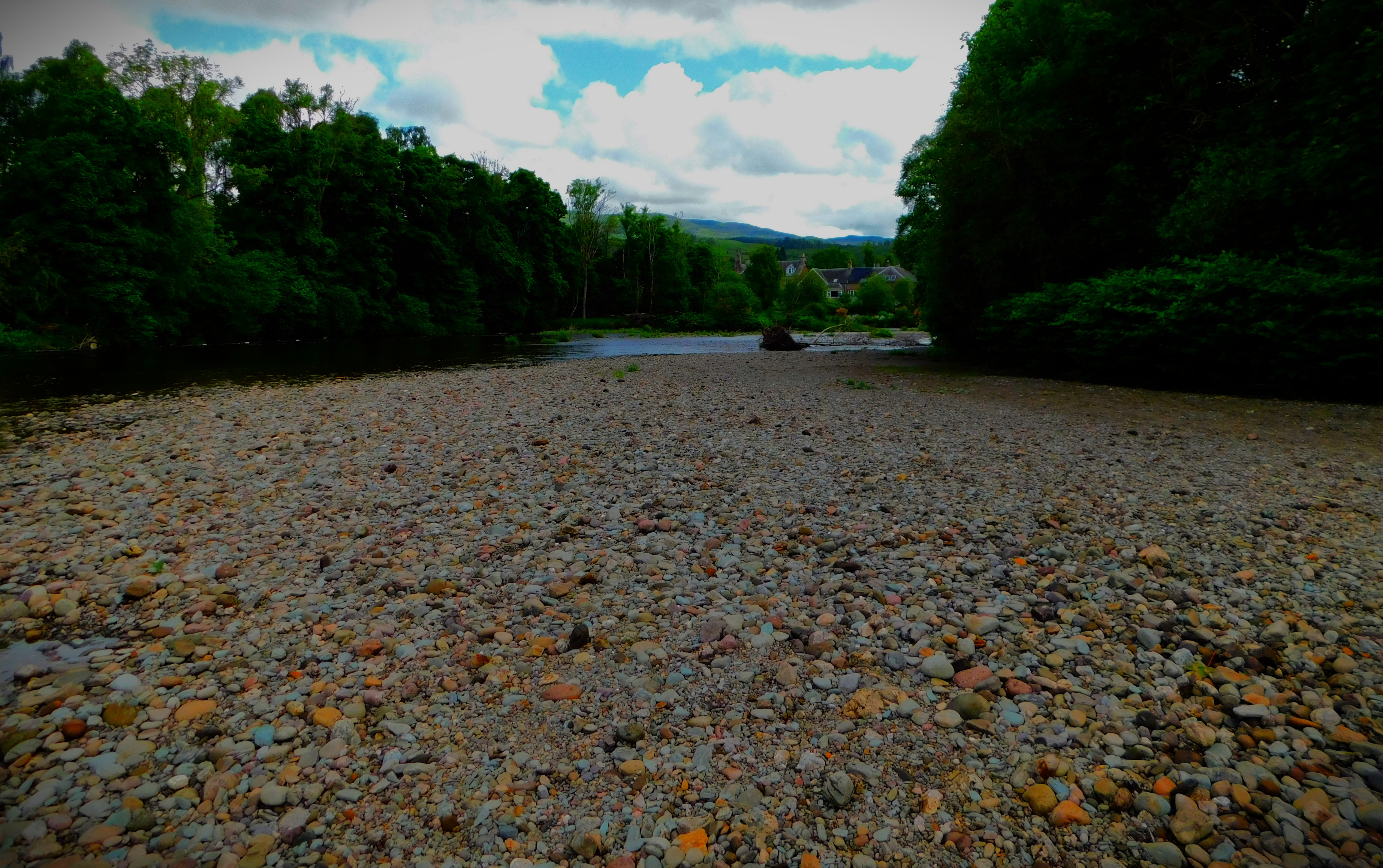
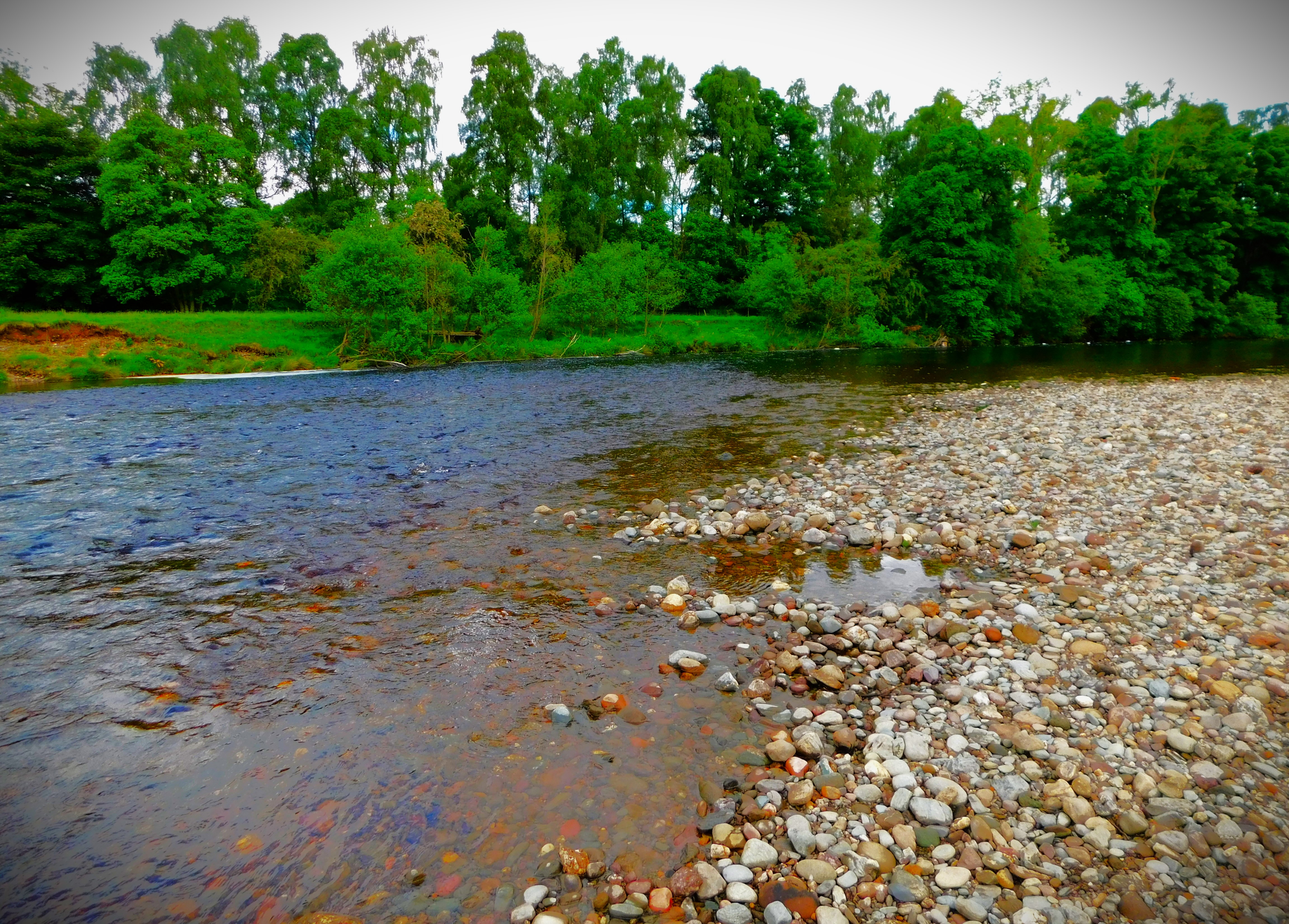
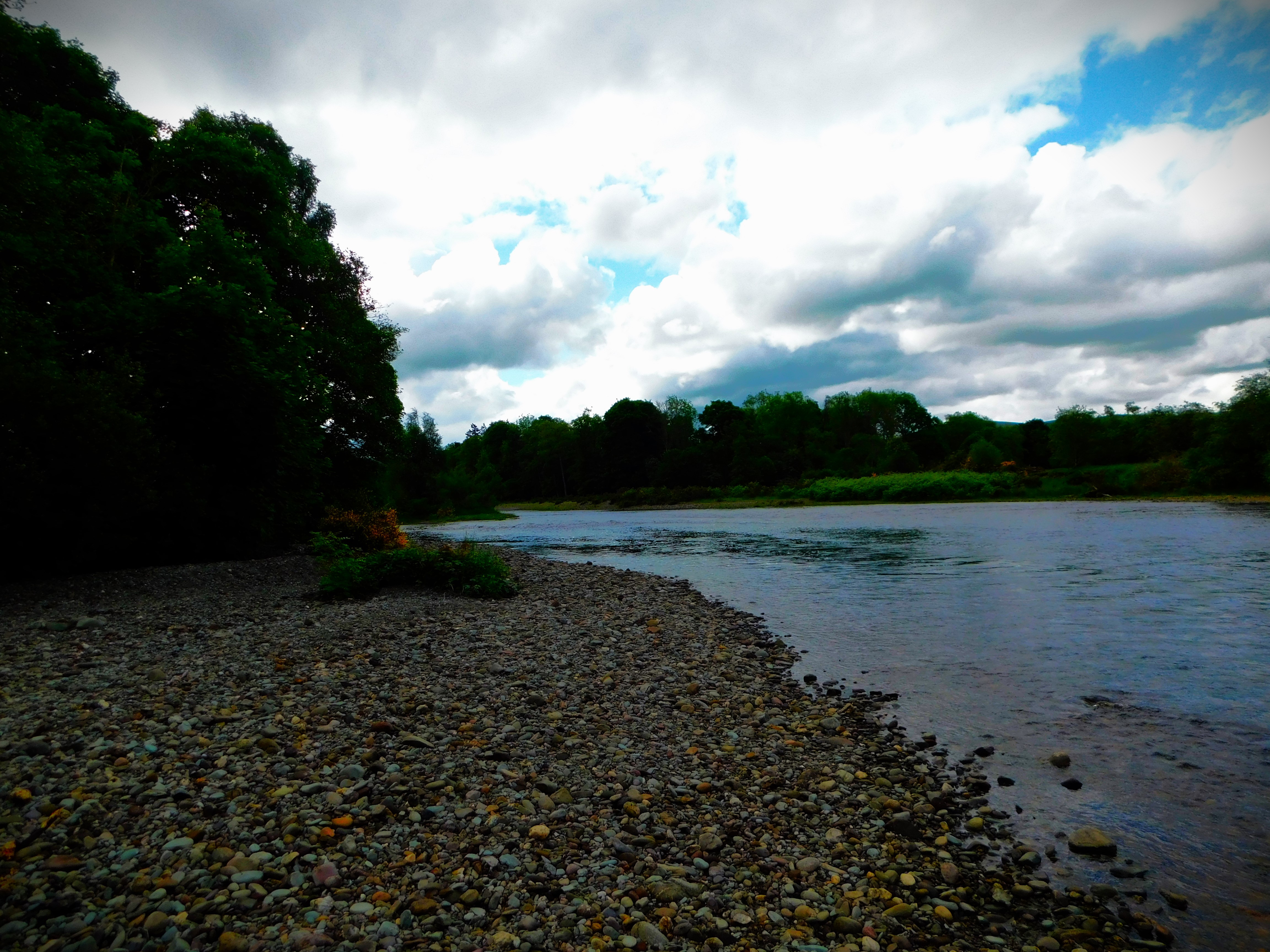
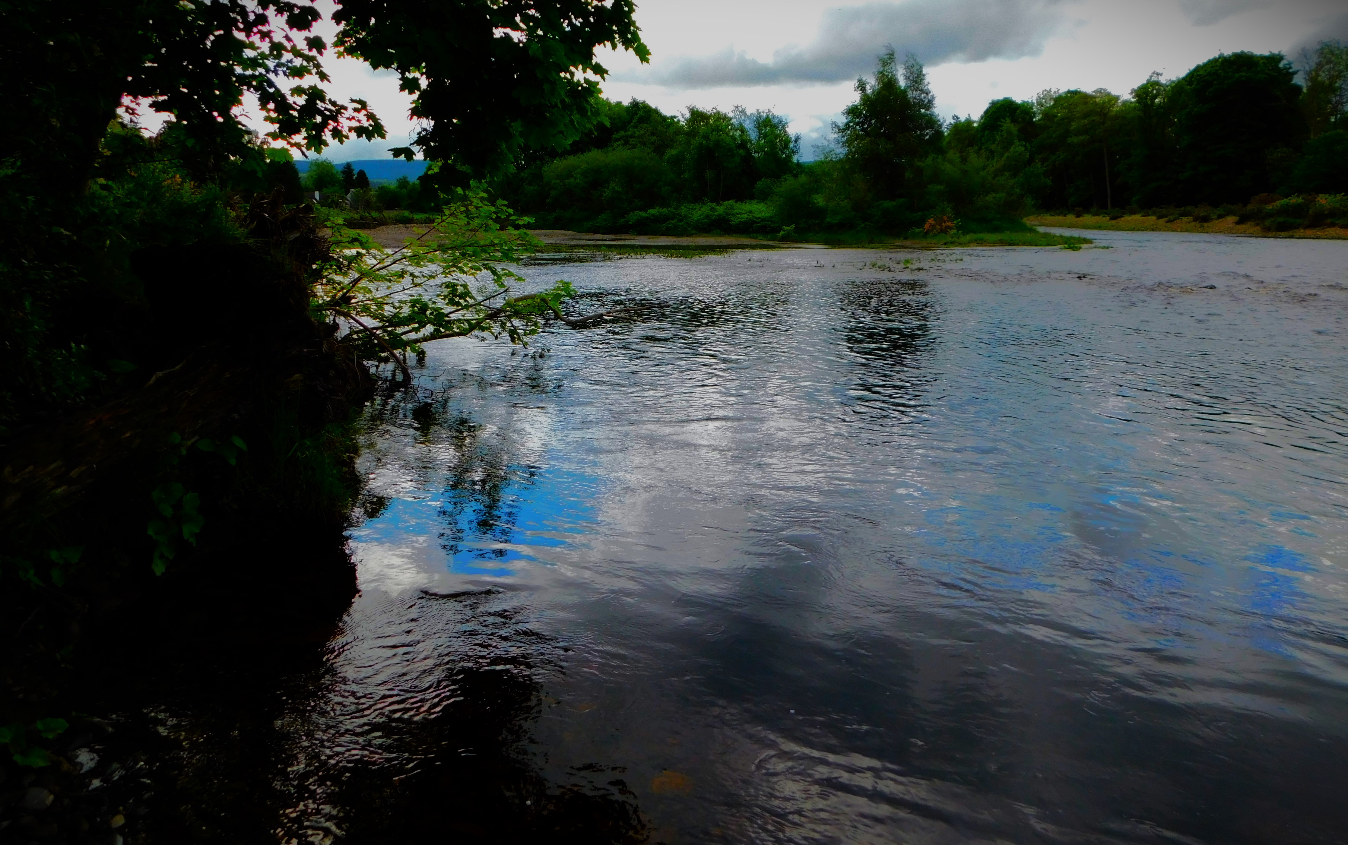
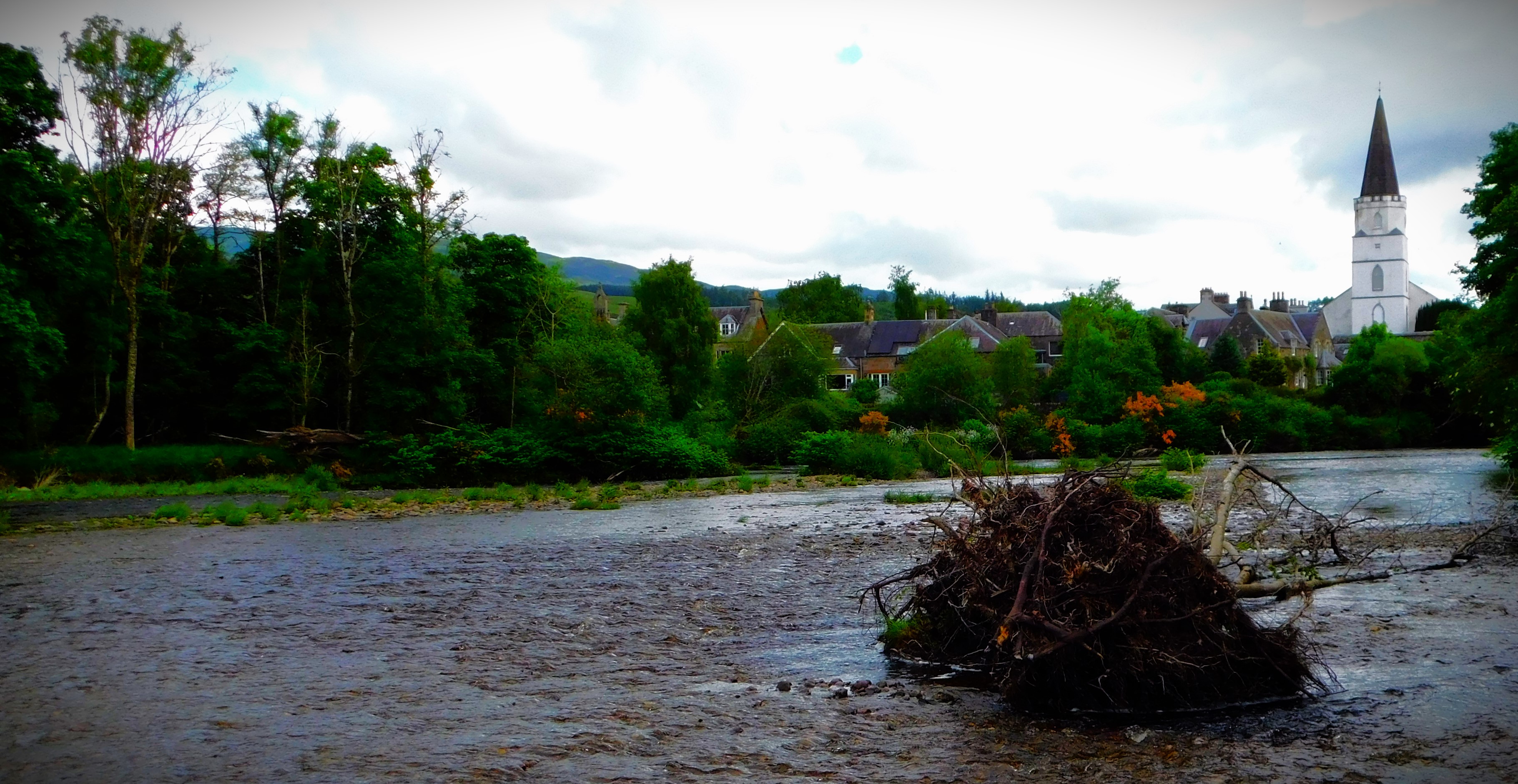
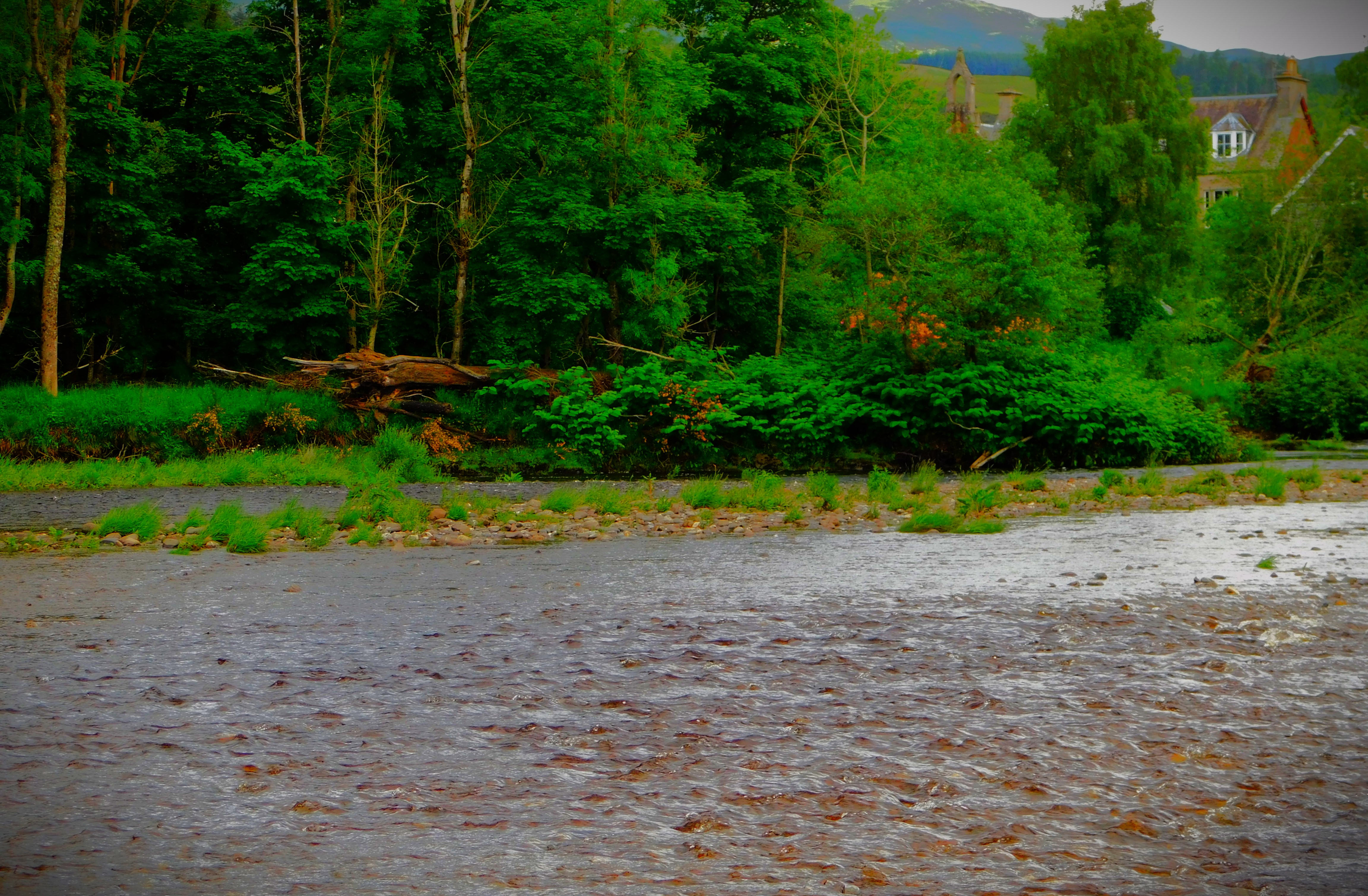
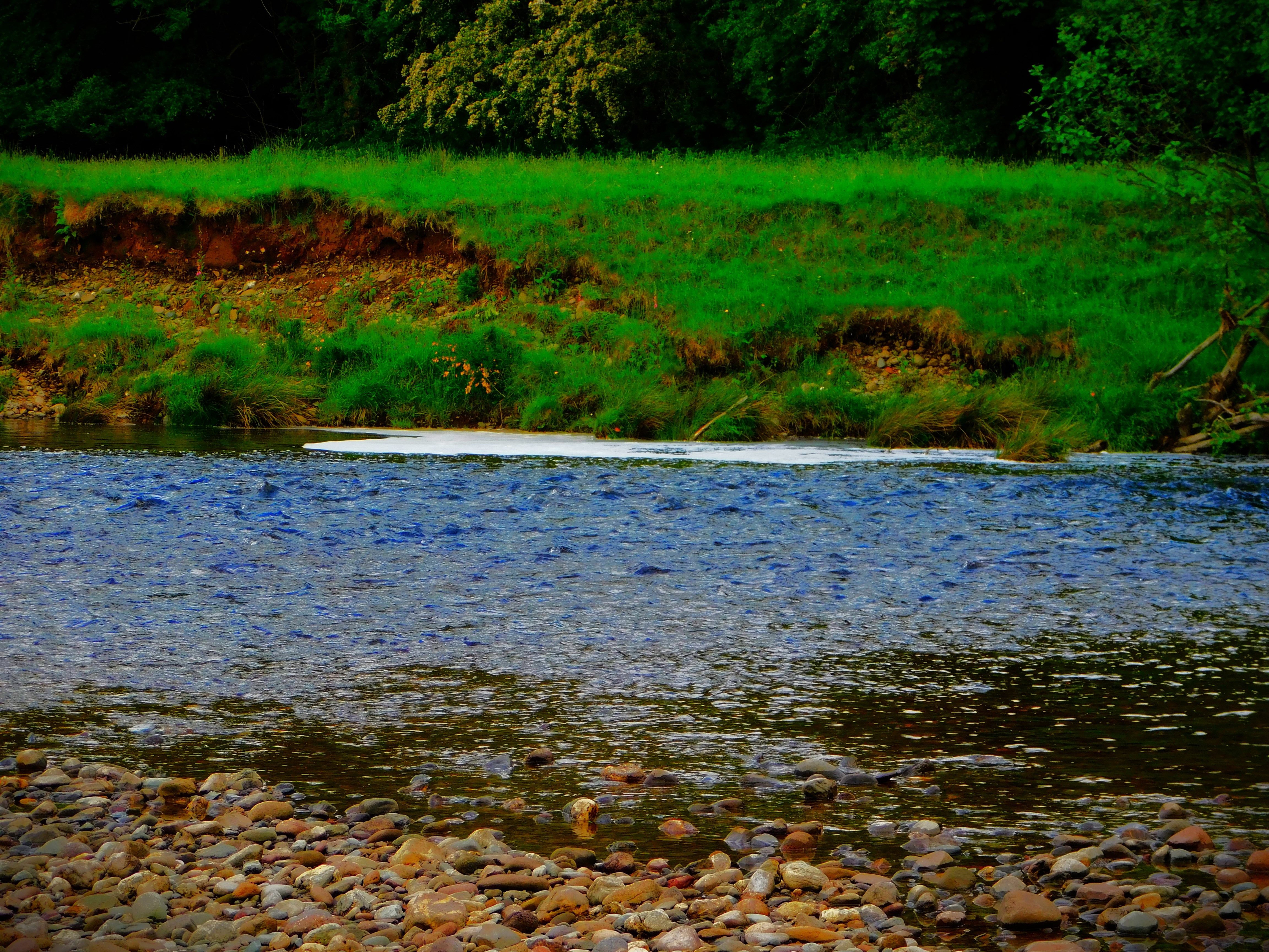
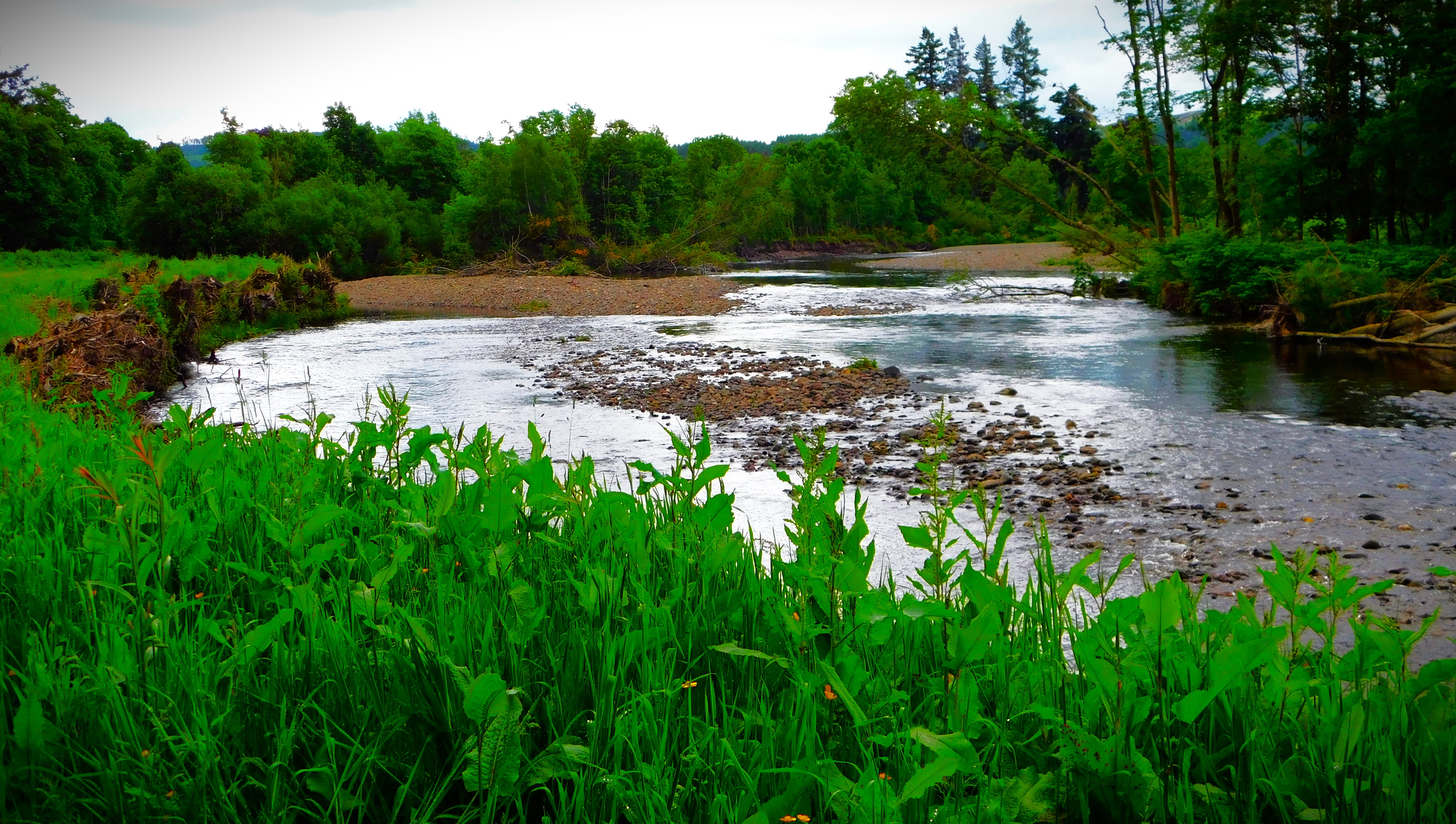
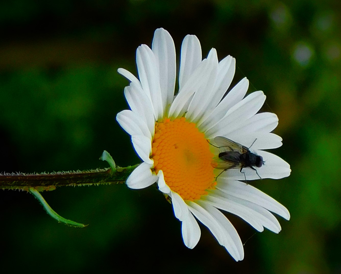
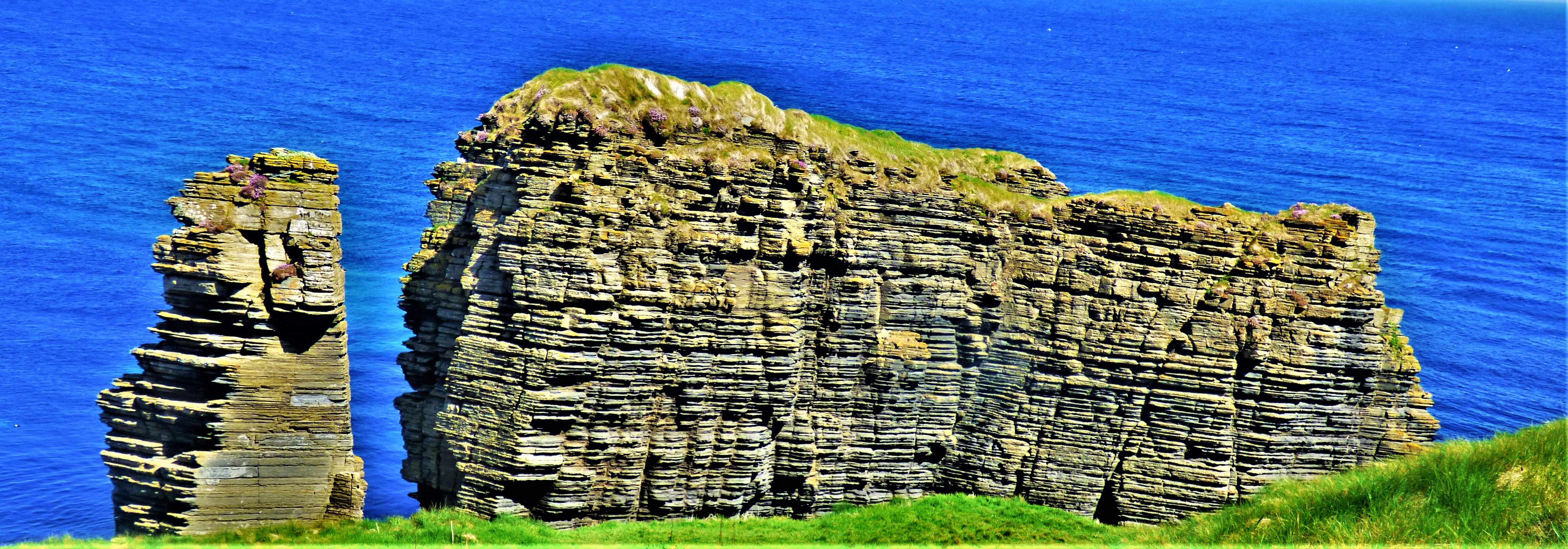
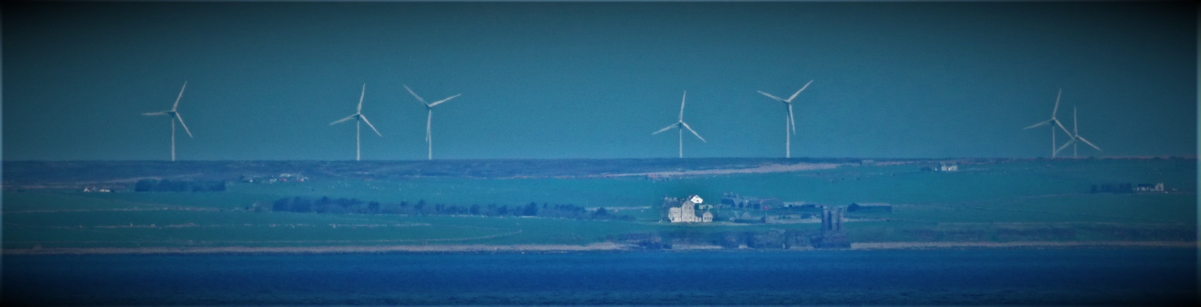
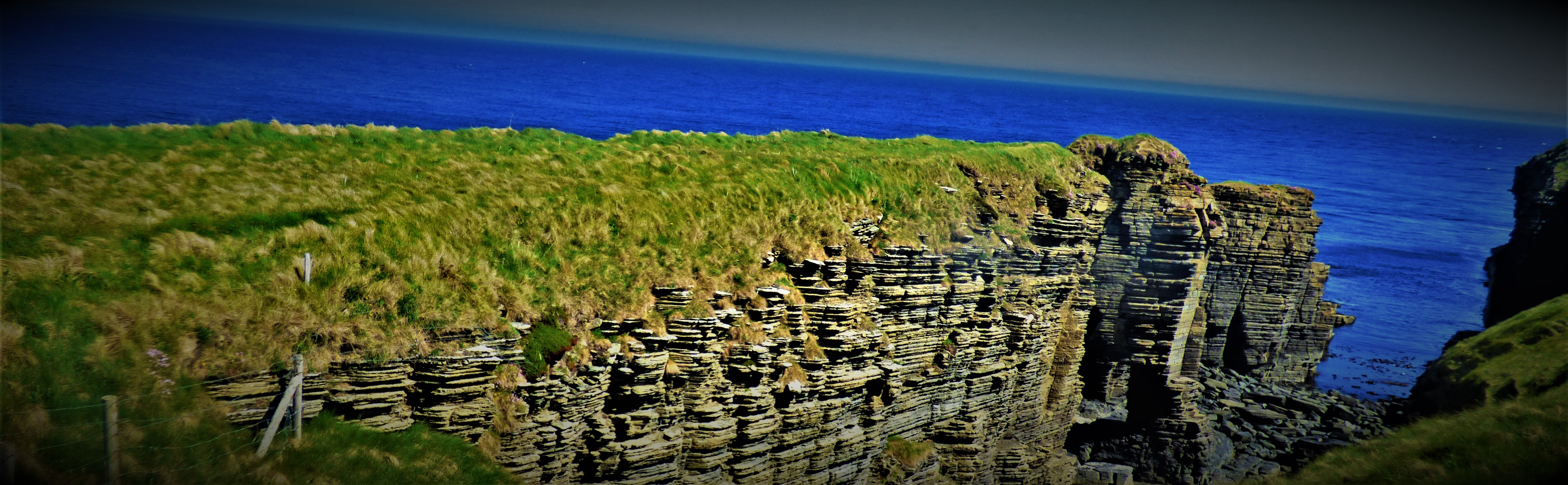
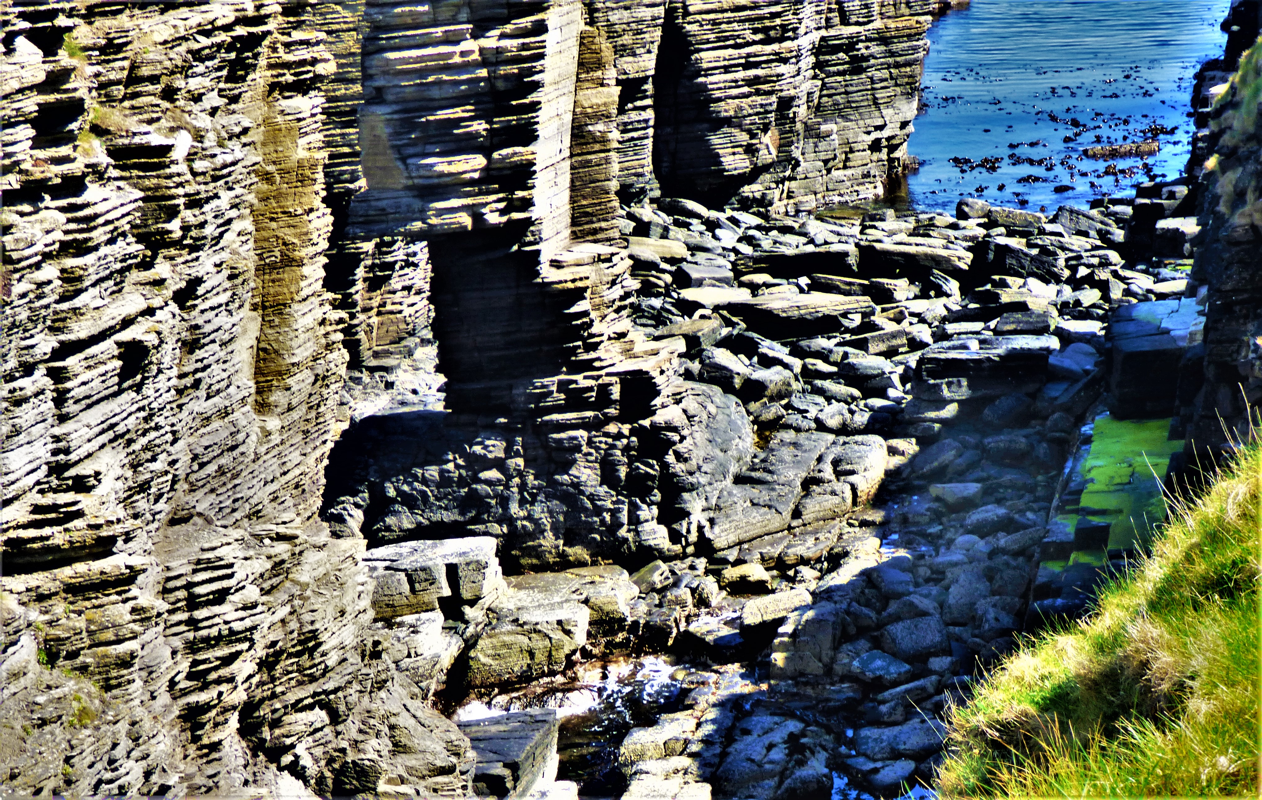
An account of day two, including a walk I took after we were safely ensconced in the house at Achosnich.
Welcome to the second post in my series about my 50th birthday holiday in the far west of Scotland. I started by explaining the snags of day one and consequent rearrangement of plans. This post completes the story of getting here. Yesterday provided material for several more posts – it featured one of two major events planned for the week, the other being the birthday meal on the day itself, Saturday.
LONG AND WINDING ROADS
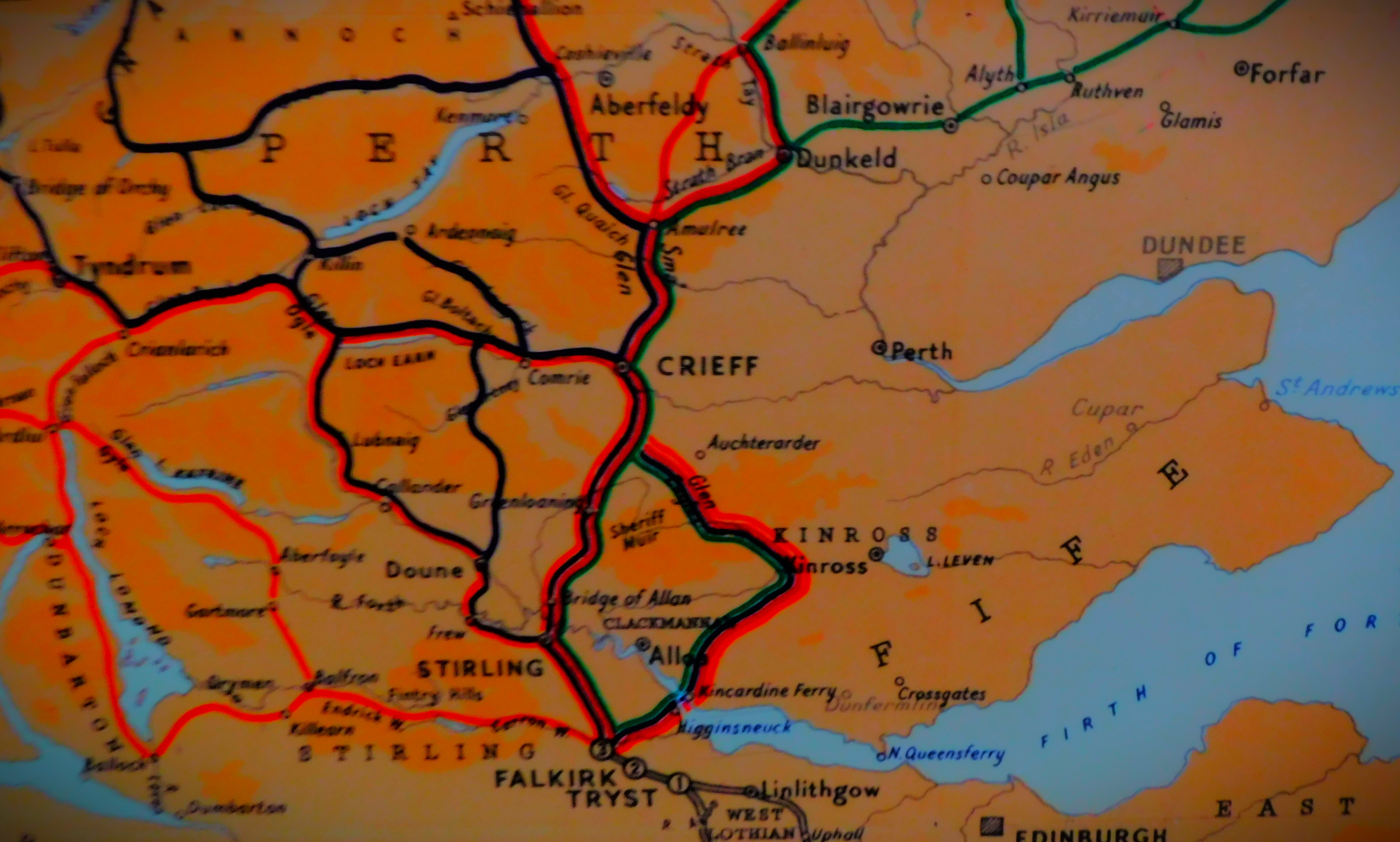
Though there were a few minor issues with the journey from Callander where we had overnighted on to Achosnich where we are staying for the week there was nothing to compare with the upheavals of day one. There are two land routes to the far west of Scotland, the direct route that involves using the Corran ferry and the longer route by way of Fort William. We had opted for the Corran ferry route, and until 12:20, by when we were very close to our destination there were no problems. It was then that we hit a delay in the form of a temporary road closure. Fortunately, the village of Strontian (where the metallic element Strontium was discovered in 1790 – like the four elements Ytterbium, Yttrium, Terbium and Erbium, all named for Ytterby in Sweden where they were discovered, the element is named for the village) was only a few miles behind us, and it numbers a cafe among its amenities, and since the road was reopening at 1:30 filling in the necessary amount of time was less of a drag than it might have been. Once the road reopened it took us a couple of attempts to locate the property, but we got there in the end.
PHOTOGRAPHS
Here are my photographs from the day…
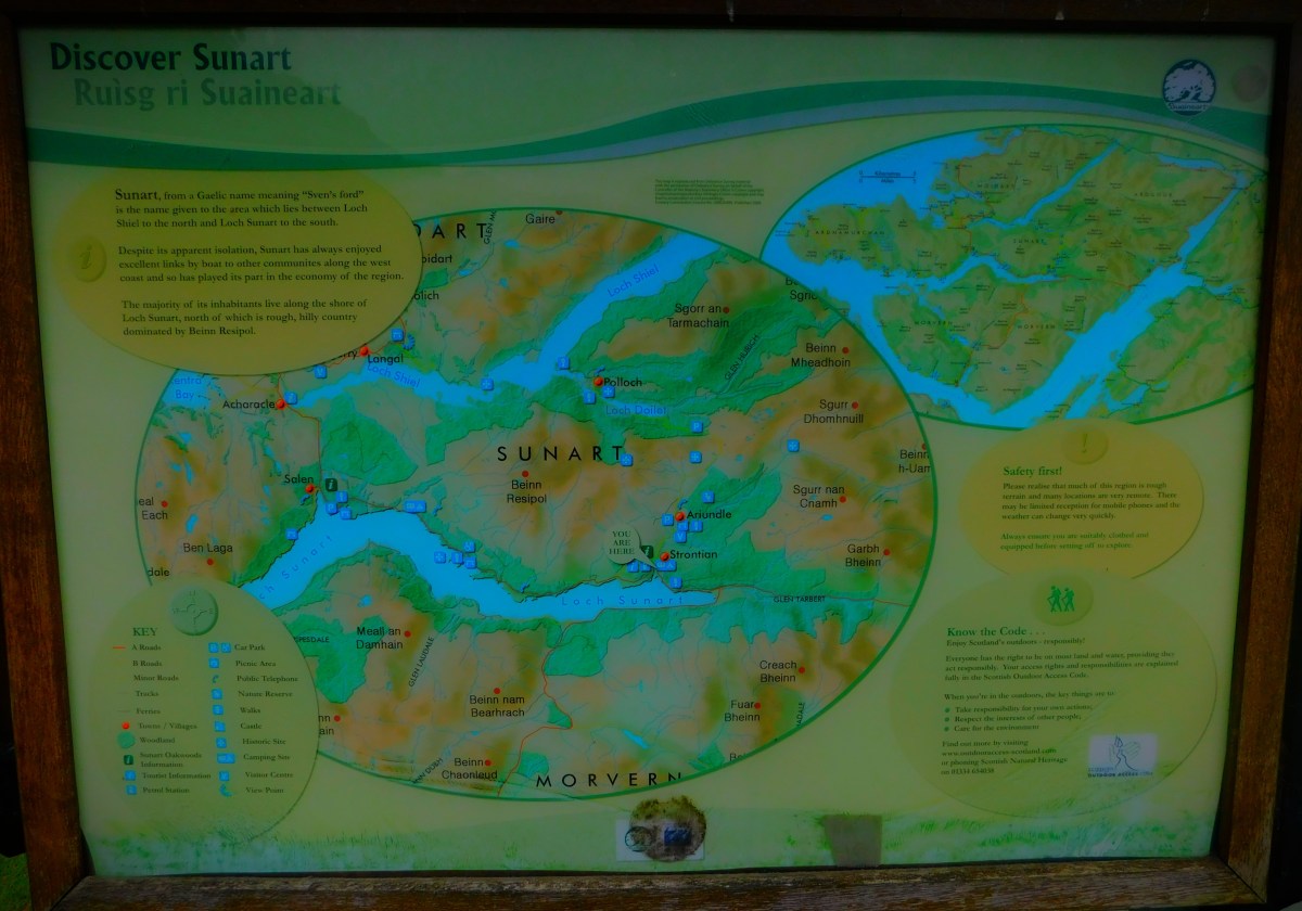
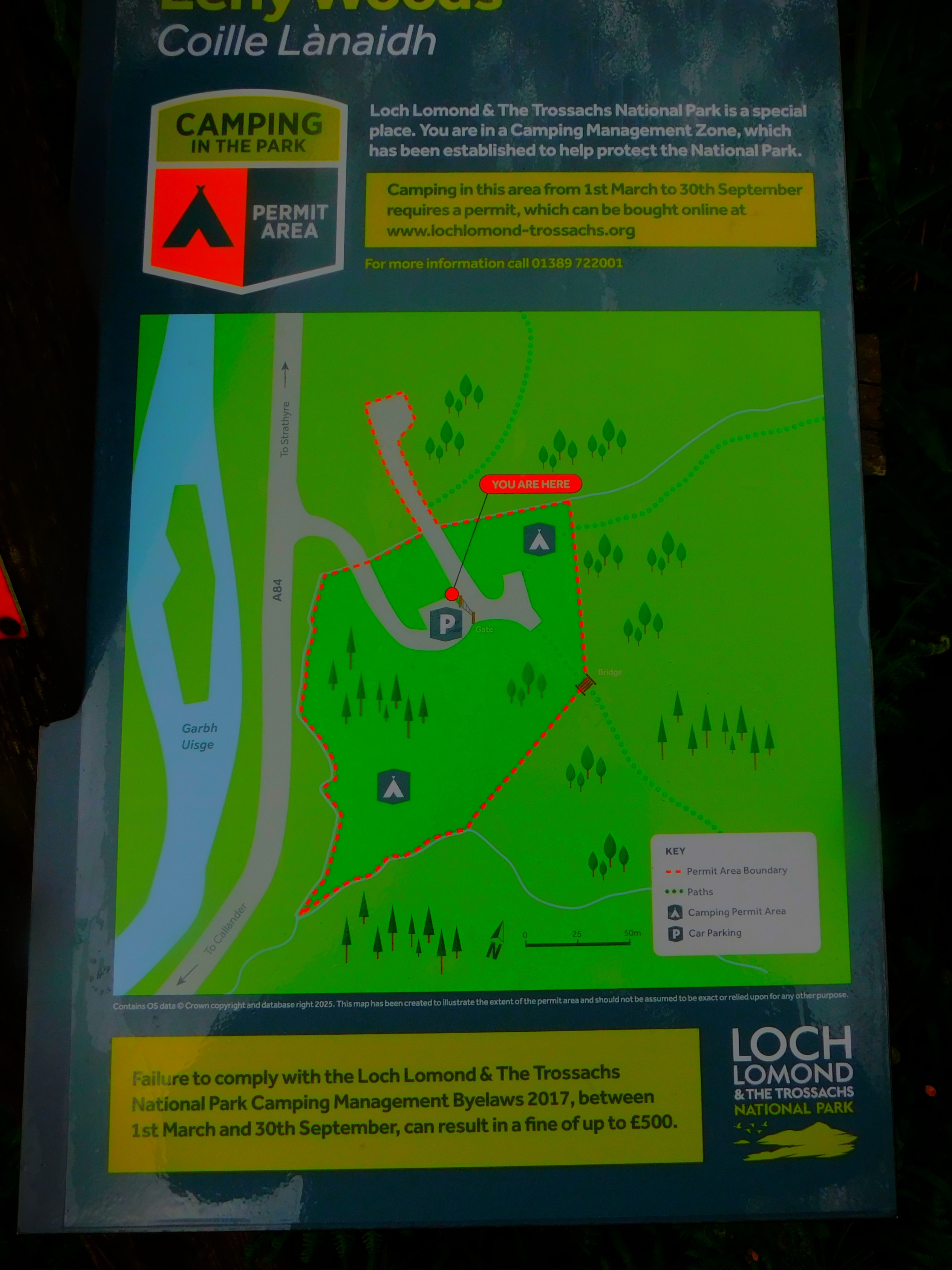
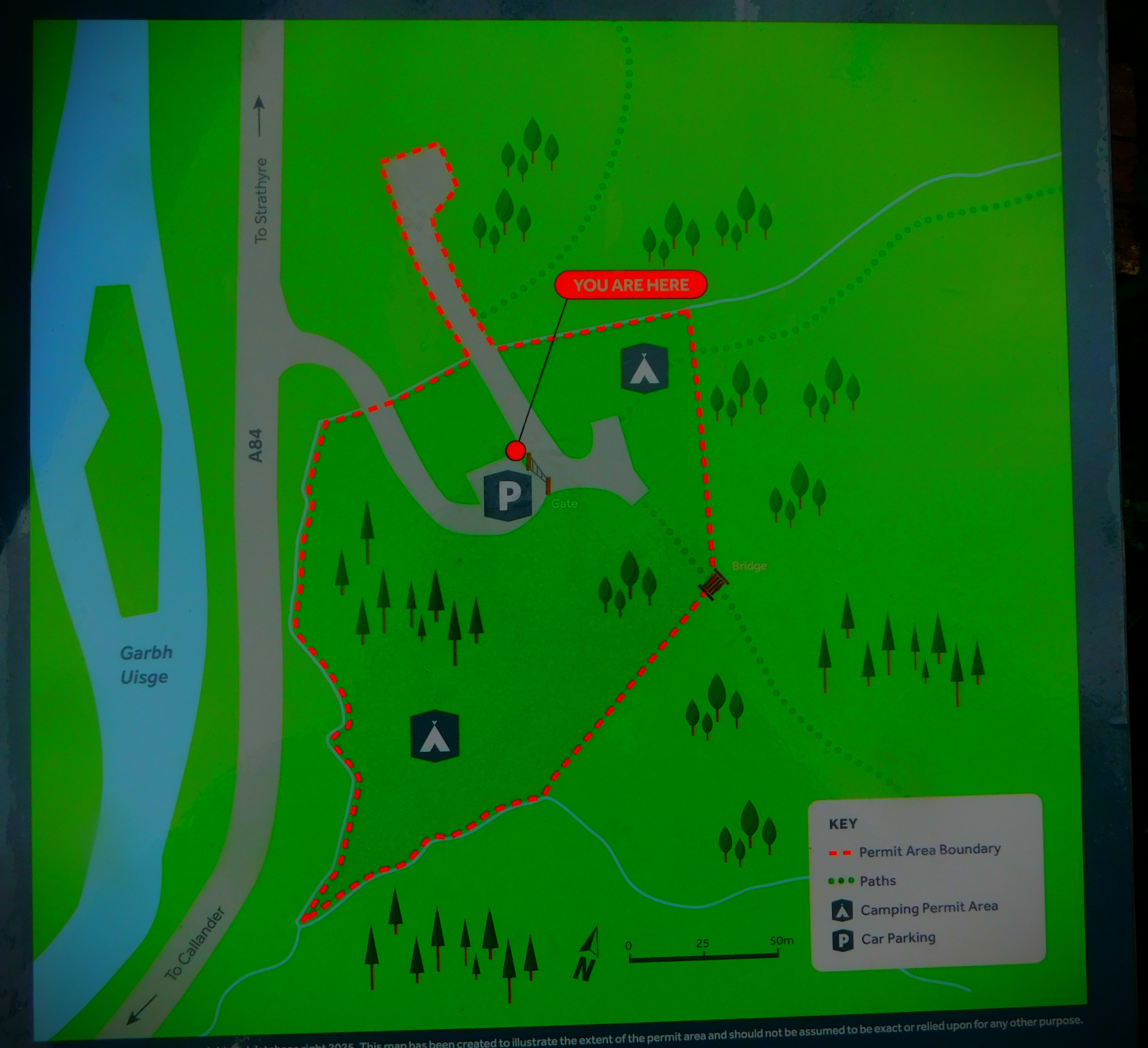
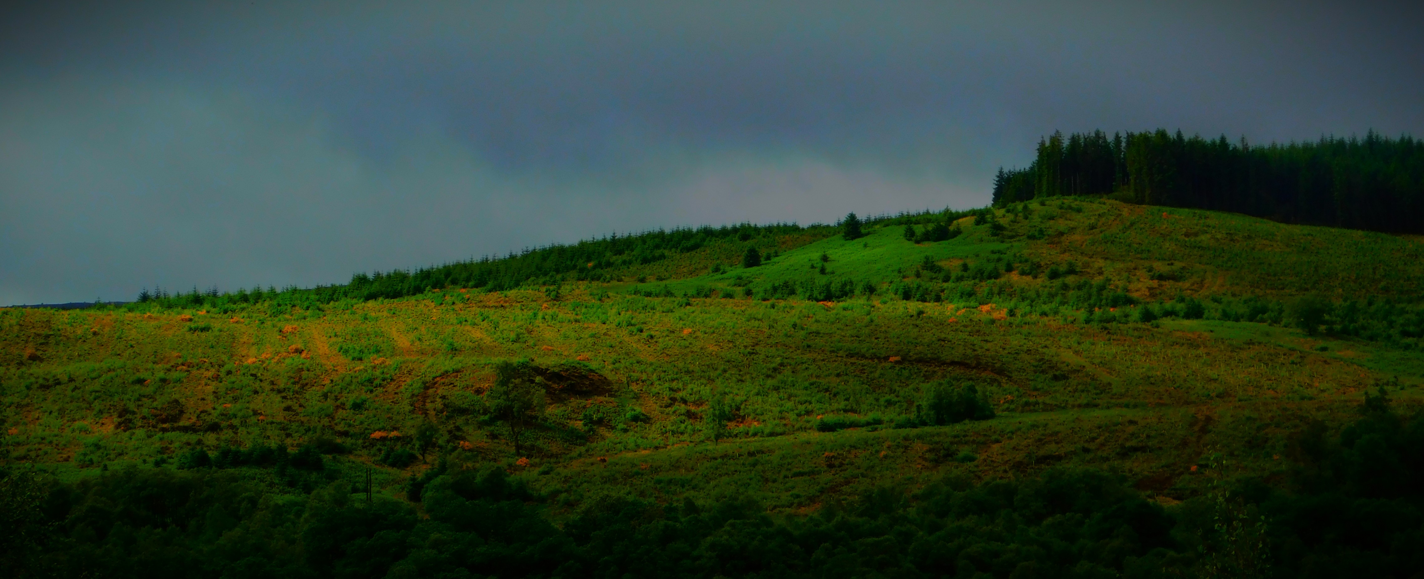
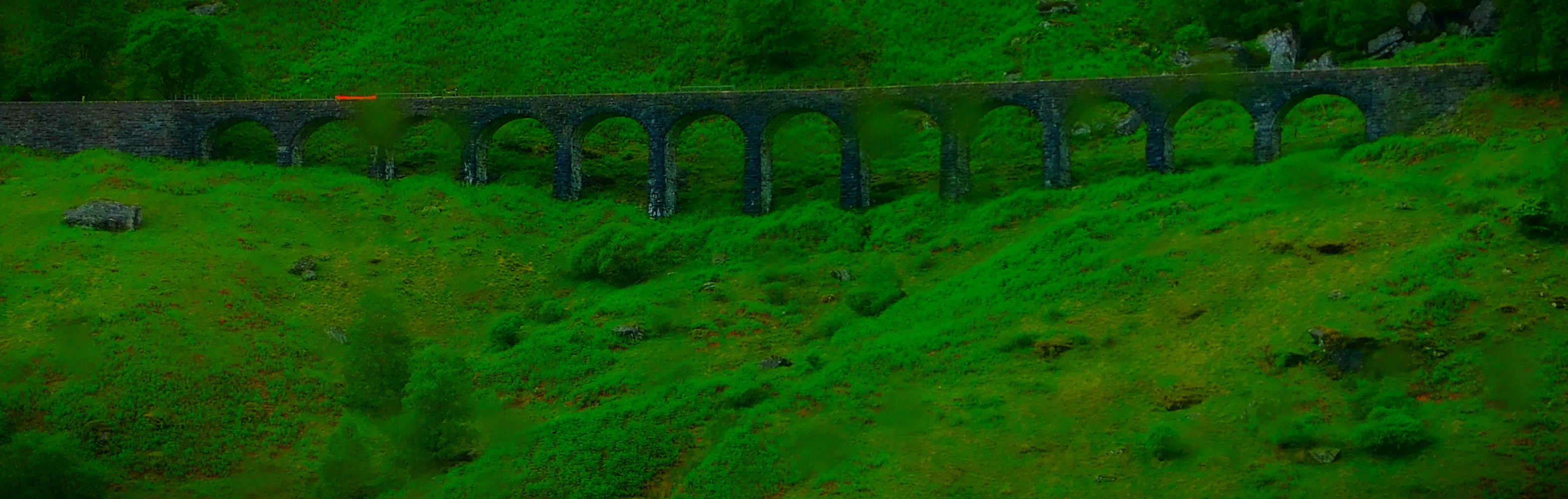
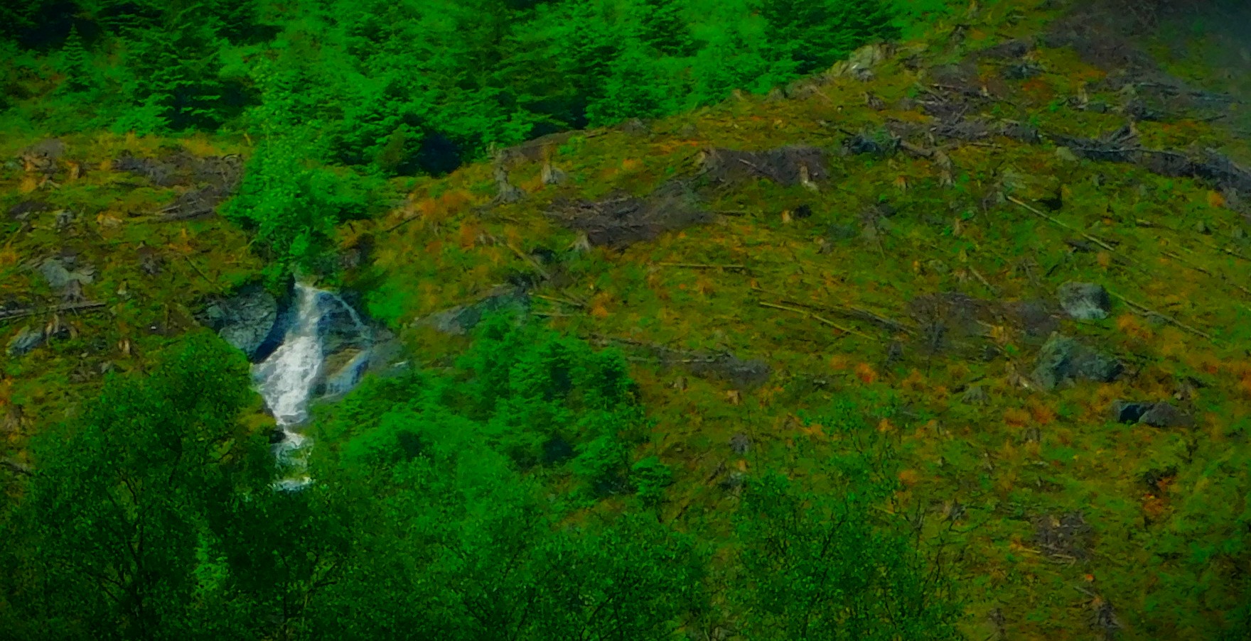
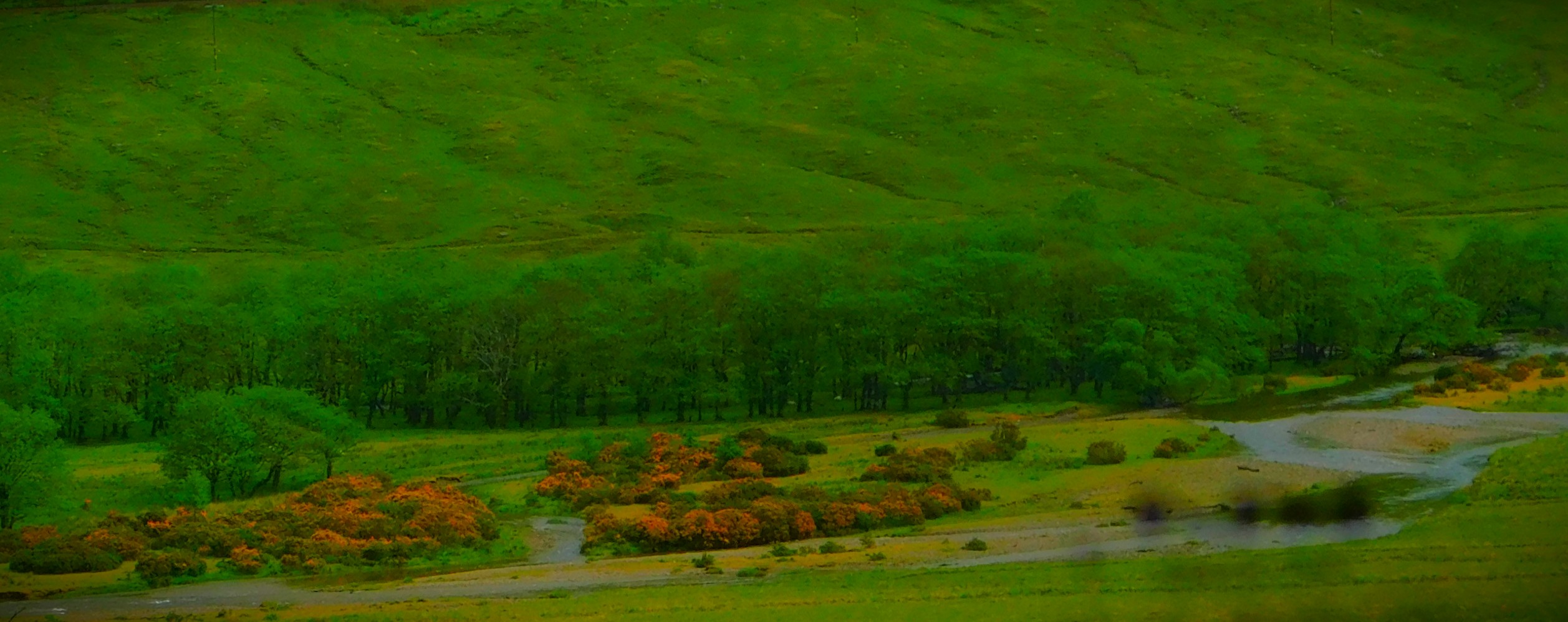
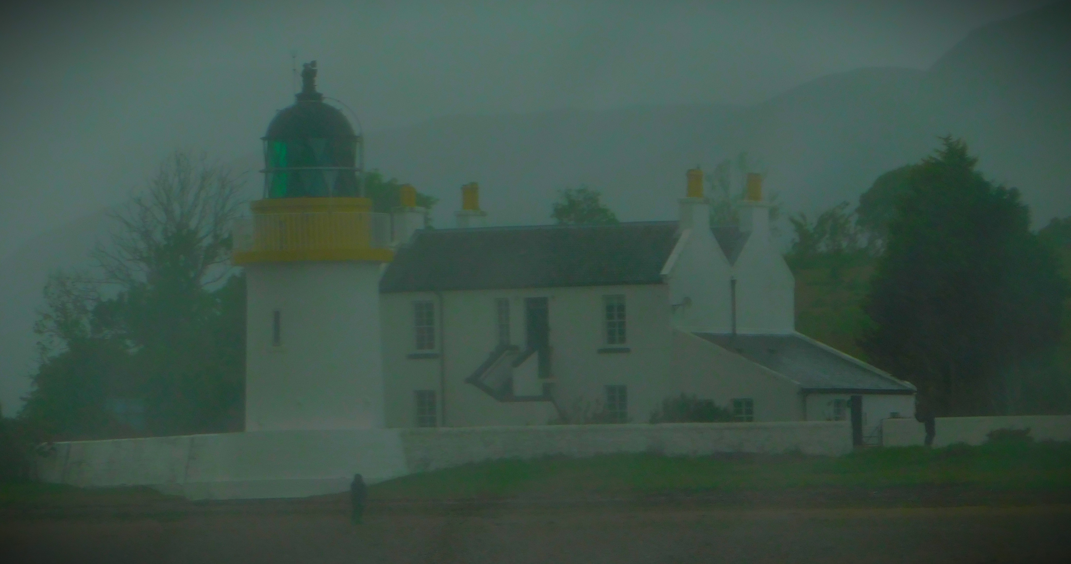
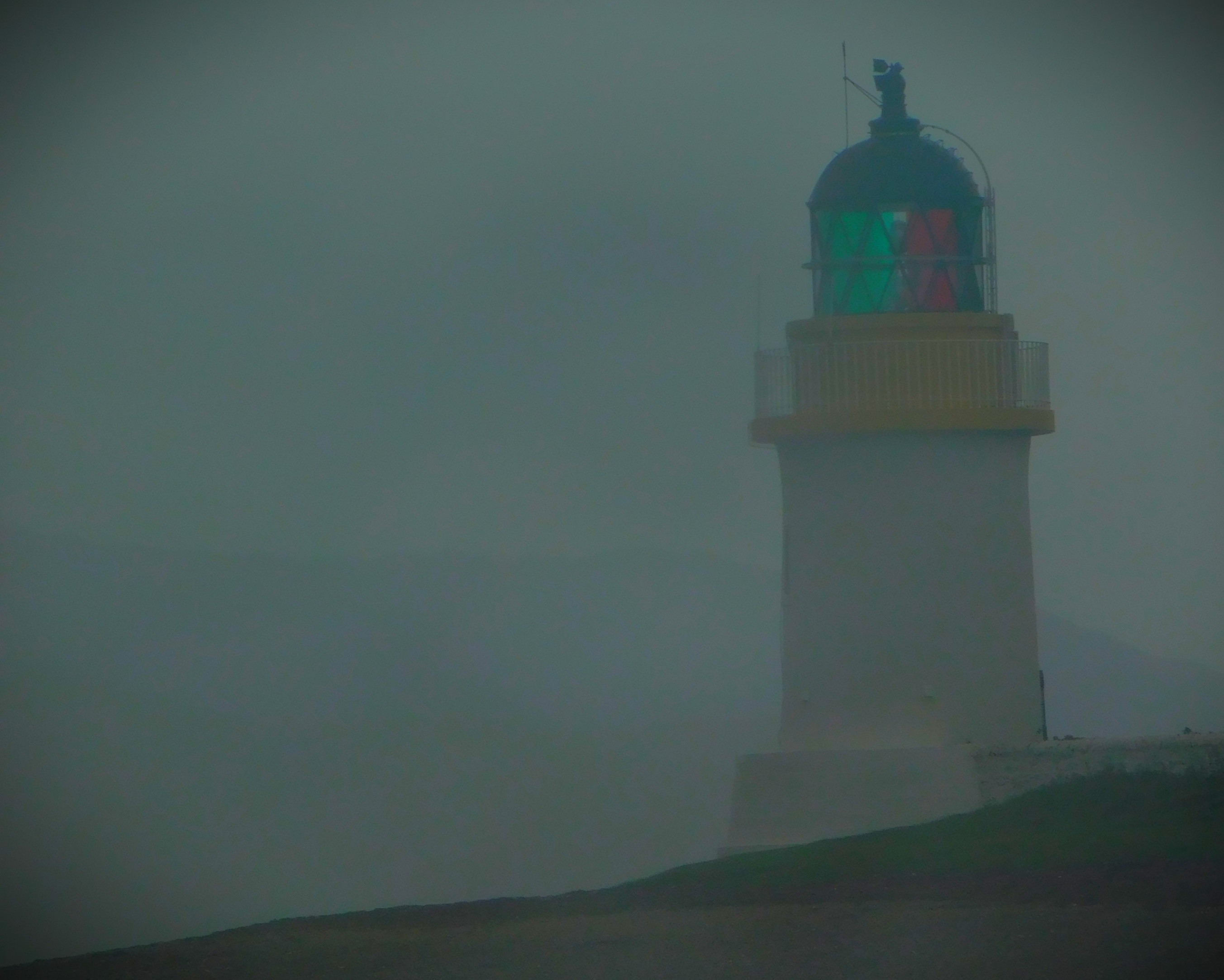
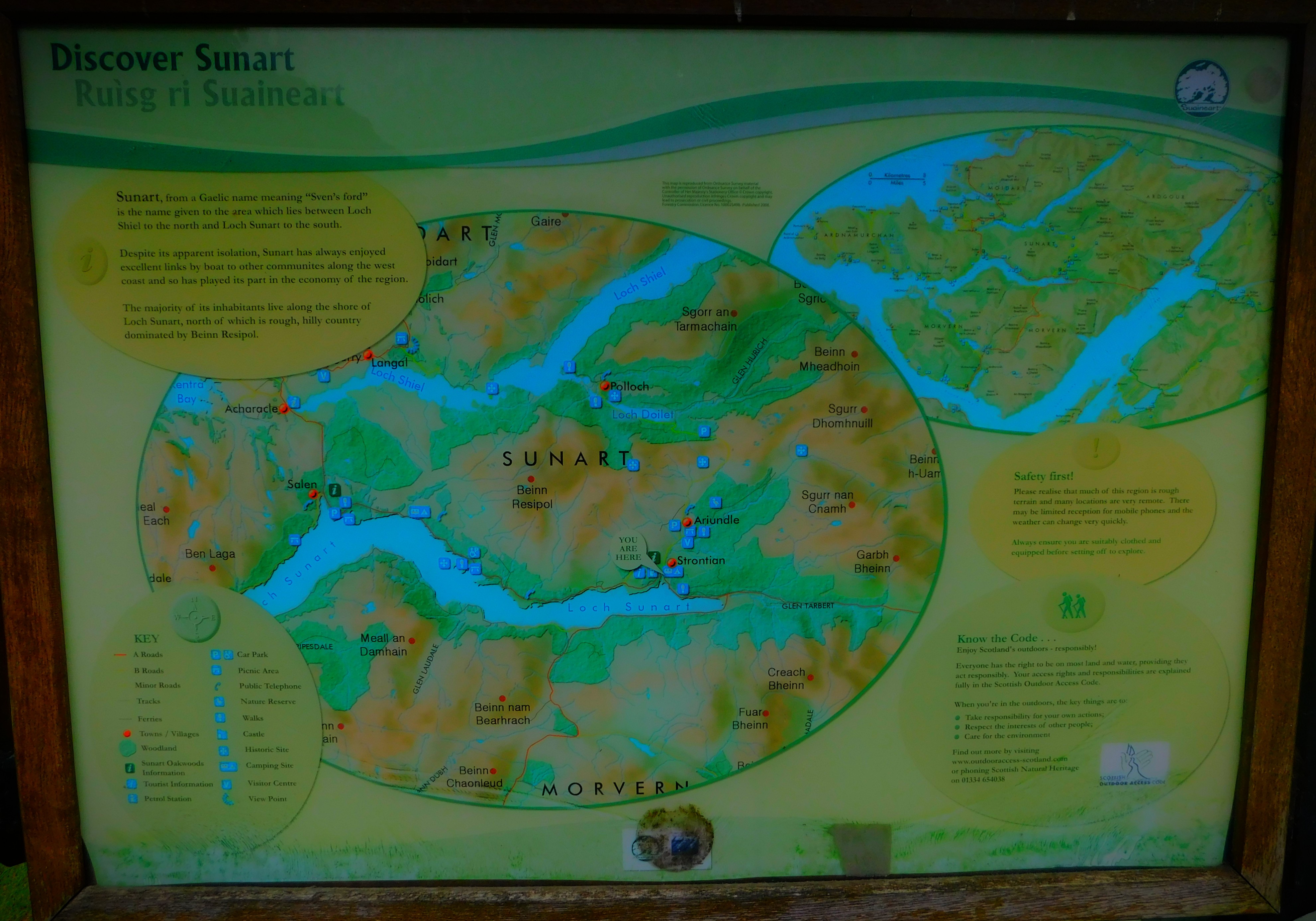
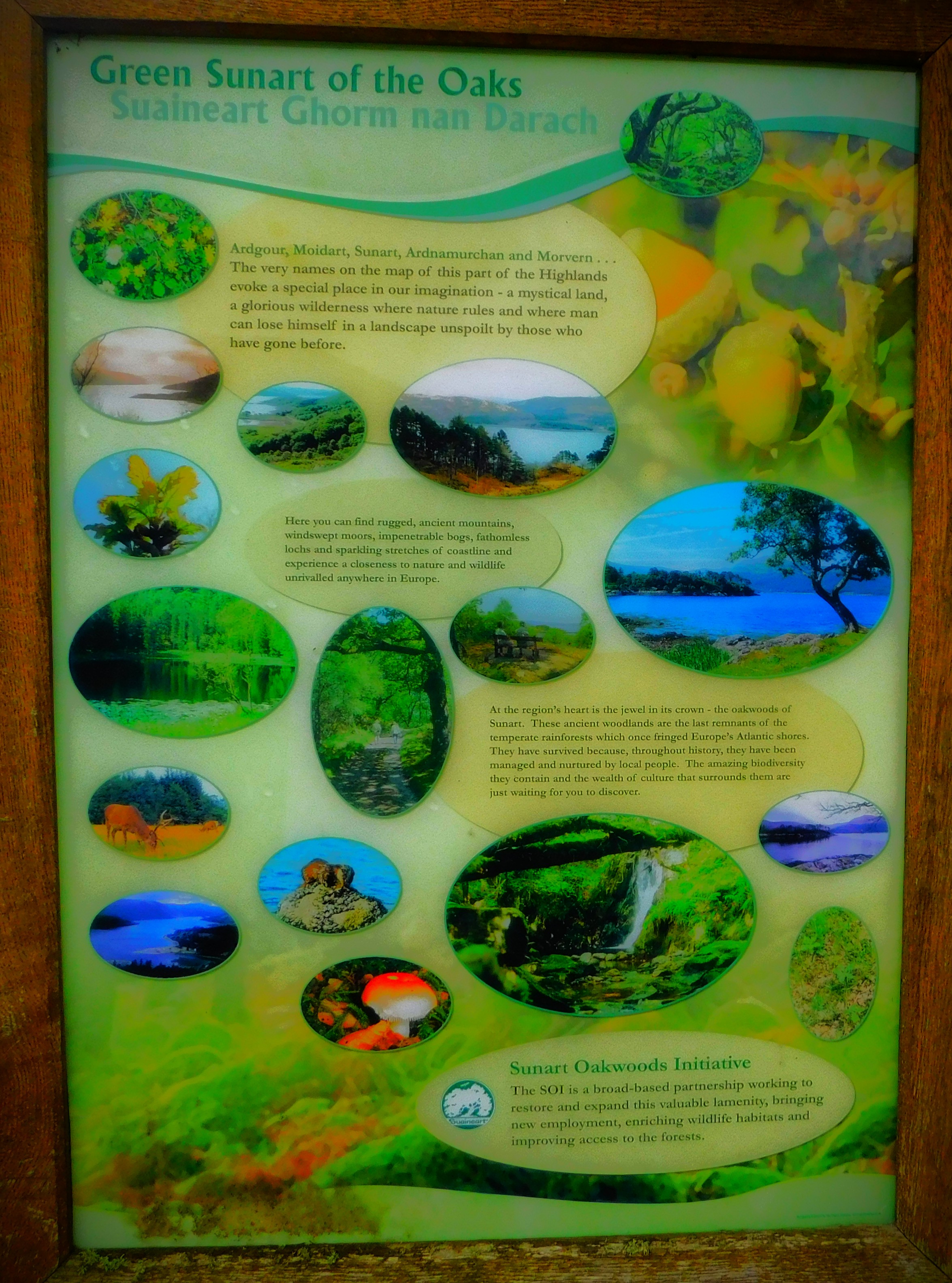
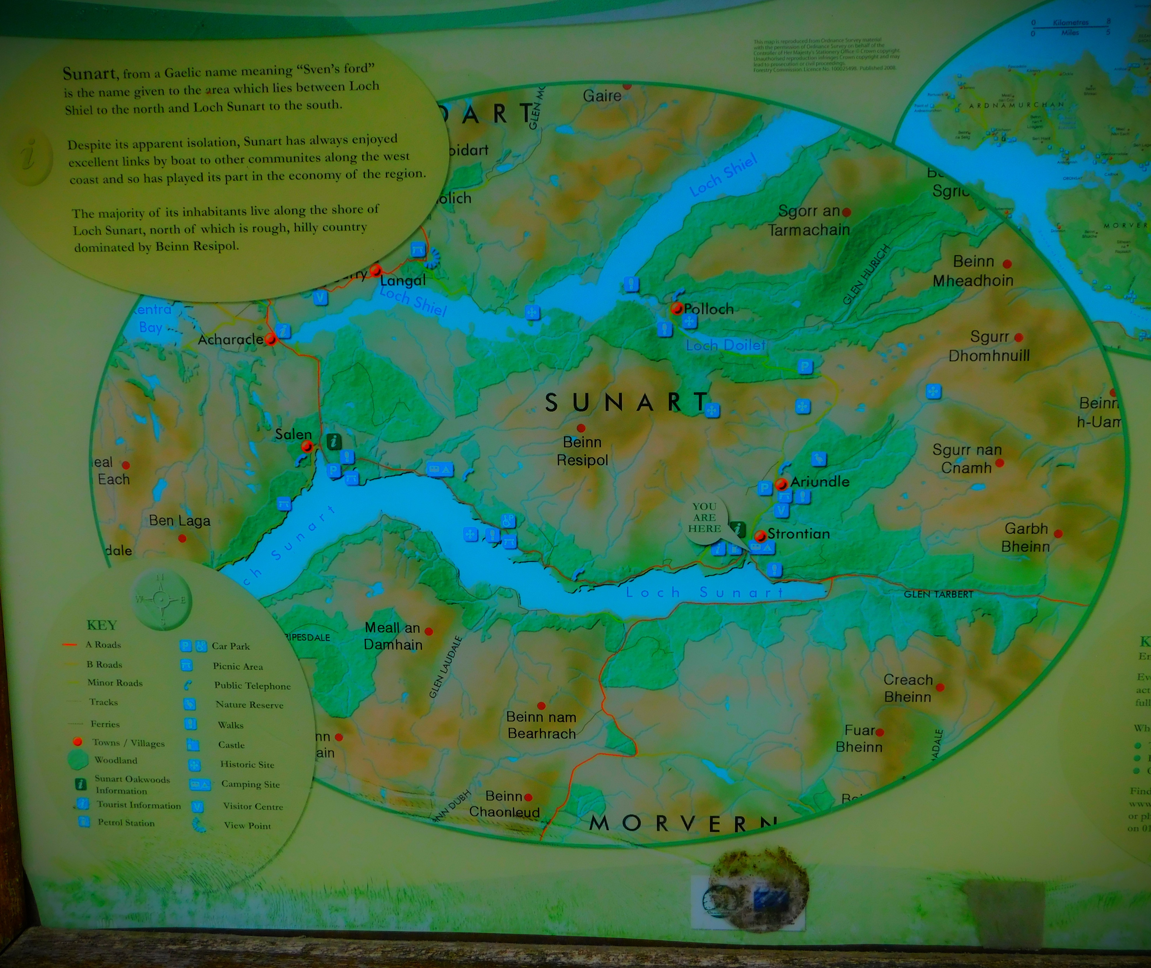
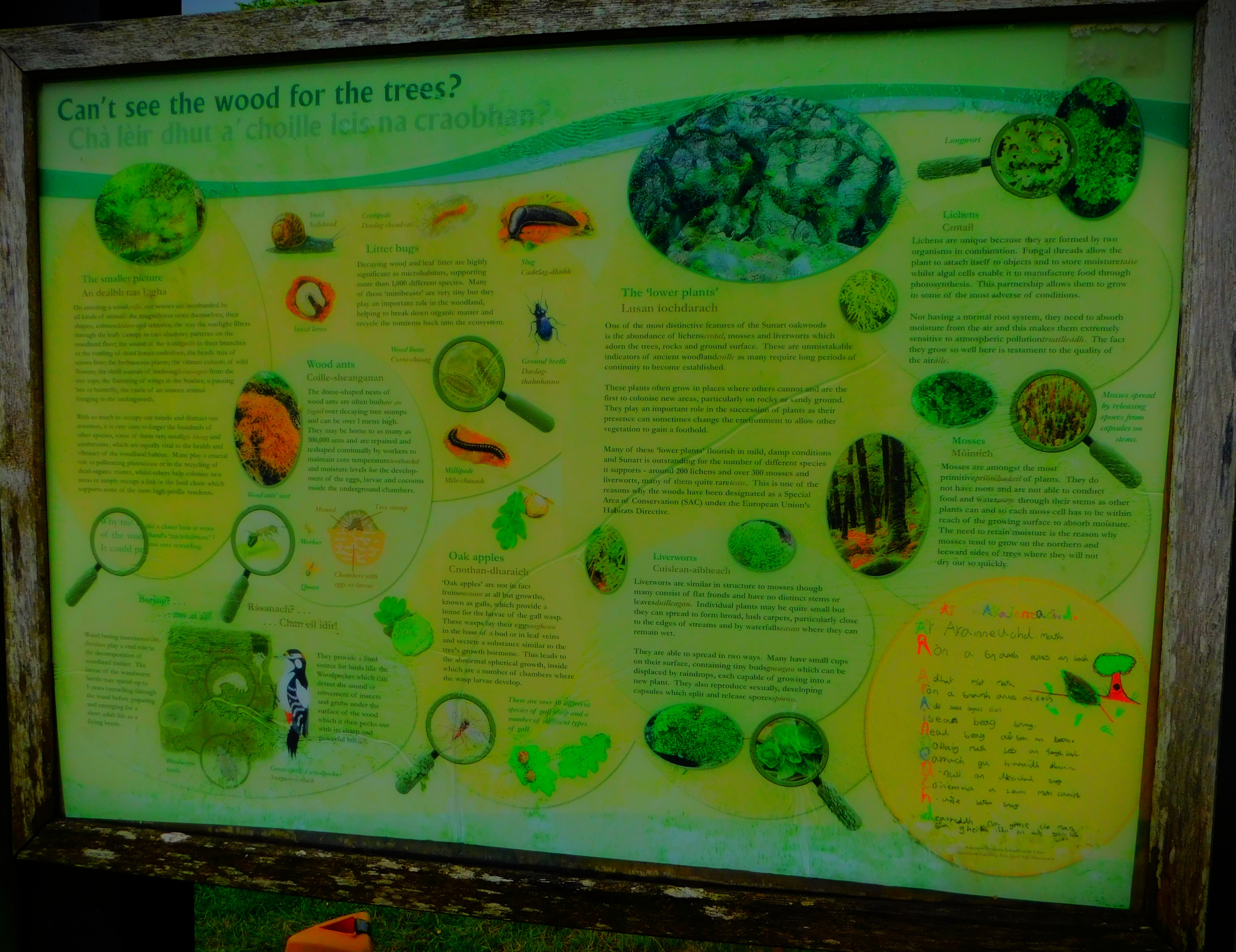
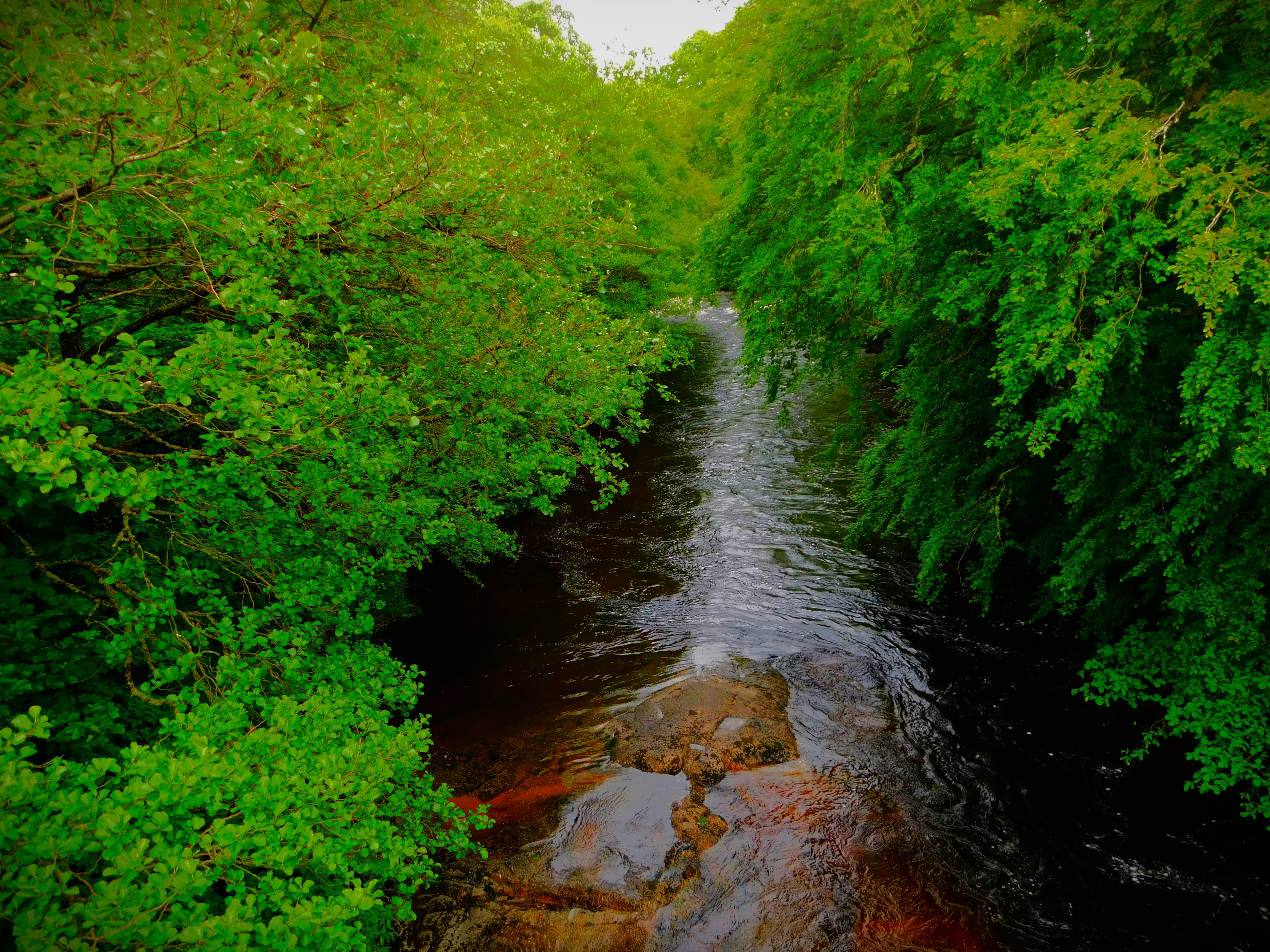
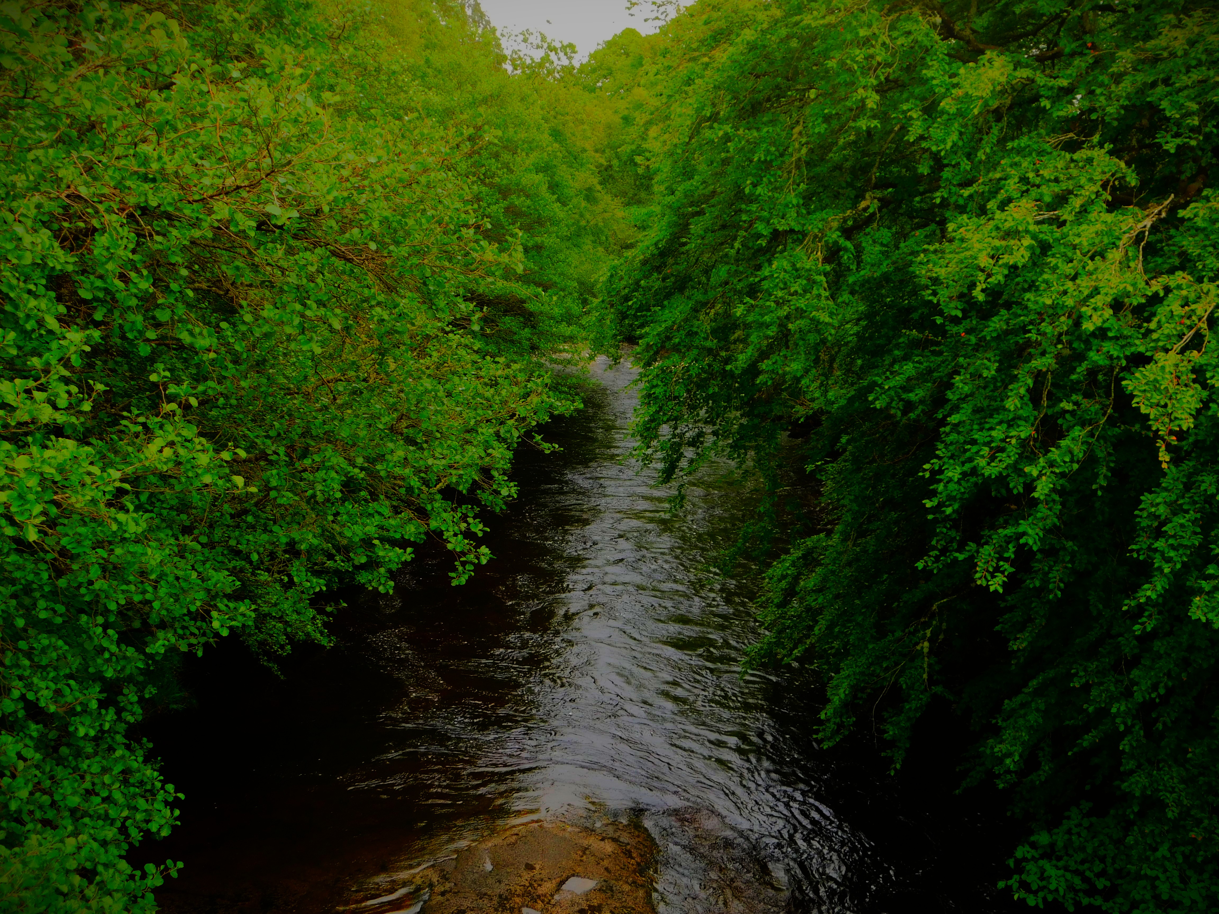
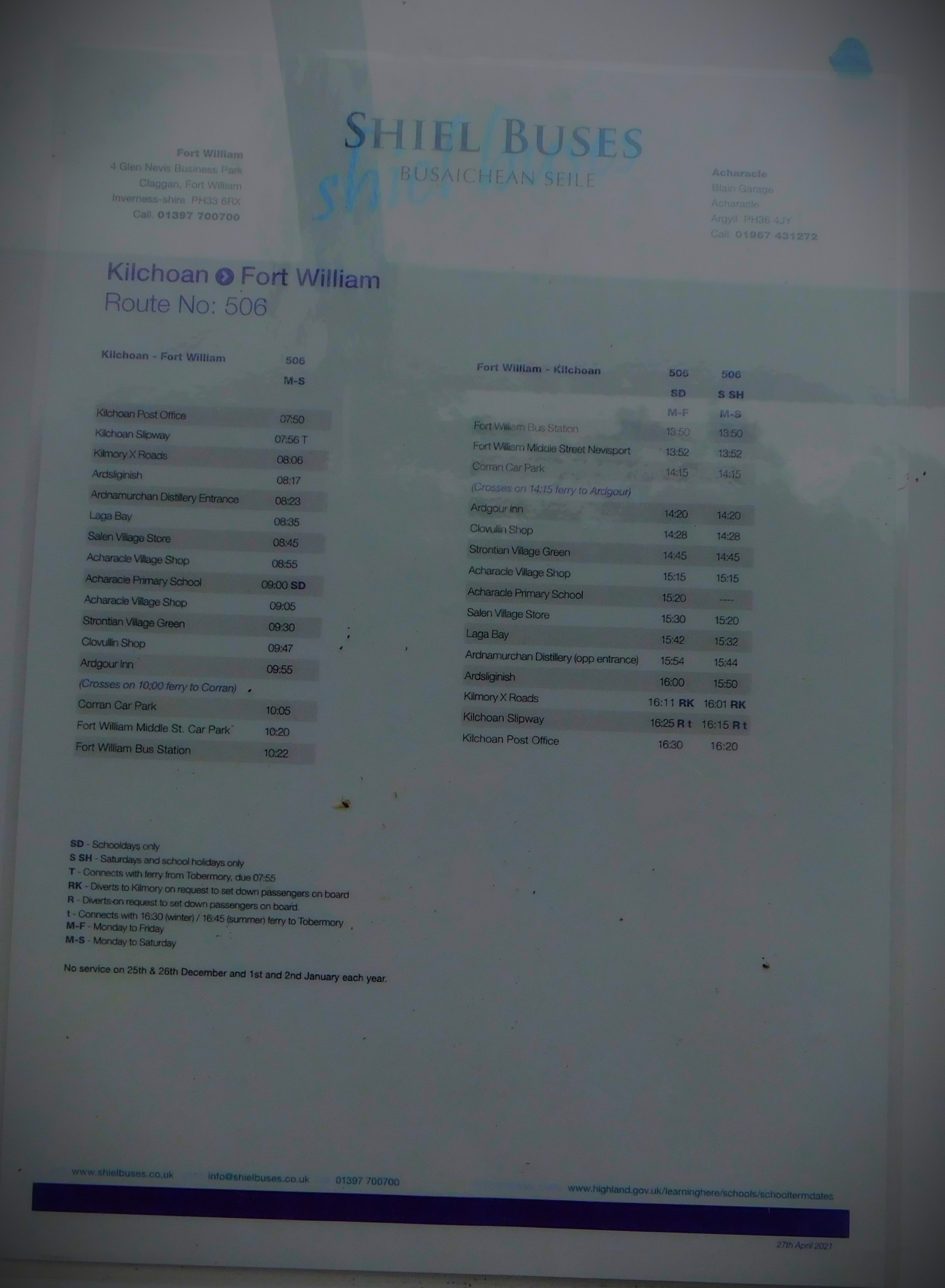
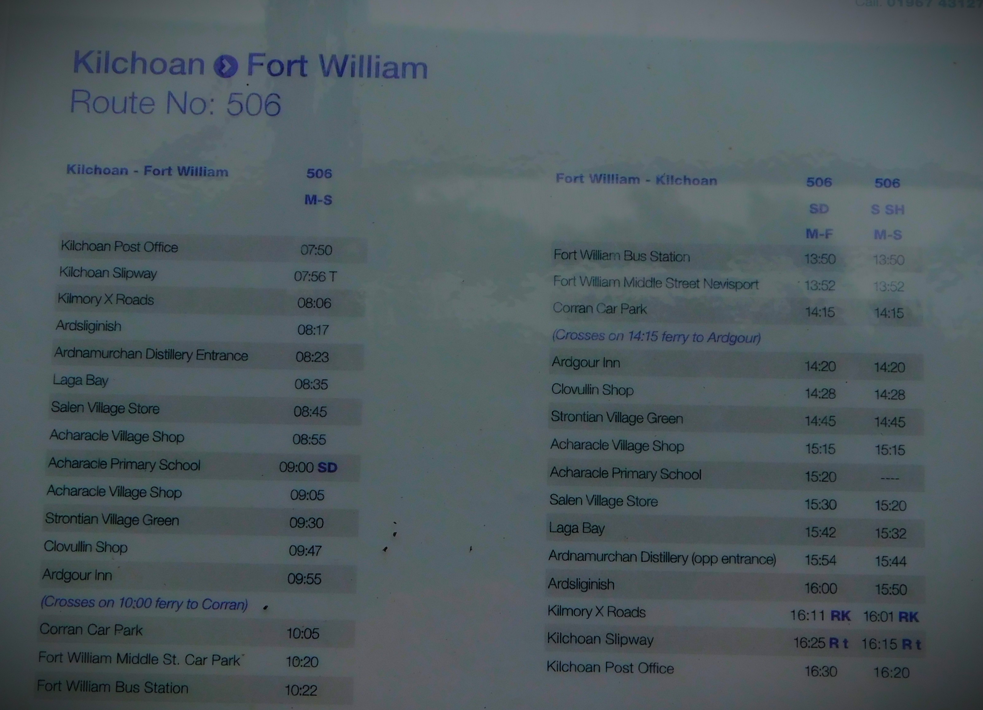
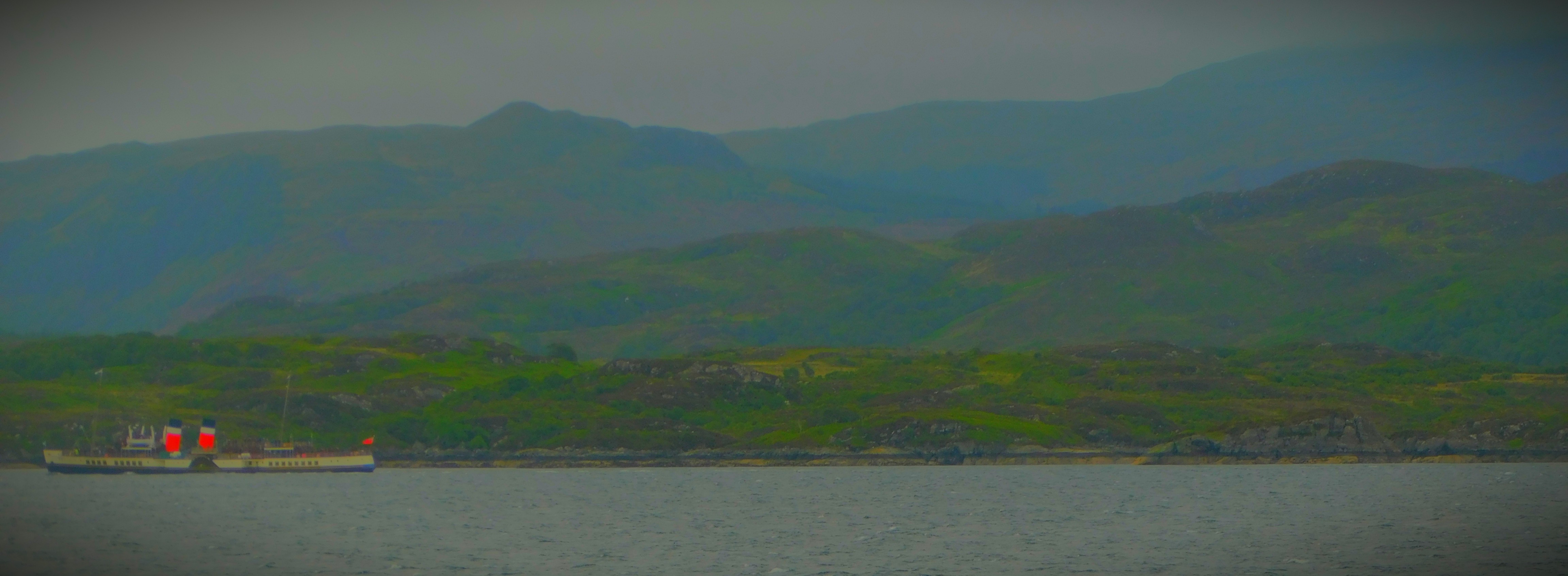
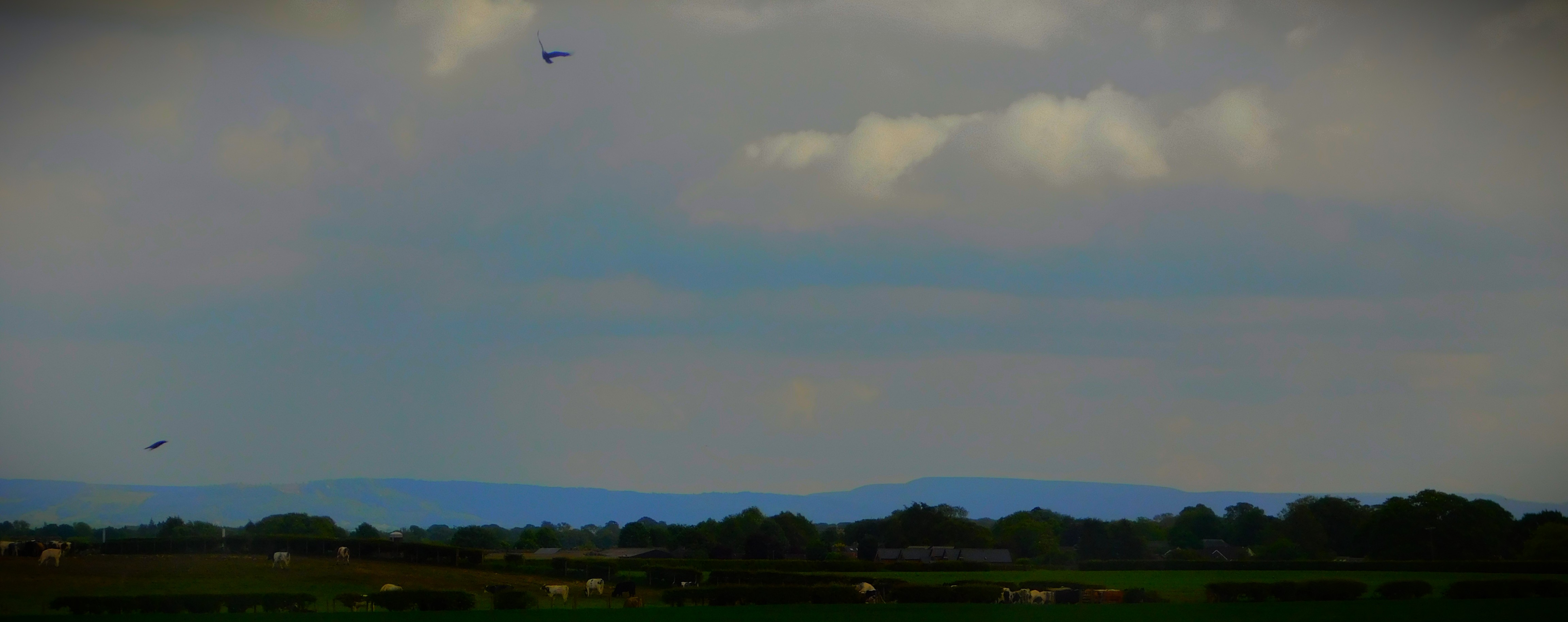
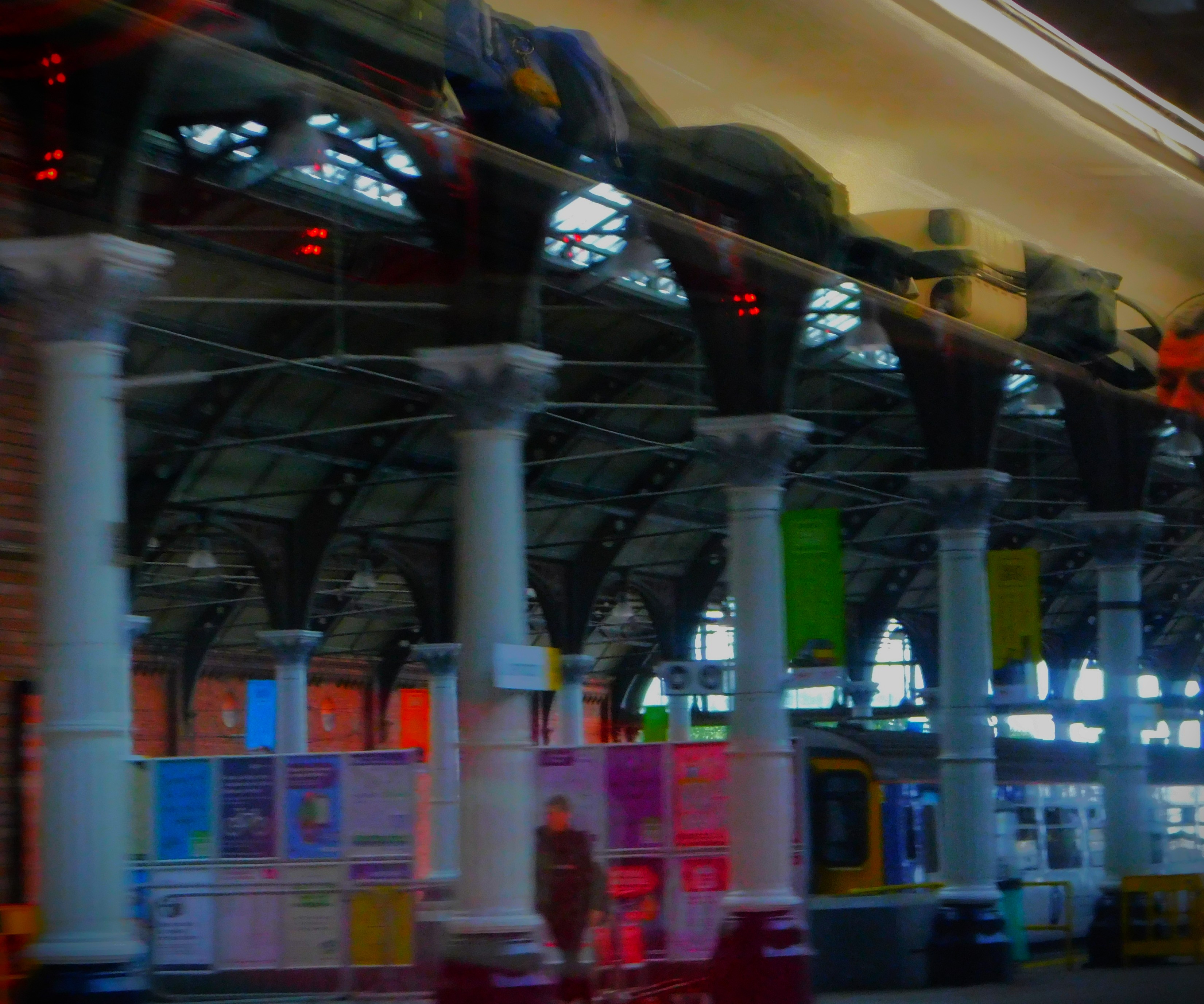
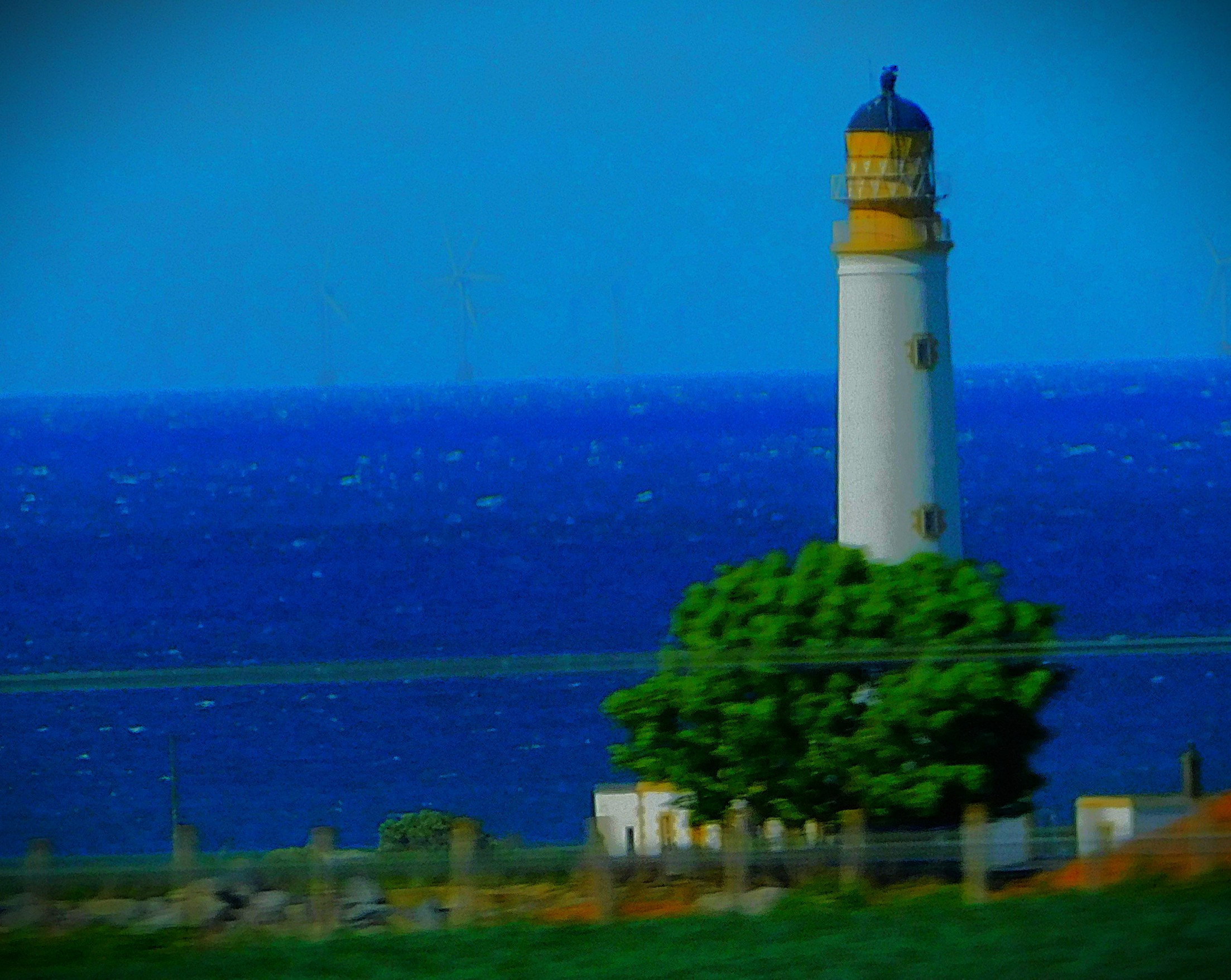
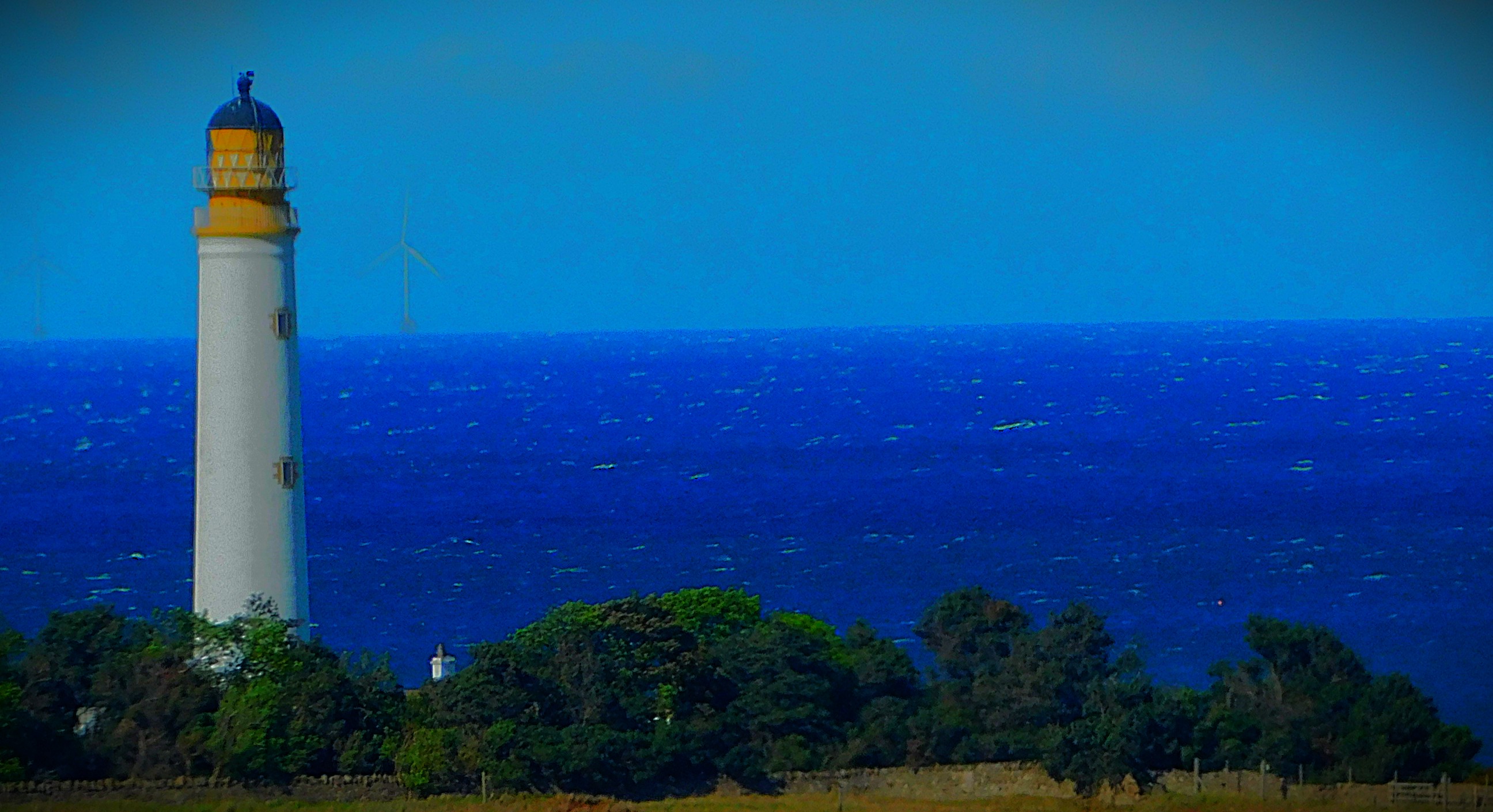
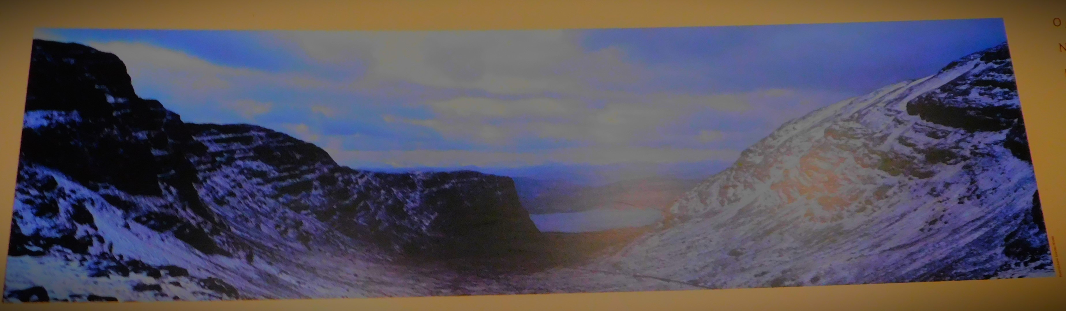
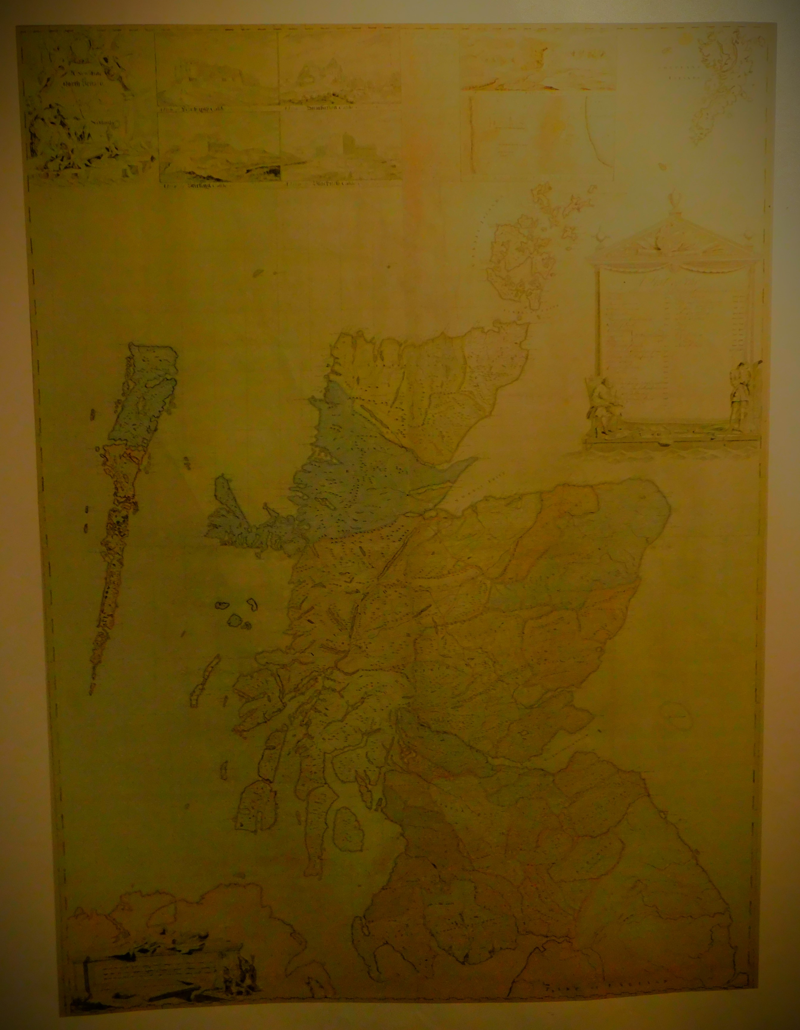
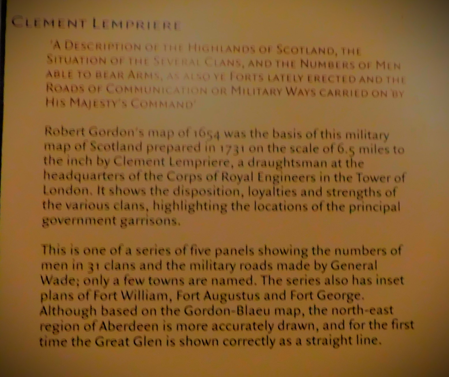
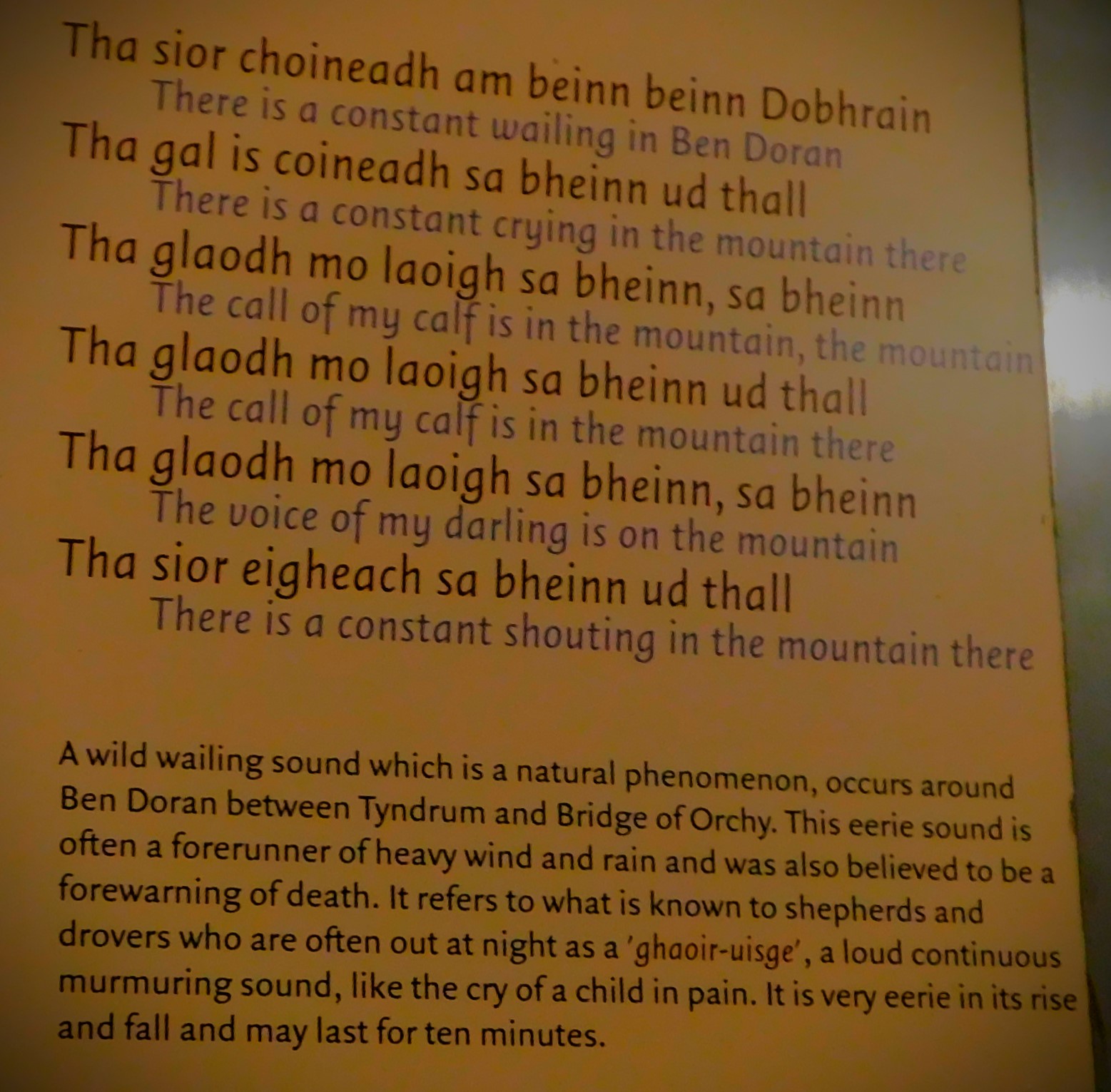
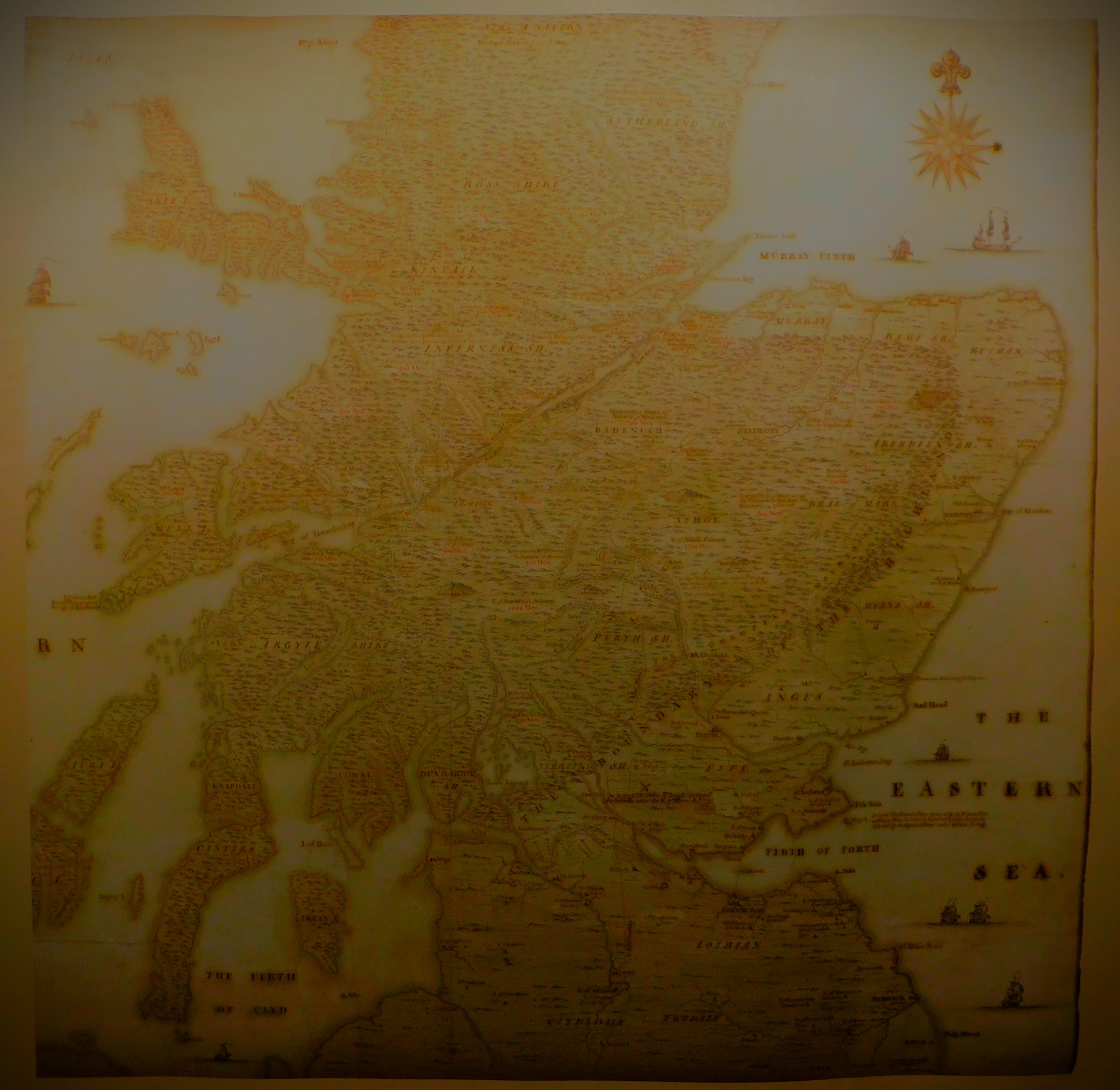
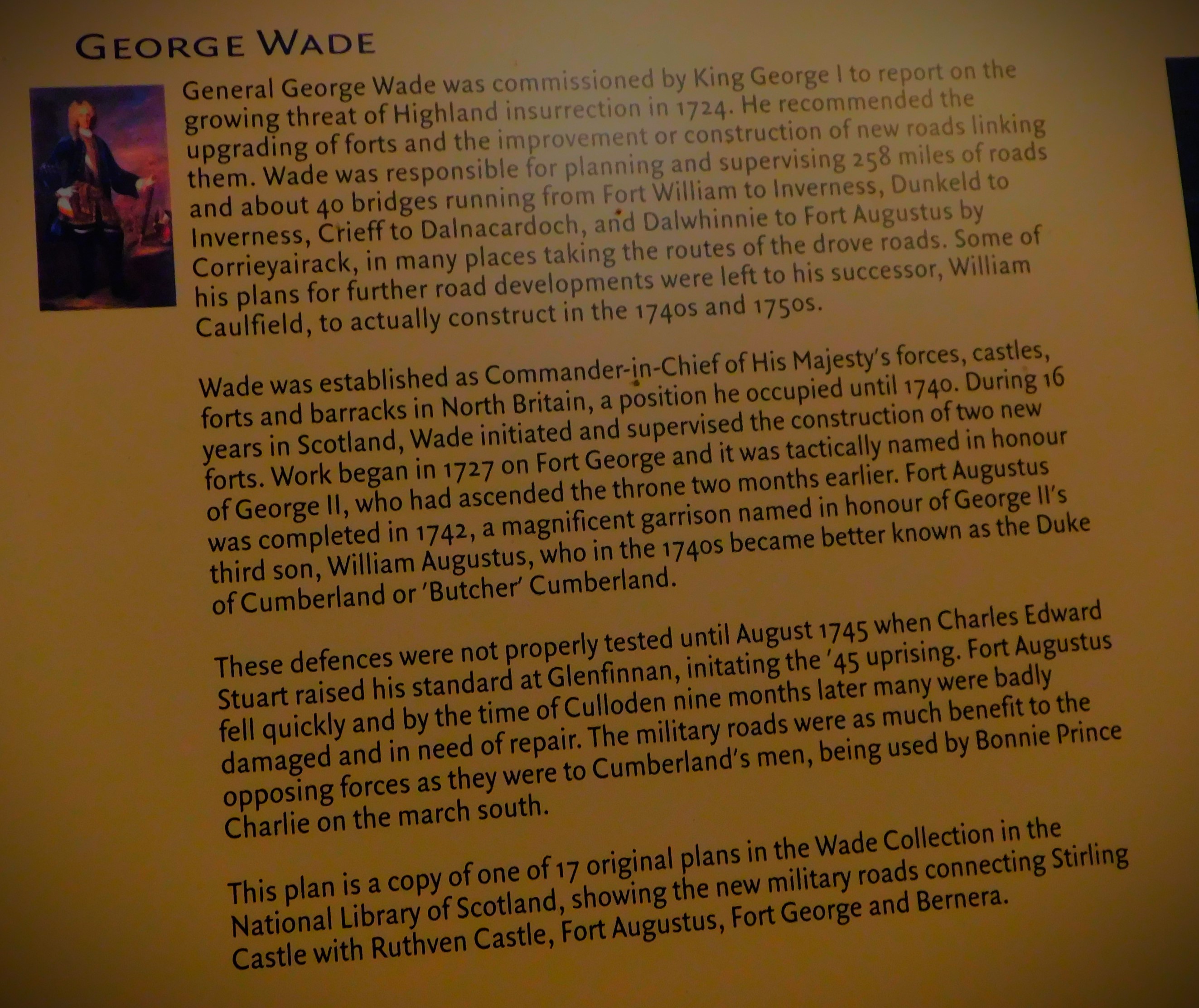
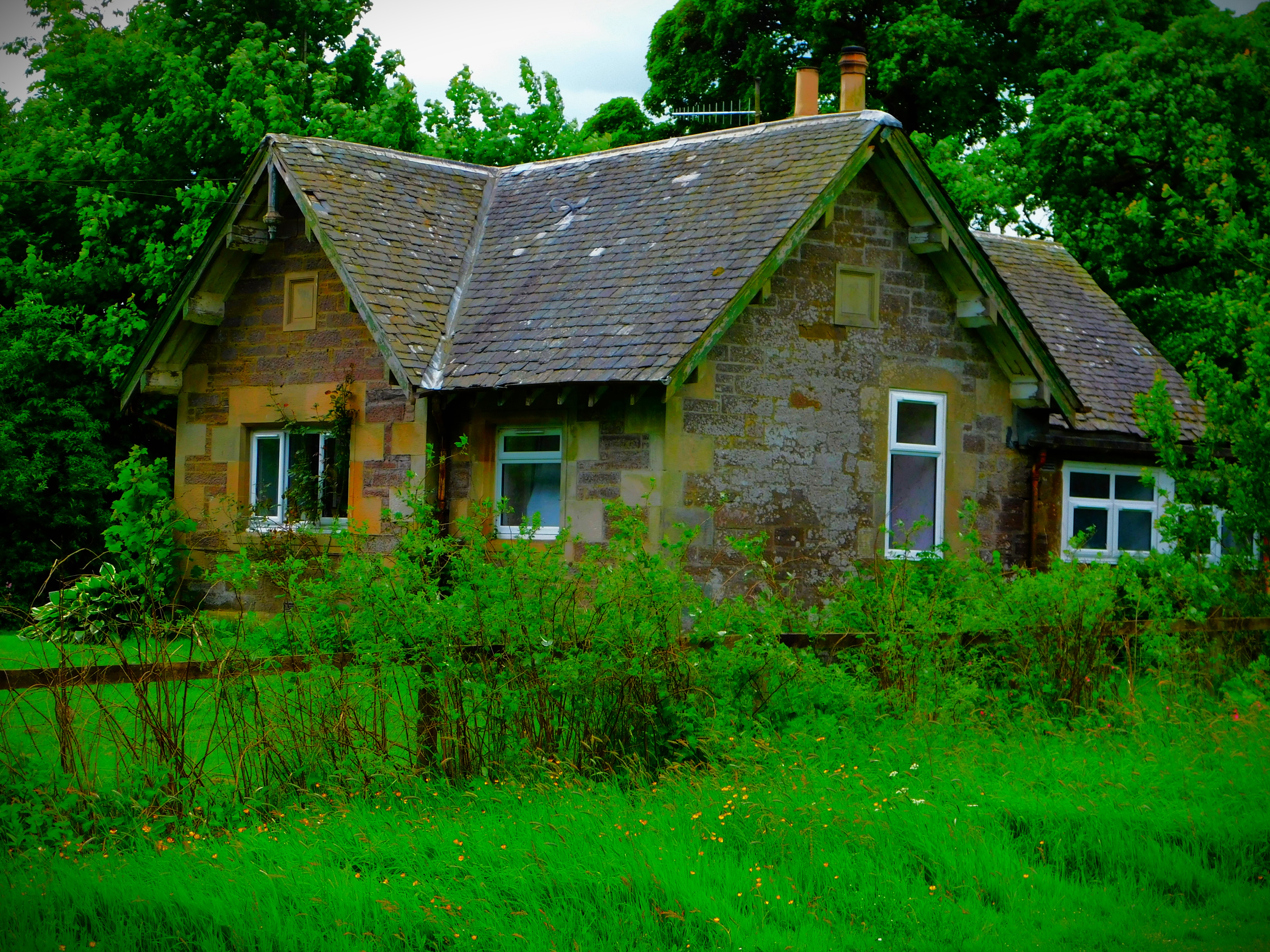
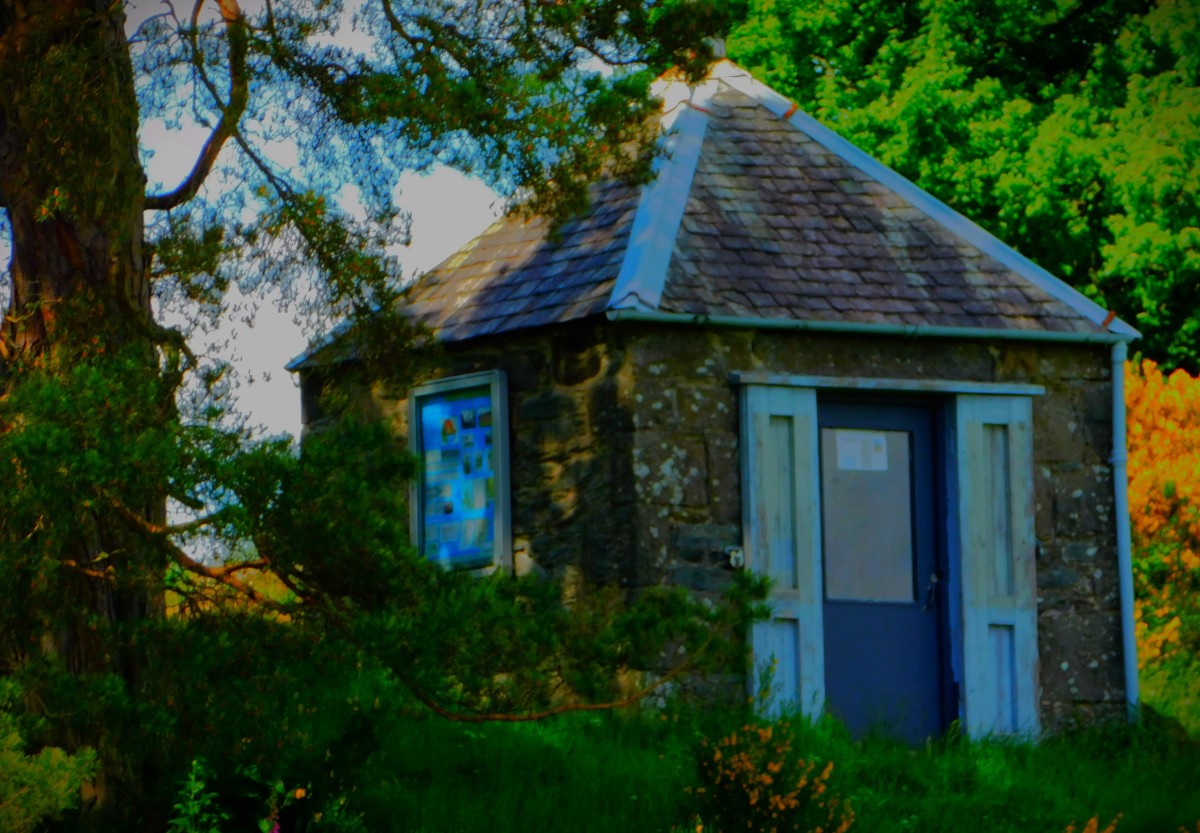
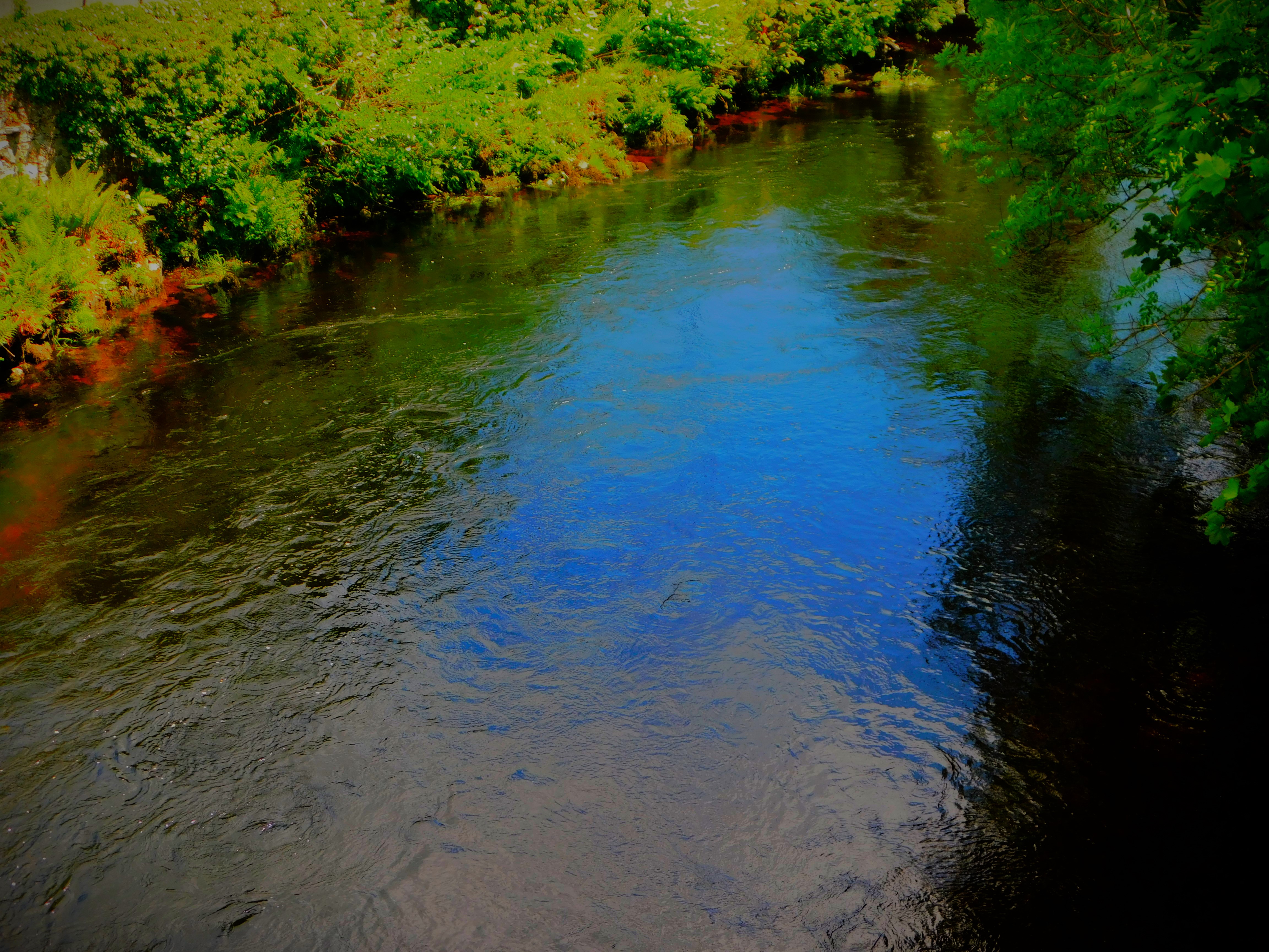
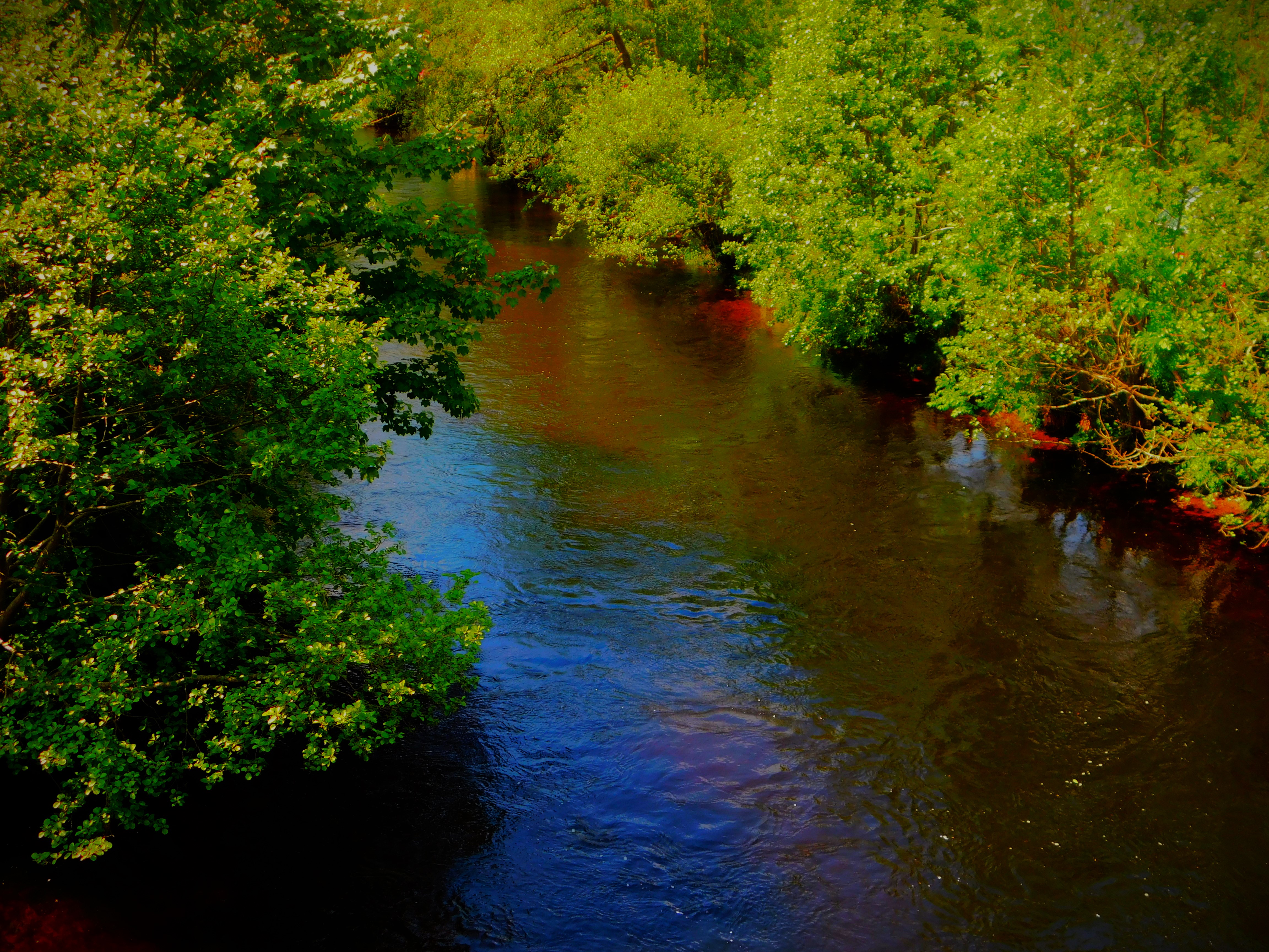
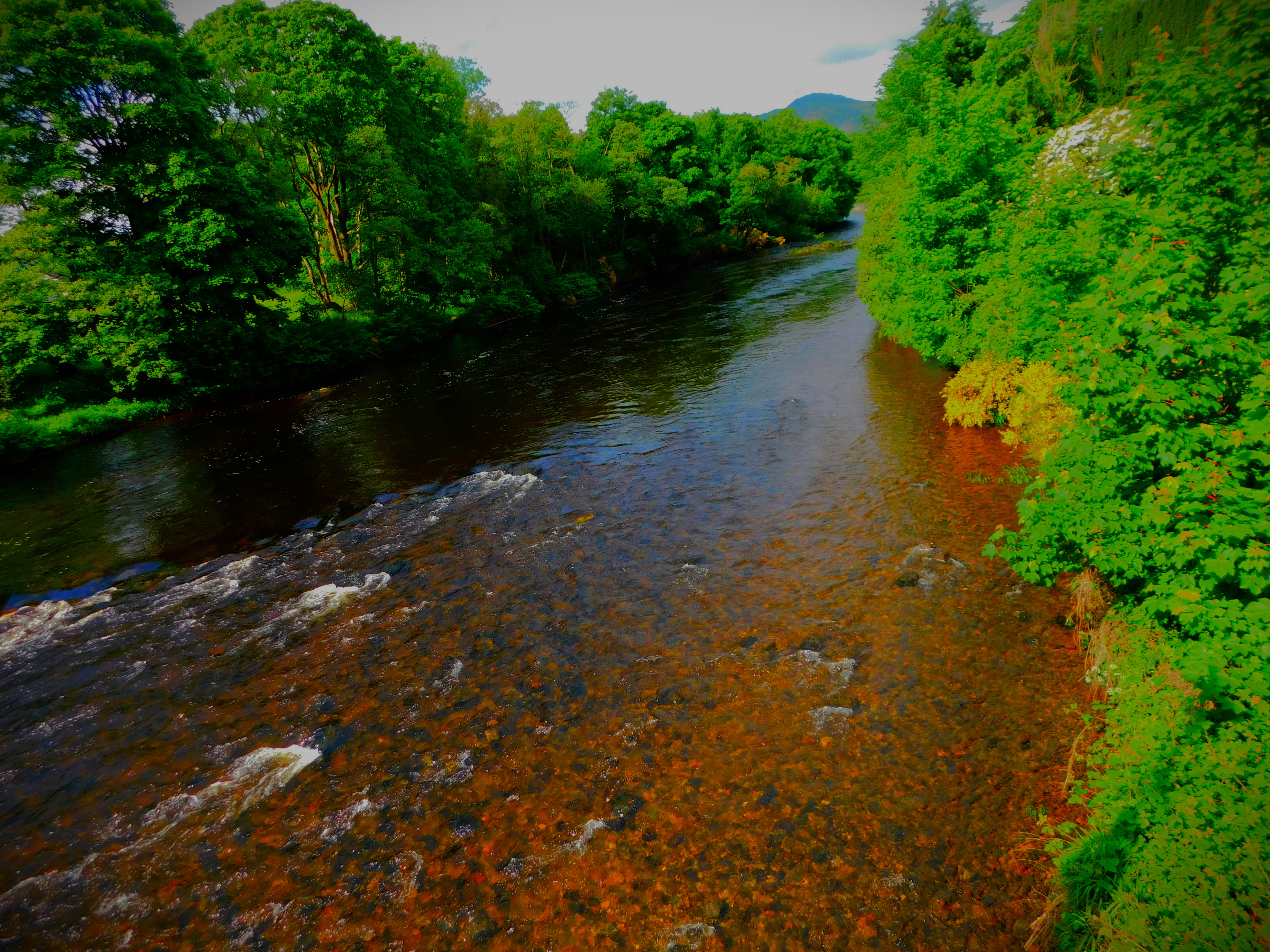
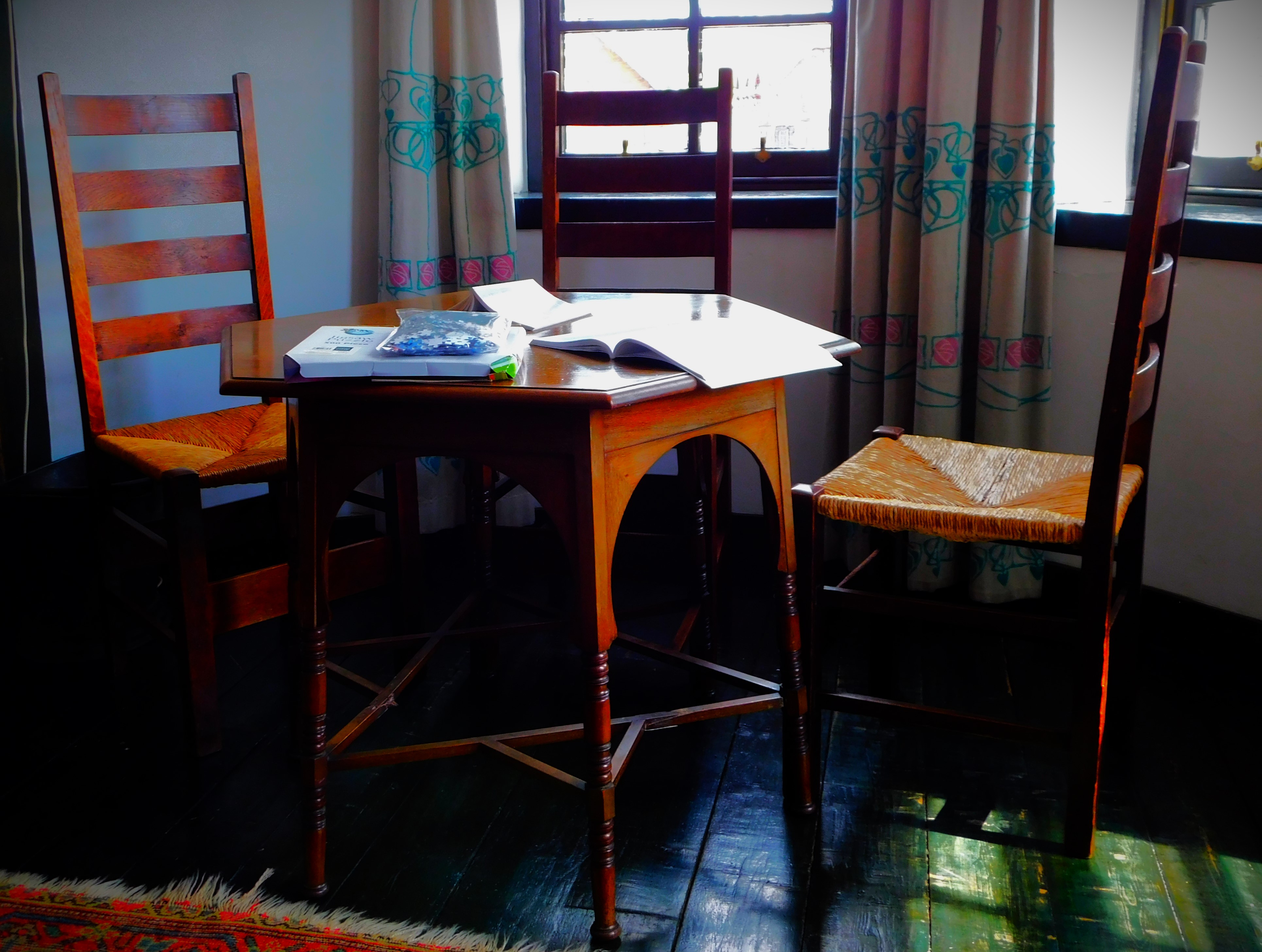
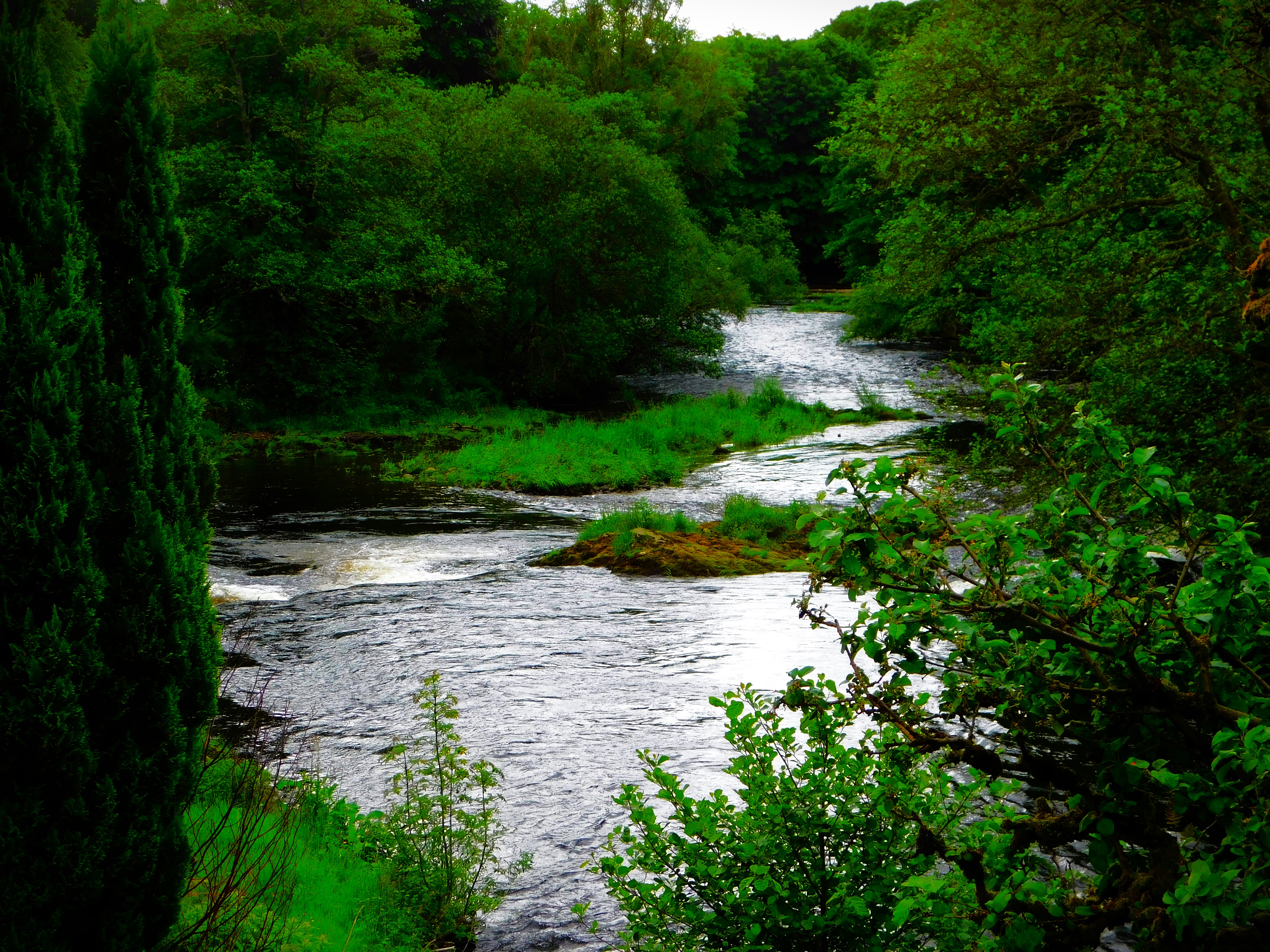
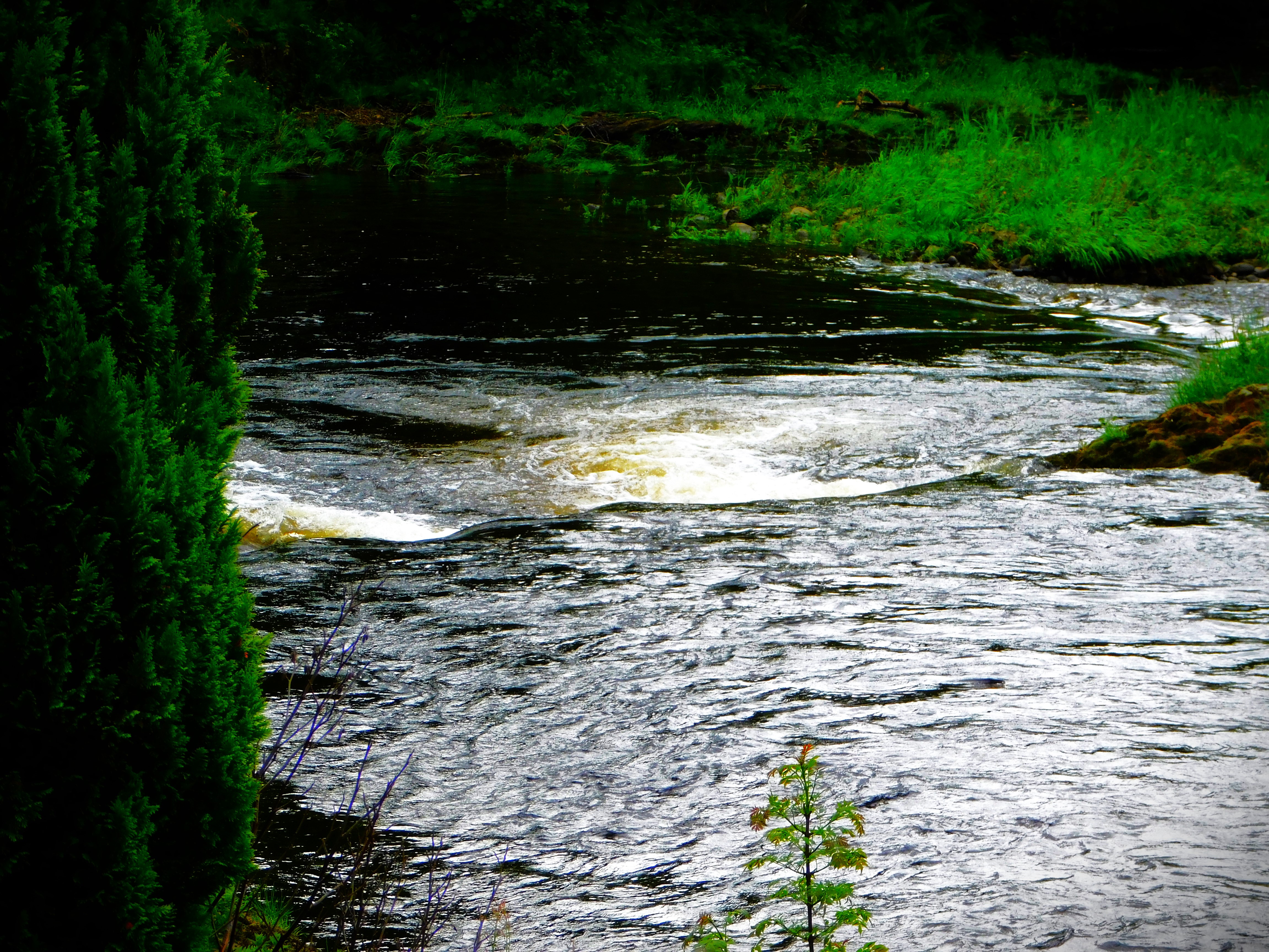
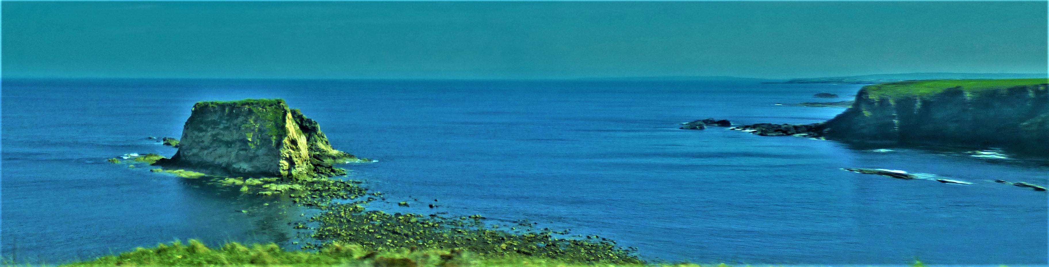
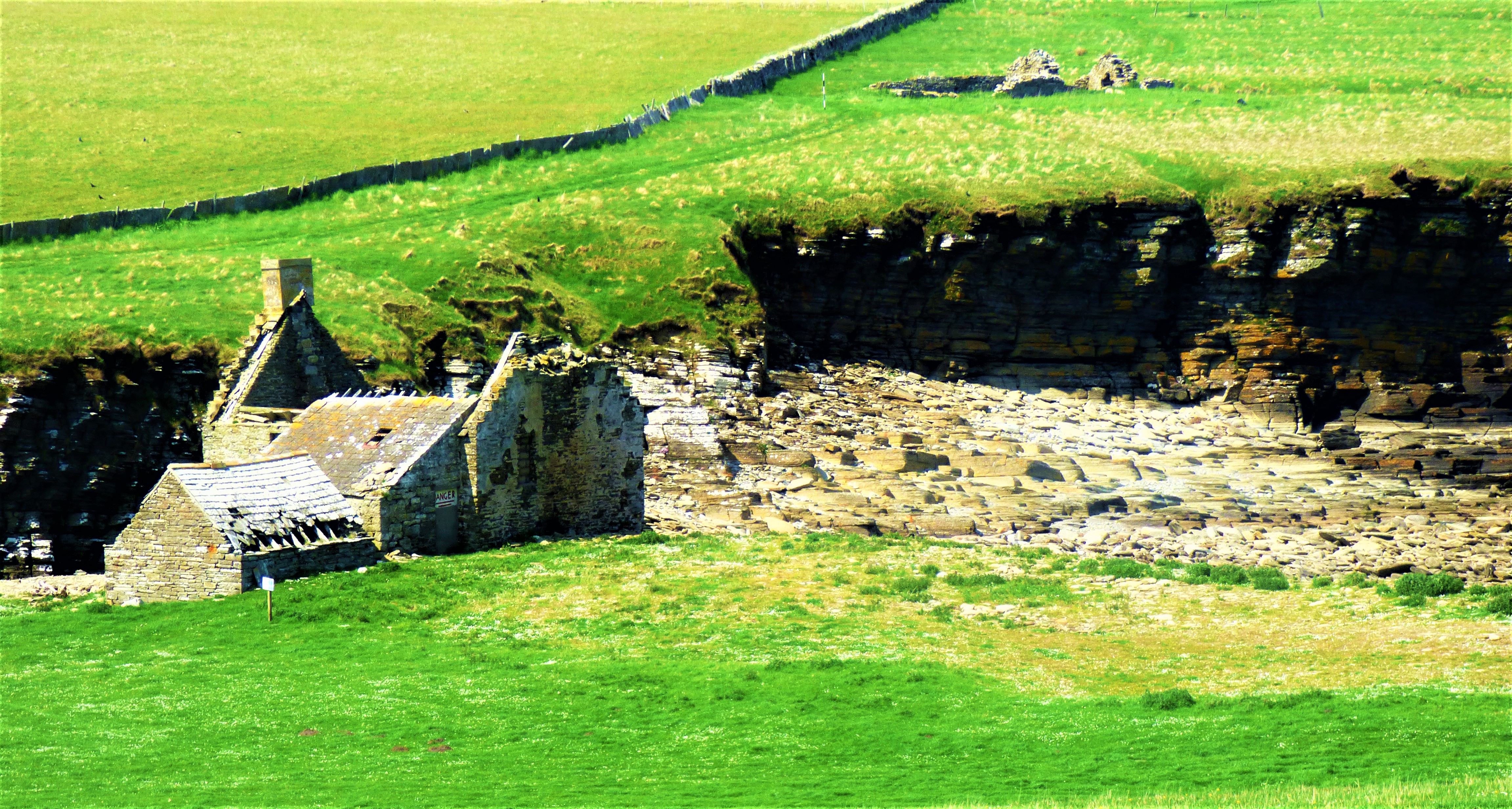
We investigatred this walk early in our journey, but it was not that impressive.The Corran lighthouse, visible from many angles while crossing on the Corran ferry.Information boards at Strontian (five pics)Internal decor at the cafe (four pics)Pictures from the Strontian river (nine in total)Even a place as remote as Strontian has a bus route.This is the Paddle Steamer Waverley – there will be much more about this vessel and its history in later posts.Some pictures from the house at AchnosnichI ventured out for a walk later that afternoon.
An account of a problematic start to this year’s Scottish holdiay, courtesy of LNER. Also a photo gallery of pictures all taken at various stages of the journey.
I am now ensconced in a tiny hamlet named Achosnich in the far west of the Ardnamurchan Peninsula, which is itself the westernmost past of mainland Britain, where I and my parents are having a holiday around my 50th birthday. The day itself is Saturday, for which I have already scheduled a small post which will come out as near as can be scheduled precisely 50 years after my birth. This post would normally have been entitled ‘Getting There’, but as will become clear this process has been somewhat less straightforward than it should have been.
THE BEST LAID PLANS OF MICE AND MEN…
Up until about 11:30AM yesterday, for all that the day of my birthday had meant a Sunday to Sunday holiday booking and thus travel and the most unreliable day for using public transport, I was feeling pleased with how things were progressing. I had booked from Peterborough to Crianlarich, the closest place to our final destination that I could sensibly book to, and to guard against choppy waters in respect of the opening leg of the journey had opted for the safe option of the 9:25 bus from Lynn to Peterborough, rather than the 10:25 which would have had to run very late to get me in trouble, or to not run altogether. A clear run on the bus saw at Peterborough Station with comfortably over an hour until the train on which I was booked was due, so I purchased some light refreshments and killed time in the station cafeteria, before checking the departure information screen, still with masses of time to spare…
…GANG AFT AGLEY
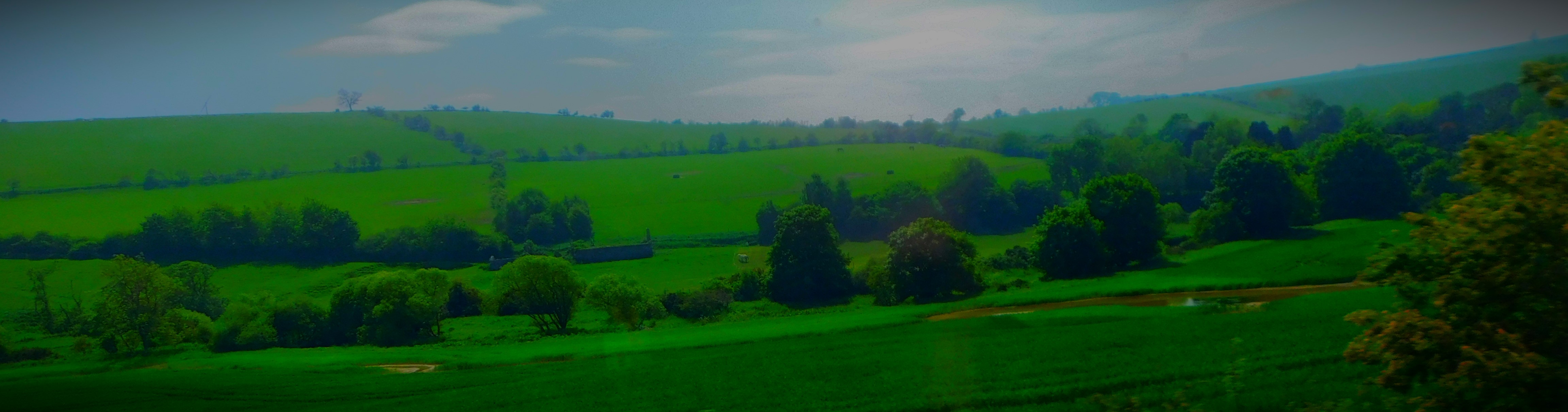
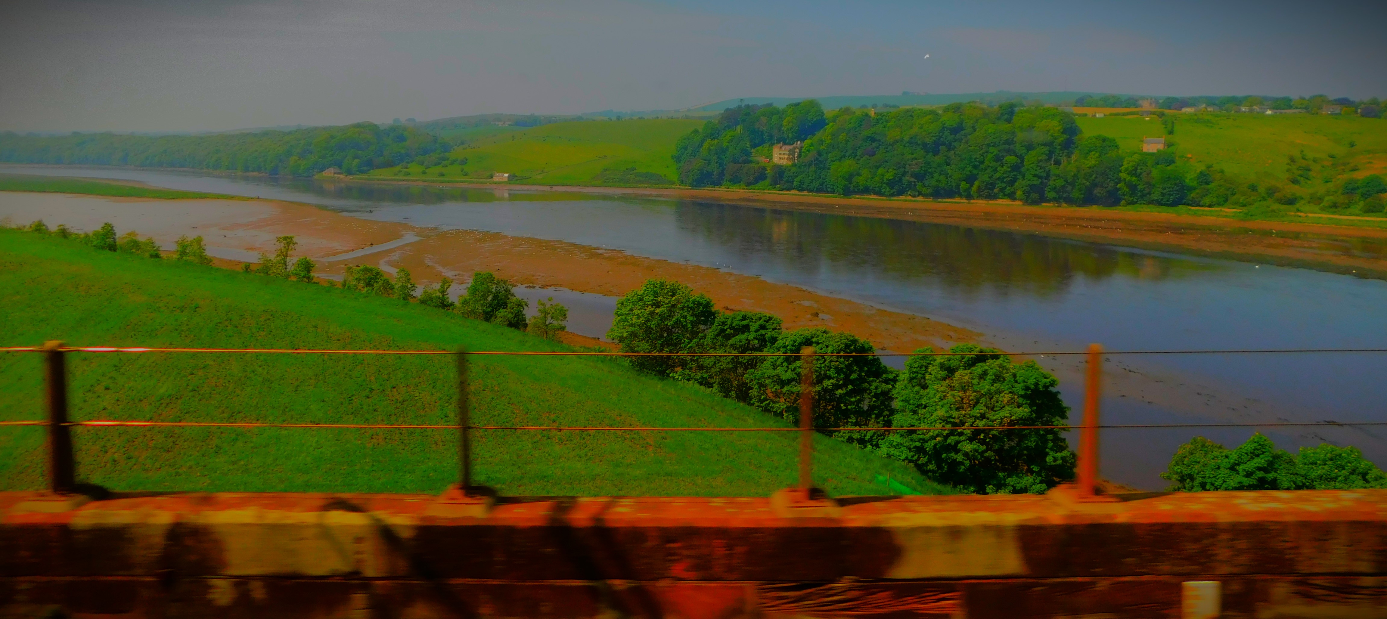
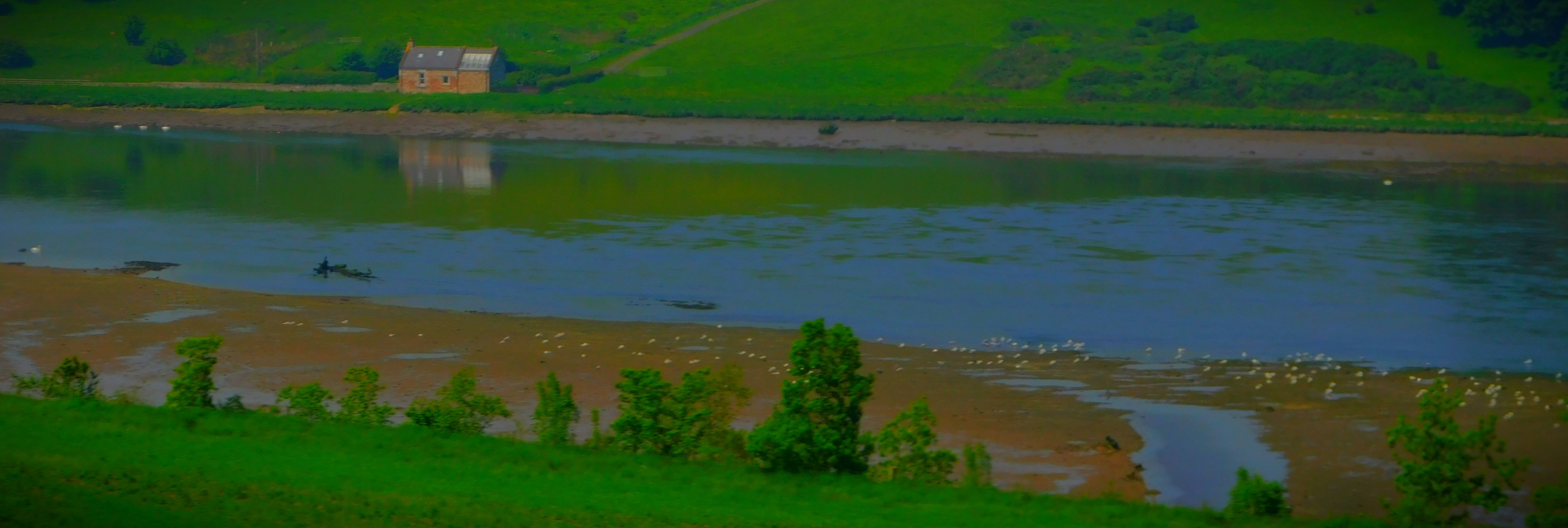
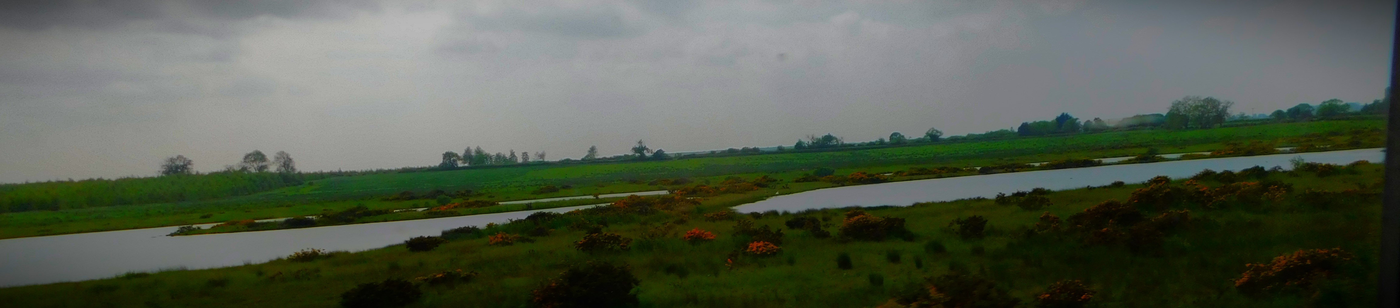
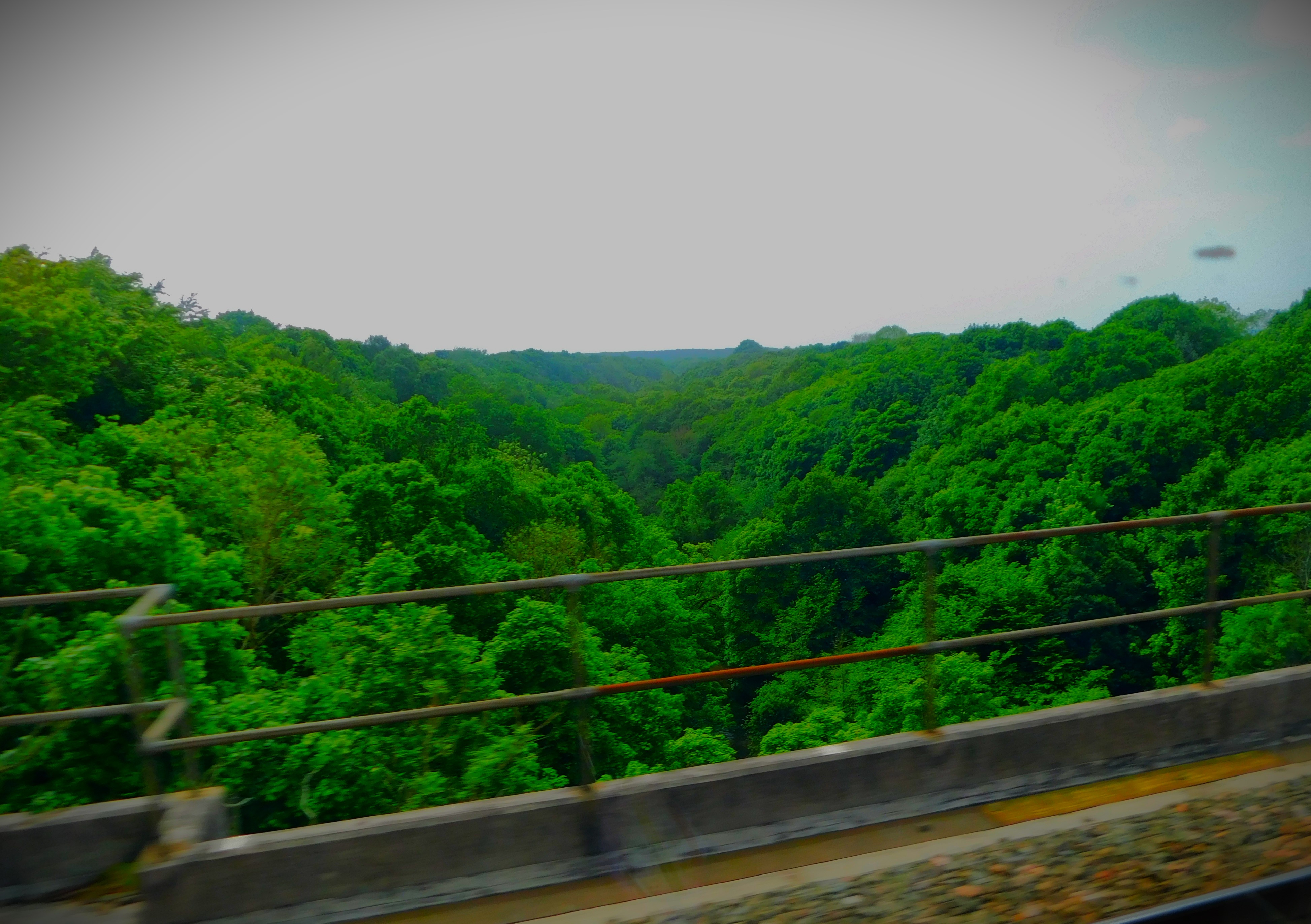
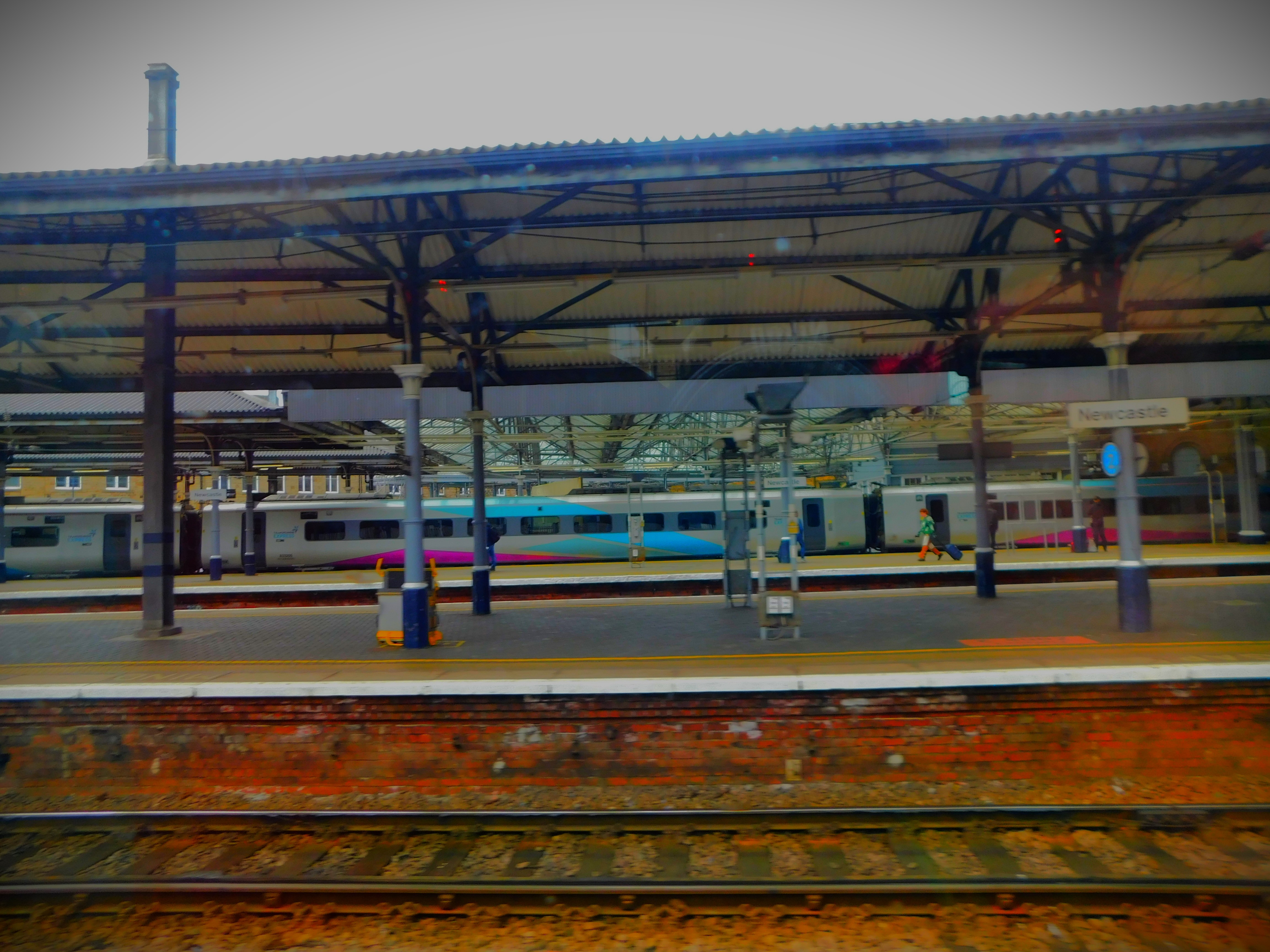
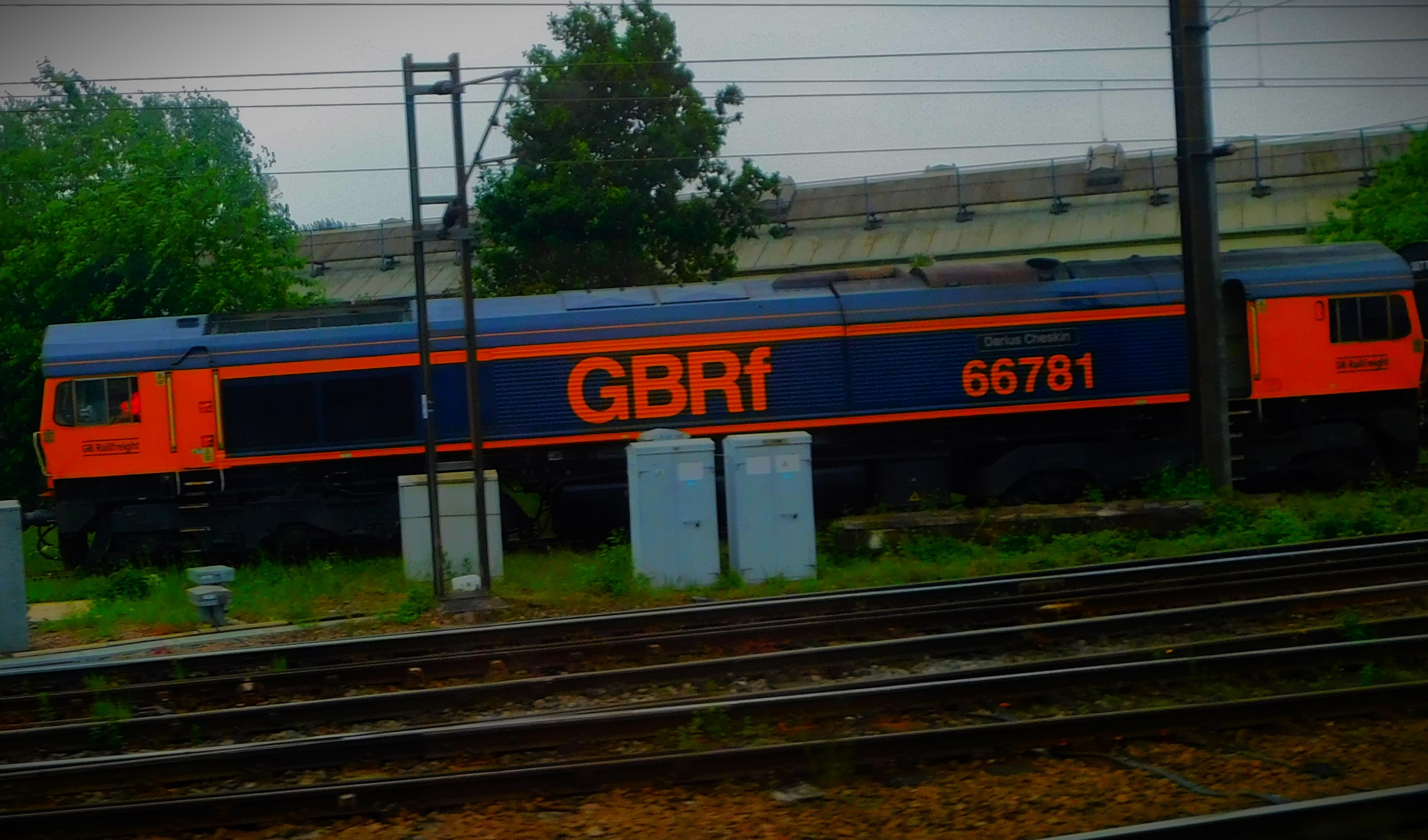
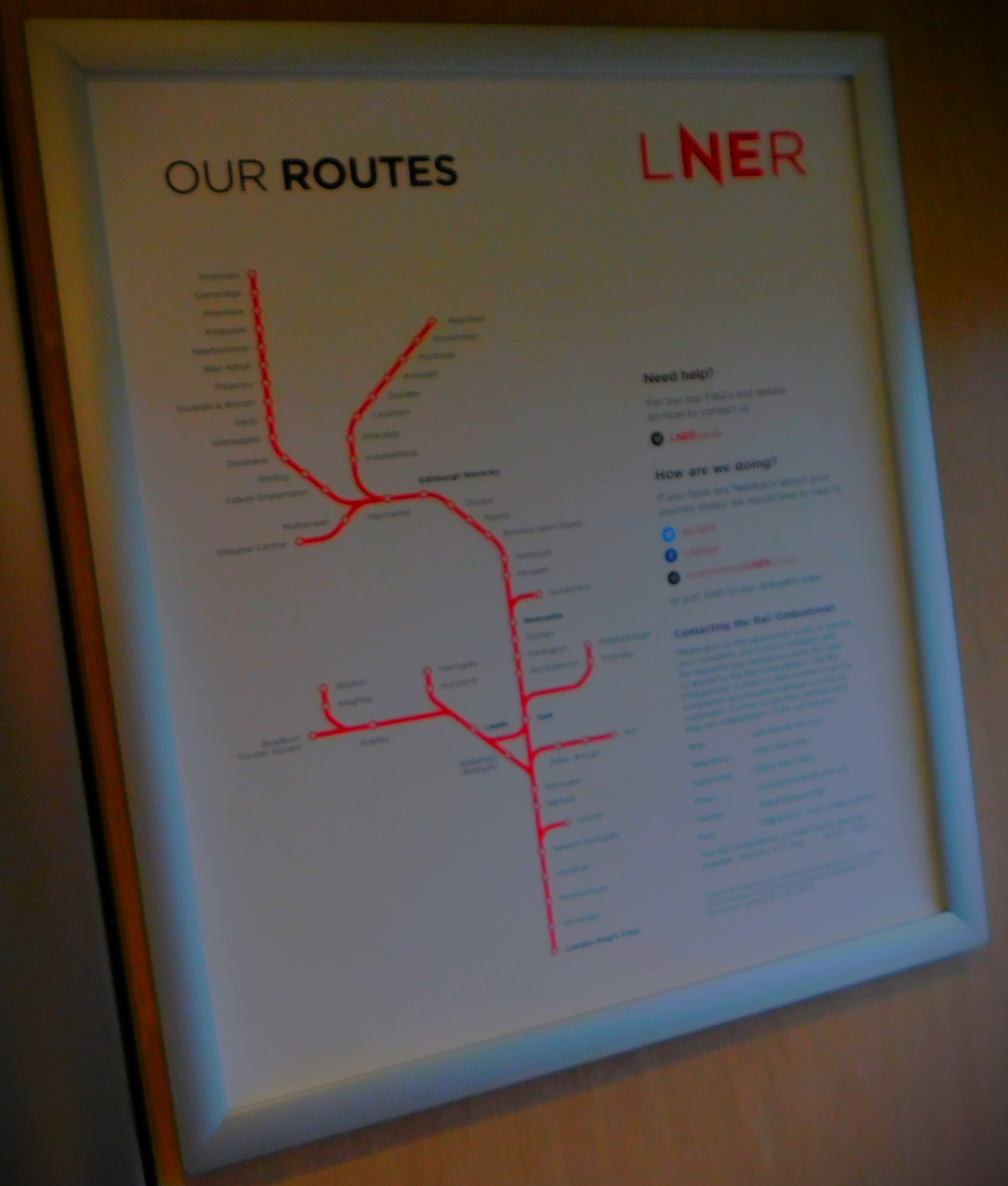
…it was that look at the departure information screen that blew my travel plans sky high. There in big red lettering against the 12:18 to Edinburgh Waverley was the dread word “CANCELLED”, along with a perfunctory line about a faulty train. Fortunately my parents were not by the point irretrievably committed, and we were able to arrange for me to get the 13:18 to Edinburgh, on which I had established that my ticket would still be valid, since the cancellation was entirely the fault of LNER, and they would pick me up there and we would go together in their car to be a place they had booked that was between Edinburgh and our final destination. There were a few problems around Edinburgh, but we got to where we were staying overnight in time for latish supper. The journey to Edinburgh, save for it being a crowded train (Sunday is a light travelling day, but a combination of a cancelled train and the fact that Sunderland had won a play off final and with it promotion to the Premiership on the Saturday meant that space was at a premium) to the extent that I did not get a seat until Newark Northgate. However, by the time of the stretch between York and Edinburgh, which is where all the scenic stuff is I was not merely seated, I was in a window seat, albeit facing against the direction of travel.
PHOTOGRAPHS
Here is my photo gallery…
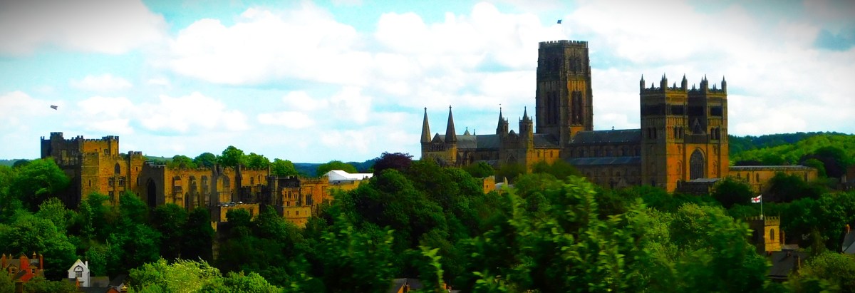
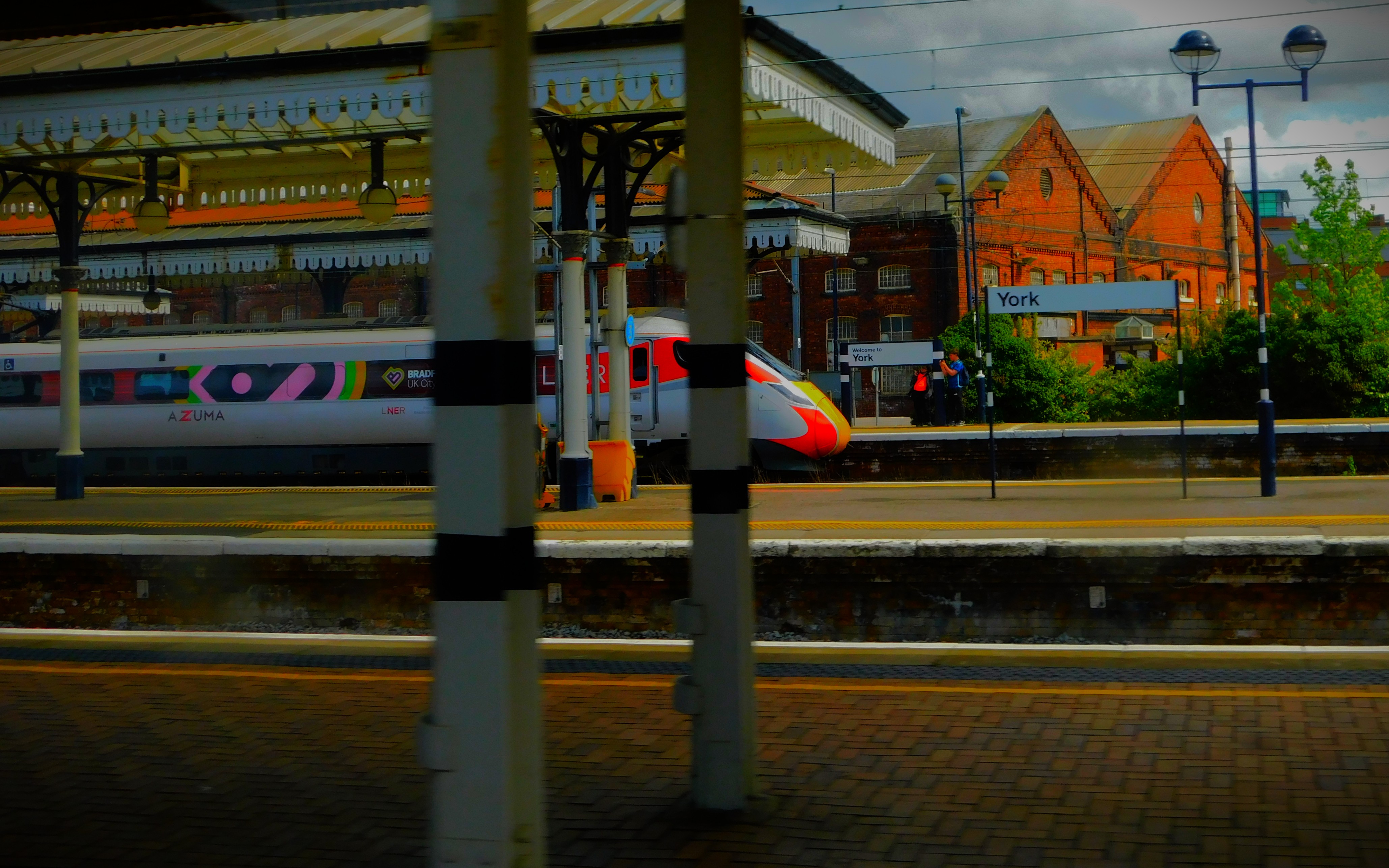
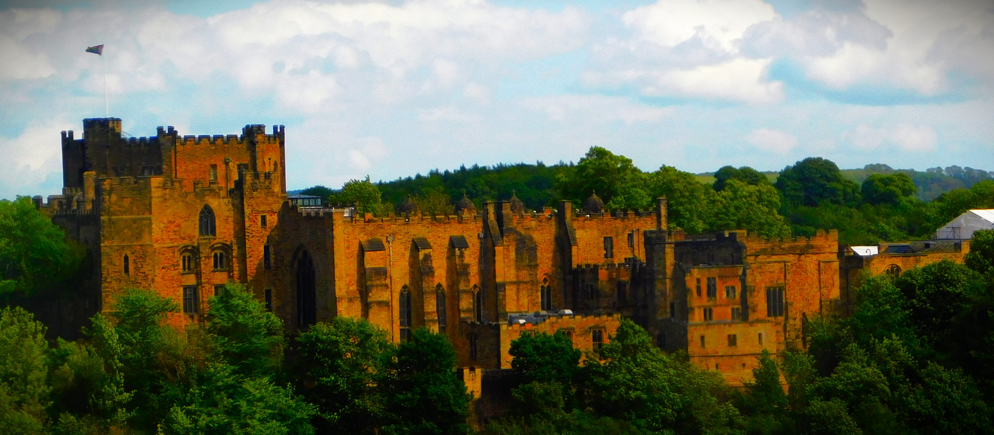
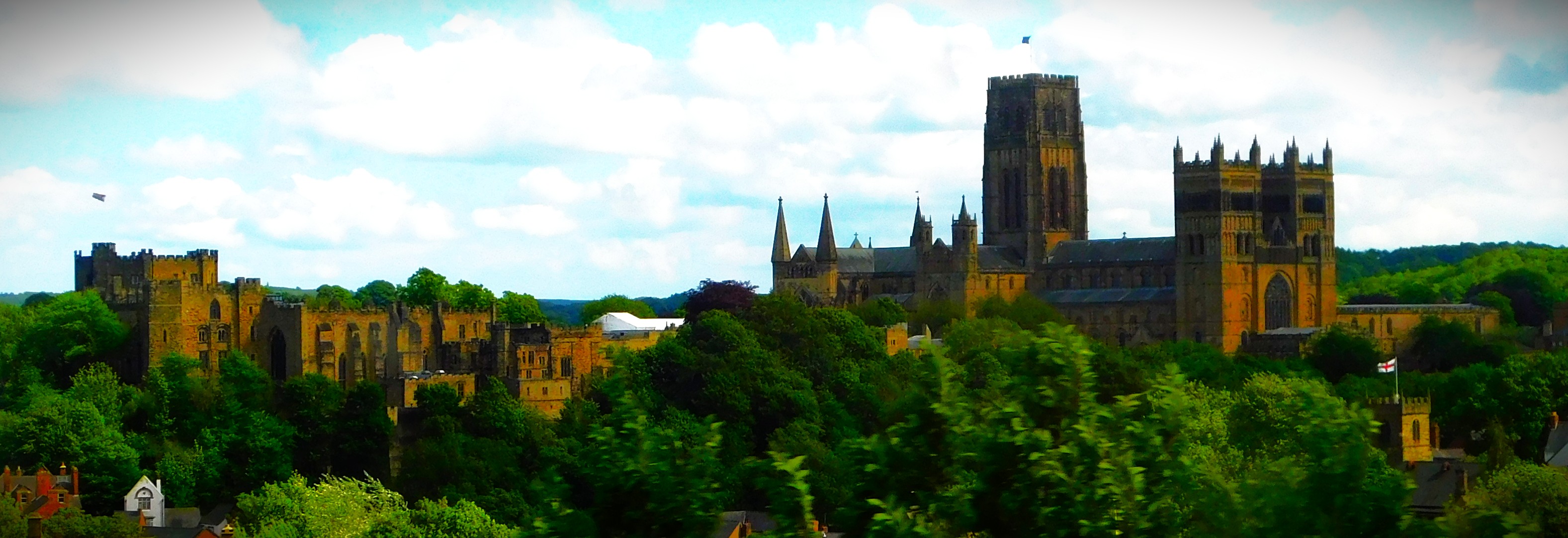
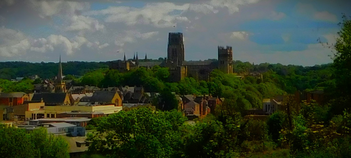
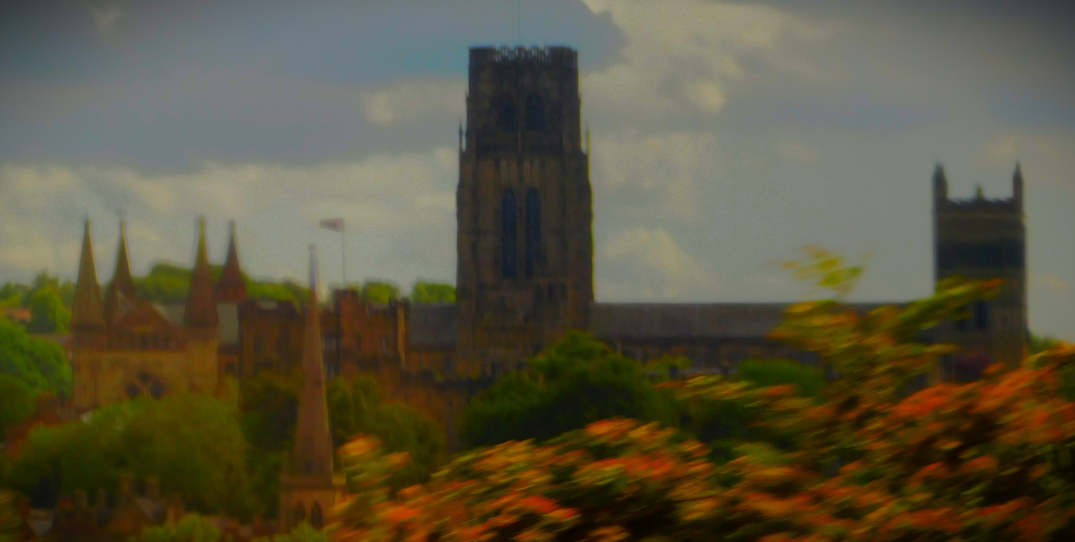
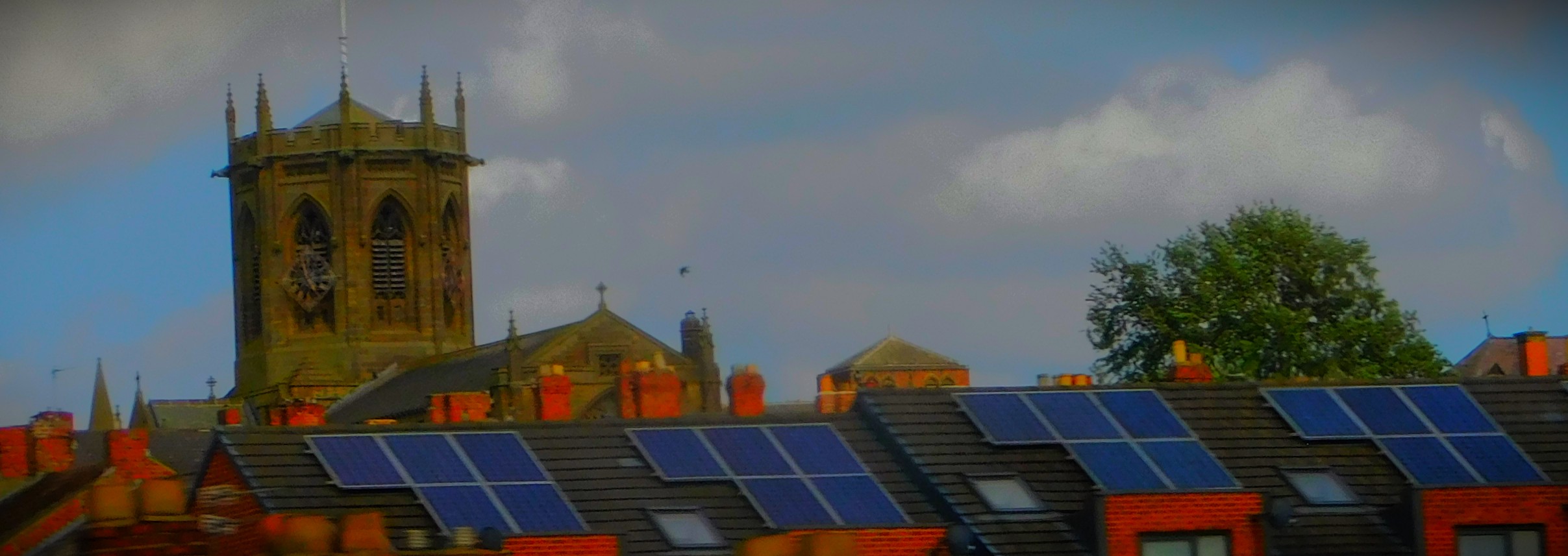
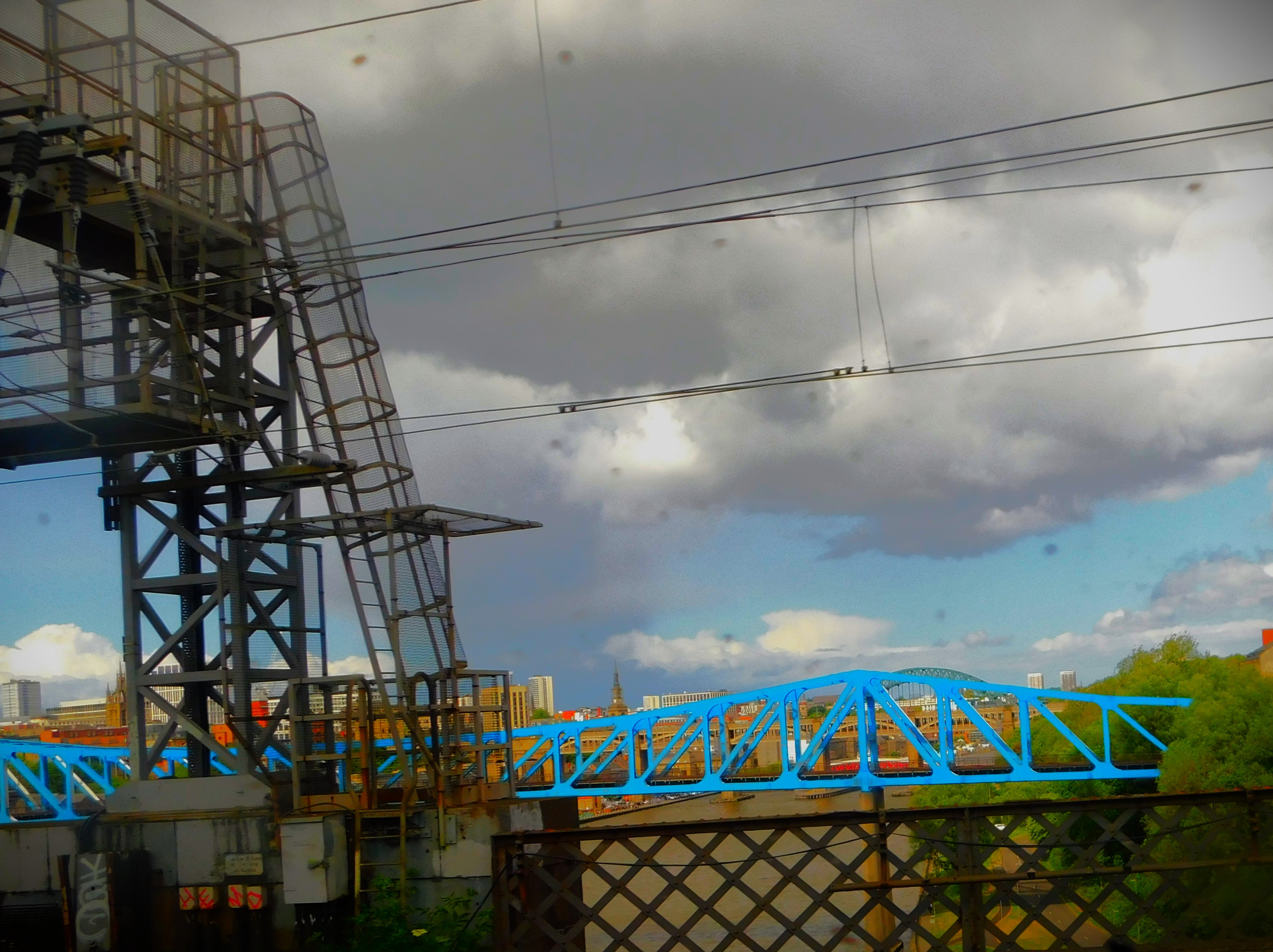
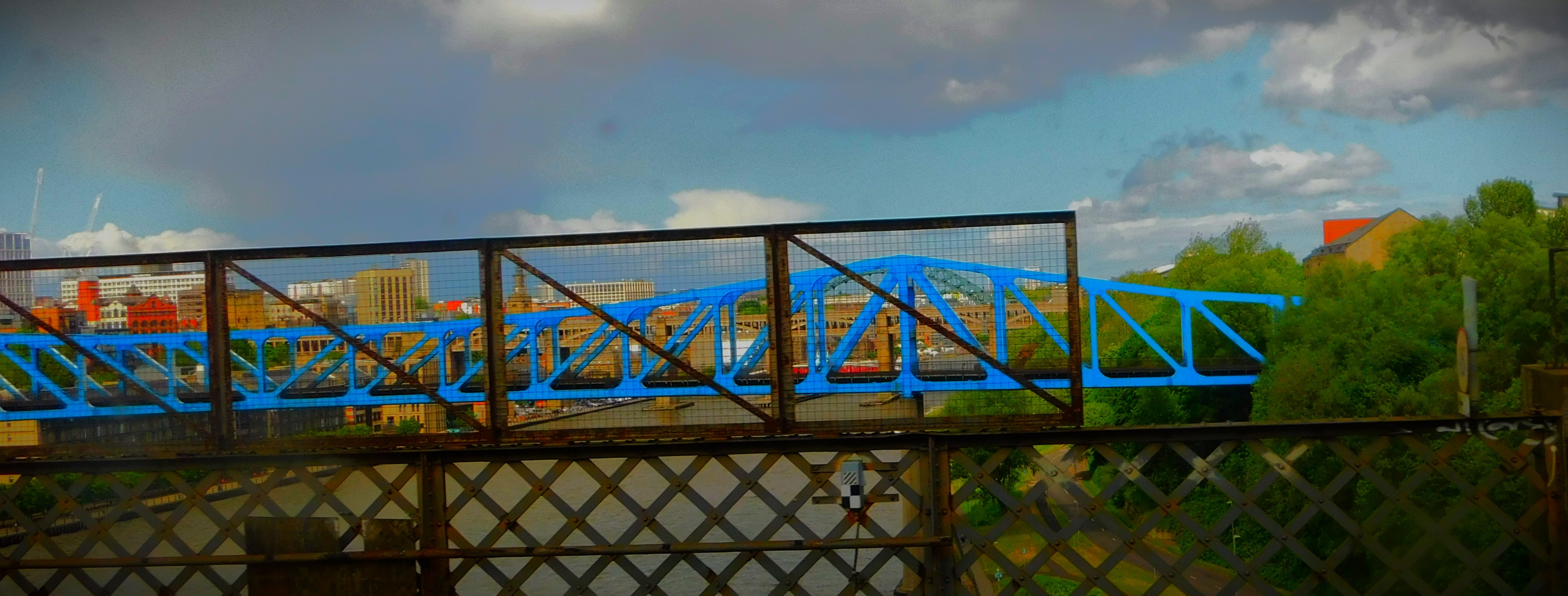
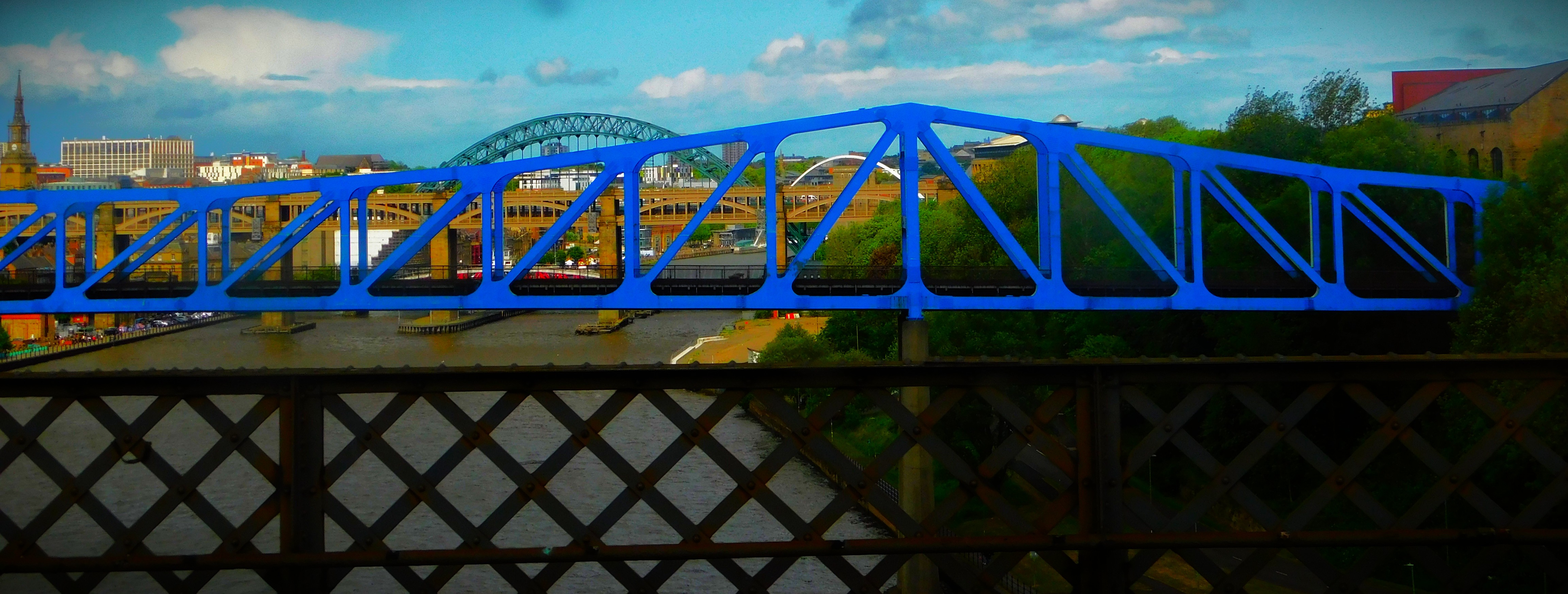
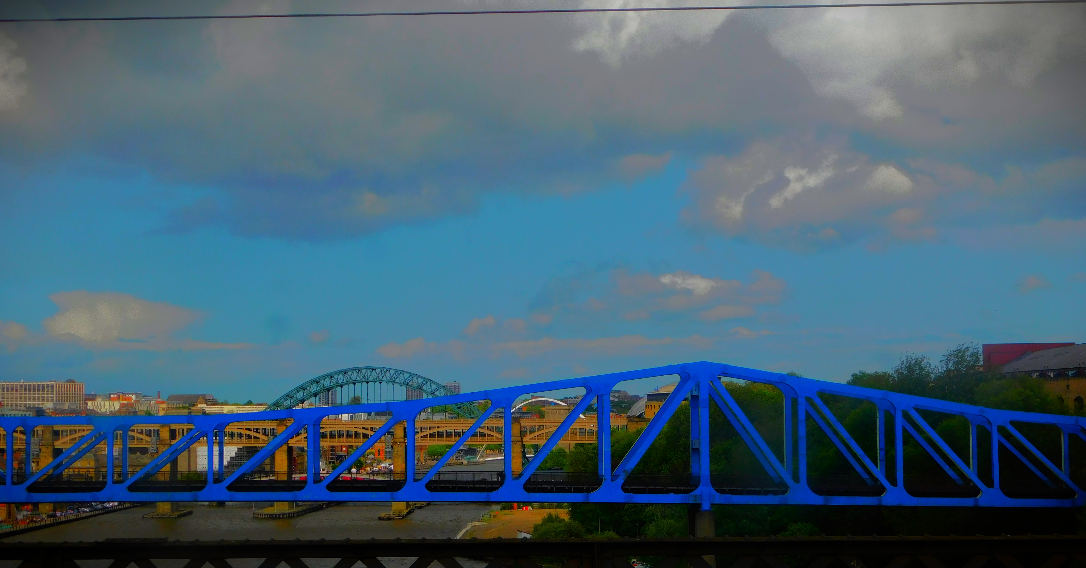
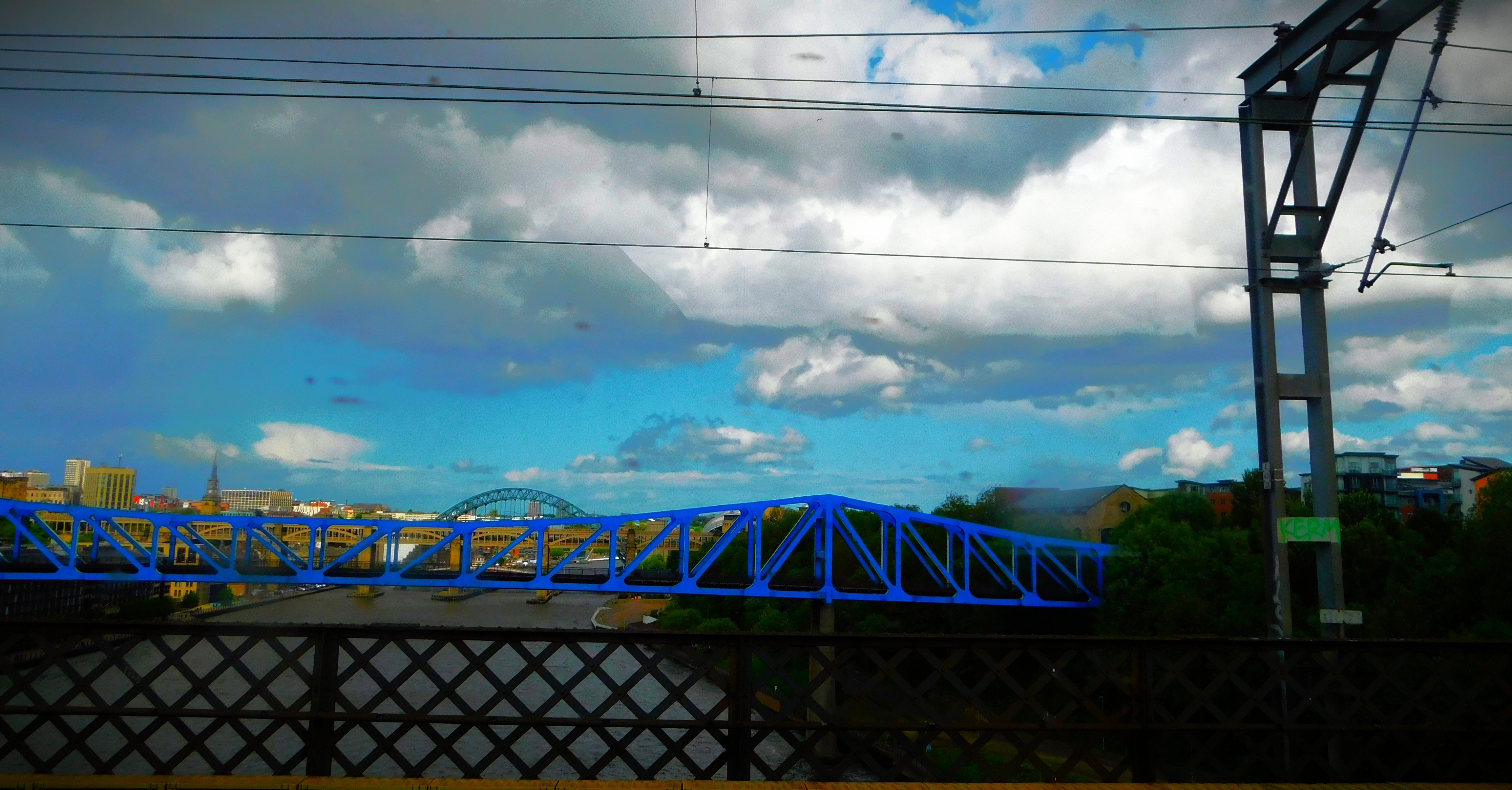
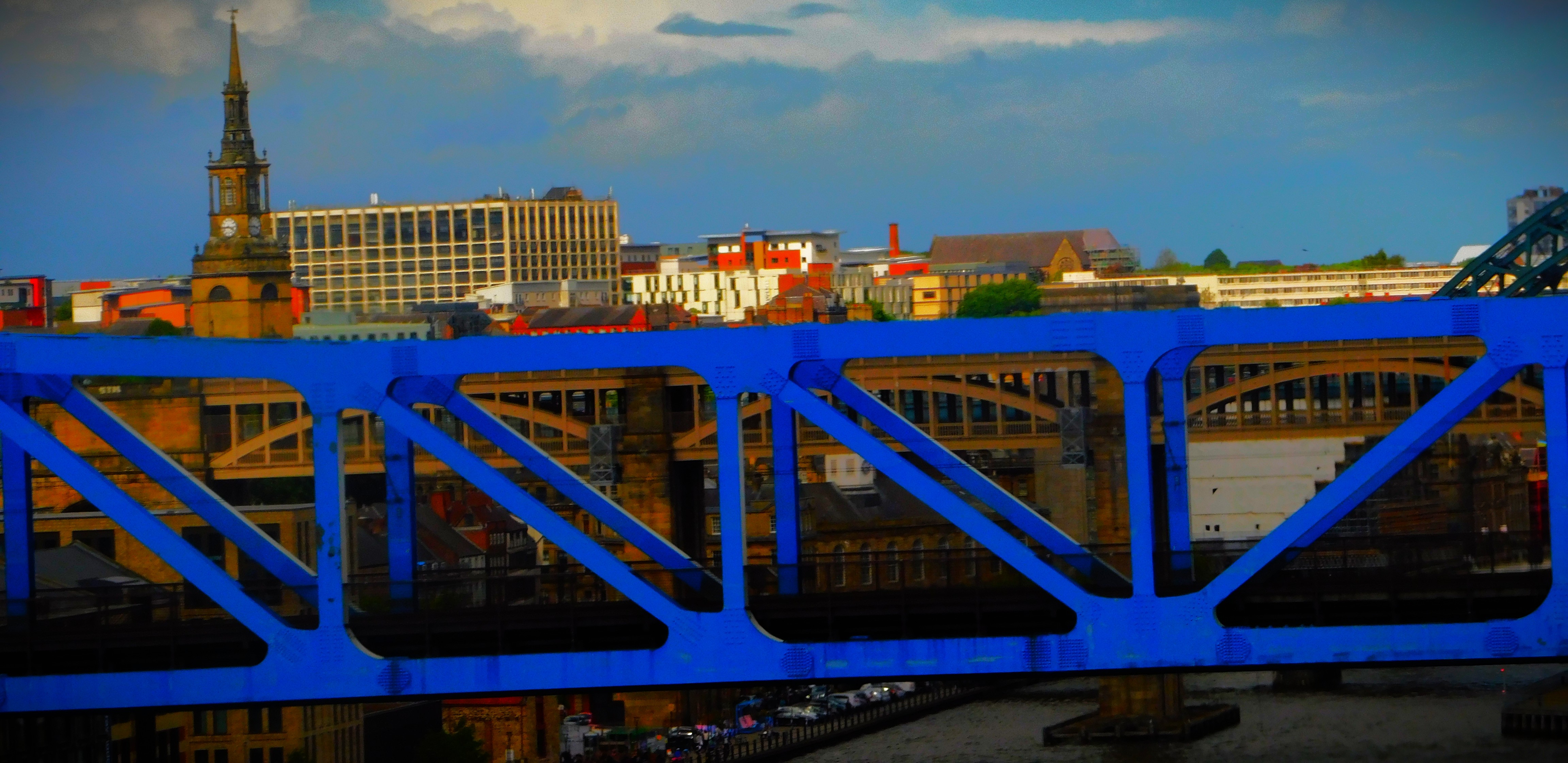
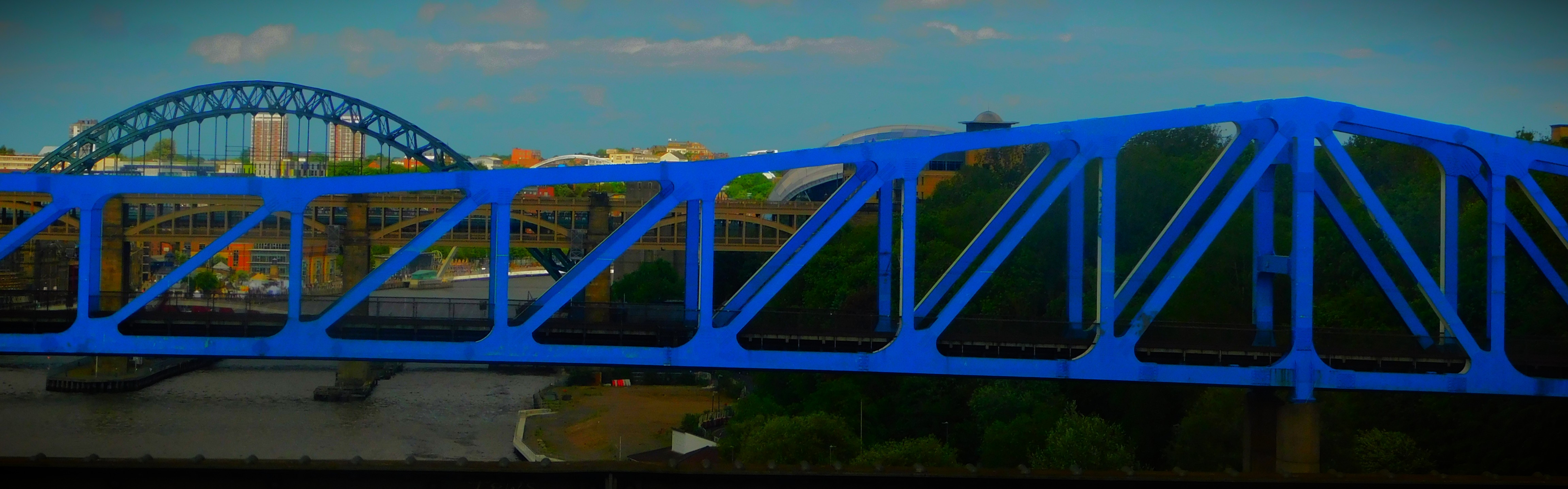
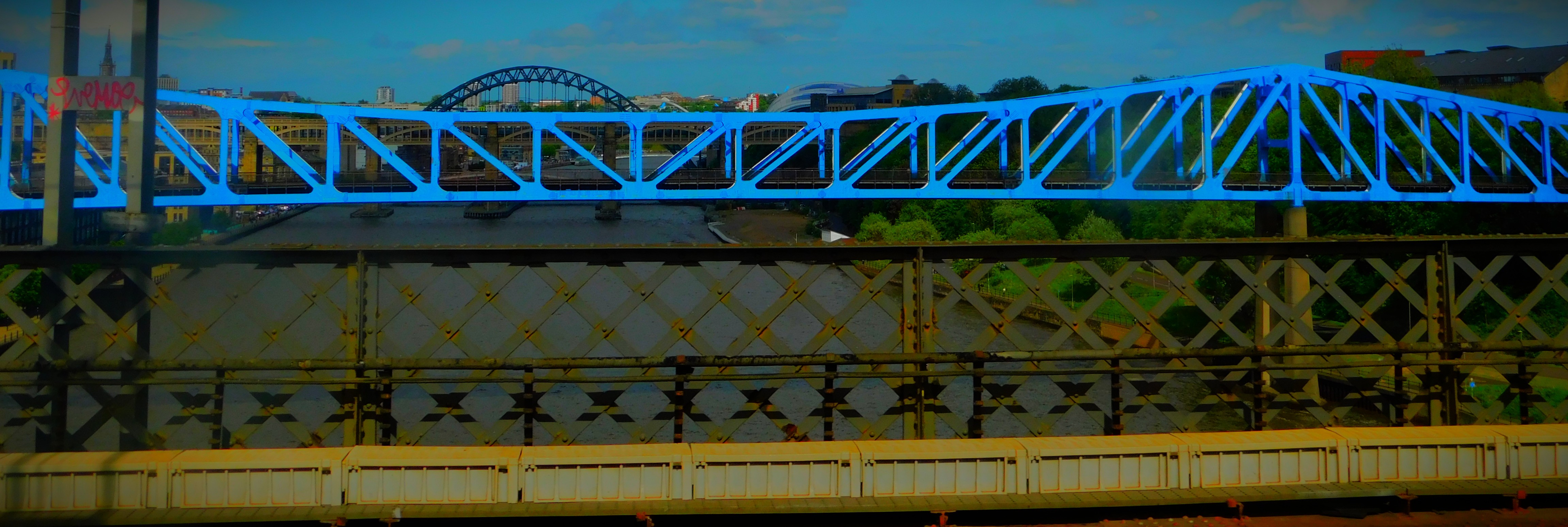
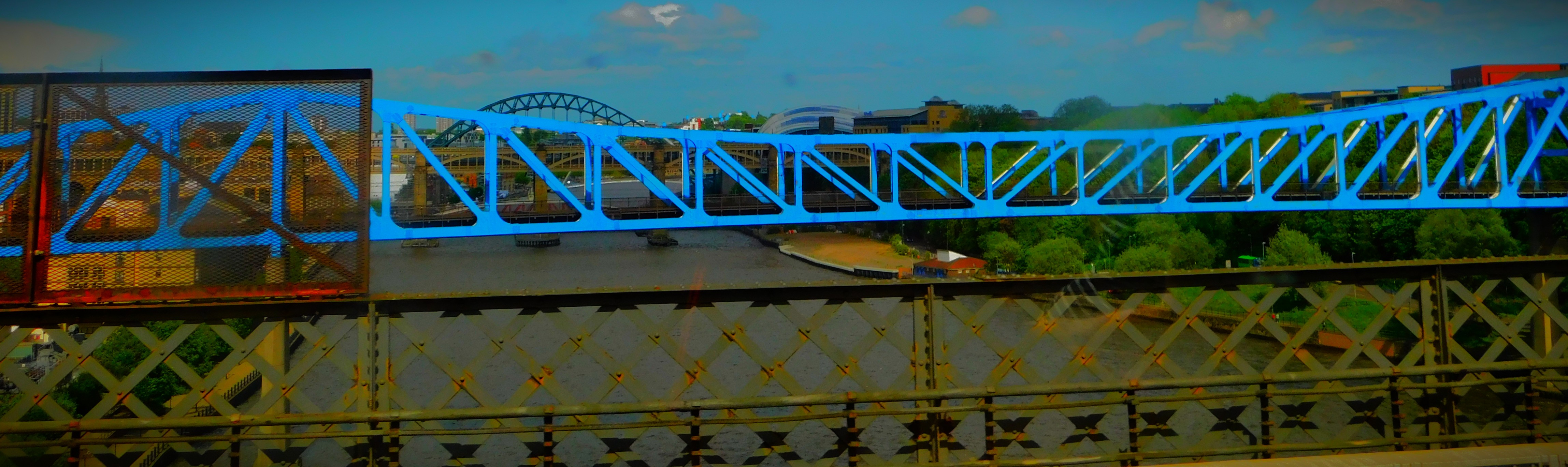
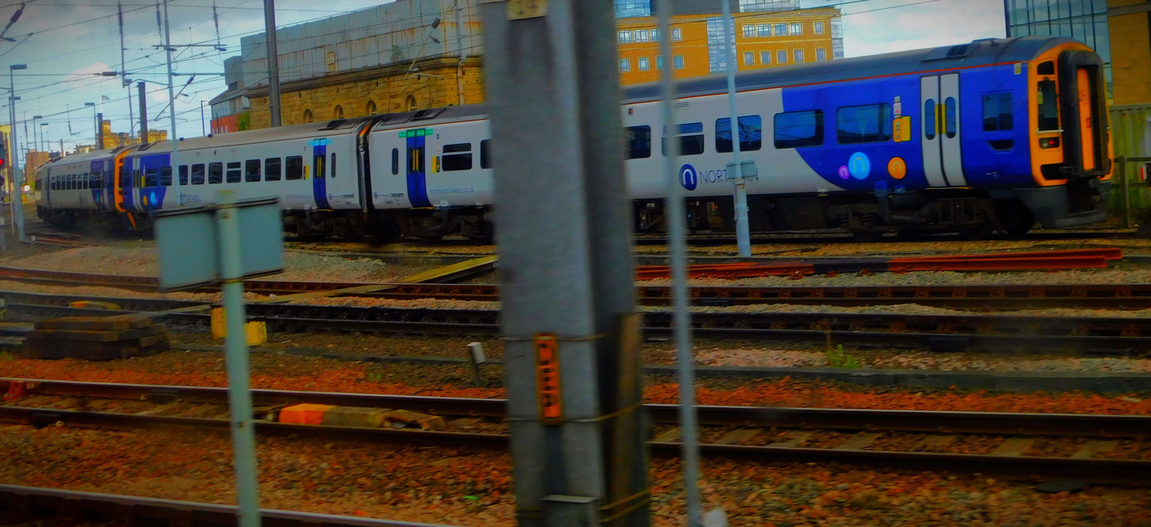
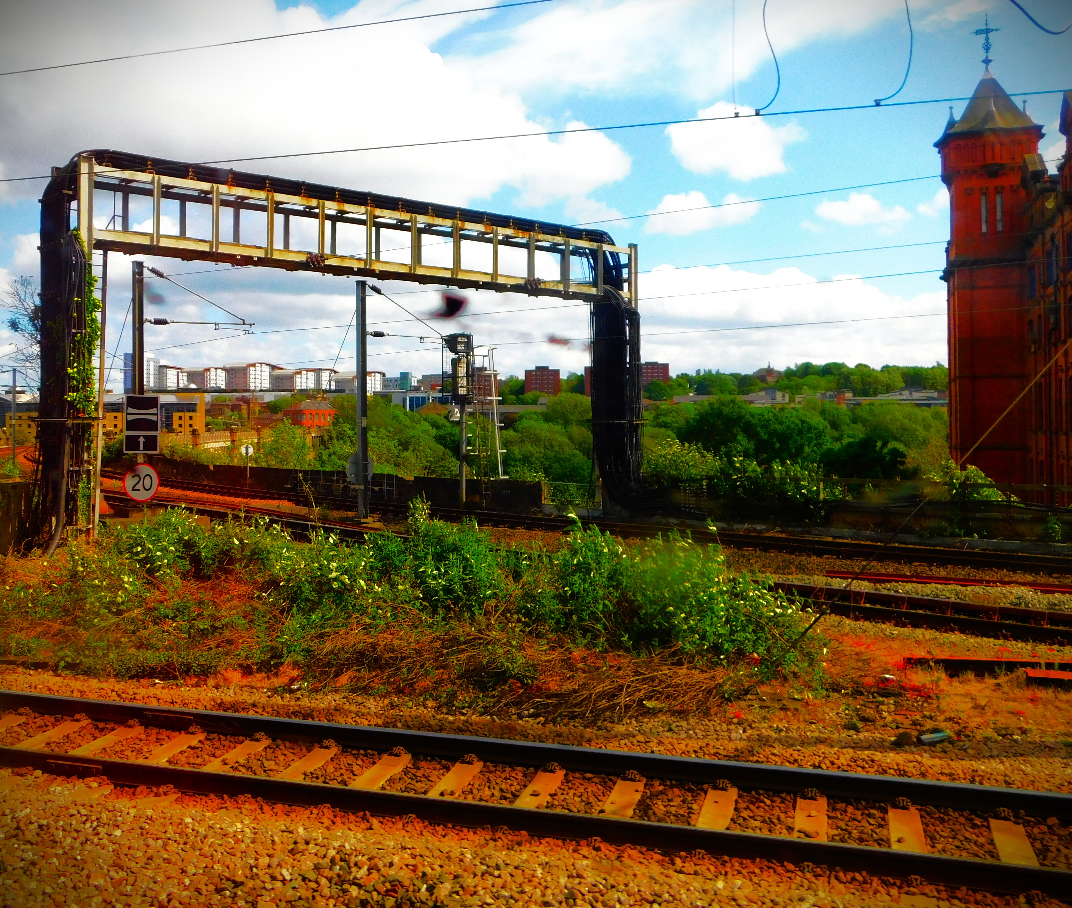
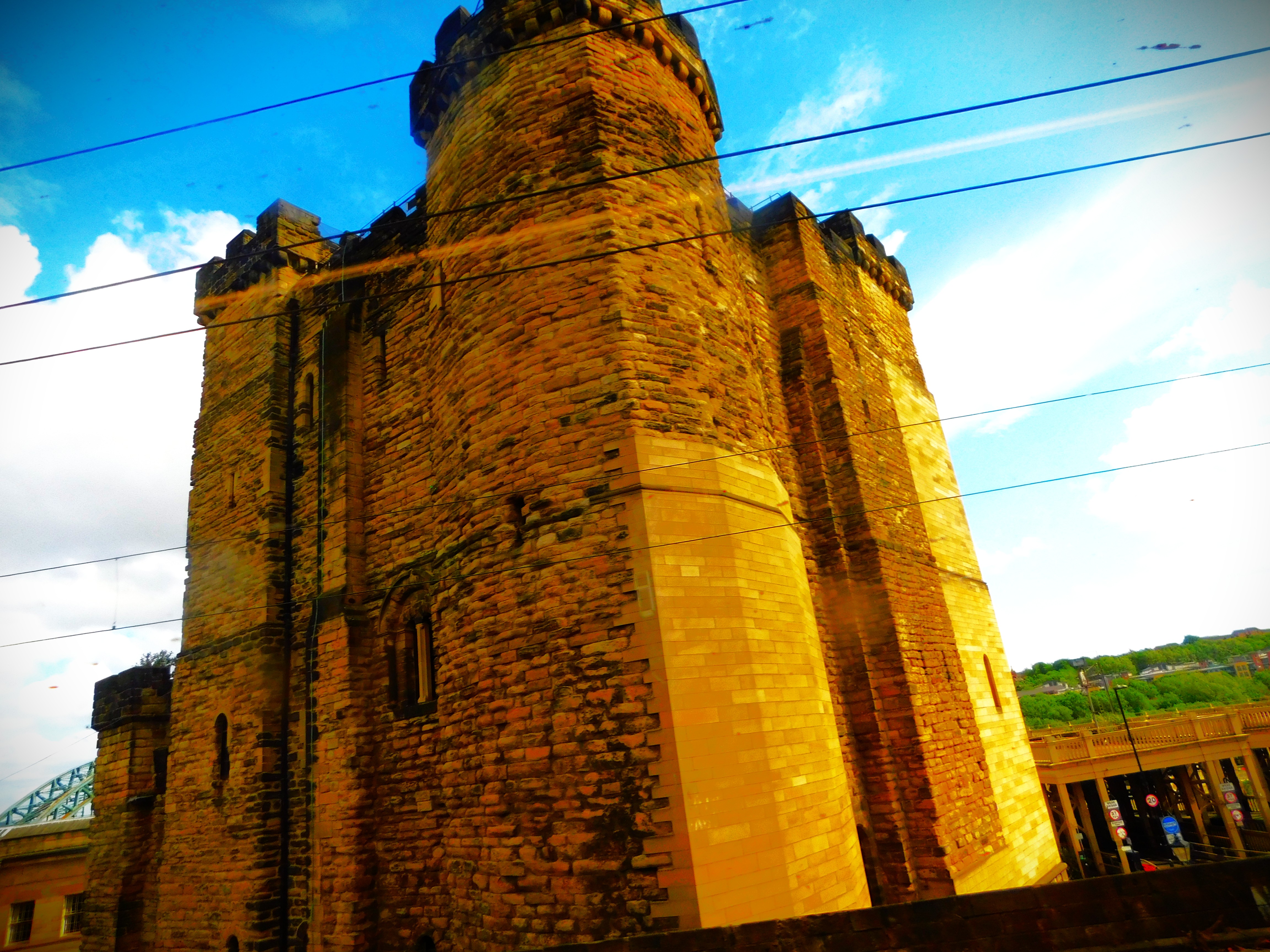
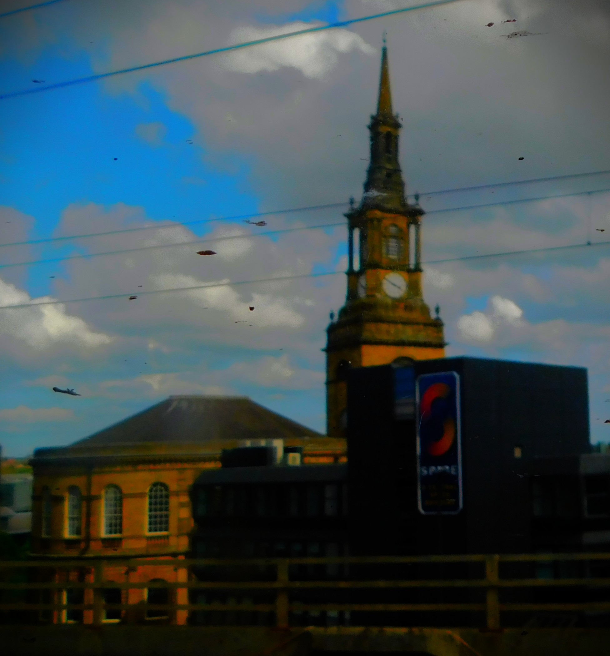
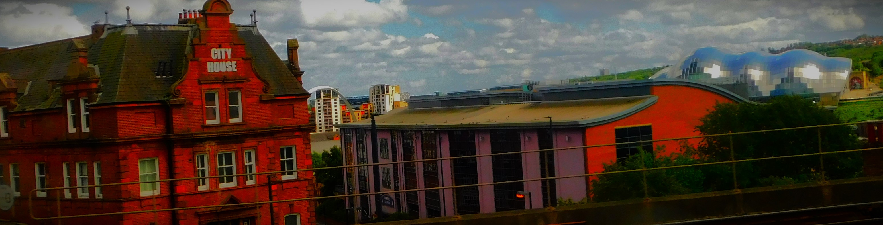
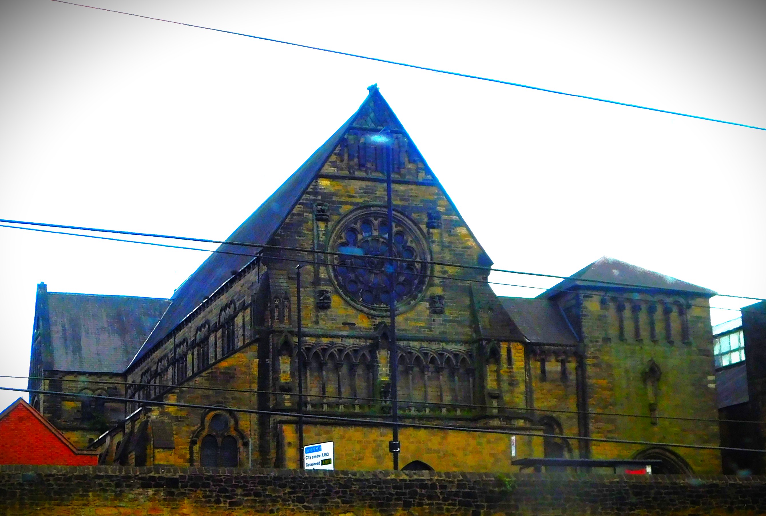
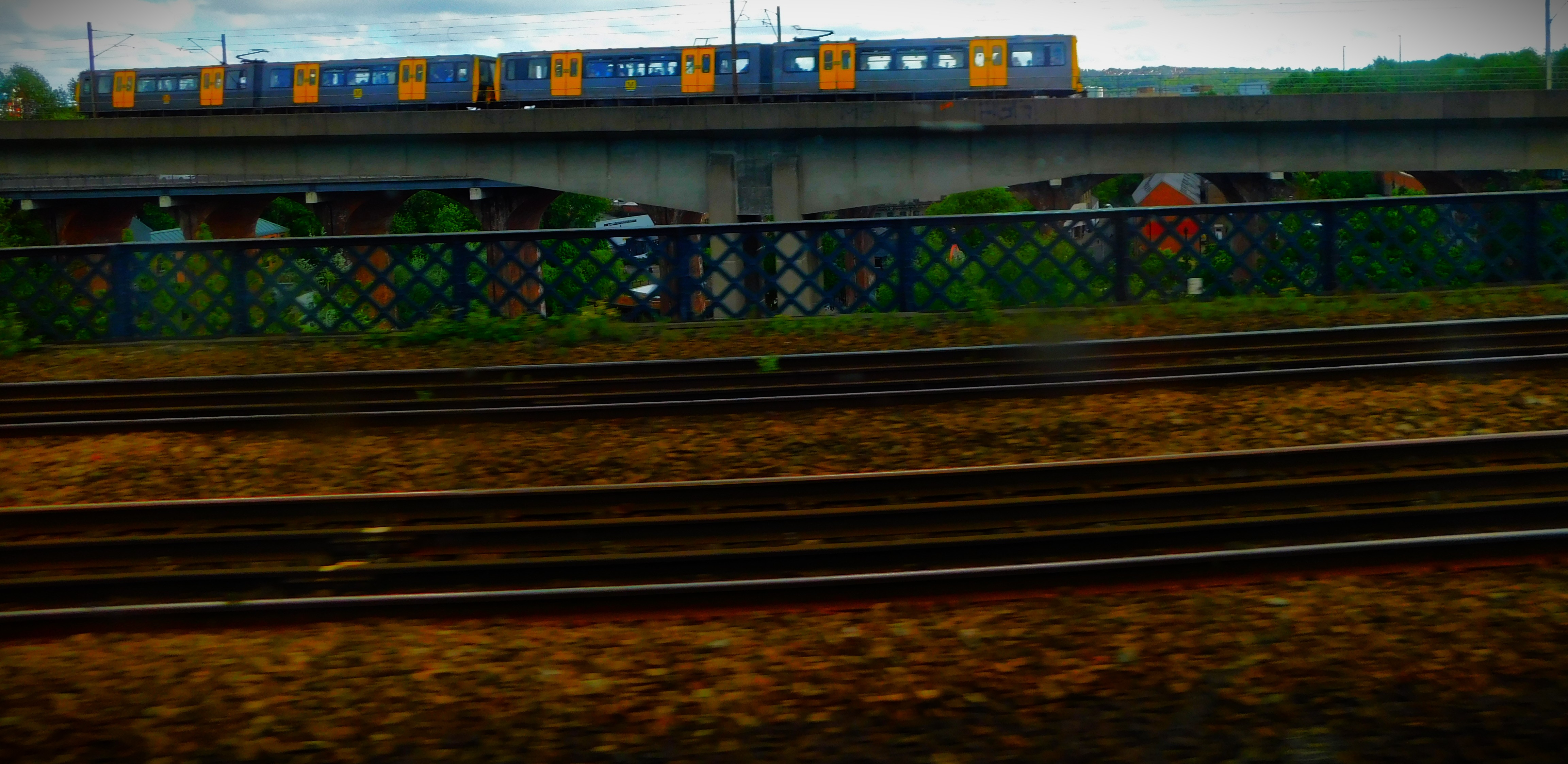
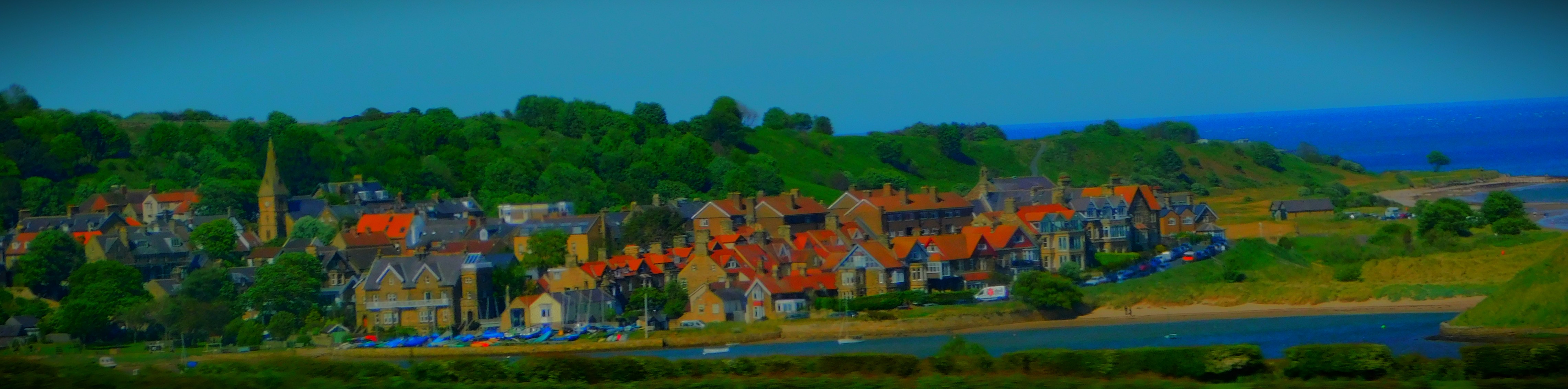
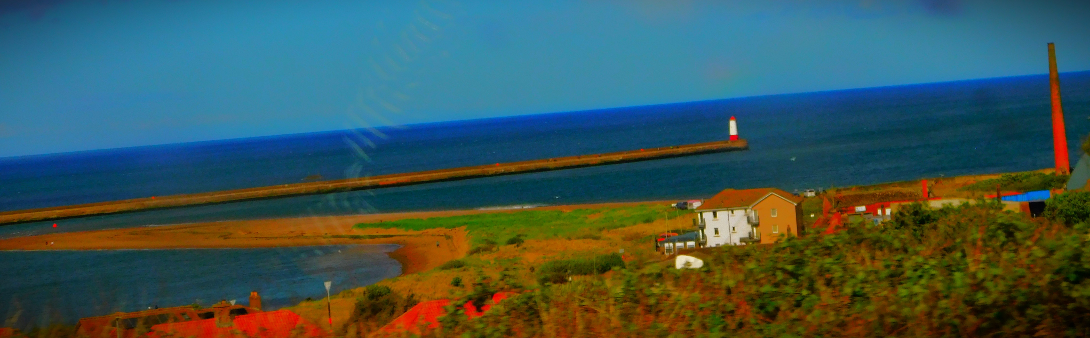
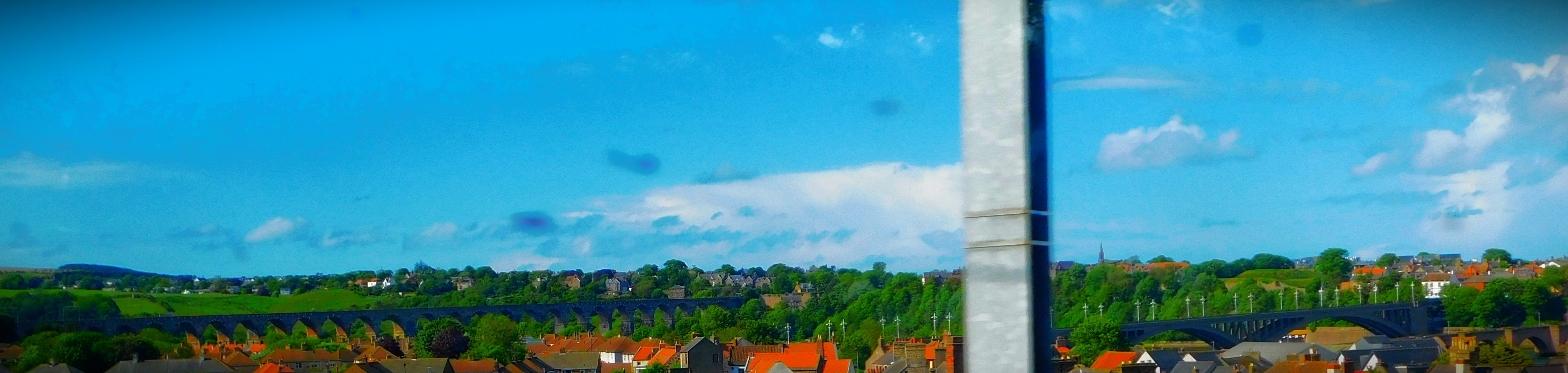
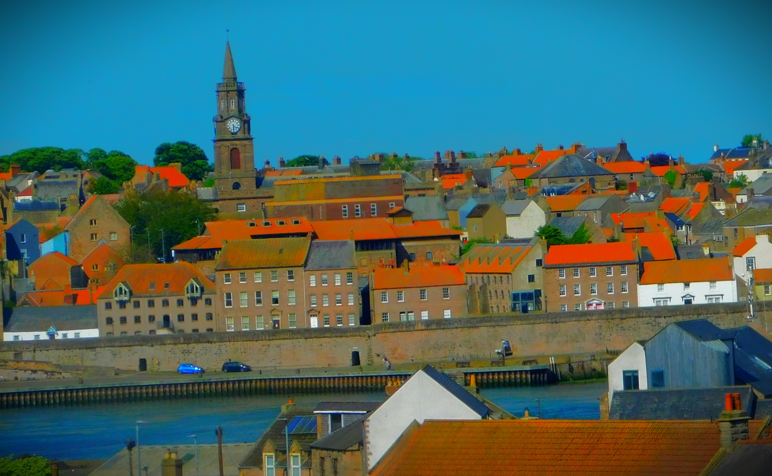
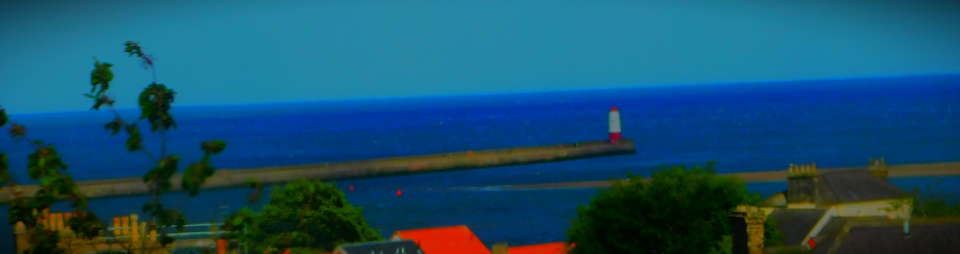
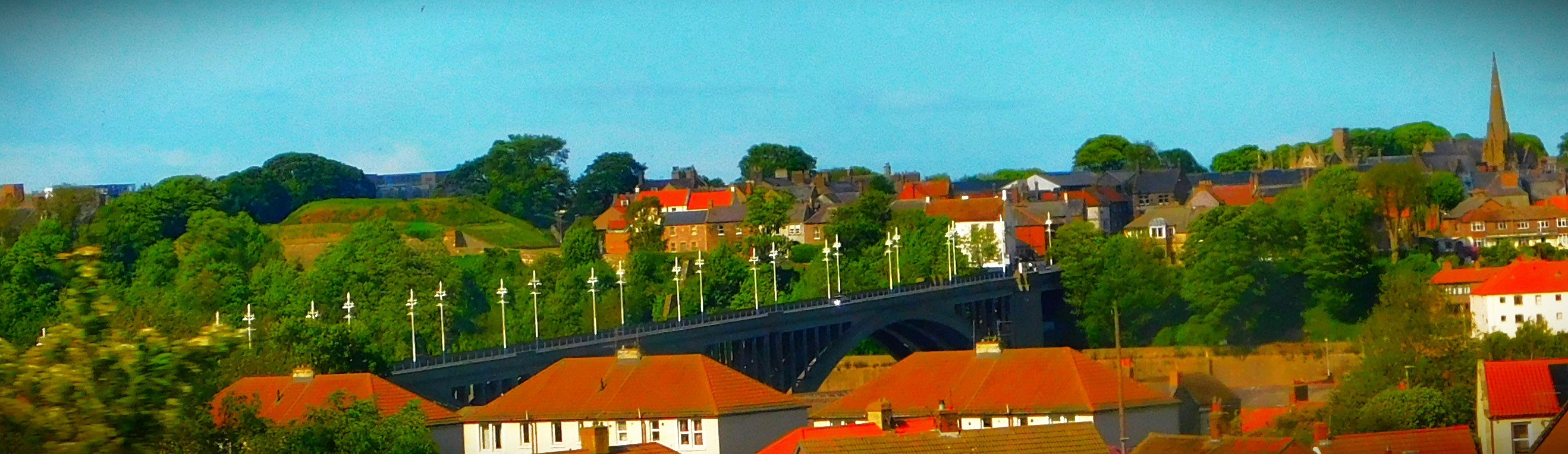
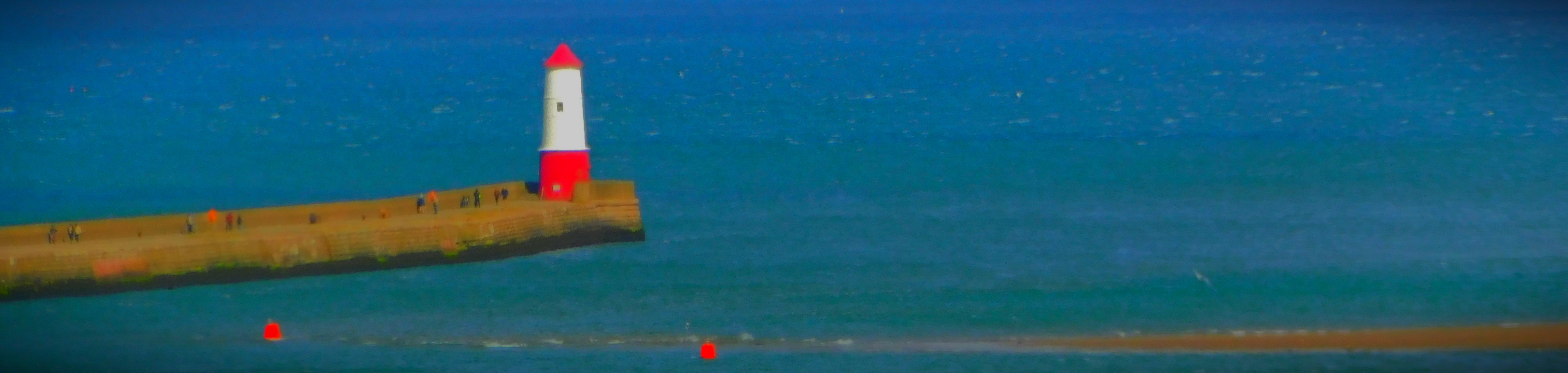
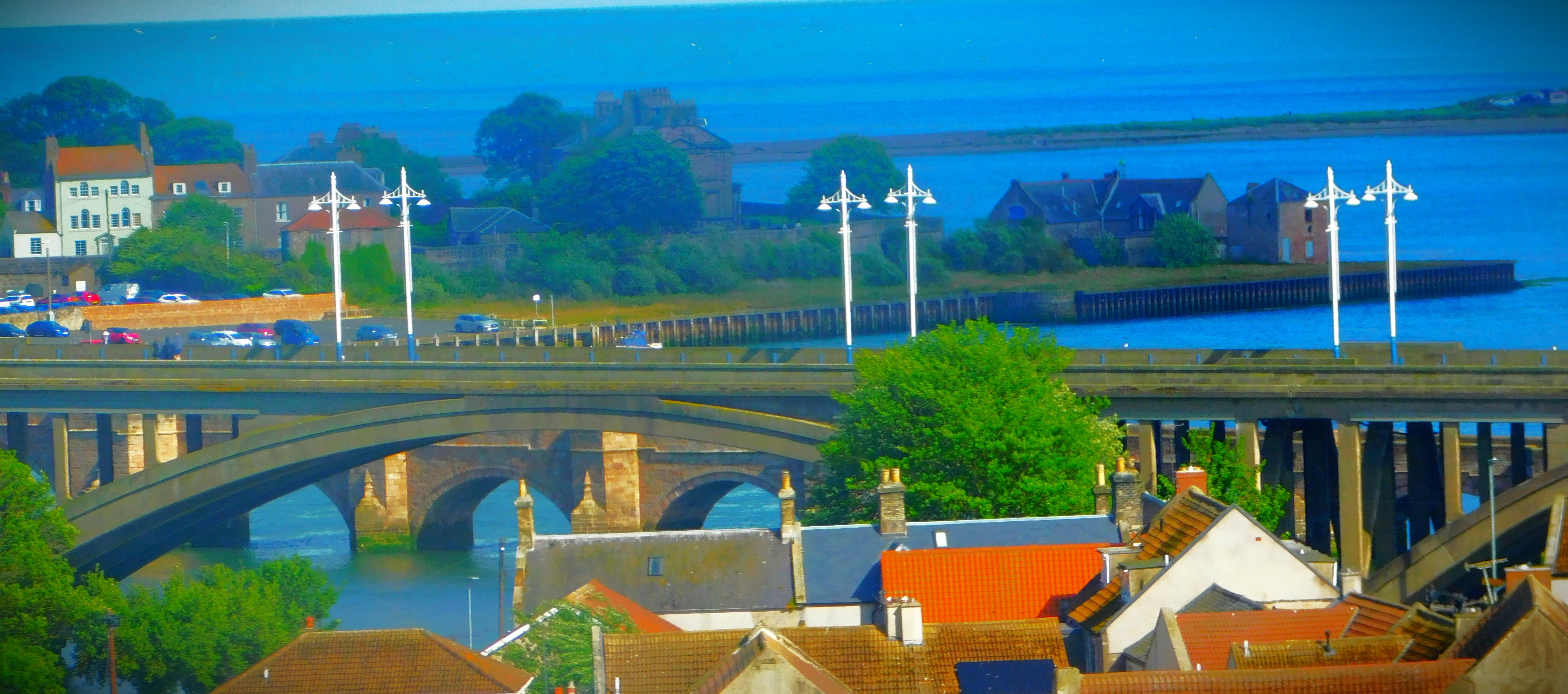
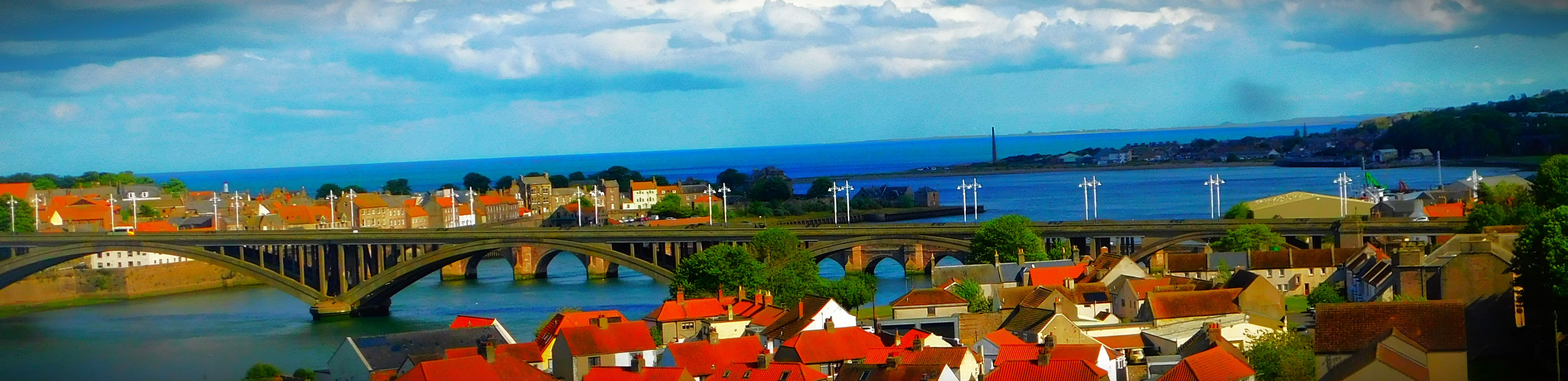
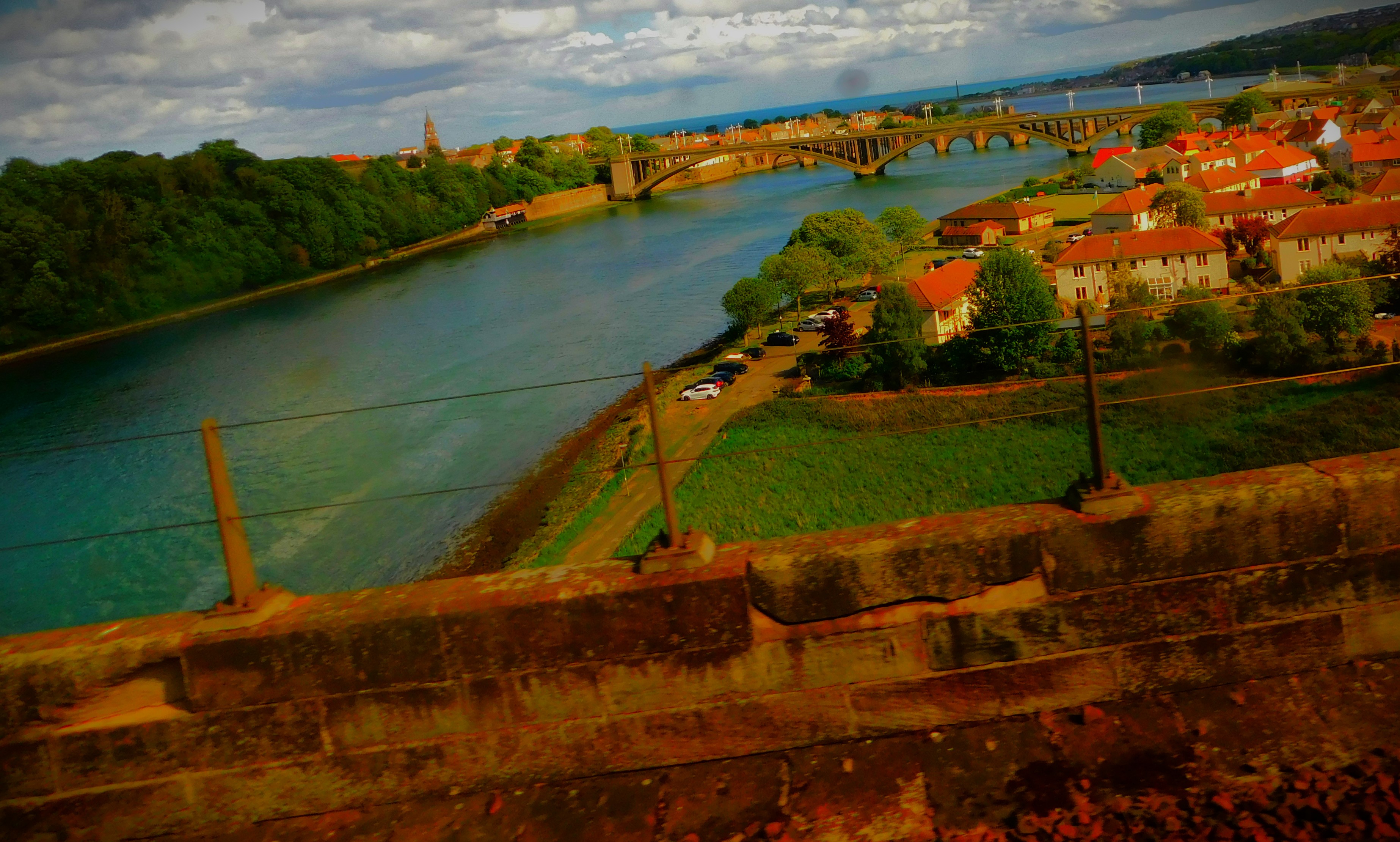
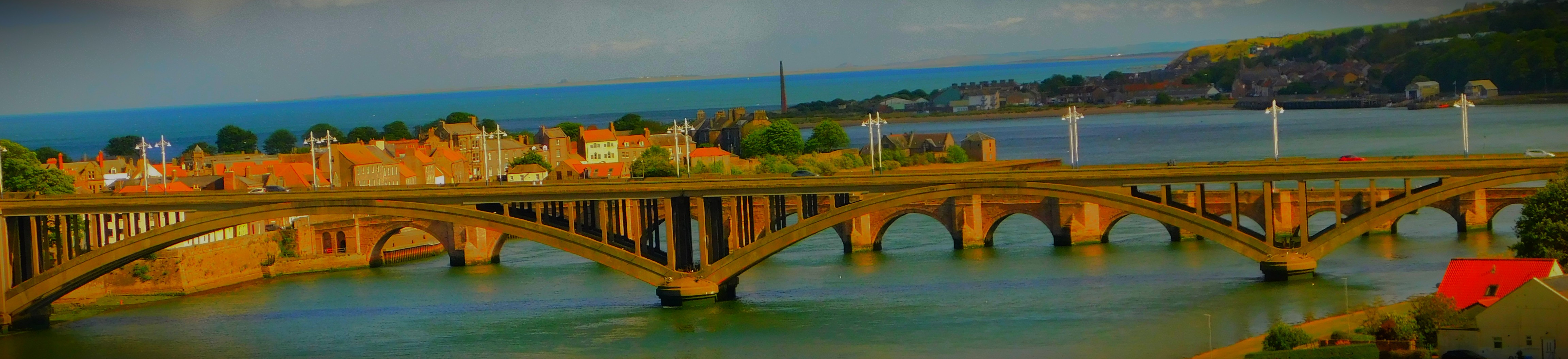
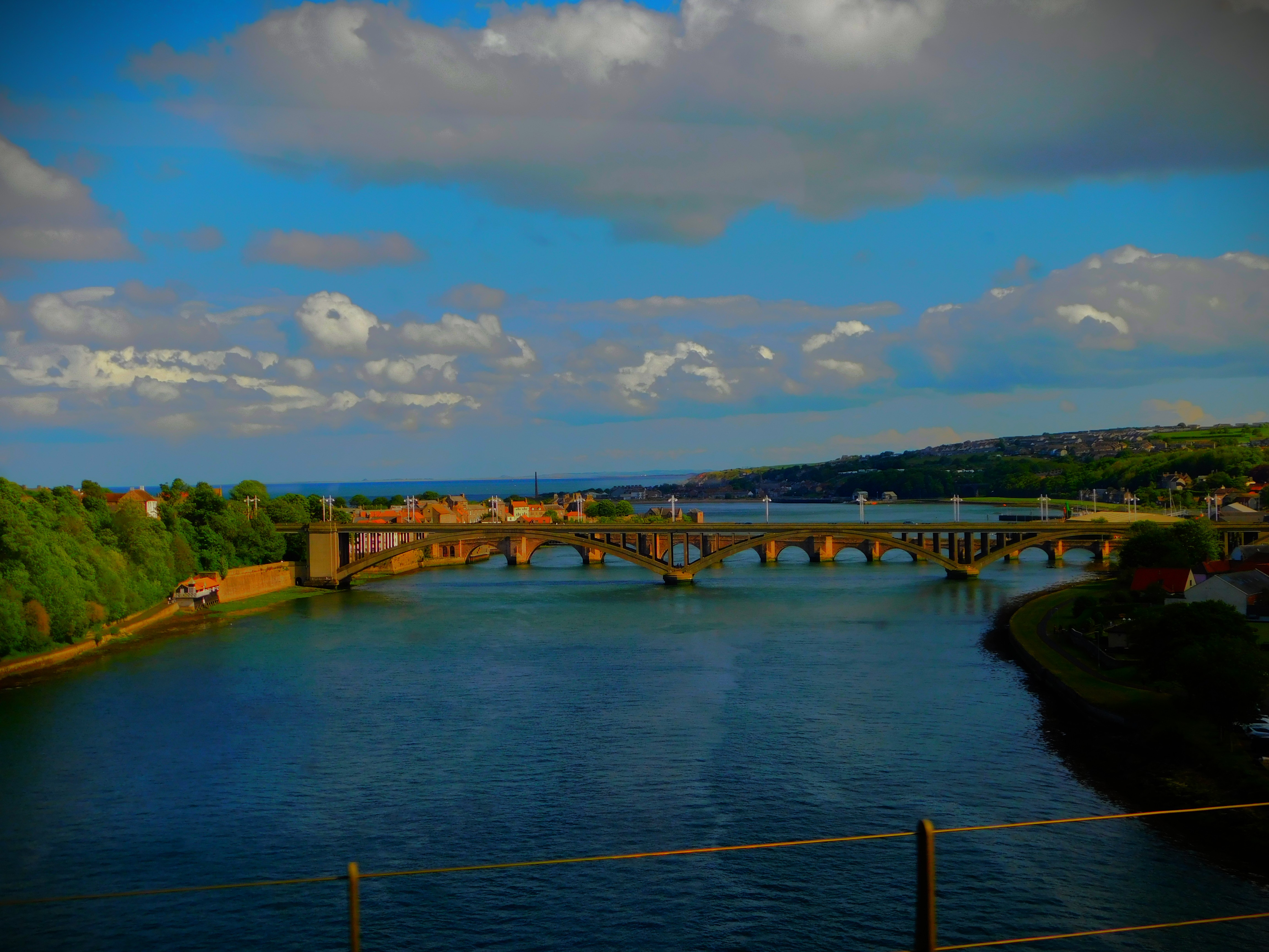
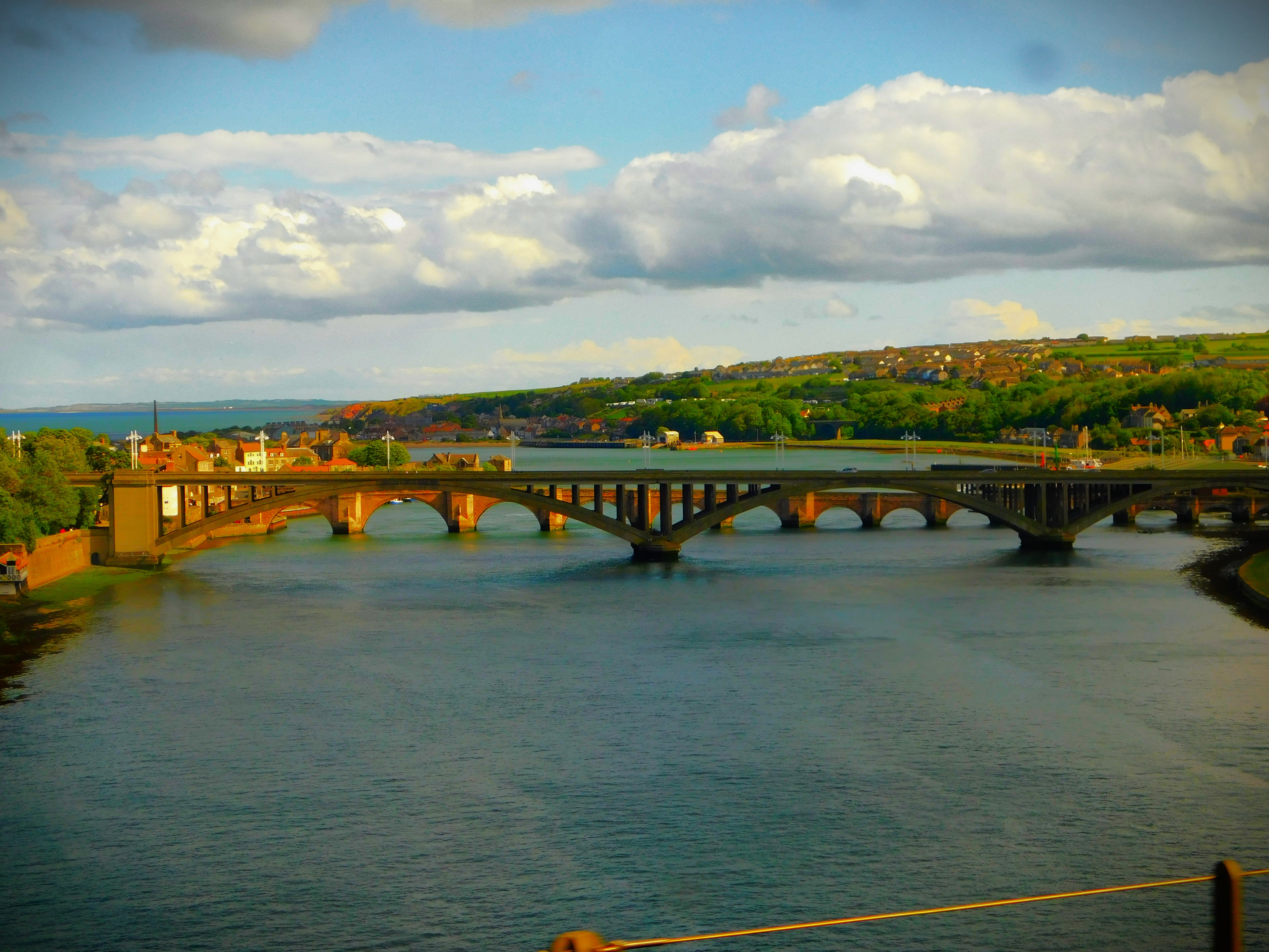
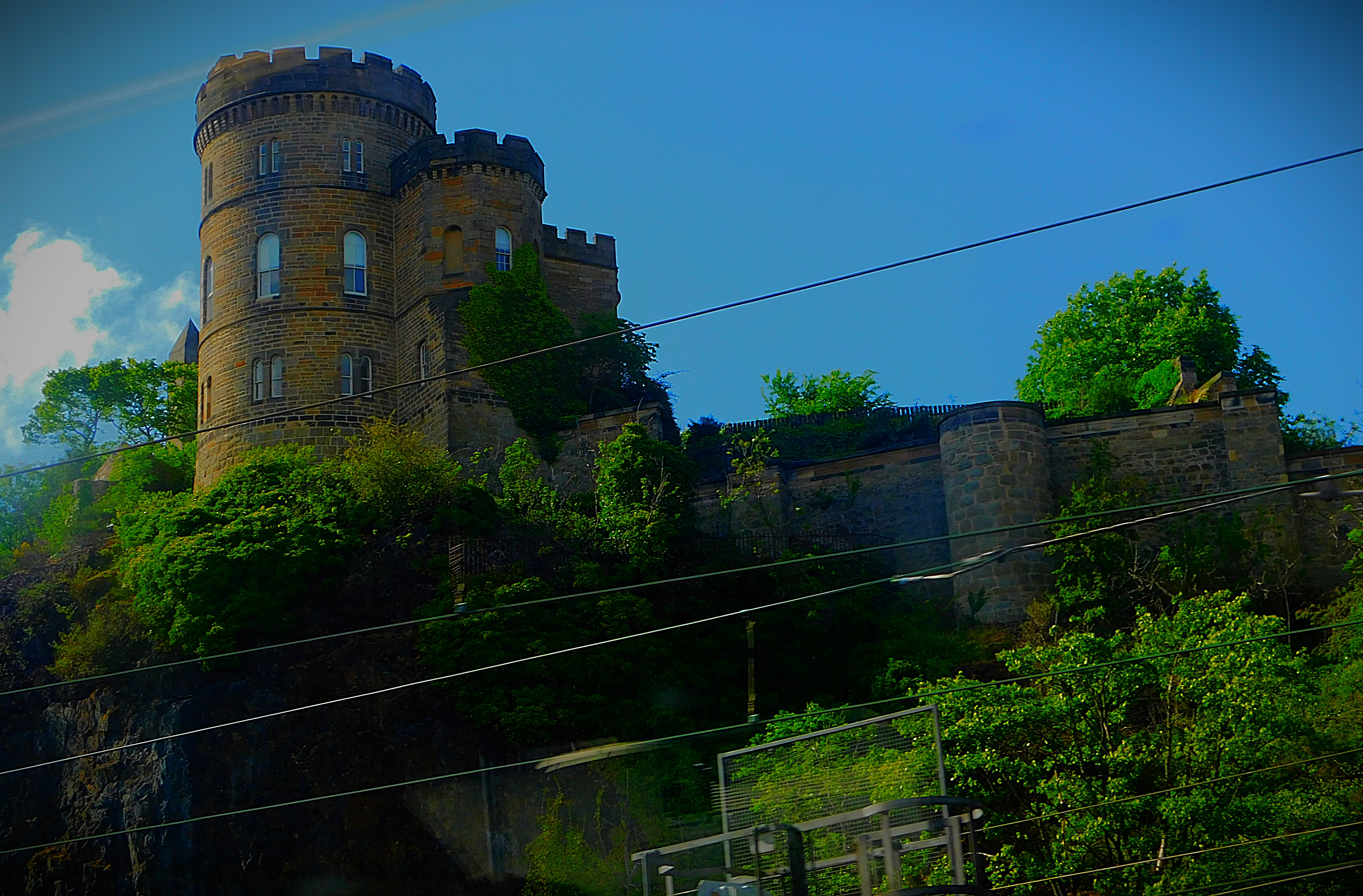
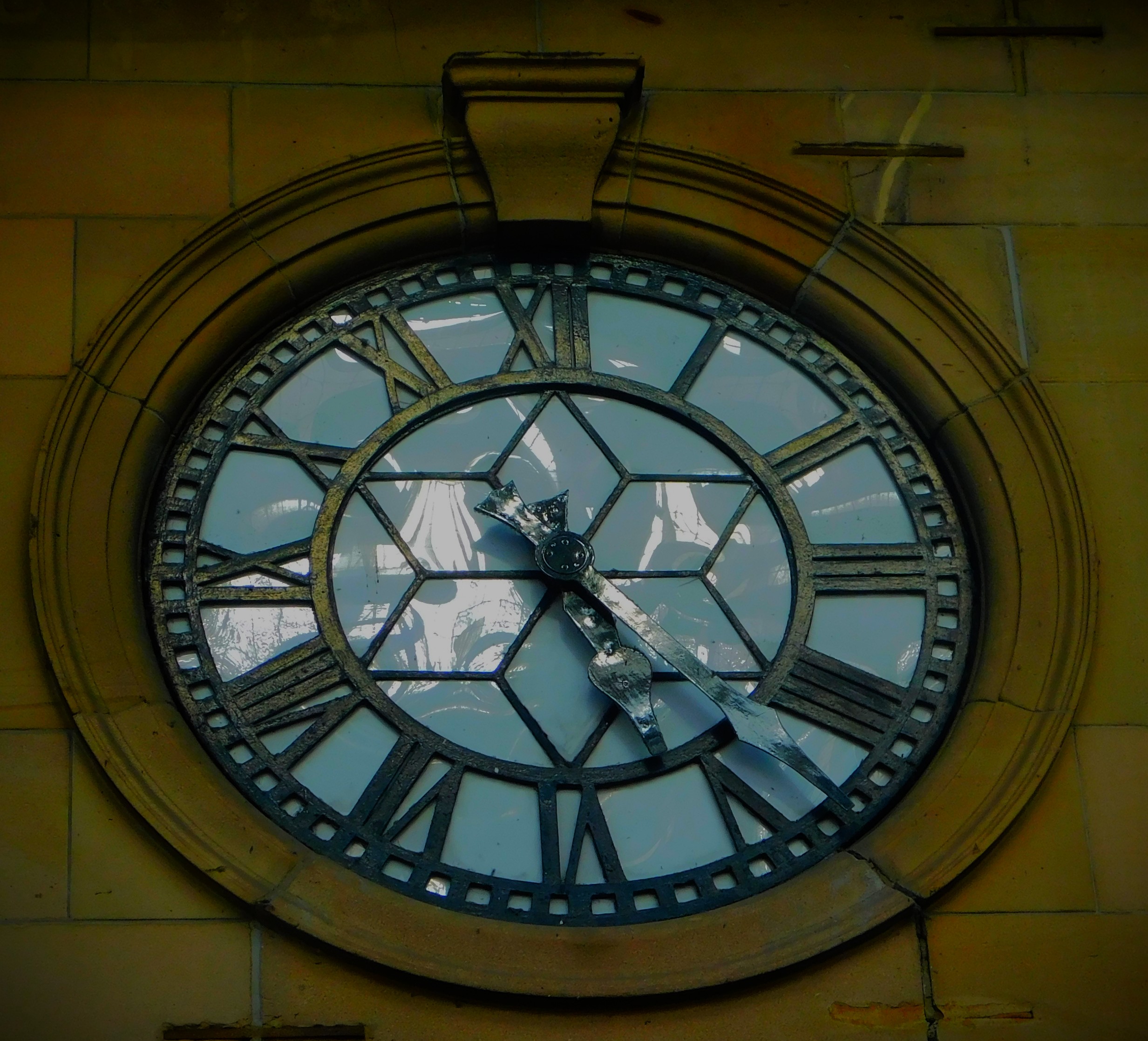
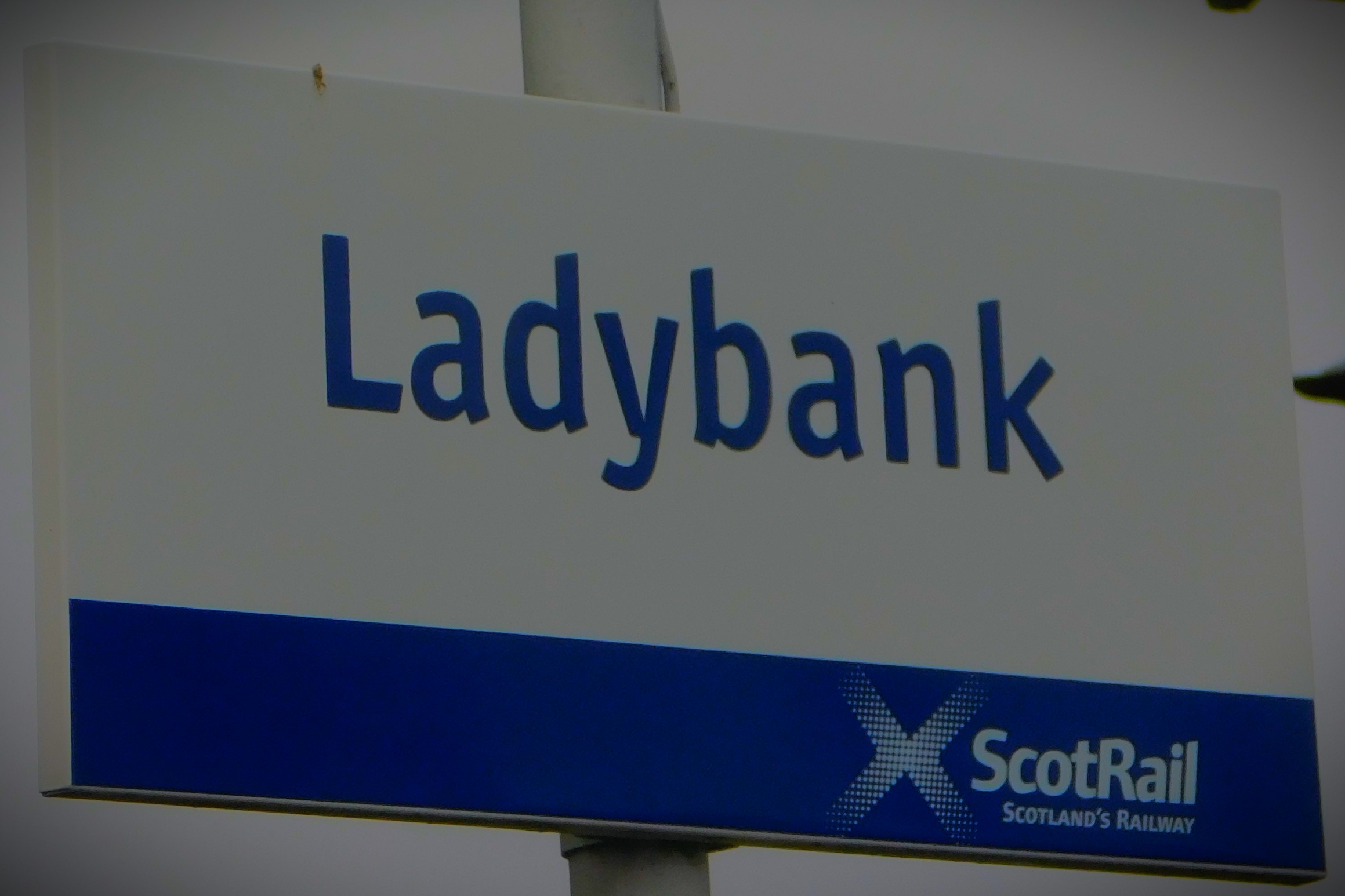
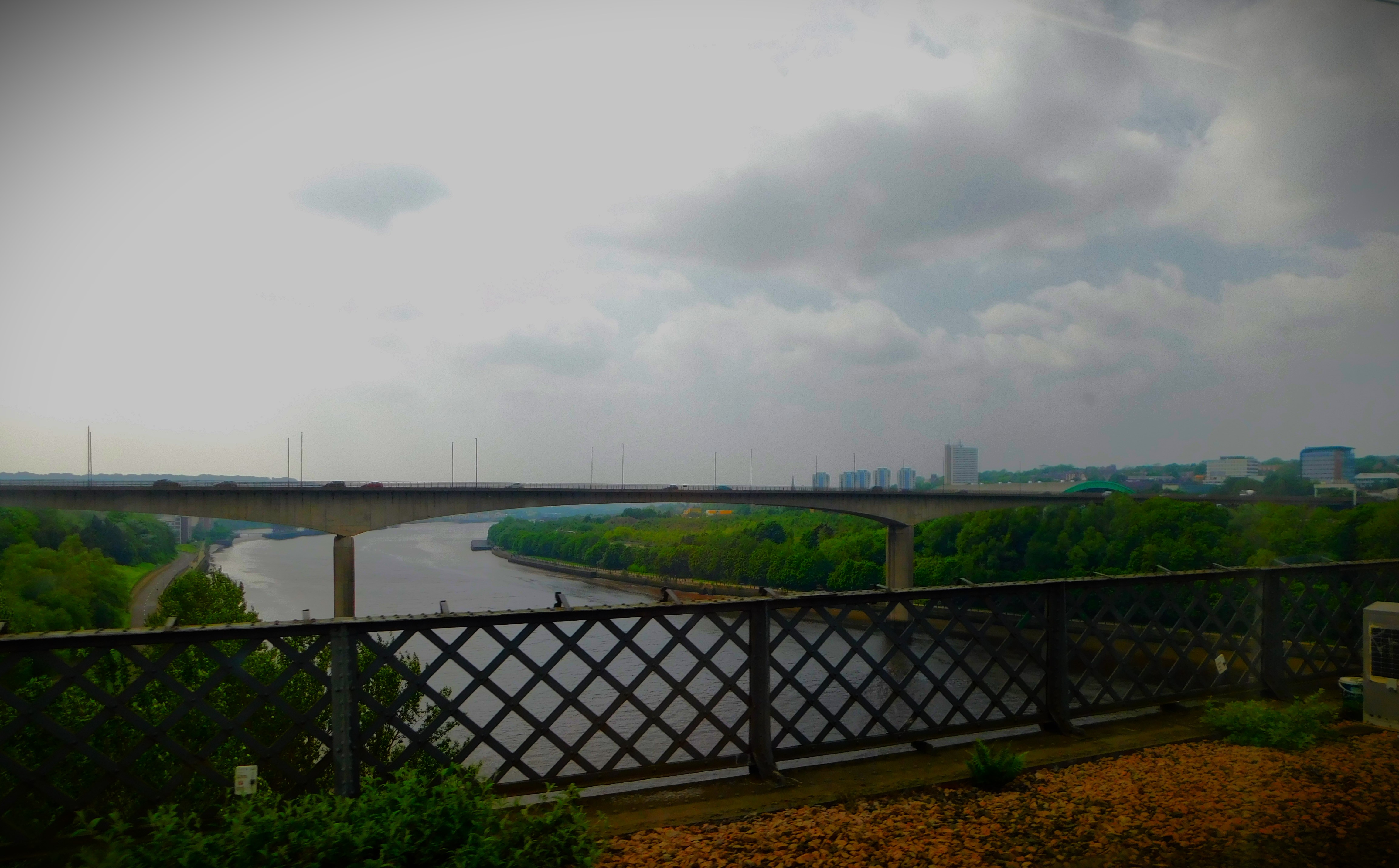
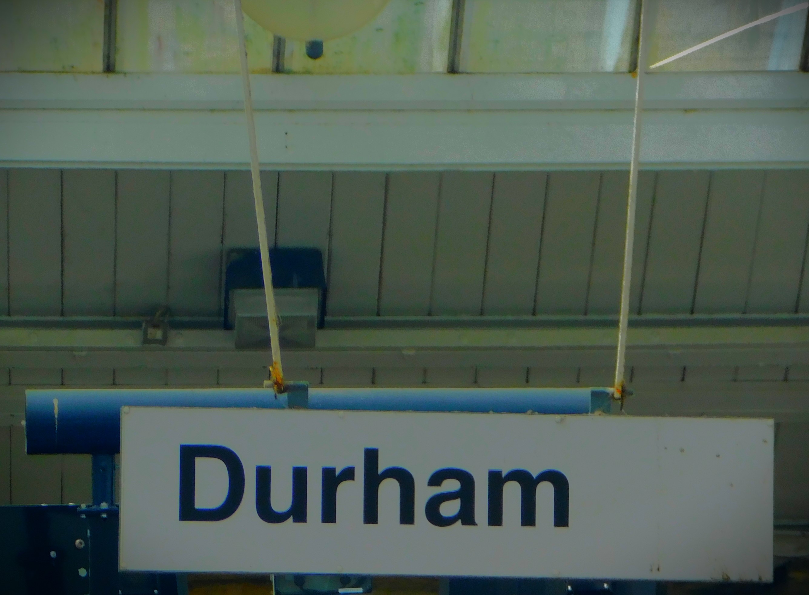
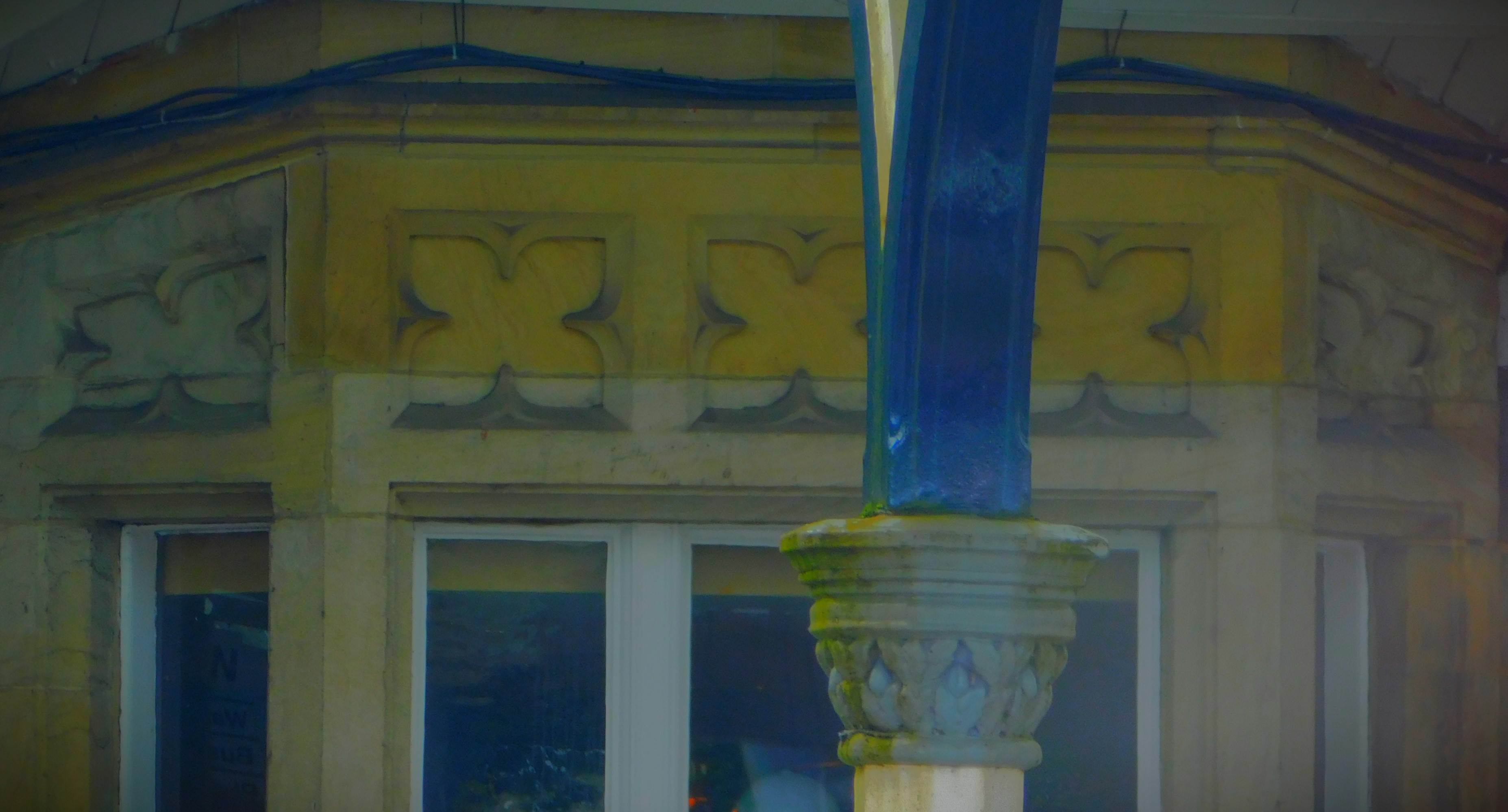
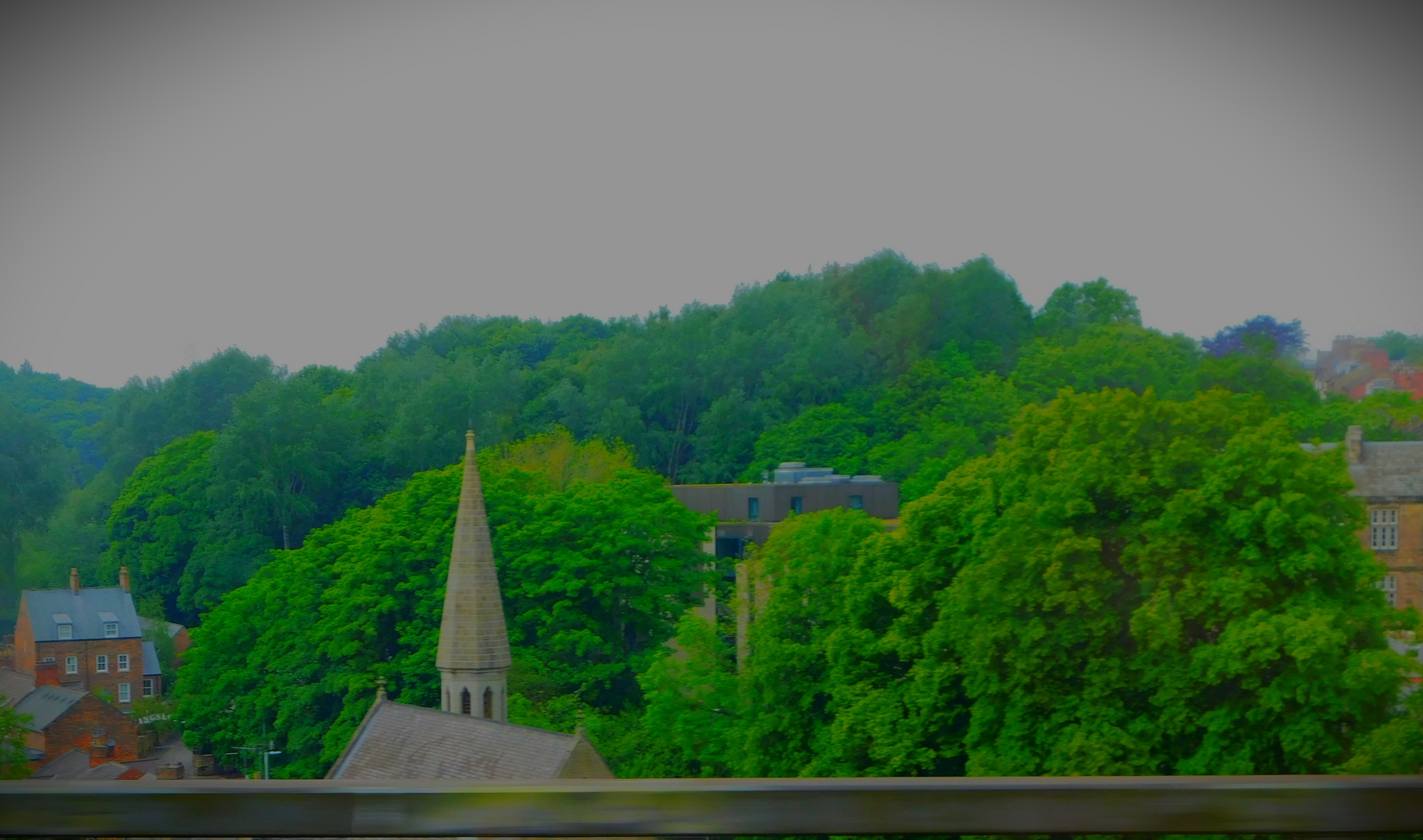
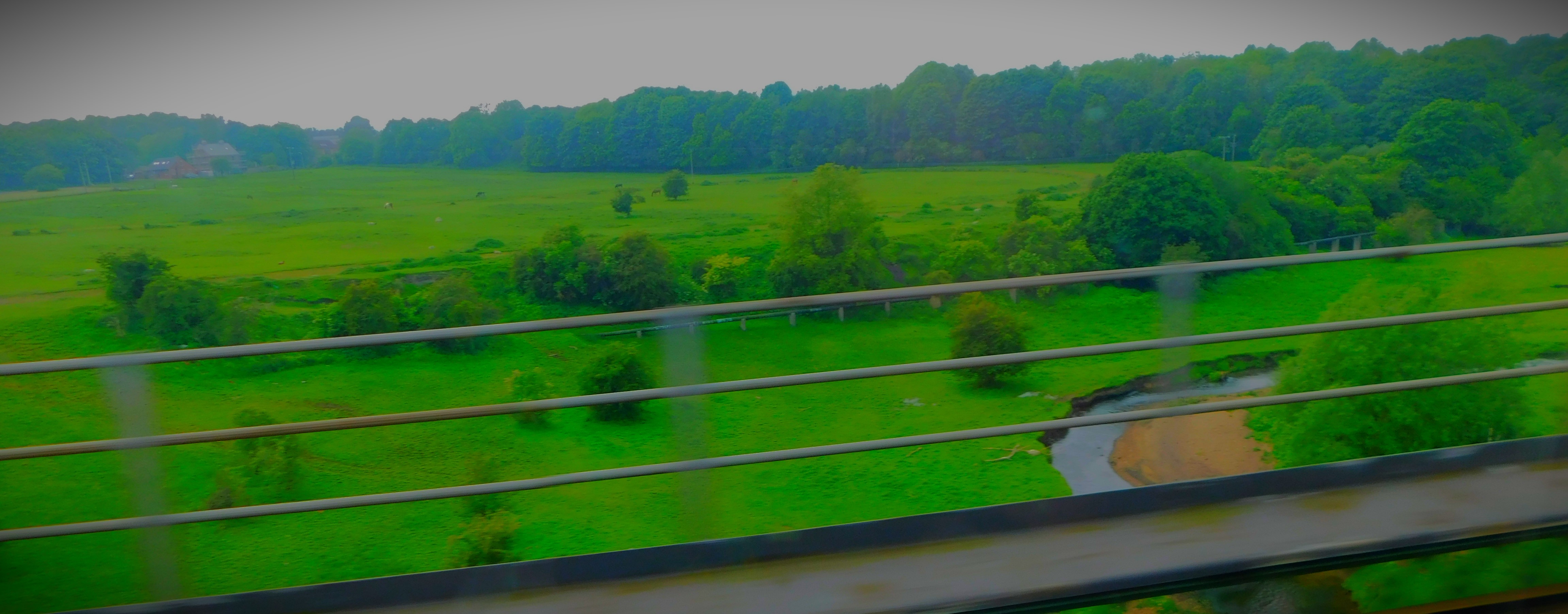
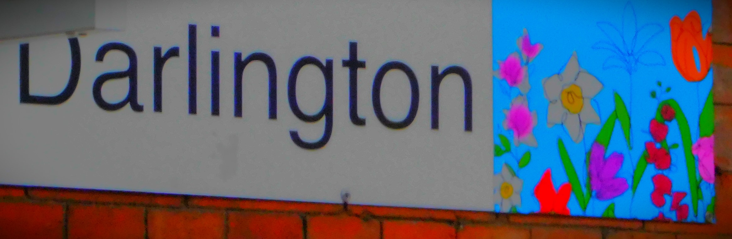
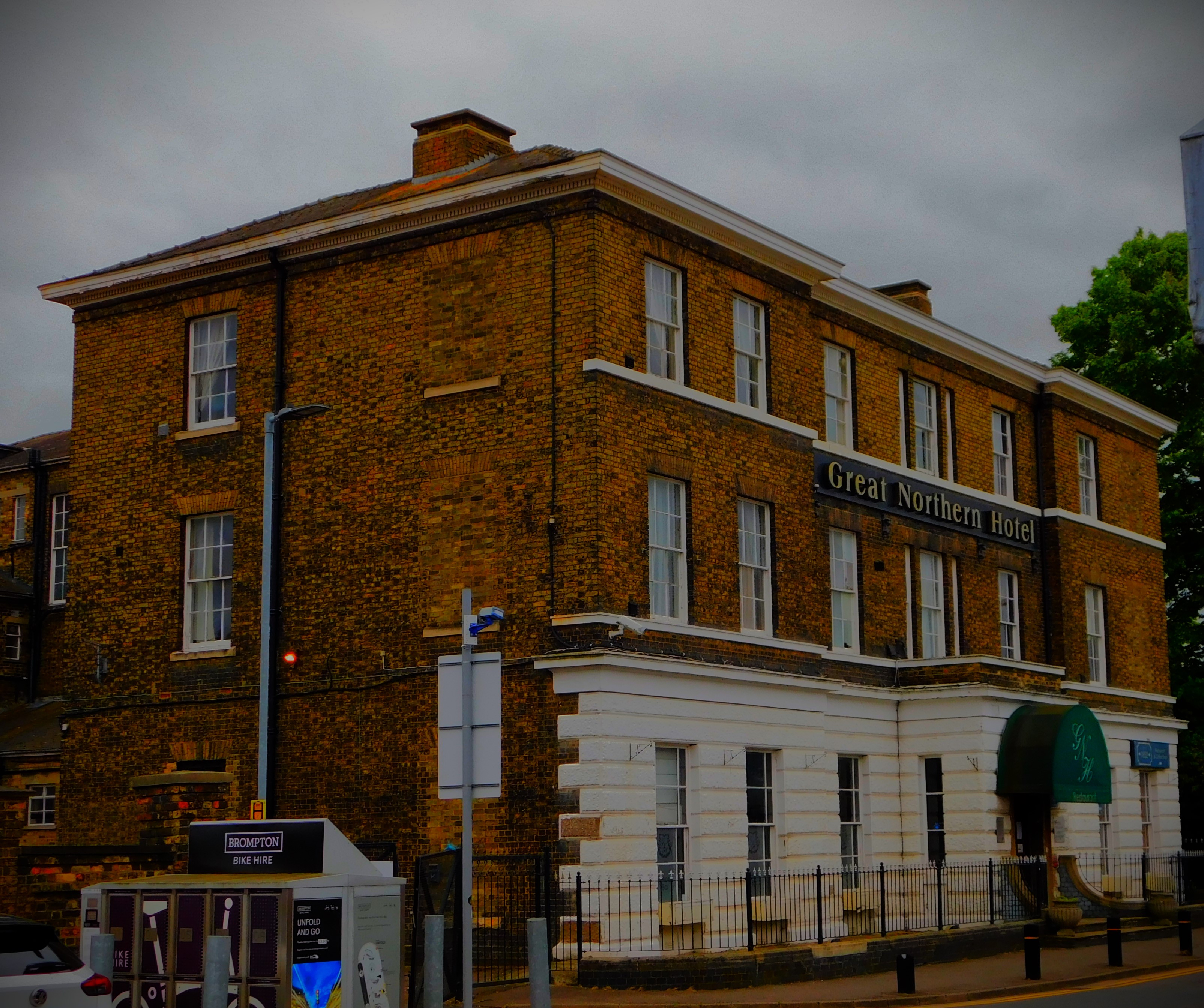
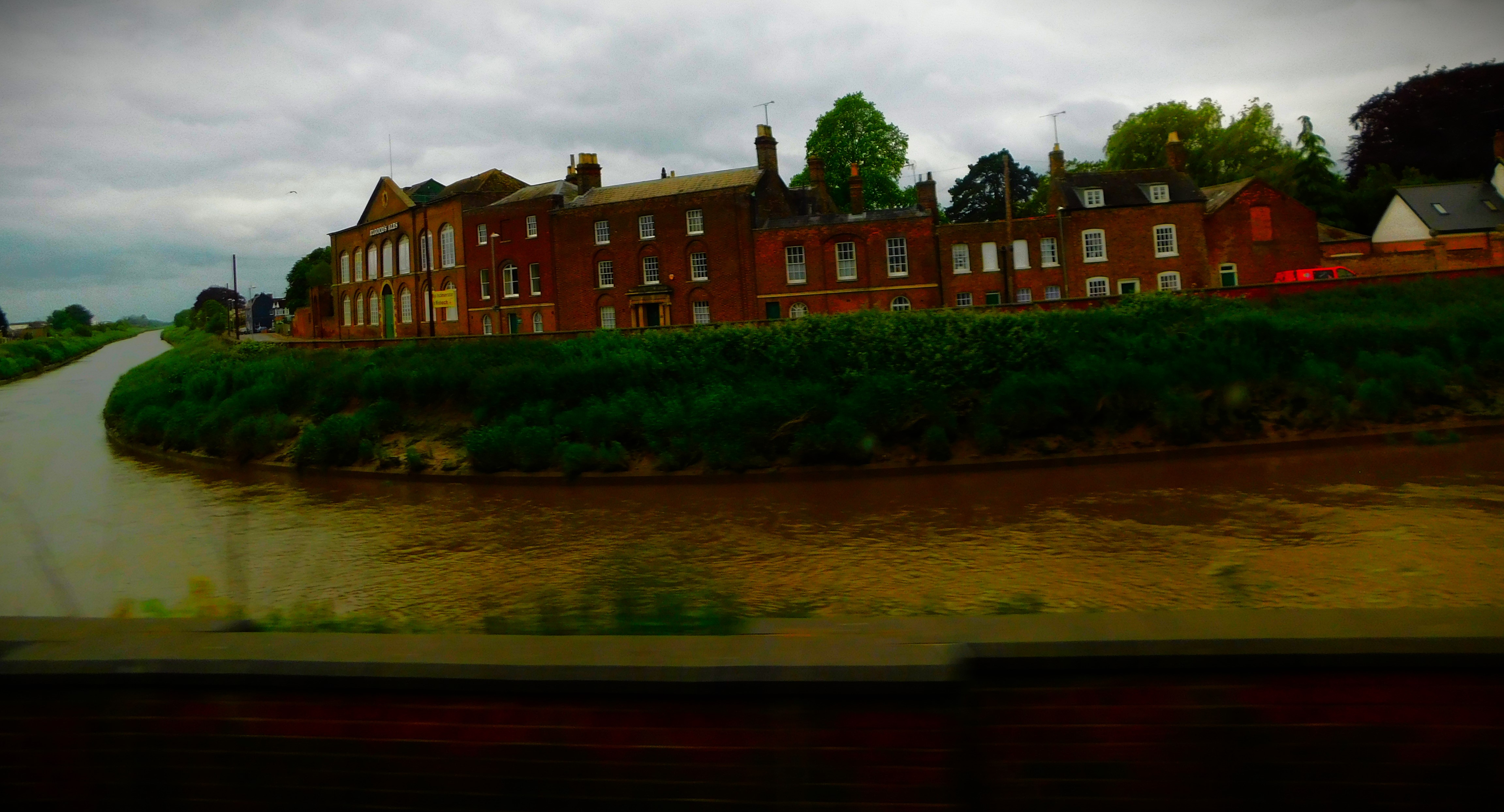
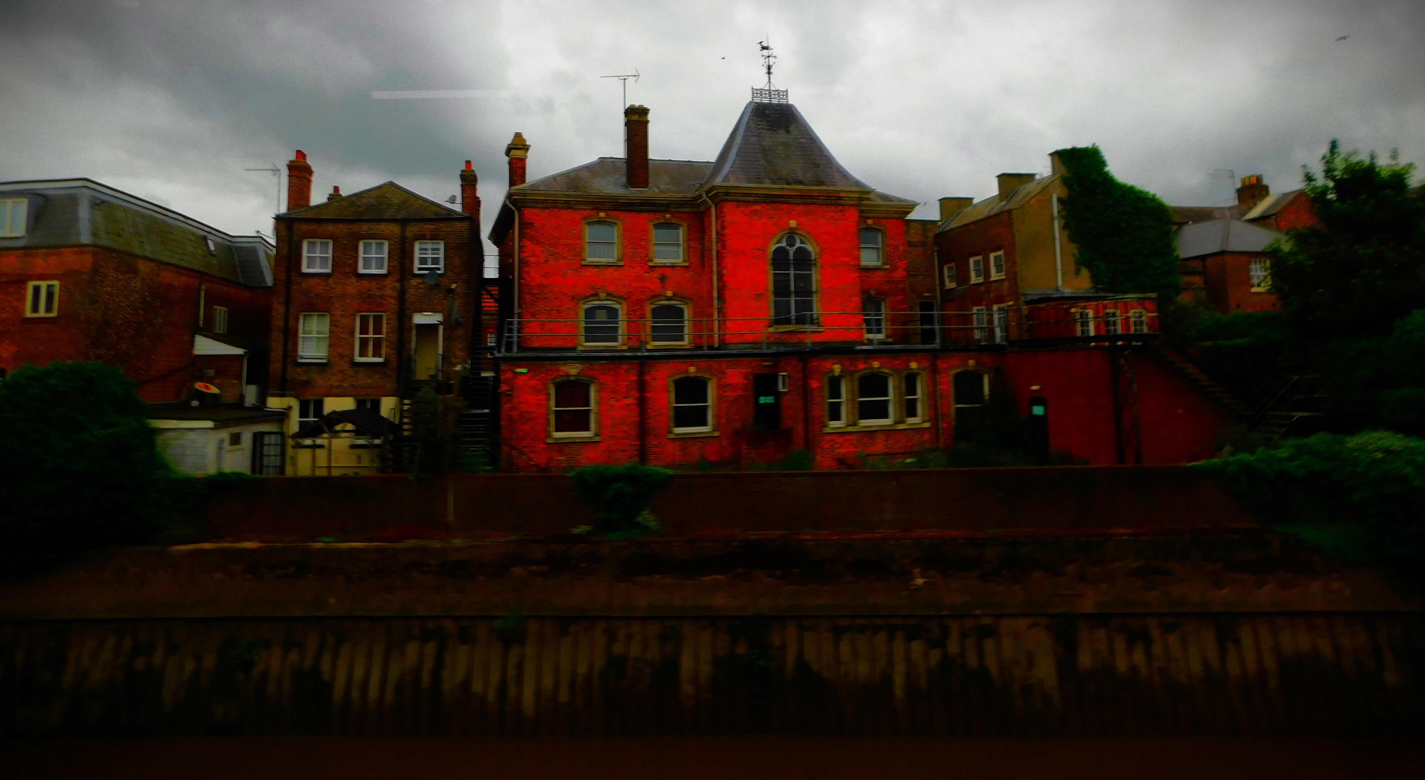
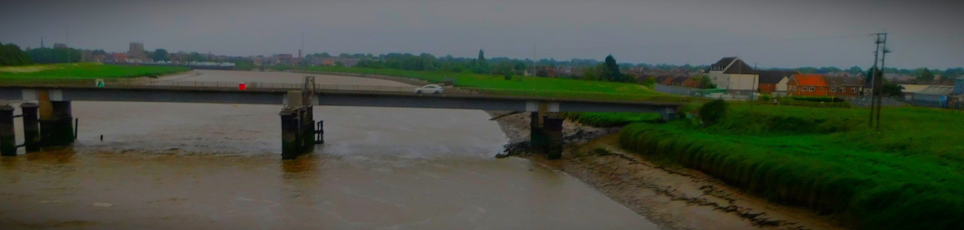
One of the reasons I quite like starting journeys to a holiday destination with the bus trip to Peterborough is that the crossing of the Great Ouse feels like the beginning of the holiday, since save for WNAG committee meetings pretty much all my daily life happens east of that river.After that the only place on the way to Peterborough that really offers photo ops is Wisbech, self styled “Capital of the Fenlands”.PeterboroughYork stationThis page and others like it come from a book that was one of the purchases I made with my birthday present from my friends at WNAGDarlington, the joint oldest passenger station in the world (the Stockton and Darlington route carried its first passengers in 1825, before when railways had been freight only).Durham is dominated by two massive buildings, this one……and this one.Newcastle is a city of bridges.A distant shot of a tram near Newcastle.A close crop showing only the tram and immediate surround.This is the town served by Alnmouth station, though the station itself is a tiny bit inland from the town.This long viaduct is in Berwick Upon Tweed, and it links England and Scotland.The Tweed will never rival the Tyne for bridges, but these are quite impressive.Is it possible to shoot a moving target when you yourself are in motion (and at some speed)? Yes, and this is defintive proof (but successes like this are rare).This is the clock at Edinburgh Waverley station.This establishment (see also previous picture) is directly opposite the Market Street exit from Waverley Station.From here on in the pictures were all taken from the back seat (non-drivers side) of my parents car.
Concluding my account of my Scottish holiday with the return journey.
This will be the final post in my series about my Scottish holiday (28-31 May inclusive. I will briefly mention the birthday festivities which took place a day early – the day itself (May 31) was to be a day of travelling home, before covering the return journey.
THE BIRTHDAY MEAL
One of the shops Comrie possesses is a butcher, and the centrepiece of the meal was three large rib eye steaks purchased from that establishment. We also had Jersey Royals and locally grown asparagus, while there were locally grown raspberries for pudding. There was sparkling wine before the meal, and still wine with it.
THE RETURN JOURNEY
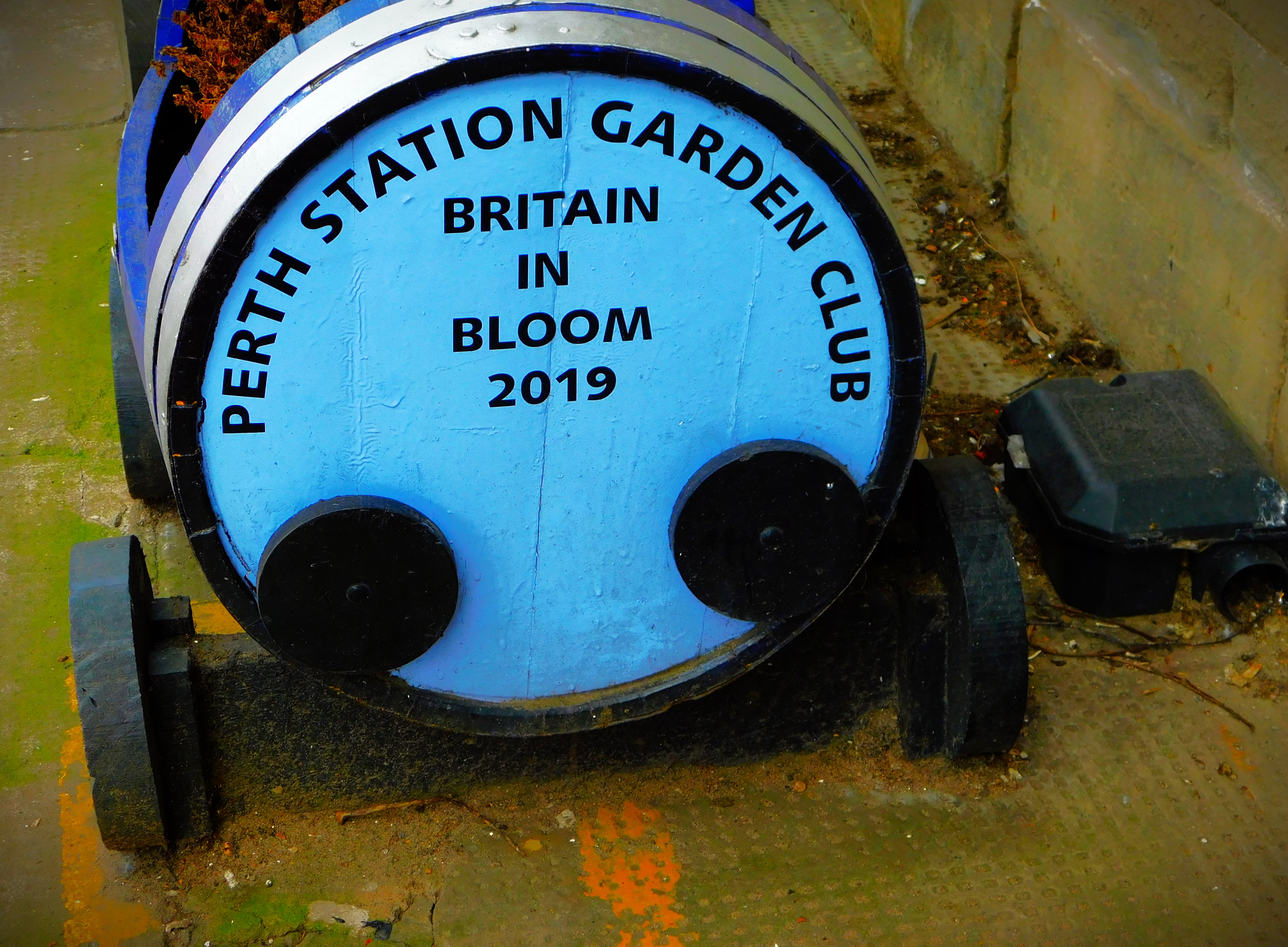
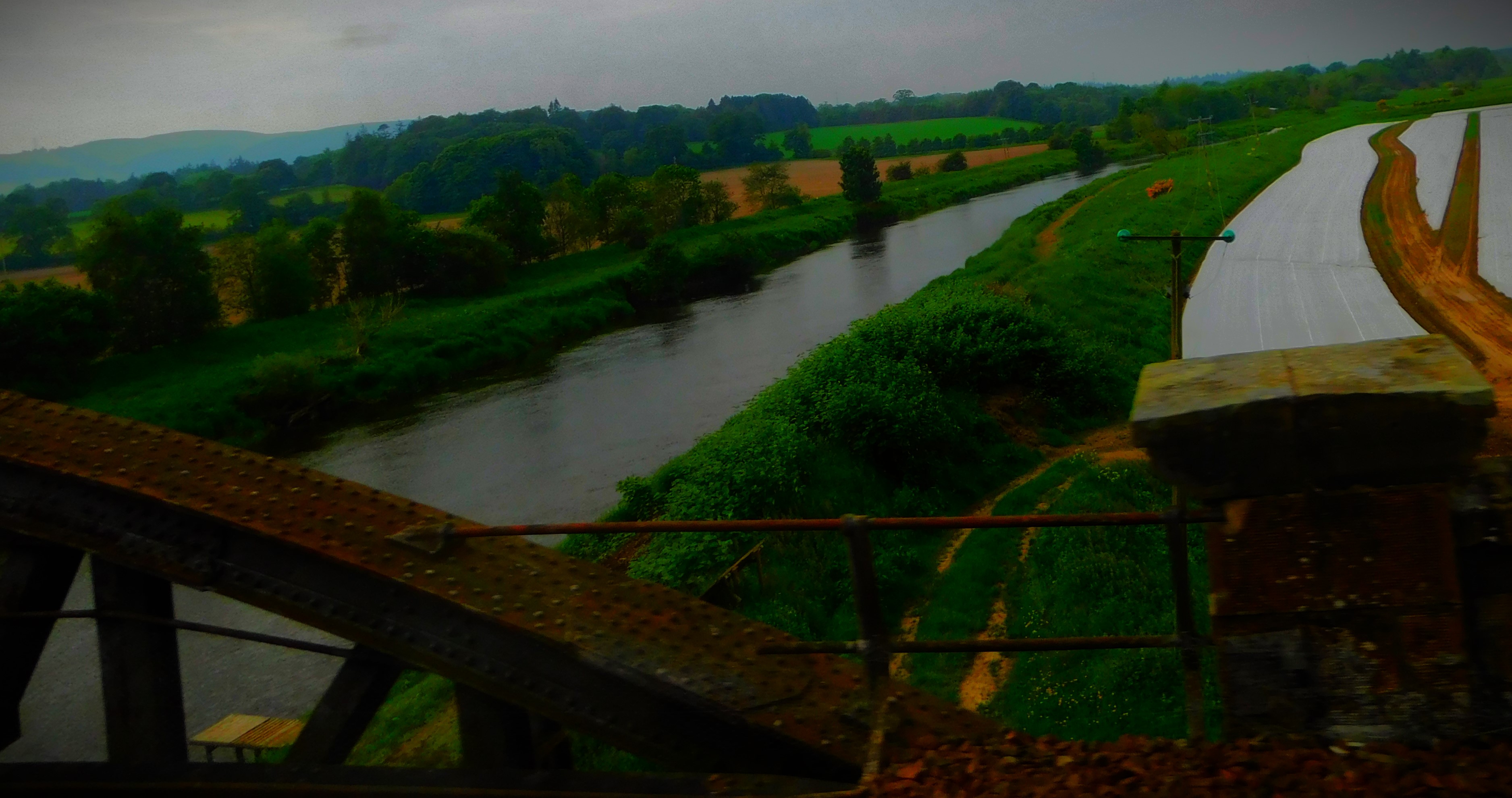
I was due to leave Perth at 11:15AM on May 31st, a time which was tailored to the fact that we had to be out of the building in Comrie by 10 at the latest – it was late enough not hurry our departure and early enough that the wait at Perth station would not be too long. This train was running a Perth to Edinburgh route and stopped at a number of places. There were some fine views, although I had put myself on the less good side of the train. I was worrying at one point as it ran late, and indeed I had only eight minutes to make the connection at Edinburgh, but I was never actually in any danger of missing that connection. The train from Edinburgh to Peterborough ran smoothly, though my reserved seat was on the less good side of the train for photography. At Peterborough I had a wait of about 20 minutes for the bus to King’s Lynn. This part of the journey also ran smoothly, and I arrived at the bus station a little before 6:40PM, and was home just before 7PM.
PHOTOGRAPHS
Here are my photographs from the return journey..,
The train for the Perth-Edinburgh leg of the journey.
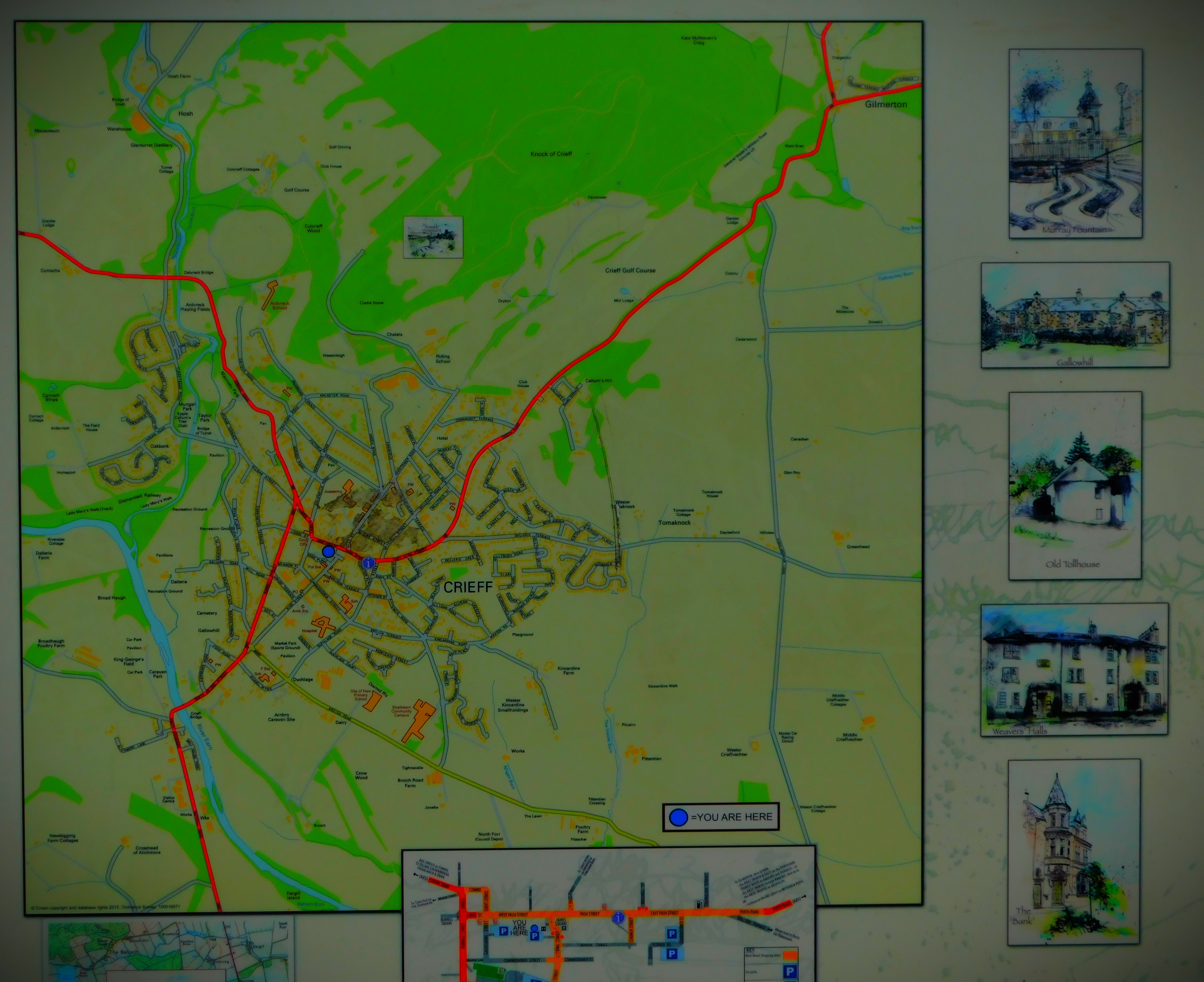
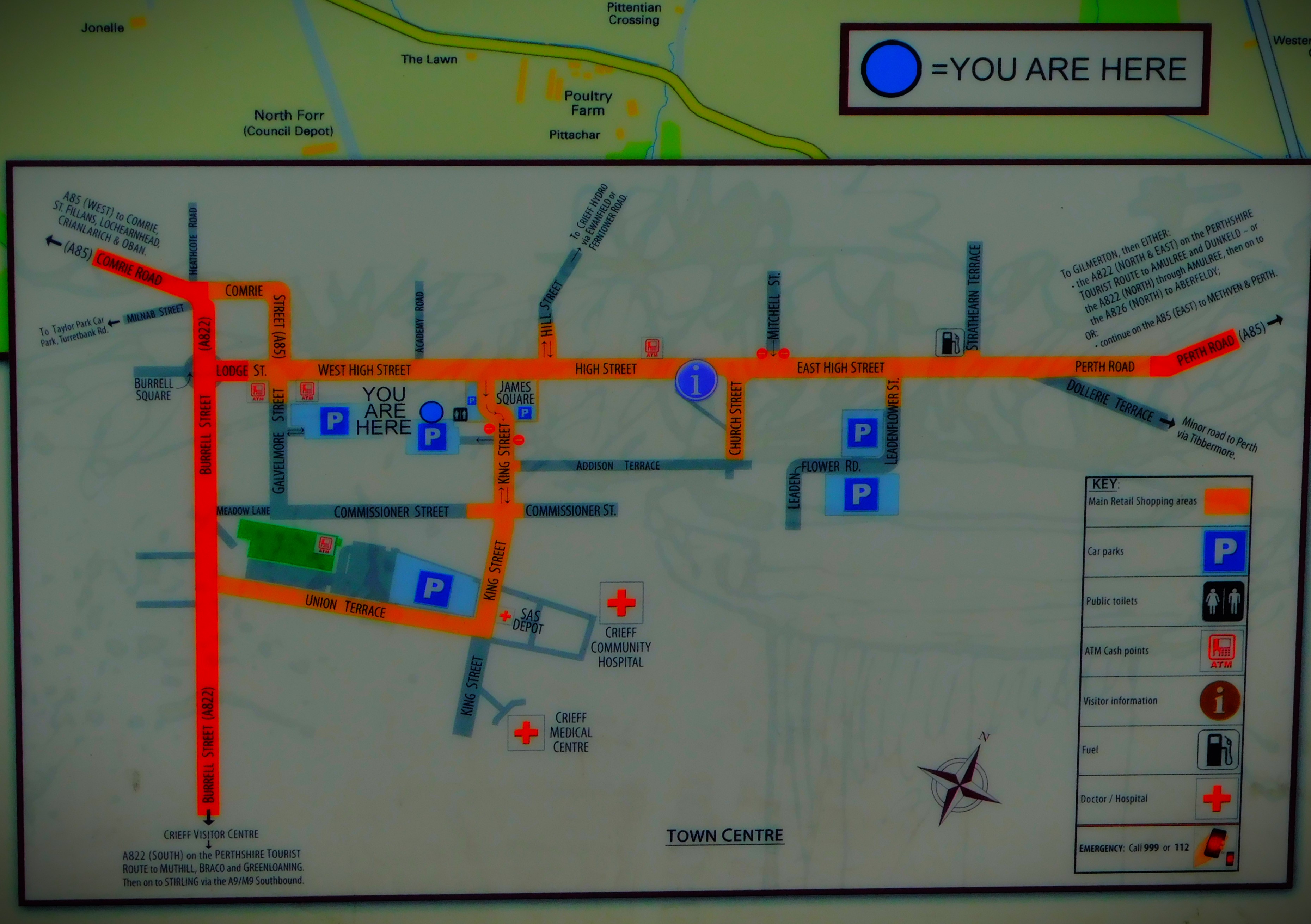
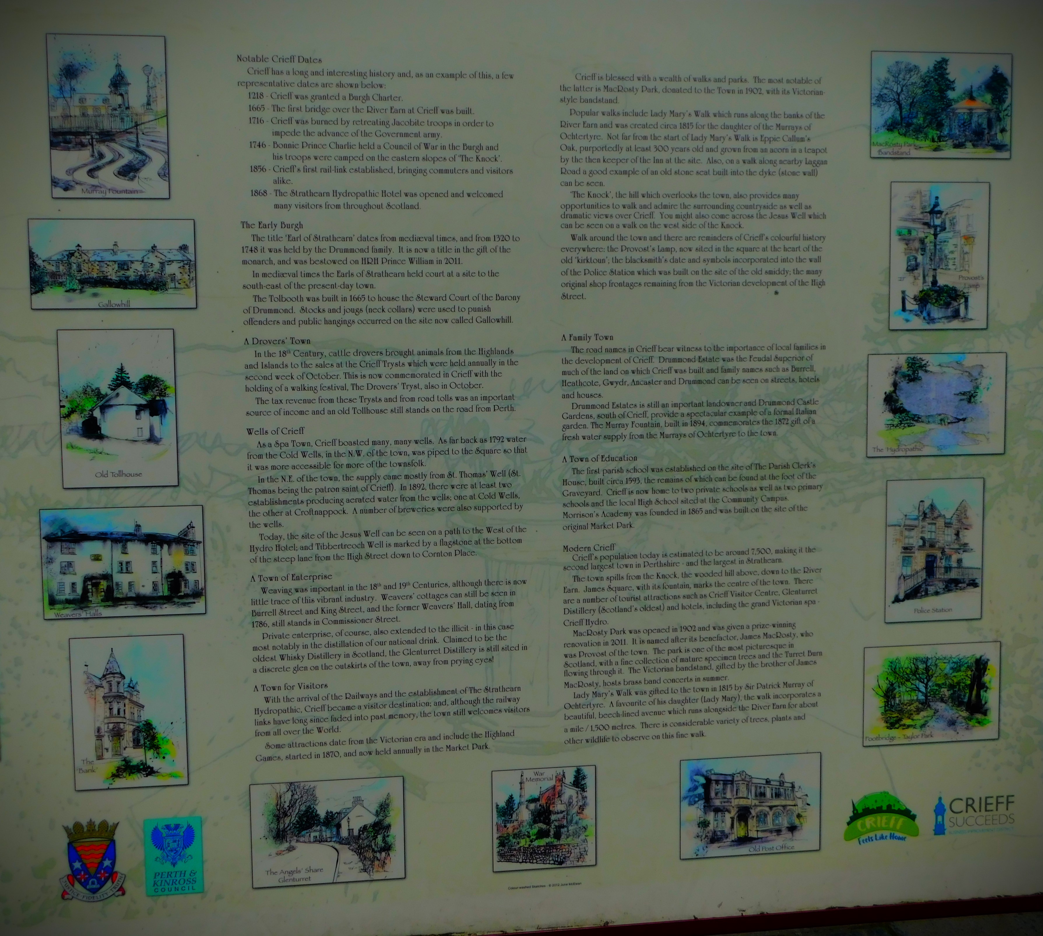
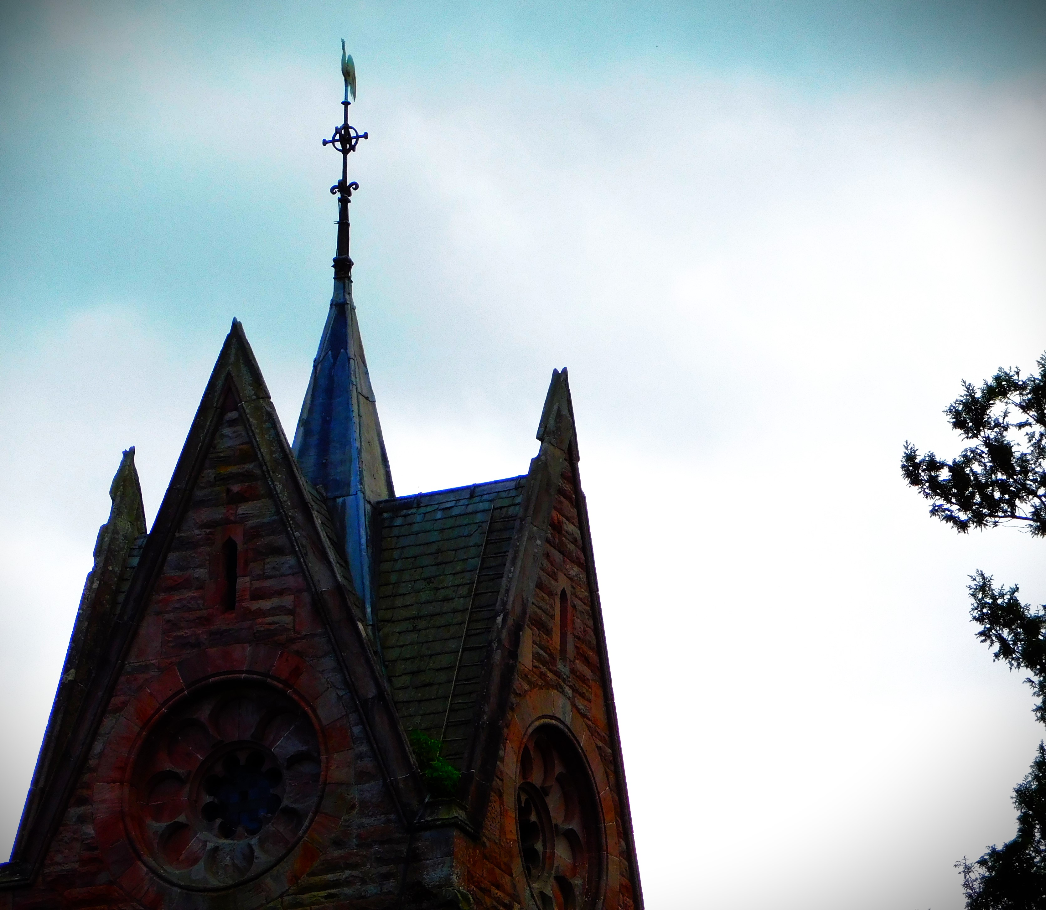
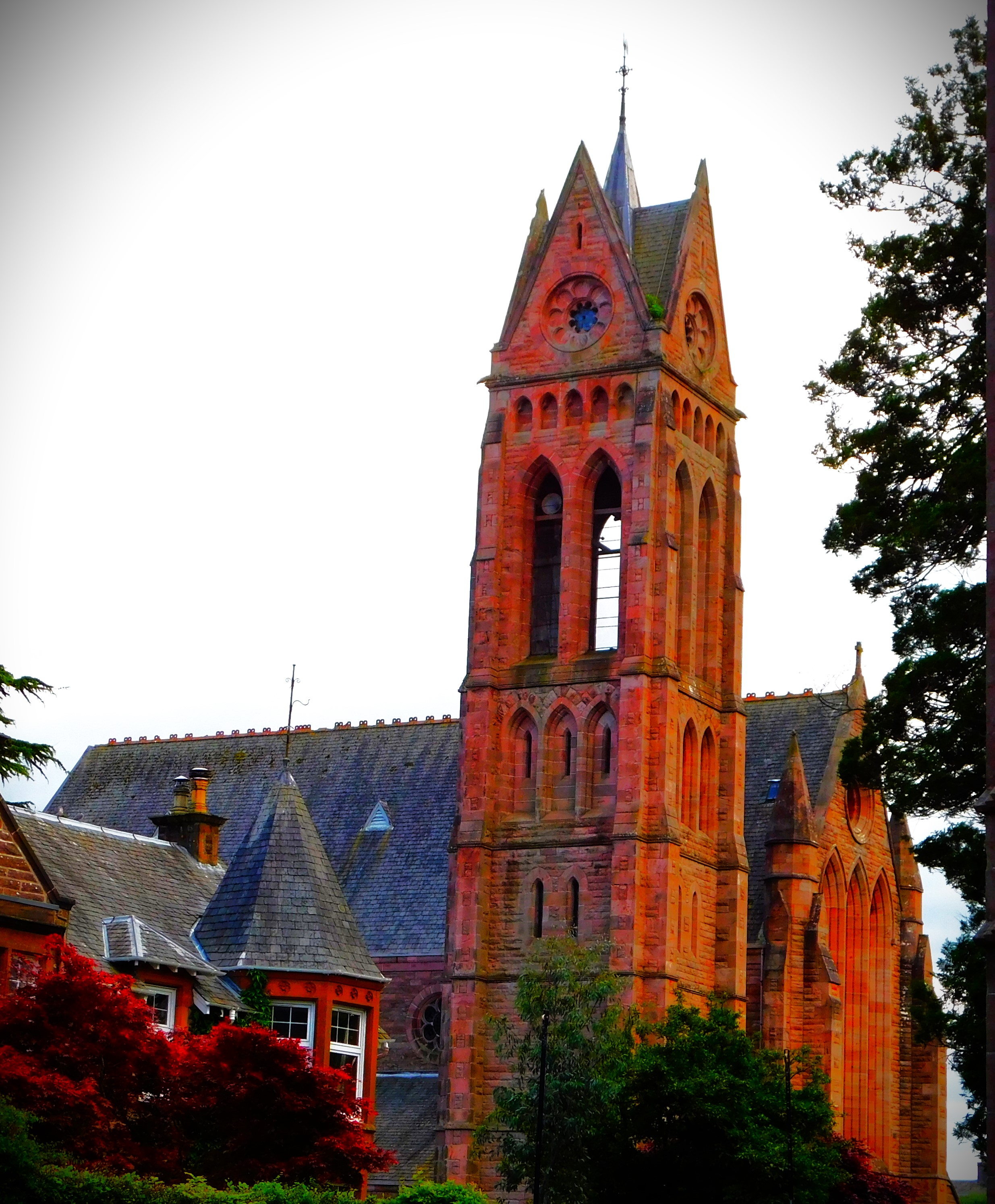
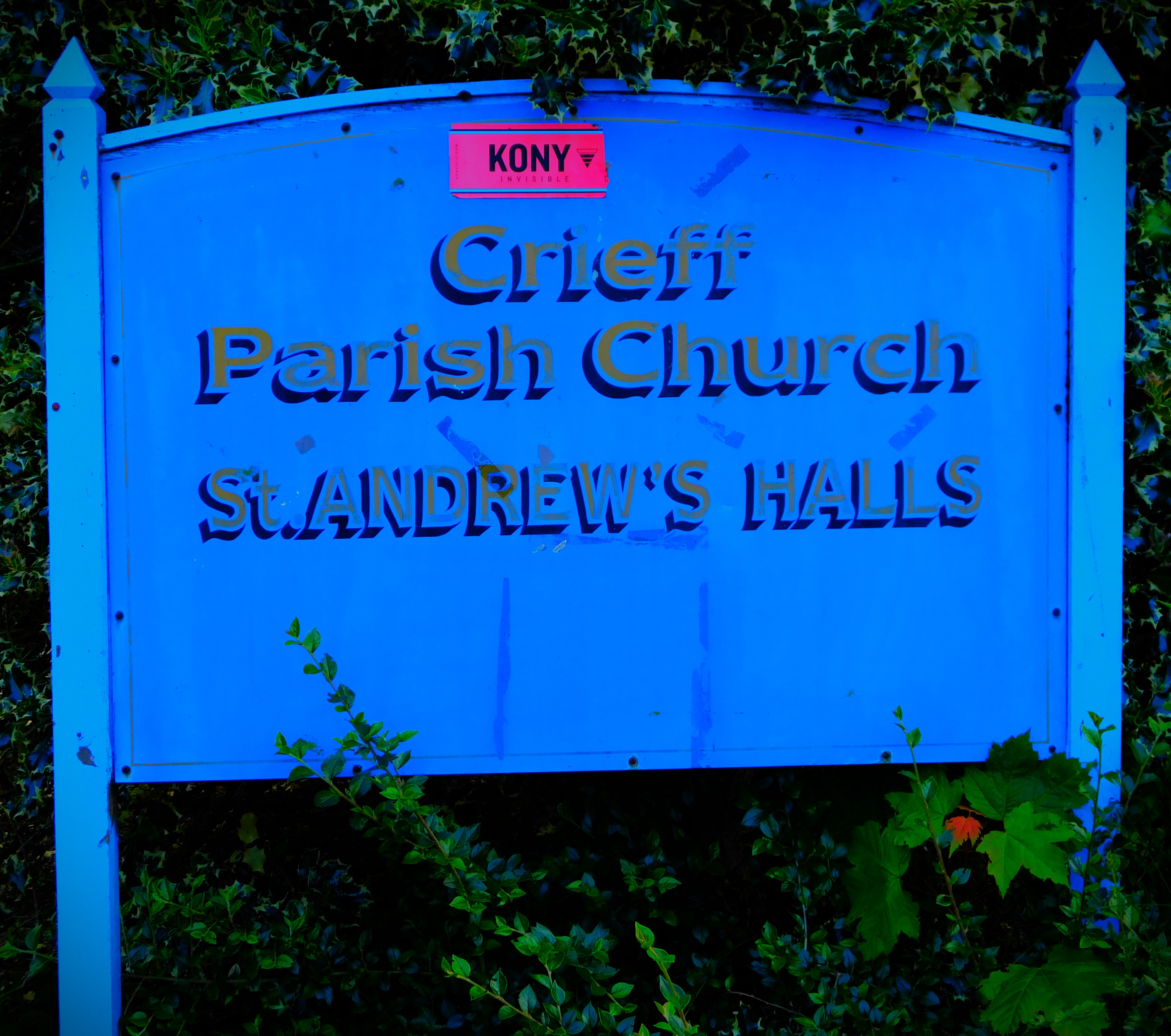
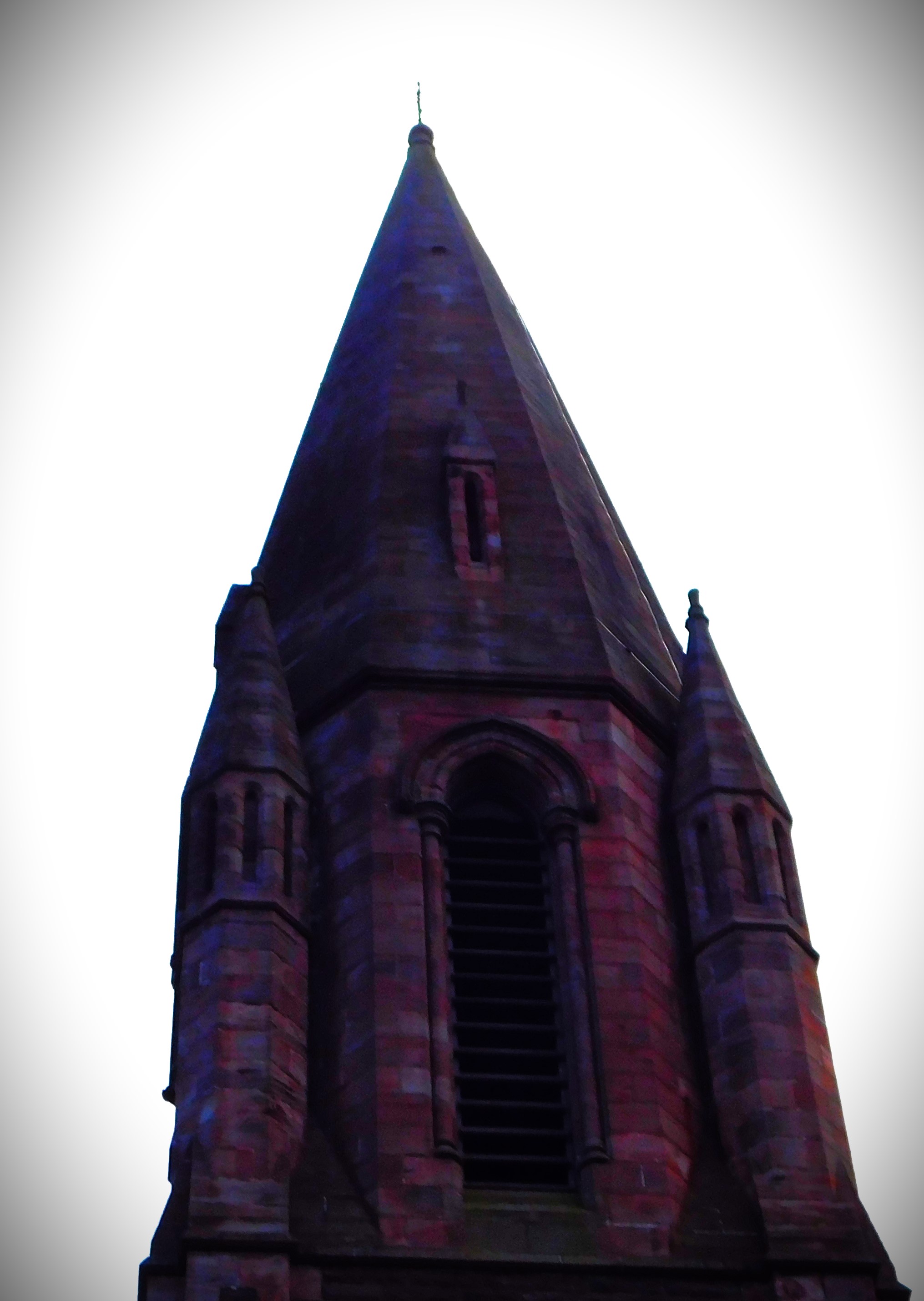
Continuing my account of my Scottish holiday with a look at Crieff.
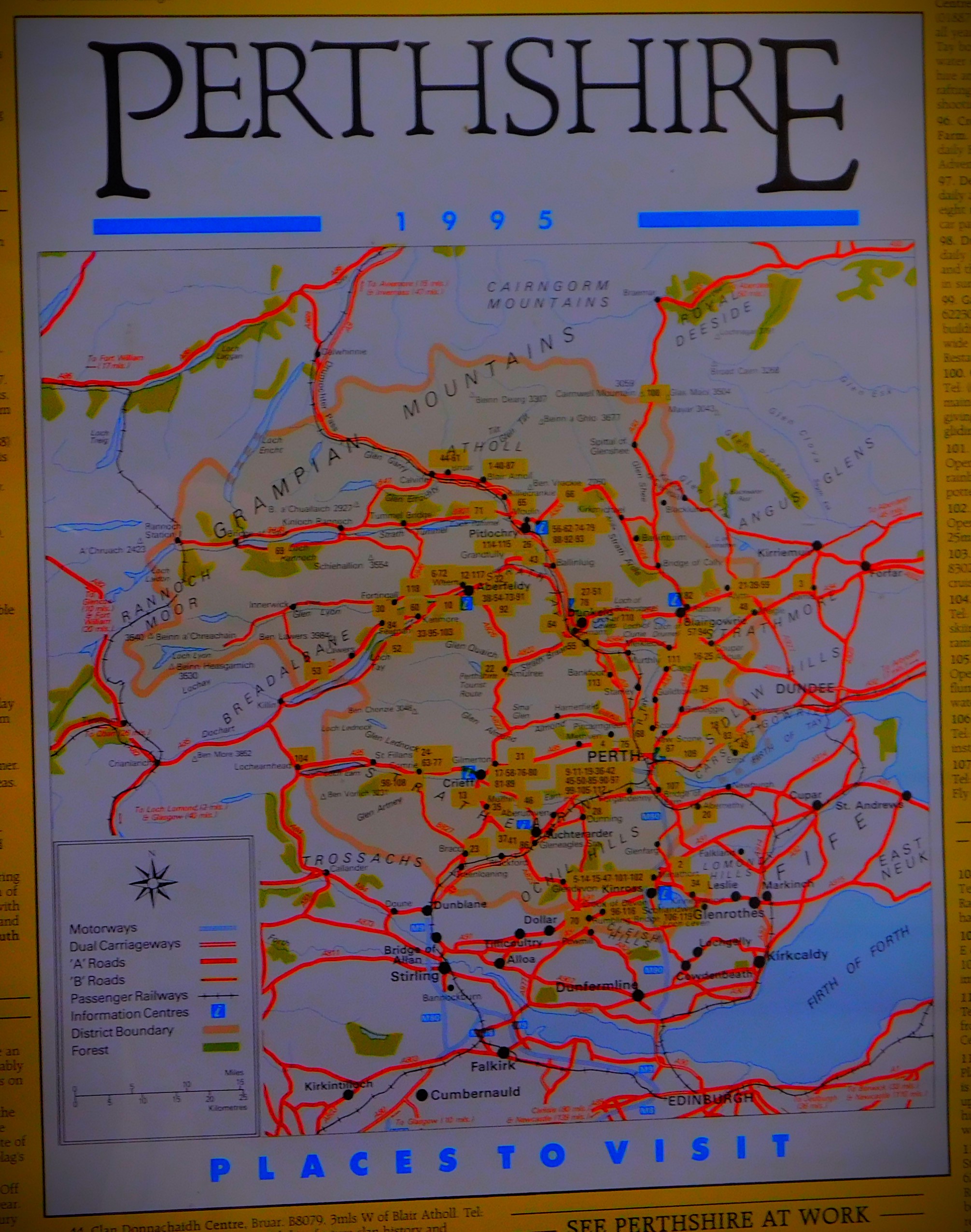
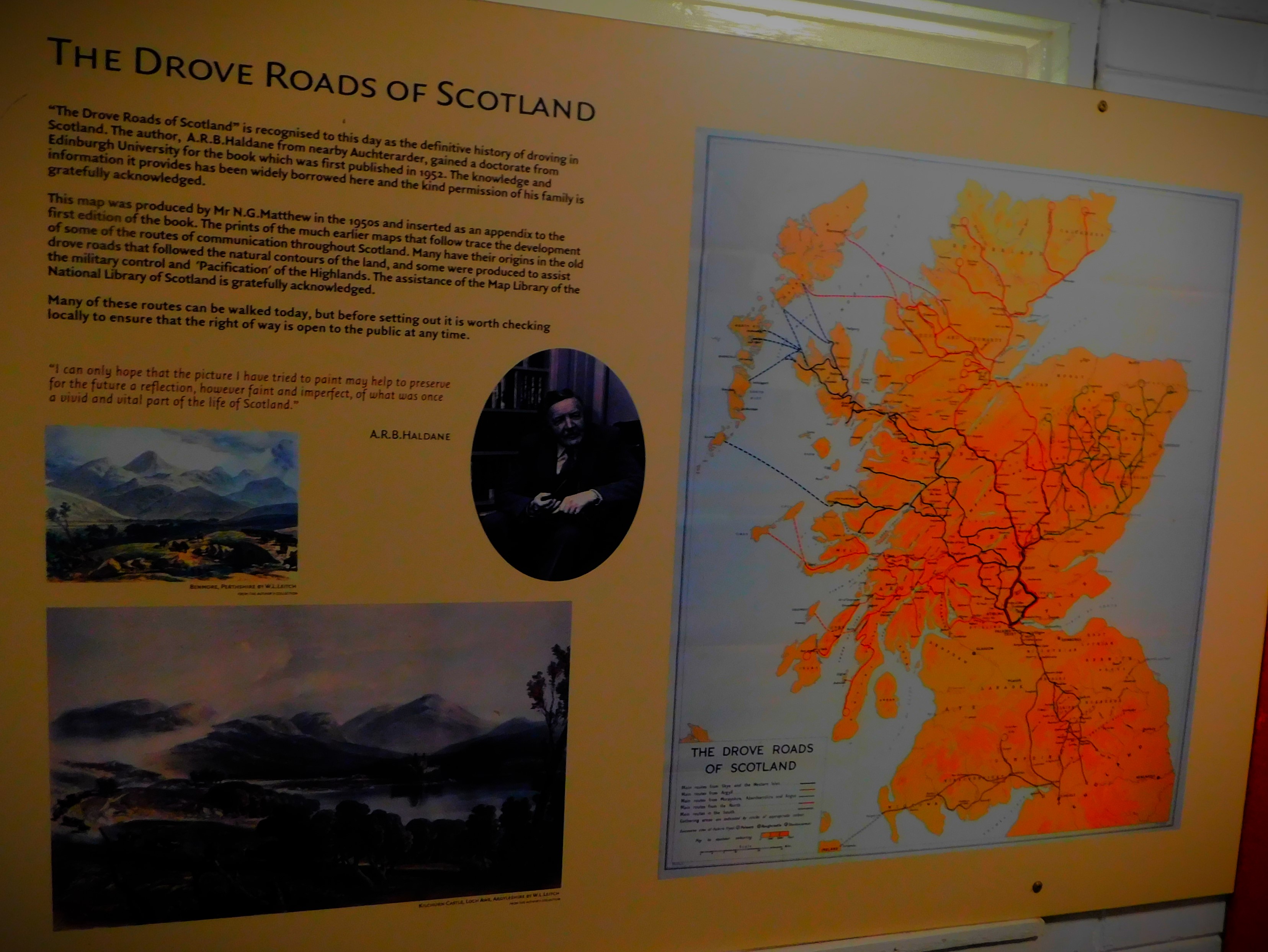
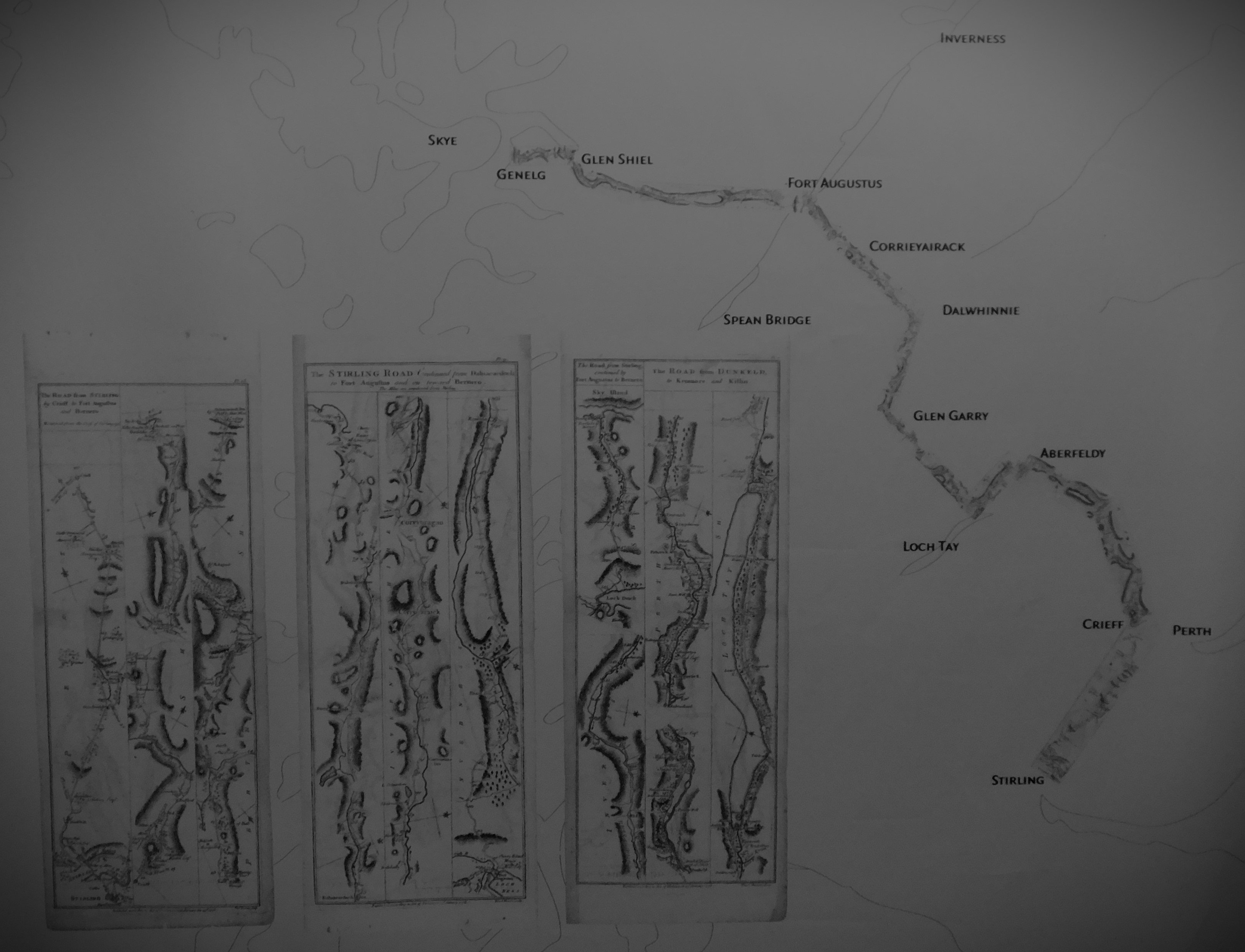
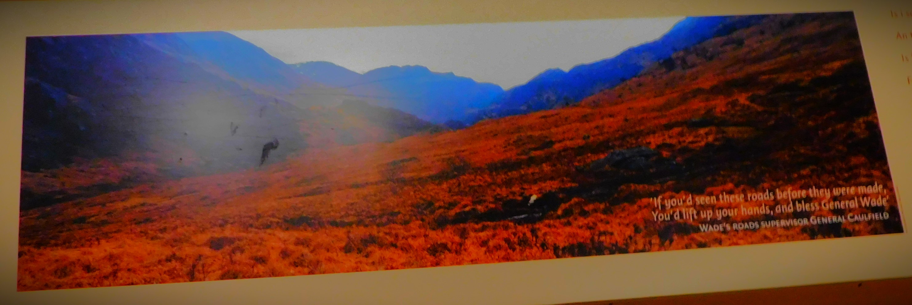
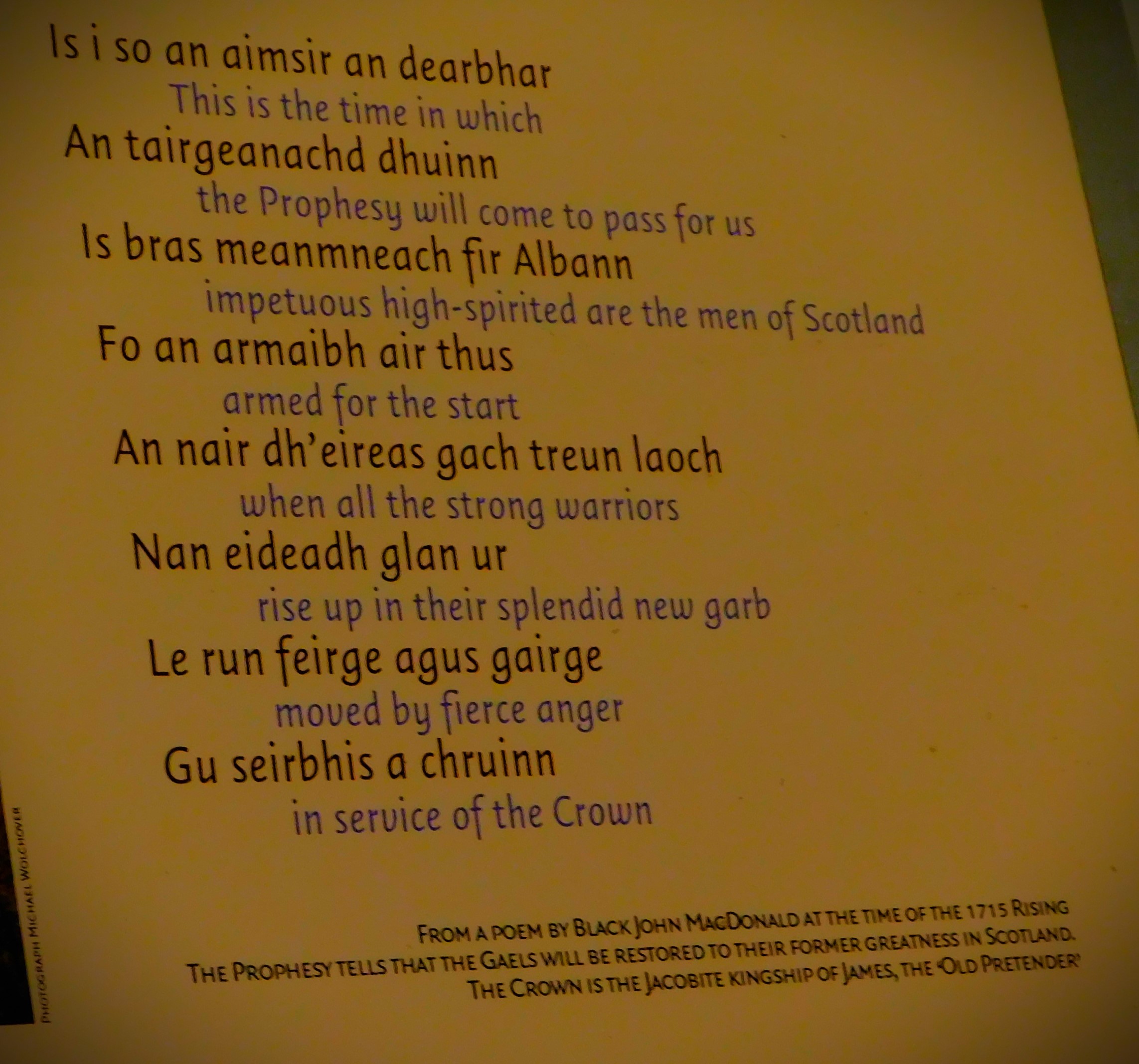
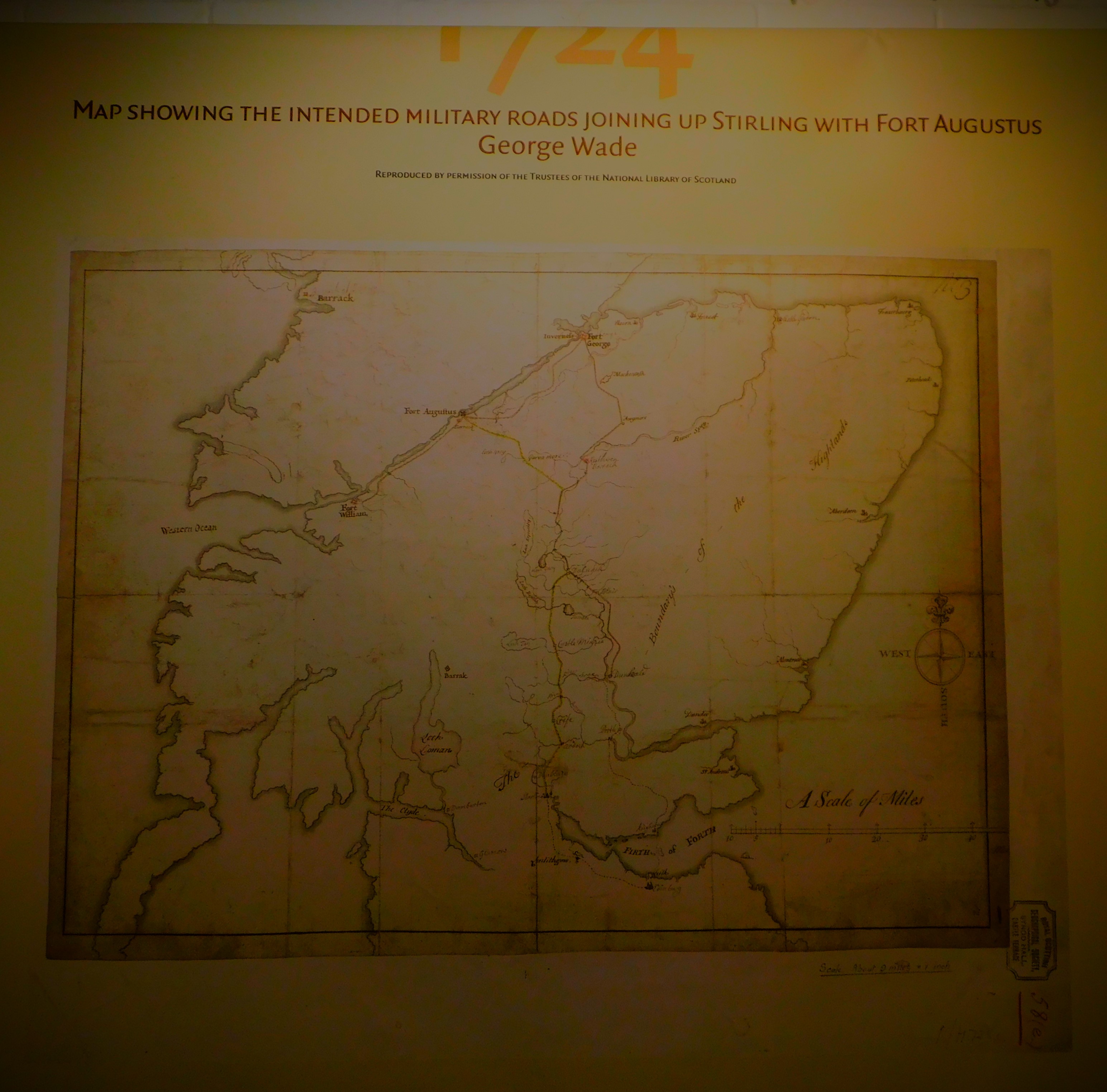
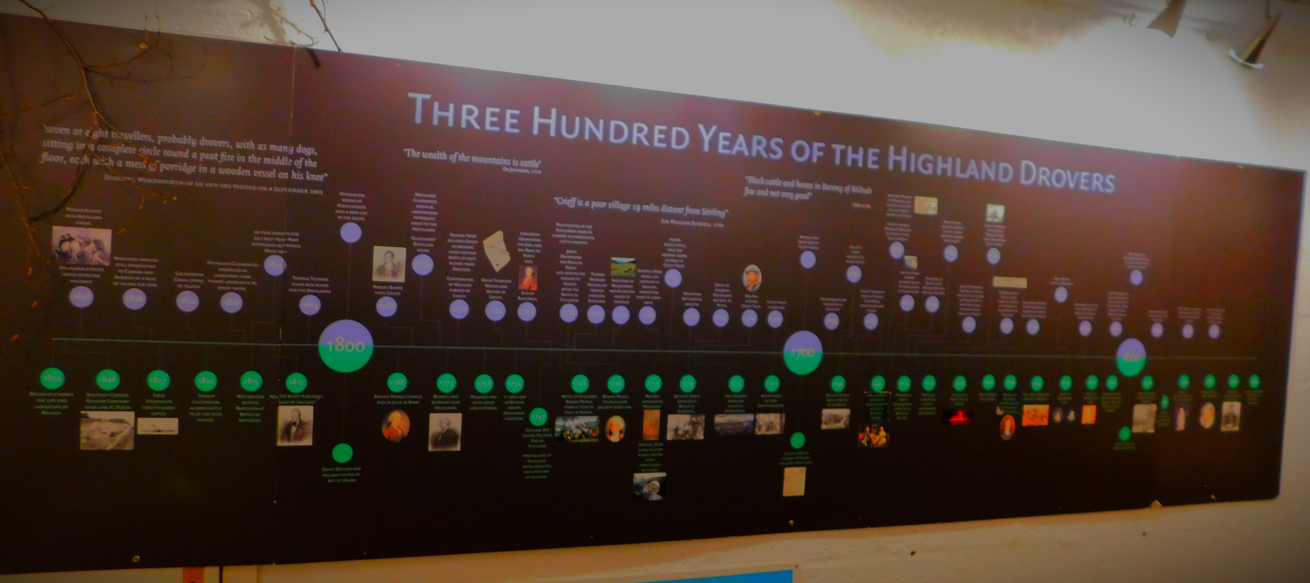
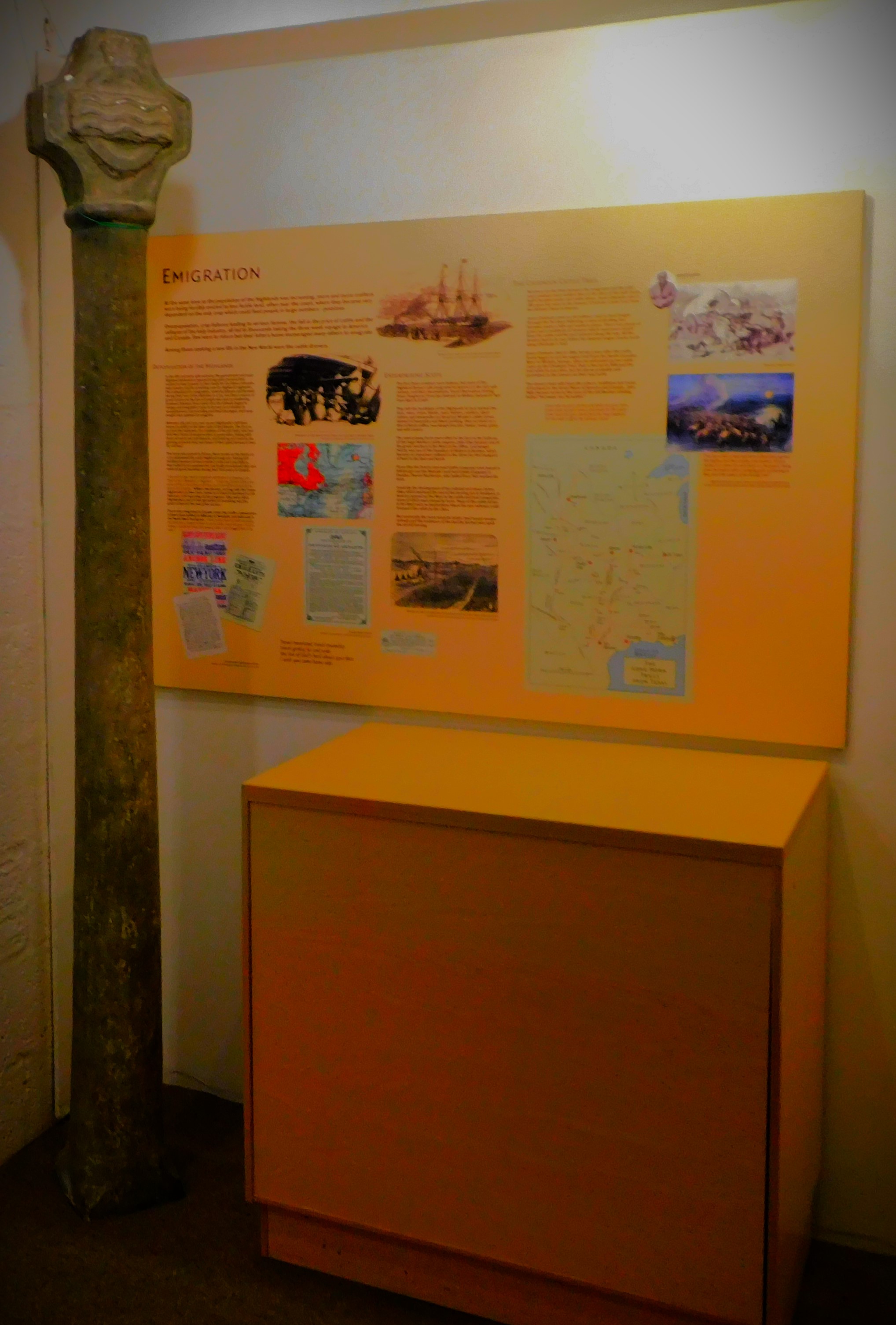
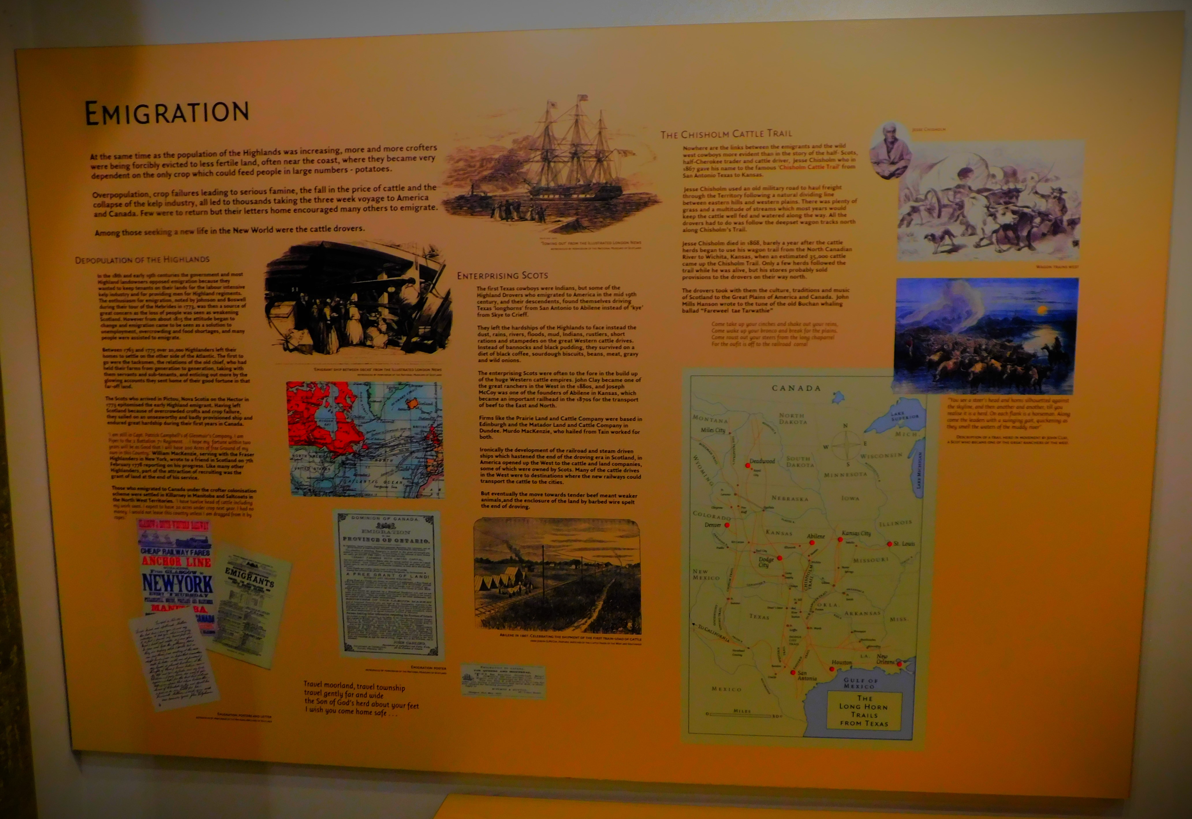
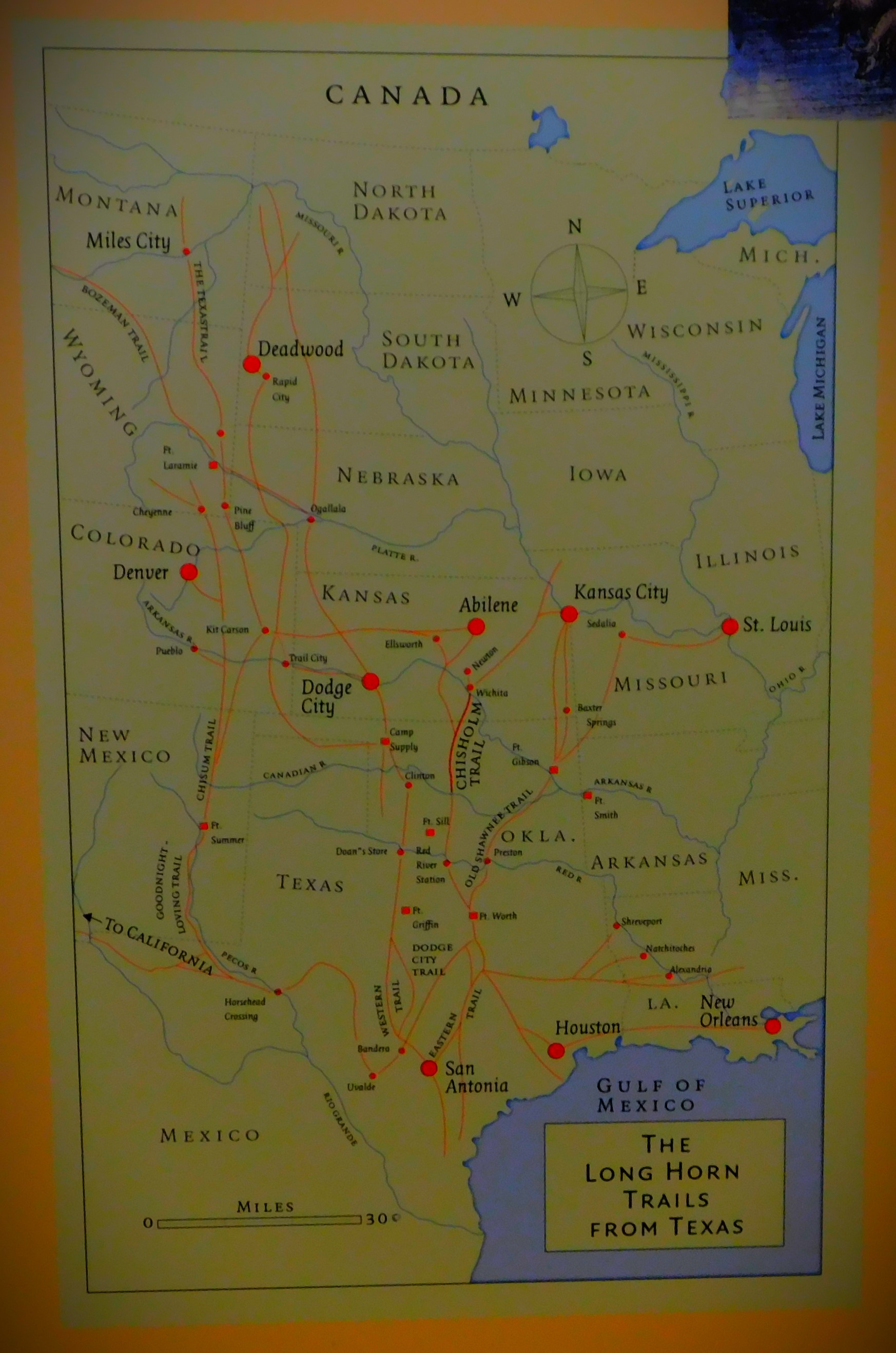
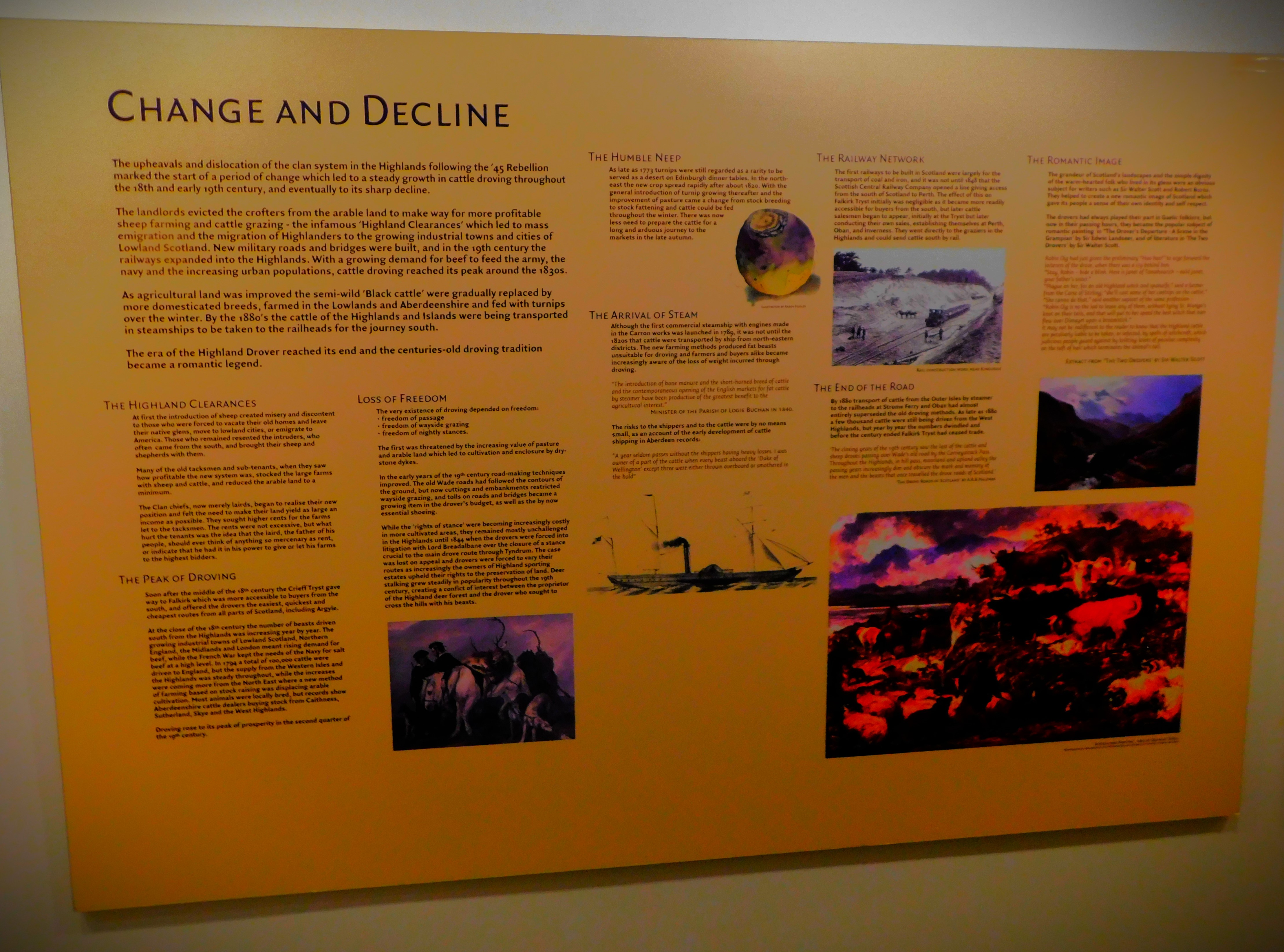
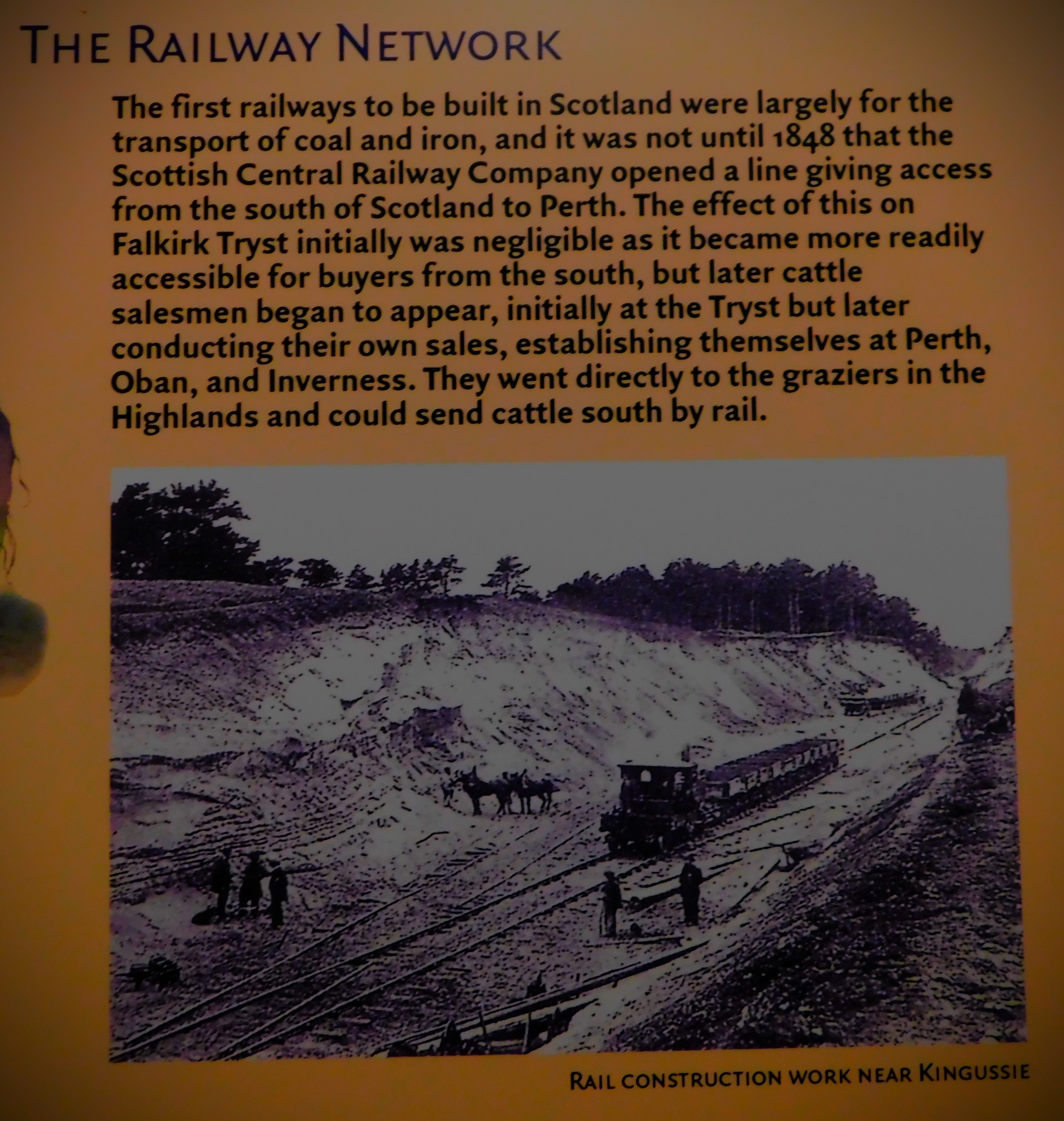
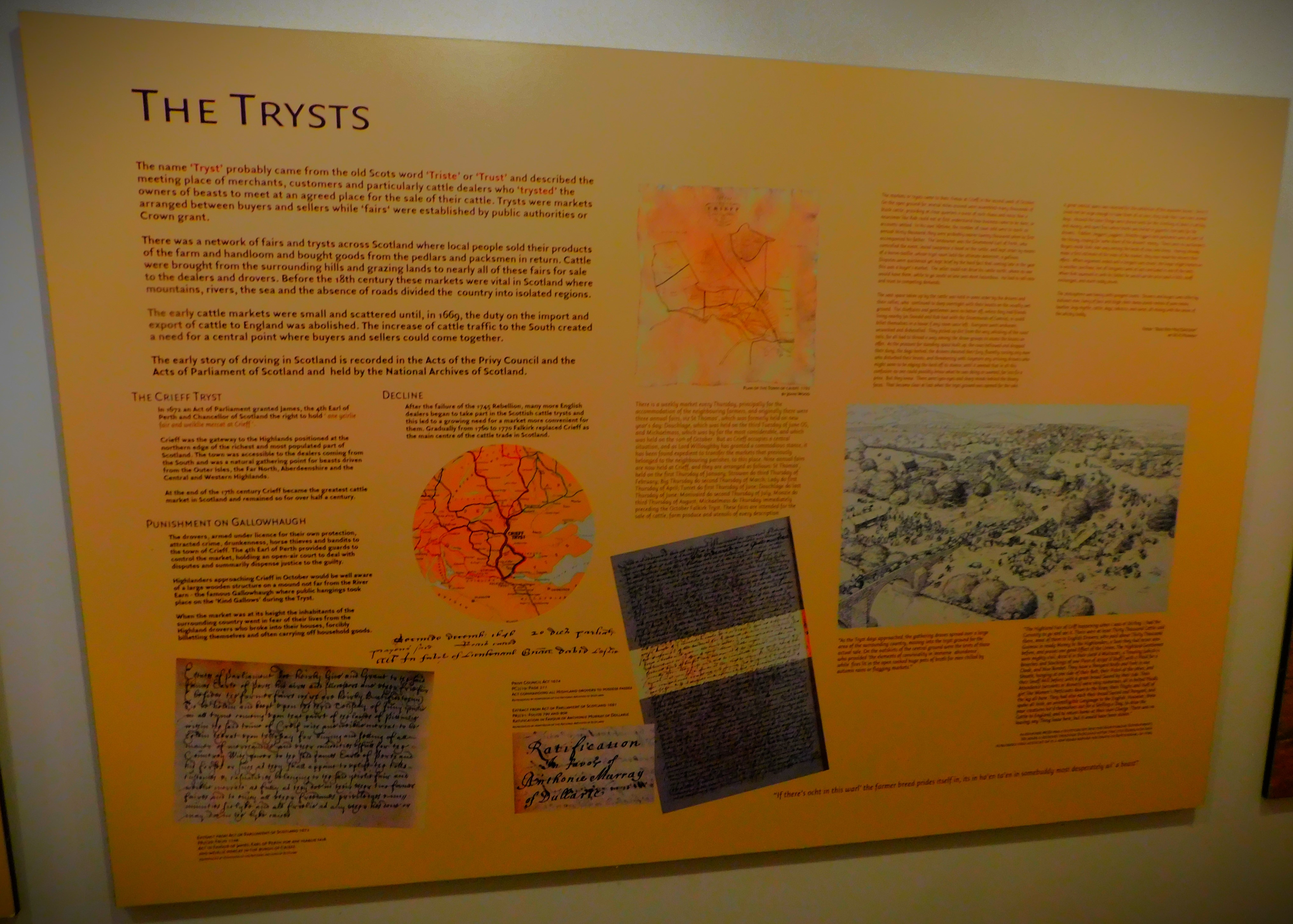
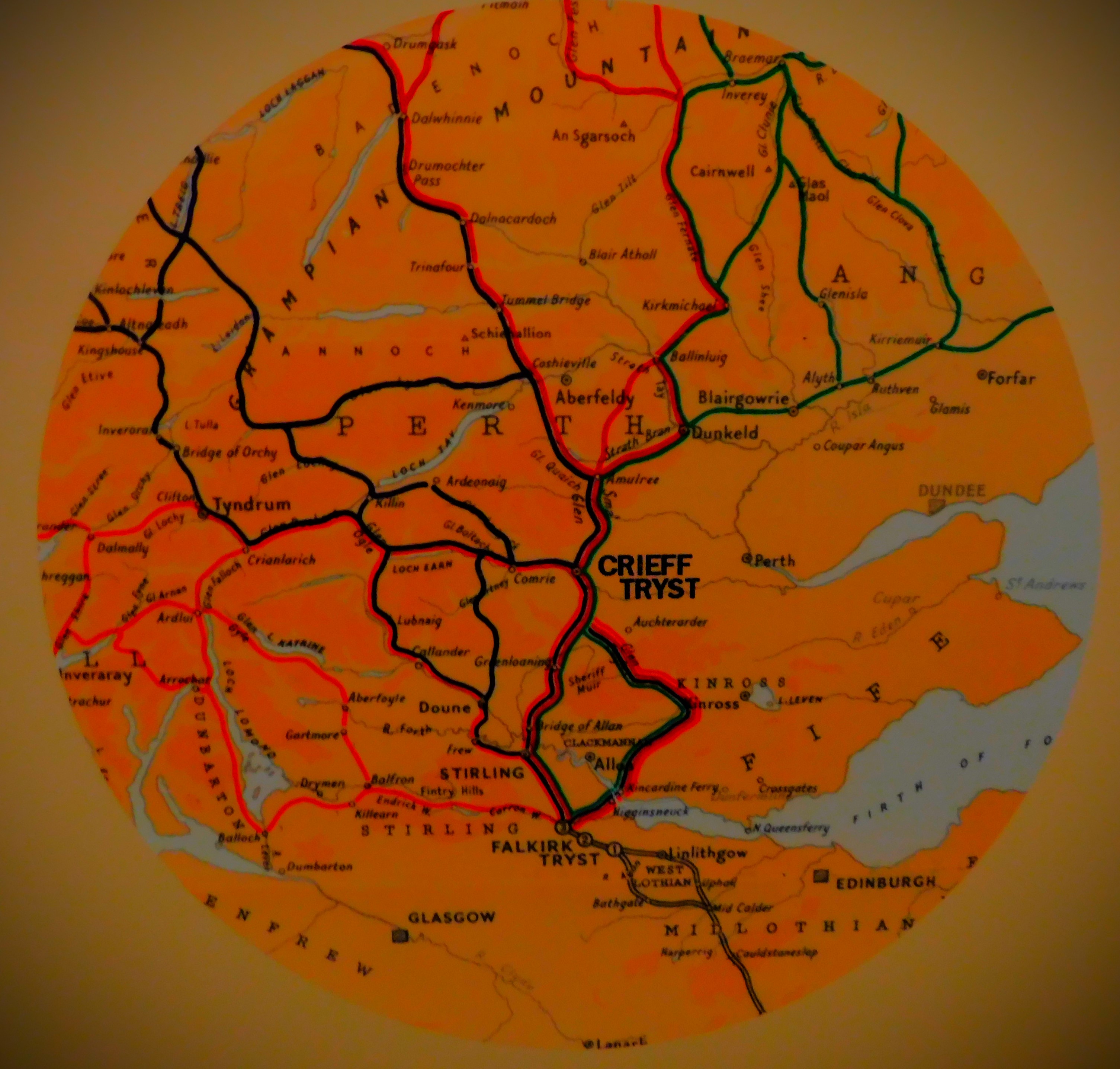
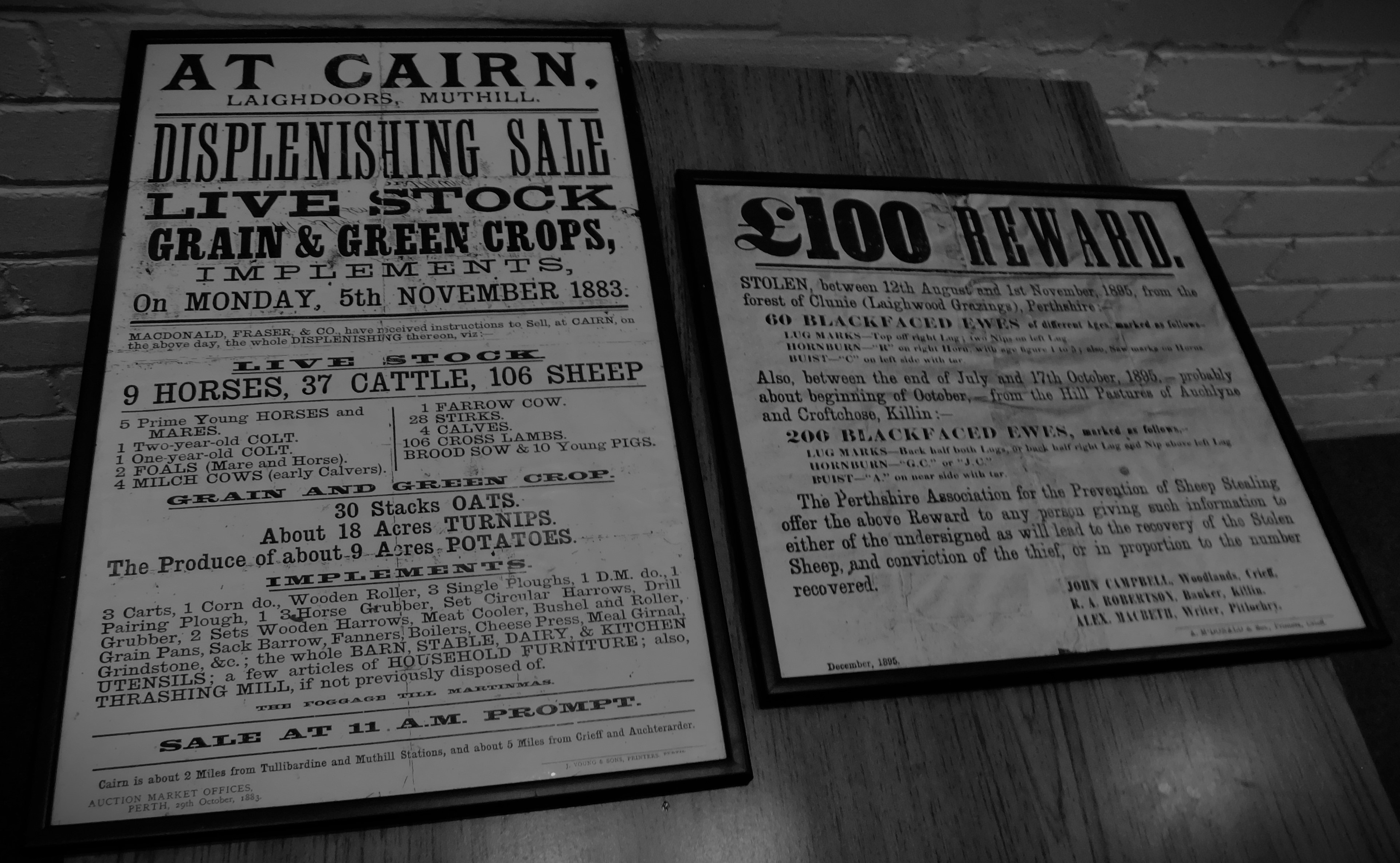
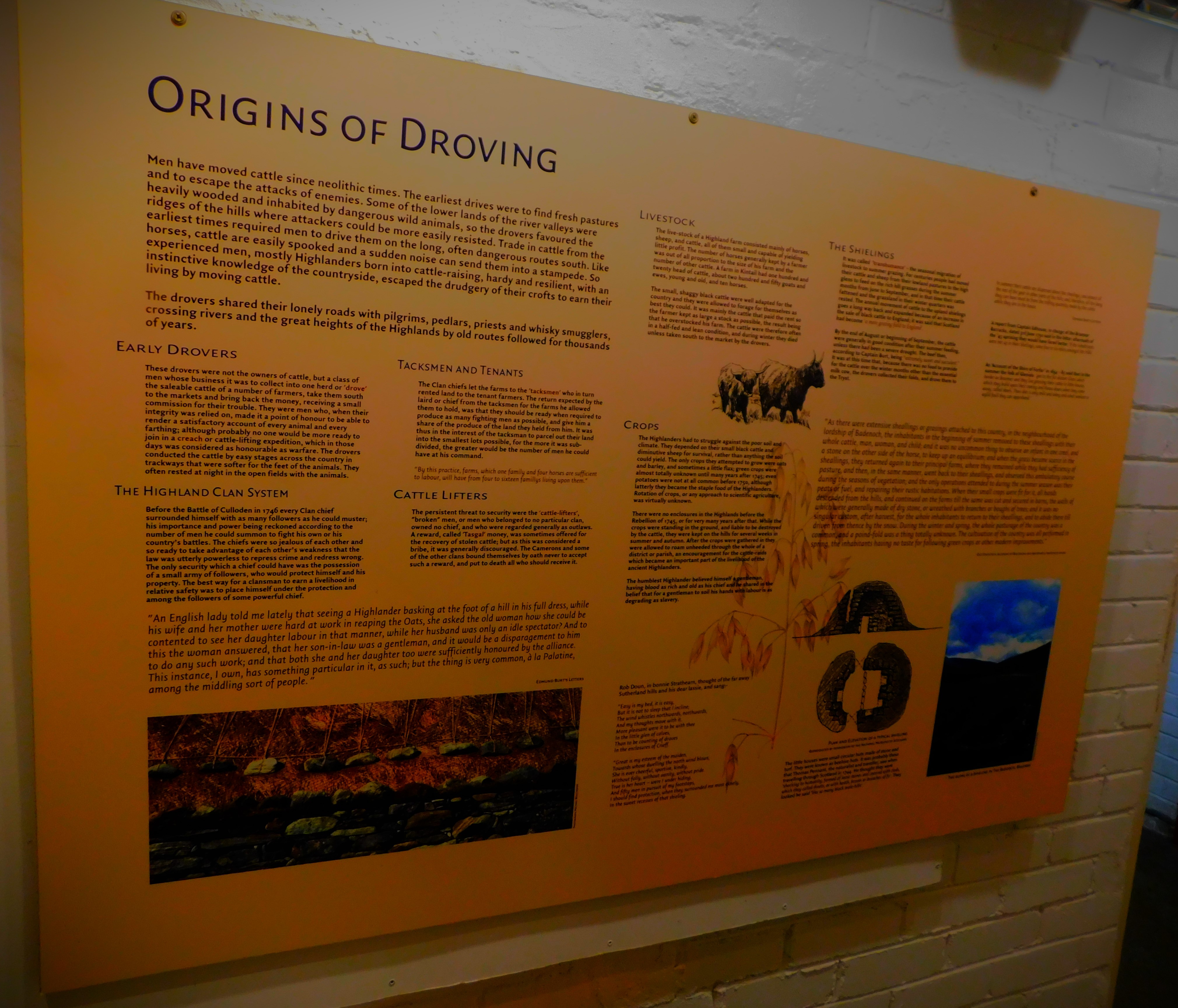
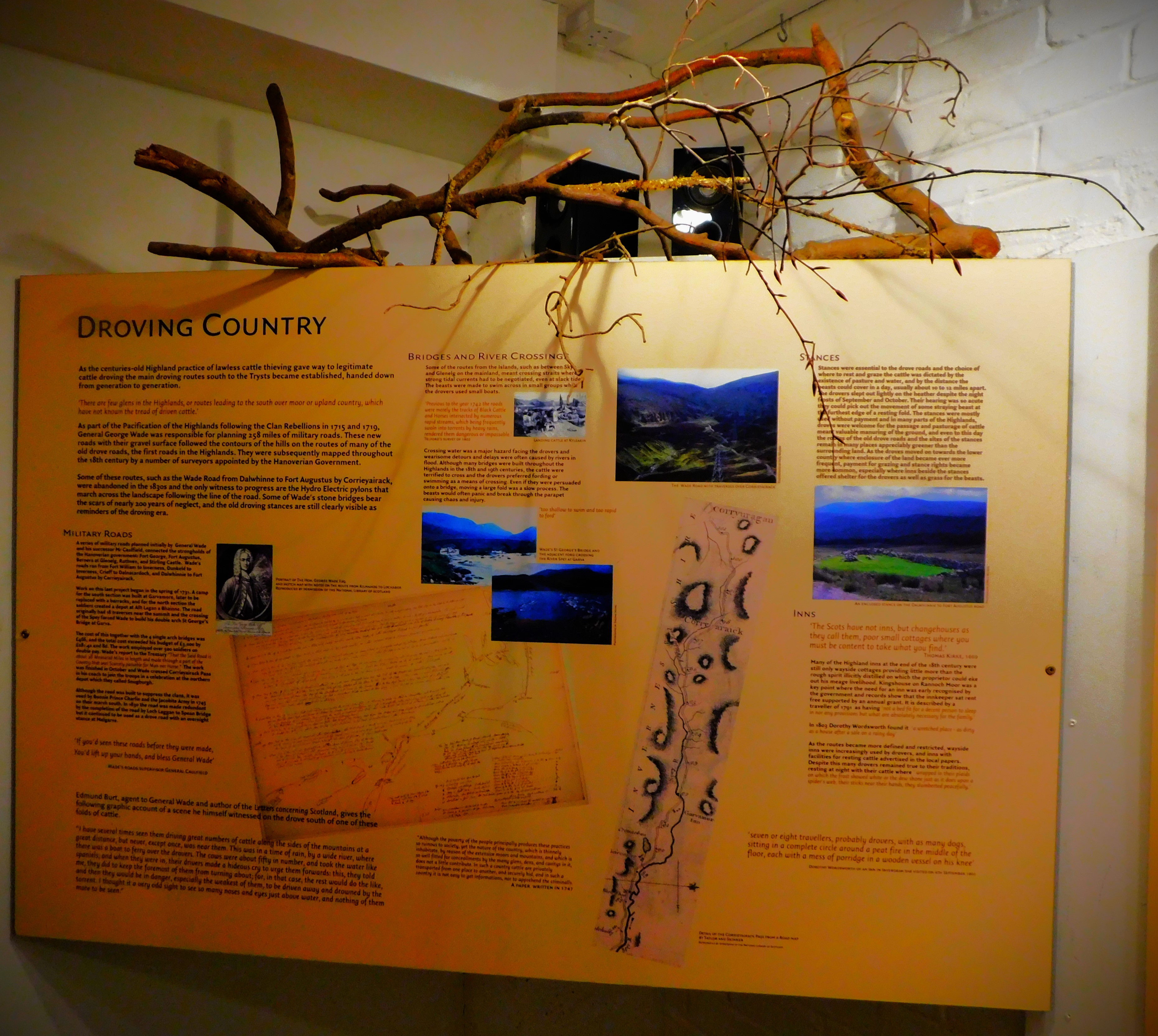
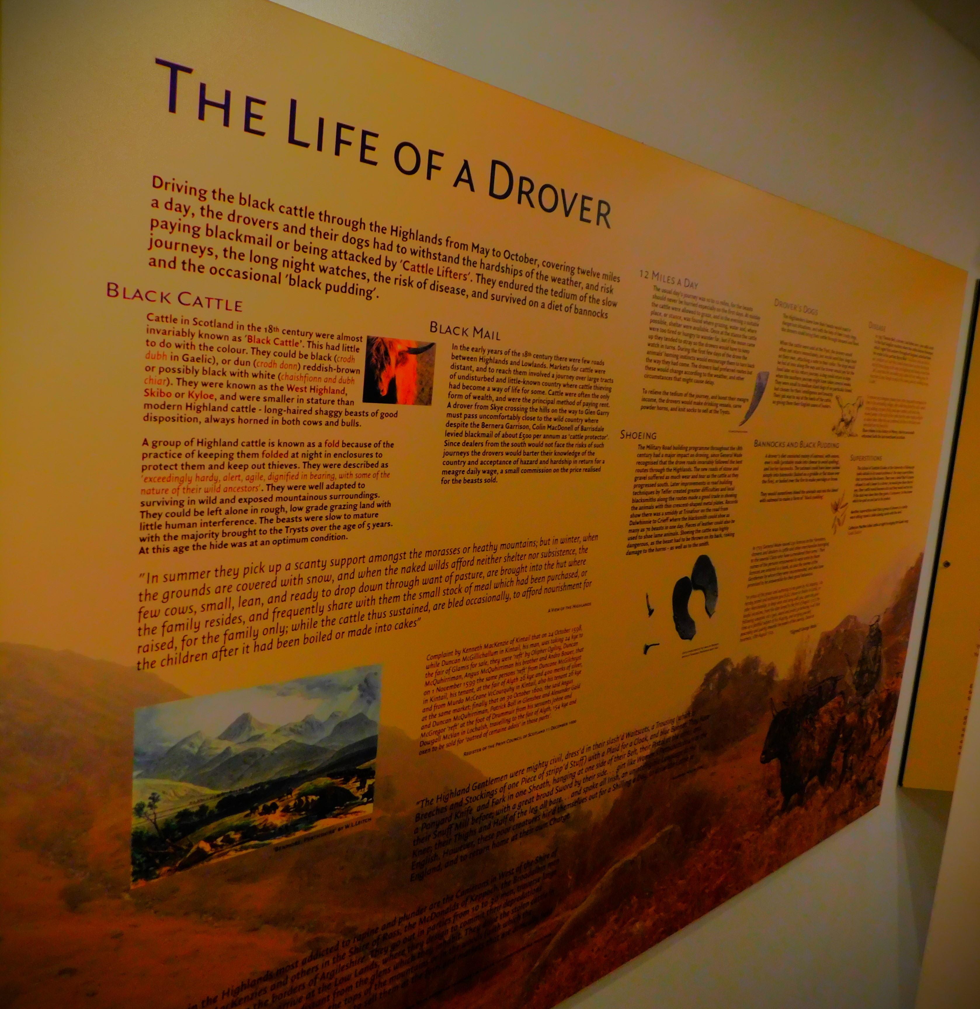
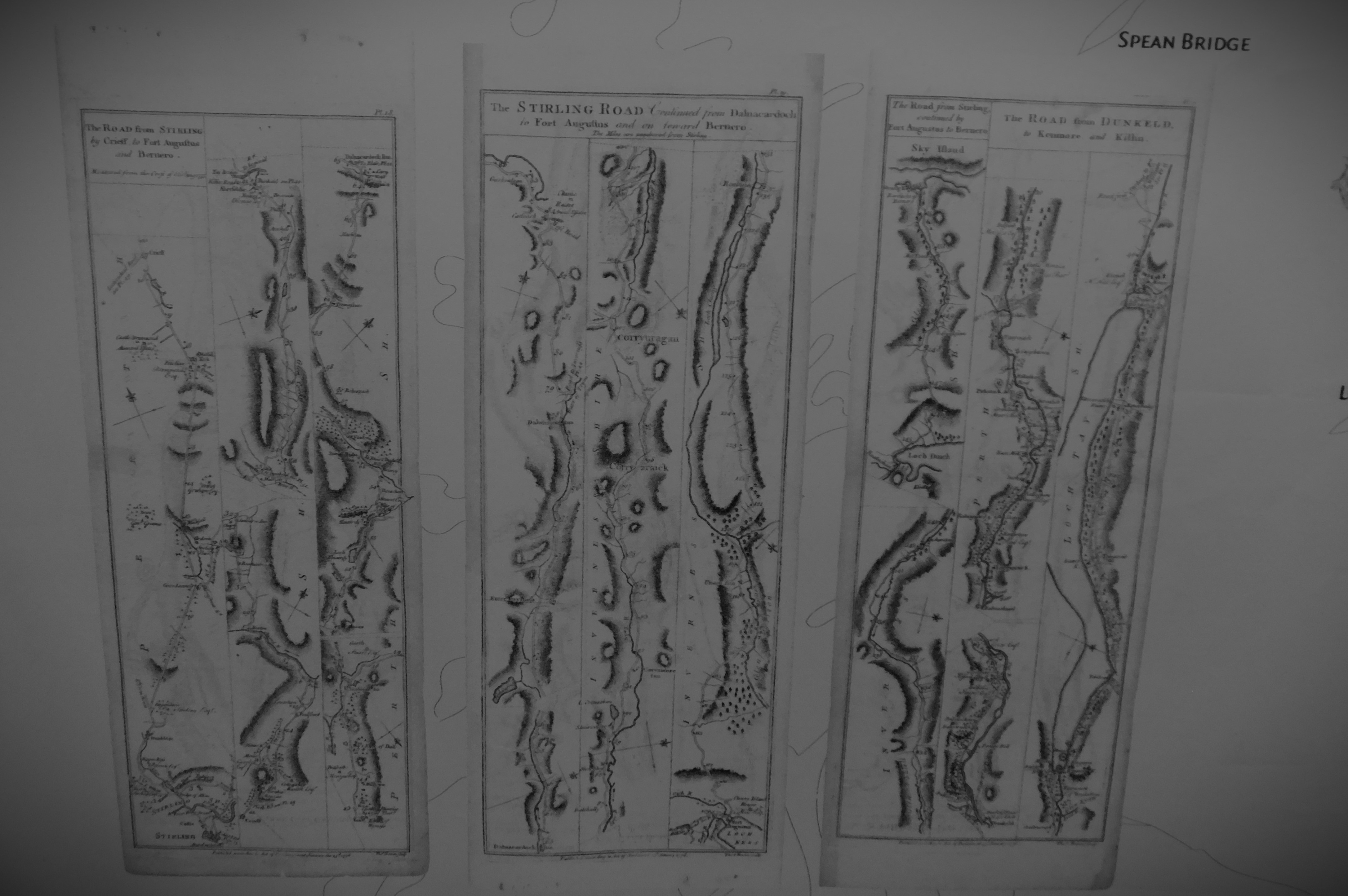
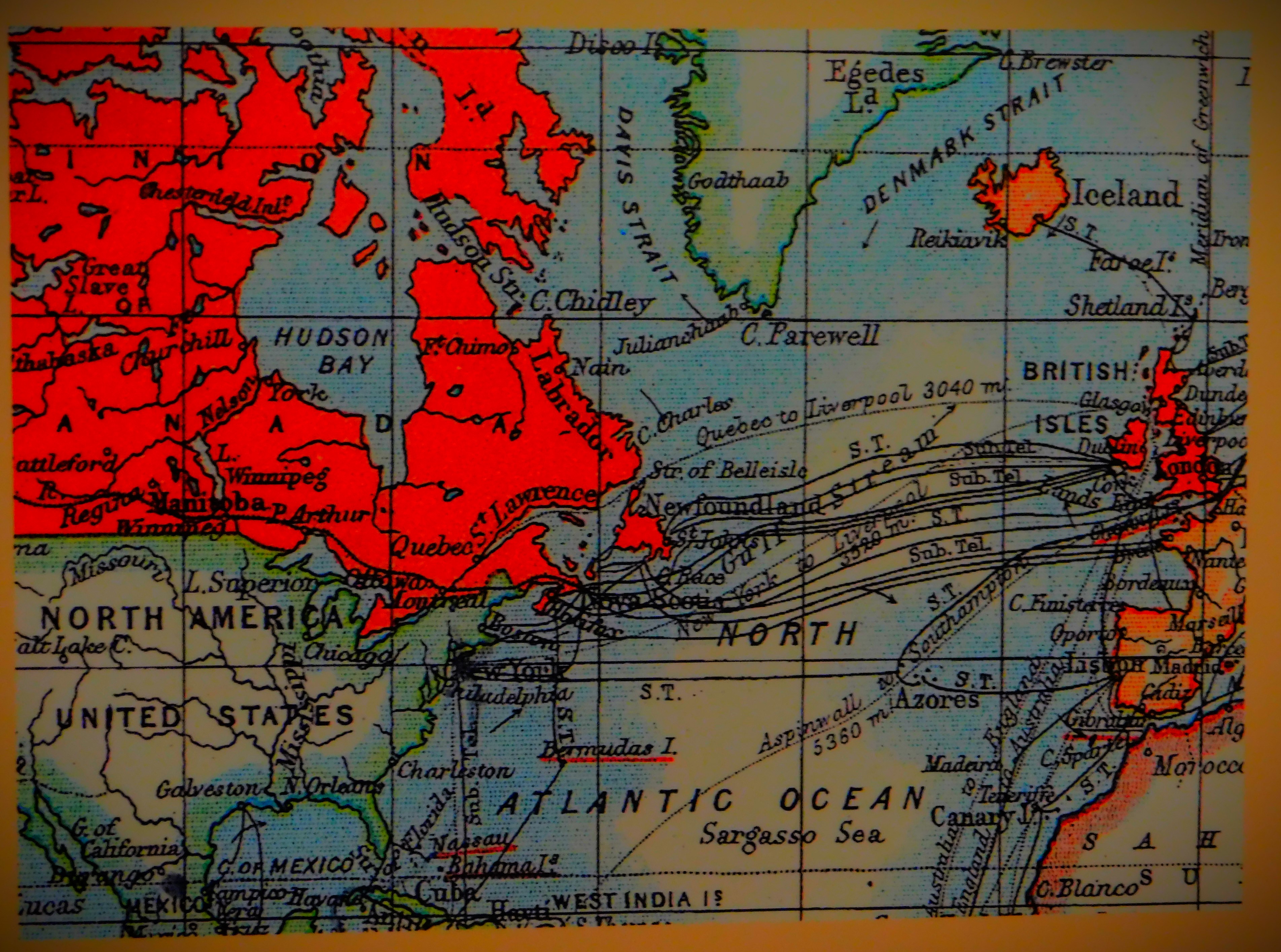
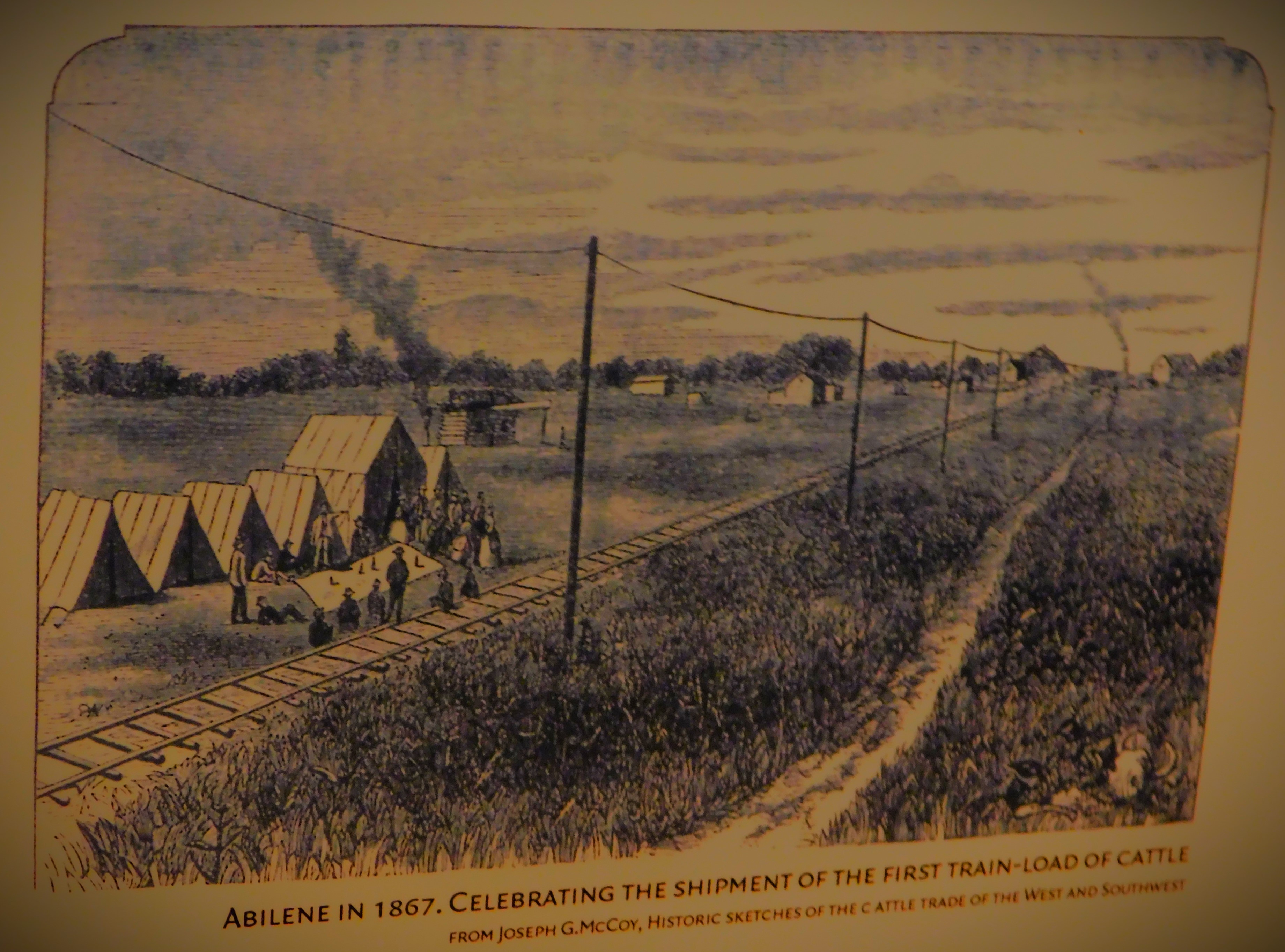
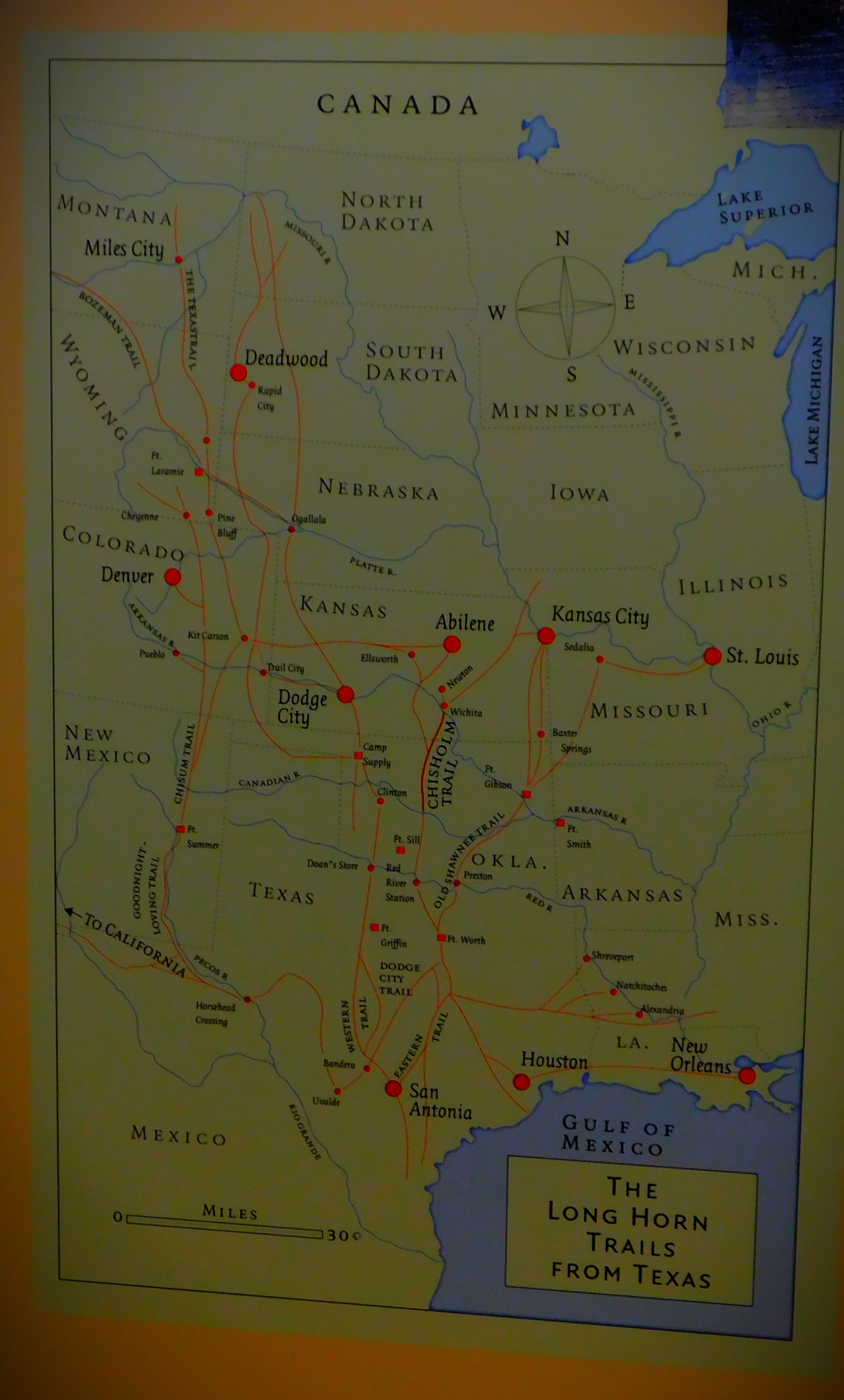
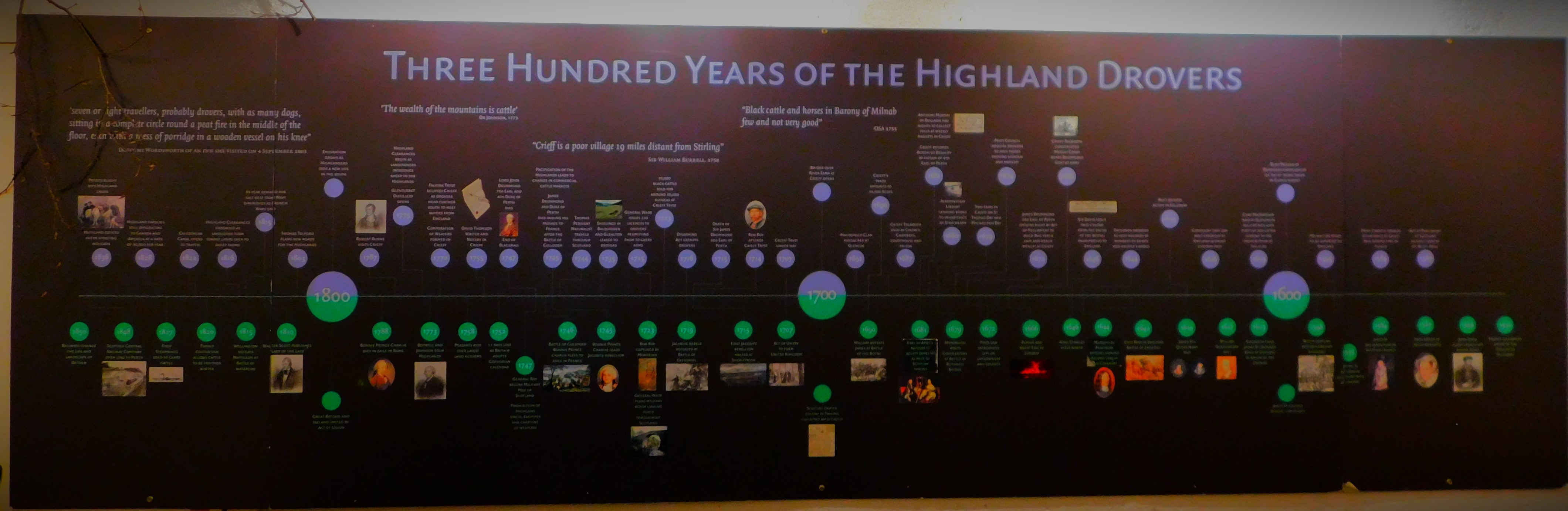
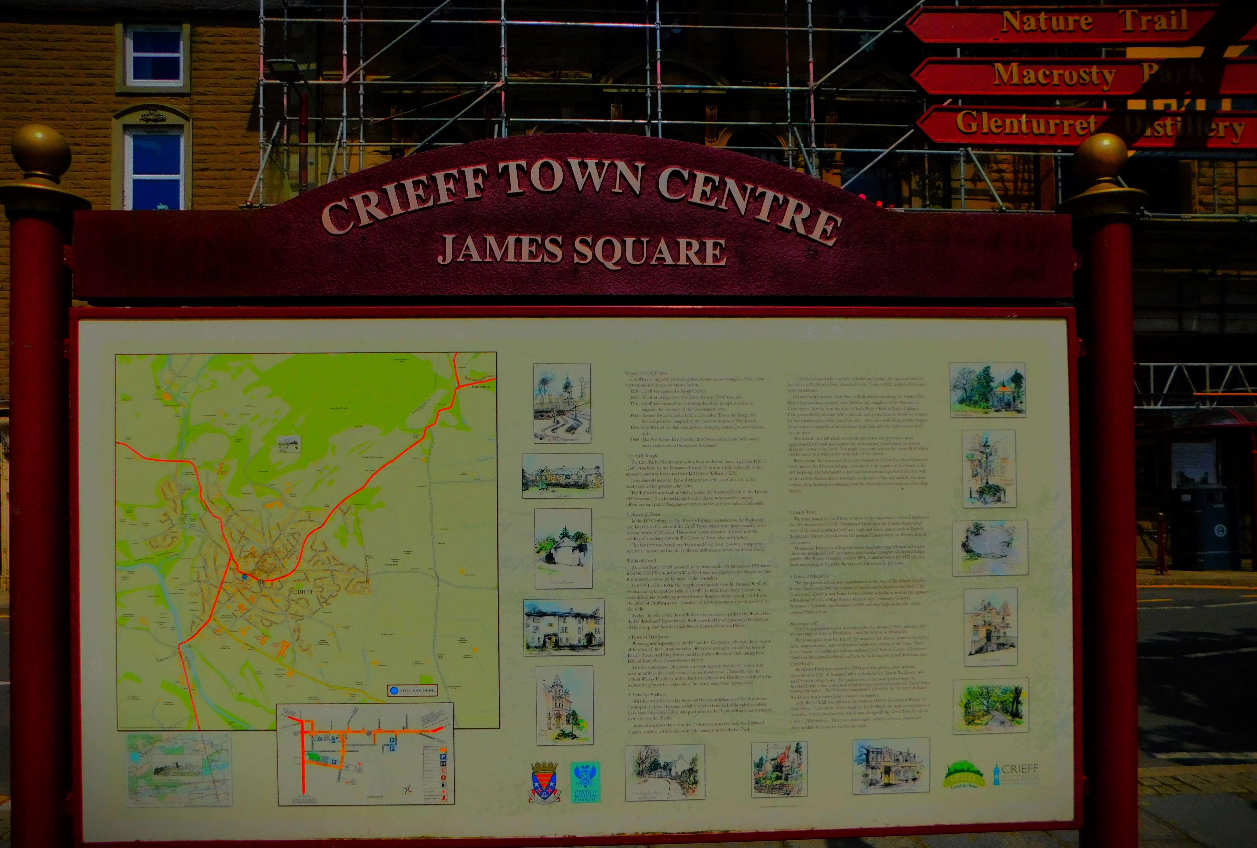
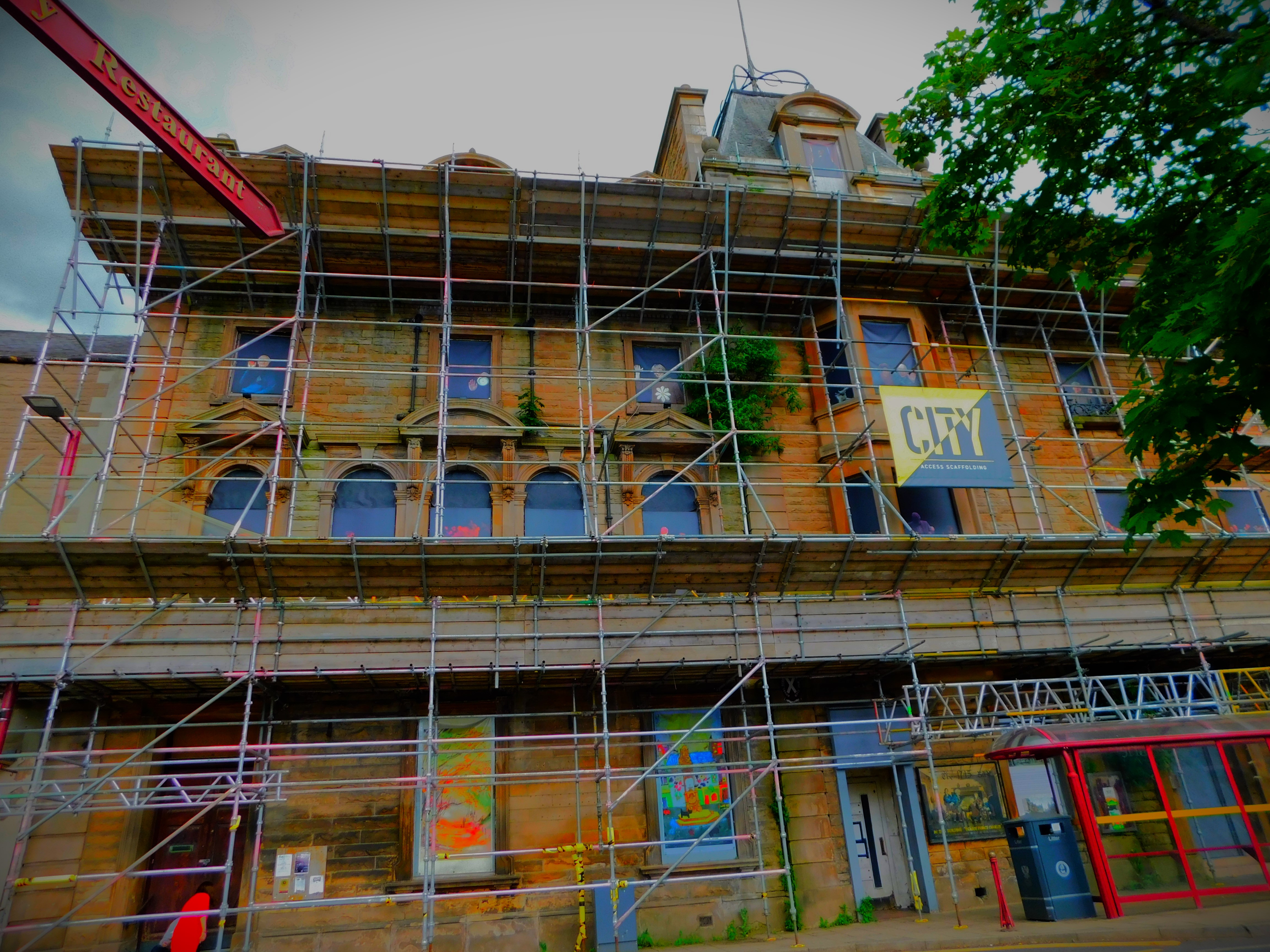
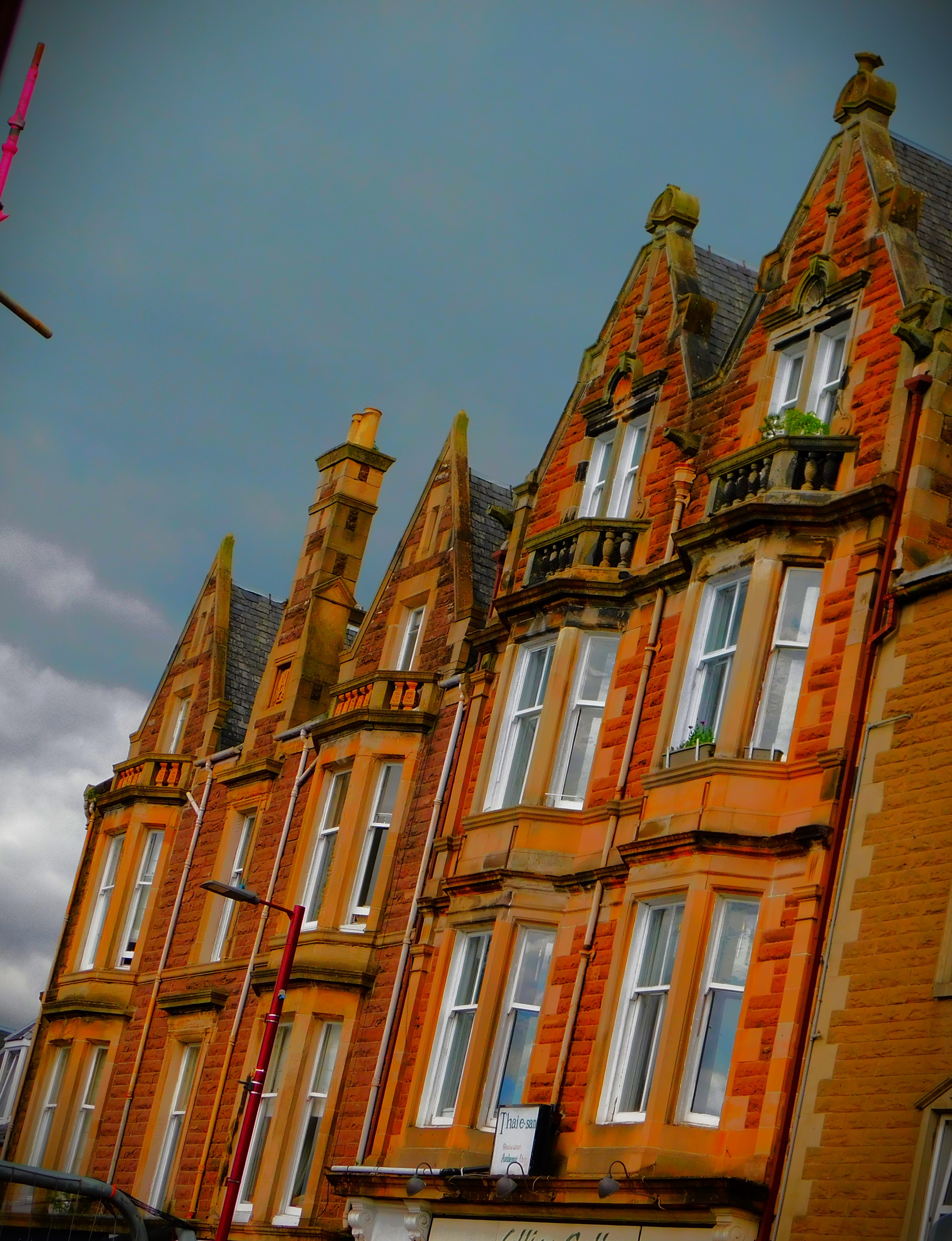
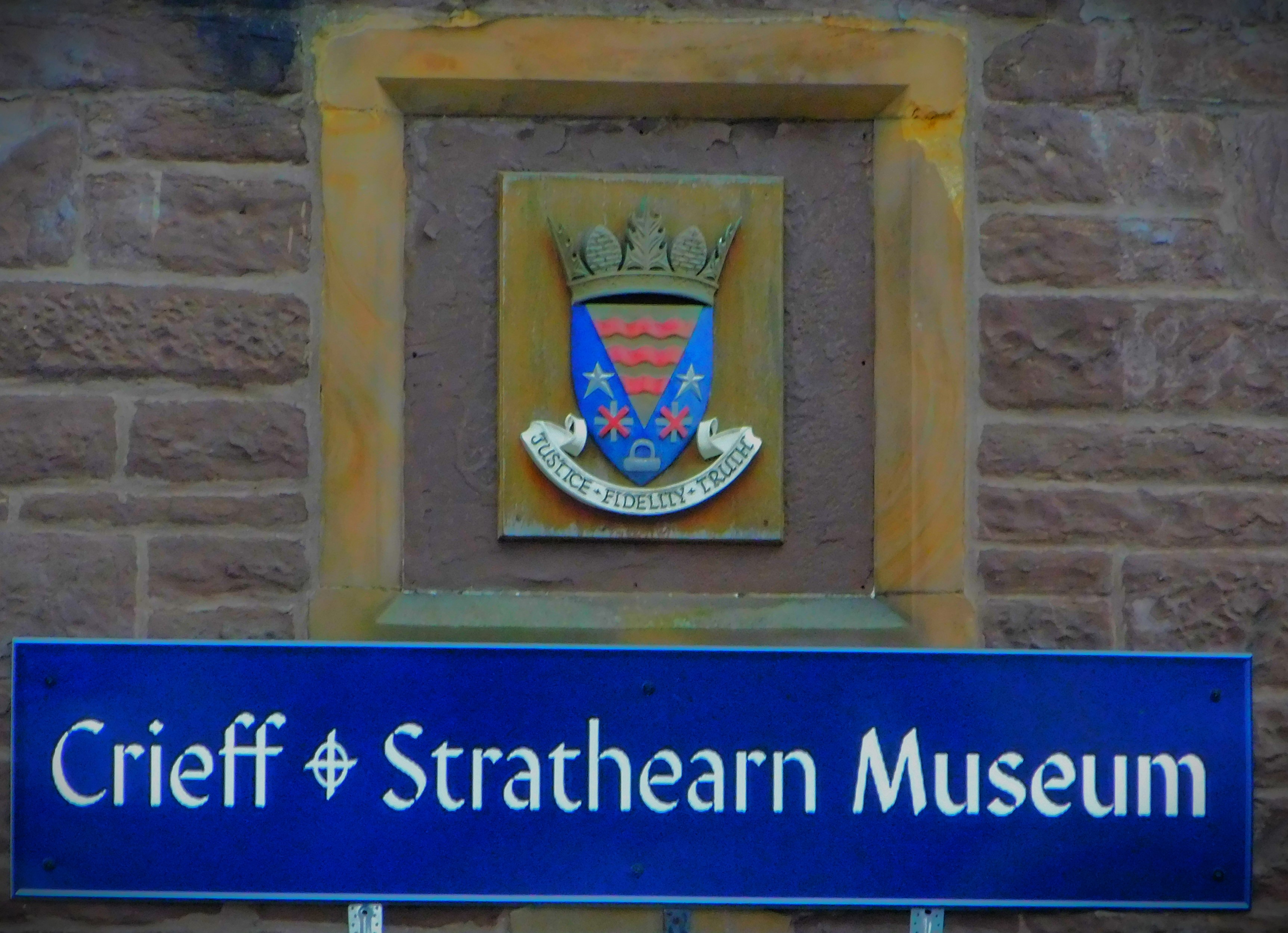
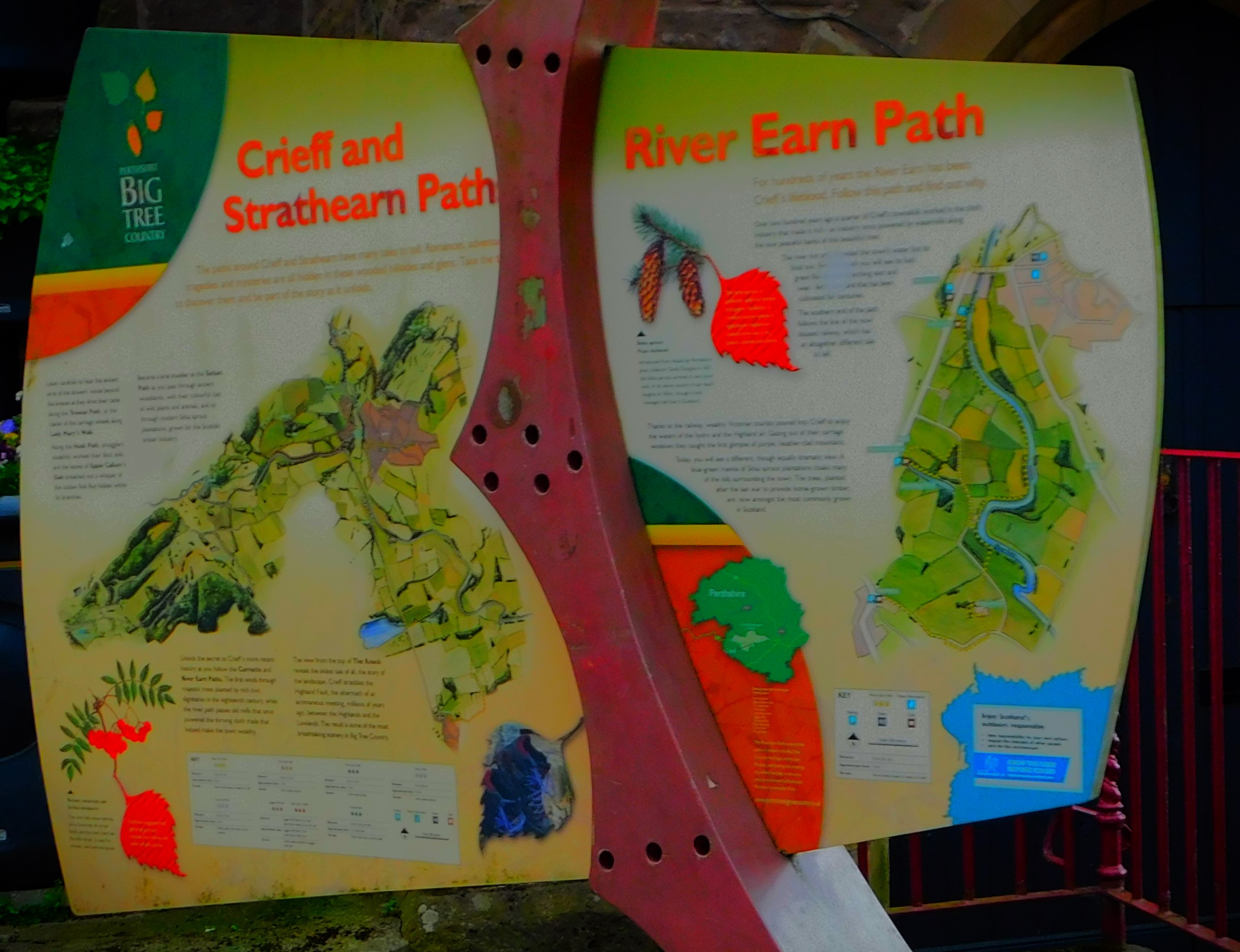
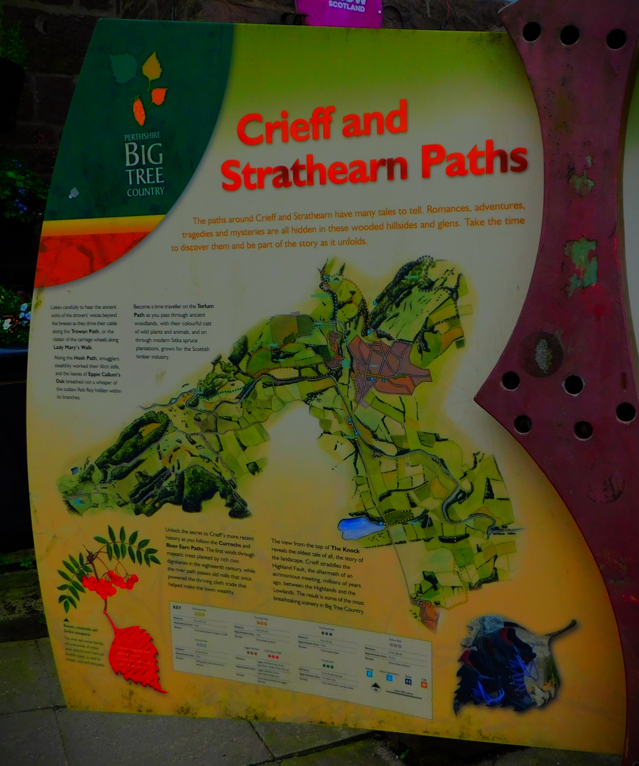
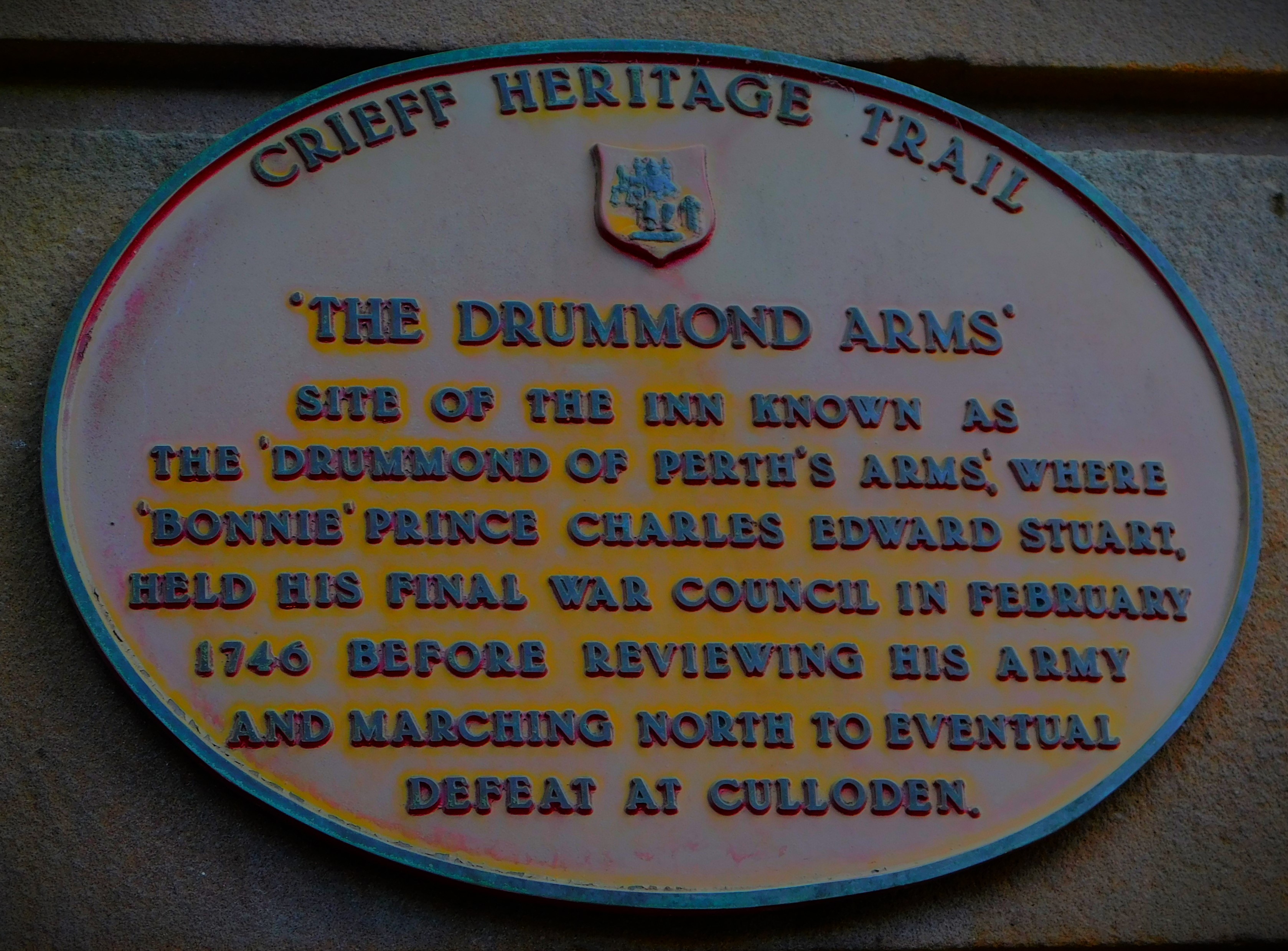
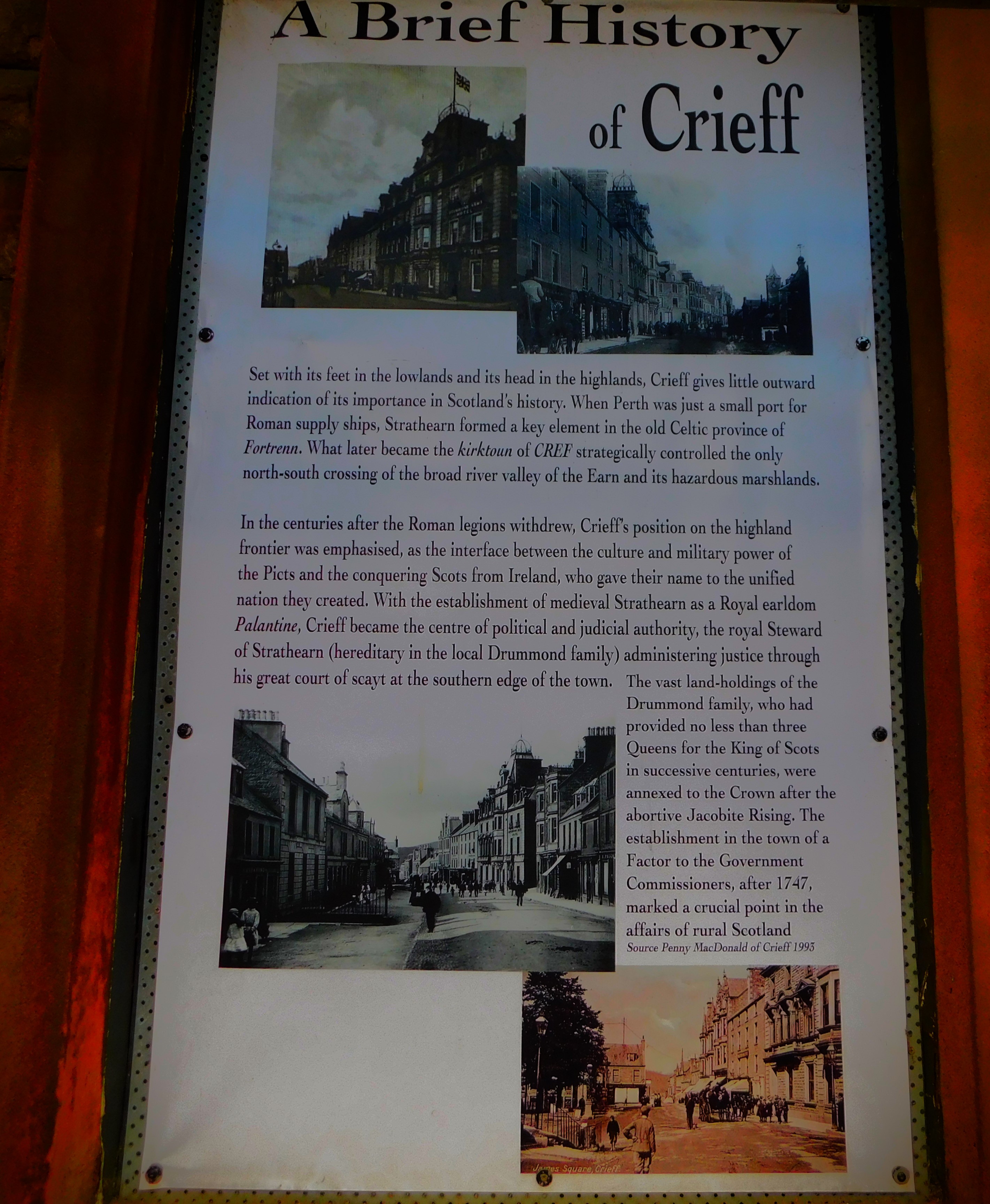
This is the penultimate post in my series about my recent holiday in Scotland. After Cultybraggan Camp and Ardoch Roman Fort we headed for Crieff. There is an excellent visitor centre, with a small museum about the cattle drovers who back in the day travelled from the far west of Scotland to Stirling with their cattle, with Crieff being an important staging post on the route. In the 19th century some of these people migrated to the US and Canada in search of better lives, and this was also covered in the museum. Crieff is home to some very fine buildings but time constraints limited our exploration of the town itself.
Continuing my account of my Scottish holiday with a look back at Cultybraggan Camp, Ardoch Roman Fort and the stone packhorse bridge over the river Earn.
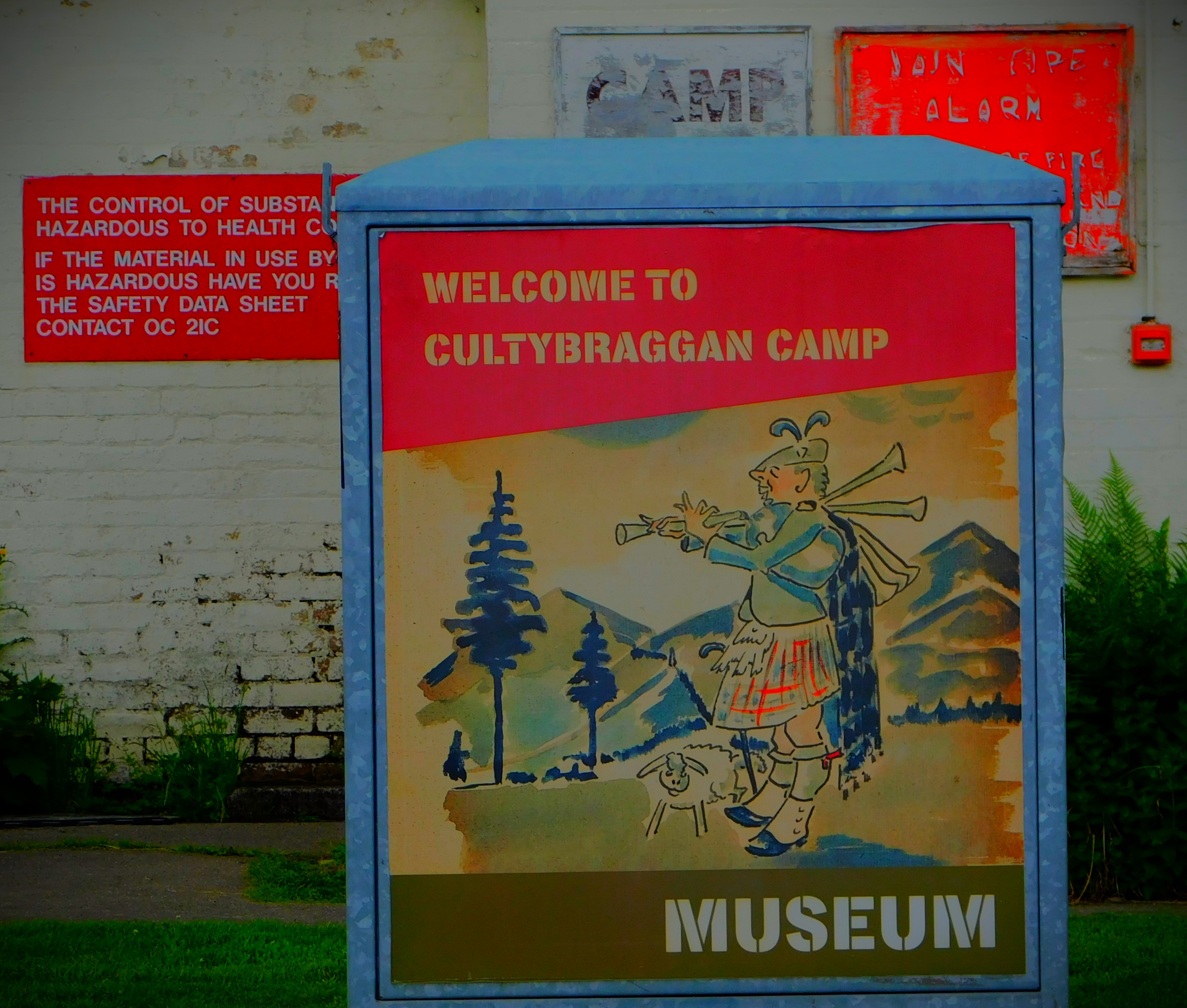
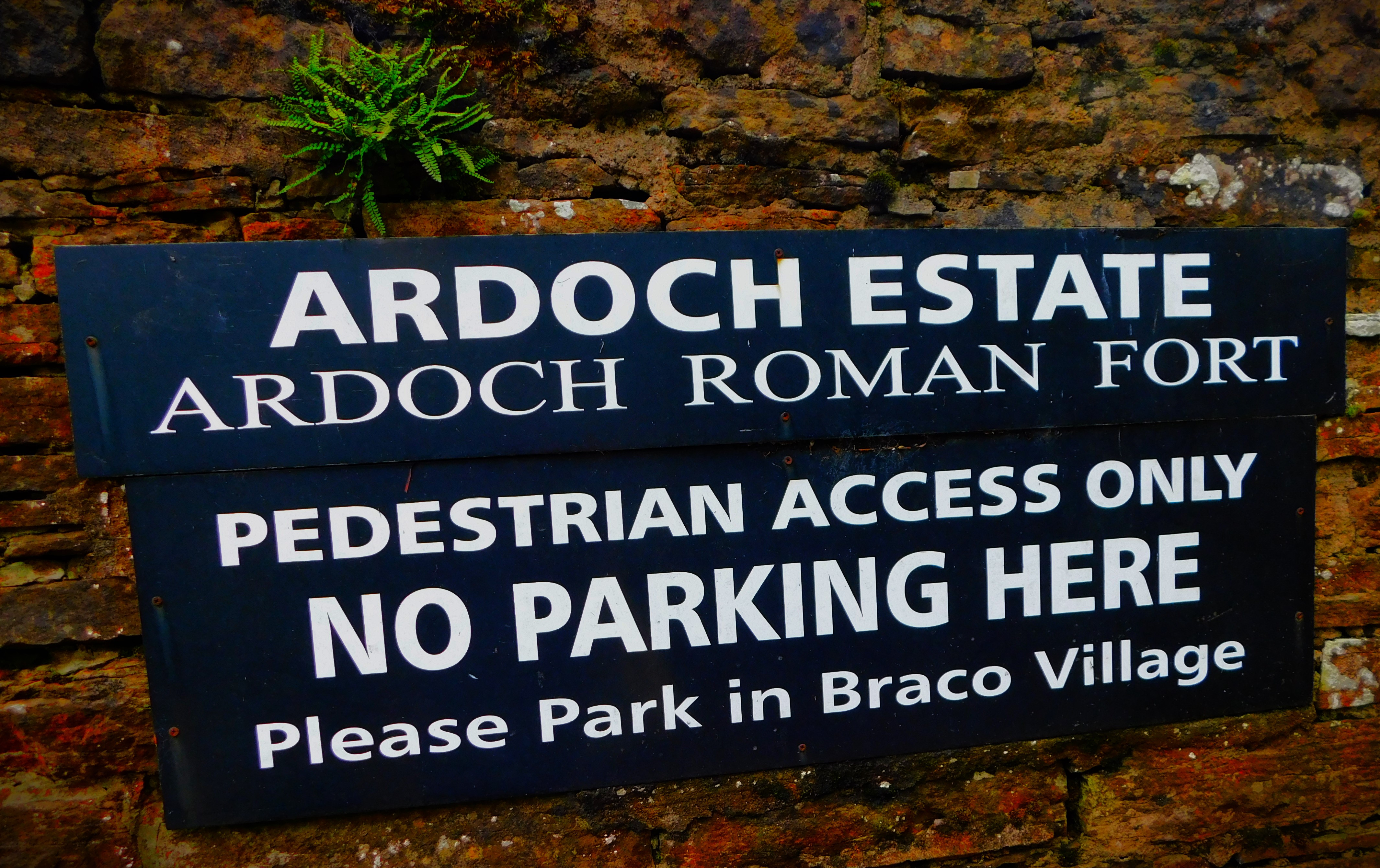
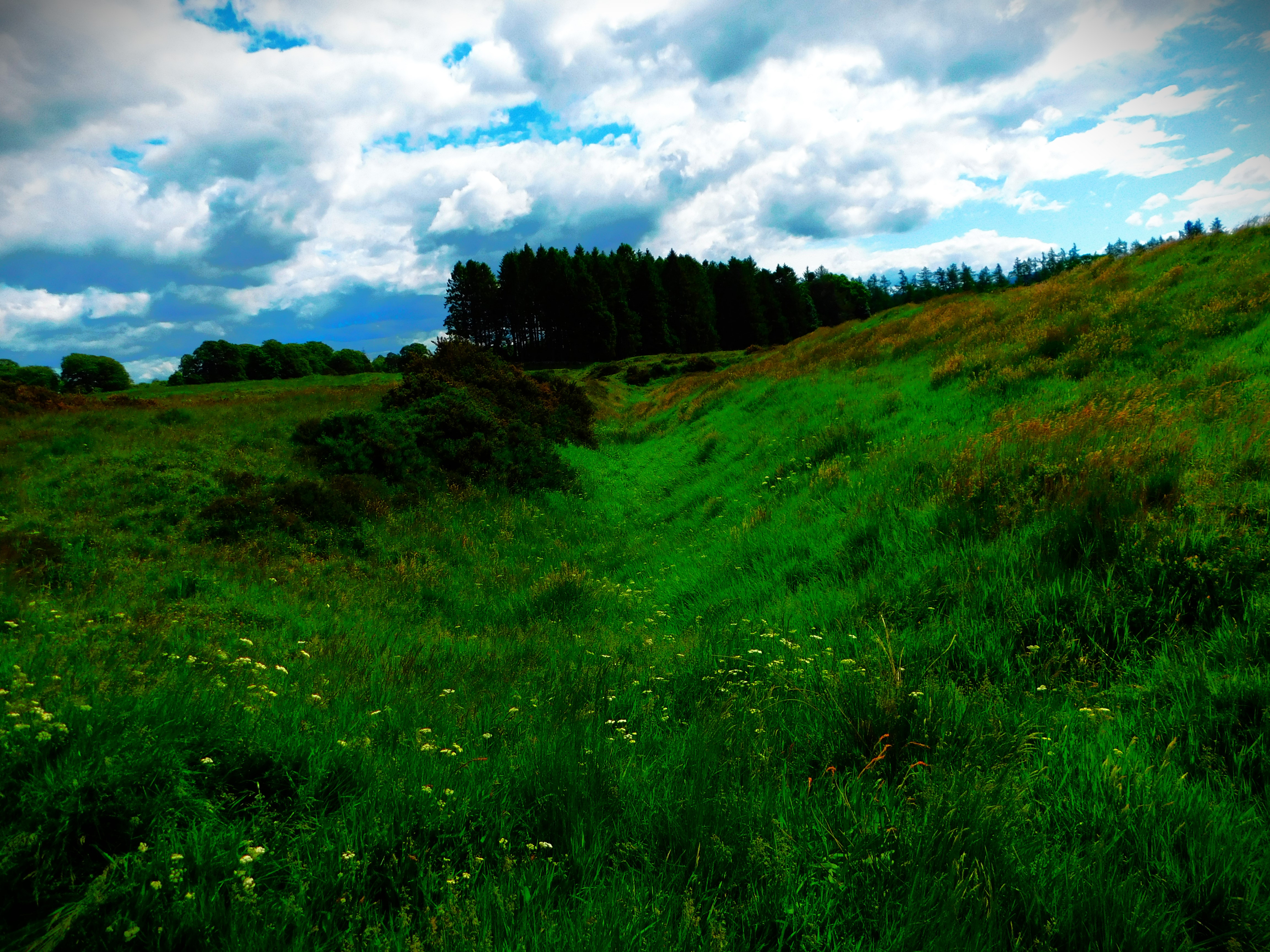
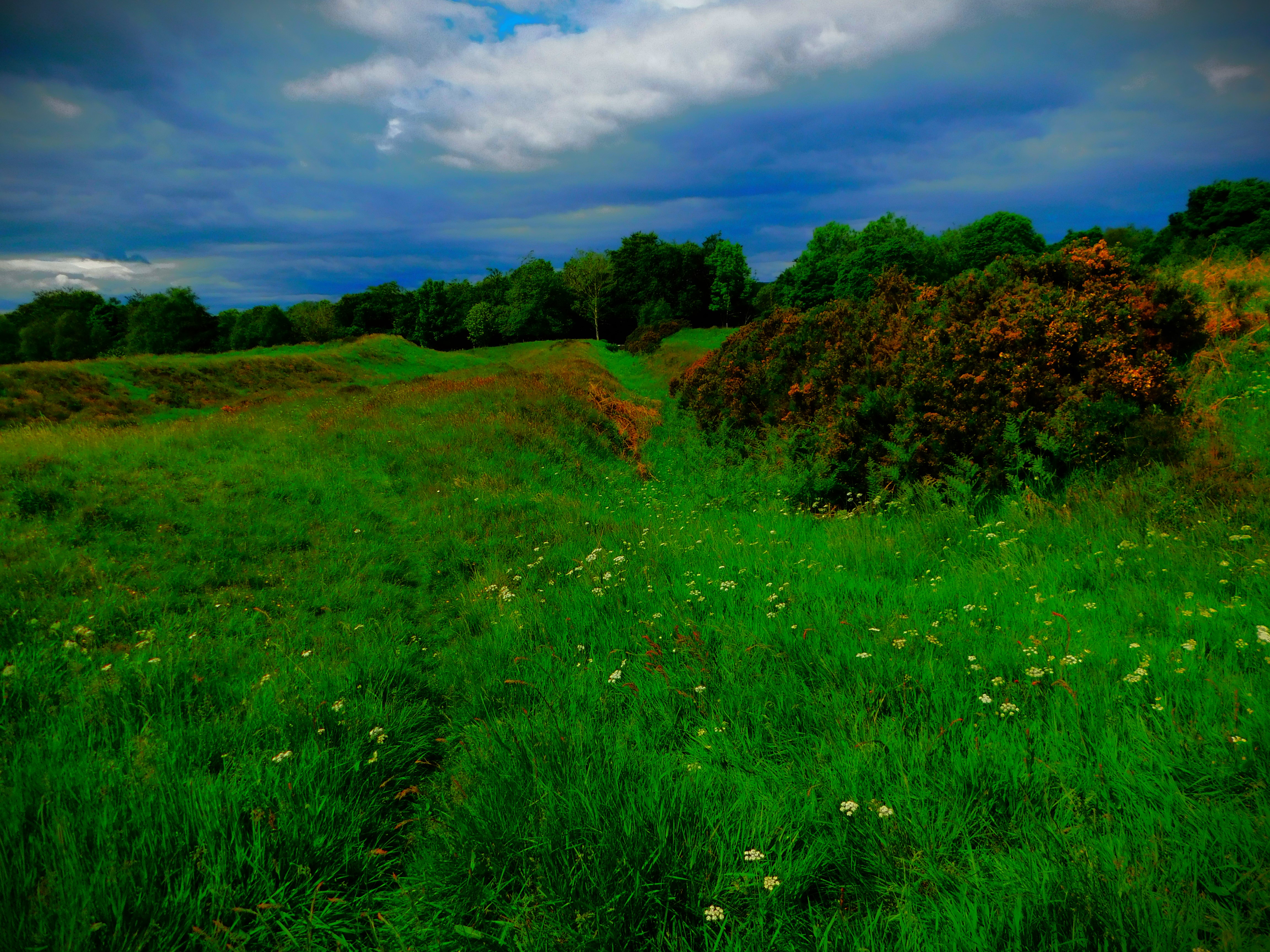
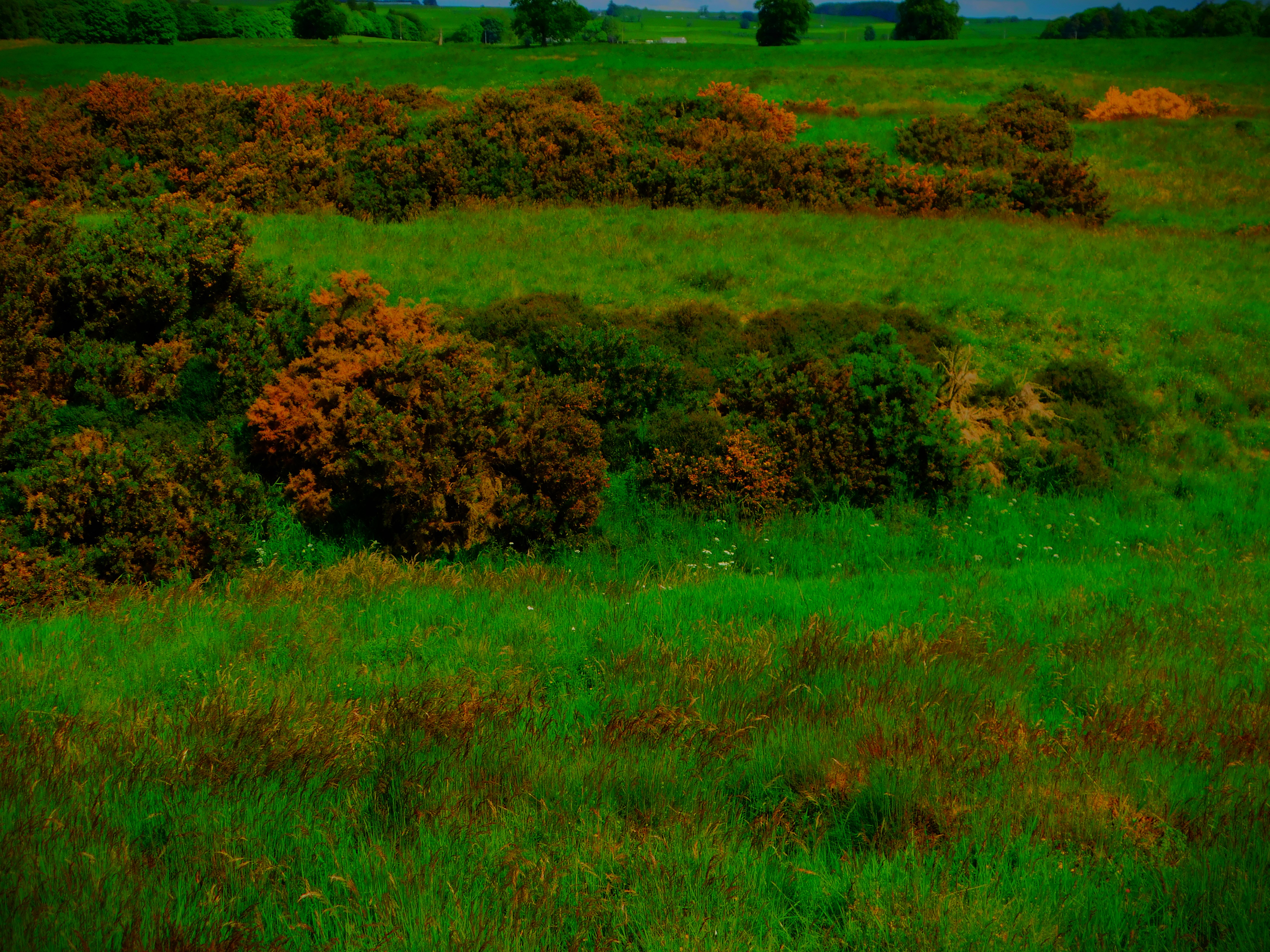
Welcome to the latest post in my series about my recent Scottish holiday. In this post I look at the visit to Cultybraggan Camp and also a Roman fort in the area.
CULTYBRAGGAN
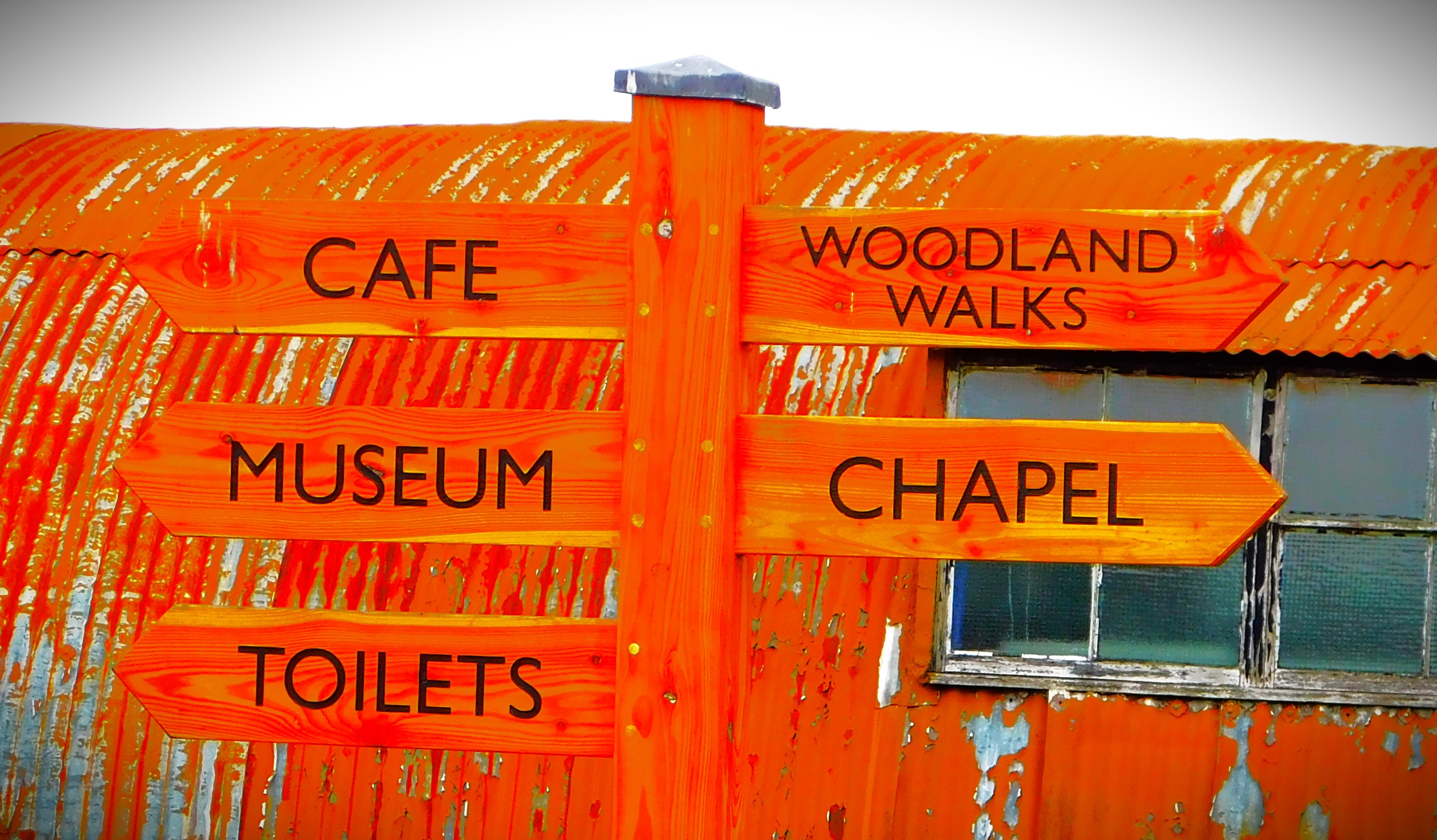
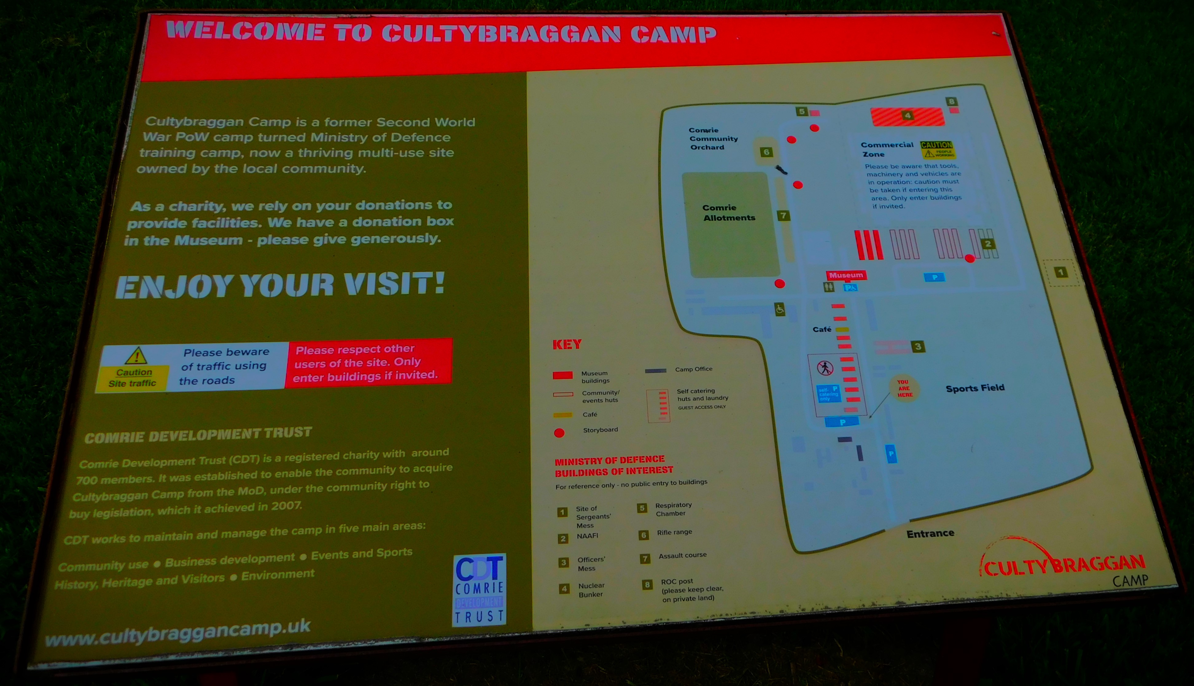
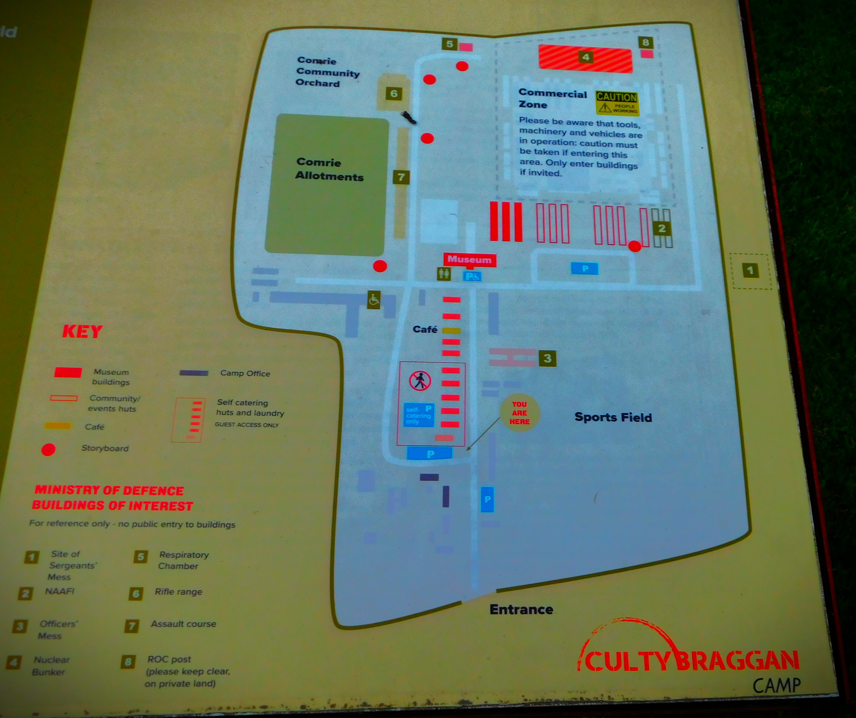
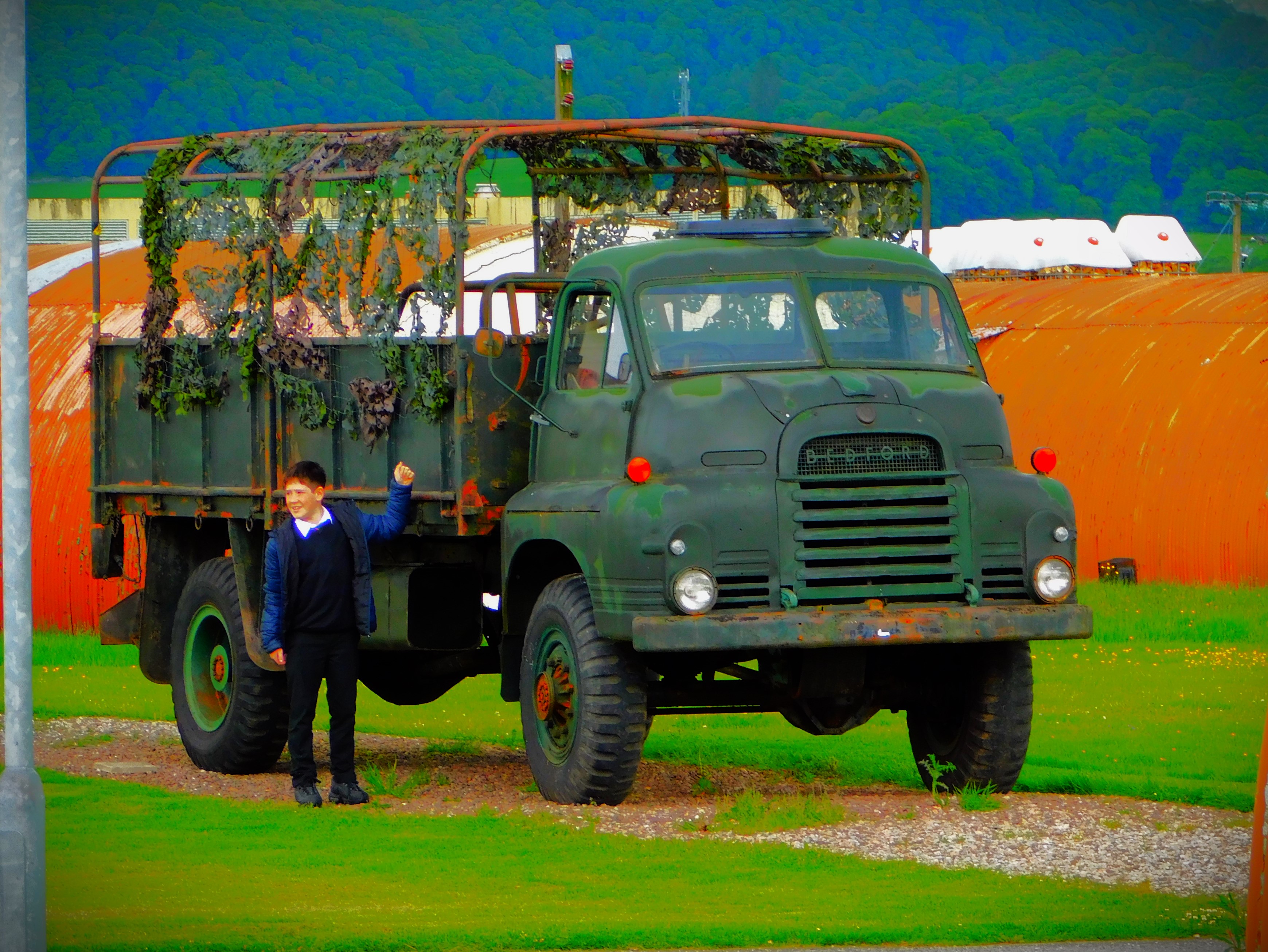
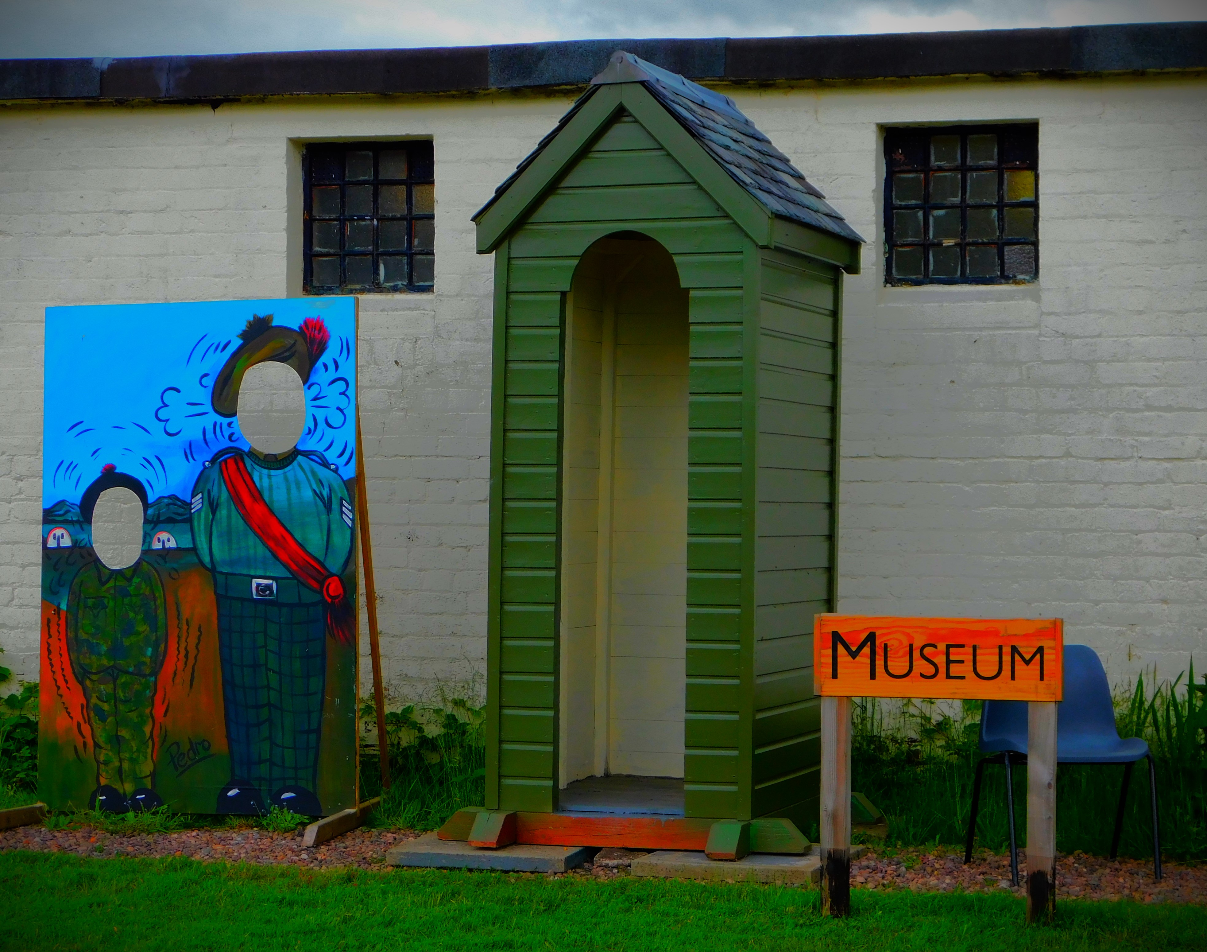
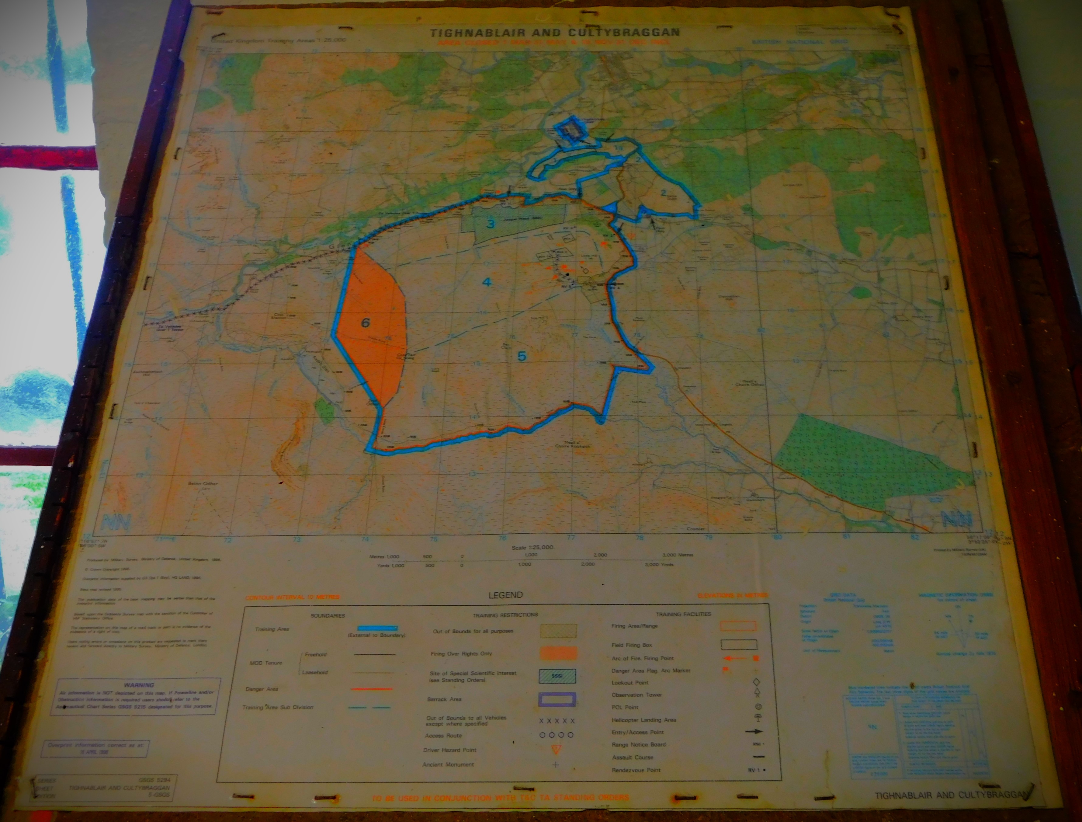
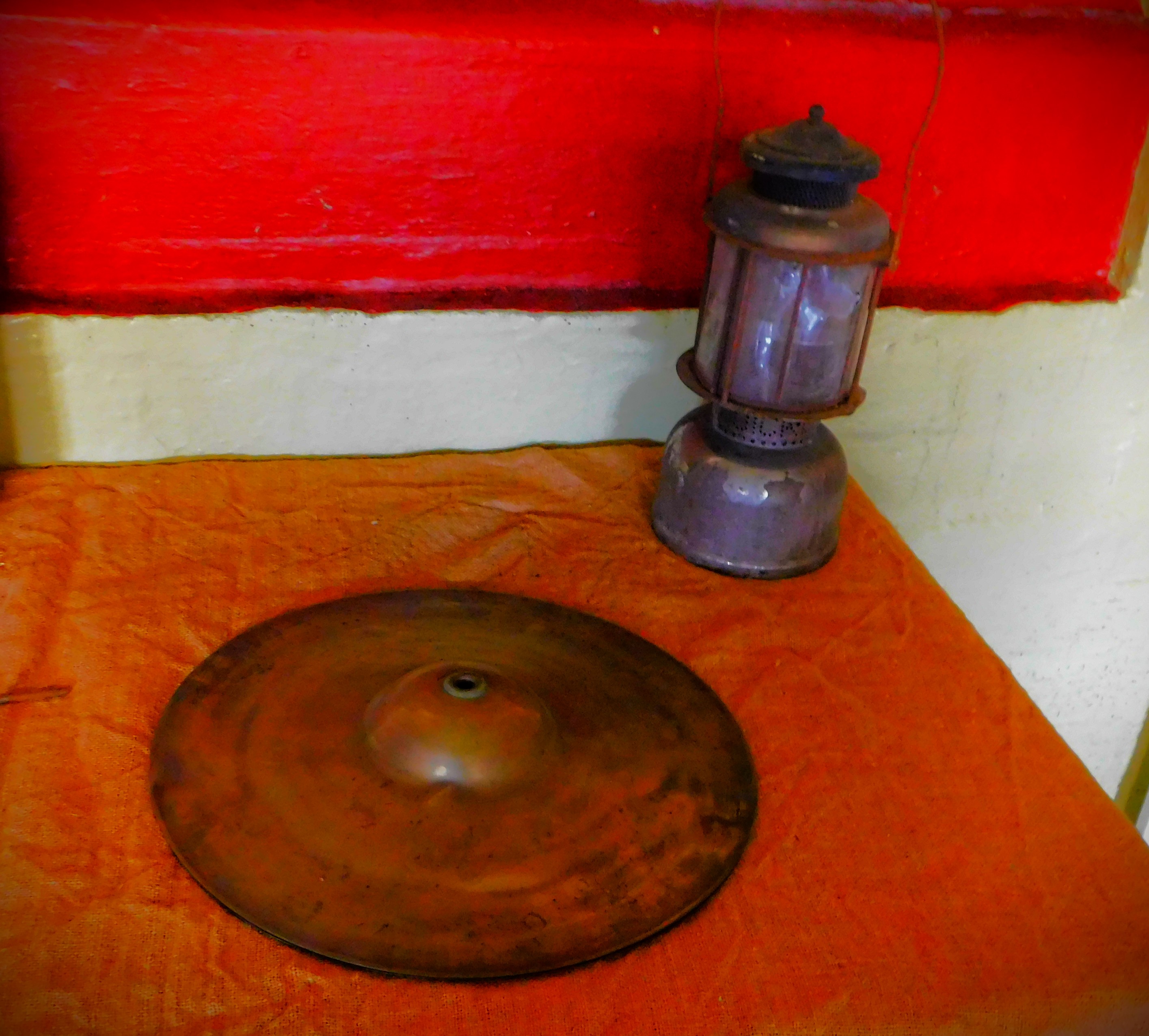
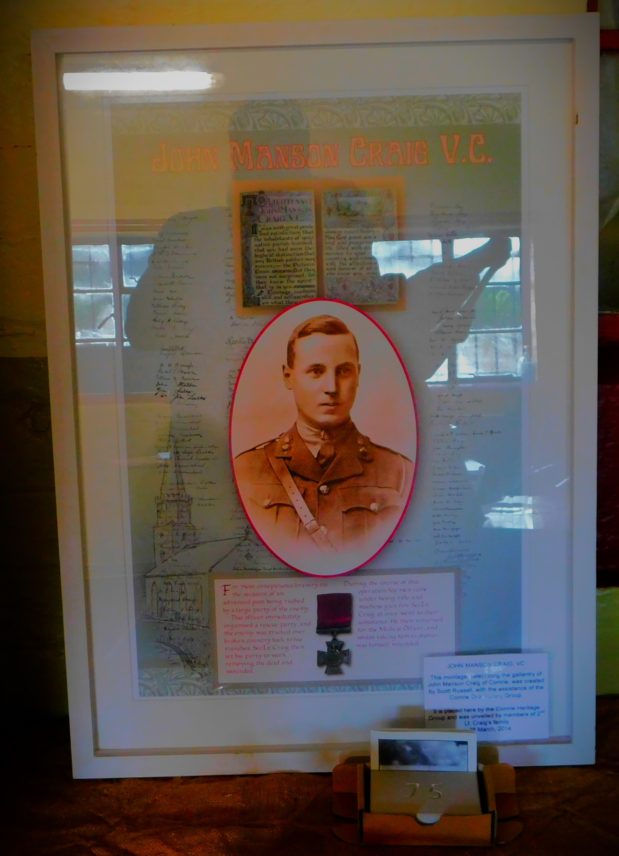
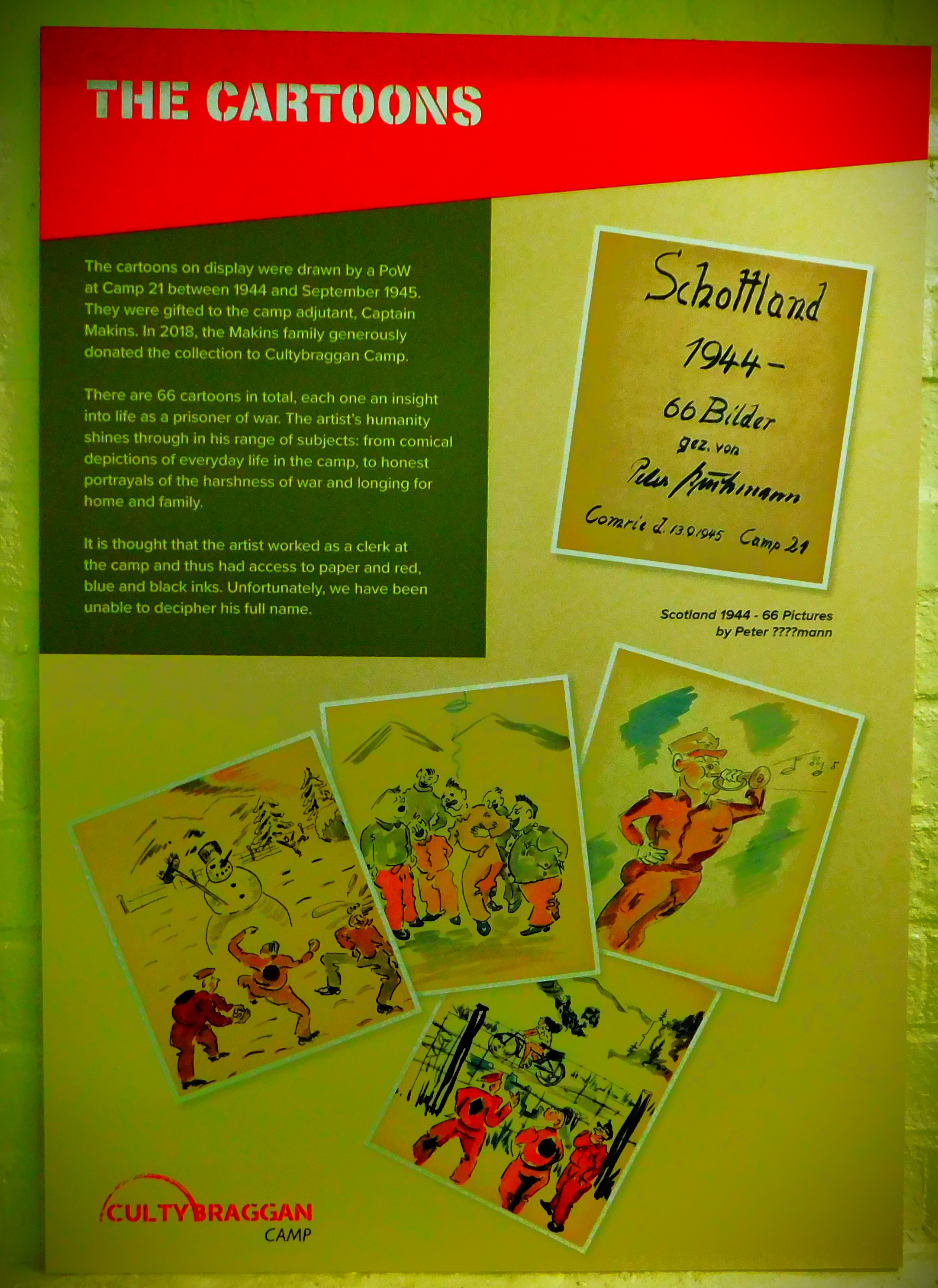
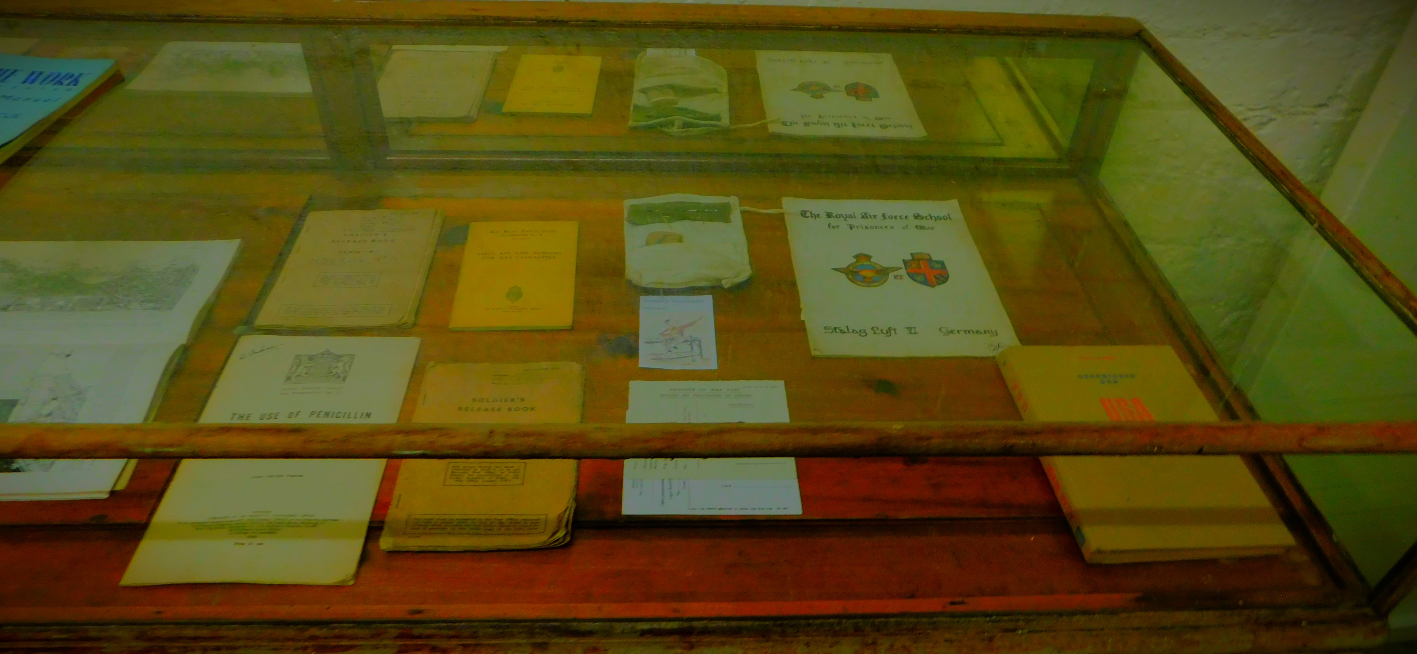
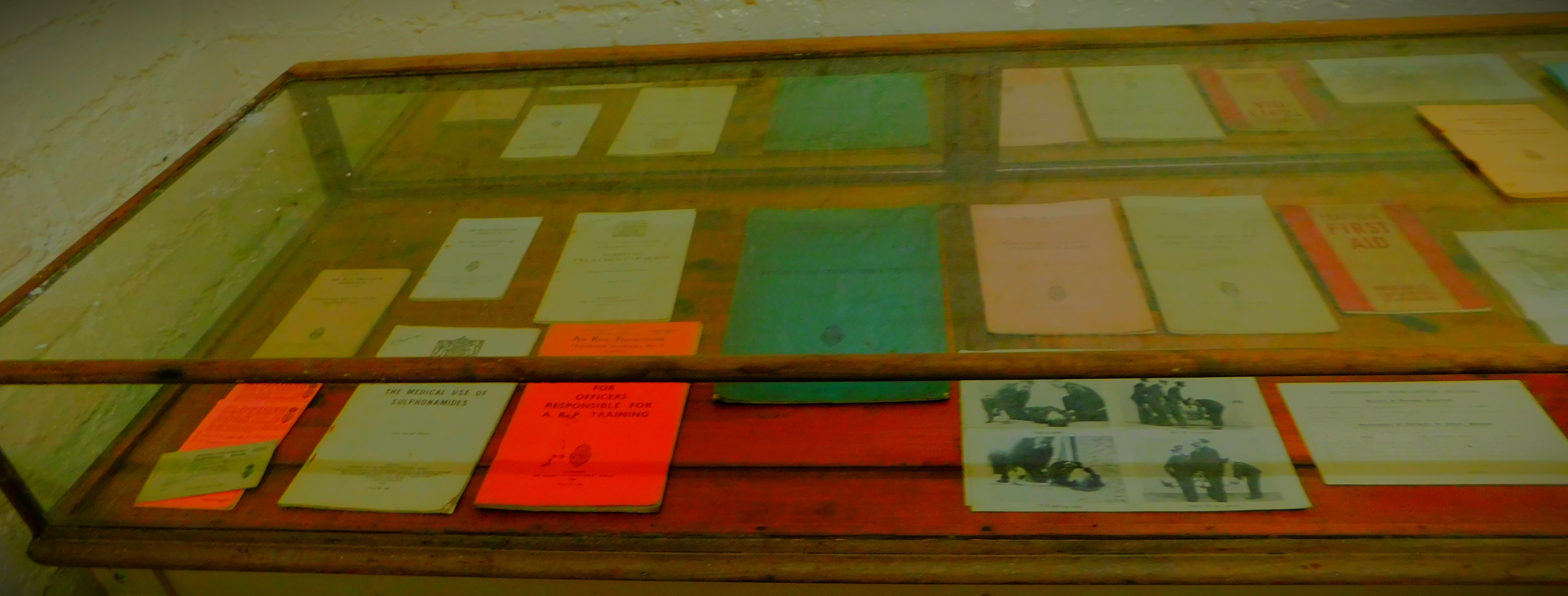
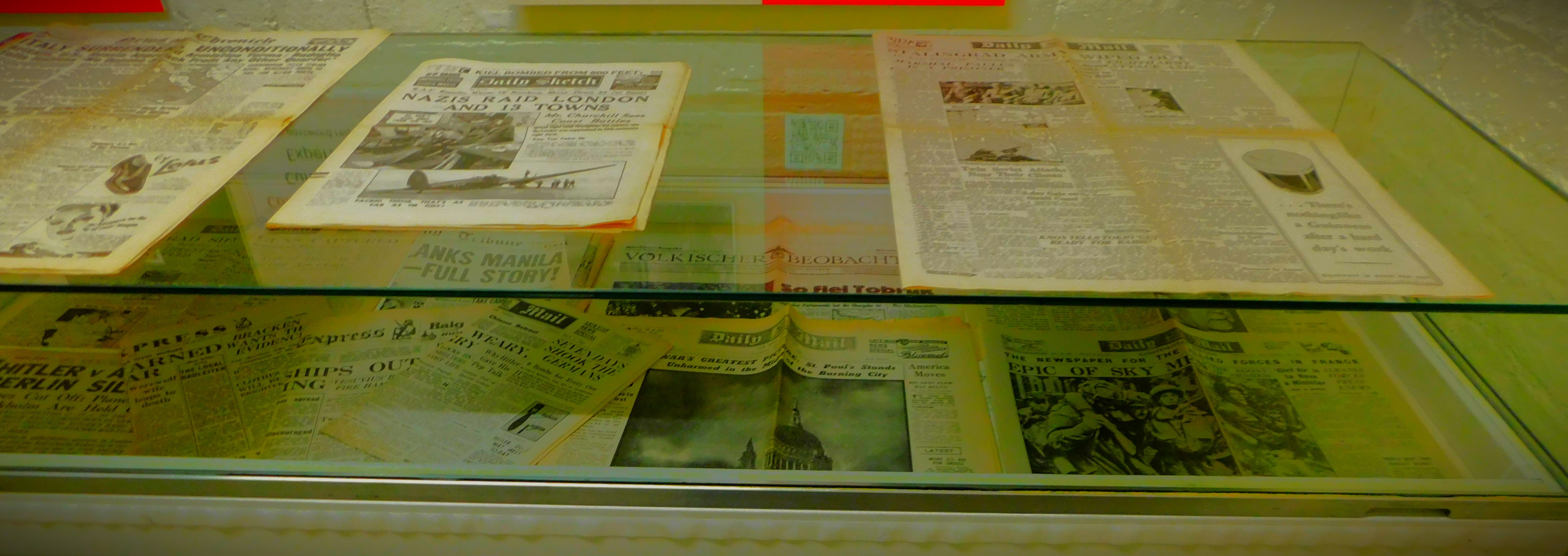
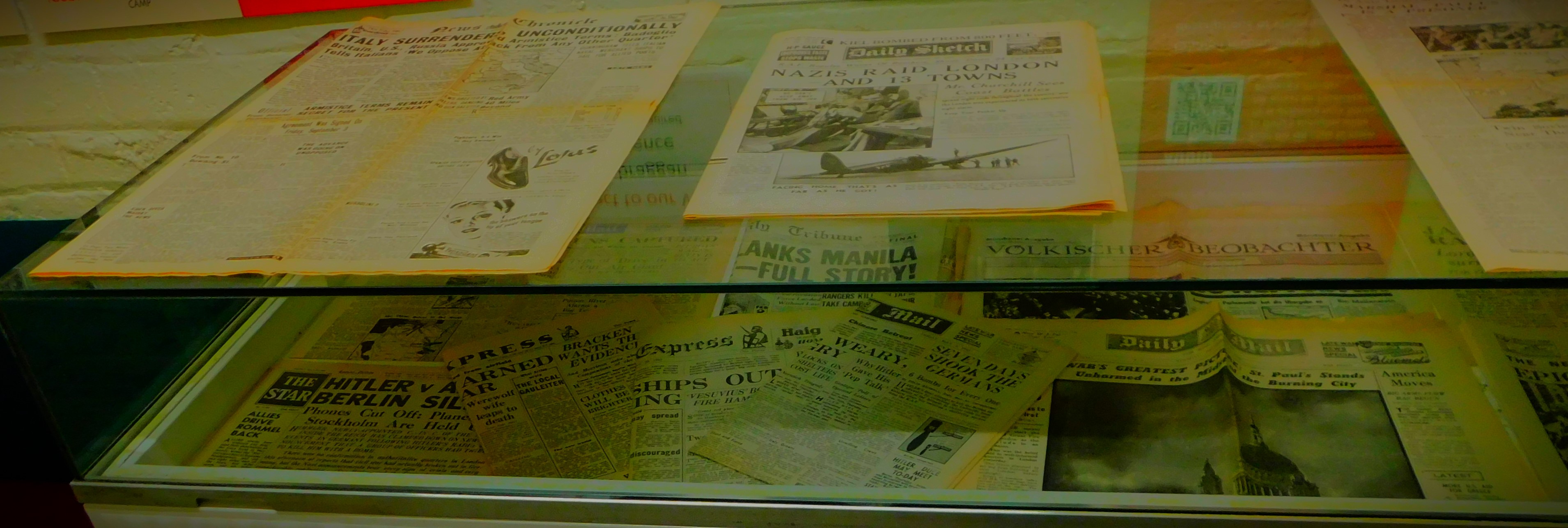
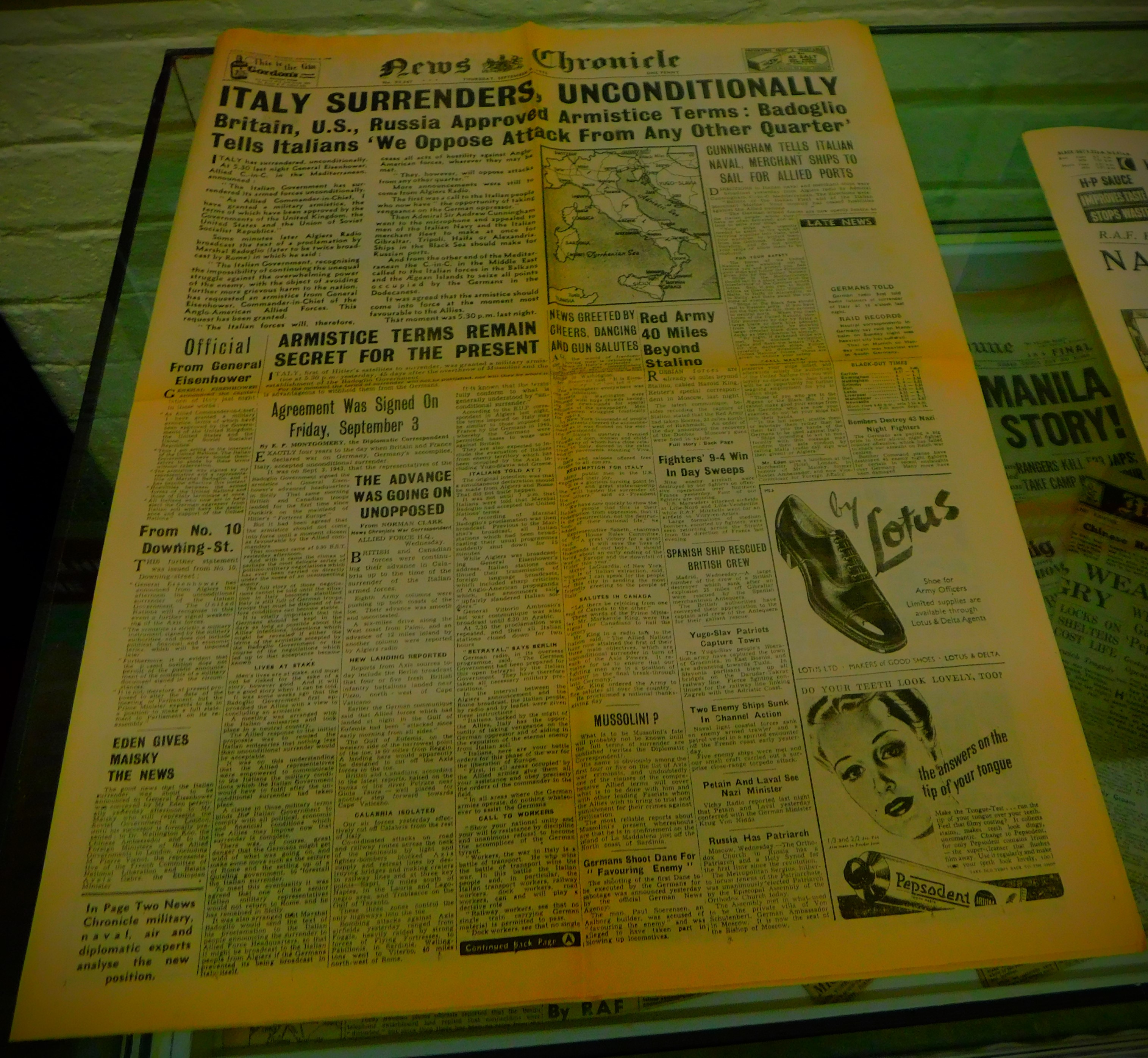
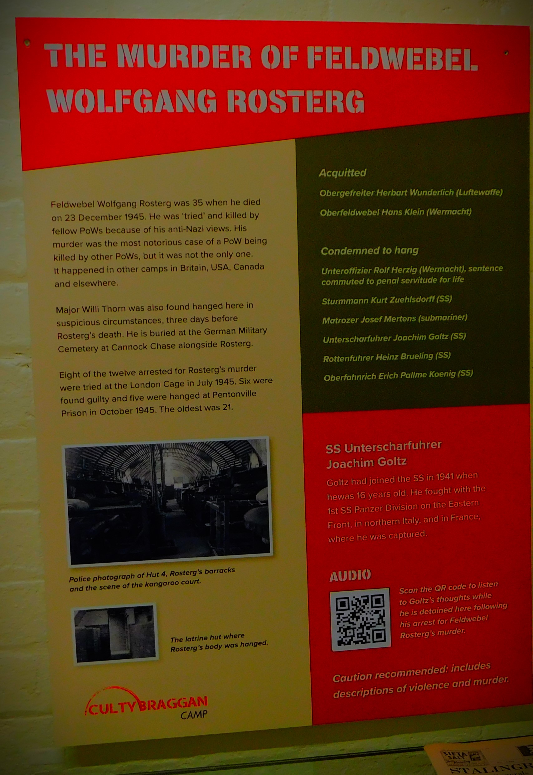
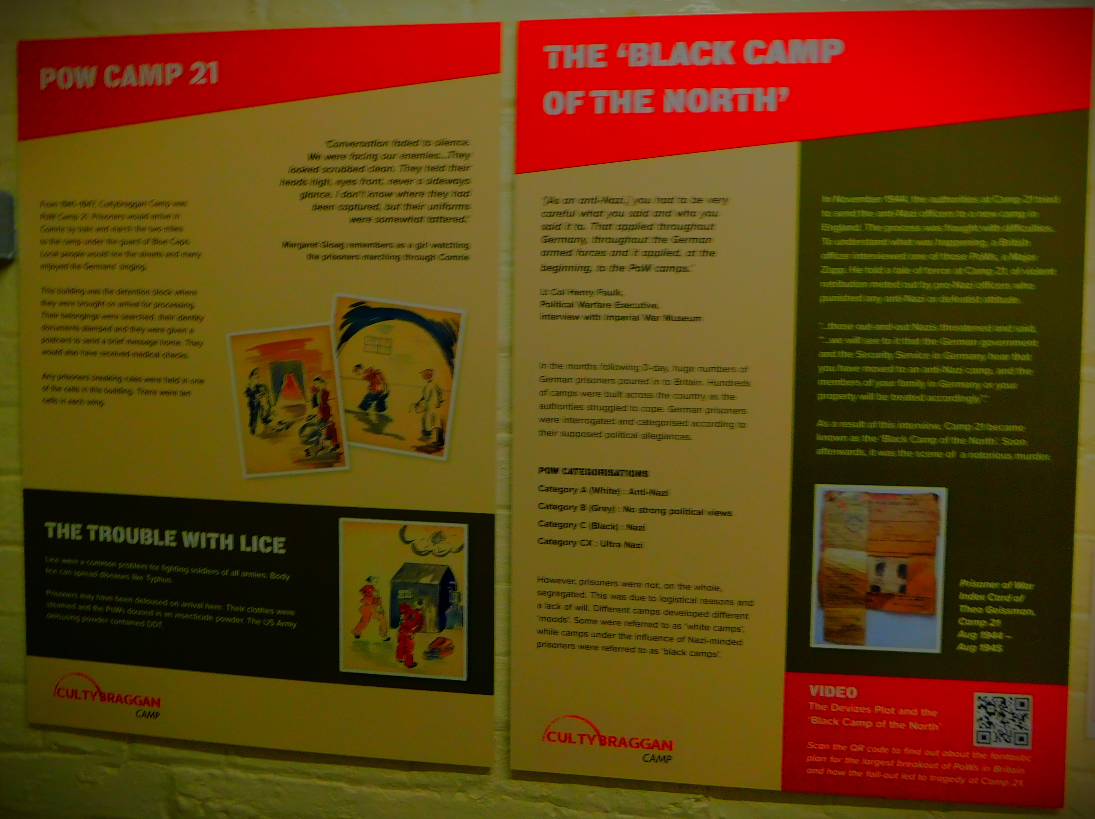
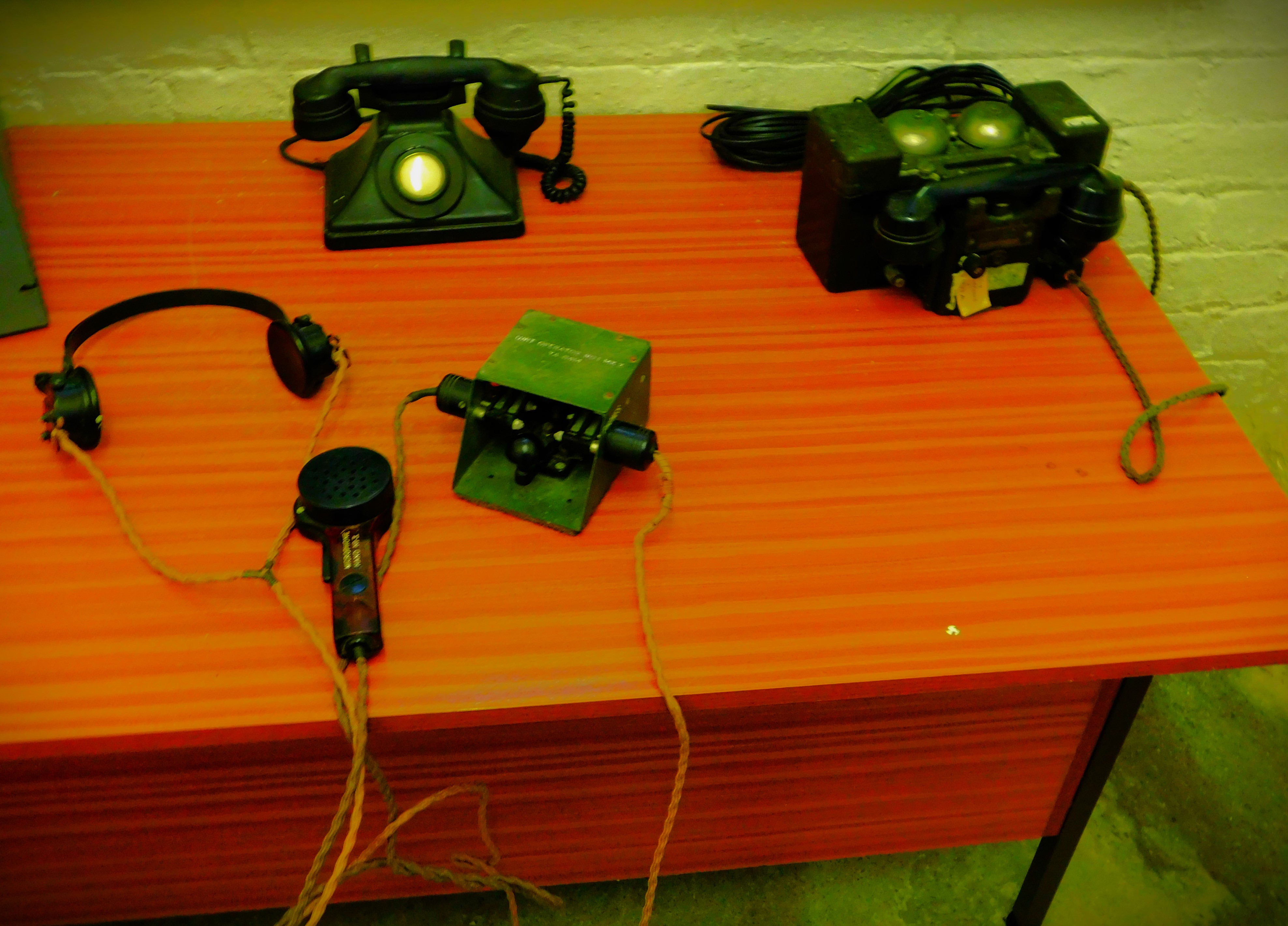
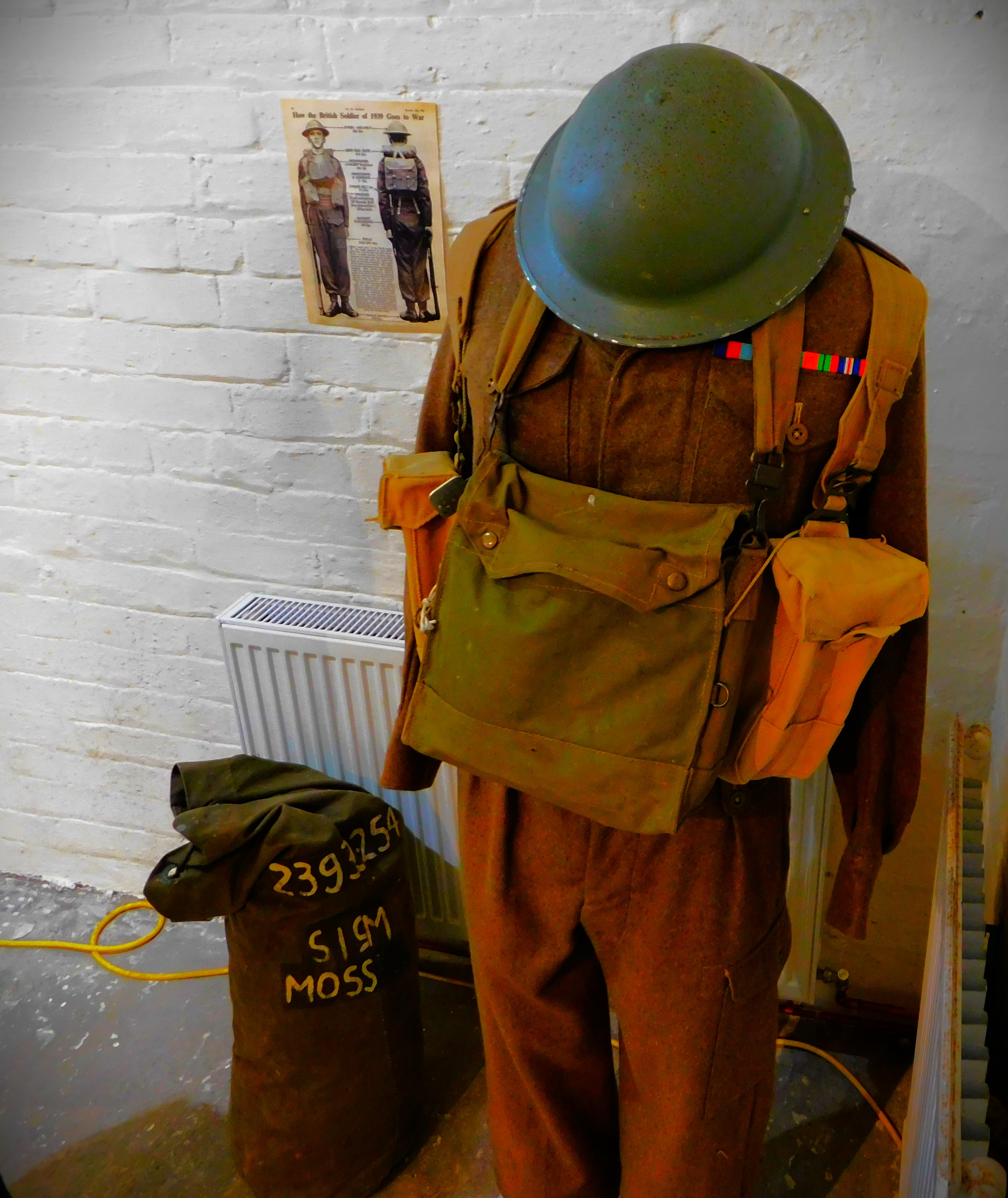
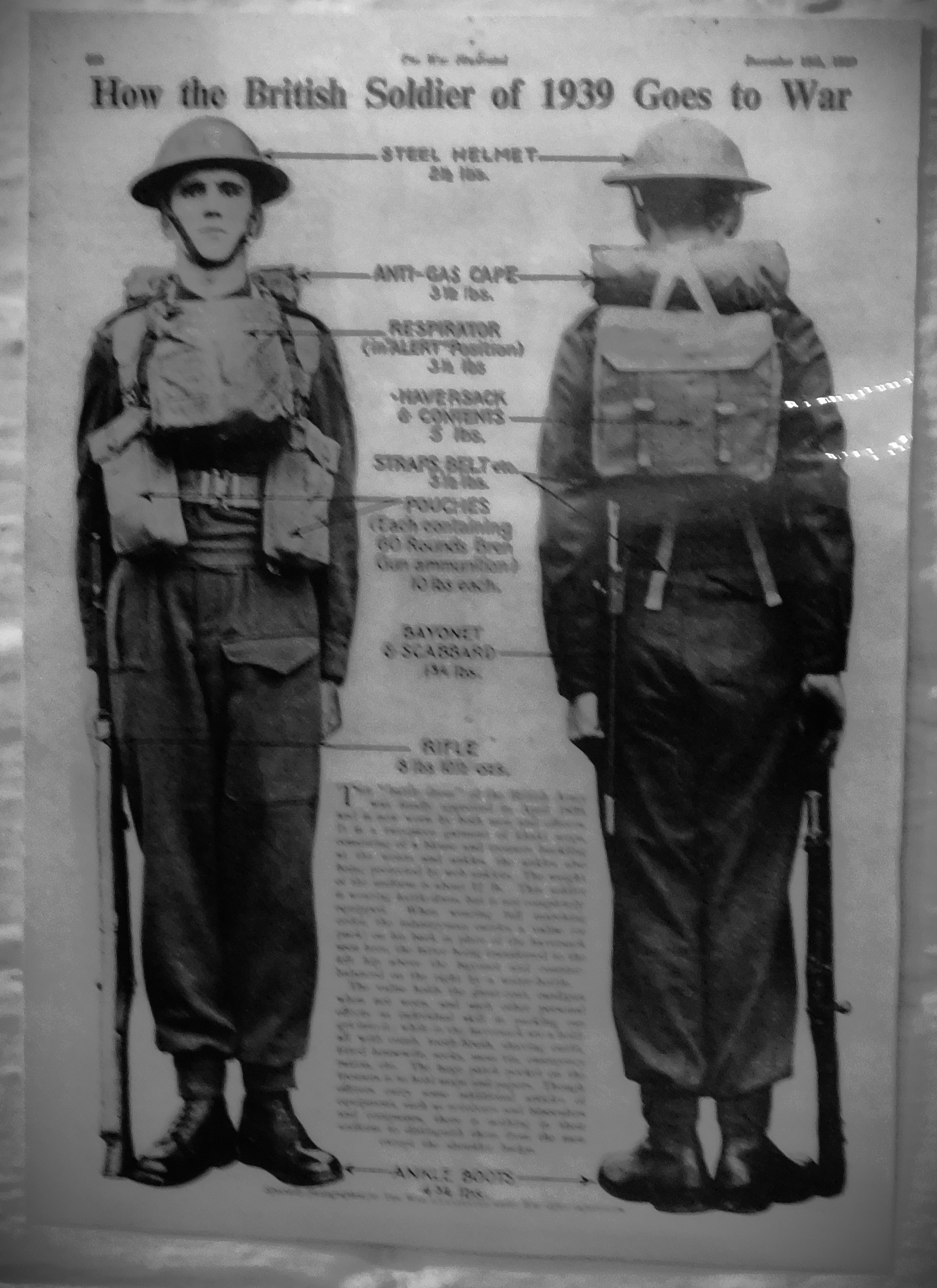
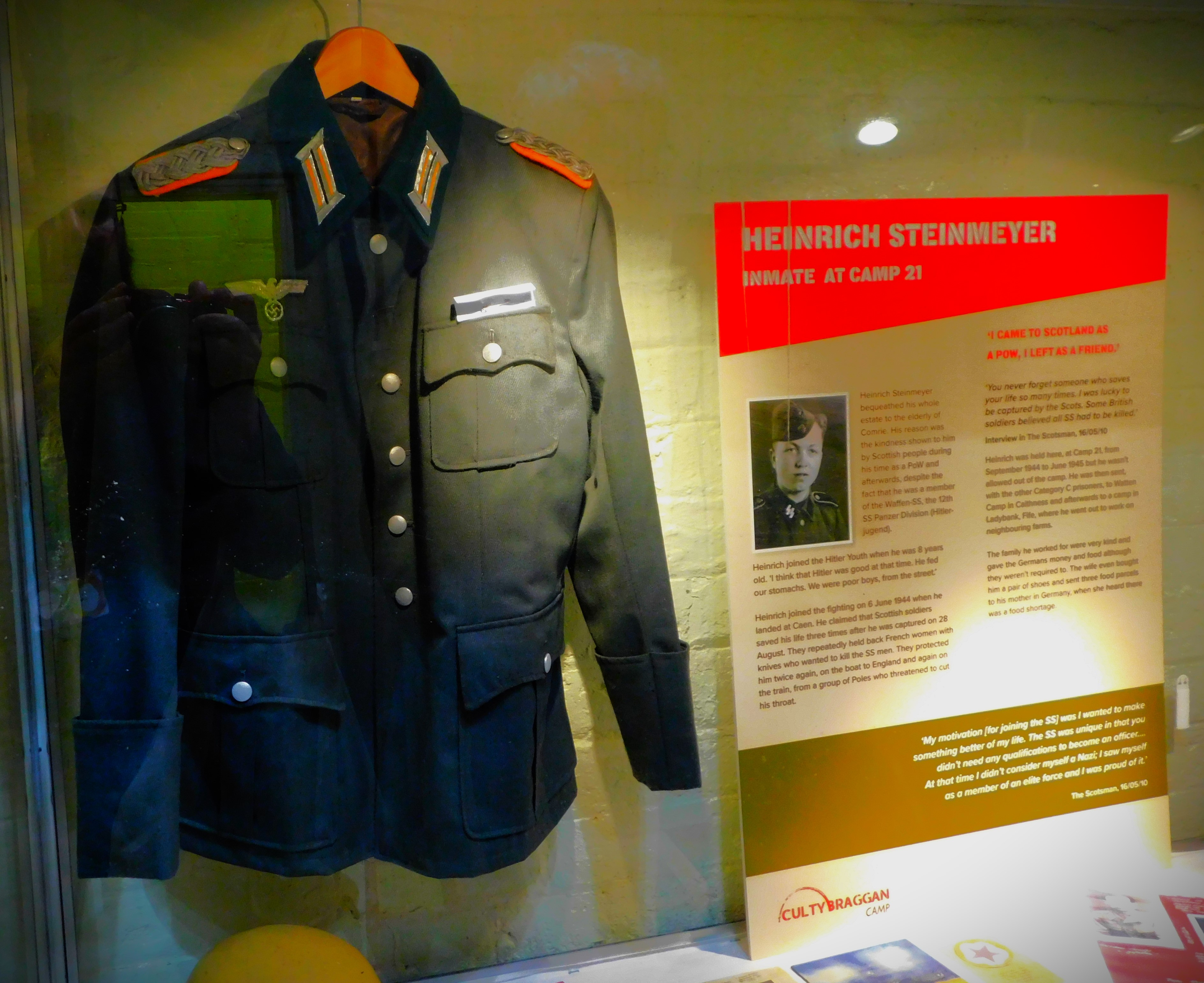
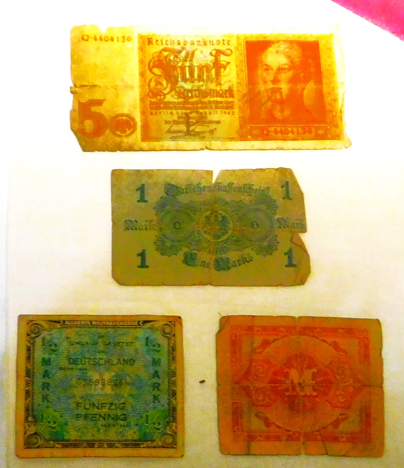
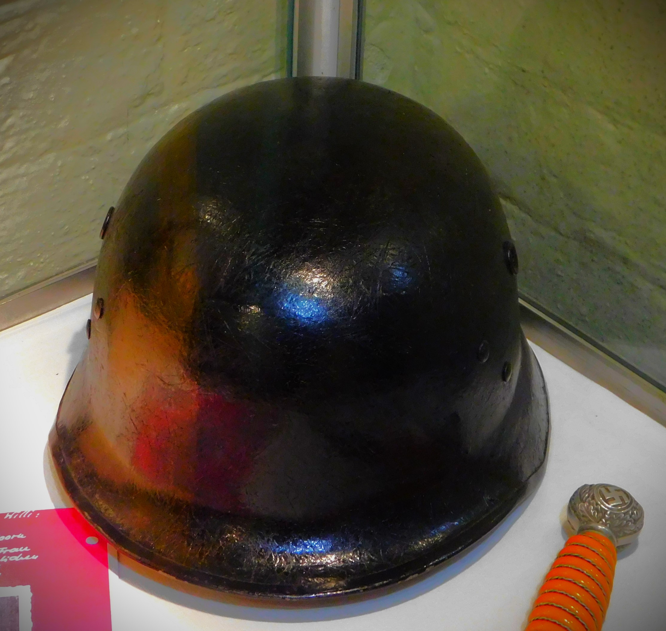
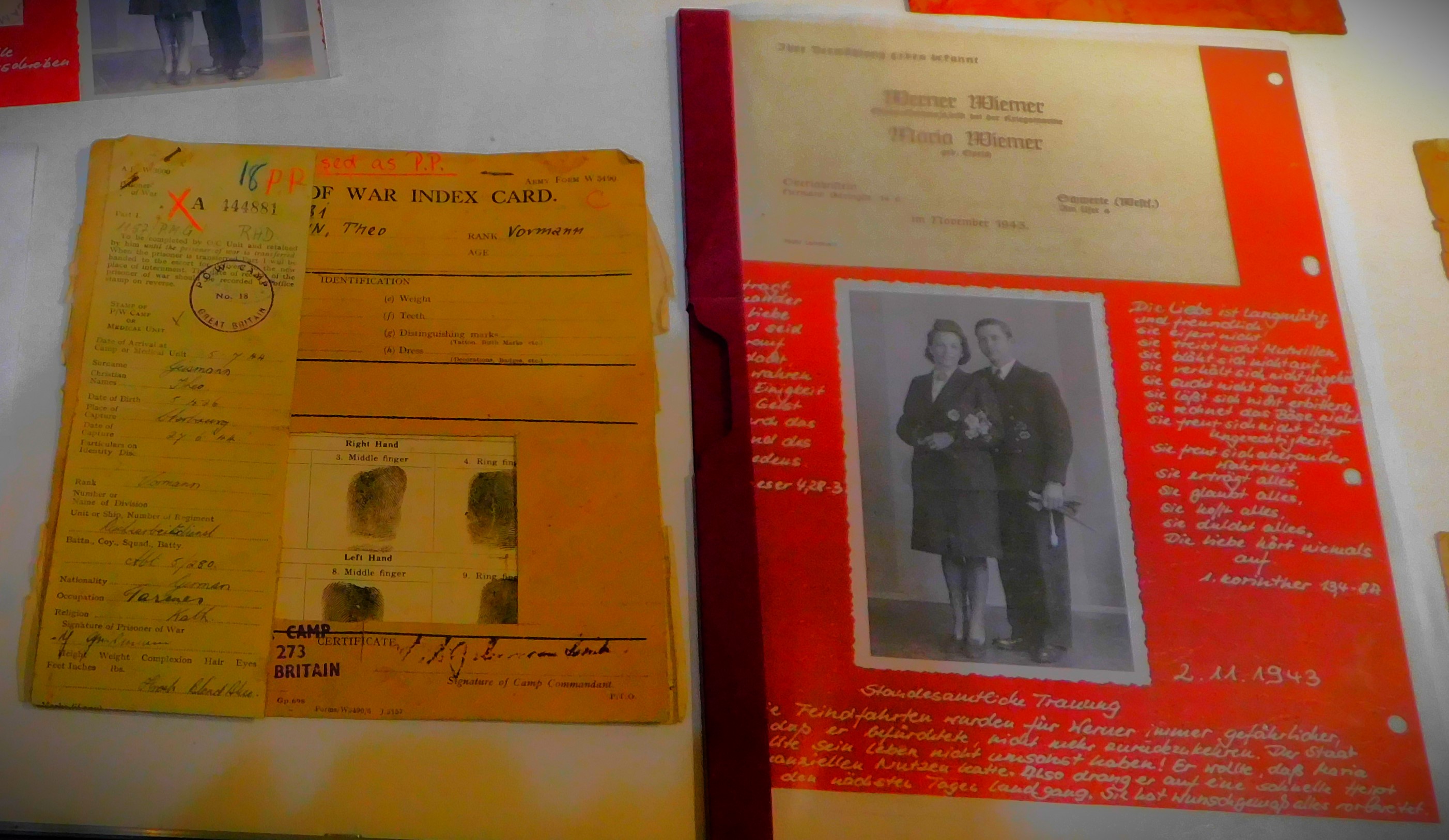
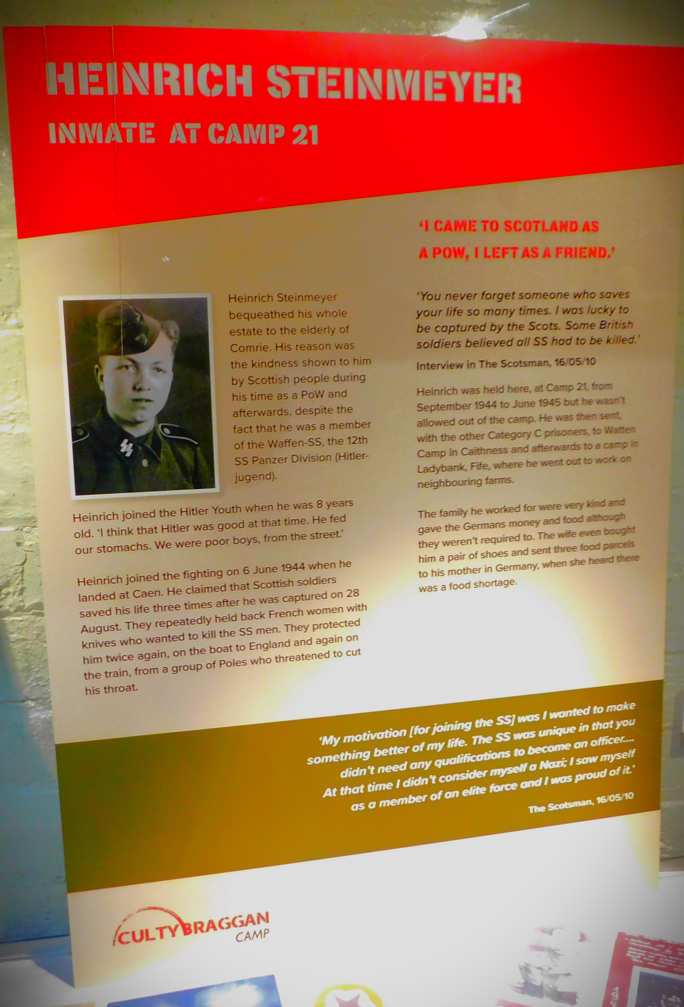
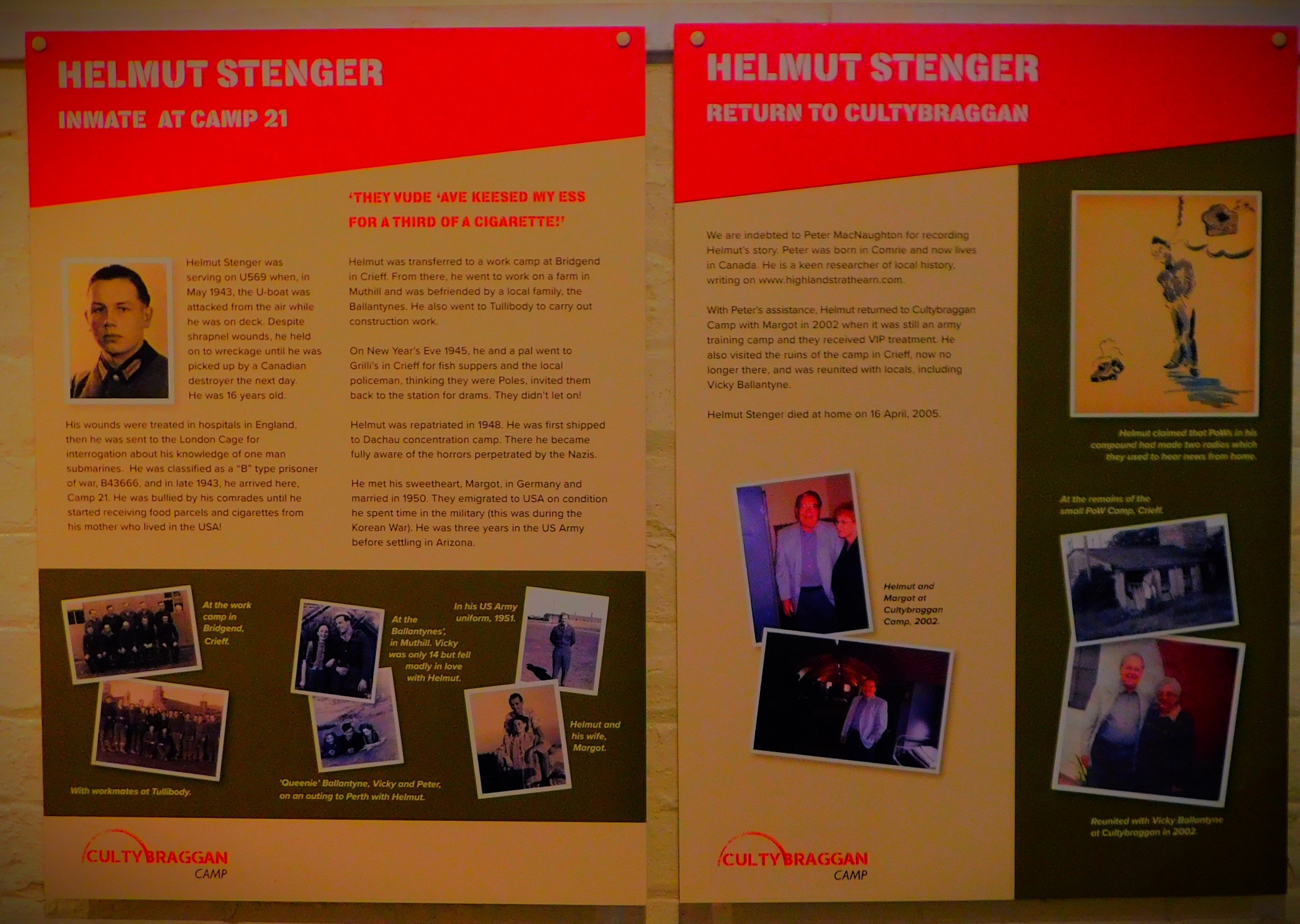
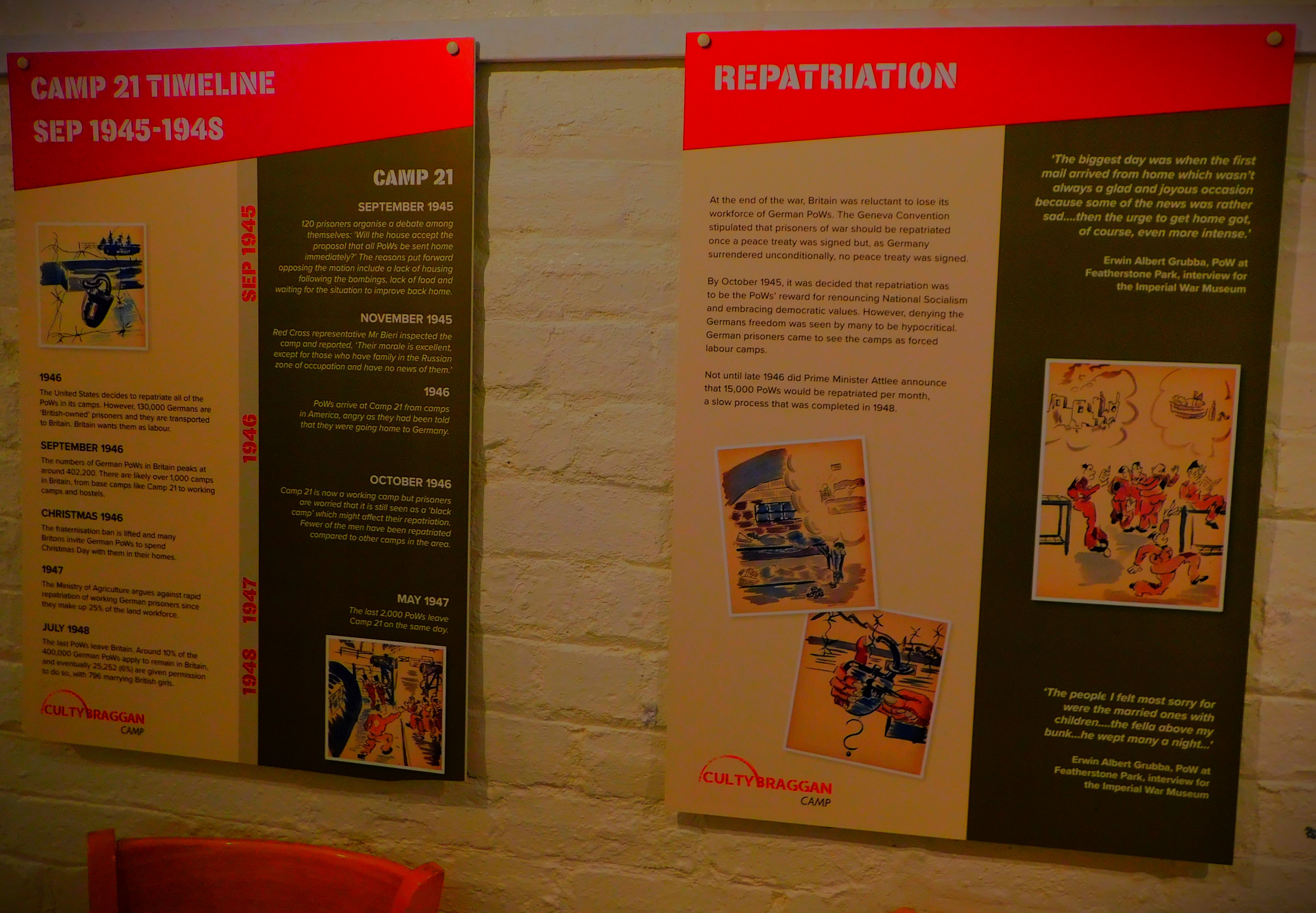
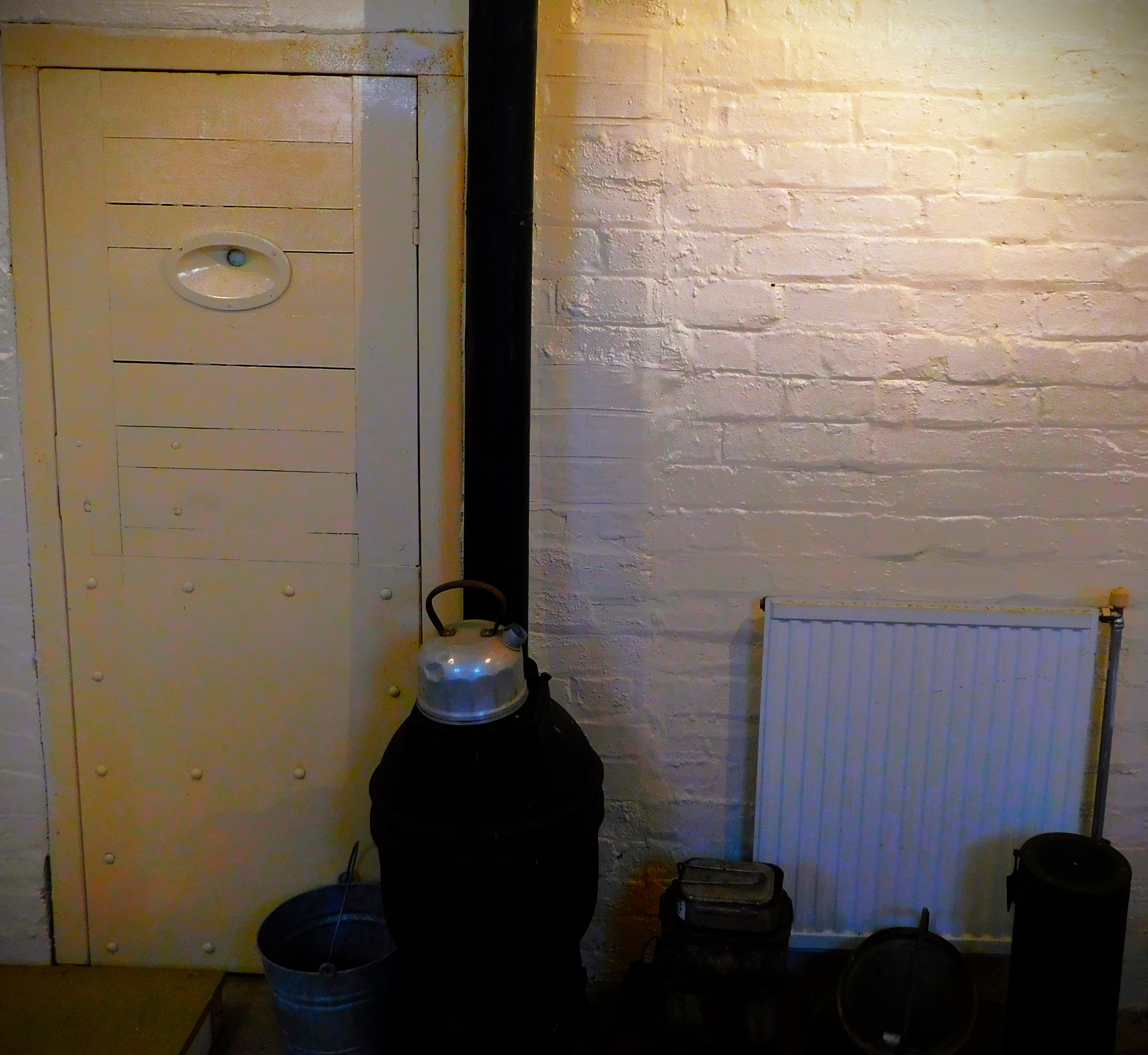
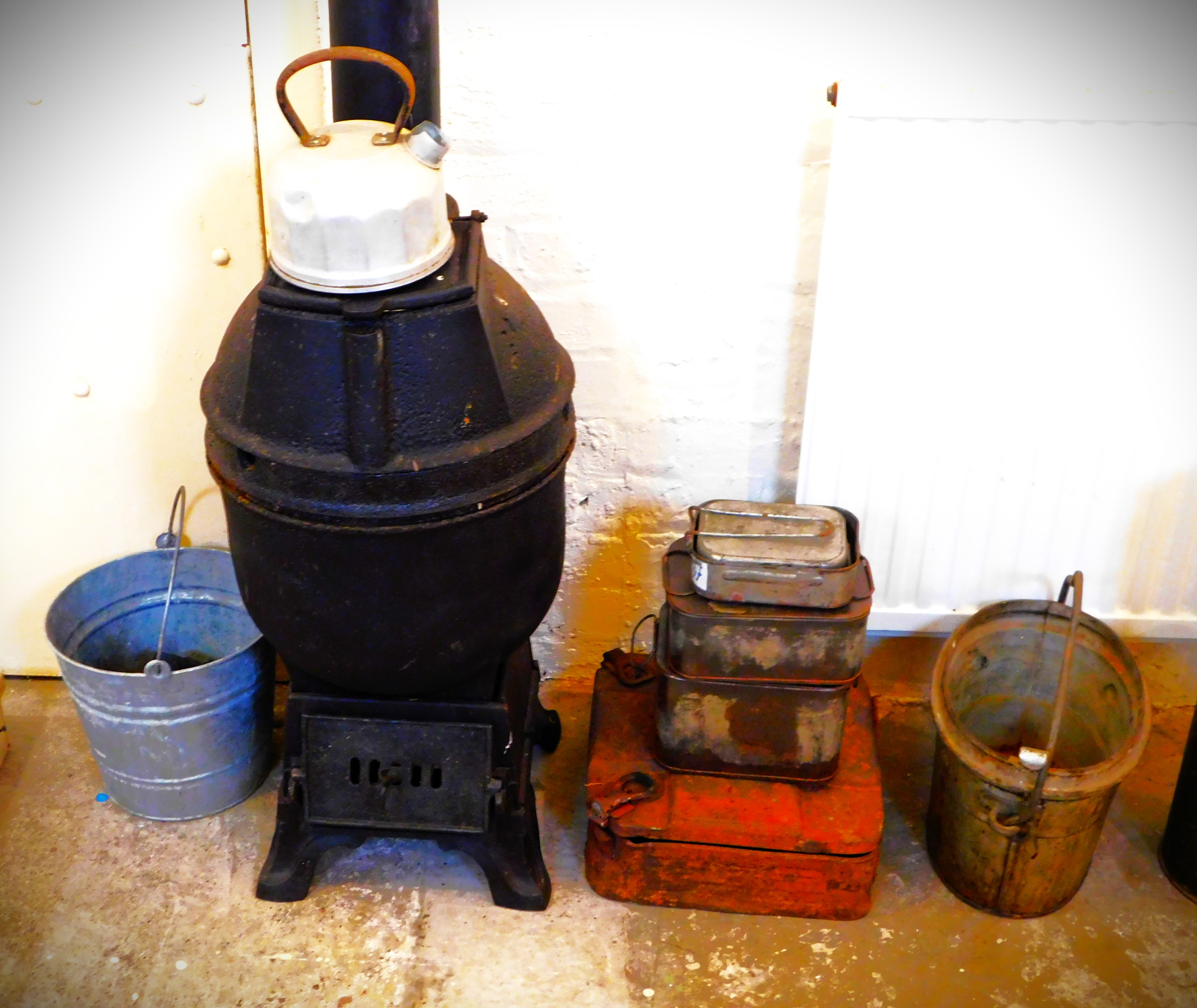
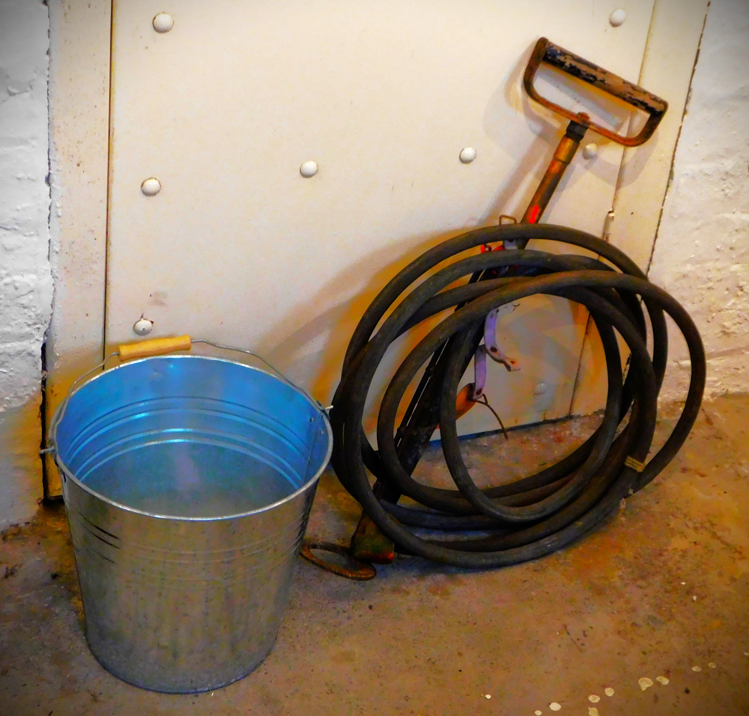
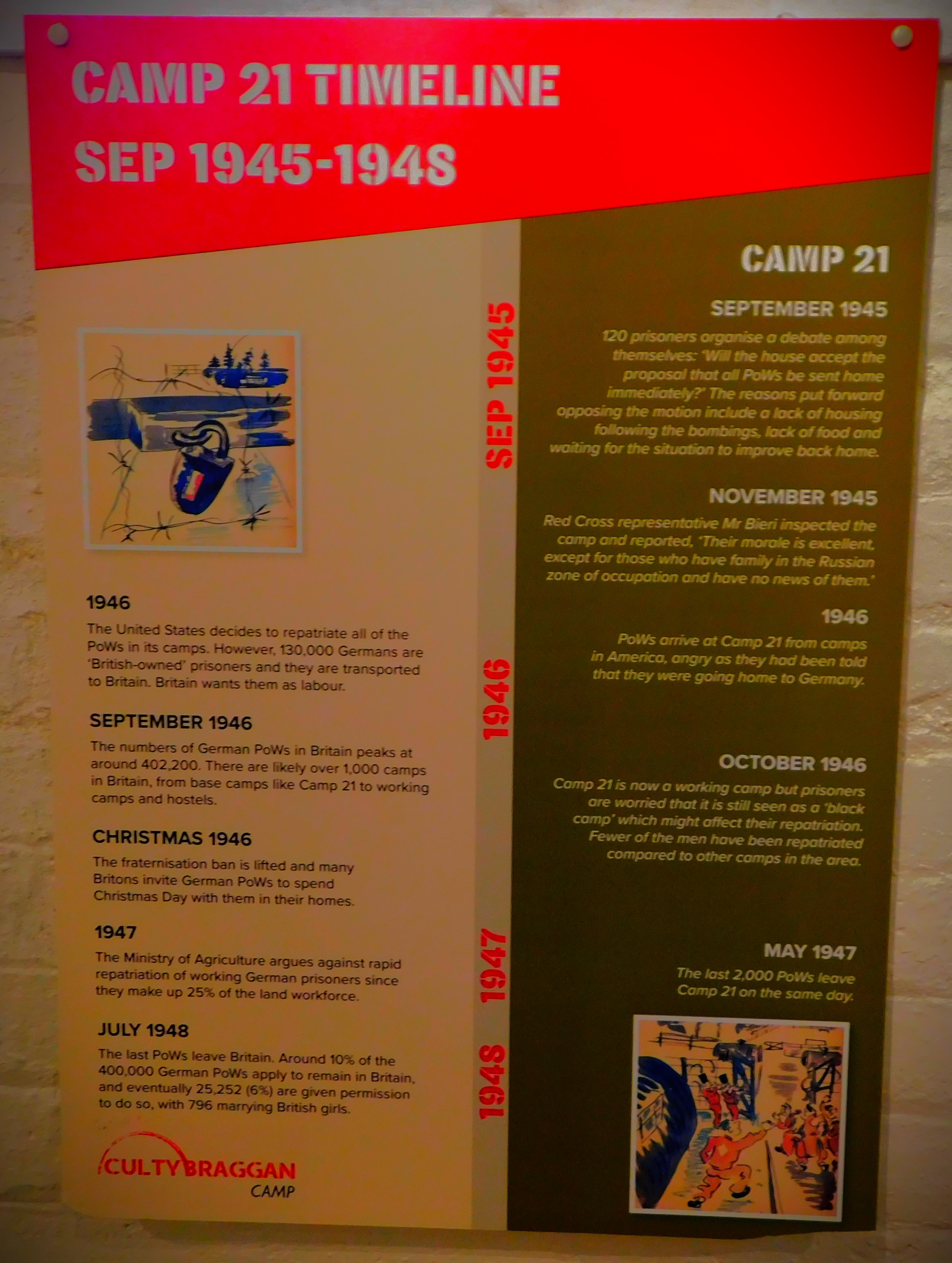
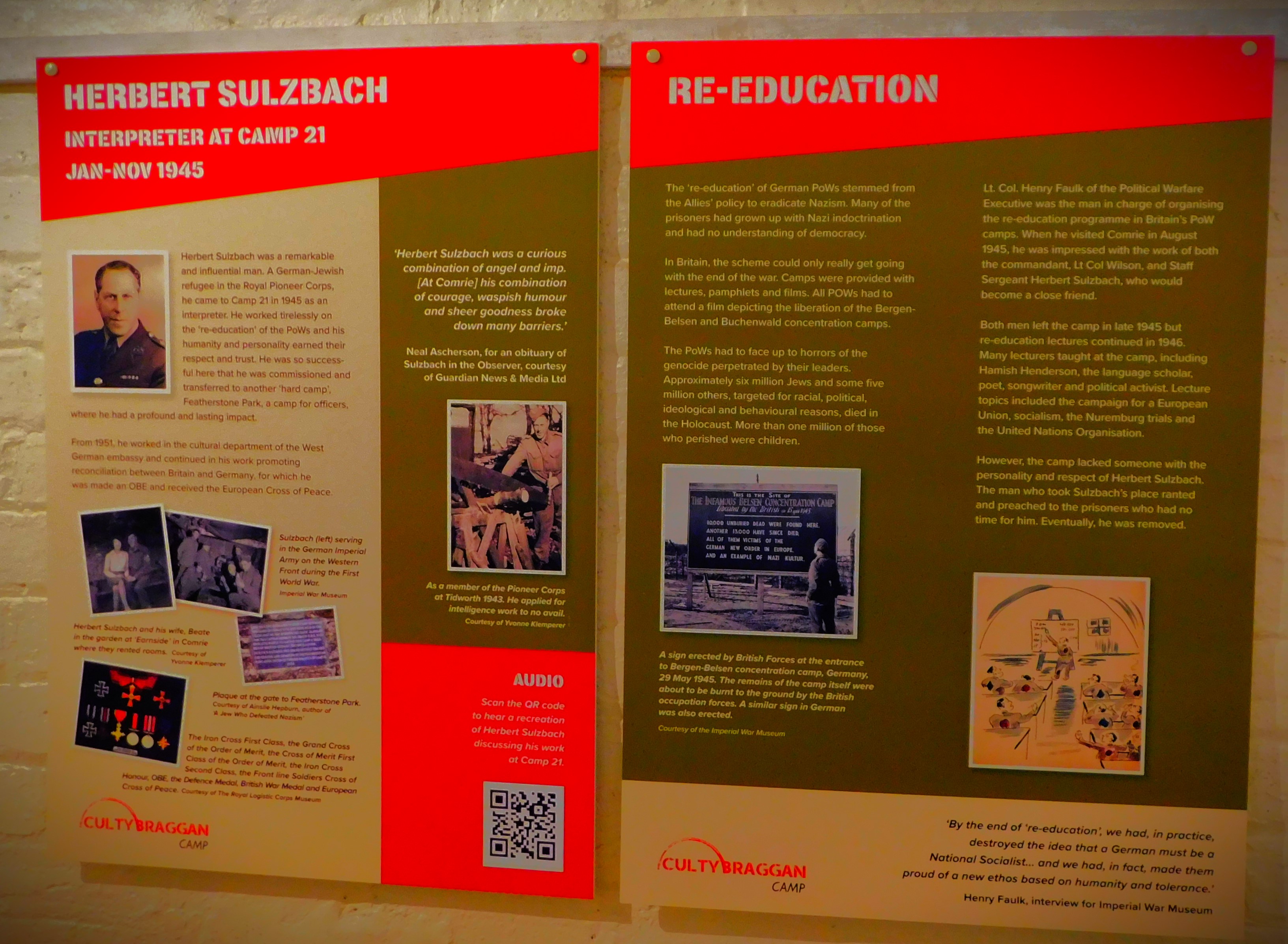
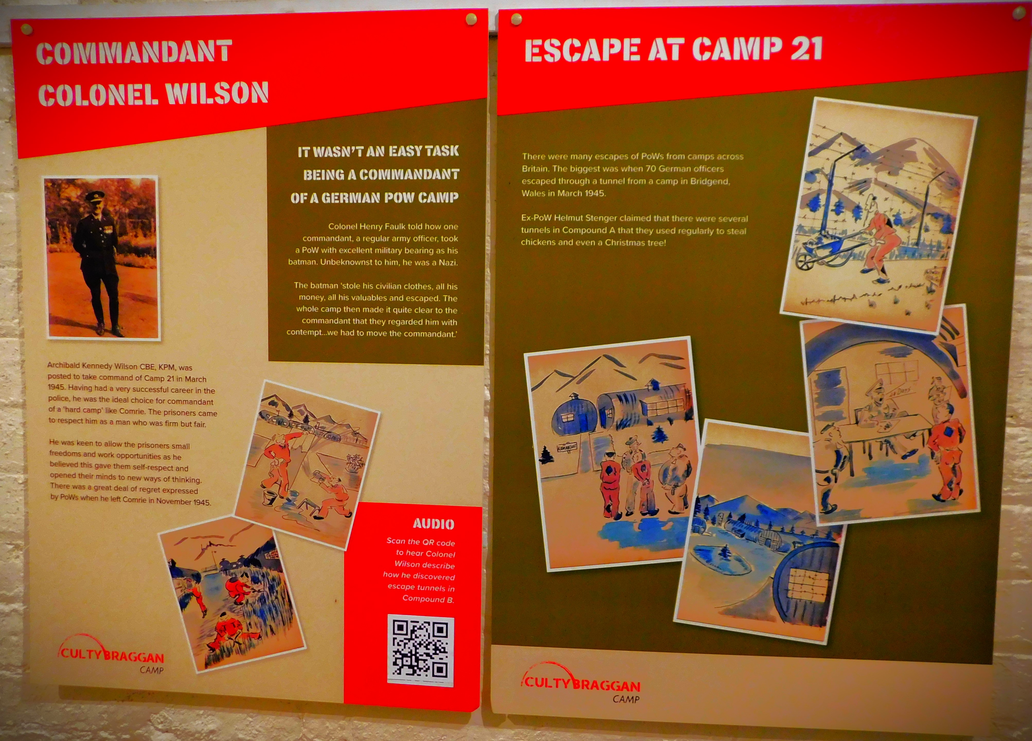
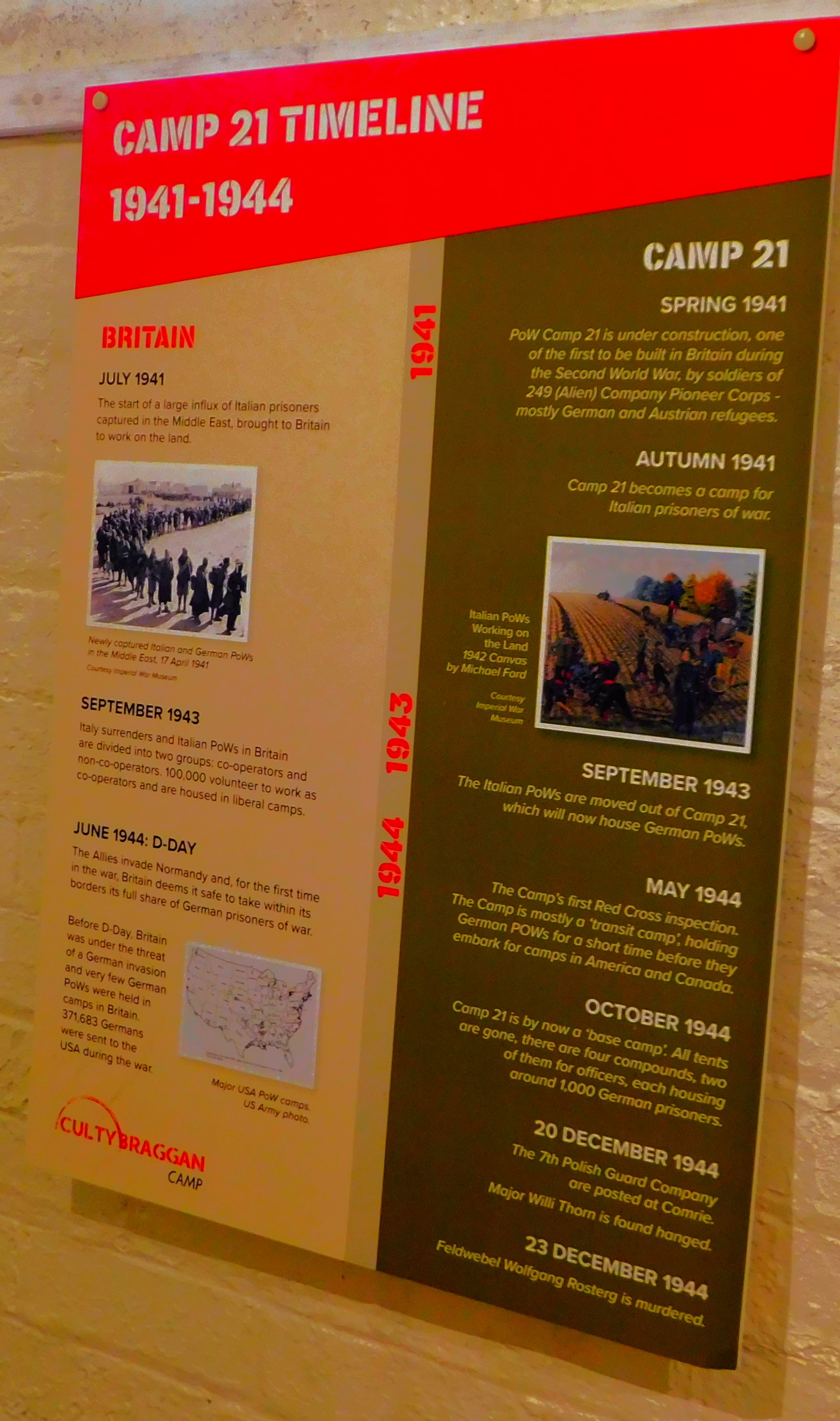
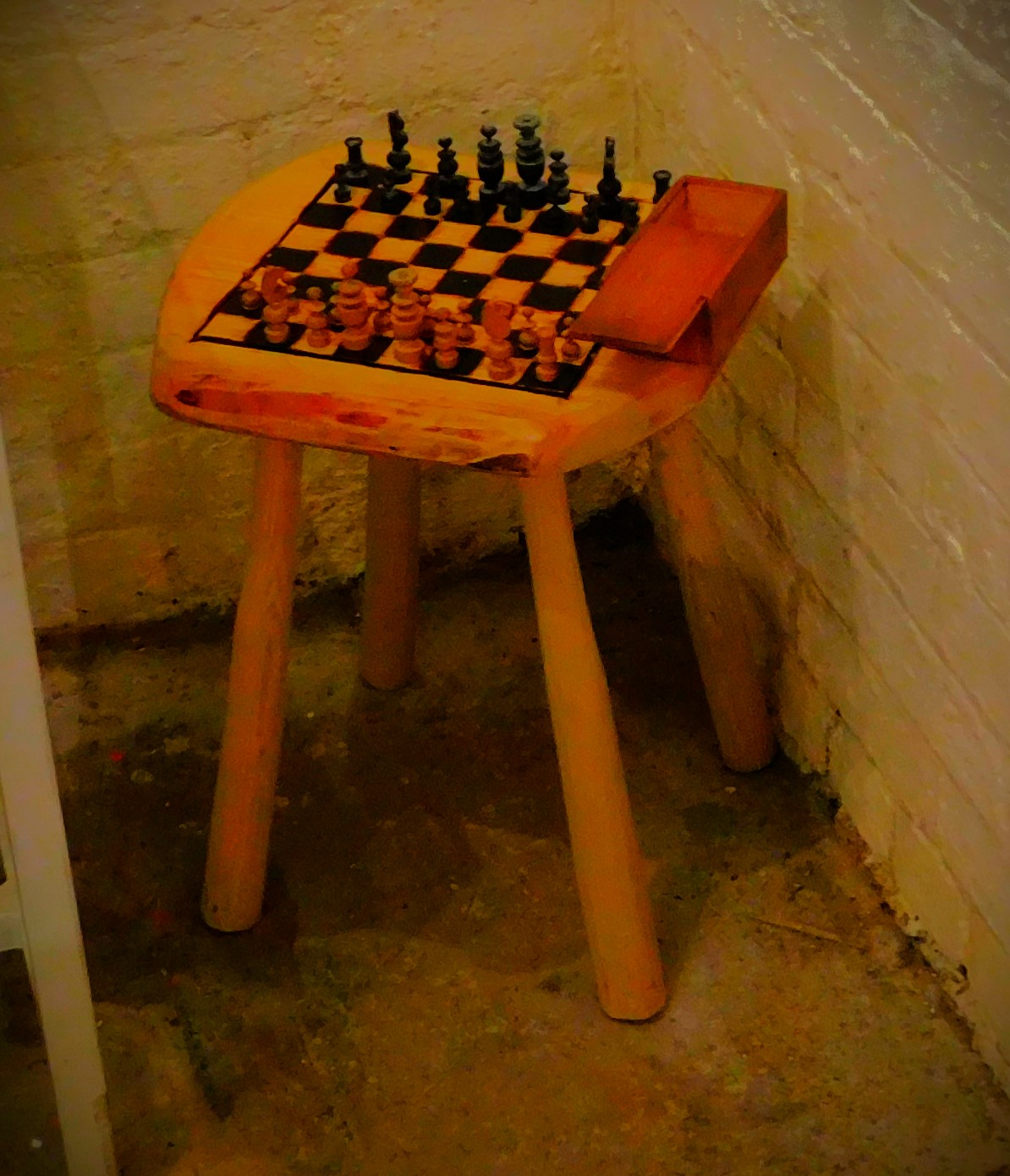
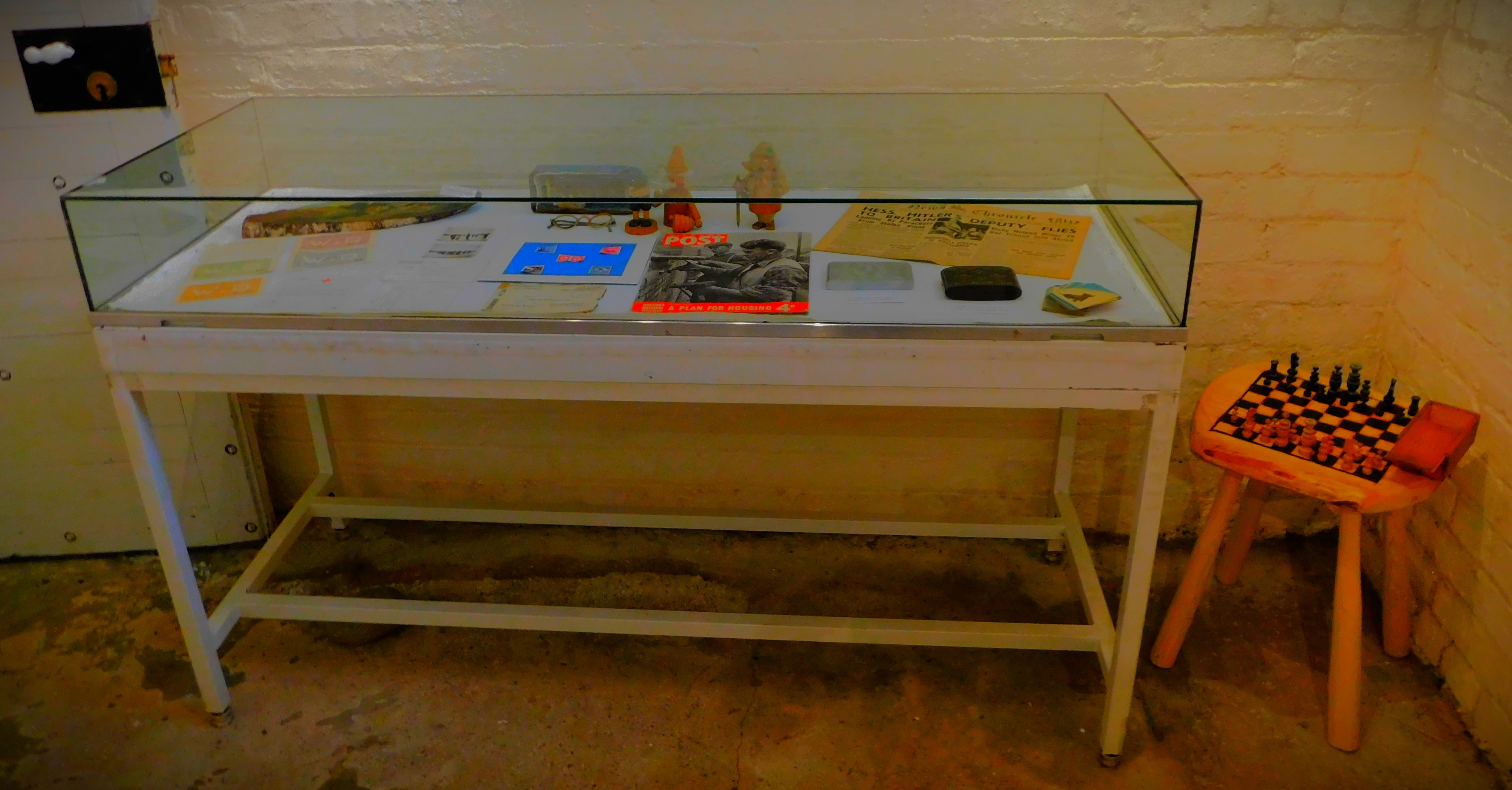
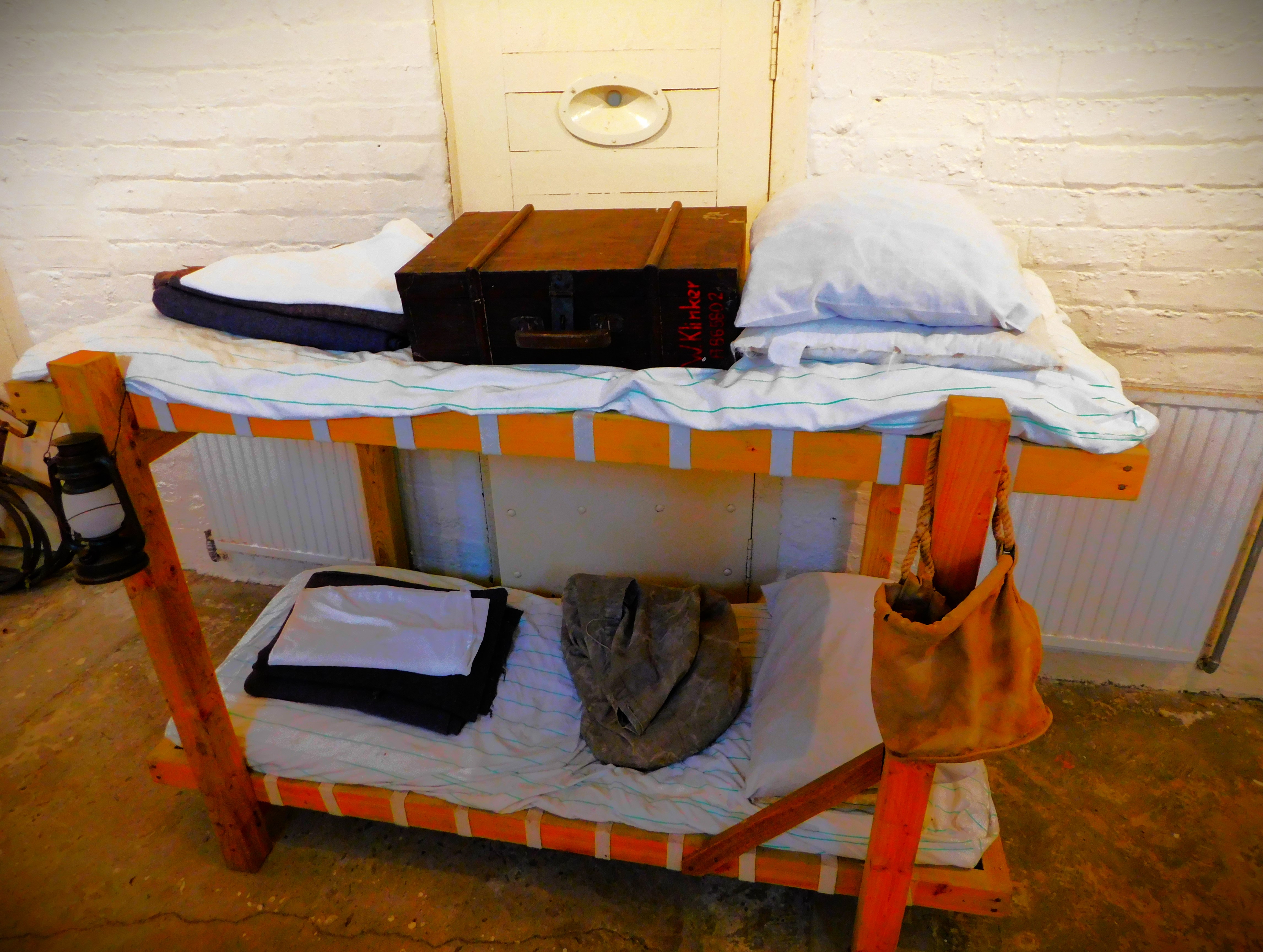
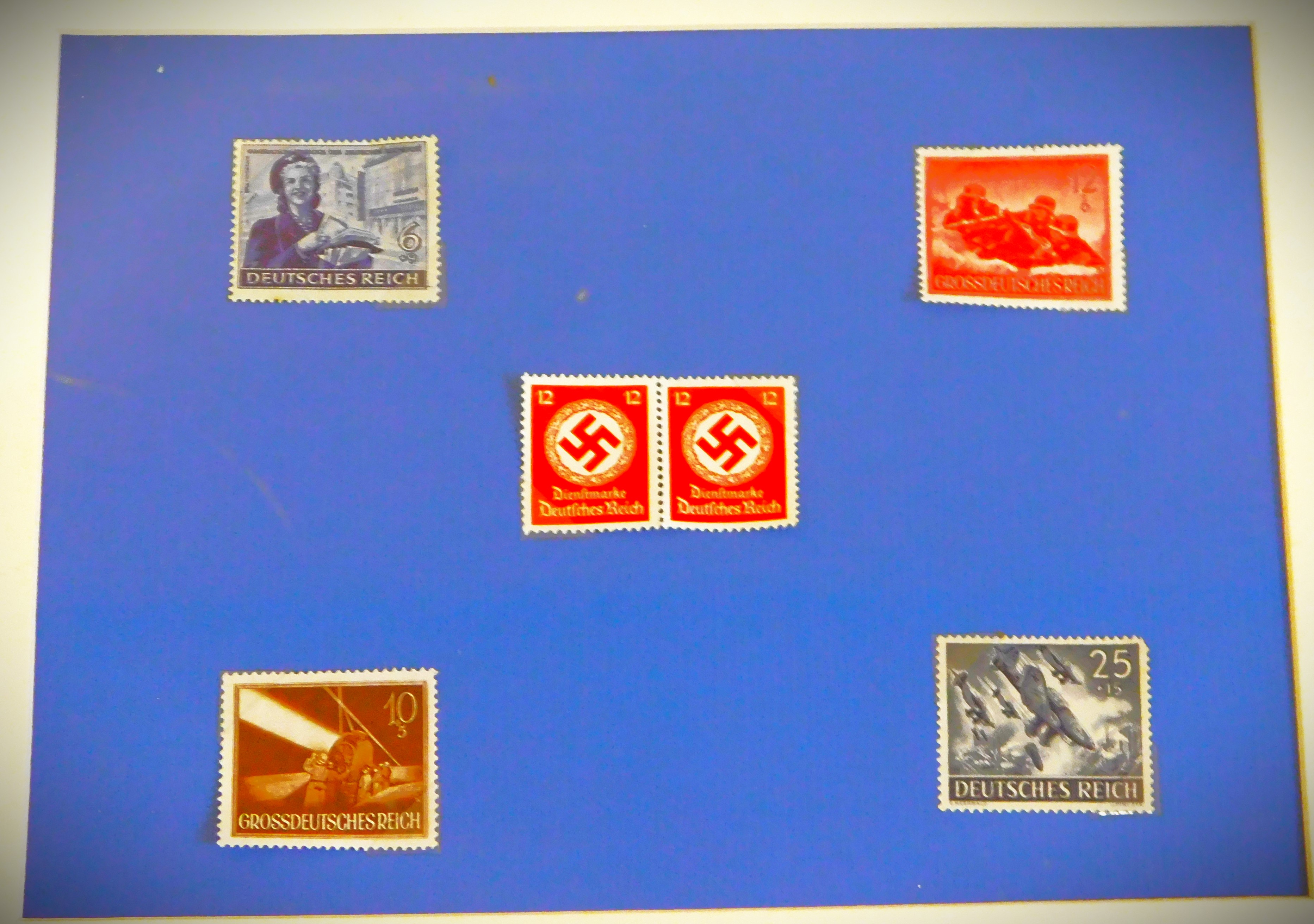
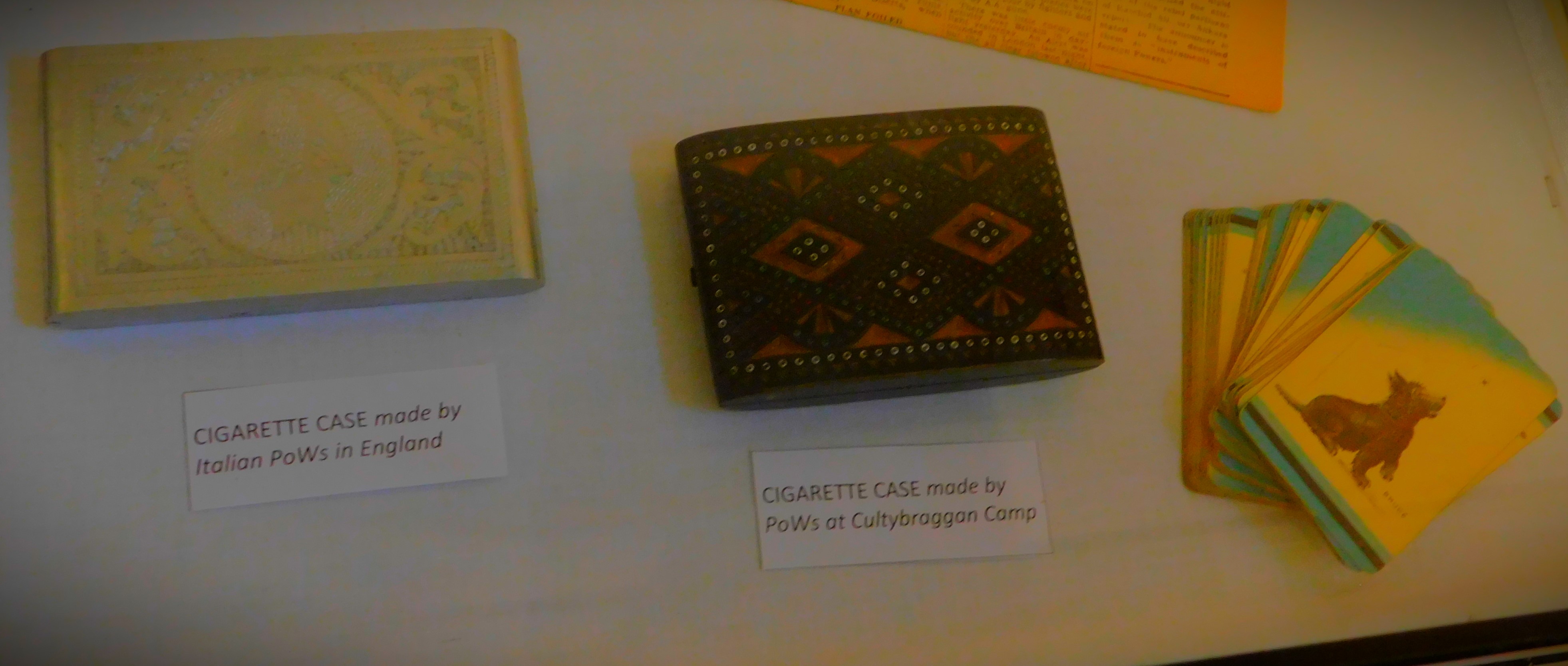
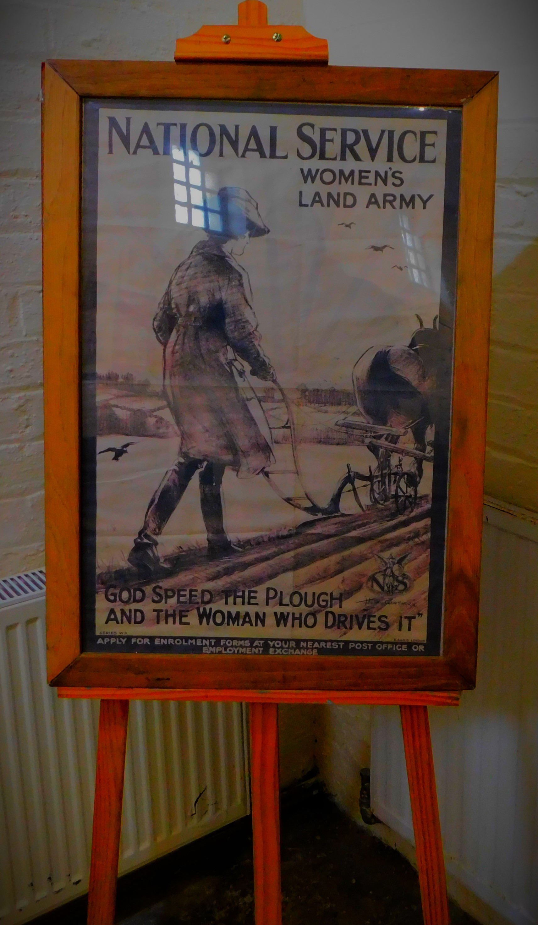
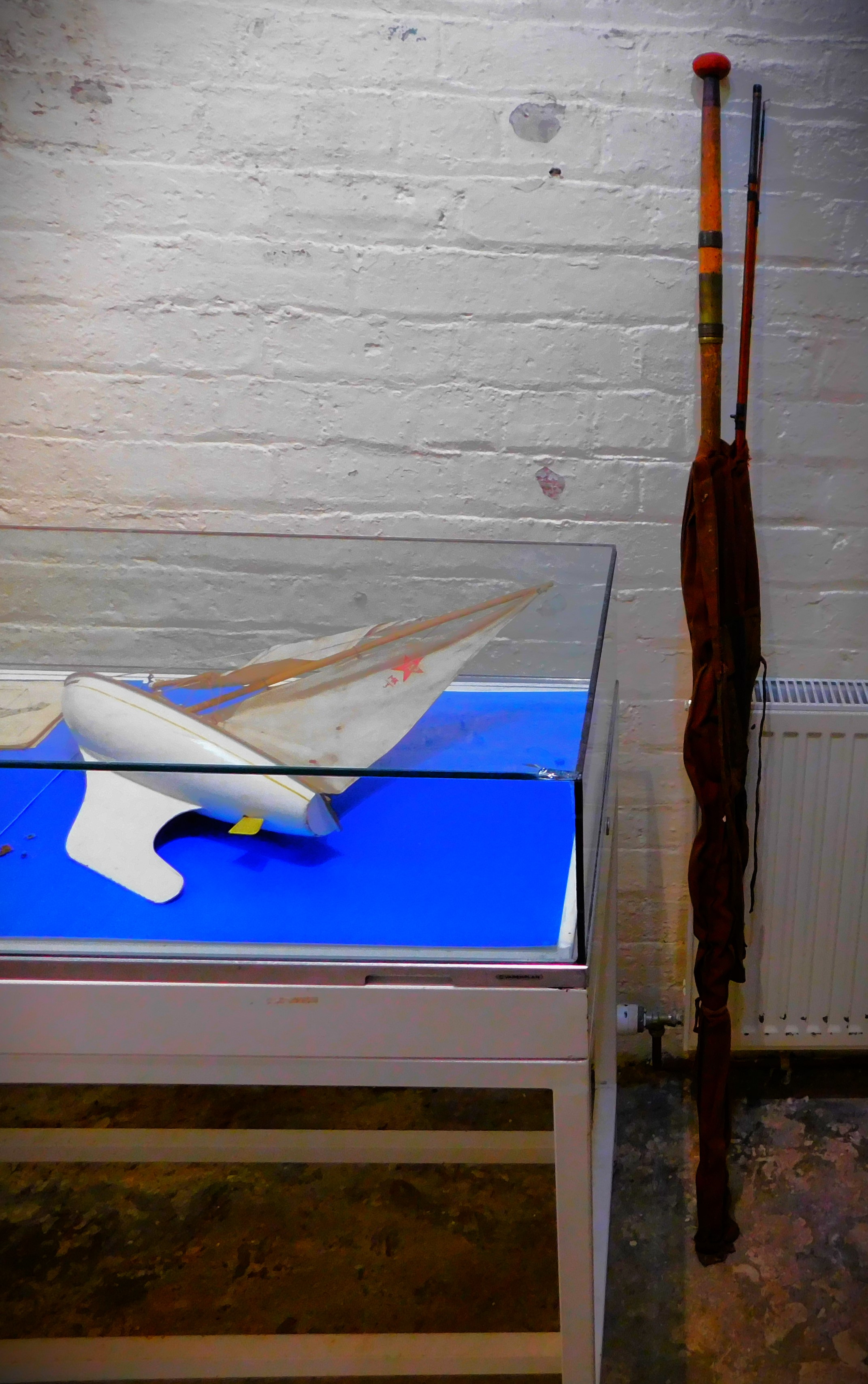
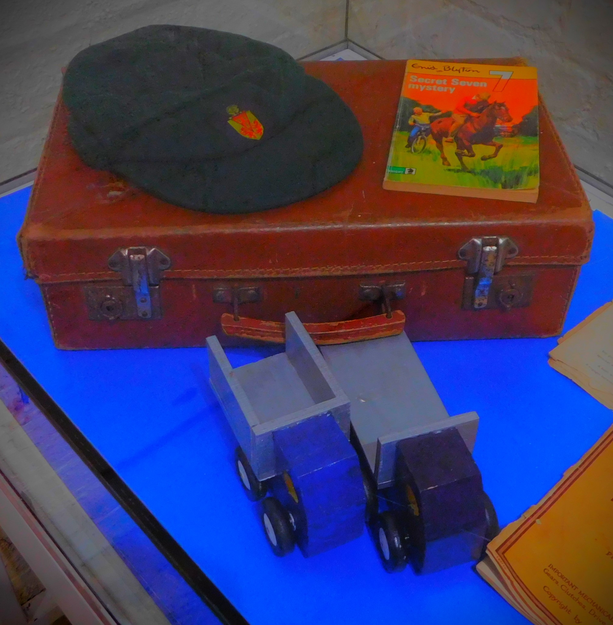
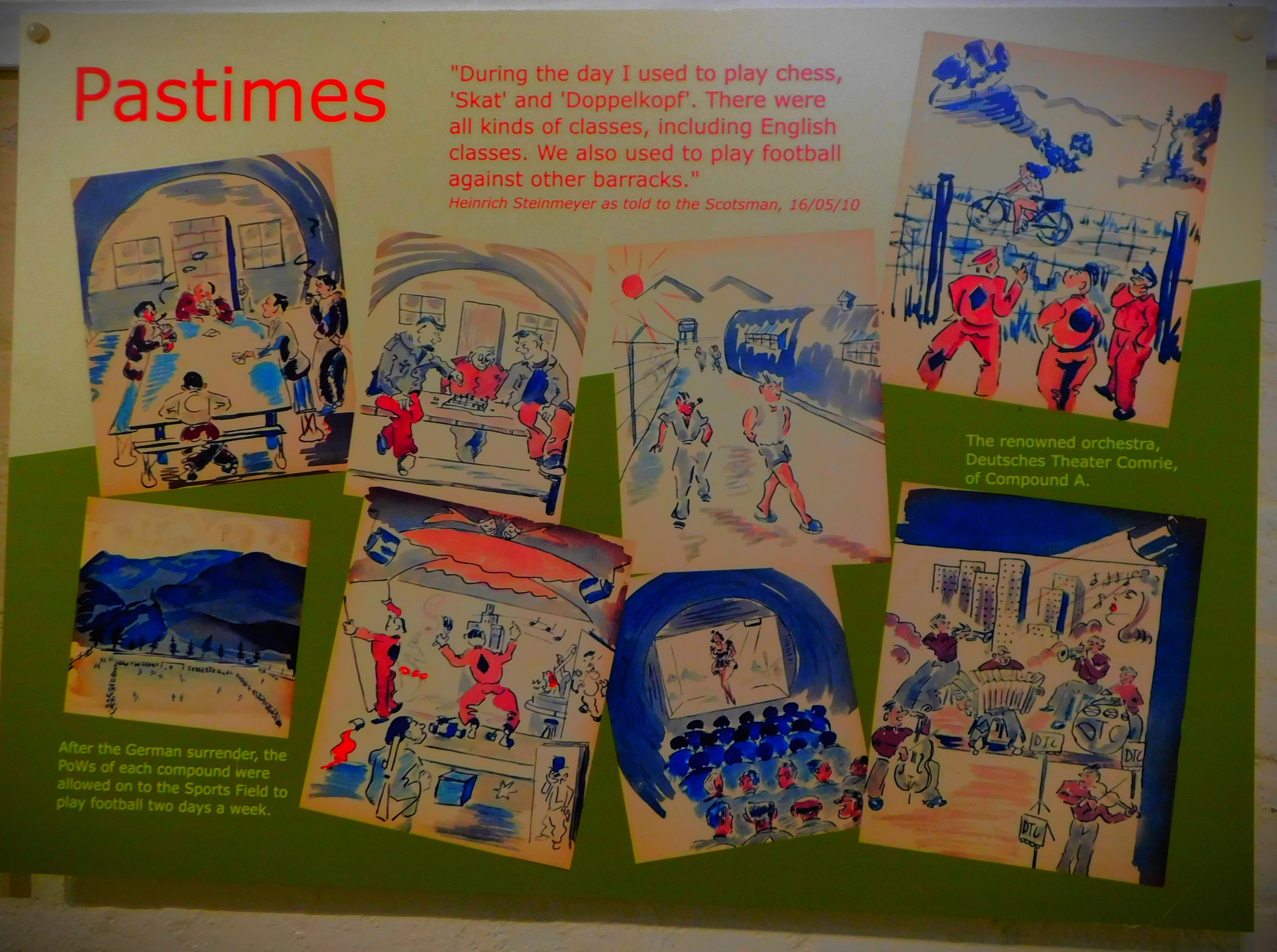
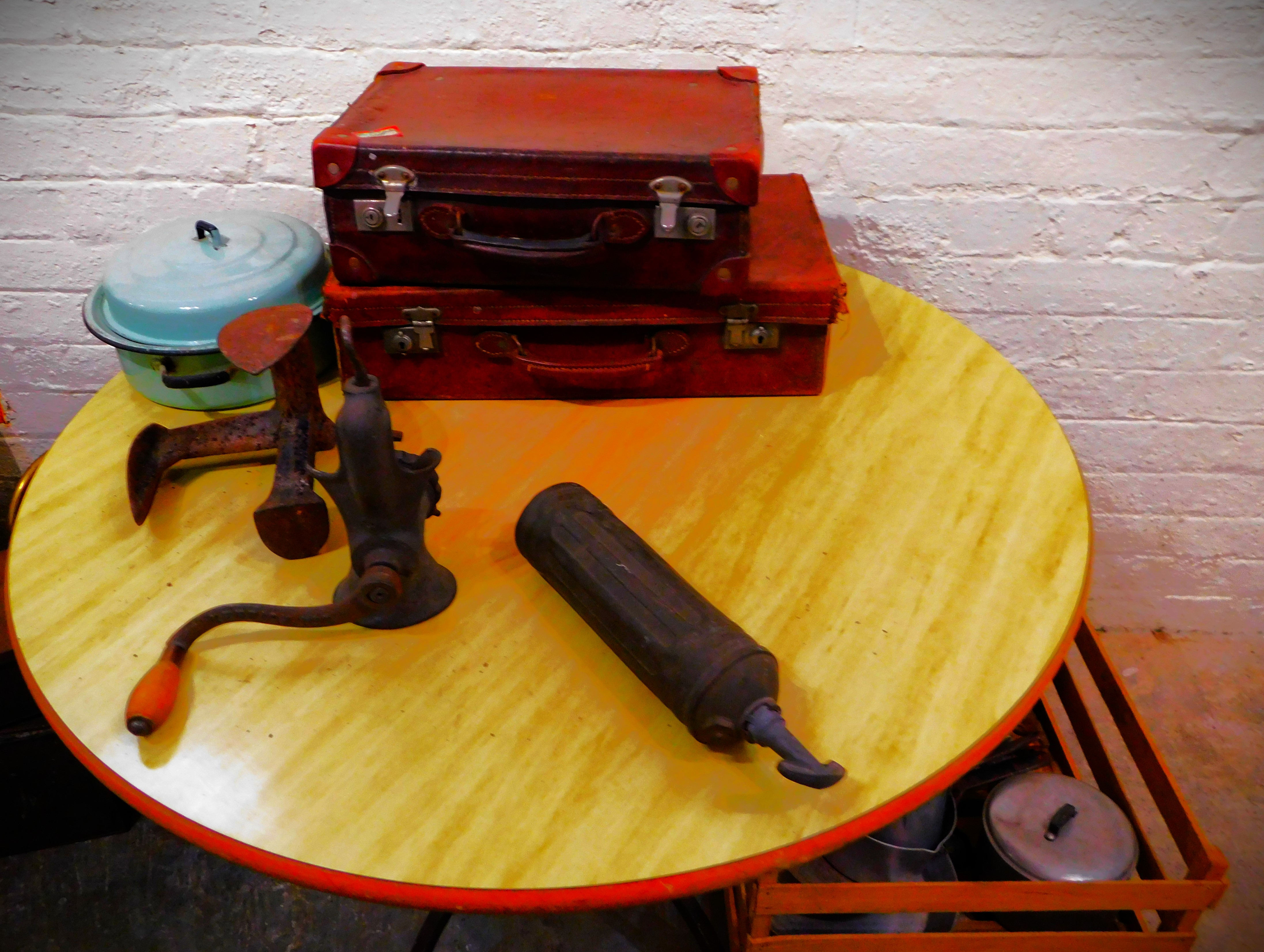
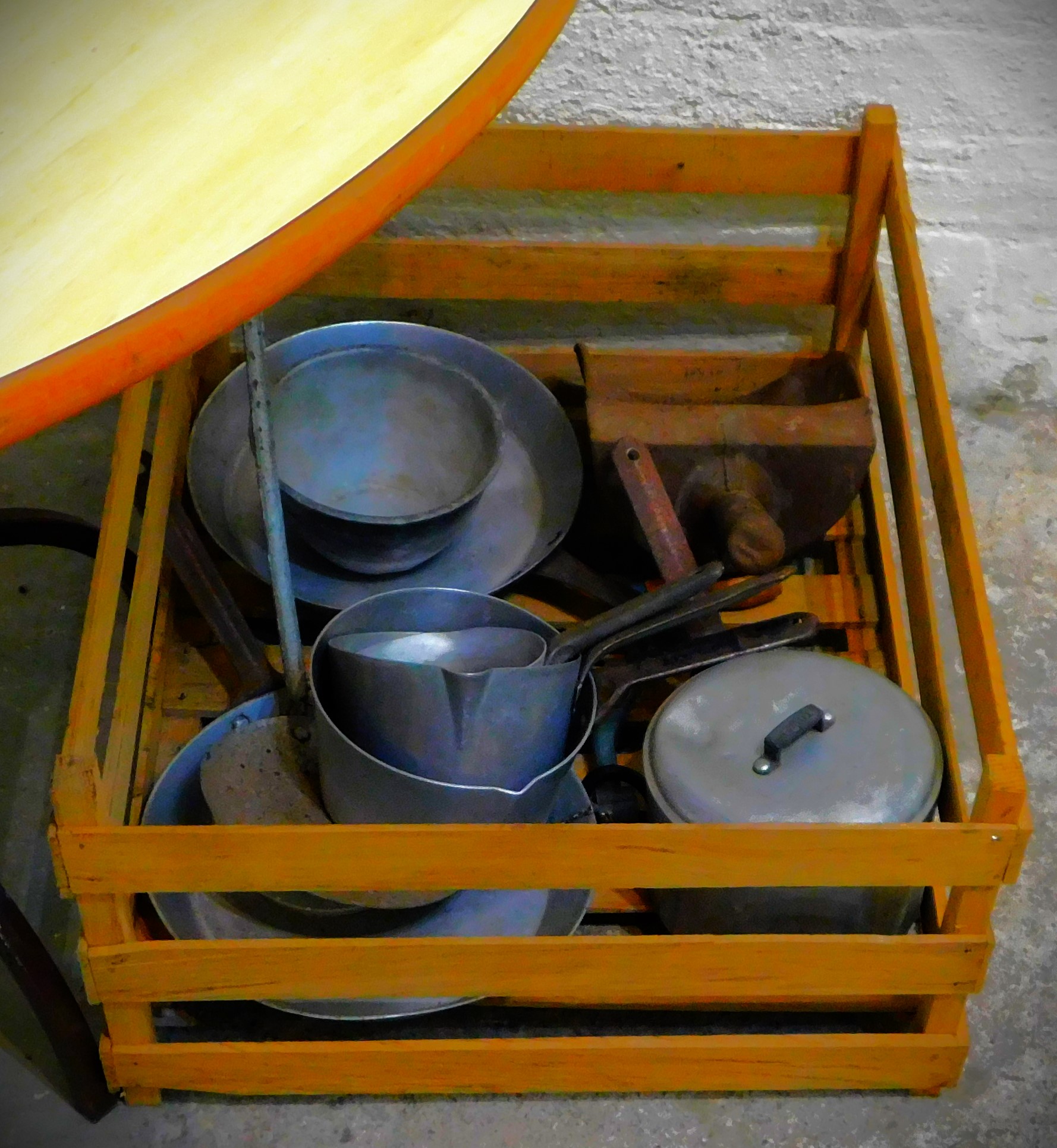
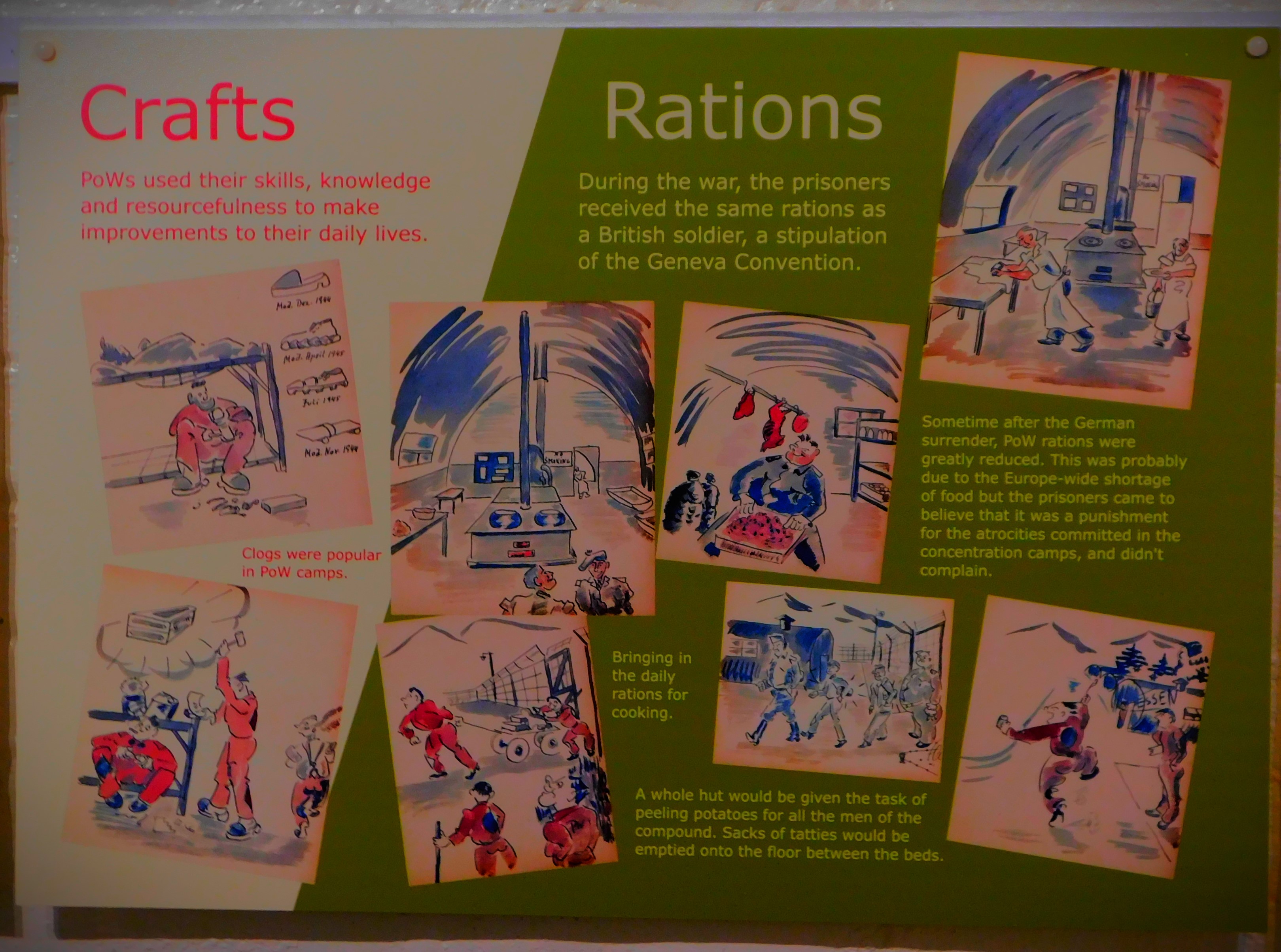
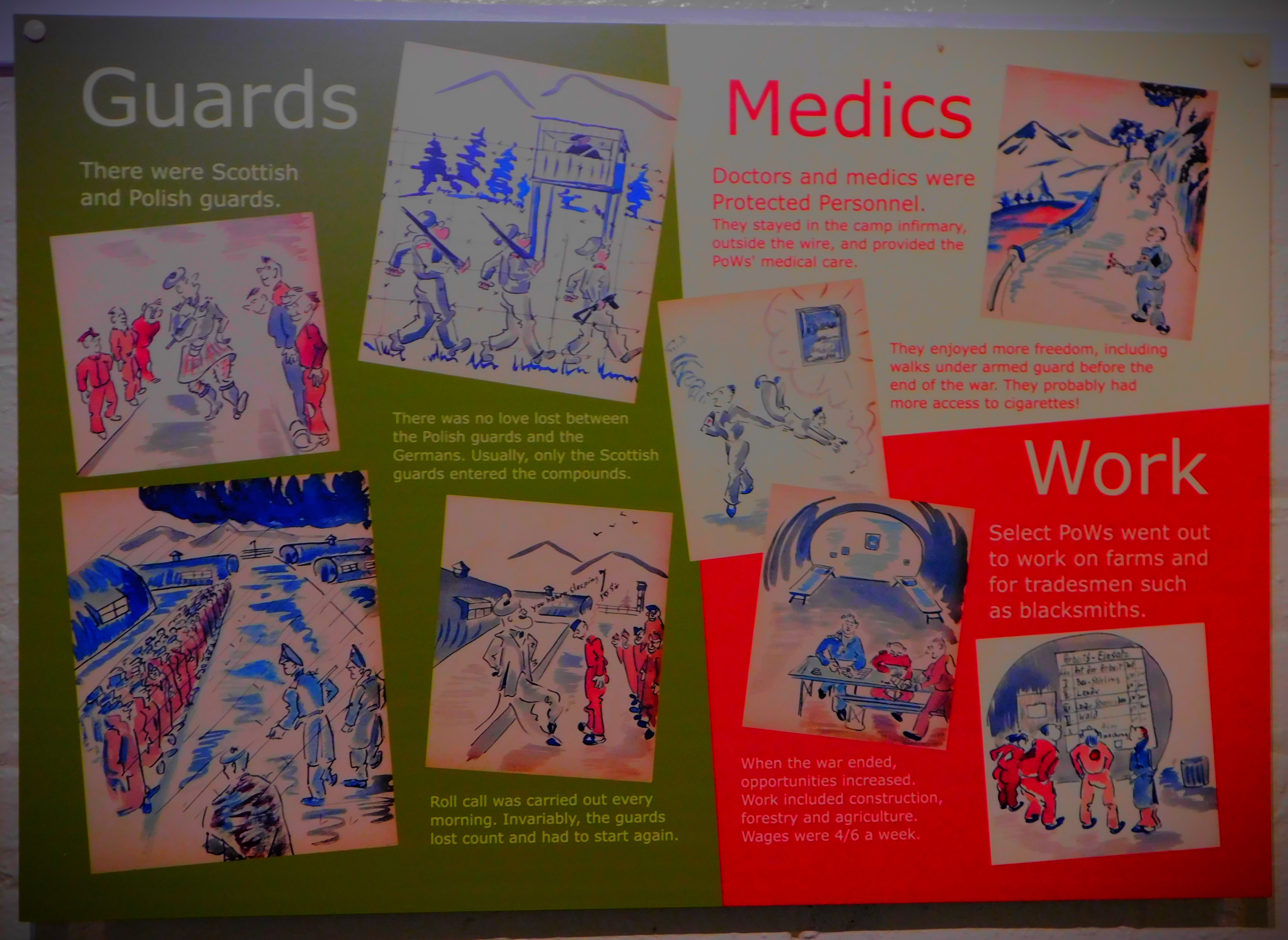
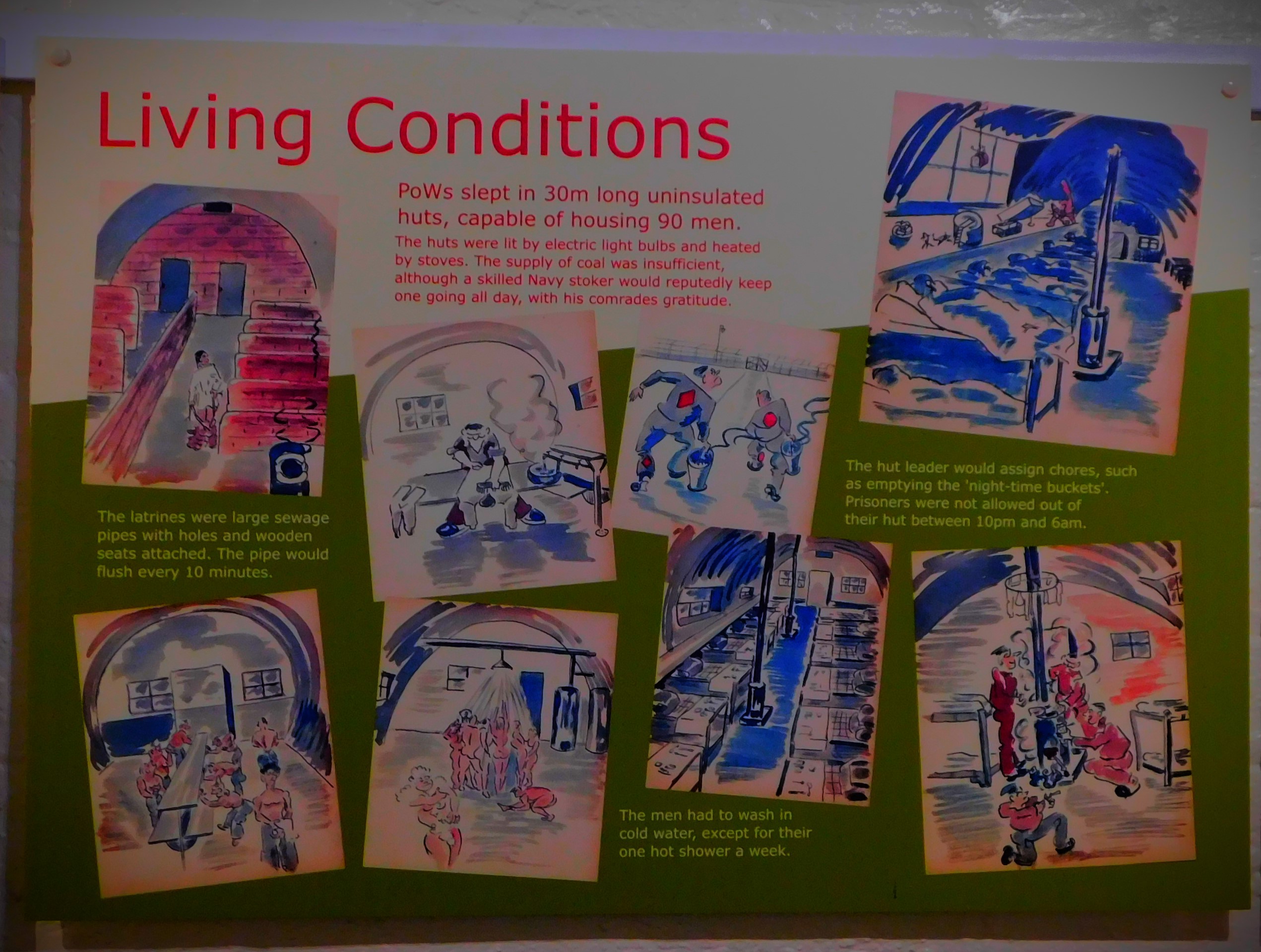
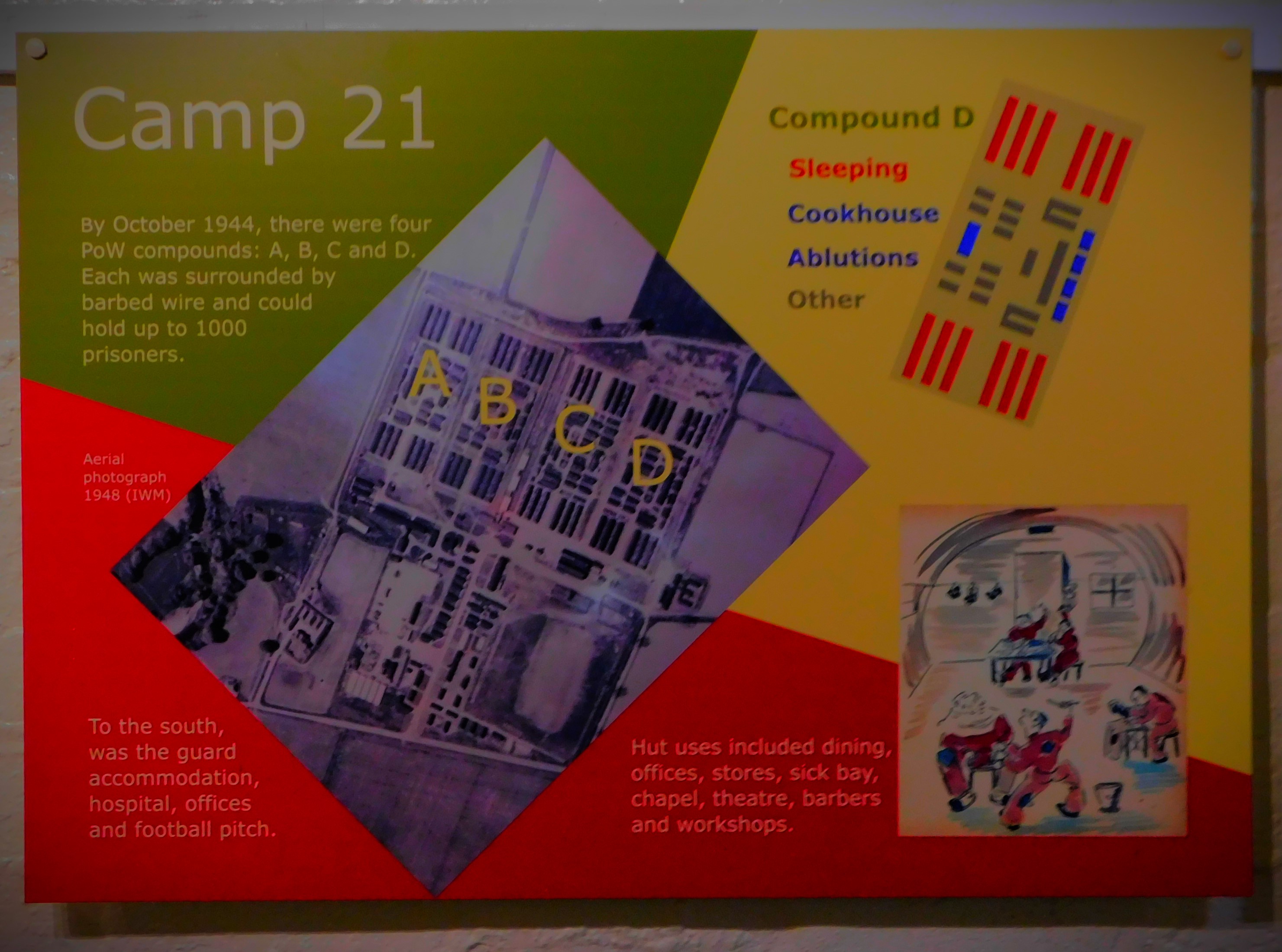
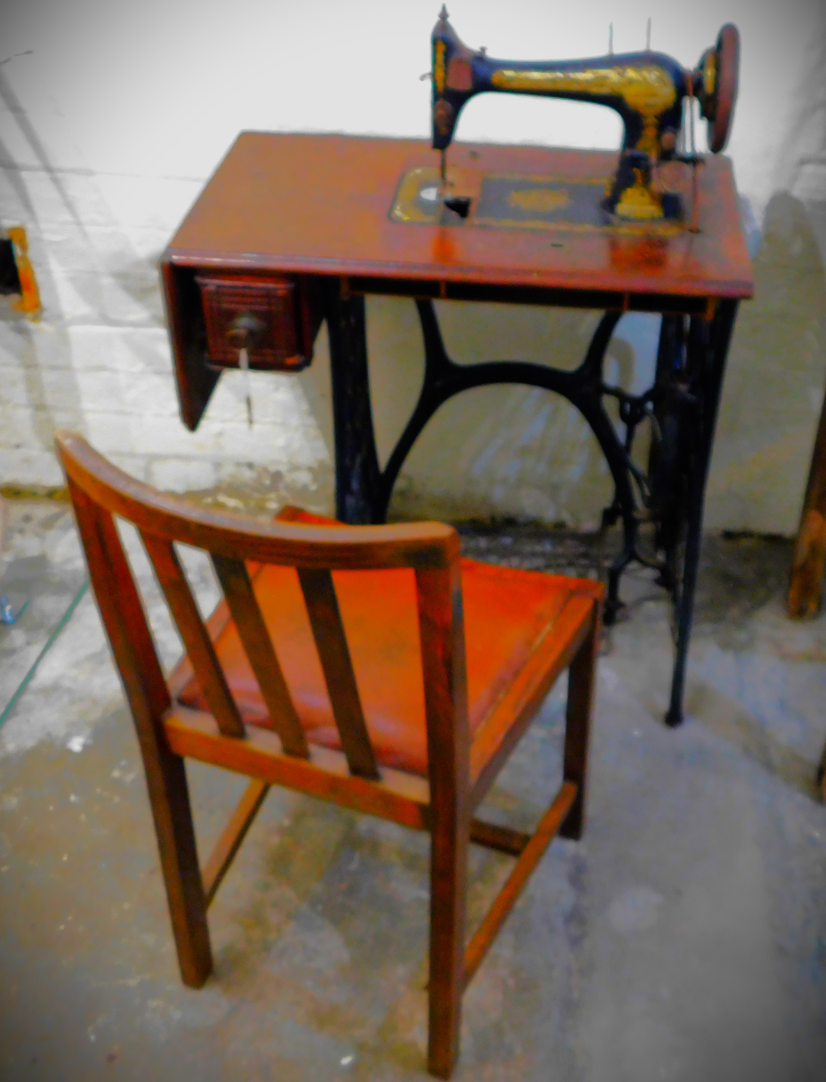
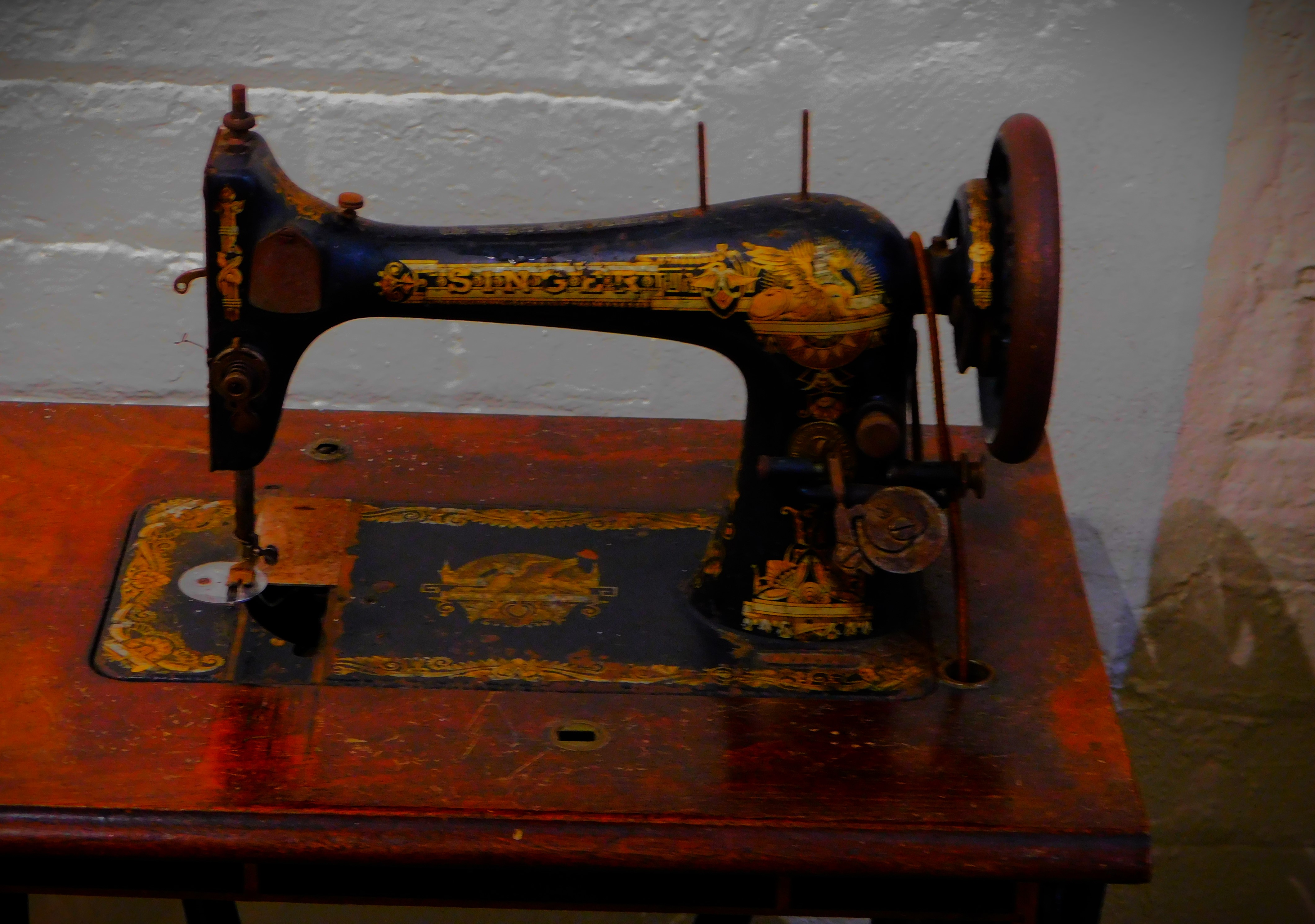
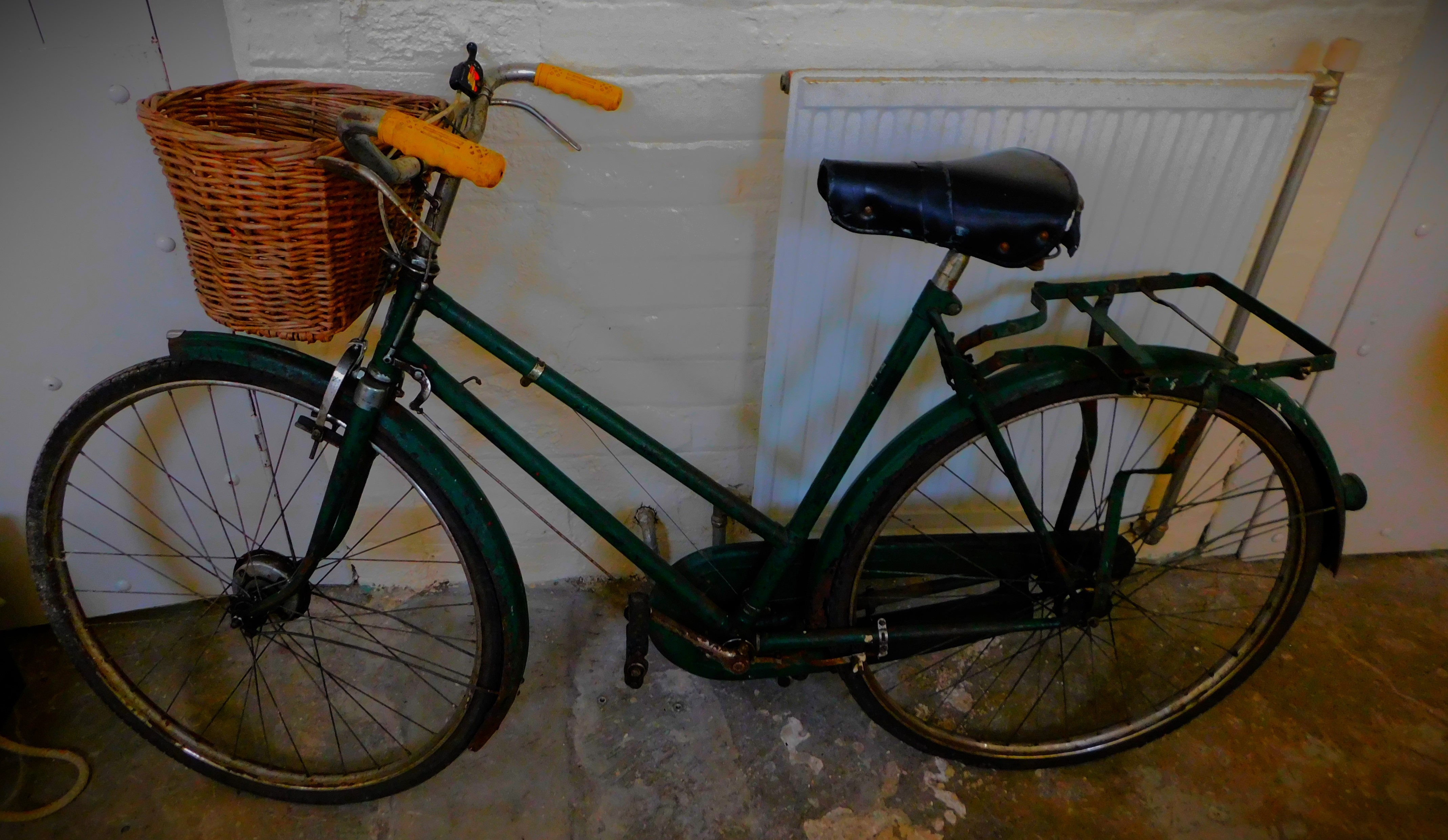
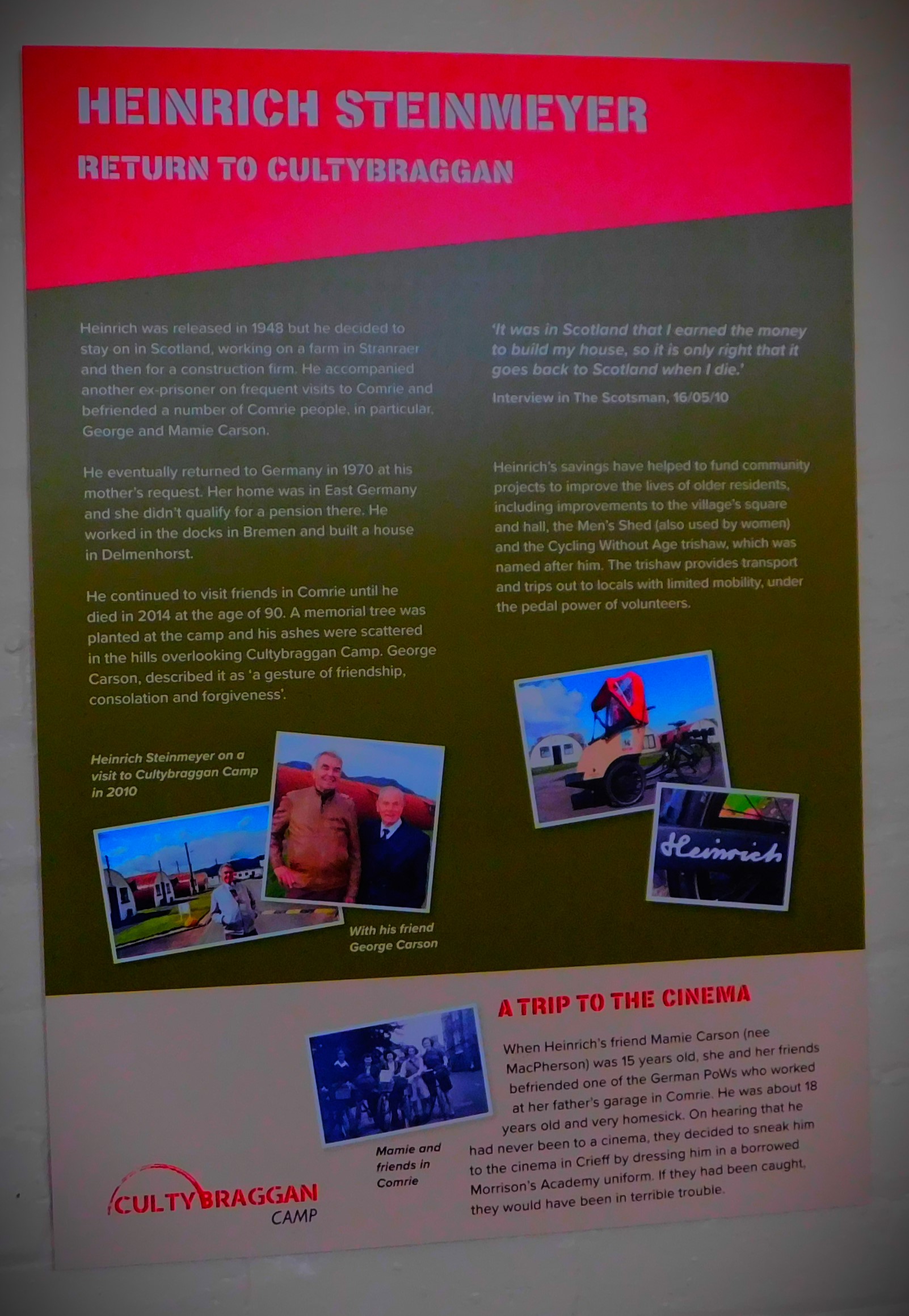
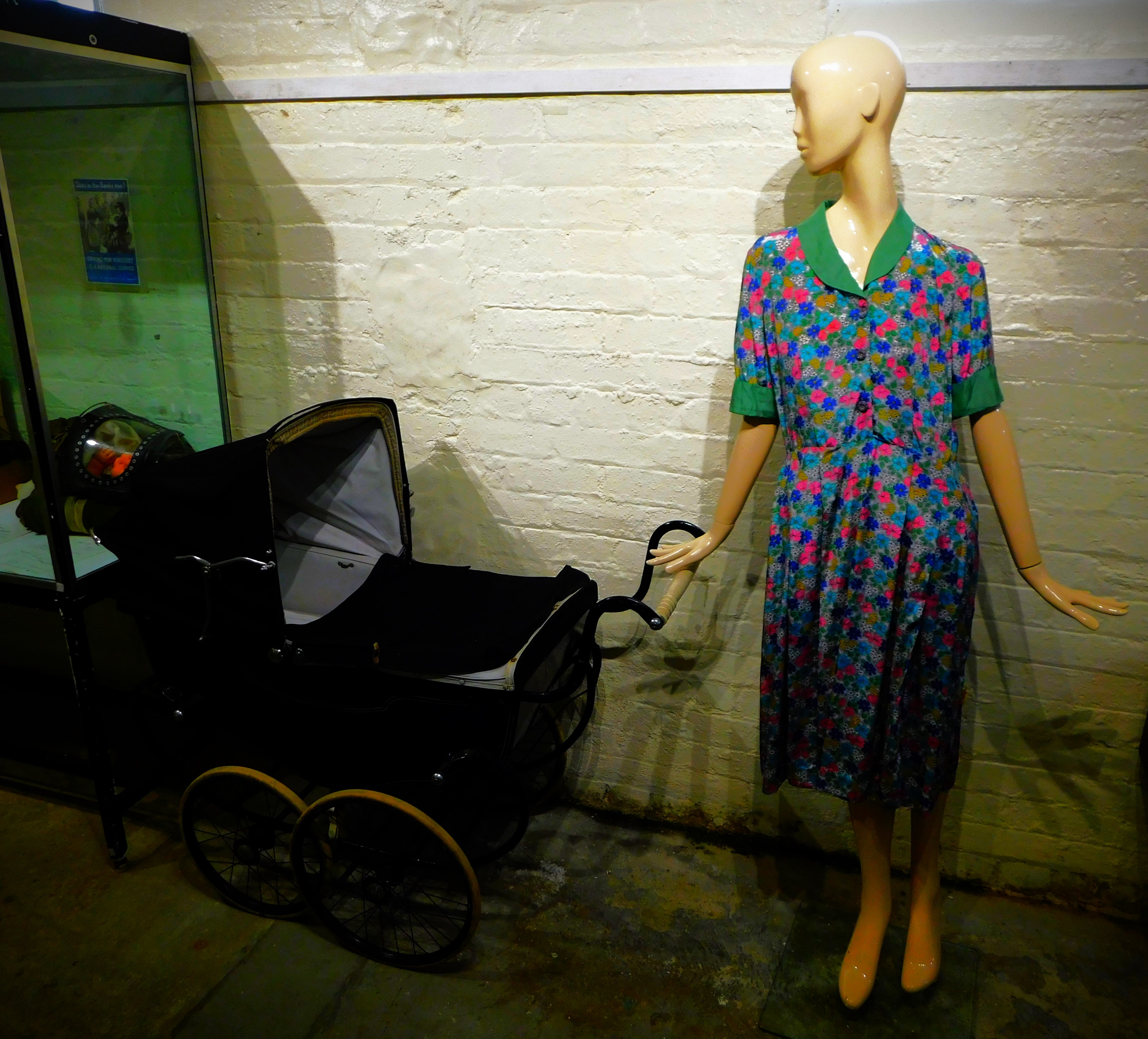
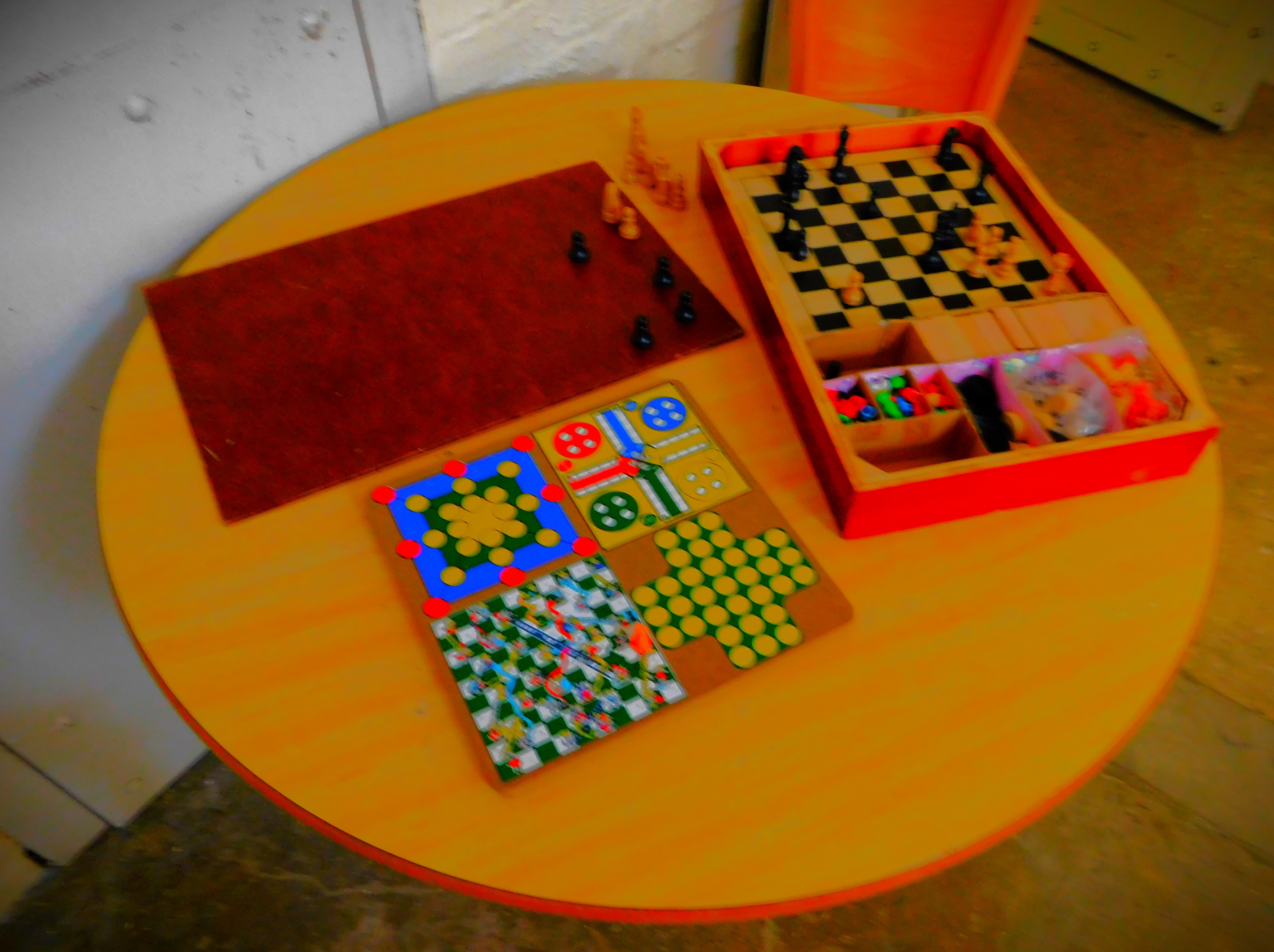
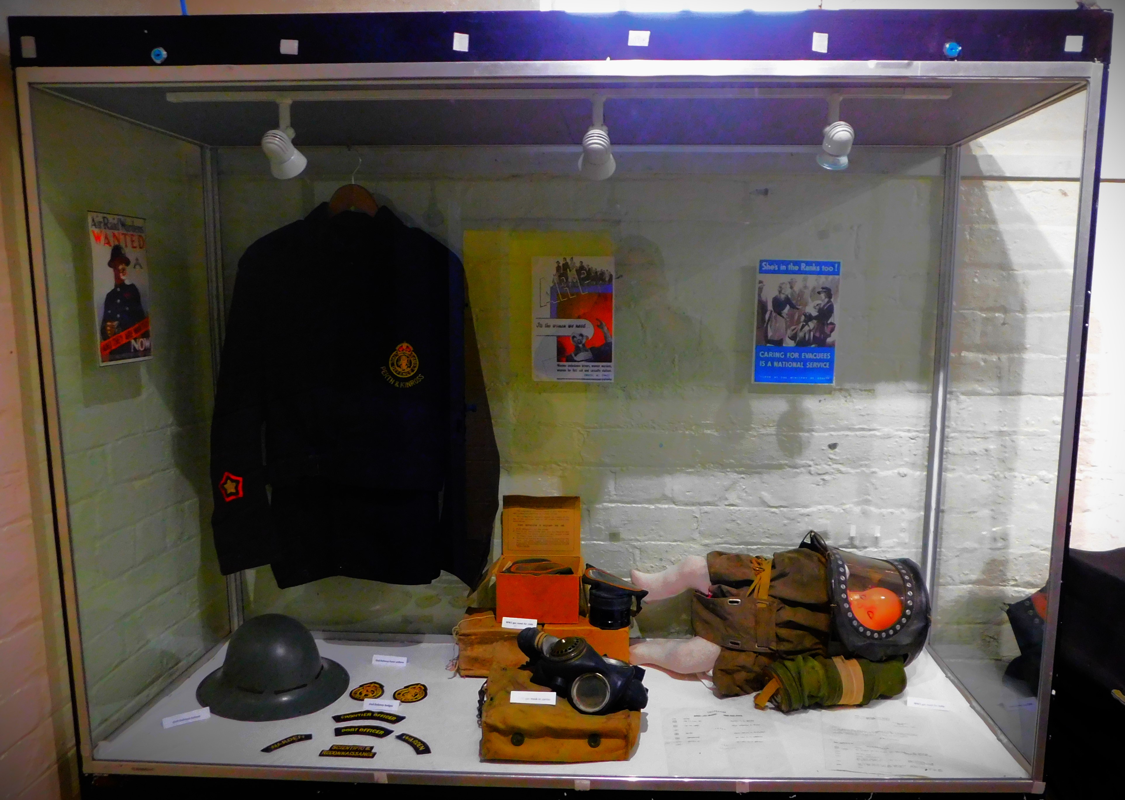
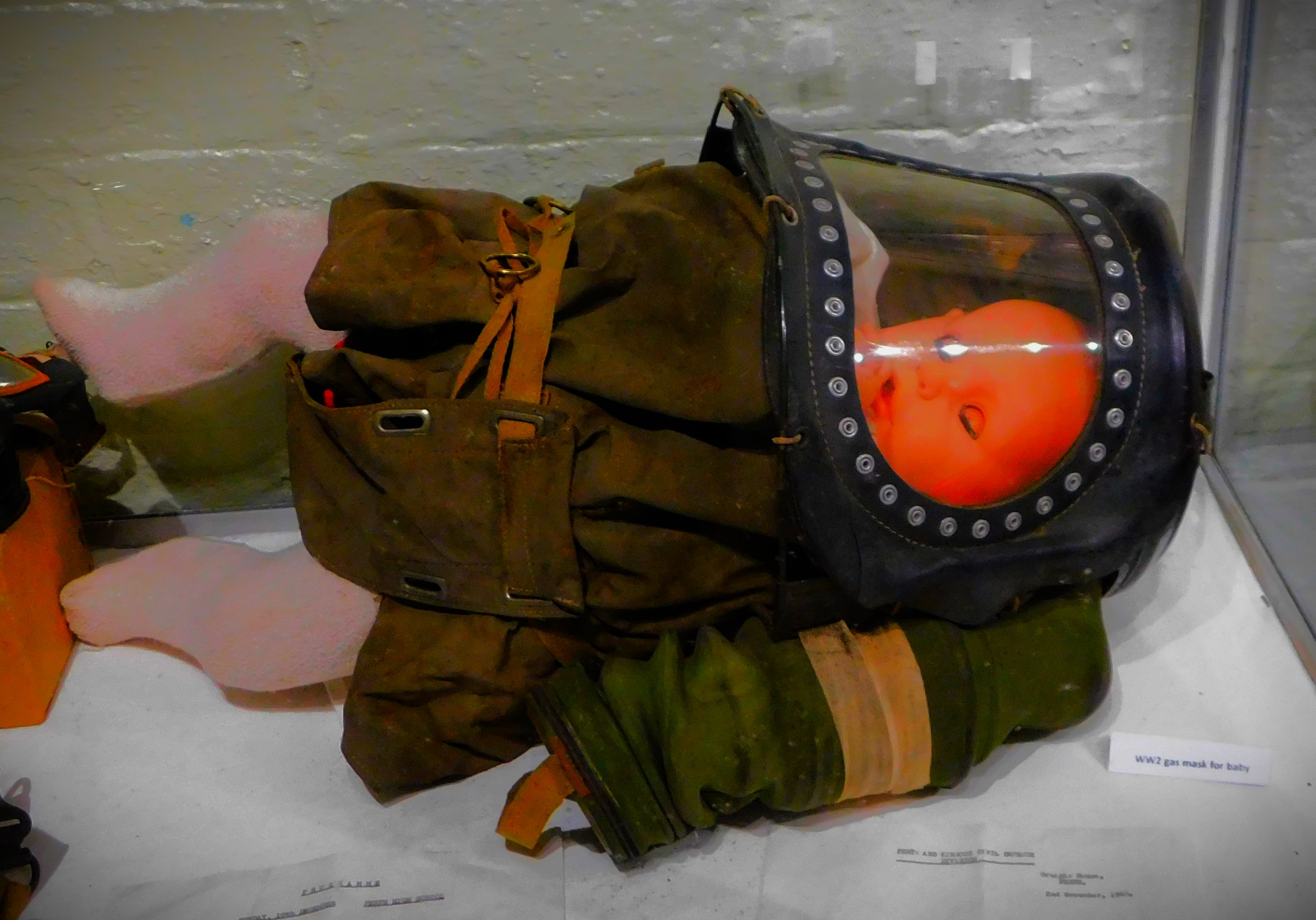
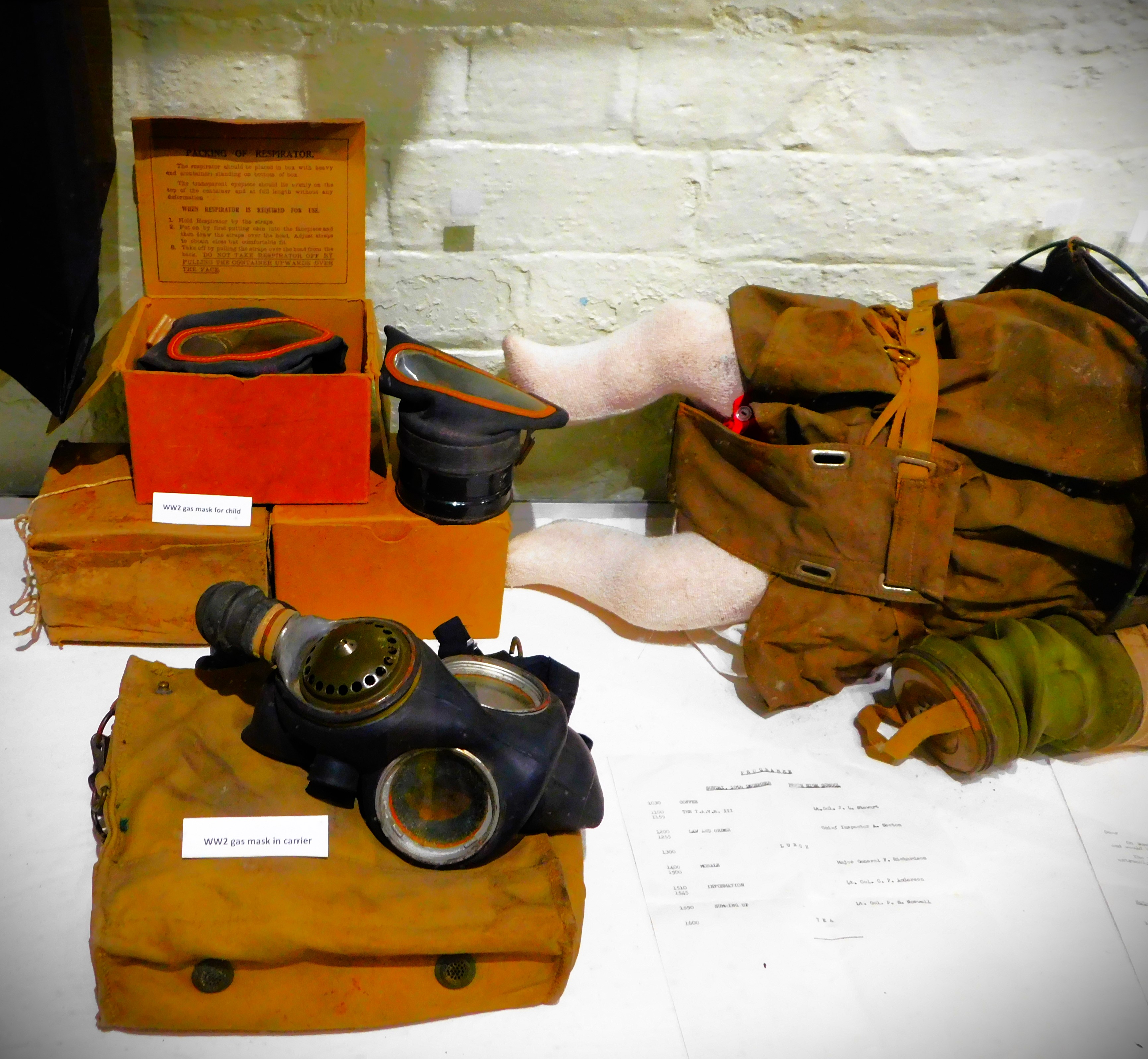
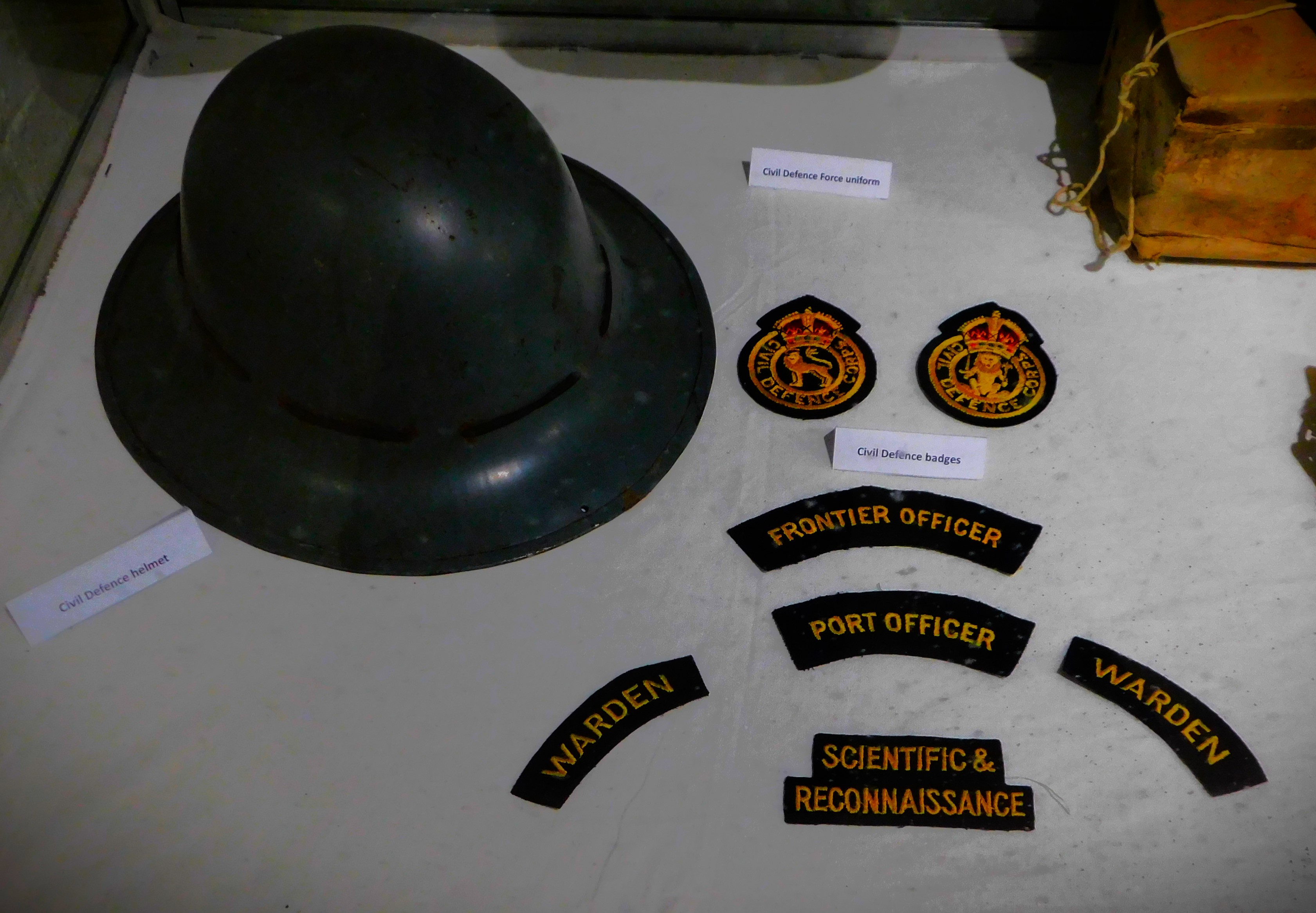
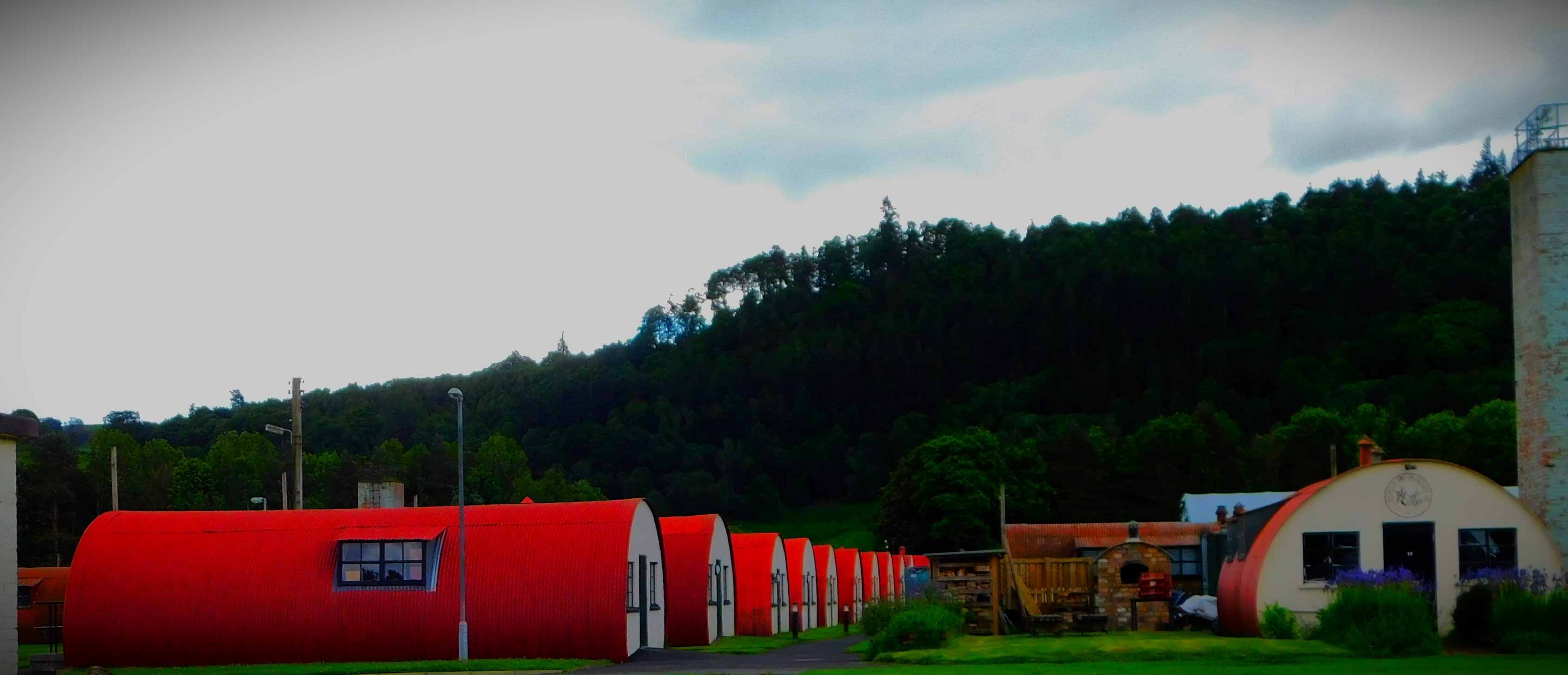
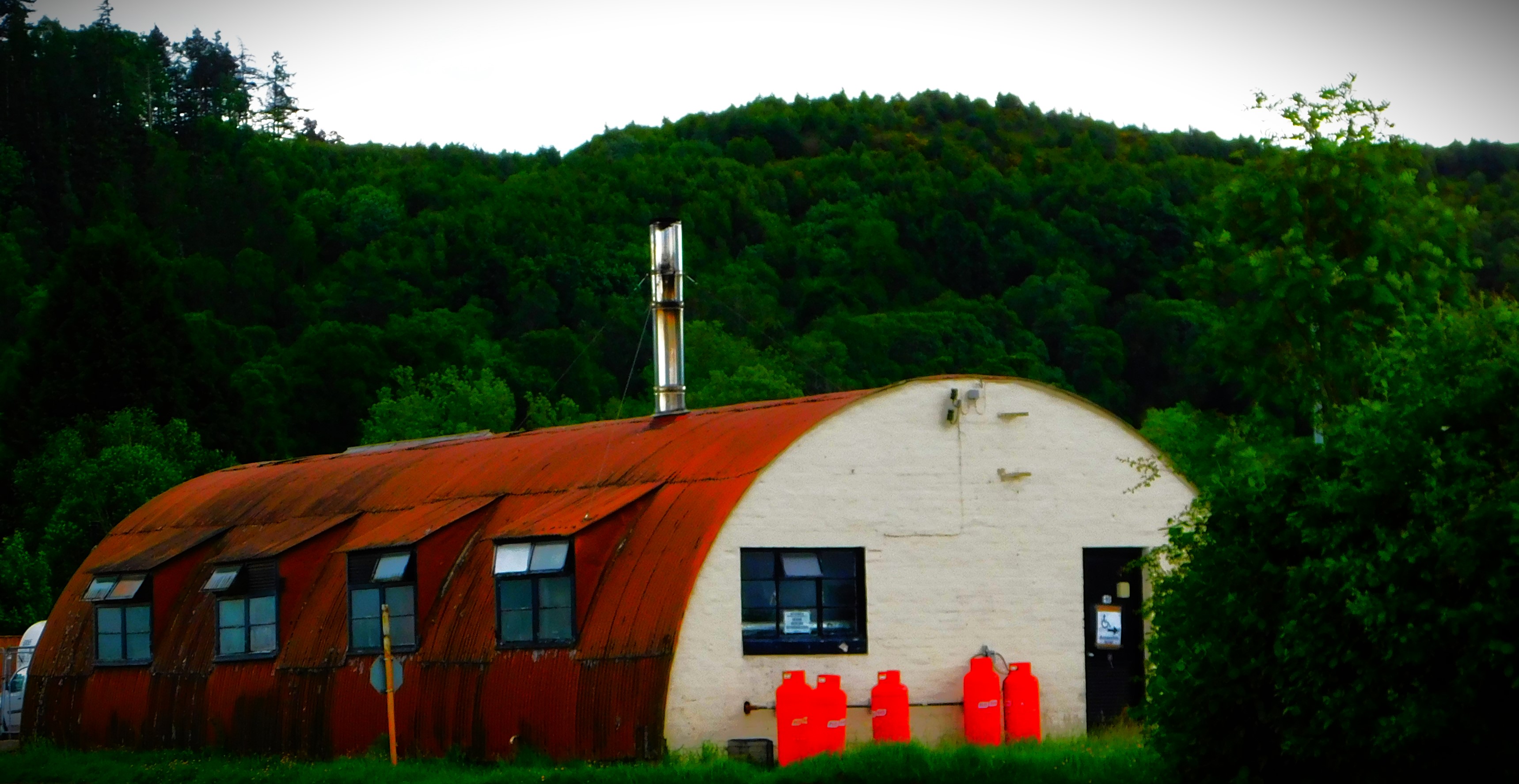
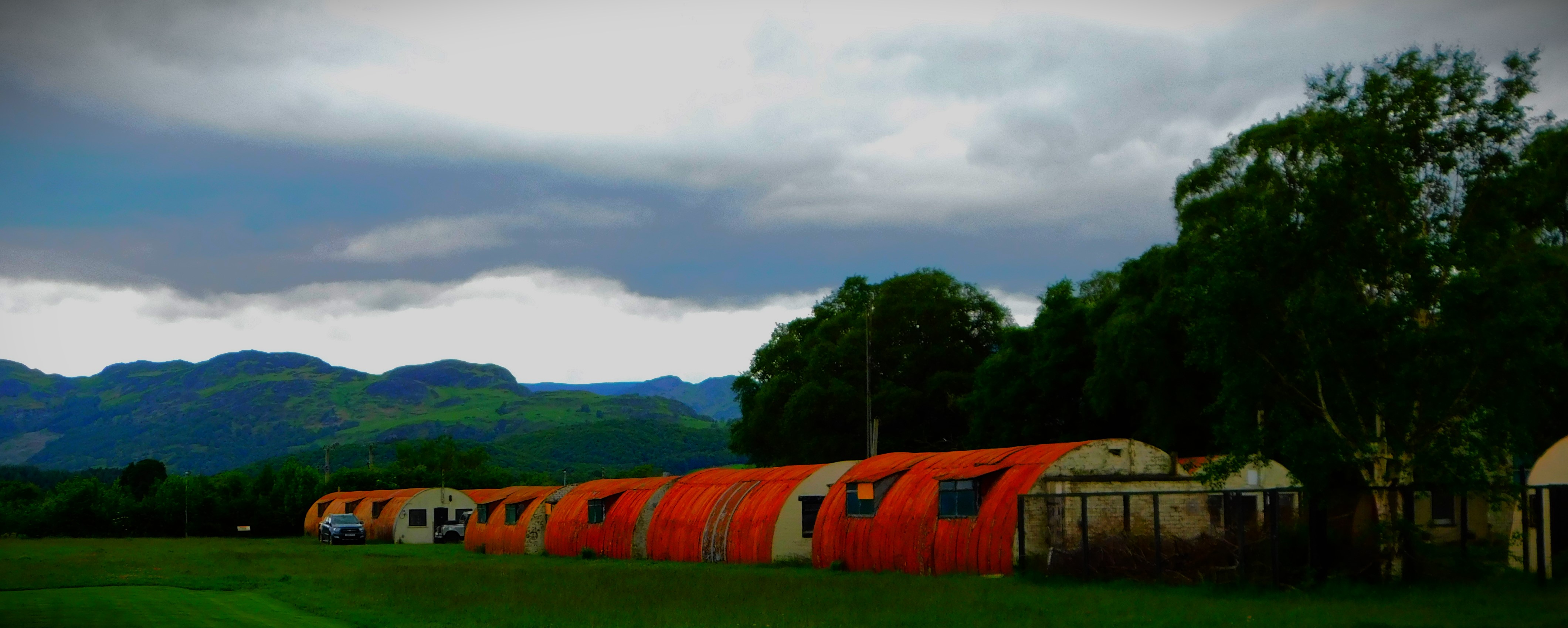
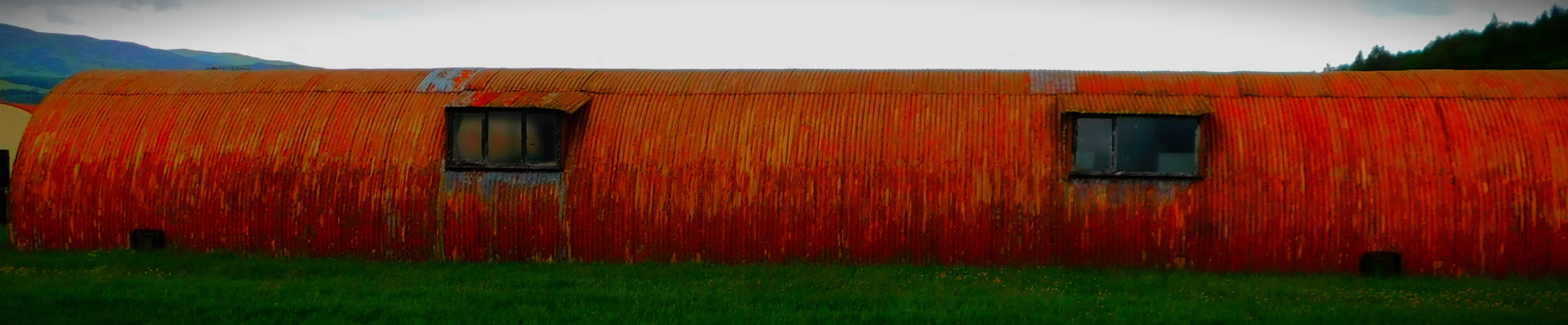
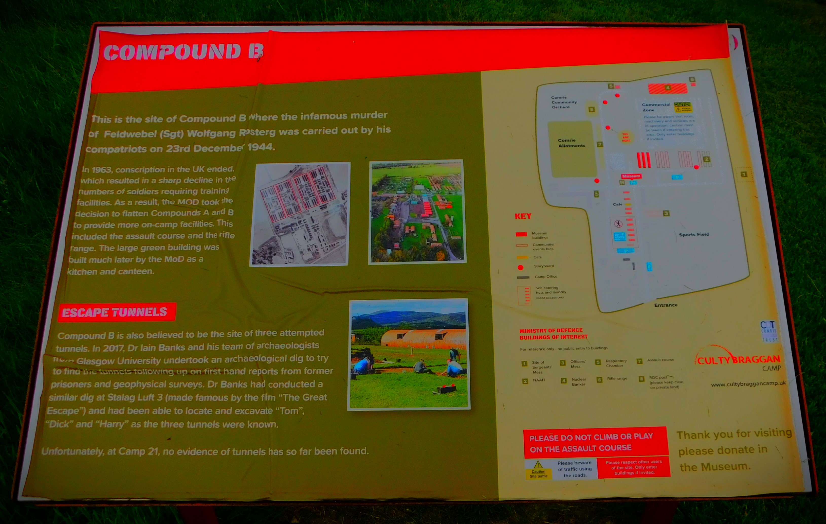
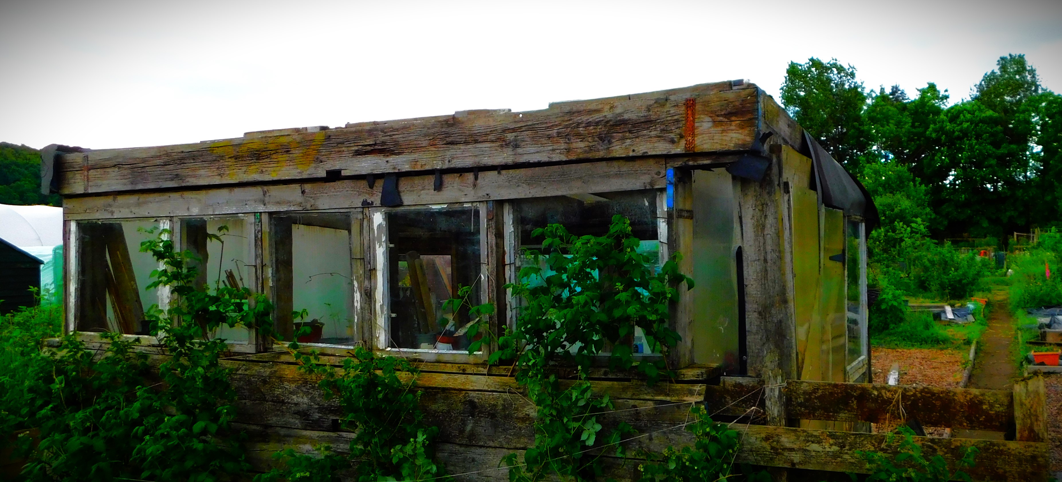
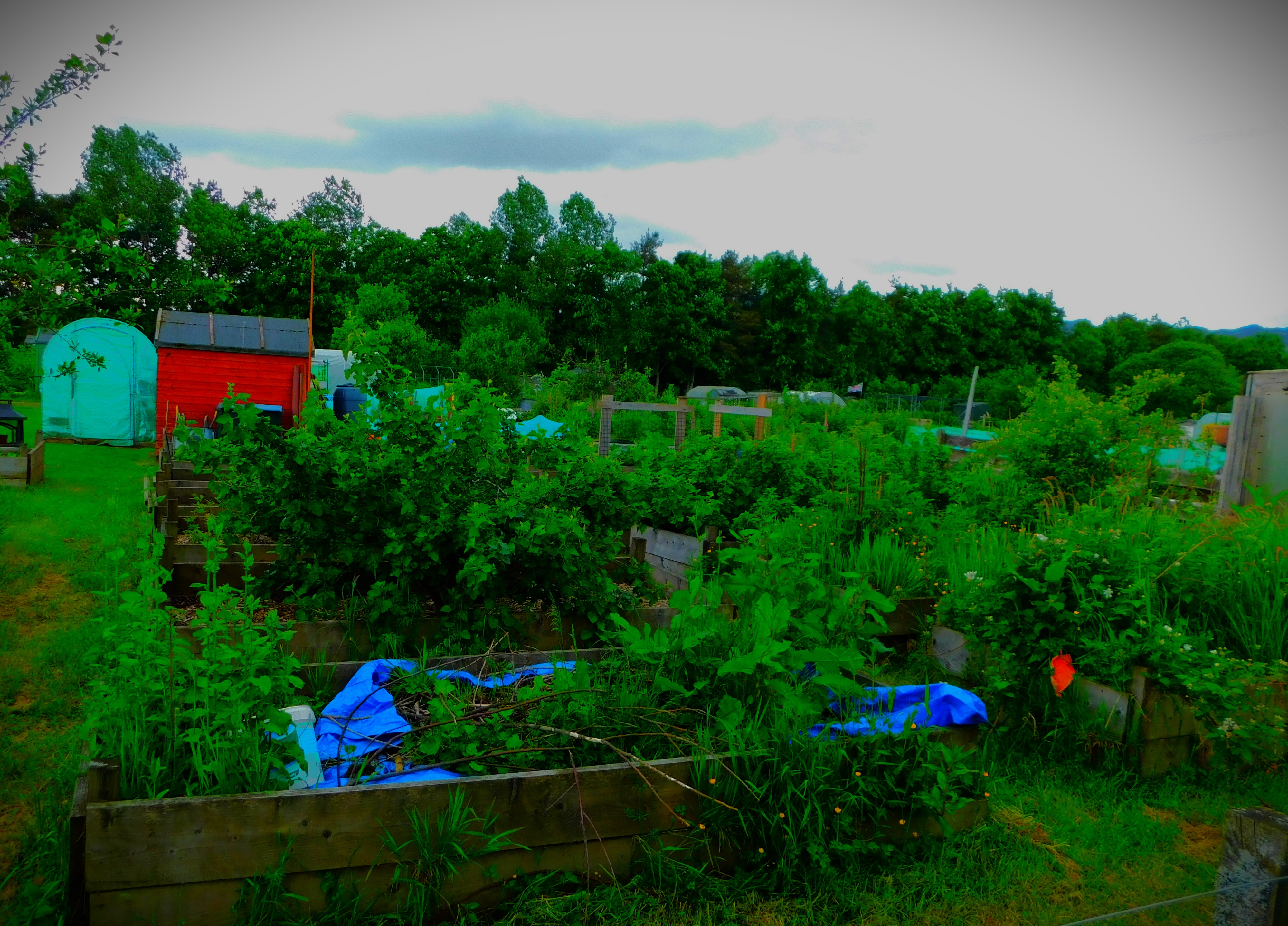
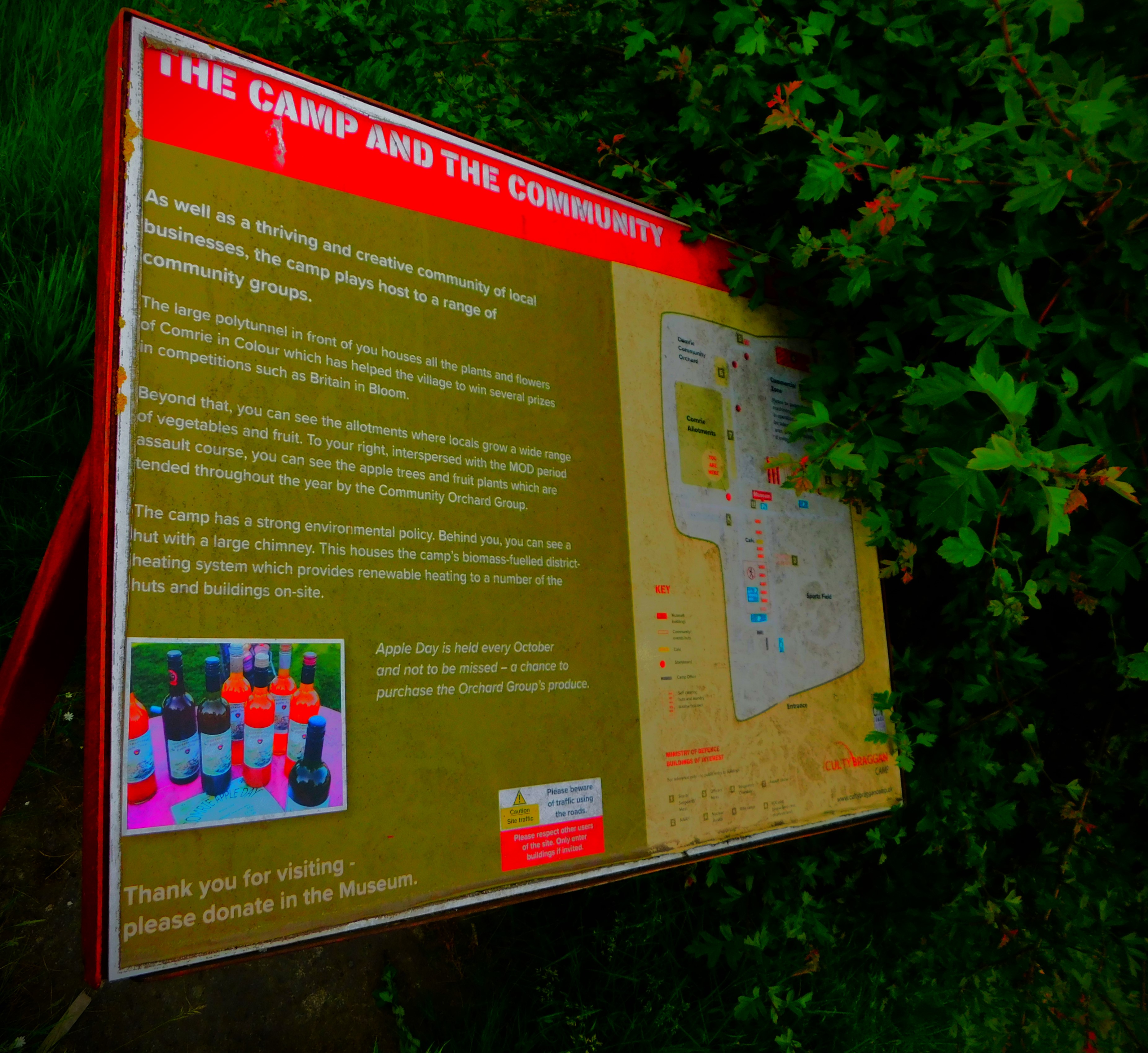
This is a perfectly preserved WWII camp. There is a museum which contains a large amount of memorabilia from the 1940s. Some of the Nissen huts that made up the camp have been modernized and are now rented out as holiday apartments, and some house businesses or parts thereof. There are also allotments.
THE ROMAN FORT
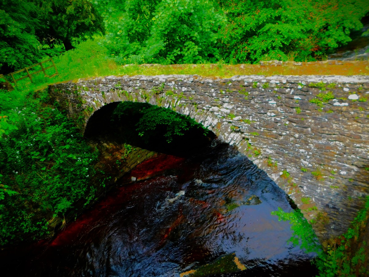
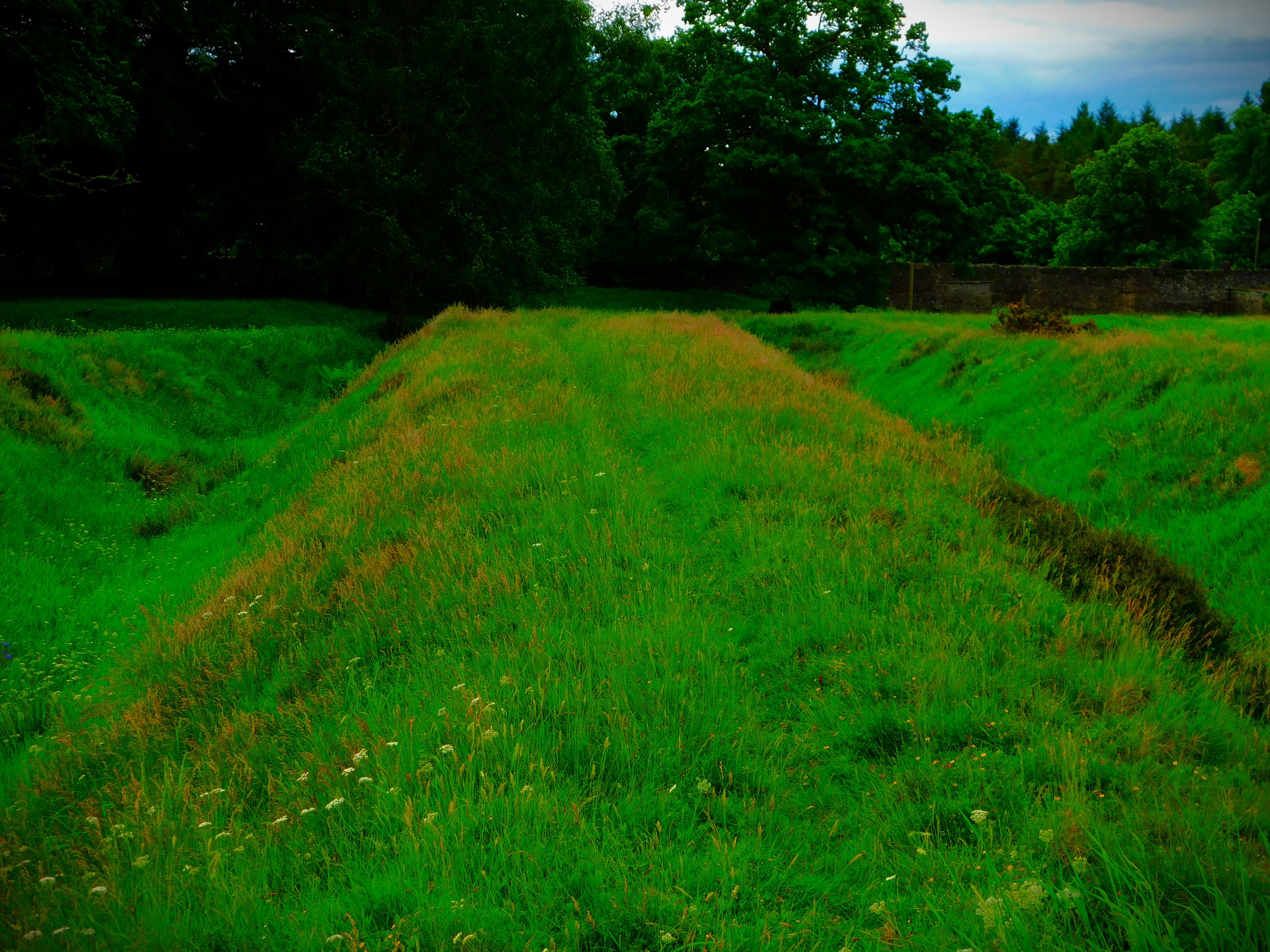
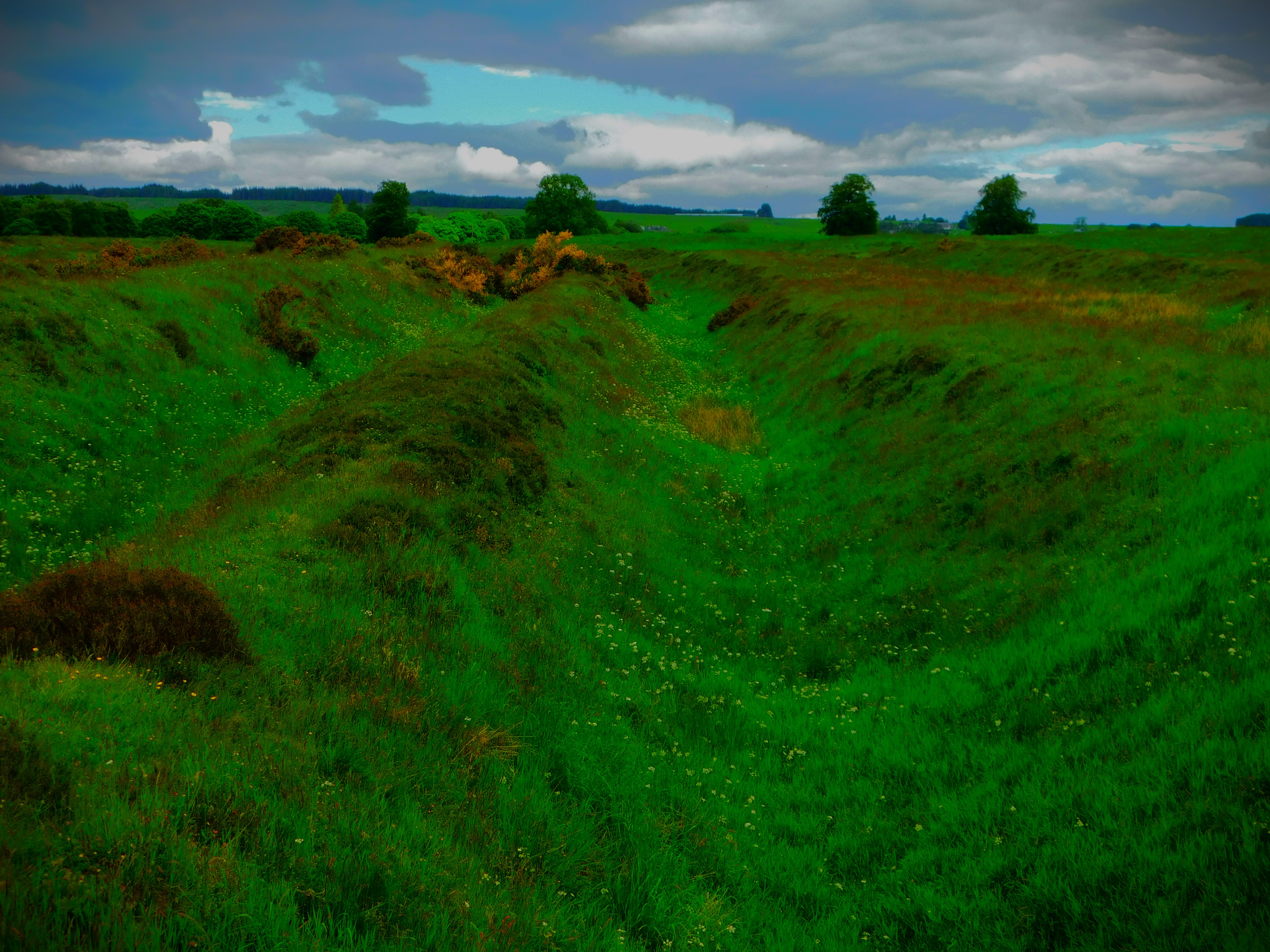
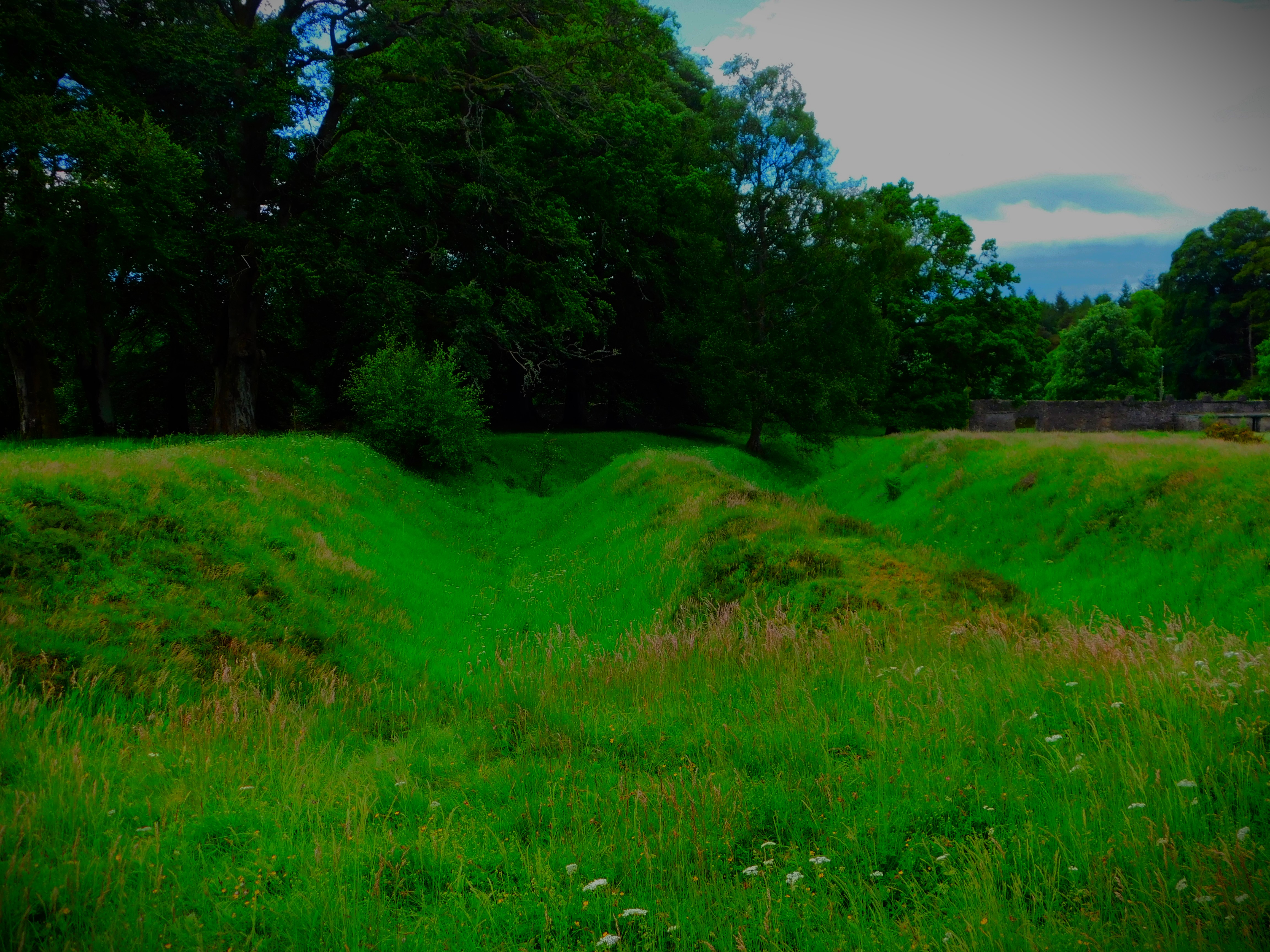
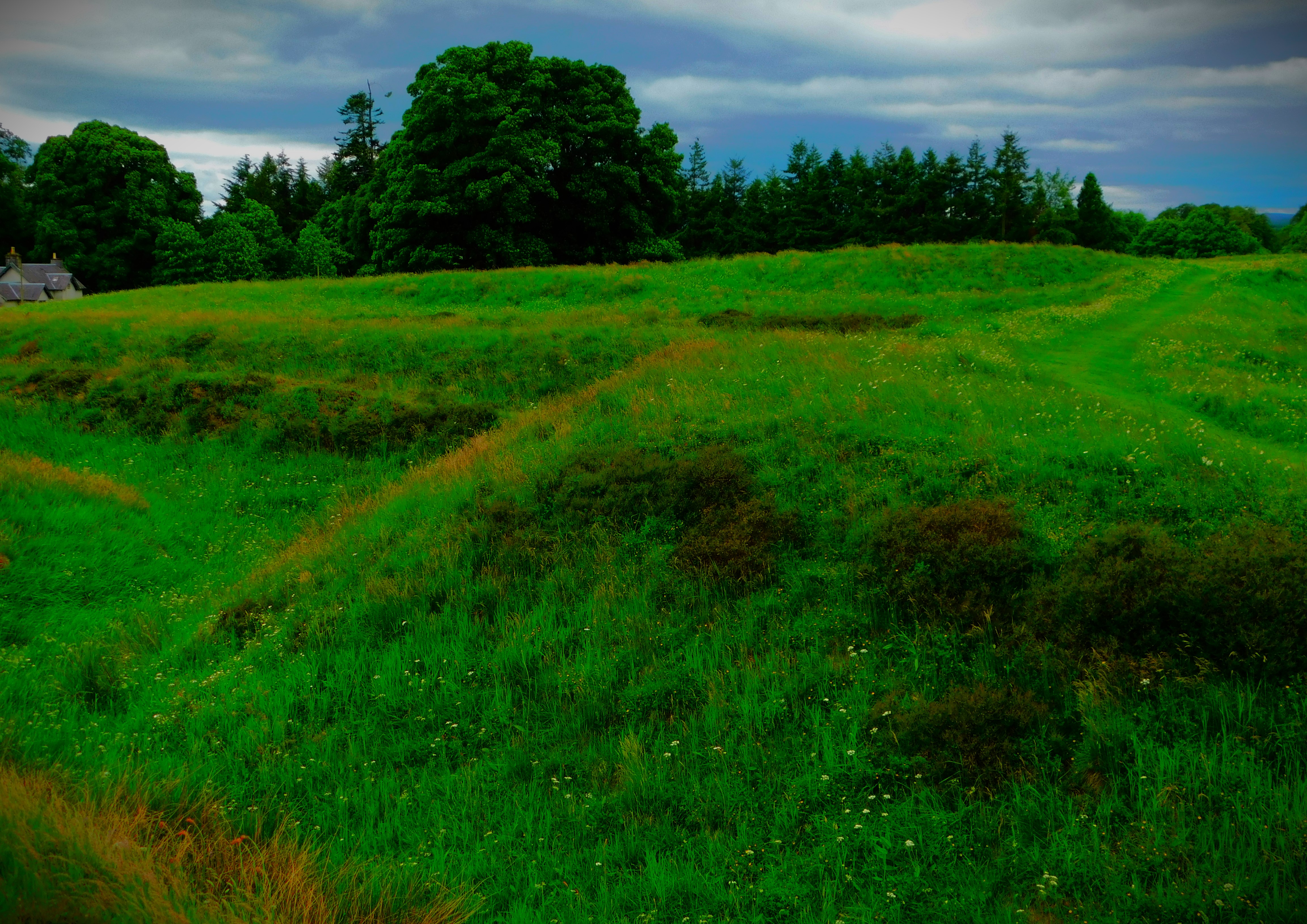
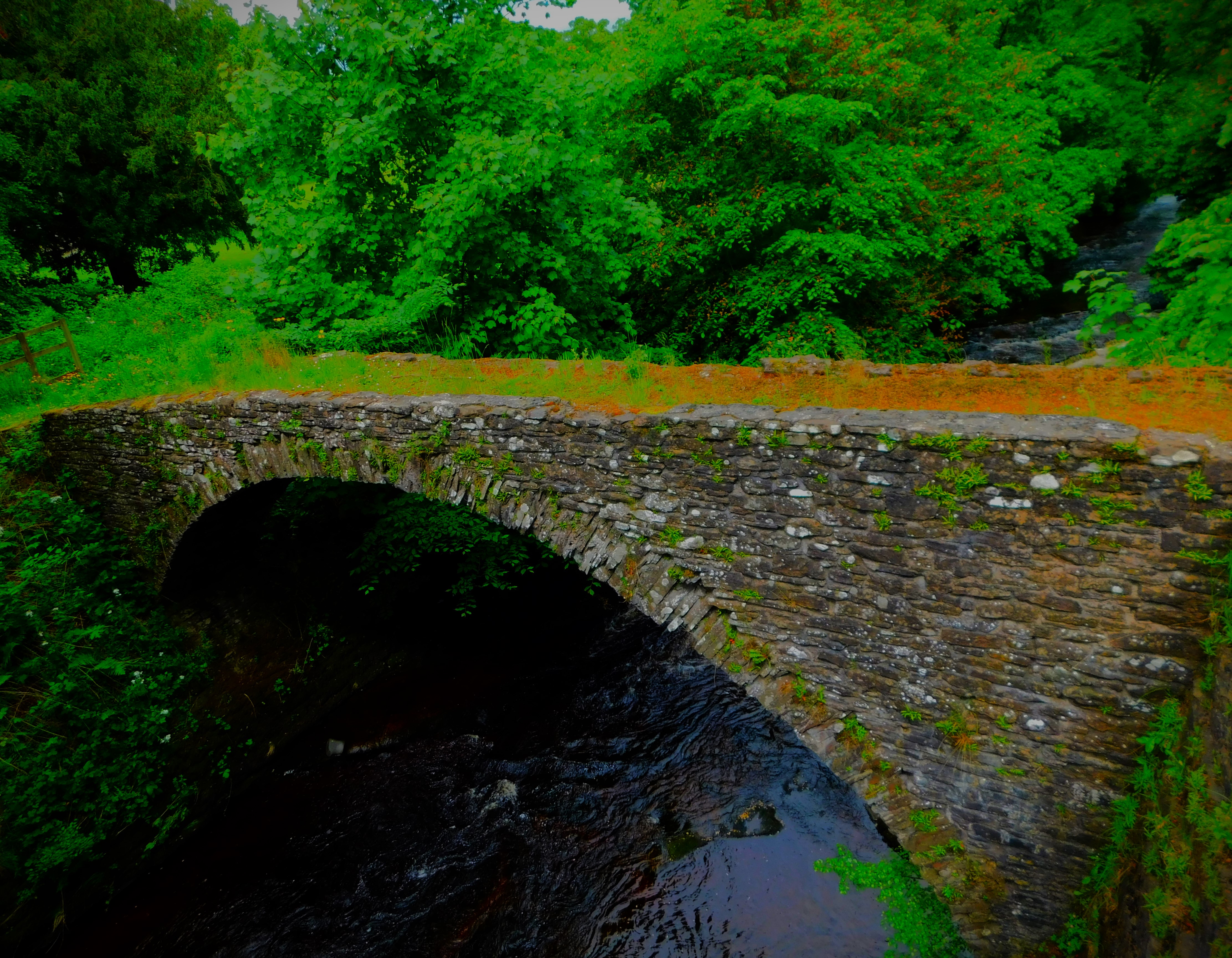
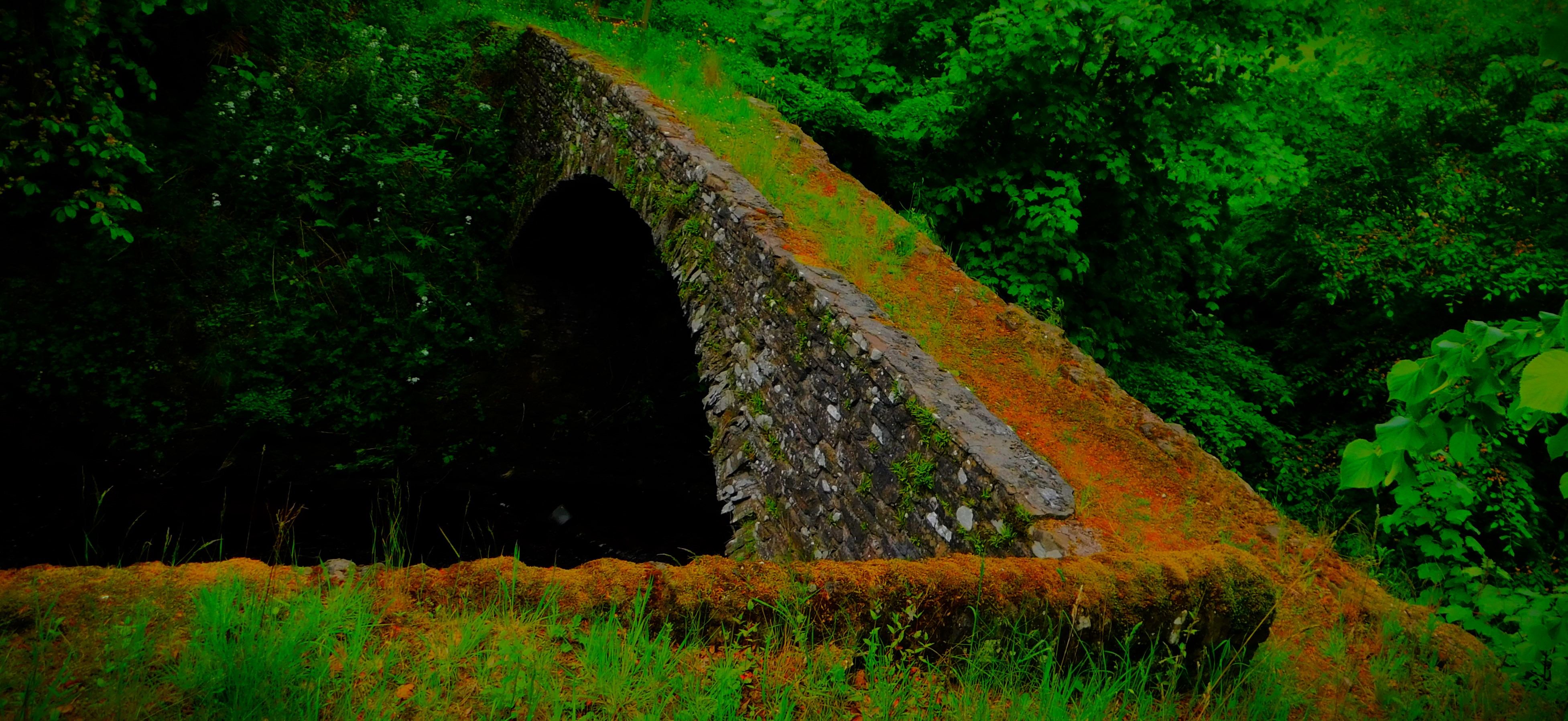
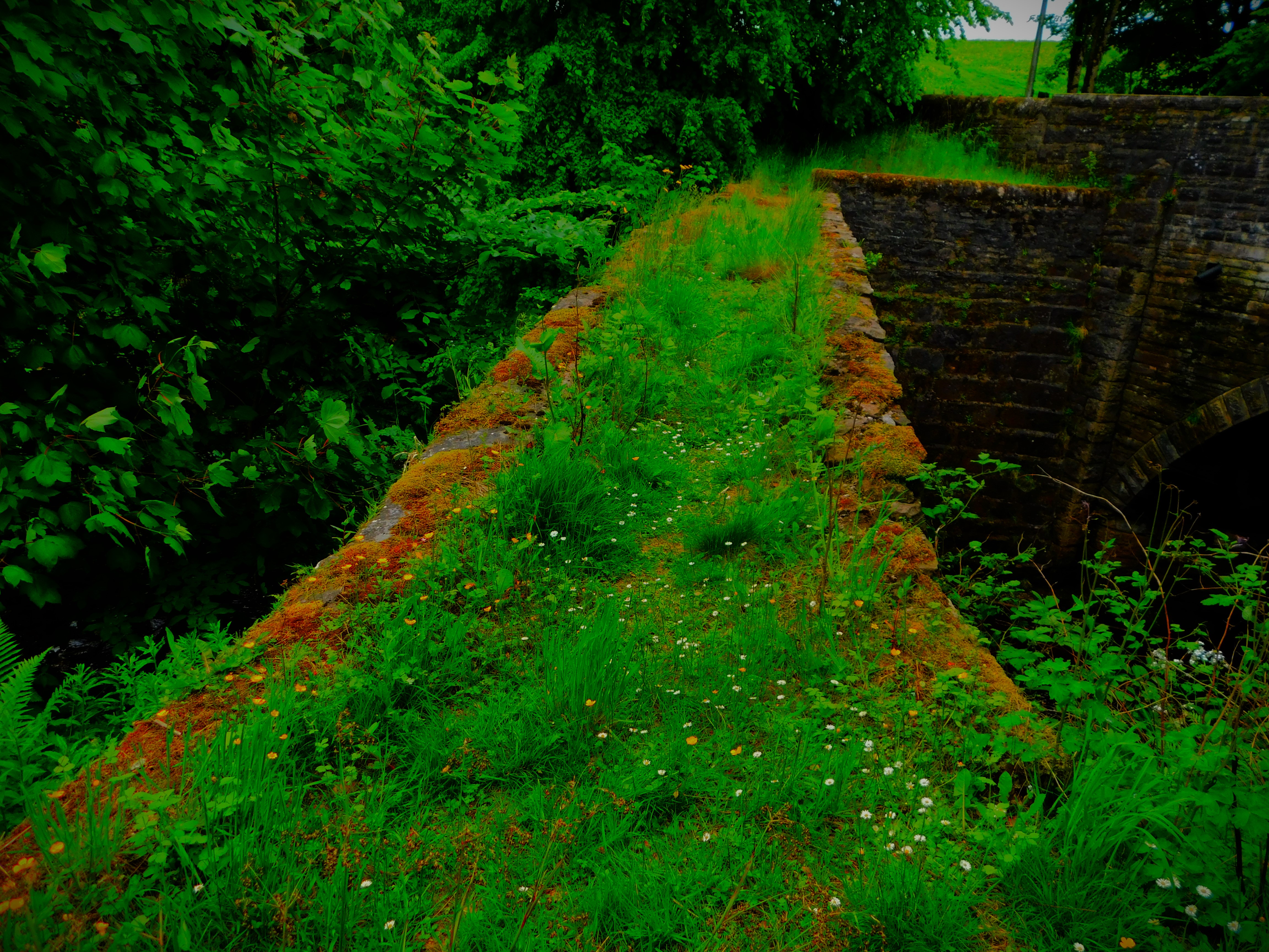
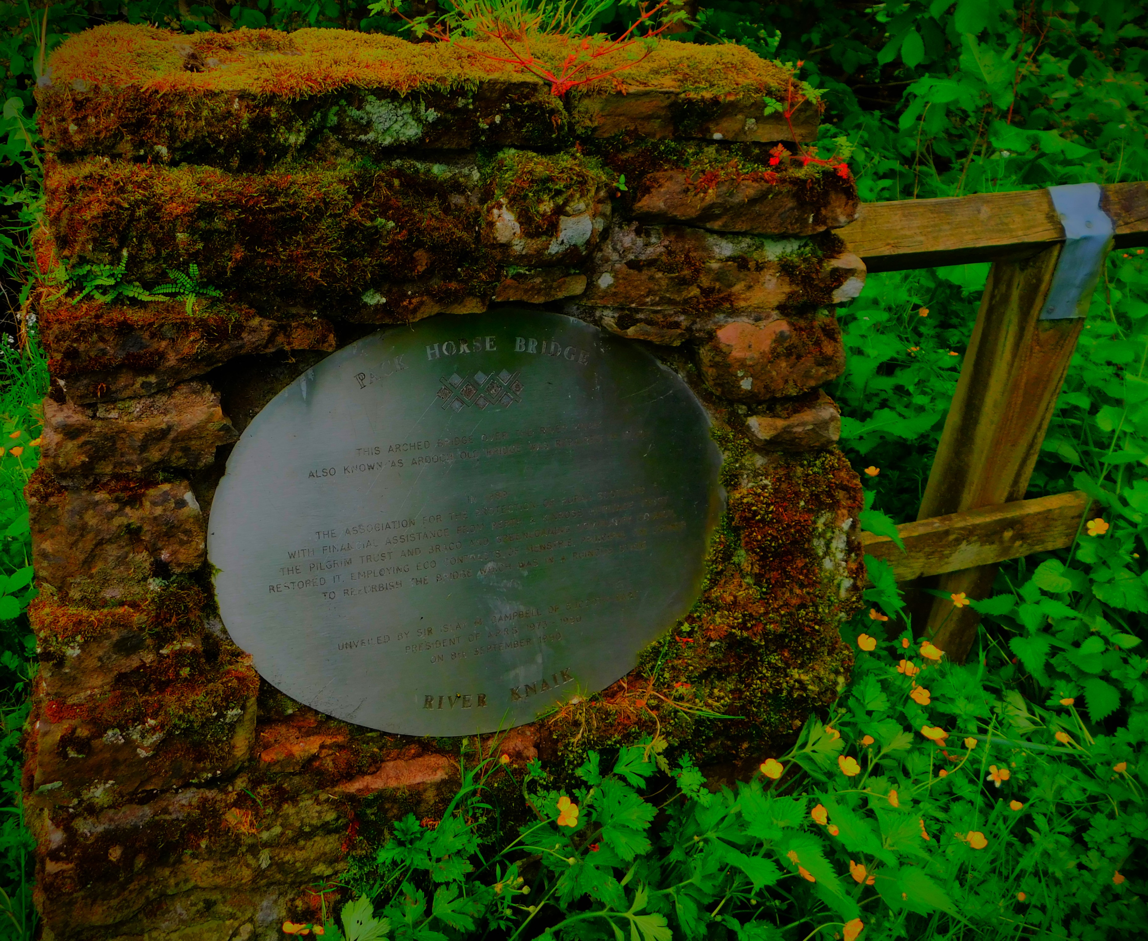
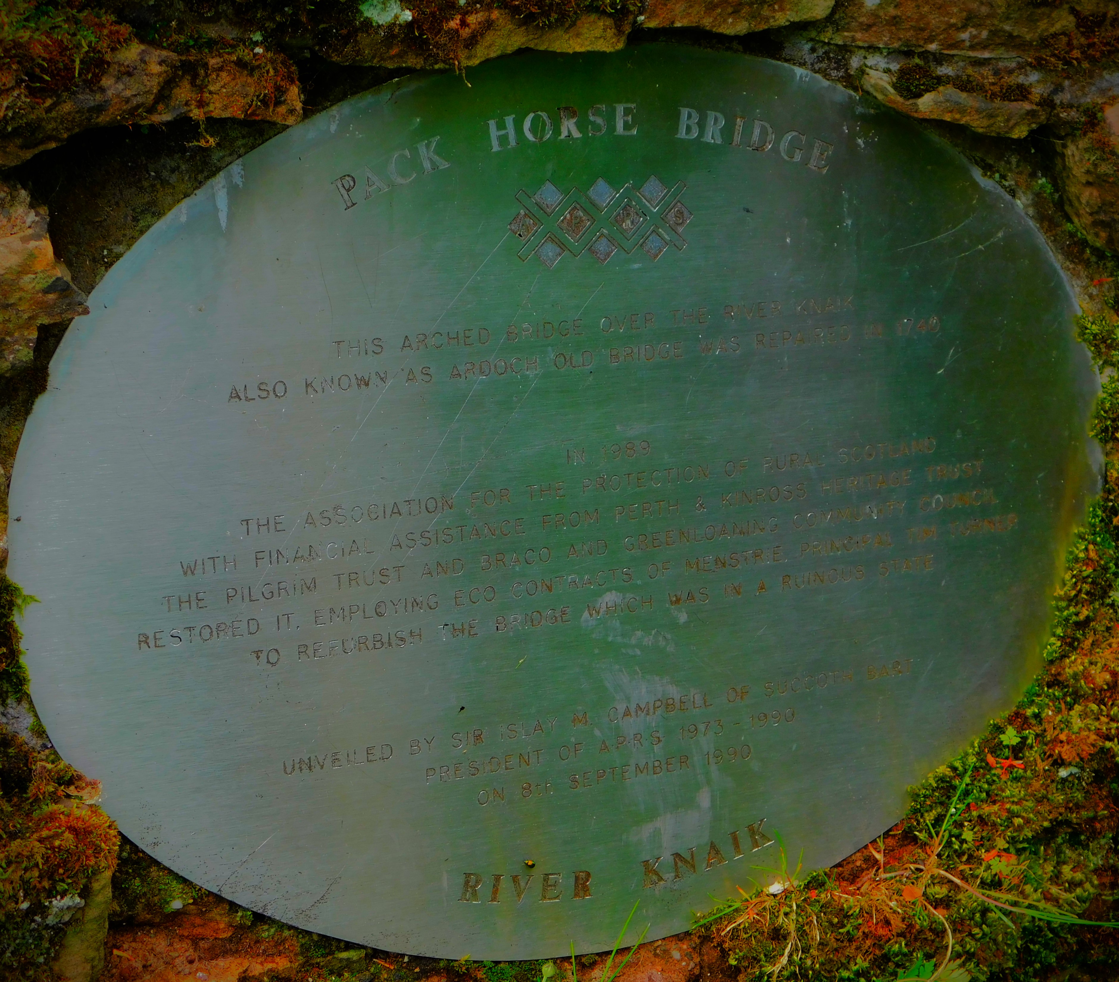
There were actually two forts built in the same area but at different alignments – the first by Julius Agricola, governor of Britain late in the reign of Vespasian, who had served in Britain as a young man and took more interest in it than most Roman emperors, and the second some 60 years later in the reign of Antoninus Pius. There are in consequence of this history a number of walls and ditches that nowadays overlap one another. There is also a medieval era stone packhorse bridge across the river Earn located close to the fort, which we got a look at after we had finished at the fort.
Continuing my account of my recent holiday in Scotland with an account of the earthquake walk.
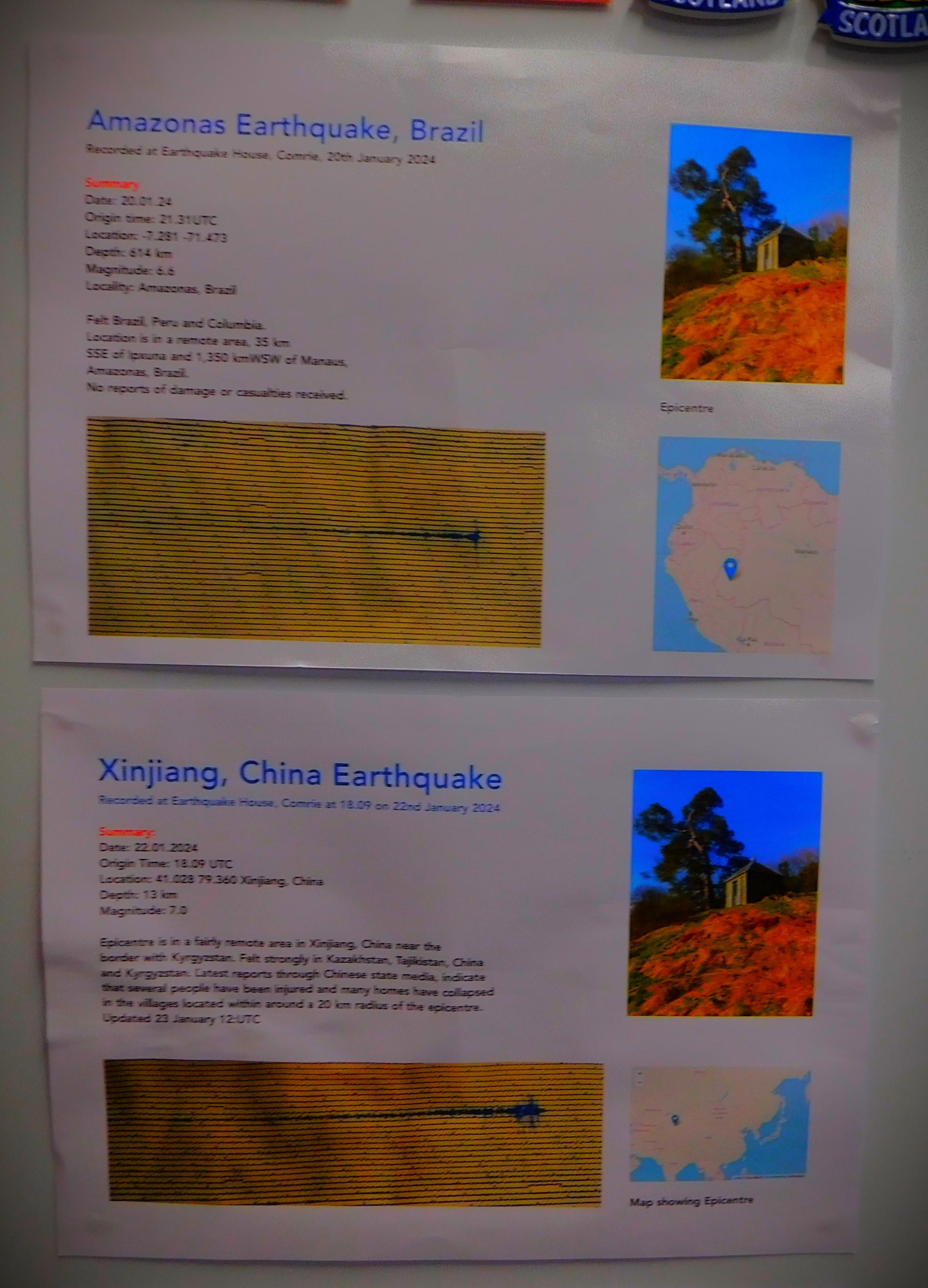
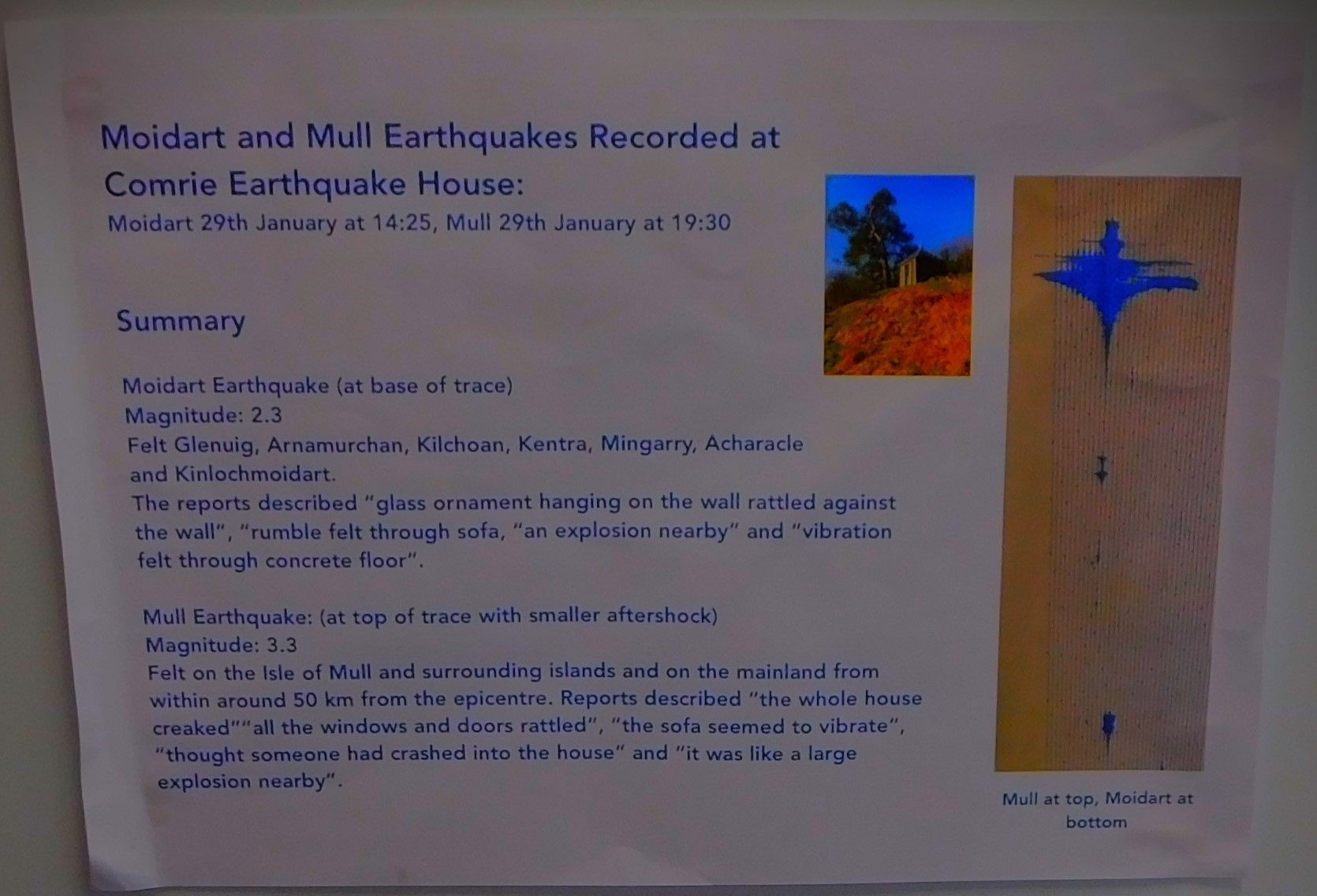
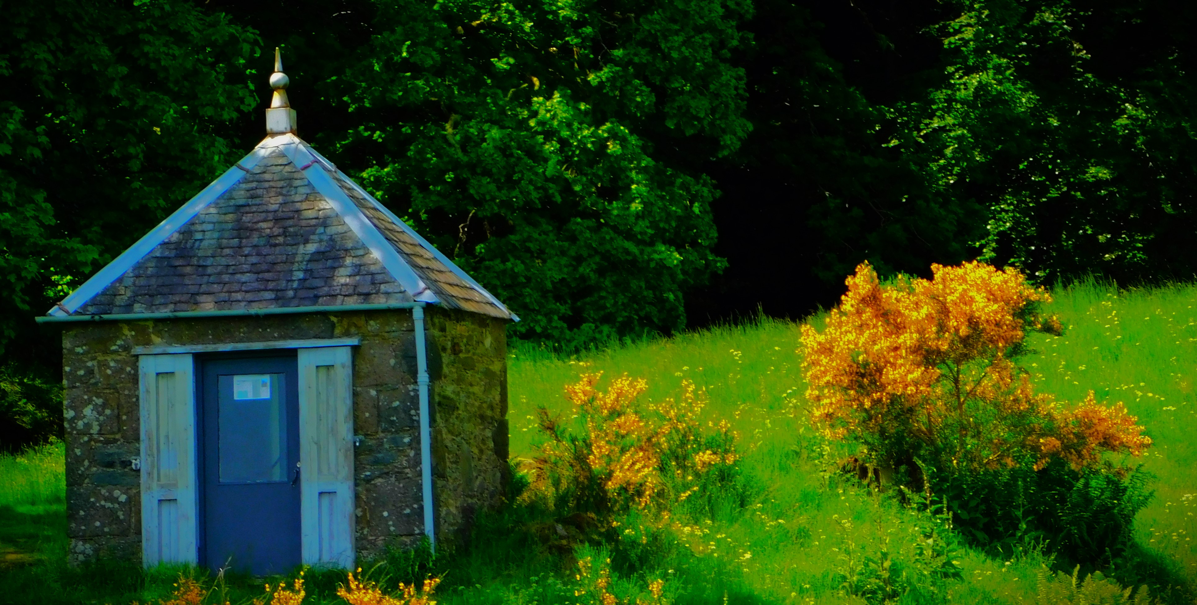
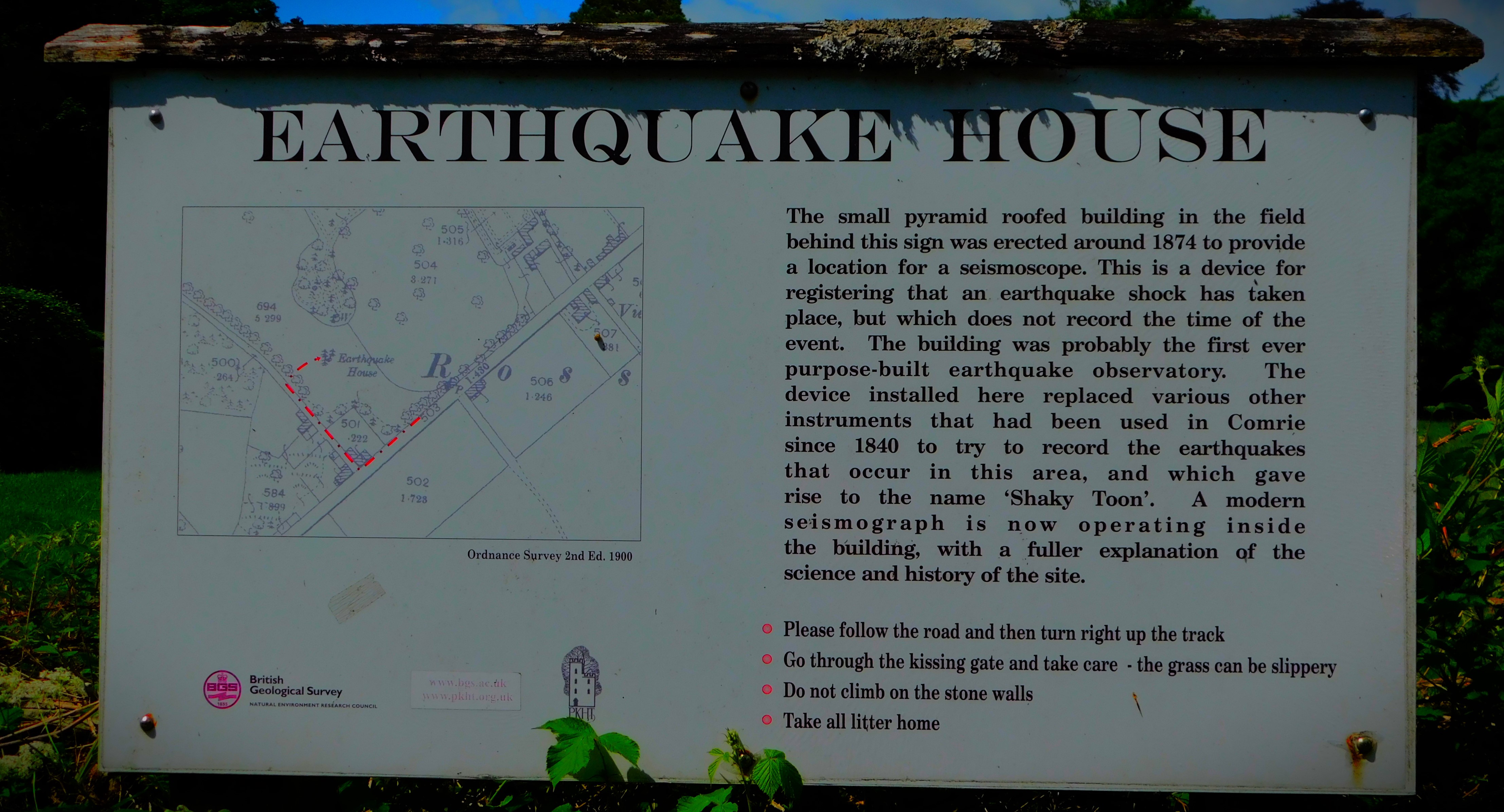
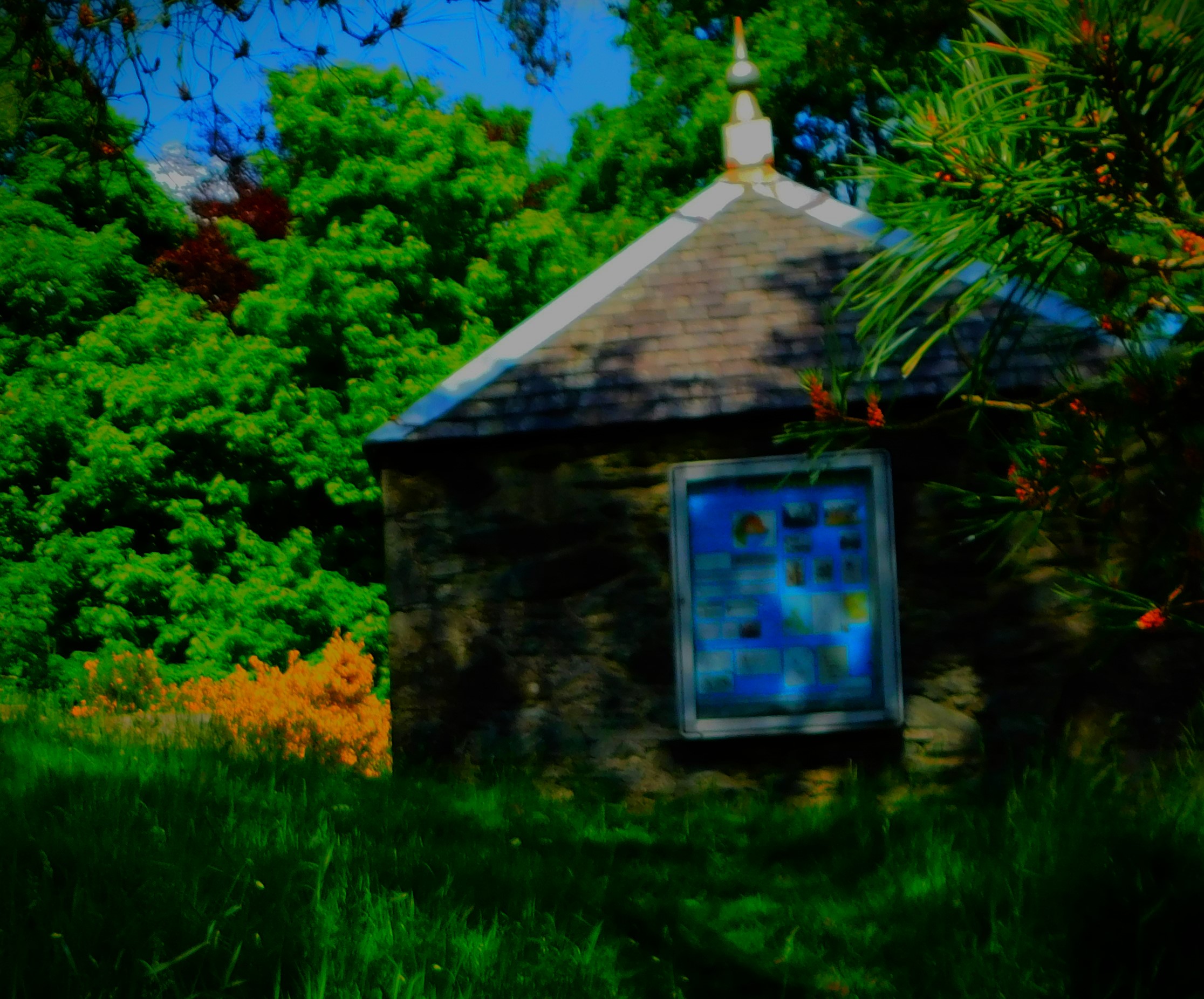
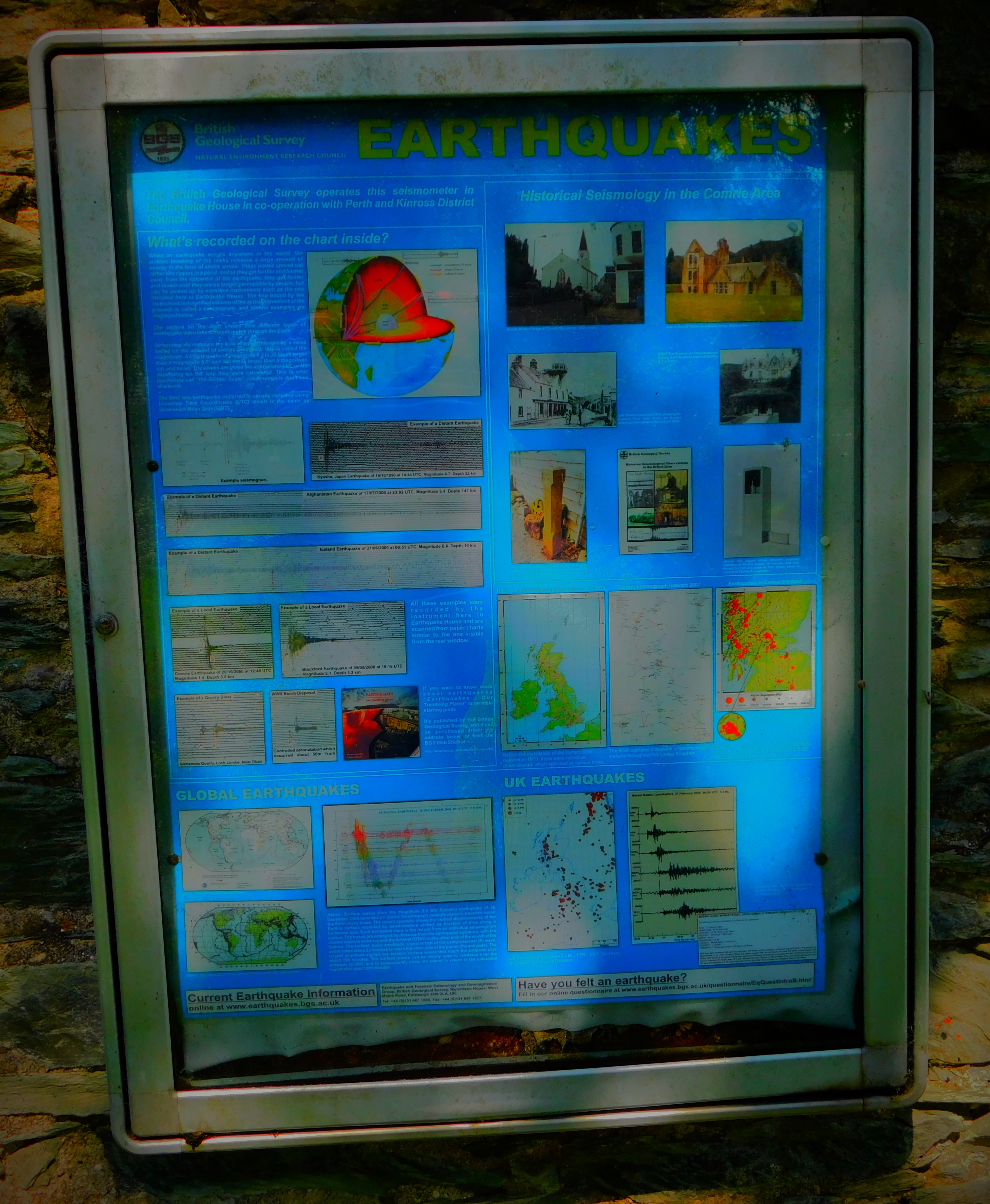
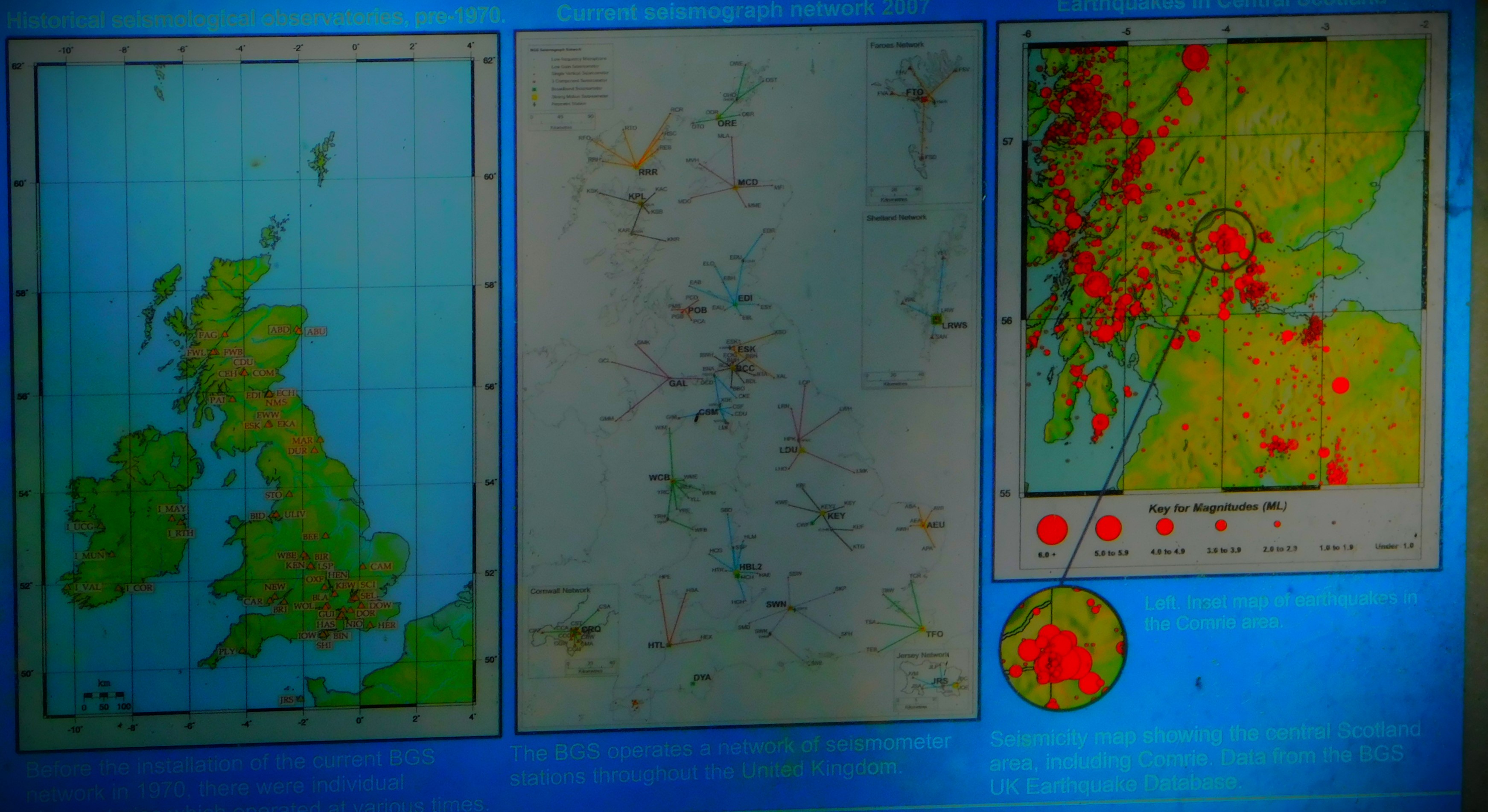
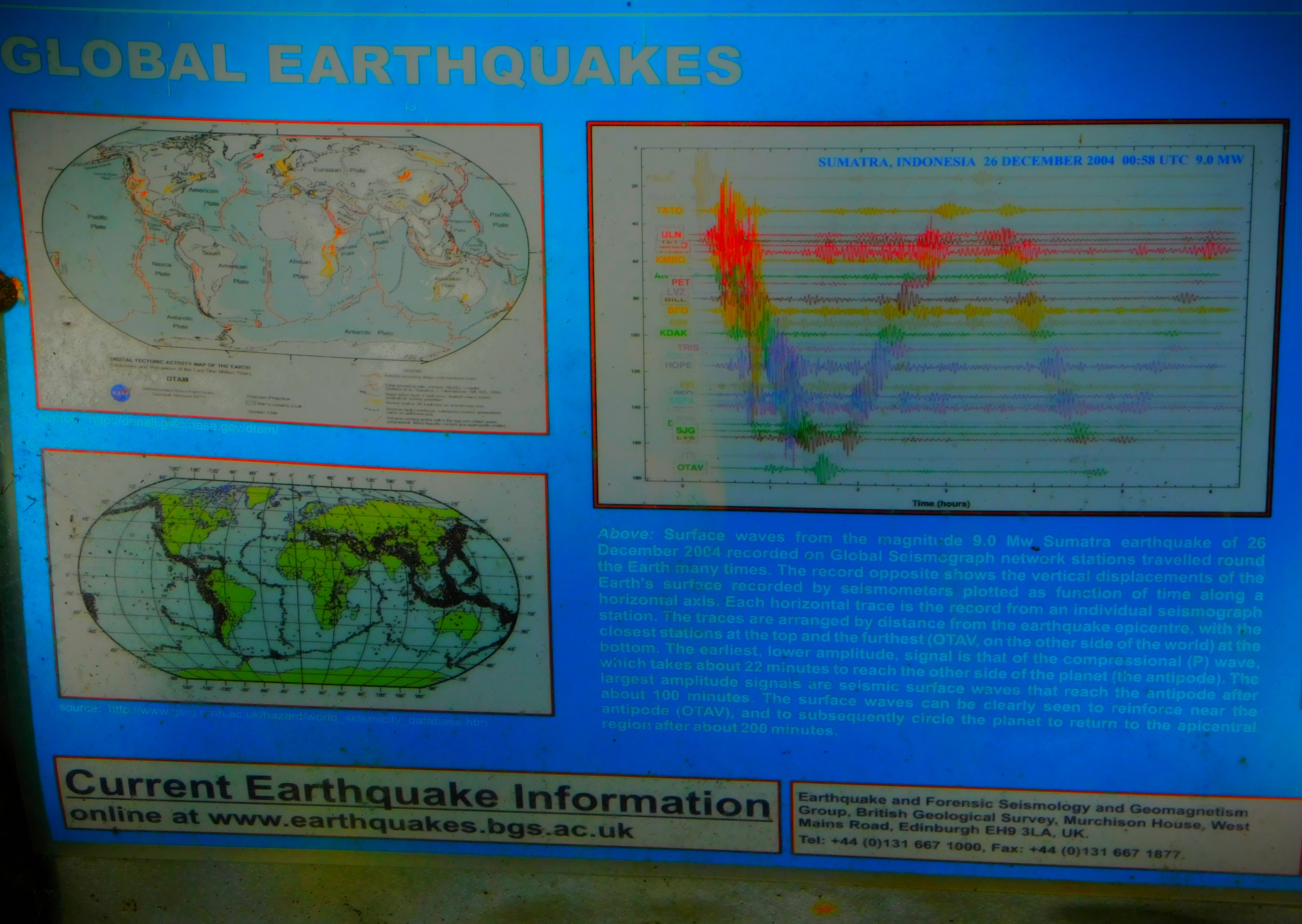
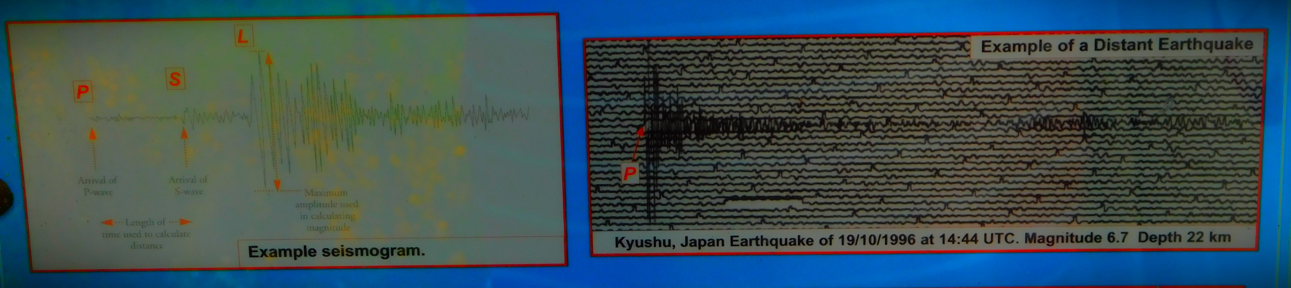
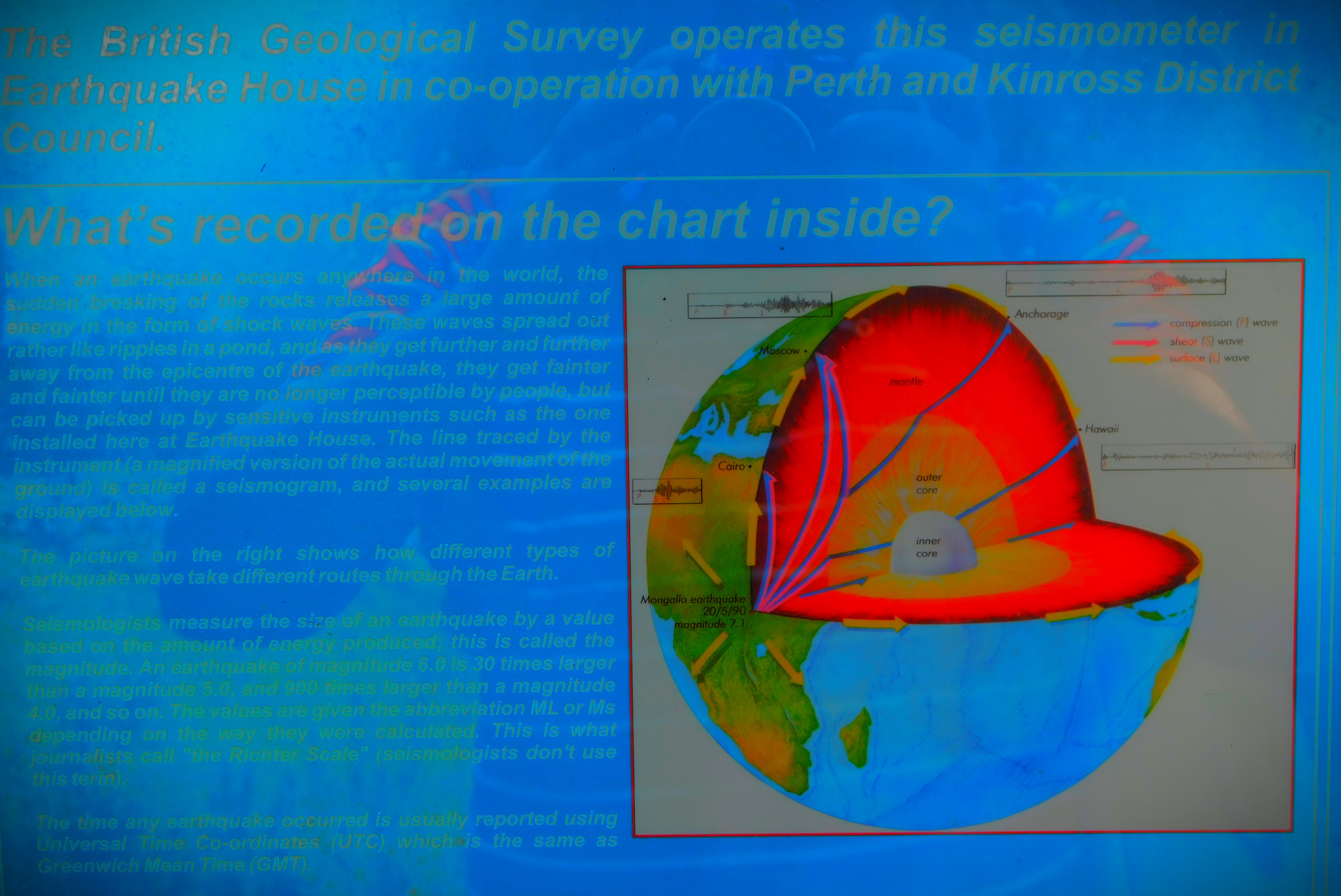
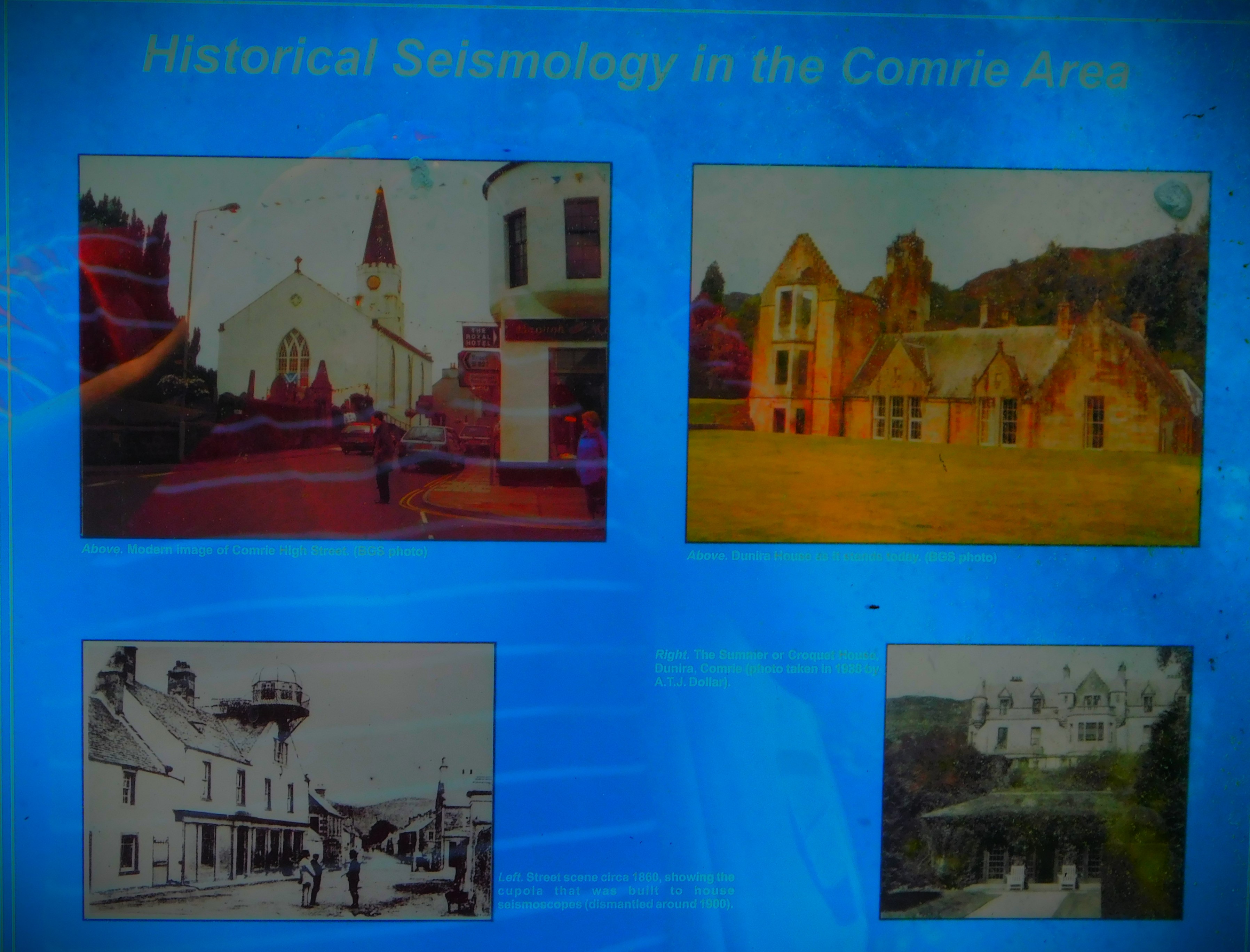
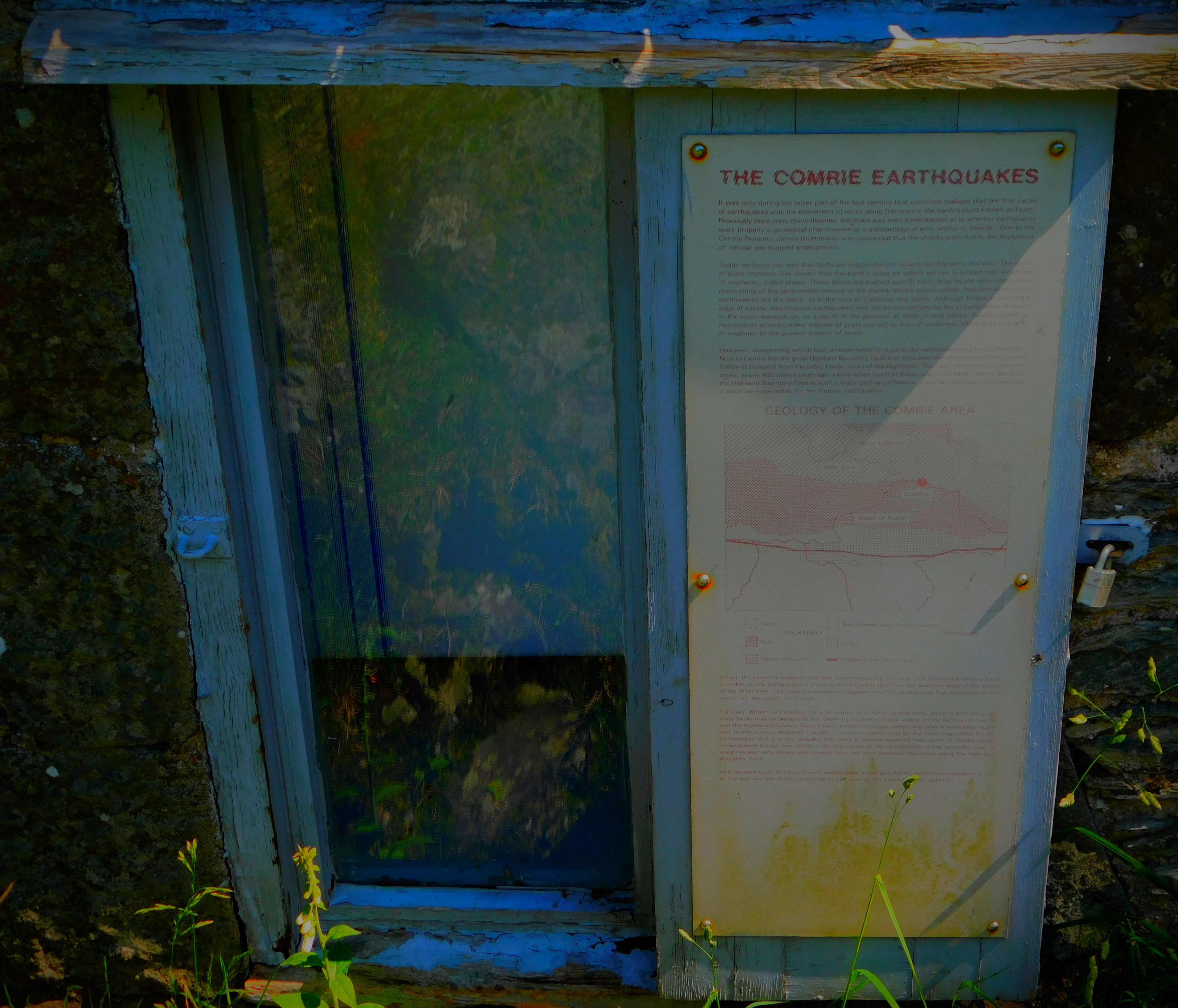
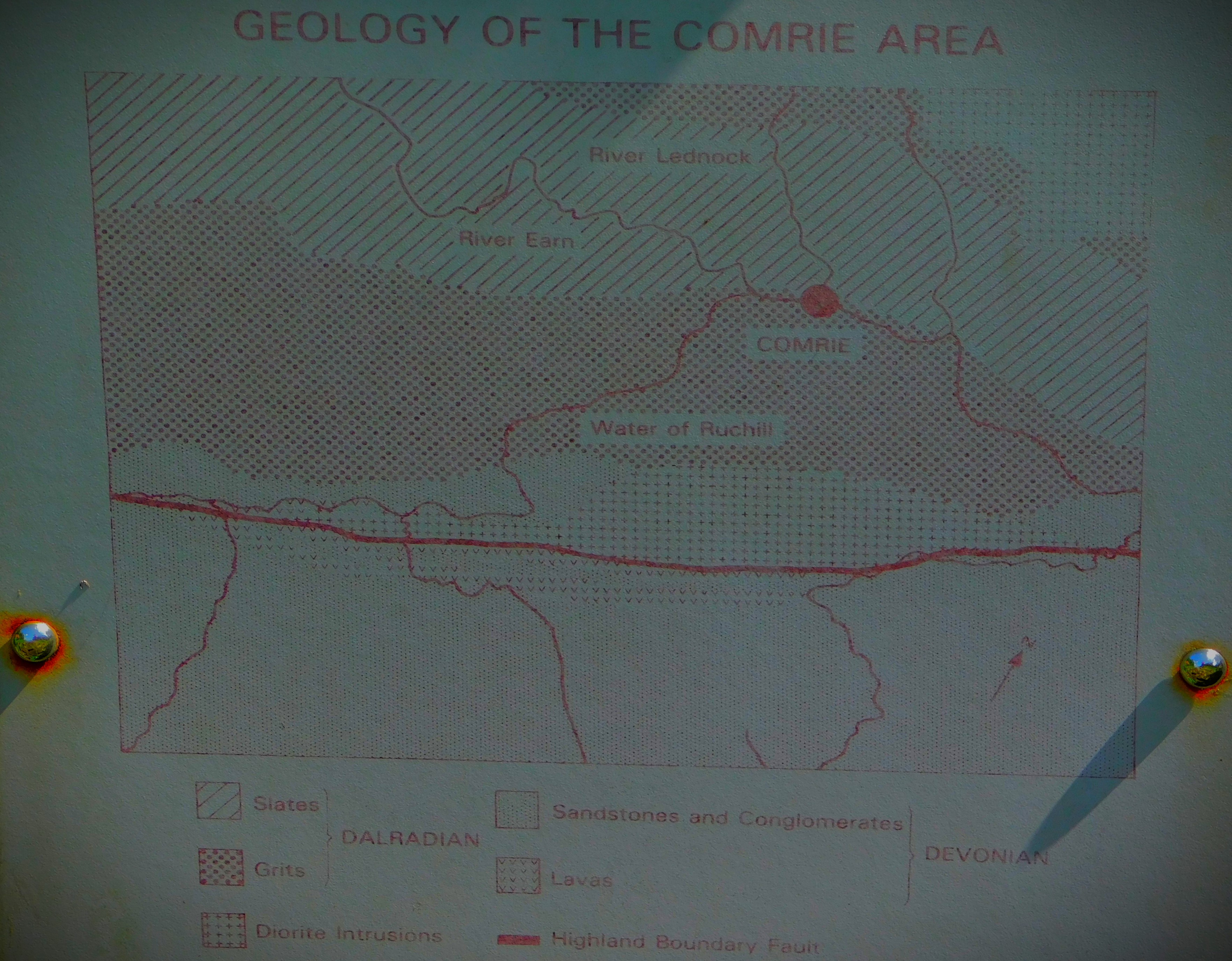
Comrie lies close to a fault line, and at one time was known as the ‘shaky toon’ because of this. It had earthquake recording equipment as early as the 18th century, and the building that housed that equipment still stands, and contains a more modern piece of recording equipment – a seismoscope, which records earthquakes and their intensity but not the times at which they occur. This post looks at our walk that took in that house, and features some information about earthquakes as well.
FIRST PORT OF CALL: COMRIE POST OFFICE
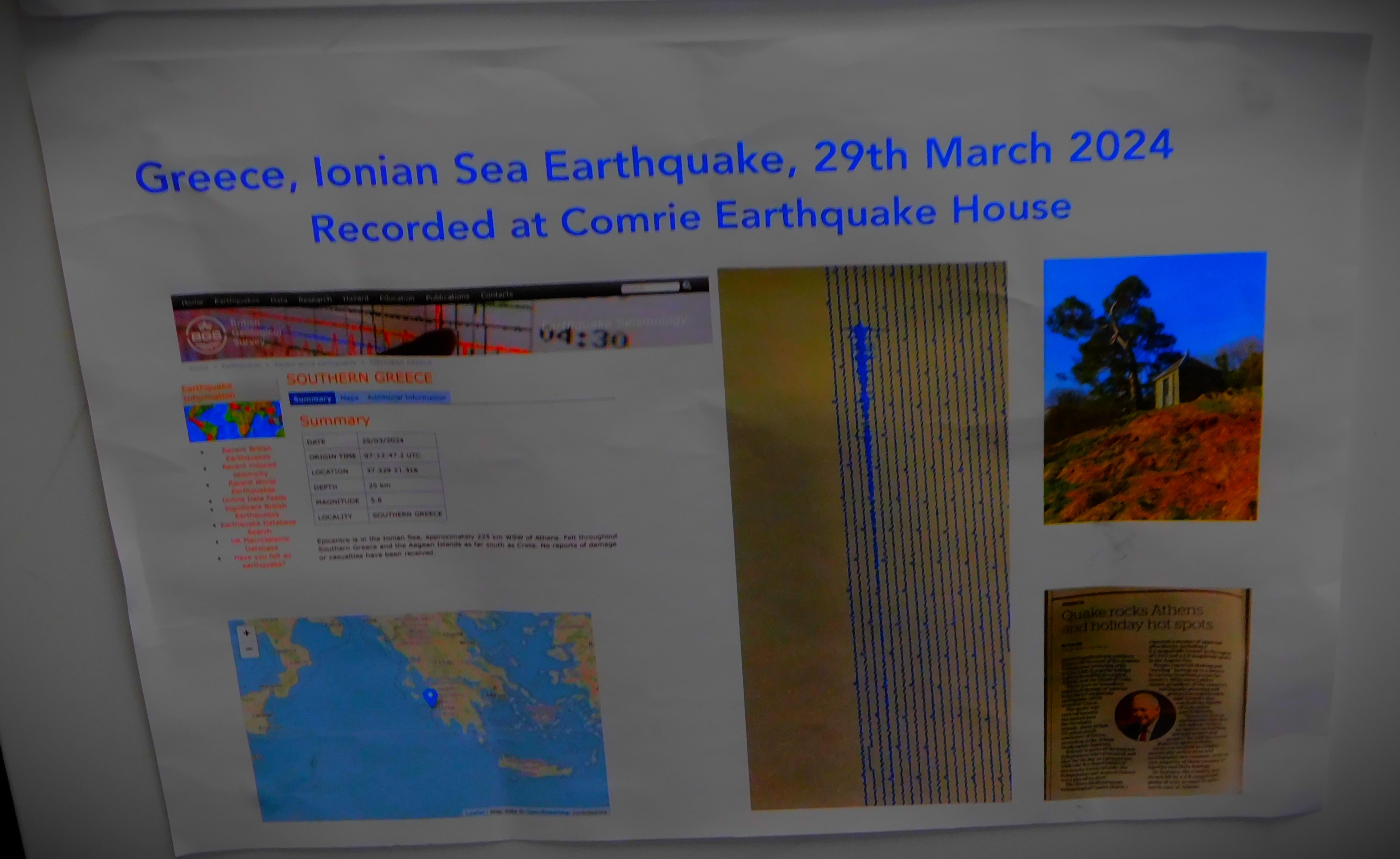
Comrie Post Office has some information about earthquakes on display. Apparently the post office itself shook when an earthquake hit Greece in March of this year.
THE WALK PROPER
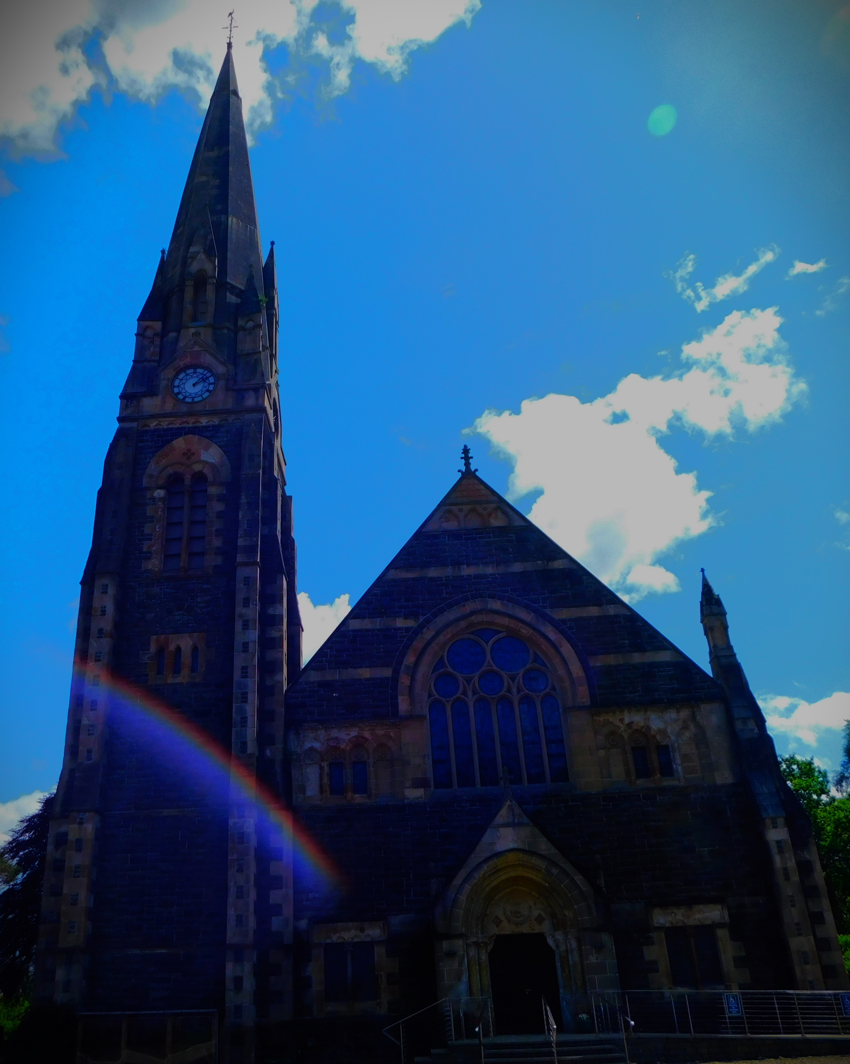
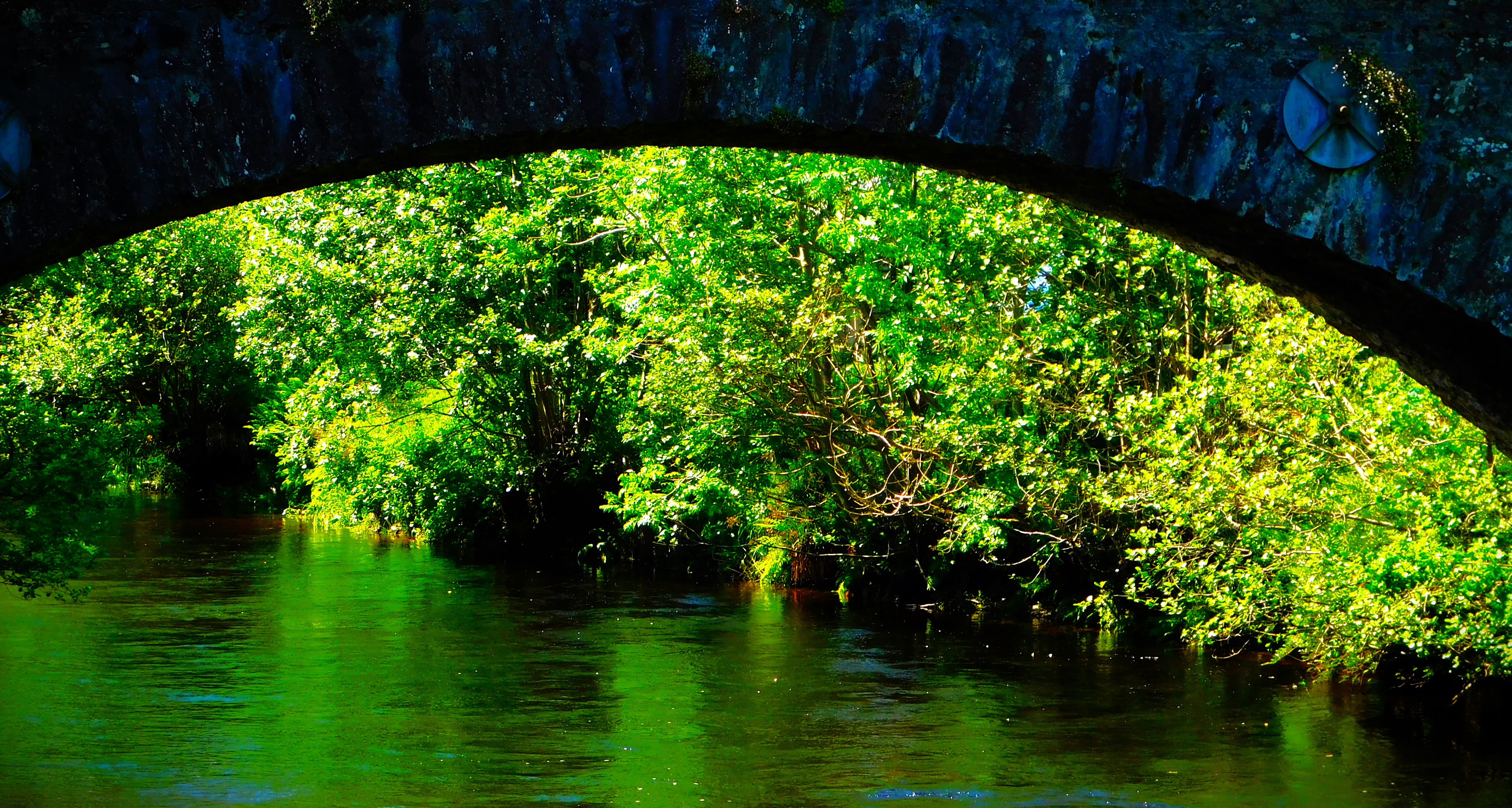
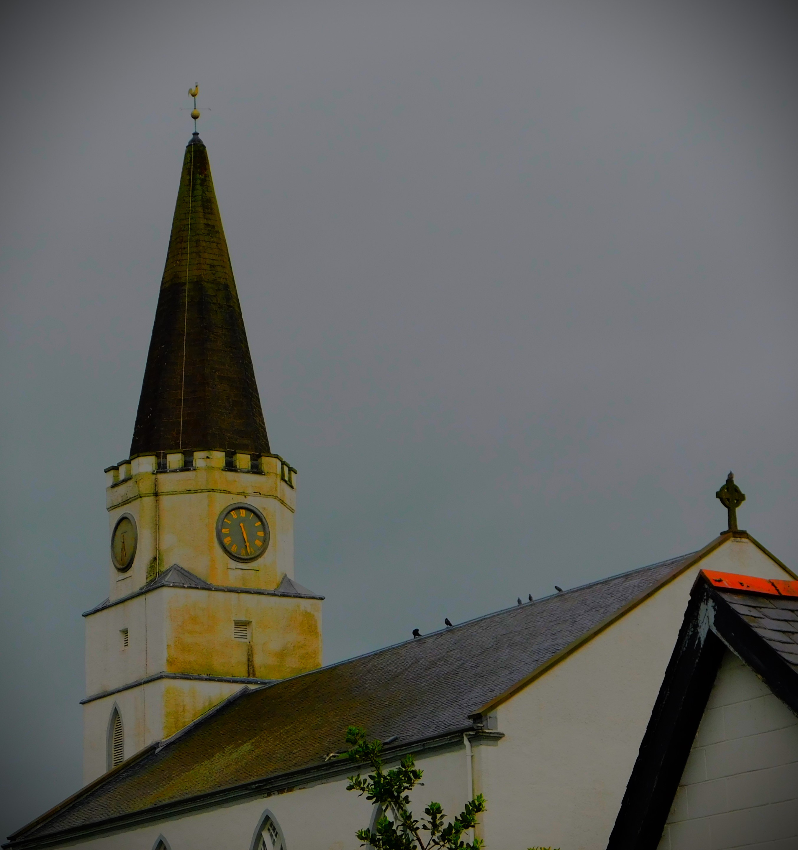
The walk begins by heading past the church and on to the road that passed the frontage of the church – heading at this point in the direction of Crianlarich. The first noteworthy point after the church is a magnificent stone bridge across the river Earn. The ‘Earthquake House’ itself stands alone in a field, and is accessed by a path which leads off a side road – the gate from the main road into that field is very firmly locked. The house has plenty of information, and although one cannot go in one can look through the window and get a decent view of the seismoscope, though the window is reinforced in a way that renders photographing the seismoscope a virtual impossibility – I tried.
We hoped to walk along a bit of disused railway – the former Lochearnhead, St Fillans and Comrie Railway, a route that was in operation between 1901 and 1951 when it was closed – but a small spring was bubbling on to the path rendering too wet and muddy to be walking, so we saw only the start of it. Thus in the end we went back the way we had come.
PHOTOGRAPHS
Here are my photographs from this walk…
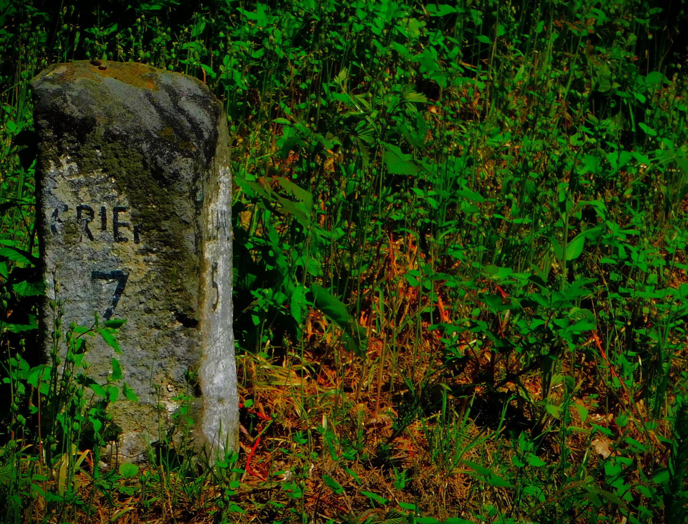
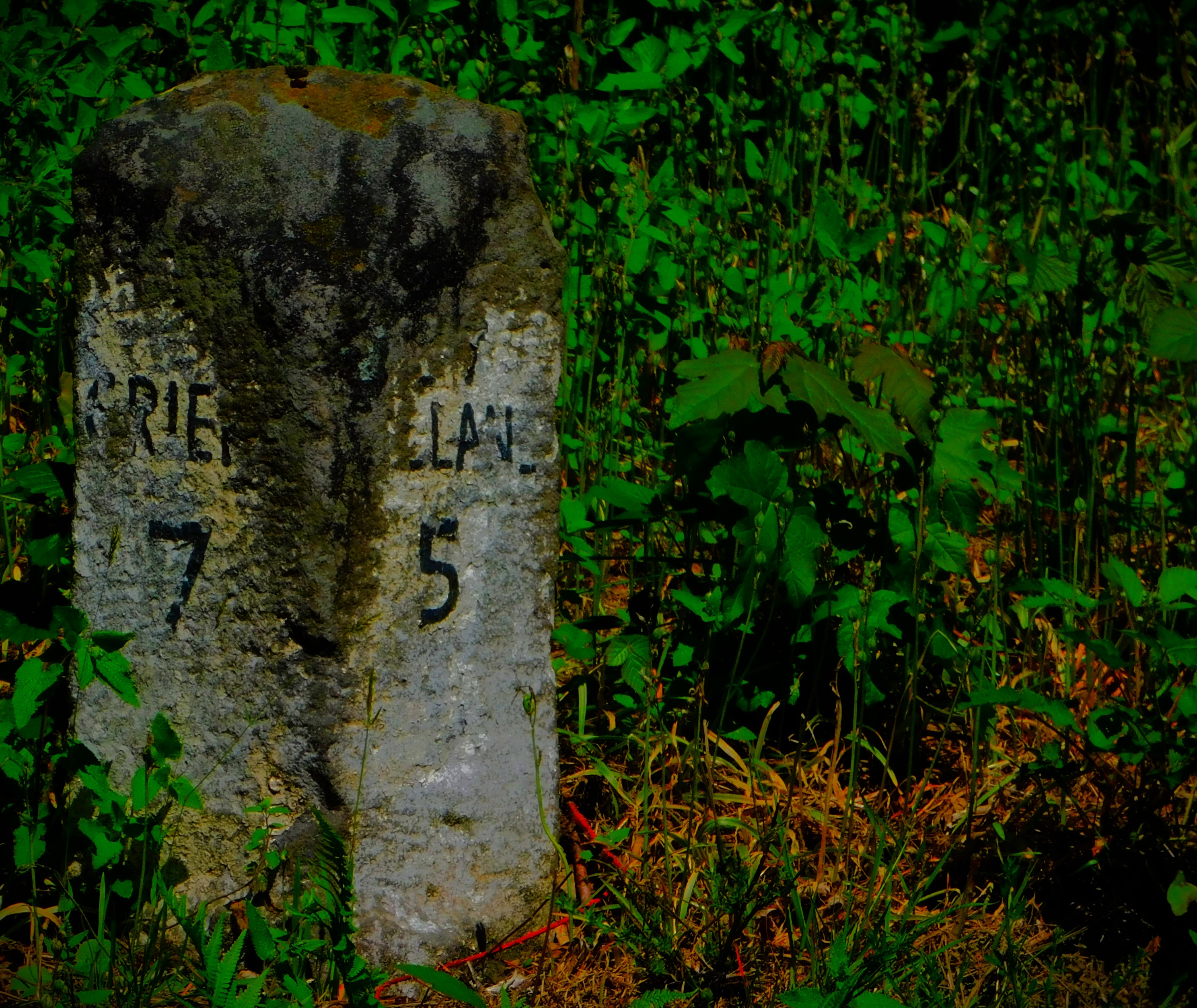
The stone bridge across the Earn.The Earthquake HouseI kept two of my attempts at photographing through the window to illustrate the problems.A mile post showing the distances to Crieff in one direction and St Fillnas in the other.
A look at the Charles Rennie Mackintosh building, the village of Comrie and the river Earn. Also a waterfall video.
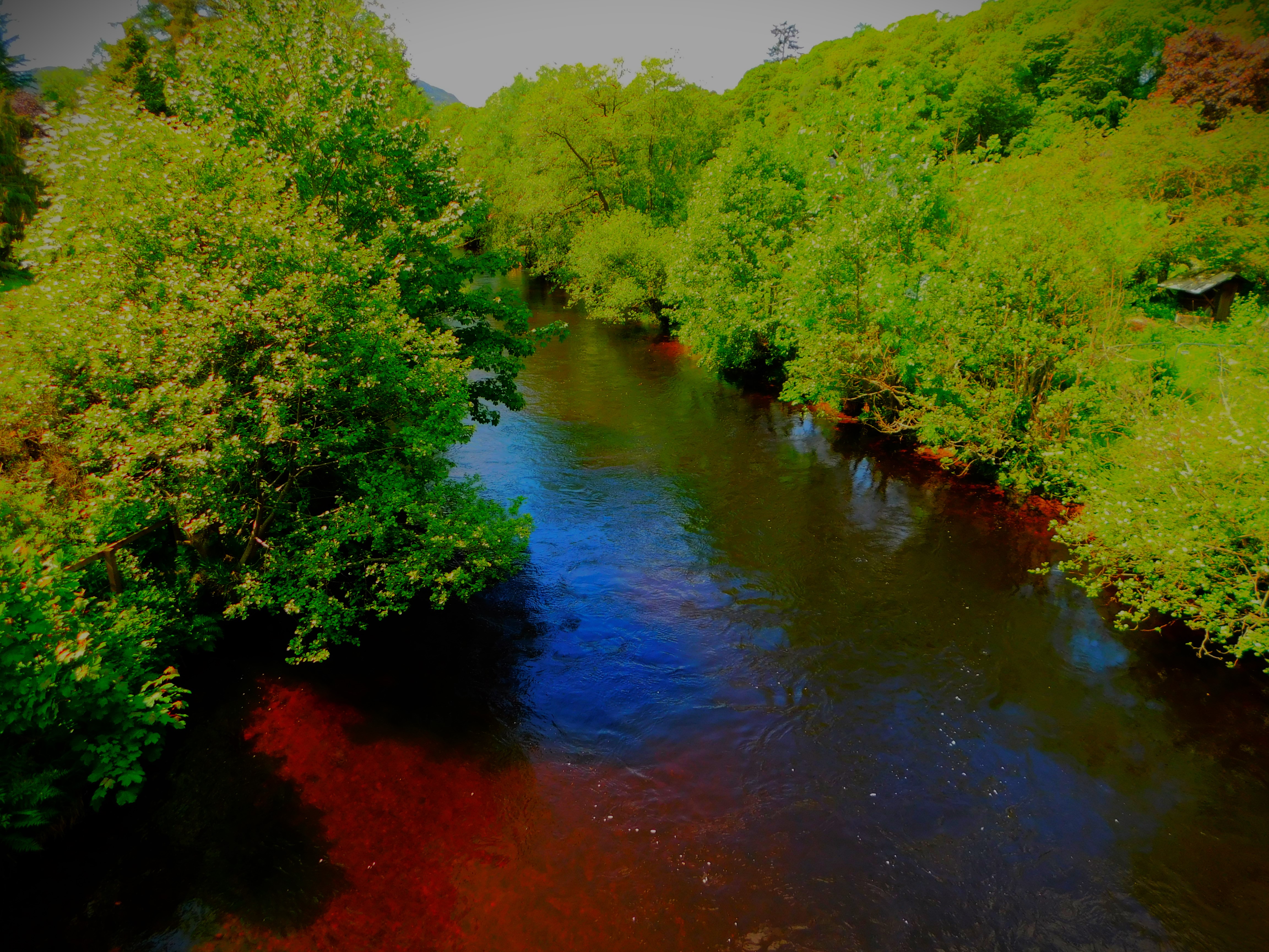
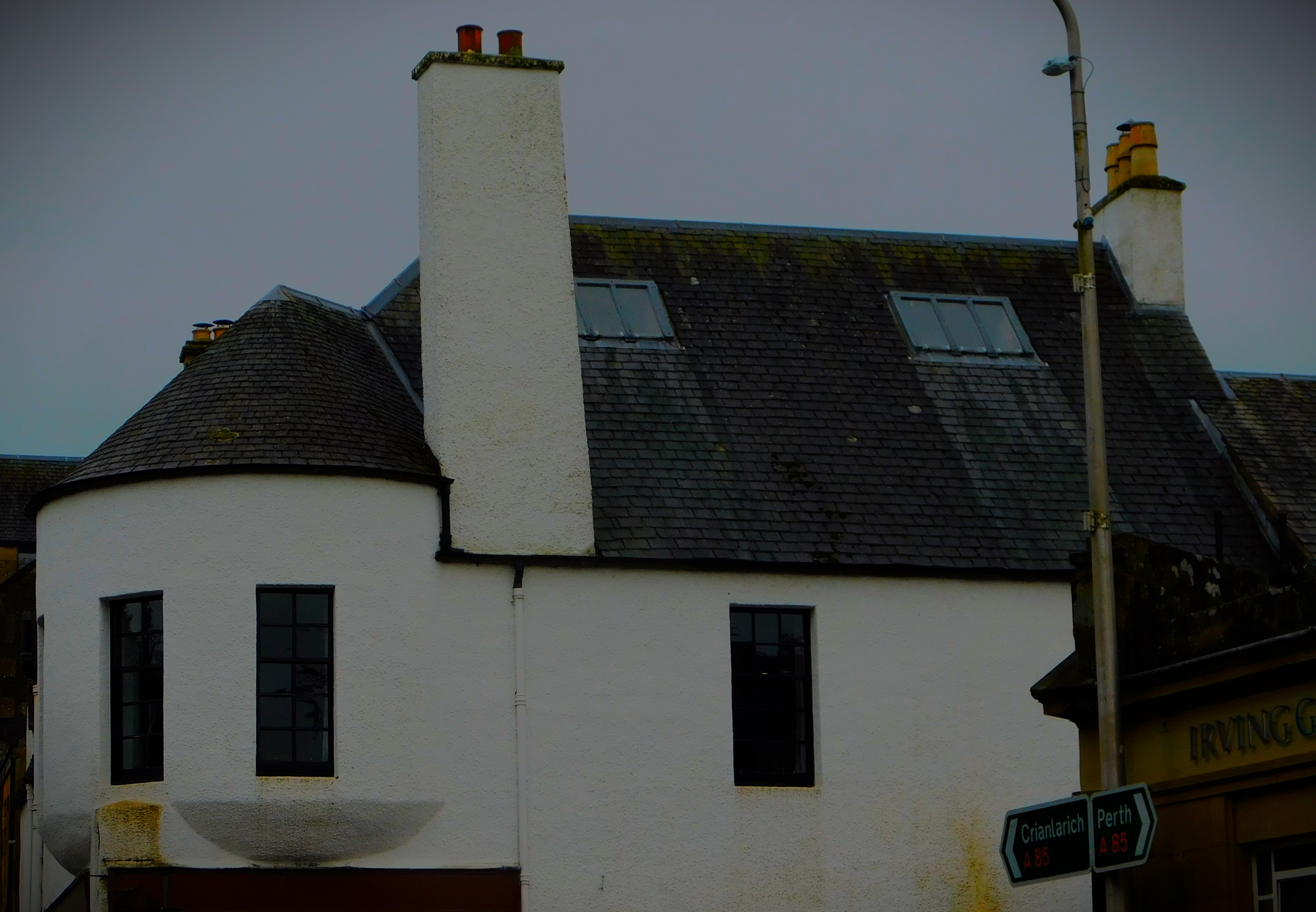
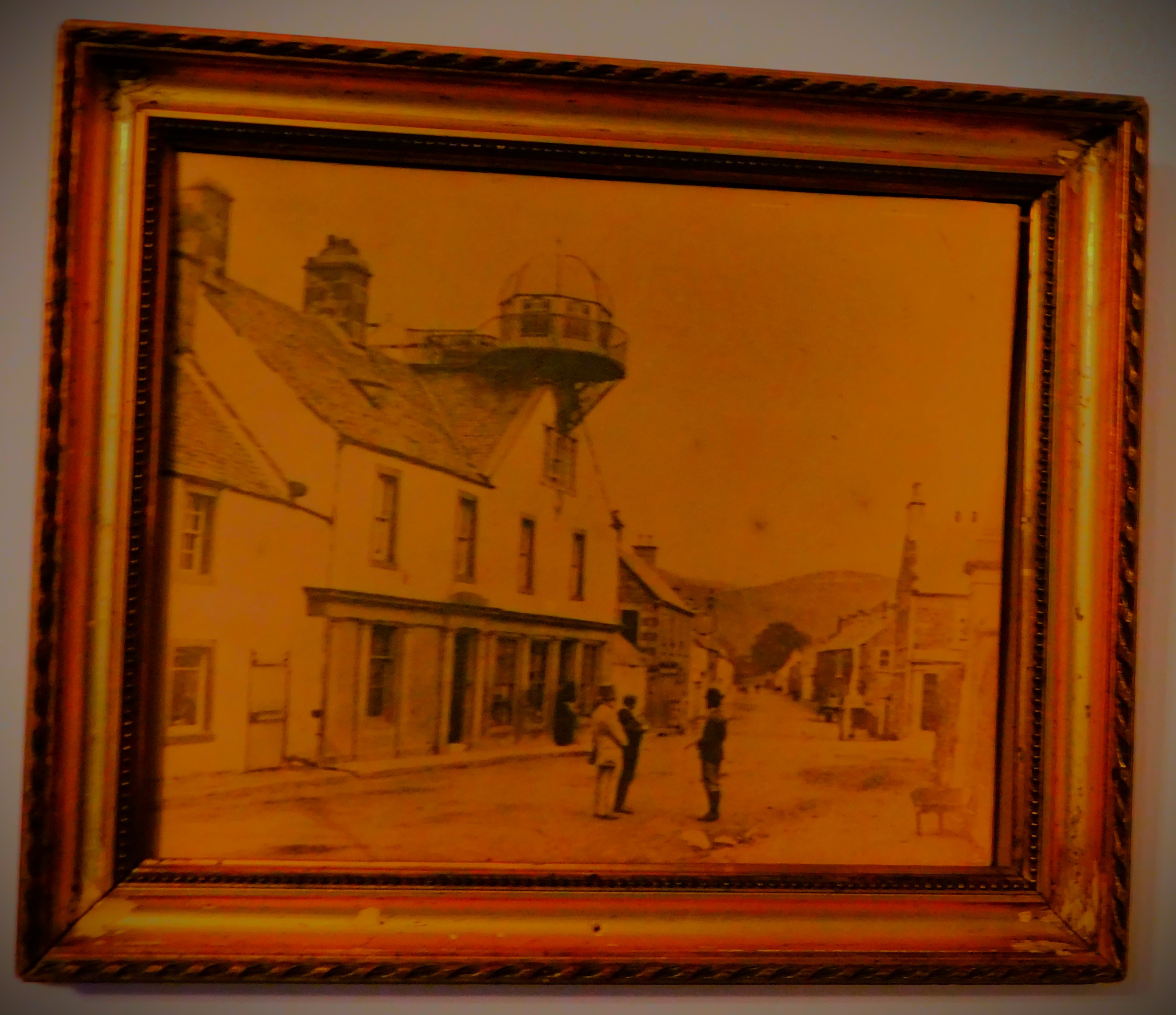
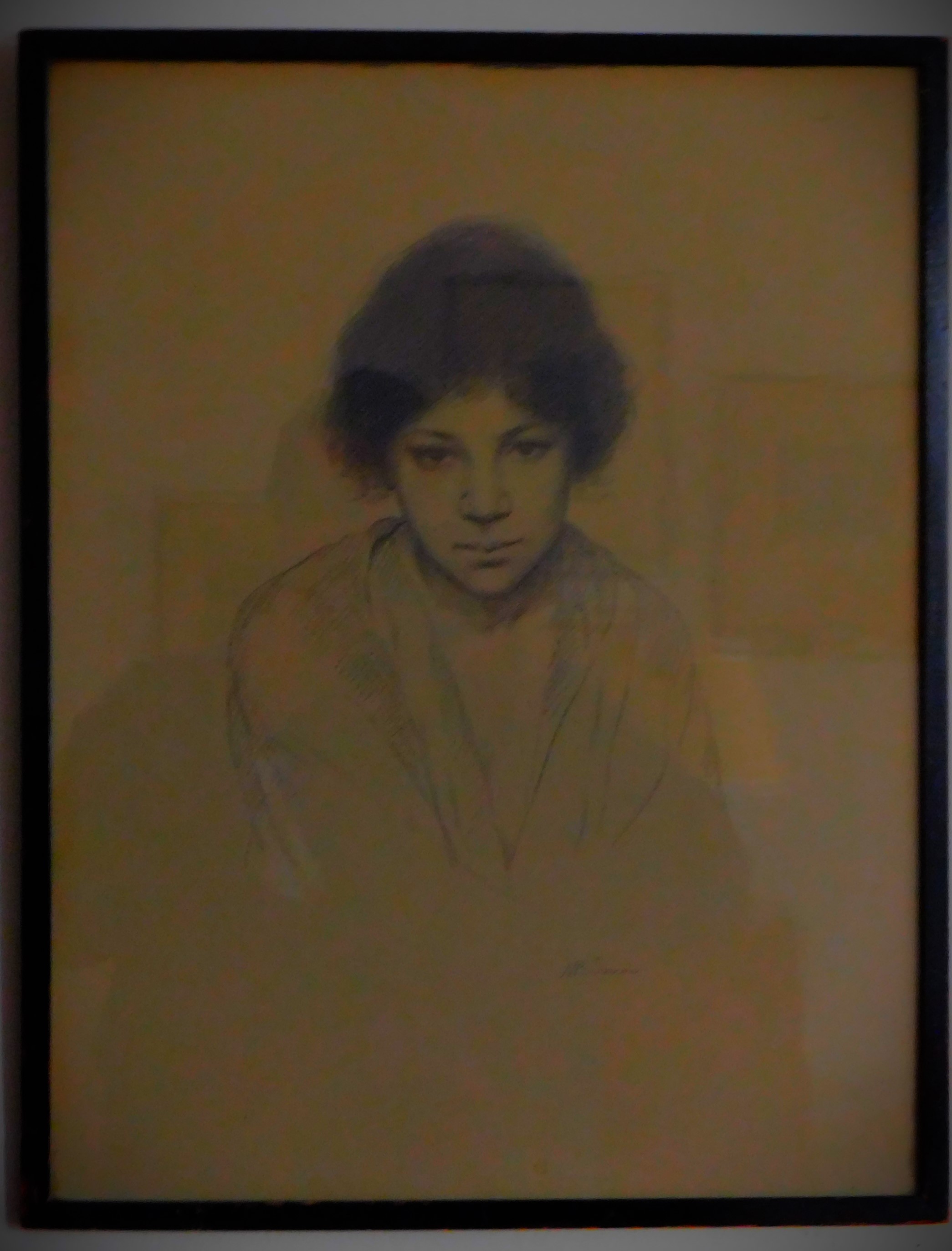
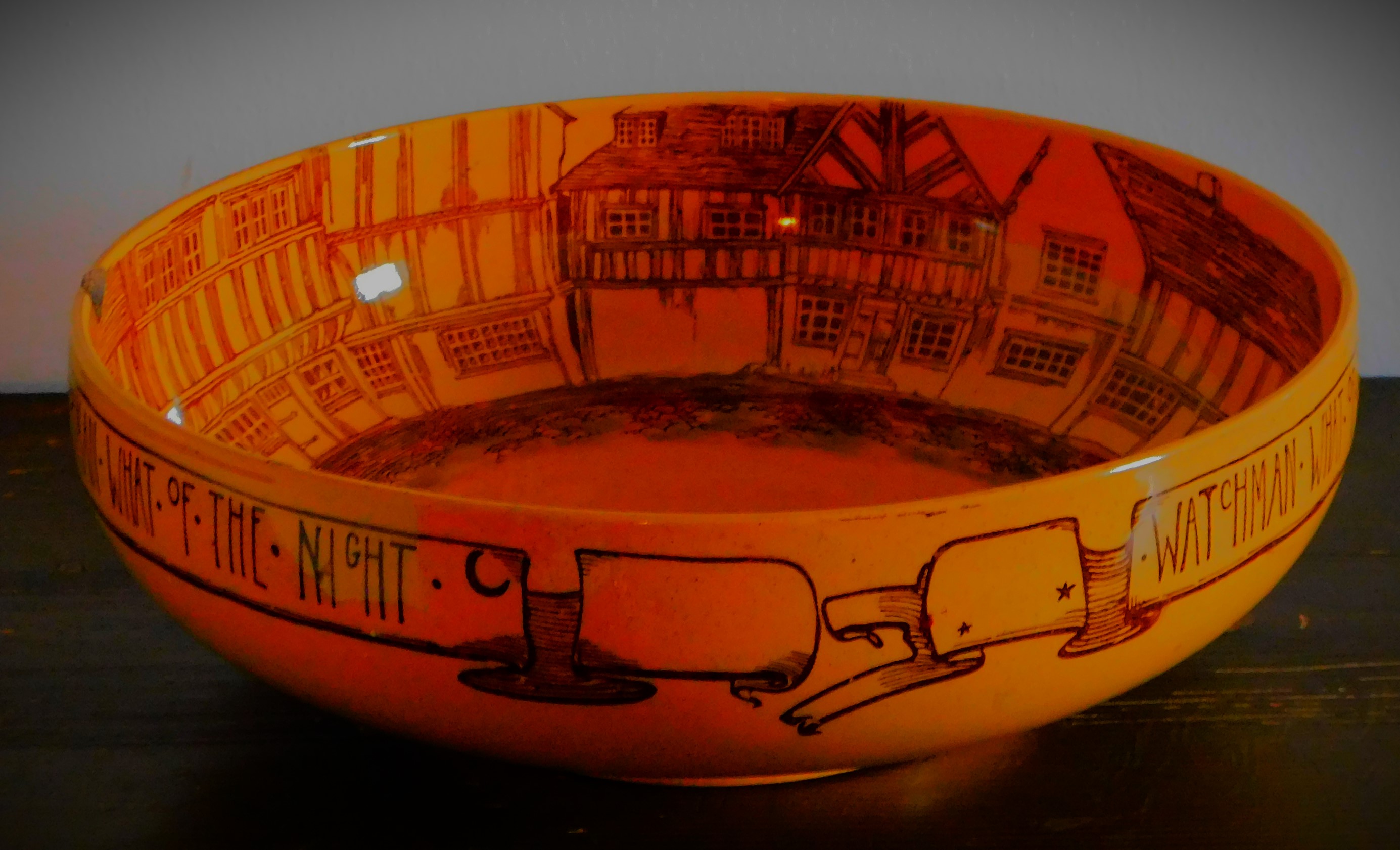
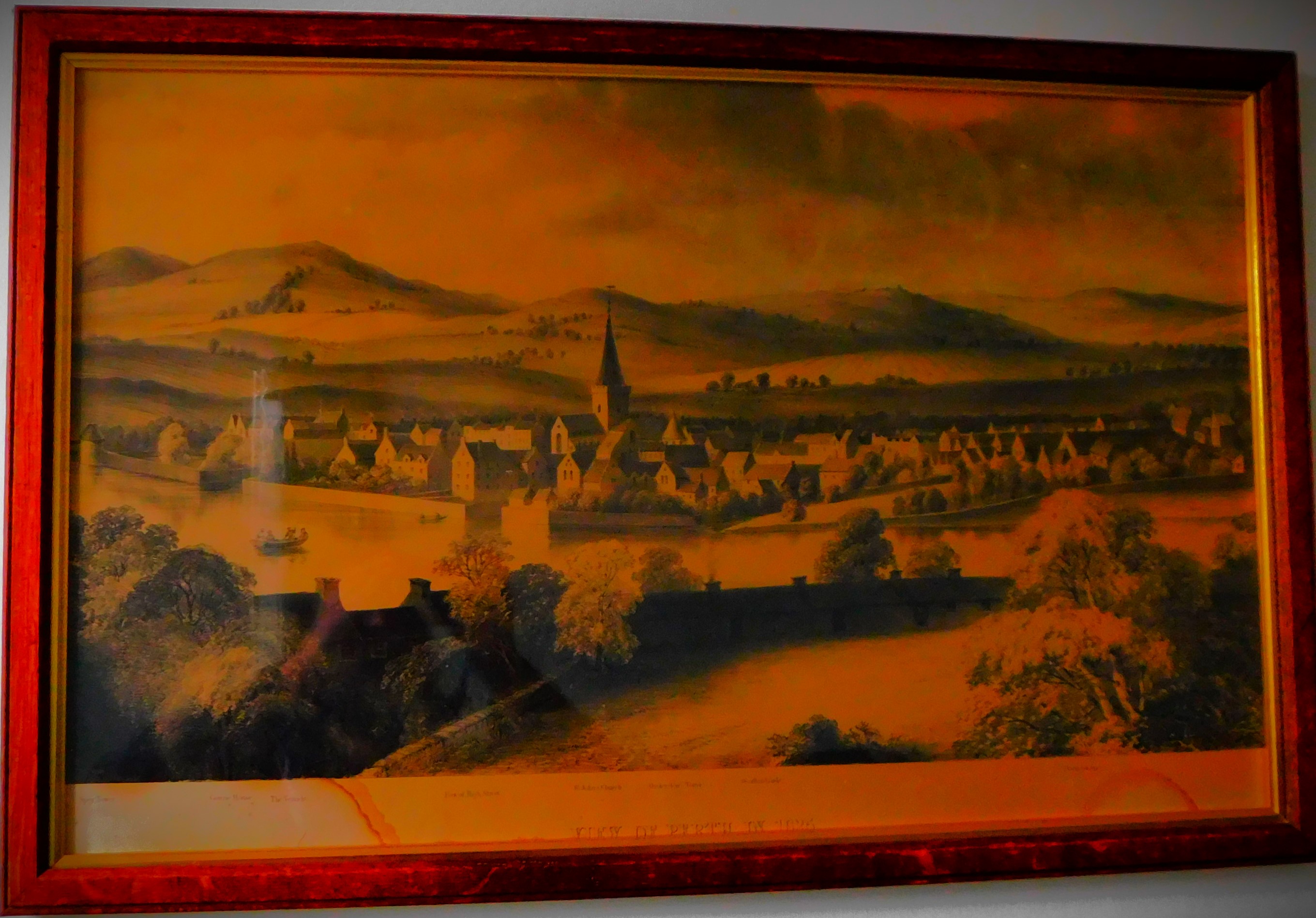
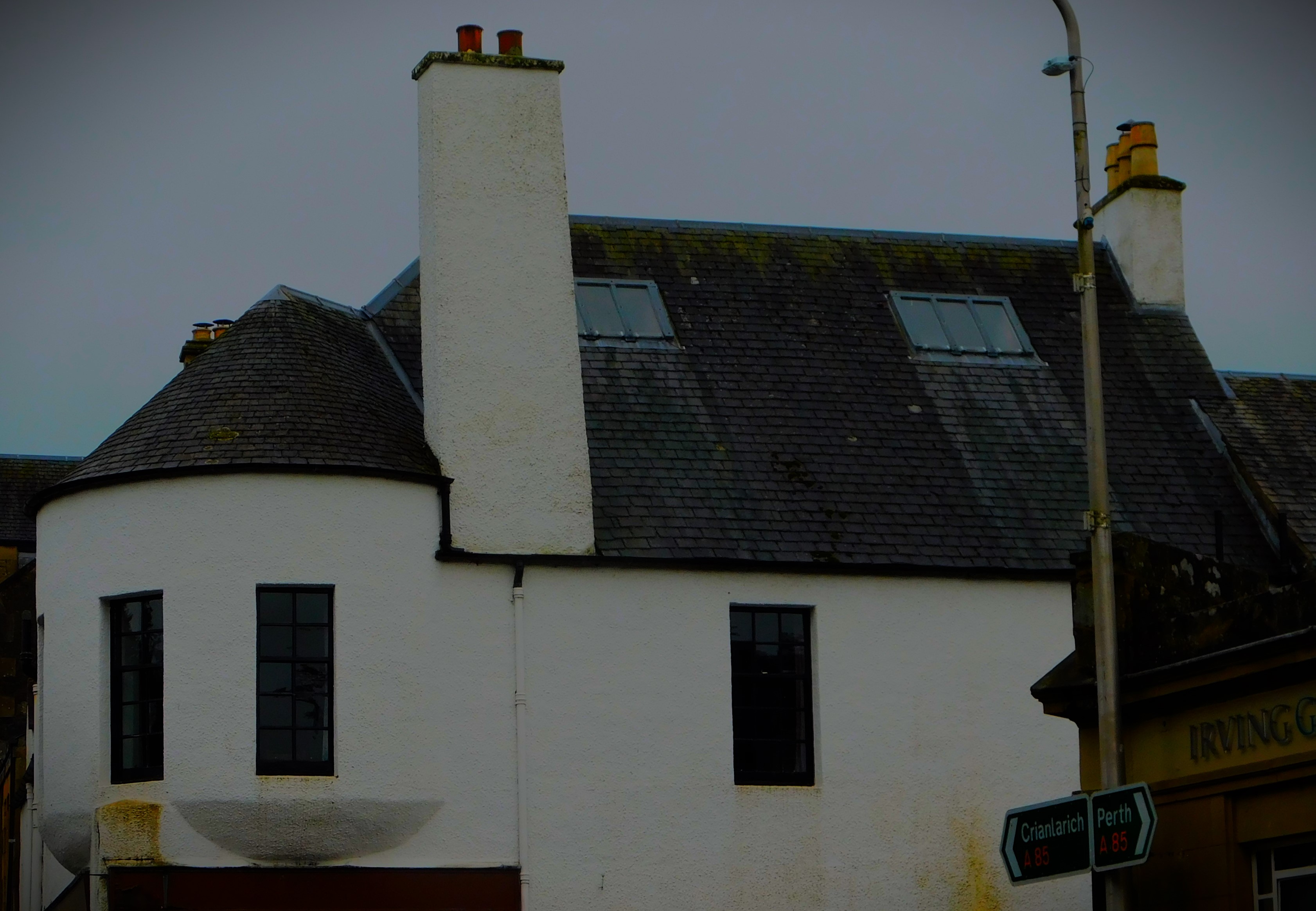
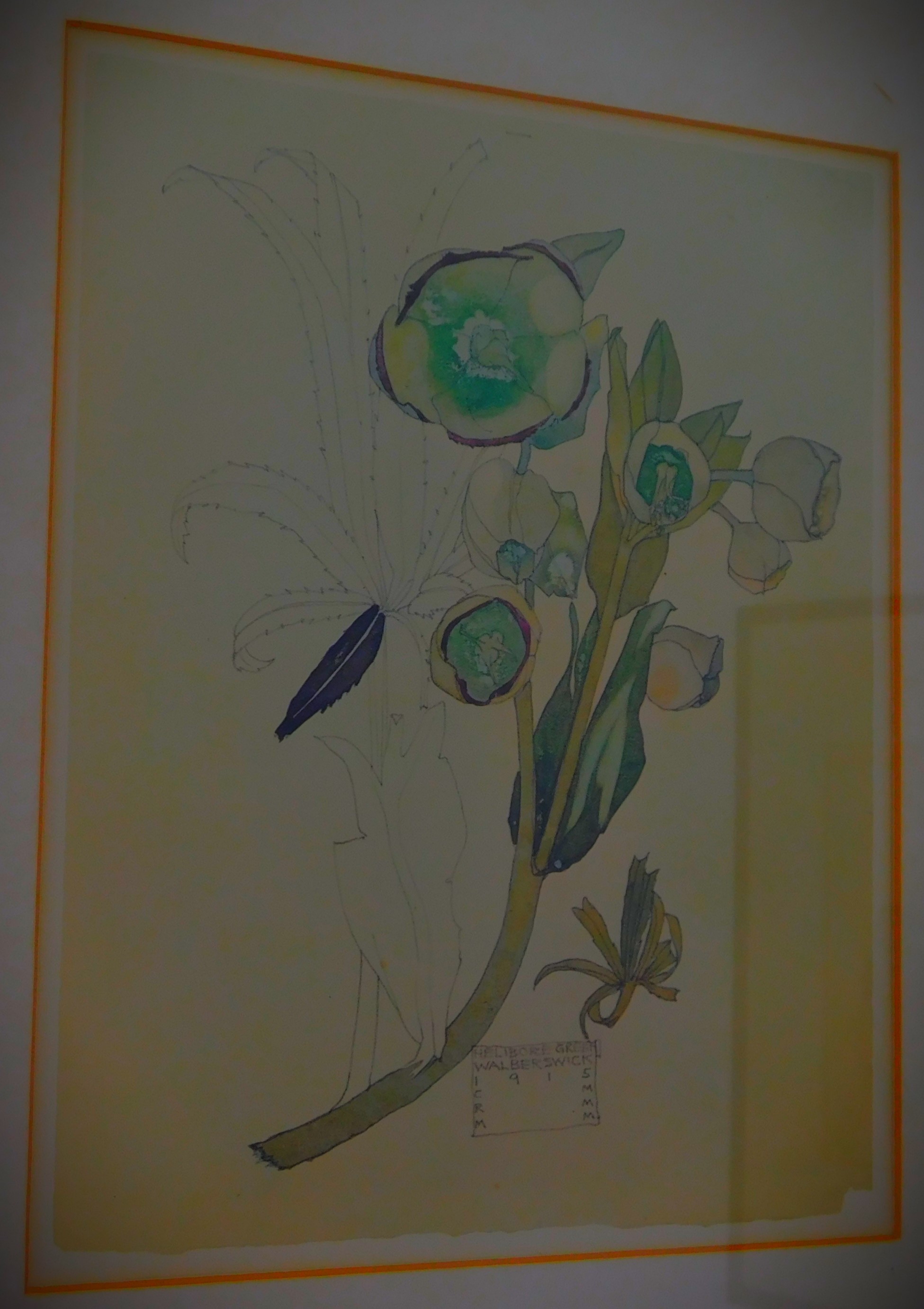
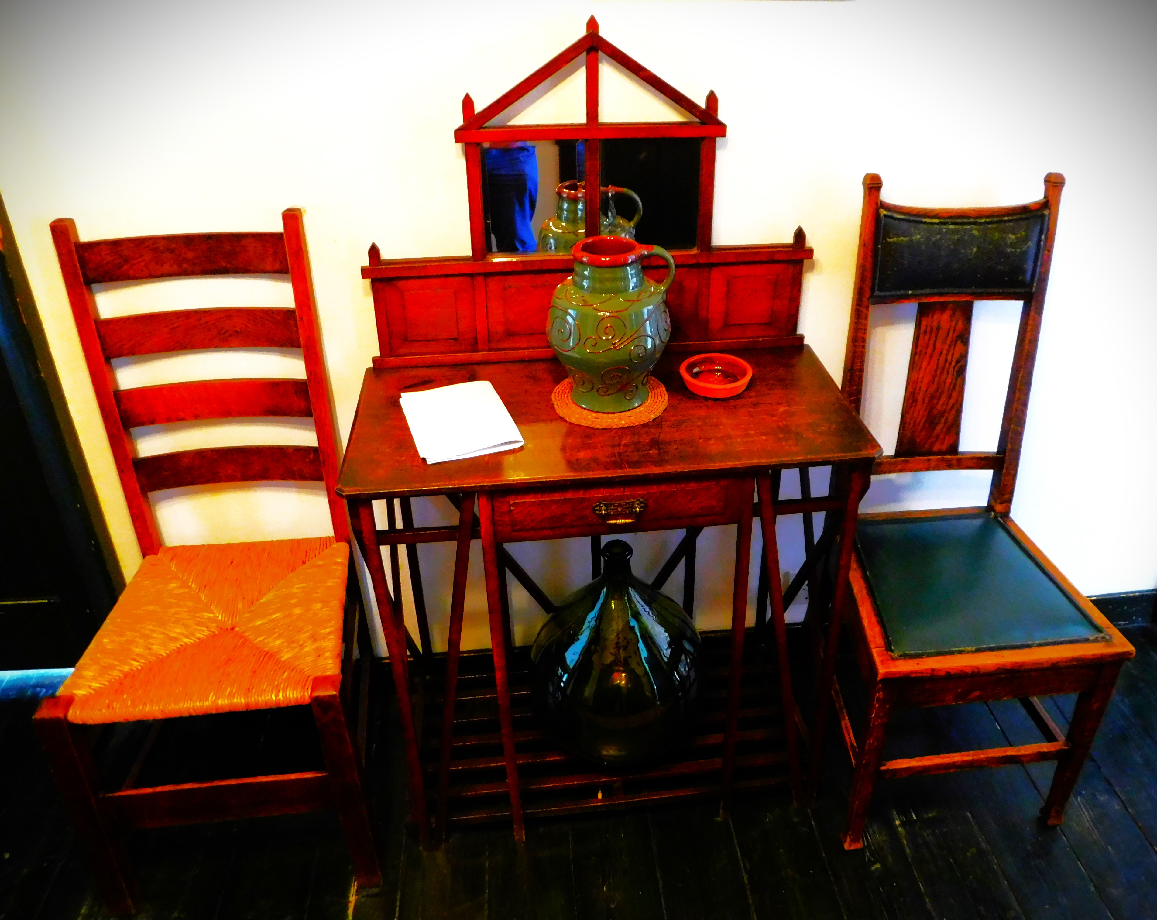
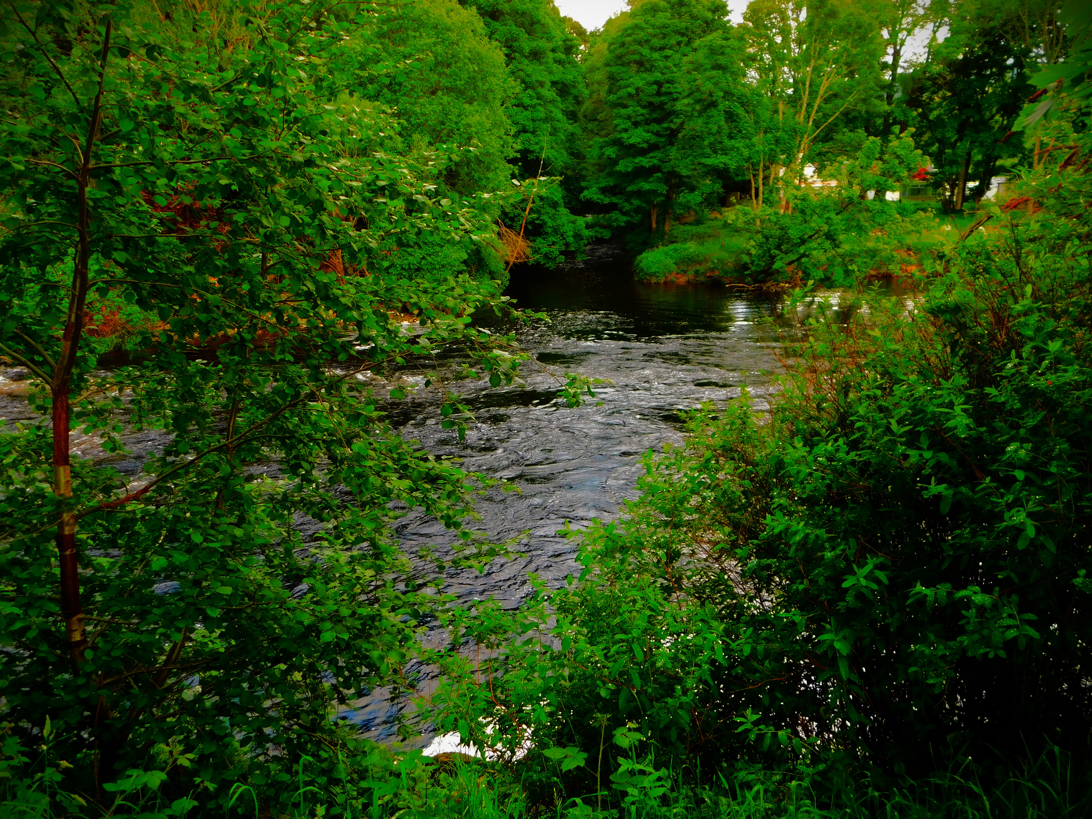
Welcome to the next post in my series about my holiday in Scotland. This post looks at the house itself and the the village of Comrie including the river Earn. It is in the nature of clearing the decks for the more specific posts that will follow. This is an outside view of the house itself:
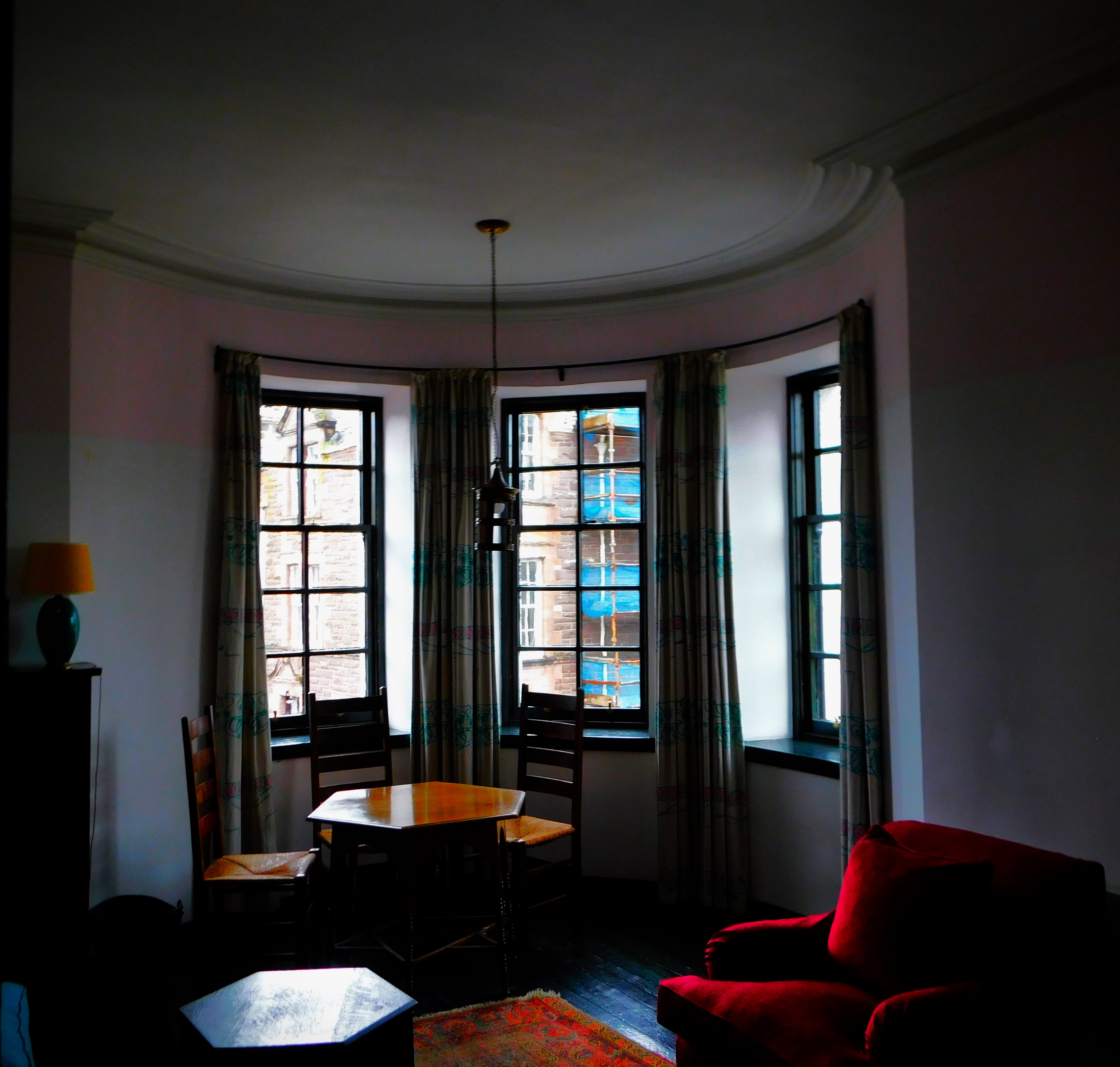
This is the outside view of our accommodation. The sitting room includes the turret, although there is an internal ceiling which means we don’t get to see the whole of the inside of the turret.
THE SETTING OF THE HOUSE
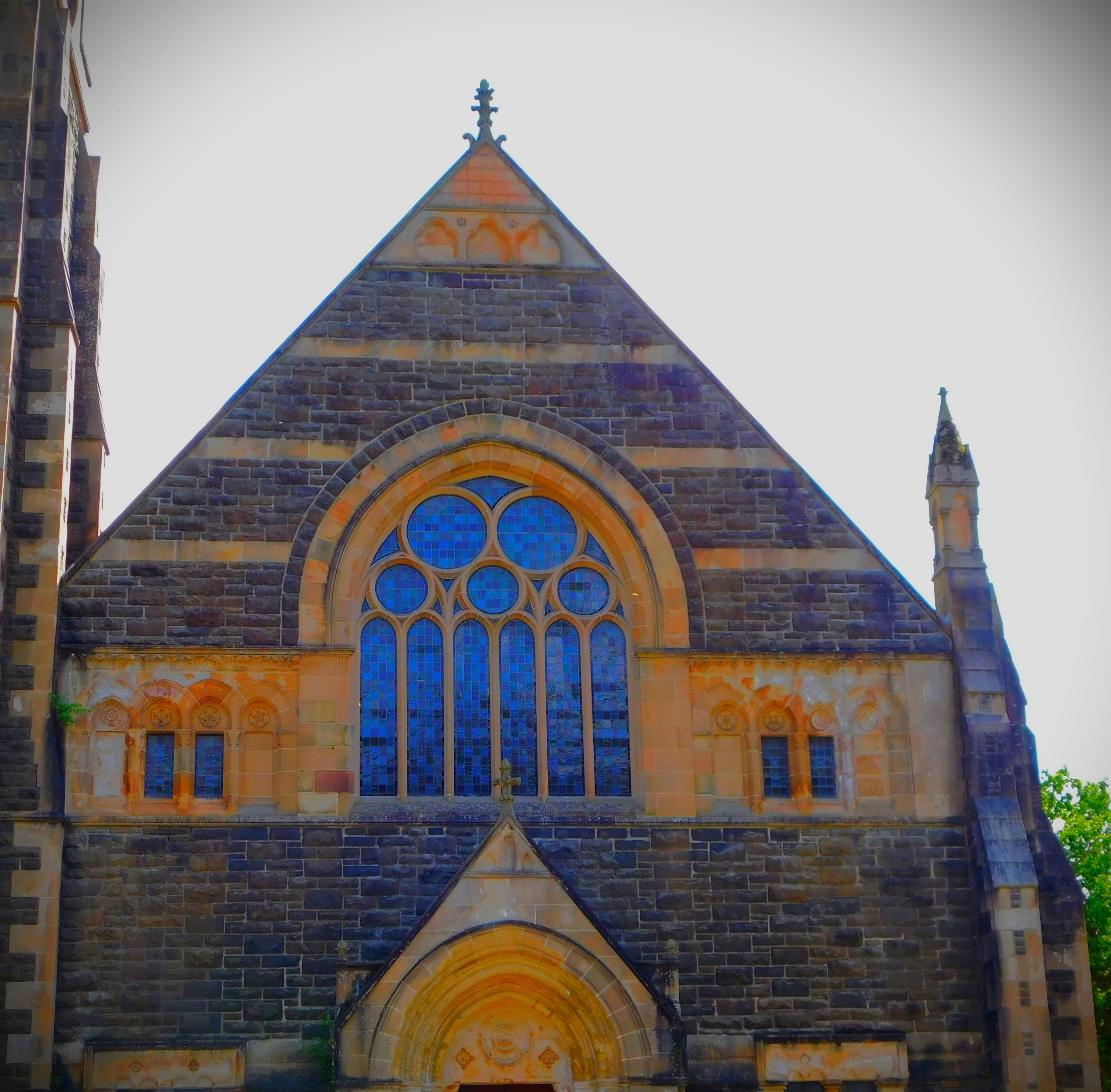
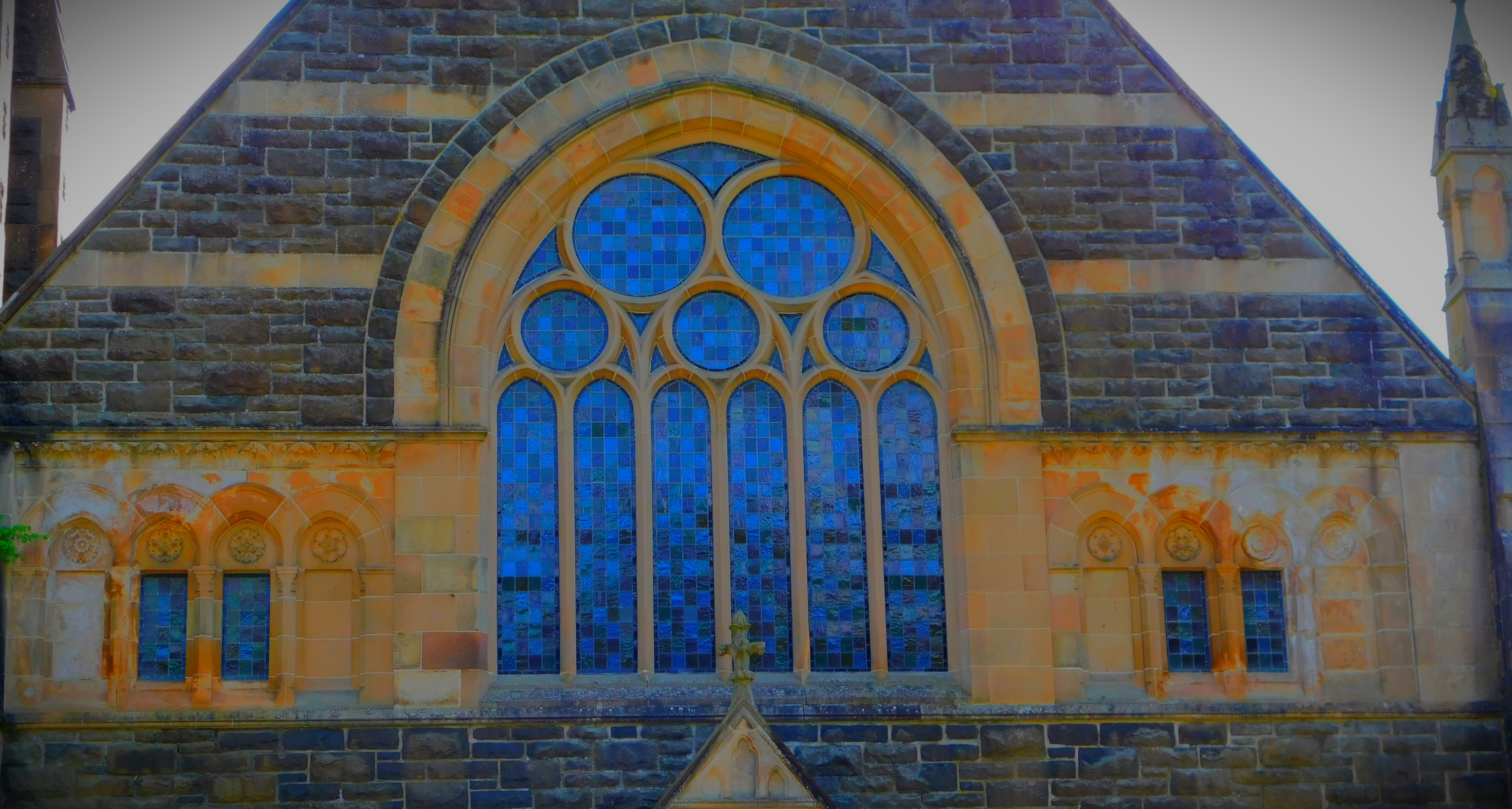
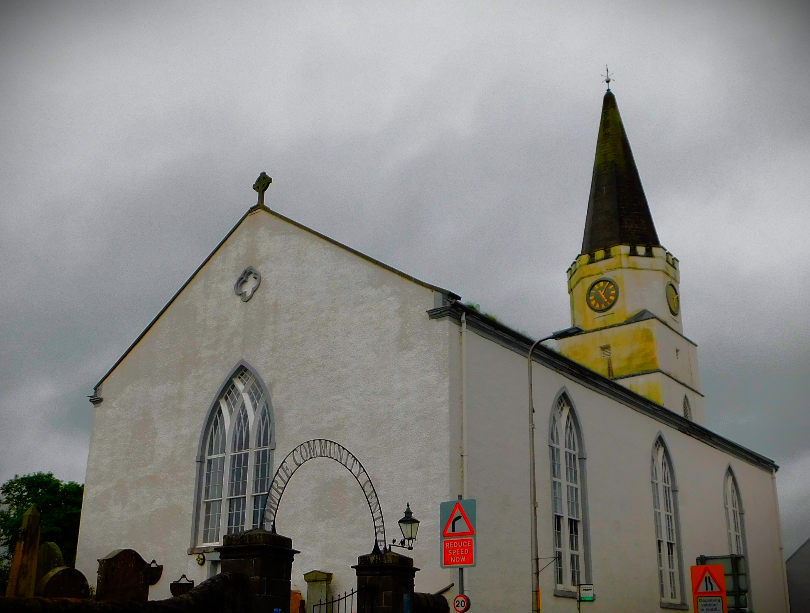
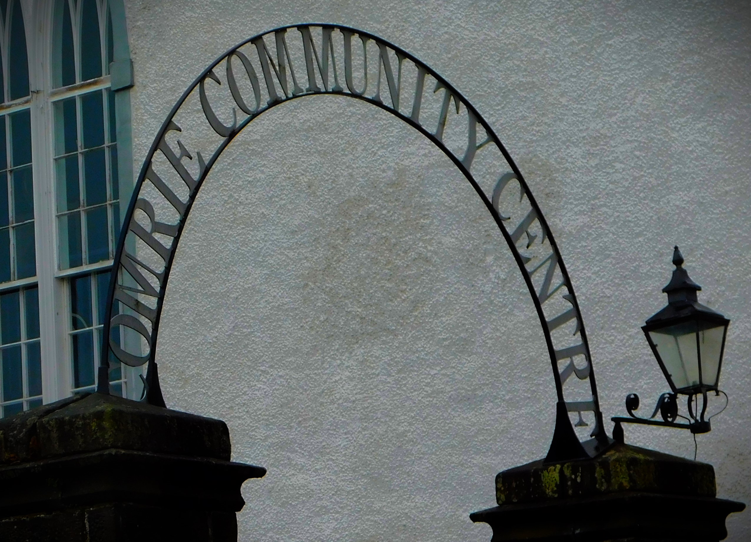
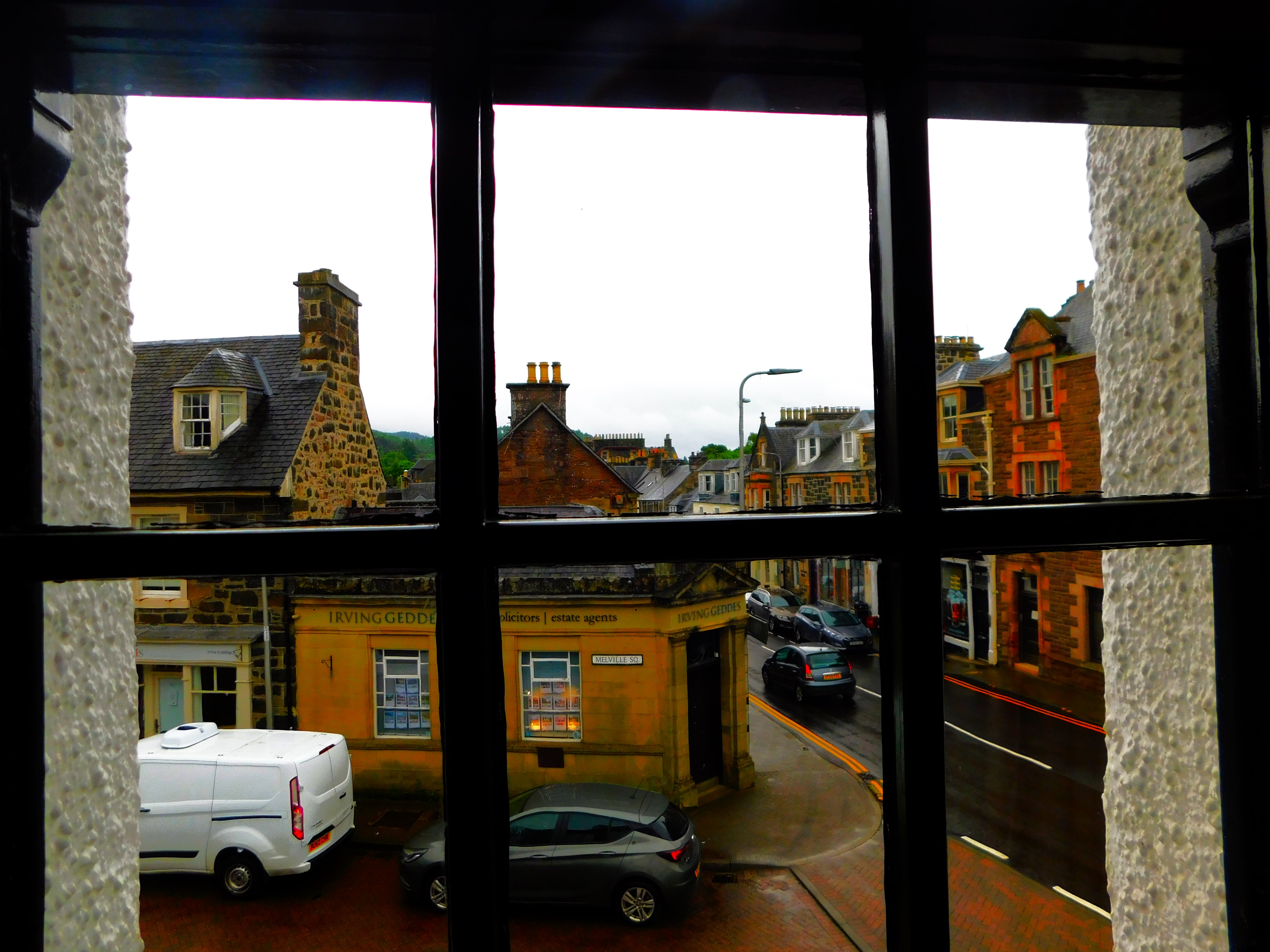
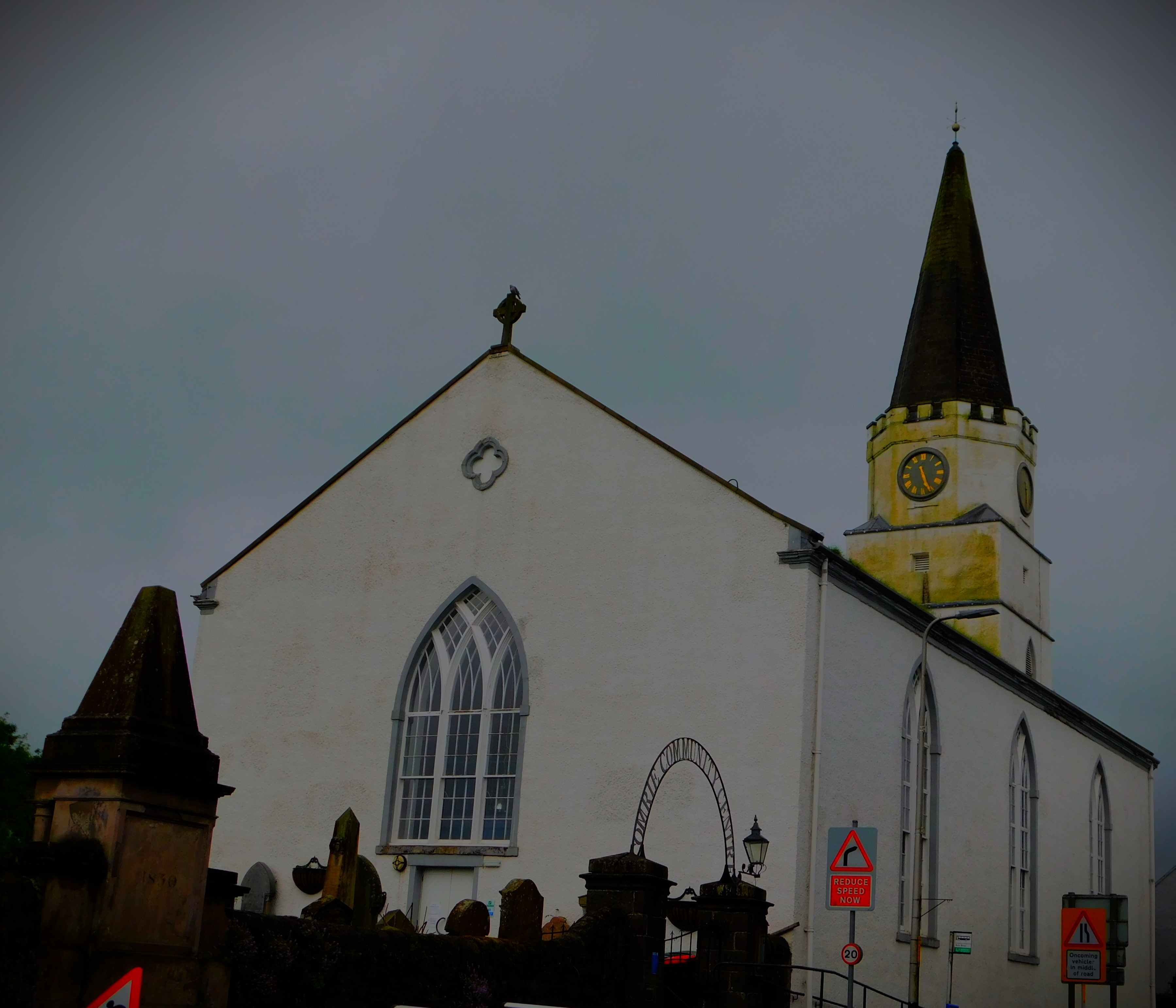
The house is directly opposite Comrie Community Centre, a building that looks remarkably like a church but is not (though it clearly used to be) – Comrie Church is about a five minute walk away. Next door it in one direction is an estate agent housed in what clearly used to be a local bank in the dim and distant days when such things existed while on the other side is a pet shop. Down one side of the house is a path that provides pedestrian access to the car parking area. There is a small shopping area, while the river, not quite visible from the house, is just the other side of the community centre from it.
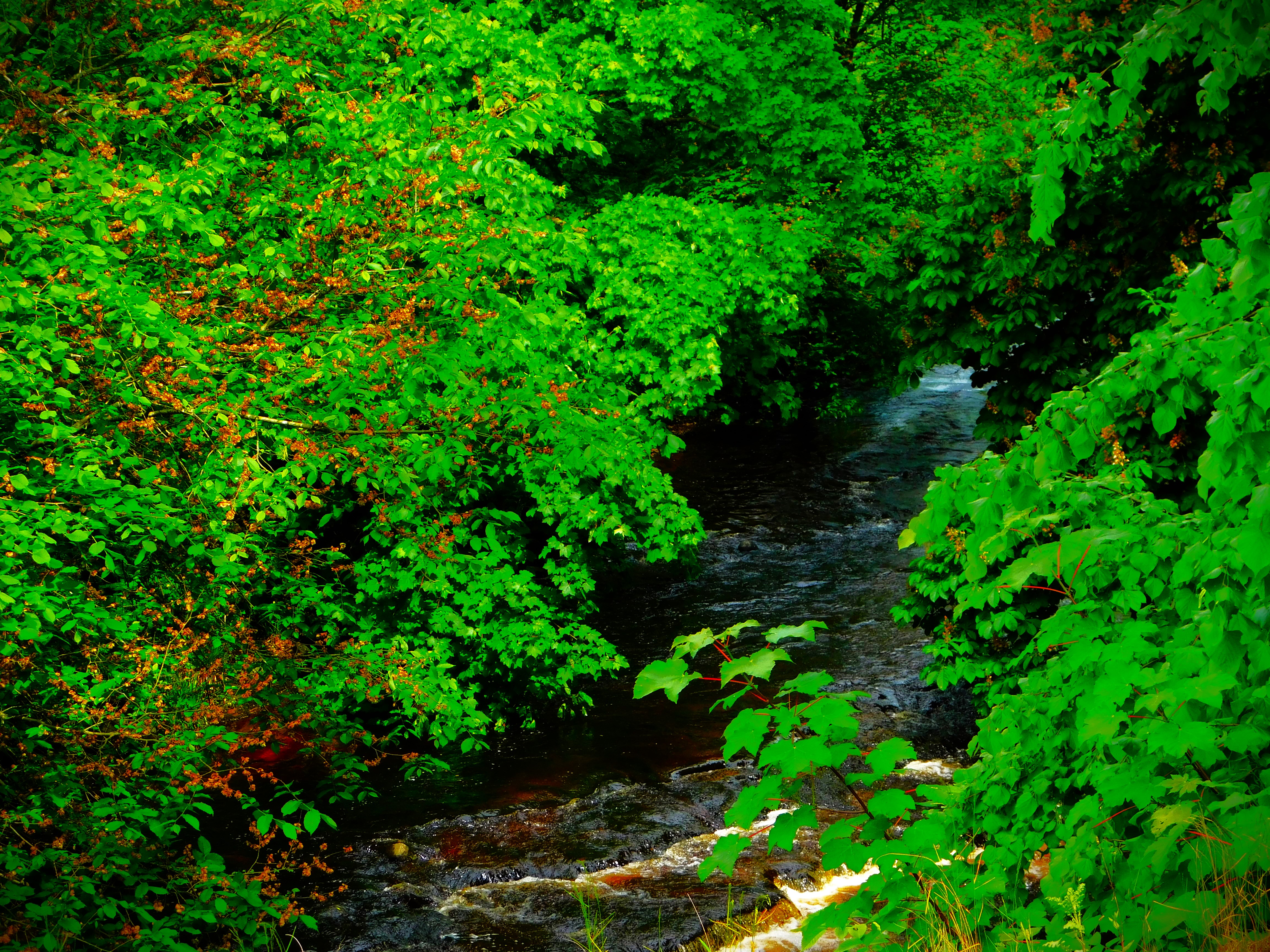
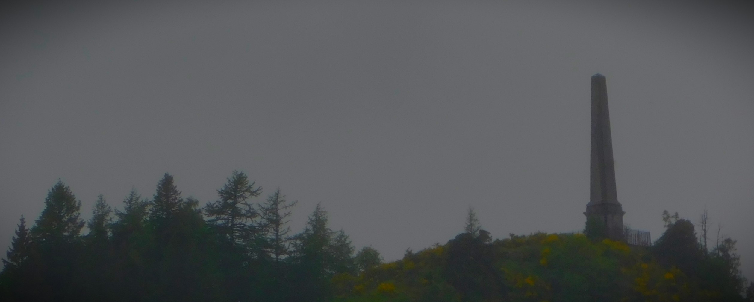
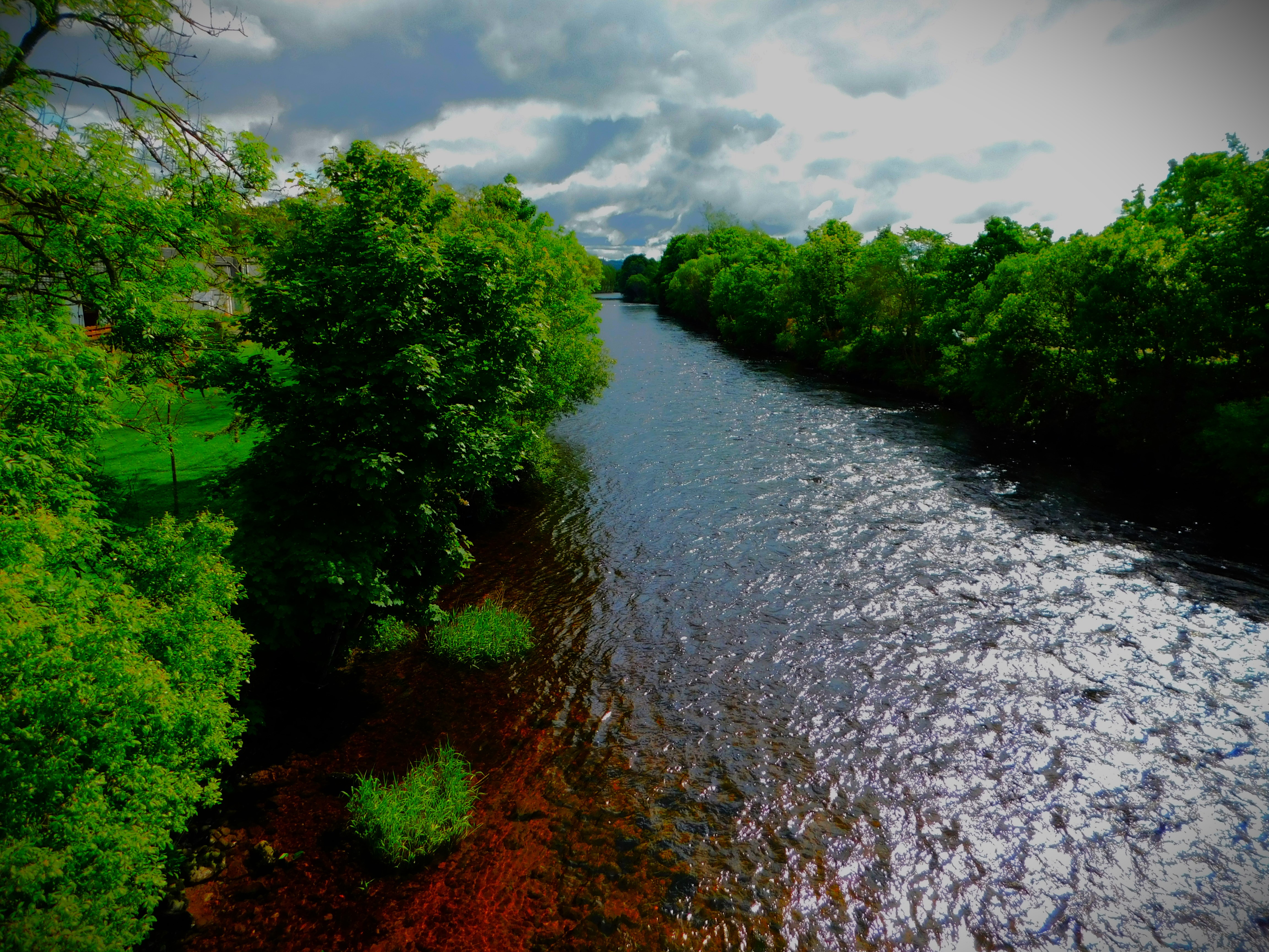
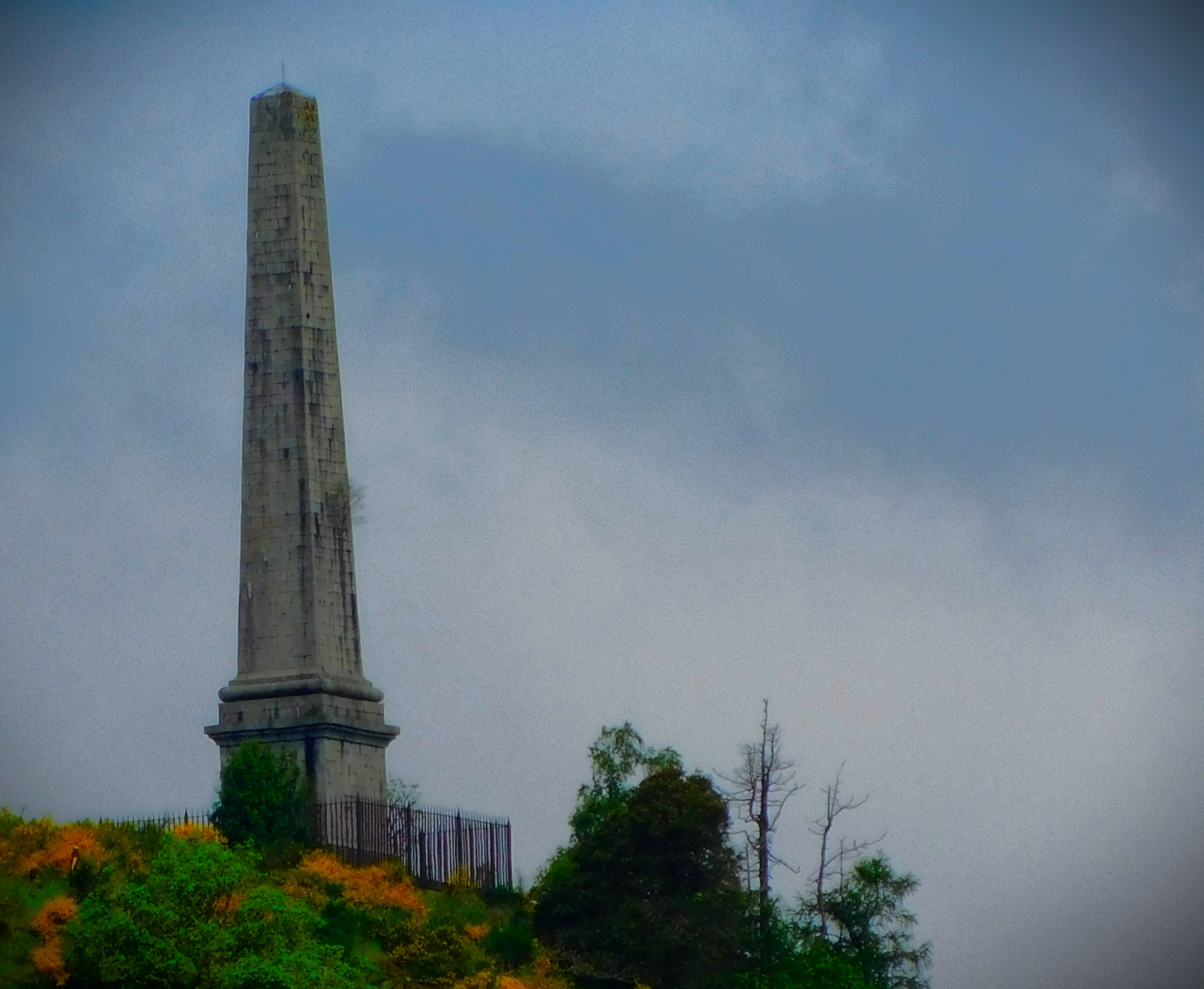
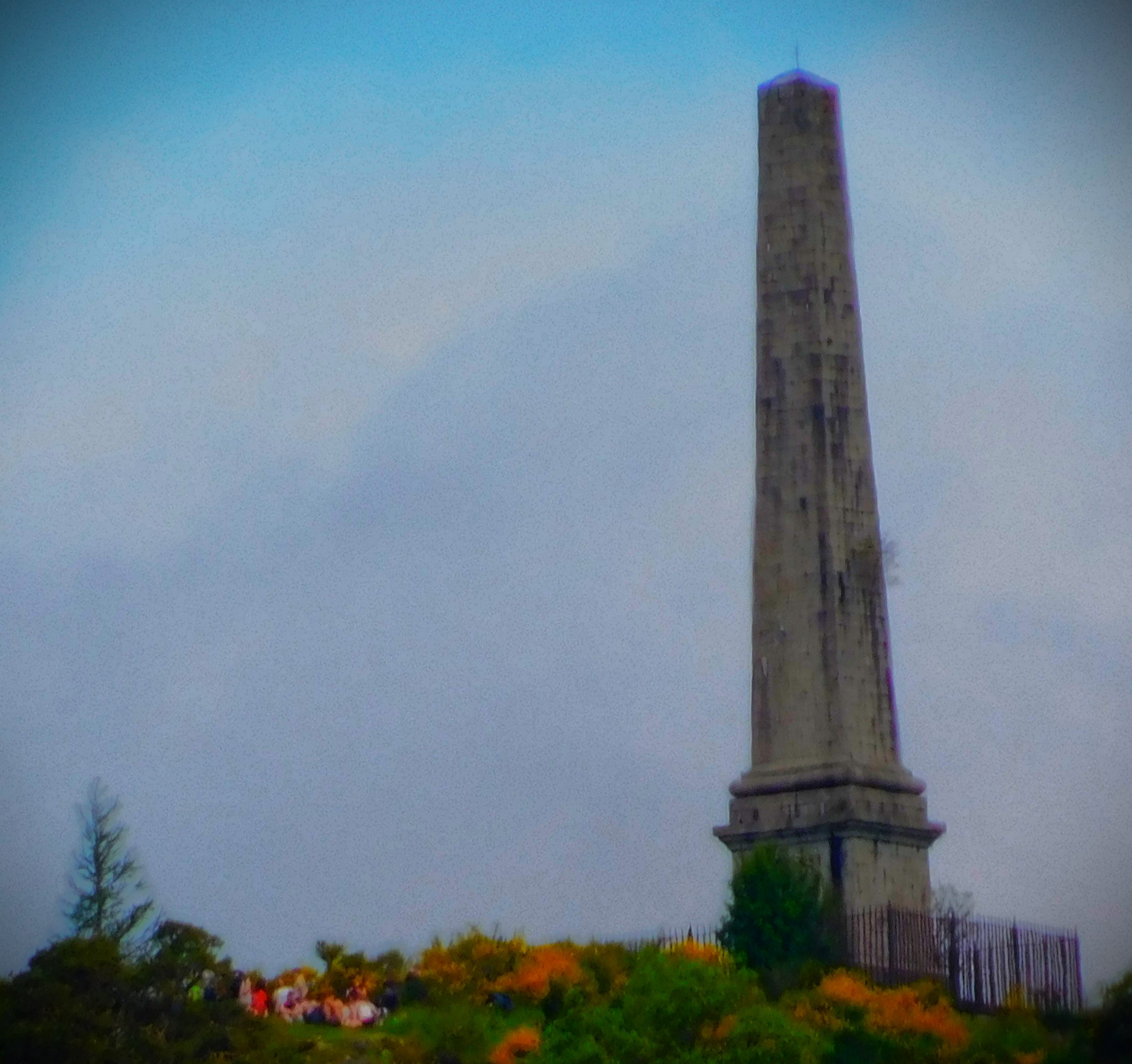
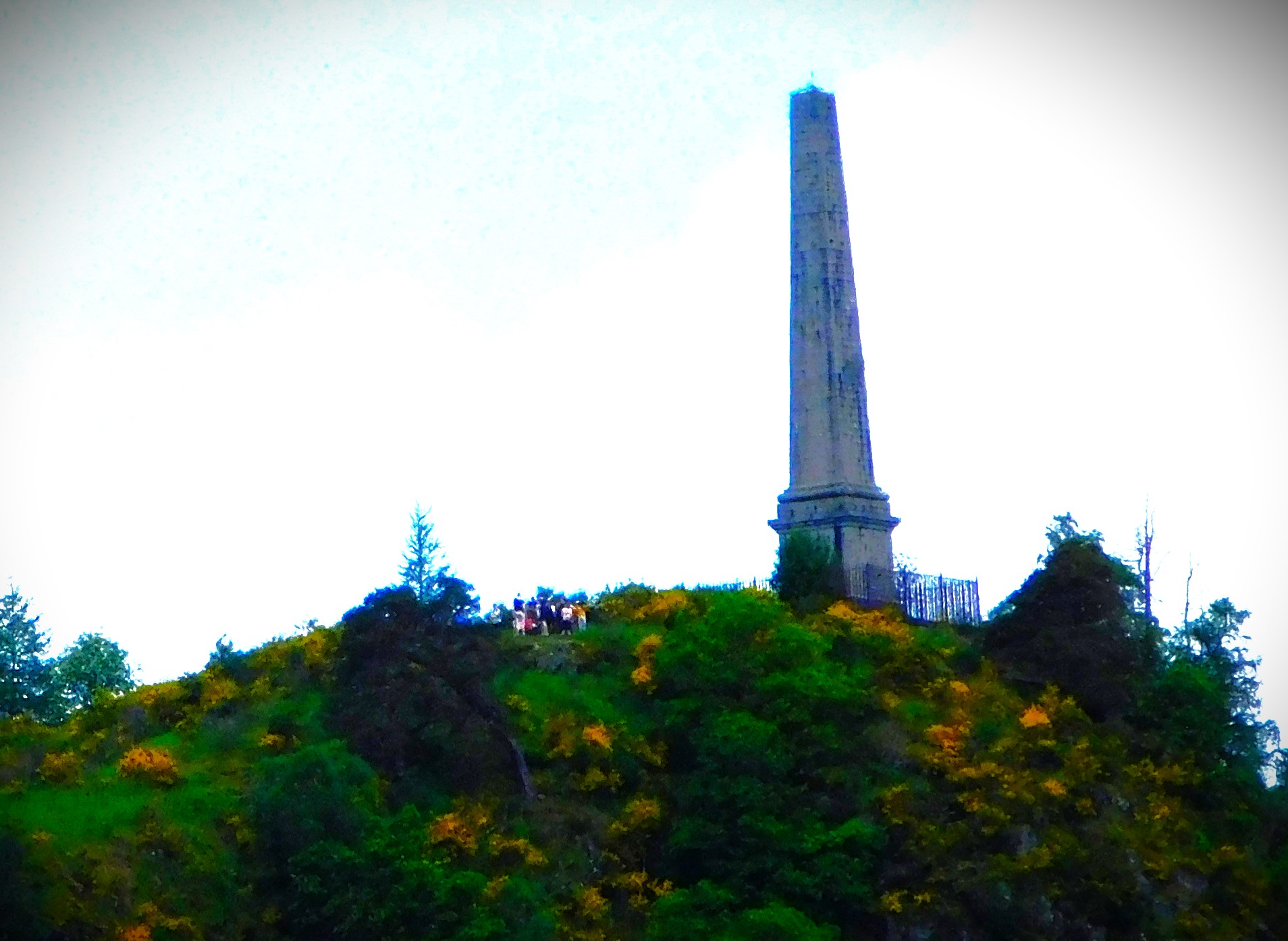
On the Wednesday morning I explored the river a little way in each direction. One way is a path that leads to Cultybraggan. In the other direction I got as far as Legion Park. From certain locations a hill top monument is visible – I photographed it more than once.
PHOTOGRAPHS
Here are the pictures for this post…
A community centre that looks like a church.The sitting room, showing the inside of the turret.
For those who made it to this point, here is the first of a series of waterfall videos which will feature in this series:
An account of the first part of Tuesday as I work through my Scottish holiday, from which I returned on Saturday just gone.
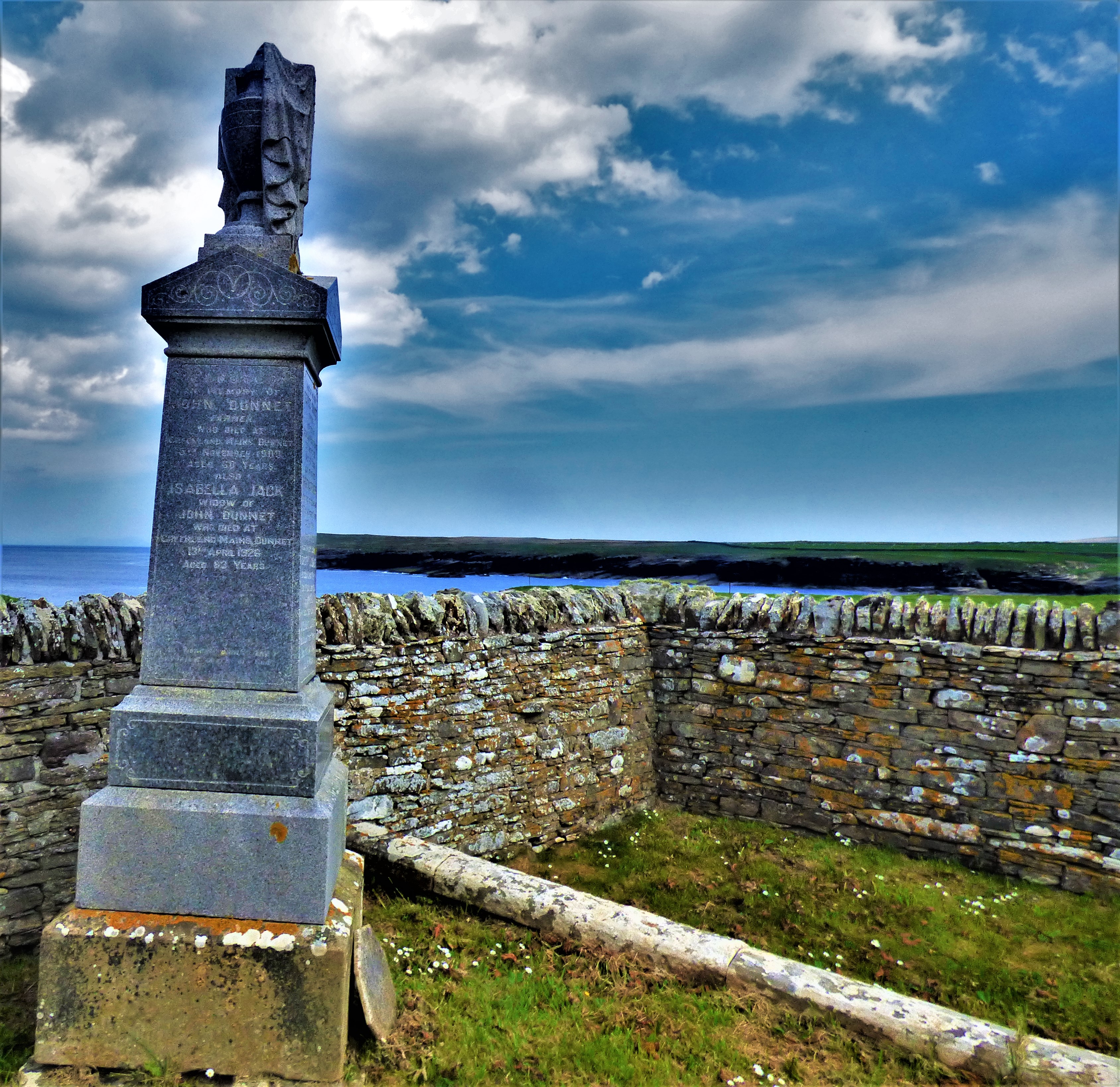
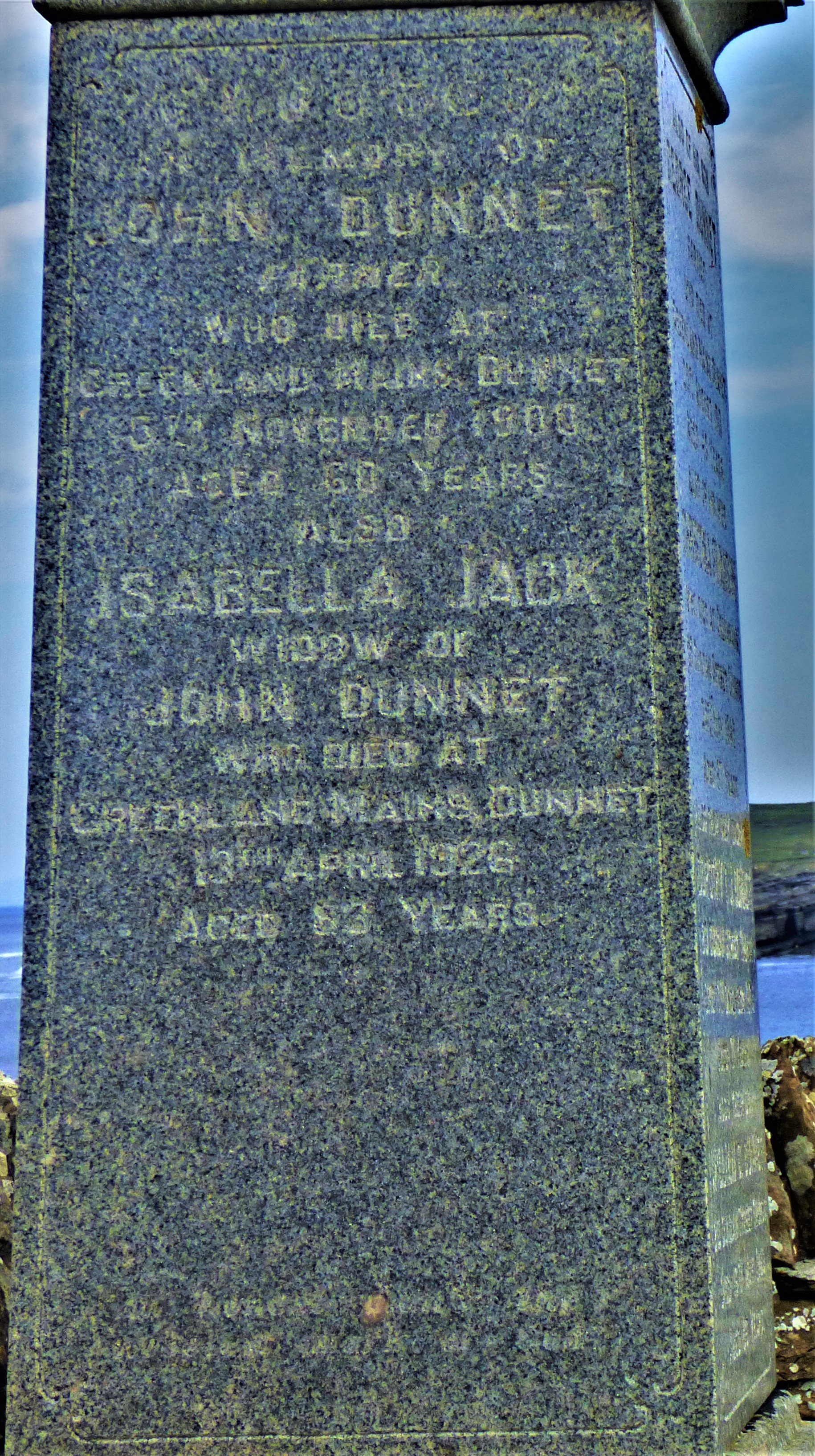
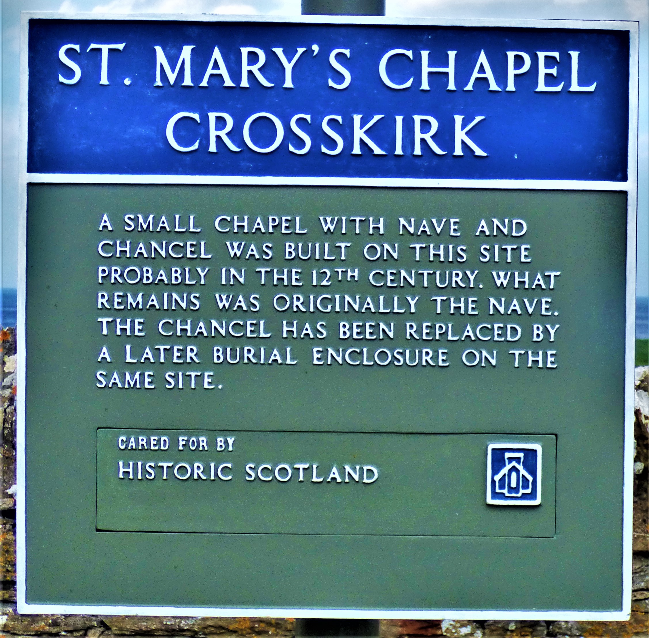
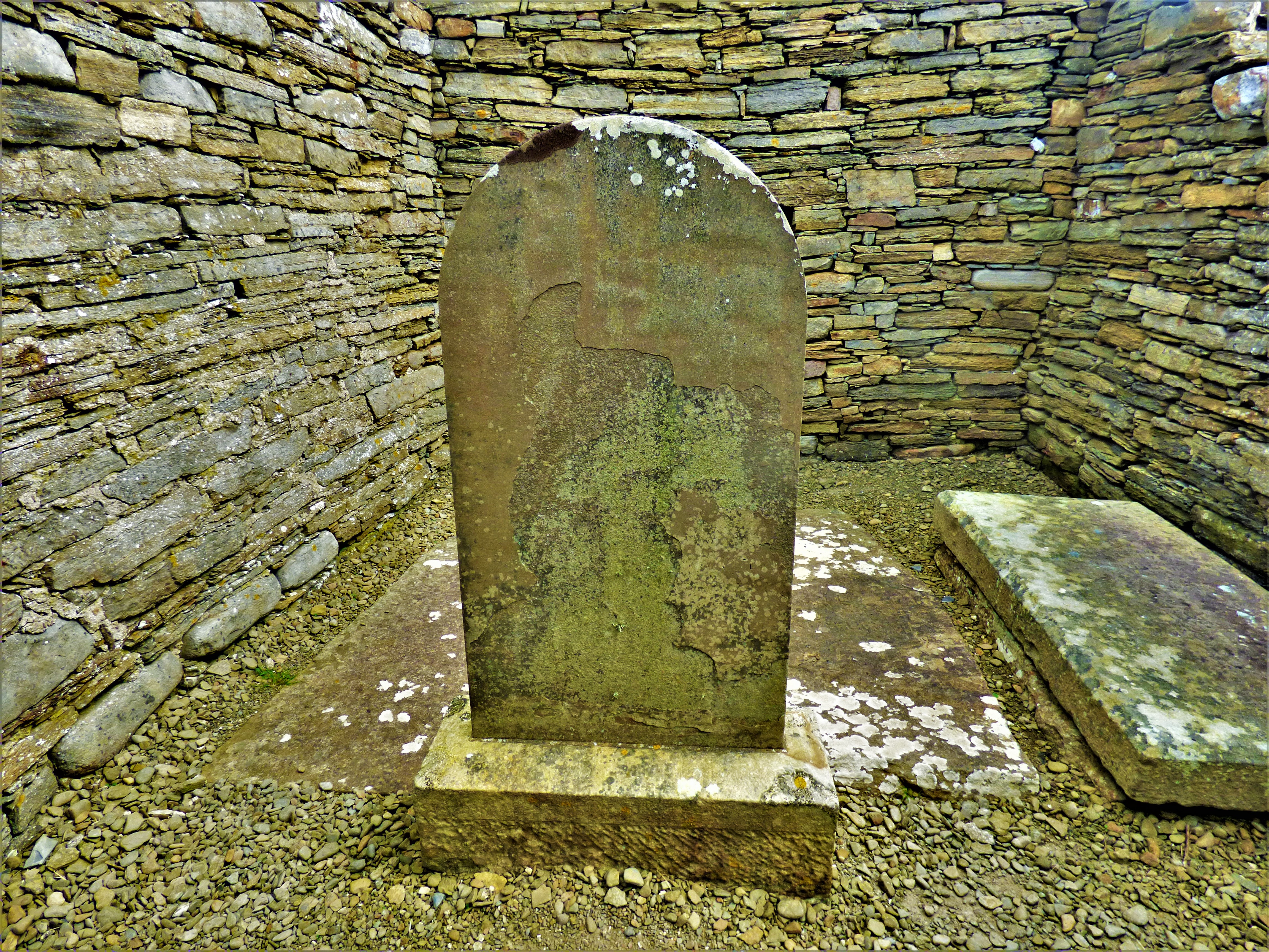
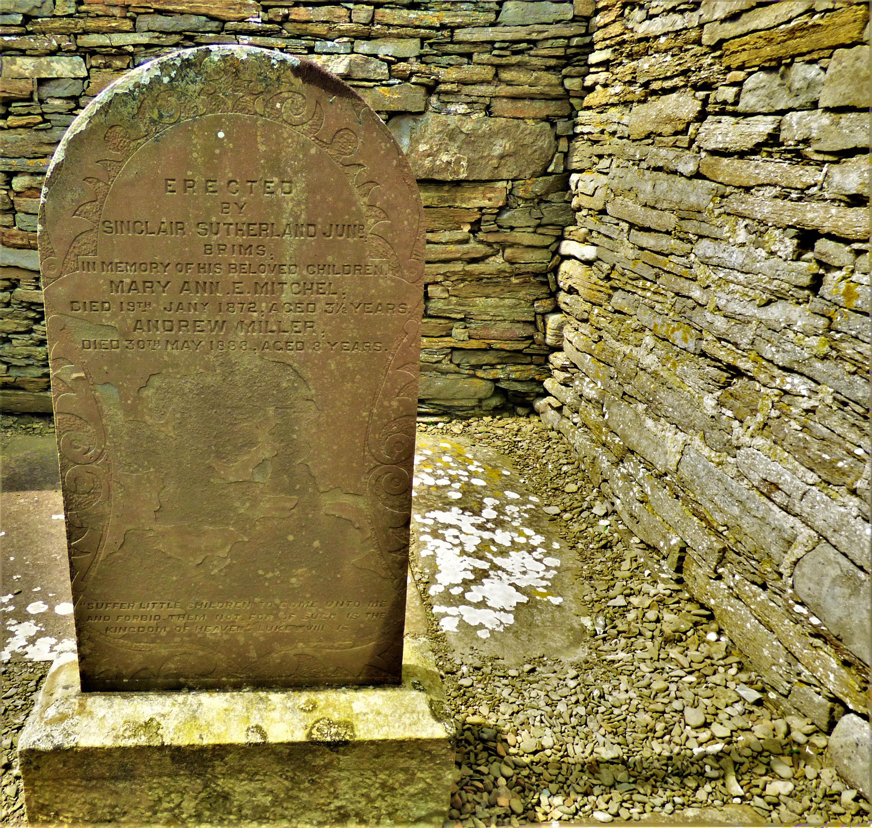
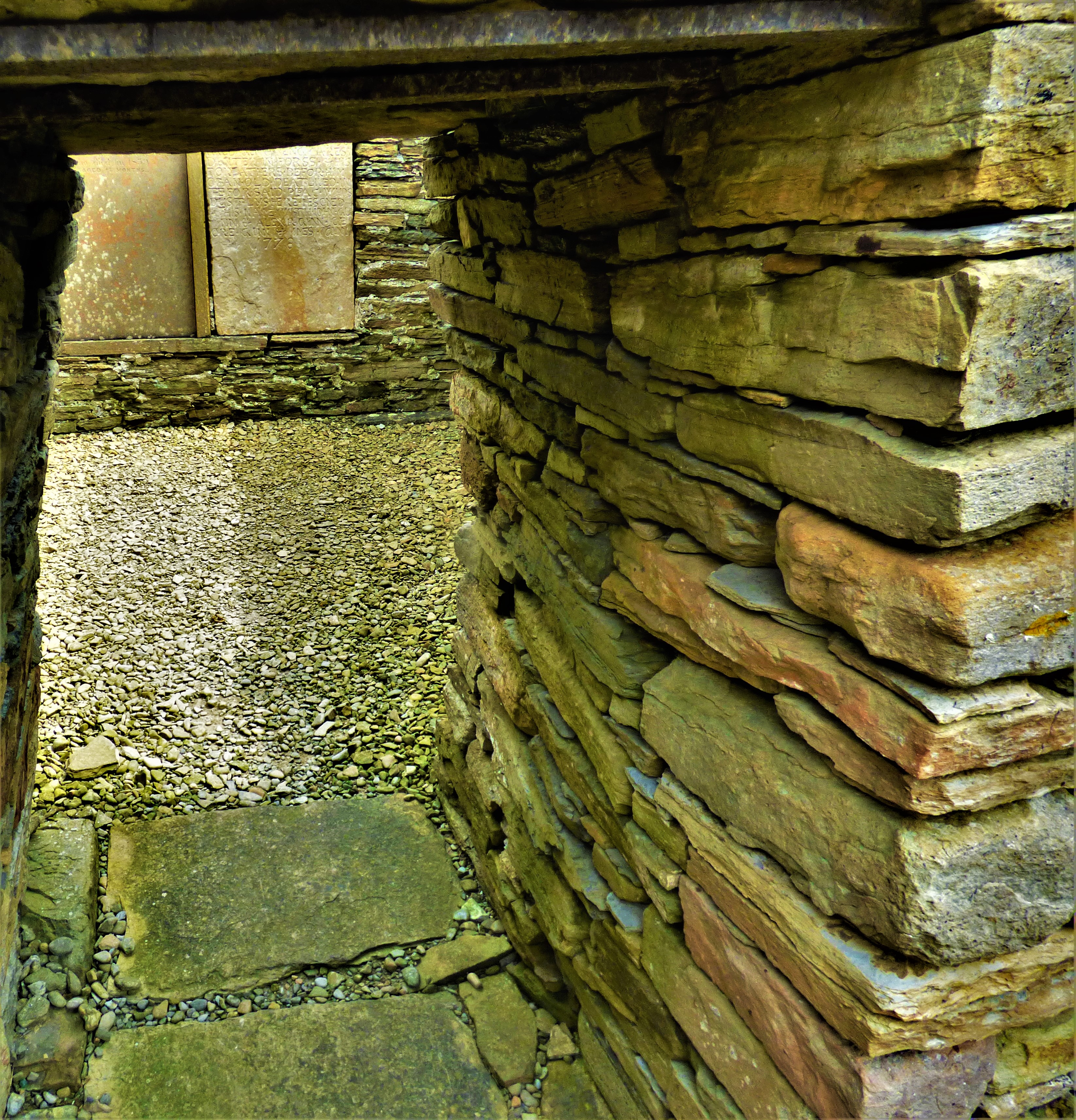
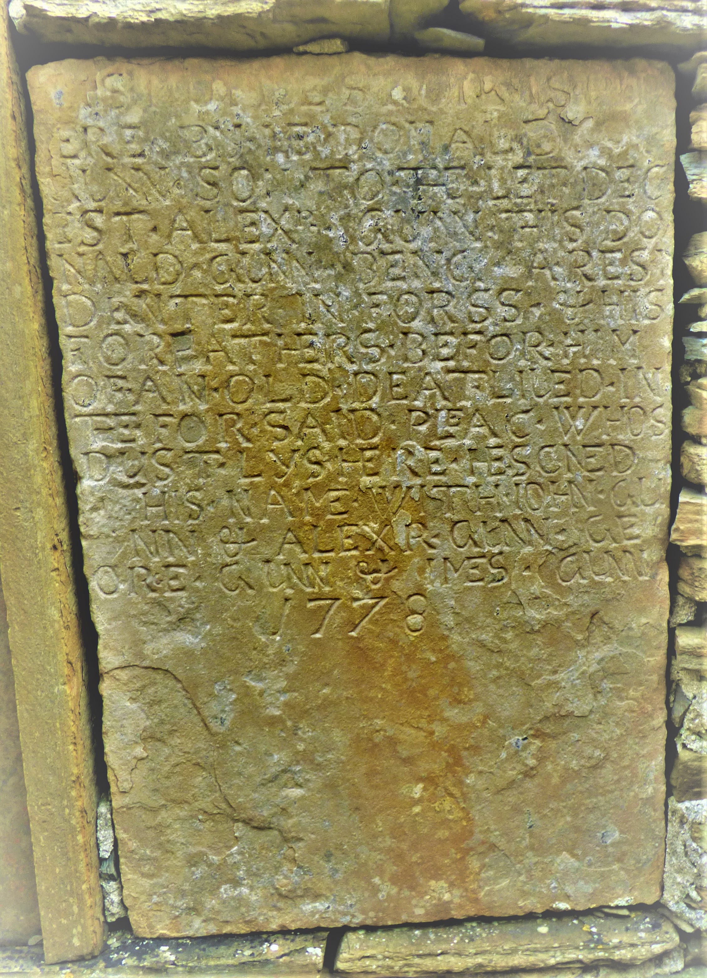
Welcome to the latest post in my account of my holiday in Scotland, from which I got home very late on Saturday (a combination of that, a long day of travel and poor internet connections at the hotel I stayed in on Friday are the reason I have not put a post up for a few days). Today I cover the first activities of the day after my birthday (See here for the main event of that day), when after a brunch we set off to visit Dunnet Head and the remains of St Mary Crosskirk, a 12th century chapel the burial ground of which is still very well preserved before going on a distillery tour in the afternoon.
DUNNET HEAD
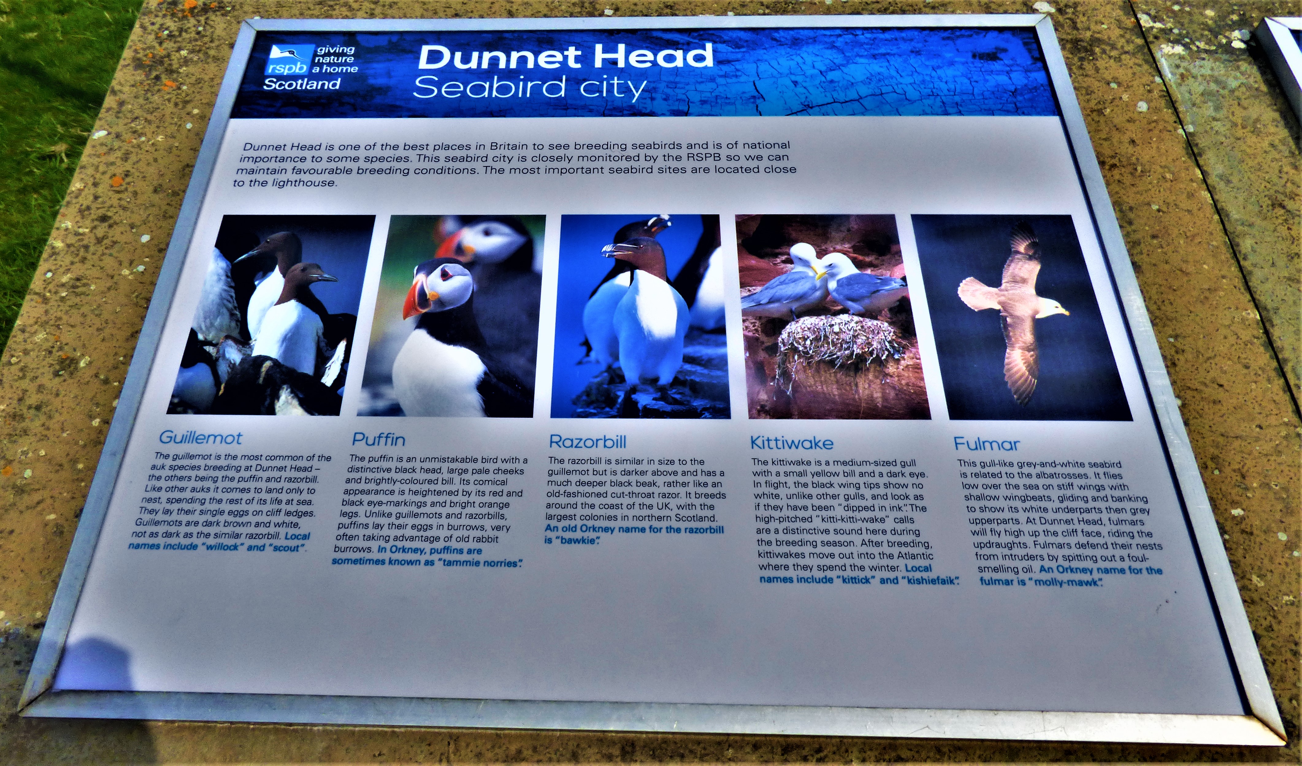
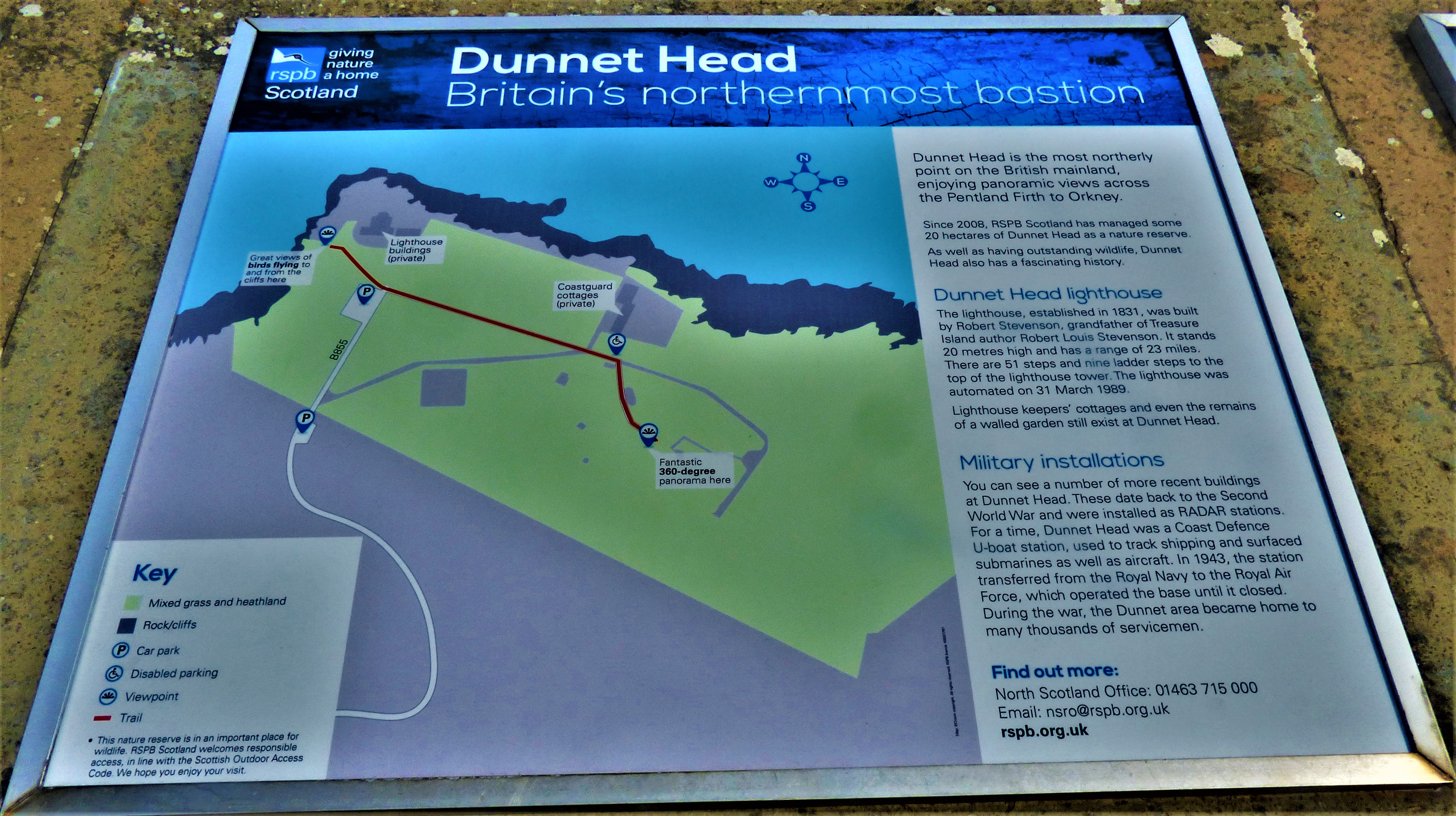
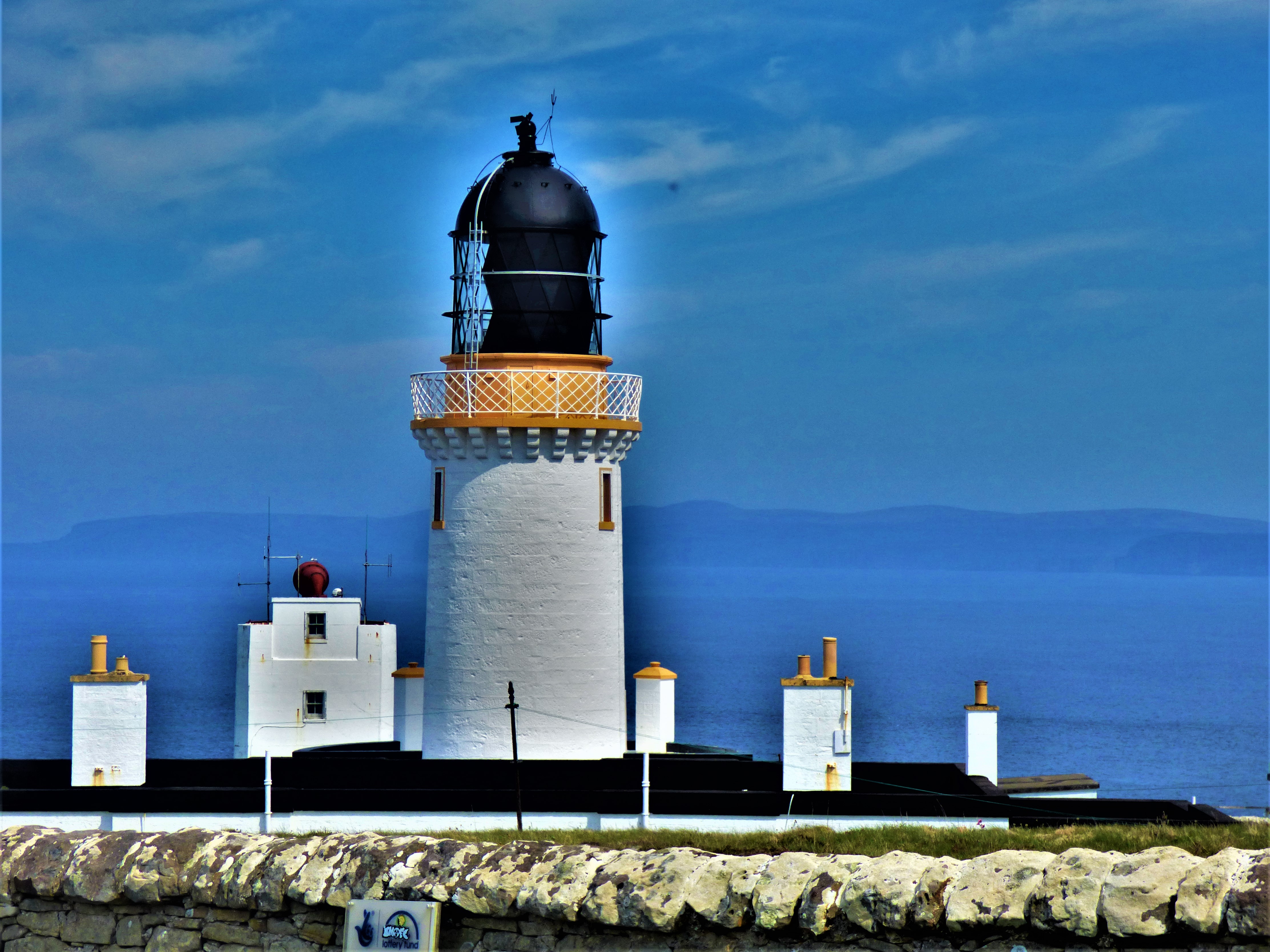
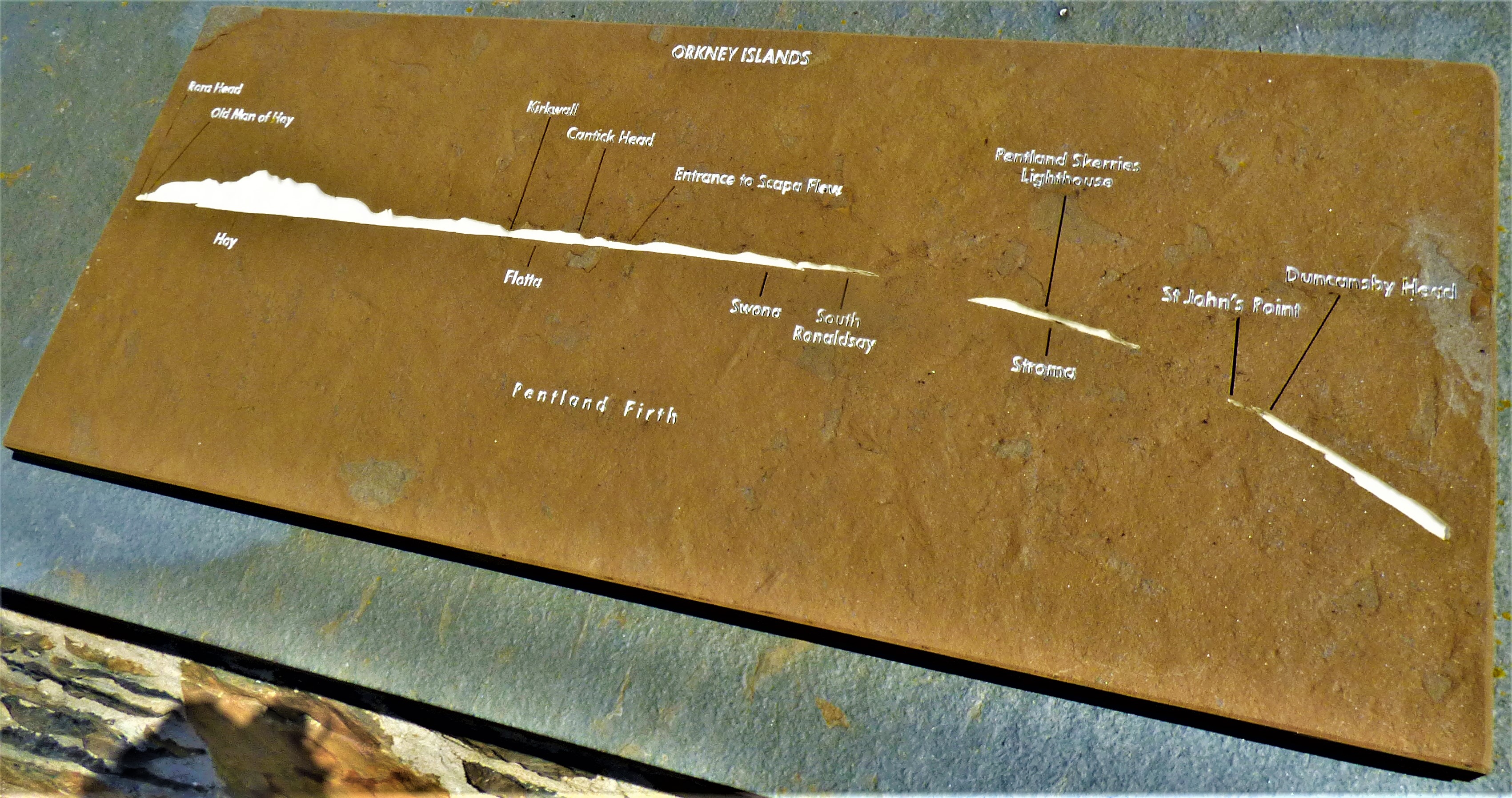
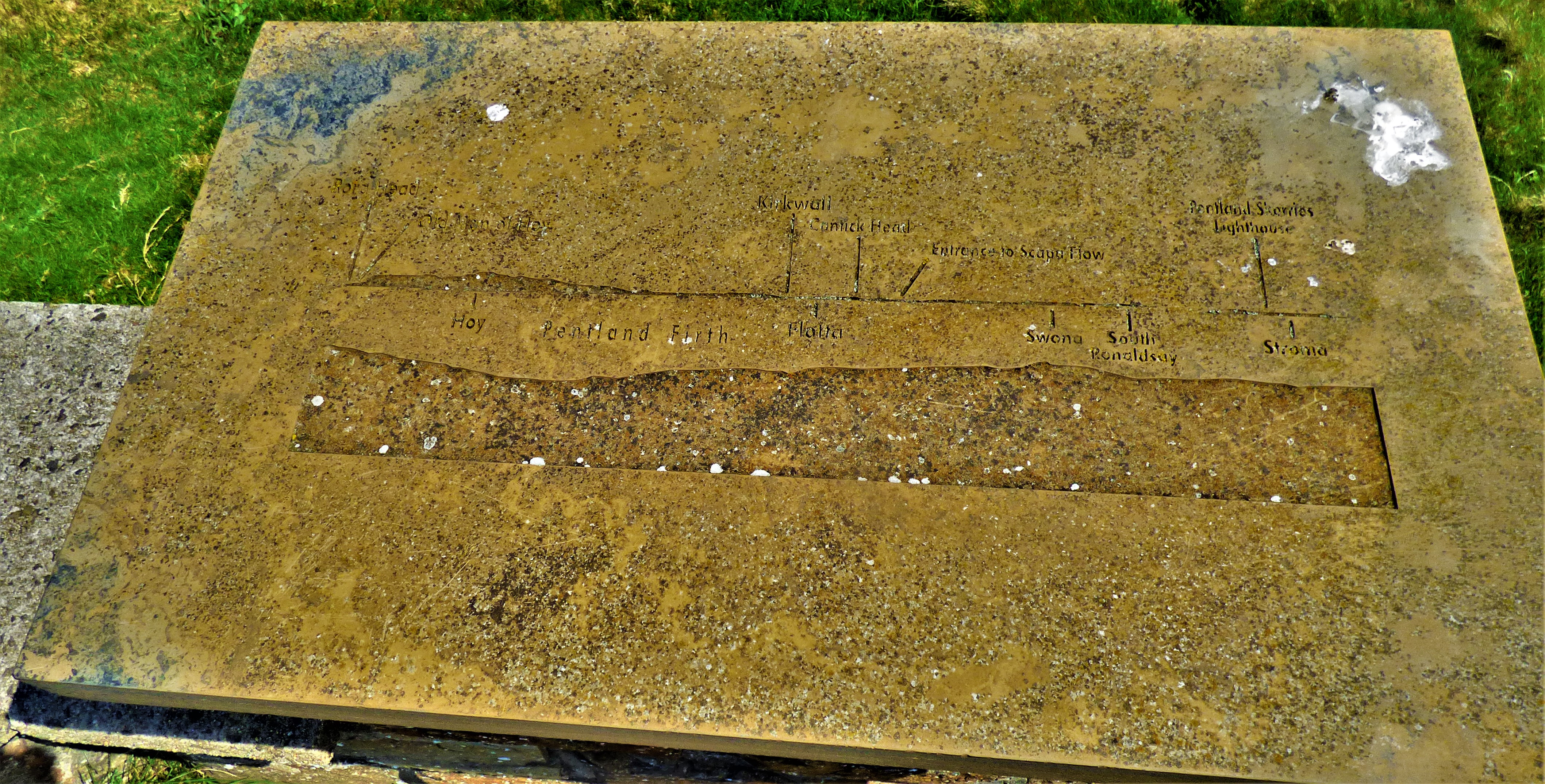
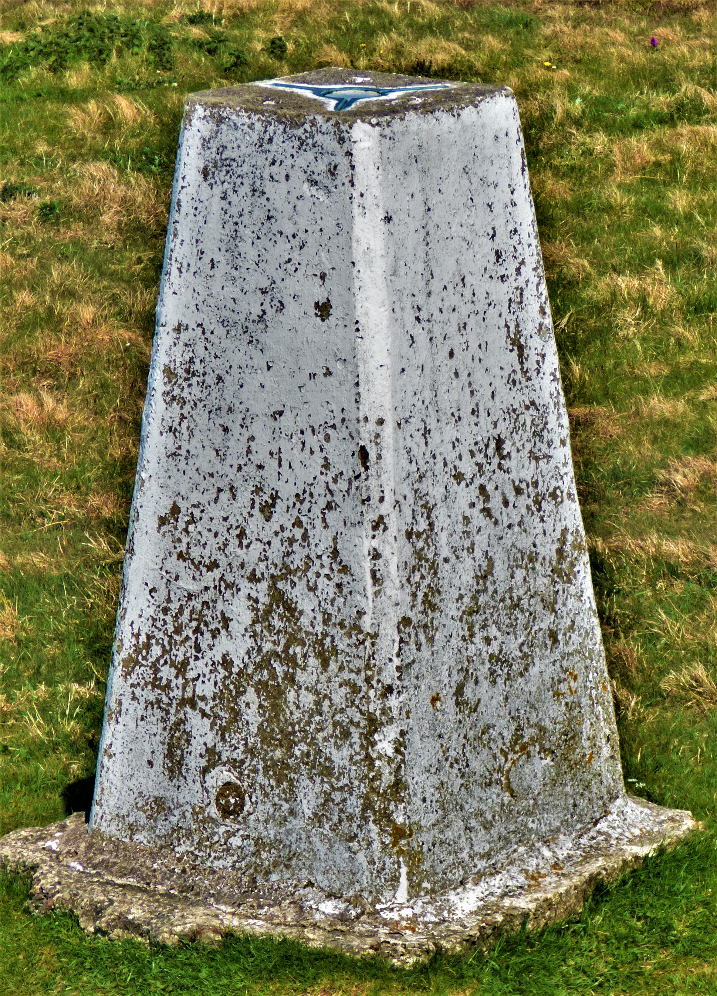
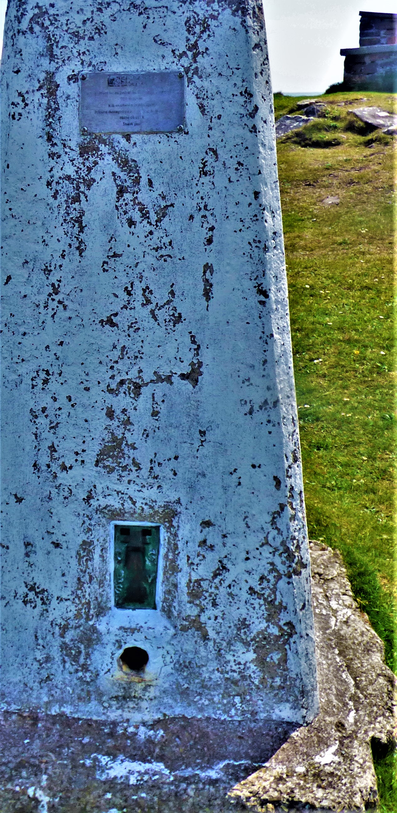
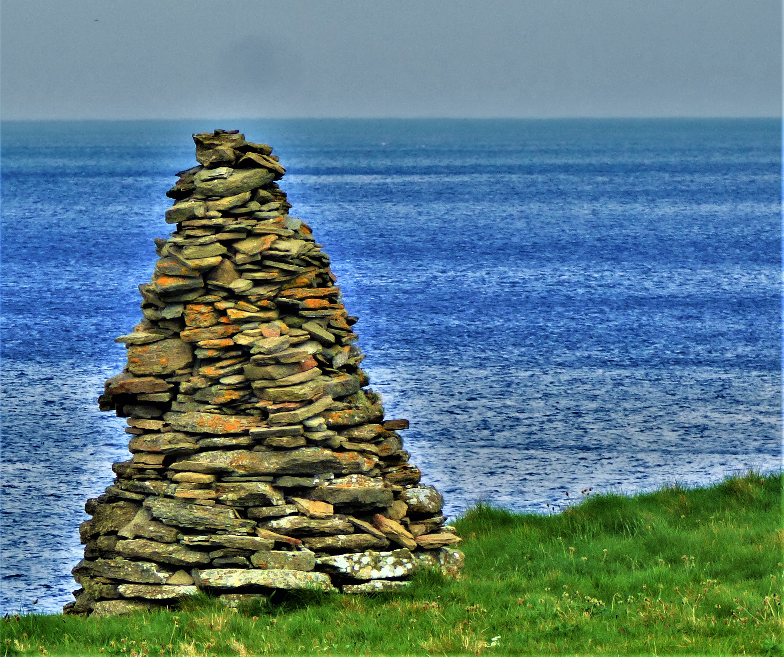
Dunnet Head is the northernmost point of mainland Britain and is noted for its bird life, though I did not get to see much of the latter. There is an ordinance survey summit marker at the highest point of the head, a viewing area from which one can enjoy splendid sea views and a lighthouse designed by Robert Stephenson of the great engineering family which played a huge role in railway history (the novelist Robert Louis Stephenson was also of this family, being Robert of lighthouse fame’s grandson).
St Mary’s Crosskirk
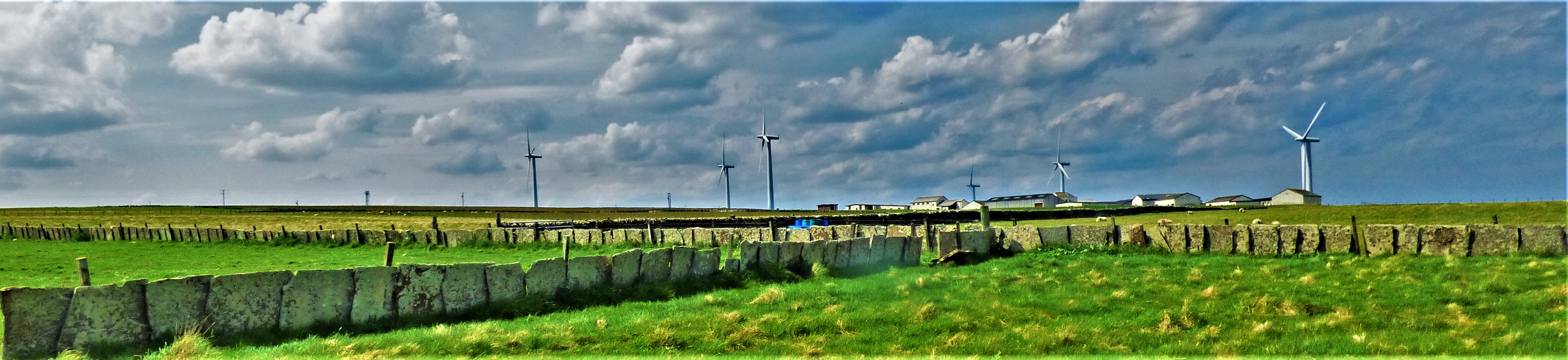
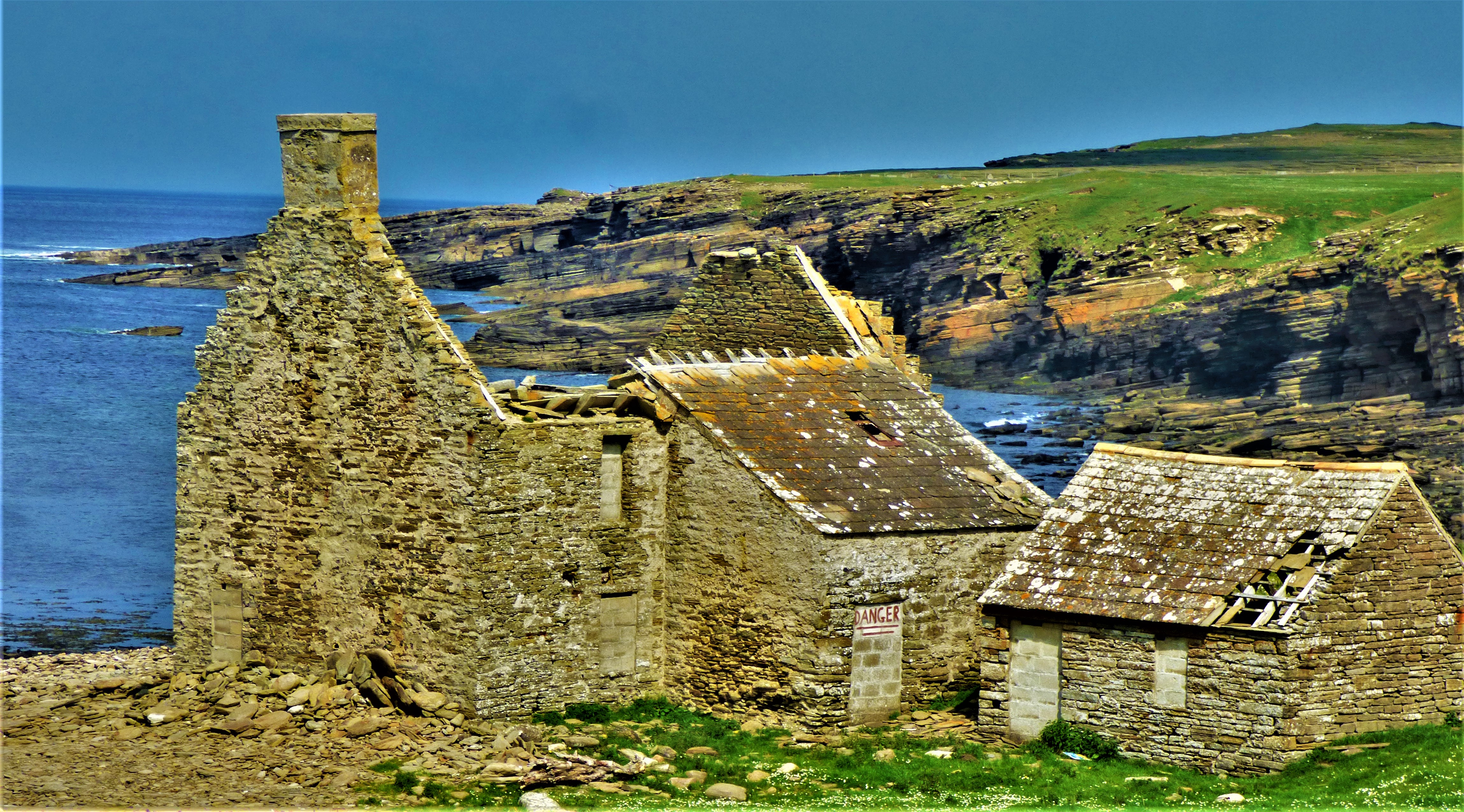
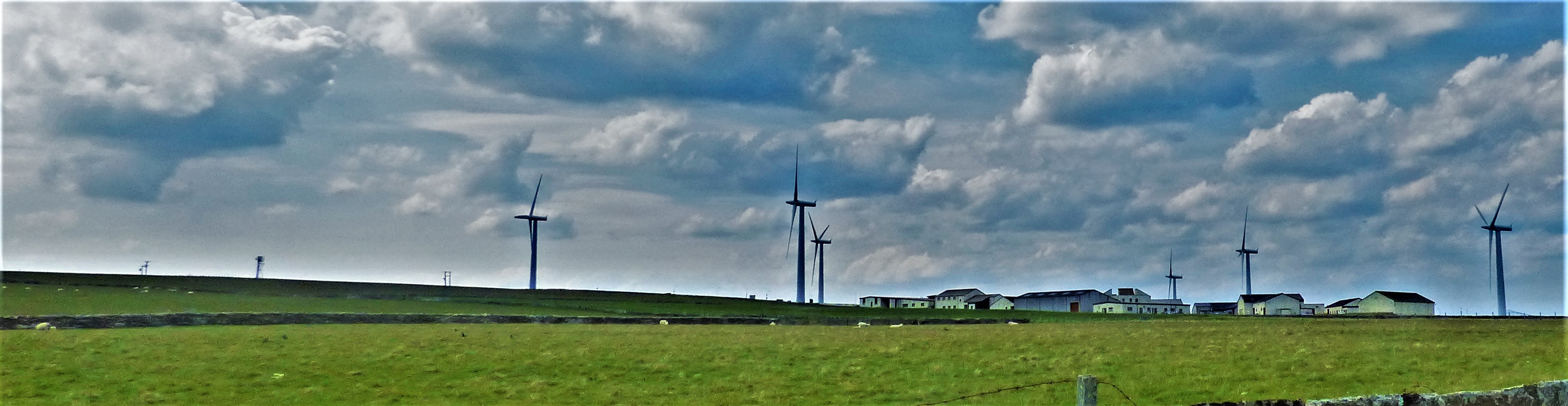
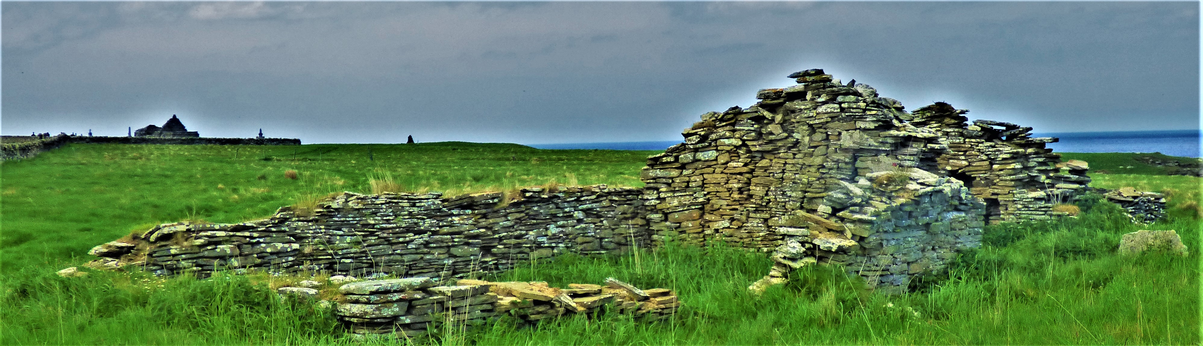
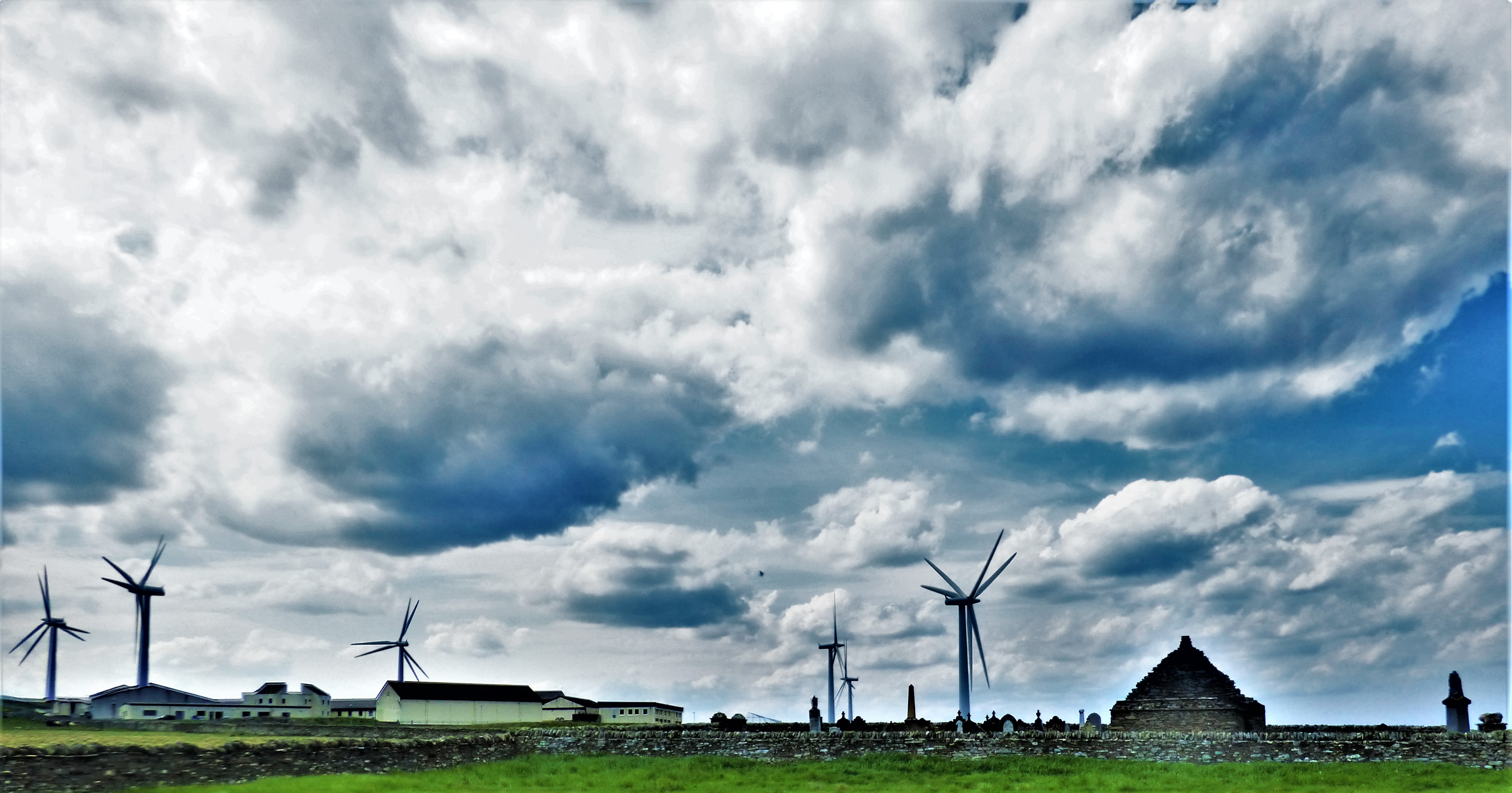
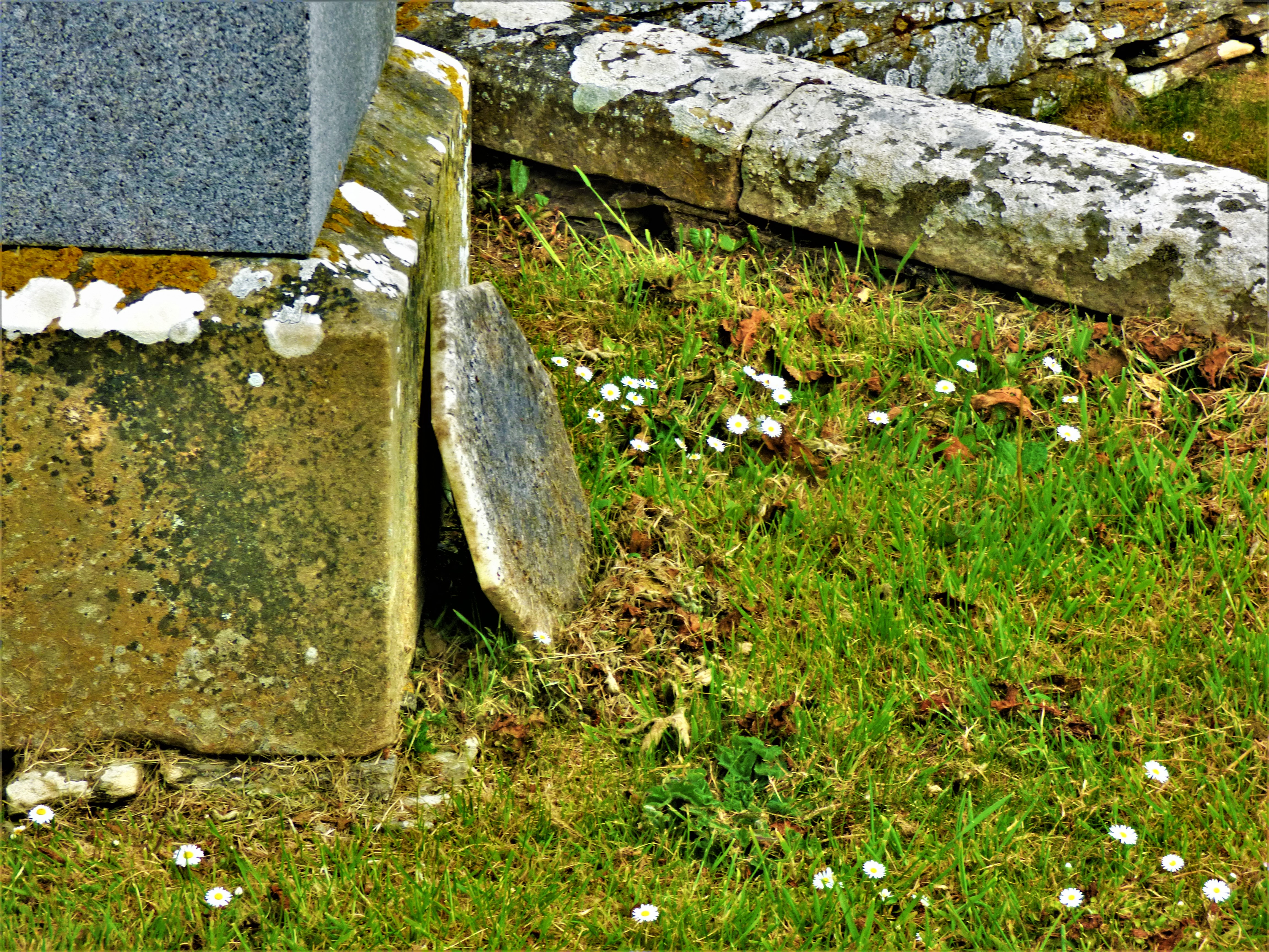
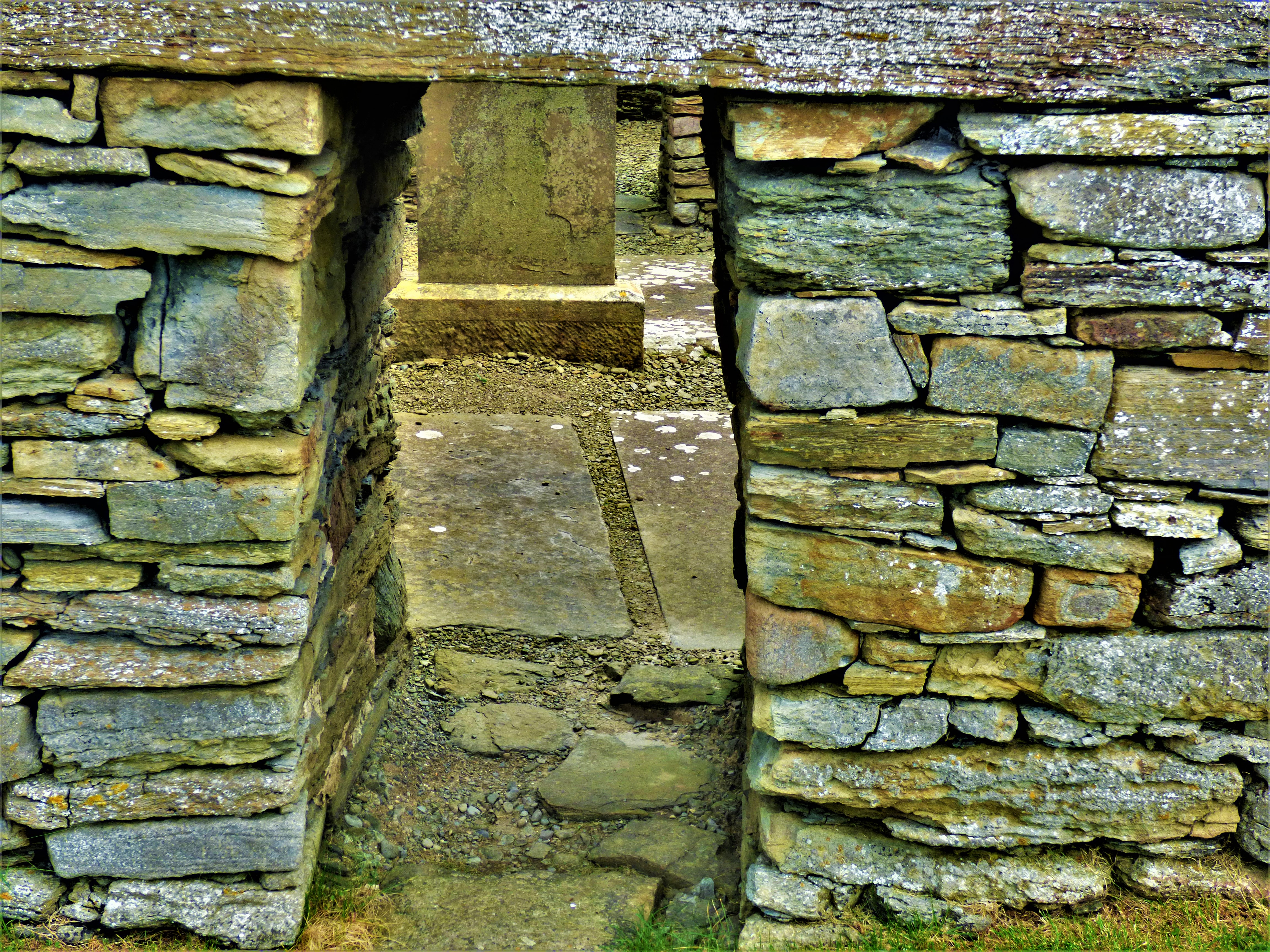
The walk to access this ruin is in parts steep, including a staircase that looks more unpleasant to walk than it actually is. It also takes one past a wind farm, while there are some splendid views along the way. The chapel itself is missing its entire roof and part of its walls.
PHOTOGRAPHS
Here are some pictures from both attractions…
A road map of the corner of Scotland where this holiday took place.
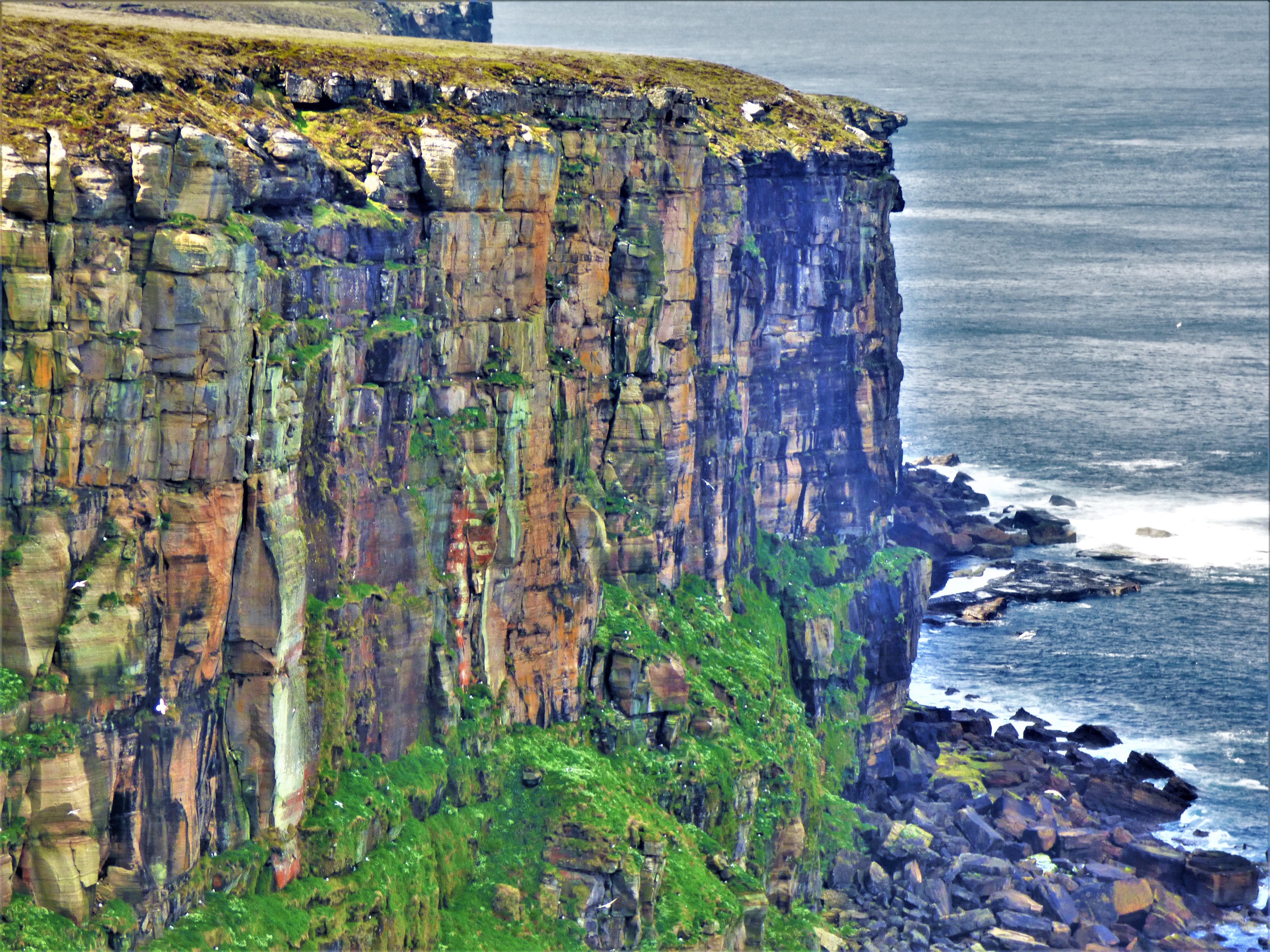
The cliffs of Dunnet Head
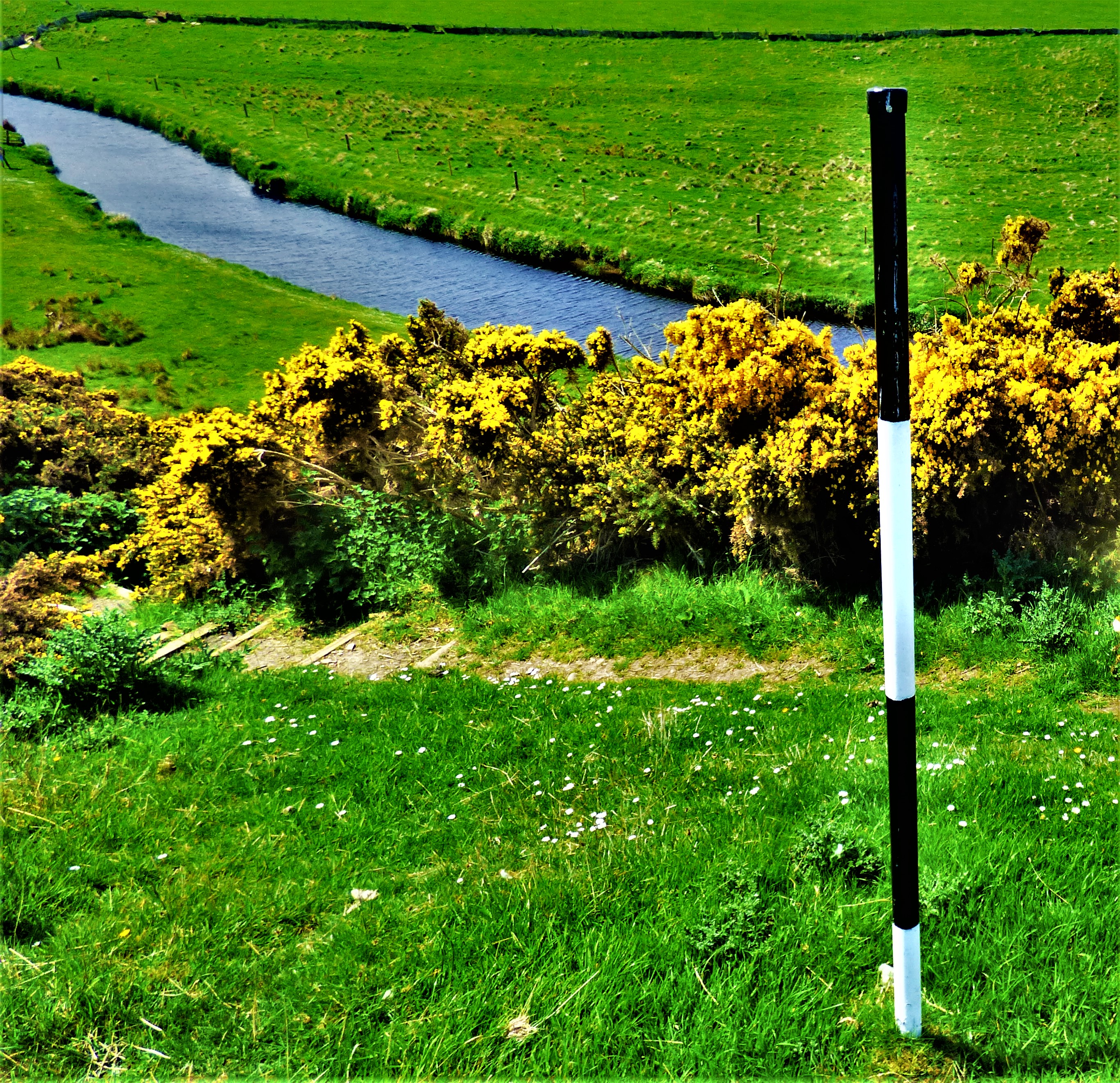
The bridge across the river to reach the monument.
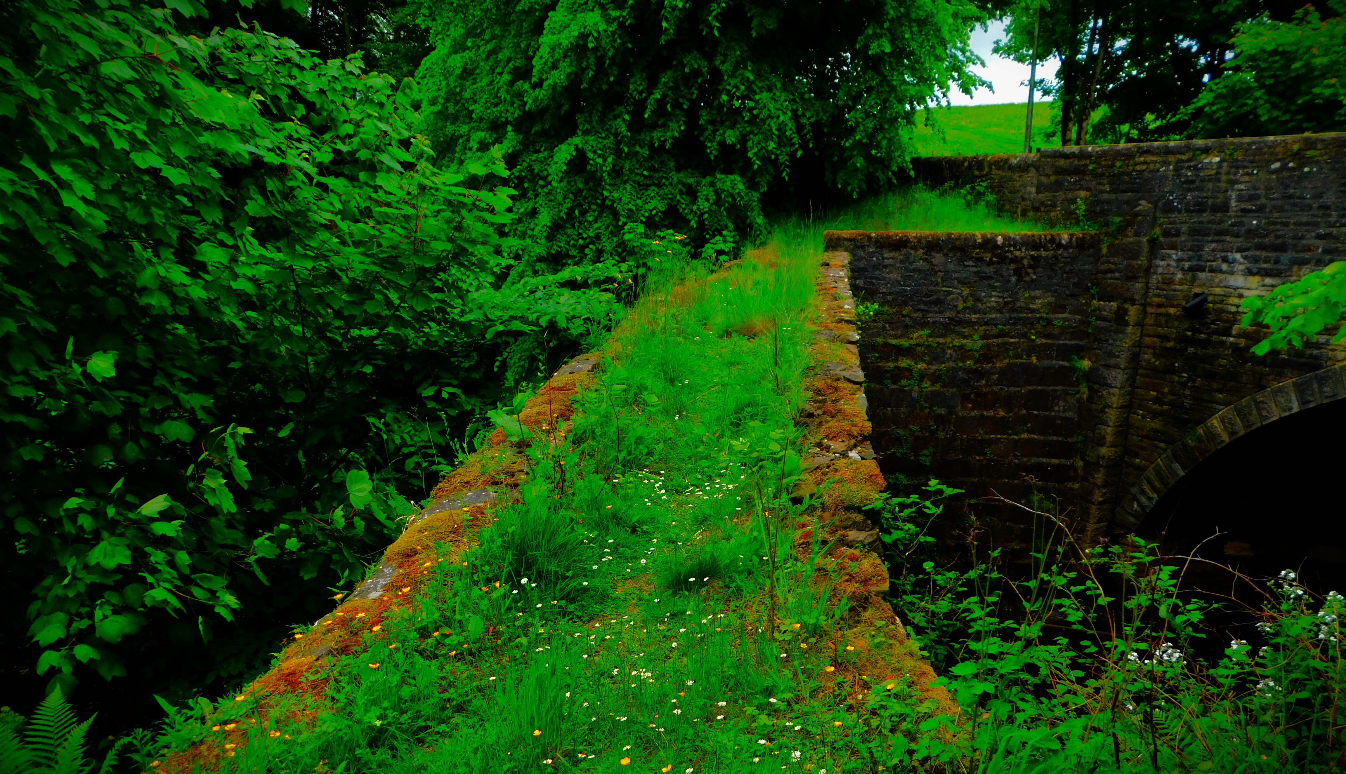
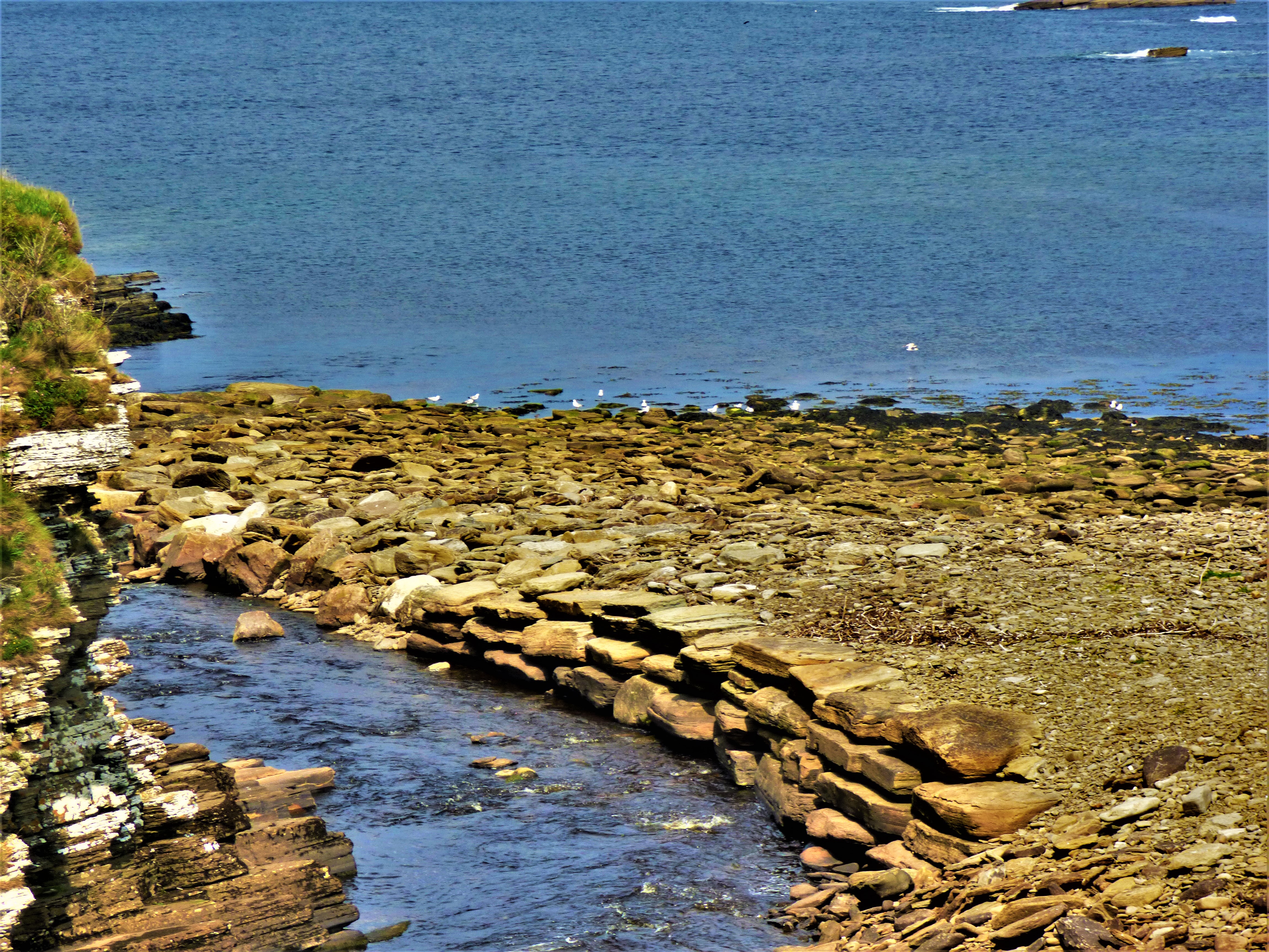
The bridge and in the foreground the older stone crossing.
An account of a wildlife cruise on the afternoon of my birthday.
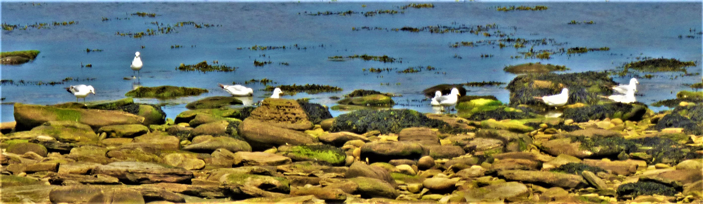
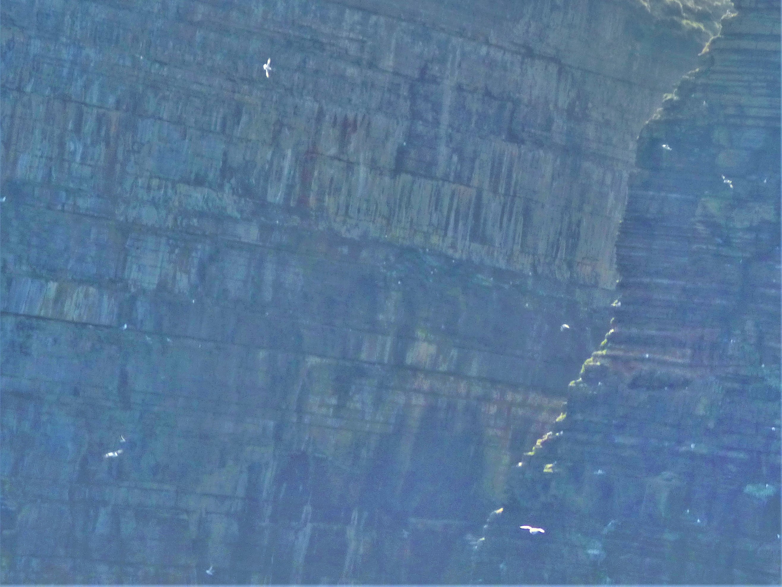
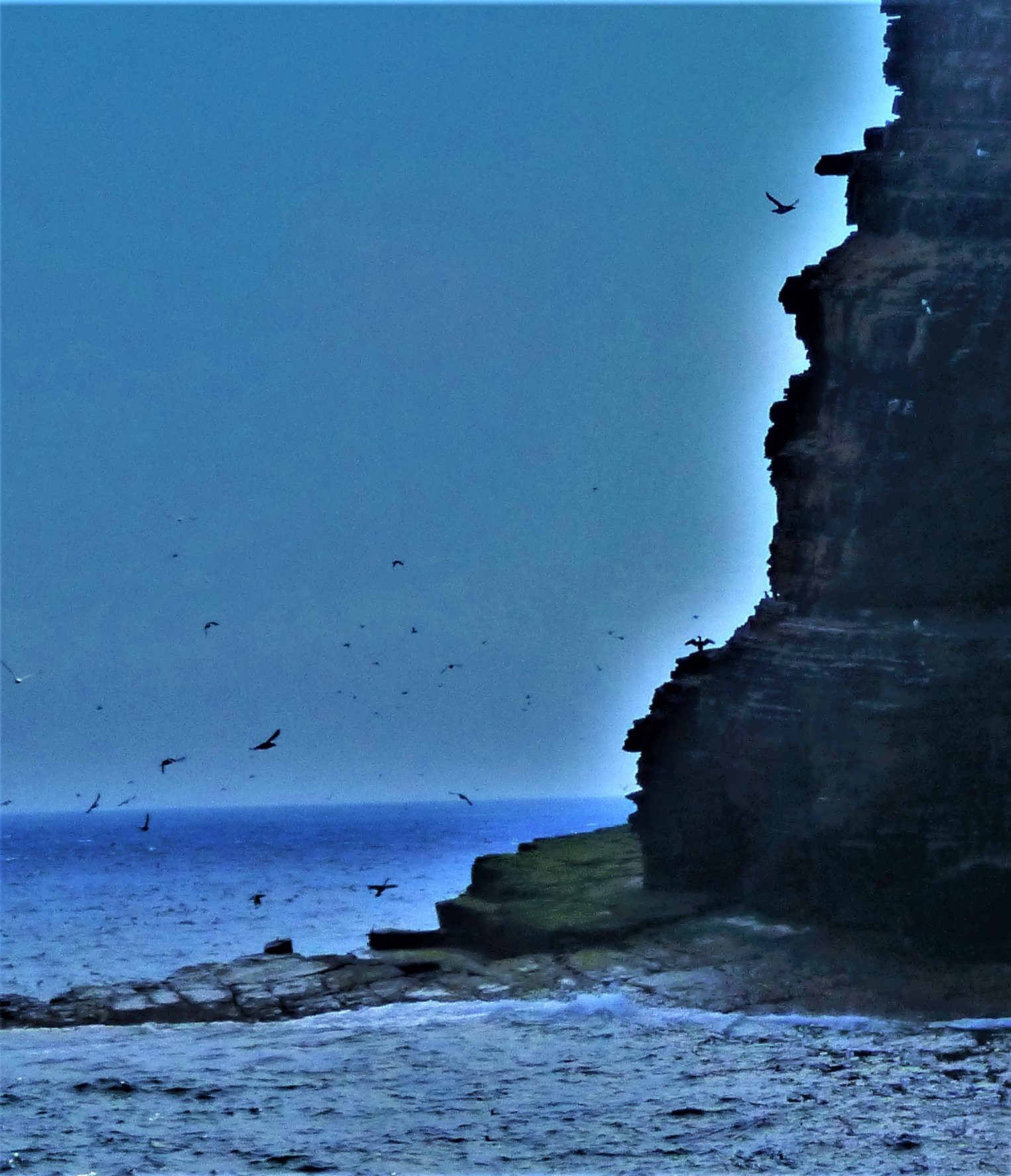
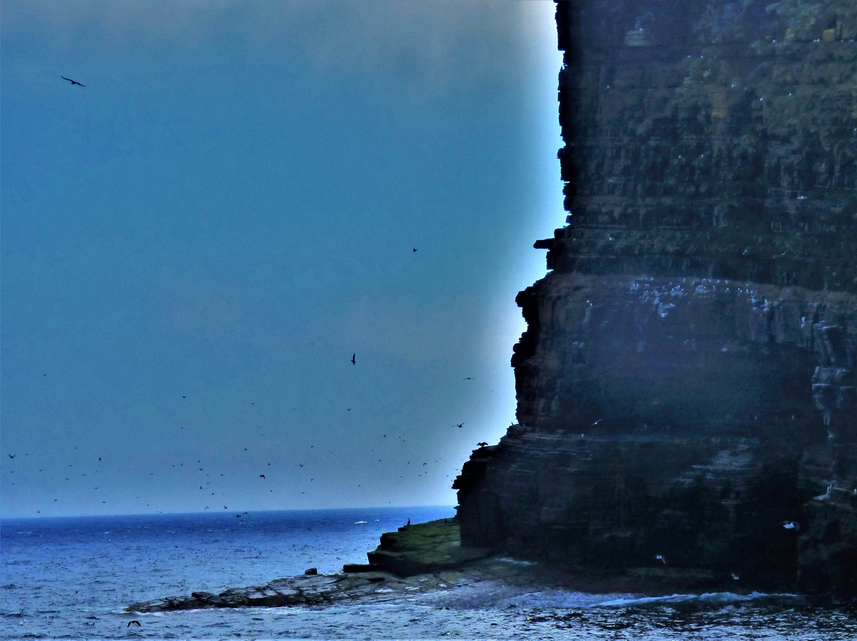
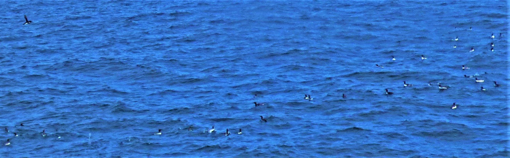
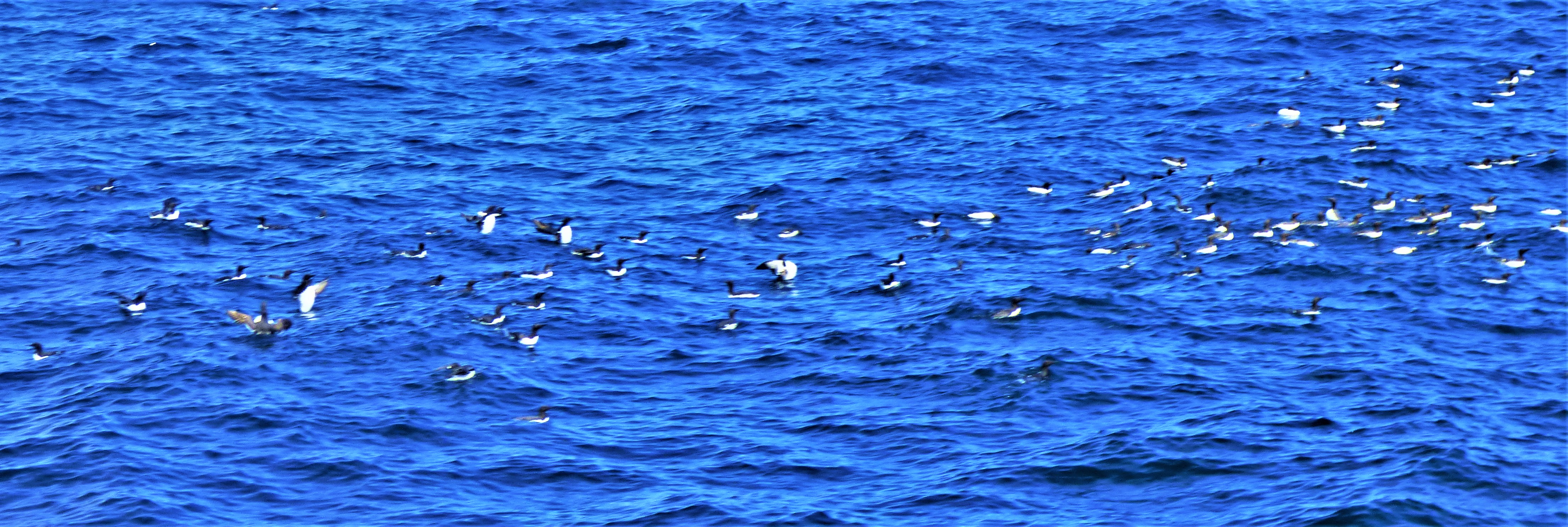
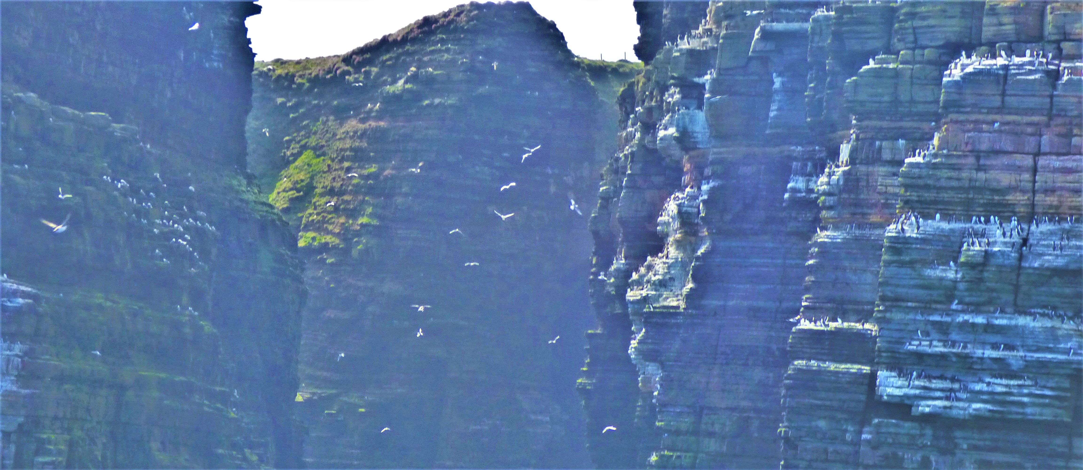
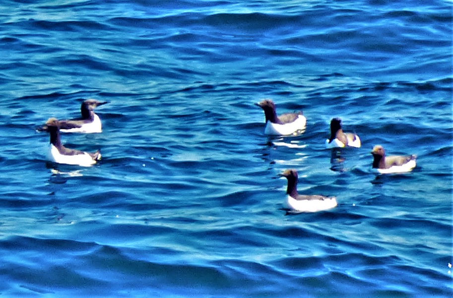
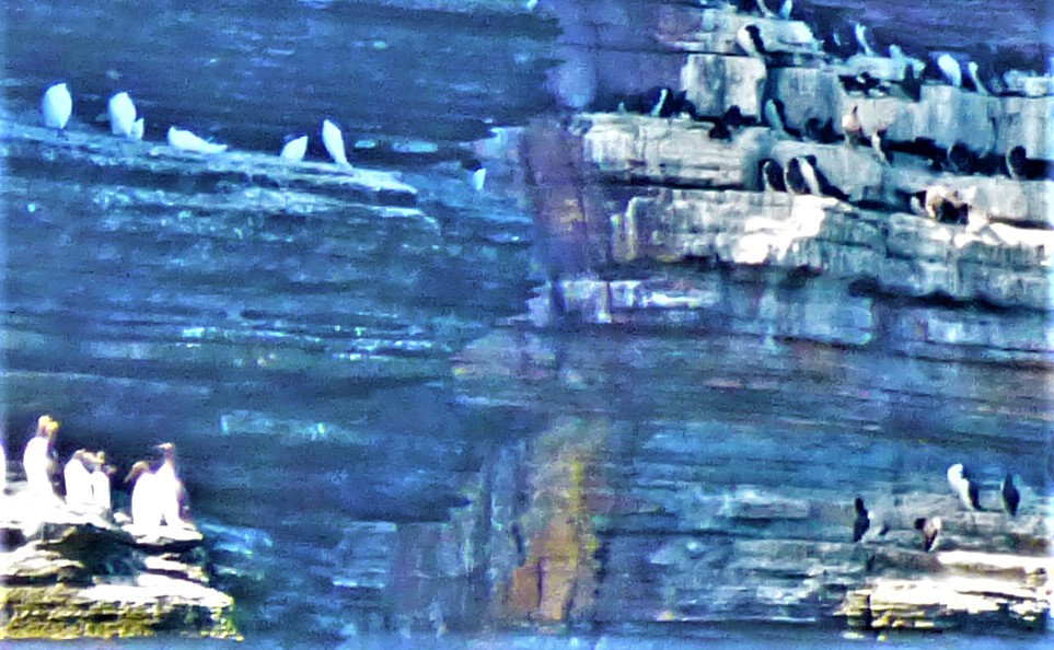
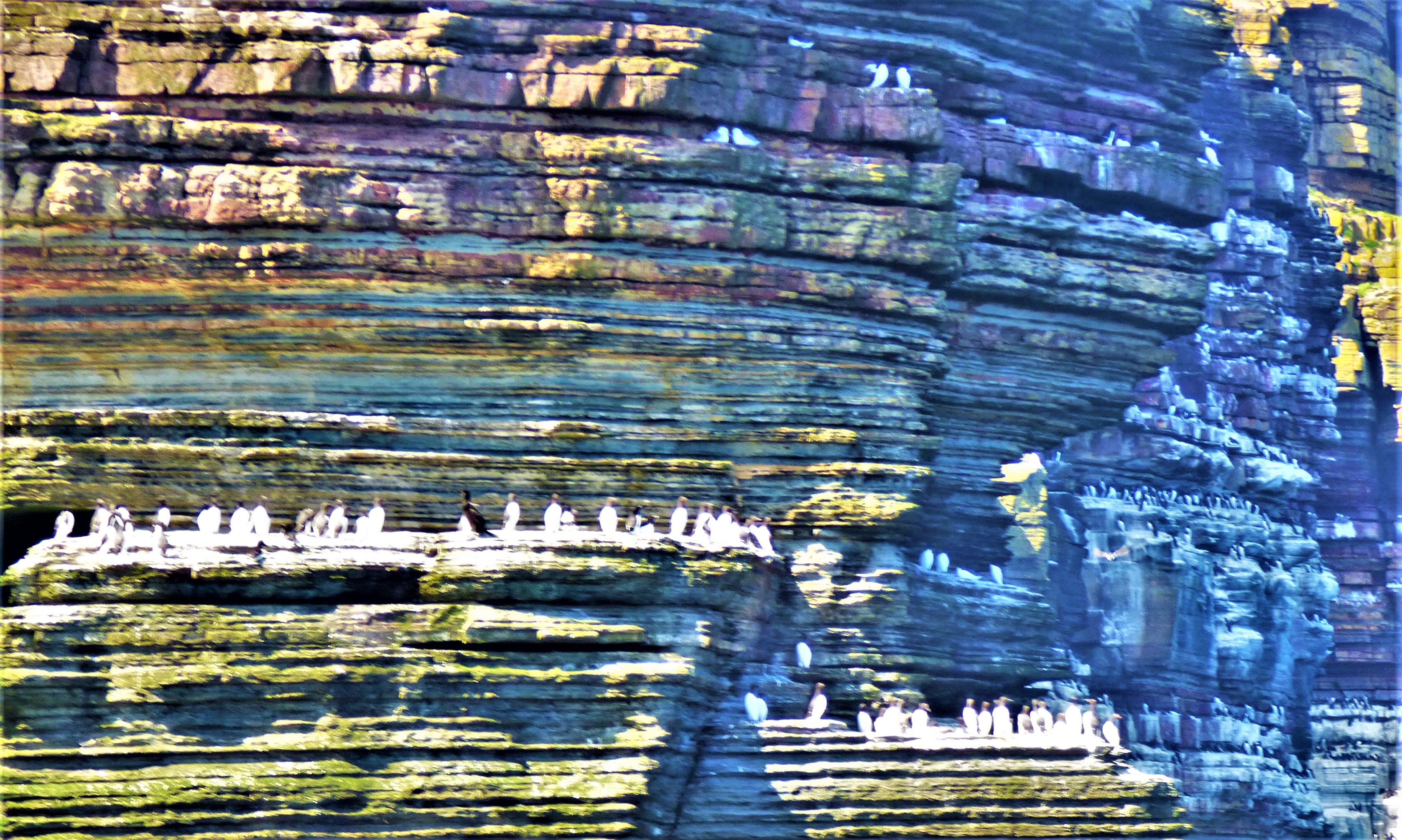
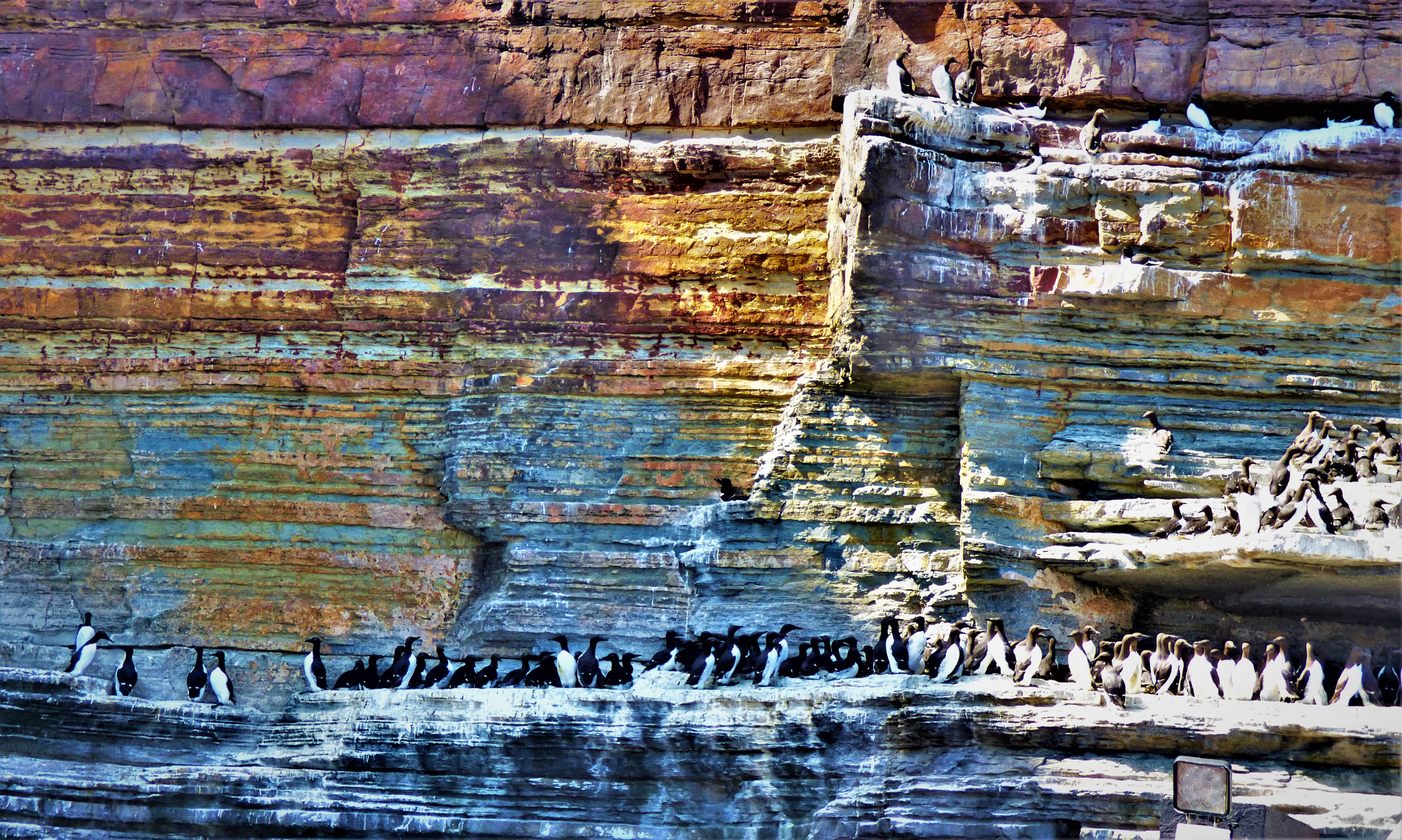
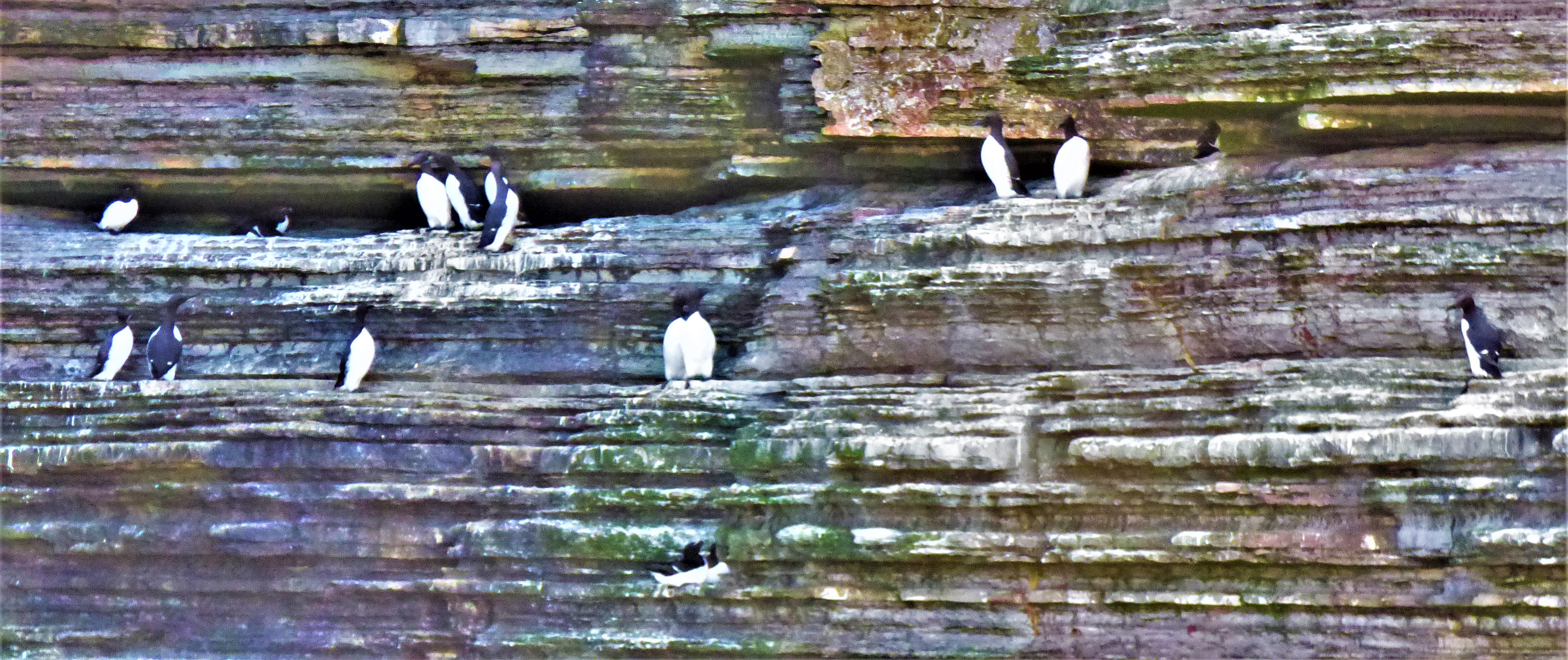
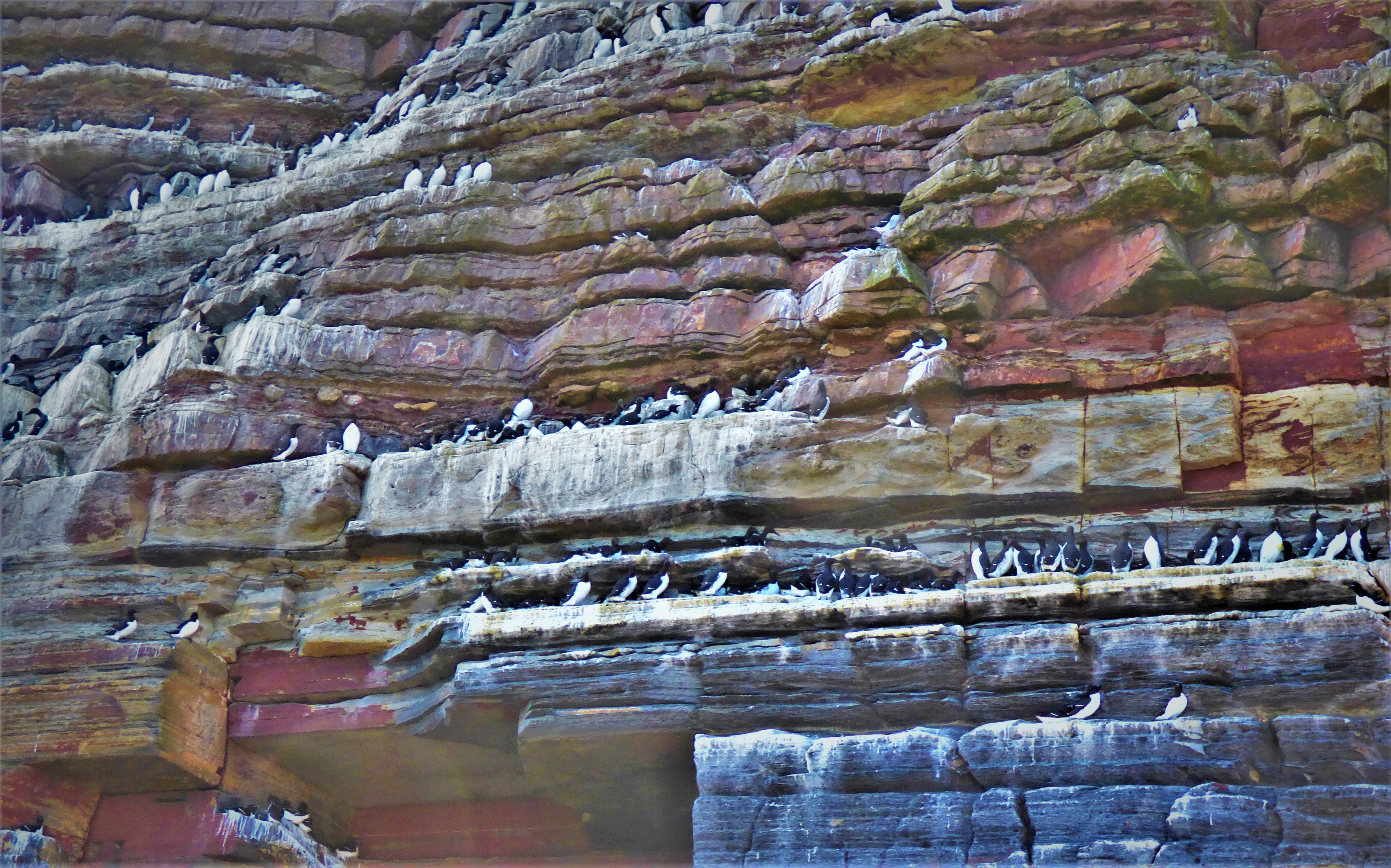
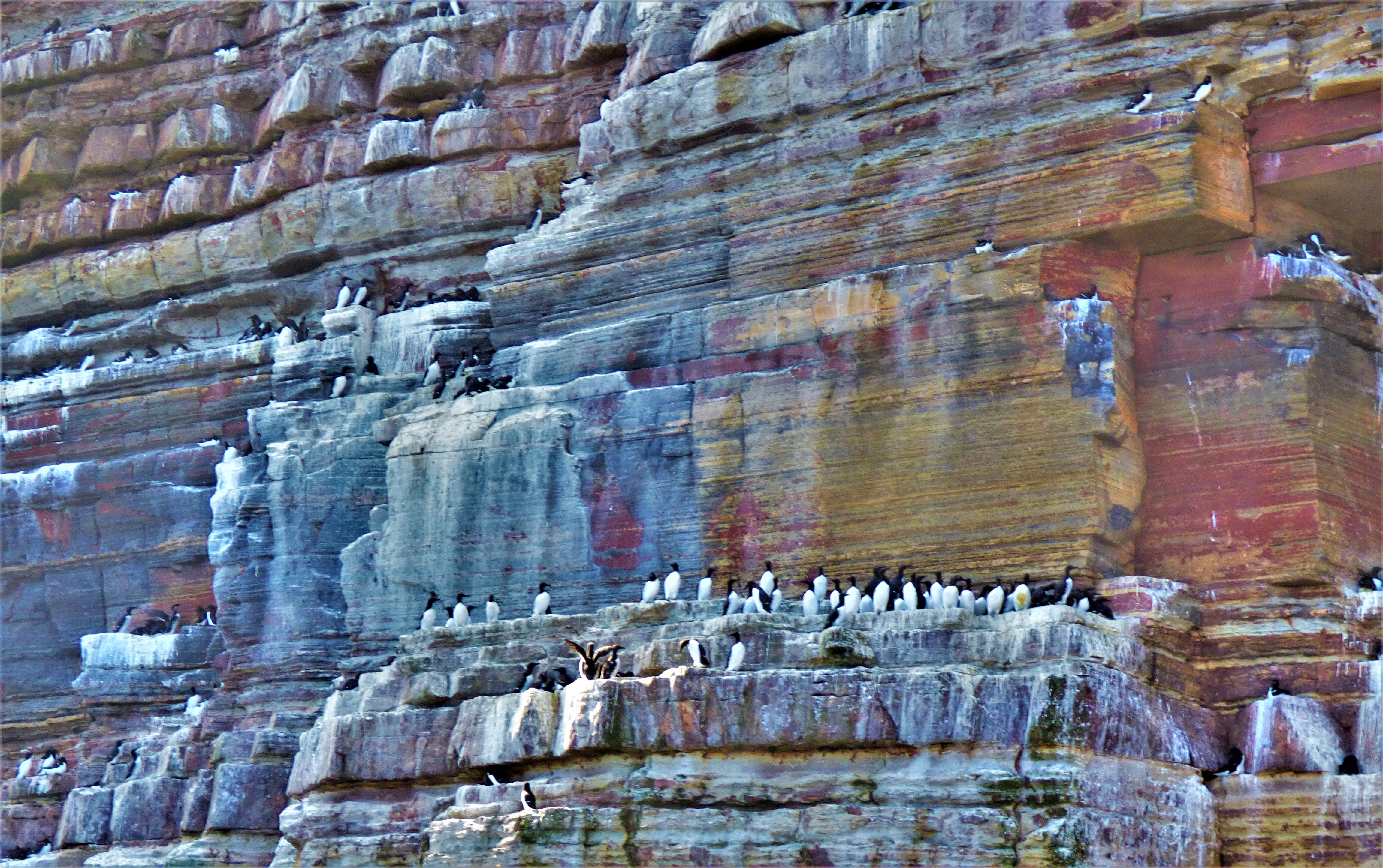
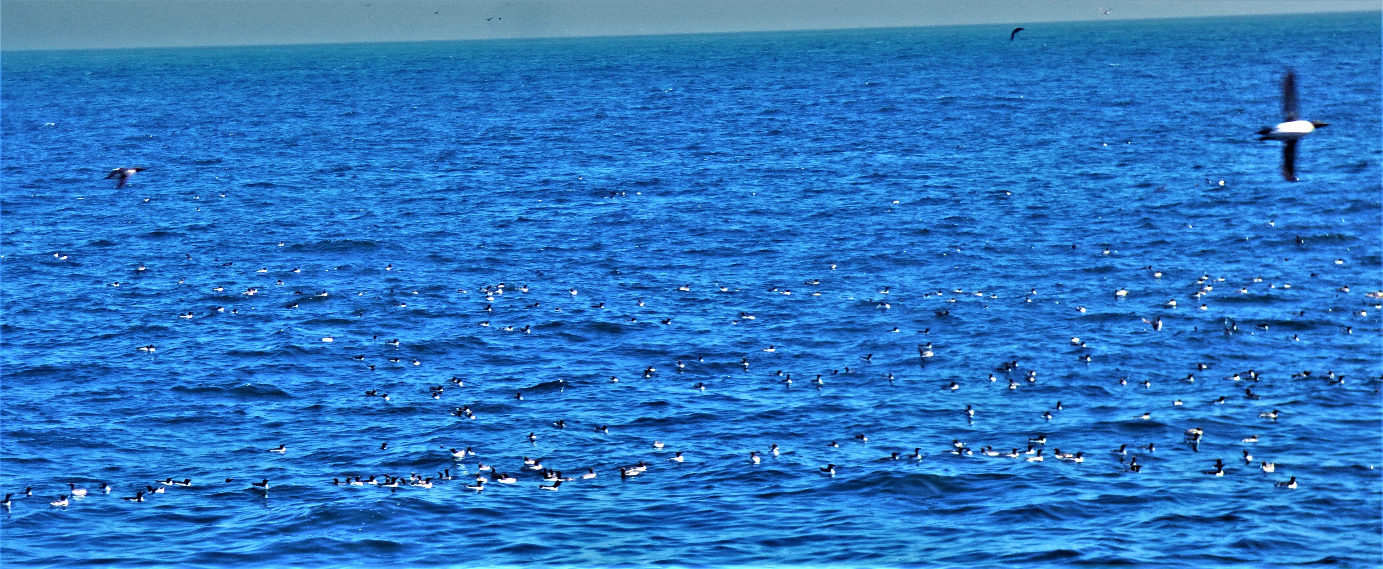
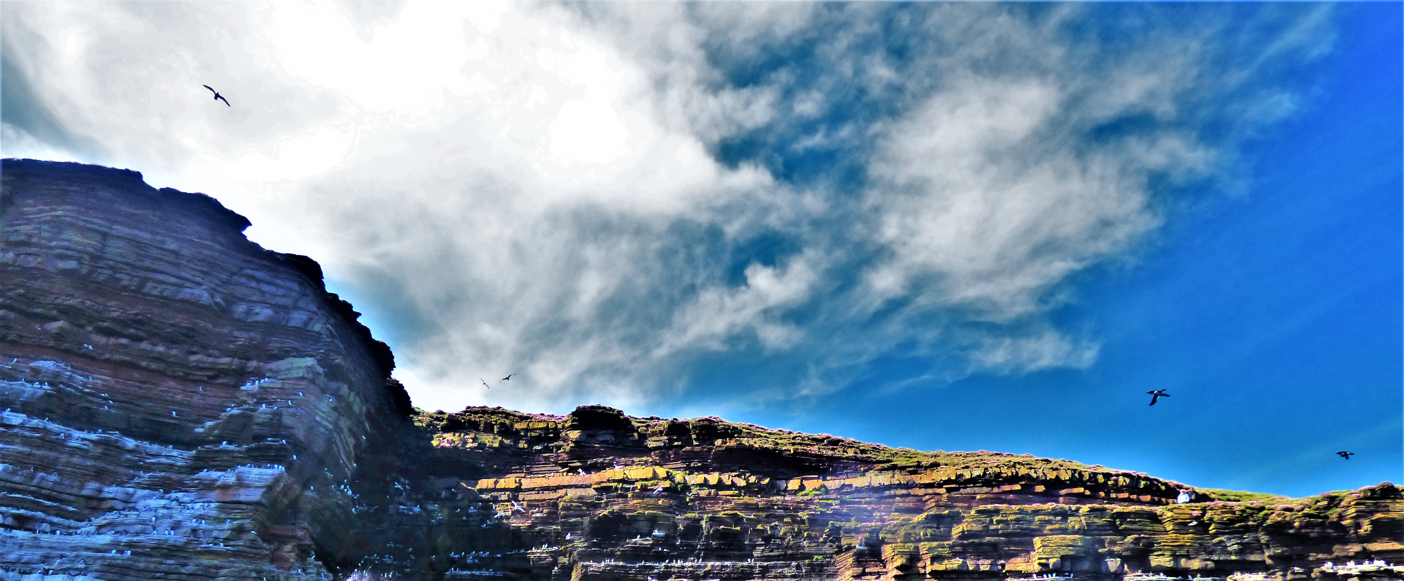
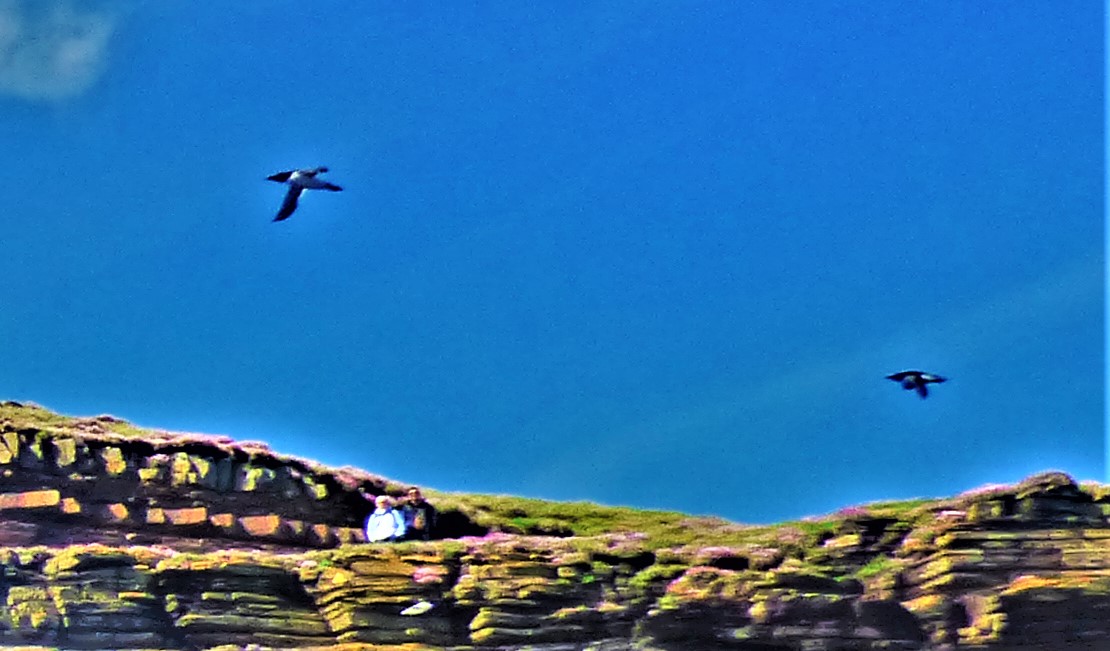
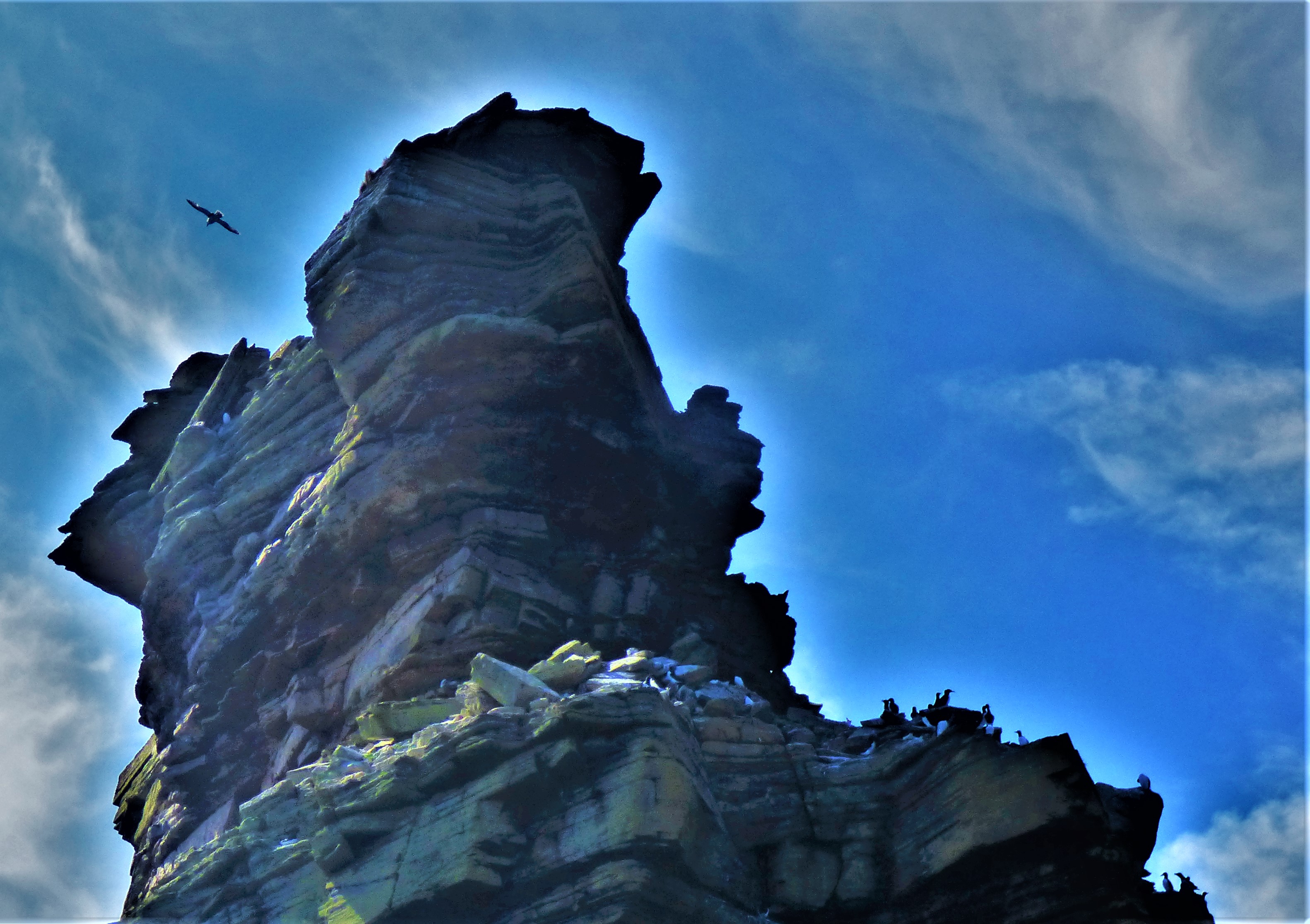
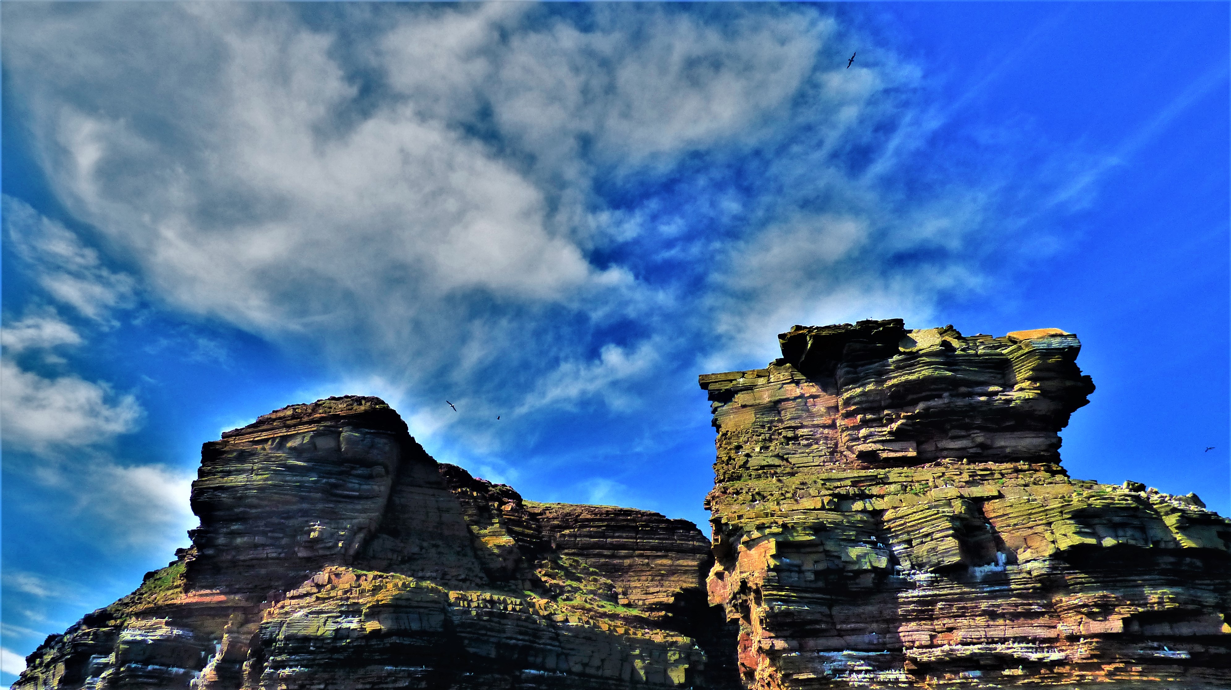
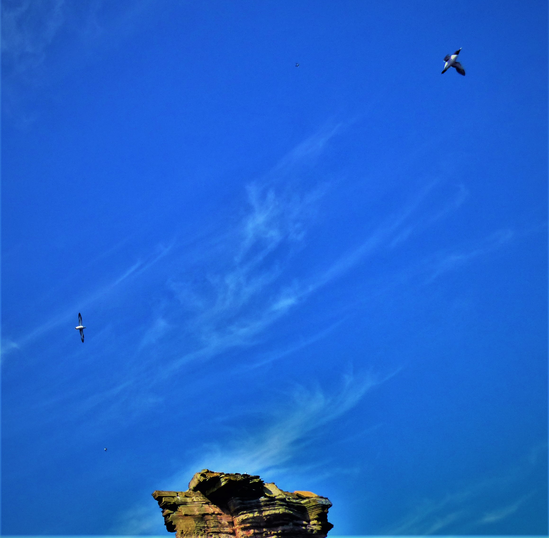
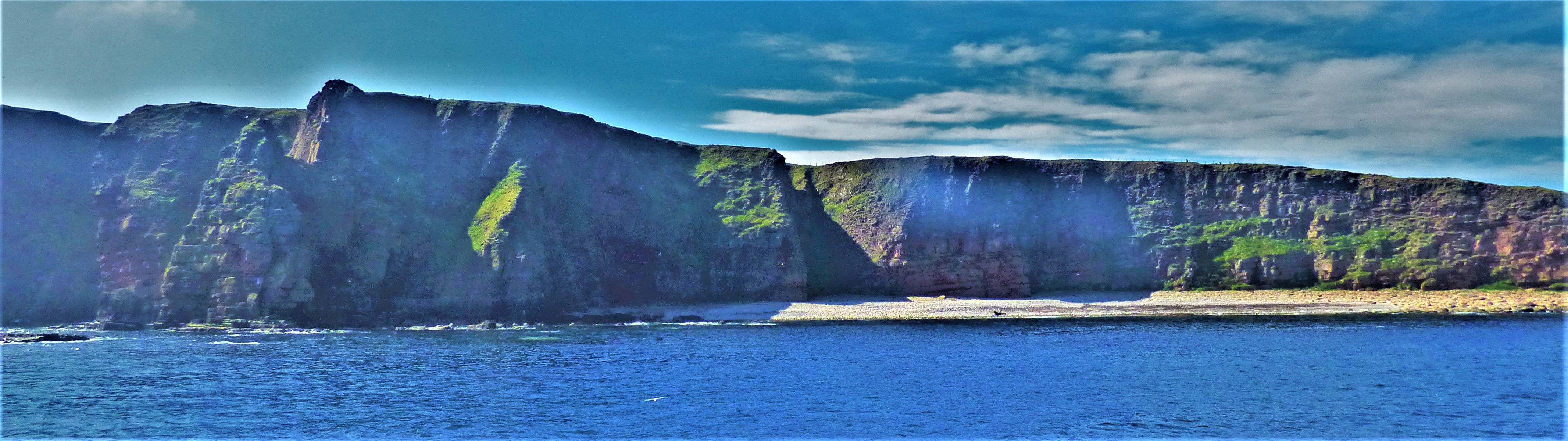
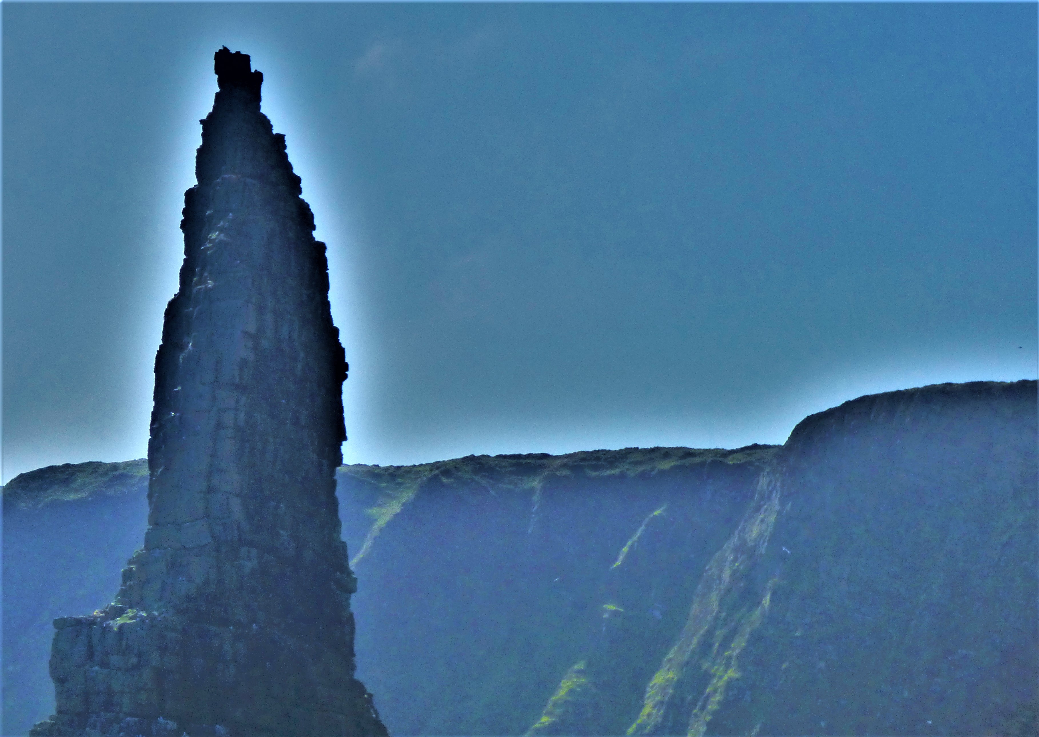
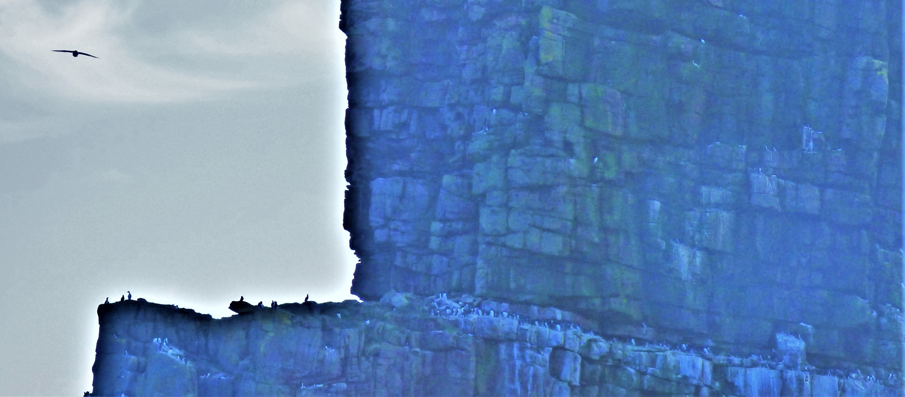
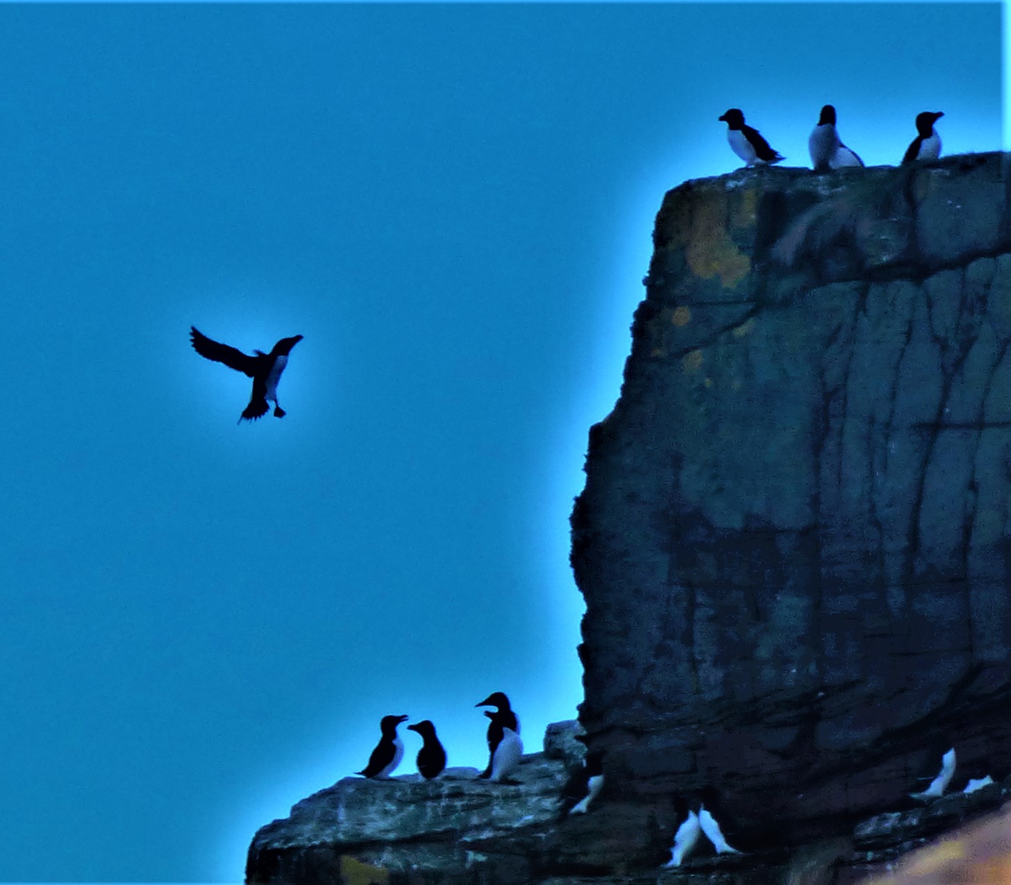
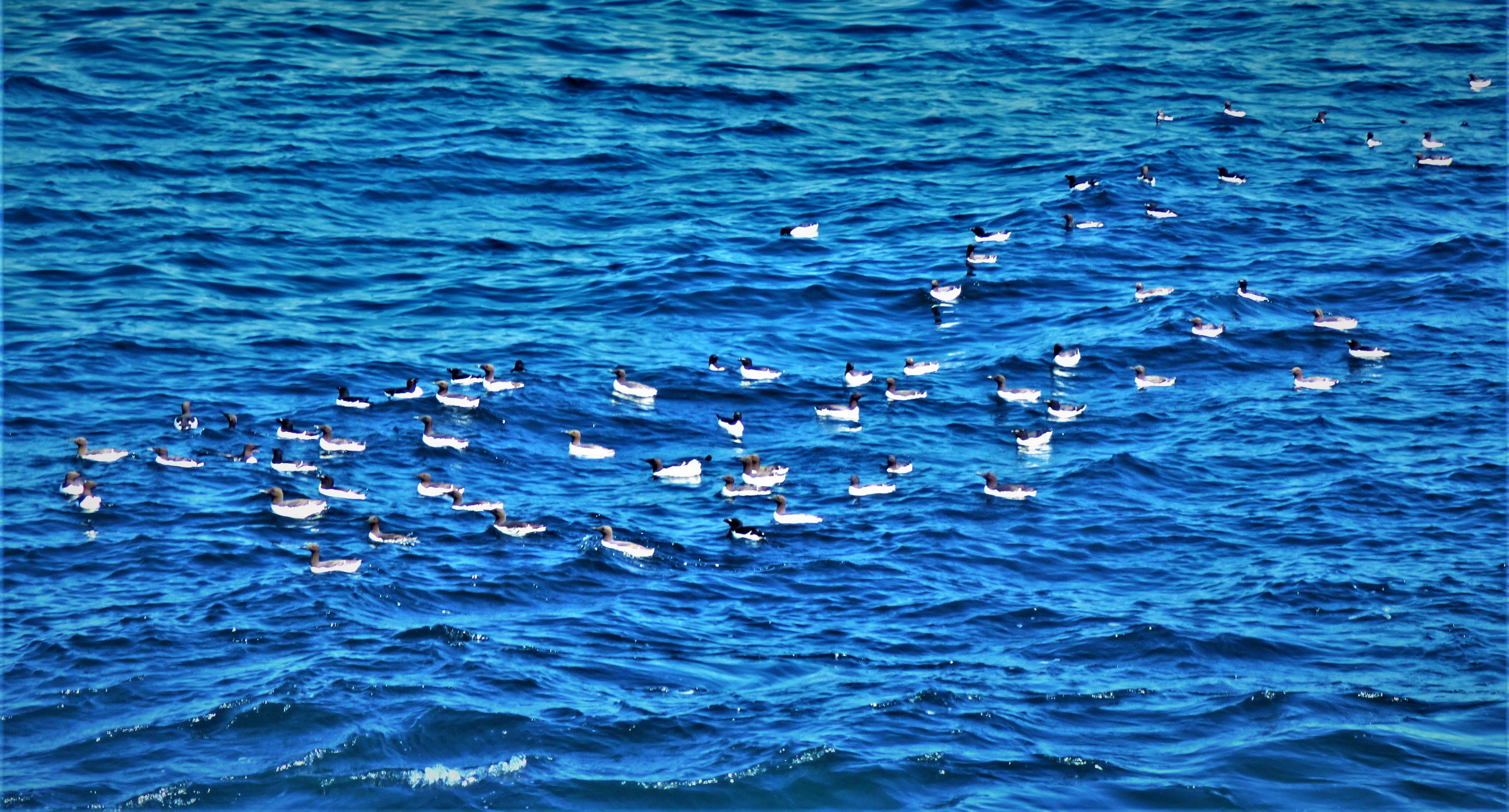
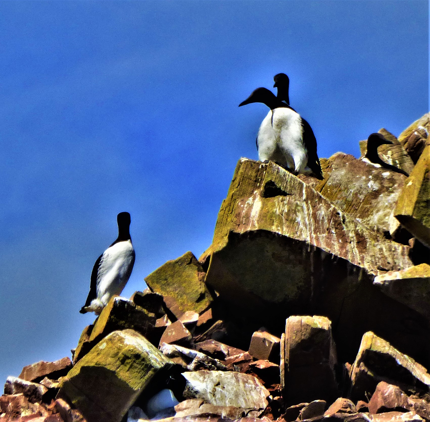
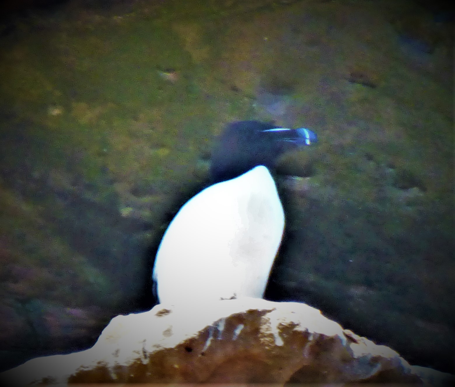
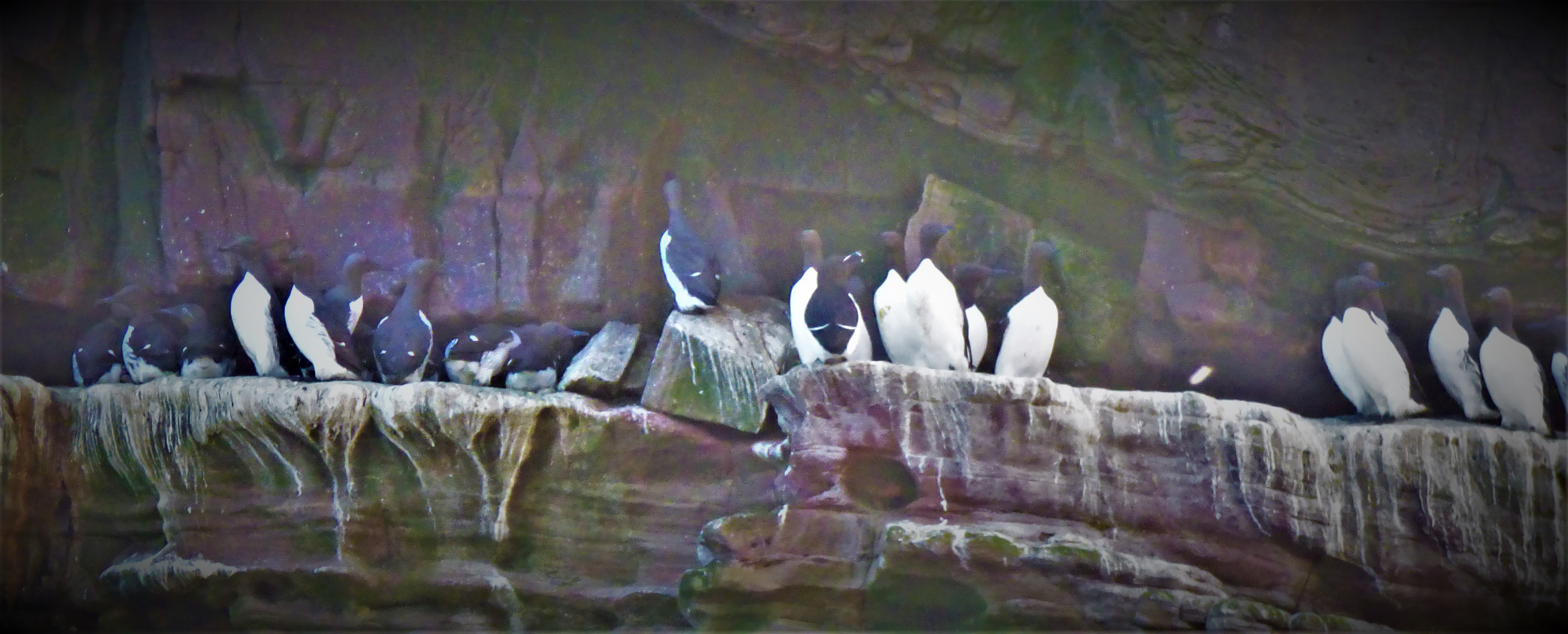
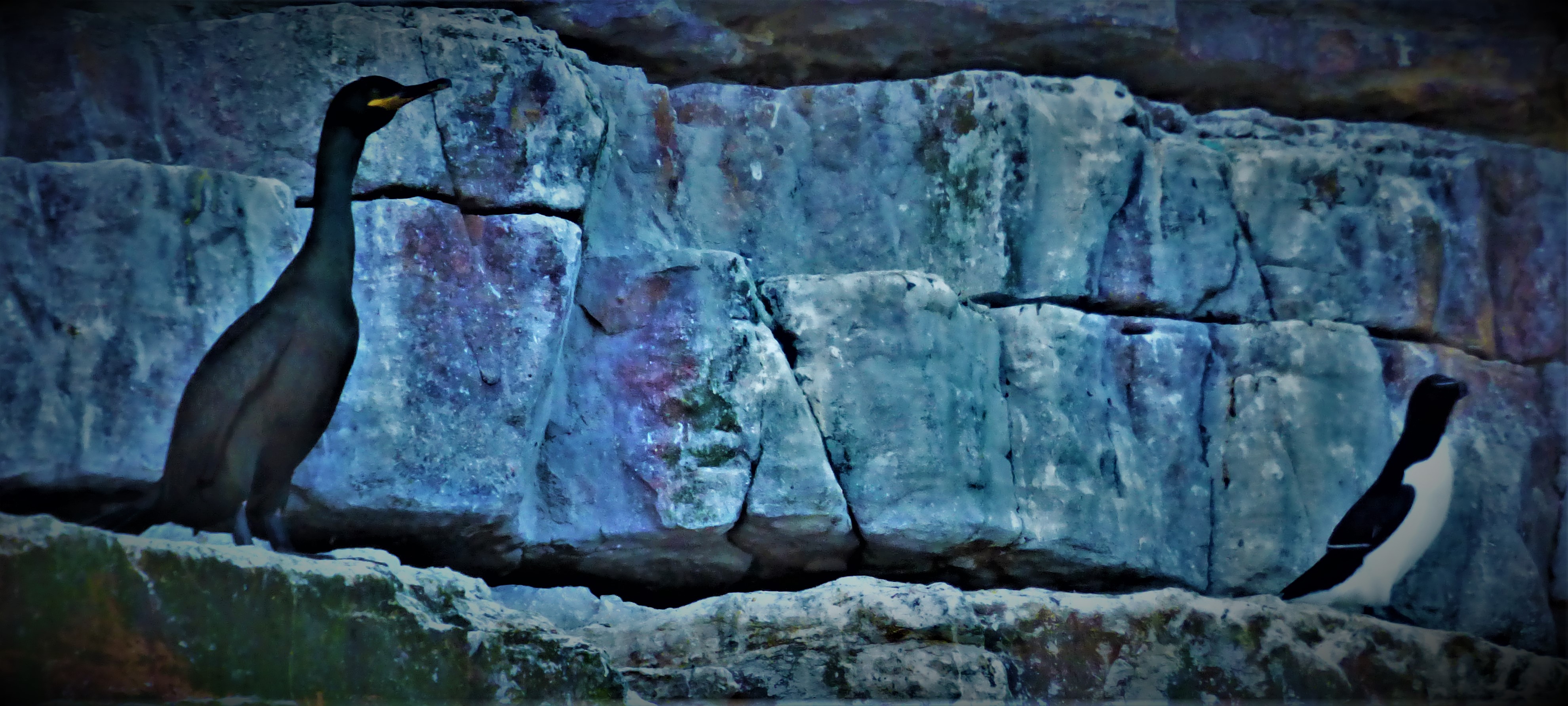
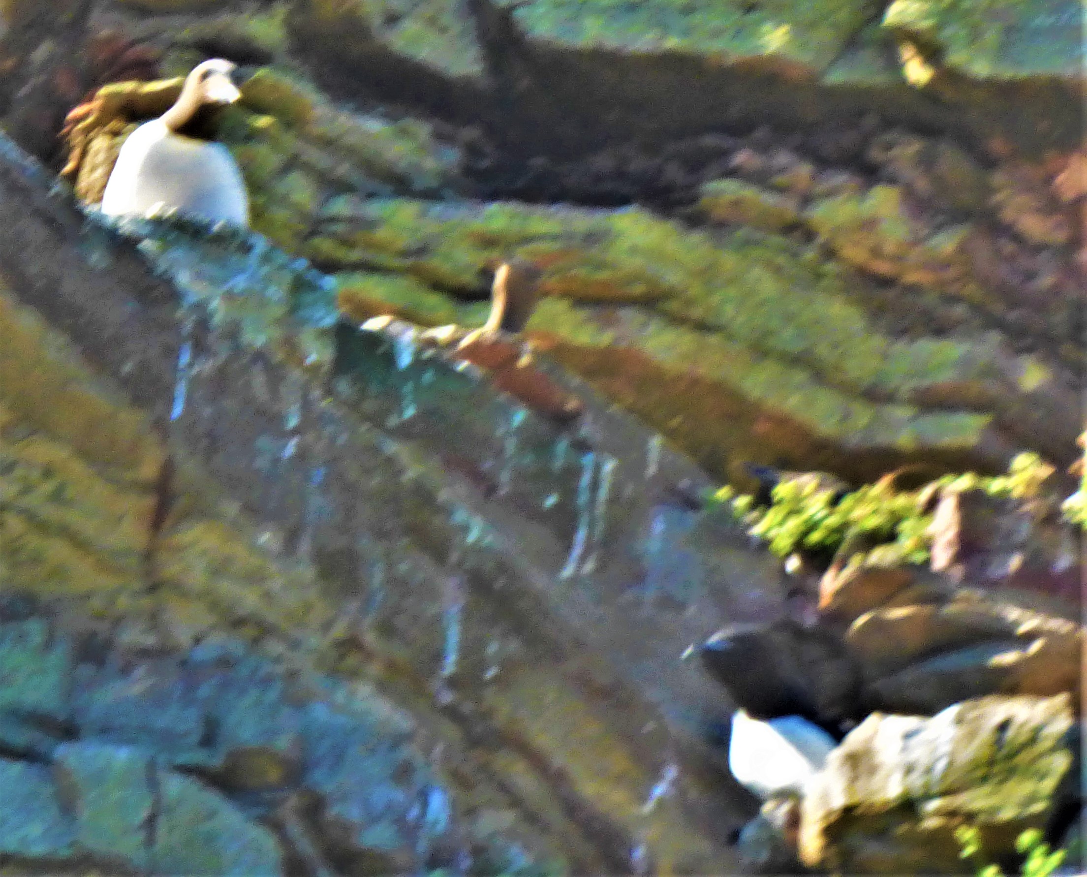
This post describes the main activity of the day of my birthday (Monday), a wildlife cruise. The route of the cruise was from John O’Groats harbour past Duncansby Head to Duncansby Stacks beyond and then back. There were a variety of sea birds on display, including guillemots, razor bills, shags and various breeds of gull. There are sometimes puffins in the area but I do not think we saw any that day. Also supposedly resident in these waters are seals and otters, but I saw neither. However it was a very enjoyable cruise.
OUTWARD BOUND
The walk to the harbour starts along an open road with no footpath before one comes to the path that leads to the John O’Groats hotel, at which point you can access various locations, including the harbour. We boarded the boat with no problems, and by the time we set out on the cruise it was very full.
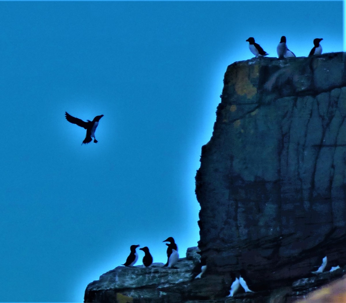
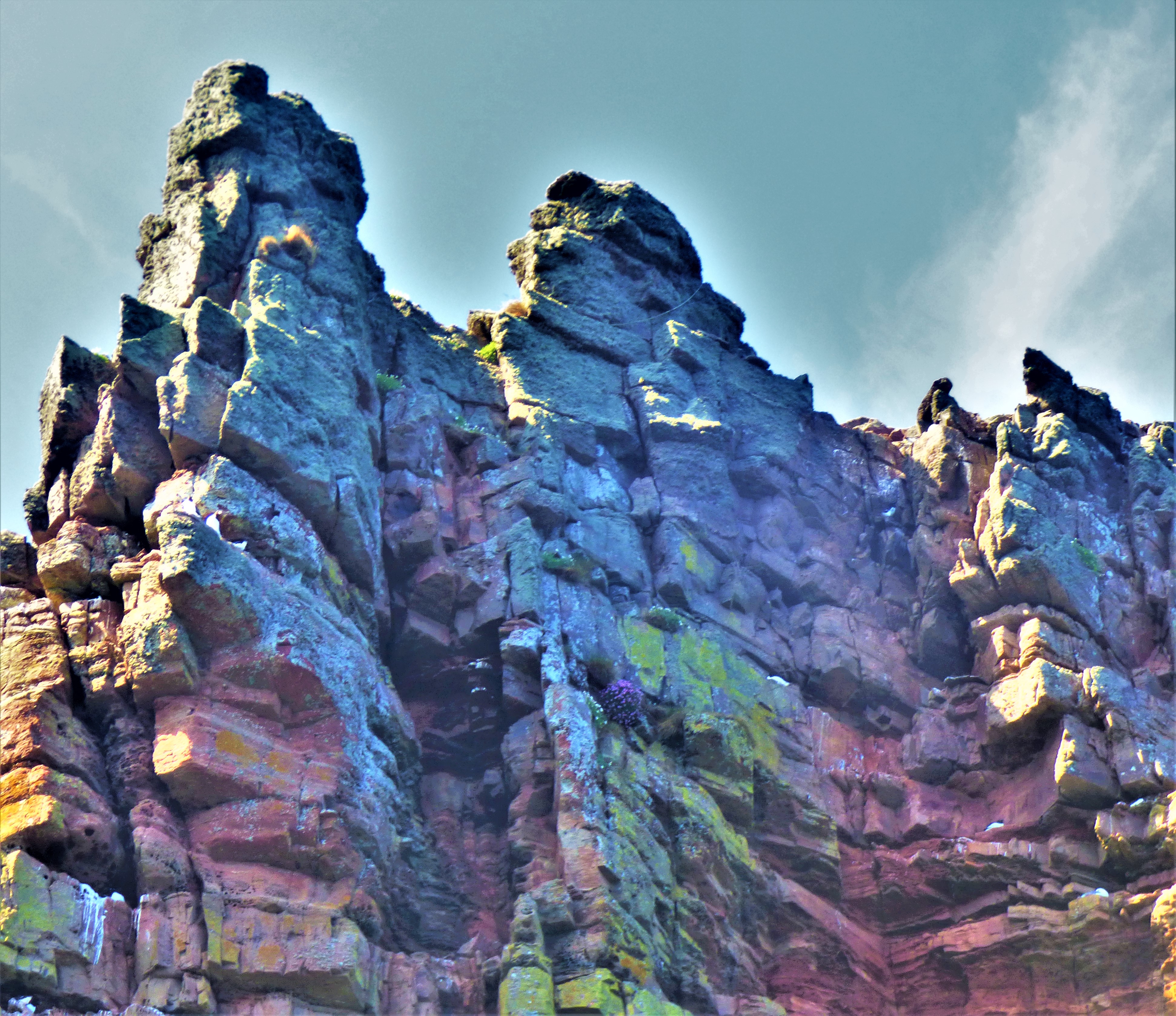
Although there were some signs of life in the open water it was only when we got level with the head and then the stacks beyond (for an explanation of what a stack is in this context visit this article which explains how they form) that we saw creatures in huge number. The guillemots predominated (they look a little like tiny penguins, although unlike the Antarctic’s most famous bird they can fly), but a few razor bills were in evidence, as were a number of shags (they look similar to a cormorant).
The boat arrived back at the harbour and after waiting for things to clear a bit we made our way back on to terra firma.
HOMEWARD BOUND
We took an exploratory route home, attempting to locate a route back which would eliminate the main road. This was unsuccessful, and we reverted to the route we knew. My mother’s shoes were causing her trouble by this stage, so my father went to fetch the van to the point where the path joins the road and I accompanied my mother to that meeting point. The problems with the homeward walk notwithstanding it was a very enjoyable day.
PHOTOGRAPHS
I have loads of photographs to go with this post and I hope you enjoy them:
These birds love the mill wheel.
An oystercatcher.
Back on land – this oystercatcher was in the grounds of the John O’Groats hotel.
An account of a visit to a ruined castle that nowadays doubles as a wildlife haven.
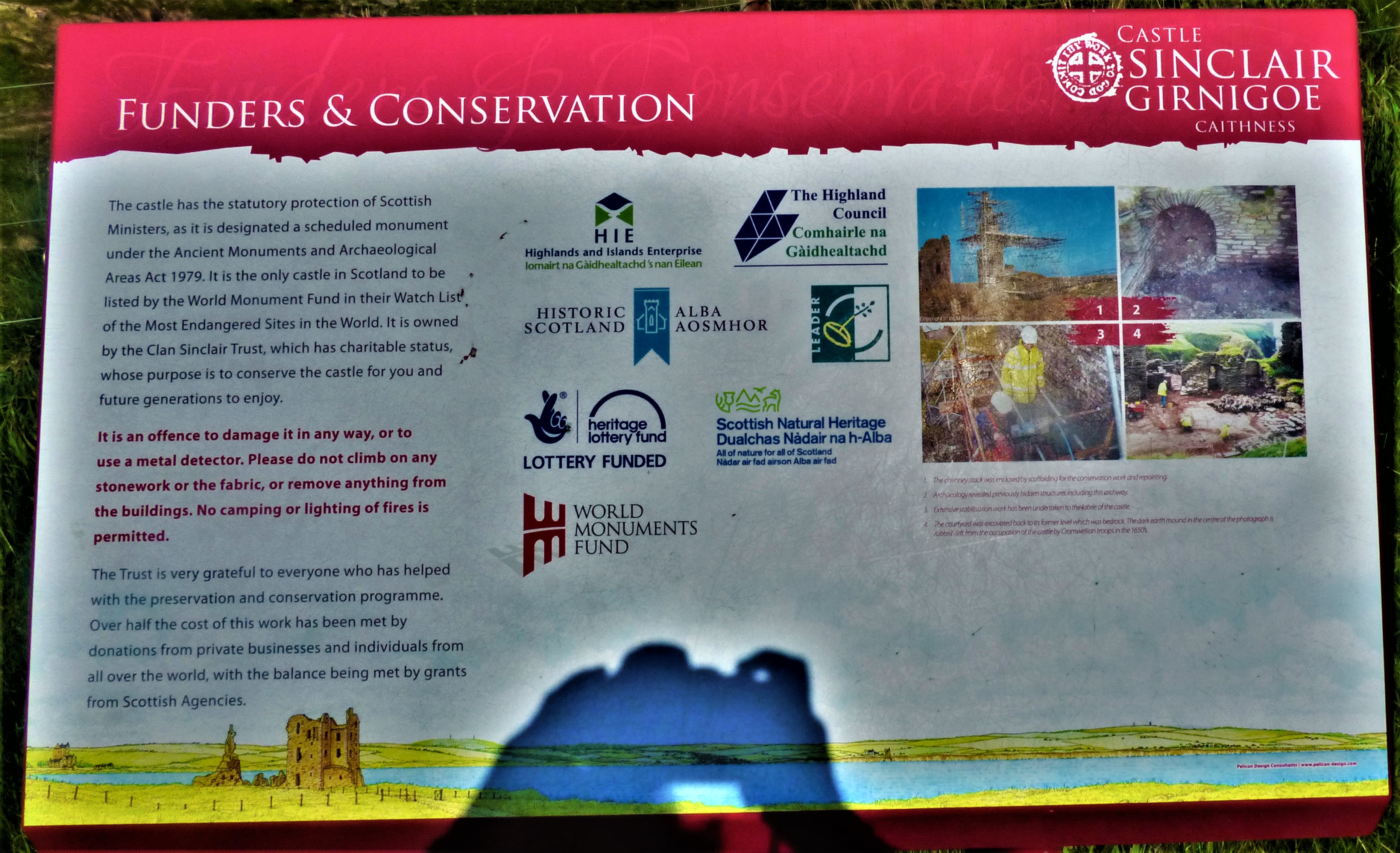
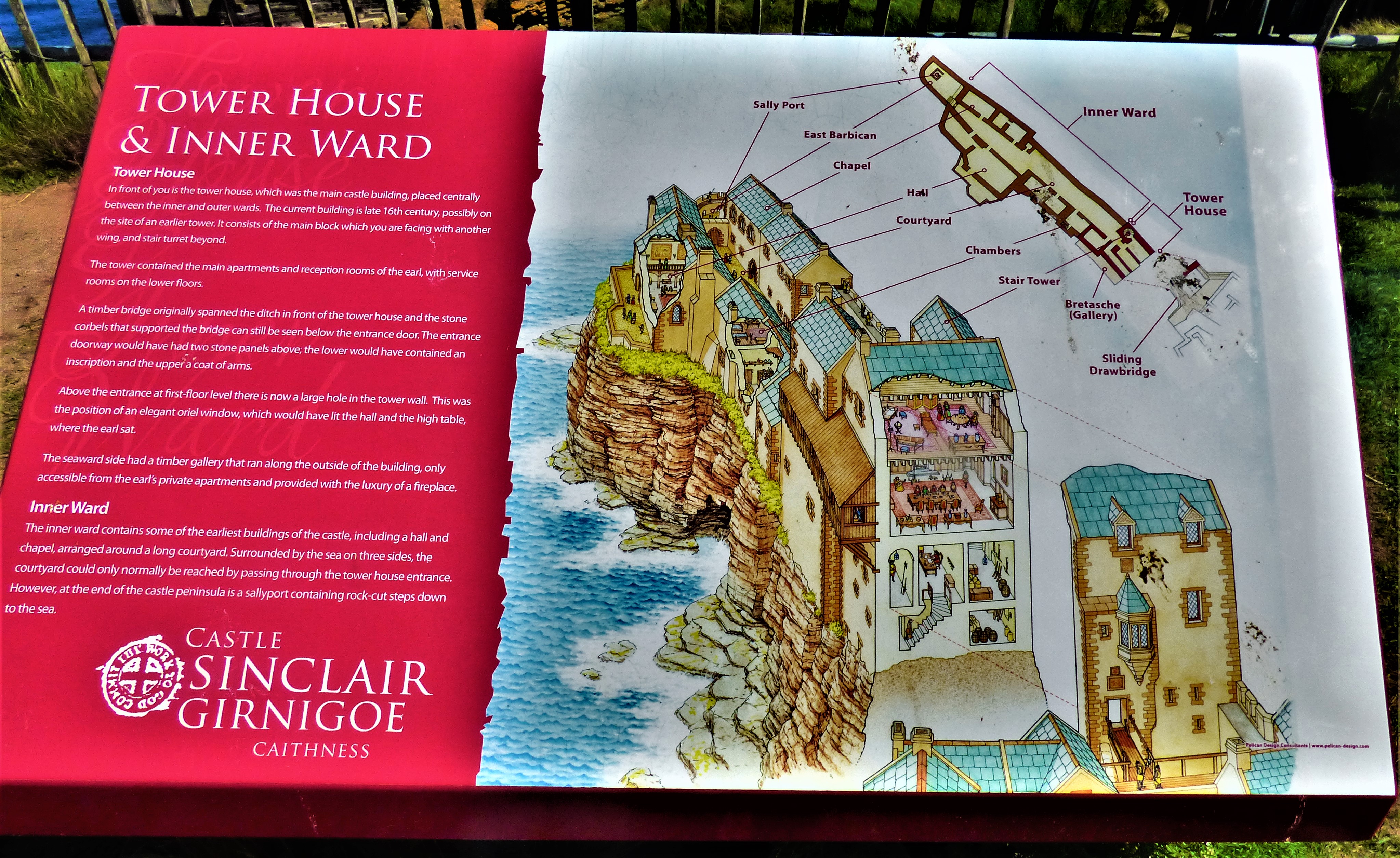
On the morning of my birthday we travelled to Wick to do some essential shopping, and on the way back as a warm up act to the main event of the day, a wildlife cruise which I shall write about in due time we called in at the ruins of Castle Sinclair Girnigoe.
RUIN AND WILDLIFE HAVEN
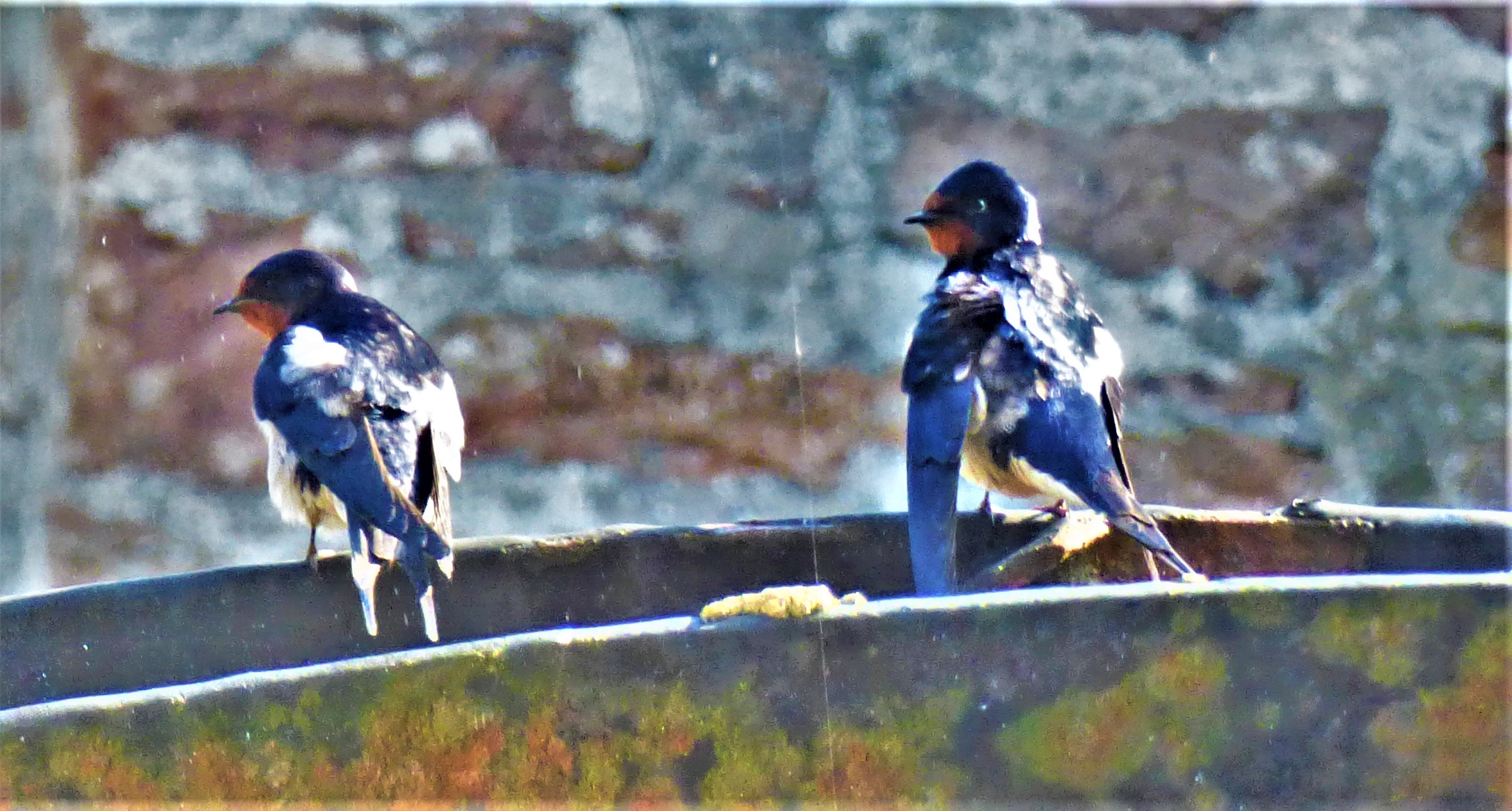
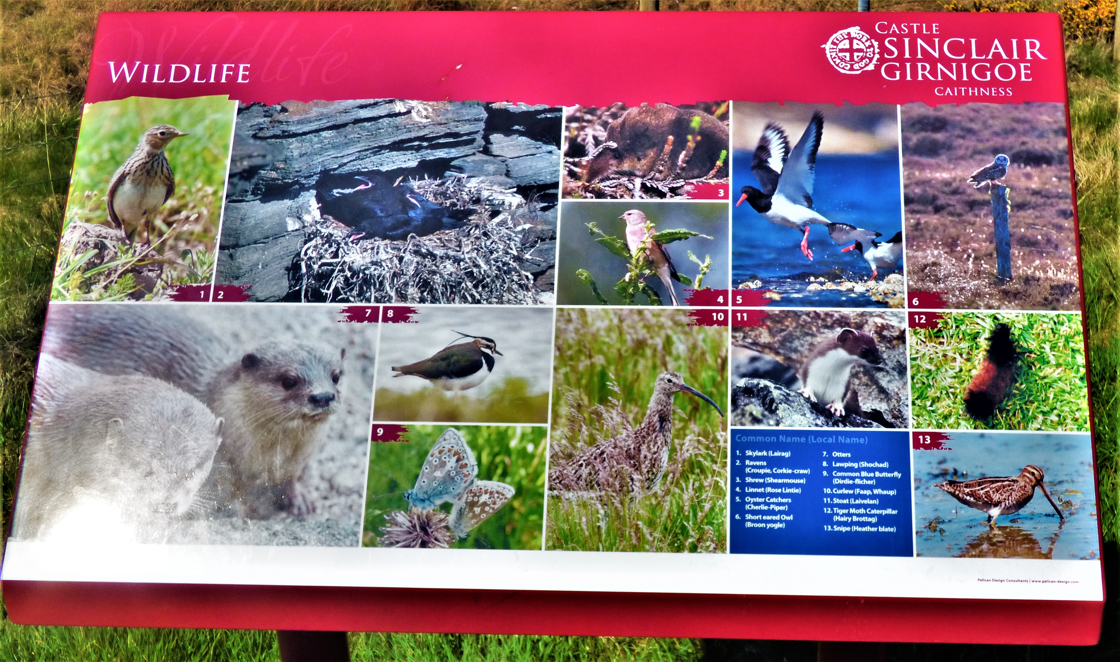
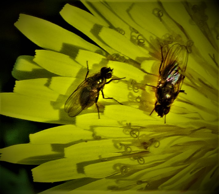
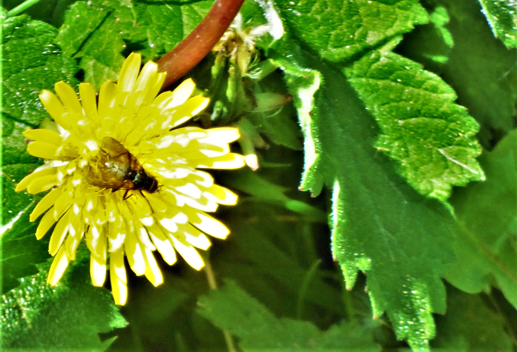
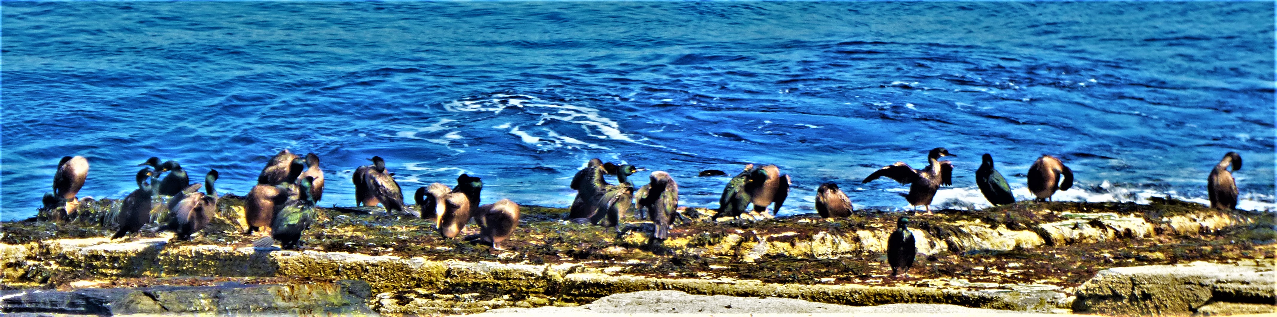
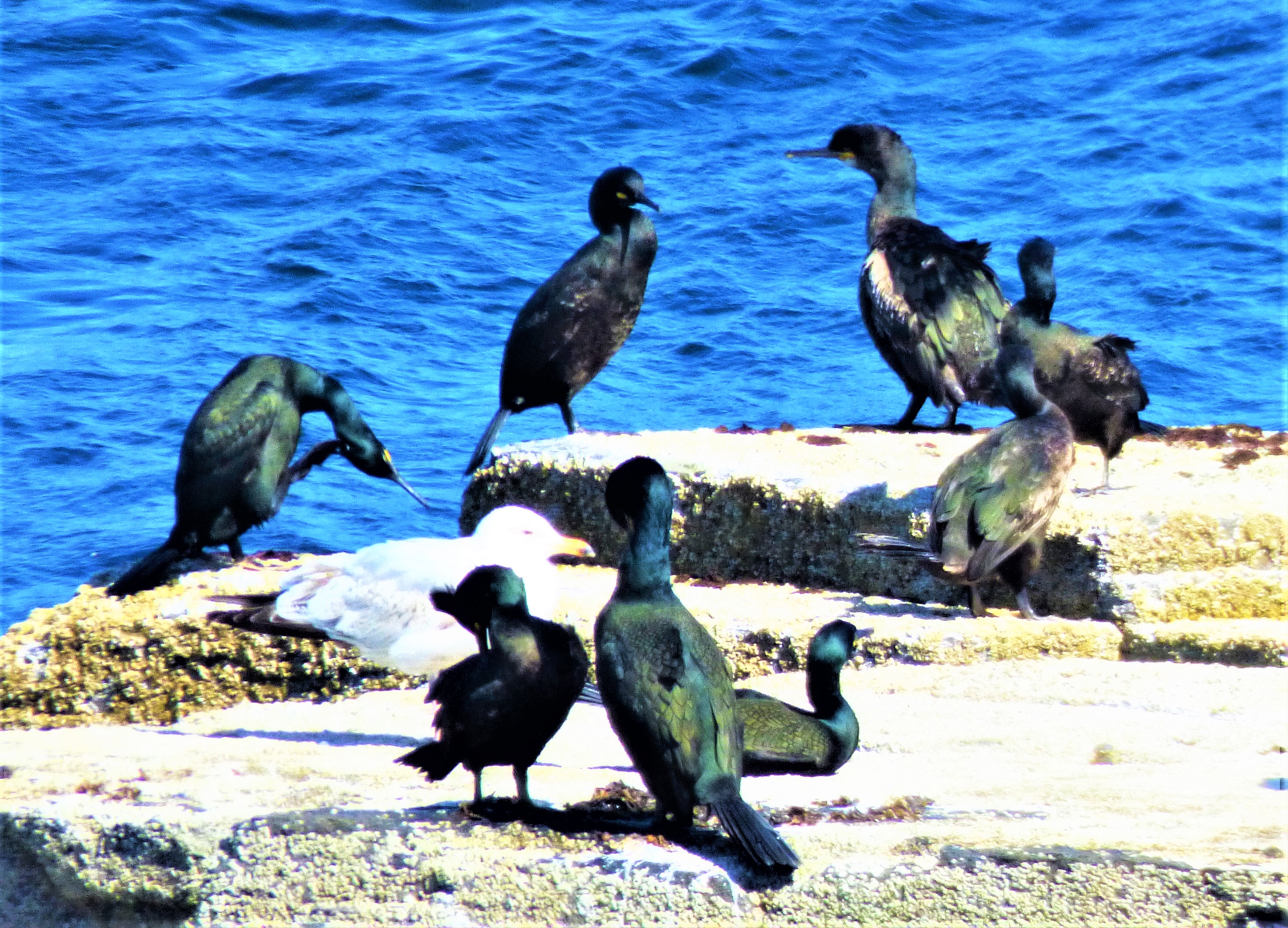
In it’s heyday this castle would have been an imposing sight (it was very obviously built to intimidate, and had little in the way of style), although its location is testament to the absence of any kind of field artillery – even Ballistae and scorpions as used by the Romans hundreds of years before it was built could have caused mayhem by targetting the rock formations around the castle and effectively subjecting those in the castle to a hail of rock fragments – in Scotland in that period. Nowadays it is an impressive ruin, and also home to many kinds of wildlife, both fauna and flora. There are some stunningly good views out over the sea. If you ever happen to be in this corner of Scotland it is worth a look, though it would not be the main event of one’s day.
PHOTOGRAPHS
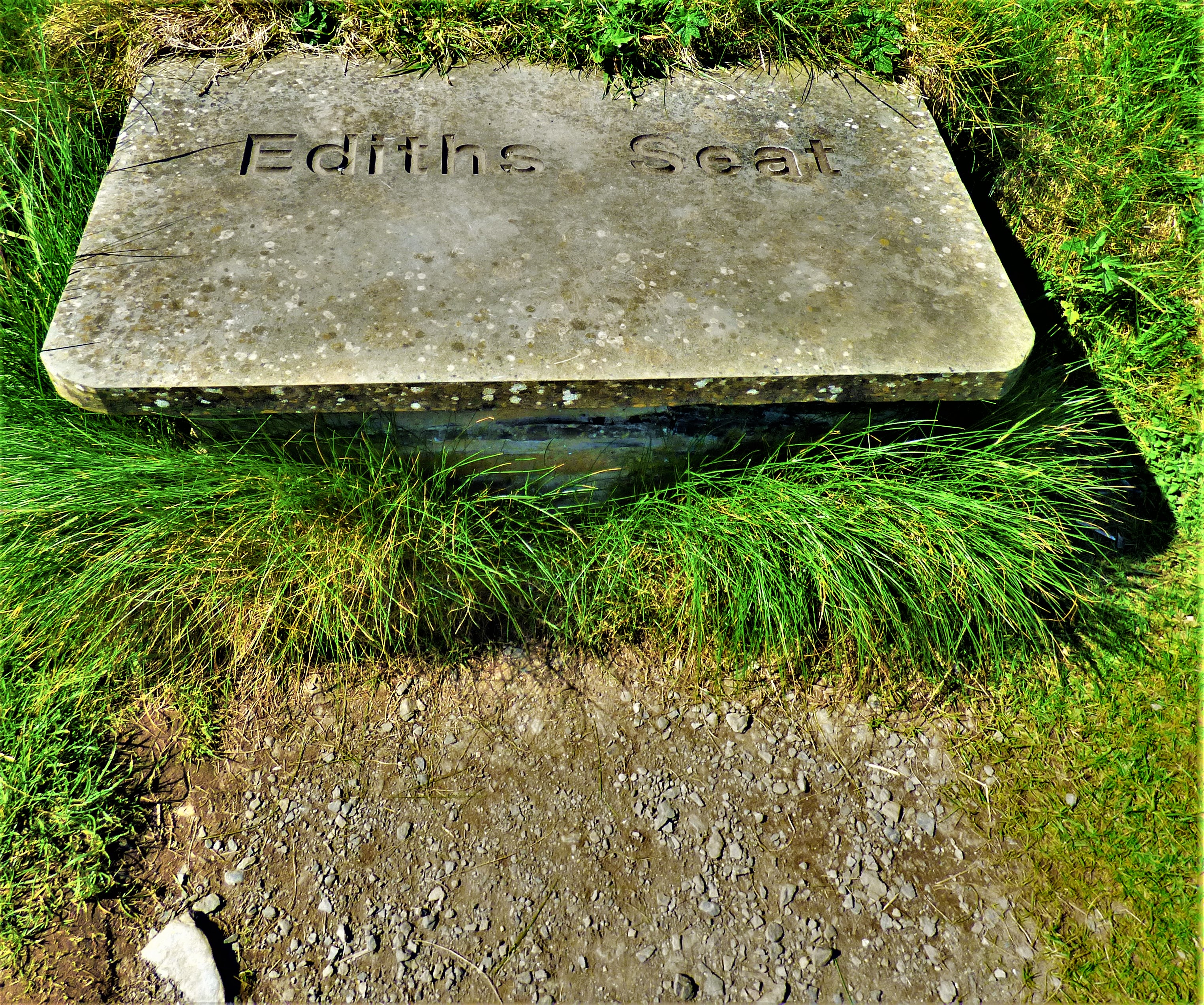
My photographs begin with a few from before we got to the castle, cover the walk from the parking area to the castle and the castle itself:
The Girnigoe pics start here.
Places on a similar latitude.
This is NOT part of the ruins – it is a natural rock formation, one of many such in the area.
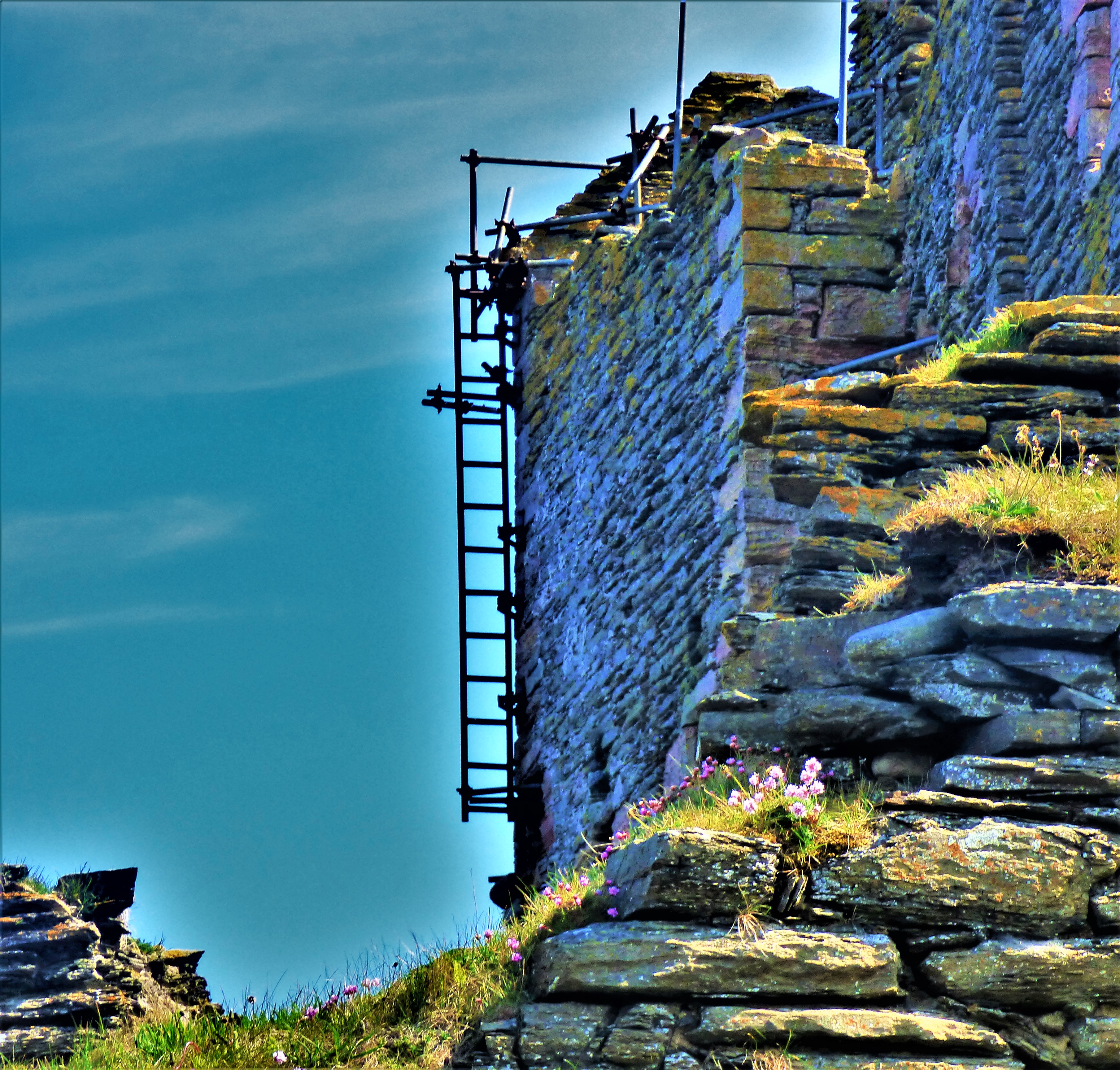
The most terrifying looking ladder I have ever seen – and this part of Scotland can get seriously windy as well.