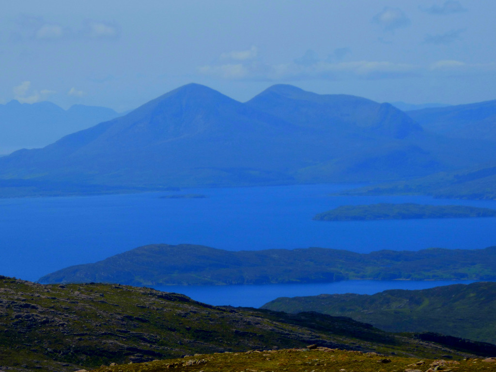
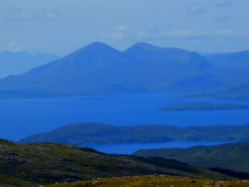
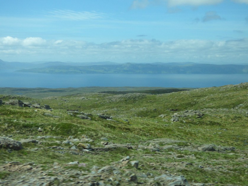
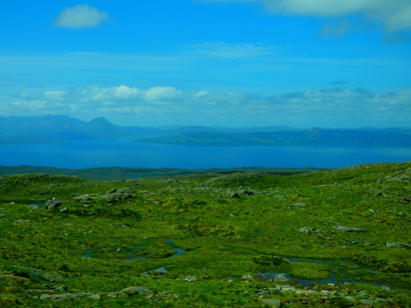
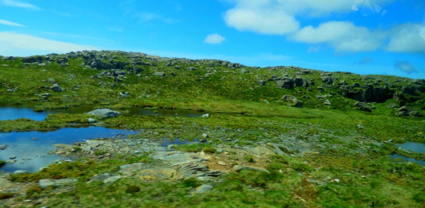
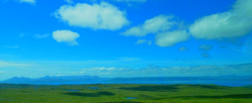
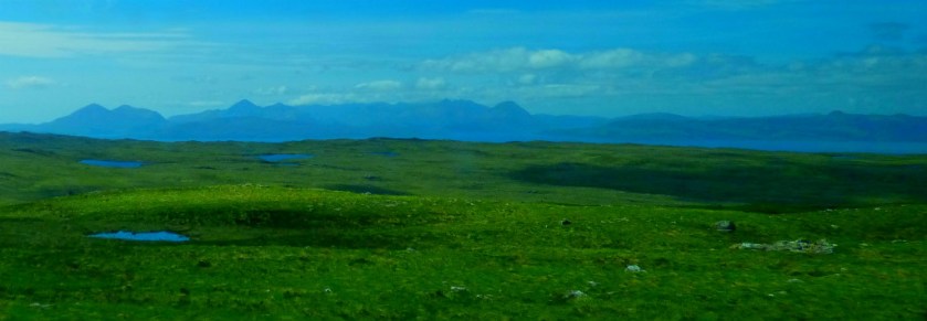
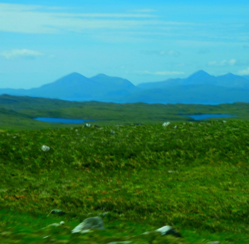
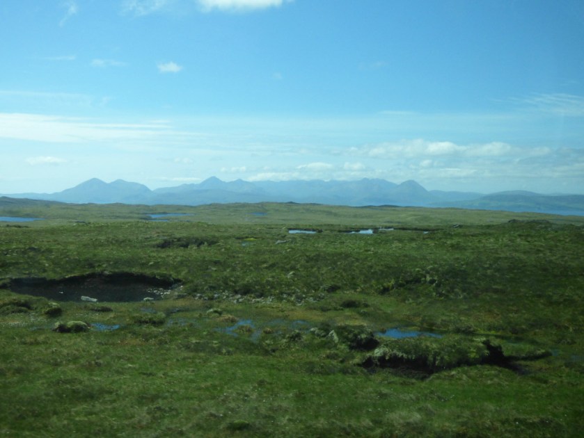
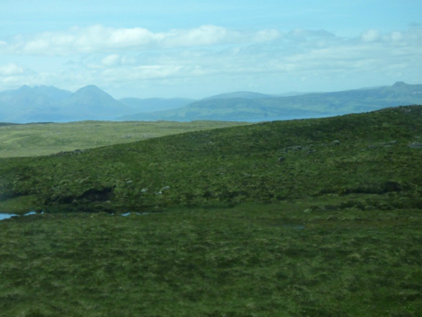
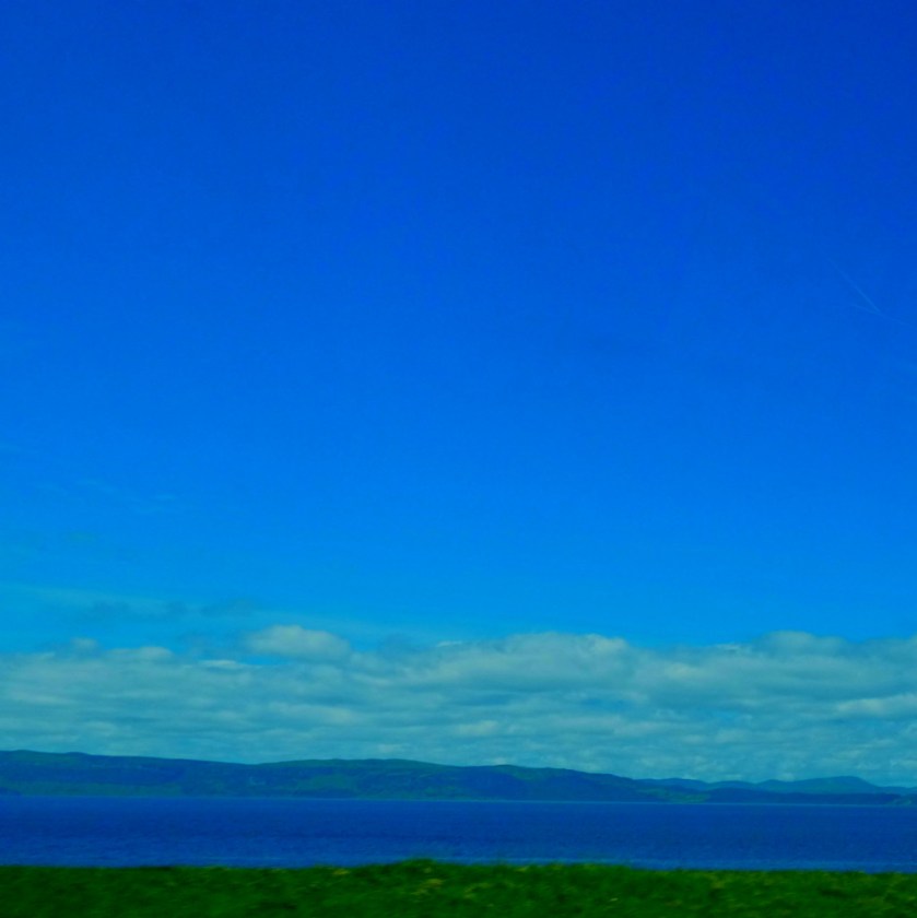
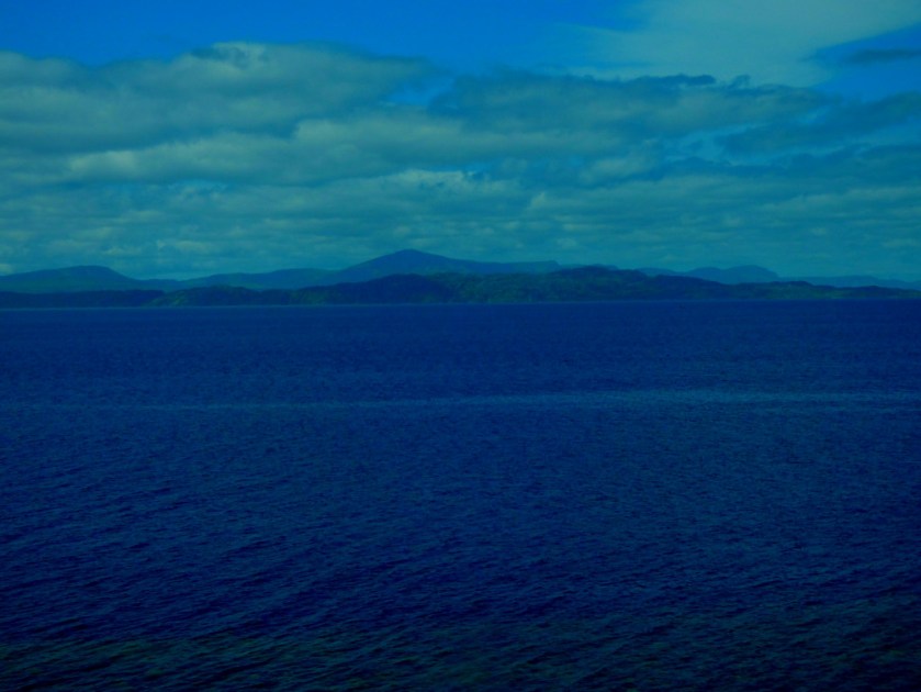
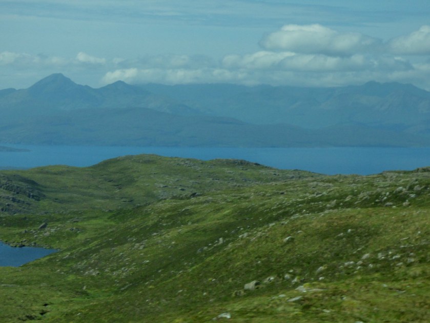
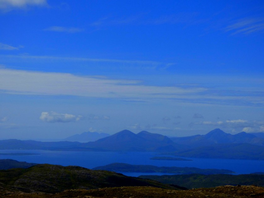
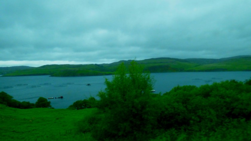
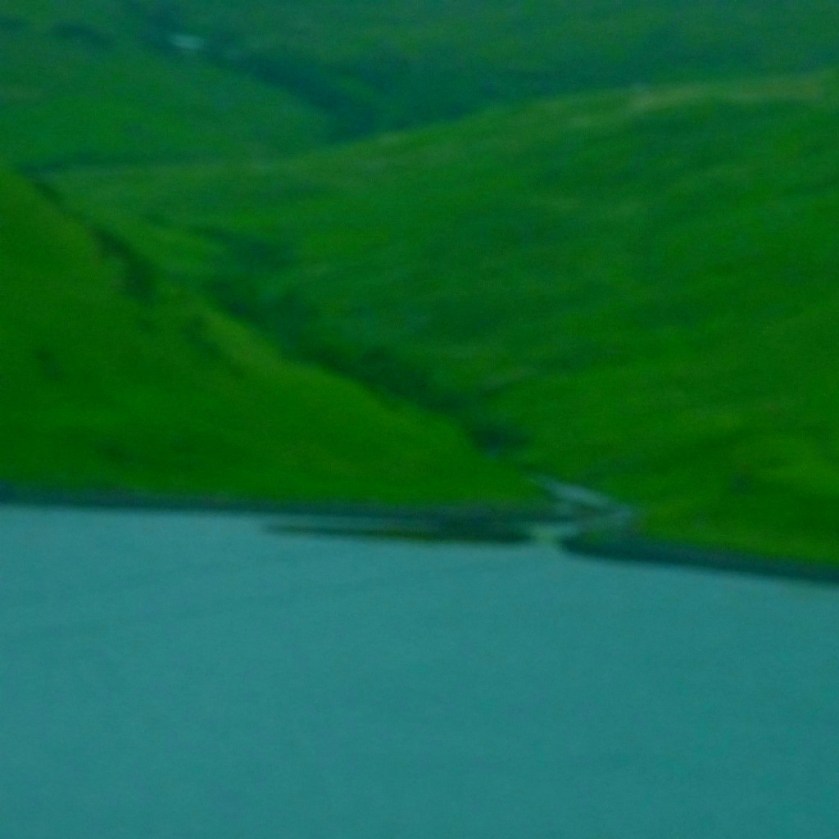
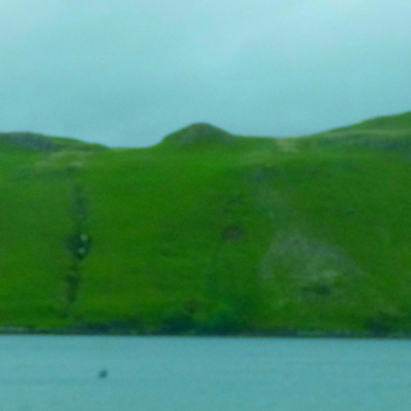
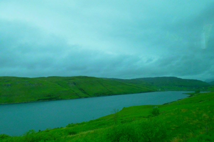
Welcome to this special post in my series about my Scottishholiday. In the first post of this series I wrote about my now established tradition of producing a photographic wall calendar and invited readers to nominate pictures for consideration. Oglach, whose blog can be found here, has risen to the challenge by making some suggestions in response to my post about the ascent to the Bealach Na Va viewpoint.
OGLACH’S PICKS
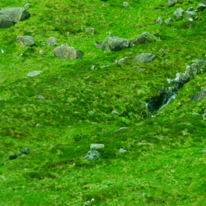
Here, if I have followed his comment correctly are the pictures Oglach deemed worthy of further consideration:
AFTERWORD – HOW THESE
PICTURES WERE TAKEN
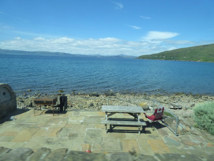
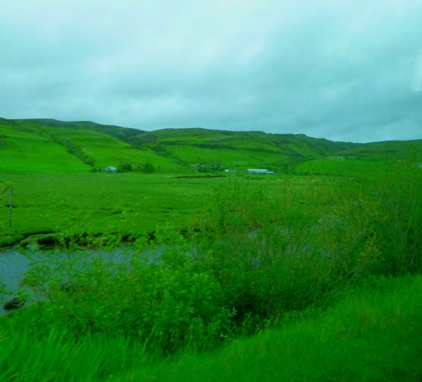
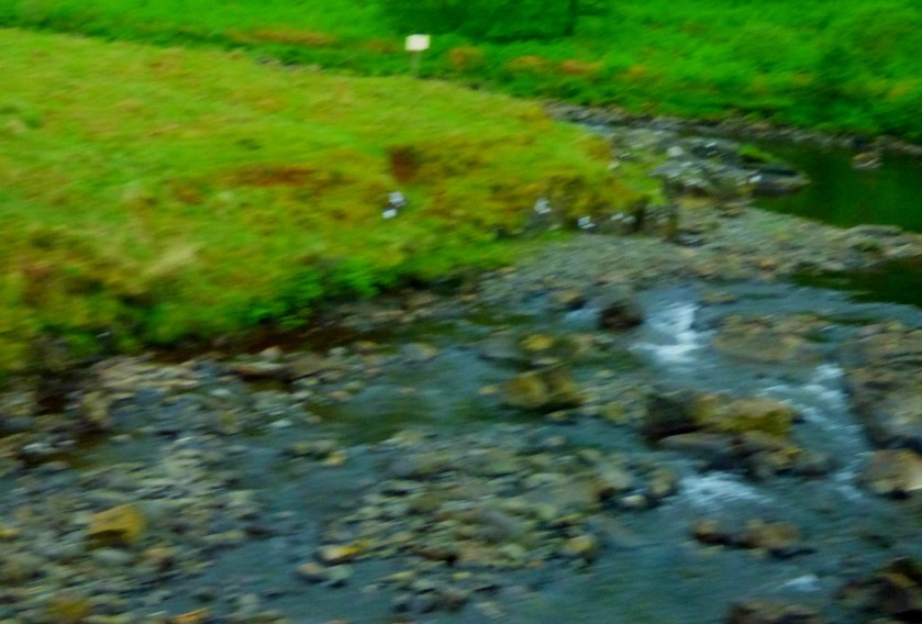
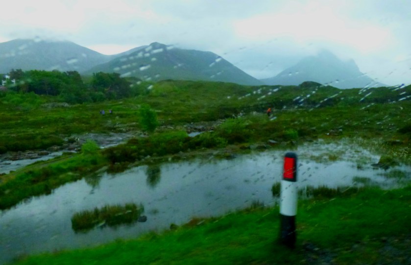
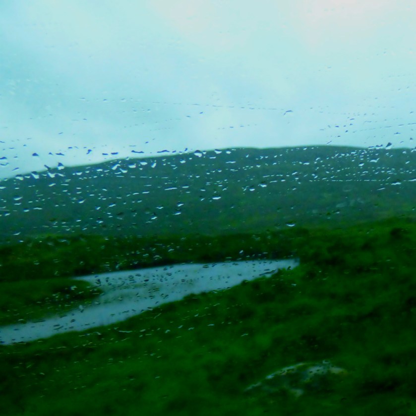
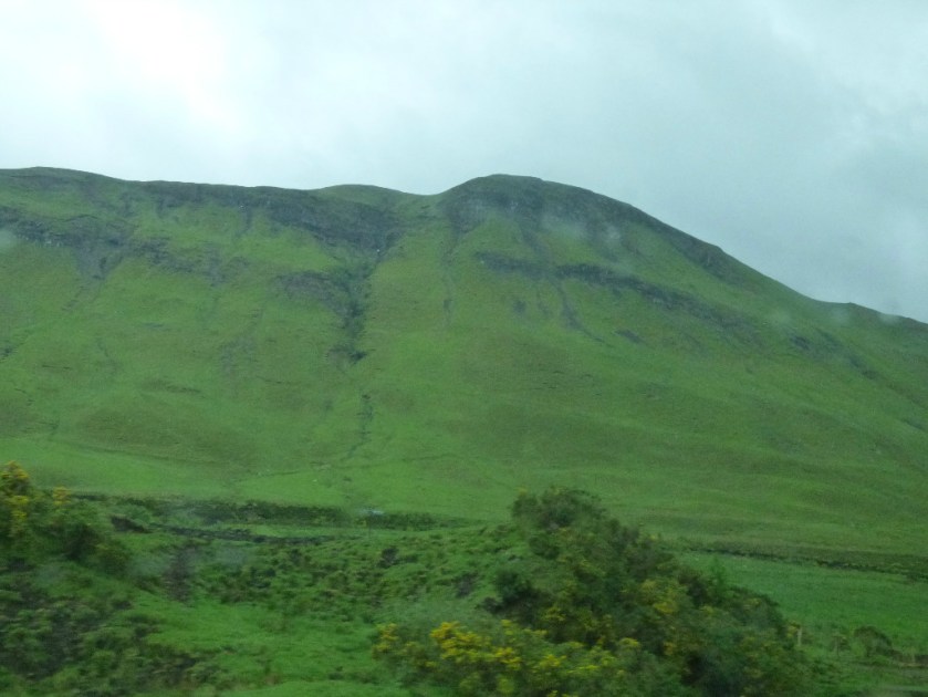
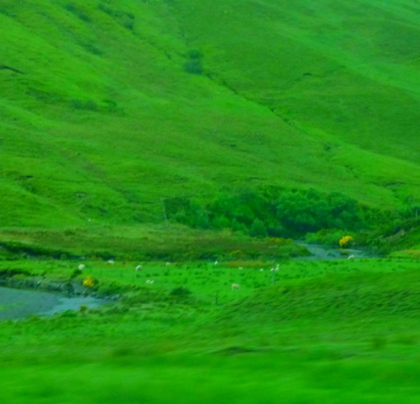
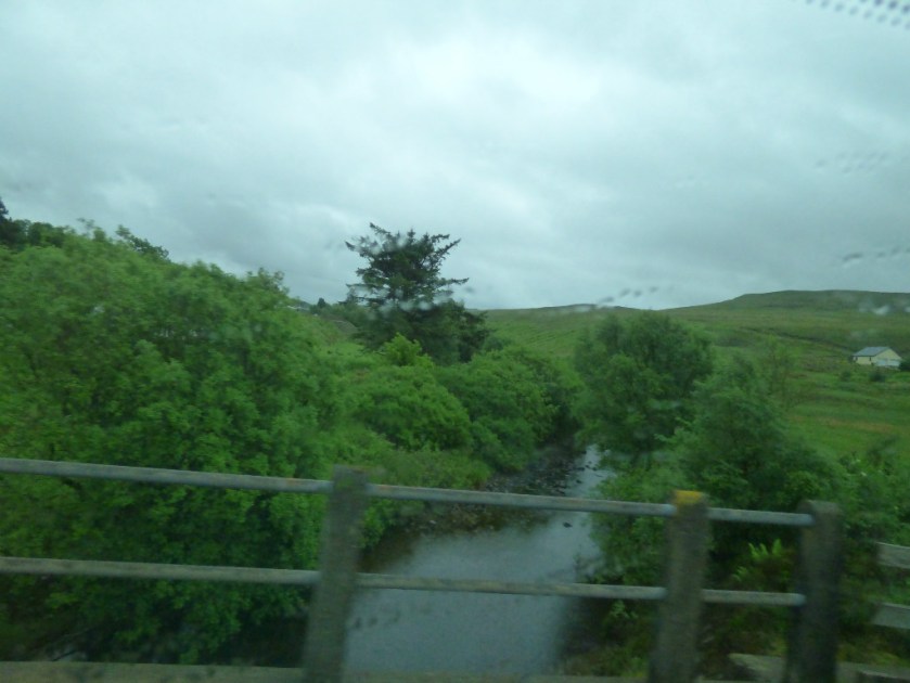
All of these pictures bar the last one were taken from the back seat of a moving campervan and carefully edited to bring out/ preserve their best points. I will certainly give careful consideration to including some of these in the calendar, and I end this little post by reiterating my invitation to my readers to nominate pictures for the calendar as and when they see them. If you put your nominations in a post on your own blog I will reblog it.
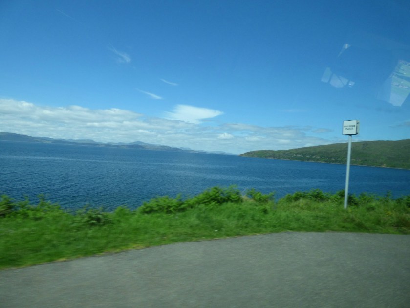
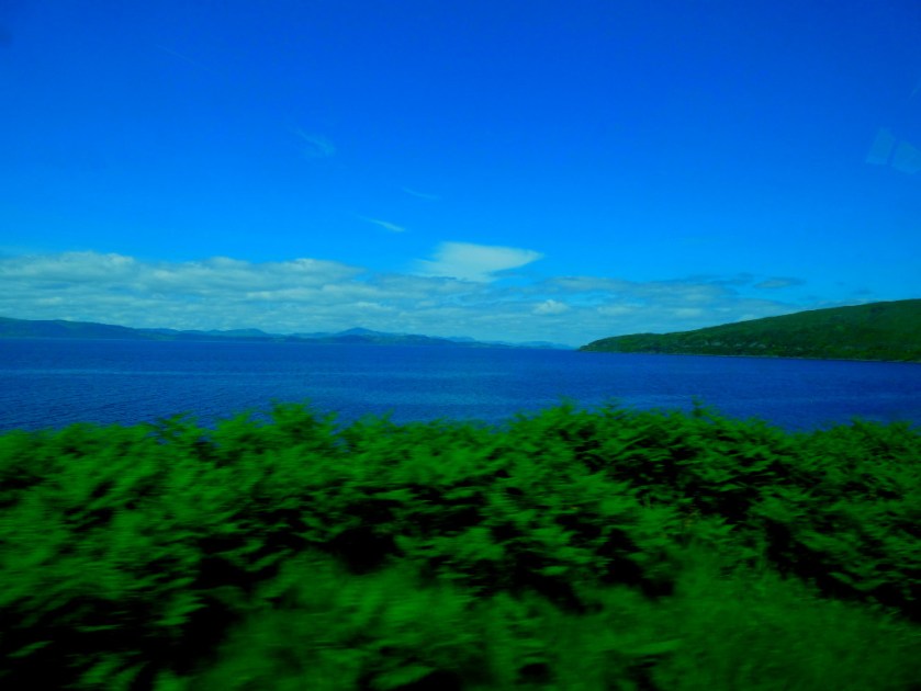
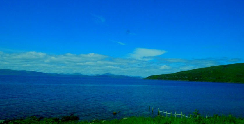
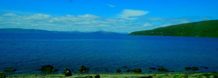
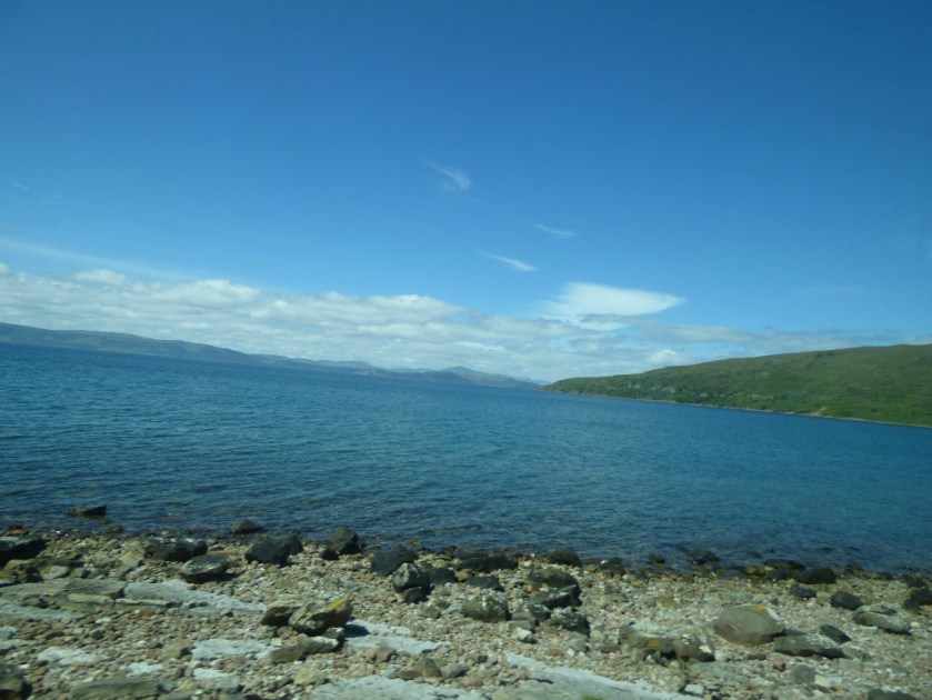
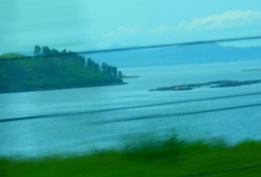
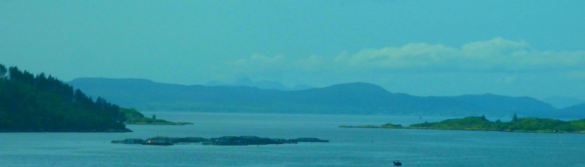
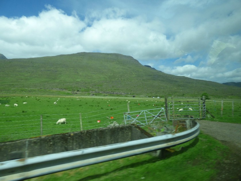
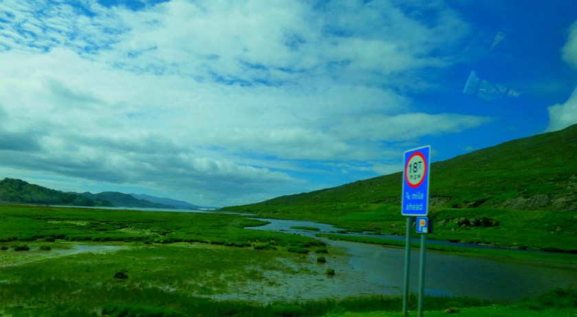
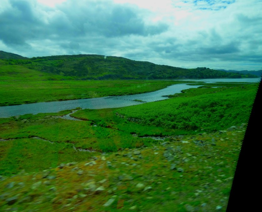
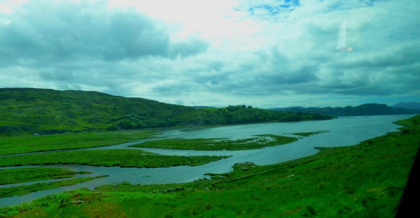
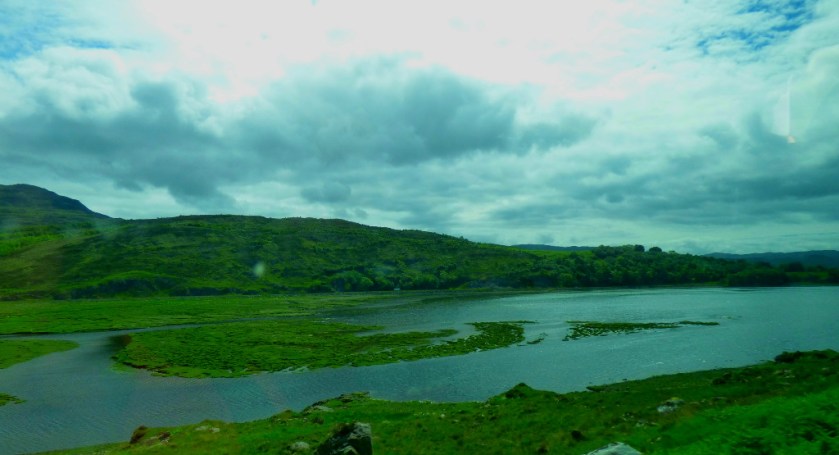
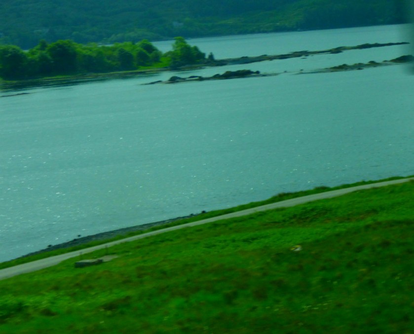
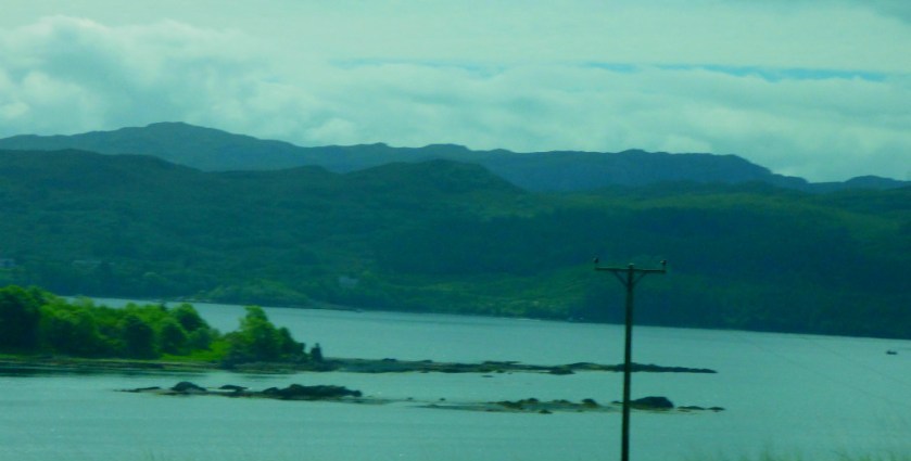
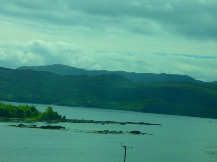
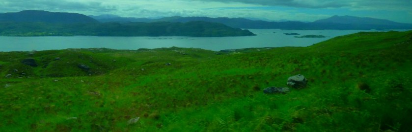
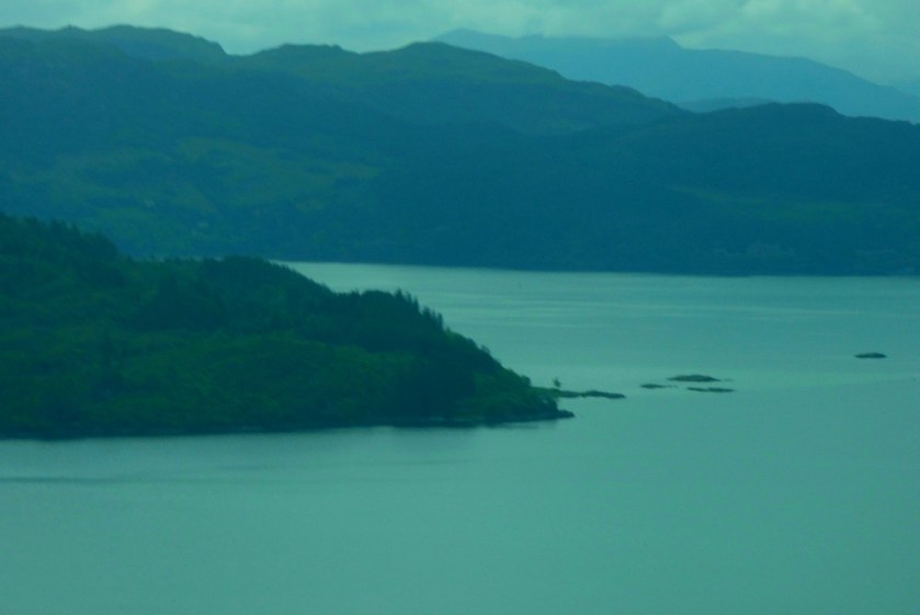
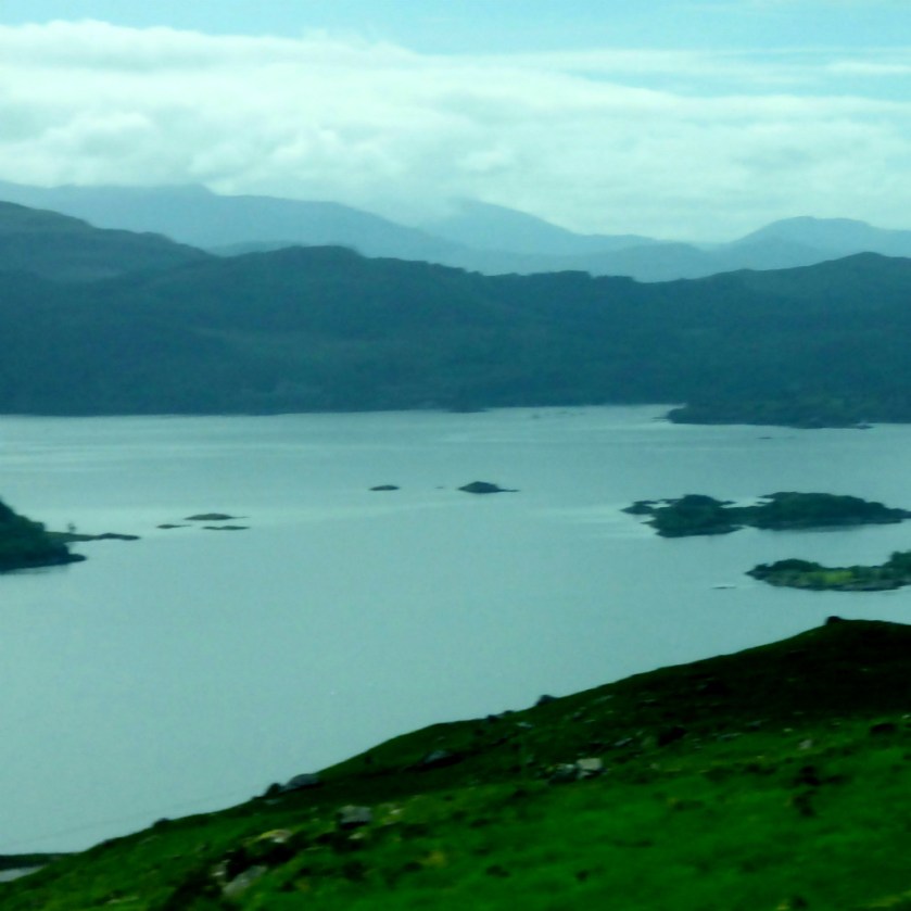
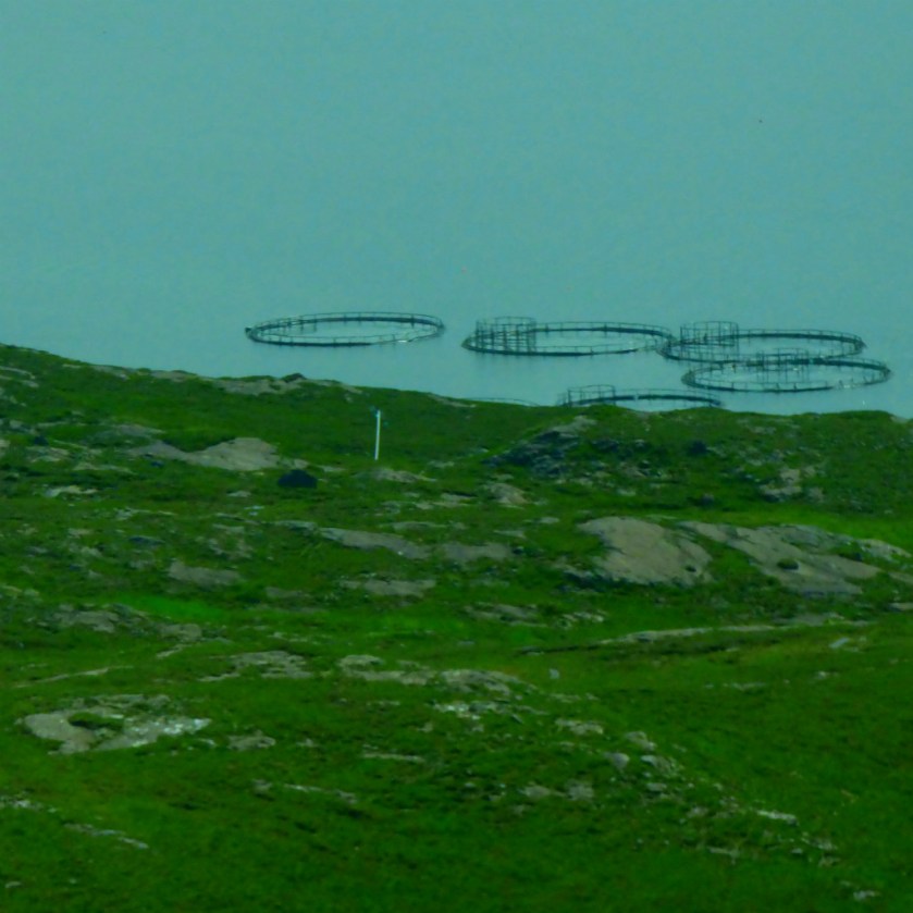
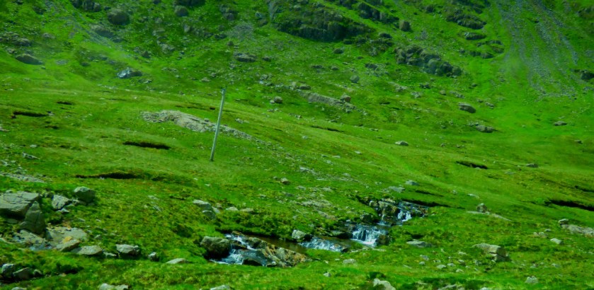
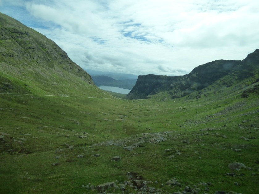
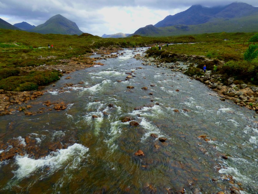
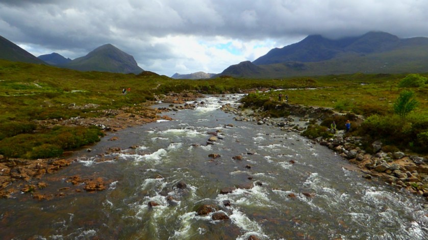
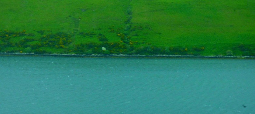
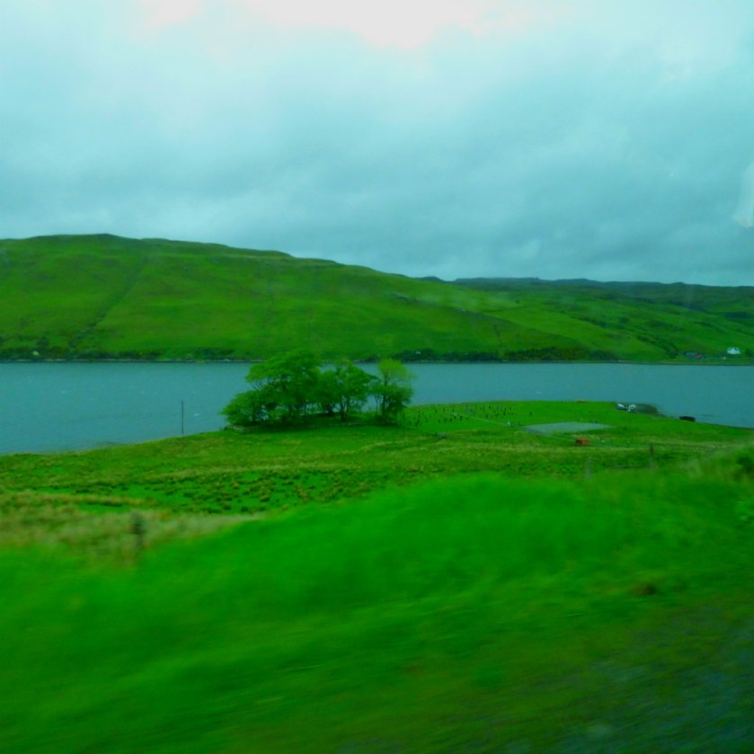
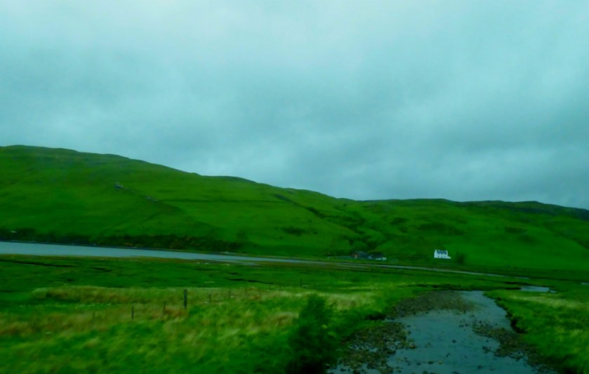
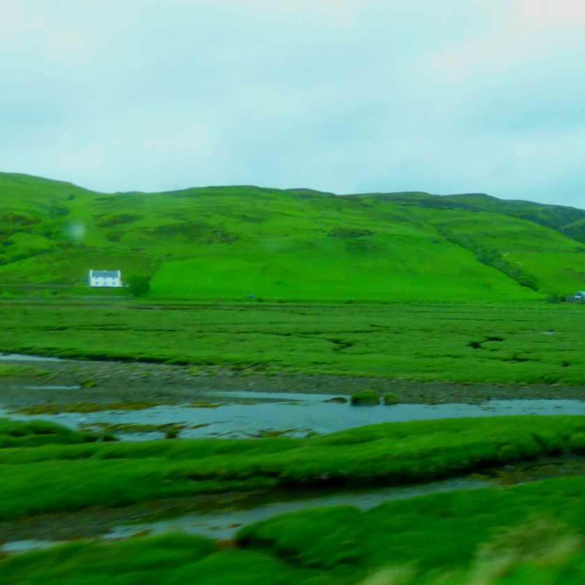
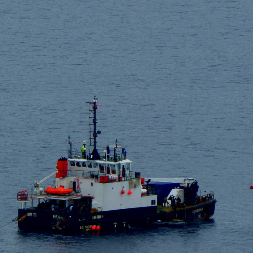
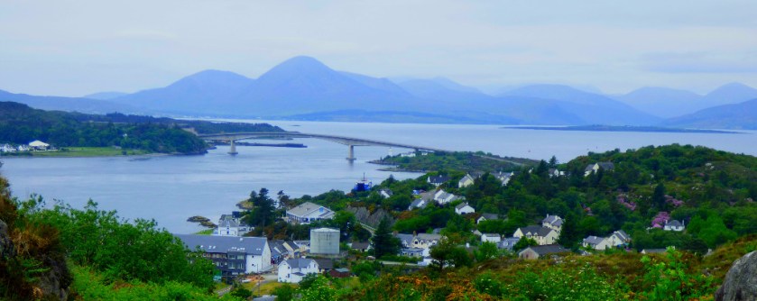
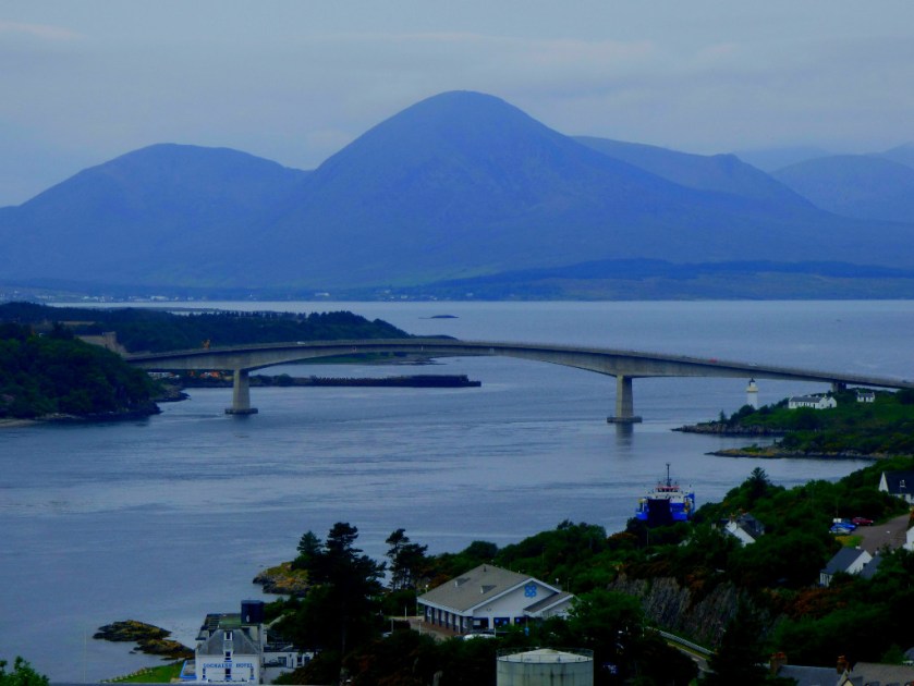
The final stages of the journey from Plockton to Applecross.
INTRODUCTION
Welcome to the latest post in my Scottish series. In this post we conclude the journey to Applecross with the final descent from the viewpoint where the last post concluded.
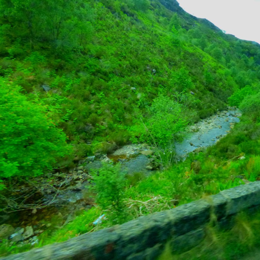
DOWNHILL ALL THE WAY
Here are the photos from this section of the journey:
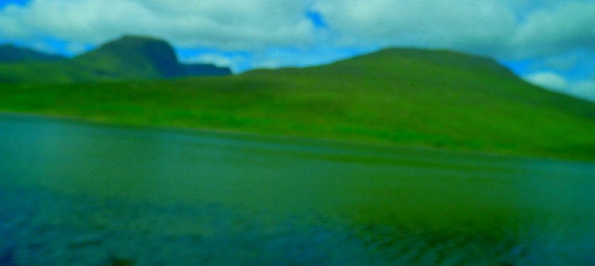
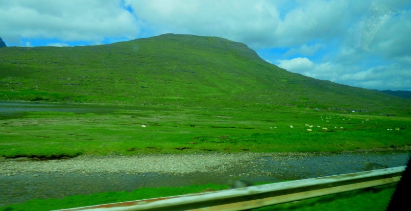
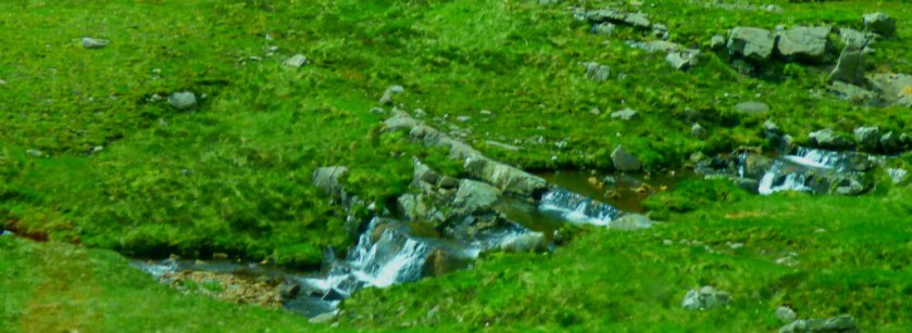
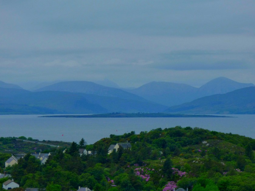
Continuing the account of the super scenic journey from Plockton to Applecross, reaching the Bealnach Na Va Viewpoint.
INTRODUCTION
Welcome to the latest installment in my series of posts about my holiday in Scotland. This post continues the scenic journey from Plockton to Applecross, reaching the highest point of the road through the mountains.
PASSING PLACES
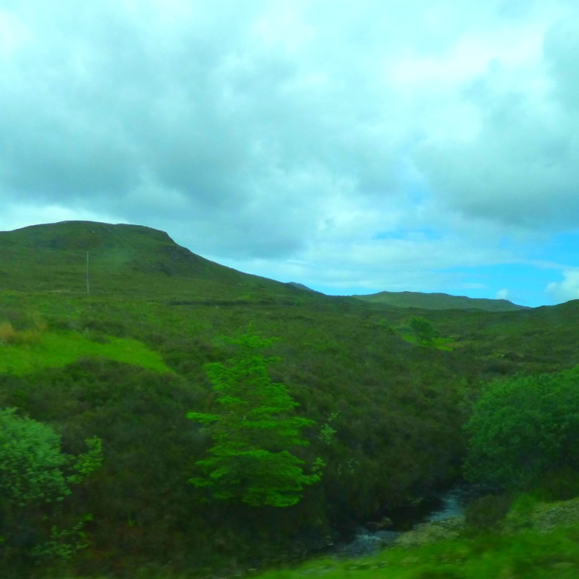
This section of the journey involved a road that was mainly single-lane, with signposted Passing Places where space permitted. The rule about Passing Places is: if it is on your left side you pull in to let the other vehicle through, while if it is on your right it is the other vehicle’s responsibility to make way for you.
INTO THE MOUNTAINS
Here is a photographic account of the ascent to the viewpoint:
Continuing the account my Scottish holiday – this post covers Plockton to Castle Strome.
INTRODUCTION
We are continuing with stuff from the Wednesday of my Scottish holiday. The second part of our itinerary for the day involved visiting the village of Applecross, which entailed a very scenic journey that I have split into two parts, using the brief diversion to Strome Castle as a natural divider.
ON THE ROAD
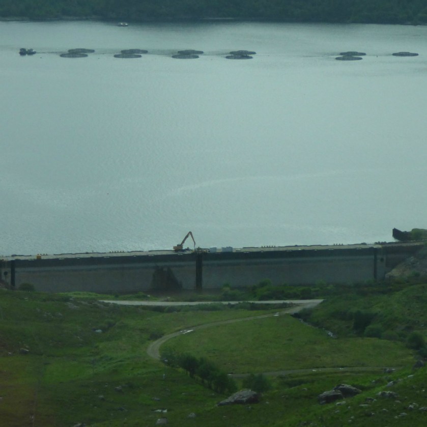
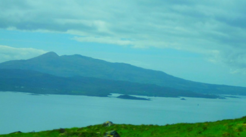
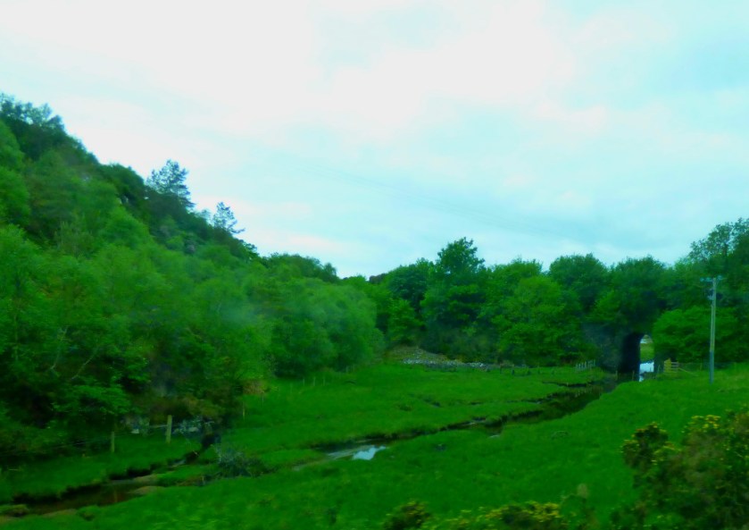
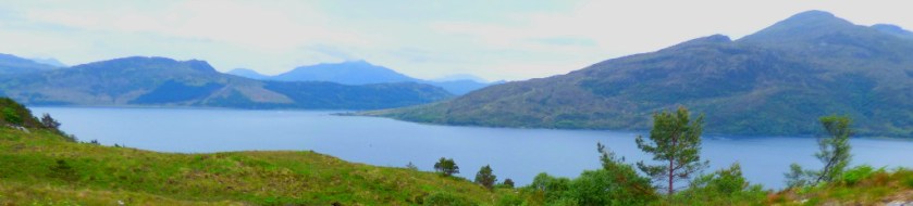
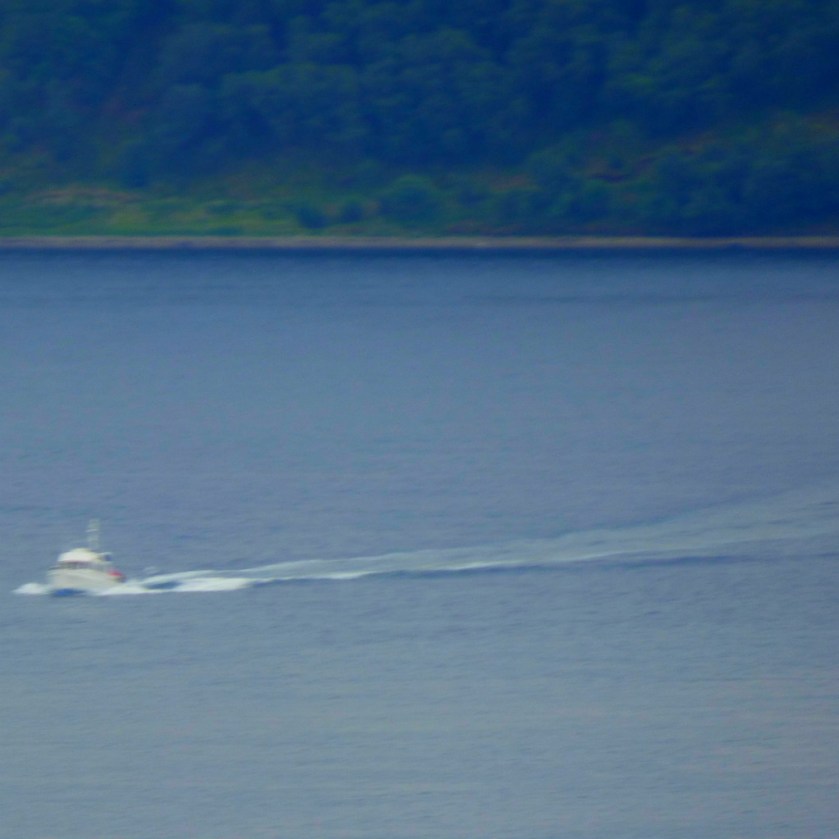
The road out from Plockton follows the shore of Loch Carron pretty closely for the first part of the journey. Loch Carron, like Loch Alsh is a sea loch (readers familiar with Norway should think ‘fjord’ – the Scottish sea lochs were created by the same geological phenomenon as the fjords). Not withstanding the limitations imposed by having to shoot through the window of a moving vehicle I kept the camera busy:
This road won’t be extended any time soon!
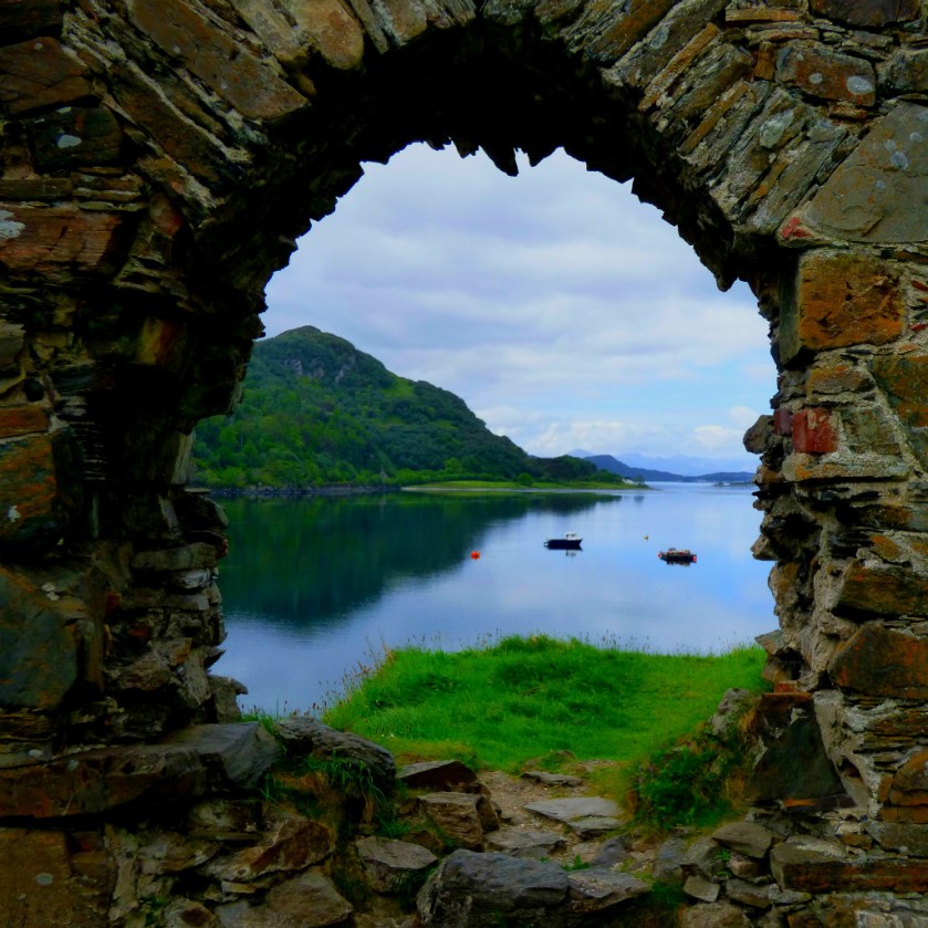
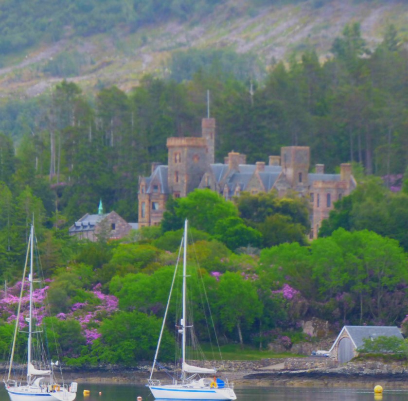
STROME CASTLE
This ruined castle is well worth the detour if you are heading towards Applecross. Here are the pictures:
The latest post ion my series about my Scottish Holiday, dealing with Plockton.
INTRODUCTION
We have reached the Wednesday in my series of posts about my holiday in Scotland, which astute readers will recall was the day of my birthday. For previous posts in this series please click here. There will be a number of posts about this day as we saw a lot of fantastic scenery.
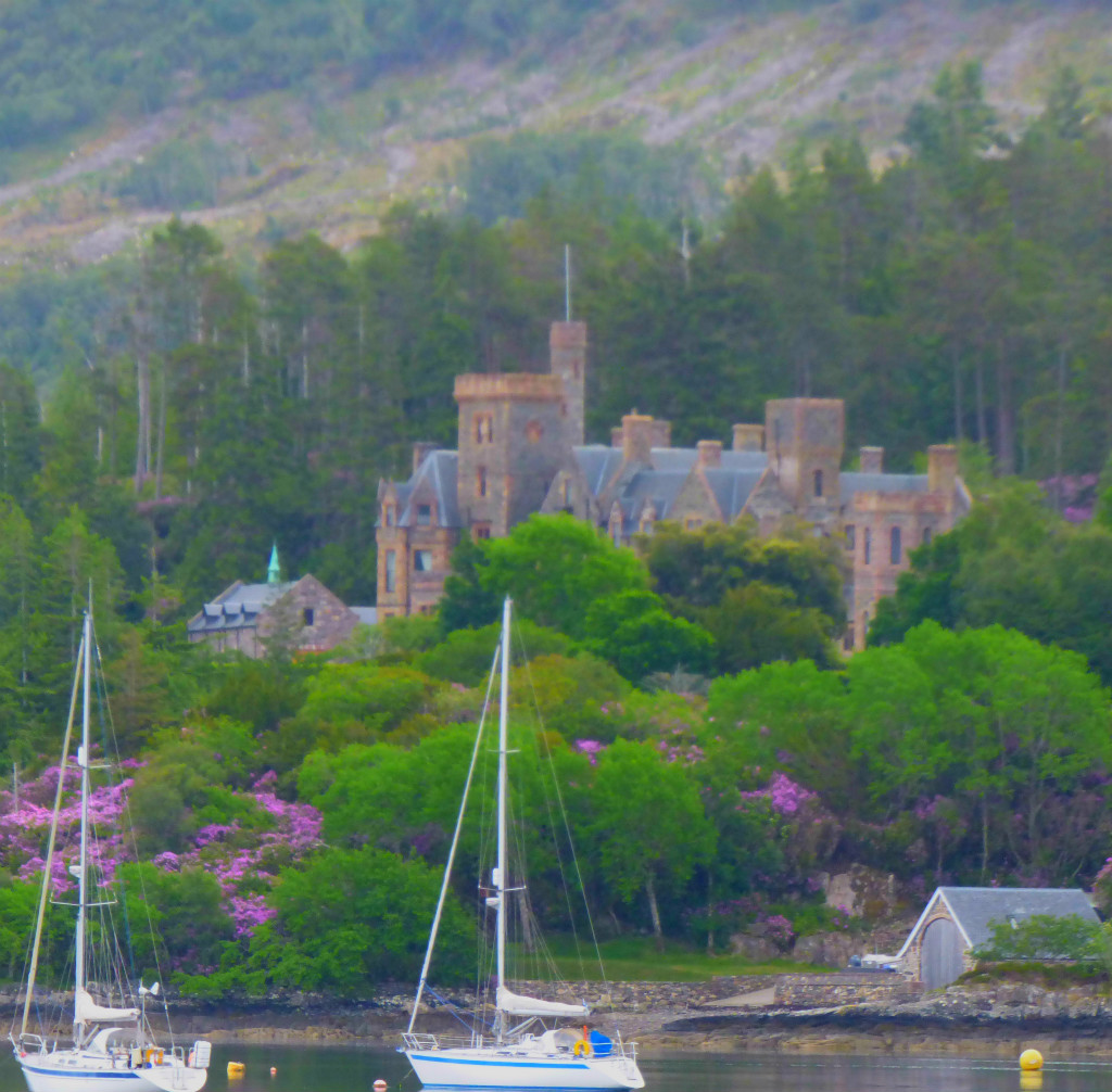
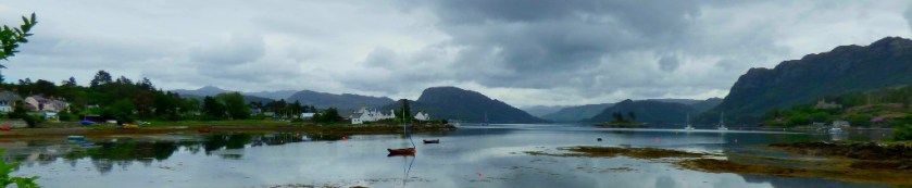
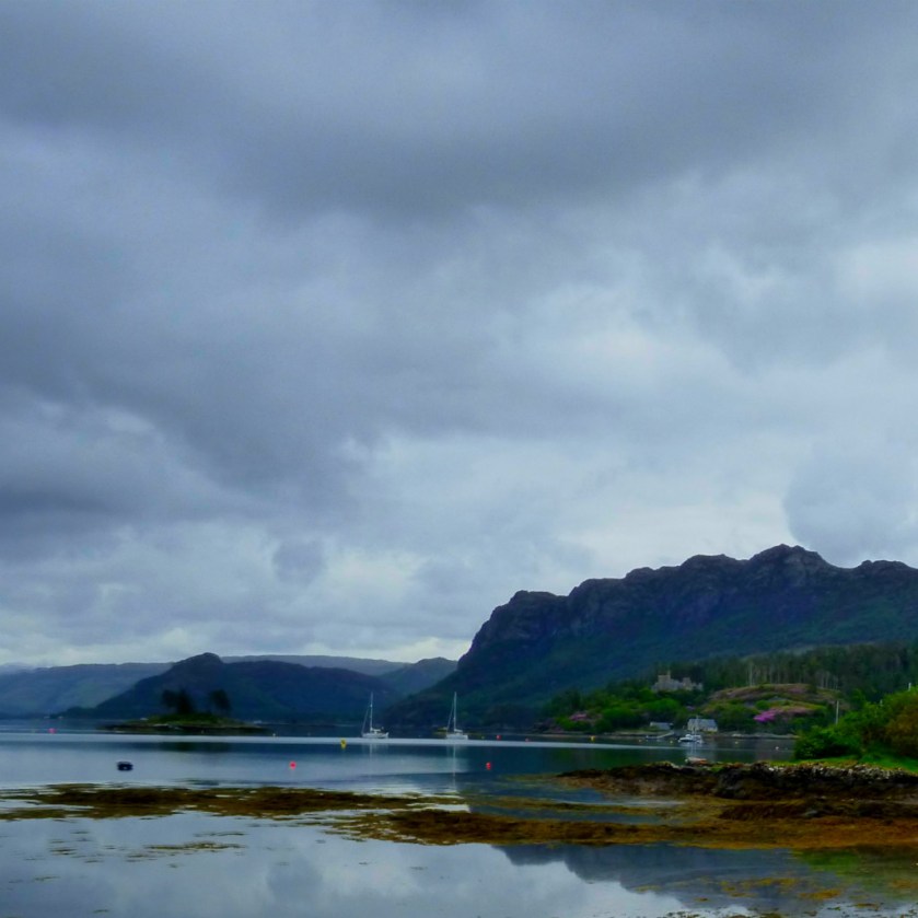
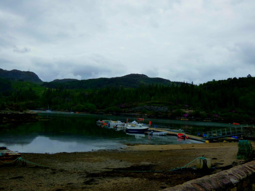
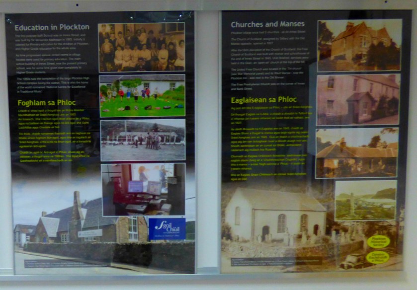
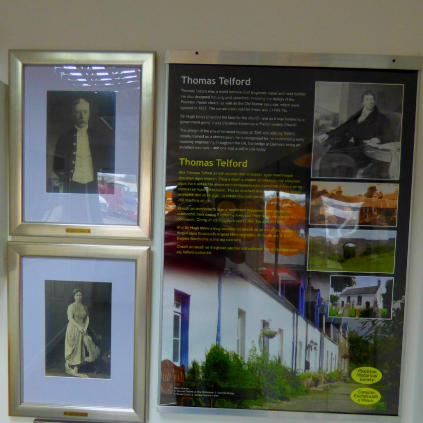
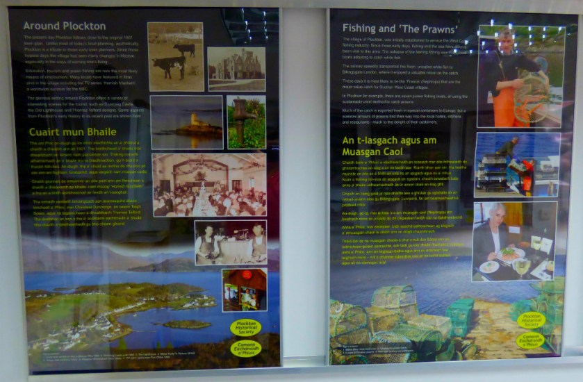
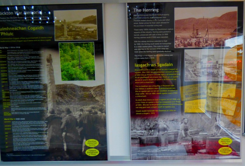
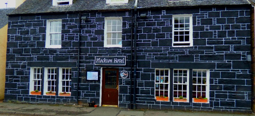
PLOCKTON
Our first port of call was Plockton, where were hoping to book a table at the Plockton Inn (it is in the Good Food Guide). There were also a few other things to see in Plockton. Here are some early pictures:
This is the approach to Plockton
The Plockton Inn signPicture in the Plockton Inn
We were lucky at the Inn – they did have a table, at 6PM, so we knew when we had to be back in Plockton. This sorted, it was time to explore Plockton:
This ‘stone-look’ frontage is a fail as far I as am concerned.
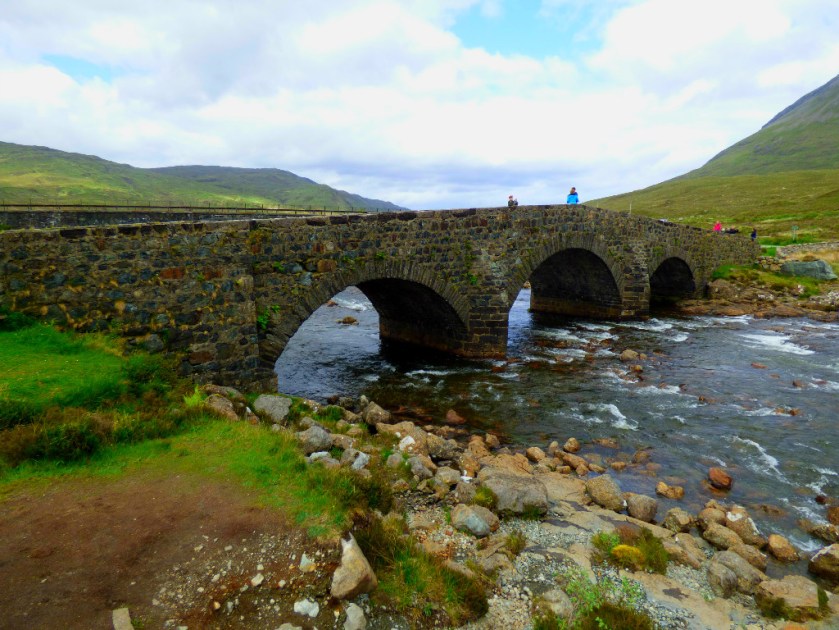
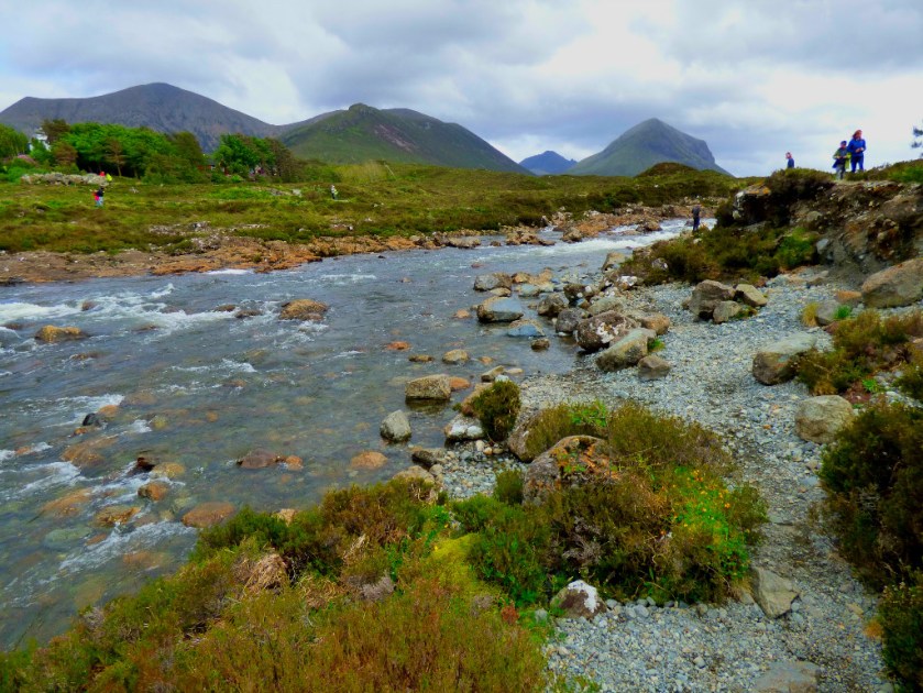
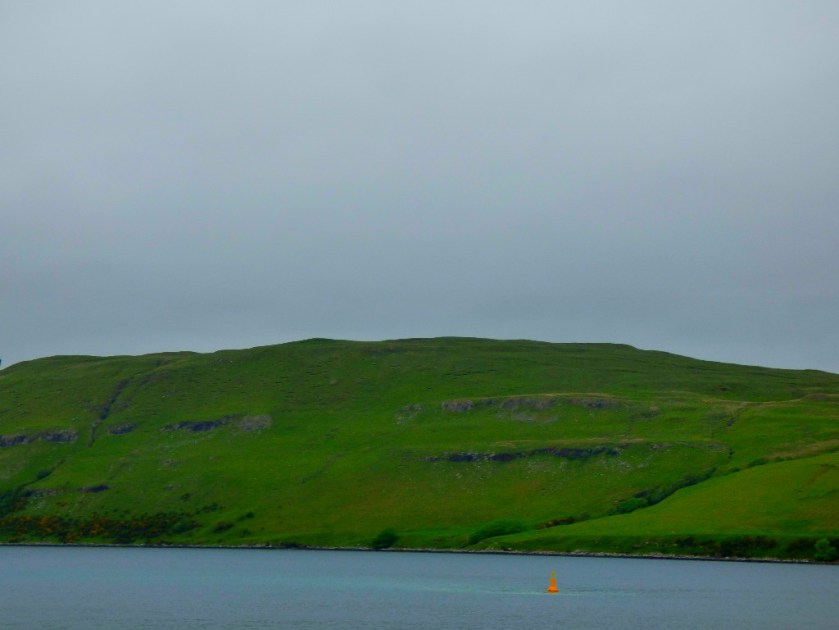
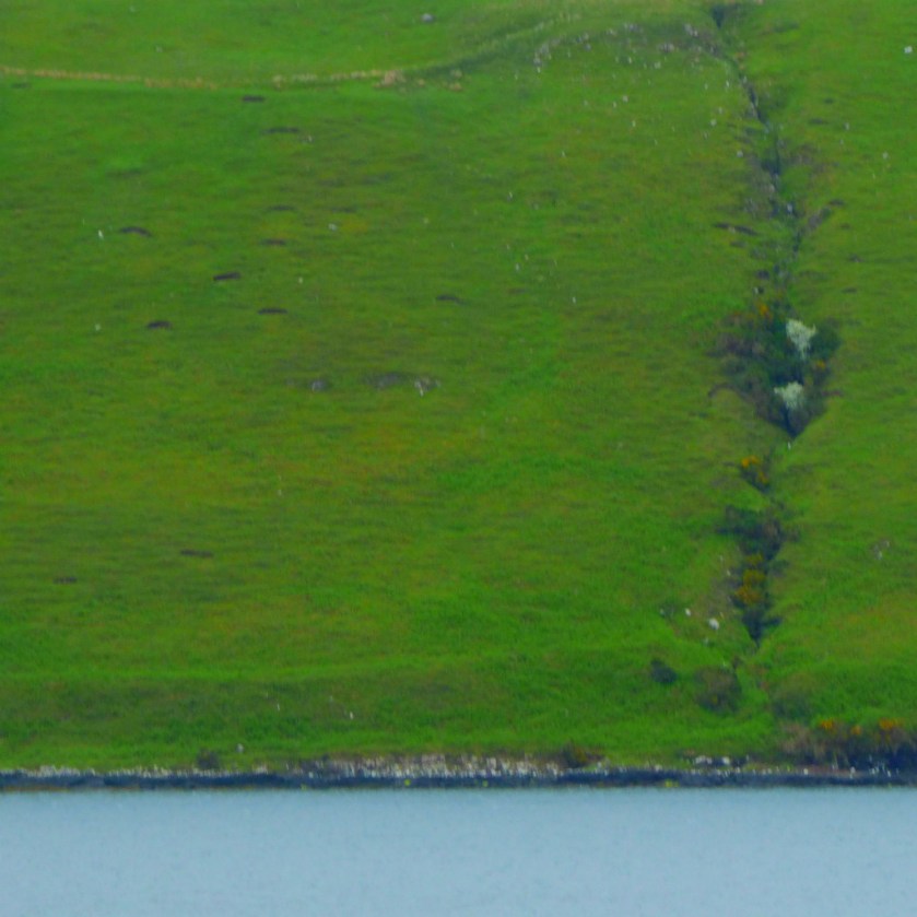
I had identified a place for photo stop on the return journey while we were heading towards the Talisker distillery. It proved even better than I had expected, and in a few minutes I had taken a number of good pictures…
Enter a caption
At least one of these pictures will feature in the Calendar.
Click on this picture to hear the piece of music after which it is named – Hamish MacCunn’s evocation of his native land.
LEAVING SKYE
I got a few more pictures during the rest of the journey home…
A very brief post linking the one about the distillery tour to the last of my Skye posts.
INTRODUCTION
Welcome to the next installment of my series about my Scottish holiday. This post takes up the story from the end of our visit to the Talisker Distillery. My first post about Skye which contains links to all my pre-Skye posts can be foundhere.
FINDING SOMEWHERE FOR LUNCH
We found a place to have lunch at about 2:30PM (our tour had pushed us late). The food was good of its kind if somewhat overpriced. Here are the photographs from this section of the trip:
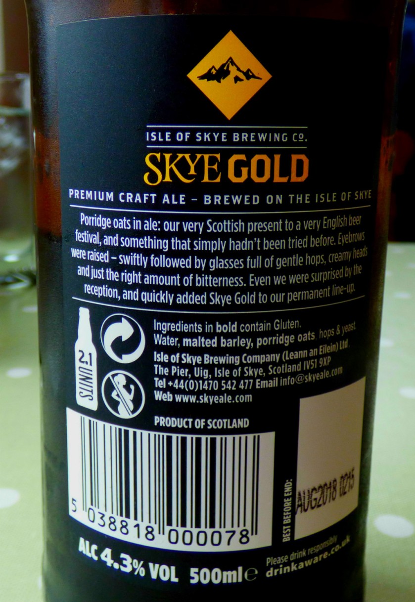
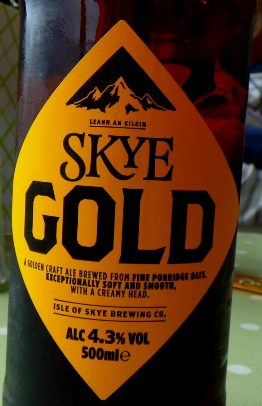
At some stage in this series I will be producing a post about the craft ales produced by the Skye brewery.
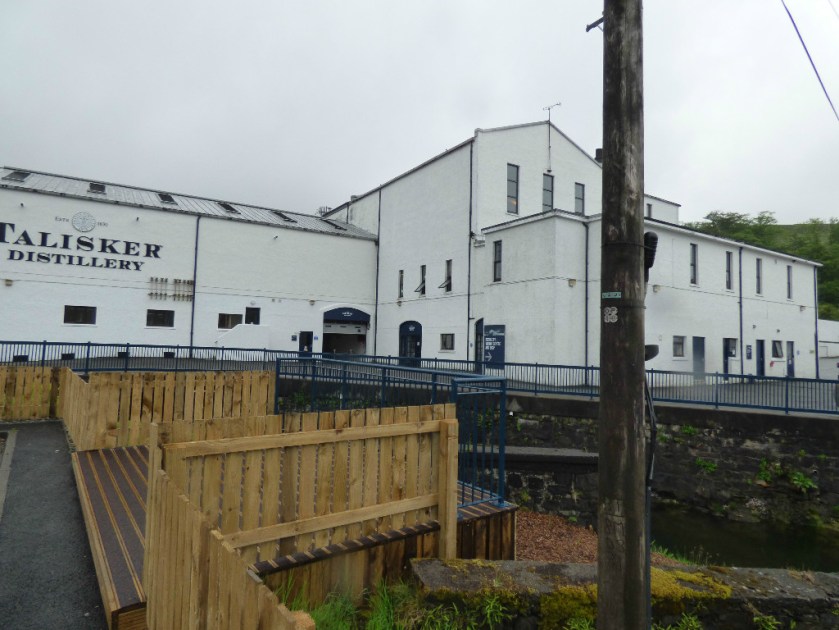
An account of a tour of the Talisker distiller on the Isle of Skye.
INTRODUCTION
Welcome to the latest installment in my series about my Scottish holiday. My previous post contains links to all its predecessors in the series.
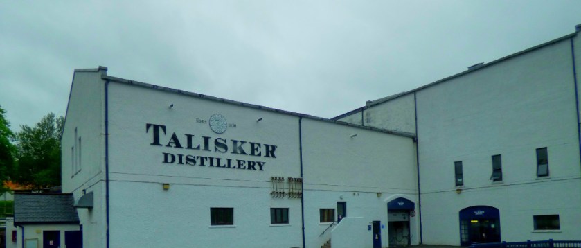
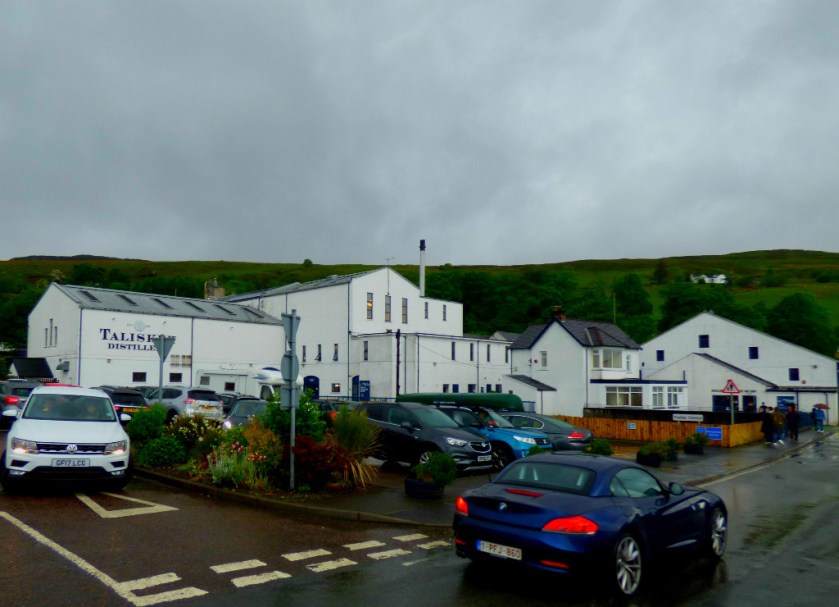
ARRIVING AT THE DISTILLERY
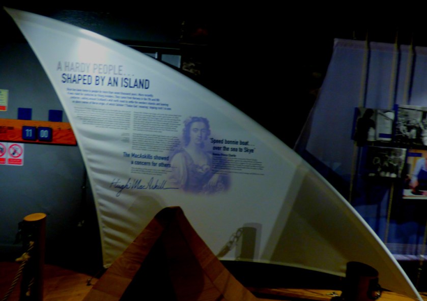
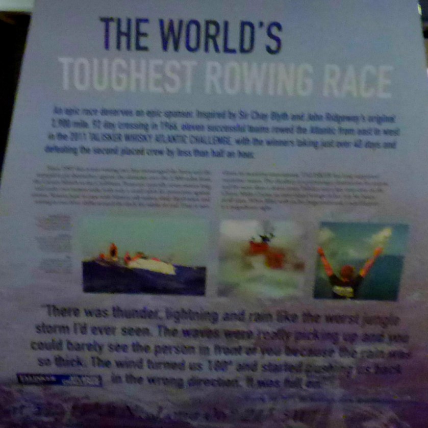
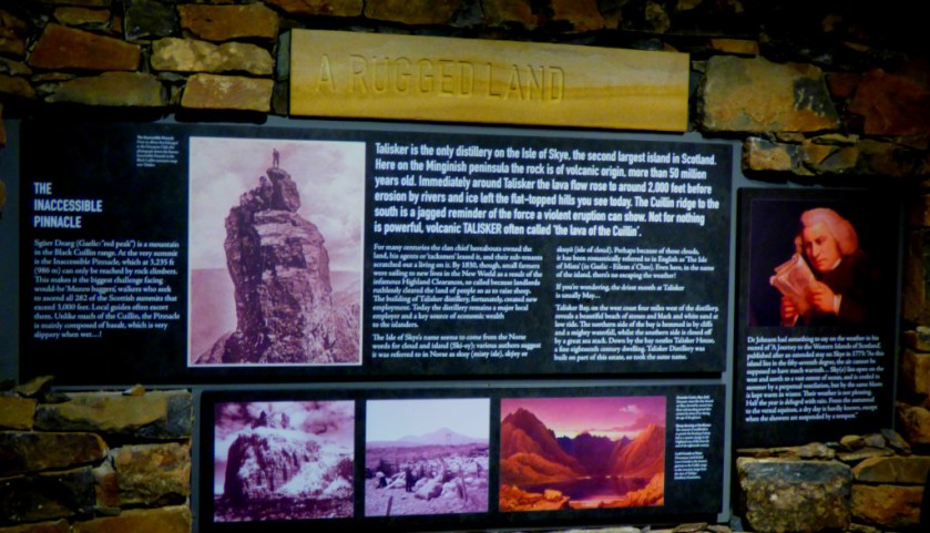
Tours of the Talisker Distillery are rather popular, so we had an hour to fill in before our tour started. There was an exhibition to look at and a gift shop. These occupied us for about half the time, and then we took shelter in my parent’s camper van for the rest. Here are some pictures from this preliminary period…
Enter a caption
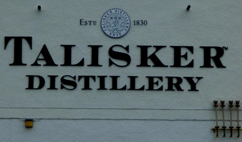
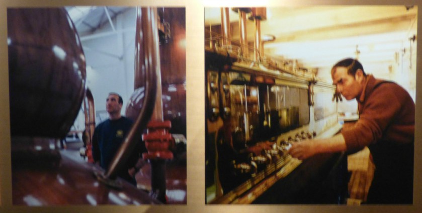
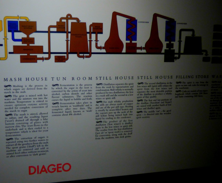
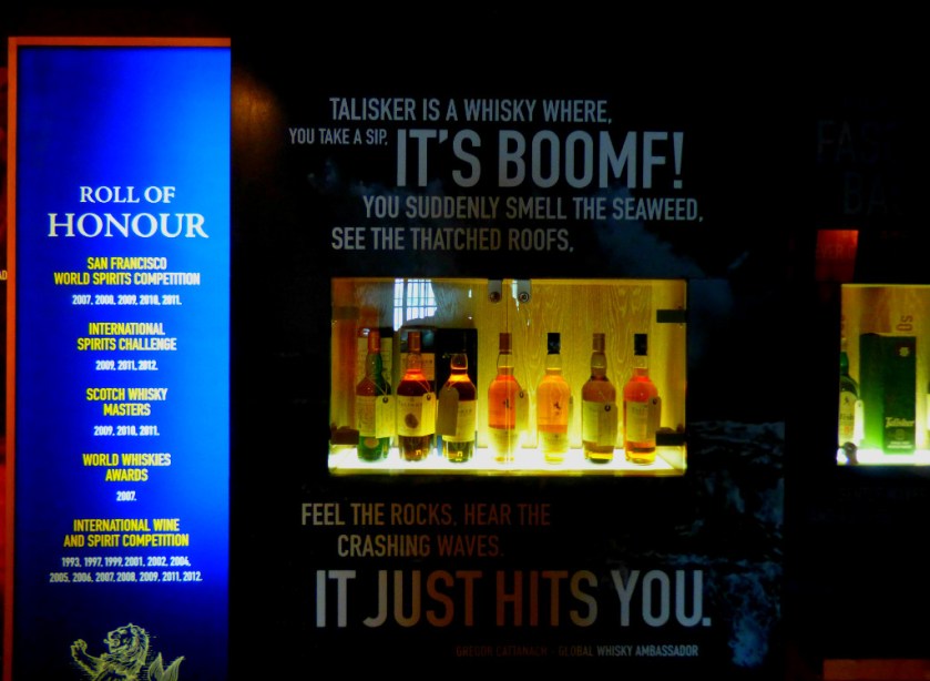
THE TOUR
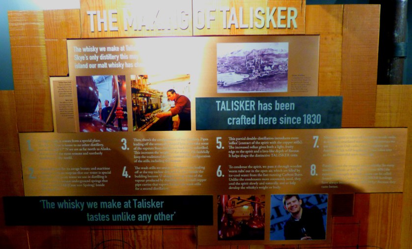
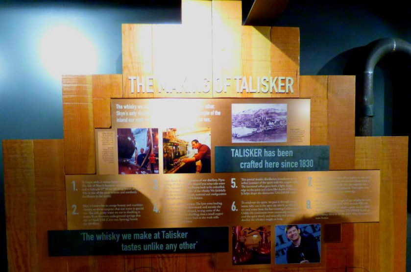
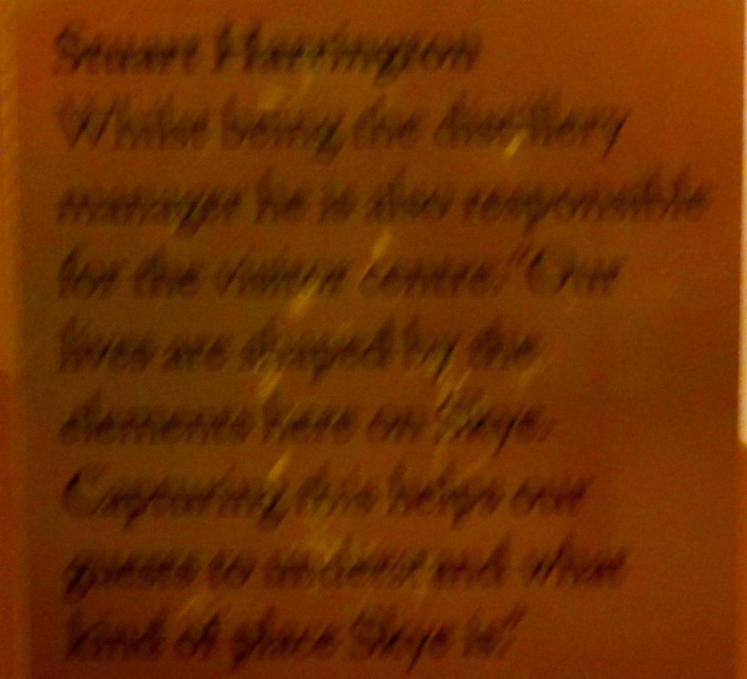
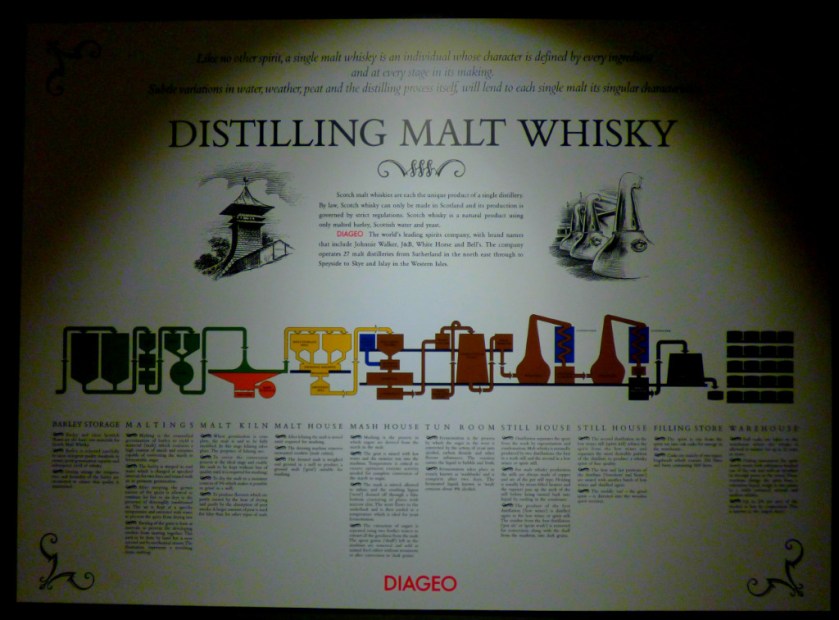
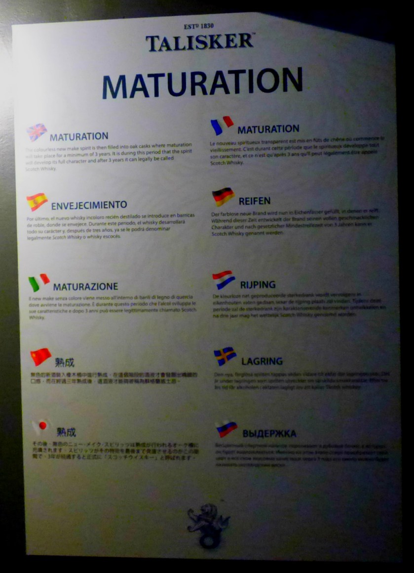
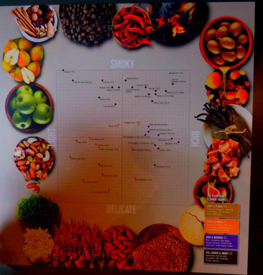
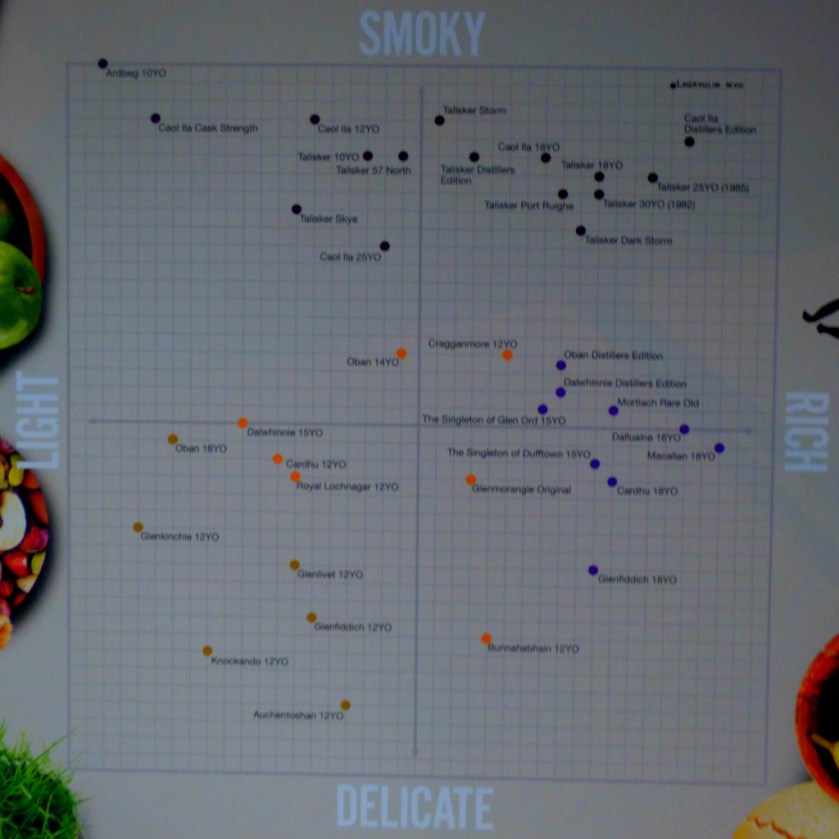
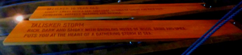
Most of the distillery itself was off limits as far as photography was concerned due to the possible triggering of dangerous chemical reactions. To give you an idea of the scale of the operation the whisky is produced in tranches of 30,000 litres at a time. Talisker whiskies are classified as mid-range peaty – not as peaty as the likes of Ardbeg, Islay, Lagavulin or Laphroaig but plenty peaty enough to taste.
The whisky here is double distilled (they used to triple distill until recently). By the time it reaches the end of the distillation process it has an alcohol content of between 64 and 74 percent, and is then diluted with distilled water to reduced this to the desired level which varies between 40% minimum and 57% for the variety which is called 57 Degrees, linking its alcohol content to the latitude of this part of the world.
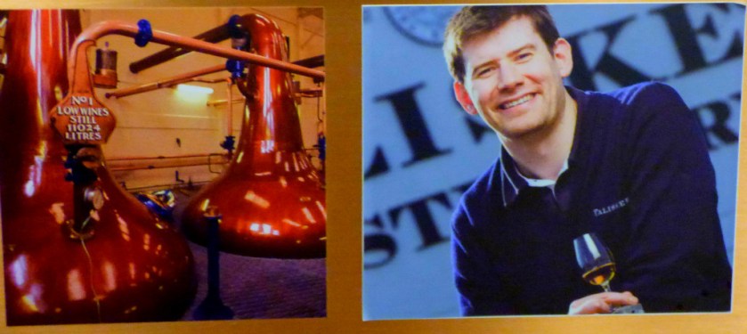
The fermentation room contains eight giant containers, each at a different stage of the process, while there are two sets of stills. The first set consists of two each with a capacity of 17,000 litres and the second of three each with a capacity of 11,000 litres.
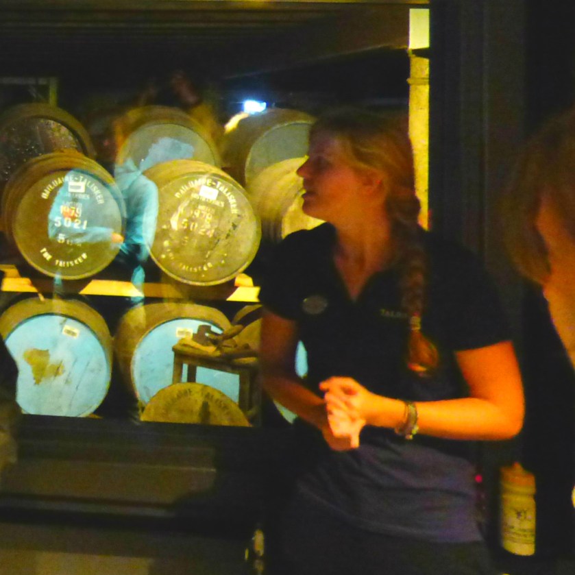
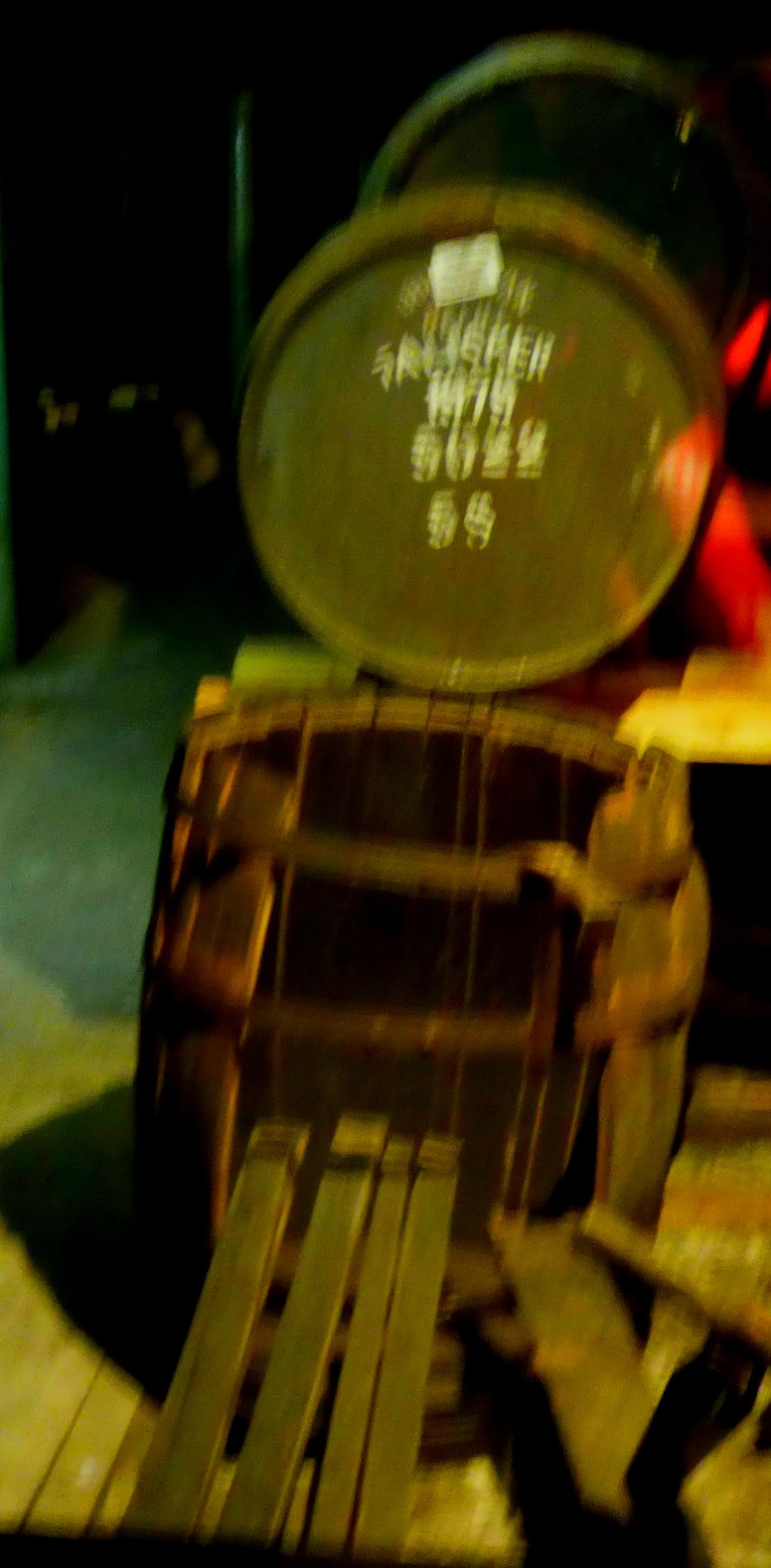
At the point at which it goes into the casks to mature the liquid is clear – the colour comes from the casks.
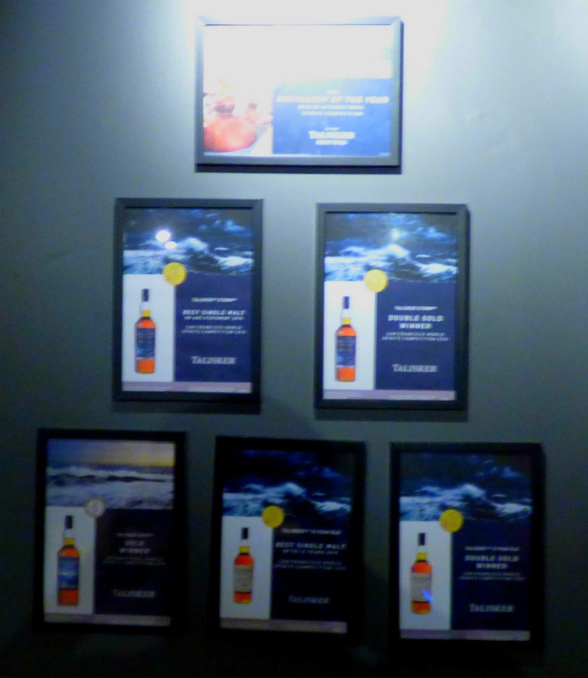
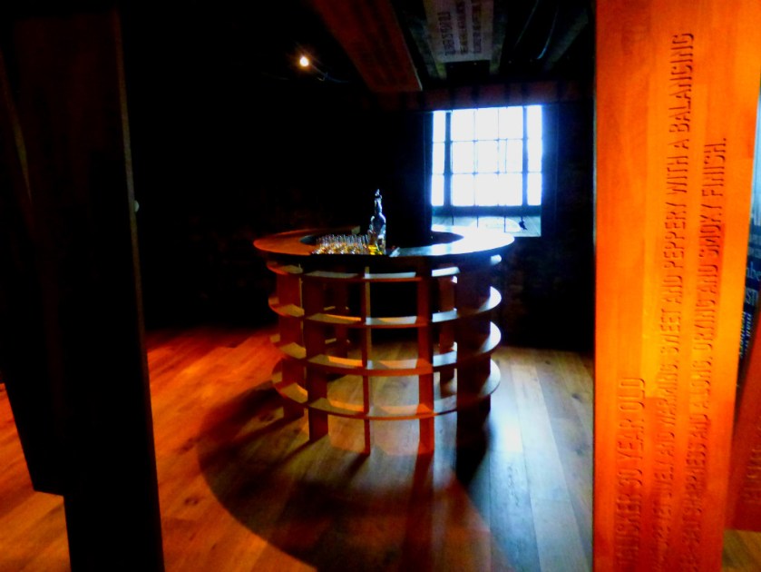
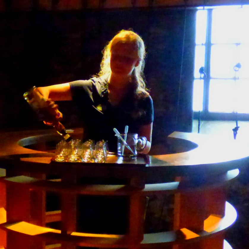
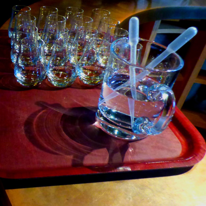
After we had seen the final stages of production there was the warehouse and a sampling session (a pub single each). In these closing stages photography was allowed again (I, unlike one of the others of our party had actually been listening when we were told this – I was annoyed when this individual piped up when I started photographing in the warehouse implying that I should not have been doing so, but the guide confirmed what I had already known by listening a few moments earlier – I was in the clear).
The barrel loses 2% of its content to evaporation per year – after 38 years which this barrel has been there for the amount left would be 0.98 to the power of 38 where 1 stands for a full barrel.
A few drops (emphasis on few) of water brings out the flavour
DEPARTURE
We decided that the prices in the gift shop were just too high, especially as only one of our three gift vouchers could be used per purchase. The 57 Degrees was priced at £68, while the less strong local stuff was in the region of £40 per bottle. There were also some super-expensive (“Oligarch Prices” as I termed them at the time) bottles. The biggest price tag I saw was £2,400.
The first of several posts about the Tuesday of my Scottish holiday.
INTRODUCTION
Welcome to the latest post in the series about my Scottish holiday. We are now dealing with the Tuesday (May 30th), most of which was spent on the Isle of Skye. The day contained so much of interest and yielded so many splendid pictures that I am splitting it into a number of posts. Previous posts in this series:
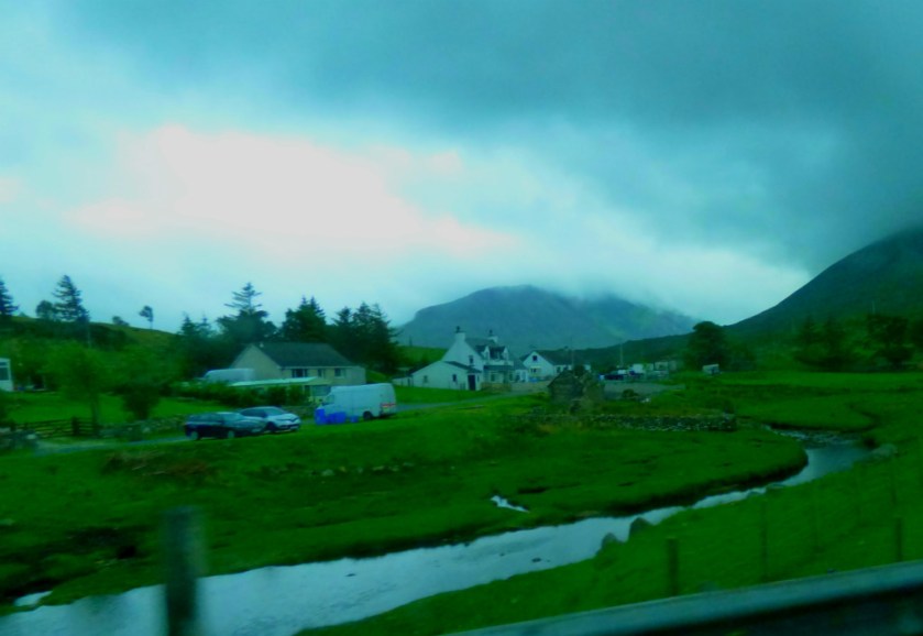
We decided that our first major activity would be a tour of the Talisker Distillery (the tour itself will be the theme of the next post in this series). As you will see from some of the photographs the weather was suitable for a day most of which would be spent under cover.
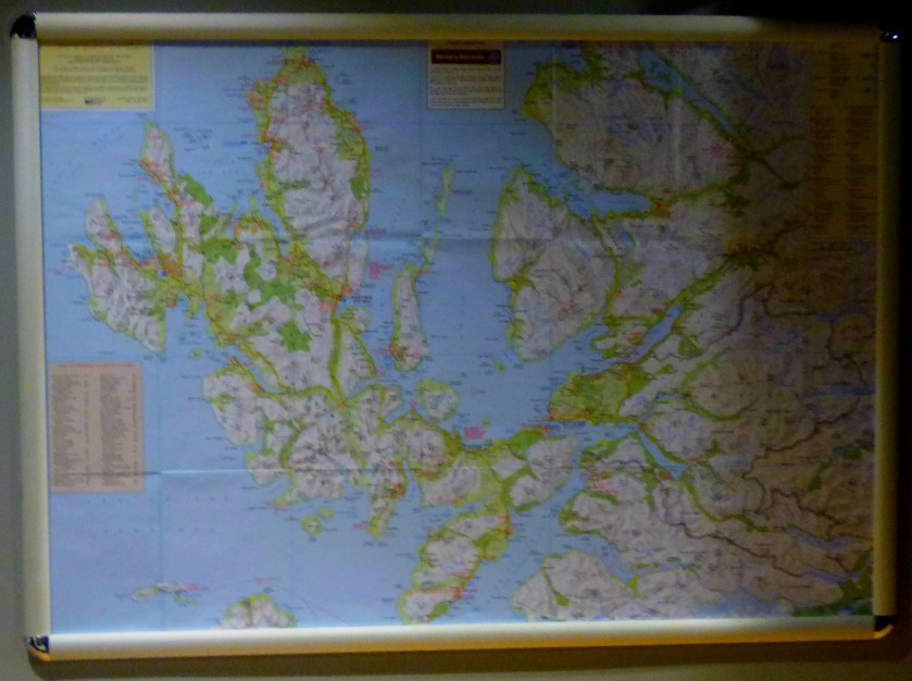
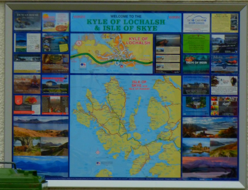
THE GEOGRAPHY OF SKYE
Although Kyleakin is the more northerly of the settlements on Skye to have historic connections to the mainland (Armadale, with its ferry connection to Mallaig, is the other), it is still the case the most of Skye is to the north of Kyleakin.
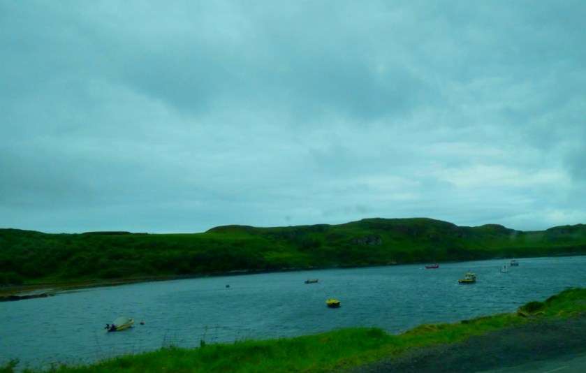
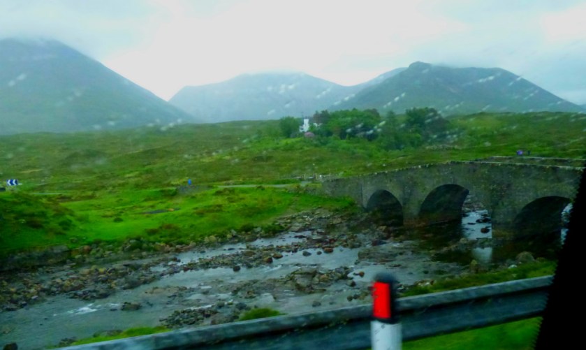
PHOTOS OF THE OUTWARD JOURNEY
The outward journey yielded some good pictures and gave me an idea for the way back as well…
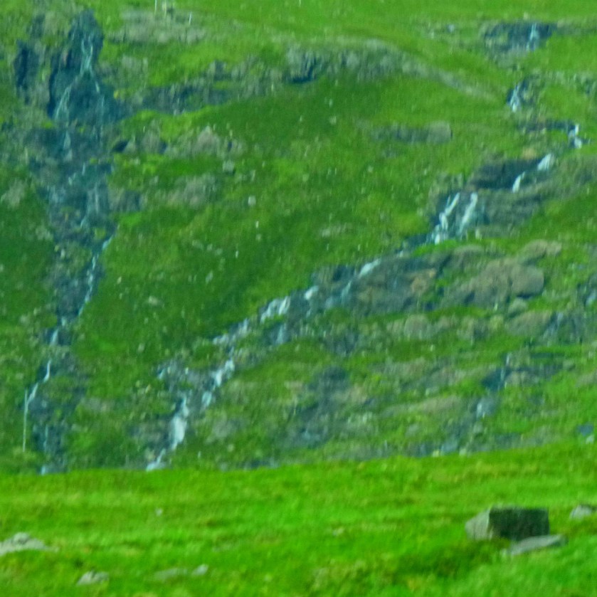
This waterfall is more than a bit blurred, but still worth showing.
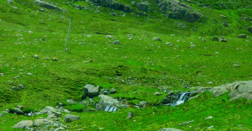
I made a mental note that this was an area to get closer attention on the return journey, as you will see in a later post.
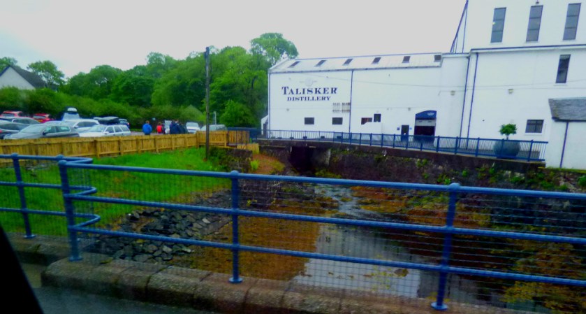
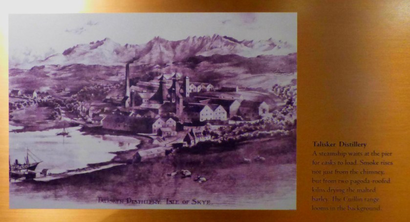
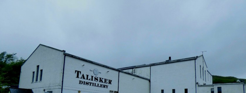
This is the approach to the Distillery Car Park – and distillery visitors are understandably strongly discouraged from parking elsewhere in the village.
An account of the walking route from Balmacara to Kyle of Lochalsh.
INTRODUCTION
Welcome to the latest installment in this series about my Scottish holiday. Today we deal with Monday’s principal activity, which was a trip into Kyle of Lochalsh. Previous posts in series:
We had noticed the presence of a footpath to Kyle of Lochalsh, and I was particularly keen to sample it. I was not expecting the walk to pose too many problems as the distance was only three miles. However, I had seriously underestimated the difficulty of the terrain. Thus it was that after a brief period in Kyle of Lochalsh we got a bus back.
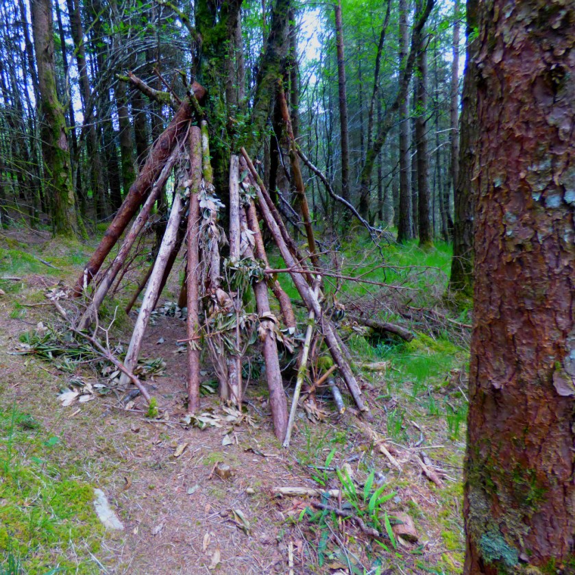
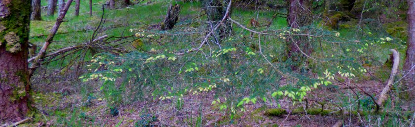
LEAVING THE ROAD – WOODS
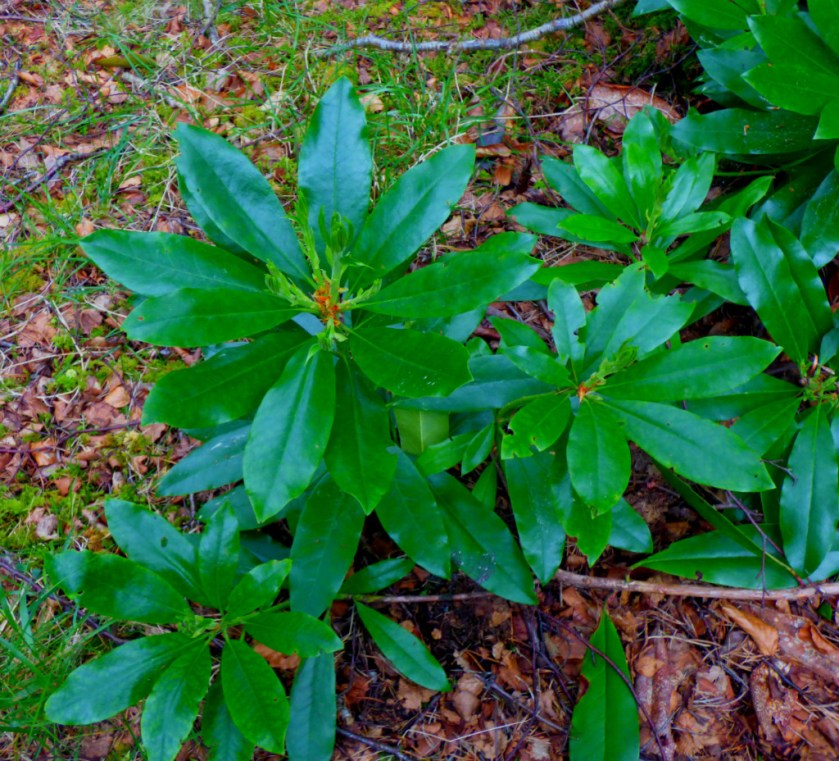
The footpath began by climbing up through some woodland, before emerging into the open.
This shelter framework had been built straddling the path and left there.
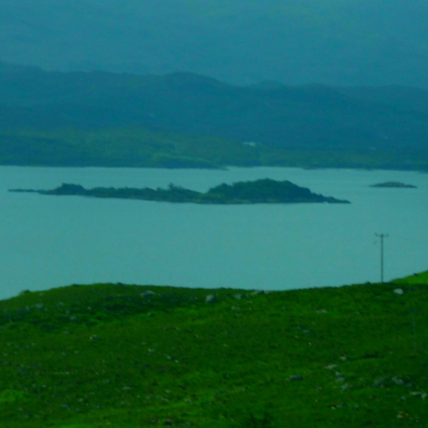
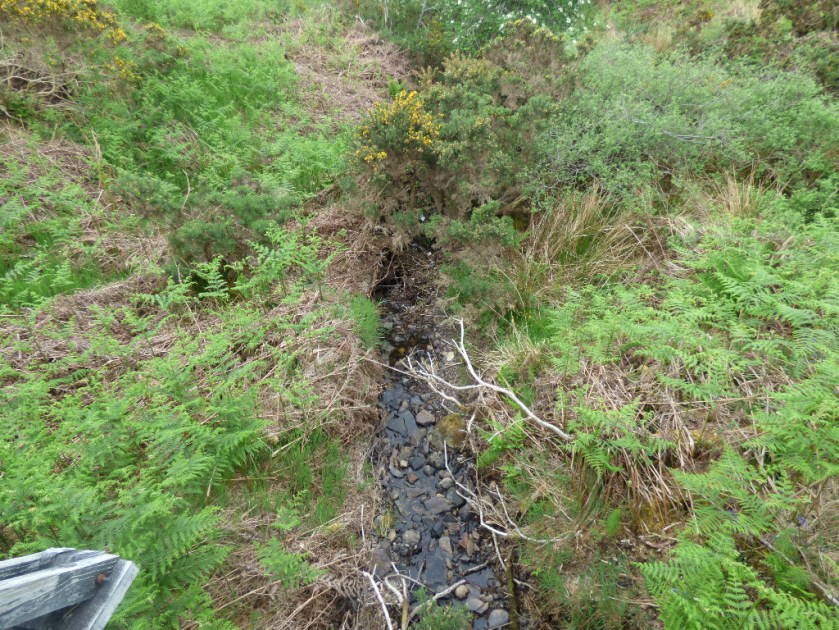
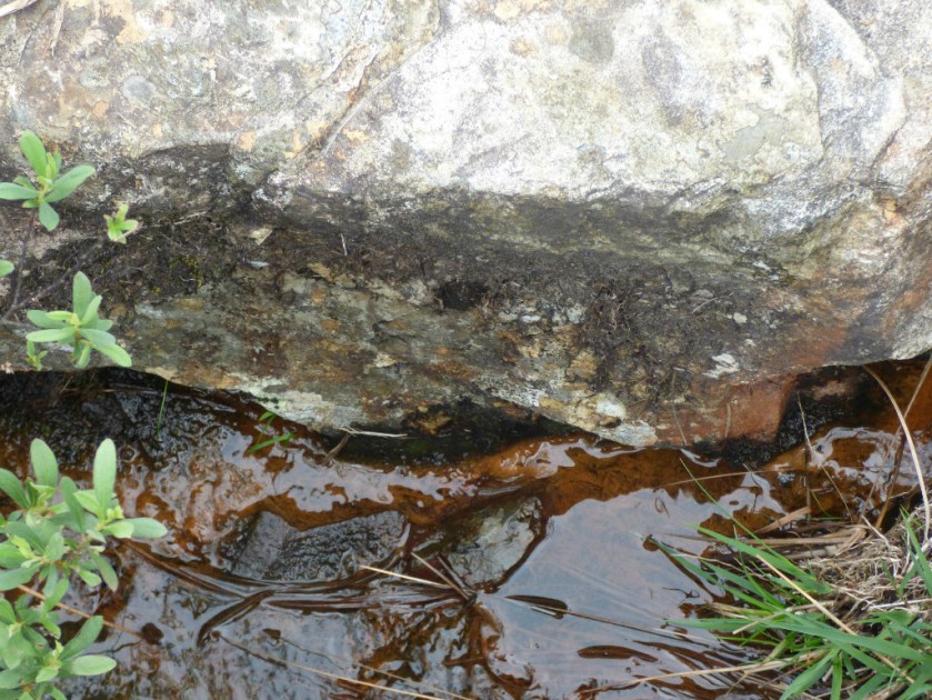
ON THE HEIGHTS – TO SCALPAIDH BURN
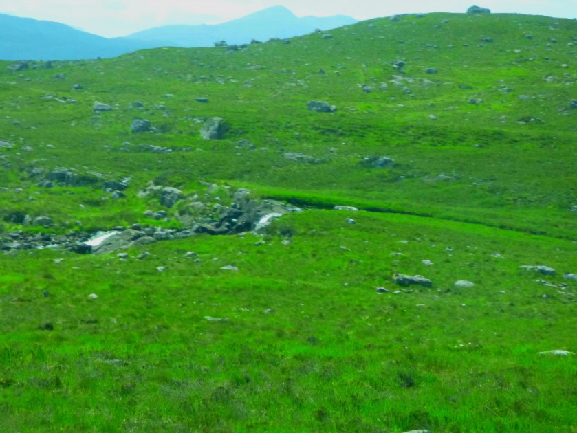
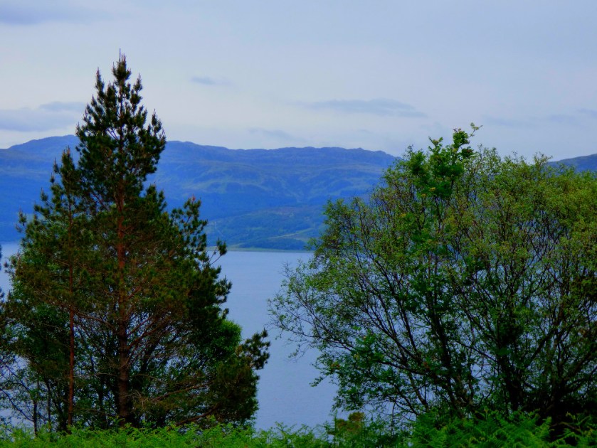
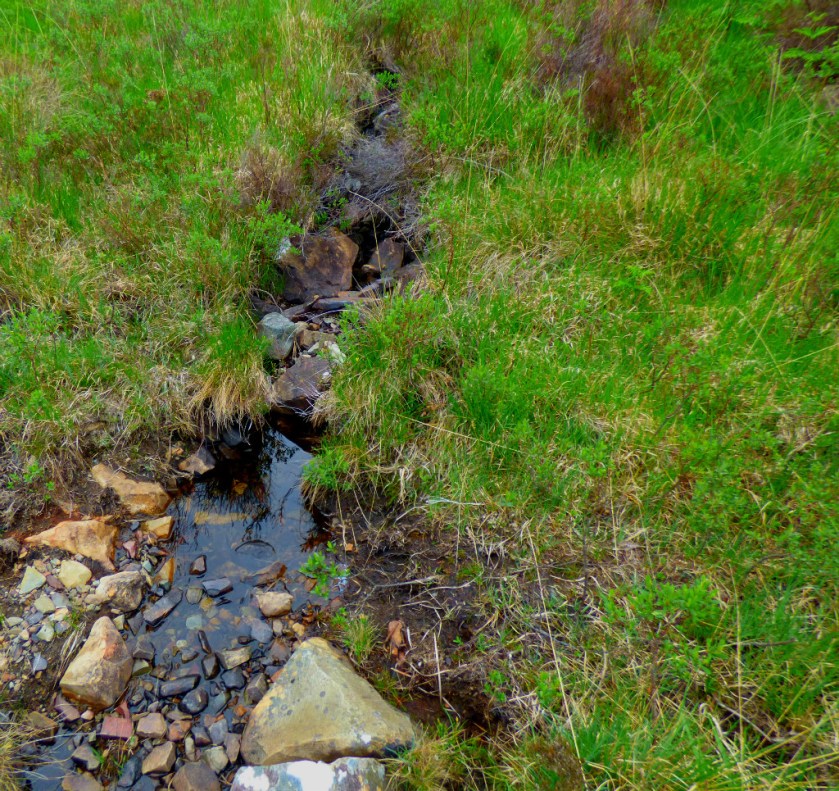
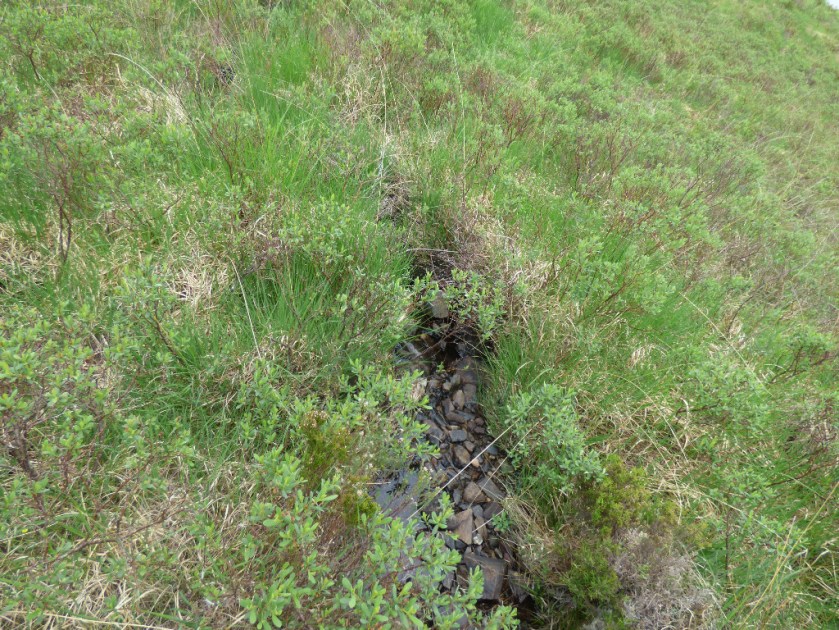
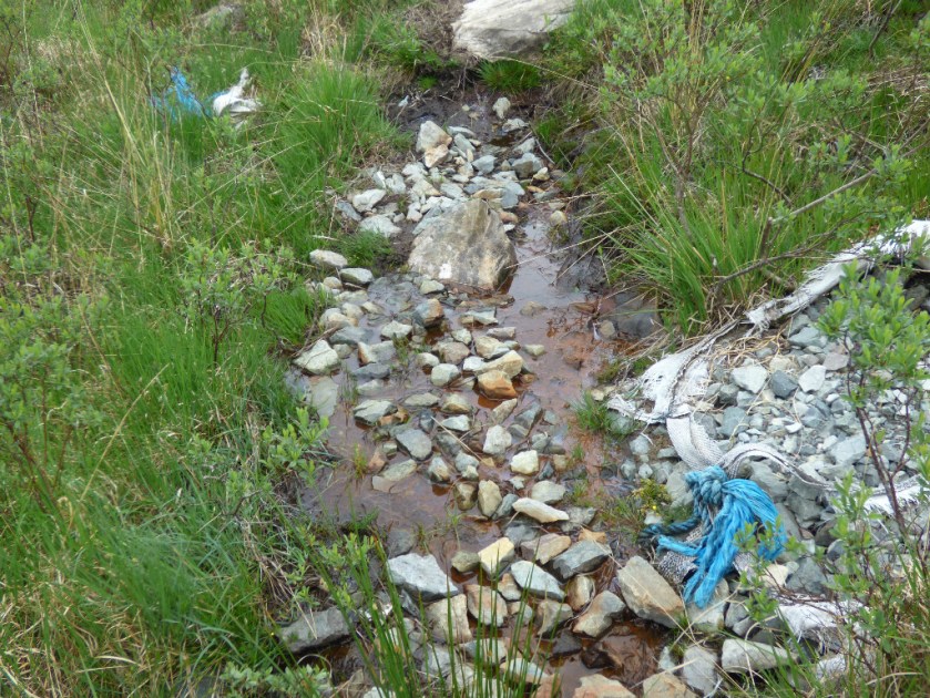
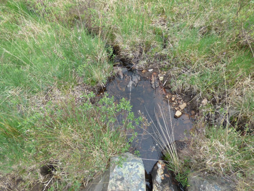
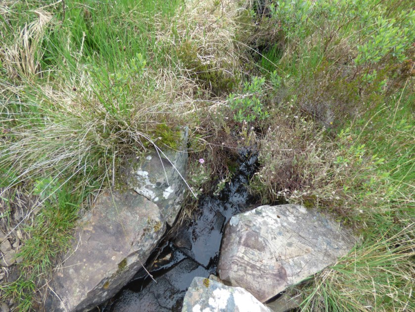
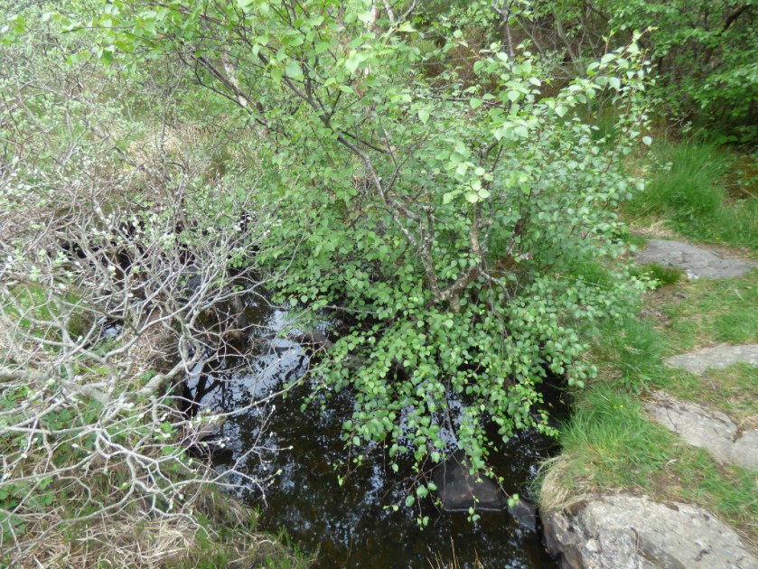
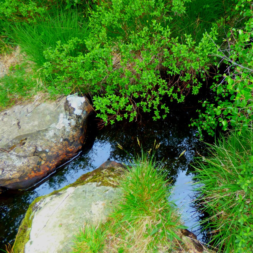
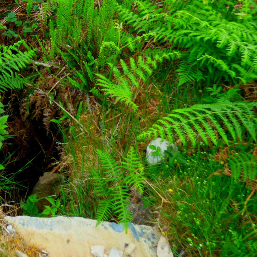
The middle point of the walk, until we crossed a footpath running between Scalpaidh Bay and Loch Scalpaidh, took place high above Lochalsh. This junction came at the crossing point of the only major waterway on the route (there were numberless minor waterways cutting the path at various points – this is northwest Scotland we are talking about!).
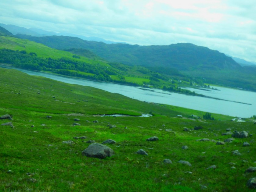
THE DESCENT INTO KYLE OF LOCHALSH
The final stages of the footpath were on a steady downhill gradient as we approached Kyle of Lochalsh. The whole walk took two hours due to the difficult terrain (there were points when the path was almost indistinguishable from what as around it). We walked it on a warm day during what had been by the standards of the area a dry period.
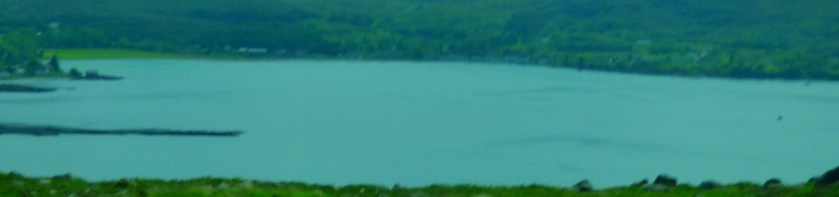
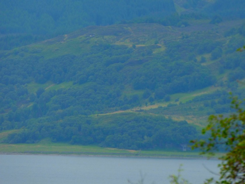
This was the first sight of Kyle of Lochalsh from the footpath.
Kyle of Lochalsh Co-op – it has an adequate but overpriced stock.The footpath marker at the Kyle of Lochalsh end of the path.#
LUNCH AND THE RETURN
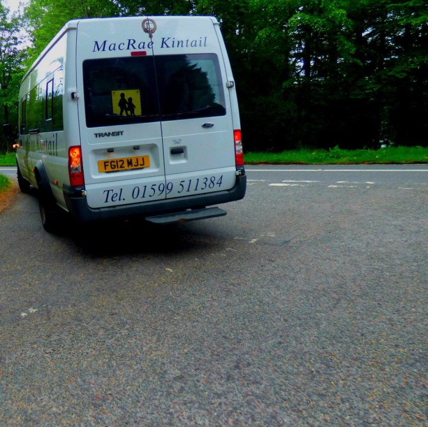
We had lunch at Hector’s Bothy, also making use of their wifi before getting a bus back. This bus service runs on Mondays, Tuesdays and Fridays and although its first scheduled stop is Balmacara Square they acceded to a request that we be dropped at the turn off leading to Glaick (pronounced Glike) wherein Ferry Cottage is located. The fares were remarkably cheap at £1.20 each (central King’s Lynn to the Hospital costs more for example). The bus is the smallest vehicle I have ever seen running what purports to be a public bus route: