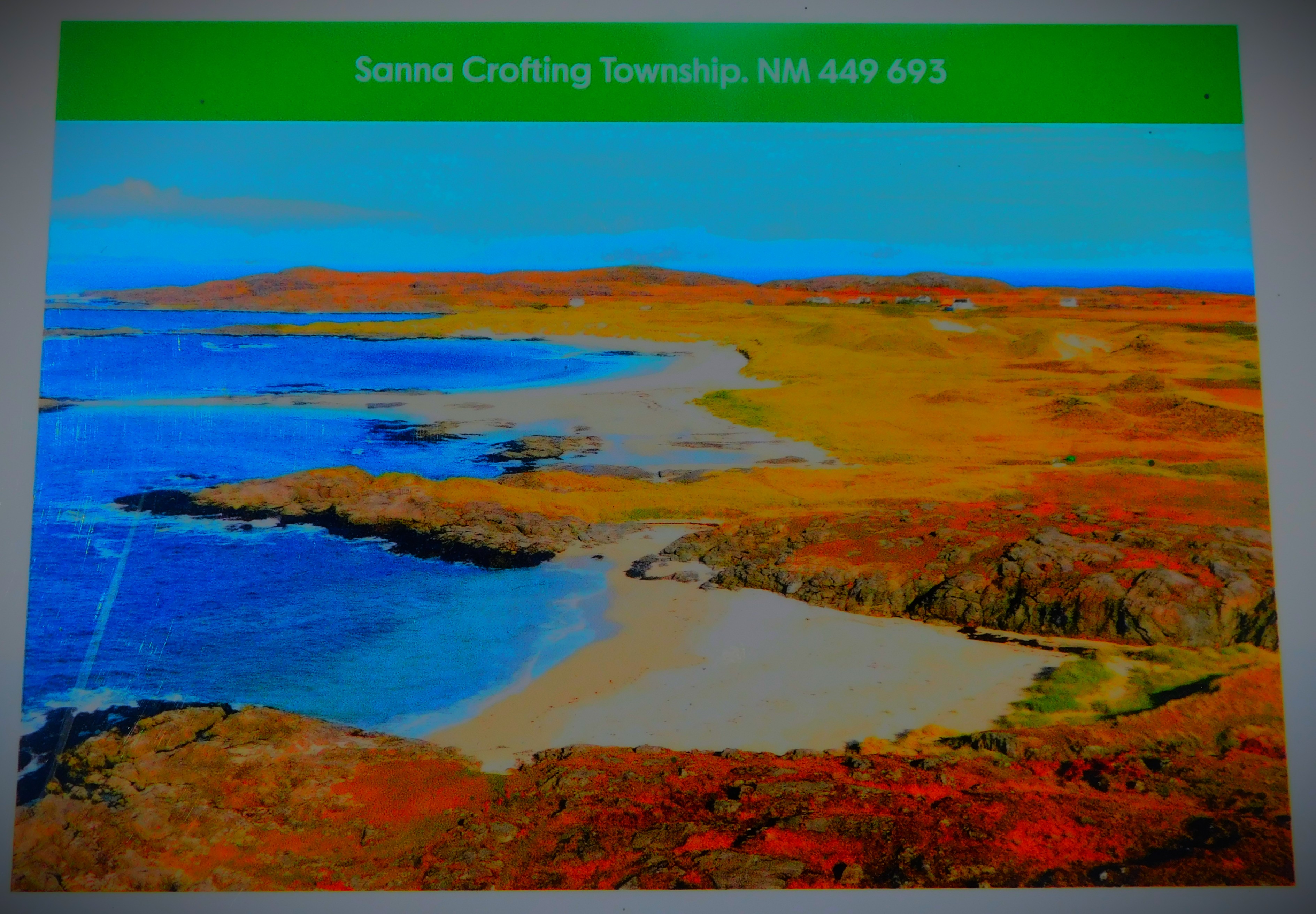
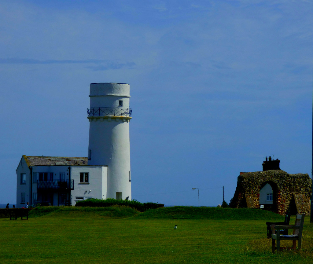
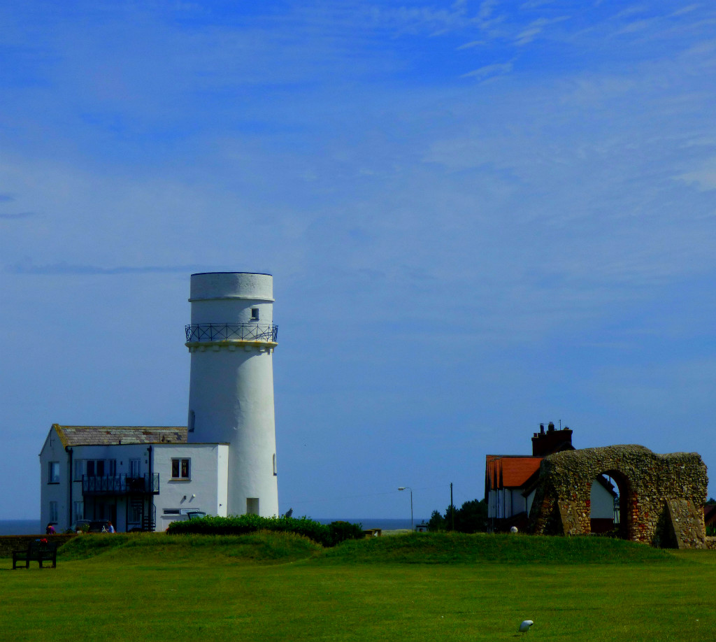
Continuing my account of my holiday in the far west of Scotland around the time of my 50th birthday with a post about our visit to Sanna.
Welcome to the latest post in my series about my holiday in the far west of Scotland around the time of my 50th birthday. This is the third post about the activities of a fairly busy Friday (May 30th), following on from the account of the Glenborrodale Nature Reserve walk and a post about the activities of the middle part of the day. This post covers our visit to Sanna.
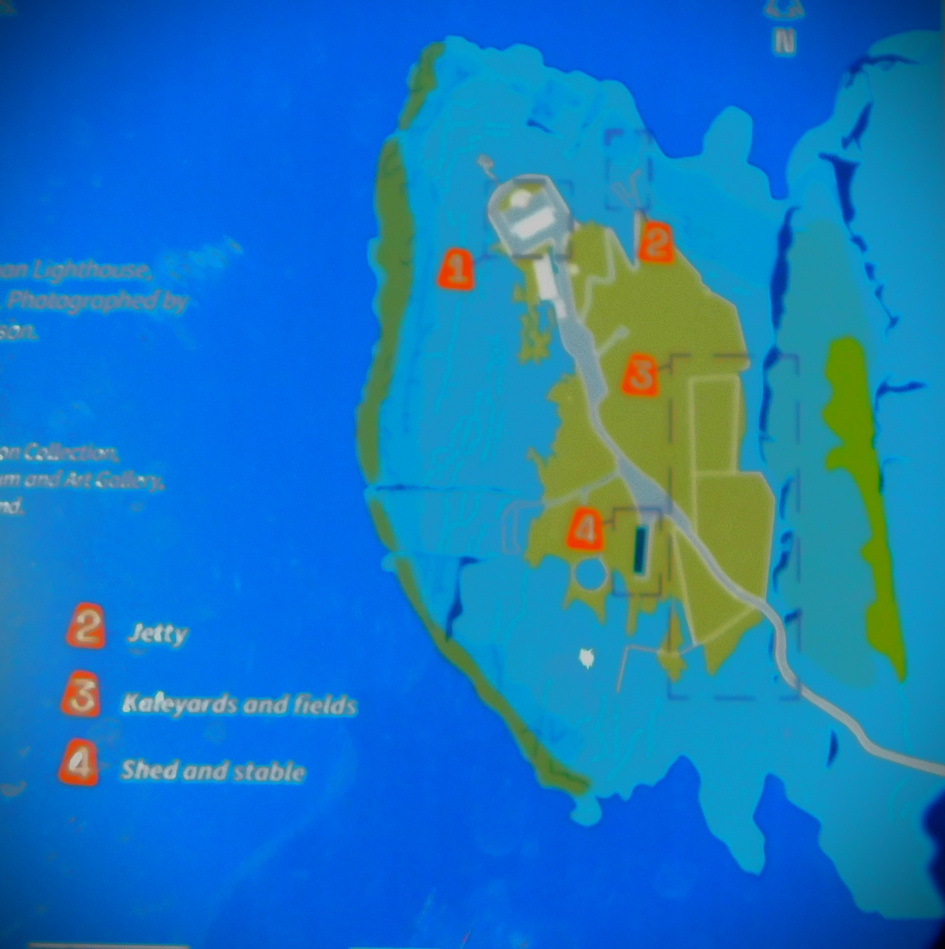
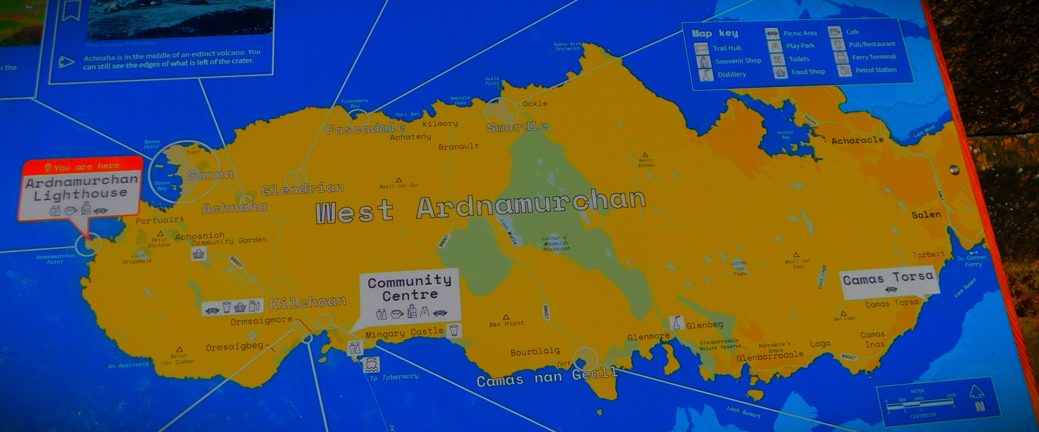
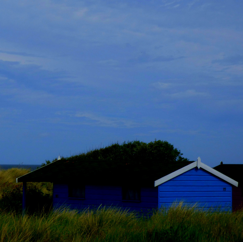
AN OVERVIEW OF SANNA
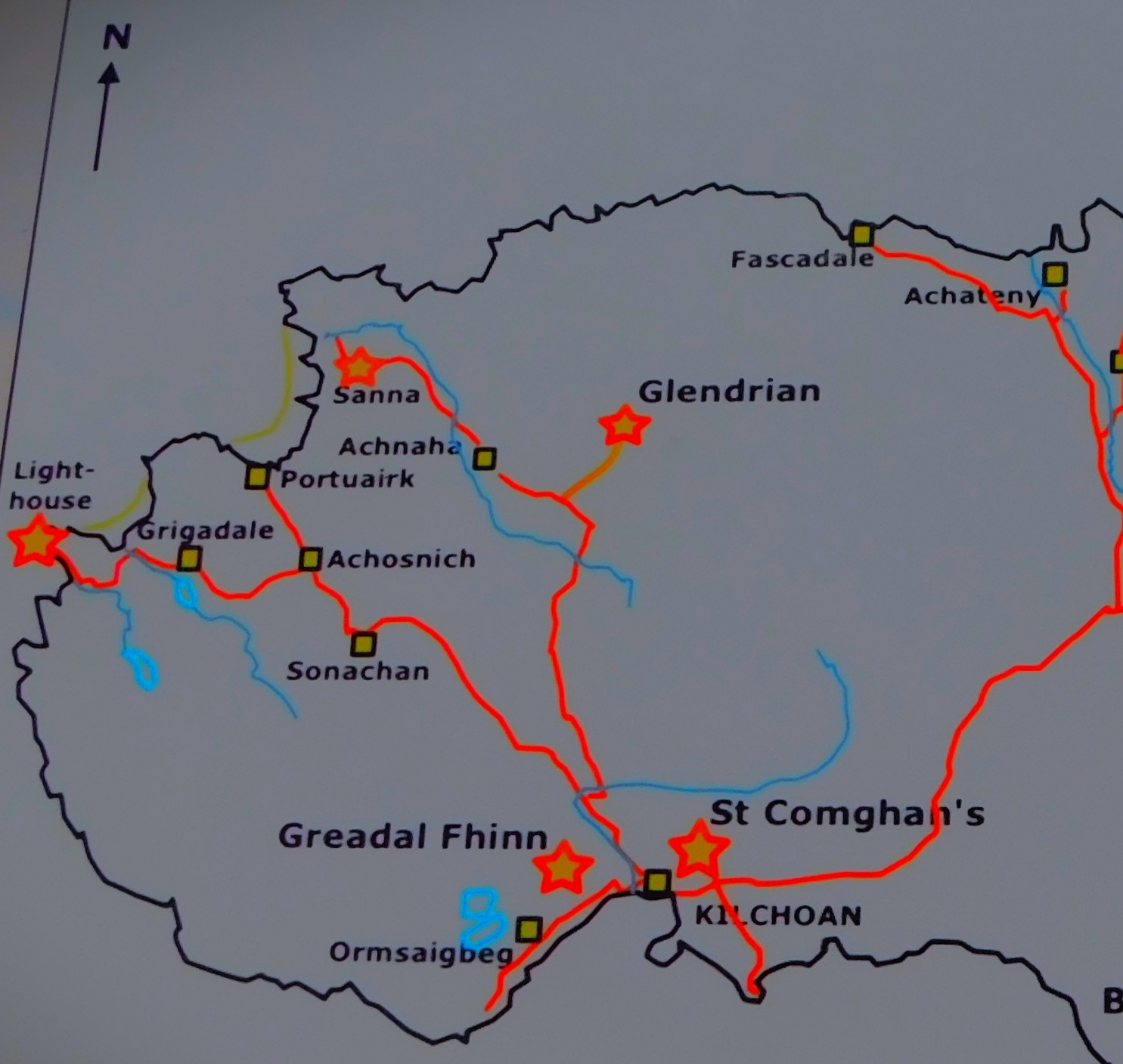
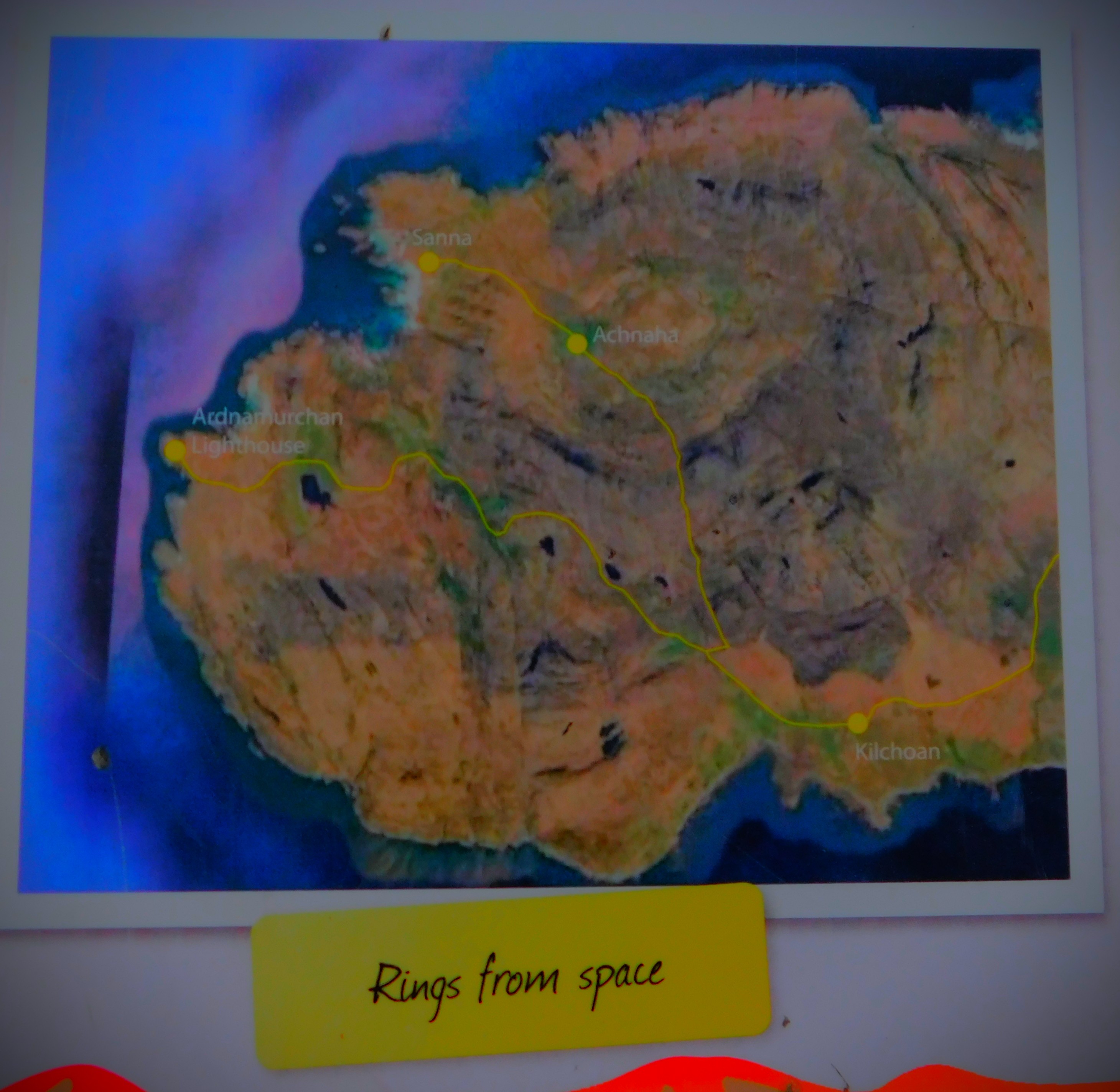
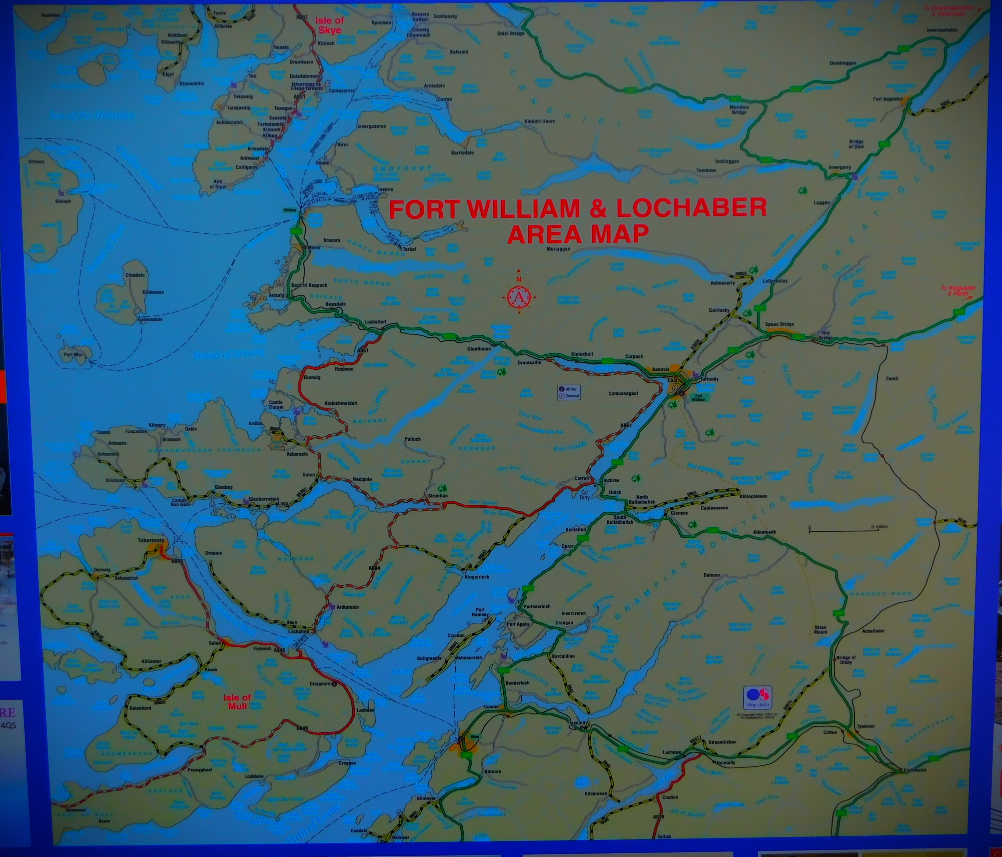
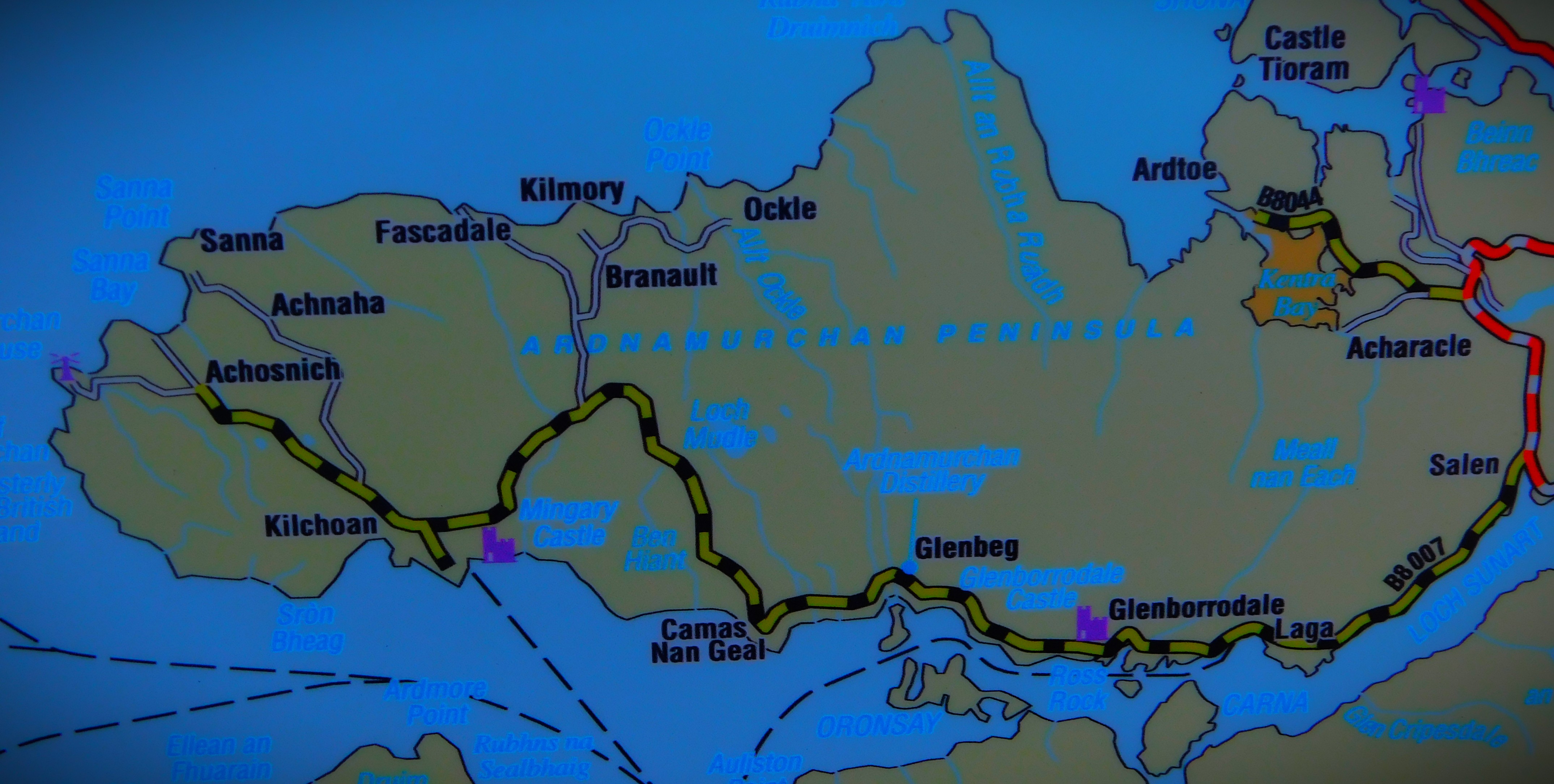
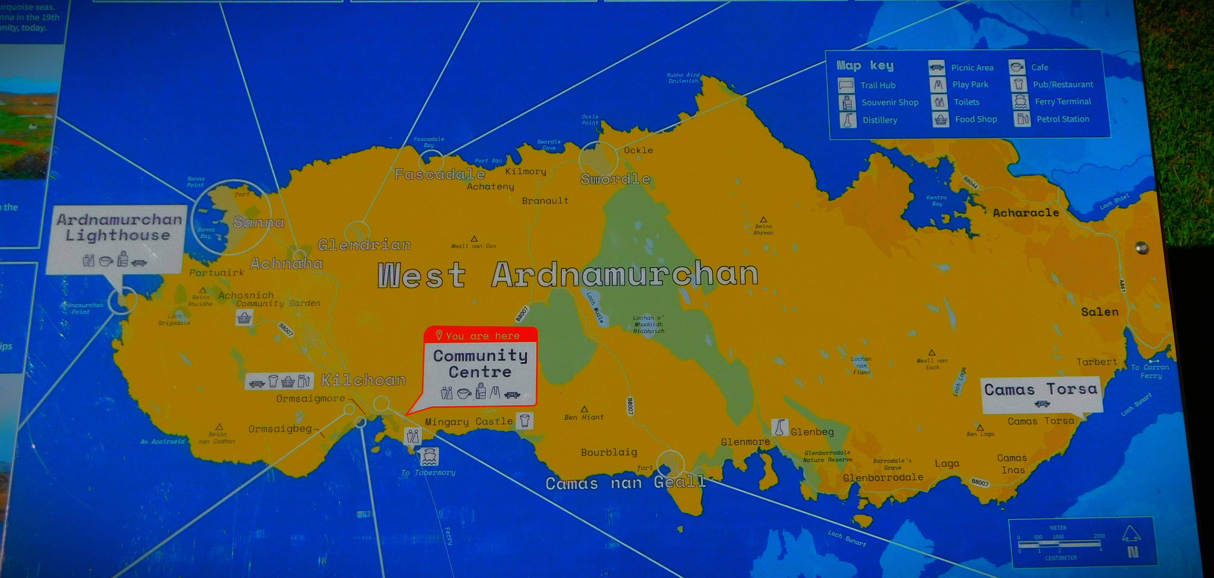
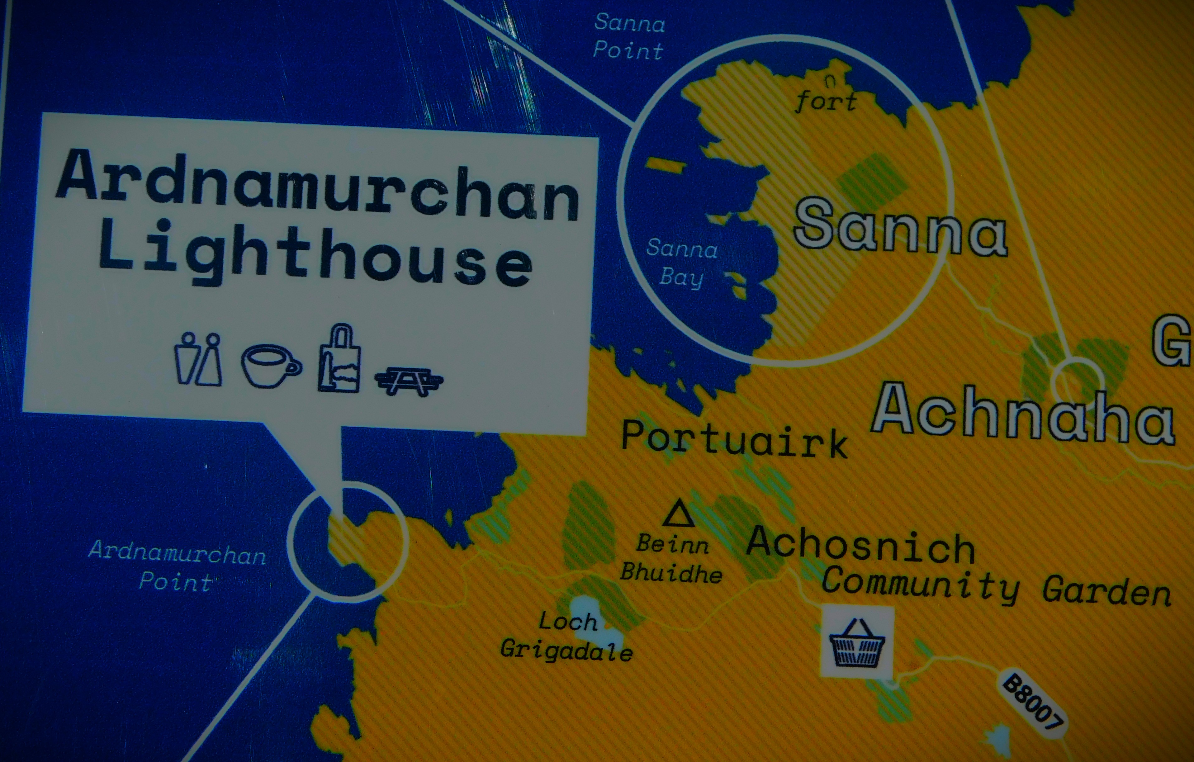
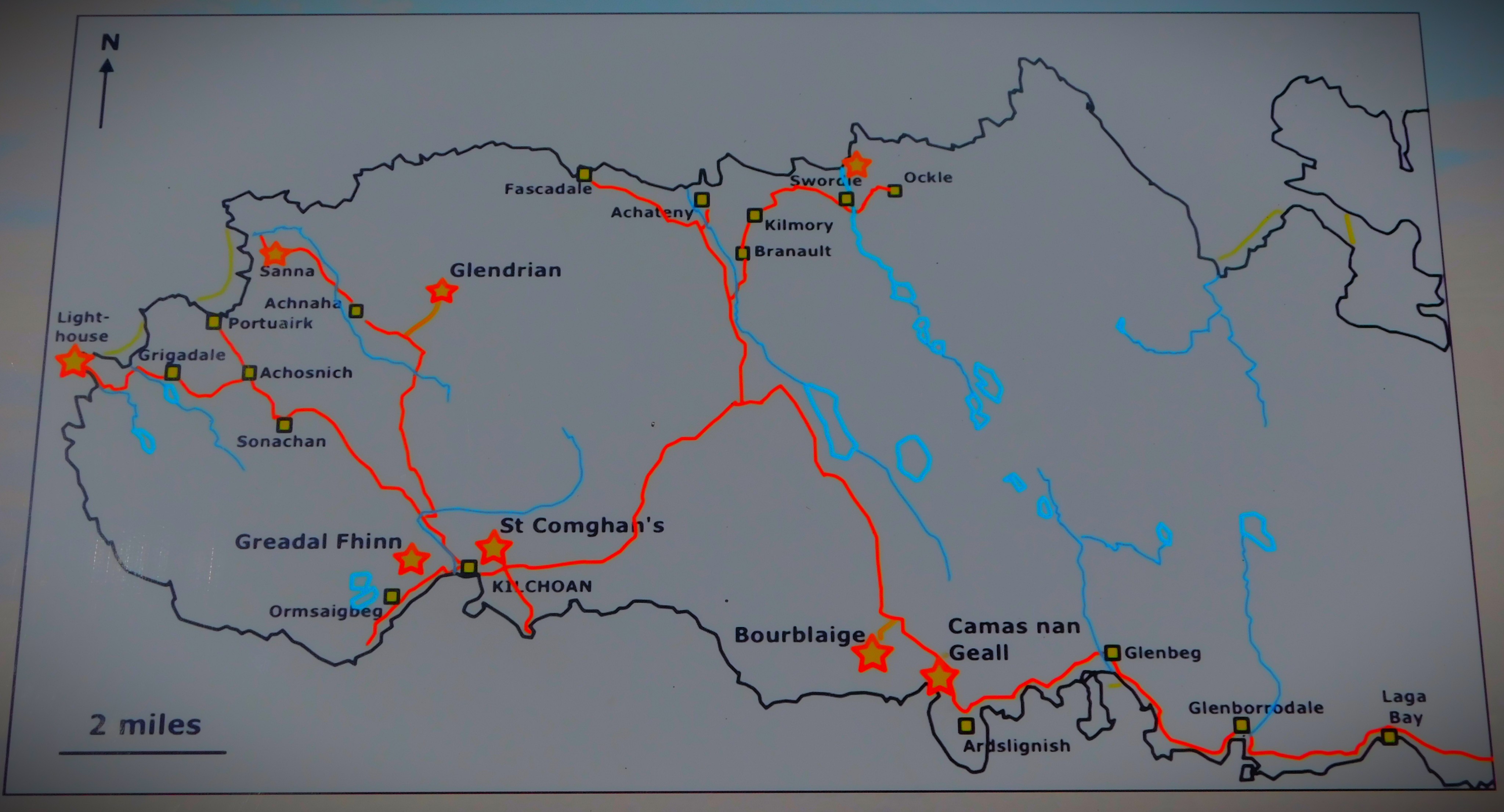
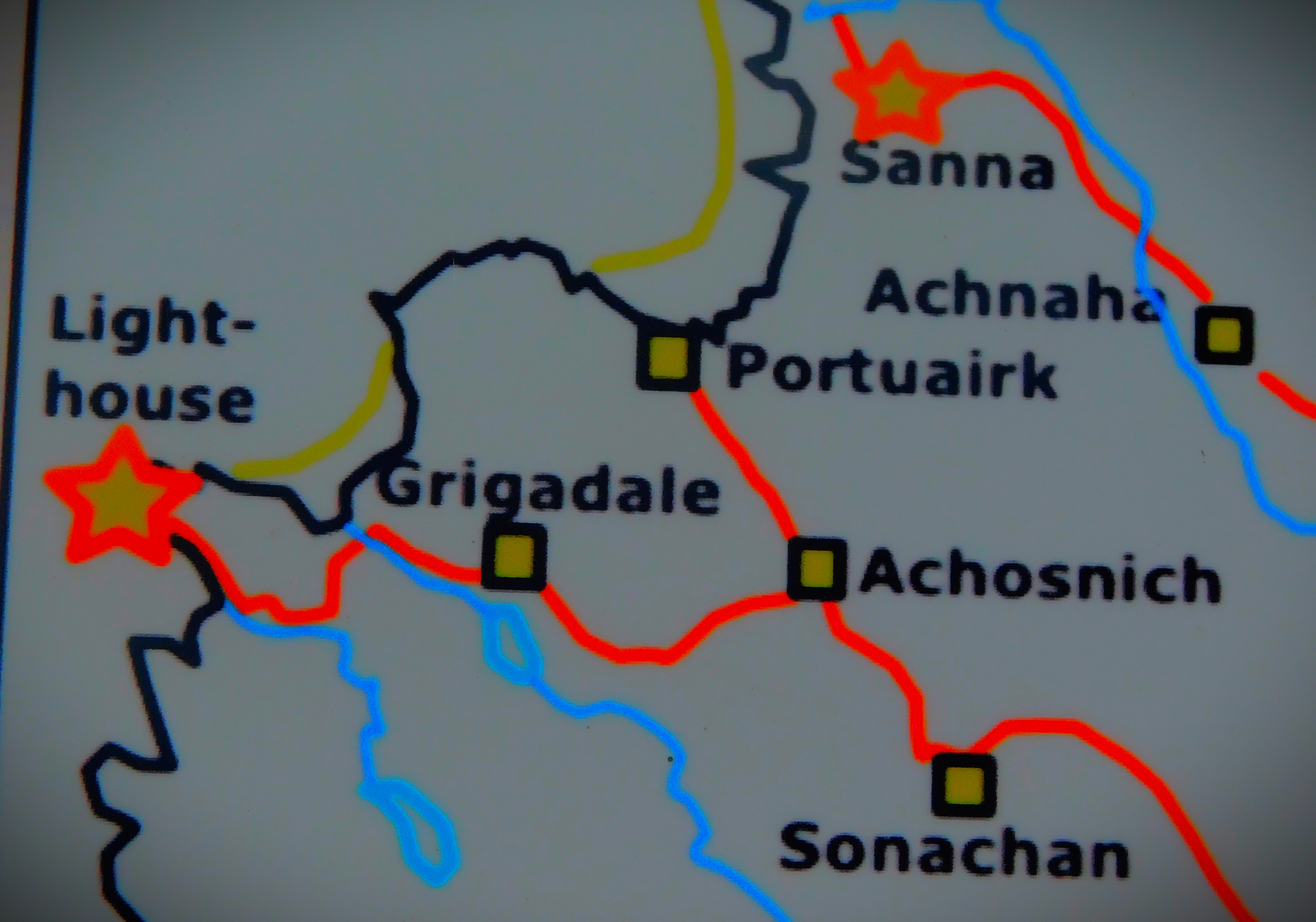
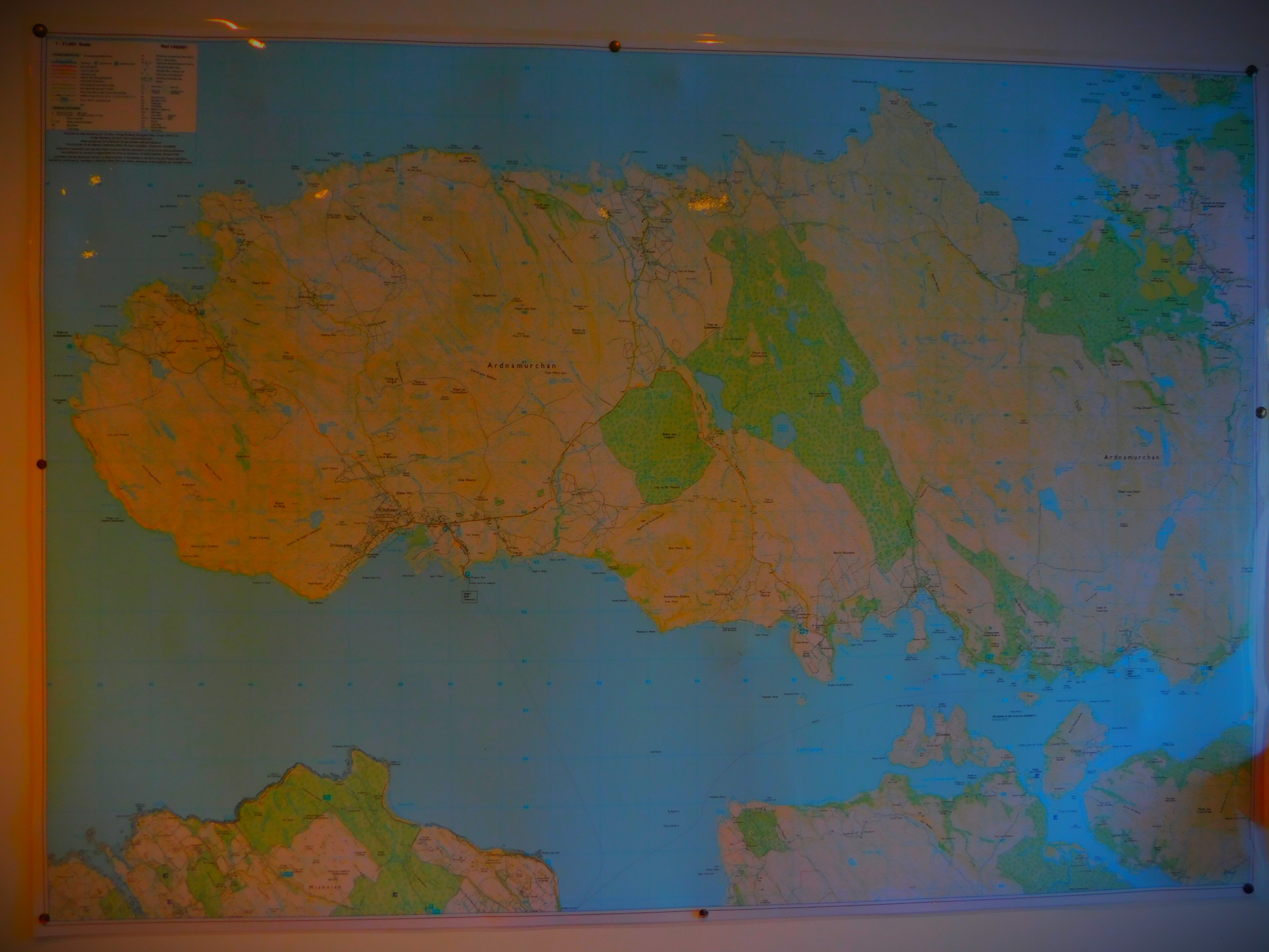
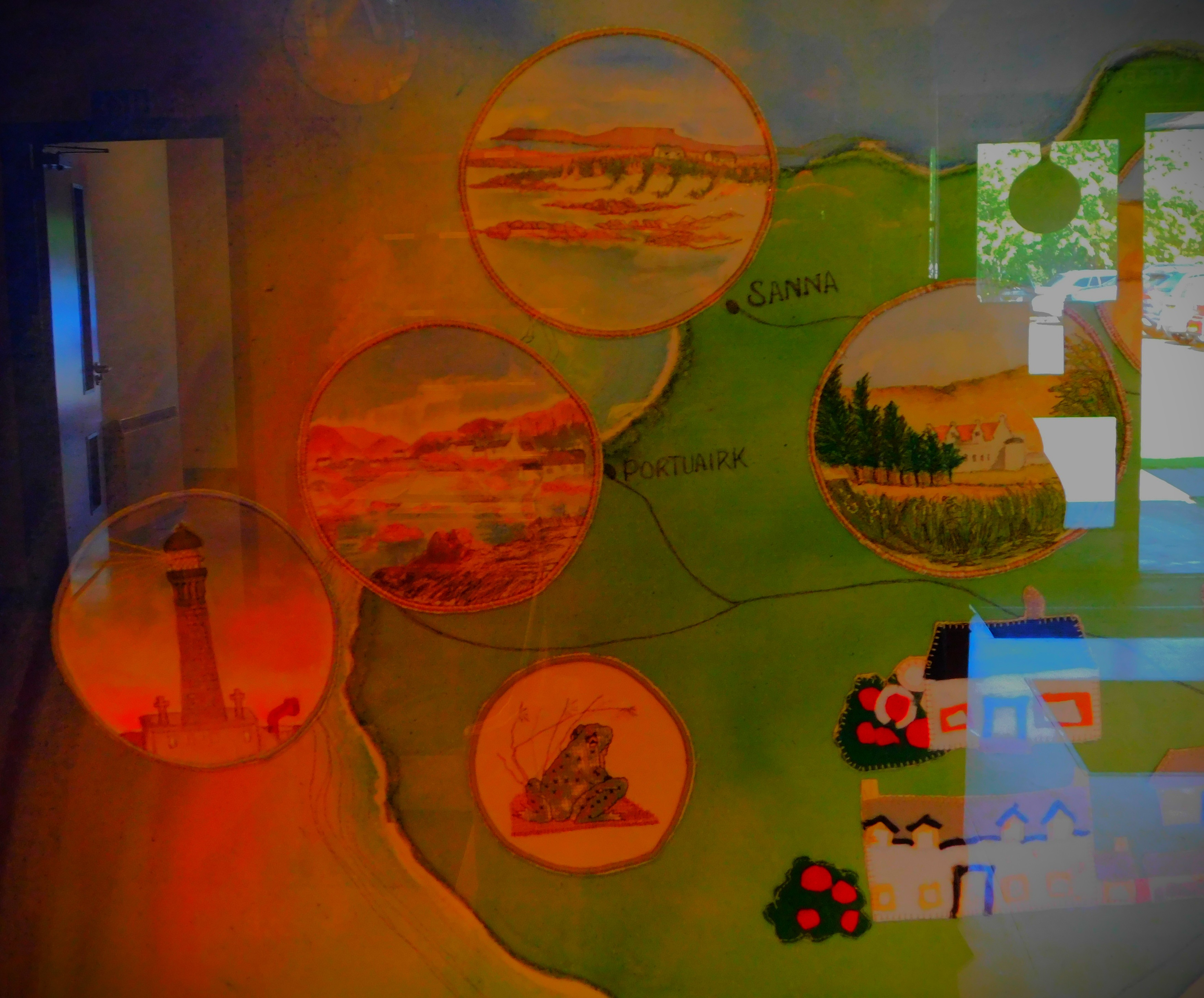
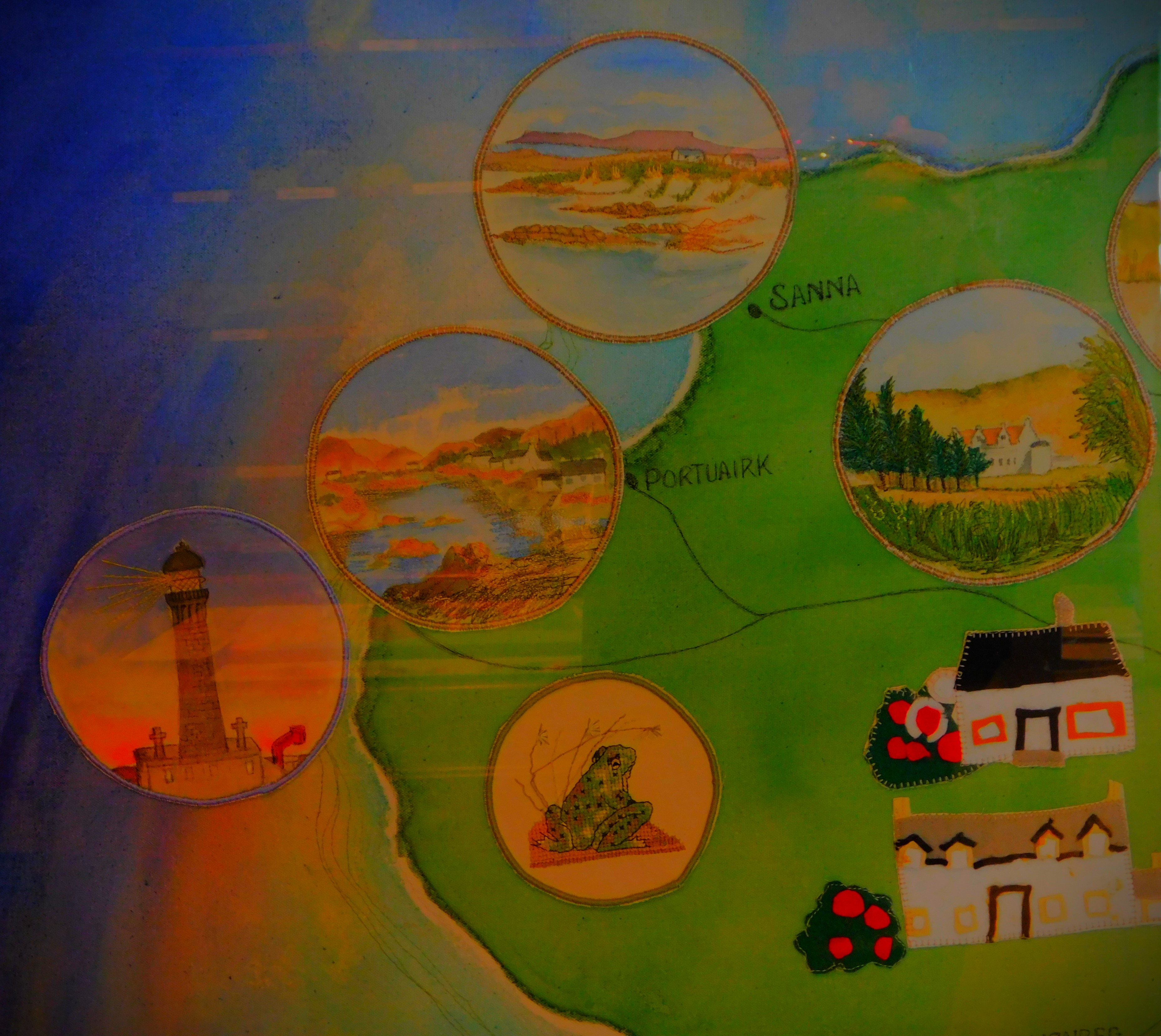
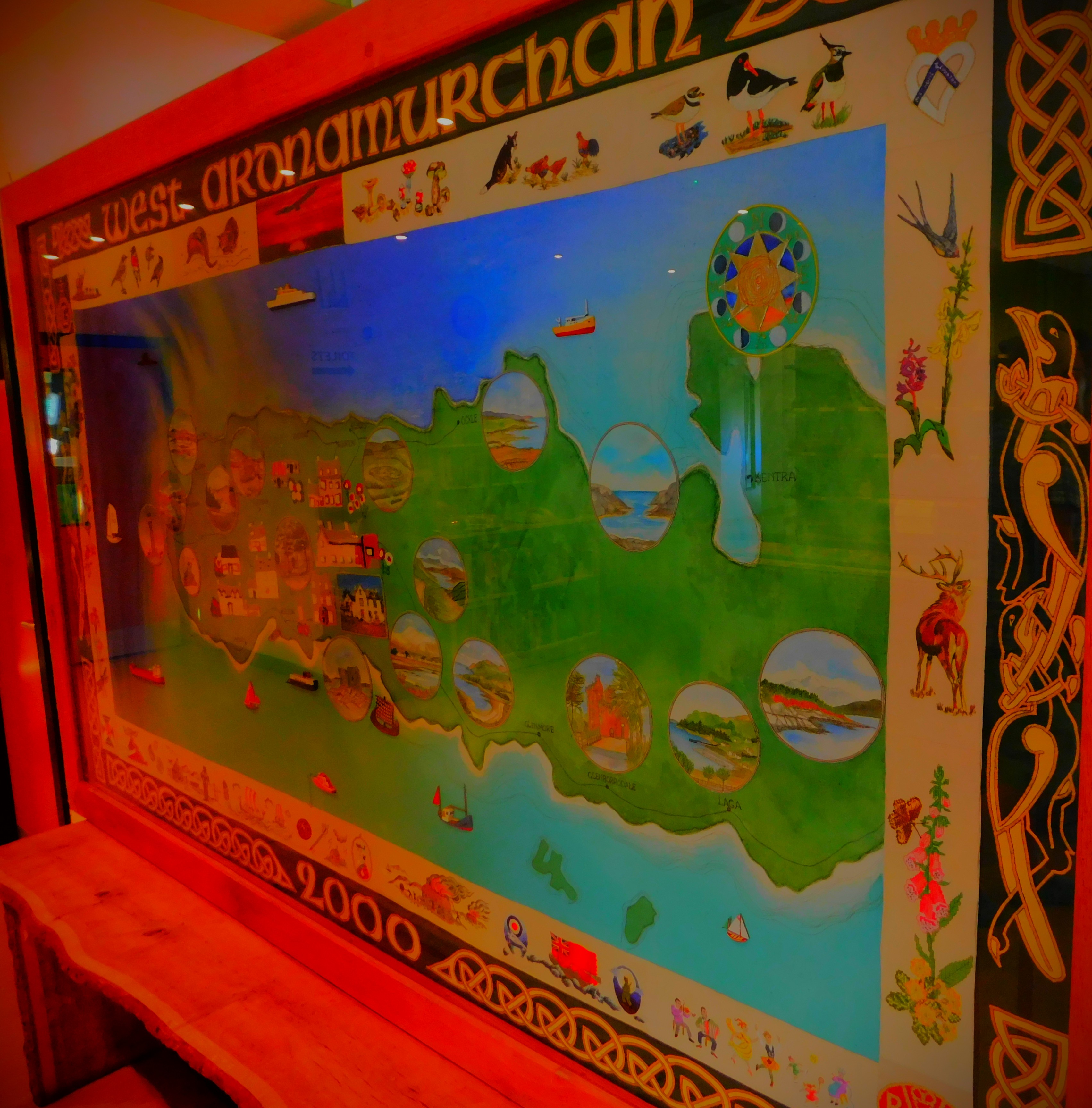
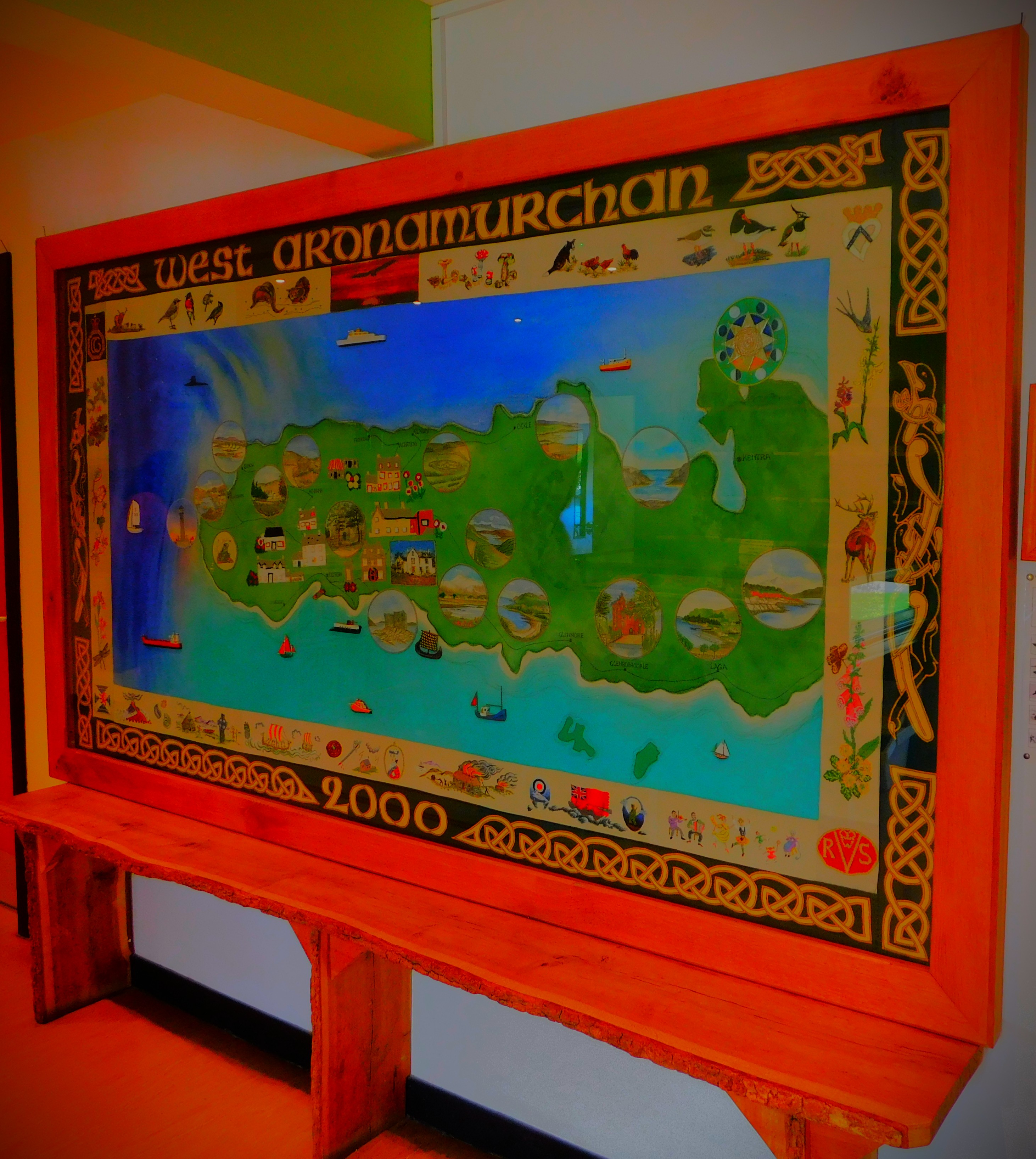
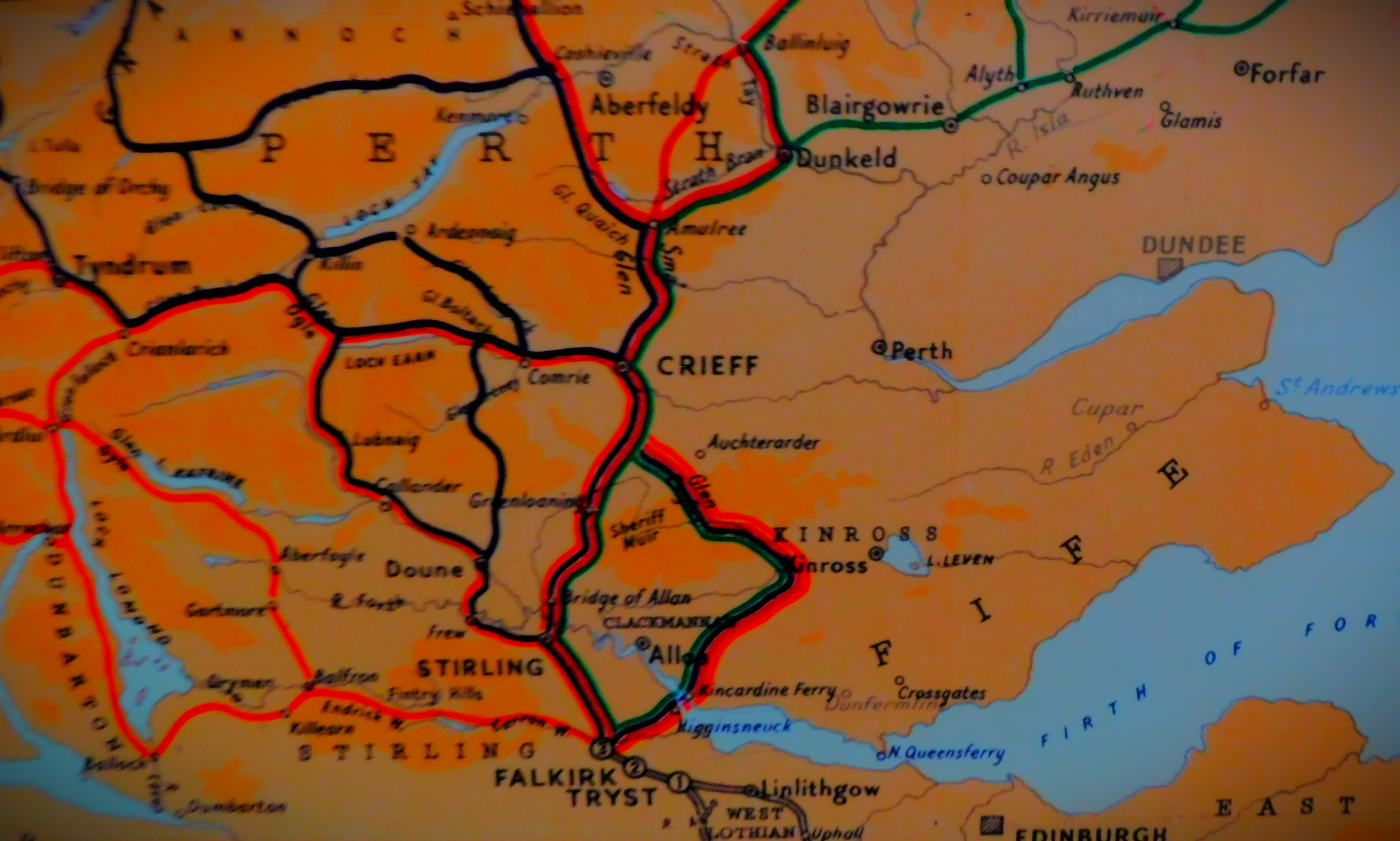
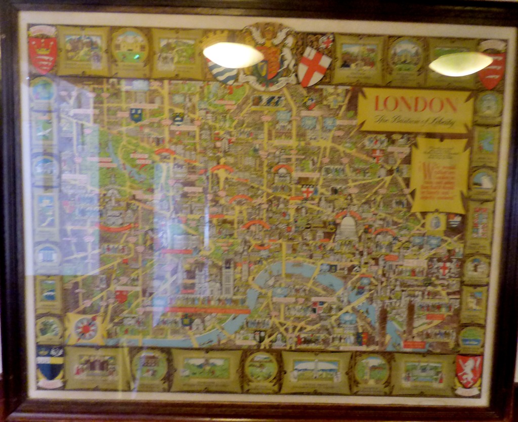
Here is a map showing the location of Sanna:
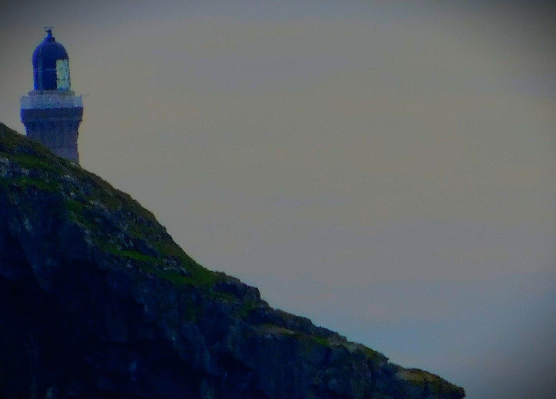
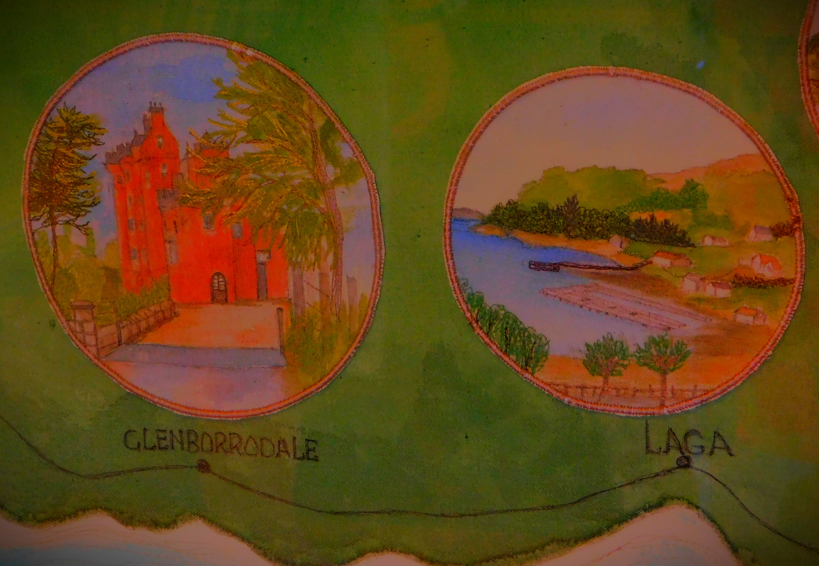
This map, cropped from an image of a larger map, shows the location of Sanna and some other west Ardnamurchan landmarks, including the port of Kilchoan, the lighthouse and Achosnich, where we were staying.
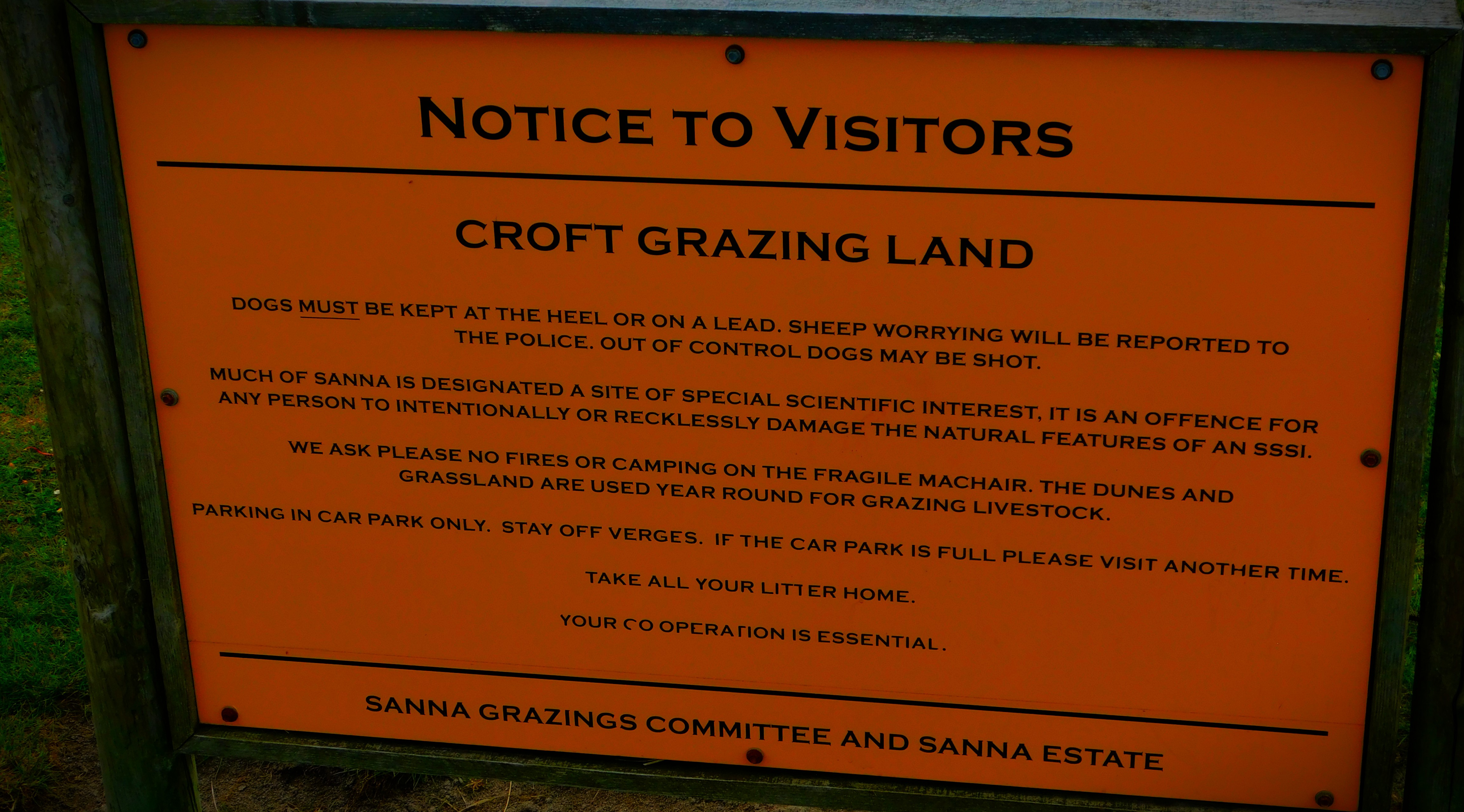
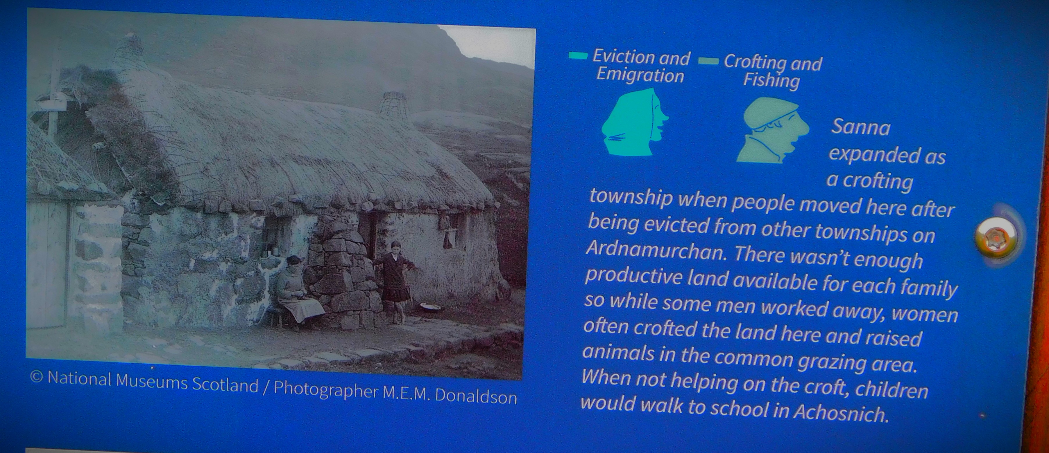
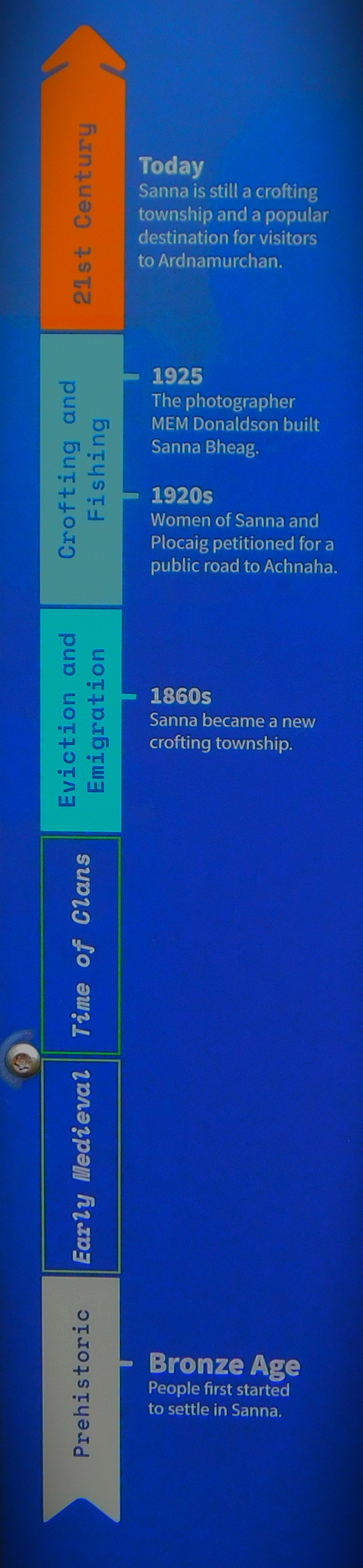
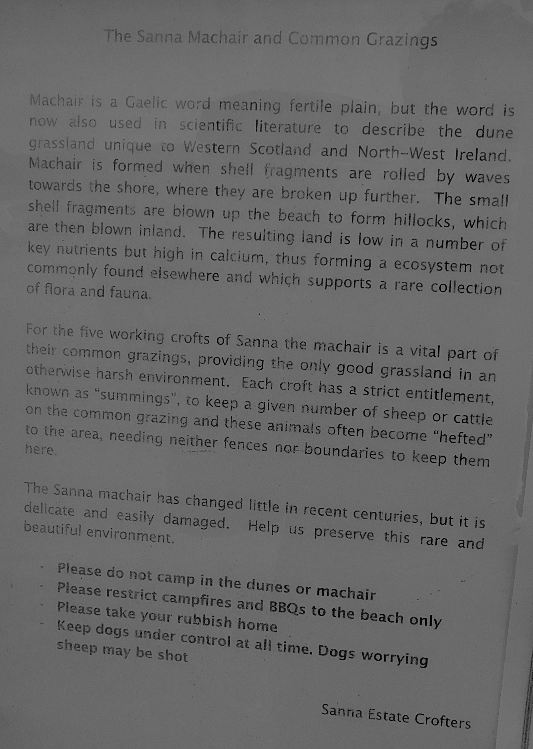
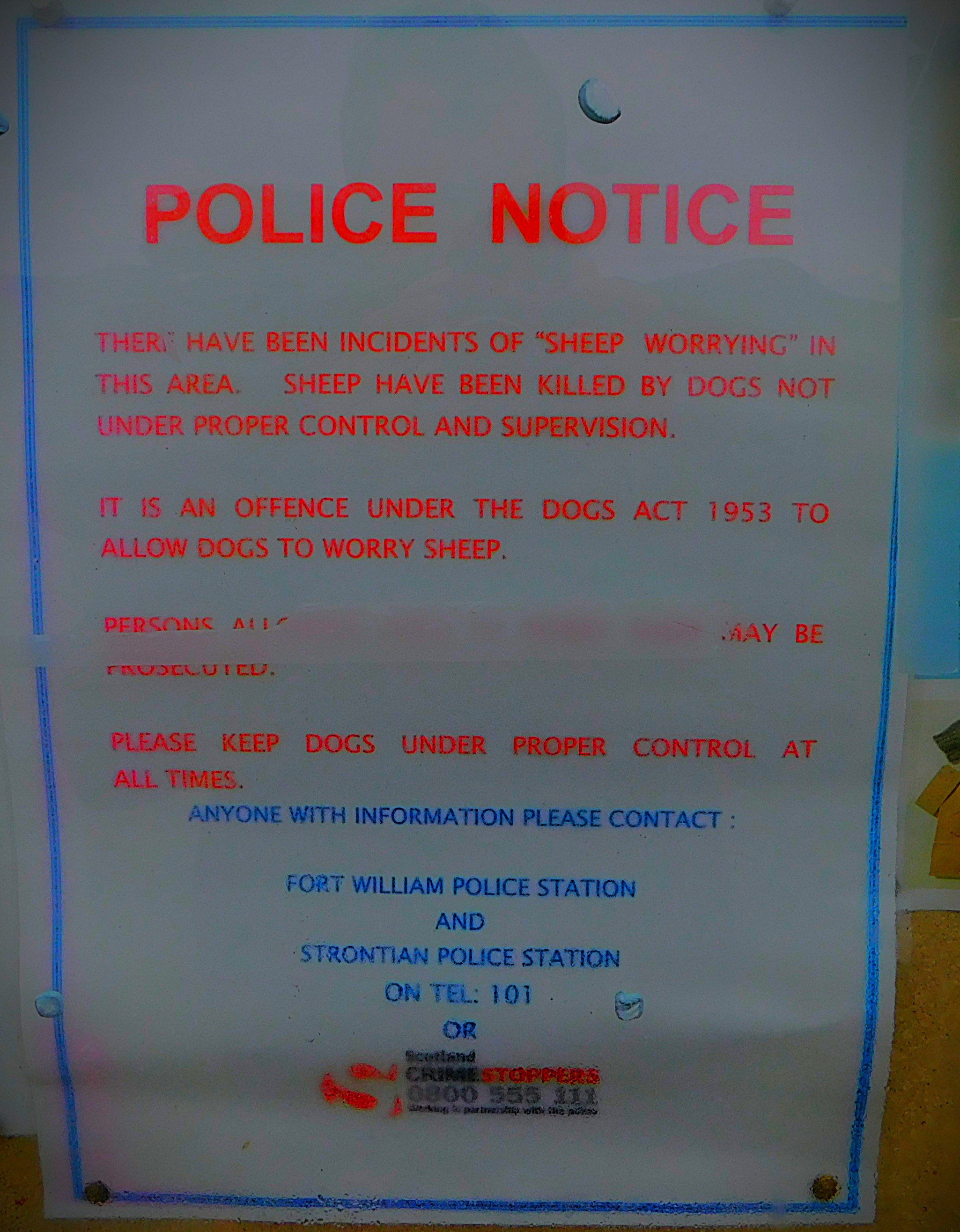
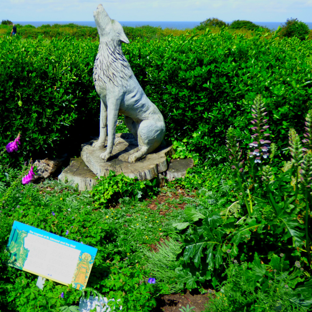
Sanna is right in the heart of a ring of mountains created by volcanic action many millions of years ago, and is considered a site of Special Scientific Interest. This is also an area where crofting is practised, which means that sheep graze on the open land. As a visitor then (not applicable to us as none of us are pet owners) it is your responsibility to keep your pet under tight control – your right to have your pet run loose ends well before the crofters rights to have their sheep graze in safety begin – and if your pet is making trouble it may well be shot and you will have no redress. In addition to this the basic general rule of being out in the green places applies: take nothing except photographs and leave nothing except footprints.
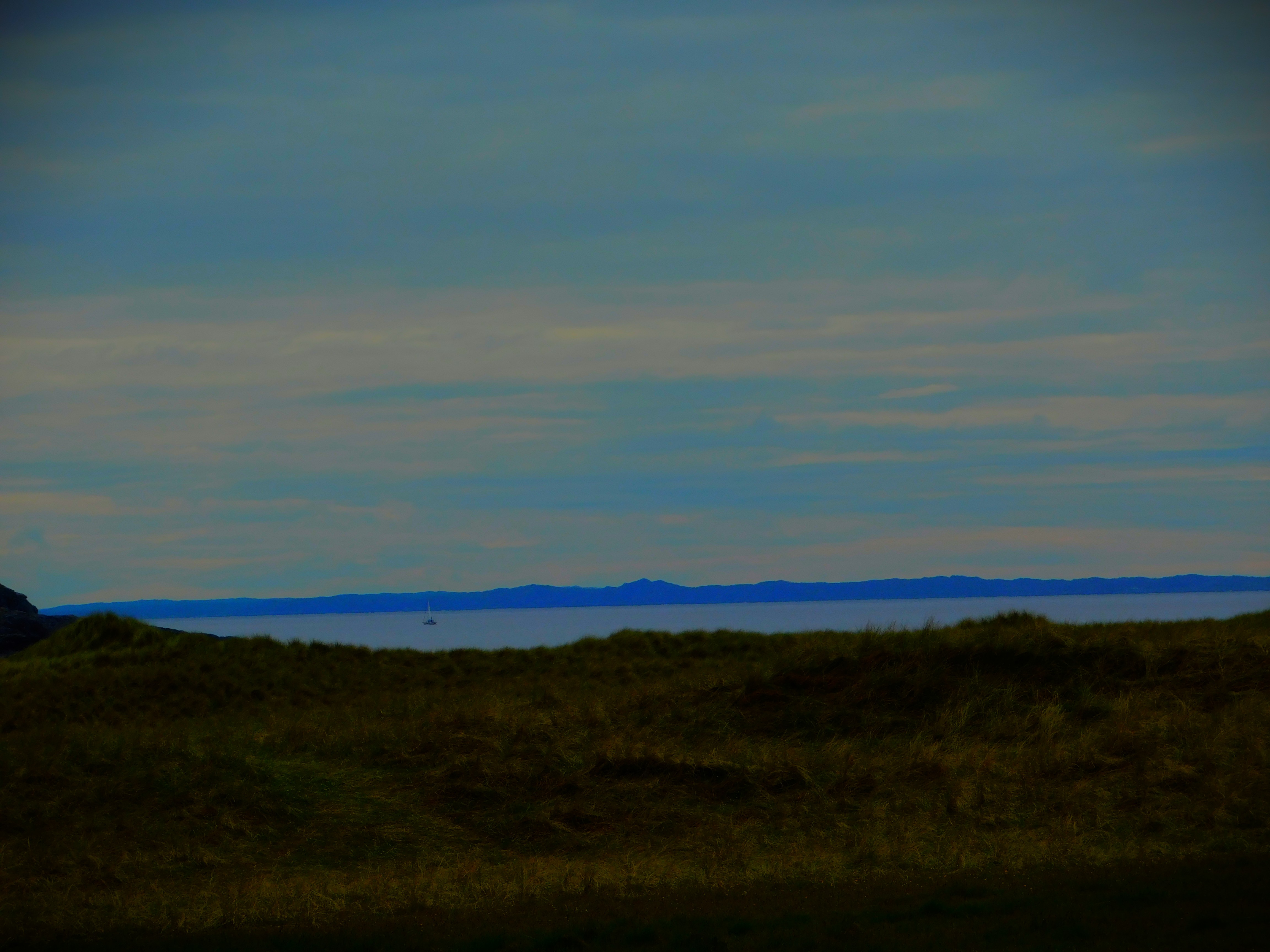
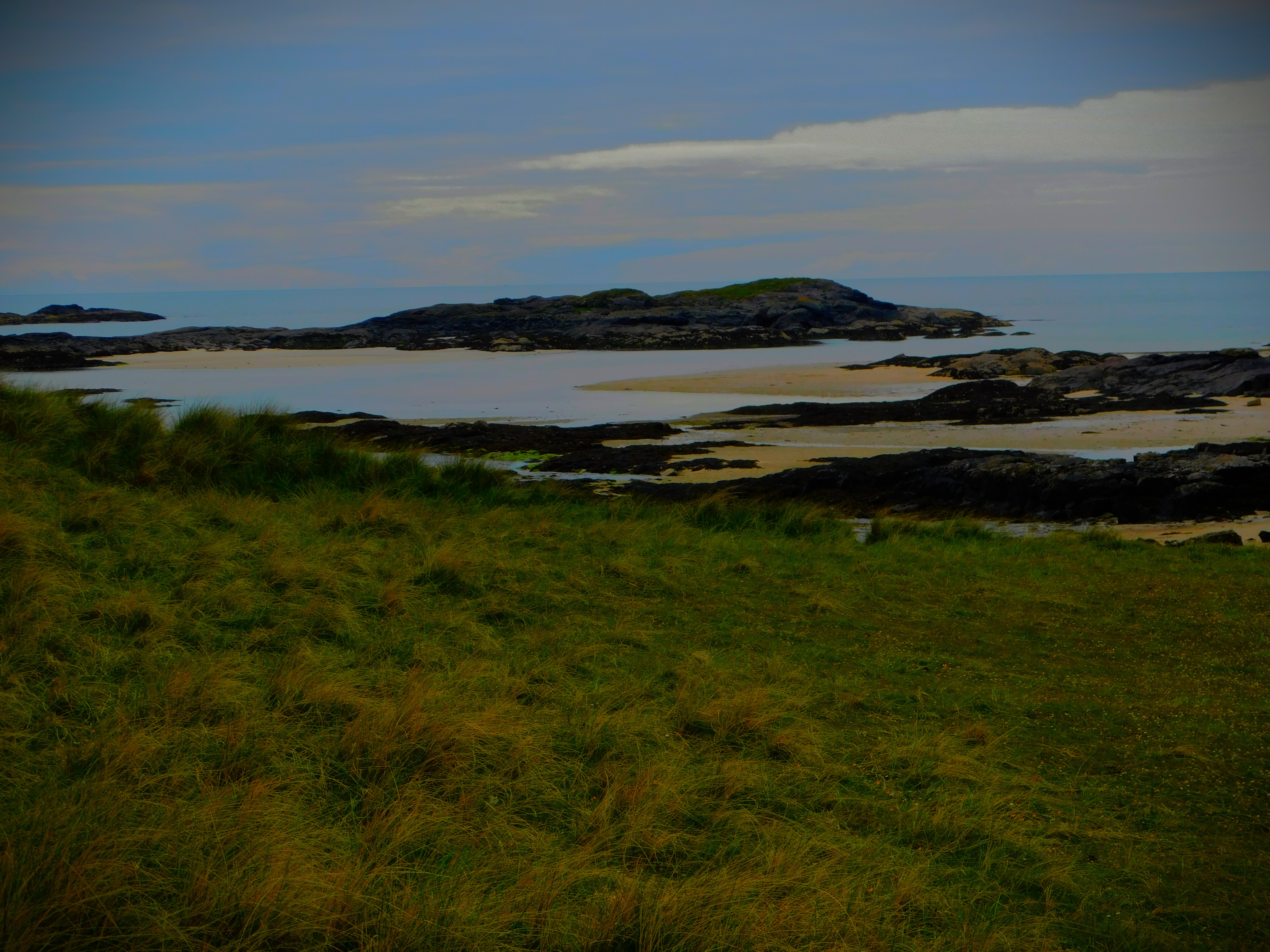
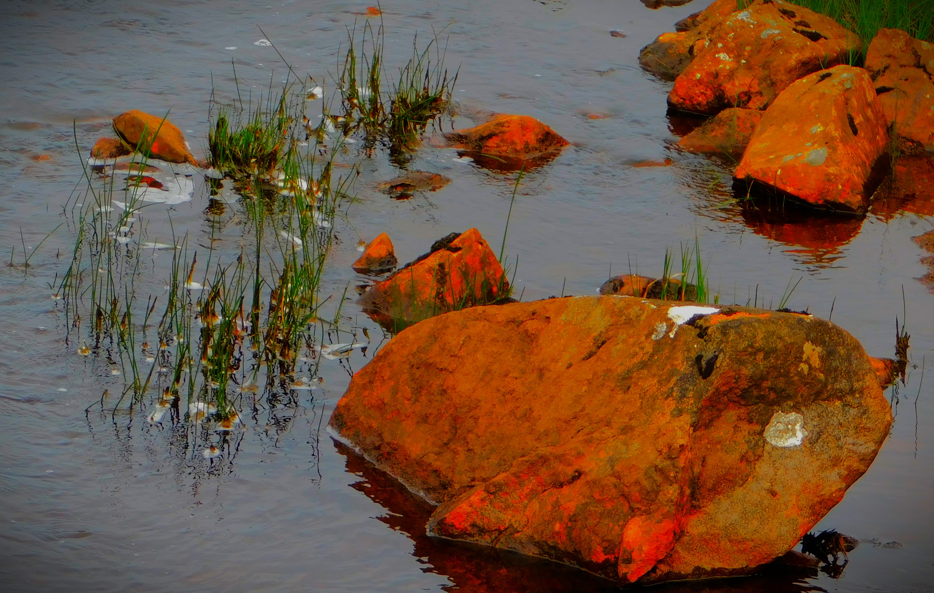
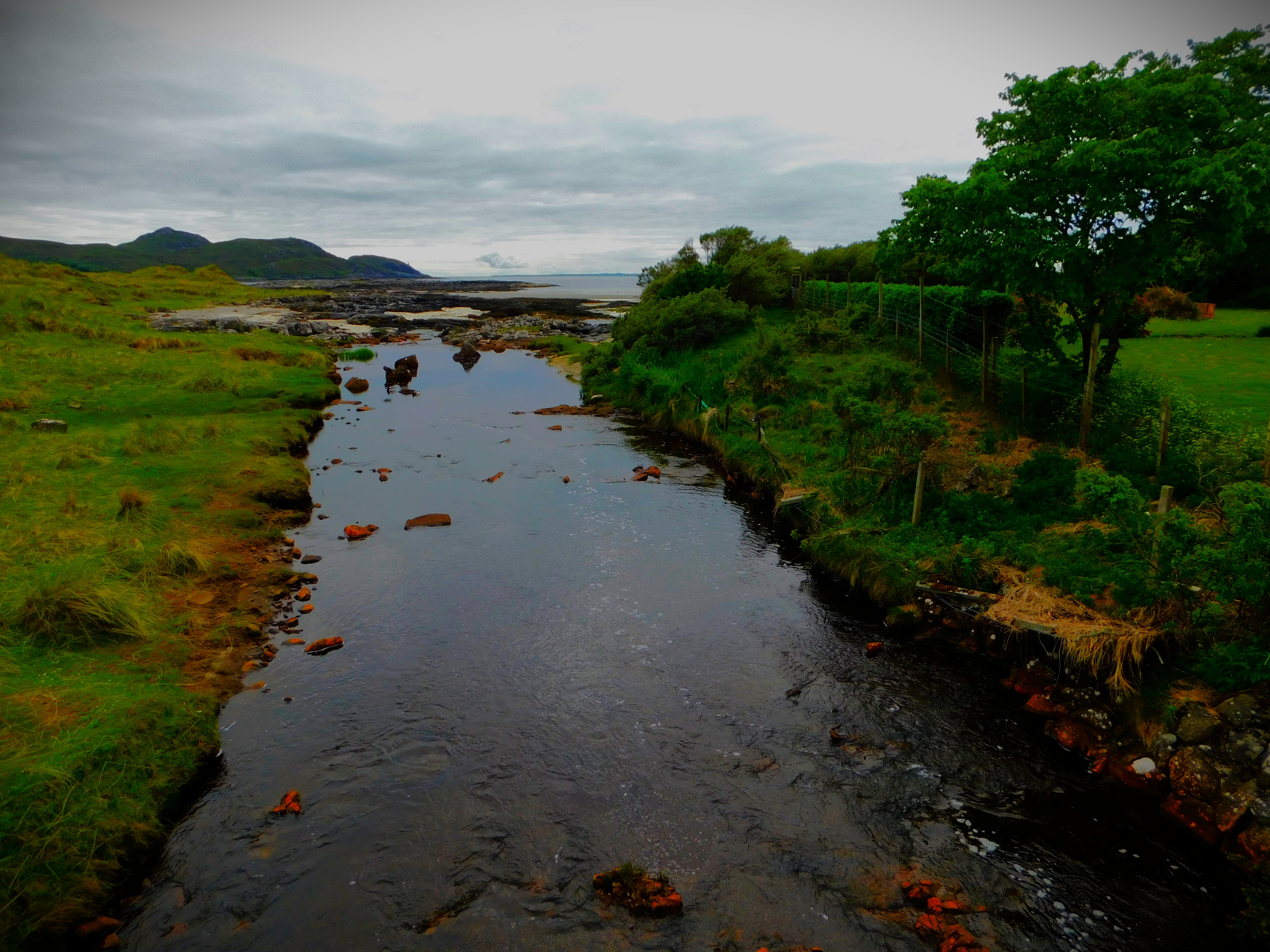
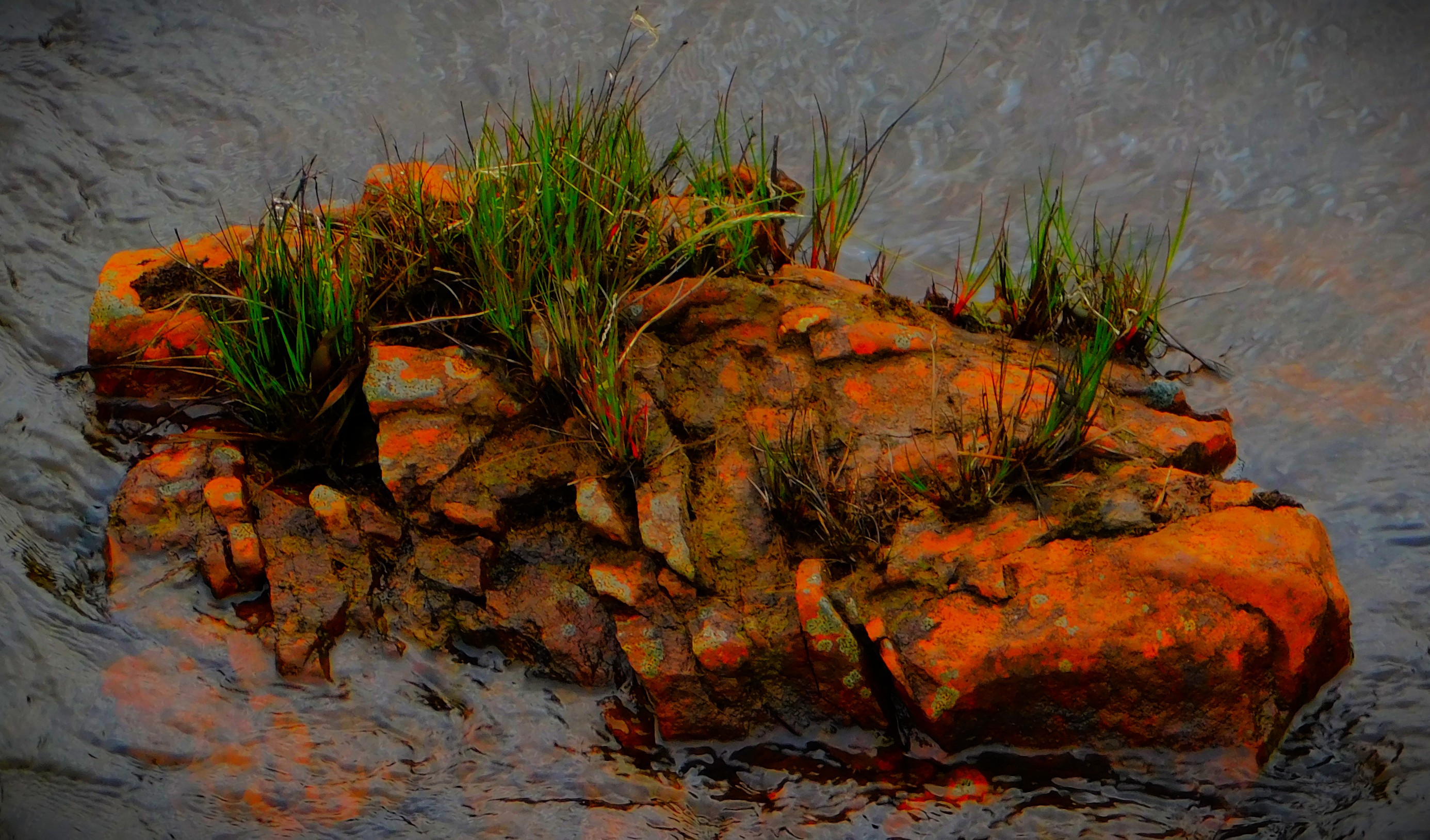
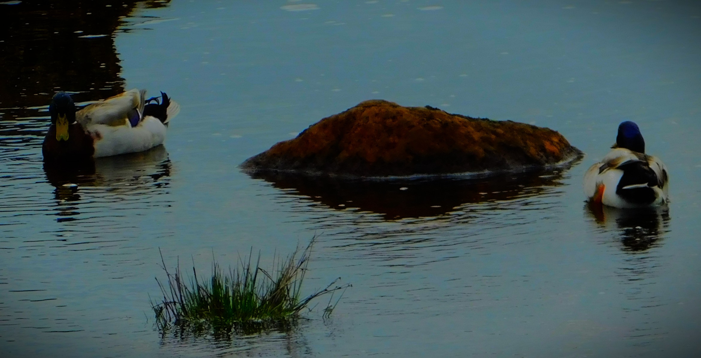
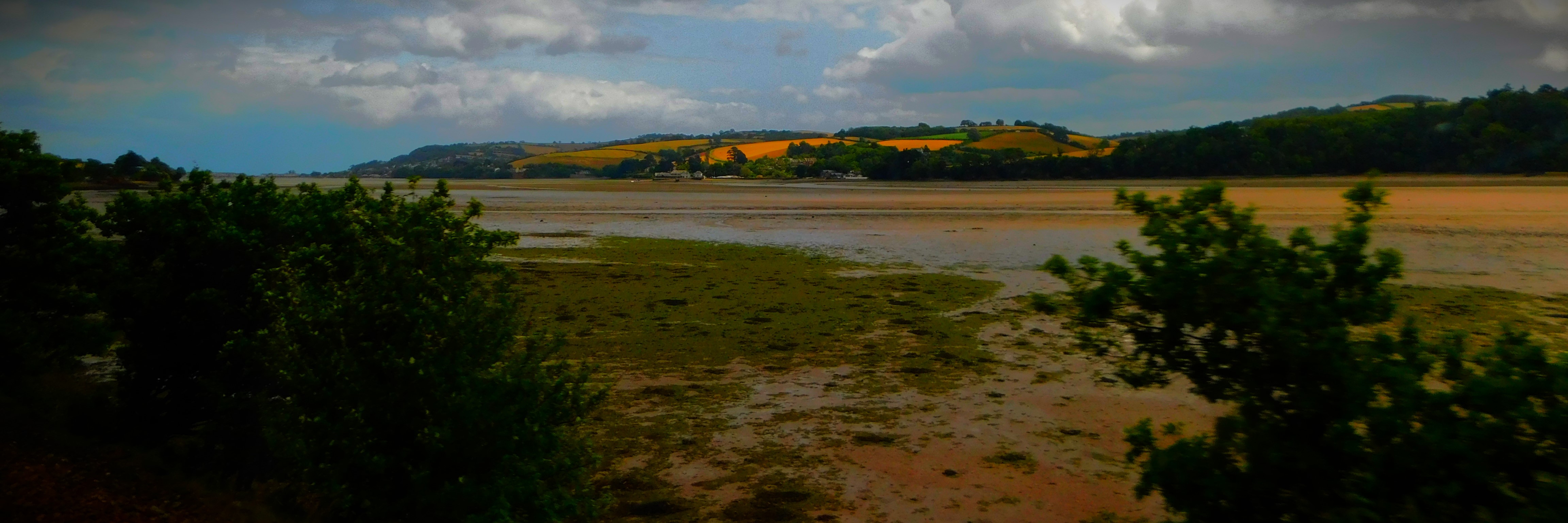
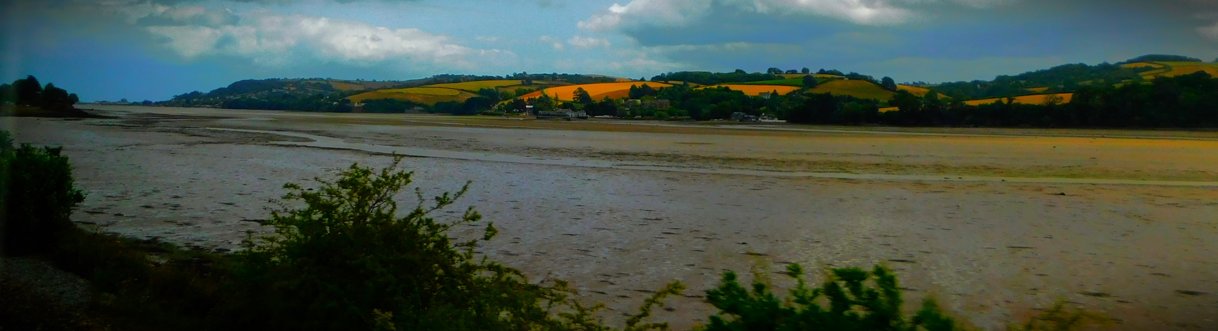
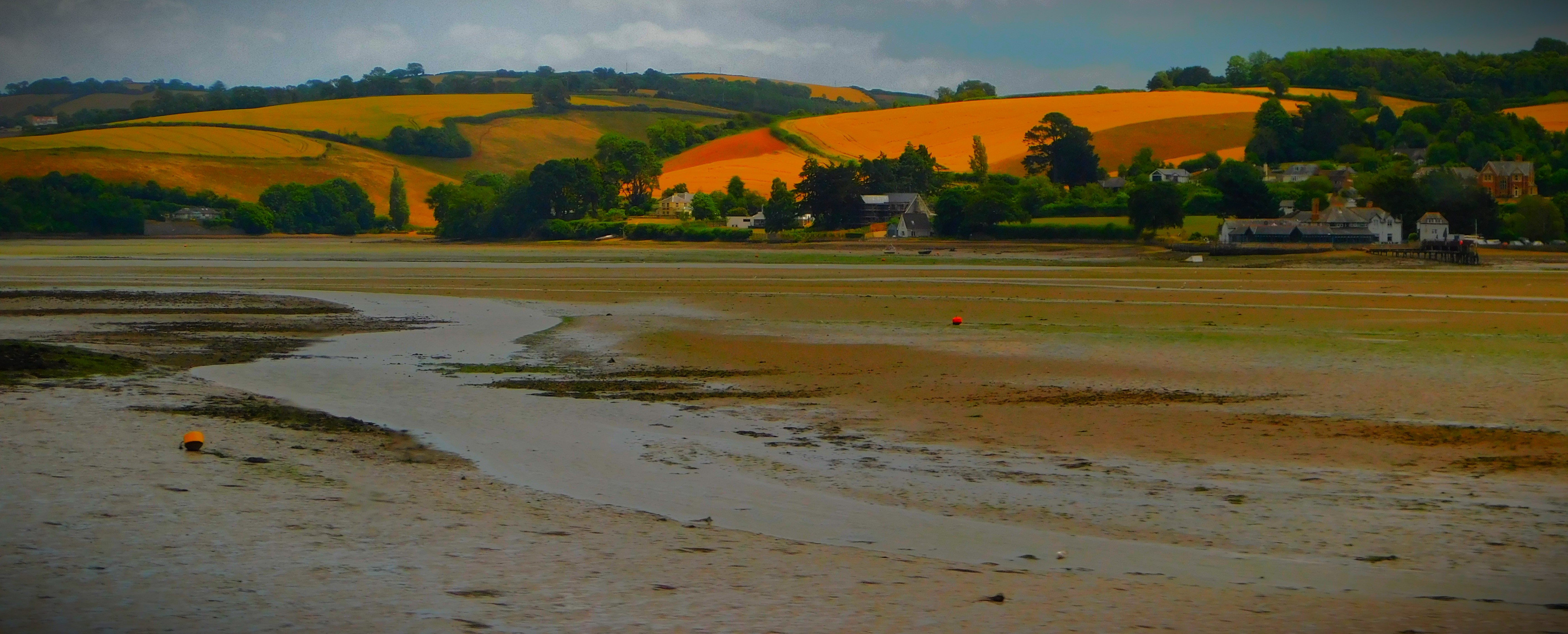
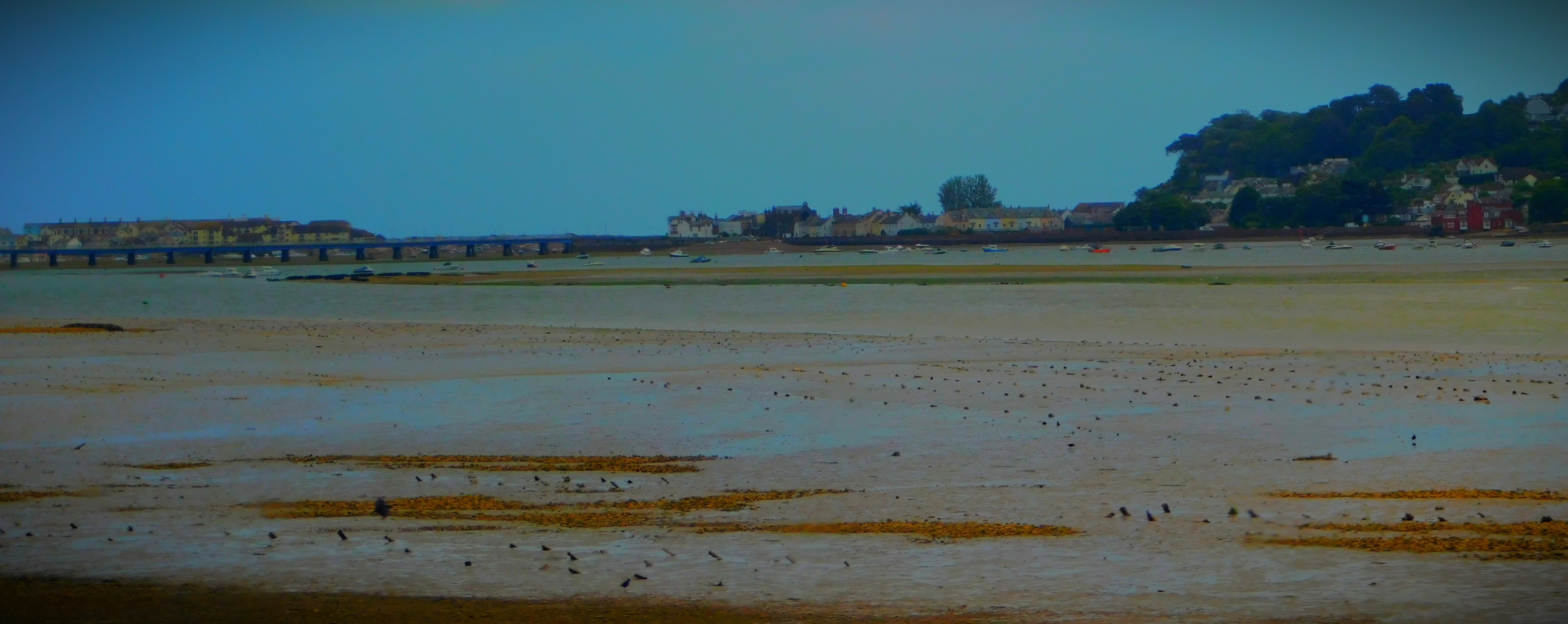
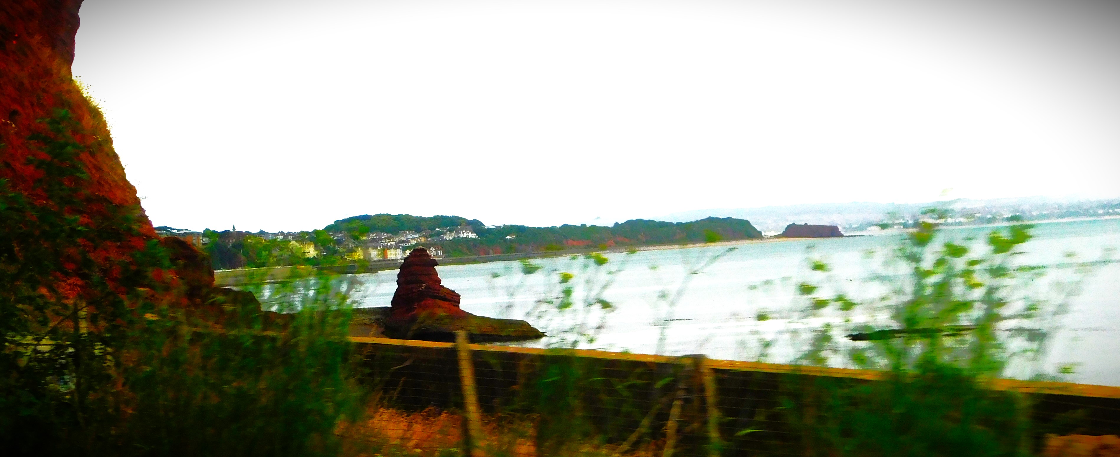
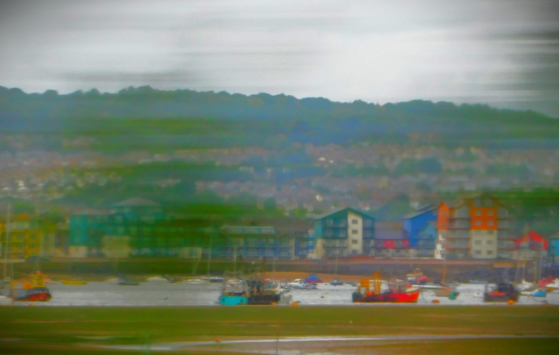
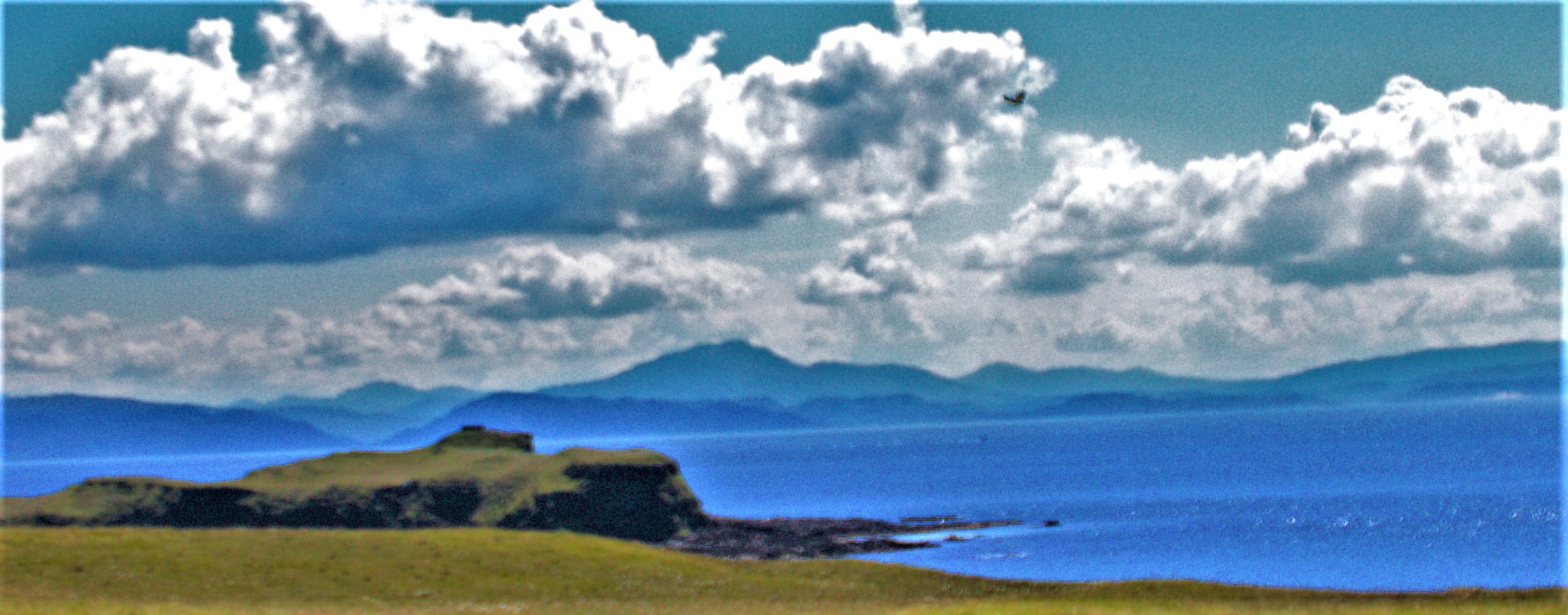
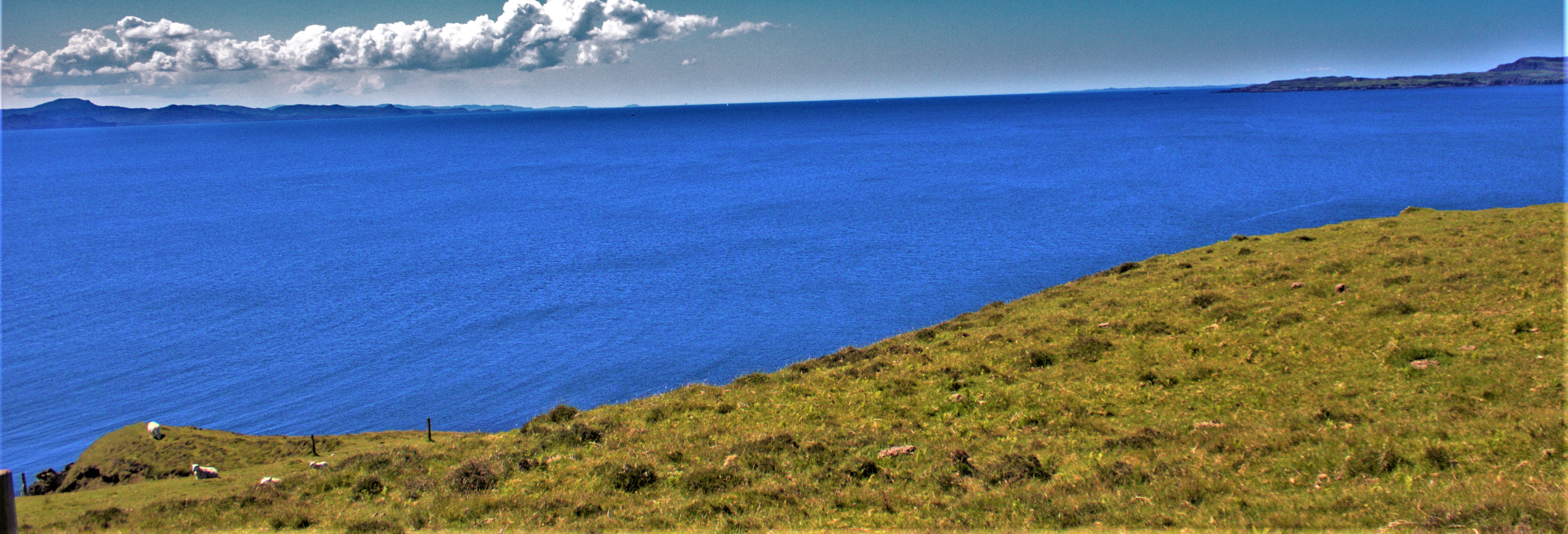
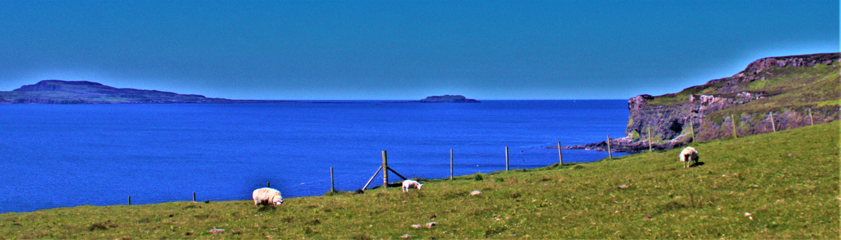
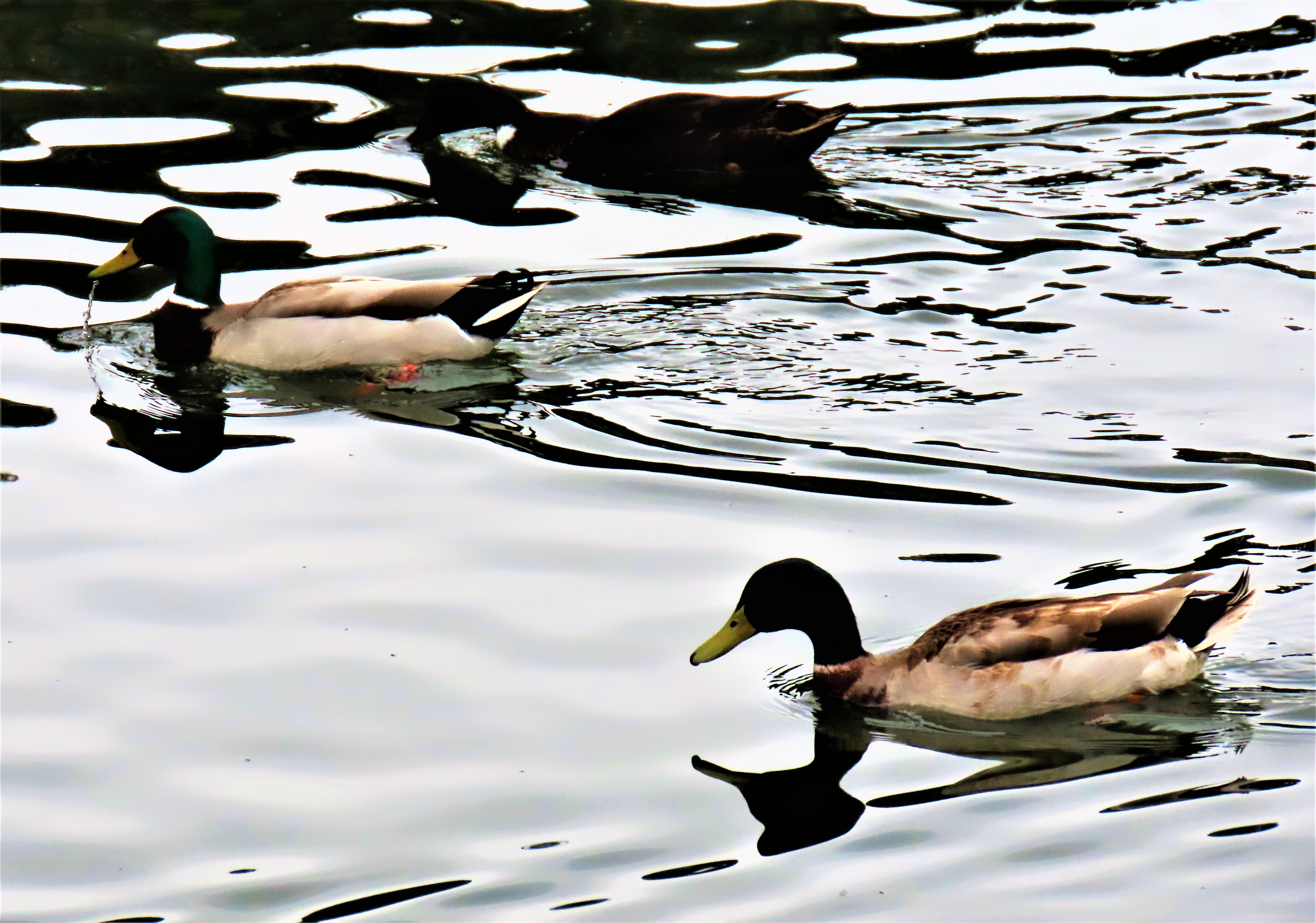
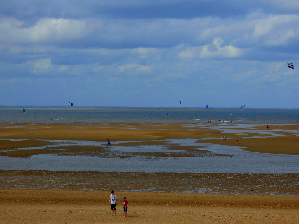
WHERE THE LAND MEETS THE SEA
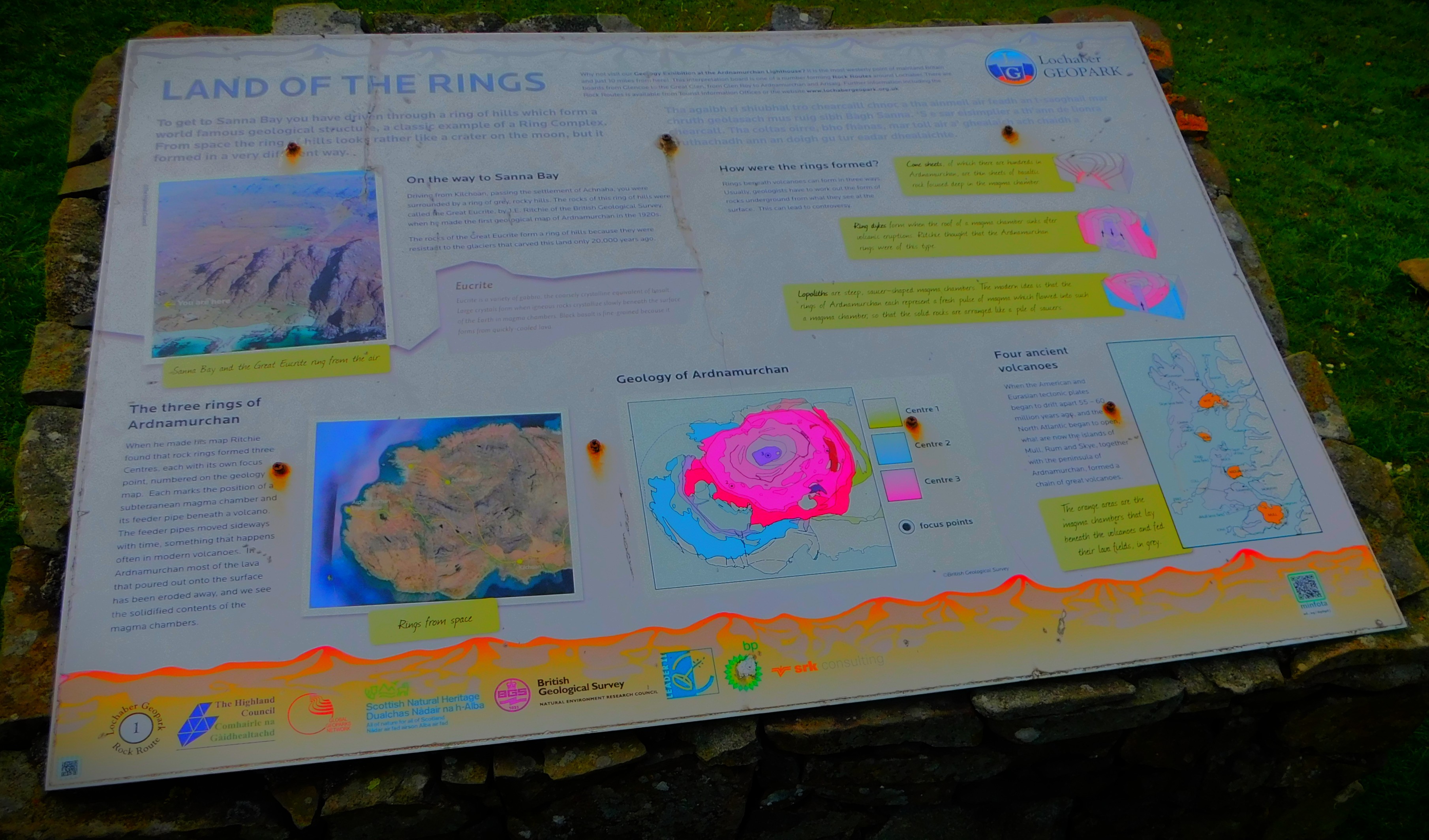
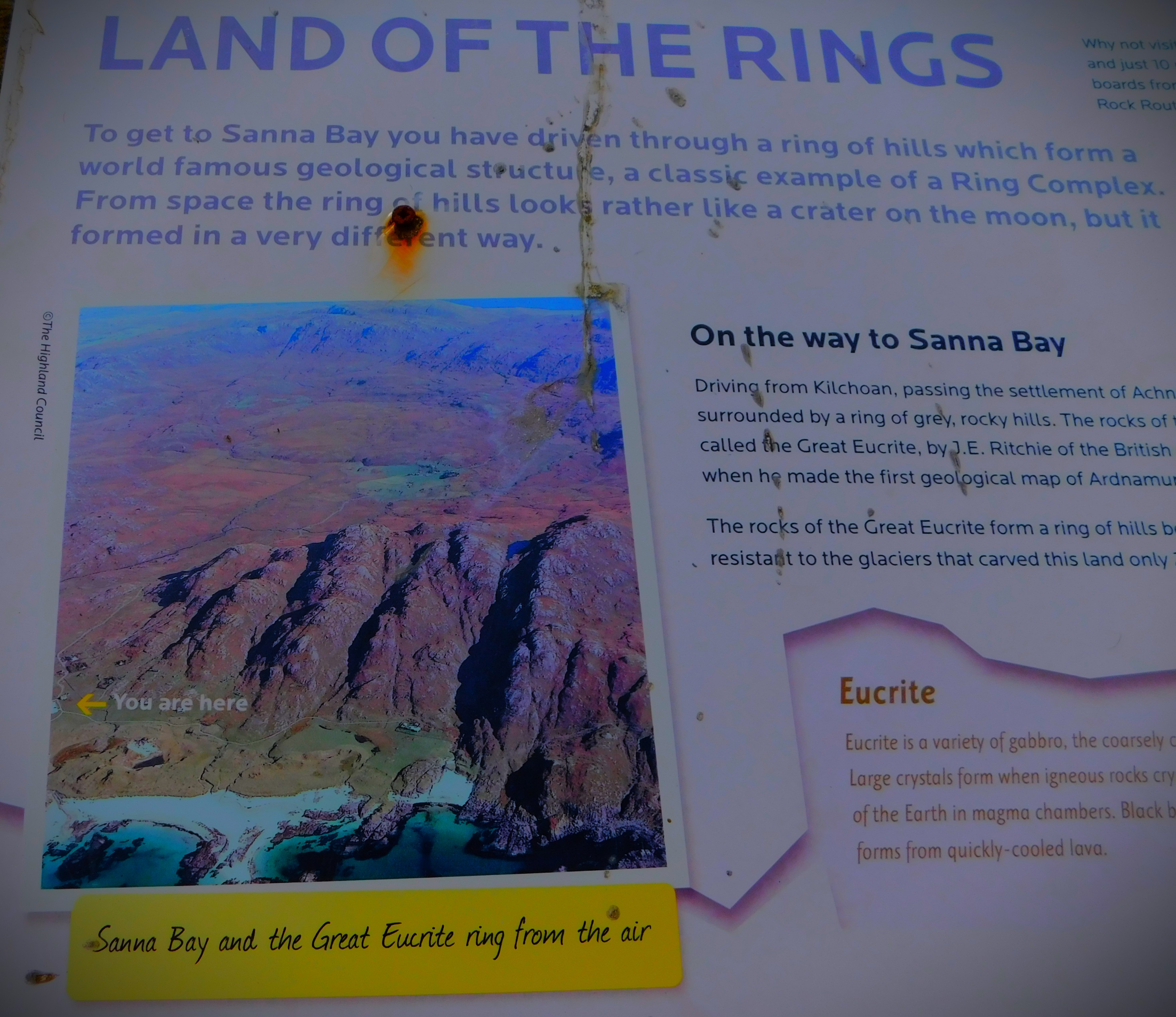
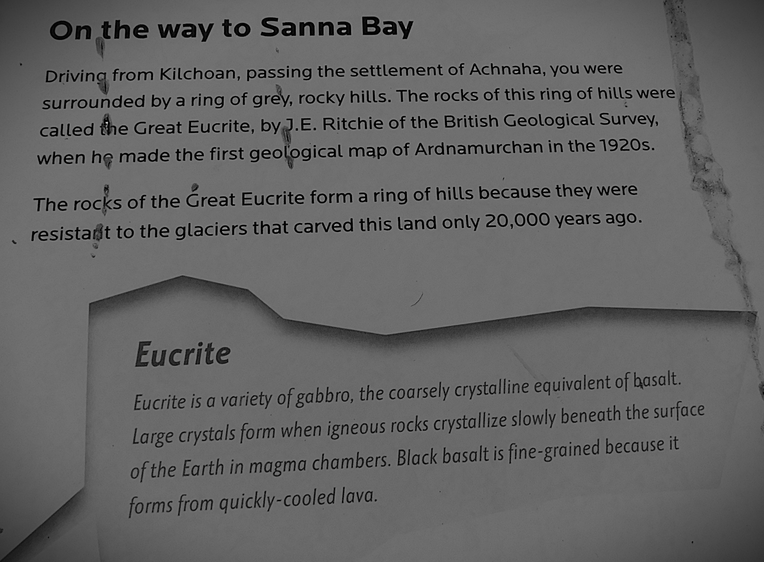
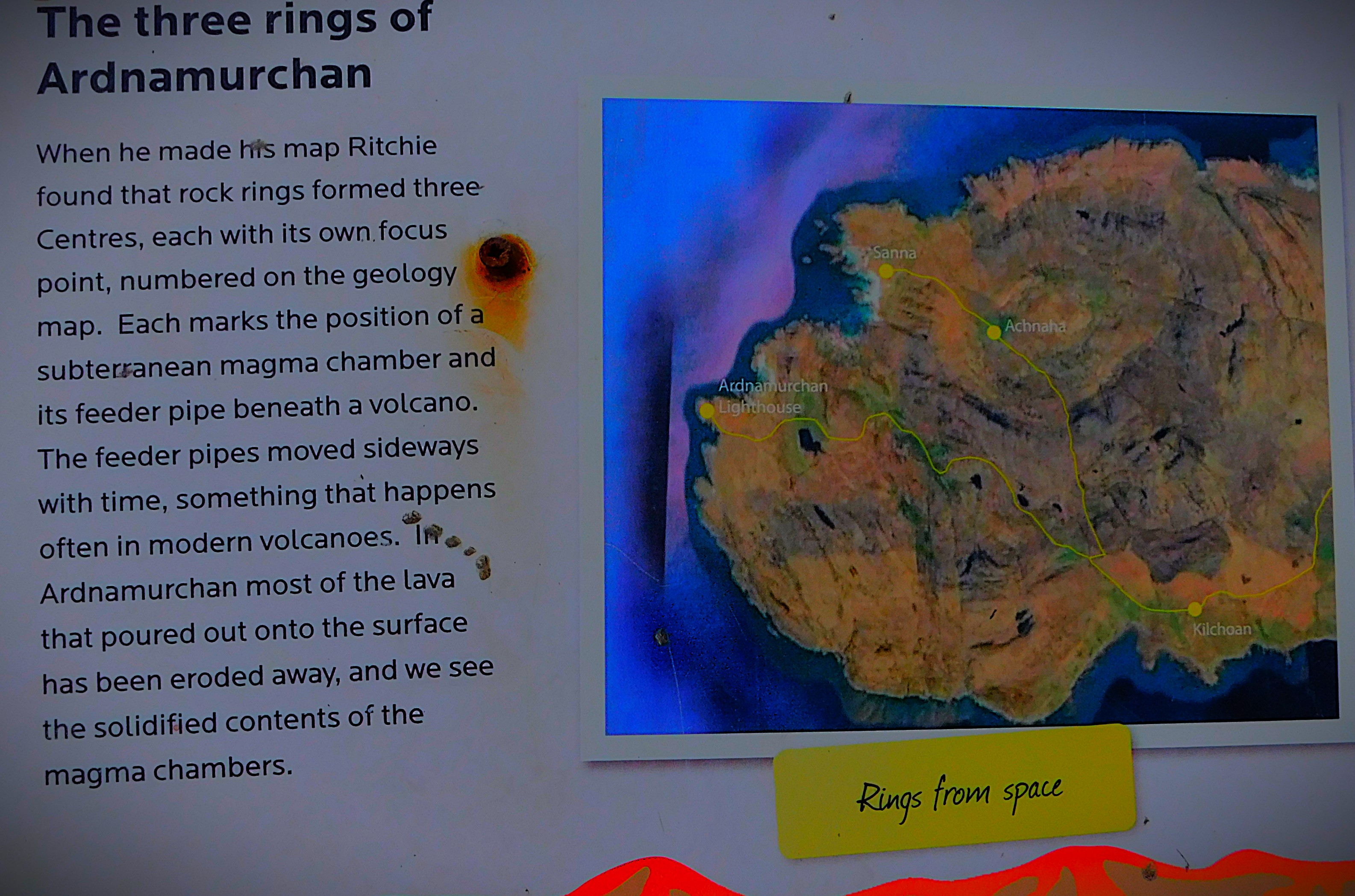
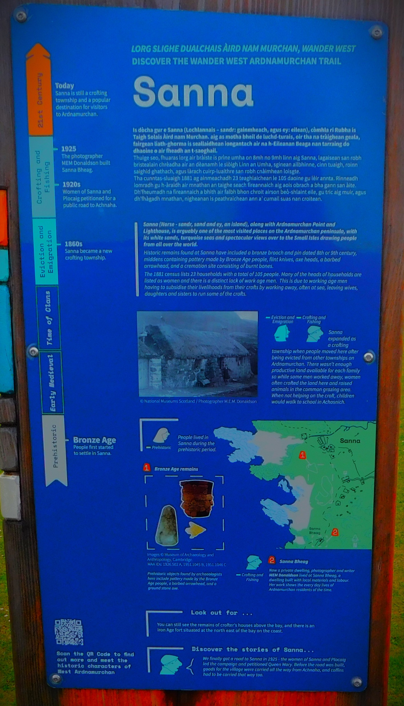
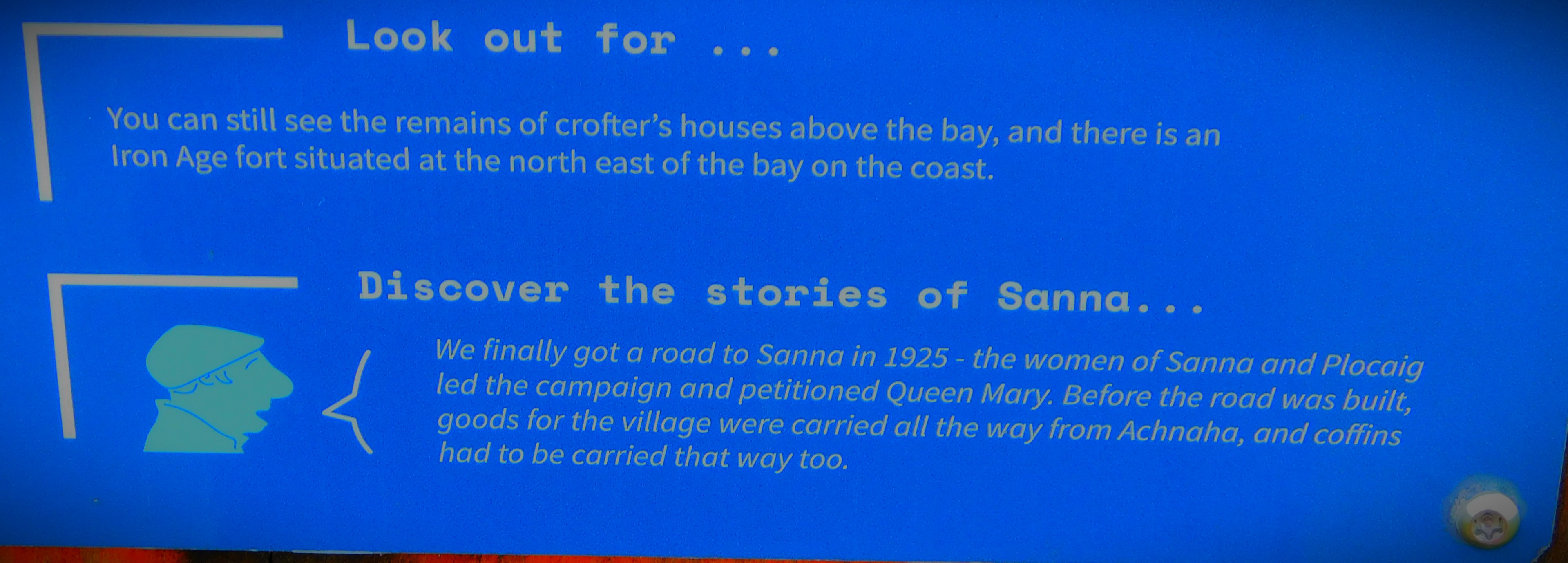
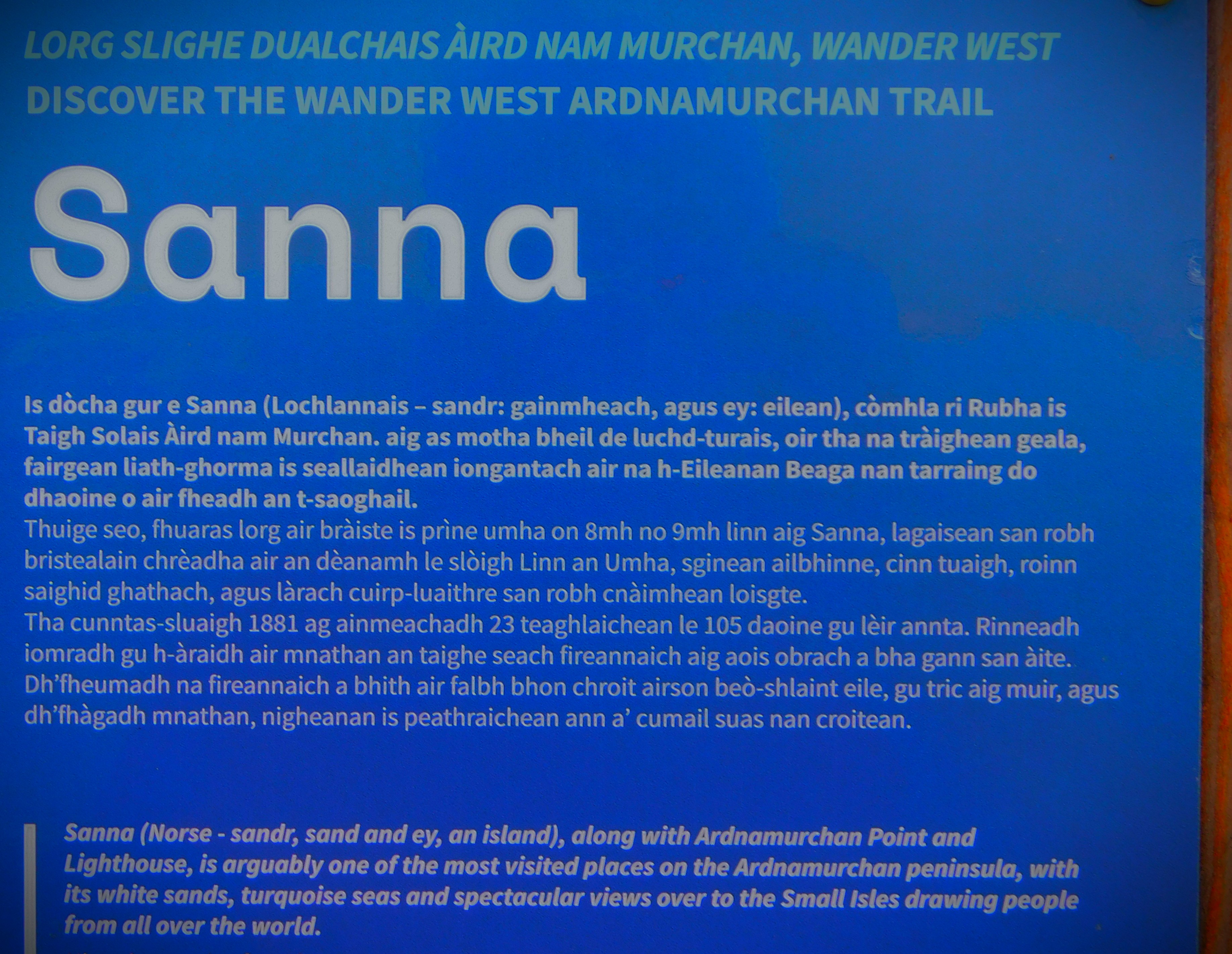
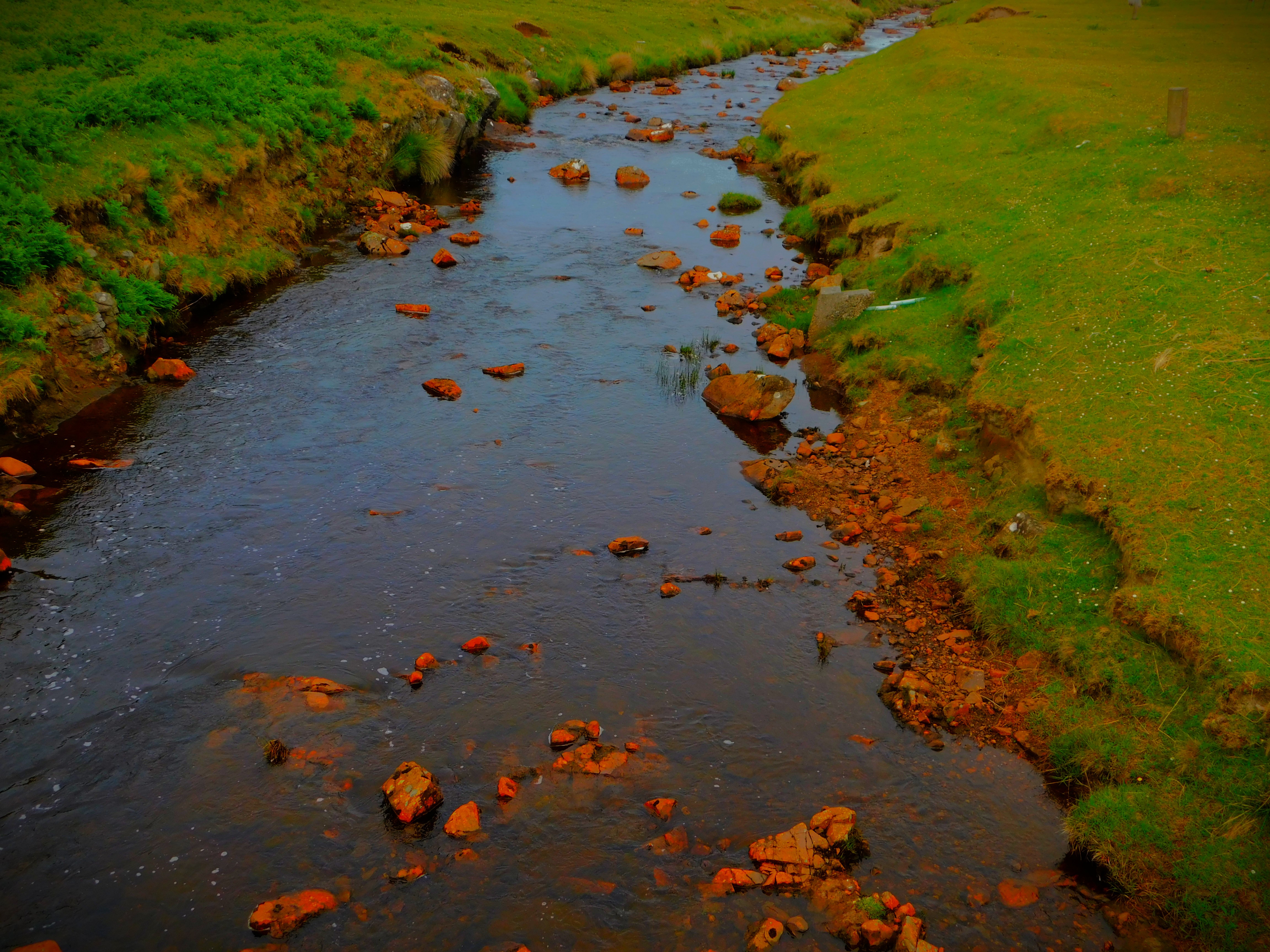
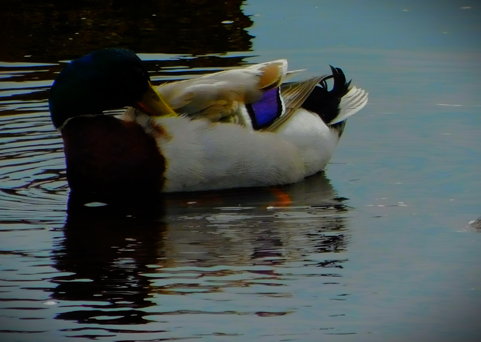
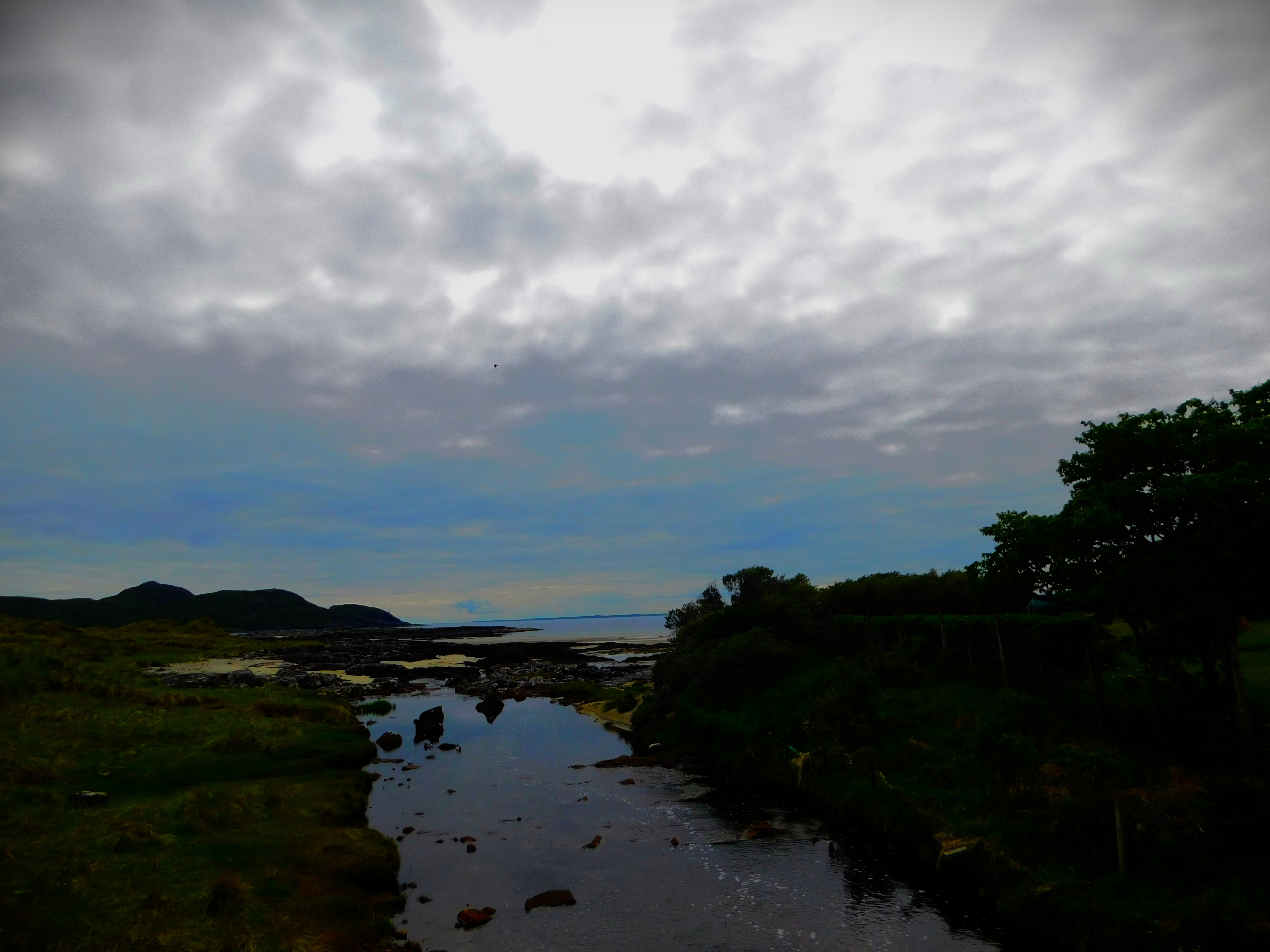
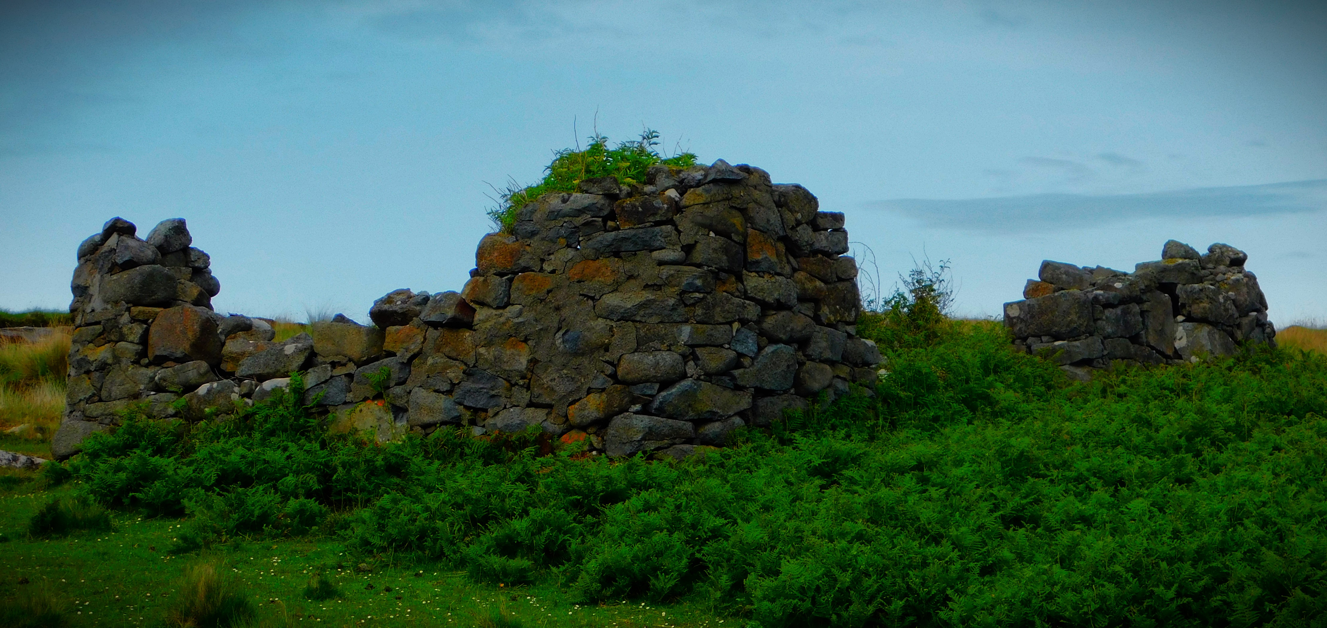
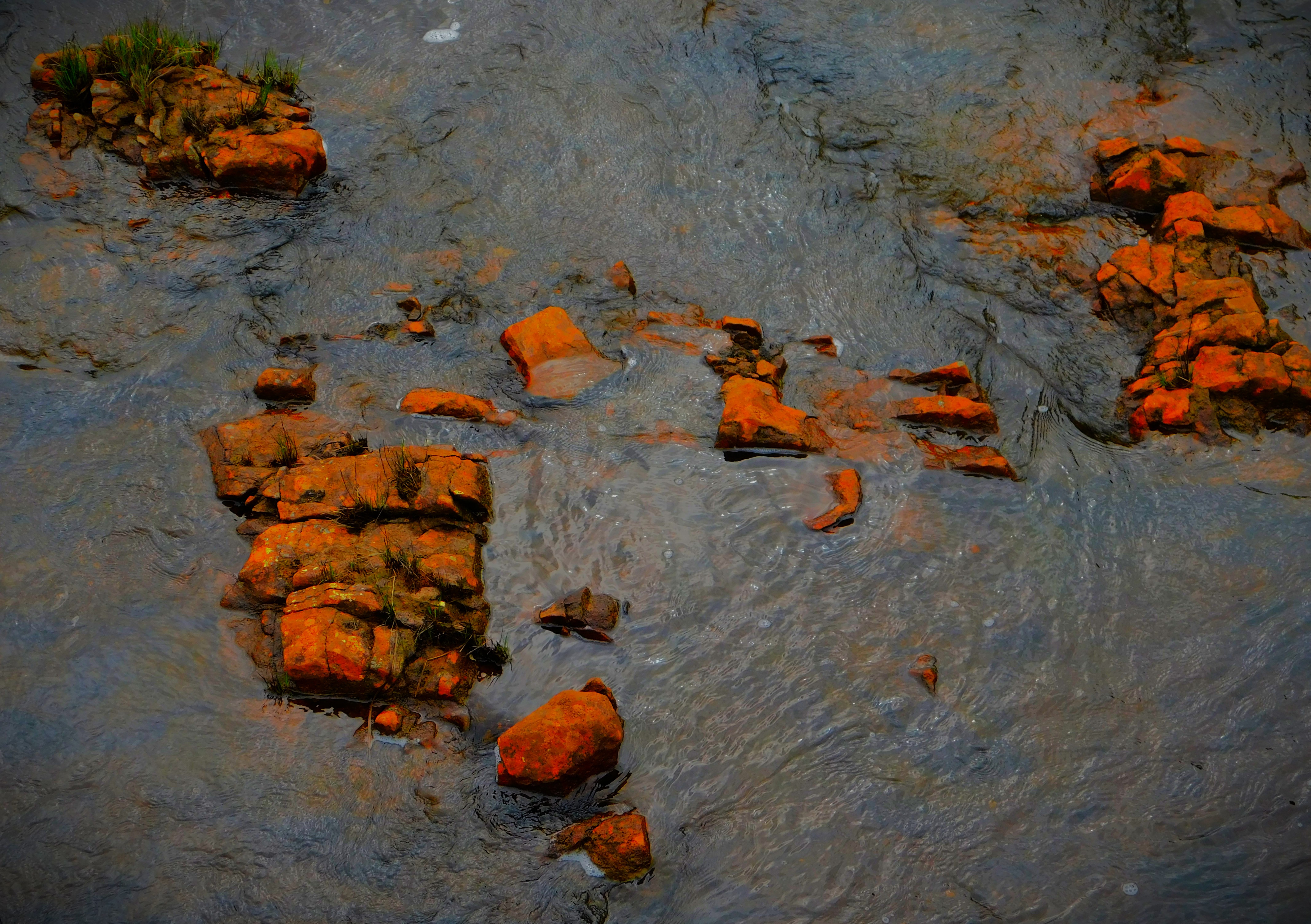
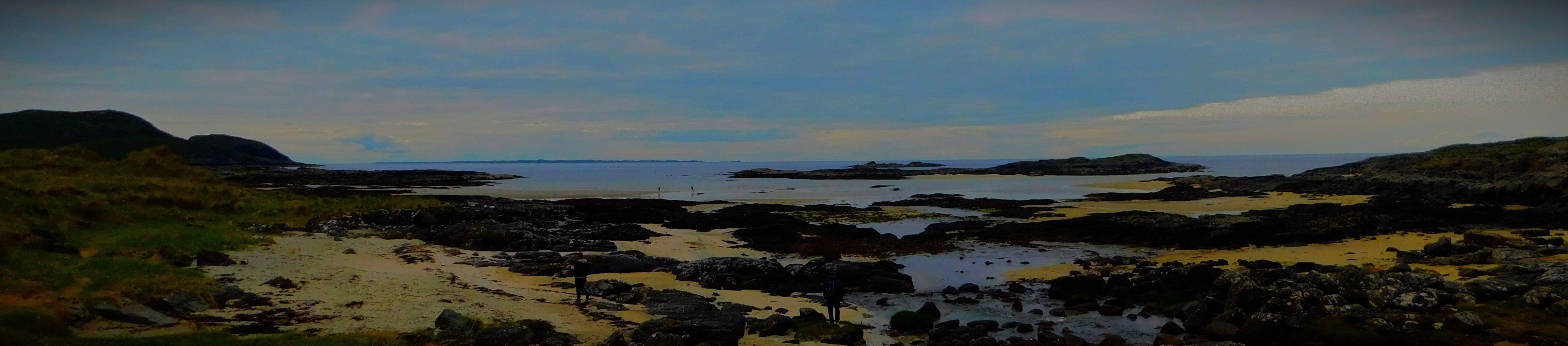
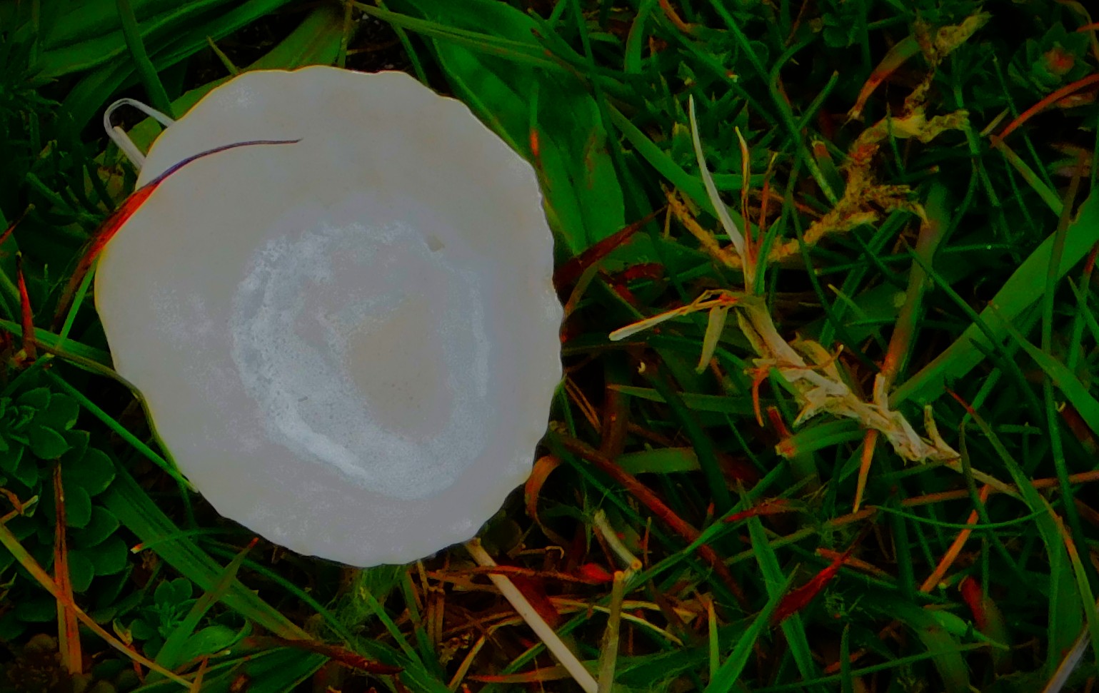
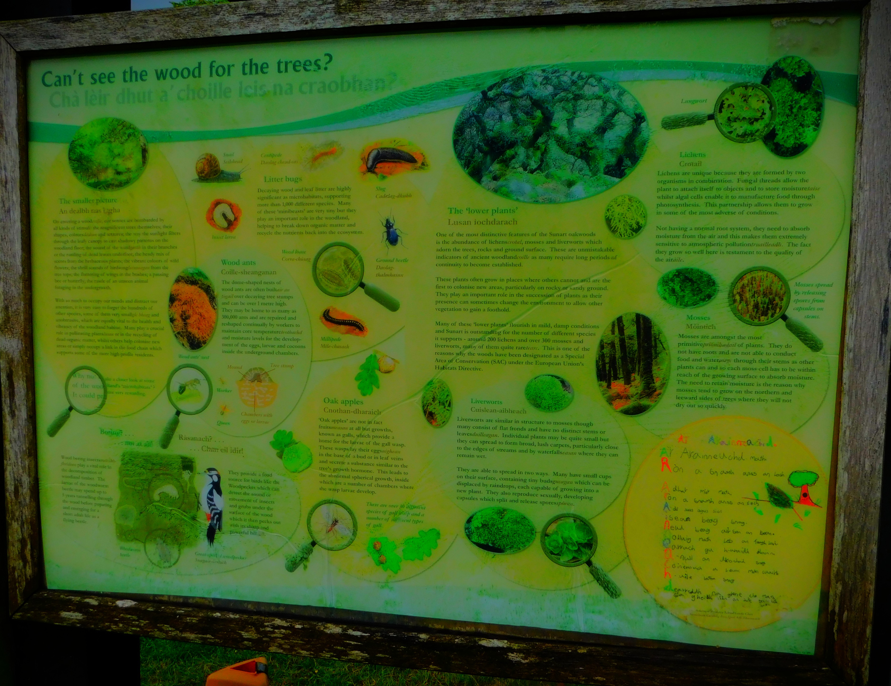
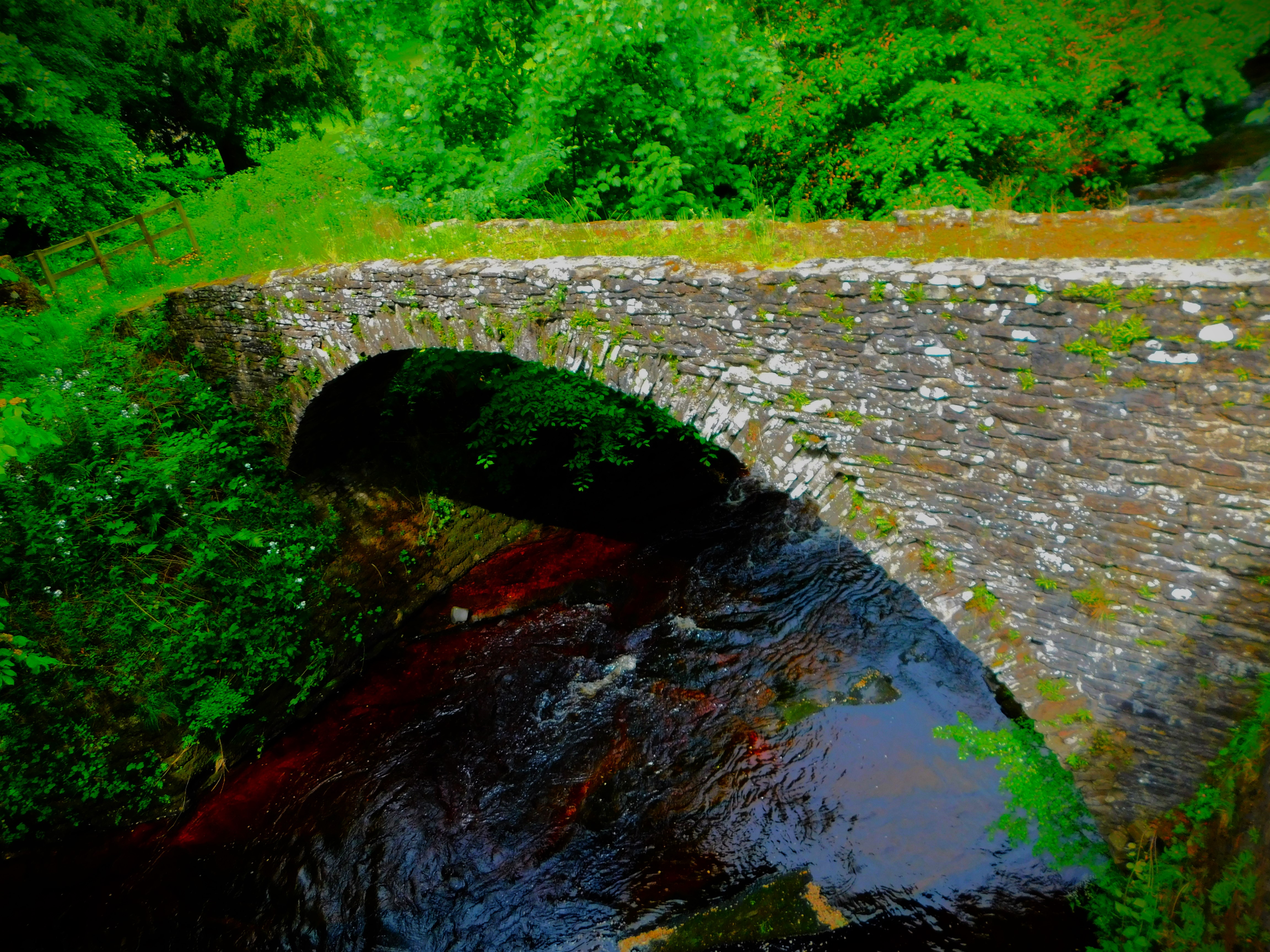
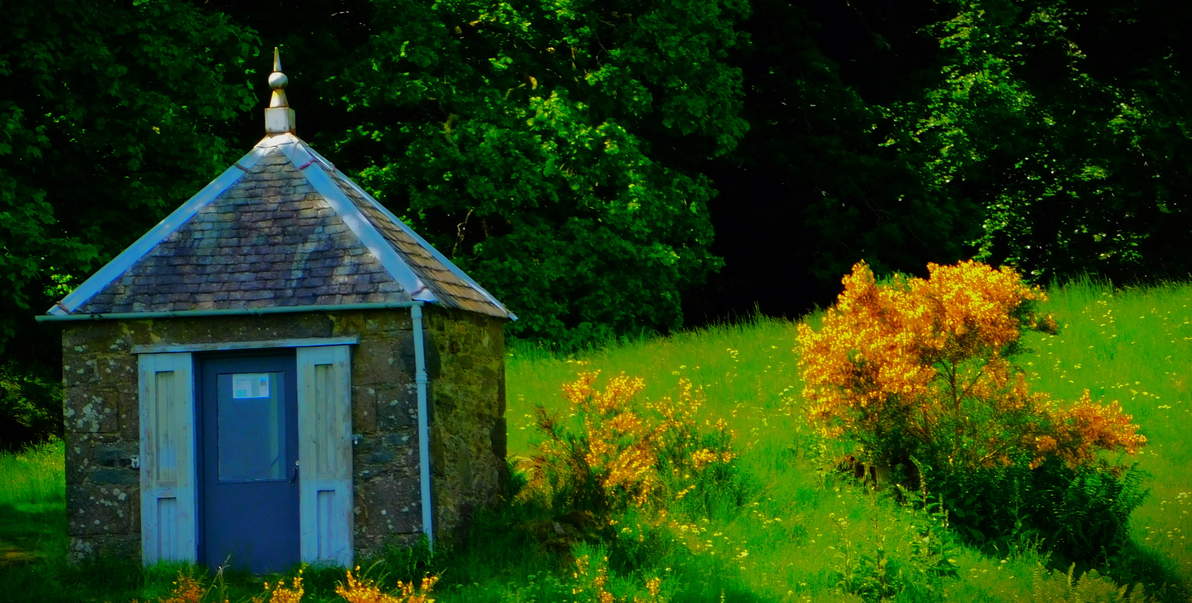
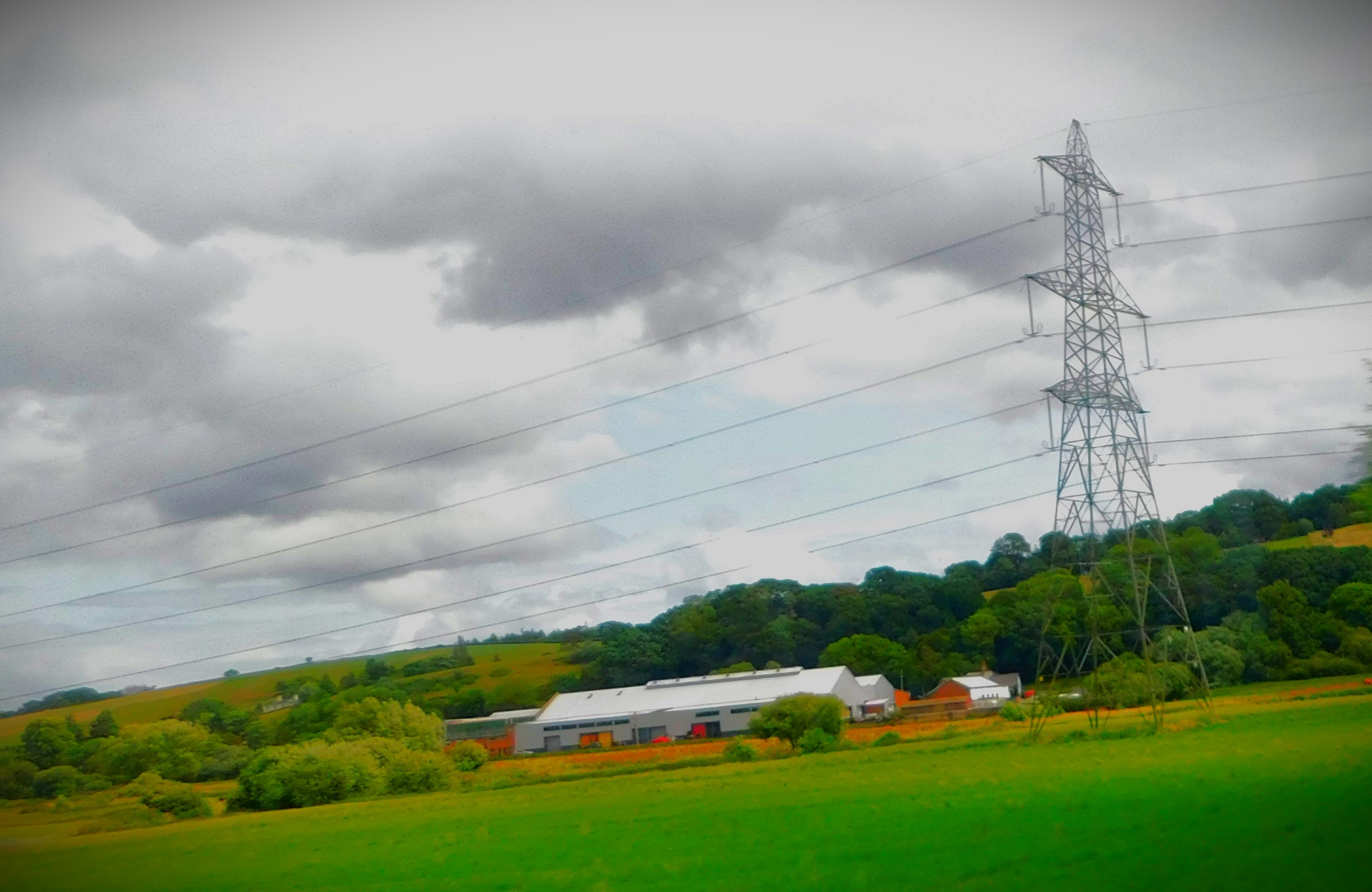
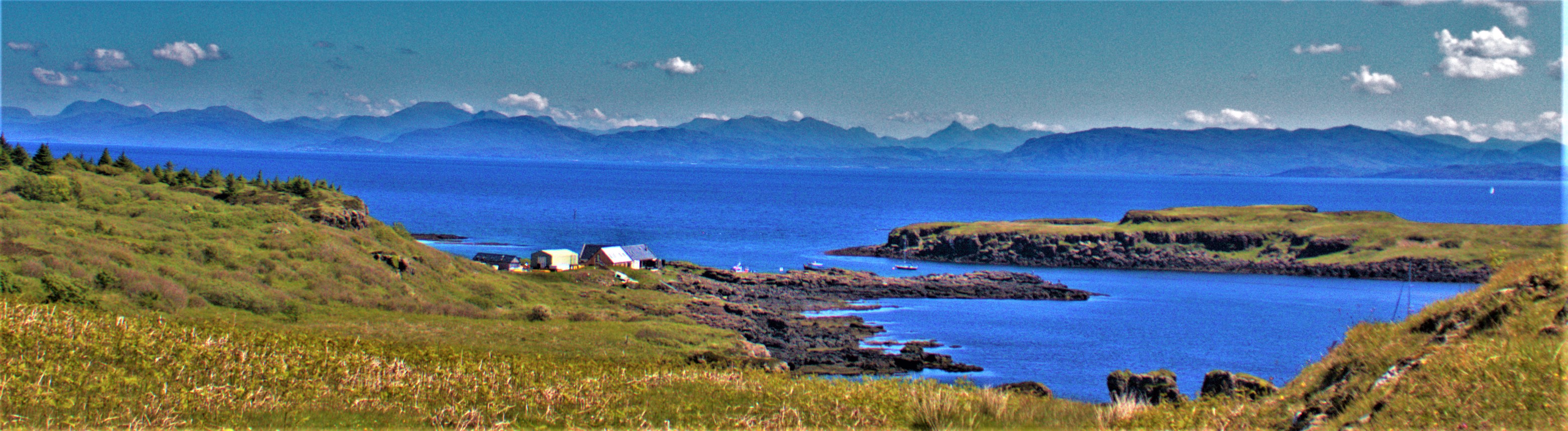
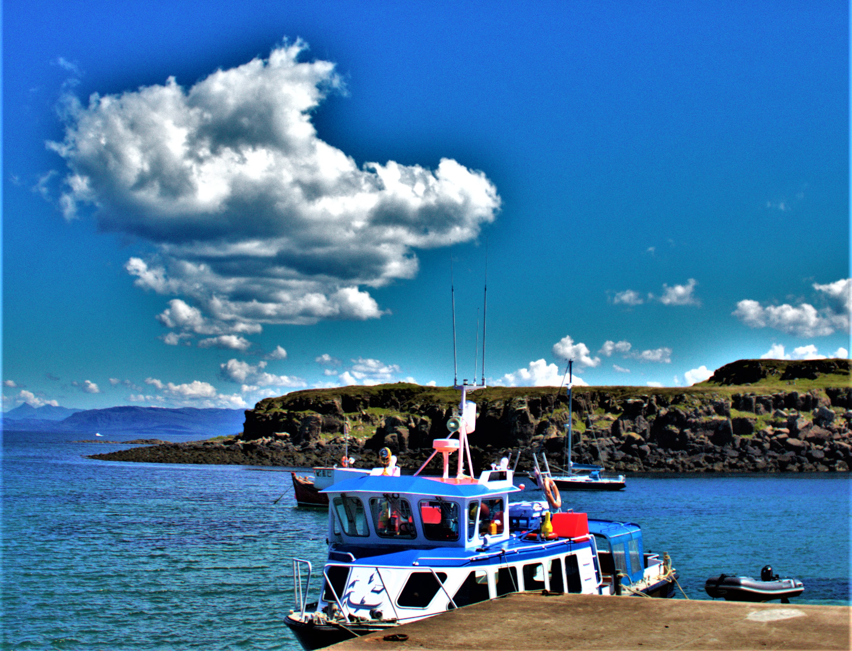
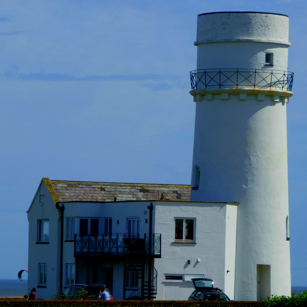
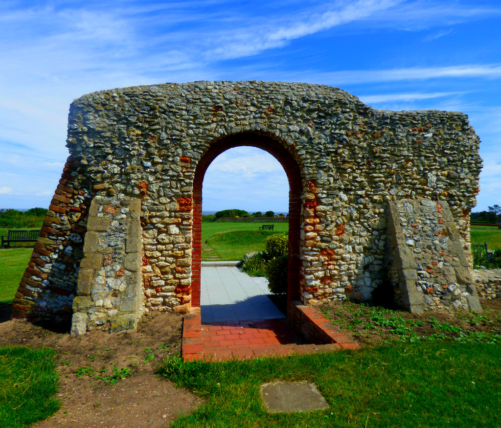
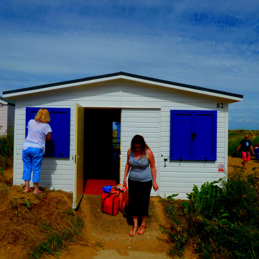
Although Sanna is about as far from the birthplace of golf as one can get while still being in mainland Scotland (St Andrews is on the east coast of Scotland) the land in its vicinity is very much of the type of which that game was first played – the word links in its golf context derives from the terrain in question linking the land and the sea. It must be acknowledged that although I would regard building such a thing there as an act of desecration that the grassland around Sanna would undoubtedly make a very challenging golf course. There is a splendid river mouth very close to Sanna – it formed the furthest limits of our exploration. Some of the buildings in Sanna are quite interesting, but the true delight of the area is of course its scenery. There are detailed information boards about the geology of the area, to top up what I covered in this post. I enjoyed my visit and would recommend a visit there if you ever in the area (it would be an absurdly long detour if you were not already in the area for another purpose).
PHOTOGRAPHS
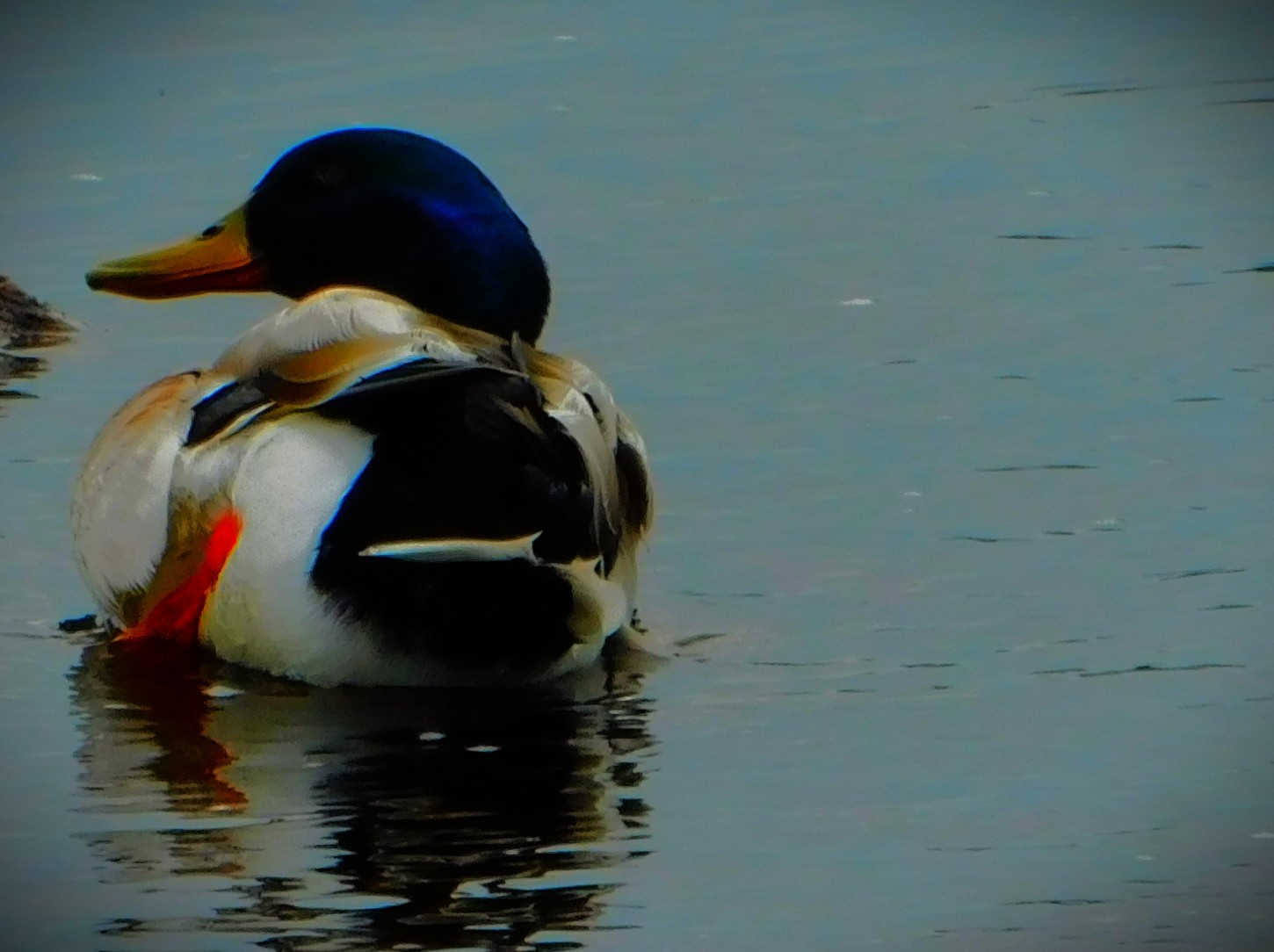
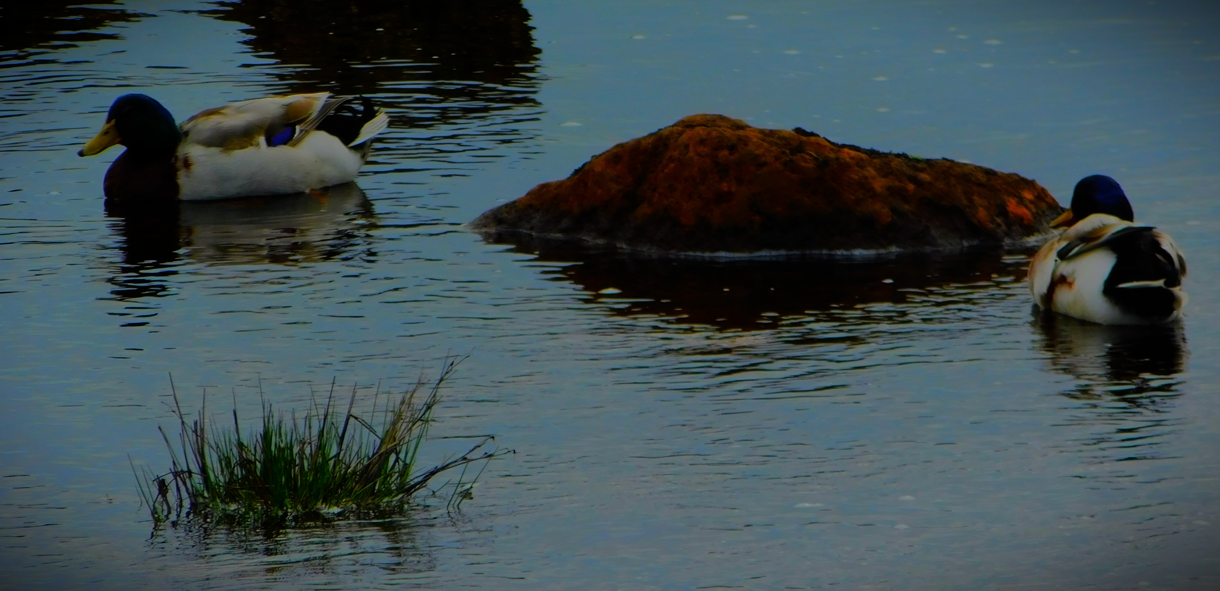
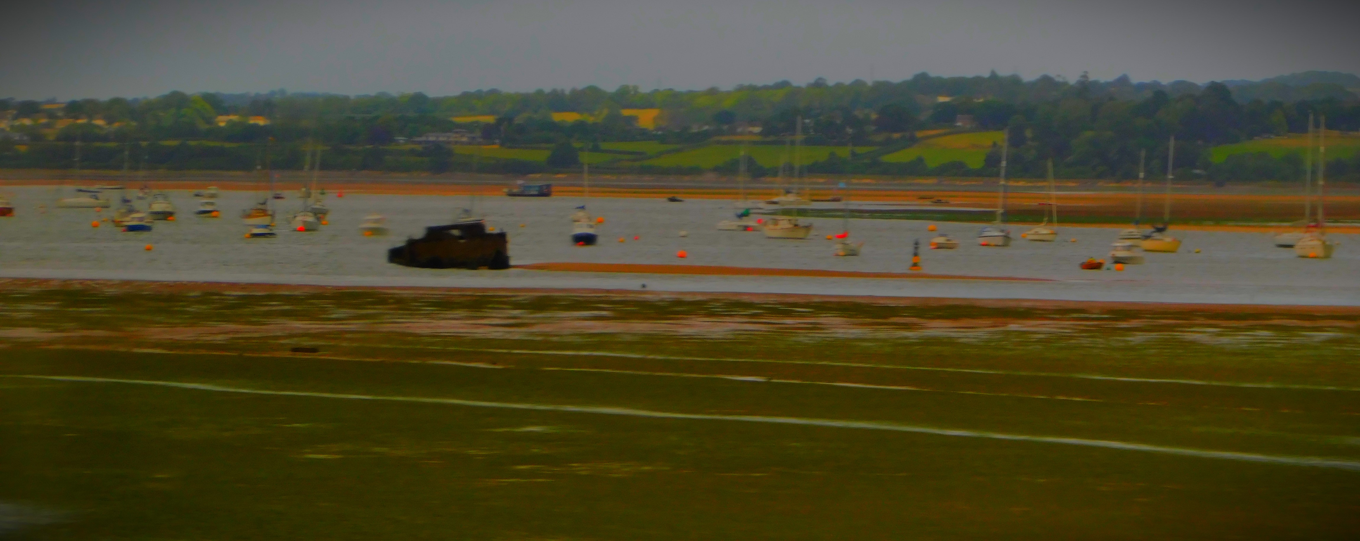
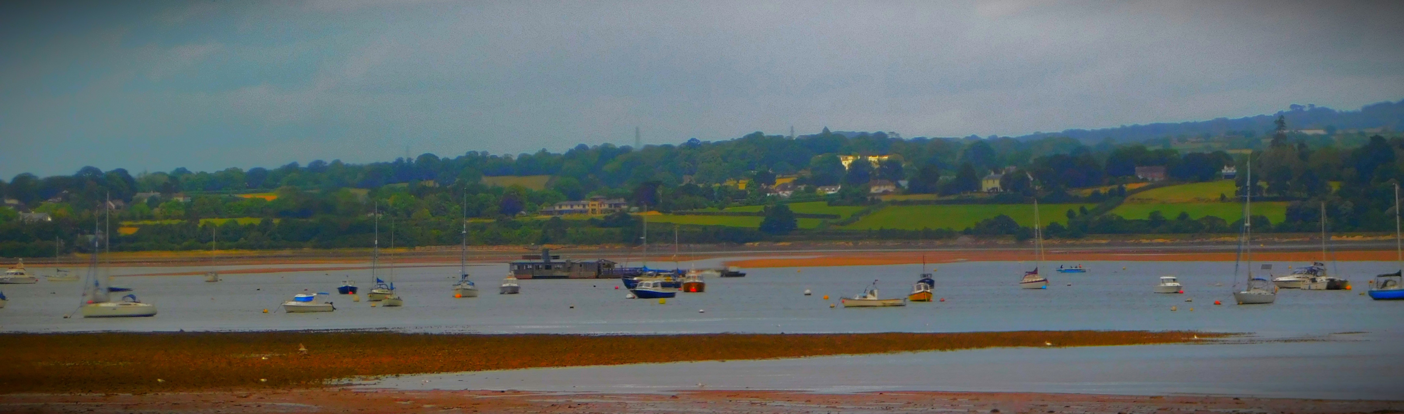
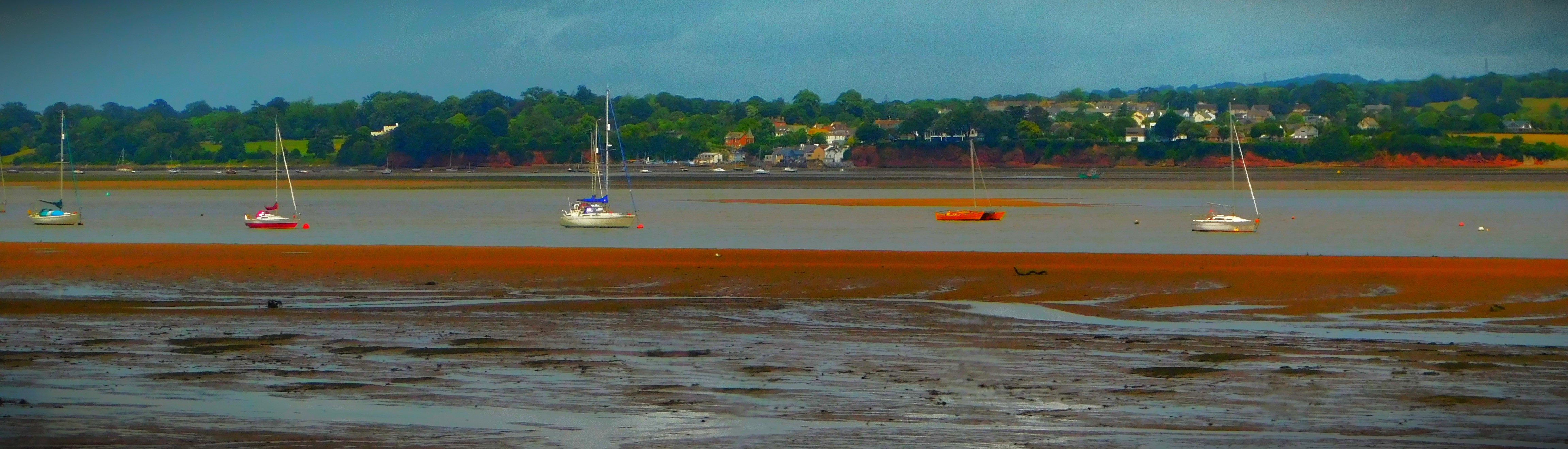
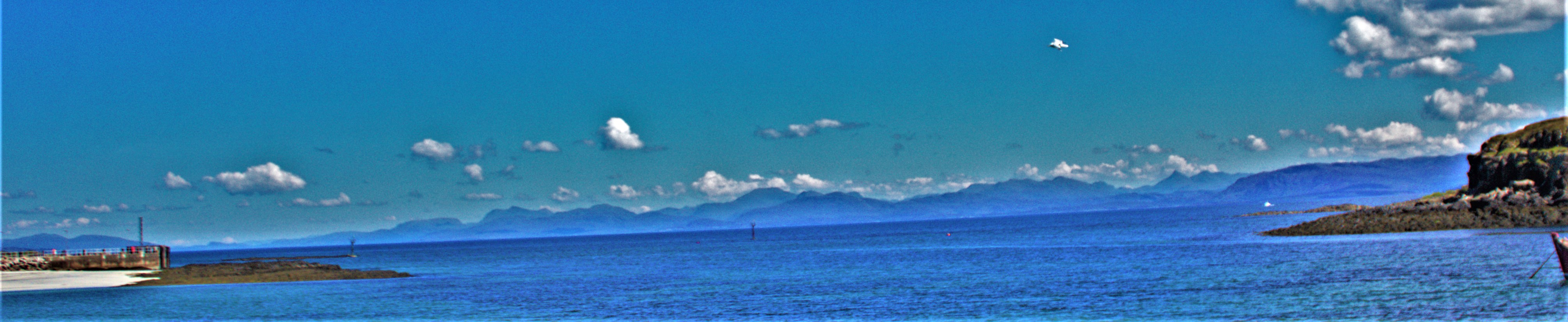
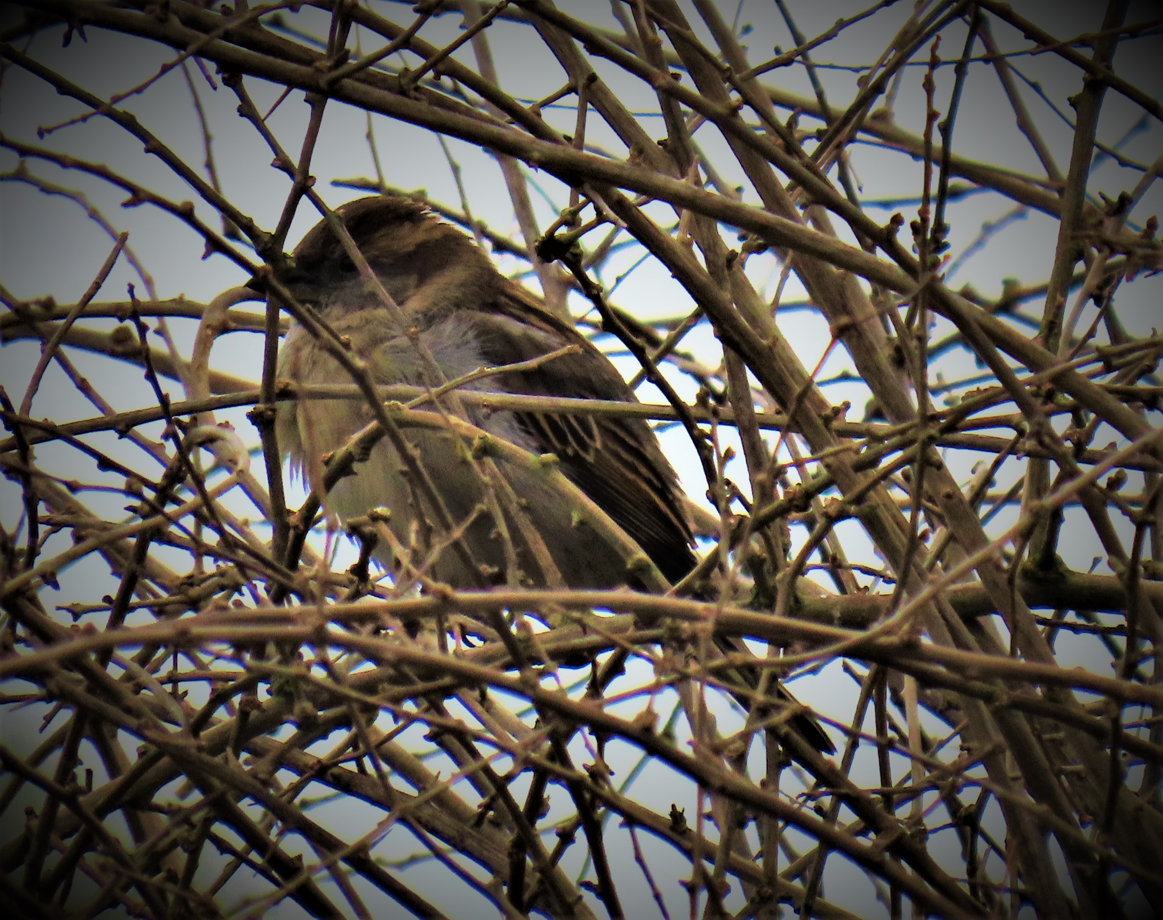
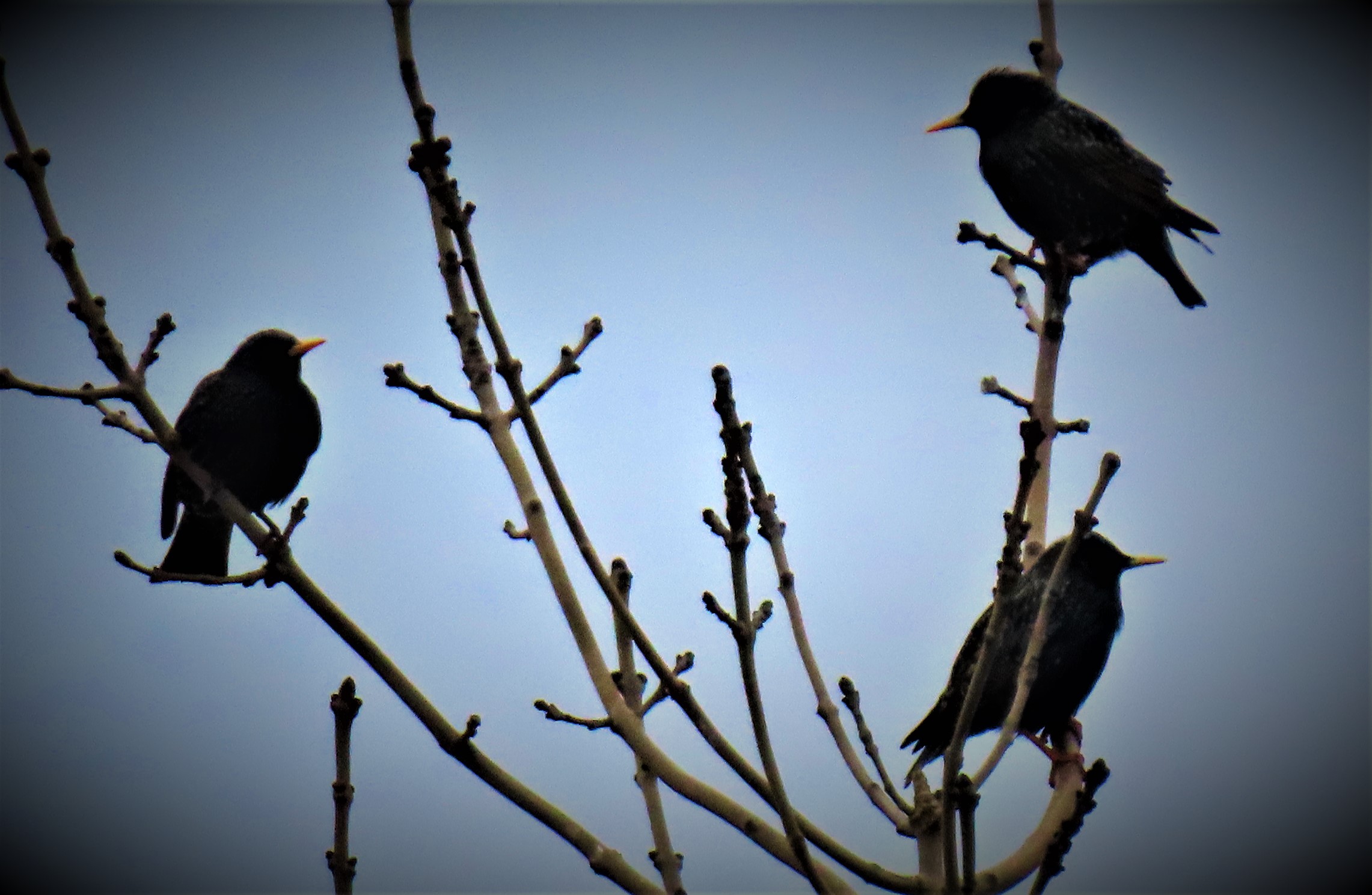
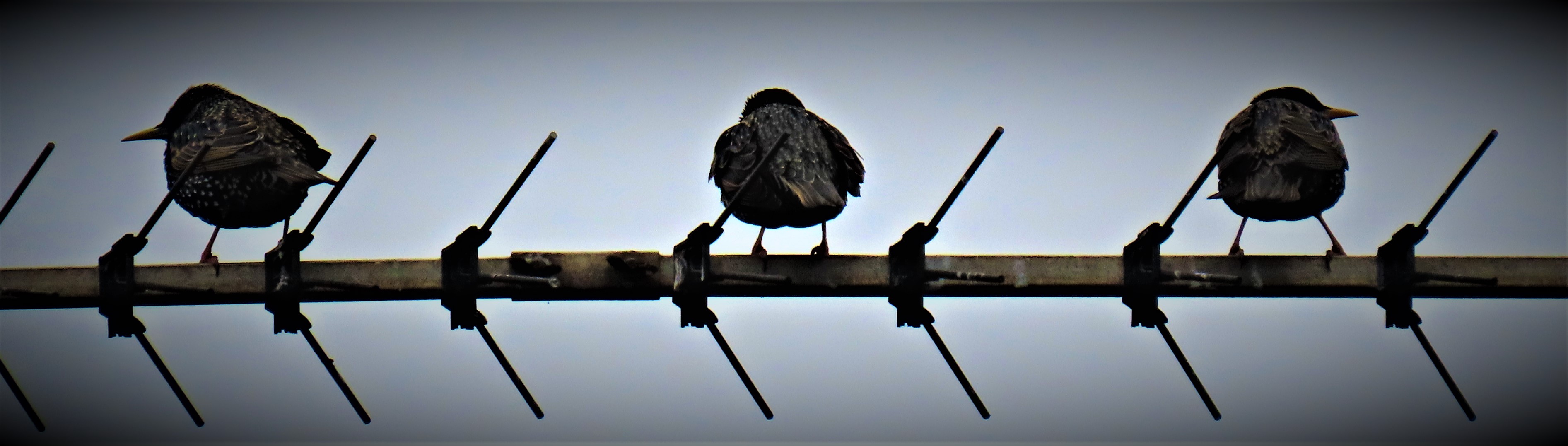
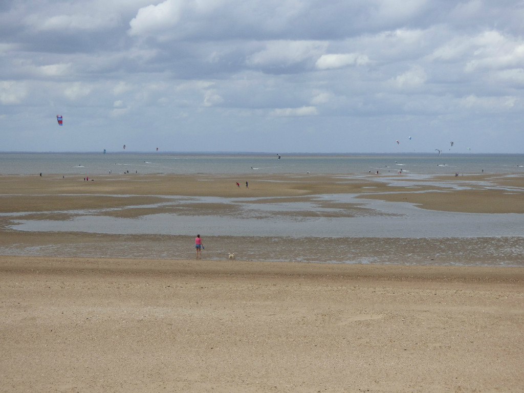
Here are my photographs from Sanna.
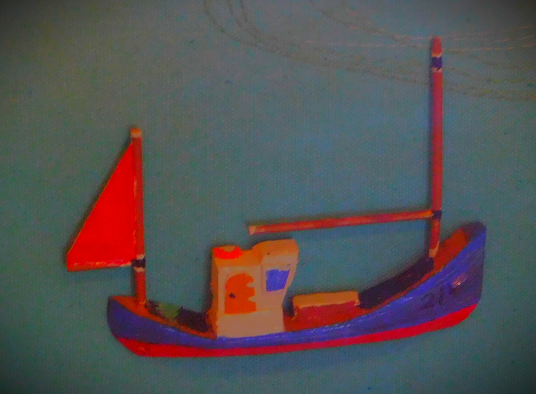
The western half of the Ardnamurchan peninsula as viewed from space.The official warning notice to visitors.The remains of a stone built cottage.
A special post about the geology of the Ardnamurchan Peninsula, prompted by a small but captivating display at the Kilchoan Community Centre.
This post is somewhat out of sequence given that most of the photographs which provide the information were taken yesterday. It is the third post in a series I am doing about a holiday I am currently on in the far west of Scotland (see here and here).
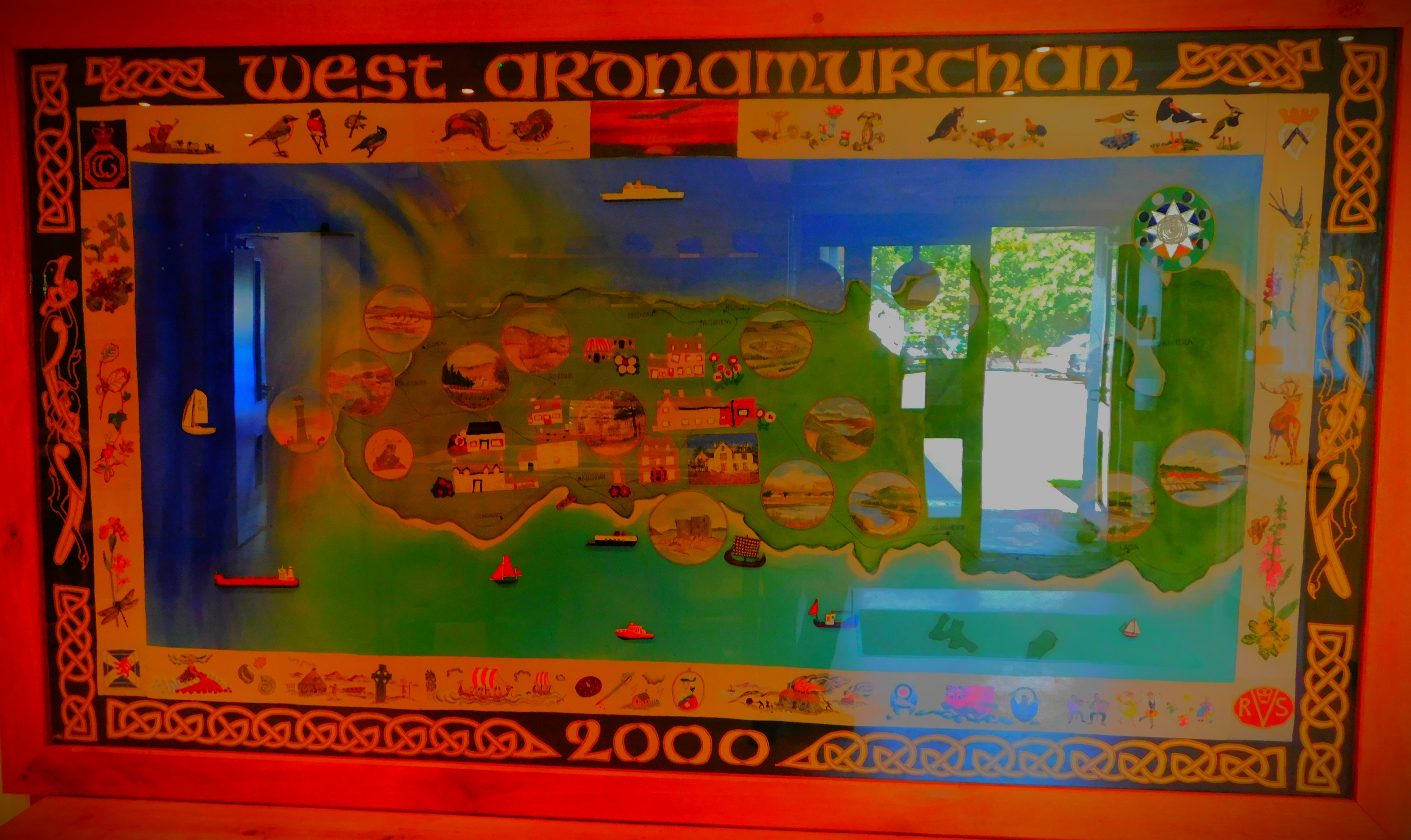
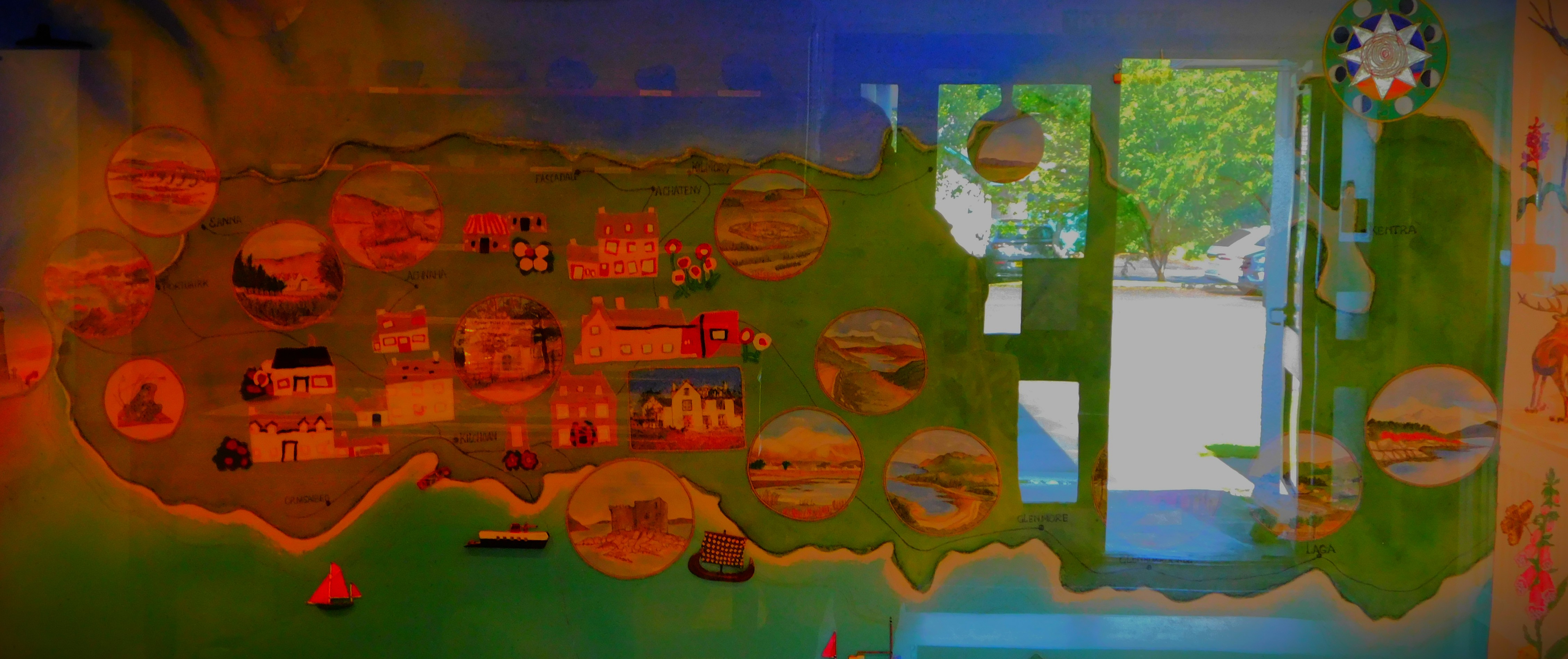
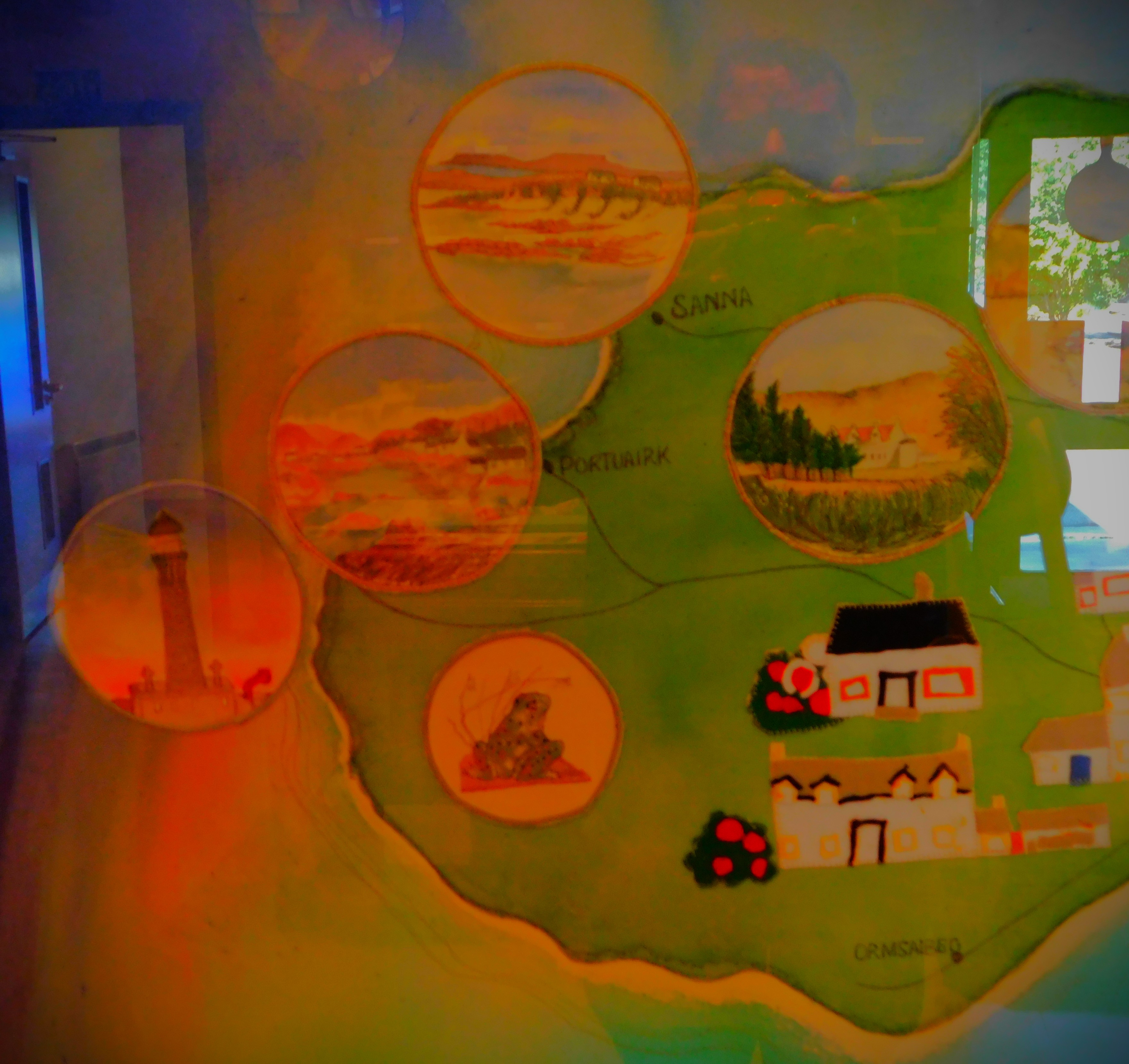
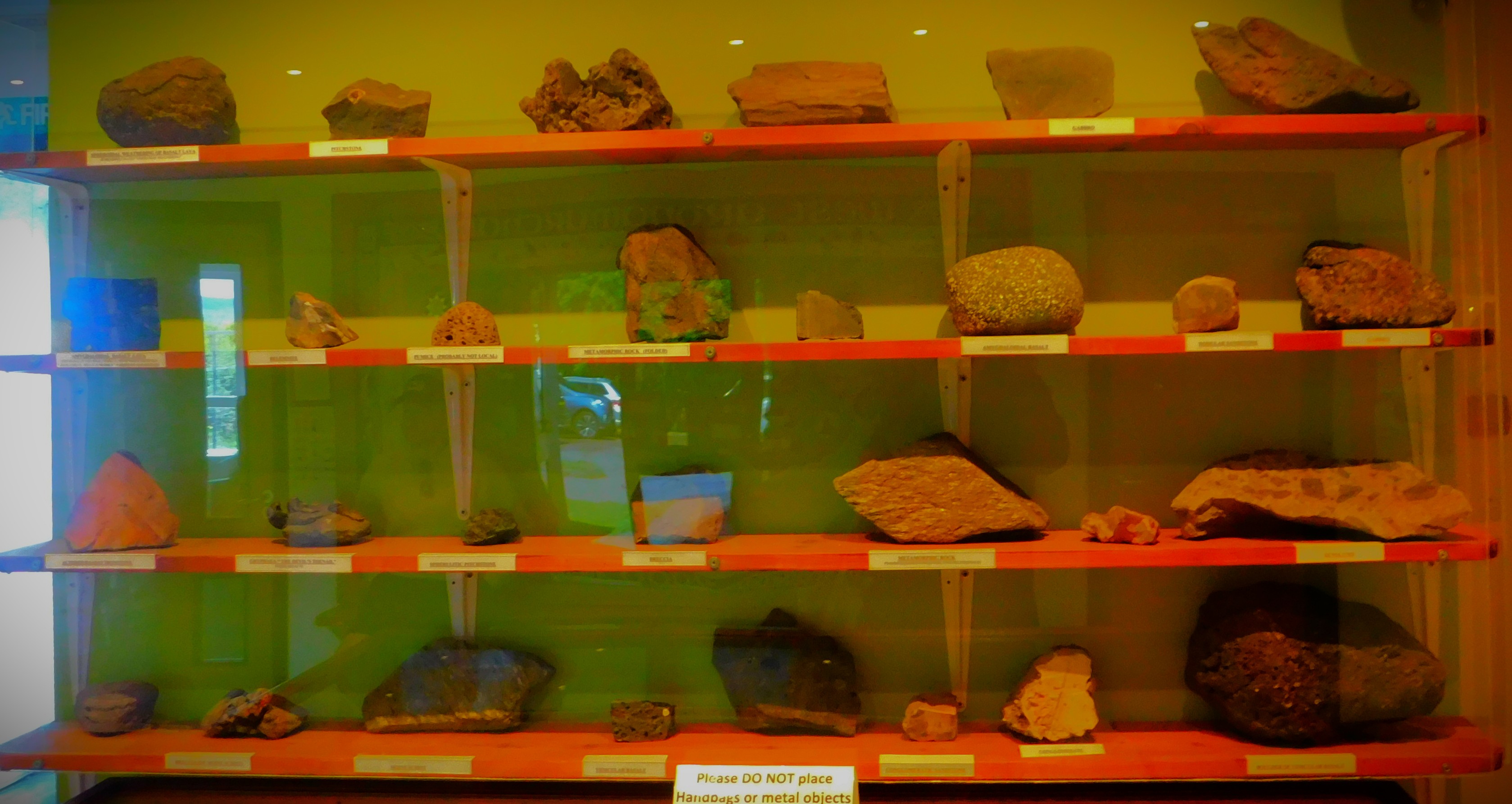
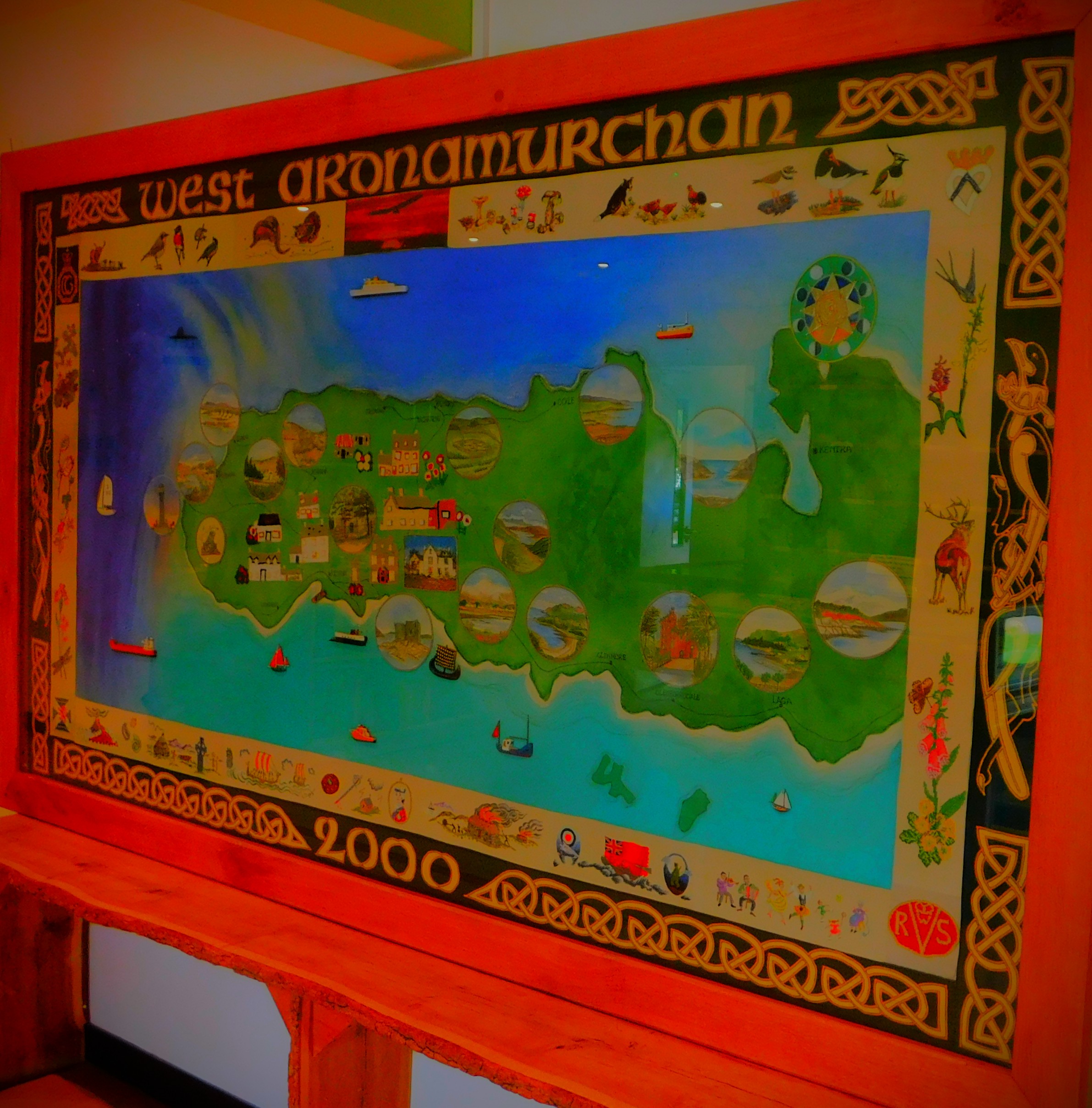
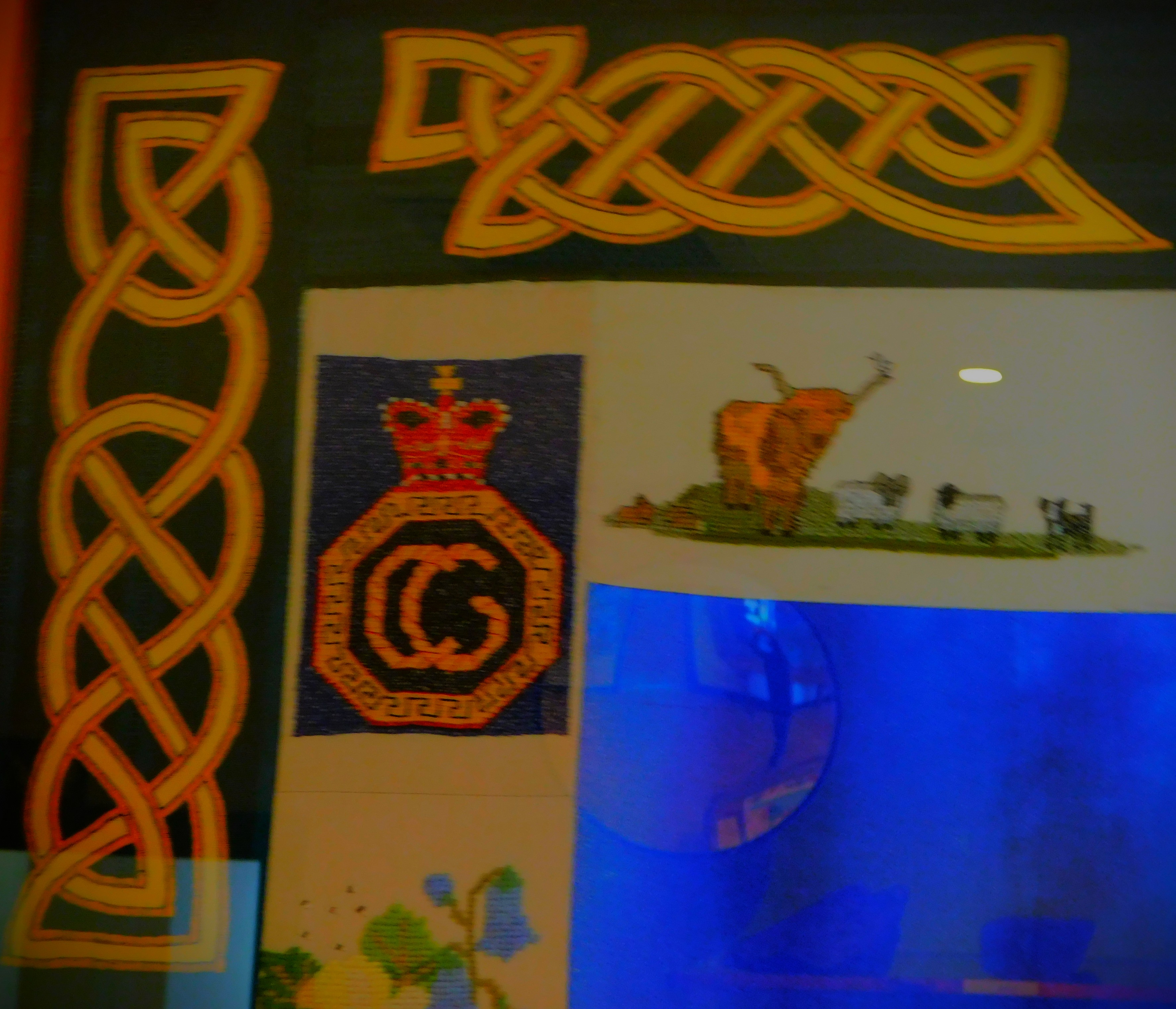
KILCHOAN’S TREASURE TROVE
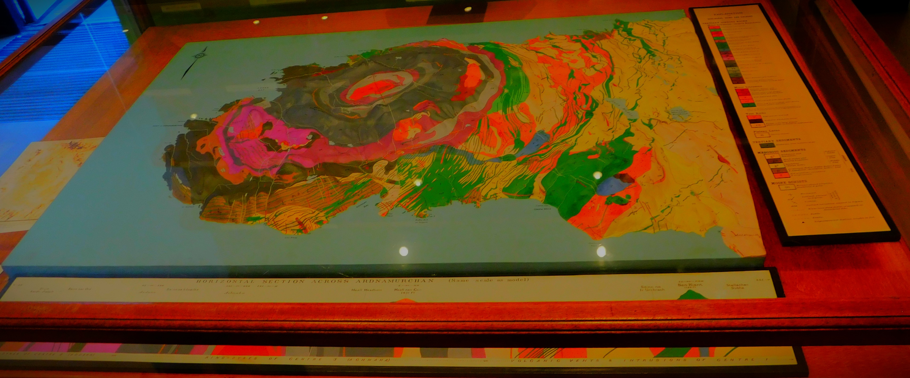
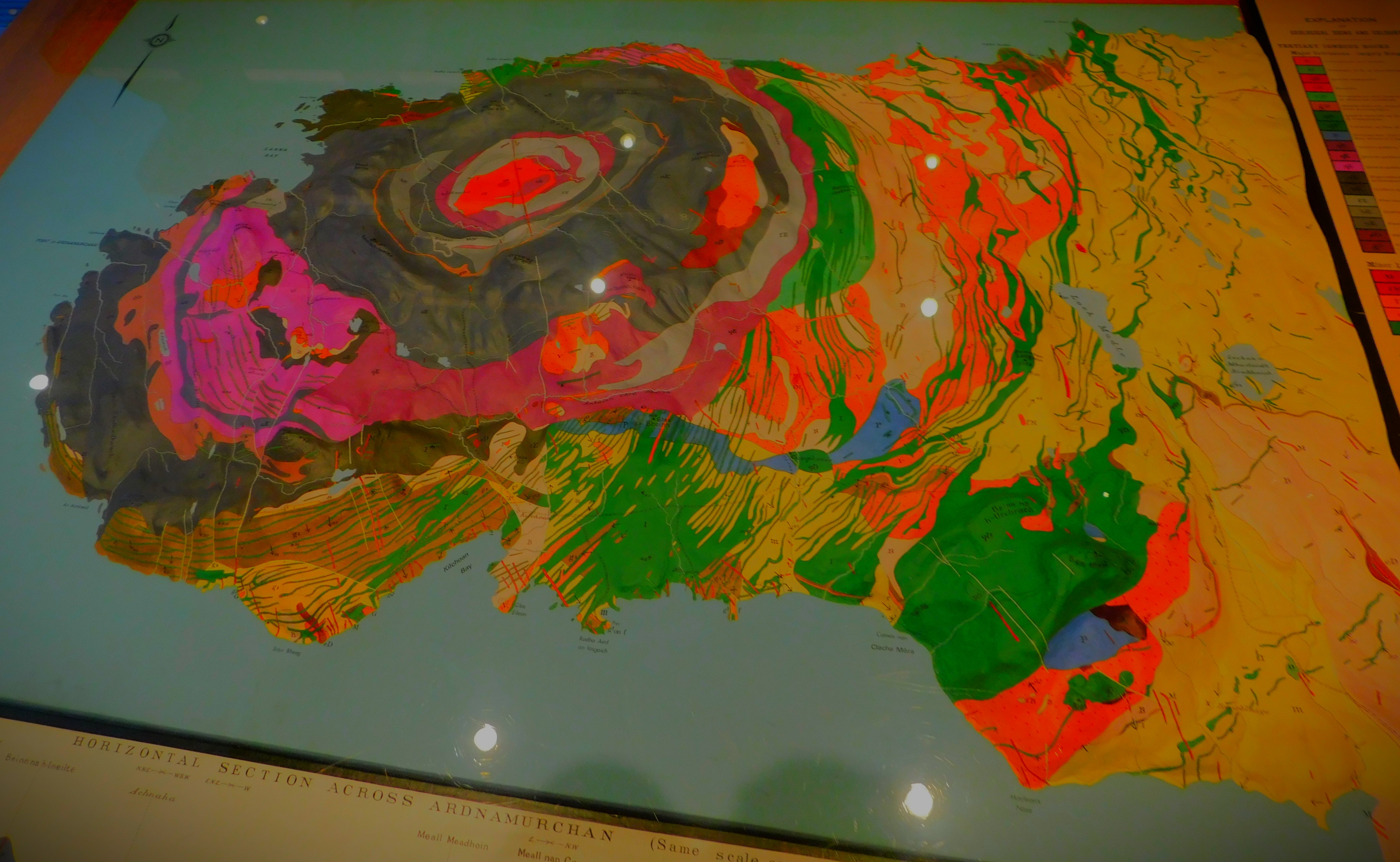
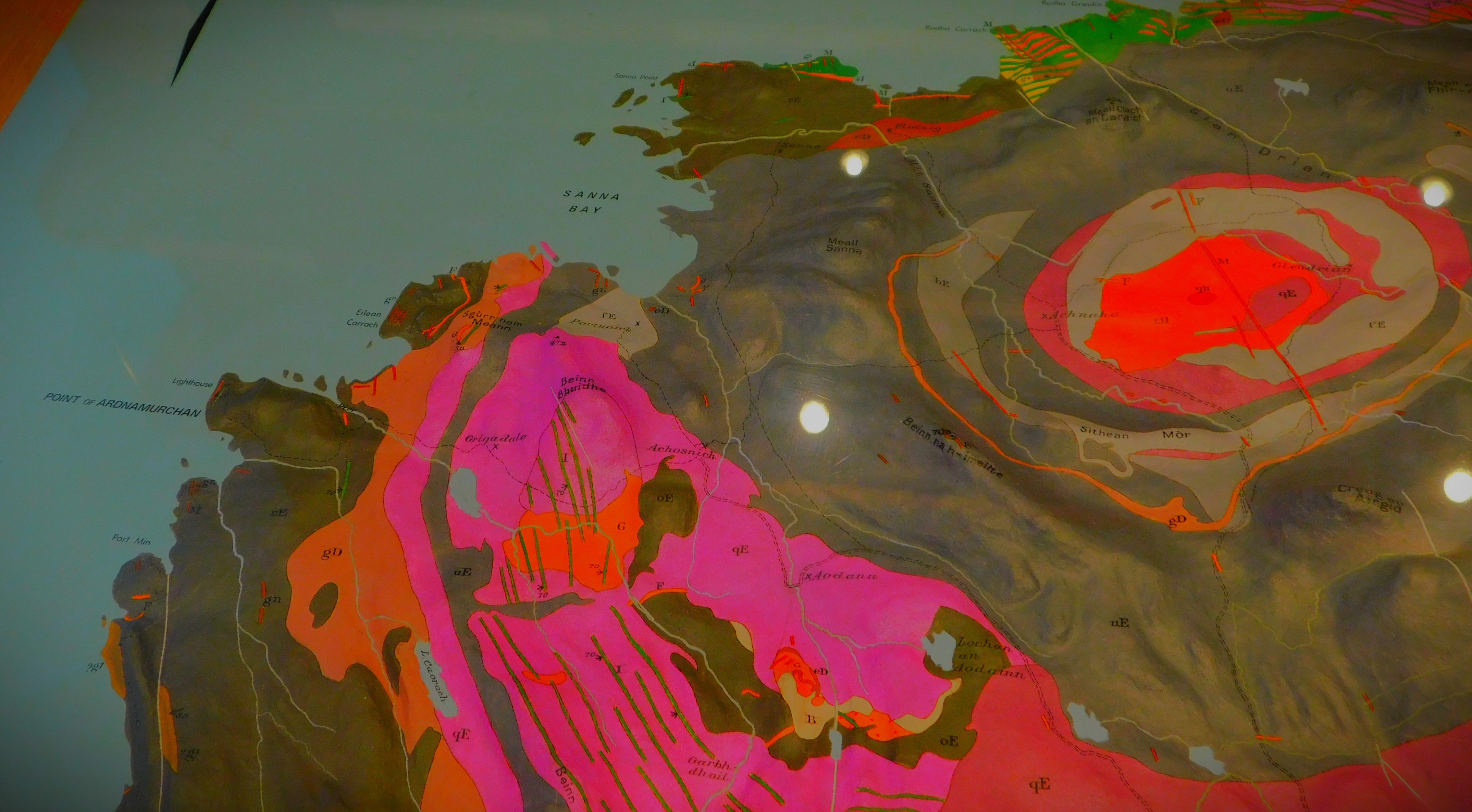
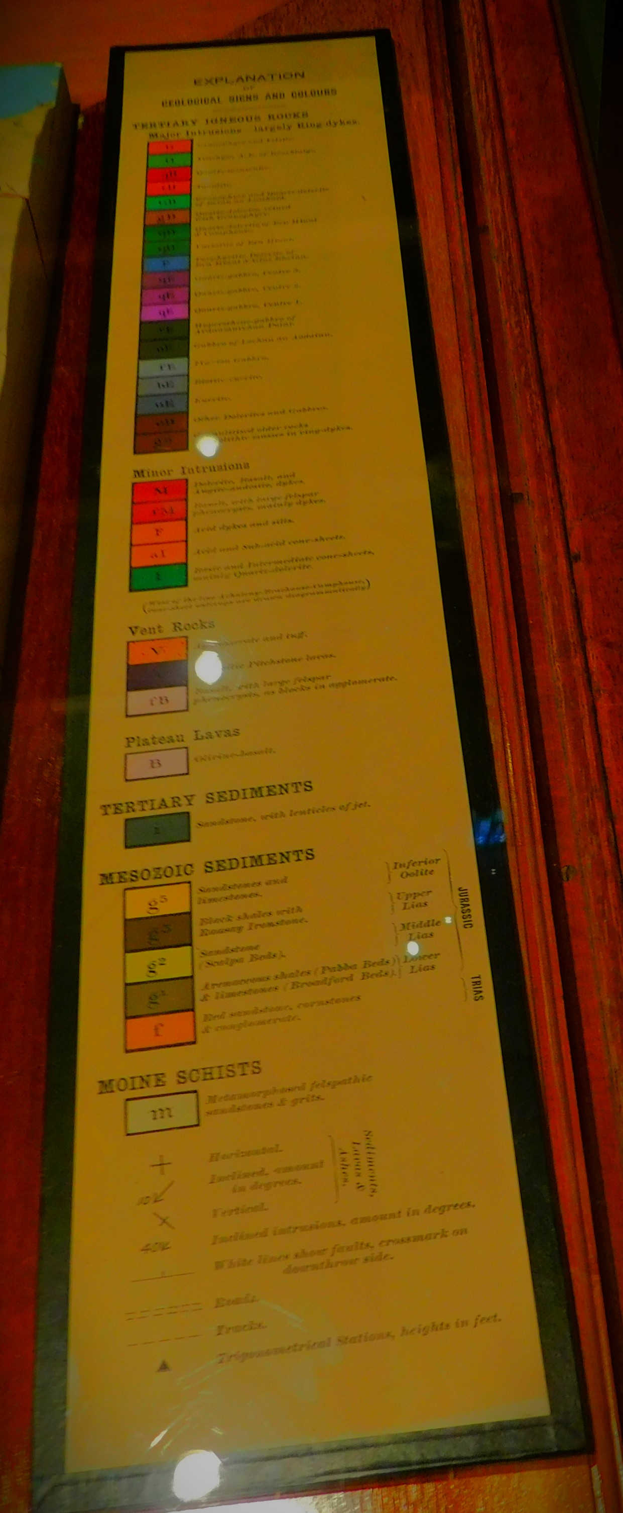
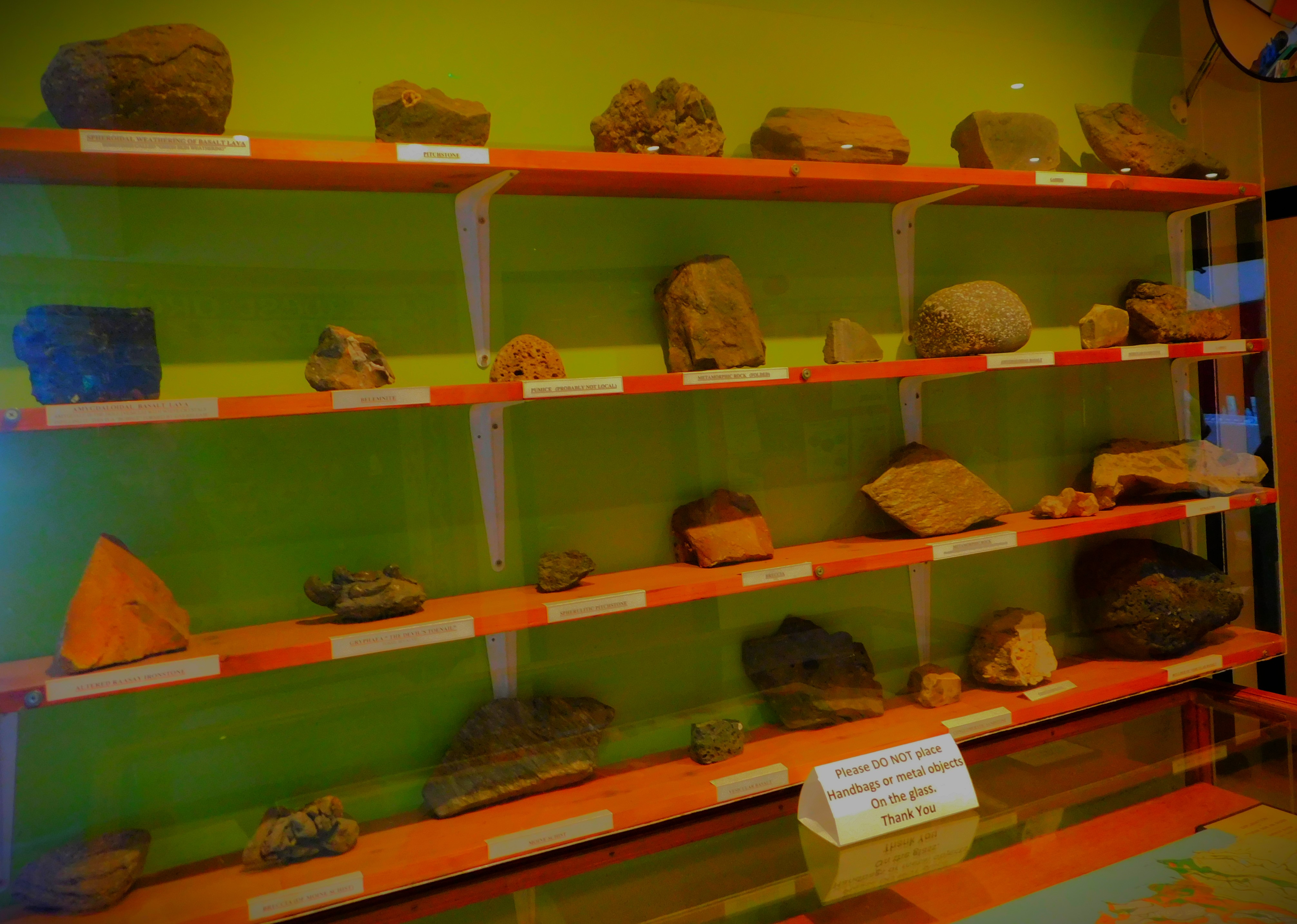
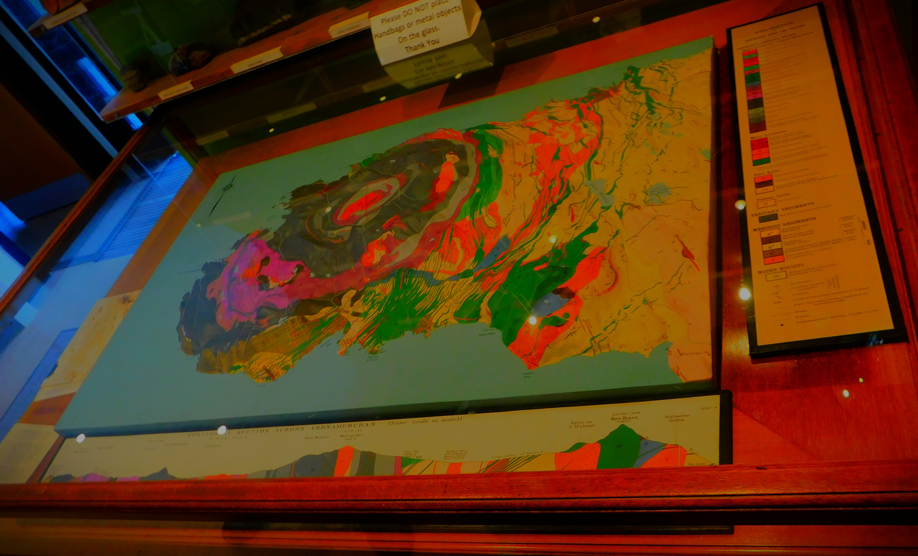
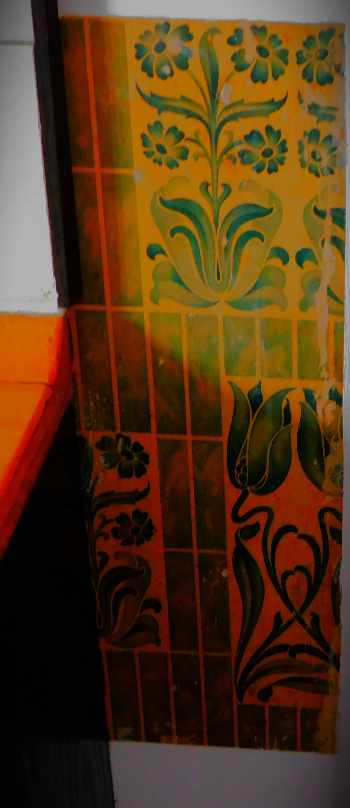
Yesterday we went to visit a craft market in Kilchoan, a very small town that serves as a ferry terminal as well. The community centre boasts a very mini museum – two maps, one an elaborate wall mounted one and the other a three dimension relief map in a glass case with accompanying key and notes, and some rock samples showing all the types of rock in the area. The market was very worthwhile in and of itself – we got some good food there, including bread of superlative quality, but I would regard the display at the community centre as worth seeing in its own right as well.
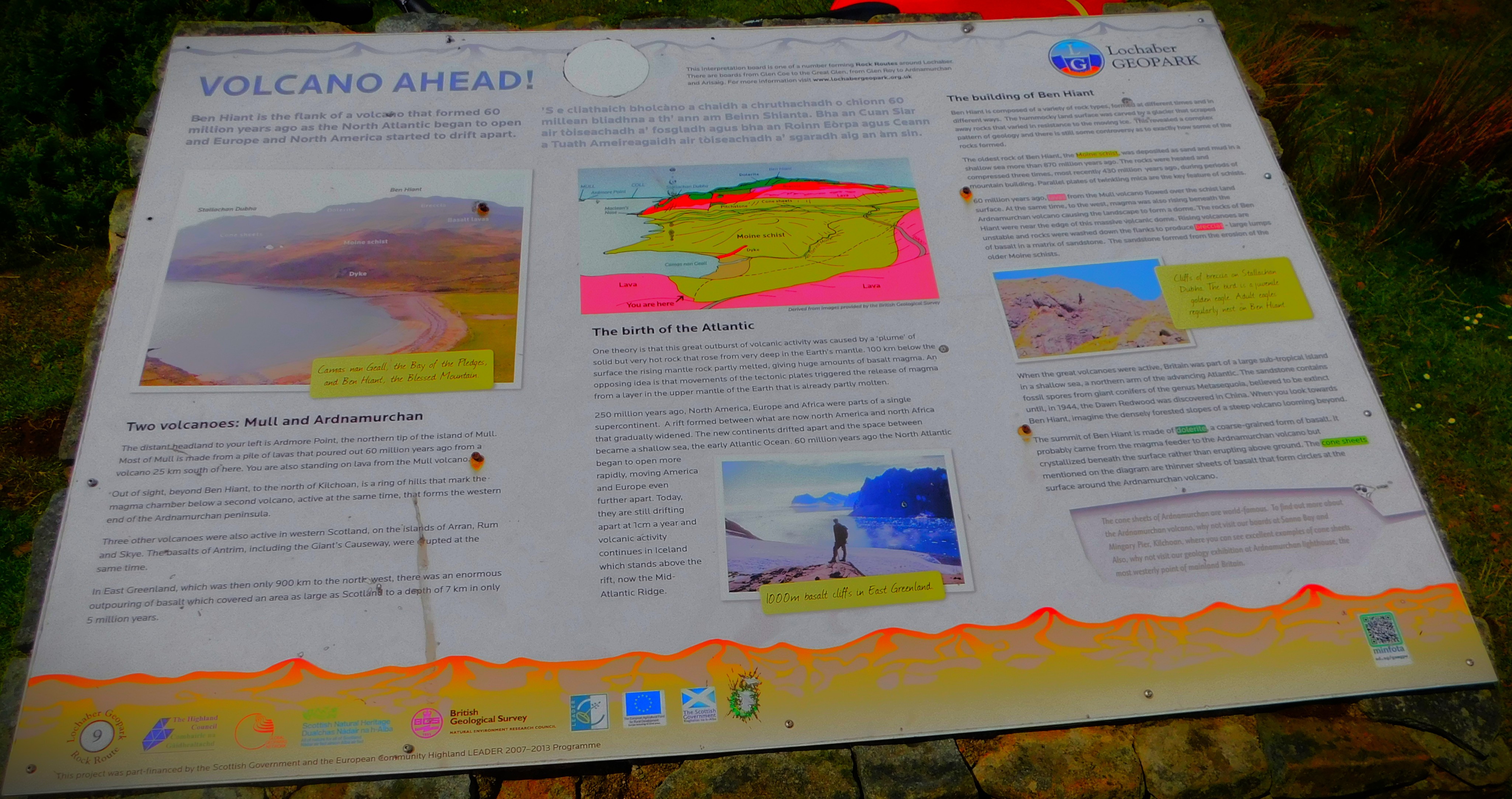
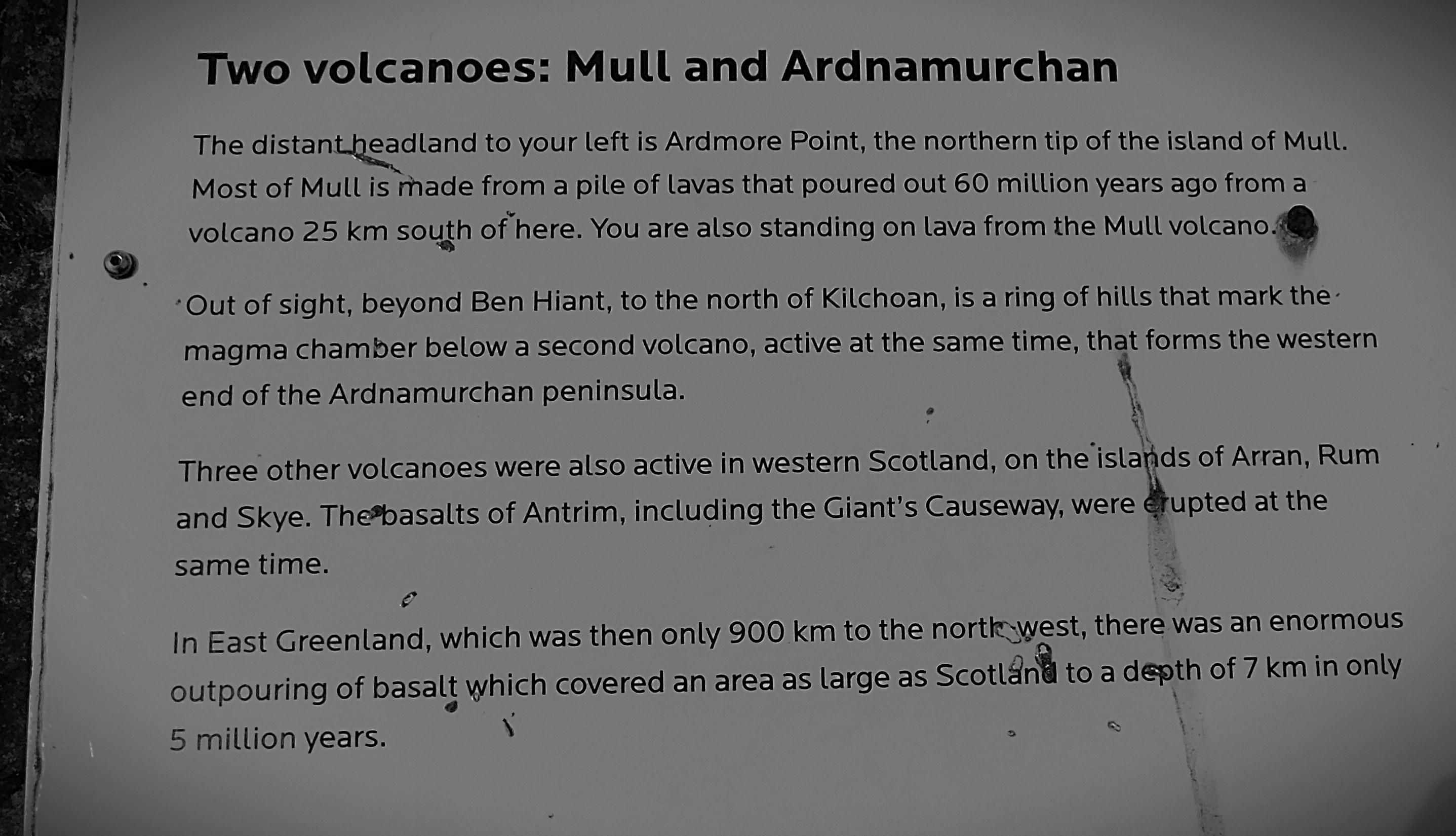
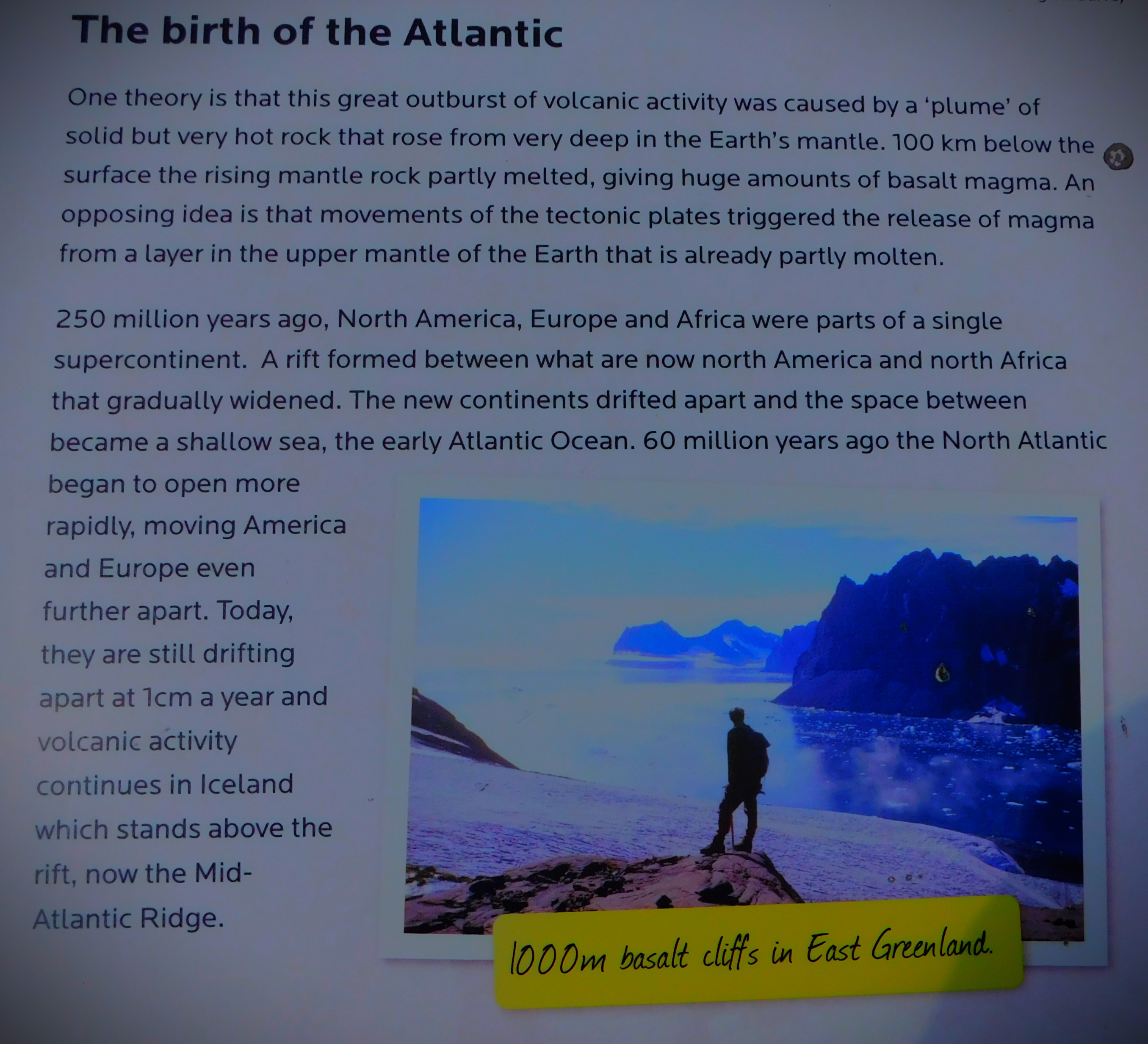
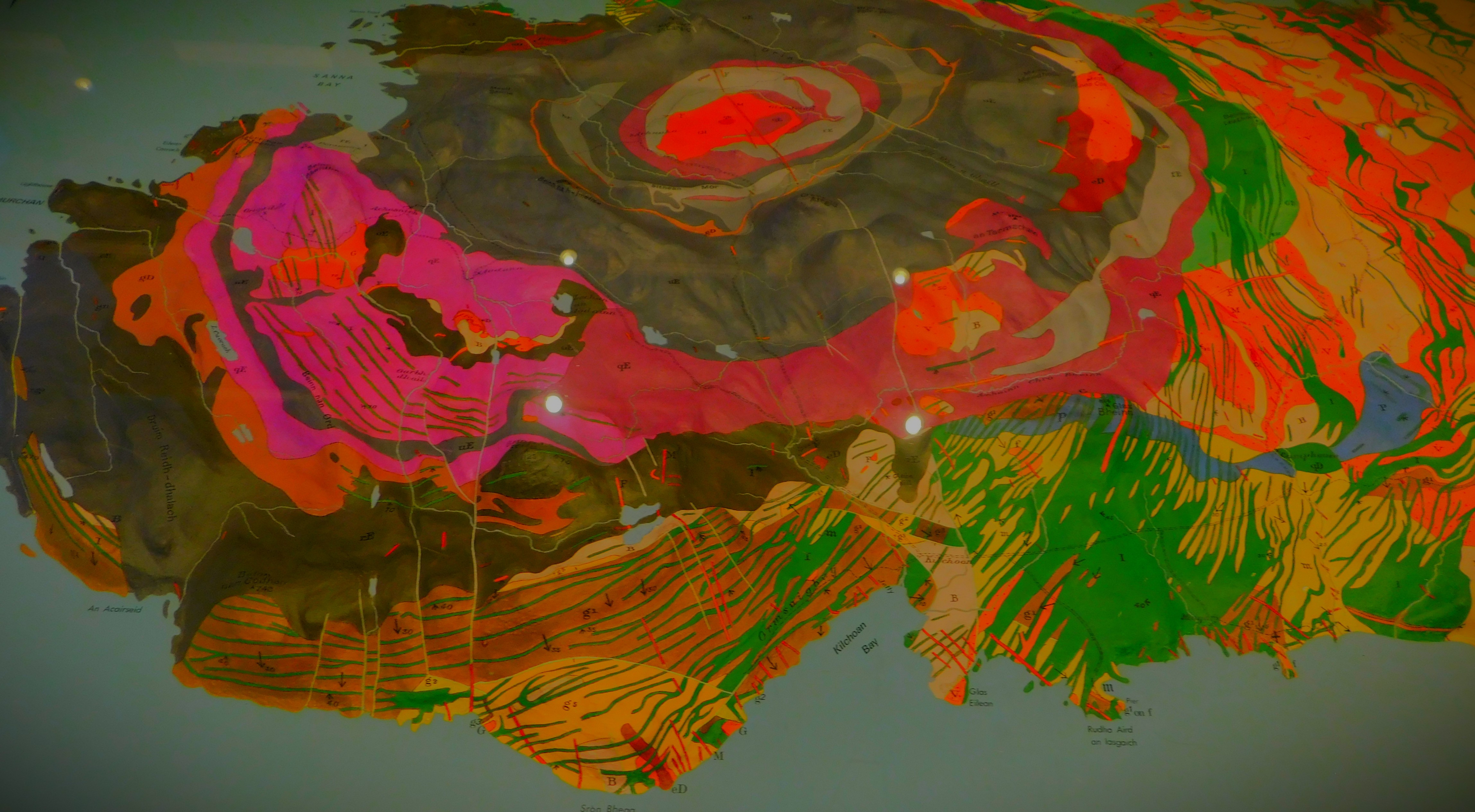
A VOLCANIC REMNANT
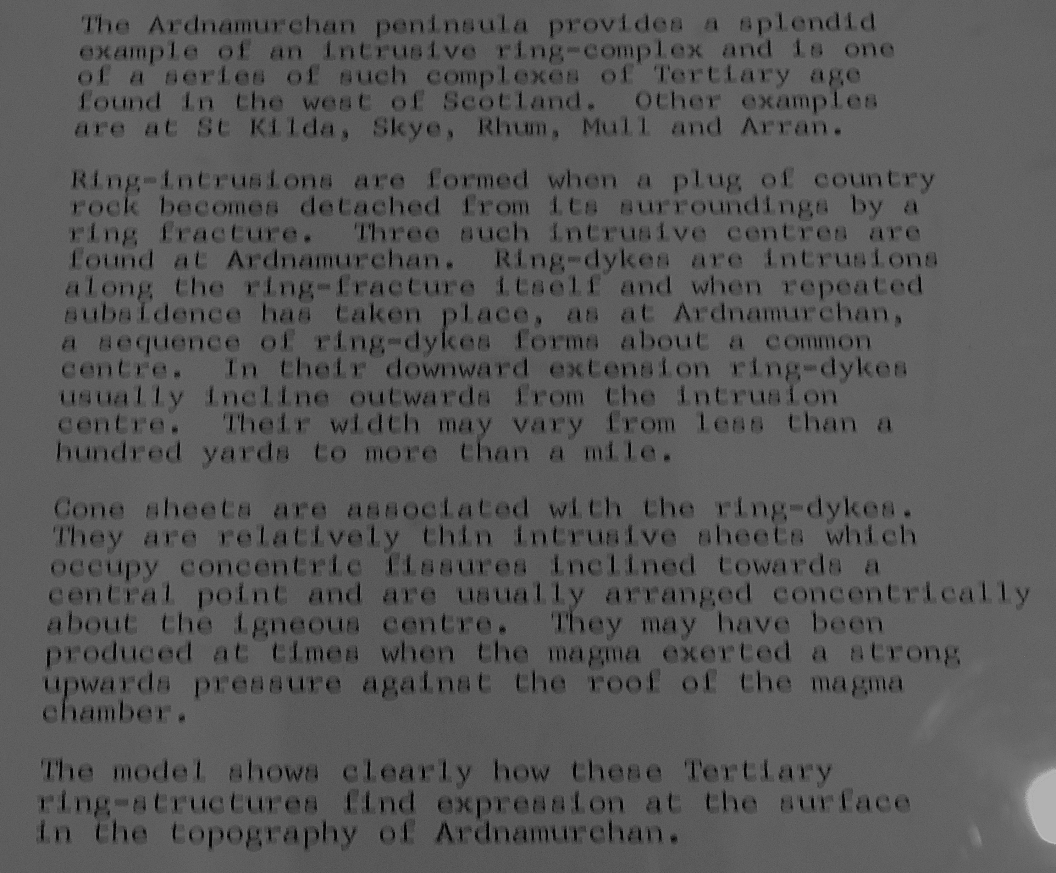
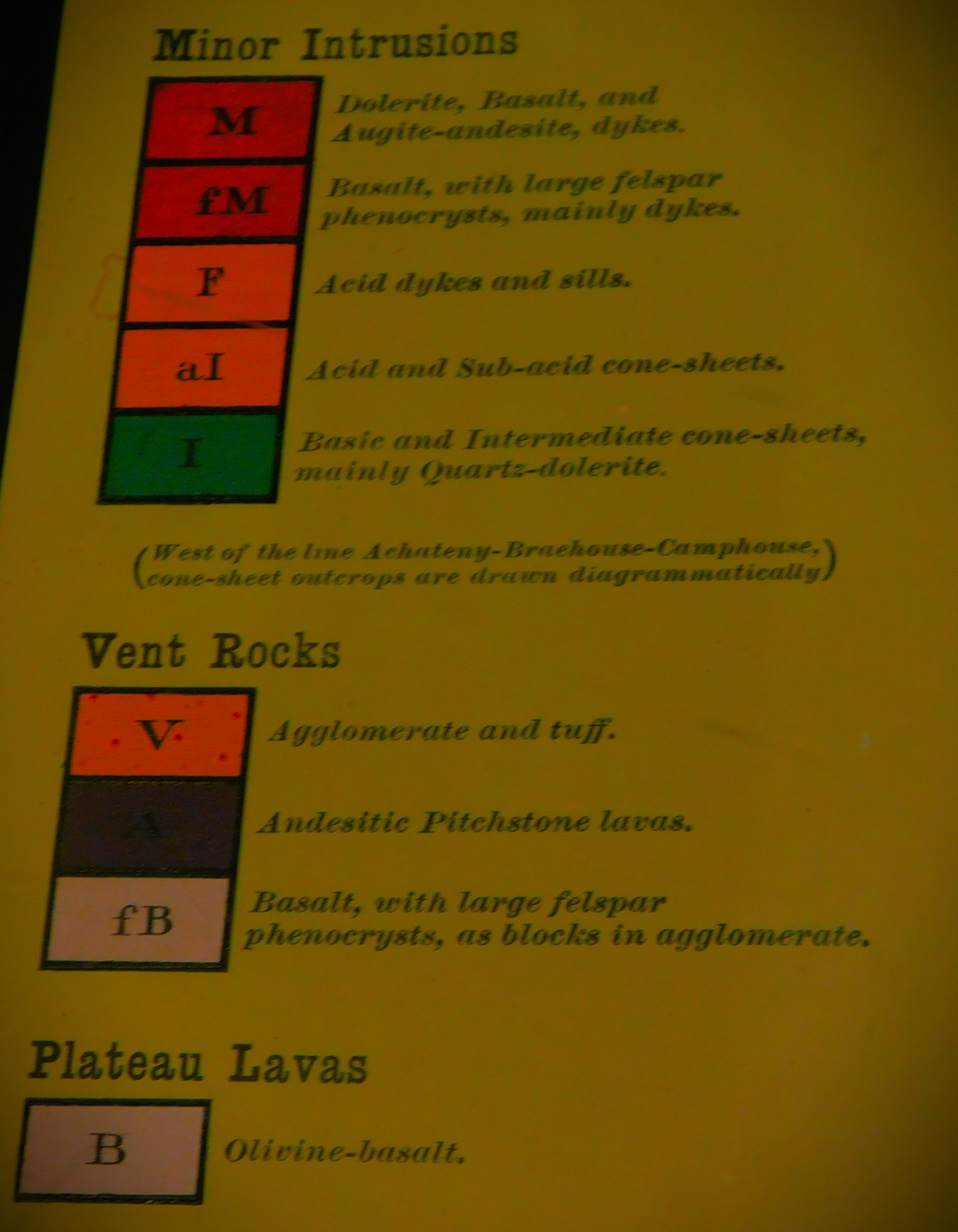
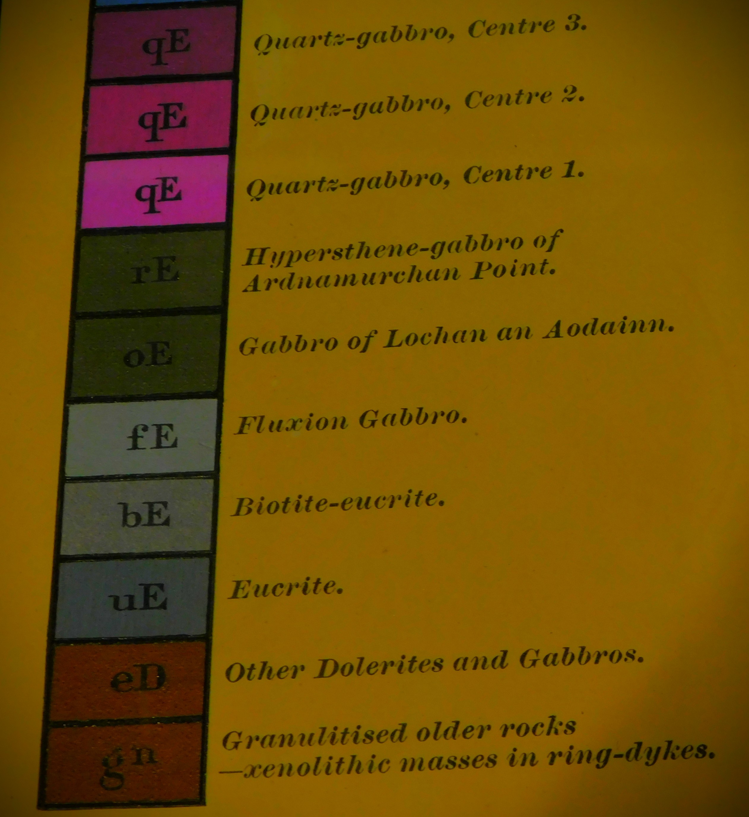
The above image contains a lot of text, and just to make sure everyone can access that text I reproduce it below:
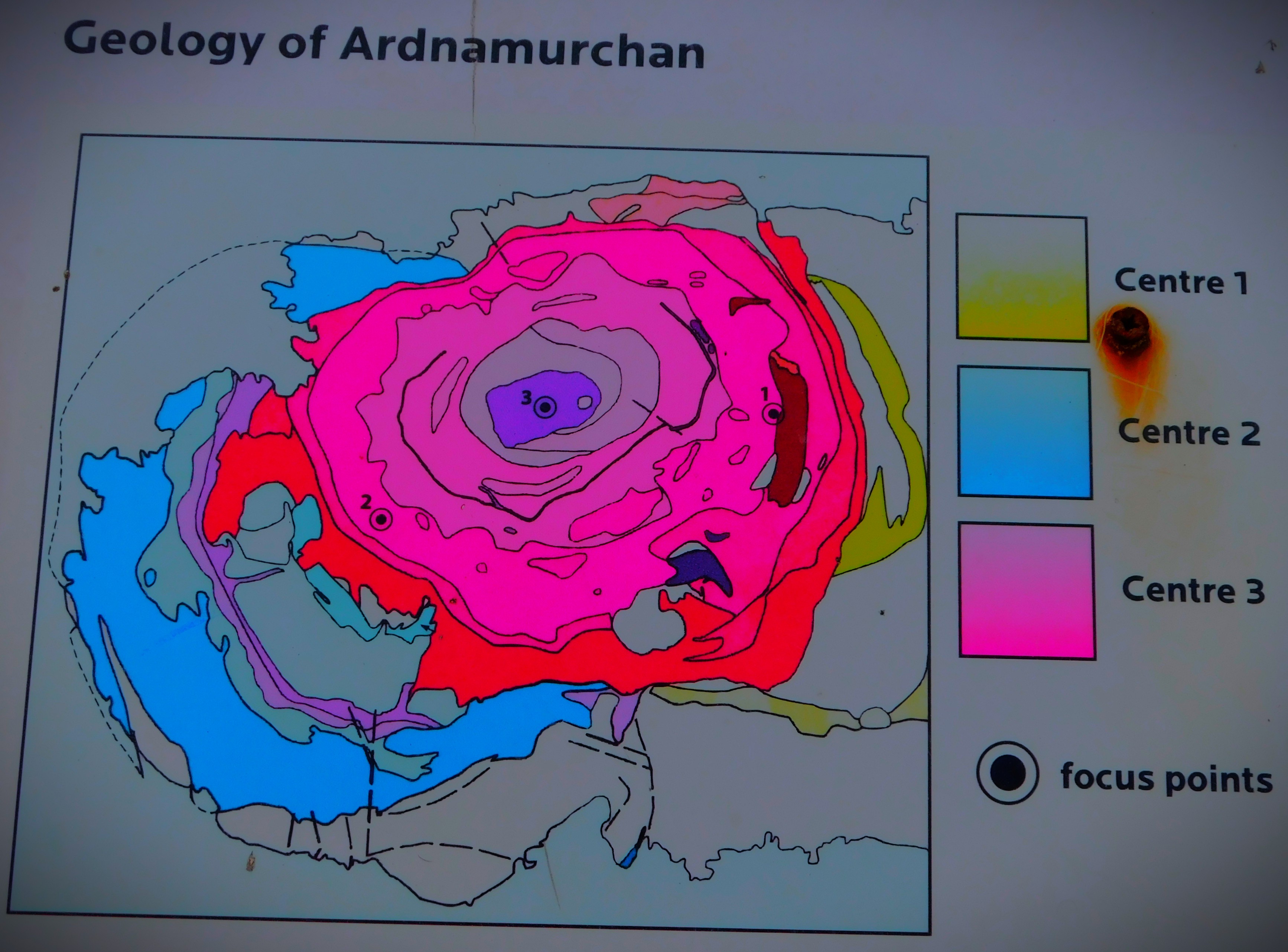
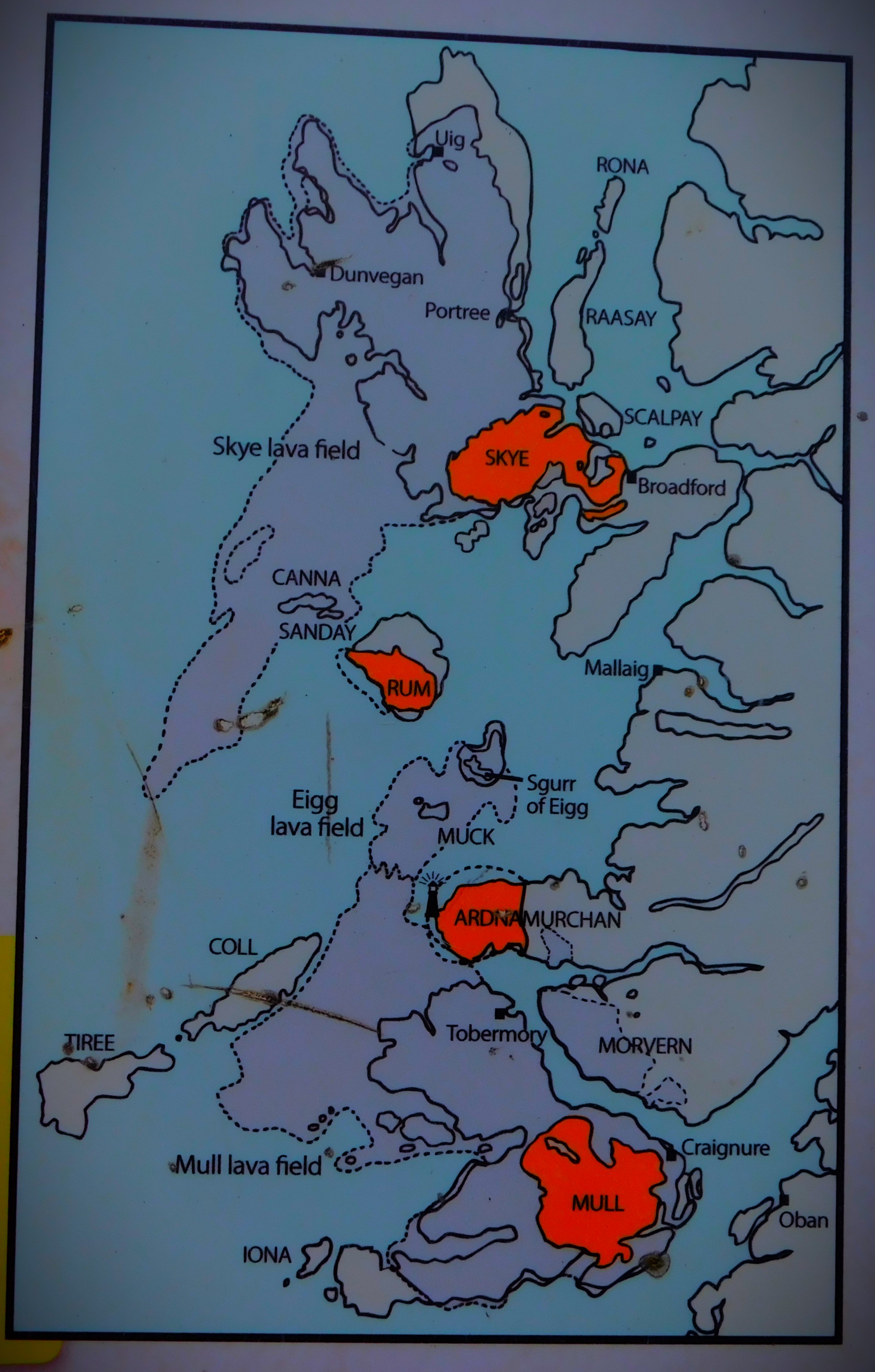
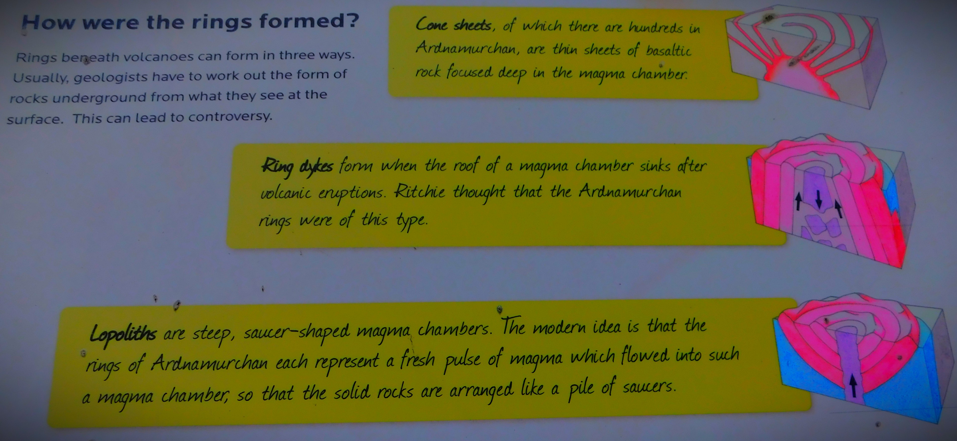
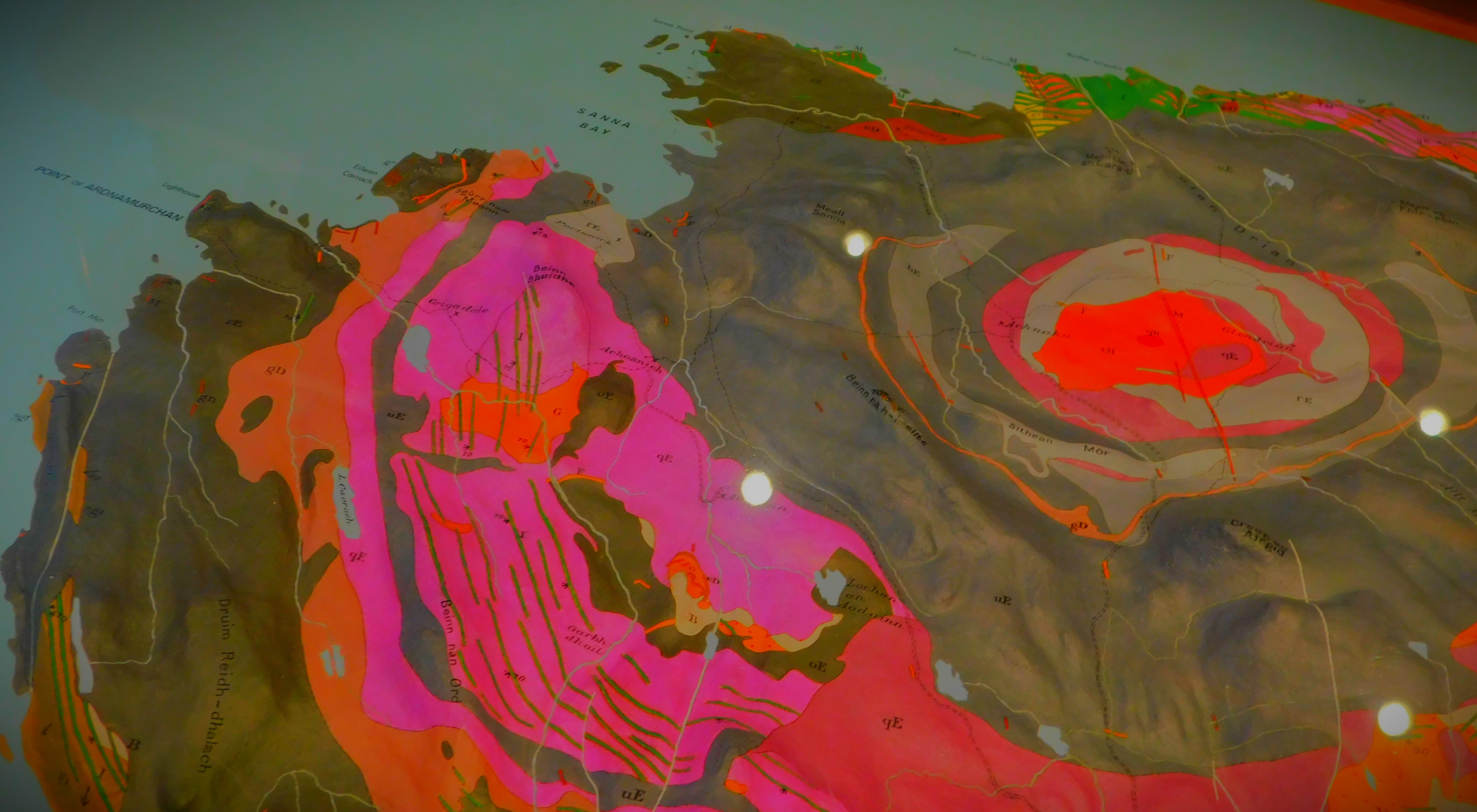
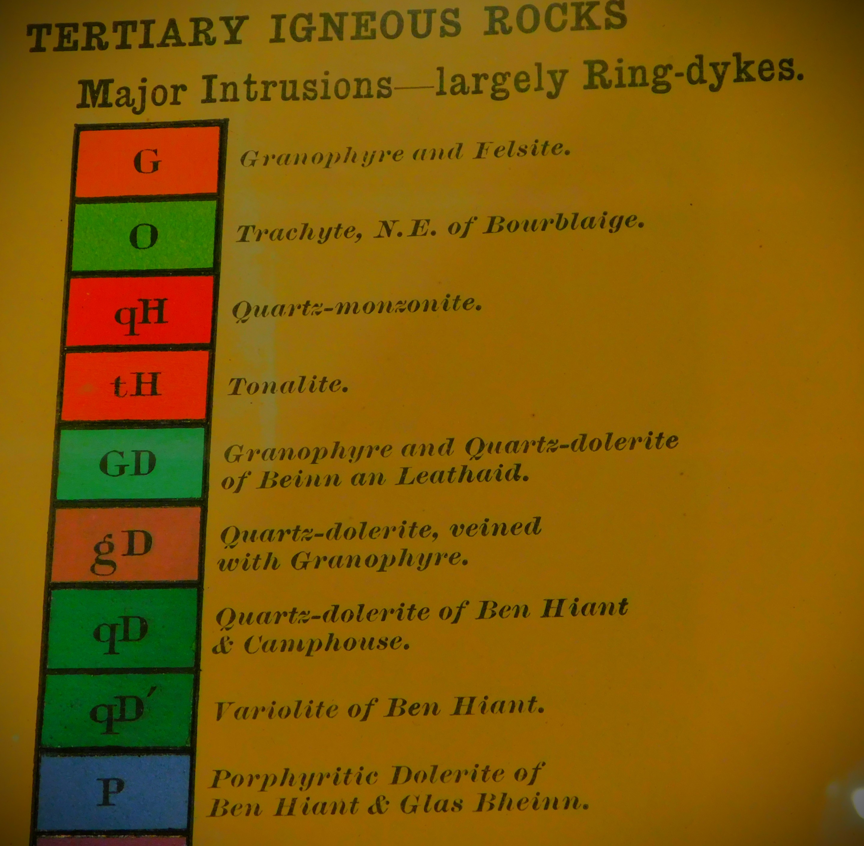
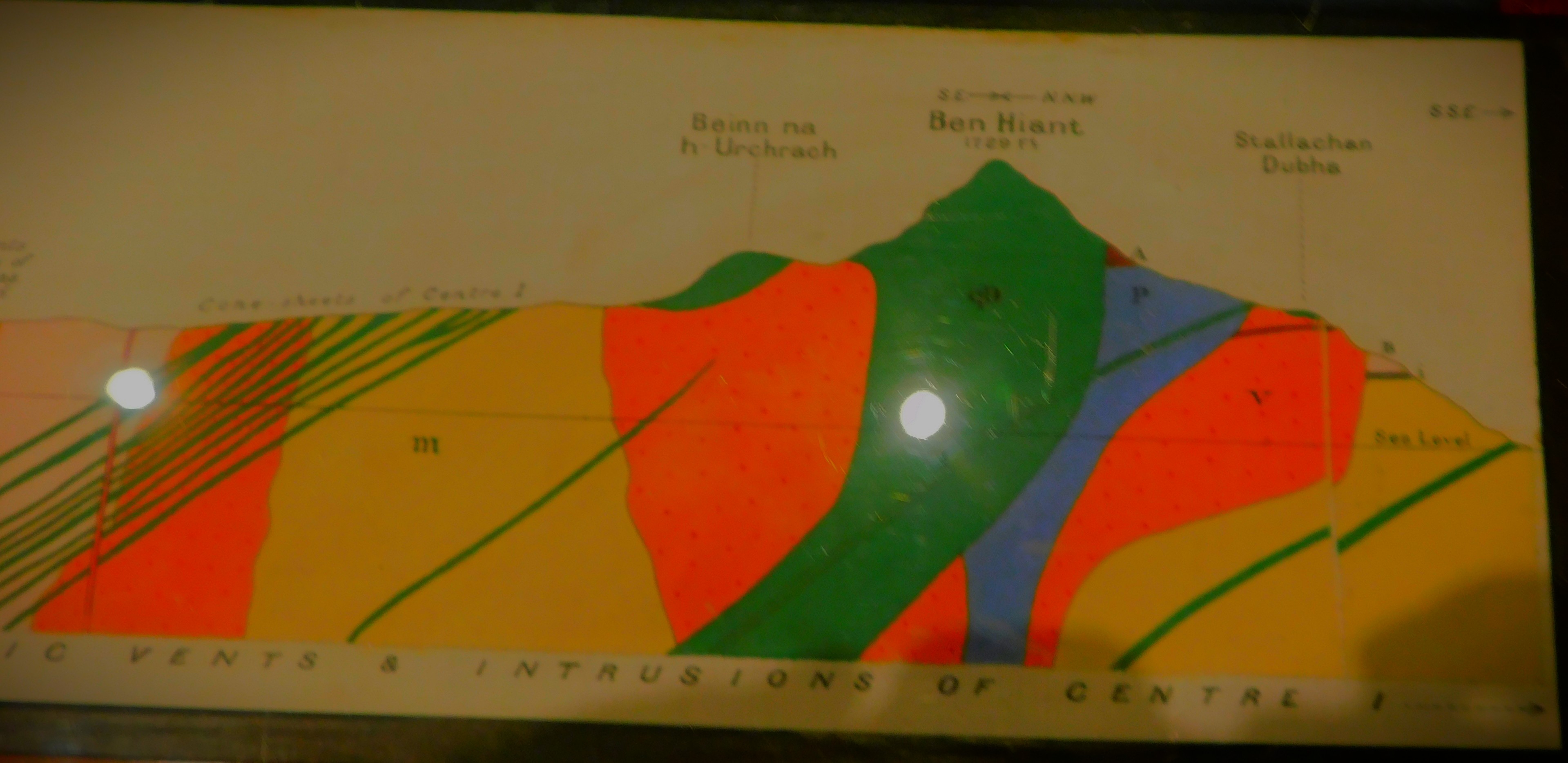
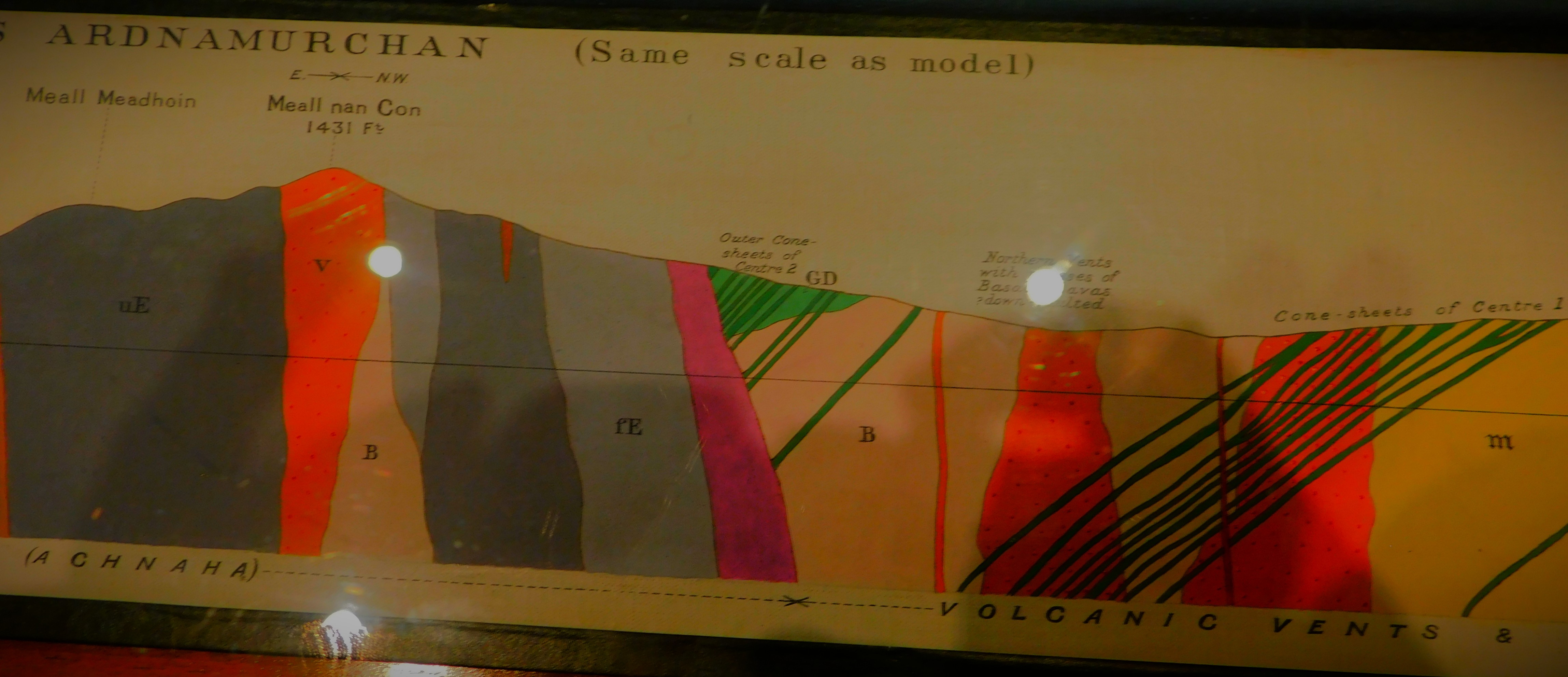
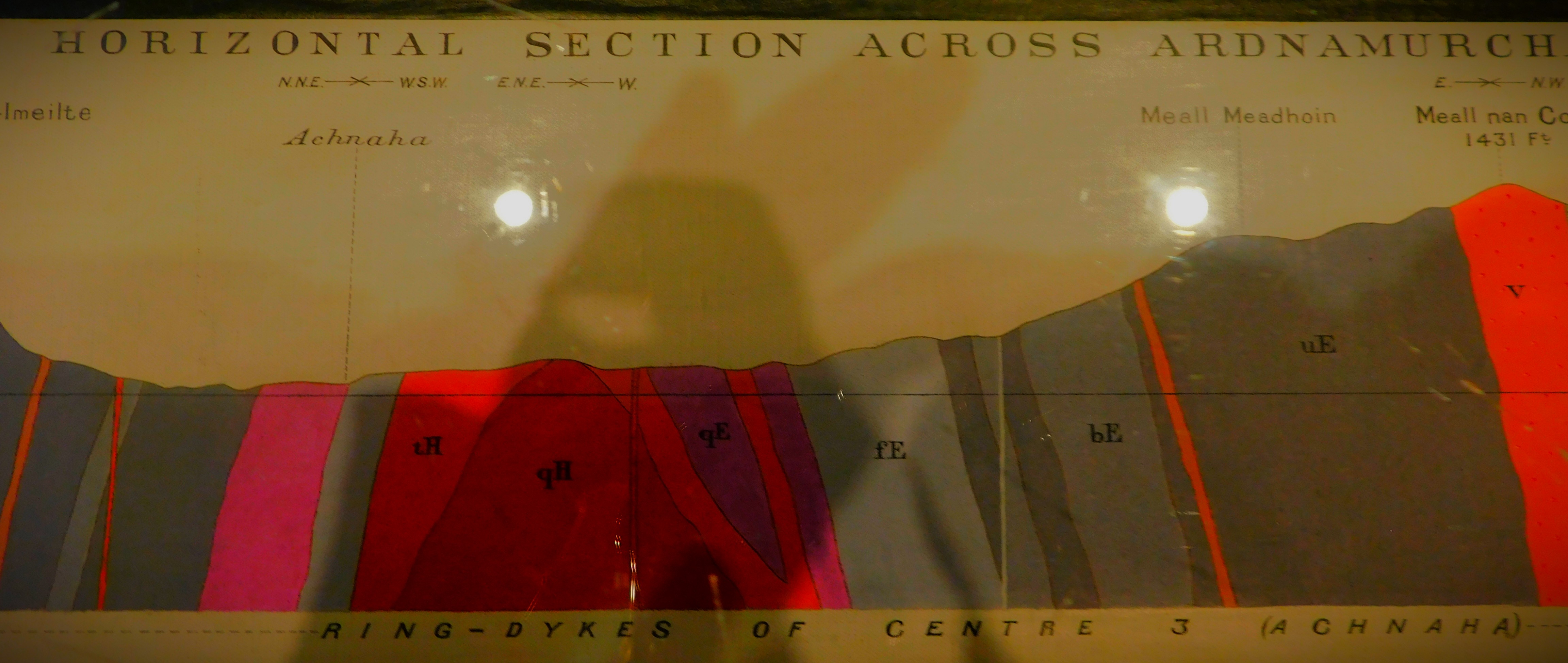
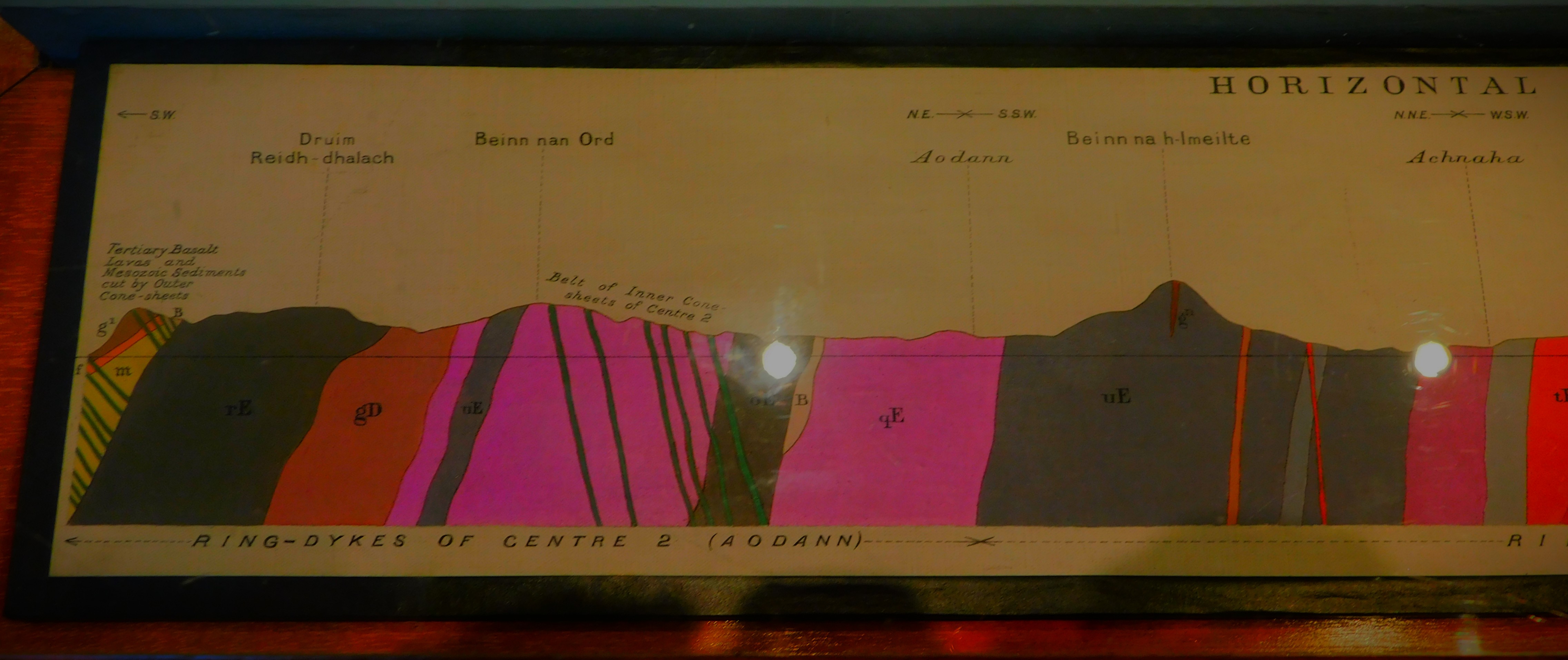
The Ardnamurchan peninsula provides a splendid example of an intrusive ring-complex and is one of a series of such complexes of Tertiary age found in the west of Scotland. Other examples are at St Kilda, Skye, Rhum, Mull and Arran.
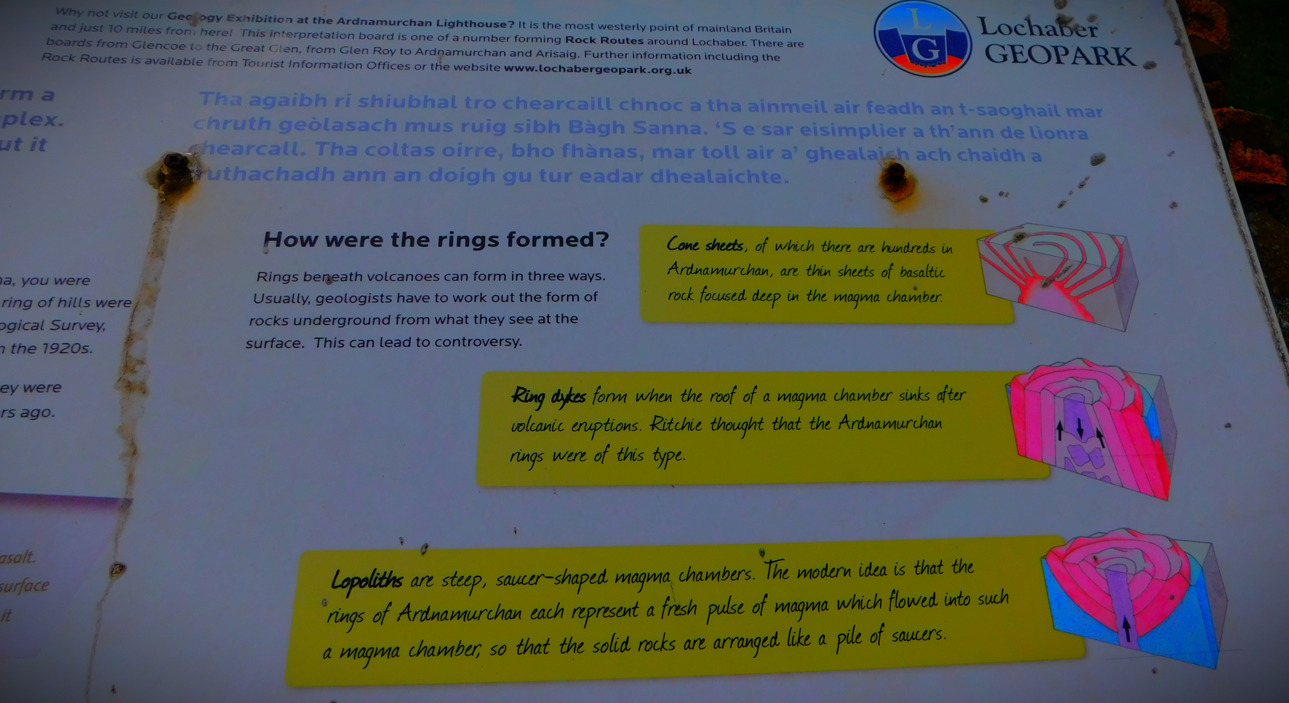
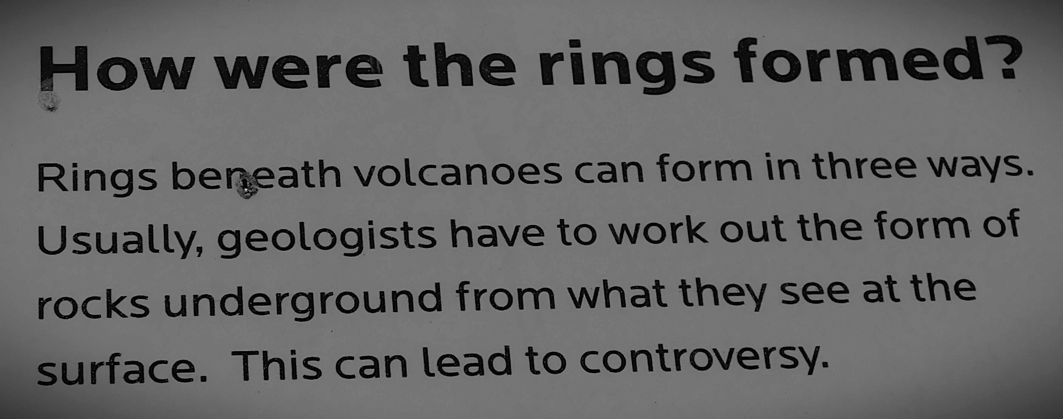
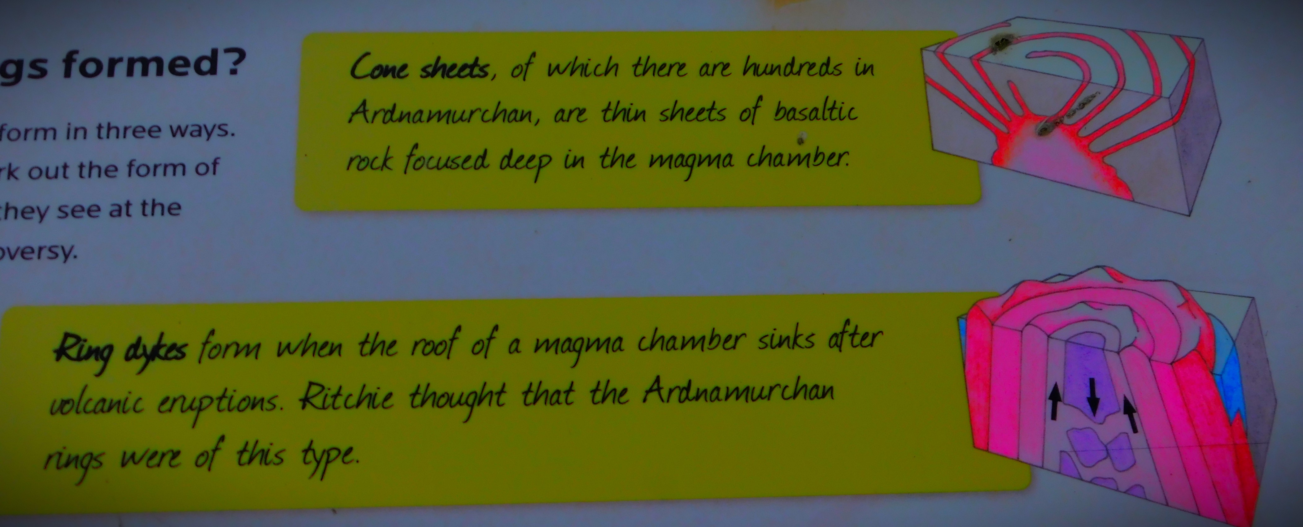
Ring-intrusions are formed when a plug of country rock becomes detached from its surroundings by a ring fracture. Three such intrusive centres are found at Ardnamurchan. Ring-dykes are intrusions along the ring-fracture itself and when repeated subsidence has taken place, as at Ardnamurchan, a sequence of ring-dykes forms about a common centre. In their downward extension ring-dykes usually incline outwards from the intrusion centre. Their width may vary from less than a hundred yards to more than a mile.
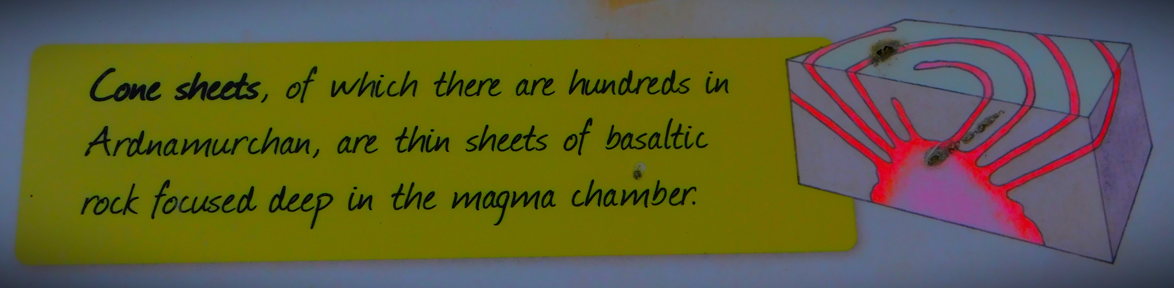
Cone sheets are associated with the ring-dykes. They are relatively thin intrusive sheets which occupy concentric fissures inclined towards a central point and are usually arranged concentrically about the igneous centre. They may have been produced at a time when the magma exerted a strong upwards pressure against the roof of the magma chamber.
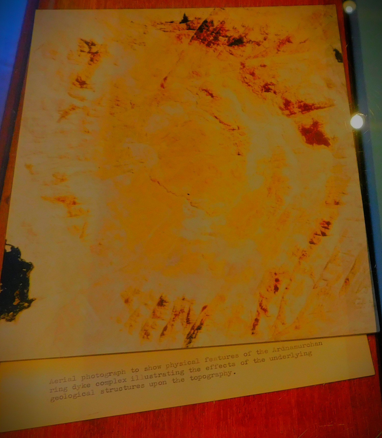
The model shows clearly how these tertiary ring-structures find expression at the surface in the topography of Ardnamurchan.
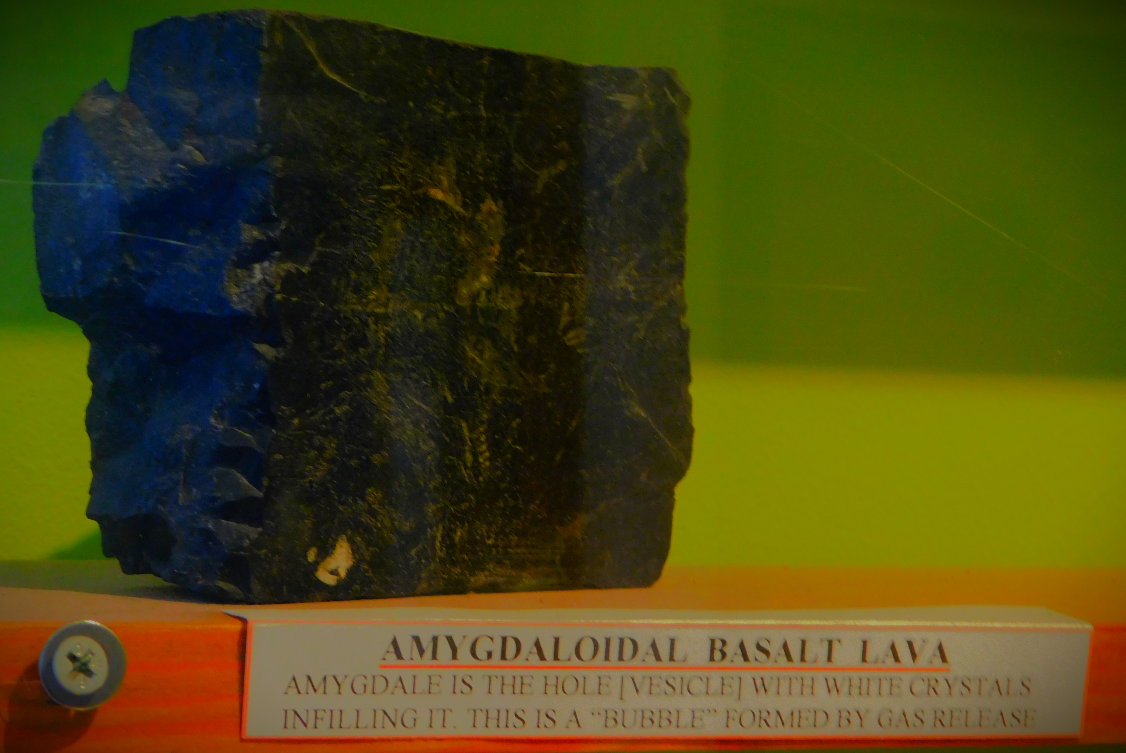
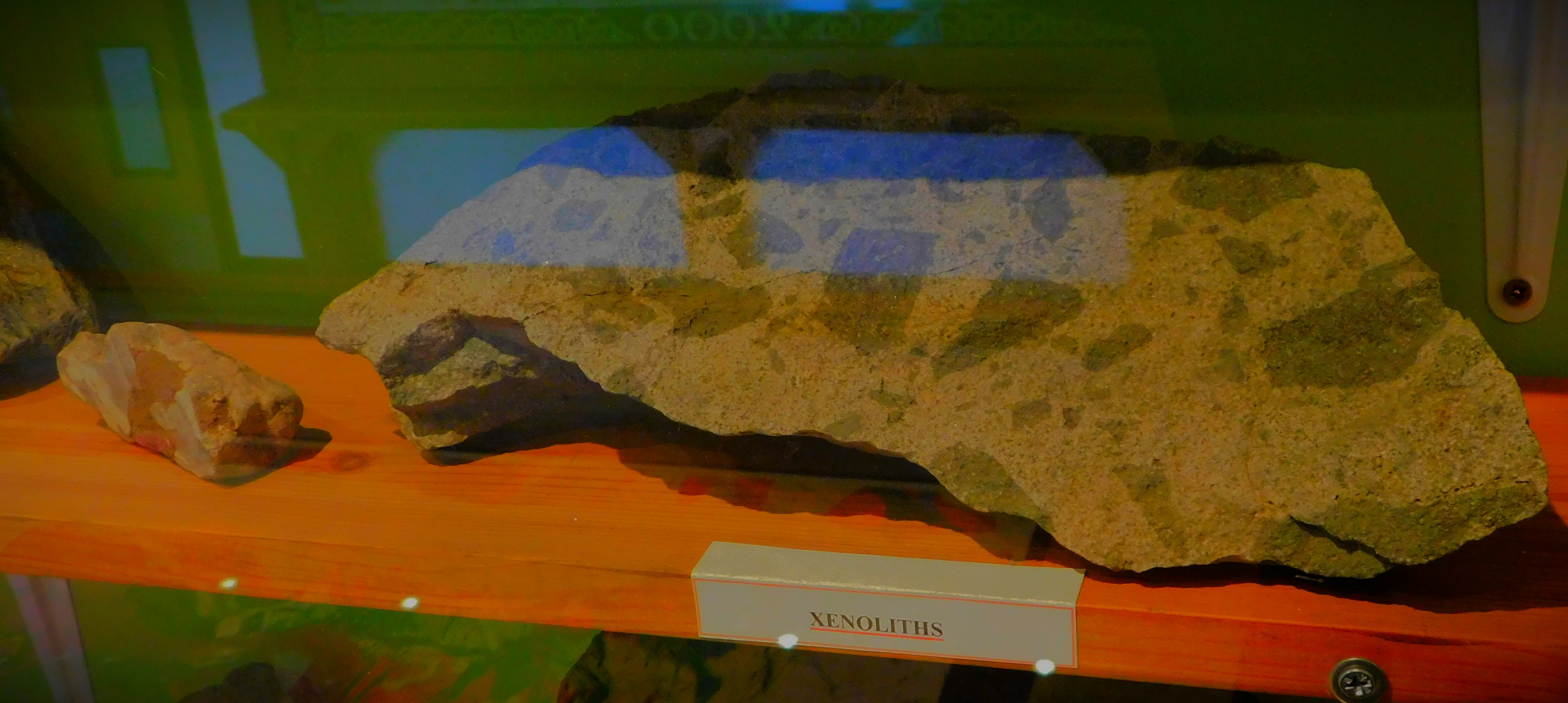
The rock samples on display include granite, basalt and xenoliths. Xenoliths (from the Greek, meaning literally ‘alien stone’) are rocks formed particularly deep within the earth, and hence not commonly seen at the surface.
PHOTOGRAPHS
My photographs relating to the above post…
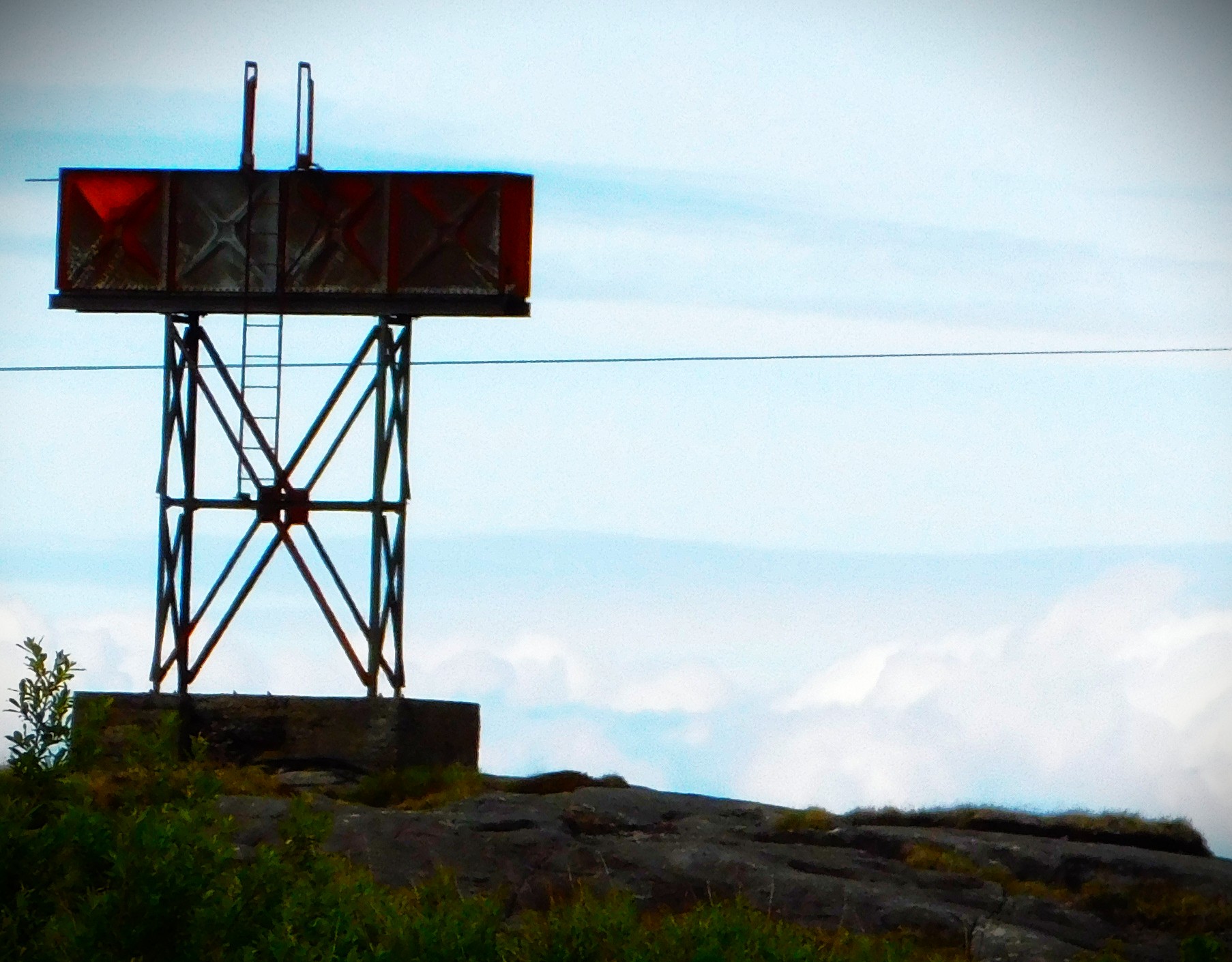
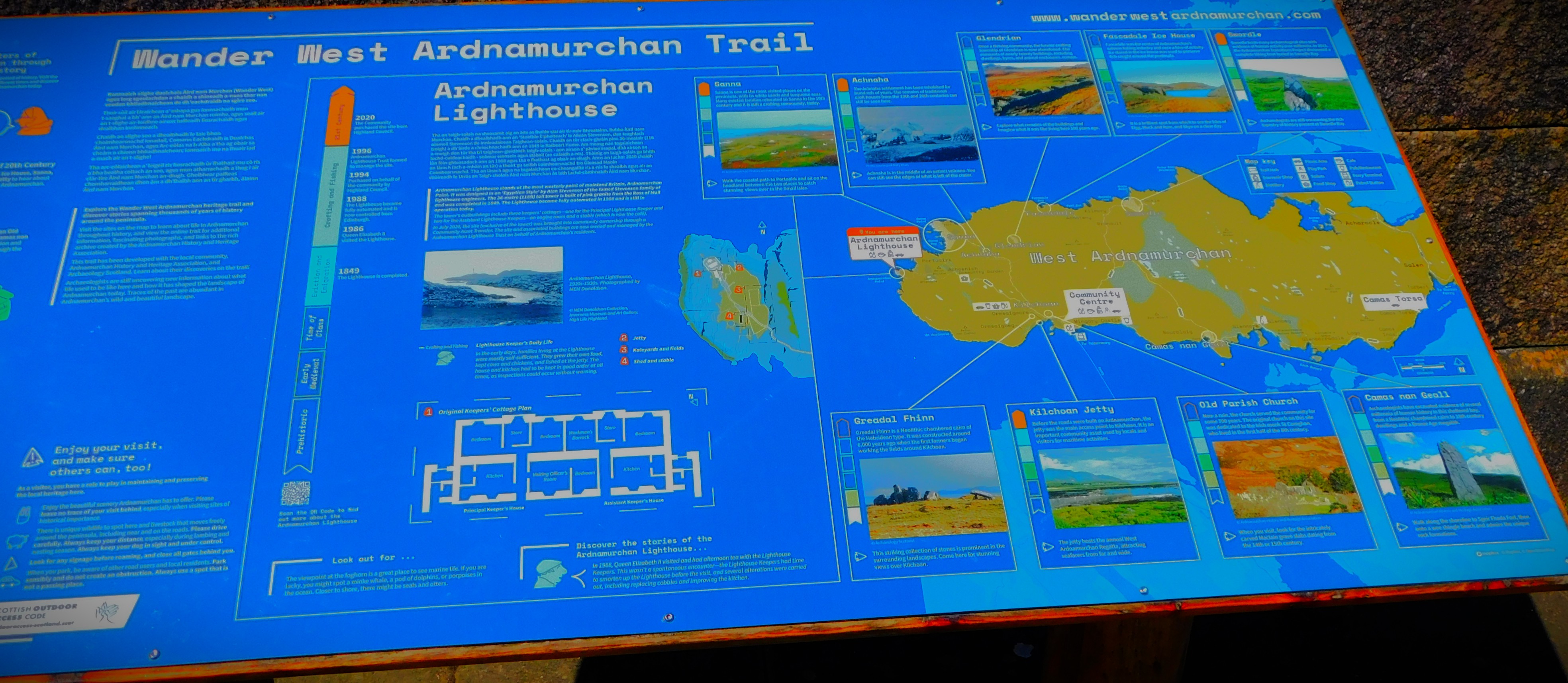
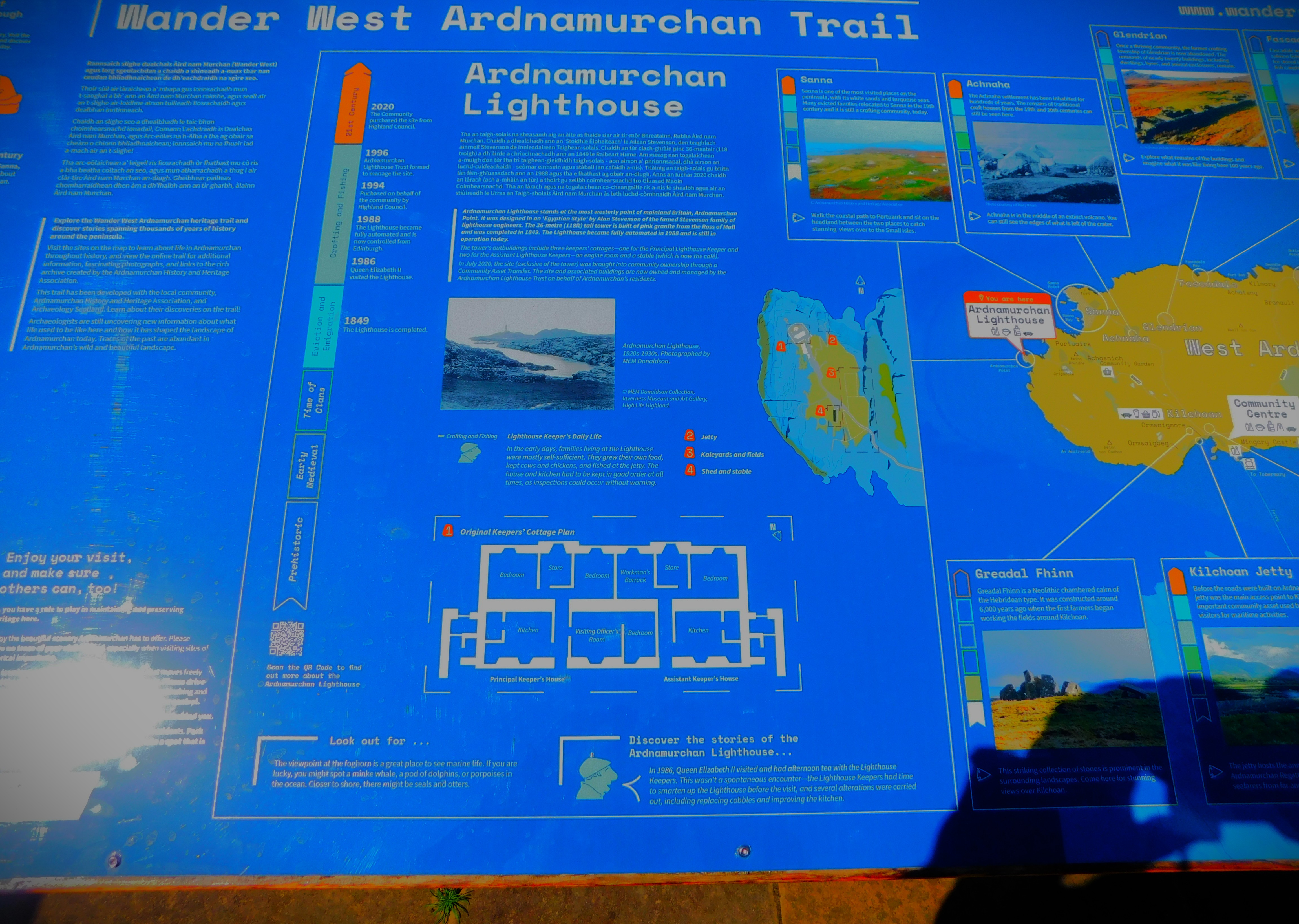
This is the wall mounted map ,memtioned in the post.This is the 3D map/ model that prompted the post.These last few pictures are from Ardnamurchan lighthouse.
Setting the scene for a series about my recent holiday in Scotland.
I usually have a short holiday around the time of my birthday. This year, due to the place my mother was able to organize for us to stay at only being available for a few days I had the main celebration yesterday and have spent most of today travelling. This post sets the scene for what will be a series of blog posts about my brief sojourn in Scotland.
GETTING THERE
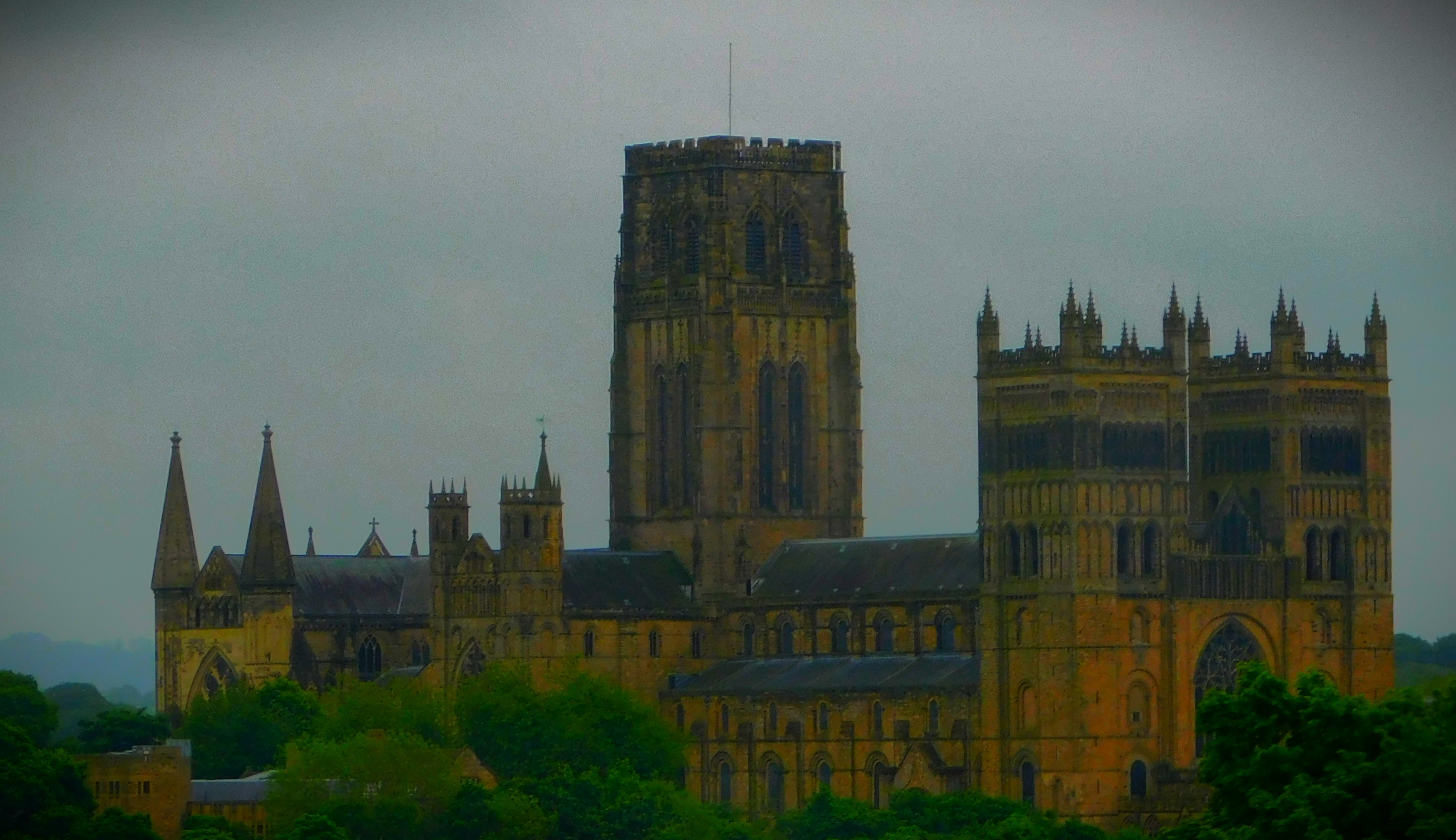
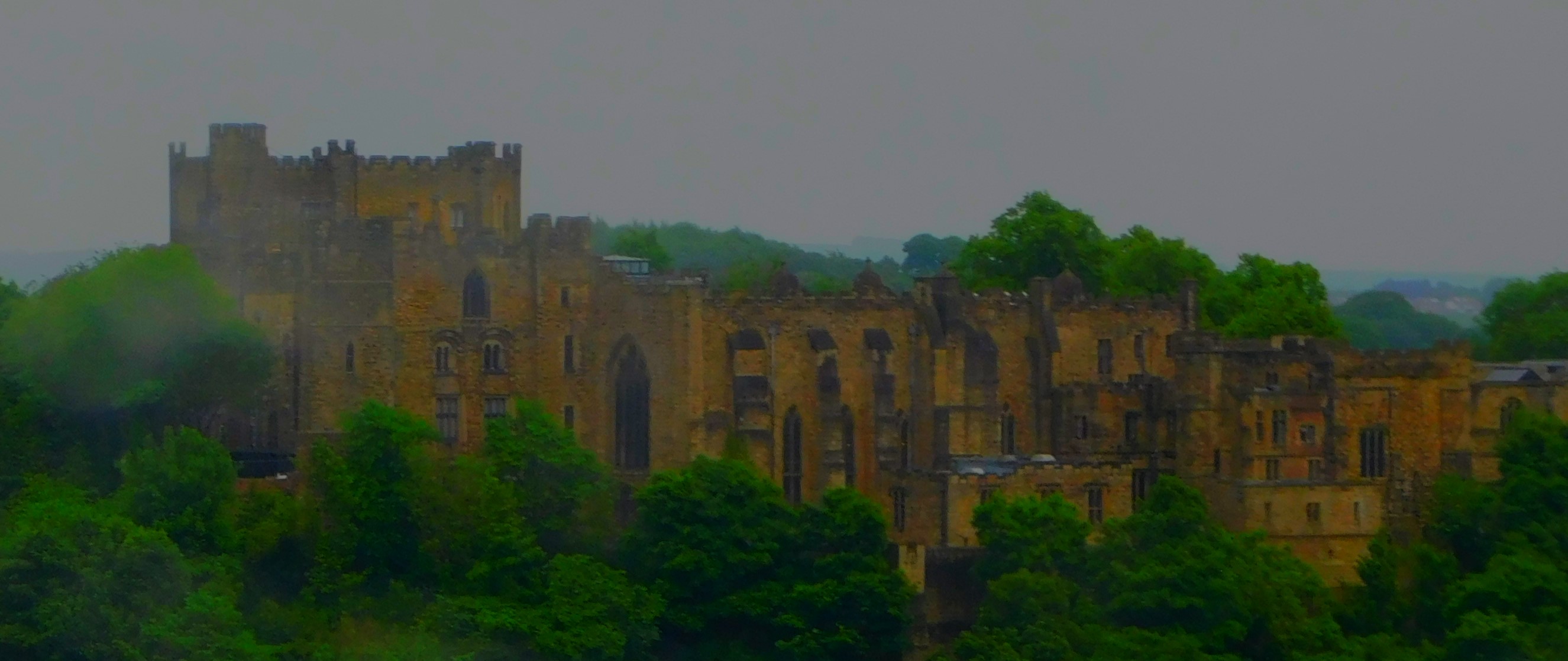
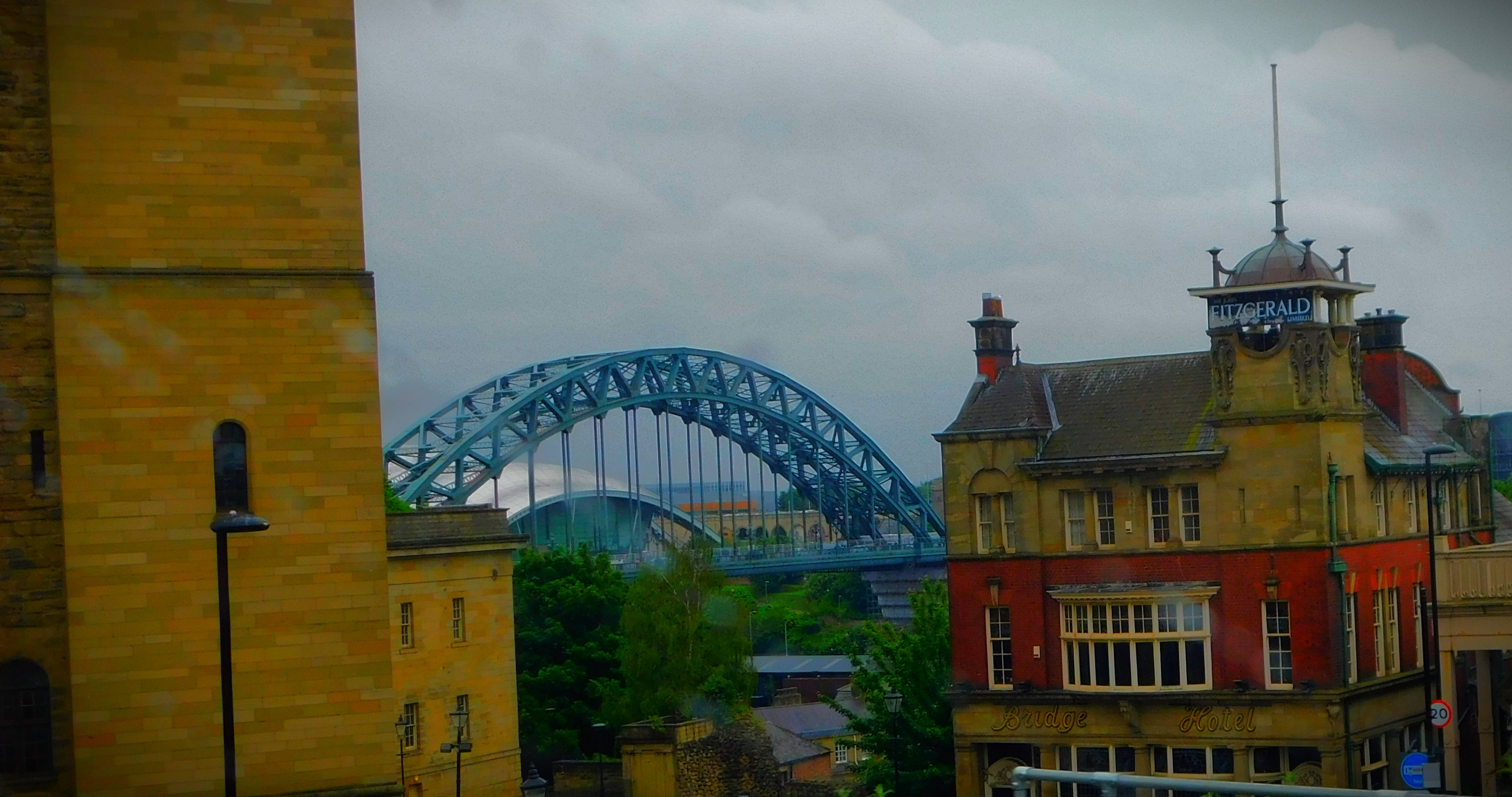
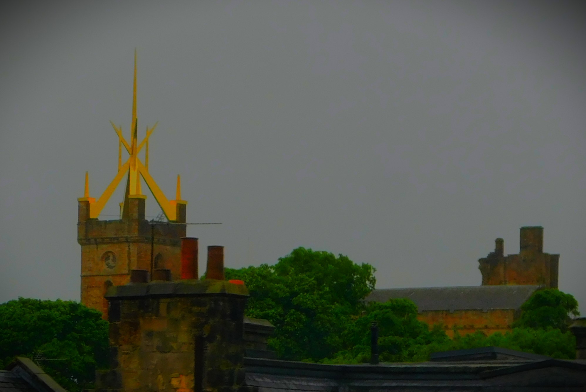
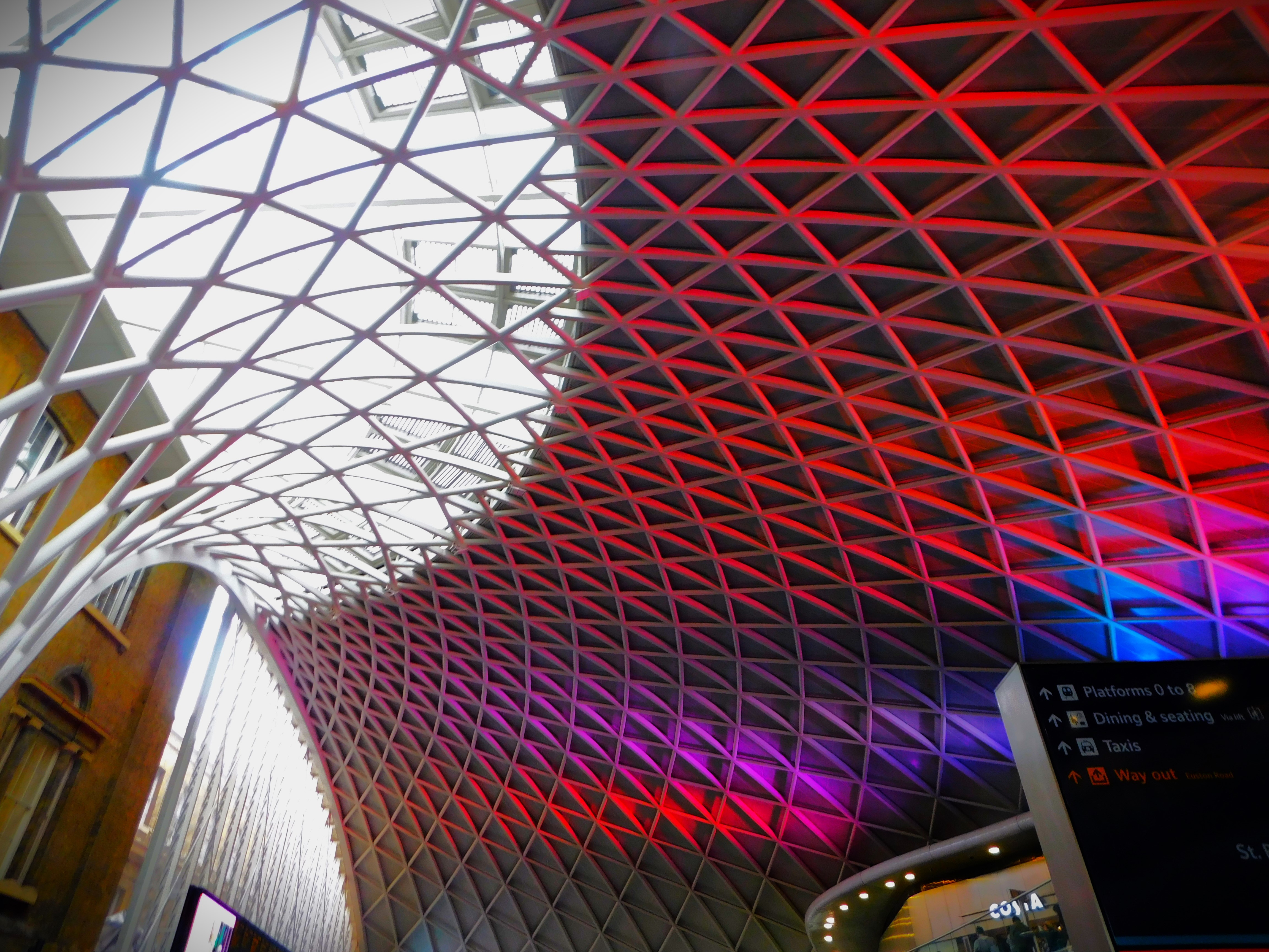
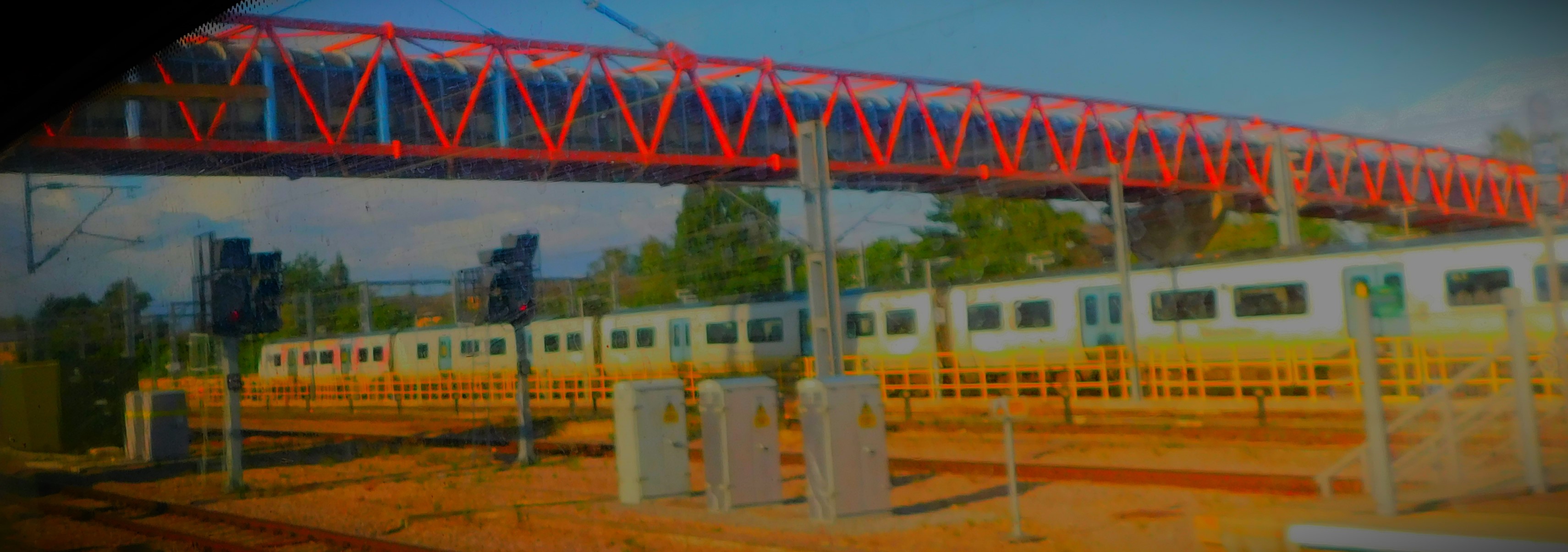
We were staying at the Charles Rennie Mackintosh building in Comrie, which was one of that worthy’s earliest design projects. I arranged to travel by public transport between King’s Lynn and Perth, the nearest major town to Comrie. The public transport element of my outbound journey consisted of four stages: King’s Lynn to Peterborough by bus, Peterborough to Edinburgh Waverley by rail (an Azuma train, the new stock being used by LNER, with a very streamlined front), a Scotrail stopping train from Edinburgh Waverley to Stirling (ultimate destination Dunblane) and then a Scotrail intercity train from Stirling to Perth. By the time I reached Perth, where my parents were meeting me by car for the rest of the journey to Comrie I had been underway for just over eight hours, and another hour would pass before we reached our destination. I will be covering the public transport element of the journey in fuller detail in a later blog post but for the moment here is sampler gallery…
This frontage is in Wisbech, near the start of my journey.Durham, in the middle of the journey (two pics)NewcastleLeaving England and heading into Scotland (this is Berwick, where the train did not stop)This tower with the gold coloured ornamentation is near Linlithgow, nearing the end of the Edinburgh-Stirling leg of the journey.
THE HOUSE
I will be covering the house and its immediate surrounds in more detail later, but here are a few pictures to whet the appetite…
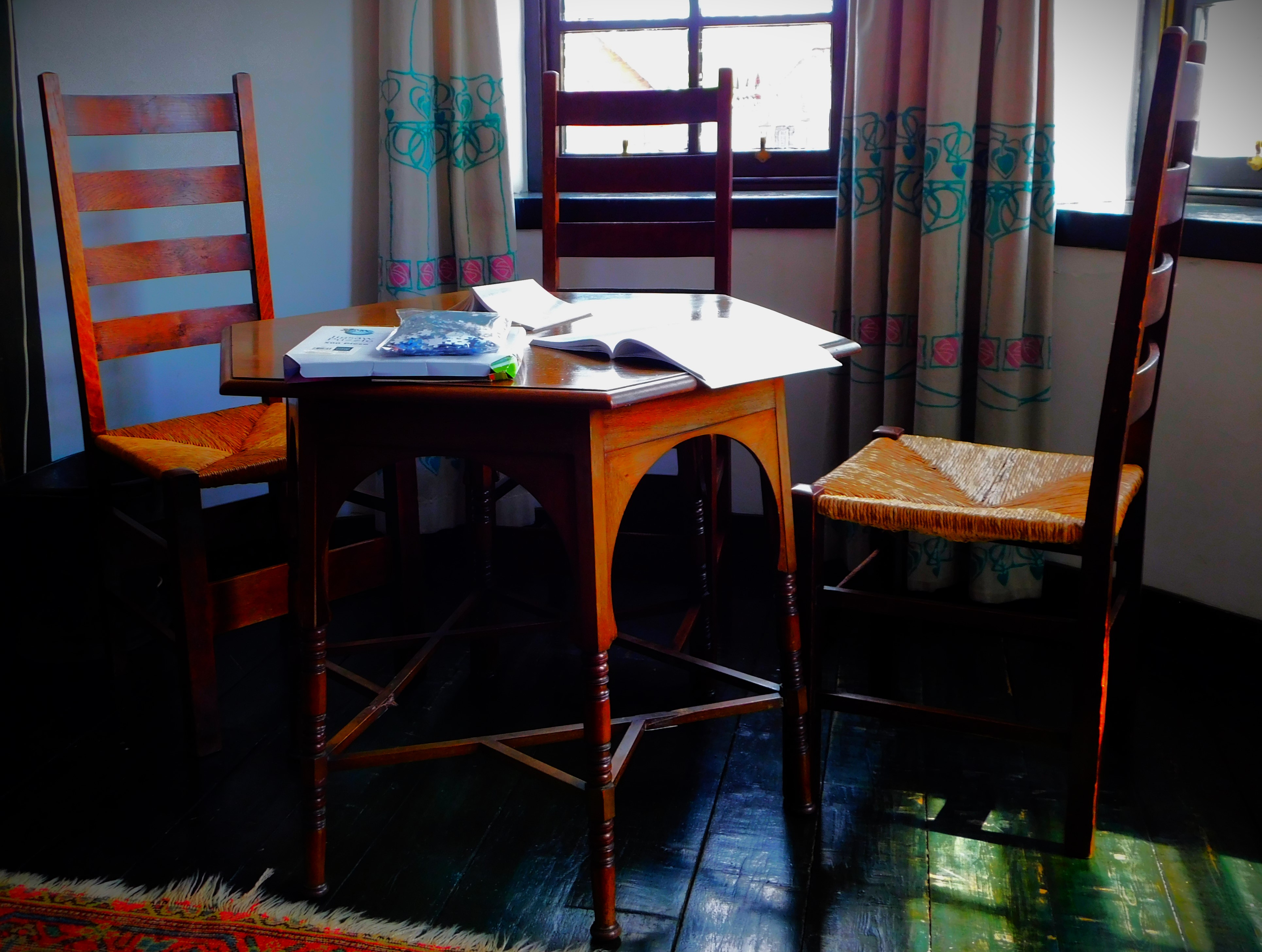
Everything in these three pictures is Mackintosh designed.
ACTIVITIES
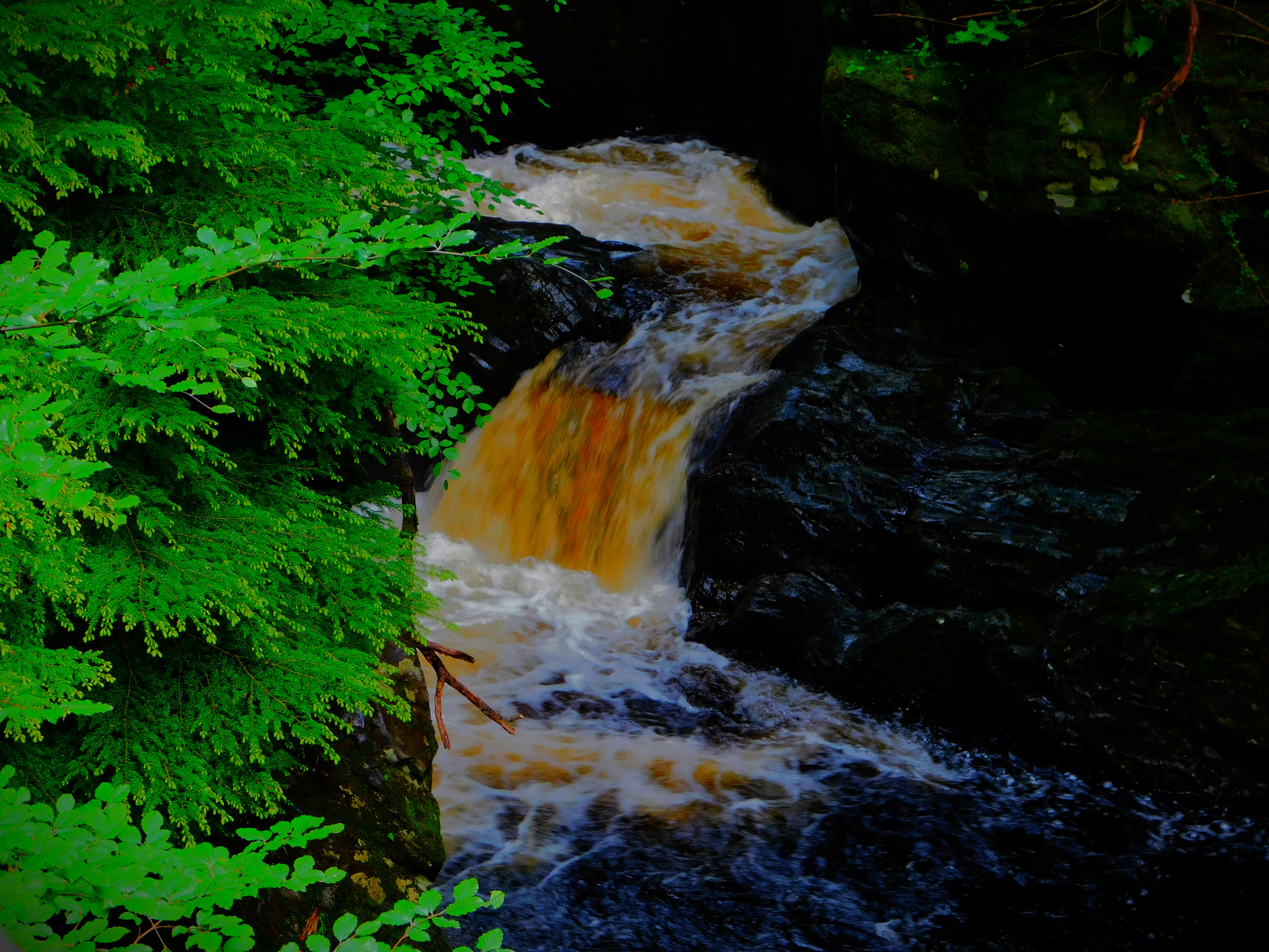
As you might imagine the Tuesday evening was pretty much a dead loss as far as activities were concerned, but Wednesday and Thursday were well filled. I explored along the river Earn on the Wednesday morning, and we all walked up to the Deil’s Caldron just before lunch that day, before doing some of the Earthquake Walk in the afternoon (Comrie used to be known as the ‘shaky toon’ because of its proximity to a fault line, and was possibly the first place in the world to have earthquake recording equipment, with the house in which that equipment lived, and where there is a still a functioning seismoscope, being the centrepiece of the walk). On Thursday we visited a WWII POW camp at Cultybraggan, also had a look at an old Roman fort, and near the latter we also saw a much younger but still impressively old stone packhorse bridge across the Earn and also paid a visit to Crieff, once an important staging post on an epic cattle droving route that began in the extreme west of Scotland and ended in Stirling. The birthday meal was Thursday evening. Here is a sample gallery from some of these activities…
Three shots of the Caldron (the colour of the water is down to dissolved peat from the uplands – water in Scotland is not in the hands of greedy privateers).A couple of items at Cultybraggan and the packhorse bridge.
THE RETURN JOURNEY
The public transport element of my return journey started with a journey from Perth to Edinburgh Waverley, not by way of Stirling, then the fast journey from Edinburgh Waverley to Peterborough and finally a bus from Peterborough to King’s Lynn. The train from Perth ran late, and there were moments of worry about making the interchange at Edinburgh (the train from Perth arrived only eight minutes before my second train, to Peterborough, was due to depart, but I hustled myself between platforms and in the end reached my seat with six of those eight minutes to spare. I haven’t yet edited the photos from I took en route. I end with a mini-gallery from earlier in the stay…
A stone bridge over the Earn, which we crossed on our way to the Earthquake House.the Earthquake House from the road.
Concluding my mini-series about my long weekend in Cornwall with an account of the return journey.
Welcome to the final post in my mini-series about my long weekend in Cornwall. This post deals with the journey back to King’s Lynn.
THE BEST LAID PLANS OF MICE AND MEN
I was initially booked on the 11:15 from Plymouth, which would have seen me get home by approximately 6PM. Unfortunately due to ASLEF having an overtime ban that service was cancelled, and I opted instead for the same train my nephew was travelling on, which departed two hours later.
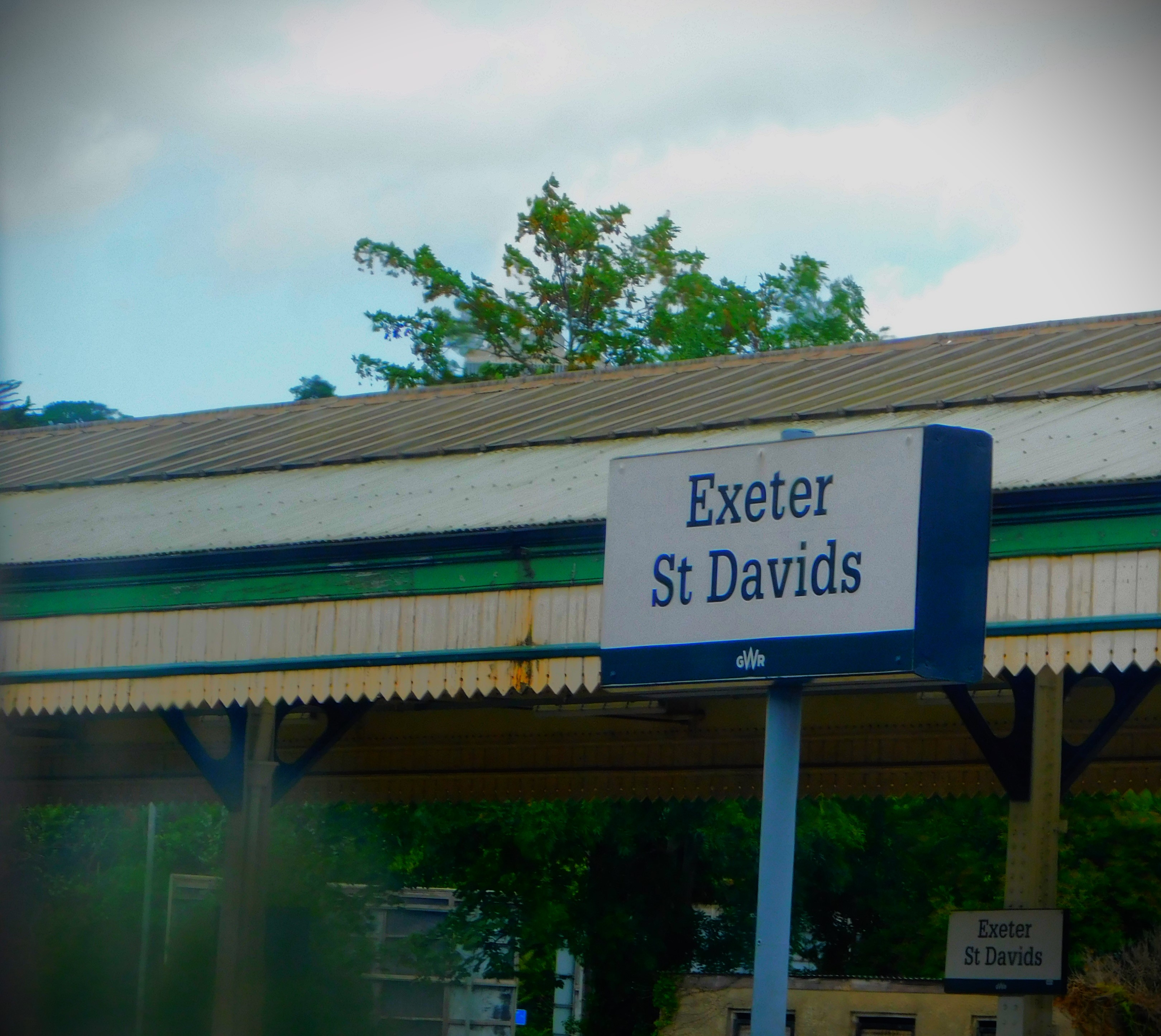
PLYMOUTH TO EXETER
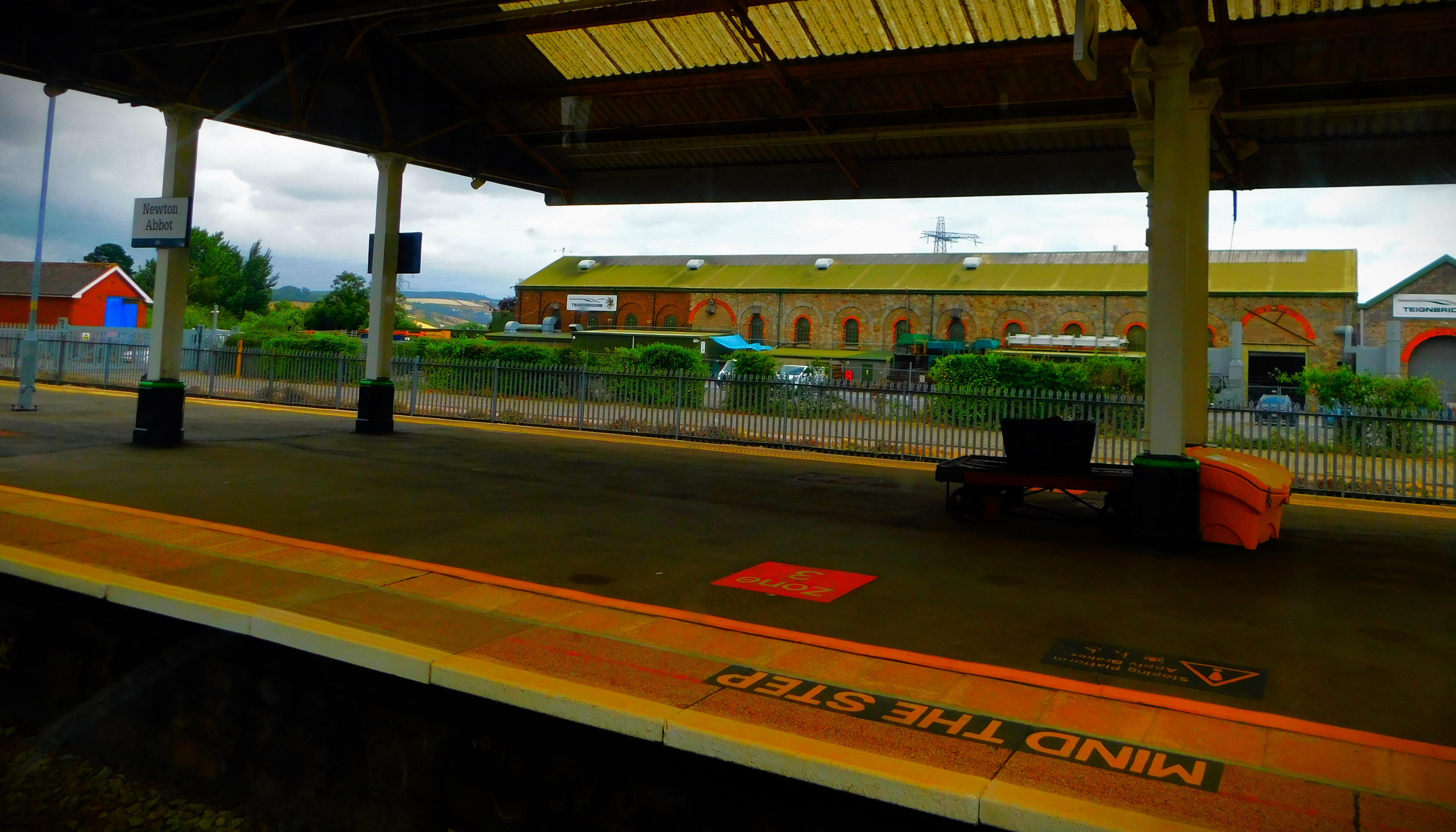
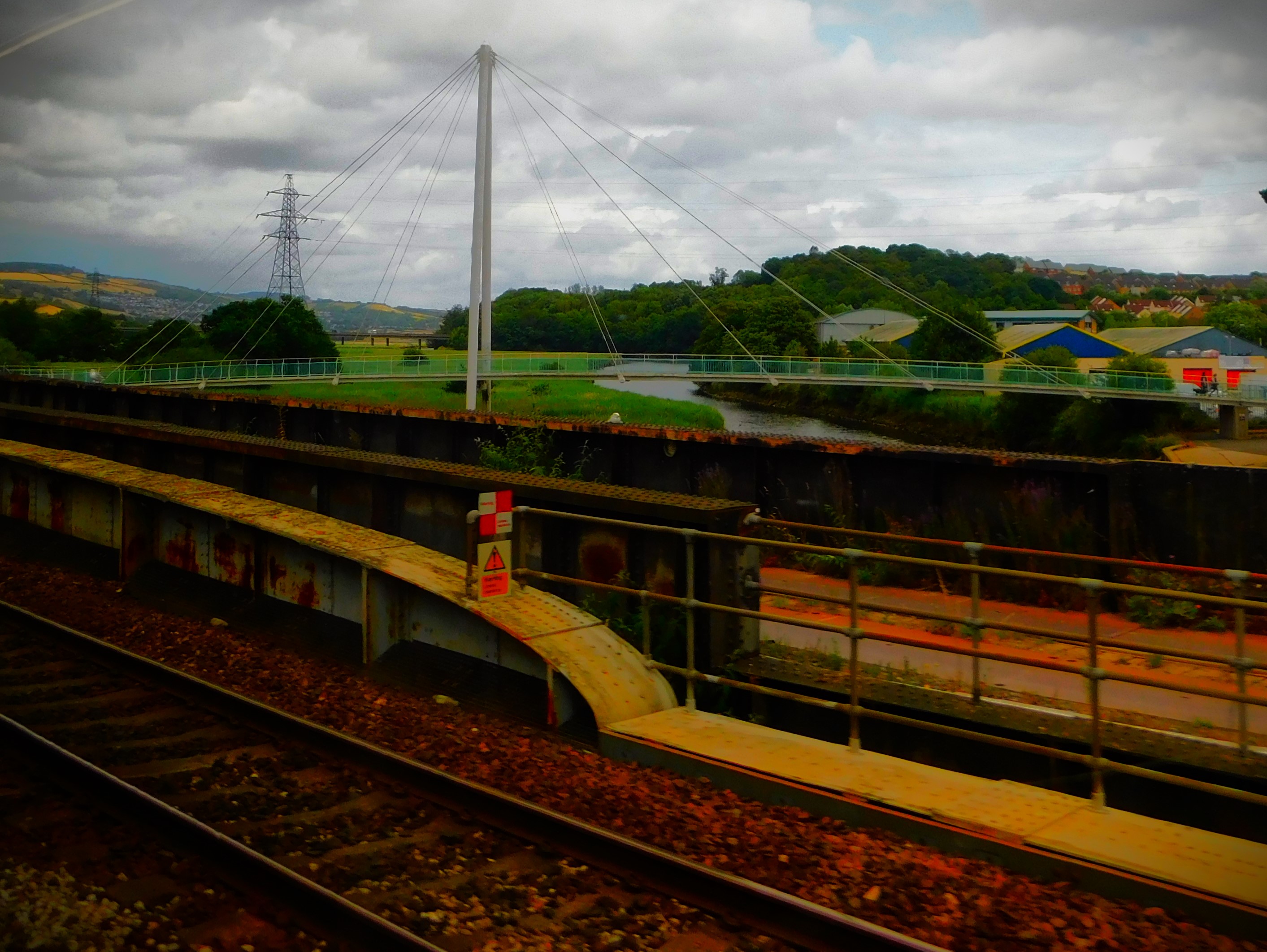
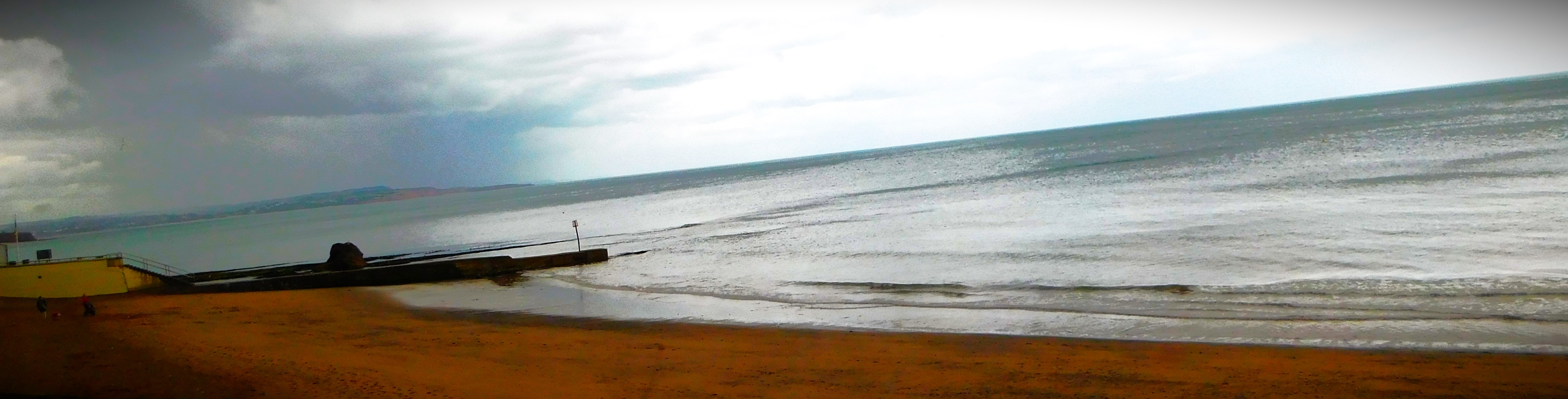
My booked seat on the new train was not a window seat, but I observed two seats on the other side of the carriage that had been reserved from Plymouth to London, and once enough time had lapsed to be sure that neither passenger was actually aboard I moved across so that I got the good views available between Newton Abbot and Exeter. Thus I went from annoyed at not having a window seat to relieved and delighted. I made full use of it, as the following shows:
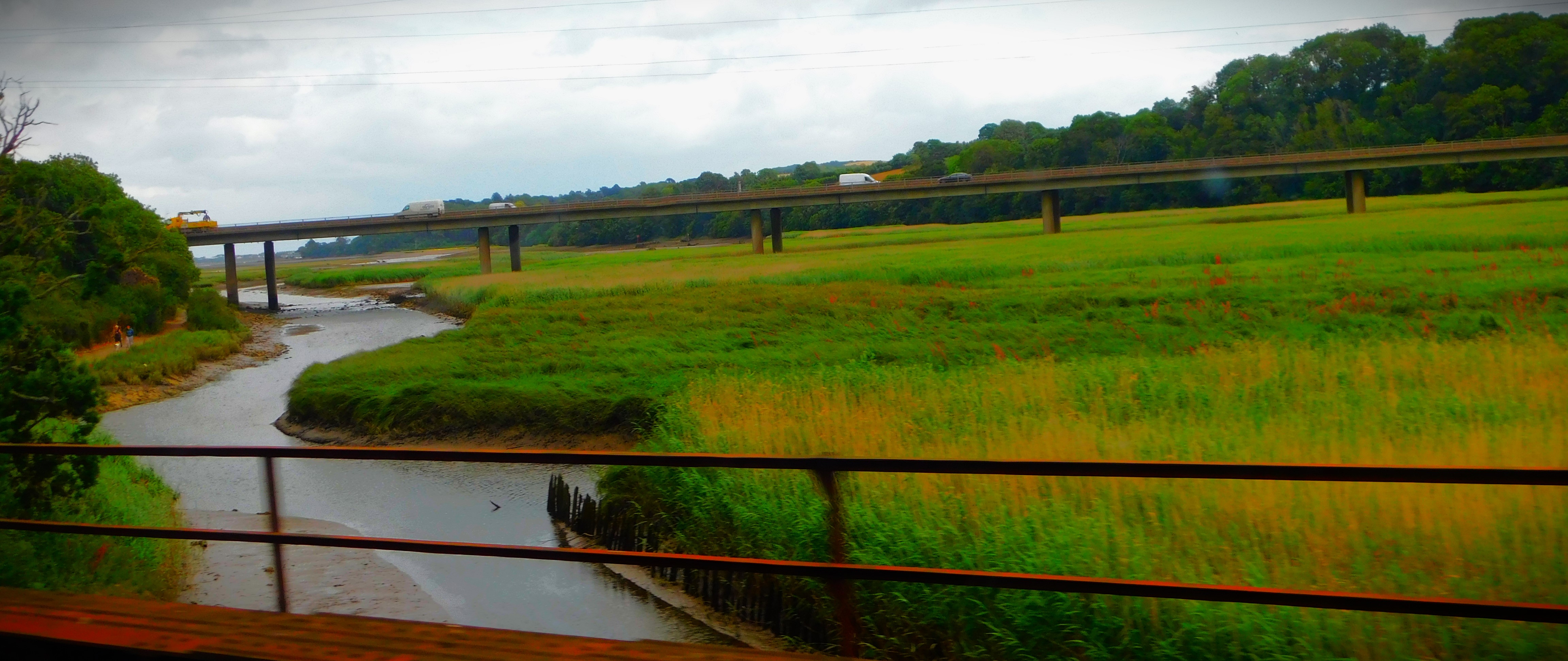
The first three pictures were taken from Fort PicklecombeNewton Abbot- the best bit of the route is between here and Exeter St DavidsA stack close to the cliff edge – a view which tells a story of coastal erosion.
EXETER ST DAVIDS TO HOME
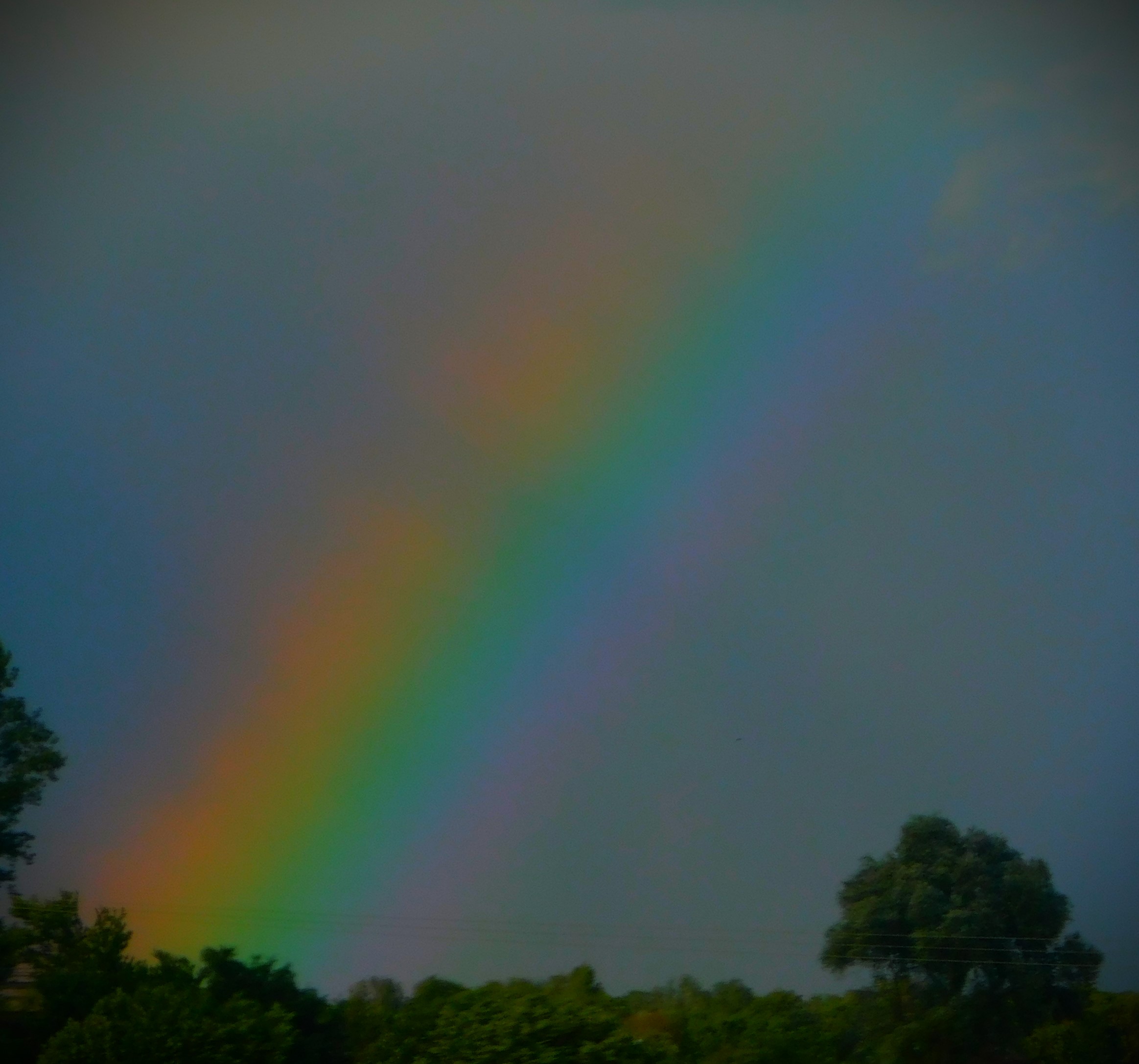
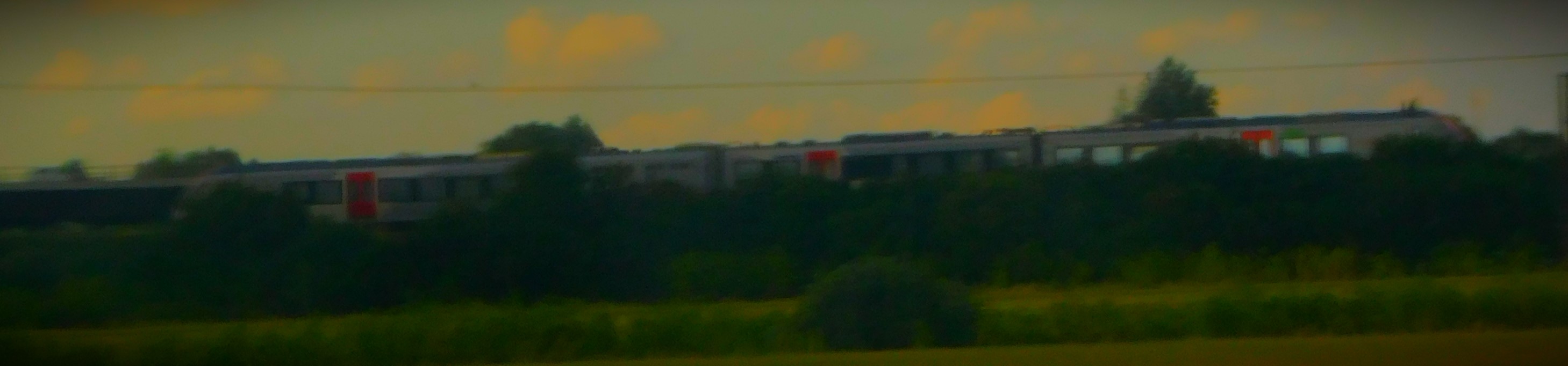
The train arrived into Paddington as scheduled, and the journey to King’s Cross was pleasingly rapid. I had a substantial wait at that station before leaving on the 17:39 to King’s Lynn. That service ran well enough, and I made a quick stop at Morrison’s for some bare essentials on the way home. I got home at about 8PM, unpacked and then cooked supper. Although none of the rest of the journey offers quite such views I still got some decent photos…
From the position of these floodlight pylons and the church in the distance I deduce that this is Taunton Cricket Ground.A white horse on a hillside (this is a chalk hill, so this would be constructed by removing grass and topsoil).A rainbow at Waterbeach
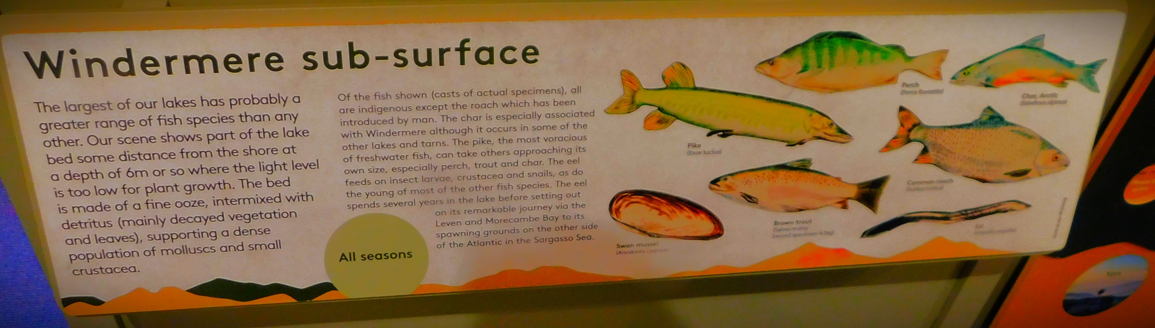
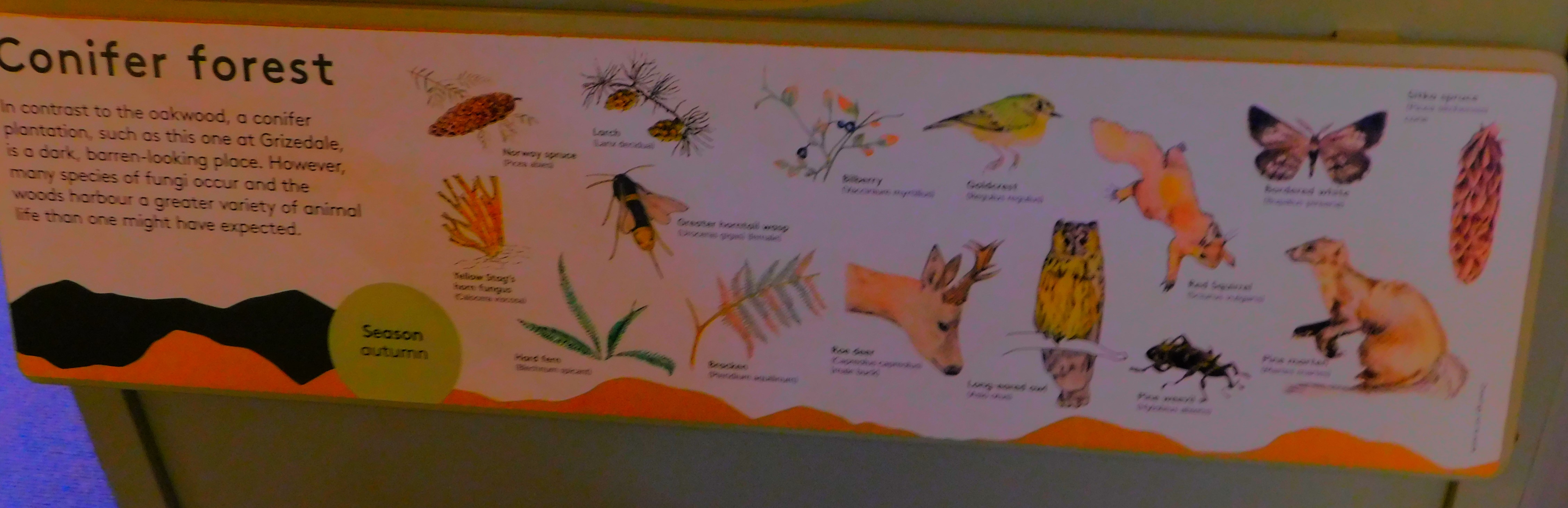
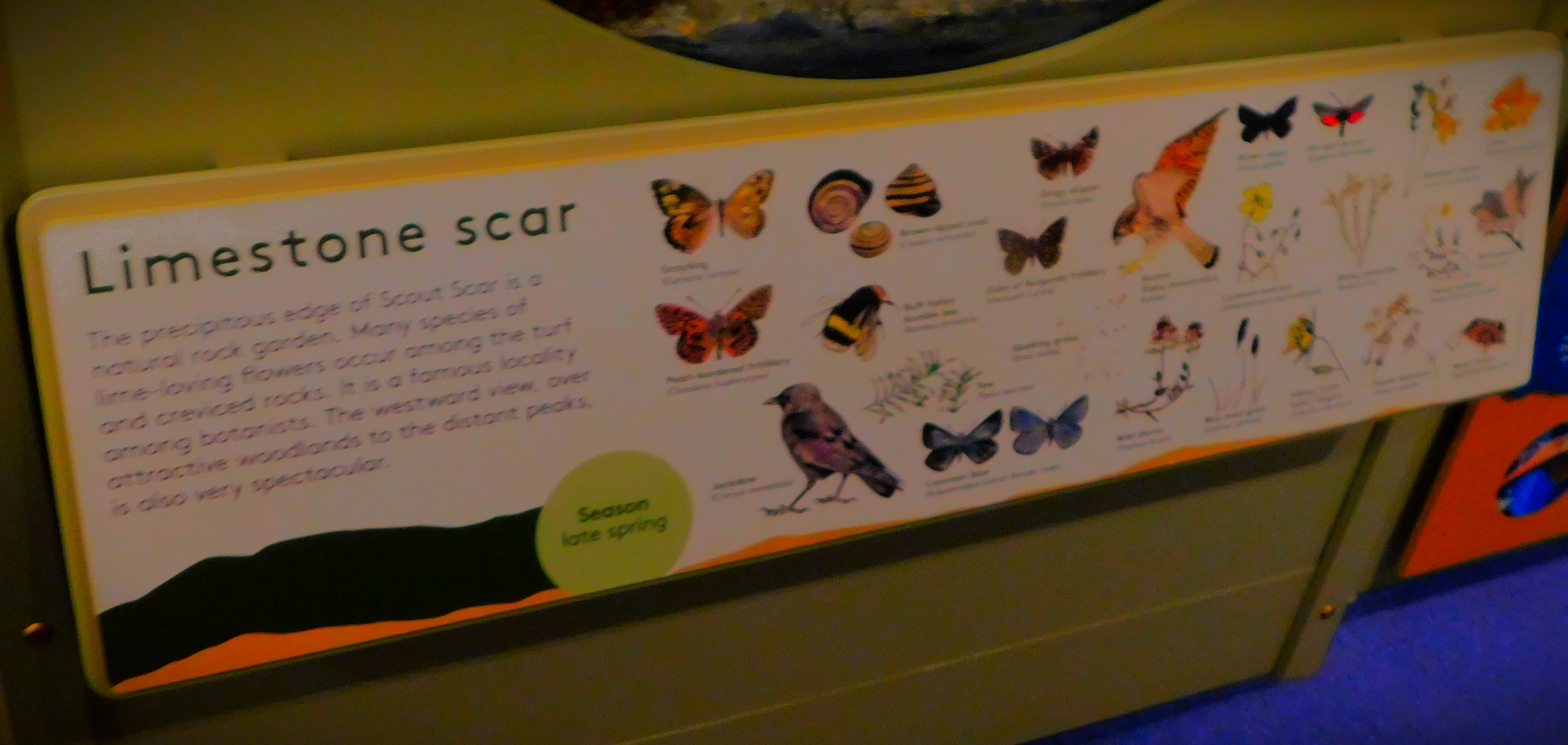
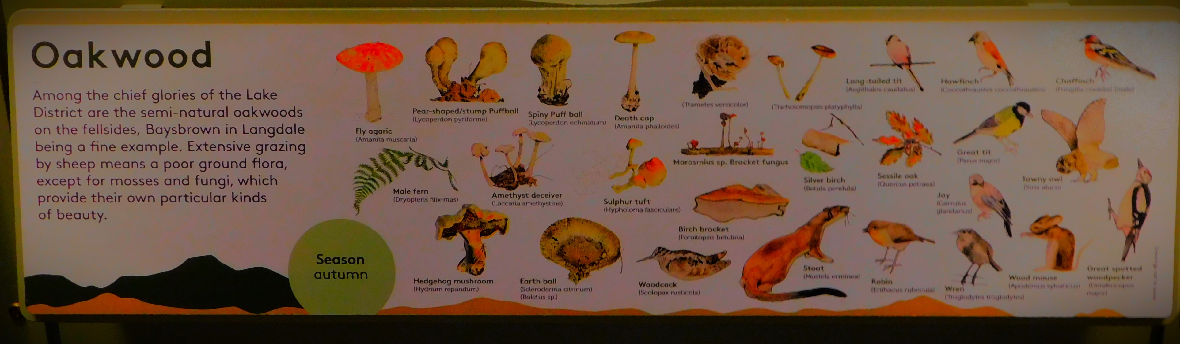
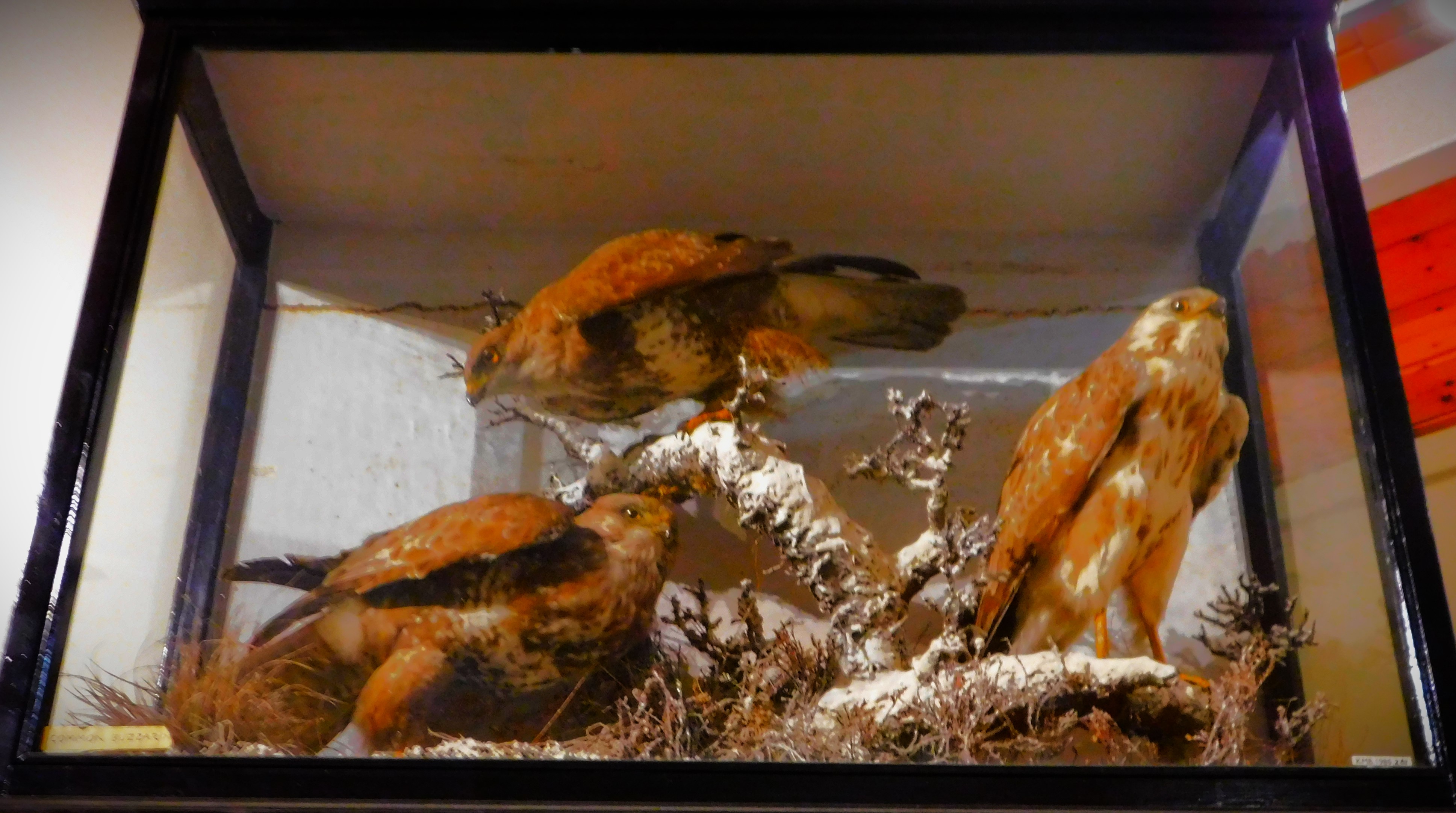
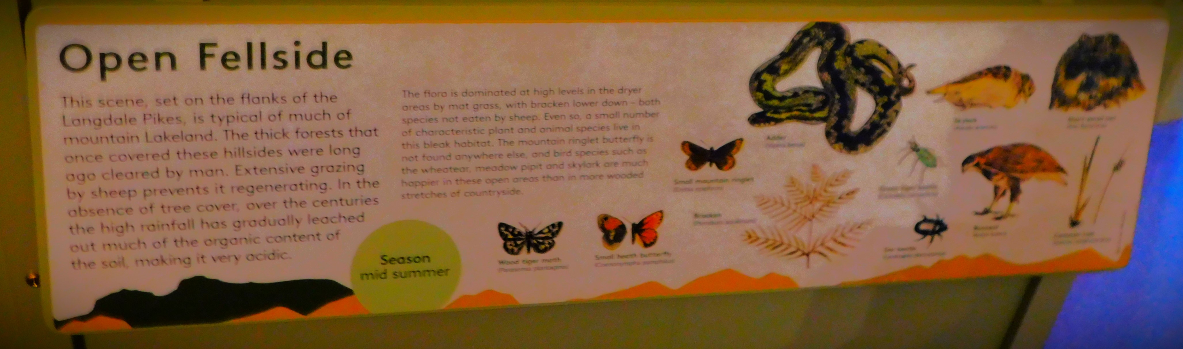
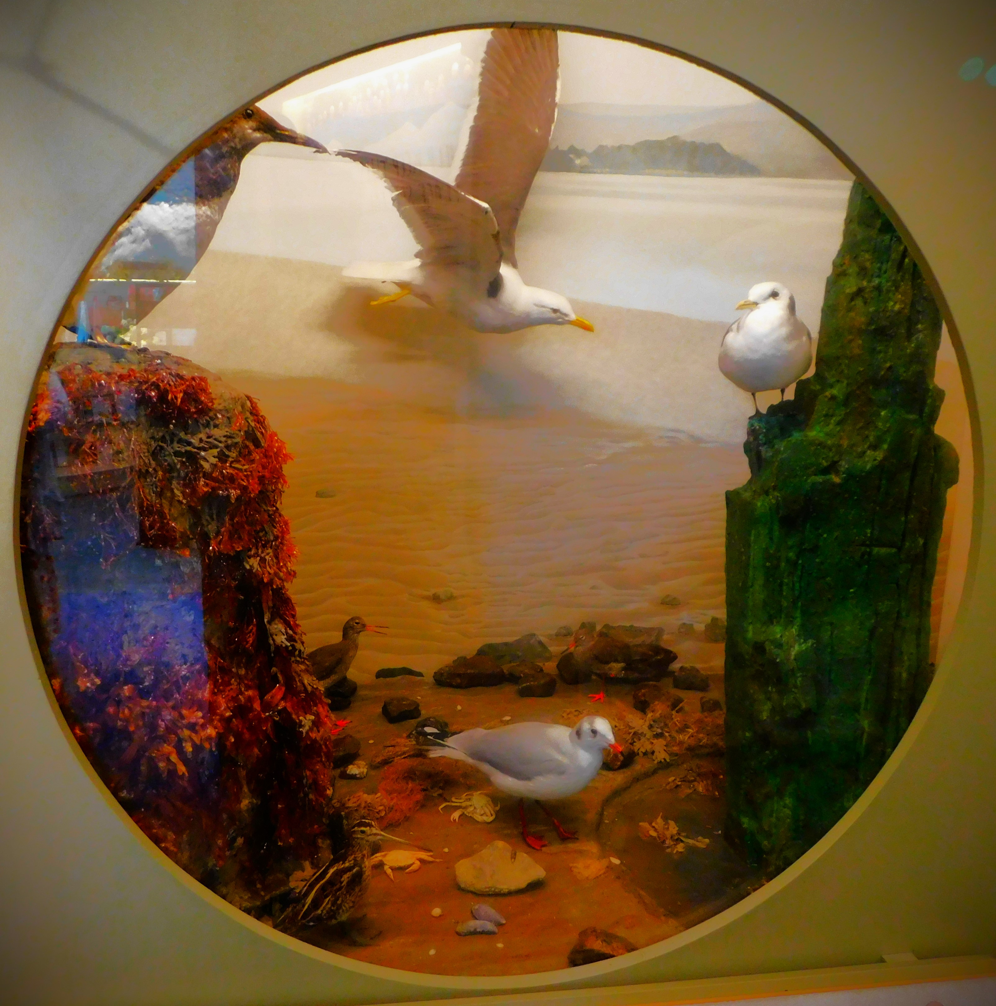
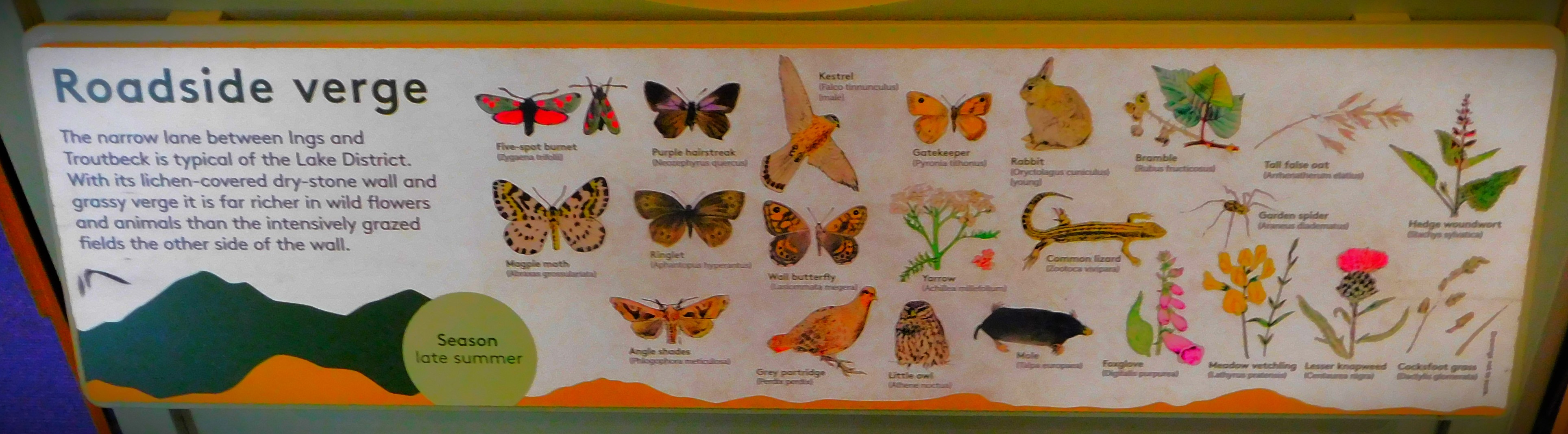
A look at the exhibition at Brockhole, which proved well worth a visit.
Welcome to the latest instalment in my series about my holiday in the Lake District. This post is the second about Brockhole, and has a single focus, the exhibition about the Lake District.
A VERY EFFICIENTLY ORGANIZED EXHIBITION
Considering how small an area it occupies this little exhibition covering many details about the Lake District is remarkably comprehensive. The pictures will tell the story…
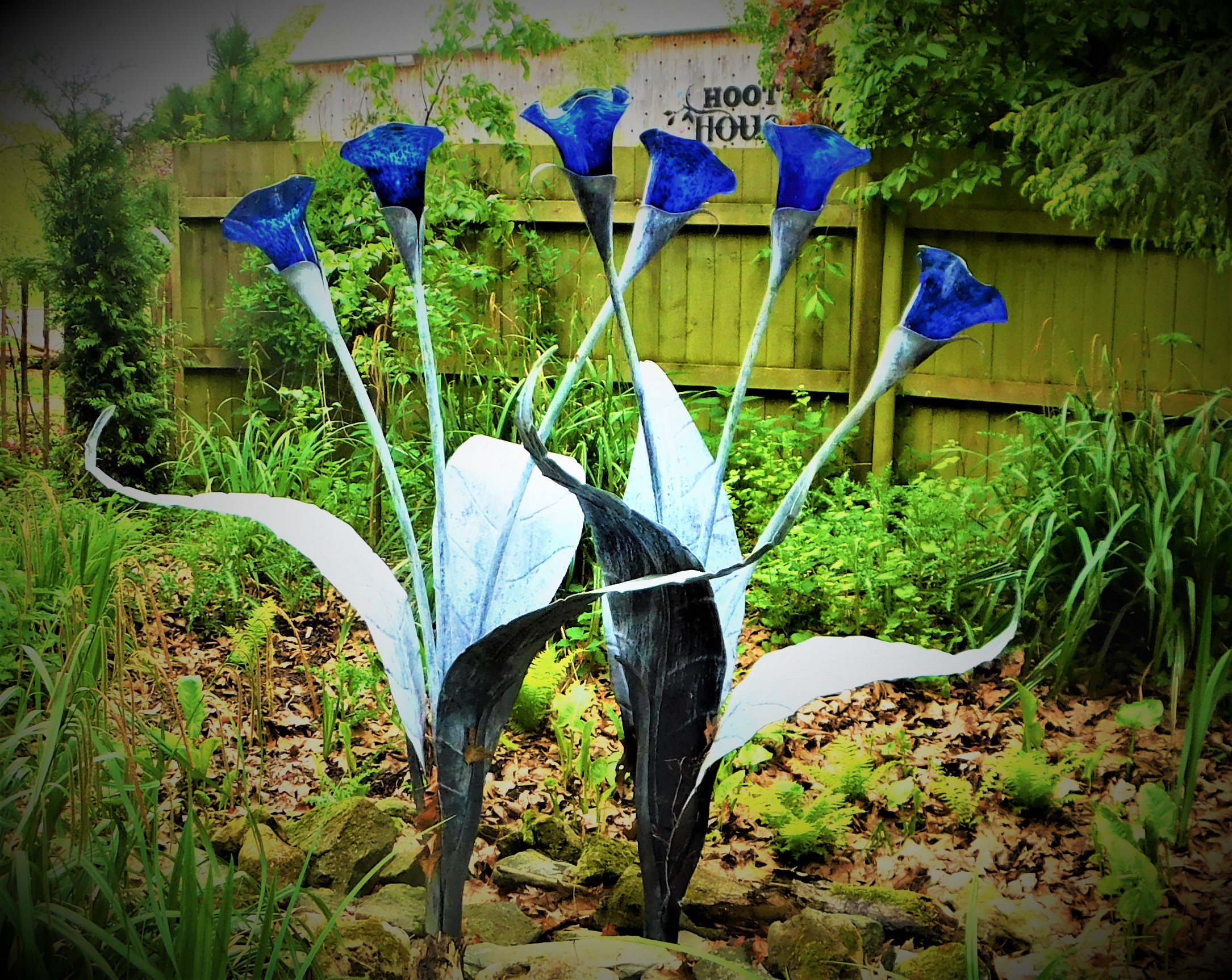
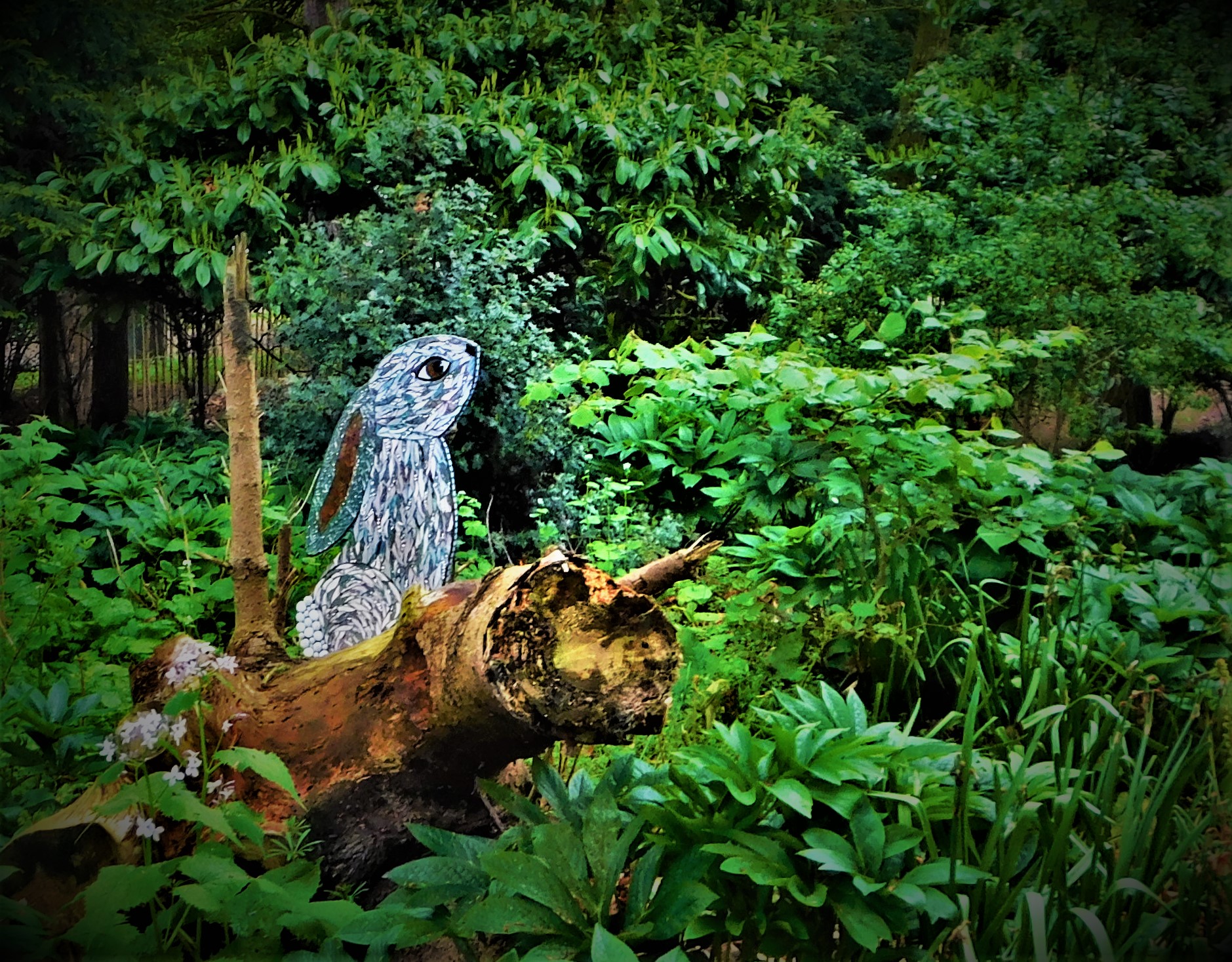
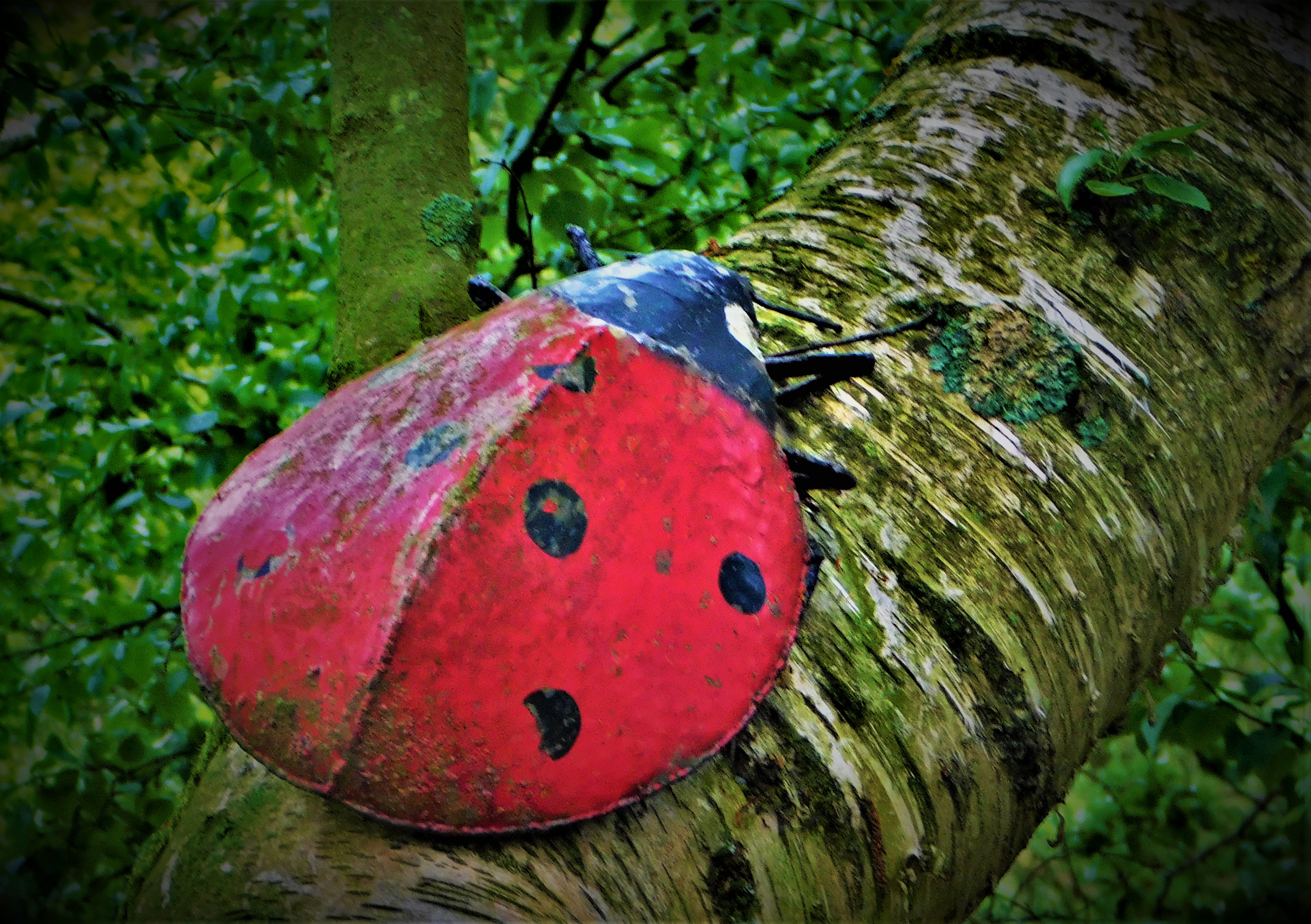
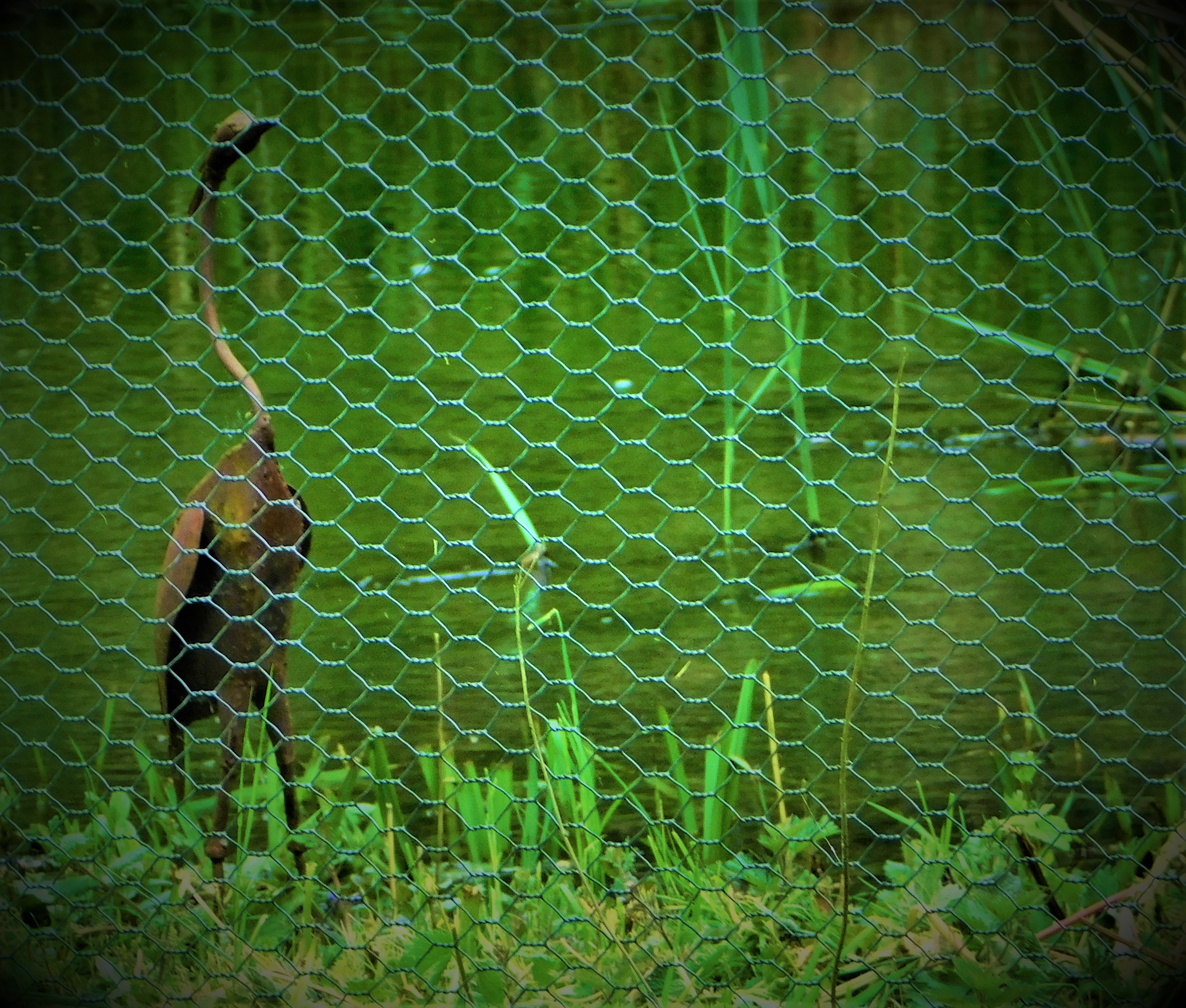
Continuing my account of my visit to Pensthorpe with a look at the discovery centre and at the sculptures dotted around the place.
This is my third post in a mini-series about my part in a West Norfolk Autism Group excursion to Pensthorpe which took place on Saturday. It is a two part post, and represents the mid-point of the series – there will be two further posts afterwards.
PART ONE: DISCOVERY CENTRE
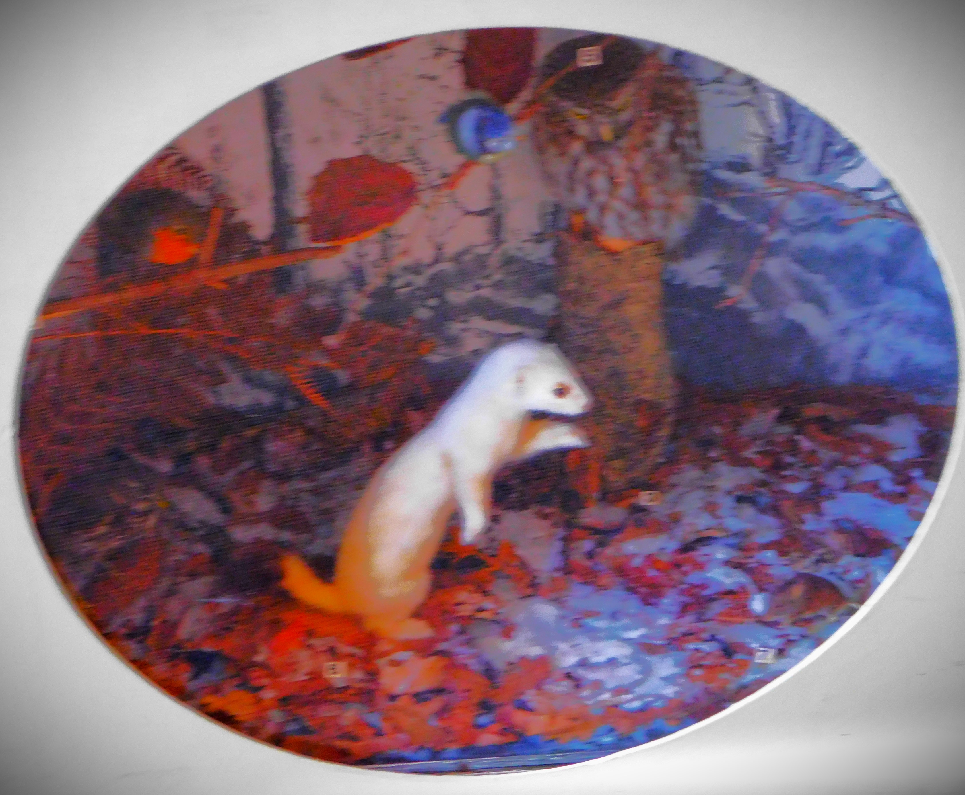
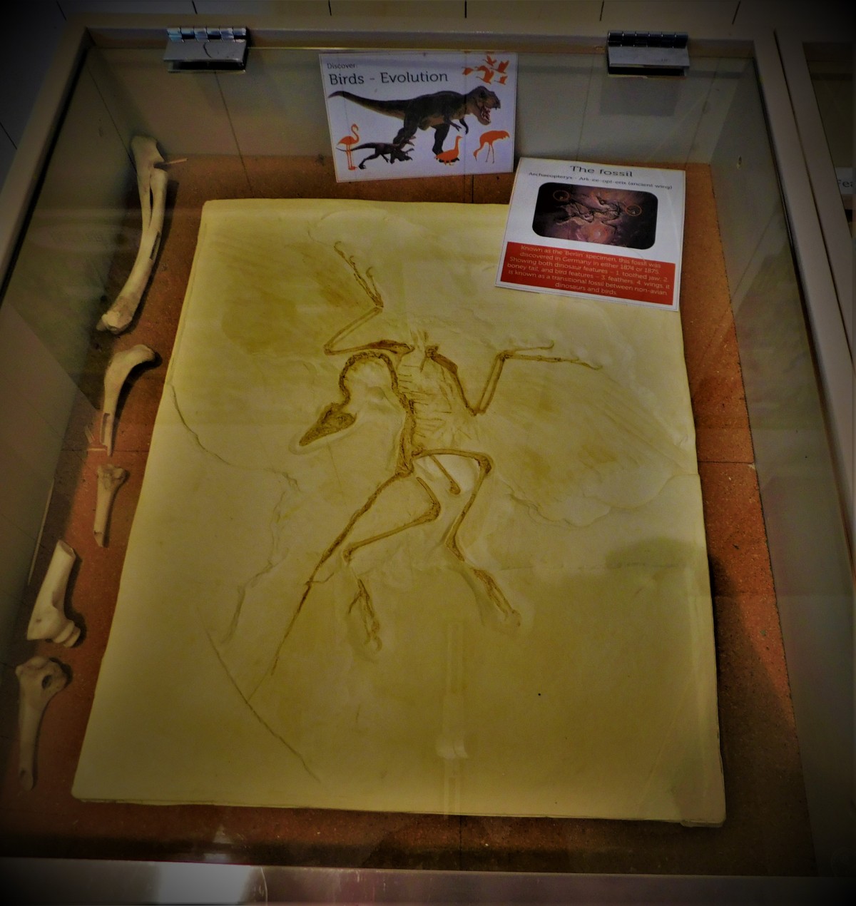
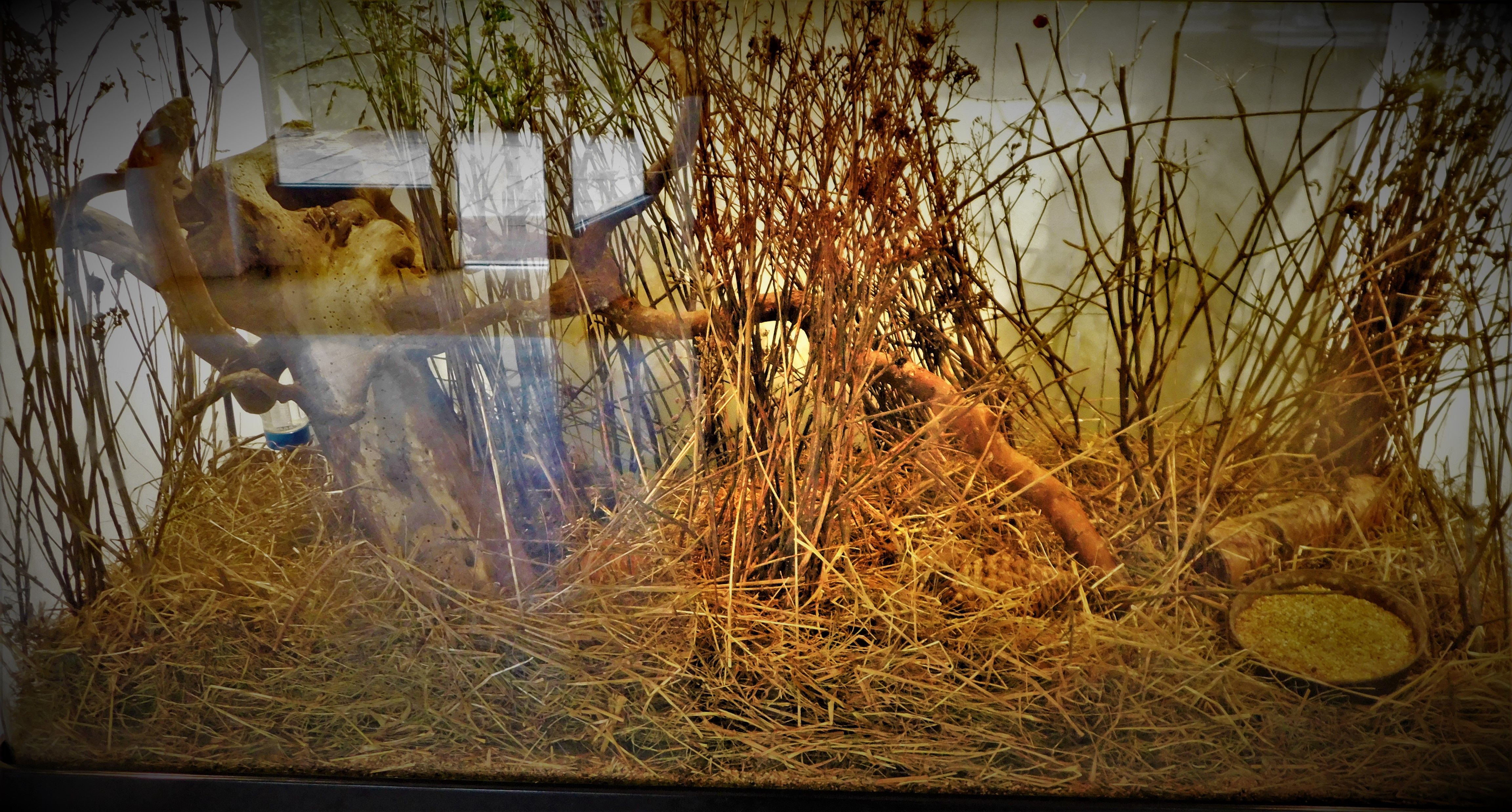
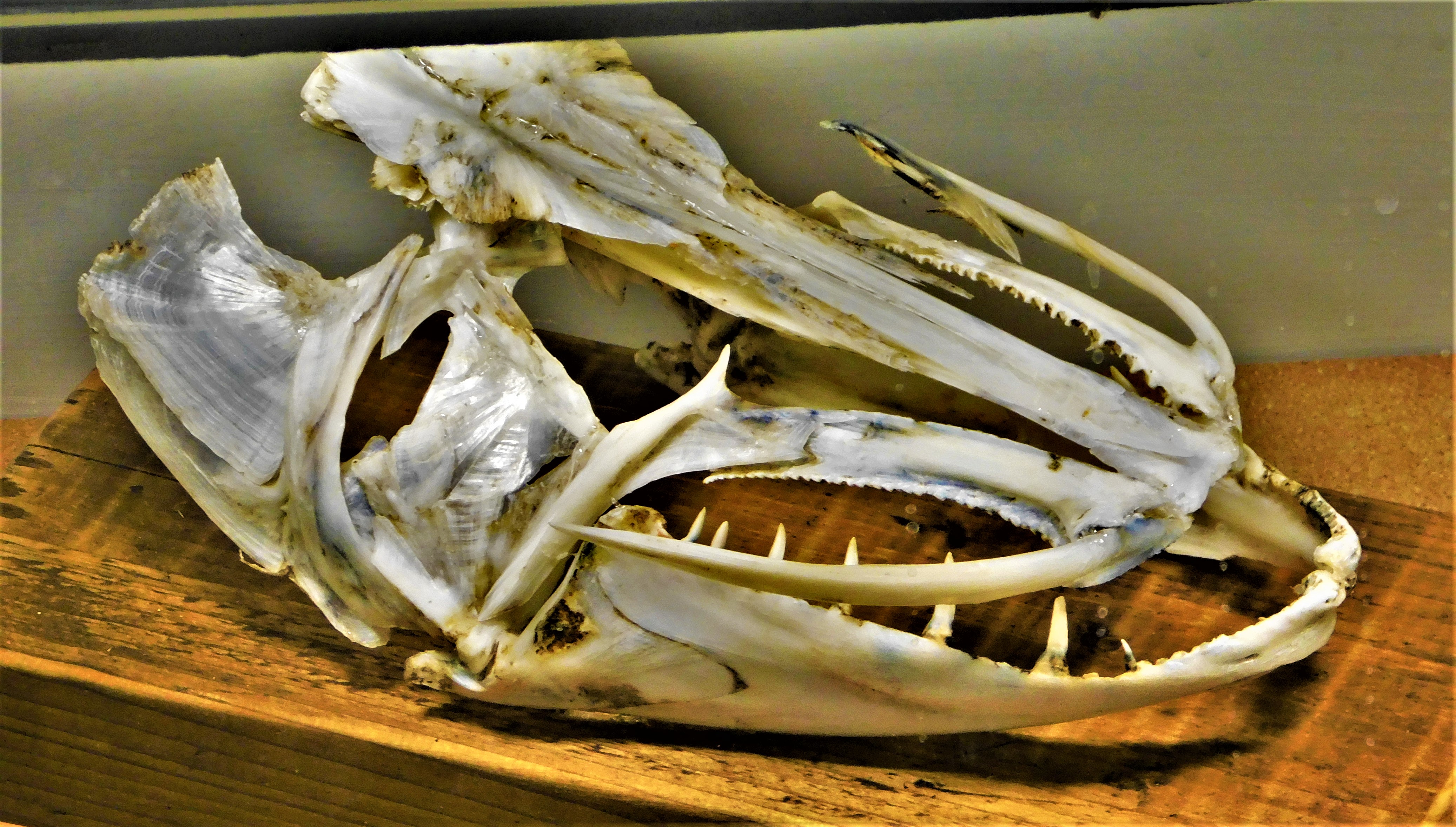
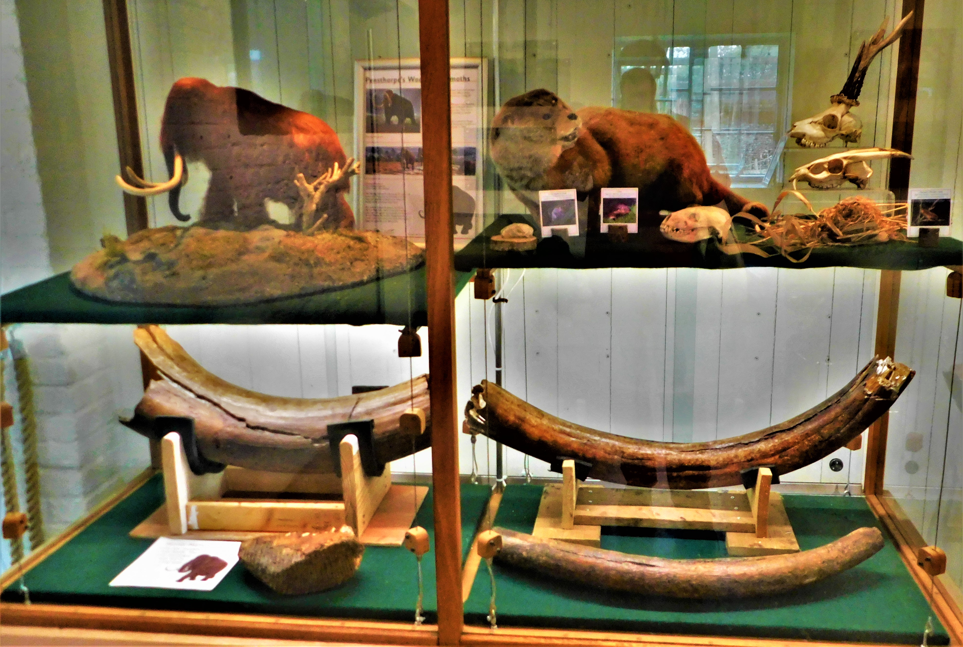
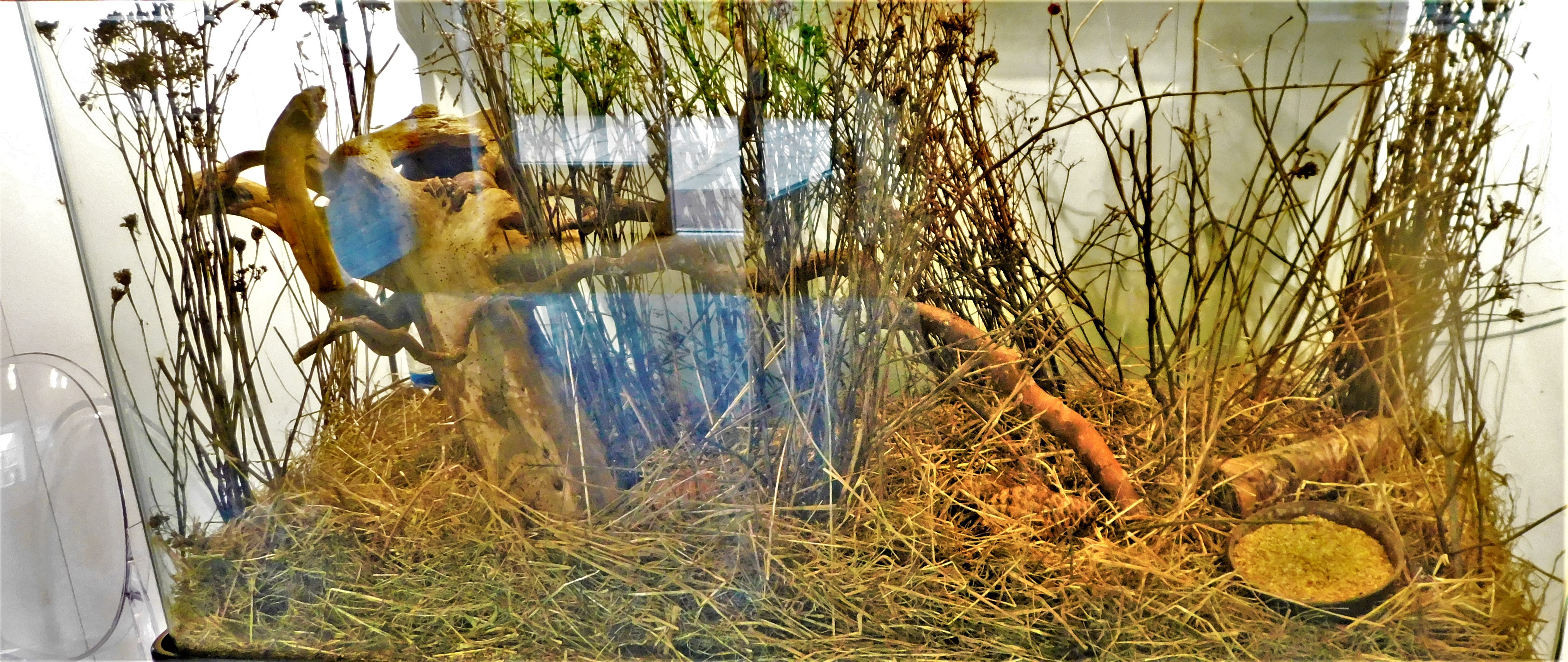
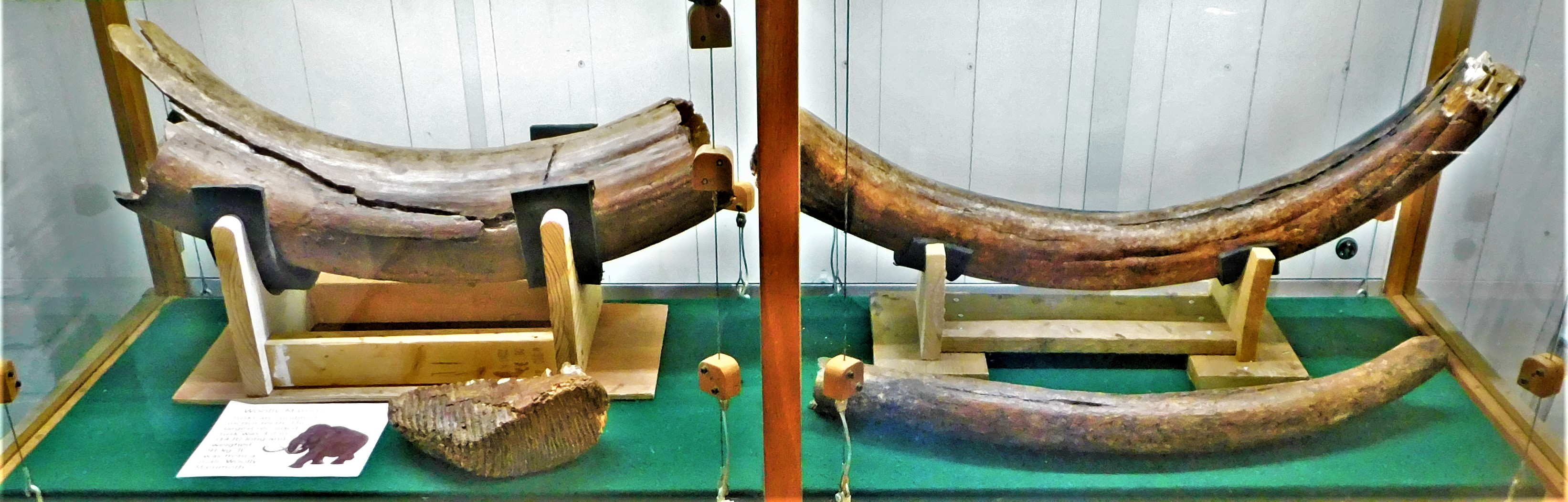
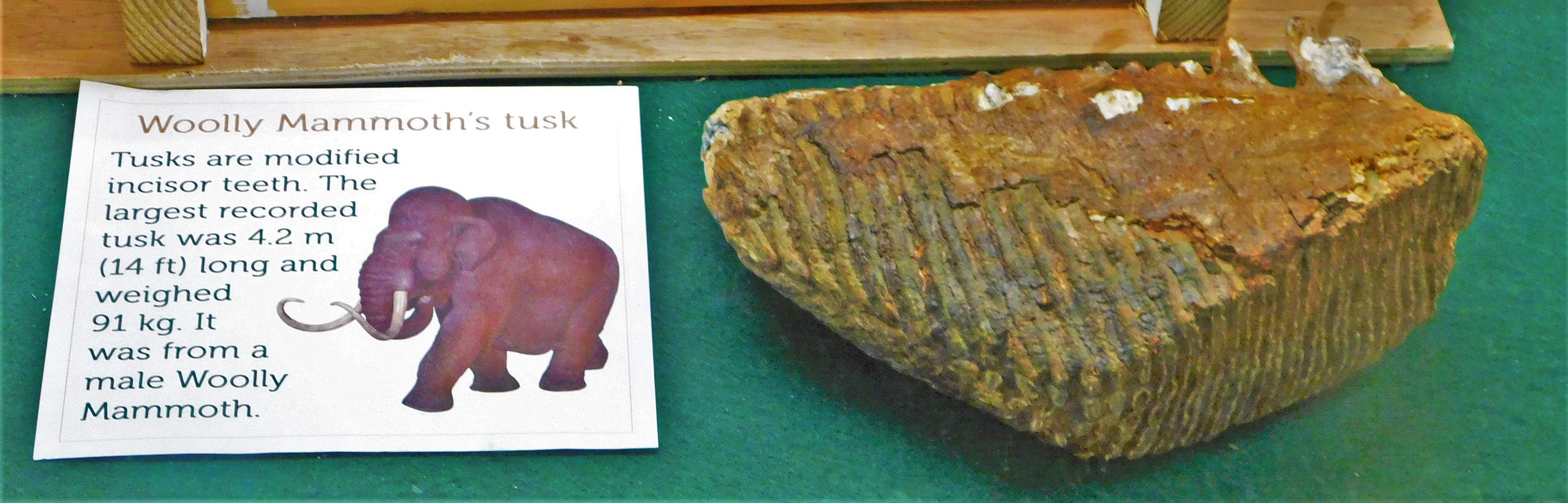
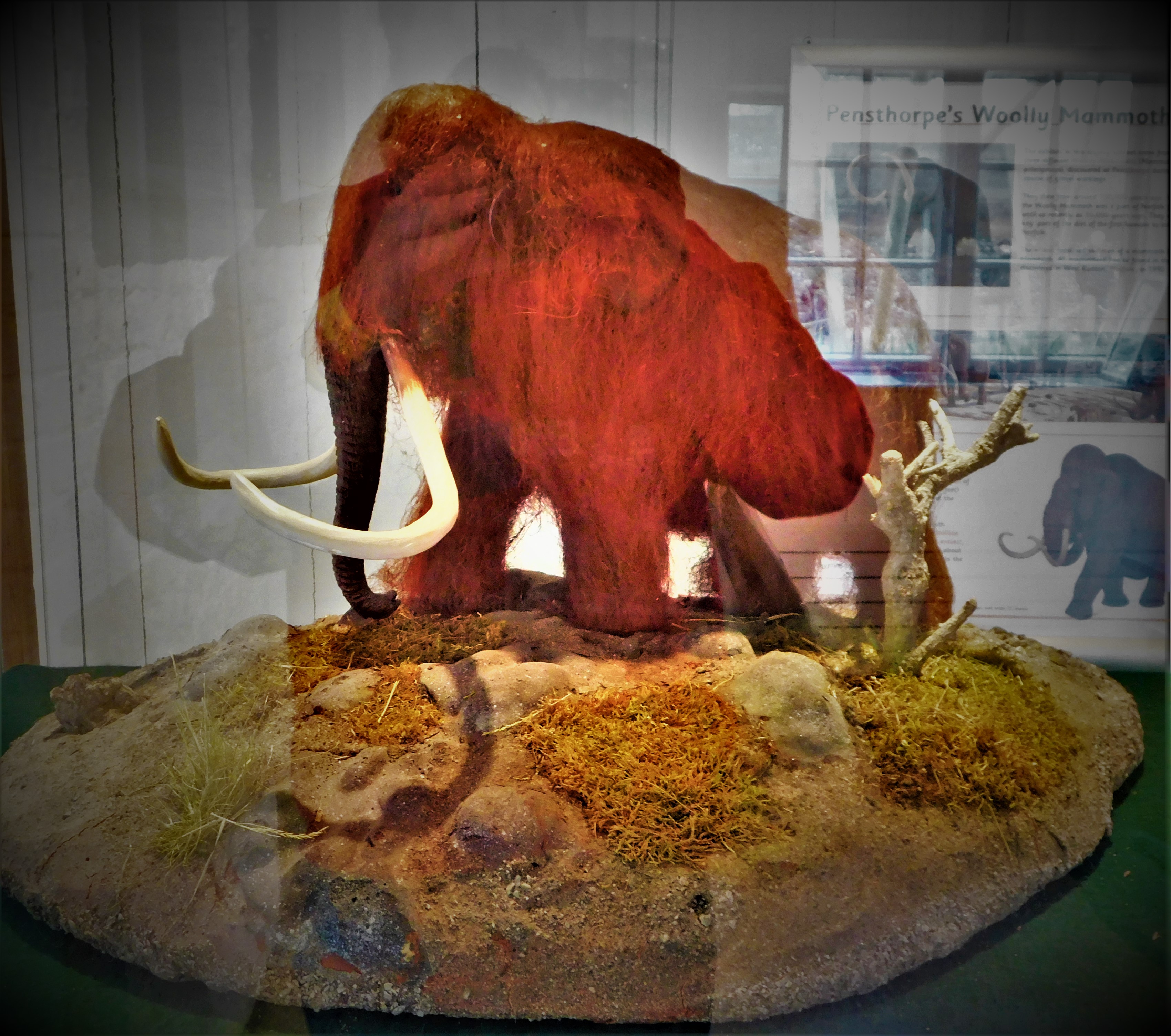
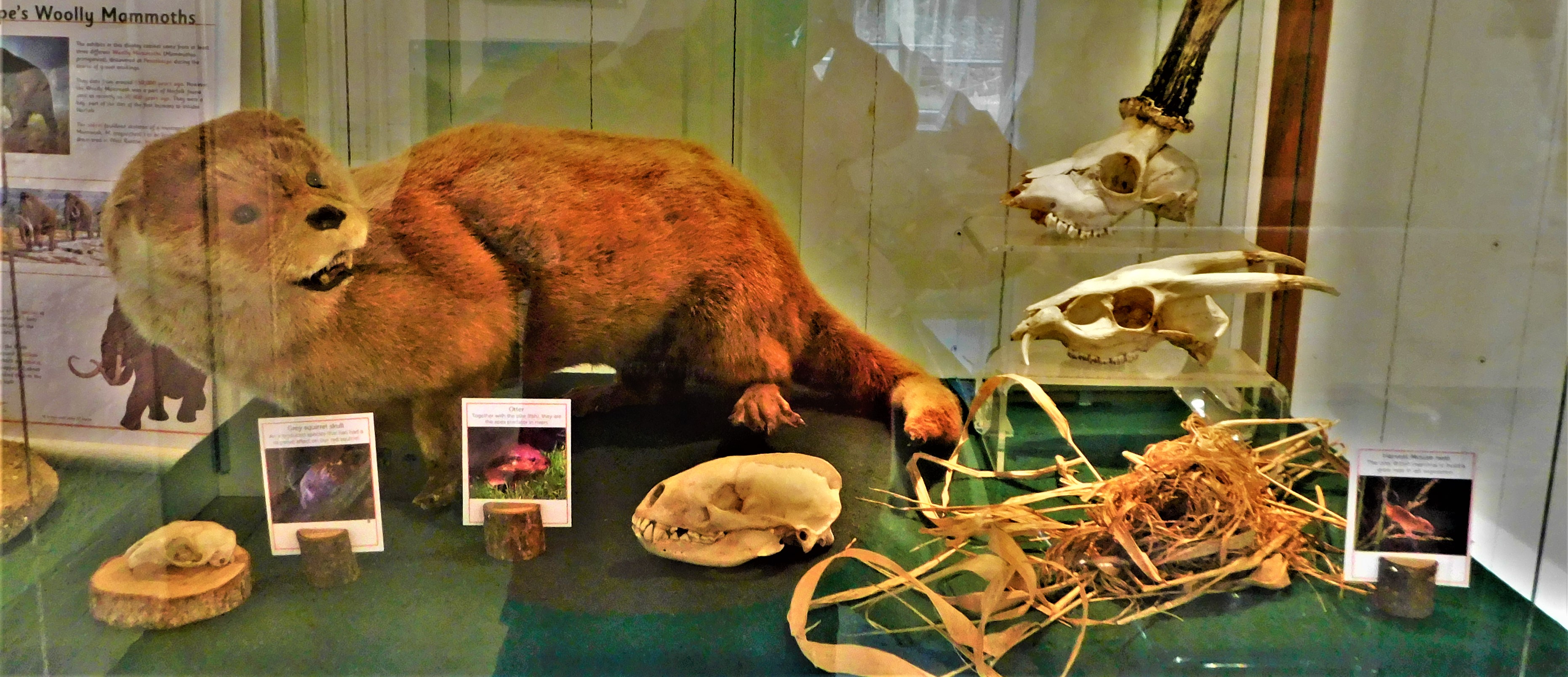
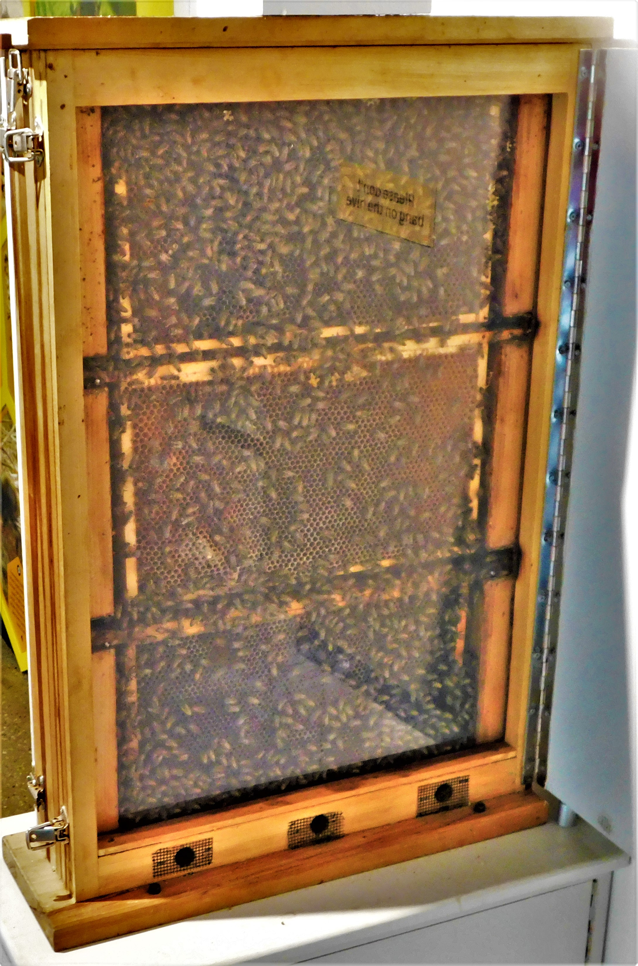
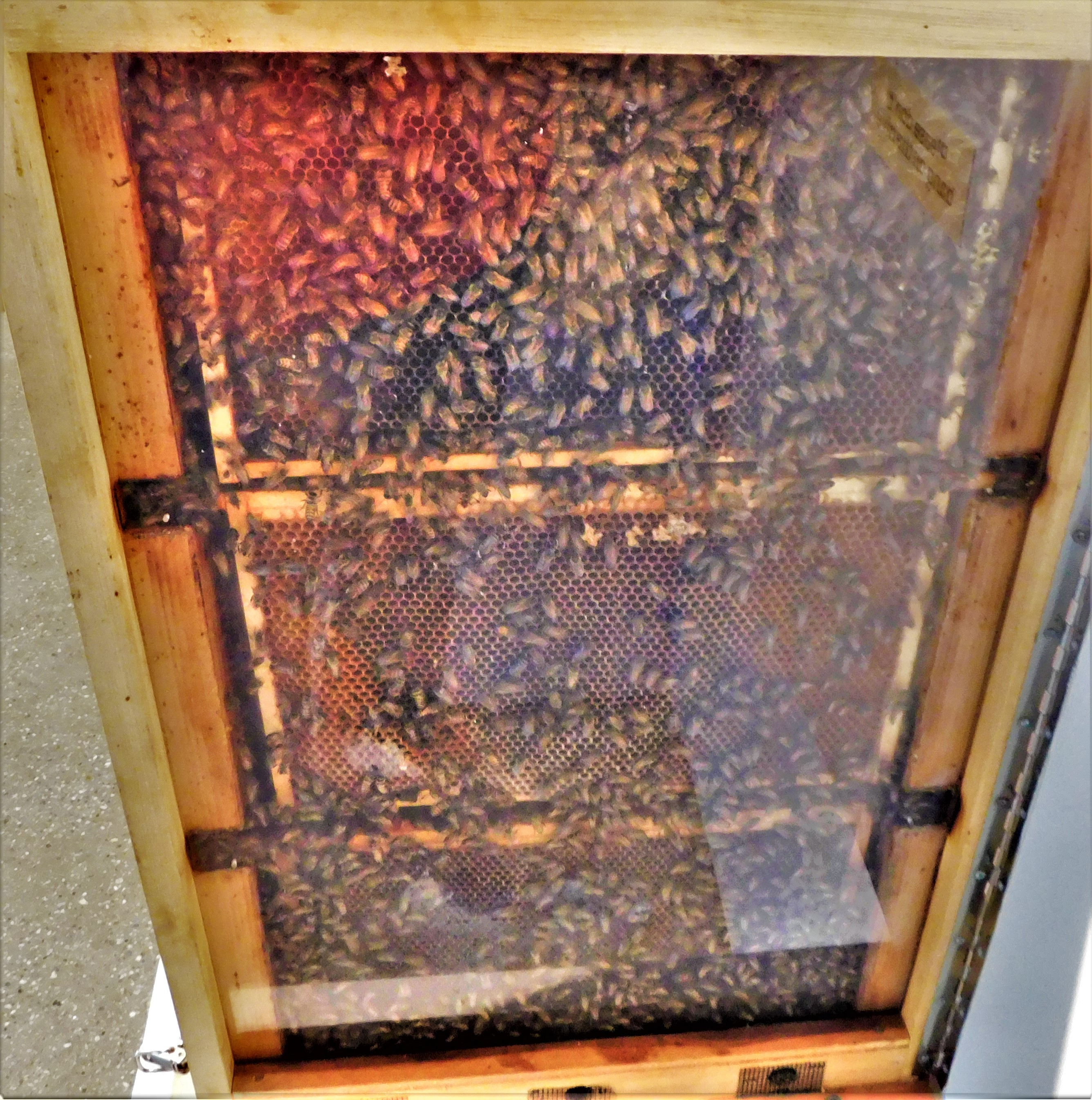
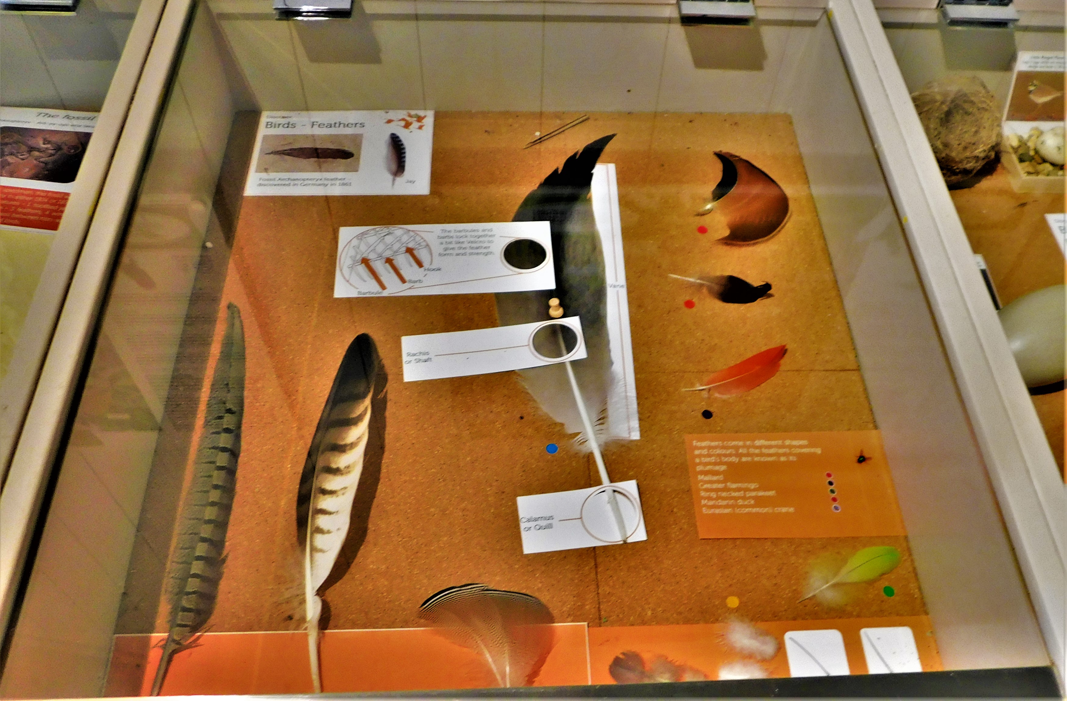
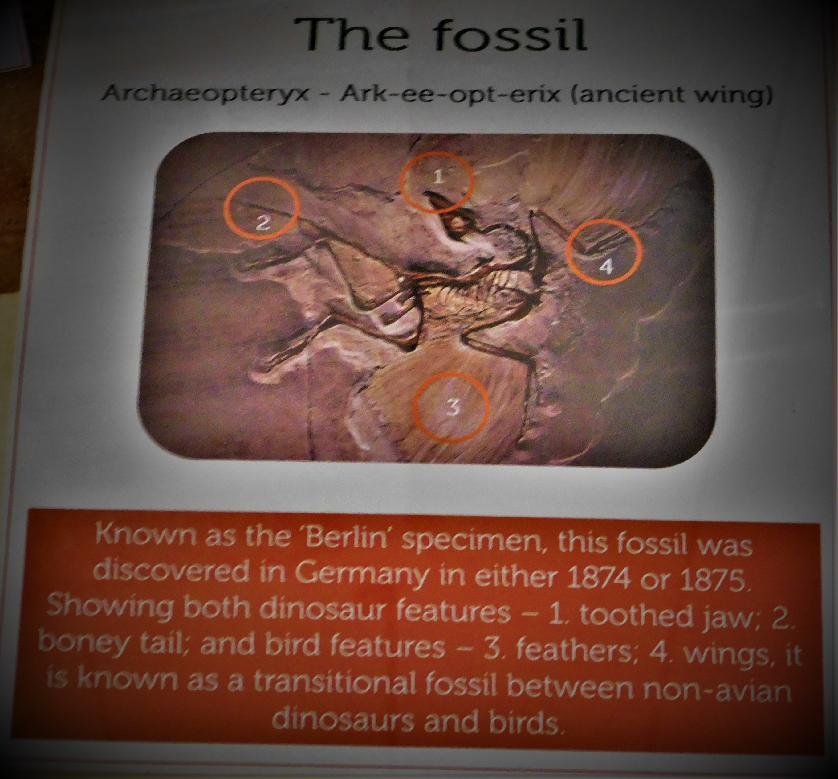
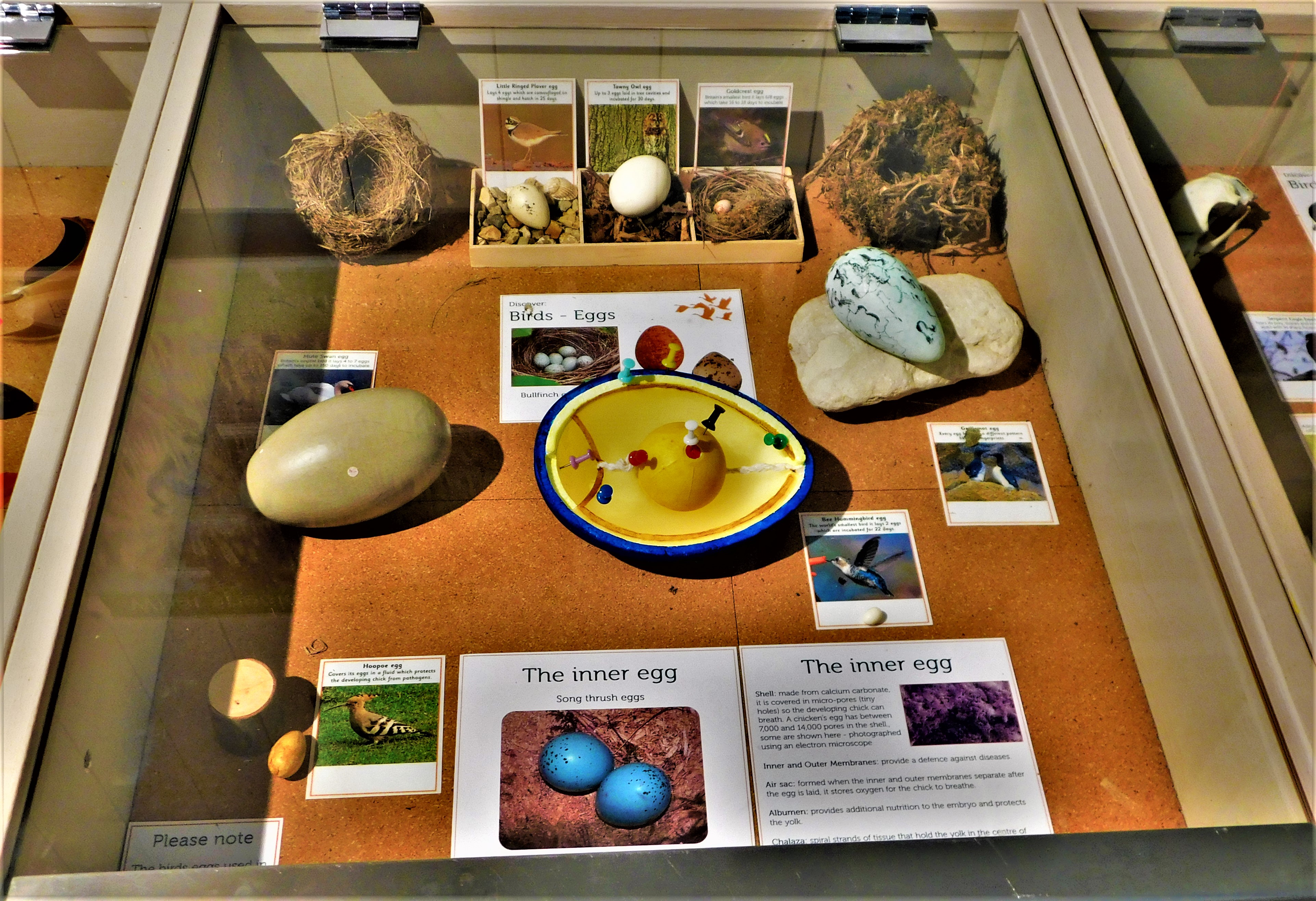
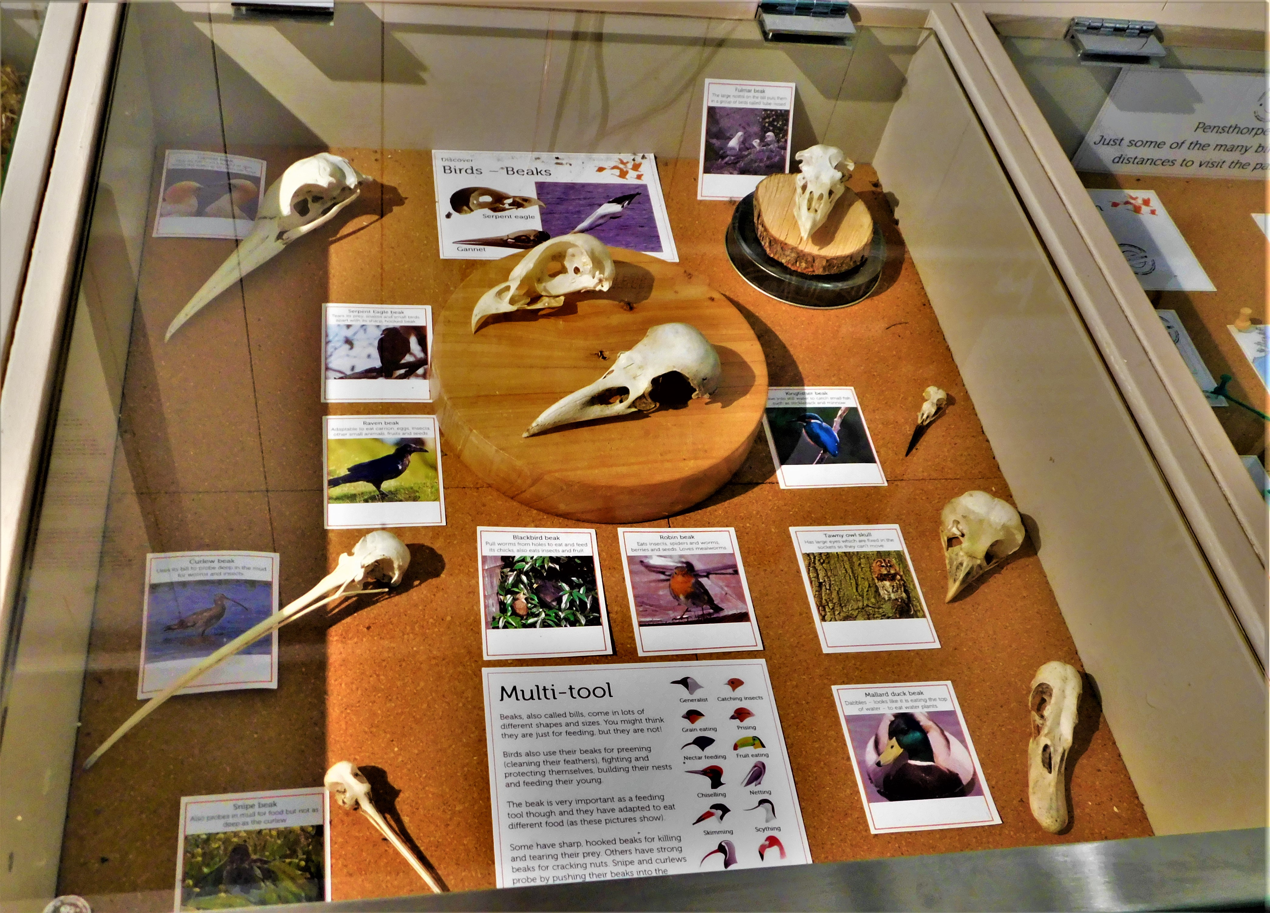
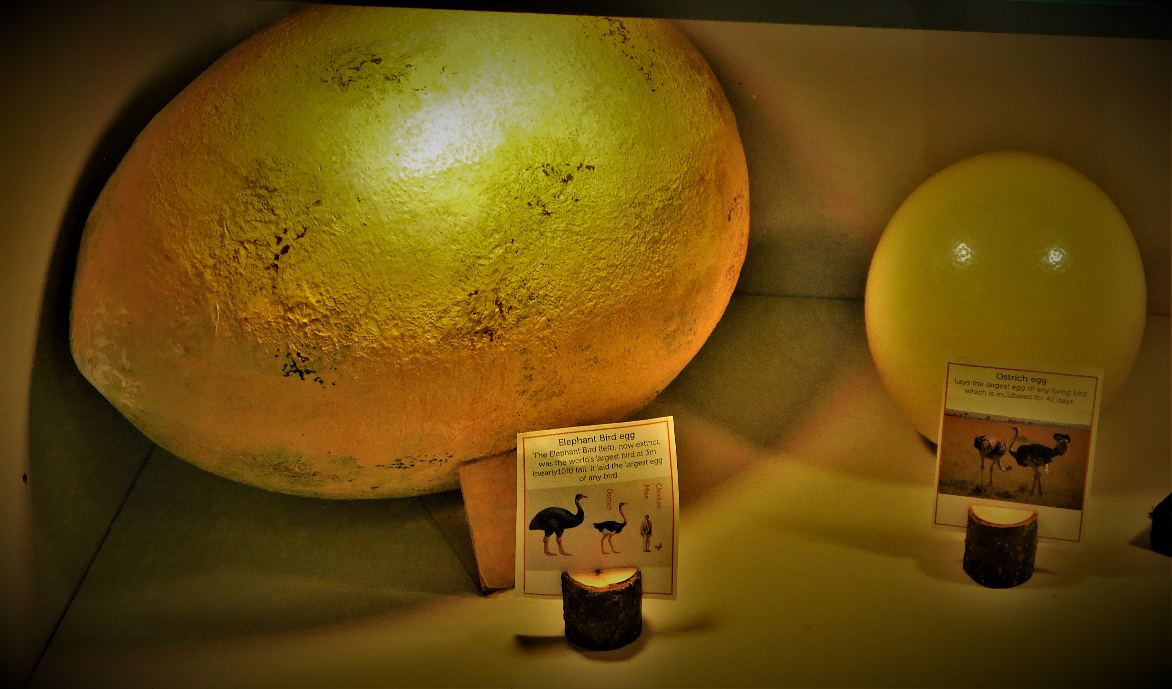
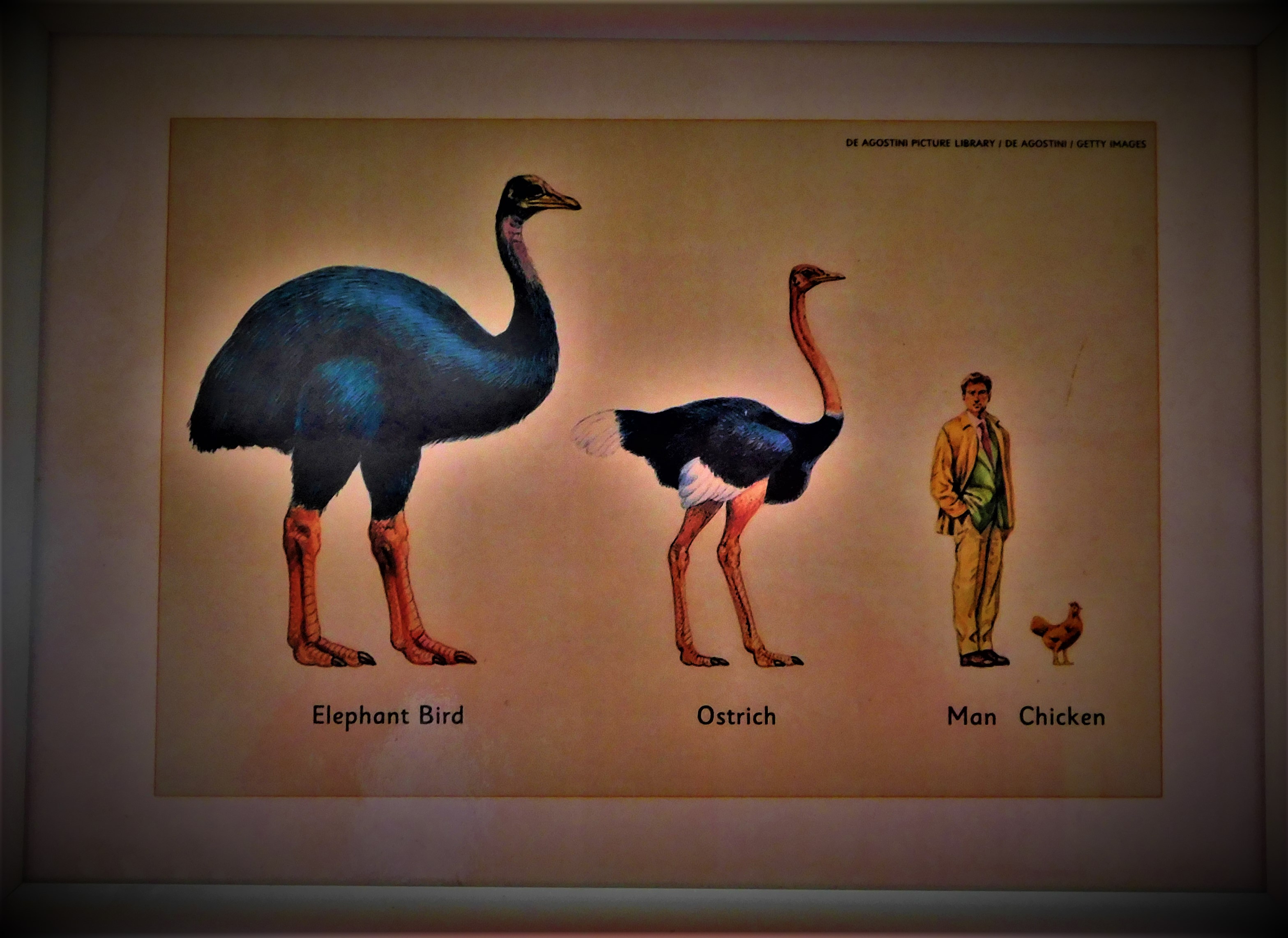
The discovery centre at Pensthorpe contains many features of interest, including a harvest mouse, a glass fronted beehive, a tank containing small water creatures, exhibits about bird evolution and giant birds, some woolly mammoth remains, dating back approximately 10,500 years to a time when Norfolk was at the southern edge of a massive ice sheet extending all the way from the north pole, and other stuff. It is also inside, which on day like Saturday gave it extra value – I made a total of three visits…
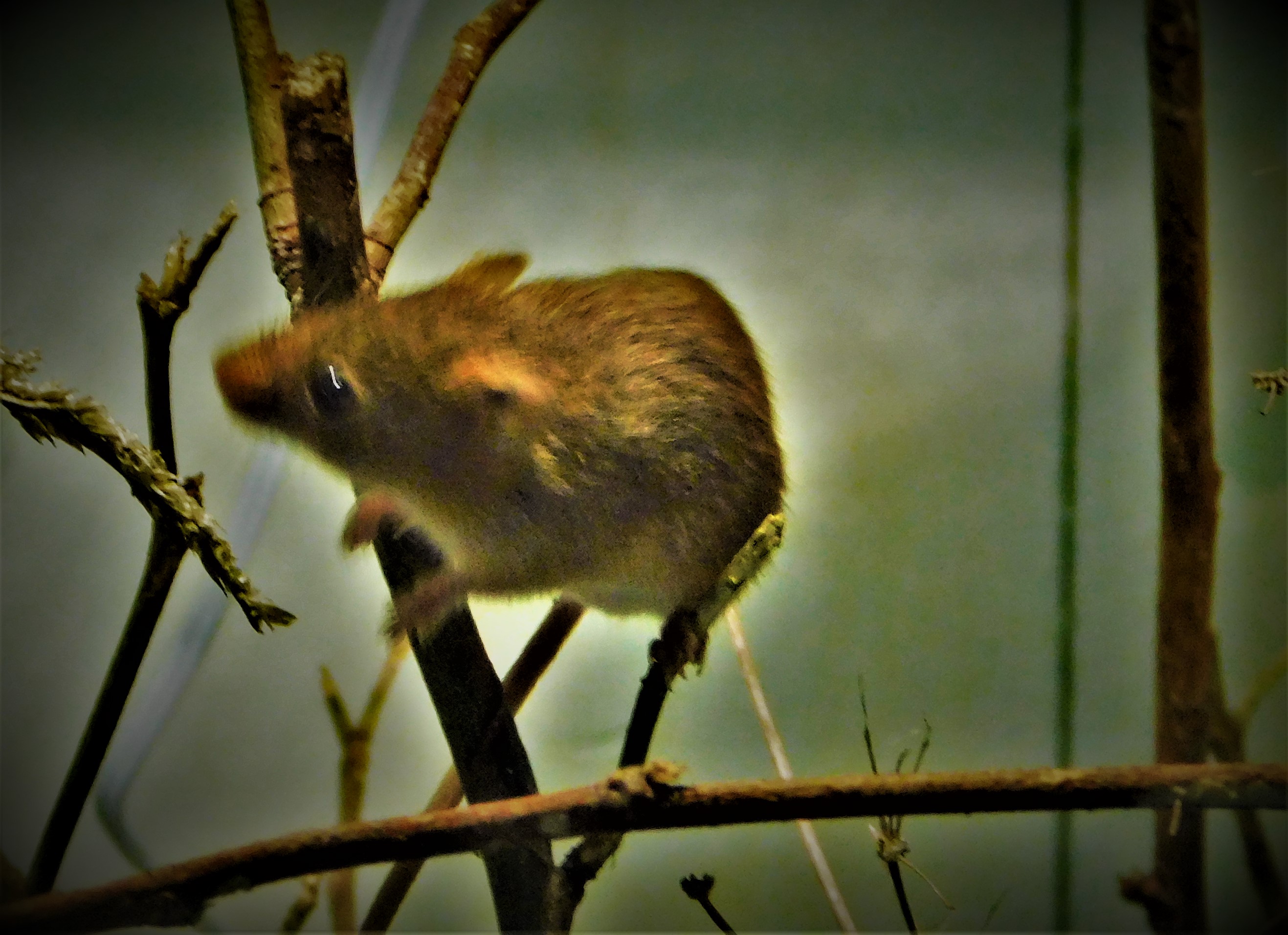
A rare occasion on which the harvest mouse made itself visible.
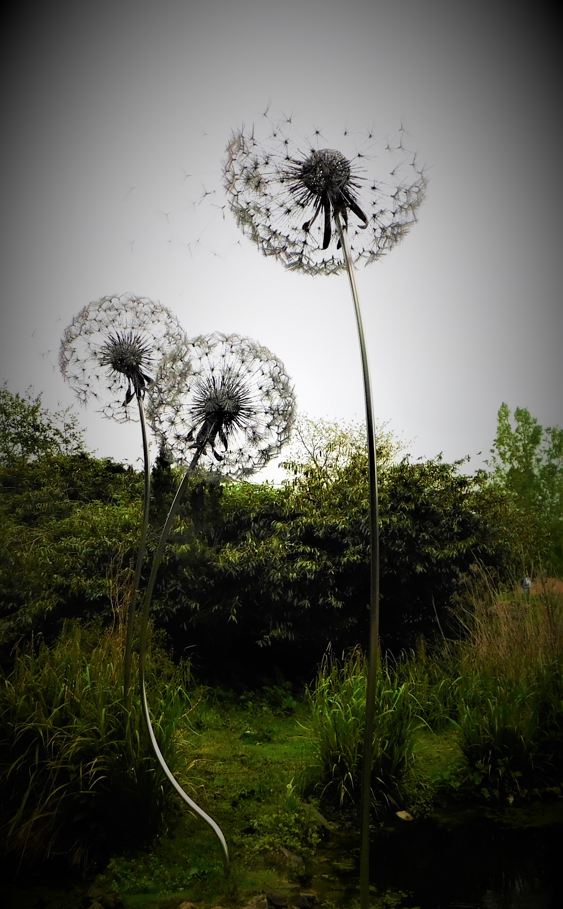
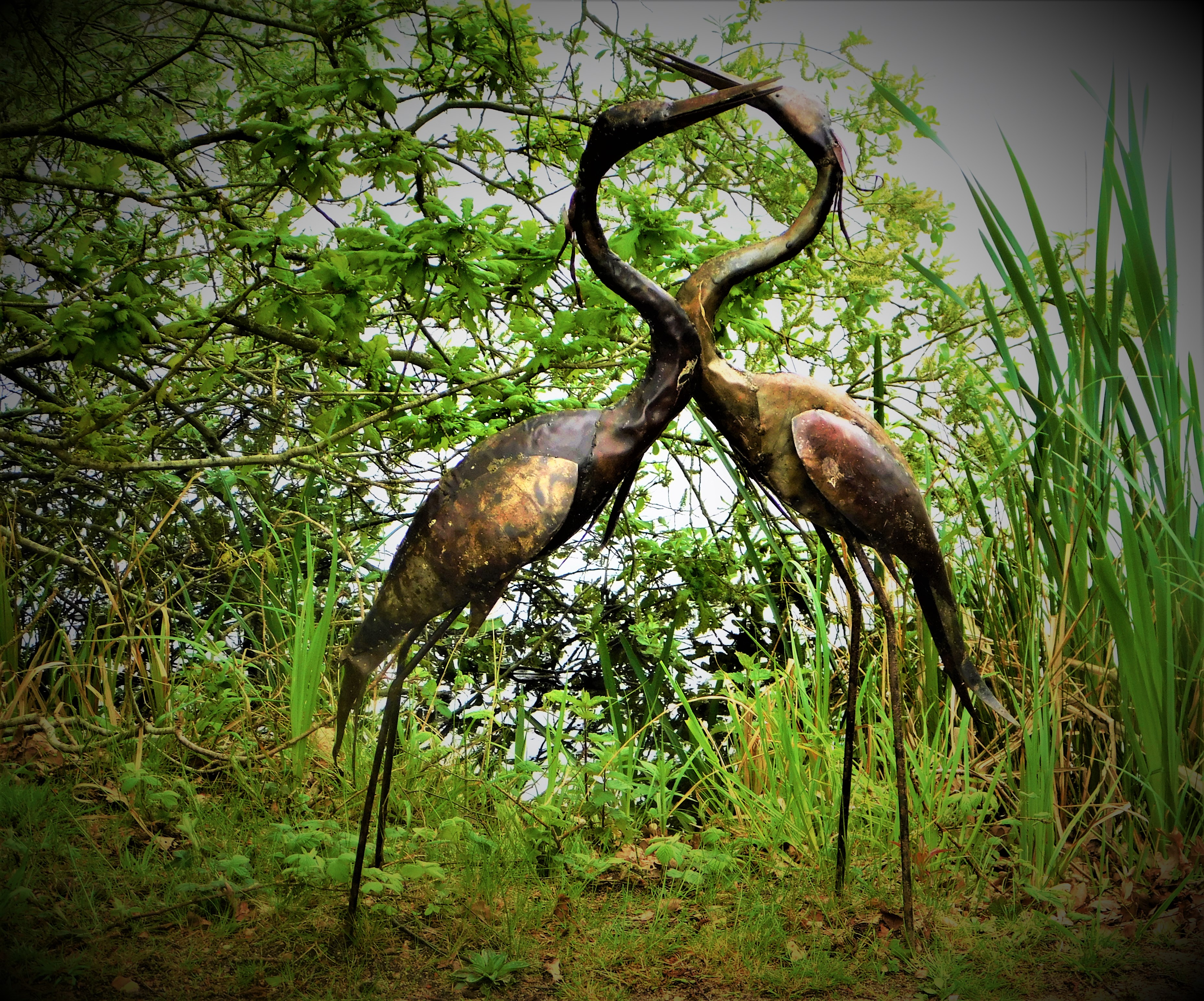
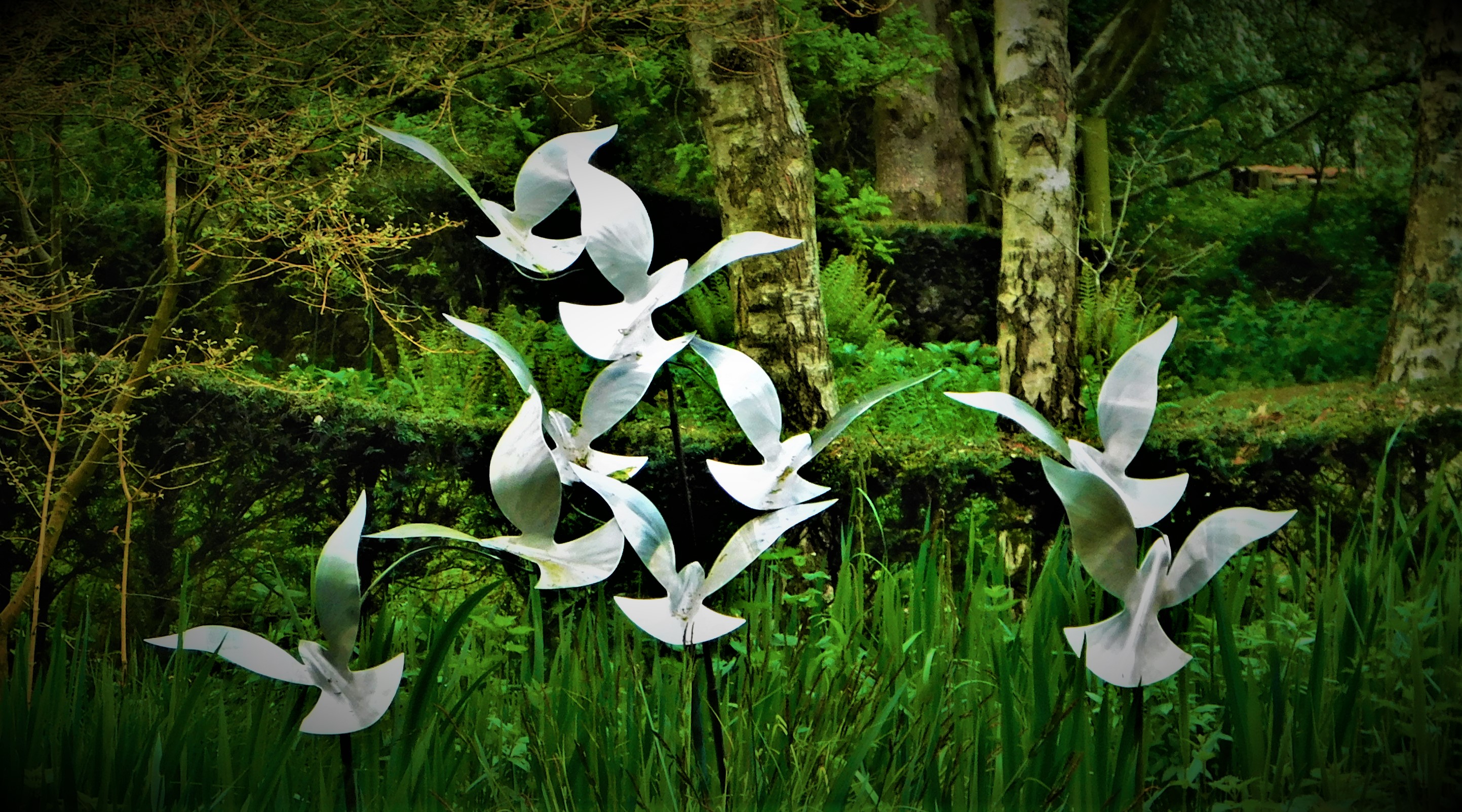
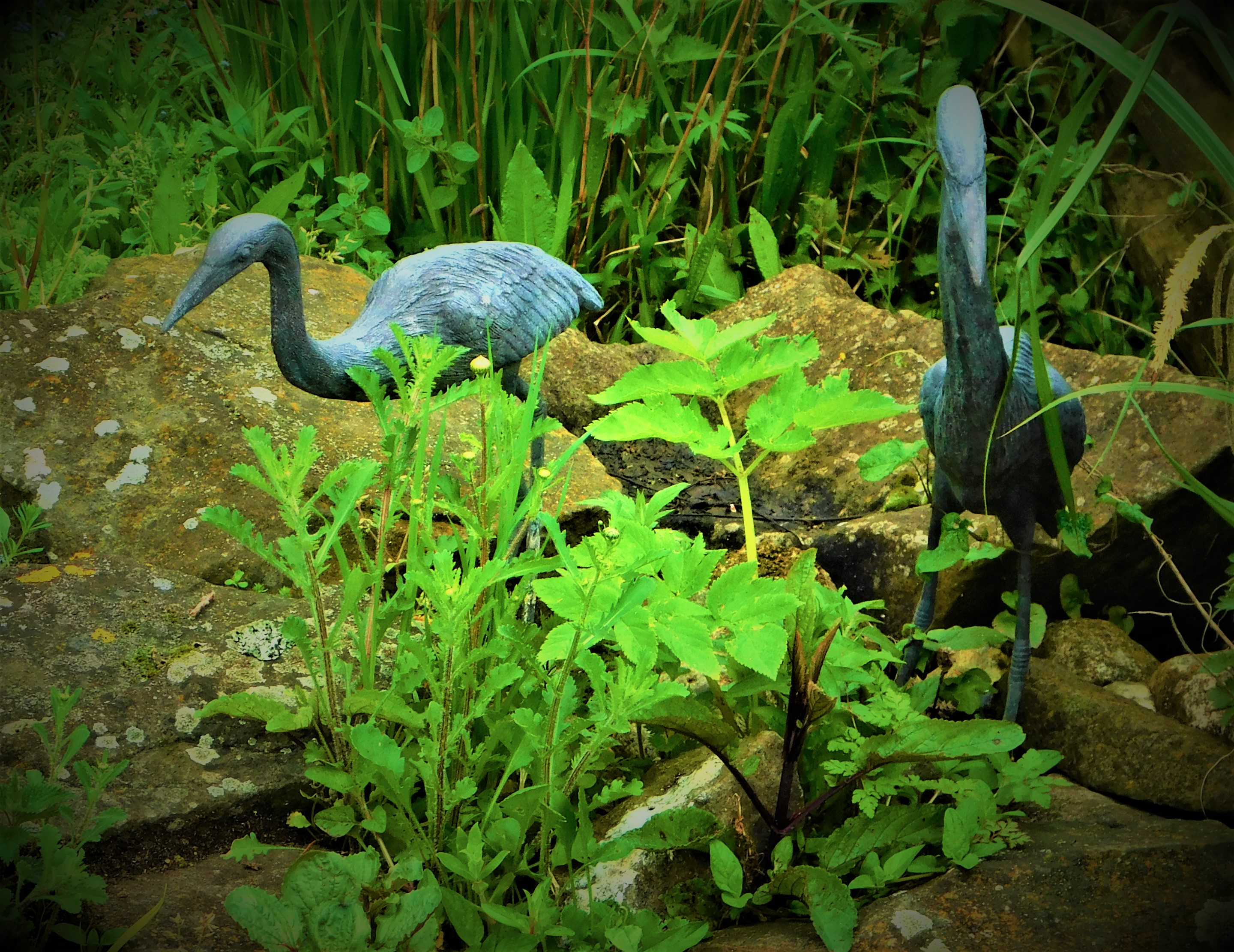
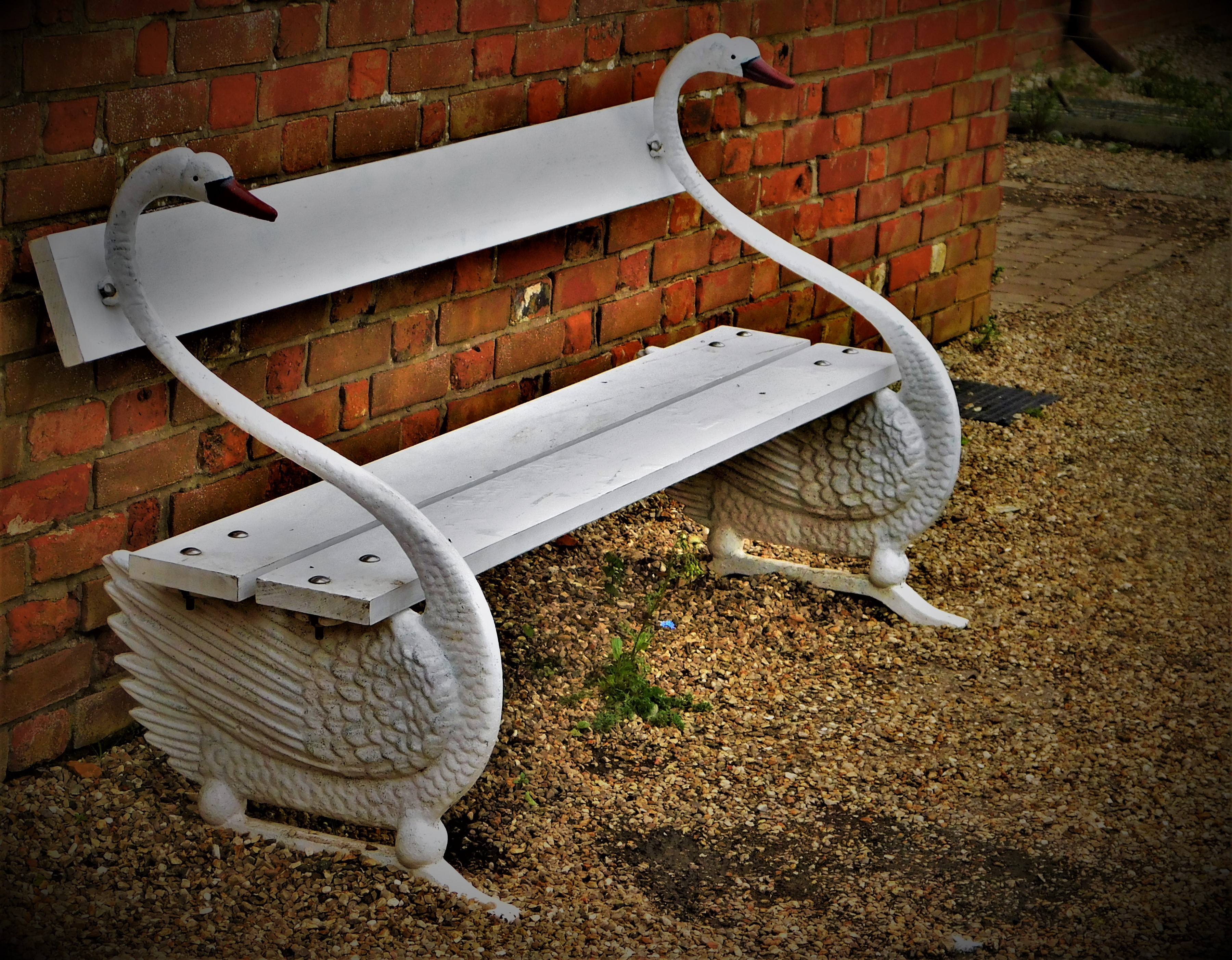
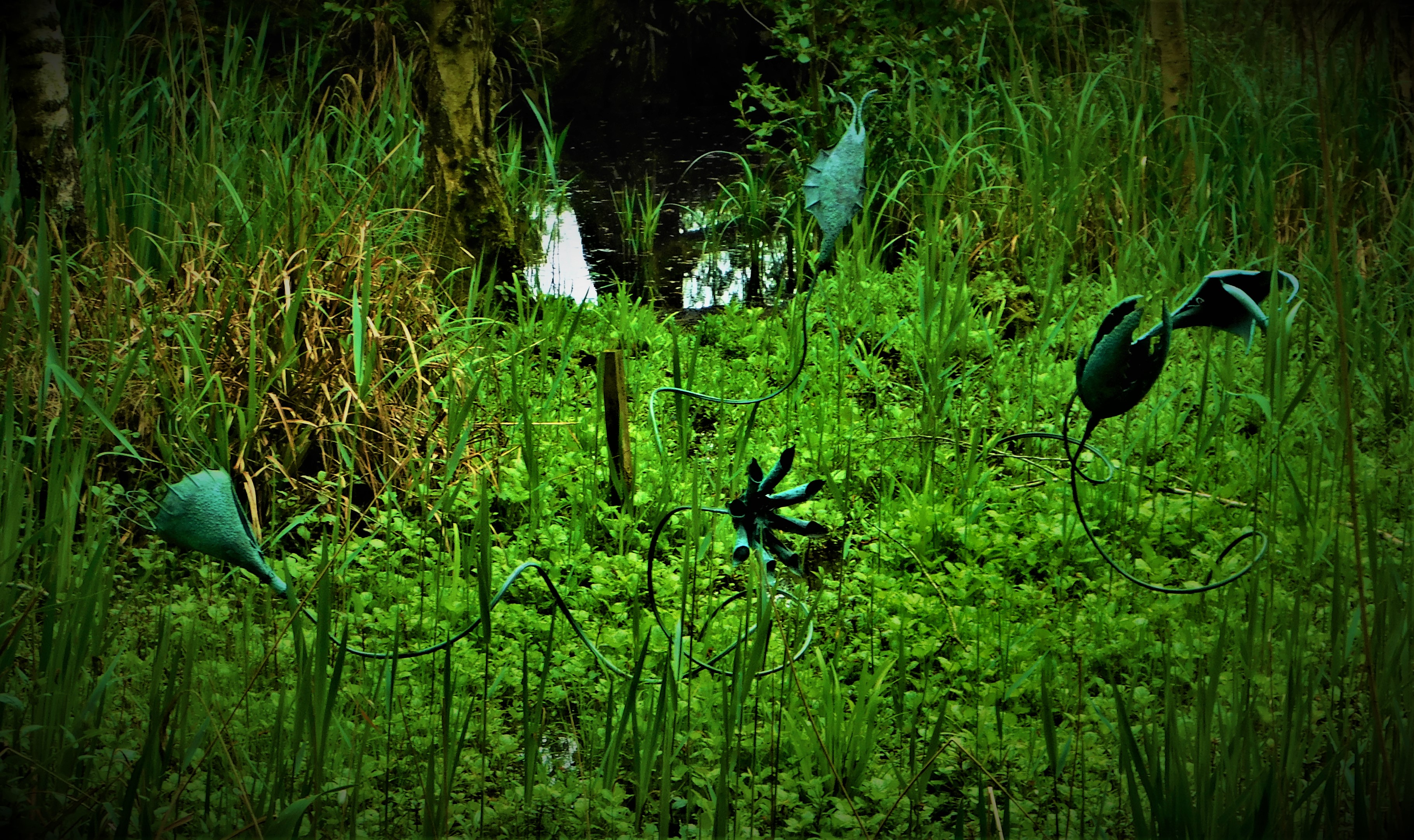
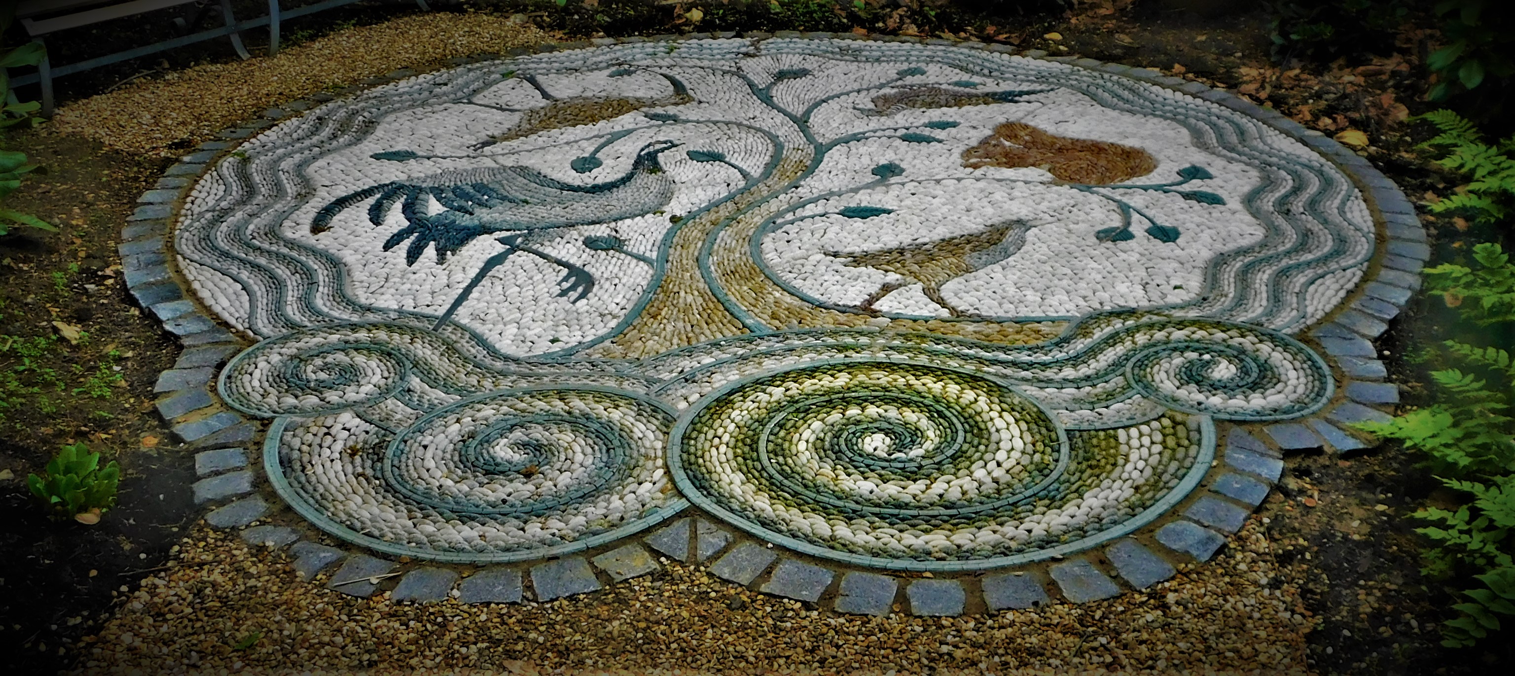
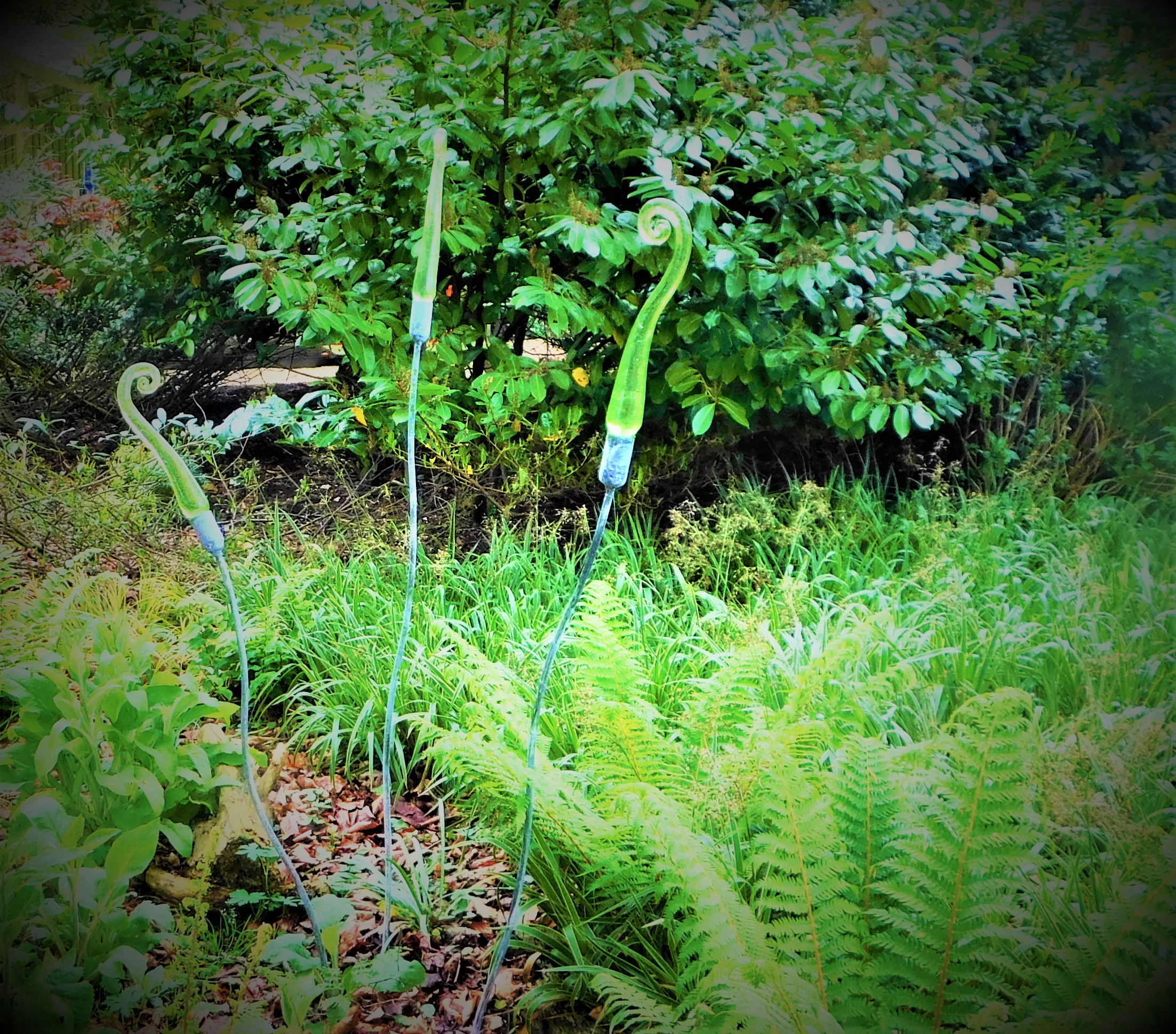
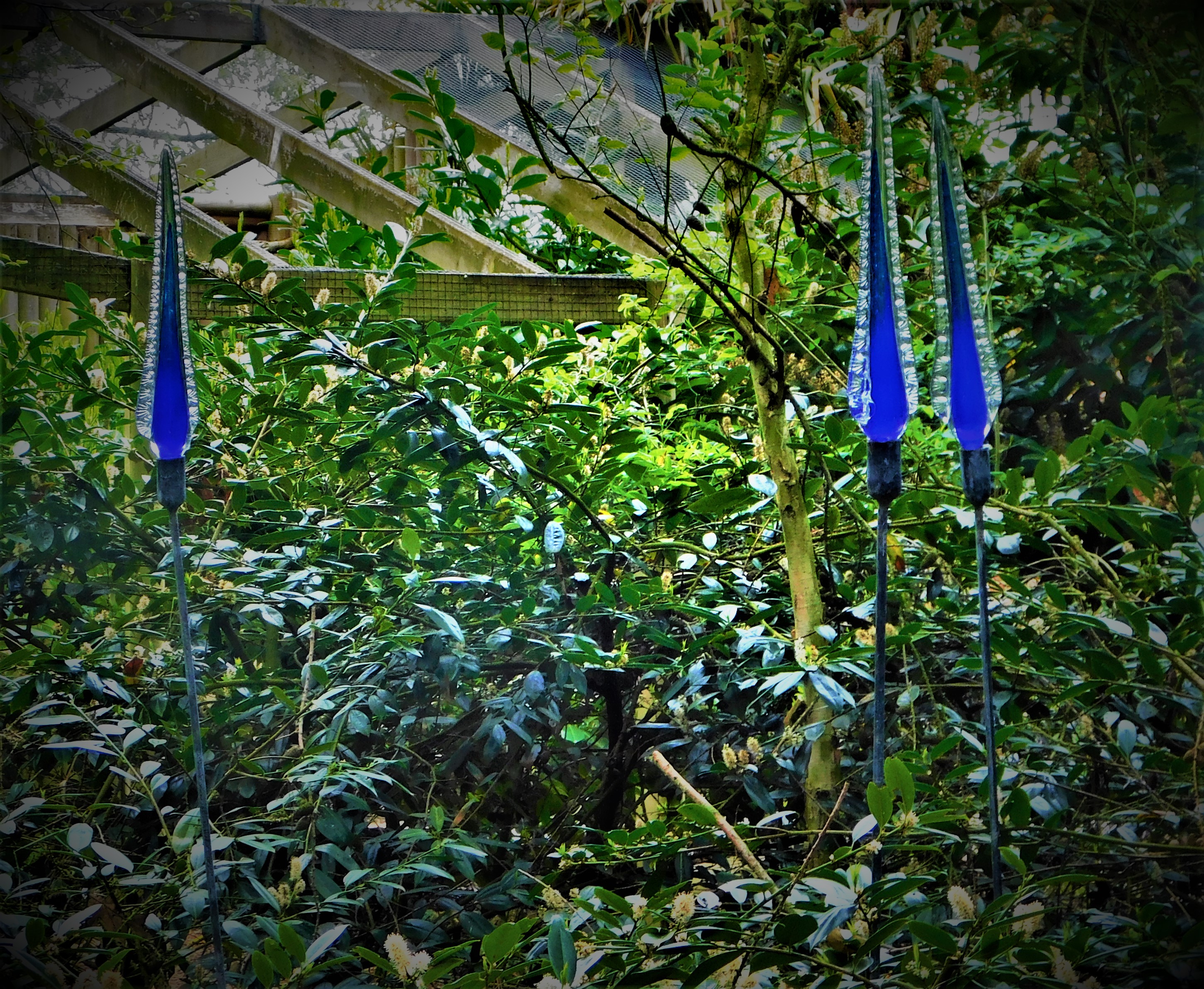
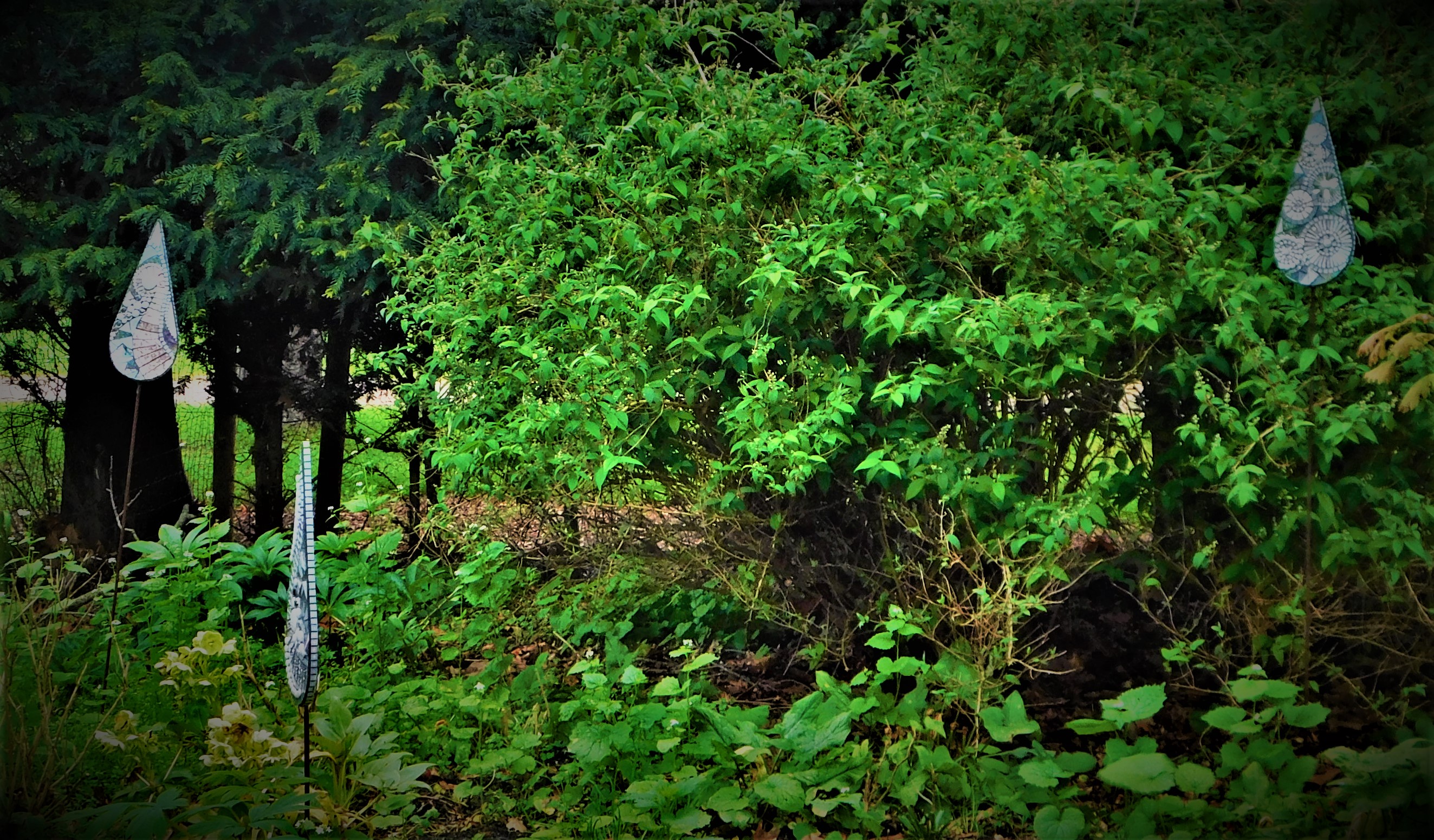
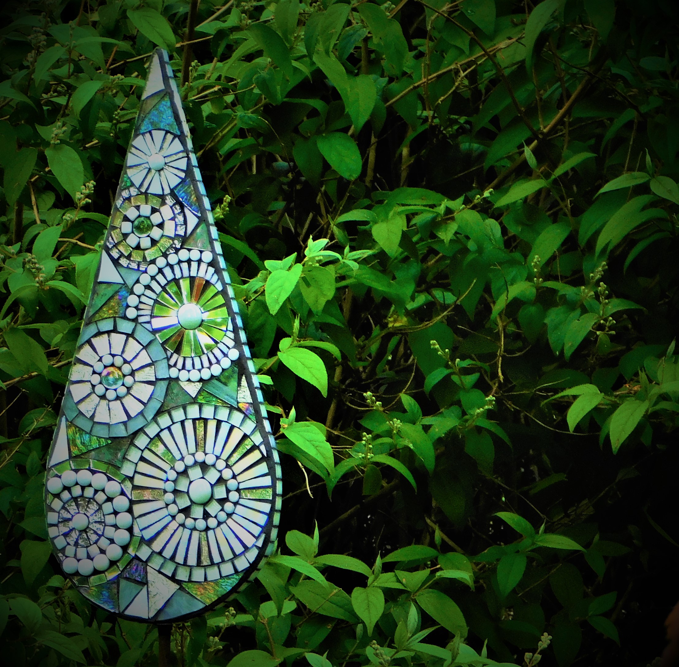
THE SCULPTURES
There are sculptures dotted around Pensthorpe, and they definitely enhance the experience. I have slightly extended the range of objects that would usually be described as sculptures by including a bench and also a mosaic. I did not specifically set myself a task of finding and imaging sculptures, I just imaged them when I happened to find them, but one could undoubtedly plan to identify and photograph every sculpture at Pensthorpe. I favour a freestyle approach to somewhere like Pensthorpe but some may prefer to be more regimented/ organized.
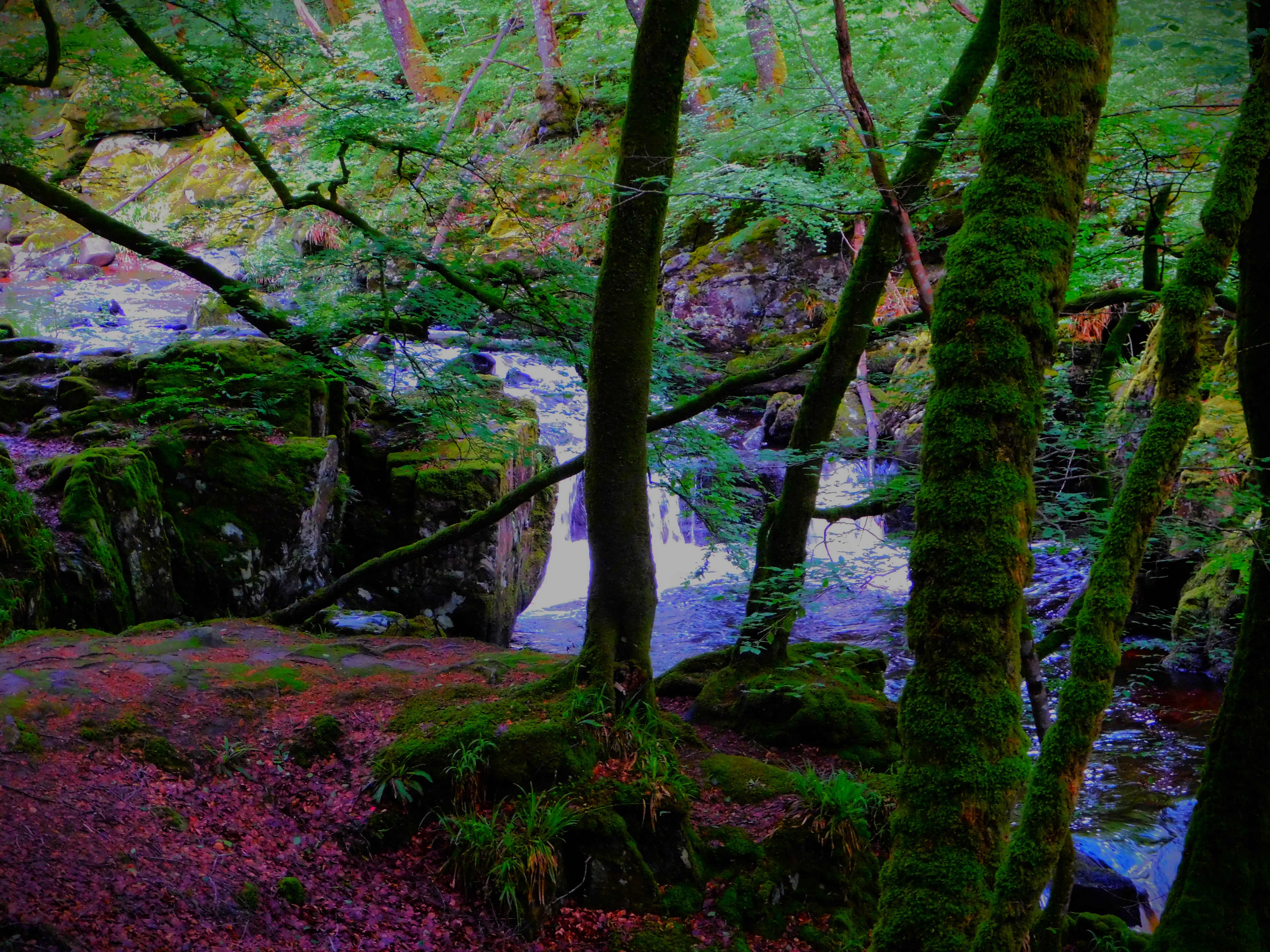
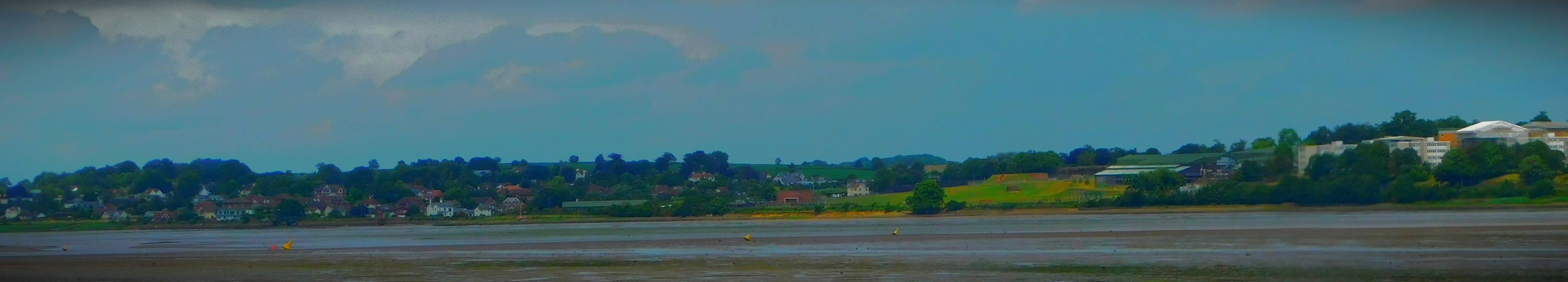
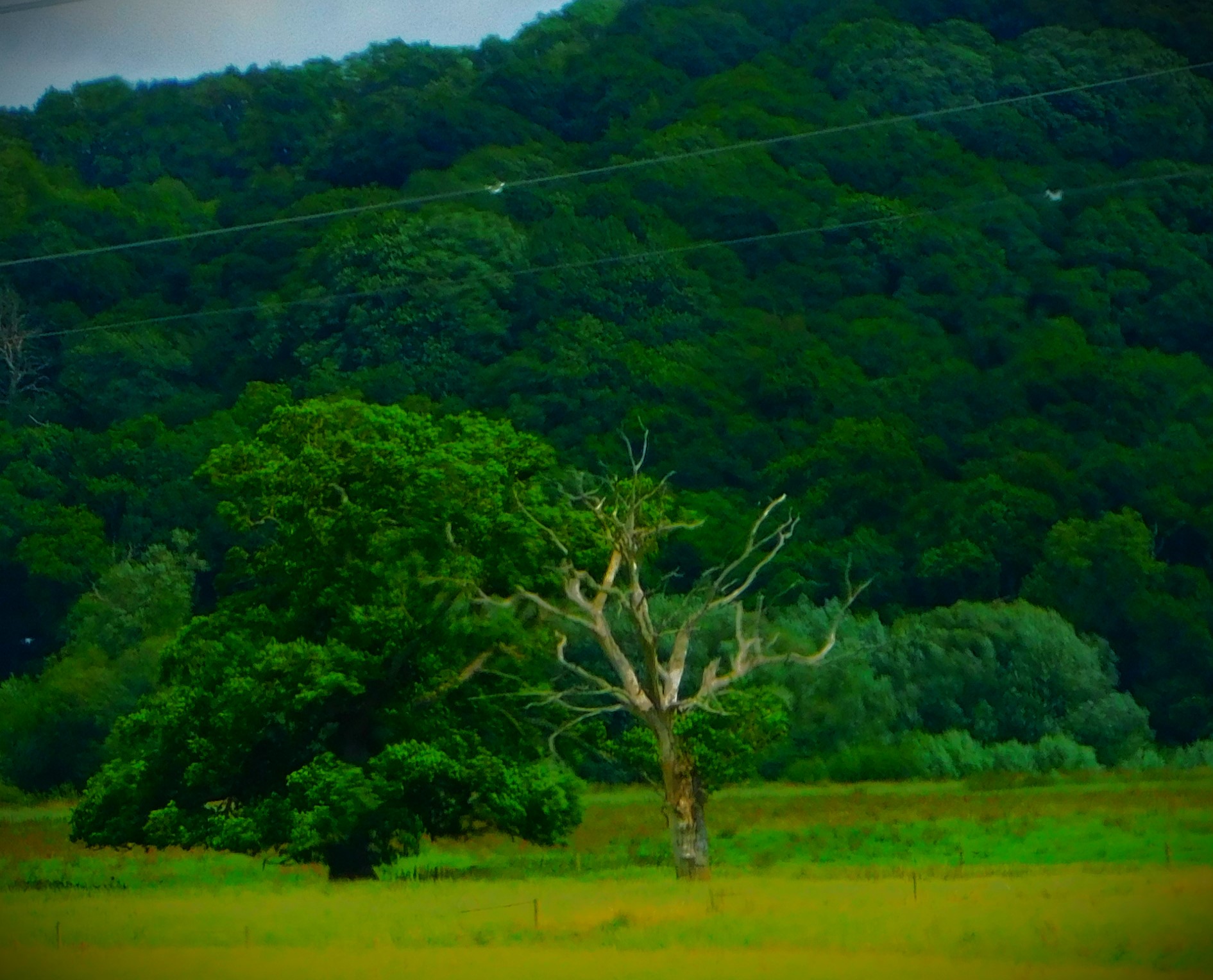
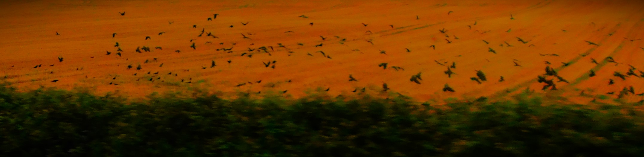
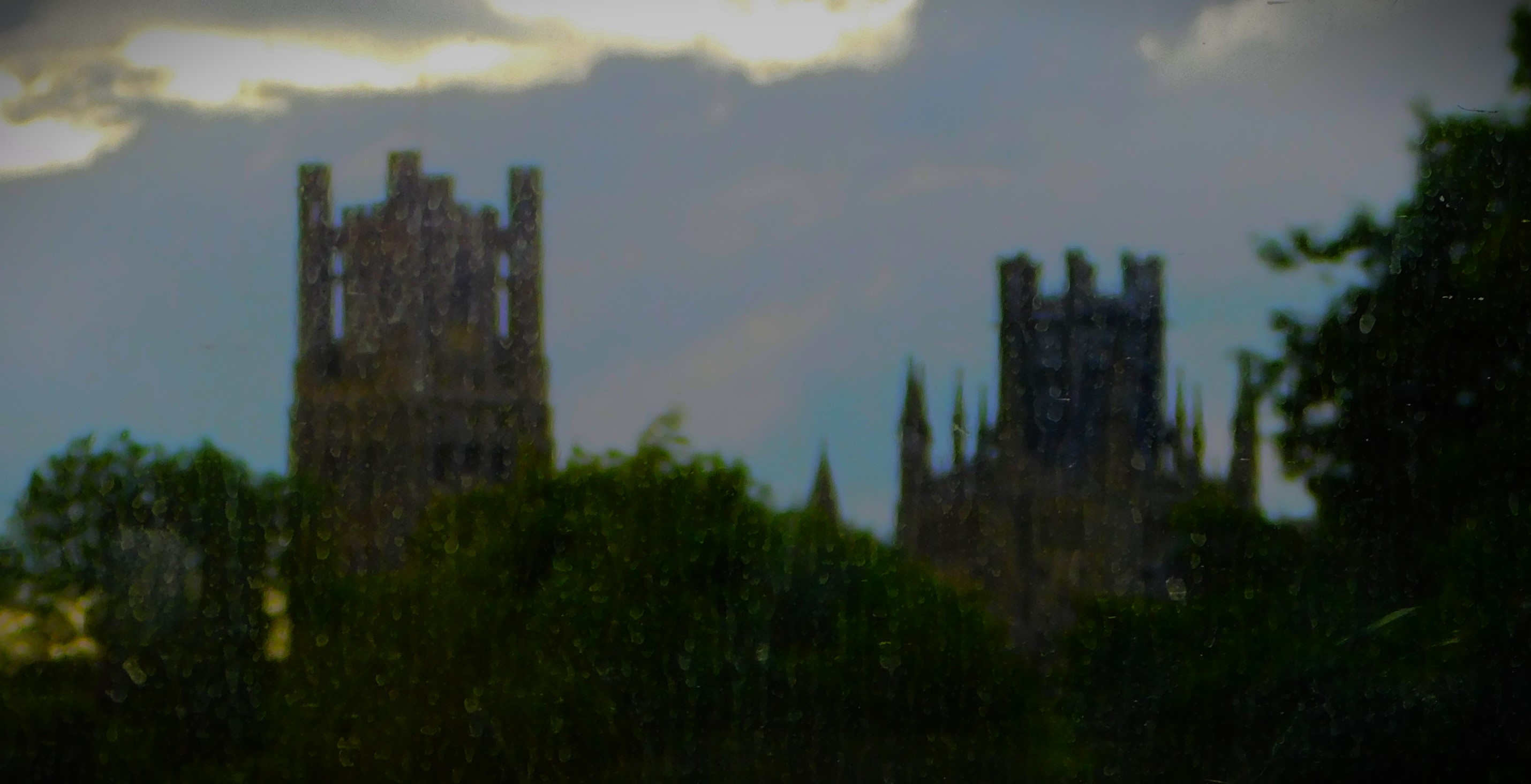
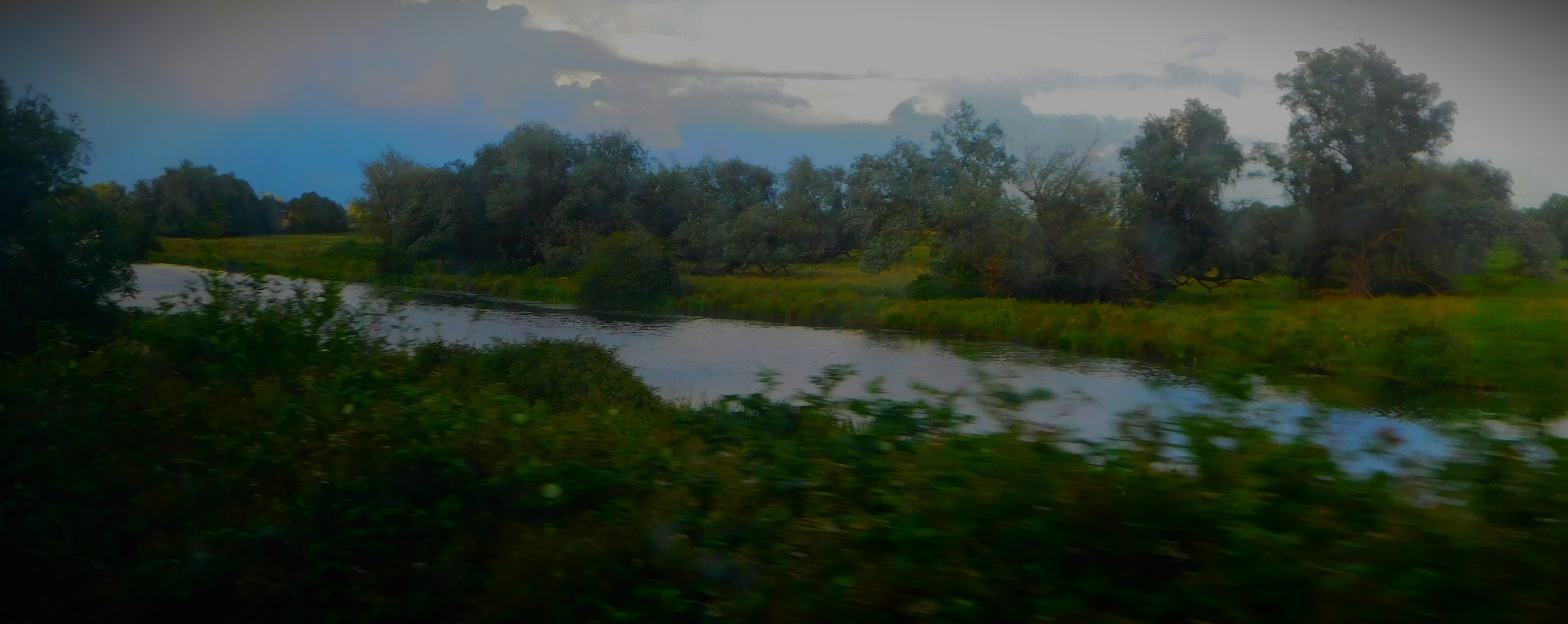
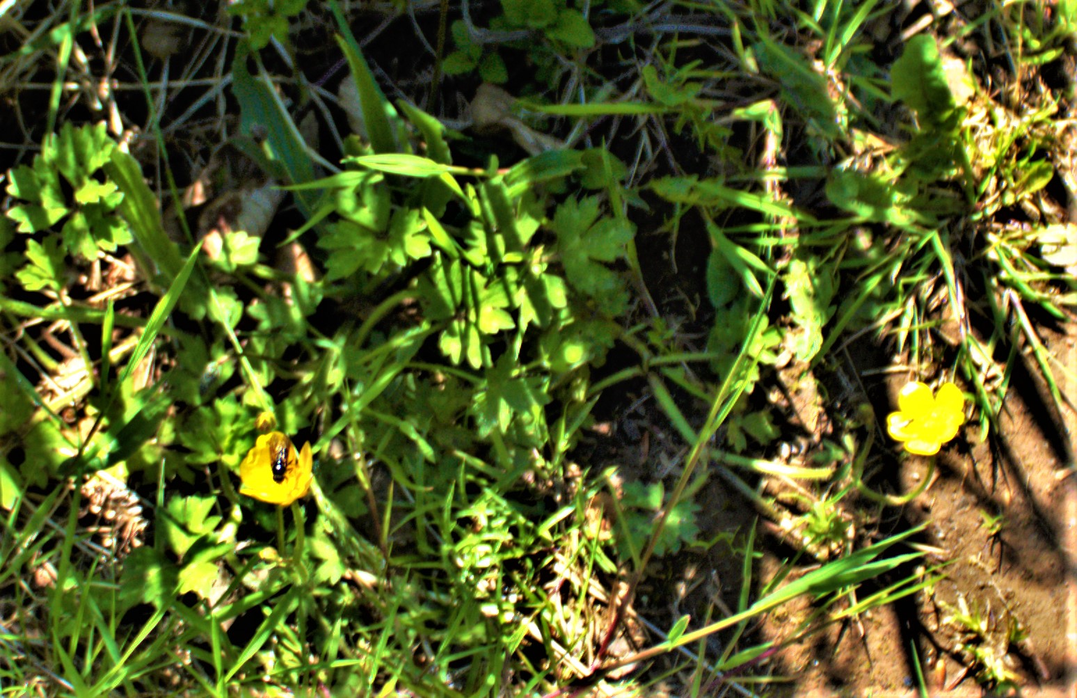
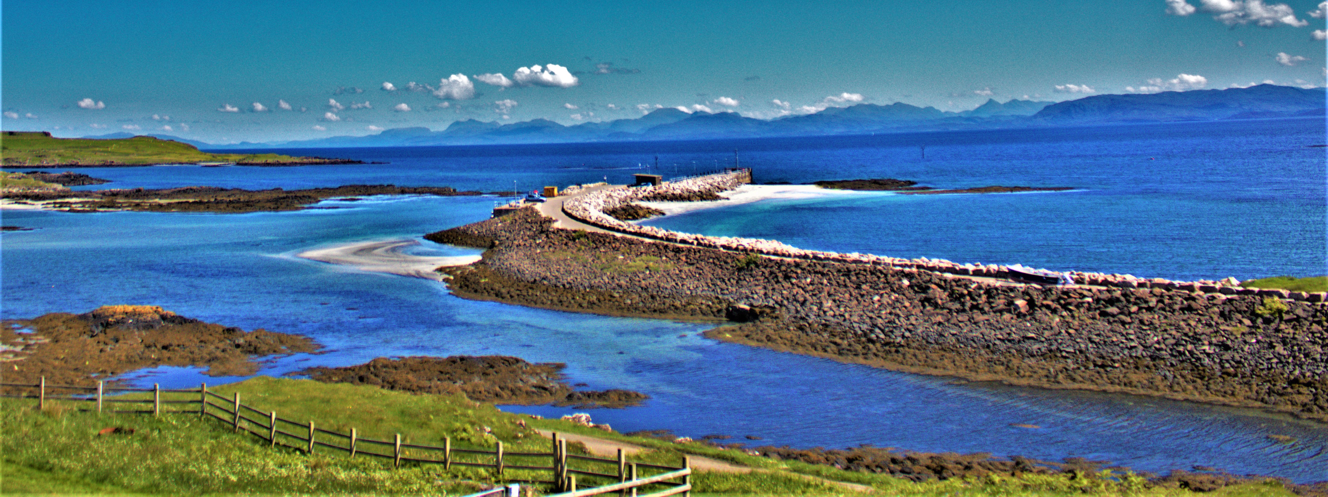
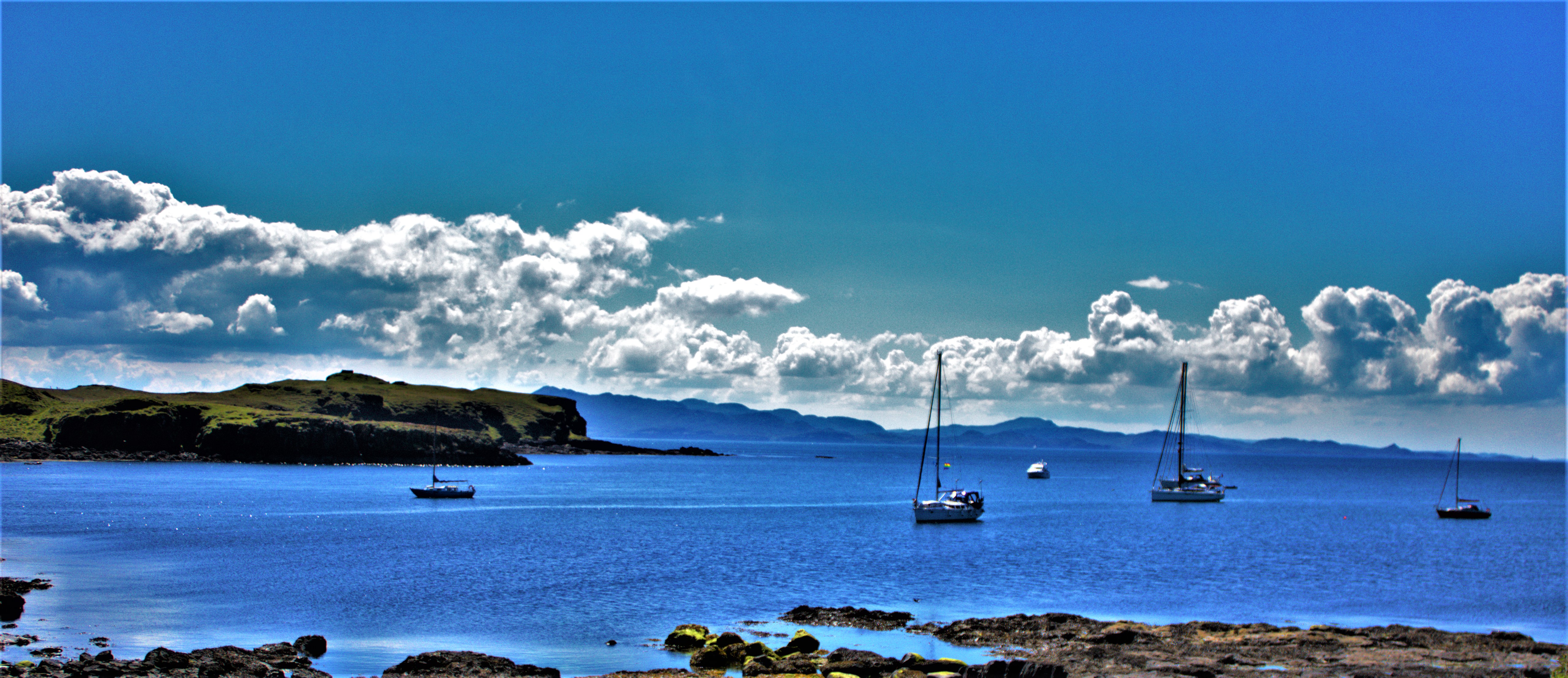
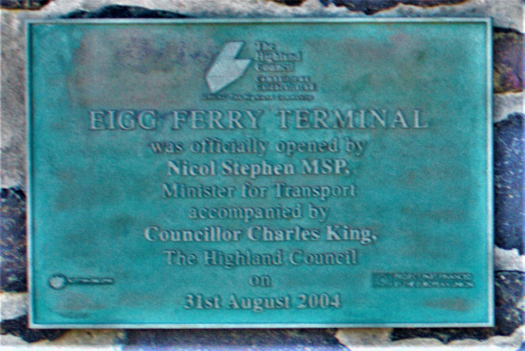
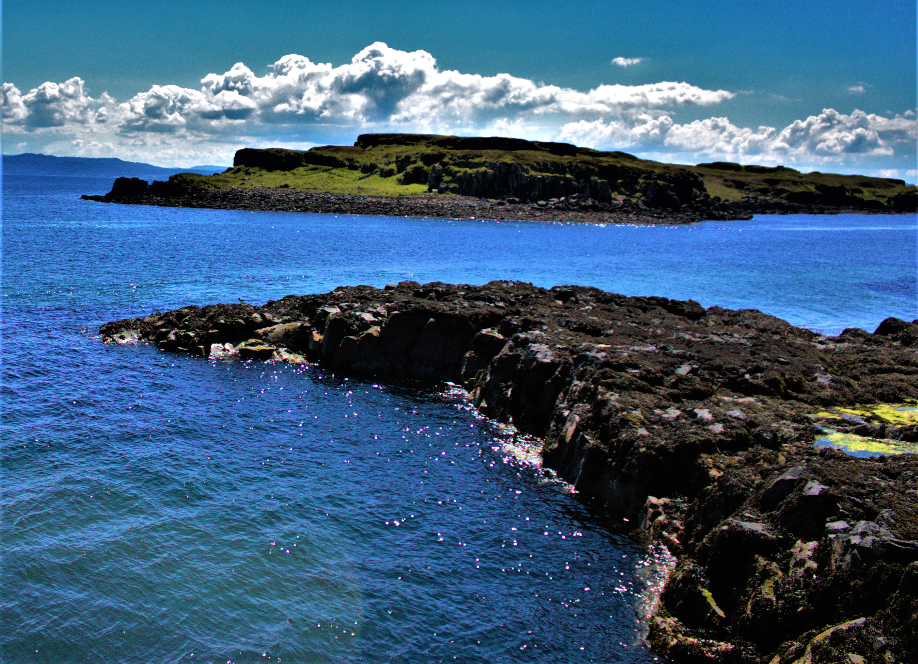
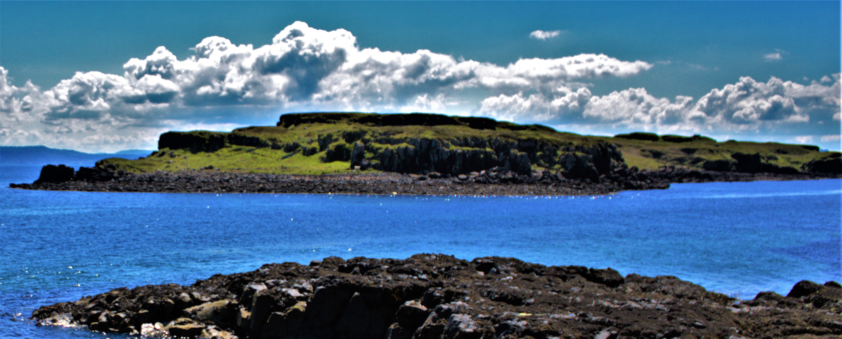
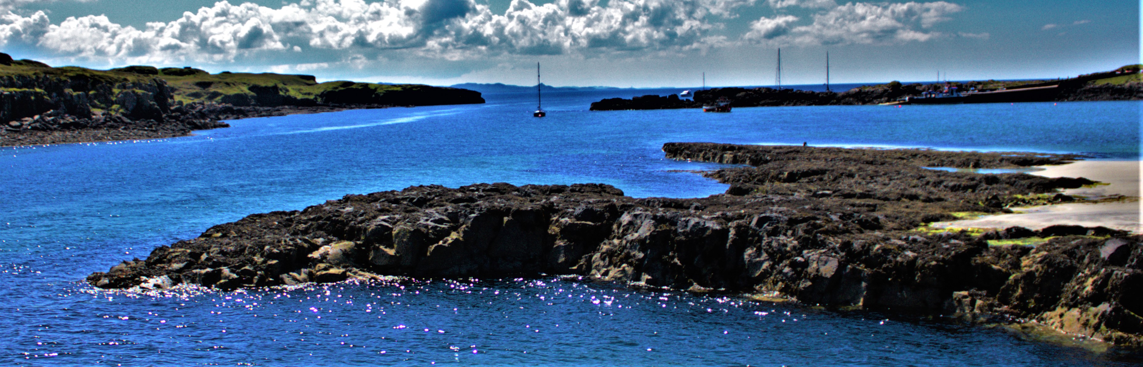
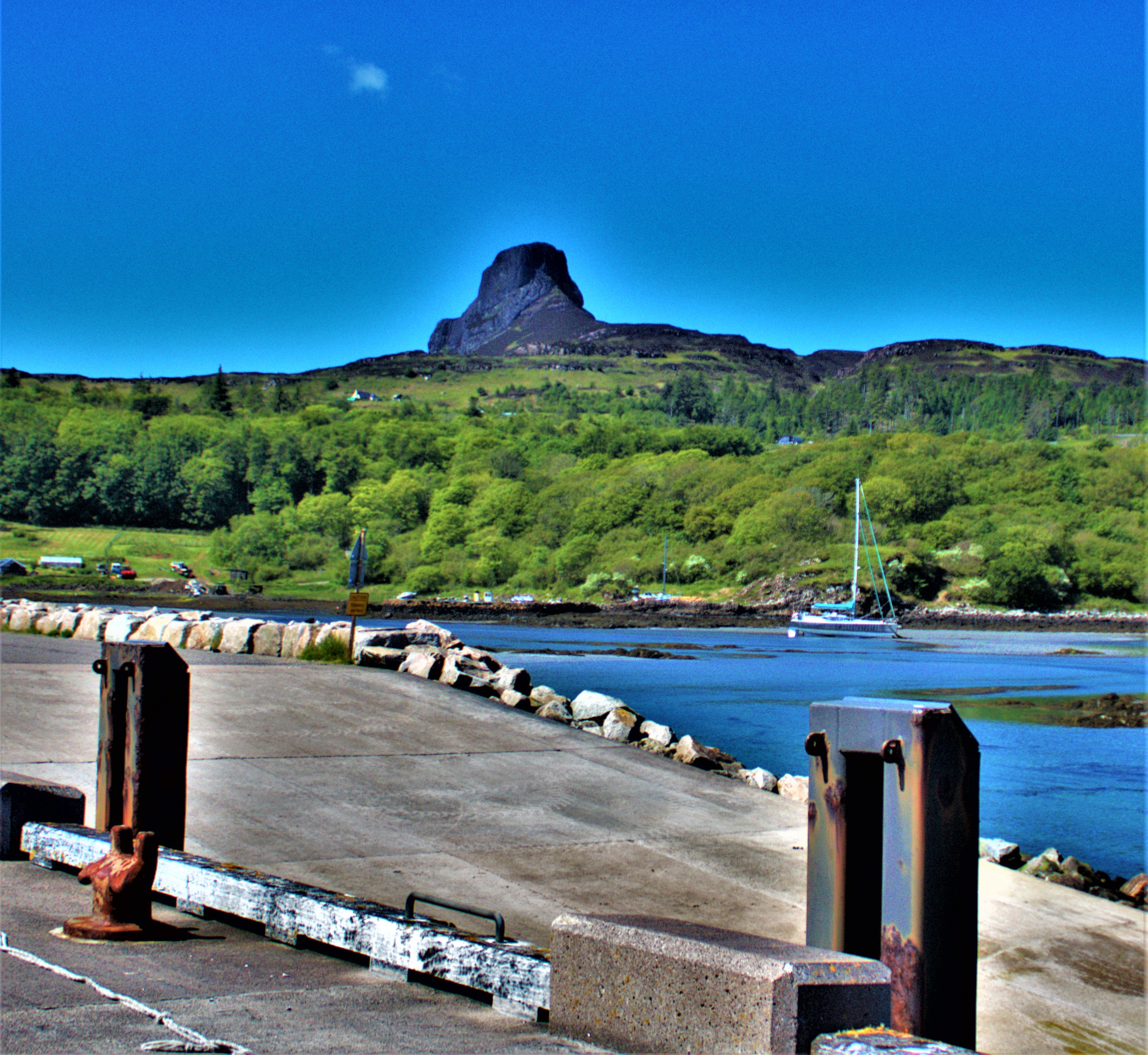
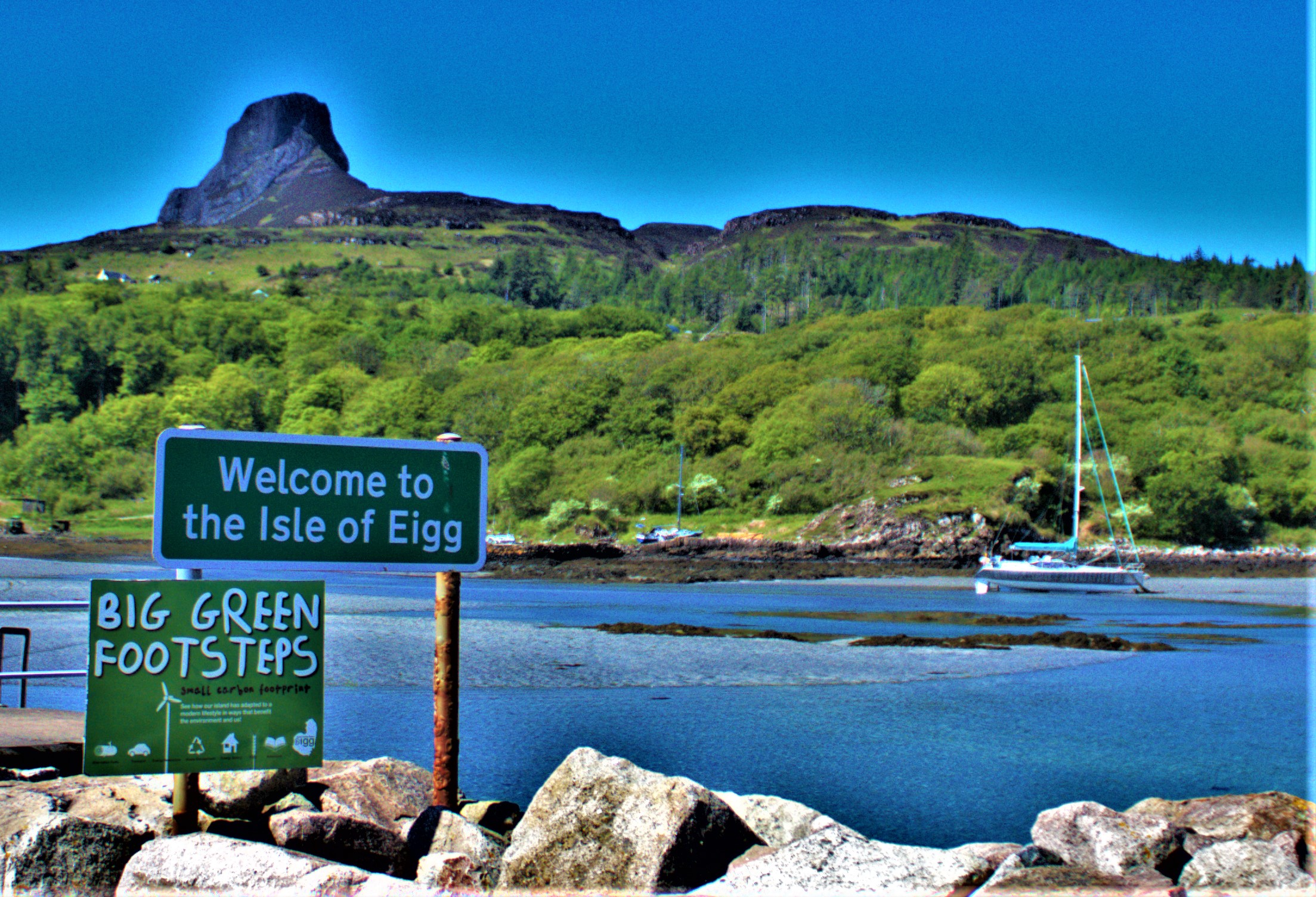
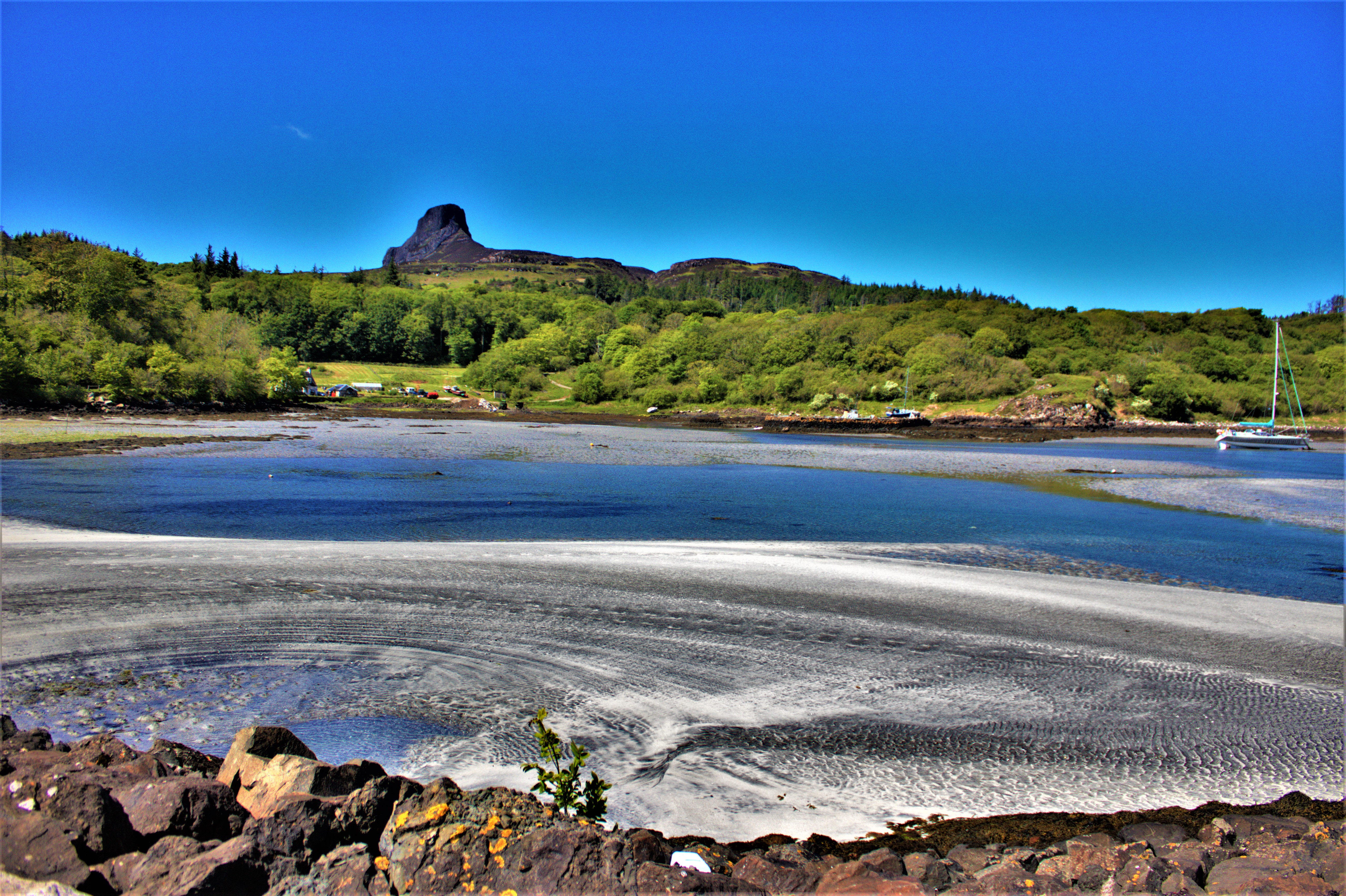
Continuing my account of my Scottish holiday with a look at the beautiful and interesting island of Eigg.
I continue my account of my Scottish holiday with a look at our explorations of the island of Eigg, the third of four posts devoted to Friday (see here and here).
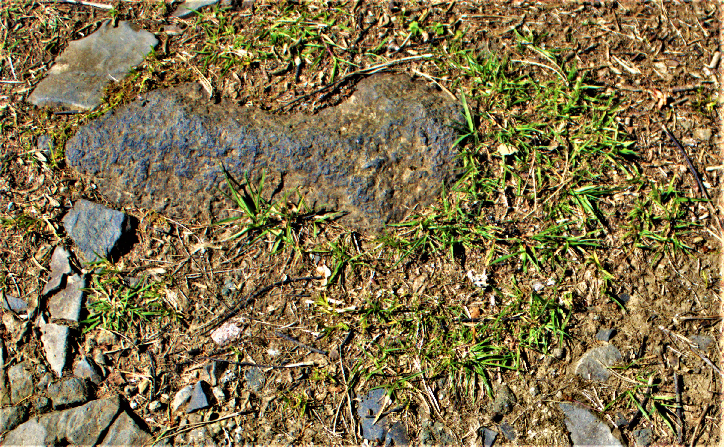
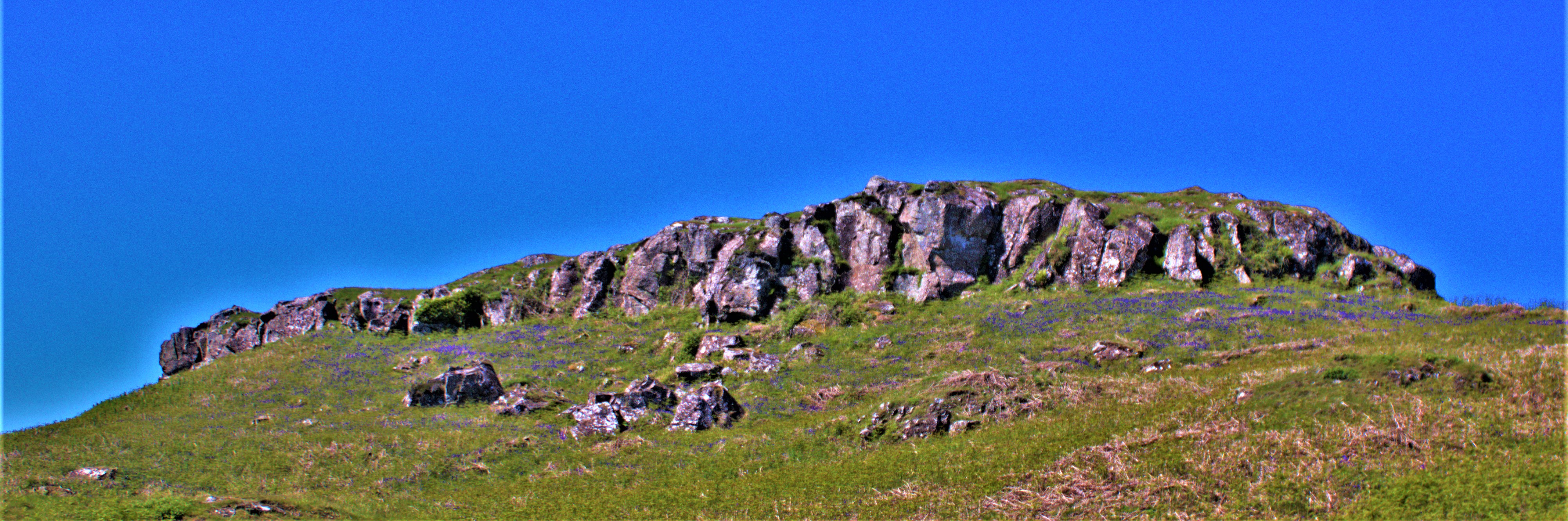
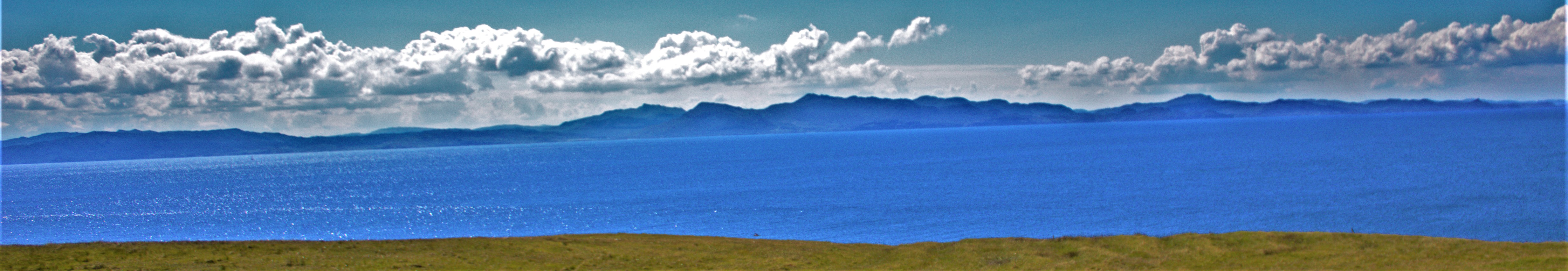
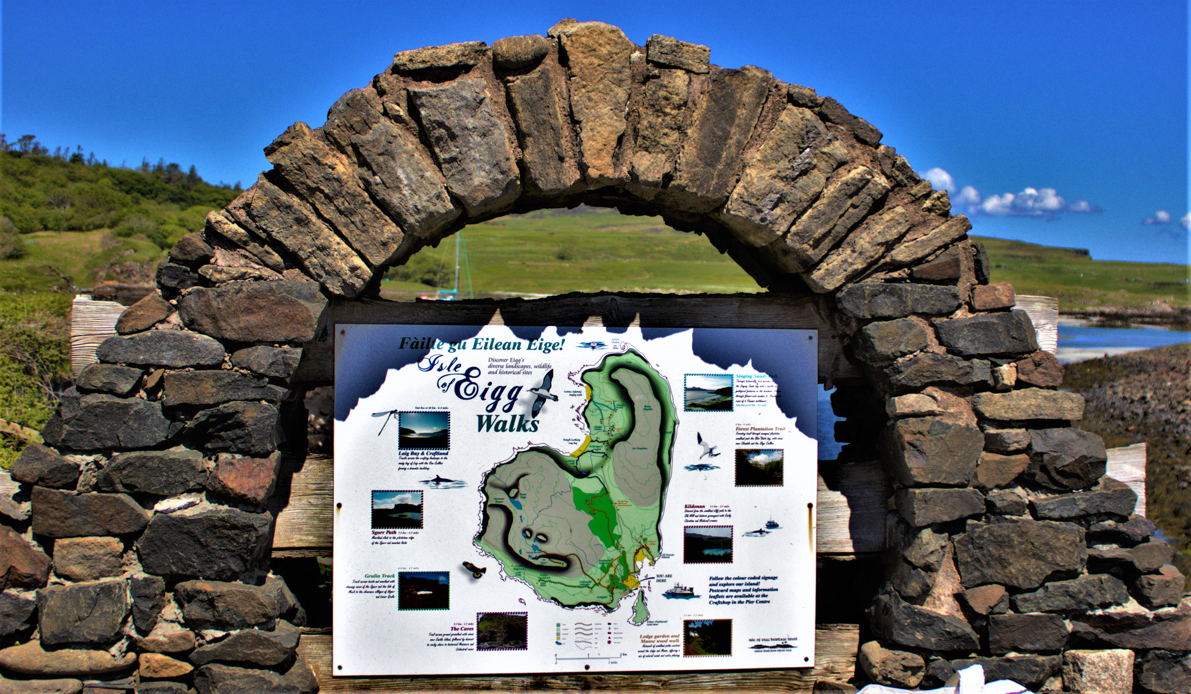
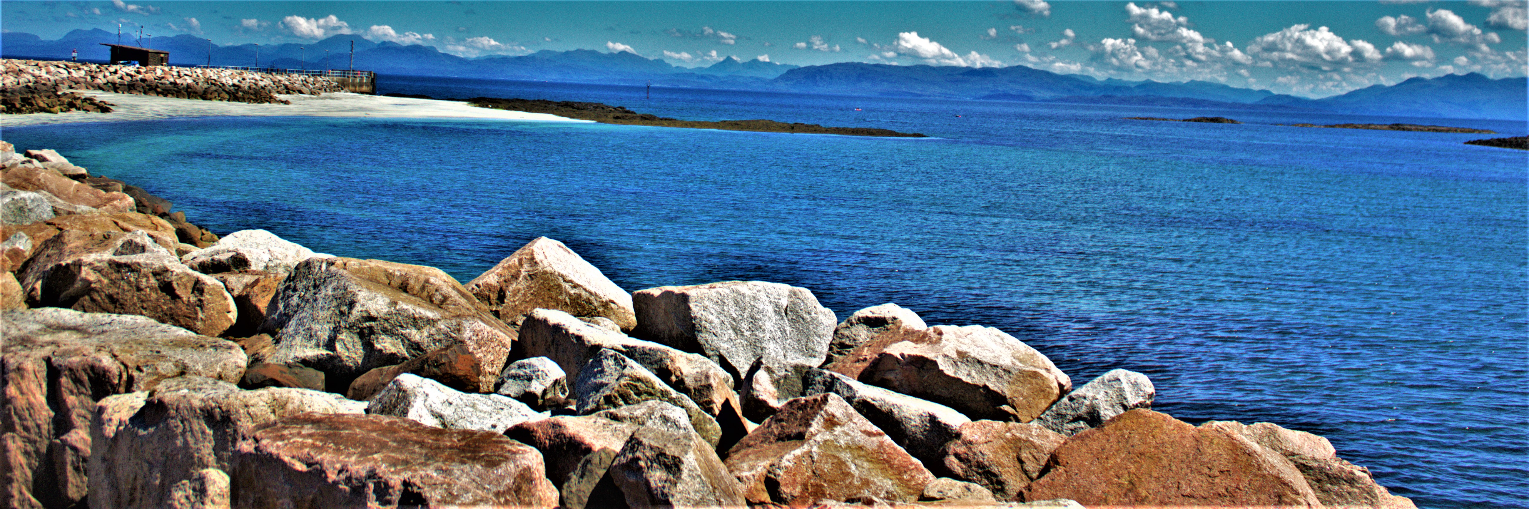
THE EXPLORATION
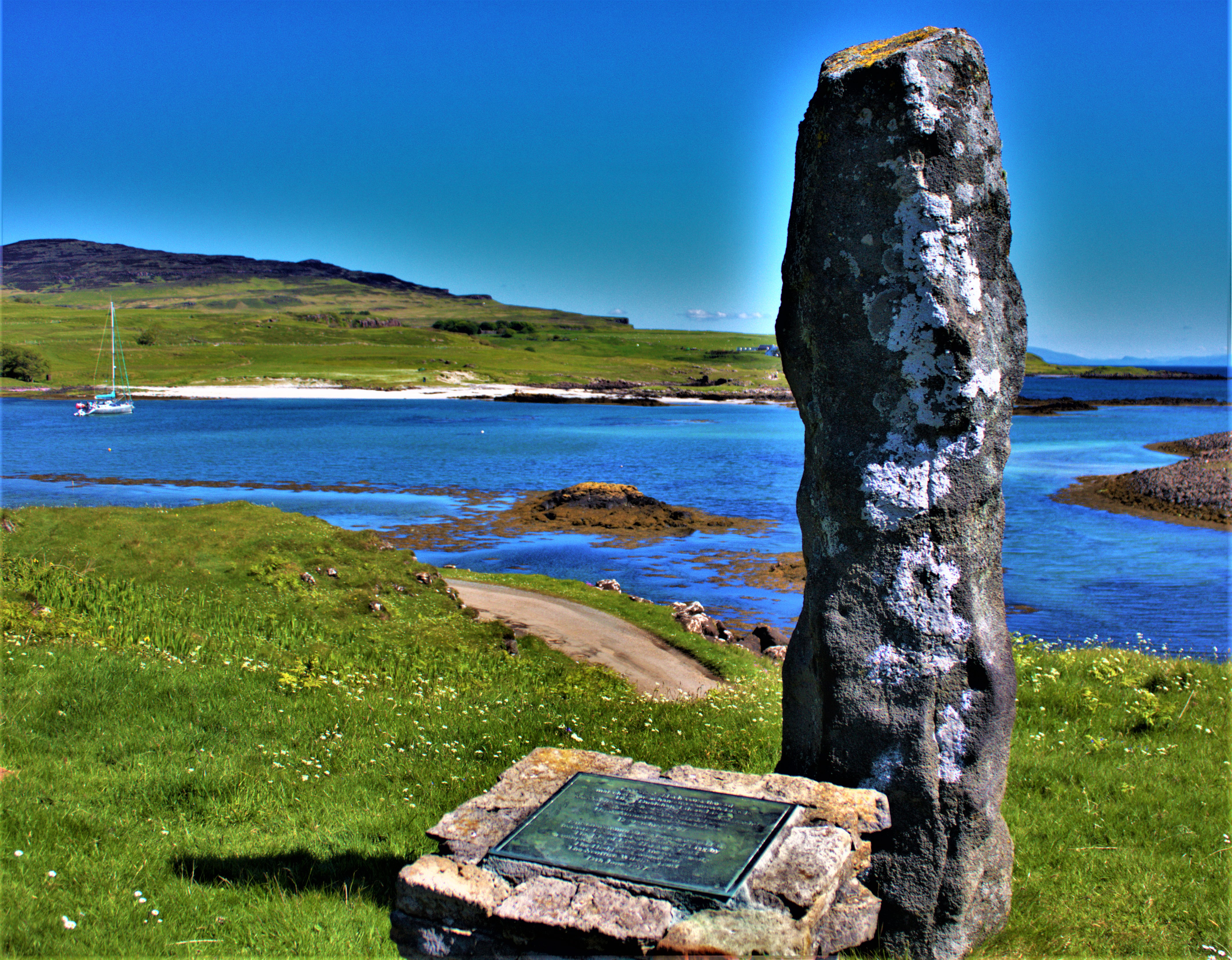
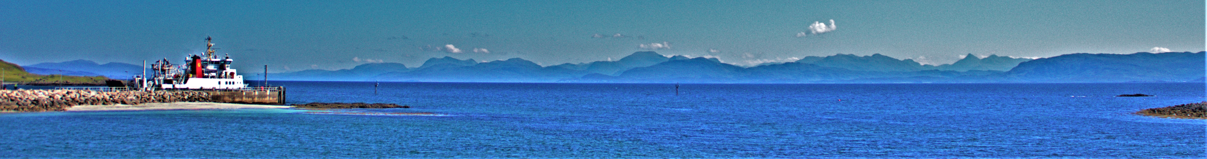
There are a cafe and a shop right where the boat drops one on the island of Eigg. Having noted the existence of these establishments we began our explorations. The first point of interest was some information about the island itself:
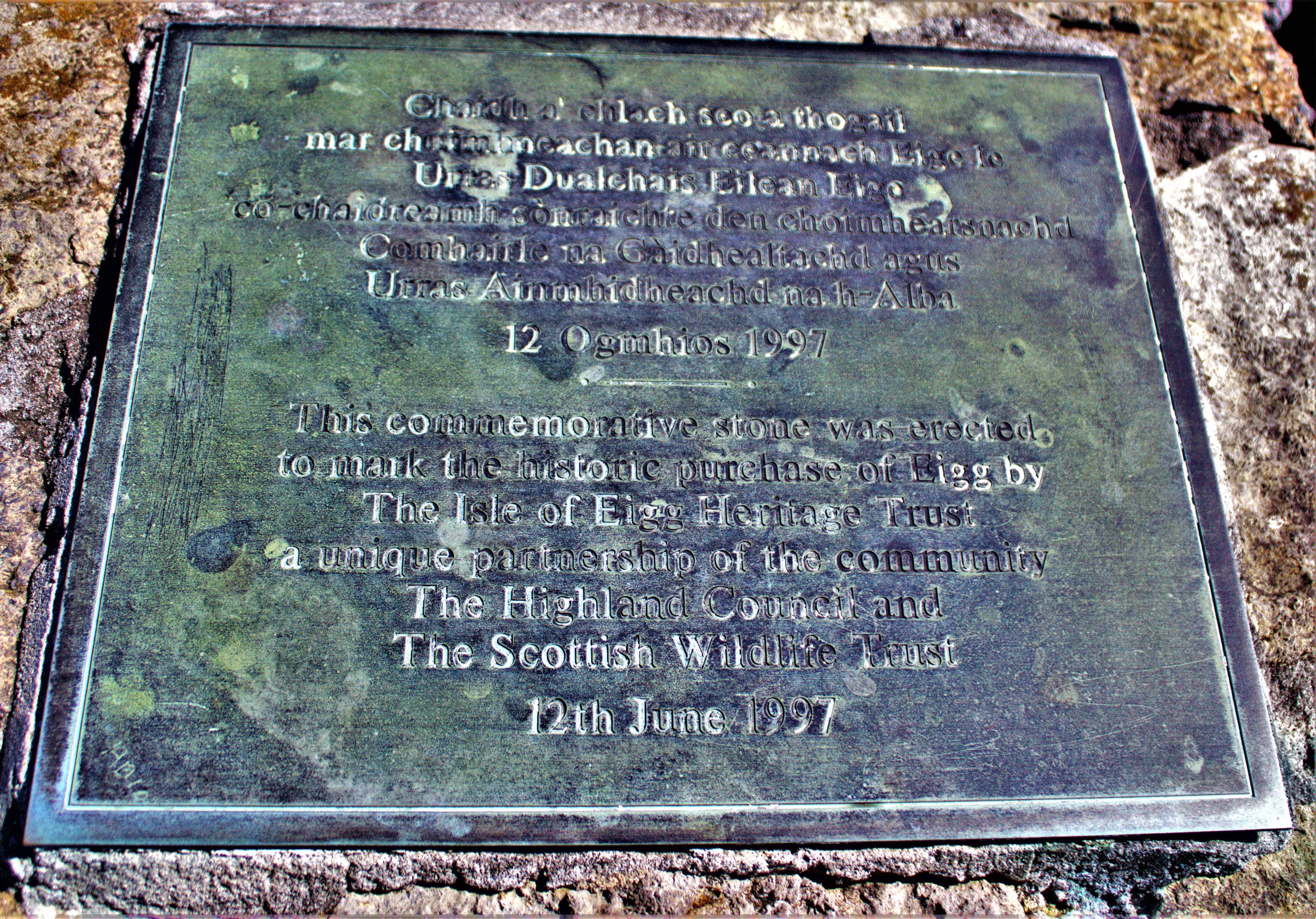
We then came to a memorial…
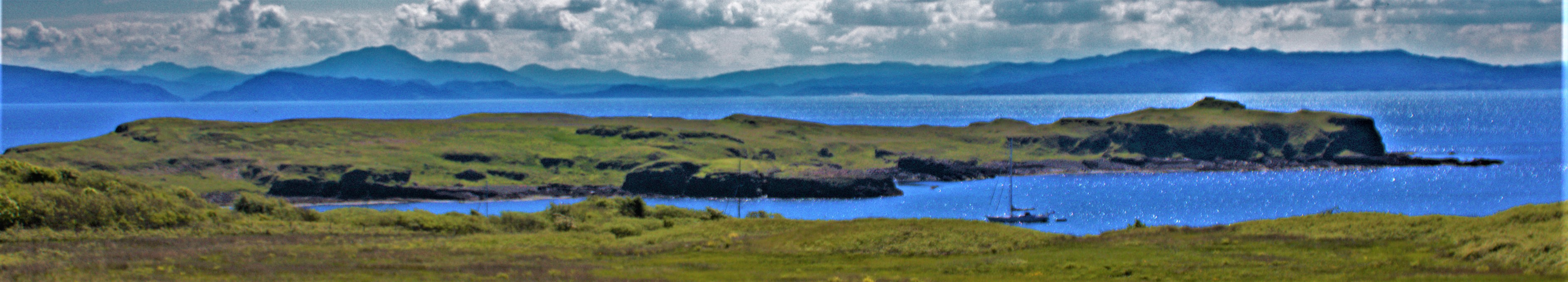
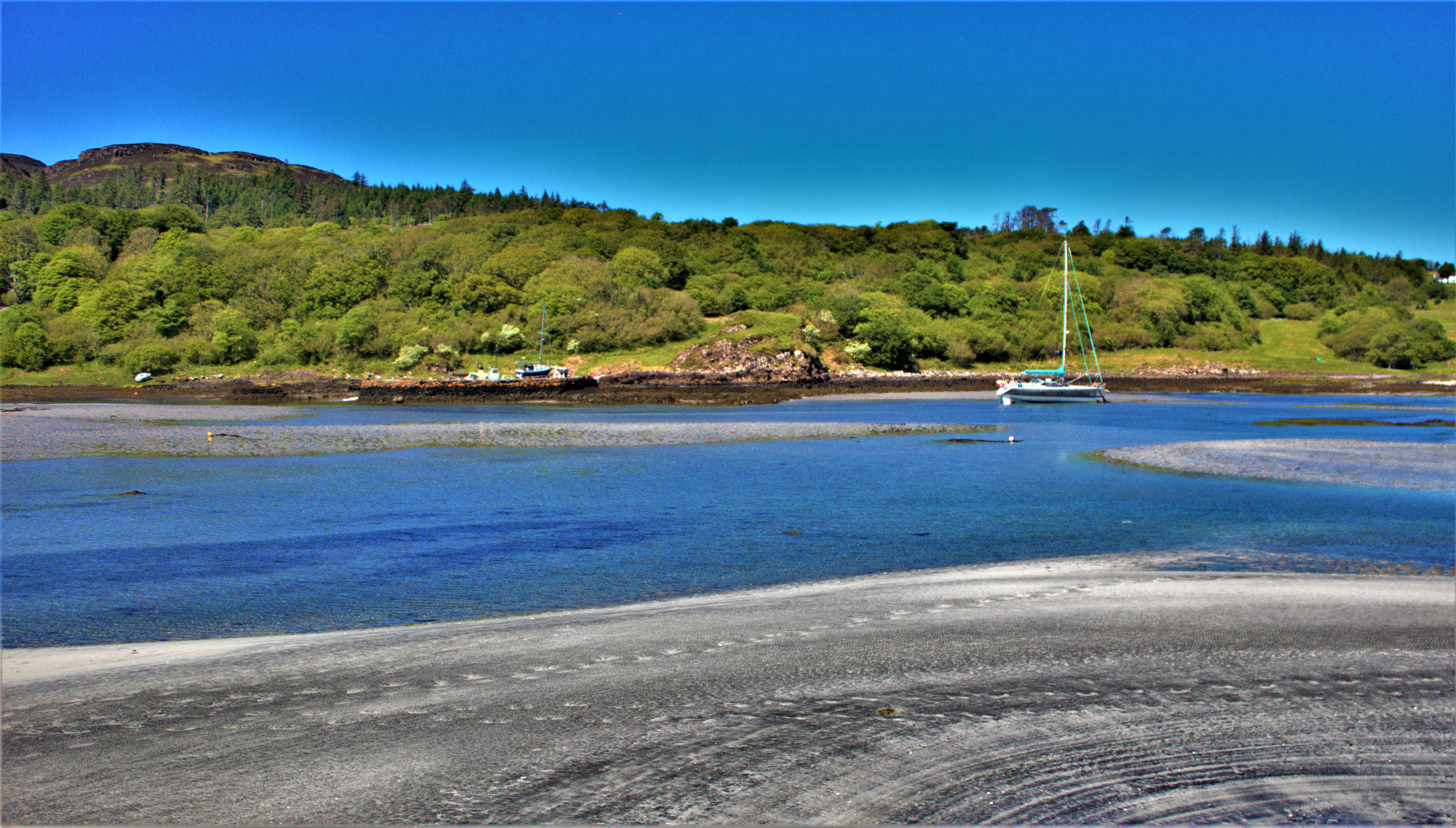
Then it was walk uphill, until we came to a footpath that we took. Conscious of time constraints we did not go massively far along the path, though what we saw was very scenic…
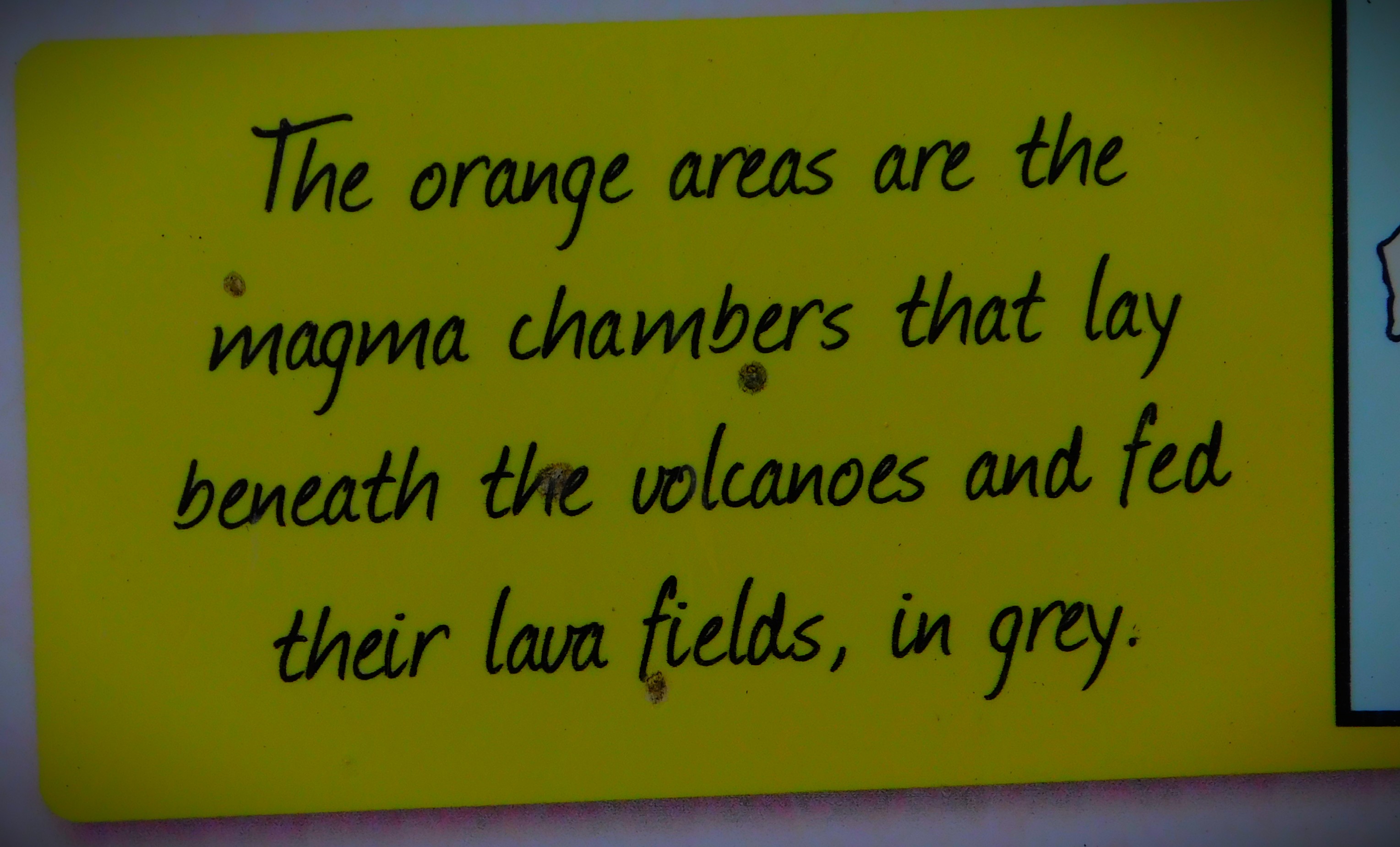
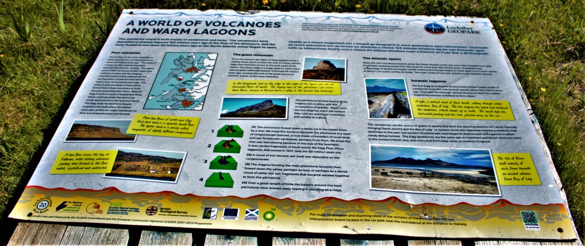
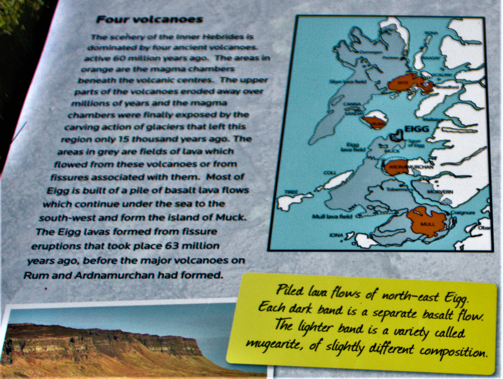
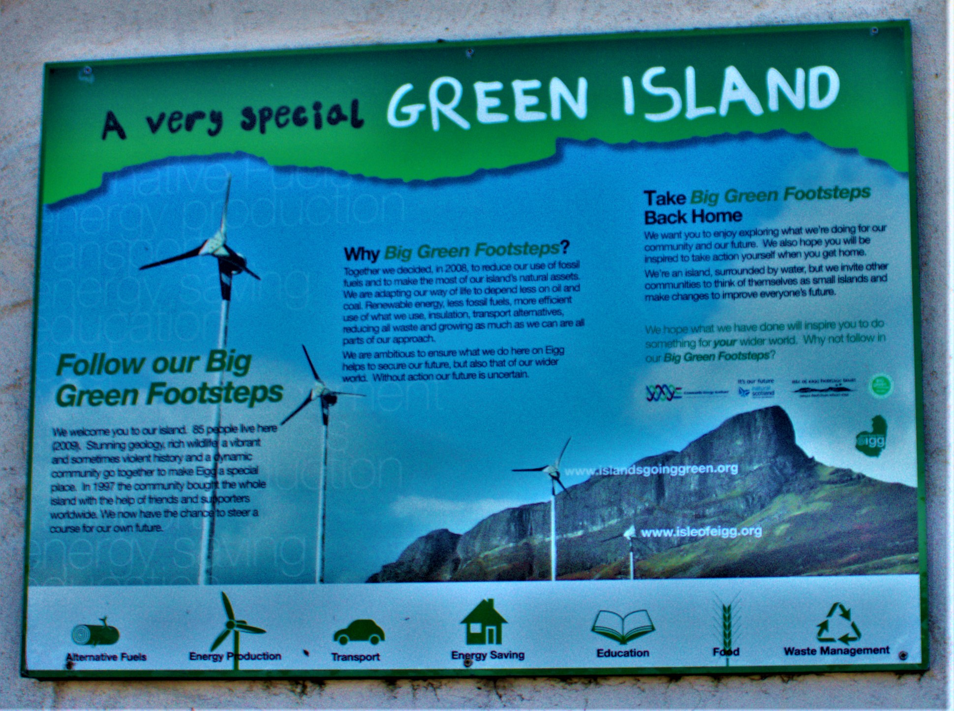
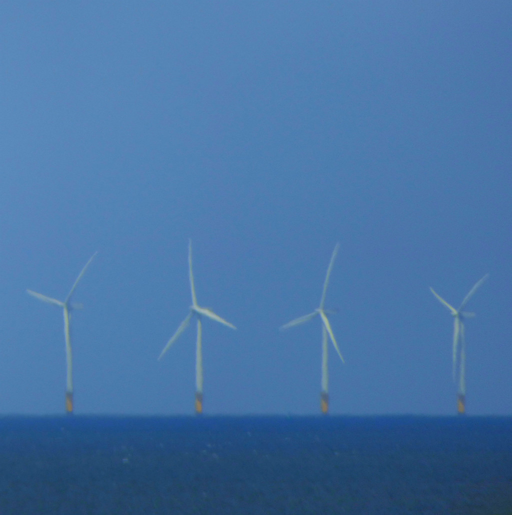
There were some more information boards before we got back to the cafe, which we were now ready to patronise. First this, about the geology of the inner Hebrides:
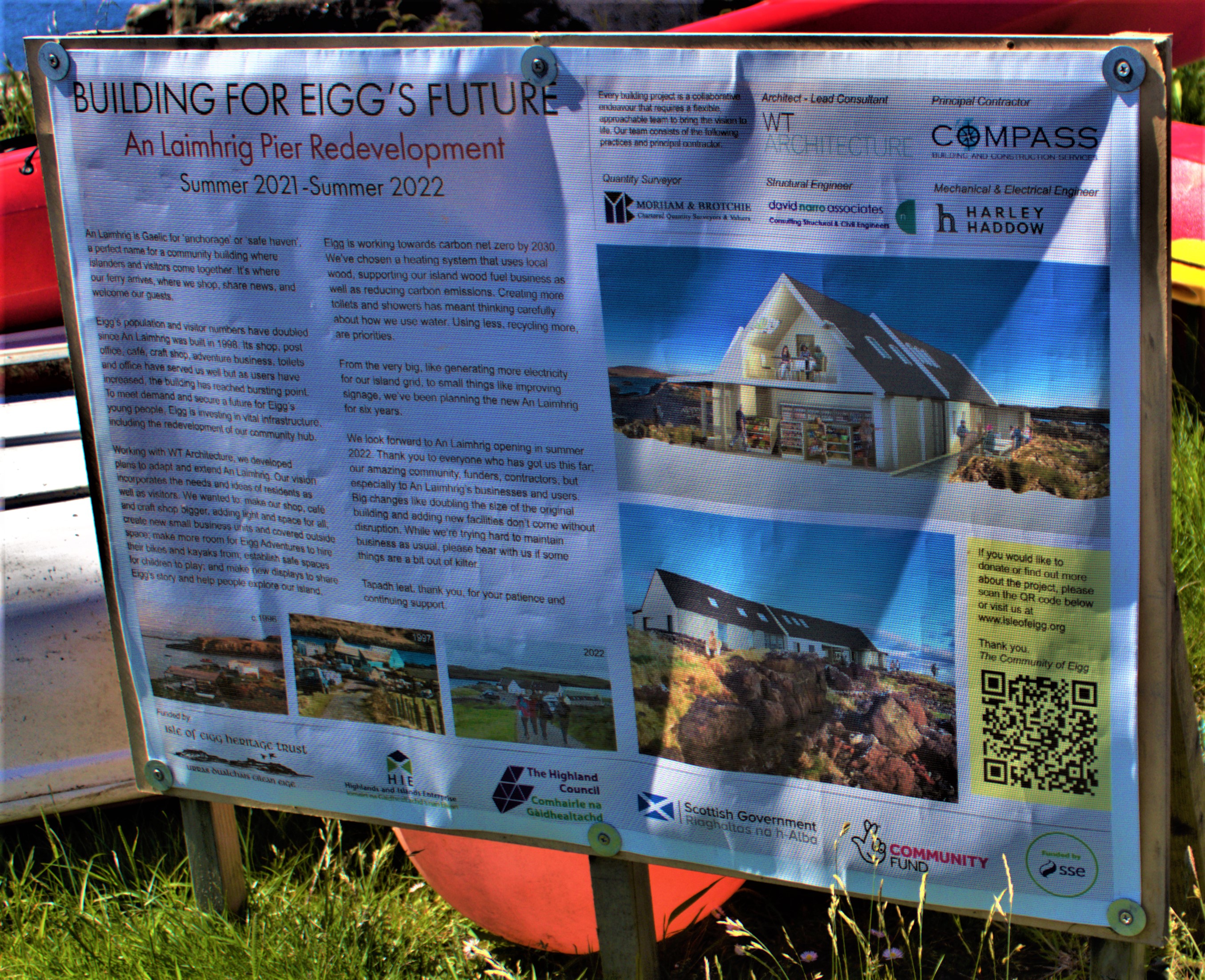
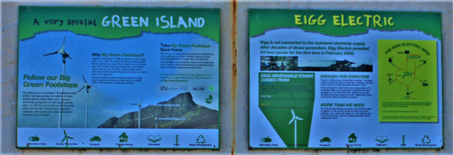
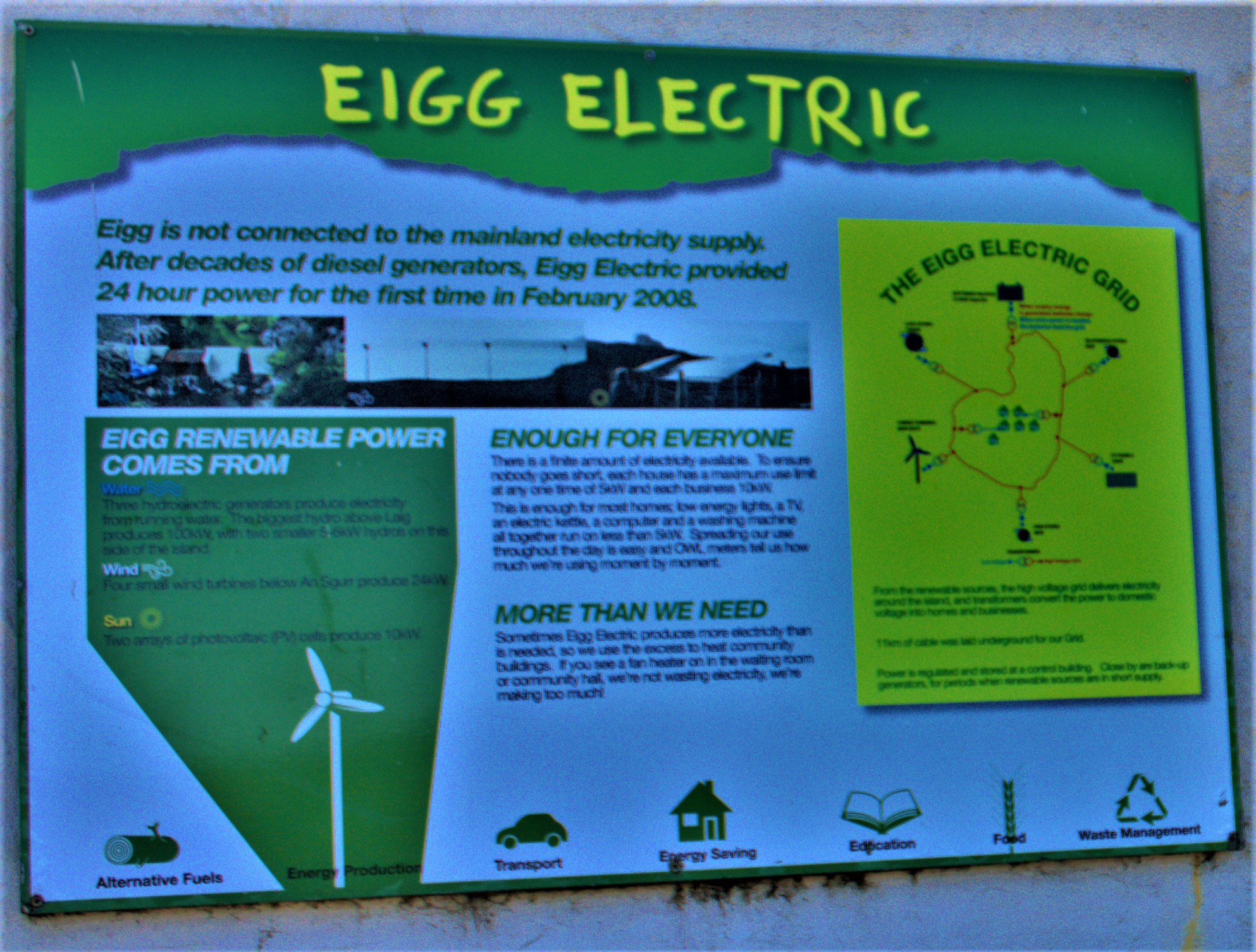
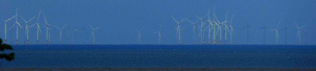
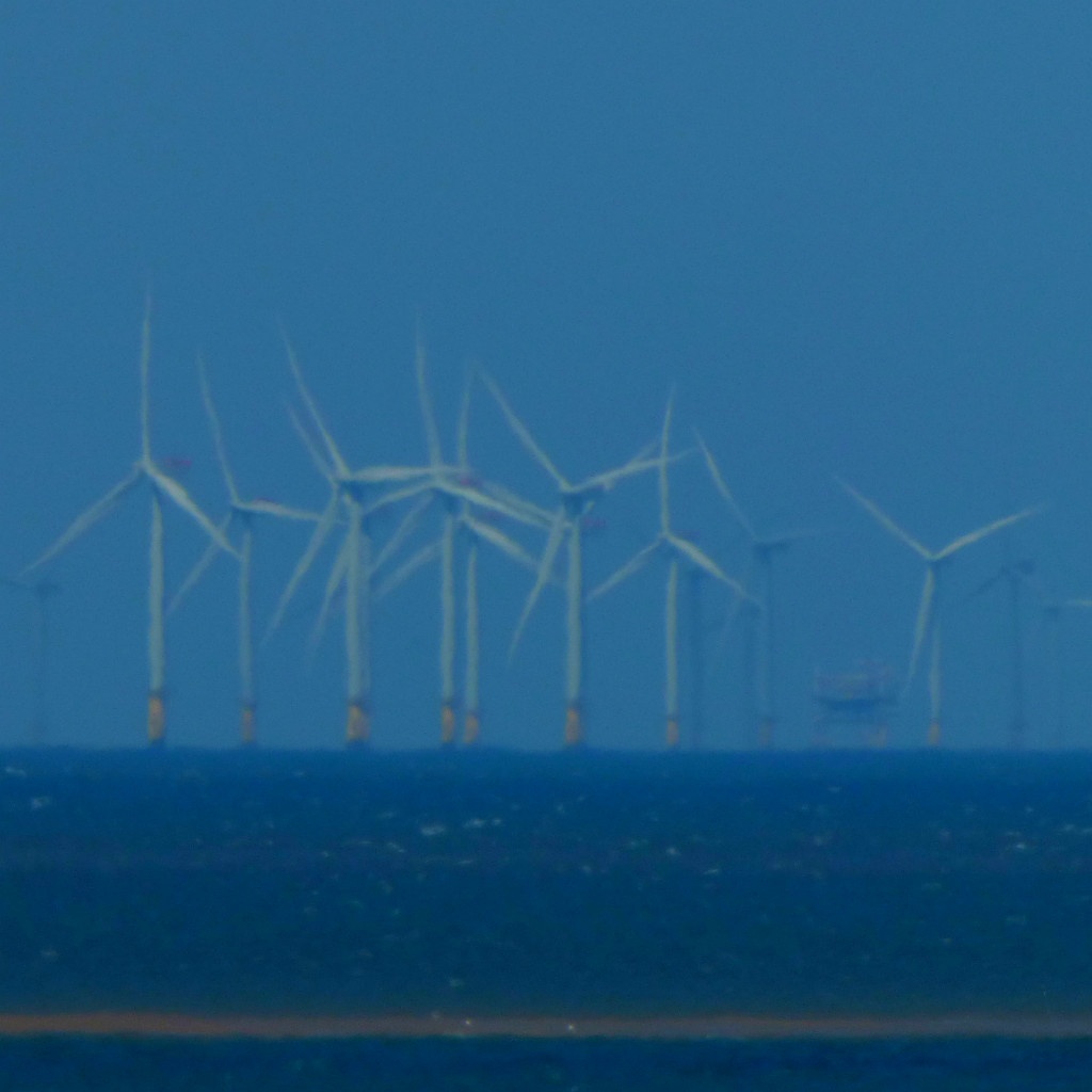
Then this about electricity and green issues:
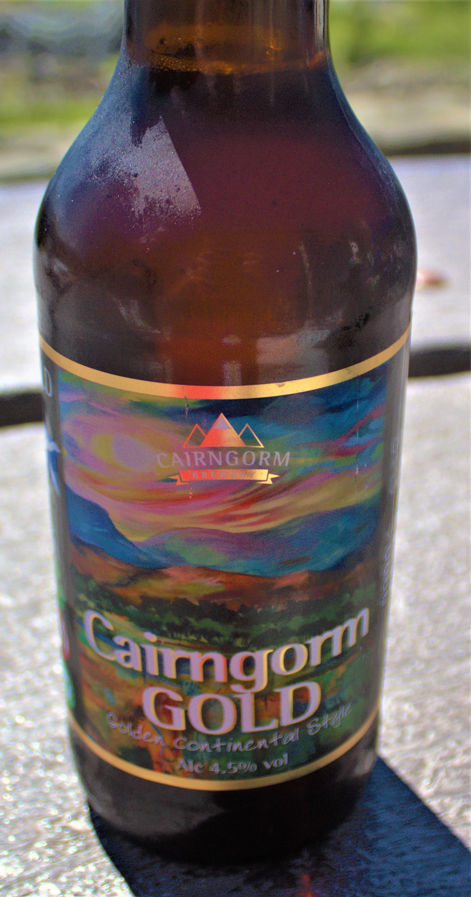
The cafe proved to be excellent. I ate a bacon bap and drank a reasonably local beer that proved to be of splendid quality.
POST LUNCH
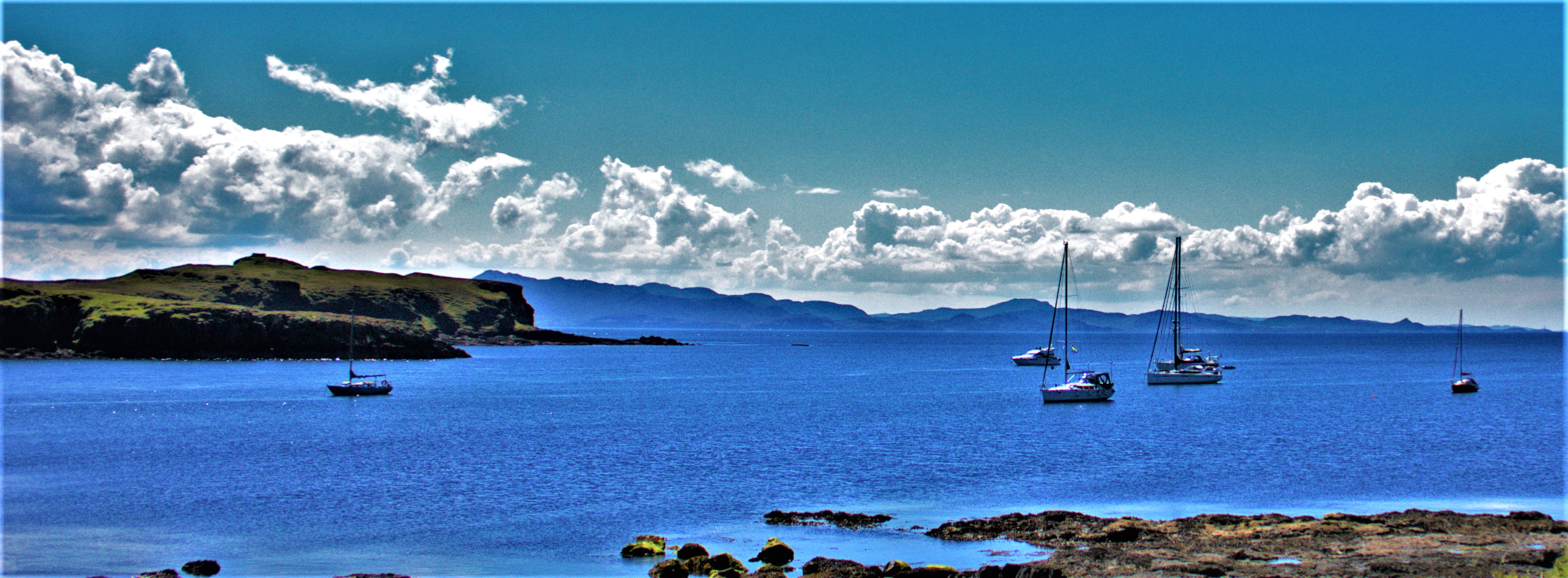
We did a little more exploring after lunch, before heading back to the boat, which we boarded in good time for the journey back to Arisaig. Eigg was very interesting as well as very scenic, and I enjoyed my visit there.
An account of yesterday’s India v England ODI, some geological stuff and some photographs.
This post looks back at yesterday’s first ODI between India and England, which took place in Pune.
THE PRELIMINARIES
England’s chosen team was: Roy, Bairstow, Stokes, *Morgan, +Buttler, Billings, Ali, S Curran, T Curran, Rashid, Wood. Livingstone and Parkinson were players many would have wanted to see who were left on the bench. India handed debuts to K Pandya and Krishna, with KL Rahul named as wicket keeper. Their team was: Sharma, Dhawan, *Kohli, Iyer, +Rahul, H Pandya, K Pandya, Thakur, Kumar, K Yadav, Krishna. Morgan won the toss and chose to bowl.
INDIA’S INNINGS
Dhawan played superbly in the early part of the innings, but England also bowled decently and with 9.3 overs to go India were 205-5 with Krunal Pandya on international debut joining KL Rahul. Both these players batted beautifully, England bowled very poorly in the closing stages, a recurring problem for the current outfit, and the total mushroomed to 317-5 by the end of the innings.
ENGLAND’S RESPONSE
Roy and Bairstow began superbly, and at 135-0 in the 14th over that target of 318 was looking manageable. Then Roy fell for 46, his fourth recent instance of getting to 40 and not completing a half century. Stokes was unable to get going at all, Bairstow lost momentum due to the problems at the other end and missed out on his century, and as wickets continued to fall England looked a panic-stricken side. Moeen Ali hinted at a late revival with 30, but when he and then Sam Curran fell in short order to leave Tom Curran, Rashid and Wood nearly 80 to score between them the writing was well and truly on the wall. England were all out for 251, beaten by 66 runs. The debutant Krishna had 4-54, the best figures of the day, but the most significant contribution was from the experienced Bhuvaneshwar Kumar who had figures of 2-30 from nine overs, applying the squeeze at a crucial stage. Roy and Bairstow gave England an excellent platform, but once wickets started to fall no one was able to steady the ship, and the cold hard truth is that England lost all ten wickets for 116 runs on a flat pitch.
LOOKING AHEAD
The batting, Roy and Bairstow apart, looks unreliable. Billings and Morgan are both injury worries, and I think Livingstone has to come in- Stokes did not look comfortable at three, while Livingstone habitually bats high in the order. Among the bowlers Tom Curran has to go – he has taken one wicket in his last nine ODIs, and if you are not taking wickets you have to keep it tight, and he is not doing so at present – India scored 63 off his ten overs without having to exert themselves to punish him. Personally I would be inclined to change the balance of the attack and bring Parkinson in to replace him, but could accept the alternative of selecting Reece Topley in his place. India would inevitably look to target Parkinson if he was selected and I would counter that by giving him the new ball because openers sometimes struggle when confronted with spin first up. I am not going to call for Morgan to go just yet, but he could do with a decent score some time soon, and he needs to a little less inflexible – perhaps the occasional decision to bat first when he wins the toss, and perhaps giving more consideration to certain players.
GEOLOGY CORNER
Courtesy of twitter (in the form of Science, Space & Nature) I can provide some film of a volcanic eruption on Iceland (please click picture link below to view):
Collapsing Crater 🌋🇮🇸✨ • the first eruption on Reykjanes Peninsula in over 800 years, situated in Geldingadalur by Festarfjall mountain. Definitely the most surreal thing to ever experienced. You could feel extreme heat coming from the lava Credit: h0rdur/IG pic.twitter.com/rLZR2Ec9LH— Science, Space & Nature (@ScienceIsNew) March 23, 2021
Collapsing Crater 🌋🇮🇸✨ • the first eruption on Reykjanes Peninsula in over 800 years, situated in Geldingadalur by Festarfjall mountain. Definitely the most surreal thing to ever experienced. You could feel extreme heat coming from the lava Credit: h0rdur/IG pic.twitter.com/rLZR2Ec9LH
— Science, Space & Nature (@ScienceIsNew) March 23, 2021
From the Natural History Museum twitter feed comes some info about the first ever Geological Map of a country (Great Britain) – see screenshot below, and click here for more.
I end this section with a picture of one of the maps on display in my bungalow, an old palaeontological map of Great Britain and Ireland:
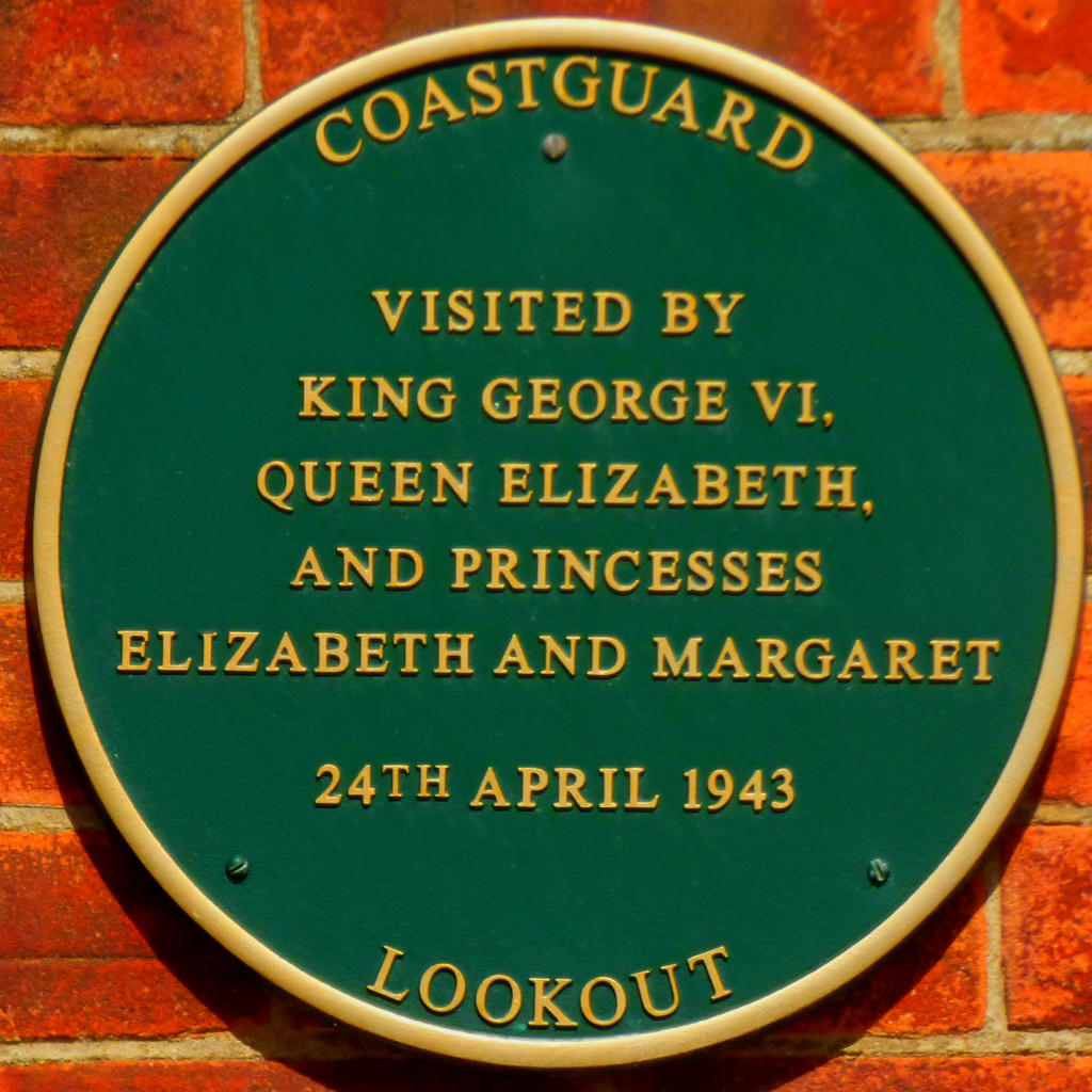
An account of the NAS West Norfolk day at the beach hut.
INTRODUCTION
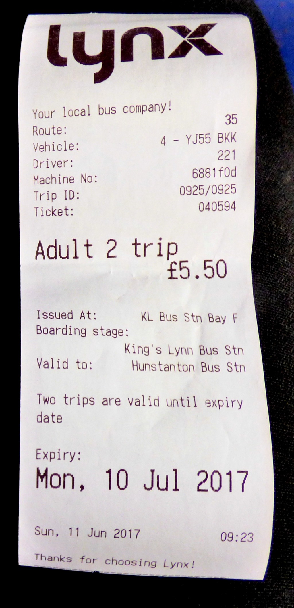
I am taking a one-post break from my series about my holiday in Scotland to cover last Sunday’s NAS West Norfolk activities centred on the Mencap beach hut at Old Hunstanton which we had for the day.
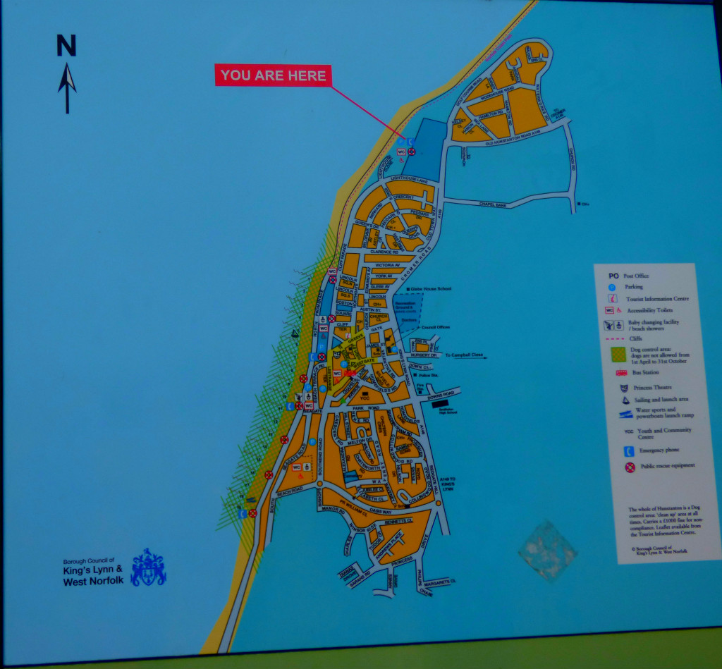
GETTING THERE
Having checked on google maps to remind myself of the distance between Hunstanton and Old Hunstanton I decided to get the bus to Hunstanton and walk from there. Having a choice between Stagecoach and a local operator (Lynx) I naturally decided in favour of the local operator. This decision was rewarded with a fare that was less than I would have paid on Stagecoach:
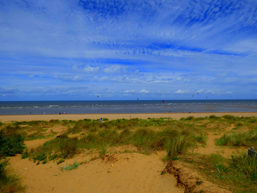
For a sunny Sunday in June the traffic was quite light, and the bus reached Hunstanton pretty much on schedule. I then set off on the walk to Old Hunstanton. I have stated before on this blog that the shortest route is not always the best on my reckoning, and this was another situation where my chief criterion was not shortness. For reasons that I will not insult the intelligence of my readers by elucidating my sole criterion for choosing my route was to stay as near the sea as possible.
Old Hunstanton Beach. I initially failed to identify the correct beach hut, but after a few minutes scouting I was noticed by one of the others.
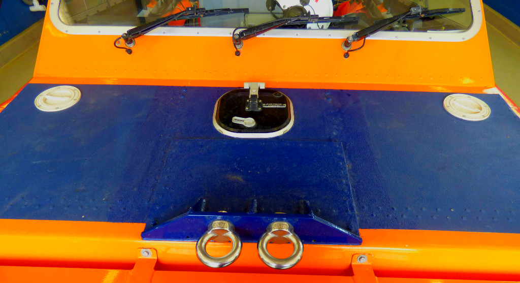
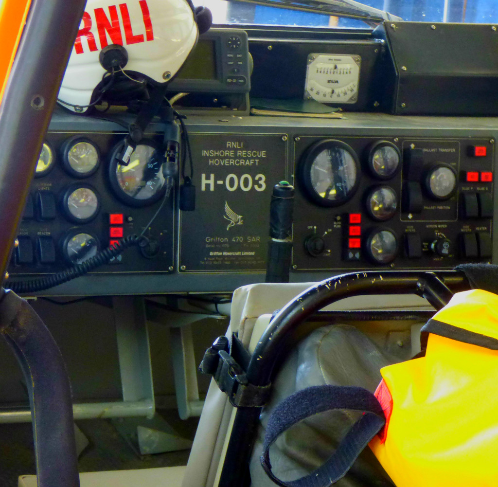
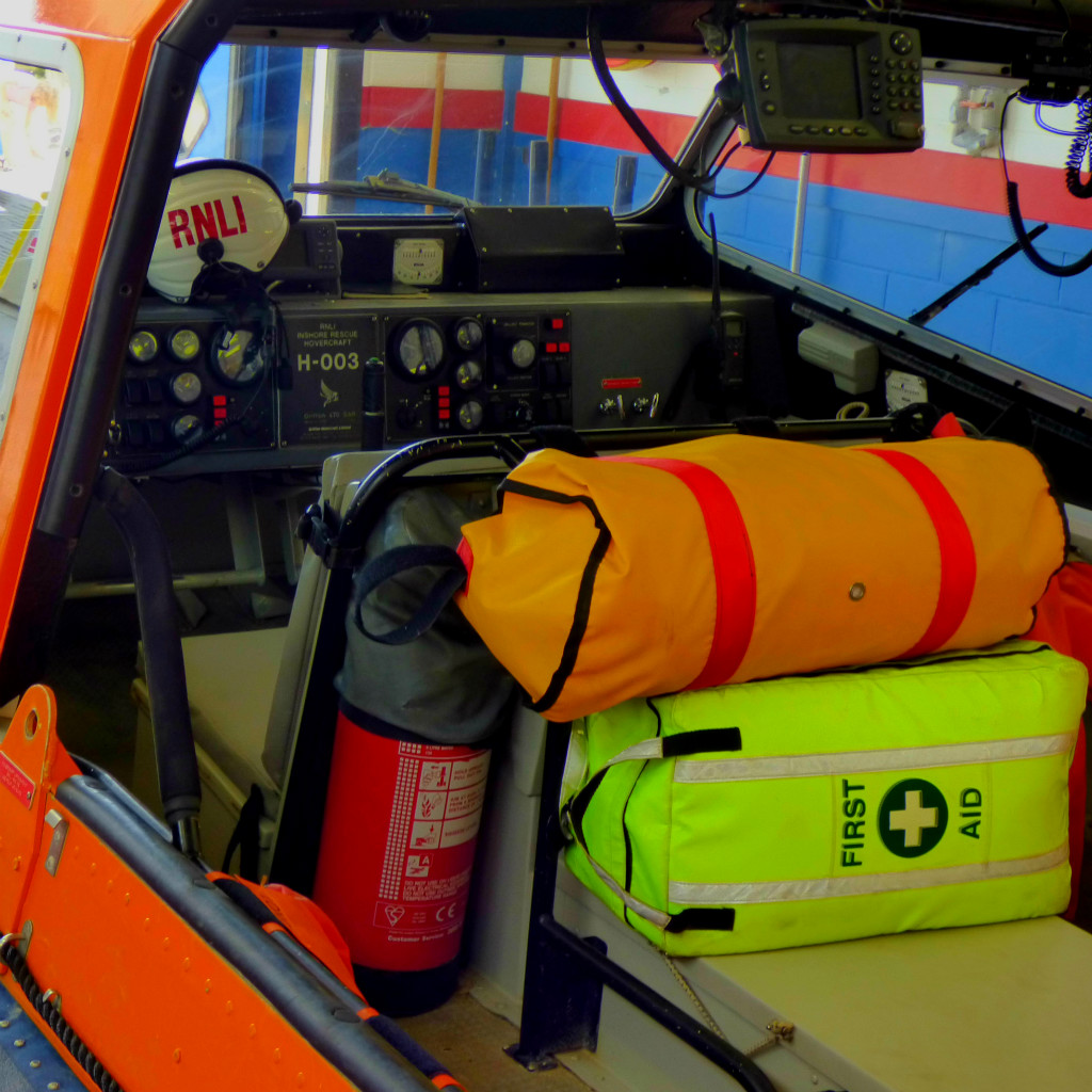
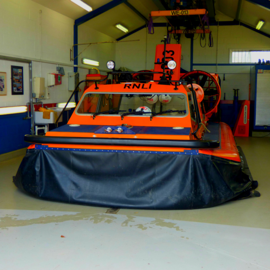
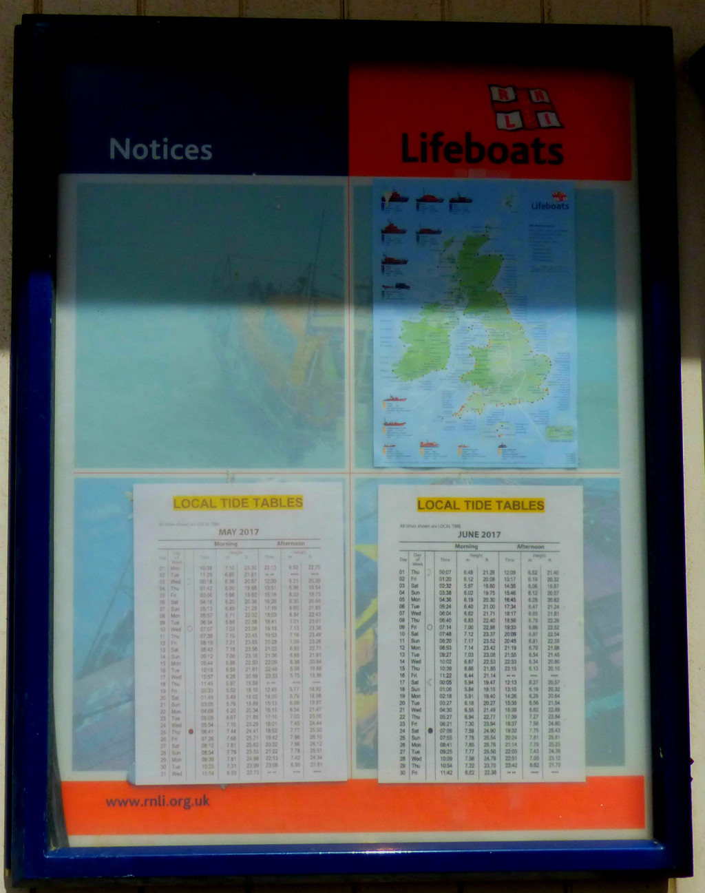
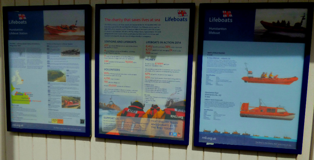
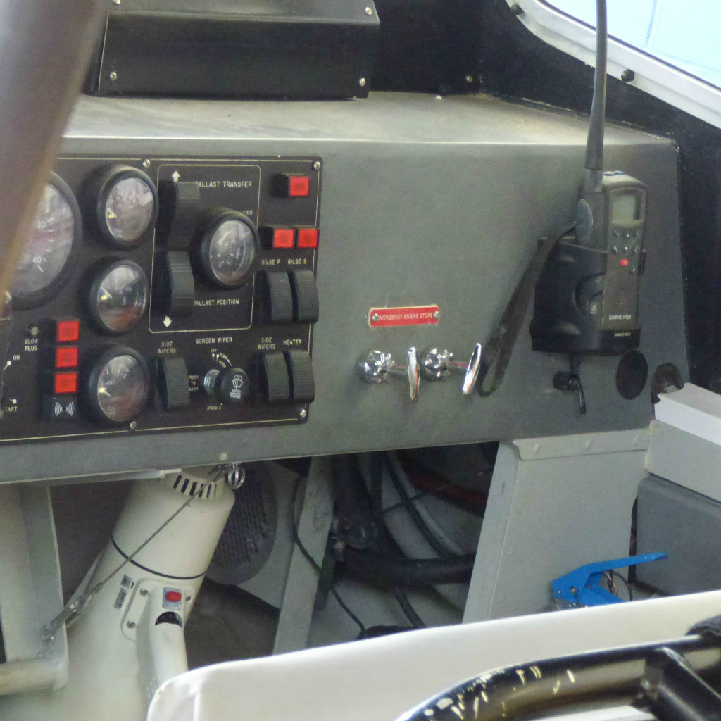
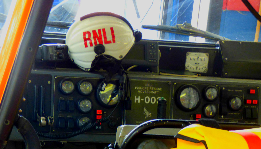
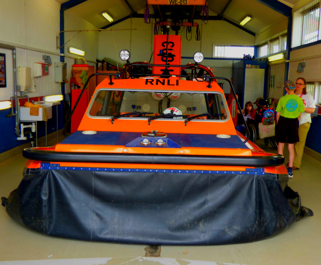
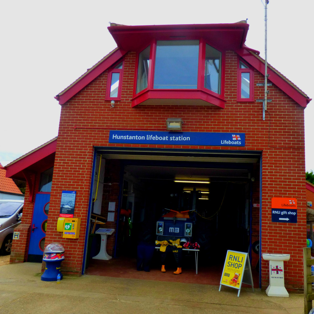
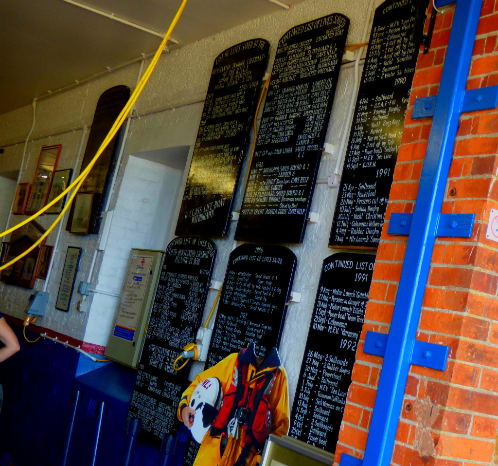
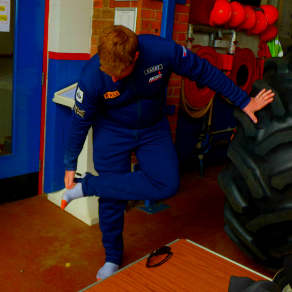
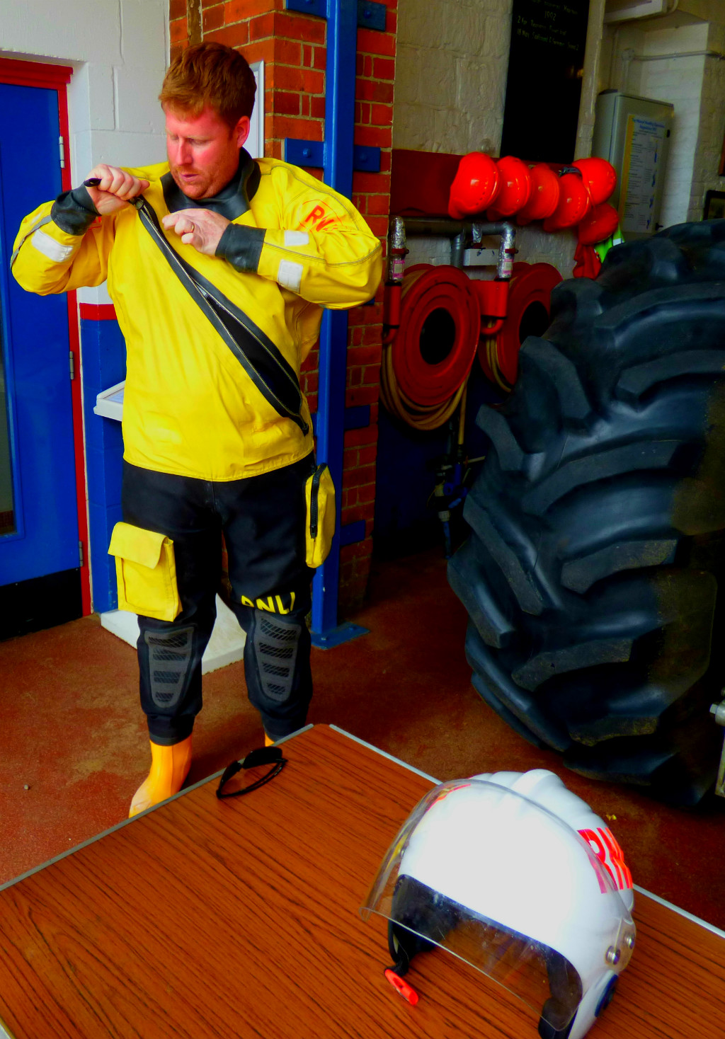
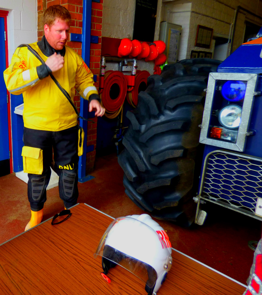
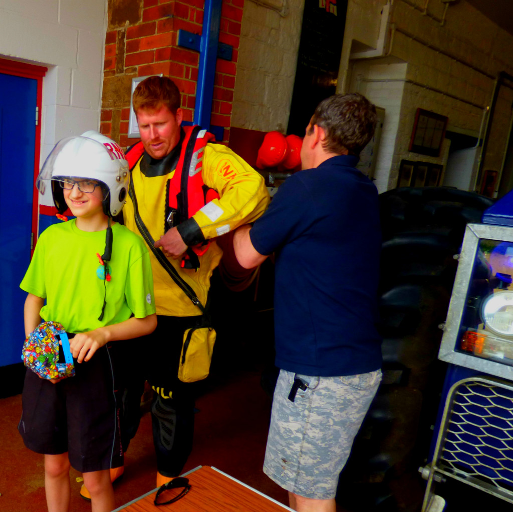
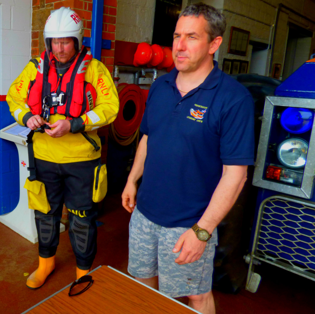
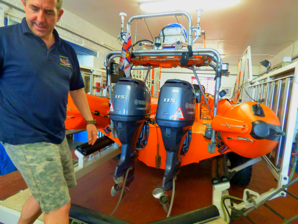
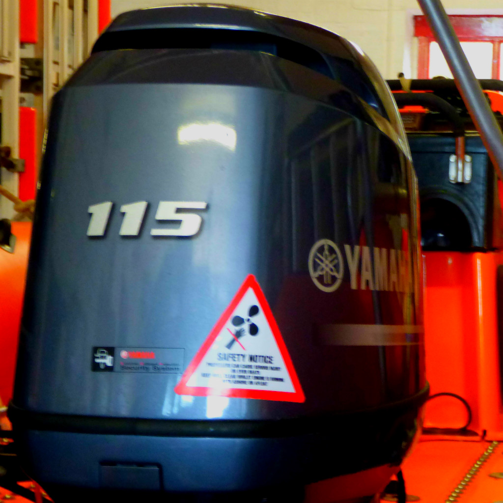
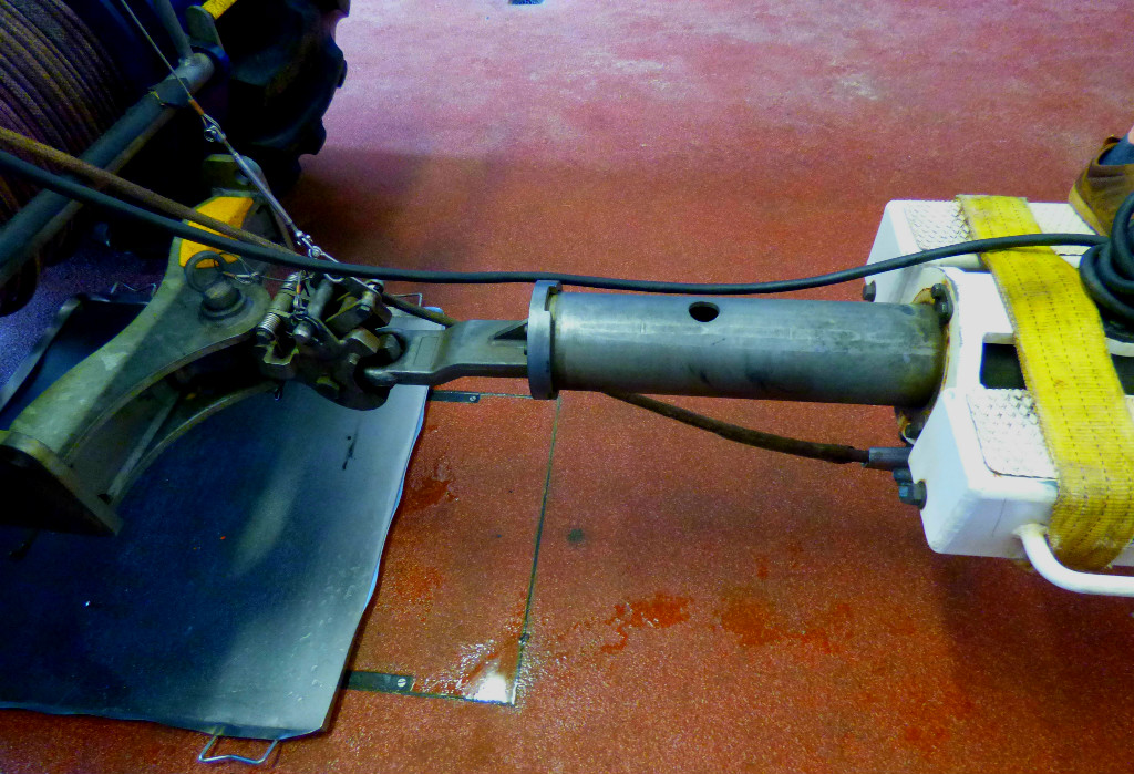
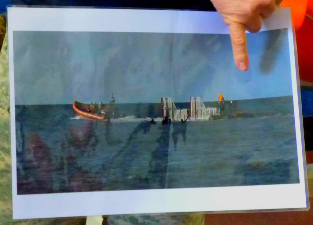
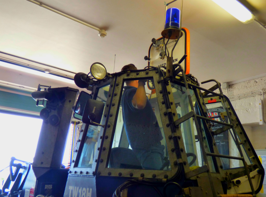
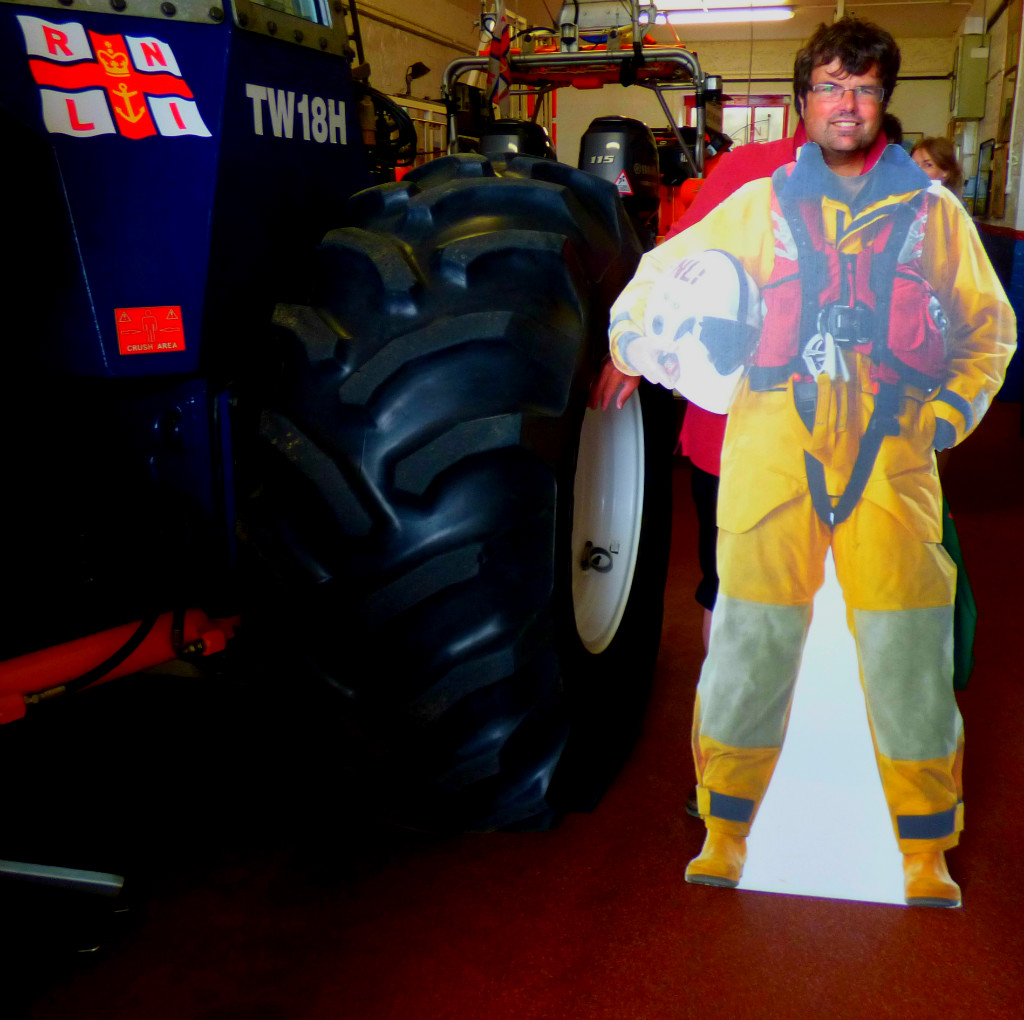
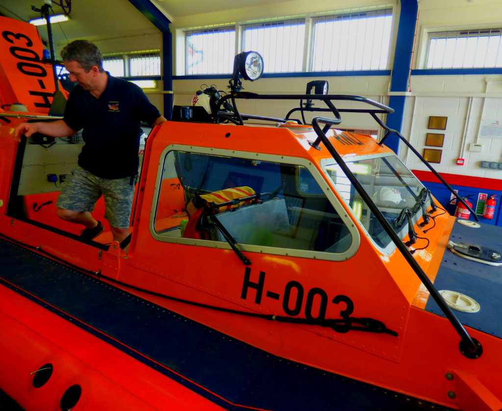
PRE-LUNCH – THE LIFEBOATS
Having got to know the beach hut some of us took the RNLI up on their kind offer of a tour as they explained about what they do, their boat and their hovercraft. This latter is one of only four in the whole country. The boat has to be towed into the water by tractor, and anyone familiar with north Norfolk beaches at low tide will therefore have little difficulty in understanding why the hovercraft which is an amphibious vehicle is sometimes necessary.
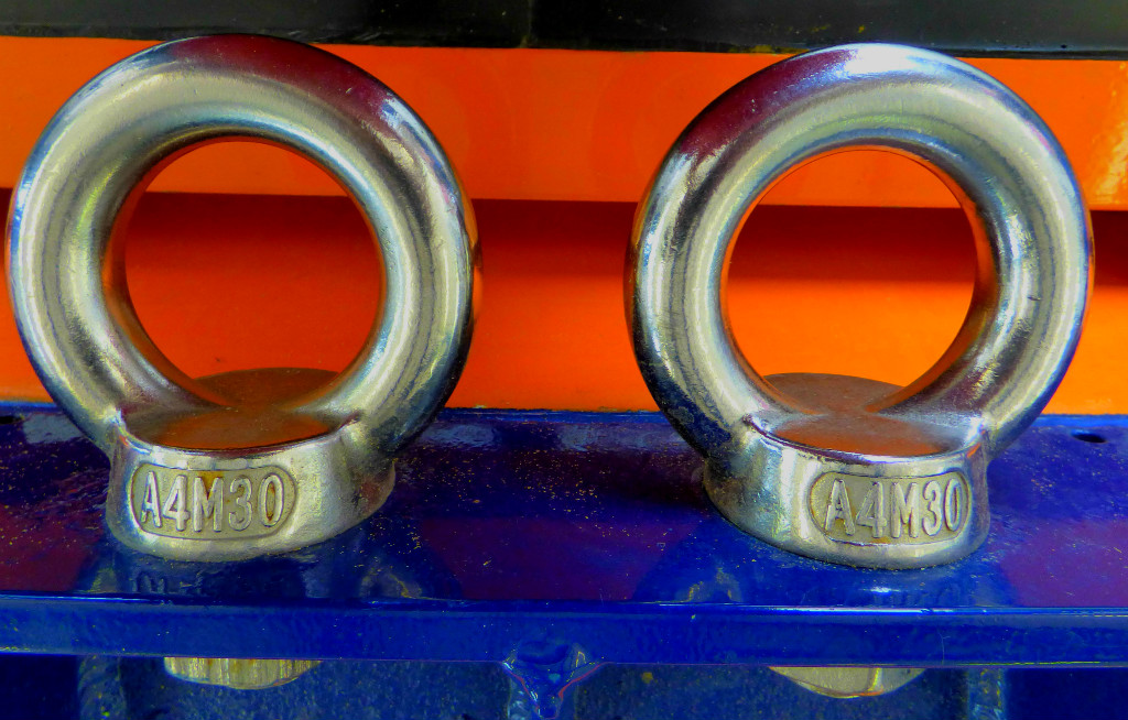
I took these first few pictures before the initial tour – the building was open and no one attempted to stop people from looking.
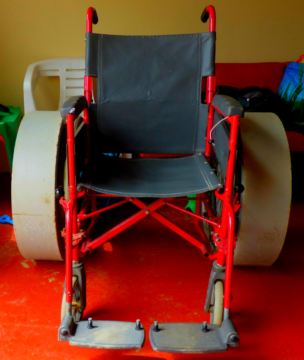
One of the bits of equipment the beach hut have – a wheelchair specially adapted for going to the beach (btw it did get used as we had someone who uses a wheelchair in our group).
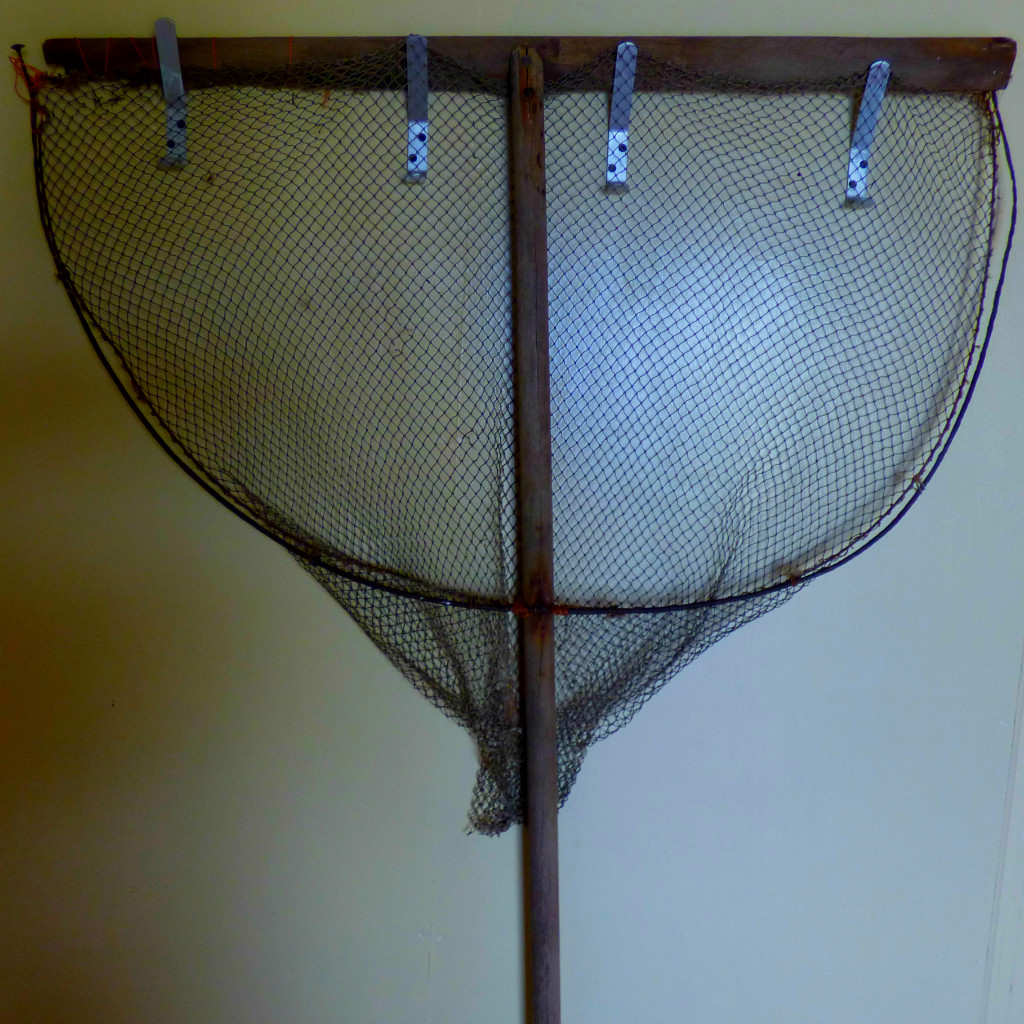
Net at the beach hut
The beach hut
Identifying a lunch spot.
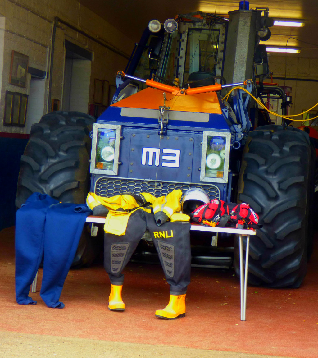
The first layer of a lifeboat person’s gear – this one is for warmth
this wetsuit with built-in wellington boots goes on next to ensure that you don;t get absolutely soaked.
The ensemble is completed with a helmet that has a ;protective visor and a lifejacket with a few extras.
The cab of the tractor – it has two steering wheels and multiple openings.
This tractor has particularly large wheels – that is me standing next to one of them.
LUNCH
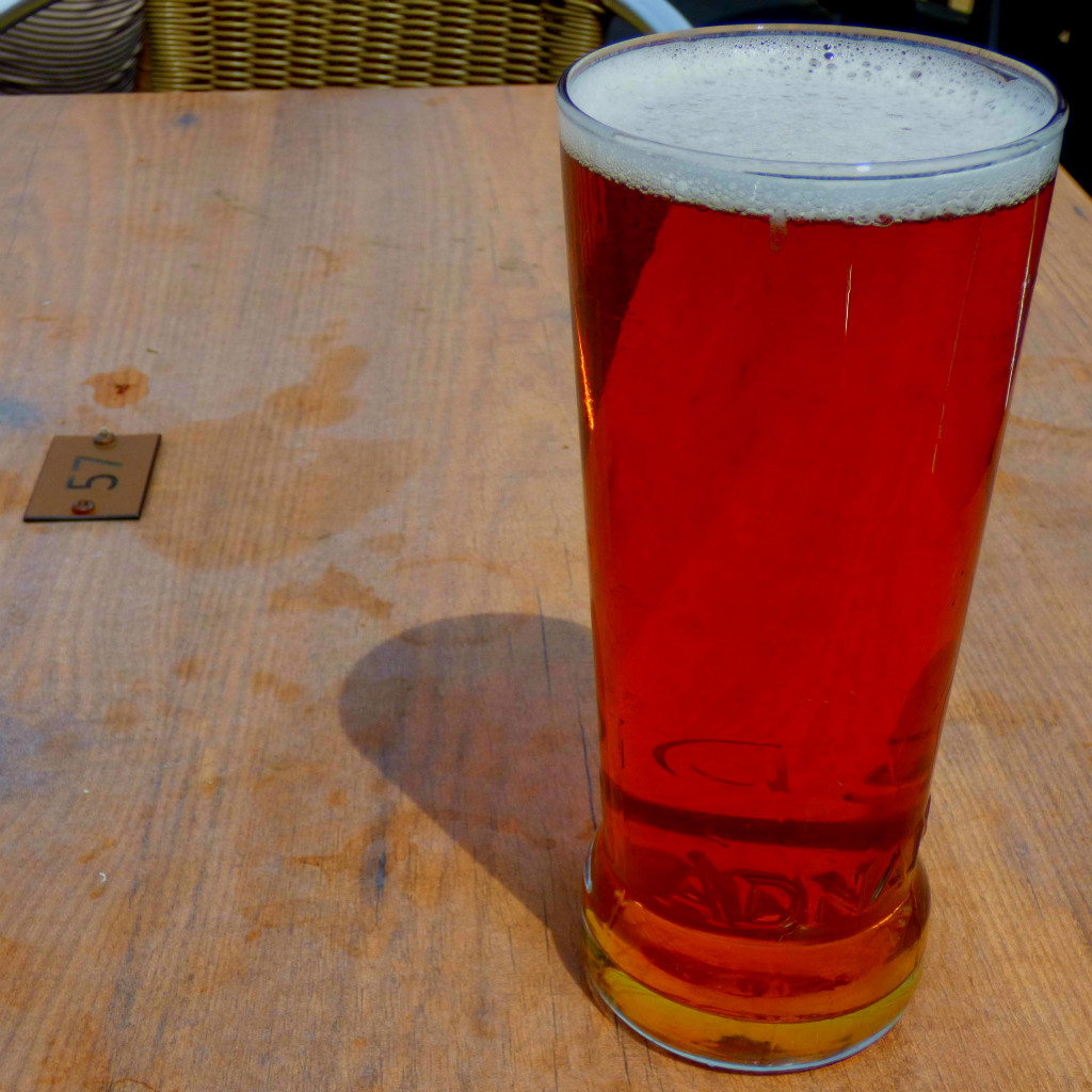
I went to the Ancient Mariner for lunch, and it was quite excellent. I also had an outside table, which meant opportunities for taking photos.
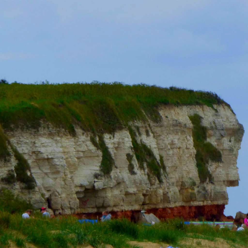
Cliff face viewed from Old Hunstanton beach
A pint of Adnams Ghostship – excellent for a sunny day in June
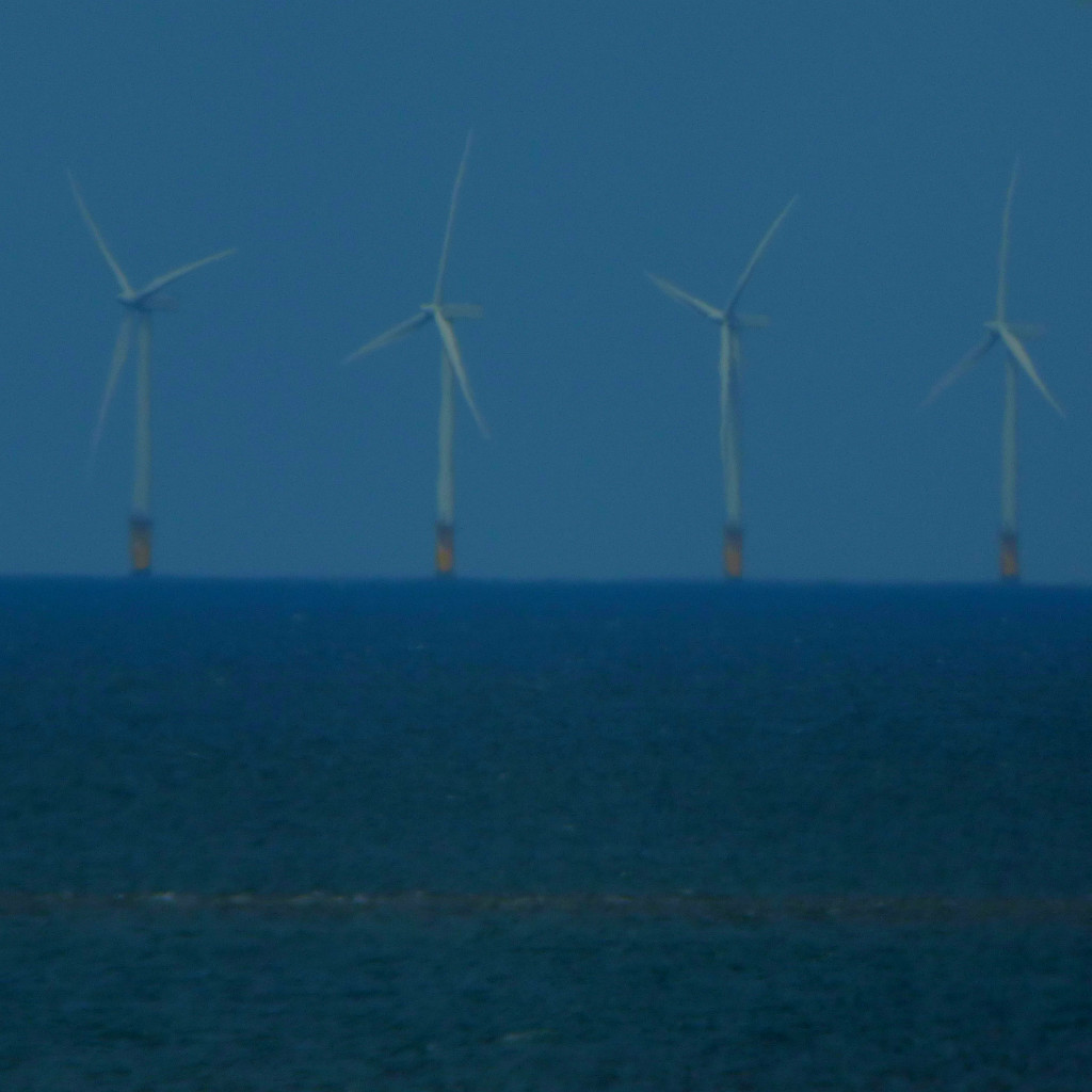
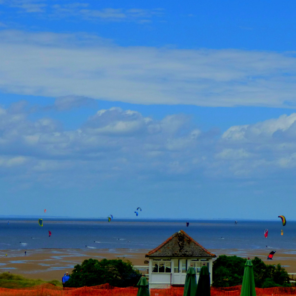
These are a subject of some controversy – personally I find this view, which shows humans at long last attempting to take care of their planet to be a lovely one.
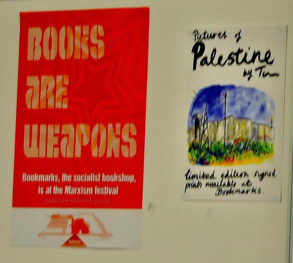
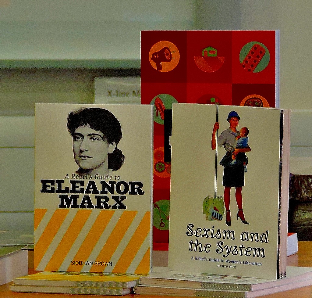
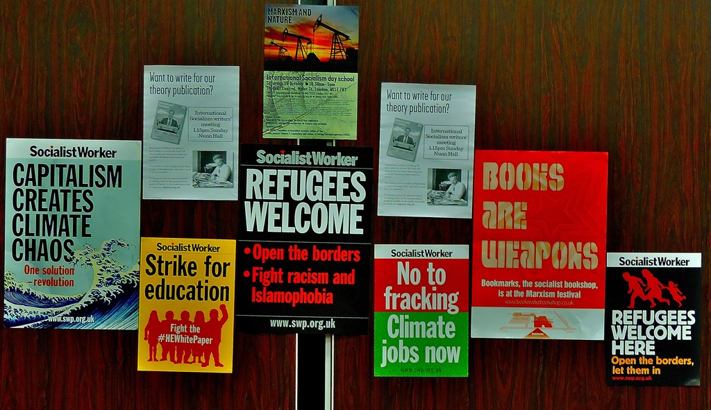
An account of the Saturday at Marxism, with lots of pictures.
INTRODUCTION
First the big news – I am writing this on my own computer. Second, for this post, the third in my series on Marxism 2016 (see here and here) I will not be writing about all the meetings I attended on the Saturday, but rather setting out a brief framework of the day before concentrating on two meetings in particular.
GETTING THERE AND THE PLAN
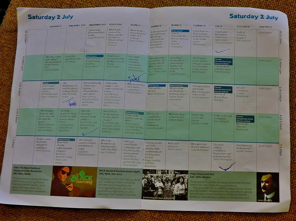
I had my usual smooth journey in. Here is my plan for the day:
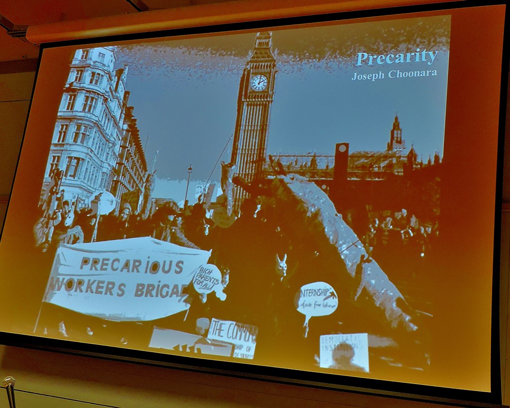
Thus, my selected meetings were: Engels and the origins of women’s oppression (Celia Hutchinson) in room 728, Precarity: minority condition or majority experience? (Kevin Doogan) in the Elvin Hall, The Anthropocene and the global economic crisis (John Bellamy Foster) in the Galleon Suite room A Royal National Hotel), After the elections: Ireland’s new politics? (Brid Smith and Richard Boyd Barrett), in the Galleon Suite room C Royal National Hotel) and The gene editing revolution – its promise and potential perils (John Parrington), Room 728.
It so happened that the two meetings in the above list that were in the Royal national Hotel were the only two that I attended there and were back to back. Regular readers will recall that the entrances to the Institute of Education building are on levels 3 and 4. Room 728 as its name suggests is on level 7, while the Elvin Hall is on level 1. There are lifts, but I am not keen on lifts and I also recognized that there were others at the event whose need for lift access is greater than my own, so this program involved a lot of stairs.
The first two meetings featured one late change – Kevin Doogan had to withdraw and was replaced as speaker by Joseph Choonara. Here are some photographs…
After the usual picnic lunch it was time for…
A VISIT TO THE ROYAL NATIONAL HOTEL
The Royal National Hotel is separated from the Institute of Education by the width of a street (albeit a central London street with all that that entails). Observation of the timetable will lead you to note that Galleon A and Galleon C but no Galleon B. This is because the Galleon Suite is divided by means of temporary partitions which are not soundproof (I have been attending incarnations of this festival since 1995, and can attest to this, as it was not always taken account of), so Galleon B (the middle of a three way partition) was used as a kind of anteroom to the other two parts of the suite, simultaneously serving as a sound-break between them. My first port of call in this building was Galleon C for…
THE ANTHROPOCENE AND THE GLOBAL ECOLOGICAL CRISIS
The basic thesis behind this talk is that the scale of human impact on our climate has already been such that we are no longer in the Holocene, the period which began about 10,000 years ago, but in the Anthropocene, the start of which is still not agreed on, with estimates of the exact point spanning the 19th century.
The term Anthropocene is not as new as you might think, having been used in the 1920s by Alexei Pavlov. What this terminology implies is that human influence (anthropo- is a Greek prefix meaning human) on the earth has become so great that human history is now driving geological history.
The speaker (and we were lucky enough to have noted author John Bellamy Foster in that role) presented a huge amount of data explaining the thinking, and left himself without enough time to explain what we should be doing about this situation. While I found this meeting interesting and sobering I was somewhat disappointed by this aspect of it.
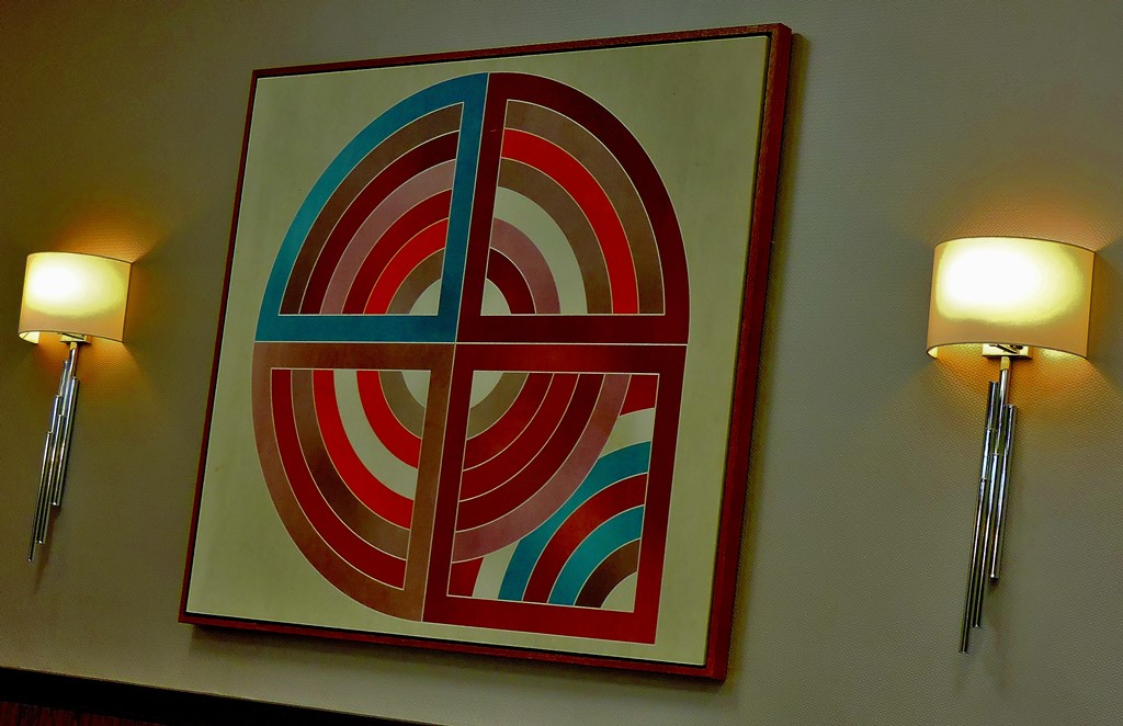
The platform with no speakers
Abstract art at the RNH
The platform just before the start of the meeting.
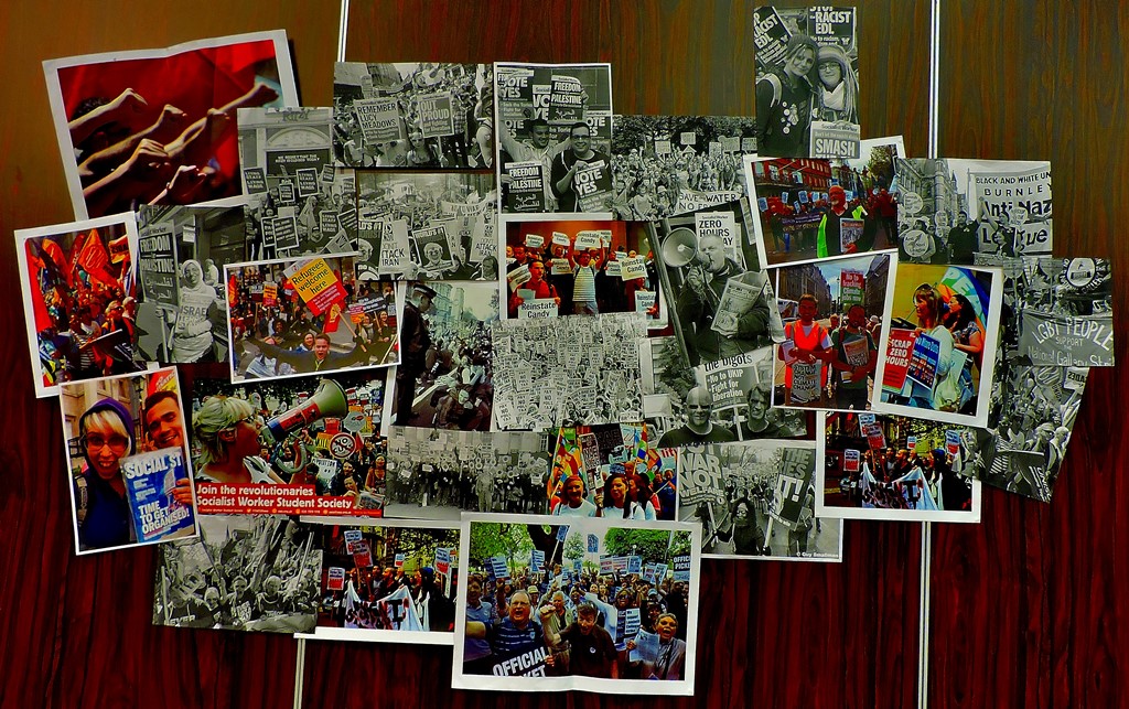
PICTURES FROM GALLEON B IN BETWEEN MEETINGS
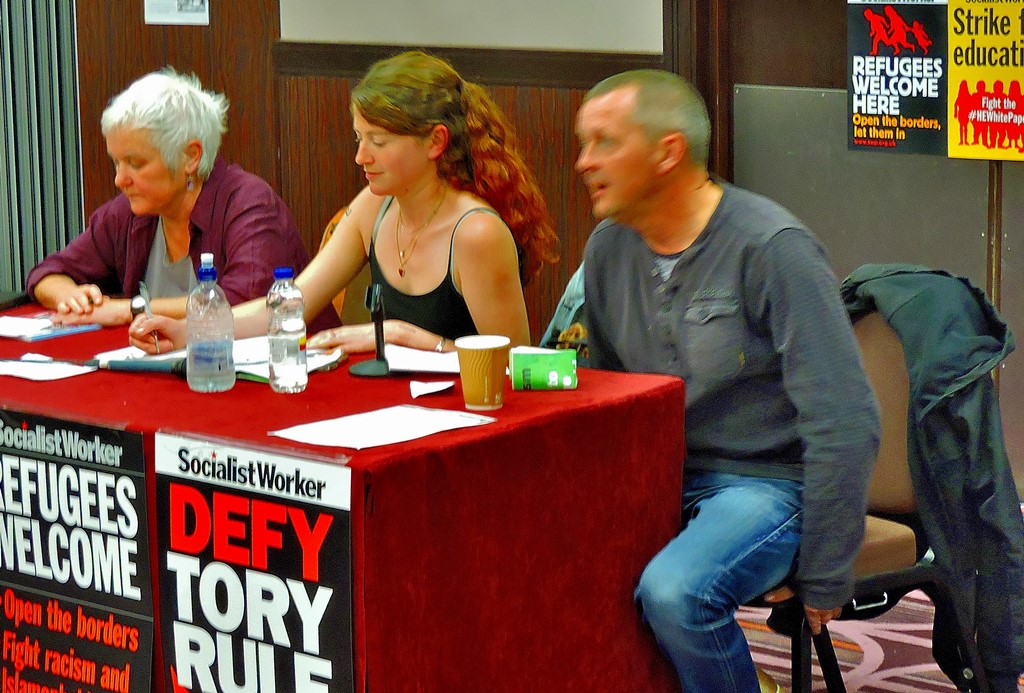
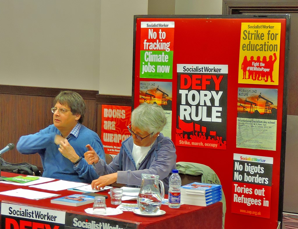
IRELAND’S NEW POLITICS?
I had been looking forward to this one since hearing Brid Smith speak at the opening rally (I already knew how good Richard Boyd Barrett was from previous years) and I was not to be disappointed. Richard Boyd Barrett (now in his second term as TD for Dun Laoghaire) and Brid Smith are both members of the Irish Dail as part of the People Not Profits coalition.
Before looking at Ireland’s new politics, a brief summary of Ireland’s old politics. For virtually the whole history of the Republic of Ireland the government of the country had swung between two right-wing conservative parties, Fianna Fail and Fine Gael, depending on which of them the Labour Party in that country chose to prop up.
So what is different now? Well both of the main parties have suffered heavy electoral losses, and one election after its best ever showing the Labour party is down to seven seats. People Before Profit has six seats, and four others are held by socialists who are not members of that coalition (this would be equivalent to having 40-50 radical left MPs at Westminster).
Ireland was forced by the EU to bail out toxic banks at a cost of 68 billion, which was clawed back by inflicting cuts on the weakest in society. Then, the EU decided it had not gone far enough in immiserating Ireland and demanded that the Irish government levy a water charge. This provoked a huge backlash, including a 250,000 strong demonstration in Dublin (equivalent, given the two countries populations to 4-5 million in London), and there is simply no way that the water charge will be made to stick.
It is not just in the Republic that things are changing rapidly (the Irish Socialist Workers Party is a cross-border organisation). There are now two People Before Profit coalition members sitting in the Stormont Parliament (Eamonn McCann and Gerry Carroll), the first two people in Stormont not be signed up as either nationalist or loyalist but as socialists pure and simple,and as part of the campaigning that brought this about they managed to have a meeting in the Shankill Road, attended by 50 people – even the most entrenched sectarianism can be broken through.
The two speakers and chair Emma Davis on the platform
A second picture of the platform taken moments before the start of the meeting
BACK TO THE INSTITUTE
After the evening picnic it was time for the final meeting of the day. John Parrington gave an excellent introduction after which there was a variety of contributions from the floor. I was pleased to see Steve Silberman’s book Neurotribes (surely destined to become the standard work on autism) on display at this meeting. The homeward journey was uneventful as expected.
This one is a bit blurred – a consequence of being on an escalator travelling at London Underground standard speed of 145 feet per minute.