An optimistic account of the latest milestone in my ongoing recovery from cancer.
INTRODUCTION
This is an optimistically titled post , borrowing a metaphor from my favourite sport, based on events from today. As I hope you will observe the optimism has some justification…
A TOP UP SHOP AND GAYWOOD LIBRARY
I was running out of coffee and had already decided that I would venture to the local mini supermarket to see if I could stock up there. I decided once I had sallied forth that if I felt reasonable when leaving the shop I would do some extra walking by way of asserting my continued recovery. The purchases duly made (I also bought a couple of biros as I have something of a shortage in that department) I headed off in the general direction of Gaywood Library (smaller but also closer than the main Kings Lynn library). I selected three books from the library (restricting myself to an easily carryable number), gave myself a short restorative break by logging into one of the computers to do some stuff there and then completed the process of borrowing the books.
I walked back by way of a stretch of the Gaywood River, some meadow and the Discovery Centre, arriving back at Columbia Way at about 12:45. I was out and about for just over the hour, meaning that my total time spentg walking was about 40 minutes.
Although I am quite tired from this little excursion I am also glad that I made it, and mark it off as another staging post in the long process of recovery.
PHOTOGRAPHS
Here are the photographs from my little expedition:
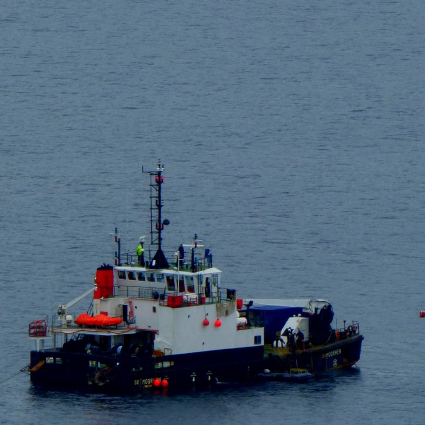
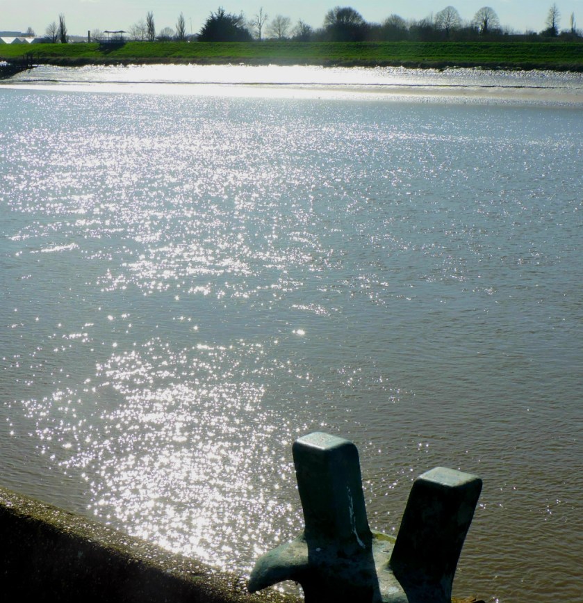
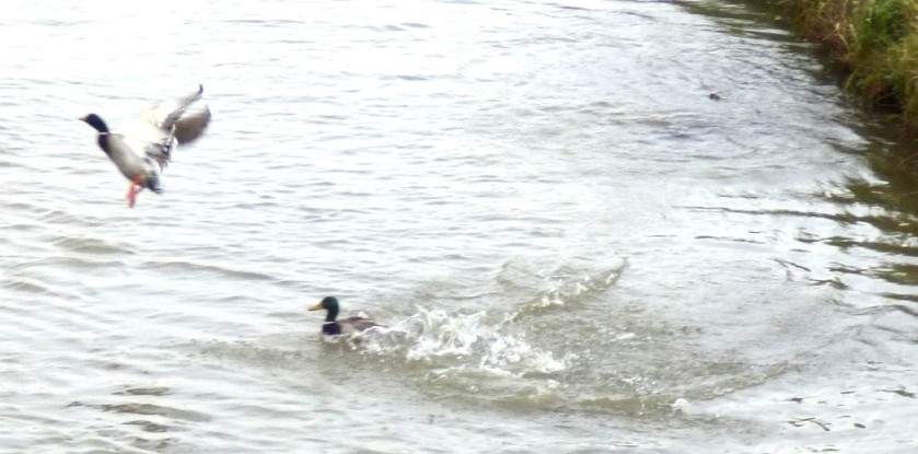
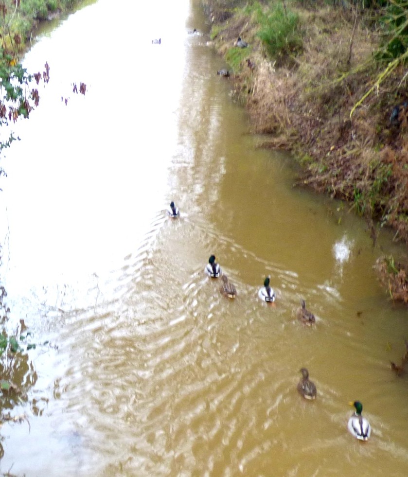
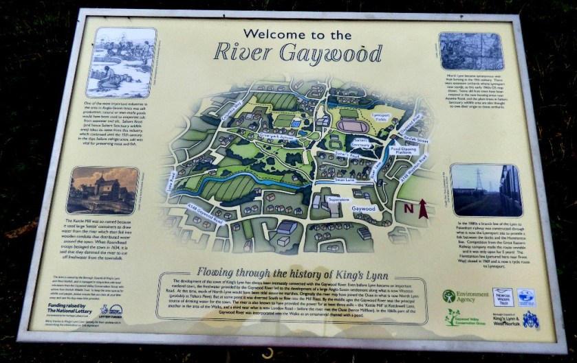
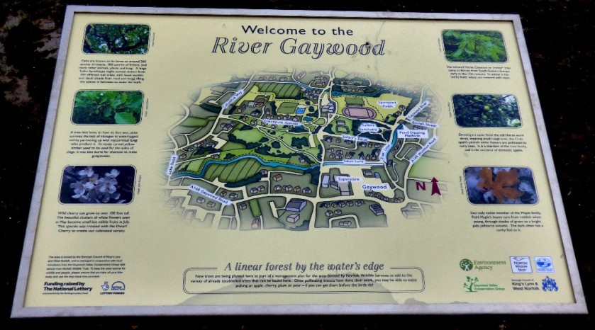
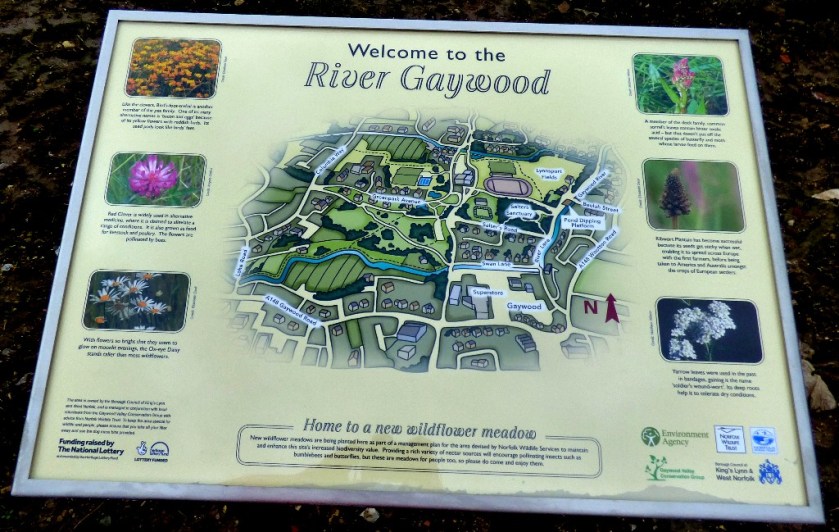
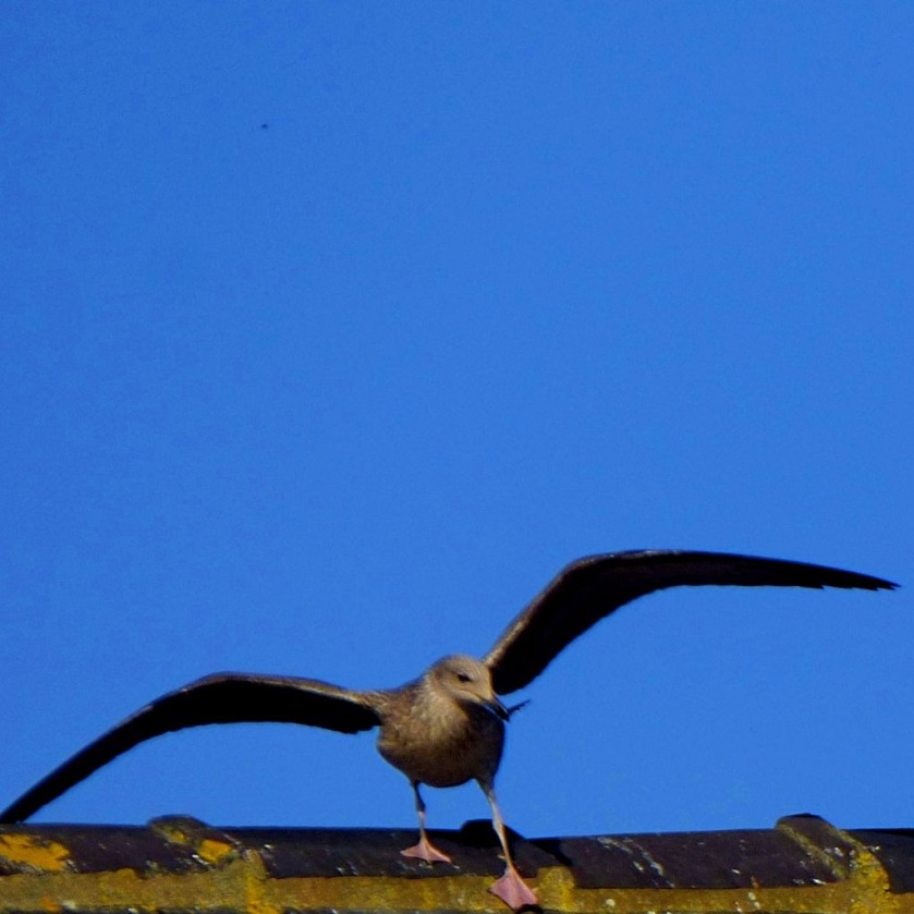
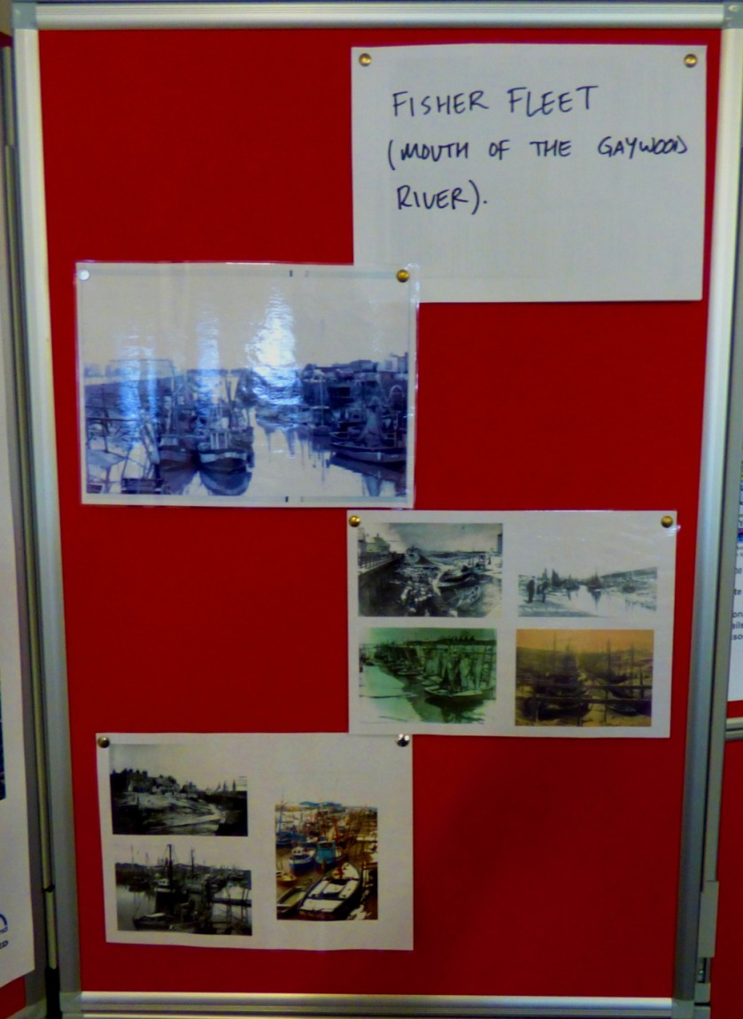
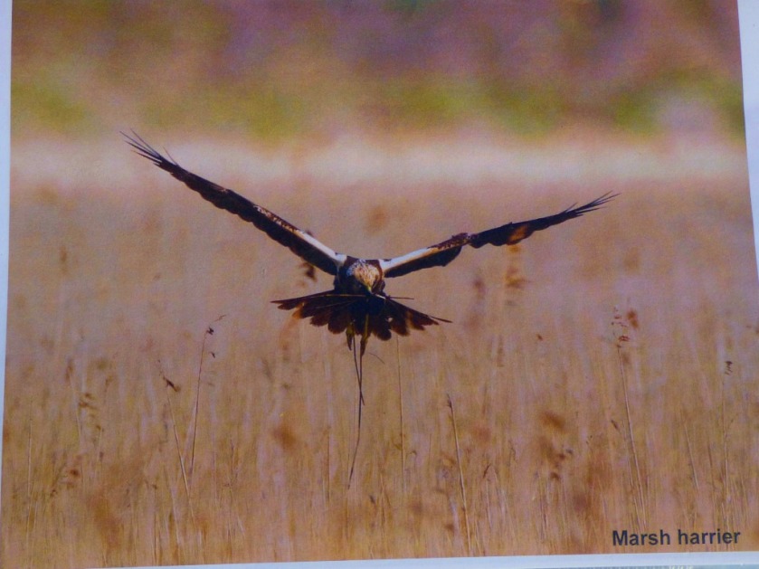
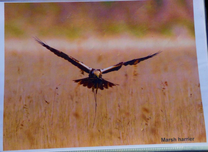
Mallards enjoying a section of the Gaywood River……and demonstrating that they can fly.Gaywood LibraryImmediately outside Gaywood LibraryMallards in formation on another section of the GaywoodThe first of three brand spanking new information boards about the Gaywood River
A brief account of another staging post on my road to recovery.
INTRODUCTION
This afternoon saw another staging post in my receovery from cancer…
MY FIRST INDEPENDENT OUTDOOR WALK SINCE BECOMING ILL
Just before 2PM this afternoon I left my bungalow for a short walk. Although fairly cold and very grey the weather here is by no means terrible given that we are at the back end of December, so having donned by black beanie to cover the most obvious signs of the treatment that I have been undergoing I was ready to sally forth. I was out and about for approximately 15 minutes and save for occasional photography stops was walking all that time on my unaided own. Here are some pictures…
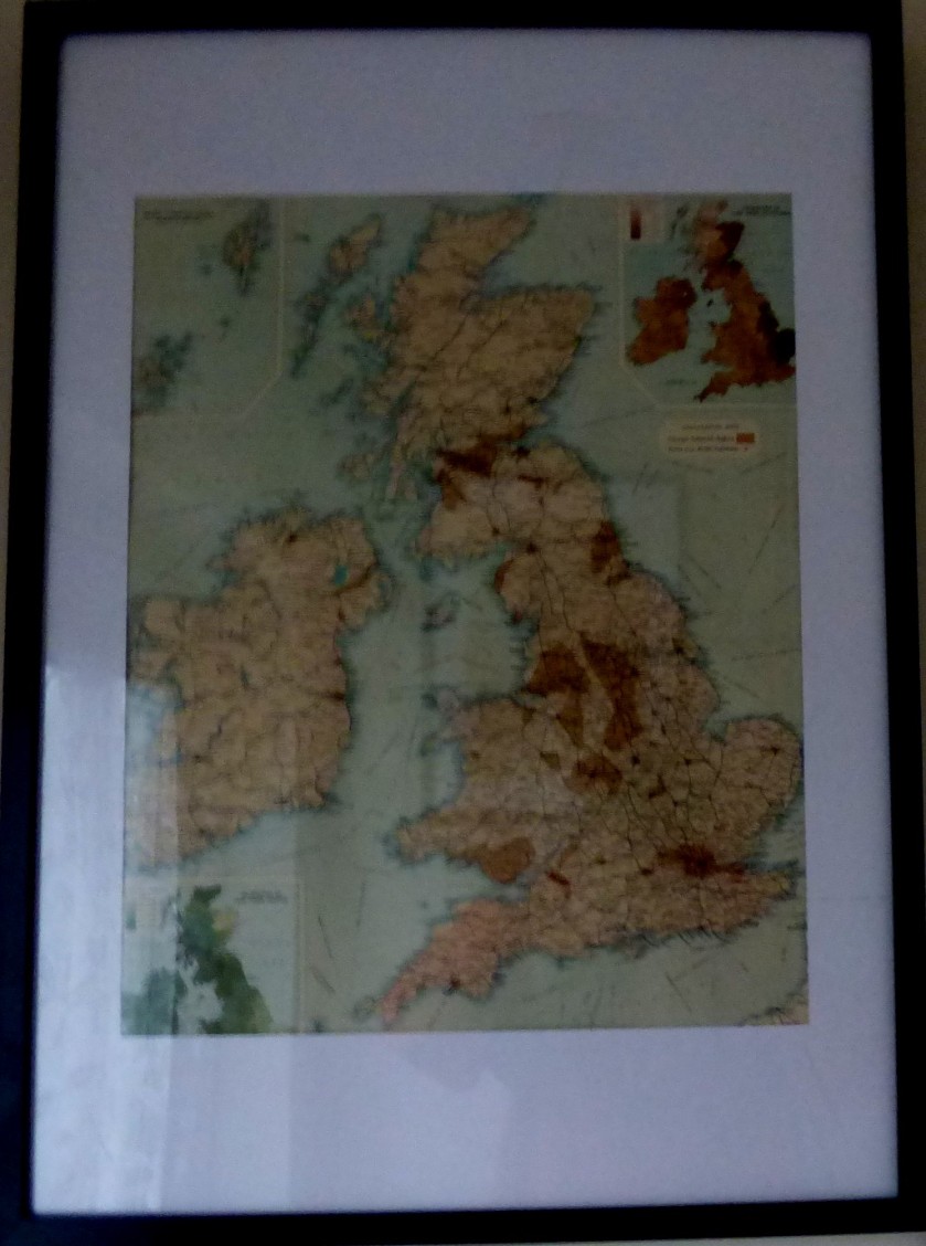
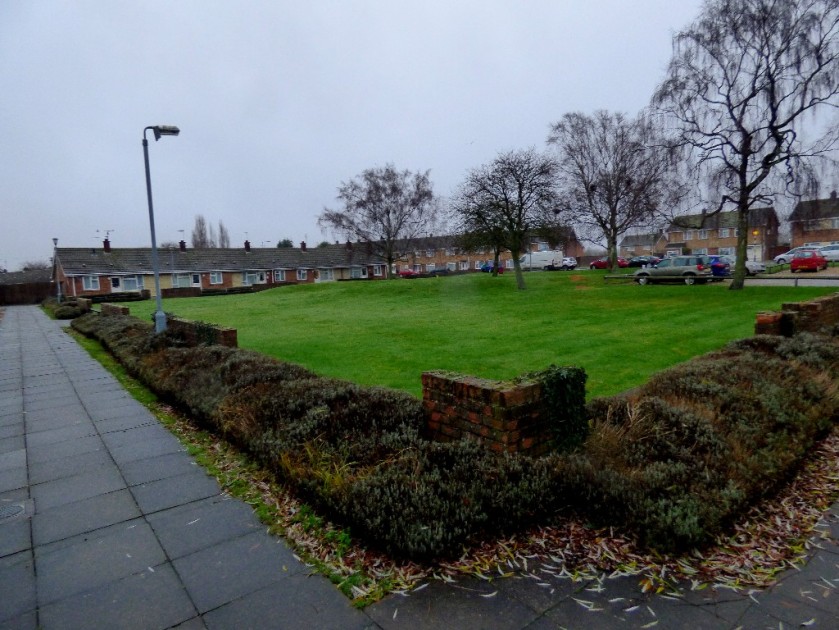
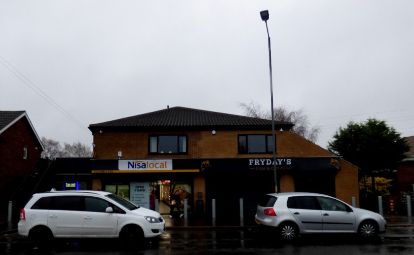
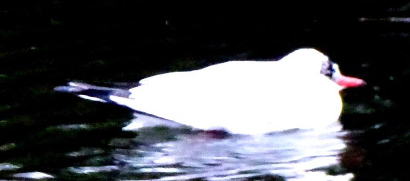
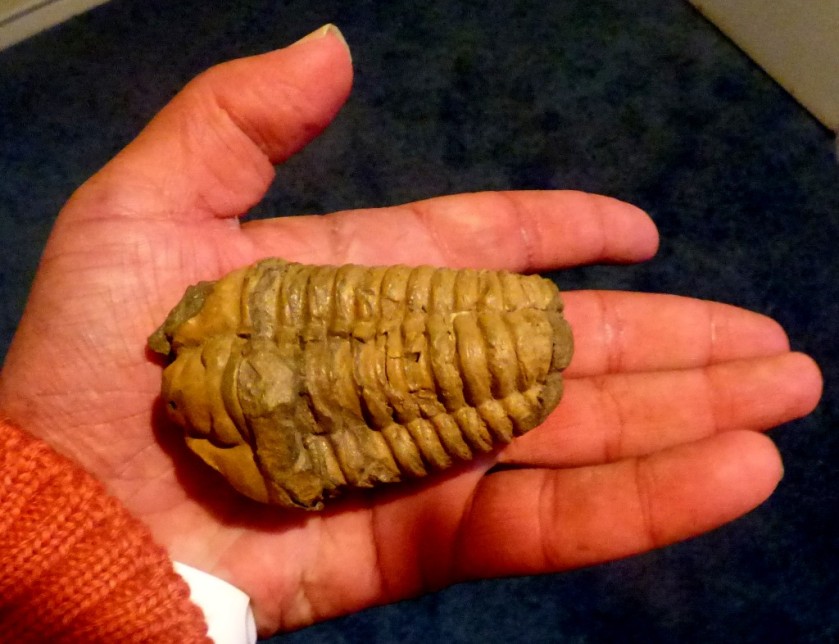
This map is on display in my front porch.A Czech sculpture and some other bits beneath the map.The green space I look out on to viewed from one corner.My local shops (the chippy is closed, it being Sunday).A swiming gull on a pond that faces out on to Harewood Parade.The oldest item in my collection – this trilobite lived approximately 438 million years ago.
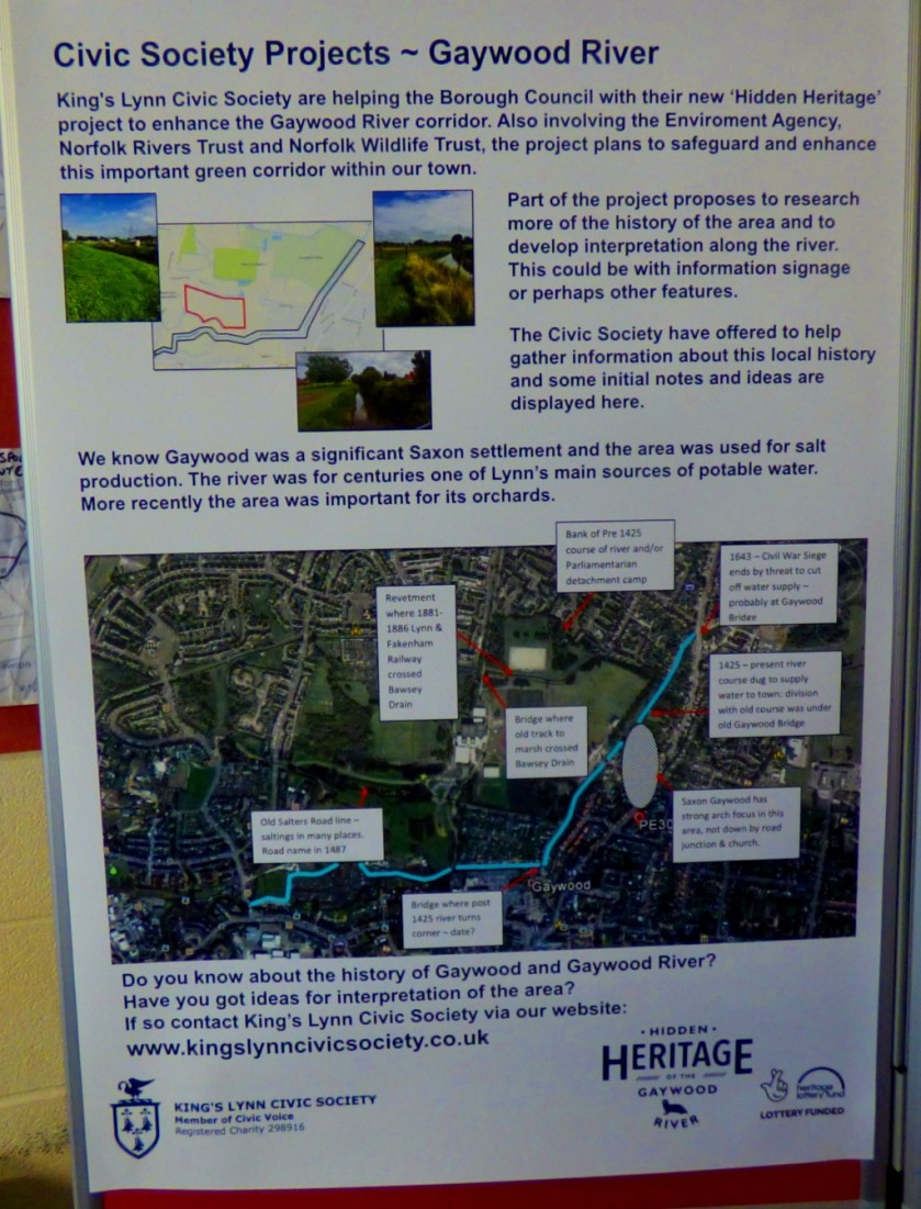
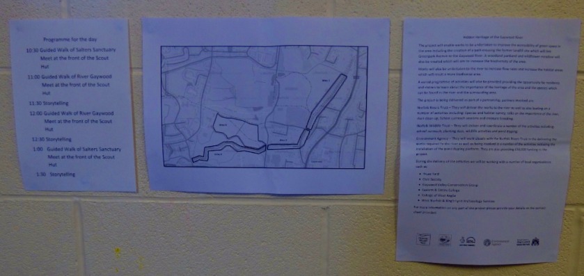
An account of an educational event about the Gaywood River that took place in the Scout Hut on Beulah Street on Sunday.
INTRODUCTION
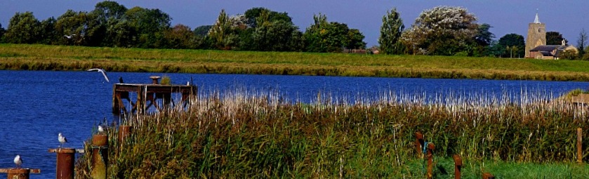
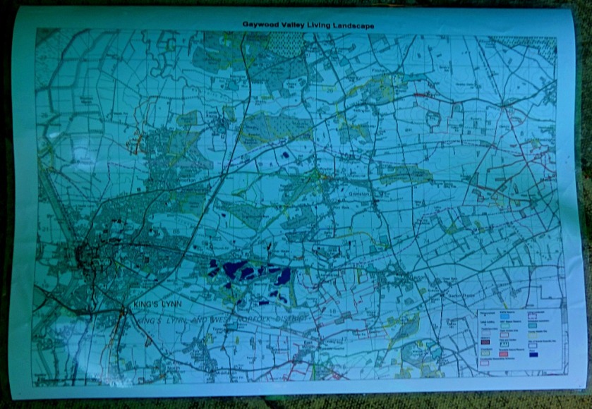
I have had a very busy few days, which is why there have been no new posts here since Saturday. I will mention my activities since Monday in later posts, but this post is solely concerned with the activity that dominated (in a good way) my Sunday. At the end of this post I will be including a variety of links related in various ways to its content. Here is a map showing the course of the Gaywood River:
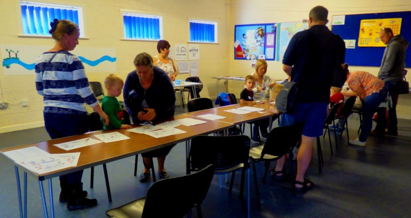
FINDING OUT ABOUT THE EVENT
I got an email from my aunt a few days before the event was due to happen explaining her role in it and asking if I wished to meet her there and go back to hers for sausage and chips or if I would prefer a saturday supper. I decided that the event could be quite interesting, so I opted for the former course of action.
GETTING THERE
Since the event was taking place at the Scout Hut on Beulah Street, which is on the bank of the Gaywood (Beulah Street ends in a bridge that crosses the Gaywood into the car park that serves the Scout Hut) I was going to walking, and since it was a bright, sunny morning I decided on an extended route. Leaving my flat I headed across Baker Lane Car Park to the bridge over the upper Purfleet, heading across King Street to the north bank of the lower Purfleet. Here are some photos from that early part of the walk:
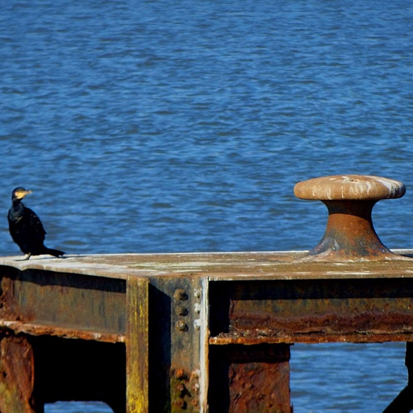
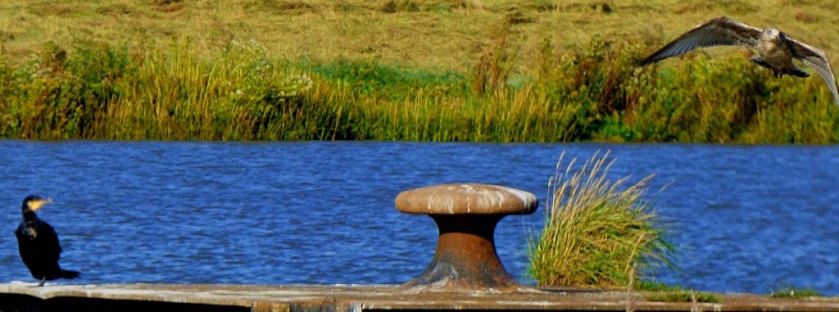
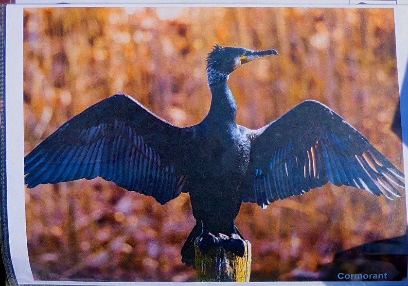
From there I followed the line of the Great Ouse as far as my favourite cormorant observation point…
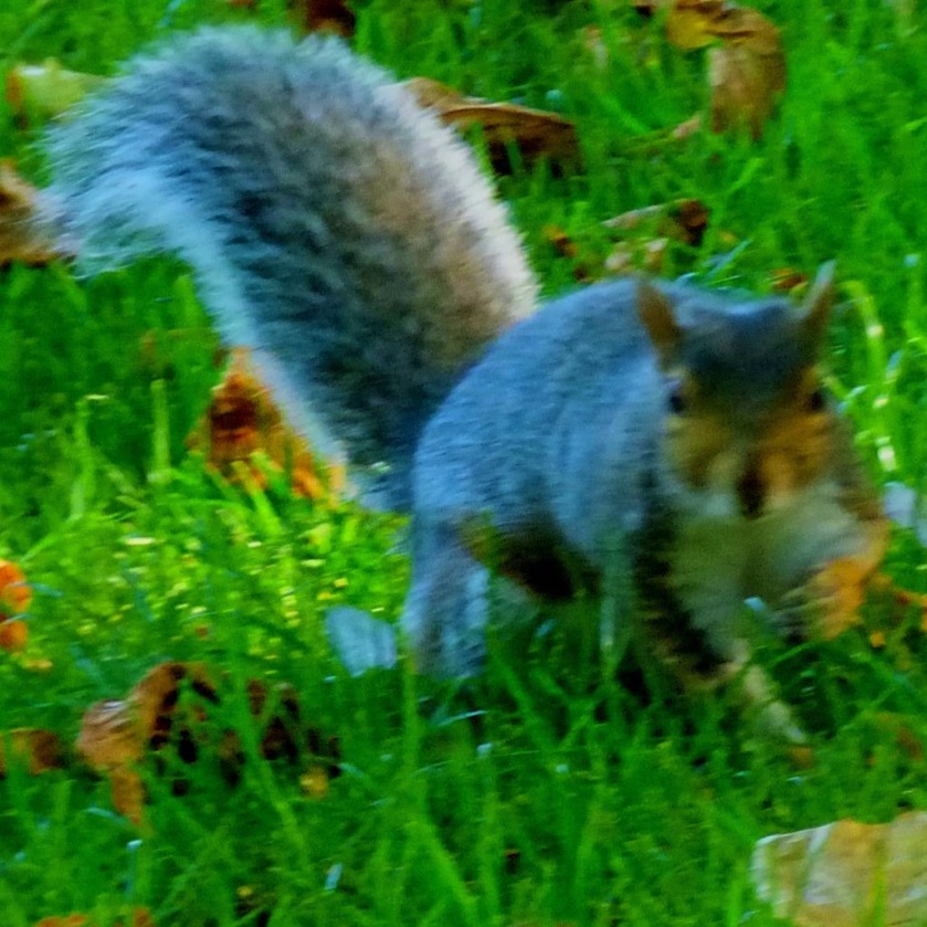
…before heading round by way of All Saint’s Church to the Library and entering the parkland area, following the Broadwalk until the path through the Vancouver Garden splits off from it, when I followed that and then the path out of the Vancouver Garden that joins the Tennyson Road end of St John’s Walk, at which point I was back on what would be the officially recommended walking route to Gaywood. There were squirrels about (in King’s Lynn only the grey ‘bushy-tailed rat’ variety as opposed to the red ‘Squirrel Nutkin” variety), though it is not always easy to get good photos of them…
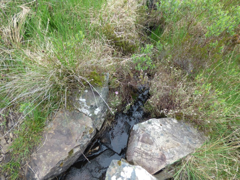
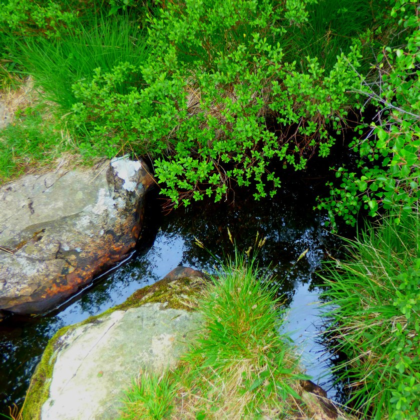
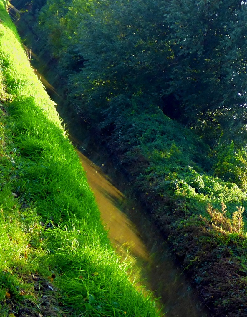
This picture and the next feature the heavily sculpted segment of the Gaywood River that passes through the parkland.
Apart from photograph opportunities the other plus side to being held up a by a train at the Tennyson Road level crossing is that you can cross the road itself in perfect safety as the cars are all stationary.
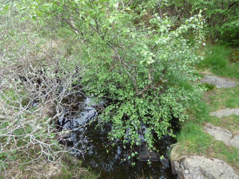
From Tennysod Road I followed the footpath the runs between the King Edward VII Academy and the Lynn Academy to Gaywood Road, which I crossed, then crossing the Gaywood on a pedestrian bridge before following its bank all the way to the Scout Hut.
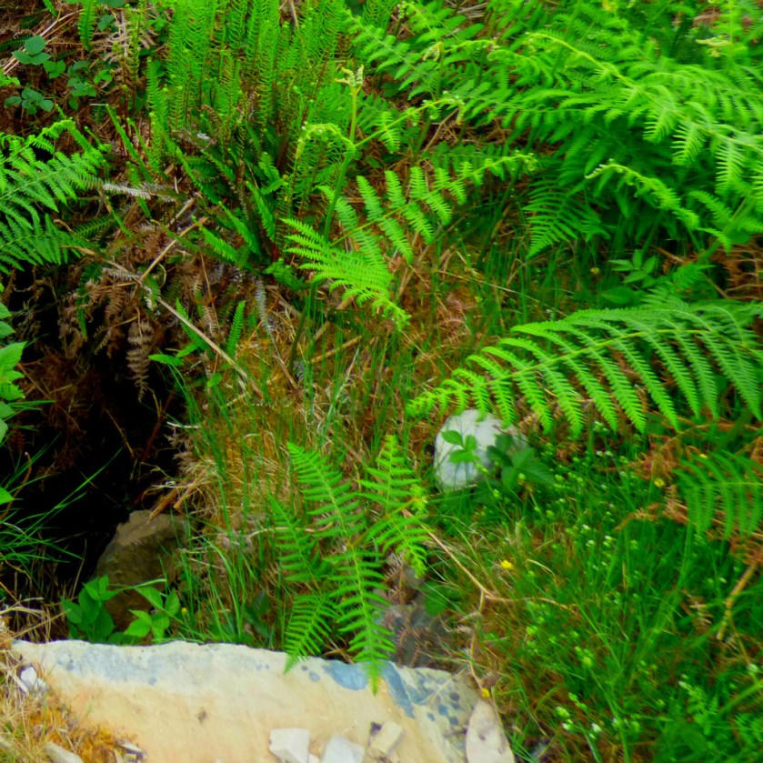
Although darker than their usual colouring I think from the markings that this is a peacock butterfly.A section of the Gaywood River
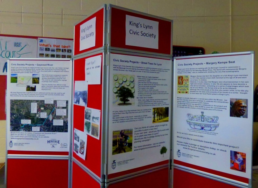
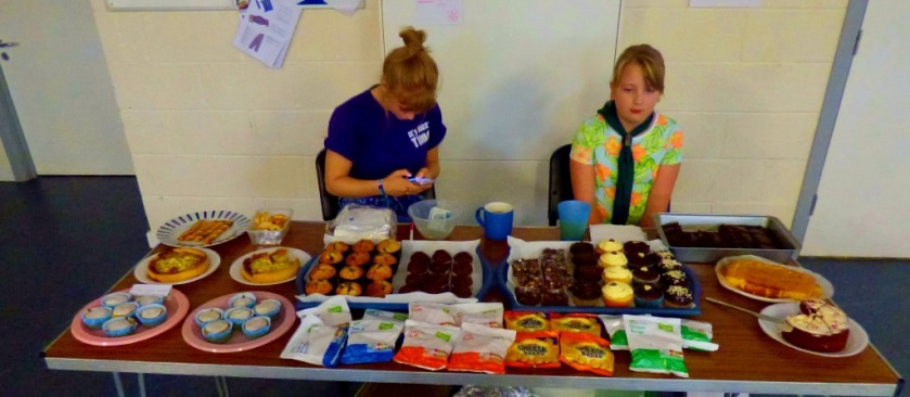
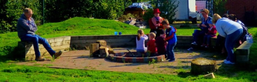
AT THE SCOUT HUT
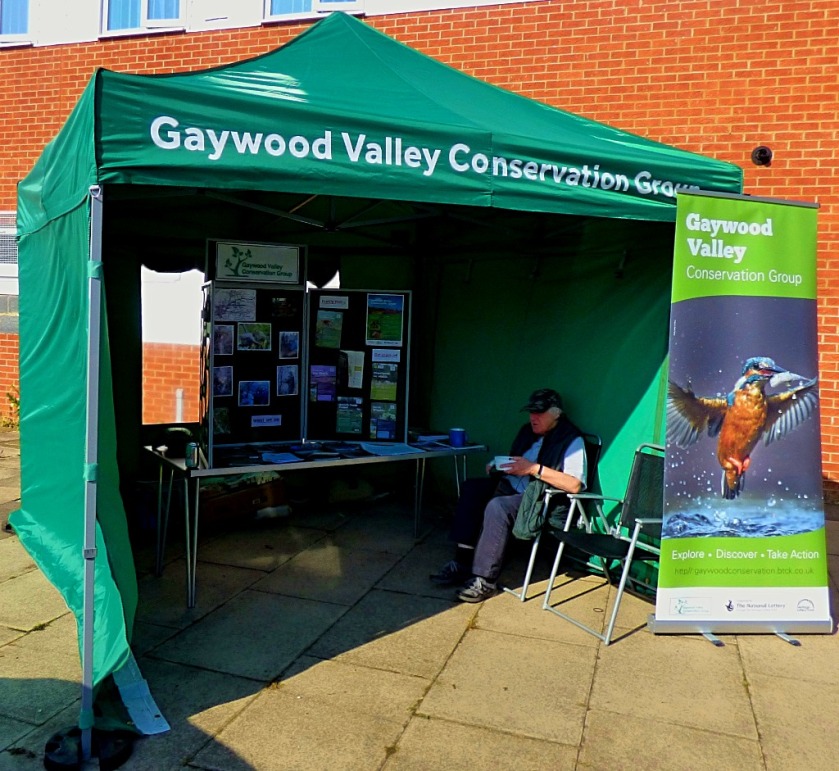
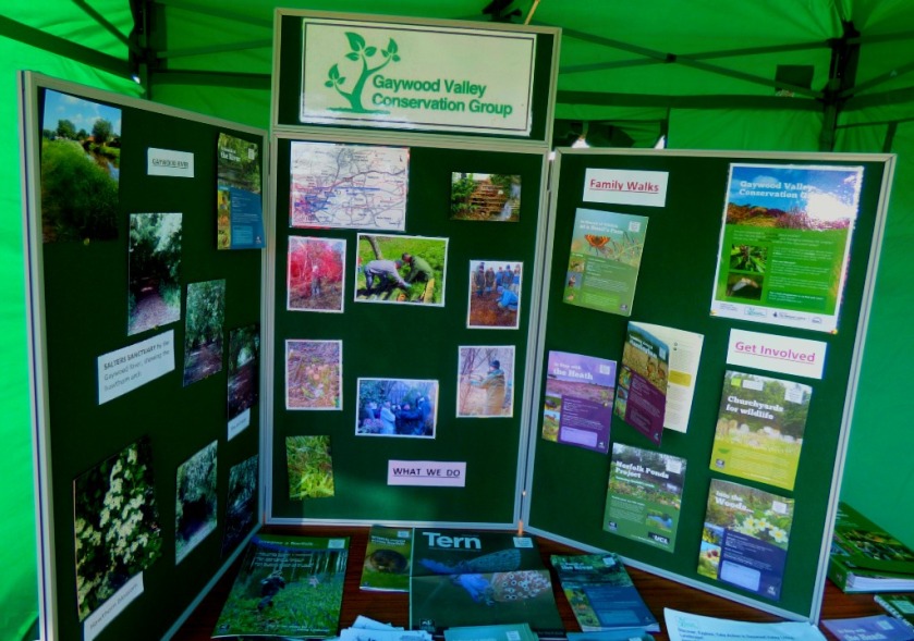
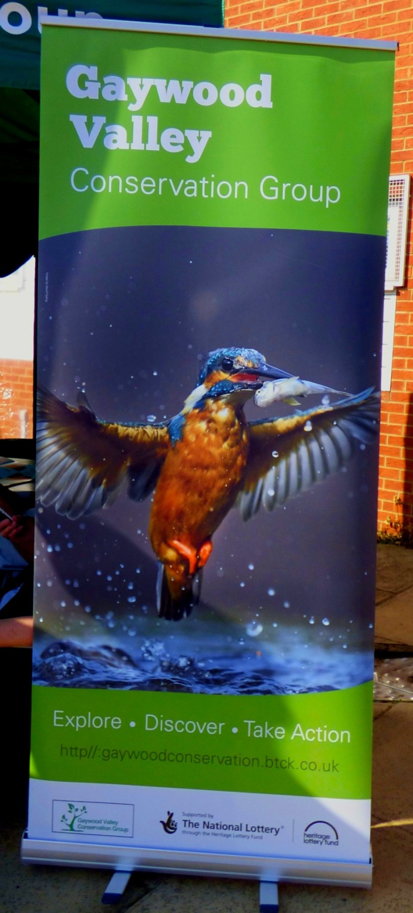
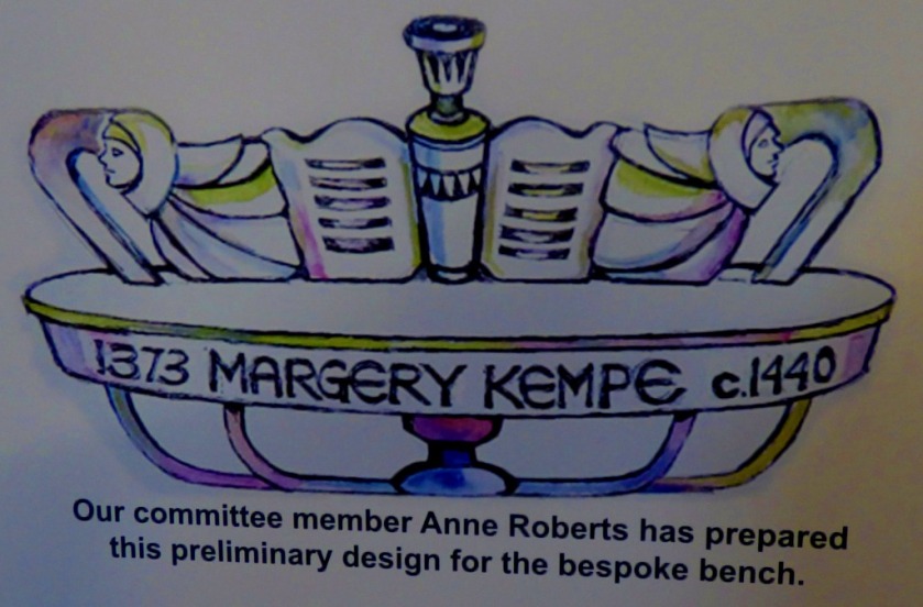
Immediately outside the Scout Hut the Gaywood Valley Conservation Group had a gazebo and display boards (it was there that I took the photo that appears in the introduction).
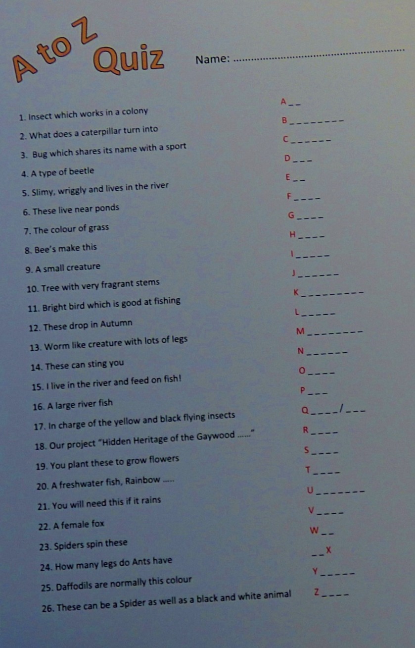
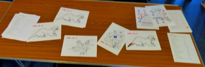
Inside the hut was the Civic Society Stall, a cake stall, and various river related learning activities (colouring in pictures of river creatures for the artistically minded, an A-Z quiz of which more later). Although it was not the first thing I looked at, because it was my aunt’s reason for being there I start with…
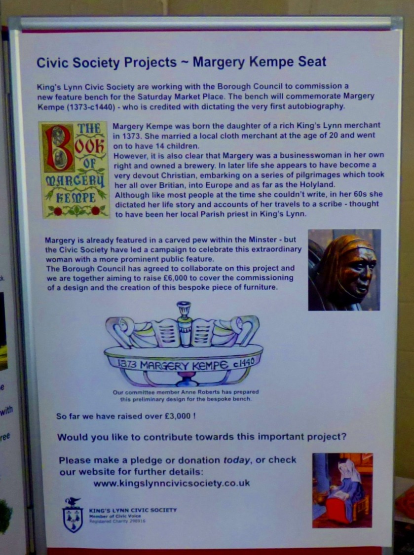
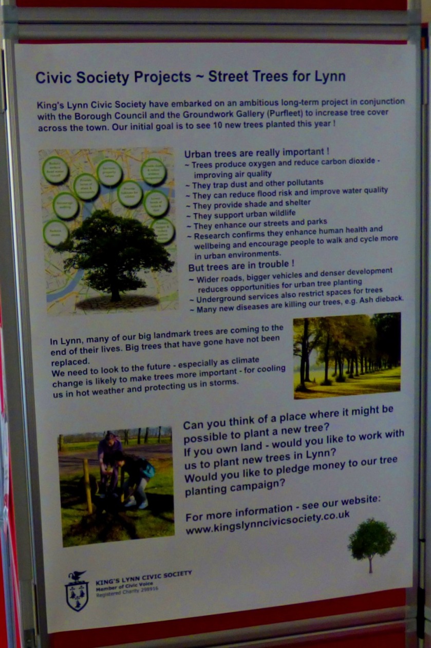
THE CIVIC SOCIETY STALL
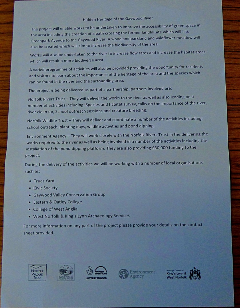
They were looking for people who knew about the history of the Gaywood river, because information boards will be going up at various points along it. They already had some good stuff, but wanted more.
Now we turn out attention to…
THE REST OF THE INDOOR ACTIVITIES
The cake stand looked awesome but discipline prevailed, and I did not sample any of the products. Although it was not really aimed at people my age I did the quiz, and predictably got all the answers in short order. The colouring proved popular, and many of the coloured creatures were then stuck on to a large picture of a river on the wall of the hut.
I will reveal the answers (just in case anyone did not get them all) in a later post.
That is the inside stuff finished, but there was also plenty going on…
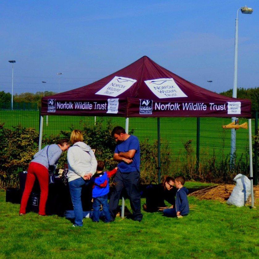
IN THE BACK GARDEN
There were two major centres of activity in the back garden, and I make my first port of call there, as I did on the day, at…
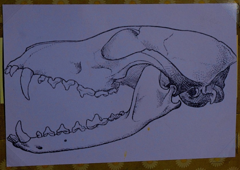
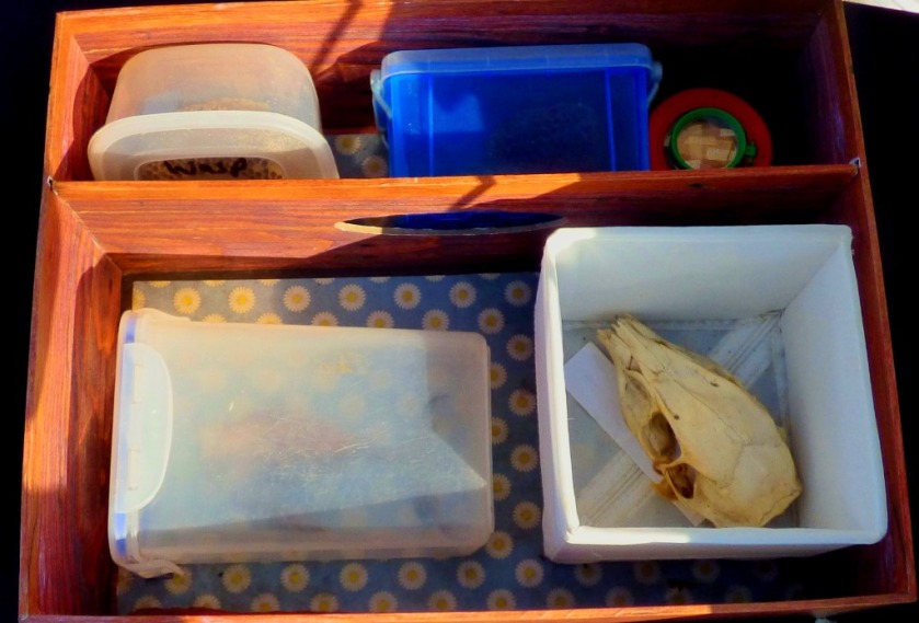
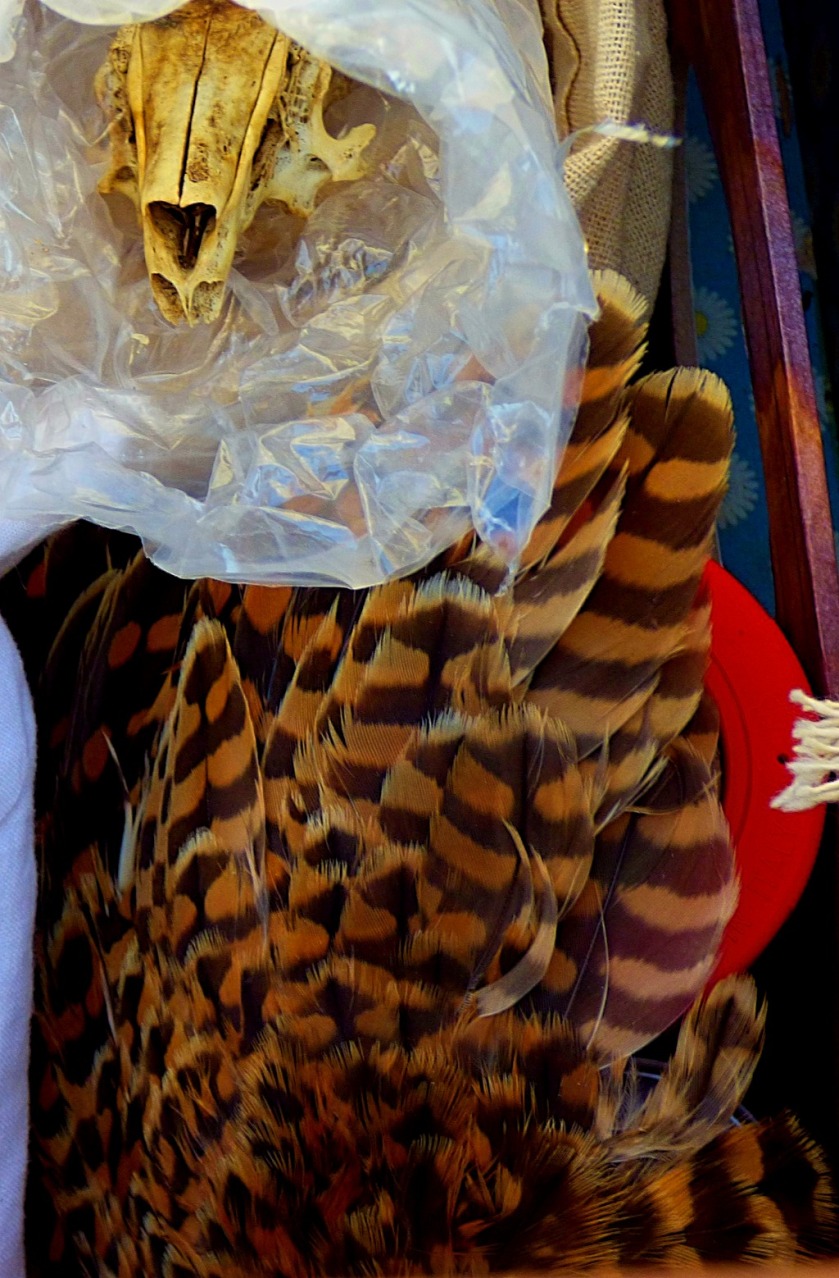
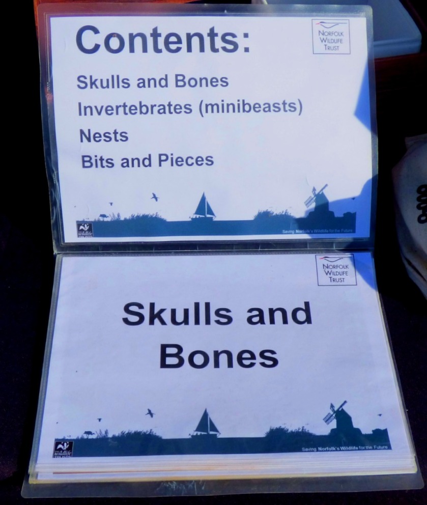
THE NORFOLK WILDLIFE TRUST GAZEBO
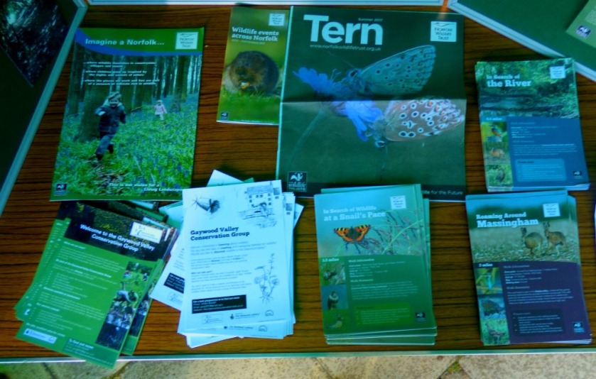
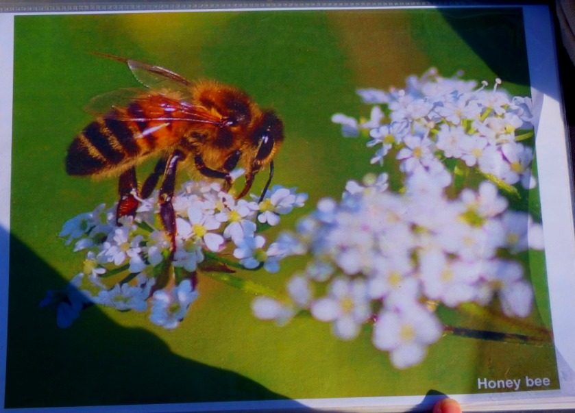
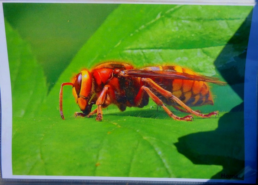
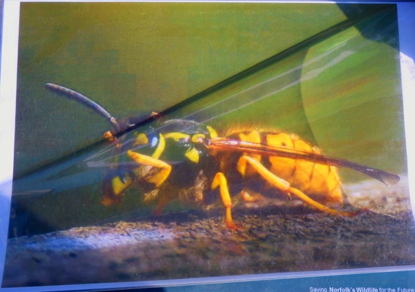
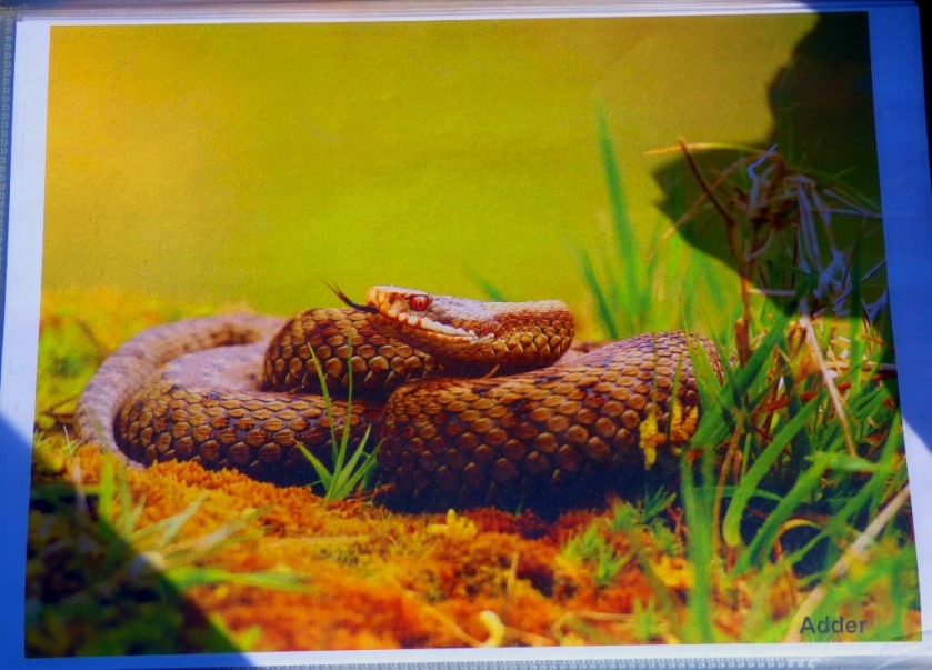
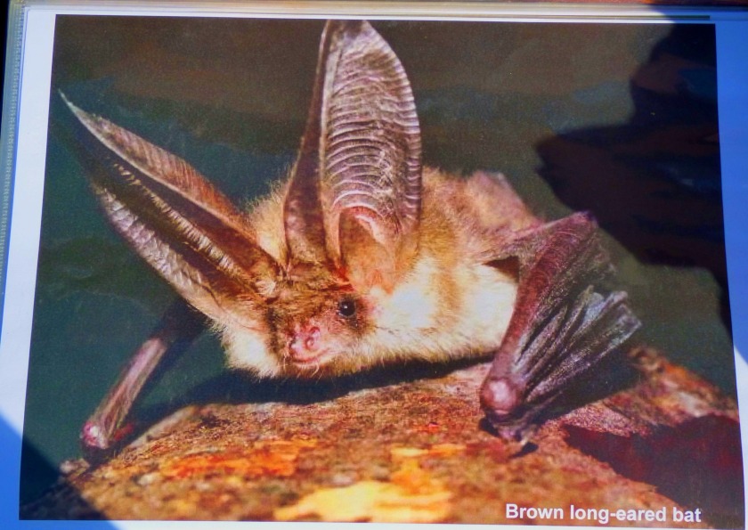
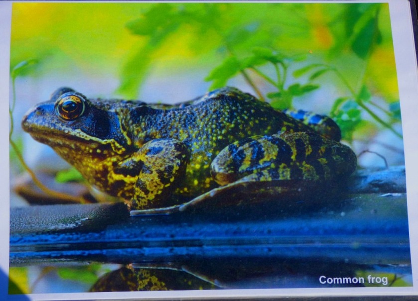
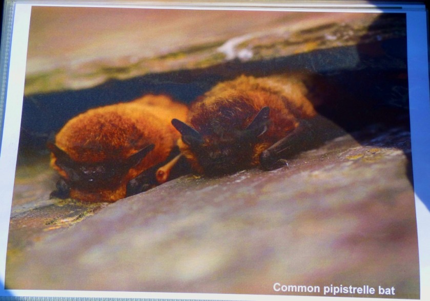
The Norfolk Wildlife Trust were showing children how to make portable ‘bug hotels’, and they also had a natural history display including a folder full of photographs of animals, and a stash of leaflets, to which I may return in a later post.
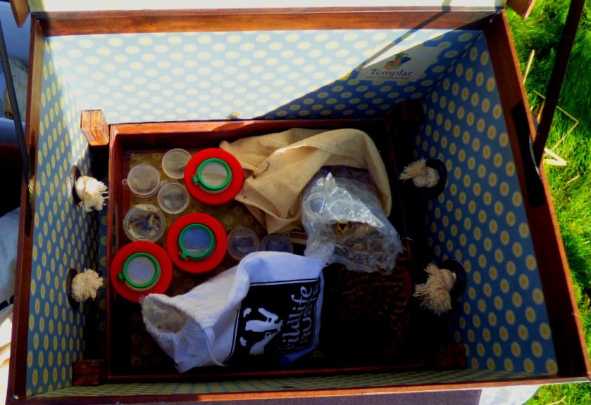
We now come to what was for me the best of all the exhibits, courtesy of…
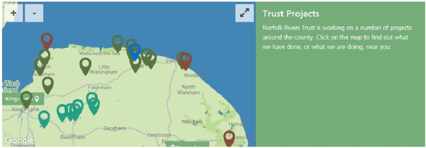
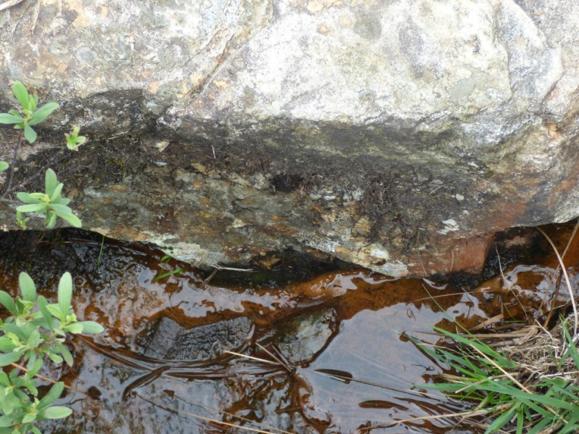
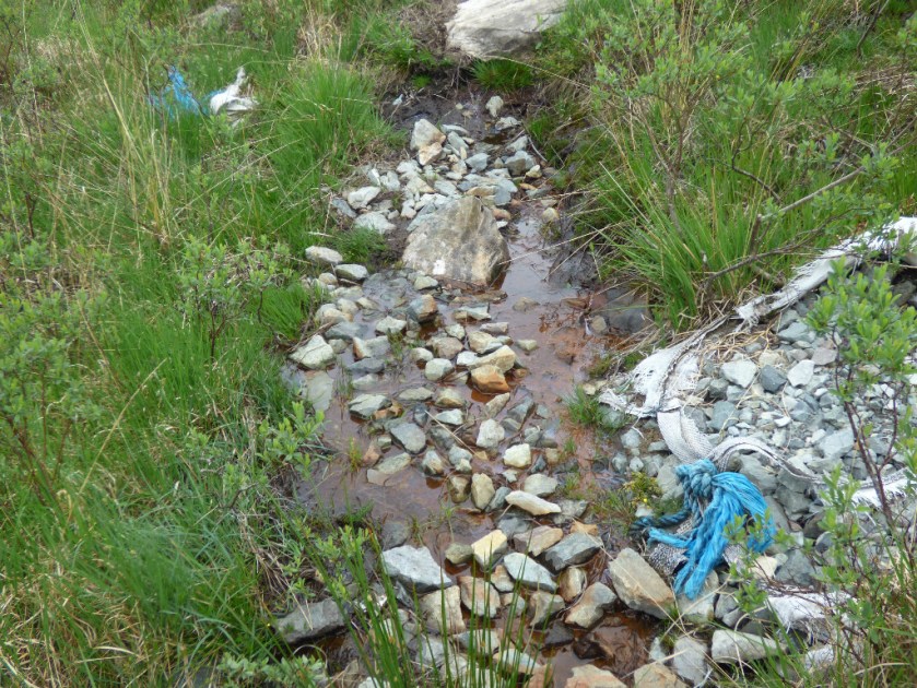
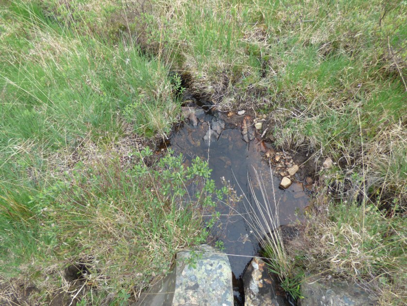
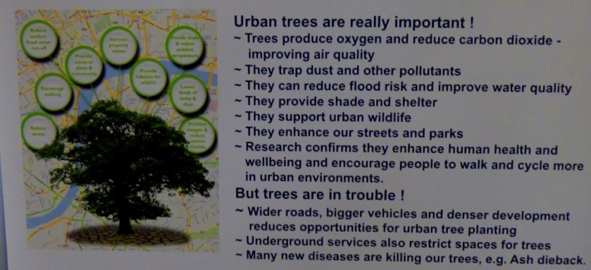
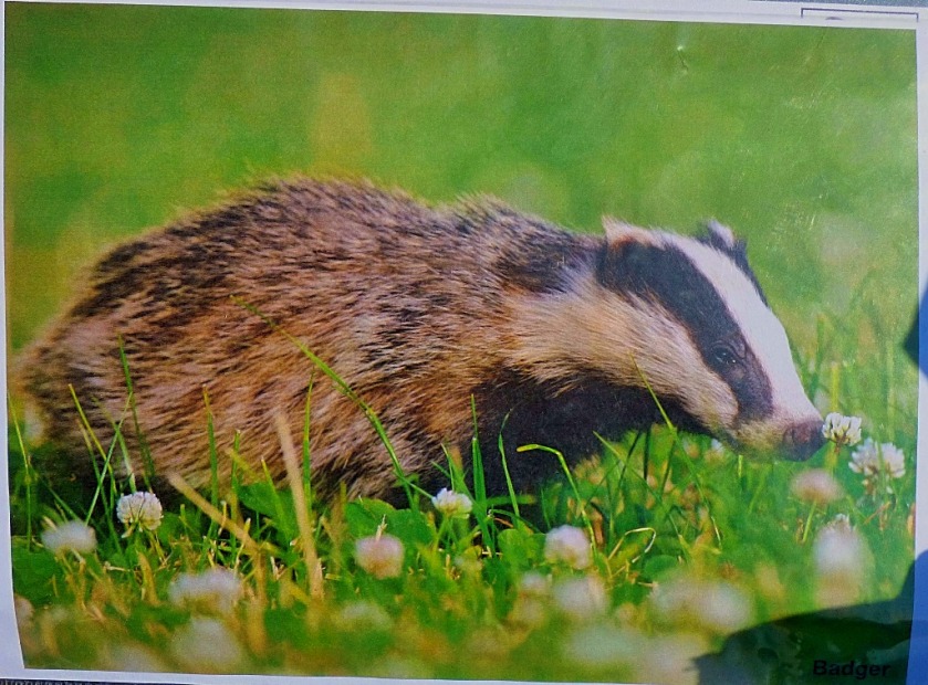
THE NORFOLK RIVERS TRUST
There were two parts to this exhibit. The minor part was display showing graphically how different treatment of land in the winter affects the soil:
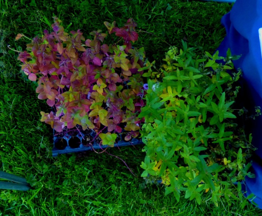
These three models were side by side demonstrating what happens to soil when there is nothing there at all – gets washed straight into the river)…When there are dead leaves covering it – still lots of it ends up in the river……and what happens when something suitable is planted – note the much clearer water at the end – most of this soil remains in place.
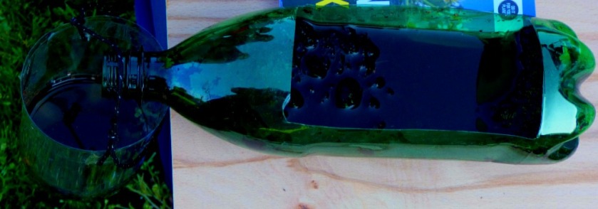
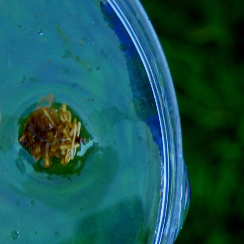
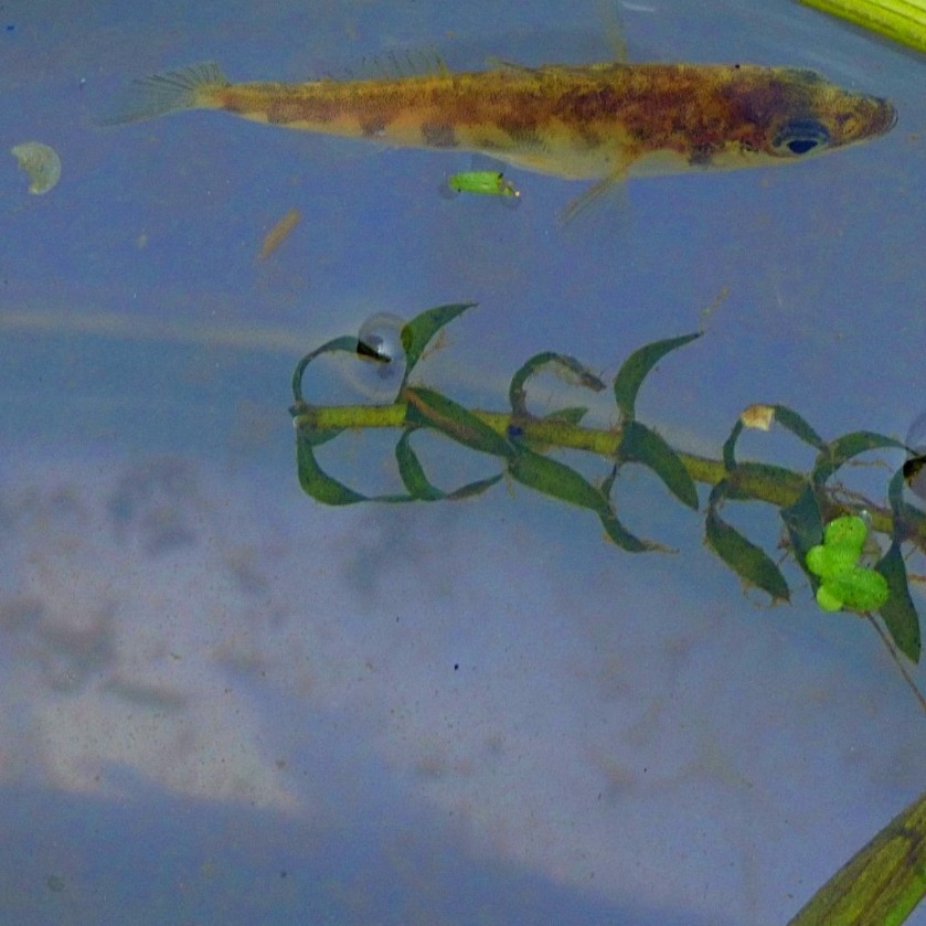
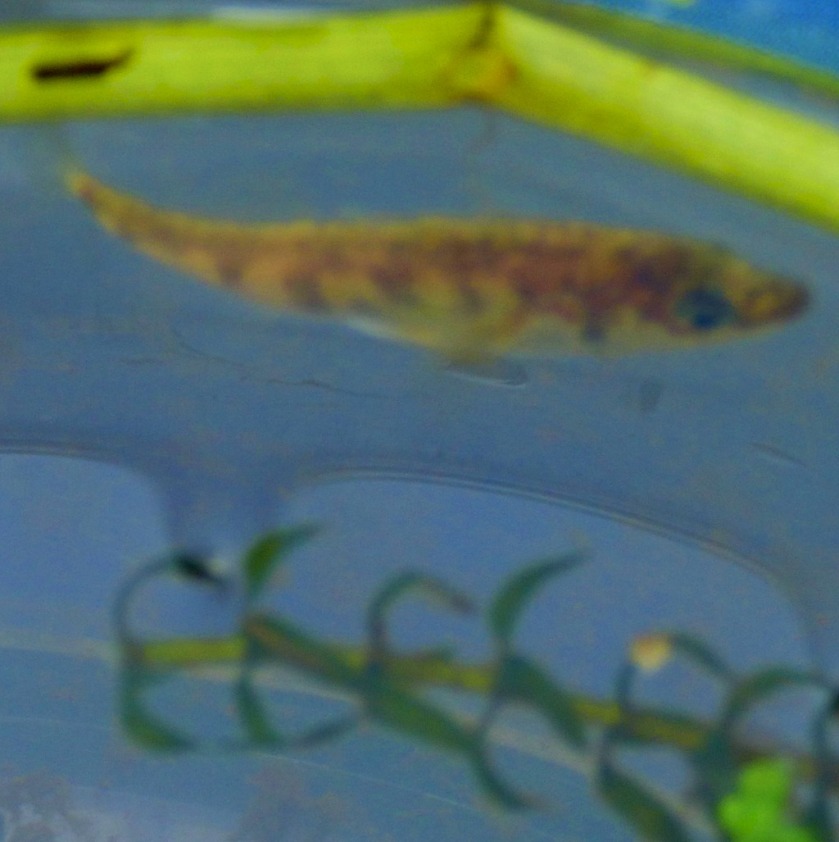
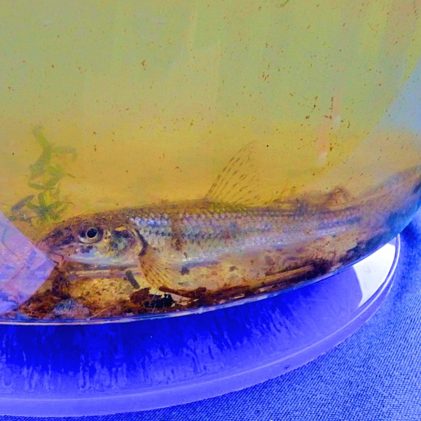
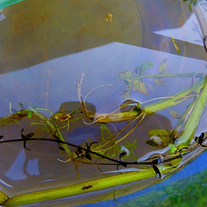
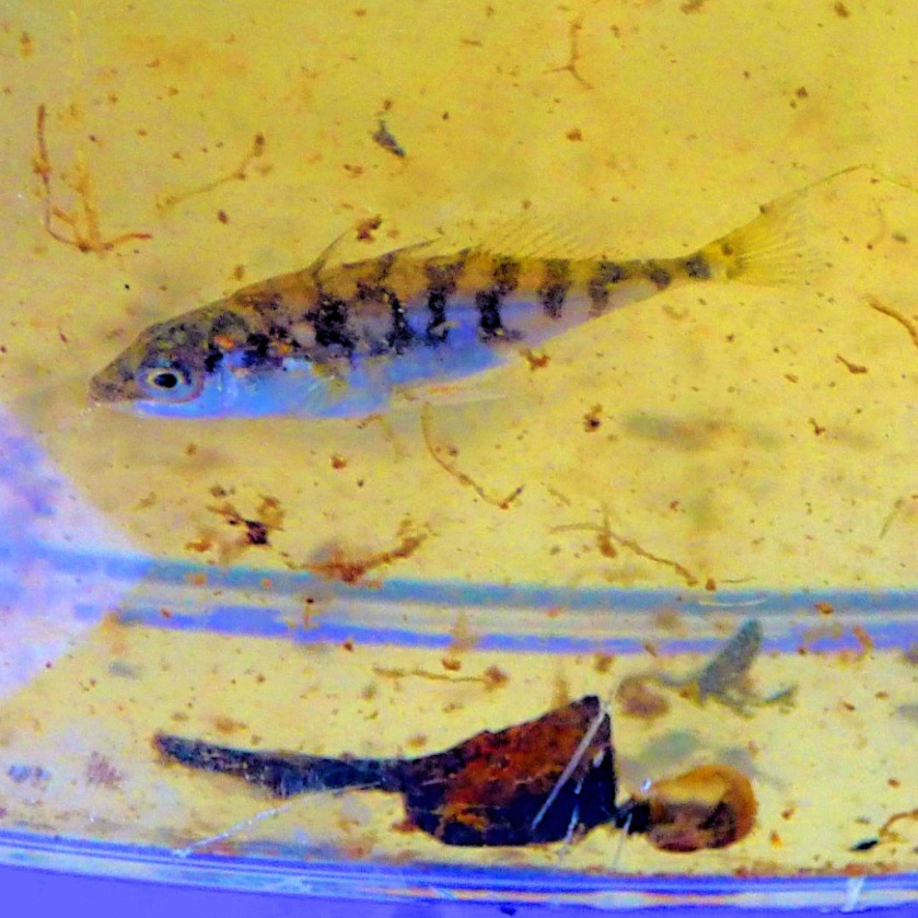
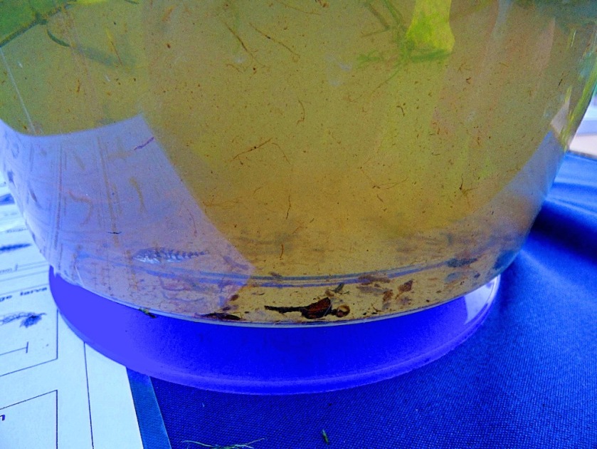
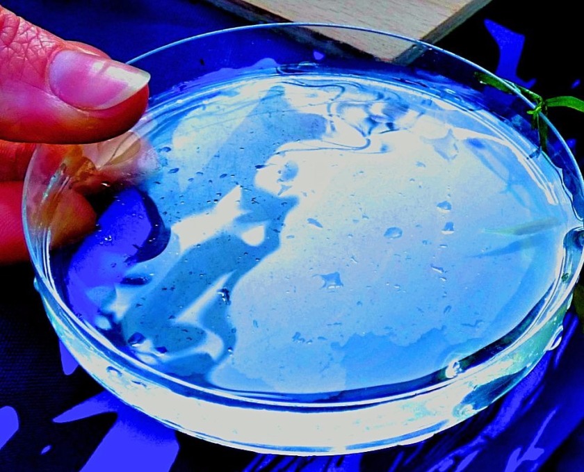
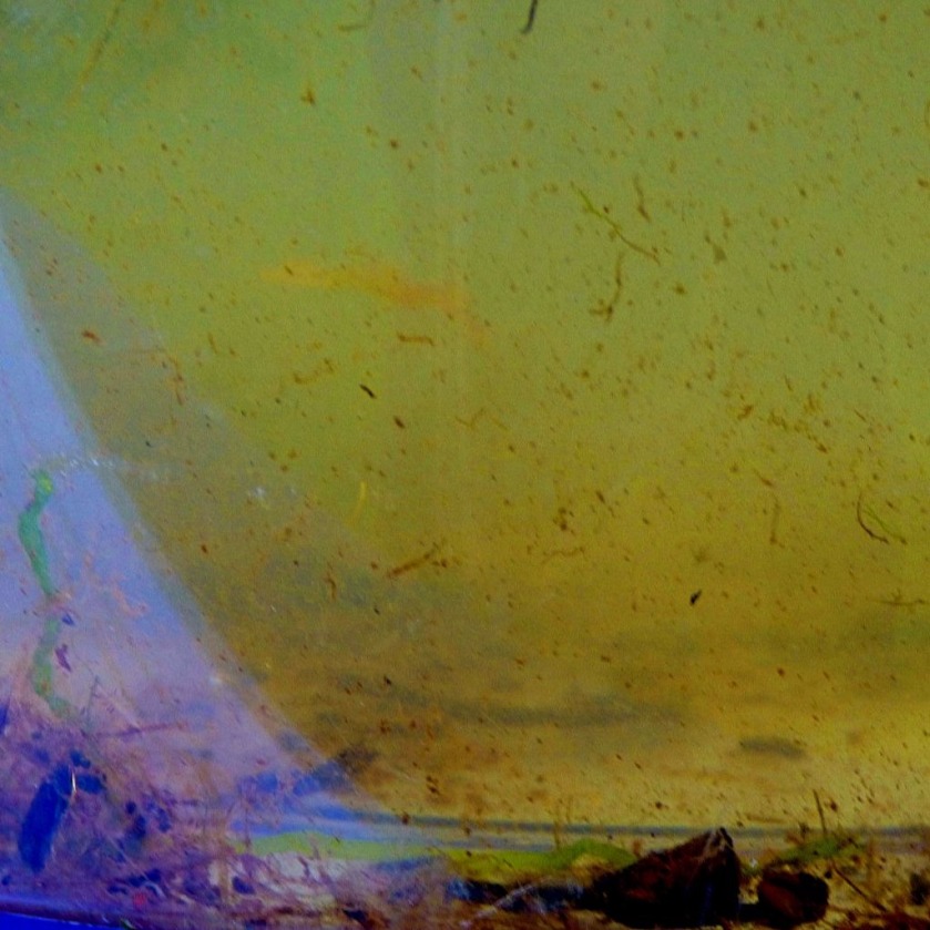
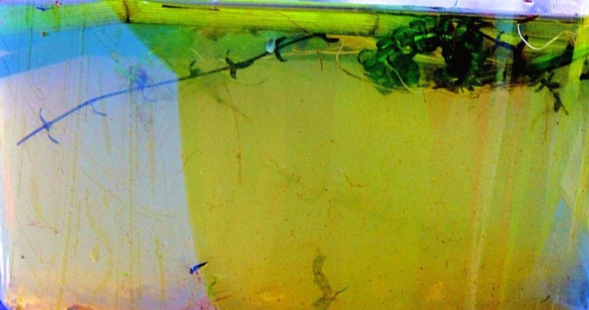
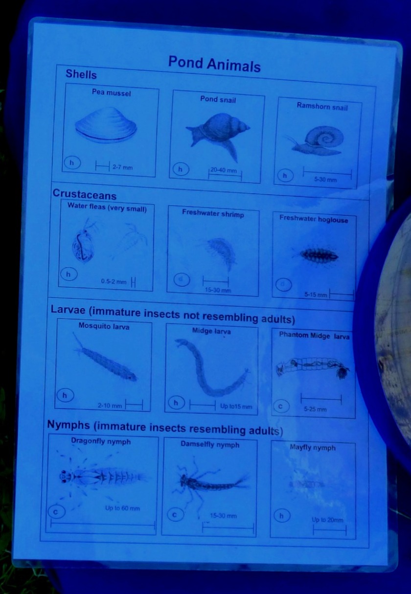
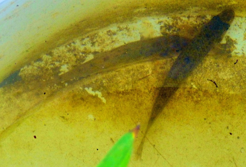
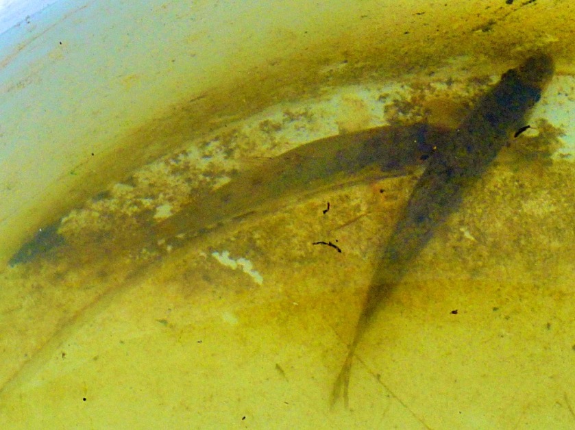
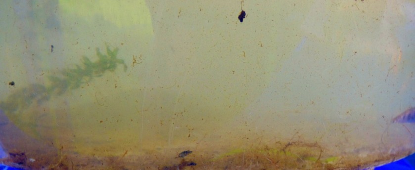
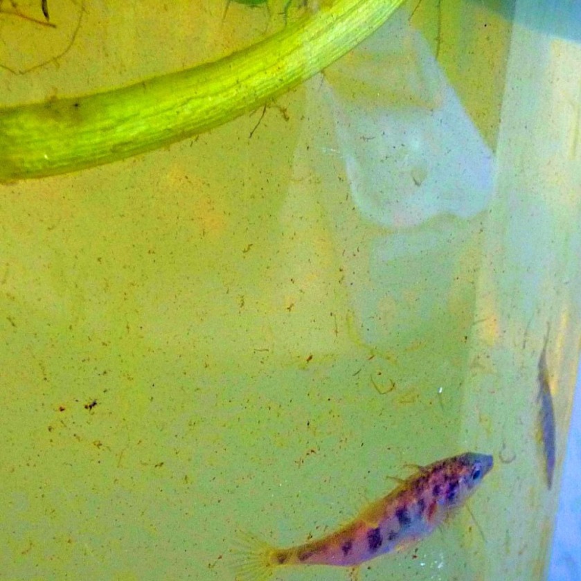
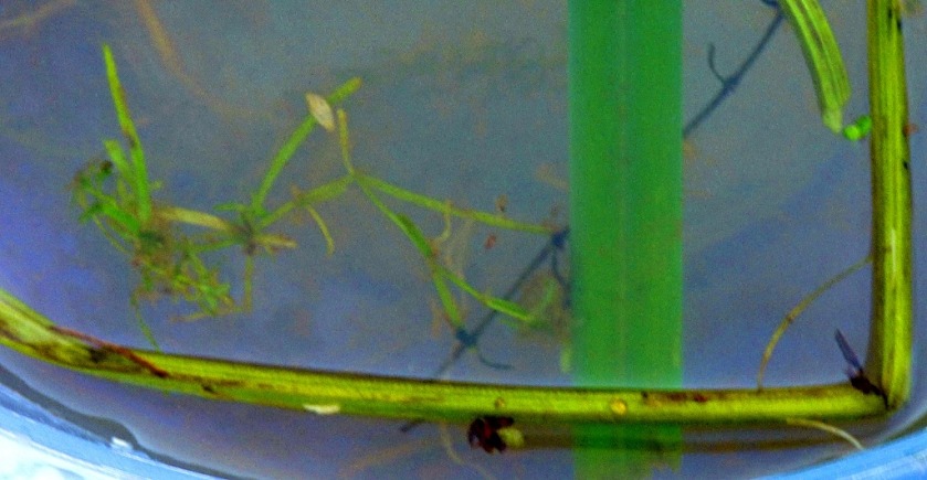
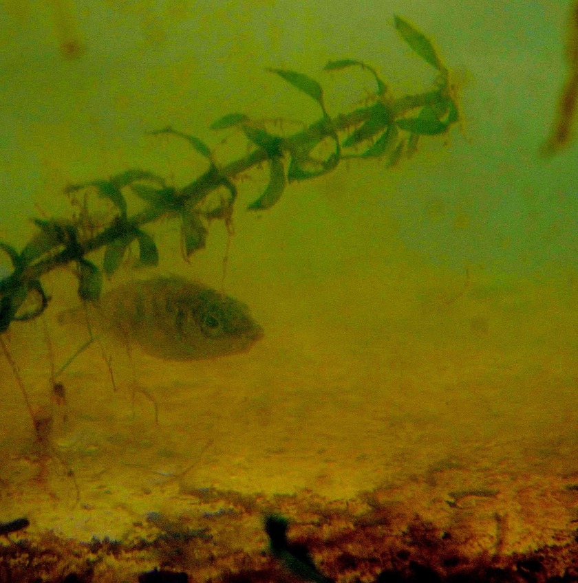
The second part of this display was a living exhibit from the river – two large buckets of river water with creatures that naturally live in it there to be seen (the amount of dissolved sediment in the water, the small size of these creatures and the fact that some of them live on the bottom of the river means that this the only way to make them visible). There was also a small sample dish which the person running the exhibit used to show as very small curiosities…
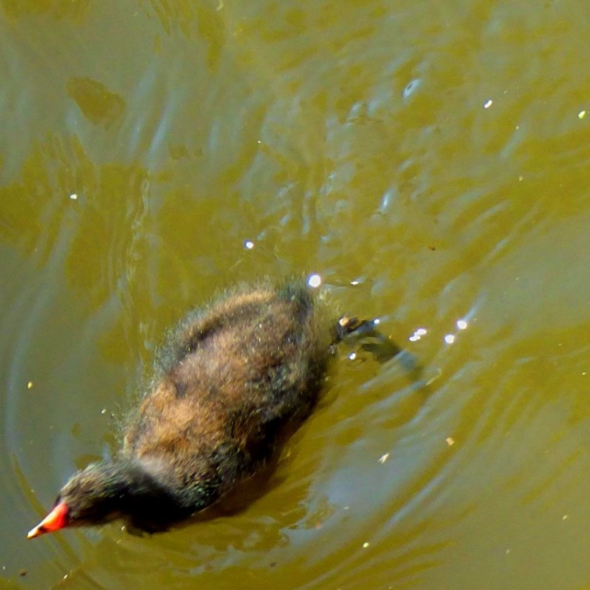
This is one of nature’s smallest houses – within it is a caddis fly larva, and at some point the adult fly will emerge.The next three shots are of small sticklebacks.
This was described as a gudgeon, but looks different to the other gudgeons we will see later. The silvery sheen to its scales suggests a dace to my eyes.
I am not sure what this piebald fish is, though it could be a stickleback.
This shot of the sample dish showing the thumbnail of the dxemonstrator reveals just how tiny that Caddis fly home actually is – it was in this same dish that I saw it.
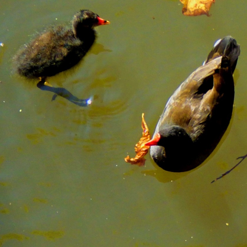
Two gudgeons in the second bucket – note that as would be the case in the river they are at the bottom.
There was also a story teller outside…
LINKS
To start this section we look at organisations who were actually involved in some way or other with this event:
Wildlife & Planet – interesting stuff about wildlife from all over the world.
WEIT– the website that grew out of Jerry Coyne’s classic book Why Evolution is True.
Science Whys – the blog of Brandeis biology professor James Morris.
Rationalising the Universe – sets about accomplishing the big task laid out in its title and does a good job of it.
Faraday’s Candle – a science website that will really illuminate your life.
I conclude this section by mentioning a couple of bloggers who regularly feature nature in their work:
CindyKnoke – keen photographer and nature lover. Below is the feature image from (and link to) her most recent post:
Anna – her posts about fighting to save nature in her part of the world are always inspiring, and her two recent series of posts “Paradise on Earth” and “Butterflies in Trosa” are both stunning. Below is the feature image from (and link to) her most recent butterfly post.
CONCLUSION
This was an excellent event and I learned a good deal about the history and nature of the Gaywood River. I have one kvetch which is that the event was poorly publicised – I only found out about it through my aunt and then only a few days before it was happening, meaning that anyone else I might have alerted would almost certainly have had other plans. If half of you have enjoyed this post even half as much as I enjoyed the event I have done a good job. I finish by urging you to take the time to follow up those links.
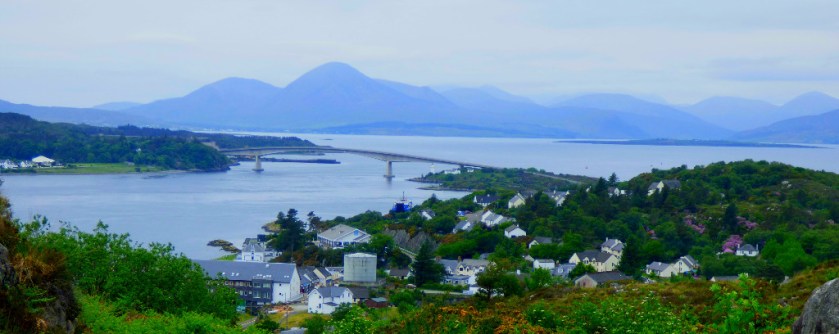
An account of the walking route from Balmacara to Kyle of Lochalsh.
INTRODUCTION
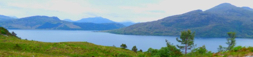
Welcome to the latest installment in this series about my Scottish holiday. Today we deal with Monday’s principal activity, which was a trip into Kyle of Lochalsh. Previous posts in series:
We had noticed the presence of a footpath to Kyle of Lochalsh, and I was particularly keen to sample it. I was not expecting the walk to pose too many problems as the distance was only three miles. However, I had seriously underestimated the difficulty of the terrain. Thus it was that after a brief period in Kyle of Lochalsh we got a bus back.
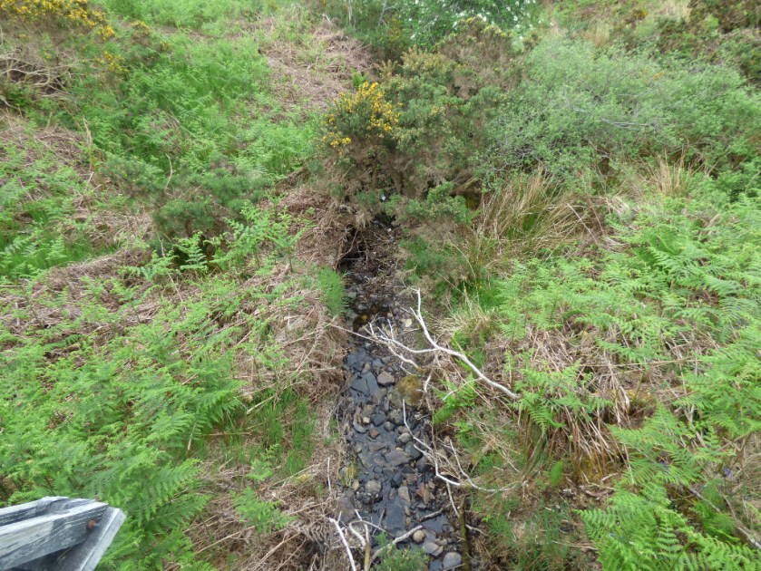
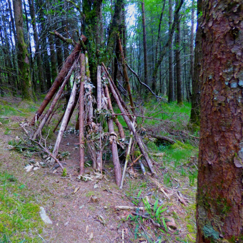
LEAVING THE ROAD – WOODS
The footpath began by climbing up through some woodland, before emerging into the open.
This shelter framework had been built straddling the path and left there.
ON THE HEIGHTS – TO SCALPAIDH BURN
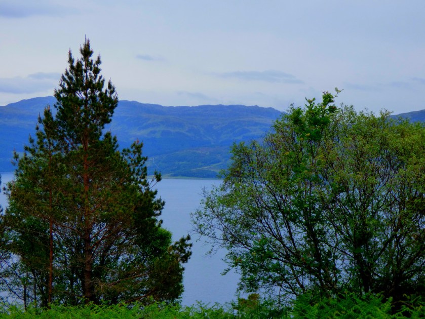
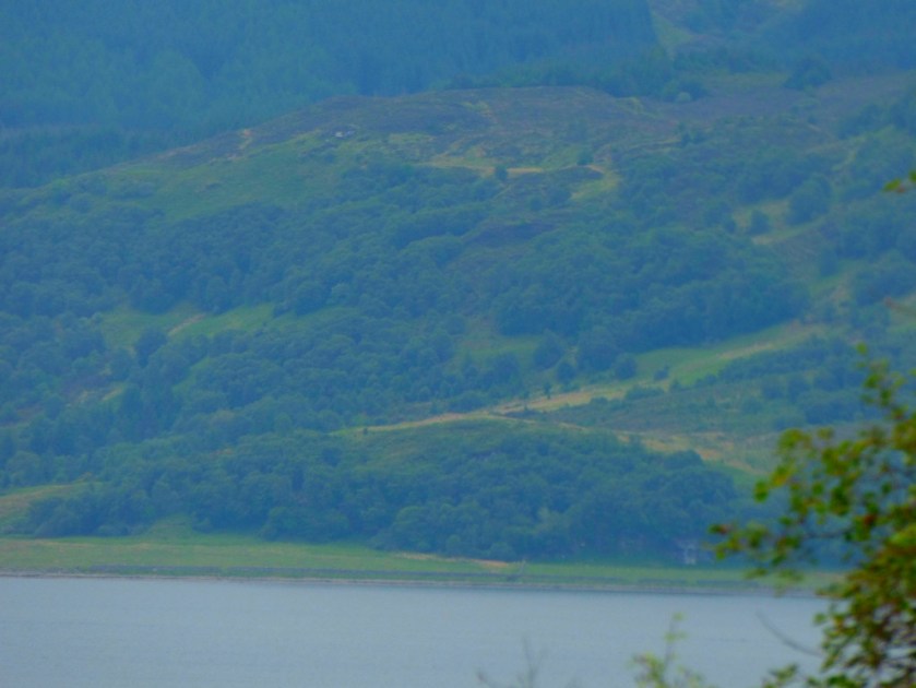
The middle point of the walk, until we crossed a footpath running between Scalpaidh Bay and Loch Scalpaidh, took place high above Lochalsh. This junction came at the crossing point of the only major waterway on the route (there were numberless minor waterways cutting the path at various points – this is northwest Scotland we are talking about!).
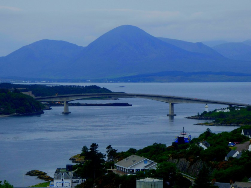
THE DESCENT INTO KYLE OF LOCHALSH
The final stages of the footpath were on a steady downhill gradient as we approached Kyle of Lochalsh. The whole walk took two hours due to the difficult terrain (there were points when the path was almost indistinguishable from what as around it). We walked it on a warm day during what had been by the standards of the area a dry period.
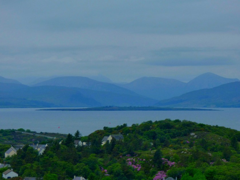
This was the first sight of Kyle of Lochalsh from the footpath.
Kyle of Lochalsh Co-op – it has an adequate but overpriced stock.The footpath marker at the Kyle of Lochalsh end of the path.#
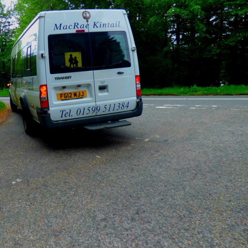
LUNCH AND THE RETURN
We had lunch at Hector’s Bothy, also making use of their wifi before getting a bus back. This bus service runs on Mondays, Tuesdays and Fridays and although its first scheduled stop is Balmacara Square they acceded to a request that we be dropped at the turn off leading to Glaick (pronounced Glike) wherein Ferry Cottage is located. The fares were remarkably cheap at £1.20 each (central King’s Lynn to the Hospital costs more for example). The bus is the smallest vehicle I have ever seen running what purports to be a public bus route:
Preparations for tomorrow, photographs from in and around King’s Lynn and pointing up a couple of things brought to my attention by DPAC
INTRODUCTION
The links I am sharing in this post are to do with disability rights. I am also going to be setting the stage in this post for the main thrust of tomorrow’s blogging, which is where the autism part of the title comes in.
NETWORK AUTISM
I will be attending an event in Dereham tomorrow morning which has been organised jointly by Autism Anglia and ASD Helping Hands. Dereham has been chosen as a location because we are dealing with a large area, and King’s Lynn to Norwich is too long a journey for most to consider acceptable (and even more so in reverse). Along with everything else, I have been making preparations for that.
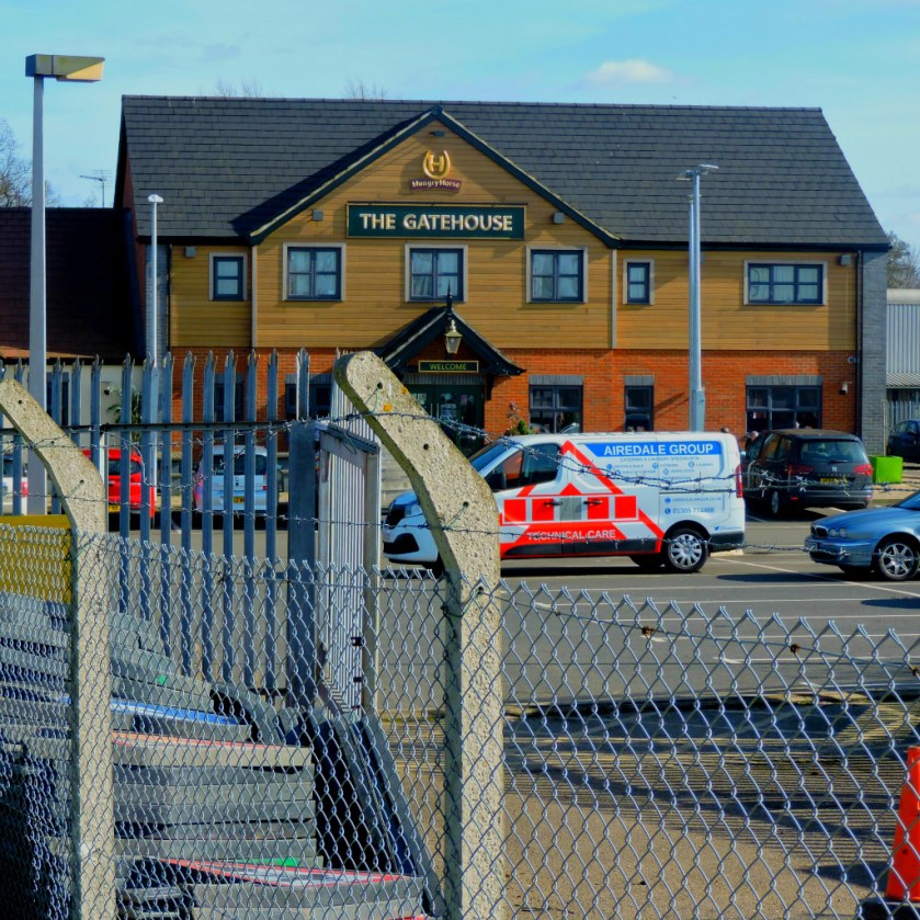
GETTING THERE AND BACK
I have mad arrangements with someone who lives in Watlington and will be travelling by car to be given a lift. In order to avoid the necessity of the driver coming into the middle of King’s Lynn at what would be a busy time we have arranged to meet in the car park of the Gatehouse pub. It being fine outside I was up for a walk anyway, so I started by walking the best route between my house and the car park in question. Those familiar with this blog will not need to be told that in aspiblog terms when talking about walking routes “best” and “shortest” are not necessarily synonymous, and my chosen route is not by any means the shortest. However I class at as the “best” walking route because it minimises the amount of time I spend close to busy roads.
I set off at 13:31 (I needed to time this first section) and headed over the bridge across the upper Purfleet, across King Street, and down to mouth of the lower Purfleet, where I crossed the other pedestrian bridge to walk along the bank of the Great Ouse as far as Millfleet, from where I took the path around old Boal Quay to the Nar Outfall, and briefly rejoined the riverbank until I reached the path through Hardings Pits to Hardings Way, which I followed to its end near the South Lynn Baptist Church, where I crossed the road it joins, crossed the Nar and walked along to the South Gates roundabout, where one more road crossing took me to the edge of the car park which tomorrow morning will be my destination. Having recorded that I had got to the car park at 14:02, and hence been underway for 31 minutes I continued my walk by way of the cemetery, The Walks, Lynnsport and finally back into town by way of Bawsey Drain.
When I got back I found a facebook message awaiting me telling me that the ETA for my lift at the car park tomorrow was 9:20 – 9:30, so factoring in the timings for today and reckoning that if anyone has to wait it should be me I am planning on leaving my flat at approximately 8:40AM tomorrow.
Here are some of the pictures I took while out walking (including some in the first section which I was timing – where I go my camera goes).
The sun shining on the Great Ouse.Marriott’s – note the people using the outside seats.
More light tricks courtesy of Helios and the Great Ouse.The former Wagg-Jex building been done up and turned into flatsThe South GateThe Gatehouse pub
A DPAC DUO
Disabled People Against Cuts have put out two very important pieces today. First, they draw our attention to a day of action against the vicious barbarism known as “Benefit Sanctions” organised by UNITE Community for March 30th. Please read this piece in full by by clicking on the image of an anti-sanction badge (from that post) below:
The second piece from DPAC relates the upcoming mayoral elections in Manchester. The Greater Manchester Coalition of Disabled People has developed a Disability Manifesto. This manifesto has been sent to all the mayoral candidates, and for those of you who use social media, a thunderclap has been launched to oput further pressure on the candidates to sign up to this manifesto.
The Thunderclap, which I have already supported, and urge those of you who are on social media (facebook, twitter, tumblr or any combination thereof) to do likewise by clicking on the picture below:
TOMORROW
My aim tomorrow is to put a post before I set off finishing the sharing of links I have started today, and then once I am back from Network Autism to put up a post about that.
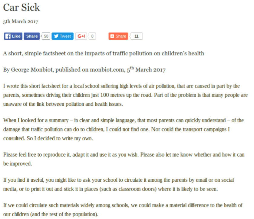
My gloss on an excellent little fact sheet produced by George Monbiot.
INTRODUCTION
This post was inspired by a fact sheet created by environmental campaigner George Monbiot which you can read in full by clicking the screenshot below:
CARS
This short piece outlines some very valid objections to the over-use of cars. However, the pollution aspect of the problems caused by the over-use of cars (which in this country has reached scandalous proportions) is more properly a criticism of the fact that the vast majority of cars continued to be powered by the infernal combustion engine. There are many non-polluting means of powering vehicles available these days. Addressing the pollution issue however does not address the problem of congestion. To avoid misunderstandings: Monbiot’s fact sheet is bang on the money, and everyone should read it in full.
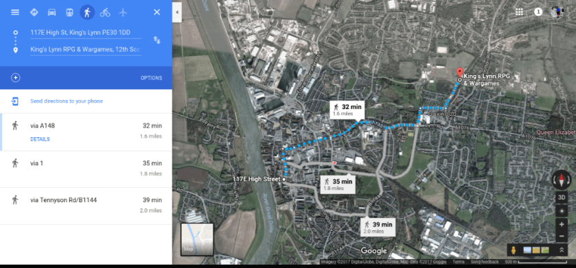
As an example of my own approach as a non-driver, here courtesy of google maps is a suggested walking route from my home to the scout hut on Beulah Street, which I quite often have cause to visit:
My usual choices of walking routes are actually longer than those recommended above because I prefer routes that spend less time around roads even if they take longer (see this postfrom yesterday for examples of two routes that I used on Saturday). There is a bus route that I could use if so inclined – there is a stop close to the Wootton Road end of Beulah Street but for a journey of this distance I positively prefer Shanks’ pony.
However, I freely acknowledge that while cars are over-used for short journeys there is another reason why there are far too many cars on British roads, and that leads to the next section of this post…
BUSES AND TRAINS
British public transport is in a shocking state. There are many people, particularly in rural areas, who have no public transport options available to them, and even where there are public transport options they are overpriced and unreliable. It is only by creating a public transport system that works for those who use it that we can seriously reduce car usage.
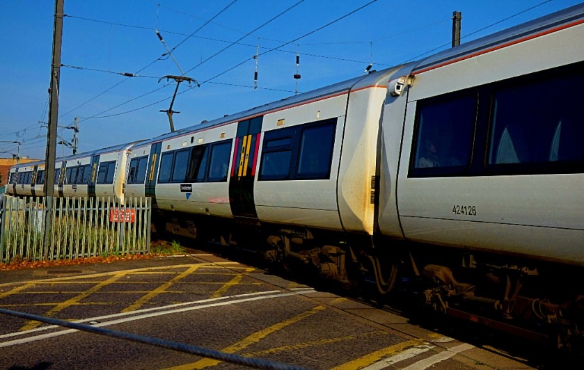
I always like to include photographs in my posts, so to conclude this little post here is a shot of the front of King’s Lynn railway station:
An account of a walk that was dominated by sightings of birds.
INTRODUCTION
I have been out walking again today. The temperature has risen sufficiently of late that I was able to do so without donning a coat (until a few weeks ago, one’s thickest coat was absolutely mandatory for venturing outside).
PART 1: HOME TO HARDINGS PITS
I set off as so often by following the Purfleet to the Great Ouse. The Lower Purfleet provided me with the first ducklings of 2016…
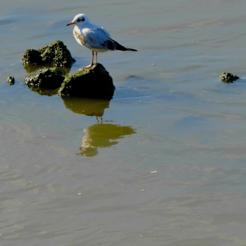
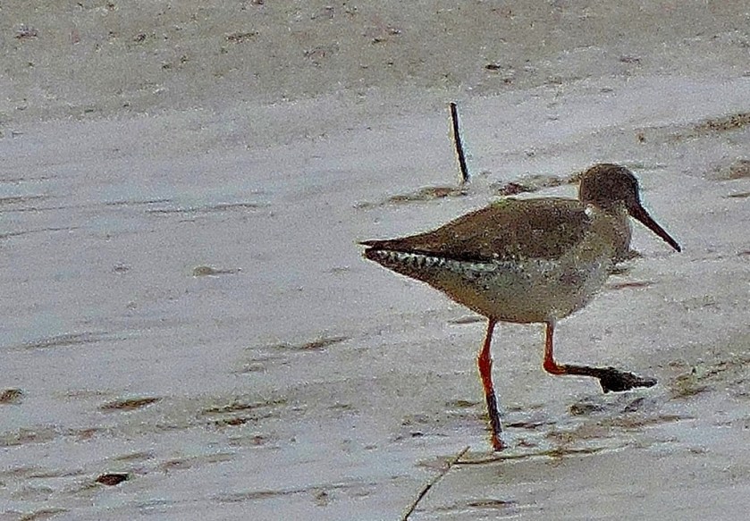
The river was at fairly low tide, so plenty of mud was exposed, which is clearly what attracted this bird (bear in mind that I was shooting across the Great Ouse, as I was walking along the east bank of the river while the bird was prospecting the mud on the west side)…
The long bill tells me that this one digs for foodMy second effort.
Leaving the river bank to skirt round old Boal Quay I bagged a couple of long range shots of a cormorant with wings extended and a closer up shot of a magpie…
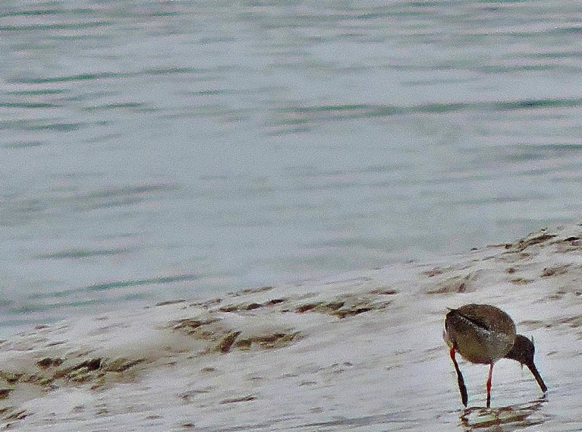
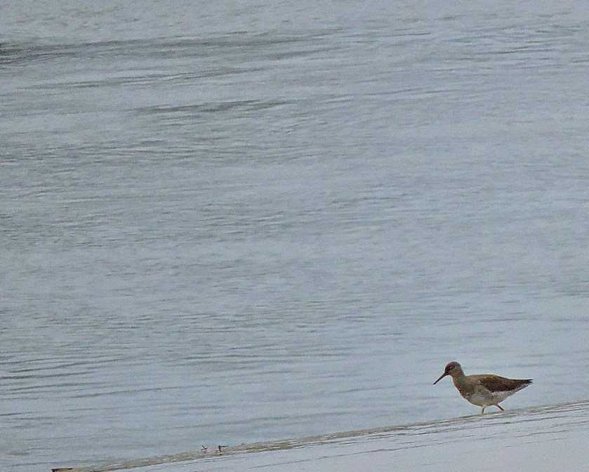
It was just before leaving the river that I bagged my second new species of the day (not dissimilar in size and shape to the first, but different colouring and a different type of bill)…
As with my first new species I was capturing these from the opposite side of the Great Ouse.
My last shots of this section feature some Caspian gulls, and a couple of non-avian pics…
PART TWO: HARDINGS PITS TO
GAYWOOD & THE ROOKERY
This was, as expected the least notable part of the walk, but I did get some photographs…
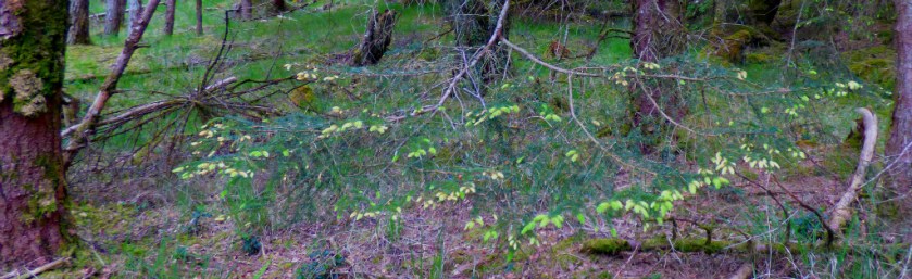
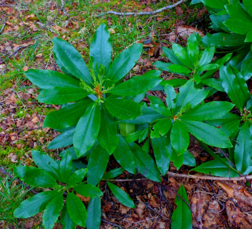
PART THREE: GAYWOOD & THE ROOKERY
Just a few photographs of this little patch of woodland for you…
HOMEWARD BOUND
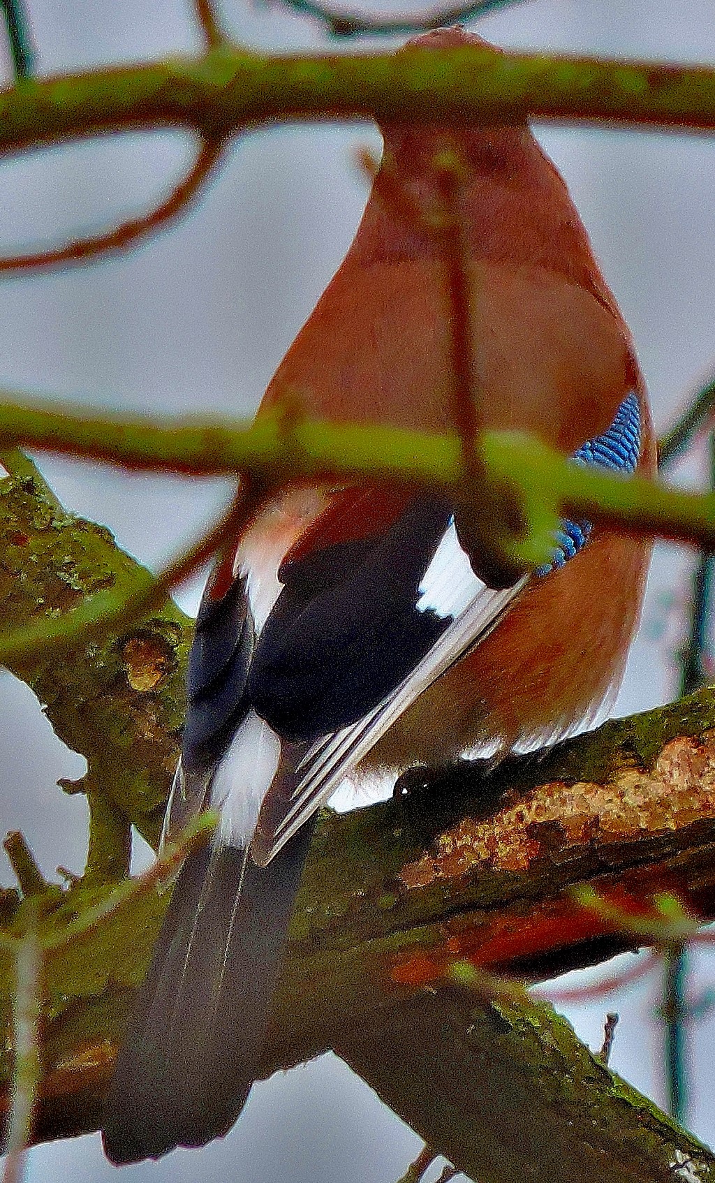
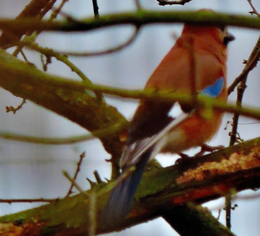
I headed back the way I had not come, and was rewarded by my third new species of the day…
Three shots starting with this one.A better effortMy best effort. I felt that the feature image should be one of the newbies and chose this.
During the last few moments of the walk I bagged a few more shots of some older acquaintances…
In due course I will be using this walk in a piece about St Albans on my London transport themed website, www.londontu.be but for now, enjoy…
St Alban’s is first recorded as a Celtic British Iron Age settlement, known as Verlamion. After the Roman conquest of Britain in AD 43, it grew into Verlamium, the third largest town in Roma…


.jpg.aspx?ext=.jpg&width=238&maxsidesize=422)