A sneak preview of the 2017 Photographic Wall Calendar.
INTRODUCTION
As some of you know I created photographic wall calendars last year. I recently mentioned that I was going to do again this year. This morning my inbox contained an offer from Vistaprint that was too good to refuse, so the calendars will be arriving with me some time around October 20th.
THE FRONT COVER
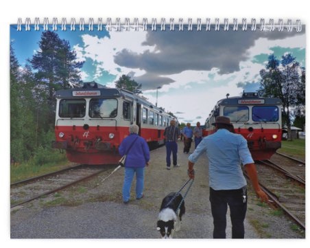
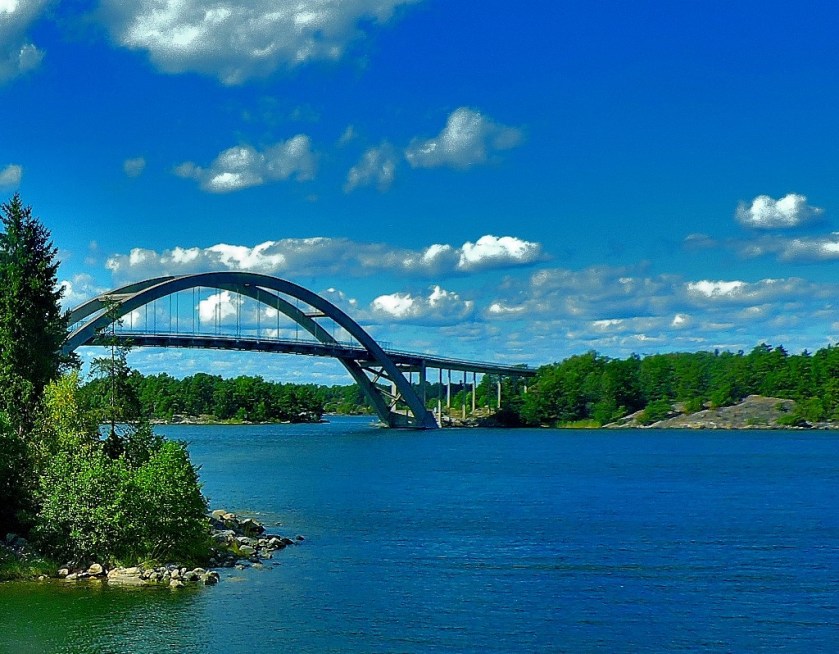
This time, there will be no borders, and no added text. It will surprise few who have followed this blog recently to find out that I have chosen an Inlandsbanan picture for the front cover…
The actual calendar will be much bigger than this of course.
THE MONTH PAGES
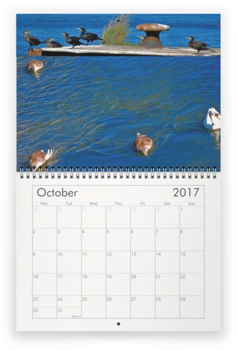
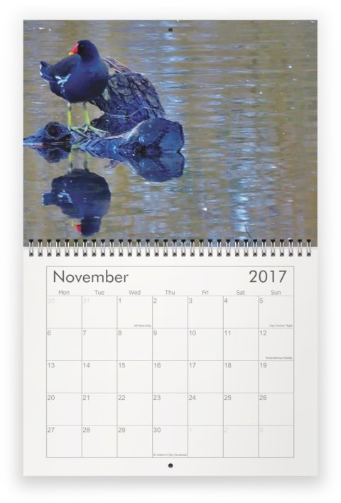
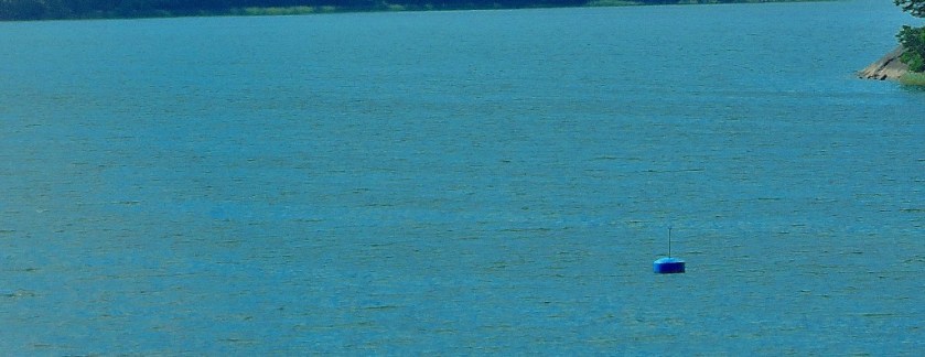
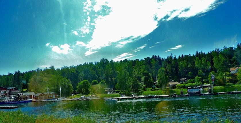
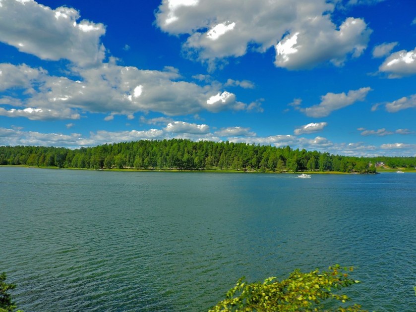
Here are the individual pages for each month…
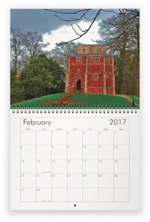
This picture was taken quite recently, but I decided that it looks wintry enough for February.
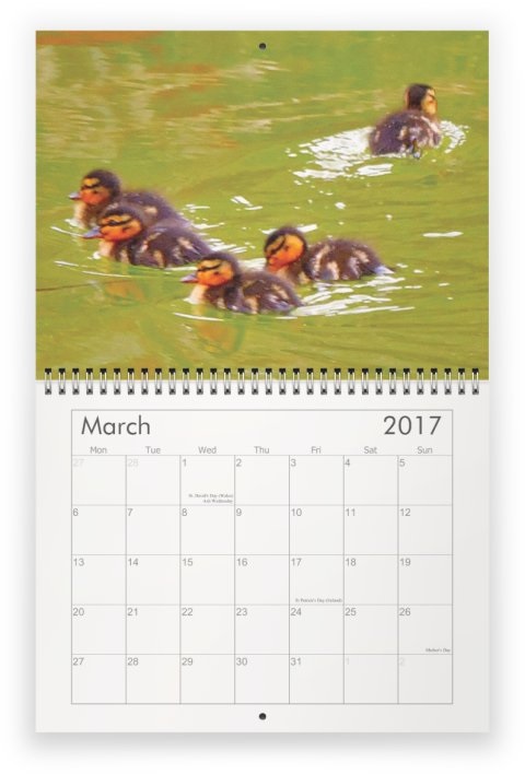
This picture is one of my Swedish ones, but not inappropriate for the month.
This picture was taken on Heritage Open Day, which in King’s Lynn is always the second Sunday in September.Two pictures both from October 1st joined together.
Another two pictures from very recently joined together for this purpose.
This post ties together my series about my recent holidayy in Sweden, displaying lots of maps and functioning as an illustrated index.
INTRODUCTION
Welcome to this post which ties together my series of posts about my recent (July 29 to August 13) holiday in Sweden and functions as a sort of illustrated index to the series. Please note that barring the two Lulea maps which are public display maps as I did obtain a map of that town every map you see photographed here is available free of charge (great news for a cartophile such as myself).
THE MAPS
Maintaining chronological order for these maps we start with…
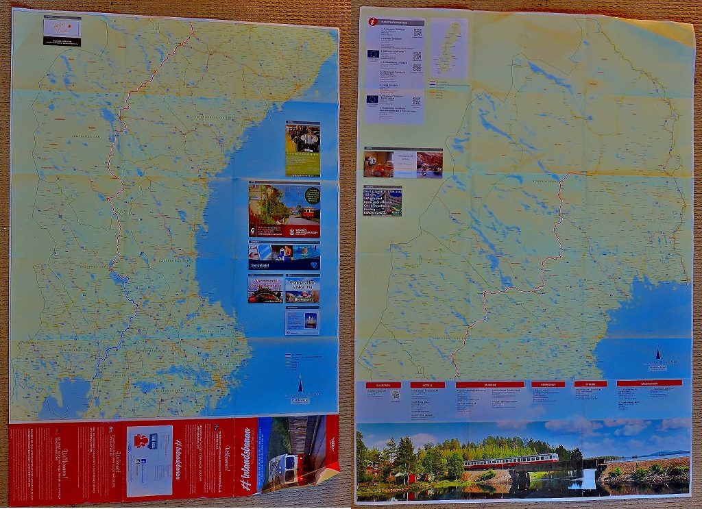
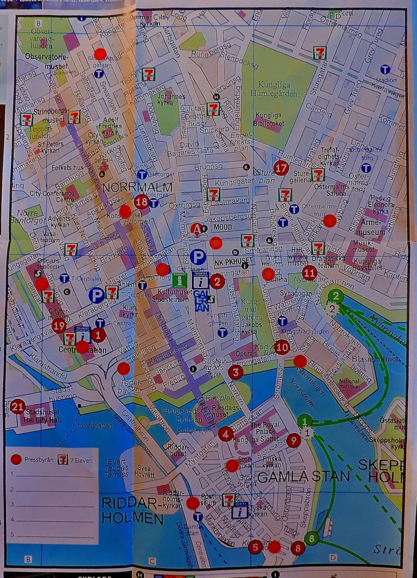
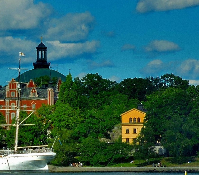
STOCKHOLM ARCHIPELAGO
This map relates to the start of the holiday, the period of July 29th to 31st, which is covered in this post:
On Monday August 1st I set off on the second part of my trip, where I was travelling solo, my first stop being…
KRISTINEHAMN
This small town was significant for me as being the southern terminal of Inlandsbanan. It sits close a famous lake (bodies of water are never far distant wherever you are in Sweden) and is an attractive place in its own right.
Kristinehamn features in two posts in this series:
I spent two days soaking up this fabulous railway experience, coverage of which ran to eight posts in the course of this series, which led to me to create a page for easy access to the whole sub=series. I have three pictures of this large double-sided map:
The two sides of the map juxtaposed – the southern part of the route is on the left as you look, the northern on the right (a side by side view works better than one on top of the other for a long thin country).A closer view of the southern part of the routeA closer view of the northern part of the route.
Those who followed this series will recall that my first day of travel along Inlandsbanan took me to…
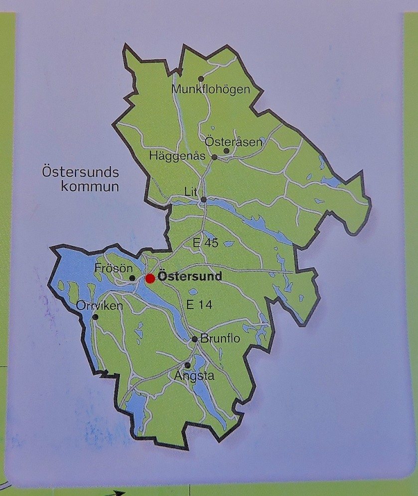
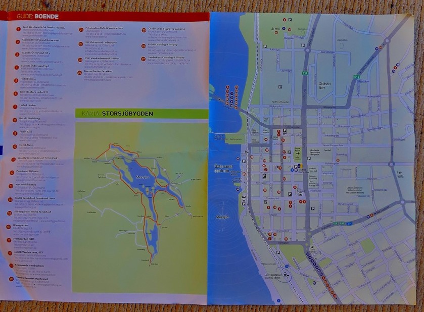
OSTERSUND
I covered the section of the journey from Mora to Ostersund in two posts, using the meal stop at Asarna as a natural break point:
The Ostersund map, shown below, was provided to Inlandsbanan passengers by our host for that part of the journey, Emma, who had been equipped with a block of such maps from which she peeled off individual copies:
Osttersund in its region.The close up of central Ostersund.
The next place I was able too obtain a map was…
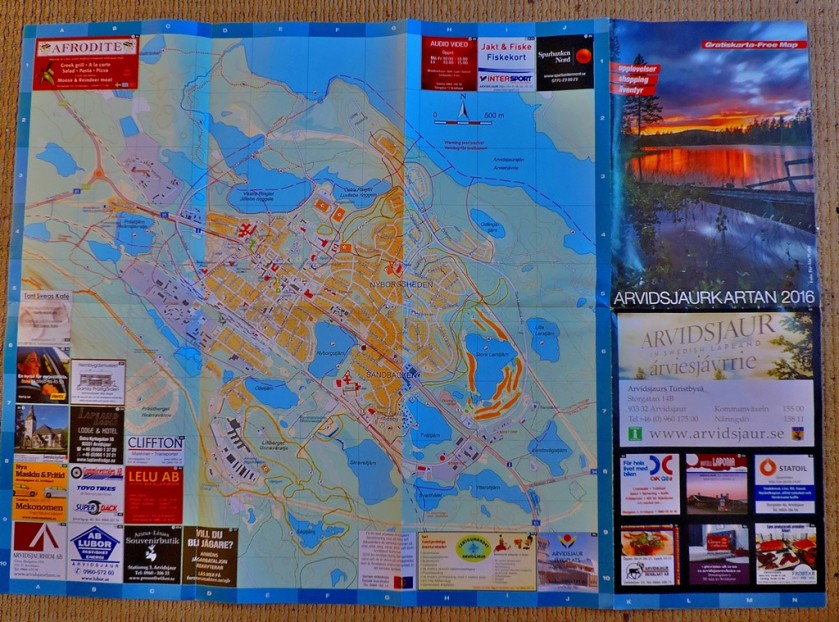
ARVIDSJAUR
This town is fairly close to the arctic cirle. The post in which Arvidsjaur features was the seventh in my Inlandsbanan subseries, meaning that by the time I got to this location all the following had happened:
Not very long after this came the end of the Inlandsbanan journey at…
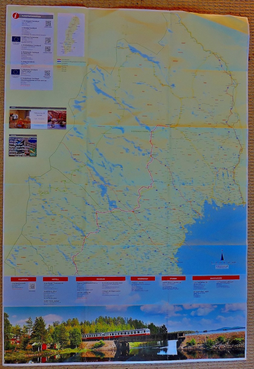
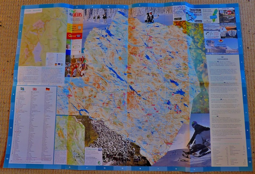
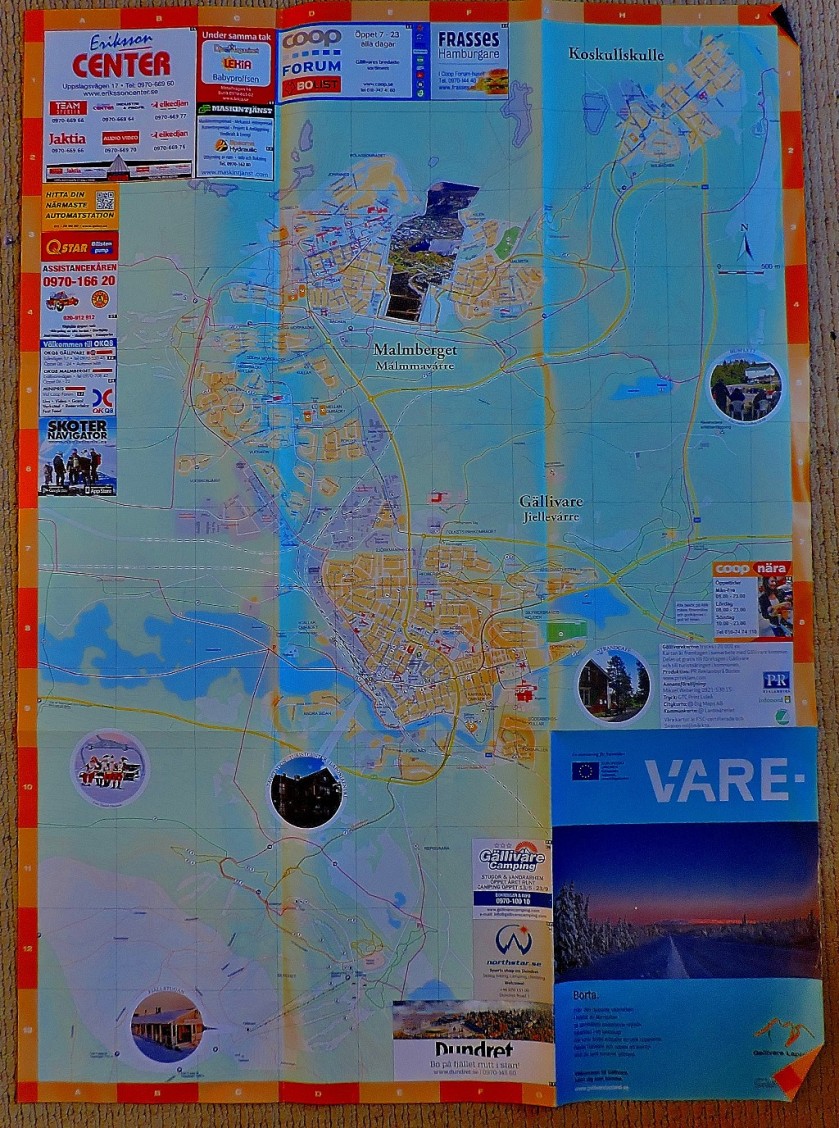
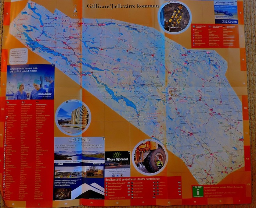
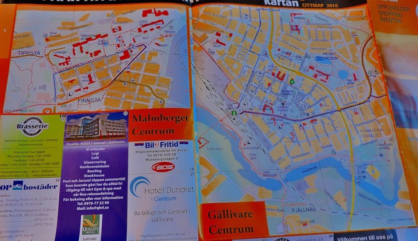
GALLIVARE
As with the Osttersund map this one was provided for passengers by our train host, in this case Andreas, although unlike the Ostersund map it was large enough to warrant being folded, and hence could not be transported in the way that one was…
The post to which the above pictures relate was the last in my Inlandsbanan subseries:
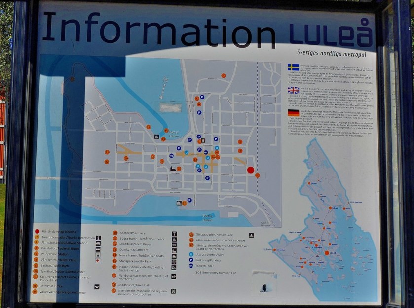
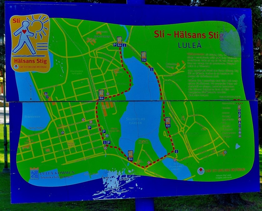
An attractive town that sits at the northern end of the Gulf of Bothnia, Lulea was the only place I visited for any length of time that I did not get a take home map of, but I have two good pictures of public display maps:
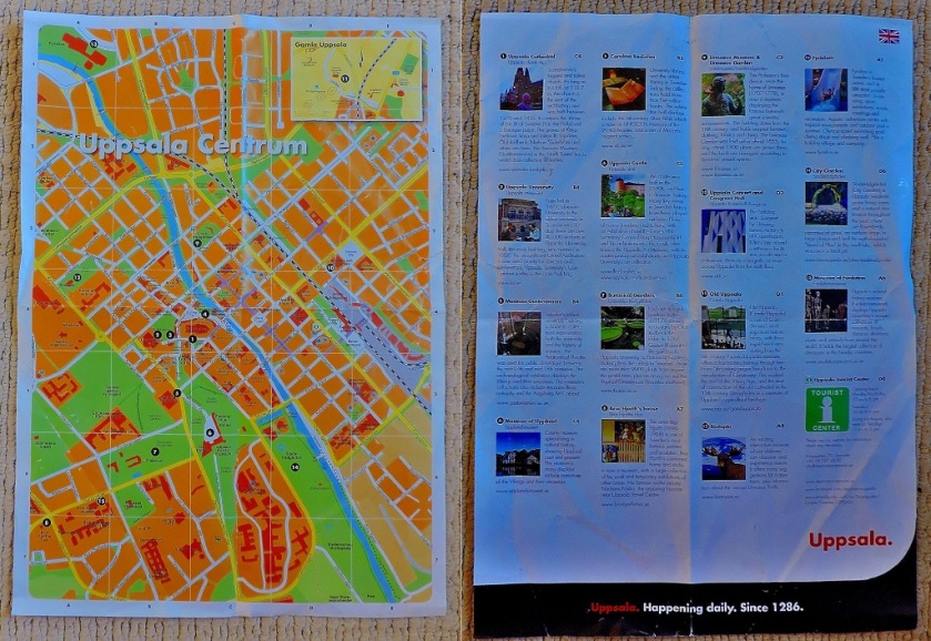
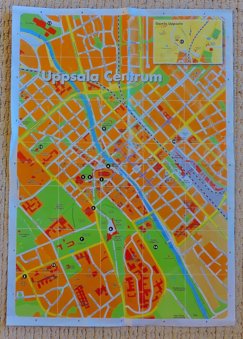
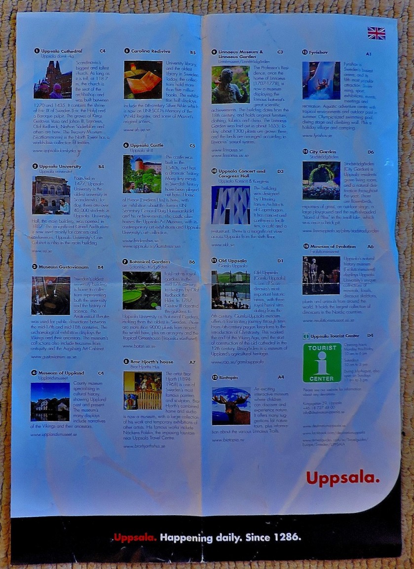
The map of Uppsala tthat ii was equipped with at the tourist information office had details of various attractions printed on the back…
Both sides of the mapClose up of the MapClose up of the list of attractions.
Uppsala provided me with six blog posts worth of material – anyone who is up for a little challenge is invited to work out how many of the attractions listed above get mentioned in the course of the series of posts:
As the title of the last post listed above suggests, my next port of call was…
MALMO
The map of Malmo, provided by the STF Hostel in which I stayed for two nights, was A3 sized (twice as big as the Uppsala map), but had only advertising on the reverse, hence me not bothering to photograph that side…
As with the Uppsala series, the title of the final post featuring Malmo gives a clue as to my next port of call…
GOTHENBURG
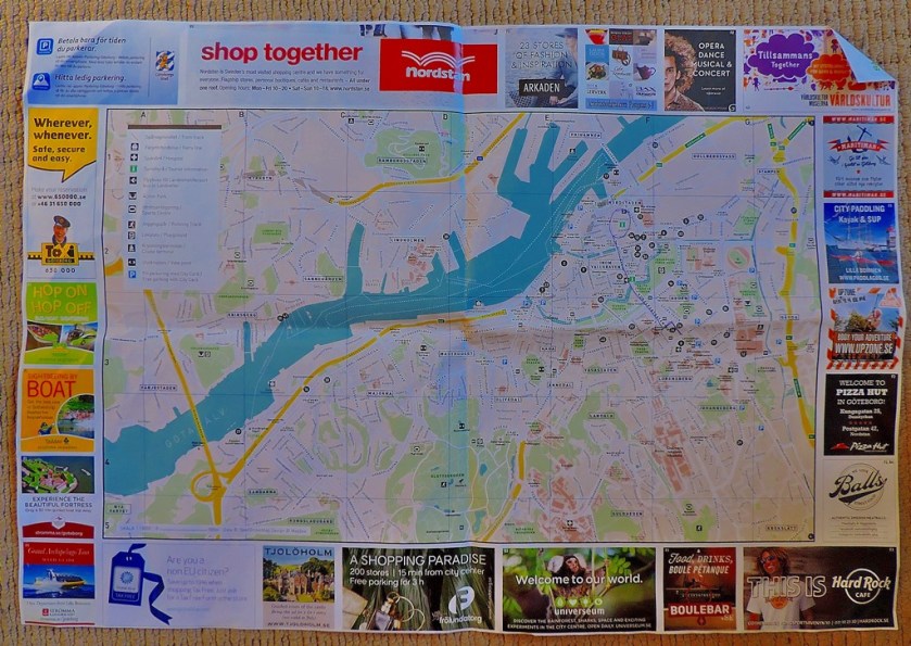
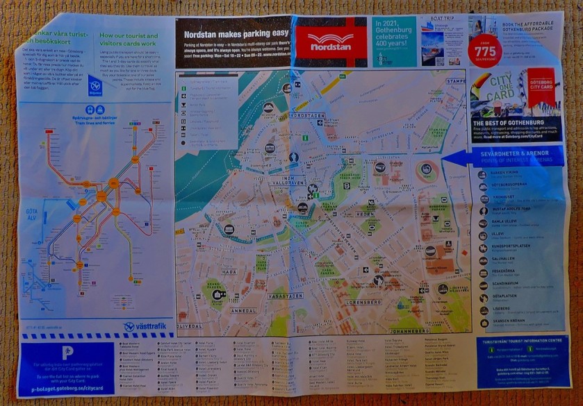
The Gothenburg map, provided by the tourist information office, has useful information on both sides…
As well as both sides of the map, I include a close-up of the diagram of the local public transport network
I stayed only the one night in Gothenburg, en route back to Stockholm for the last two nights of my stay in Sweden, which explains why this very impressive city only features in two posts:
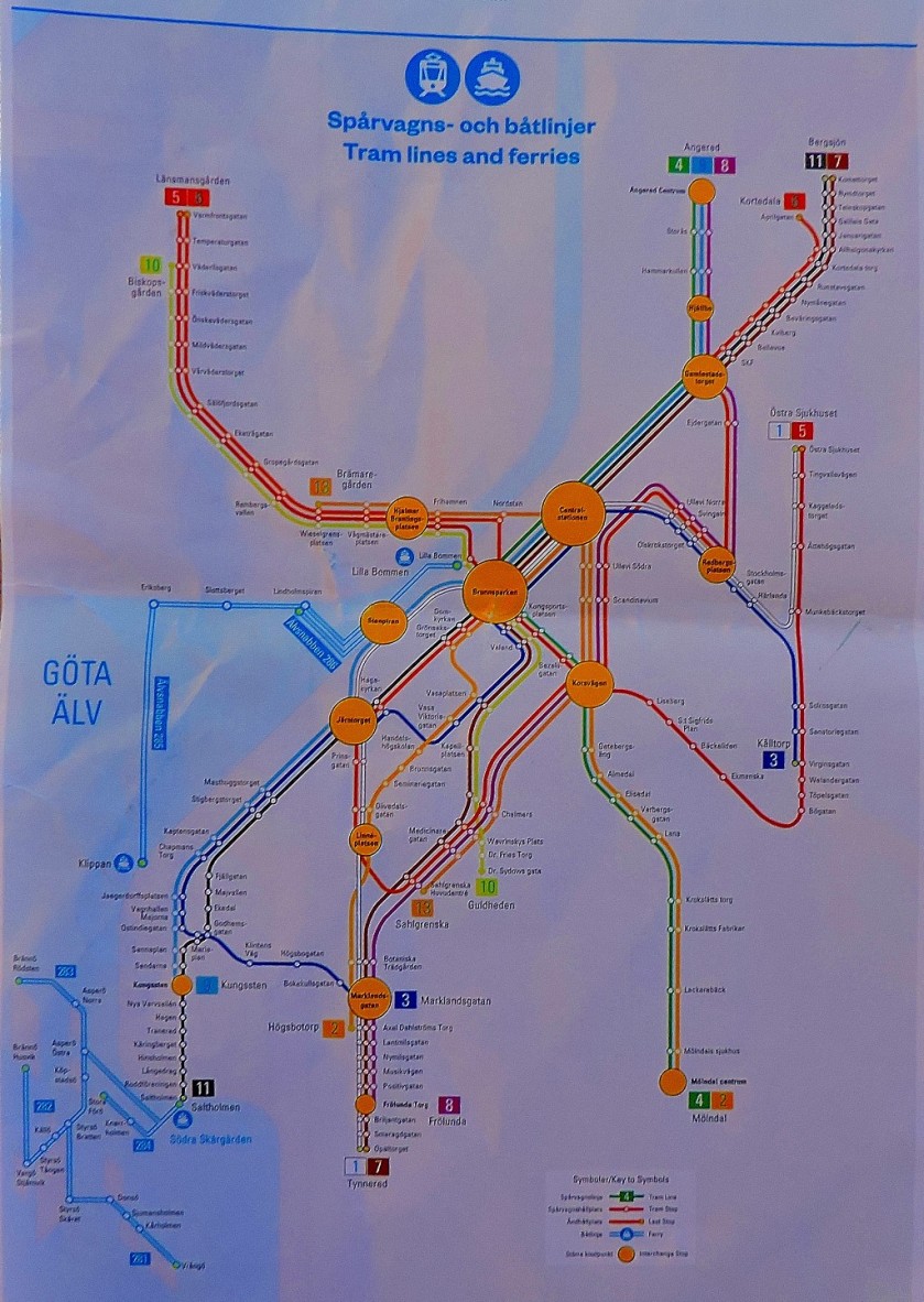
In spite of the title of the last post shown above this post is not quite done yet, because being the keen student of public transport systems that I am I could not ignore one of the most remarkable I have yet encountered…
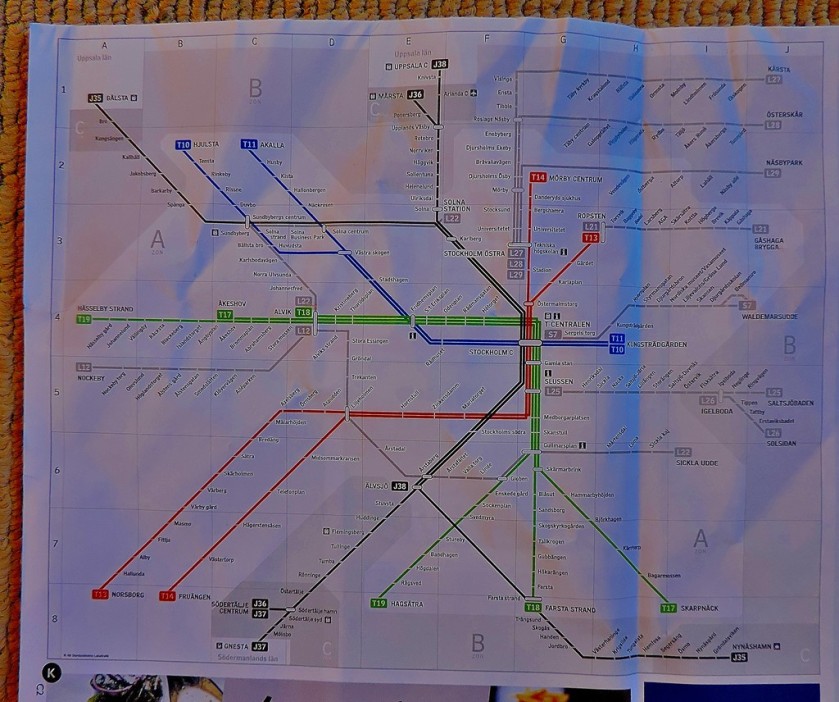
TUNNELBANA
The heading above contains the colours of the three lines that make up Tunnelbana, with the blue line given an extra letter over the others because of its cave-like appearance. Here is a diagram of the Tunnelbana system:
Tunnelbana has a whole long post to itself, and also provided my response to one of Maria Jansson’s photographic challenges:
I hope that you enjoyed this ‘maps special’ and that some of you will find it useful as a means of accessing my series of posts about Sweden. For those who have enjoyed the maps, i draw your attention to a blog that is dedicated to maps.
The first post about my travels in Sweden, with lots of photographs.
INTRODUCTION
This is the first in what will be a series of posts about Sweden, where I am currently on holiday. If you enjoy this post I recommend that you make Anna’s blog your next port of call.
AN EMBARRASSMENT OF RICHES
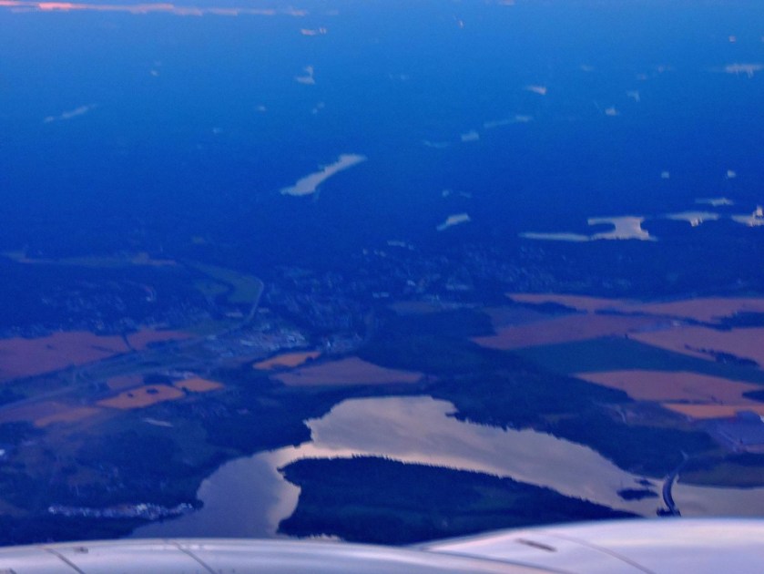
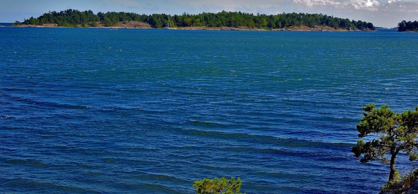
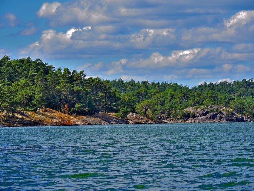
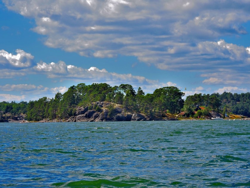
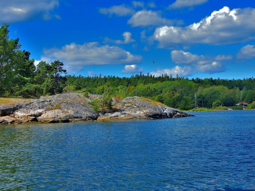
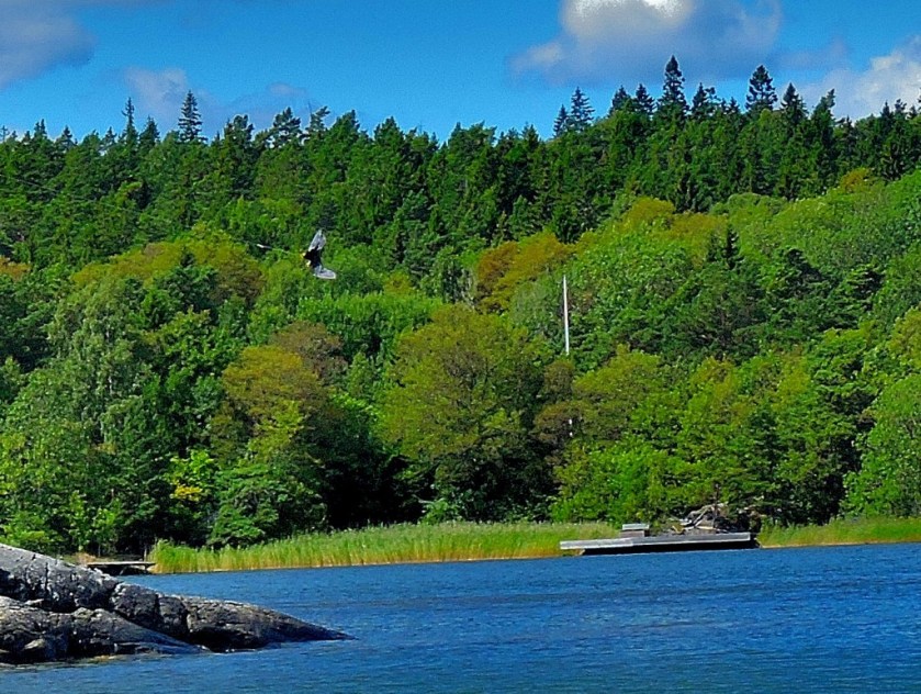
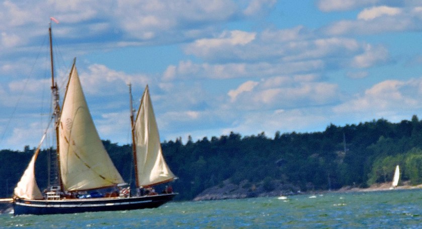
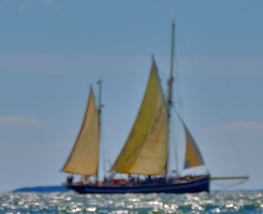
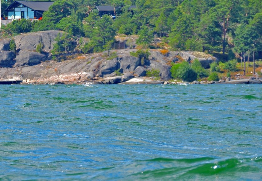
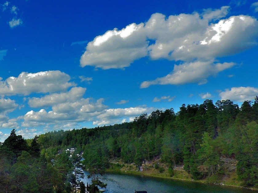
Although I have only been in Sweden since Friday night, I already have a huge number of stunning pictures to share. For this first part of my stay I have been in the company of a cousin and his Swedish fiancee Ida. My cousin met me at Stockholm central bus station (Skavsta airport, where my flight landed is too far out of town for him to meet me there, so I got the Flygbussarna into town on Friday night. On Saturday we travelled to an island that has been owned by Ida’s family for some time. This journey entailed a bus to Stavsnas, a boat out to the nearest island reachable by commercial boat, and a walk across said island, on the other side of which we met Ida who rowed us across the sound to the island on which we would be staying. Here are a few pictures from this part of the stay…
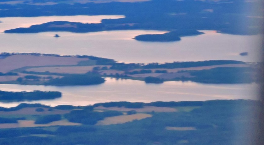
These first couple of pictures were taken through the window of an aeroplane from high above.
The remainder were taken either from the bus to Stavsnas or the ferry.
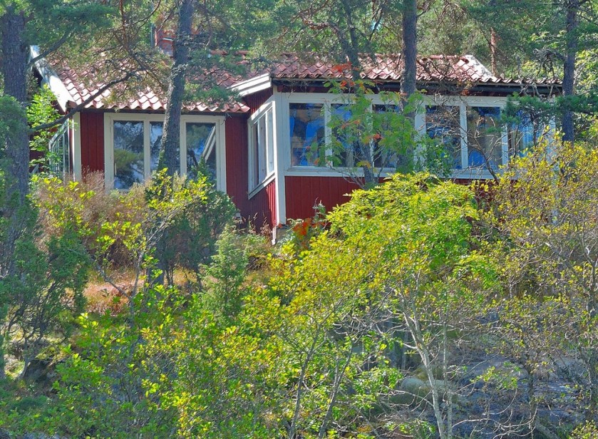
The Island
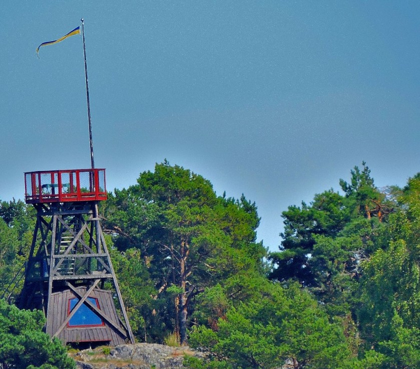
This Island has no flushing toilets, and save for the main house no running water. It only got electricity in the 1940s. The sea is lovely to swim in, as I can attest from personal experience. We start with the house itself…
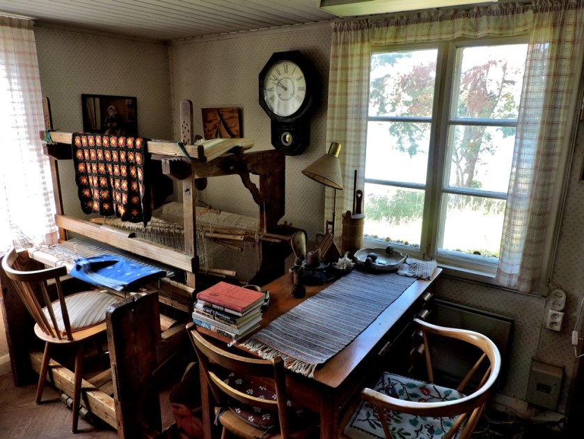
Here some pictures from inside the house…
I will be looking at more detail at the insect life I have encountered in a future post, but to whet the appetite here is a rare butterfly whose English name is Apollo…
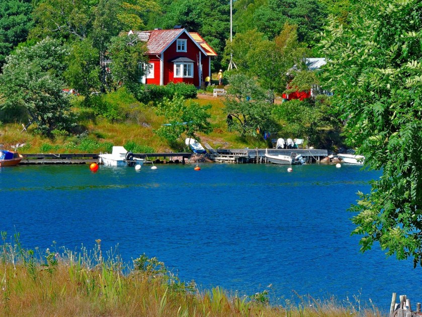
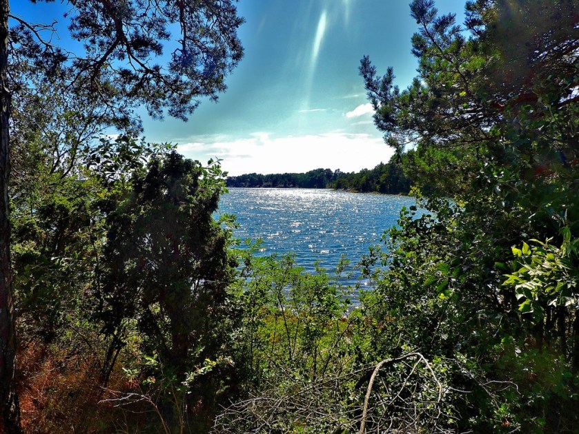
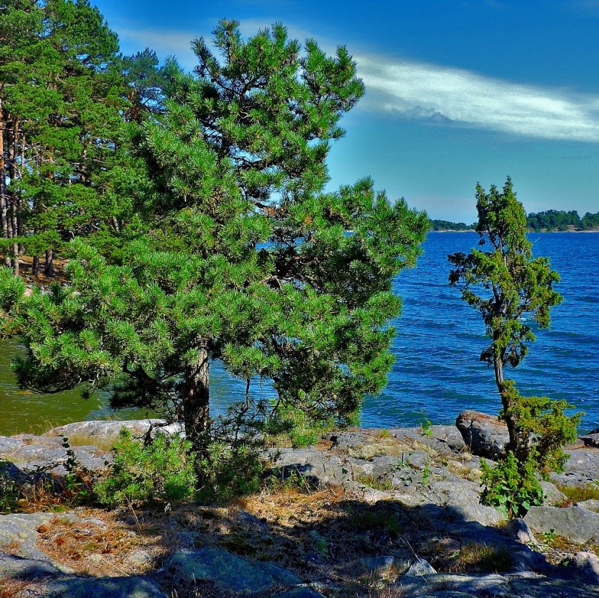
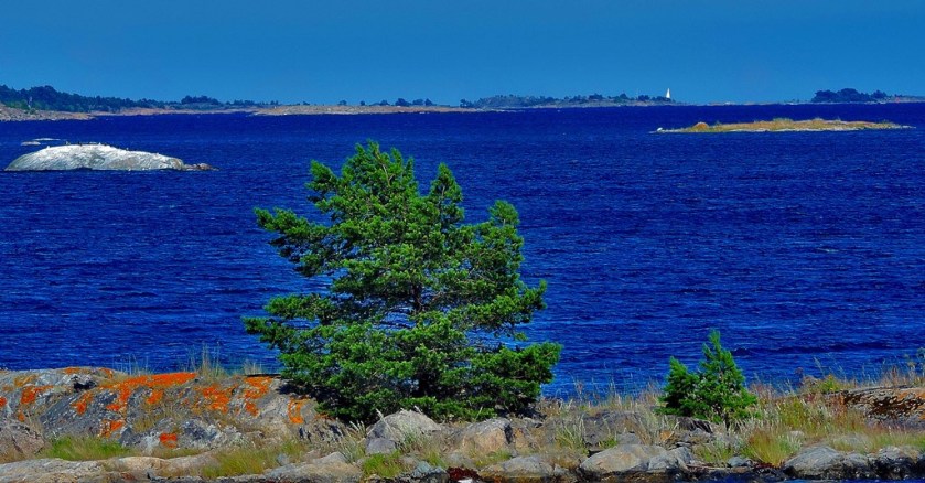
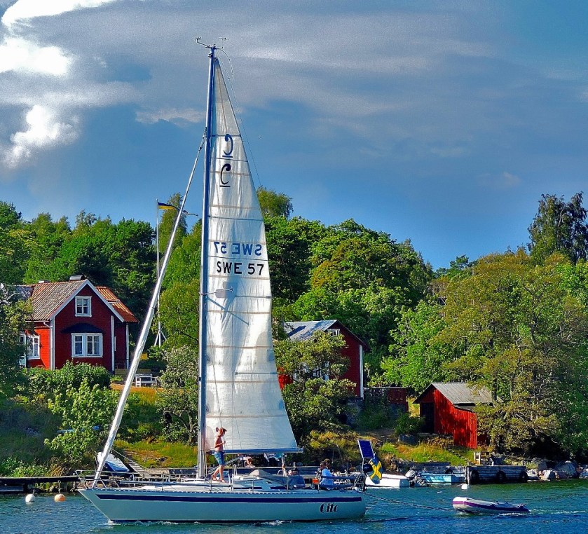
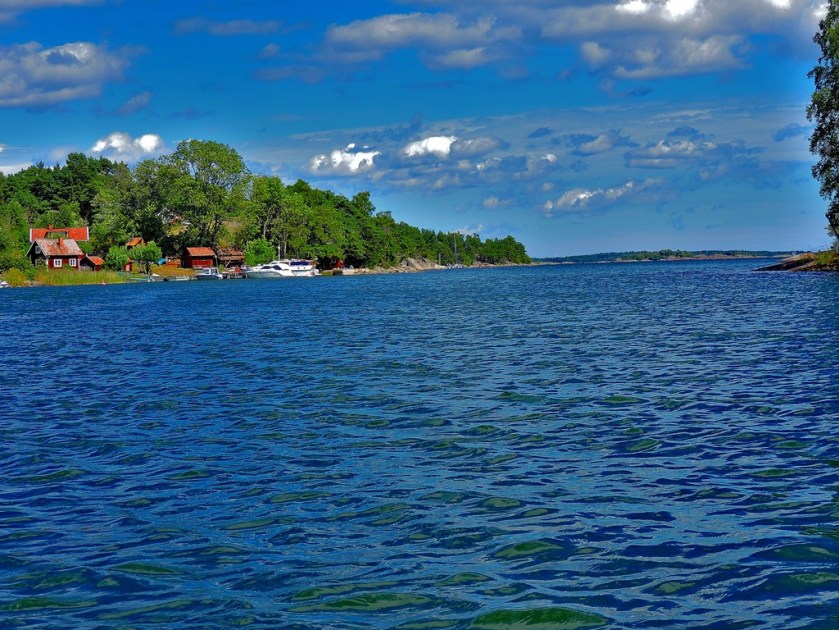
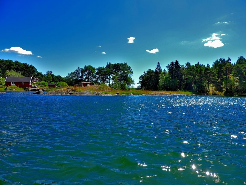
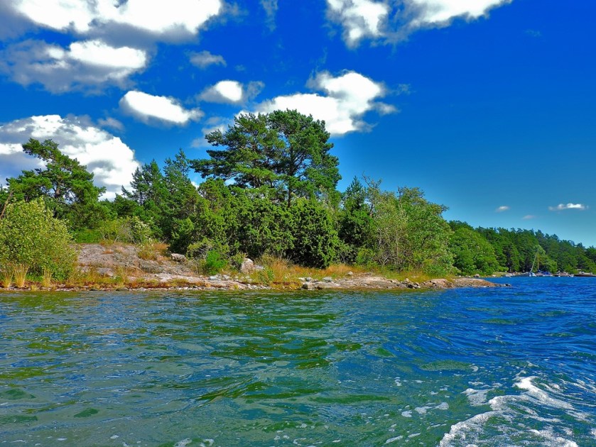
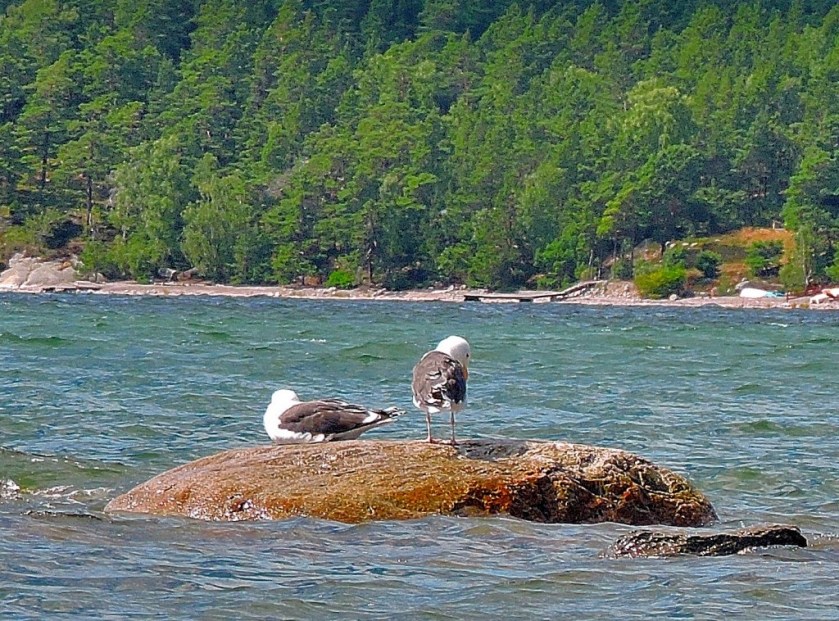
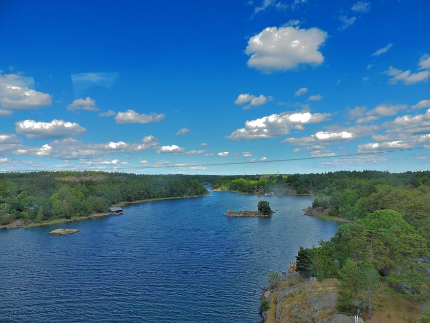
Now, some general pictures taken while on the island…
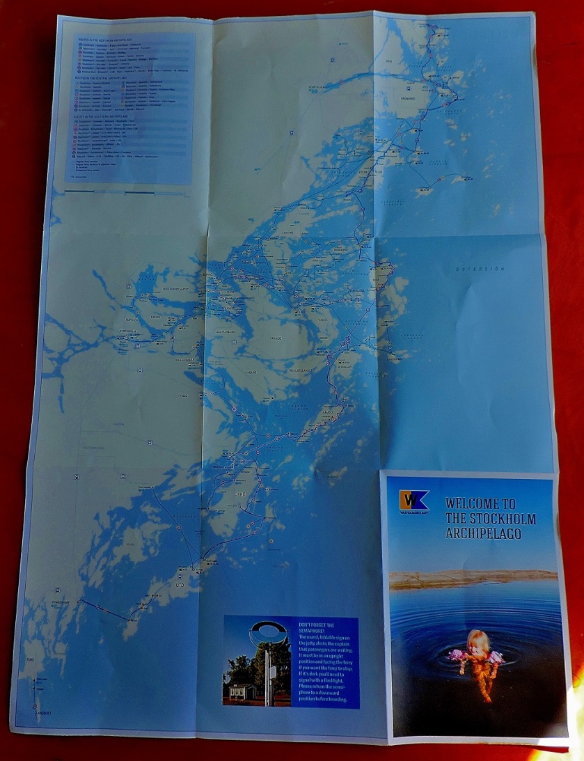
As a lead up to the next section, here is a map of the Stockholm Archipelago.
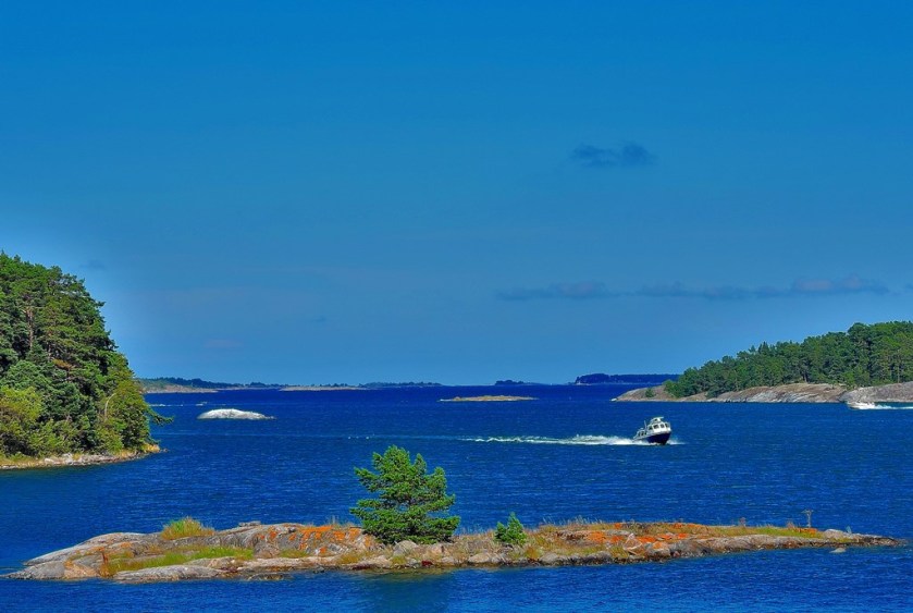
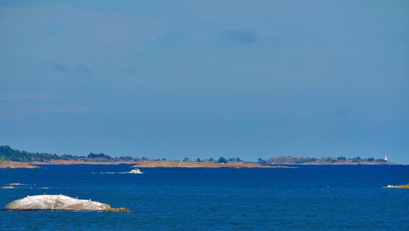
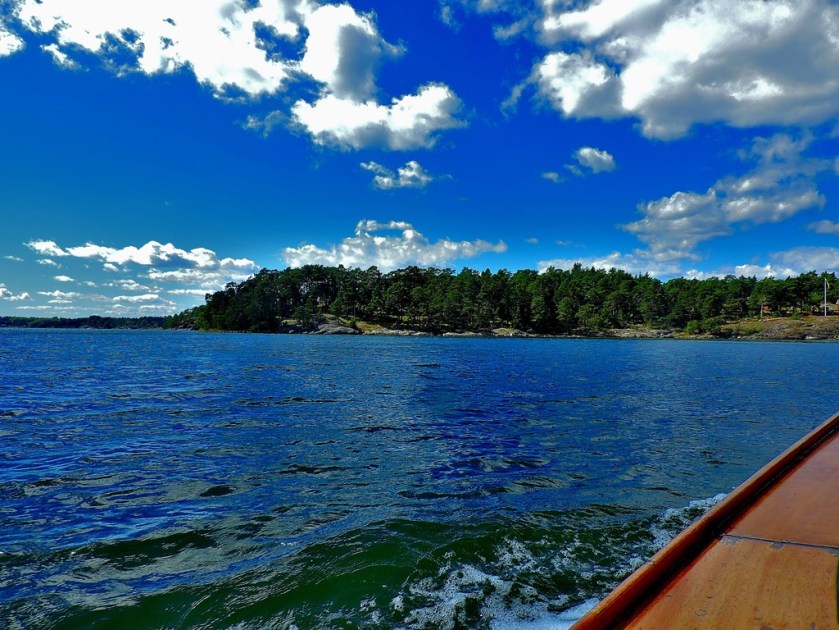
SAILINGTHE STOCKHOLM ARCHIPELAGO IN AN OPEN BOAT
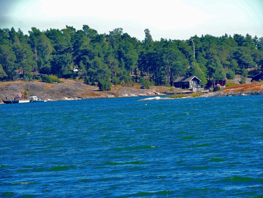
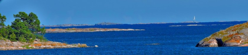
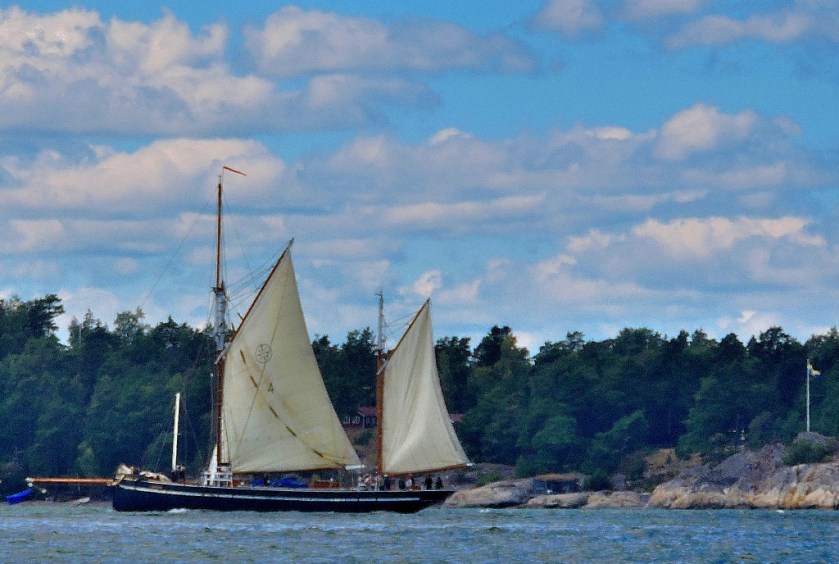
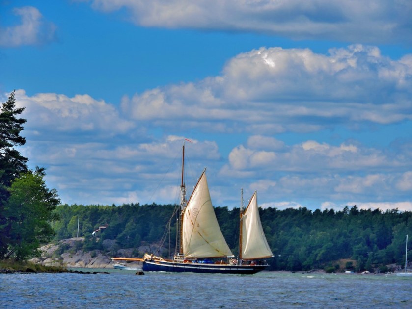
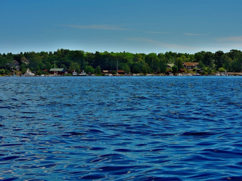
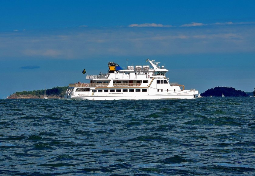
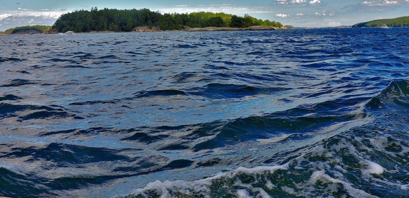
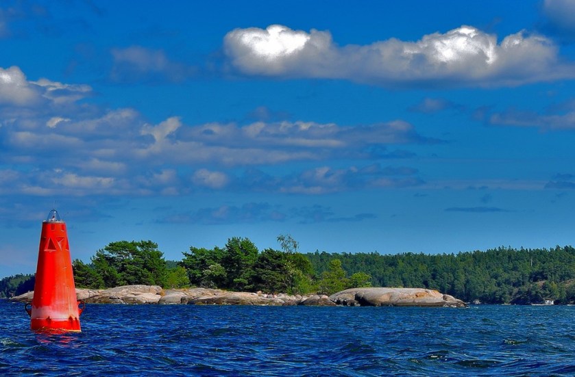
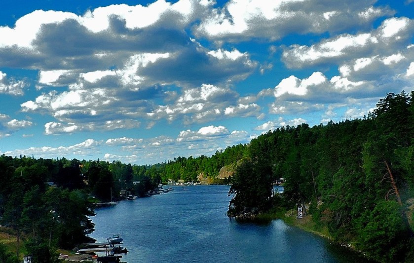
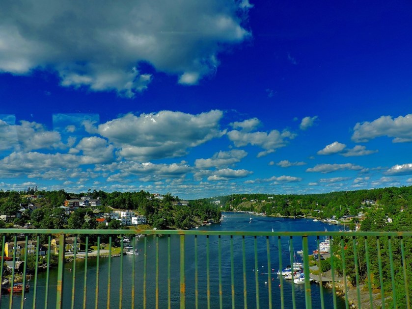
Richard and Ida had too much stuff to take back to their flat in Stockholm for the way we had reached the island to be appropriate, so we were escorted by private boat, along with Ida’s brother and his daughter. Here are some pictures from the Stockholm Archipelago…
Lars (skipper of the boat), setting off on his return journey to the island from Stavsnas
Stavsnas to Stockholm
The last stage of the journey to the flat in which I write this, before heading off later today to catch a train to Kristinehamn, southern terminal of Inlandsbanan was by bus and tunnelbahn (the Stockholm Undergound, which I will be covering in a later post) yielded a few more pictures…
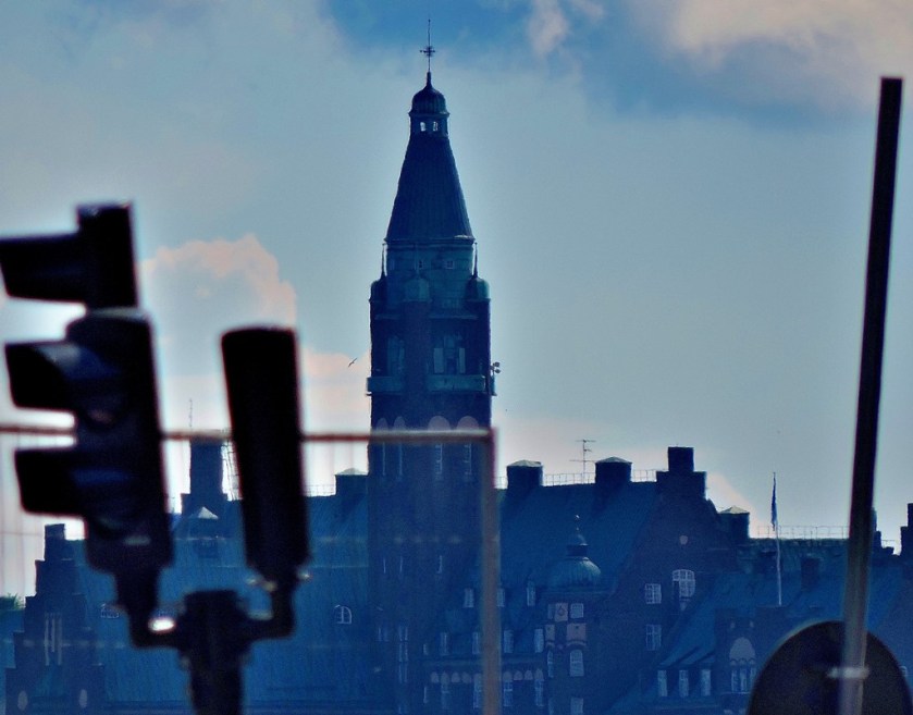
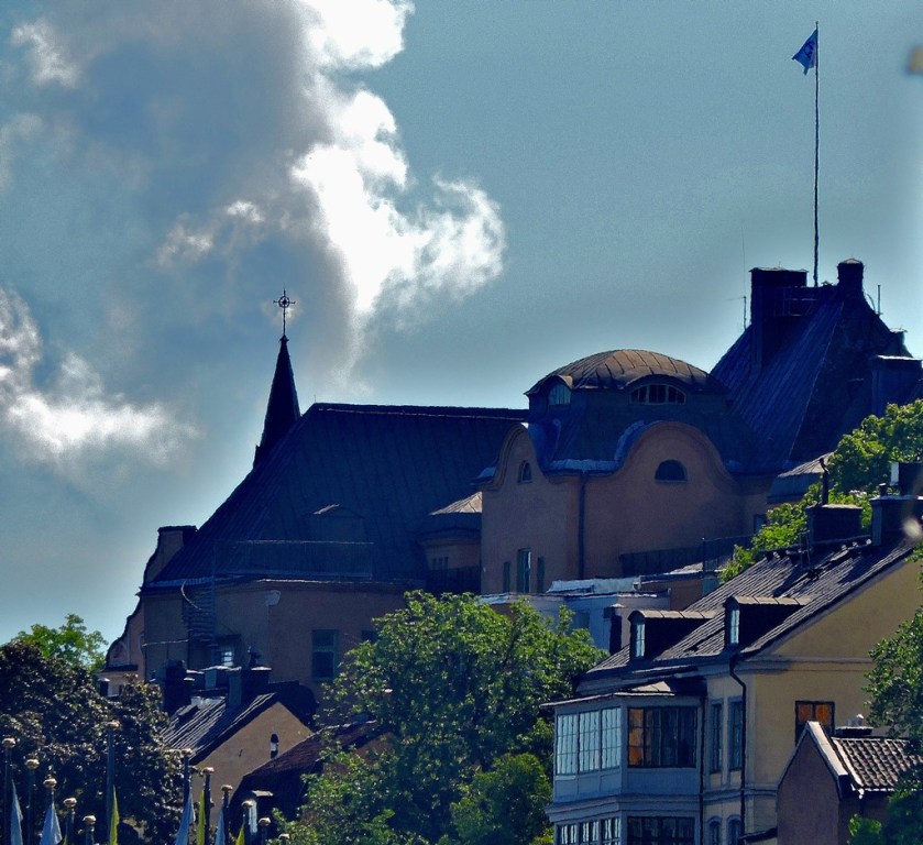
These last six pictures feature central Stockholm, as seen from the bus as it approached Slussen.