An account of the journey to Penzance, setting the scene for my next post, about Penzance itself.
INTRODUCTION
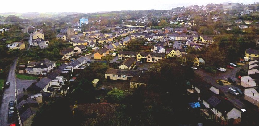
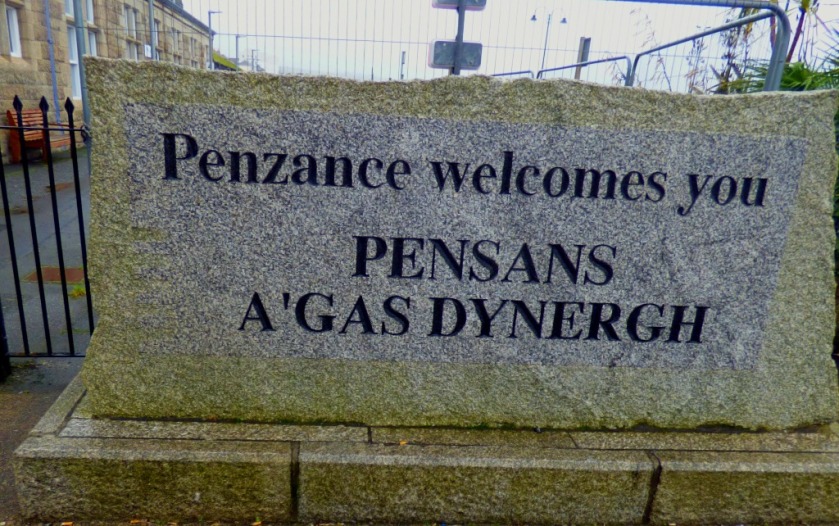
This is continuing my account of my visit to Cornwall. We have reached Saturday, which for me featured a trip to England’s westernmost commercial railway station (note England not Britain – Arisaig on the Glasgow-Mallaig line in Scotland is further west), Penzance. The closest station in time terms to my parent’s new home is St Germans, and that is where my train journey started.
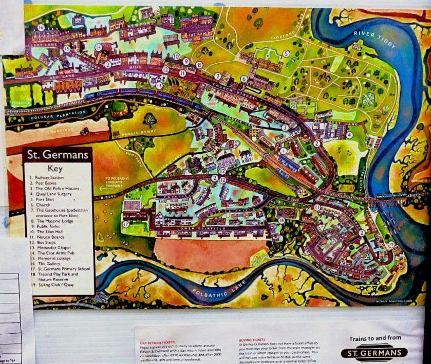
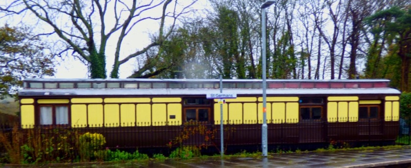
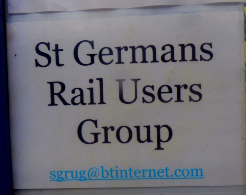
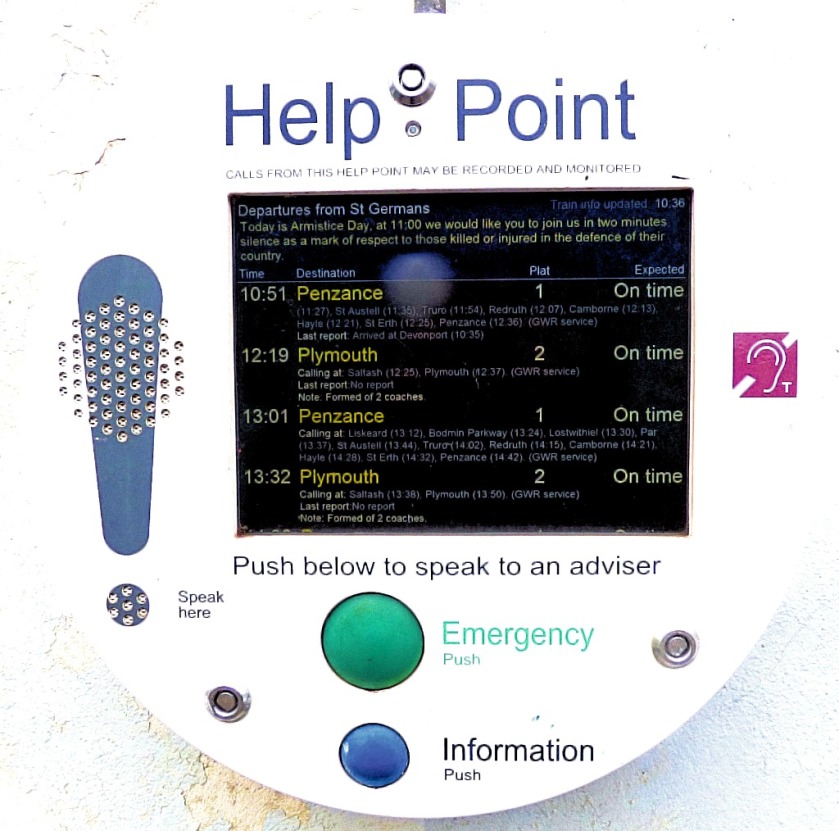
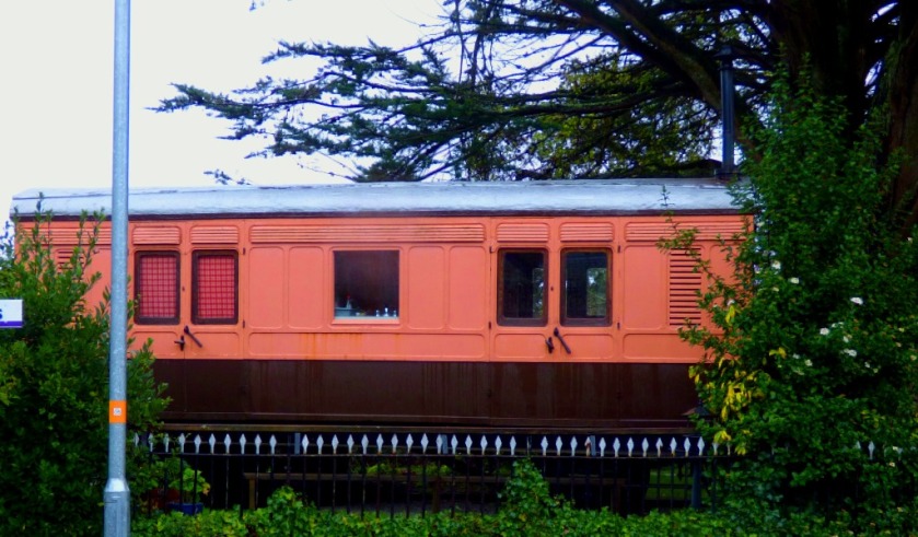
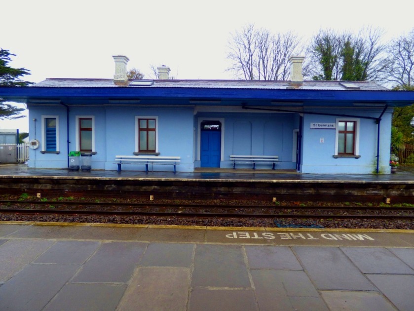
ST GERMANS
St Germans is completely unstaffed, and therefore, since there is no one to maintain it, has no ticket machines either. Tickets are purchased from the conductor once you are on the train. You are only allowed to do this at unstaffed stations – boarding without a ticket at a station where you can purchase one renders you liable to a penalty fare of £20 (I heard another passenger who had done this escaping with a warning not to do it again).
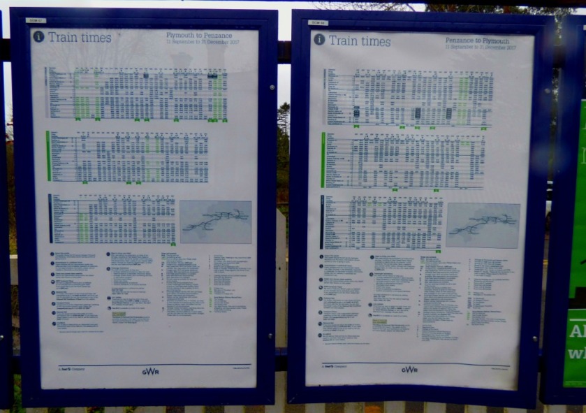
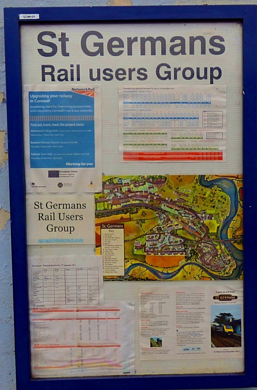
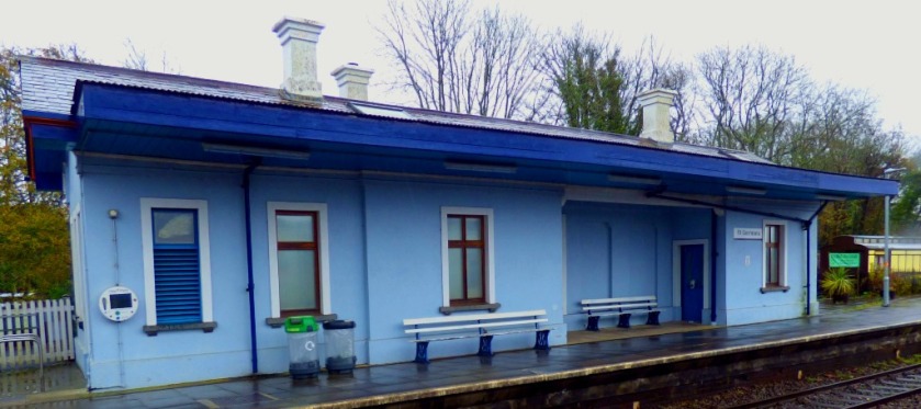
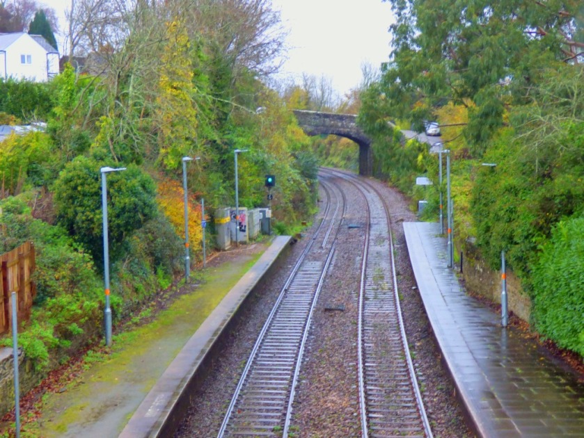
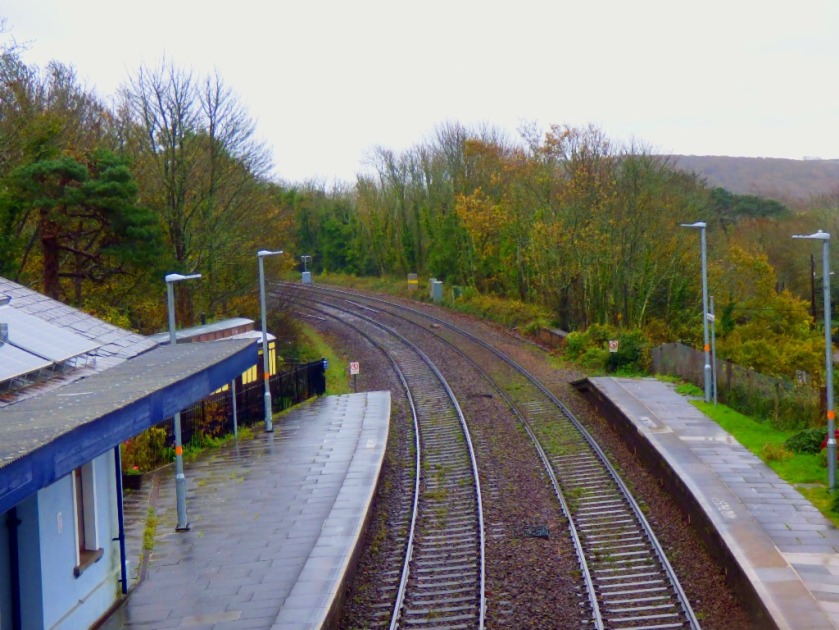
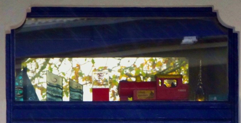
I had a bit of time at St Germans (given that the next train to call at St Germans was two hours later this was indubitably the sensible position to be in. Here are some photographs from the station…
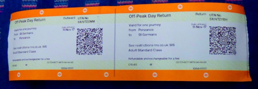
The ticket issued by the onboard conductor is much bigger than a standard train ticket.
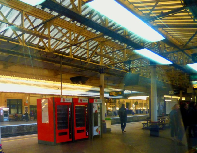
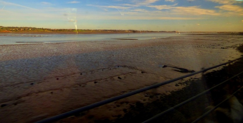
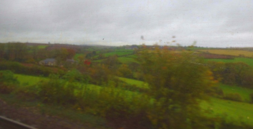
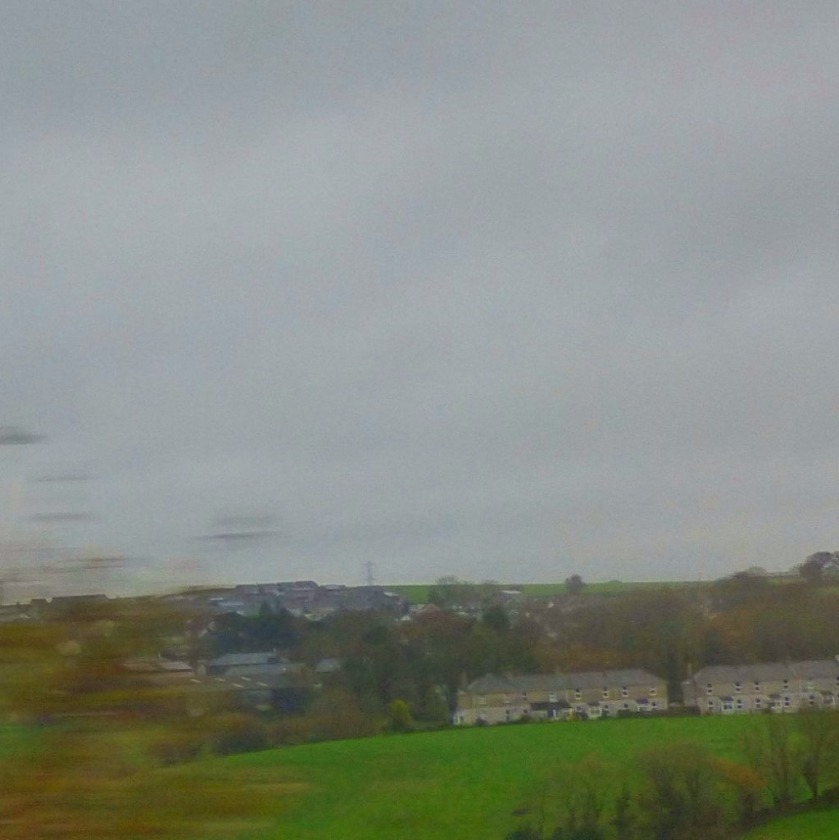
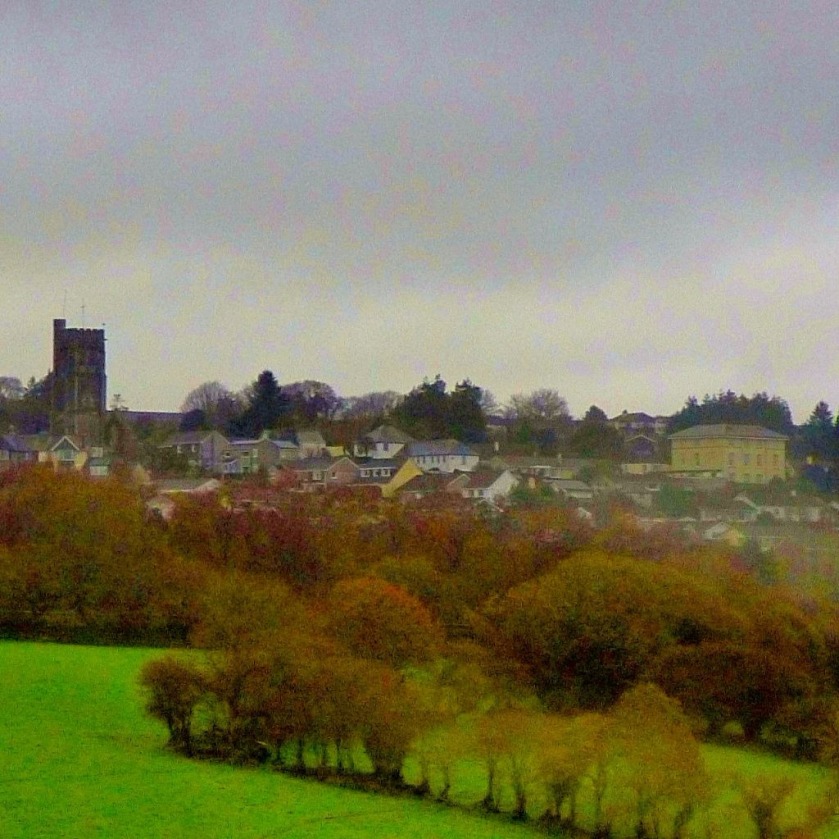
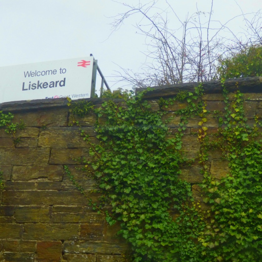
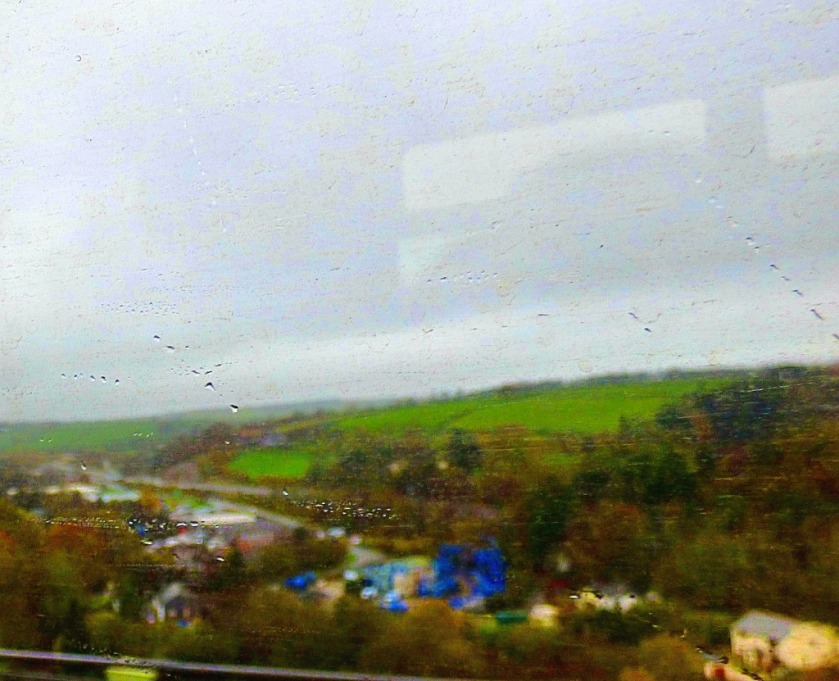
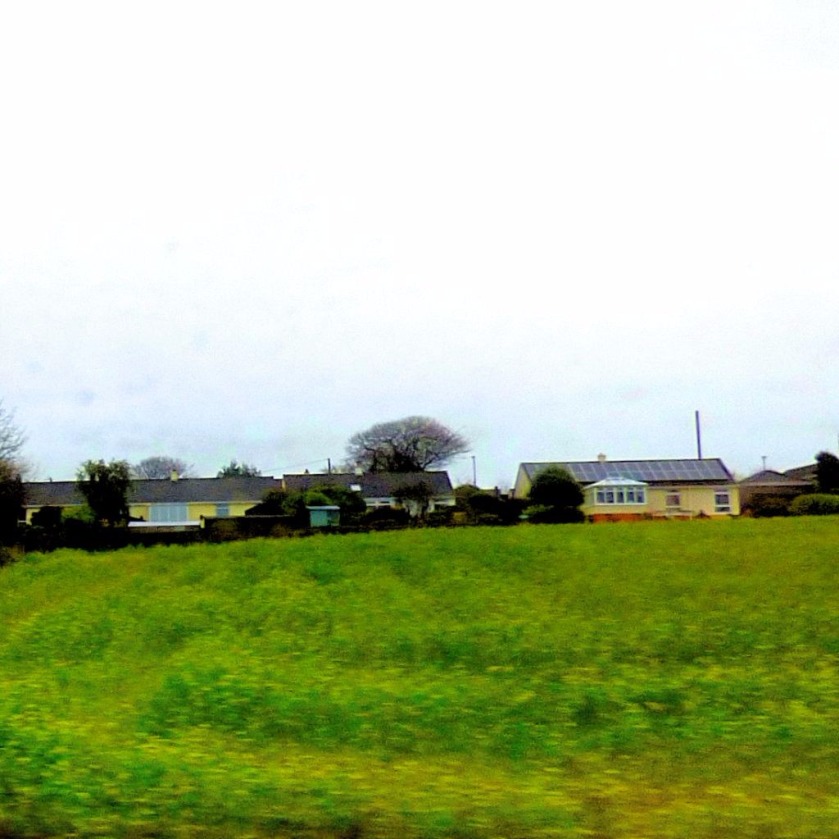
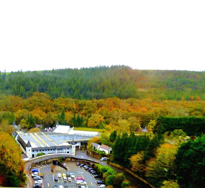
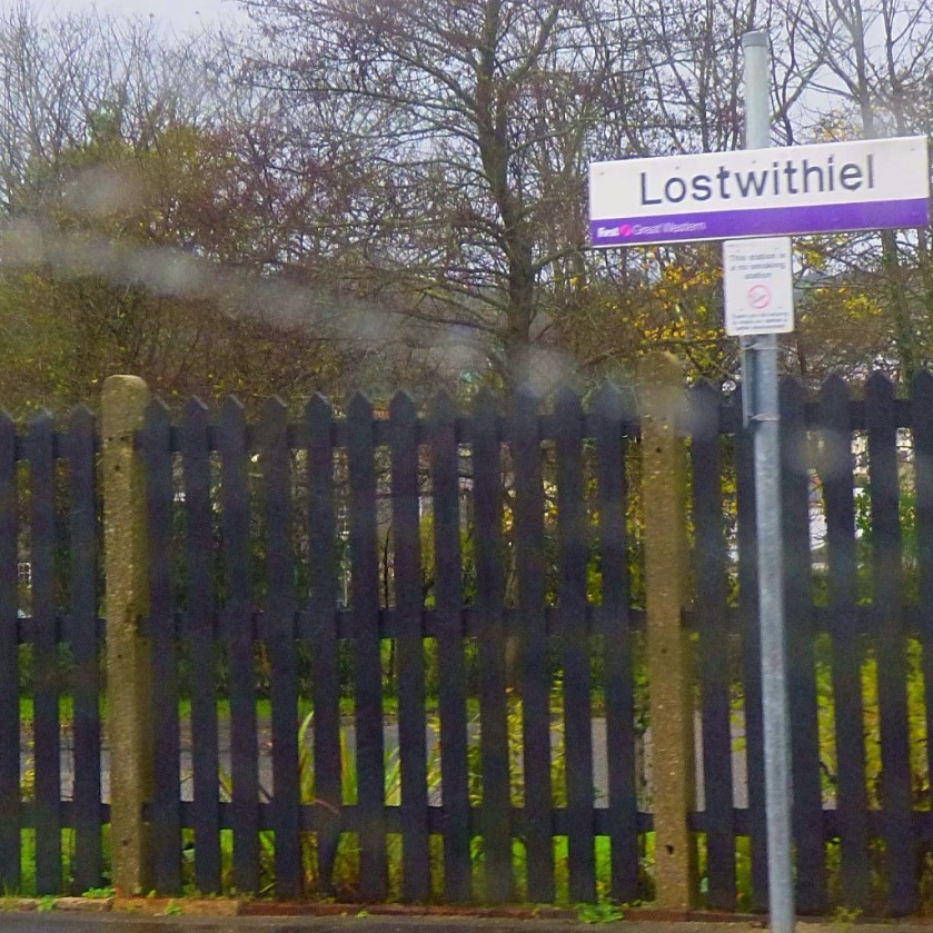
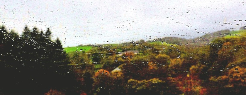
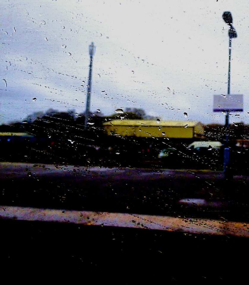
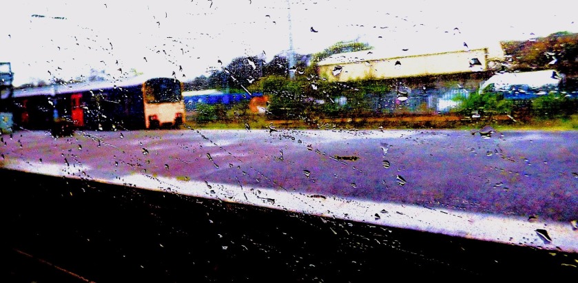
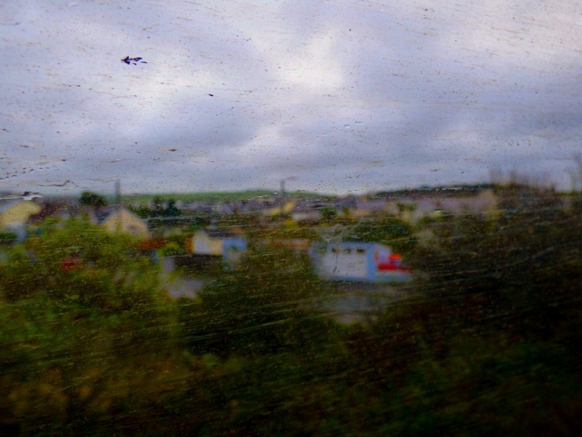
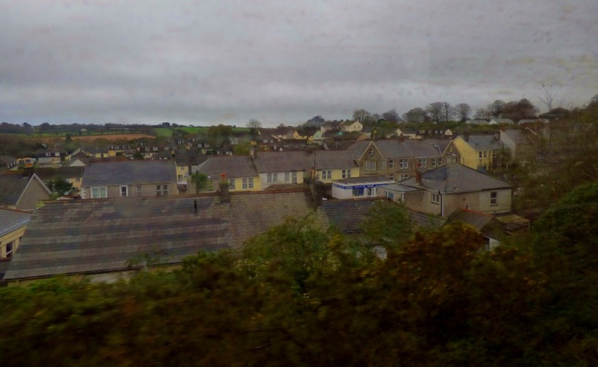
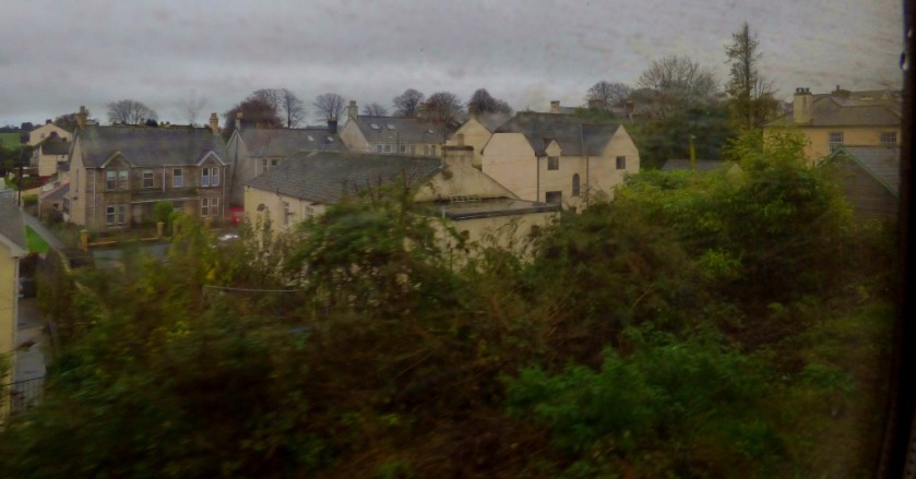
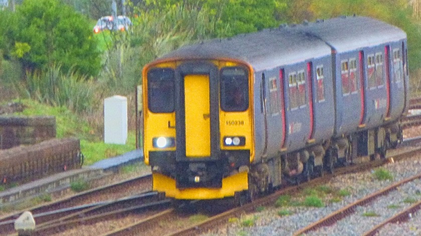
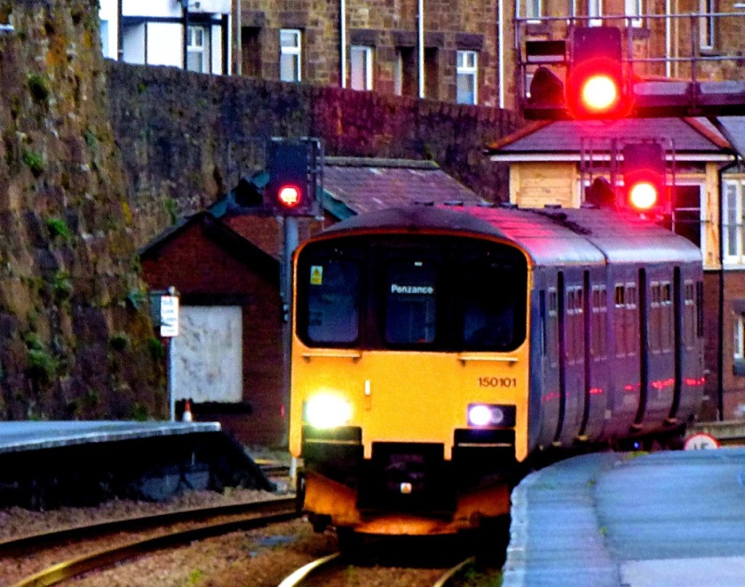
THE JOURNEY TO PENZANCE
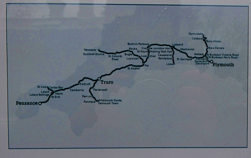
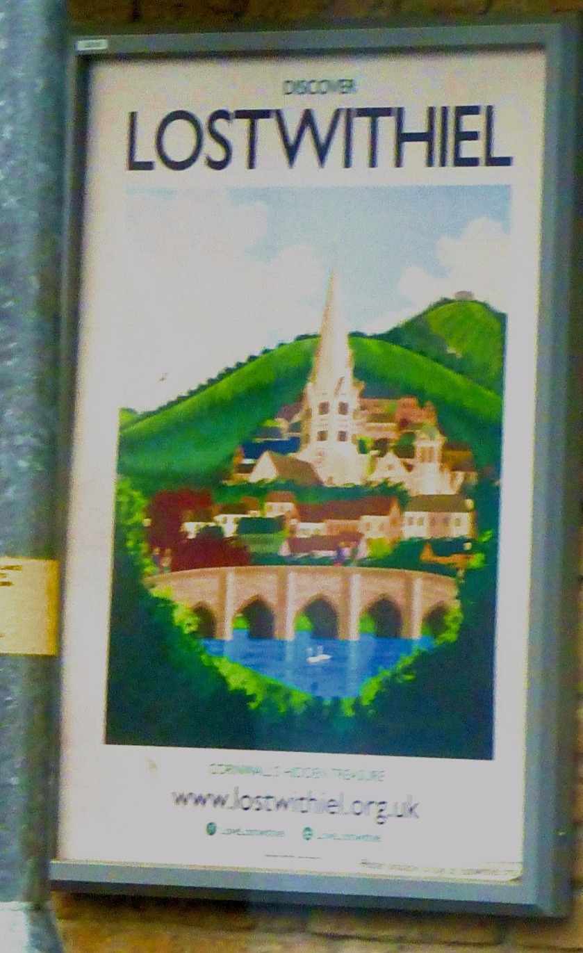
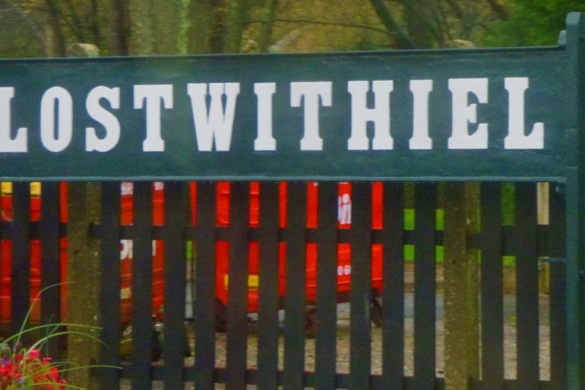
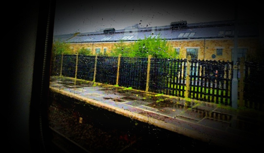
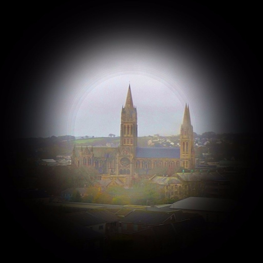
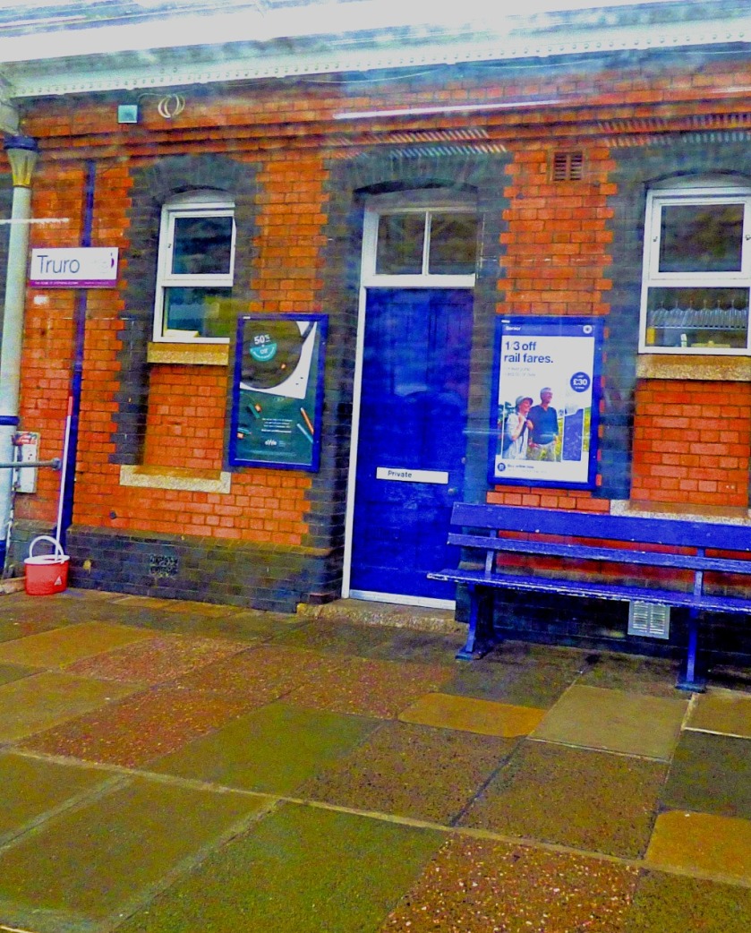
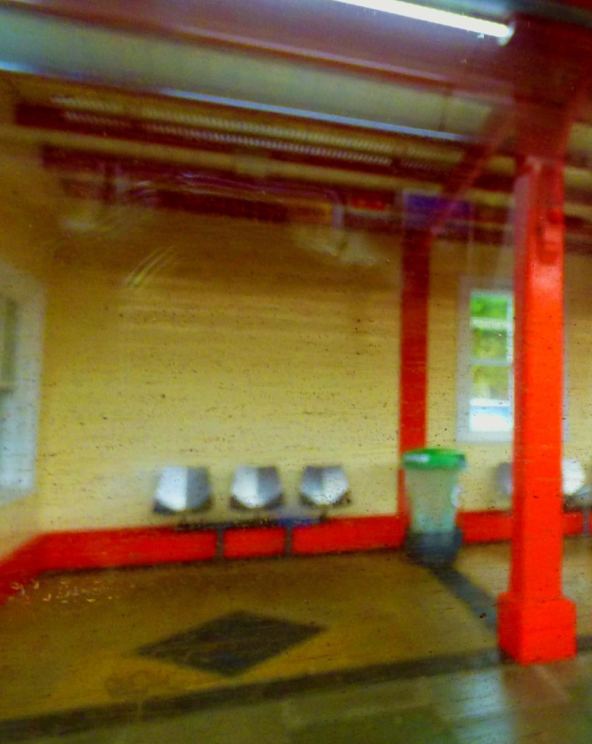
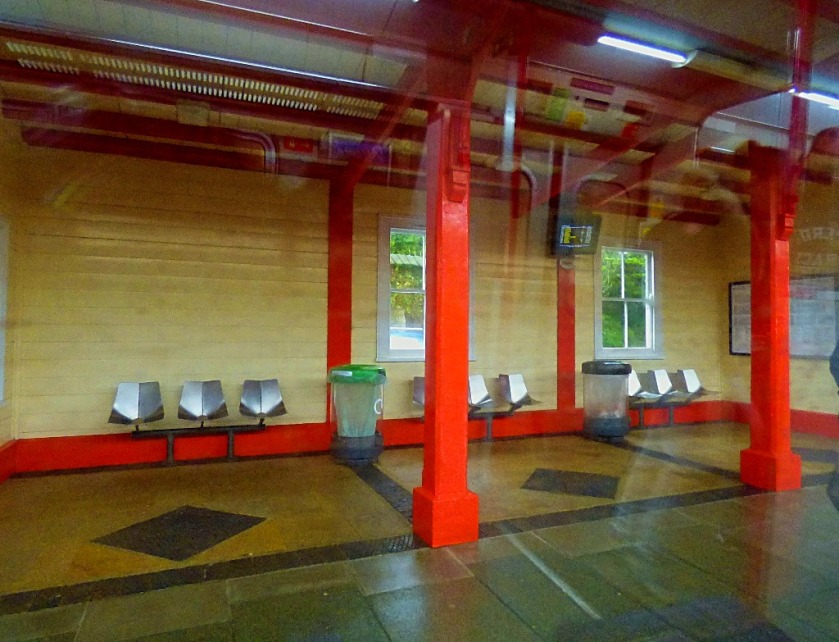
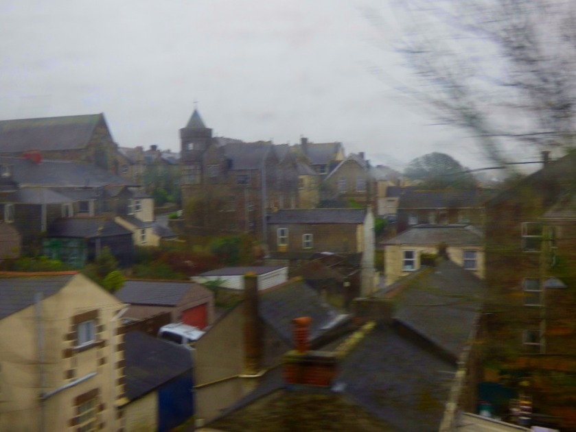
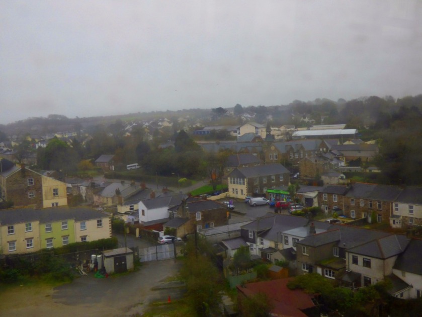
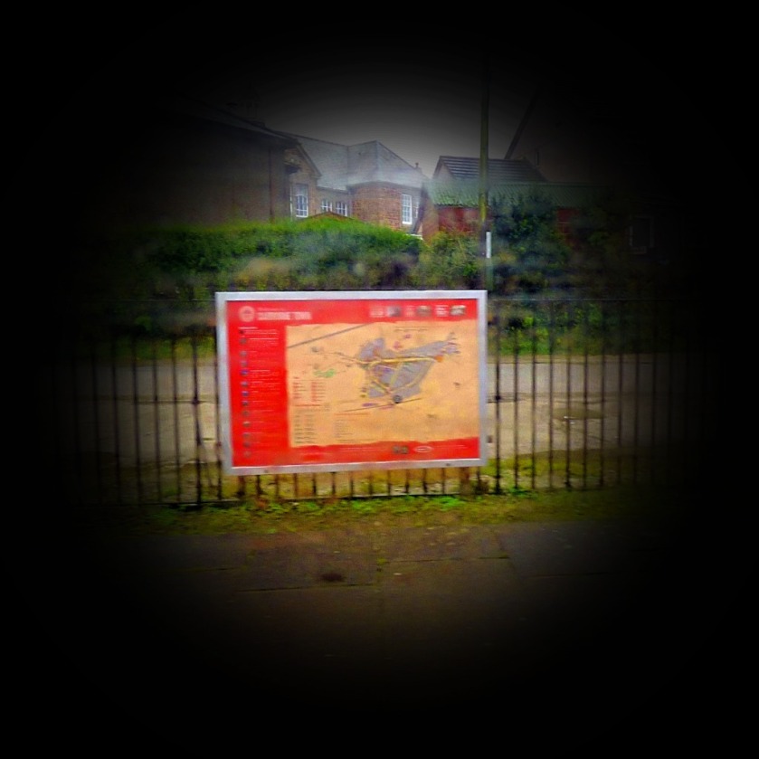
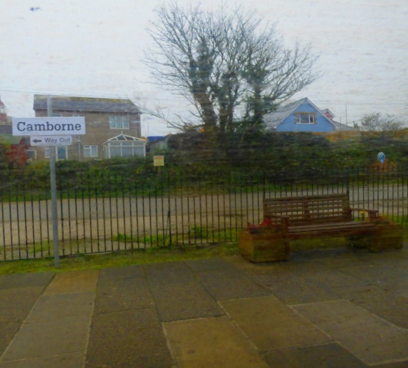
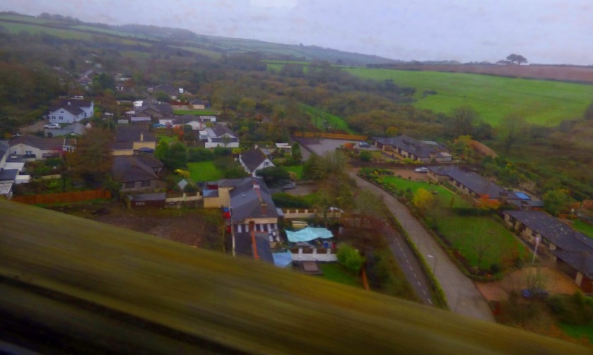
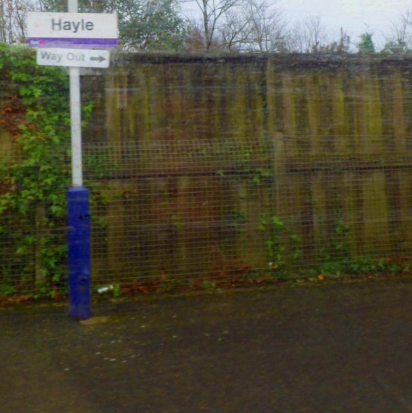
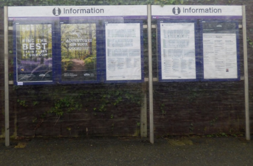
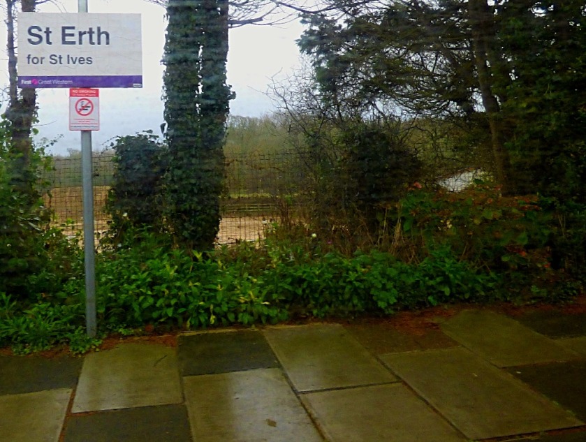
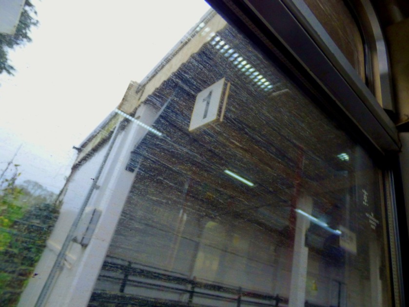
Taking pictures through the windows of a moving train is not especially easy, although I did at least have a window seat for the entire journey, so was never shooting across people. After leaving St Germans the train called at Liskeard (change for the Looe branch line), Bodmin Parkway, Lostwithiel (although the name might suggets otherwise as far as I am aware no elves live here!), Par (trains to Newquay depart from here), St Austell, Truro (Falmouth services diverge here), Redruth, Camborne, Hayle, St Erth (branch line to St Ives from here) and Penzance. Here are the pictures from this journey…
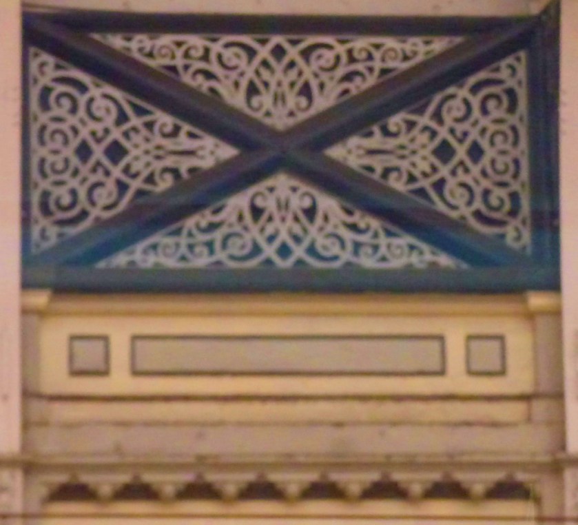
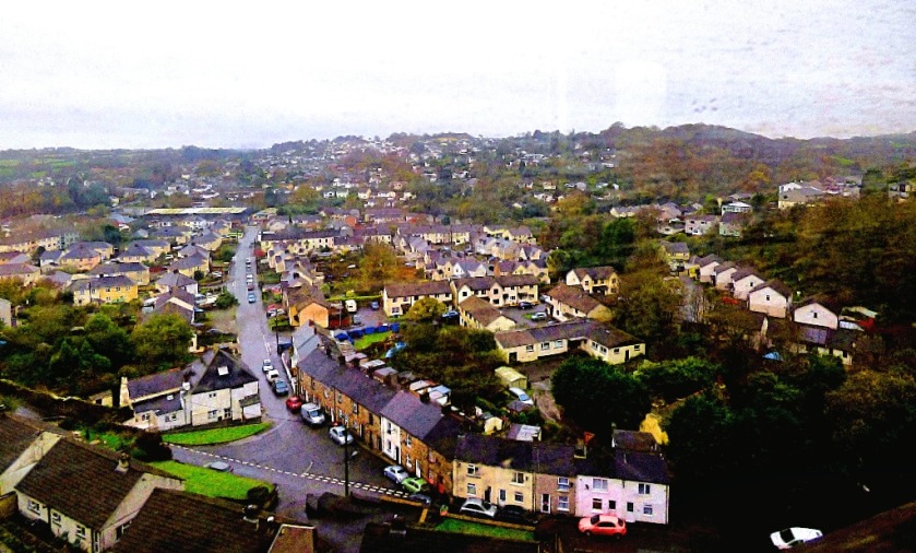
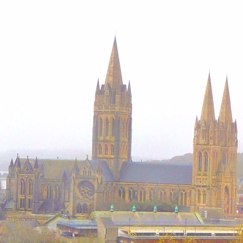
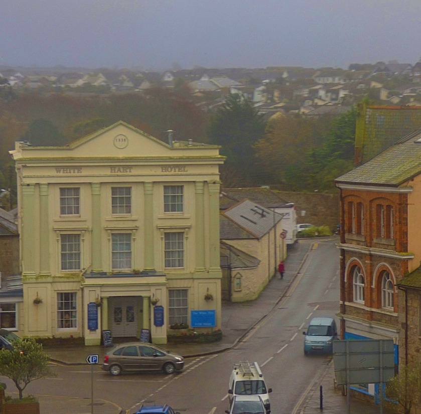
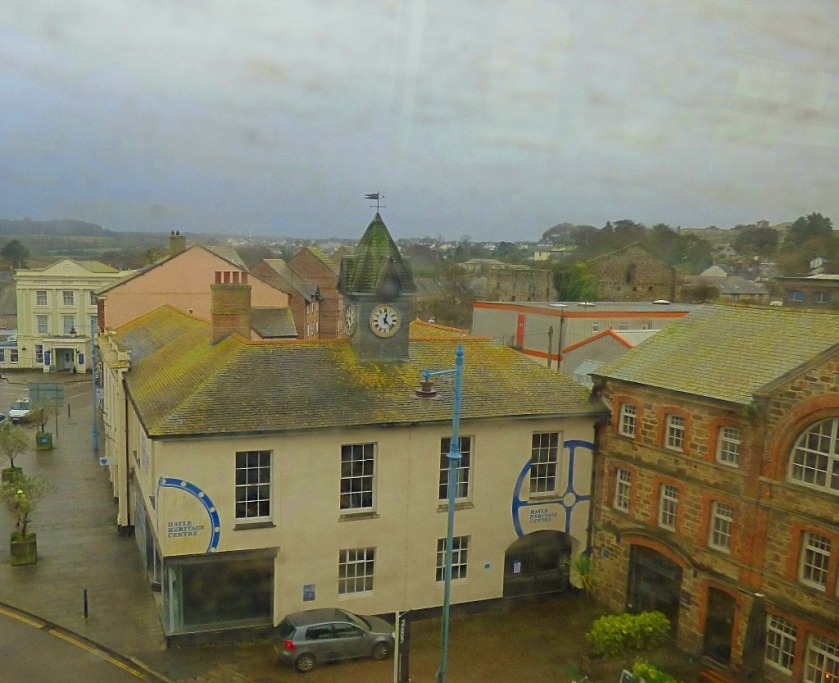
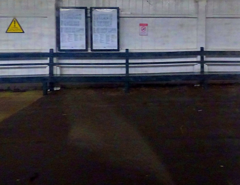
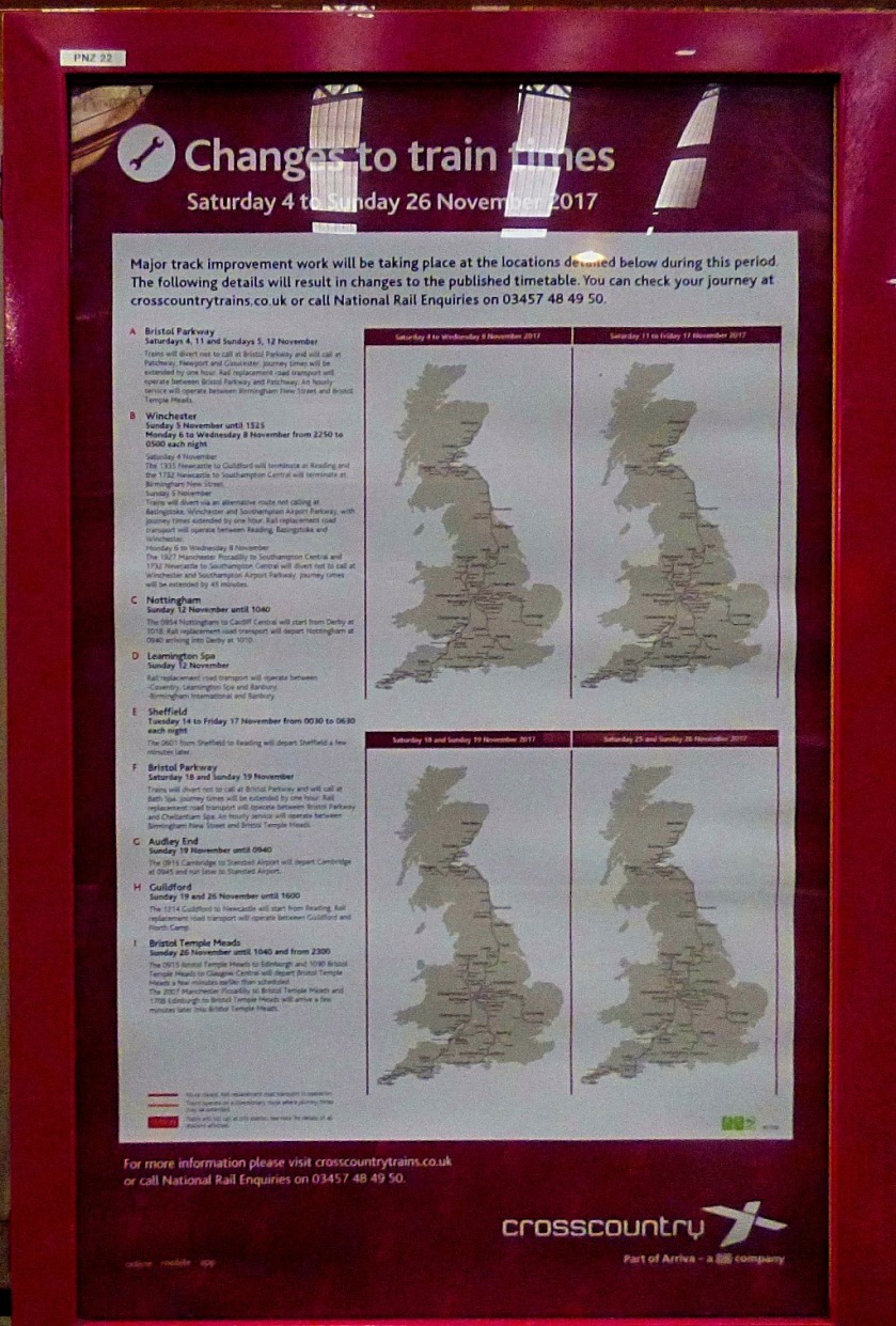
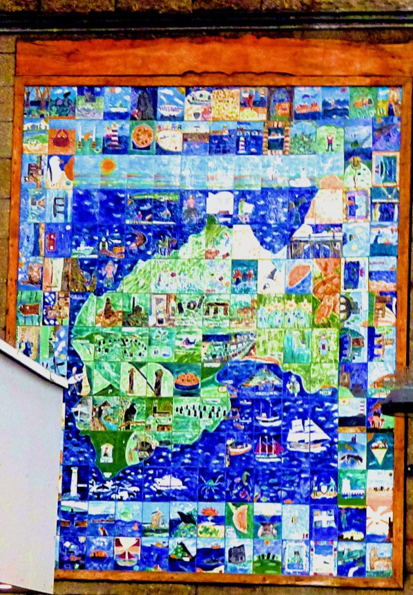
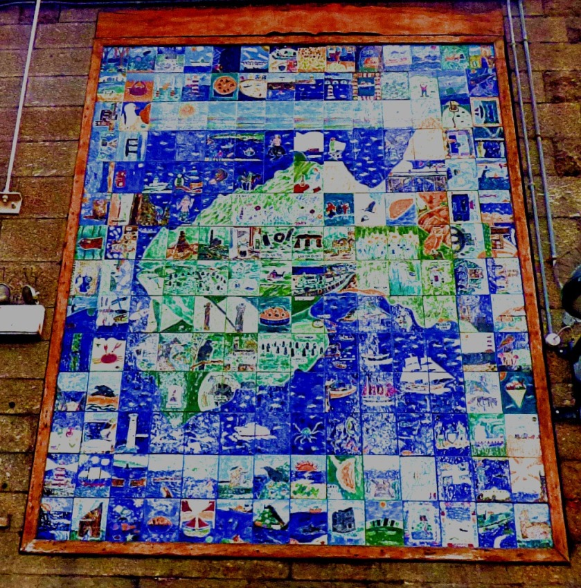
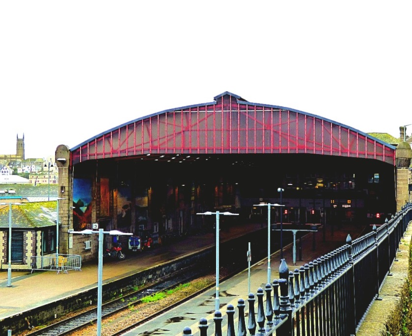
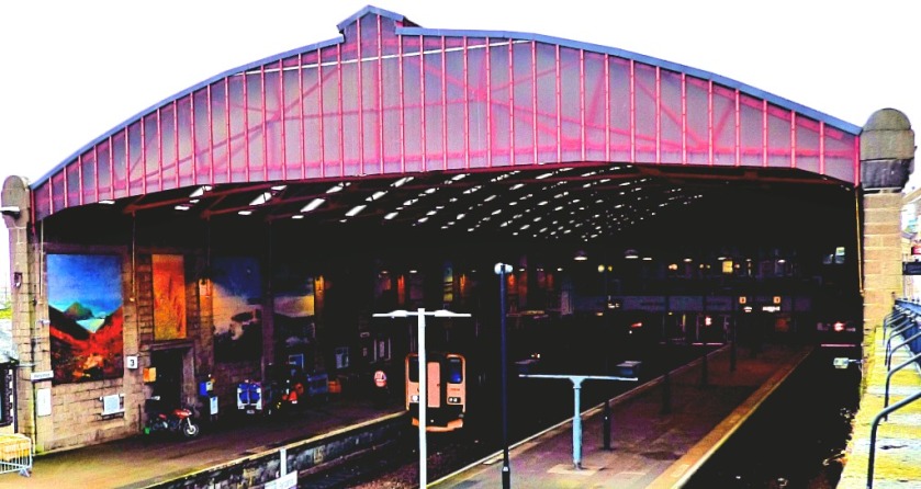
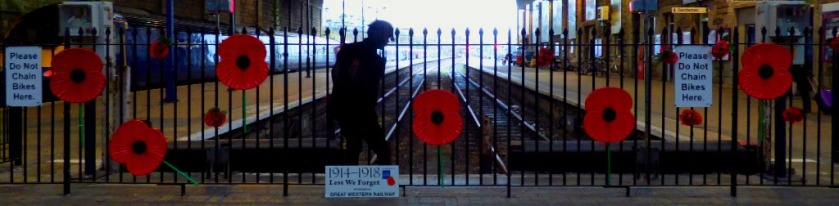
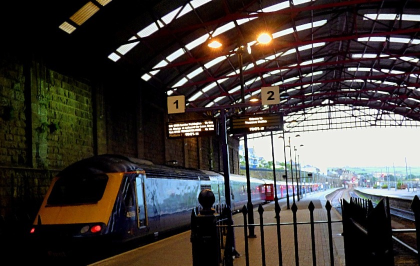
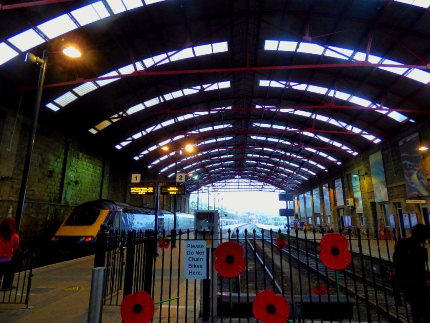
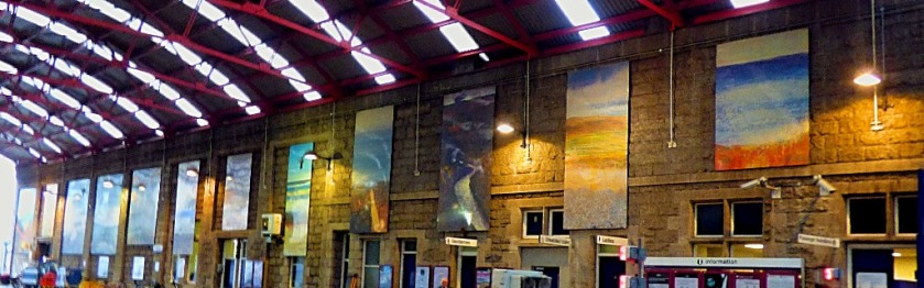
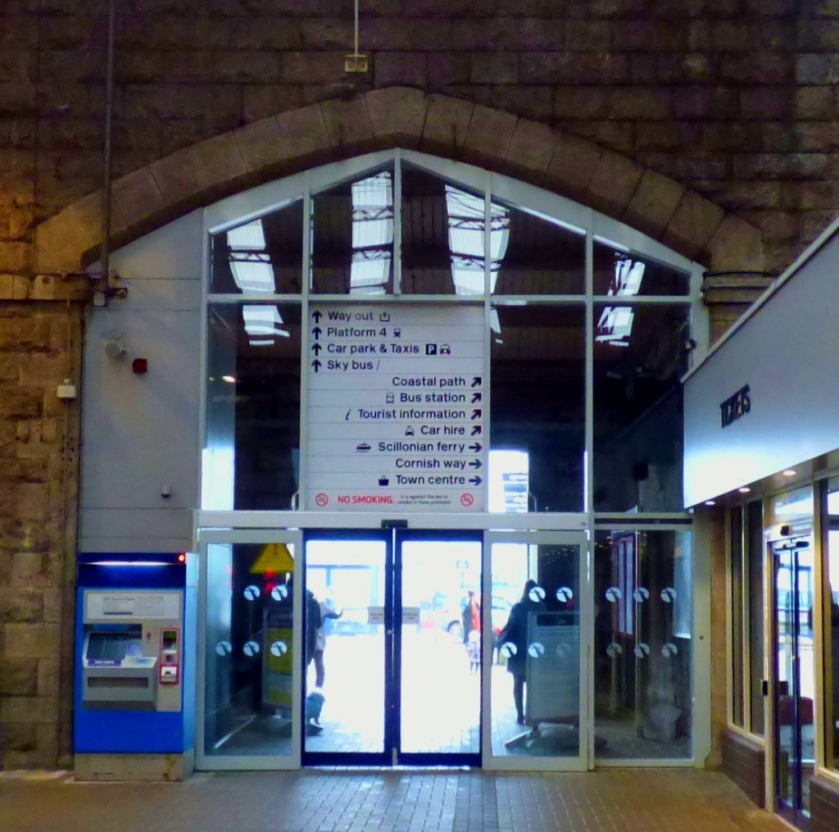
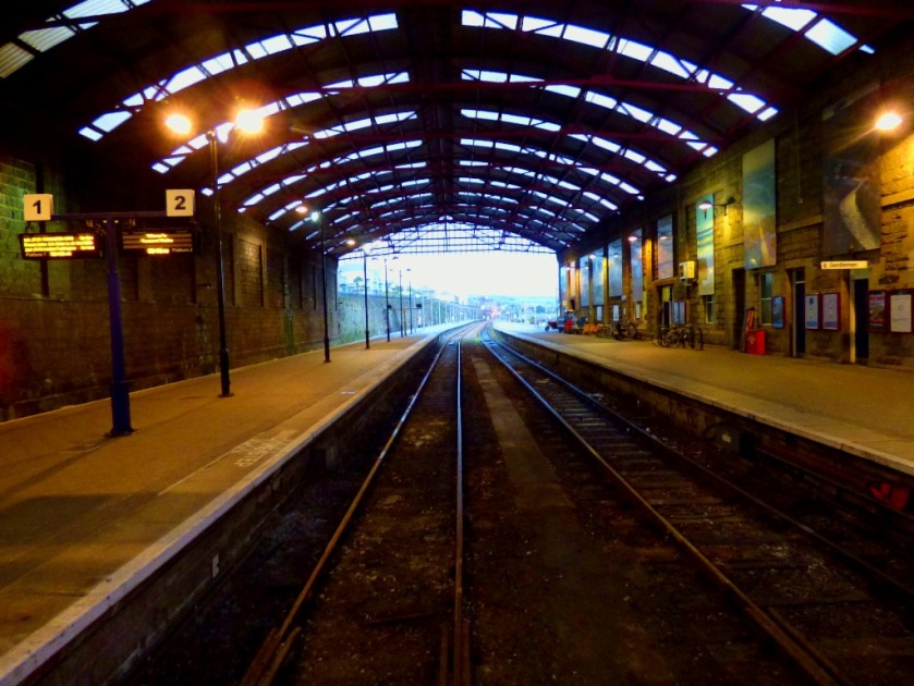
PENZANCE STATION
These pictures were taken both on arrival at Penzance, and towards the end of my time in Penzance.
This was my first effort at capturing this tile picture……and this, later in the day, was my second and final effort.
I am a bit behind with blogging about my stay in Cornwall because of the time it takes to edit the photos and the fact that I had a long day out yesterday – an excursion to Penzance about which there will be much more later.
THE LUNCH
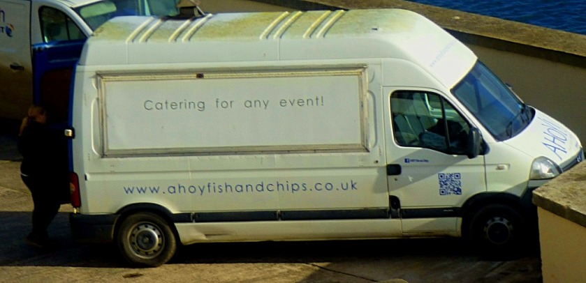
Ahoy Fish and Chips, a mobile fish and chip shop, call at Fort Picklecombe for Friday lunch time. We bought lunch from them – cod for my parents and a beefburger for me, all with chips. The chips were of excellent quality, and the pricing was very reasonable.
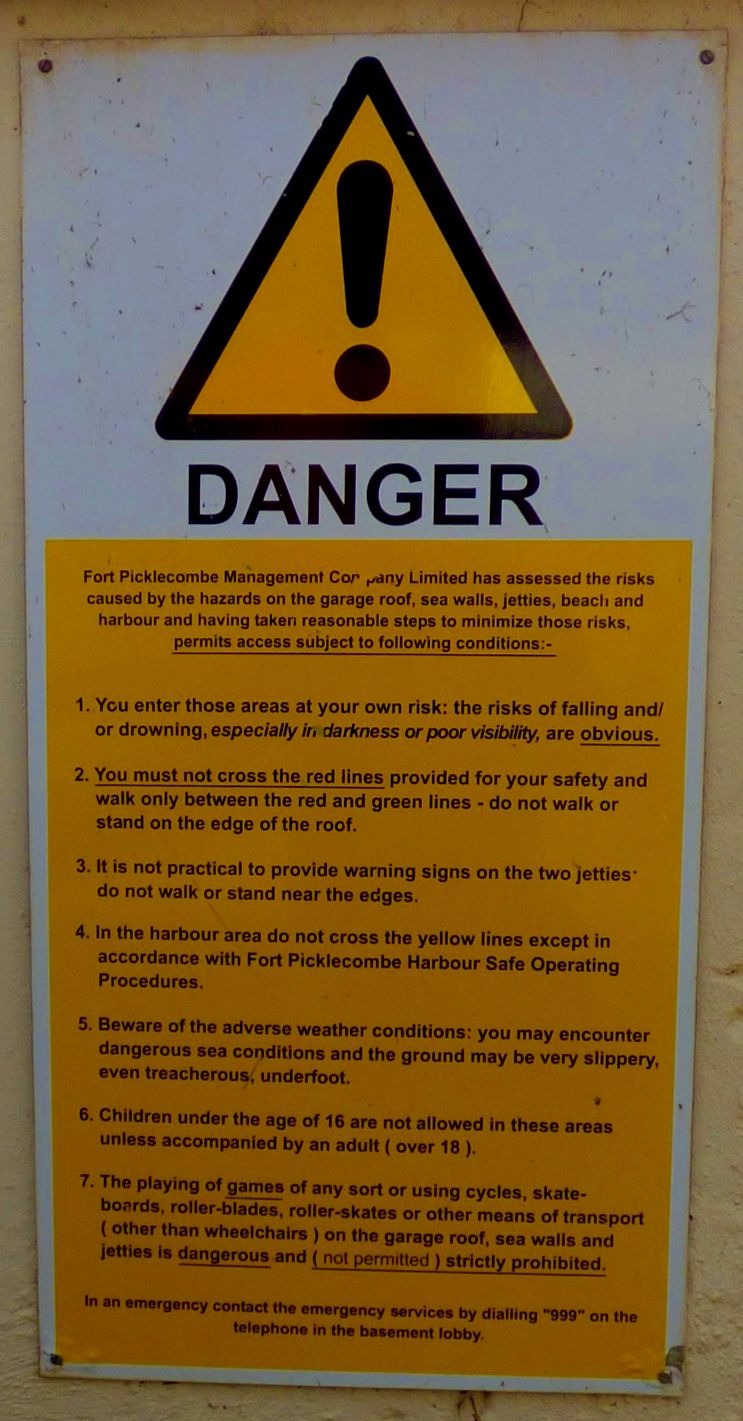
How to mee your health & safety obligations without actually doing anything.
THE WALK
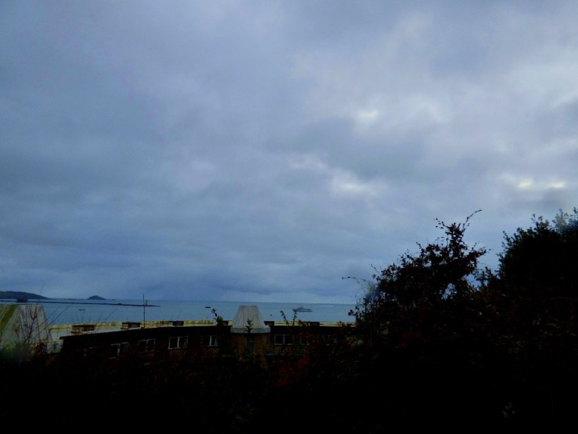
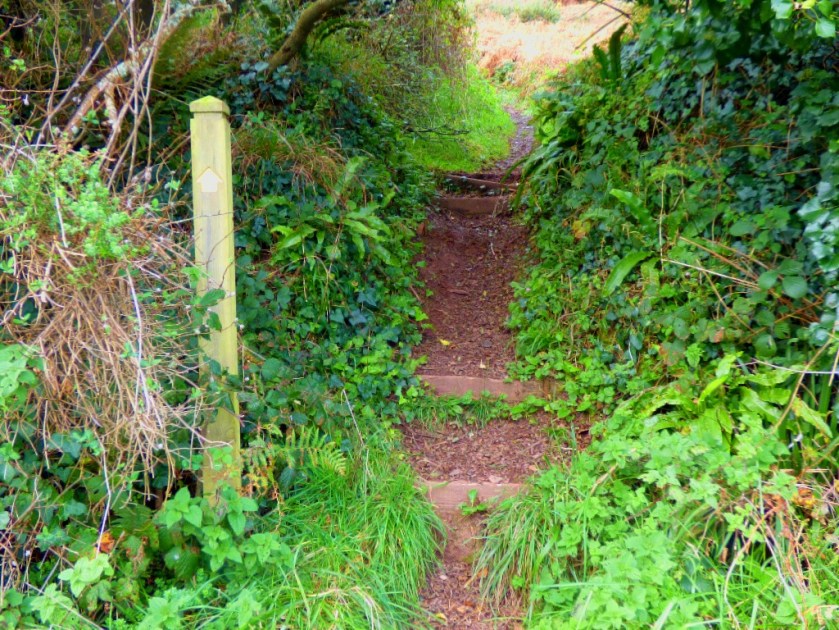
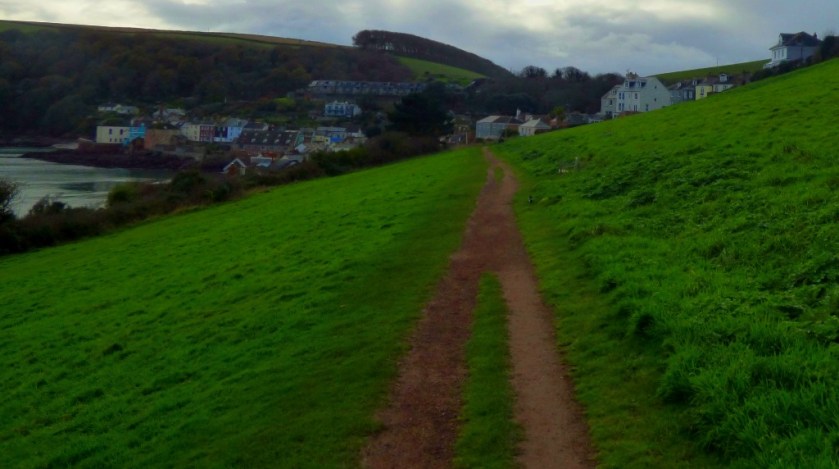
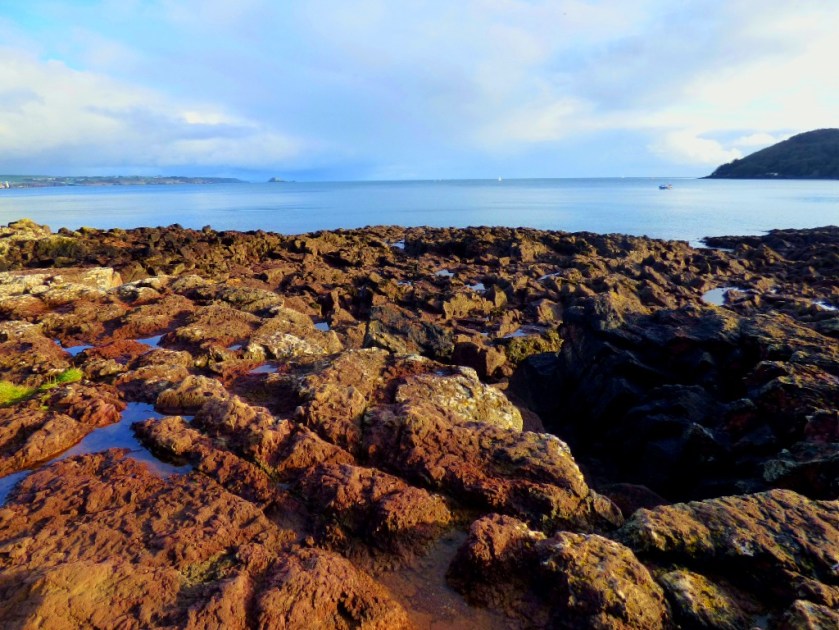
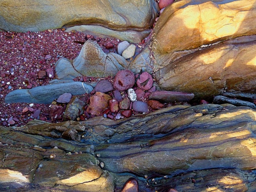
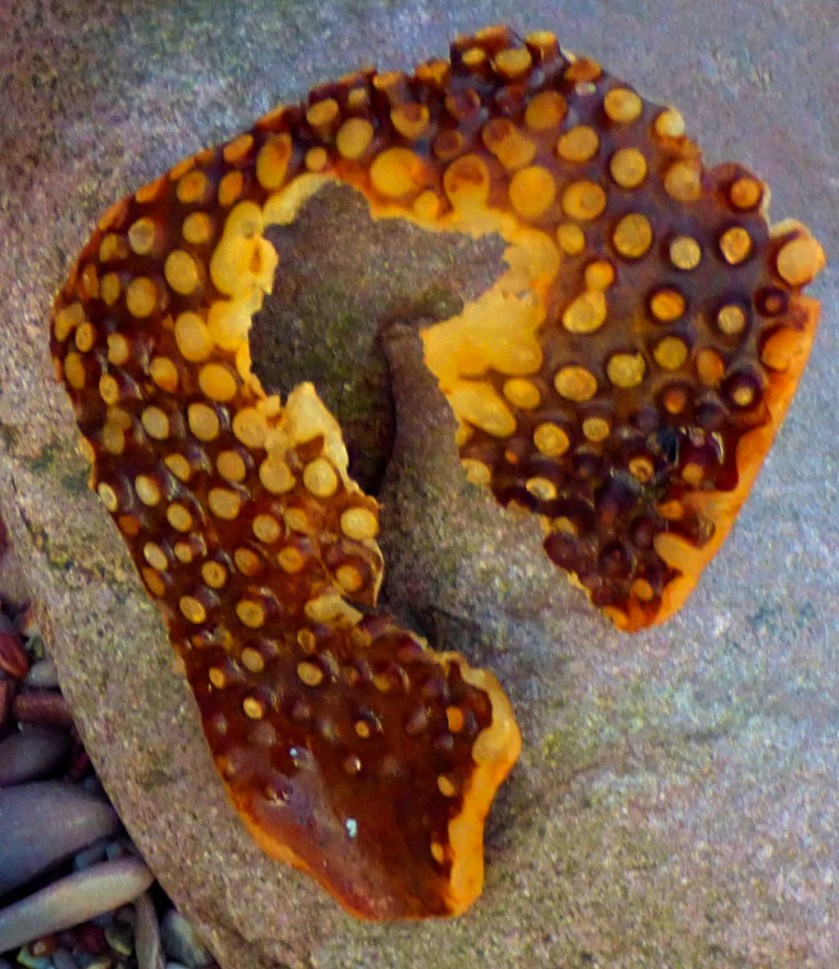
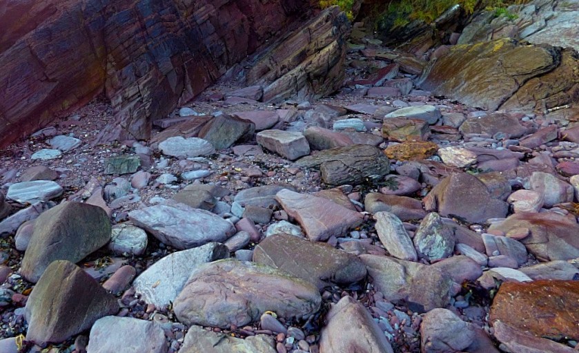
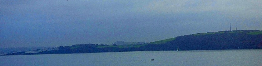
Having walked to Kingsand and Cawsand the previous day I walked the other way this time, climbing up quite high above the sea. Here, barring a few preserved for the next and final section of this post are the pictures I took while out on this walk…
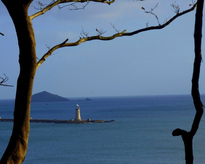
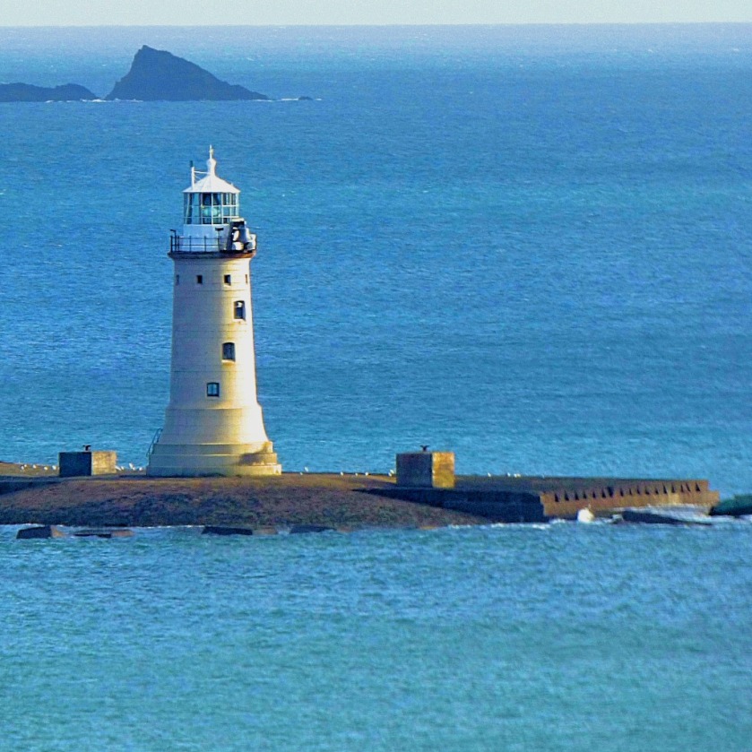
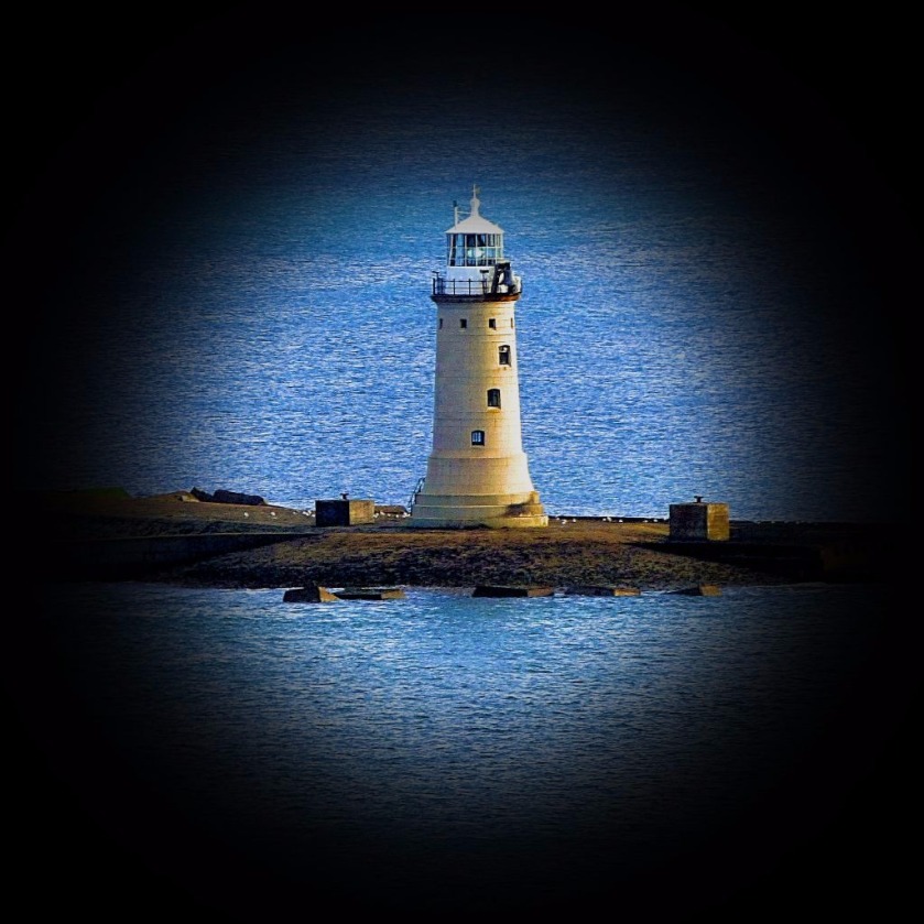
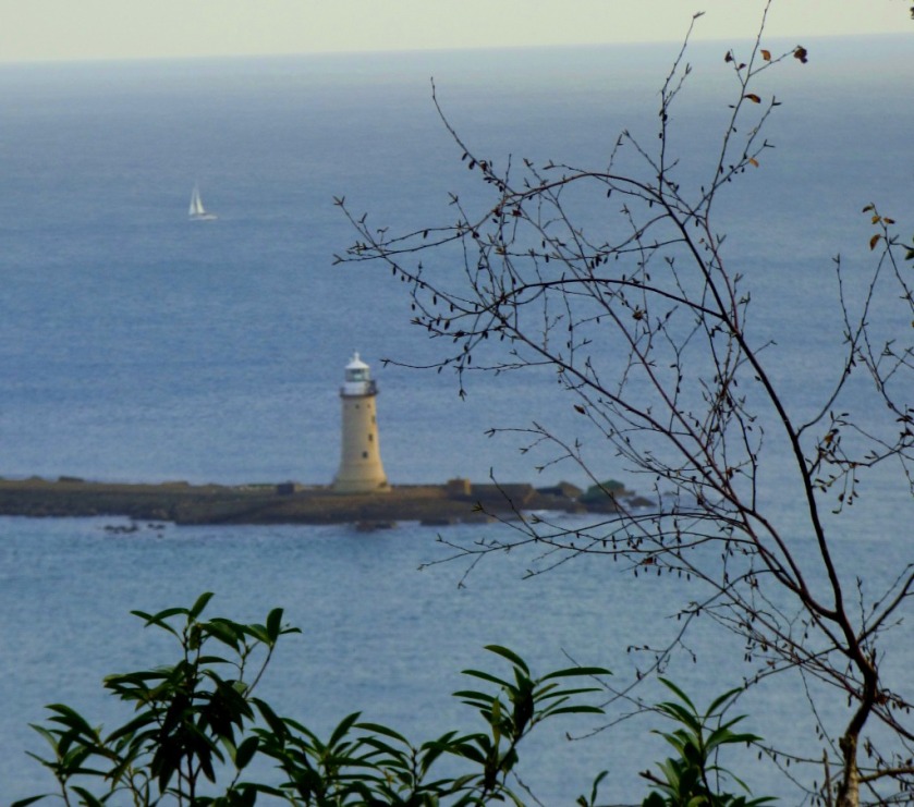
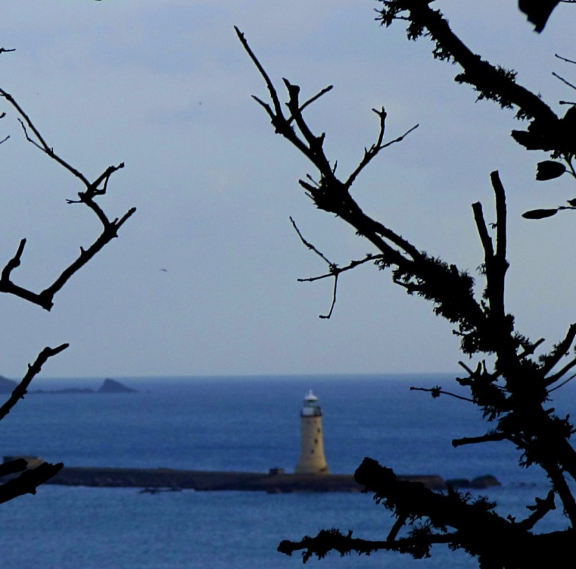
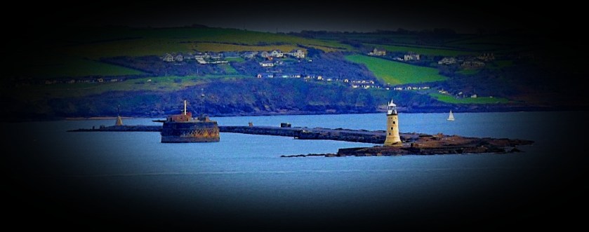
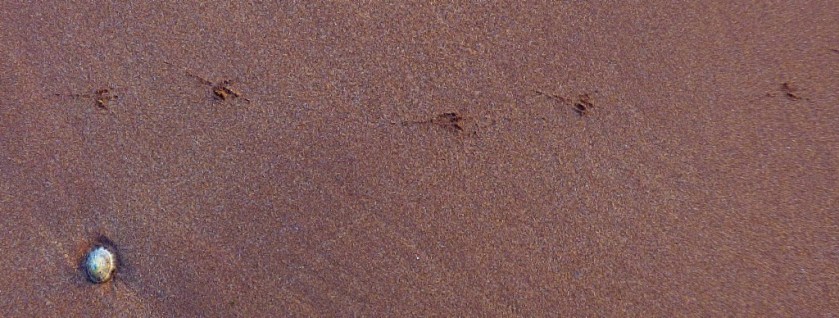
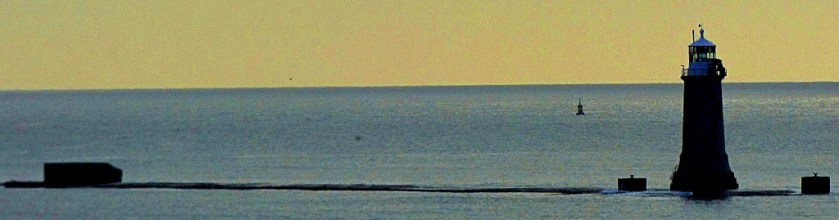
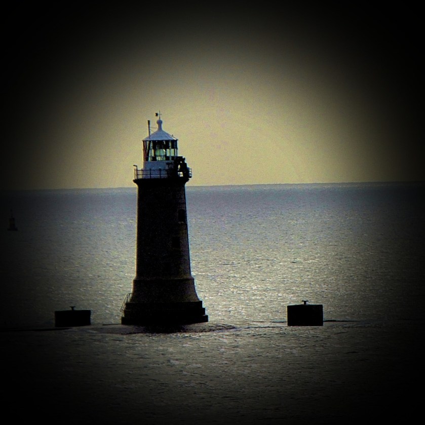
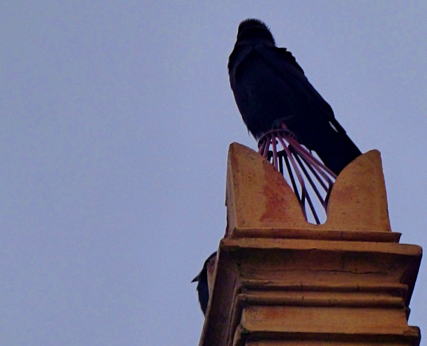
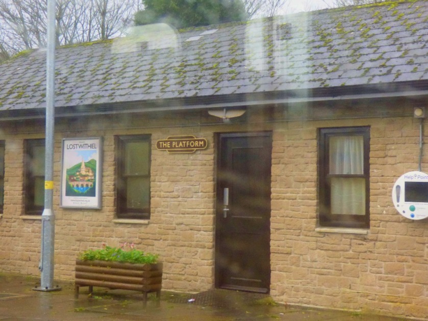
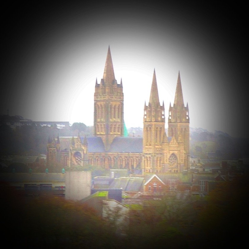
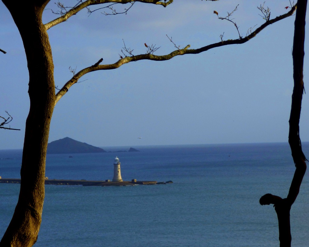
FOCUS ON THE LIGHTHOUSE
The lighthouse which is visible from my parents new home features in a number of pictures that I have taken. I open this section with a mini challenge that I titled “Framed” – do you have a picture where there is a natural framework for the centrepiece of the photo? If you create a post containing the picture, and provide details in the comments, and I am impressed I will reblog you. Here is my starter…
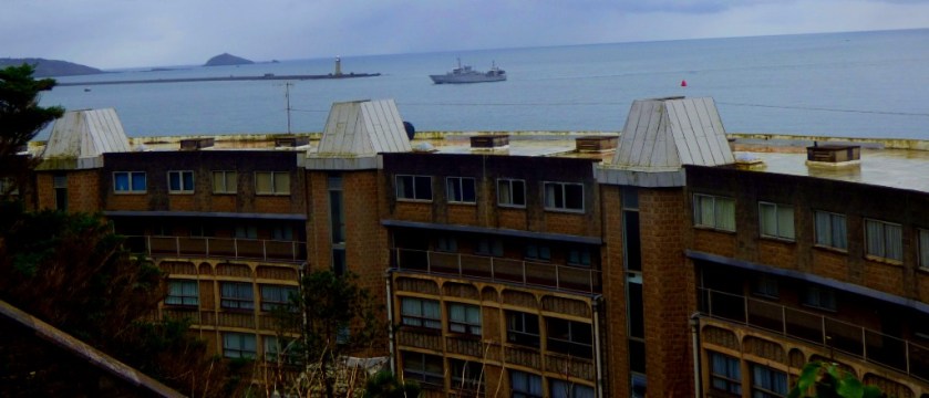
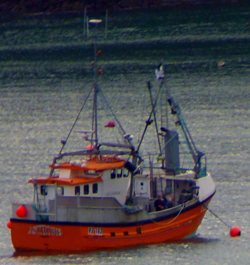
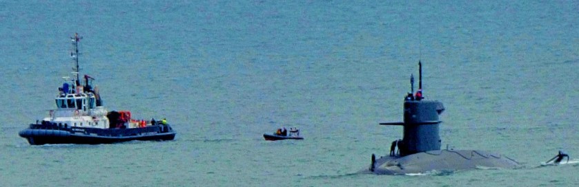
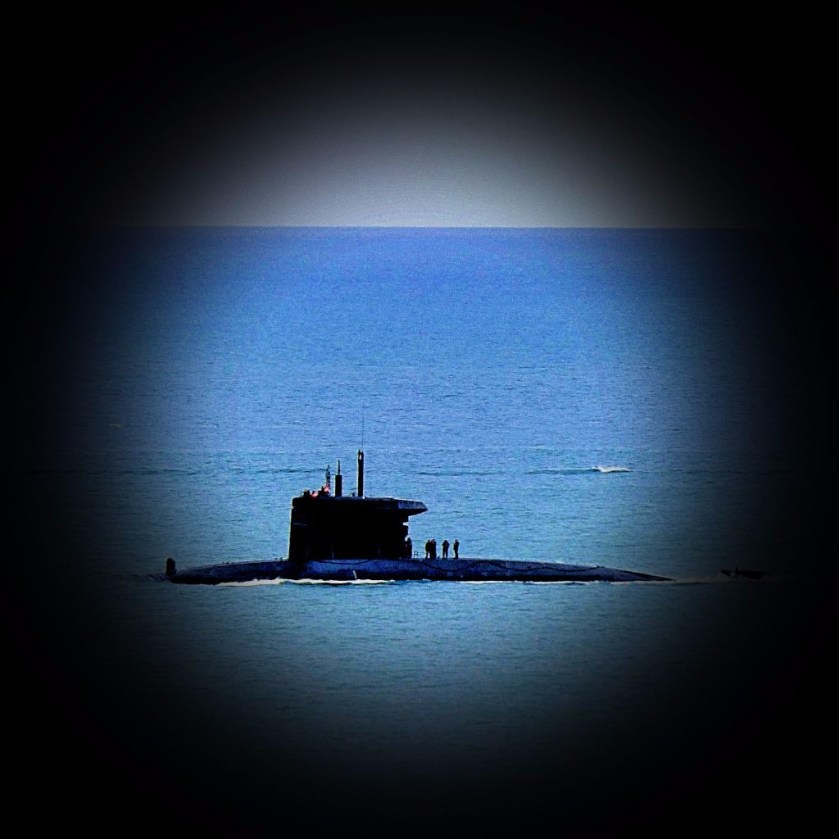
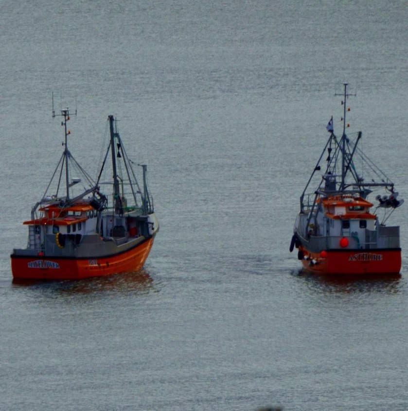
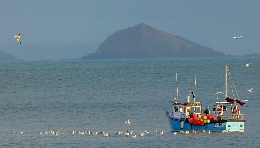
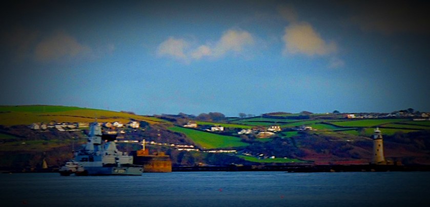
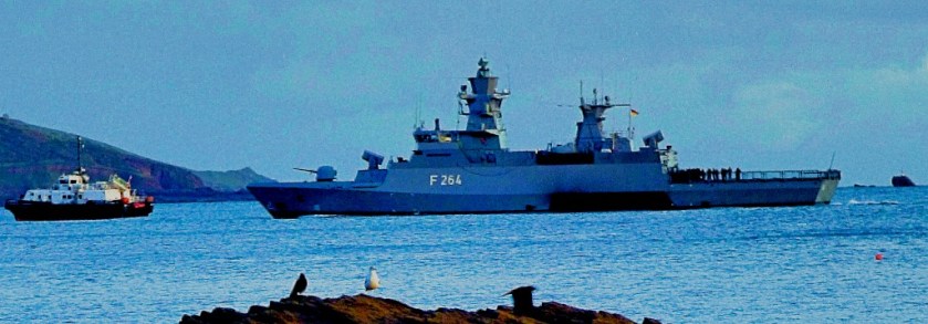
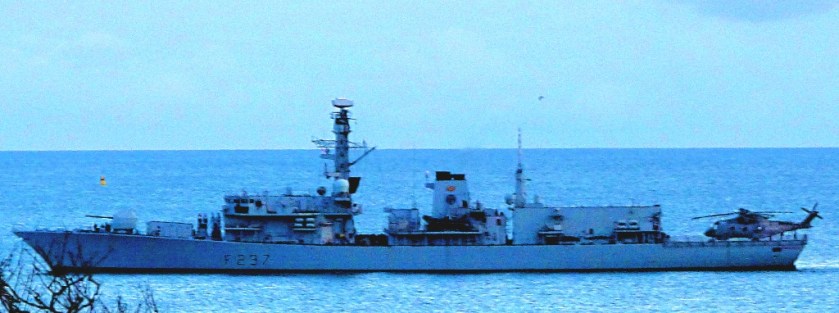
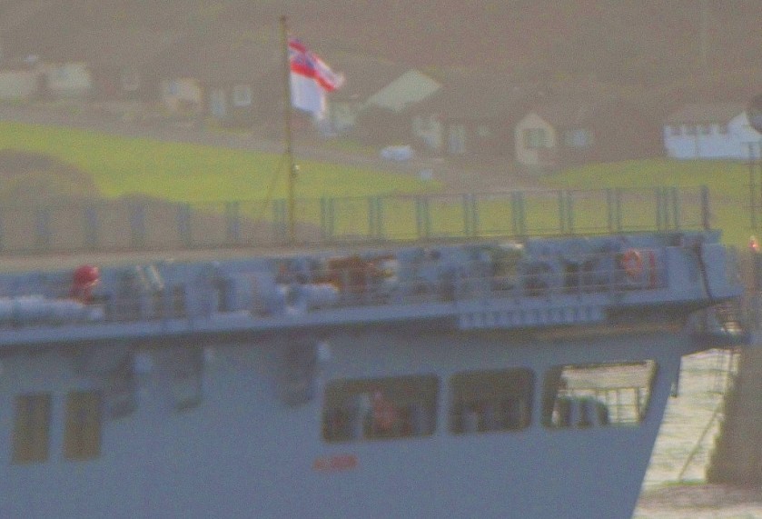
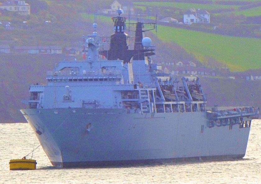
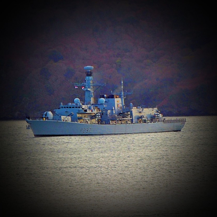
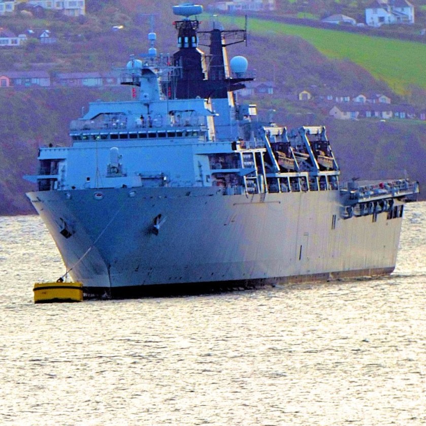
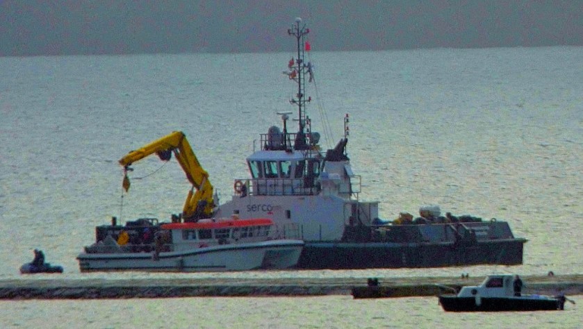
This brief post is dedicated to the various ships that I have seen while down here overlooking the sea. Yesterday was a bonanza, with many warships in evidence.
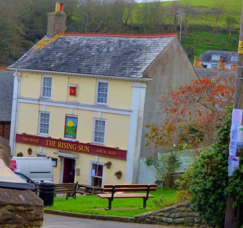
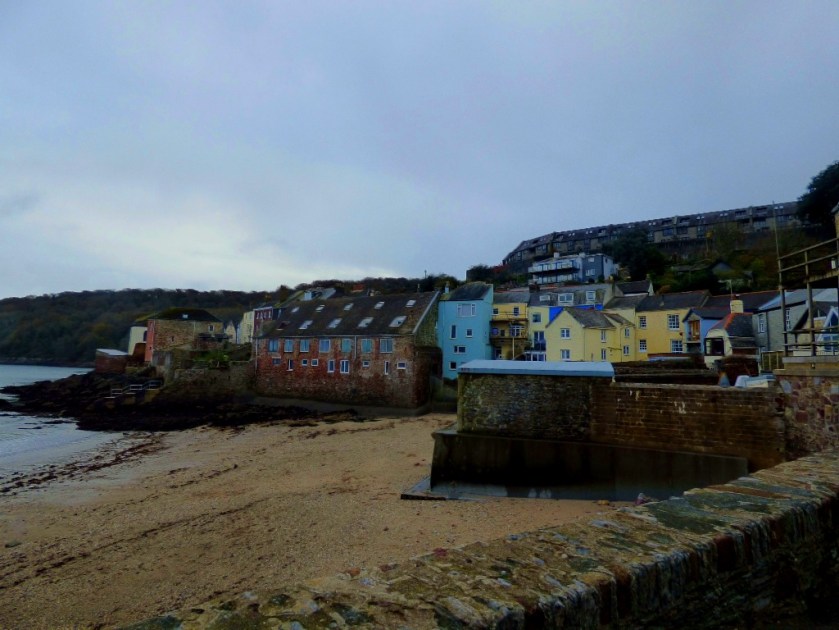
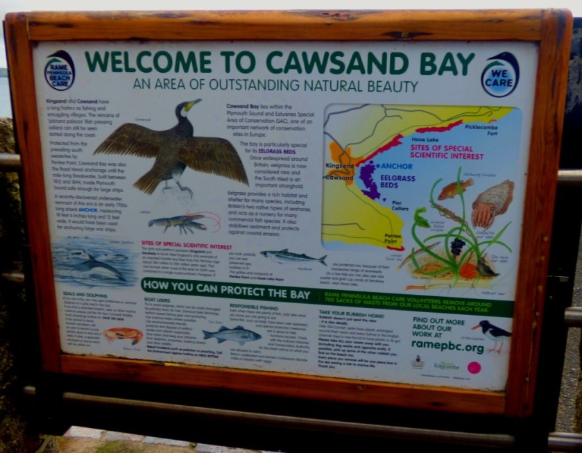
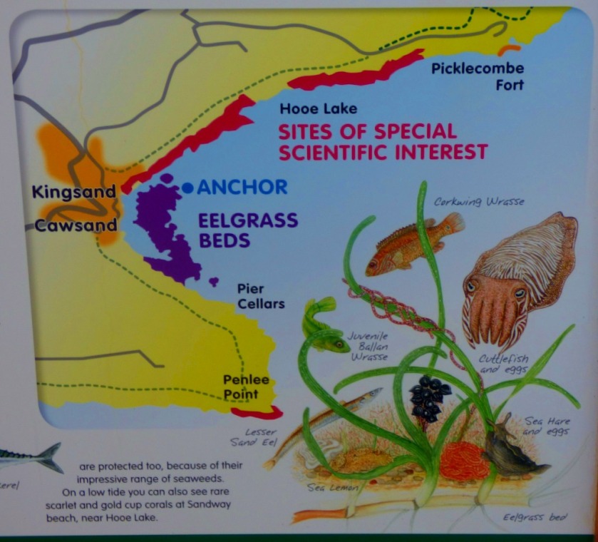
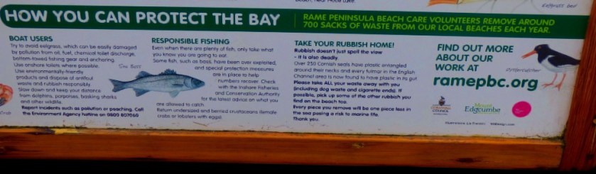
An account of a visit to the villages of Kingsand and Cawsand.
INTRODUCTION
The feature of yesterday was a walk along the coast from Fort Picklecombe to the villages of Kingsand and Cawsand, and then back. I have many photos from yesterday, and will be sharing the general ones here. I have a fairly sizeable collection of pictures of boats and ships already, and I will be doing a special post about these immediately I have completed this one.
FORT PICKLECOMBE TO THE VILLAGES
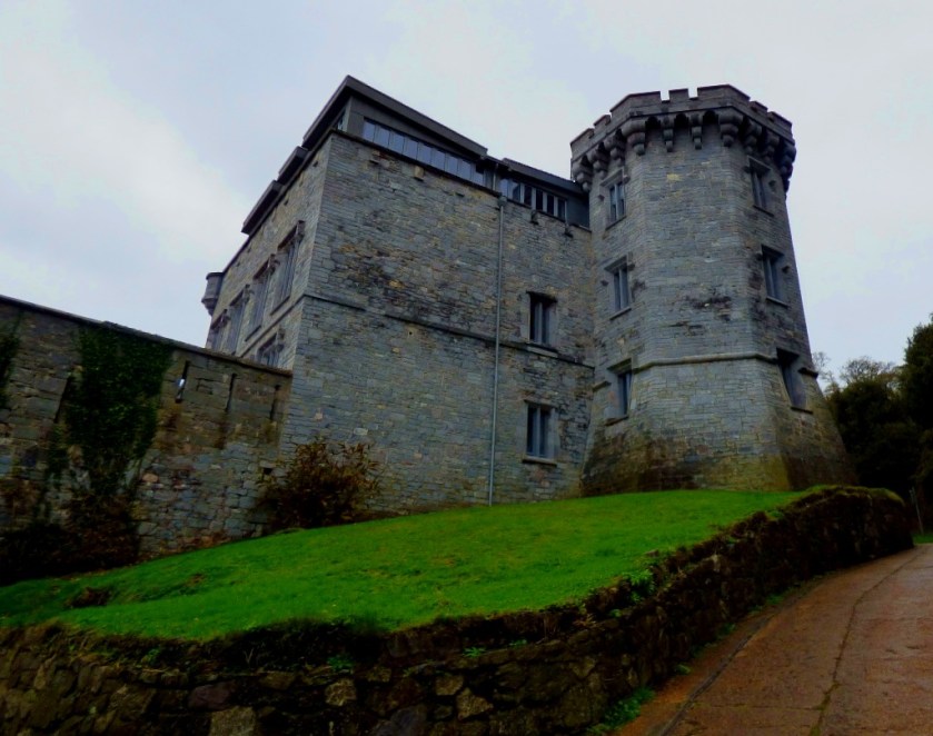
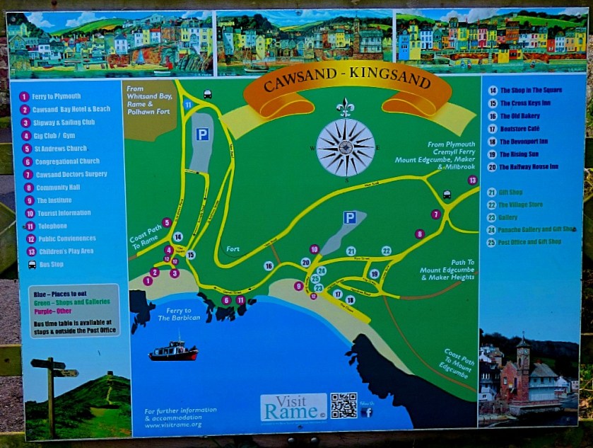
In olden times the two villages in this post were on opposite sides of the Devon/ Cornwall boundary – Kingsand in Devon and Cawsand in Cornwall, but nowadays both are comfortably within Cornwall, since the county boundary is the Tamar River. This part of Cornwall, known as the Rame Peninsula has its own official website. The coast path which we followed on our way to the villages is good although a little sticky in places (prolonged heavy rain would undoubtably turn it into a quagmire). Here are some photos from this section of the journey:
KINGSAND AND CAWSAND
We visited the Post Office, where my parents had some stuff to post and something to collect, and then walked down to the sea front by way of a road that was unsuitable for motor vehicles. Here are some pictures from Kingsand and Cawsand…
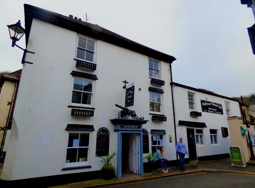
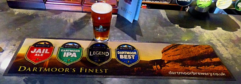
This establishment ticked one box instantly – investigation of the bar revealed the presence of locally brewed cask ale. They had three of the Dartmoor Brewery’s products available, and as someone who is a dedicated Holmesian as well as a fan of locally brewed ales I opted for “Legend”, with its connection to “The Hound of the Baskervilles”. This proved to be a very good choice – it was an excellent drink. As well as the website, which I linked to in the heading of this section they have a twitter account, @devonport_inn. Here are some pictures taken while enjoying my pint…
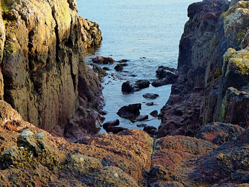
THE WALK BACK
We started out along the sea front. My mother abandoned this route quite earlu, but my father and I continued along the sea front rather longer (in retrospect this was an over adventurous decision given some of the terrain we had to contend with). By the time we saw a wooden staircase leading up to a campsite near the fort we were glad of a definite way back to the official route. I conclude this post with some photos from the walk back…
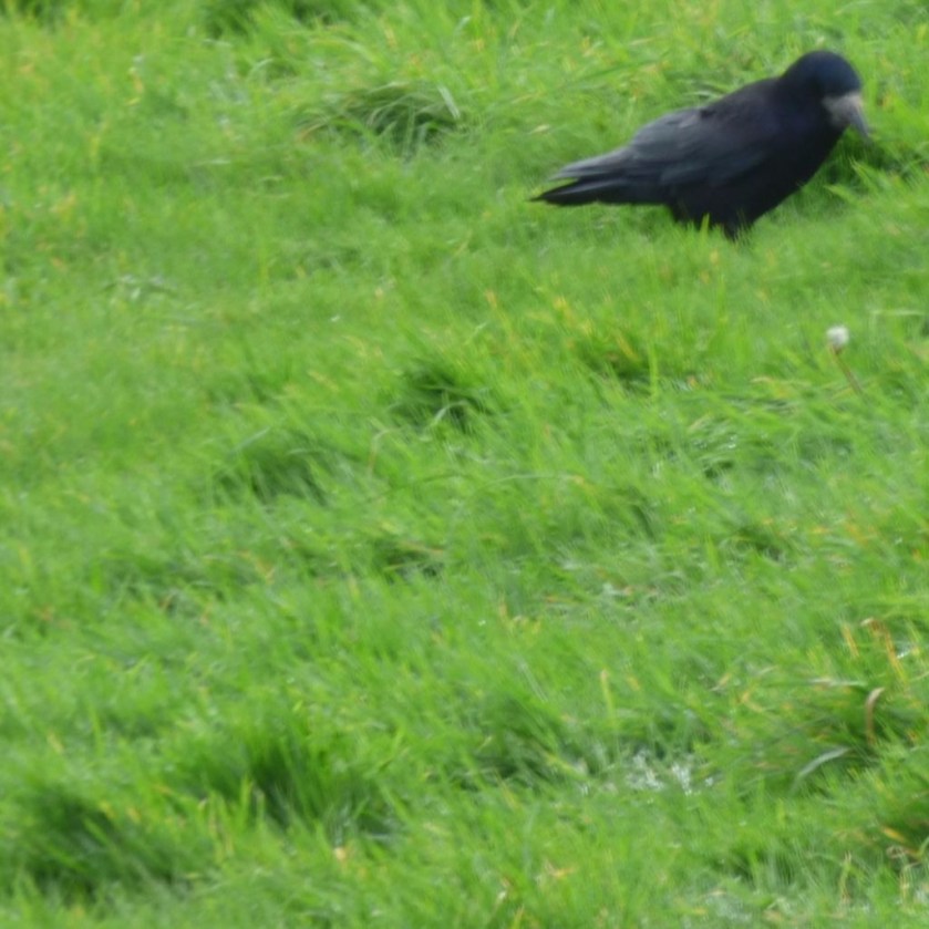
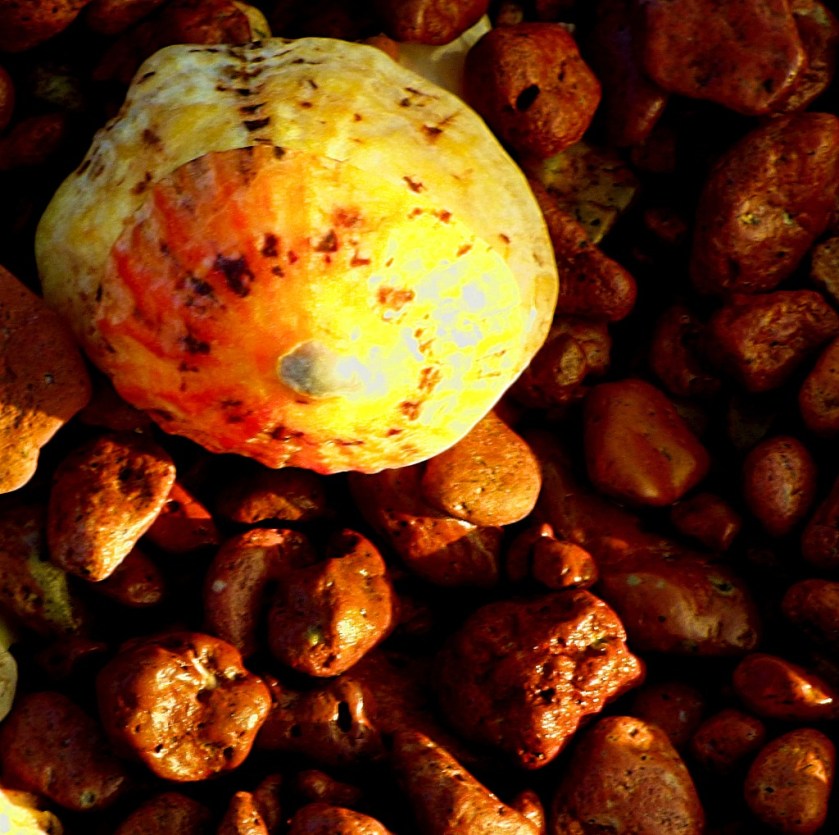
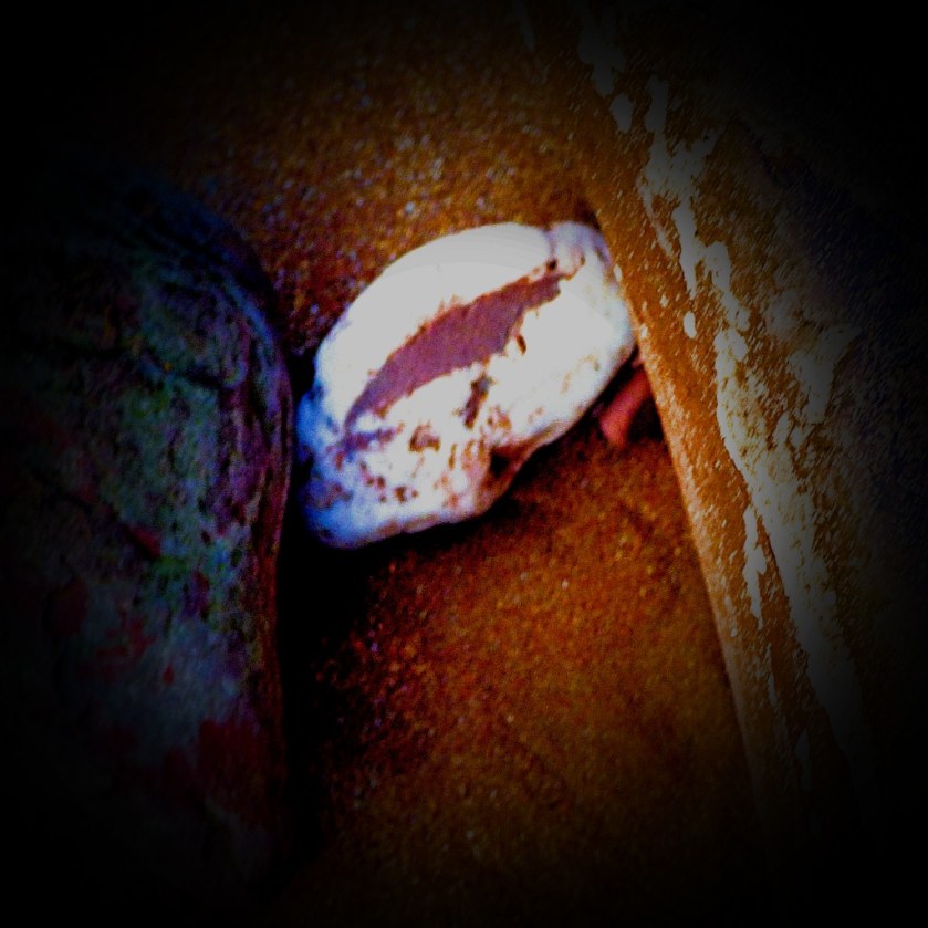
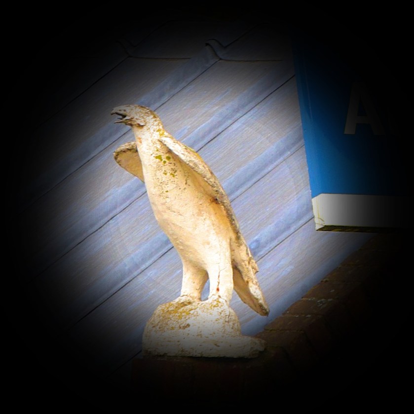
I was intrigued by this claw, but in accordance with Sutcliffe’s Rule for enjoying nature and enabling others to do so (take nothing except photographs, leave nothing except footprints), I left it in place for others to see if they happened to go that way.
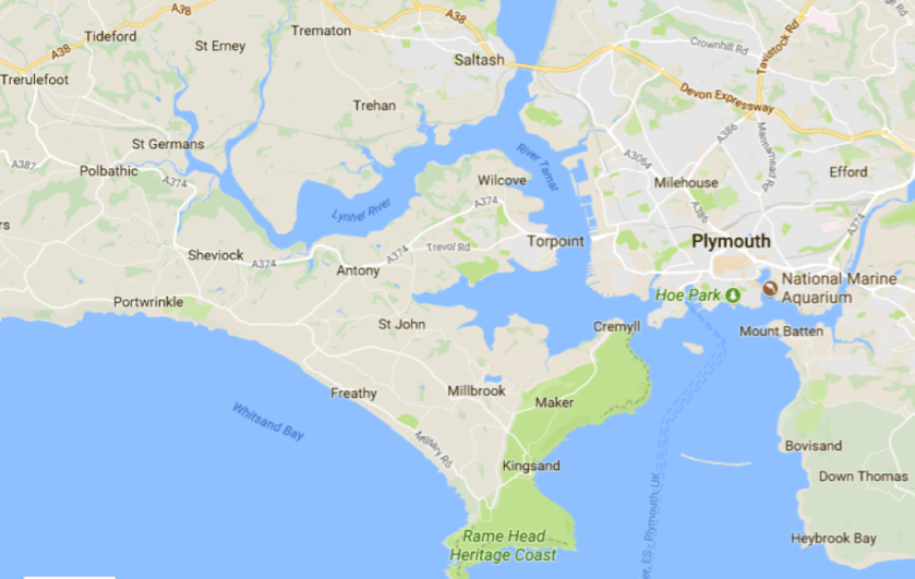
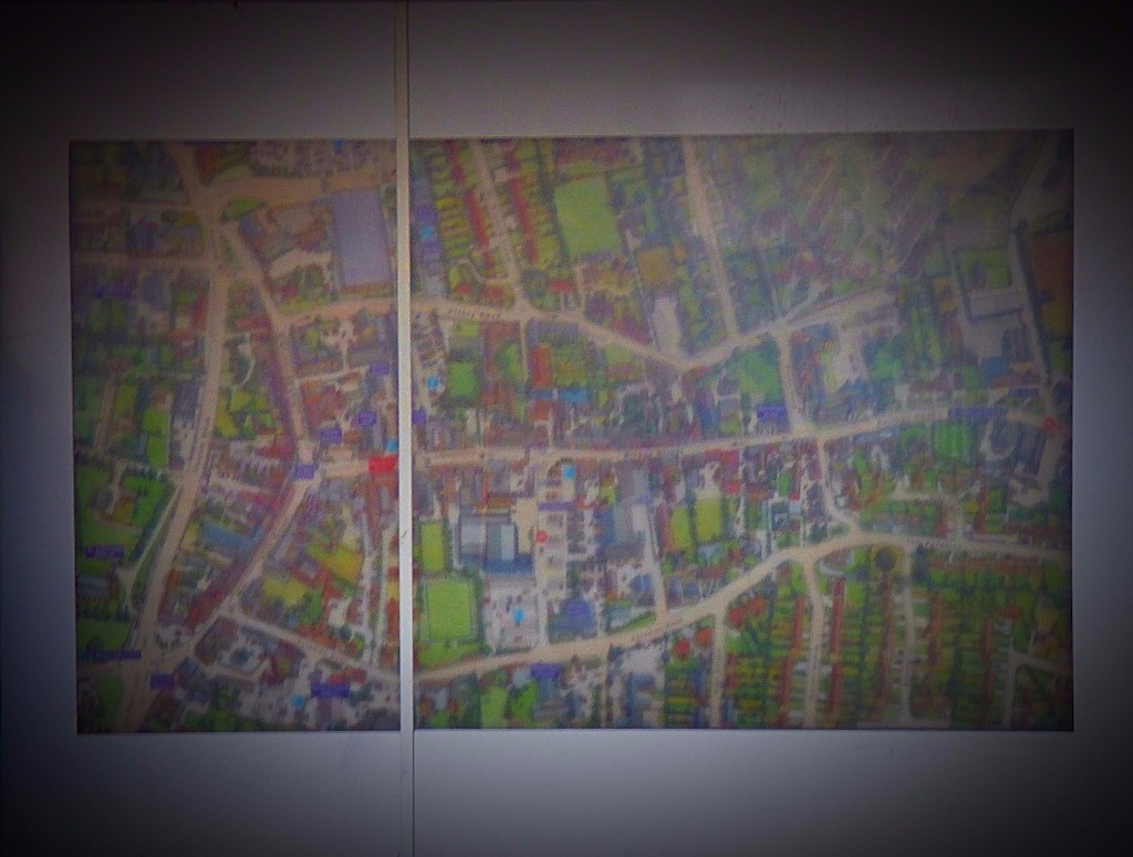
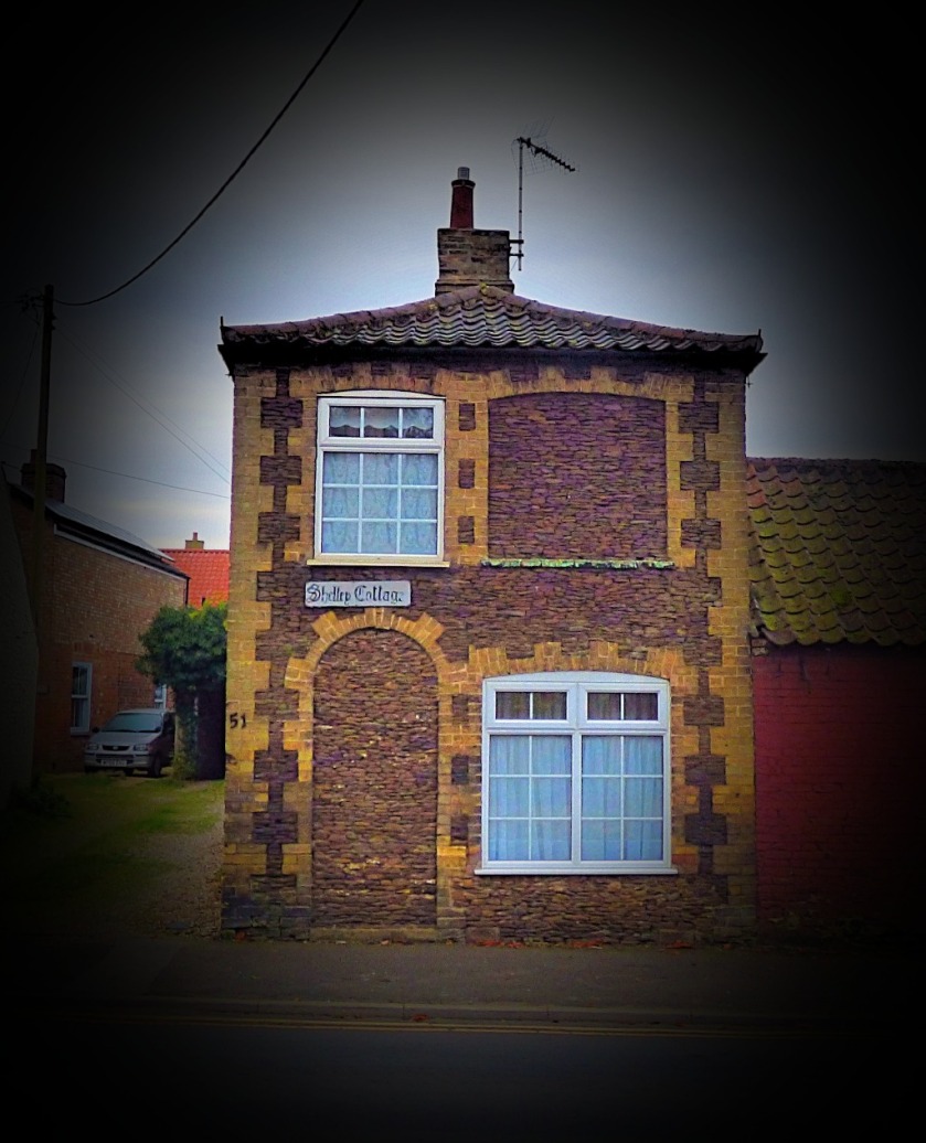
To explain the title of this post, Kernow is the Cornish name for Cornwall, and that is where I am at the moment, staying for a few days in my parents new home. Here is a map to start things off:
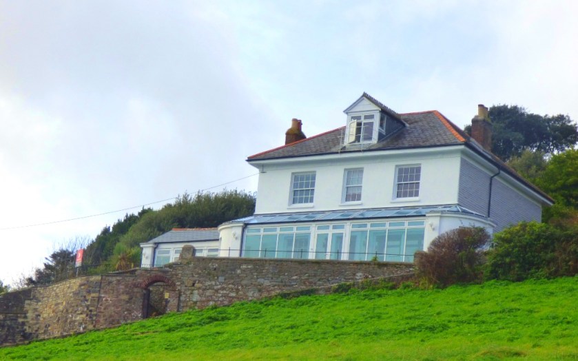
My parents new place is near Kingsand, towards the bottom centre of the map.
In this post I will tell you about the stage I left the November auction in, describe my journey down from King’s Lynn and finish with a few pictures from the new house.
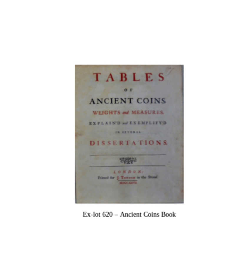
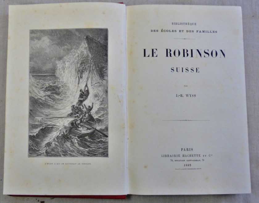
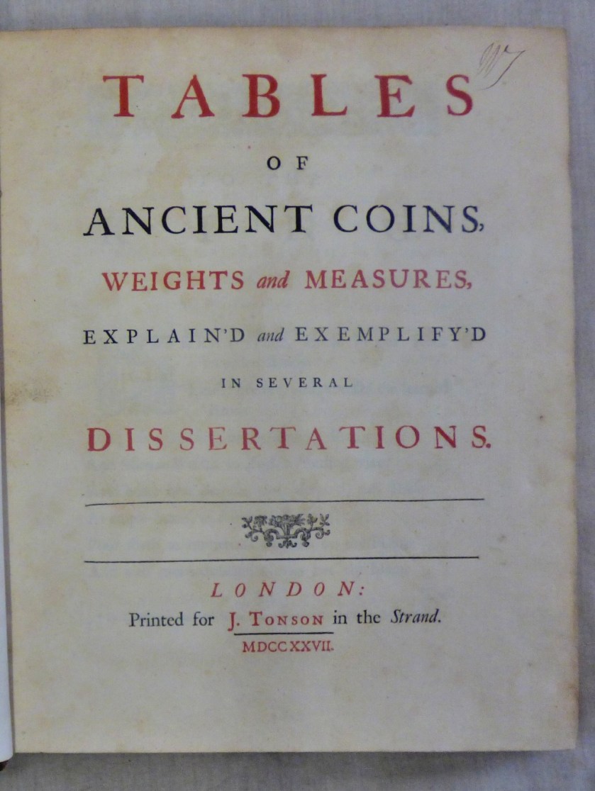
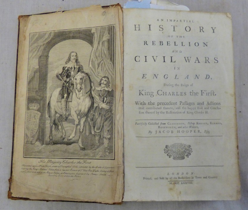
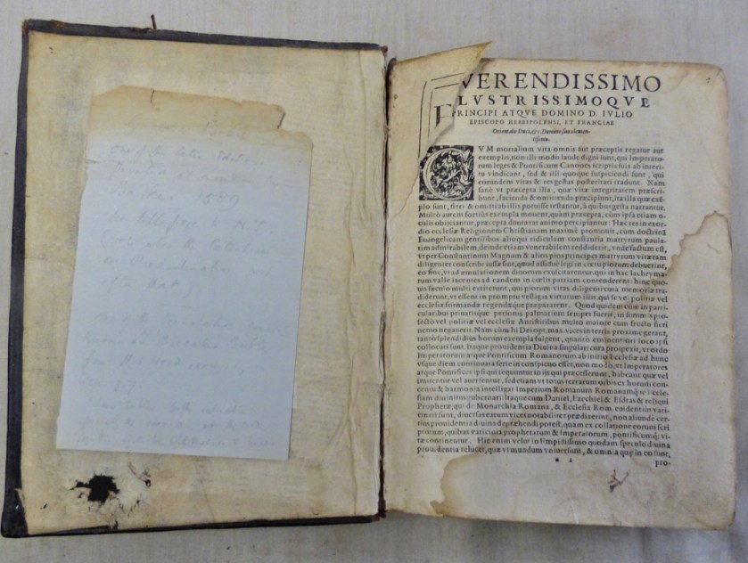
JAMES & SONS NOVEMBER CATALOGUE
I had booked Thursday and Friday as leave, and in order to be as up to date as possible before going on leave I agreed to work Monday as well as Tuesday. By the end of Tuesday the imaging was as complete as possible, and I had given my colleague Andrew a start towards the printed catalogue, with a front cover image selected and placed appropriately on the page and the back cover completed. I offer links to the files and also screenshots:
Why two versions of the front cover? Well my employer did not like my initial choice of front cover image, requesting the coin book in its place, and being me I kept both versions.
KING’S LYNN TO CORNWALL
The first part of my journey was on the 9:54 train from King’s Lynn to London, which mirabile dictu ran to time. As far as Cambridge I had the company of Jo Rust, Labour candidate at the last two general elections in my constituency. Ely Cathedral was, as often, a target for my photographic attentions:
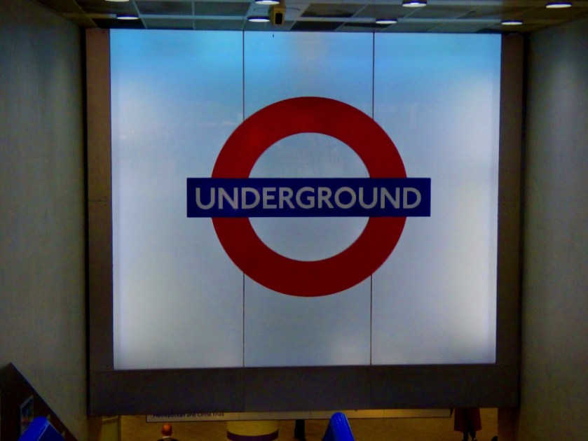
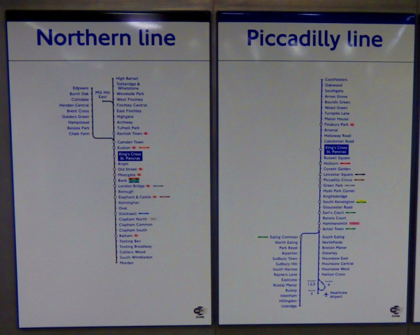
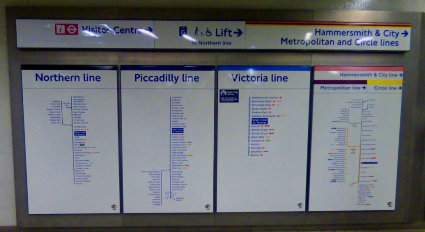
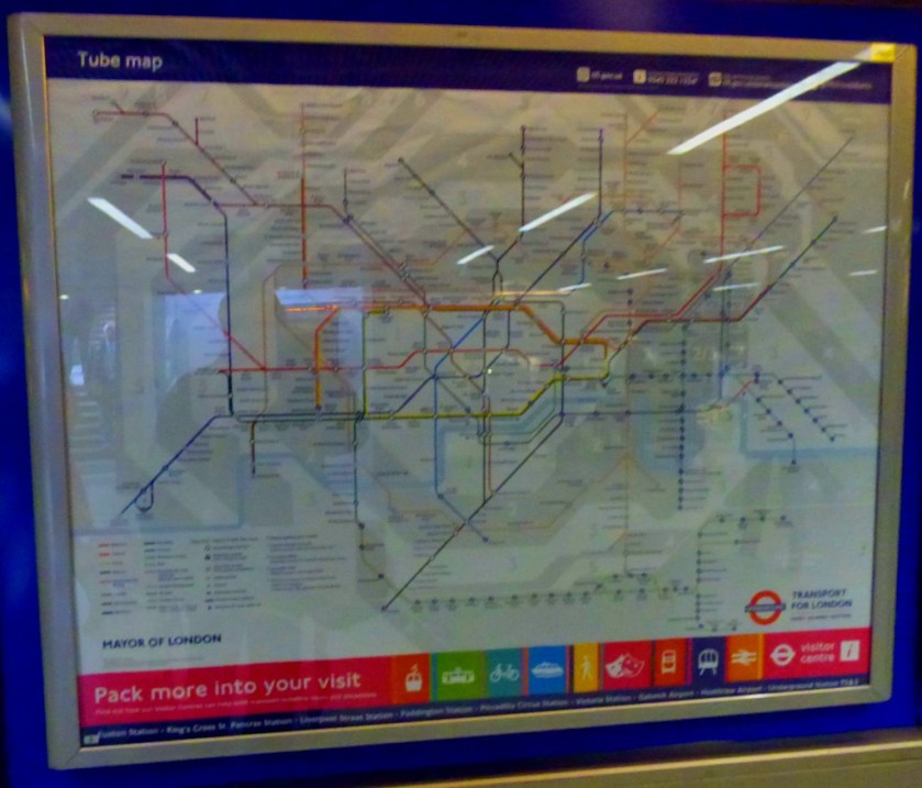
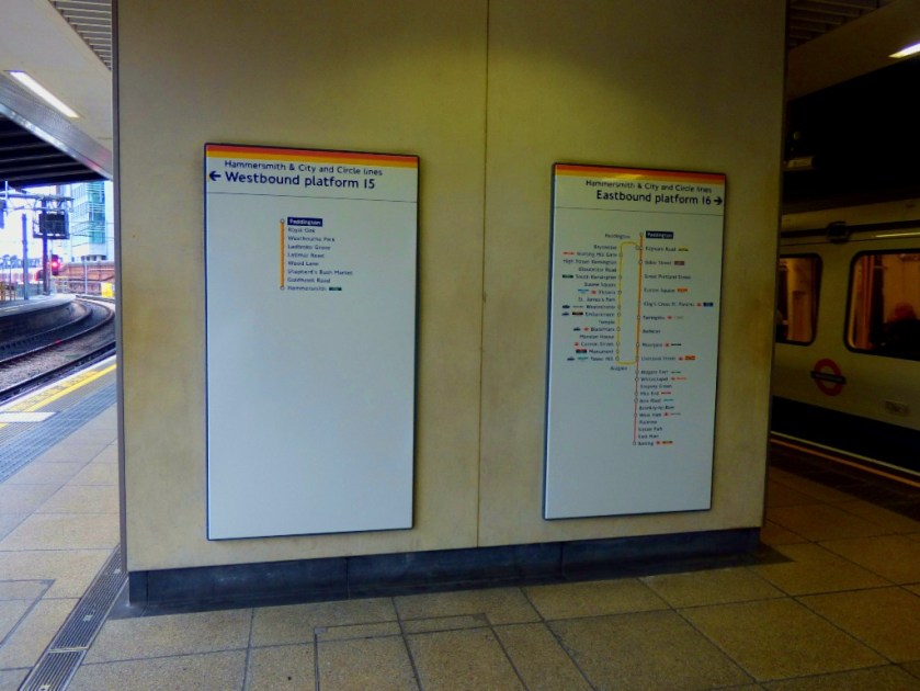
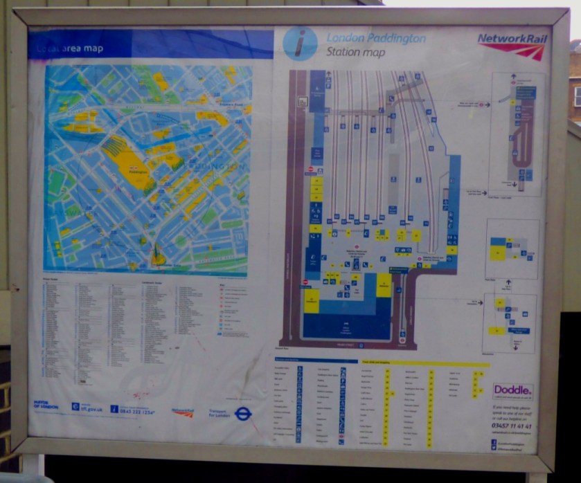
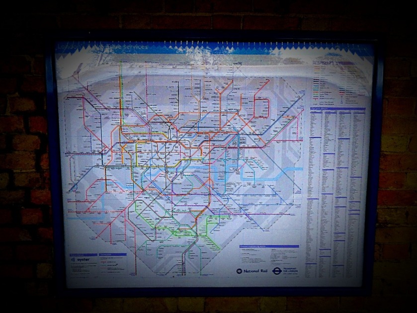
On arrival at King’s Cross I headed down to the Circle/ Hammersmith & City/ Metropolitan lines to get a train across to Paddington. The first train was heading for Uxbridge, therefore not one for me to take, but the second was bound for Hammersmith, and hence going by way of the right Paddington, the one that is structurally part of the mainline station, as opposed to the Circle/ District line station that should revert to it’s original name of Praed Street.
Looking across Paddington from the H&C platforms (these are platforms 15 and 16 of the main station).
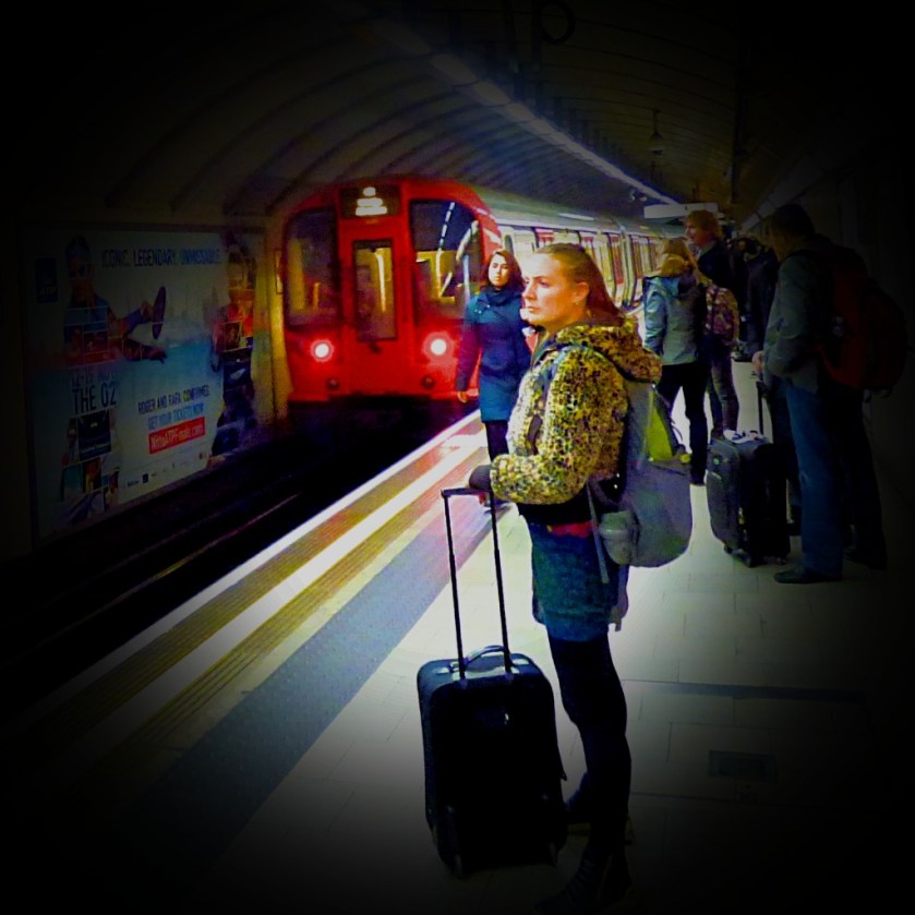
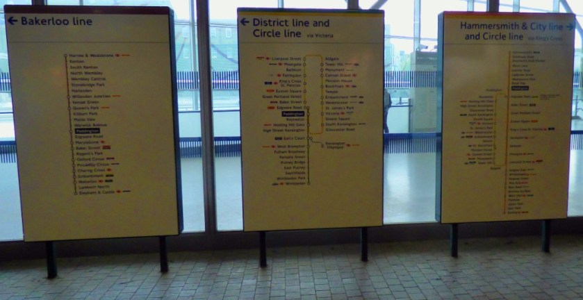
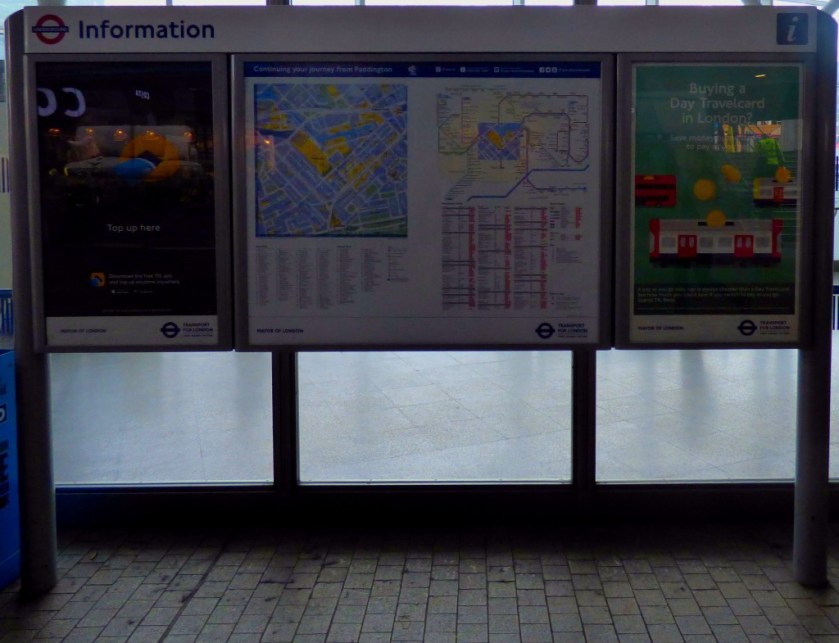
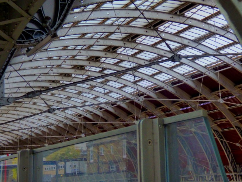
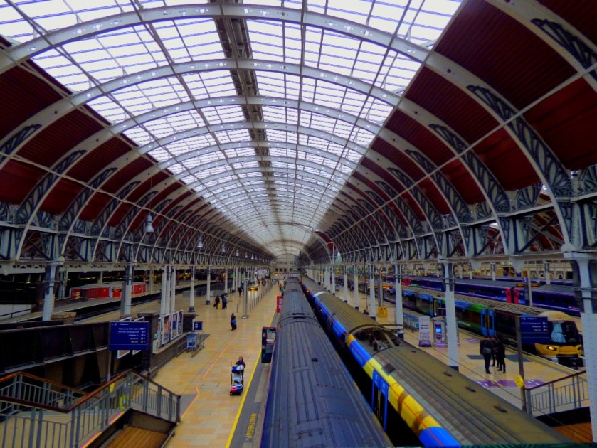
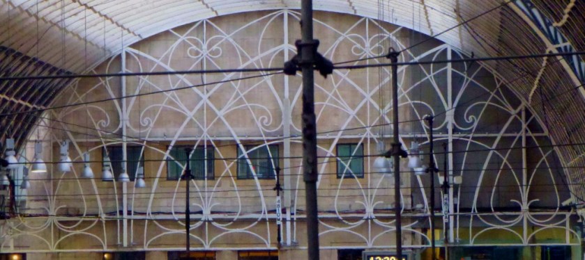
Having a had a decent but not stellar connection at King’s Cross I arrived at Paddington with just under an hour to go before my train for the long-haul section of the journey was due to depart. Although careful to stay close to the information screens that I would not miss the platform number for my train when it came up I did get some photos while I waited for this information.
I did not get as many pictures as I would have liked during the train journey to Plymouth, as my camera’s battery ran out of charge just beyond Exeter (so no pics from Newton Abbot, Totnes or the approach to Plymouth). The train arrived in Plymouth exactly on schedule, making it a jackpot-like two train journeys in Britain on one day that had run to time!
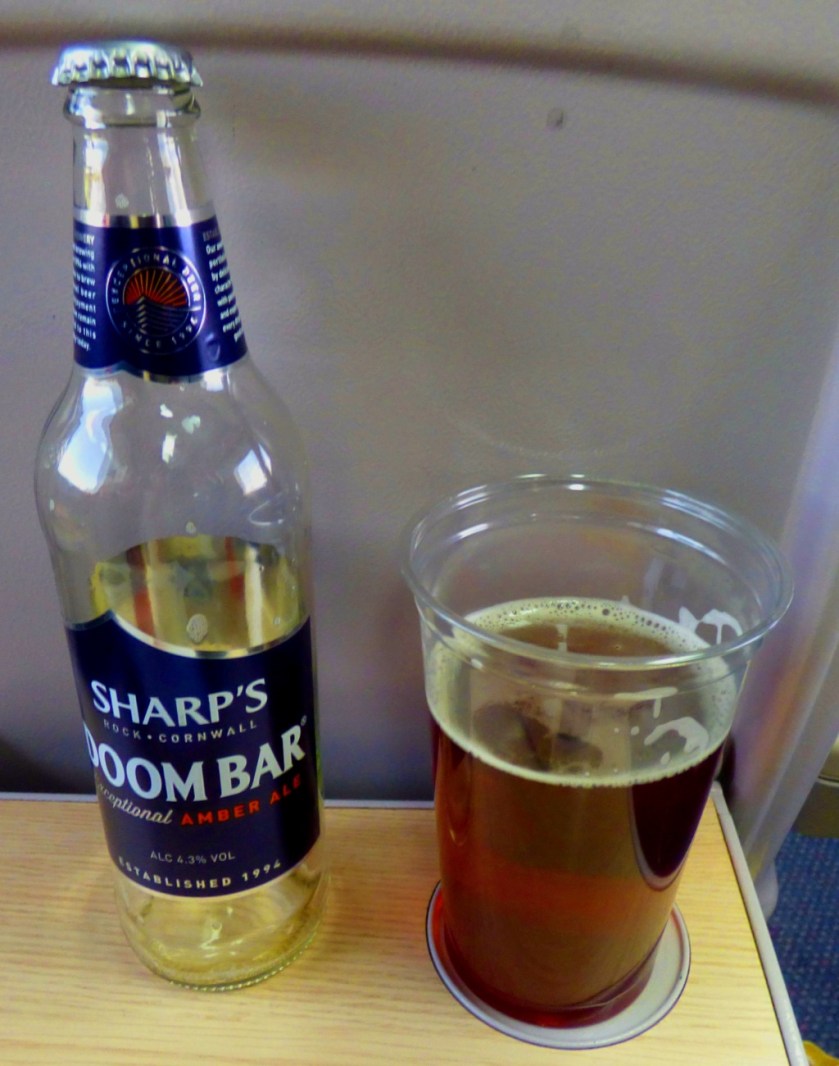
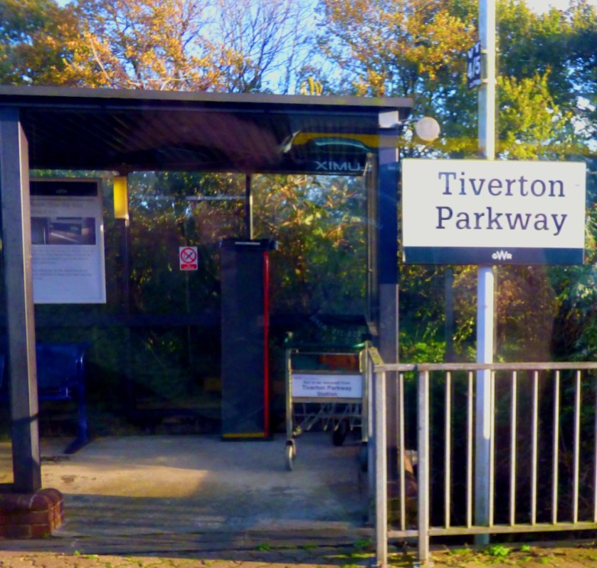
The first stop out of Paddington – from here there was a long fast run to Taunton, then Tiverton Parkway, Exeter St Davids, Newton Abbot, Totnes and Plymouth.Some Cornish refreshment from the on-train bar, although at prices that would have made the proprietor of a plush central London pub blush (£4.50 for a half-litre bottle!)
A first glimpse of the sea on this journey.
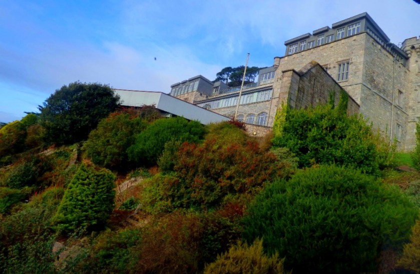
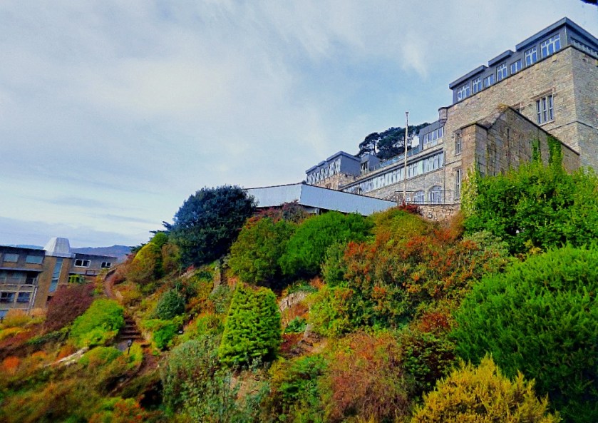
Picklecombe Fort, wherein my parents have their new apartment is about 2.5 miles from Plymouth as the crow flies, but the road journey is so roundabout that this portion of the journey took almost the same amount of time as King’s Lynn – London had at the start of the day!
THE FIRST CORNISH PICTURES
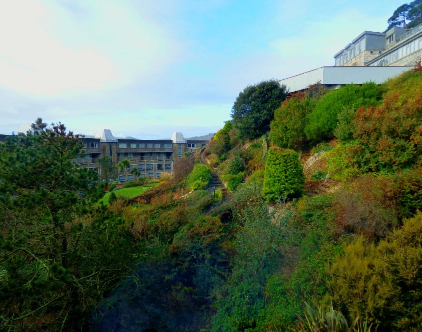
This morning, with my camera battery fully charged I took some pictures here at Picklecombe Fort.
The guest bedroom has an ensuite bathroom cunningly disguised as a set of cupboards.Mean spiritedness from the previous owners.My parents library.Three views from my bedroom window…
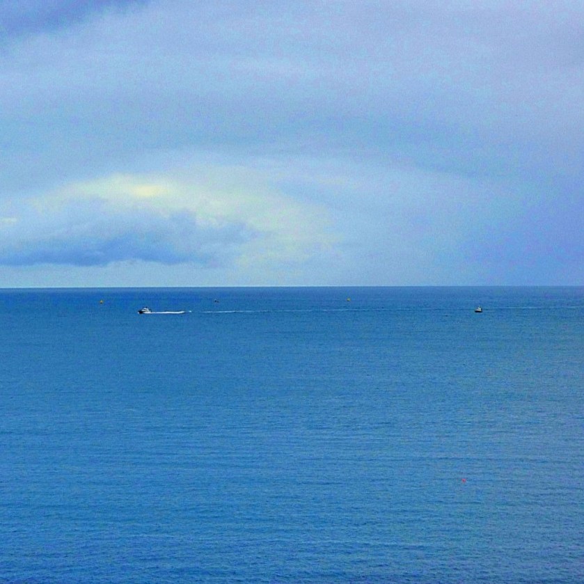
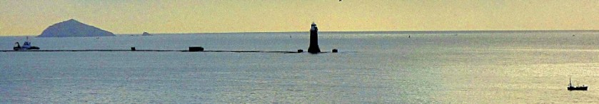
The rest of these pictures were taken from the balcony, and show the apartment’s #1 selling point – the sea views.
The third picture I took featuring the lighthouse.
It has been three days since I last posted here, and five since I created anything new here. Just to keep things going here are some pictures that I have taken during that period.
WORK PICTURES
The pictures I have from work that I consider worth sharing come in two sections. First…
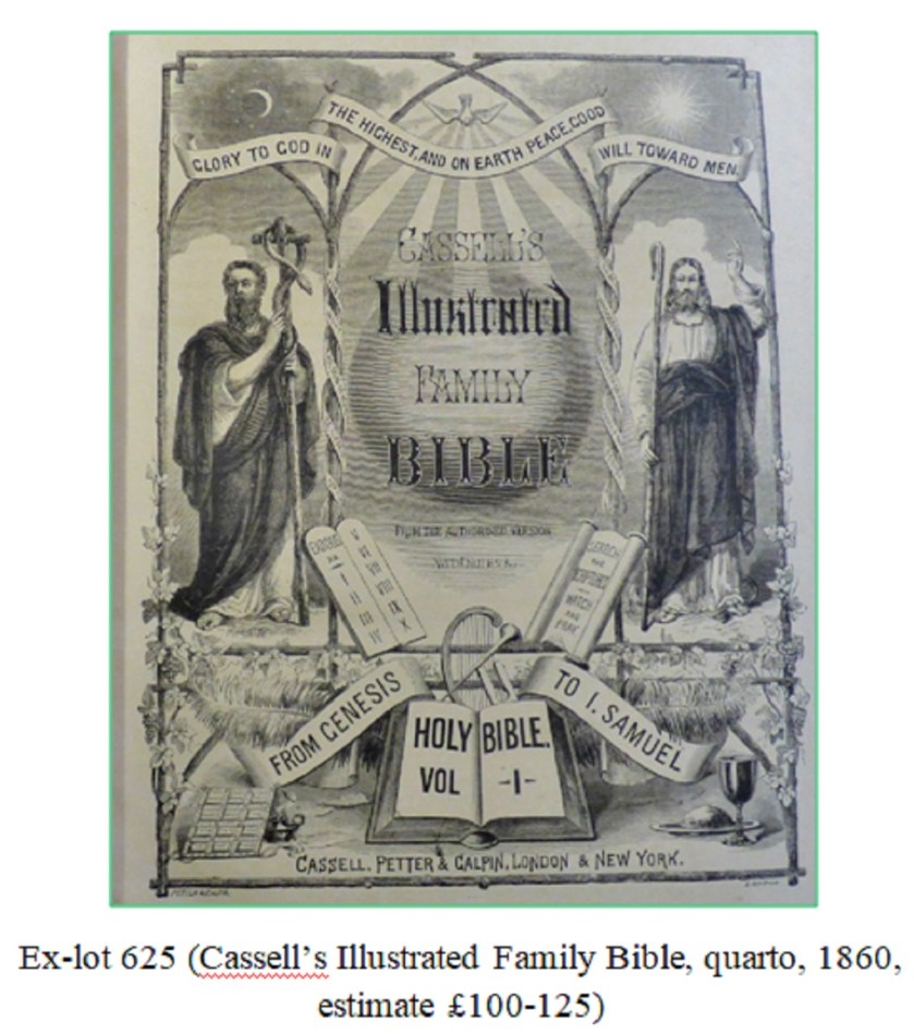
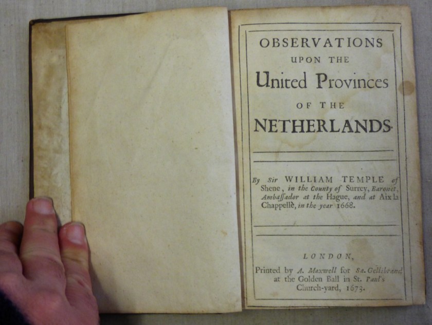
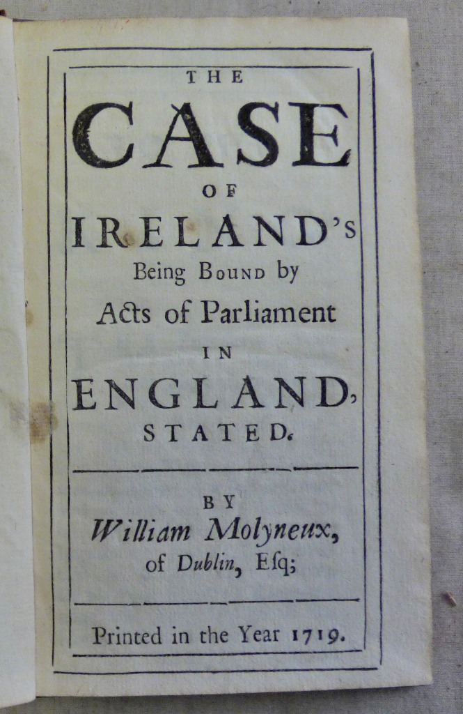
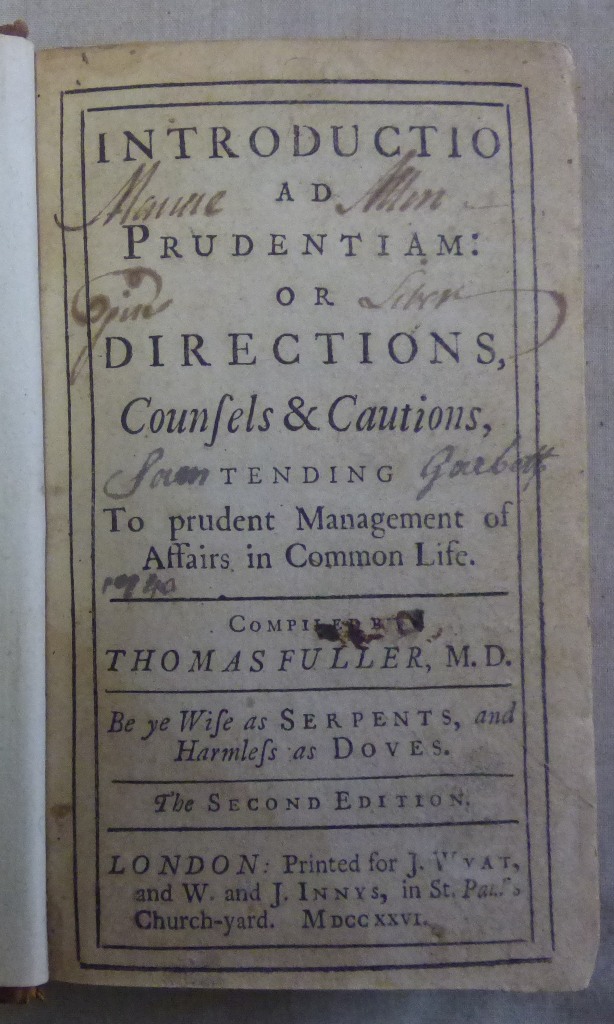
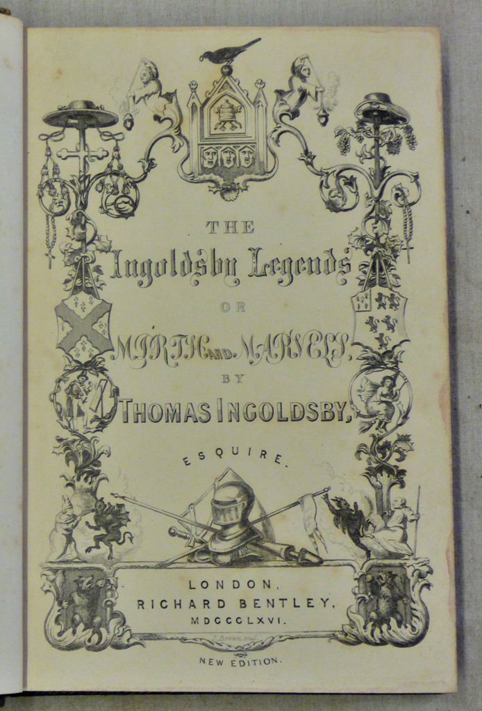
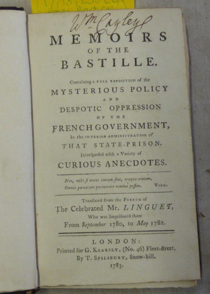
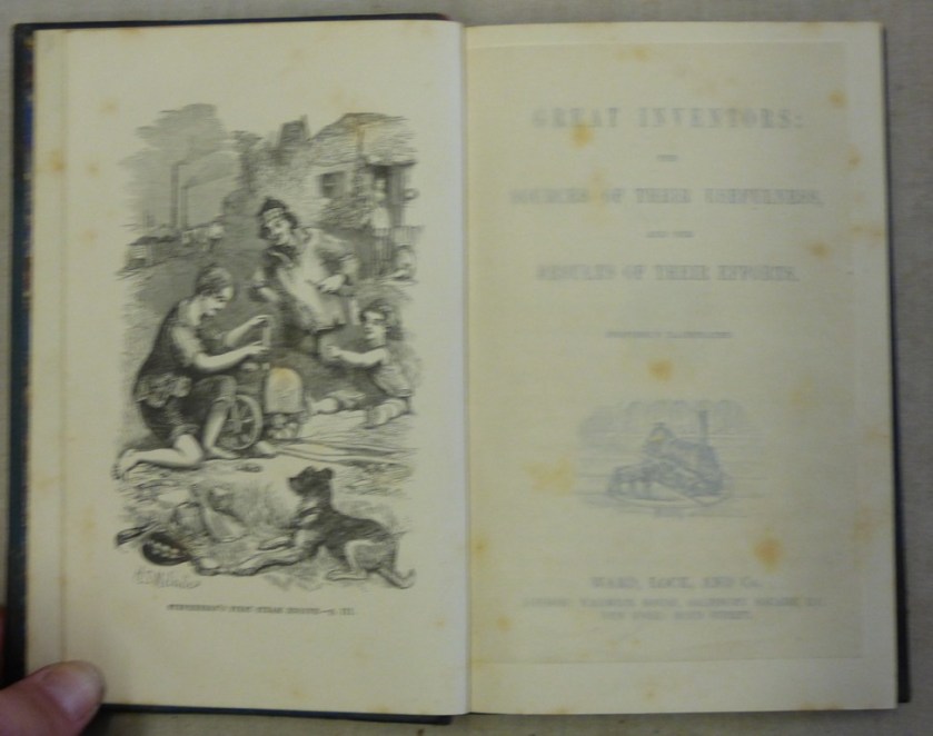
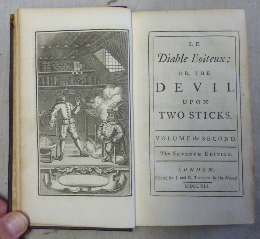
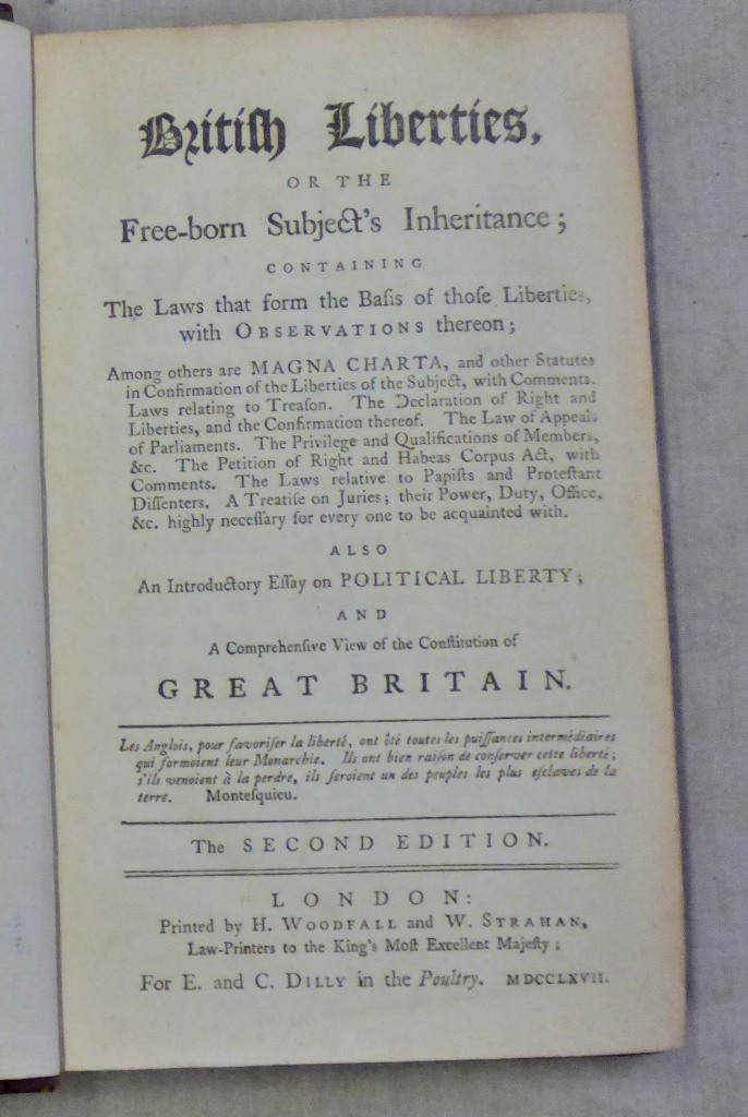
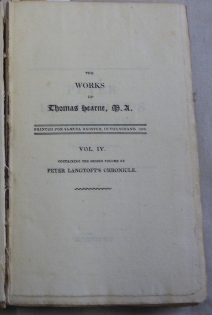
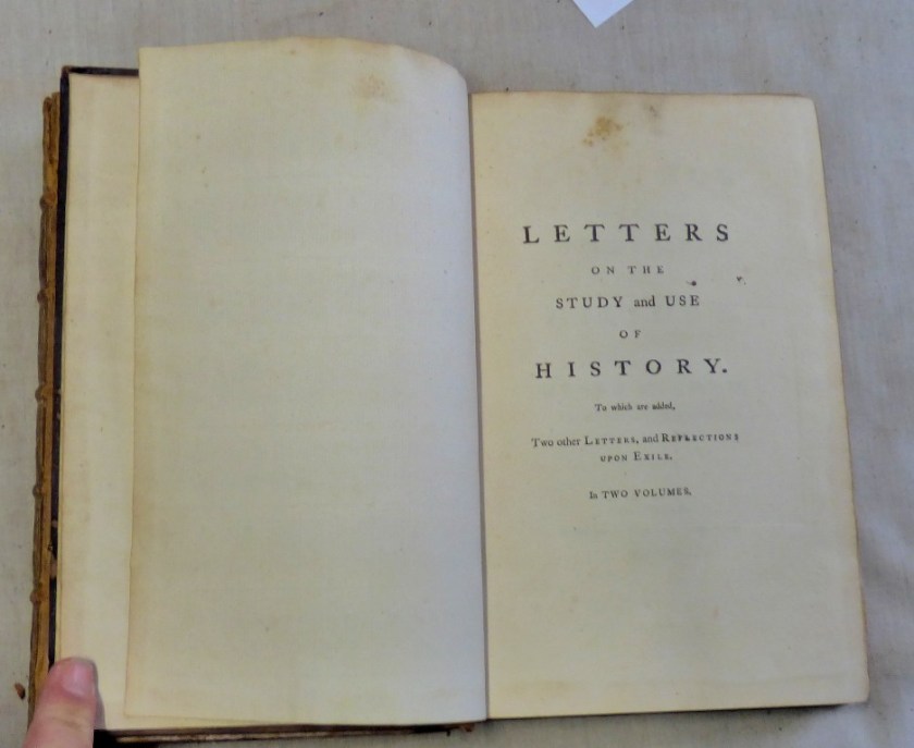
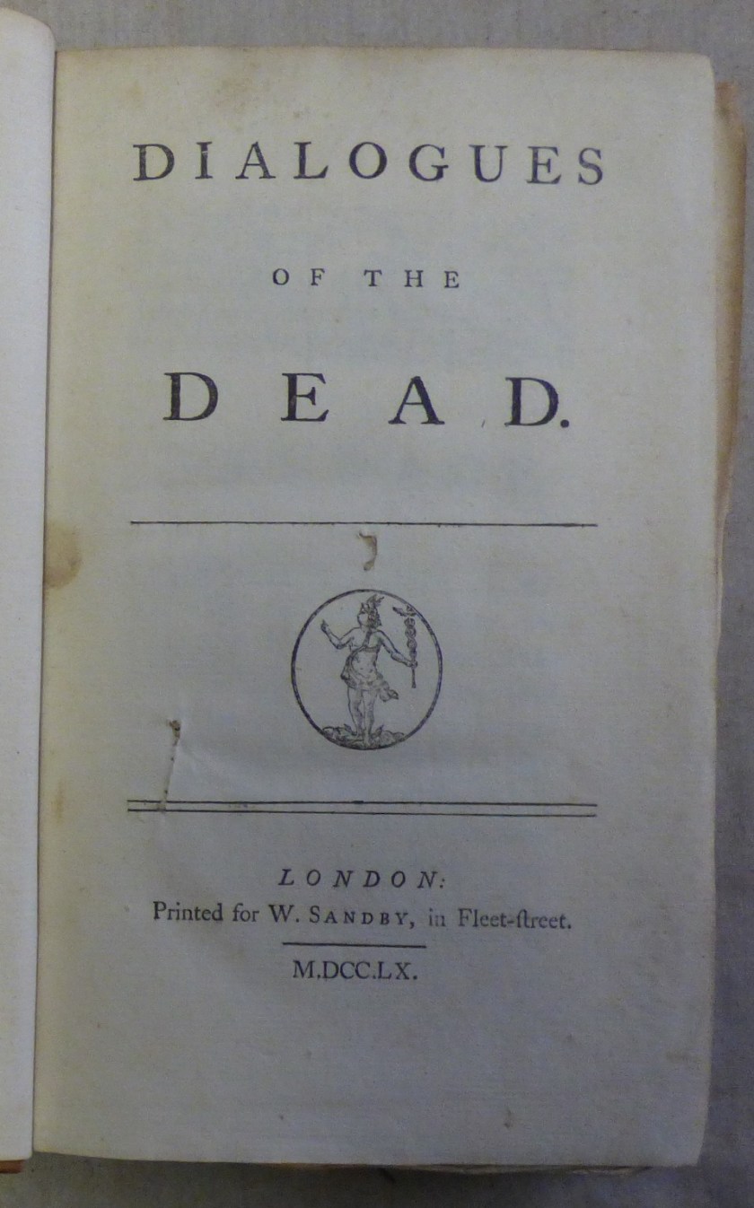
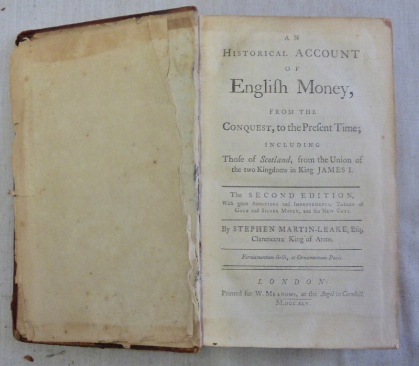
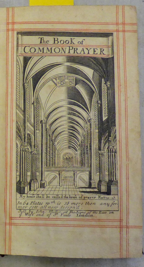
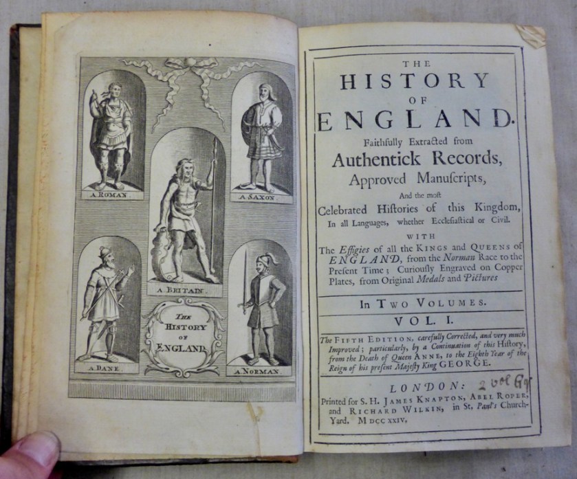
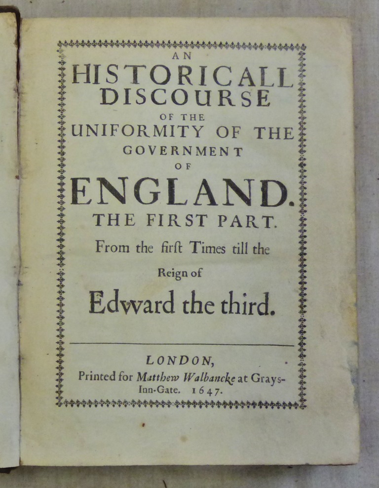
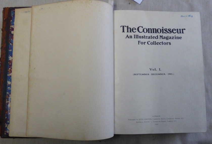
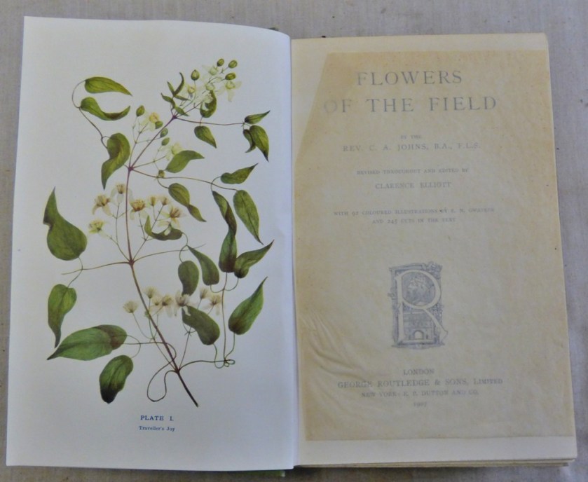
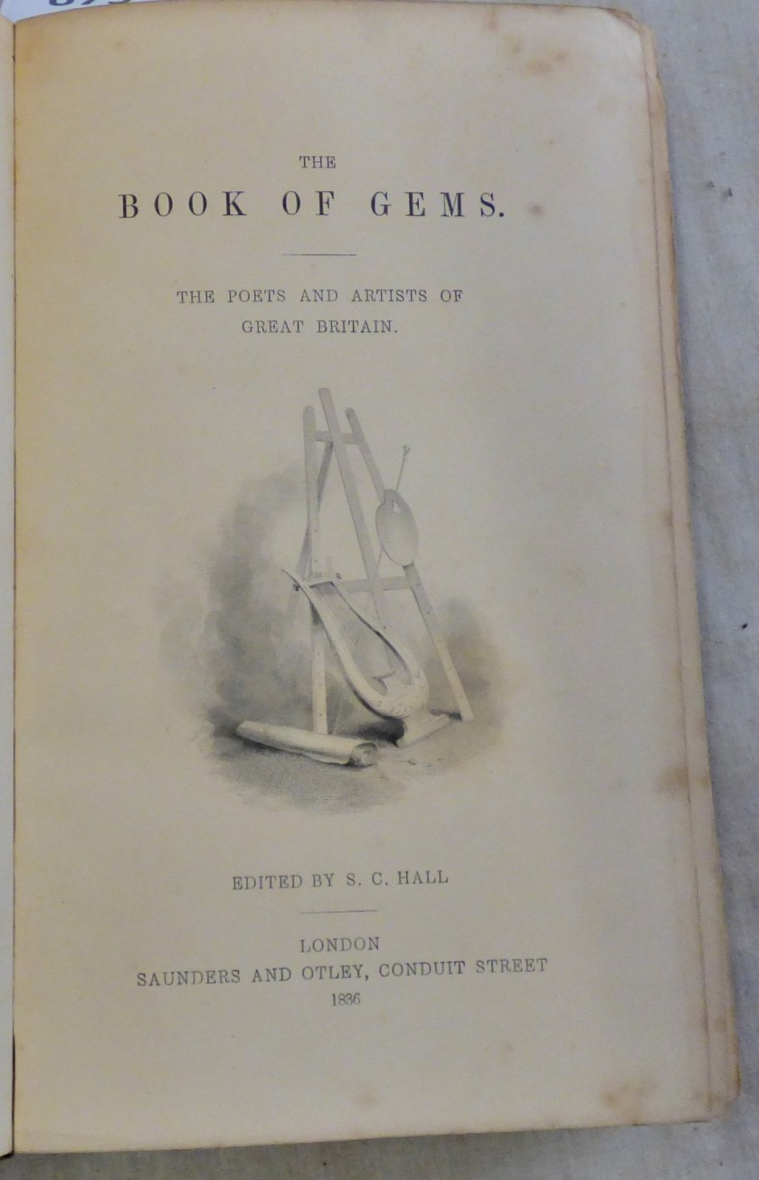
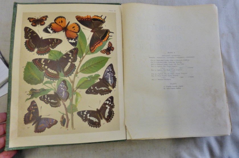
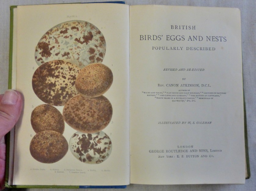
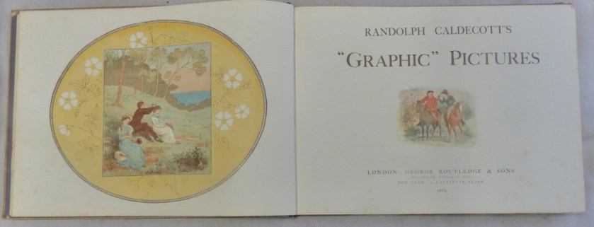
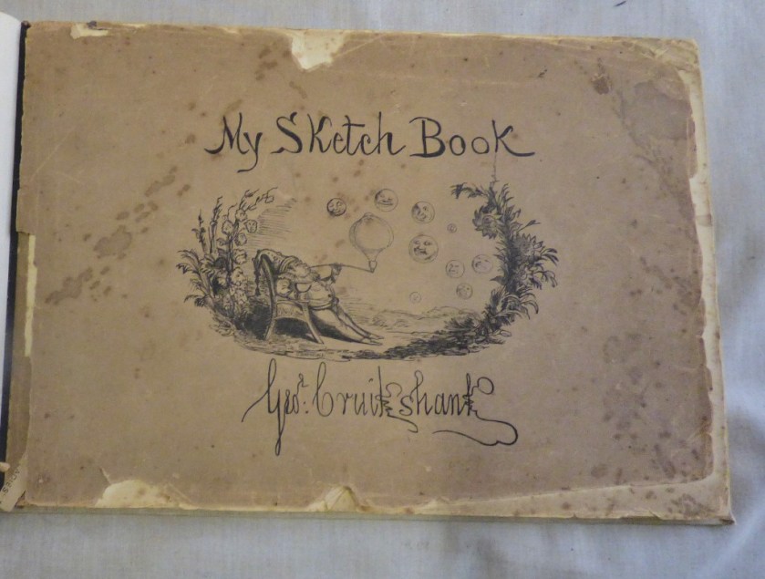
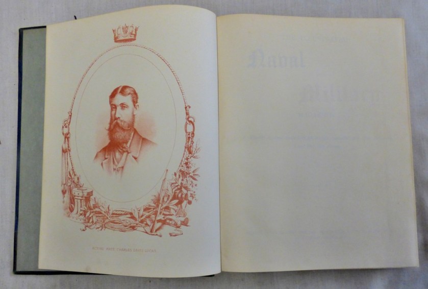
FRONTISPIECES AND TITLE PAGES
We have some very old books going under the hammer in our auction at the end of November, and our printed catalogue will feature a page of some the finest frontispices and title pages, so here is a sneak preview:
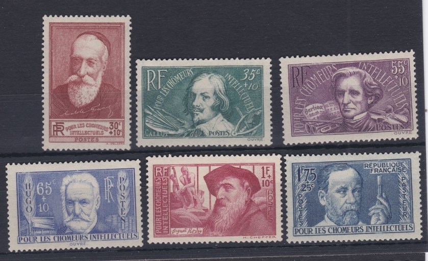
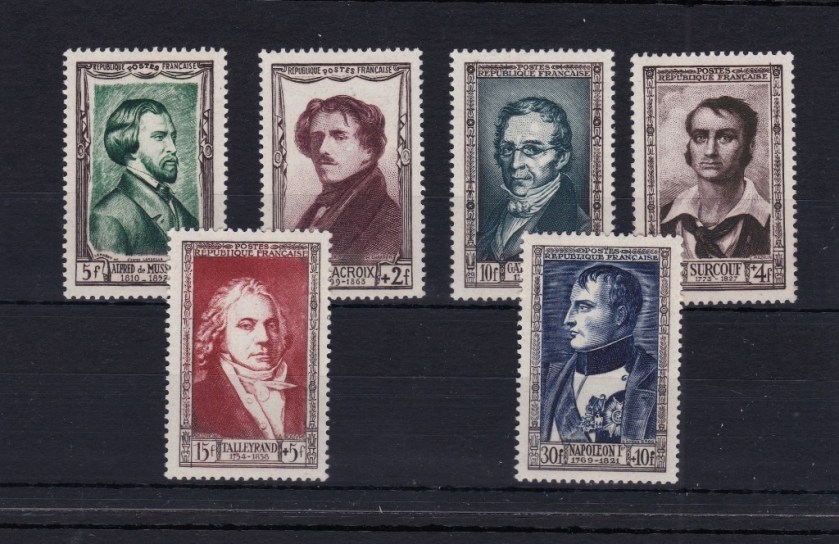
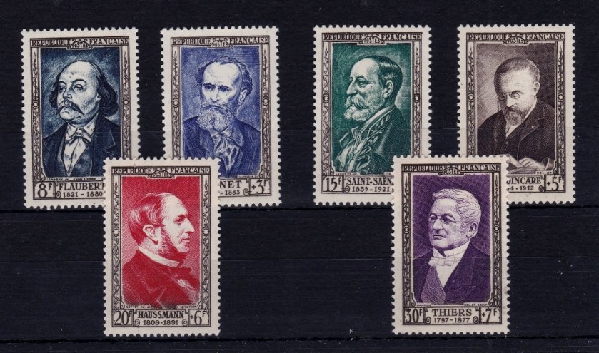
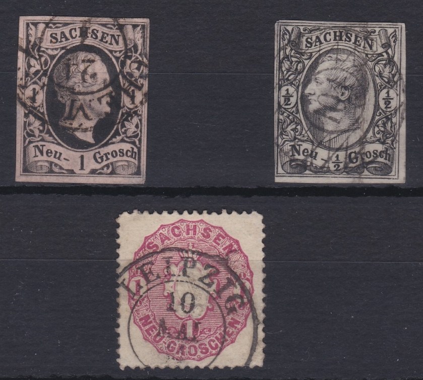
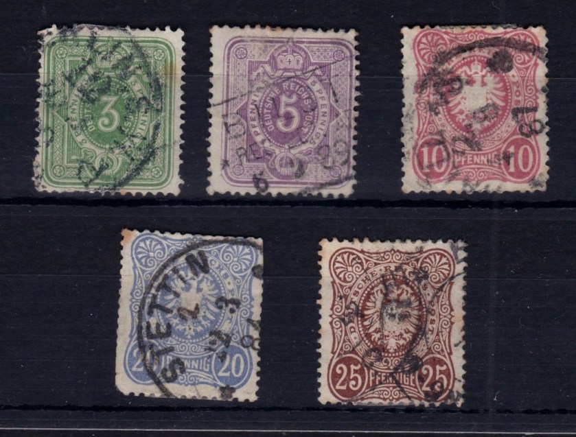
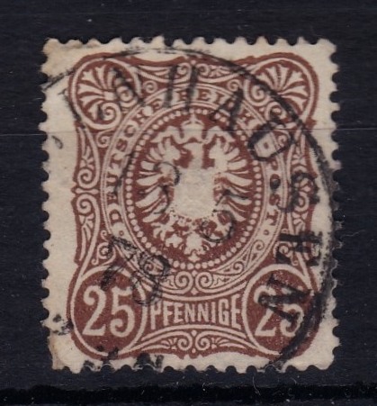
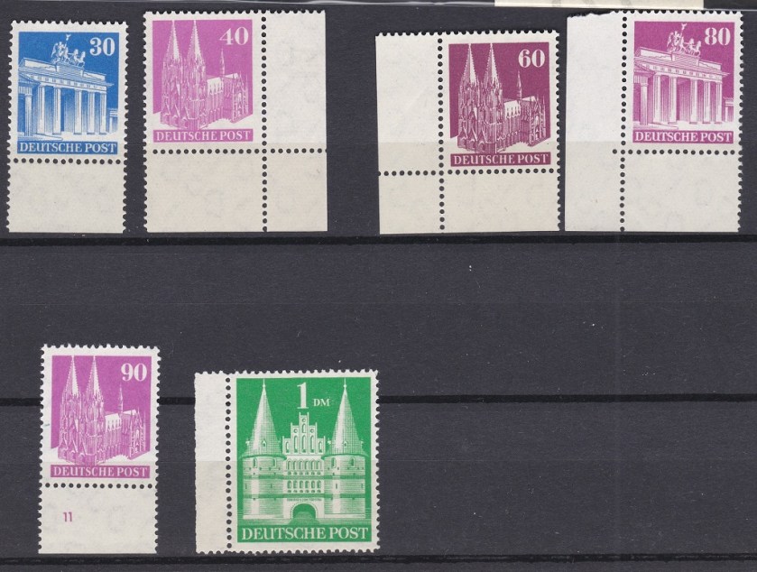
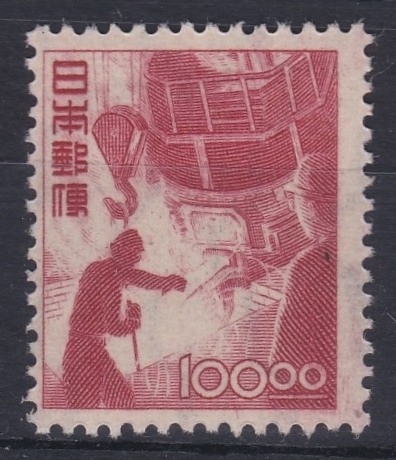
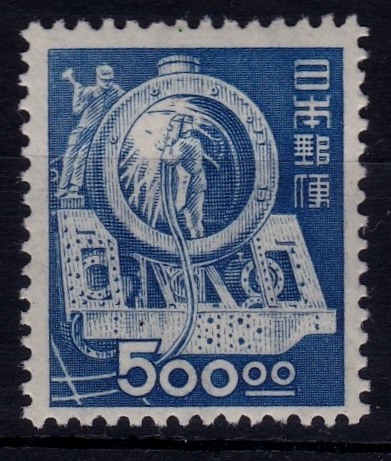
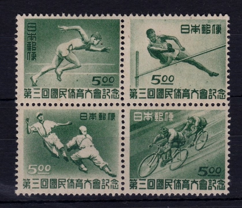
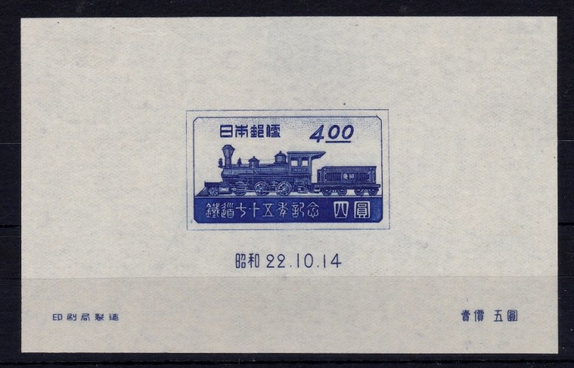
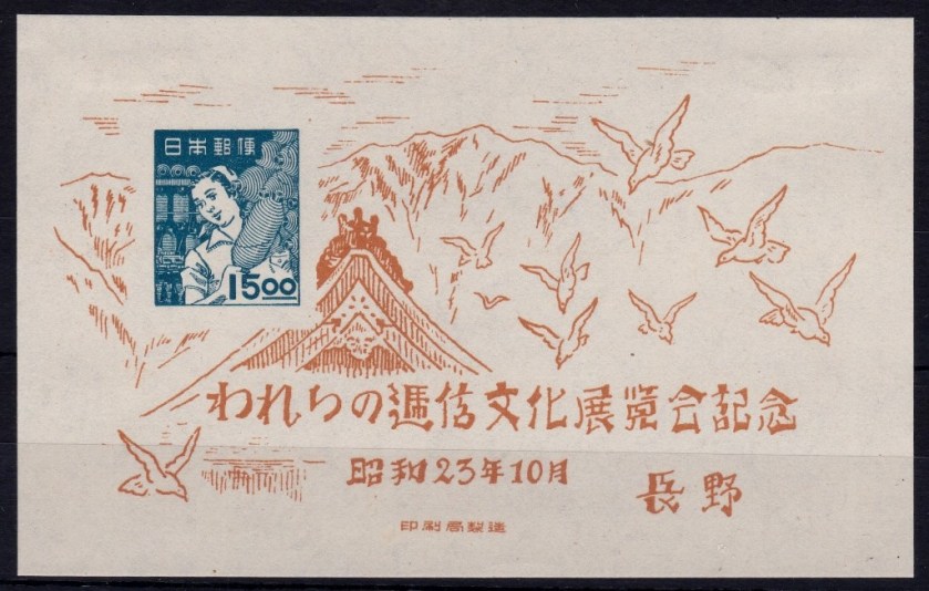
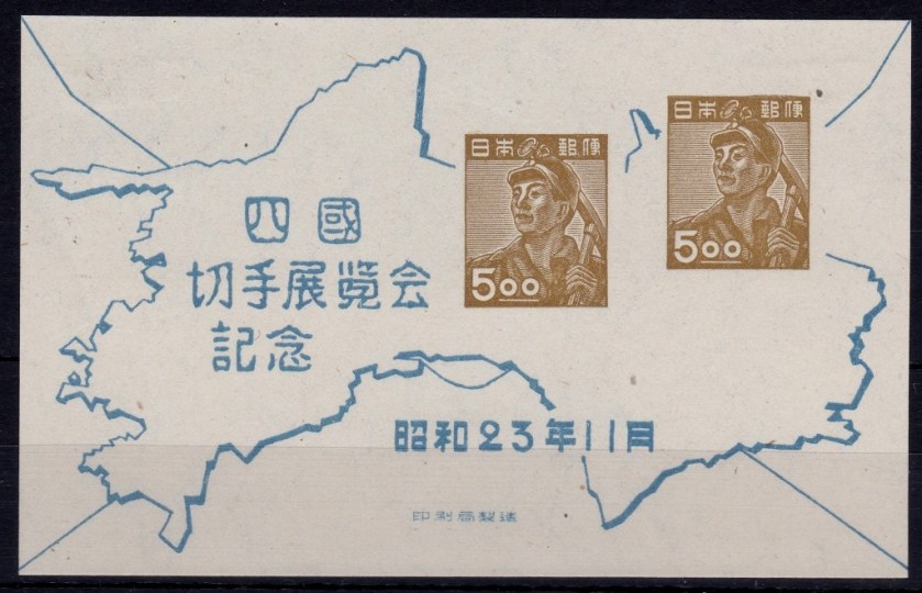
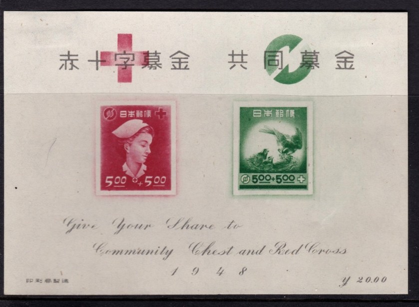
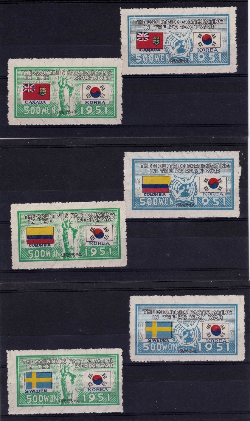
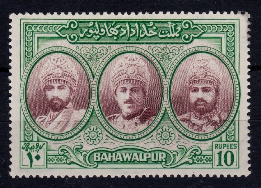
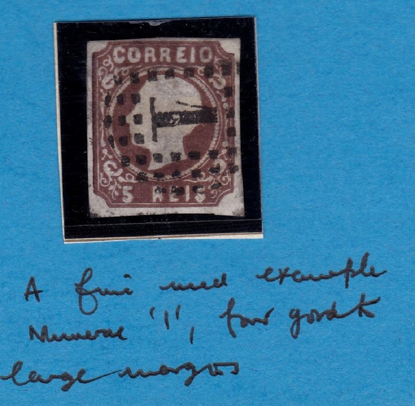
My second set of work related pictures are of stamps, which were done yesterday using the scanner (400dpi, full platen being the setting used).
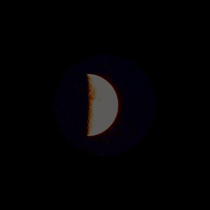
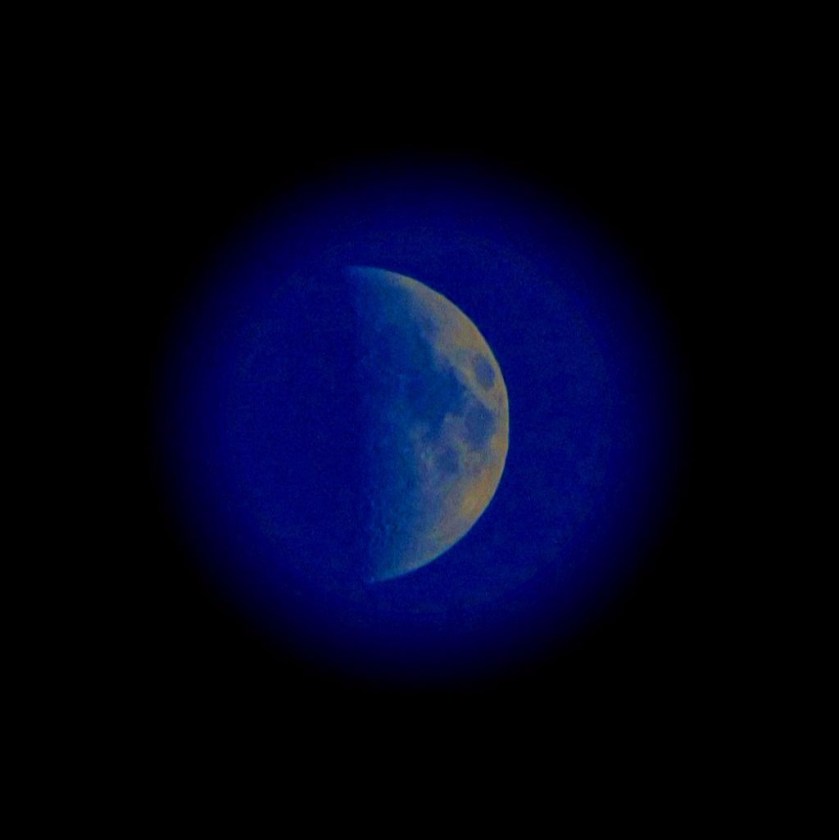
HALF MOON
These are from a week ago – the moon in question was in a twilight sky.
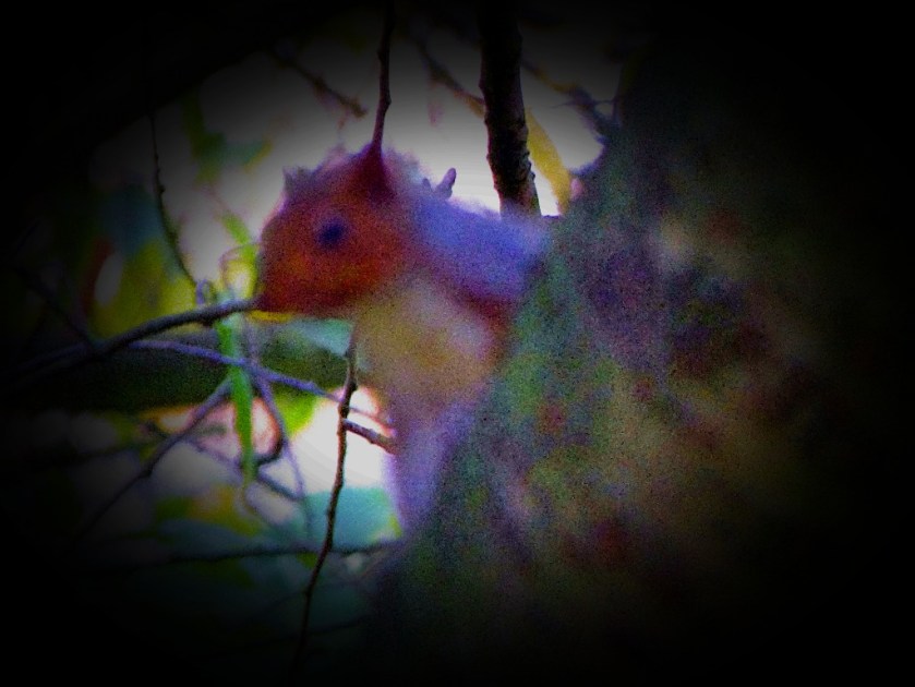
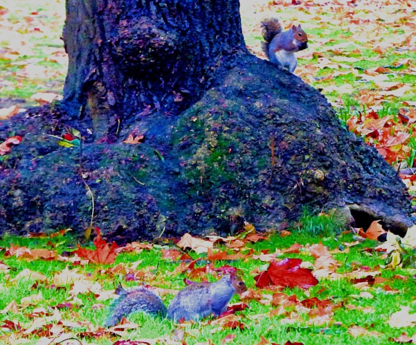
Squirrels
A final few pictures…
It is not always possible to get a close-up of a squirrel in focus – one has to take the picture quickly!
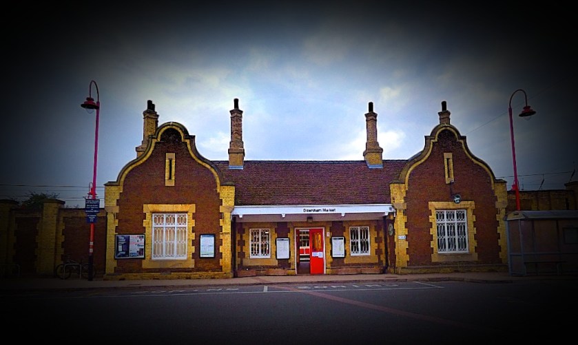
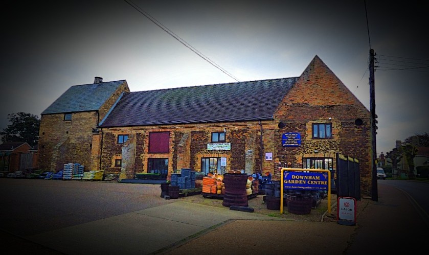
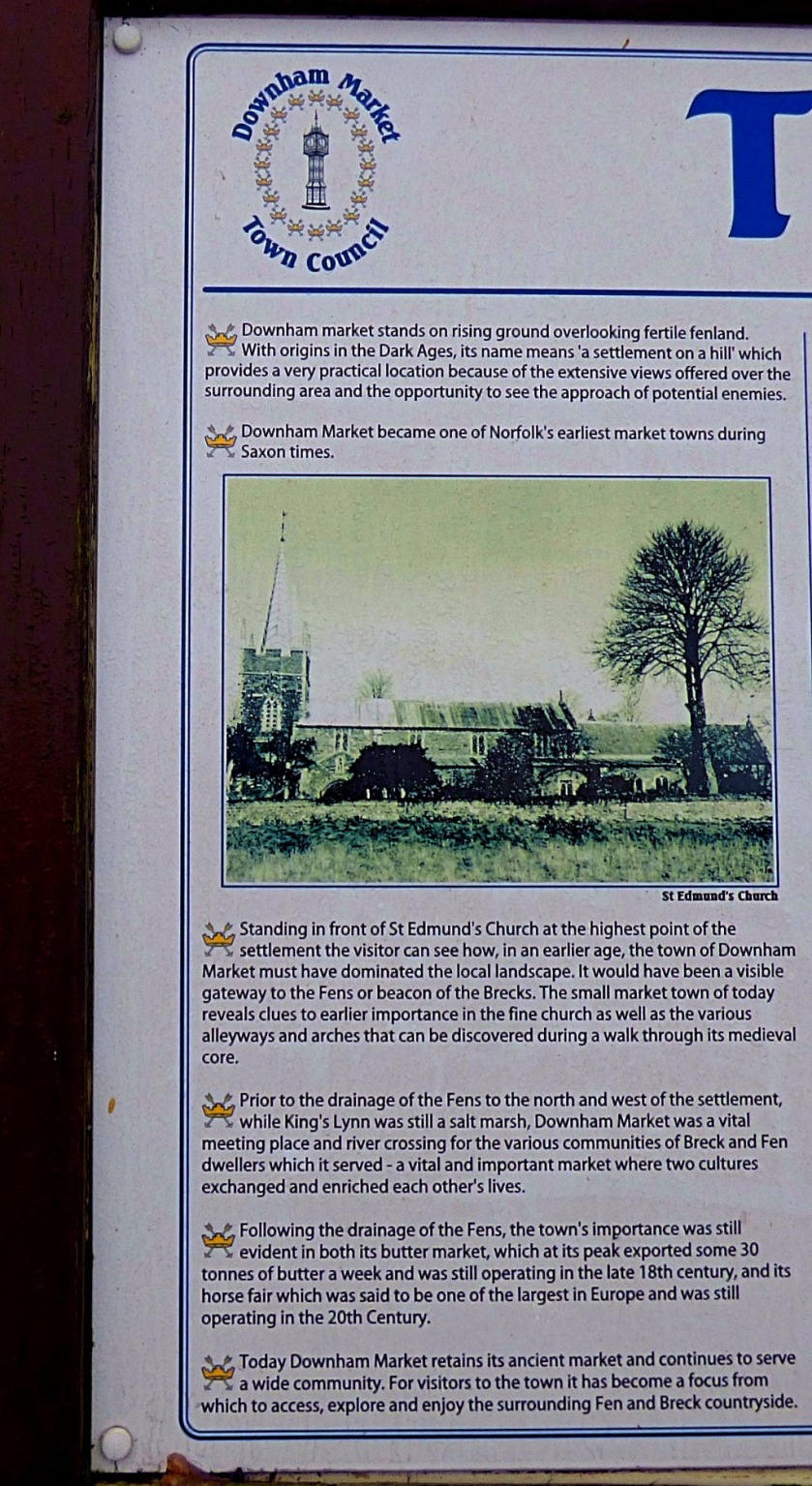
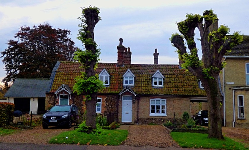
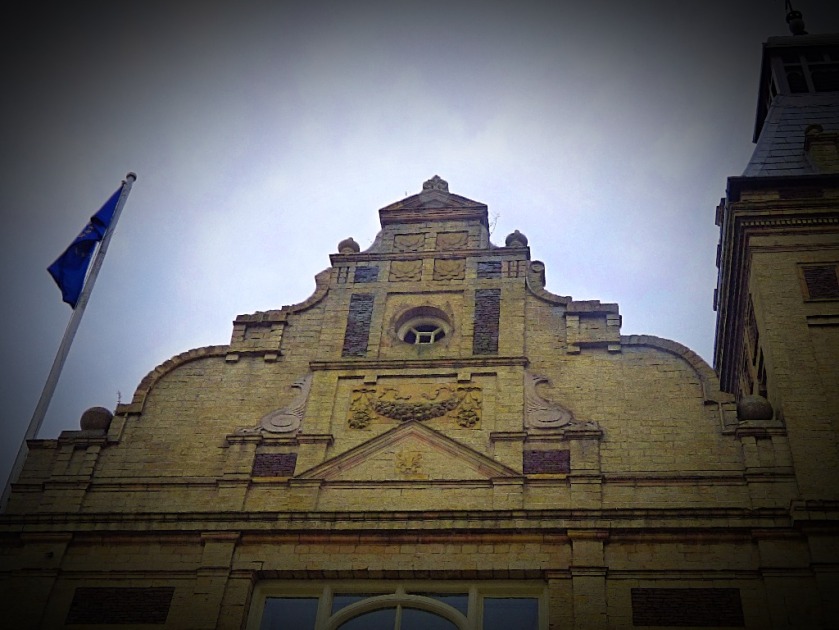
A photographic account of Downham Market, an old market town in Norfolk.
INTRODUCTION
As those of you who read the post I put up earlier today will know I spent part of Saturday in the town of Downham Market. These post showcases everything I saw there other than the Town Hall.
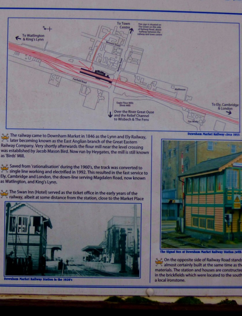
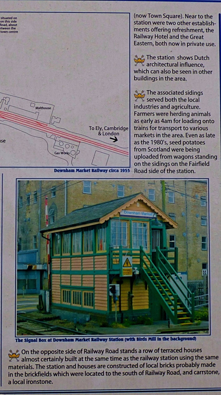
THE STATION
This was my first visit to Downham Market, as opposed to passing through the station en route to further afield destinations. The pictures here were taken at two distinct periods, in the morning immediately post arrival, and in the afternoon when I had rather more time to kill than I would have wished. The only way across the tracks at Downham Market is by way of a level crossing, and the train from London to King’s Lynn arrives just before the one going the other way. The crossing gates close a couple of minutes before the King’s Lynn train arrives and stay closed until the London train has departed, which means that if you are looking to catch the King’s Lynn train, which departs from the far platform from the town centre and the crossing gates close you have missed it, and such was my fate on Saturday. For those affected this also explains both my later than usual arrival at the venue for Musical Keys and the fact that I was a tad breathless when I got there – I had stepped off a train at 15:20 at King’s Lynn and walked straight out to the Scout Hut in something of a hurry.
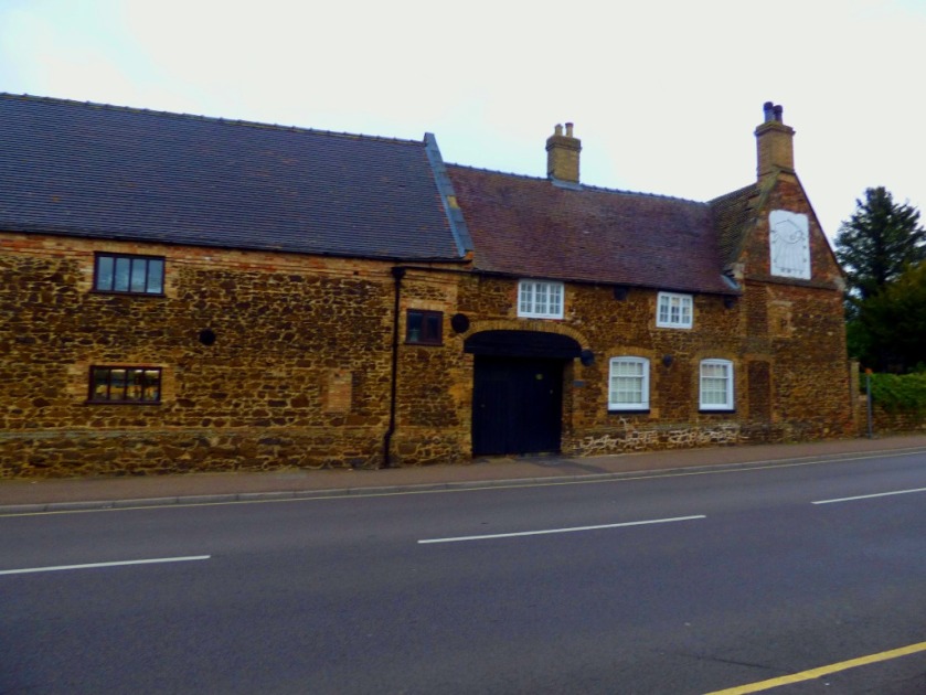
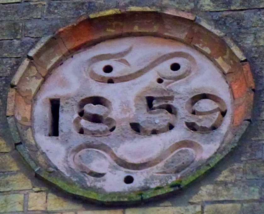
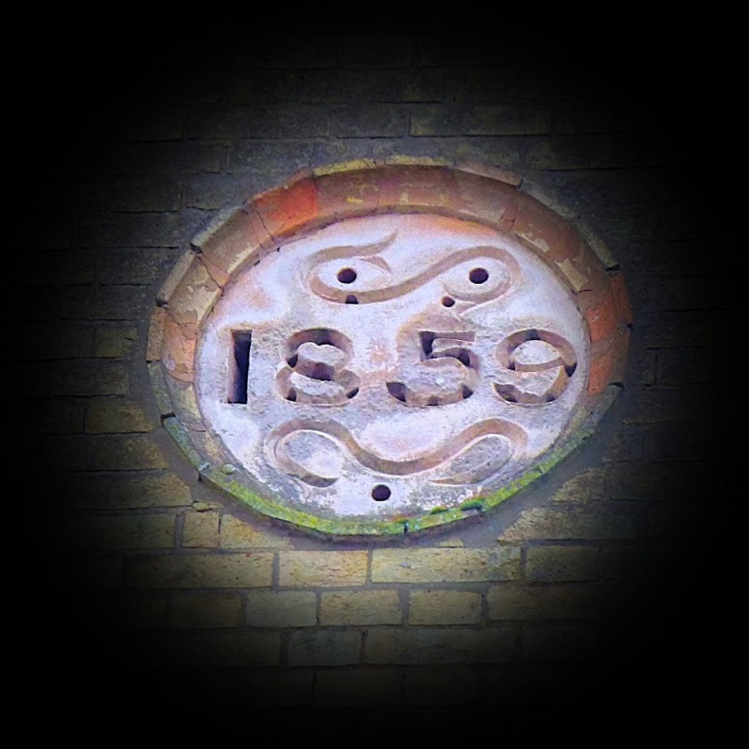
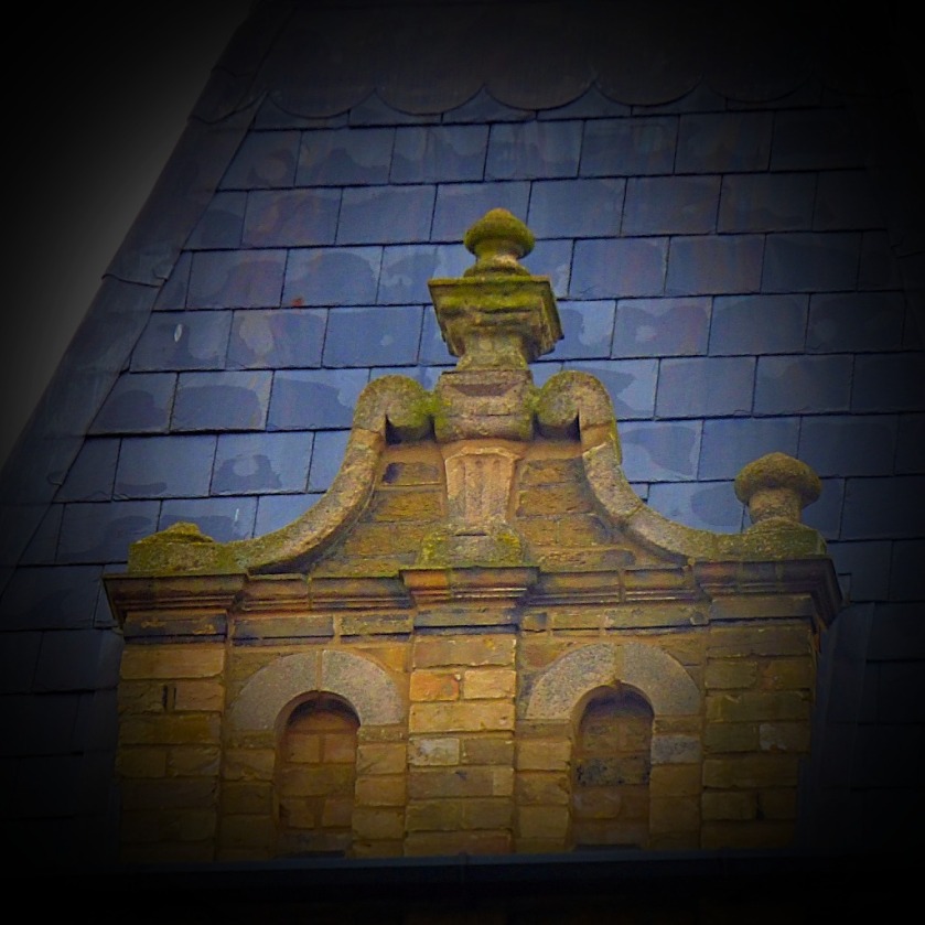
The signal box at Downham MarketThe station building – very impressive, and I was to discover quite typical of 19th century Downham Market buildings in the use of Carr (the brown coloured stone).A handy little map for working out one’s route from the station.I reckon (though I am opne to correction) that this little terrace was built to accommodate railway workers.This building is visible from the station platform.
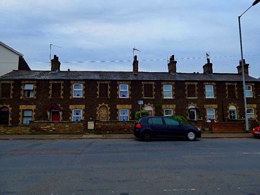
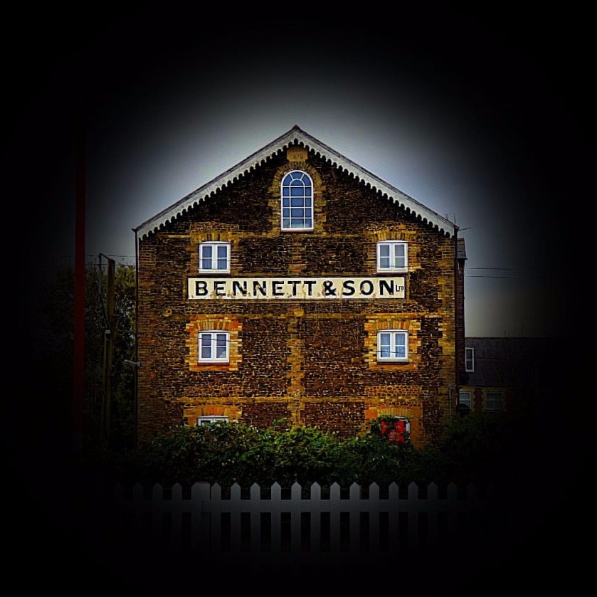
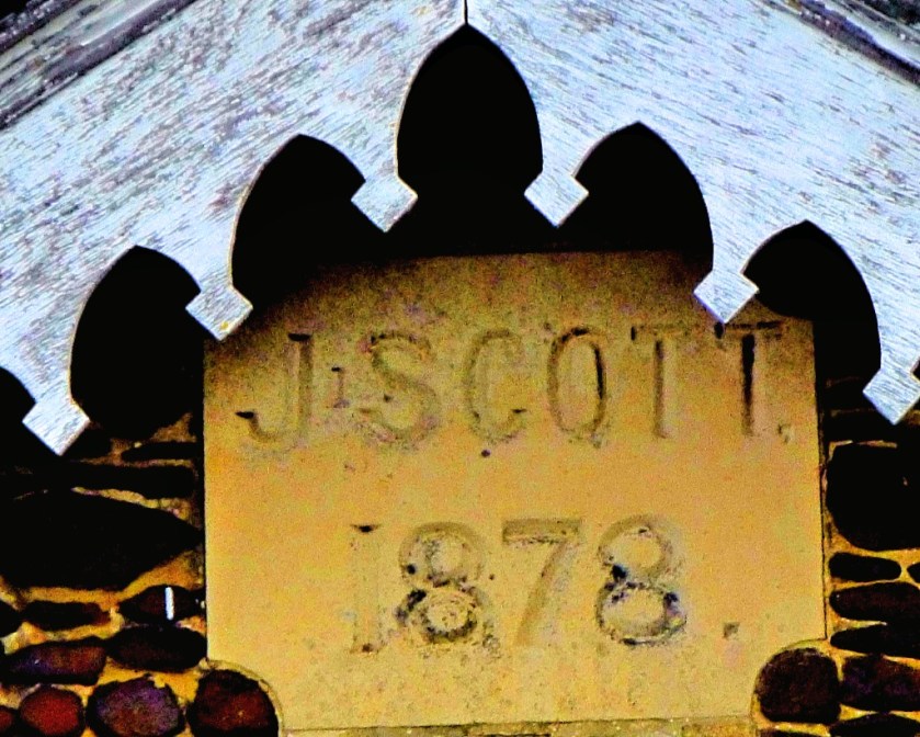
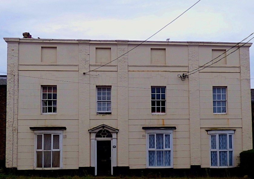
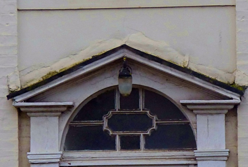
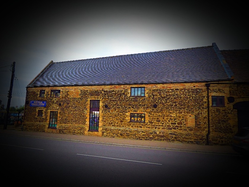
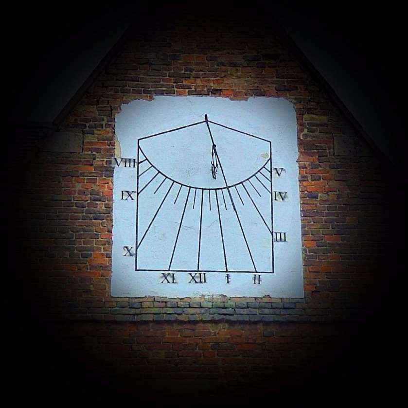
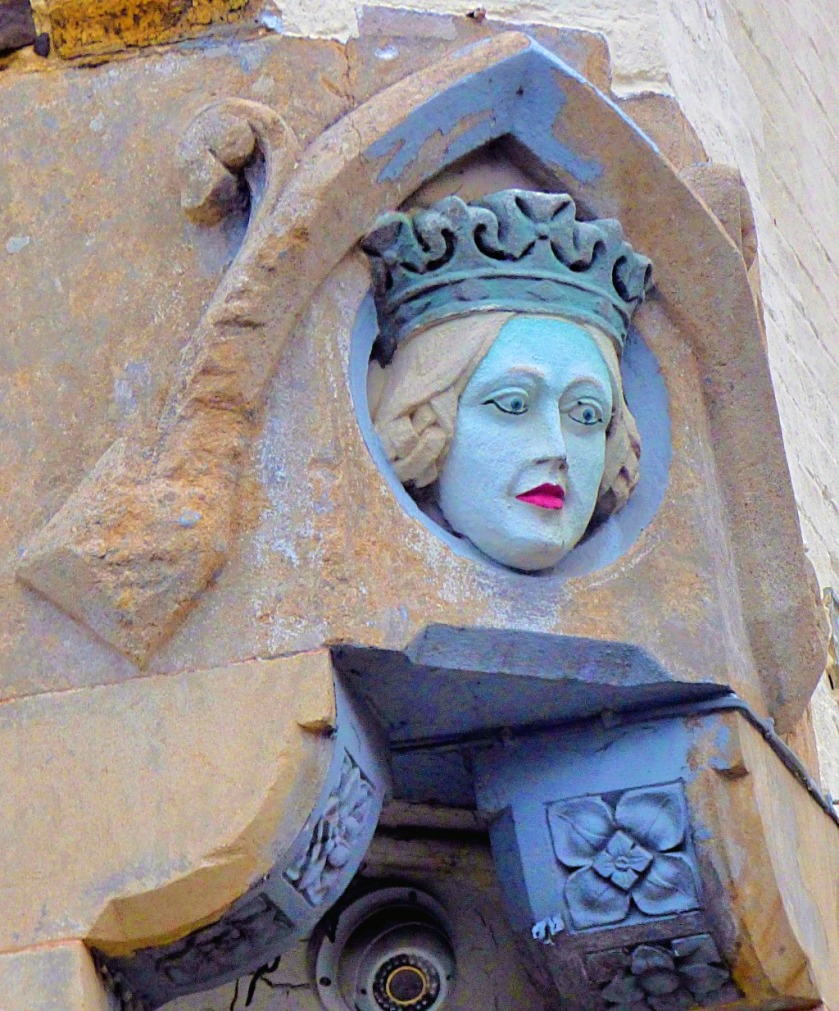
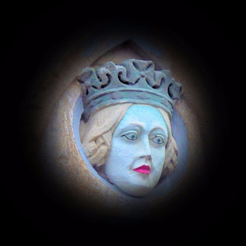
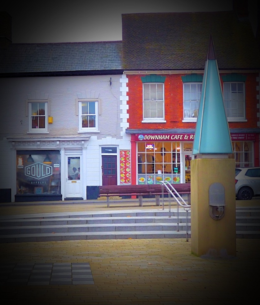
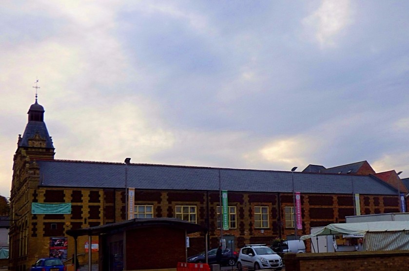
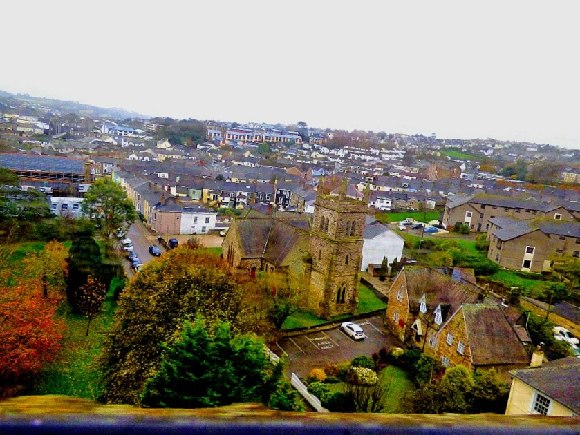
THE REST OF DOWNHAM MARKET
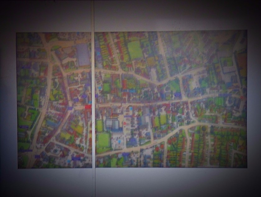
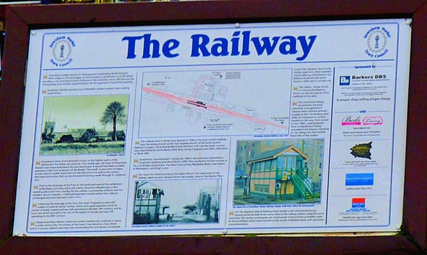
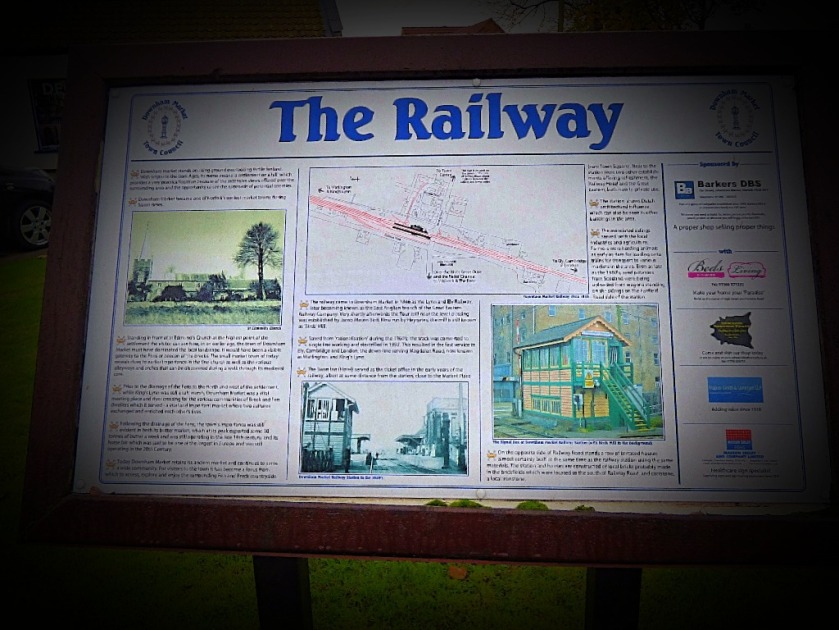
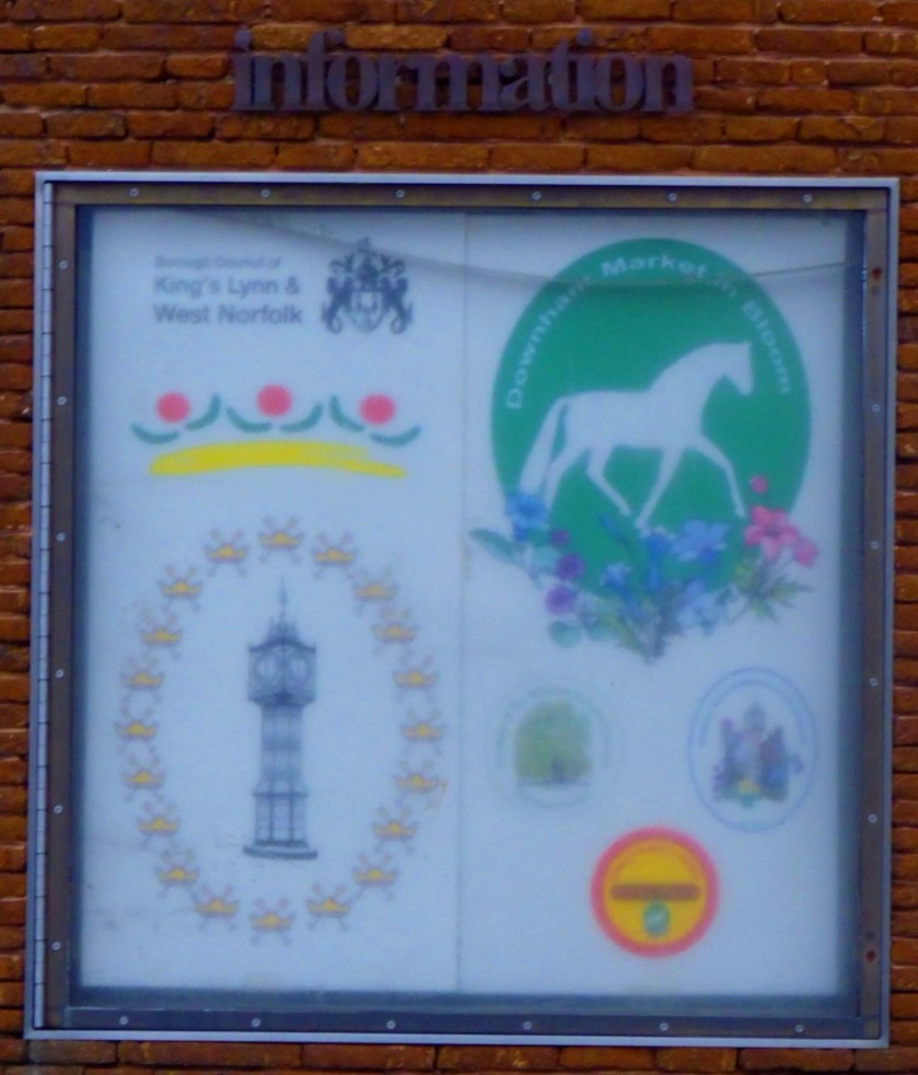
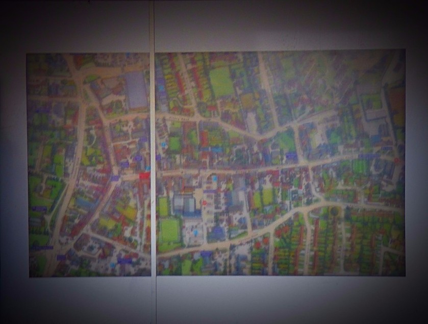
I start with two pictures to set the scene, a huge pictorial map which can be seen in the town centre and the information board about the railway:
The ‘Downham’ part of Downham Market comes from Anglo-Saxon (afterall, we are in the lands of the North Folk of the East Angles) and literally means ‘homestead on a hill’, and indeed the market town that grew up around that homestead (it has been a market town since Anglo-Saxon times) is slightly elevated from the surrounding countryside, which in Norfolk constitutes being on a hill! These photos are presented in the order in which they were taken.
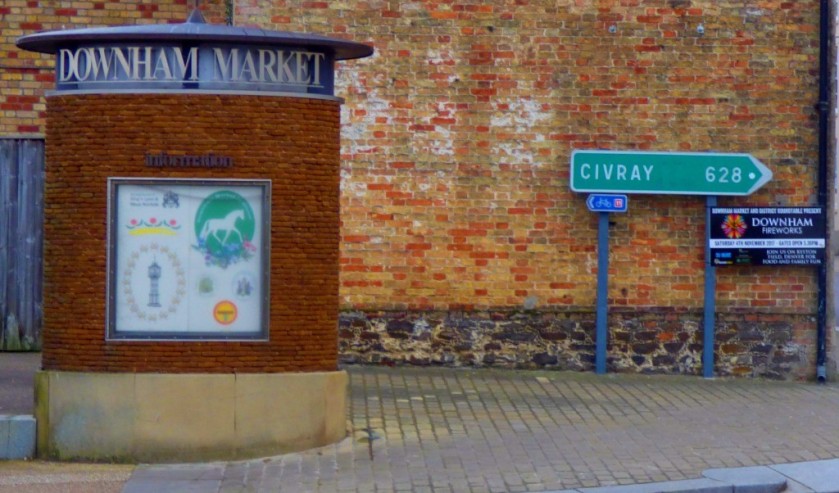
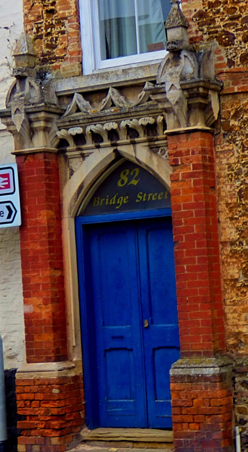
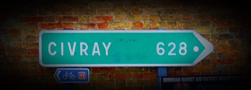
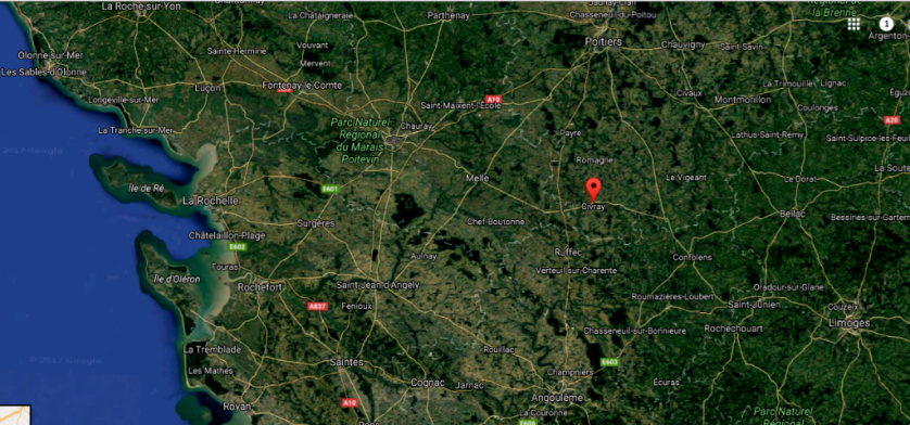
There will be more about Civray in the next section.
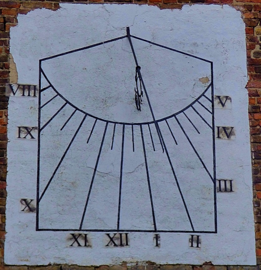
CIVRAY
I realised that there could be only one explanation for a signpost in cengtral Downham Market giving the distance to the town of Civray, namely that the two towns are twinned. Civray for the record is pretty much exactly halfway between Poitiers and Angouleme, due east of La Rochelle. I include a map as well as a close up of the sign.
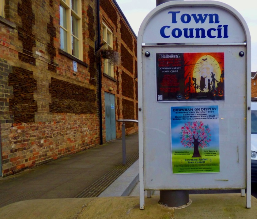
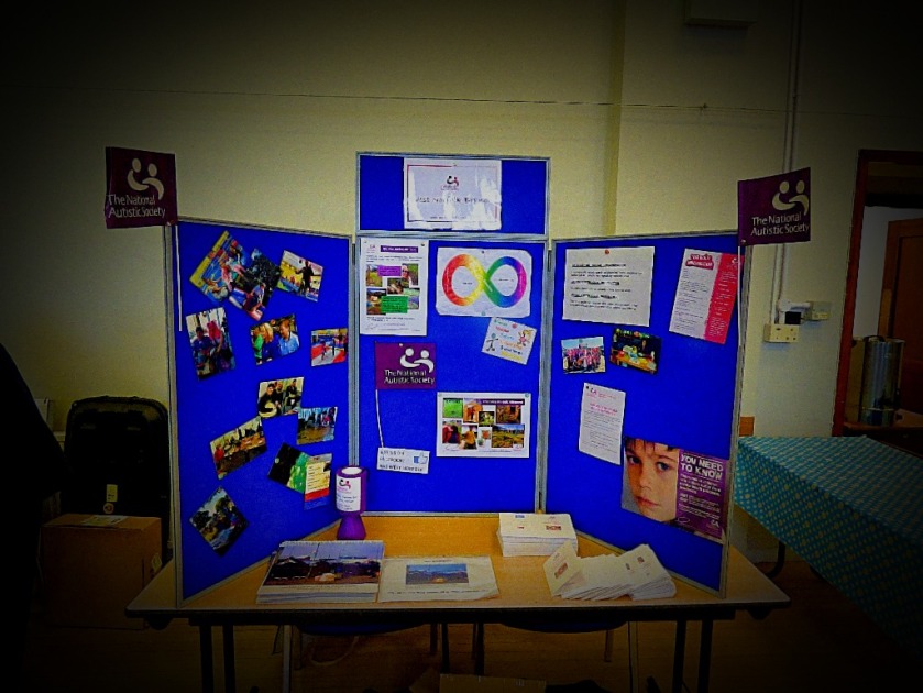
An account of running the NAS West Norfolk stall at the Downham Market Community Fair on Saturday.
INTRODUCTION
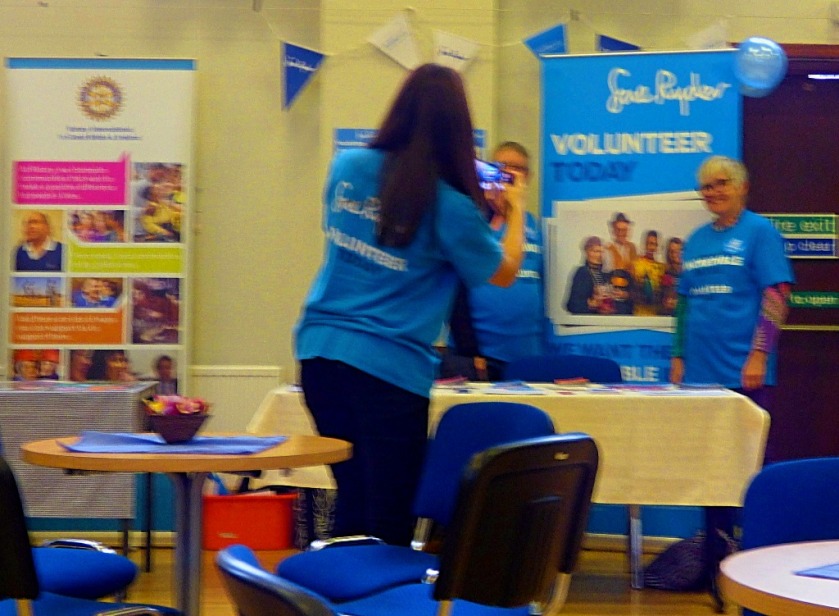
NAS West Norfolk were invited to run a stall at the Downham Market Community Fair, which took place on Saturday, with stalls setting up from 9AM and the event itself running from 10AM to 2PM. This post is my account from my perspective running the NASWN stall on the day. There will be plenty of photographs. I have stated elsewherethat while it is not ideal to have a stall covered by only one person if NAS West Norfolk are going to have only one person running the stall that person should be me.
GETTING THERE
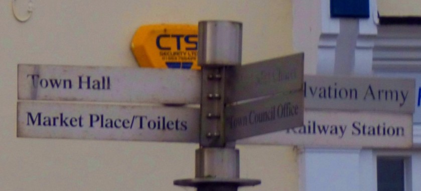
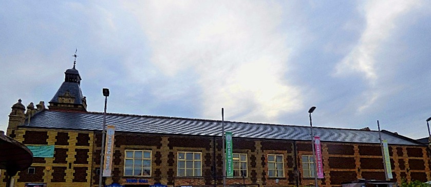
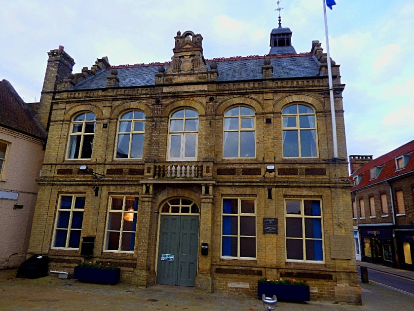
I travelled to Downham Market by train (£3 return when making the journey at the weekend), selecting the 7:54AM, which would see me arrive at the station at about 8:10AM. I saw sufficiently much to take the eye as I walked through the town that I shall be putting up a separate post about that. I arrived outside the Town Hall at 8:35AM, giving me plenty of time to take some photographs of the outside of the building.
THE NASWN STALL
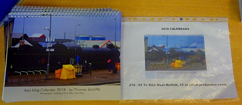
As arranged the person bringing the stall and some new leaflets arrived at 9AM, and the setup was swiftly accomplished. This was the first occasion in which the aspi.blog calendars for 2018 were on public display.
The stall – new leaflets/flyers, calendars and the display board.A close up of the calendars.
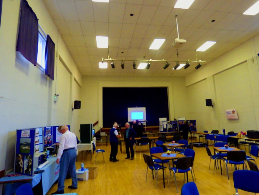
AROUND THE HALL
Obviously, being in sole charge of the stall I did not have much opportunity for moving about once the event was underway, but I did get sufficient pictures from a combination of the occasions on which I did move about and those taken from the stall to give a feel for the event. We start with some general pictures of the inside of the building.
Two shots showing views of the hall
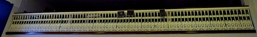
This parapet is presumably the front of an upstairs seating area.The last two shots in this selection feature artwork on the walls just outside the hall.
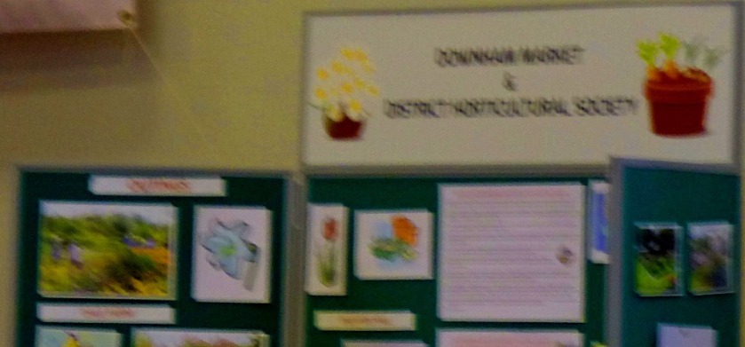
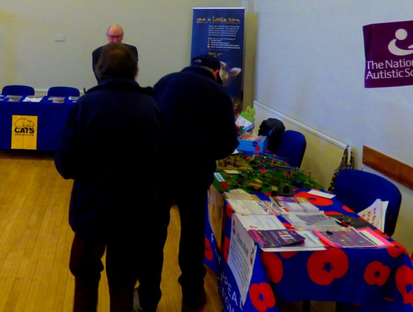
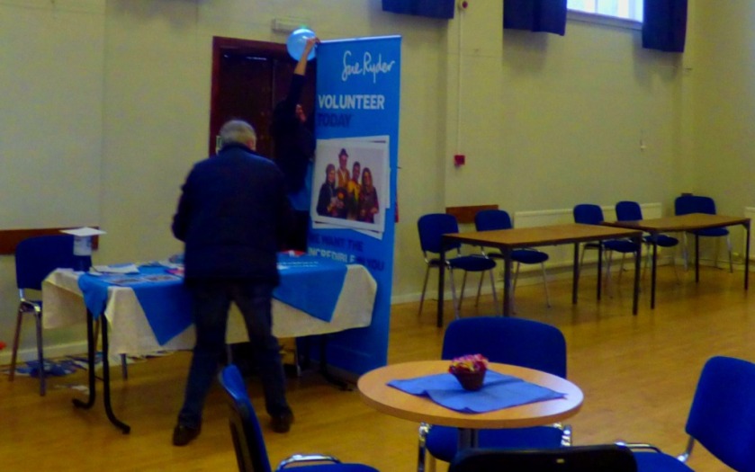
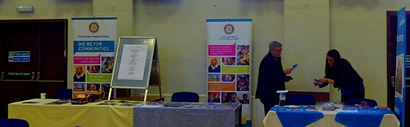
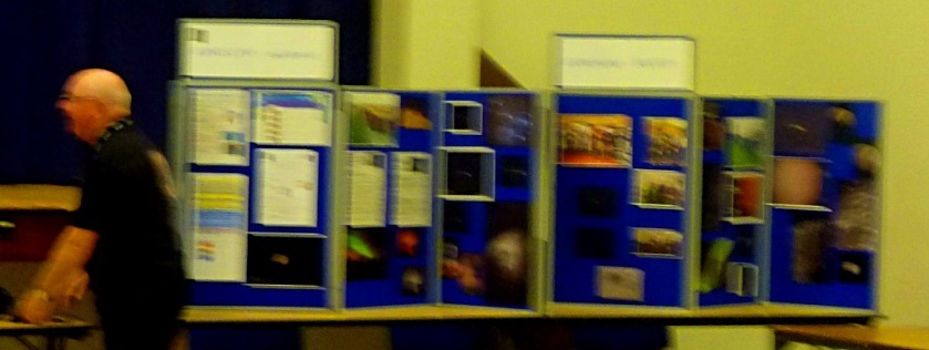
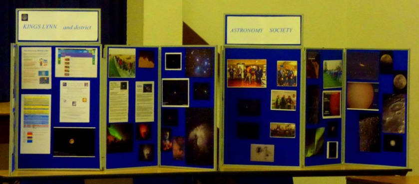
Moving on to inidviudal stalls, I got pictures of the Downham Market Horticultural Society stall, the RBL stall, and various others. The most impressive stall of the day was that being run by the King’s Lynn and District Astronomy Society. They had a big screen displaying some very impressive slides as well their display board. The Cats Protection group had a stall, that like the NASWN stall was being run by a single person.
These are all the pictures of stalls other than the Astronomy Society one that I got, and it is to that group that I now turn:
Two shots of the KLADAS stall
The remainder are of slides that caught my attention.
THE NAS WEST NORFOLK STALL
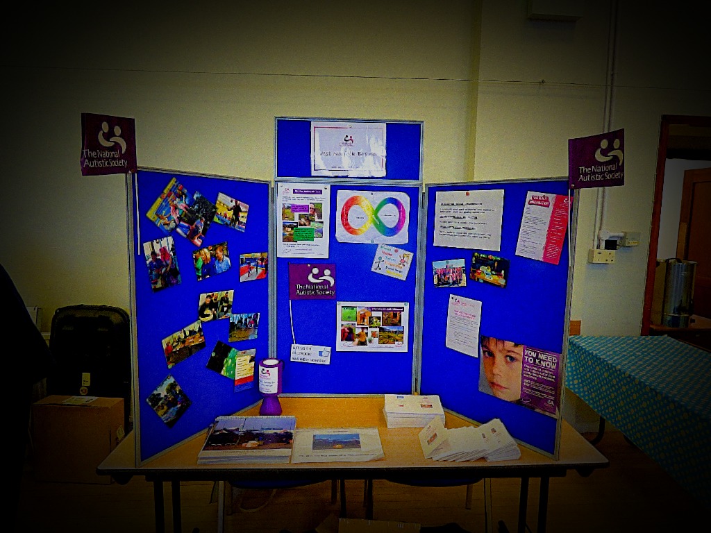
The event was not massively attended, but I did see quite a few people at the NASWN stall, and the experience was overwhelmingly positive. My calendars impressed a few people but not sufficiently for any to sell. From an NASWN perspective, the main point of the day of course was to improve understanding of autism and to publicise the existence of our group. We succeeded as well as could have been hoped for in both regards, with a number of the new leaflets being taken, and quite a few people leaving the event better informed about autism than they had been before it started. I also got to explain about the rainbow coloured infinity symbol, and the fact that it is a symbol chosen by autistic people to represent the autistic spectrum. I consider that this event was a good use of a significant part of my Saturday. To finish, here is our stall for a second time:
The stall – new leaflets/flyers, calendars and the display board.
Two shots showing views of the hall
This parapet is presumably the front of an upstairs seating area.
The last two shots in this selection feature artwork on the walls just outside the hall.
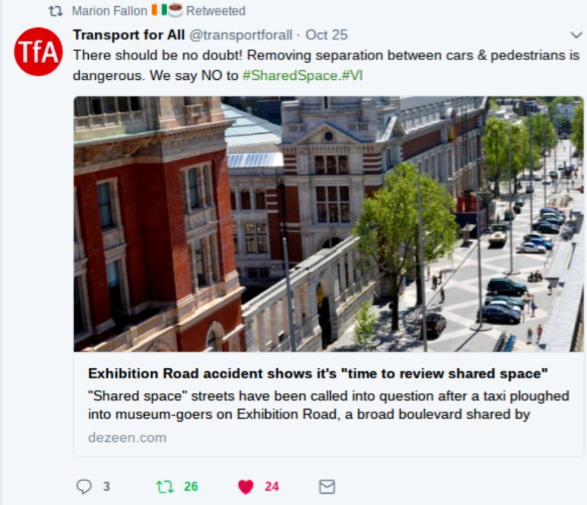
Some thoughts on shared space streets and Exhibition Road in particular.
INTRODUCTION
Much of this post will also be appearing on my London Transport themed website as well as here because of the location of the particular shared space road that brought this issue to my attention. That location is of course Exhibition Road, London – a location very familiar to me from when I lived in London and was a regular visitor to museums. Here is a map for you to orient yourselves:
WHAT IS A SHARED SPACE ROAD?
A shared space road is a road without pavements, with no clear distinctions between where cars, cyclists and pedestrians should be. According to some this arrangement reduces accidents. However, a recent incident on London’s Exhibition Road has called this into question. Here is a tweet from campaign group Transport for All:
This (to me) raises two questions to be taken in turn:
CAN SHARED SPACE ROADS WORK?
I am uncertain on this one and will welcome evidence from people with experience of shared space roads in their localities. My own view is that they could work but the following is necessary:
Clear signage explaining what a shared space road is and what that means.
A very low speed limit for motor vehicles (even lower than the 20mph which is now commonplace in the vicinity of schools) fiercely enforced – speeding on a shared space street should be punished more severely than speeding elsewhere because of the greater risk of hitting someone.
Referring back to my first bullet point it needs to made clear that motorists are always expected to give way to cyclists and pedestrians.
Given what I know of London drivers I do not think that London is the right city to be trialling these (although Rome and Paris would both clearly by even worse options!)
SHOULD EXHIBITION ROAD BE A SHARED SPACE ROAD?
Absolutely not – it should be completely pedestrianised. There are excellent public transport connections in this part of the world. Continue reading “Shared Space Roads ?”


")