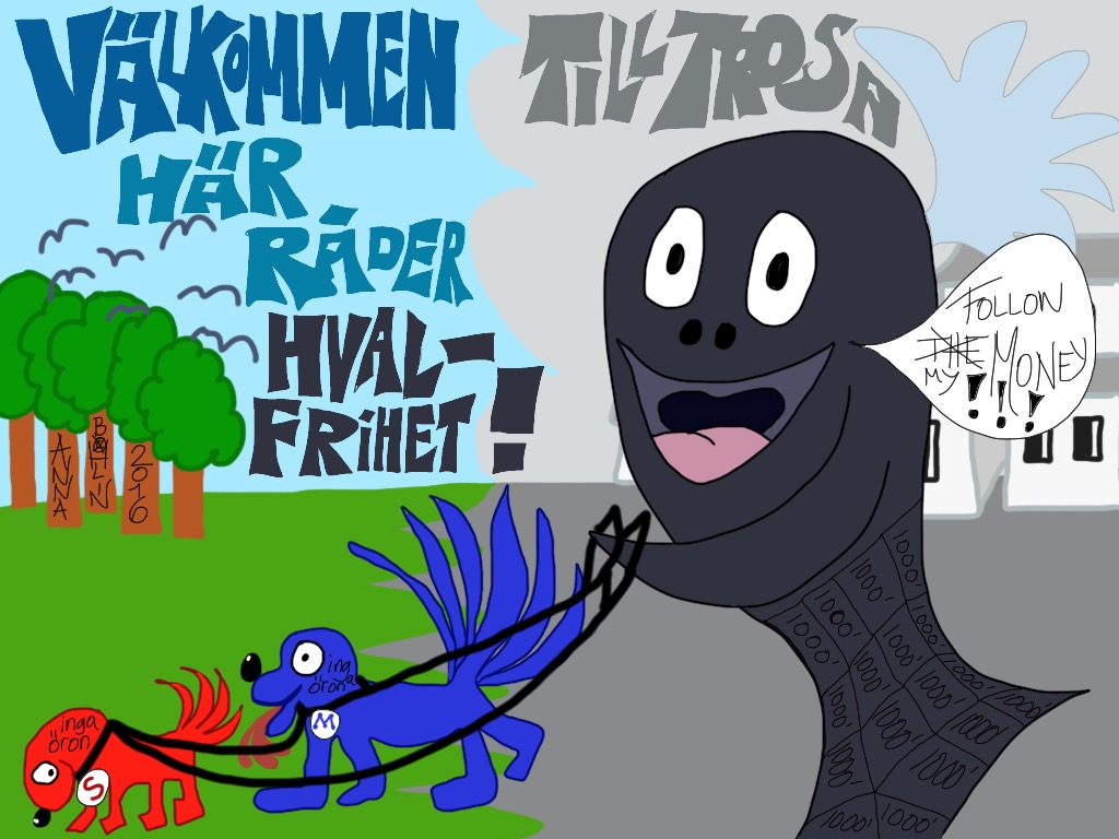
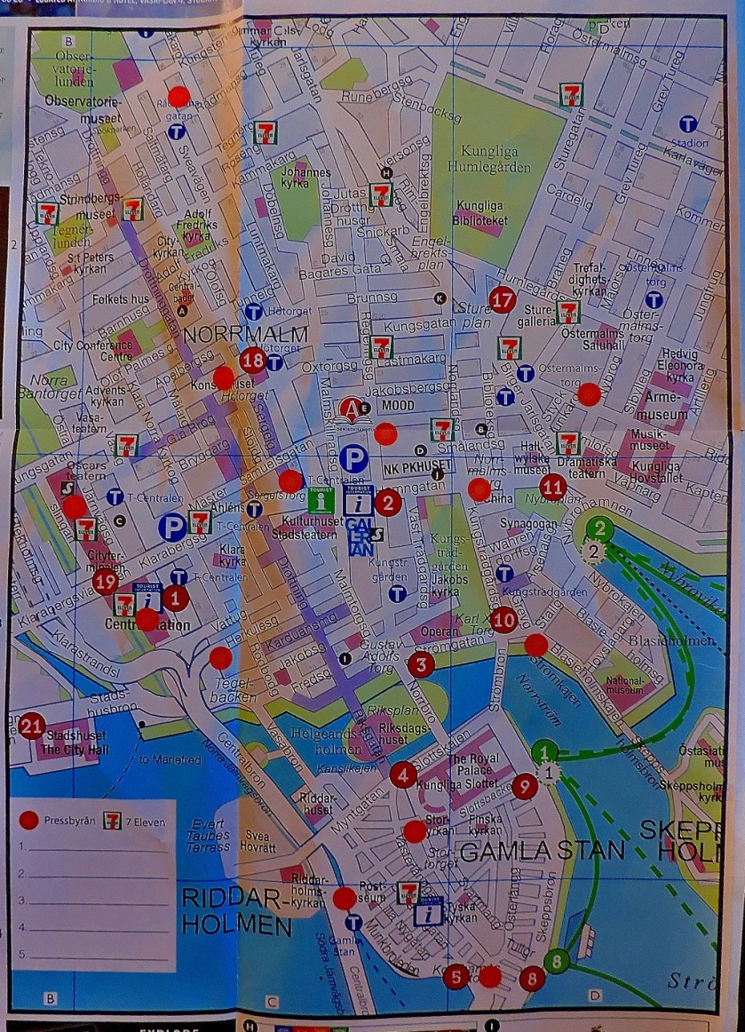
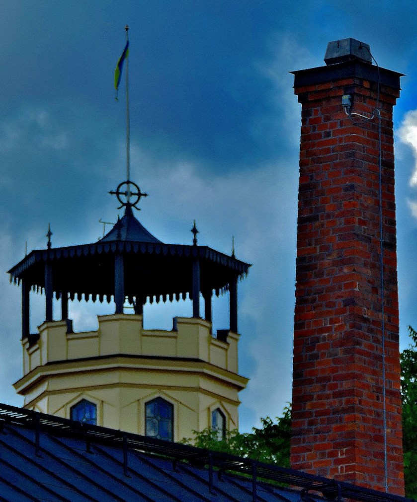
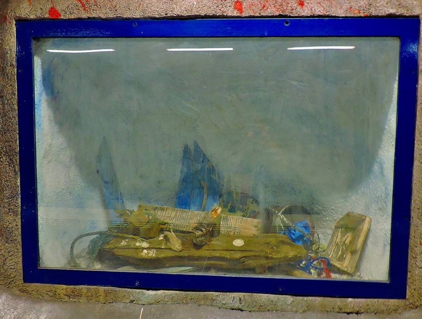
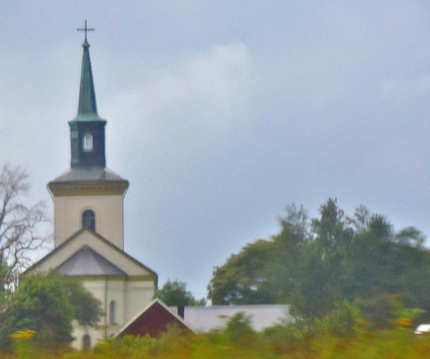
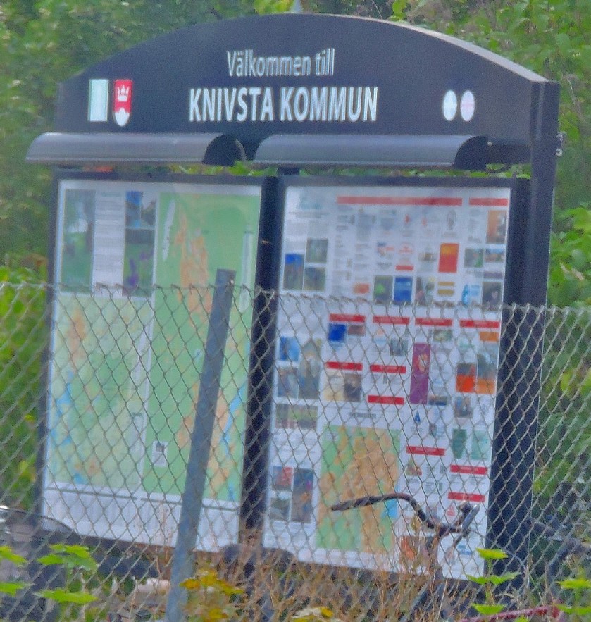
Anna asks searching questions of her local authorty, and the post starts and finishes with an infographic that being biased due to its content I just love!
For English version, scroll down and find it after the Swedish version.
Kan ni hjälpa mig att räkna? Jag får inte ihop det. Se nedanstående frågerunda jag har haft med kommunen. Jag ville ta reda på hur många bostäder kommunen planerat för totalt för att kunna göra en bedömning om Trosa förbifart/infart västra Trosa och exploateringen av vår storslagna natur på Tureholmshalvön som hotar havsörnens närvaro verkligen behövs. De svar jag fått ger mig inga klara besked om hur väl planeringen stämmer överens med tillväxtmålet om 150 nya invånare per år. De sista frågorna jag ställde i tråden har jag fortfarande inte fått svar på. Så ni får hålla tillgodo med de uppgifter jag fått från kommunen. Kan ni få ihop ett tydligt svar utifrån alla delsvar? Jag har inte lyckats hittills, men så är jag inte så bra på matte heller 😉
This post ties together my series about my recent holidayy in Sweden, displaying lots of maps and functioning as an illustrated index.
INTRODUCTION
Welcome to this post which ties together my series of posts about my recent (July 29 to August 13) holiday in Sweden and functions as a sort of illustrated index to the series. Please note that barring the two Lulea maps which are public display maps as I did obtain a map of that town every map you see photographed here is available free of charge (great news for a cartophile such as myself).
THE MAPS
Maintaining chronological order for these maps we start with…
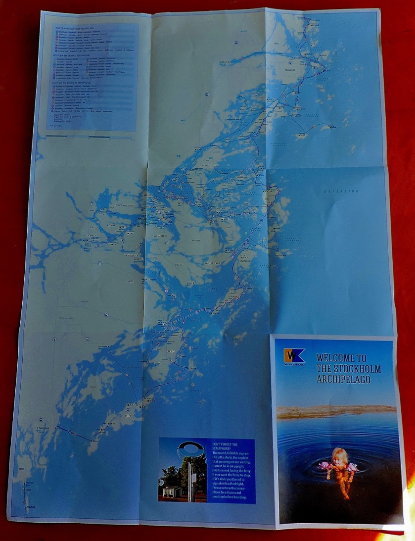
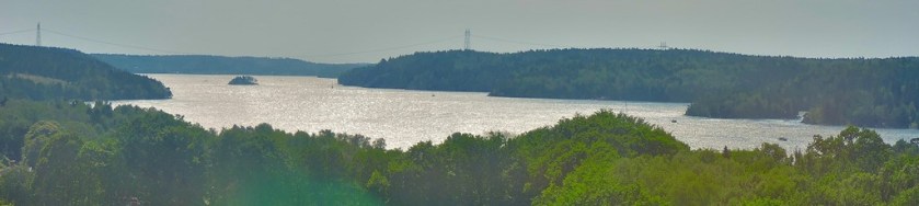
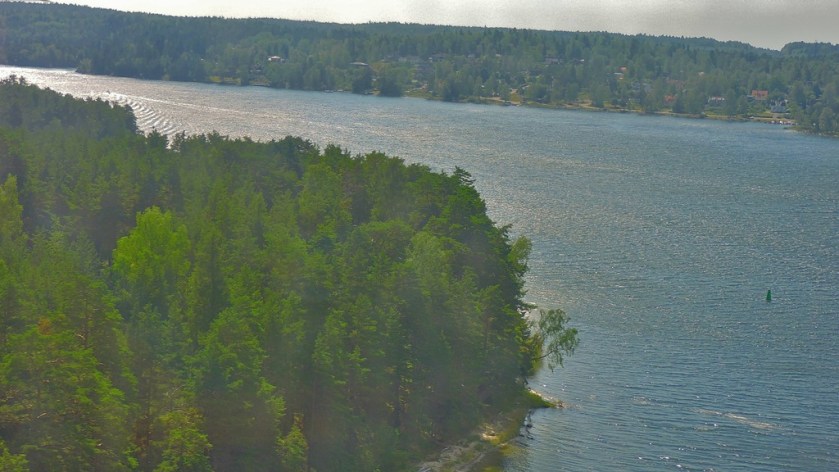
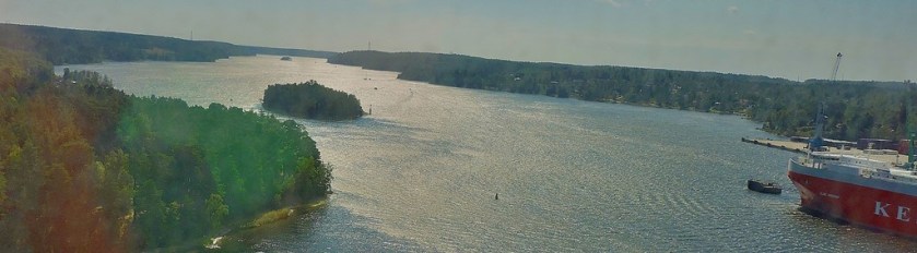
STOCKHOLM ARCHIPELAGO
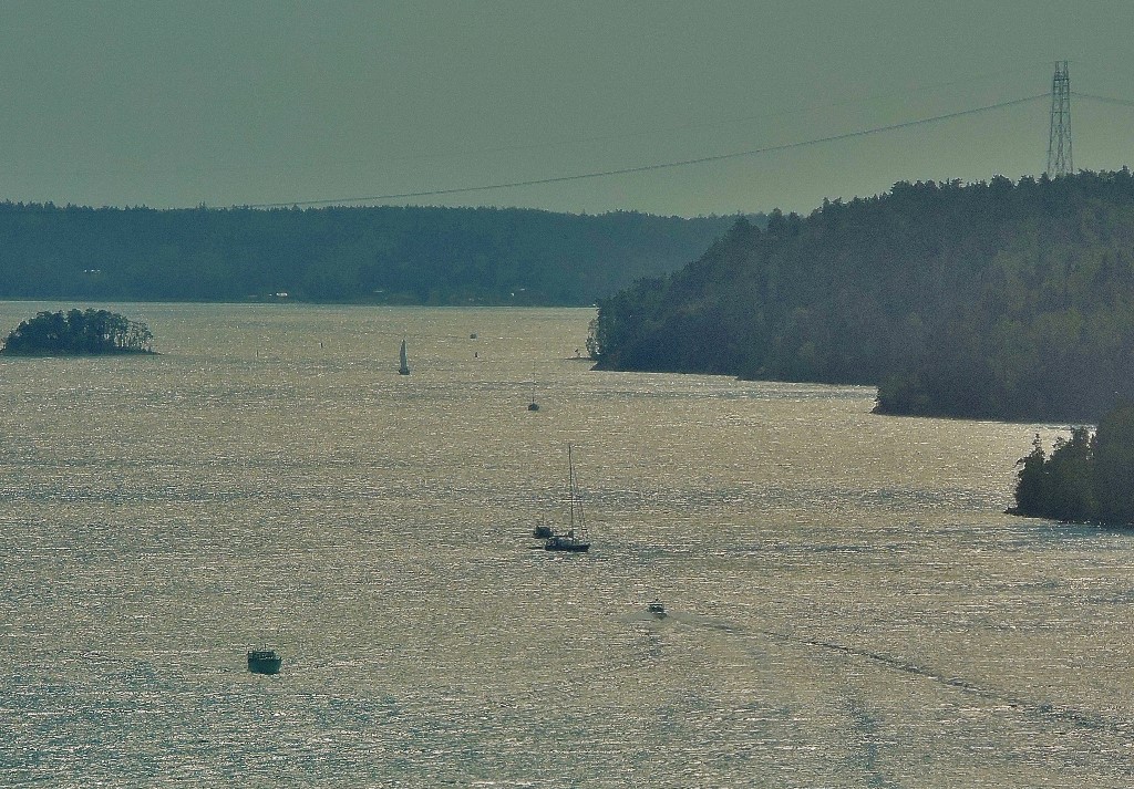
This map relates to the start of the holiday, the period of July 29th to 31st, which is covered in this post:
On Monday August 1st I set off on the second part of my trip, where I was travelling solo, my first stop being…
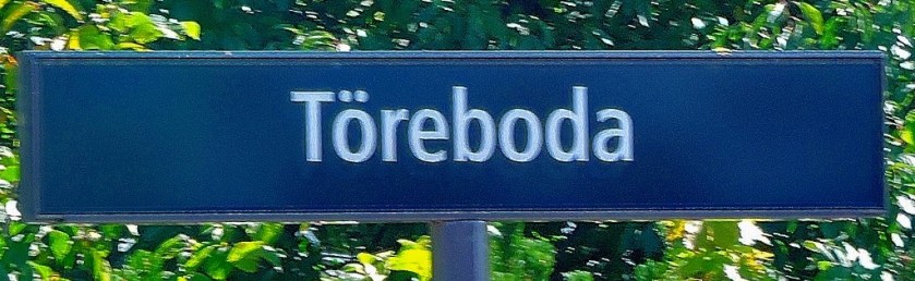
KRISTINEHAMN
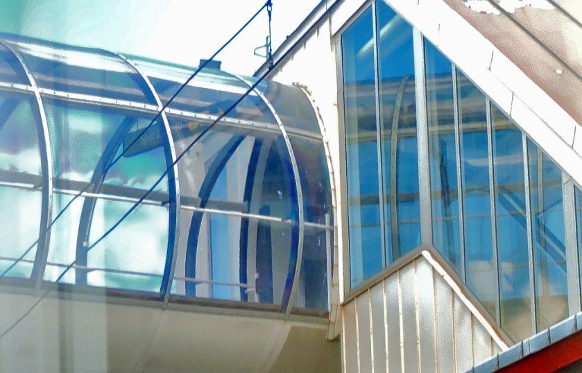
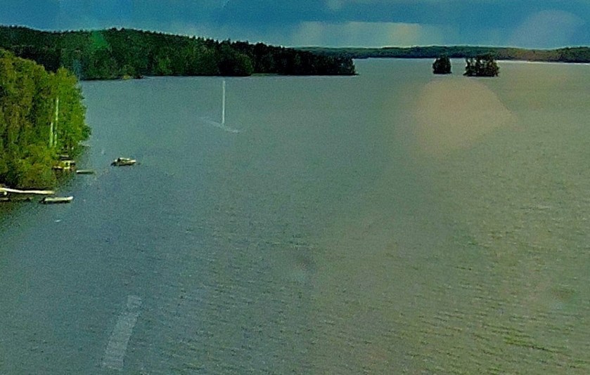
This small town was significant for me as being the southern terminal of Inlandsbanan. It sits close a famous lake (bodies of water are never far distant wherever you are in Sweden) and is an attractive place in its own right.
Kristinehamn features in two posts in this series:
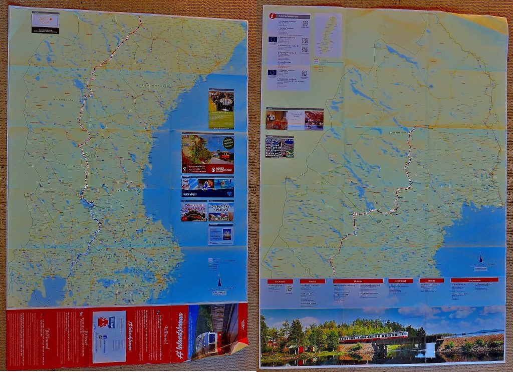
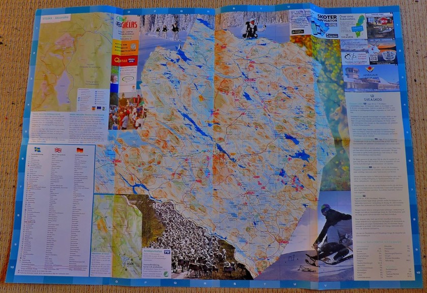
I spent two days soaking up this fabulous railway experience, coverage of which ran to eight posts in the course of this series, which led to me to create a page for easy access to the whole sub=series. I have three pictures of this large double-sided map:
The two sides of the map juxtaposed – the southern part of the route is on the left as you look, the northern on the right (a side by side view works better than one on top of the other for a long thin country).A closer view of the southern part of the routeA closer view of the northern part of the route.
Those who followed this series will recall that my first day of travel along Inlandsbanan took me to…
OSTERSUND
I covered the section of the journey from Mora to Ostersund in two posts, using the meal stop at Asarna as a natural break point:
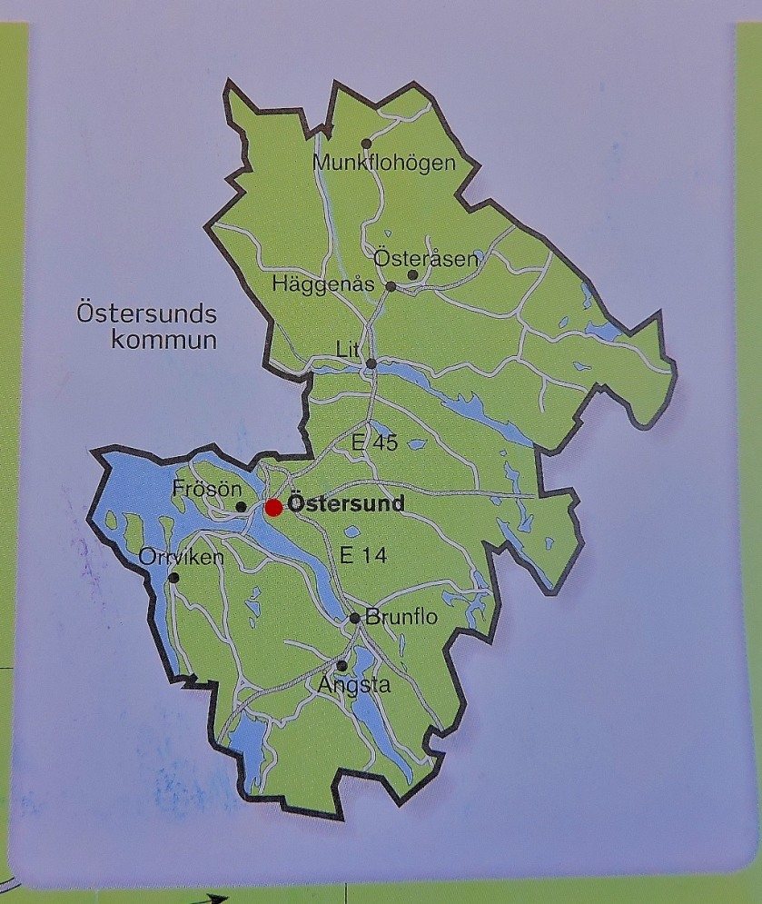
The Ostersund map, shown below, was provided to Inlandsbanan passengers by our host for that part of the journey, Emma, who had been equipped with a block of such maps from which she peeled off individual copies:
Osttersund in its region.The close up of central Ostersund.
The next place I was able too obtain a map was…
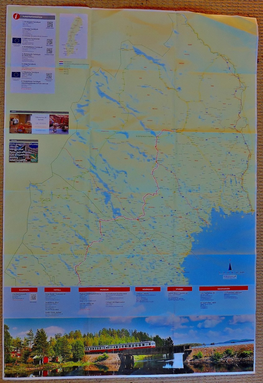
ARVIDSJAUR
This town is fairly close to the arctic cirle. The post in which Arvidsjaur features was the seventh in my Inlandsbanan subseries, meaning that by the time I got to this location all the following had happened:
Not very long after this came the end of the Inlandsbanan journey at…
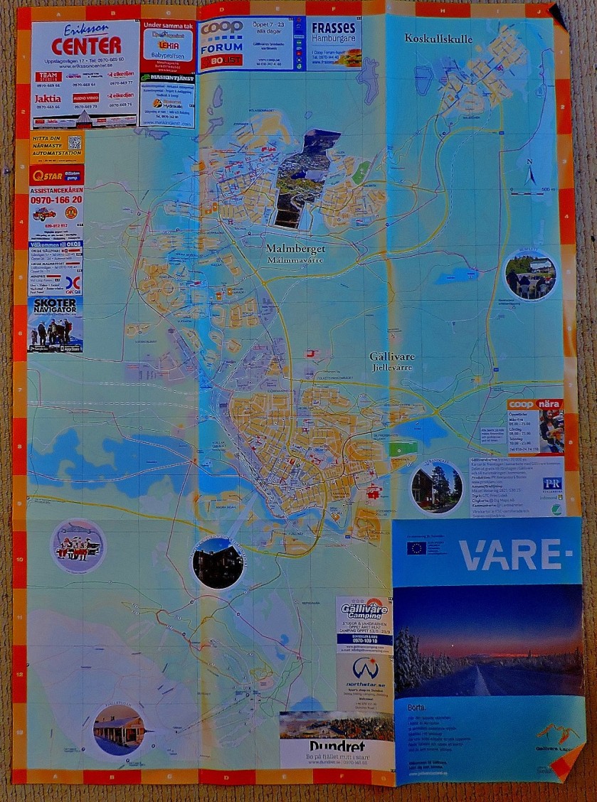
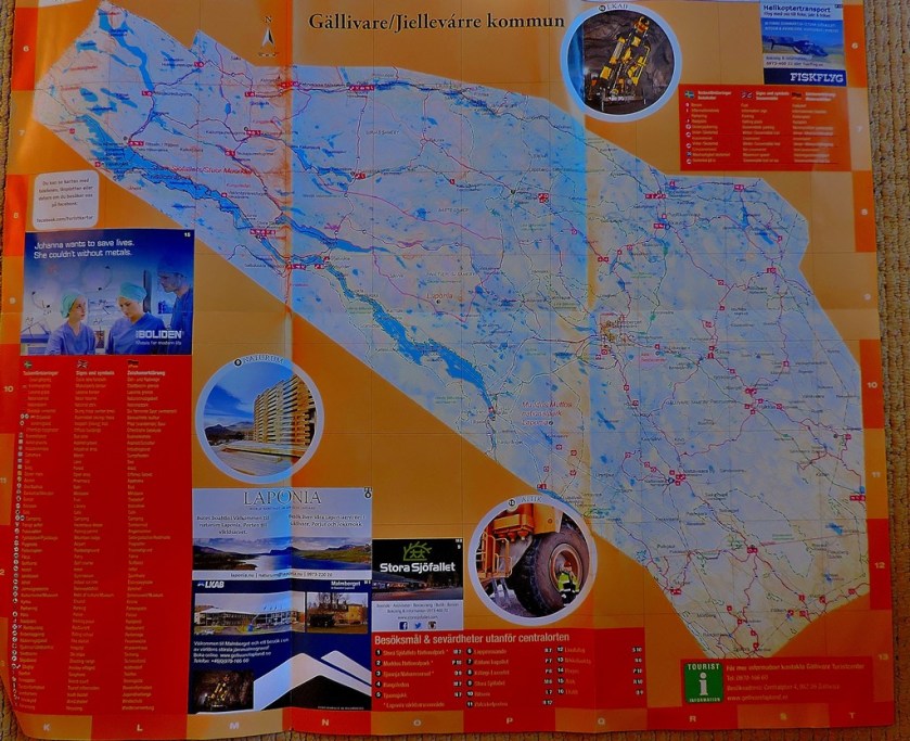
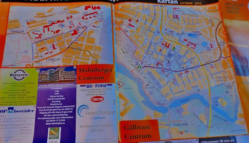
GALLIVARE
As with the Osttersund map this one was provided for passengers by our train host, in this case Andreas, although unlike the Ostersund map it was large enough to warrant being folded, and hence could not be transported in the way that one was…
The post to which the above pictures relate was the last in my Inlandsbanan subseries:
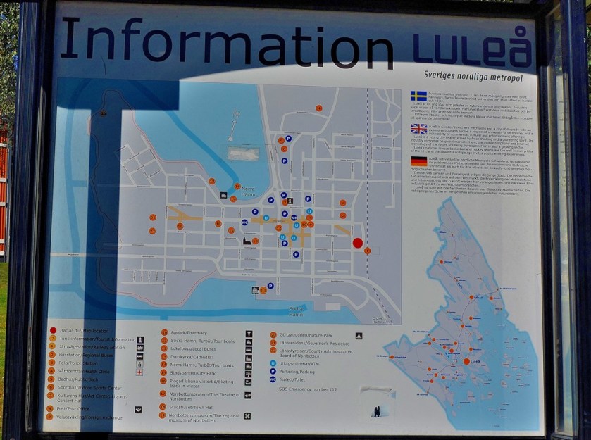
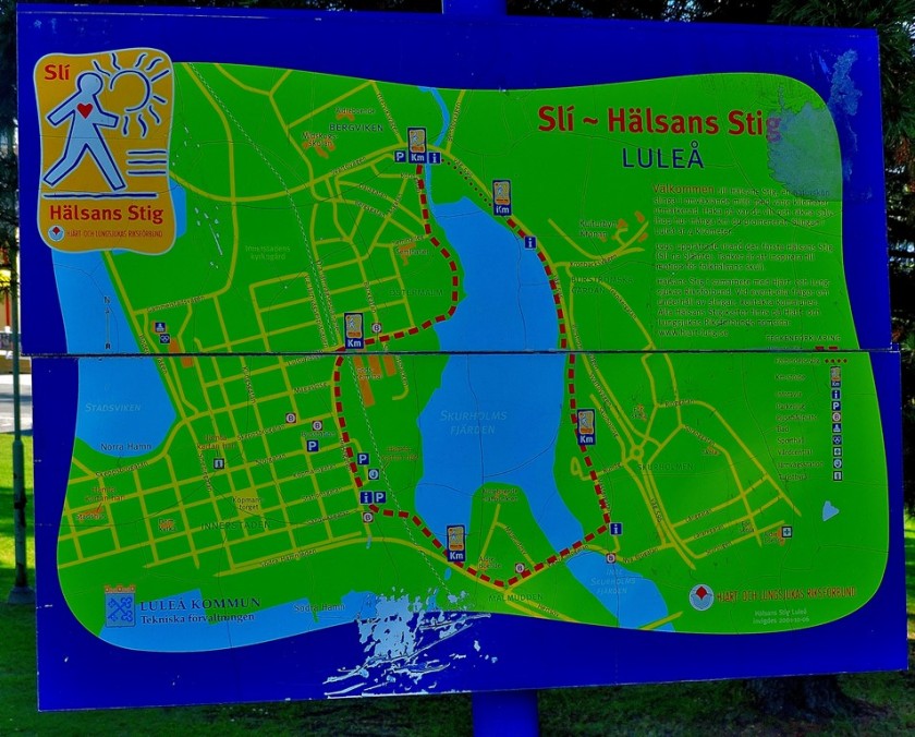
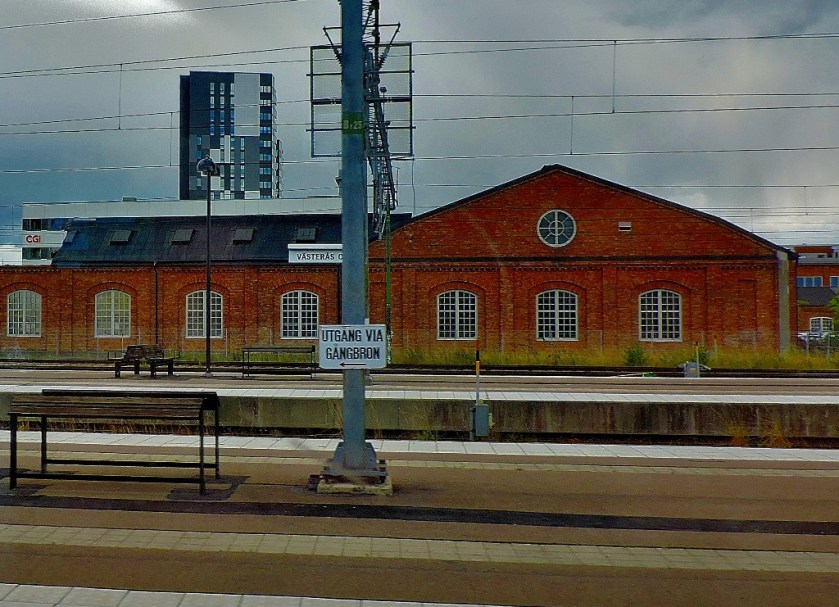
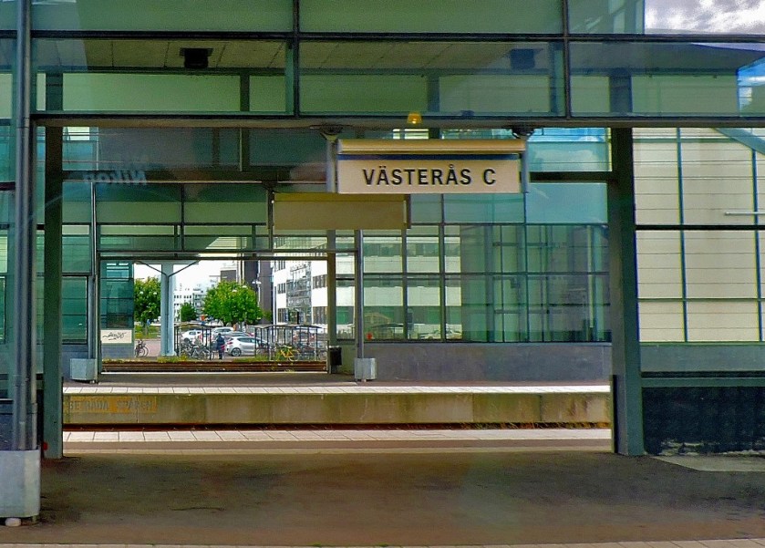
An attractive town that sits at the northern end of the Gulf of Bothnia, Lulea was the only place I visited for any length of time that I did not get a take home map of, but I have two good pictures of public display maps:
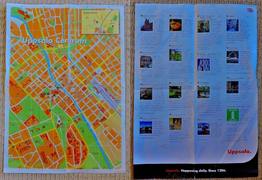
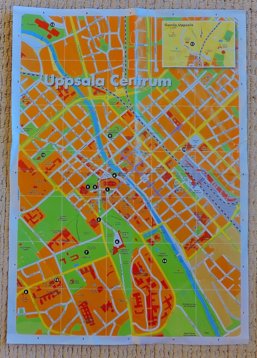
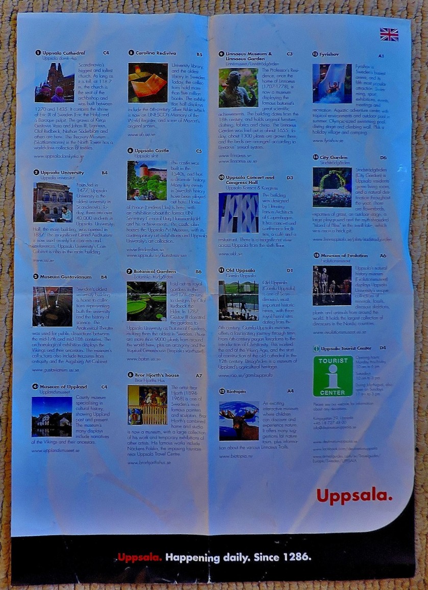
The map of Uppsala tthat ii was equipped with at the tourist information office had details of various attractions printed on the back…
Both sides of the mapClose up of the MapClose up of the list of attractions.
Uppsala provided me with six blog posts worth of material – anyone who is up for a little challenge is invited to work out how many of the attractions listed above get mentioned in the course of the series of posts:
As the title of the last post listed above suggests, my next port of call was…
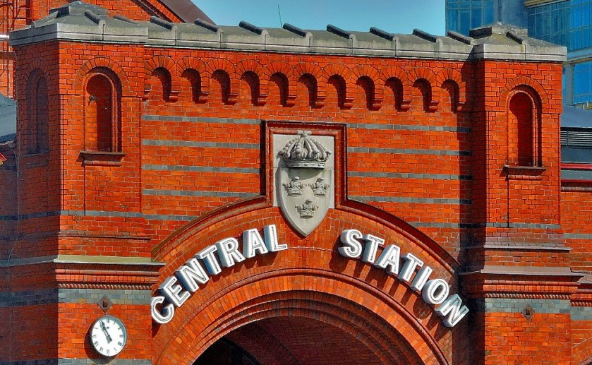
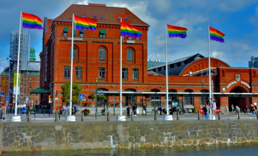
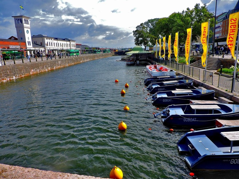
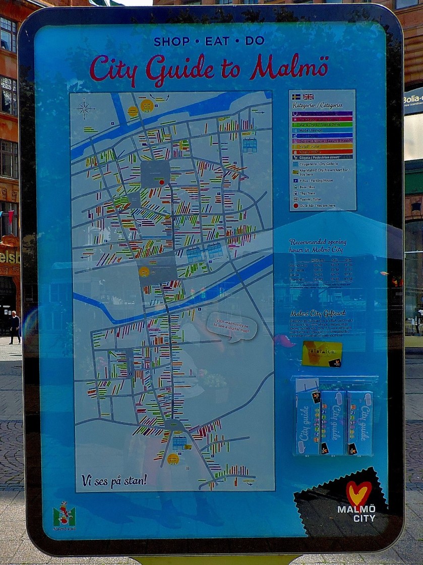
MALMO
The map of Malmo, provided by the STF Hostel in which I stayed for two nights, was A3 sized (twice as big as the Uppsala map), but had only advertising on the reverse, hence me not bothering to photograph that side…
As with the Uppsala series, the title of the final post featuring Malmo gives a clue as to my next port of call…
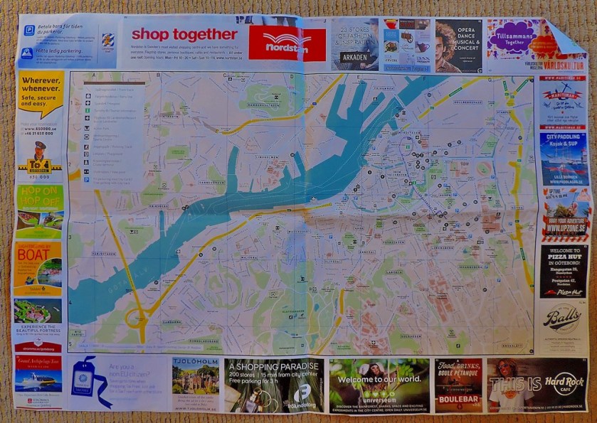
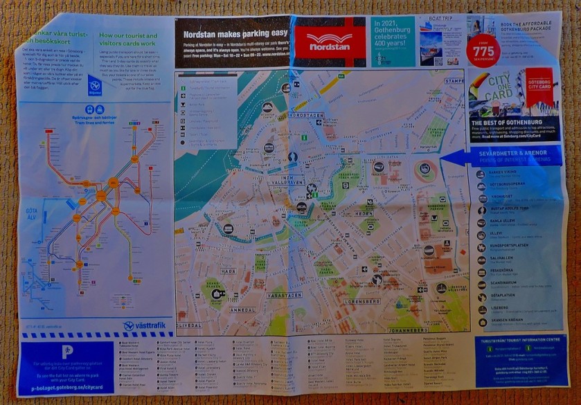
GOTHENBURG
The Gothenburg map, provided by the tourist information office, has useful information on both sides…
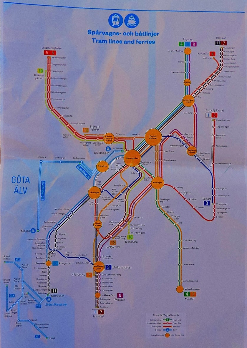
As well as both sides of the map, I include a close-up of the diagram of the local public transport network
I stayed only the one night in Gothenburg, en route back to Stockholm for the last two nights of my stay in Sweden, which explains why this very impressive city only features in two posts:
In spite of the title of the last post shown above this post is not quite done yet, because being the keen student of public transport systems that I am I could not ignore one of the most remarkable I have yet encountered…
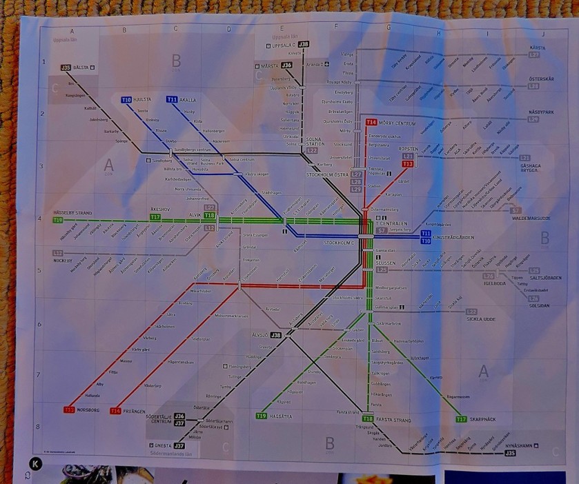
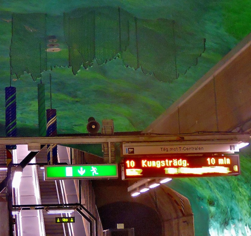
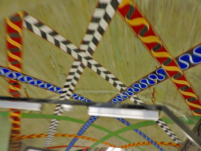
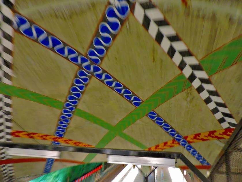
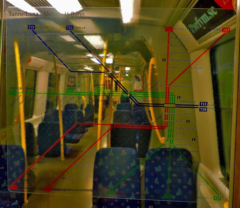
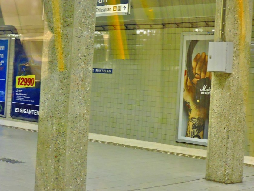
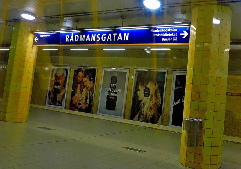
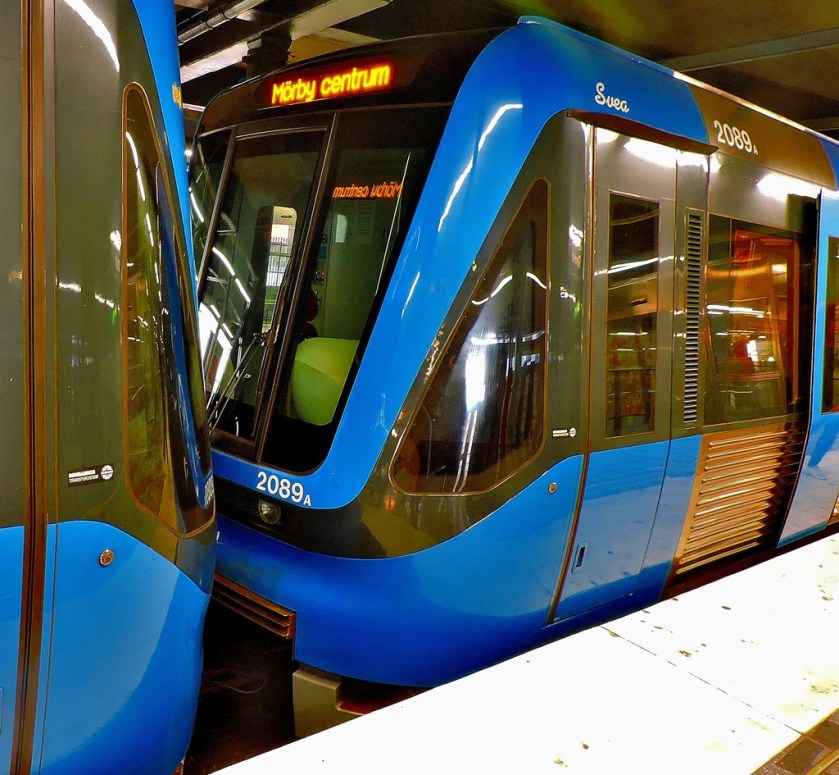
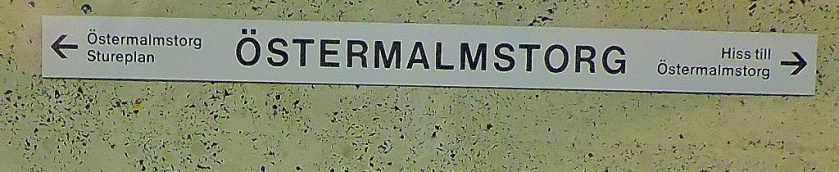
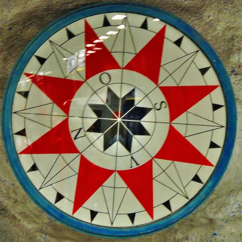
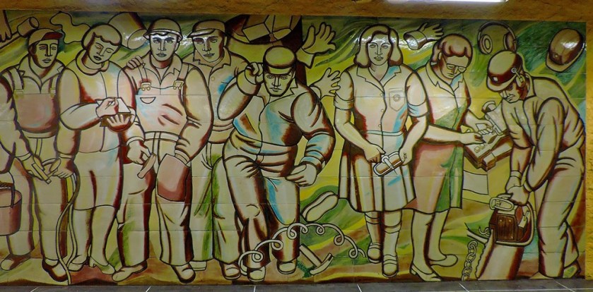
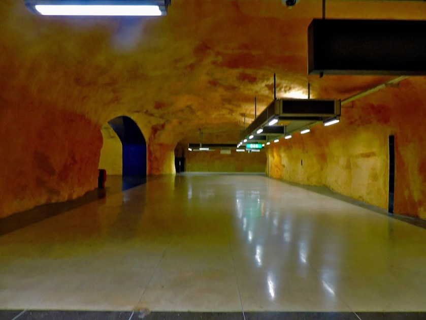
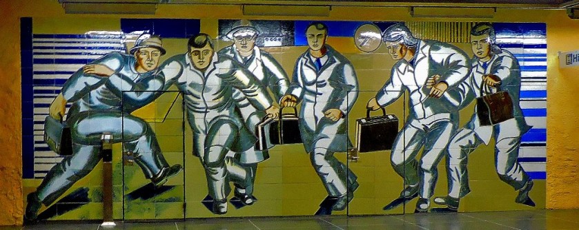
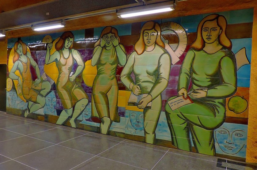
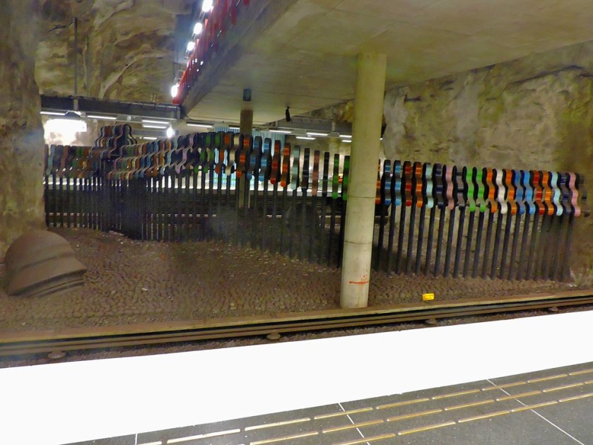
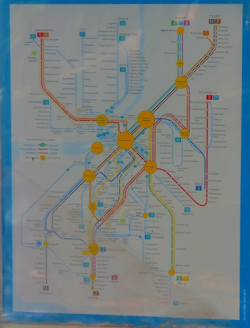
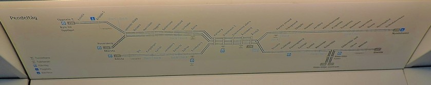
TUNNELBANA
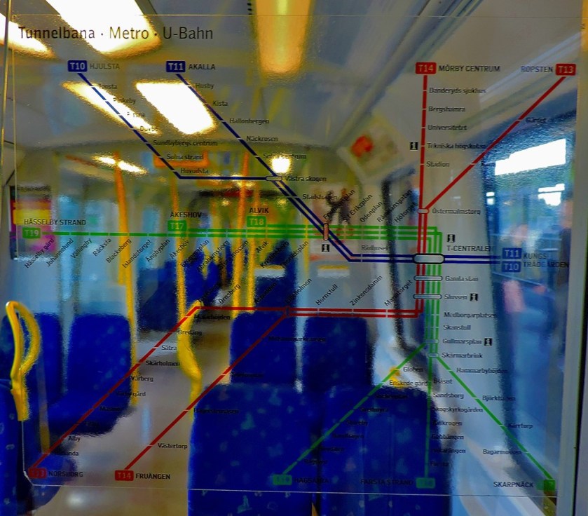
The heading above contains the colours of the three lines that make up Tunnelbana, with the blue line given an extra letter over the others because of its cave-like appearance. Here is a diagram of the Tunnelbana system:
Tunnelbana has a whole long post to itself, and also provided my response to one of Maria Jansson’s photographic challenges:
I hope that you enjoyed this ‘maps special’ and that some of you will find it useful as a means of accessing my series of posts about Sweden. For those who have enjoyed the maps, i draw your attention to a blog that is dedicated to maps.
Welcome to the latest installment in my series of posts about my holiday in Sweden. After this post there will be a ‘maps special’ which will tie the whole series together.
A VERY EARLY START
With my flight to Gatwick due to leave Arlanda Airport at 7:30AM there were two ways I could get to the airport early enough in the morning. I could either take a significant length walk to a ‘flygbussarna’ stop and get a bus to the airport, or I could get a tunnelbana train at 4:22AM and catch the Arlanda Express from Stockholm Central (the main station would not be open, but the Arlanda Express terminal would). I opted for the latter, borrowing an access card for the tunnelbana which I have subsequently posted back to Sweden.
I departed the flat in which I had stayed for my last two nights in Sweden at 4AM, aware that I would not be able to access Huvudsta station by way of the shopping centre, but would instead have to walk round to the official tunnelbana entrance. I arrived at T-Centralen with plenty of time to make the long interchange, purchase my Arlanda Express ticket and board the 5:05AM train.
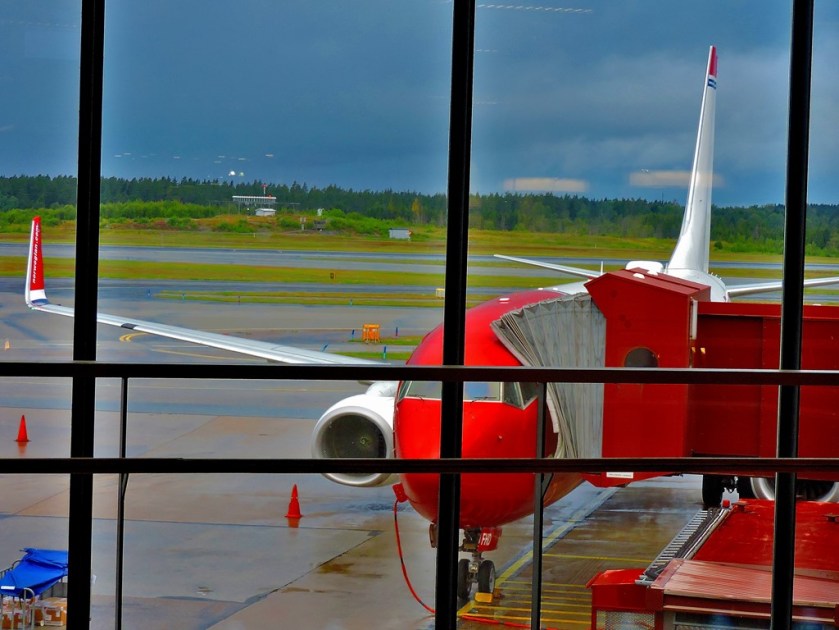
ARLANDA AIRPORT
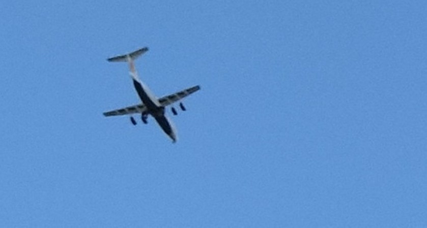
Regular trains have a station called Arlanda Central, and you have to pay a premium to access the airport from there. The Arlanda Express calls at two stations, Arlanda South and Arlanda North, and the premium for using the airport is more than included in the cost of the fare. For my flight Arlanda North was the station, and a combination of the speed of the train and the smoothness with which I progessed through the airport means that I was seated close to the departure gate over an hour before the flight was due to take off. Here are the last photos from this holiday…
The first four pictures are at Huvudsta awaiting the train to T-Centralen
The plane I would be travelling to Gatwick in viewed from the departure gate.
GATWICK TO KING’S LYNN
Apart from a bit of a wait in the baggage hall because I had arrived there before the bags from our flight did I passed through the airport without incident, and was able to catch the 10:30 Gatwick Express to Victoria (one could do the journey changing just once from St Pancras to King’s Cross, but the slowness of the Gatwick – St Pancras service means that this costs in time terms), which in turn meant that I got to King’s Cross in time to catch the 11:45 to King’s Lynn, and was thus back at my flat before 2PM. On the Gatwick to Victoria leg of the journey I found myself playing good Samaritan to some American tourists, who knew where they were staying but not how to get there. As befits someone who runs a website about London transport I was able to advise them as to the best routes.
The latest post in my series about my holiday in Sweden.
INTRODUCTION
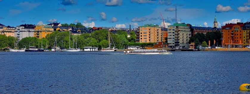
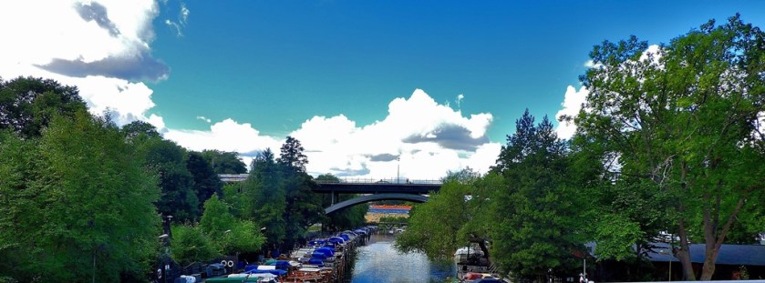
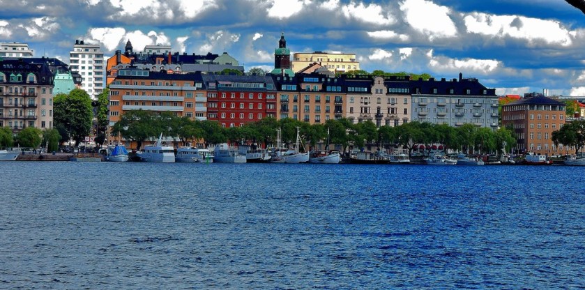
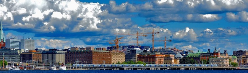
Welcome to the latest installment in my series of posts about my recent holiday in Sweden. Readers of my previous post will recall that I alluded briefly to a waterside walk that started and finished at Gamla Stan. This post tells the story of that walk. I also included some pictures from the city of Stockholm in the first post in this series.
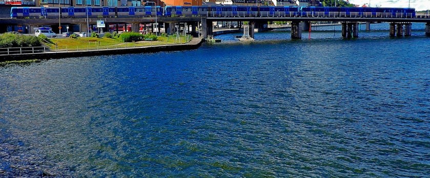
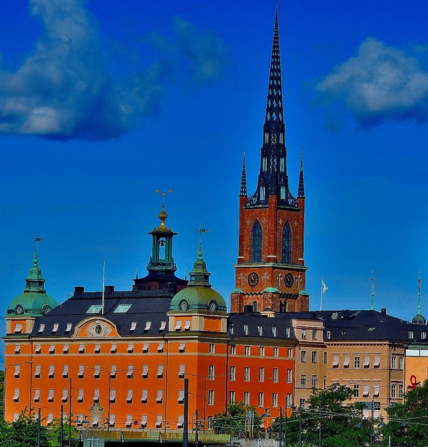
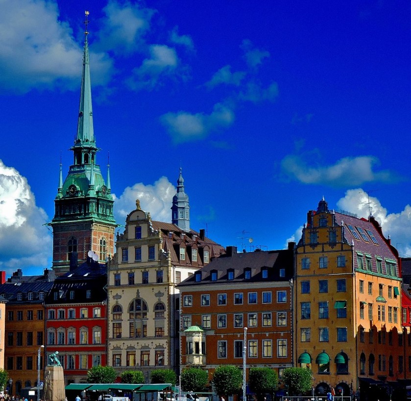
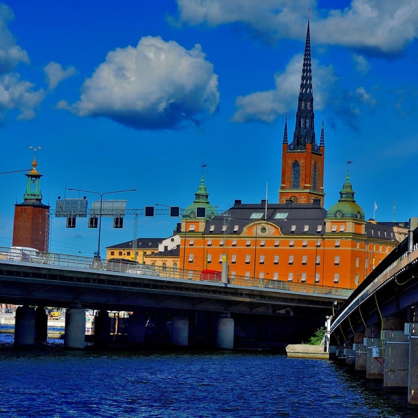
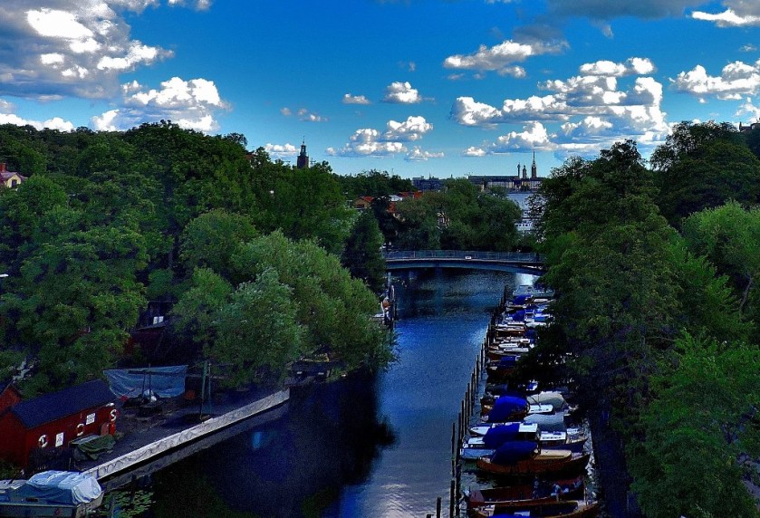
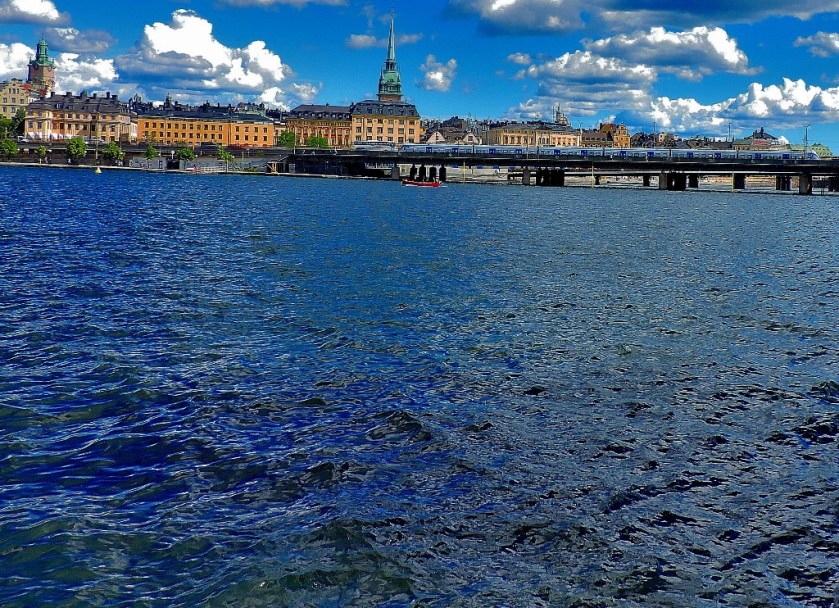
AT GAMLA STAN
Although it is on what is classed as an underground railway the station at Gamla Stan is actually slightly elevated, so that you exit it by going down to street level. It had always been in my plans to do some exploring around Gamla Stan and the sight of the waterside was enough to decide exactly what I would be doing…
THE WALK
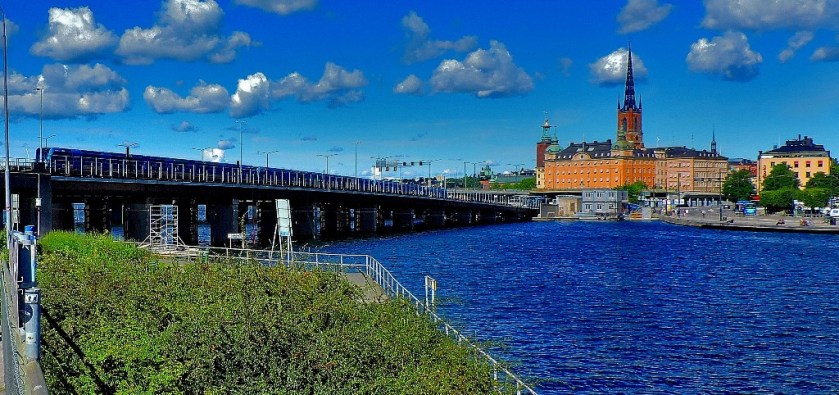
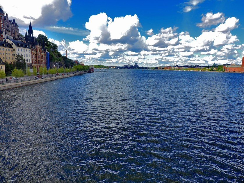
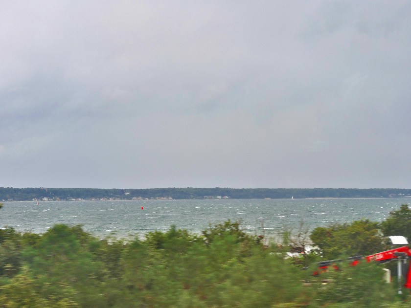
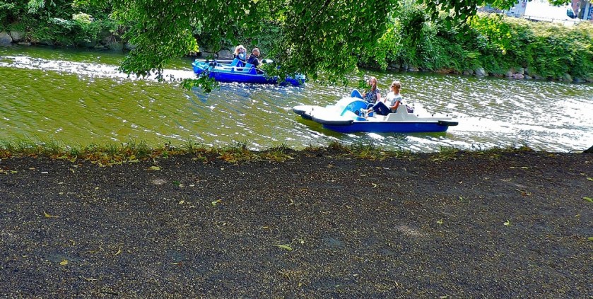
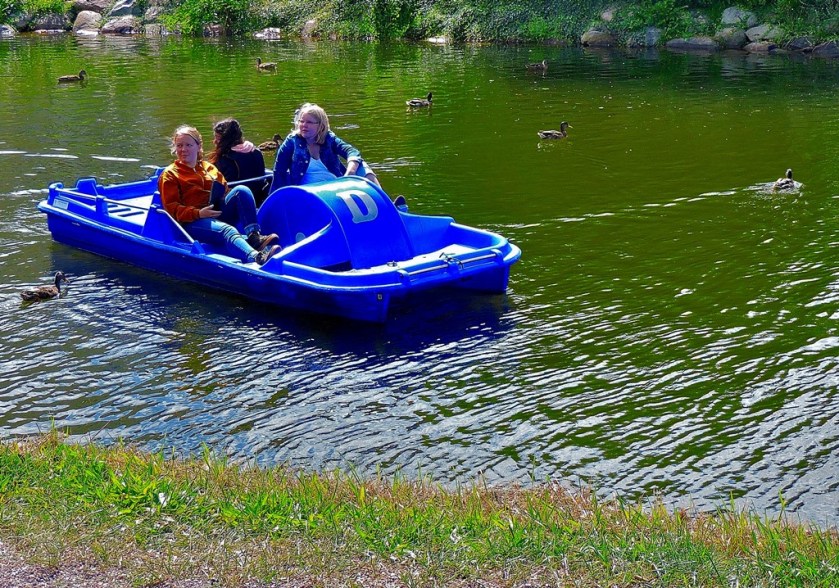
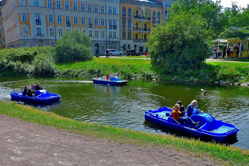
I crossed the water and was delighted to find a waterside path on the other side, which I duly set off along it.
The bridge in the distance became my target – I envisaged crossing it and heading back along the other side.
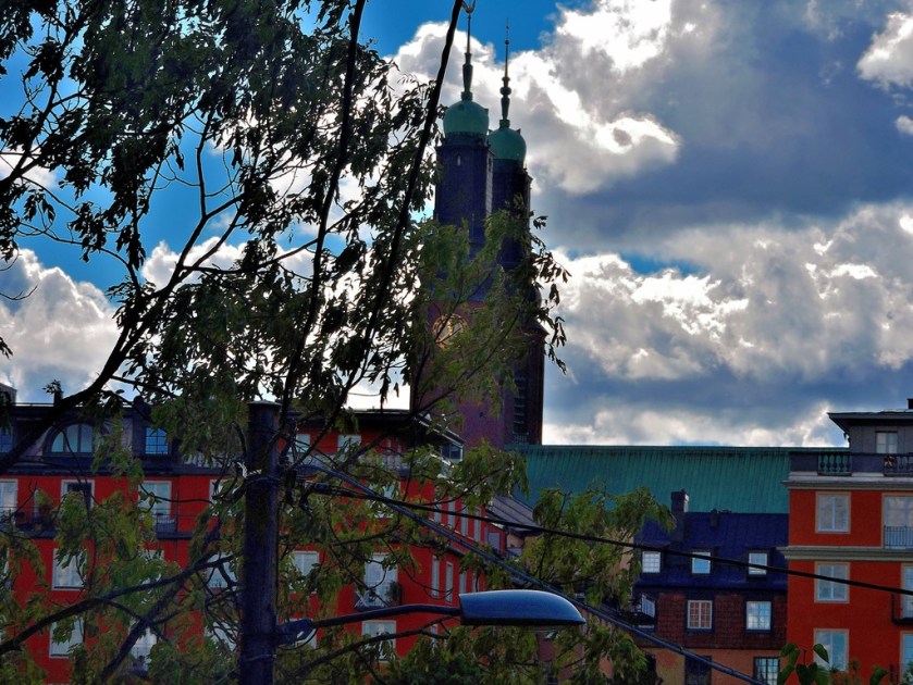
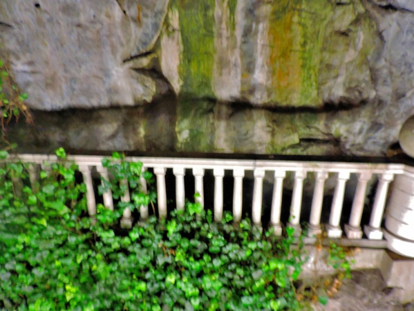
Another facet of Stockholm well shown up during this walk is how many cliffs there are.
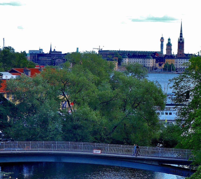
Approaching the bridge that I had marked out as my first target I found the water narrowing…
As you will see from the next set of pictures the view from the bridge gave me reason to believe that I could fulfill my plan of walking back along the other side of the water.
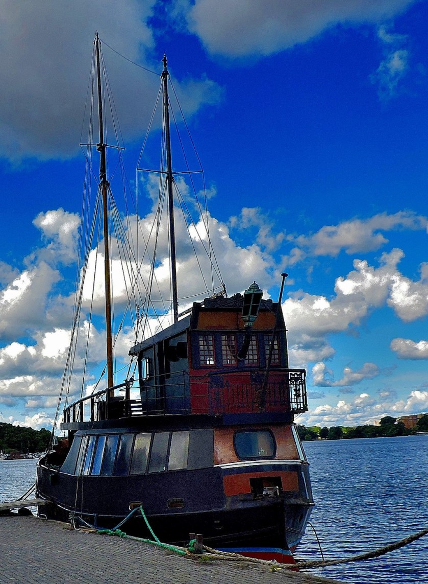
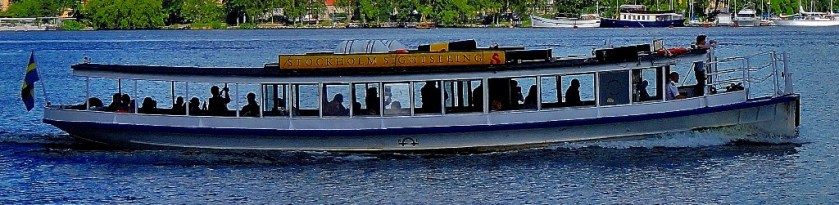
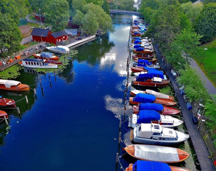
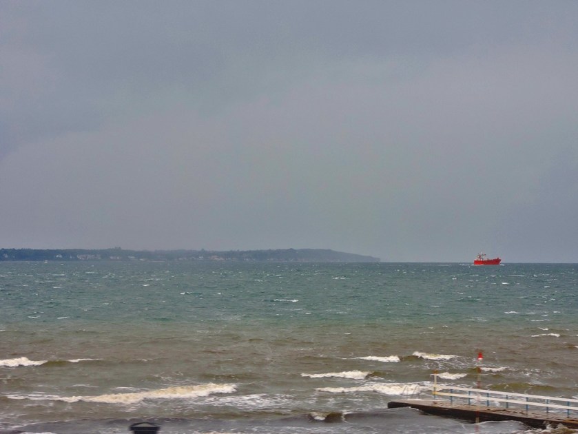
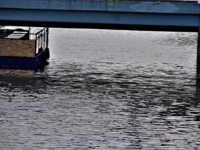
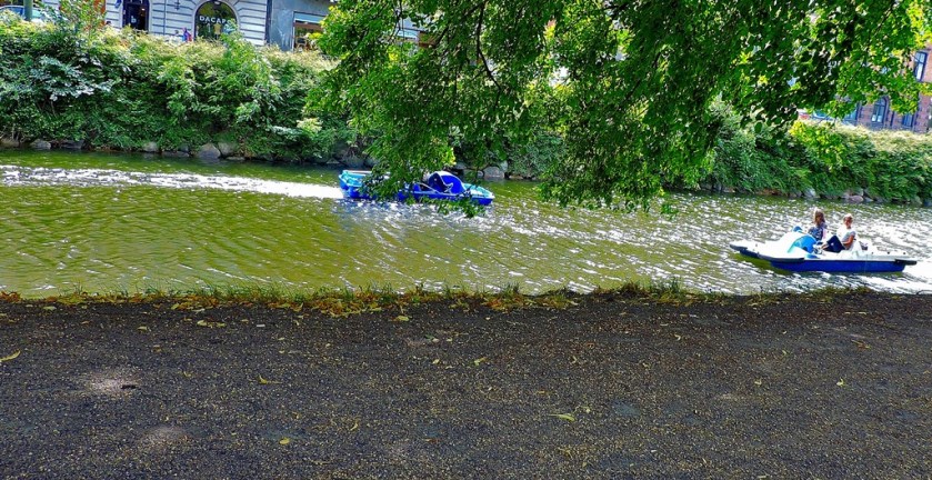
Although I located this path without difficulty it soon swung away from the water, and not long after that it became plain that the only waterside route was the one I had already taken, so I crossed a small pedestrian bridge to head back along that path. I paid close attention to the boats this time round, rather than picturing just a few…
I crossed one last bridge and headed back to Gamla Stan station to resume my travels, having thoroughly enjoyed my exploration of the heart of Stockholm.
The latest in my series of posts about my holiday in Sweden. This post covers Tunnelbana in detail, thereby providing a framework for my remaining posts about Stockholm.
INTRODUCTION
Welcome to the latest installment in my series of posts about my holiday in Sweden. To set the scene for the rest of this post here is picture:
TUNNELBANA AND MY HOLIDAY
Although I made some use of the Tunnelbana at the beginning of my holiday, it was during my last full day in Stockholm at the end that I really got to know they system, having decided that in addition to exploring the city I would do some serious travelling on the system. I had seen enough even early on to realise that it was going to warrant a post.
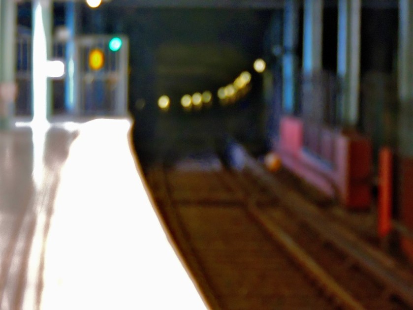
Although I had spent little time travelling on Tunnelbana in my first spell in and around Stockholm I did get some pictures…
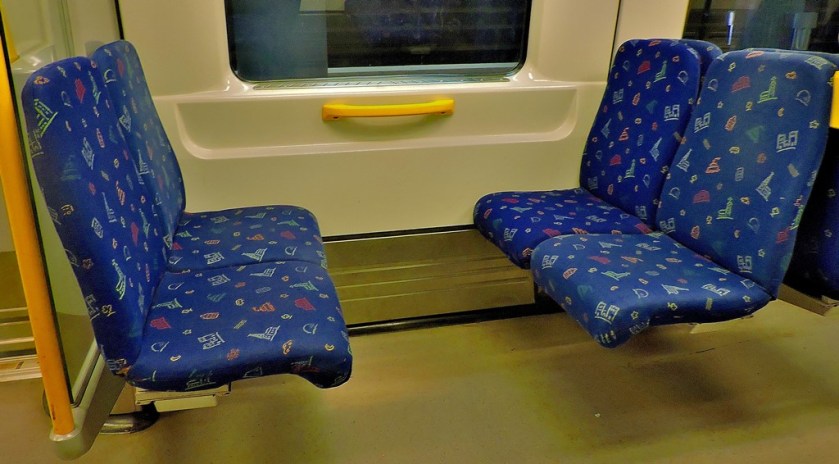
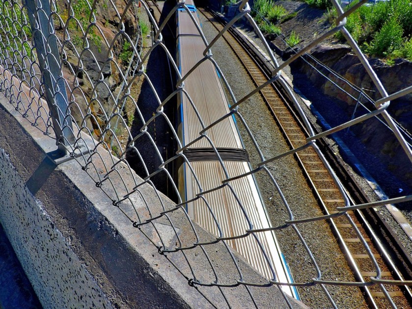
A Tunnelbana train – notice the articulated units, each the equivalent of three standard carriages (this train consists of two such, at busy times they sometimes have three).
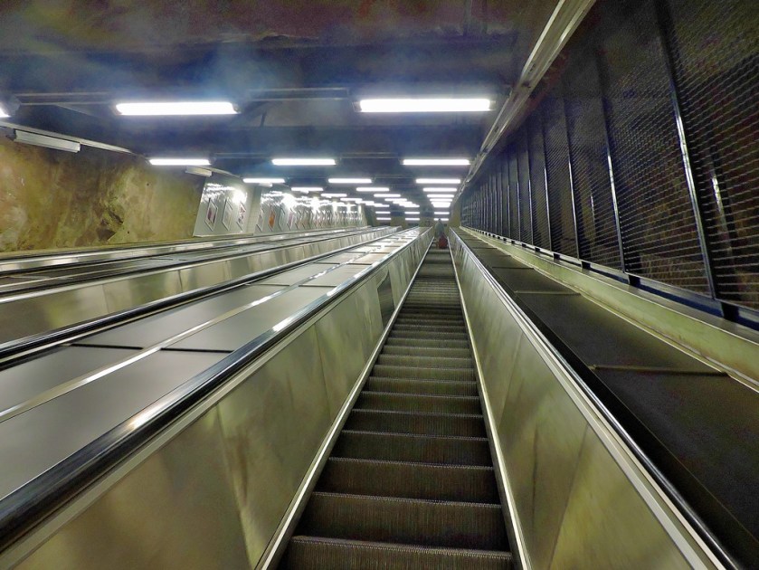
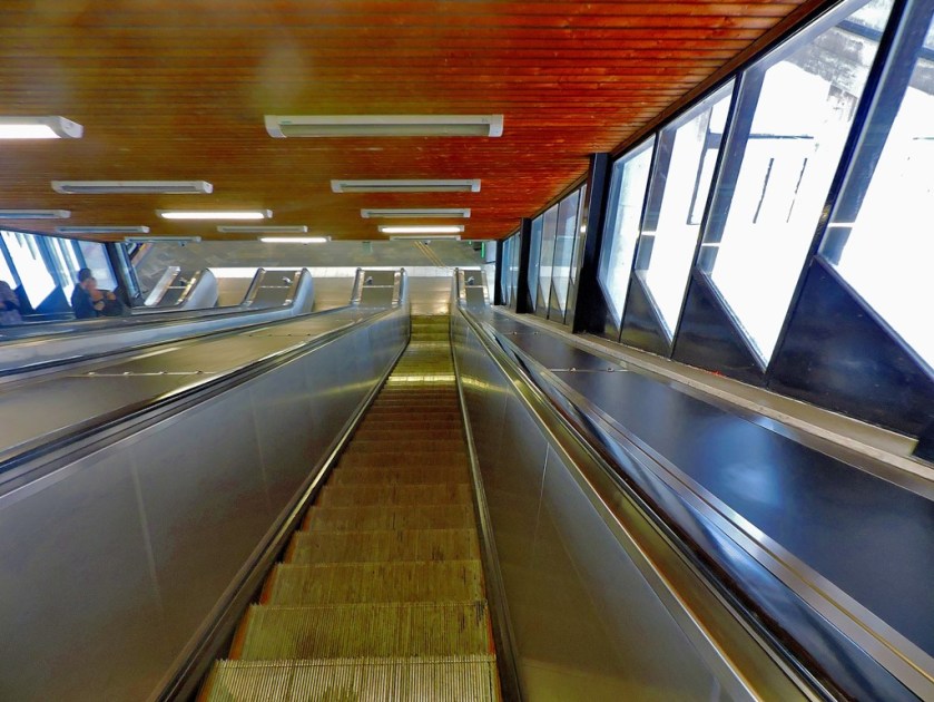
The escalators at Huvudsta.
A SYSTEM OF TWO PARTS
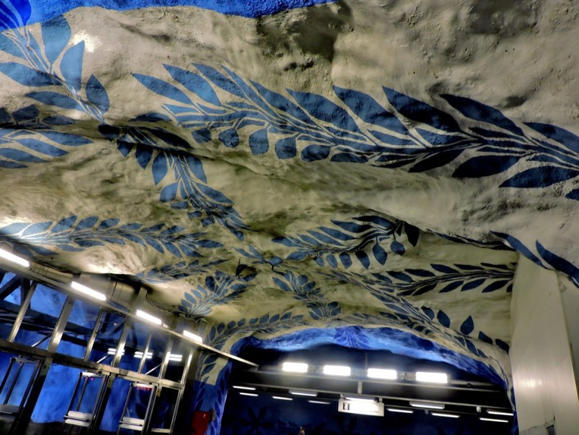
If you consult the system map included below the introduction you will note that there are three lines, coloured red, green and blue on the map. The red and green lines are older, and their tunnel sections, which make up a small minority of their length, are standard tunnels. The blue line is newer, and bar one station on the Akalla branch is in tunnel the whole way. It is the blue line that features the cave like station sections.
A BYZANTINE INTERCHANGE
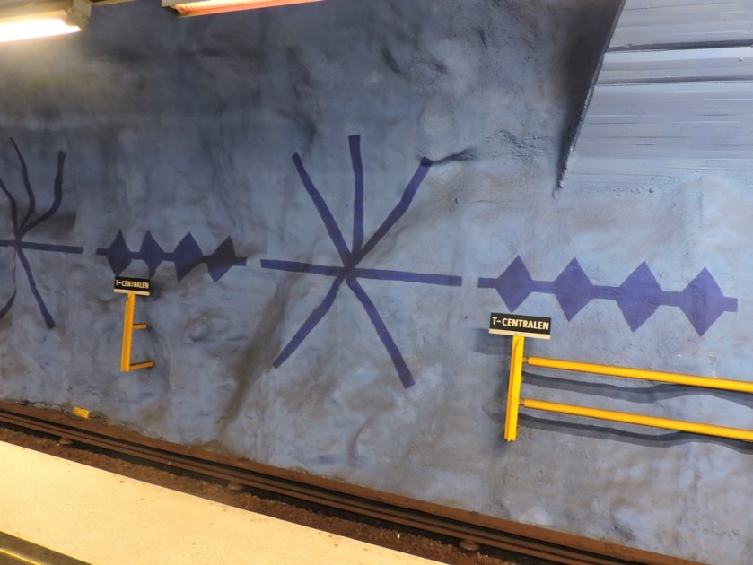
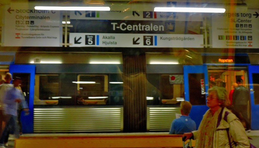
The only place where all three lines meet as at T-Centralen, and the interchanges between the blue line and the others are very long at that station. With only three lines meeting plus an interchange to mainline railways the arrangements here are not as labyrinthine as at the Bank-Monument complex in London which is probably the world record holder for user-unfriendly interchanges. Thus, when out on my own on that last full day I decided that I would avoid T-Centralen, making use of the interchange I had noted at Fridhelmsplan between the blue and green lines and the cross-platform interchanges available between the green and red lines at Gamla Stan and Slussen. The Fridhelmsplan interchange involves going up a travalator (it is not an escalator as it is smooth rather than stepped) but is very straightforward, unlike the multiple escalators and horizontal travalator of the T-Centralen interchange.
GAMLA STAN
Having changed at Fridhelmsplan I took a green line train to Gamla Stan, where I went for a long waterside walk which will feature in another post in this series. It was after this walk the my serious explorations began.
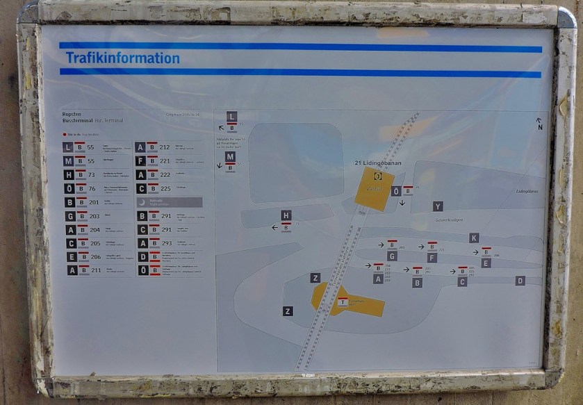
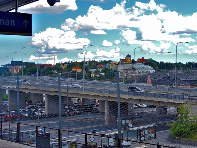
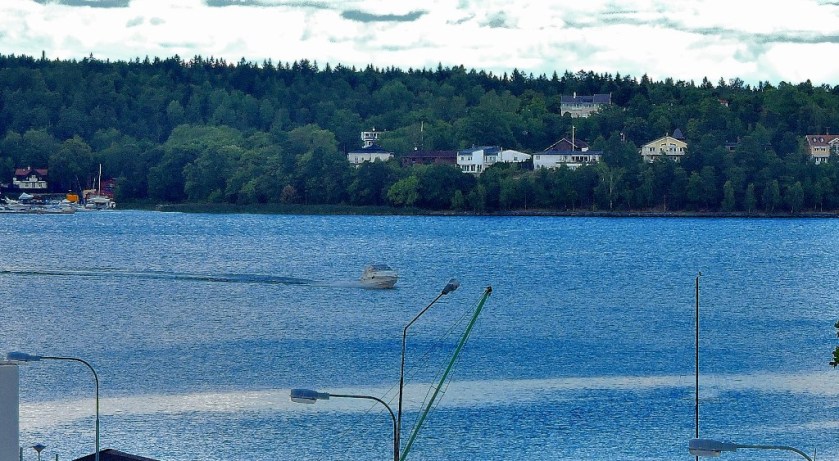
My first target was Ropsten on the red line…
The first of four pictures taken at Ropsten.
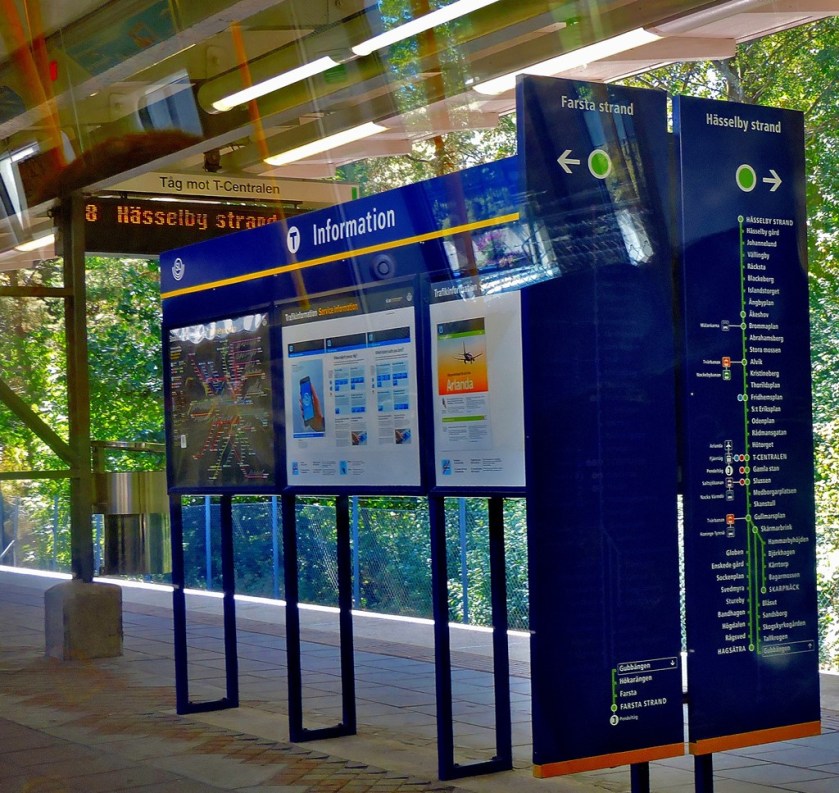
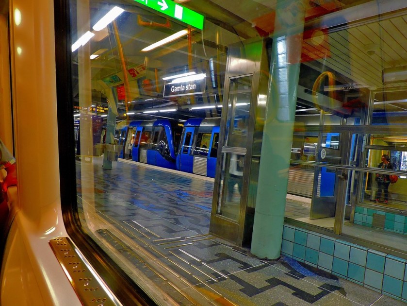
On on-train map.
My next move once I reached a suitable interchange point was to switch to the Green line and head to one of its terminus stations. The train I boarded was headed for…
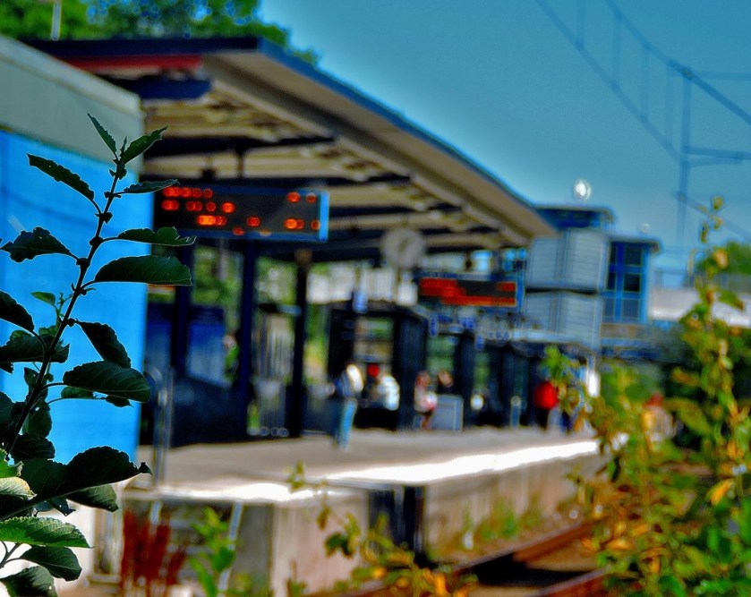
FARSTA STRAND
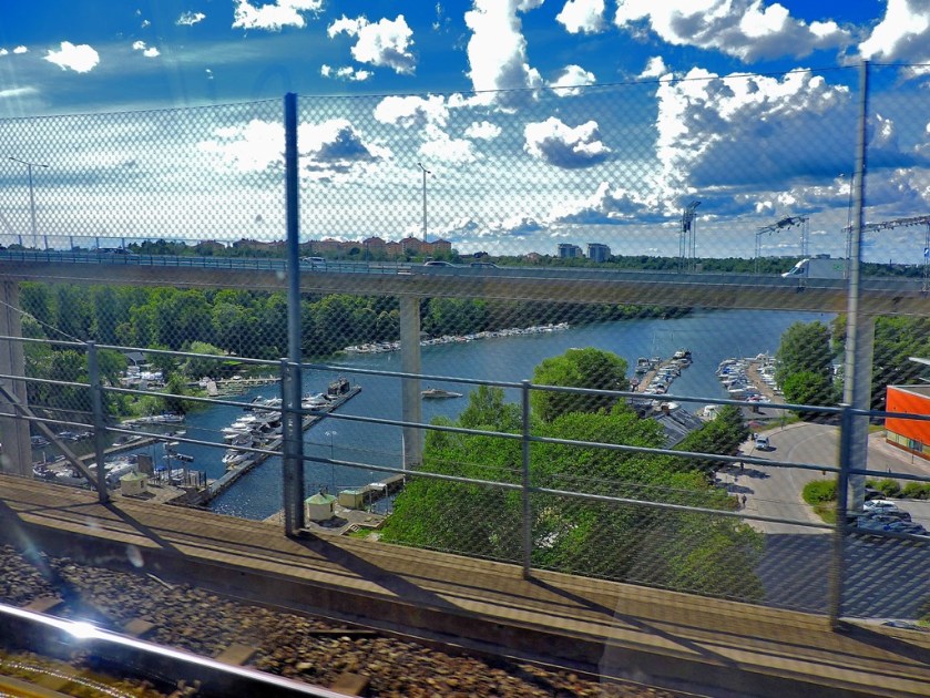
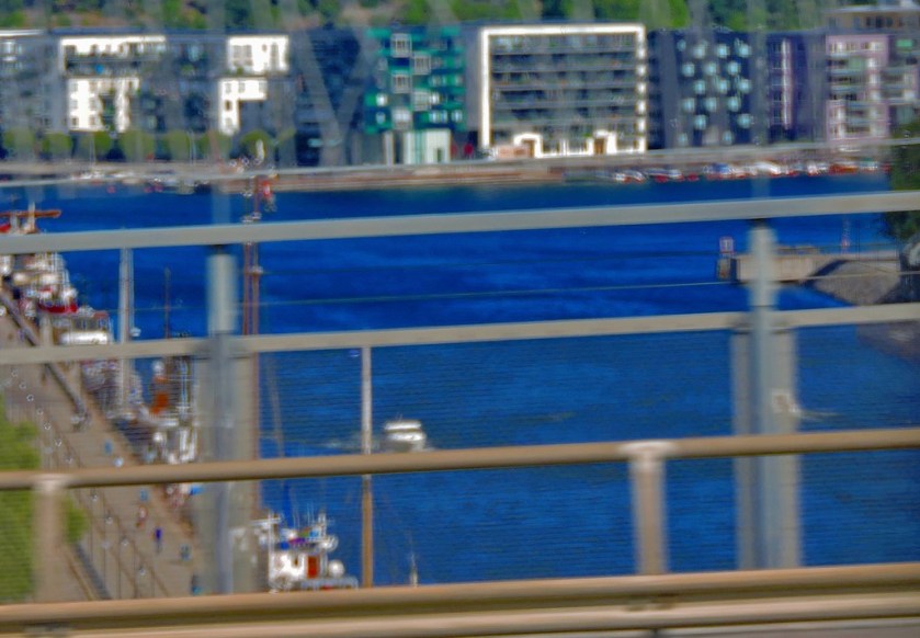
This journey was almost all open to the air, with parts of it being quite scenic.
At Farsta Strand I went for a bit of a walk to get a feel for the area.
This floor is on the way out of Farsta Strand
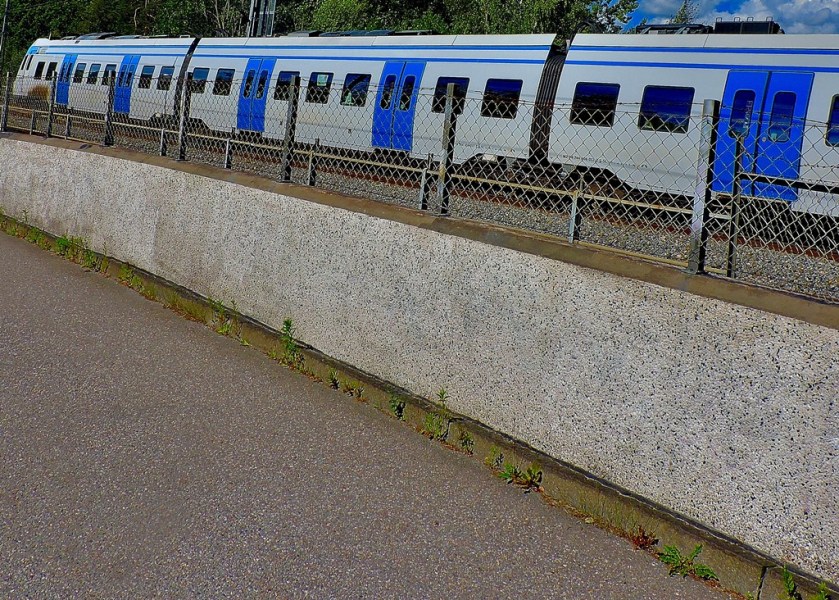
A mainline railway train nearby.
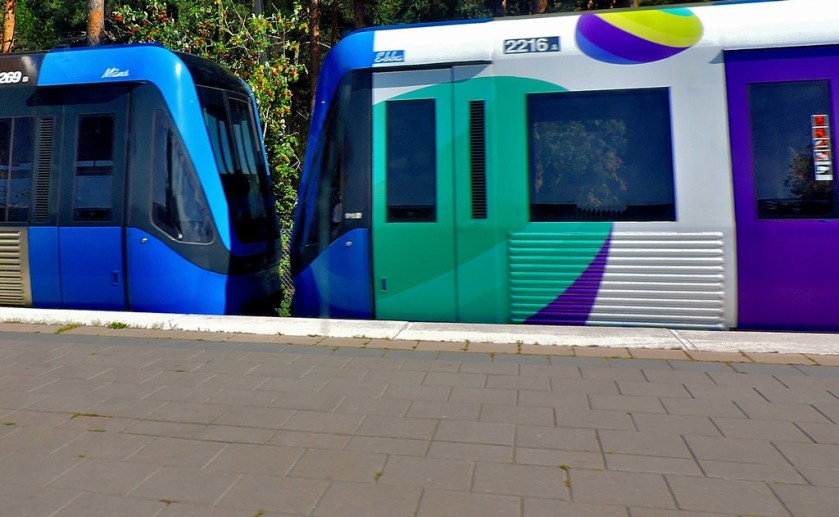
Four overhead shots of tunnelbana trains.
The station frontage at Farsta Strand.
From Farsta Strand I travelled to Fridhelmsplan where I changed to the blue line, having seen enough of the other two and having decided that I wished to see the whole of the blue line.
This shot has already featured in this series of posts, as a response to an MJP photo challenge.Back on the blue line.
THE BLUE LINE
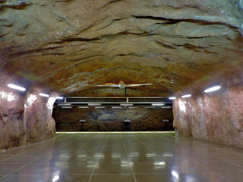
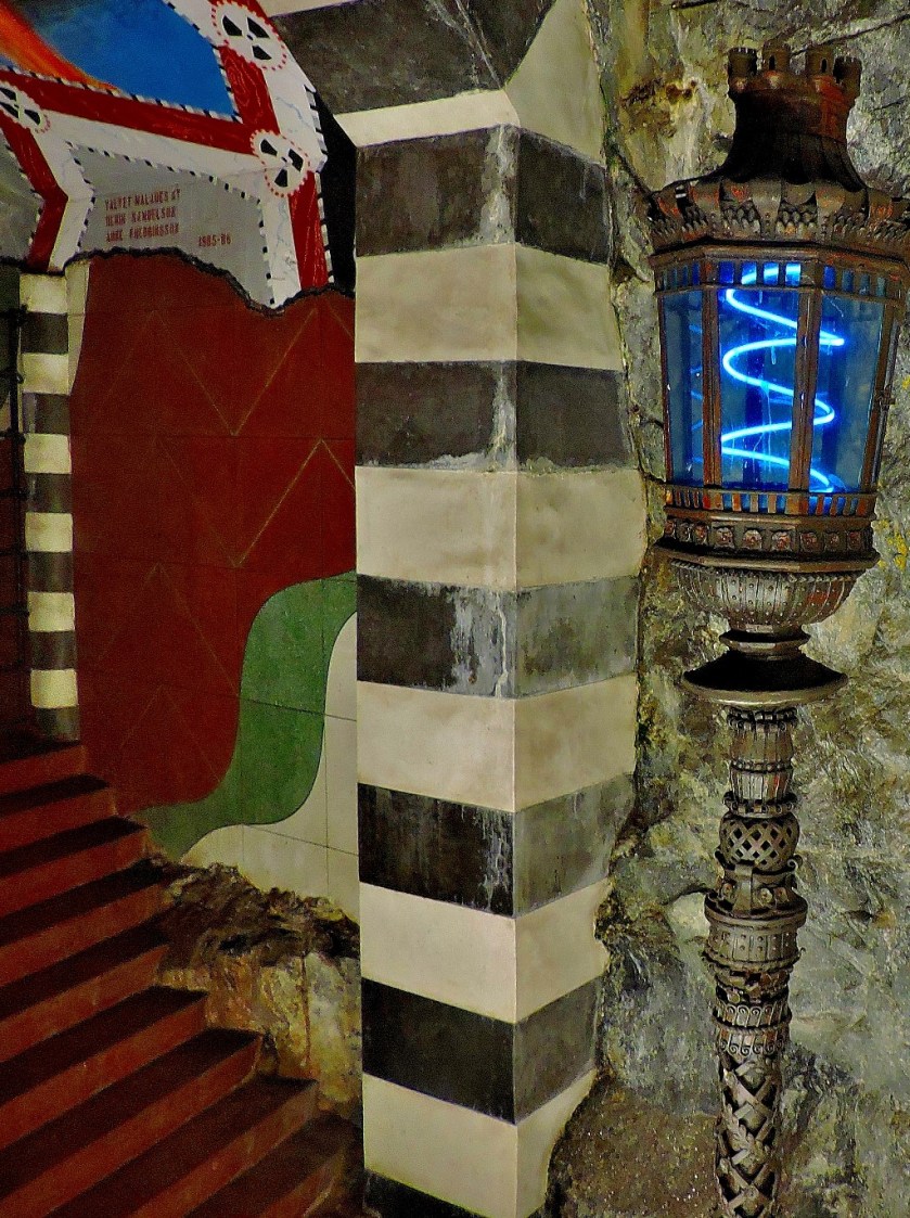
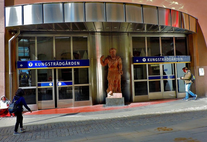
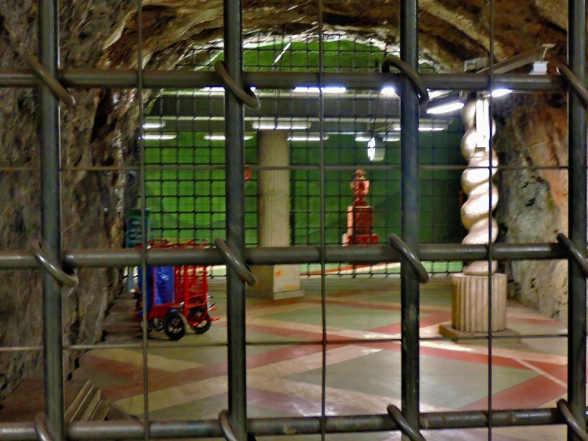
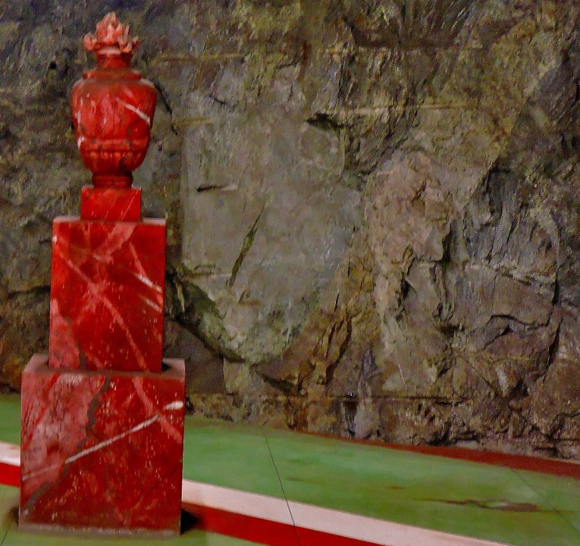
Back on the blue line I decided that my first move would to be explore Kungstragarden. I will be putting up a whole post about Kungstragarden, because there is so much to see at the surface there. The station is practically a destination in its own right, as the following pictures will indicate…
All of the 39 pictures in this set were taken at Kungstragarden (yes there is that much on display there at the station alone)
The surface building
Having explored Kungstragarden (and had lunch there), my next move was to get a train to…
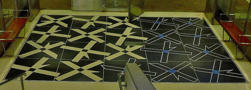
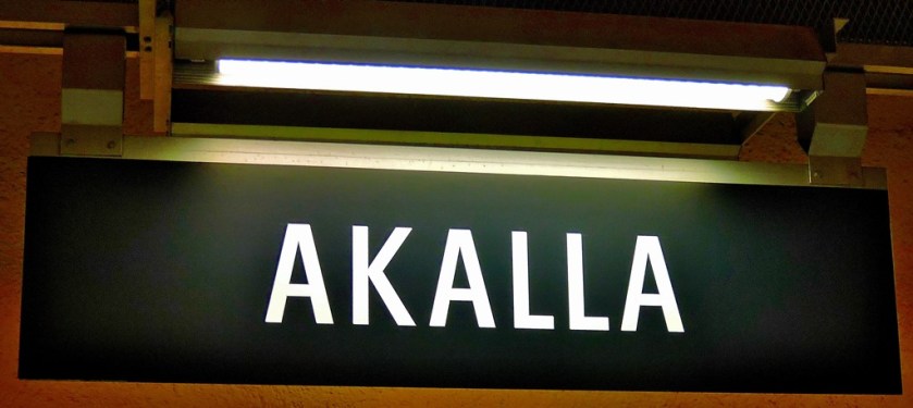
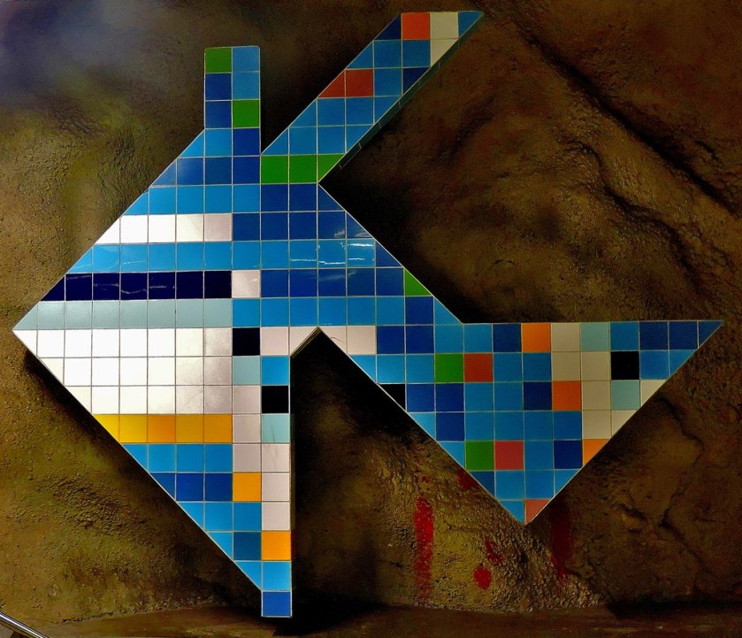
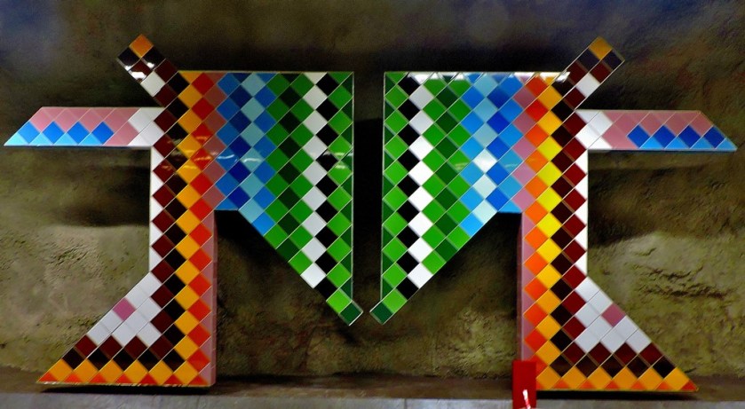
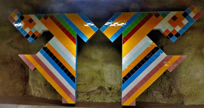
AKALLA
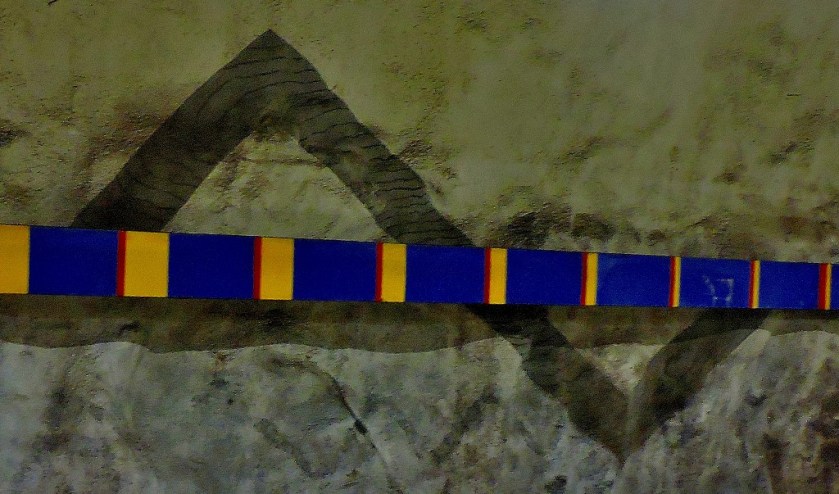
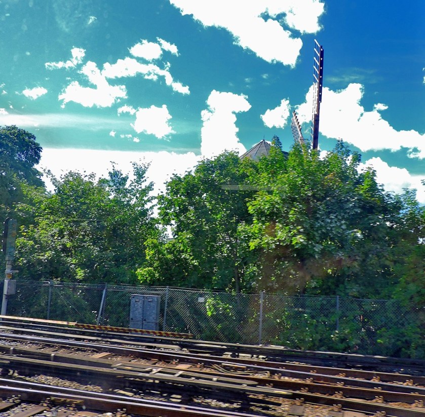
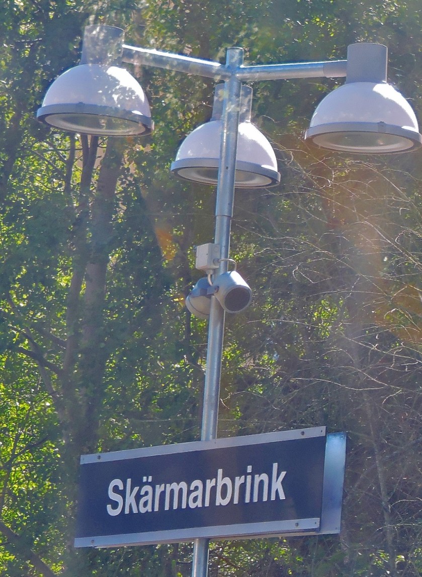
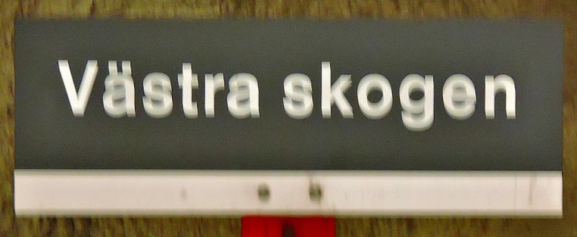
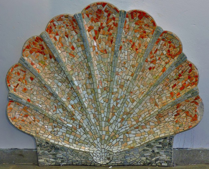
The journey to Akalla and then back as far as Vastra Skogen to change to the Hjulsta branch featured the only above ground section of the blue line, and plentiful art works some of which I was able to capture with my camera. Of course at Akalla and also at the change point of Vastra Skogen I had the advantage of not being on the train the whole time.
The first of several decorative tiling arrangements at Vastra Skogen (I do not think that when the individual pieces are this big one can fairly use the word mosaic).
My last travelling of the day was from Vastra Skogen to Hjulsta, and then back from Hjulsta to Huvudsta where I was being accommodated. I only got a few pictures from this last section of the journey.
FINAL THOUGHTS ON TUNNELBANA
Tunnelbana is a superbly efficient system, and the artwork which can be found everywhere on it, and especially the cave like station platform and passageway segments on the blue line boost it from the merely utilitarian (itself a level considerably above that usually attained by London Underground these days!) and make it a genuine attraction. Unless you are going to be catching a train from Stockholm Central I would recommend that you follow the approach I took on my day of exploration and avoid using T-Centralen as an interchange. I also recommend that you obtain a free Stockholm map (it includes the system diagram that appears at the top of this post). I have seen three underground systems that in different ways can claim uniqueness – London is the original, St Petersburg is further below the surface than any other, and Stockholm for reasons outlined above and (I hope) demonstrated throughout this post. I conclude by saying that I hope you have enjoyed this virtual tour of the Tunnelbana as much as I enjoyed both the real thing and creating this post.
The latest post in my series about my recent holiday in Sweden.
INTRODUCTION
Welcome to the next installment in my series of posts about my recent holiday in Sweden. I finished my previous post with an account of my accommodation in Gothenburg, and this post picks things up the following morning.
GETTING STARTED
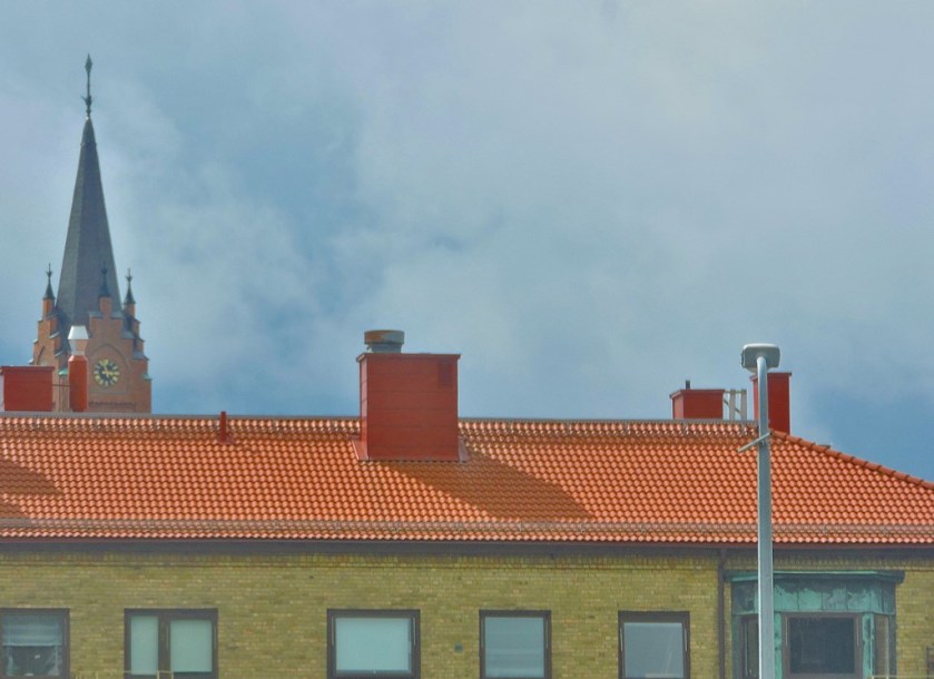
Since breakfast was included in the price of the room I was always going to partake. Everything about that breakfast was good, and I set off for Gothenburg Station in very good time, having booked myself on to a slow service to Stockholm. I took some photos on the walk to the station…
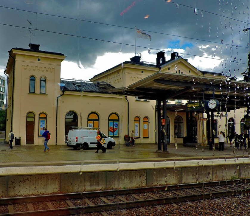
Having arrived at Gothenburg Station much earlier than needed I took the opportunity to take some photos there before heading for the platform a sensible 20 minutes before the train was due to depart…
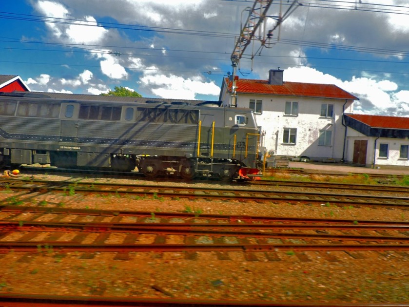
One way to present a map of a long thin country (pity about the lighting which spoiled the top part of the pic.
The train I was to travel on was a double decker (yes, on some Swedish routes they run double decker trains), although I my seat was on the lower deck.
I settled in to my window seat, camera at the ready…
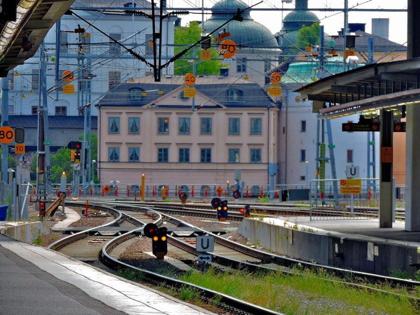
Arriving in Stockholm I took a time out at Stockholm Central station before purchasing a 24-hour Access Card for Tunnelbana and heading to Huvudsta, where my cousin and his fiance have their flat, where I would be staying for the last two nights of my holiday. The combination off my inter-rail pass giving me eight days travel, my own desire to do some more exploring in Stockholm and the fact that I was catching an early flight from Arlanda to Gatwick on my final morning led to me making this arrangement.
THE REMAINDER OF THIS SERIES
My explorations in Stockholm will account for three posts (Gamla Stan, Kungstragarden and a post specifically about Tunnelbana), my departure one small post and a final ‘maps special’ post which will also serve as a kind of index – as with each map I shall include links to the posts to which that map relates. At the latest the final post in this series will go up on Saturday, since Sunday is Heritage Open Day and therefore the signal for the start of another series of blog posts, this time set closer to home.
The latest in my series of posts about my recent holiday in Sweden.
INTRODUCTION
Welcome to the latest in my series of posts about my recent holiday in Sweden. At the heart of this post is a largely photographic account of a very scenic railway journey.
LEAVING MALMO
I booked a seat on a train to Gothenburg that allowed me plenty of time to pack, check out and get to the station. For the price paid the STF Hostel at Malmo was a great success. My review as requested by booking.com can be seen here.
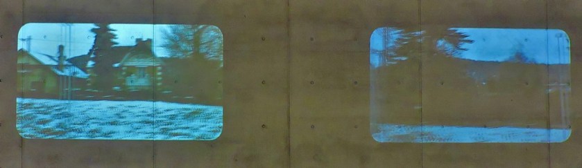
I was indeed at Malmo Central Station long before I needed to (pictures of this station can be viewed here). The platform I needed to catch my train from was displayed well in advance (no London King’s Cross style nonsense of showing the platform that you need to get to the far end of since your train splits at Cambridge with only the front portion continuing onwards a bare five minutes before your train will be leaving). Malmo Central has an unusual feature for a main-line railway station in that some of the platforms are underground, reached via lifts or escalators. These platforms feature a film-type display based on views through a train window to relieve the monotony:
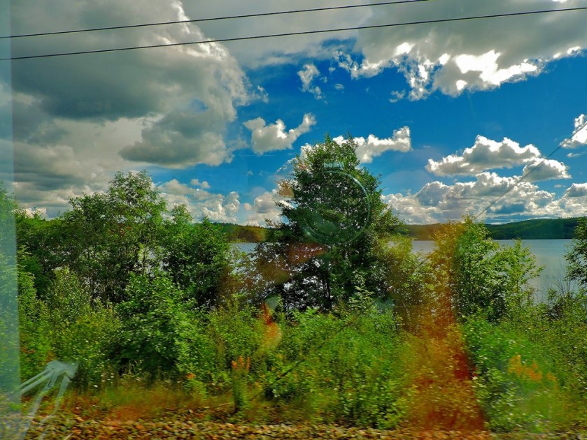
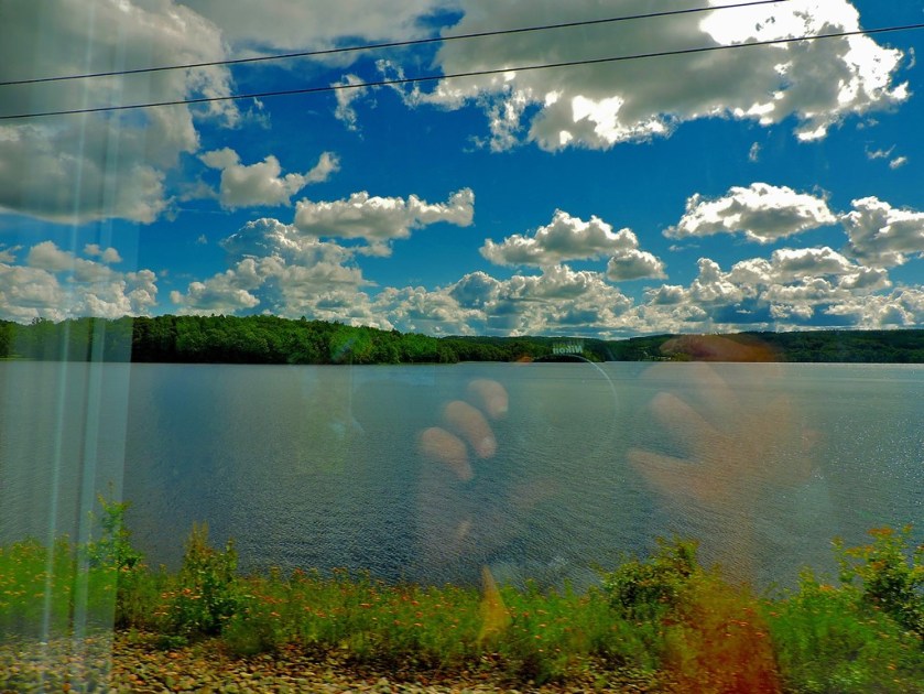
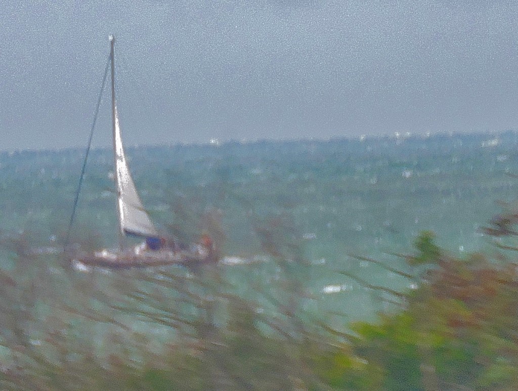
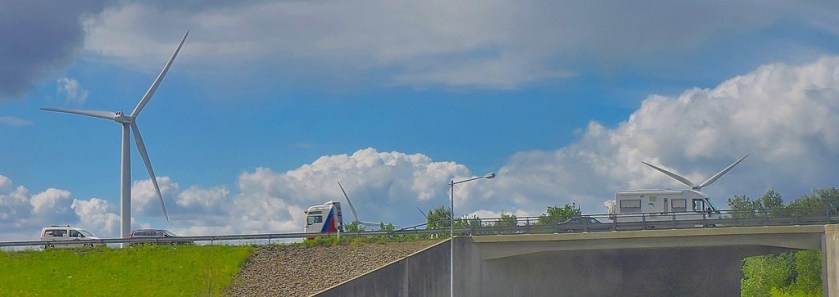
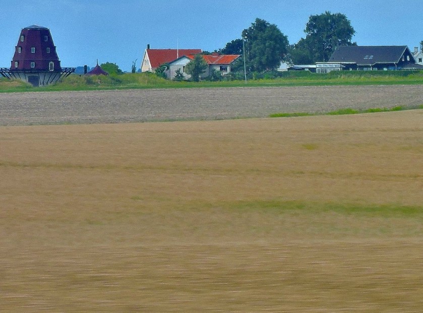
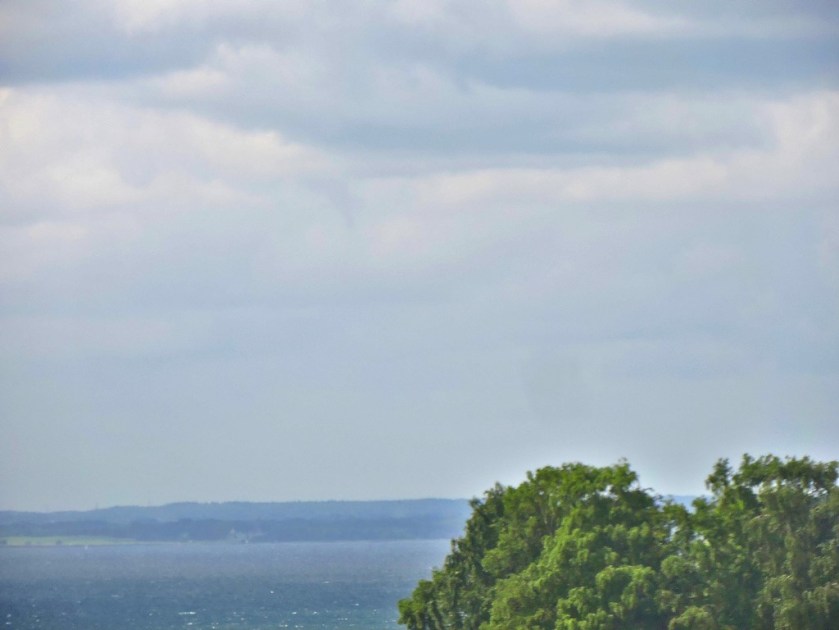
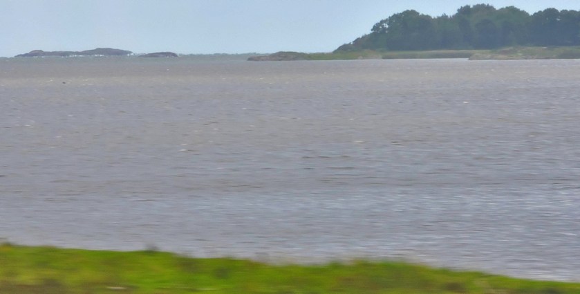
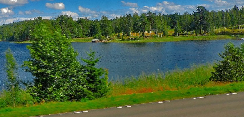
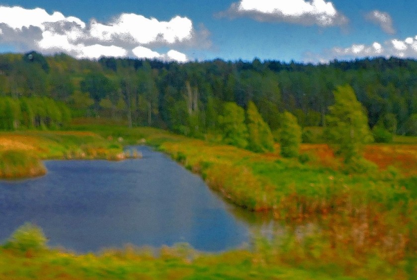
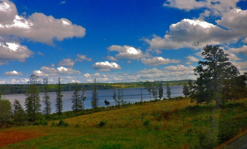
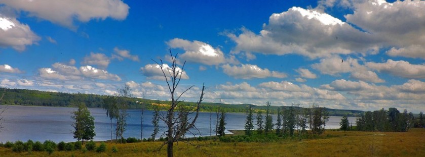
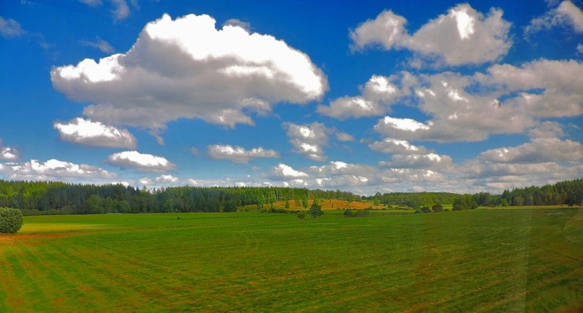
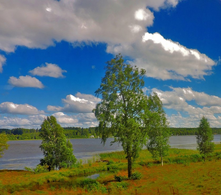
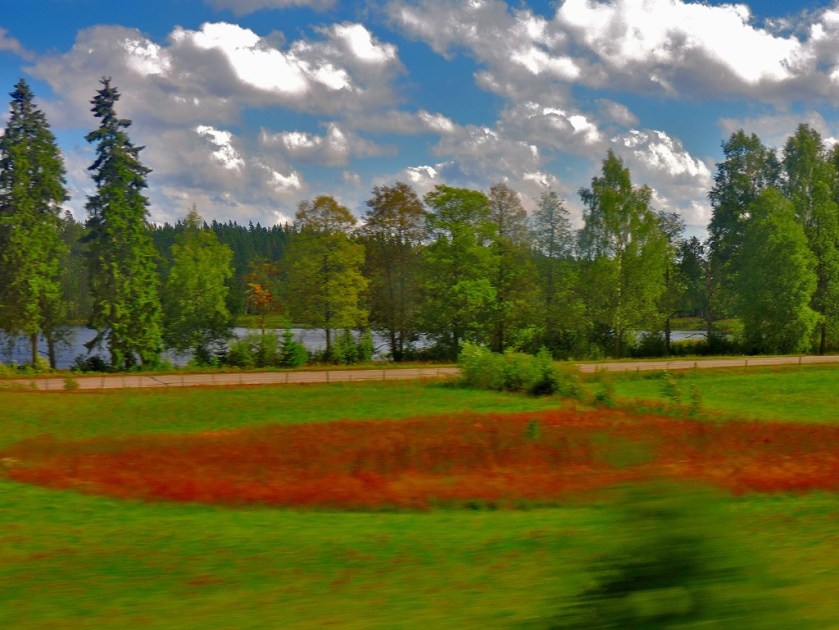
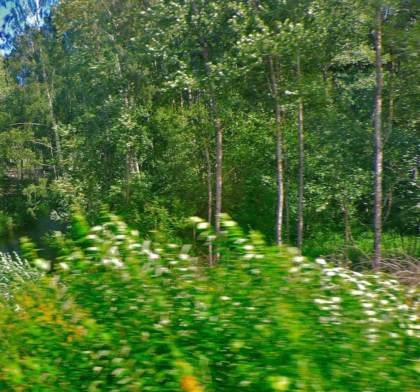
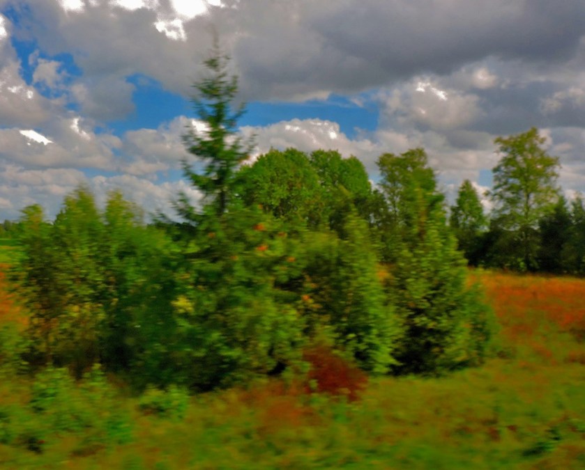
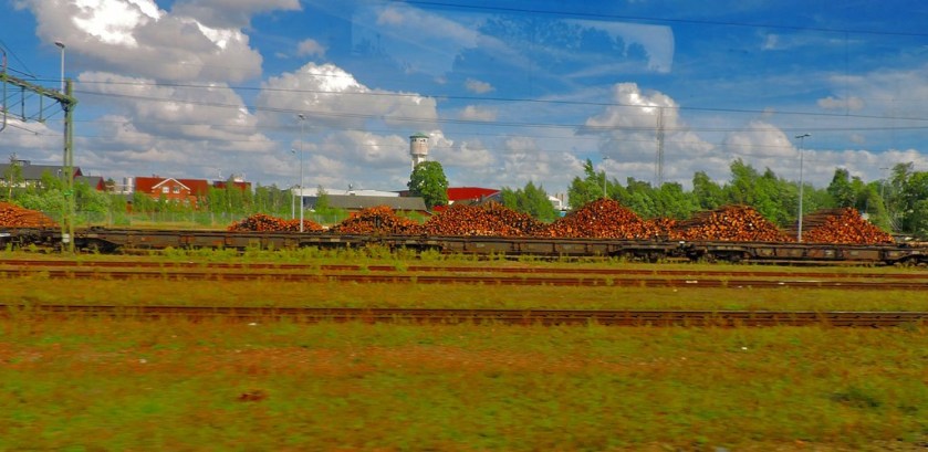
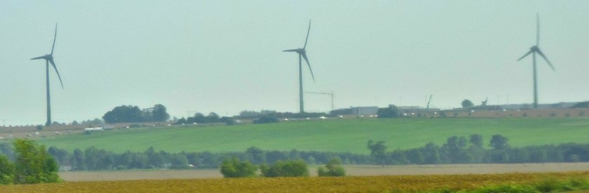
The route from Malmo to Gothenburg travels along the only West facing coastline in Sweden (just north of Gothenburg you reach the start of the long land border with Norway, which continues north and then east until you arrive at the much shorter land border with Finland, which ends at the top of the Gulf of Bothnia, after which it is coastline all the way round to Gothenburg), and is very scenic…
All of the pictures you see in this section of the post were taken through the window of a train.
The rain made this one even more of a challenge.
LOCATING MY HOTEL
The main tourist information office in Gothenburg is located inside a large shopping centre which is accessible directly from the station. They were able to equip me with a map and directions to my hotel, and I set about finding my way there…
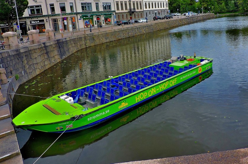
This is at Gothenburg stationCrossing a canalWater transport.
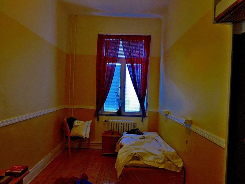
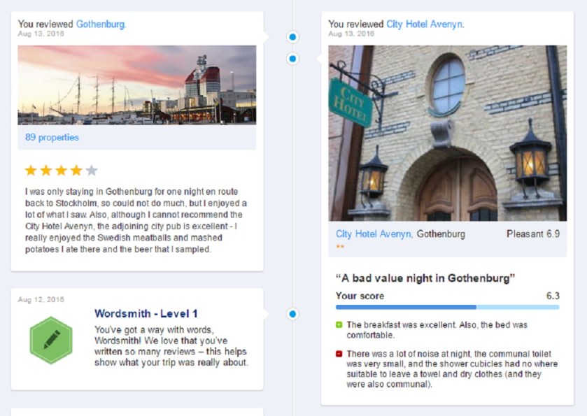
My room at the City Hotel Avenyn – small, but not sharedA painting that hangs on the second floor of the hotel, just along the corridor from my room.
Just before I reached the City Hotel Avenyn I noted the City Pub next door it. After paying for my room I still had nearly 1,o00 Kronor left, so I decided to treat myself to a meal at the pub.
I consumed an excellent meal of Swedish meatballs and mashed potato, washed down with a couple of glasses of a good local beer. While I was there, one of the TV screens was showing an Olympic handball match between Sweden and Russia. The Swedes won – it was close for most of the first half, but then Sweden pulled clear and were never seriously threatened thereafter. After that it was time to head back to my room. Unfortunately, there was a lot of noise during the night. Here, courtesy of a screen-grab from booking.com is what I had to say about Gothenburg itself and my accommodation:
The latest in my series of blog posts about my recent holiday in Sweden.
INTRODUCTION
Welcome to the latest post in my series about my recent holiday in Sweden.
STARTING THE DAY
Once I had followed instructions for ensuring the cleaners knew that my bed was reserved for another night and made sure that none of the stuff I was leaving in the dorm room would get in their way it was time to set off to explore Malmo, although my first photograph of the day was taken before I had left the building:
HEADING TO THE CENTRE OF MALMO
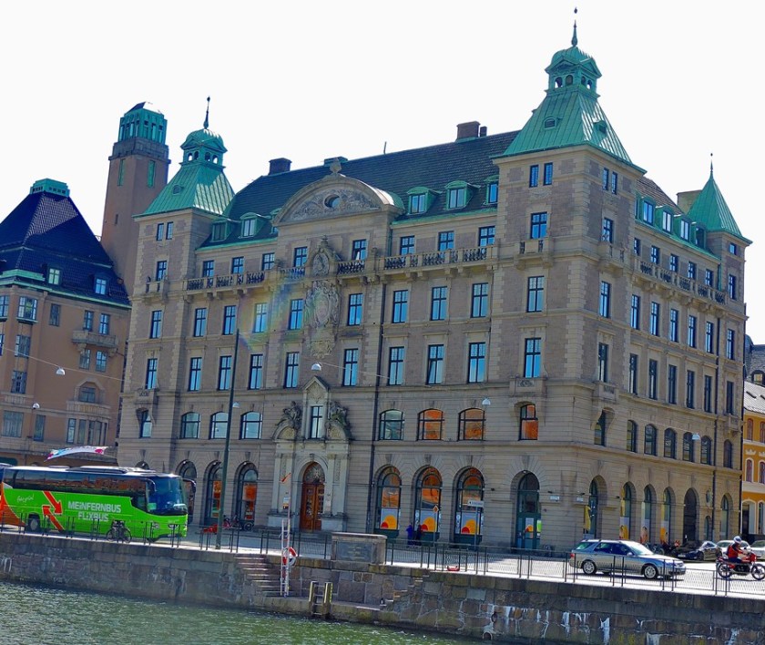
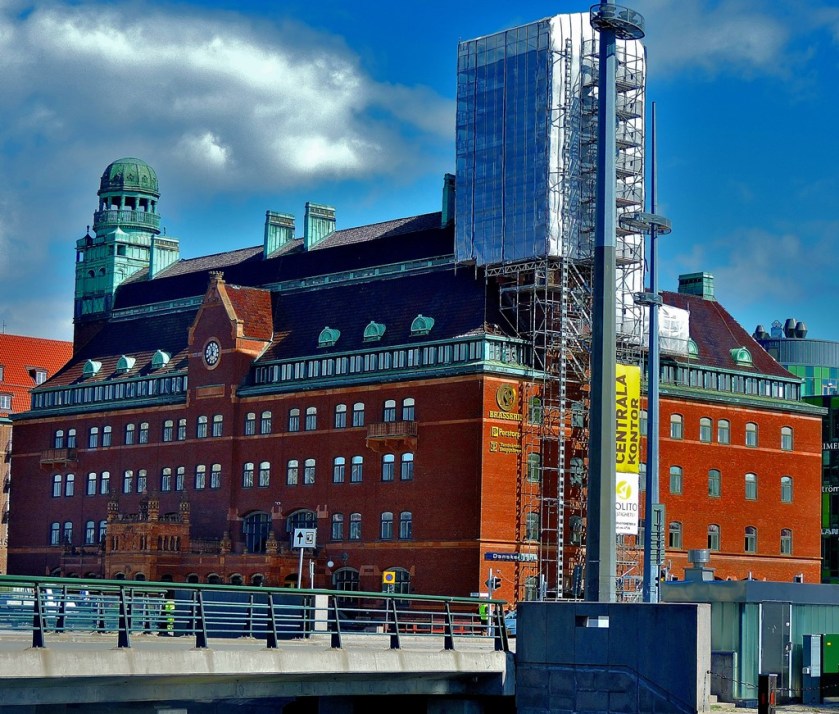
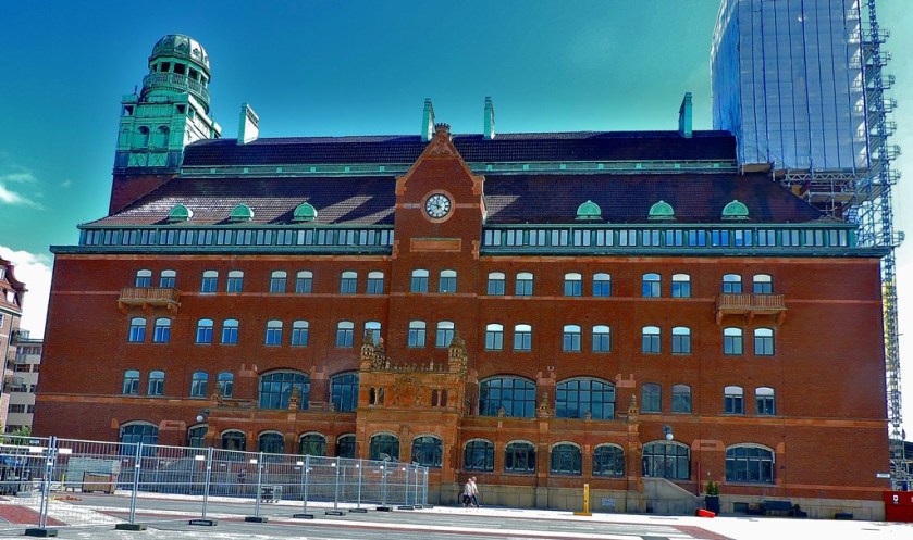
The first major building I spotted on my way towards the town centre was the public library (Stad Bibliotek in Swedish):
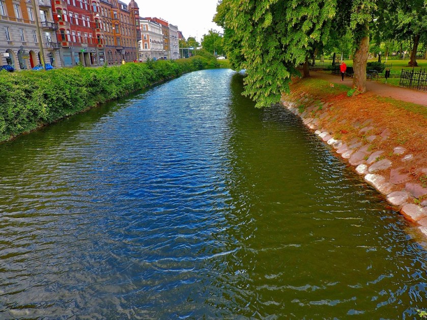
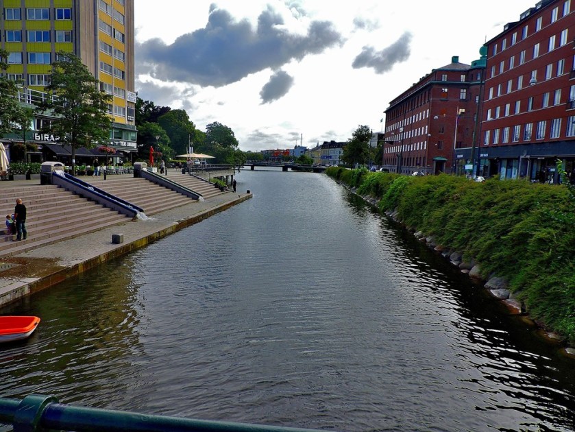
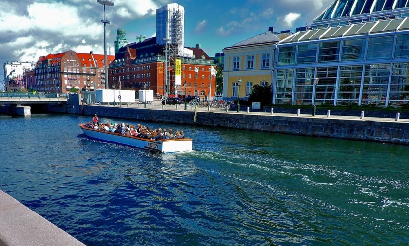
Arriving at the first of many waterways I took a brief walk in the opposite direction along it to the one I was ultimately going to be headed in (deliberately so)…
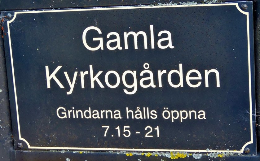
Then I faced a choice between staying with the road or going by way of the Gamla Kyrkogarden (old churchyard – gamla = old, kyrko has the same meaning as the Scottish kirk, and the g in Swedish is usually pronounced as an English y, giving ‘yarden’ or removing the last two letters, yard), I naturally chose the latter)
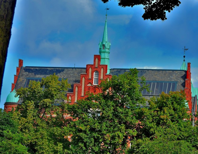
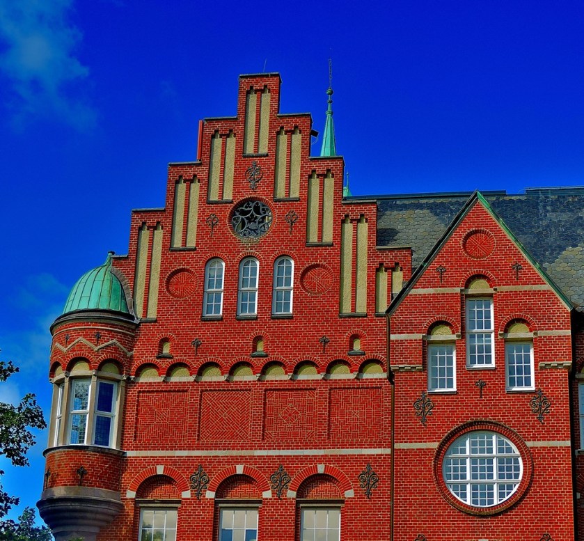
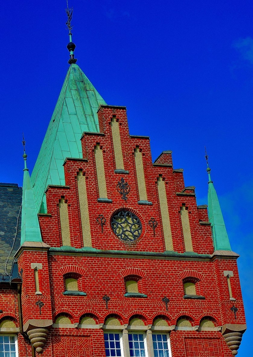
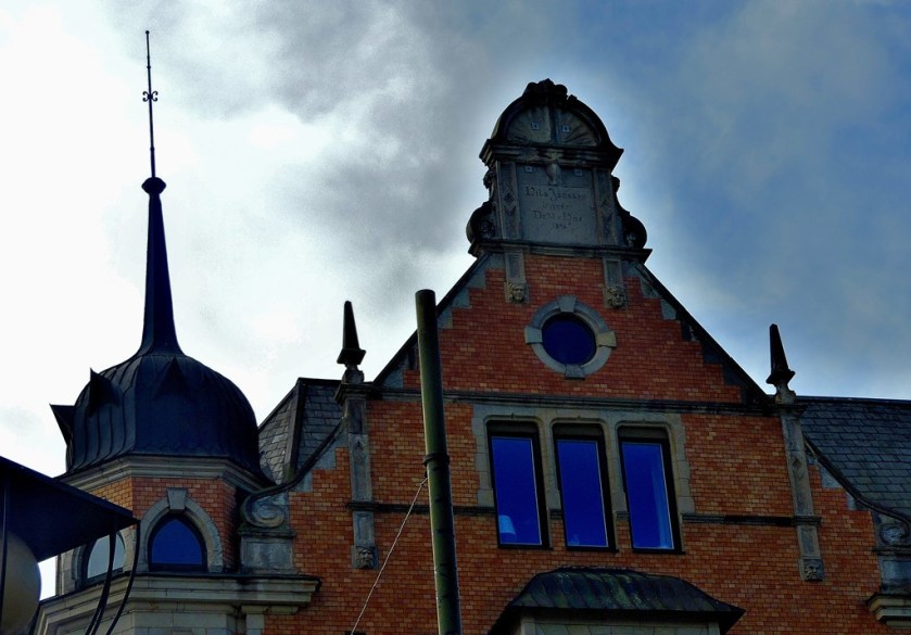
This building, spotted as I was leaving Gamla Kyrkogarden was very impressive:
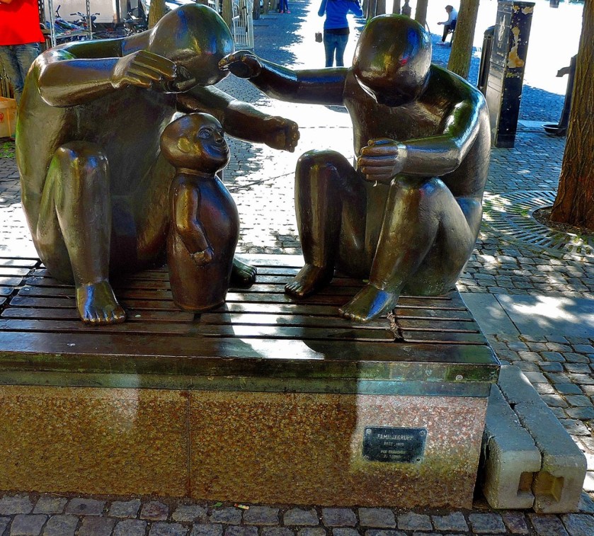
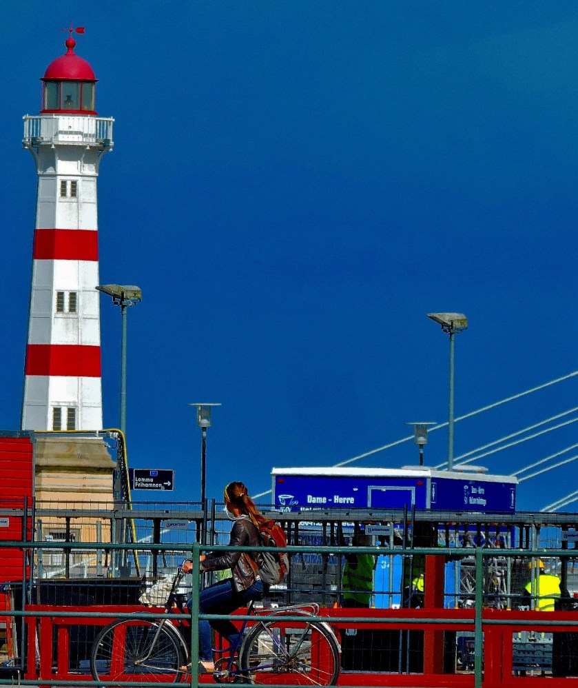
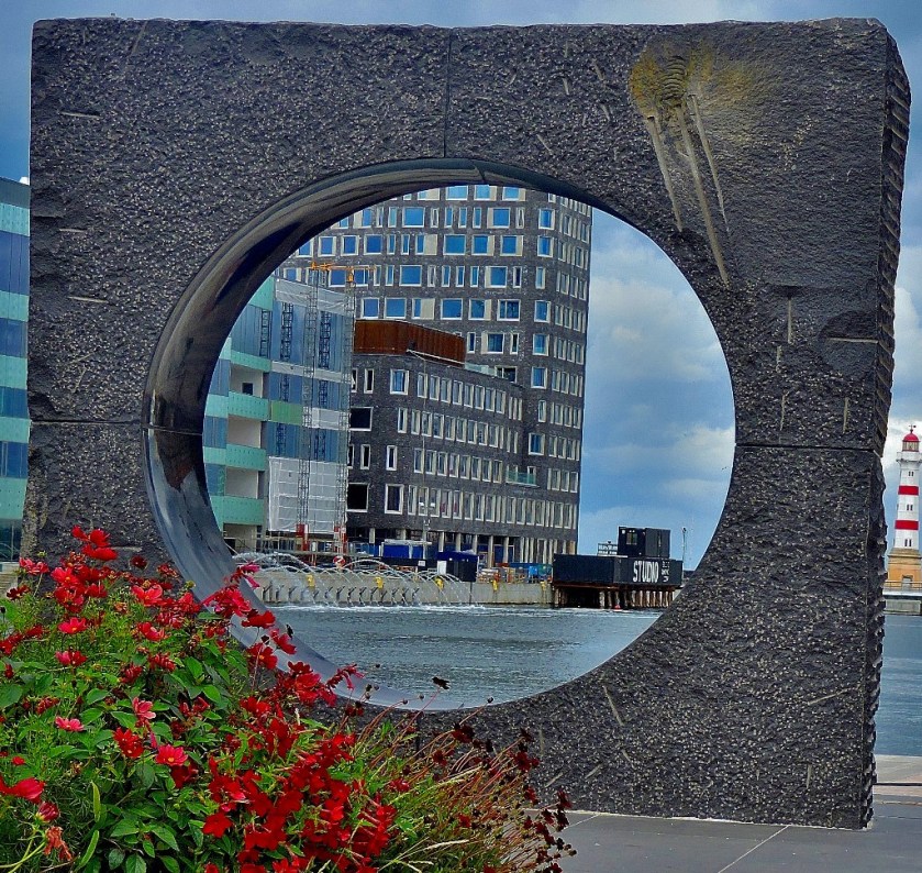
It was at this point that I got my first sight of a notable feature of Malmo…
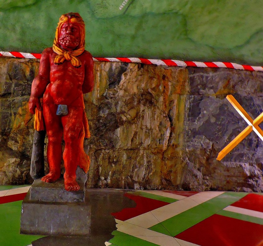
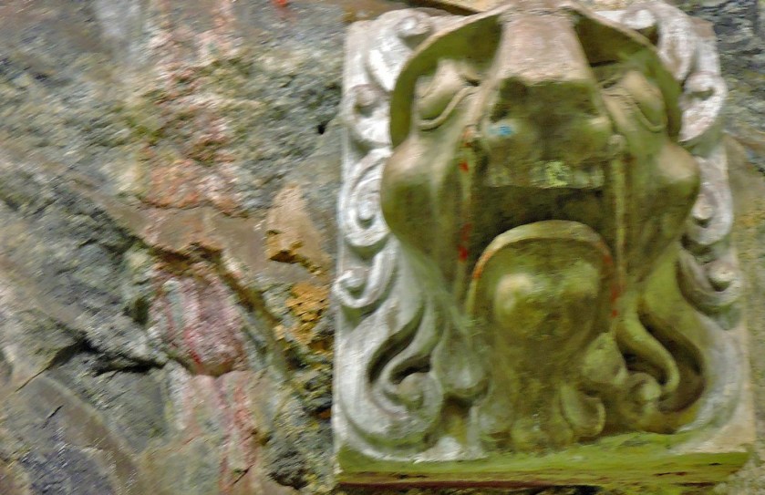
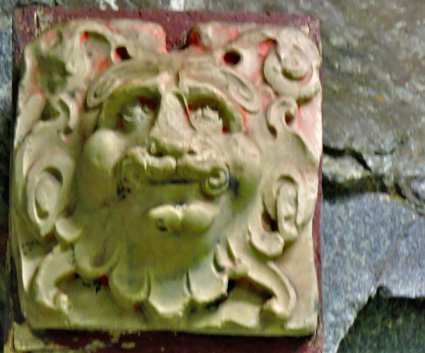
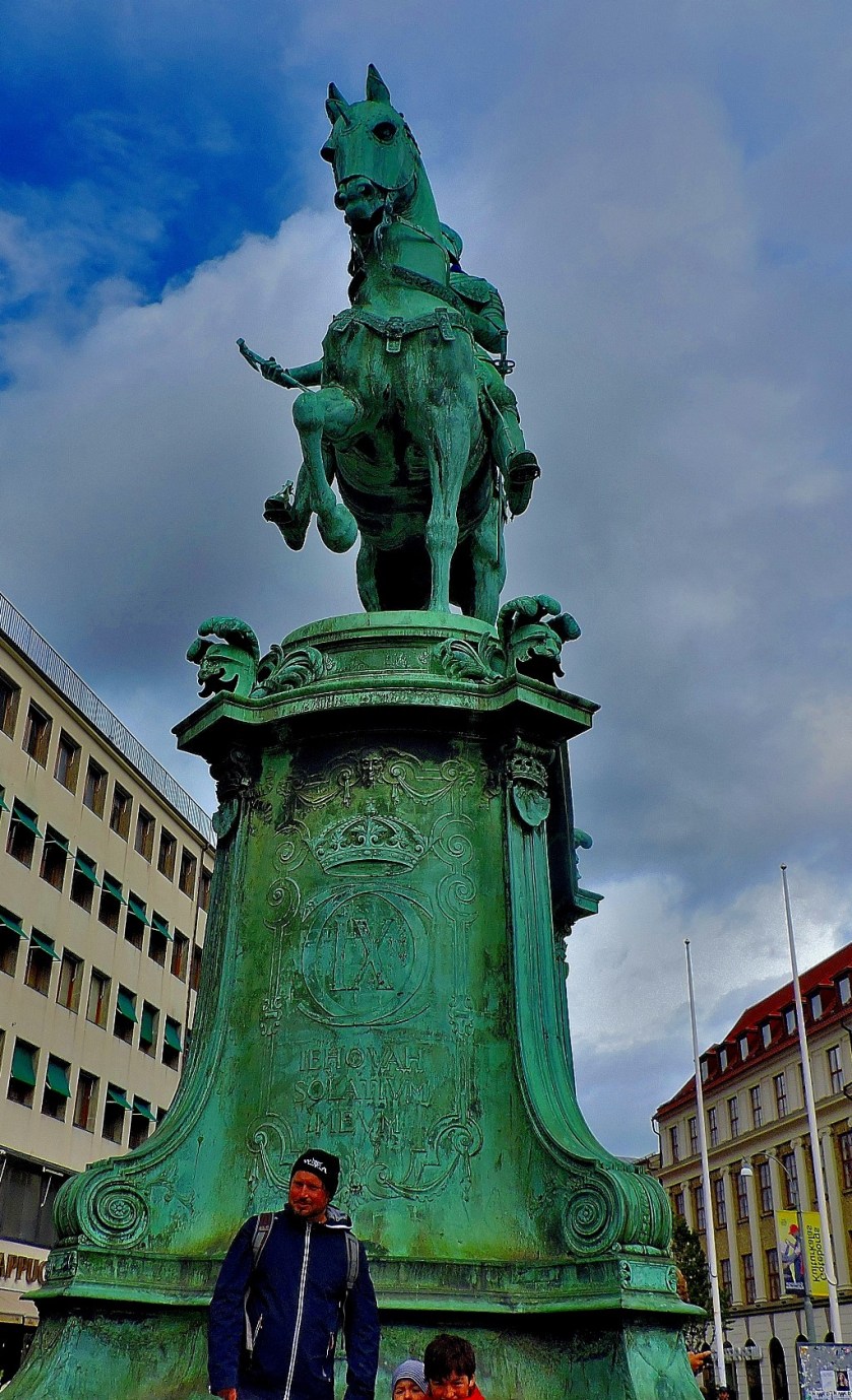
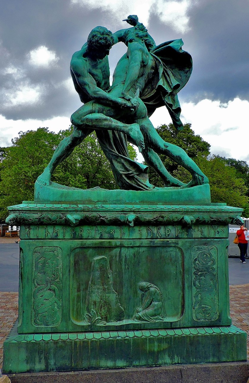
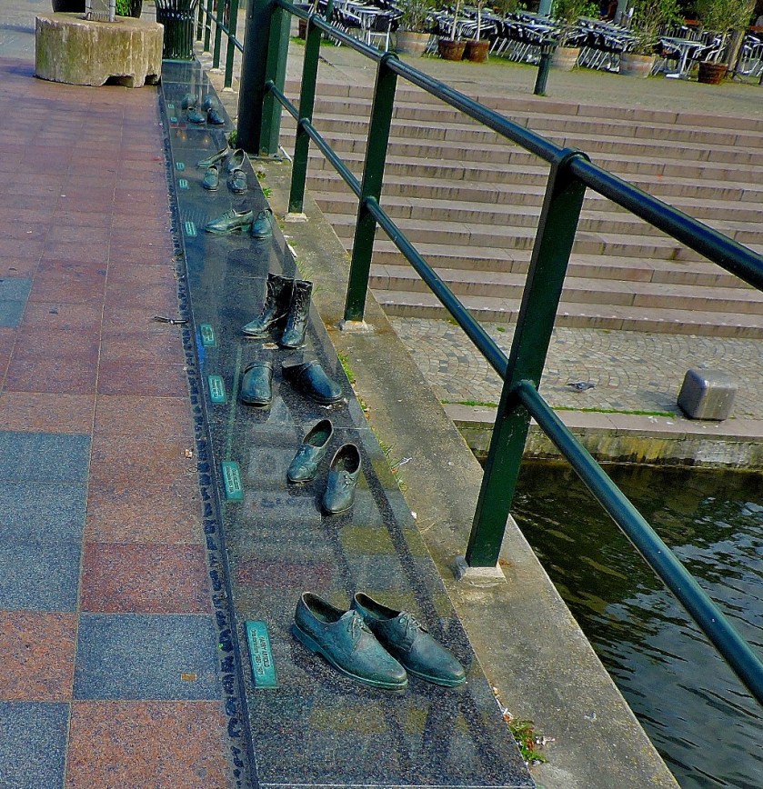
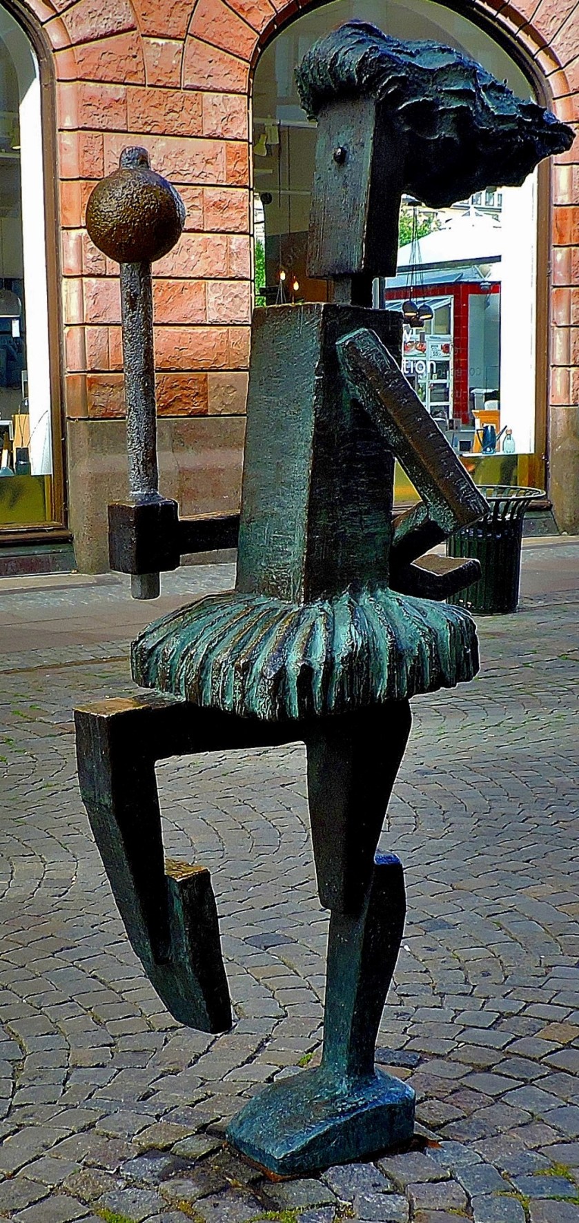
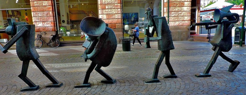
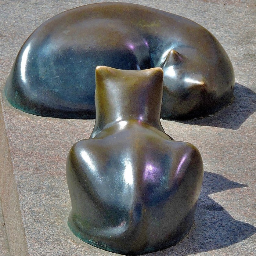
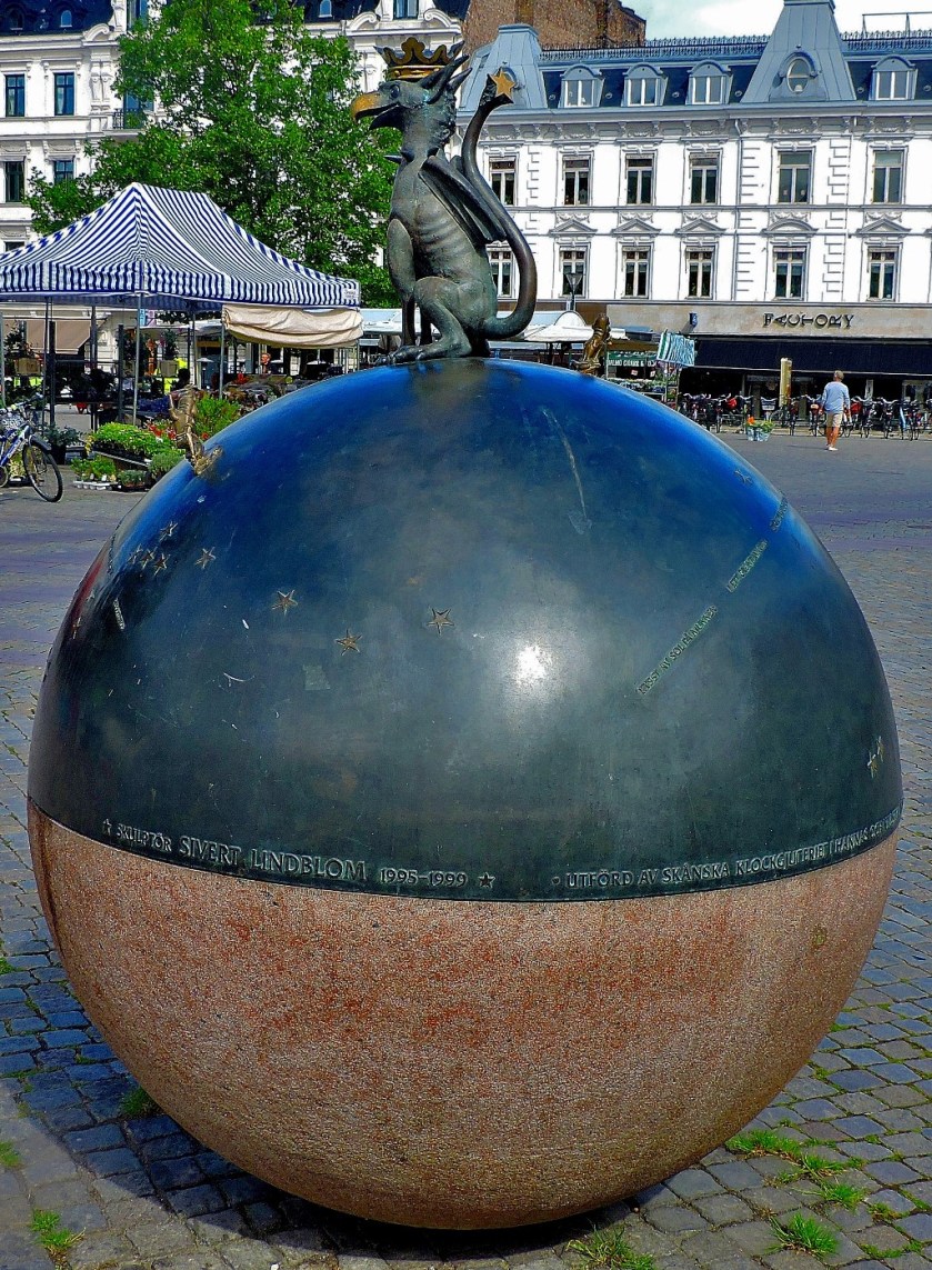
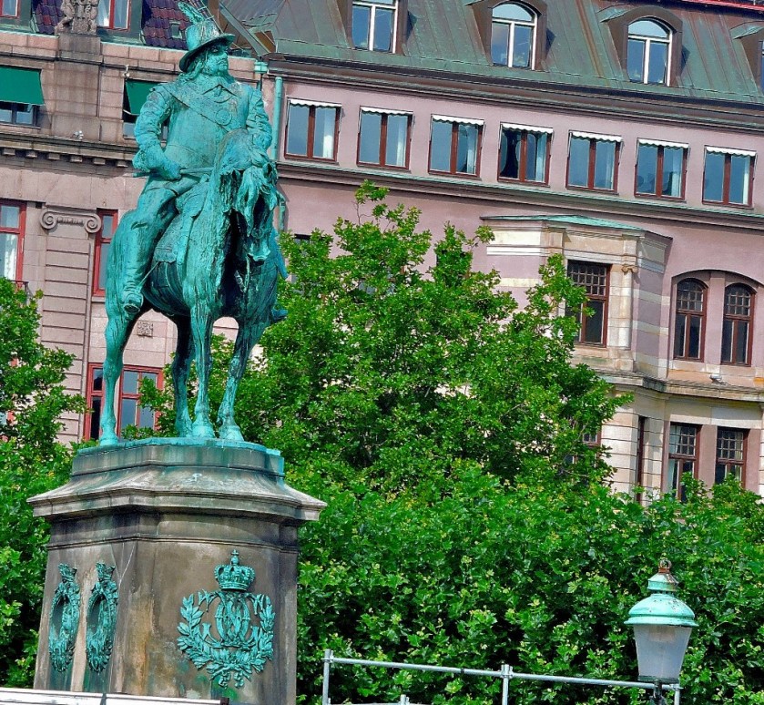
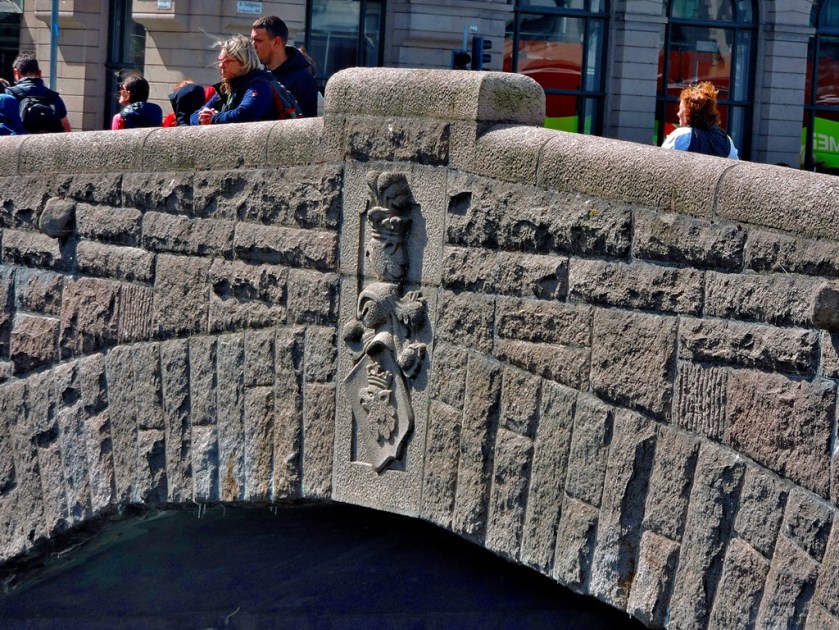
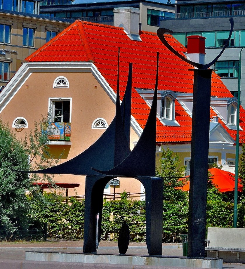
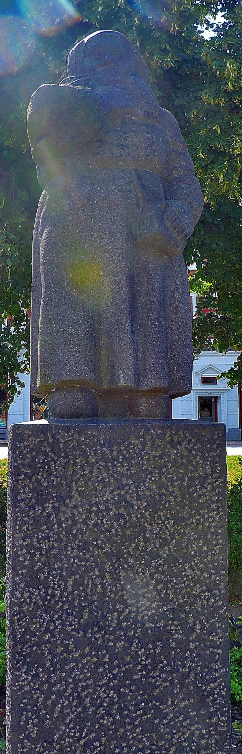
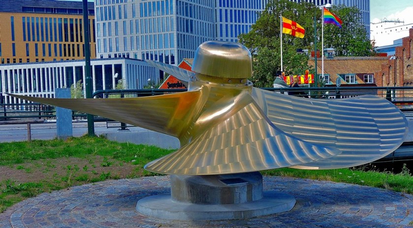
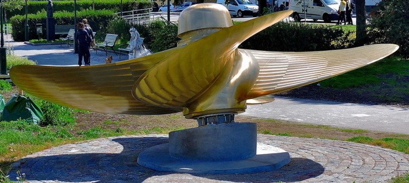
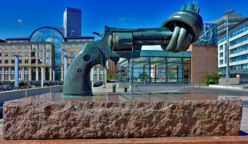
BRONZE SCULPTURES
I have not seen anything quite like these elsewhere:
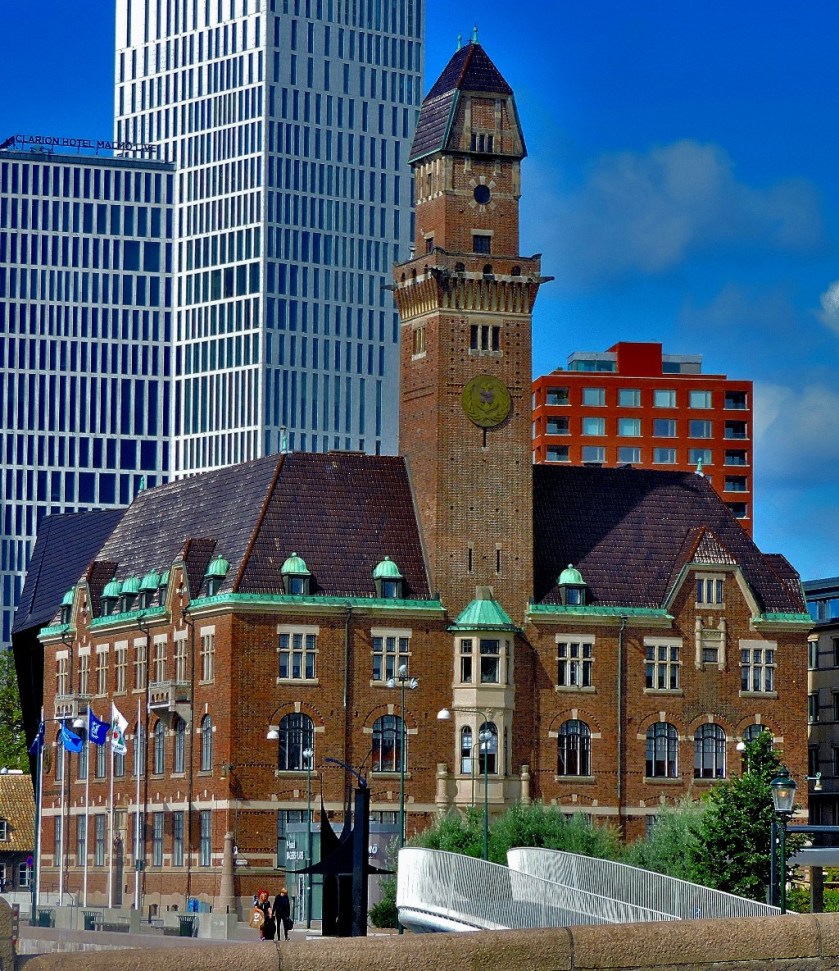
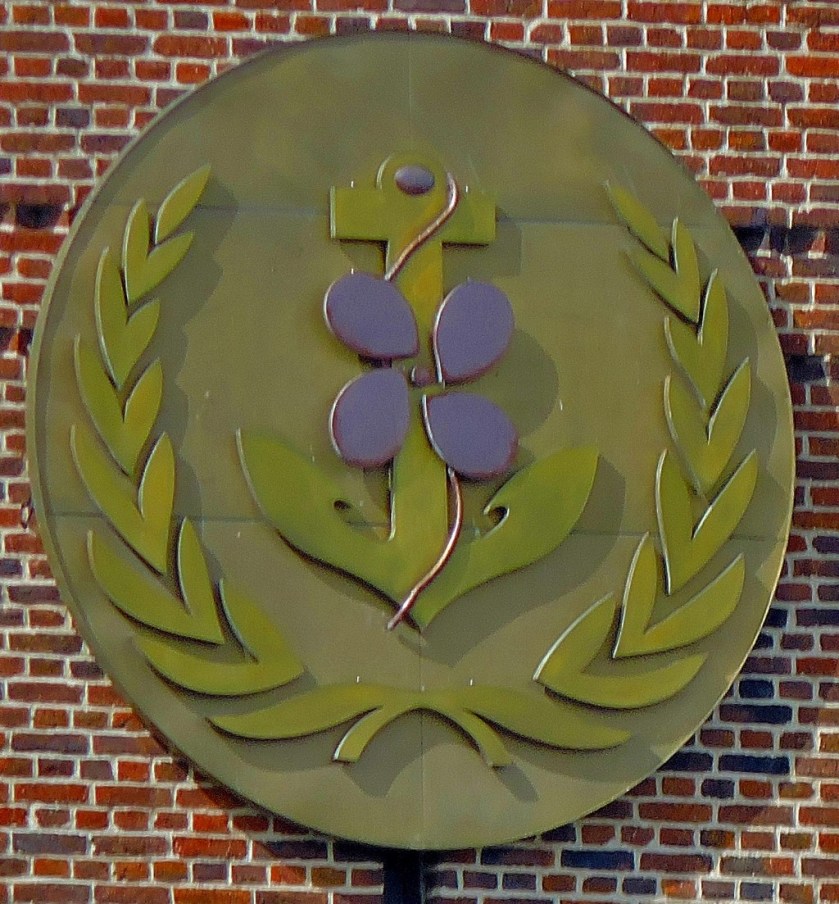
At this stage I was heading towards the station, to visit the supermarket to buy food before continuing my explorations. However, I was not by any means hurrying, and was still getting plenty of pictures…
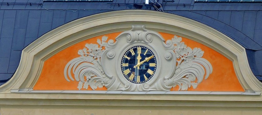
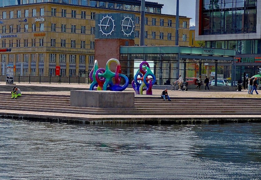
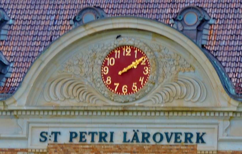
This remarkable clockface is in the covered market adjoining the station, by way of which one can access the supermarket.
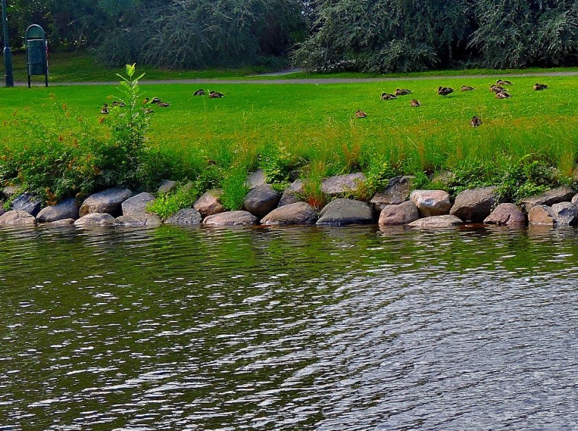
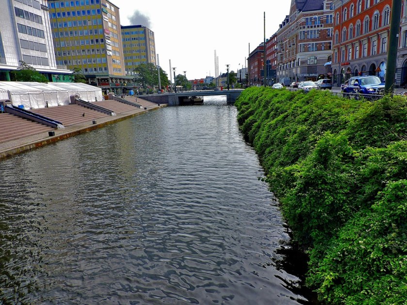
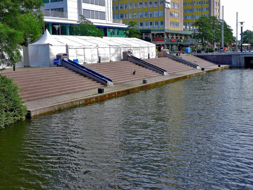
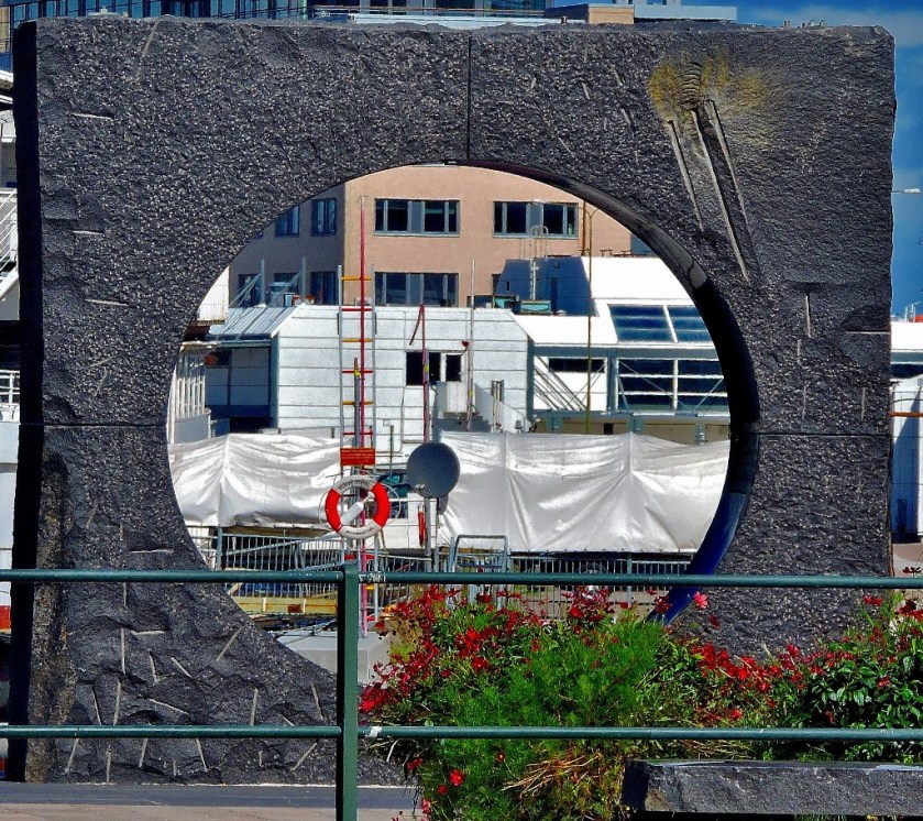
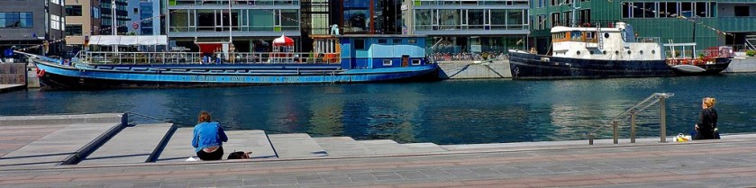
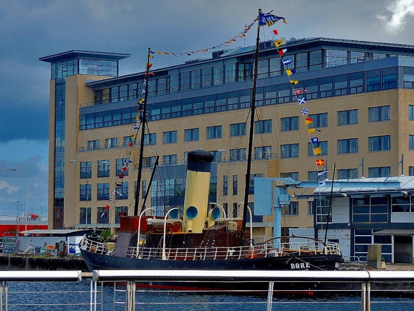
Leaving the supermarket I headed for more water, deciding to see as much waterside as I could contrive…
Still envisaging being able to make this a circular walk, avoiding retracing my steps, I continued on, sticking as close to the water as possible.
I was not ultimately able to stay at the waterside the whole time – I soon found myself in a light industrial development and obliged to temporarily head away from the water, but I got back to a waterside location to eat my lunch…
I began to head in the general direction of the hostel, although my day’s photography was by no means done…
My first photo of the day was taken at the hostel, and so was this, my last photo of the day.
However, it was now time to move on, with the next destination being Malmo. Leaving the hotel I headed for the station, could not work out which train was best to take with my destination being Malmo or spot a member of staff to ask, so I boarded a train bound for Stockholm Central, reasoning that there would probably be a direct connection from there to Malmo and if not there would be staff there.
Other than having to get a later connection than I would have like to Malmo, due to the necessity of reserving a seat (Stockholm-Malmo is a route on which such is required), I got my onward train from Stockholm with no great difficulty. I did what I had done on the Inlandsbanan journey and spent the journey looking through the window, taking photographs along the way…
A MINOR DIFFICULTY IN MALMO
My train was scheduled to arrive at Malmo at 16:47, which of course it did, Malmo’s tourist information office closes at 17:00. I failed to locate it before it had closed, and the various people I asked for advice about how to get to my accommodation were unable to be of much assistance. Eventually I ascertained that by catching a bus to Davids Hall I could get close. Sadly, it was not possible to pay cash on the bus, and at Pressbyran, where the driver had said I could buy a ticket they directed me elsewhere. Unable to find the place to which I had been directed I finally resorted to a taxi. On this occasion I was booked into a six-bed dorm. This proved rather more commodious than the four-bed dorm at Uppsala. While I was still on a top bunk, this one was properly accessible.
I had seen enough in the environs of the station and on the taxi ride to suggest that Malmo would repay detailed exploration on the morrow…