A brief account of another staging post on my road to recovery.
INTRODUCTION
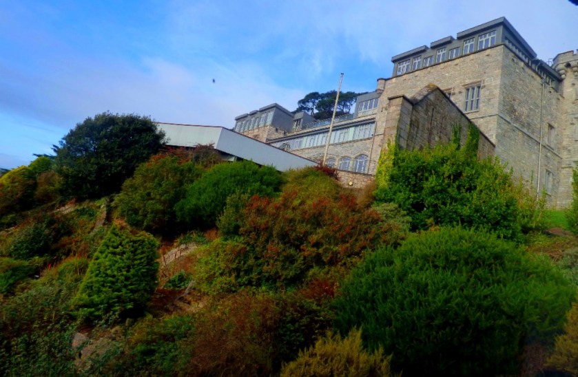
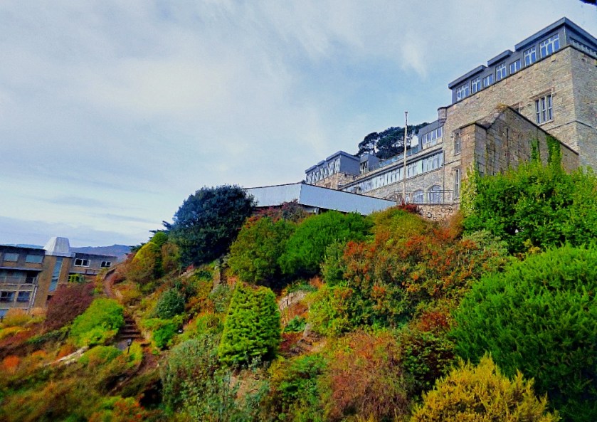
This afternoon saw another staging post in my receovery from cancer…
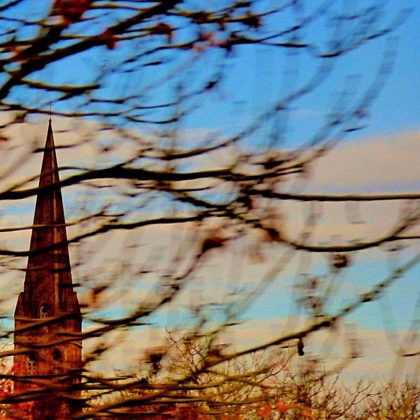
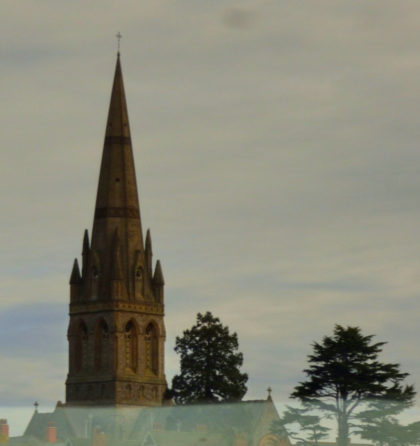
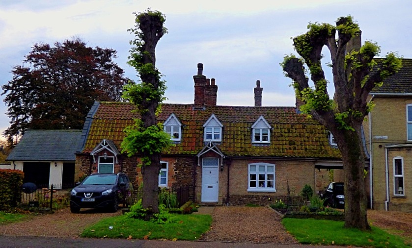
MY FIRST INDEPENDENT OUTDOOR WALK SINCE BECOMING ILL
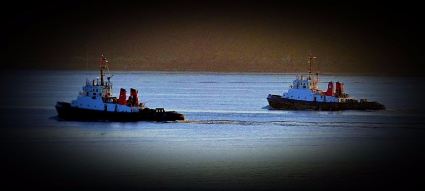
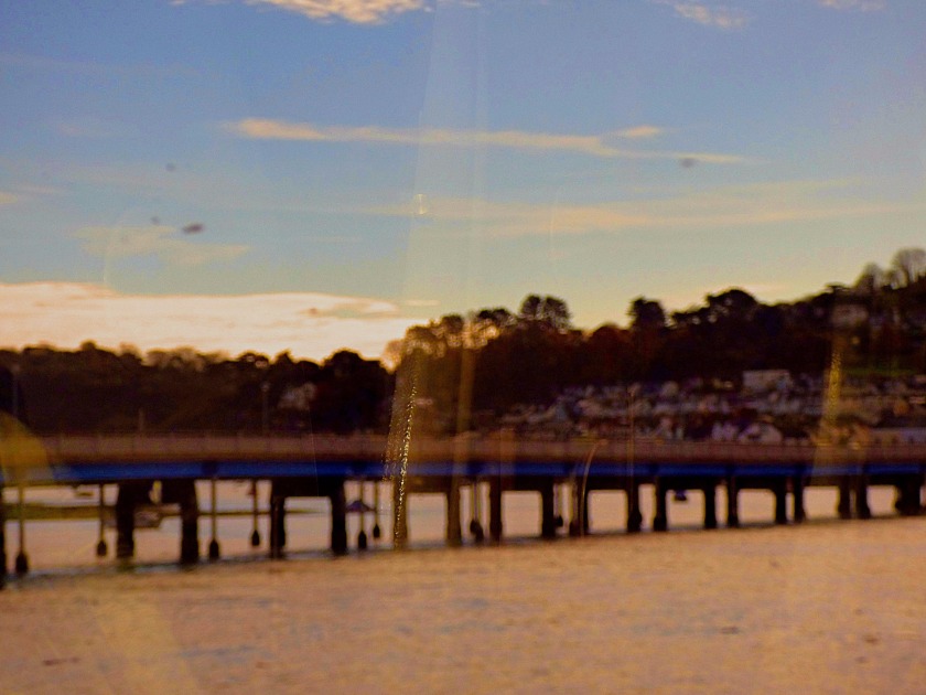
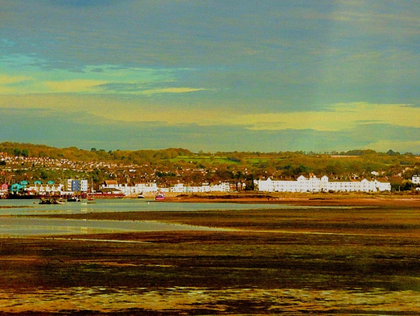
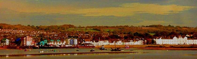
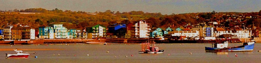
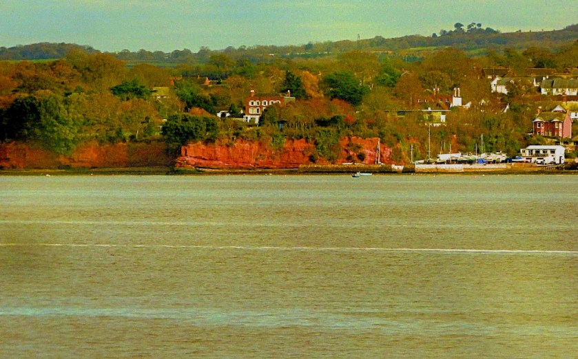
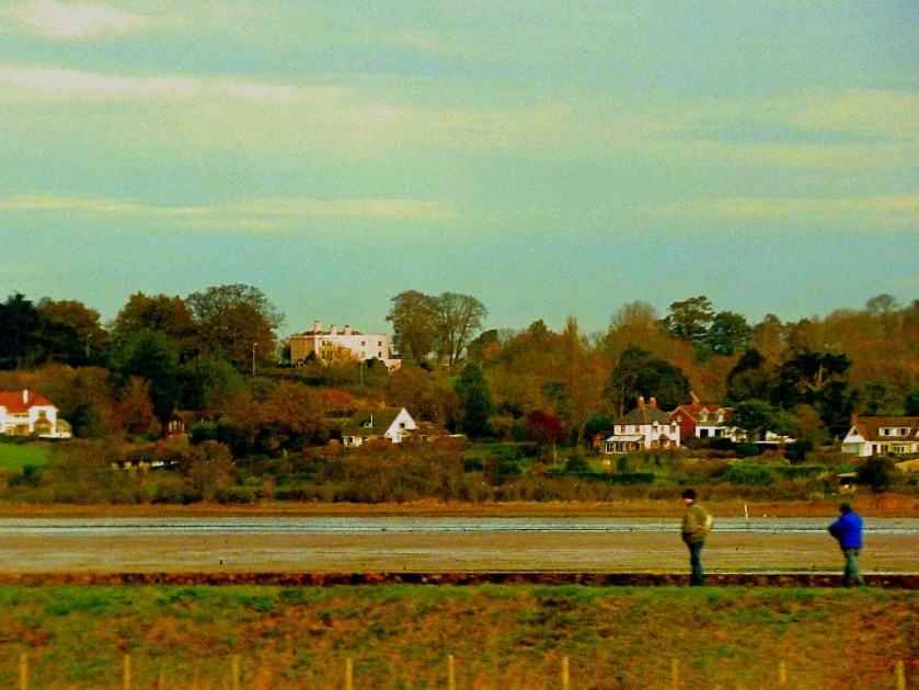
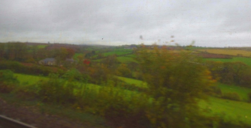
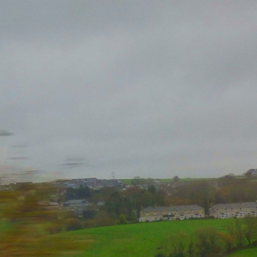
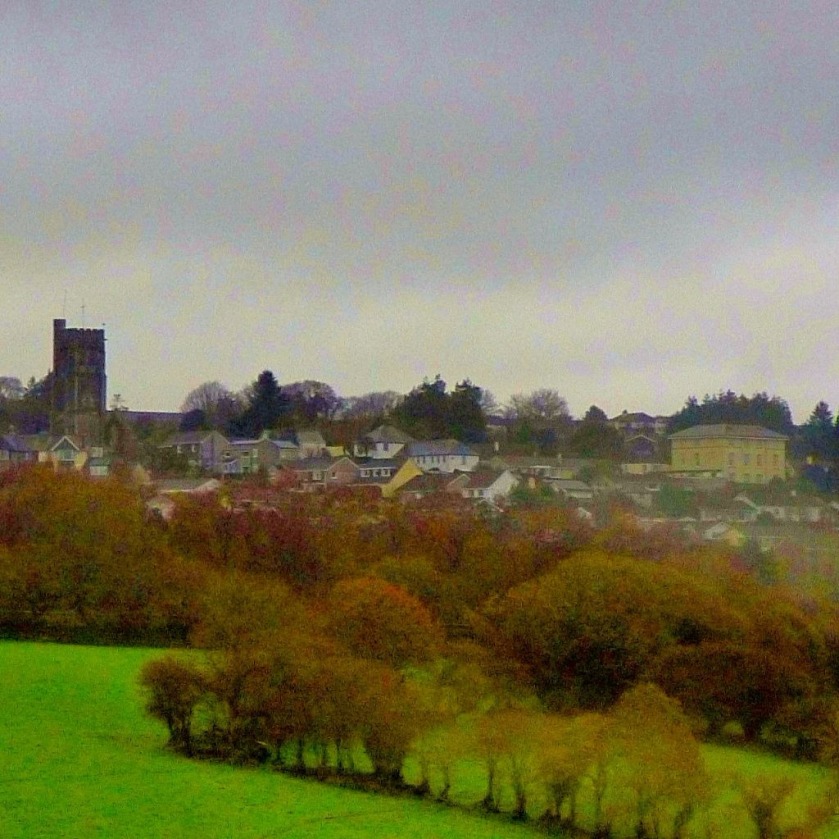
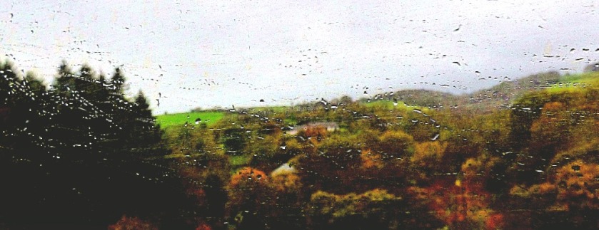
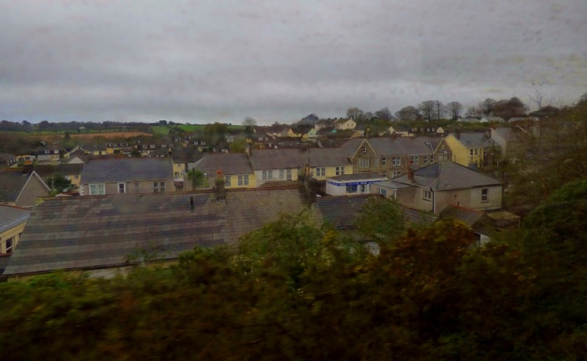
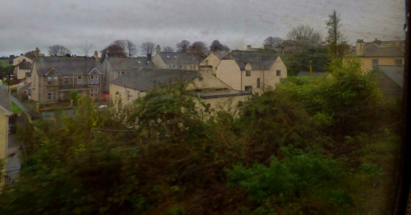
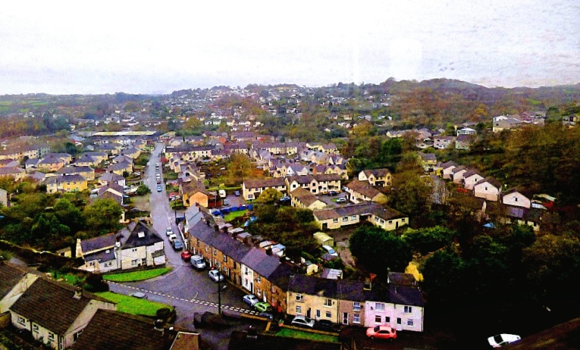
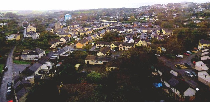
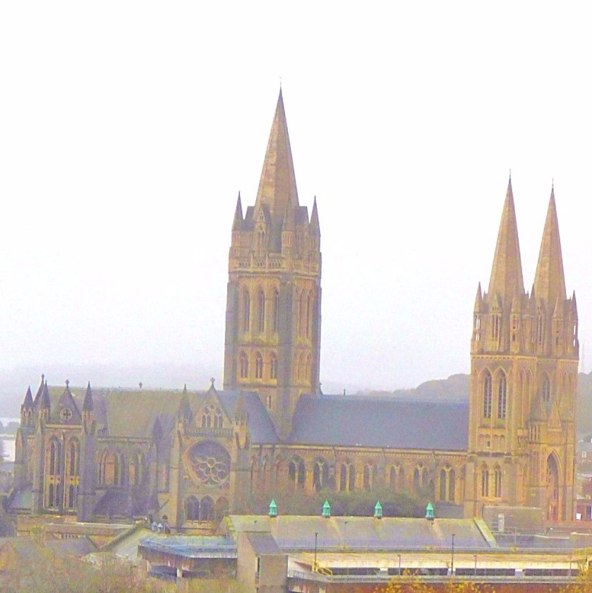
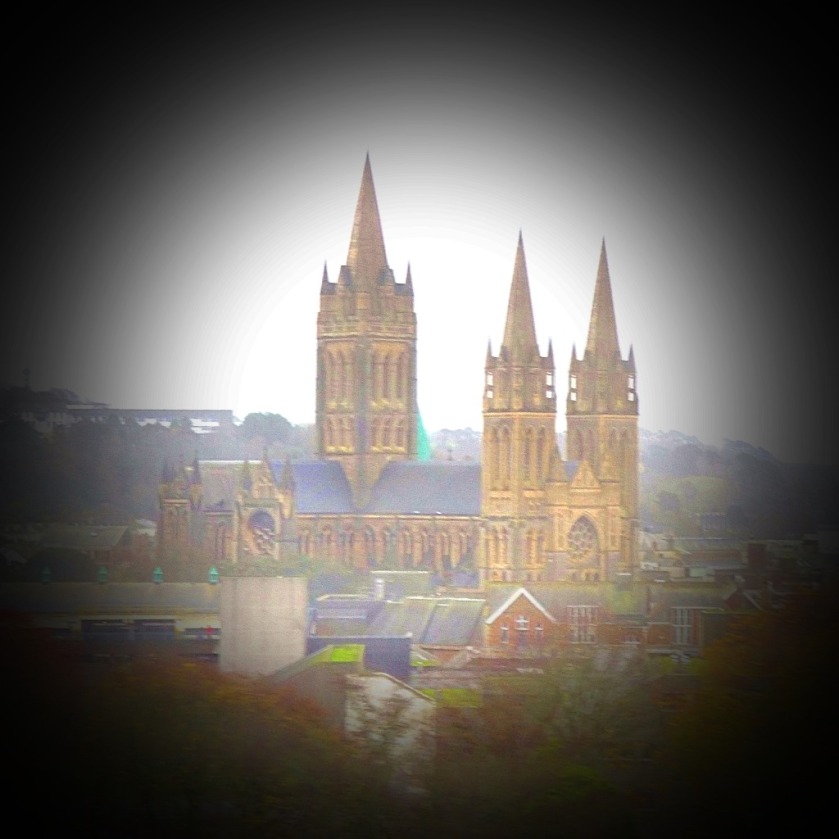
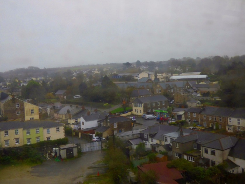
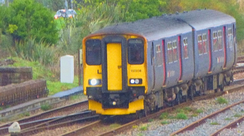
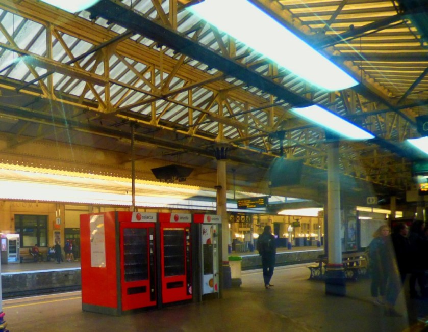
Just before 2PM this afternoon I left my bungalow for a short walk. Although fairly cold and very grey the weather here is by no means terrible given that we are at the back end of December, so having donned by black beanie to cover the most obvious signs of the treatment that I have been undergoing I was ready to sally forth. I was out and about for approximately 15 minutes and save for occasional photography stops was walking all that time on my unaided own. Here are some pictures…
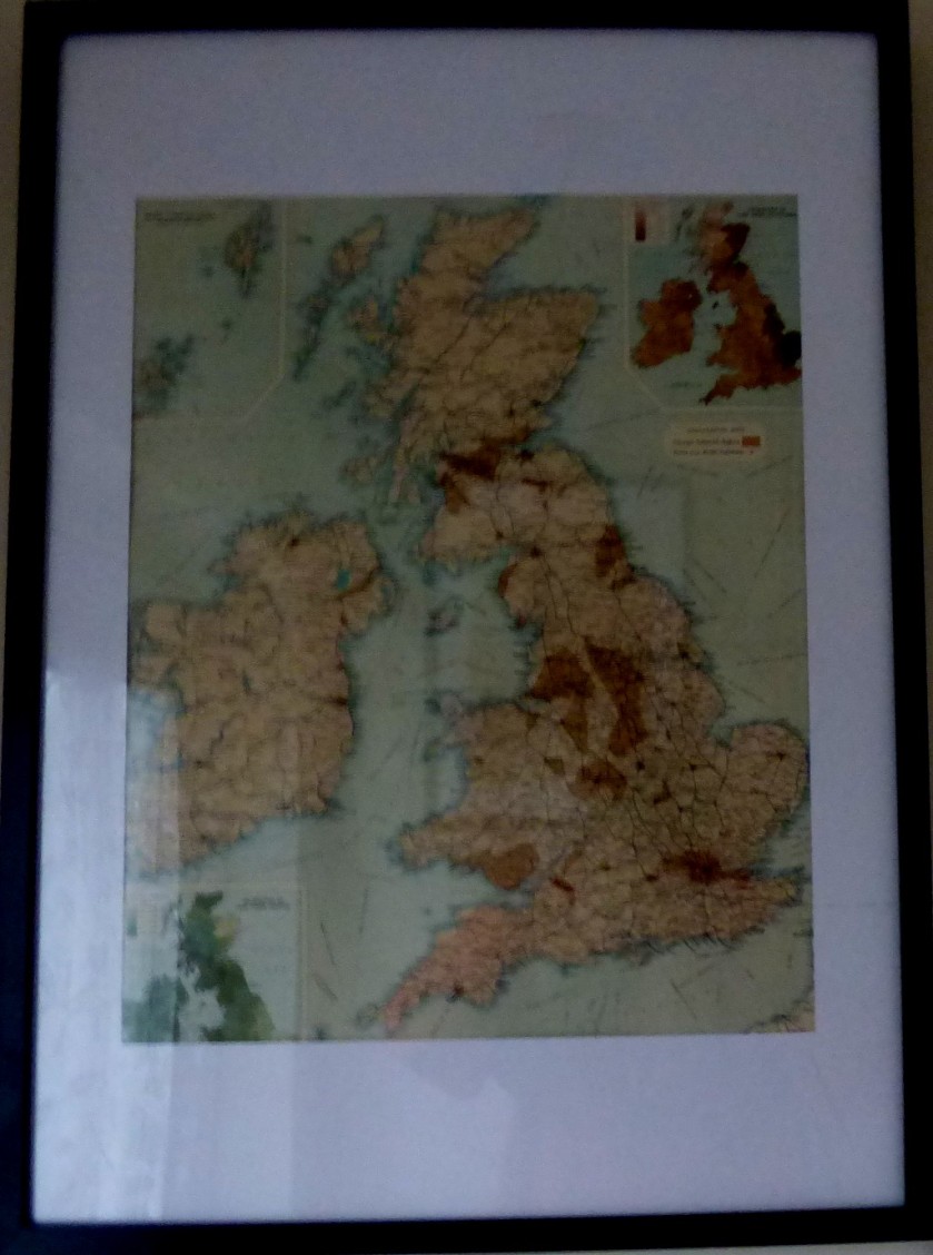
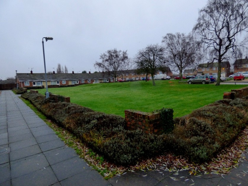
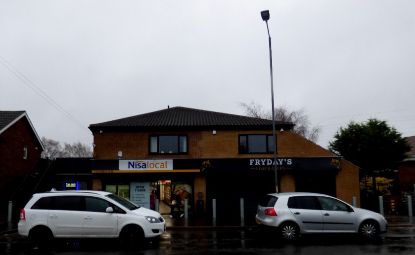
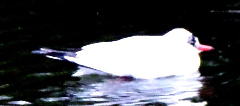
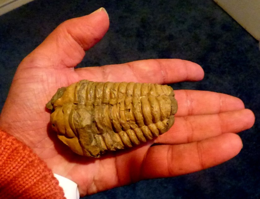
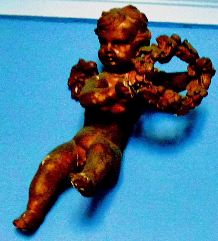
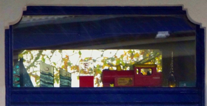
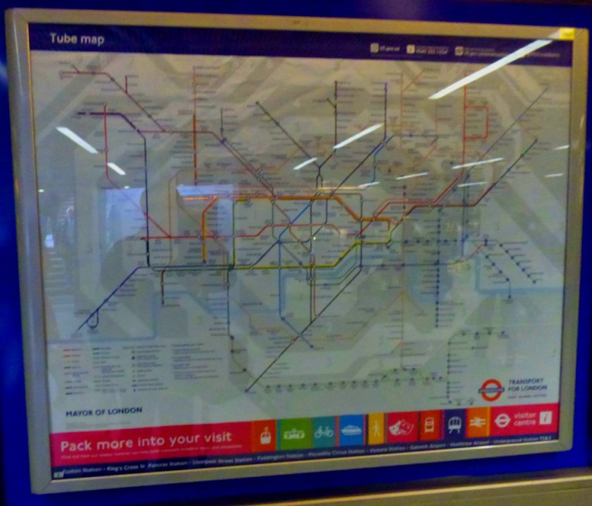
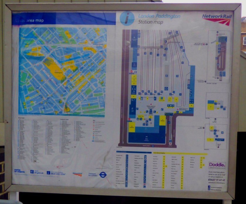
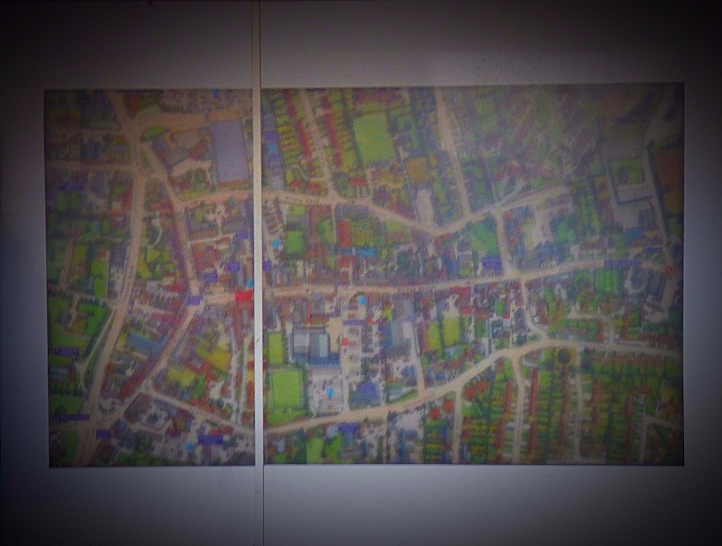
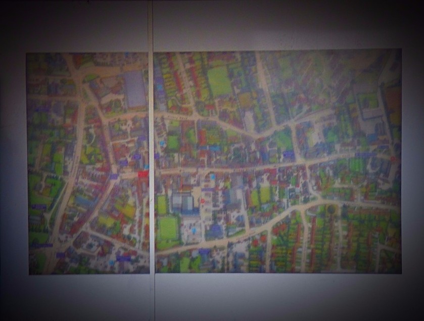
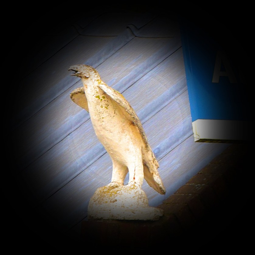
This map is on display in my front porch.A Czech sculpture and some other bits beneath the map.The green space I look out on to viewed from one corner.My local shops (the chippy is closed, it being Sunday).A swiming gull on a pond that faces out on to Harewood Parade.The oldest item in my collection – this trilobite lived approximately 438 million years ago.
Presenting an idea for the next aspi.blog wall calendar and inviting suggestions in response.
INTRODUCTION
Those of you familiar with this blog will know that a photographic wall calendar has become something of a tradition – the 2019 effort when I finally do it will be number four. I have started thinking about and this post is intended to show one possibility.
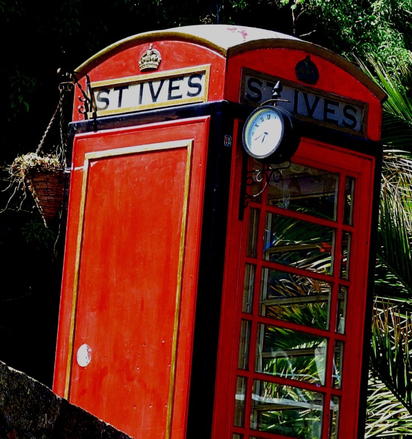
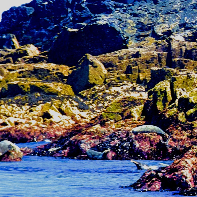
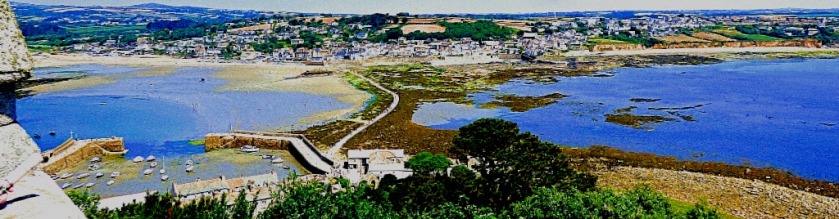
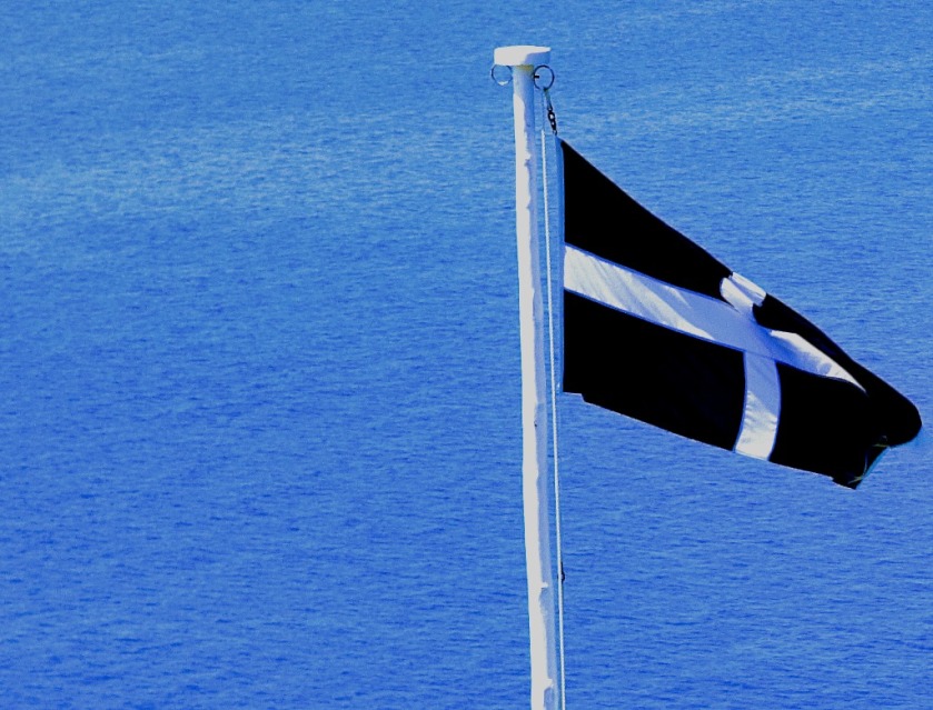
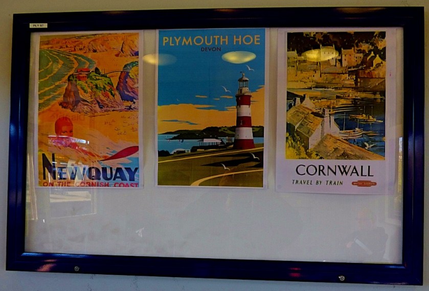
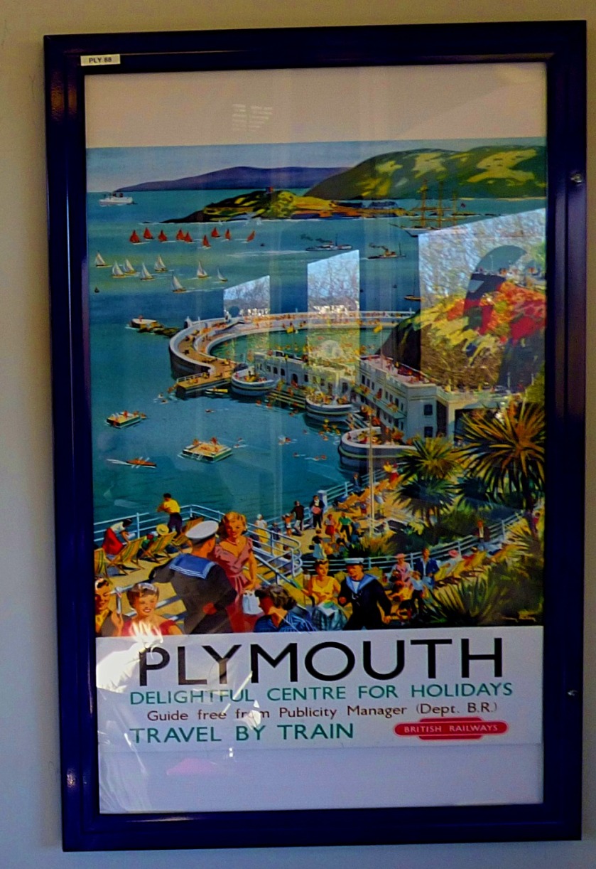
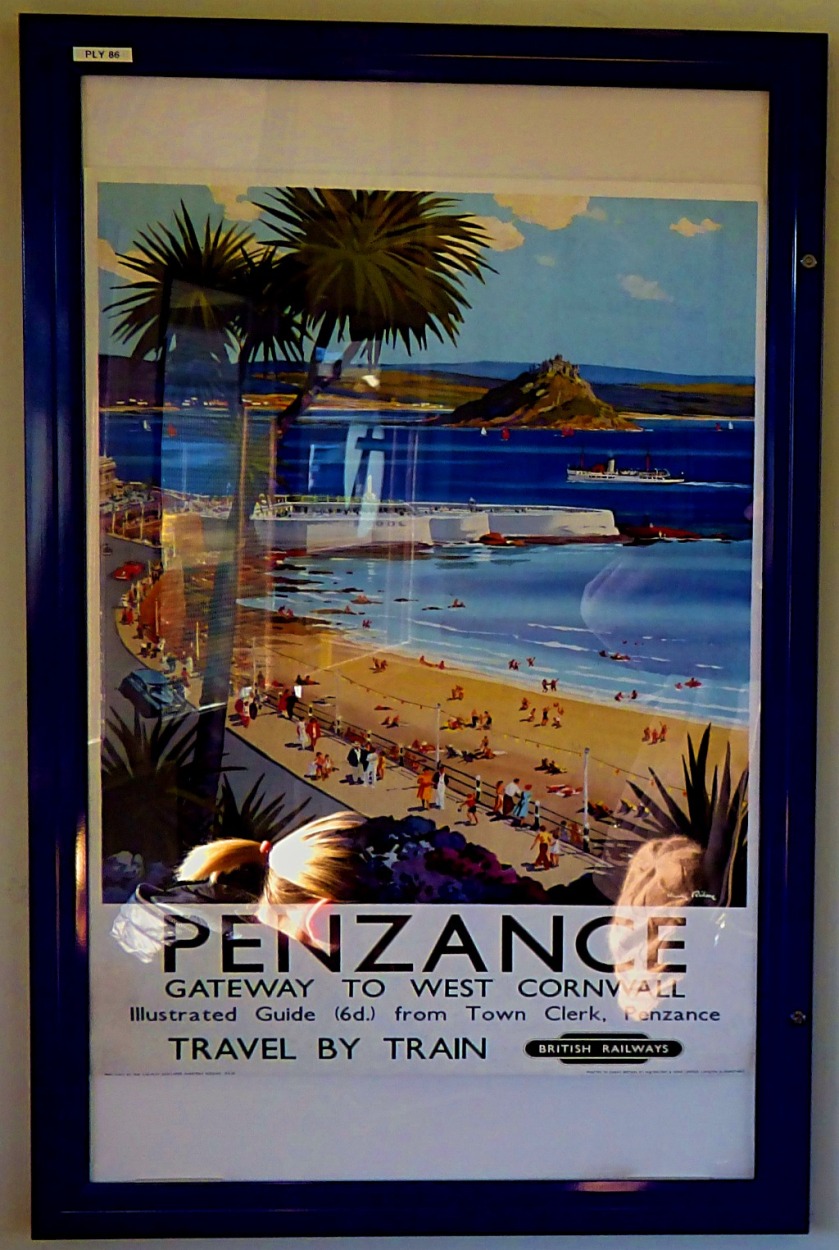
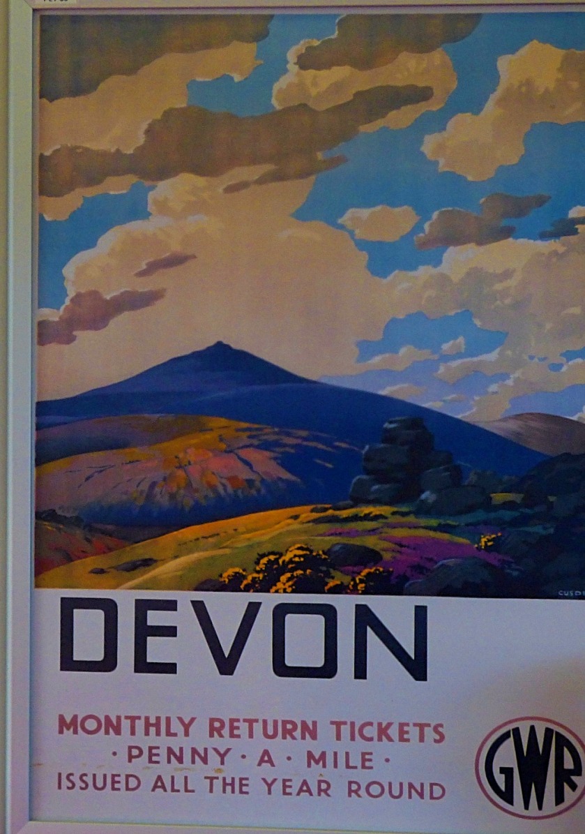
A CORNISH THEMED CALENDAR
Those of you who saw my “A Grockle’s Eye View of Cornwall” series (you can access them all from here) will be aware of the amazing scenery I saw while I was down there. Since it was obvious that a number of those pictures would have to feature I then started thinking about how a Cornish gallery calendar might work, and this is where I have reached so far.
THE FRONT COVER
To provide a clue of what is within this is my envisaged front cover pic if I go the “pure Cornish” route:
OTHER POSSIBLE PICTURES
January would be this one:
The other pictures that I have identified as possibles, in no particular order are these:
This bridge is so iconic that my shot of it would have to feature.
After a number from St Ives, we move on St Michael’s Mount and its surroundings.
WHAT DO YOU SAY?
Do you think the “pure Cornish Calendar” idea works? If so do you have any other of my Cornish pictures that you would like to see featured? If not feel free to suggest others of my pictures that should be there.
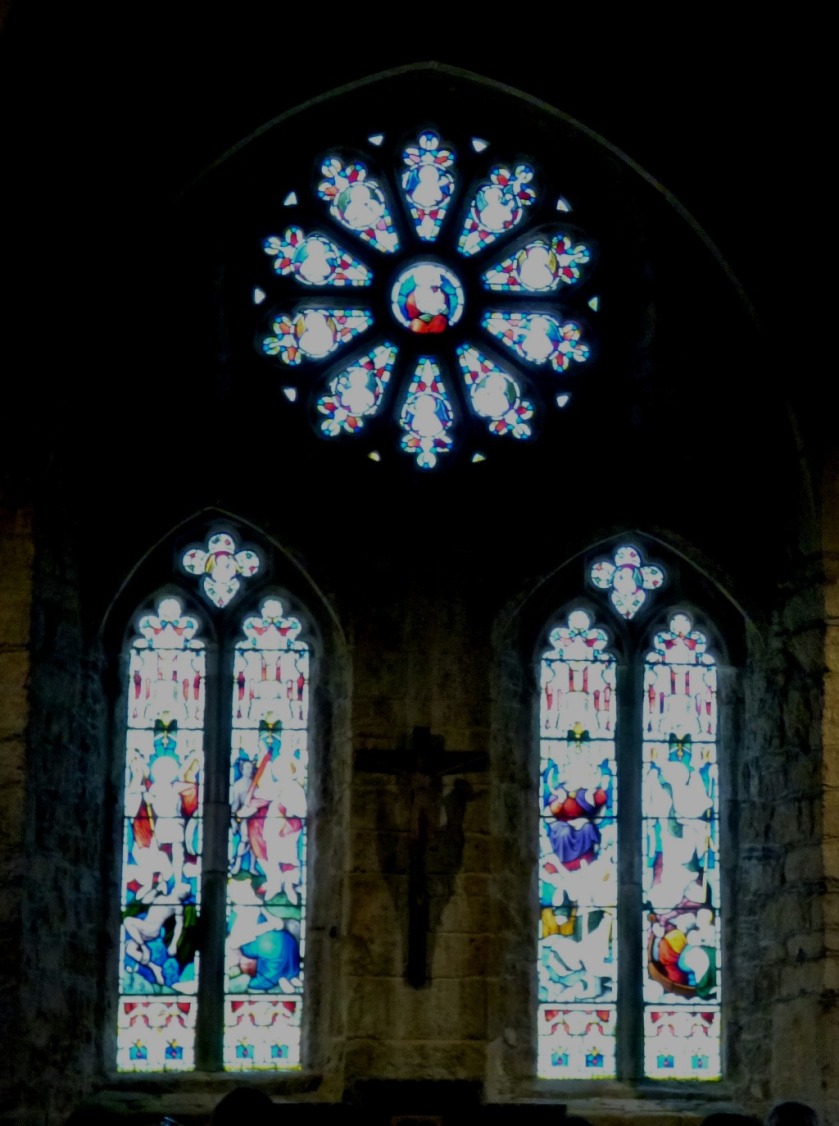
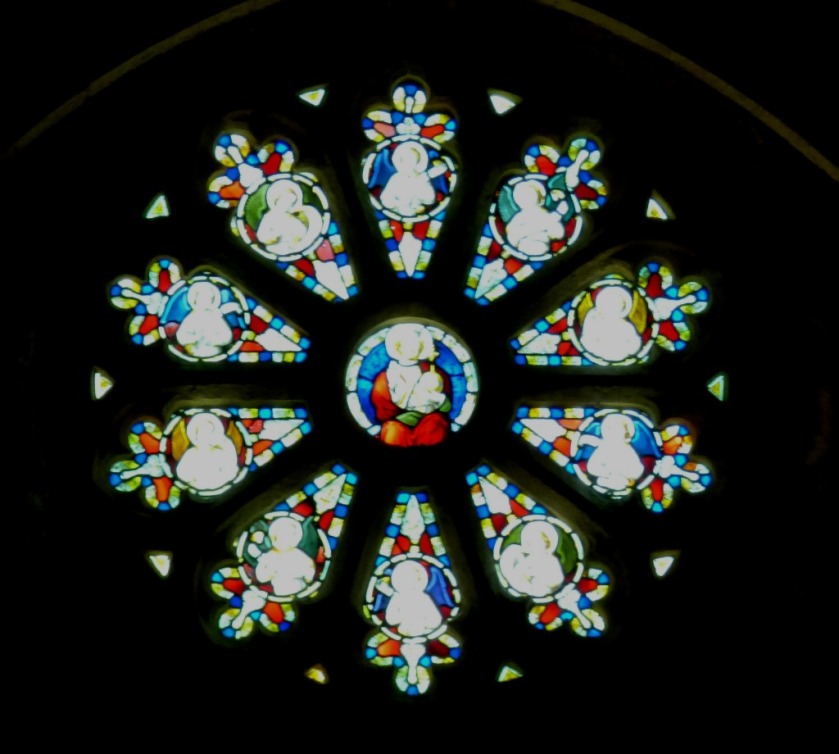
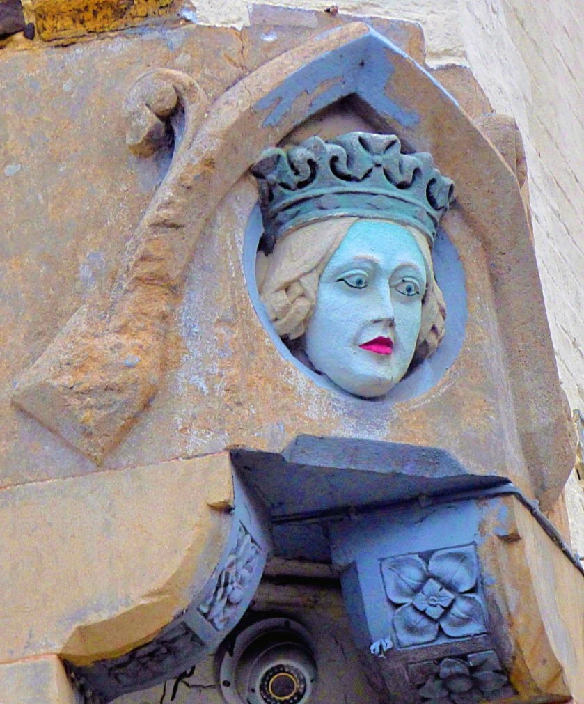
Continuing my account of my visit to Cornwall. Today we look at the map room at St Michael’s Mount.
INTRODUCTION
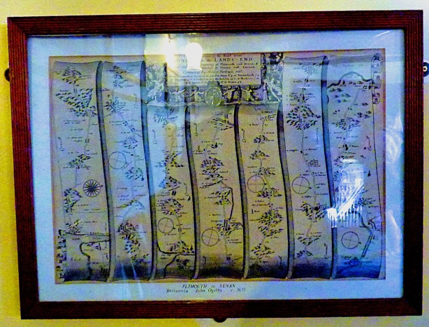
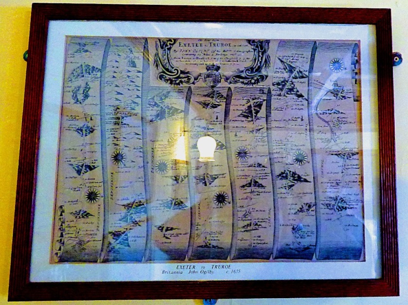
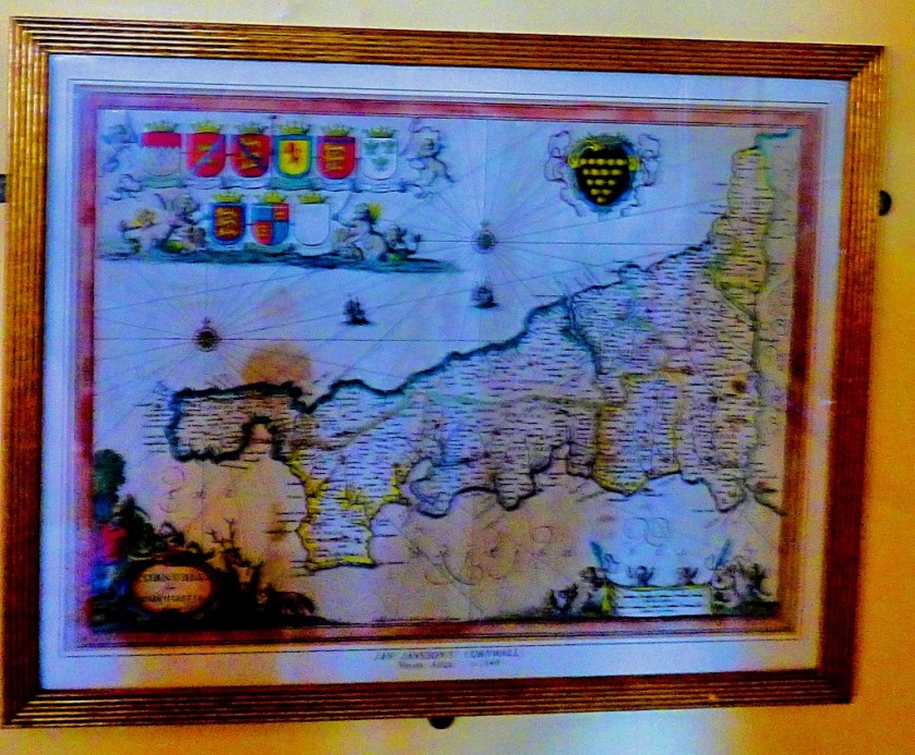
Welcome to the latest post in my series about my visit to Cornwall. As part of my coverage of a day at St Michael’s Mount I am devoting a whole post to the map collection there.
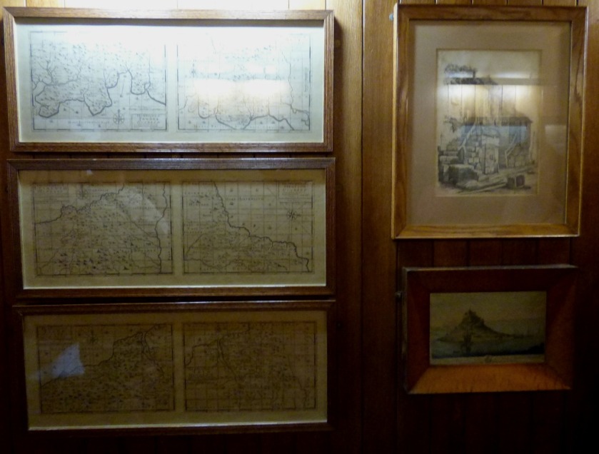
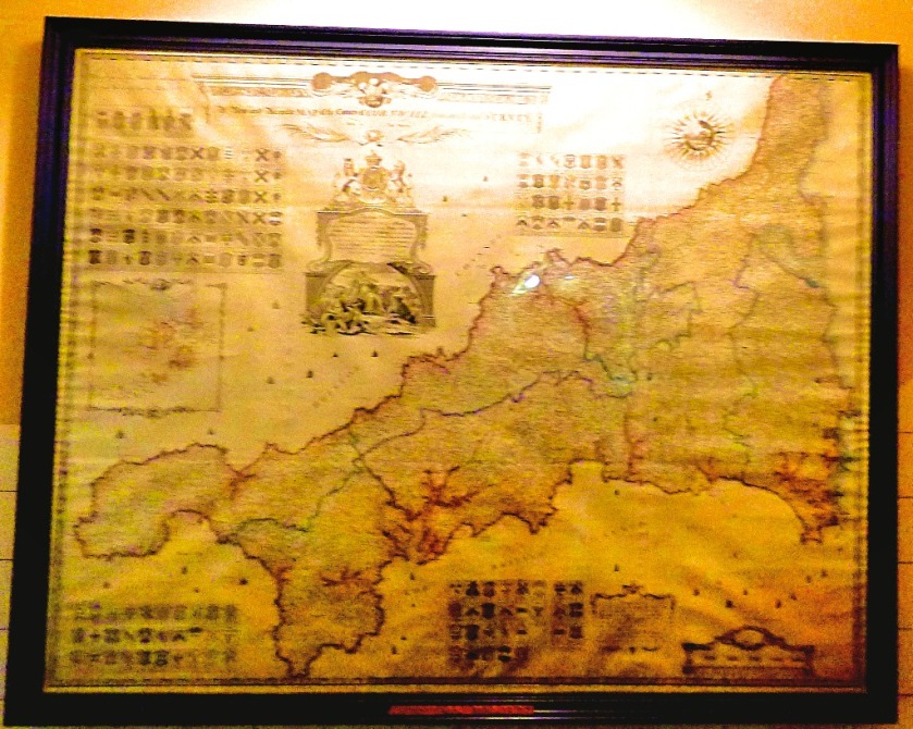
A Collection of Antique Maps
For a cartophile such as me this section of the visit was particularly good fun…
In the days before googlemaps this is what a walking route looked like!
At one time the Dutch were trailblazers when it came to cartography.
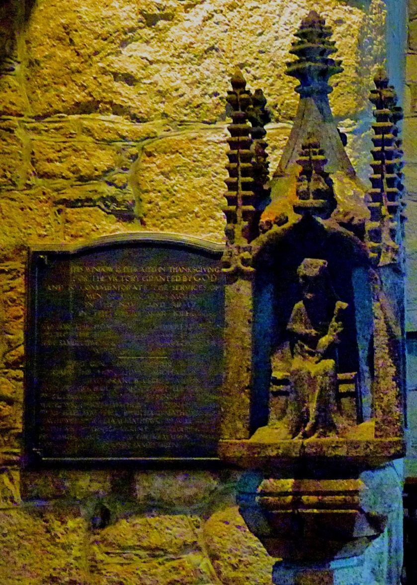
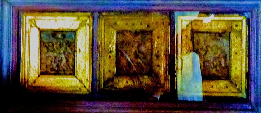
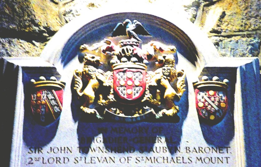
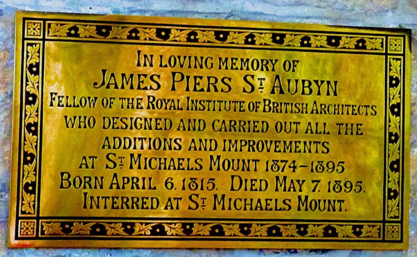
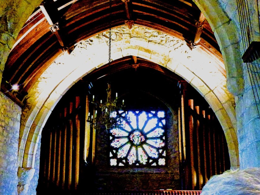
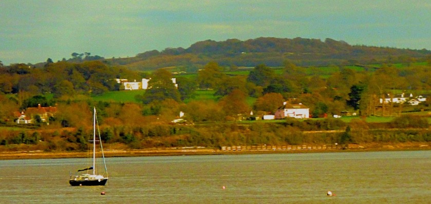
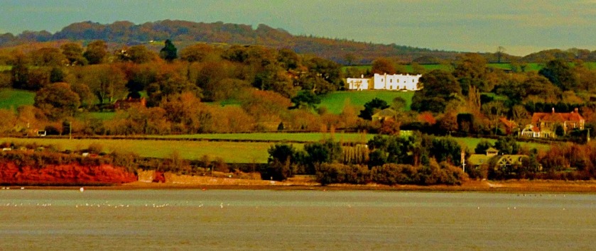
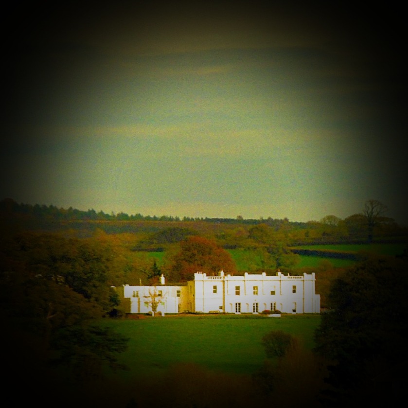
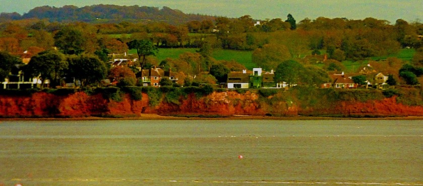
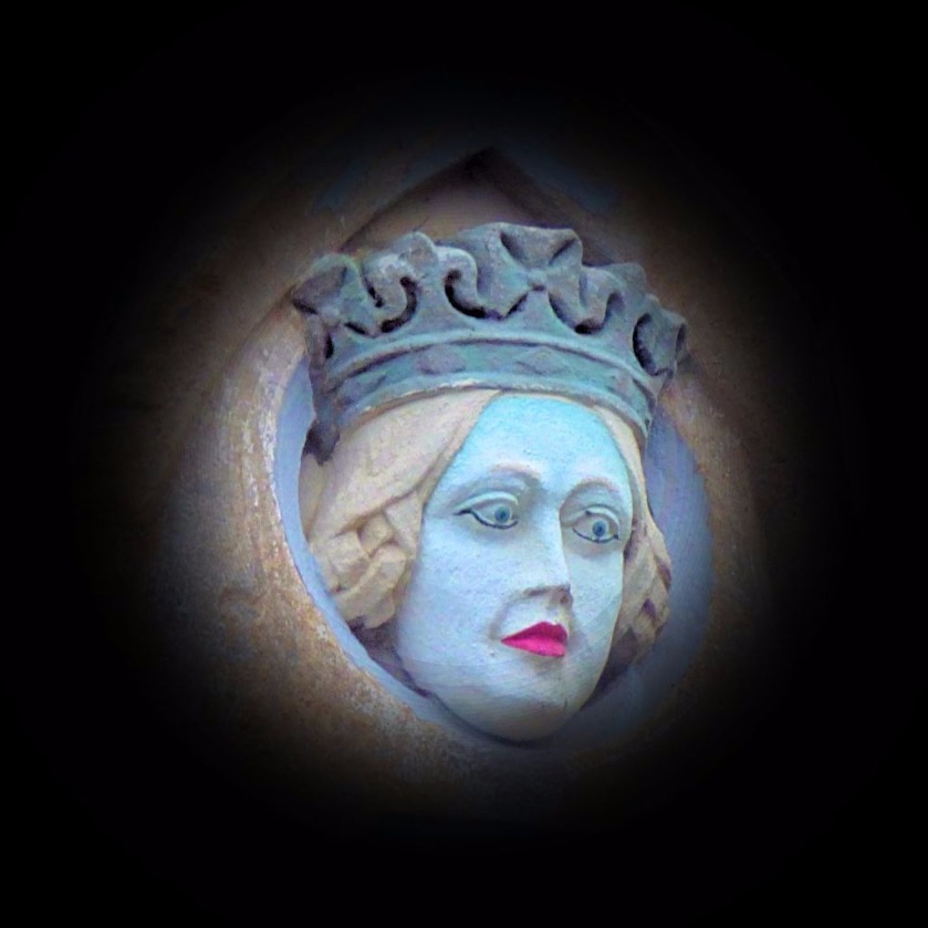
Continuing my account of a visit to St Michael’s Mount.
INTRODUCTION
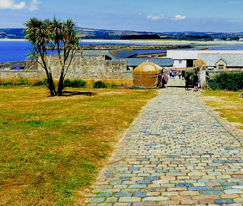
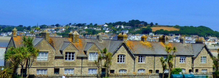
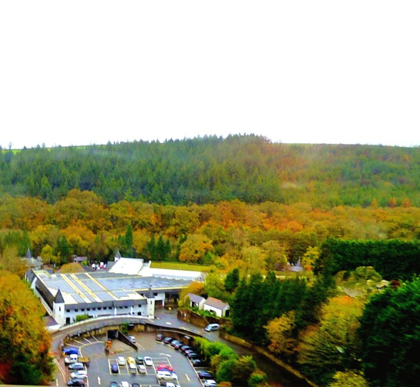
This is the third to last post about the day at St Michael’s Mount, and the ninth in my series about my summer visit to Cornwall. The next post will be all about the vast collection of antique maps that are on show here, and then a final post about the last stages of the day. I then have the journey home to cover to complete the series.
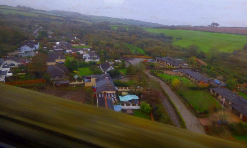
THE REMAINDER OF THE SUMMIT
At the end of the previous post in this series were about to head indoors for the second time in our exploration of St Michael’s Mount…
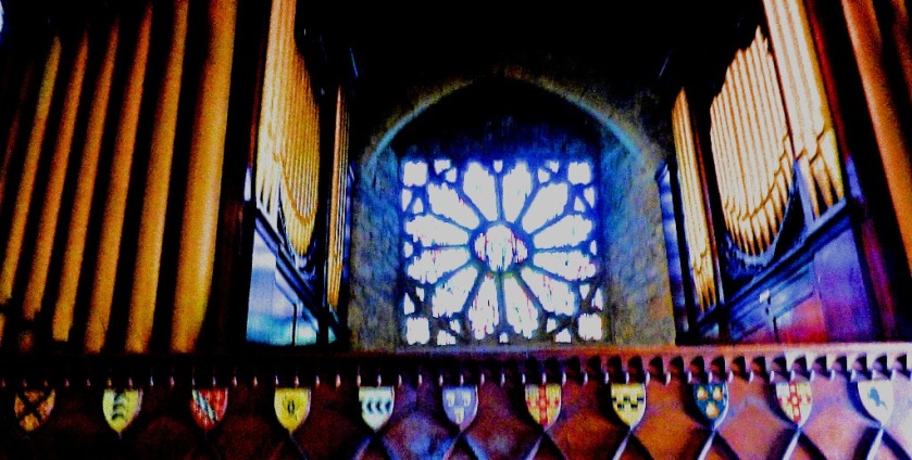
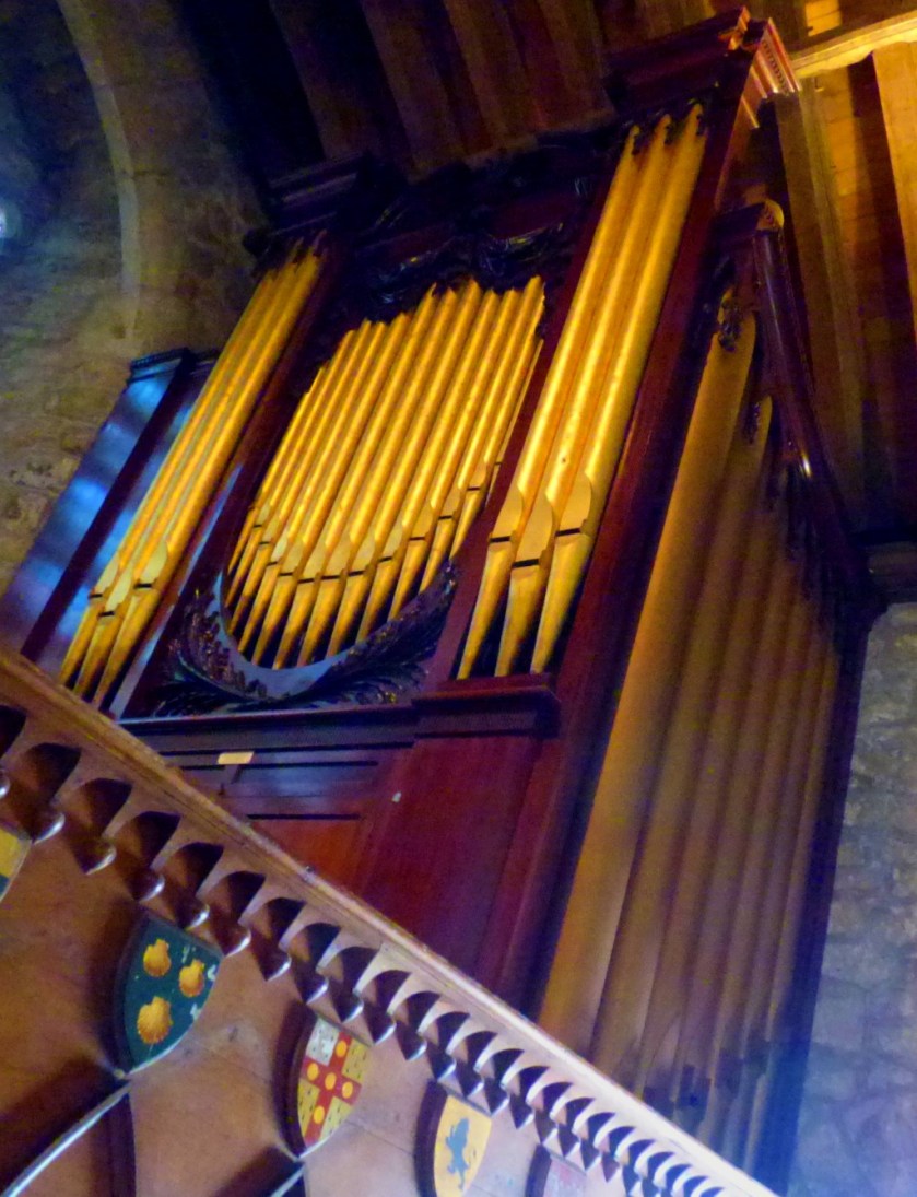
This organ looks splendid.
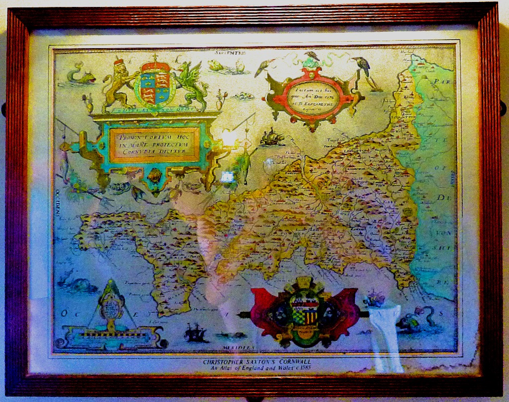
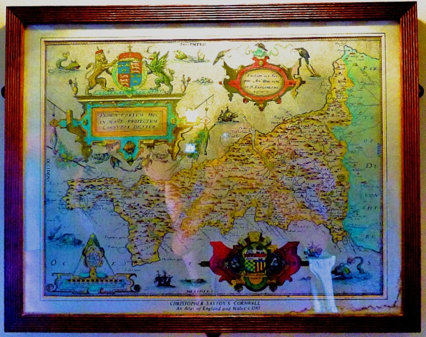
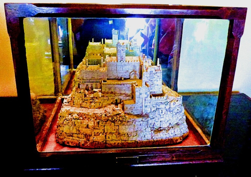
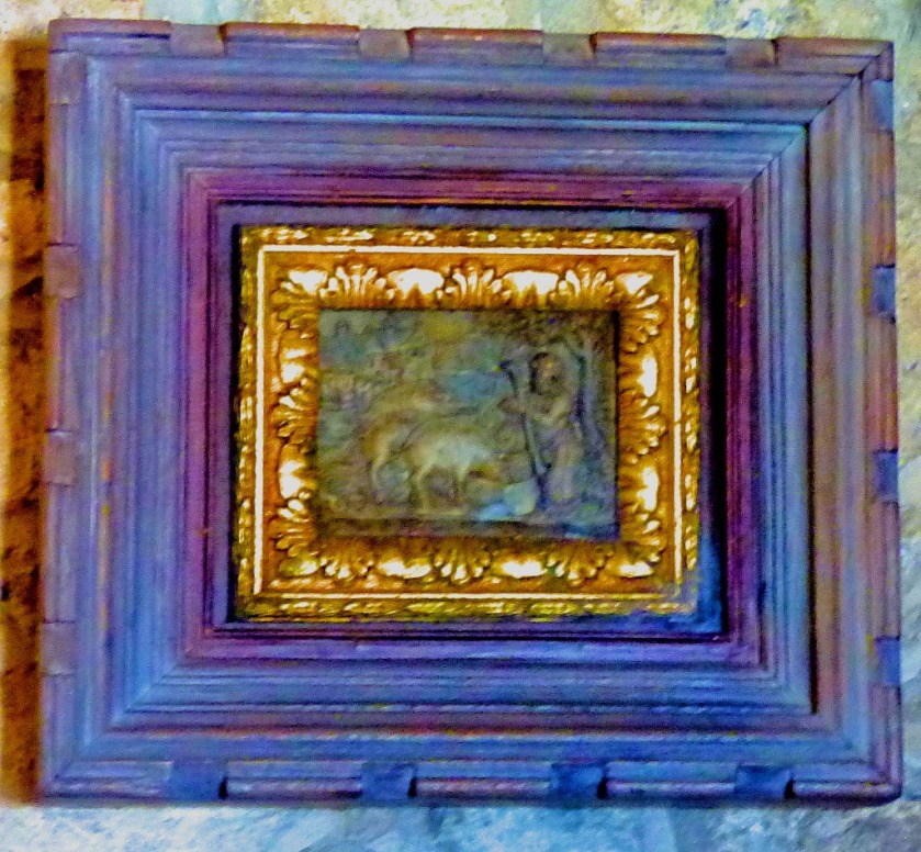
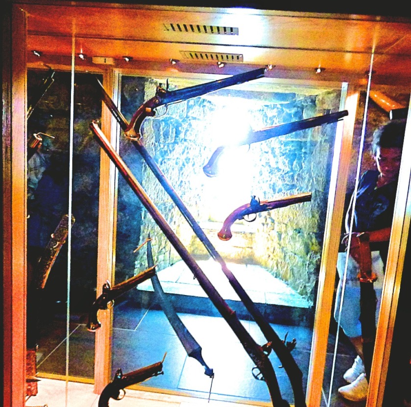
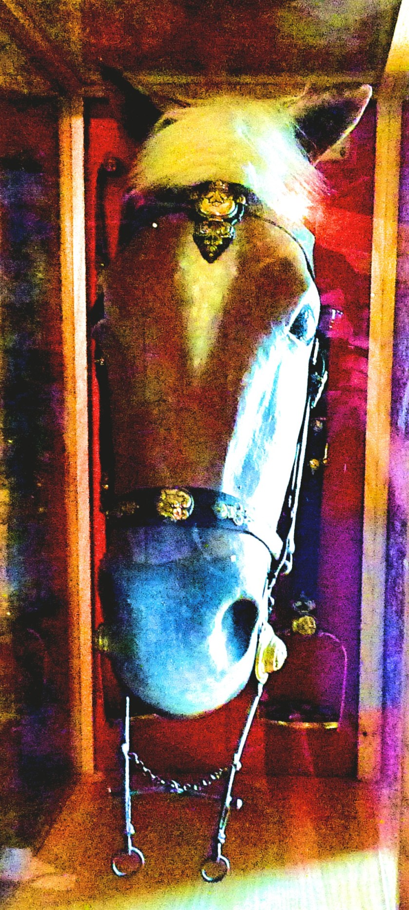
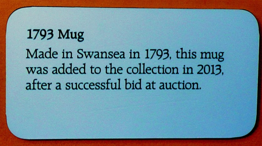
At this point we entered the map room. As an appetiser for the next post I offer one picture from there…
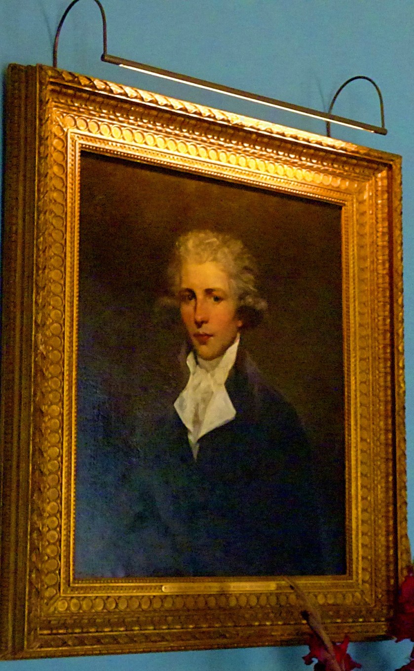
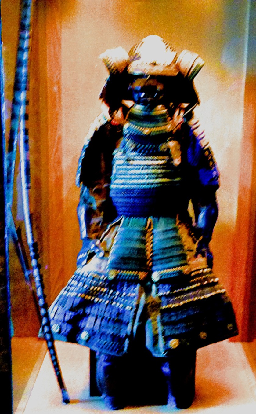
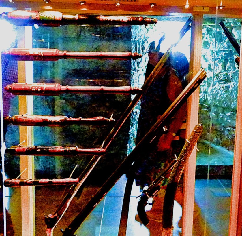
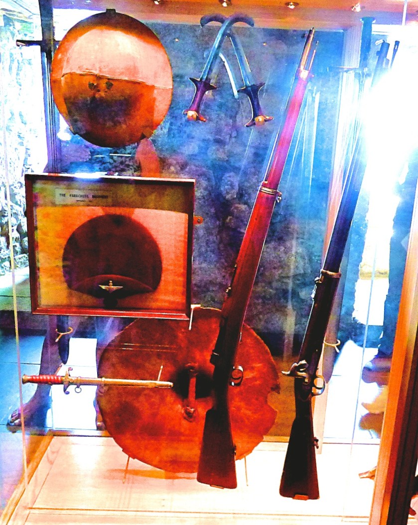
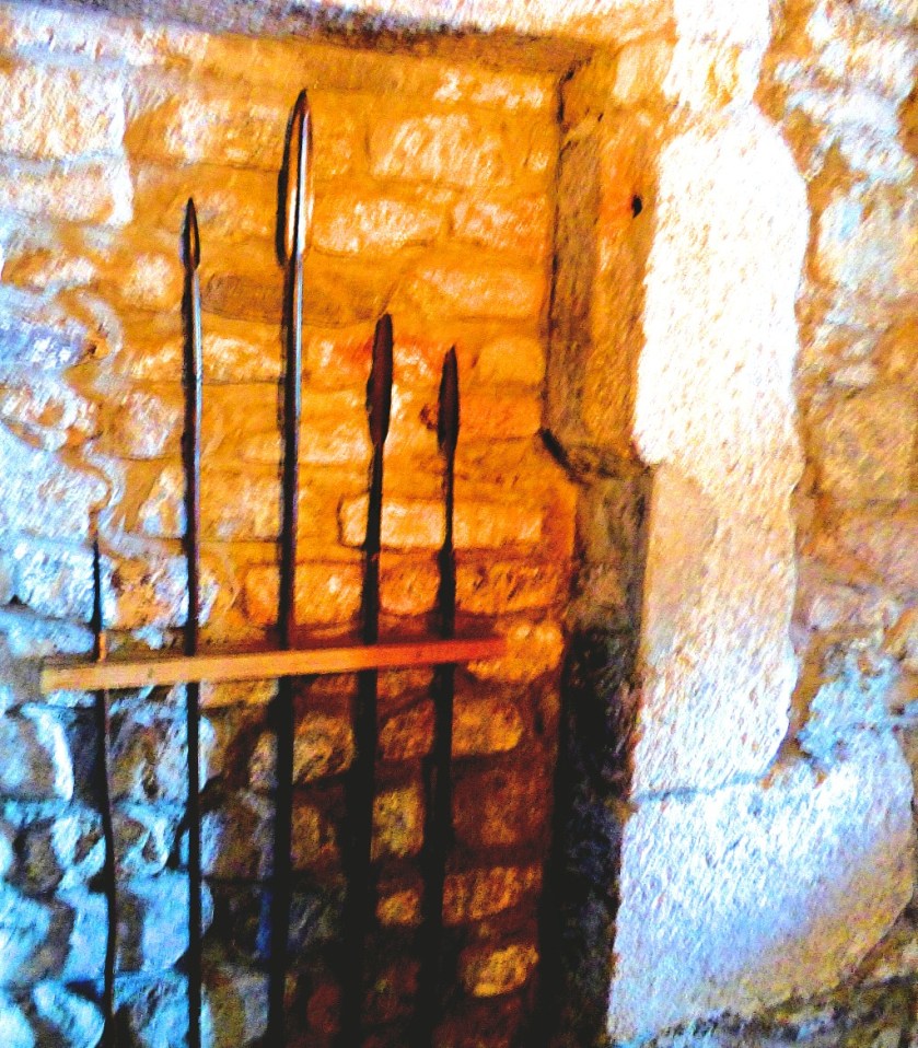
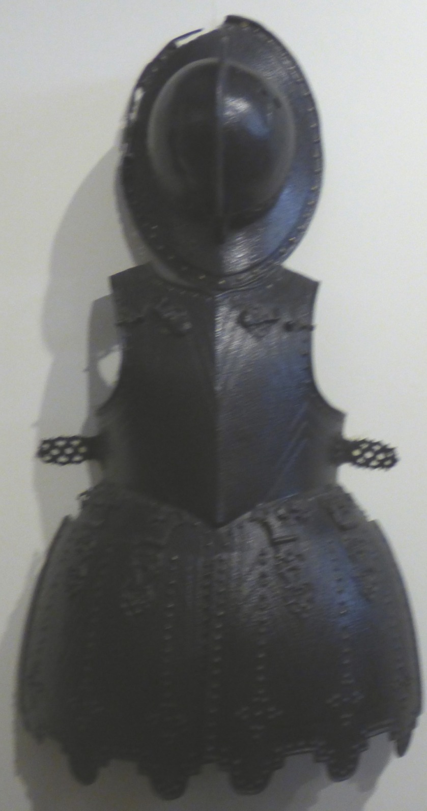
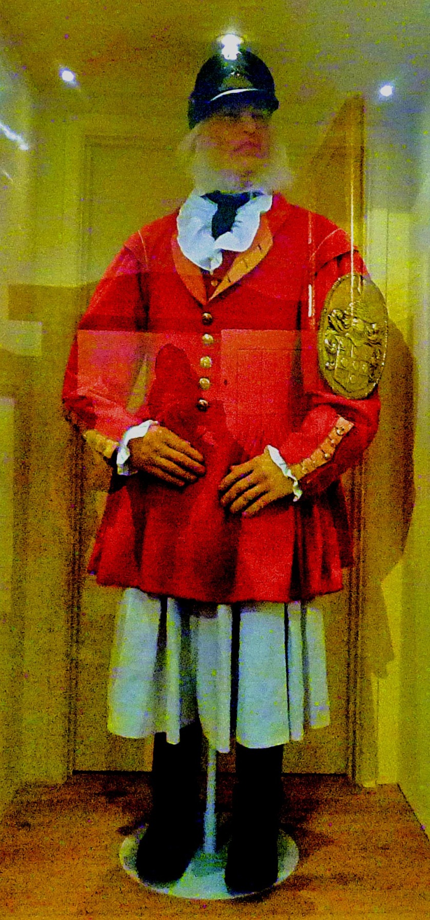
After the maps came a display featuring large amounts of weaponry…
The remains of a spiral staircase
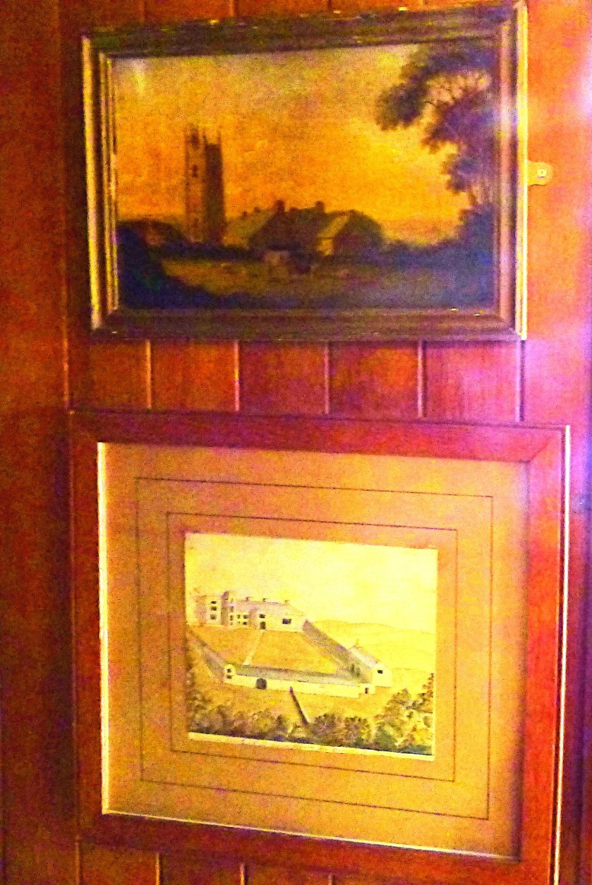
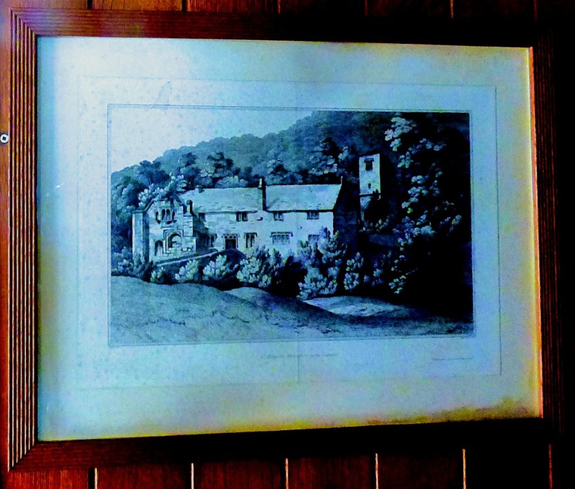
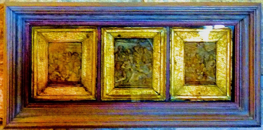
A final map, separated from all the others.
That ended the indoor stuff until lunch time.
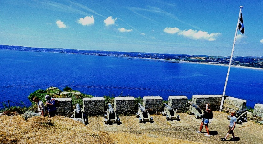
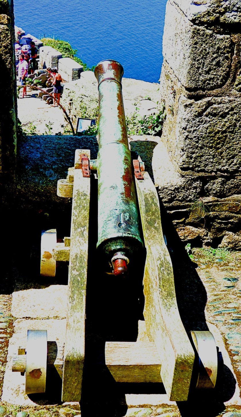
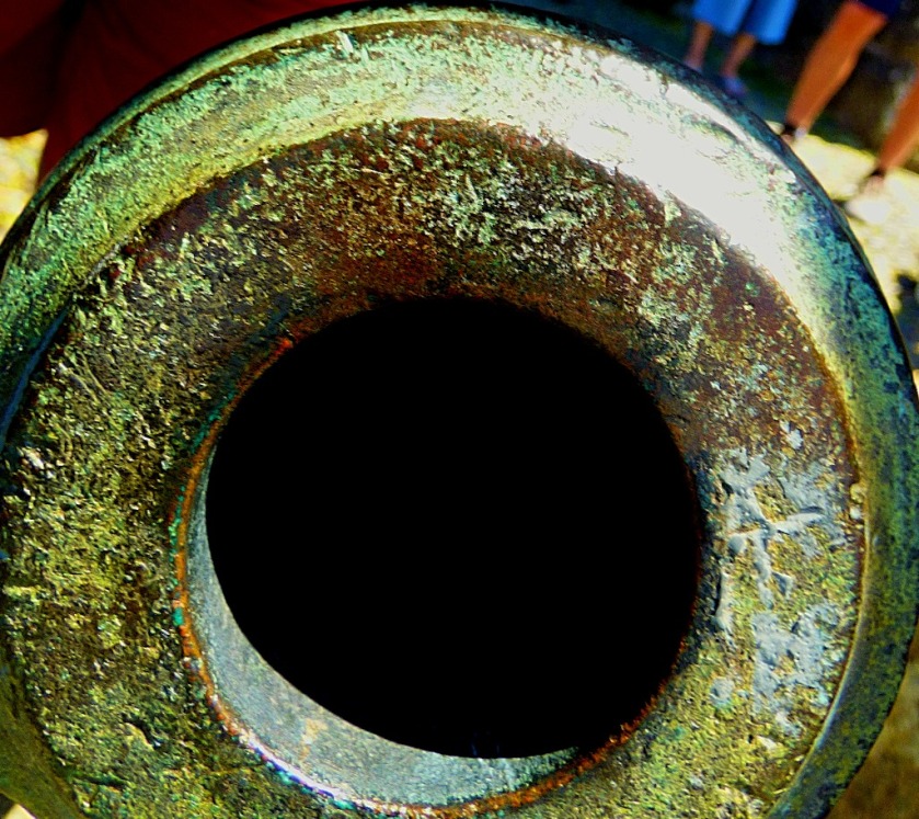
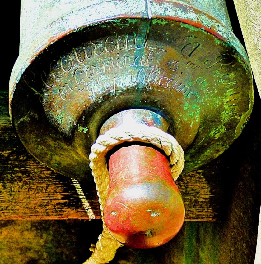
THE DESCENT
The descent takes past an emplacement of mini-cannons which are of French Revolutionary origin…
Just beyond this I encountered a Red Admiral butterfly:
At first it had its wings folded making ID difficult…
…but when it opened them out there was little room for doubt.
Not long after this we could see our next destination, where we would be having lunch.
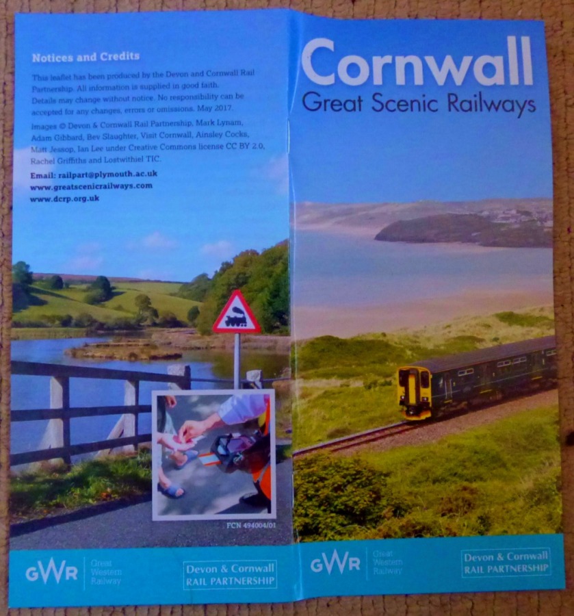
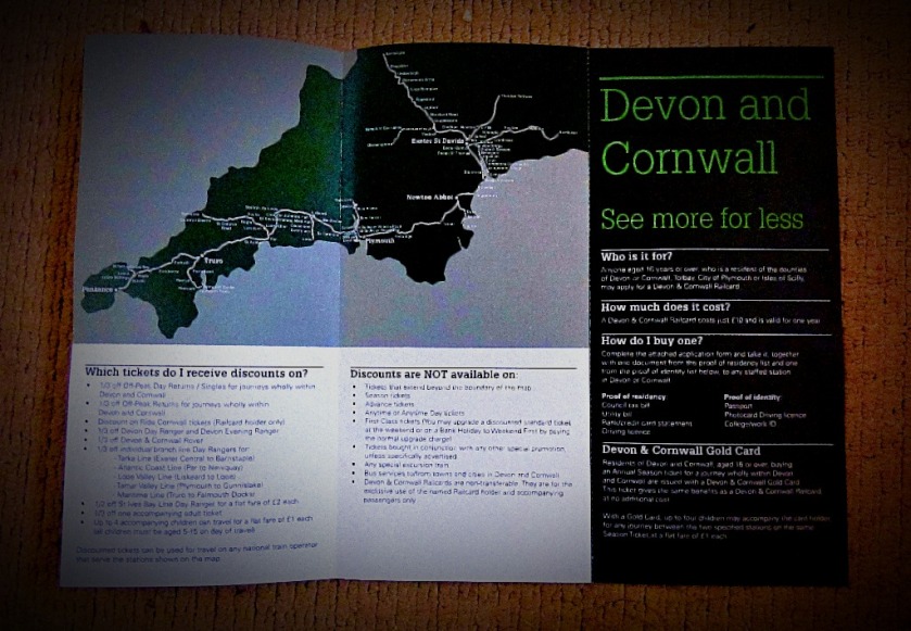
This is the final post I shall be producing about my first visit to my parent’s new home in Cornwall. There will be photographs of all the publicity materials that I picked up while down there, captioned where appropriate with links to the posts that they relate to, except for one section where I am following the route of my journey to Penzance and flag that at the start of the entire section. Thus, this post will contain links to every other post I have produced about the visit.
THE PUBLICITY MATERIALS
We start with…
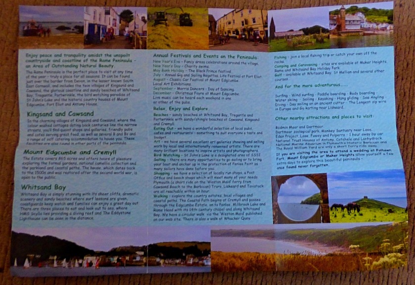
THE RAME PENINSULA OFFICIAL LEAFLET
This is the particular area in which my parents new home is located, so in one sense it relates to all of the previous posts in this series…
The posts that relate most closely to this are those relating to Thursday,Friday and Sunday.
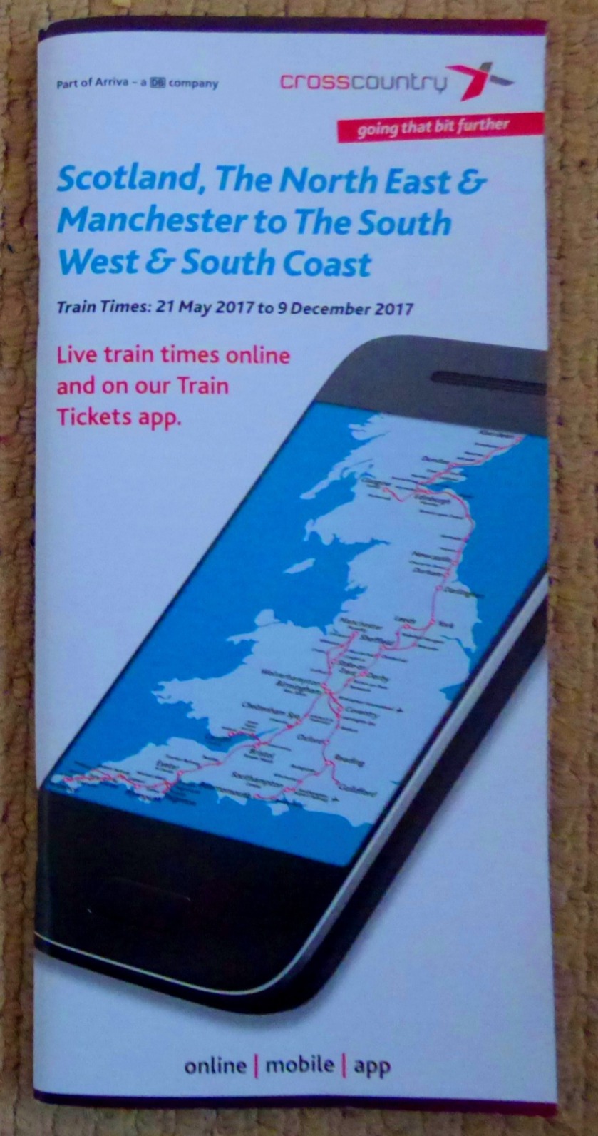
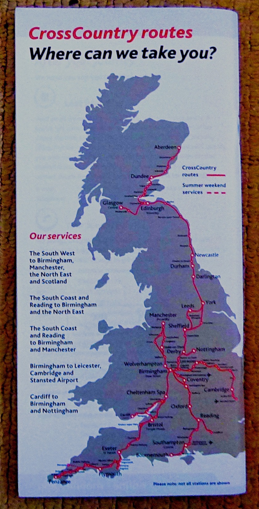
Next we have…
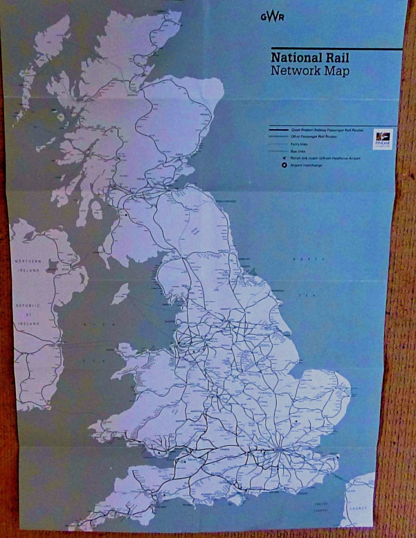
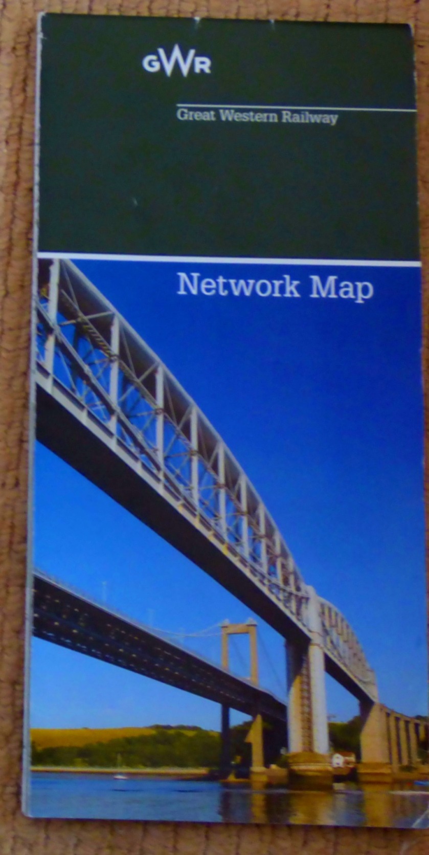
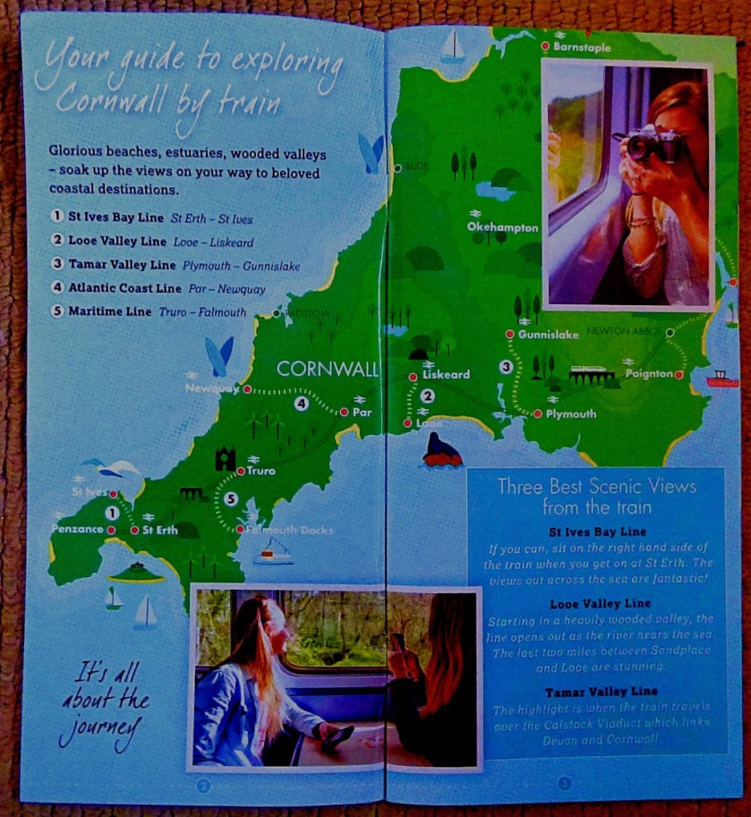
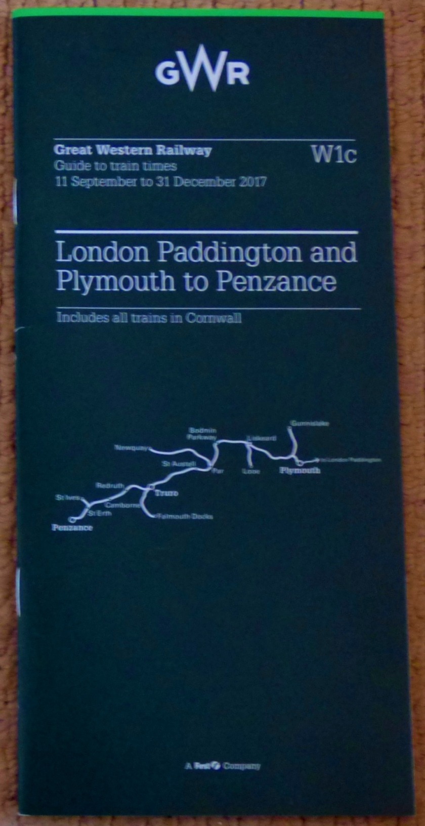
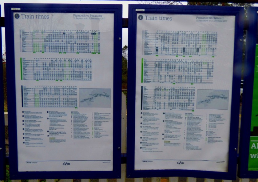
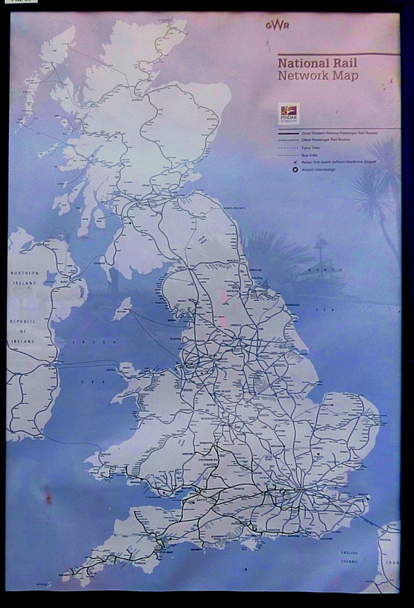
A DOUBLE SIDED RAILWAY MAP
This features the Great Western Railway network map on one side and the whole national railway network on the other:
This map particularly relates to the posts for Wednesday, the first of the Saturdayposts and Monday.
Our next port of call is…
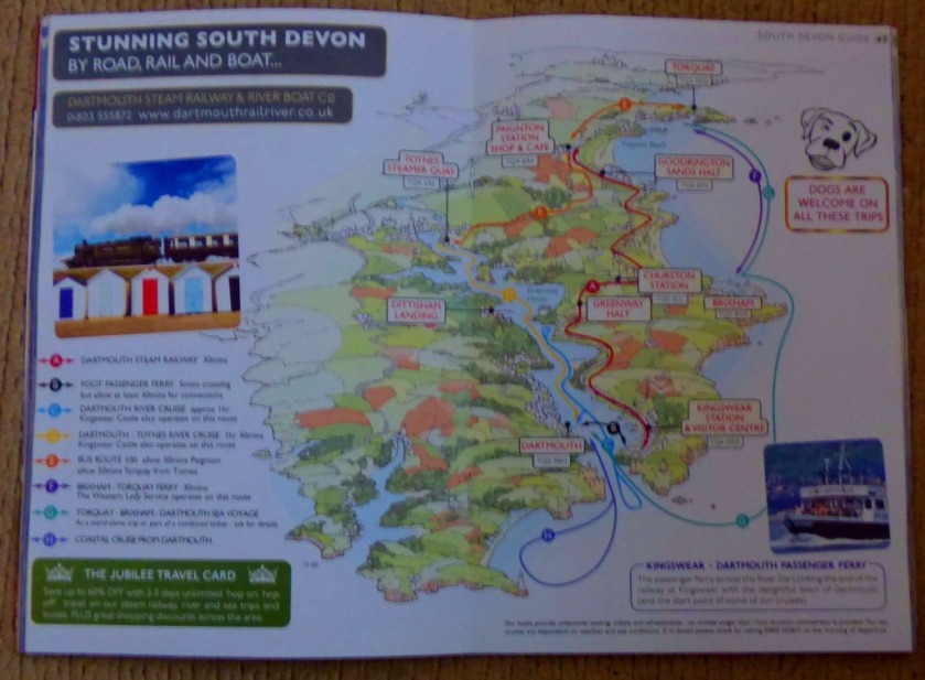
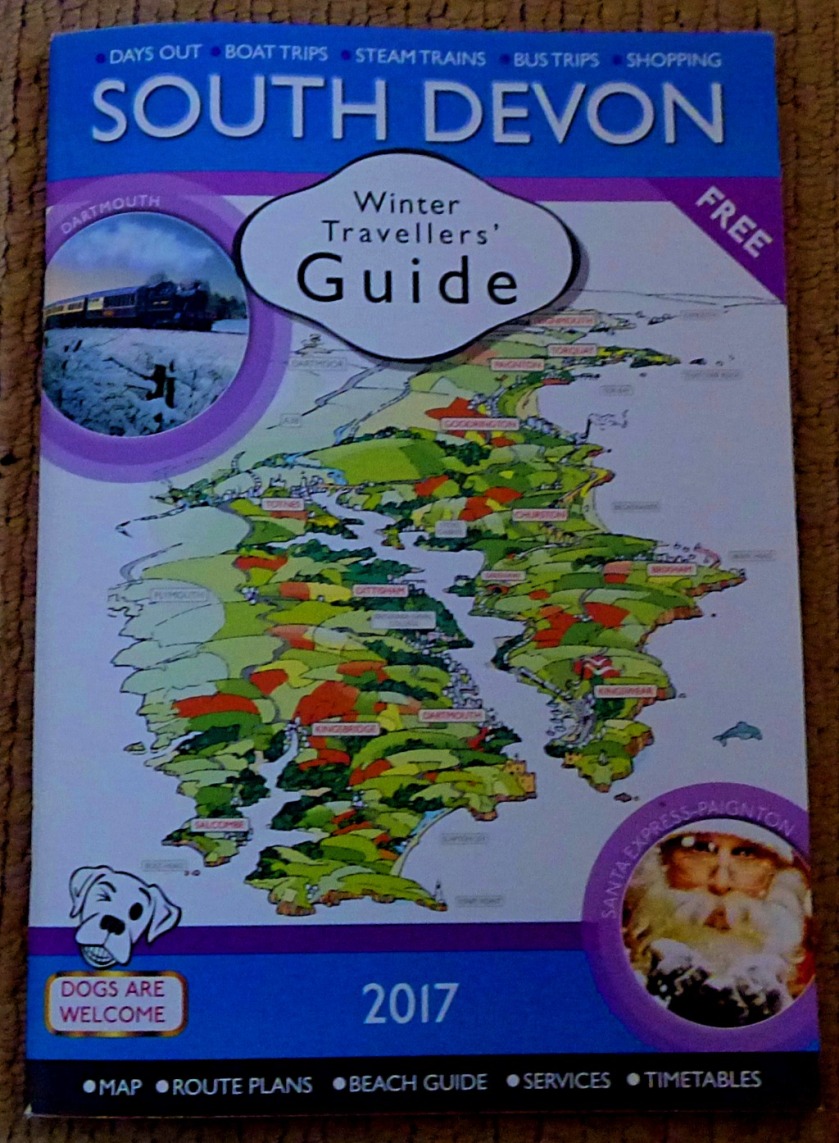
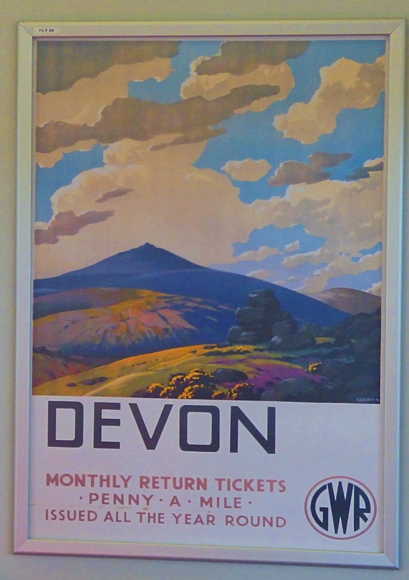
A SOUTH DEVON GUIDE
This is a stout little booklet, with a pictorial map as a centrepiece:
Next we come to…
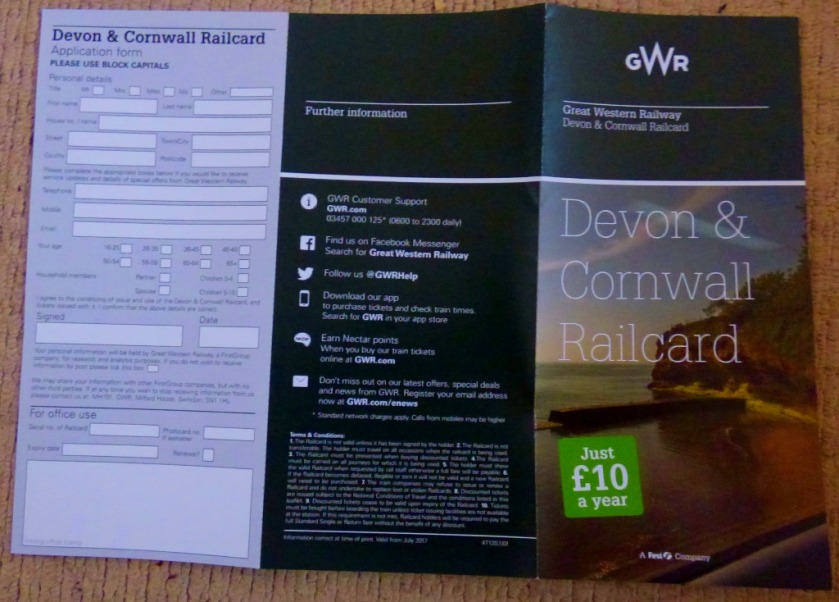
A SELECTION OF RAILWAYANA
These are all unrelated to anything I blogged about, but represent things to consider for future visits…
We are now going to cover…
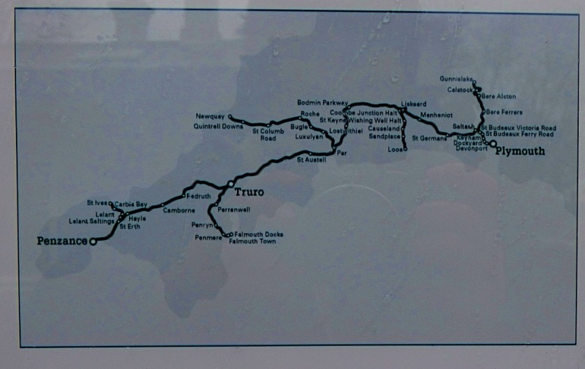
CORNISH TRAIN JOURNEYS
For most of this section we will be following the route of my journey to Penzance, but first a couple of pics to set the scene…
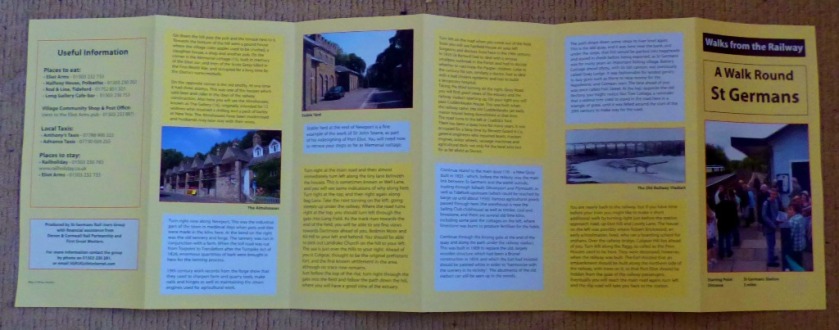
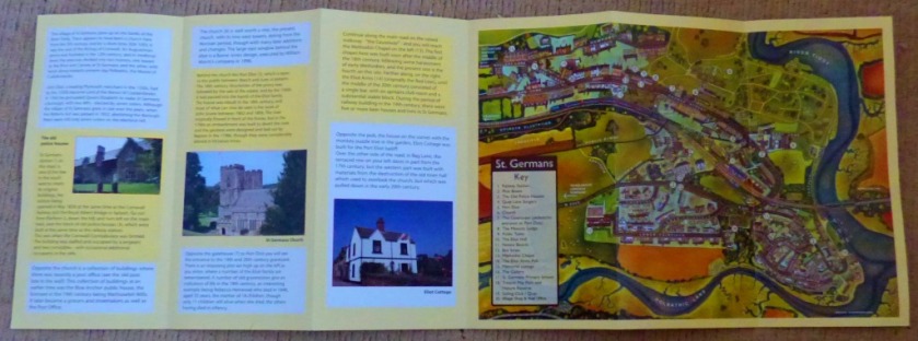
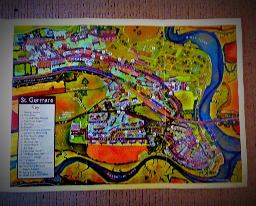
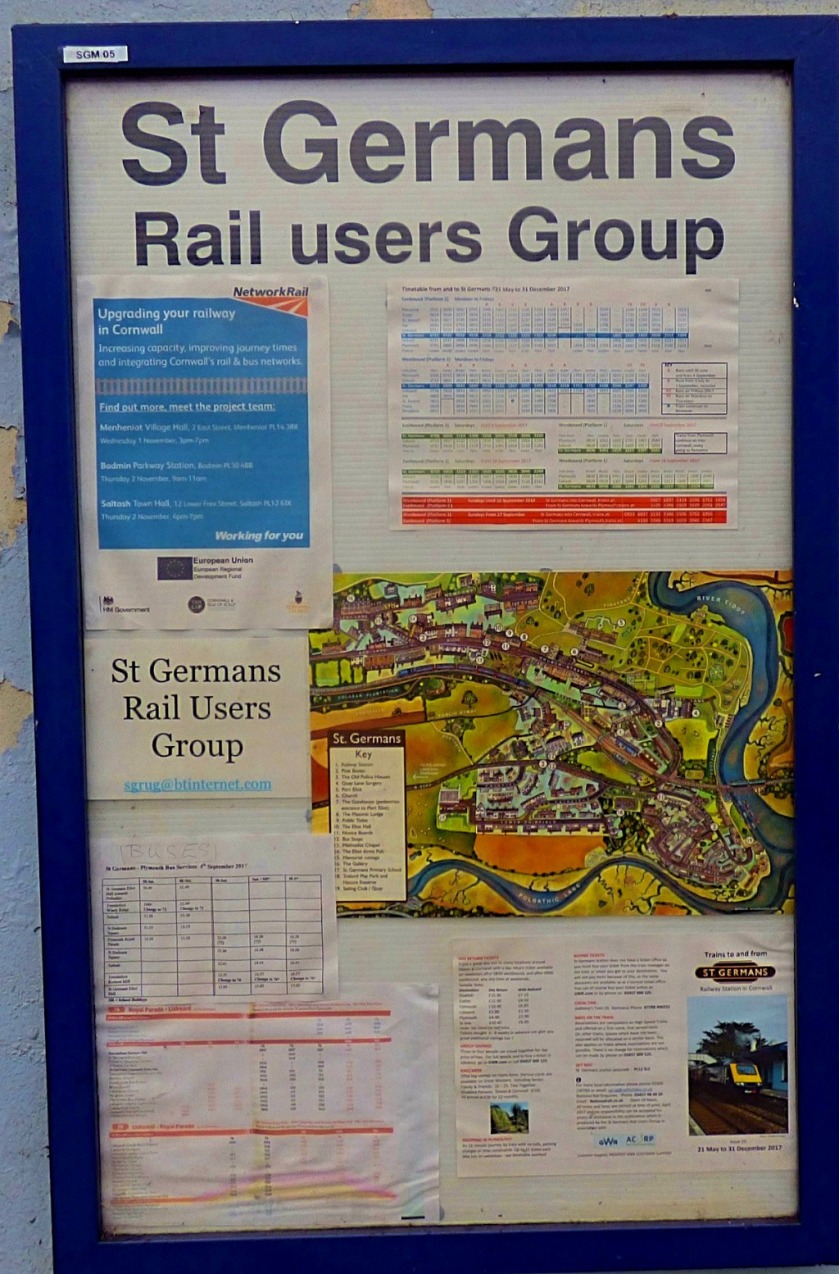
Now starting our survey of stuff that relates closely to my Saturday journey we begin with the St Germans Walk…
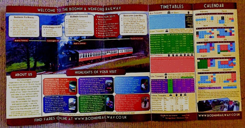
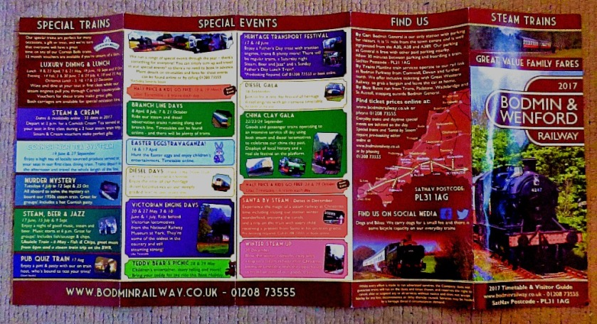
Our next staging post is Bodmin Parkway, for the Bodmin & Wenford Railway:
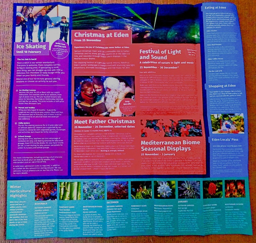
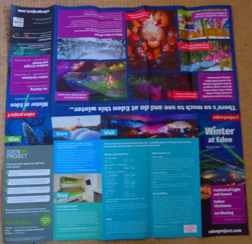
Continuing our westward journey our next diversion is at St Austell where those so minded can catch a 101 bus to The Eden Project (the officially recommended way of visiting that great attraction – they are not great admirers of the motor car).
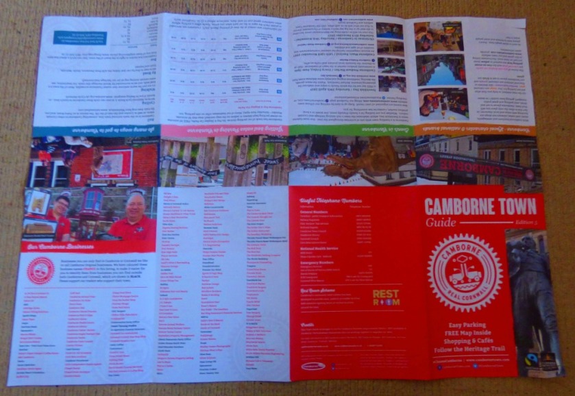
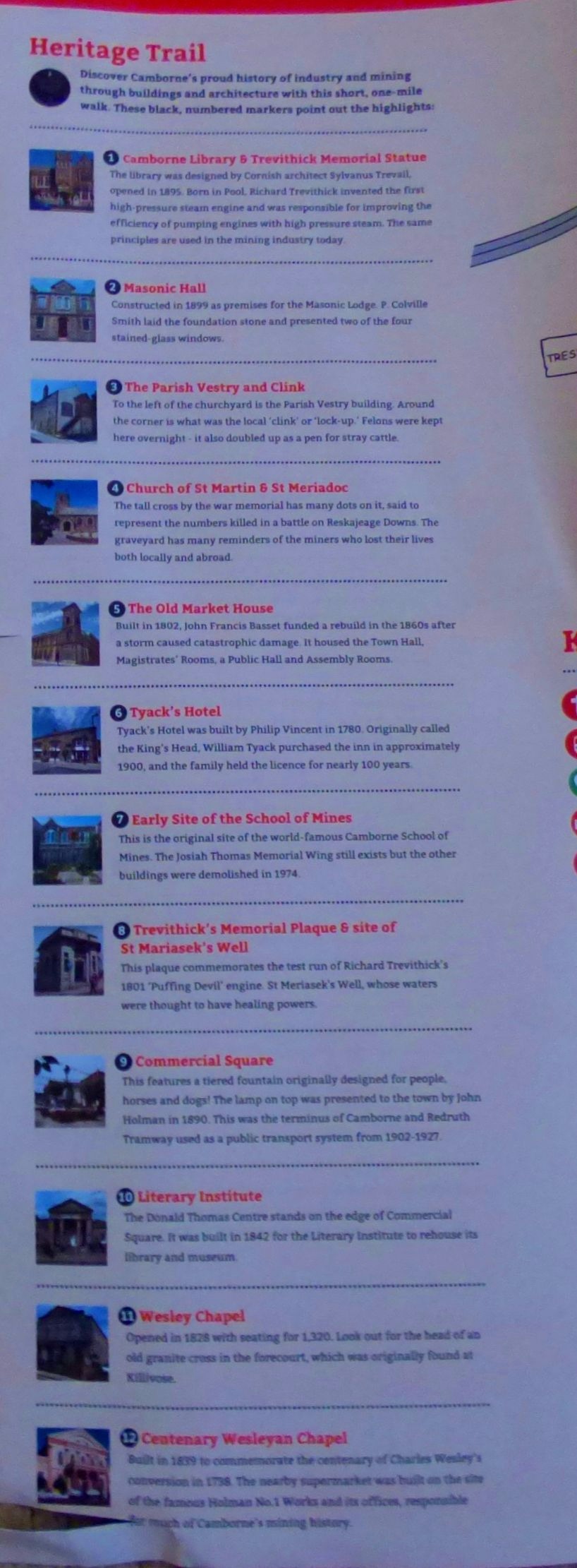
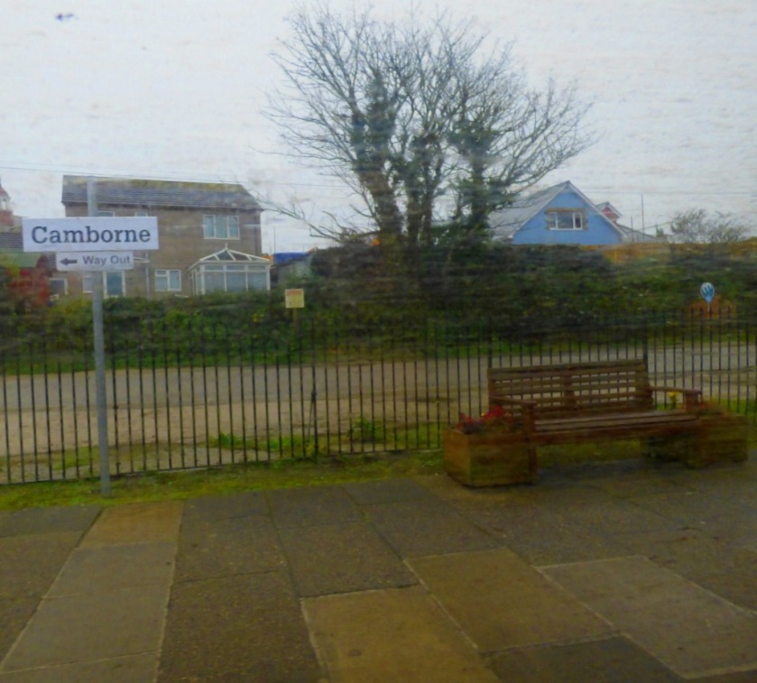
Before arriving at the destination for our next section we give a passing wave to Camborne Town:
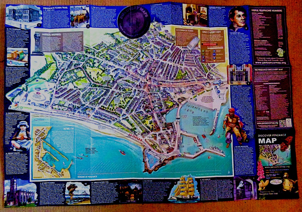
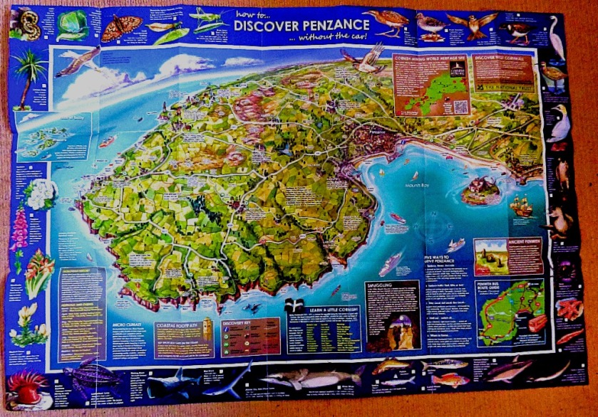
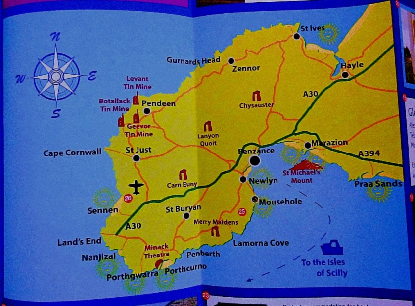
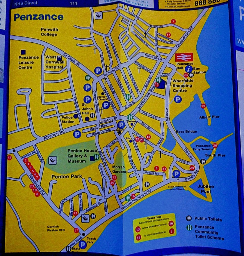
These maps relate to my post about my day in Penzance. The first two pictures are of the only item in this collection that had to be bought, for a whopping £1!
We have almost reached the end of this post, which we do with…
A FEW LAST PICTURES
These are the last few bits…
The official mainline timetableI will not be able to make use of this, but some of you might.
My account of the homeward journey from Fort Picklecombe.
INTRODUCTION
We have reached the penultimate post about my Cornish holiday – the last day. This post details the long journey home.
STARTING OFF
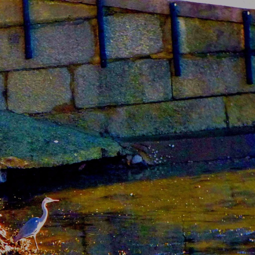
The length of time it took to get from Plymouth to Fort Picklecombe on the Thursday was playing on my mind, and I wanted to be sure that we were away before 9AM, since my train was due to depart Plymouth at 10:44, and I reckoned that a single ticket from Plymouth to London bought on the day (London-Lynn would still have been valid on the original ticket) woulkd probably cost more than my original ticket (in this assessment, to borrow from history, there was the proverbial “cubit of error my way that does not obscure the 99 cubits of error the other way” – actually said ticket would have been fractionally less. Nevertheless, I did get a few lasy pictures before leaving the fort:
A first for me – the first time I have captured a heron on camera.
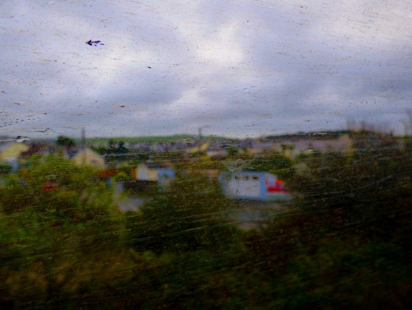
On the journey into Plymouth I managed to snap two pictures from the back of the camper van:
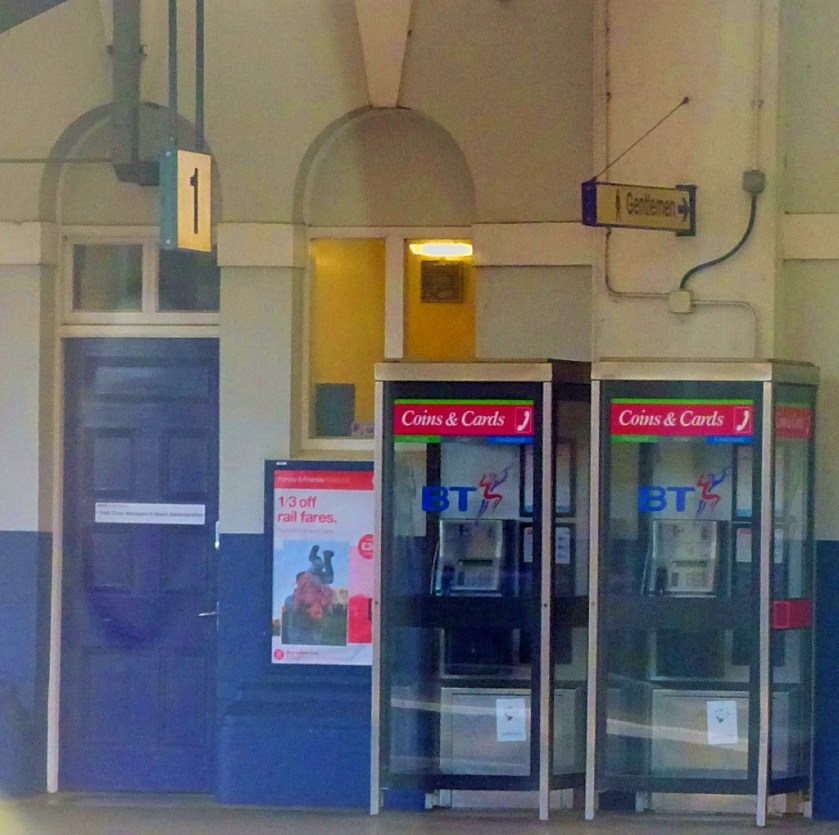
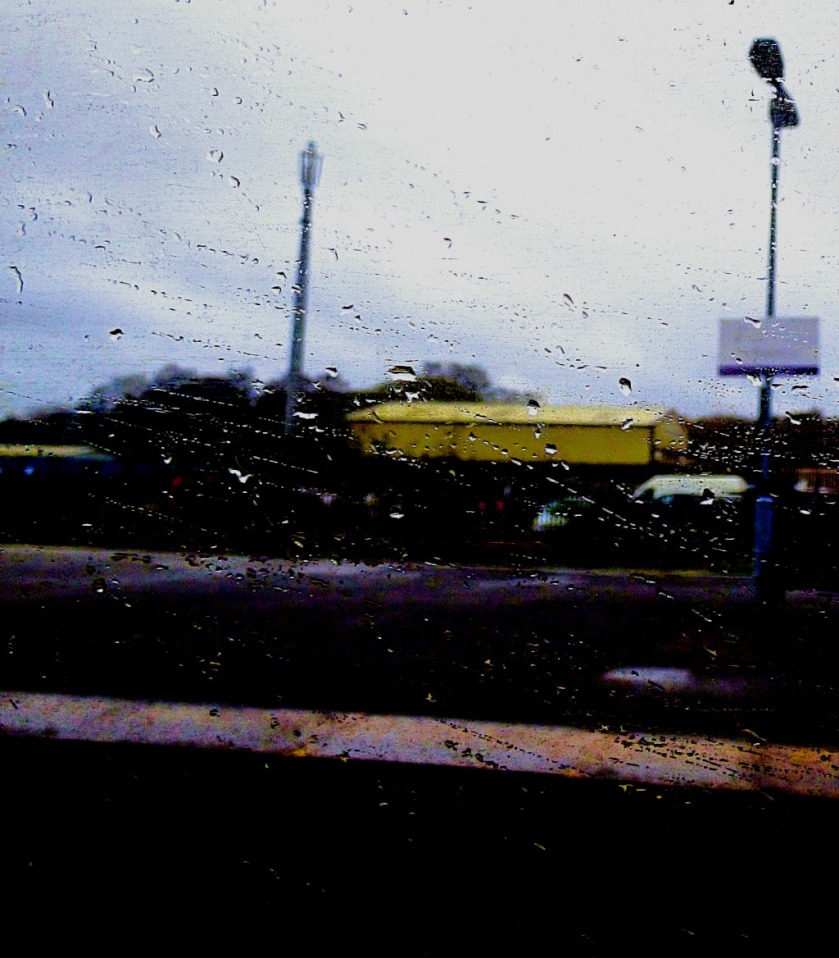
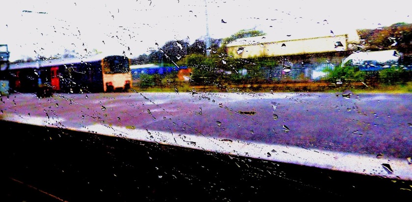
I had some time to kill at Plymouth station and did so by taking photographs…
An avian passenger?
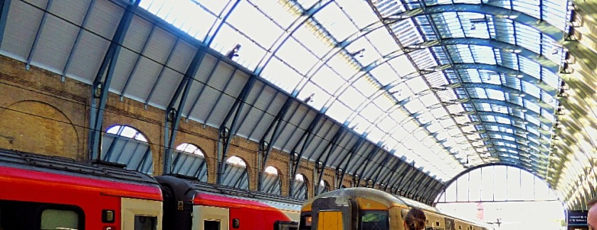
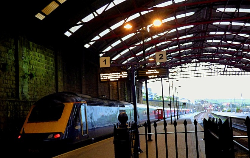
PLYMOUTH – LONDON
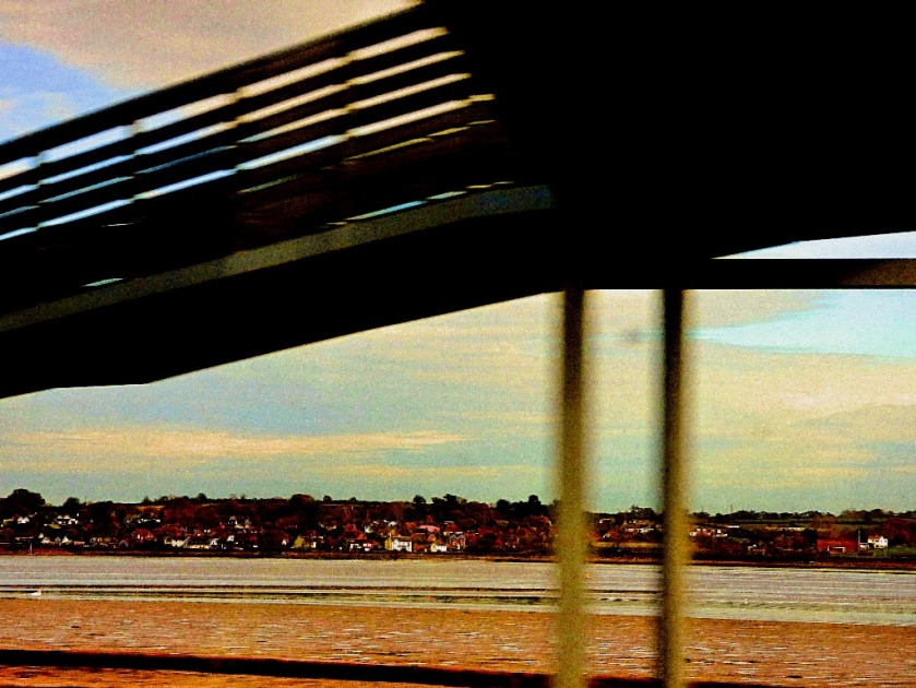
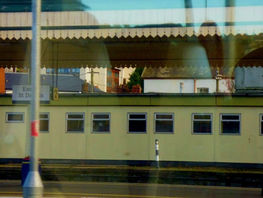
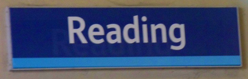
This train was a service called “The Cornish Riviera”, which starts in Penzance and snails up through Cornwall stopping pretty much everywhere and then makes up time by calling only at Exeter St Davids and Reading between Plymouth and London. Although I had an aisle seat on this journey, and no opportunity to move to the window seat I was not going to be denied at least some photos. I got a good few between Plymouth and Exeter and a handful thereafter…
Exeter St Davids (two images)
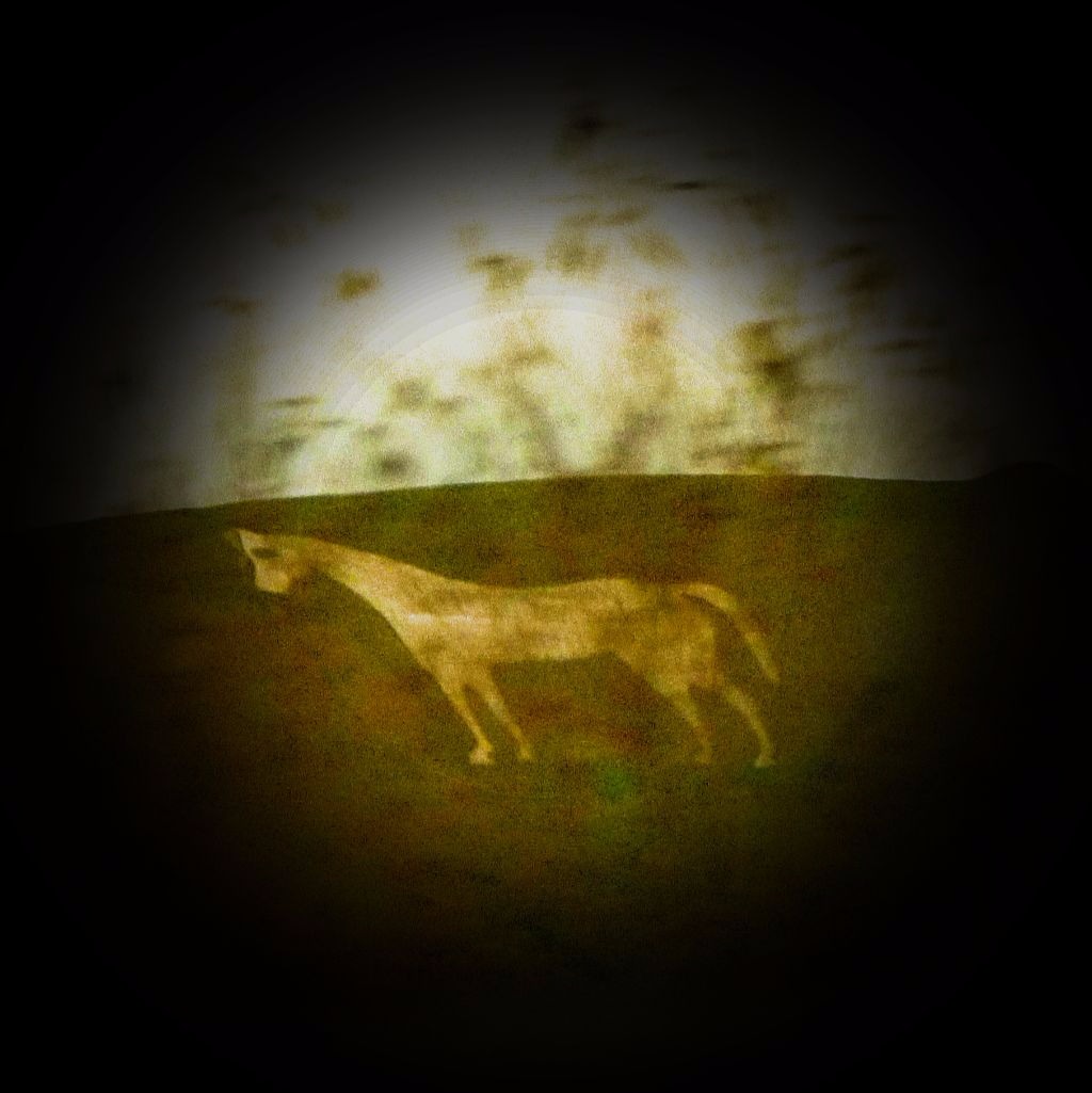
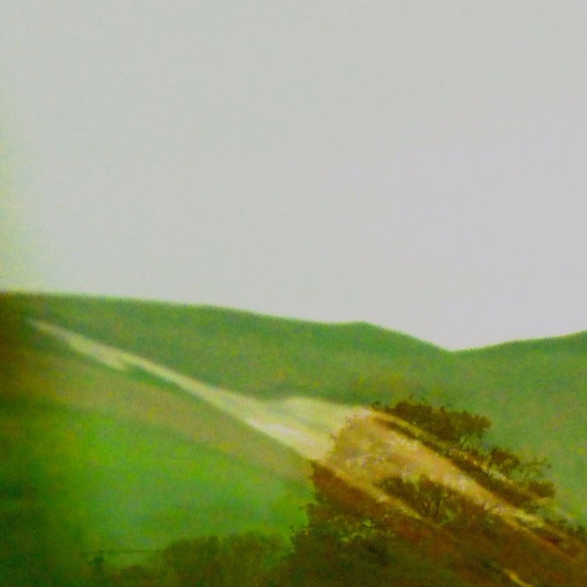
This chalk horse, carved directly out of the hillside, is visible at distance at a time when the train is at full speed.
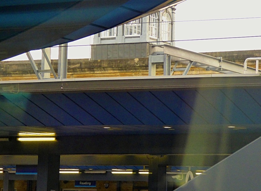
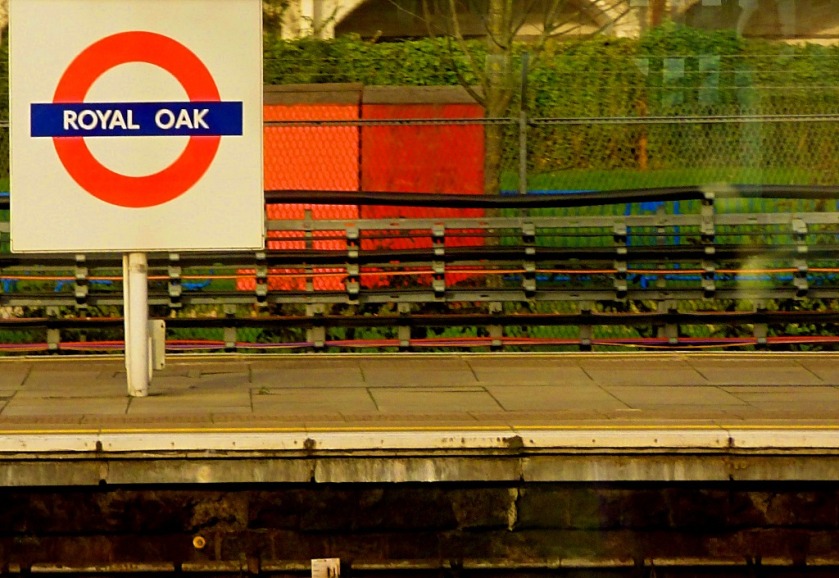
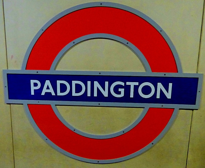
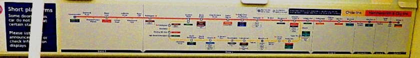
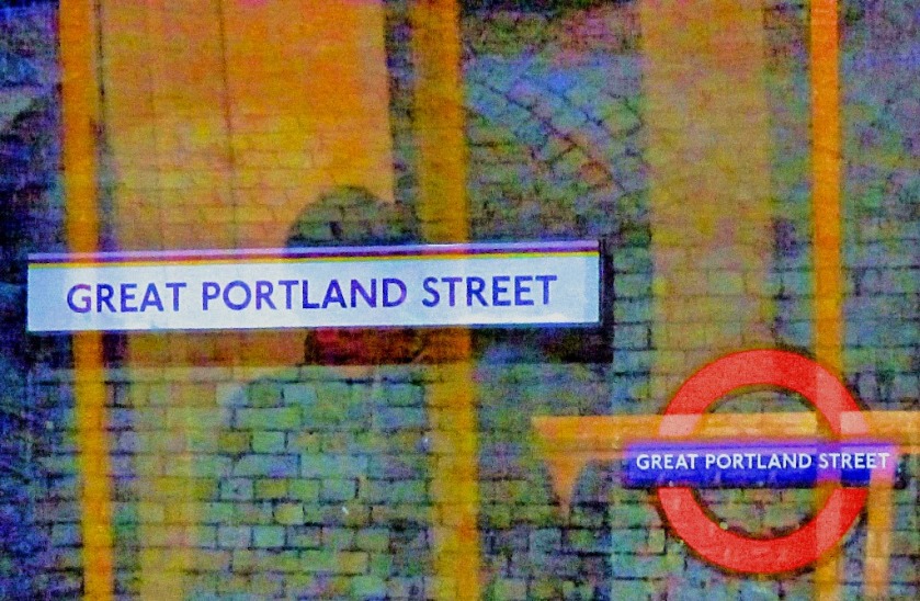
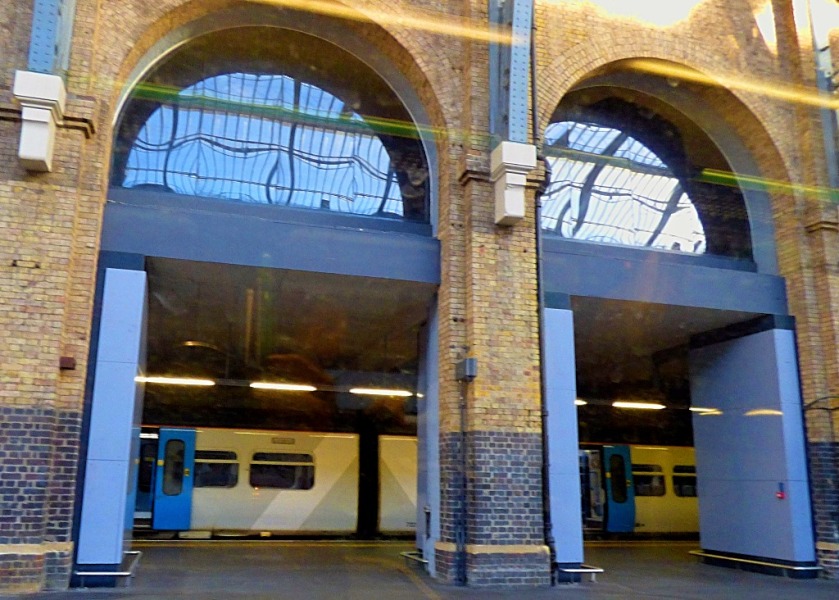
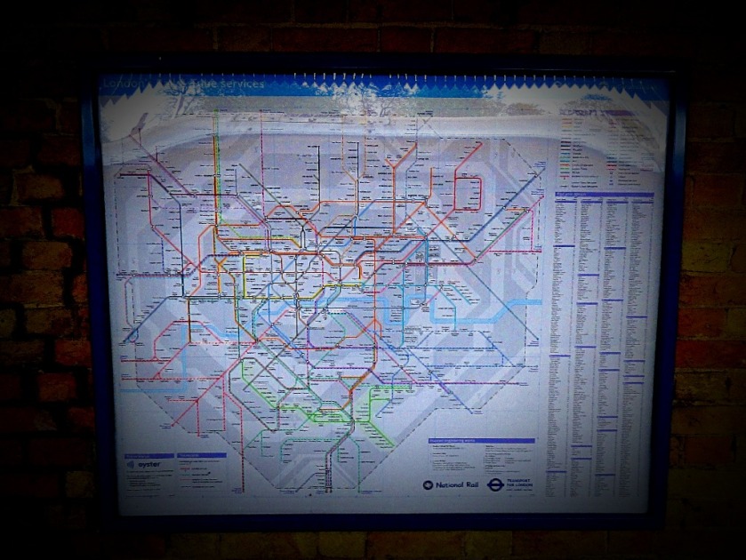
Reading stationRoyal Oak – the Hammersmith & City line’s last station west of Paddington. The next station towards Hammersmith, Westbourne Park, used to offer an interchange with mainline railways but nowadays Ealing Braodway is the last mainline station before Paddington. Back in the old days there was a connection – the first locomotives to run over what was then The Metropolitan Railway were supplied by the Great Western, while this extension to Hammersmtih opened in 1864, only one year after the original.
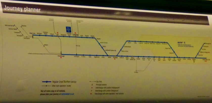
LONDON TO KING’S LYNN
I crossed to the Hammersmith and City line platforms, nos 15 and 16 of the main station, and waited a long time for an eastbound train, then discovering that it was terminating at Edgware Road (very odd indeed for a train from Hammersmith), so I had to change again. I arrived at King’s Cross and was just in time to catch the 14:44 to King’s Lynn, which was not overfull (as the 15:44, the next service, certainly would have been). This means that I was at home and unpacking by 5PM.
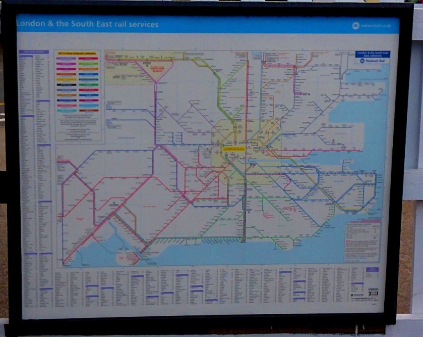
This picture was the cause of minor quarrel – I was challenged by another passenger as to why I was taking pictures of his friend, and it took my a while to get the point across that I was not, and that it was this map which was my target. His friend’s hat did appear in the uncropped version, but no face was visible, and my only interest was the map. I was perhaps a little harsh as I was fully expecting to miss my intended connection at Kings Cross due to the delays on this leg of the journey.
The platform from which the train to King’s Lynn was l.eaving was revealed with a mere eight minutes to spare, and if you going to Lynn you have to go to the front of the train (or else get out and dash along the platform at Cambridge).
An account of the journey to Penzance, setting the scene for my next post, about Penzance itself.
INTRODUCTION
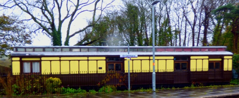
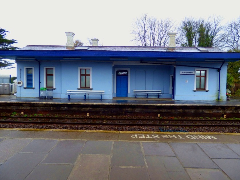
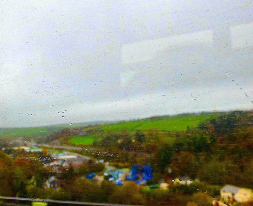
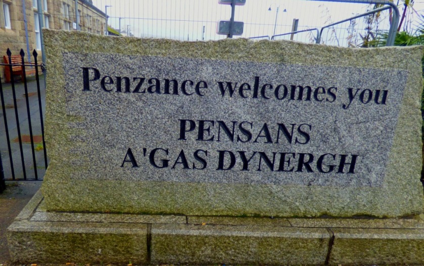
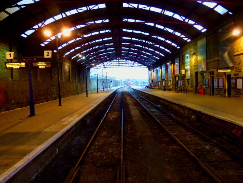
This is continuing my account of my visit to Cornwall. We have reached Saturday, which for me featured a trip to England’s westernmost commercial railway station (note England not Britain – Arisaig on the Glasgow-Mallaig line in Scotland is further west), Penzance. The closest station in time terms to my parent’s new home is St Germans, and that is where my train journey started.
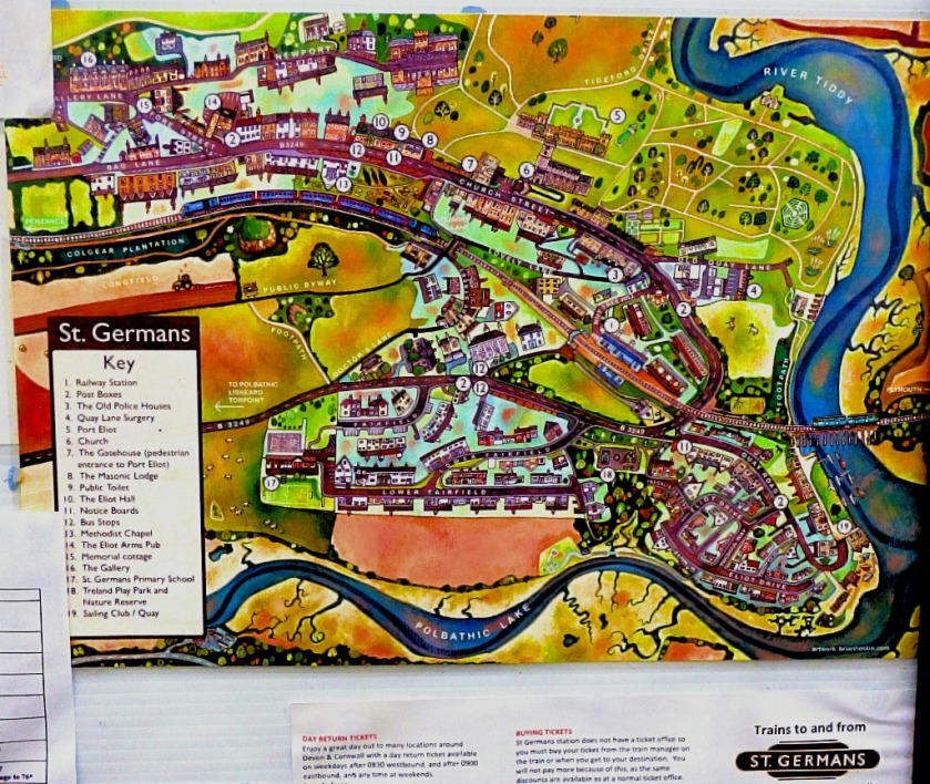
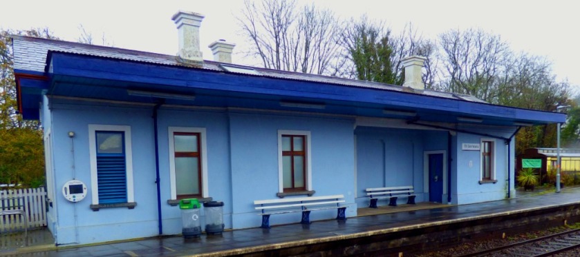
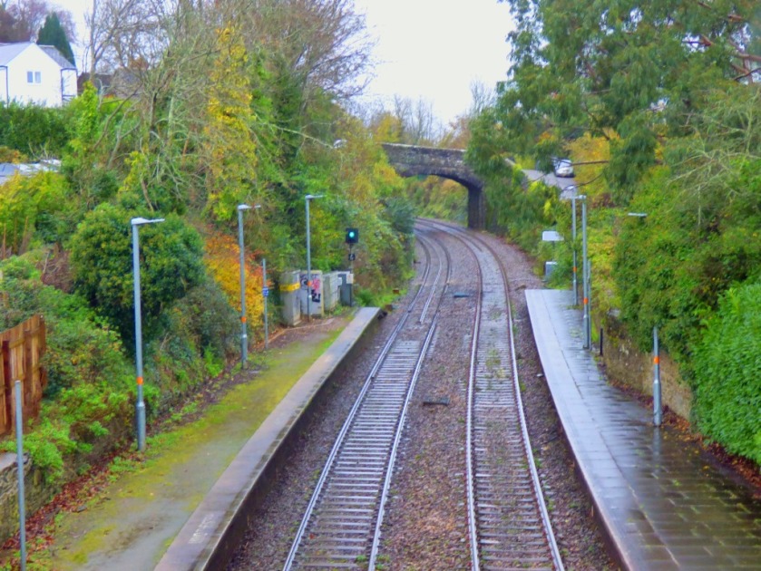
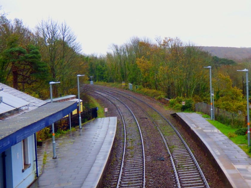
ST GERMANS
St Germans is completely unstaffed, and therefore, since there is no one to maintain it, has no ticket machines either. Tickets are purchased from the conductor once you are on the train. You are only allowed to do this at unstaffed stations – boarding without a ticket at a station where you can purchase one renders you liable to a penalty fare of £20 (I heard another passenger who had done this escaping with a warning not to do it again).
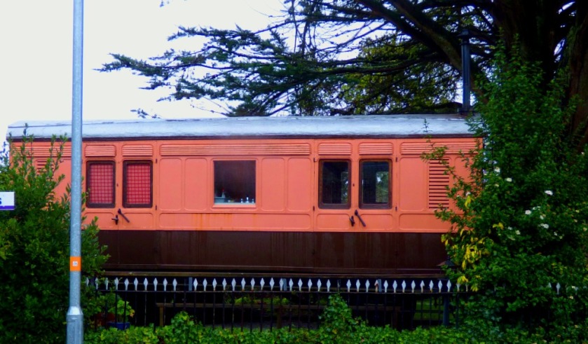
I had a bit of time at St Germans (given that the next train to call at St Germans was two hours later this was indubitably the sensible position to be in. Here are some photographs from the station…
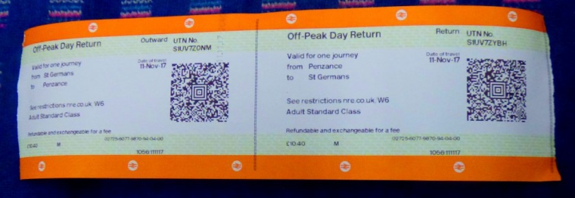
The ticket issued by the onboard conductor is much bigger than a standard train ticket.
THE JOURNEY TO PENZANCE
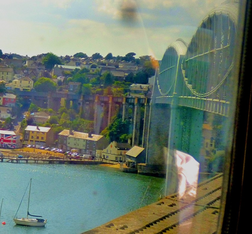
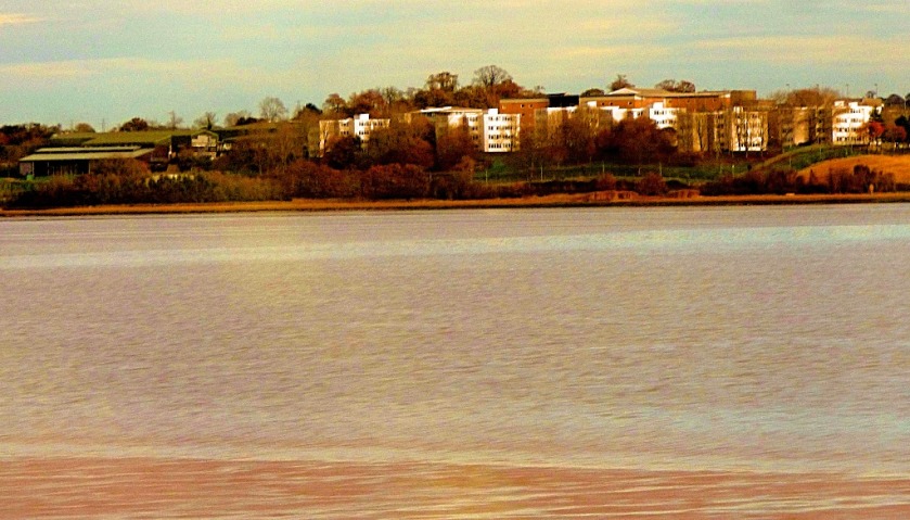
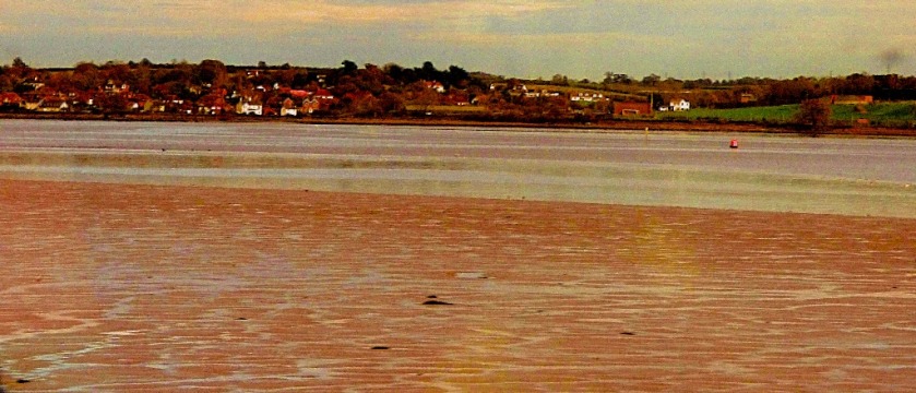
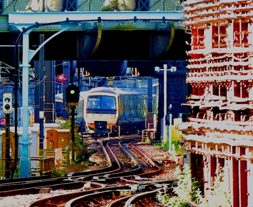
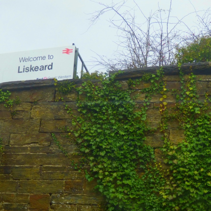
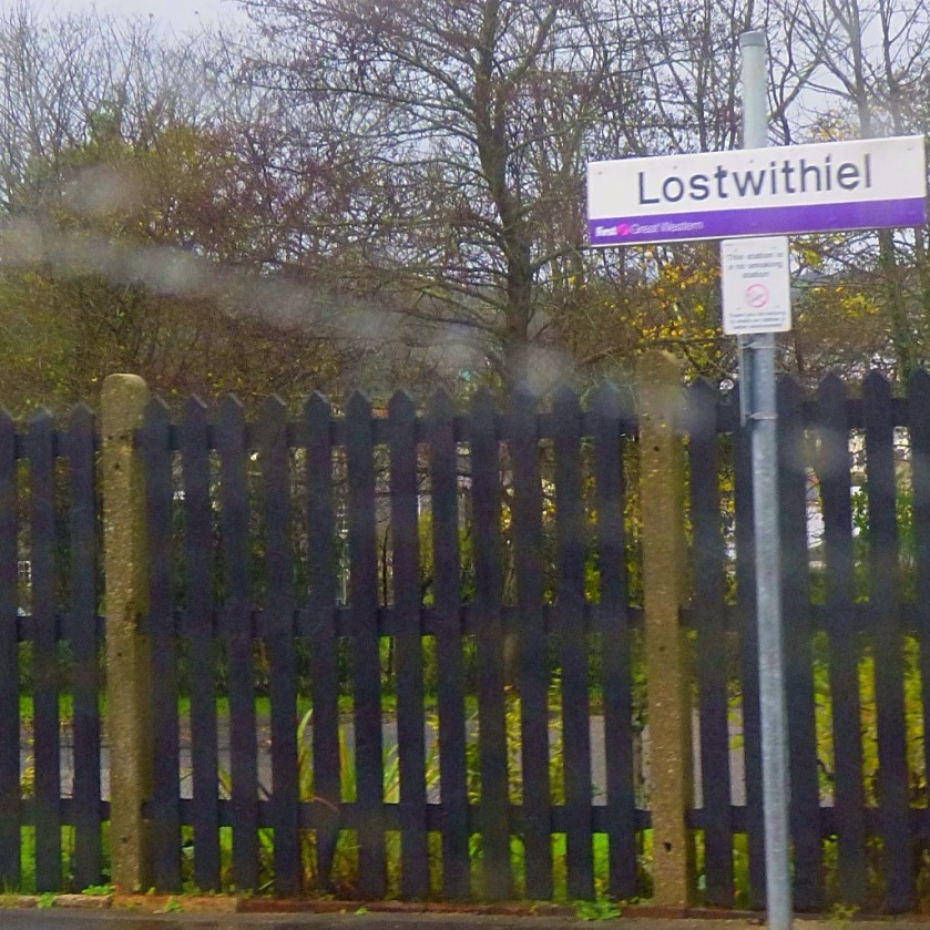
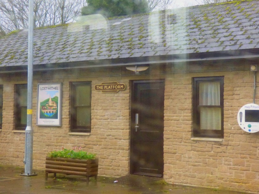
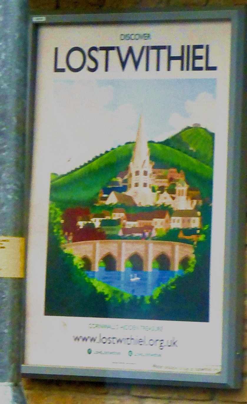
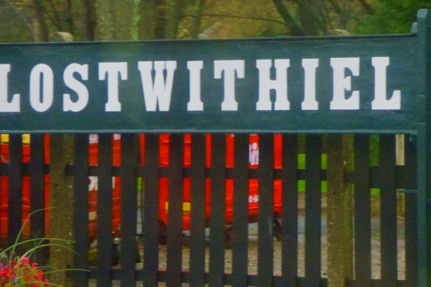
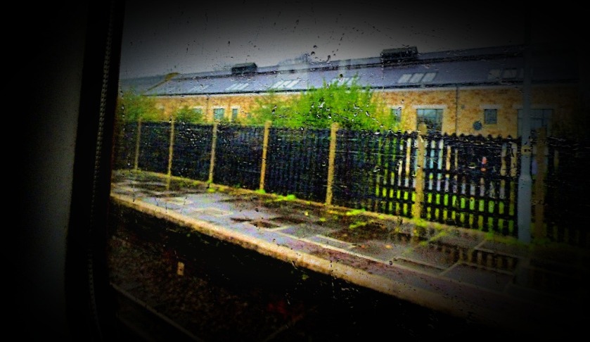
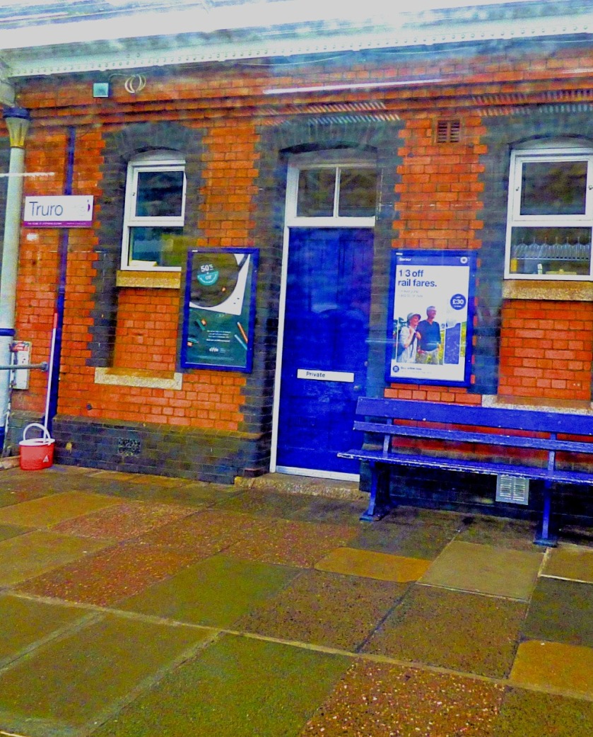
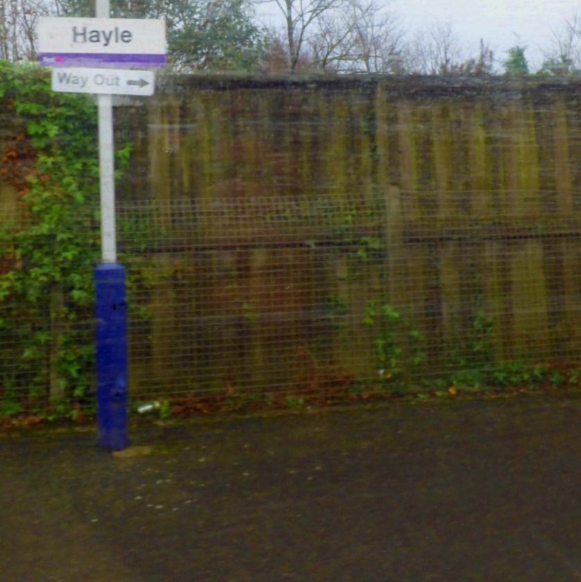
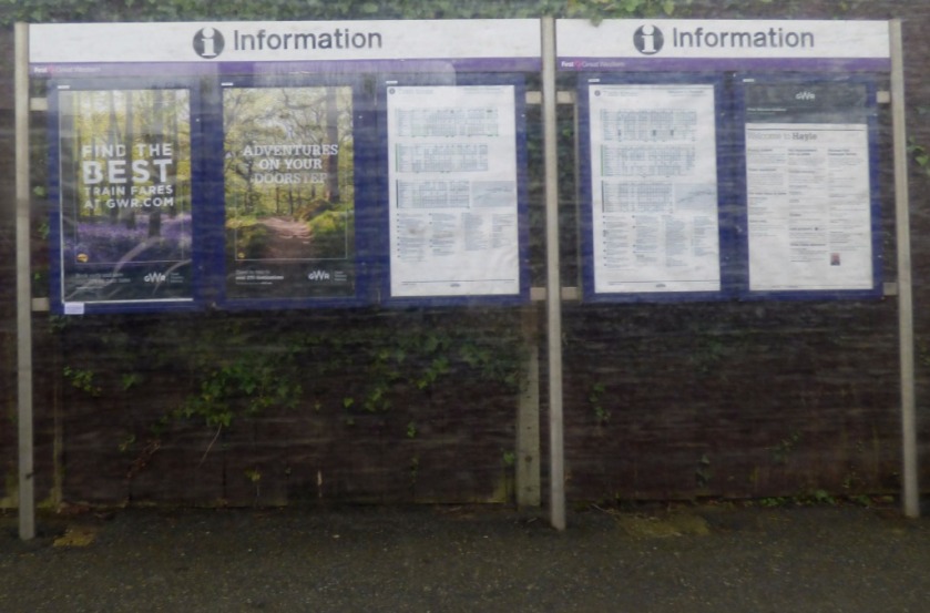
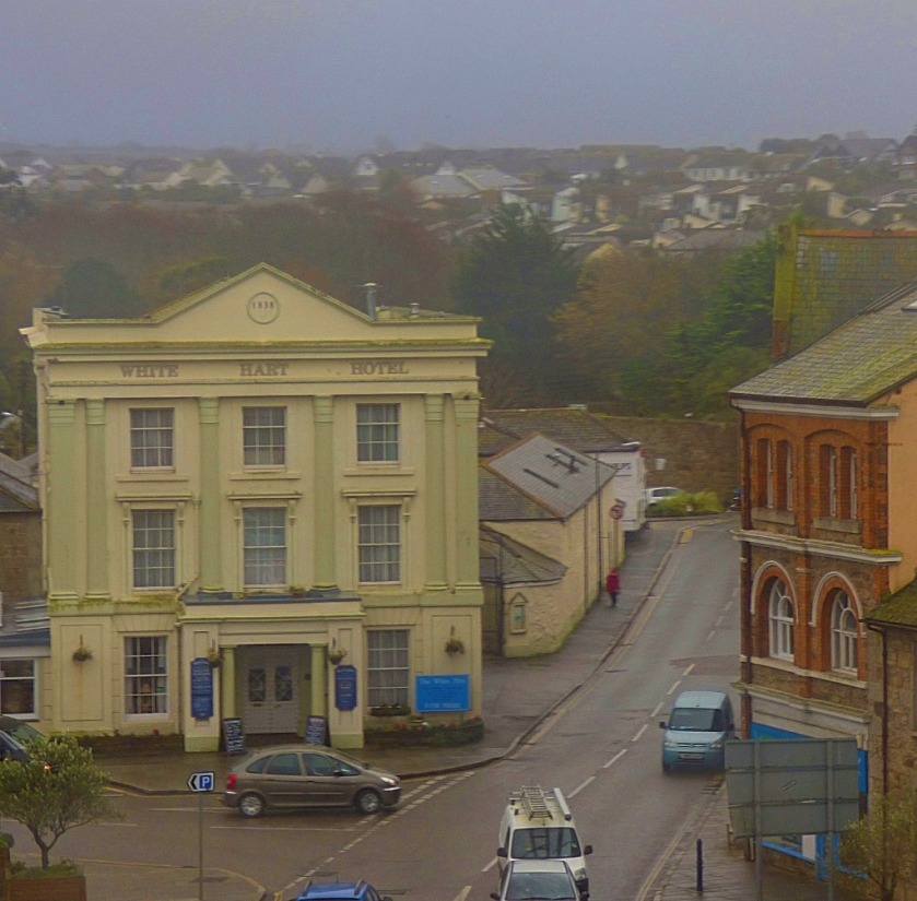
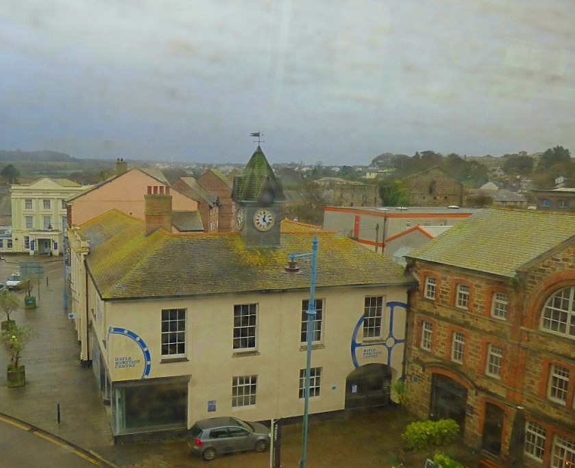
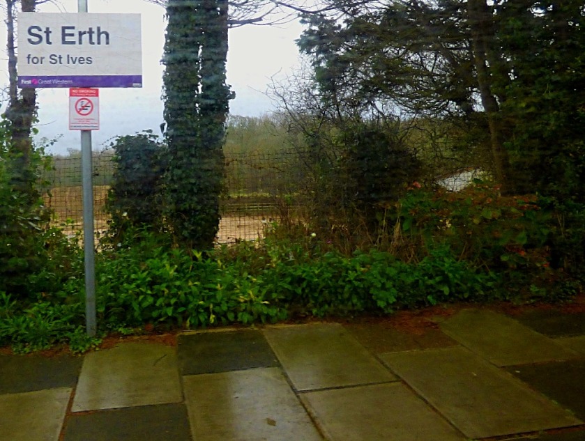
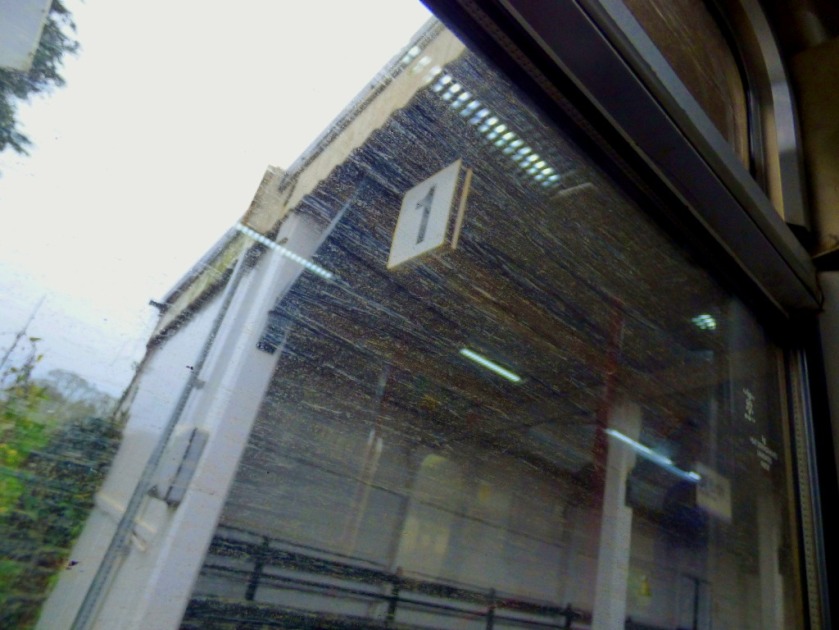
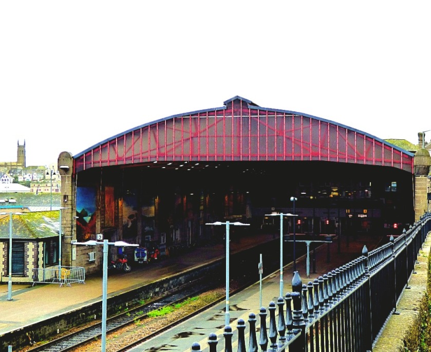
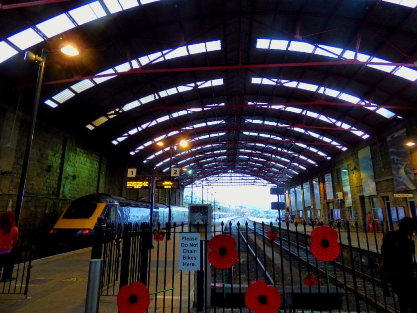
Taking pictures through the windows of a moving train is not especially easy, although I did at least have a window seat for the entire journey, so was never shooting across people. After leaving St Germans the train called at Liskeard (change for the Looe branch line), Bodmin Parkway, Lostwithiel (although the name might suggets otherwise as far as I am aware no elves live here!), Par (trains to Newquay depart from here), St Austell, Truro (Falmouth services diverge here), Redruth, Camborne, Hayle, St Erth (branch line to St Ives from here) and Penzance. Here are the pictures from this journey…
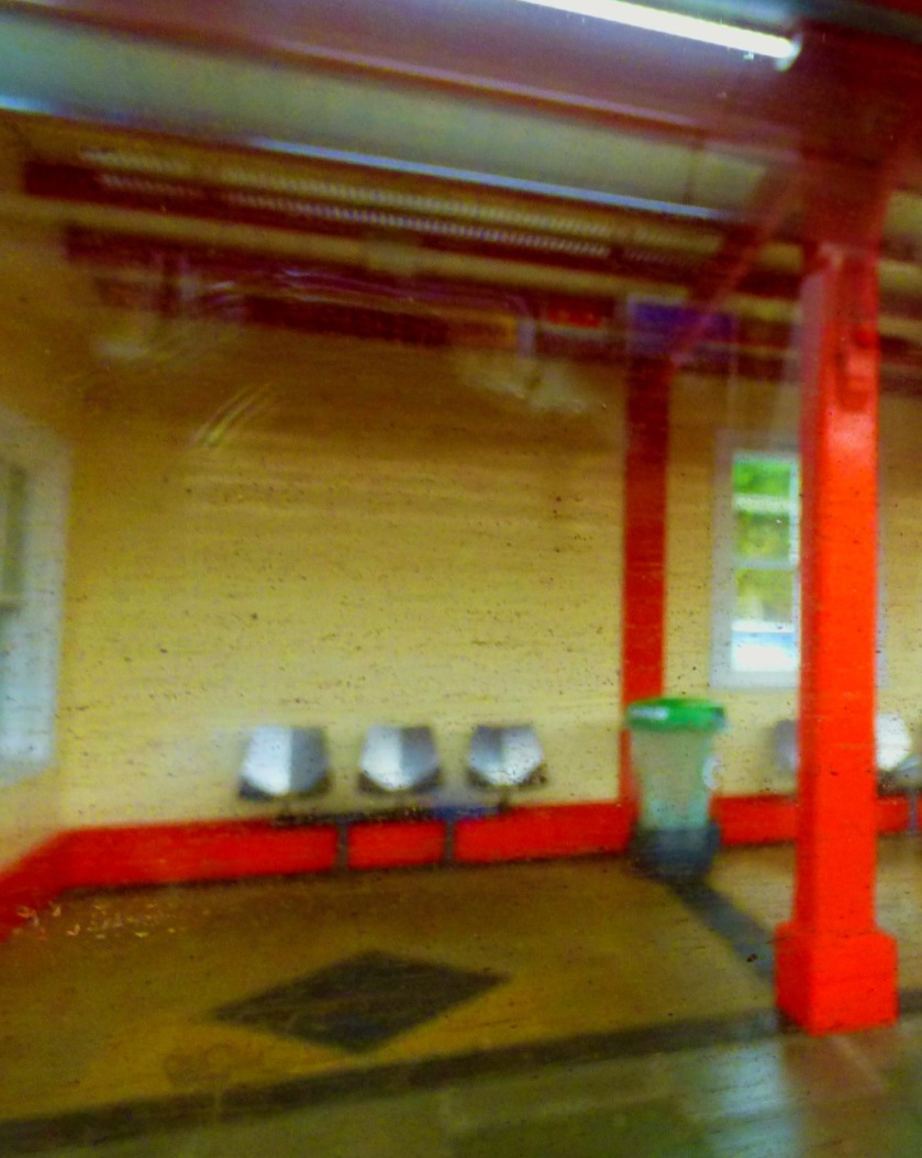
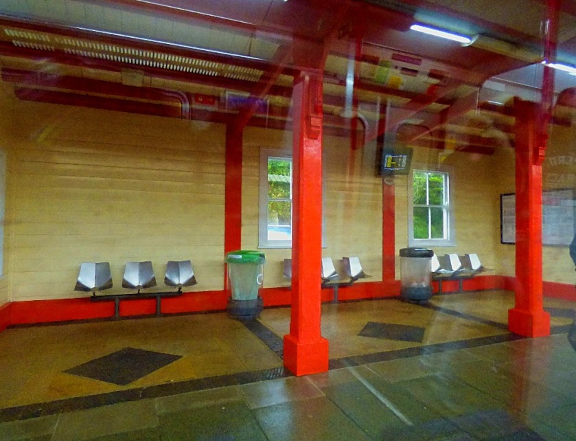
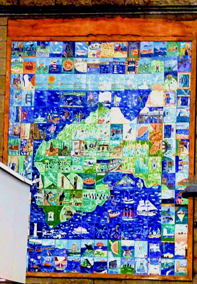
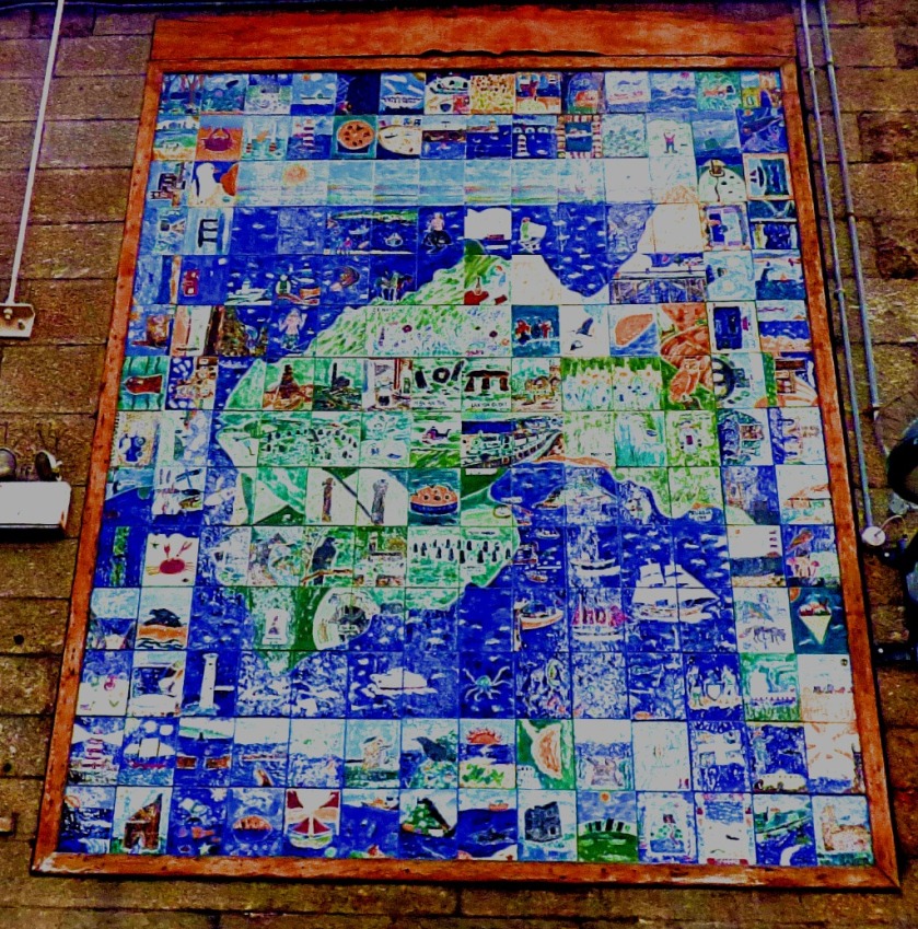
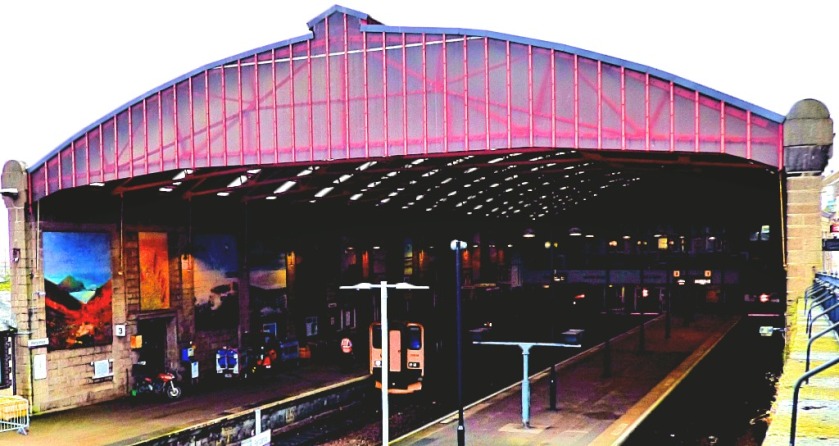
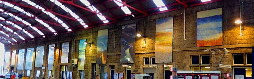
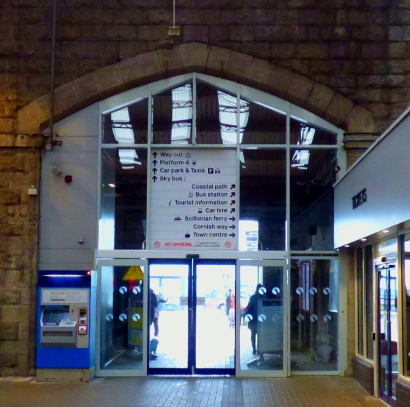
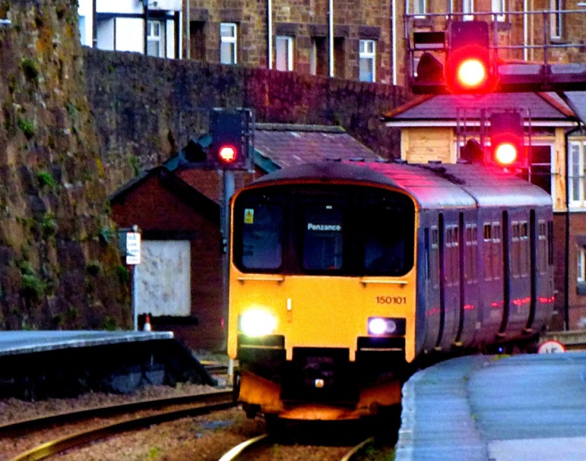
PENZANCE STATION
These pictures were taken both on arrival at Penzance, and towards the end of my time in Penzance.
This was my first effort at capturing this tile picture……and this, later in the day, was my second and final effort.
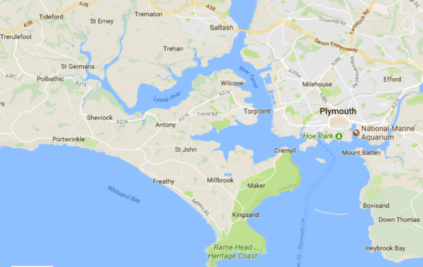
To explain the title of this post, Kernow is the Cornish name for Cornwall, and that is where I am at the moment, staying for a few days in my parents new home. Here is a map to start things off:
My parents new place is near Kingsand, towards the bottom centre of the map.
In this post I will tell you about the stage I left the November auction in, describe my journey down from King’s Lynn and finish with a few pictures from the new house.
JAMES & SONS NOVEMBER CATALOGUE
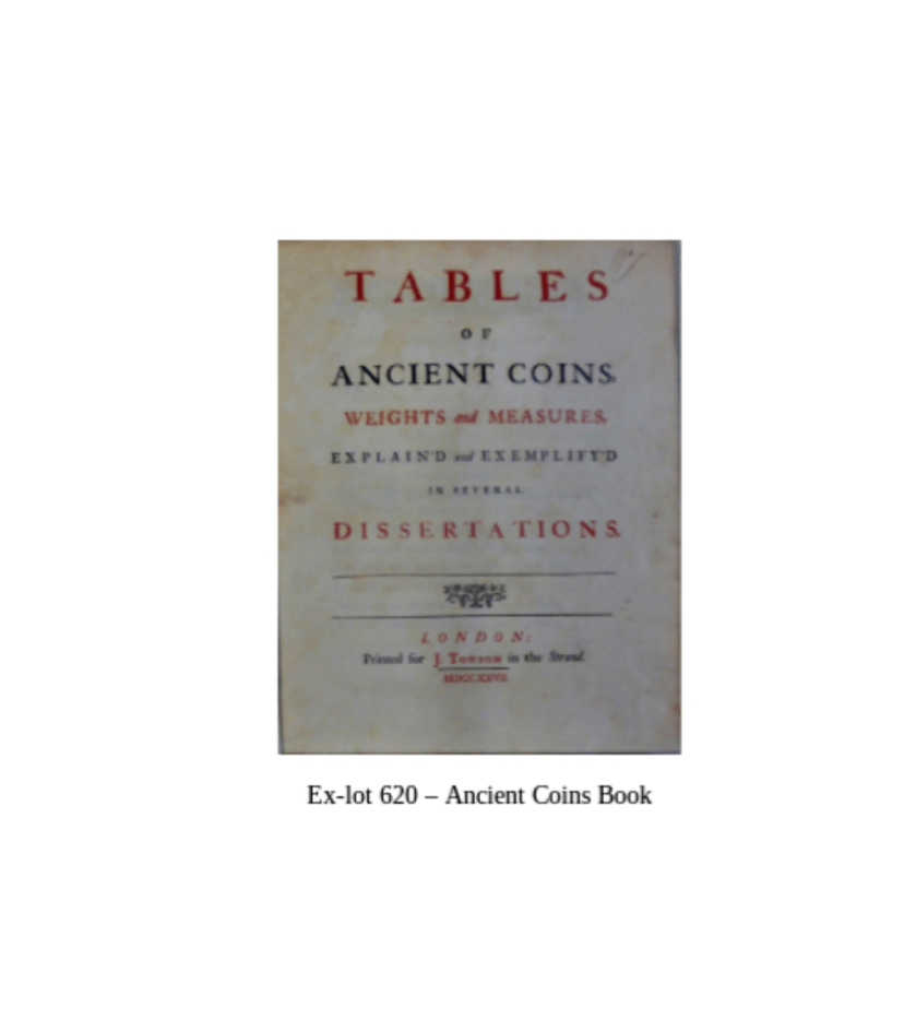
I had booked Thursday and Friday as leave, and in order to be as up to date as possible before going on leave I agreed to work Monday as well as Tuesday. By the end of Tuesday the imaging was as complete as possible, and I had given my colleague Andrew a start towards the printed catalogue, with a front cover image selected and placed appropriately on the page and the back cover completed. I offer links to the files and also screenshots:
Why two versions of the front cover? Well my employer did not like my initial choice of front cover image, requesting the coin book in its place, and being me I kept both versions.
KING’S LYNN TO CORNWALL
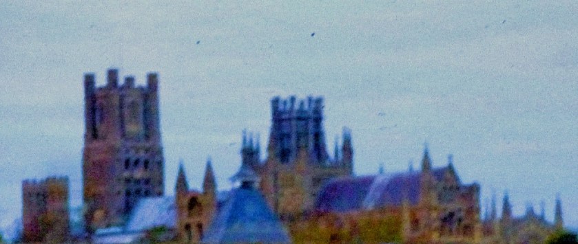
The first part of my journey was on the 9:54 train from King’s Lynn to London, which mirabile dictu ran to time. As far as Cambridge I had the company of Jo Rust, Labour candidate at the last two general elections in my constituency. Ely Cathedral was, as often, a target for my photographic attentions:
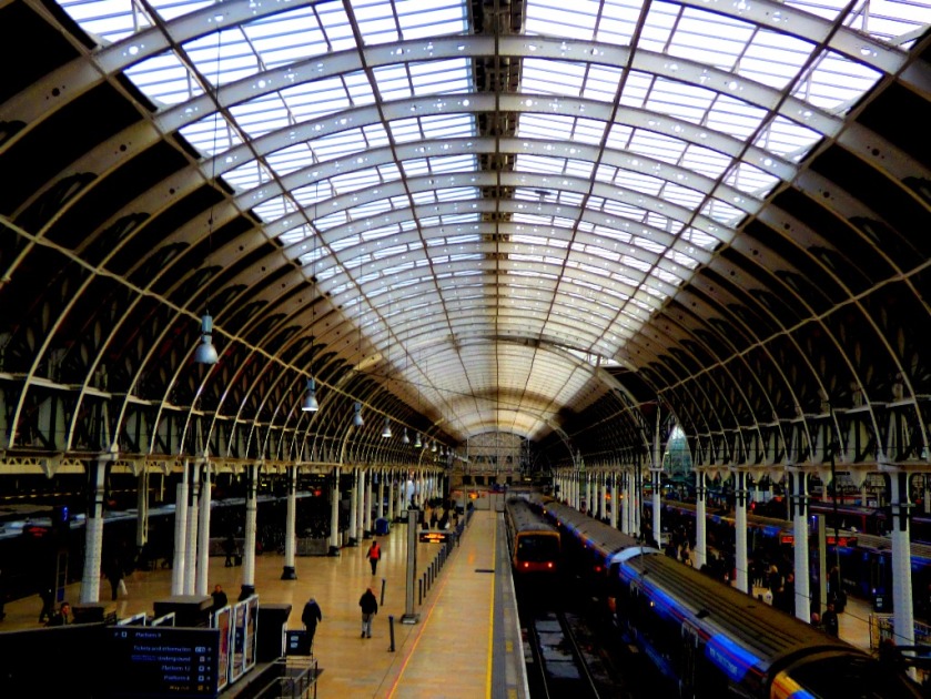
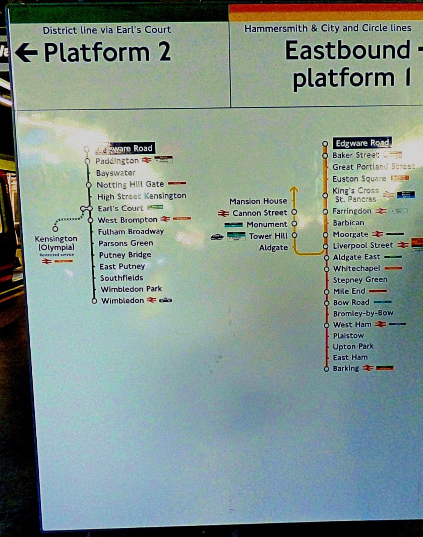
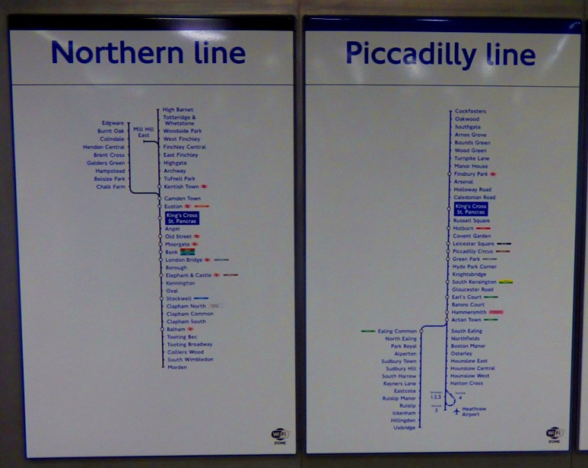
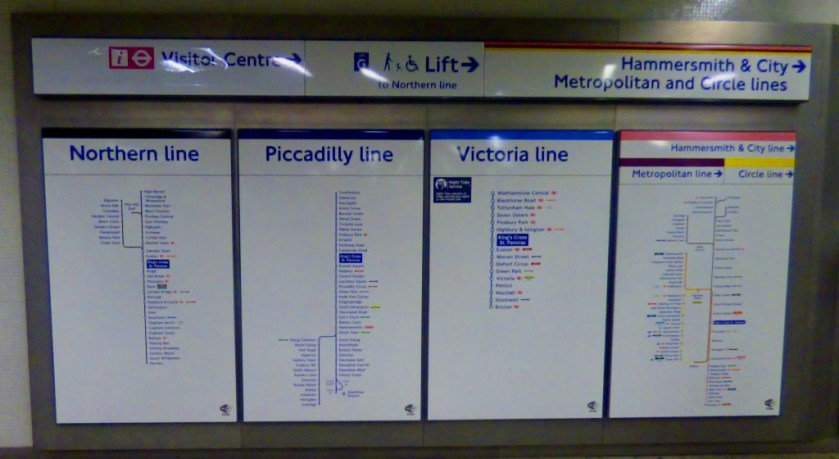
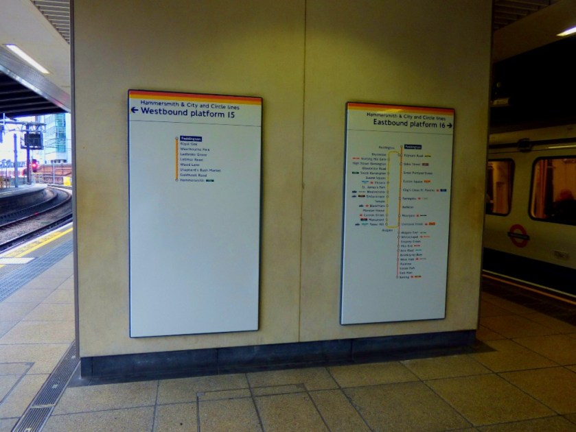
On arrival at King’s Cross I headed down to the Circle/ Hammersmith & City/ Metropolitan lines to get a train across to Paddington. The first train was heading for Uxbridge, therefore not one for me to take, but the second was bound for Hammersmith, and hence going by way of the right Paddington, the one that is structurally part of the mainline station, as opposed to the Circle/ District line station that should revert to it’s original name of Praed Street.
Looking across Paddington from the H&C platforms (these are platforms 15 and 16 of the main station).
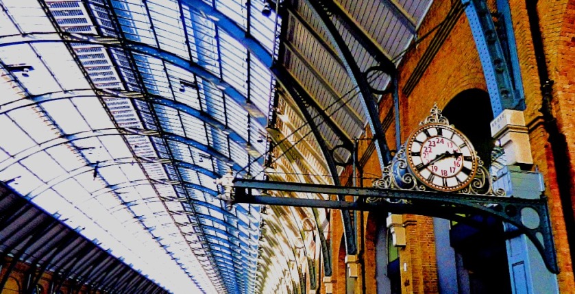
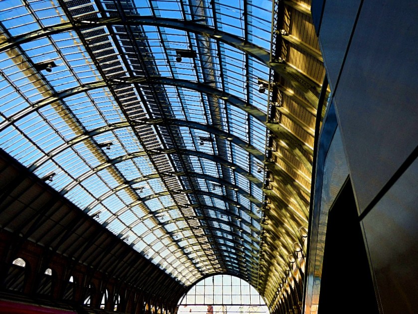
Having a had a decent but not stellar connection at King’s Cross I arrived at Paddington with just under an hour to go before my train for the long-haul section of the journey was due to depart. Although careful to stay close to the information screens that I would not miss the platform number for my train when it came up I did get some photos while I waited for this information.
I did not get as many pictures as I would have liked during the train journey to Plymouth, as my camera’s battery ran out of charge just beyond Exeter (so no pics from Newton Abbot, Totnes or the approach to Plymouth). The train arrived in Plymouth exactly on schedule, making it a jackpot-like two train journeys in Britain on one day that had run to time!
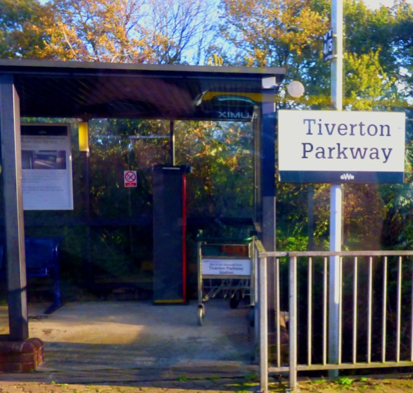
The first stop out of Paddington – from here there was a long fast run to Taunton, then Tiverton Parkway, Exeter St Davids, Newton Abbot, Totnes and Plymouth.Some Cornish refreshment from the on-train bar, although at prices that would have made the proprietor of a plush central London pub blush (£4.50 for a half-litre bottle!)
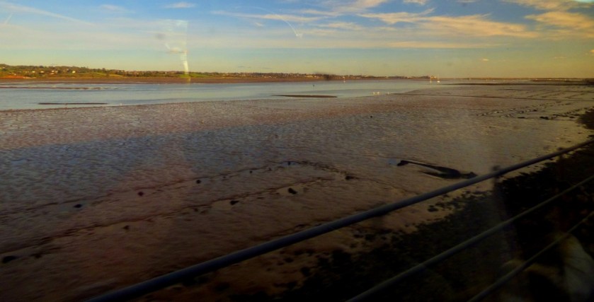
A first glimpse of the sea on this journey.
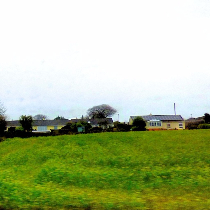
Picklecombe Fort, wherein my parents have their new apartment is about 2.5 miles from Plymouth as the crow flies, but the road journey is so roundabout that this portion of the journey took almost the same amount of time as King’s Lynn – London had at the start of the day!
THE FIRST CORNISH PICTURES
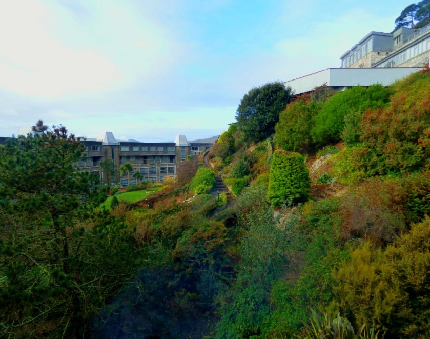
This morning, with my camera battery fully charged I took some pictures here at Picklecombe Fort.
The guest bedroom has an ensuite bathroom cunningly disguised as a set of cupboards.Mean spiritedness from the previous owners.My parents library.Three views from my bedroom window…
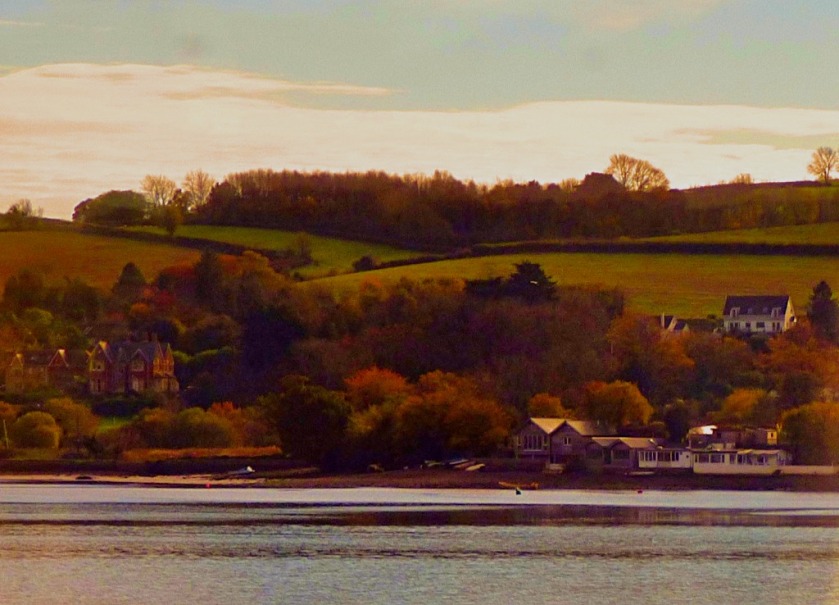
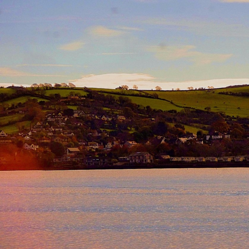
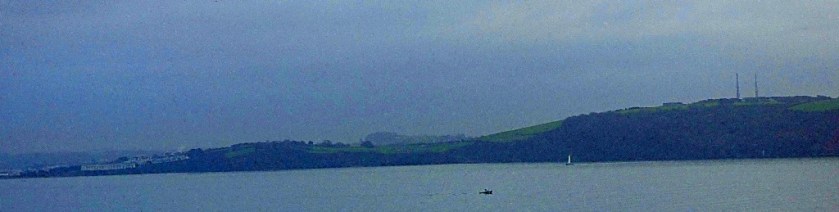
The rest of these pictures were taken from the balcony, and show the apartment’s #1 selling point – the sea views.
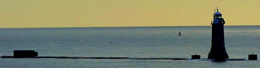
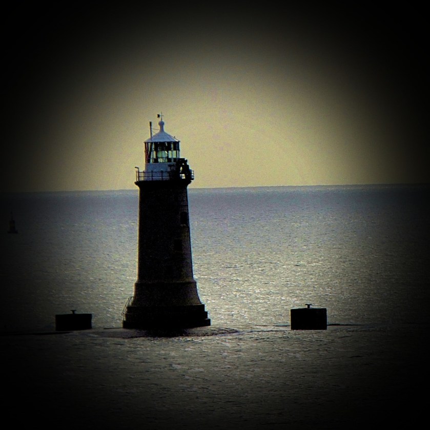
The third picture I took featuring the lighthouse.
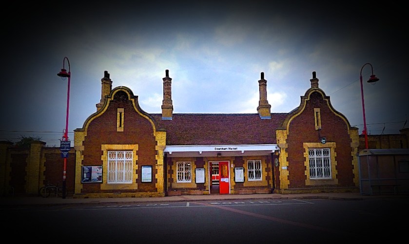
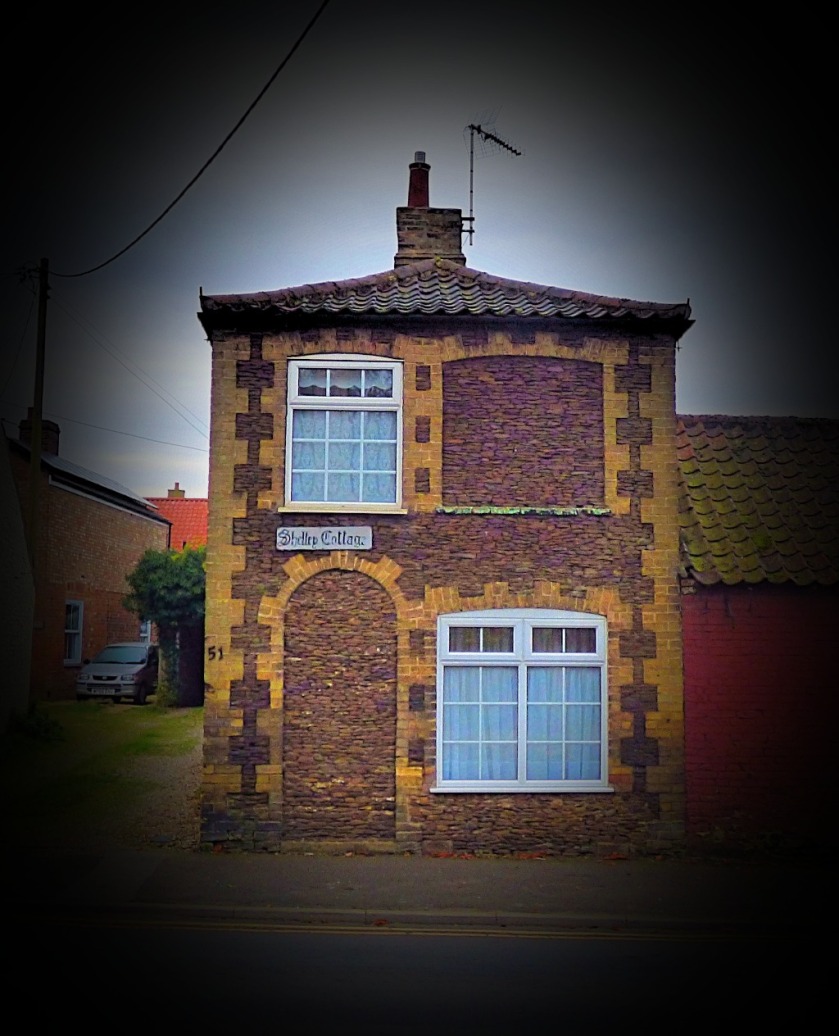
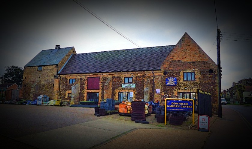
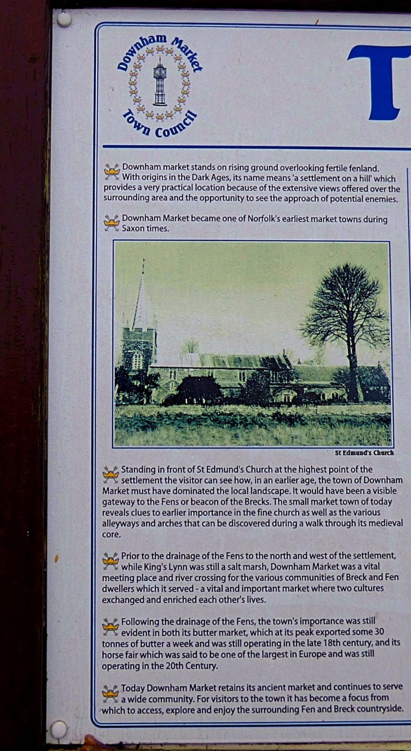
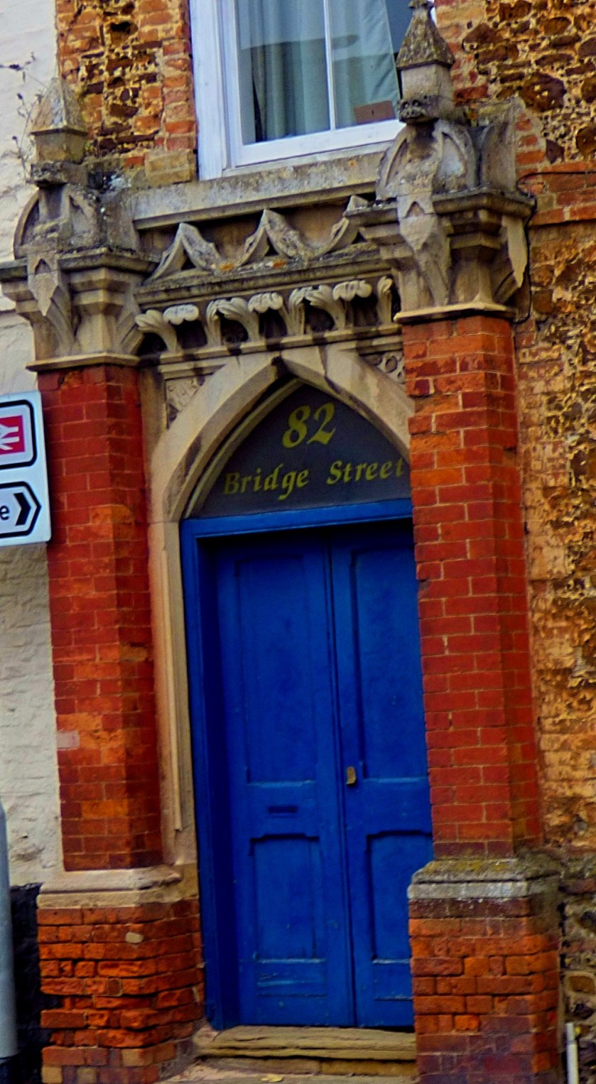
A photographic account of Downham Market, an old market town in Norfolk.
INTRODUCTION
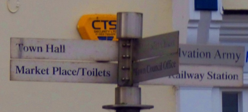
As those of you who read the post I put up earlier today will know I spent part of Saturday in the town of Downham Market. These post showcases everything I saw there other than the Town Hall.
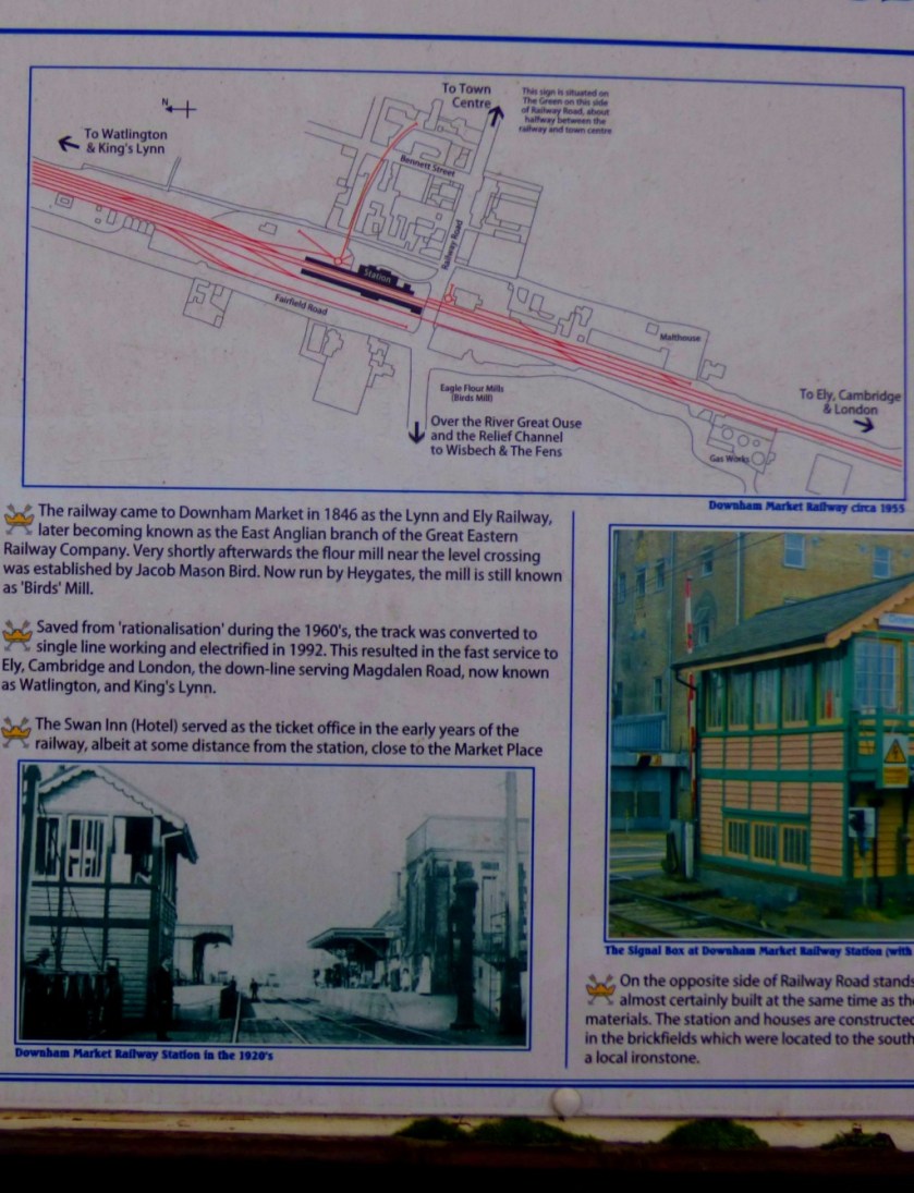
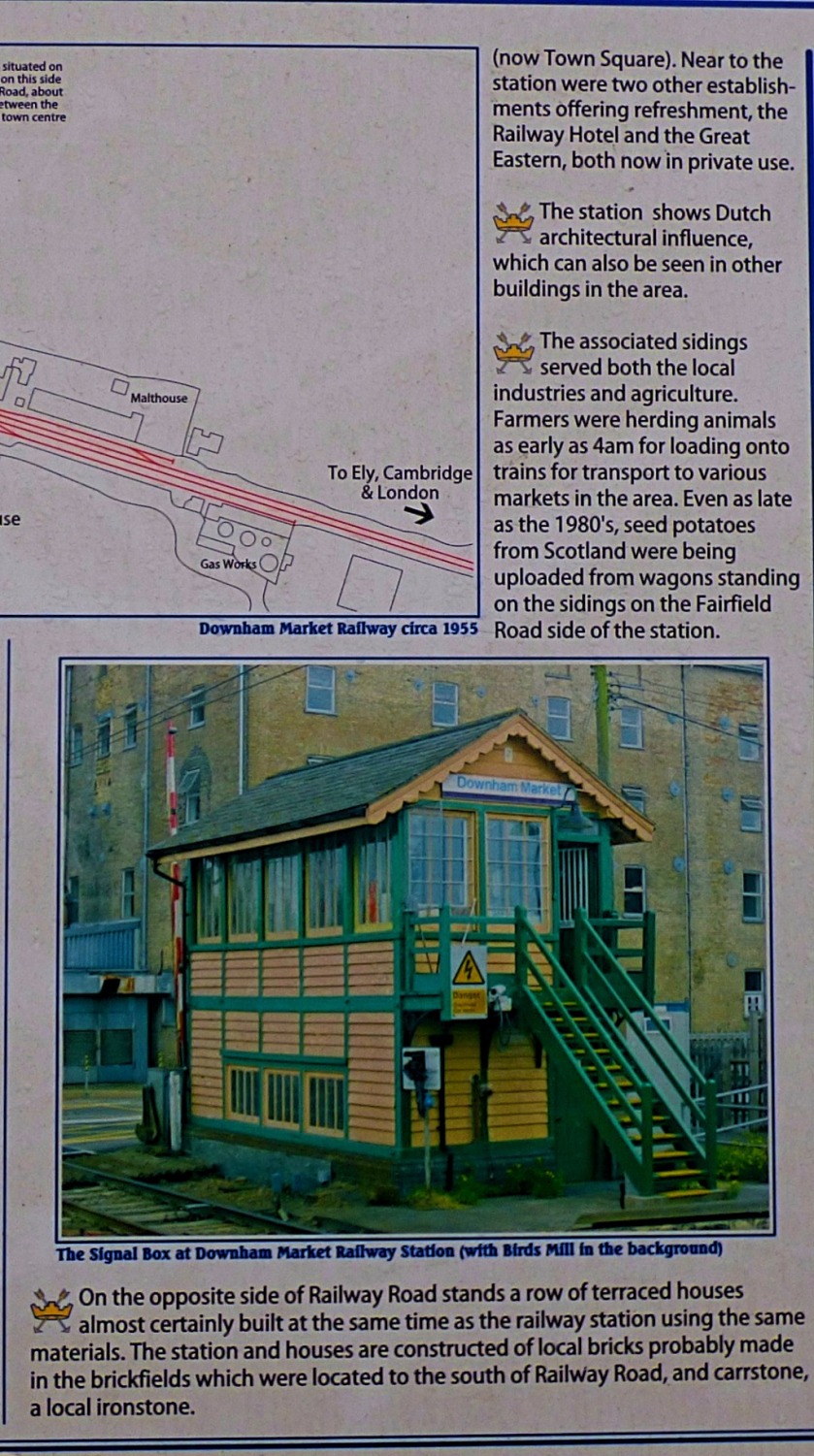
THE STATION
This was my first visit to Downham Market, as opposed to passing through the station en route to further afield destinations. The pictures here were taken at two distinct periods, in the morning immediately post arrival, and in the afternoon when I had rather more time to kill than I would have wished. The only way across the tracks at Downham Market is by way of a level crossing, and the train from London to King’s Lynn arrives just before the one going the other way. The crossing gates close a couple of minutes before the King’s Lynn train arrives and stay closed until the London train has departed, which means that if you are looking to catch the King’s Lynn train, which departs from the far platform from the town centre and the crossing gates close you have missed it, and such was my fate on Saturday. For those affected this also explains both my later than usual arrival at the venue for Musical Keys and the fact that I was a tad breathless when I got there – I had stepped off a train at 15:20 at King’s Lynn and walked straight out to the Scout Hut in something of a hurry.
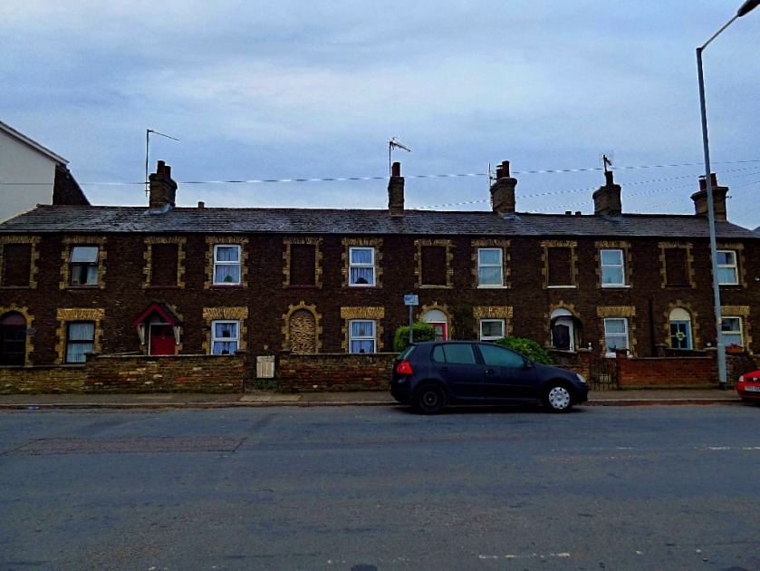
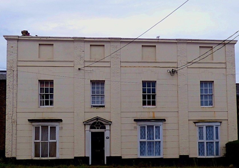
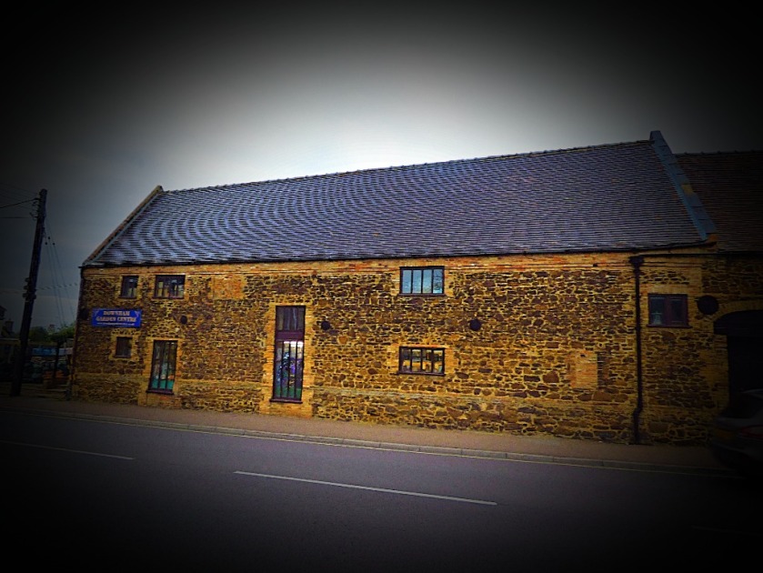
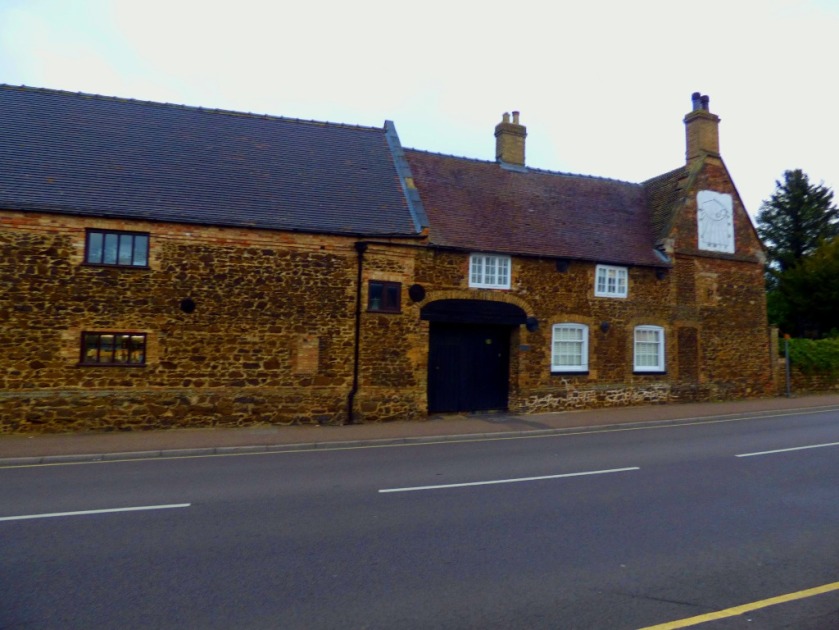
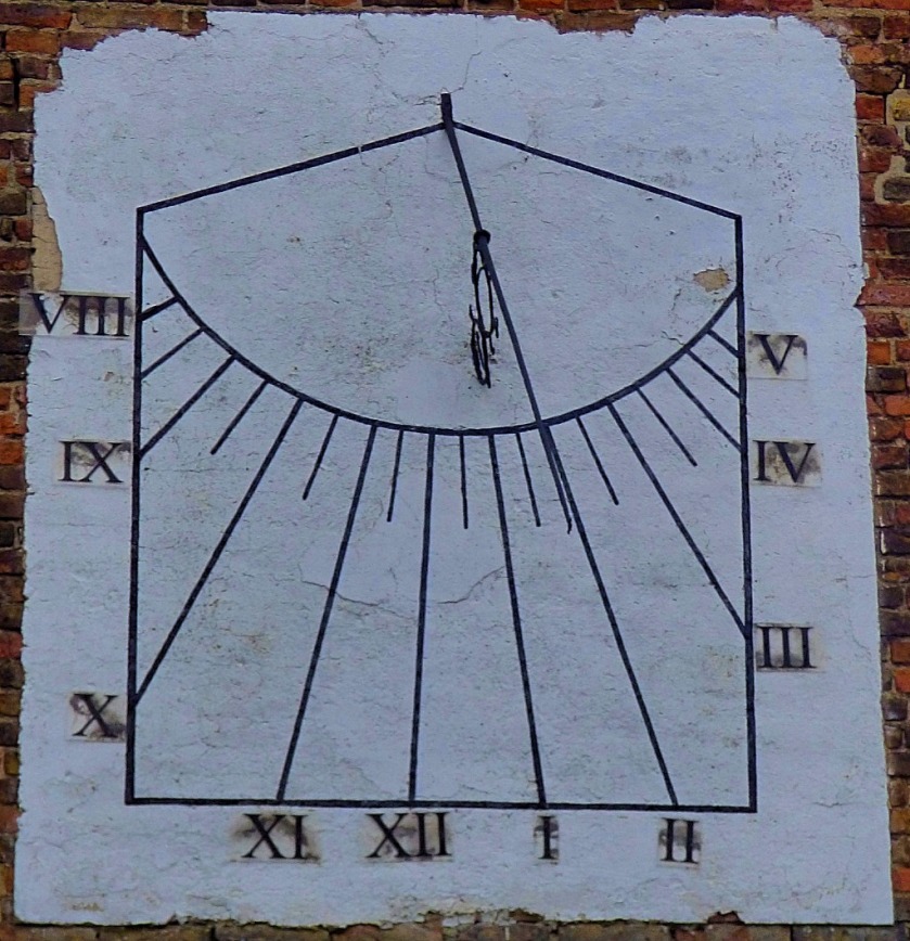
The signal box at Downham MarketThe station building – very impressive, and I was to discover quite typical of 19th century Downham Market buildings in the use of Carr (the brown coloured stone).A handy little map for working out one’s route from the station.I reckon (though I am opne to correction) that this little terrace was built to accommodate railway workers.This building is visible from the station platform.
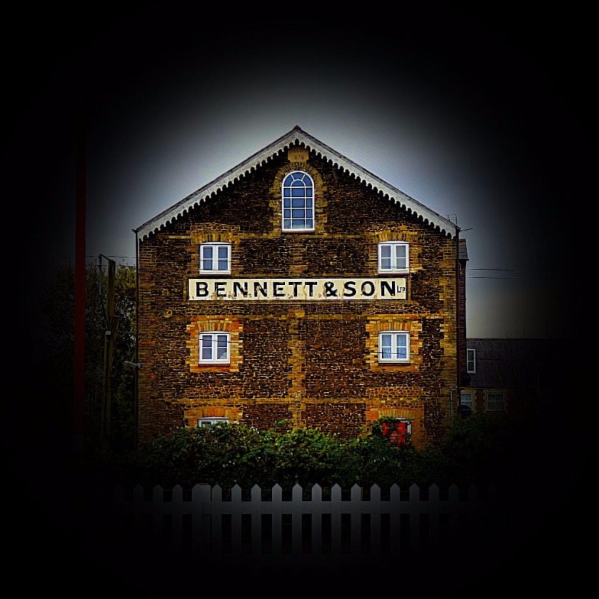
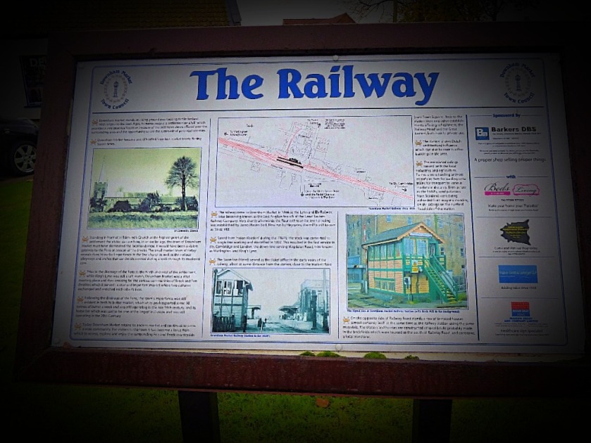
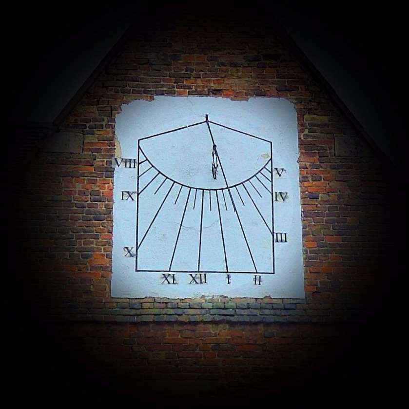
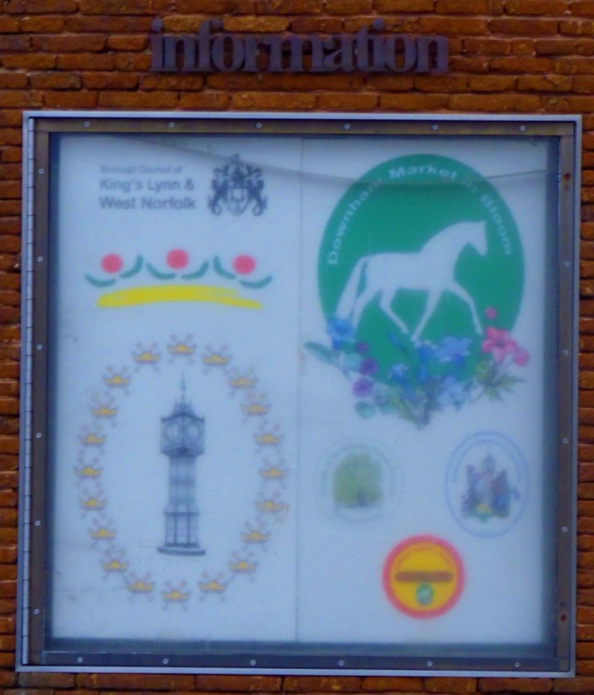
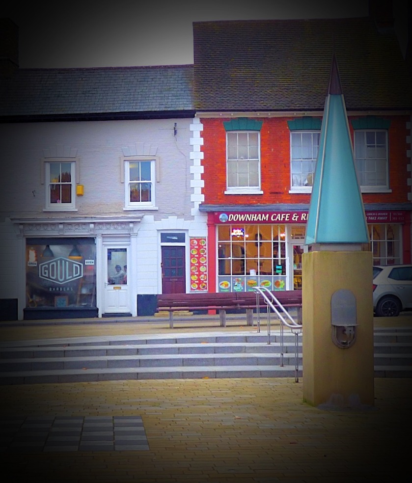
THE REST OF DOWNHAM MARKET
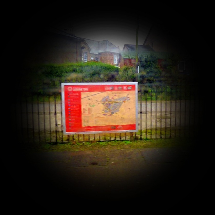
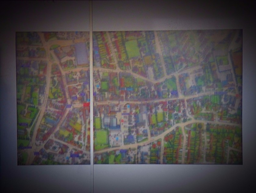
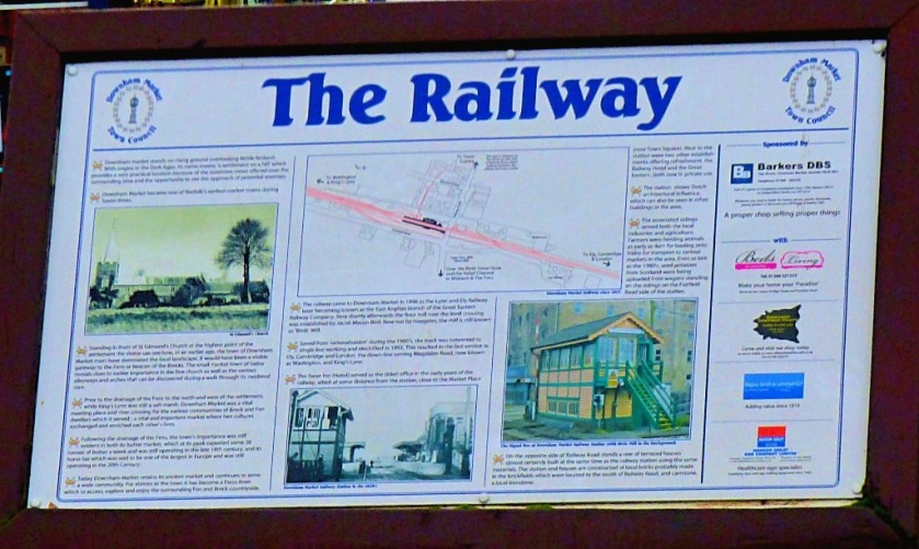
I start with two pictures to set the scene, a huge pictorial map which can be seen in the town centre and the information board about the railway:
The ‘Downham’ part of Downham Market comes from Anglo-Saxon (afterall, we are in the lands of the North Folk of the East Angles) and literally means ‘homestead on a hill’, and indeed the market town that grew up around that homestead (it has been a market town since Anglo-Saxon times) is slightly elevated from the surrounding countryside, which in Norfolk constitutes being on a hill! These photos are presented in the order in which they were taken.
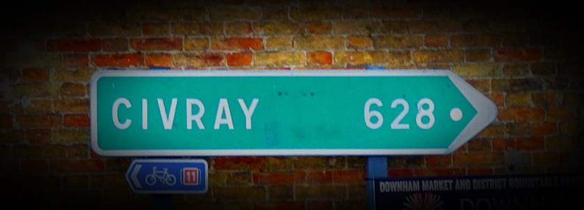
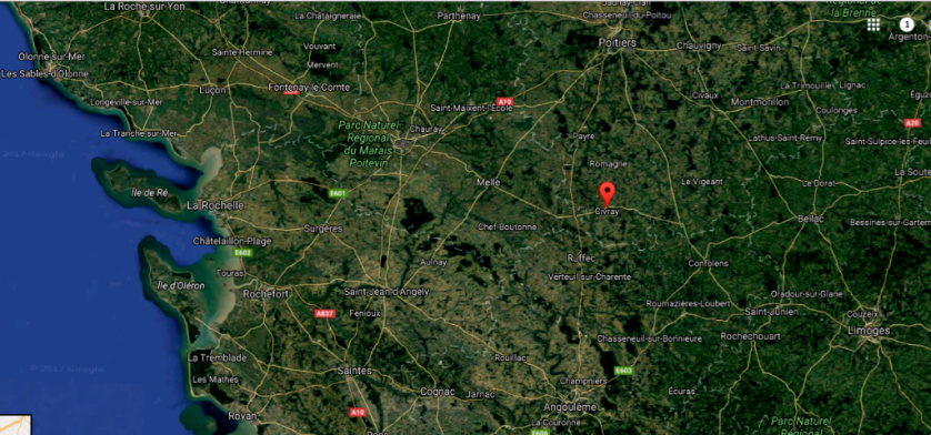
There will be more about Civray in the next section.
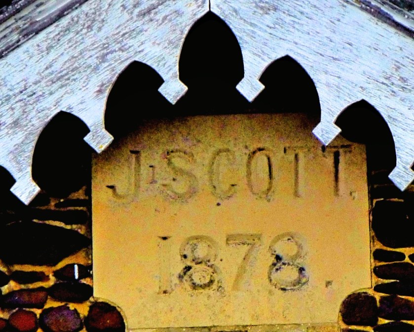
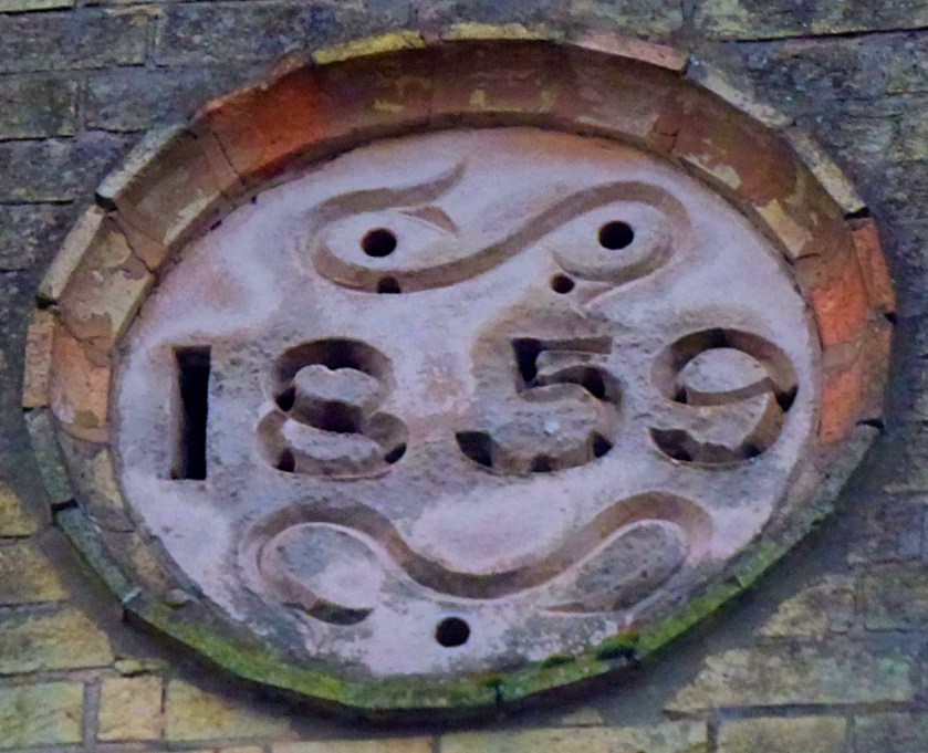
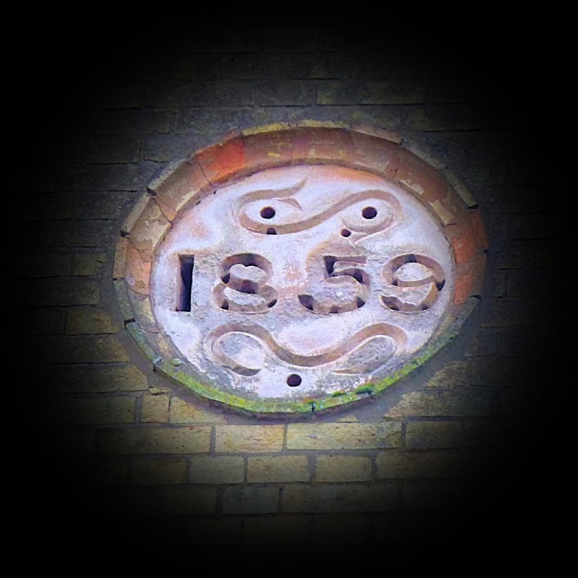
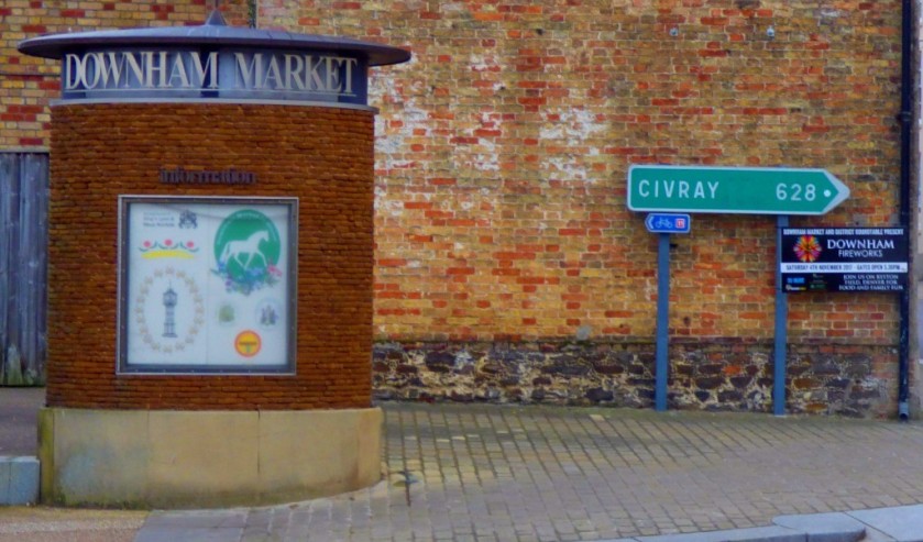
CIVRAY
I realised that there could be only one explanation for a signpost in cengtral Downham Market giving the distance to the town of Civray, namely that the two towns are twinned. Civray for the record is pretty much exactly halfway between Poitiers and Angouleme, due east of La Rochelle. I include a map as well as a close up of the sign.
Some thoughts on shared space streets and Exhibition Road in particular.
INTRODUCTION
Much of this post will also be appearing on my London Transport themed website as well as here because of the location of the particular shared space road that brought this issue to my attention. That location is of course Exhibition Road, London – a location very familiar to me from when I lived in London and was a regular visitor to museums. Here is a map for you to orient yourselves:
WHAT IS A SHARED SPACE ROAD?
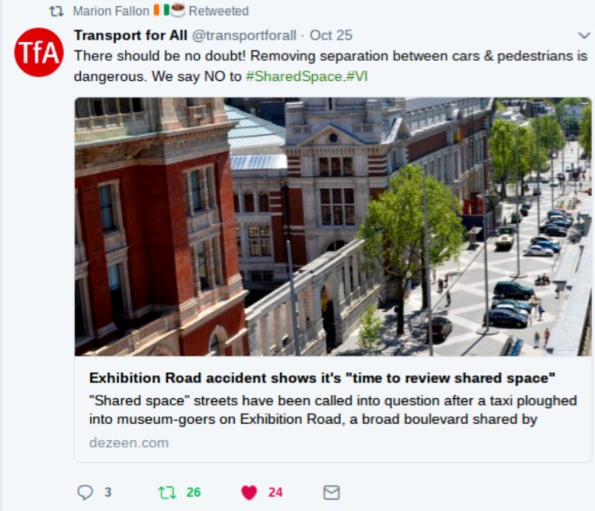
A shared space road is a road without pavements, with no clear distinctions between where cars, cyclists and pedestrians should be. According to some this arrangement reduces accidents. However, a recent incident on London’s Exhibition Road has called this into question. Here is a tweet from campaign group Transport for All:
This (to me) raises two questions to be taken in turn:
CAN SHARED SPACE ROADS WORK?
I am uncertain on this one and will welcome evidence from people with experience of shared space roads in their localities. My own view is that they could work but the following is necessary:
Clear signage explaining what a shared space road is and what that means.
A very low speed limit for motor vehicles (even lower than the 20mph which is now commonplace in the vicinity of schools) fiercely enforced – speeding on a shared space street should be punished more severely than speeding elsewhere because of the greater risk of hitting someone.
Referring back to my first bullet point it needs to made clear that motorists are always expected to give way to cyclists and pedestrians.
Given what I know of London drivers I do not think that London is the right city to be trialling these (although Rome and Paris would both clearly by even worse options!)
SHOULD EXHIBITION ROAD BE A SHARED SPACE ROAD?
Absolutely not – it should be completely pedestrianised. There are excellent public transport connections in this part of the world. Continue reading “Shared Space Roads ?”